Trails in Austria
9,779 hiking trails, each with its route, climb, walking time and grade.
All trails, page 82 of 204
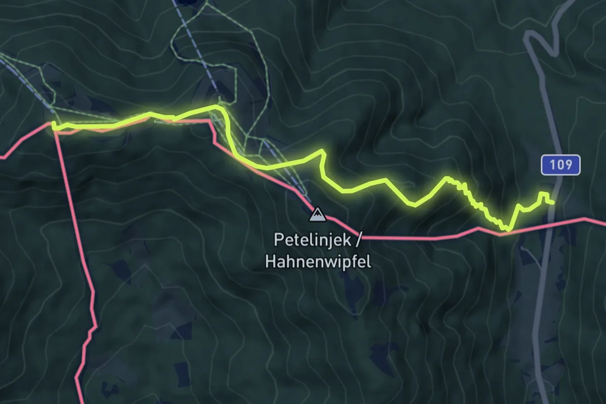
Medium · Summit
Panoramaweg Südalpen 01
7.9 km · ↑ 583 m · 3 h 8 min
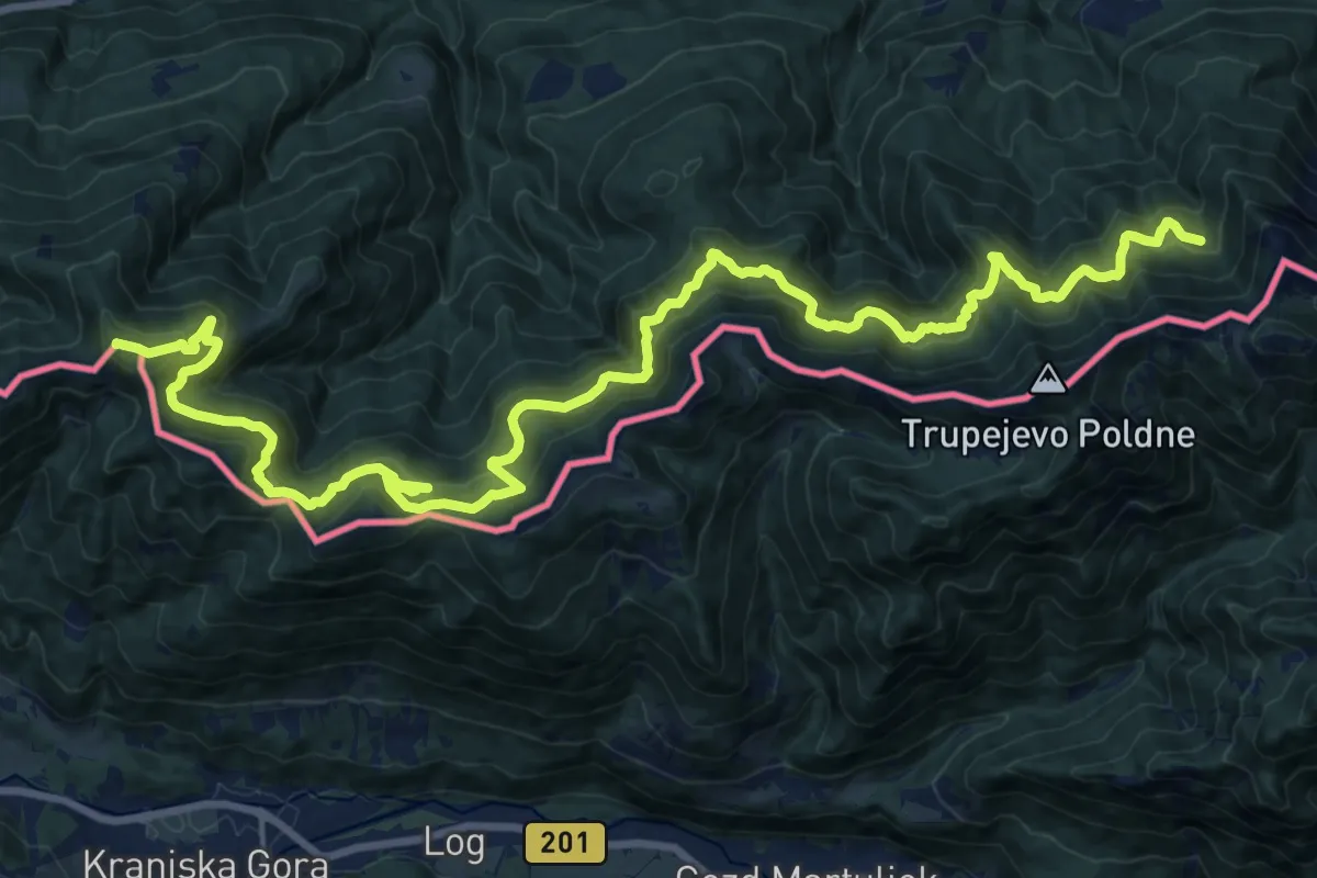
Demanding · Summit
Panoramaweg Südalpen 02
26.9 km · ↑ 1006 m · 8 h 31 min
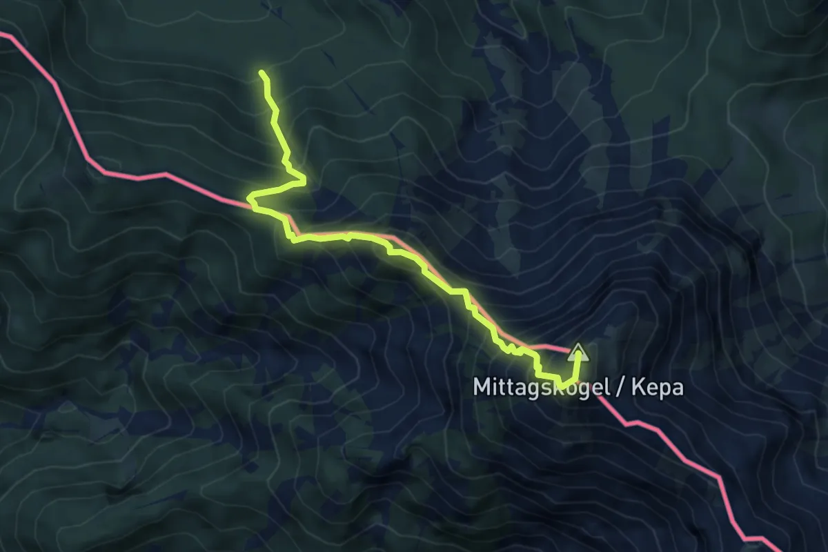
Expert · Summit
Panoramaweg Südalpen 03
5.3 km · ↑ 856 m · 3 h 6 min
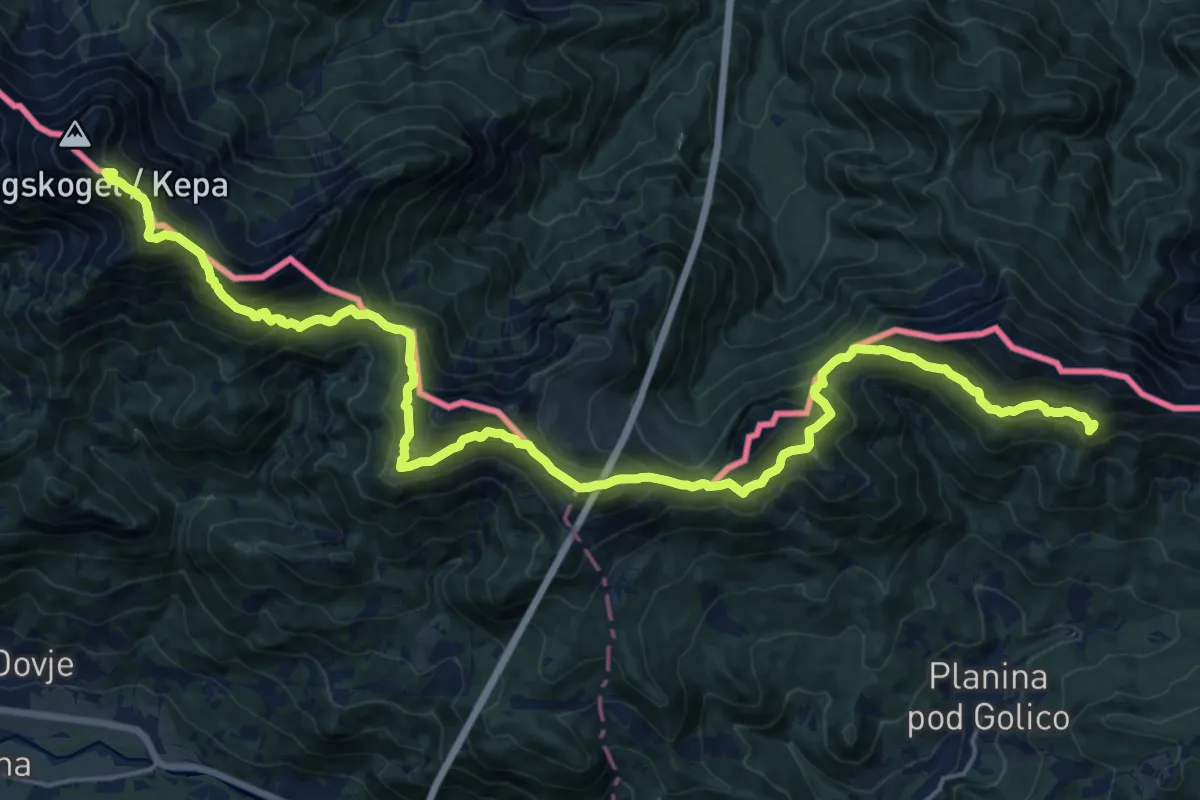
Demanding · Summit
Panoramaweg Südalpen 04
24.1 km · ↑ 1637 m · 9 h 14 min
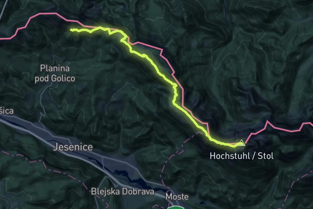
Expert · Summit
Panoramaweg Südalpen 05
26.7 km · ↑ 1725 m · 10 h 3 min
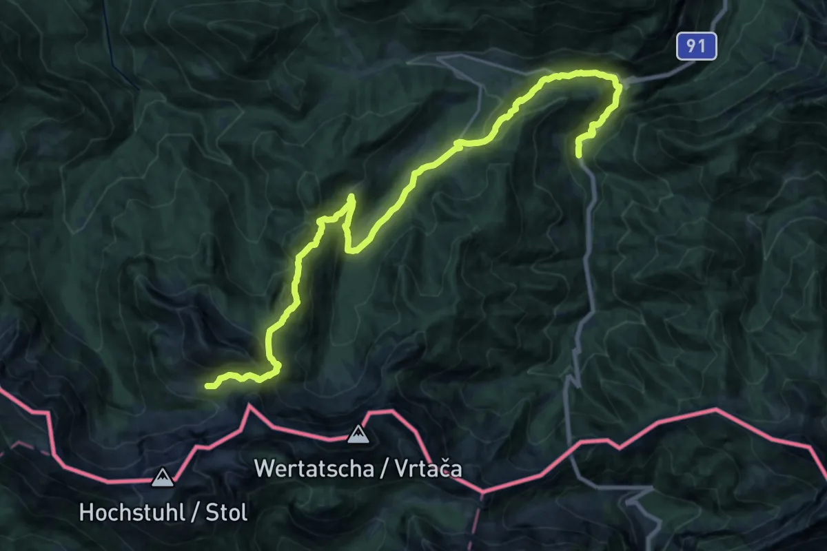
Demanding · Cabin
Panoramaweg Südalpen 06
12.6 km · ↑ 1147 m · 5 h 10 min
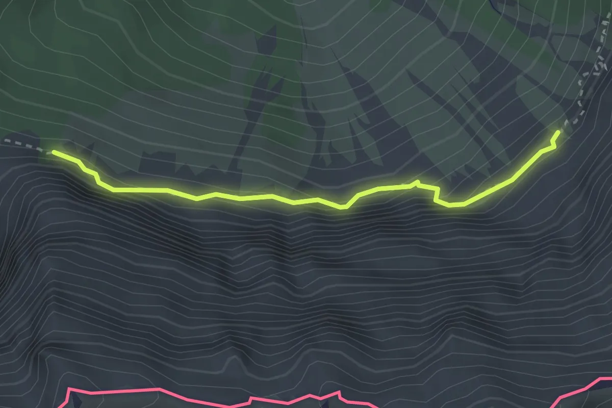
Expert · Trail
Panoramaweg Südalpen 07
2.6 km · ↑ 233 m · 1 h 7 min
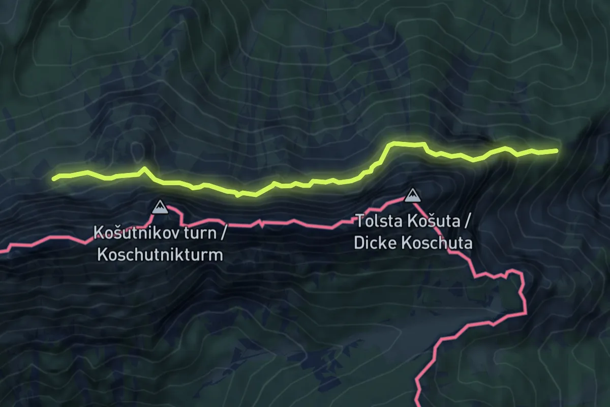
Demanding · Trail
Panoramaweg Südalpen 08
6.7 km · ↑ 673 m · 3 h 2 min
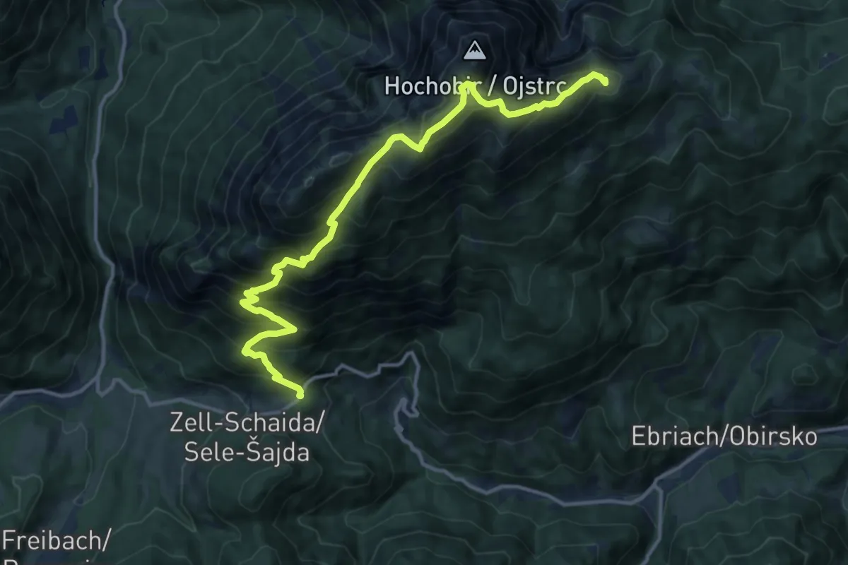
Demanding · Summit
Panoramaweg Südalpen 09
13.8 km · ↑ 1212 m · 5 h 53 min
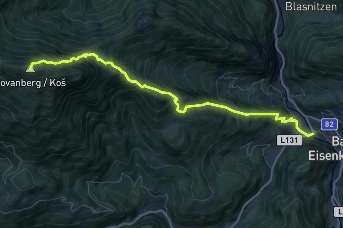
Demanding · Summit
Panoramaweg Südalpen 10
9.1 km · ↑ 956 m · 4 h 13 min
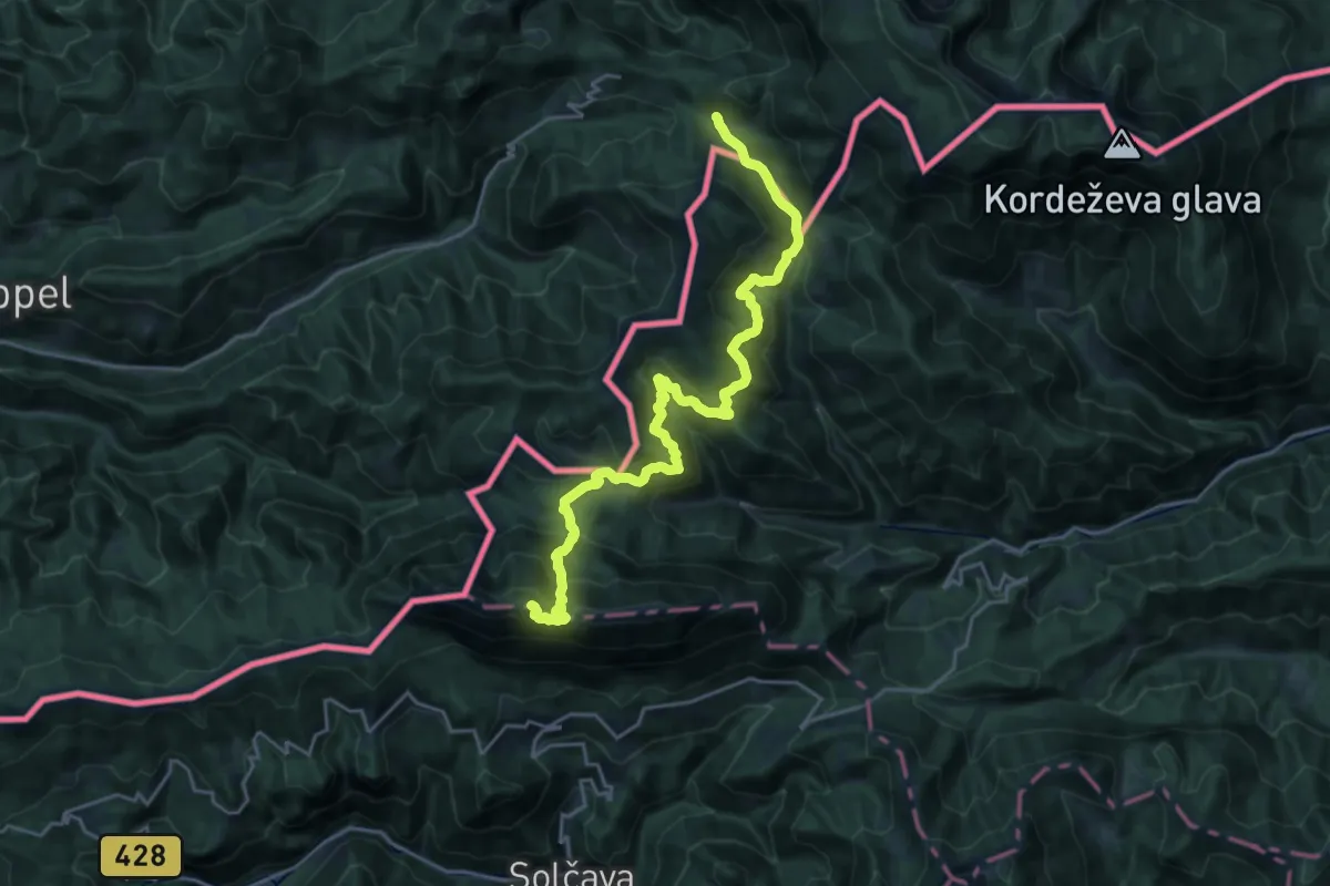
Demanding · Summit
Panoramaweg Südalpen 12
23.5 km · ↑ 1564 m · 8 h 57 min
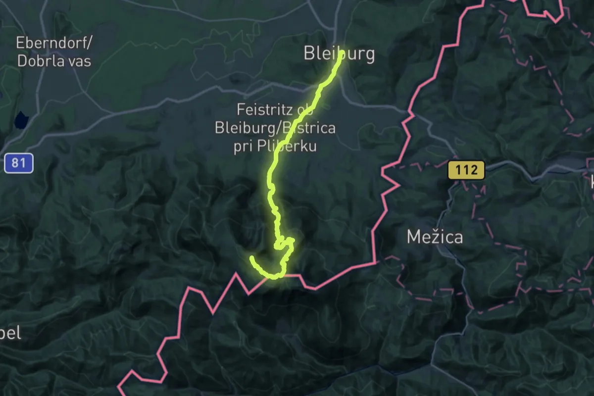
Demanding · Summit
Panoramaweg Südalpen 13
31.7 km · ↑ 1889 m · 11 h 35 min
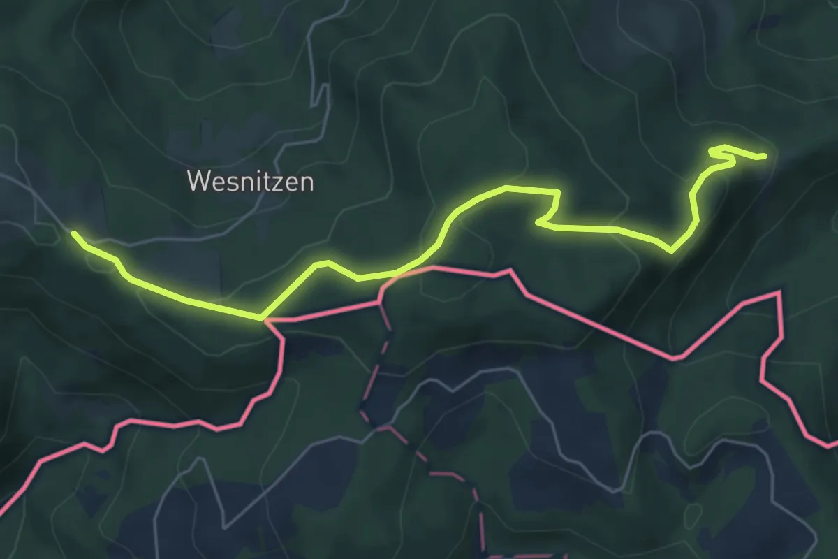
Easy · Trail
Panoramaweg Südalpen 14
6.0 km · ↑ 210 m · 1 h 52 min
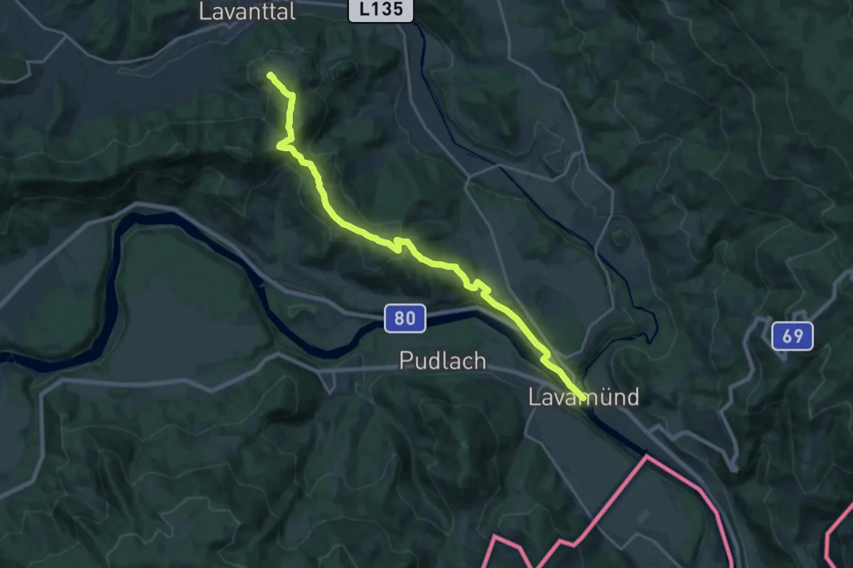
Demanding · Trail
Panoramaweg Südalpen 15
18.2 km · ↑ 575 m · 5 h 33 min
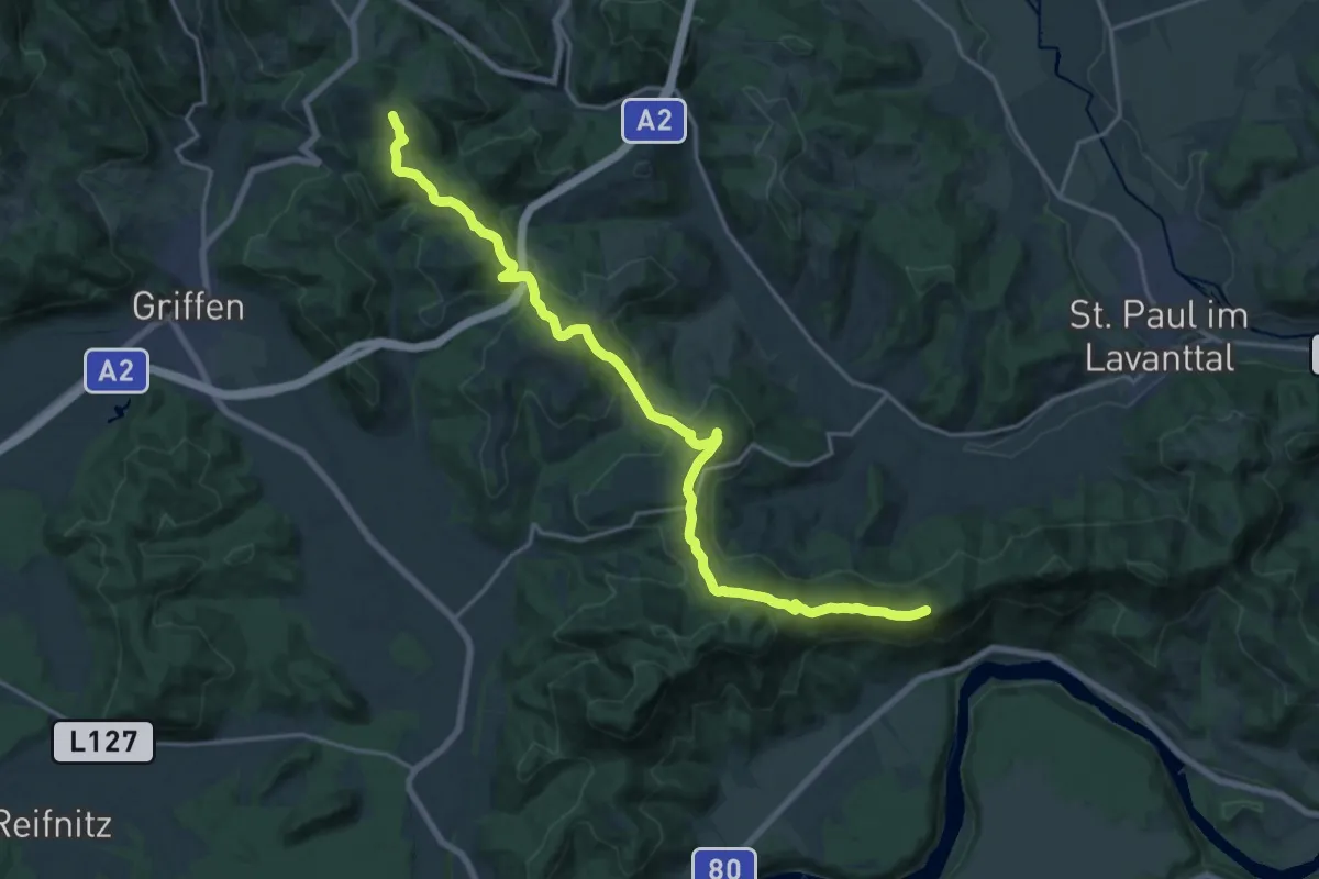
Demanding · Summit
Panoramaweg Südalpen 16
21.1 km · ↑ 772 m · 6 h 40 min
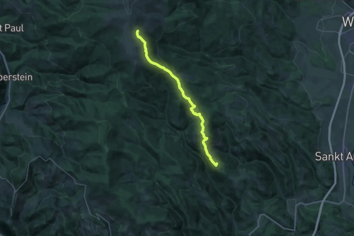
Demanding · Summit
Panoramaweg Südalpen 17
22.3 km · ↑ 973 m · 7 h 22 min
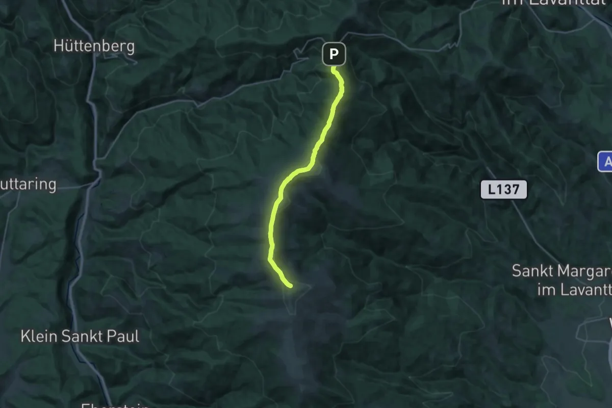
Demanding · Summit
Panoramaweg Südalpen 18
21.8 km · ↑ 885 m · 7 h 4 min
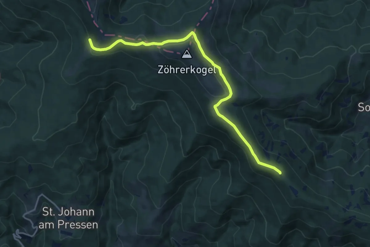
Medium · Summit
Panoramaweg Südalpen 19
12.8 km · ↑ 250 m · 3 h 34 min
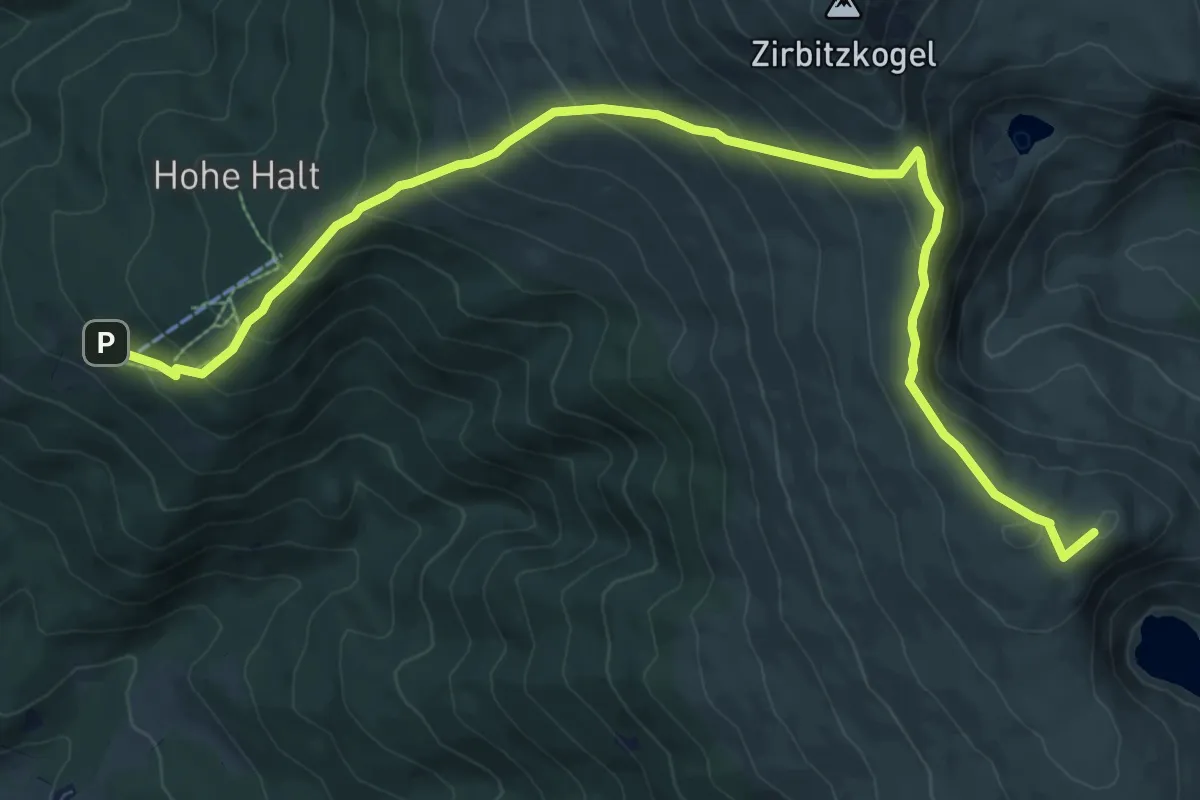
Medium · Summit
Panoramaweg Südalpen 20
11.2 km · ↑ 741 m · 4 h 15 min
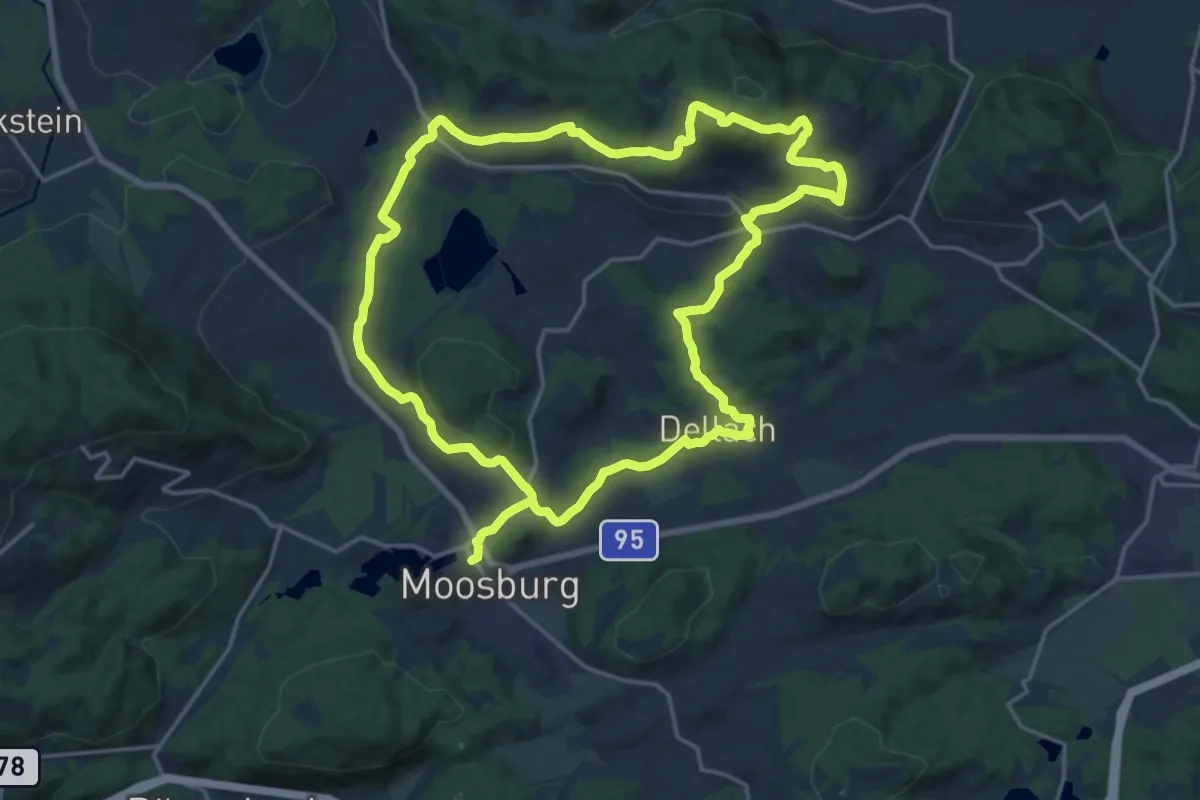
Demanding · Trail
Panoramaweg Tigring
18.1 km · ↑ 441 m · 5 h 27 min
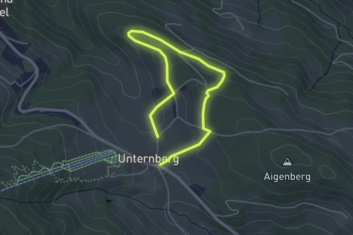
Easy · Trail
Panoramaweg (Unternberg)
5.2 km · ↑ 127 m · 1 h 30 min
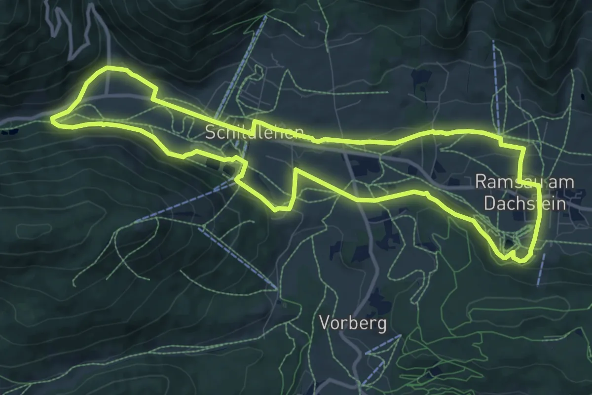
Medium · Trail
Panoramaweg West
9.9 km · ↑ 162 m · 2 h 49 min
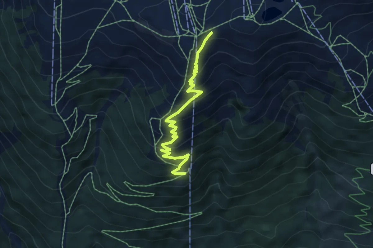
Medium · Trail
Panoramaweg Wildkogelbahn Bergstation-Mittelstation
5.1 km · ↑ 442 m · 2 h 9 min
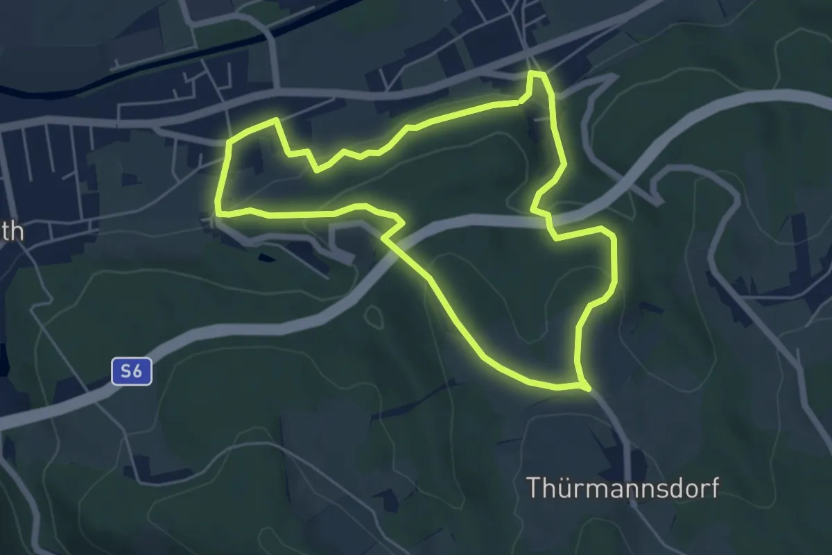
Easy · Trail
Panoramaweg (Wörth - Enzenreith - Köttlach)
4.9 km · ↑ 193 m · 1 h 39 min
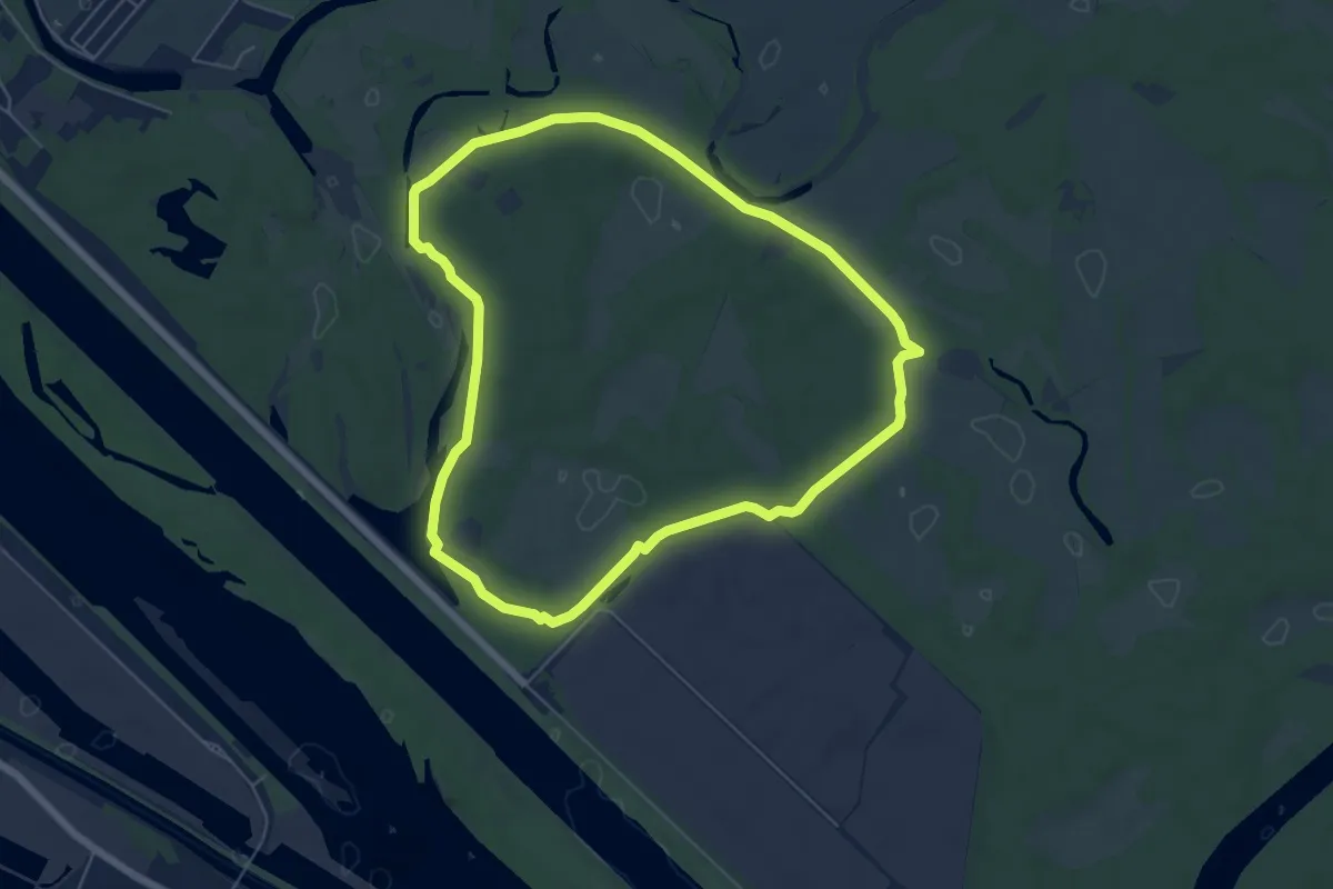
Easy · Trail
Panozzalacke Rundweg
5.7 km · ↑ 0 m · 1 h 25 min
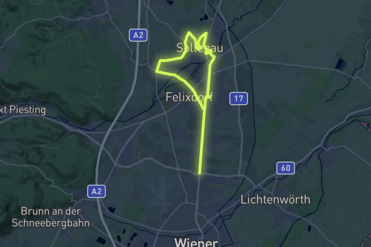
Medium · Trail
Papai Sport Runde
15.4 km · ↑ 12 m · 3 h 53 min
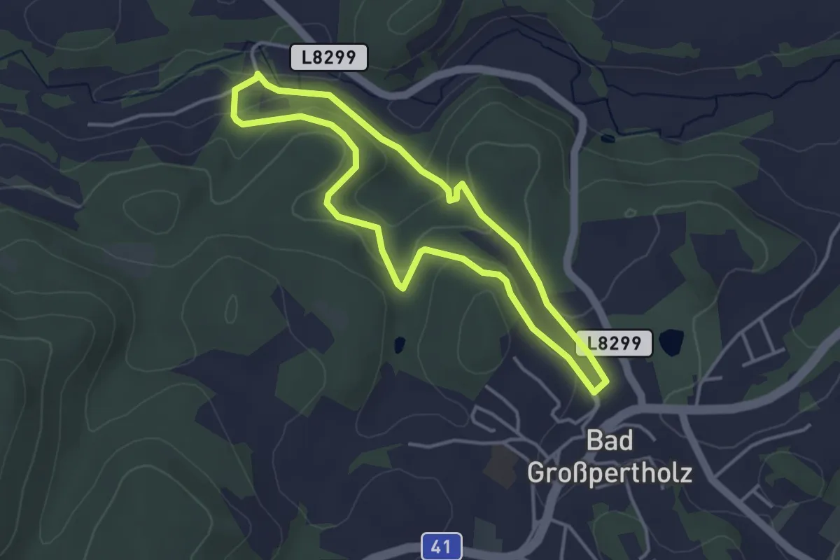
Easy · Trail
Papiermühlenweg #89
3.3 km · ↑ 101 m · 1 h 2 min
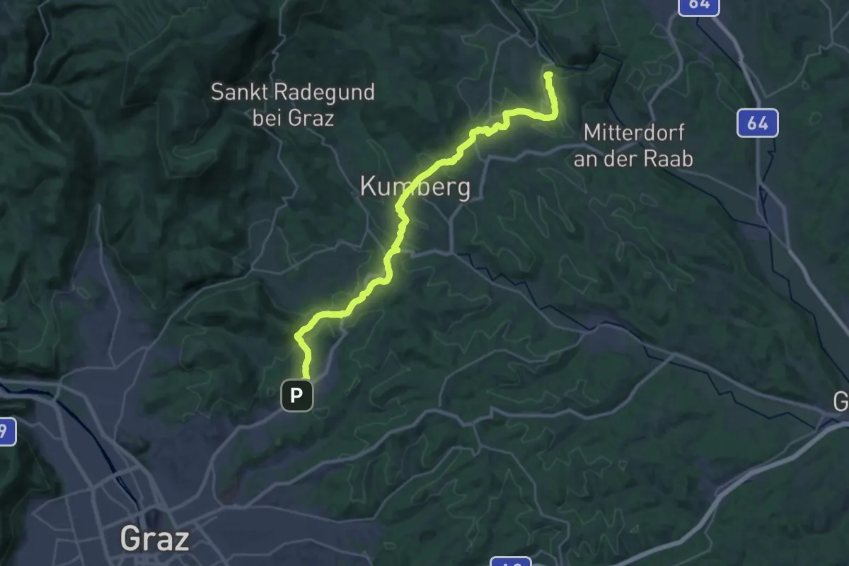
Demanding · Summit
Papst-Franziskus-Pilgerweg
31.1 km · ↑ 791 m · 9 h 3 min
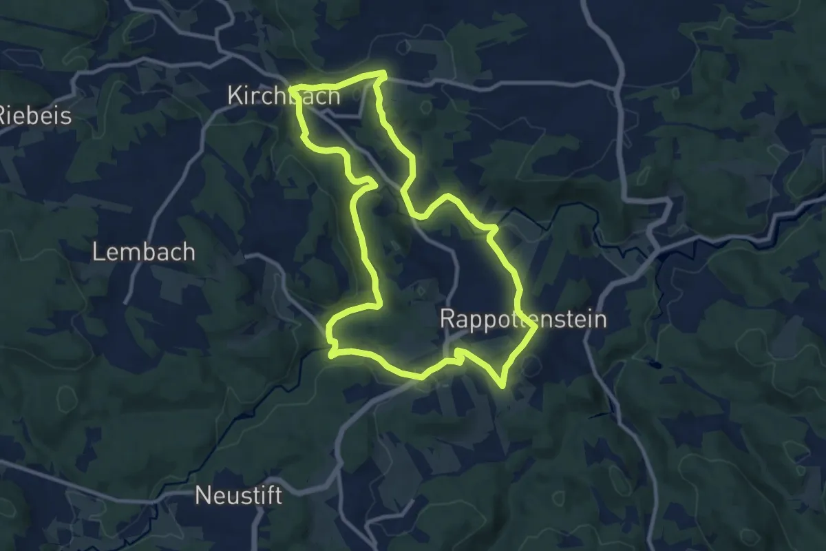
Medium · Trail
Paradiesweg 6
9.5 km · ↑ 234 m · 2 h 53 min
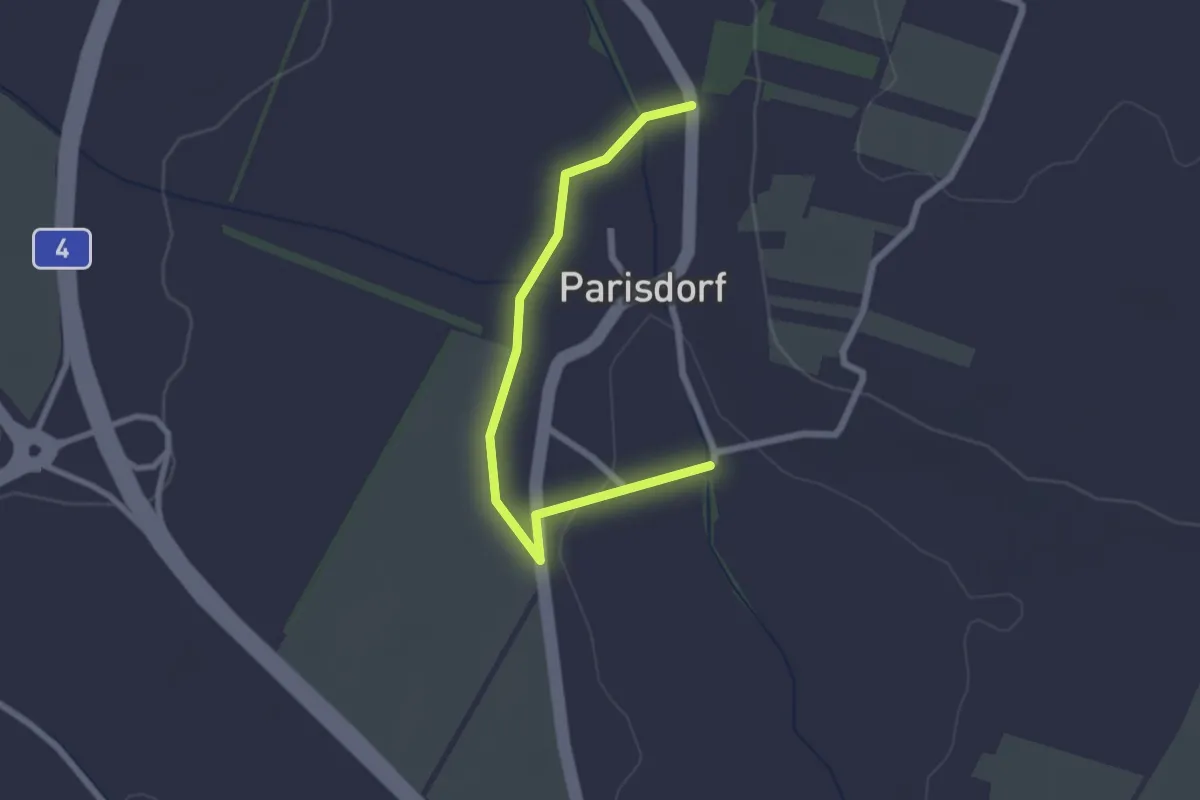
Easy · Trail
Parisdorfer Rundwanderweg
2.3 km · ↑ 9 m · 34 min
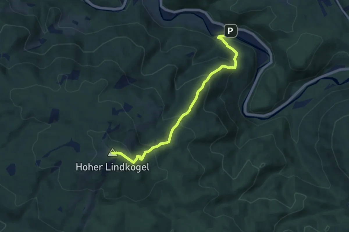
Medium · Summit
Parkplatz Augustinerhütte - Hoher Lindkogel
7.5 km · ↑ 558 m · 2 h 59 min
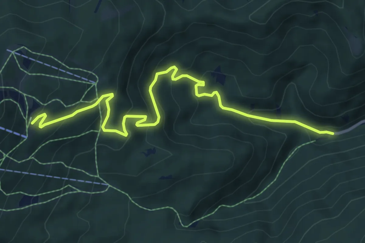
Medium · Trail
Parkplatz Myralucke - Drahtal - Unterberg Schutzhaus
8.6 km · ↑ 469 m · 3 h 3 min
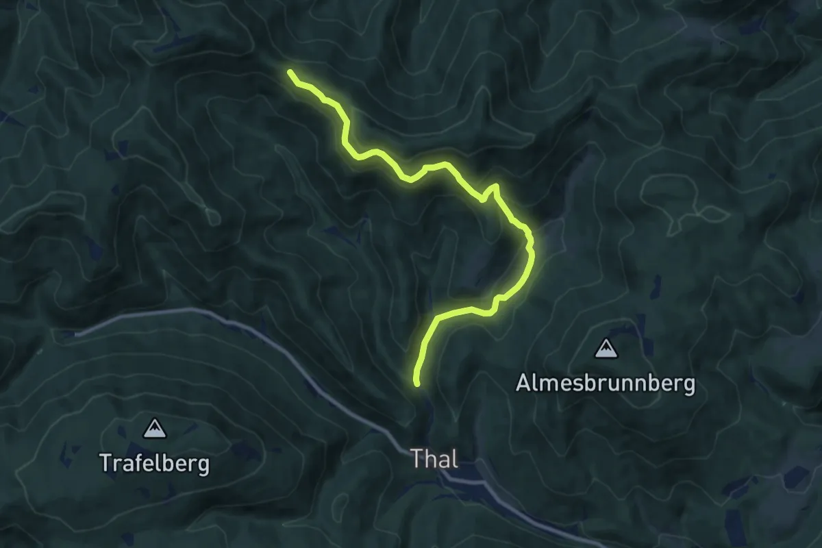
Medium · Trail
Parkplatz Viehgraben (Thal) - Weidengraben - Almes Kogel
10.1 km · ↑ 418 m · 3 h 18 min
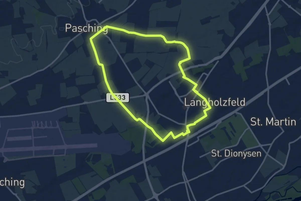
Medium · Trail
Pasching Süd
9.2 km · ↑ 25 m · 2 h 21 min
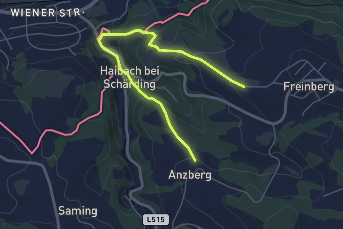
Easy · Trail
Passaublick-Severinsweg
5.0 km · ↑ 213 m · 1 h 38 min
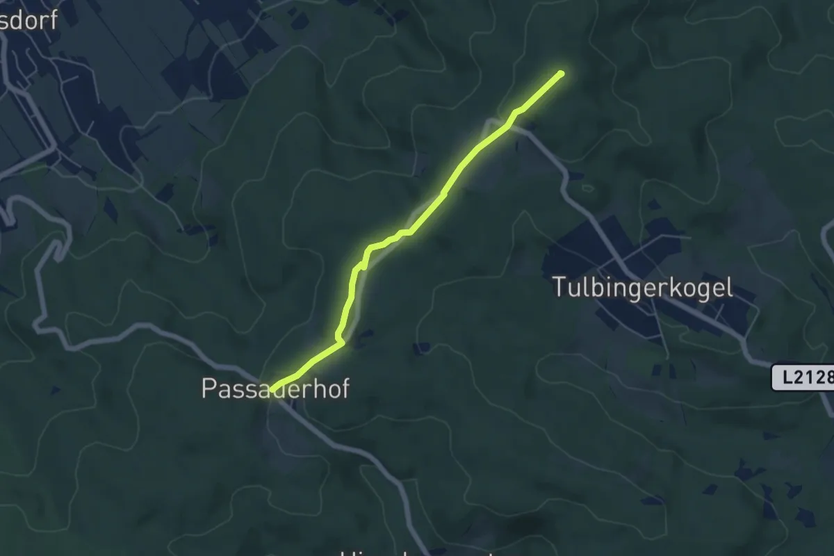
Easy · Summit
Passauerhof - Tulbinger Kogel/Leopold-Figl-Warte
4.8 km · ↑ 109 m · 1 h 22 min
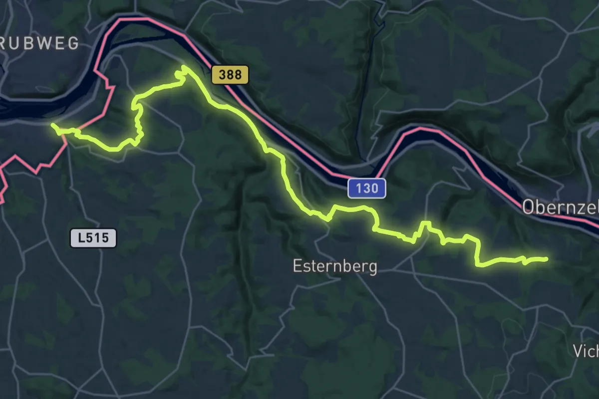
Medium · Trail
Passau - Kasten Donausteig Etappe
16.8 km · ↑ 588 m · 5 h 23 min
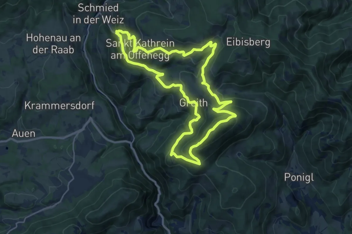
Medium · Summit
Patscha-Runde
15.4 km · ↑ 653 m · 5 h 16 min
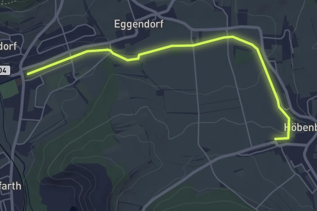
Easy · Trail
Paudorfer Skulpturenweg
5.1 km · ↑ 51 m · 1 h 20 min
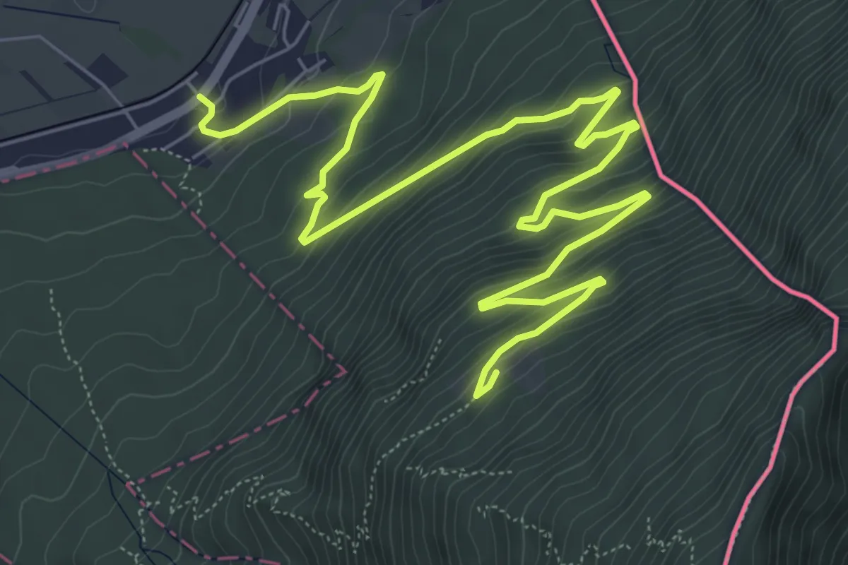
Medium · Trail
Paulahuette - Schaanwald
9.9 km · ↑ 624 m · 3 h 42 min
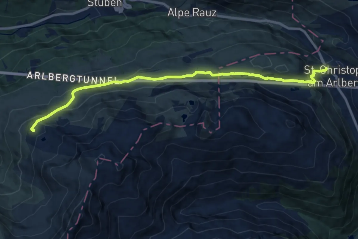
Medium · Cabin
Paul-Bantlin-Weg
12.1 km · ↑ 446 m · 3 h 49 min
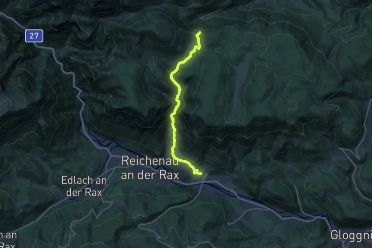
Demanding · Summit
Payerbach Bahnhof - Schneedörfl - Lackaboden - Alpleck
14.2 km · ↑ 867 m · 5 h 13 min
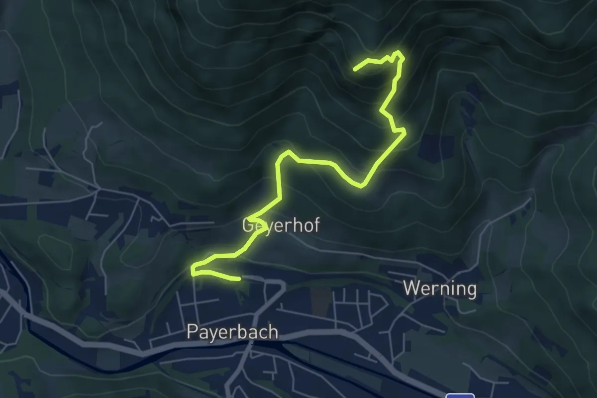
Medium · Summit
Payerbach Bahnhof - Waldburgangerhütte - Friedrich Hallerhaus - Gadenweith
5.8 km · ↑ 508 m · 2 h 28 min
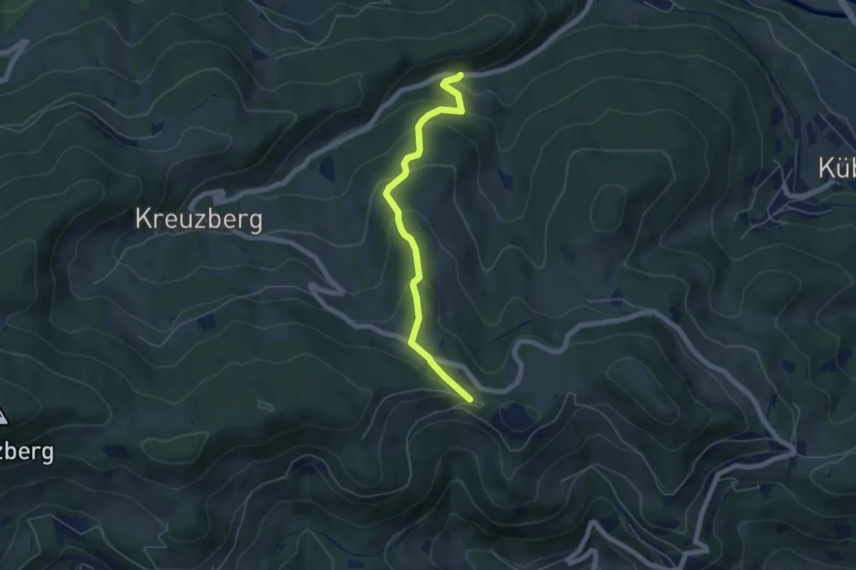
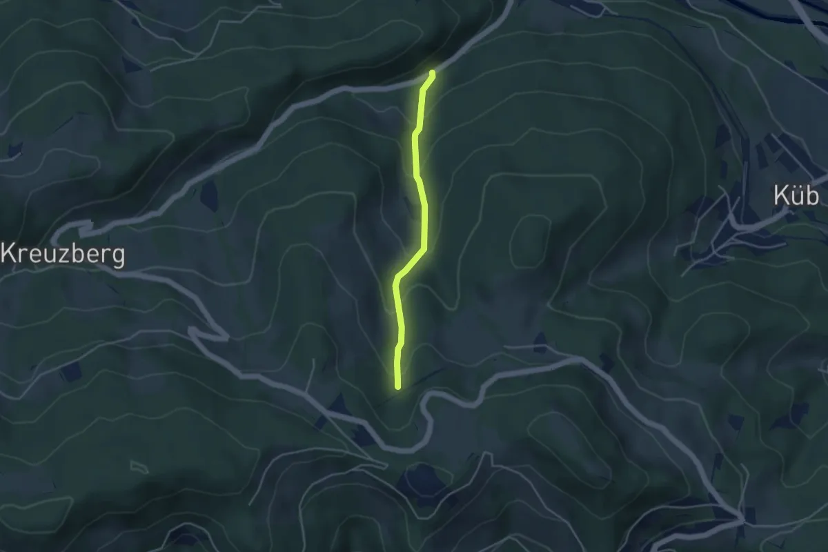
Easy · Trail
Payerbachgraben - Kreuzberg
4.7 km · ↑ 310 m · 1 h 47 min
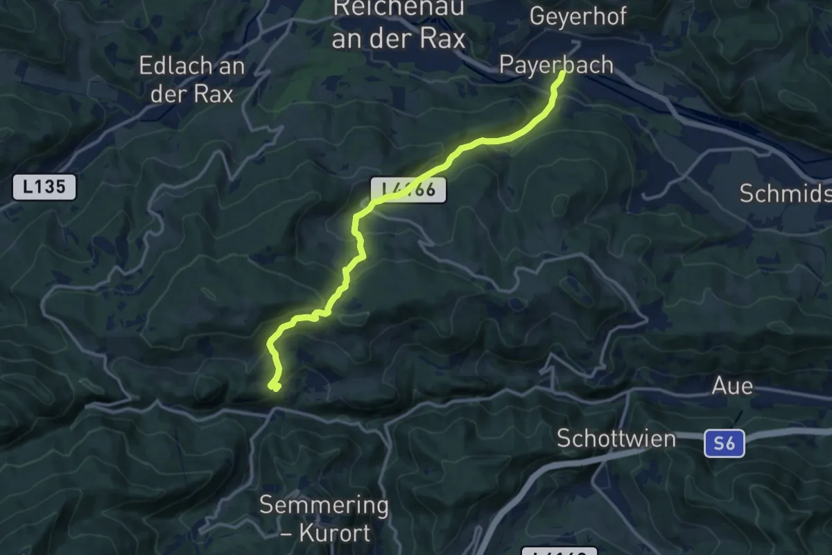
Easy · Trail
Payerbachgraben - Voselhöhe
3.2 km · ↑ 250 m · 1 h 17 min
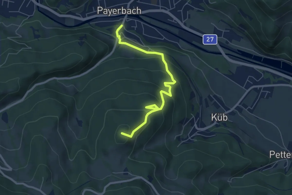
Medium · Trail
Payerbach - Sommerhöhe - Breitenstein
12.0 km · ↑ 720 m · 4 h 24 min
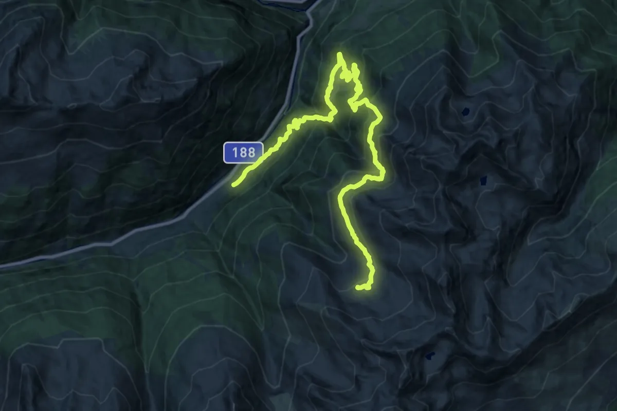
Medium · Summit
Payerbach - Steinhöfler
6.1 km · ↑ 401 m · 2 h 18 min
Demanding · Cabin
Paznauner Höhenweg Etappe 1
13.5 km · ↑ 1332 m · 5 h 39 min