Trails in Austria
9,779 hiking trails, each with its route, climb, walking time and grade.
All trails, page 83 of 204
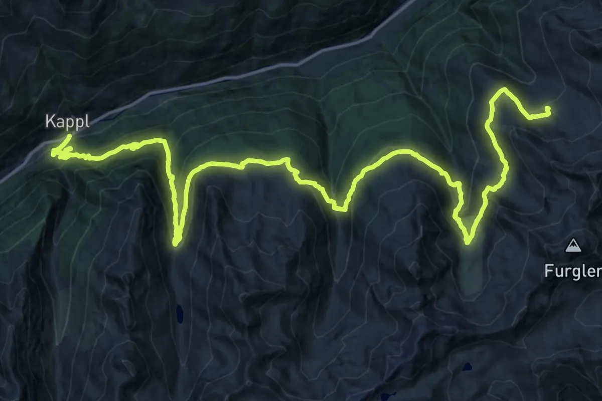
Demanding · Cabin
Paznauner Höhenweg Etappe 2
21.8 km · ↑ 1741 m · 8 h 42 min
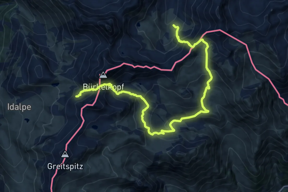
Demanding · Trail
Paznauner Höhenweg Etappe 3
9.6 km · ↑ 695 m · 4 h 2 min
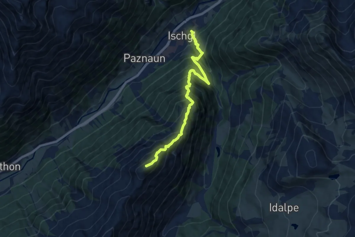
Demanding · Summit
Paznauner Höhenweg Etappe 4
9.2 km · ↑ 1280 m · 4 h 57 min
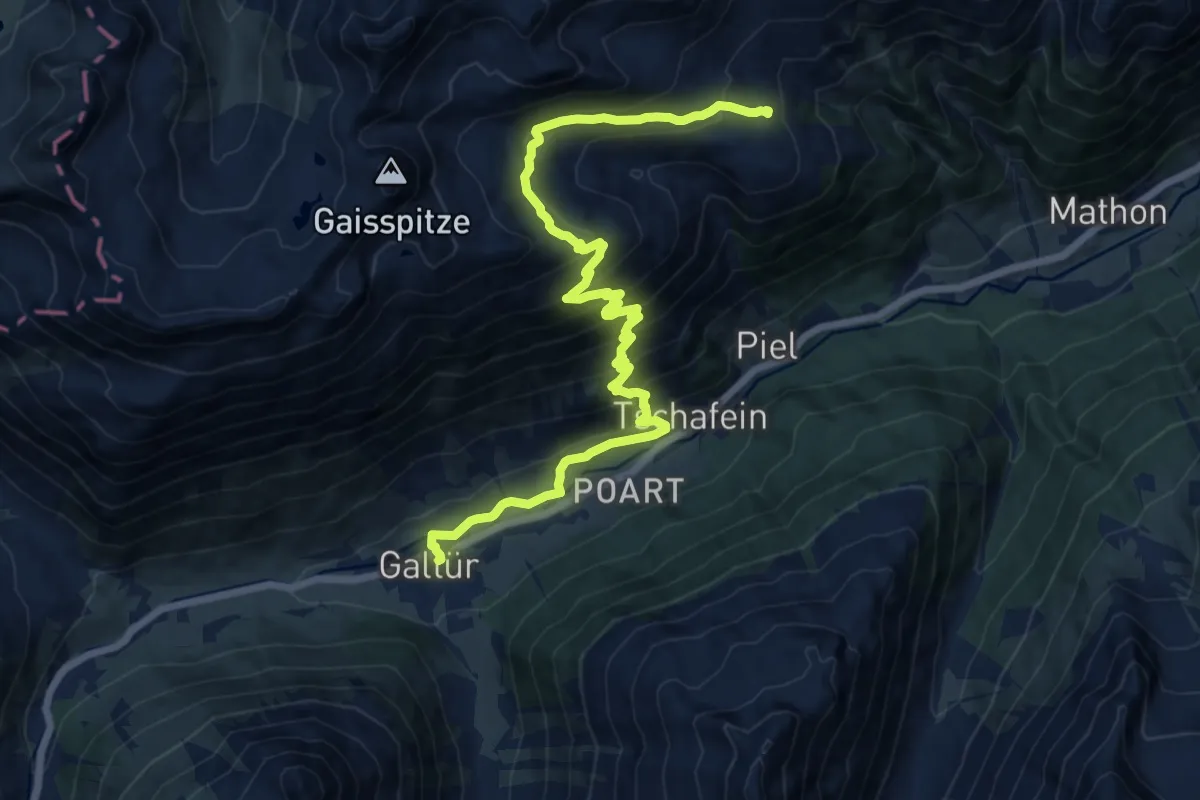
Demanding · Cabin
Paznauner Höhenweg Etappe 5
16.0 km · ↑ 1043 m · 6 h 3 min
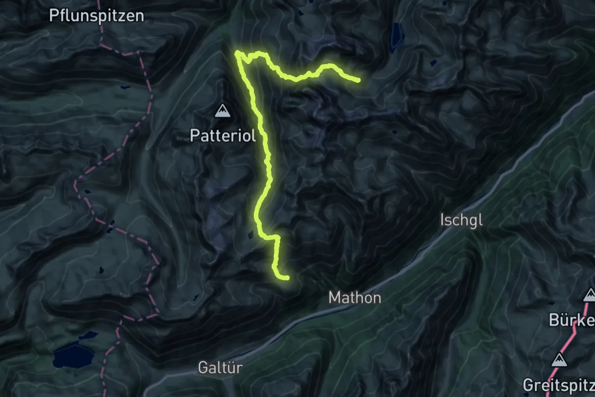
Expert · Cabin
Paznauner Höhenweg Etappe 6
14.9 km · ↑ 1519 m · 6 h 54 min
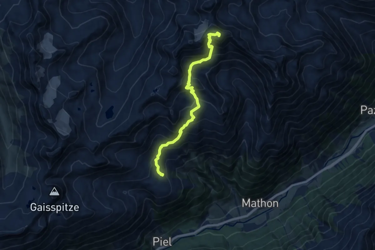
Expert · Summit
Paznauner Höhenweg Etappe 6 Variante
10.2 km · ↑ 920 m · 4 h 24 min
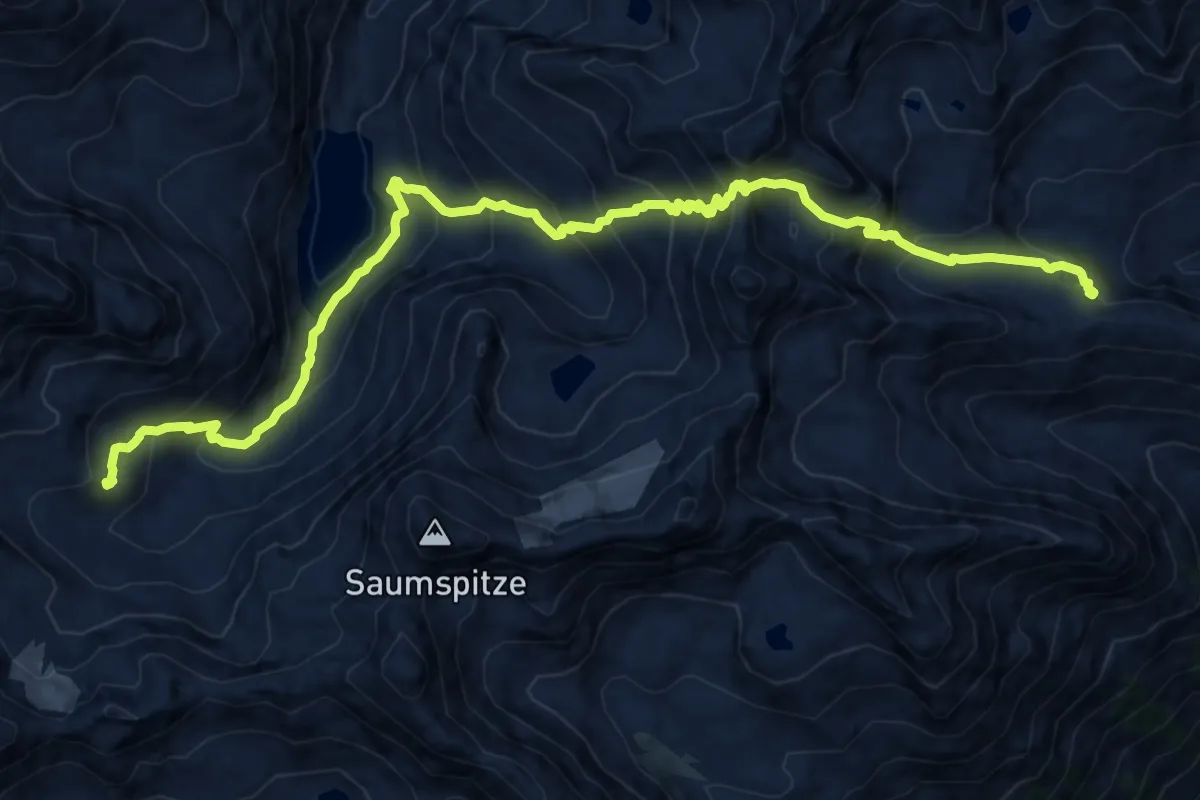
Demanding · Cabin
Paznauner Höhenweg Etappe 7
16.0 km · ↑ 1556 m · 7 h 9 min
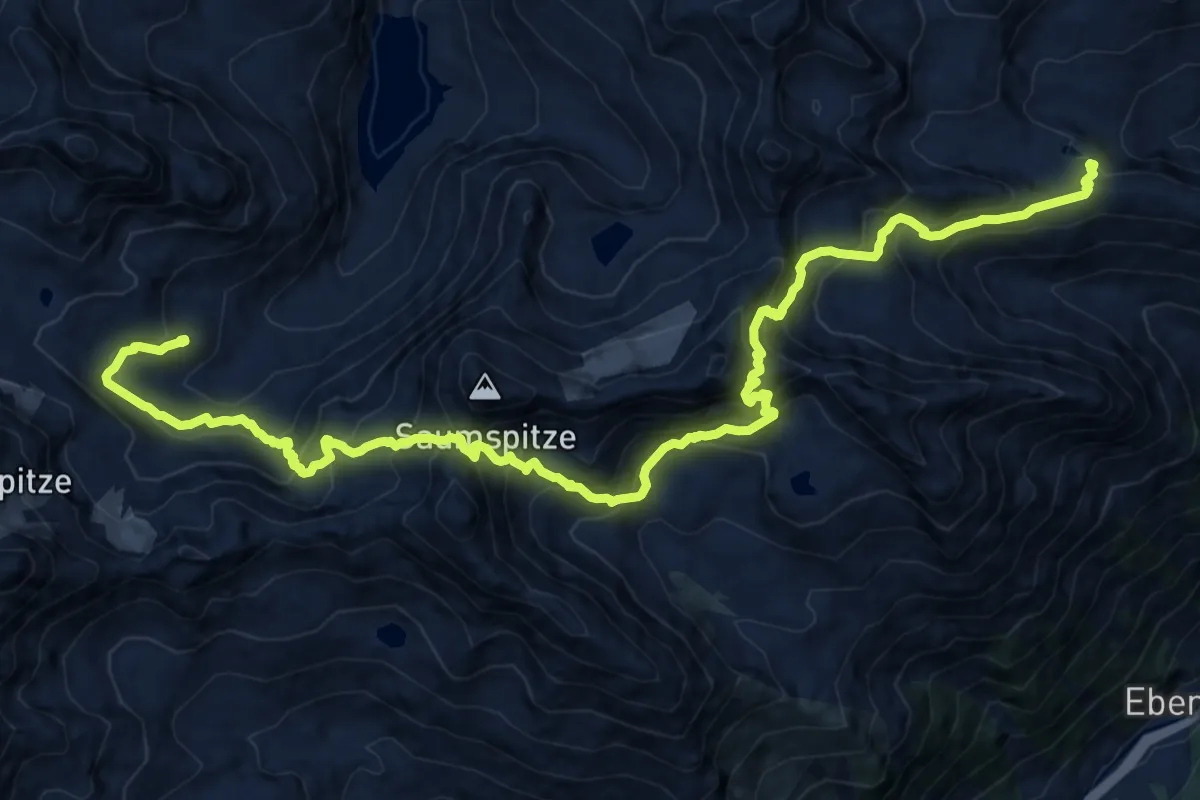
Demanding · Cabin
Paznauner Höhenweg Etappe 7 Variante
9.6 km · ↑ 893 m · 4 h 22 min
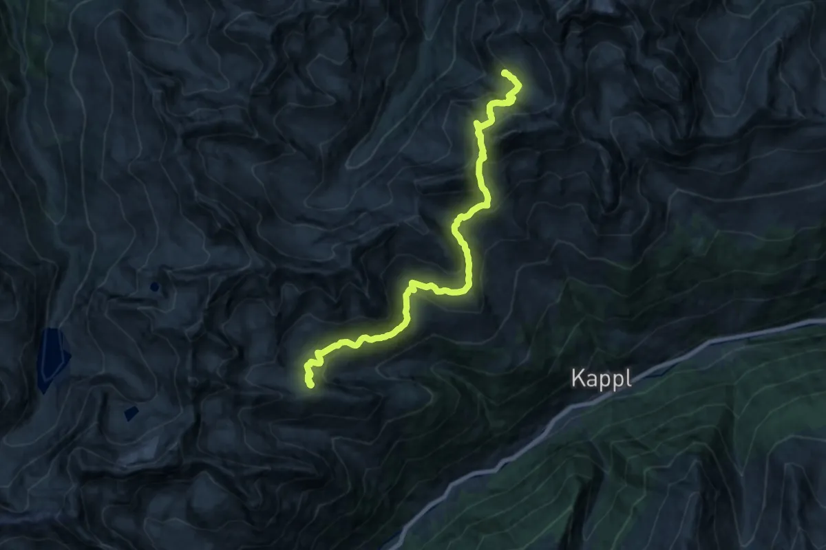
Demanding · Cabin
Paznauner Höhenweg Etappe 8
18.3 km · ↑ 1100 m · 6 h 42 min
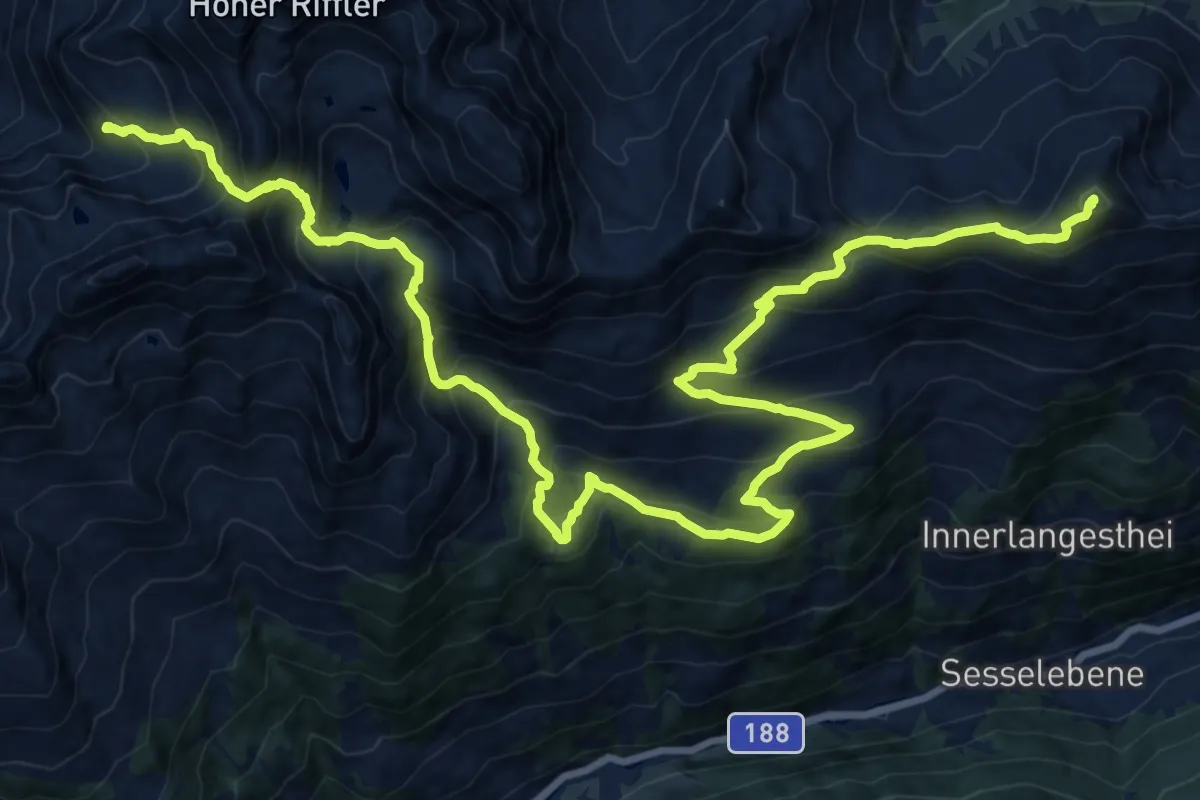
Demanding · Summit
Paznauner Höhenweg Etappe 9
27.0 km · ↑ 2139 m · 11 h
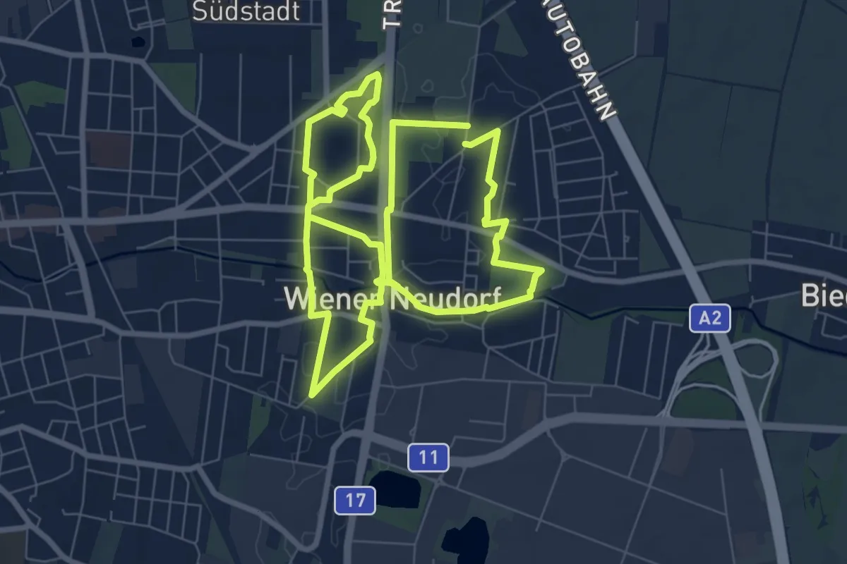
Easy · Trail
Pearl iZUMi Runde
7.3 km · ↑ 8 m · 1 h 50 min
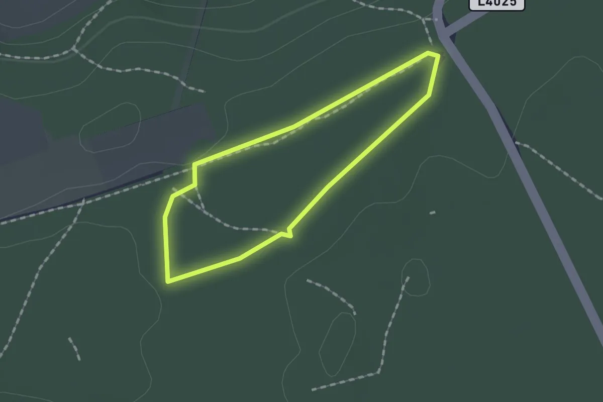
Easy · Trail
Pecherlehrpfad
1.2 km · ↑ 4 m · 18 min
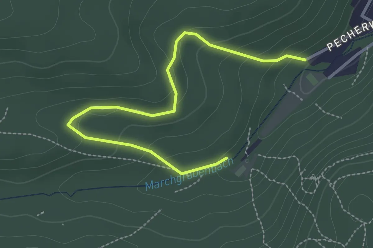
Easy · Trail
Pecherlehrpfad
3.0 km · ↑ 113 m · 57 min
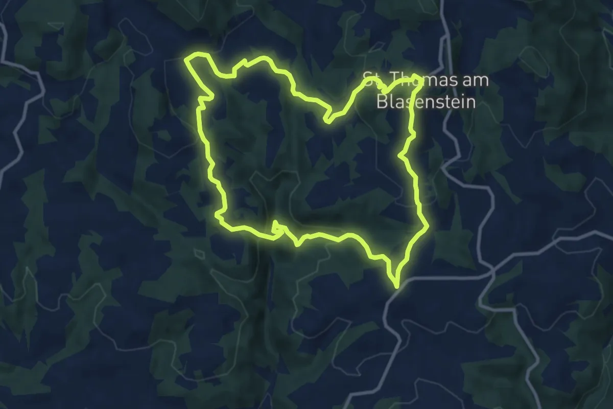
Medium · Summit
Pechölstein
9.2 km · ↑ 401 m · 3 h 10 min
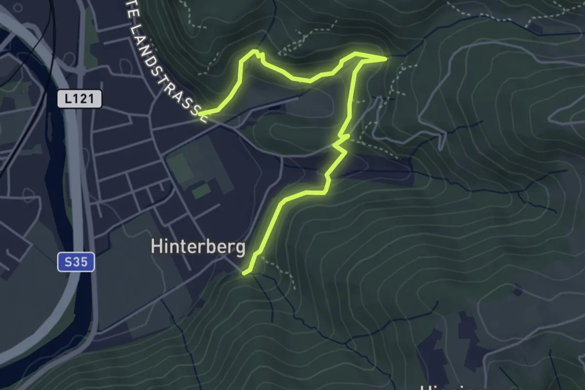
Medium · Trail
Peggauer Rundwanderweg
4.6 km · ↑ 195 m · 1 h 31 min
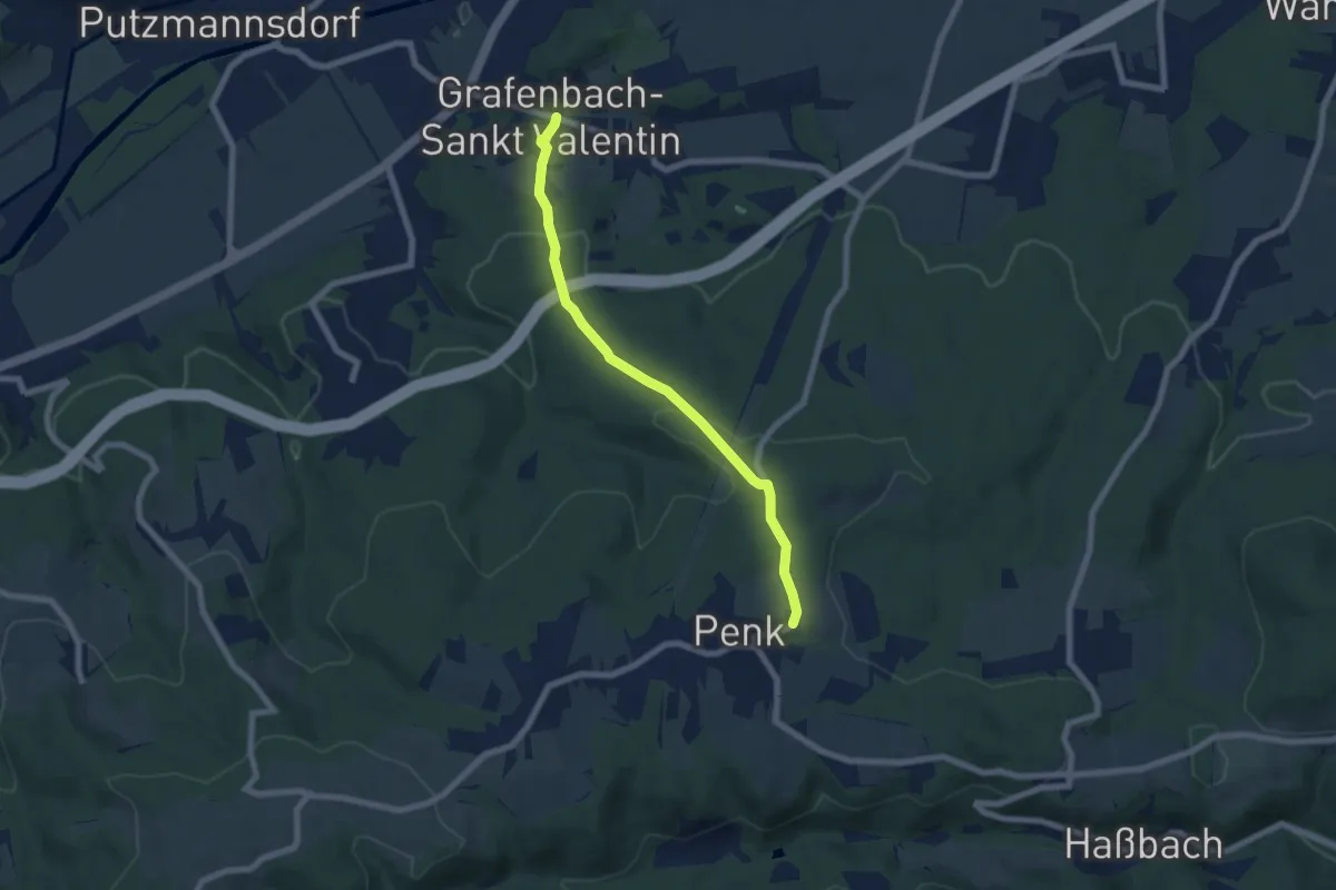
Easy · Trail
Penker Kirchenweg
6.4 km · ↑ 226 m · 1 h 59 min
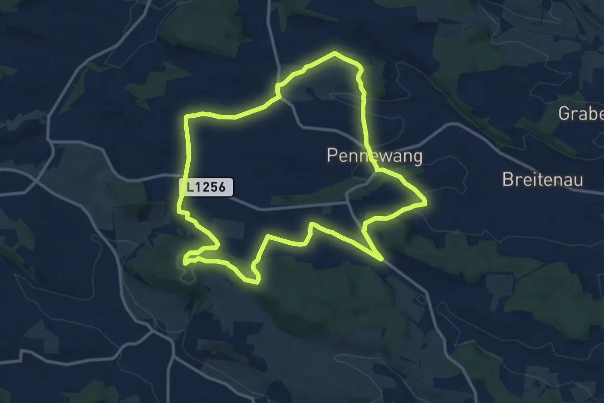
Medium · Summit
Pennewang Runde
10.2 km · ↑ 218 m · 3 h 1 min
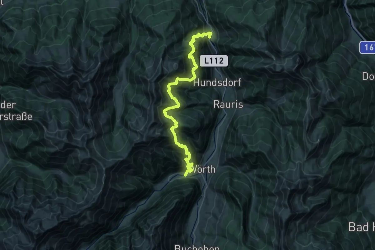
Demanding · Trail
Penninghofalm
14.3 km · ↑ 1140 m · 6 h
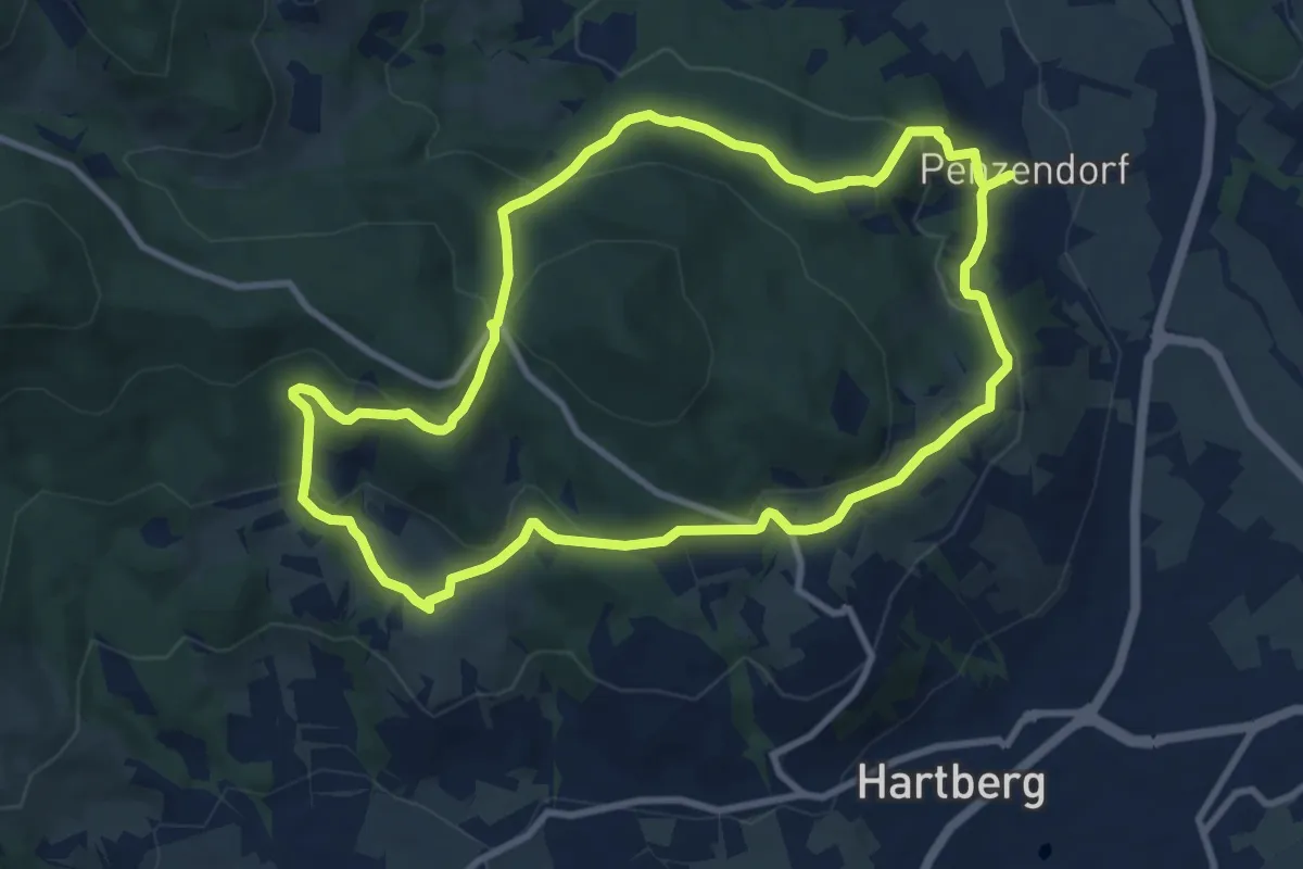
Medium · Summit
Penzendorf Wanderweg 2
9.4 km · ↑ 339 m · 3 h 6 min
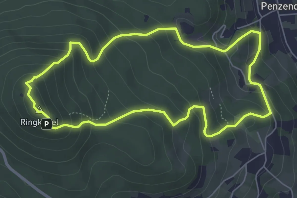
Medium · Summit
Penzendorf Wanderweg 4
4.9 km · ↑ 343 m · 1 h 58 min
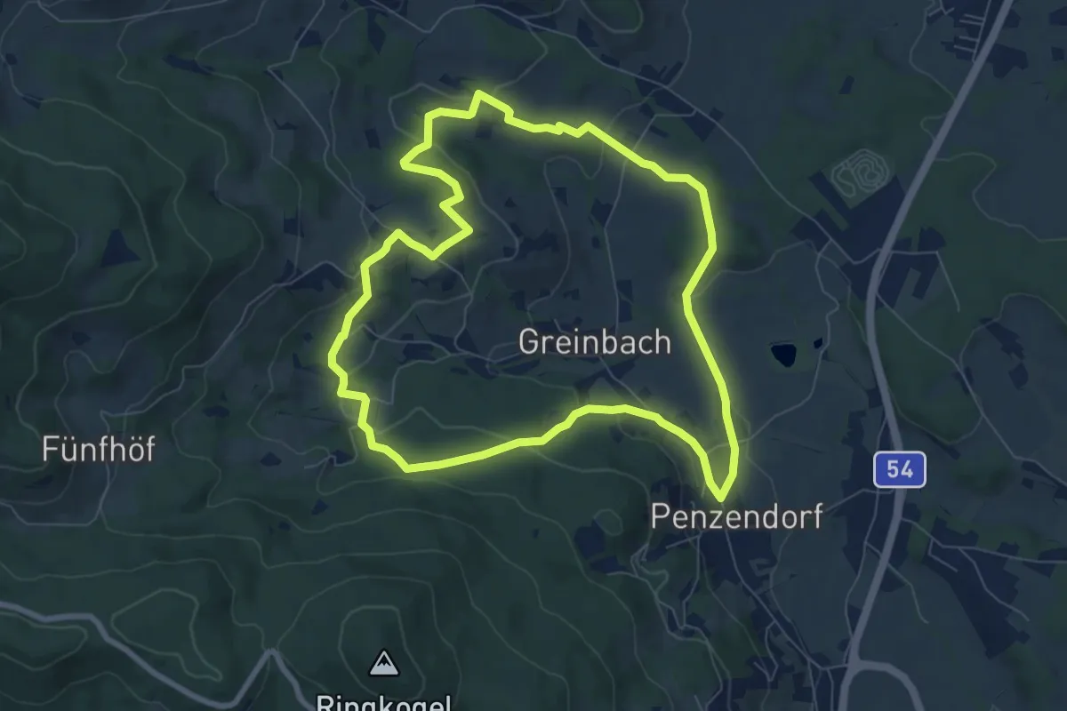
Easy · Trail
Penzendorf Wanderweg 6
7.7 km · ↑ 215 m · 2 h 23 min
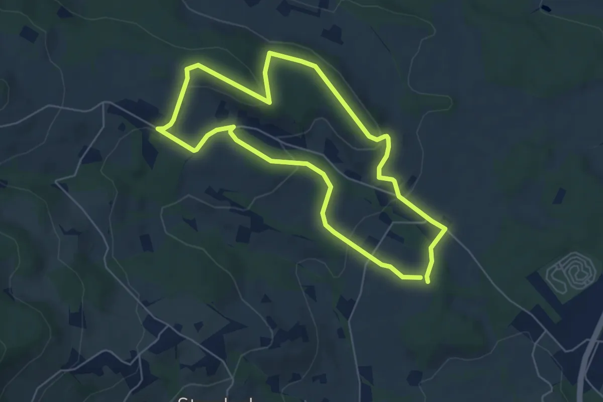
Easy · Trail
Penzendorf Wanderweg 7
5.1 km · ↑ 155 m · 1 h 36 min
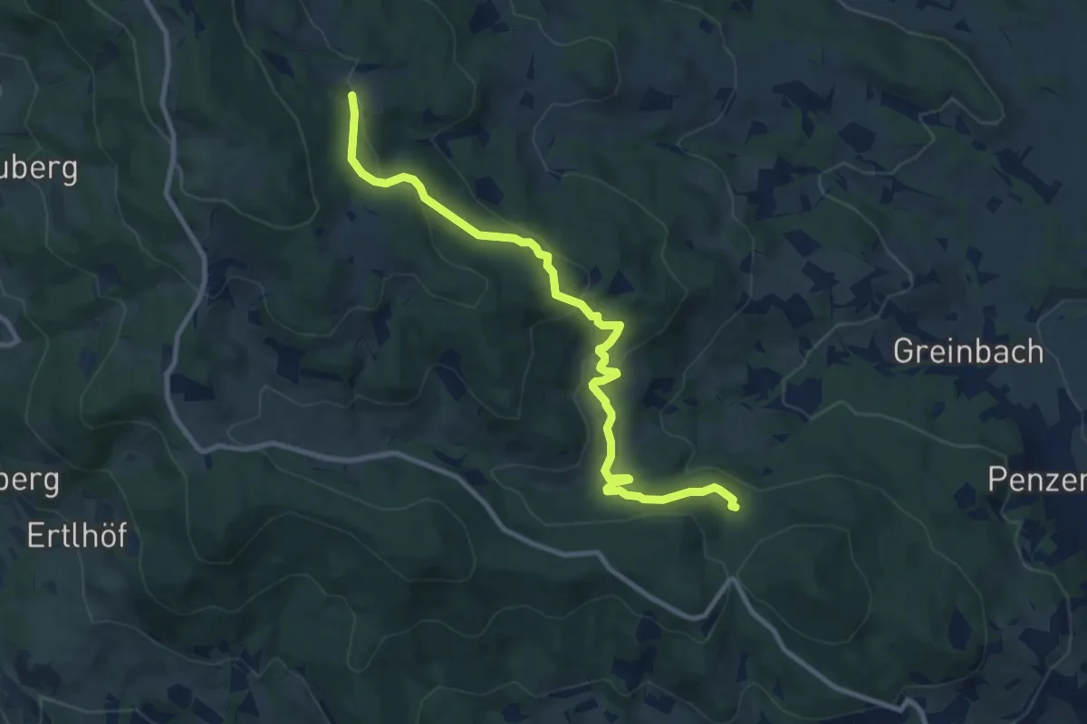
Medium · Trail
Penzendorf Wanderweg 8
10.6 km · ↑ 387 m · 3 h 20 min
Medium · Trail
Penzendorf Wanderweg 8
10.6 km · ↑ 387 m · 3 h 20 min
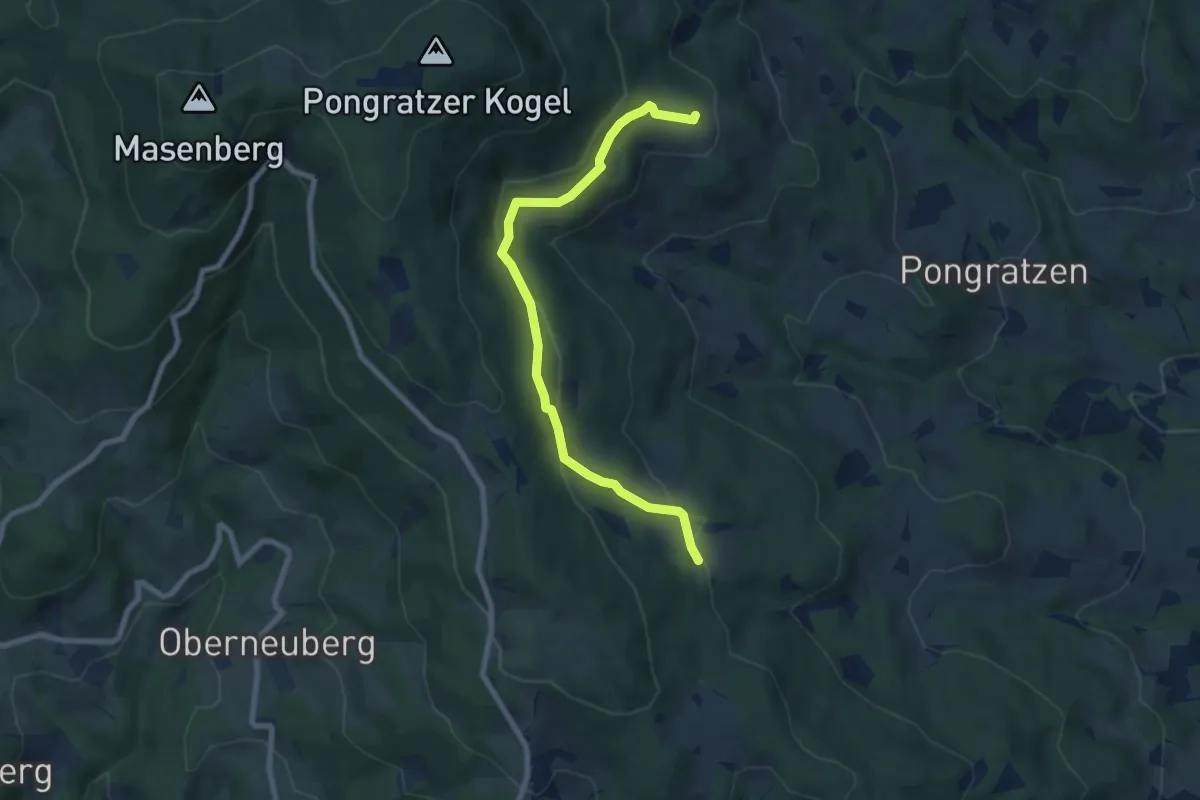
Easy · Trail
Penzendorf Wanderweg 8a
7.7 km · ↑ 246 m · 2 h 21 min
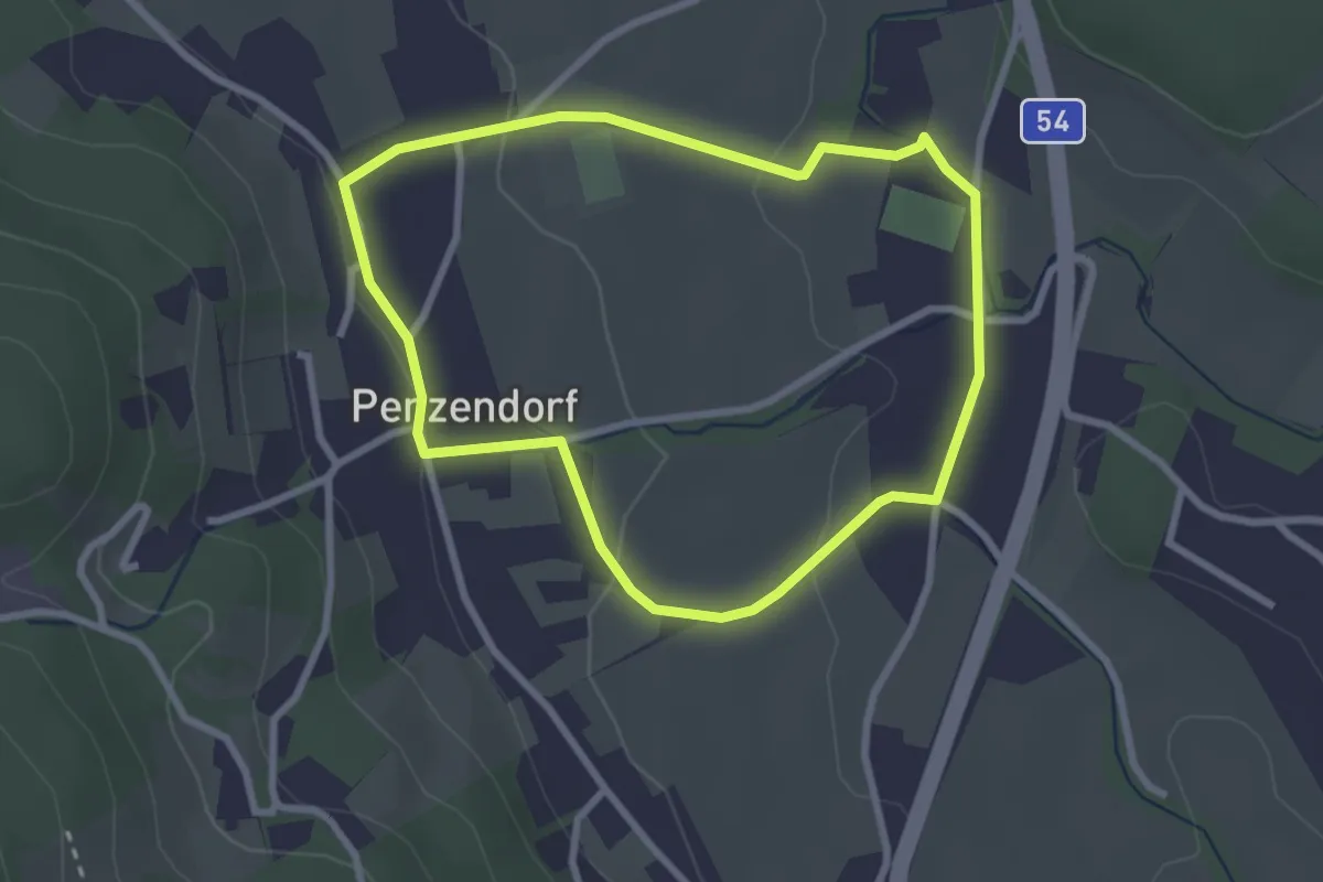
Easy · Trail
Penzendorfweg 1
2.5 km · ↑ 48 m · 44 min
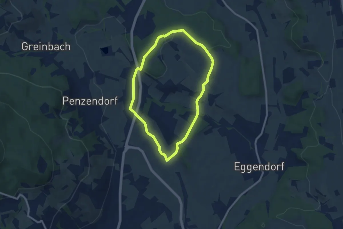
Easy · Trail
Penzendorfweg 5
5.1 km · ↑ 88 m · 1 h 28 min
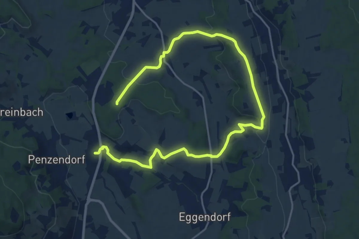
Medium · Trail
Penzendorfweg 9
17.0 km · ↑ 288 m · 4 h 38 min
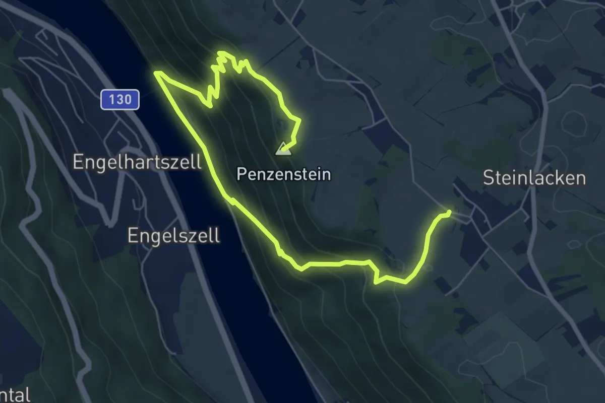
Medium · Summit
Penzenstein-Wanderung
8.2 km · ↑ 608 m · 3 h 15 min
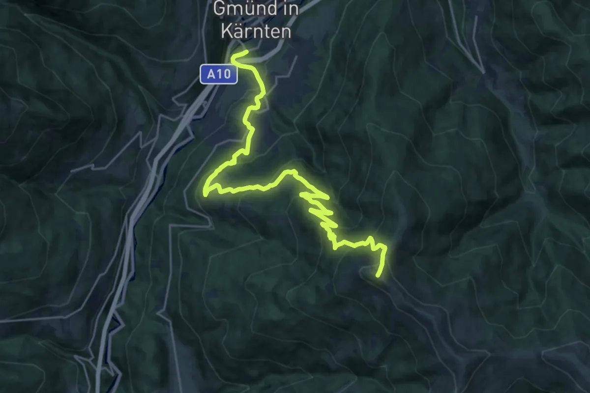
Demanding · Summit
Perau - Platz - Tschiernock
23.1 km · ↑ 1343 m · 8 h 22 min
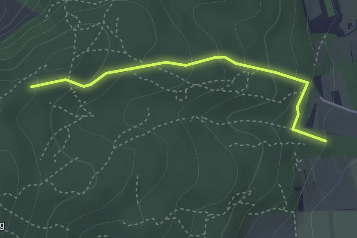
Easy · Trail
Perchtoldsdorf Hyrtlallee - Franz-Ferdinand Schutzhaus (über Seniorenweg)
2.9 km · ↑ 178 m · 1 h 4 min
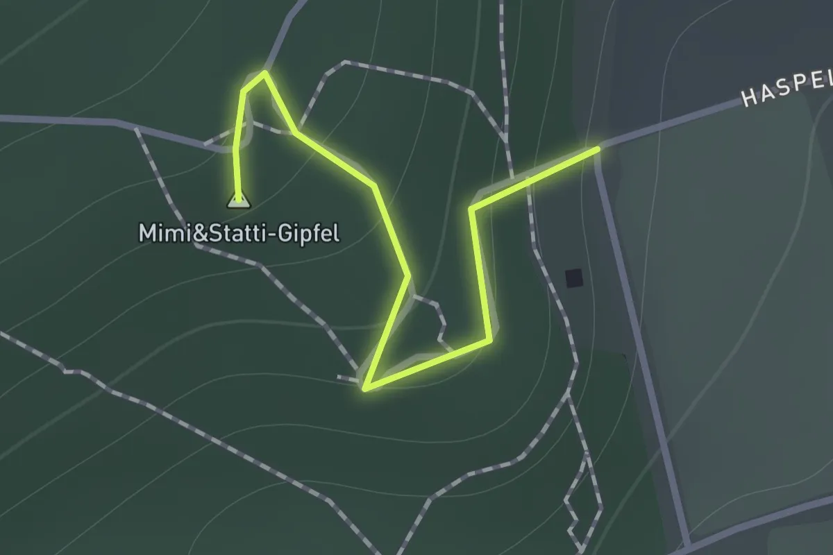
Easy · Summit
Perchtoldsdorf Weingarten - Waldandacht
0.9 km · ↑ 54 m · 20 min
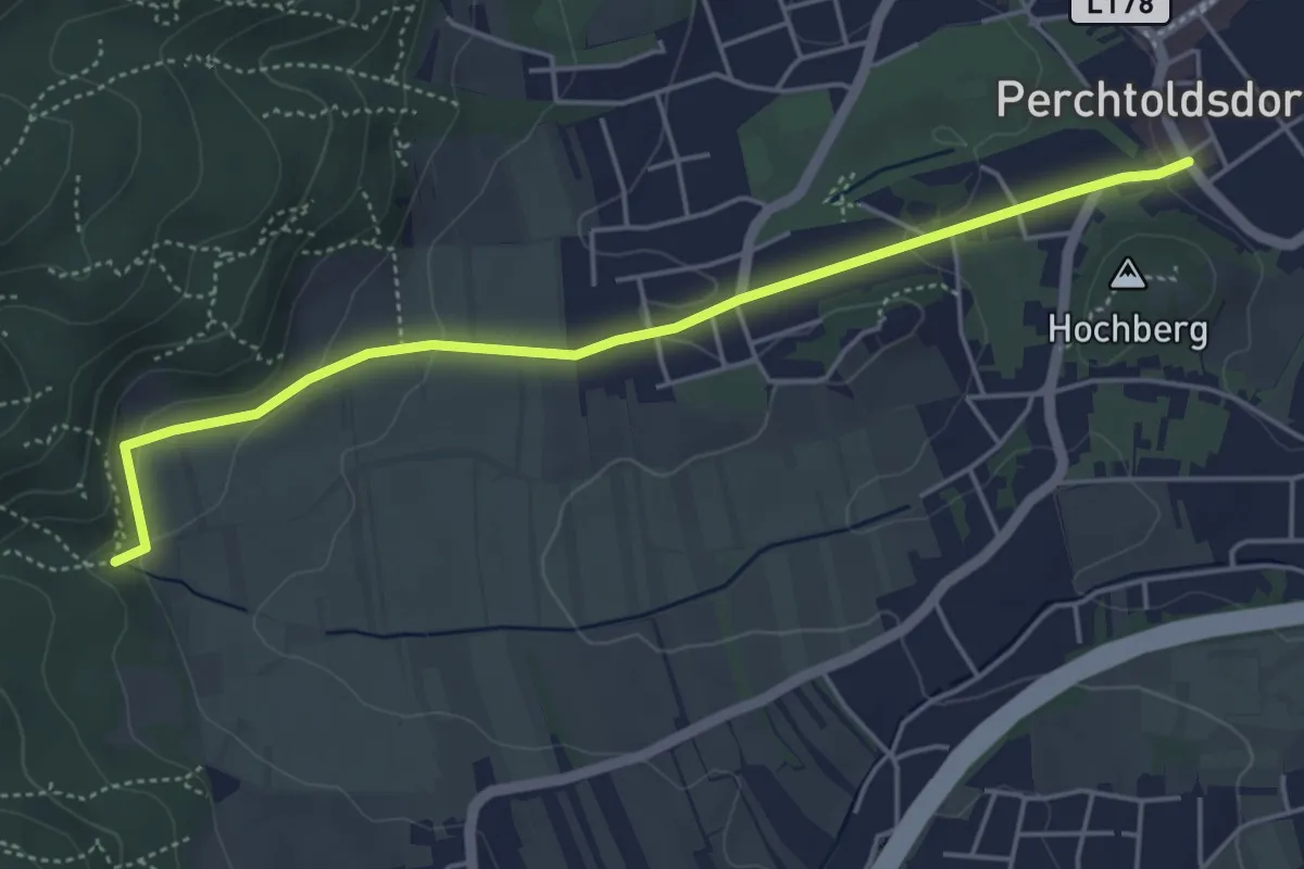
Easy · Trail
Perchtoldsdorf Zentrum - Hubertuskapelle
4.8 km · ↑ 134 m · 1 h 25 min
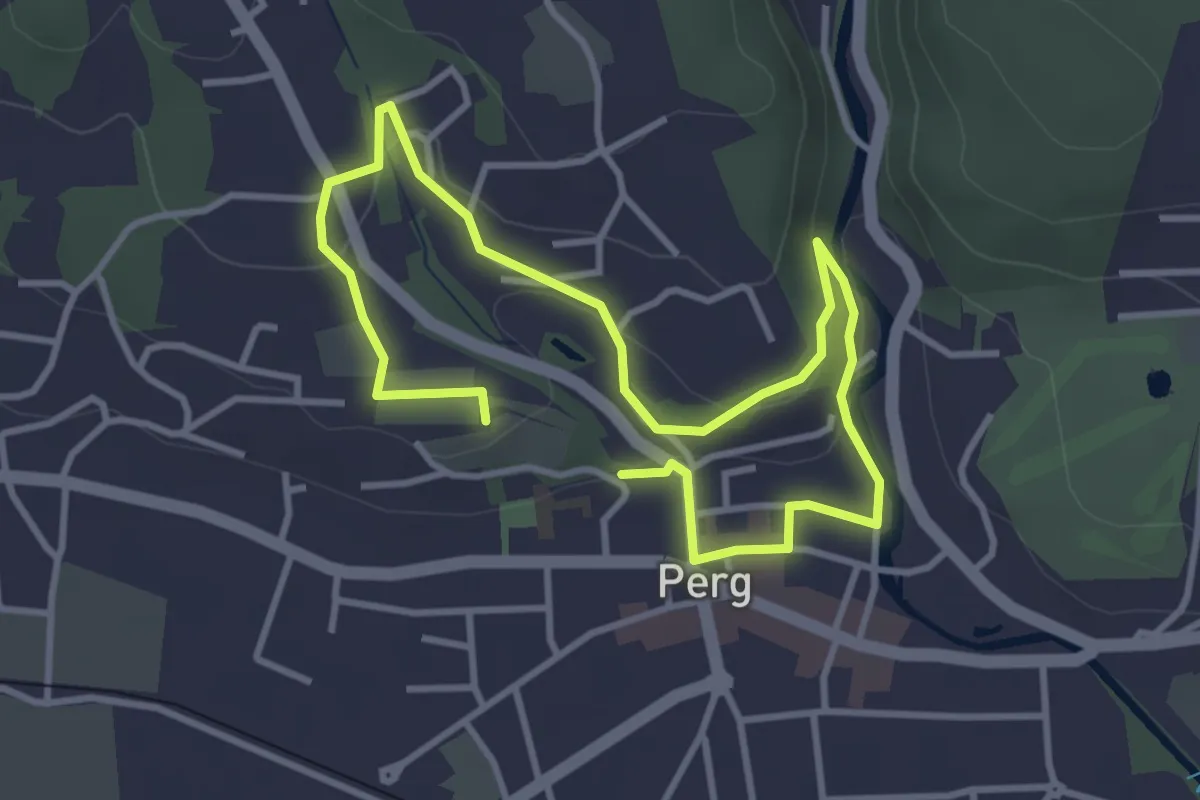
Easy · Trail
Perger Natur-Erlebnisräume
2.7 km · ↑ 36 m · 46 min
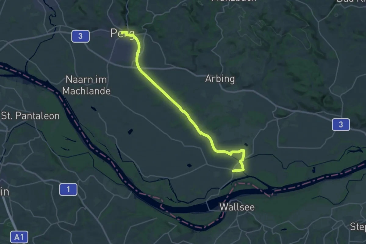
Demanding · Trail
Perg - Mitterkirchen Donausteig Etappe
24.2 km · ↑ 16 m · 5 h 44 min
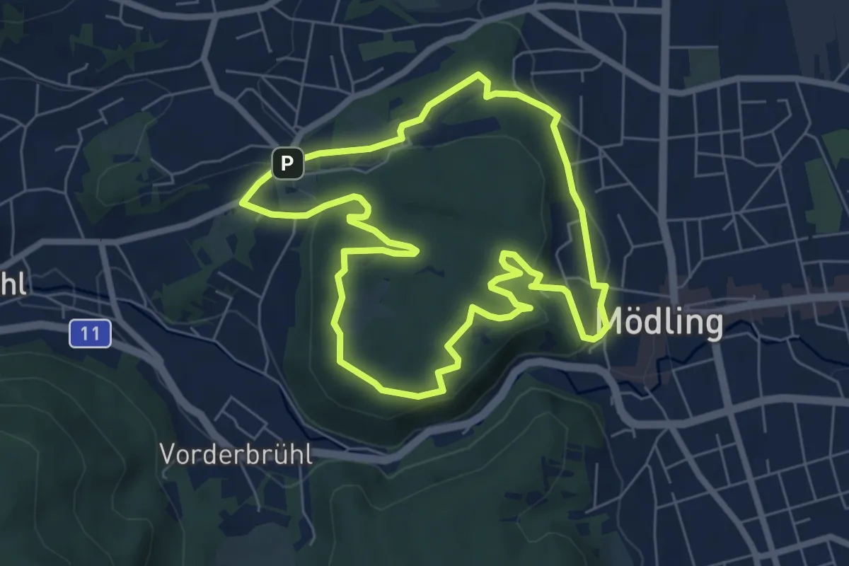
Easy · Summit
Permanenter Jubiläums-Rundwanderweg 50
6.2 km · ↑ 137 m · 1 h 50 min
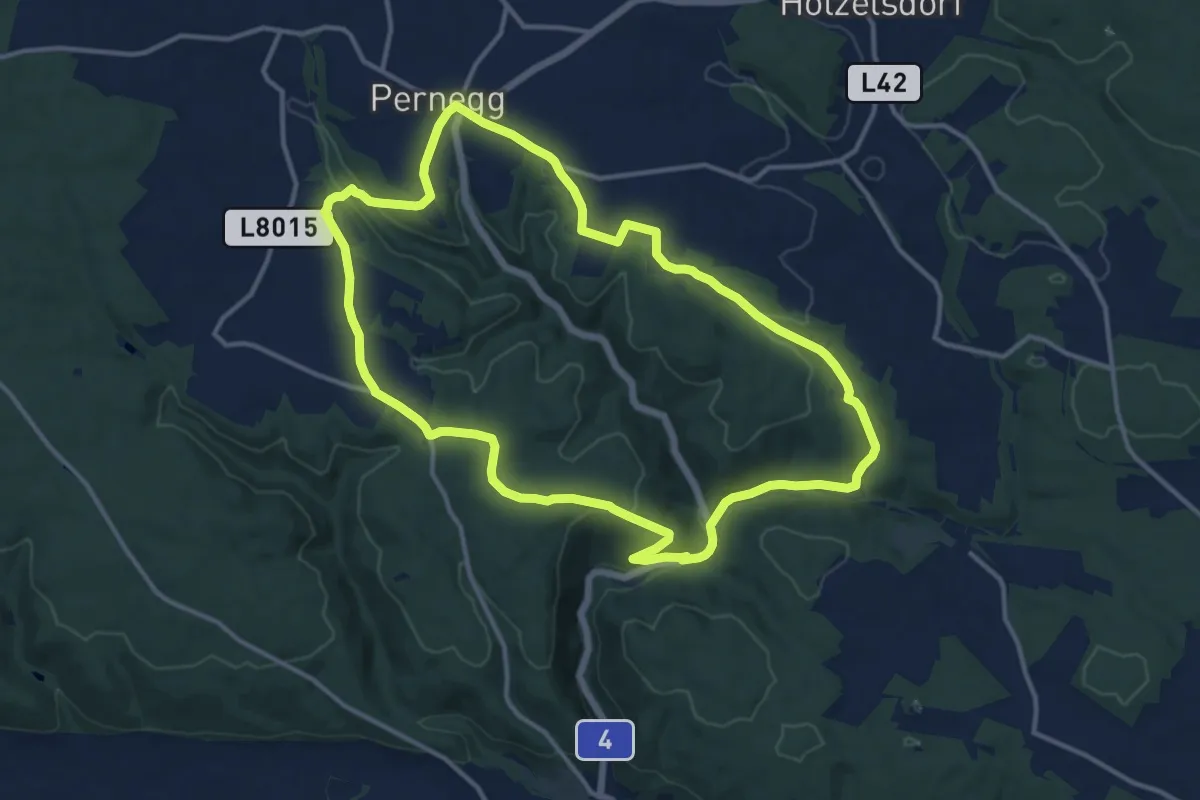
Medium · Trail
Pernegger Rundwanderweg
12.7 km · ↑ 242 m · 3 h 42 min
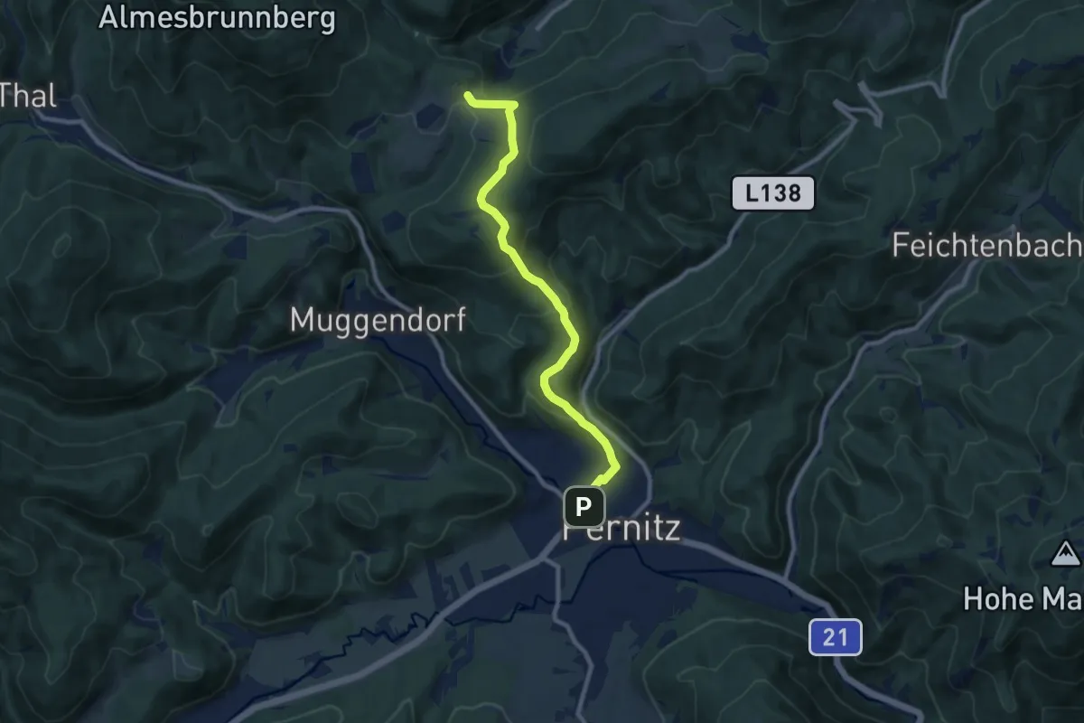
Medium · Trail
Pernitz (Bhf.) - Kreuth (Ghf. Jagasitz)
8.8 km · ↑ 438 m · 3 h 2 min
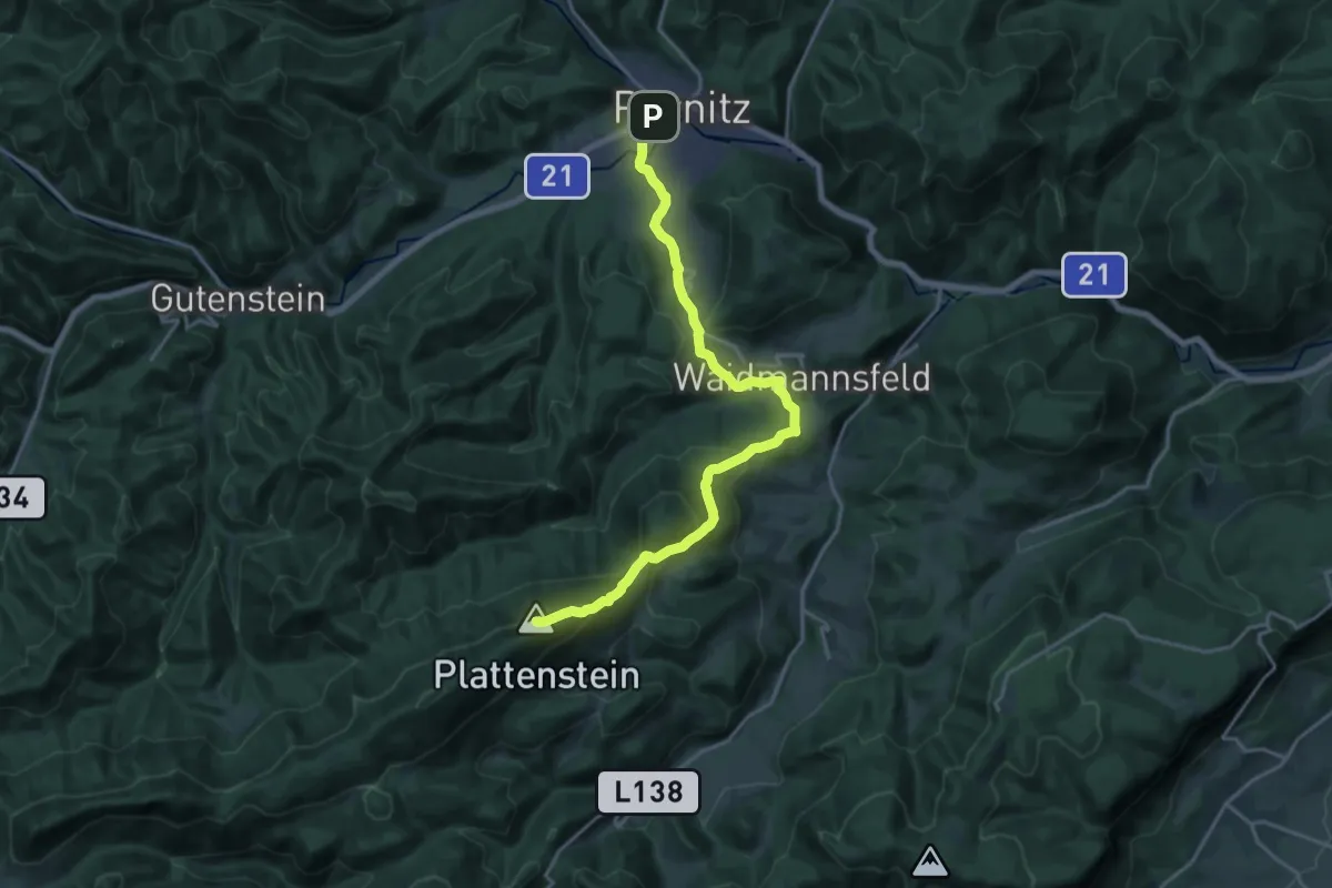
Demanding · Summit
Pernitz Bhf - Neusiedl - Gauermann Hütte
19.7 km · ↑ 1000 m · 6 h 49 min
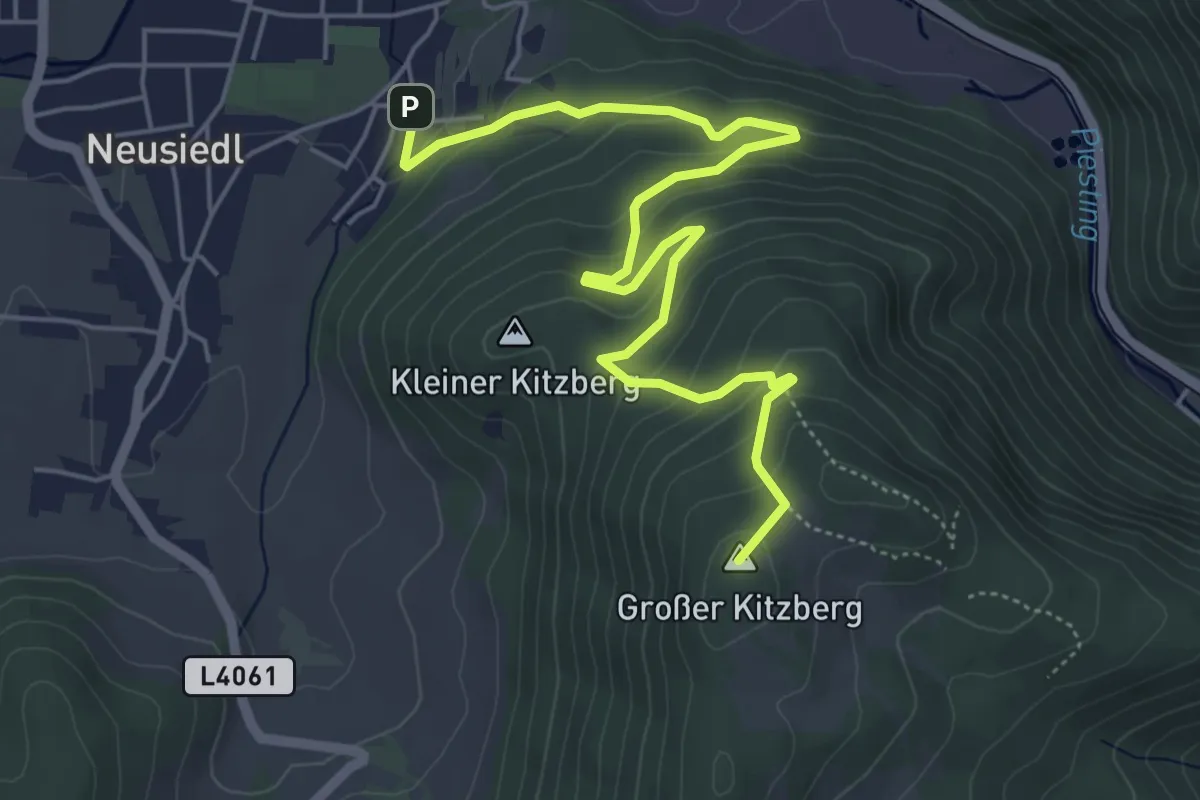
Medium · Summit
Pernitz - Gr. Kitzberg - Waidmannsfeld
6.3 km · ↑ 337 m · 2 h 13 min
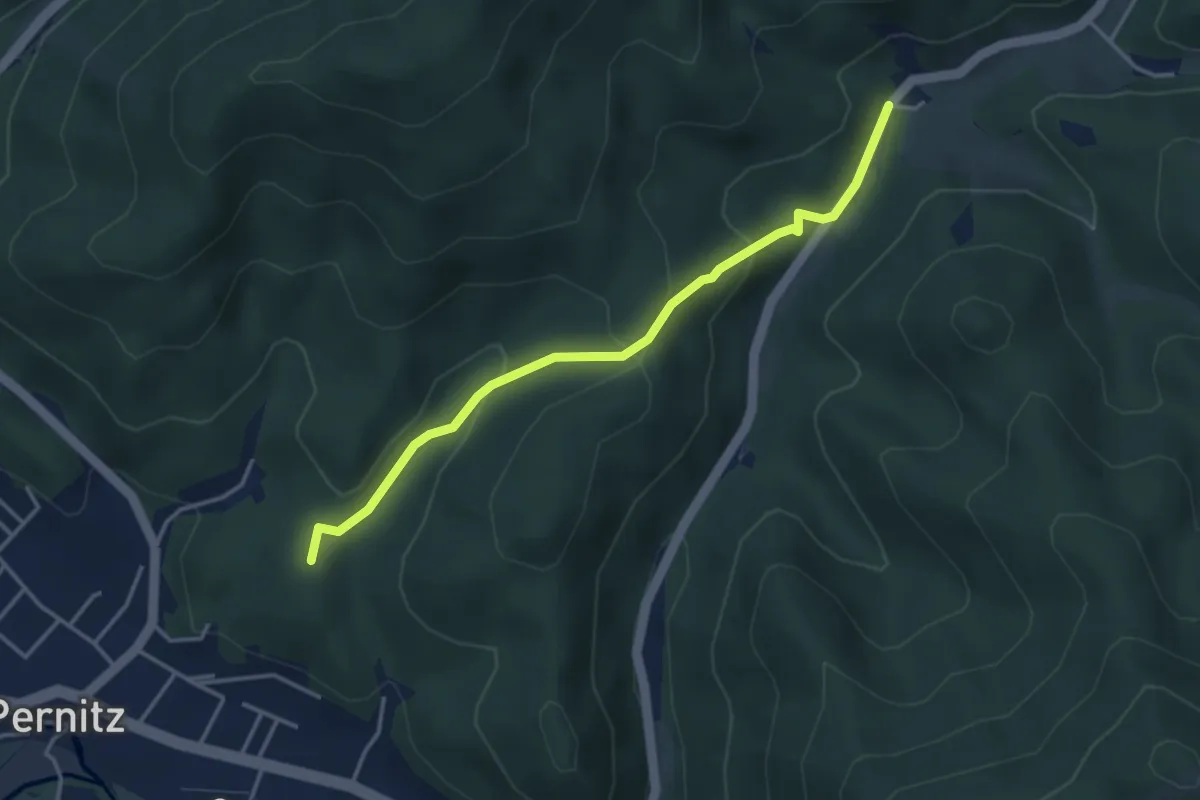
Easy · Summit
Pernitz - Martahof
3.6 km · ↑ 209 m · 1 h 18 min
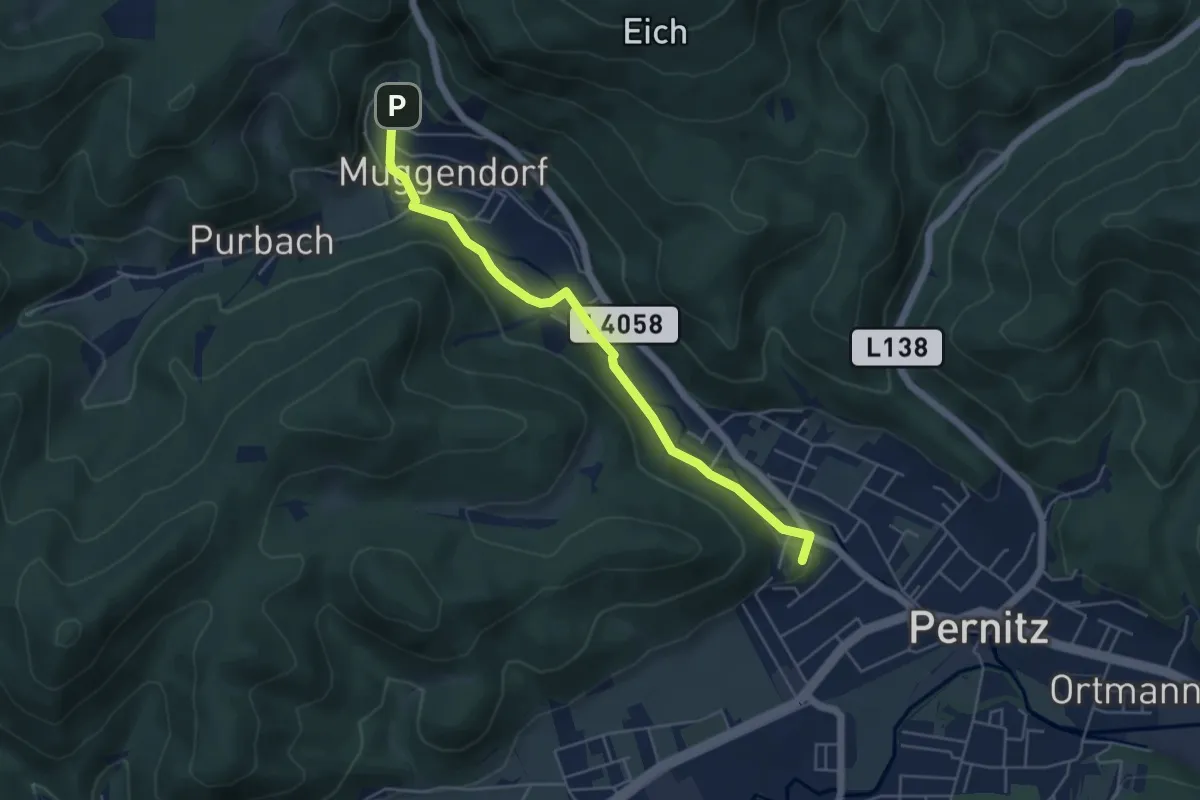
Easy · Summit
Pernitz - Myrafälle
4.9 km · ↑ 82 m · 1 h 20 min
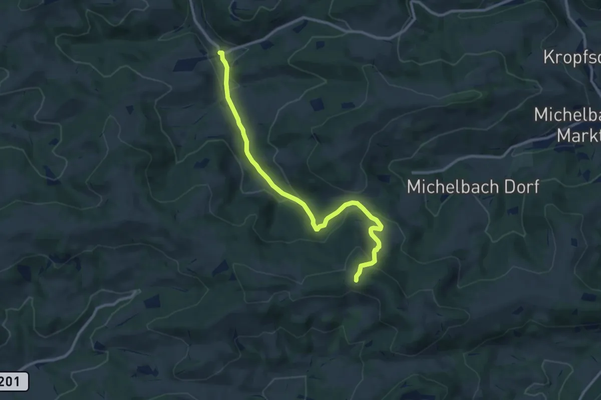
Medium · Trail
Perschenegg - Kukubauerhütte (Krzg.)
9.4 km · ↑ 338 m · 2 h 56 min
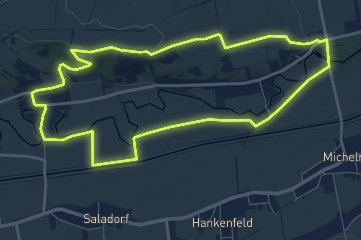
Easy · Summit
Perschlingtalrunde
6.6 km · ↑ 65 m · 1 h 47 min
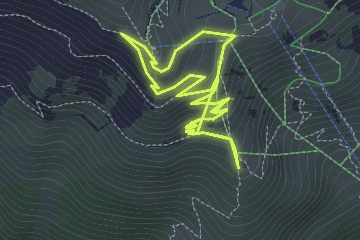
Easy · Trail
Perspektivenweg
2.7 km · ↑ 198 m · 1 h 4 min
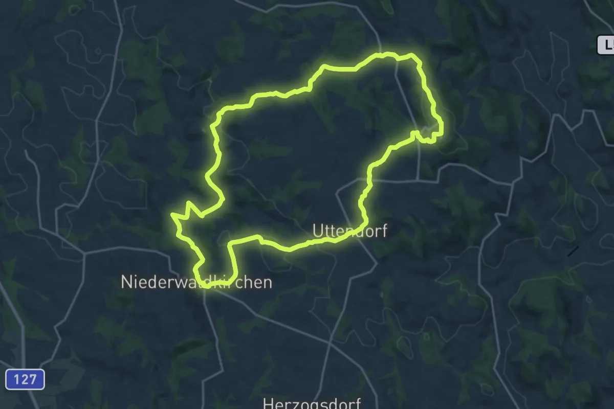
Medium · Summit
Pesenbach-Hansberg-Runde
17.5 km · ↑ 449 m · 5 h 21 min
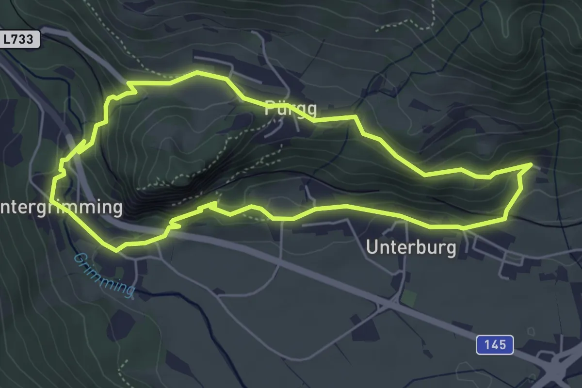
Medium · Trail
Pestmarterlrundweg
4.8 km · ↑ 209 m · 1 h 39 min
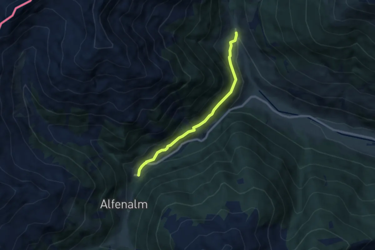
Easy · Trail
Peststeig
5.7 km · ↑ 178 m · 1 h 43 min