Trails in Austria
9,779 hiking trails, each with its route, climb, walking time and grade.
All trails, page 84 of 204
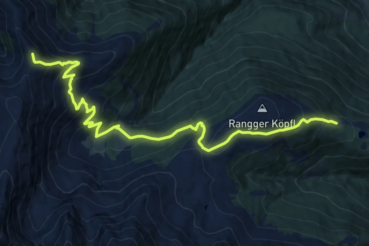
Demanding · Summit
Peter-Anich-Höhensteig
16.2 km · ↑ 1200 m · 6 h 25 min
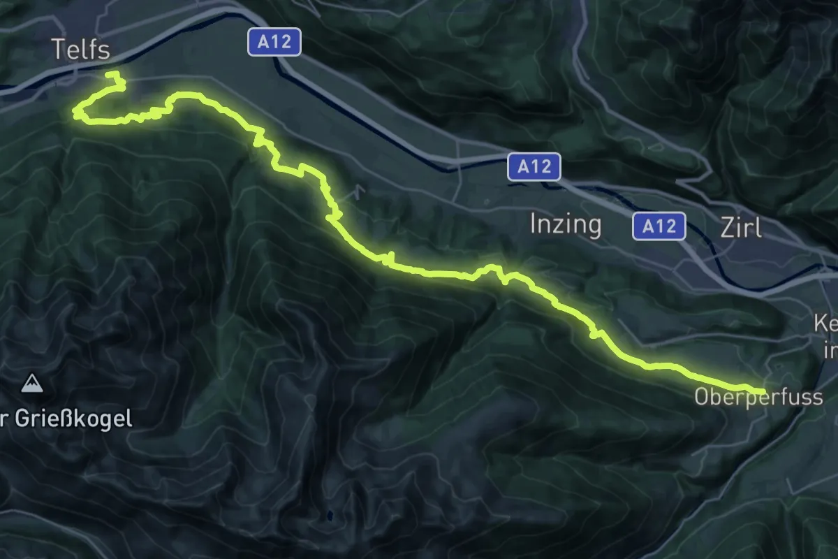
Demanding · Trail
Peter-Anich-Weg
21.1 km · ↑ 873 m · 7 h 5 min
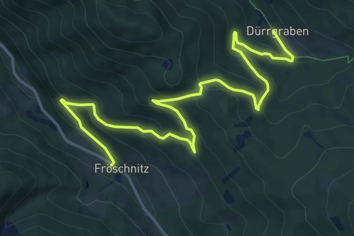
Medium · Trail
Peterbauer - Dürrgraben
10.3 km · ↑ 453 m · 3 h 25 min
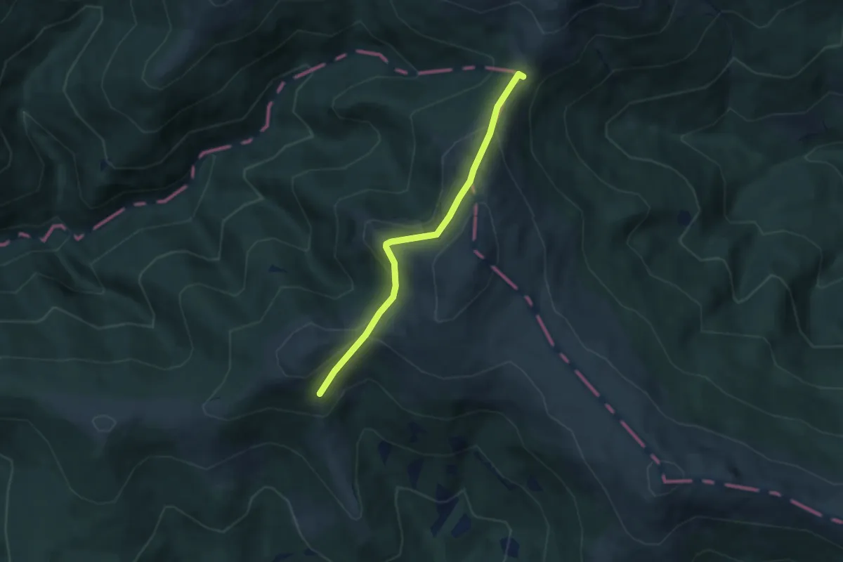
Medium · Trail
Peterer Sattel - Peterer Hütte
5.2 km · ↑ 299 m · 1 h 53 min
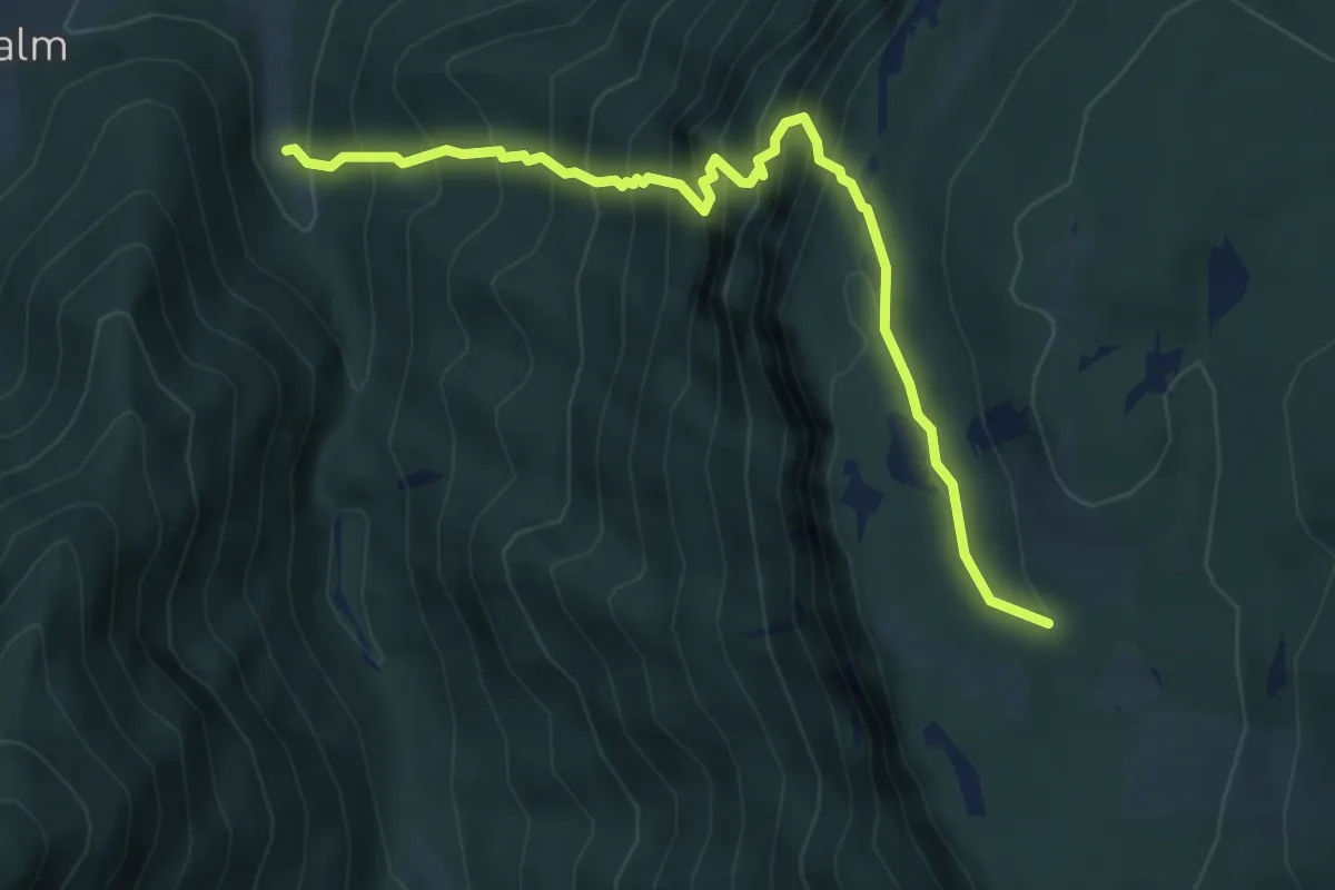
Demanding · Trail
Peter-Jokel-Steig 46
5.3 km · ↑ 727 m · 2 h 49 min
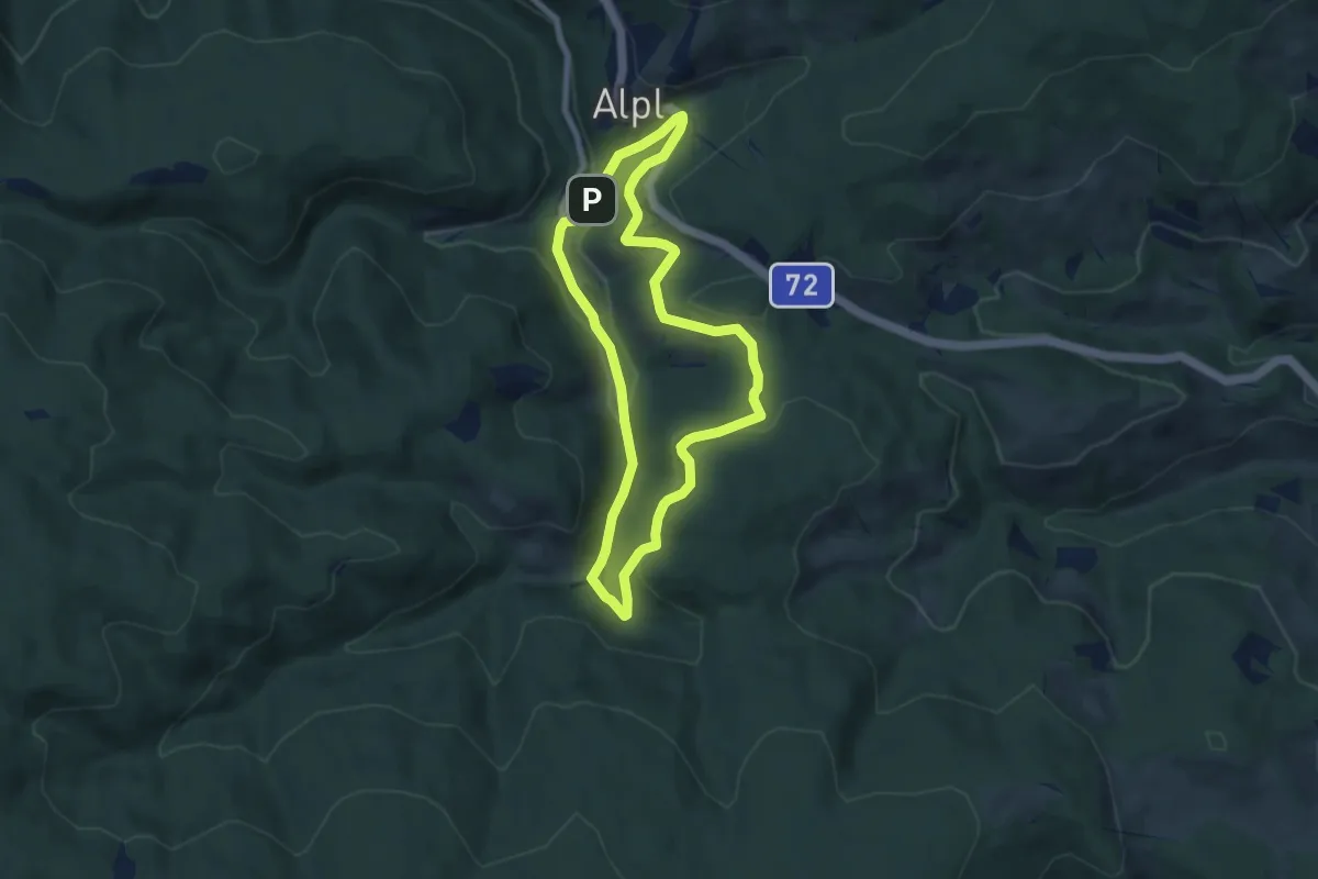
Easy · Trail
Peter Rosegger Rundwanderweg 2 (Alpl Waldheimat Rundwanderweg)
6.7 km · ↑ 178 m · 2 h 3 min
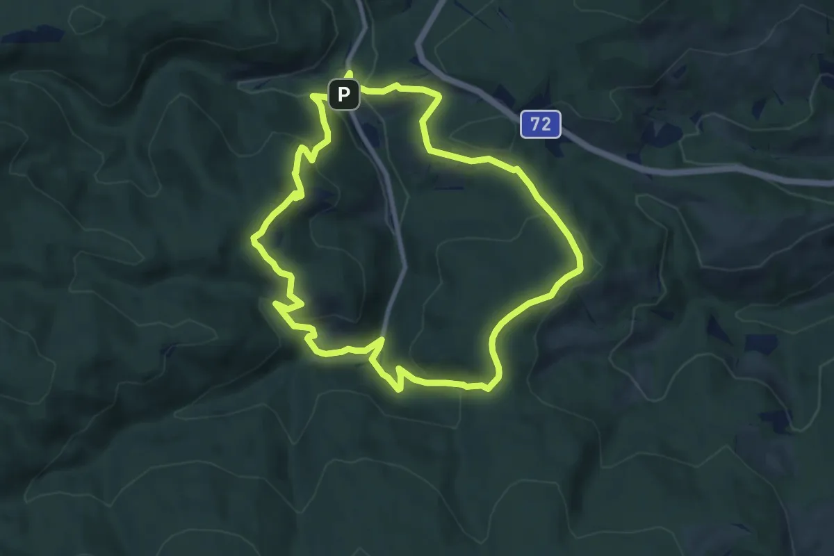
Medium · Trail
Peter Rosegger Rundwanderweg 3 (Alpl Waldheimat Rundwanderweg)
7.9 km · ↑ 333 m · 2 h 41 min
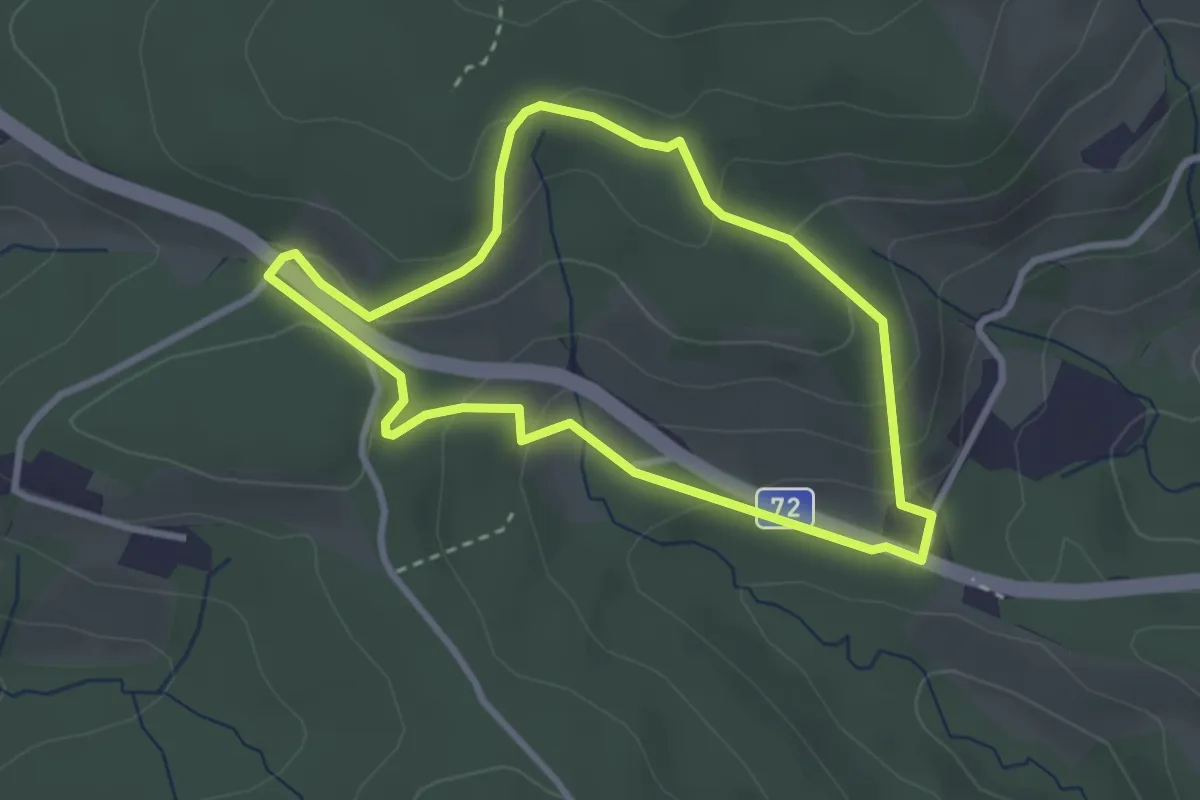
Easy · Trail
Peter Rosegger Rundwanderweg 4 (Alpl Waldheimat Rundwanderweg)
2.7 km · ↑ 98 m · 53 min
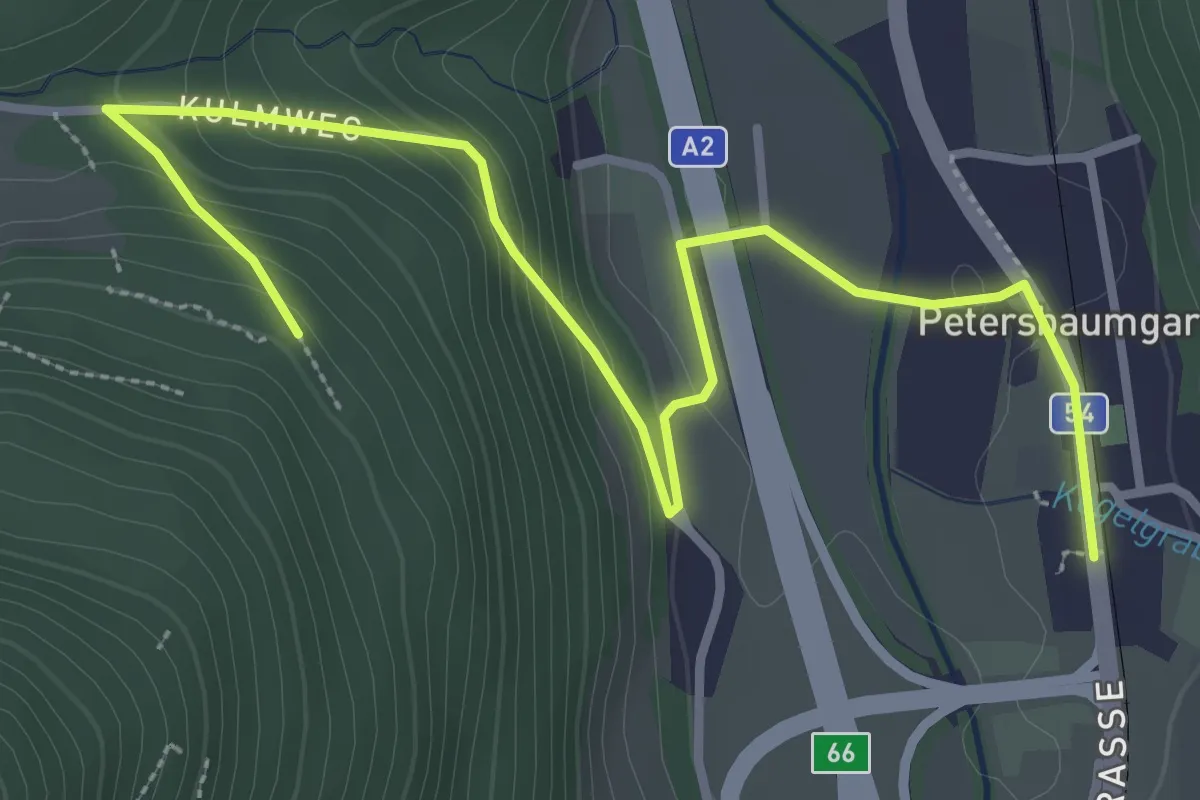
Easy · Trail
Petersbaumgarten - Grotte (Kulmriegel)
4.0 km · ↑ 137 m · 1 h 15 min
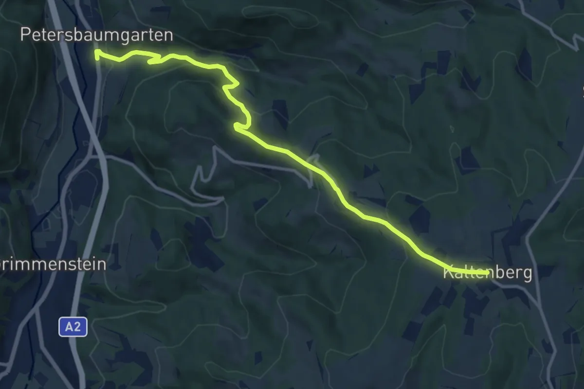
Medium · Trail
Petersbaumgarten - Kaltenberg
10.7 km · ↑ 464 m · 3 h 32 min
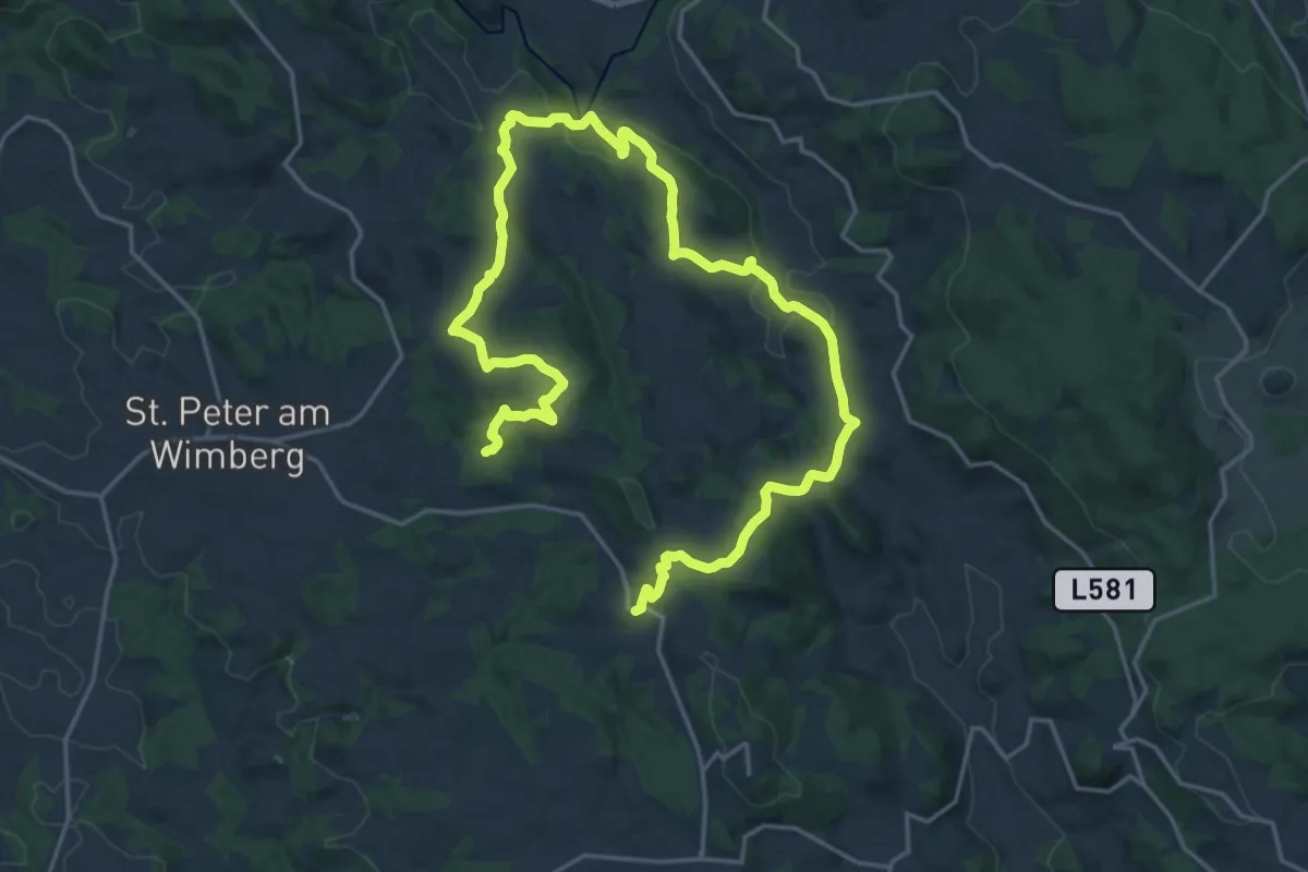
Medium · Trail
Petersberg-Rundwanderweg
14.1 km · ↑ 518 m · 4 h 37 min
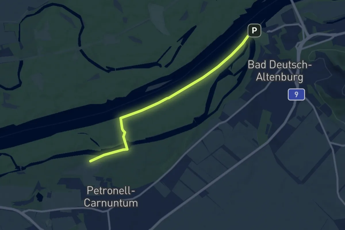
Medium · Trail
Petronell-Carnuntum
8.3 km · ↑ 0 m · 1 h 57 min
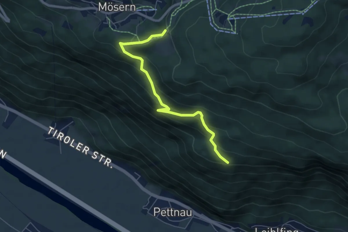
Medium · Trail
Pettnau - Mösern
5.4 km · ↑ 378 m · 2 h 6 min
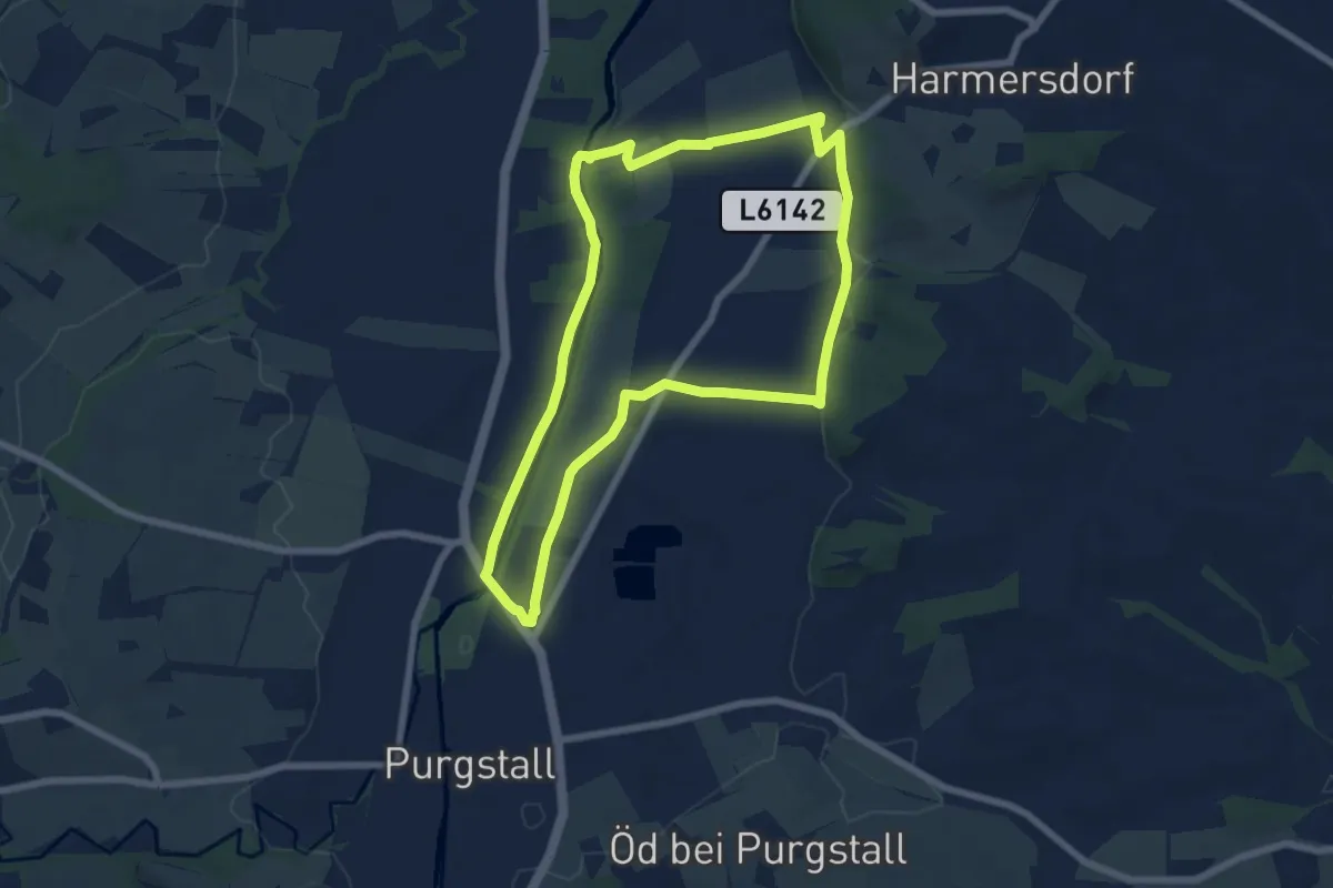
Easy · Trail
Petzelsdorfrunde
6.5 km · ↑ 19 m · 1 h 40 min
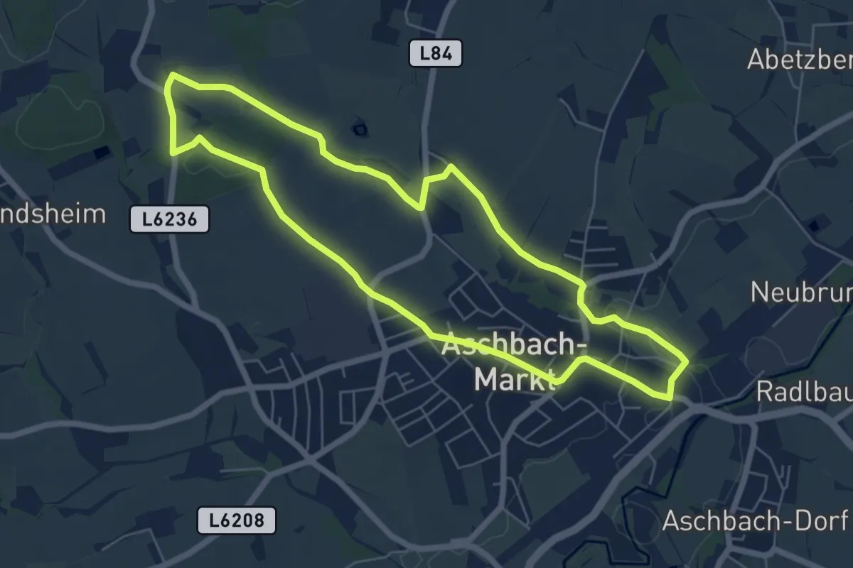
Easy · Trail
Pfadfinderwanderweg
5.8 km · ↑ 58 m · 1 h 35 min
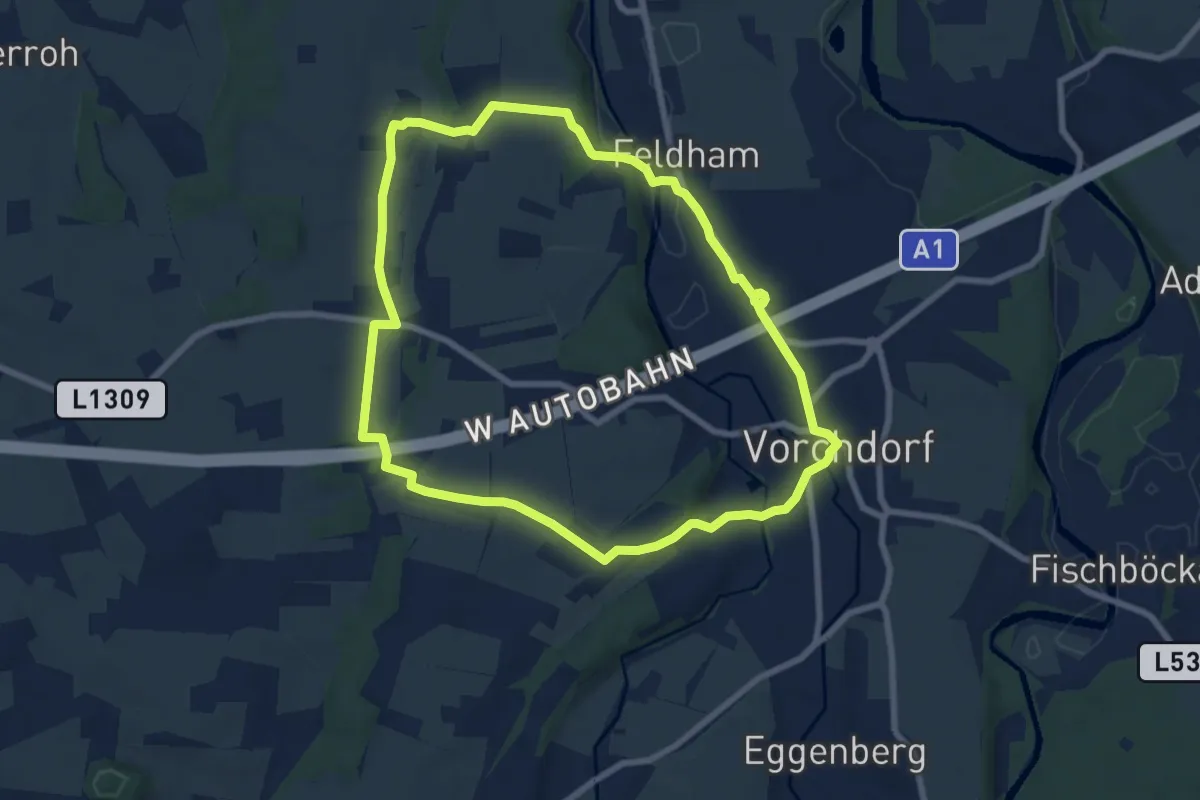
Easy · Trail
Pfadfinderweg
7.4 km · ↑ 84 m · 2 h 2 min
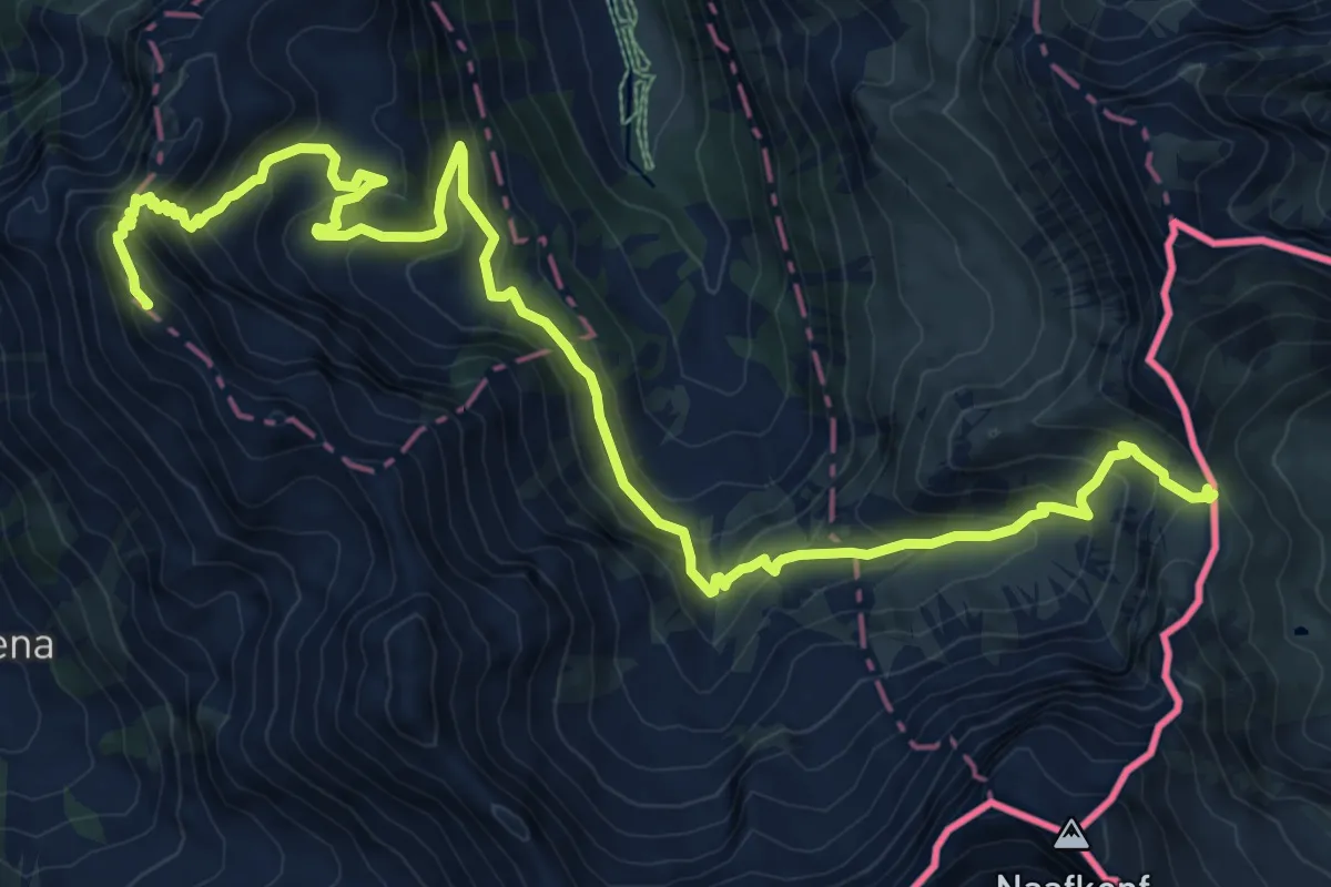
Demanding · Summit
Pfaelzerhuette - Rappenstein
13.8 km · ↑ 1019 m · 5 h 28 min
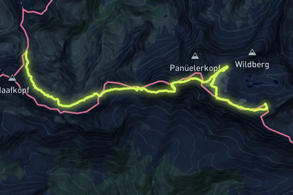
Expert · Summit
Pfaelzerhuette - Schesaplana (CH)
24.2 km · ↑ 2044 m · 10 h 9 min
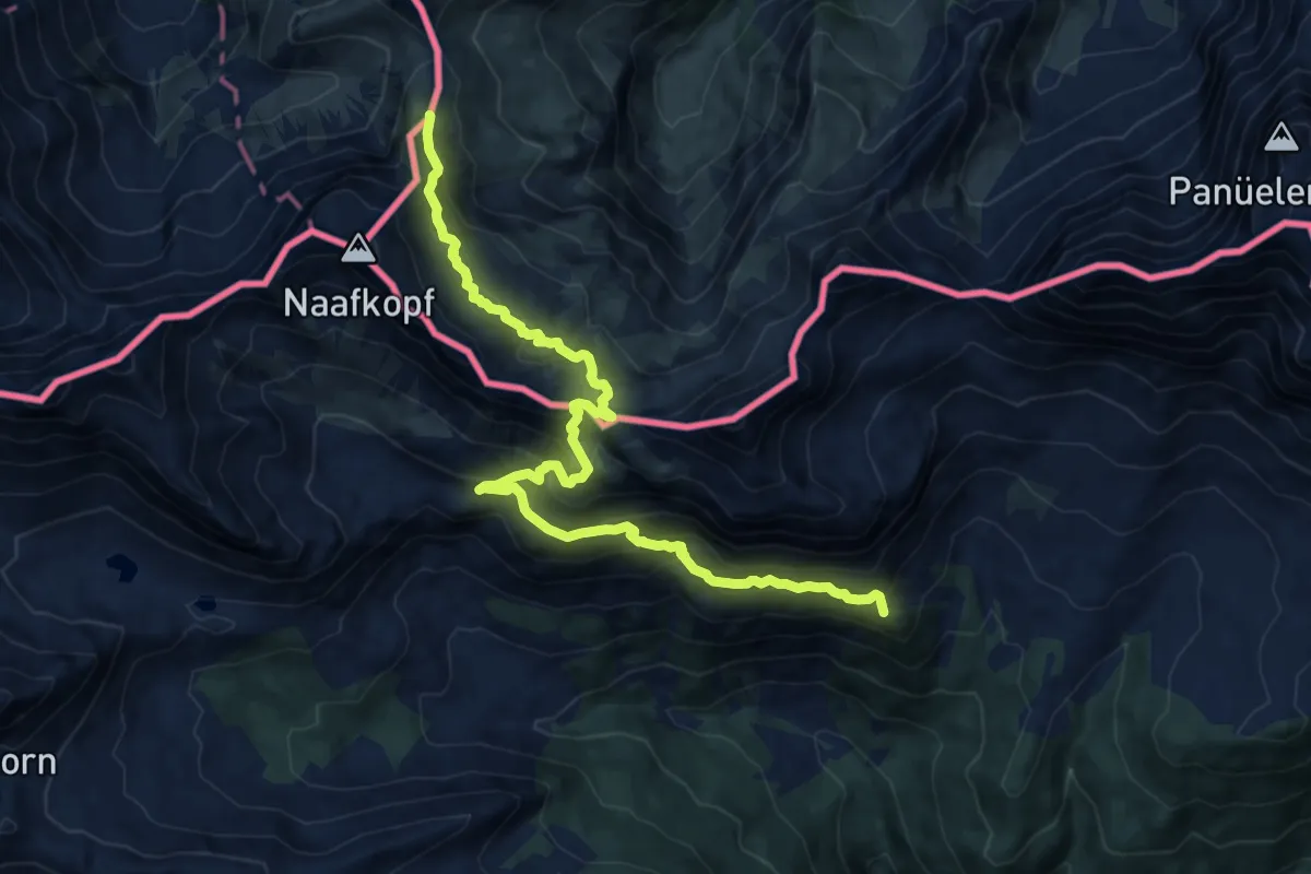
Demanding · Summit
Pfaelzerhuette - Schesaplana Huette (CH)
14.2 km · ↑ 1041 m · 5 h 37 min
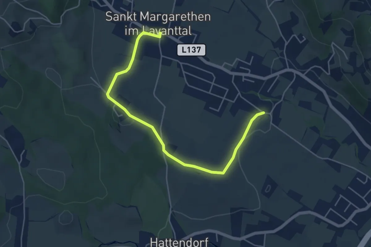
Easy · Trail
Pfaffendorf - St .Margarethen über Maria im Walde
4.9 km · ↑ 70 m · 1 h 18 min
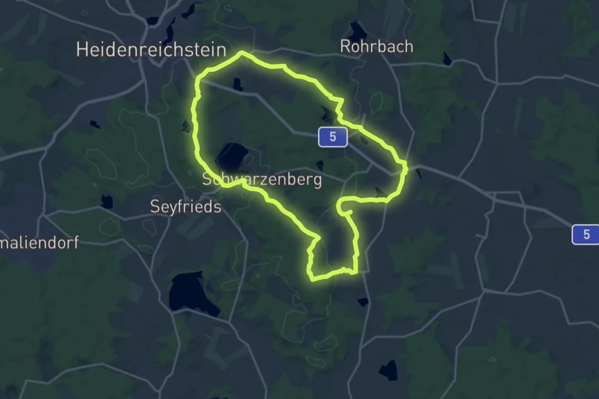
Medium · Summit
Pfaffenschlag, europ. Hauptwasserscheide, Naturpark Heidenreichsteiner Moor
15.9 km · ↑ 171 m · 4 h 20 min
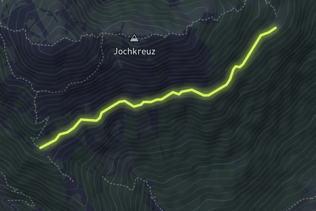
Medium · Cabin
Pfarrachsteig
4.2 km · ↑ 123 m · 1 h 15 min
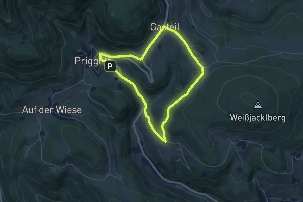
Easy · Trail
Pfarra Rundweg
4.9 km · ↑ 155 m · 1 h 34 min
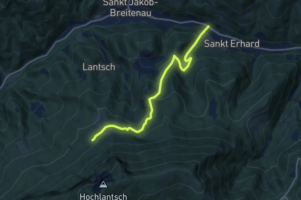
Medium · Trail
Pfarrer Kelz Weg
8.2 km · ↑ 468 m · 2 h 57 min
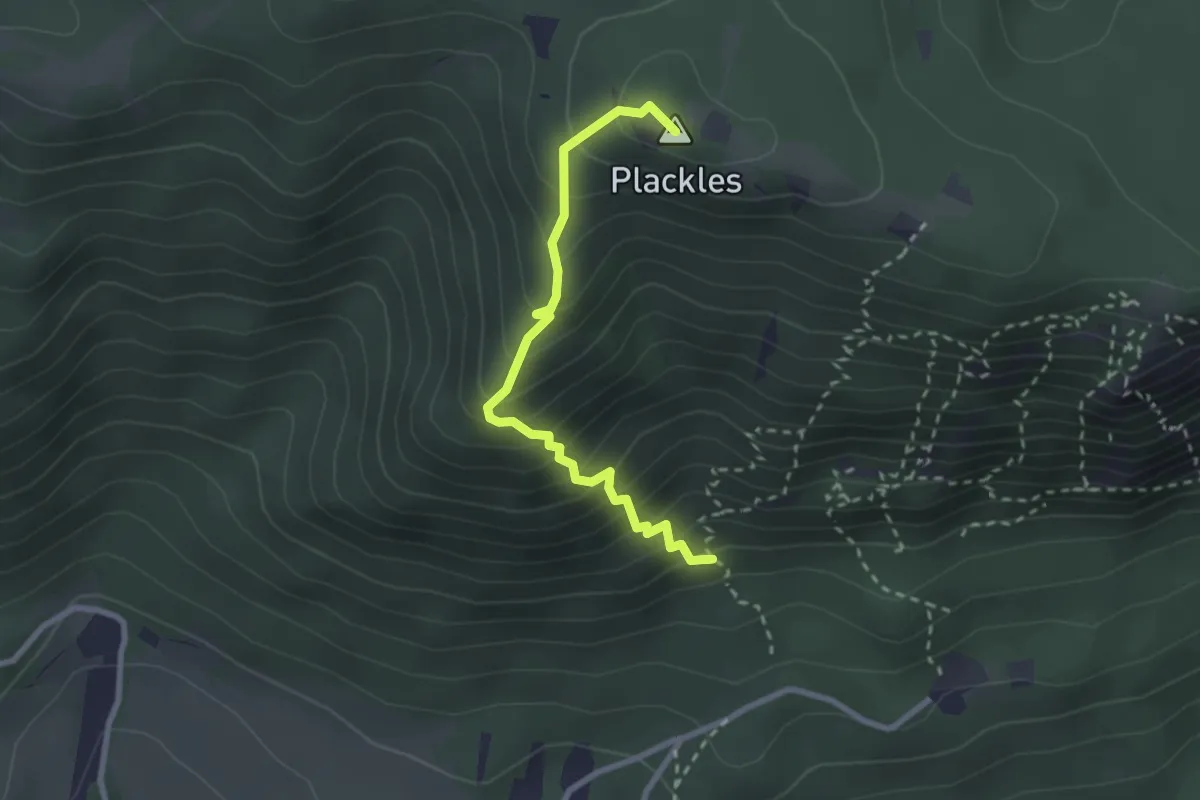
Medium · Summit
Pfarrersteig
2.5 km · ↑ 347 m · 1 h 21 min
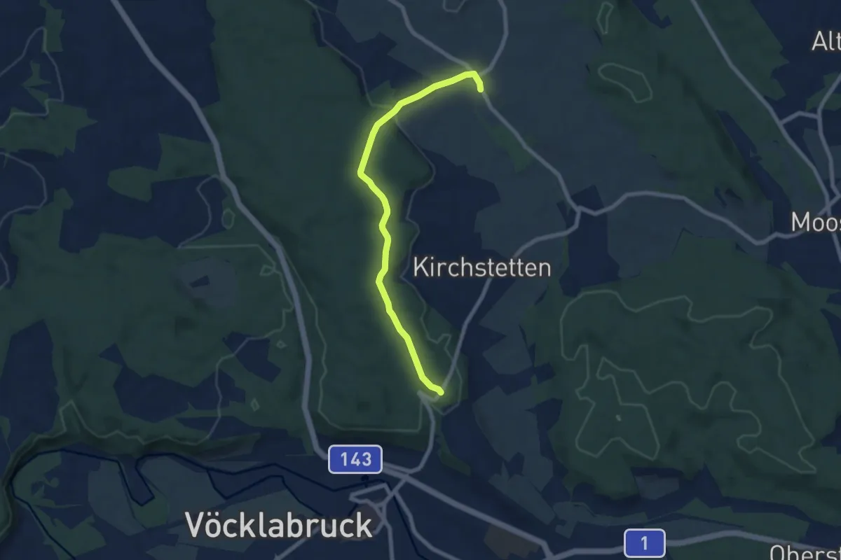
Easy · Trail
Pfarrerwald zum Radl'bock
6.8 km · ↑ 118 m · 1 h 51 min
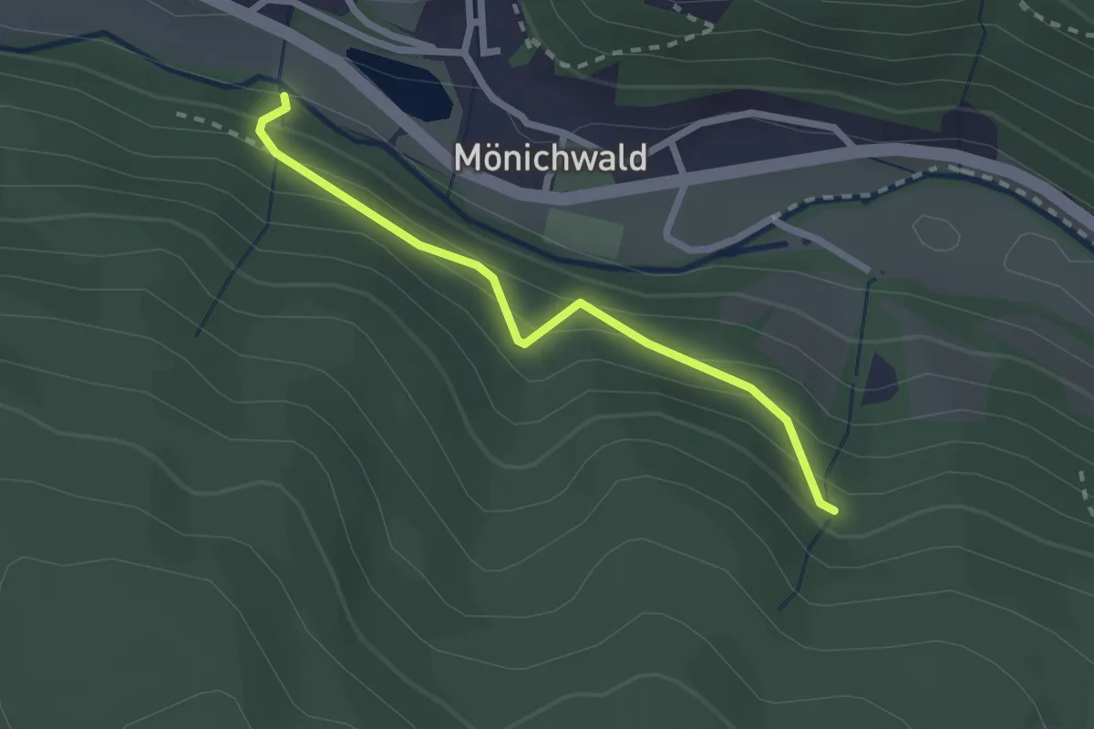
Easy · Trail
Pfarrwaldweg
2.2 km · ↑ 104 m · 44 min
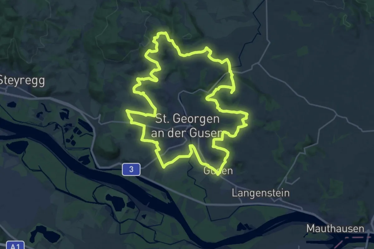
Demanding · Trail
Pfarrweg
23.1 km · ↑ 494 m · 6 h 51 min
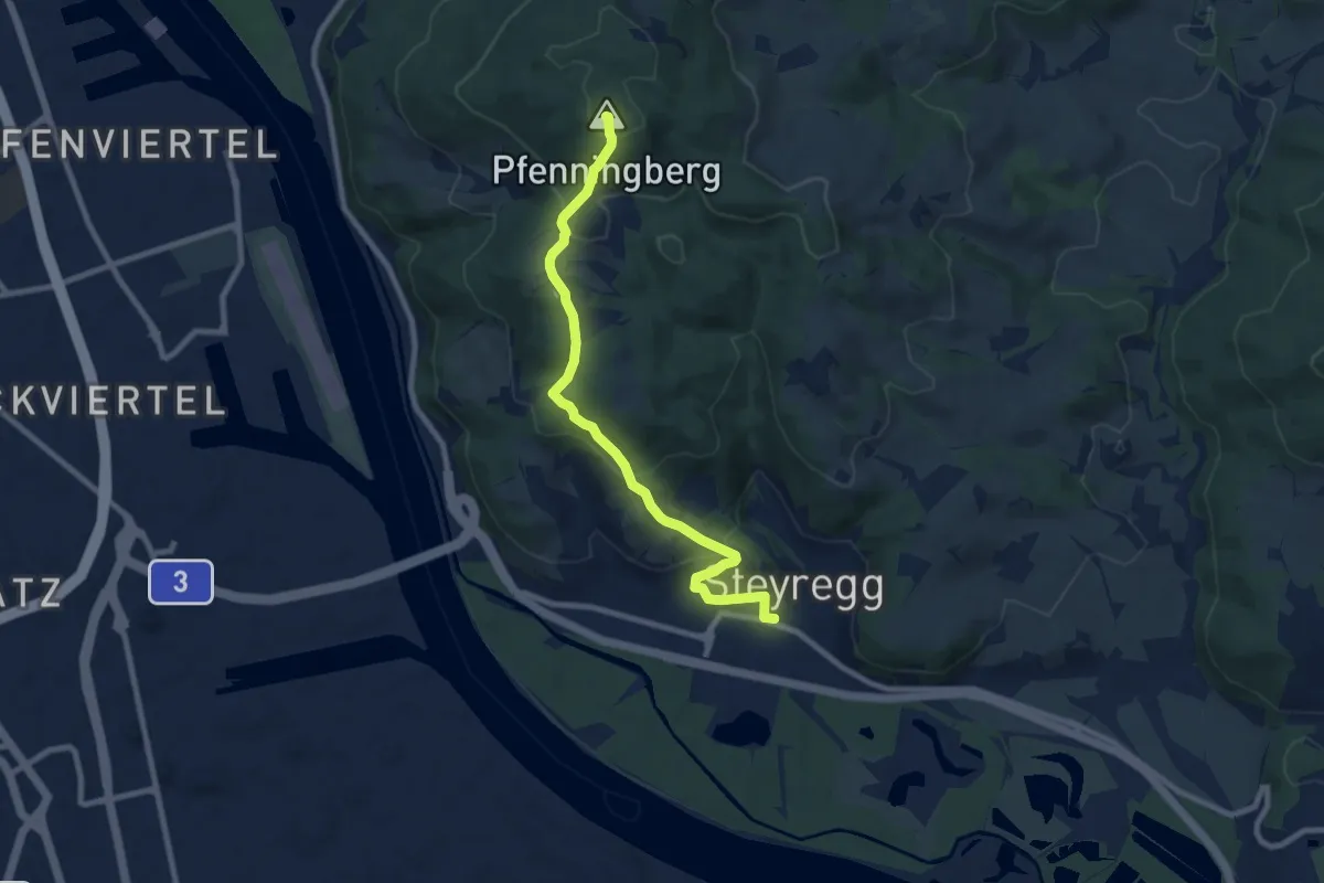
Medium · Summit
Pfenningberg-Gipfelwanderweg
8.4 km · ↑ 383 m · 2 h 49 min
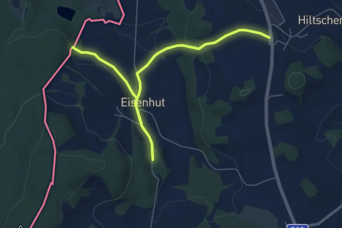
Easy · Trail
Pferdeeisenbahnwanderweg
6.2 km · ↑ 139 m · 1 h 47 min
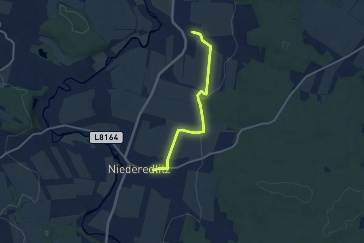
Easy · Trail
Pflanzenlehrweg
6.1 km · ↑ 54 m · 1 h 33 min
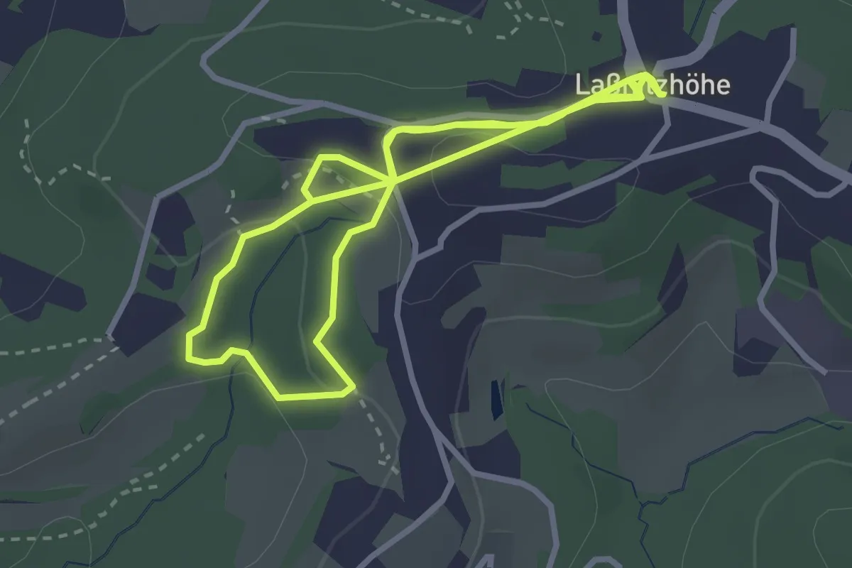
Easy · Trail
Pflanzen riechen
2.9 km · ↑ 99 m · 56 min
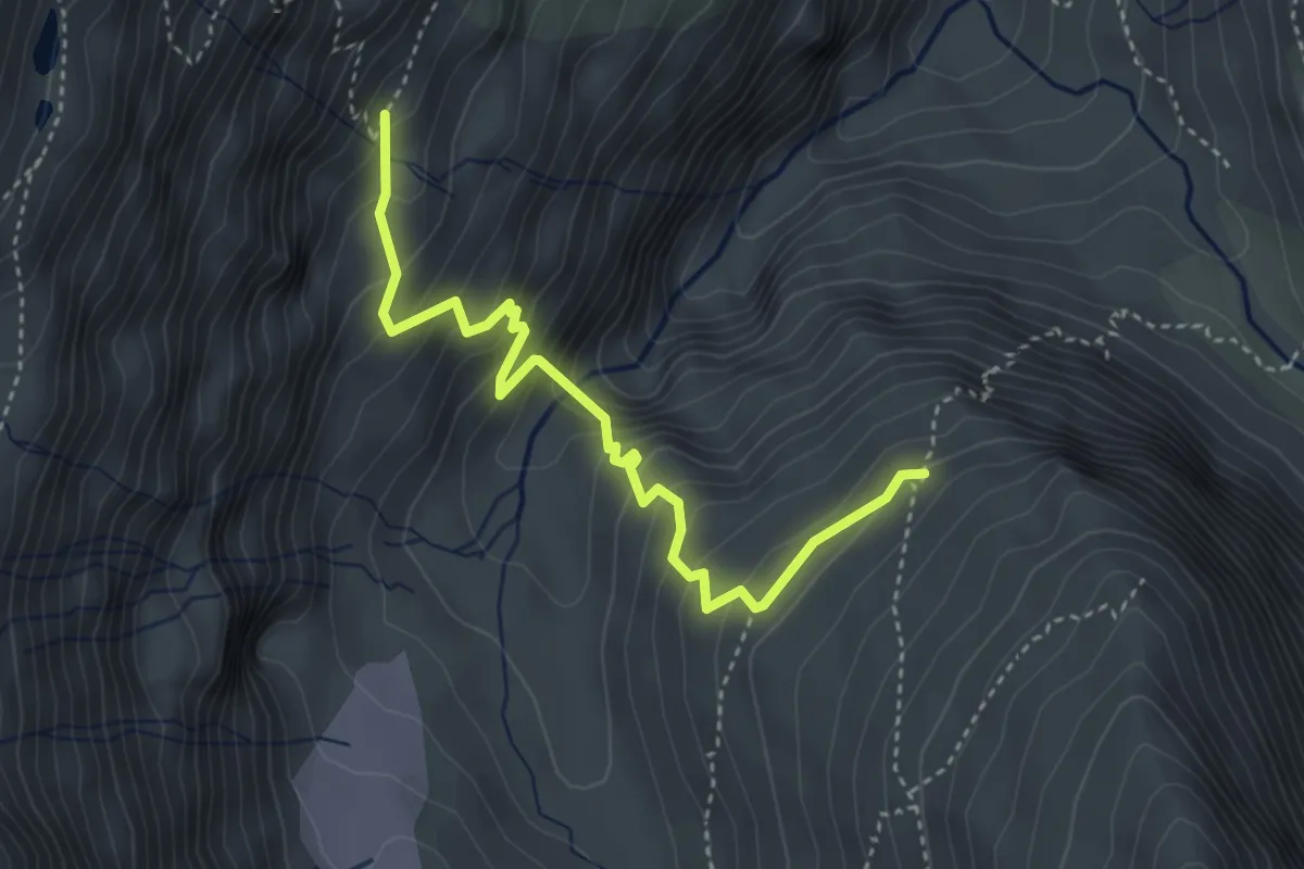
Demanding · Trail
Piccard-Übergang
3.9 km · ↑ 453 m · 1 h 54 min
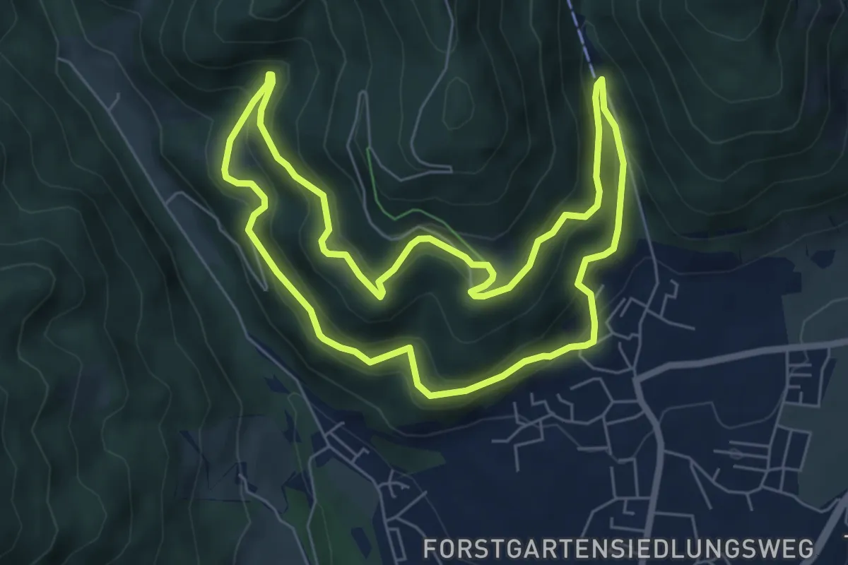
Easy · Trail
Piererberg-Rundmeile
6.0 km · ↑ 215 m · 1 h 59 min
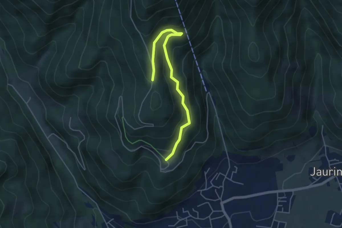
Easy · Trail
Piererkogel Rundweg
4.3 km · ↑ 180 m · 1 h 24 min
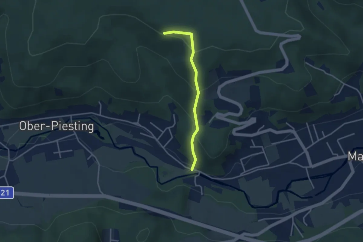
Easy · Trail
Piesting (Bhf Dreistetten) - Florianikreuz
2.4 km · ↑ 162 m · 55 min
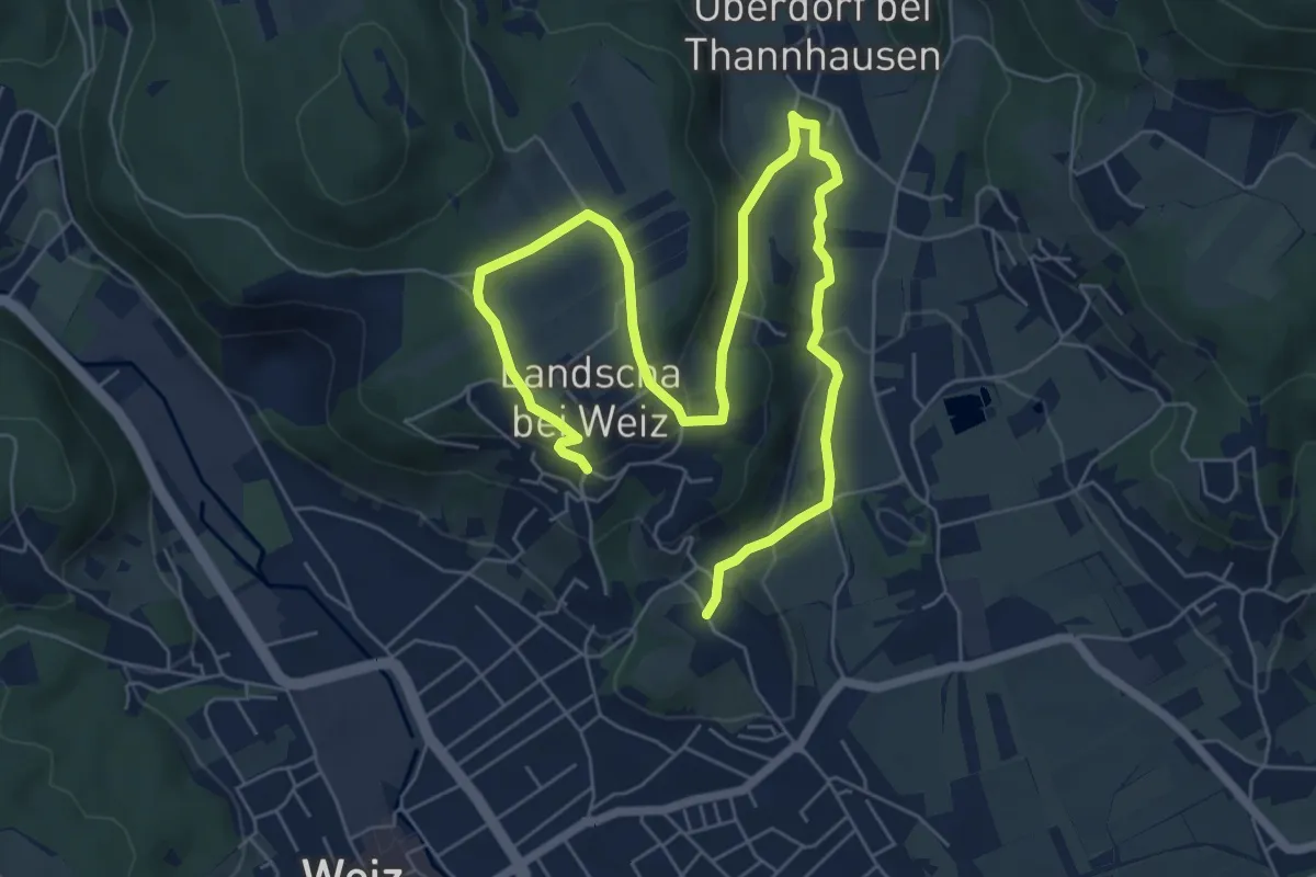
Easy · Trail
Pilger-Rundweg Landscha
4.7 km · ↑ 83 m · 1 h 23 min
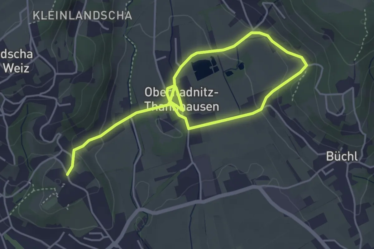
Easy · Trail
Pilger-Rundweg Thannhausen
3.1 km · ↑ 49 m · 54 min
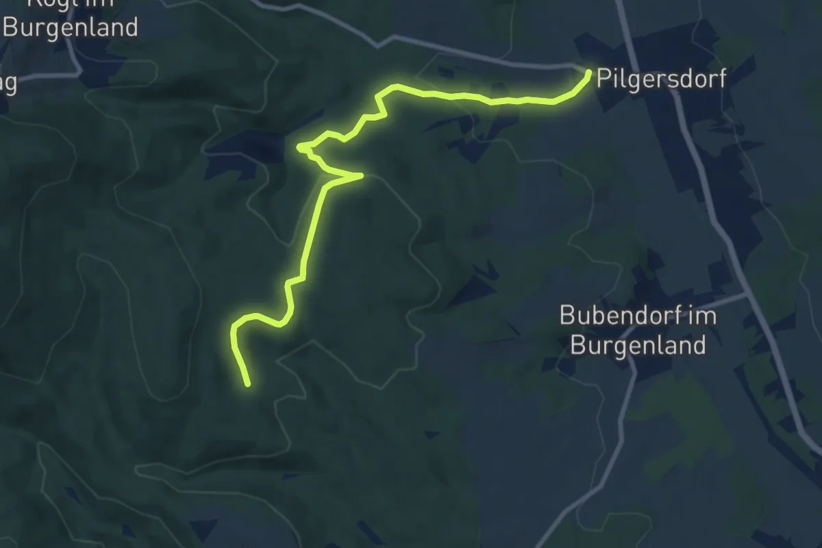
Medium · Trail
Pilgersdorf - Raipel Bernstein
9.2 km · ↑ 177 m · 2 h 34 min
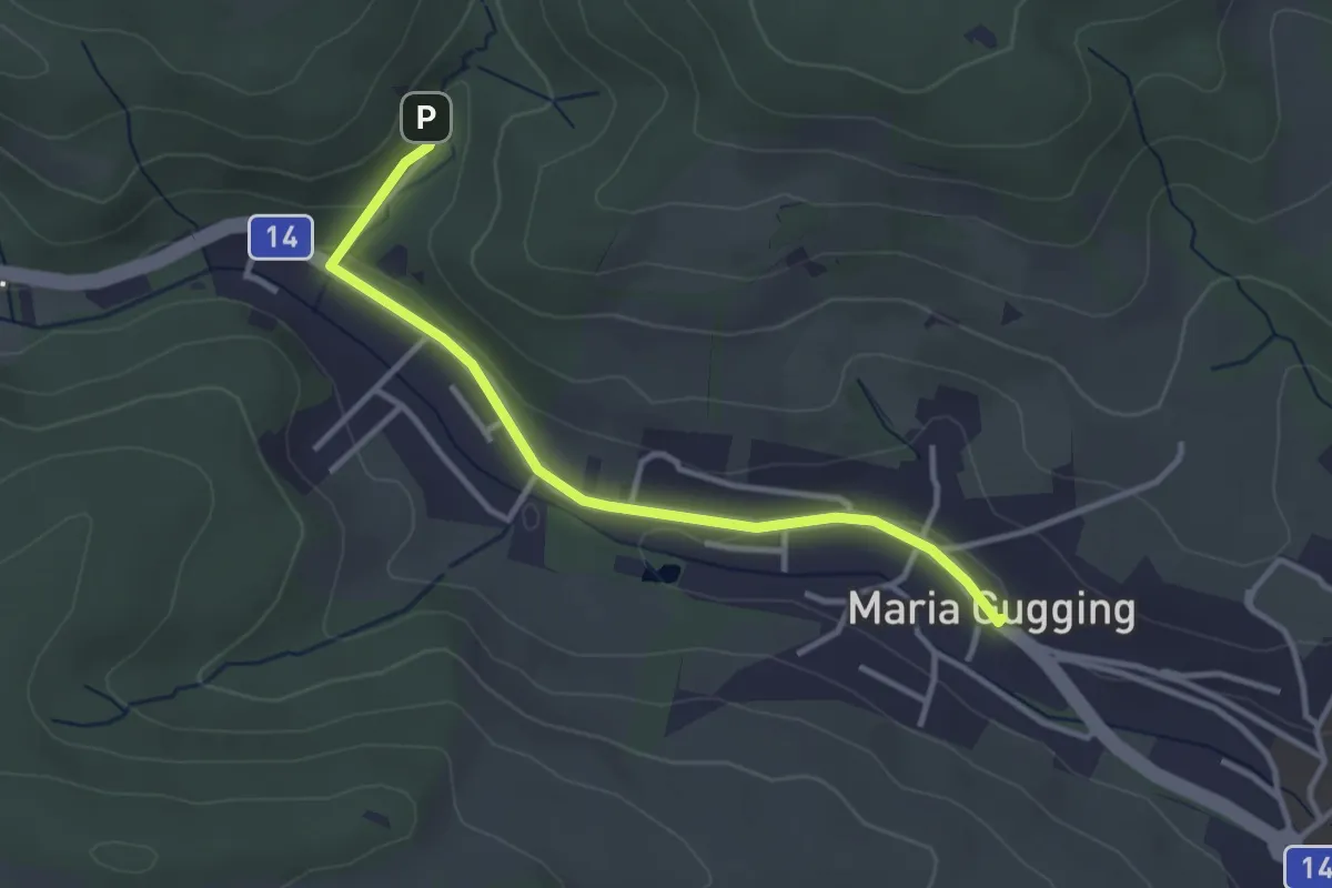
Easy · Trail
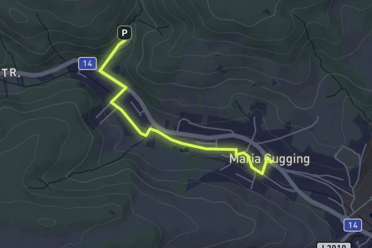
Pilgerweg 1
3.2 km · ↑ 30 m · 49 min
Easy · Trail
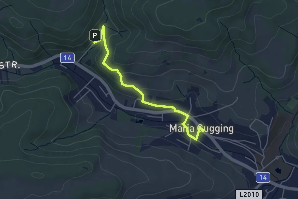
Pilgerweg 2
3.9 km · ↑ 31 m · 59 min
Easy · Trail
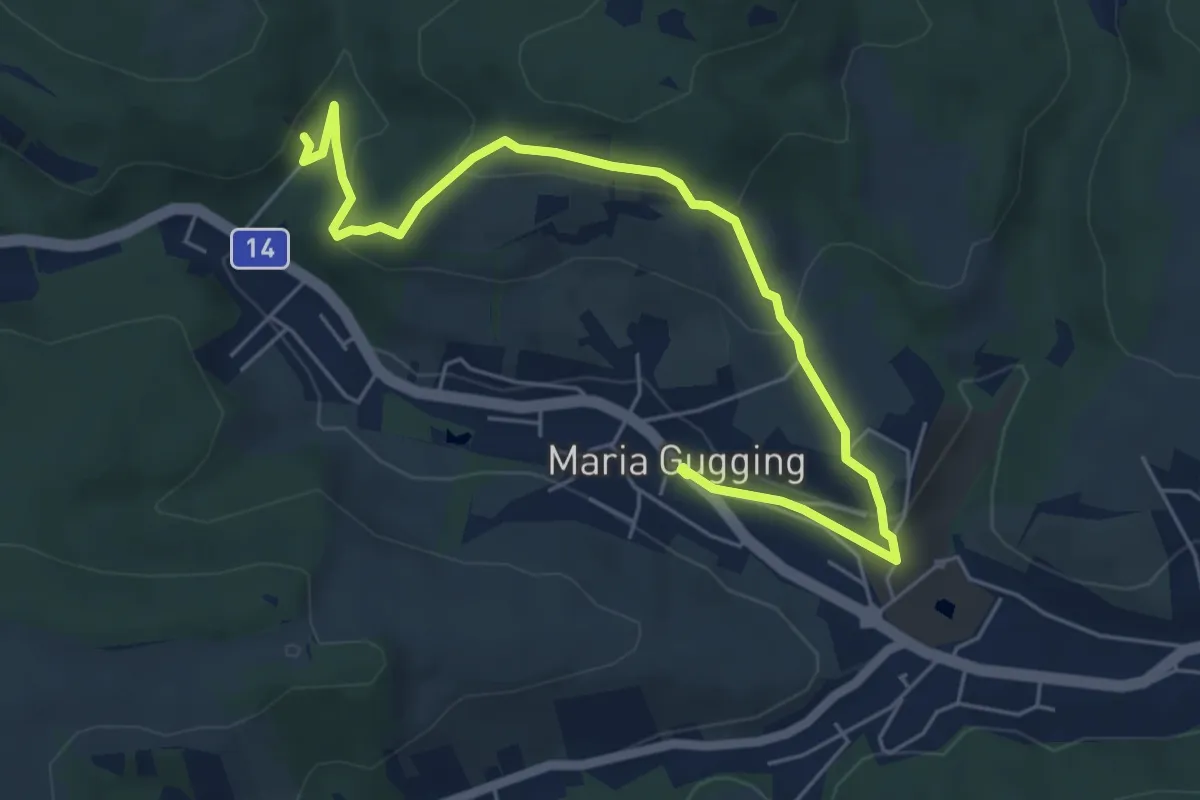
Pilgerweg 3
3.9 km · ↑ 109 m · 1 h 9 min
Easy · Trail
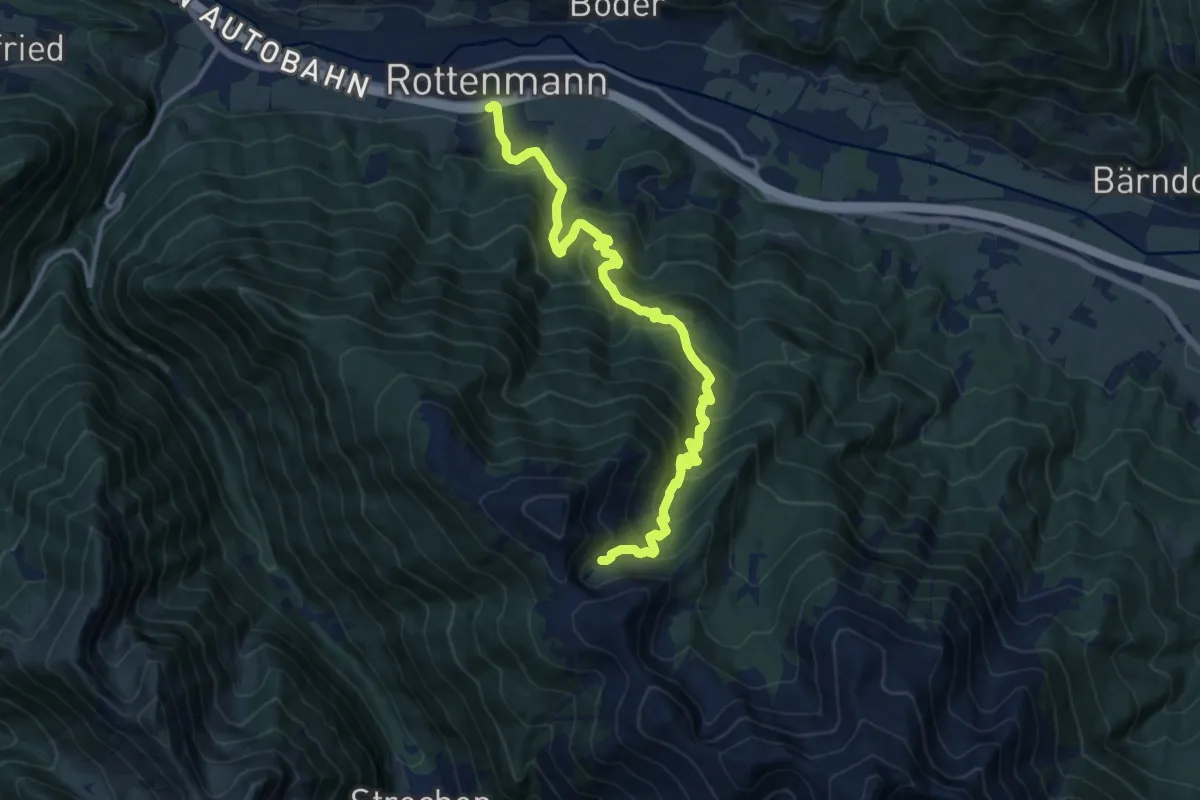
Pilgerweg 4
6.4 km · ↑ 238 m · 2 h 2 min
Demanding · Trail
Pilgerweg der Weltreligionen
14.1 km · ↑ 1069 m · 5 h 39 min
Easy · Trail
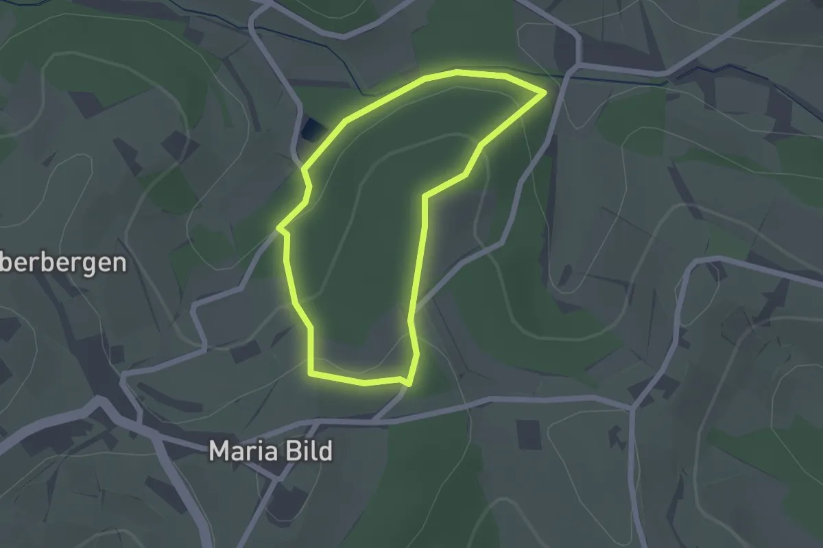
Pilgerweg (Engelweg)
1.6 km · ↑ 66 m · 33 min
Medium · Summit
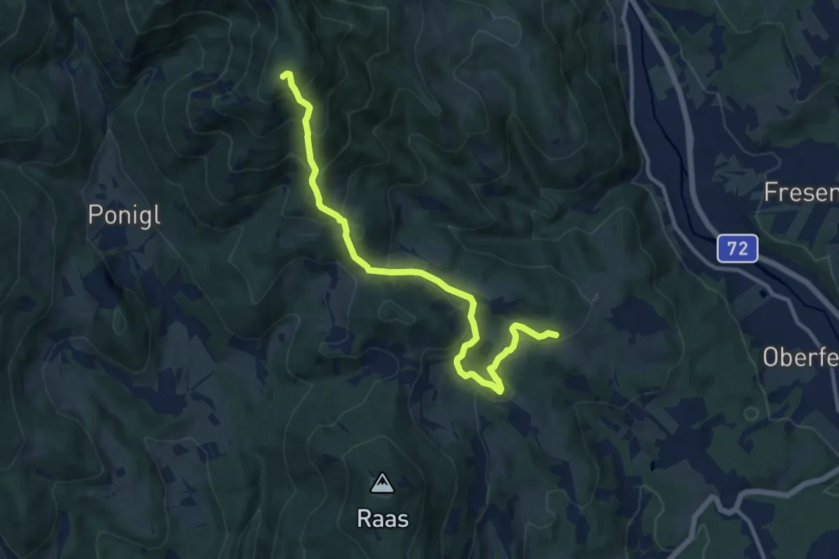
Pilgerweg Klein Mariazell - Mariazell
10.1 km · ↑ 616 m · 3 h 43 min
Expert · Summit
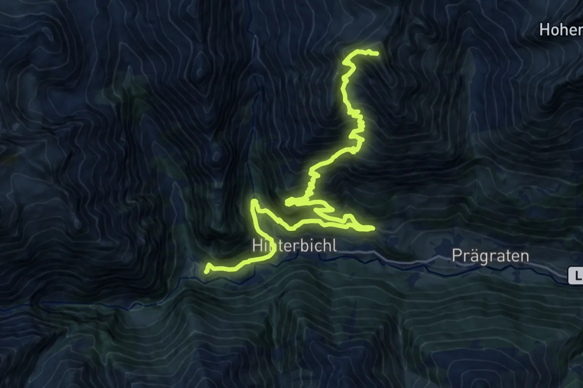
Pilgerweg Prägraten am Großvenediger
25.8 km · ↑ 2052 m · 10 h 32 min
Easy · Trail
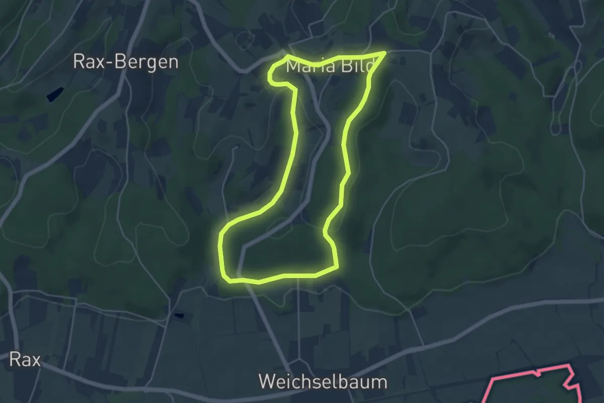
Pilgerweg (Rosenweg)
4.5 km · ↑ 88 m · 1 h 18 min