Trails in Austria
9,779 hiking trails, each with its route, climb, walking time and grade.
All trails, page 85 of 204
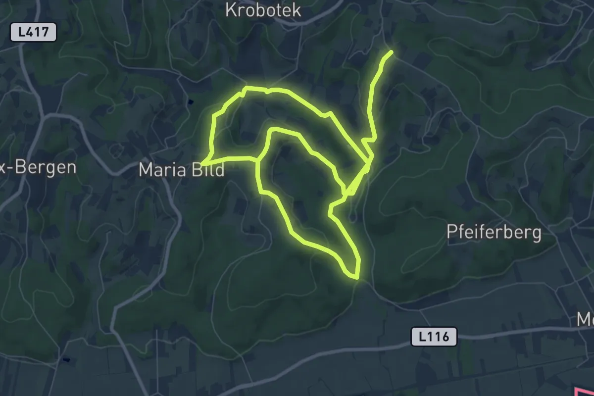
Medium · Trail
Pilgerweg (Wasserweg)
14.9 km · ↑ 381 m · 4 h 20 min
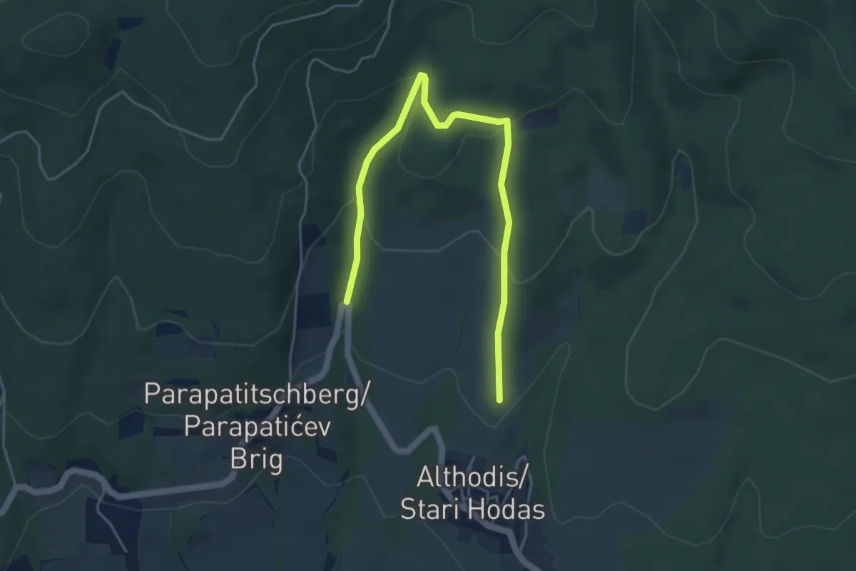
Easy · Trail
Pilzlehrpfad
5.1 km · ↑ 199 m · 1 h 38 min
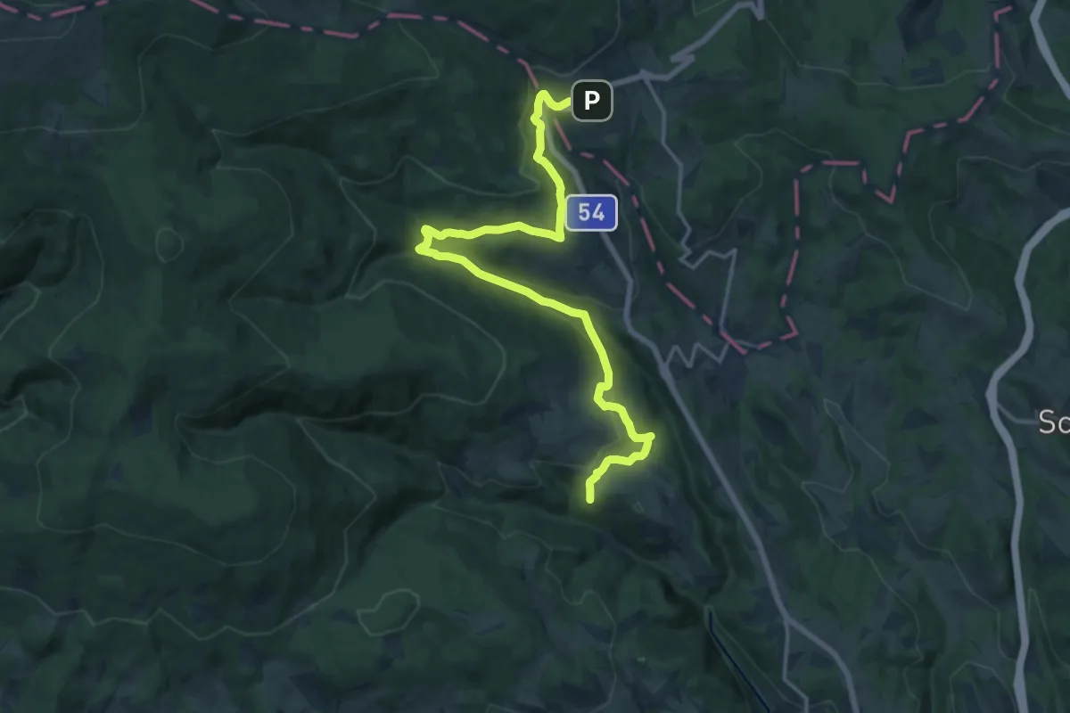
Demanding · Trail
Pingau - Baumgarten - Schaueregg (mit Verlängerung nach Mönichkirchen)
18.2 km · ↑ 552 m · 5 h 30 min
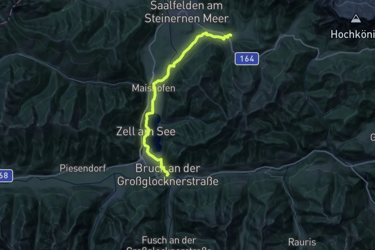
Demanding · Trail
Pinzgauer Marienweg (Der am See)
22.3 km · ↑ 244 m · 6 h 4 min
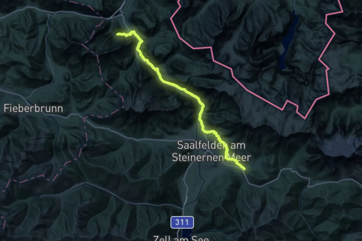
Demanding · Trail
Pinzgauer Marienweg (Der Klassische III.)
31.1 km · ↑ 618 m · 9 h 10 min
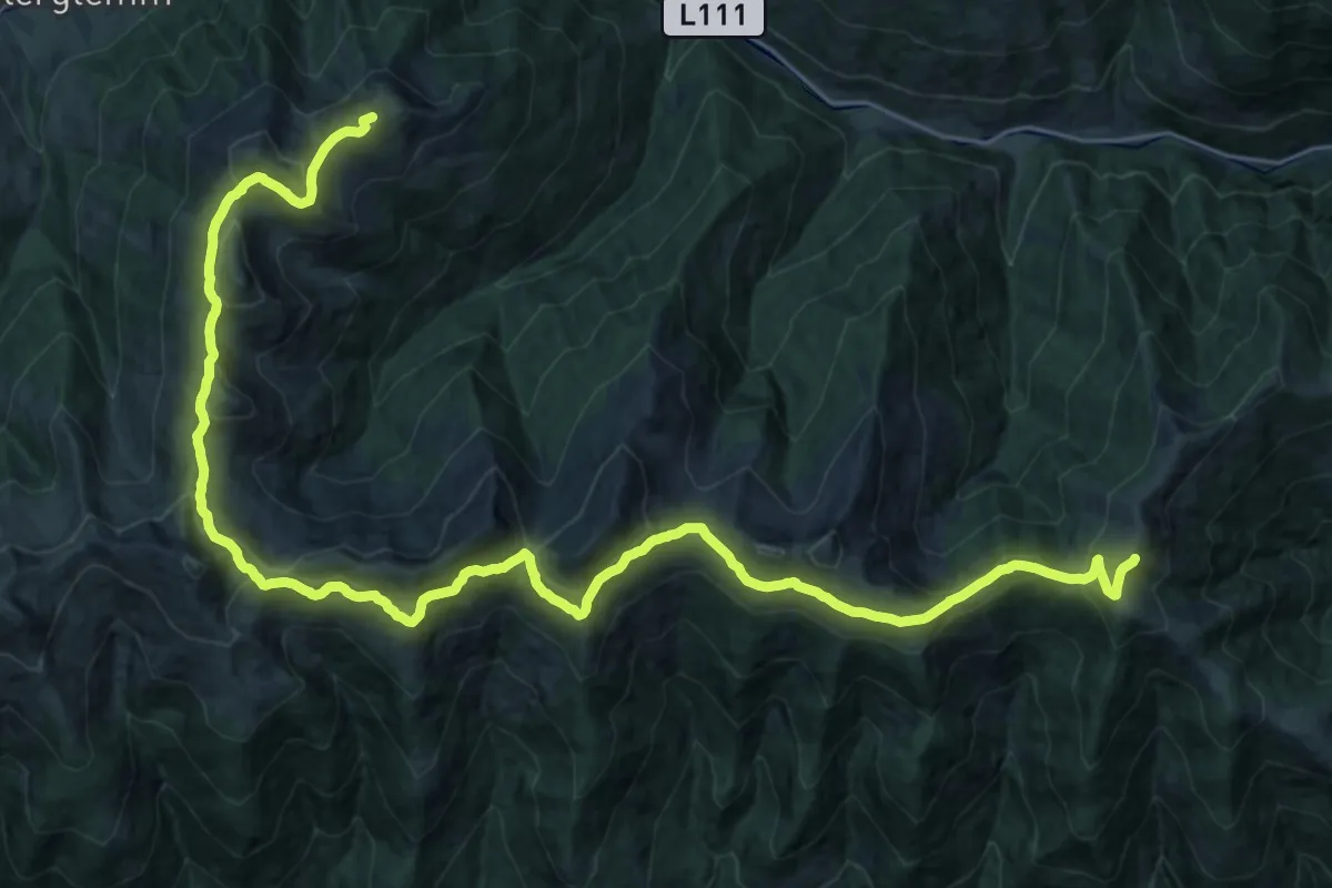
Demanding · Summit
Pinzgauer Spaziergang
34.9 km · ↑ 1176 m · 10 h 47 min
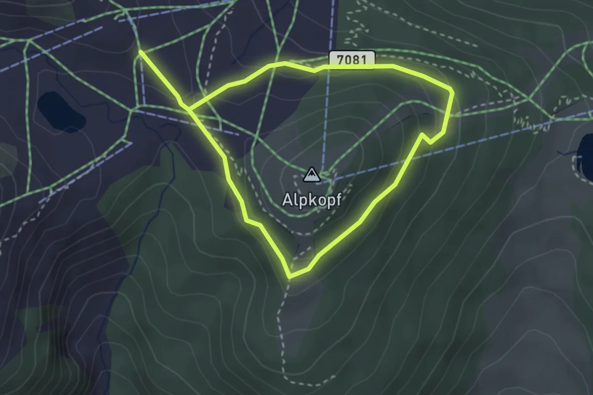
Easy · Cabin
Piratenweg
4.7 km · ↑ 150 m · 1 h 26 min
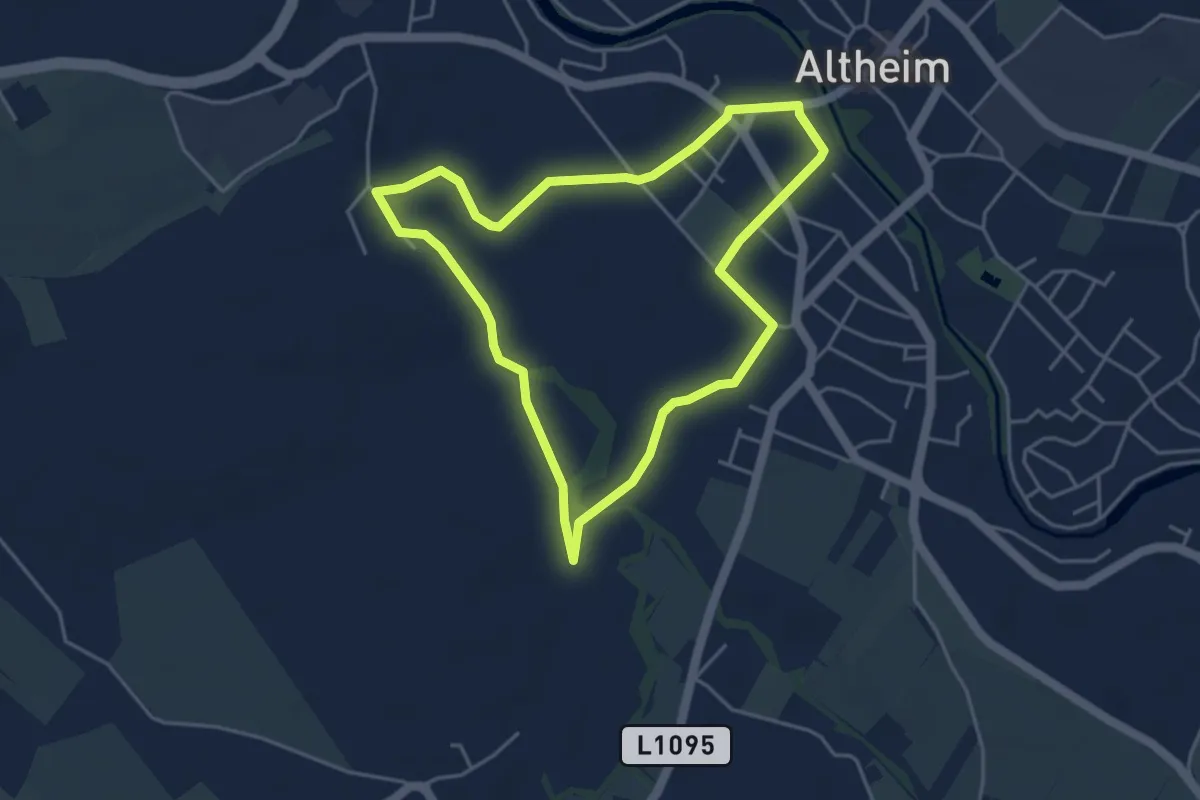
Easy · Trail
Pirath-Runde
4.0 km · ↑ 13 m · 1 h 2 min
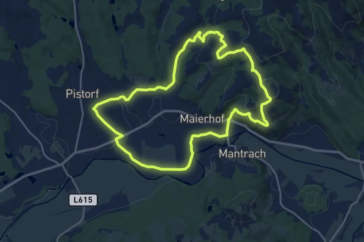
Medium · Summit
Pisdorfer Rundwanderweg
10.9 km · ↑ 283 m · 3 h 20 min
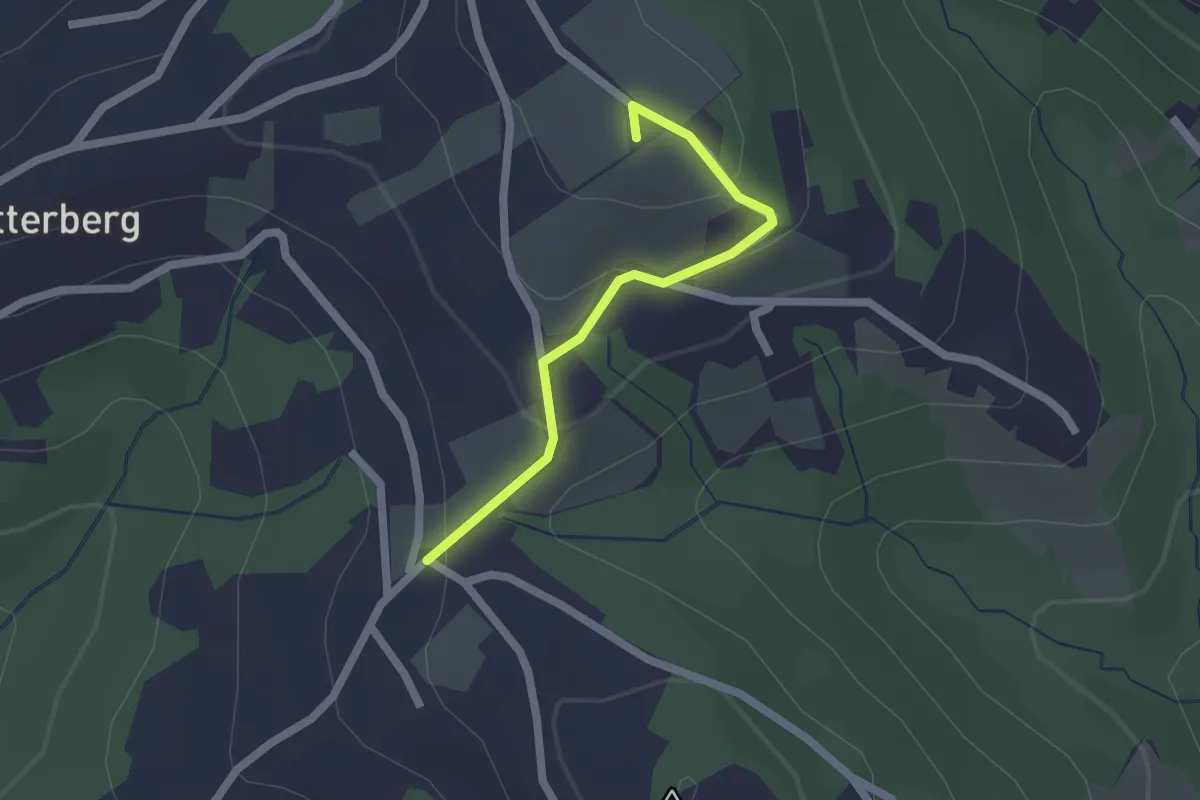
Easy · Summit
Pisdorfer Rundwanderweg Alternative 19b
1.7 km · ↑ 83 m · 35 min
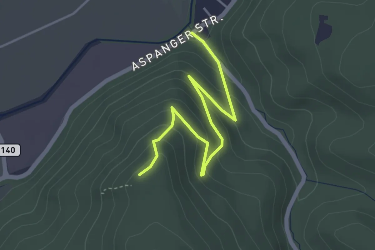
Easy · Trail
Pitten/Aspangstraße - Weißjackl
3.9 km · ↑ 220 m · 1 h 23 min
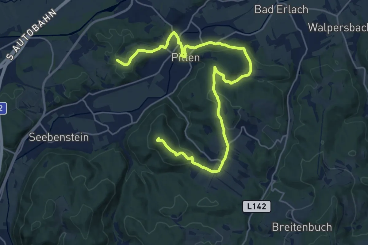
Demanding · Summit
Pittener Rundwanderweg
20.2 km · ↑ 513 m · 5 h 53 min
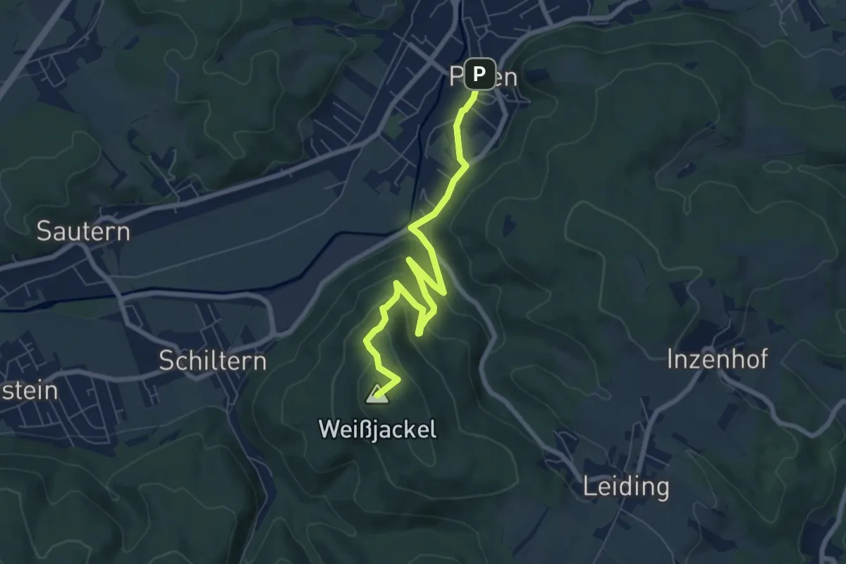
Easy · Summit
Pittener Rundwanderweg - Abkürzung über Weißjackl
7.0 km · ↑ 270 m · 2 h 15 min
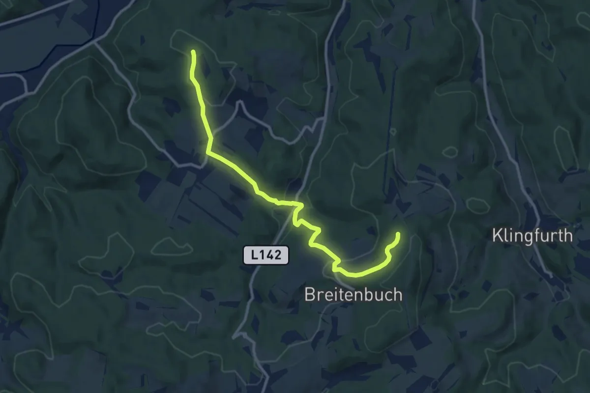
Medium · Trail
Pitten (Grafenkreuz) - Leiding - Stupfenreith
9.9 km · ↑ 307 m · 3 h 1 min
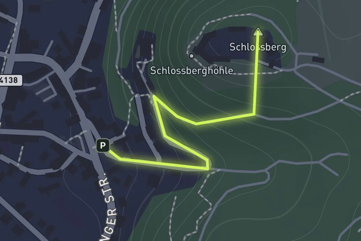
Easy · Summit
Pitten - Grafenkreuz - Stanghof - Leiding - Bromberg
1.2 km · ↑ 103 m · 30 min
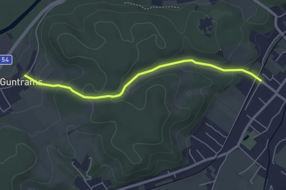
Easy · Trail
Pitten - Guntrams
4.1 km · ↑ 113 m · 1 h 13 min
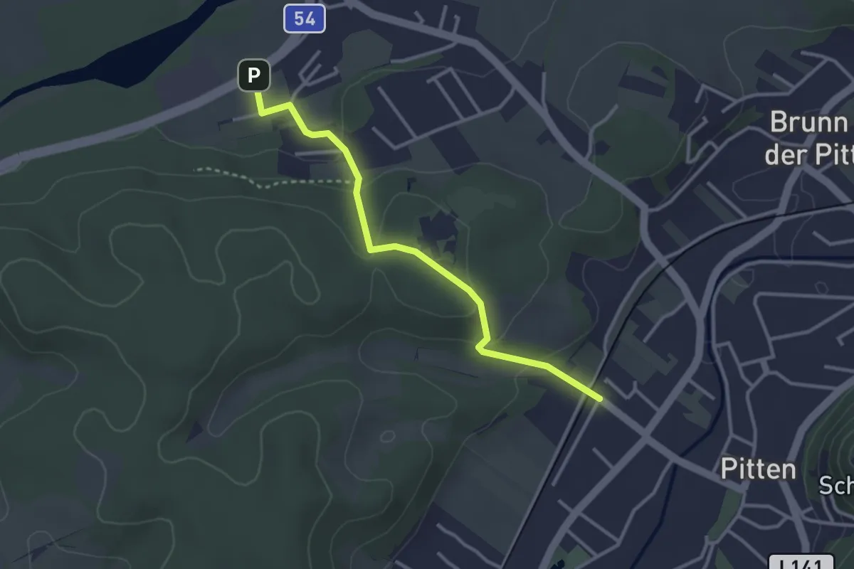
Easy · Trail
Pitten - Schwarzau
3.0 km · ↑ 97 m · 56 min
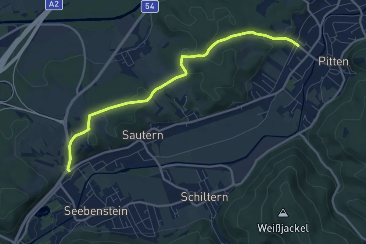
Easy · Trail
Pitten - Seebenstein über Hubertuskapelle
7.8 km · ↑ 134 m · 2 h 8 min
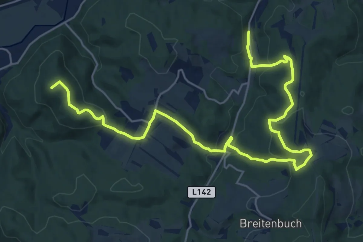
Demanding · Summit
Pittental Hochwechsel Rundwanderweg 2
18.1 km · ↑ 606 m · 5 h 34 min
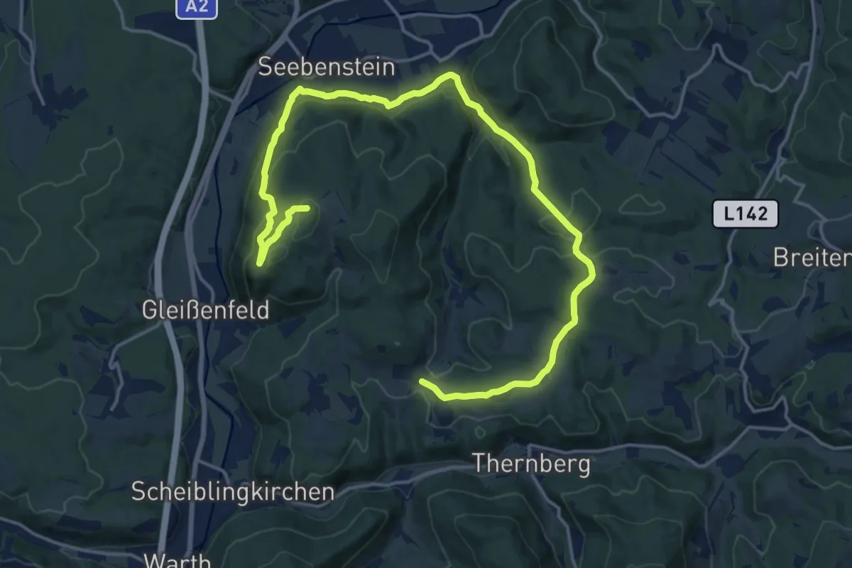
Demanding · Summit
Pittental Hochwechsel Rundwanderweg 3
20.6 km · ↑ 631 m · 6 h 14 min
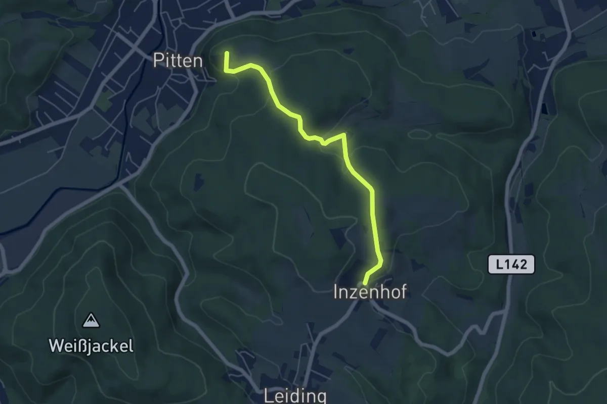
Easy · Summit
Pitten - Weinberg - Inzenhof
4.9 km · ↑ 234 m · 1 h 40 min
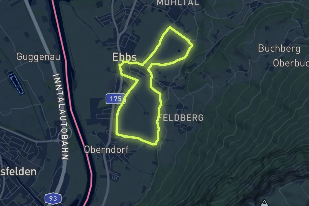
Easy · Trail
Plafing-Runde
6.1 km · ↑ 37 m · 1 h 36 min
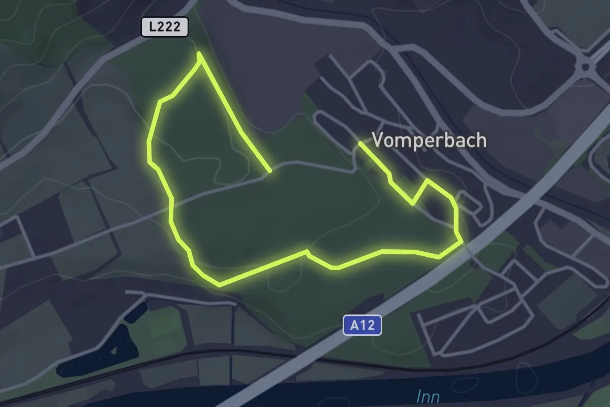
Easy · Trail
Planetenlehrpfad Terfens
5.1 km · ↑ 79 m · 1 h 23 min
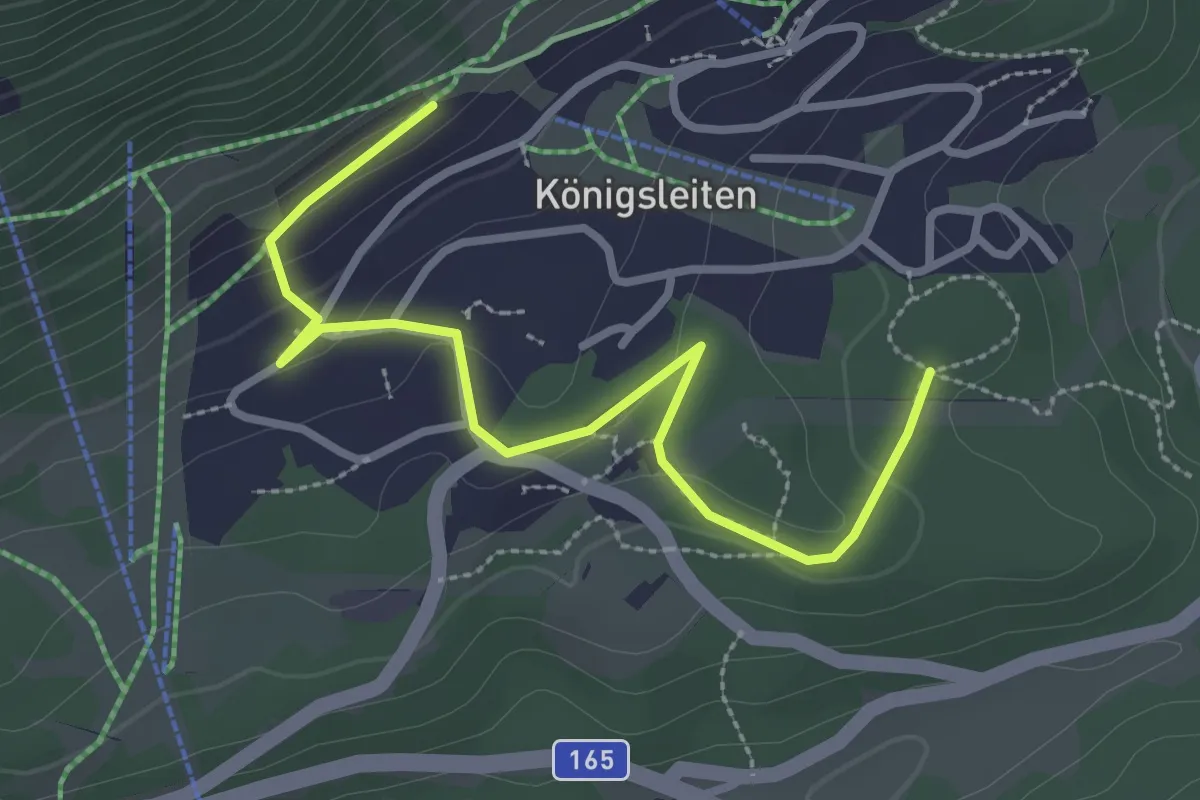
Easy · Cabin
Planetenlehrweg Königsleiten
3.2 km · ↑ 83 m · 55 min
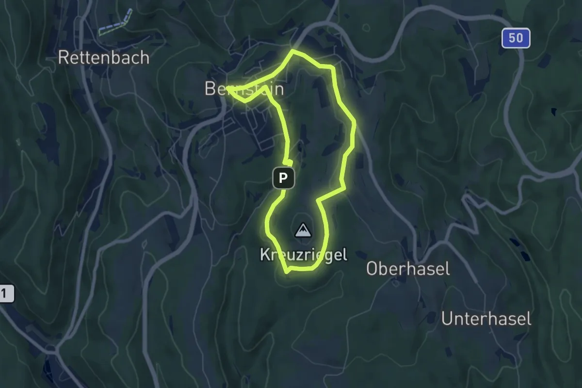
Easy · Trail
Planetenwanderweg
5.4 km · ↑ 101 m · 1 h 34 min
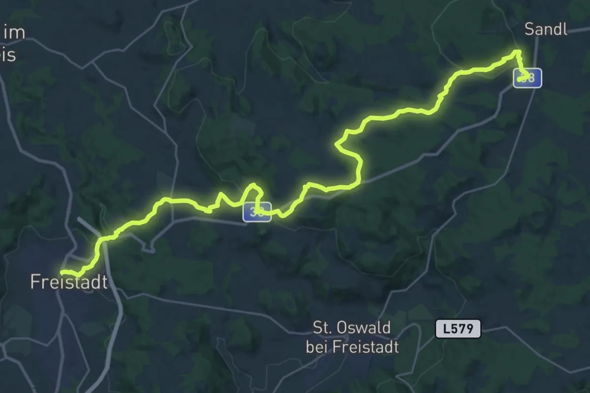
Medium · Trail
Planetenwanderweg
16.2 km · ↑ 611 m · 5 h 11 min
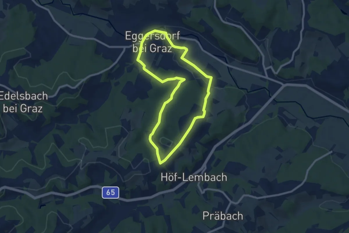
Easy · Trail
Planetenweg
6.0 km · ↑ 131 m · 1 h 47 min
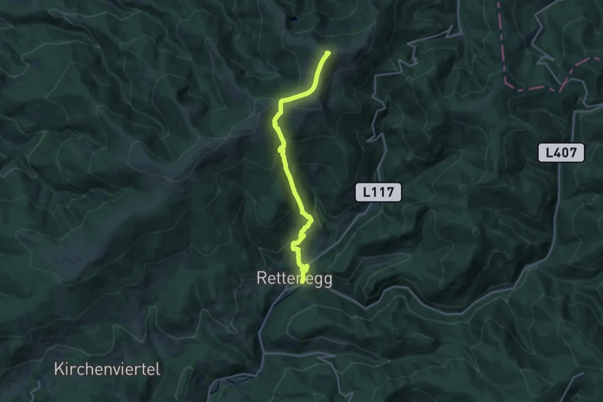
Demanding · Summit
Planetenweg
14.9 km · ↑ 934 m · 5 h 33 min
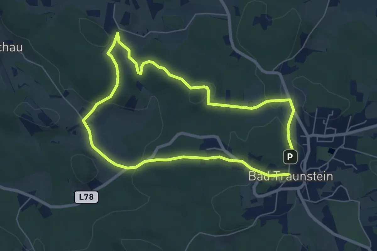
Easy · Trail
Planetenweg
4.8 km · ↑ 144 m · 1 h 30 min
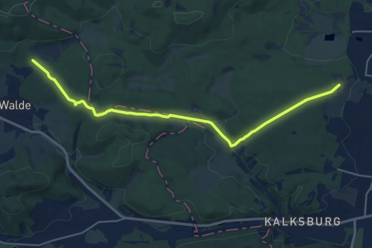
Medium · Trail
Planetenweg
12.5 km · ↑ 277 m · 3 h 33 min
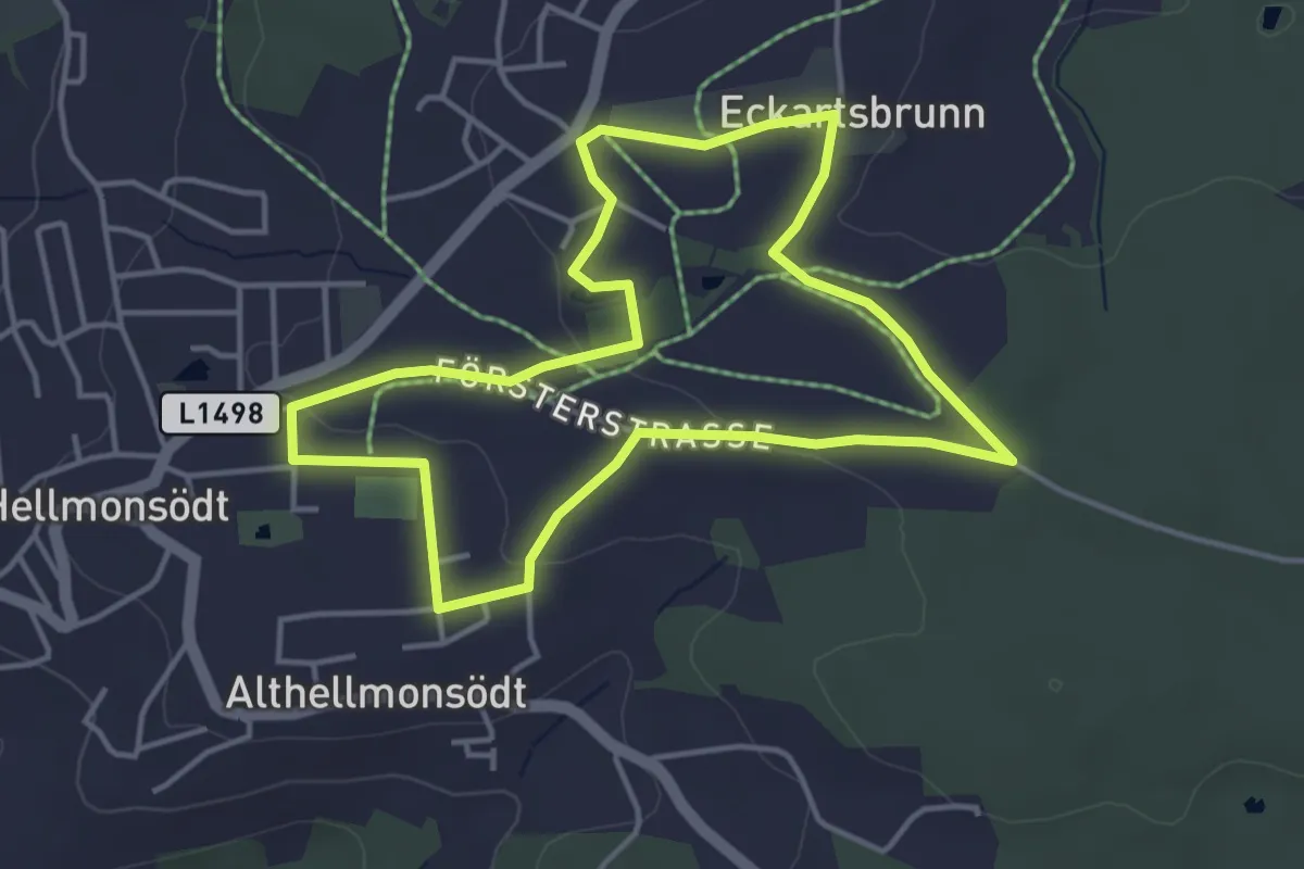
Easy · Trail
Planetenweg Hellmonsödt
3.9 km · ↑ 34 m · 1 h 3 min
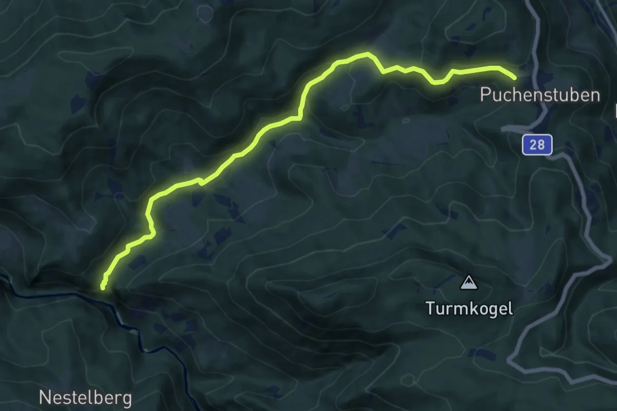
Medium · Trail
Planetenweg Puchenstuben
11.8 km · ↑ 421 m · 3 h 42 min
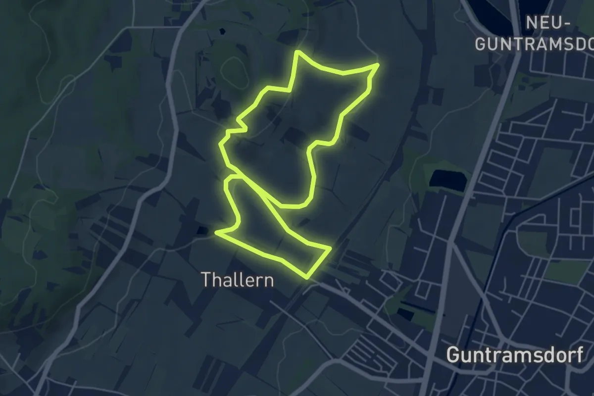
Easy · Trail
Playfit Runde (Guntramsdorf)
4.8 km · ↑ 127 m · 1 h 29 min
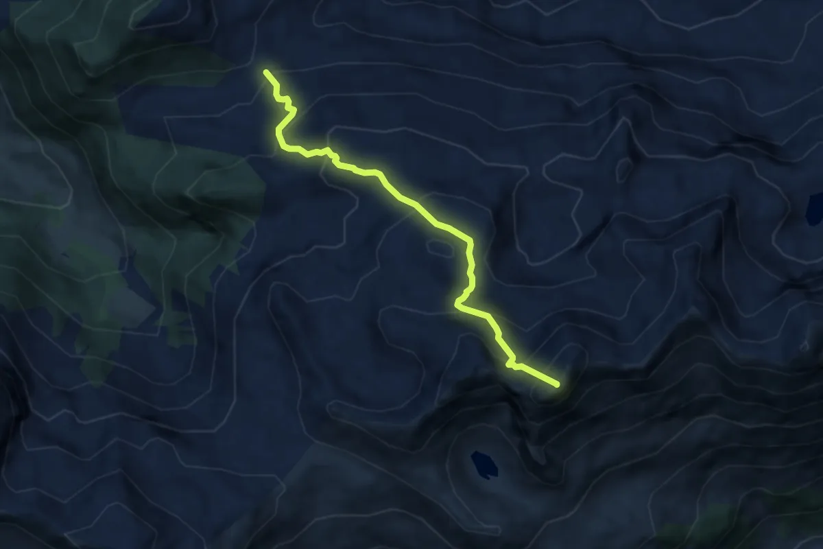
Expert · Summit
Pleisslingkeil-Rundtour
6.9 km · ↑ 709 m · 3 h 10 min
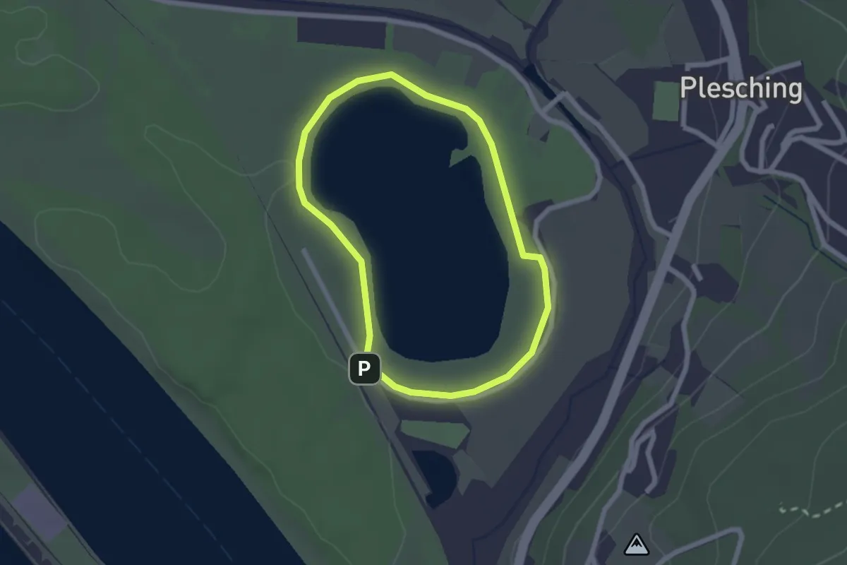
Easy · Trail
Pleschinger See Rundweg
1.7 km · ↑ 0 m · 26 min
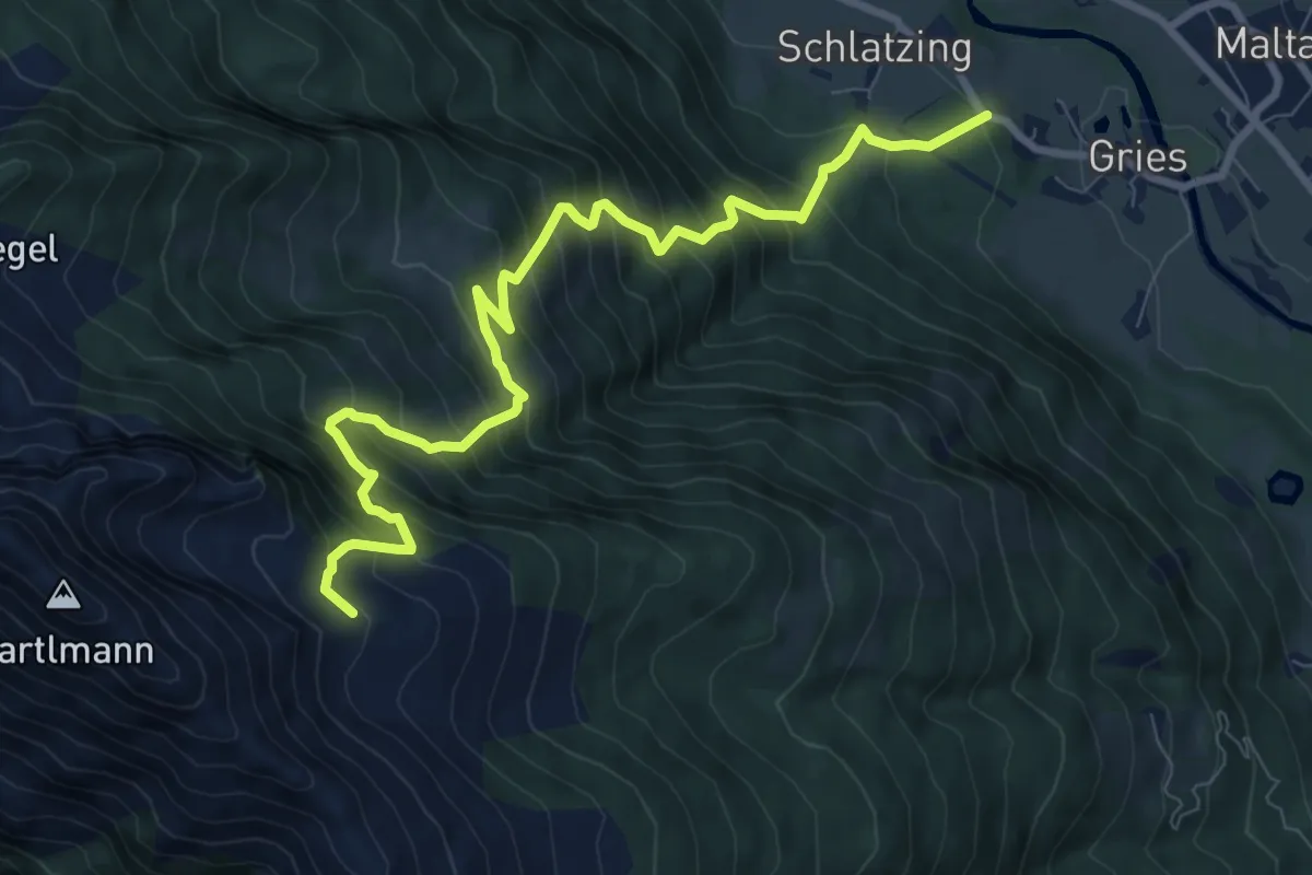
Demanding · Trail
Plieschalm - Bartelmann
9.7 km · ↑ 1121 m · 4 h 43 min
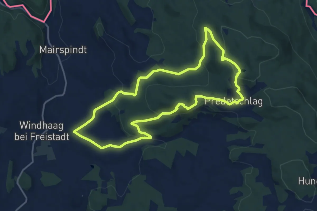
Medium · Summit
Plochwaldrundweg
9.5 km · ↑ 340 m · 3 h 7 min
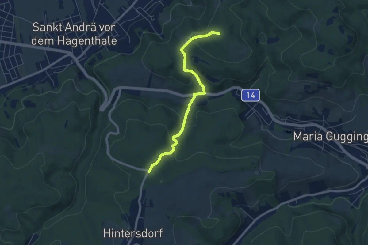
Easy · Summit
Plöcking - Hadersfeld/Glockenturm
5.3 km · ↑ 218 m · 1 h 43 min
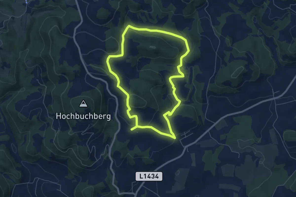
Easy · Trail
Plodermauerrunde
5.8 km · ↑ 175 m · 1 h 50 min
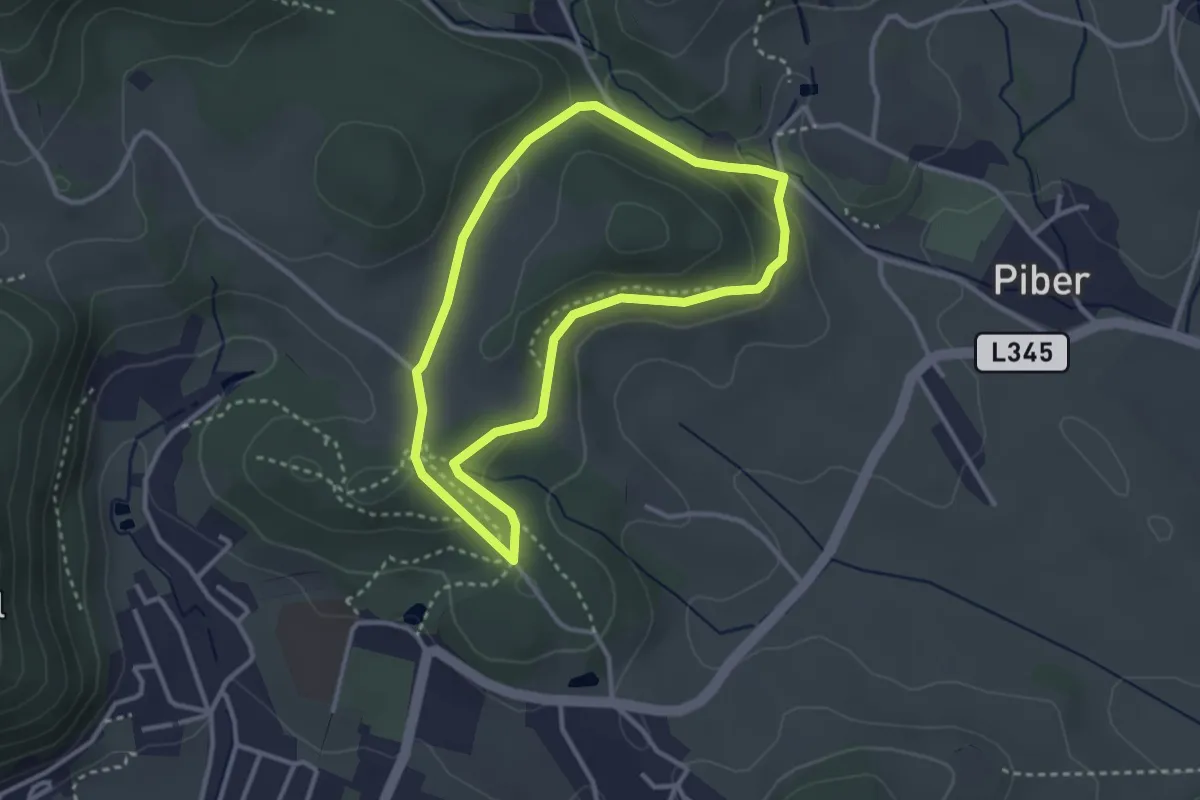
Easy · Trail
Pluto Rundwanderweg
2.8 km · ↑ 69 m · 52 min
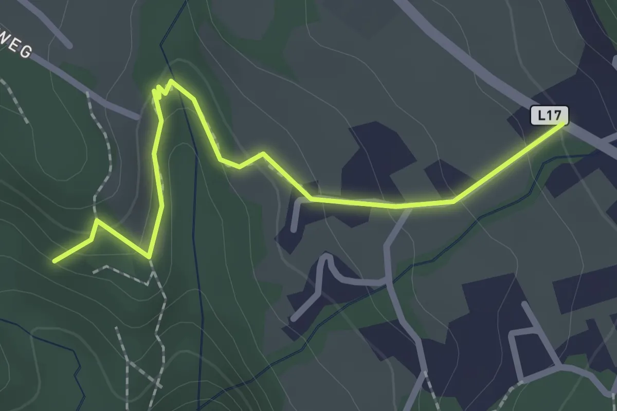
Easy · Trail
Pöllantschlucht - Lammersdorf 33a
2.2 km · ↑ 116 m · 46 min
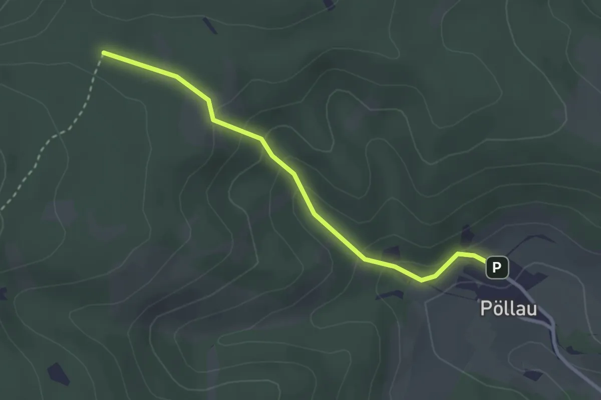
Easy · Trail
Pöllau - Abzweigung Grabenweg
2.7 km · ↑ 152 m · 58 min
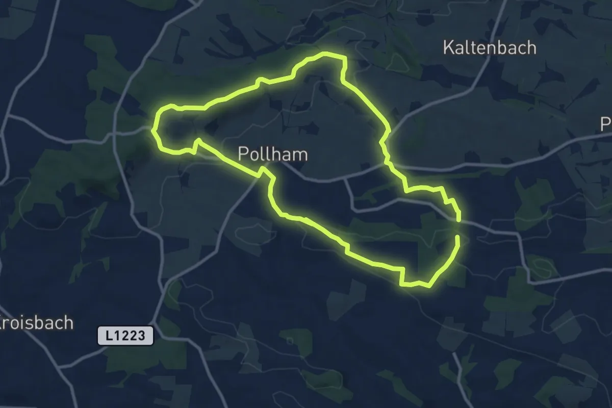
Demanding · Trail
Pollhamer Marterlroas
19.3 km · ↑ 358 m · 5 h 19 min
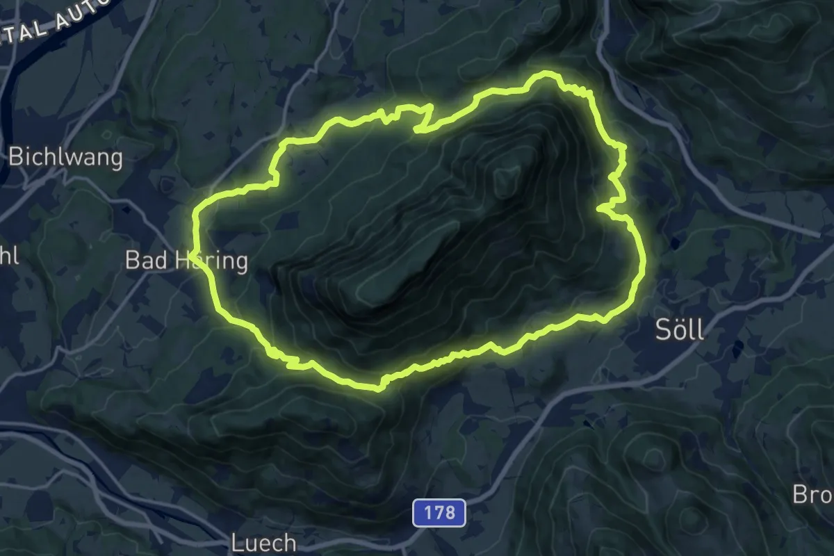
Medium · Trail
Pölvenrunde
16.6 km · ↑ 741 m · 5 h 45 min
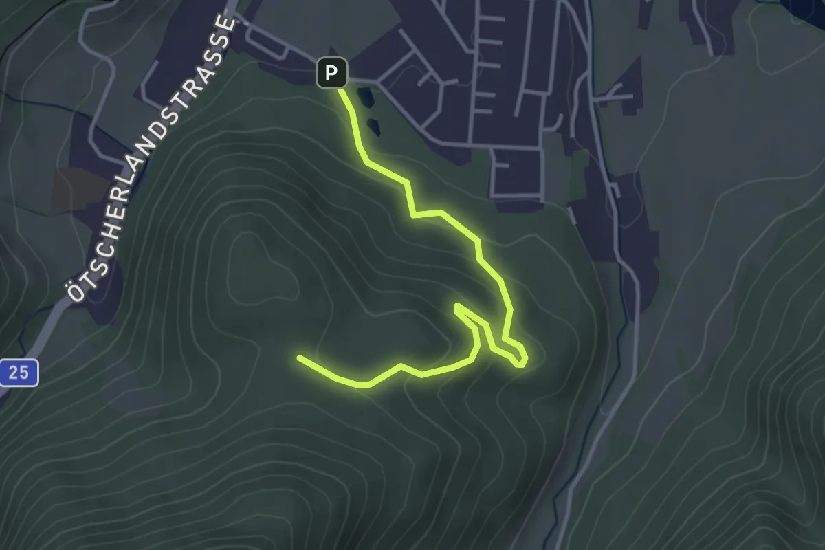
Easy · Trail
Polzbergmühle
3.6 km · ↑ 153 m · 1 h 11 min
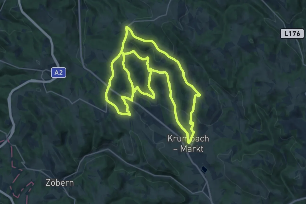
Demanding · Trail
Ponholz - Kühriegel - Weißes Kreuz
19.3 km · ↑ 587 m · 6 h 10 min
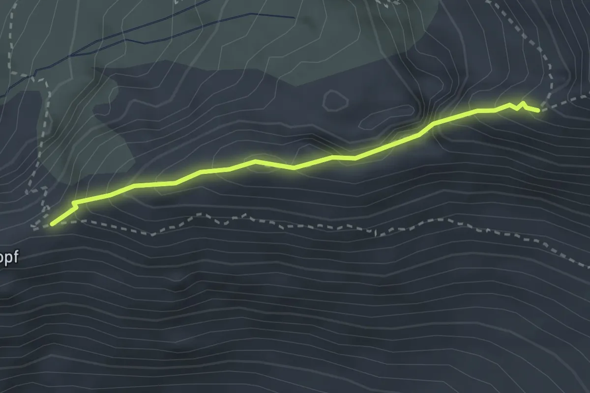
Demanding · Trail
Popbergschneid
2.5 km · ↑ 274 m · 1 h 11 min
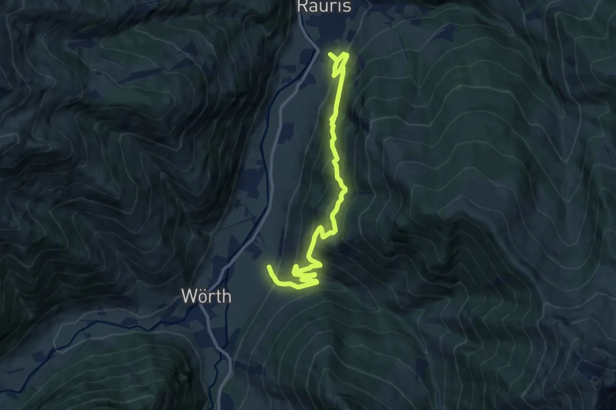
Demanding · Trail
Poseralm
11.2 km · ↑ 873 m · 4 h 33 min