Trails in Austria
9,779 hiking trails, each with its route, climb, walking time and grade.
All trails, page 86 of 204
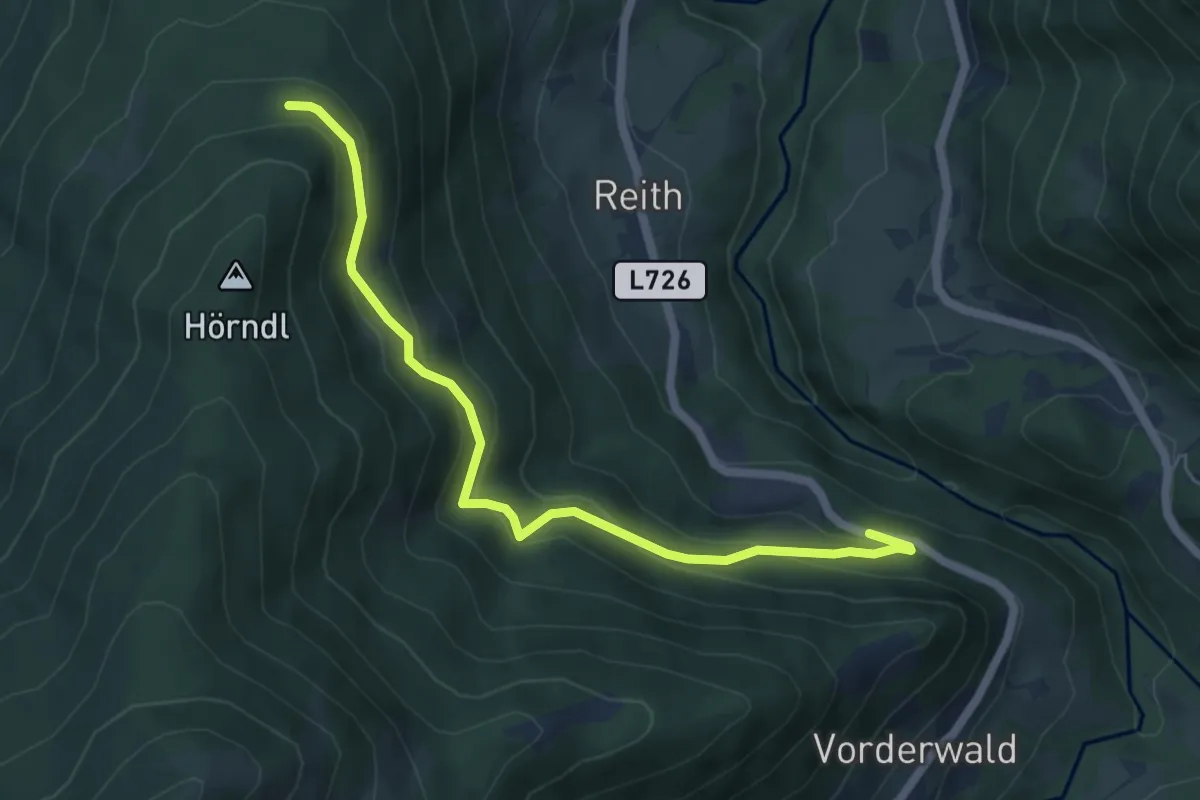
Easy · Trail
Poserwaldwald
5.7 km · ↑ 293 m · 1 h 59 min
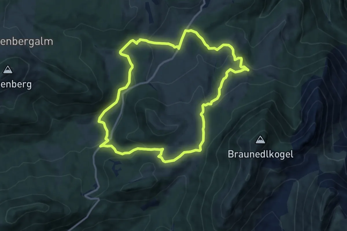
Medium · Trail
Postalm Rundweg 1
9.0 km · ↑ 304 m · 2 h 55 min
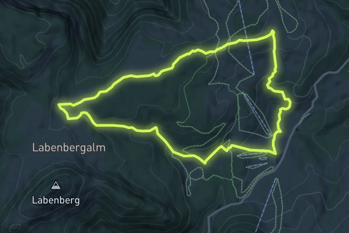
Medium · Trail
Postalm Rundweg 2
8.2 km · ↑ 277 m · 2 h 39 min
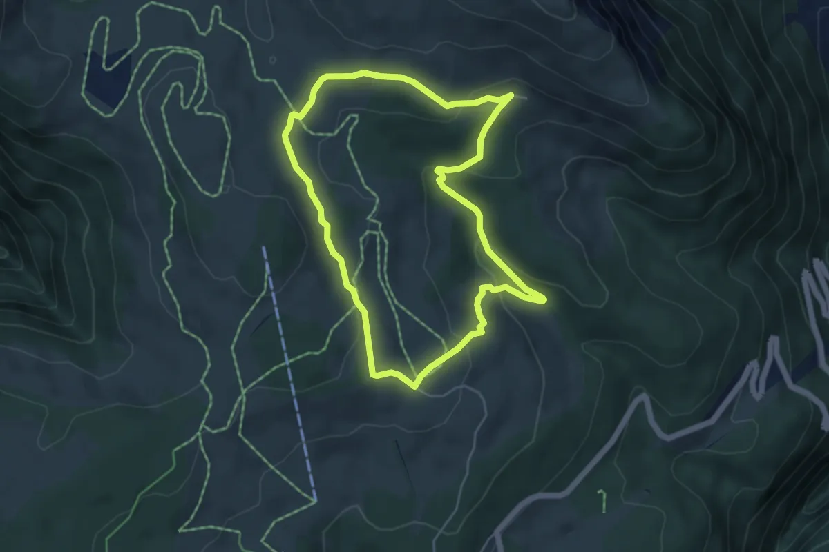
Easy · Trail
Postalm Rundweg 3
4.5 km · ↑ 166 m · 1 h 29 min
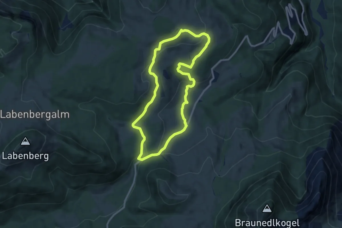
Easy · Trail
Postalm Rundweg 4
6.8 km · ↑ 188 m · 2 h 6 min
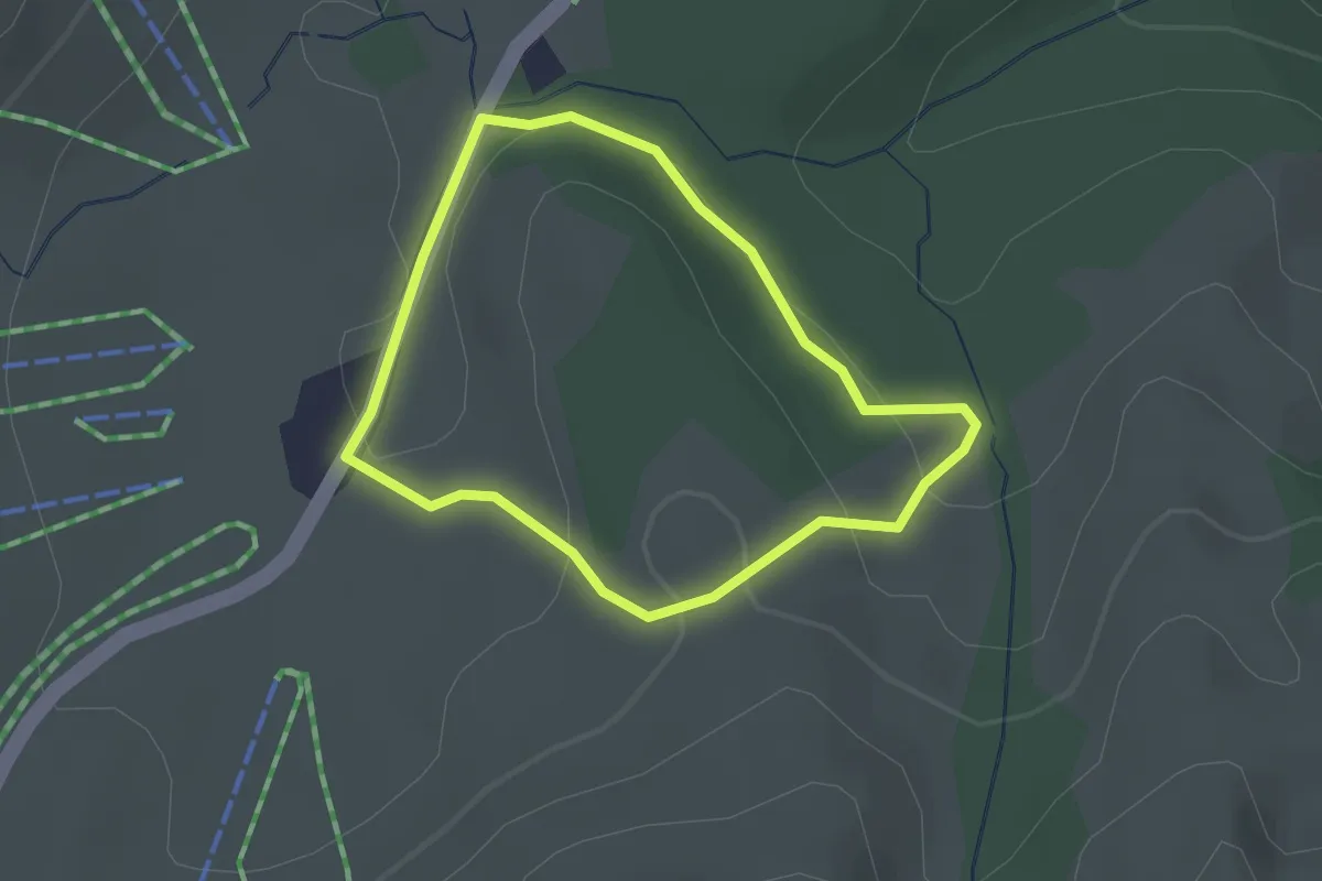
Easy · Trail
Postalm Rundweg 5
1.8 km · ↑ 52 m · 34 min
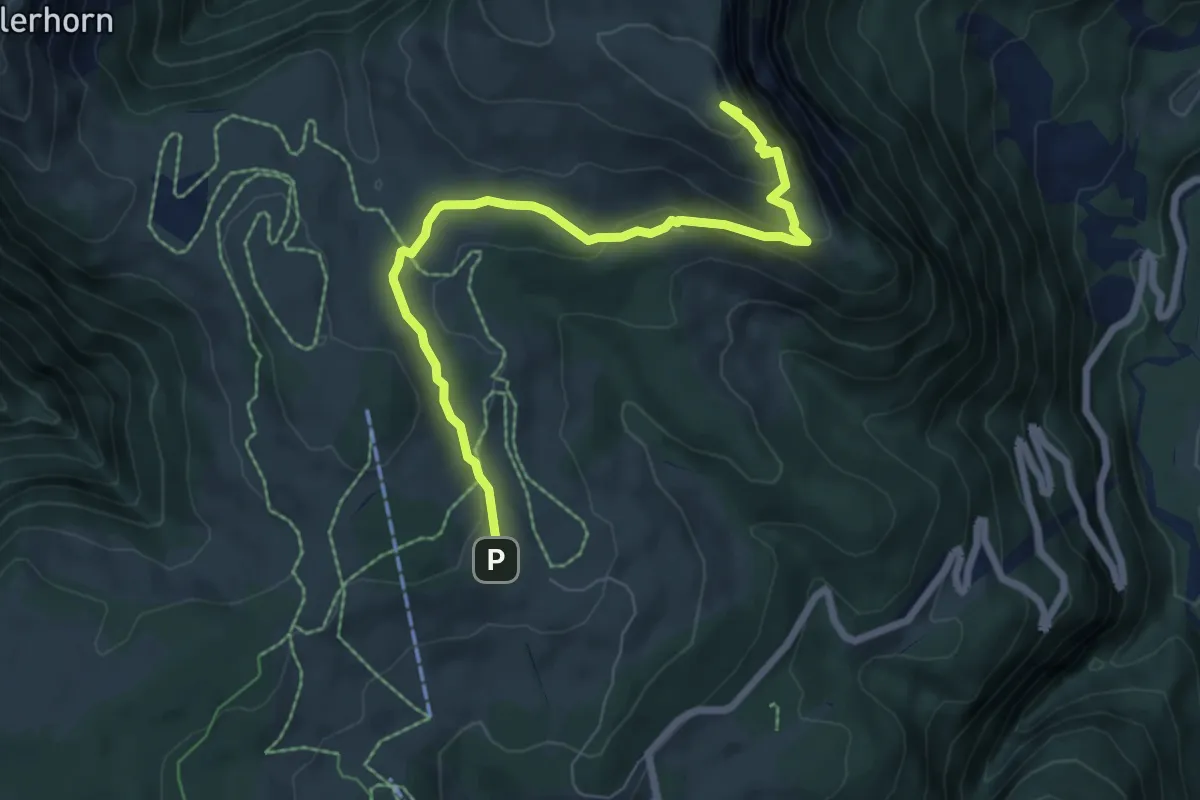
Medium · Summit
Postalm Rundweg 6
7.0 km · ↑ 284 m · 2 h 16 min
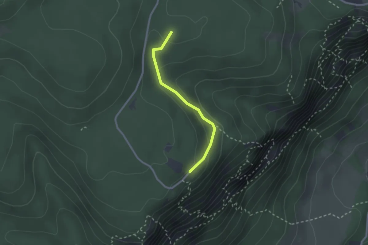
Easy · Summit
Postl - Luf
1.9 km · ↑ 88 m · 38 min
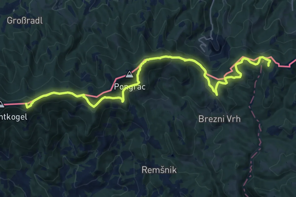
Demanding · Summit
Pot po mejah občine
19.9 km · ↑ 756 m · 6 h 20 min
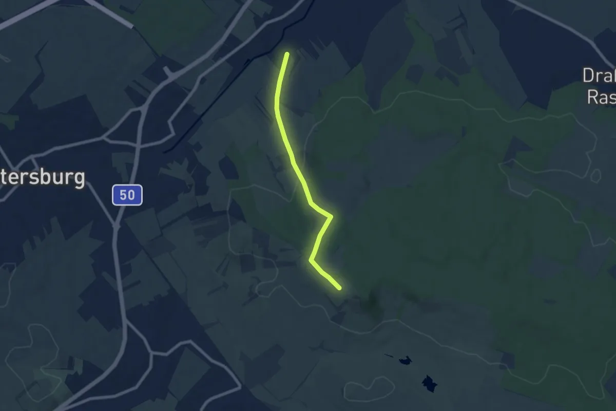
Easy · Trail
Pöttelsdorf - Kogel (Nordic Walking)
6.0 km · ↑ 134 m · 1 h 42 min
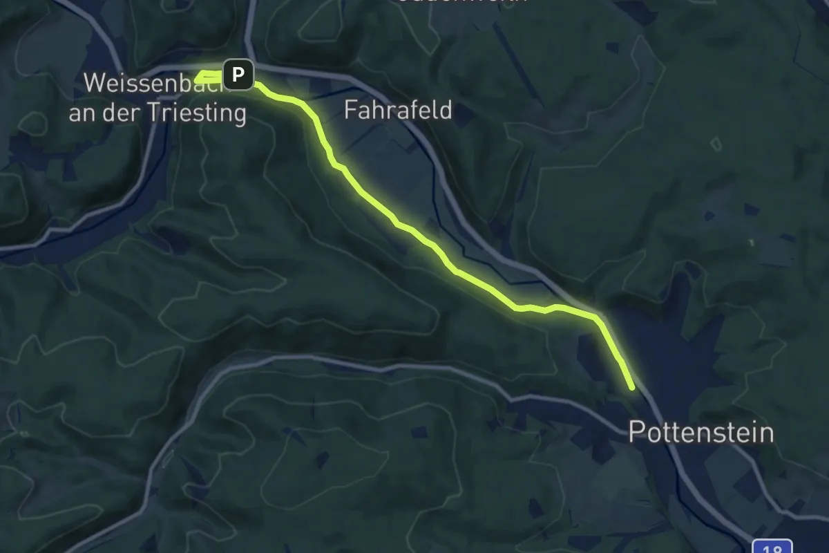
Medium · Trail
Pottenstein (Bhf) - Fahrafeld (Hst) - Weißenbach
9.8 km · ↑ 54 m · 2 h 26 min
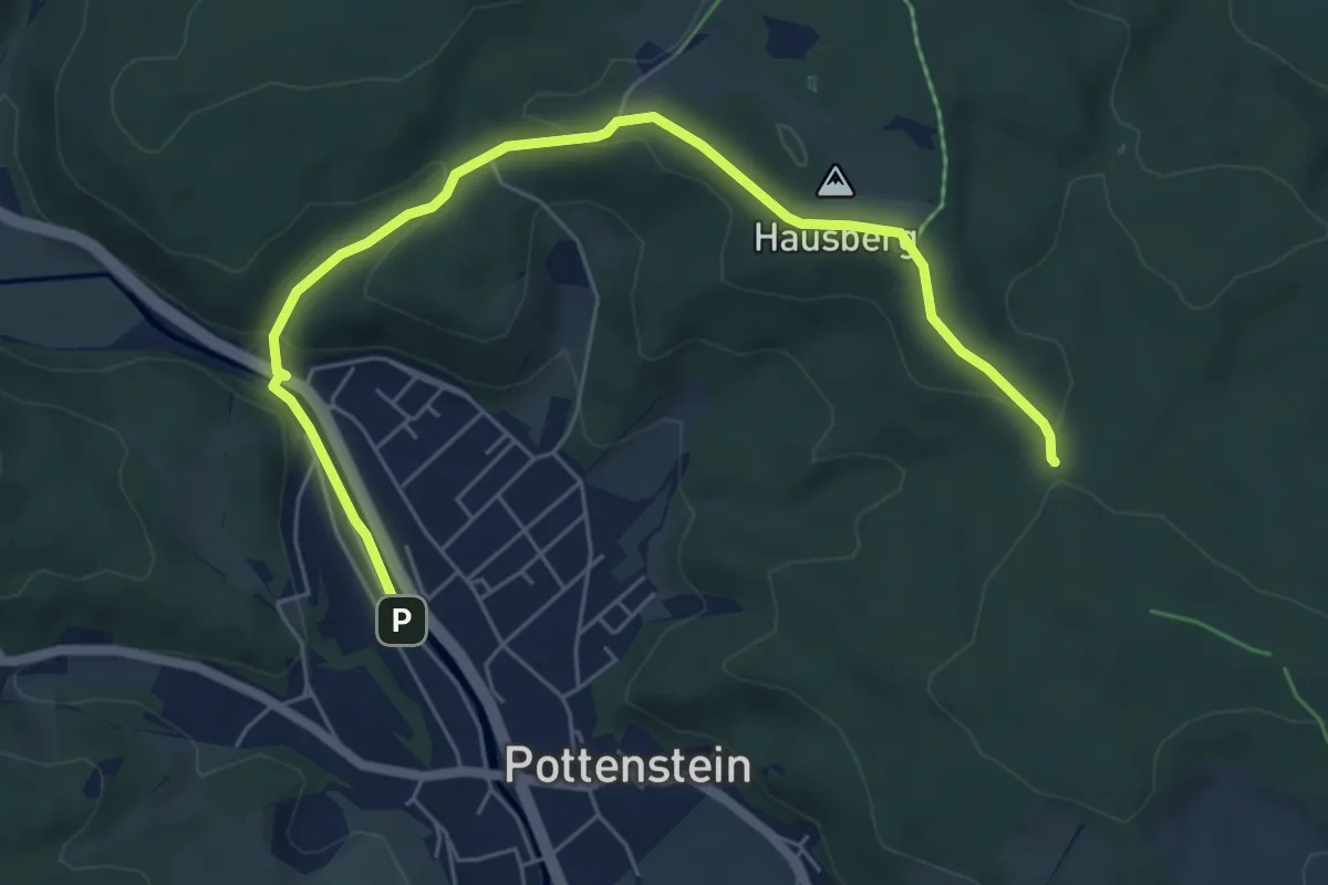
Easy · Trail
Pottenstein -Einsiedlergraben- Herrgottskreuz
6.6 km · ↑ 195 m · 1 h 58 min
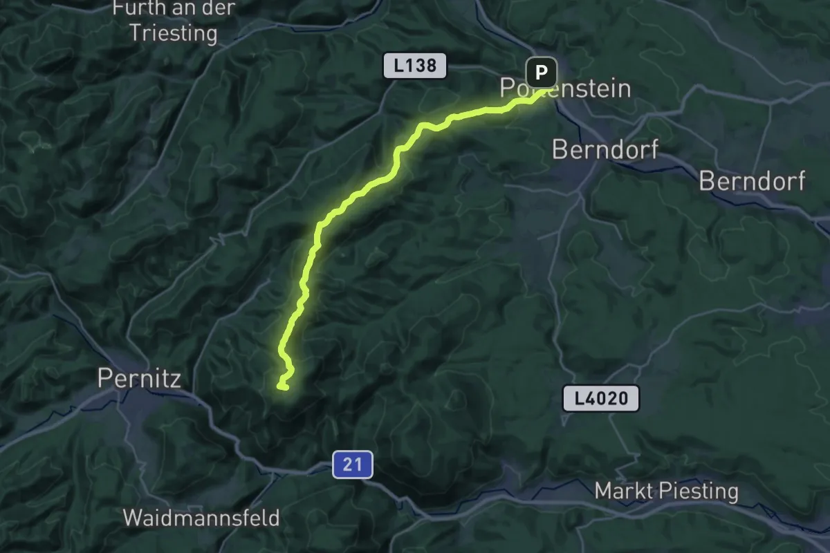
Demanding · Summit
Pottenstein - Geyersattel - Hohe Mandling
24.1 km · ↑ 917 m · 7 h 40 min
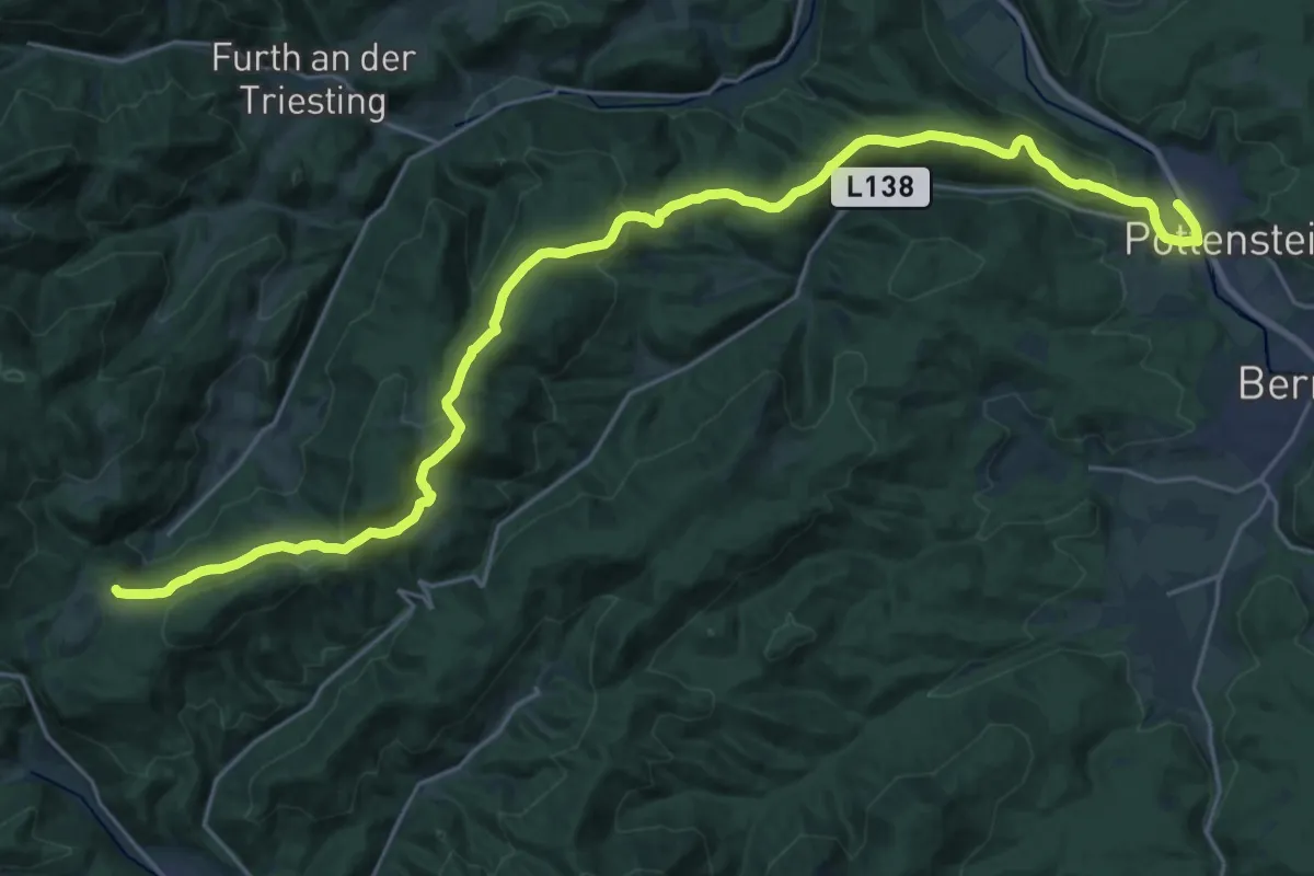
Medium · Trail
Pottenstein - Hohenwart/Steinwandklamm (blau)
14.7 km · ↑ 278 m · 4 h 29 min
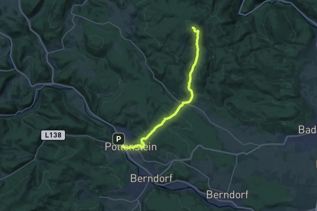
Medium · Summit
Pottenstein - Merkenstein - Eisernes Tor
17.2 km · ↑ 723 m · 5 h 38 min
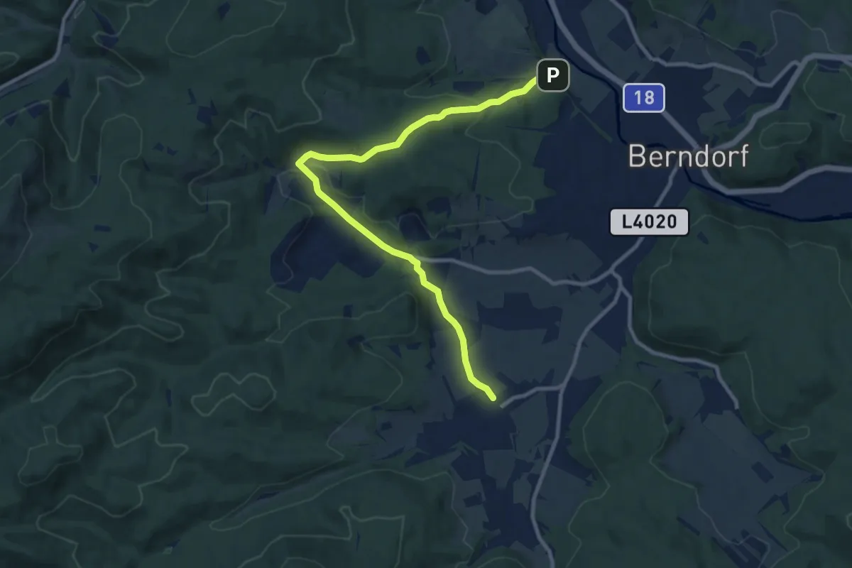
Medium · Trail
Pottenstein - Pöllau - Grillenberg
10.2 km · ↑ 285 m · 3 h 2 min
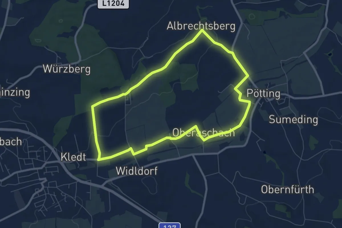
Easy · Trail
Pöttinger Runde
7.0 km · ↑ 57 m · 1 h 52 min
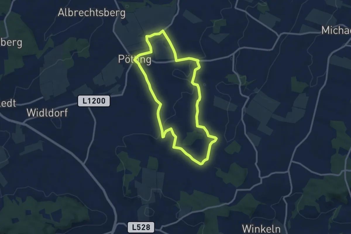
Easy · Trail
Pöttinger Wanderweg
8.0 km · ↑ 80 m · 2 h 10 min
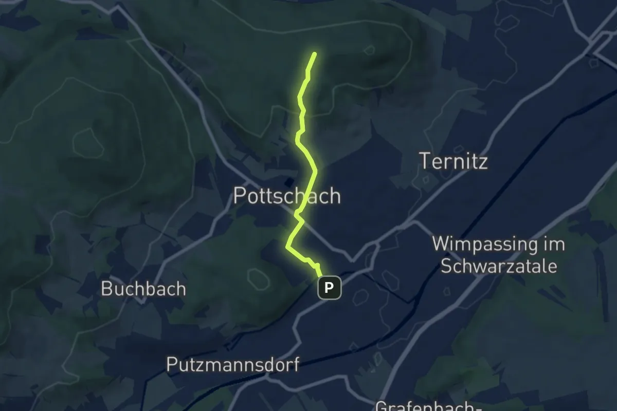
Easy · Trail
Pottschach Bahnhof - Gfieder
4.8 km · ↑ 161 m · 1 h 29 min
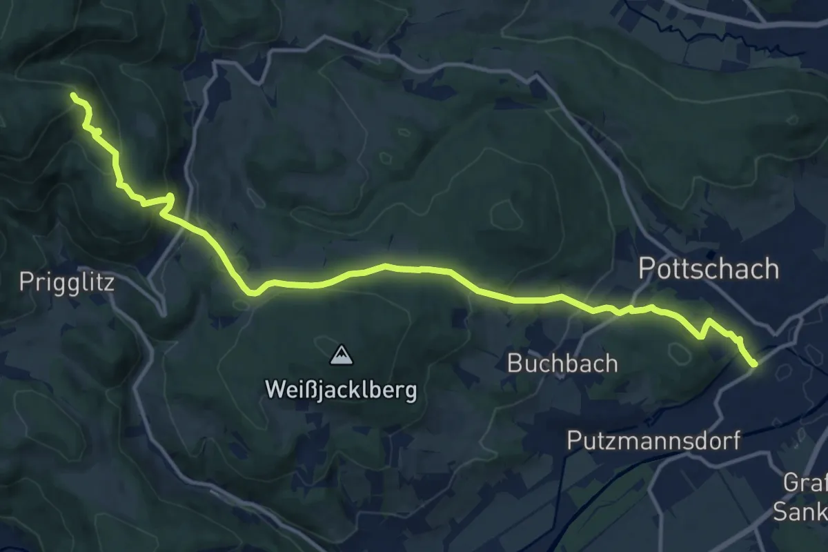
Medium · Trail
Pottschach Bhf. - Pottschacher Hütte
15.3 km · ↑ 607 m · 4 h 55 min
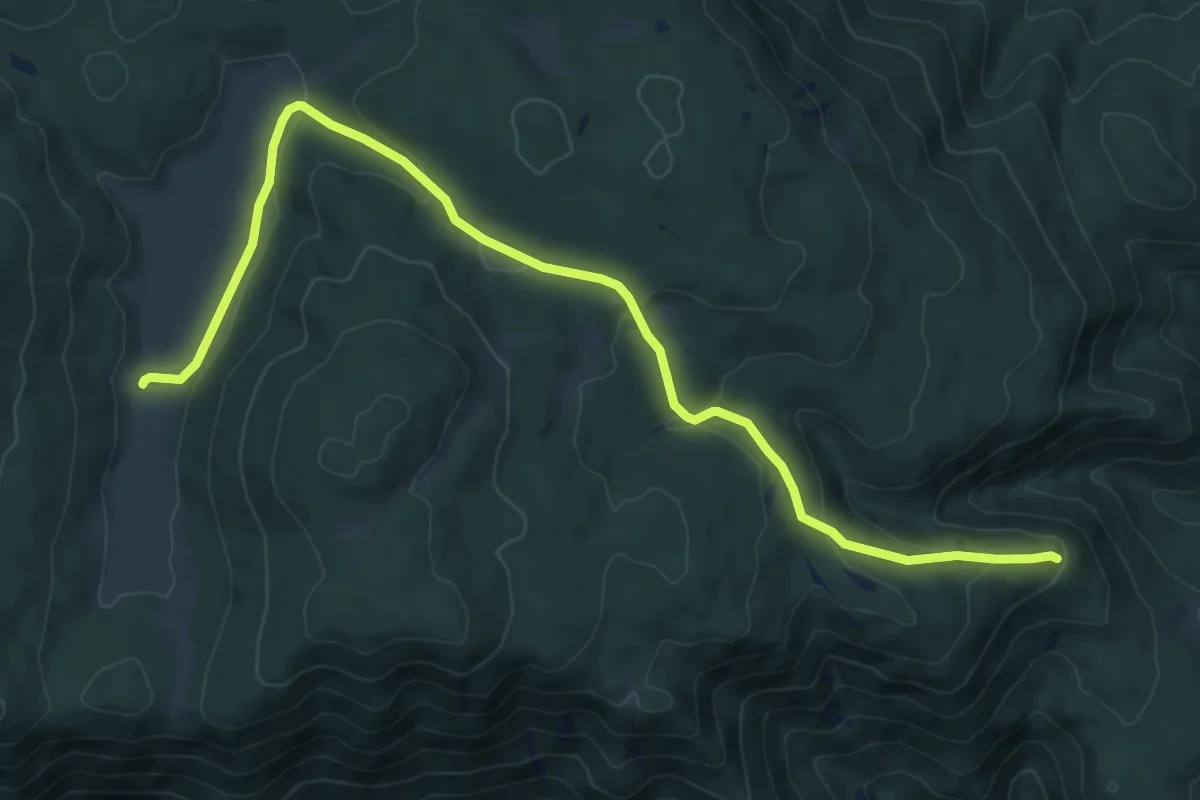
Medium · Trail
Pottschacher Hütte - Bodenwiese
10.6 km · ↑ 274 m · 3 h 6 min
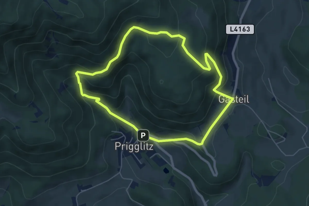
Easy · Trail
Pottschacher Hütte Rundweg
4.9 km · ↑ 277 m · 1 h 50 min
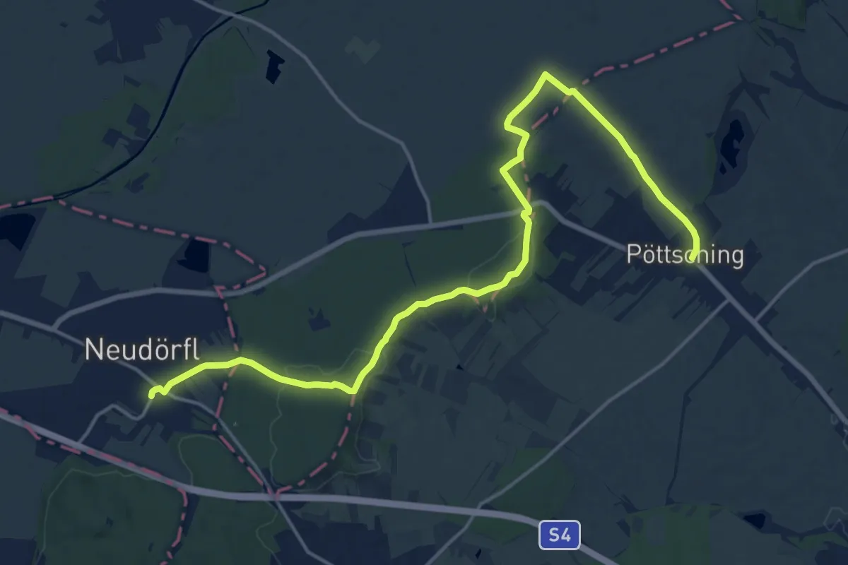
Demanding · Trail
Pöttsching - GH zur Grenze - Neudörfl Bhf
18.7 km · ↑ 148 m · 4 h 45 min
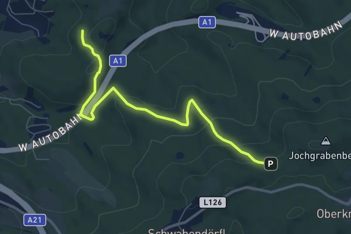
Easy · Trail
Potzenstein - Jochgraben Berg
6.4 km · ↑ 277 m · 2 h 7 min
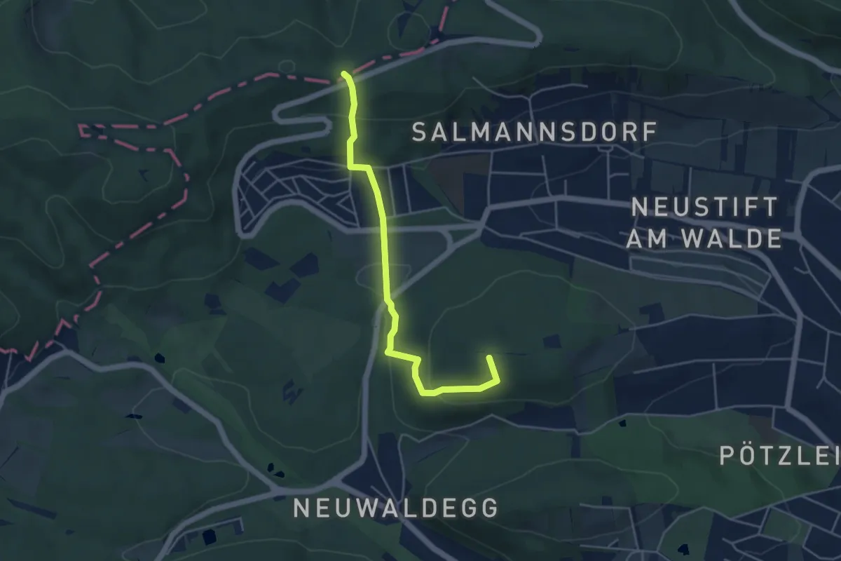
Easy · Summit
Pötzleinsdorfer Schlosspark - Höhenstraße/Zwei Gehängte
4.3 km · ↑ 240 m · 1 h 32 min
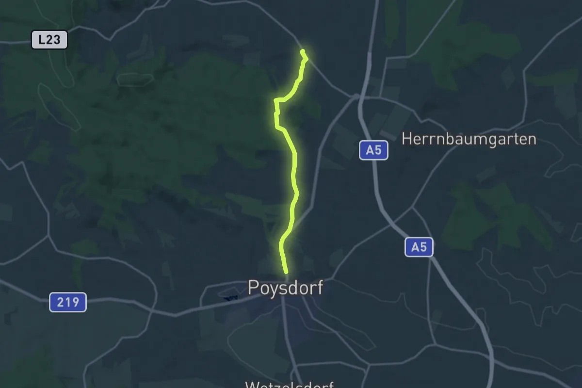
Medium · Trail
Poysbrunner Weg
10.9 km · ↑ 222 m · 3 h 4 min
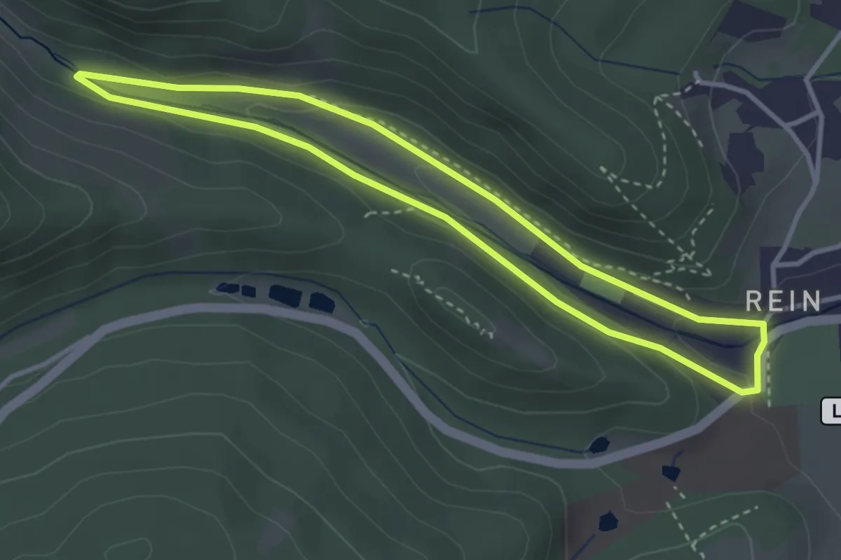
Easy · Trail
Prälatenweg
3.1 km · ↑ 34 m · 51 min
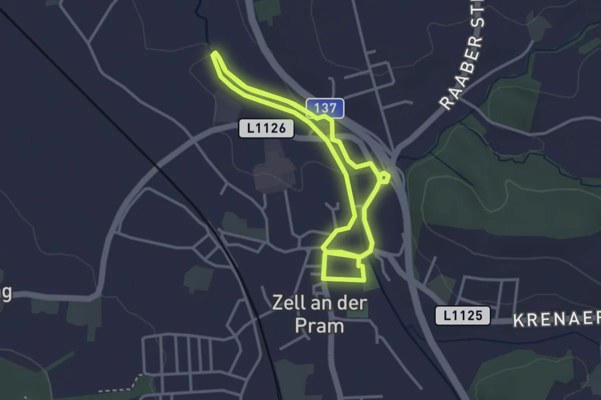
Easy · Trail
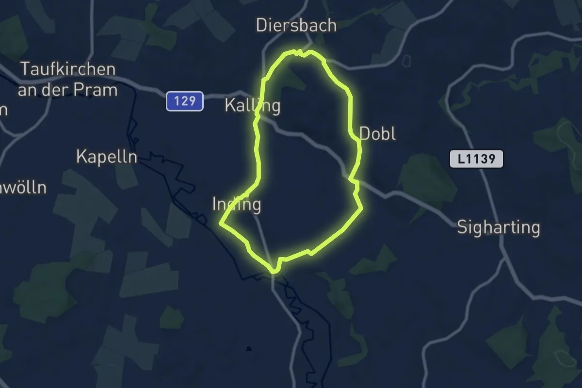
Pramrunde
6.3 km · ↑ 9 m · 1 h 30 min
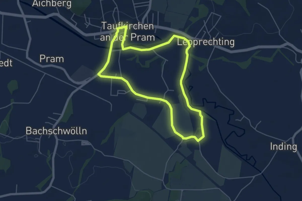
Easy · Trail
Pramtal
6.3 km · ↑ 85 m · 1 h 45 min
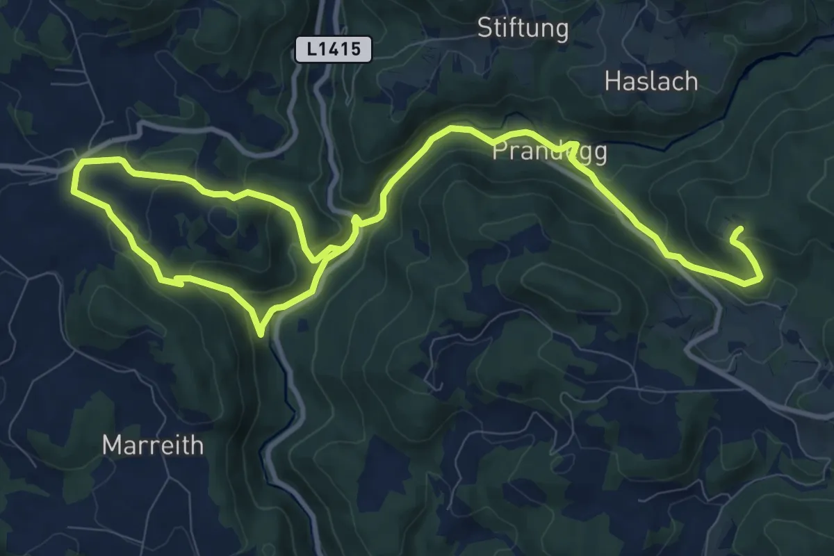
Easy · Trail
Pramweg
4.6 km · ↑ 14 m · 1 h 11 min
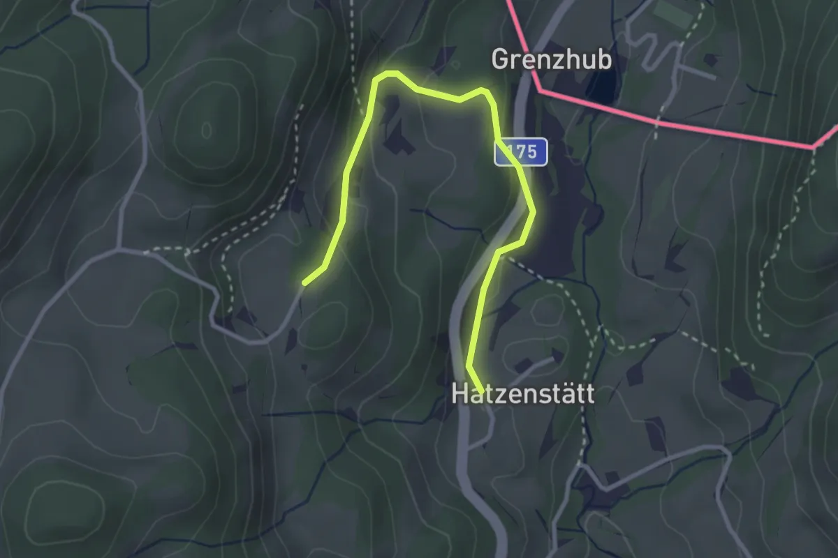
Medium · Trail
Prandegg
14.4 km · ↑ 608 m · 4 h 44 min
Easy · Trail
Praschberg-Runde
3.0 km · ↑ 115 m · 57 min
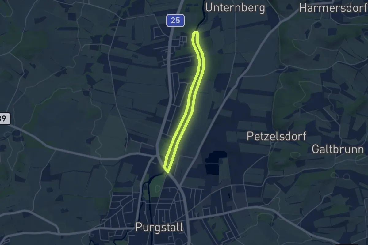
Easy · Trail
Praterstegrunde
3.8 km · ↑ 13 m · 59 min
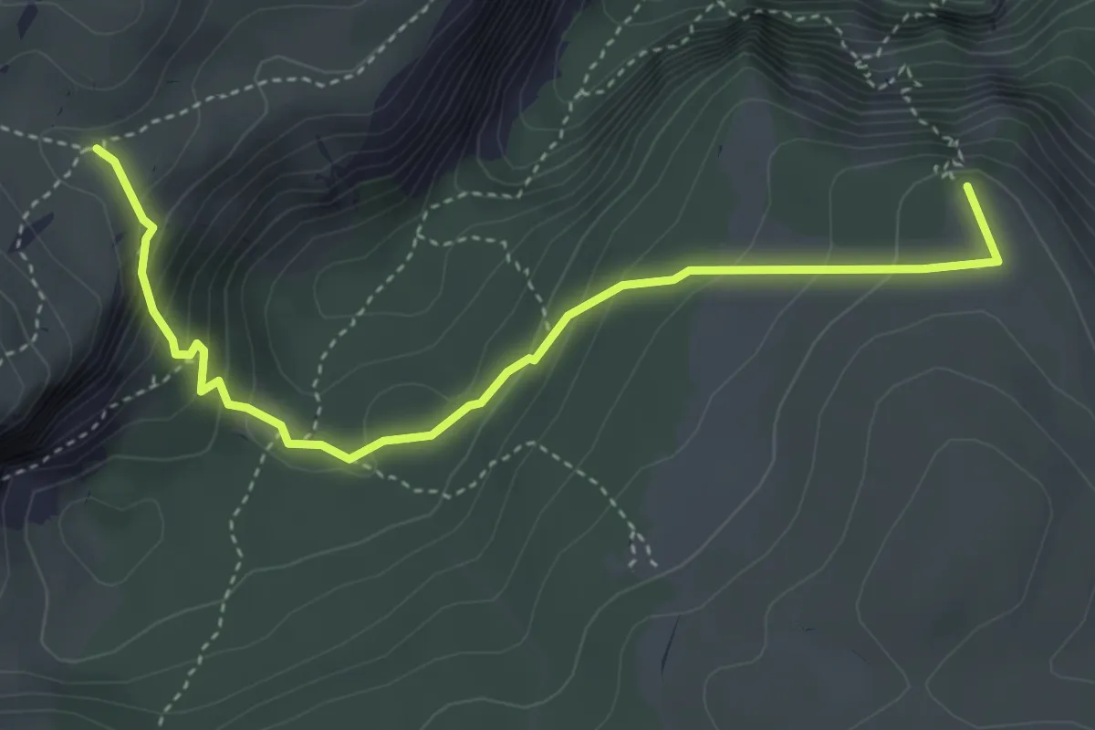
Medium · Summit
Praterstern - Klobentörl
4.3 km · ↑ 331 m · 1 h 44 min
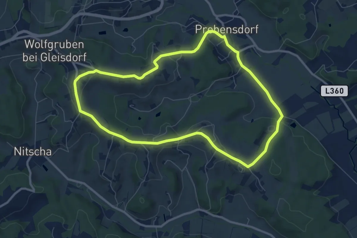
Easy · Trail
Prebensdorf Große Runde
7.3 km · ↑ 149 m · 2 h 9 min
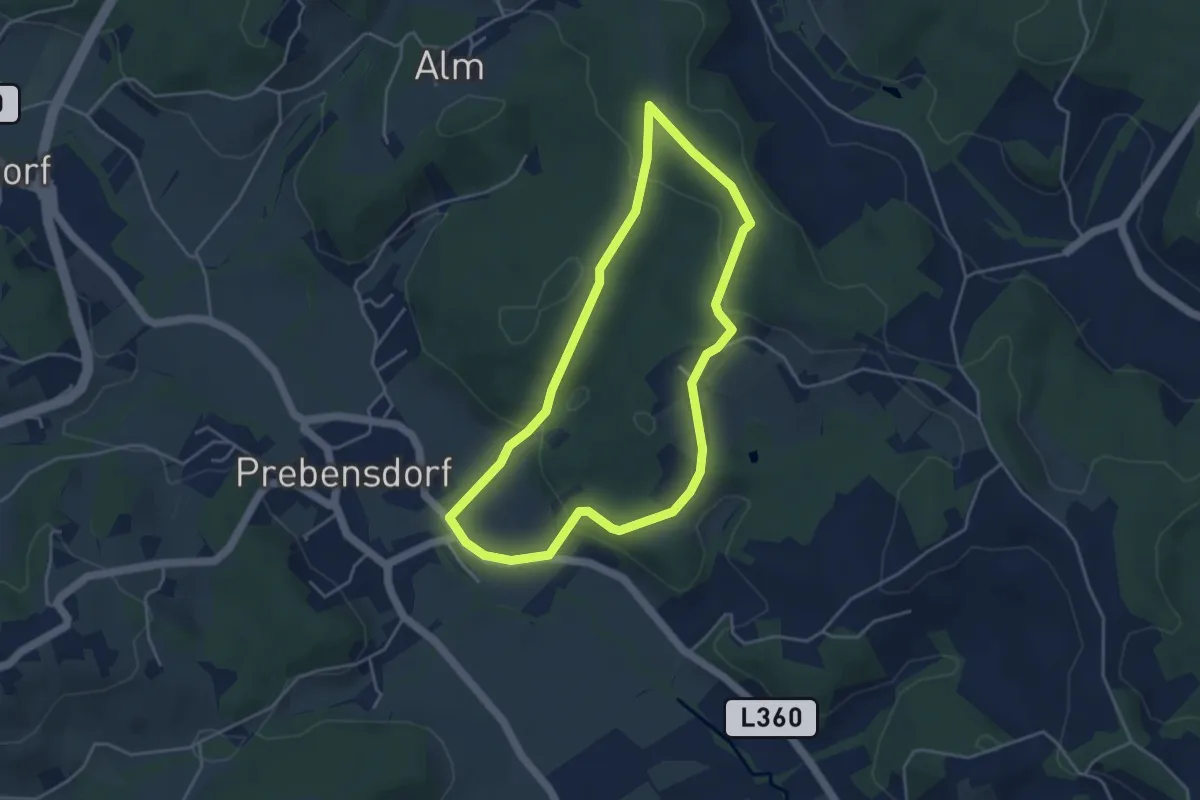
Easy · Trail
Prebensdorf - Stadt Kleine Runde
4.0 km · ↑ 77 m · 1 h 10 min
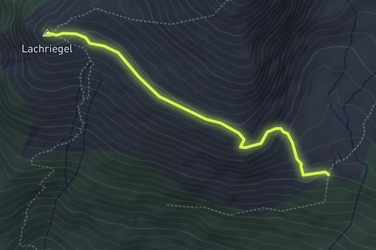
Medium · Summit
Preberkessel - Lachriegel
4.5 km · ↑ 243 m · 1 h 35 min
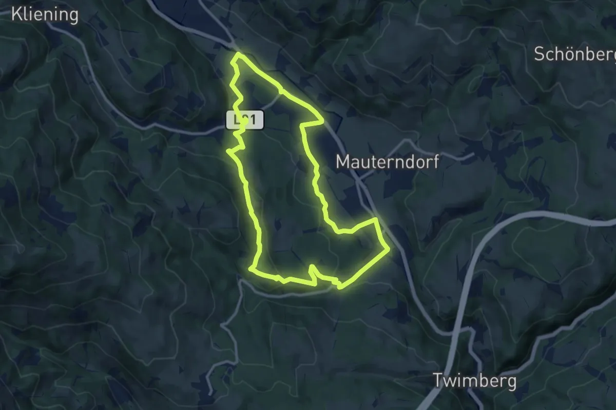
Medium · Trail
Preblauer Paracelsusweg
10.2 km · ↑ 234 m · 3 h 3 min
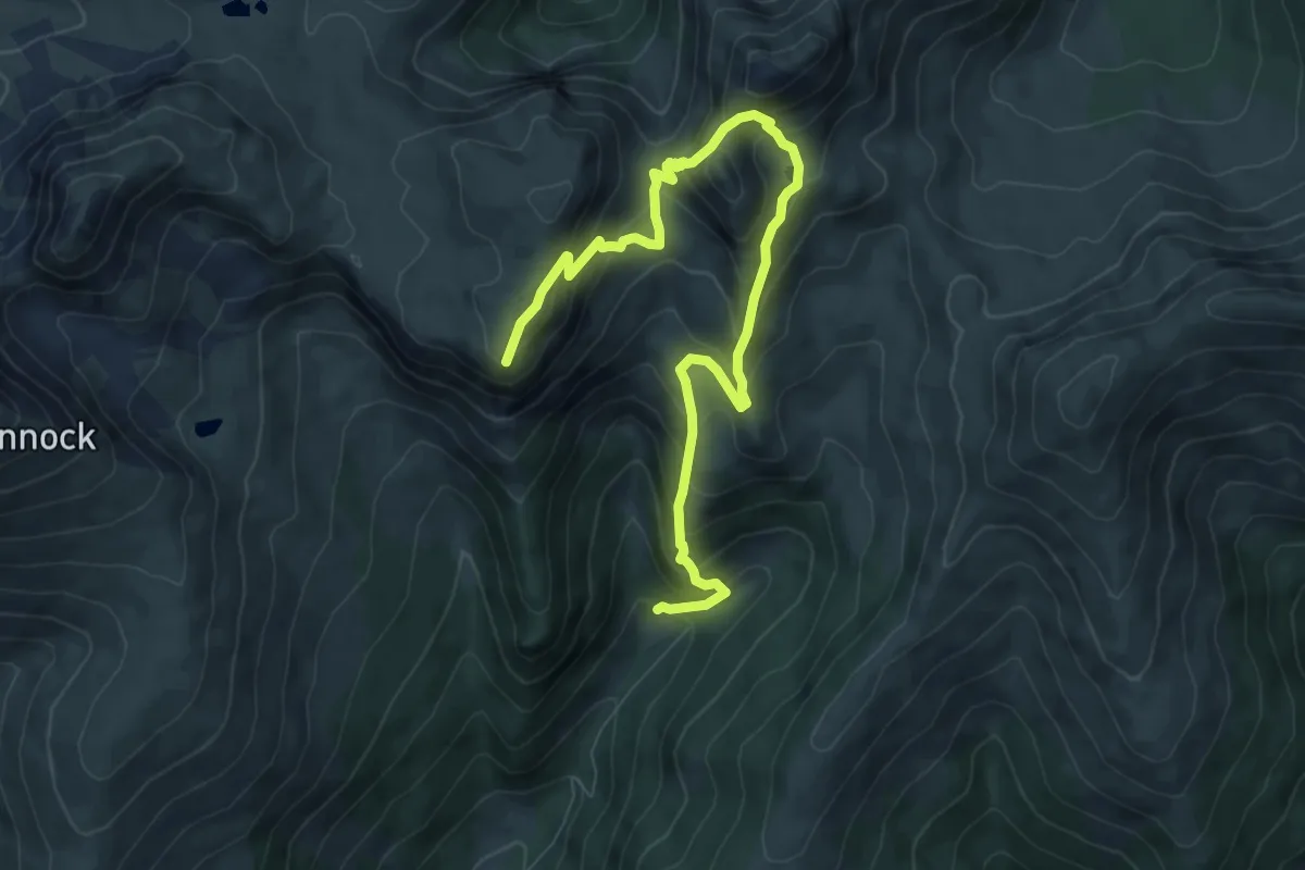
Demanding · Summit
Predigerstuhl-Pfannock
9.7 km · ↑ 858 m · 4 h 9 min
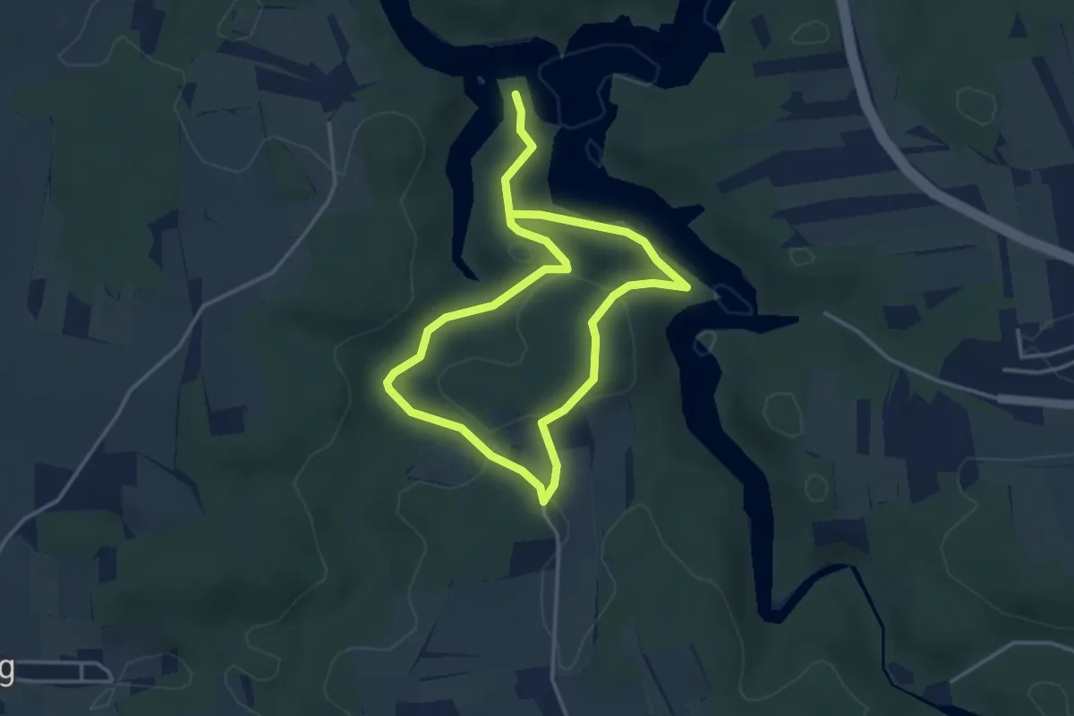
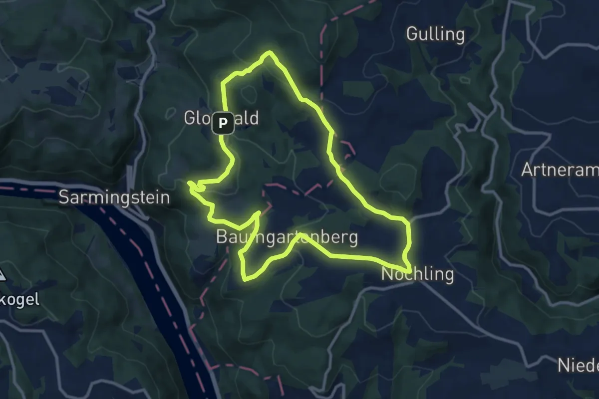
Easy · Trail
Predigtstuhl 80a
5.9 km · ↑ 199 m · 1 h 50 min
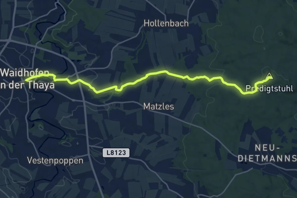
Medium · Trail
Predigtstuhlweg 03
8.8 km · ↑ 239 m · 2 h 43 min
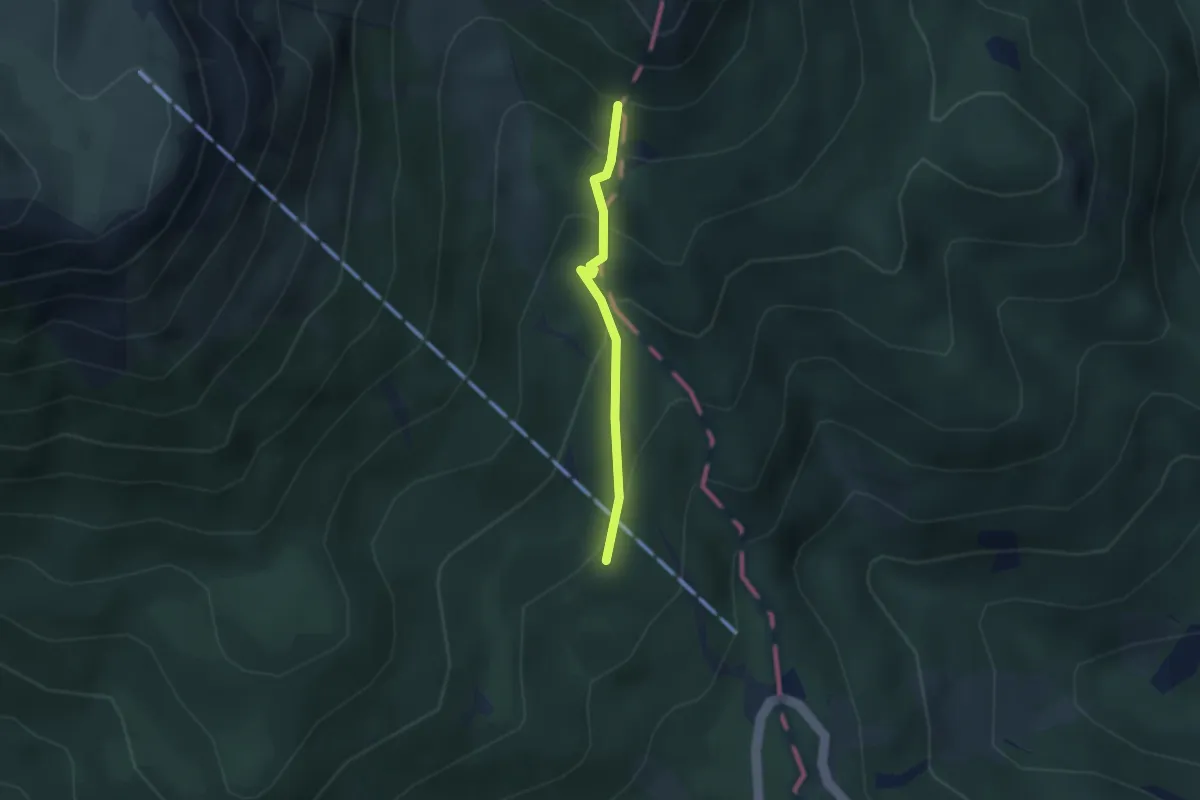
Medium · Summit
Predigtstuhlweg Waidhofen / Th
15.2 km · ↑ 293 m · 4 h 13 min
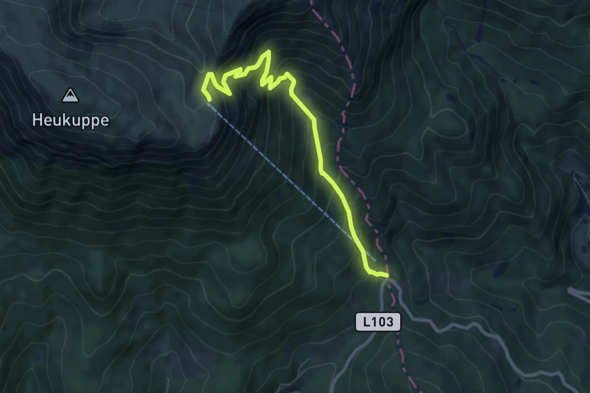
Medium · Summit
Preiner Gscheid - Helenenquelle - Waxriegelhaus
2.2 km · ↑ 218 m · 1 h
Medium · Cabin
Preiner Gscheid - Karl Ludwig Haus
7.5 km · ↑ 730 m · 3 h 21 min
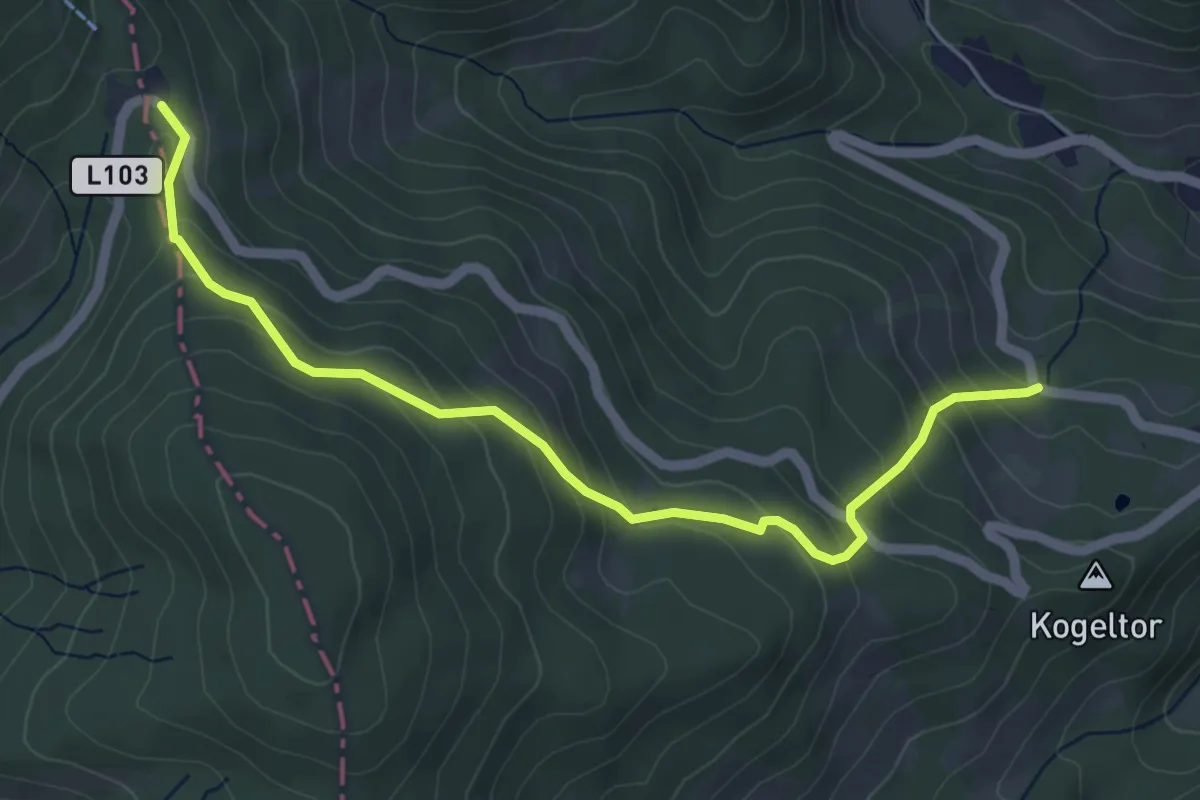
Medium · Trail
Prein (Gsoll) - Preiner Gscheid
5.2 km · ↑ 342 m · 1 h 58 min
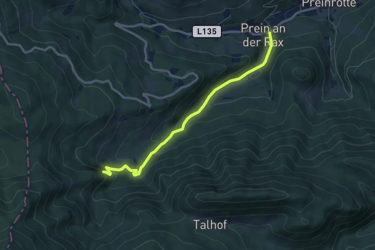
Medium · Trail
Prein - Höhle
6.1 km · ↑ 324 m · 2 h 9 min
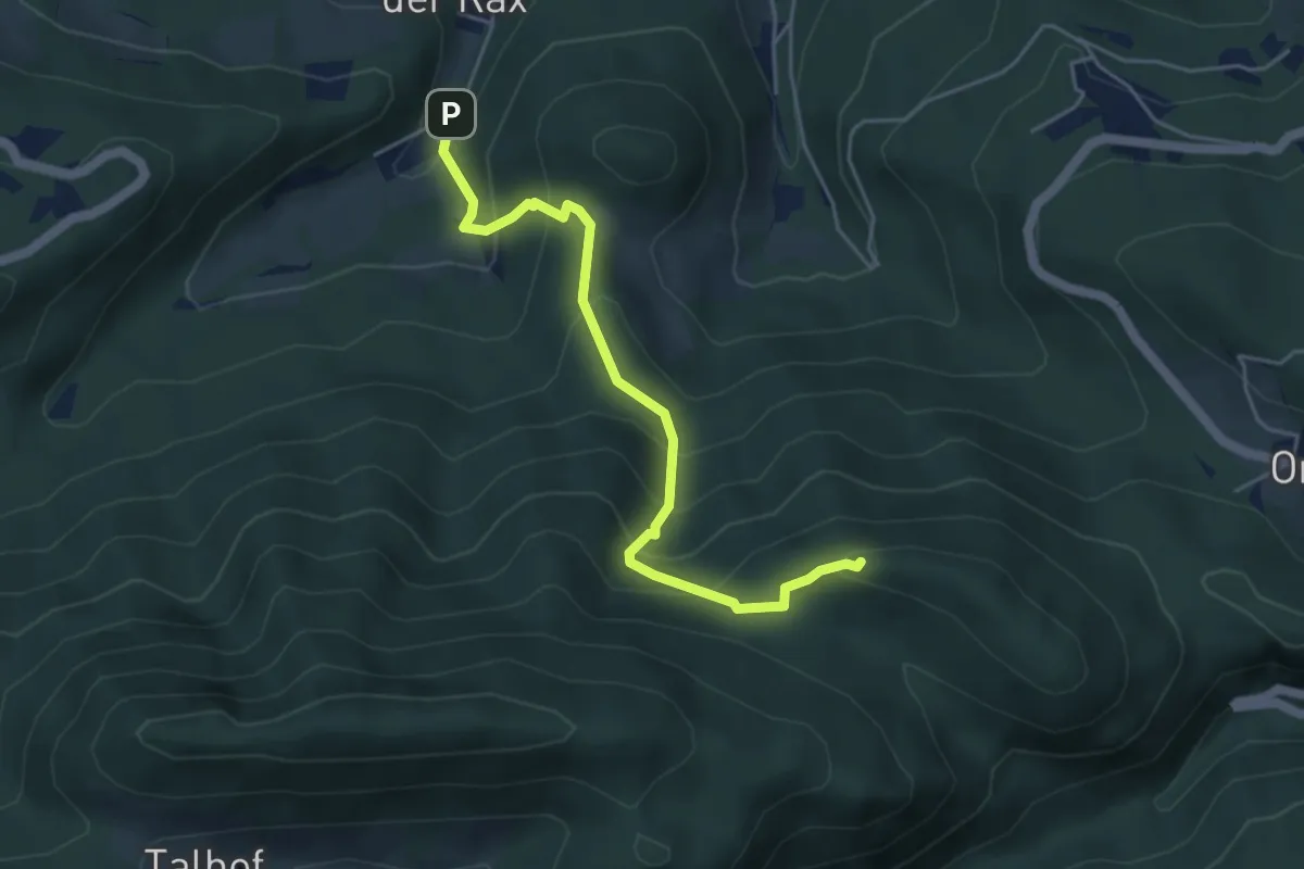
Medium · Summit
Prein - Luckerte Wand
4.6 km · ↑ 430 m · 2 h 1 min
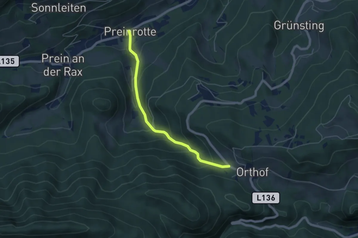
Easy · Trail
Prein - Orthof
4.4 km · ↑ 293 m · 1 h 41 min