Trails in Austria
9,779 hiking trails, each with its route, climb, walking time and grade.
All trails, page 87 of 204
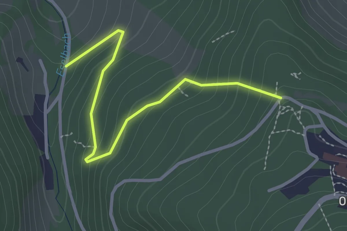
Easy · Trail
Prein - Raxblick
2.5 km · ↑ 165 m · 57 min
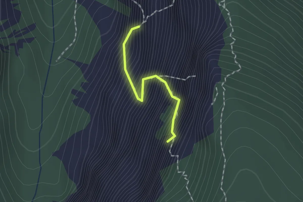
Expert · Summit
Preintalersteig
1.1 km · ↑ 277 m · 51 min
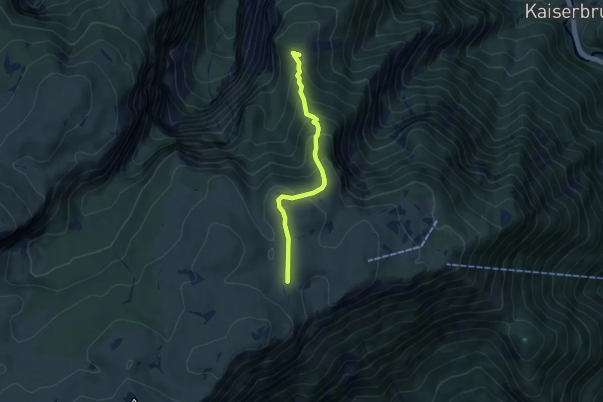
Medium · Summit
Preintalersteig - Praterstern
4.6 km · ↑ 277 m · 1 h 41 min
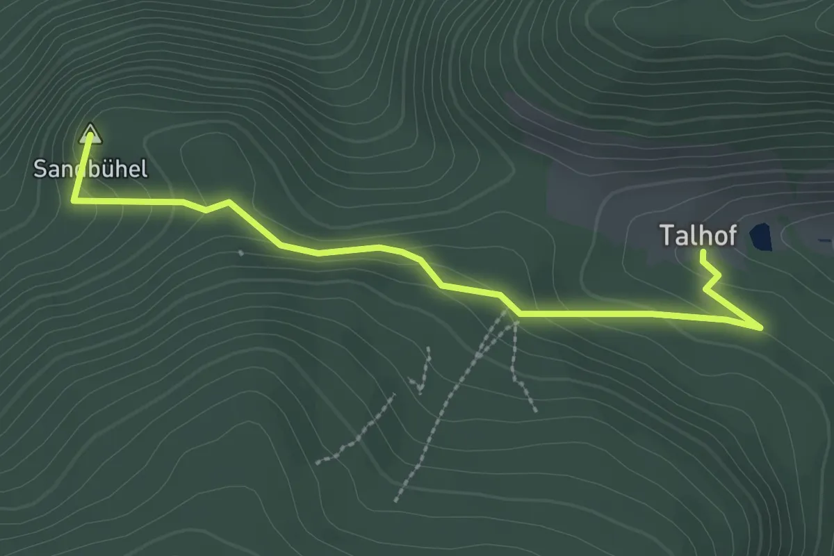
Easy · Summit
Prein - Talhof
2.8 km · ↑ 174 m · 1 h 2 min
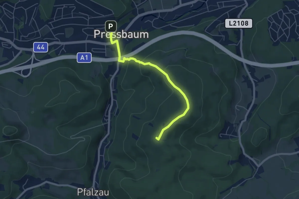
Easy · Summit
Pressbaum - Drei Berge - Hochroterd
5.1 km · ↑ 192 m · 1 h 38 min
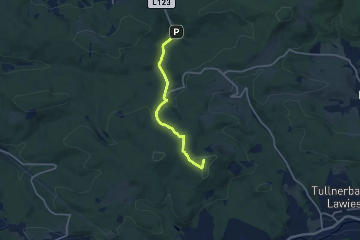
Easy · Summit
Pressbaum - In der Au
6.7 km · ↑ 210 m · 2 h 2 min
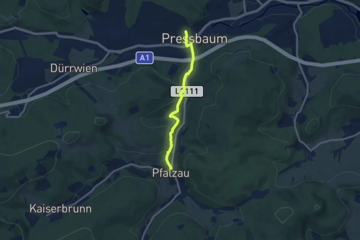
Easy · Trail
Pressbaum - Pfalzau
5.3 km · ↑ 97 m · 1 h 28 min
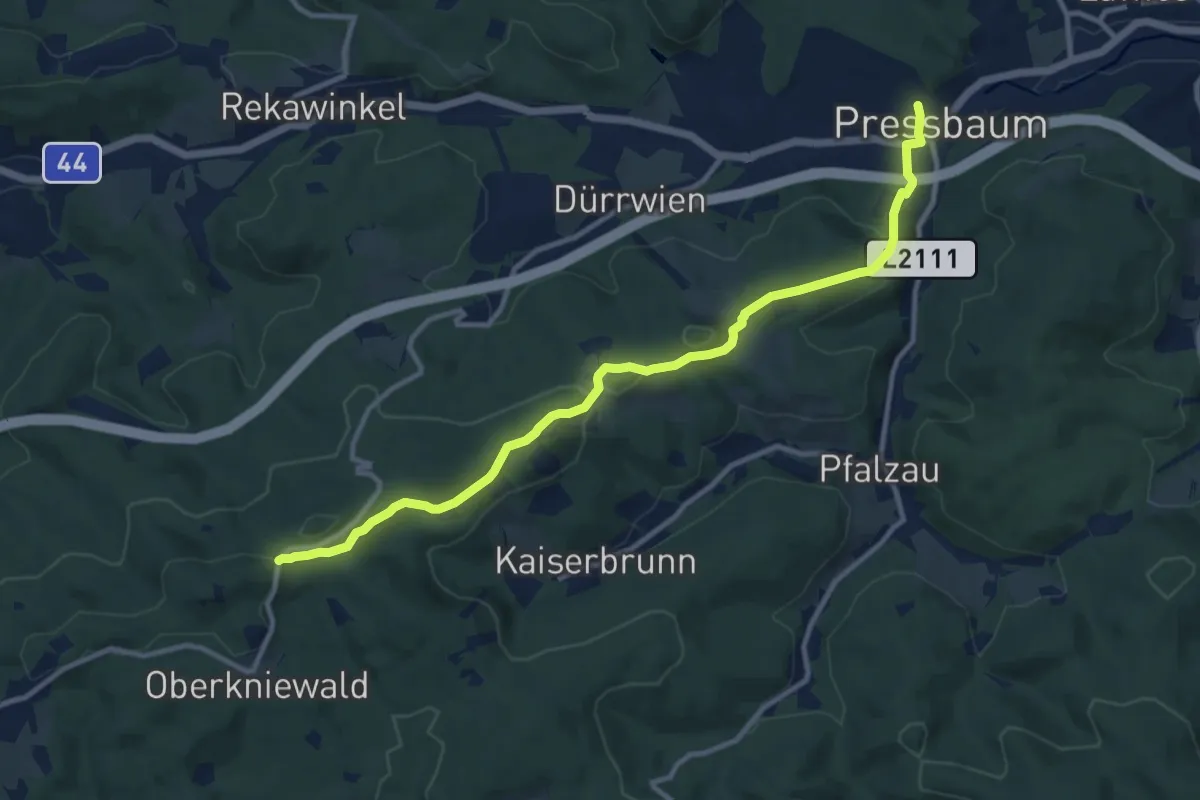
Medium · Trail
Pressbaum - Pfalzberg - Jochgrabenberg
11.4 km · ↑ 312 m · 3 h 23 min
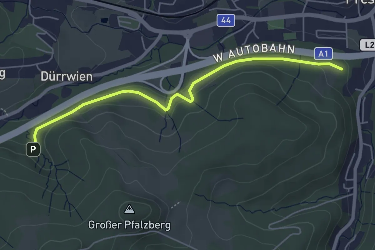
Easy · Trail
Pressbaum - Rundwanderweg
4.7 km · ↑ 57 m · 1 h 13 min
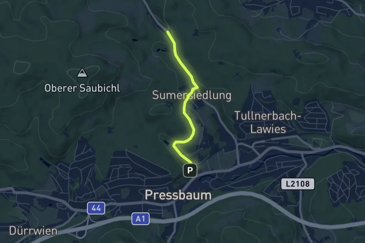
Easy · Trail
Pressbaum - Weidlingbachstraße
4.9 km · ↑ 134 m · 1 h 27 min
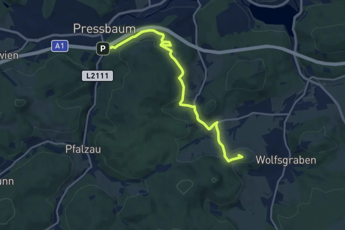
Medium · Summit
Preßbaum - Wolfsgraben
10.2 km · ↑ 310 m · 3 h 5 min
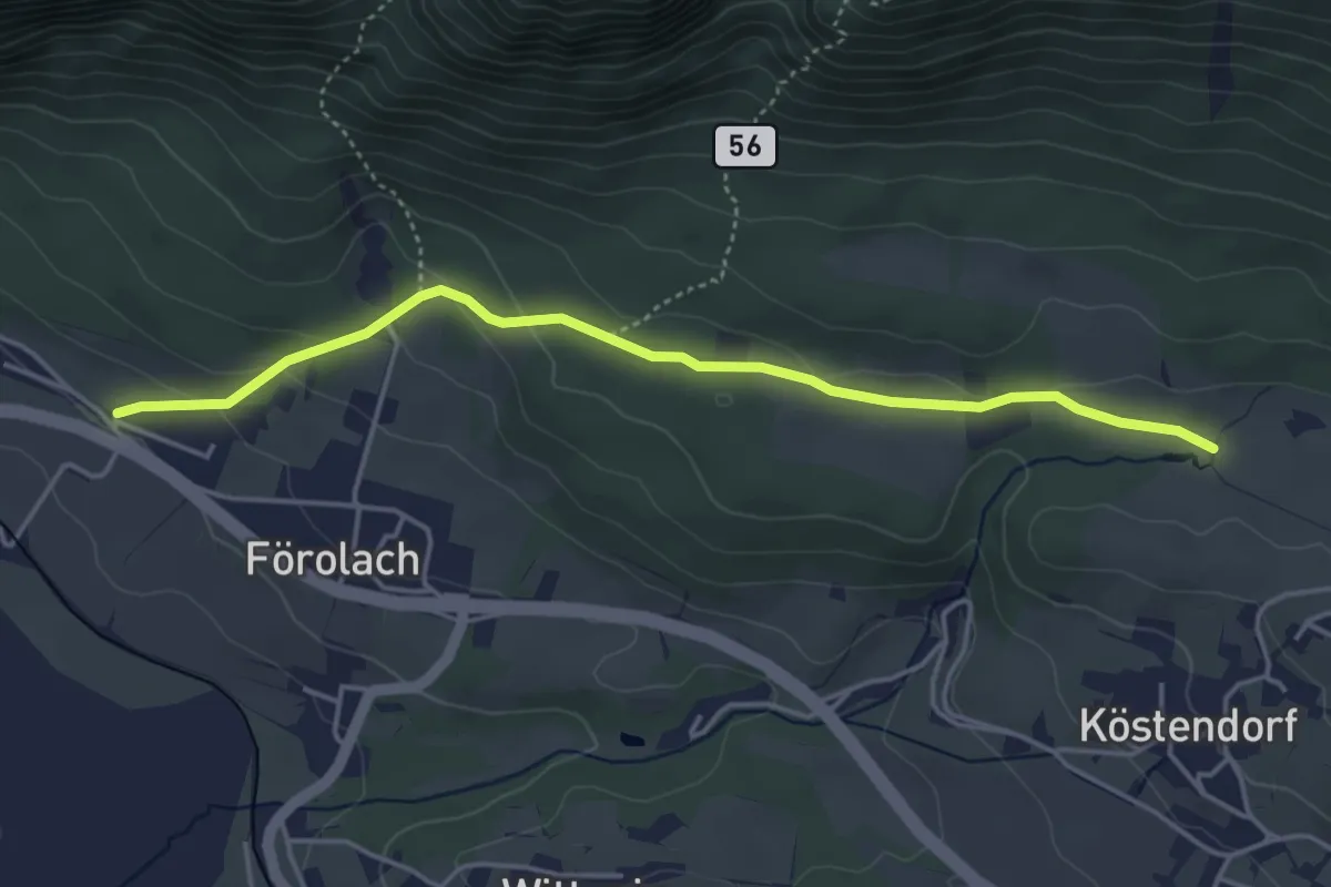
Easy · Trail
Presseggersee - Siebenbrünn
4.4 km · ↑ 123 m · 1 h 18 min
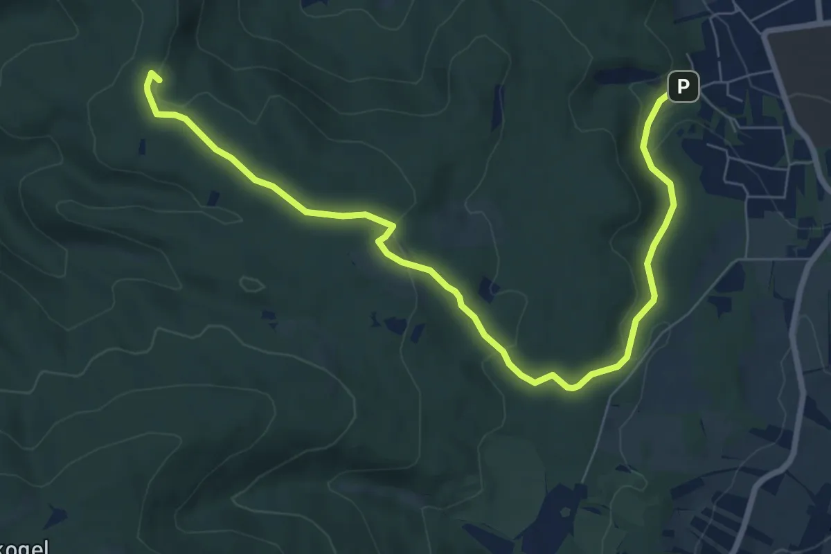
Medium · Summit
Prießnitztal - Husarentempel
8.4 km · ↑ 216 m · 2 h 27 min
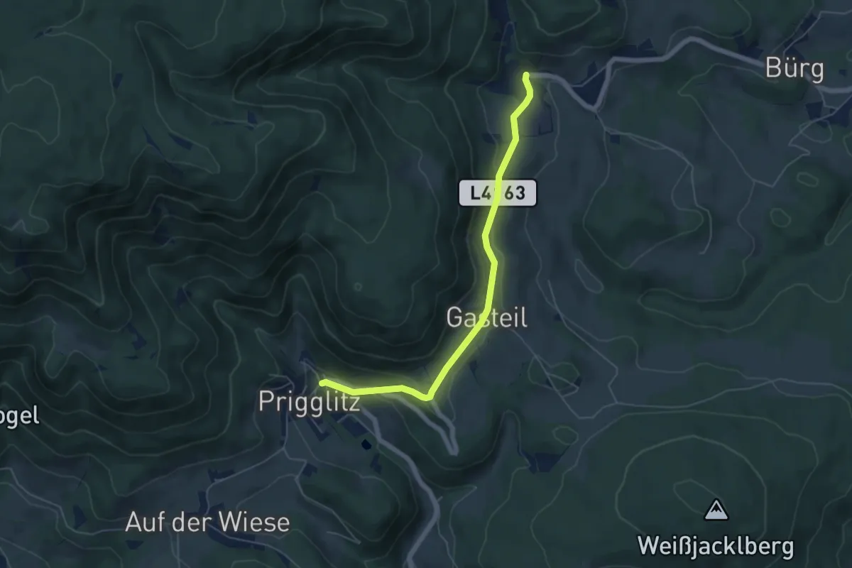
Easy · Trail
Prigglitz - Felberhof
5.3 km · ↑ 143 m · 1 h 34 min
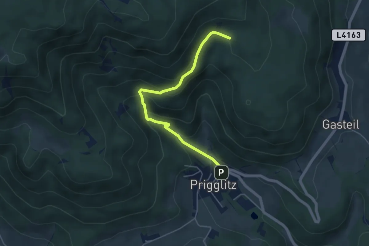
Easy · Cabin
Prigglitz - Pottschacher Hütte
4.1 km · ↑ 264 m · 1 h 32 min
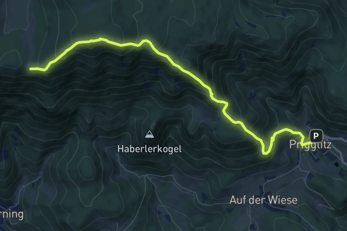
Demanding · Cabin
Prigglitz - Waldburganger Hütte
9.9 km · ↑ 814 m · 4 h 5 min
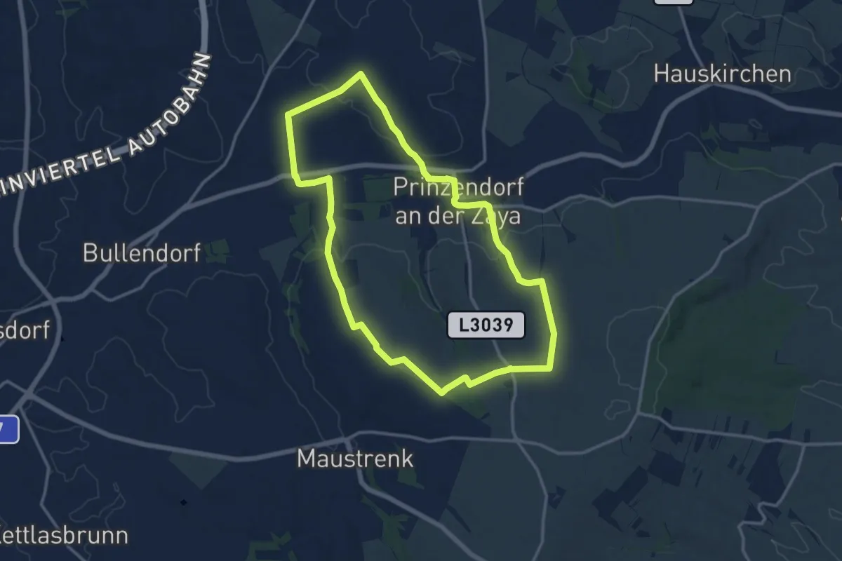
Medium · Trail
Prinzendorf - Rundwanderweg 4
11.7 km · ↑ 172 m · 3 h 17 min
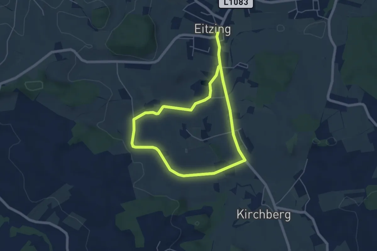
Medium · Trail
Probenzing-Runde
8.1 km · ↑ 87 m · 2 h 6 min
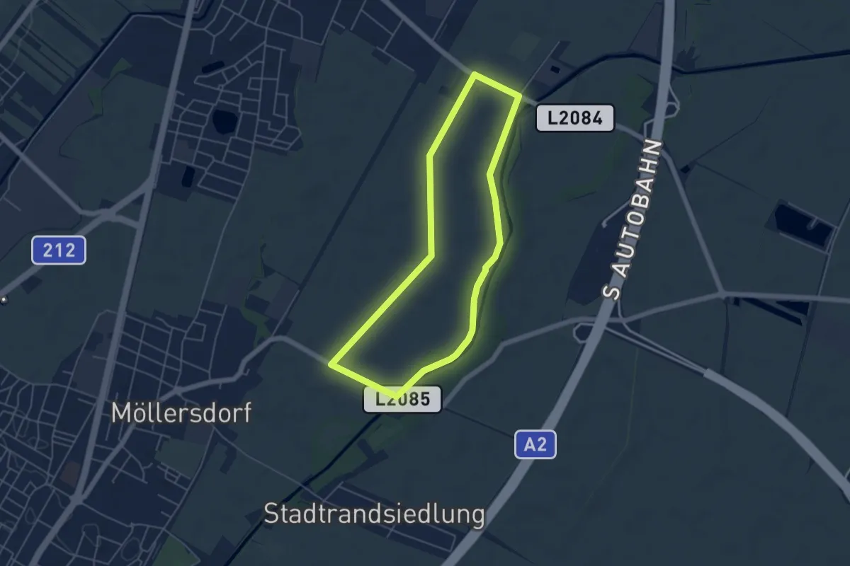
Easy · Trail
Pro Consult Runde (Guntramsdorf)
4.6 km · ↑ 0 m · 1 h 8 min
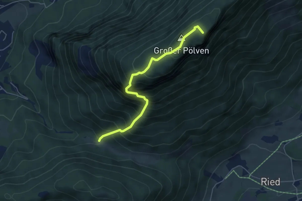
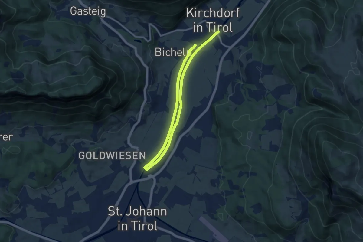
Demanding · Summit
Prof. Rudolf Sinwel Steig - Pölven
4.5 km · ↑ 724 m · 2 h 38 min
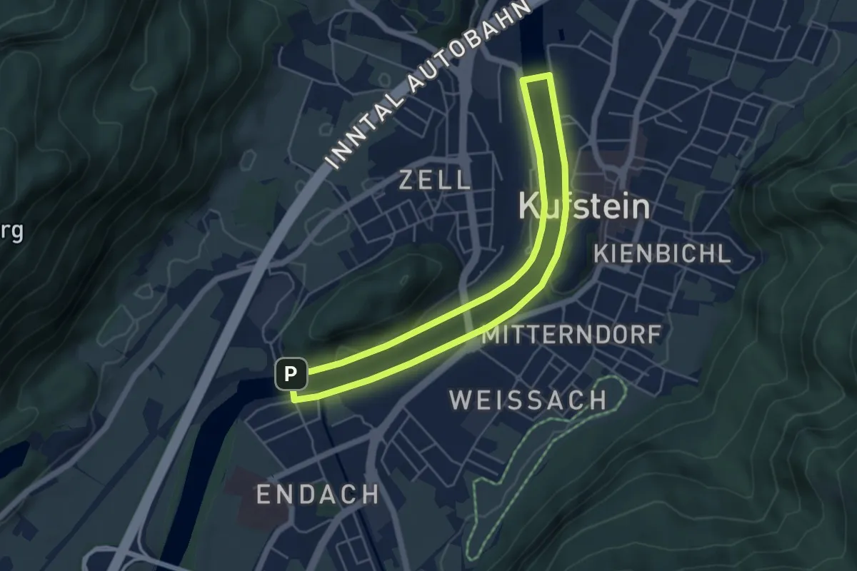
Medium · Trail
Projekt & Bautechnik Runde
12.3 km · ↑ 20 m · 2 h 57 min
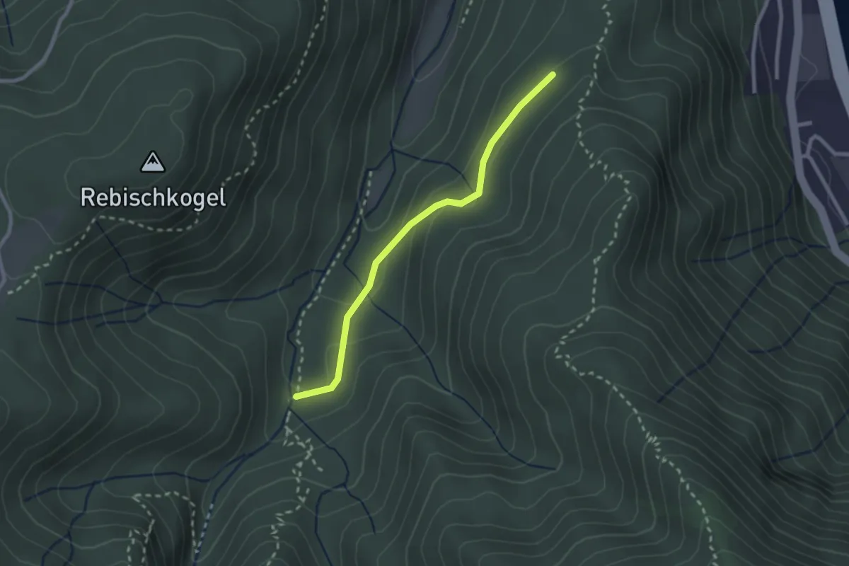
Easy · Trail
Promenaden-Runde
4.4 km · ↑ 31 m · 1 h 10 min
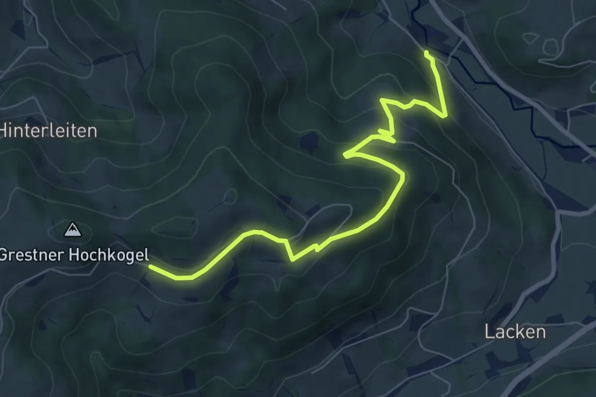
Easy · Trail
Prost Zieserl Steig
2.2 km · ↑ 62 m · 39 min
Medium · Trail
Proviantroute
6.9 km · ↑ 373 m · 2 h 26 min
Easy · Trail
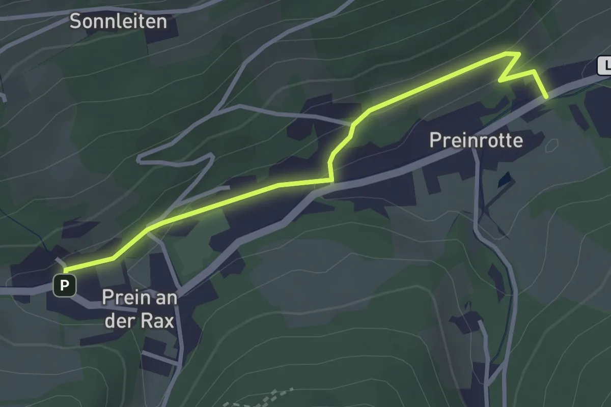
PSK-Promenade
2.9 km · ↑ 95 m · 53 min
Medium · Summit
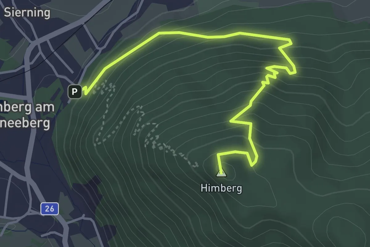
Puchberg - Allelujahöhle - Himberghaus
4.4 km · ↑ 366 m · 1 h 50 min
Medium · Summit
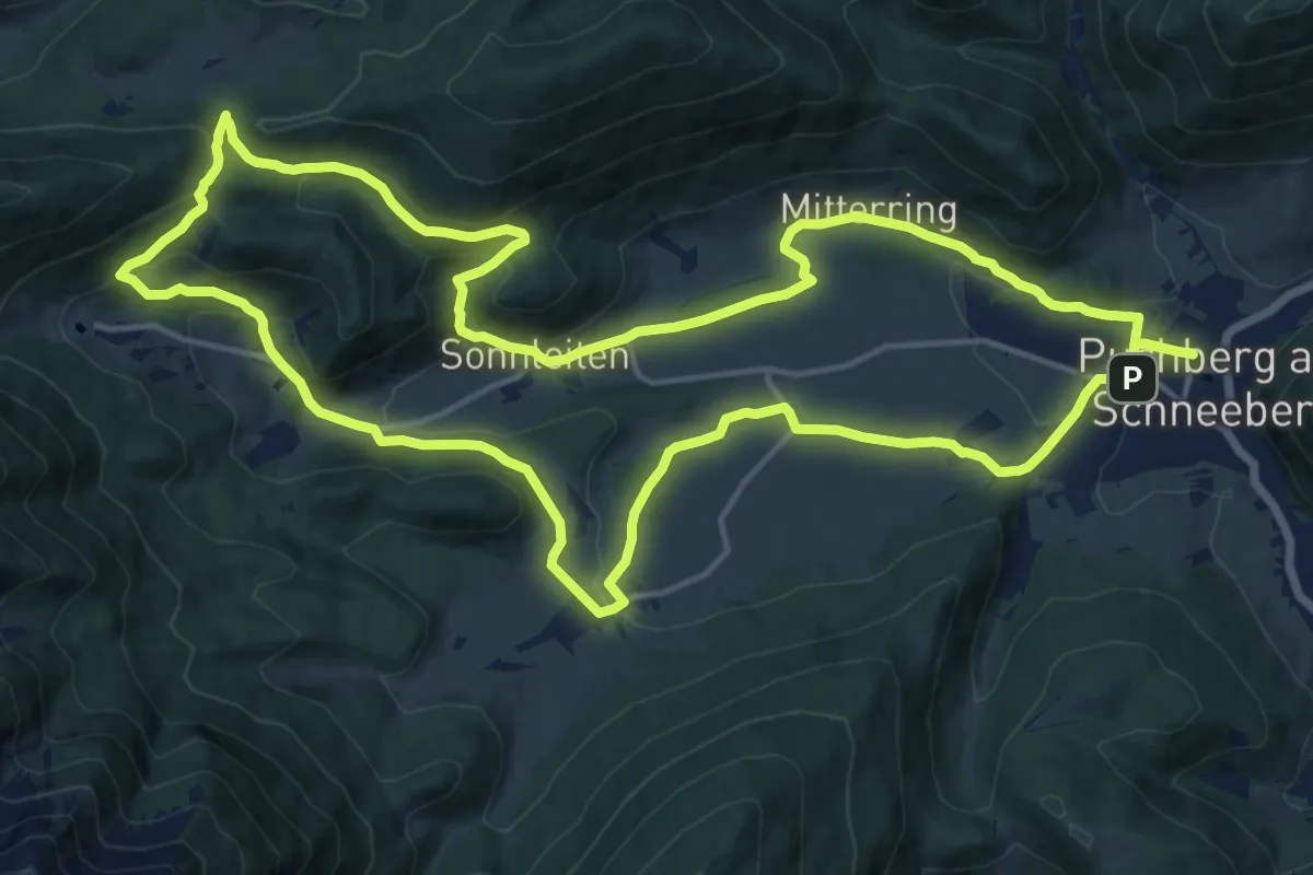
Puchberger Naturfreunde Rundwanderweg
16.9 km · ↑ 451 m · 5 h 13 min
Medium · Summit
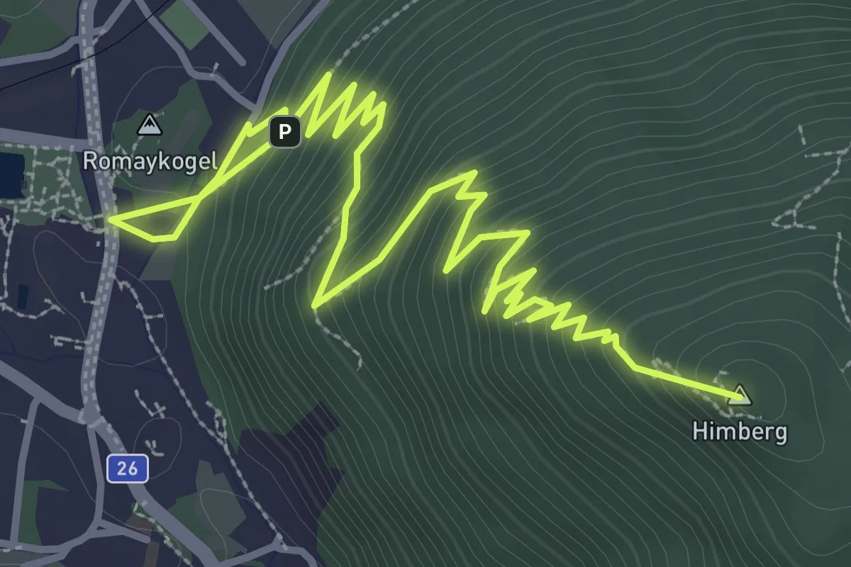
Puchberg - Himberghaus
5.2 km · ↑ 392 m · 2 h 4 min
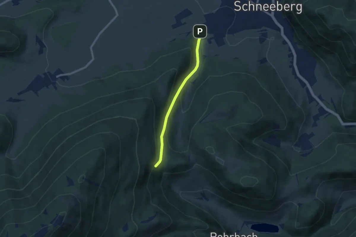
Easy · Trail
Puchberg - Hst. Hauslitzsattel
4.5 km · ↑ 262 m · 1 h 37 min
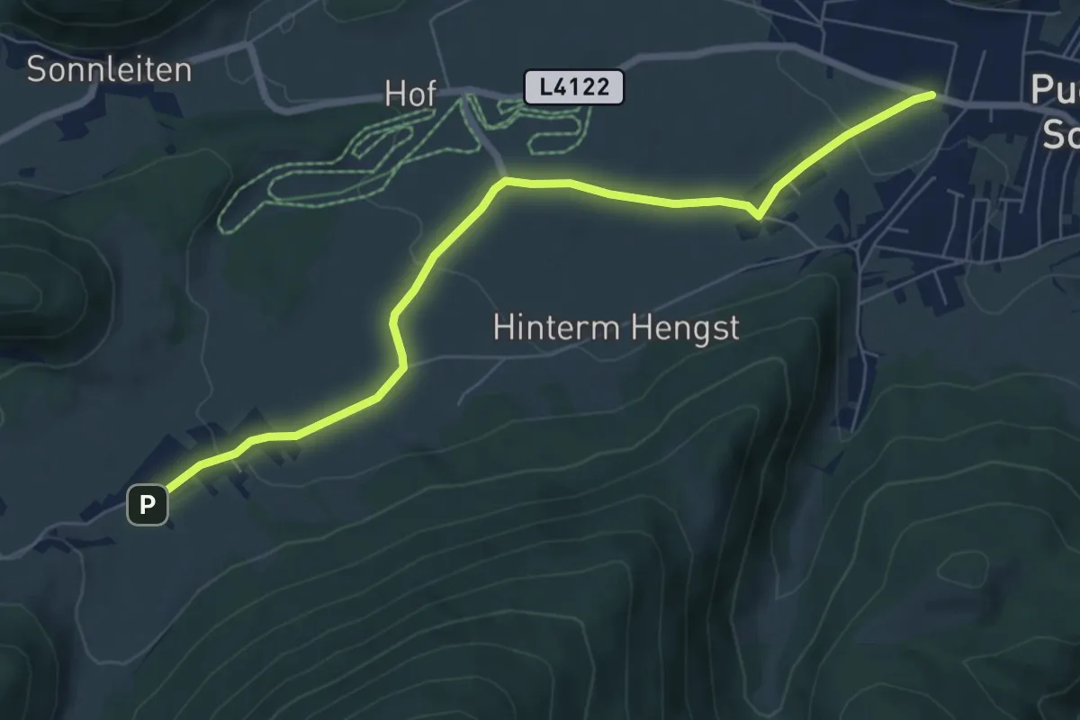
Easy · Trail
Puchberg - Knipflitz - Schneebergdörfl
7.1 km · ↑ 133 m · 1 h 59 min
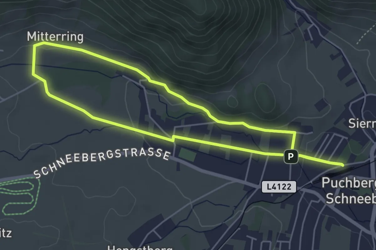
Easy · Trail
Puchberg Laufstrecke 1
4.4 km · ↑ 49 m · 1 h 12 min
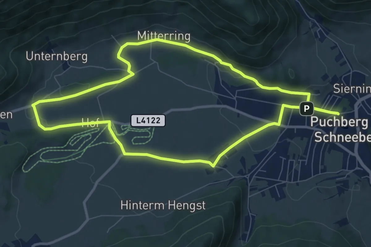
Easy · Trail
Puchberg Laufstrecke 2
7.7 km · ↑ 80 m · 2 h 6 min
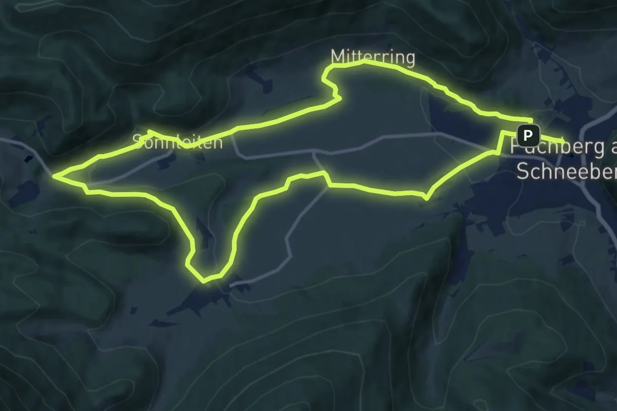
Medium · Trail
Puchberg Laufstrecke 3
12.1 km · ↑ 183 m · 3 h 25 min
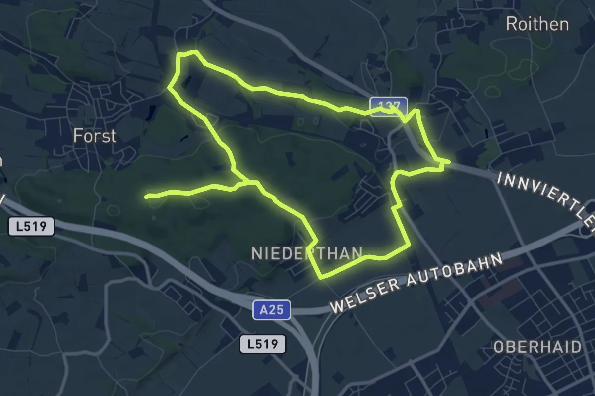
Medium · Trail
Puchberg Linetwald Runde
8.8 km · ↑ 111 m · 2 h 27 min
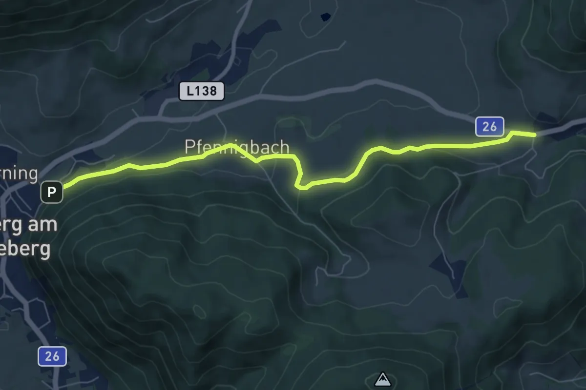
Easy · Trail
Puchberg - Pfennigbach - Grünbacher Sattel
7.2 km · ↑ 199 m · 2 h 7 min
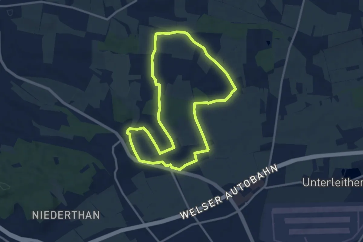
Easy · Trail
Puchberg Roithen Runde
7.2 km · ↑ 75 m · 1 h 57 min
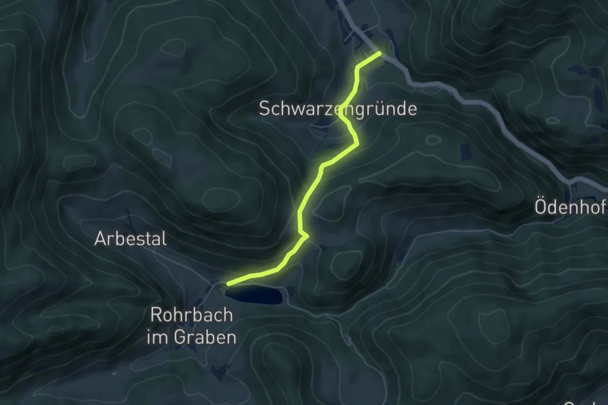
Easy · Trail
Puchberg - Schwarzengründe - Rohrbach
4.9 km · ↑ 318 m · 1 h 51 min
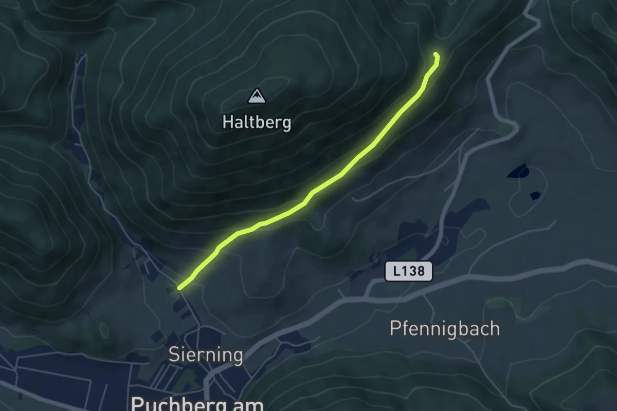
Easy · Trail
Puchberg (Siemingstraße) - Ascher Abzweigung
4.6 km · ↑ 233 m · 1 h 35 min
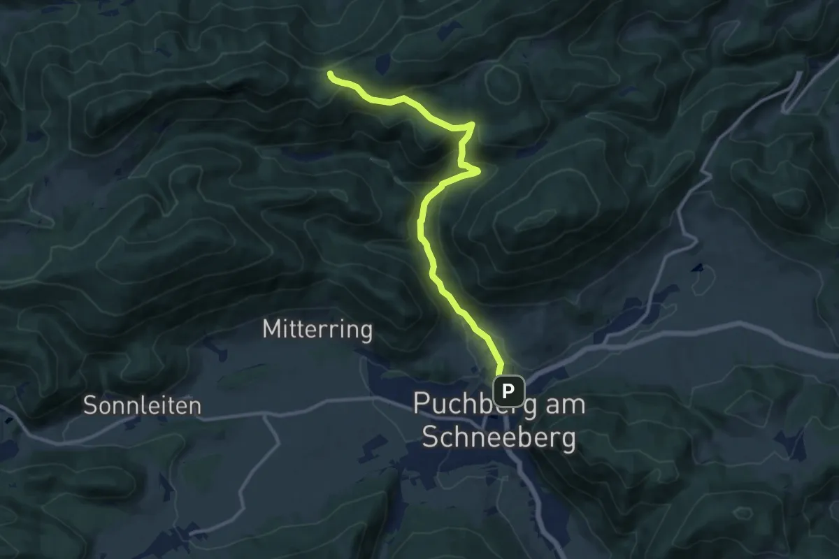
Medium · Cabin
Puchberg (Siemingstraße) - Öhler Schutzhaus
10.6 km · ↑ 447 m · 3 h 28 min
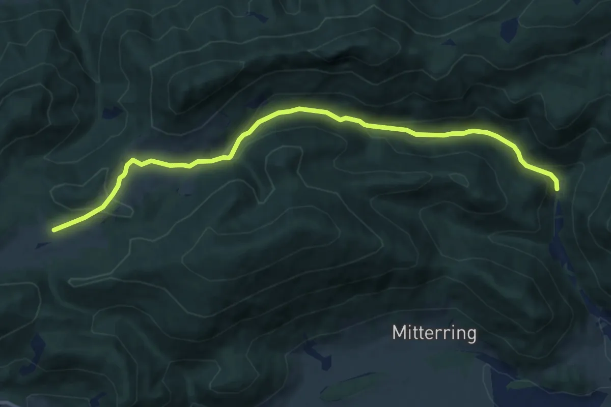
Medium · Trail
Puchberg (Siemingstraße) - Schoberhof - Mamauwiese
10.8 km · ↑ 413 m · 3 h 26 min
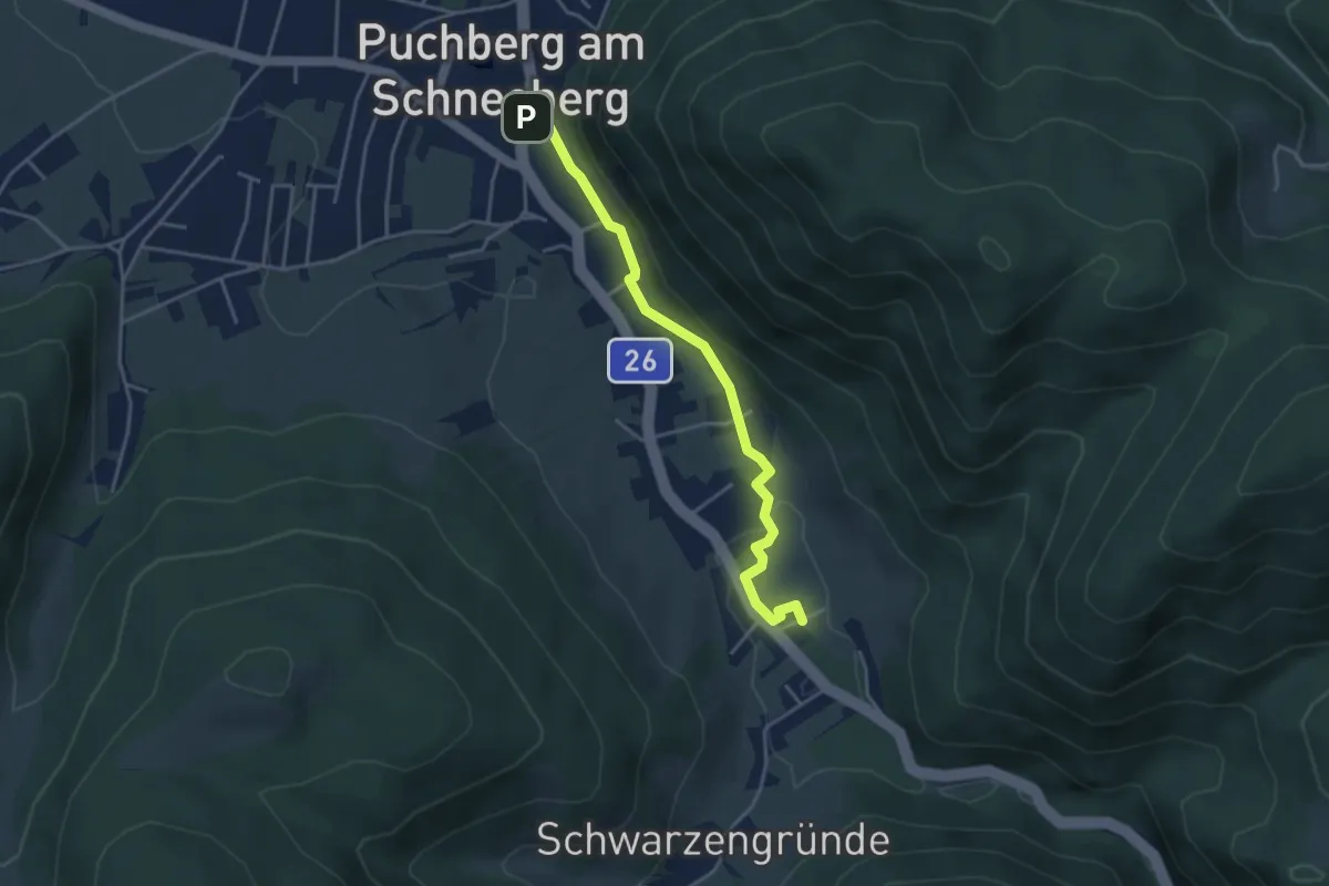
Easy · Trail
Puchberg - Ziehrerweg
3.8 km · ↑ 19 m · 56 min
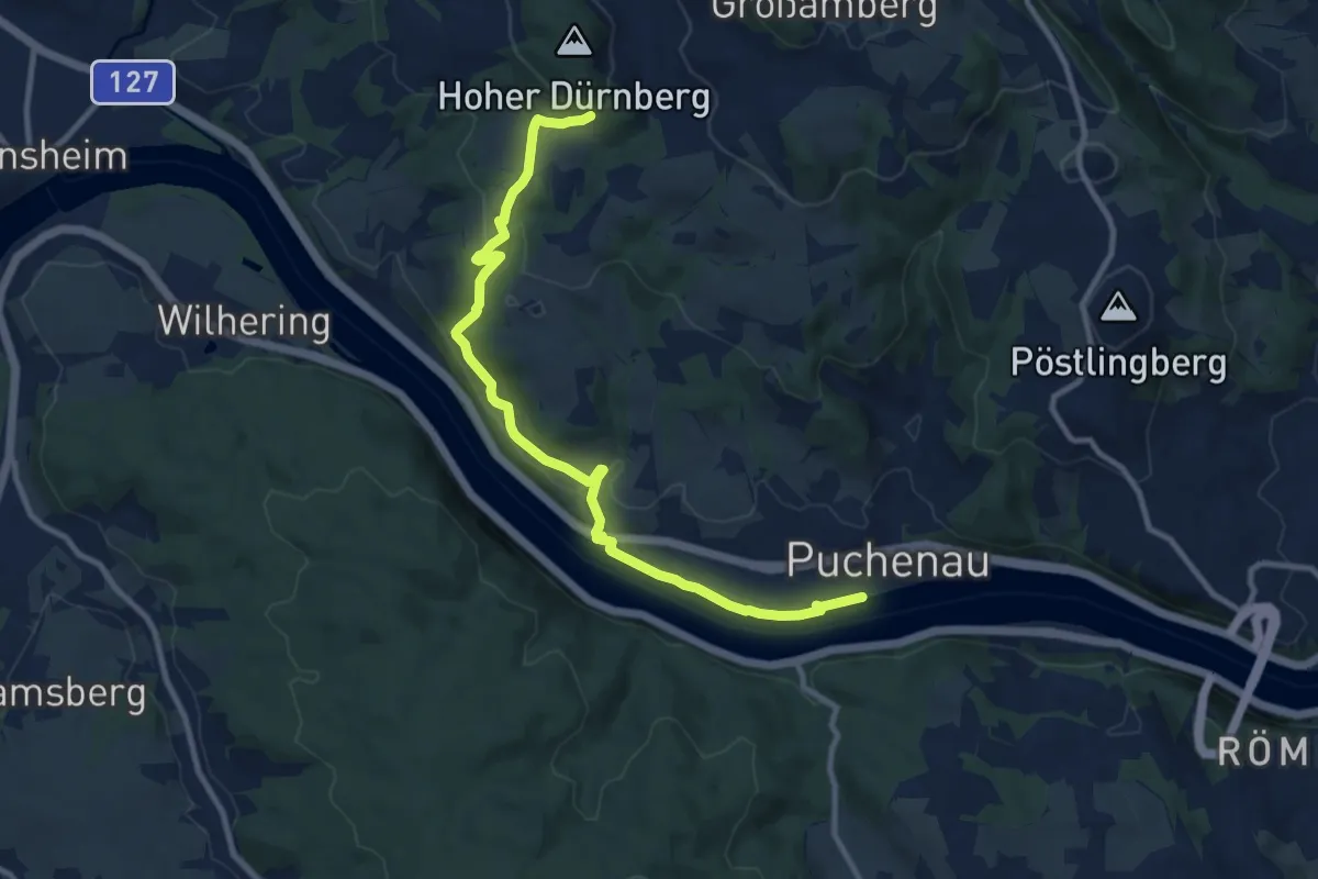
Medium · Trail
Puchenau-Ottensheim
10.8 km · ↑ 239 m · 3 h 4 min
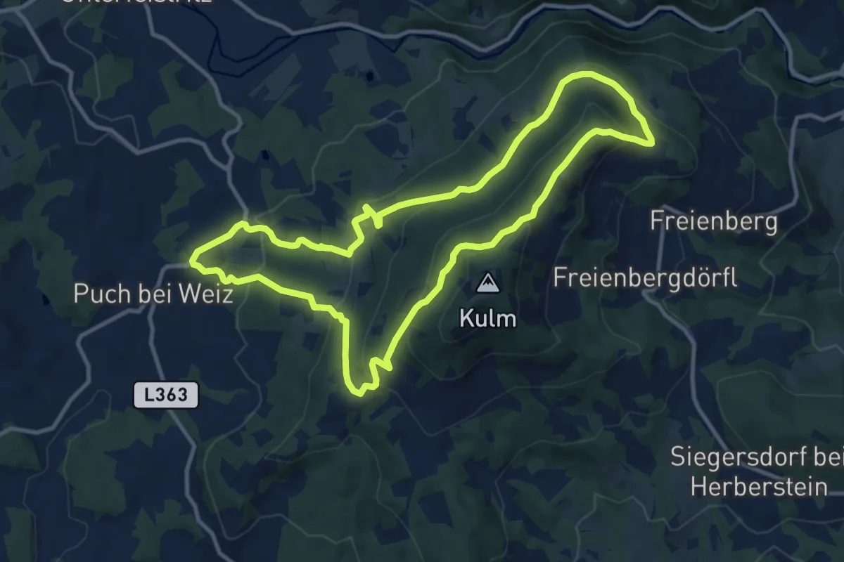
Medium · Summit
Pucher Panoramaweg
10.4 km · ↑ 470 m · 3 h 37 min
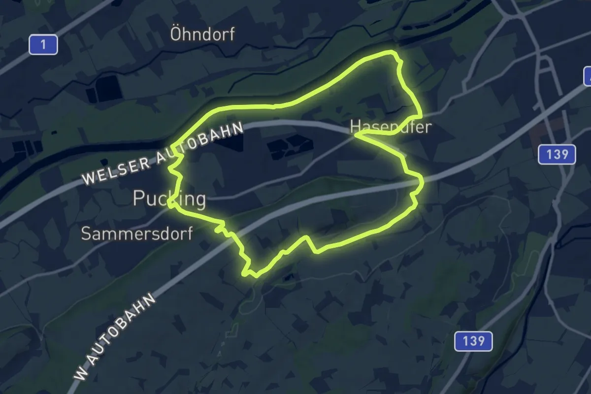
Medium · Trail
Pucking
11.7 km · ↑ 87 m · 3 h 7 min
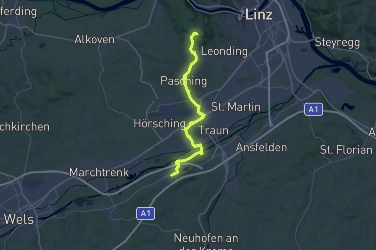
Demanding · Trail
Pucking - Wanderweg 4
18.1 km · ↑ 229 m · 4 h 55 min
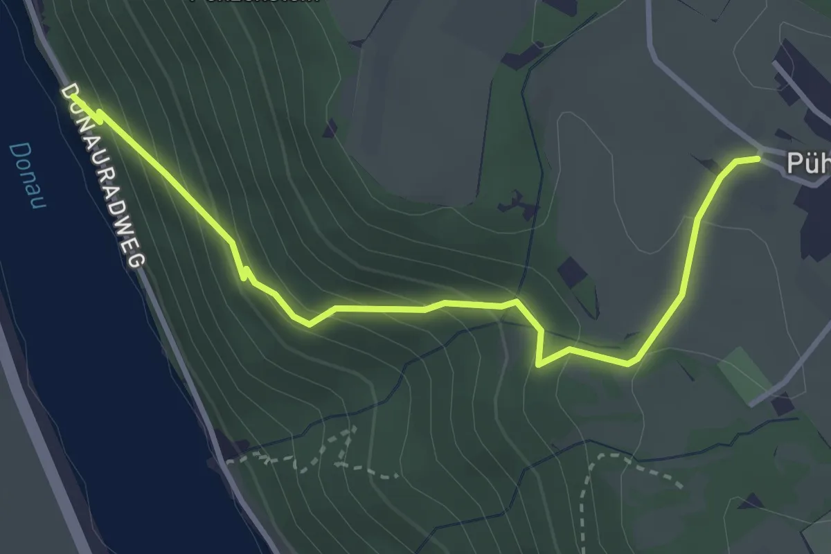
Medium · Trail
Pühretsteig
3.3 km · ↑ 282 m · 1 h 24 min
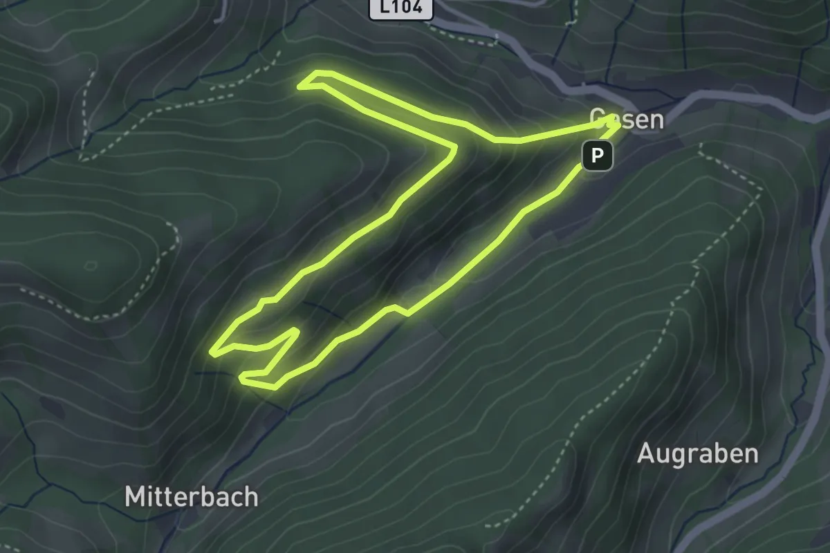
Medium · Trail
Pullerriegelrunde
3.7 km · ↑ 159 m · 1 h 16 min
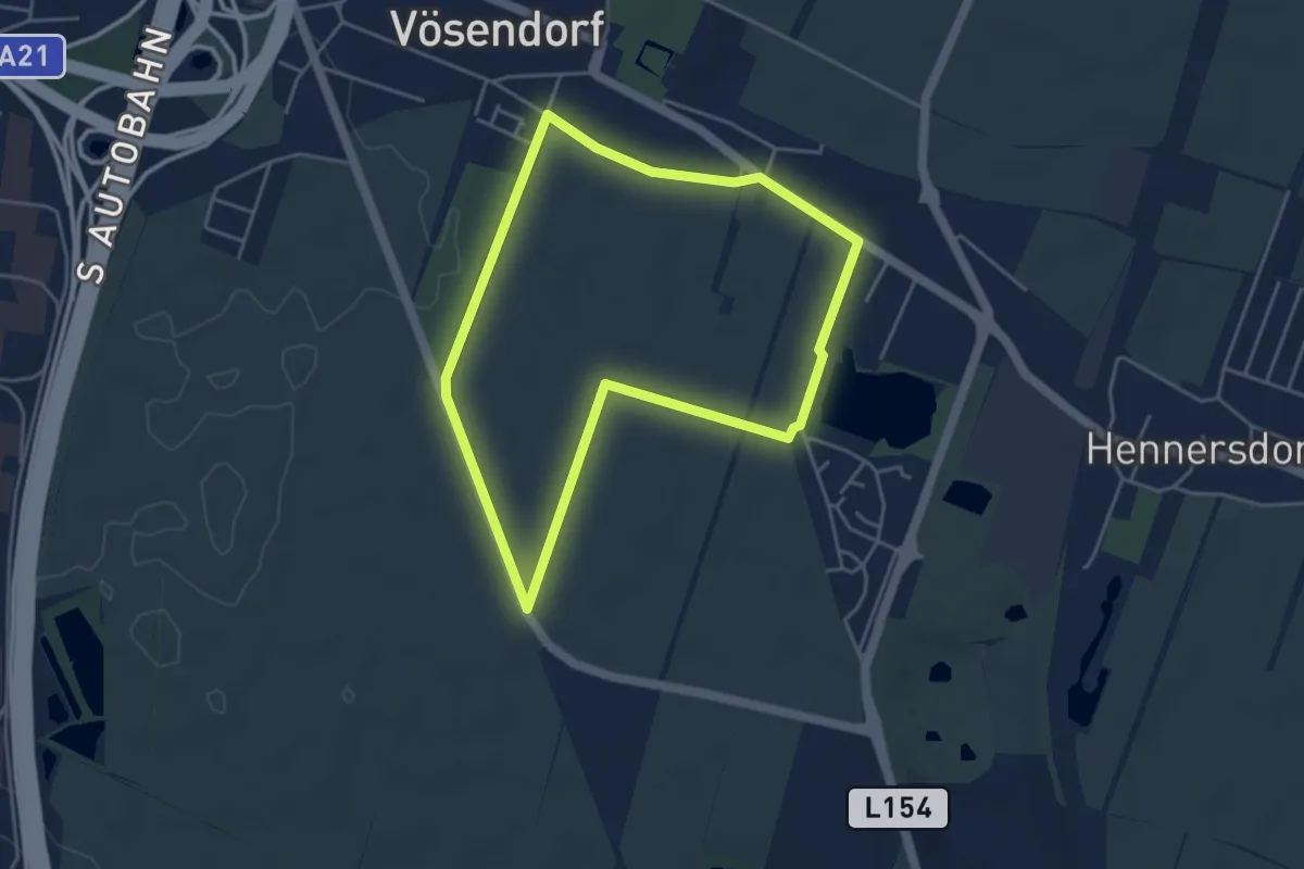
Easy · Trail
Puma Runde
4.0 km · ↑ 12 m · 1 h 2 min