Trails in Austria
9,779 hiking trails, each with its route, climb, walking time and grade.
All trails, page 88 of 204
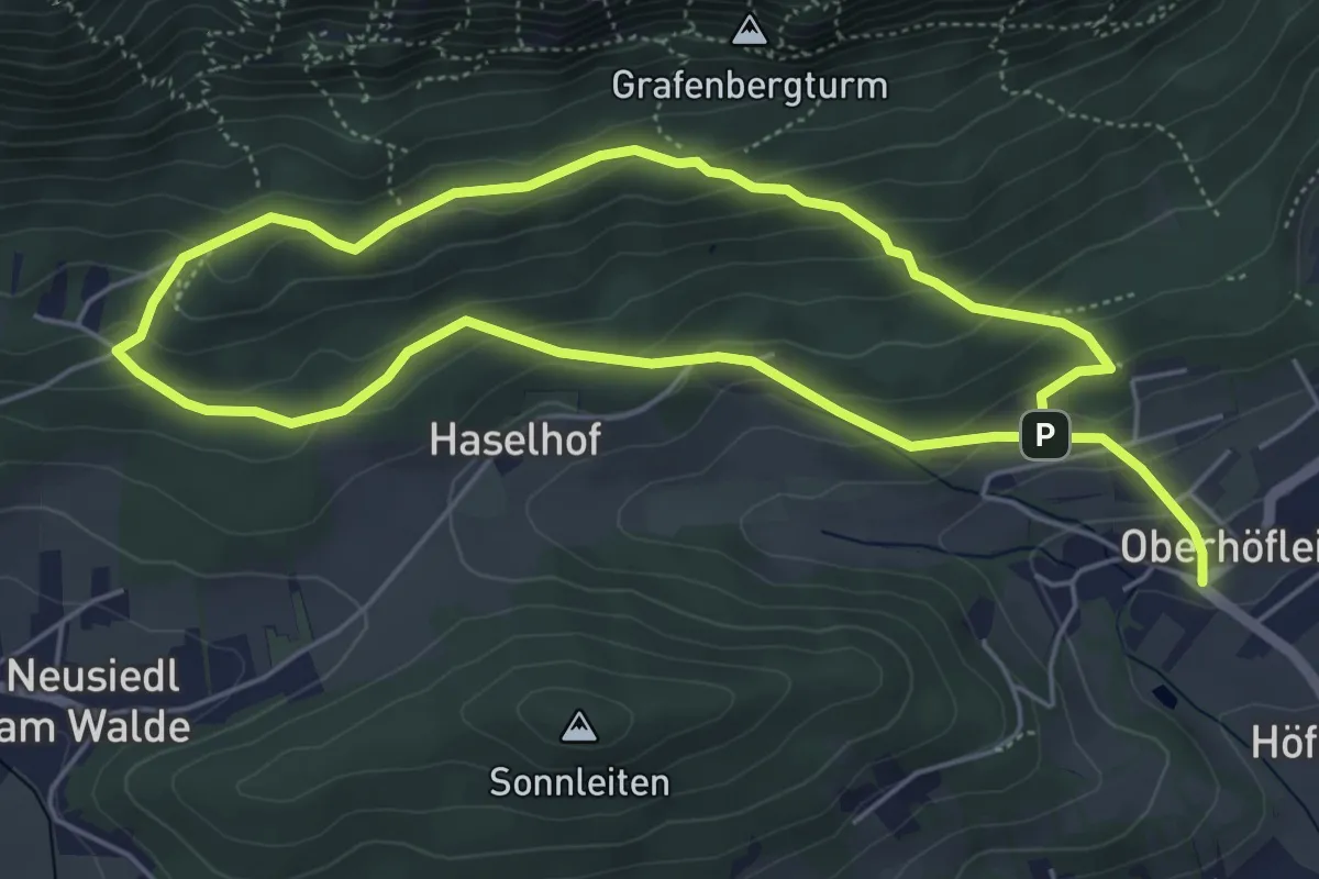
Medium · Trail
Puma-Runde
9.5 km · ↑ 437 m · 3 h 12 min
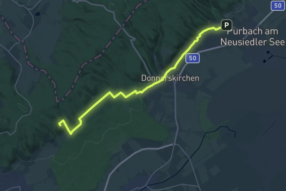
Demanding · Summit
Purbach - Donnerskirchen - Wilder Jäger
22.3 km · ↑ 384 m · 6 h 6 min
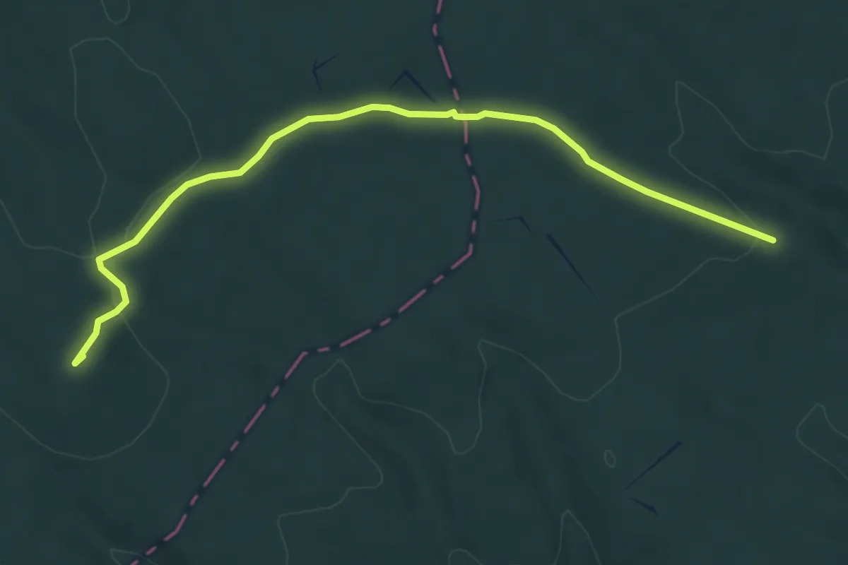
Easy · Summit
Purbach (Neusiedler See) - Franz-Josef-Warte (Parkplatz)
6.2 km · ↑ 117 m · 1 h 43 min
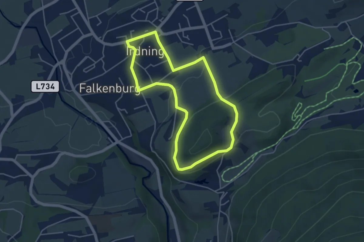
Easy · Trail
Pürglitz Rundwanderweg
3.6 km · ↑ 115 m · 1 h 9 min
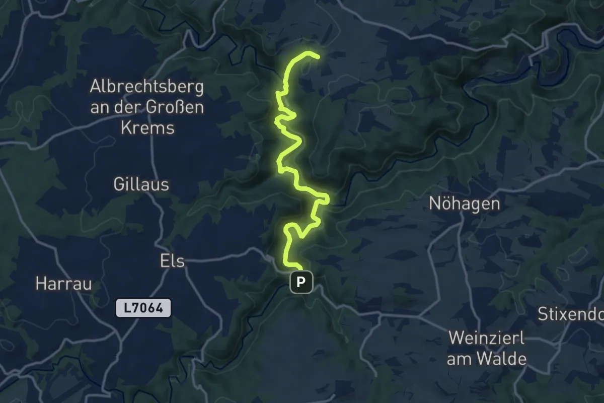
Medium · Trail
Purkersdorf - Brauhaus
13.0 km · ↑ 367 m · 3 h 52 min
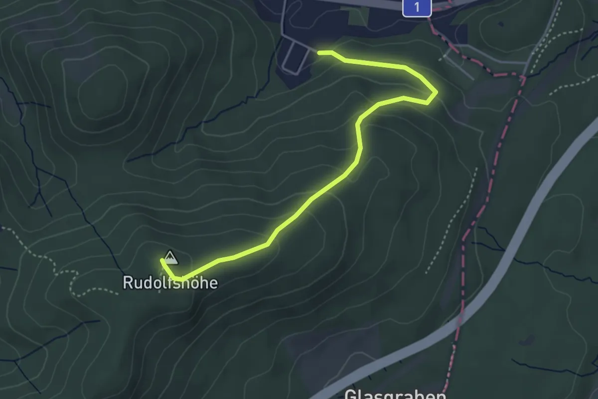
Medium · Summit
Purkersdorf - Rudolfshöhe
4.2 km · ↑ 218 m · 1 h 27 min
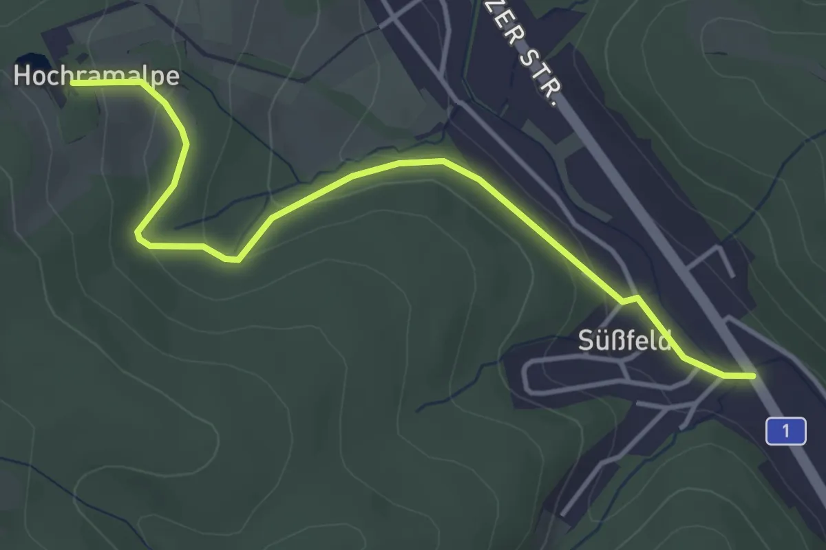
Easy · Trail
Purkersdorf/Süßfeld - Hochramalpe
3.9 km · ↑ 116 m · 1 h 11 min
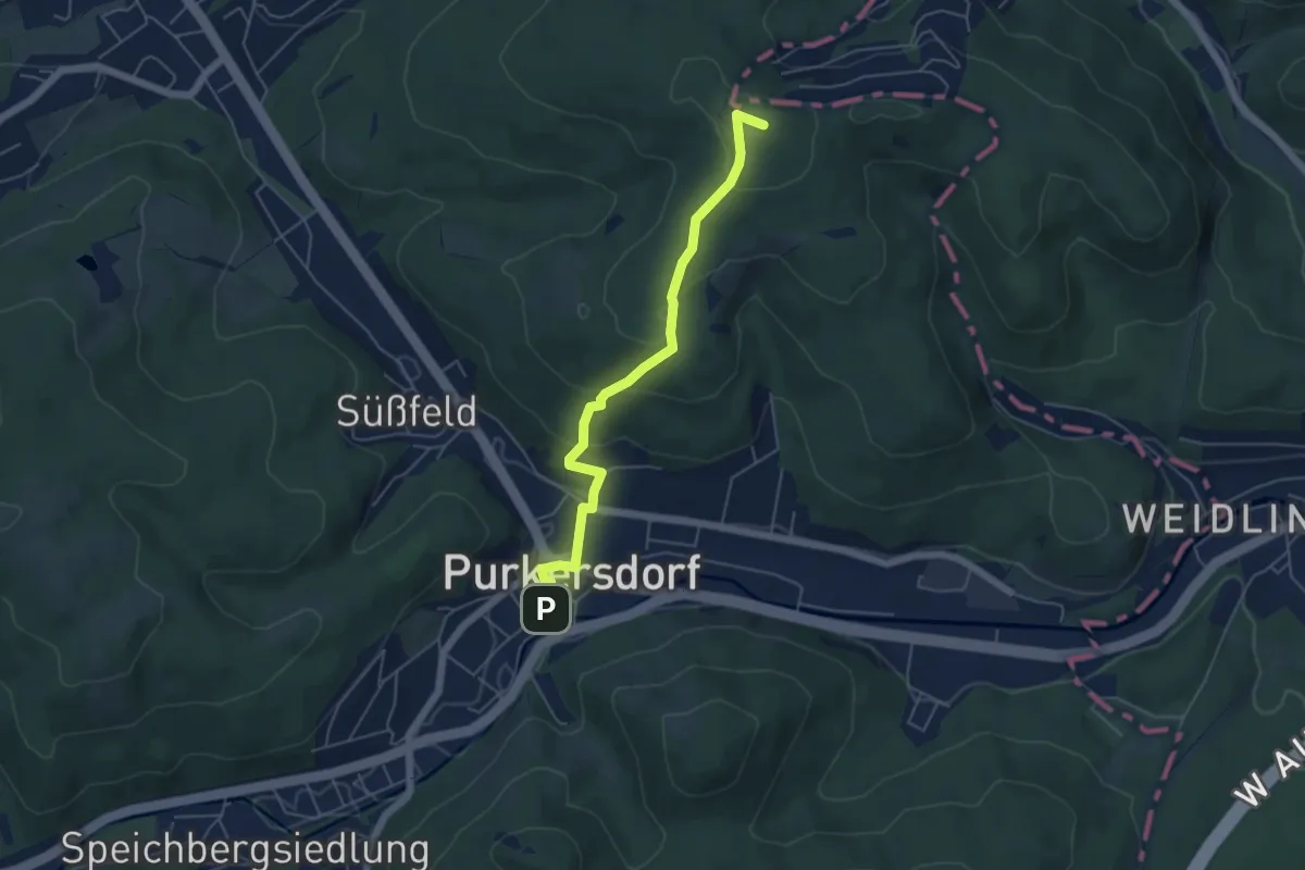
Easy · Summit
Purkersdorf-Zentrum Bahnhof - Buchberg
5.0 km · ↑ 217 m · 1 h 39 min
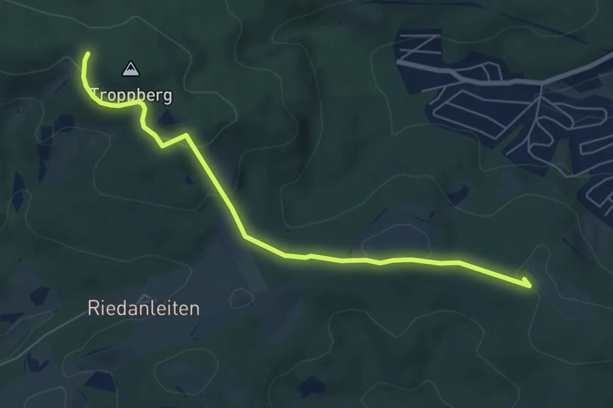
Easy · Summit
Purkersdorf-Zentrum Bahnhof - Troppberg (Adolf Samper Weg)
5.8 km · ↑ 136 m · 1 h 40 min
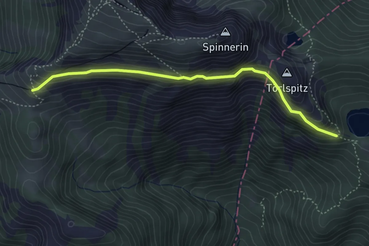
Expert · Trail
Purtschellersteig
4.2 km · ↑ 313 m · 1 h 40 min
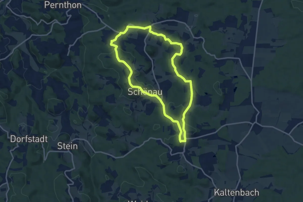
Medium · Summit
Purzelkampweg Nr. 52
9.7 km · ↑ 234 m · 2 h 55 min
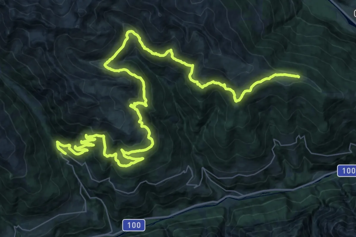
Demanding · Summit
Pustertaler Almweg
54.0 km · ↑ 2507 m · 18 h 10 min
Easy · Trail
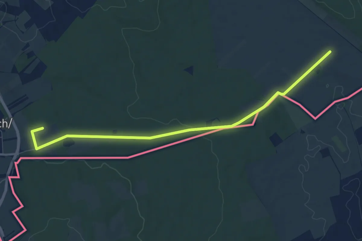
Puszta-Tour (Vital-Parcours Siegendorf)
4.6 km · ↑ 5 m · 1 h 11 min
Easy · Trail
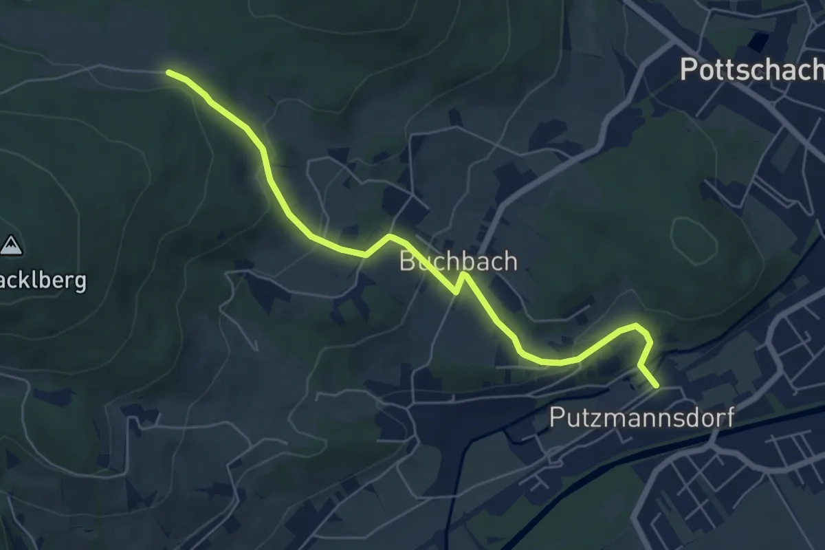
Putzmannsdorf - Tannschach
6.0 km · ↑ 223 m · 1 h 54 min
Medium · Trail
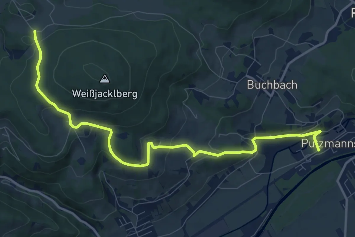
Putzmannsdorf - Wegscheide
10.3 km · ↑ 344 m · 3 h 11 min
Medium · Trail
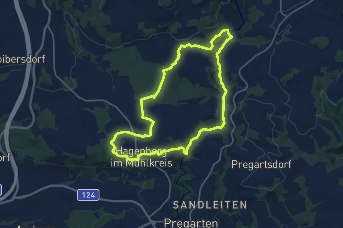
PWHa2
10.2 km · ↑ 199 m · 2 h 59 min
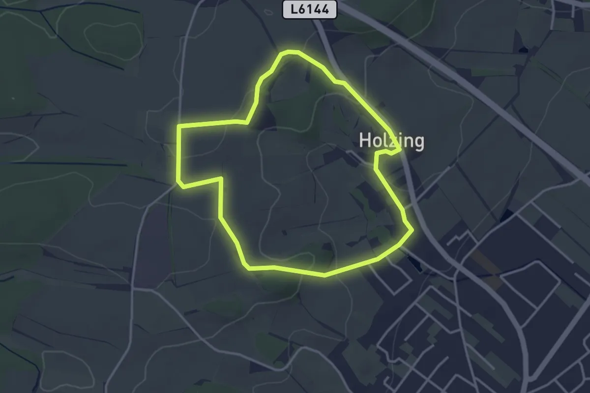
Easy · Trail
Pyhra-Holzing Rundweg
3.2 km · ↑ 61 m · 55 min
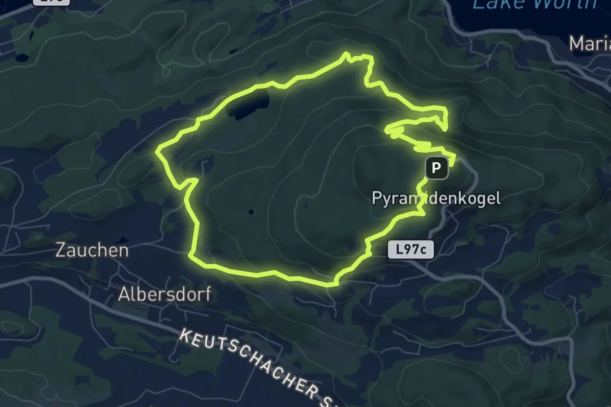
Medium · Summit
Pyramidenkogel-Runde
8.3 km · ↑ 310 m · 2 h 45 min
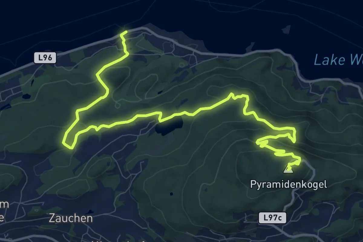
Medium · Summit
Pyramidenkogelweg Dellach
14.6 km · ↑ 507 m · 4 h 33 min
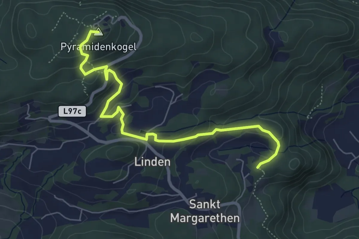
Medium · Summit
Pyramidenkogelweg Keutschach
6.2 km · ↑ 283 m · 2 h 4 min
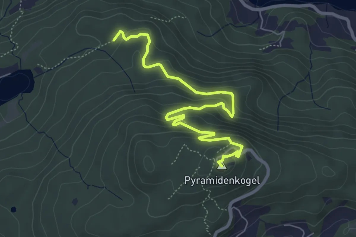
Medium · Summit
Pyramidenkogelweg Schiefling
6.2 km · ↑ 269 m · 2 h 3 min
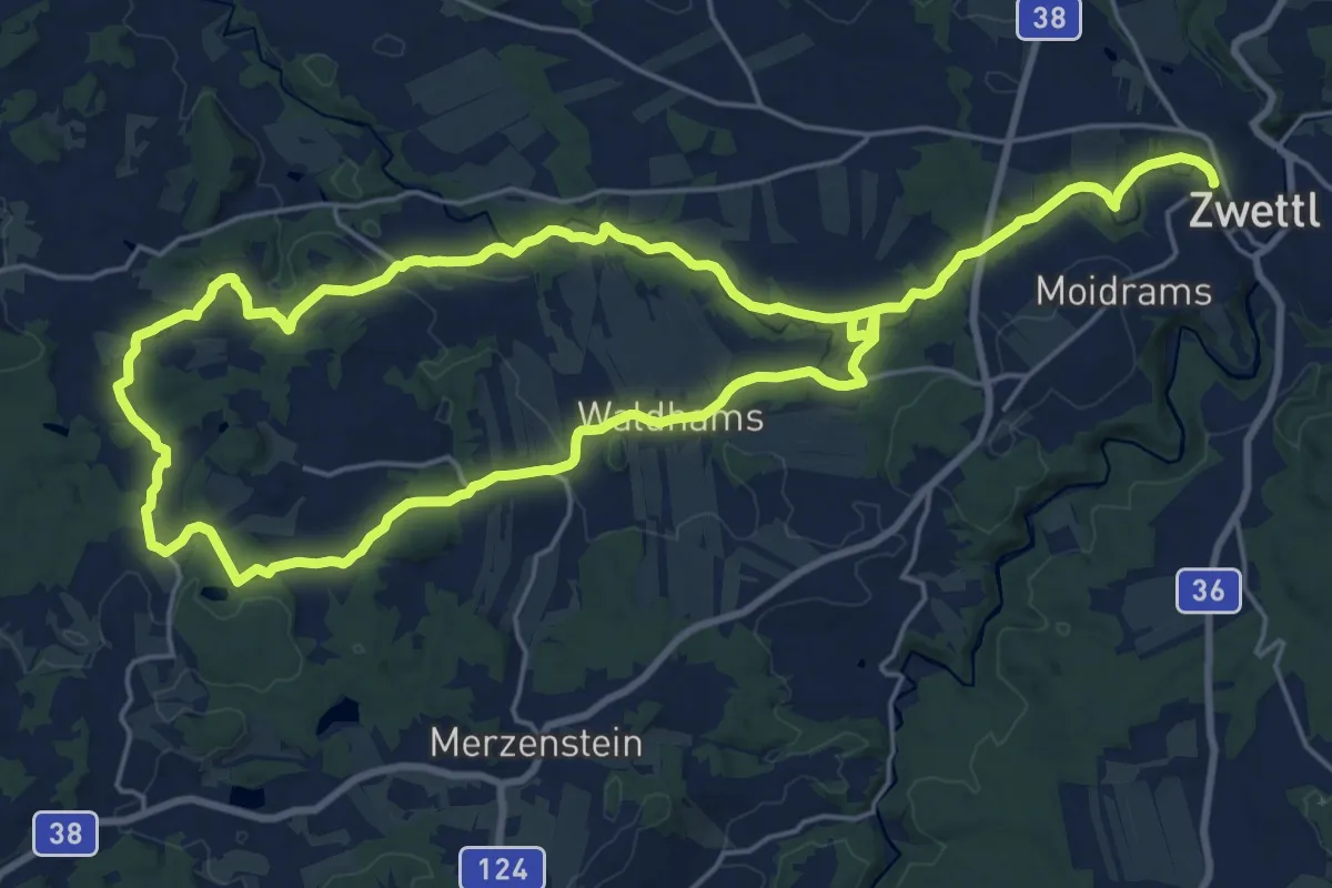
Demanding · Trail
Pyramidenweg 53
19.3 km · ↑ 323 m · 5 h 30 min
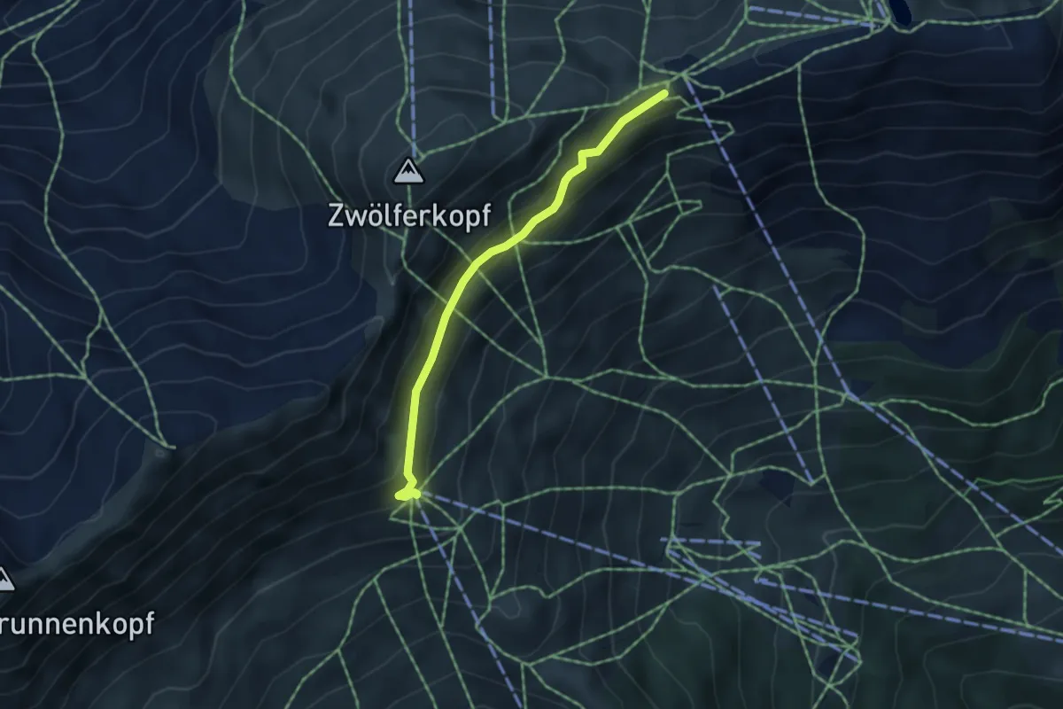
Easy · Summit
Quellenweg
3.8 km · ↑ 130 m · 1 h 10 min
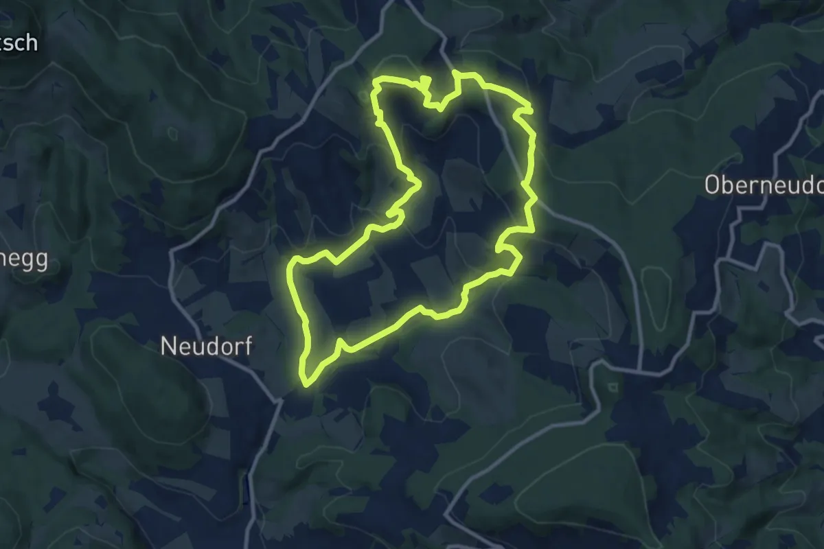
Medium · Summit
R10 Boden-Rechbergkogel-Greithweg
9.9 km · ↑ 380 m · 3 h 18 min
Easy · Trail
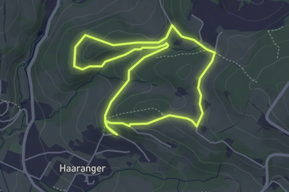
R11 Lehrwanderweg
4.1 km · ↑ 142 m · 1 h 20 min
Medium · Trail
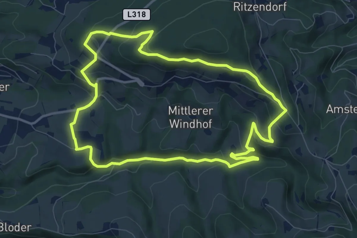
R12 Windhof-Rundweg
8.3 km · ↑ 309 m · 2 h 44 min
Medium · Trail
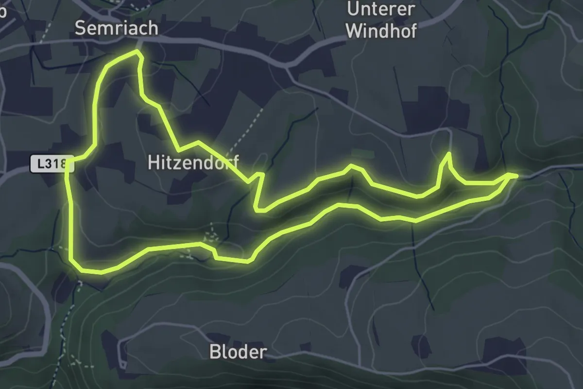
R13 Rötschgrabenweg
5.2 km · ↑ 152 m · 1 h 37 min
Medium · Summit
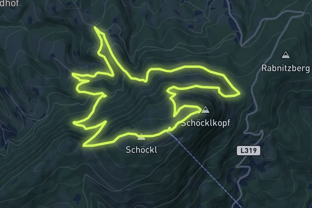
R14 Schöcklwanderung
11.6 km · ↑ 545 m · 4 h 5 min
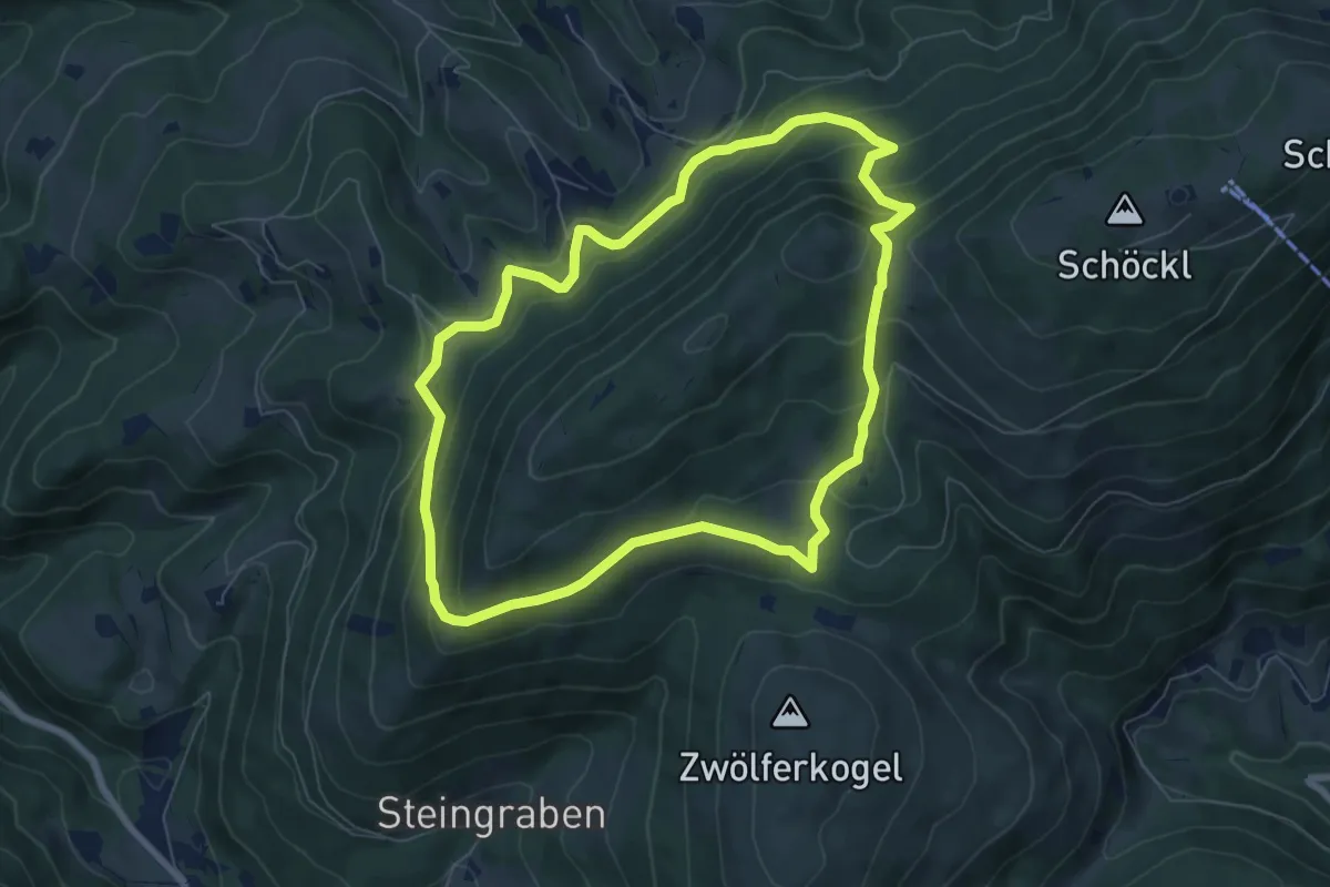
Medium · Trail
R15 Niederschöcklweg
6.9 km · ↑ 328 m · 2 h 26 min
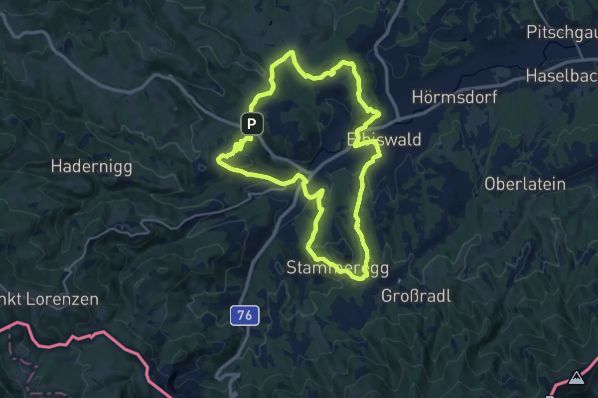
Medium · Summit
R1 Eibiswalder Rundweg
14.1 km · ↑ 447 m · 4 h 30 min
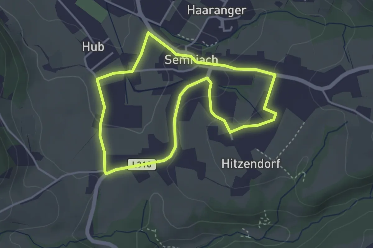
Easy · Trail
R1 Markt-Rundweg
3.2 km · ↑ 68 m · 57 min
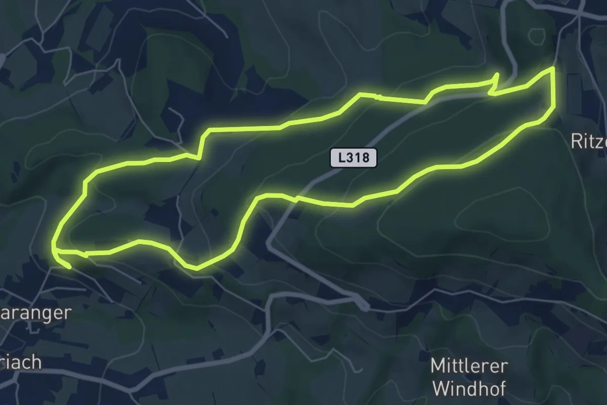
Easy · Trail
R2 Ulrichsbrunn-Rundweg
6.5 km · ↑ 250 m · 2 h 11 min
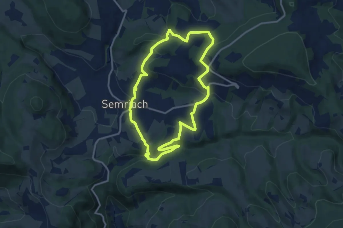
Medium · Trail
R3 Gr. Panoramaweg
7.4 km · ↑ 275 m · 2 h 27 min
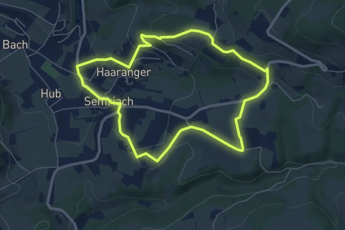
Easy · Trail
R4 Kl. Panoramaweg
5.2 km · ↑ 153 m · 1 h 37 min
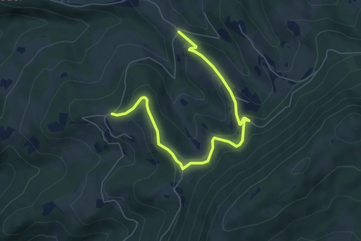
Easy · Trail
R5a Präbichl-Glett-Rundweg Variante
6.3 km · ↑ 235 m · 2 h
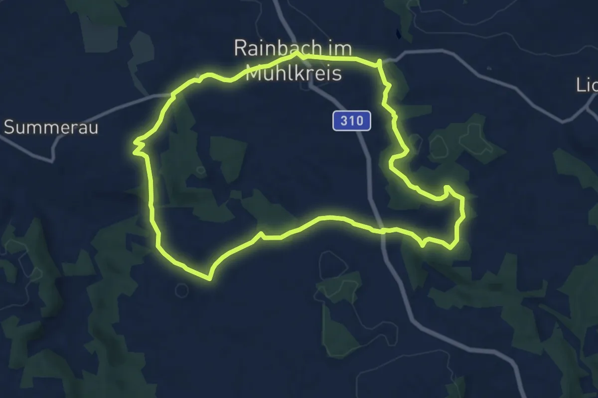
Medium · Trail
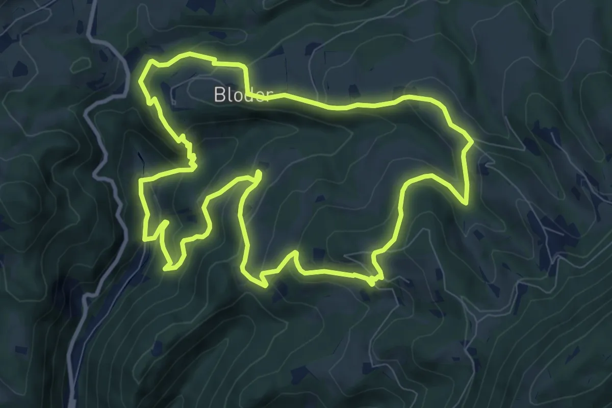
R5 - Grottenthalrunde
9.3 km · ↑ 193 m · 2 h 44 min
Medium · Trail
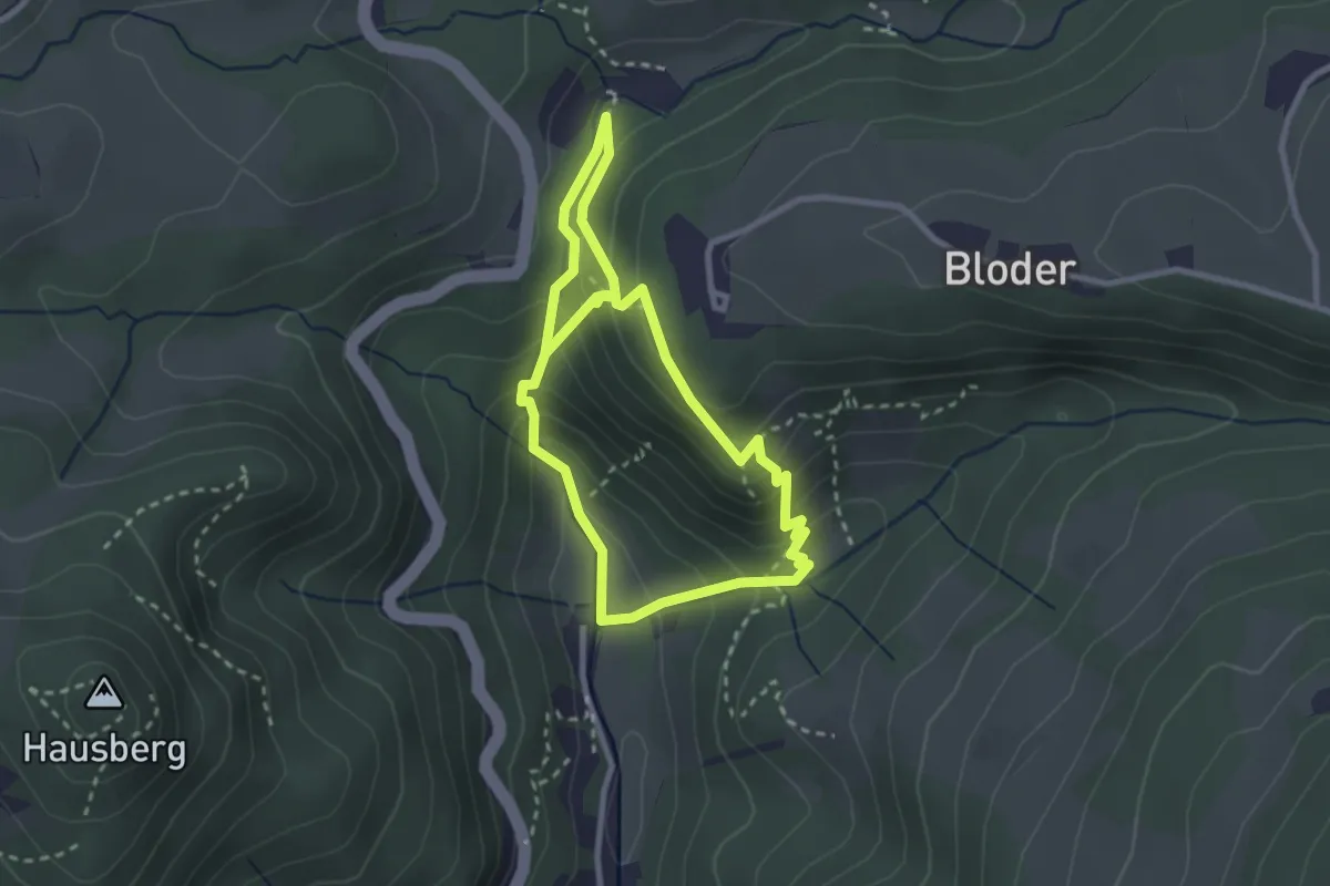
R5 Präbichl-Glett-Rundweg
9.4 km · ↑ 468 m · 3 h 22 min
Medium · Trail
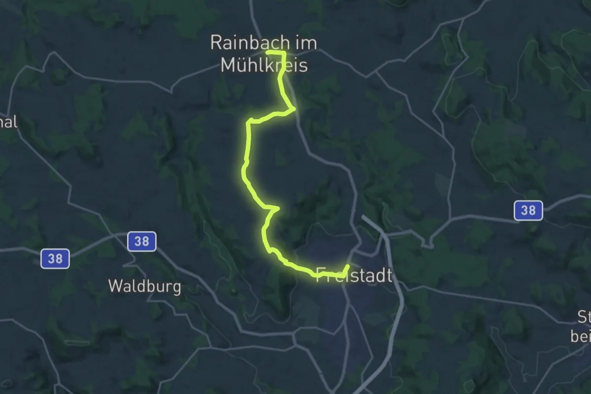
R6 Kesselfall-Rundweg
2.5 km · ↑ 186 m · 1 h 3 min
Medium · Trail
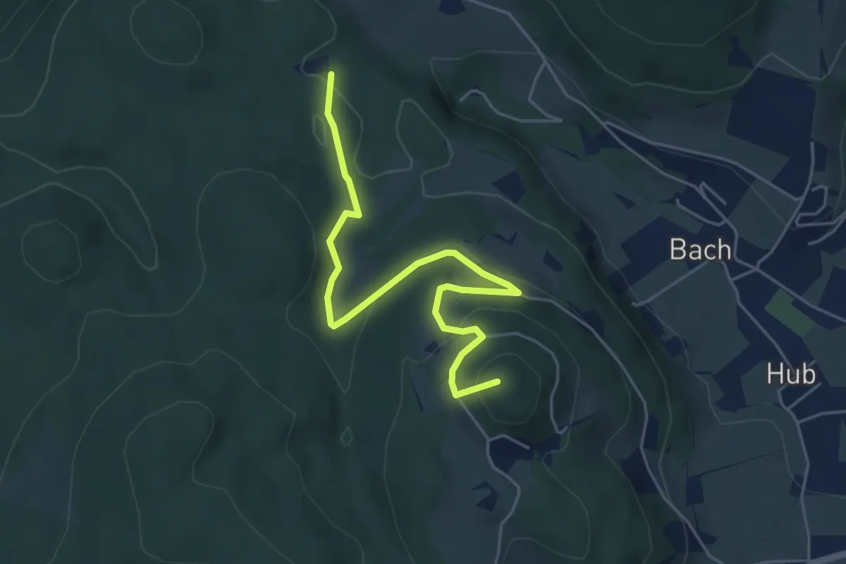
R6 - Verbindung von Rainbach nach Freistadt über St. Peter
17.6 km · ↑ 296 m · 4 h 48 min
Easy · Summit
R7a
5.3 km · ↑ 176 m · 1 h 38 min
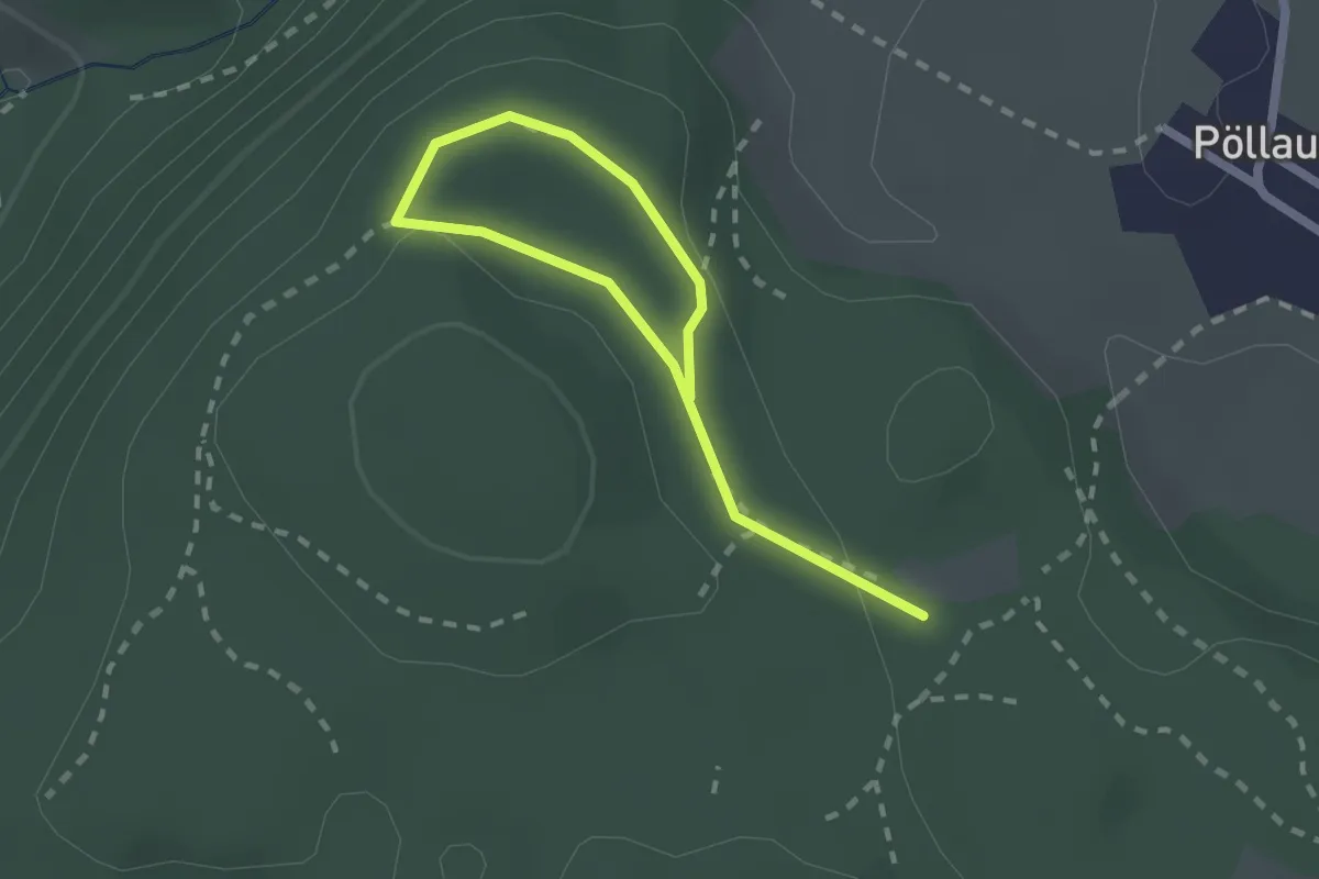
Easy · Trail
R7c Kunstkoglwaldrunde
2.5 km · ↑ 47 m · 42 min
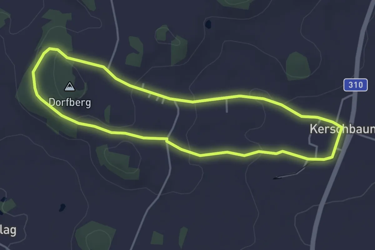
Easy · Trail
R7 - Kerschbaumer Sattelrunde
3.7 km · ↑ 67 m · 1 h 4 min
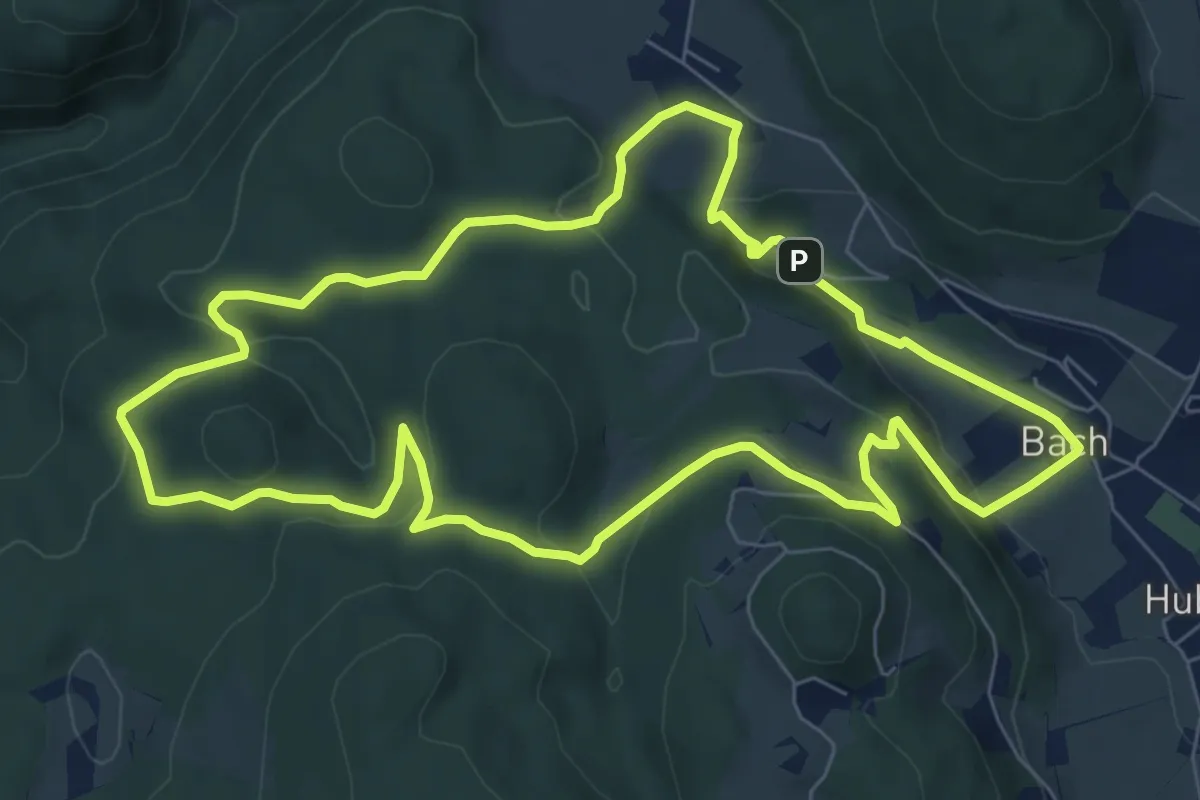
Medium · Trail
R7 Tannebenwald-Rundweg
7.7 km · ↑ 283 m · 2 h 33 min
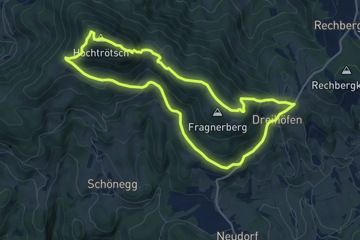
Medium · Summit
R8a Trötsch-Rundweg Variante
8.7 km · ↑ 419 m · 3 h 5 min
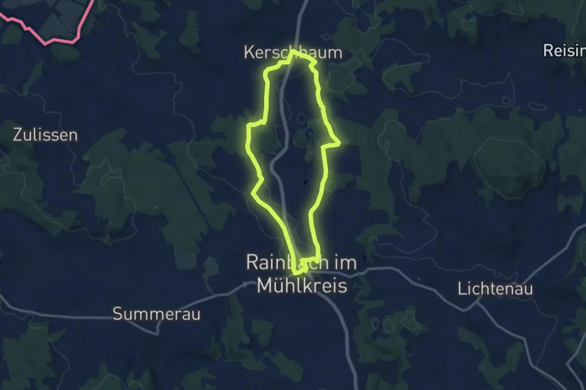
Medium · Trail
R8 - Pferdeeisenbahnrundweg
8.4 km · ↑ 83 m · 2 h 17 min
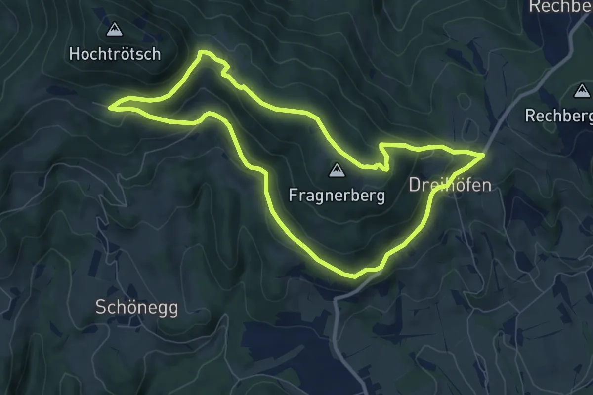
Medium · Summit
R8 Trötsch-Rundweg
7.4 km · ↑ 246 m · 2 h 23 min
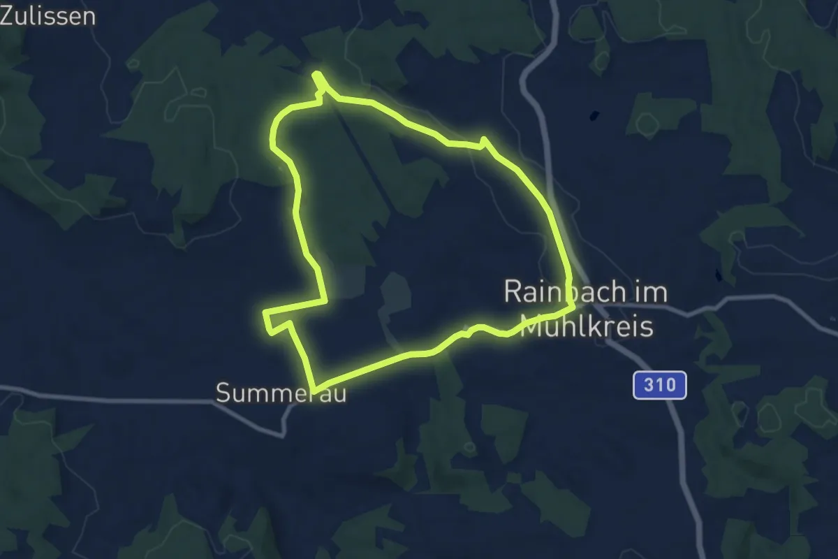
Easy · Trail
R9 - Biraurunde
8.0 km · ↑ 95 m · 2 h 12 min
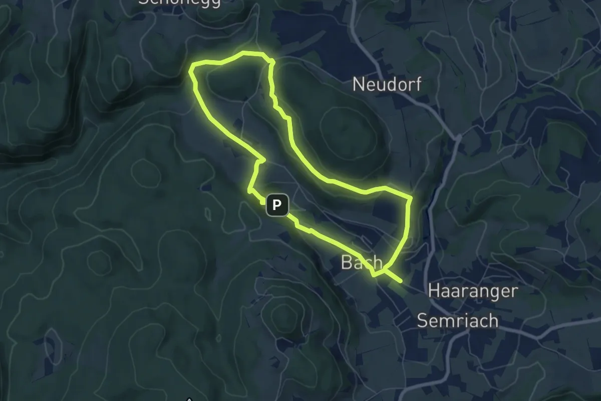
Medium · Trail
R9 Eichberg-Lurgrotte-Rundweg
6.5 km · ↑ 236 m · 2 h 8 min