Trails in Austria
9,779 hiking trails, each with its route, climb, walking time and grade.
All trails, page 89 of 204
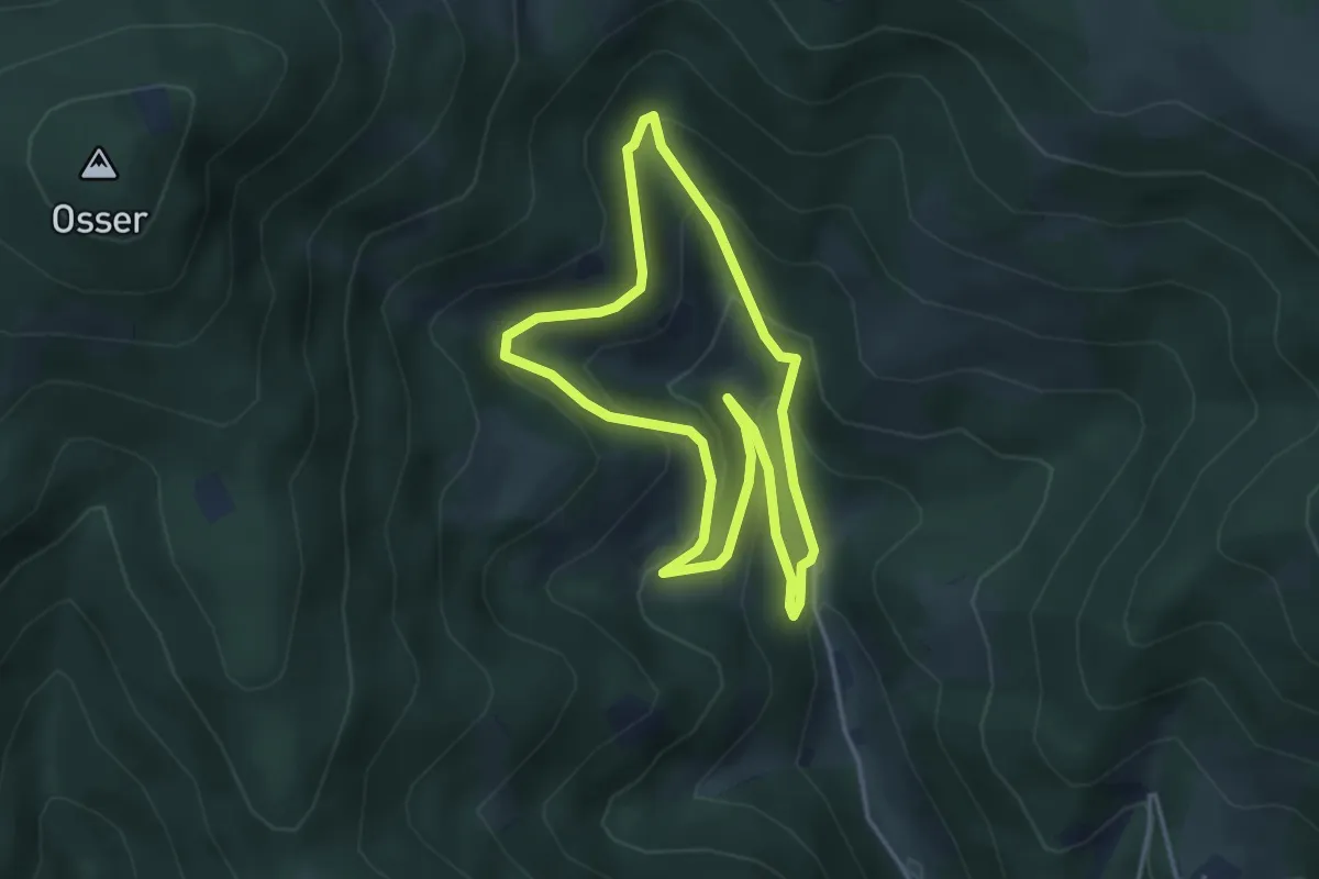
Easy · Trail
Raabursprung Rundwanderweg
3.5 km · ↑ 209 m · 1 h 19 min
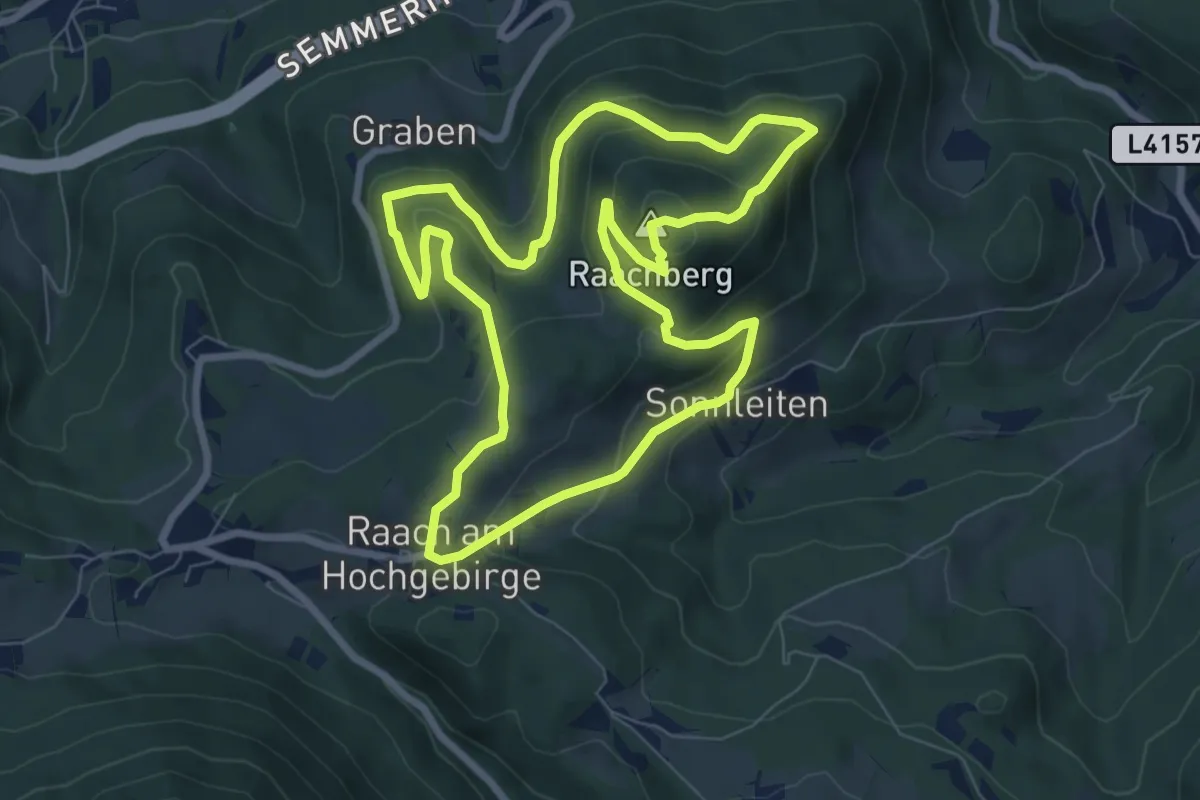
Medium · Summit
Raachbergrundweg R5
7.6 km · ↑ 370 m · 2 h 43 min
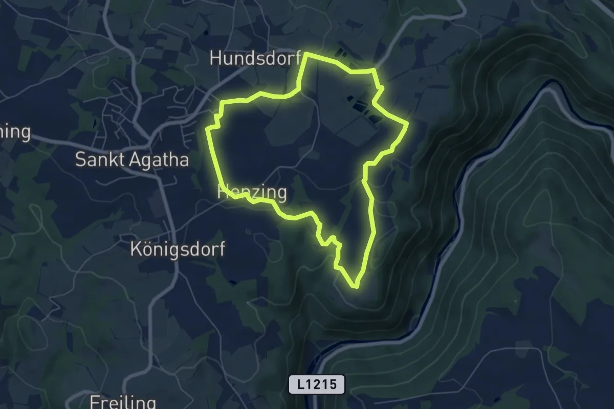
Easy · Trail
Rabensteinerblick
5.8 km · ↑ 140 m · 1 h 45 min
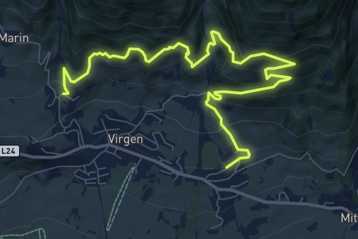
Medium · Trail
Rabenstein-Pfad
9.8 km · ↑ 676 m · 3 h 46 min
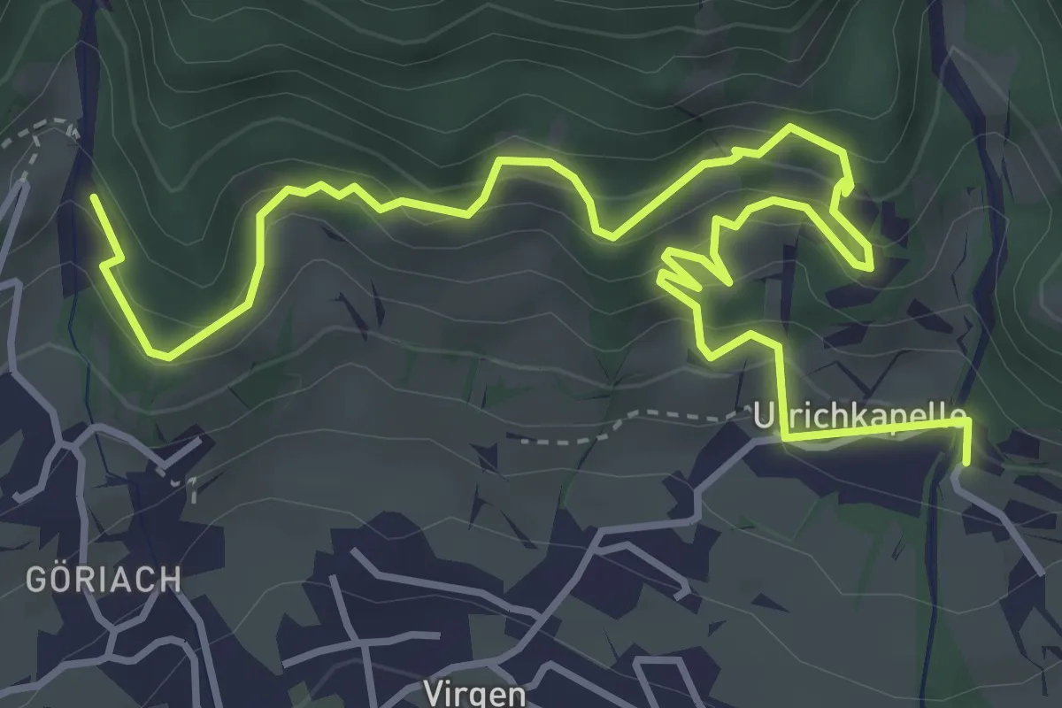
Easy · Trail
Rabensteinweg
5.4 km · ↑ 307 m · 1 h 57 min
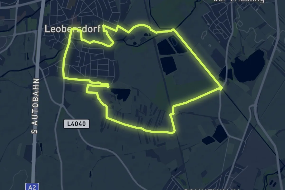
Medium · Trail
Rabenwald-Runde
9.4 km · ↑ 21 m · 2 h 23 min
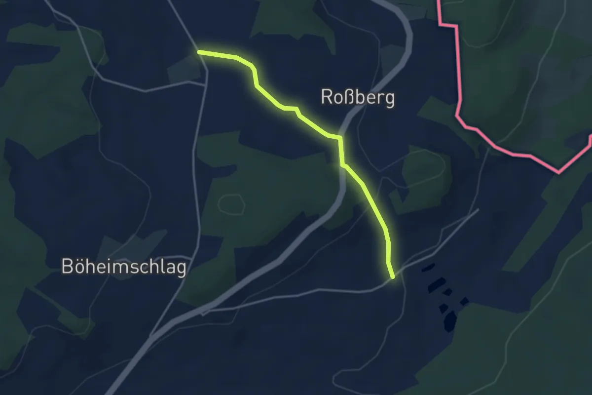
Easy · Trail
Rading-Weigetschlag-Ablege-Sternstein 11
2.9 km · ↑ 74 m · 51 min
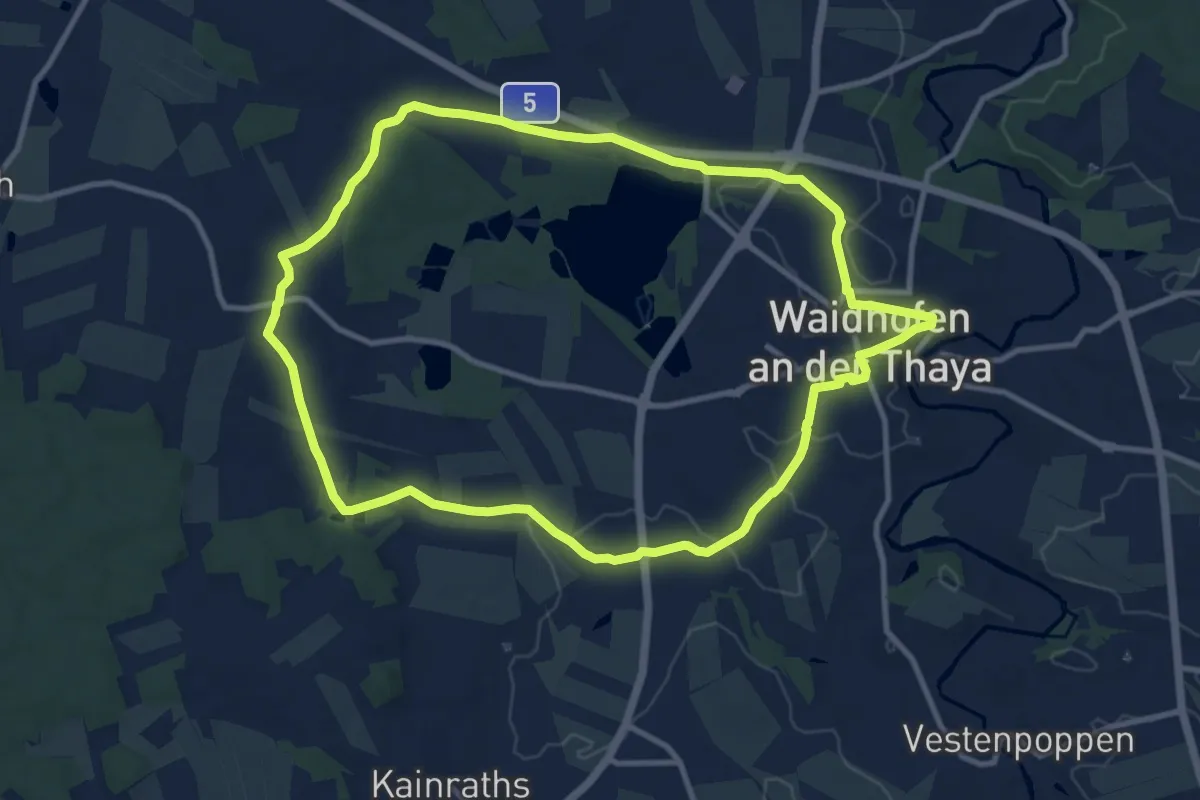
Medium · Trail
Radlbachweg 11
10.2 km · ↑ 83 m · 2 h 44 min
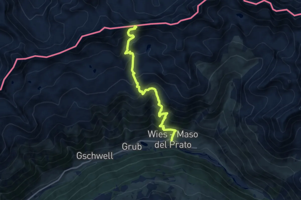
Demanding · Trail
Radurschelscharte
5.3 km · ↑ 1995 m · 6 h 7 min
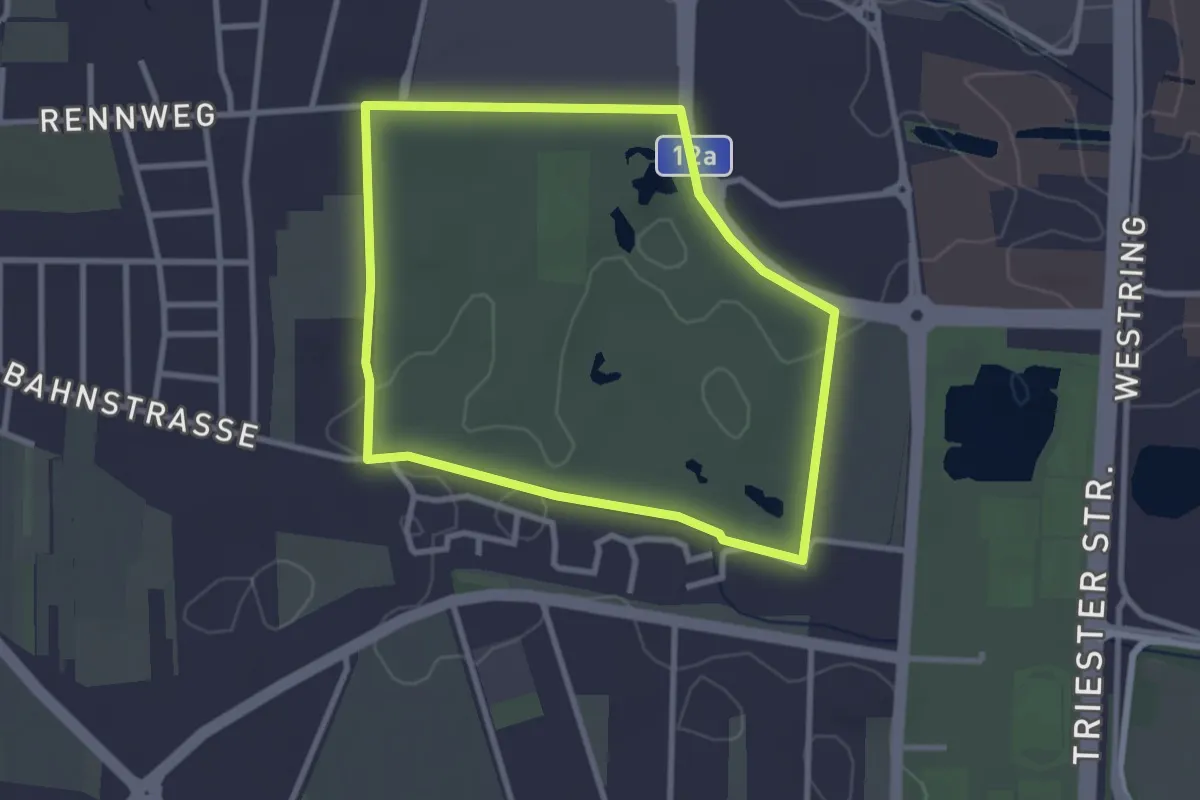
Easy · Trail
Raiffeisen Runde
2.7 km · ↑ 8 m · 41 min
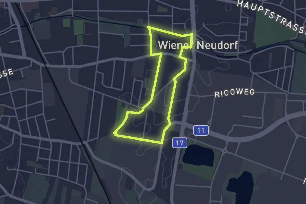
Easy · Trail
Raiffeisen Runde
2.9 km · ↑ 4 m · 43 min
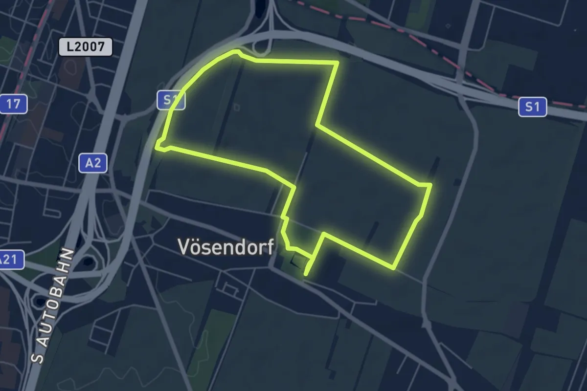
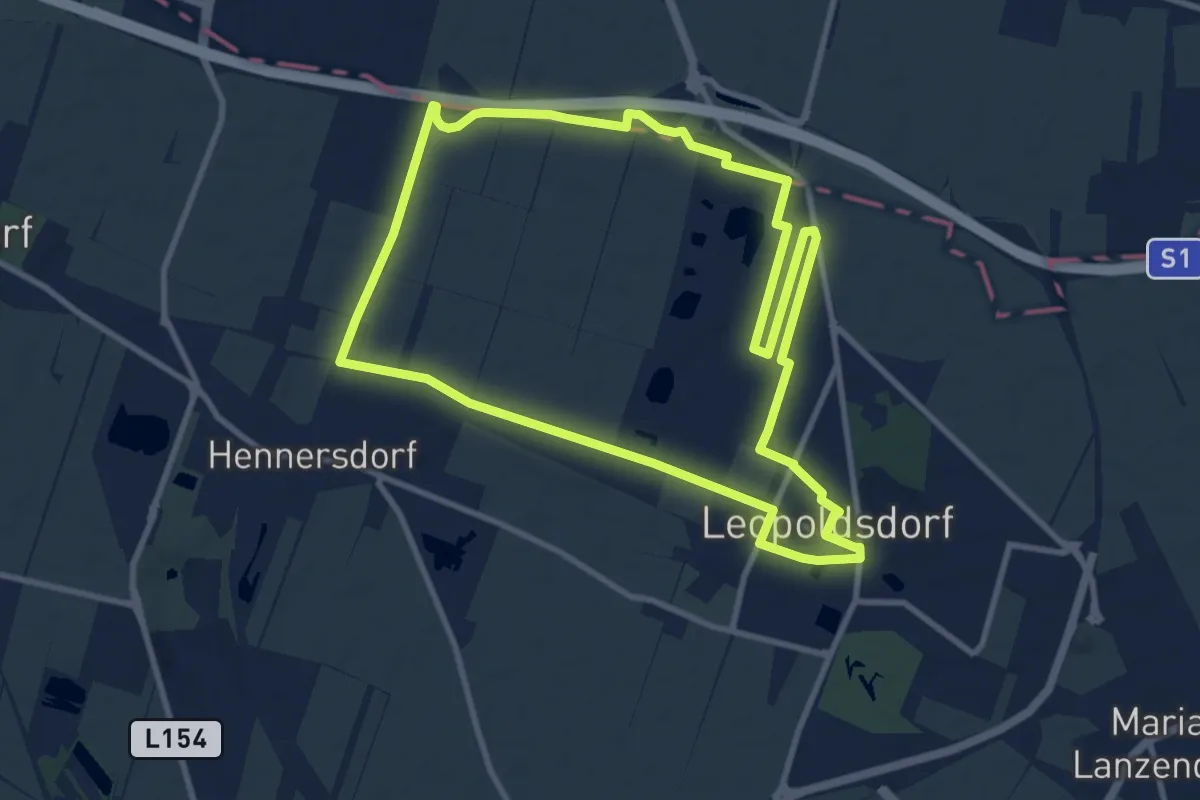
Easy · Trail
Raiffeisen Runde
5.2 km · ↑ 4 m · 1 h 19 min
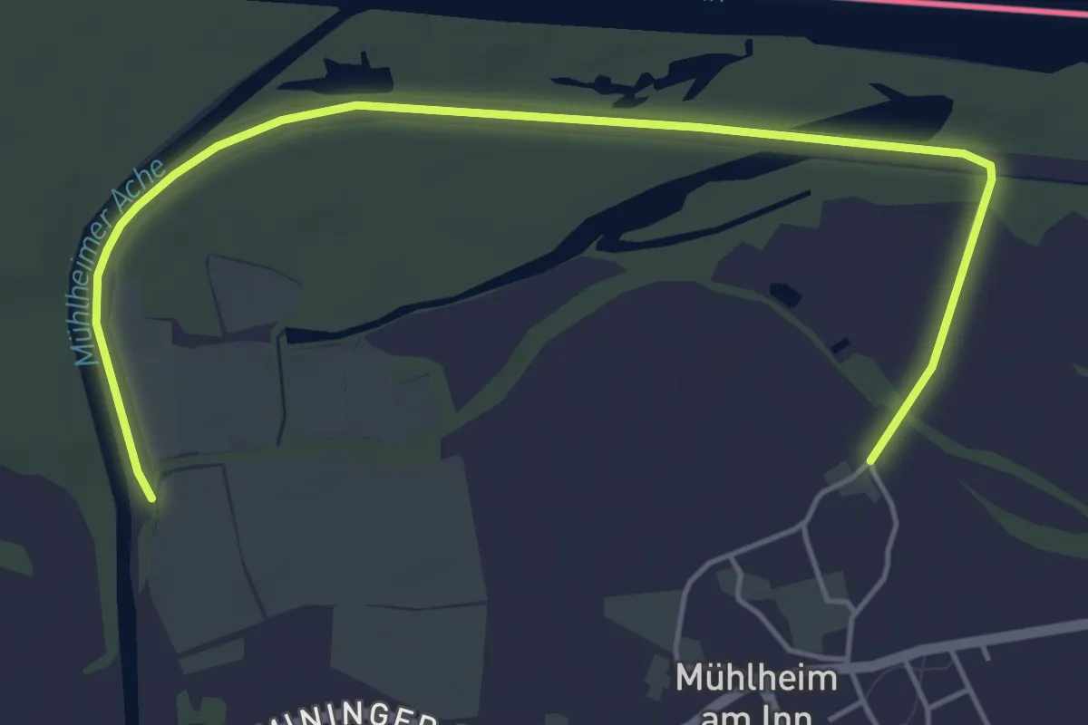
Medium · Trail
Raiffeisen Runde
10.2 km · ↑ 30 m · 2 h 37 min
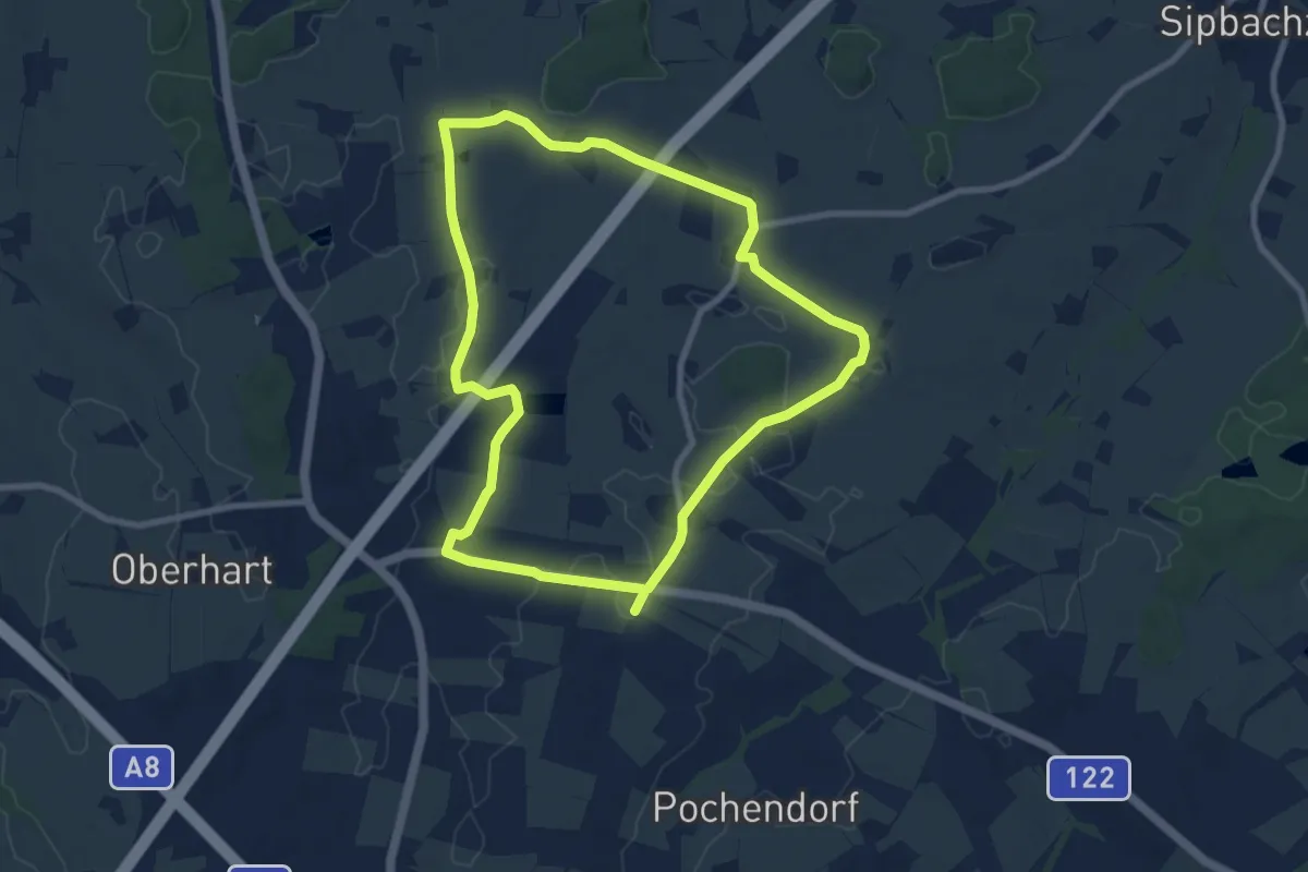
Easy · Trail
Raiffeisen-Runde
5.7 km · ↑ 9 m · 1 h 21 min
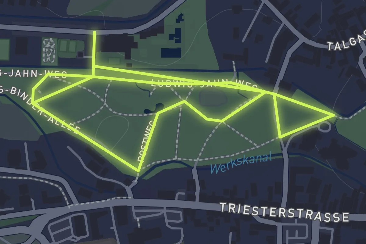
Medium · Trail
Raiffeisen-Runde
8.1 km · ↑ 35 m · 2 h 5 min
Easy · Trail
Raiffeisen-Schneider-Kneipprunde
1.8 km · ↑ 0 m · 27 min
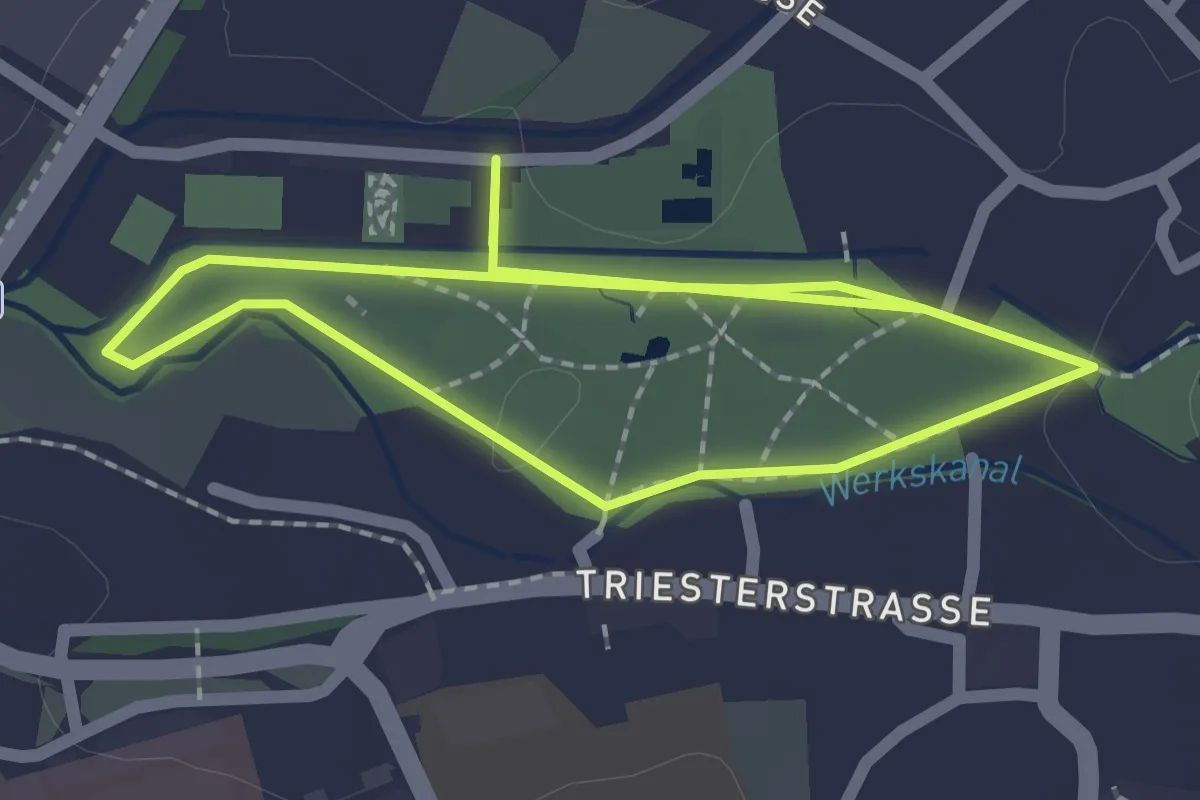
Easy · Trail
Raiffeisen-Schneider-Stadtparkrunde
1.8 km · ↑ 0 m · 28 min
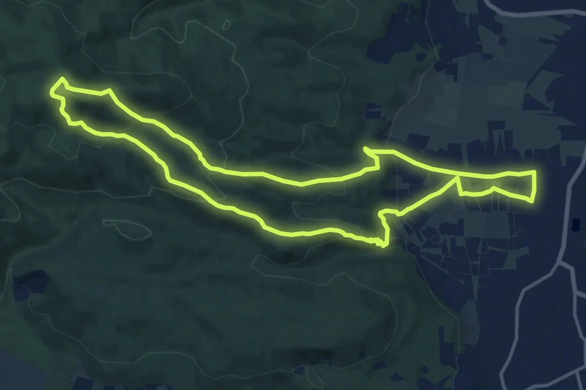
Medium · Summit
Raiffeisen Trail (Sooss)
11.0 km · ↑ 471 m · 3 h 46 min
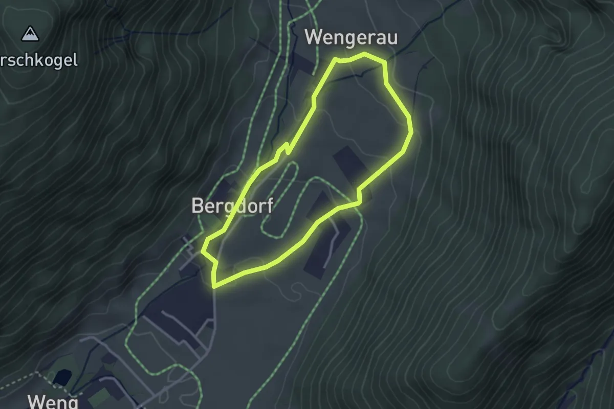
Easy · Trail
Raika Runde
2.6 km · ↑ 71 m · 48 min
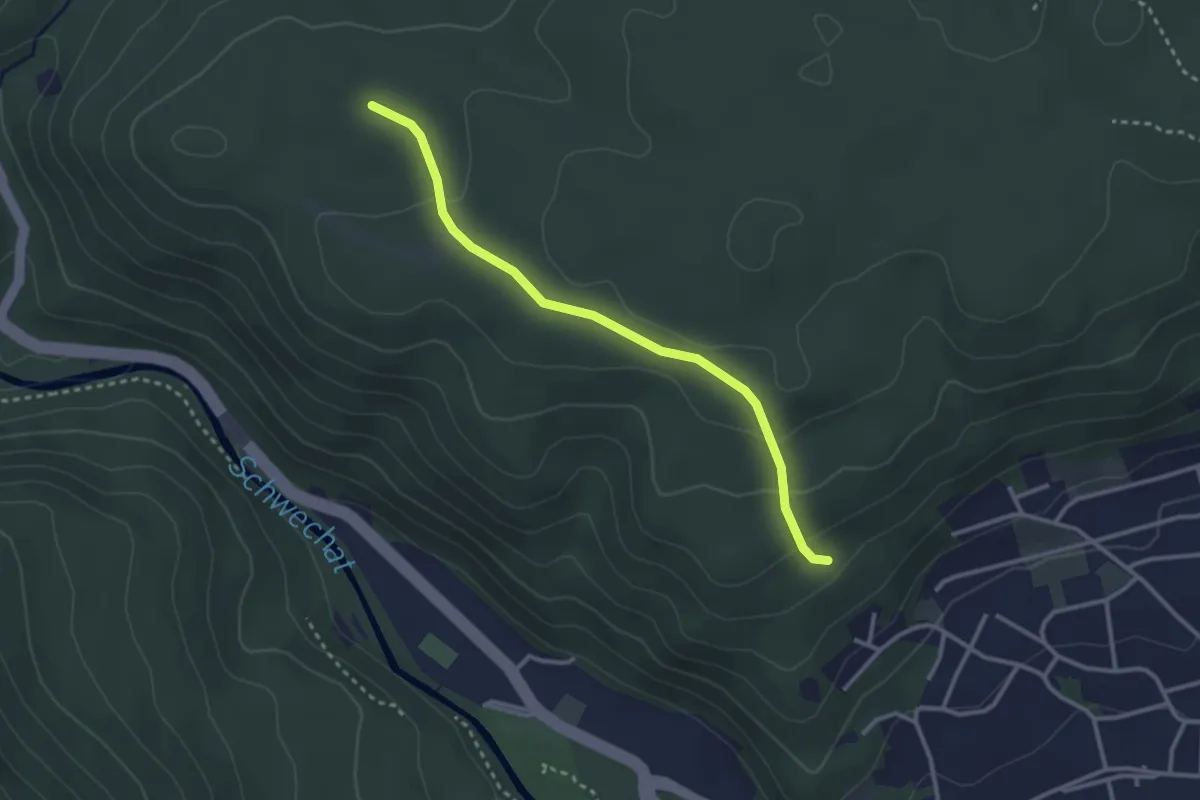
Easy · Trail
Rainerweg - Mitterberg
2.9 km · ↑ 88 m · 52 min
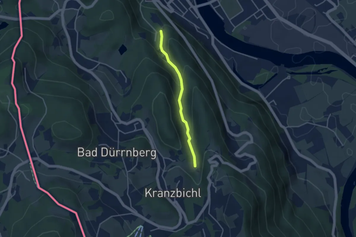
Easy · Trail
Raingrabensteig
2.6 km · ↑ 160 m · 58 min
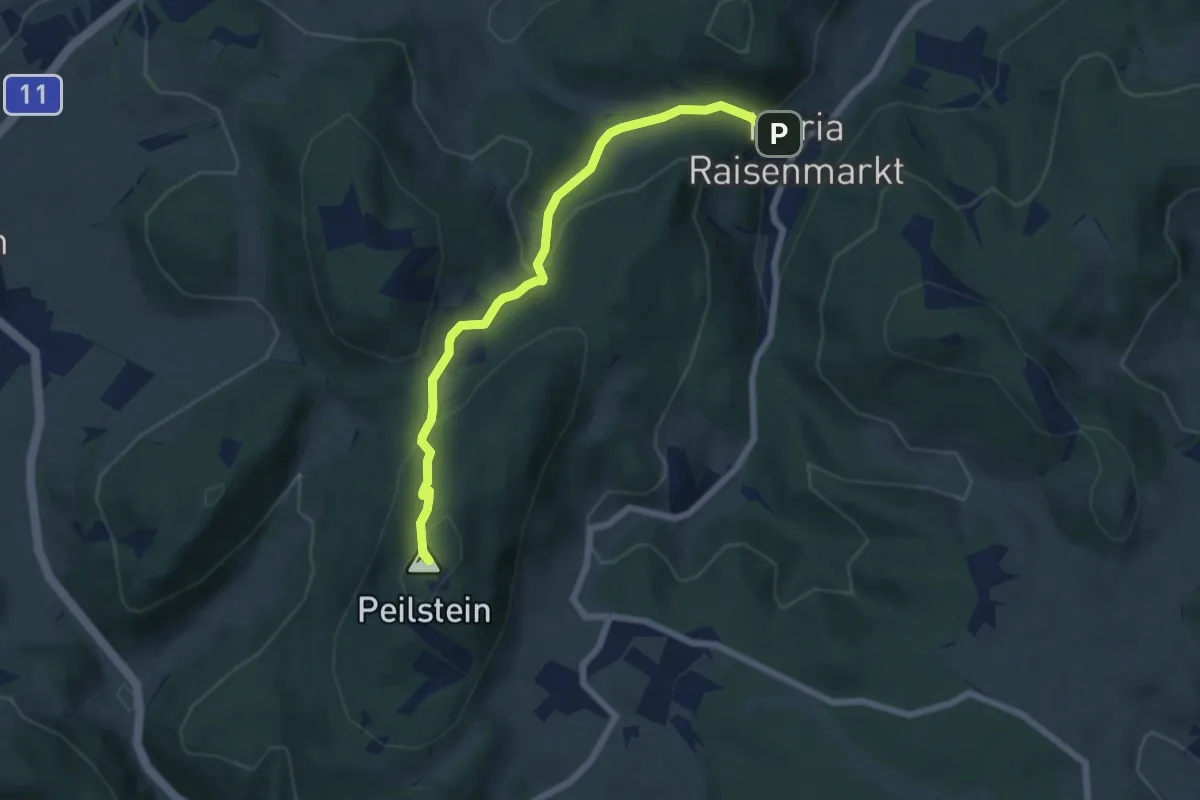
Medium · Summit
Raisenmarkt - Holzschlag - Peilstein
6.2 km · ↑ 350 m · 2 h 14 min
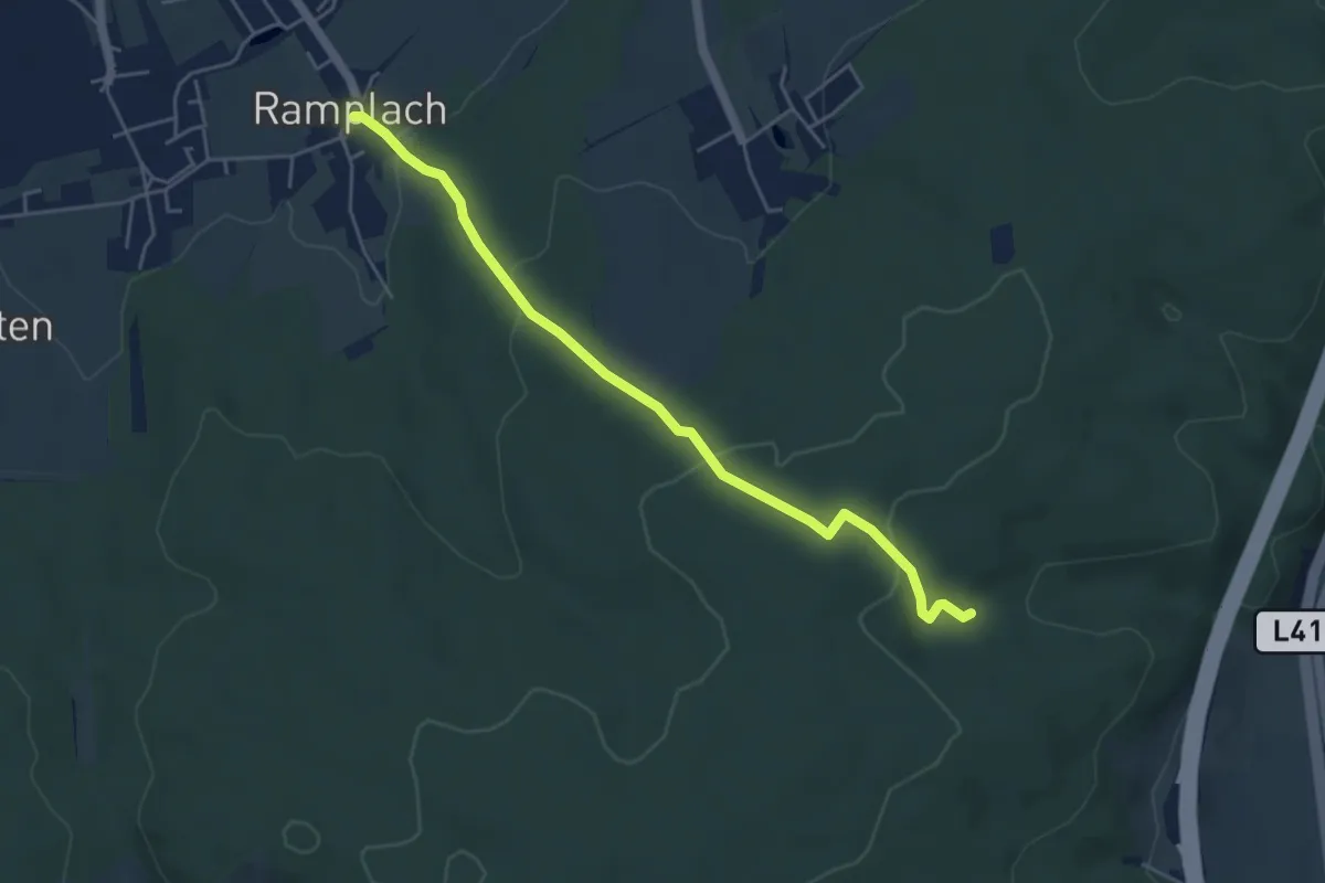
Easy · Trail
Ramplach - Waldkapelle
4.8 km · ↑ 167 m · 1 h 29 min
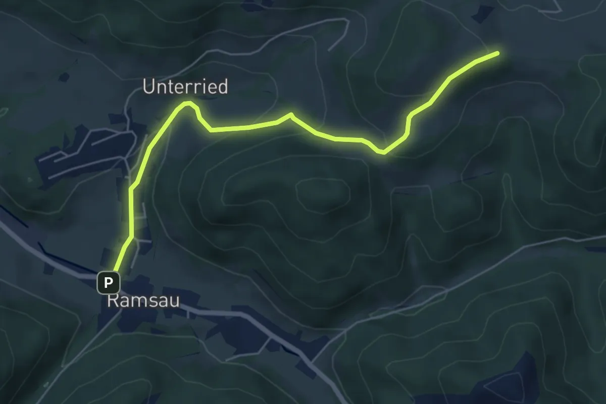
Easy · Trail
Ramsau - Araburg (Anschluß an Hainfeld - Araburg)
5.5 km · ↑ 235 m · 1 h 48 min
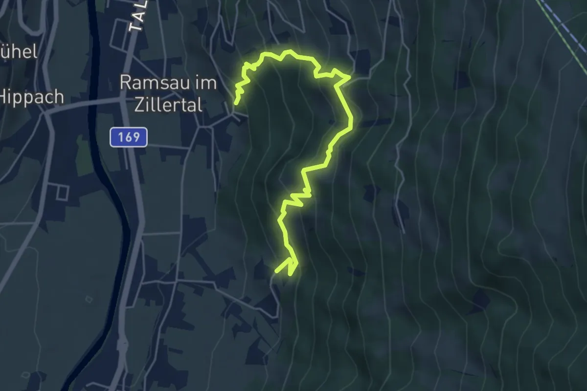
Medium · Trail
Ramsauer Höhenweg
5.2 km · ↑ 495 m · 2 h 18 min
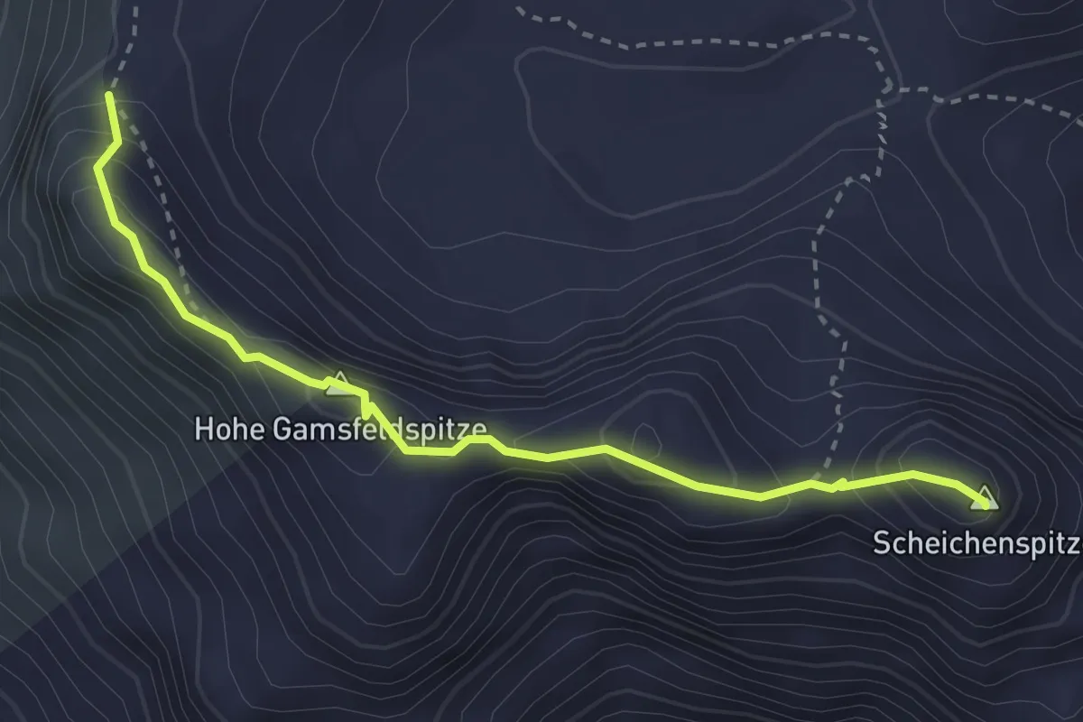
Expert · Summit
Ramsauer Klettersteig
3.1 km · ↑ 393 m · 1 h 34 min
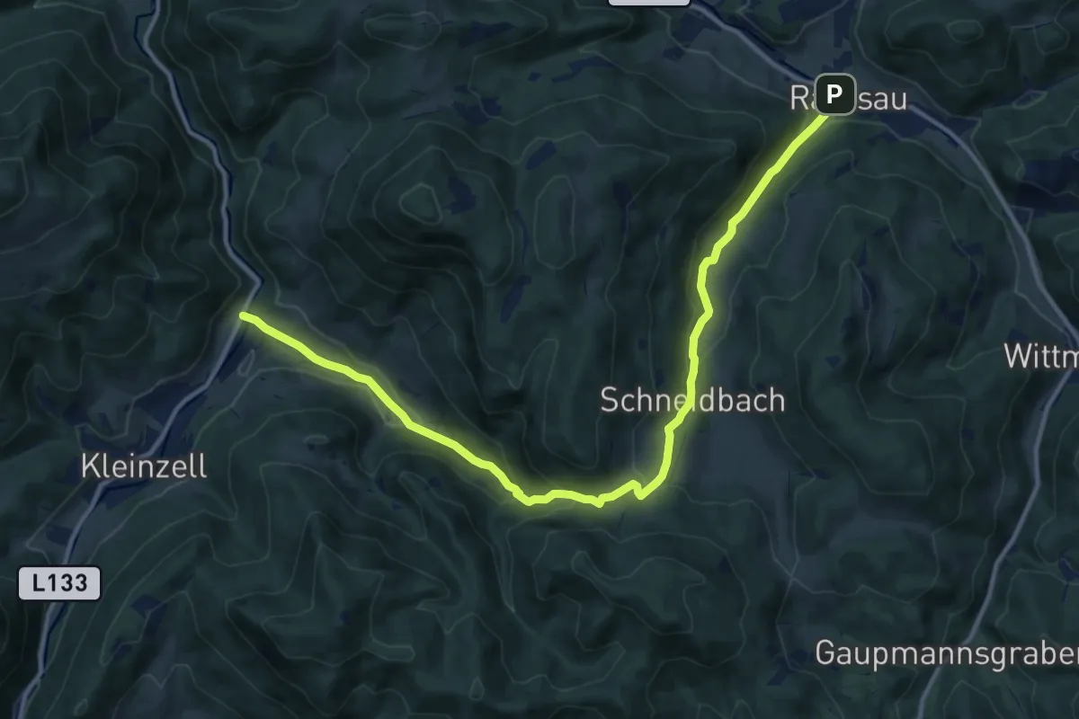
Medium · Trail
Ramsau - Kruckensattel - Salzabad
13.8 km · ↑ 546 m · 4 h 26 min
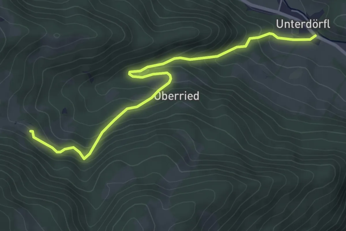
Easy · Trail
Ramsau - Unterhöhenberg
5.6 km · ↑ 283 m · 1 h 57 min
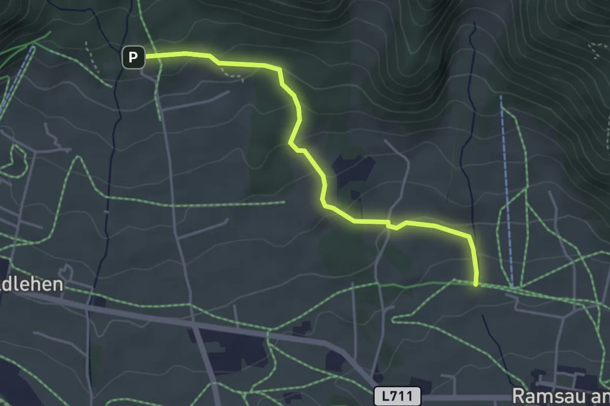
Easy · Trail
Ramsau - WA Edelbrunn
3.8 km · ↑ 160 m · 1 h 15 min
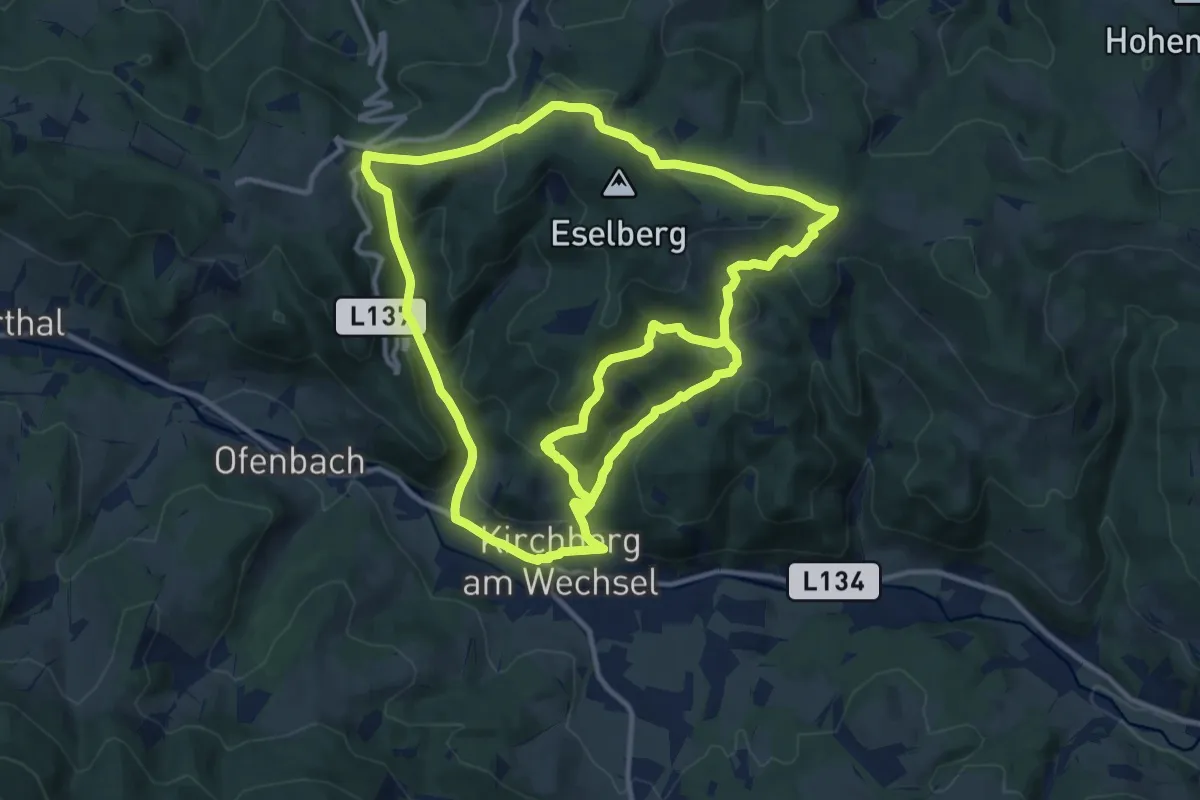
Medium · Trail
Rams Wanderweg
12.7 km · ↑ 582 m · 4 h 21 min
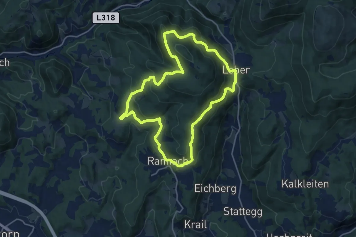
Medium · Trail
Rannach Rundweg 766
12.0 km · ↑ 414 m · 3 h 53 min
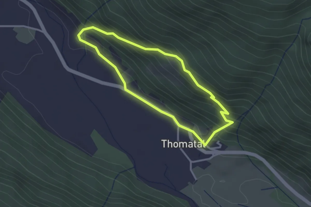
Easy · Trail
Rannerrundweg
2.3 km · ↑ 146 m · 53 min
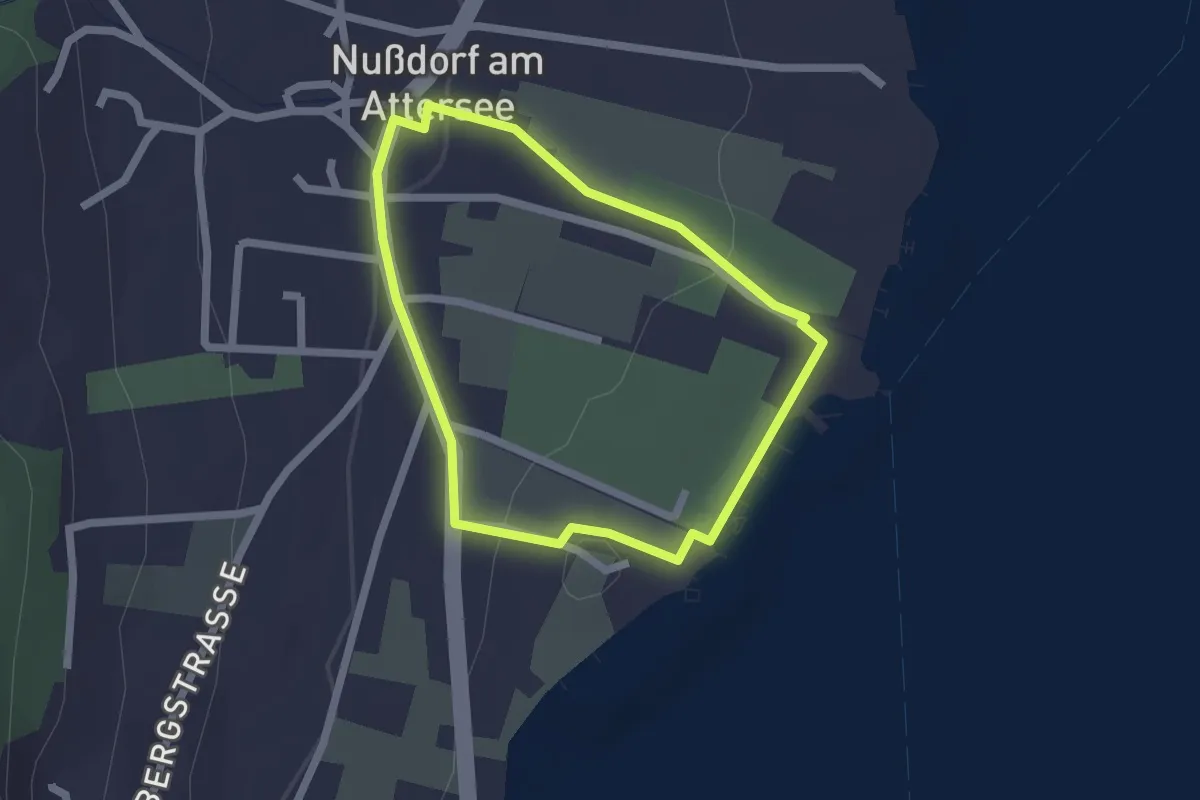
Easy · Trail
Ransonnet-Themenweg
1.7 km · ↑ 27 m · 29 min
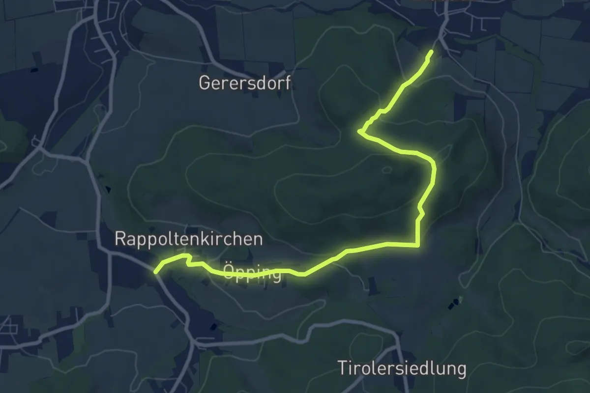
Medium · Trail
Rappoltenkirchen - Elsbach
8.5 km · ↑ 246 m · 2 h 32 min
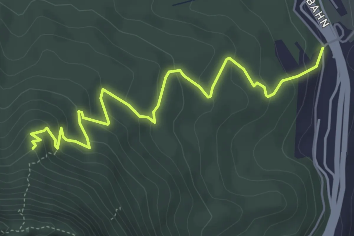
Medium · Trail
Rasburg
5.5 km · ↑ 325 m · 2 h
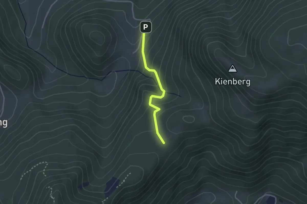
Easy · Cabin
Rastberg bei Miesenbach - Scheimhütte
2.3 km · ↑ 155 m · 52 min
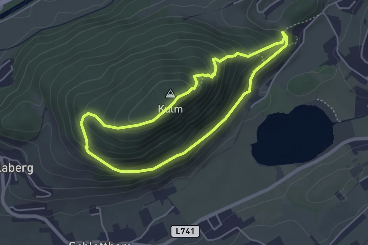
Medium · Summit
Rätselwanderweg
3.4 km · ↑ 246 m · 1 h 23 min
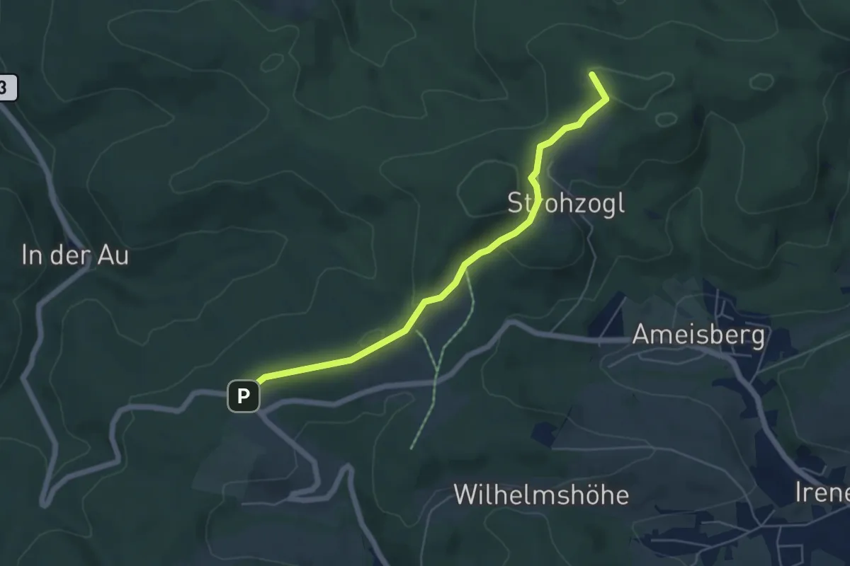
Medium · Summit
Rauchengern - Troppberg
5.2 km · ↑ 113 m · 1 h 28 min
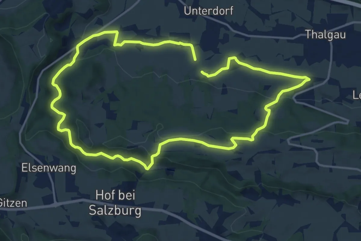
Demanding · Trail
Rauchhaus Rundweg
21.1 km · ↑ 402 m · 5 h 51 min
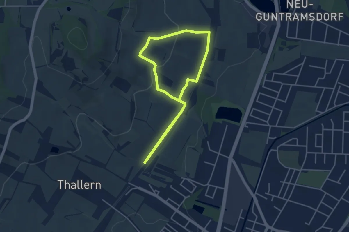
Easy · Summit
Rauch Immobilien Runde (Guntramsdorf)
3.0 km · ↑ 75 m · 55 min
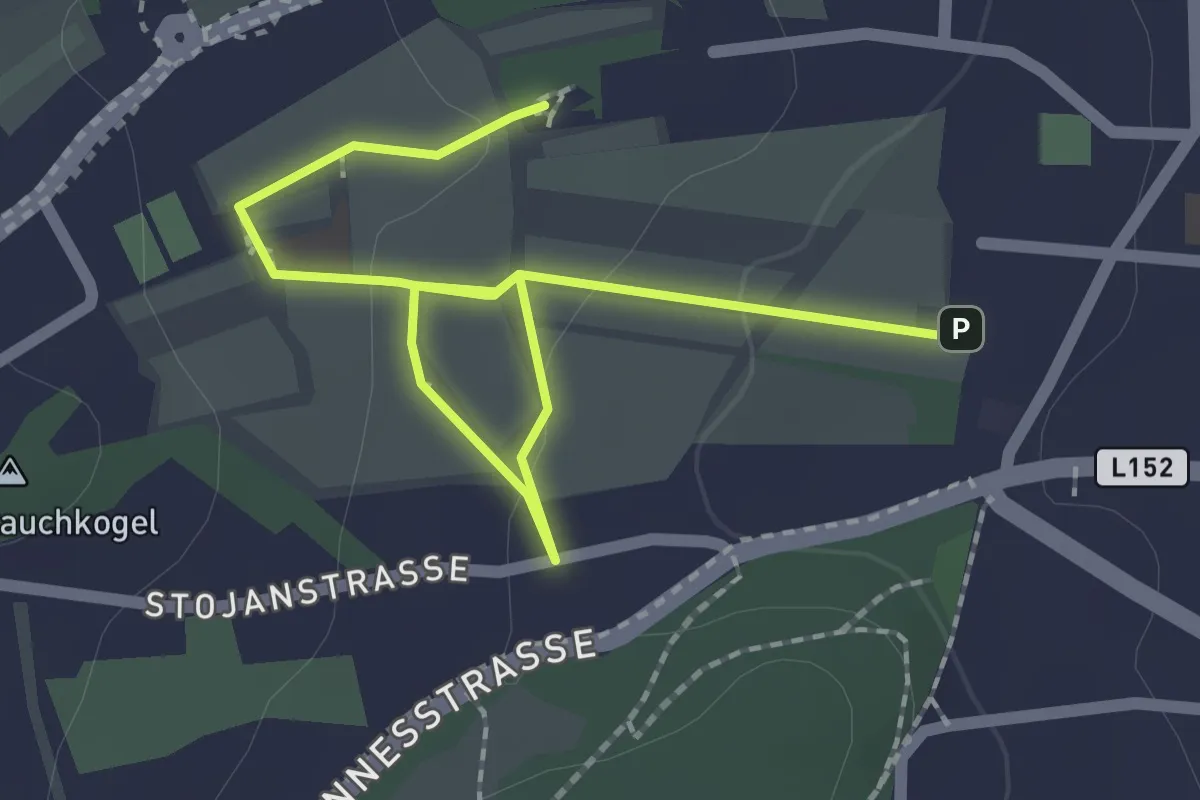
Easy · Summit
Rauchkogler-Runde
2.6 km · ↑ 38 m · 41 min
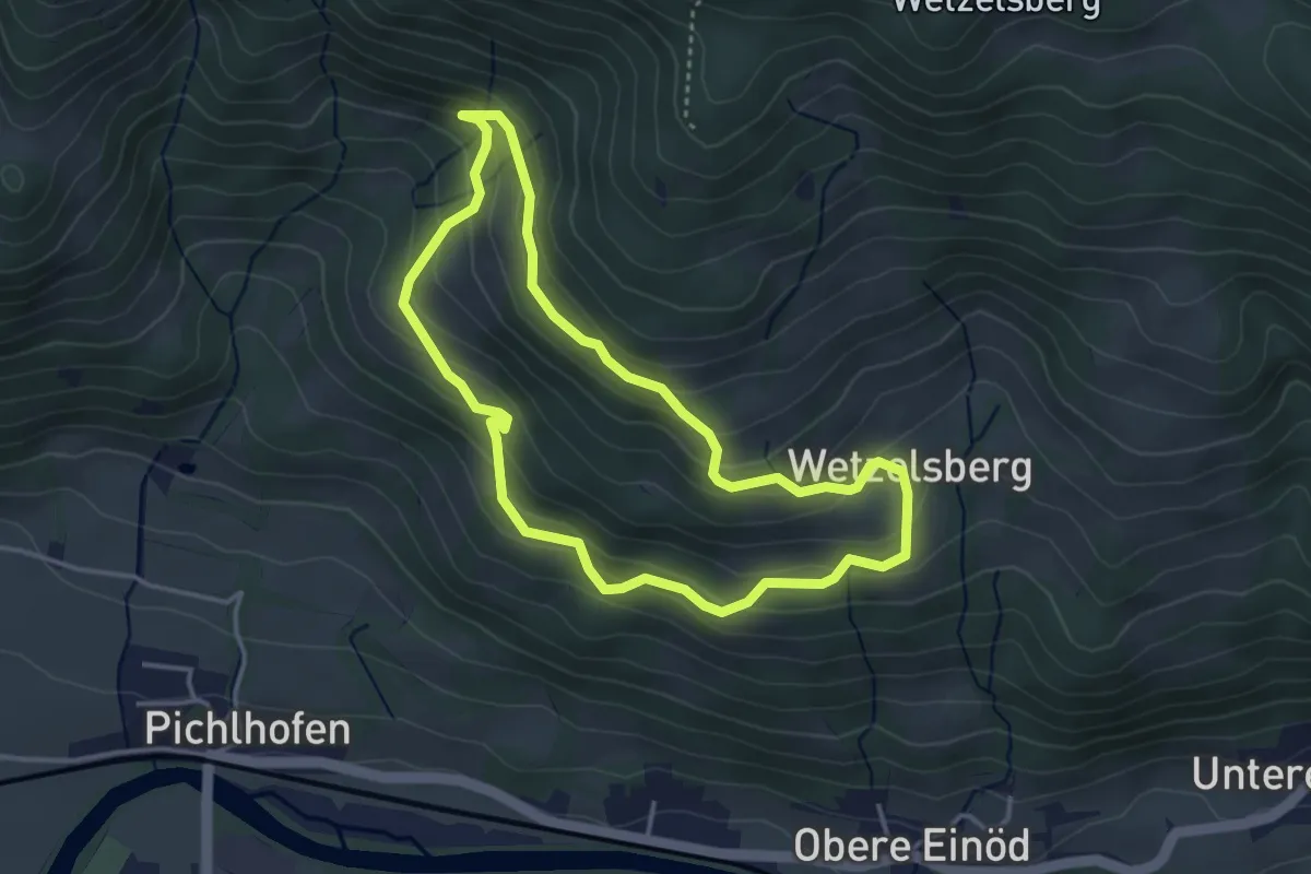
Easy · Trail
Rauchstubenweg
3.5 km · ↑ 187 m · 1 h 17 min
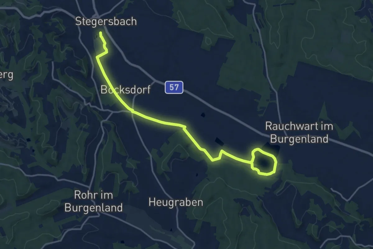
Medium · Trail
Rauchwart - Stausee (Stegersbach)
16.1 km · ↑ 35 m · 3 h 53 min
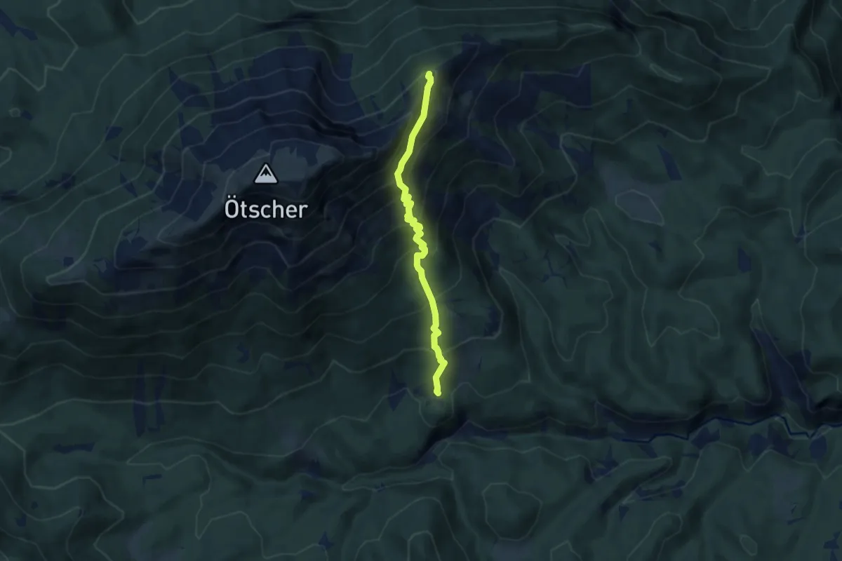
Demanding · Trail
Rauher Kamm (Ötscher) - Jägerherz
6.3 km · ↑ 691 m · 2 h 59 min
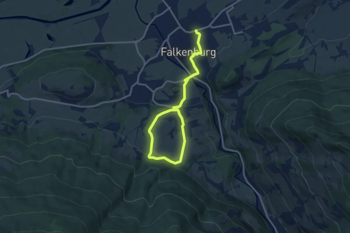
Easy · Trail
Raumberger Rundweg
4.7 km · ↑ 124 m · 1 h 29 min
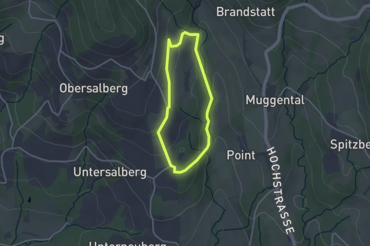
Easy · Trail
Rauschbachweg
2.2 km · ↑ 80 m · 43 min
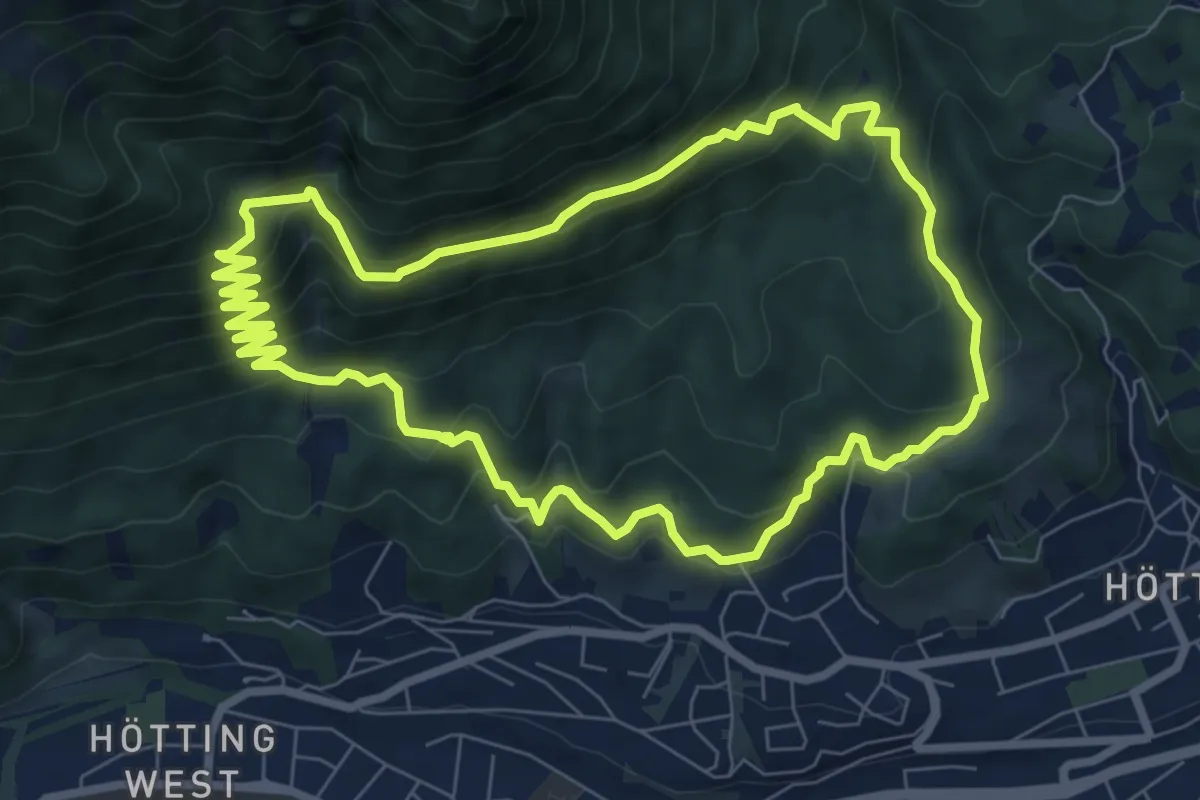
Medium · Trail
Rauschbrunnen-Runde
7.8 km · ↑ 449 m · 2 h 56 min
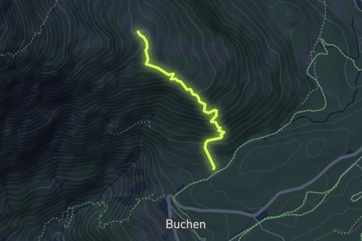
Medium · Cabin
Rauthhütte
3.2 km · ↑ 357 m · 1 h 32 min