Trails in Austria
9,779 hiking trails, each with its route, climb, walking time and grade.
All trails, page 92 of 204
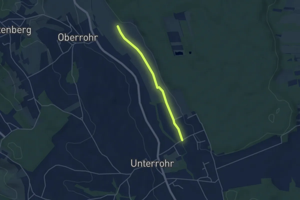
Easy · Trail
Rohr bei Hartberg Weg 1
3.6 km · ↑ 9 m · 51 min
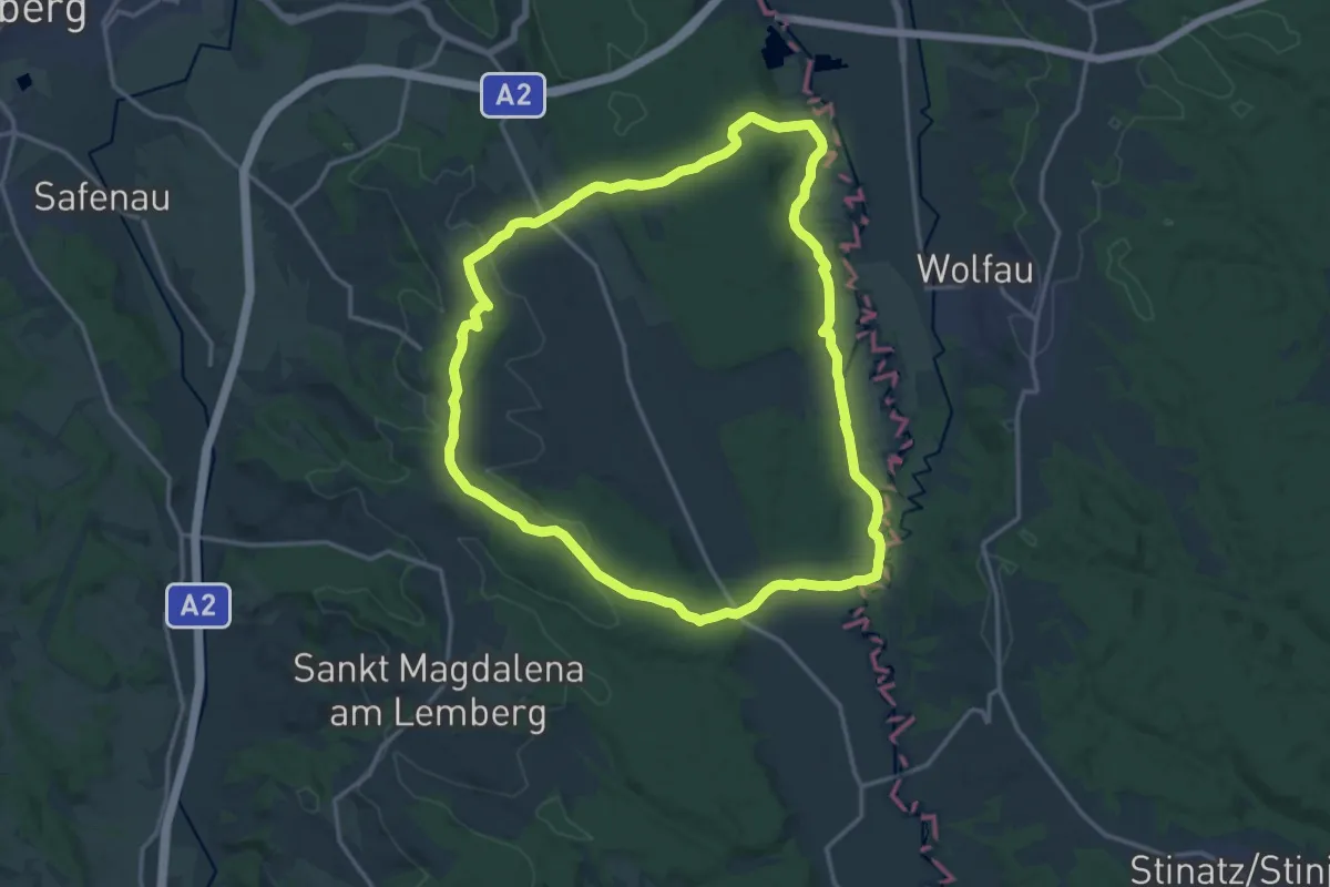
Medium · Summit
Rohr bei Hartberg Weg 10
16.2 km · ↑ 163 m · 4 h 24 min
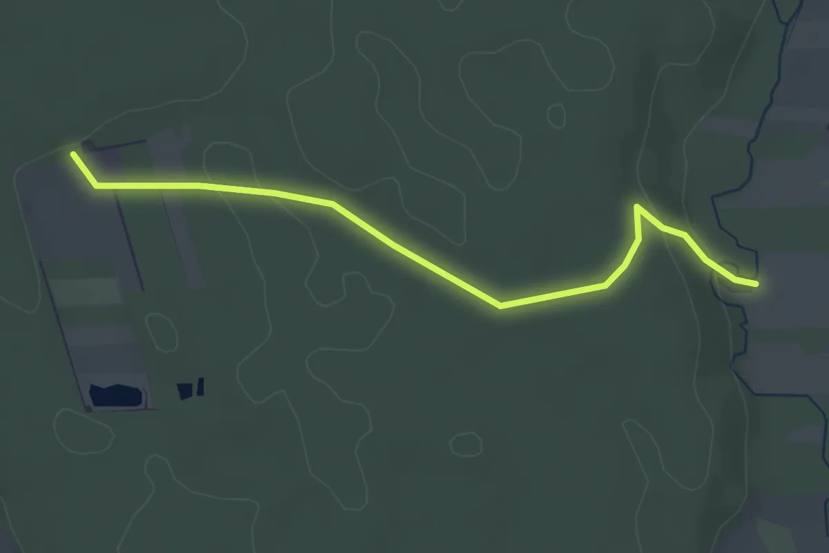
Easy · Trail
Rohr bei Hartberg Weg 2
3.5 km · ↑ 42 m · 54 min
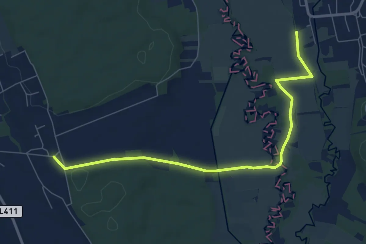
Easy · Trail
Rohr bei Hartberg Weg 3
7.0 km · ↑ 24 m · 1 h 43 min
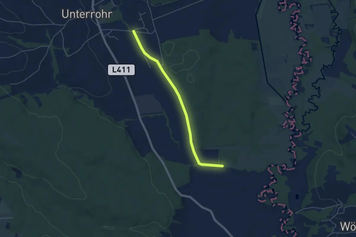
Easy · Trail
Rohr bei Hartberg Weg 4
4.5 km · ↑ 26 m · 1 h 7 min
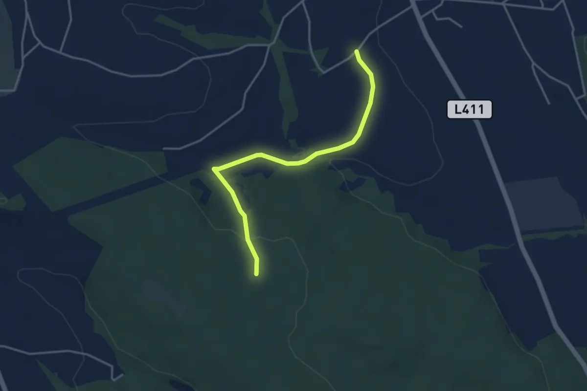
Easy · Trail
Rohr bei Hartberg Weg 5
3.4 km · ↑ 73 m · 58 min
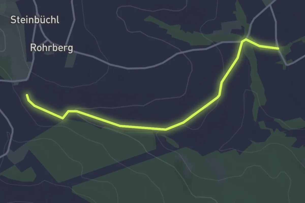
Easy · Trail
Rohr bei Hartberg Weg 6
3.5 km · ↑ 84 m · 1 h
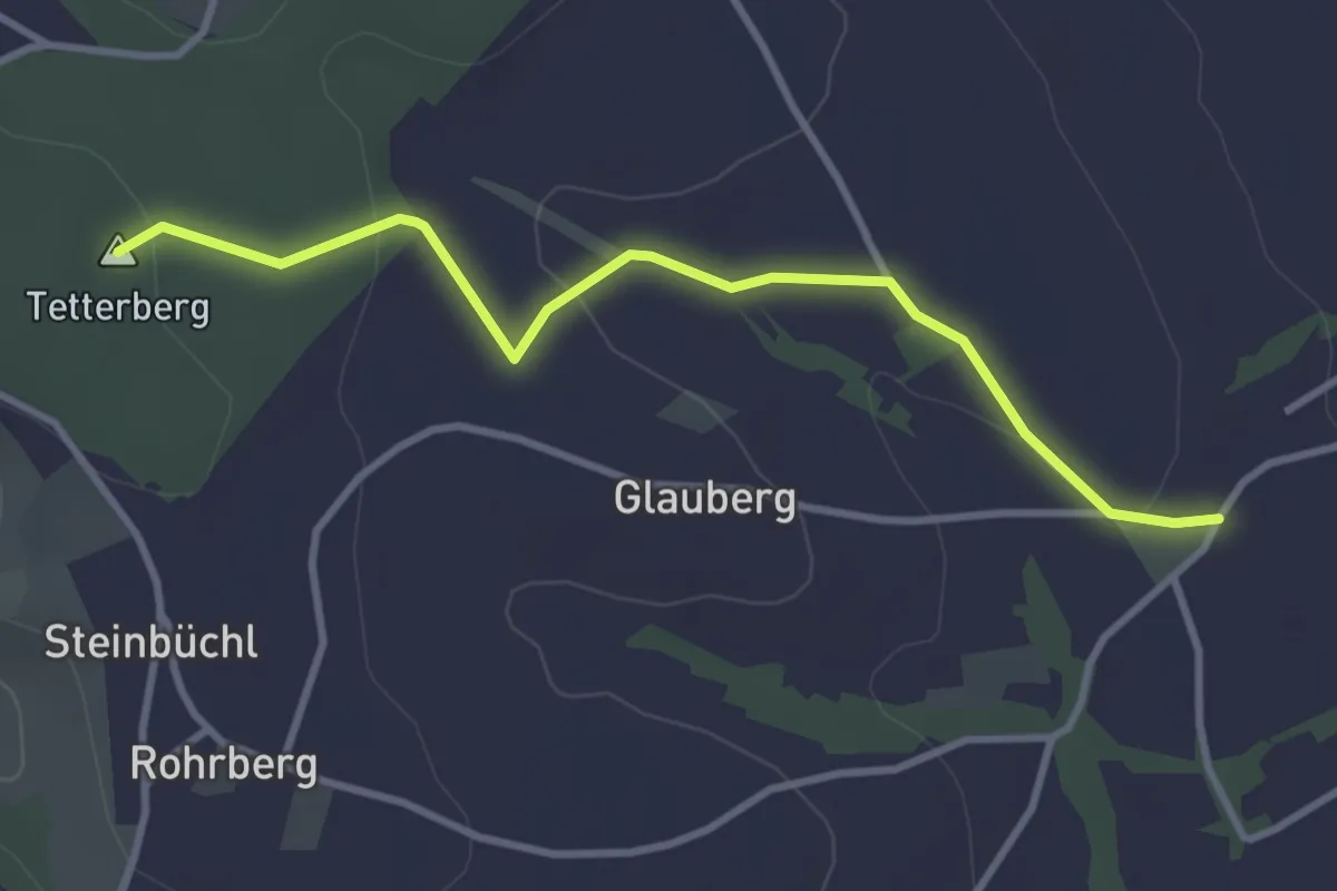
Easy · Summit
Rohr bei Hartberg Weg 7
3.4 km · ↑ 71 m · 58 min
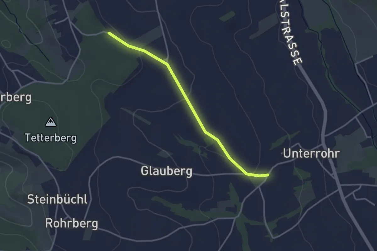
Easy · Trail
Rohr bei Hartberg Weg 8
2.9 km · ↑ 43 m · 47 min
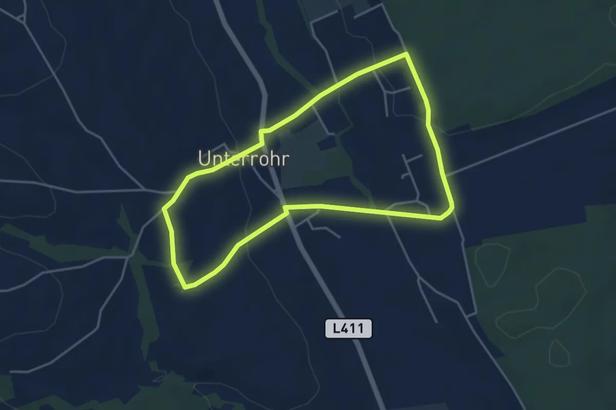
Easy · Trail
Rohr bei Hartberg Weg 9
3.6 km · ↑ 78 m · 1 h 4 min
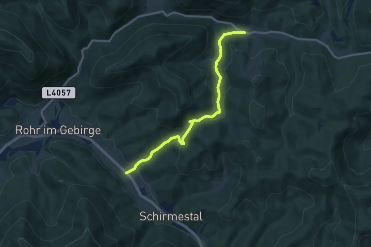
Easy · Trail
Rohr im Gebirge - Gasthaus Furtner
6.8 km · ↑ 218 m · 2 h 5 min
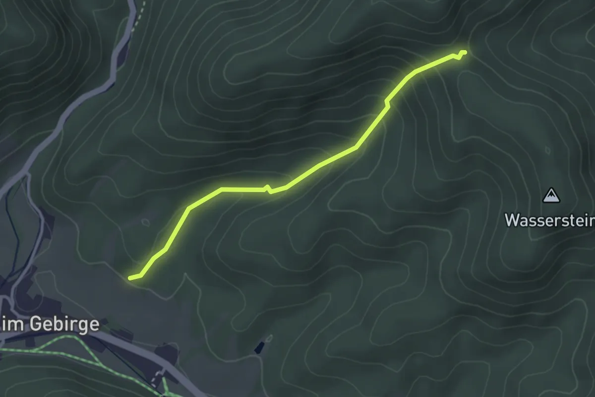
Easy · Trail
Rohr im Gebirge -Richtung Mitterberg
2.9 km · ↑ 214 m · 1 h 9 min
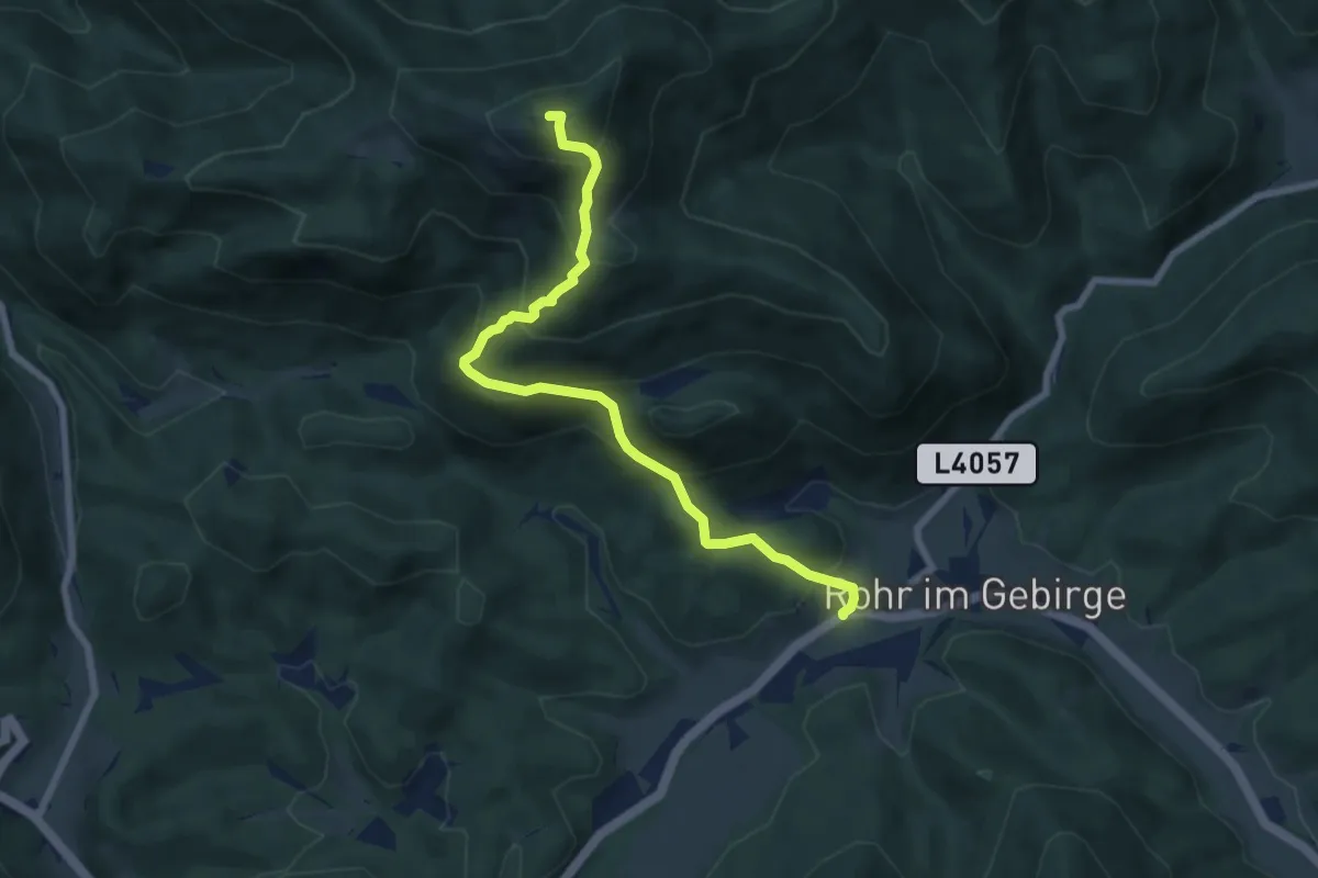
Medium · Summit
Rohr im Gebirge - Schacherkreuz-Jochart
7.3 km · ↑ 598 m · 3 h 1 min
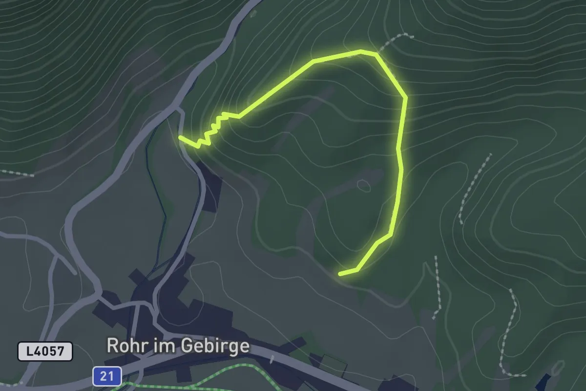
Easy · Trail
Rohr-Marienhöhe-Rohr
2.2 km · ↑ 194 m · 56 min
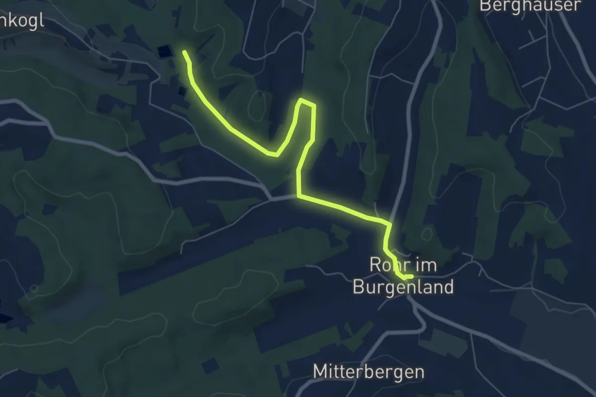
Easy · Trail
Rohr - Stegersbach - Rohr
6.5 km · ↑ 8 m · 1 h 33 min
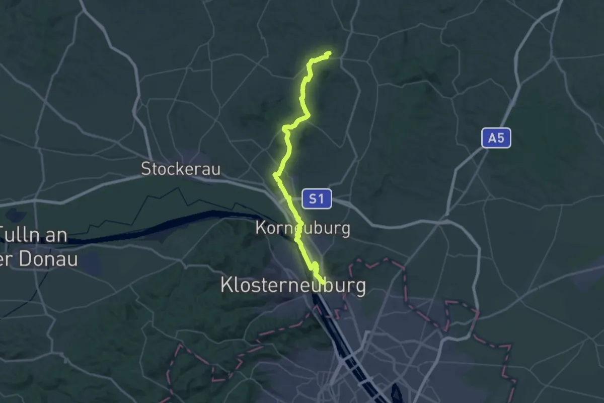
Demanding · Summit
Rohrwaldweg
48.0 km · ↑ 635 m · 12 h 43 min
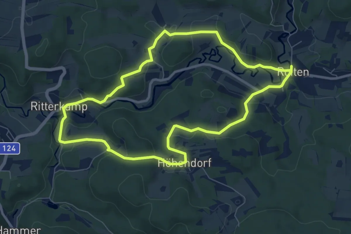
Easy · Trail
Roitenweg 1
6.7 km · ↑ 166 m · 2 h 2 min
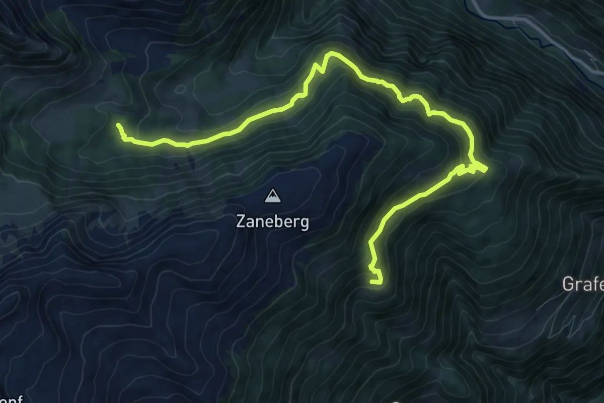
Medium · Cabin
Rollbahnweg
12.2 km · ↑ 529 m · 4 h 1 min
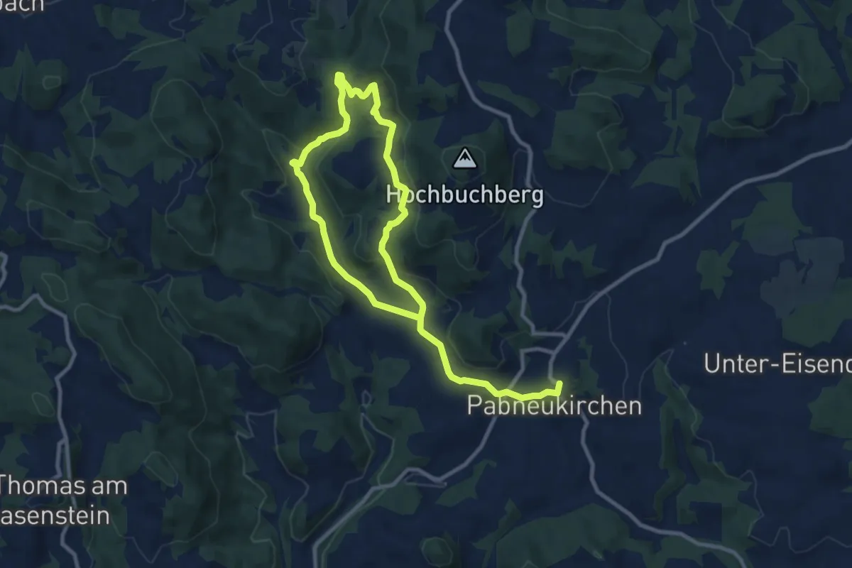
Easy · Trail
Romantiktal-Maseldorf
7.0 km · ↑ 206 m · 2 h 12 min
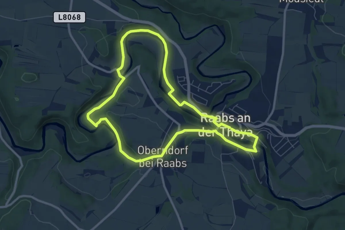
Easy · Trail
Romantik Weg
6.6 km · ↑ 106 m · 1 h 53 min
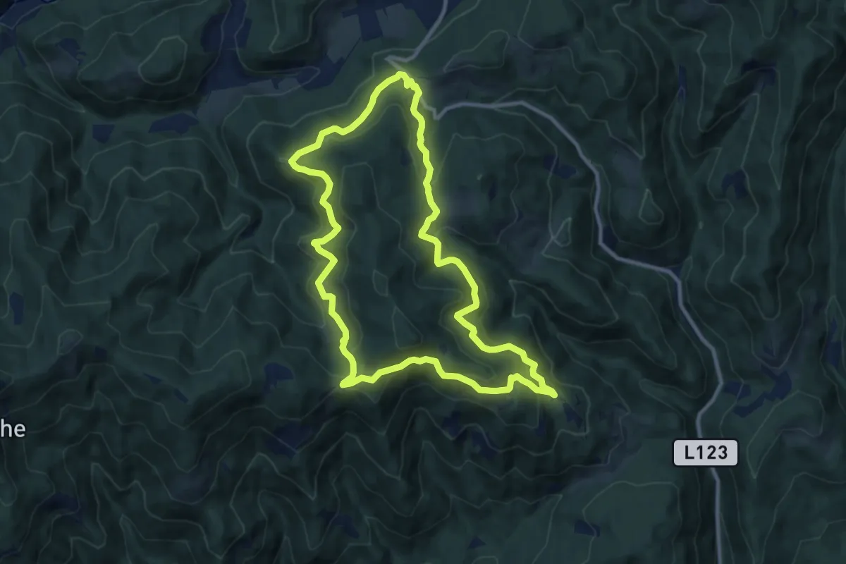
Medium · Trail
Romantischer Bründlweg
9.9 km · ↑ 363 m · 3 h 16 min
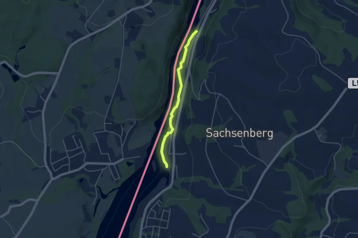
Easy · Trail
Romantischer Inn Wanderweg
3.3 km · ↑ 39 m · 52 min
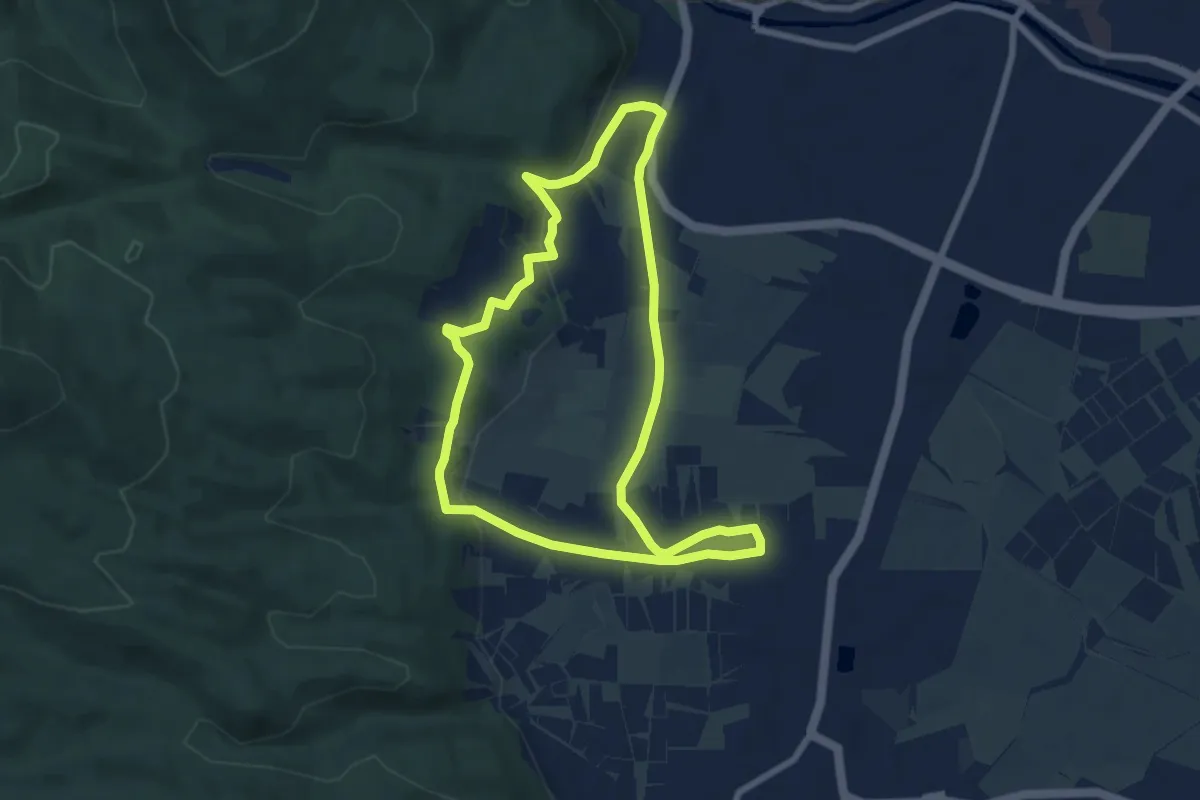
Medium · Trail
Römerberg Route (Nordic Walking Route 8)
6.7 km · ↑ 116 m · 1 h 56 min
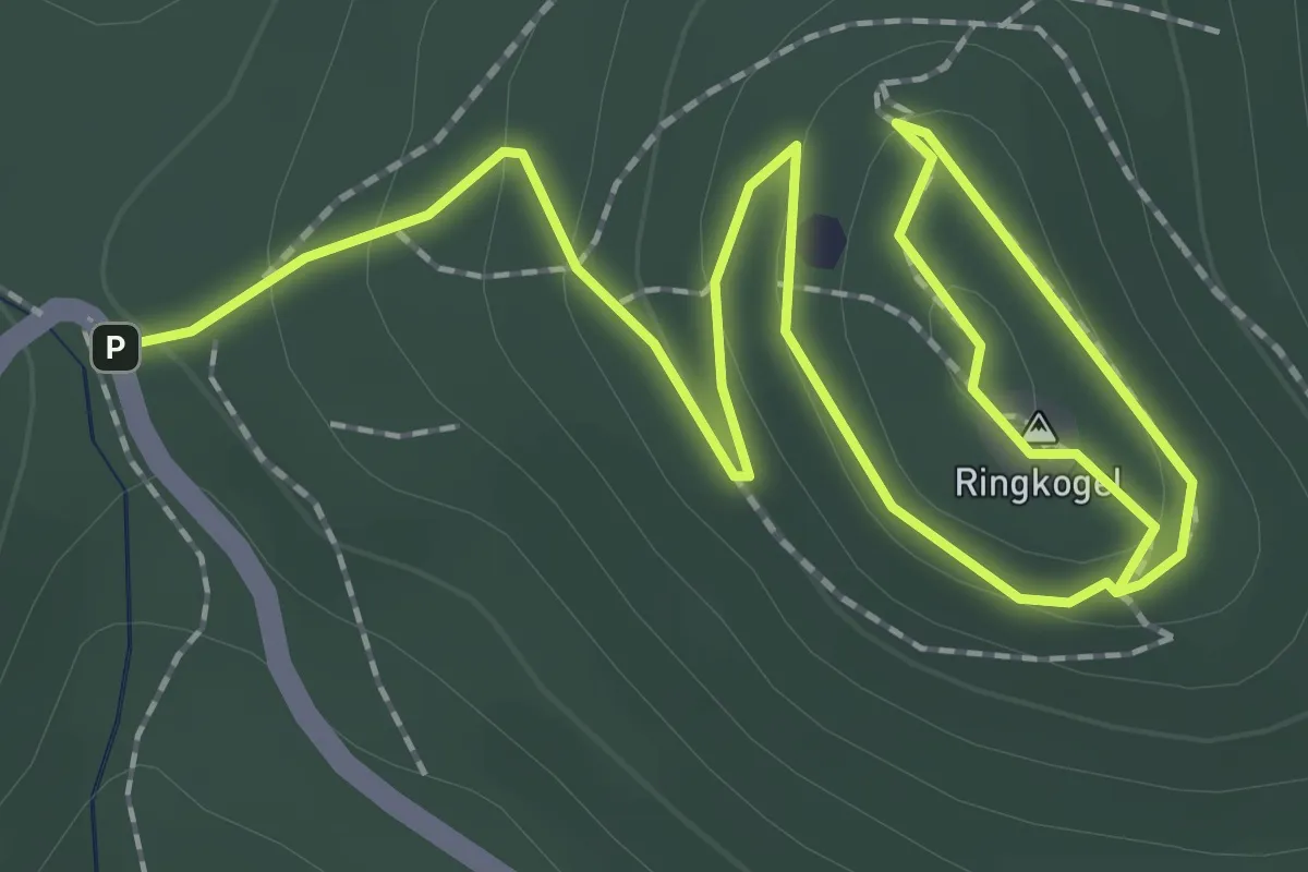
Easy · Summit
Römer Kelten Sagenweg
1.7 km · ↑ 95 m · 36 min
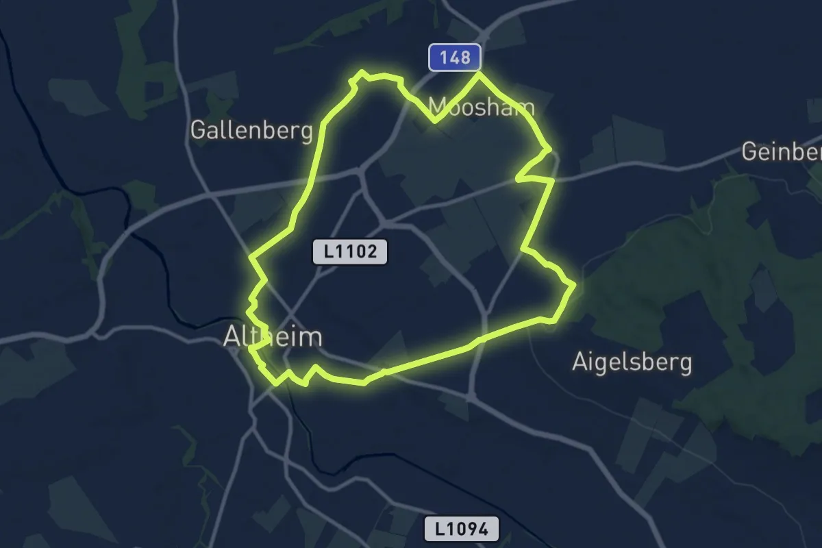
Medium · Trail
Römer-Runde
10.7 km · ↑ 49 m · 2 h 47 min
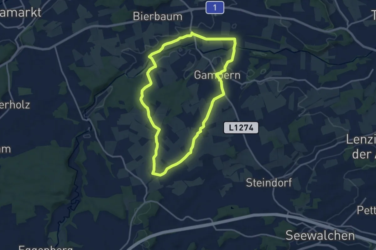
Medium · Trail
Römerrundweg
10.0 km · ↑ 106 m · 2 h 44 min
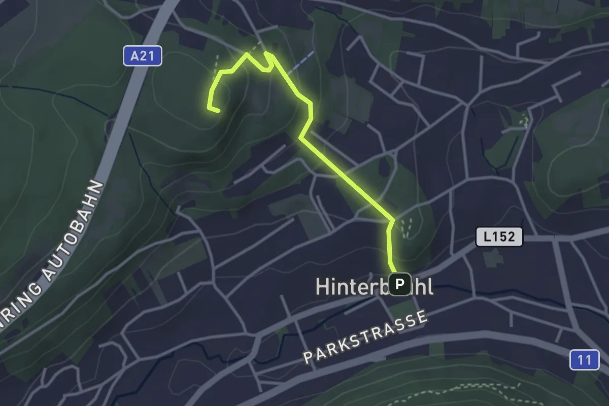
Easy · Summit
Römerwand - Sittnerwarte
2.8 km · ↑ 168 m · 1 h 1 min
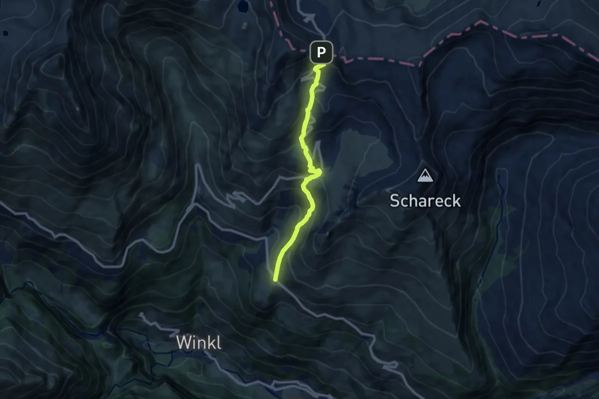
Medium · Trail
Römerweg
7.9 km · ↑ 665 m · 3 h 19 min
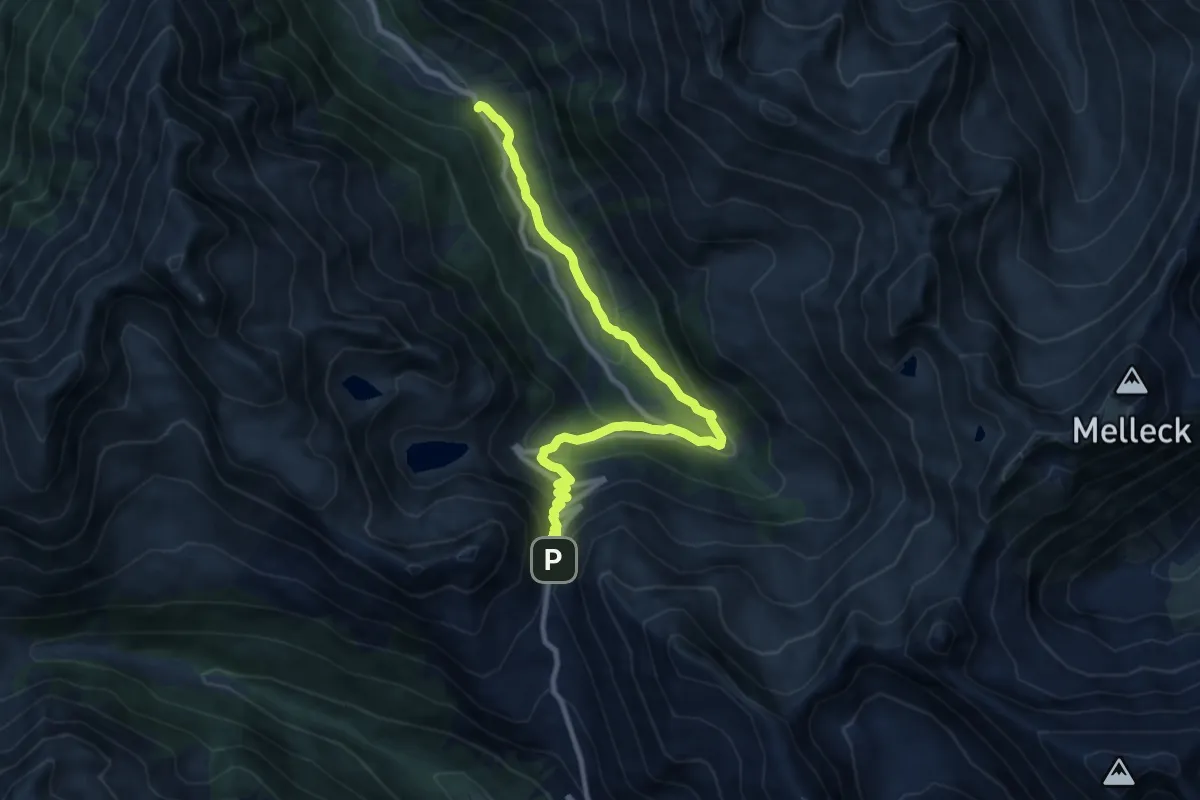
Medium · Trail
Römerweg
10.4 km · ↑ 504 m · 3 h 33 min
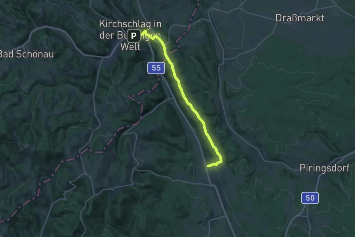
Medium · Trail
Römerweg
17.3 km · ↑ 304 m · 4 h 45 min
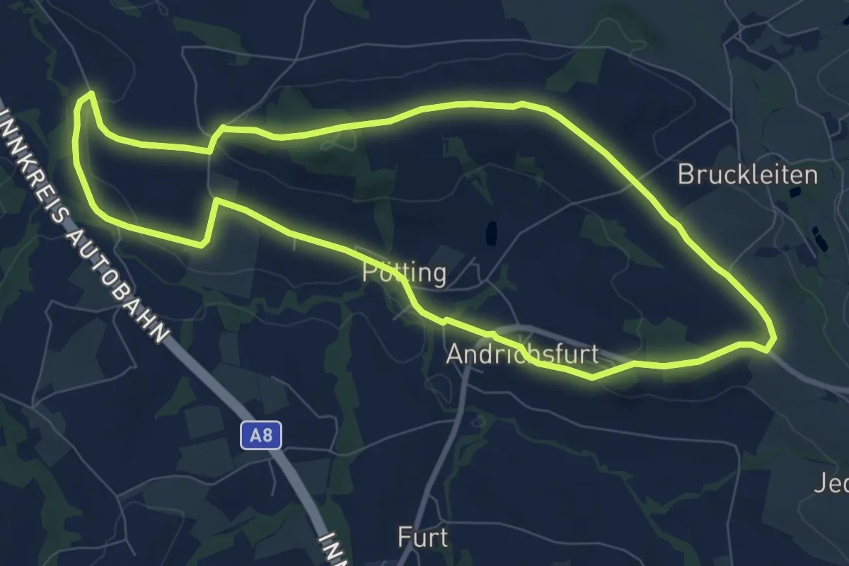
Medium · Summit
Römerweg
8.4 km · ↑ 126 m · 2 h 22 min
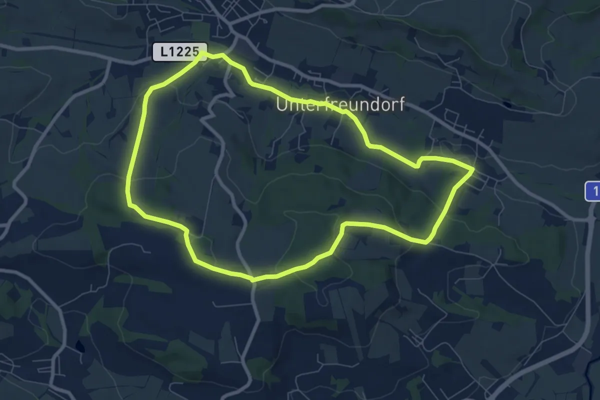
Easy · Trail
Römerweg
7.3 km · ↑ 166 m · 2 h 12 min
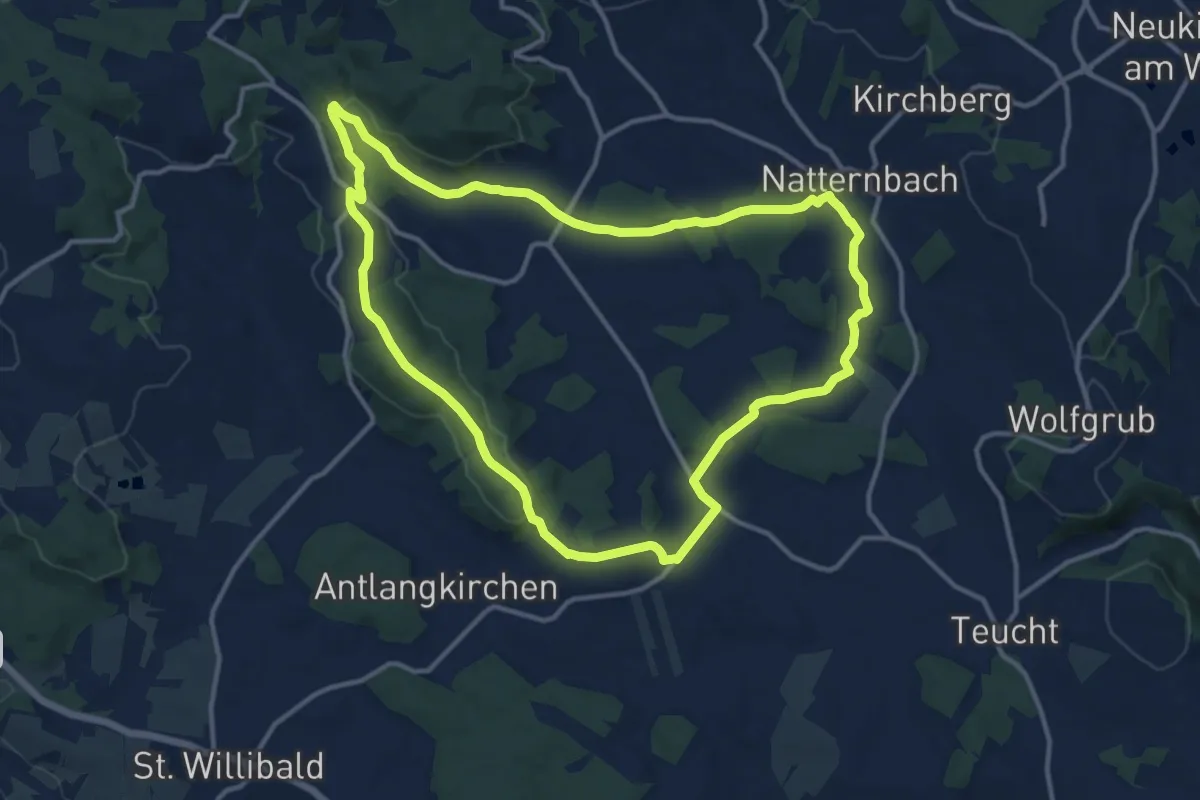
Medium · Trail
Römerweg
12.4 km · ↑ 174 m · 3 h 29 min
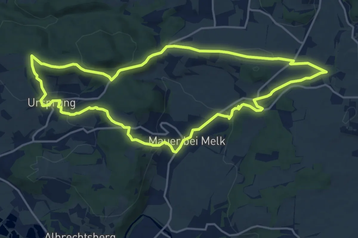
Medium · Trail
Römerweg
11.5 km · ↑ 269 m · 3 h 28 min
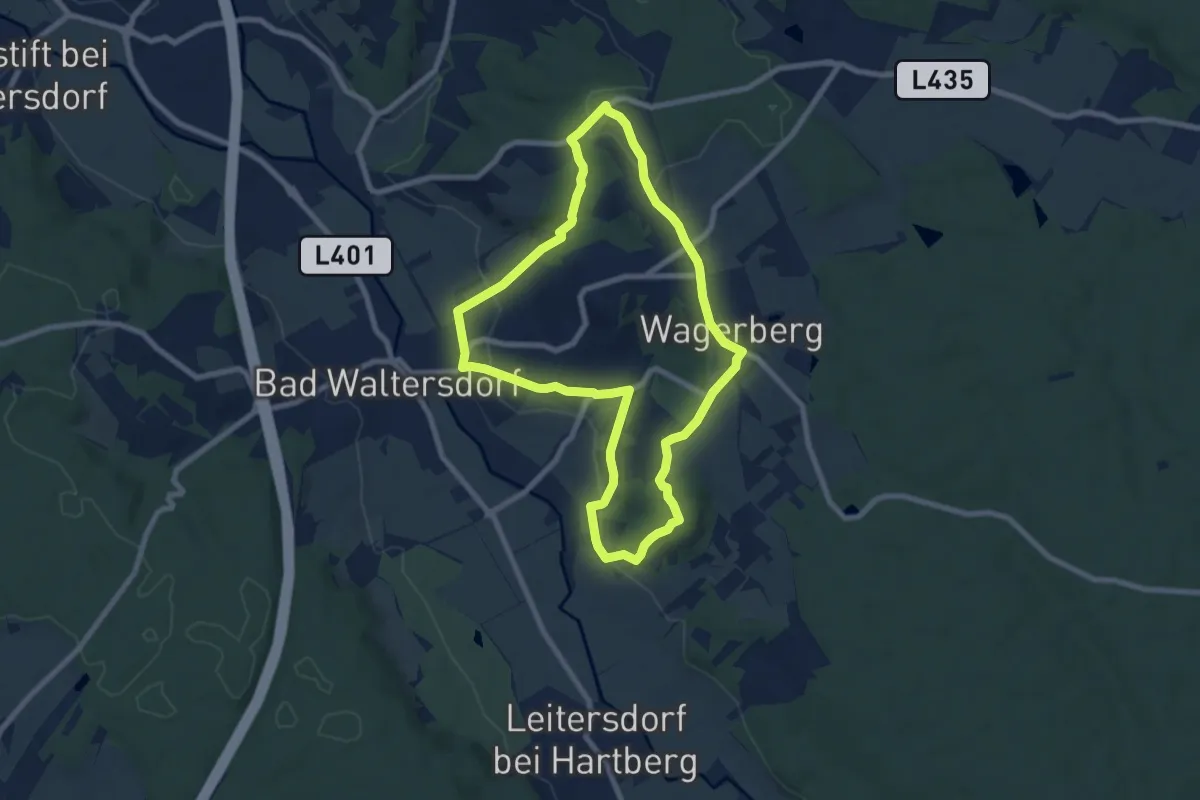
Easy · Trail
Römerweinweg (W3)
7.5 km · ↑ 160 m · 2 h 13 min
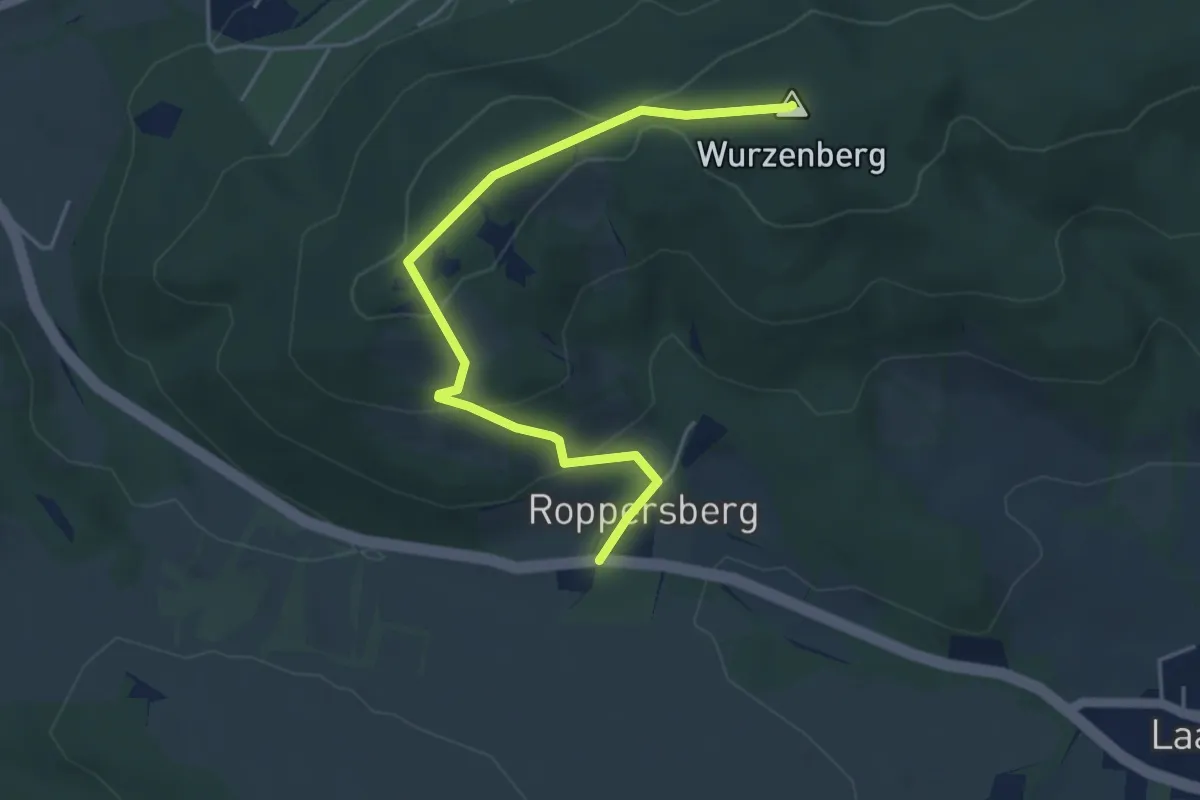
Easy · Summit
Roppersberg - Lainzer Tiergarten
4.6 km · ↑ 173 m · 1 h 27 min
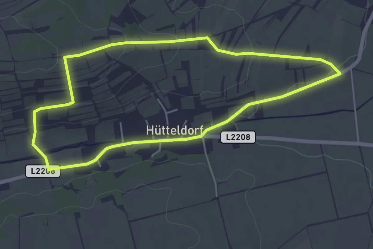
Easy · Trail
Rosaliarundweg
4.0 km · ↑ 78 m · 1 h 10 min
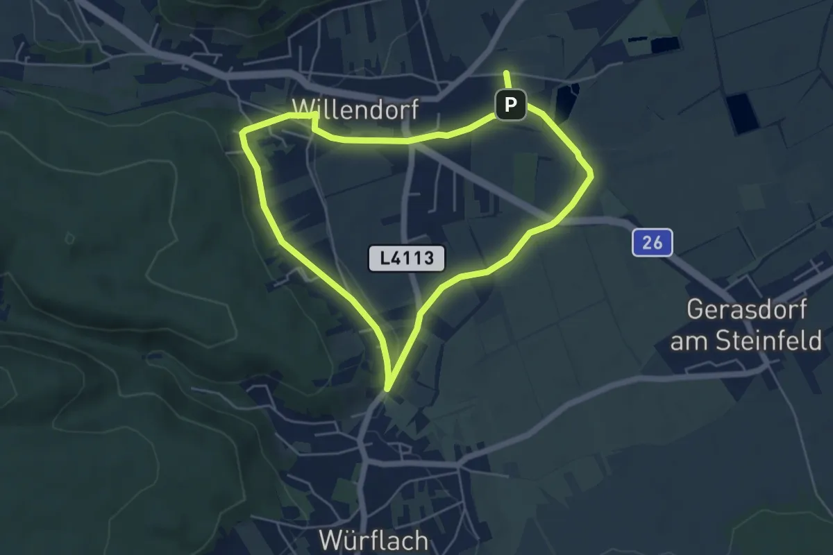
Easy · Trail
Rosalienblick Runde bei Willendorf
4.4 km · ↑ 45 m · 1 h 12 min
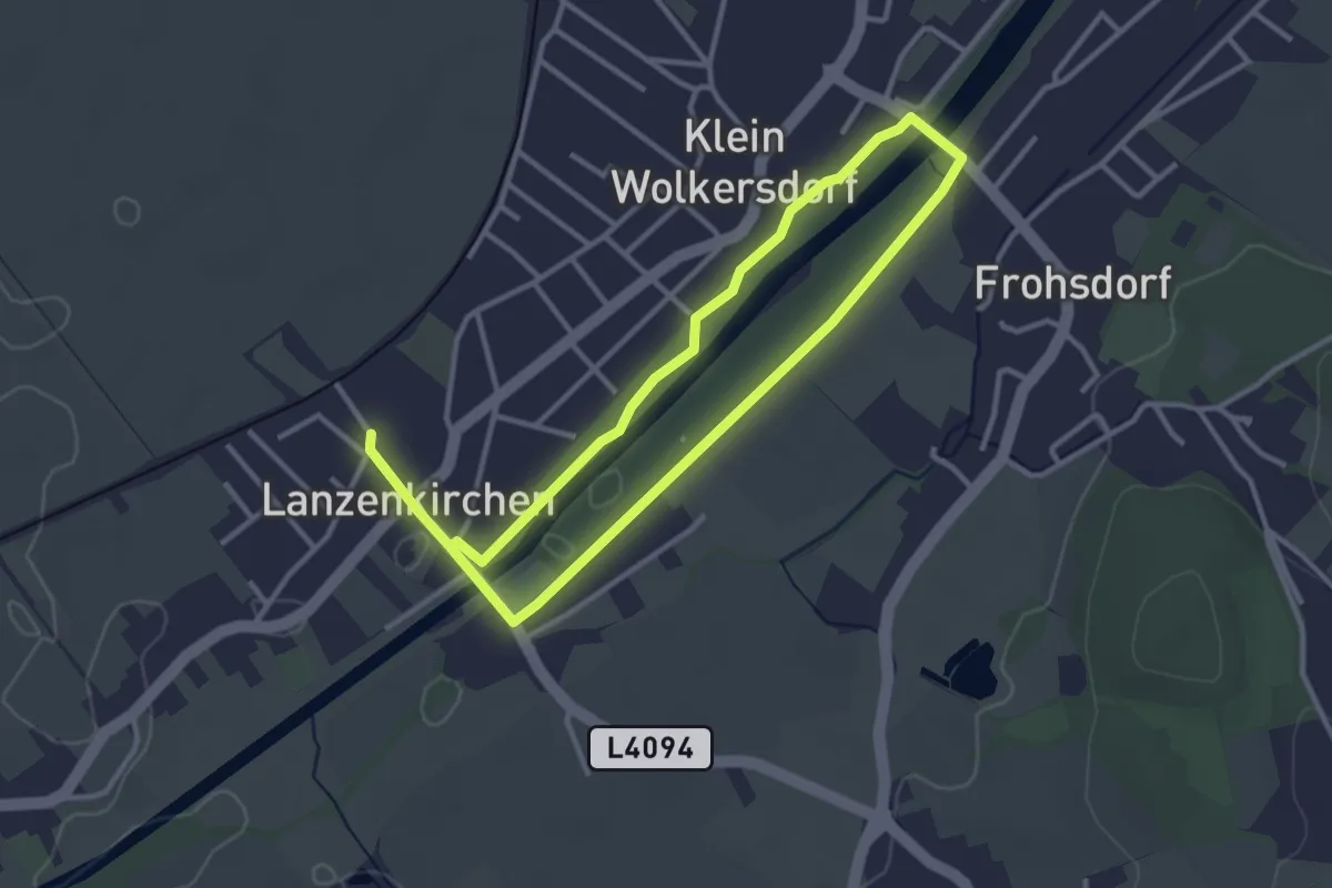
Easy · Trail
Rosalienblickrunde (Lanzenkirchen)
5.6 km · ↑ 4 m · 1 h 20 min
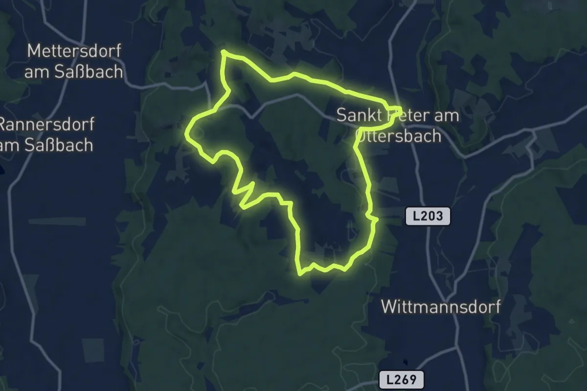
Medium · Trail
Rosenberger Weinweg
9.7 km · ↑ 187 m · 2 h 50 min
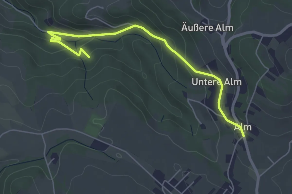
Easy · Trail
Rosenbrunn - "Mitterweg" - Innere Alm (A1 Alternative)
5.0 km · ↑ 225 m · 1 h 40 min
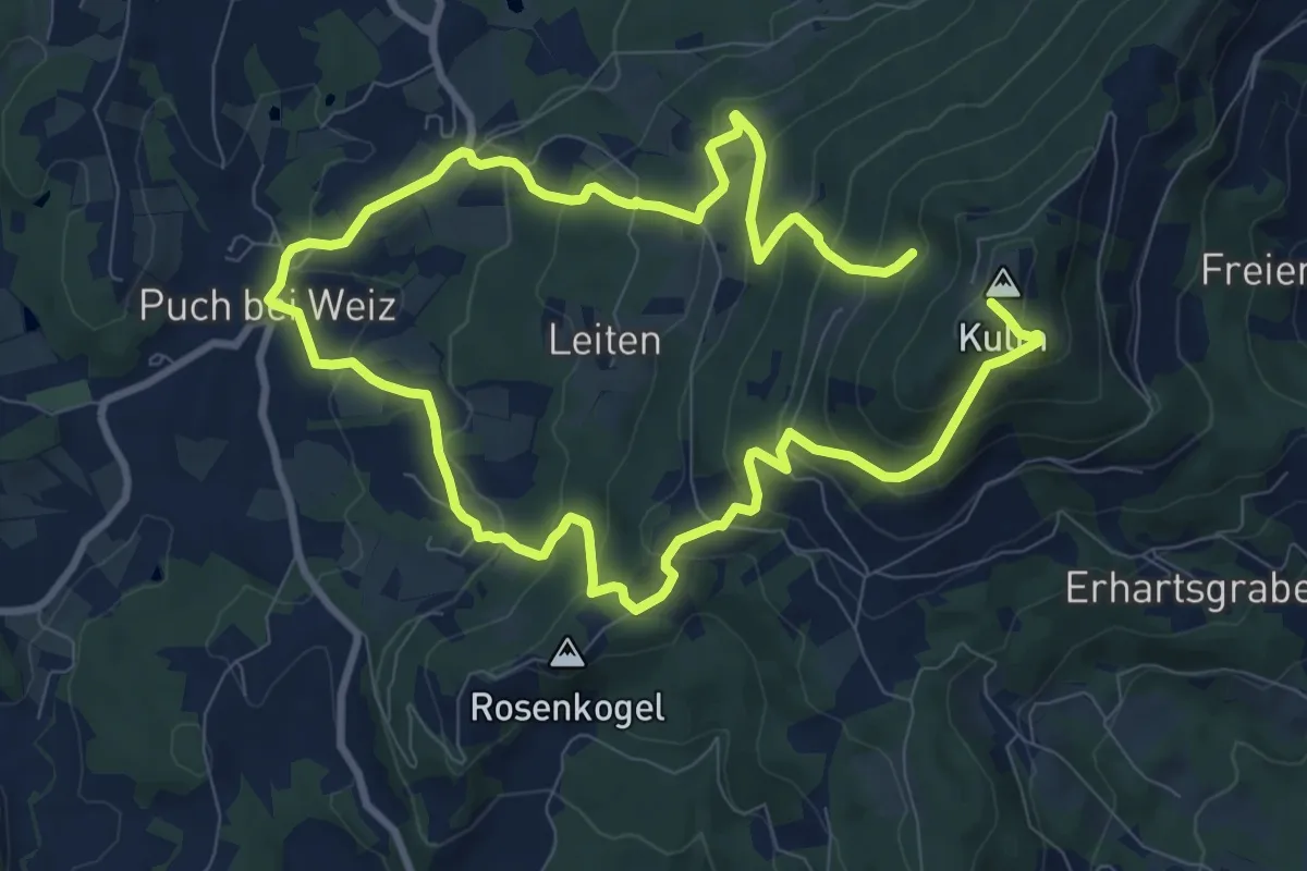
Medium · Summit
Rosenkogel - Kulmweg
8.1 km · ↑ 553 m · 3 h 9 min
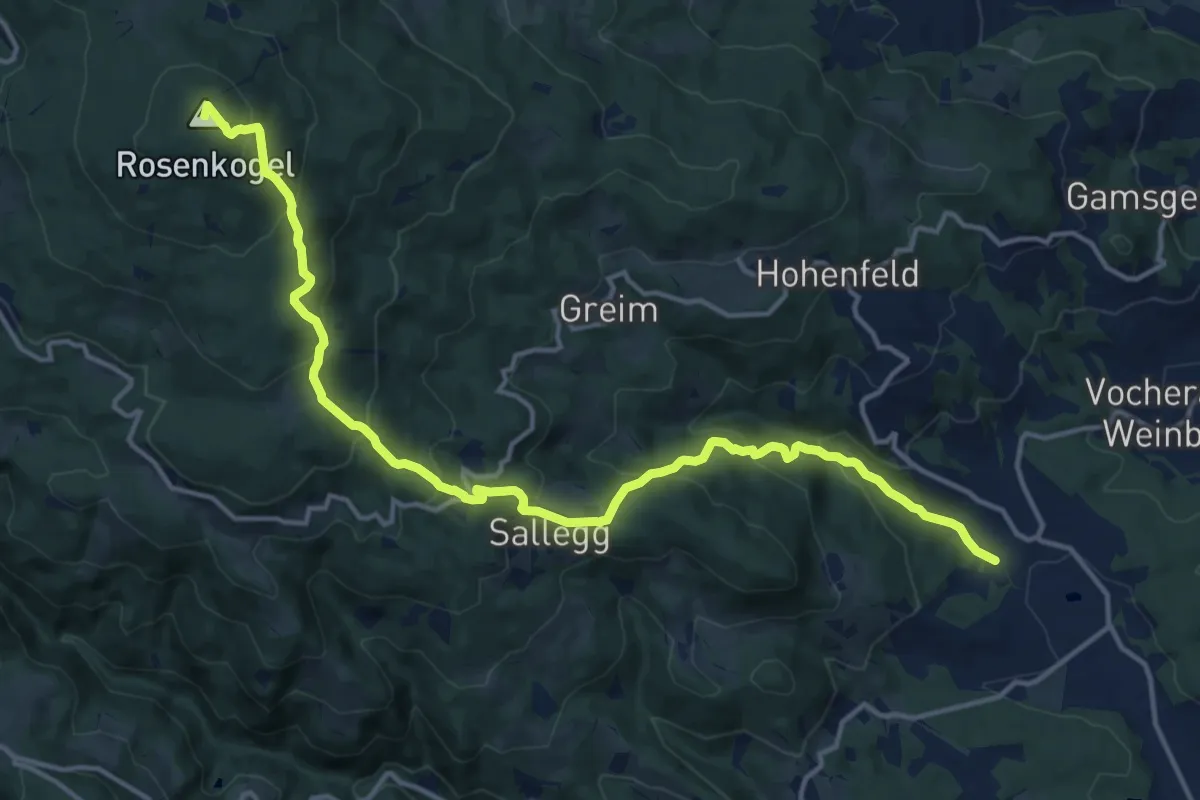
Demanding · Summit
Rosenkogelweg
16.8 km · ↑ 955 m · 6 h 2 min
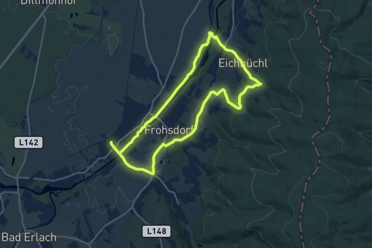
Demanding · Trail
Rosental Runde (Lanzenkirchen)
20.2 km · ↑ 222 m · 5 h 15 min
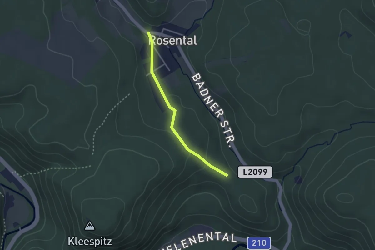
Easy · Trail
Rosental - Schwarzbergsattel
2.3 km · ↑ 41 m · 38 min
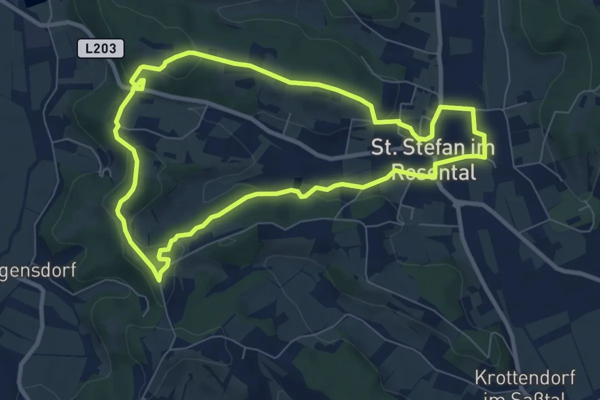
Easy · Trail
Rosenweg
6.6 km · ↑ 149 m · 1 h 58 min
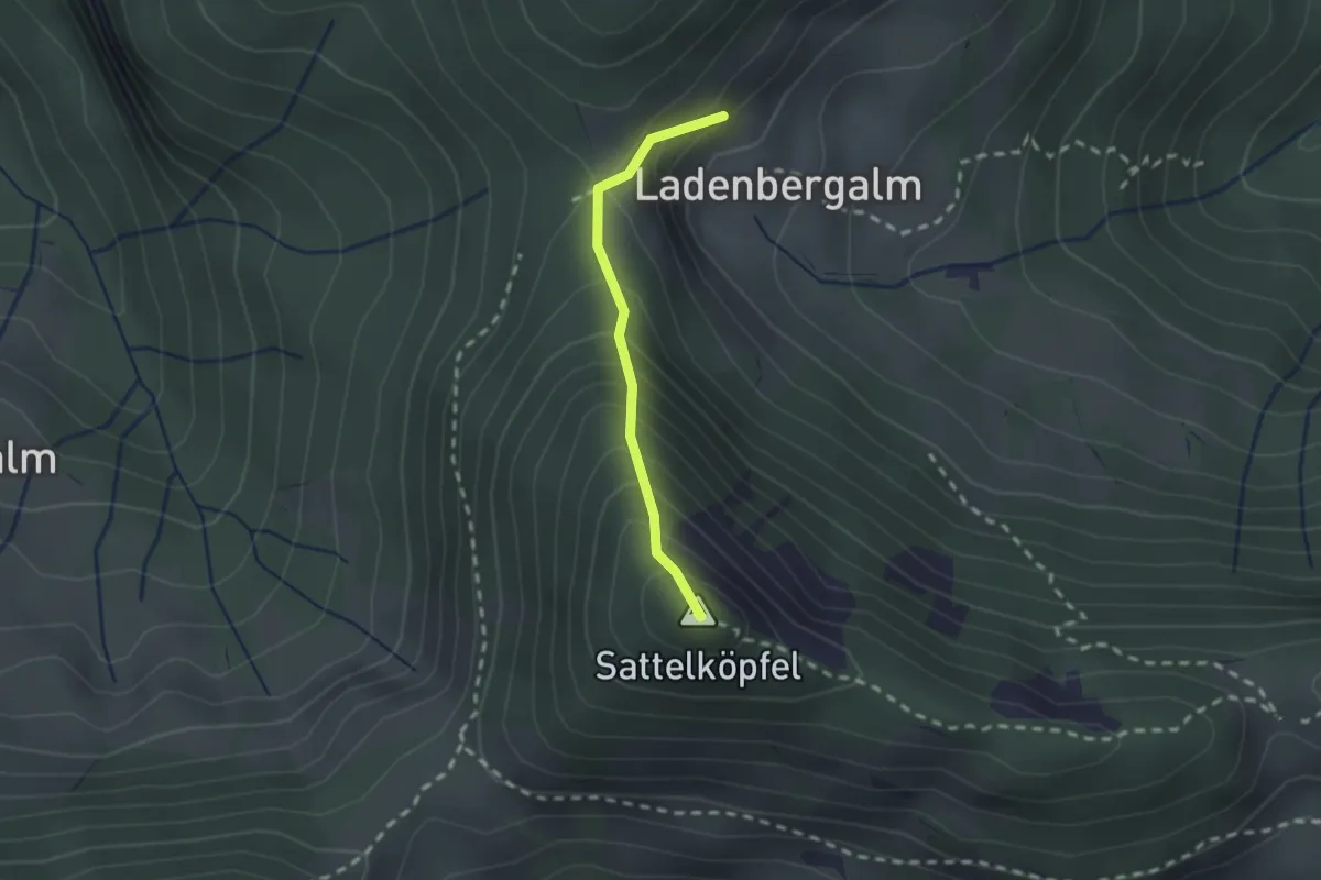
Demanding · Summit
Rosi - Berti - Steig
1.7 km · ↑ 255 m · 57 min
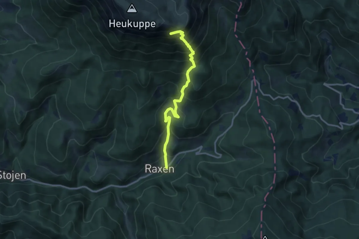
Demanding · Summit
Rosl-Payer-Weg, Gretchensteig 825
8.8 km · ↑ 962 m · 4 h 10 min