Trails in Austria
9,779 hiking trails, each with its route, climb, walking time and grade.
All trails, page 93 of 204
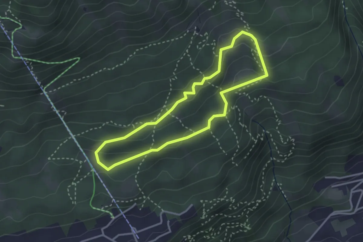
Medium · Trail
Rosnerweg-Run
2.6 km · ↑ 83 m · 50 min
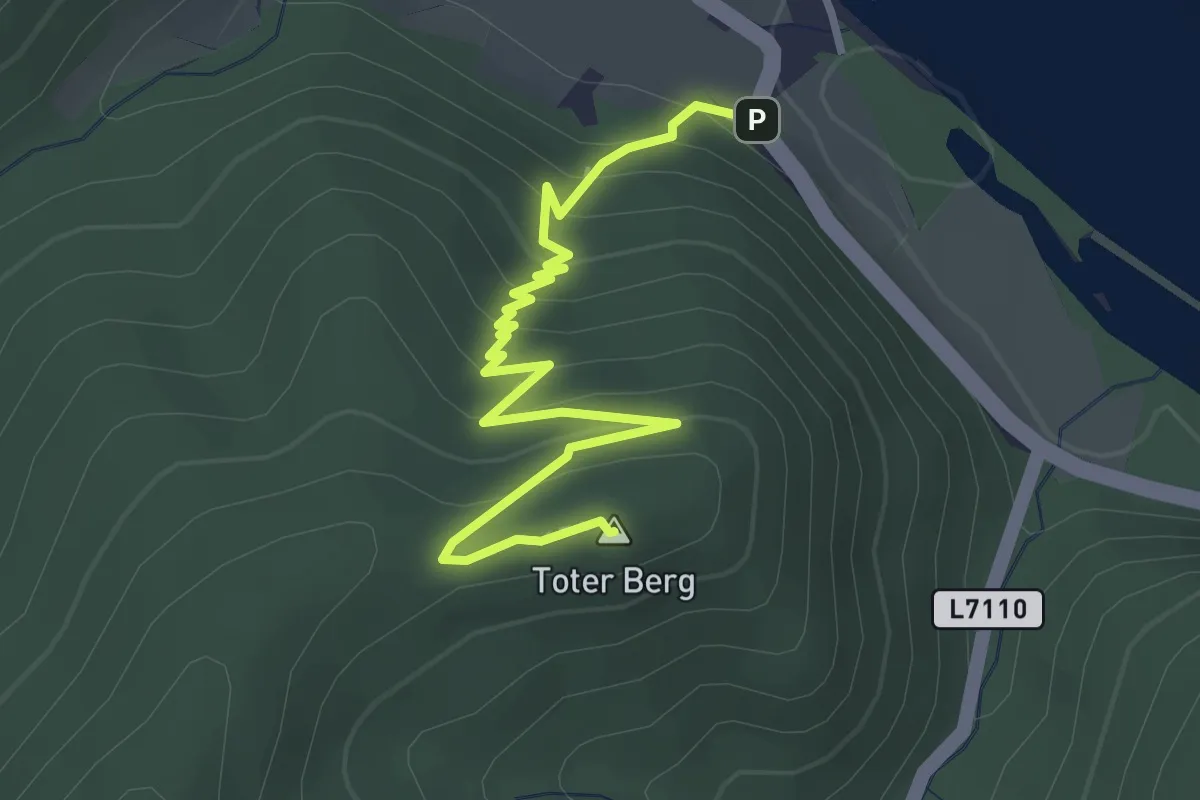
Medium · Summit
Rossatzbach-Toter Berg (rot)
3.4 km · ↑ 240 m · 1 h 20 min
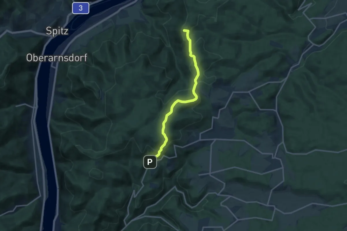
Medium · Summit
Rossatz - Maria Langegg
10.5 km · ↑ 409 m · 3 h 23 min
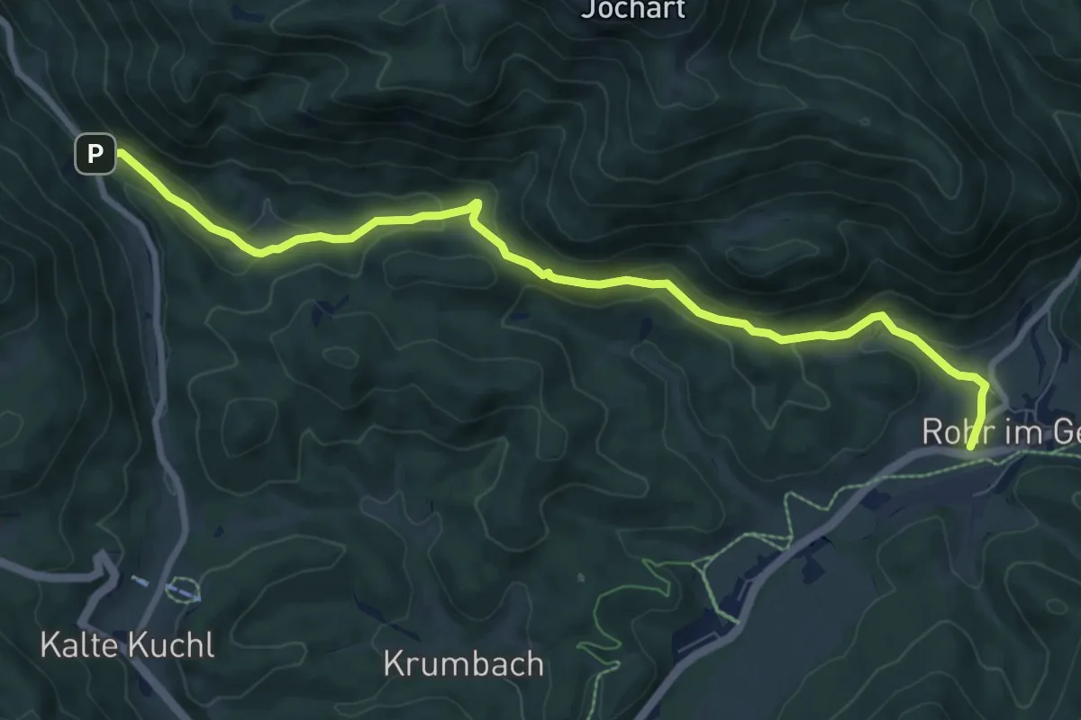
Medium · Trail
Rossbachklamm-Rohr im Gebirge
9.1 km · ↑ 310 m · 2 h 49 min
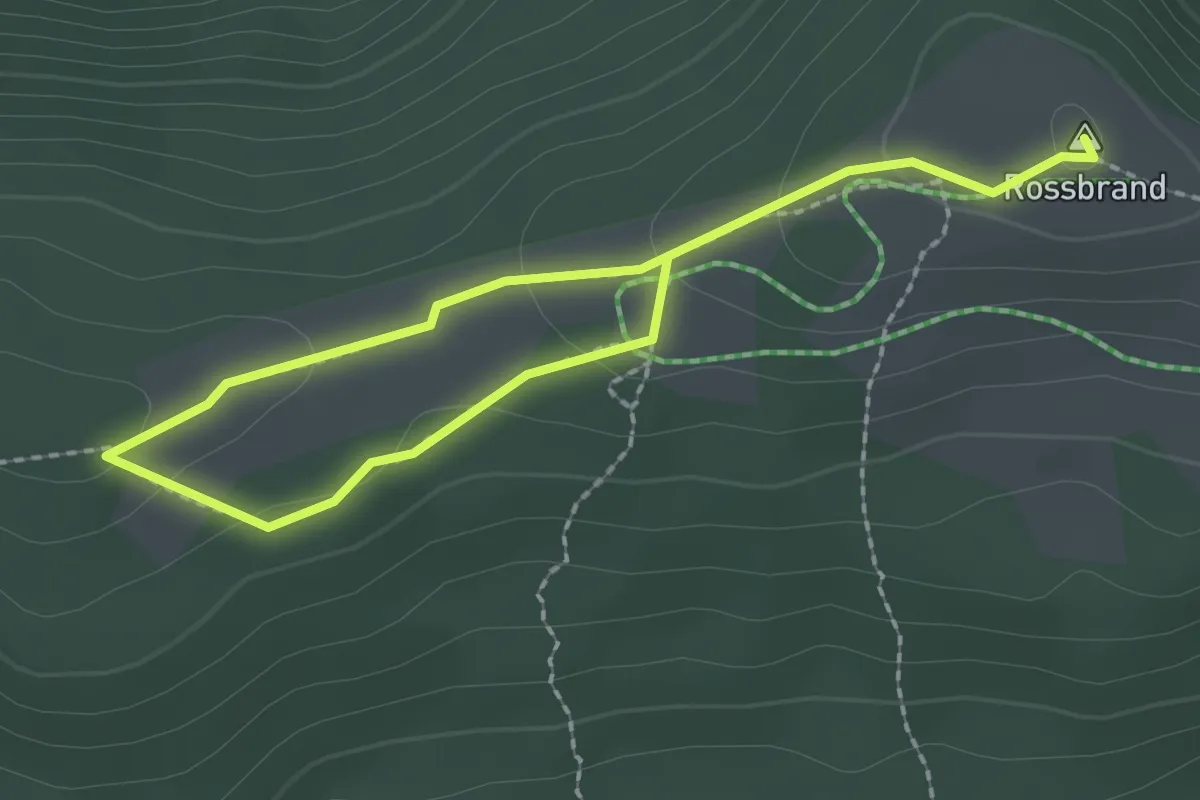
Medium · Summit
Rossbrand Gipfelrunde
3.1 km · ↑ 93 m · 56 min
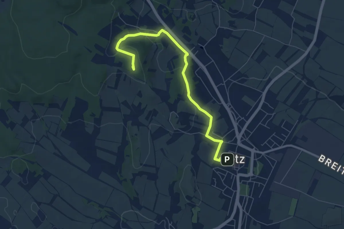
Easy · Summit
Rosstalenweg
6.9 km · ↑ 204 m · 2 h 5 min
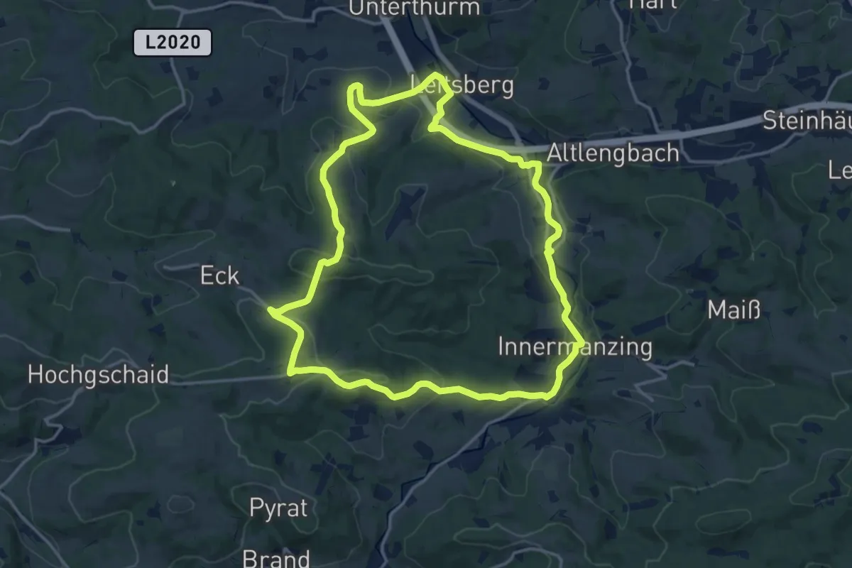
Medium · Trail
Roter Wanderweg
14.4 km · ↑ 347 m · 4 h 20 min
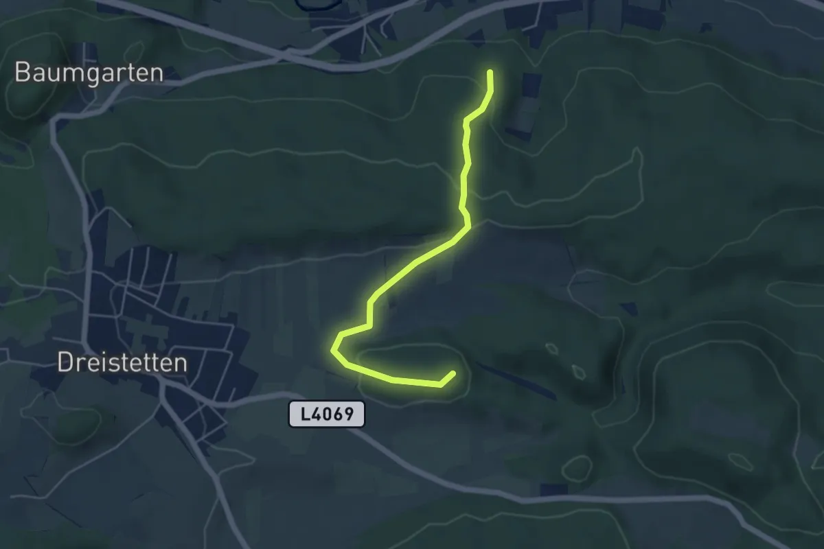
Easy · Summit
Rotes Kreuz - Bertls Platzl - Hubertuskreuz - Hartberger Kreuz
4.6 km · ↑ 130 m · 1 h 22 min
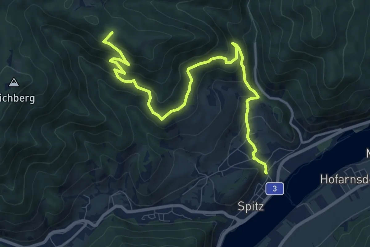
Medium · Trail
Rotes Tor Rundwanderung
10.8 km · ↑ 508 m · 3 h 39 min
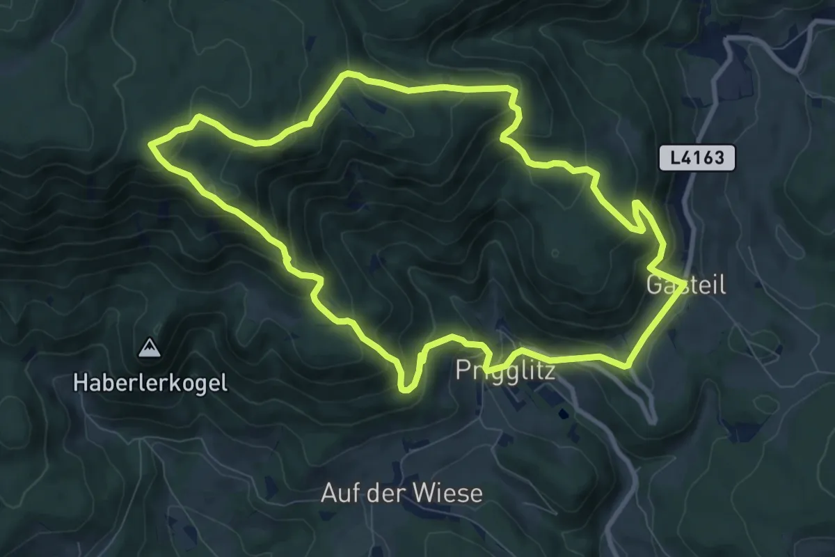
Medium · Summit
Rote Wand Rundweg
9.0 km · ↑ 600 m · 3 h 33 min
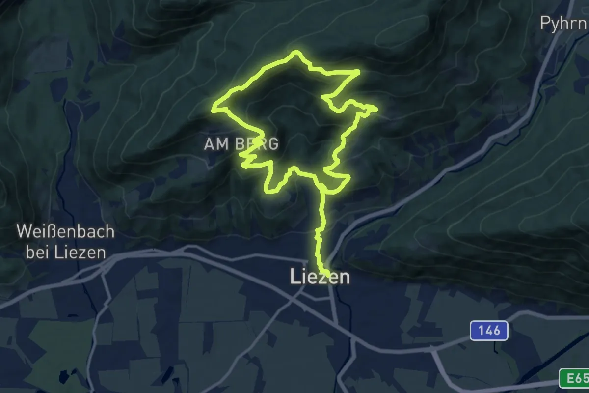
Medium · Trail
Rote-Wand-Tour
9.5 km · ↑ 562 m · 3 h 39 min
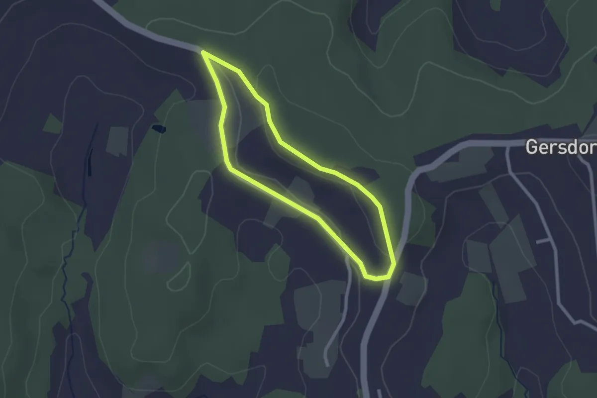
Easy · Trail
Rothgmoser Krippenrundweg
1.9 km · ↑ 30 m · 33 min
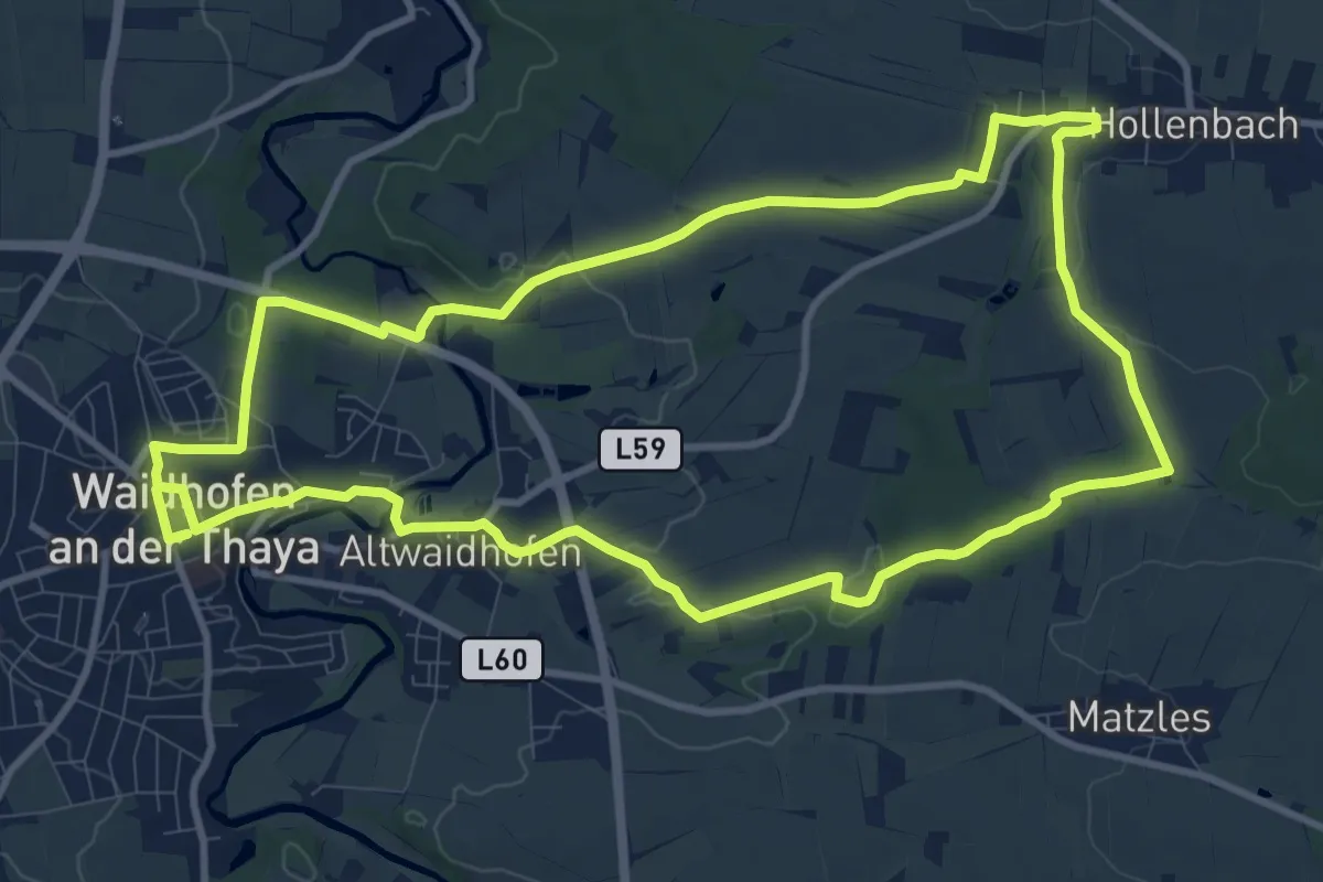
Medium · Trail
Rot Kreuzweg
10.8 km · ↑ 141 m · 3 h
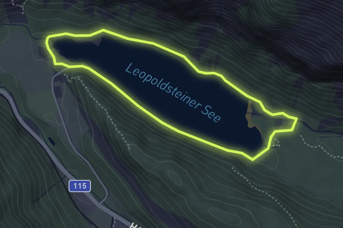
Easy · Trail
Route 1
3.7 km · ↑ 16 m · 57 min
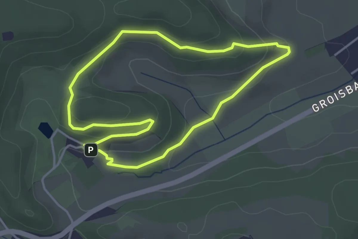
Easy · Trail
Route 1 (Sonderkrankenhaus Alland)
3.2 km · ↑ 73 m · 58 min
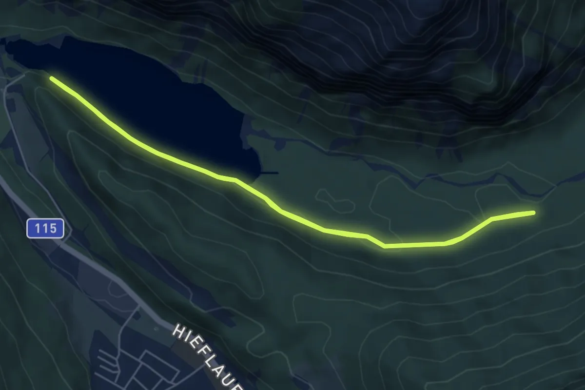
Easy · Trail
Route 2
5.4 km · ↑ 12 m · 1 h 22 min
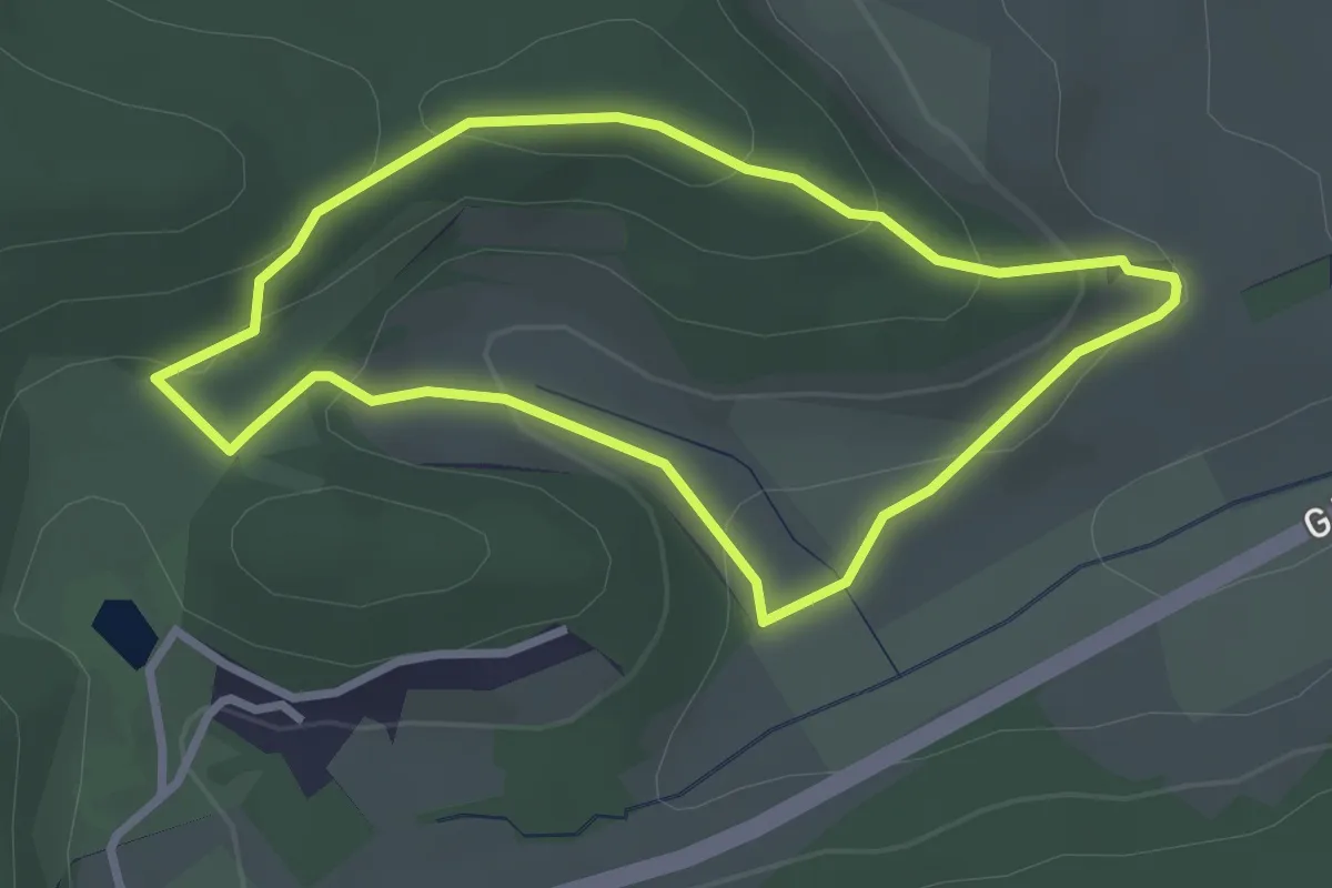
Easy · Trail
Route 2 (Sonderkrankenhaus Alland)
2.6 km · ↑ 92 m · 51 min
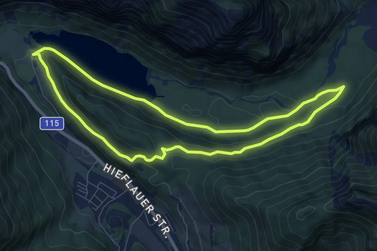
Easy · Trail
Route 3
7.8 km · ↑ 150 m · 2 h 17 min
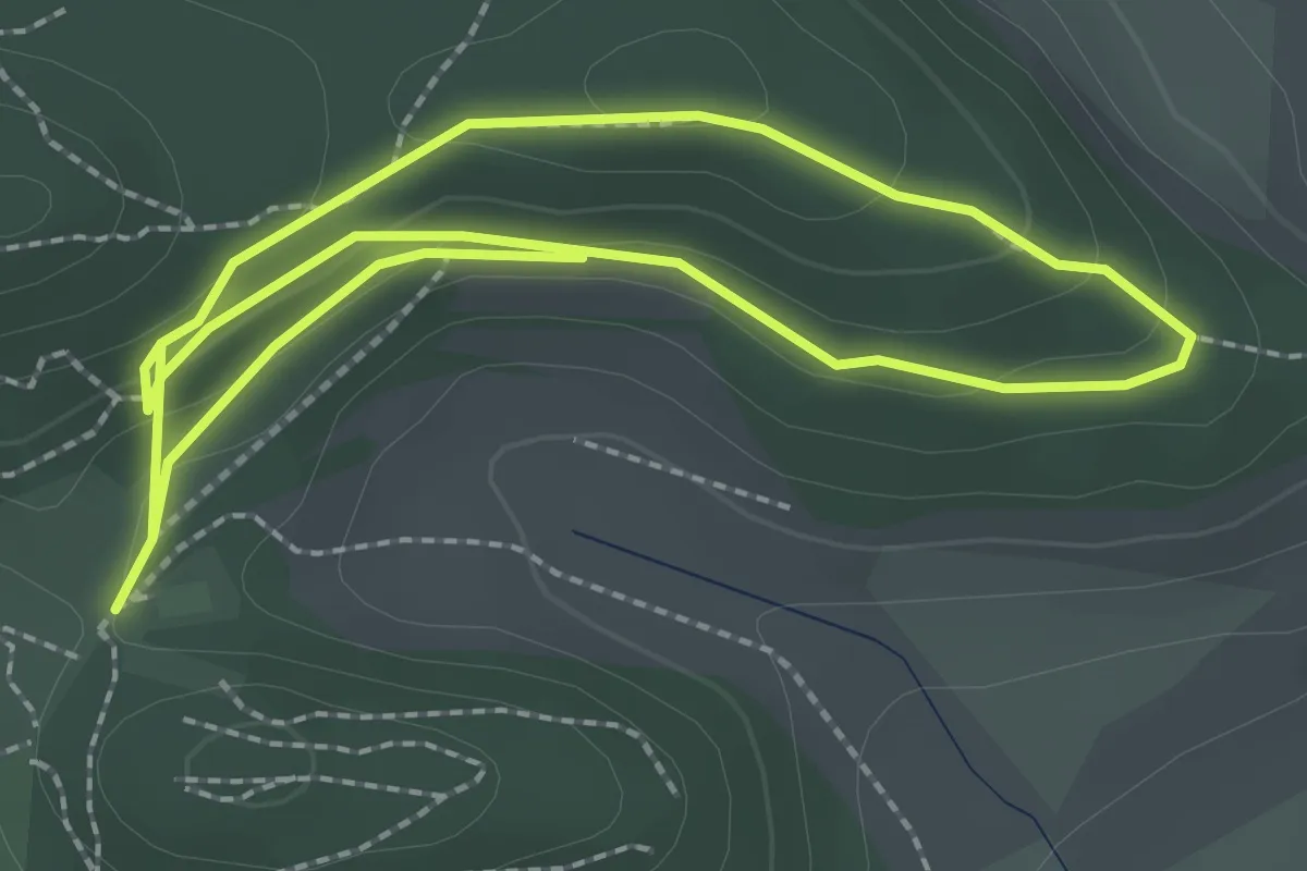
Easy · Trail
Route 3 (Sonderkrankenhaus Alland)
4.6 km · ↑ 118 m · 1 h 20 min
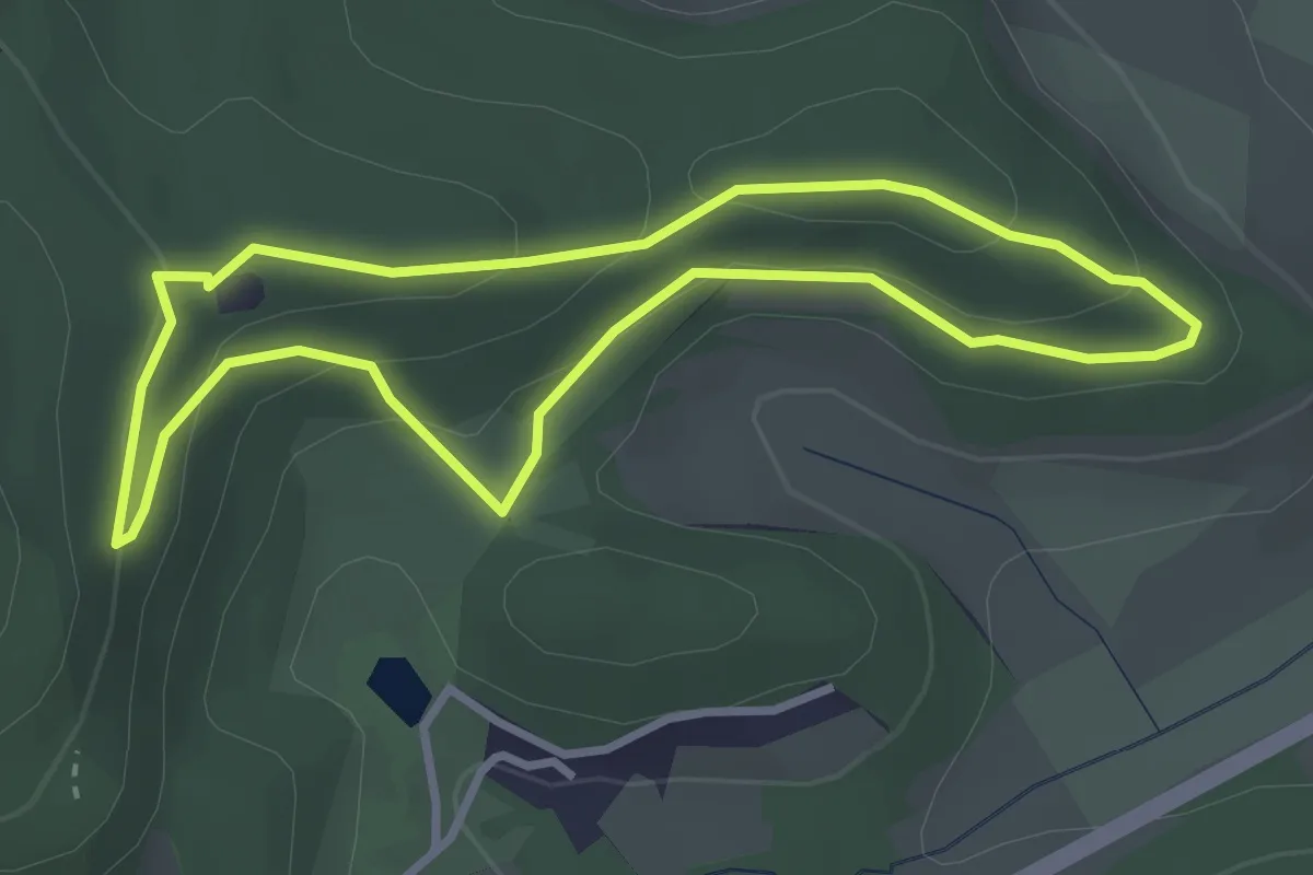
Easy · Trail
Route 4 (Sonderkrankenhaus Alland)
2.9 km · ↑ 92 m · 56 min
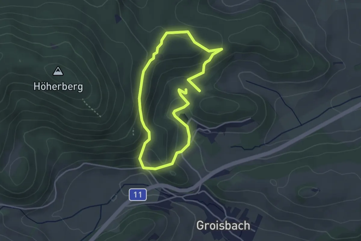
Easy · Trail
Route 5 (Sonderkrankenhaus Alland)
2.8 km · ↑ 115 m · 57 min
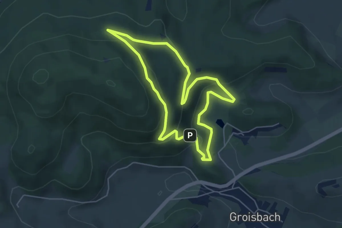
Easy · Trail
Route 6 (Sonderkrankenhaus Alland)
4.1 km · ↑ 141 m · 1 h 20 min
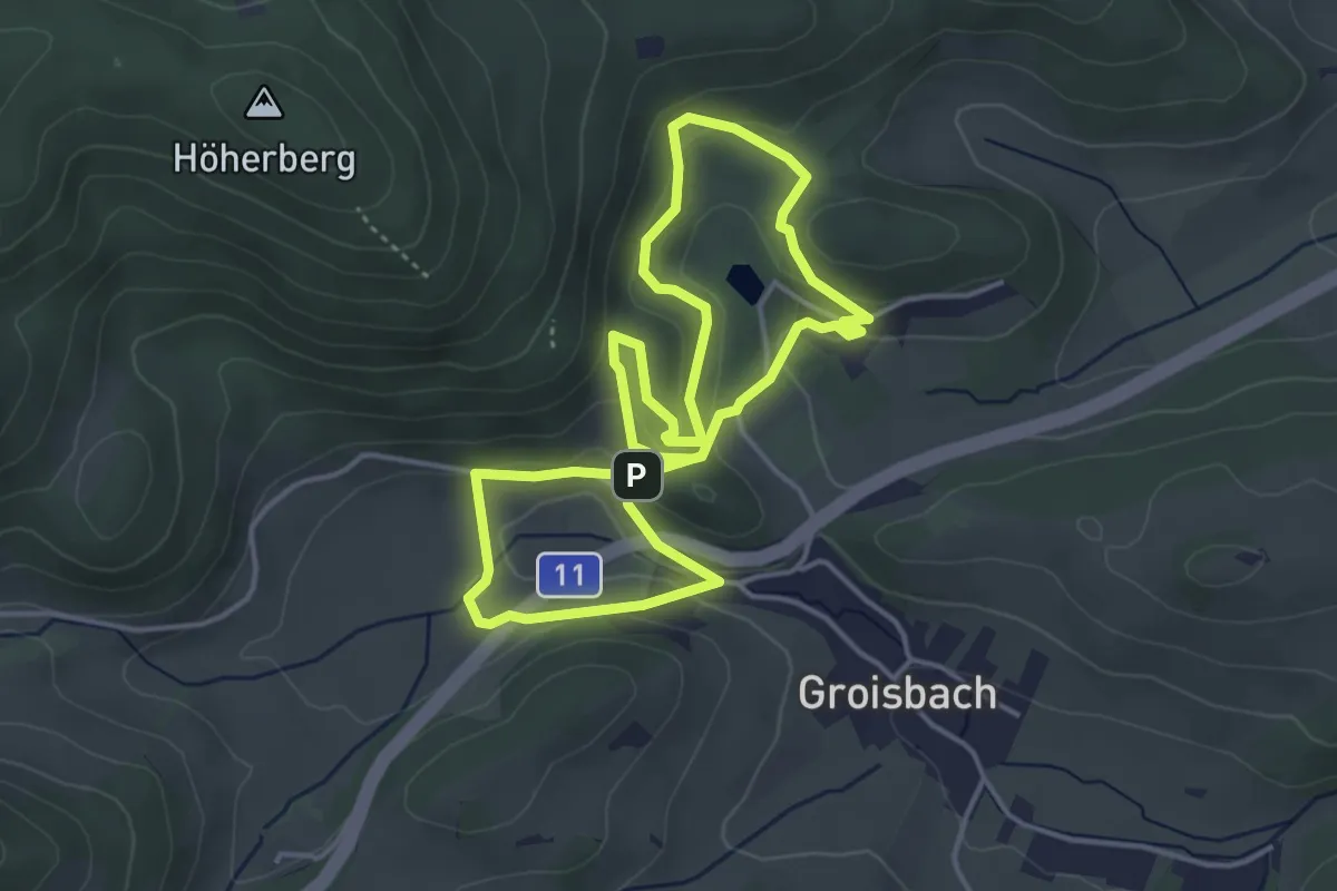
Easy · Trail
Route 7 (Sonderkrankenhaus Alland)
3.8 km · ↑ 116 m · 1 h 11 min
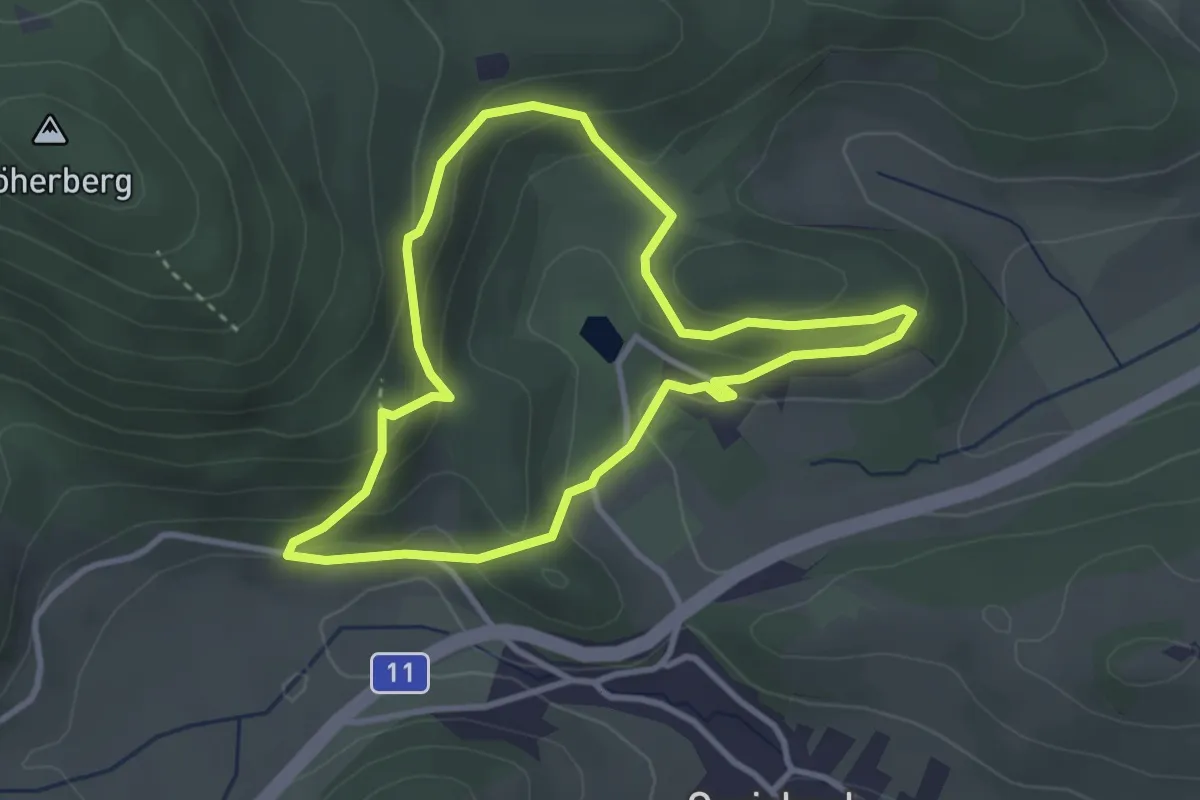
Easy · Trail
Route 8 (Sonderkrankenhaus Alland)
3.0 km · ↑ 135 m · 1 h 3 min
Easy · Trail
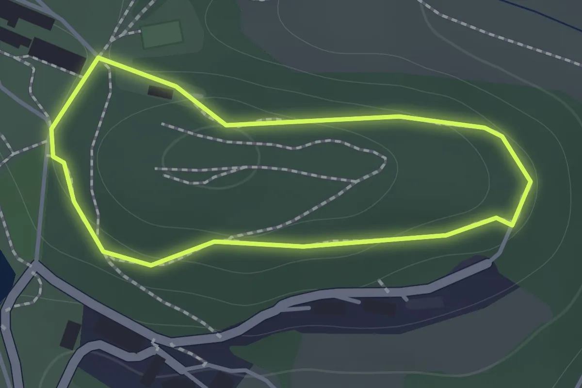
Route 9 (Sonderkrankenhaus Alland)
1.0 km · ↑ 25 m · 19 min
Medium · Trail
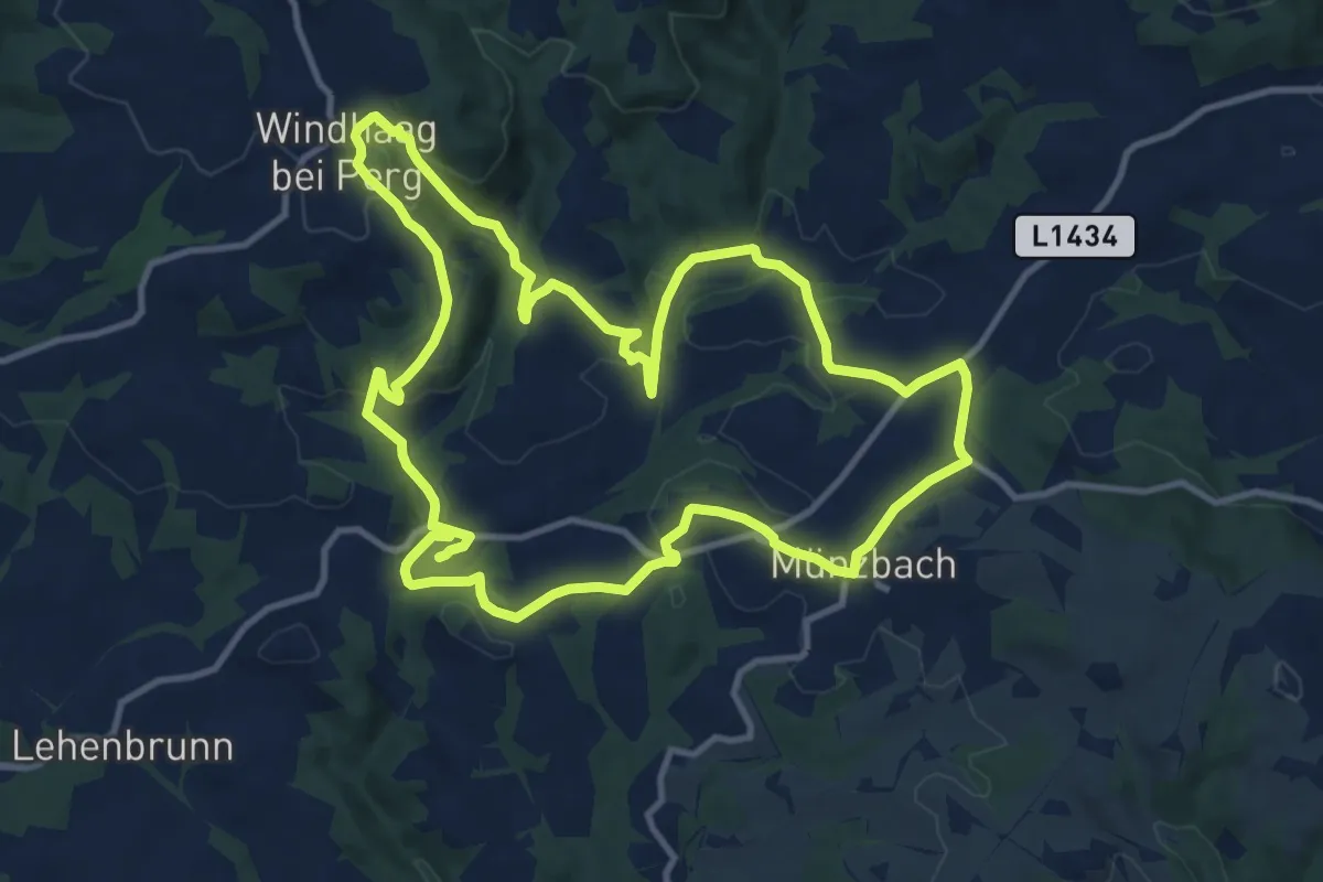
Route I Enzmilner Kulturwanderweg
11.8 km · ↑ 383 m · 3 h 46 min
Easy · Trail
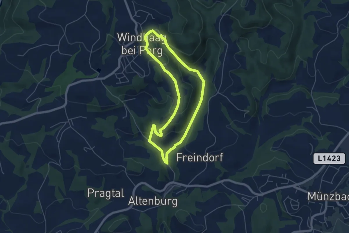
Route III Hausbergbach
4.4 km · ↑ 154 m · 1 h 26 min
Easy · Trail
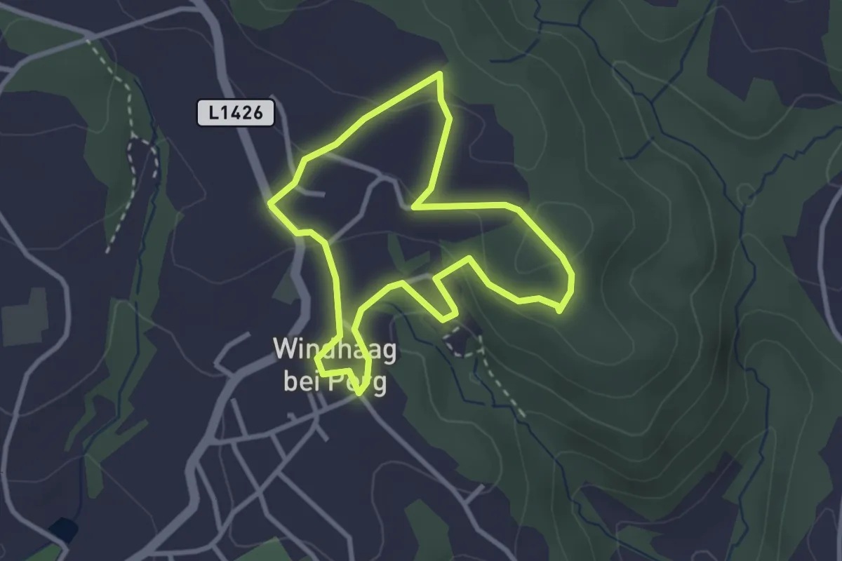
Route II Panoramaweg
2.5 km · ↑ 77 m · 47 min
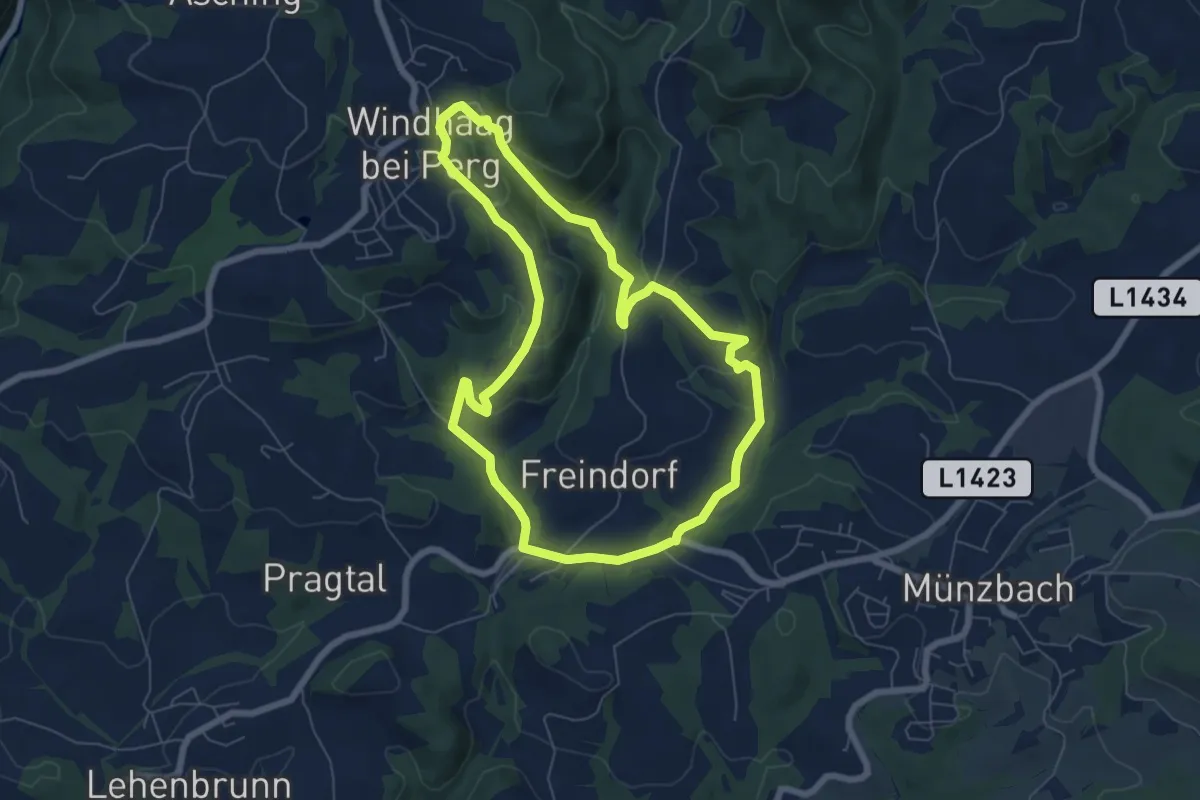
Easy · Trail
Route IV Schwertmühle
6.3 km · ↑ 219 m · 2 h 4 min
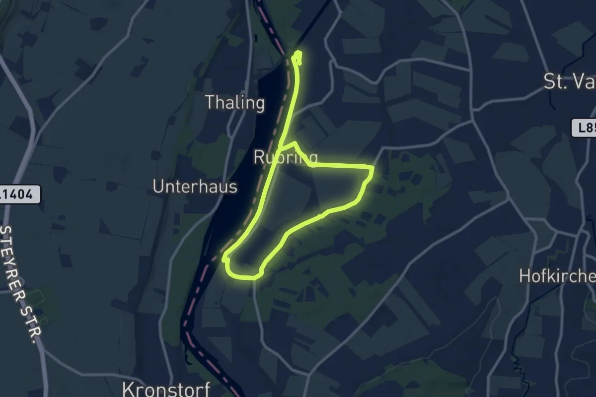
Easy · Trail
Rubringer Stauseeeweg
6.6 km · ↑ 5 m · 1 h 39 min
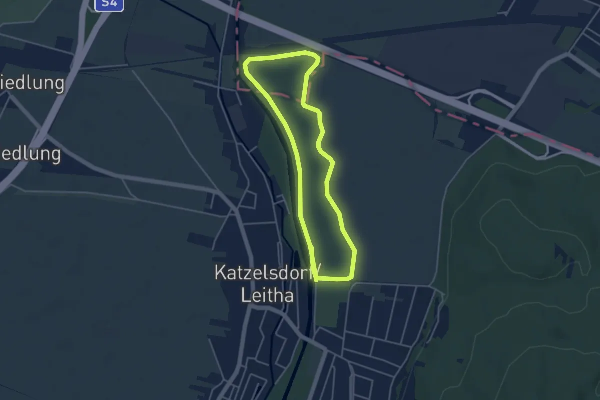
Easy · Trail
Rückehaltebecken Runde
7.3 km · ↑ 0 m · 1 h 43 min
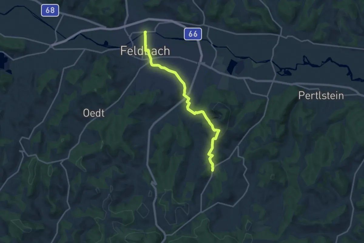
Medium · Trail
Rückgrat
12.6 km · ↑ 315 m · 3 h 40 min
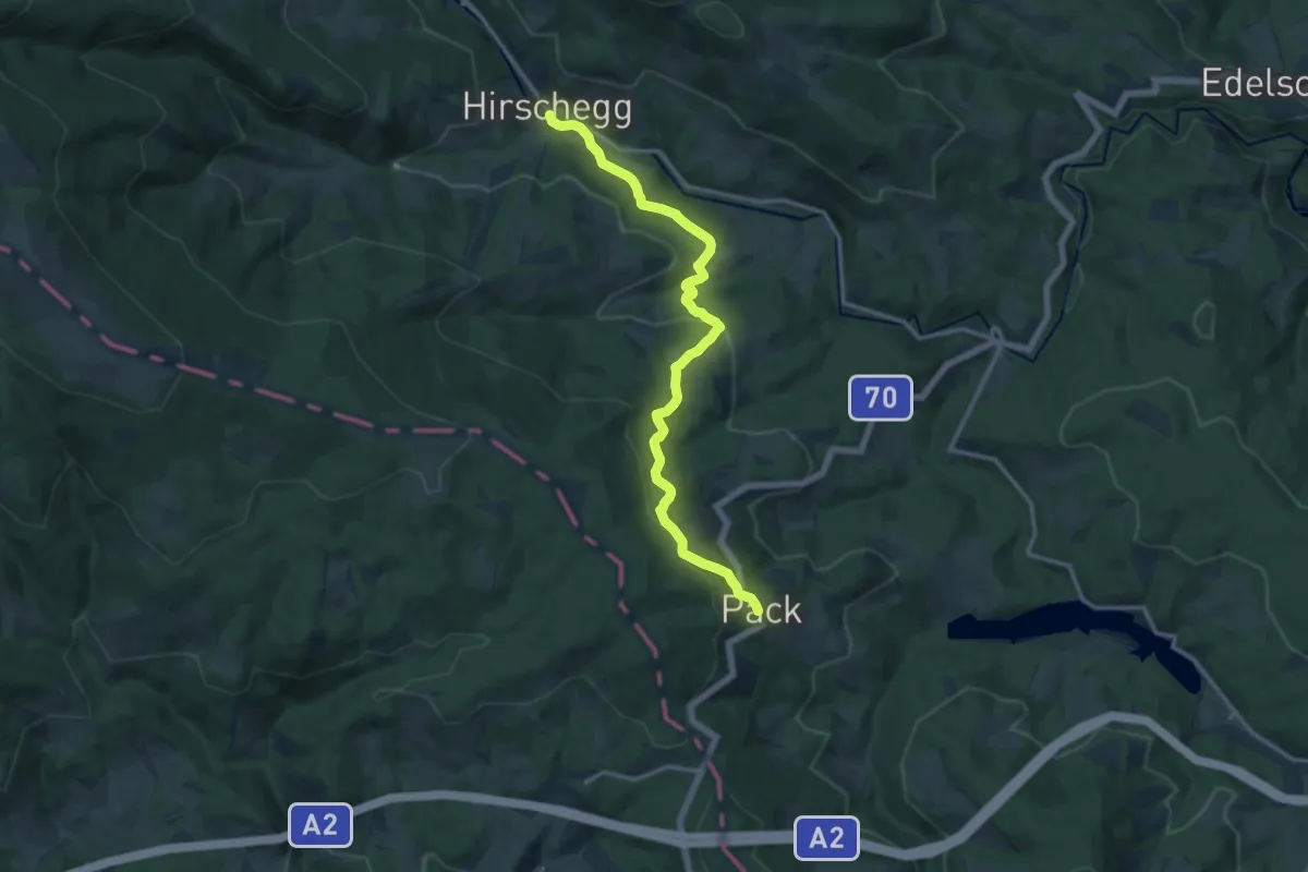
Medium · Trail
Rucksackdörferweg
13.8 km · ↑ 458 m · 4 h 15 min
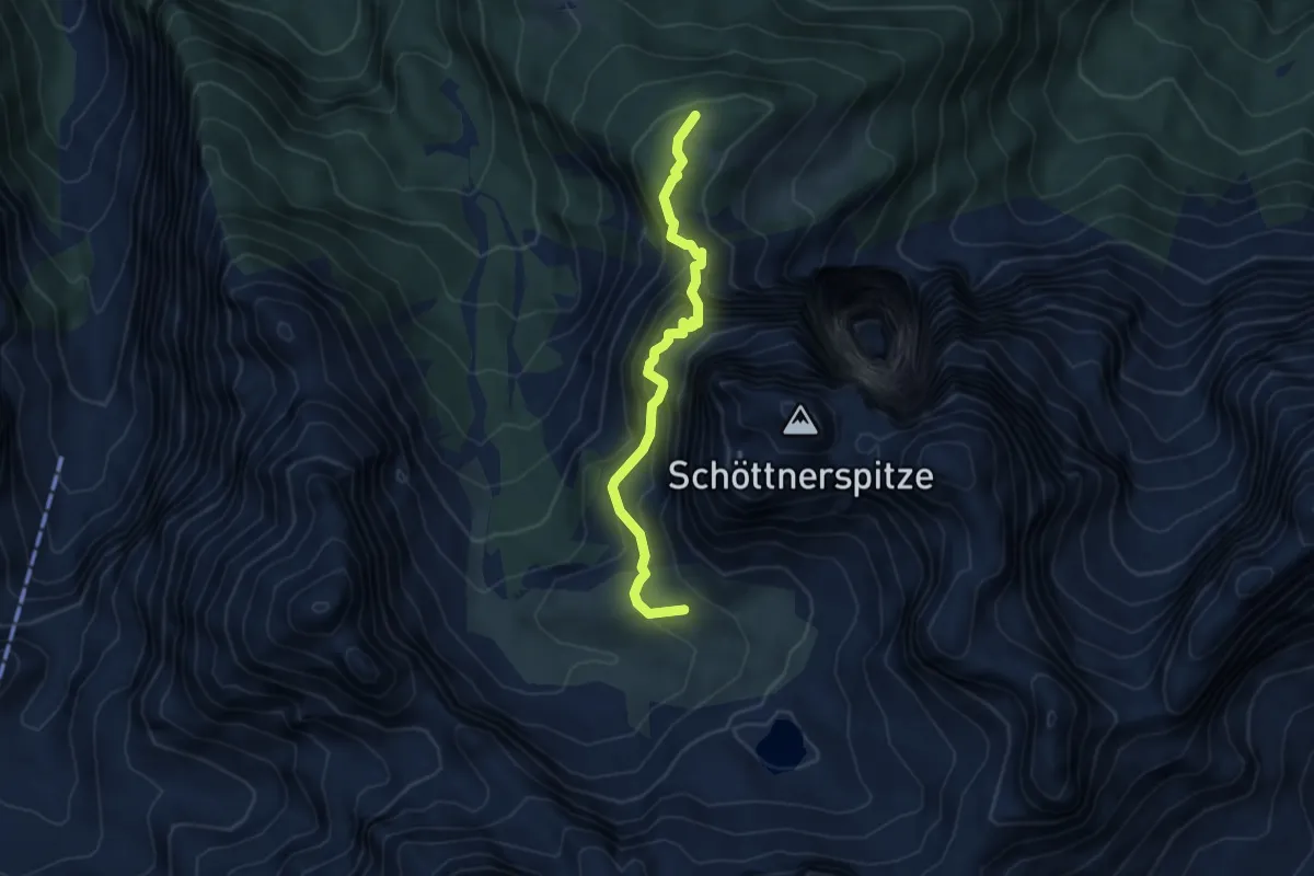
Expert · Summit
Rudl-Eller-Weg
4.5 km · ↑ 429 m · 2 h
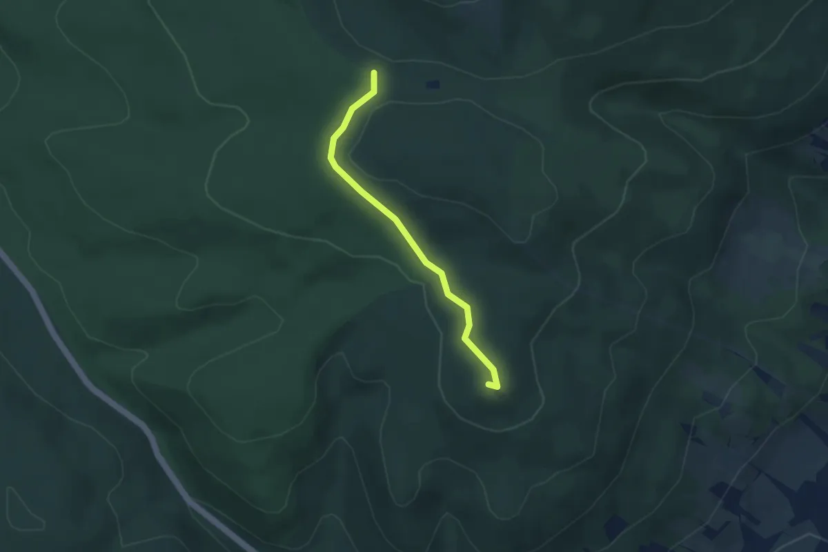
Easy · Summit
Rudolf Prokschhütte - Dreieichen
3.1 km · ↑ 76 m · 54 min
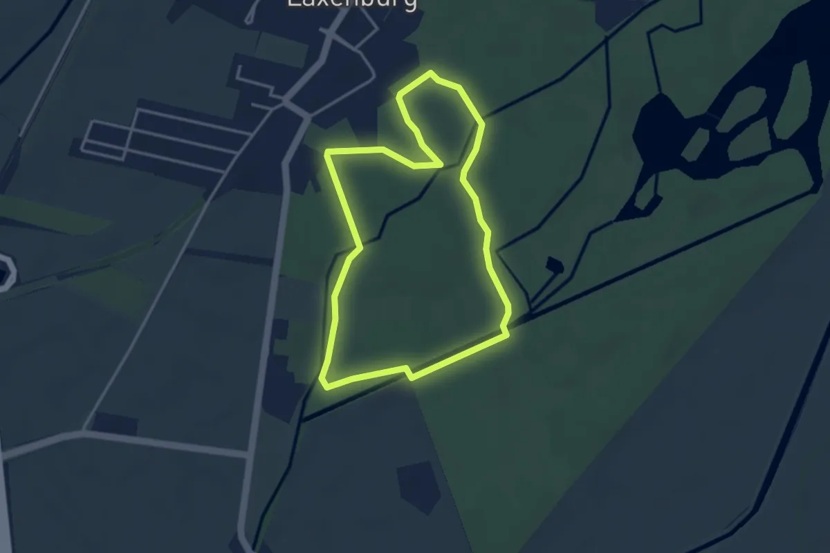
Easy · Trail
Rudolf Runde
3.1 km · ↑ 0 m · 47 min
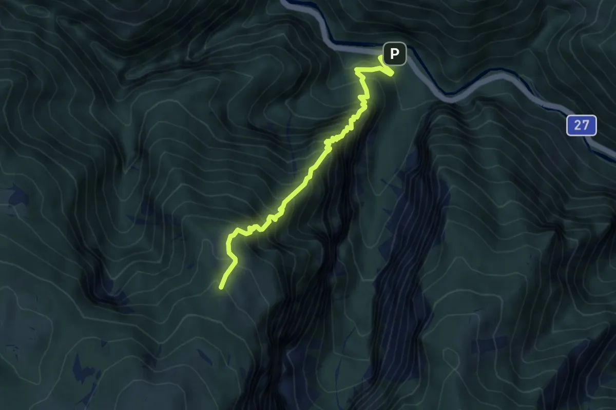
Demanding · Trail
Rudolfsteig 47
5.3 km · ↑ 884 m · 3 h 11 min
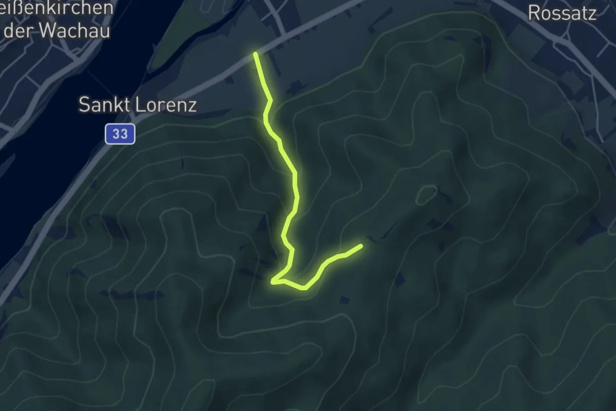
Easy · Trail
Rührsdorf-Mugler (rot)
3.6 km · ↑ 258 m · 1 h 25 min
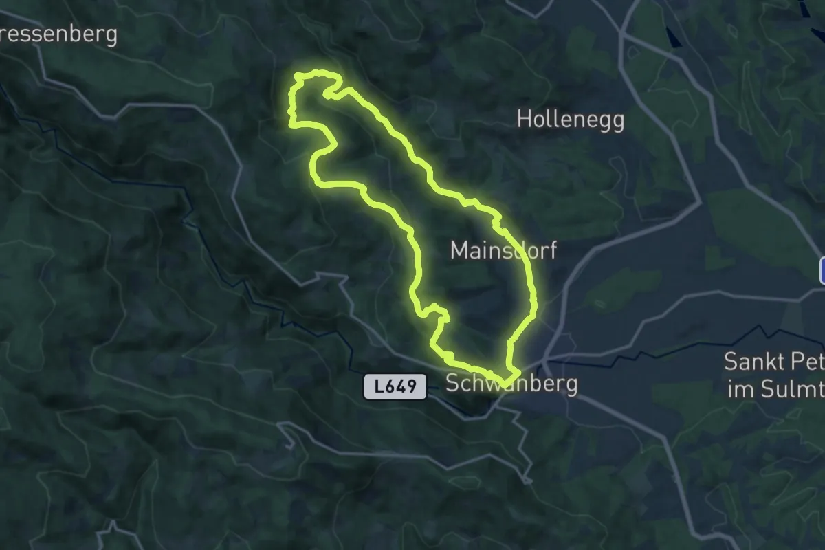
Medium · Trail
Ruine Ahnherrn Rundwanderweg
14.7 km · ↑ 393 m · 4 h 32 min
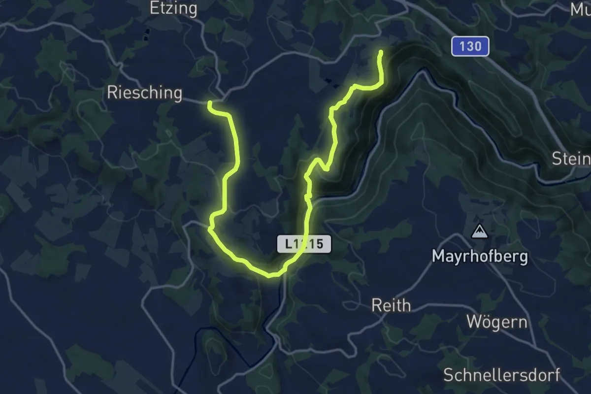
Medium · Trail
Ruinenweg
16.6 km · ↑ 600 m · 5 h 13 min
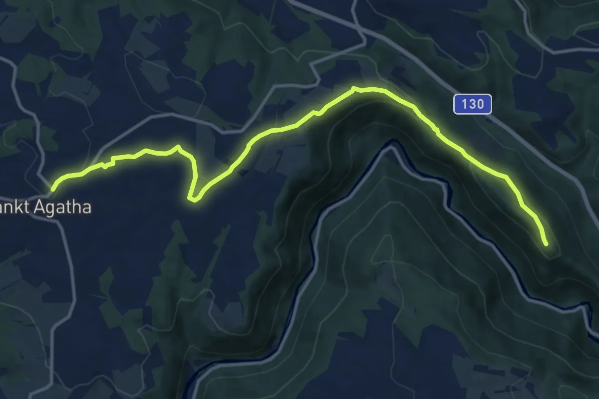
Medium · Trail
Ruinenweg
11.8 km · ↑ 289 m · 3 h 25 min
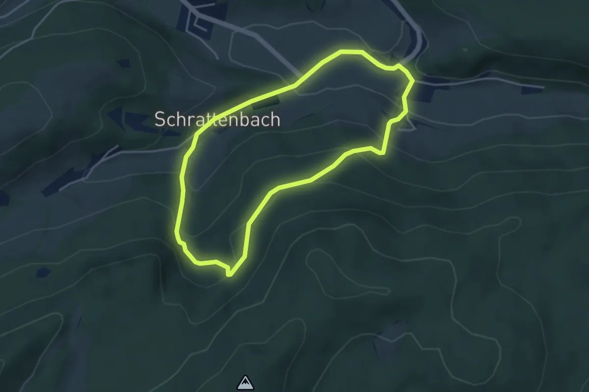
Medium · Trail
Ruinenweg Runde bei Schrattenbach
3.5 km · ↑ 180 m · 1 h 15 min
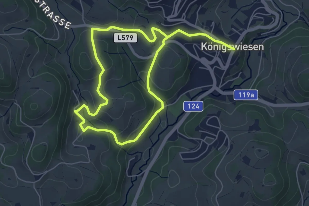
Easy · Trail
Rumetsgraben Nr. 4
4.2 km · ↑ 114 m · 1 h 17 min
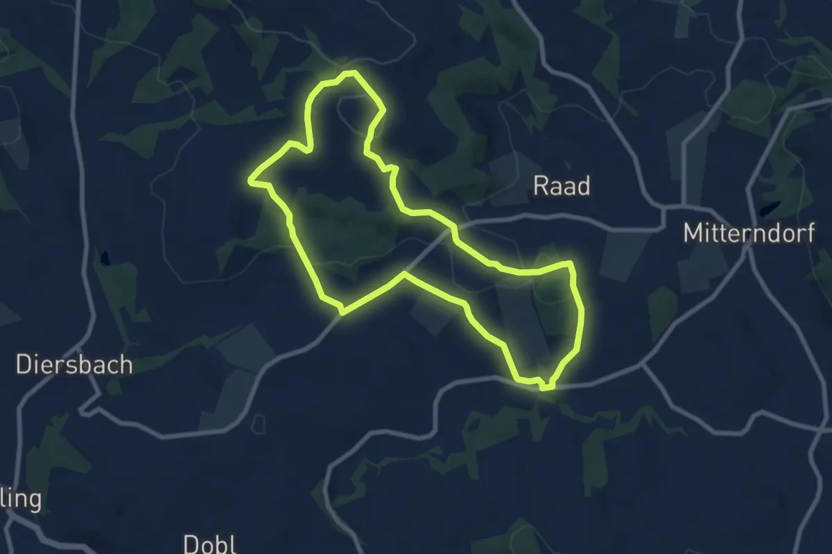
Easy · Trail
Rundblick
7.1 km · ↑ 181 m · 2 h 10 min
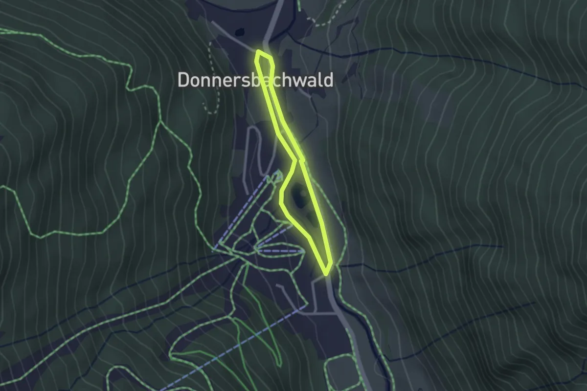
Easy · Trail
Runde am Bach
1.9 km · ↑ 8 m · 29 min
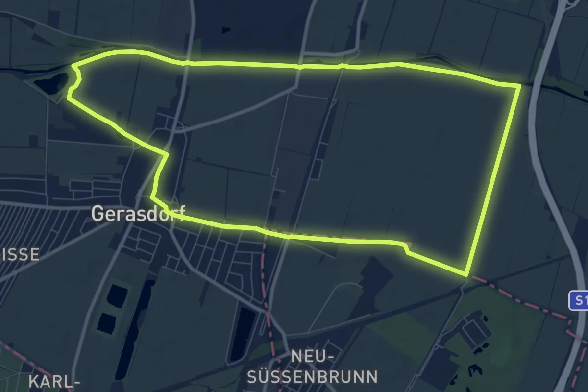
Medium · Trail
Runde Marchfeld
9.1 km · ↑ 0 m · 2 h 17 min
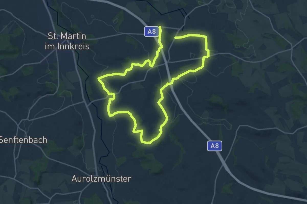
Medium · Trail
Runde Utzenaich
15.1 km · ↑ 231 m · 4 h 16 min
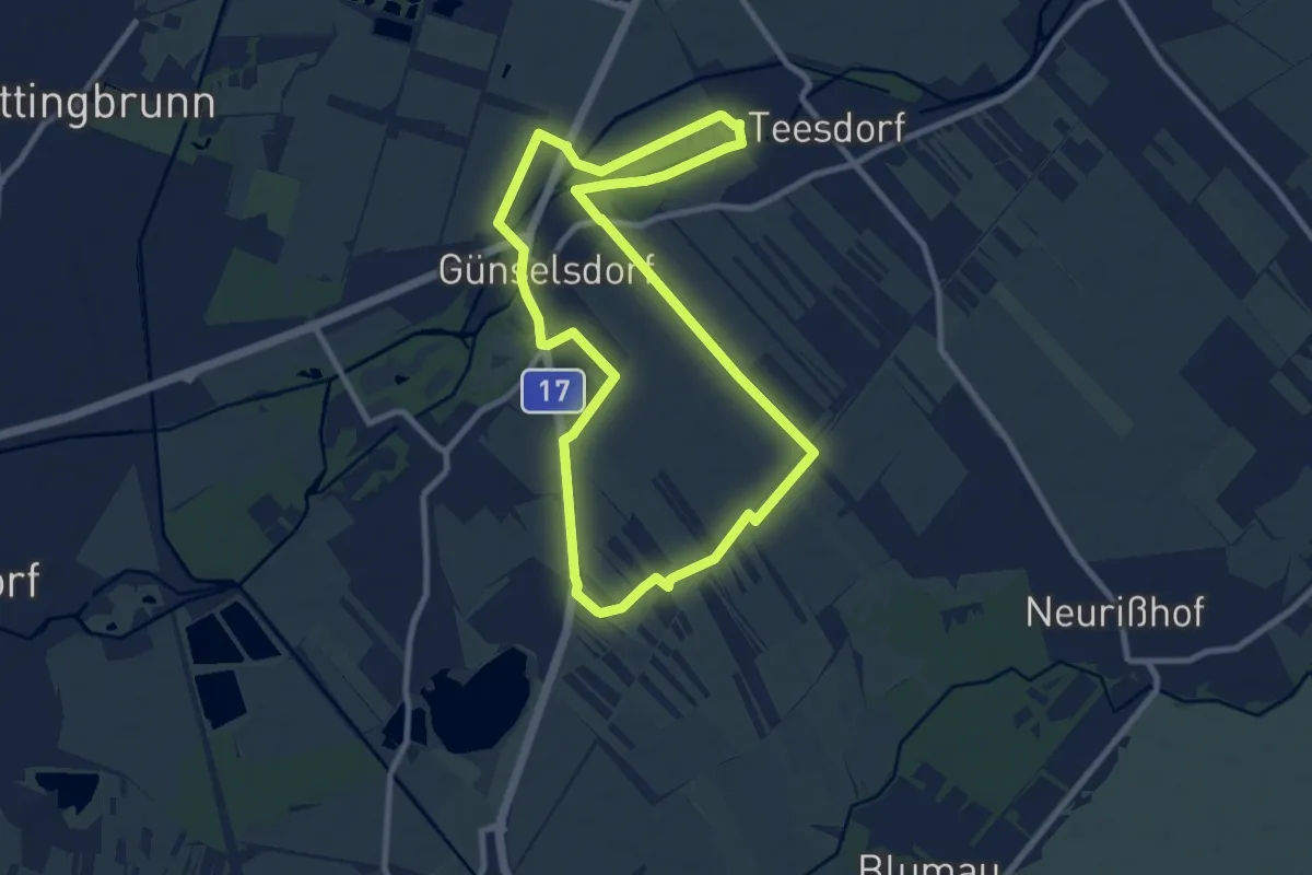
Medium · Trail
Rundstrecke Günselsdorf 8,9 km
8.9 km · ↑ 13 m · 2 h 15 min