Trails in Belgium
3,383 hiking trails, each with its route, climb, walking time and grade.
All trails, page 50 of 71
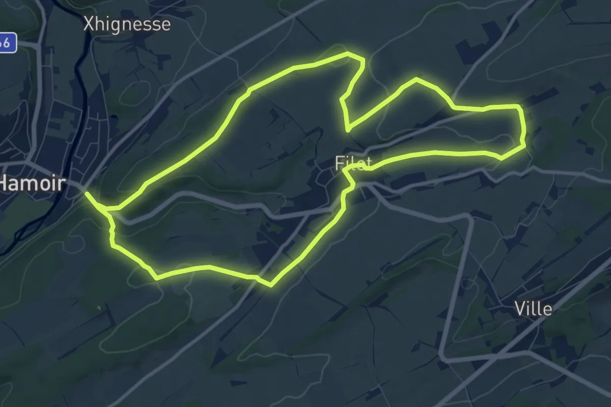
Medium · Trail
Promenade 'Les Marlières et Filot'
9.6 km · ↑ 178 m · 2 h 47 min
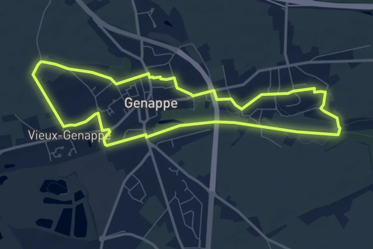
Easy · Trail
Promenade Louis XI
6.6 km · ↑ 39 m · 1 h 45 min
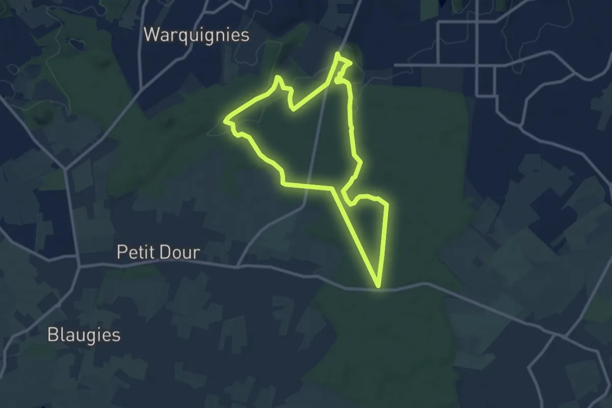
Easy · Summit
Promenade Natura 2000 Frameries Boucle A
7.8 km · ↑ 80 m · 2 h 8 min
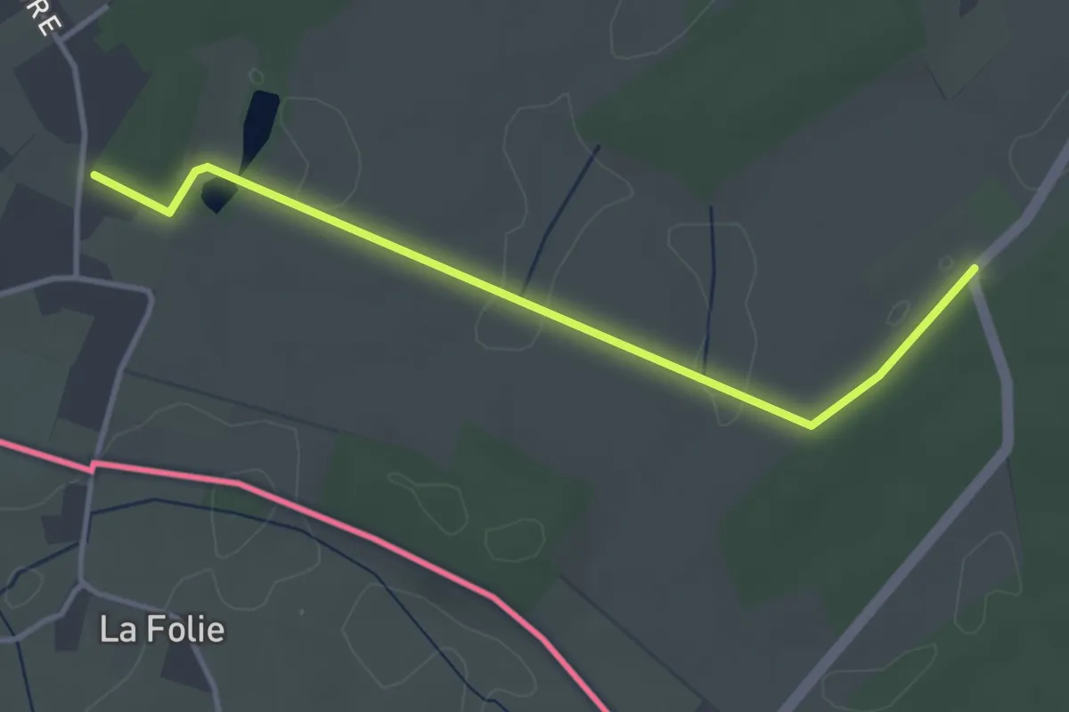
Easy · Trail
Promenade Natura 2000 Frameries Boucle B
1.7 km · ↑ 9 m · 26 min
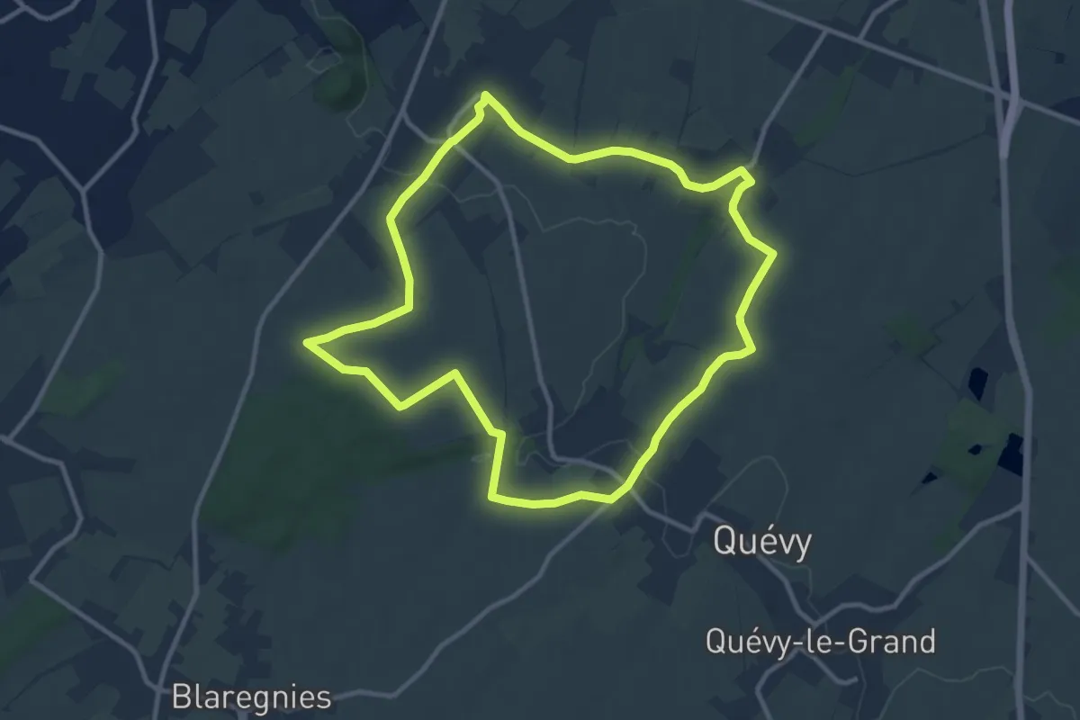
Medium · Trail
Promenade Natura 2000 Frameries Boucle C
9.8 km · ↑ 47 m · 2 h 33 min
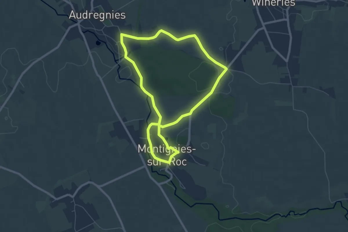
Easy · Trail
Promenade Natura 2000 Honnelles Boucle A
5.5 km · ↑ 65 m · 1 h 31 min
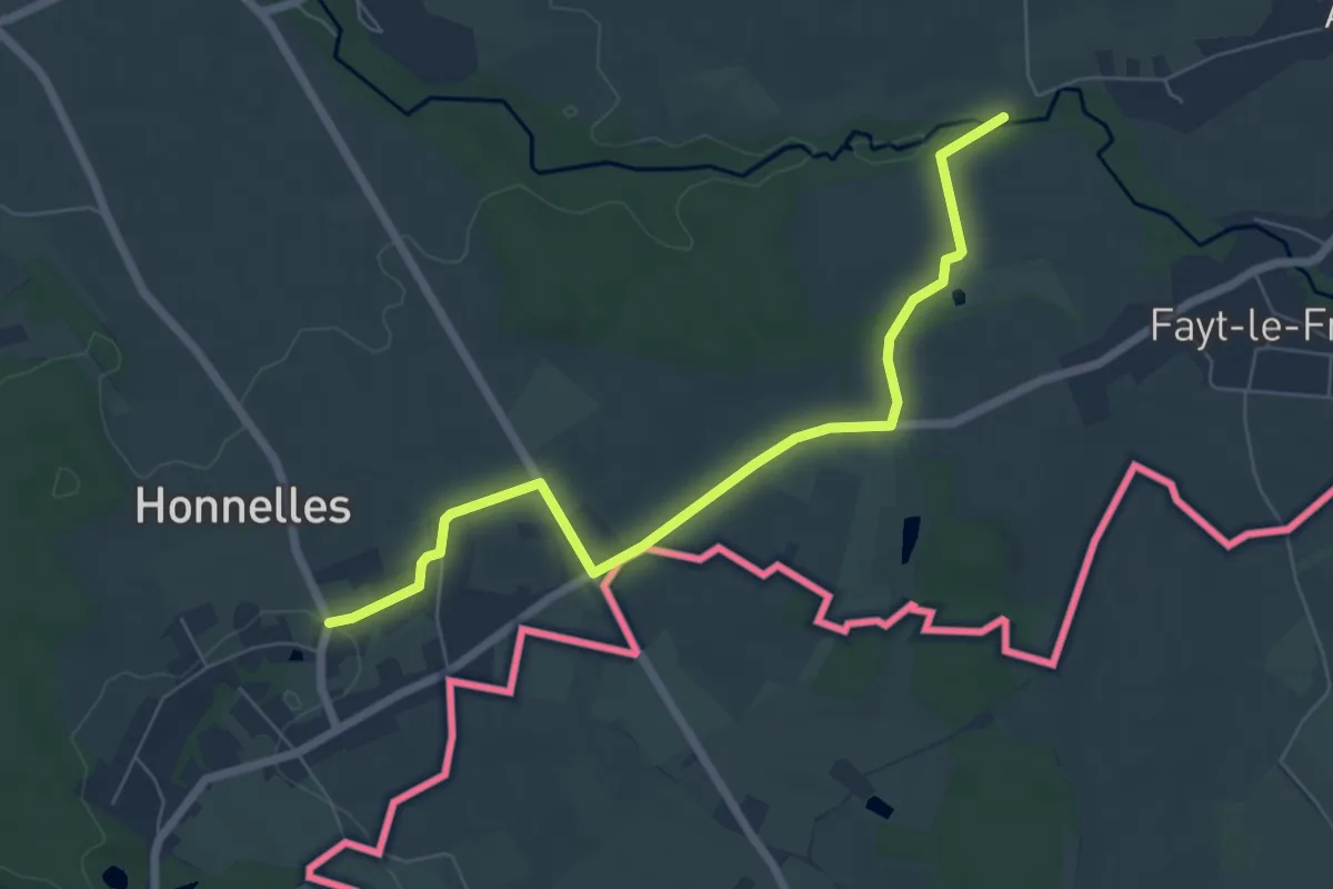
Easy · Trail
Promenade Natura 2000 Honnelles Boucle B
3.1 km · ↑ 8 m · 48 min
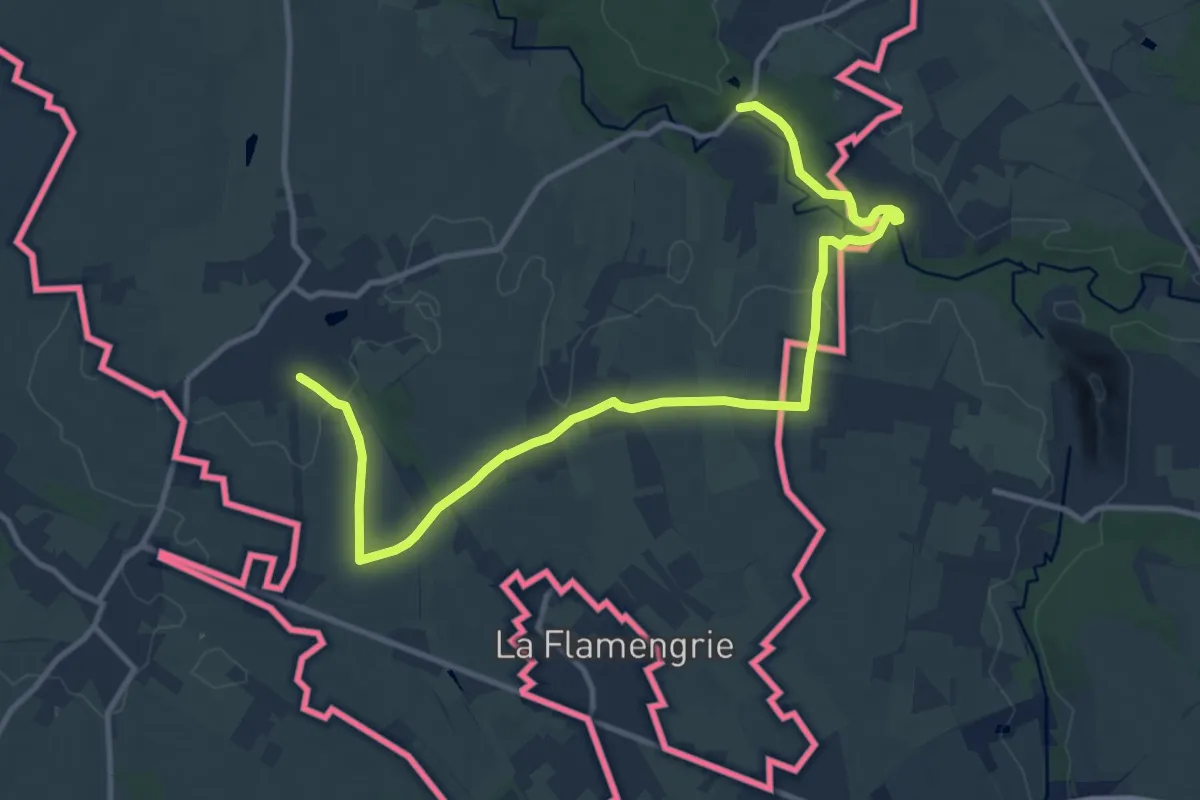
Easy · Trail
Promenade Natura 2000 Honnelles Boucle C
6.3 km · ↑ 42 m · 1 h 40 min
Easy · Trail
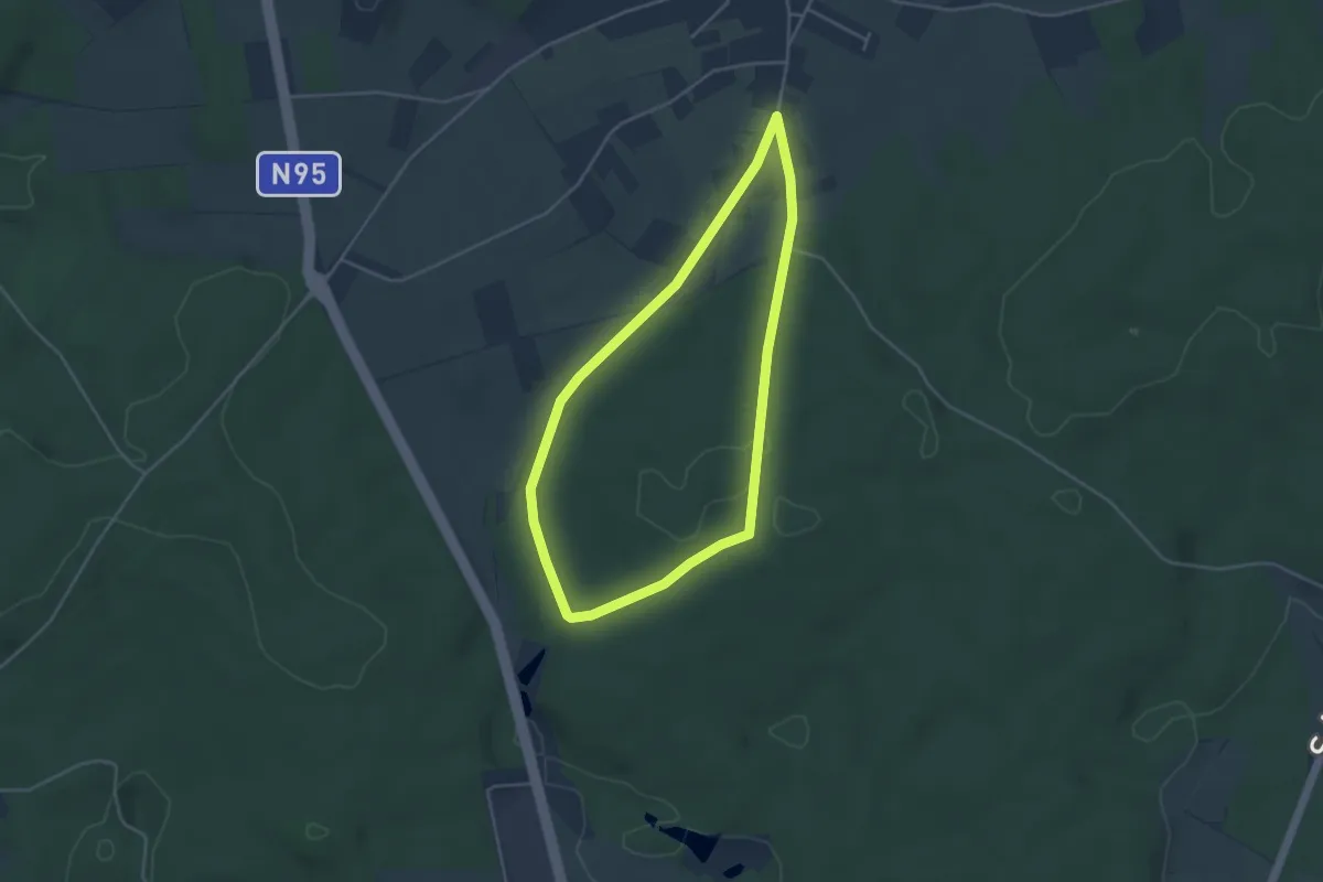
Promenade pédestre du Pavillon forestier du Defoy
3.5 km · ↑ 40 m · 58 min
Easy · Trail
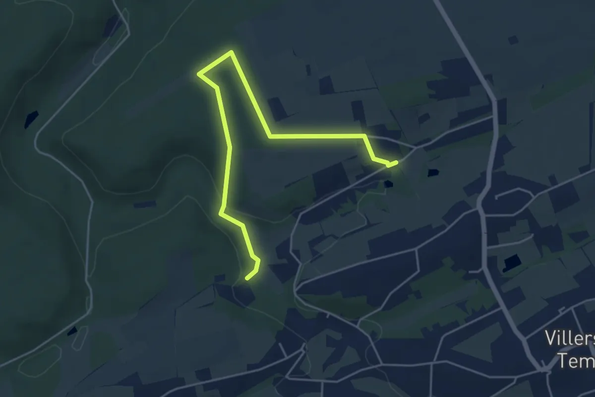
Promenade rectangle blue
4.6 km · ↑ 92 m · 1 h 17 min
Easy · Trail
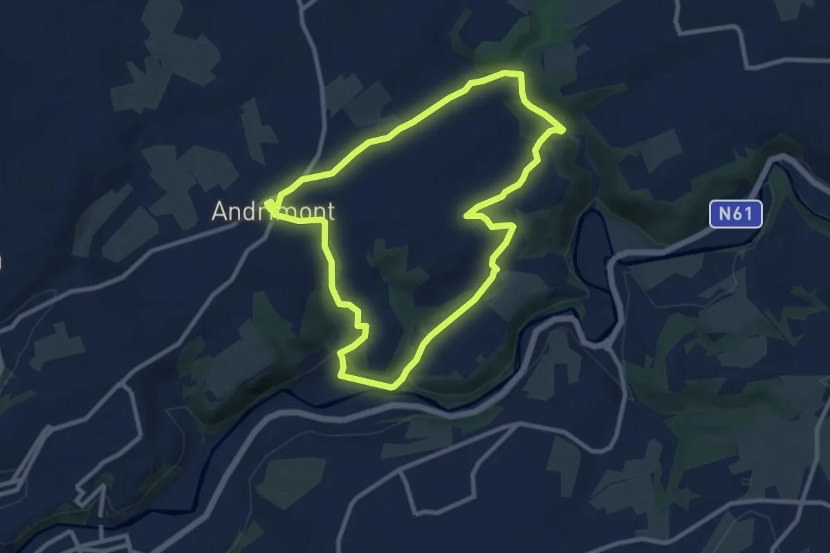
Promenade Renkin
7.0 km · ↑ 169 m · 2 h 8 min
Easy · Trail
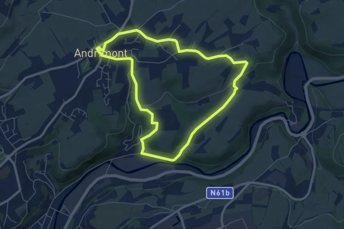
Promenade Renkin (variante)
5.3 km · ↑ 109 m · 1 h 33 min
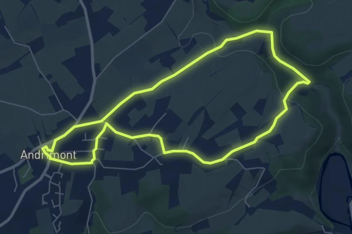
Easy · Trail
Promenade Renkin (variante)
5.0 km · ↑ 98 m · 1 h 28 min
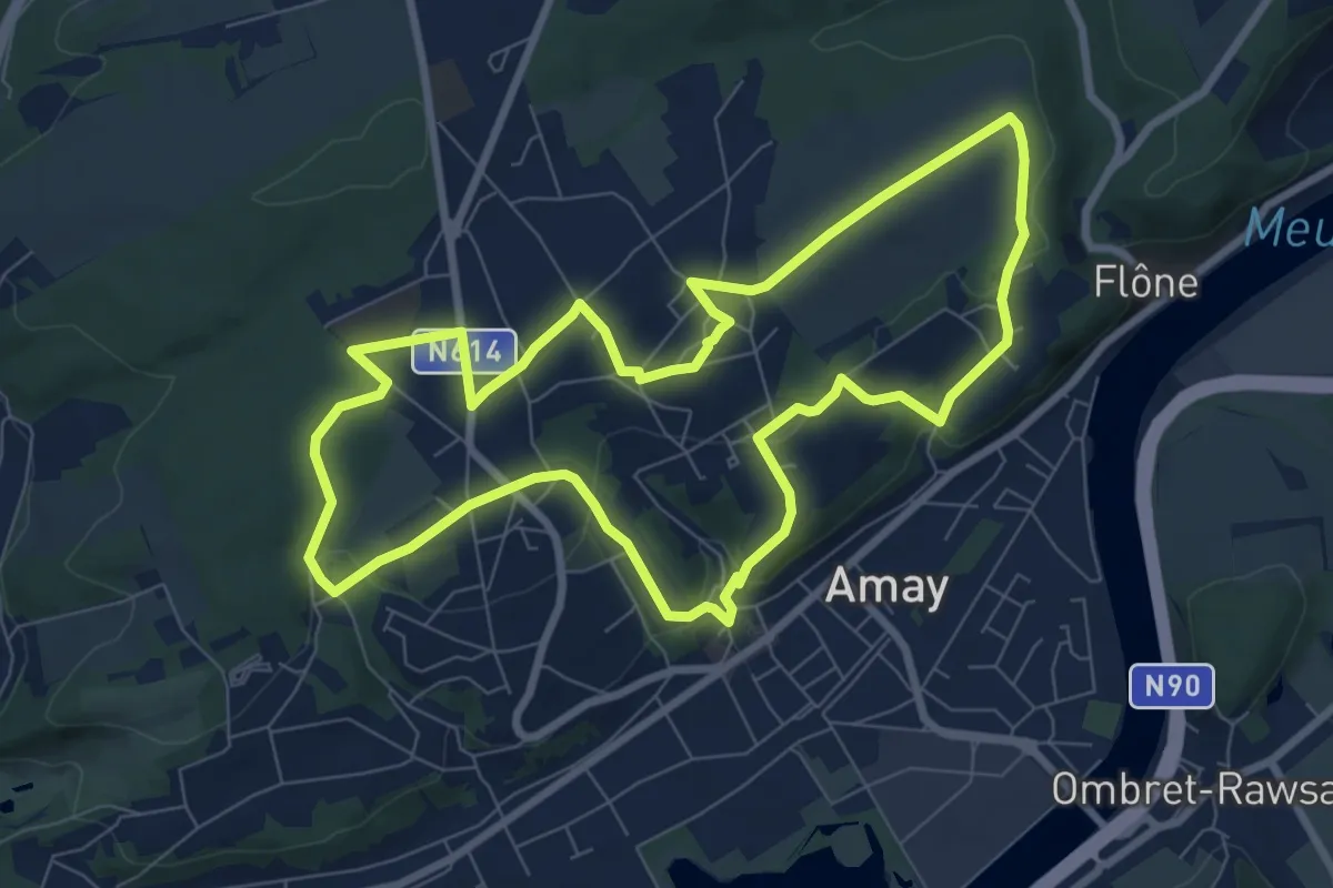
Easy · Trail
Promenade Richemont
7.8 km · ↑ 178 m · 2 h 20 min
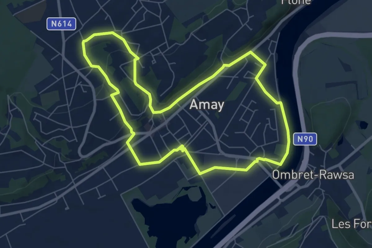
Easy · Trail
Promenade Sainte-Ode
6.3 km · ↑ 110 m · 1 h 48 min
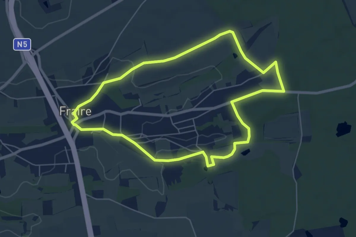
Easy · Trail
Promenade Saint-Ghislain
4.9 km · ↑ 30 m · 1 h 18 min
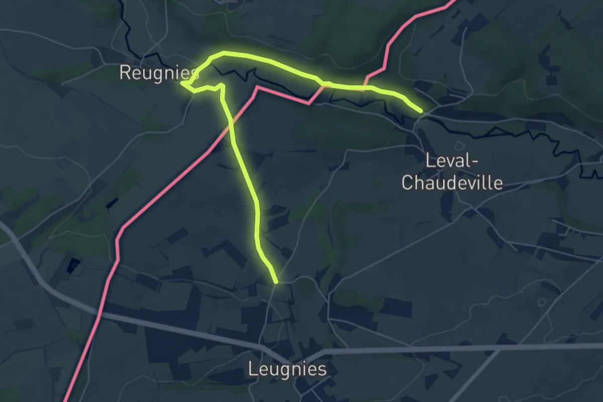
Easy · Trail
Promenades des Clochers
3.2 km · ↑ 52 m · 54 min
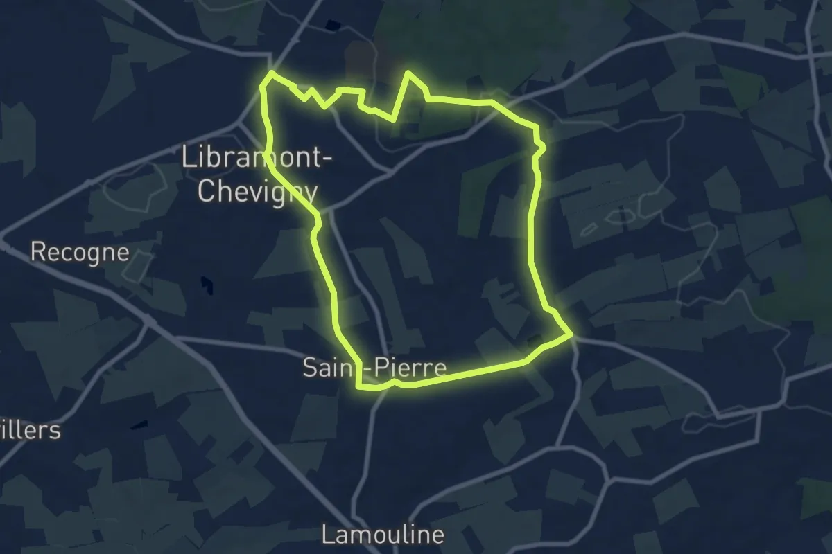
Easy · Trail
Promenades des Eglises et Chapelles
7.3 km · ↑ 73 m · 1 h 59 min
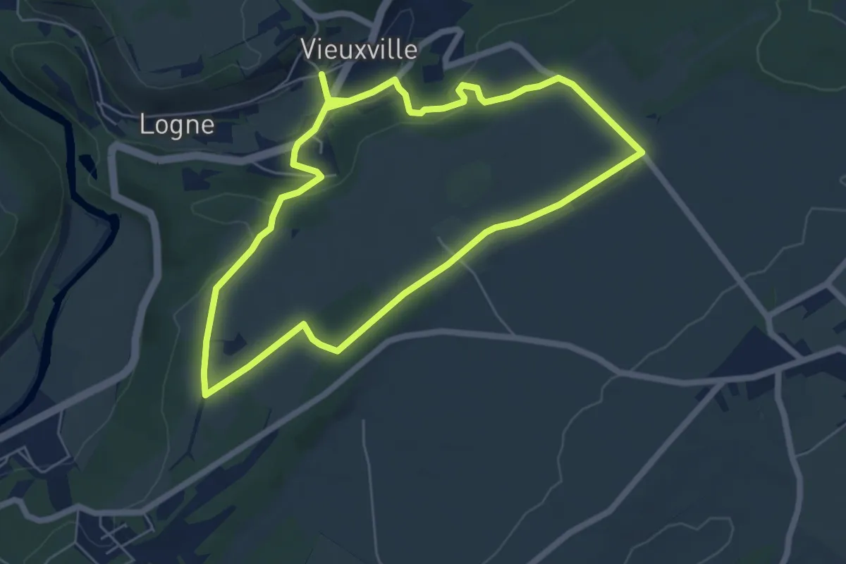
Easy · Trail
Promenade St. Rahi et St. Roch
5.4 km · ↑ 94 m · 1 h 32 min
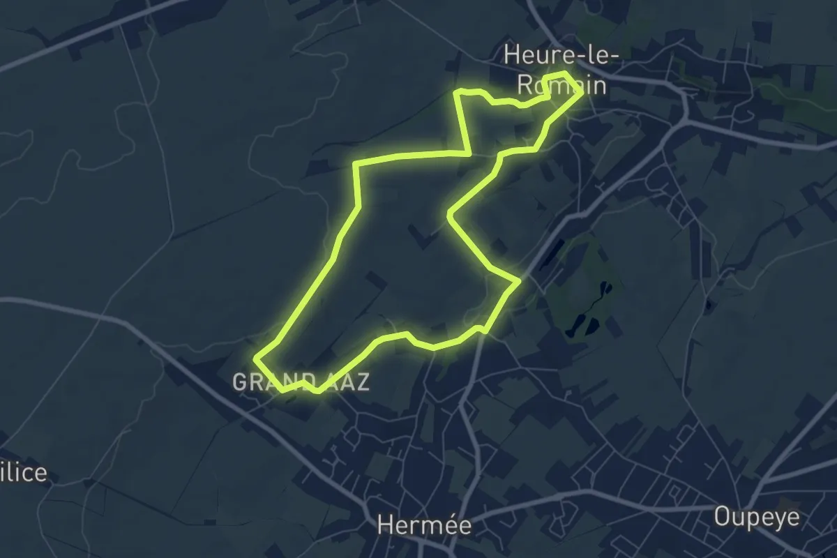
Easy · Trail
Promenade Sur les Pas de Bacchus
6.7 km · ↑ 80 m · 1 h 51 min
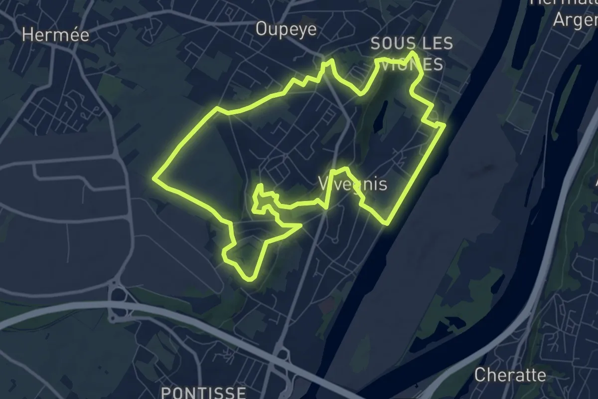
Medium · Trail
Promenade Sur les Traces de Curtius
9.3 km · ↑ 153 m · 2 h 39 min
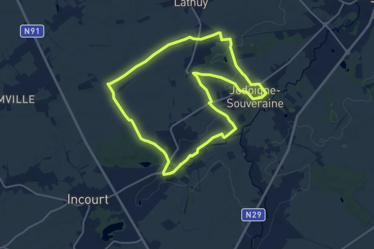
Medium · Trail
Promenade Tienne Stricheaux
10.2 km · ↑ 80 m · 2 h 44 min
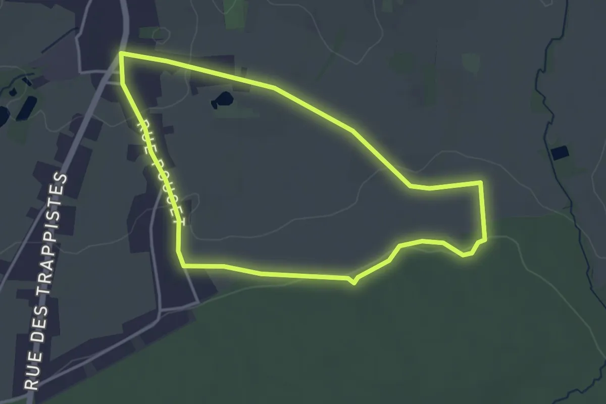
Easy · Trail
Promenade Tri Jean de France
3.3 km · ↑ 48 m · 56 min
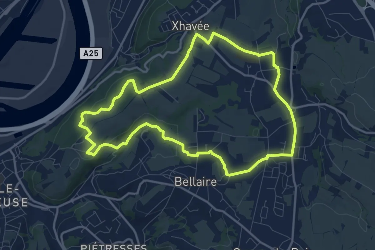
Medium · Trail
Promenade vers les Houlpais
8.4 km · ↑ 127 m · 2 h 22 min
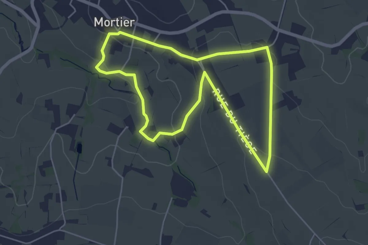
Easy · Trail
Promenade vers le Tiège
4.0 km · ↑ 61 m · 1 h 8 min
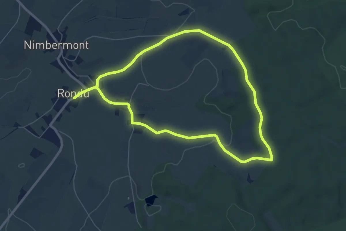
Easy · Trail
Promenade Wallonne Coradje!
5.5 km · ↑ 76 m · 1 h 32 min
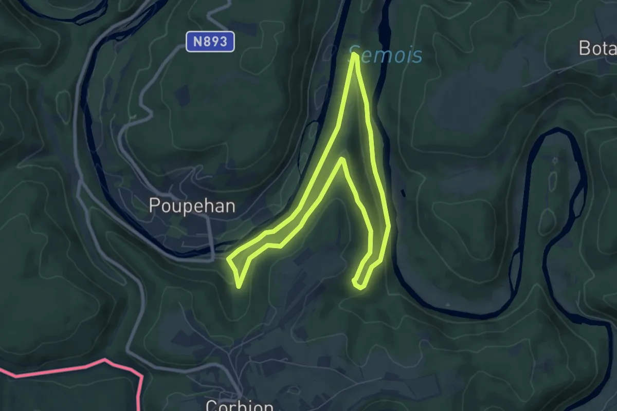
Easy · Trail
Promenande du Gué du Loquet
6.5 km · ↑ 230 m · 2 h 8 min
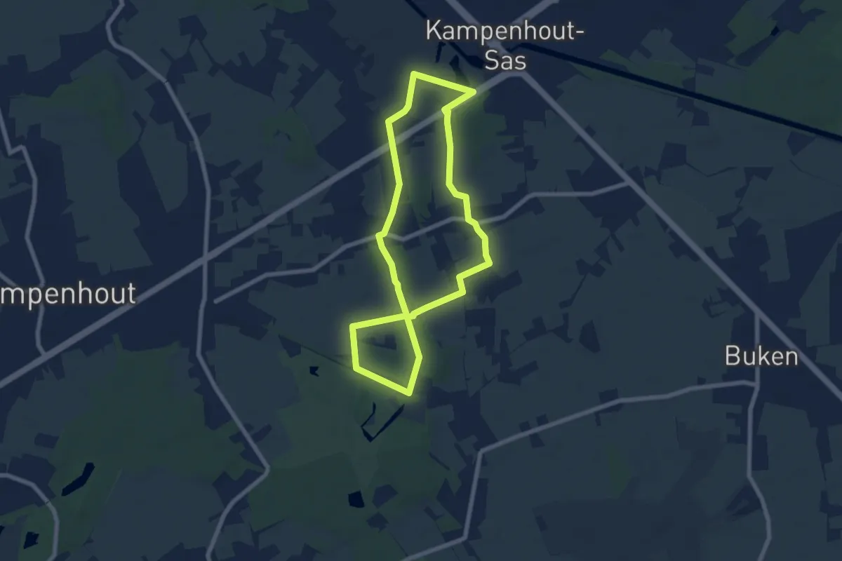
Easy · Trail
Prosper Van Langedonckpad
5.9 km · ↑ 12 m · 1 h 30 min
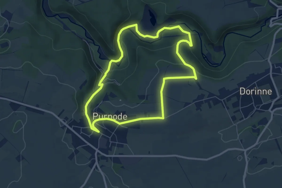
Easy · Trail
Purnode - Vallée du Bocq - Purnode
6.0 km · ↑ 145 m · 1 h 49 min
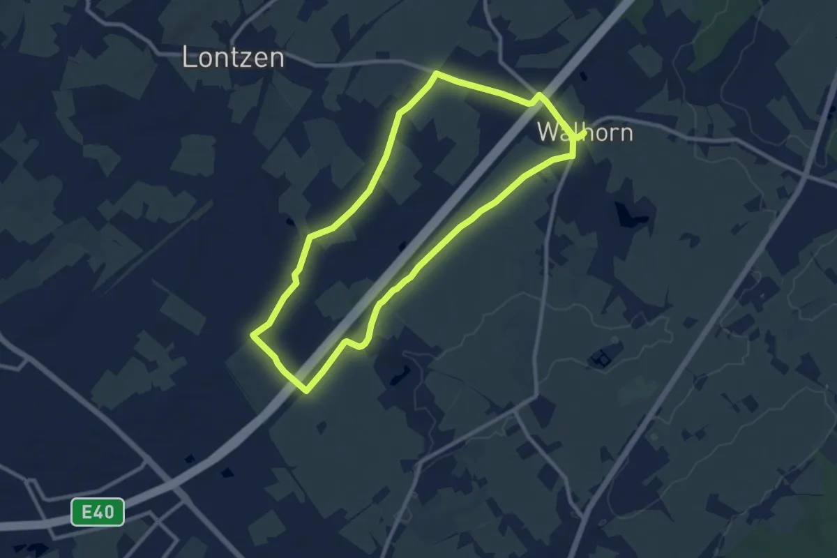
Medium · Trail
Rabotrath-Lindchen
8.1 km · ↑ 40 m · 2 h 6 min
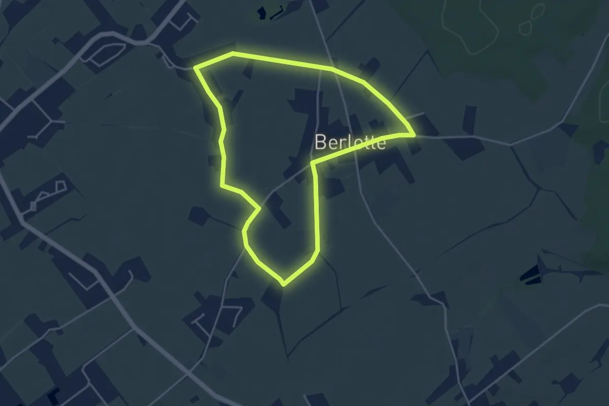
Easy · Trail
Raeren (Rollstuhl)
3.6 km · ↑ 17 m · 57 min
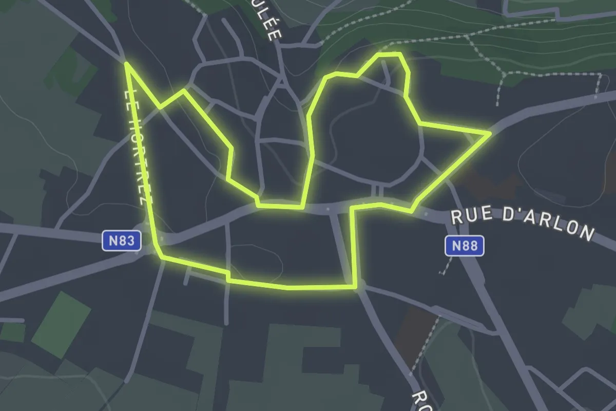
Easy · Trail
Rallye pédestre à Florenville
2.5 km · ↑ 22 m · 41 min
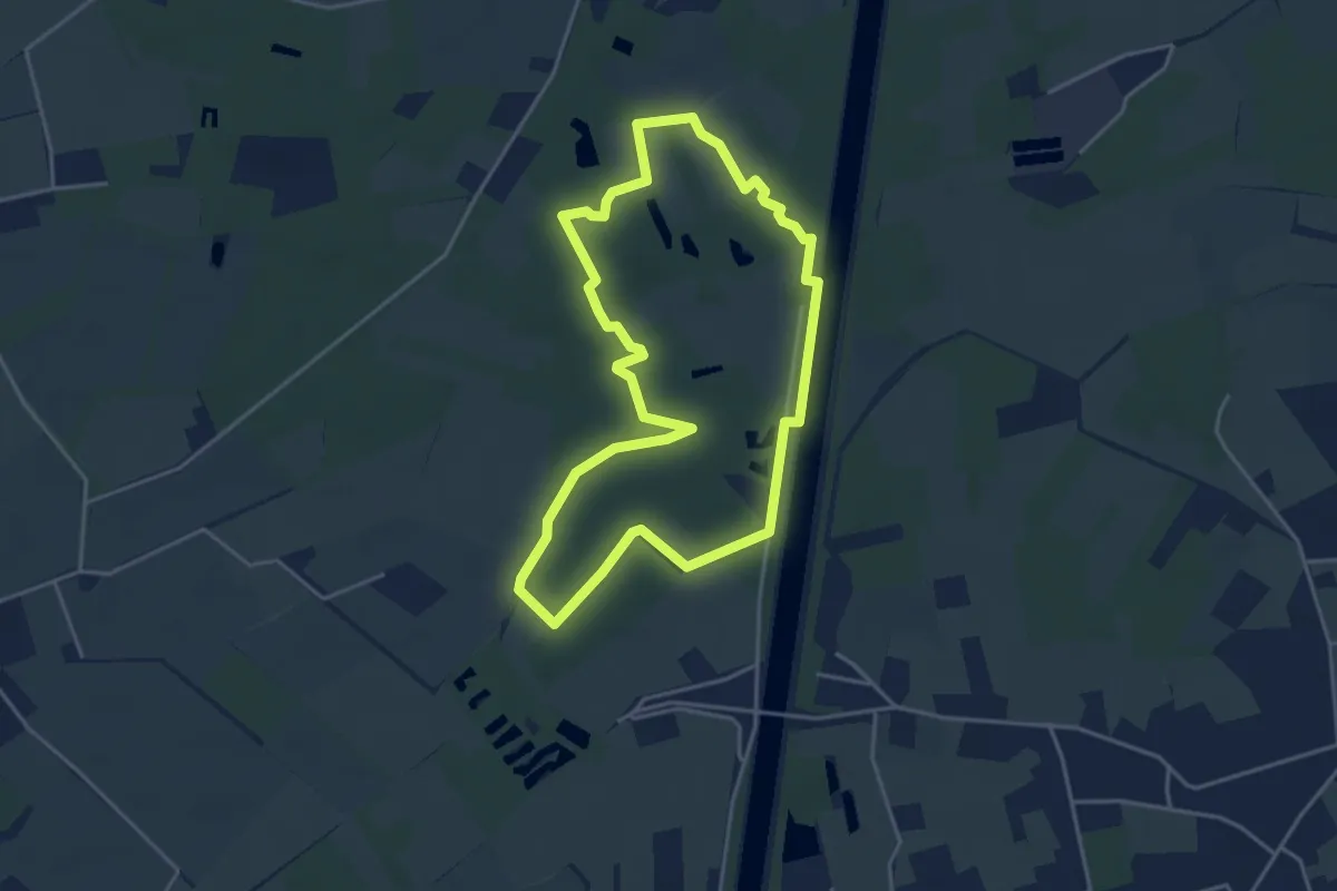
Easy · Trail
Rammelaars Blauwe route
3.6 km · ↑ 4 m · 55 min
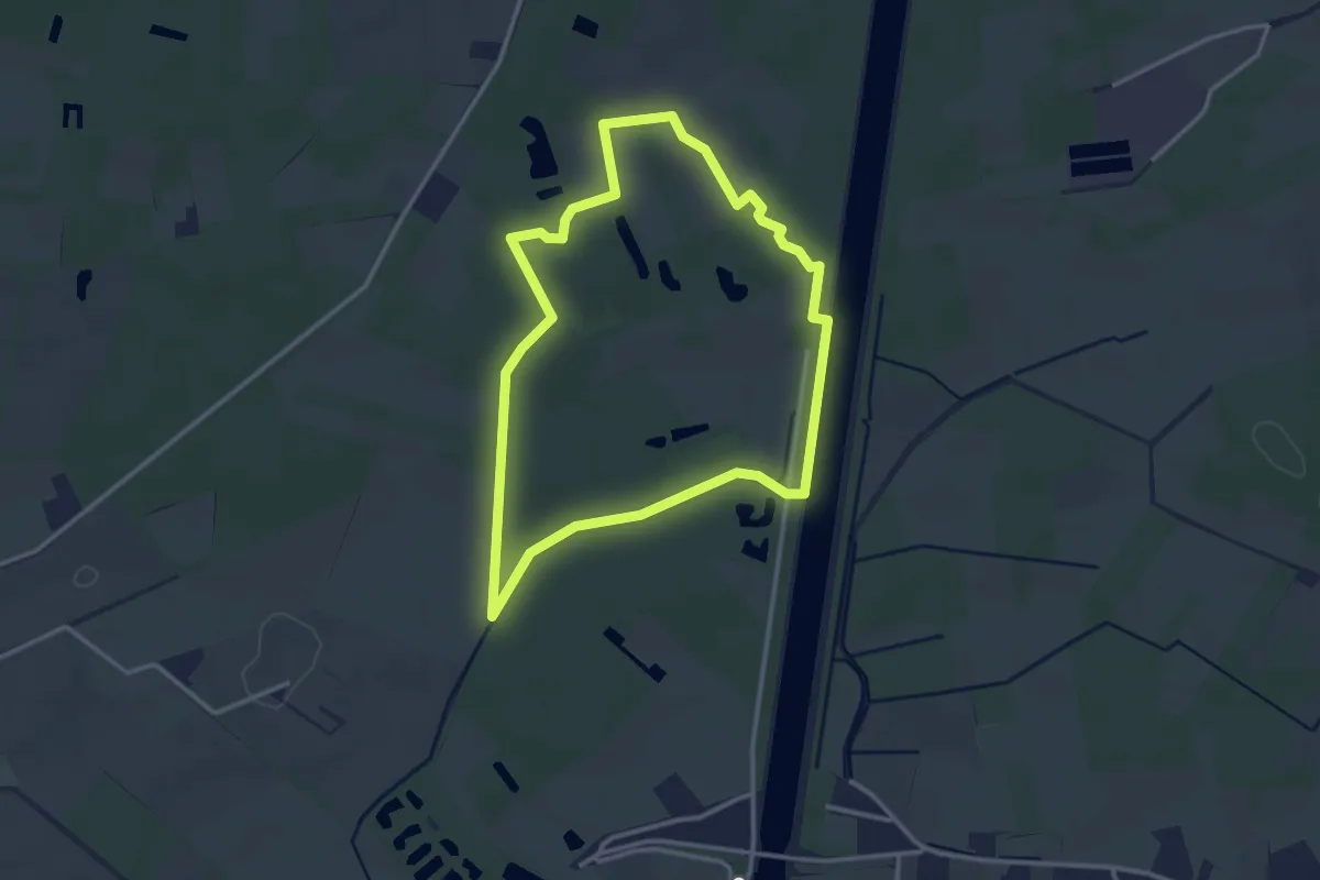
Easy · Trail
Rammelaars drogevoetenpad
2.8 km · ↑ 4 m · 42 min
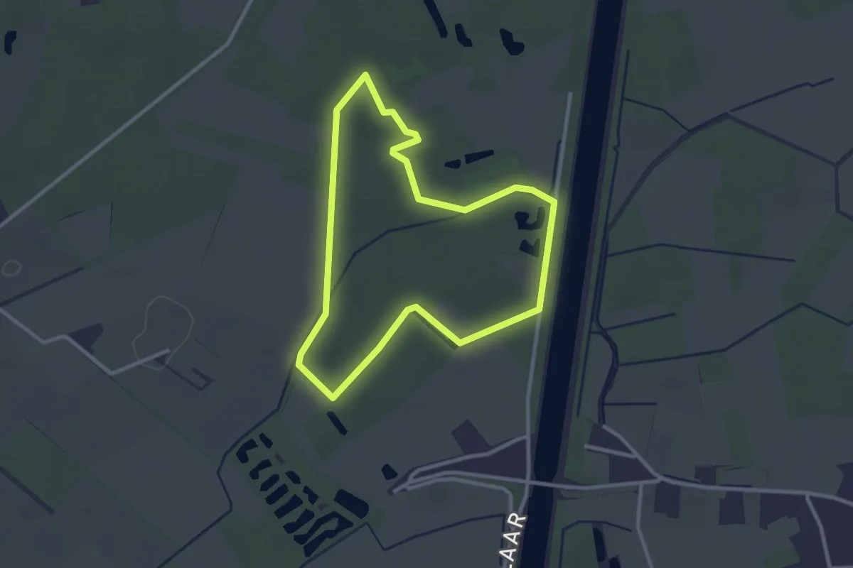
Easy · Trail
Rammelaars Laarzenpad
2.4 km · ↑ 0 m · 36 min
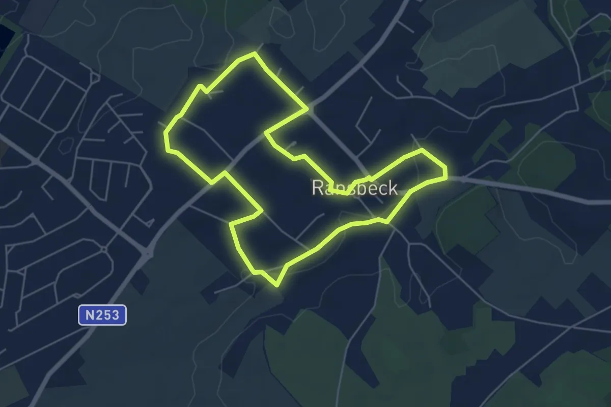
Easy · Trail
Ransbeck
4.7 km · ↑ 30 m · 1 h 14 min
Easy · Trail
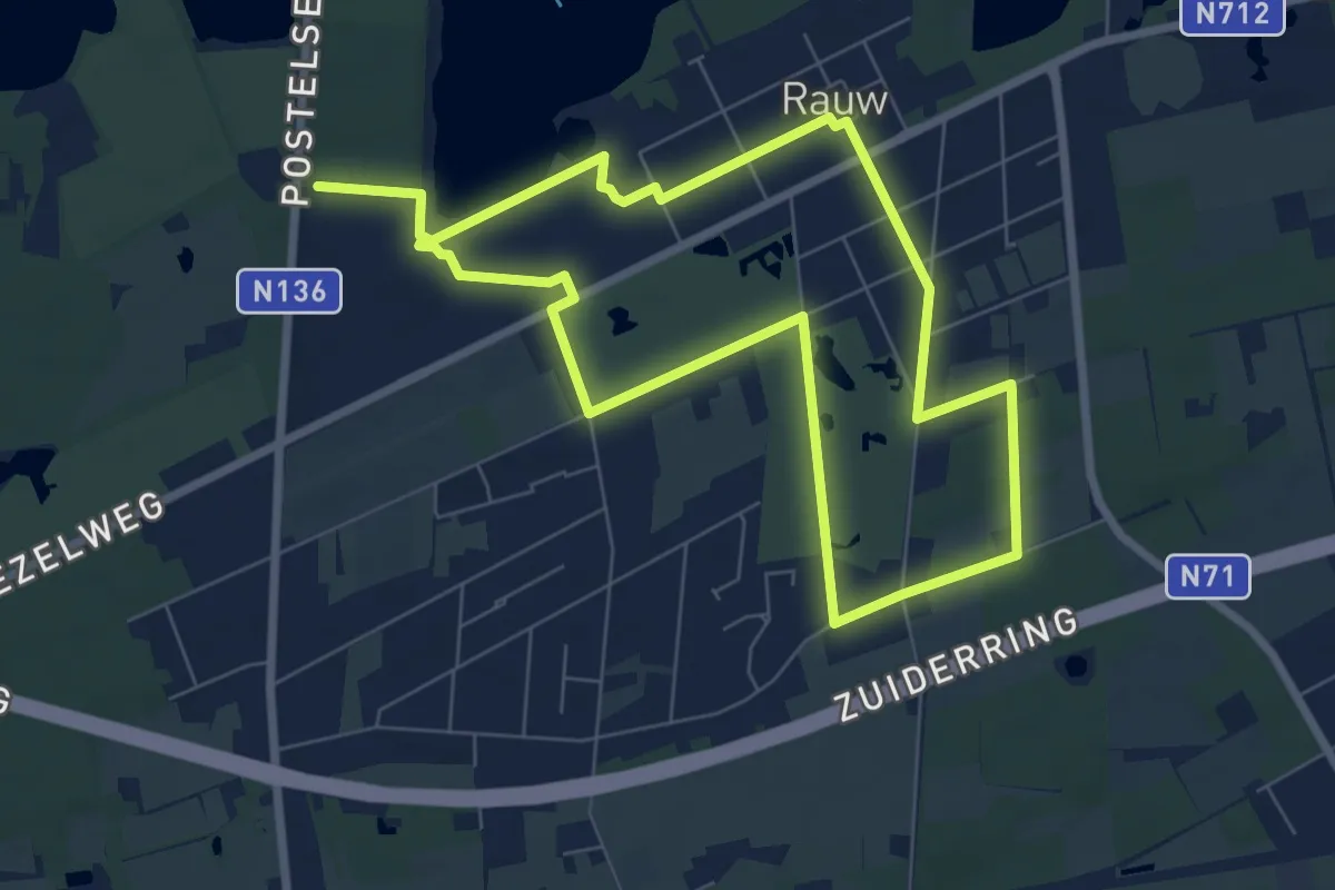
Rauw
6.8 km · ↑ 4 m · 1 h 42 min
Easy · Trail
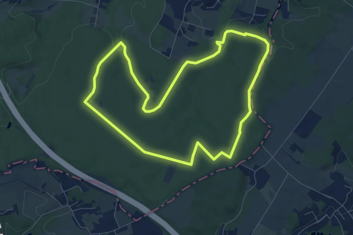
Reebokwandeling
7.1 km · ↑ 82 m · 1 h 58 min
Easy · Trail
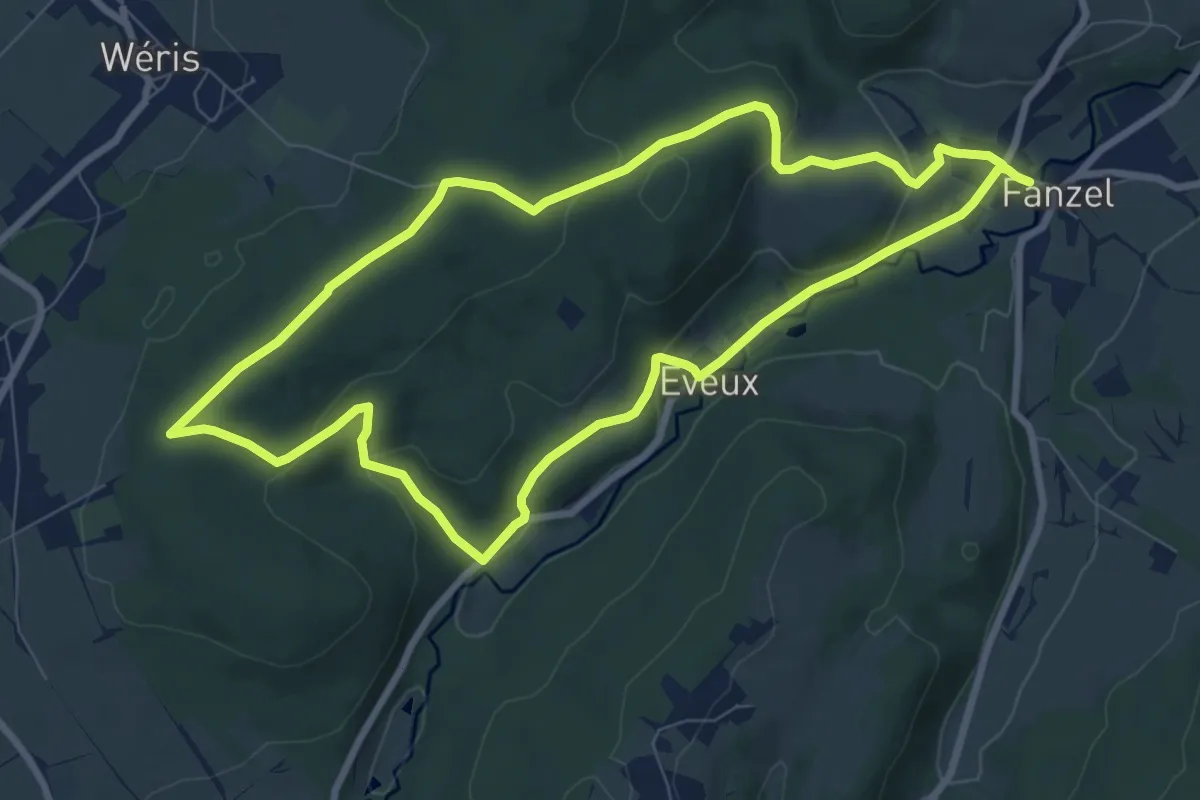
Refuge
7.7 km · ↑ 220 m · 2 h 24 min
Medium · Trail
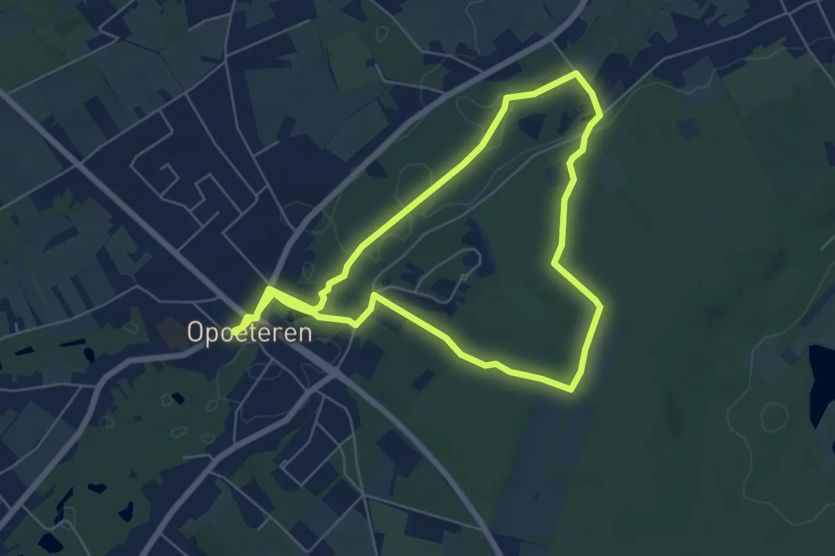
Regiroute
10.4 km · ↑ 68 m · 2 h 37 min
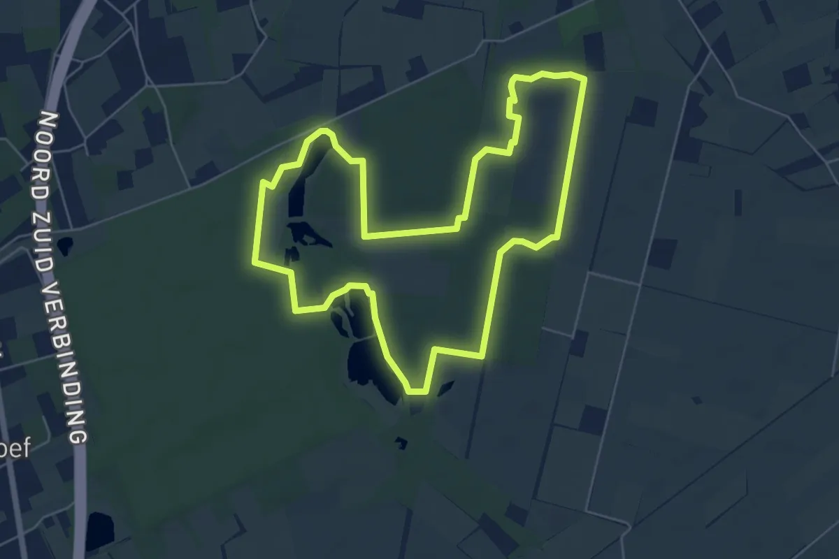
Easy · Trail
Reigerpad Resterheide
5.4 km · ↑ 23 m · 1 h 25 min
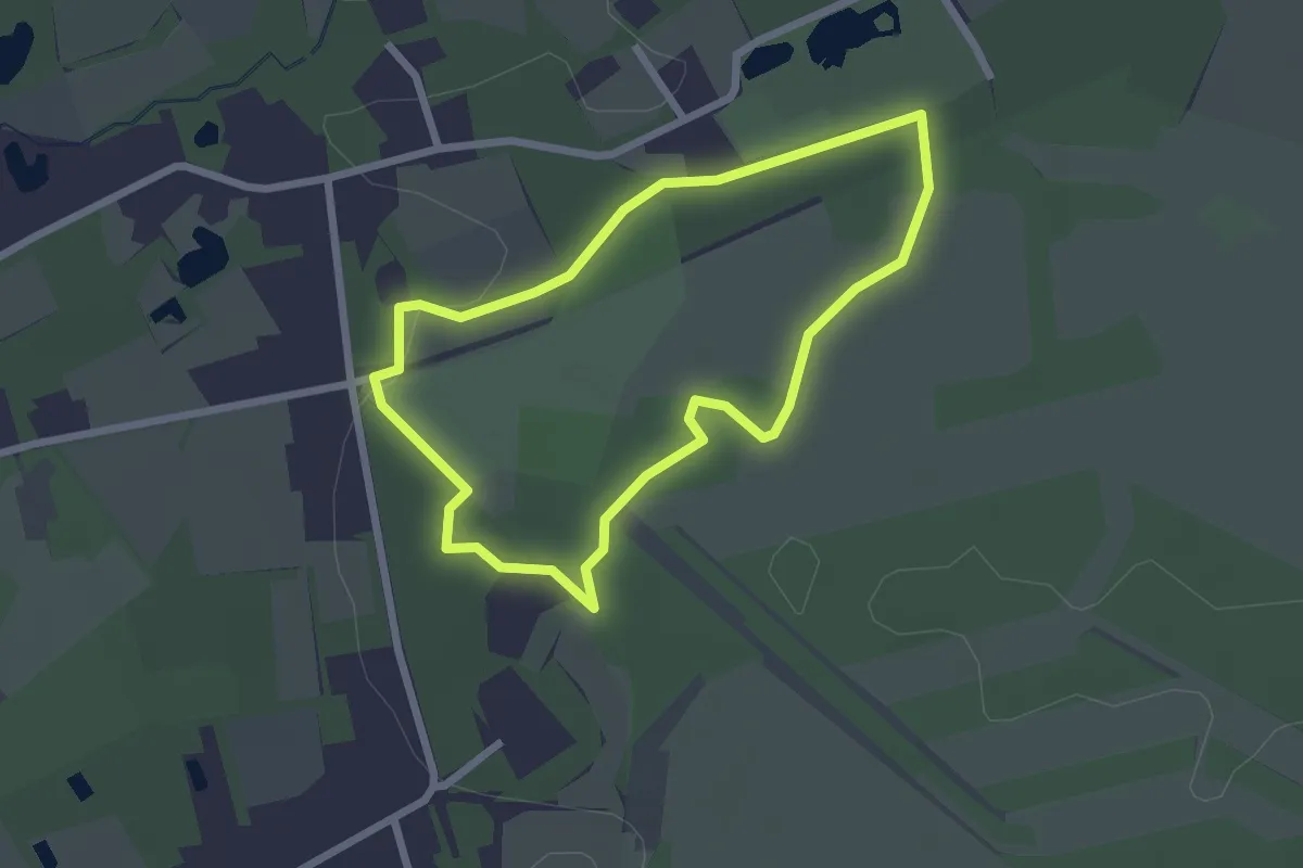
Easy · Trail
Rendierjagerspad
2.0 km · ↑ 13 m · 32 min
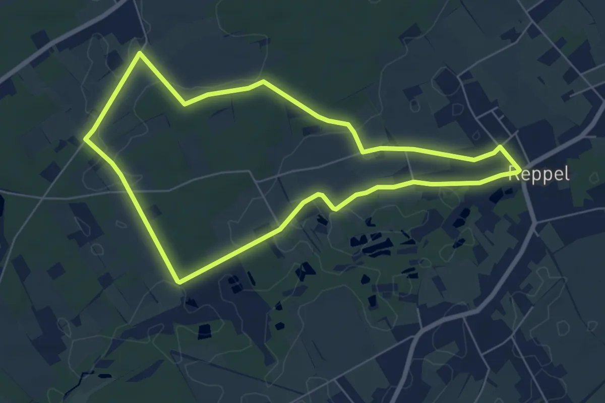
Easy · Trail
Reppelerroute
5.4 km · ↑ 13 m · 1 h 22 min
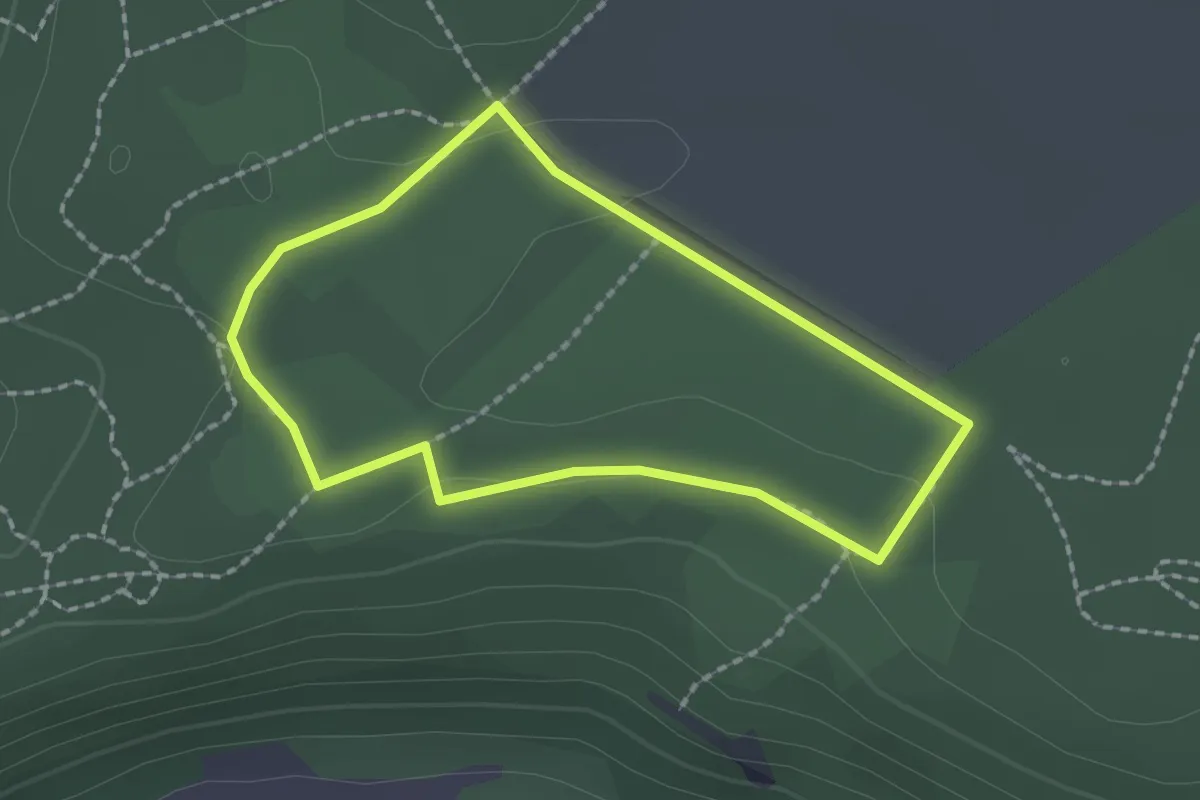
Easy · Trail
Réserve Naturelle de Sclaigneaux
1.6 km · ↑ 11 m · 25 min
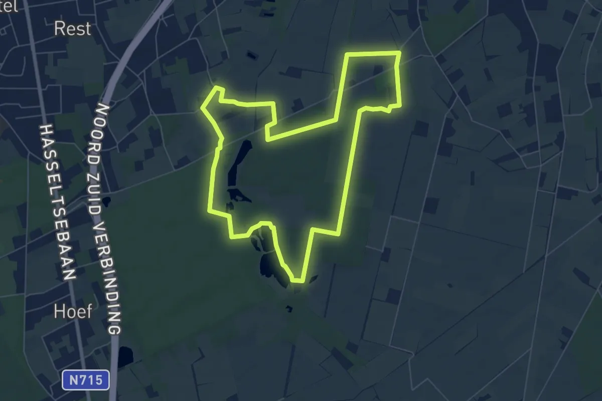
Easy · Trail
Resterheide Gele zeshoek
6.4 km · ↑ 26 m · 1 h 40 min
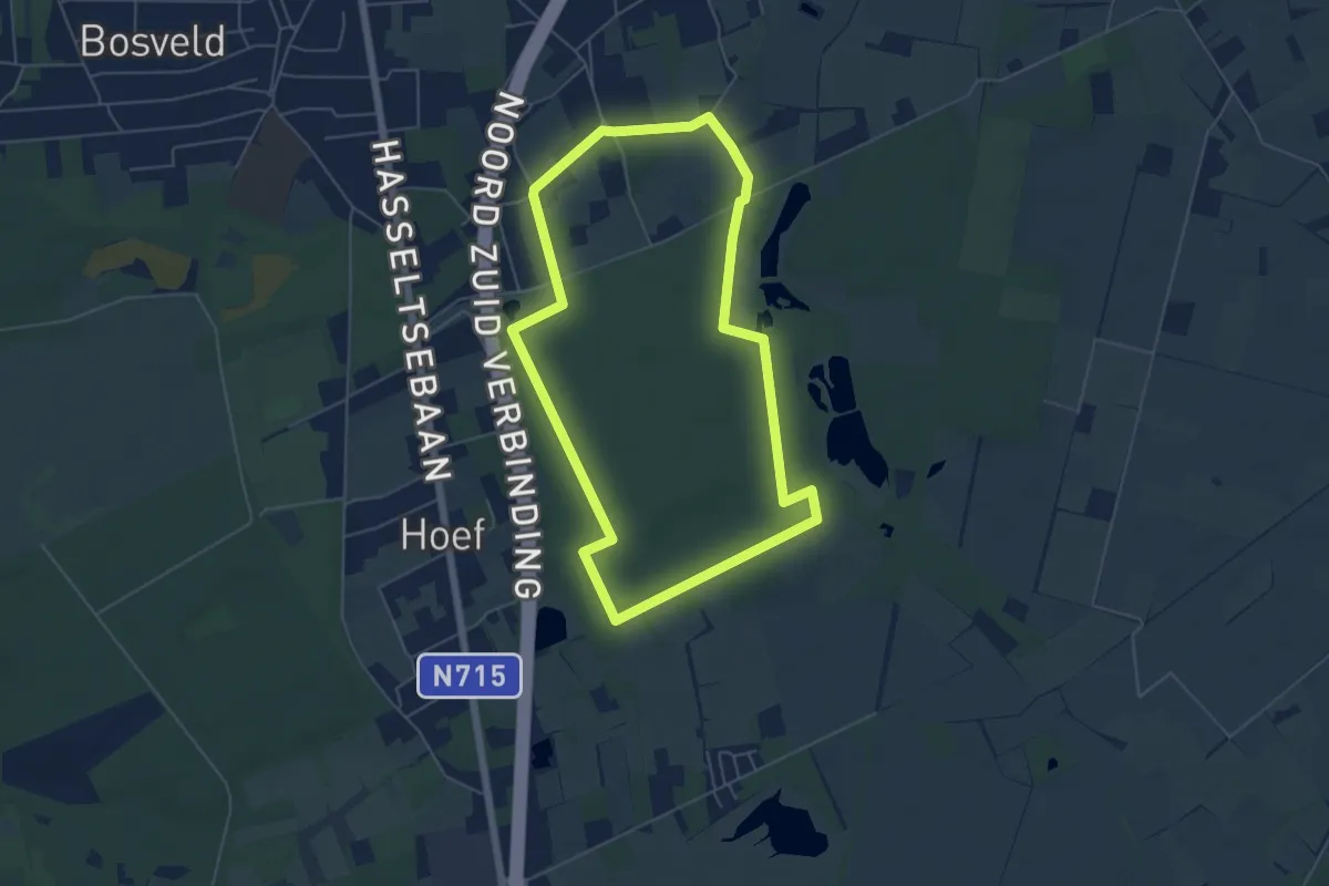
Easy · Trail
Resterheide Groene rechthoek
5.0 km · ↑ 9 m · 1 h 17 min
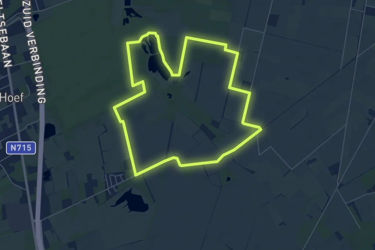
Easy · Trail
Resterheide Oranje bol
6.0 km · ↑ 14 m · 1 h 31 min
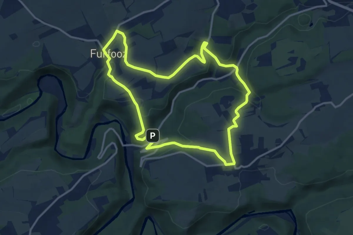
Medium · Trail
Ri des Forges
8.5 km · ↑ 220 m · 2 h 36 min