Trails in Belgium
3,383 hiking trails, each with its route, climb, walking time and grade.
All trails, page 51 of 71
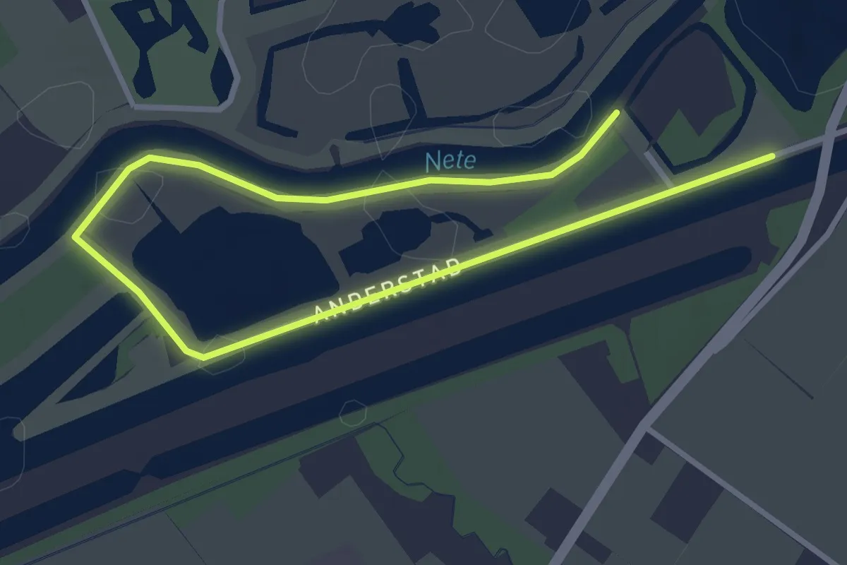
Easy · Trail
Rietvogelpad
4.1 km · ↑ 0 m · 59 min
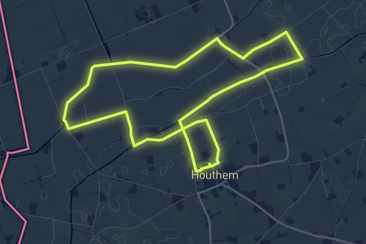
Medium · Trail
Ringslot wandelroute
9.1 km · ↑ 4 m · 2 h 18 min
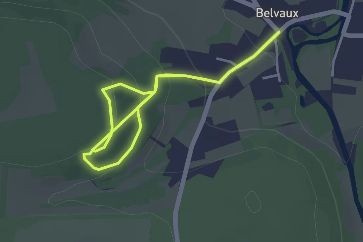
Easy · Trail
RO04 Les Pinsons
2.3 km · ↑ 118 m · 49 min
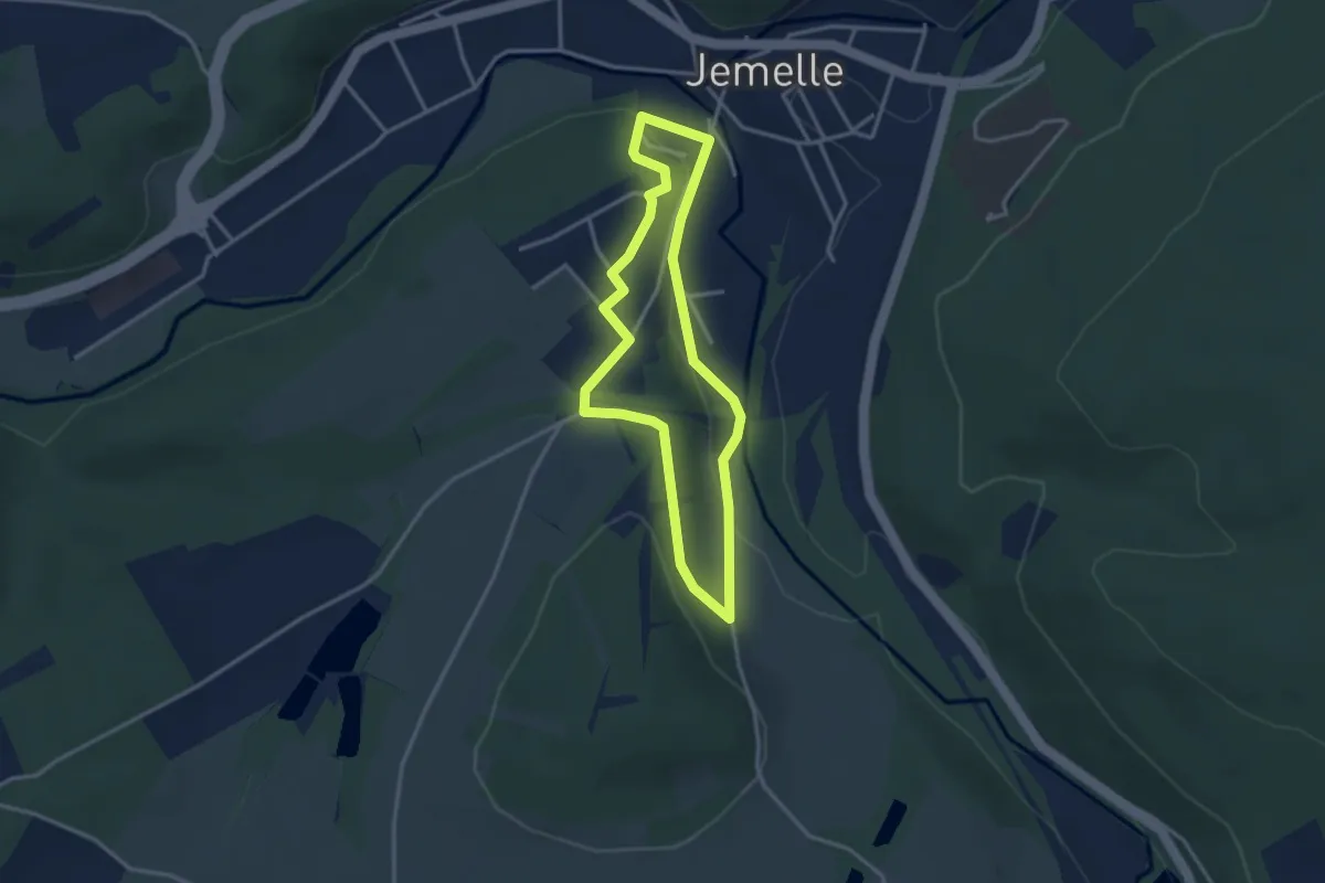
Easy · Trail
RO06 Les Chavées
2.8 km · ↑ 54 m · 49 min
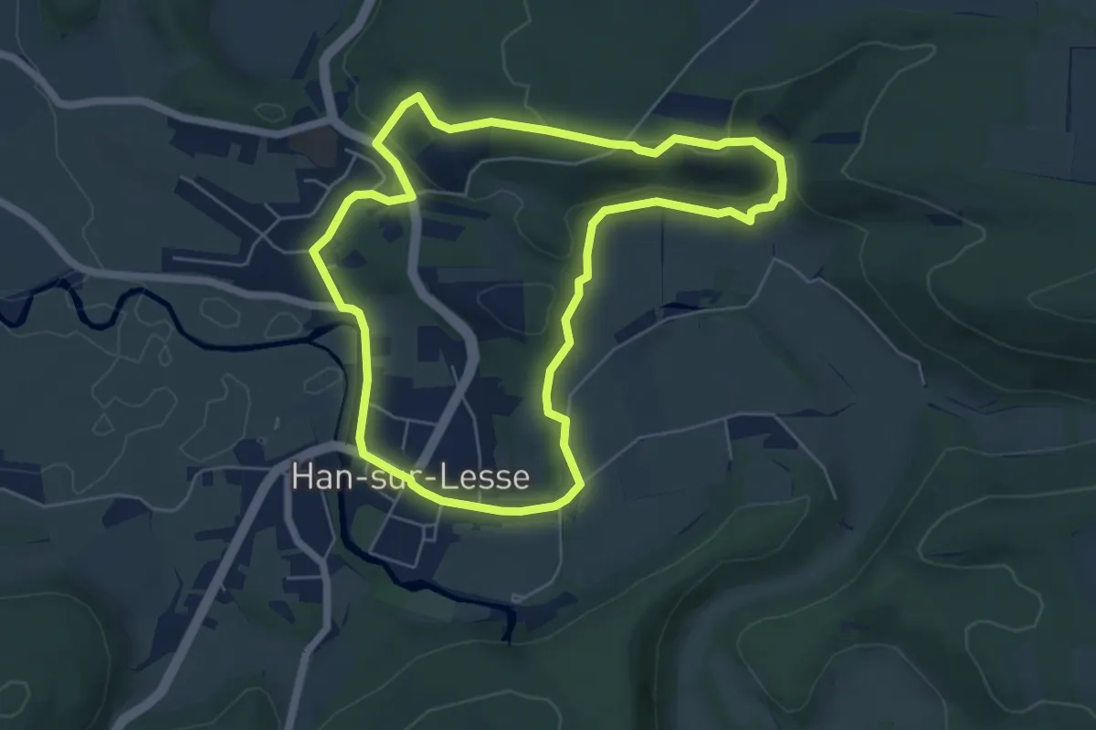
Easy · Trail
RO07 Belvédère
5.3 km · ↑ 117 m · 1 h 34 min
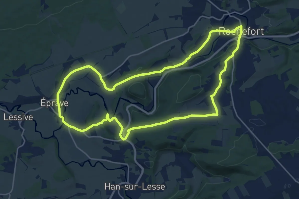
Medium · Trail
RO08 Résurgence d'Eprave
13.5 km · ↑ 208 m · 3 h 49 min
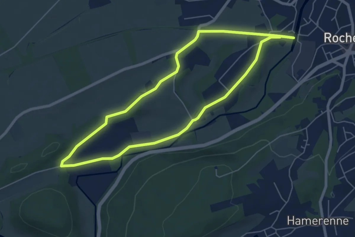
Easy · Trail
RO09 Chapelle du Maquis
4.7 km · ↑ 44 m · 1 h 17 min
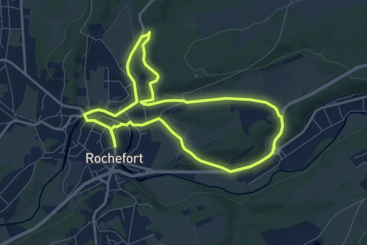
Easy · Trail
RO11 Fond des Vaux
6.4 km · ↑ 111 m · 1 h 50 min
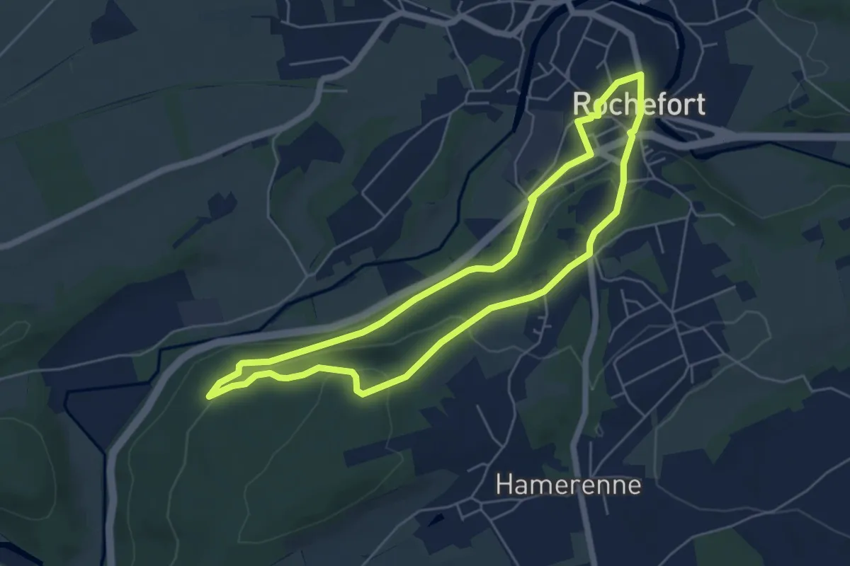
Easy · Trail
RO12 Rond du Roi
4.9 km · ↑ 148 m · 1 h 32 min
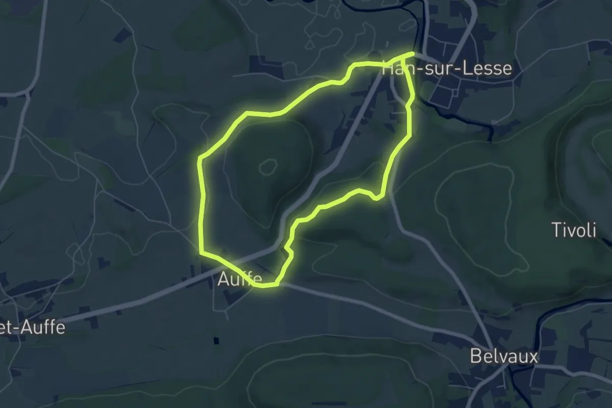
Easy · Trail
RO17 Turmont
5.4 km · ↑ 105 m · 1 h 35 min
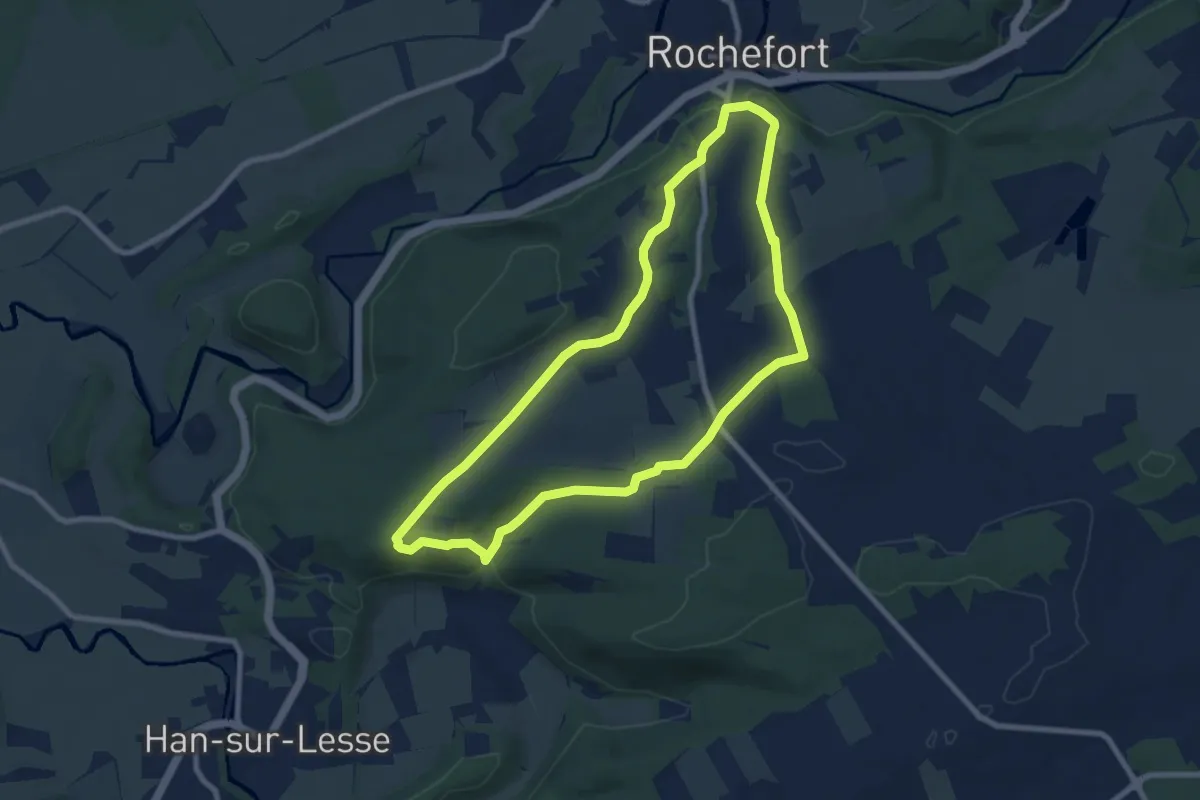
Easy · Trail
RO19 Belvédère de Han-sur-Lesse
7.5 km · ↑ 145 m · 2 h 12 min
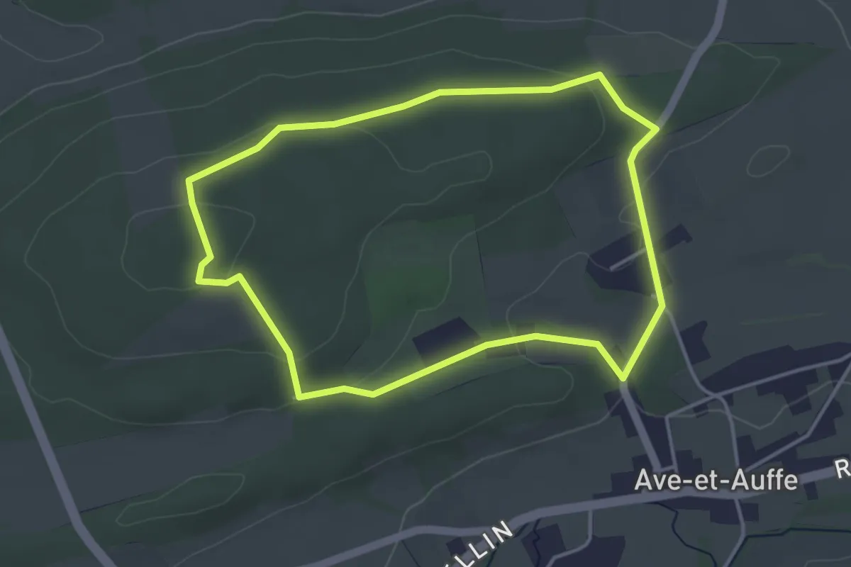
Easy · Trail
RO20 Les Geais
3.5 km · ↑ 70 m · 1 h 2 min
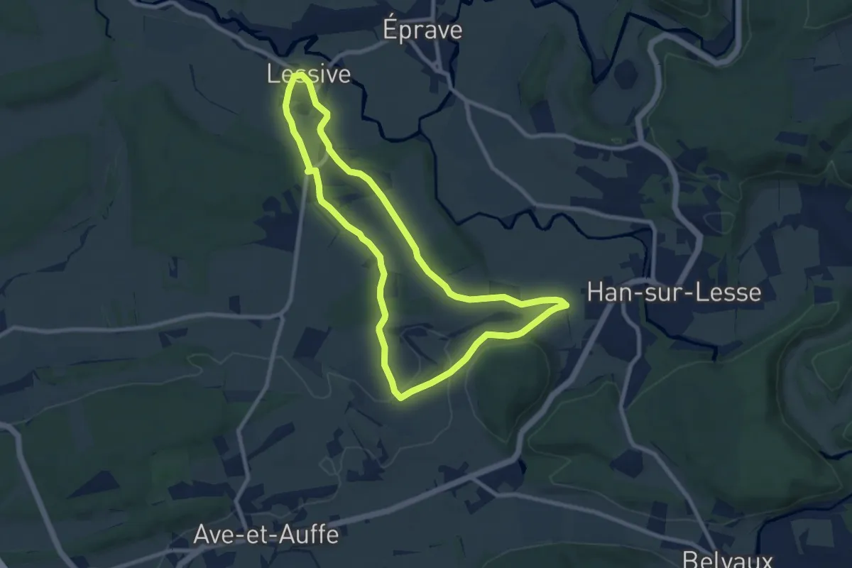
Easy · Trail
RO23 Les Pics Epeiches
7.5 km · ↑ 82 m · 2 h 2 min
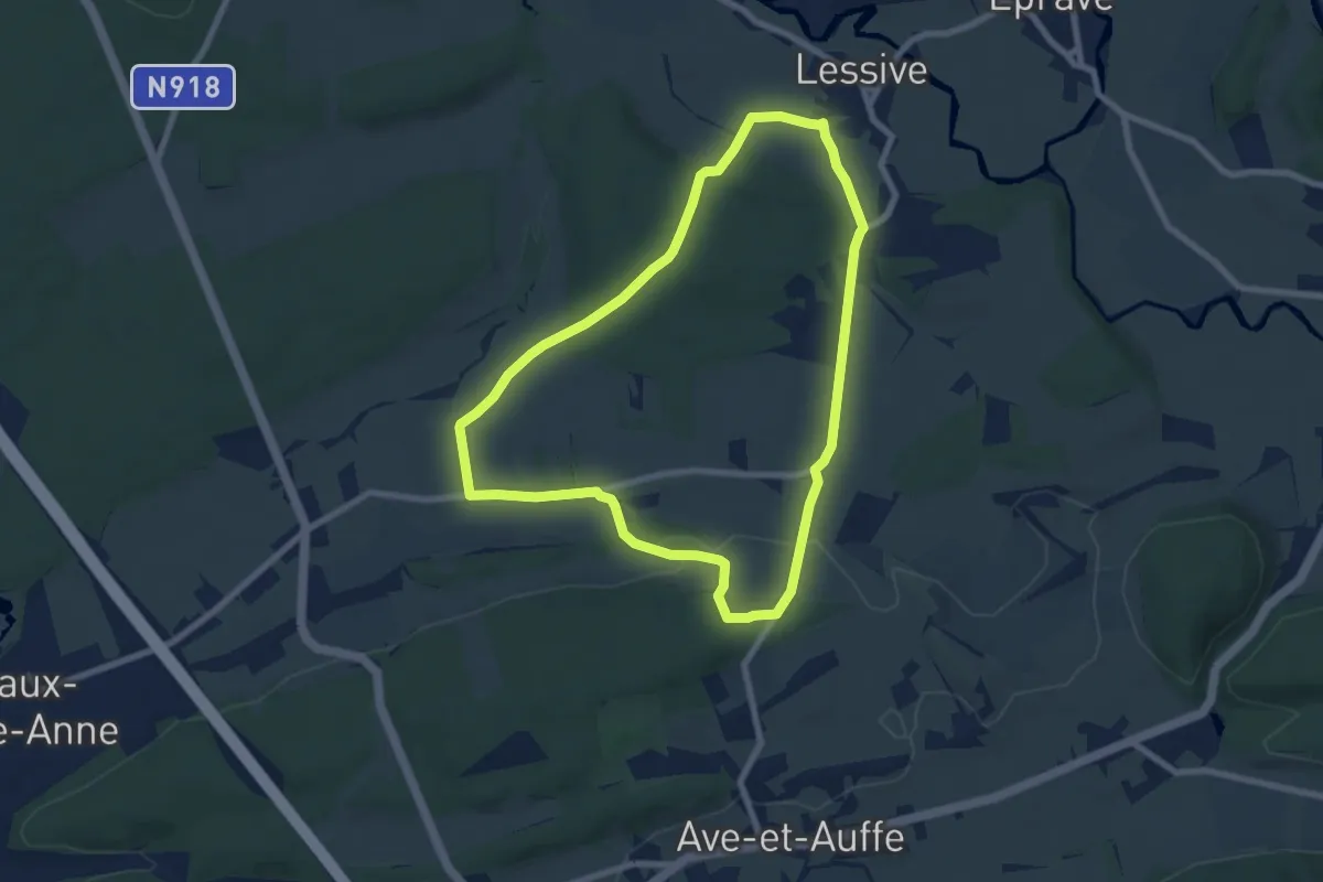
Easy · Trail
RO24 Les Hirondelles
6.8 km · ↑ 117 m · 1 h 58 min
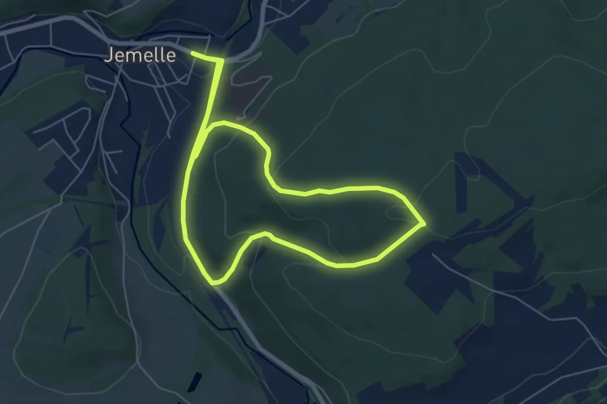
Easy · Trail
RO34 La Montée aux Bois
5.5 km · ↑ 155 m · 1 h 43 min
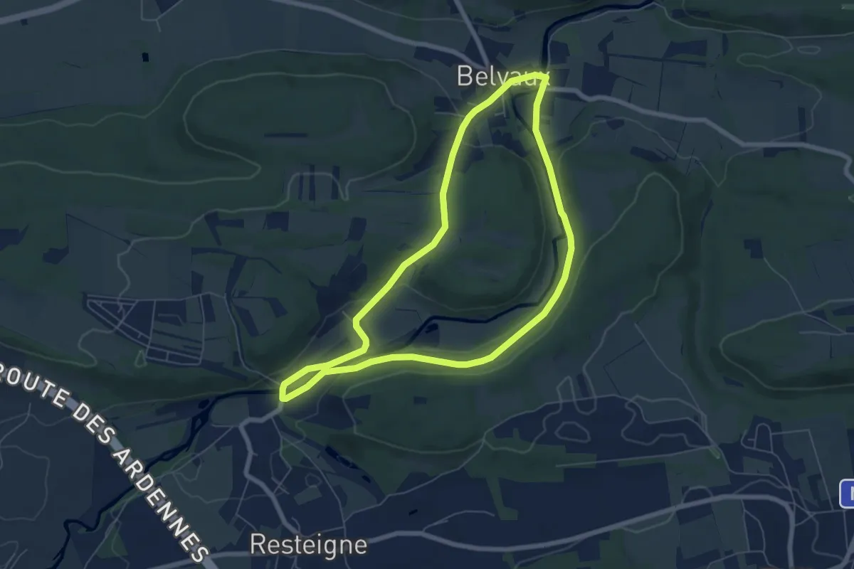
Easy · Trail
RO35 Les Rouges-Gorges
5.8 km · ↑ 112 m · 1 h 42 min
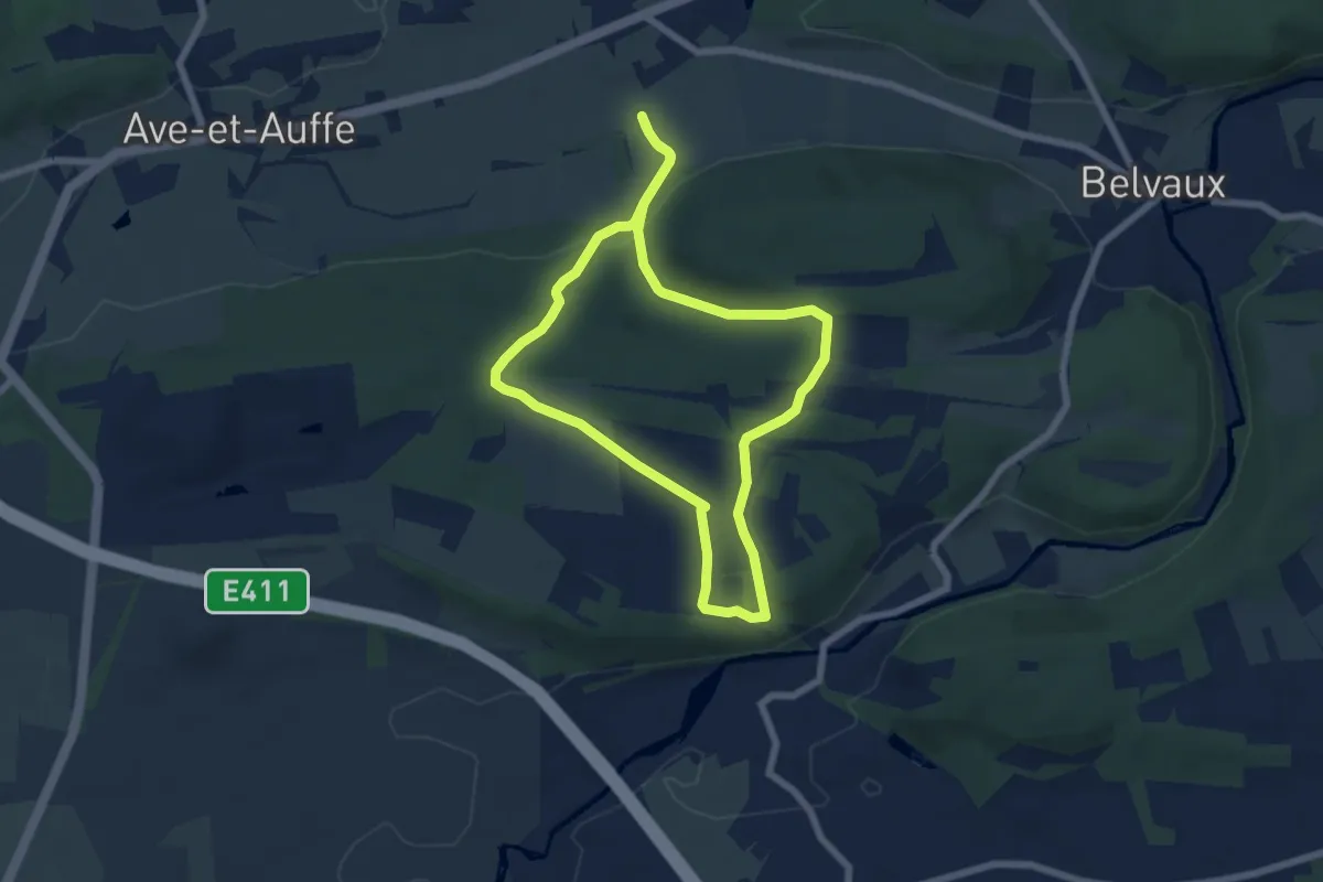
Easy · Trail
RO36 Les Etourneaux
5.7 km · ↑ 132 m · 1 h 43 min
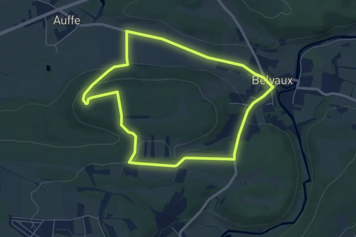
Easy · Trail
RO37 Les Martinets
5.2 km · ↑ 115 m · 1 h 33 min
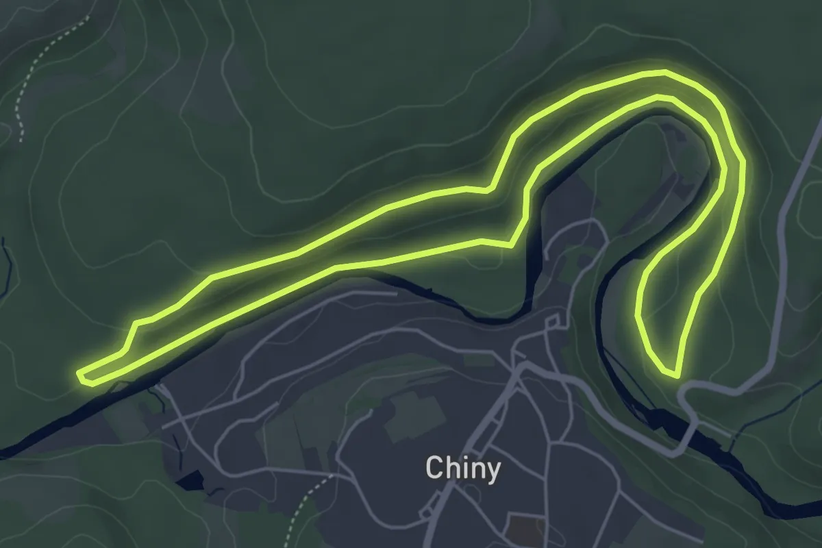
Easy · Trail
Roche du Corbeau
5.7 km · ↑ 118 m · 1 h 41 min
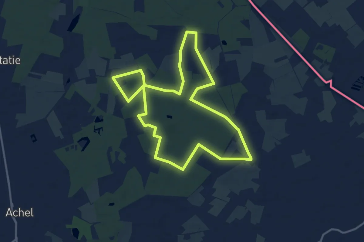
Medium · Trail
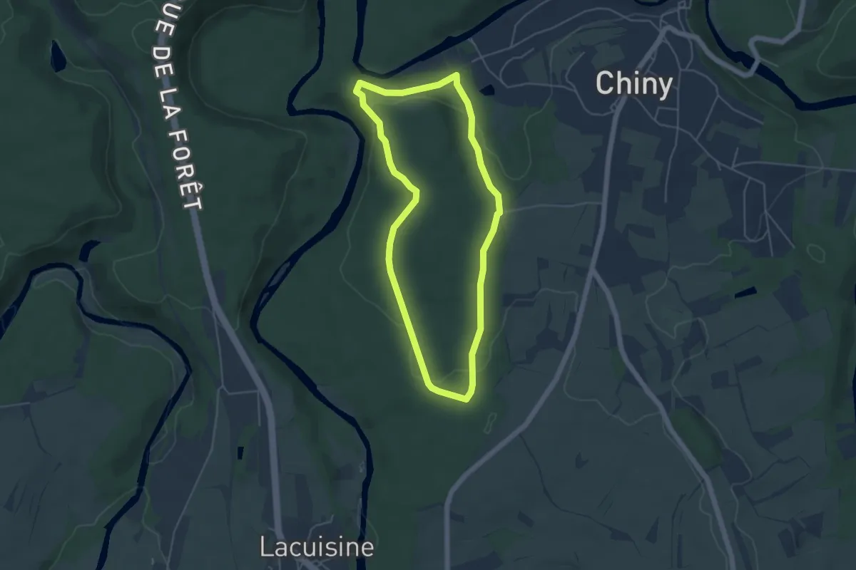
Rochefort
8.5 km · ↑ 25 m · 2 h 11 min
Easy · Trail
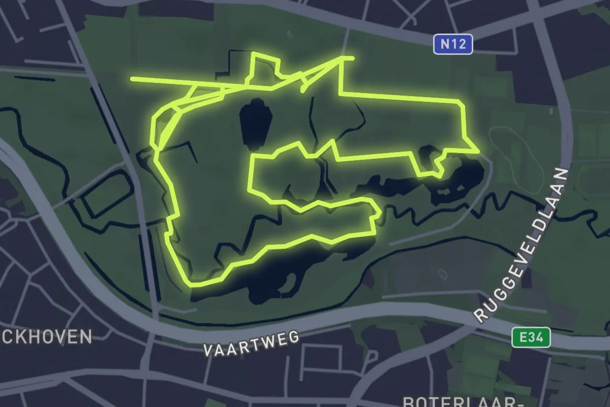
Rocher du Hât
4.2 km · ↑ 88 m · 1 h 14 min
Medium · Trail
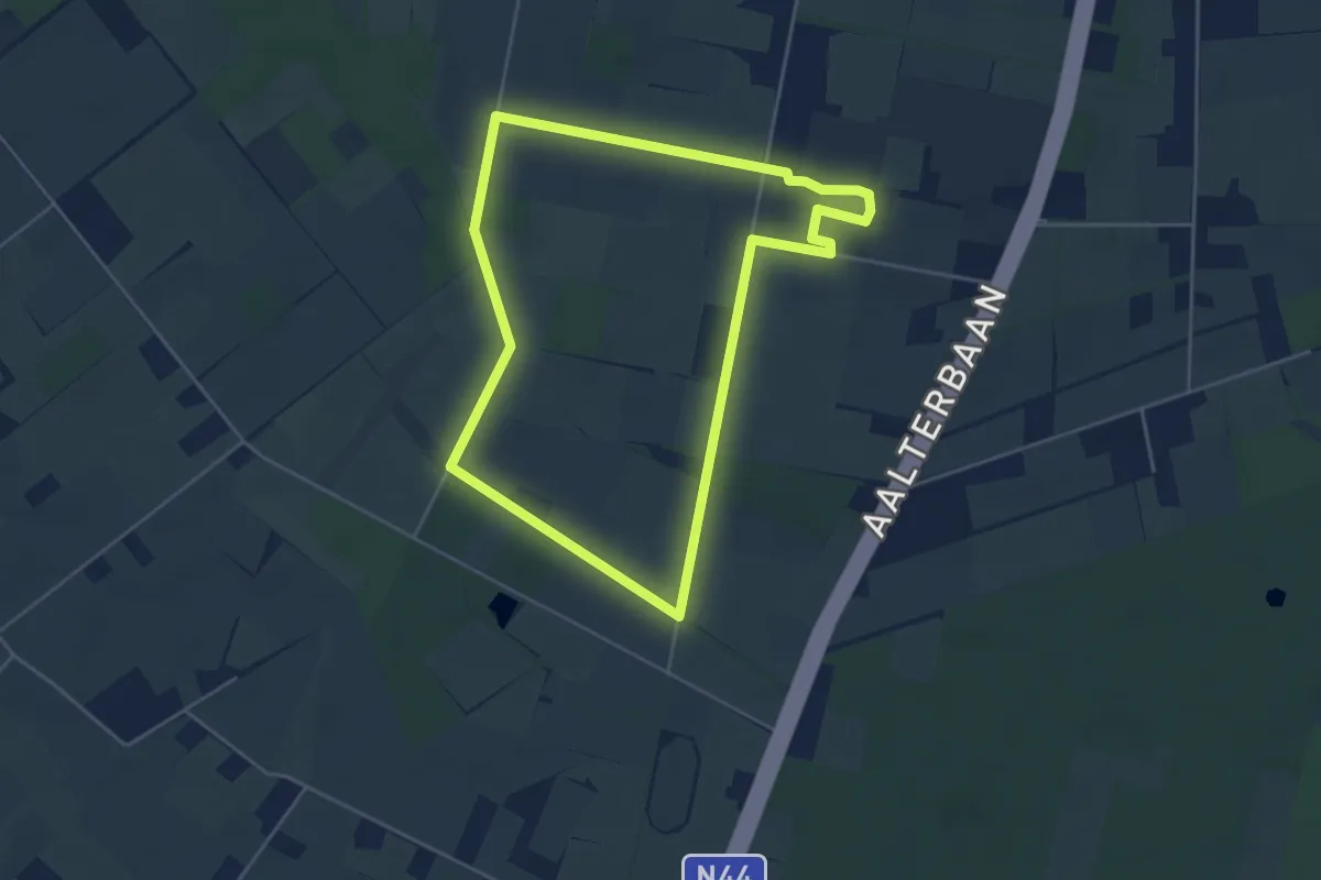
Rode paaltjes
11.1 km · ↑ 22 m · 2 h 40 min
Easy · Trail
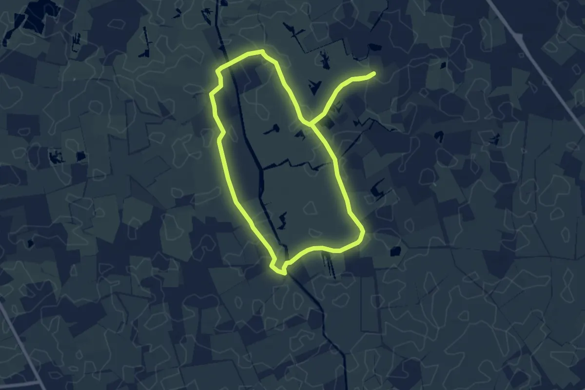
Rode wandeling
4.1 km · ↑ 22 m · 1 h 5 min
Easy · Trail
Rode wandeling
6.5 km · ↑ 0 m · 1 h 38 min
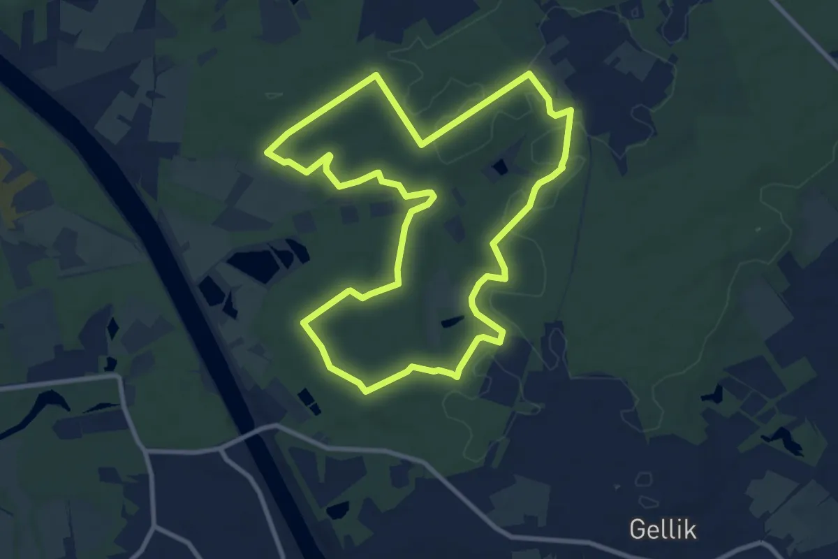
Medium · Trail
Roelen Blauwe ruit
8.3 km · ↑ 74 m · 2 h 14 min
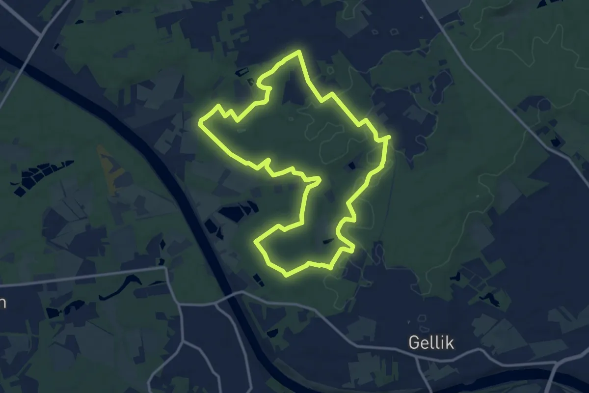
Medium · Trail
Roelen Gele zeshoek
10.4 km · ↑ 99 m · 2 h 49 min
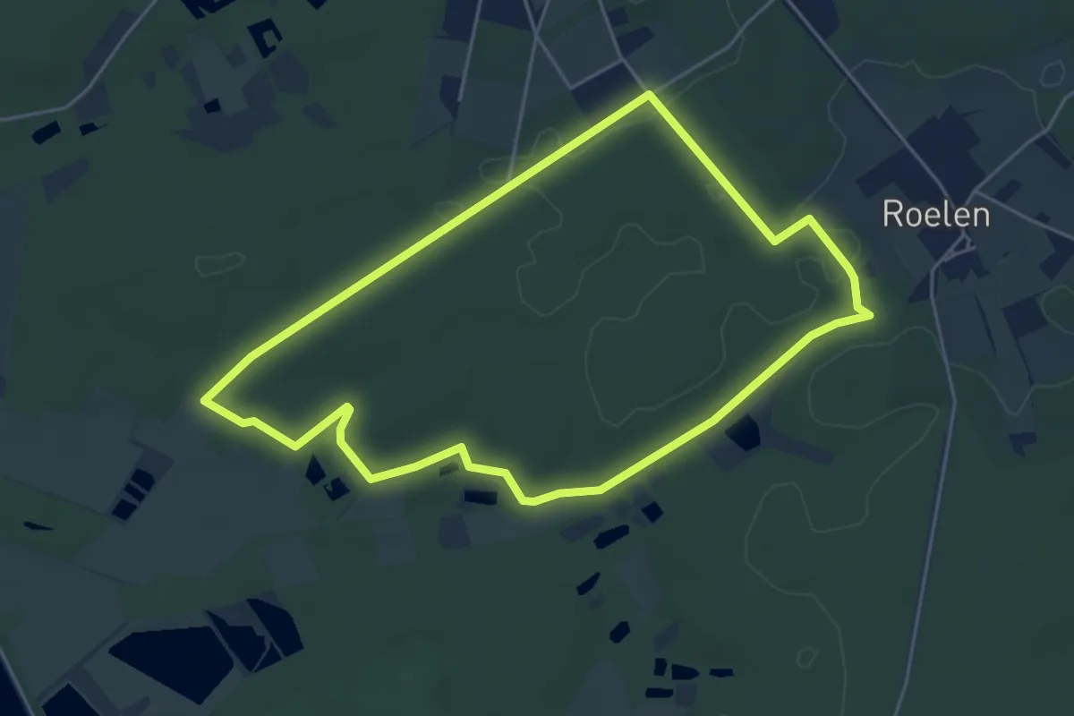
Easy · Trail
Roelen Groene rechthoek
4.4 km · ↑ 31 m · 1 h 10 min
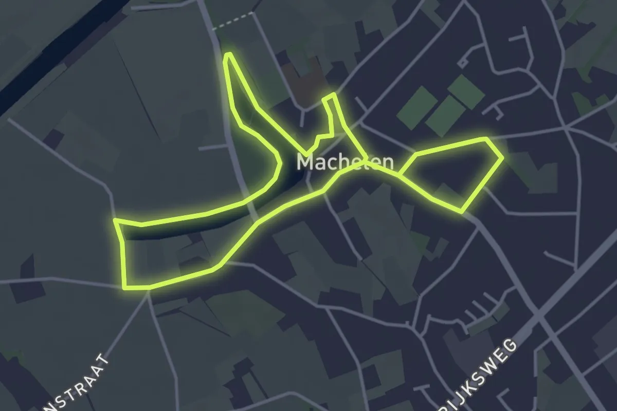
Easy · Trail
Roger Raveelroute
3.6 km · ↑ 0 m · 54 min
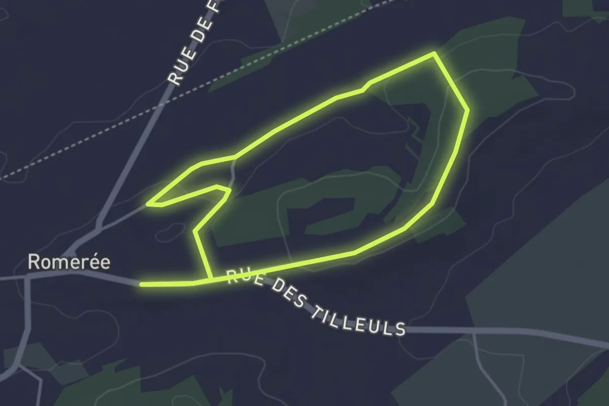
Easy · Trail
Romenée Promenade n°2
3.3 km · ↑ 27 m · 53 min
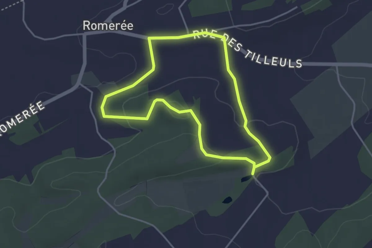
Easy · Trail
Romerée Promenade n°1
3.0 km · ↑ 40 m · 50 min
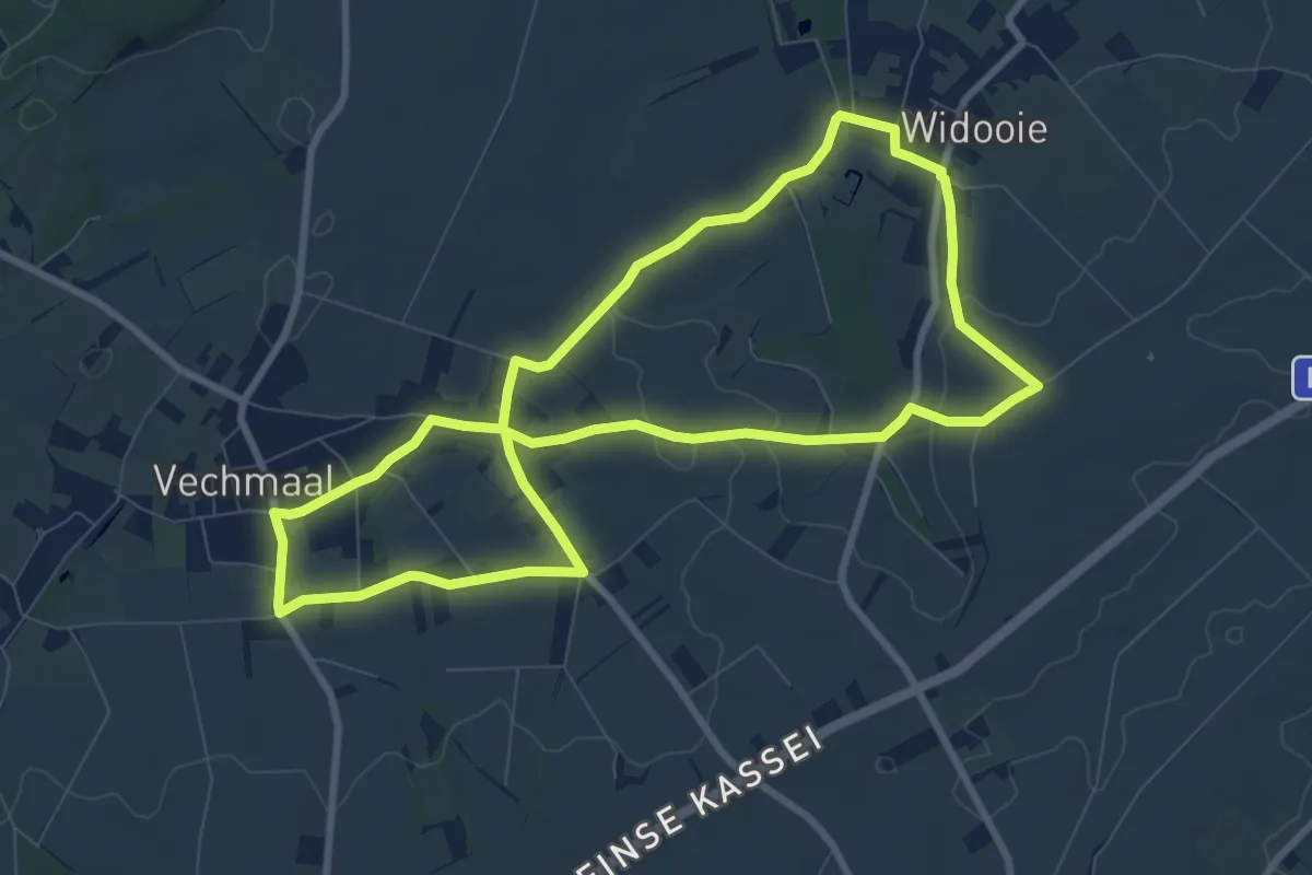
Easy · Trail
Rond de bronnen van de Mombeek
8.0 km · ↑ 45 m · 2 h 5 min
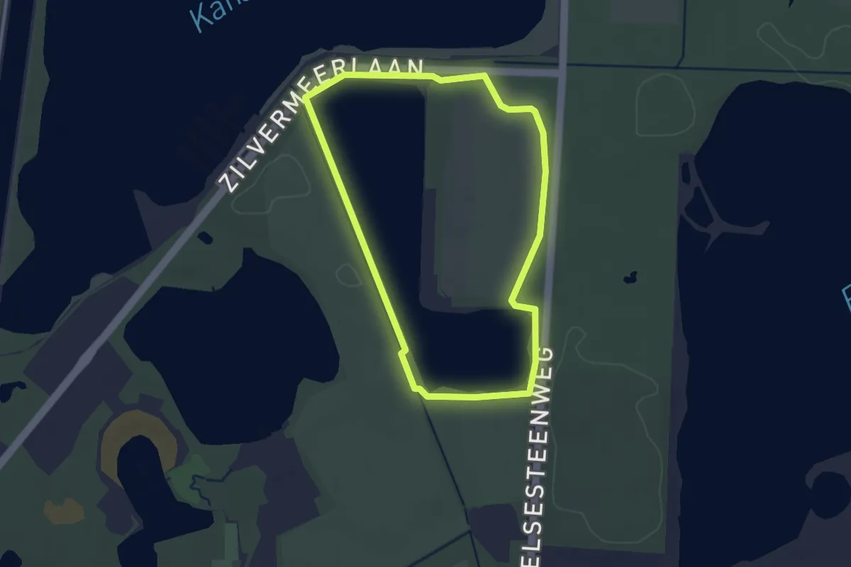
Easy · Trail
Rond de Heide
2.5 km · ↑ 10 m · 39 min
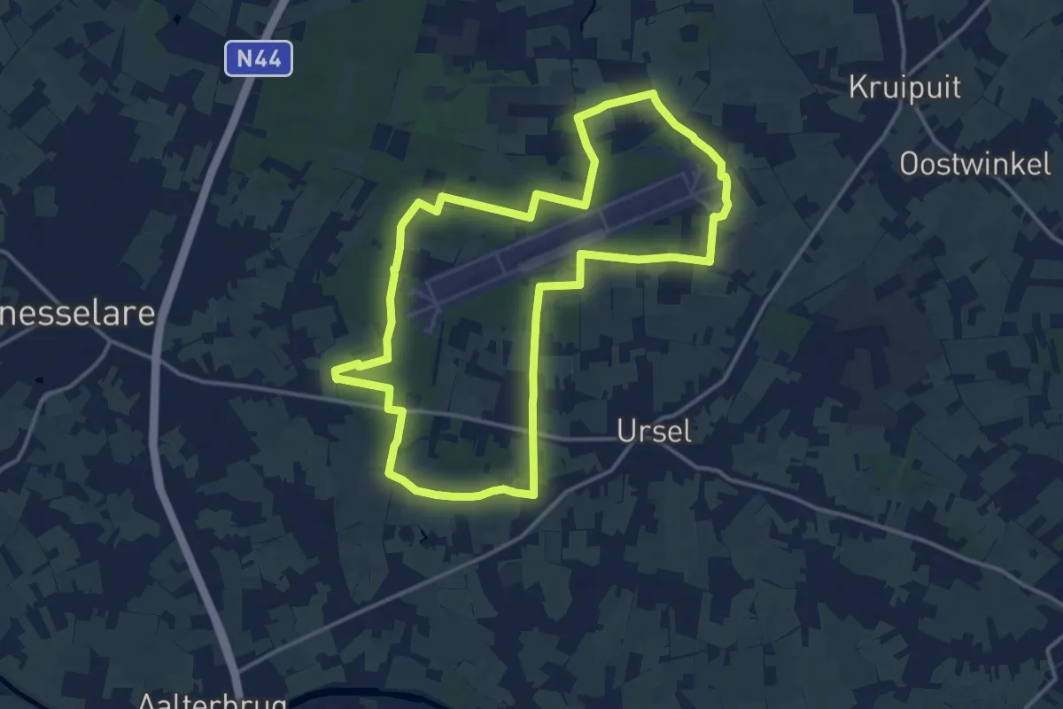
Medium · Trail
Rondje vliegveld
13.3 km · ↑ 88 m · 3 h 31 min
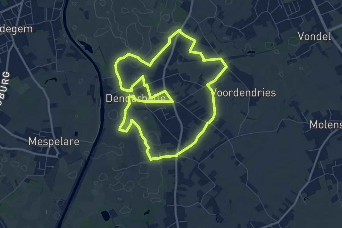
Easy · Trail
Rondom Belle
7.2 km · ↑ 4 m · 1 h 49 min
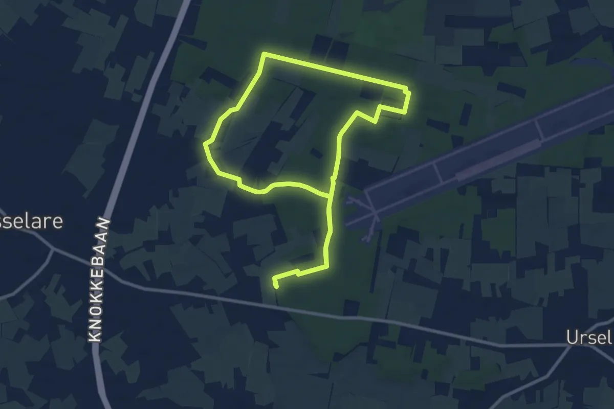
Easy · Trail
Roodborstjespad
7.6 km · ↑ 51 m · 2 h 1 min
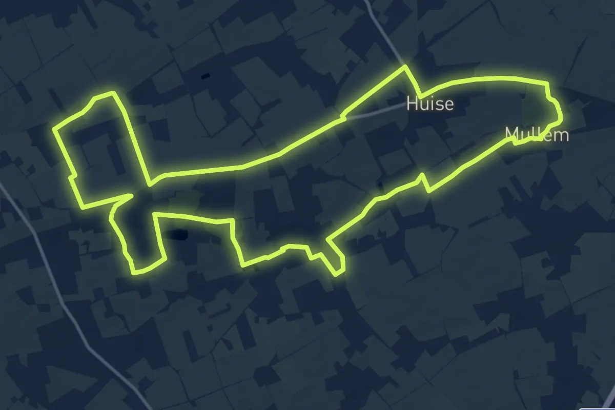
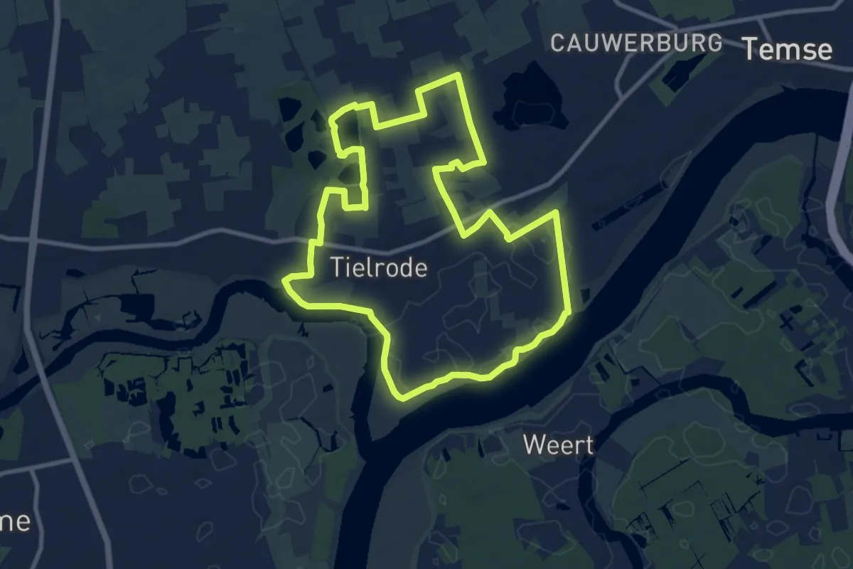
Medium · Trail
Rooigemsebeek Wandelroute
13.5 km · ↑ 79 m · 3 h 33 min
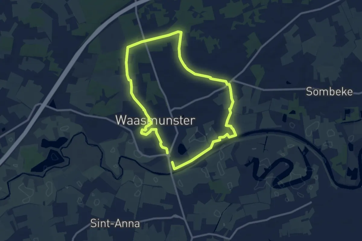
Medium · Trail
Roomacker Wandelroute
8.7 km · ↑ 26 m · 2 h 13 min
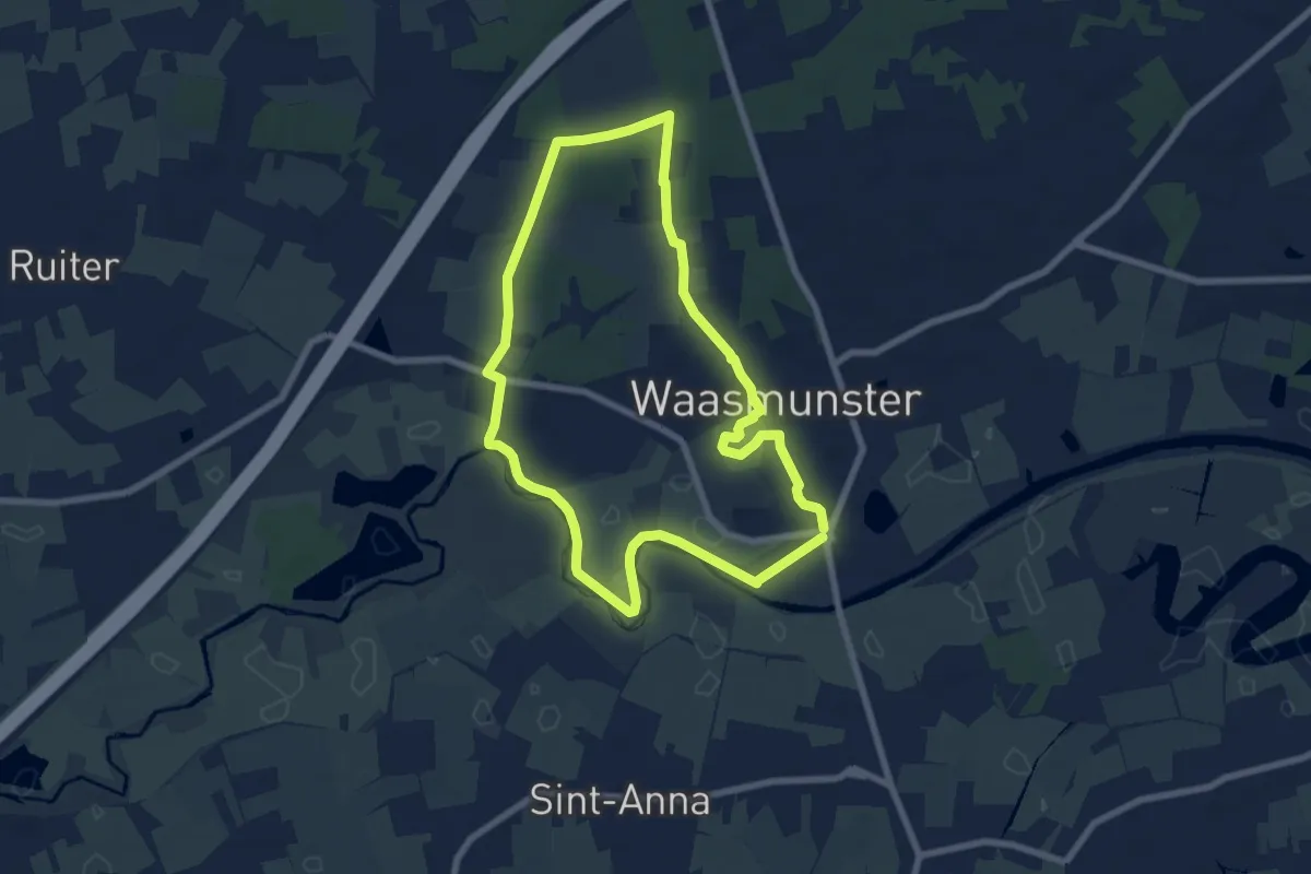
Easy · Trail
Roosenberg Route (Blauw)
7.0 km · ↑ 31 m · 1 h 50 min
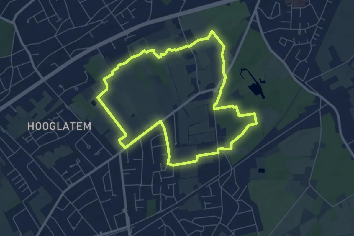
Easy · Trail
Roosenberg Route (Rood)
6.5 km · ↑ 36 m · 1 h 42 min
Easy · Trail
Rosdambeekroute
5.7 km · ↑ 4 m · 1 h 26 min
Easy · Trail
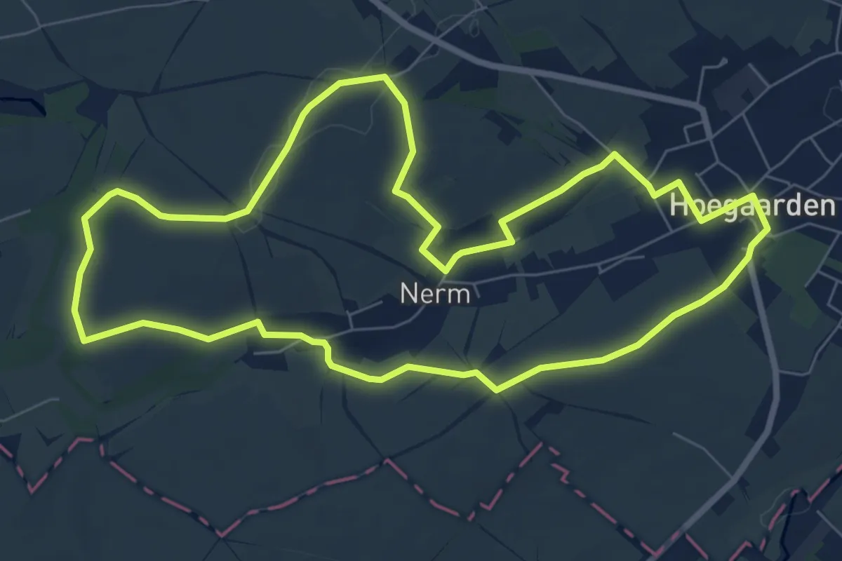
Rosdelwandeling groen
6.9 km · ↑ 68 m · 1 h 52 min
Medium · Trail
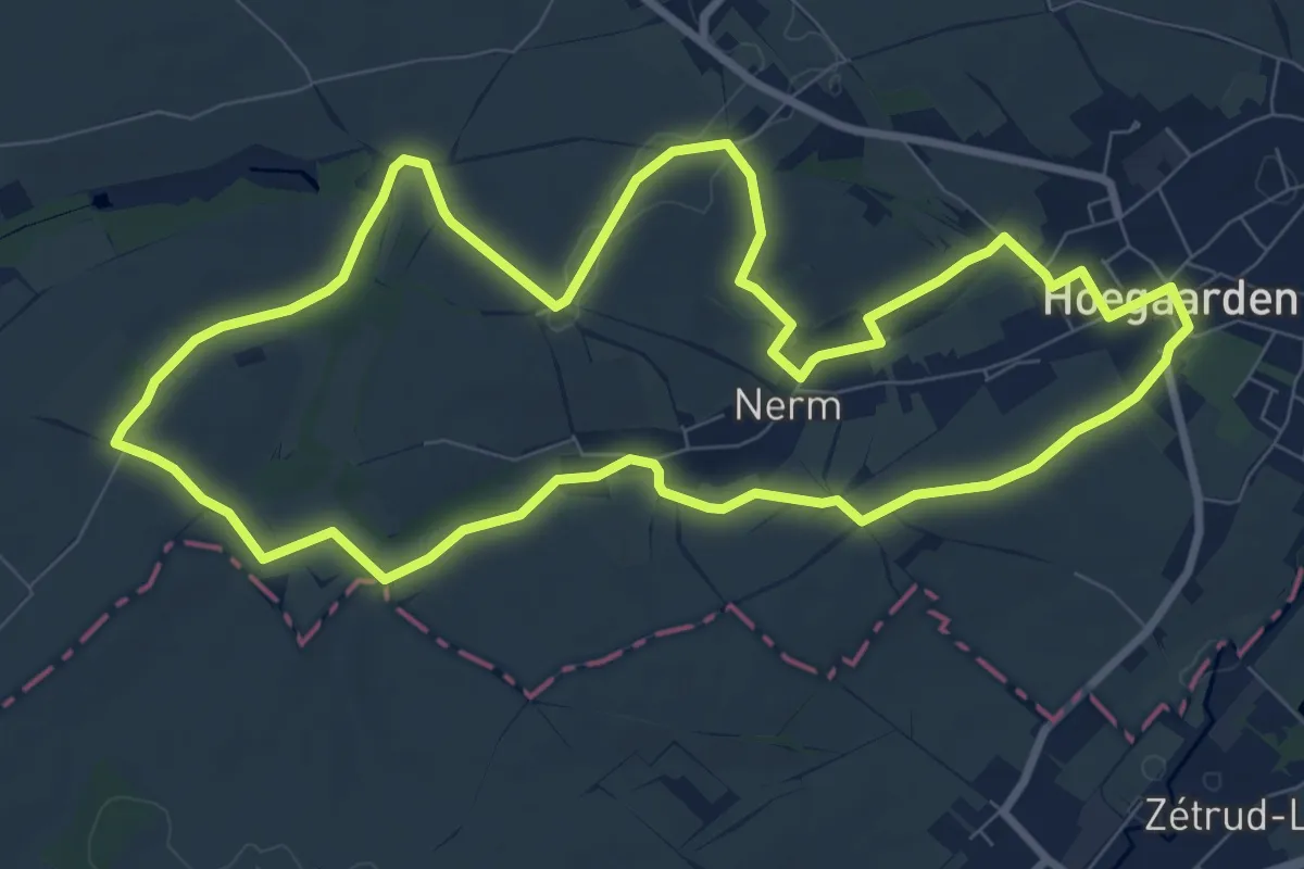
Rosdelwandeling oranje
8.7 km · ↑ 73 m · 2 h 20 min
Medium · Trail
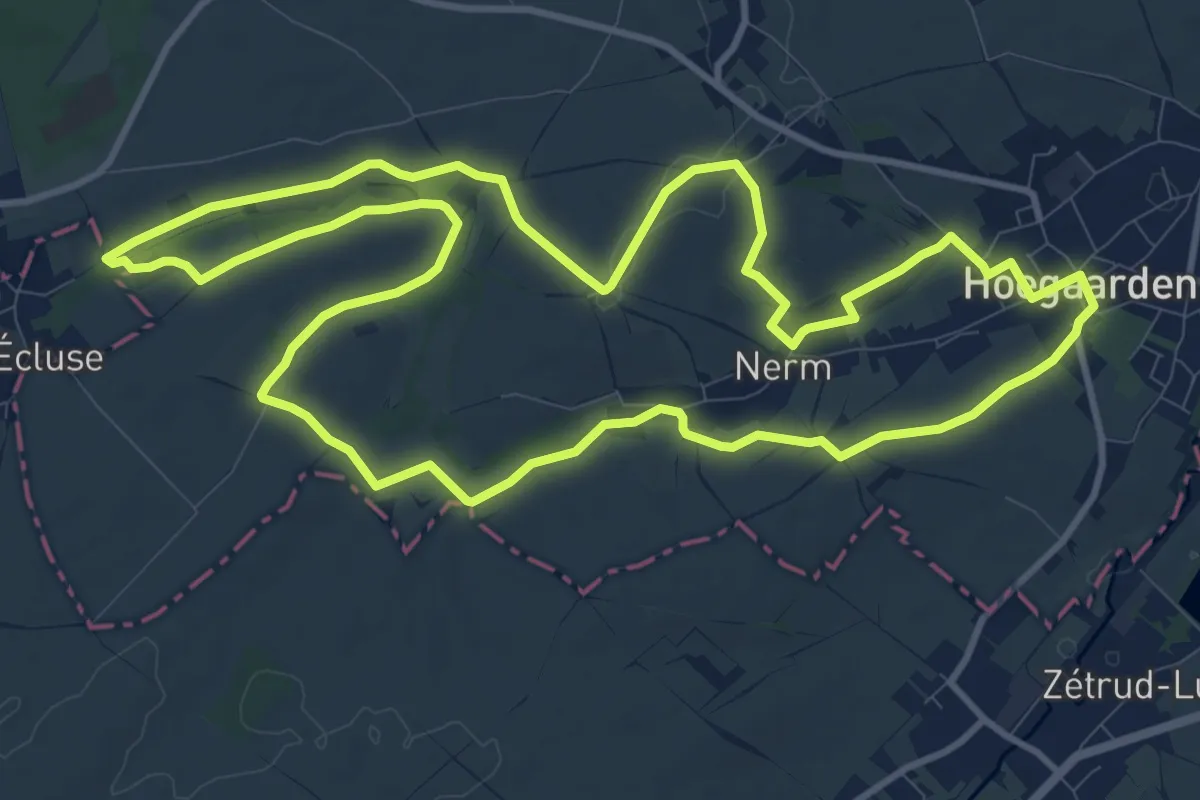
Rosdelwandeling rood
11.4 km · ↑ 81 m · 3 h 2 min
Easy · Trail
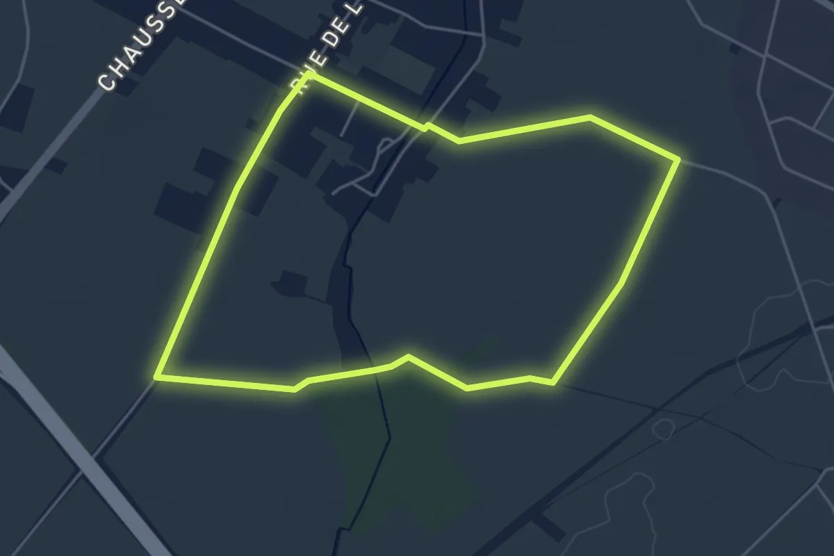
Route du Malt - La Fée Verte
4.1 km · ↑ 13 m · 1 h 3 min
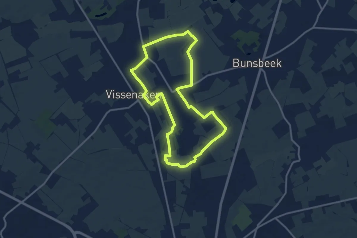
Easy · Trail
Rozendaalbeekvallei Gele bol
7.3 km · ↑ 47 m · 1 h 56 min
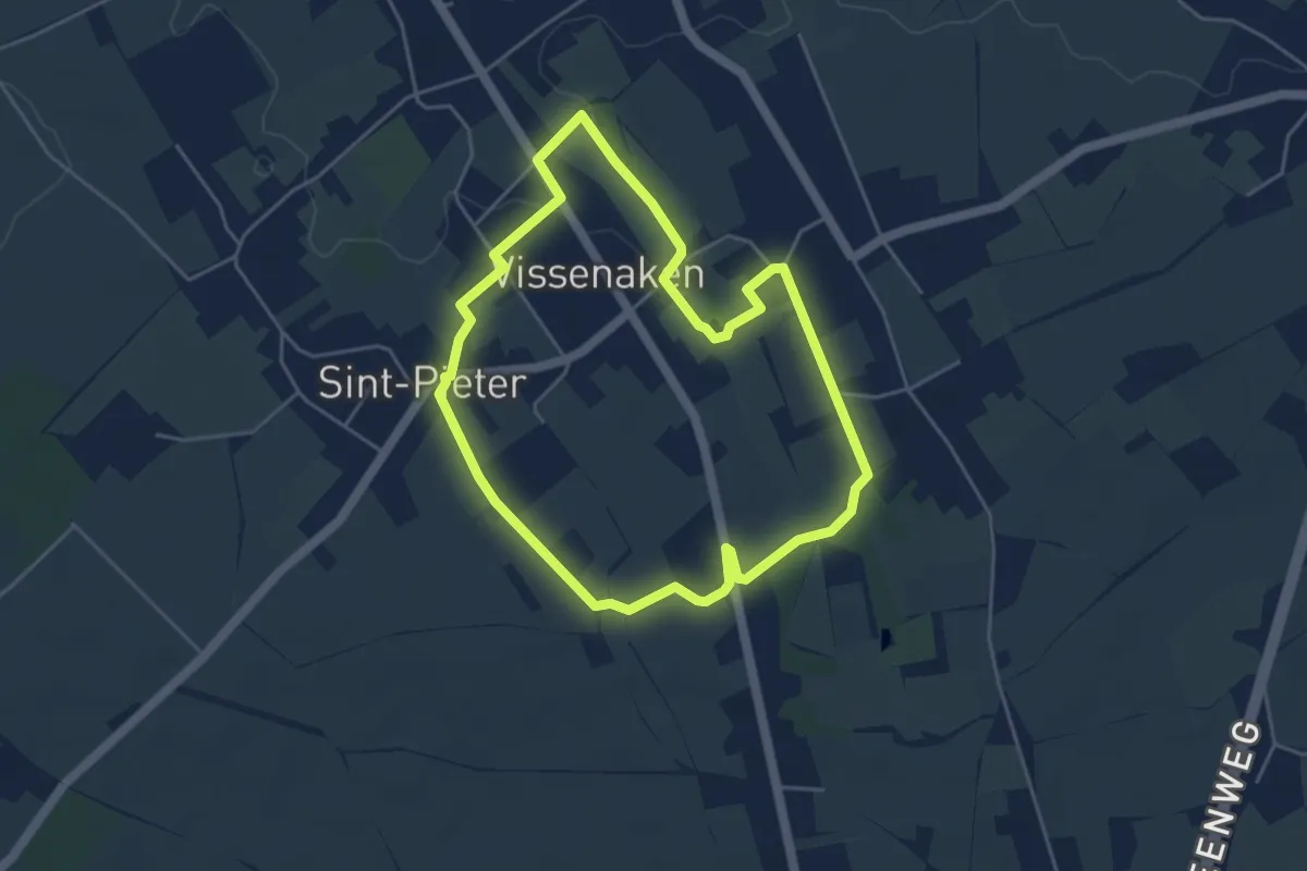
Easy · Trail
Rozendaalbeekvallei Rode vierkant
4.1 km · ↑ 26 m · 1 h 5 min
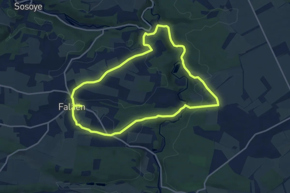
Medium · Trail
Ruines de Montaigle
8.6 km · ↑ 181 m · 2 h 33 min
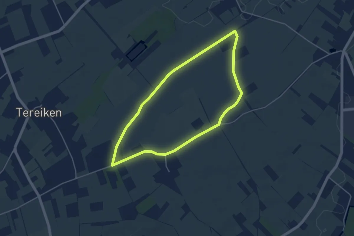
Easy · Trail
Rullingen blauwe ruit
3.3 km · ↑ 22 m · 52 min