Trails in Belgium
3,383 hiking trails, each with its route, climb, walking time and grade.
All trails, page 52 of 71
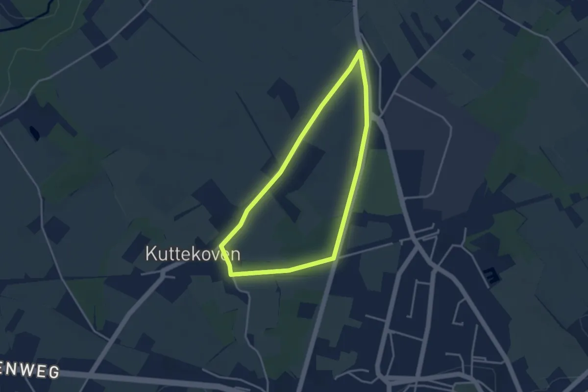
Easy · Trail
Rullingen Groene rechthoek
2.6 km · ↑ 17 m · 42 min
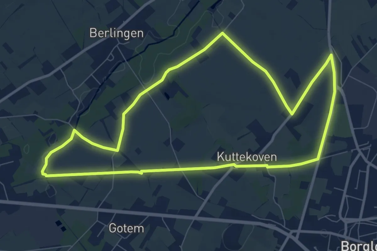
Easy · Trail
Rullingen Oranje kruis
7.5 km · ↑ 35 m · 1 h 57 min
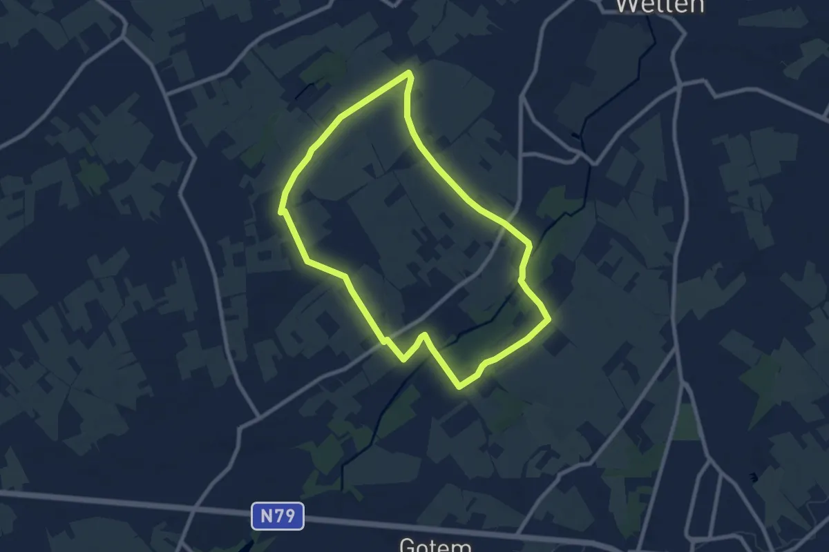
Easy · Trail
Rullingen Rode driehoek
7.0 km · ↑ 43 m · 1 h 51 min
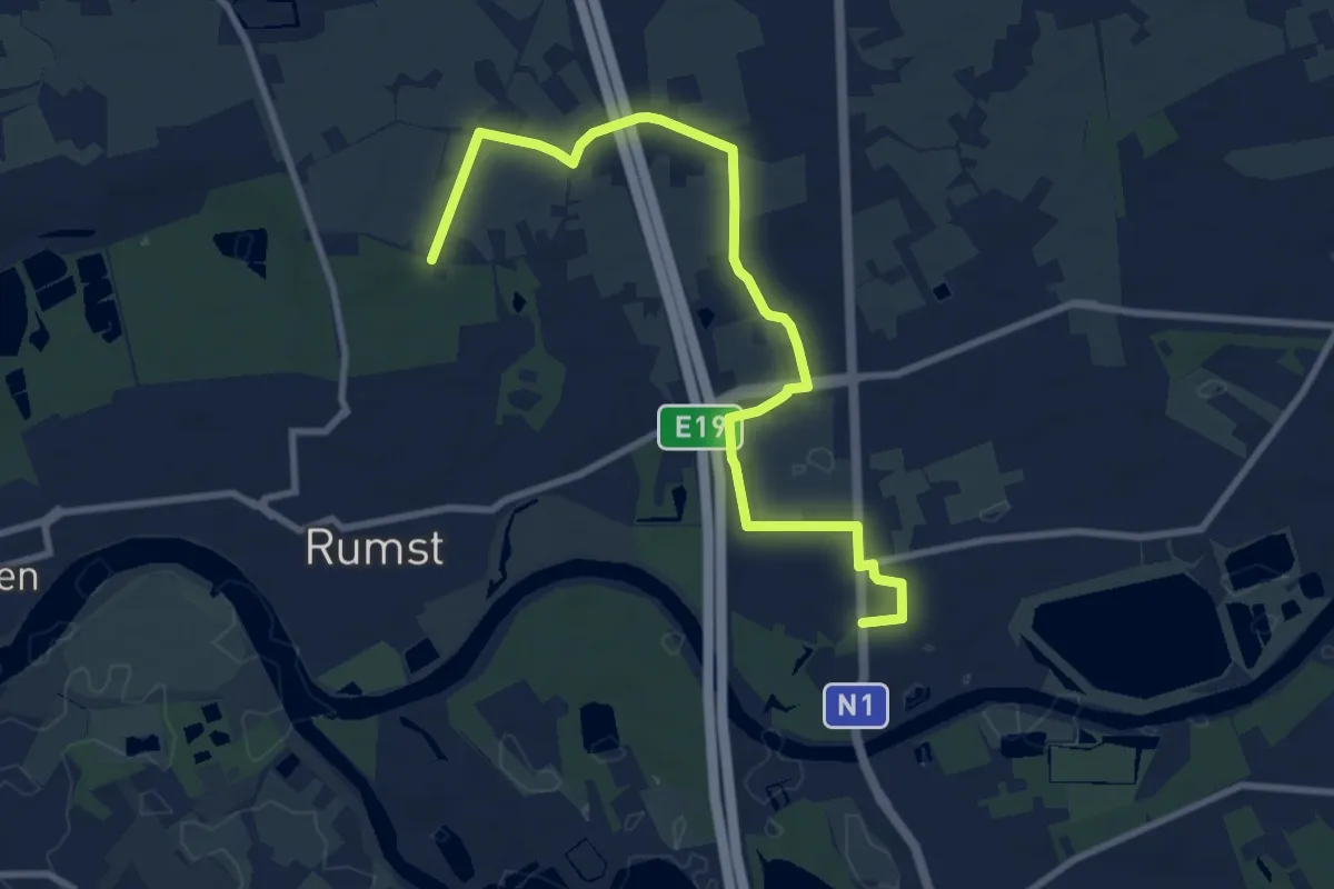
Medium · Trail
Rumestapad
9.5 km · ↑ 25 m · 2 h 18 min
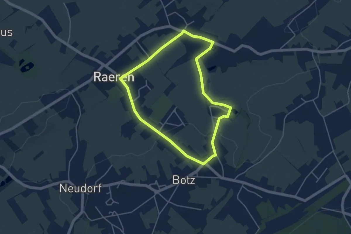
Easy · Trail
Rund um Born
3.1 km · ↑ 30 m · 51 min
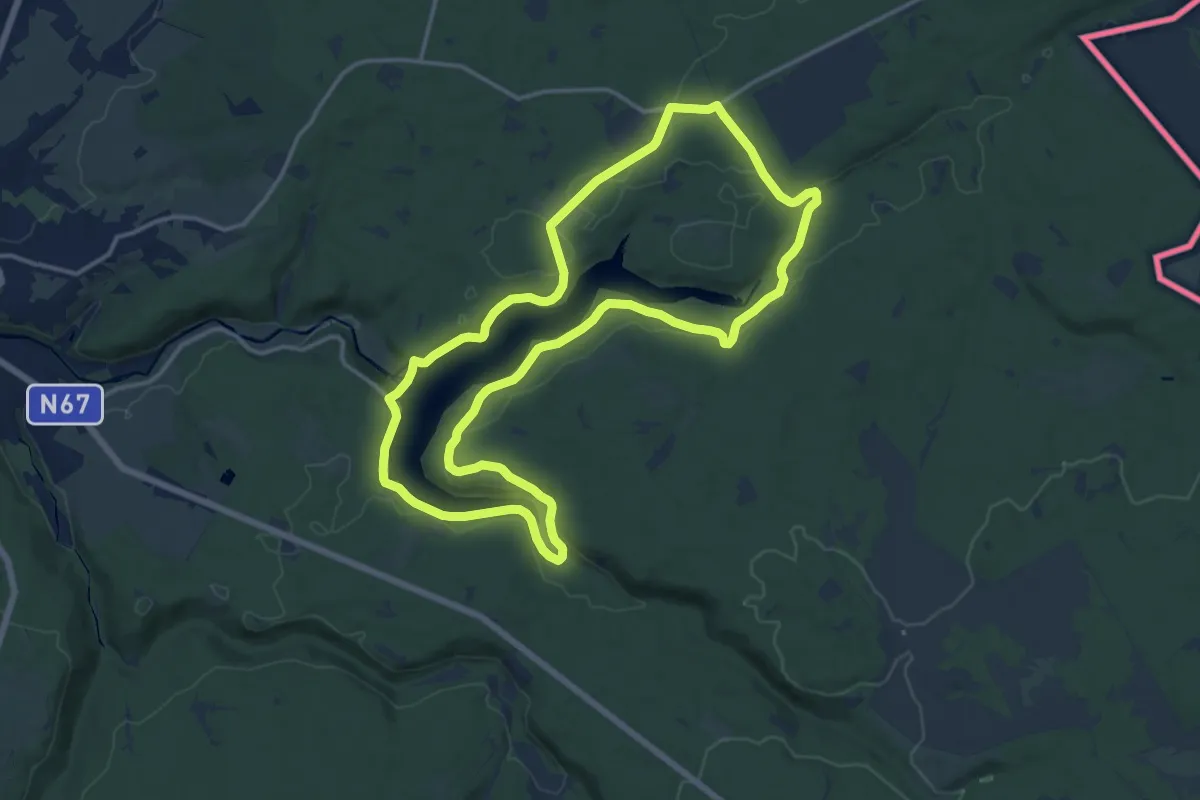
Medium · Trail
Rund um den See
13.8 km · ↑ 191 m · 3 h 51 min
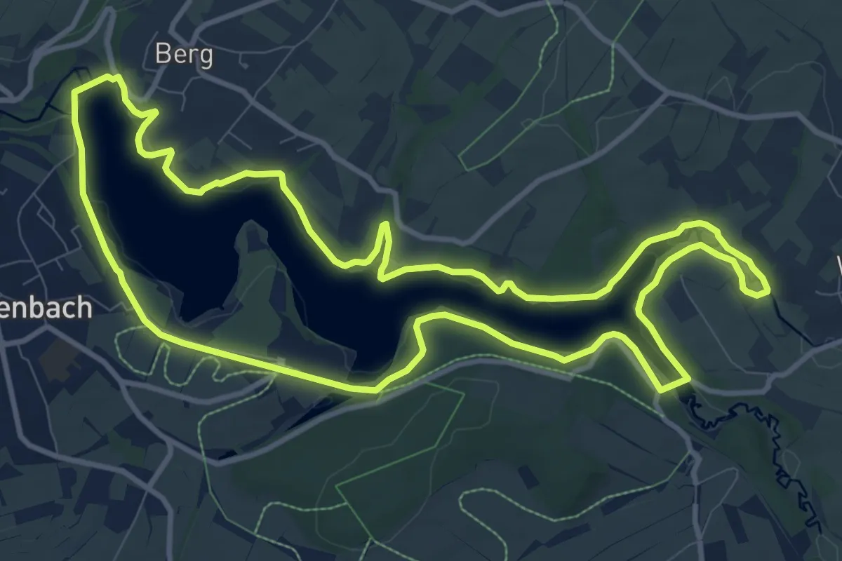
Medium · Trail
Rund um den See
10.1 km · ↑ 87 m · 2 h 43 min
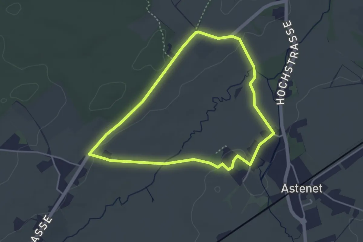
Easy · Trail
Rund ums Katharinenstift
3.1 km · ↑ 31 m · 50 min
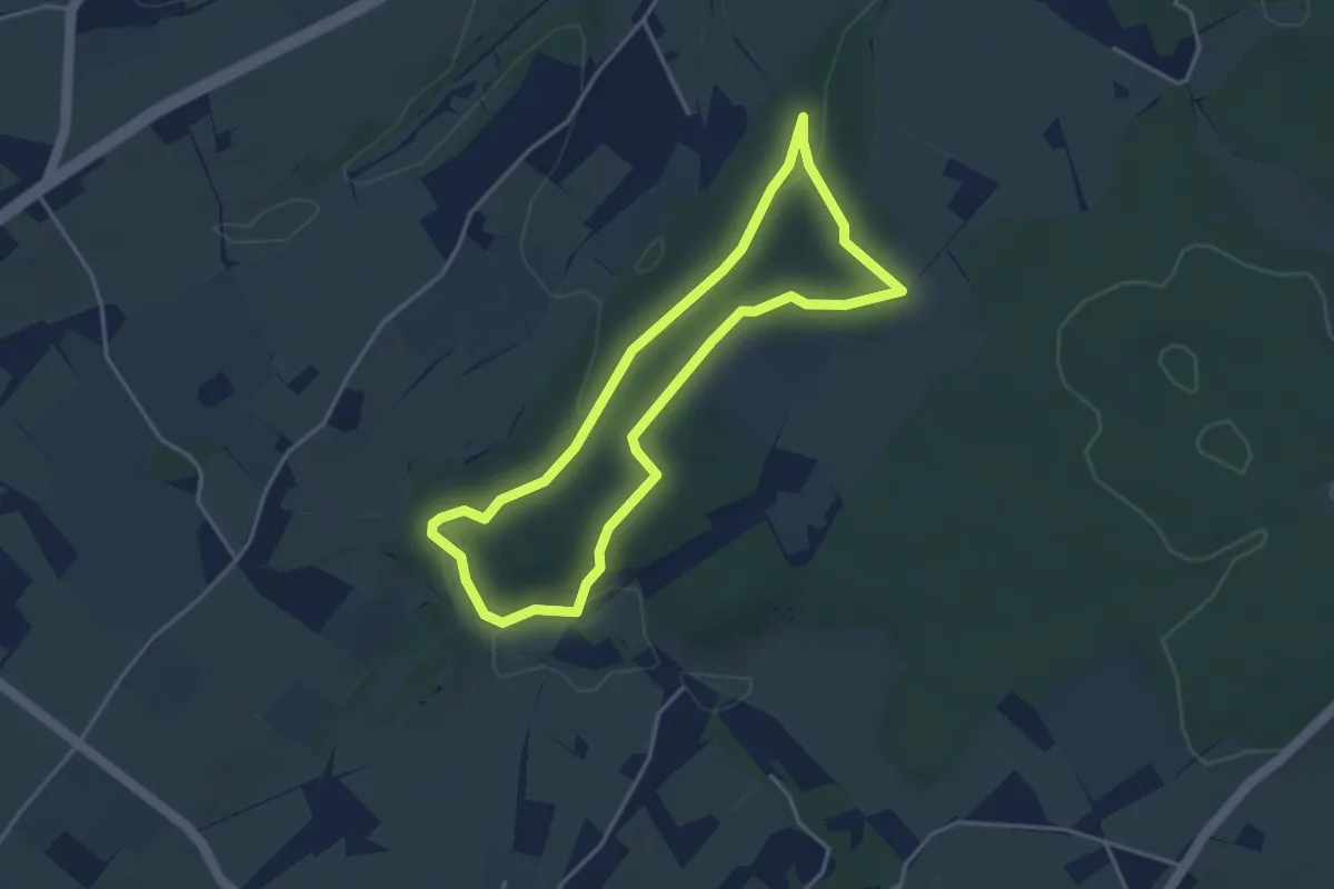
Easy · Trail
Rundweg Hohnbachtal
3.4 km · ↑ 54 m · 58 min
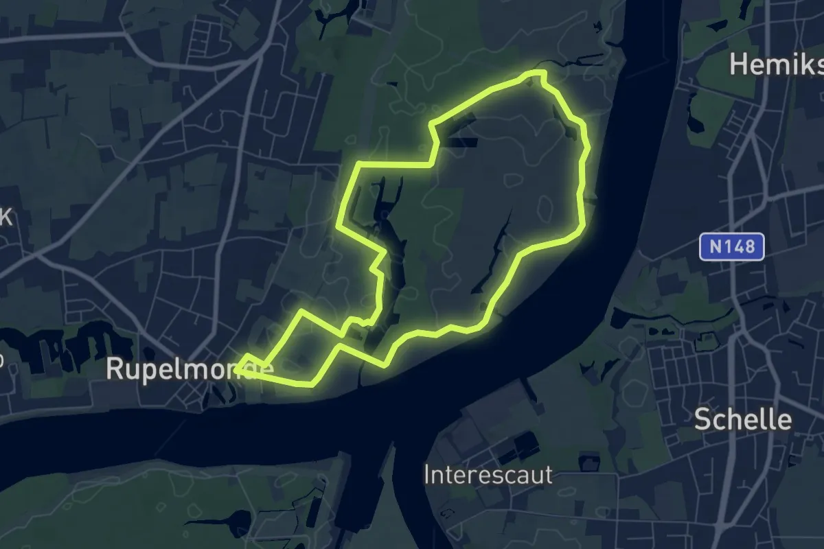
Easy · Trail
Rupelmondse Kreekroute
7.2 km · ↑ 4 m · 1 h 48 min
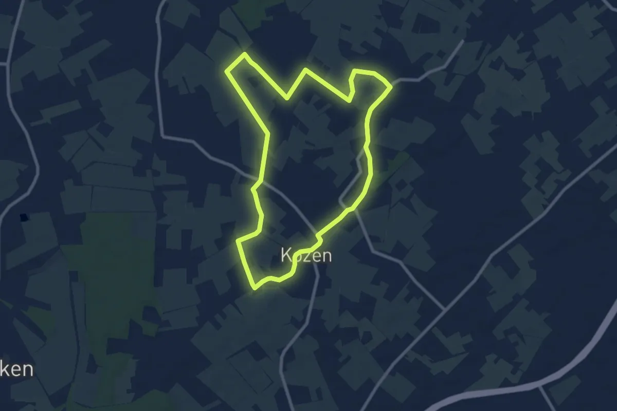
Easy · Trail
Russelenwandeling
7.1 km · ↑ 17 m · 1 h 48 min
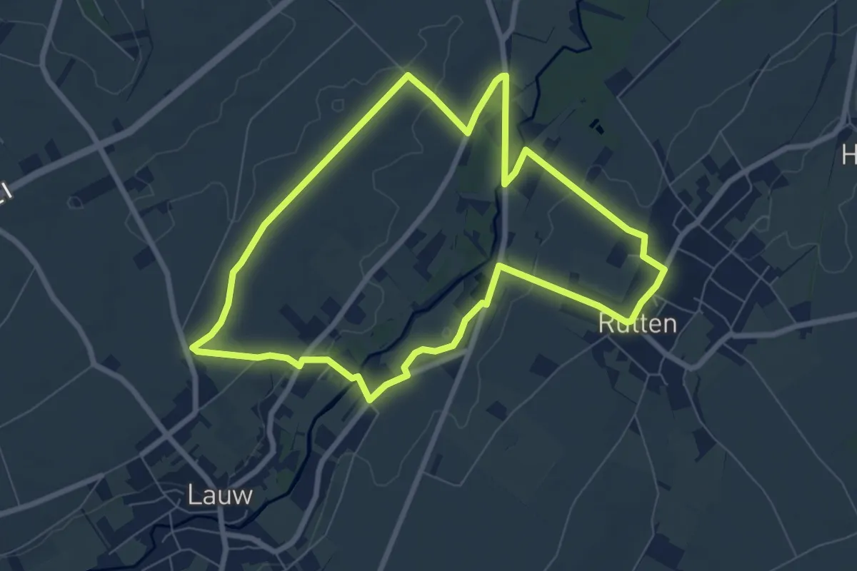
Easy · Trail
Rutten
6.8 km · ↑ 35 m · 1 h 46 min
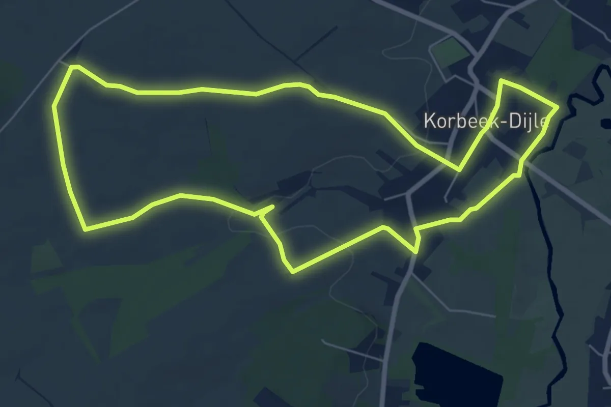
Easy · Trail
Ruwaalwandeling
6.1 km · ↑ 58 m · 1 h 38 min
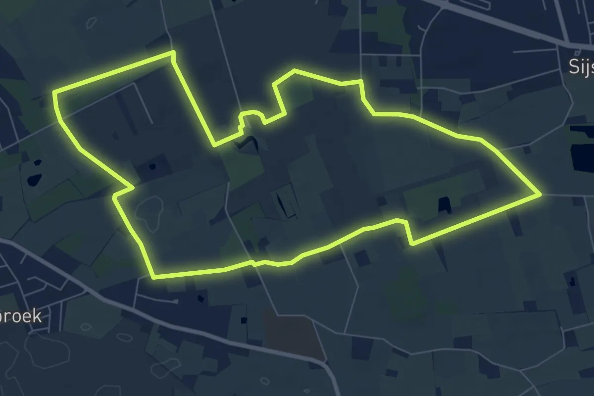
Easy · Trail
Ryckevelde
7.5 km · ↑ 14 m · 1 h 55 min
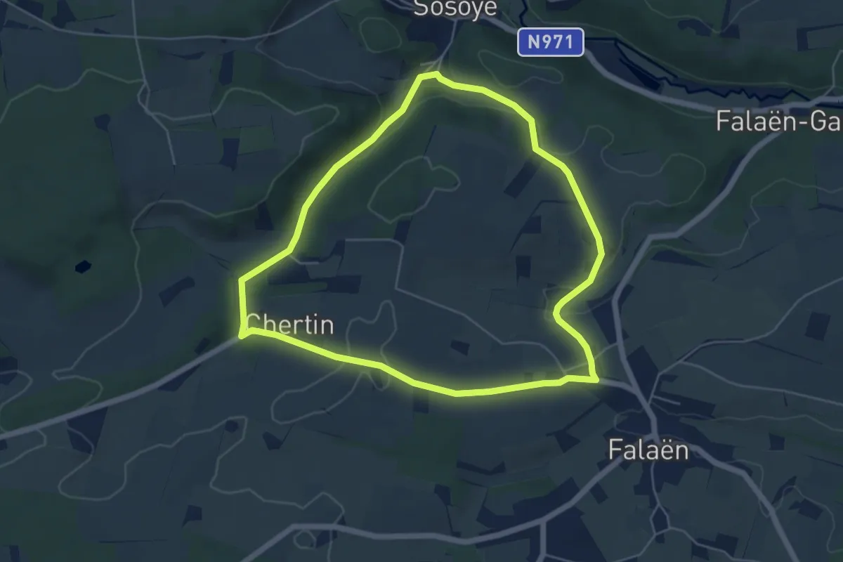
Easy · Trail
Ry de Biert
5.0 km · ↑ 92 m · 1 h 26 min
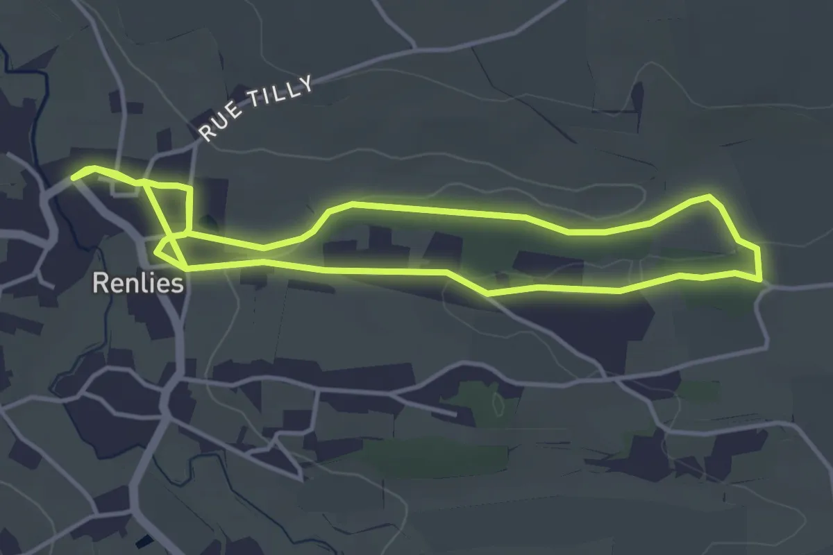
Easy · Trail
Ry des Vaux
3.7 km · ↑ 31 m · 59 min
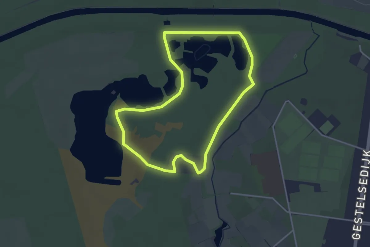
Easy · Trail
Sahara Blauwe ruit
3.0 km · ↑ 5 m · 45 min
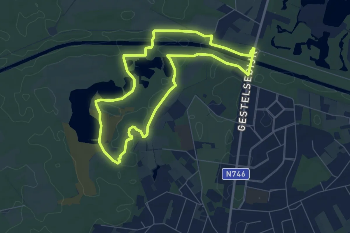
Easy · Trail
Sahara Oranje bol
5.9 km · ↑ 13 m · 1 h 30 min
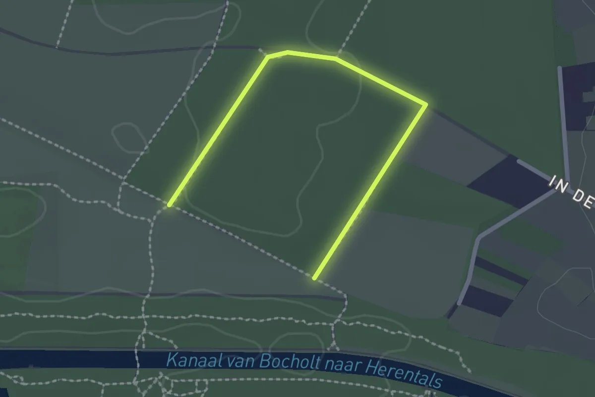
Easy · Trail
Sahara Rode driehoek
2.1 km · ↑ 8 m · 31 min
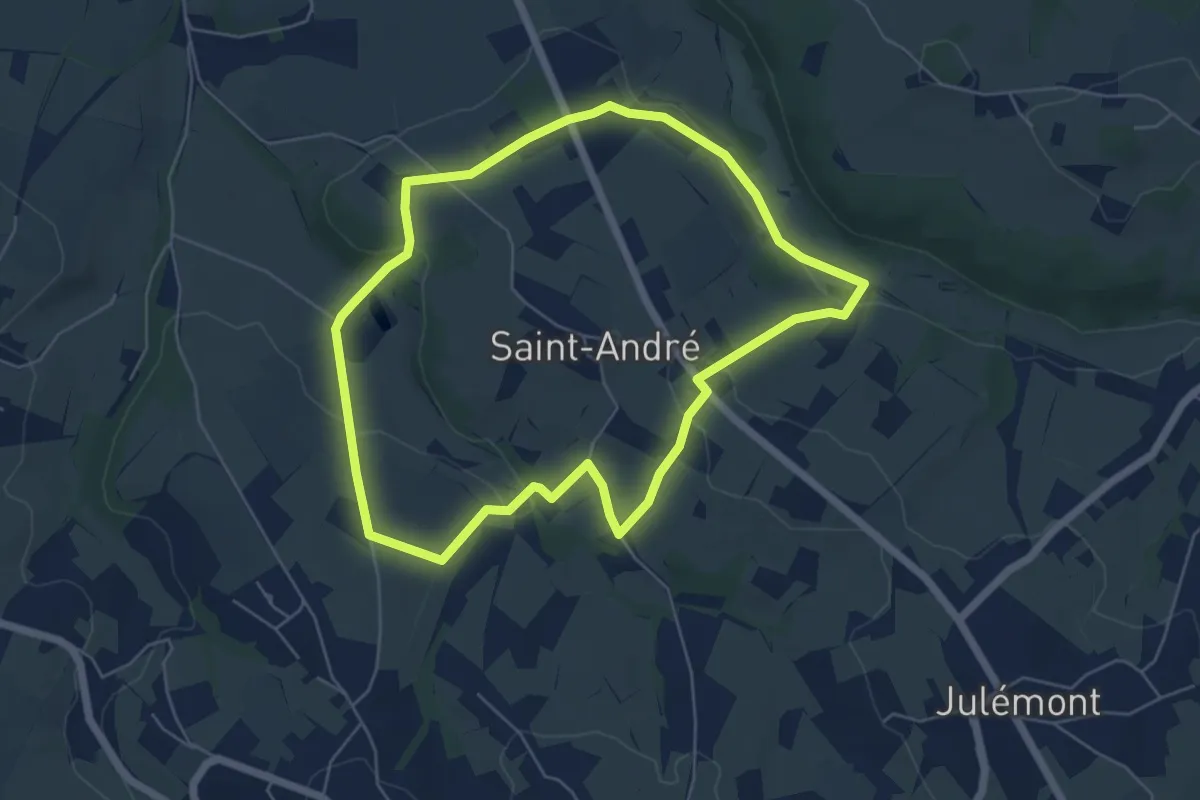
Easy · Trail
Saint-André: Par monts et par vaux
5.1 km · ↑ 103 m · 1 h 30 min
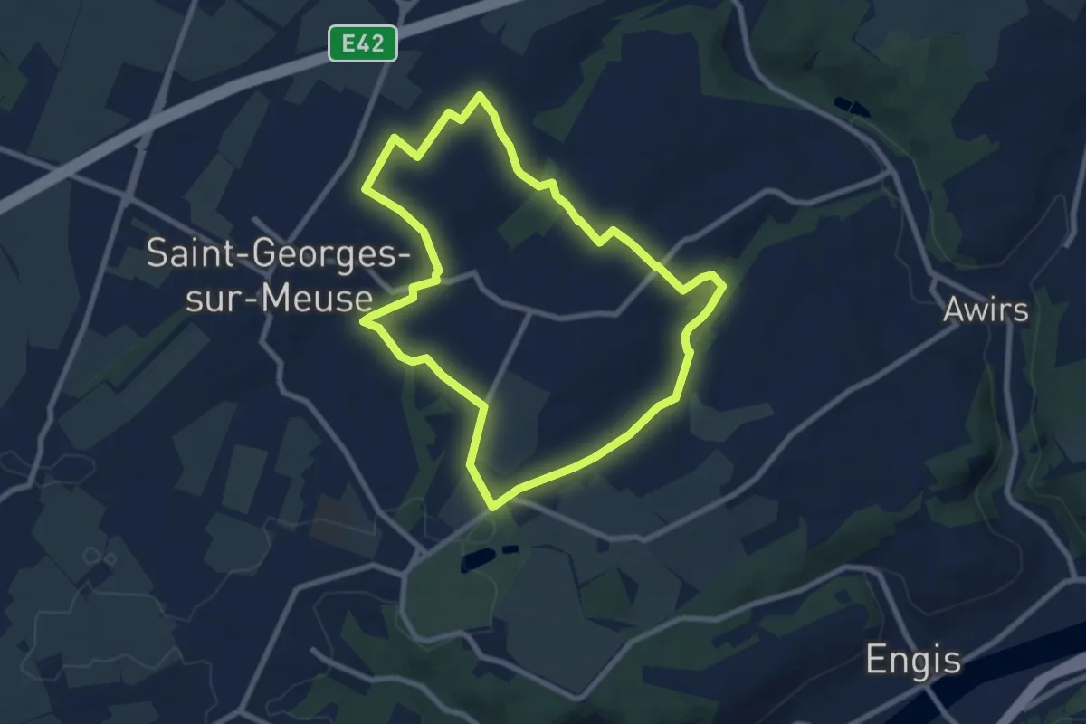
Easy · Trail
Saint-Georges-sur-Meuse Circuit 4
7.0 km · ↑ 97 m · 1 h 58 min
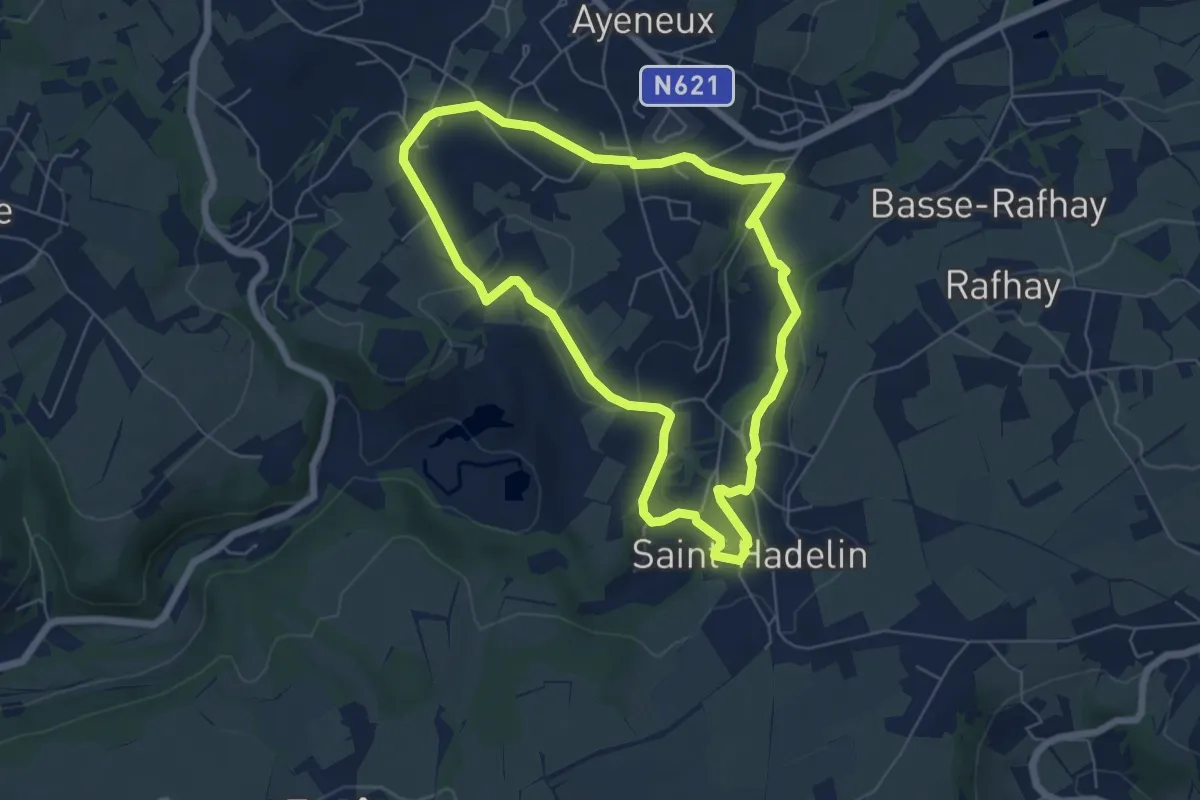
Easy · Trail
Saint-Hadelin et ses Légendes
5.4 km · ↑ 92 m · 1 h 33 min
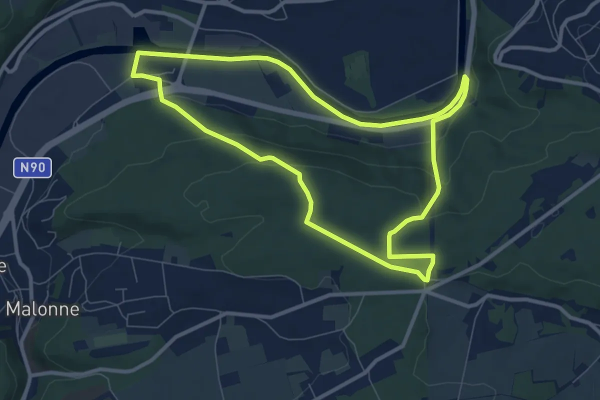
Easy · Trail
Sambre et Bois
6.9 km · ↑ 145 m · 2 h 2 min
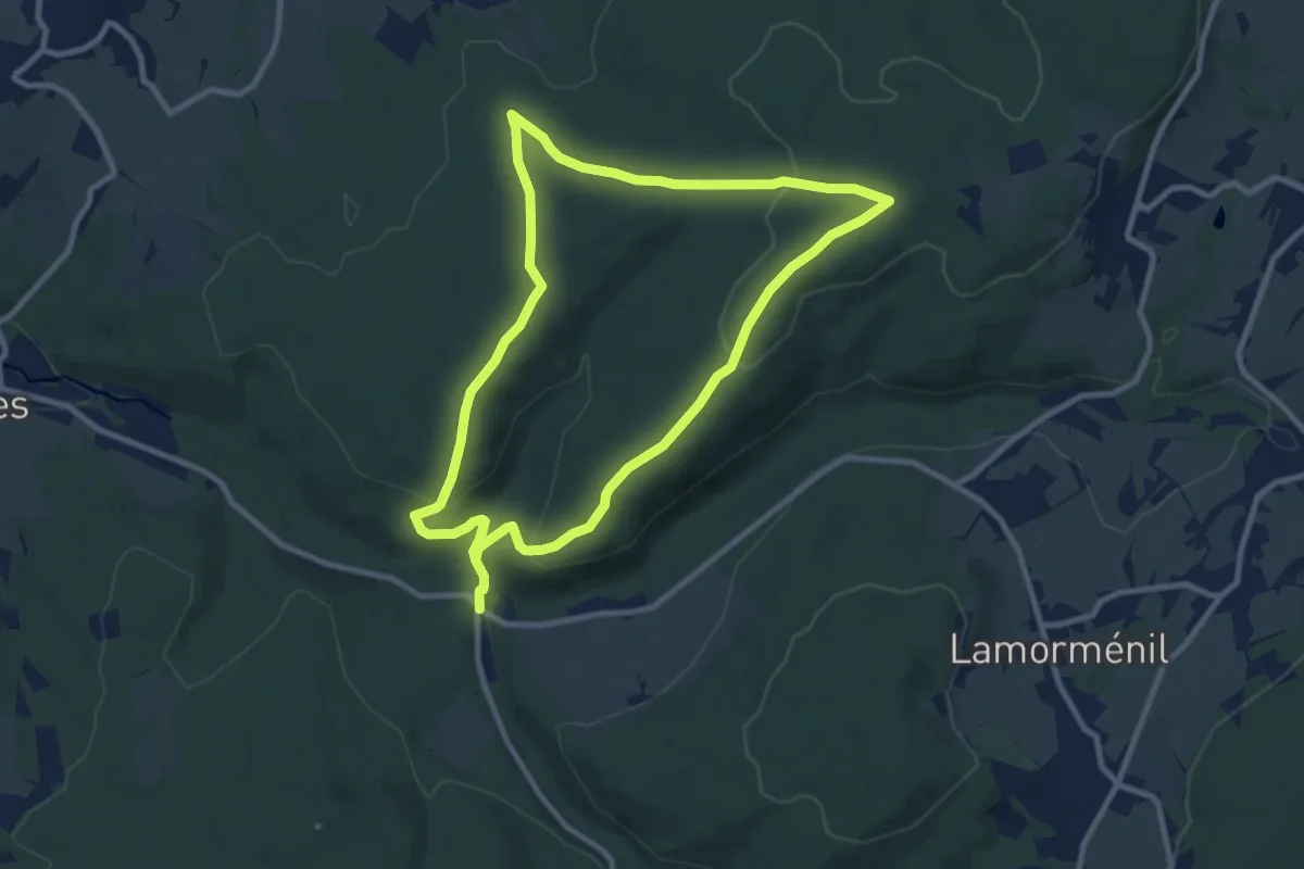
Medium · Trail
Sansin Ri
8.6 km · ↑ 257 m · 2 h 43 min
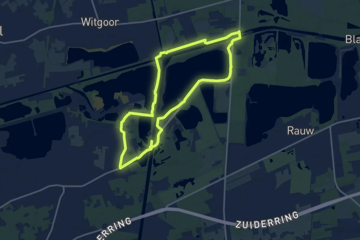
Medium · Trail
Schansheide
9.3 km · ↑ 16 m · 2 h 22 min
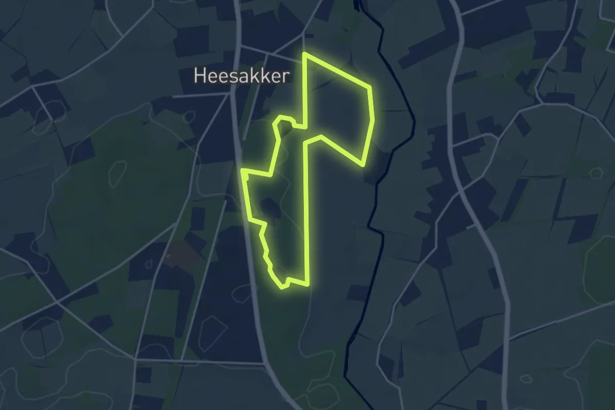
Easy · Trail
Schatzoektocht Heesaakkerpark
3.1 km · ↑ 9 m · 48 min
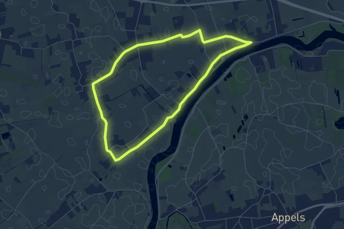
Easy · Trail
Scheldemeersenpad
5.8 km · ↑ 0 m · 1 h 27 min
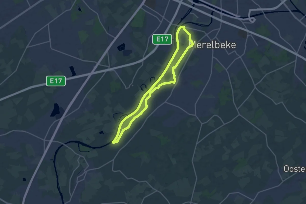
Medium · Trail
Scheldemeersen - Rood
13.3 km · ↑ 19 m · 3 h 22 min
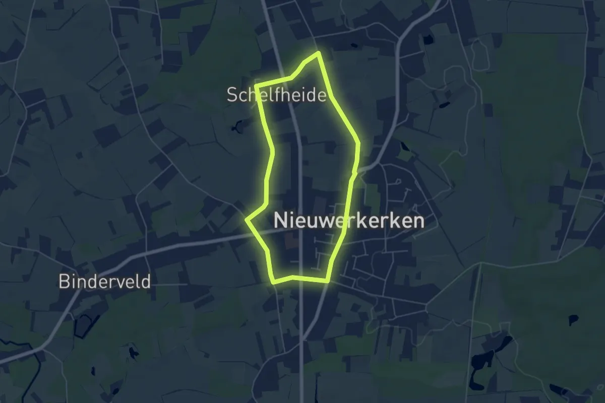
Easy · Trail
Schelfheidewandeling
4.4 km · ↑ 9 m · 1 h 8 min
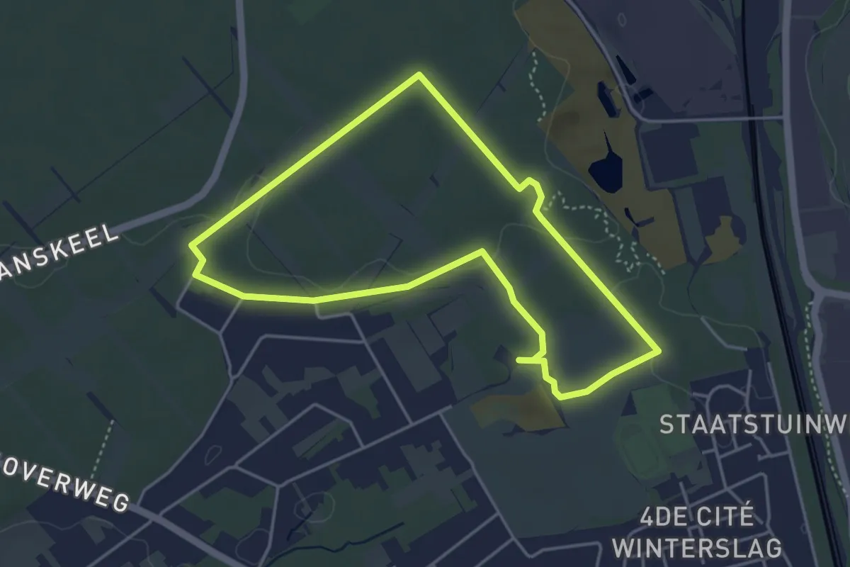
Easy · Trail
Schemmersberg blauwe ruit
3.6 km · ↑ 22 m · 57 min
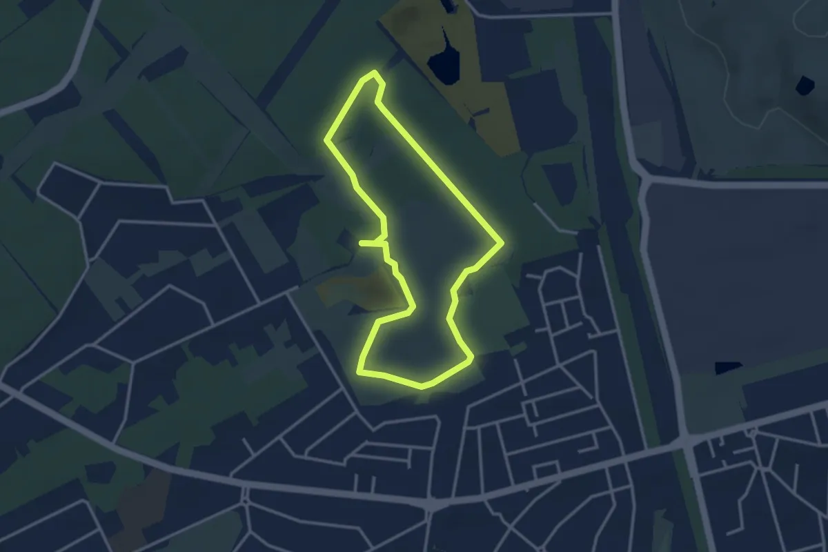
Easy · Trail
Schemmersberg groene rechthoek
2.6 km · ↑ 10 m · 40 min
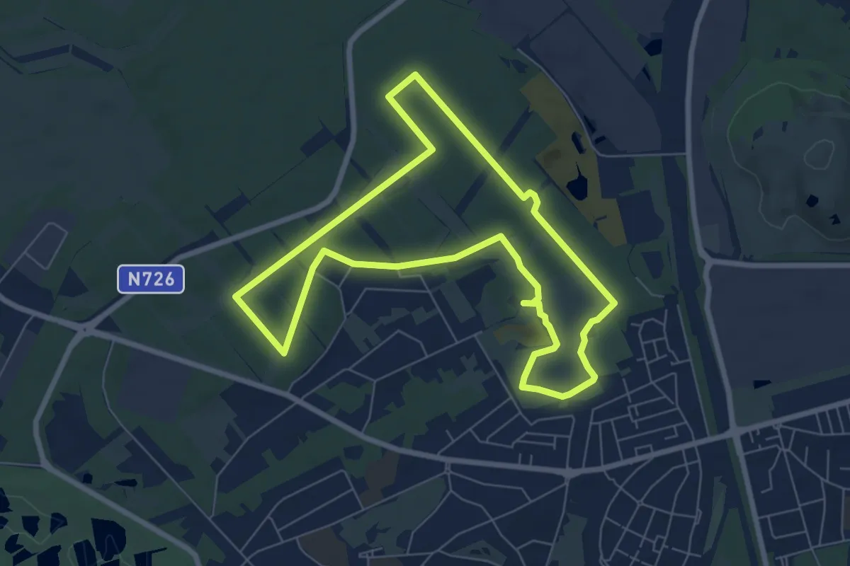
Easy · Trail
Schemmersberg rode driehoek
6.3 km · ↑ 31 m · 1 h 39 min
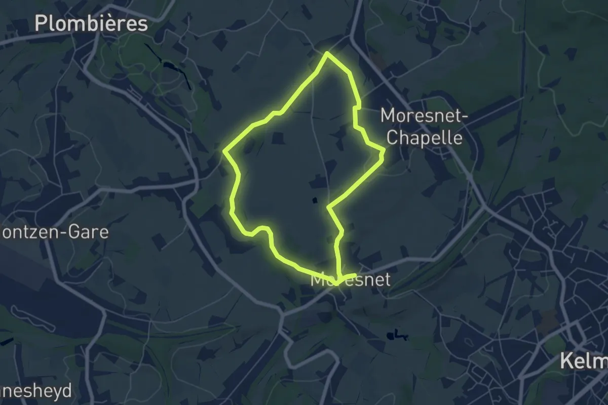
Easy · Trail
Schimpermöhle
5.0 km · ↑ 56 m · 1 h 22 min
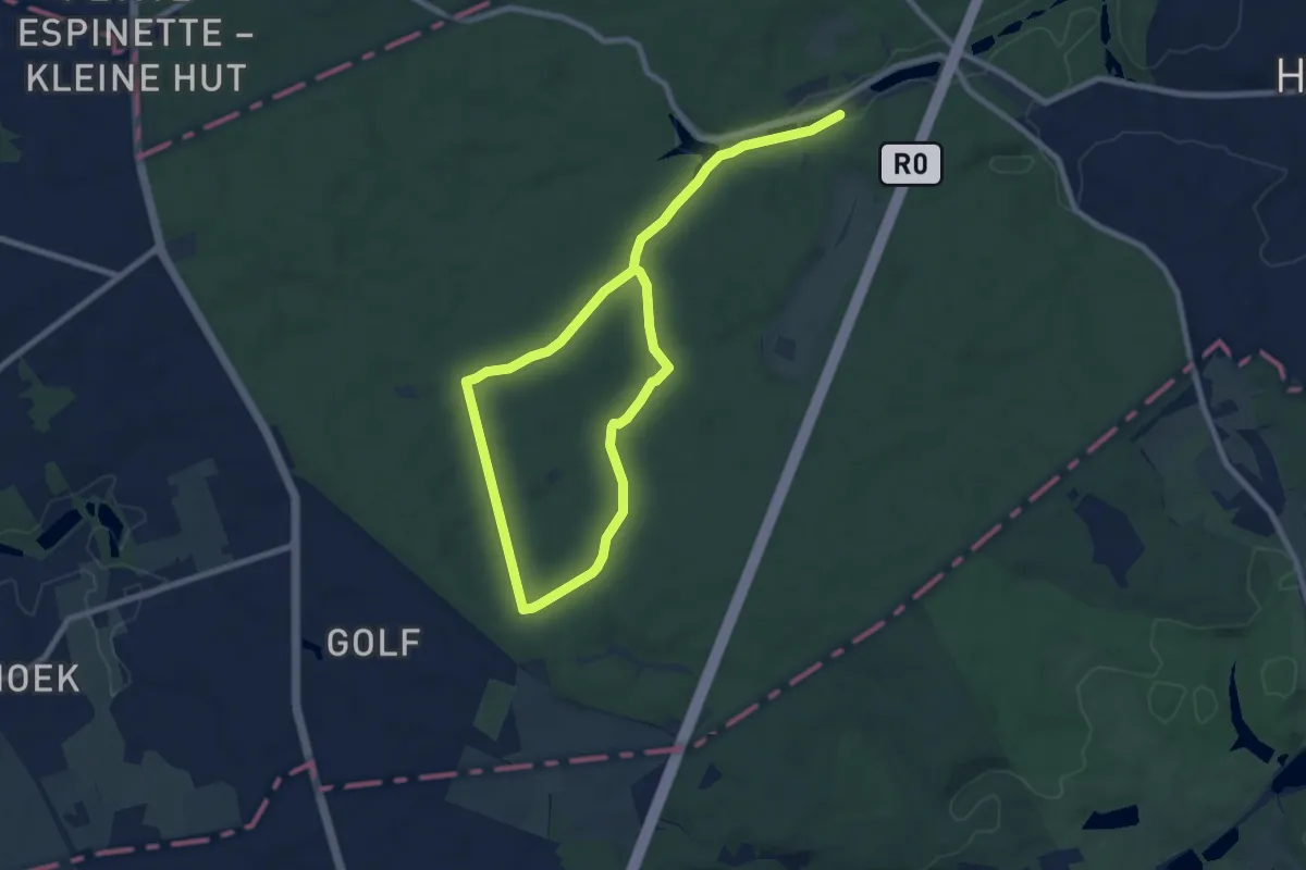
Easy · Trail
Schone-Eikwandeling
6.0 km · ↑ 22 m · 1 h 34 min
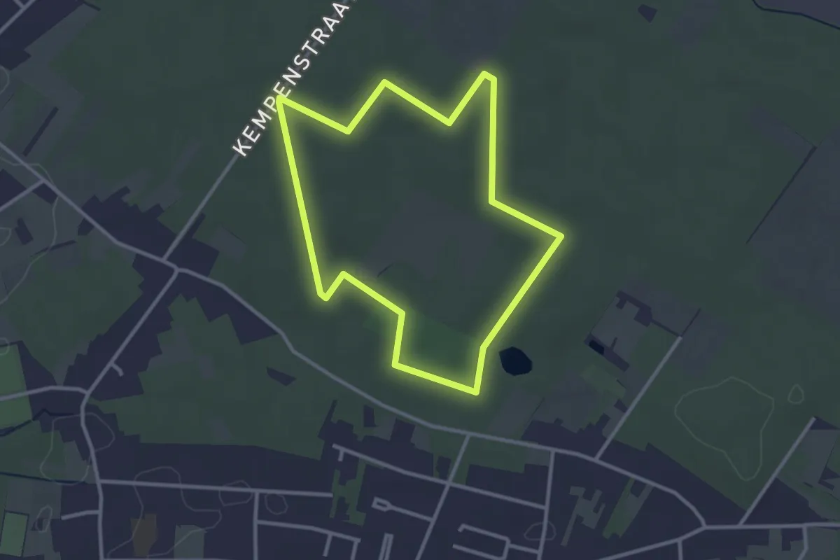
Easy · Trail
Schoonbeek Groene rechthoek
2.7 km · ↑ 9 m · 41 min
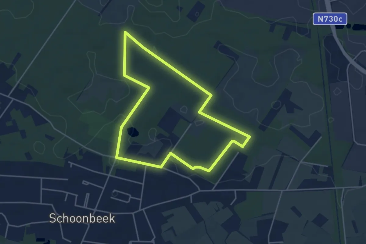
Easy · Trail
Schoonbeek Rode Bol
3.4 km · ↑ 12 m · 53 min
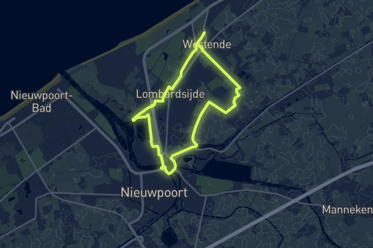
Medium · Trail
Schuddebeurzewandeling
10.1 km · ↑ 8 m · 2 h 32 min
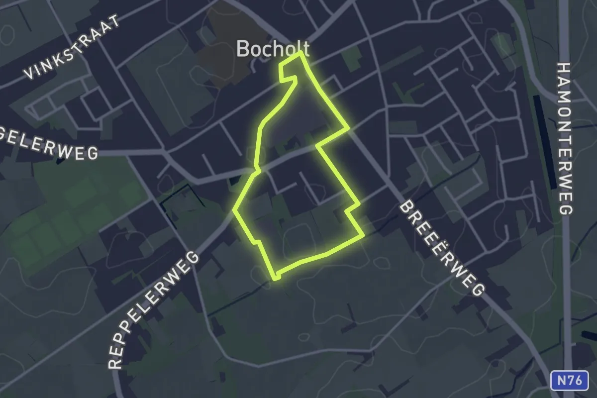
Easy · Trail
Schuitelbeekroute
2.1 km · ↑ 0 m · 32 min
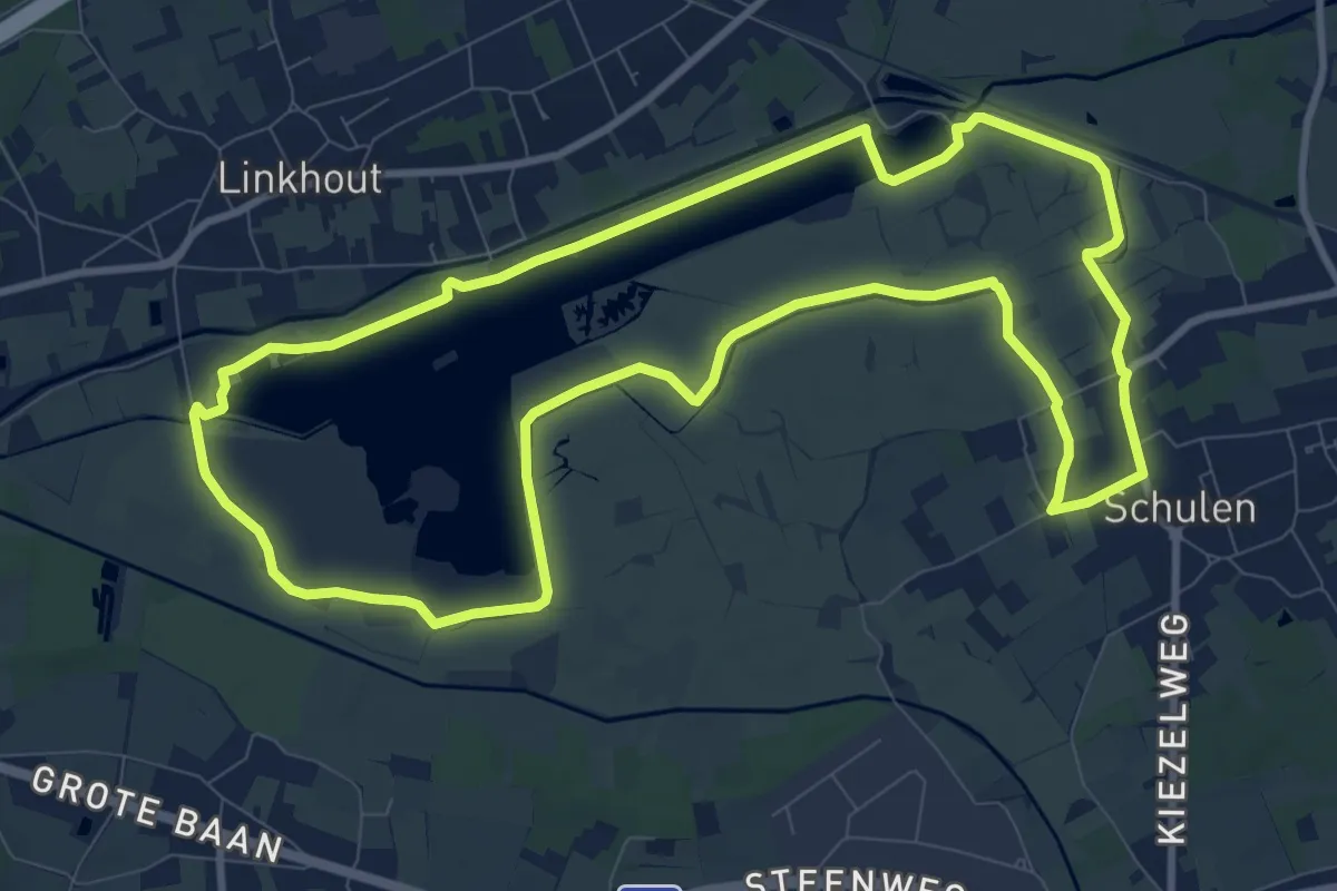
Medium · Trail
Schulensmeer Geel
9.9 km · ↑ 4 m · 2 h 28 min
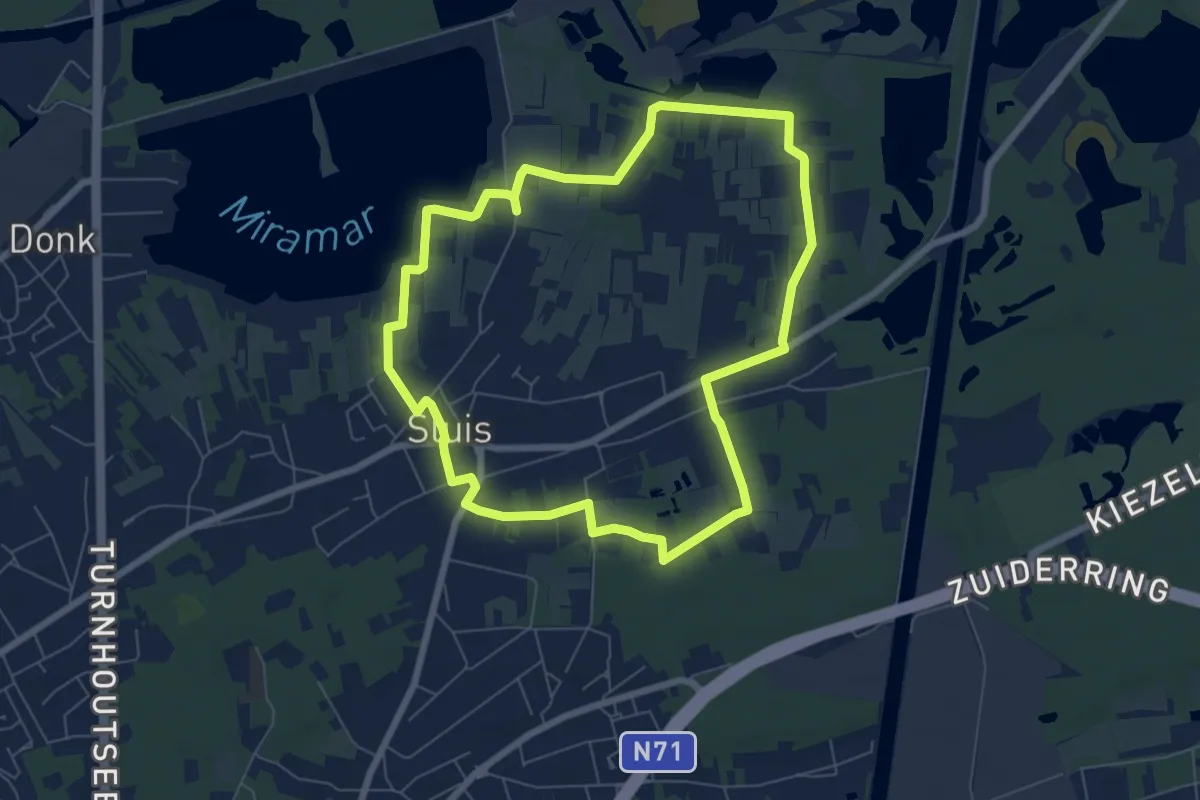
Easy · Trail
schuurwandeling
6.3 km · ↑ 13 m · 1 h 36 min
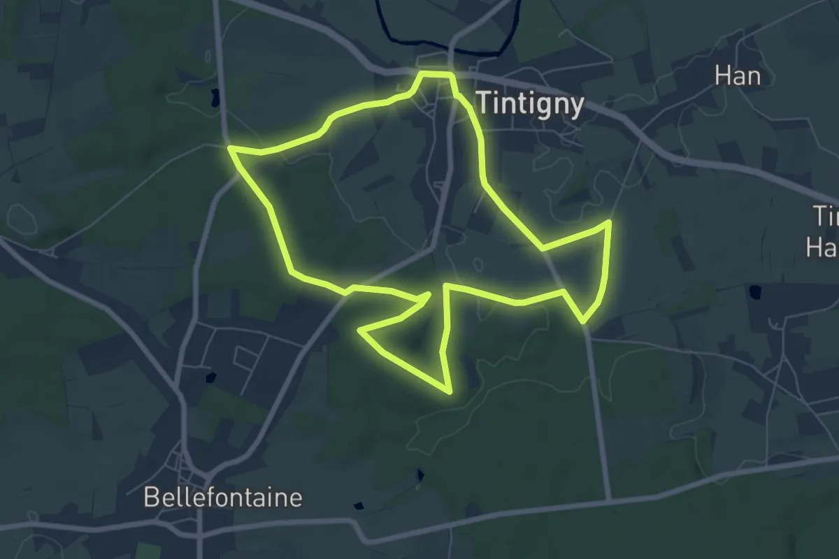
Easy · Trail
Seigneurie de Villemont
6.6 km · ↑ 67 m · 1 h 48 min
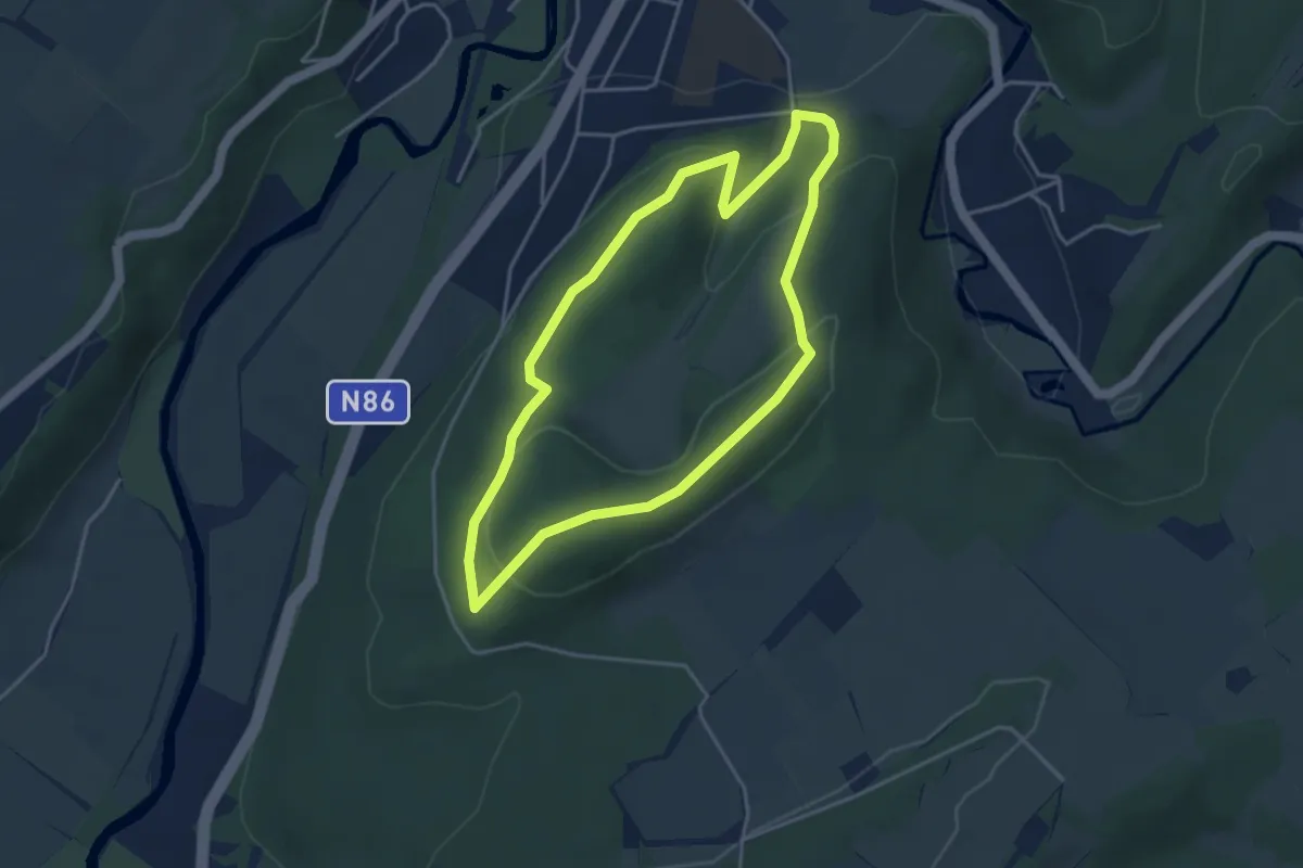
Easy · Trail
Sentier botanique
3.6 km · ↑ 153 m · 1 h 13 min
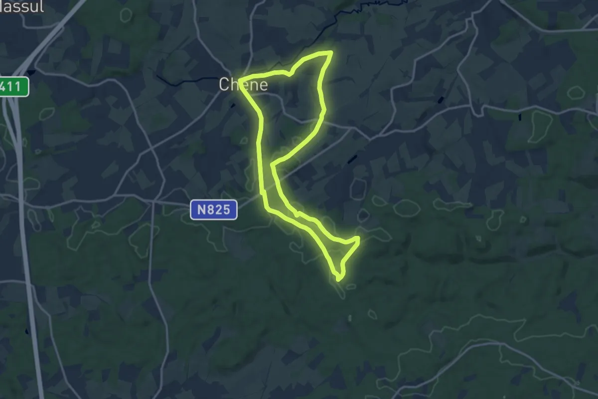
Medium · Trail
Sentier de Jalifè et du Pré Sauvage
10.8 km · ↑ 148 m · 3 h 1 min
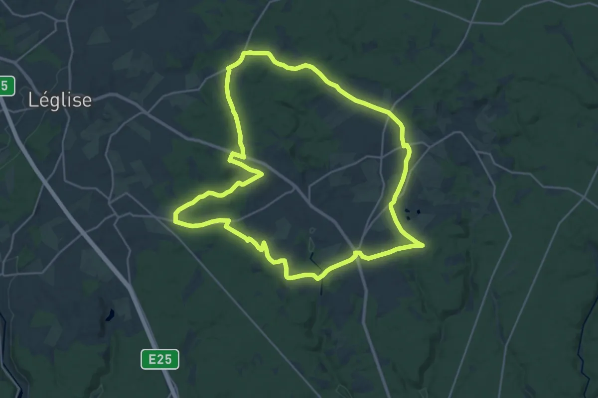
Demanding · Trail
Sentier de la Cornaille
18.5 km · ↑ 259 m · 5 h 12 min
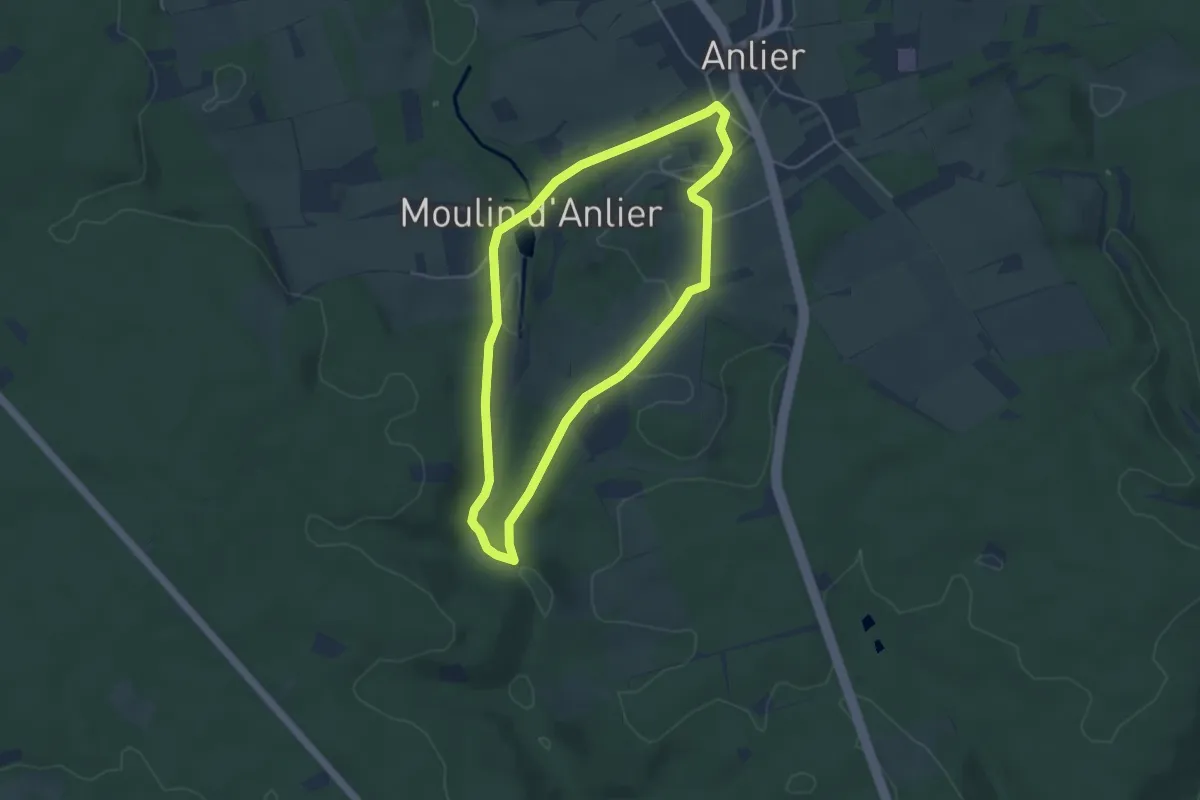
Medium · Trail
Sentier de la Rée
3.8 km · ↑ 76 m · 1 h 6 min
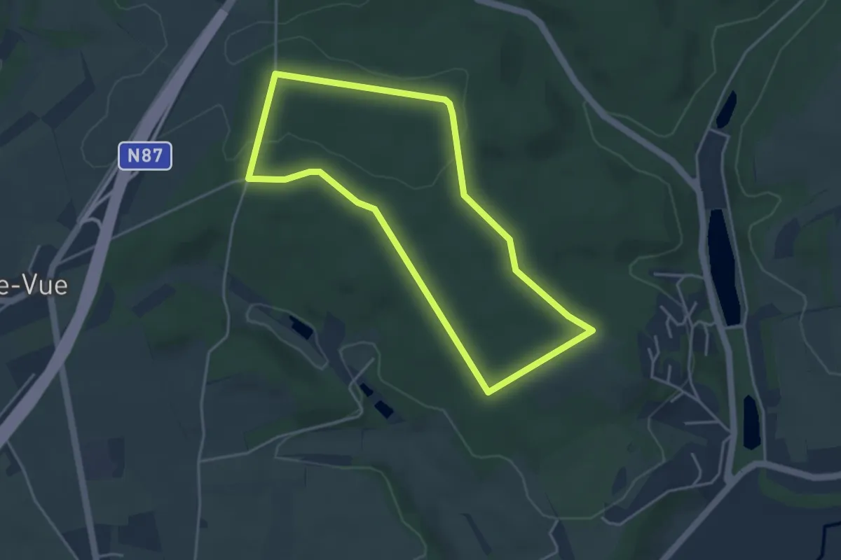
Easy · Trail
Sentier de la Vierge Jacques
3.5 km · ↑ 40 m · 58 min
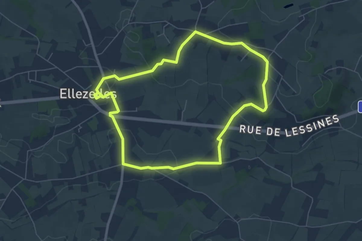
Easy · Trail
Sentier de l'Etrange
5.4 km · ↑ 69 m · 1 h 30 min
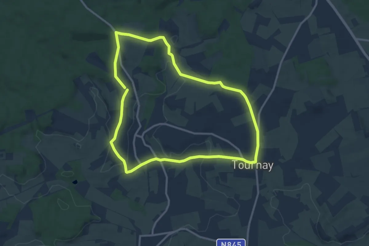
Easy · Trail
Sentier des Artisans de l'Ardenne
7.6 km · ↑ 137 m · 2 h 12 min