Trails in Belgium
3,383 hiking trails, each with its route, climb, walking time and grade.
All trails, page 53 of 71
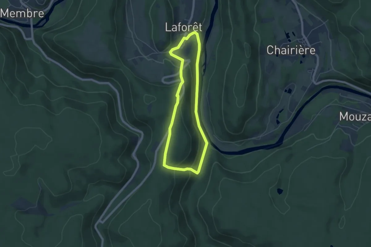
Easy · Trail
Sentier des Demoiselles
4.4 km · ↑ 142 m · 1 h 25 min
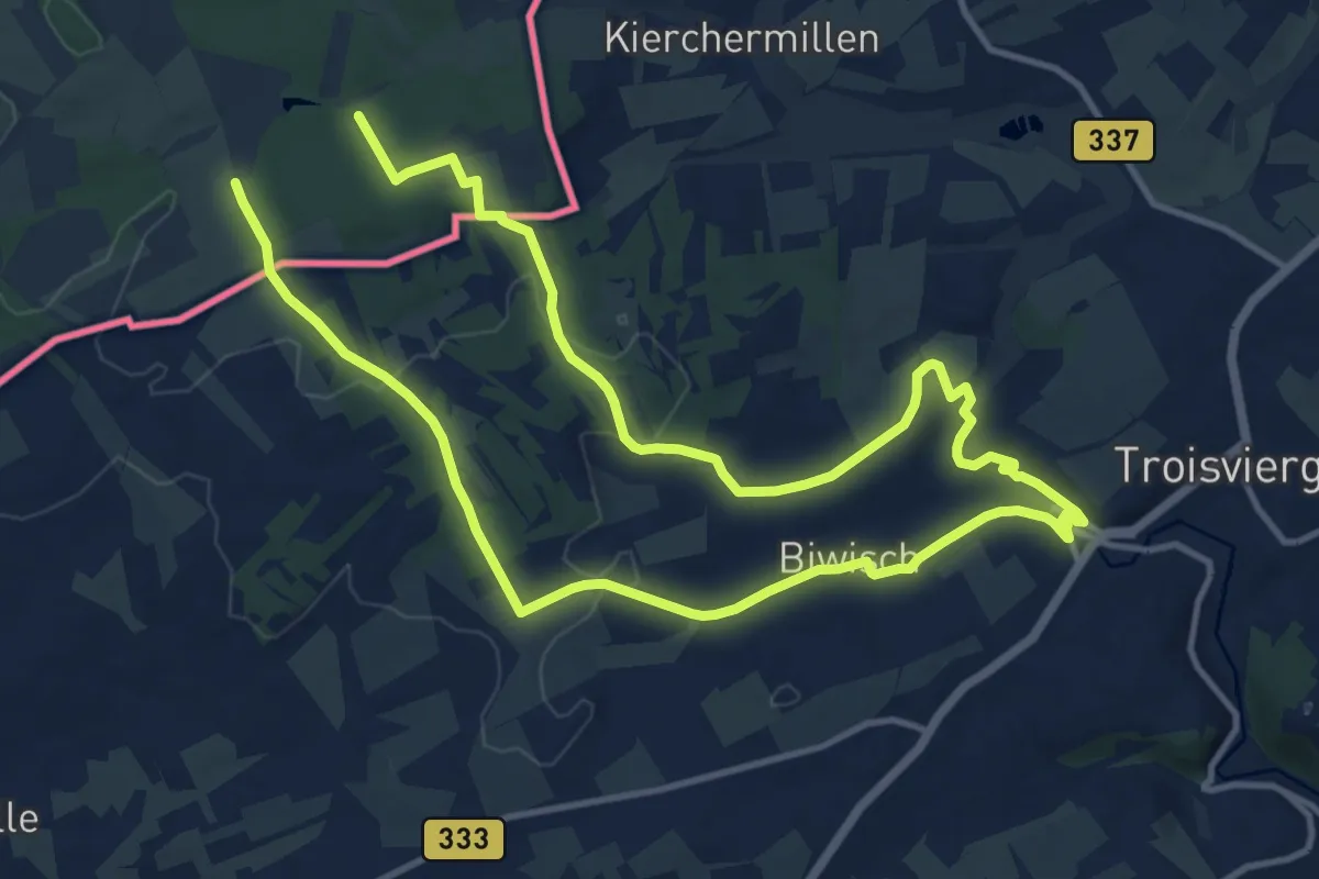
Demanding · Trail
Sentier des Passeurs - Frontière
20.9 km · ↑ 318 m · 5 h 37 min
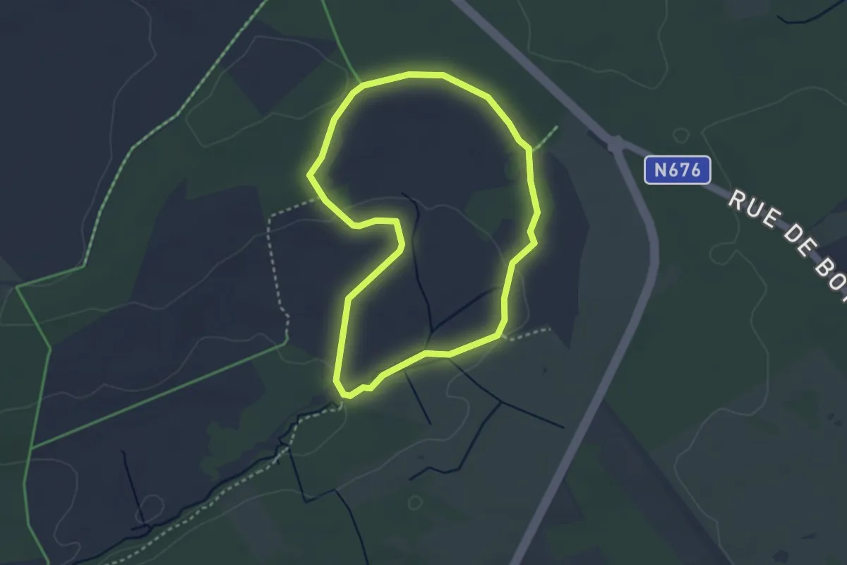
Easy · Trail
Sentier didactique Fagne de Poleur
2.8 km · ↑ 36 m · 46 min
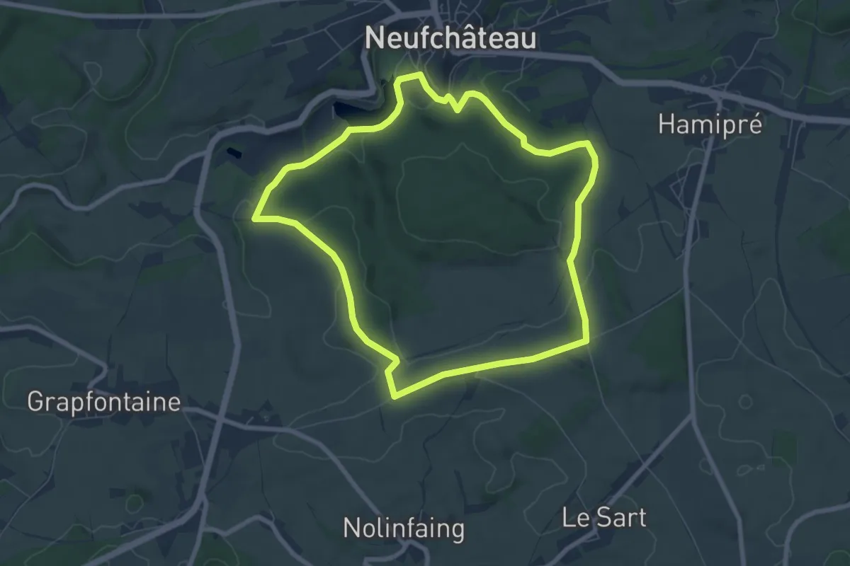
Easy · Trail
Sentier du Bois d'Ospau
6.6 km · ↑ 98 m · 1 h 52 min
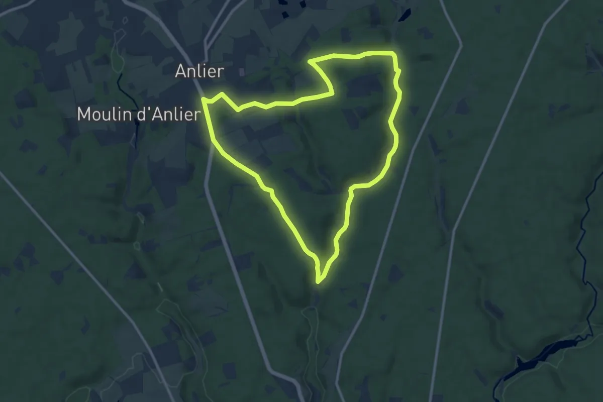
Medium · Trail
Sentier du Bois le Prêtre
8.9 km · ↑ 157 m · 2 h 35 min
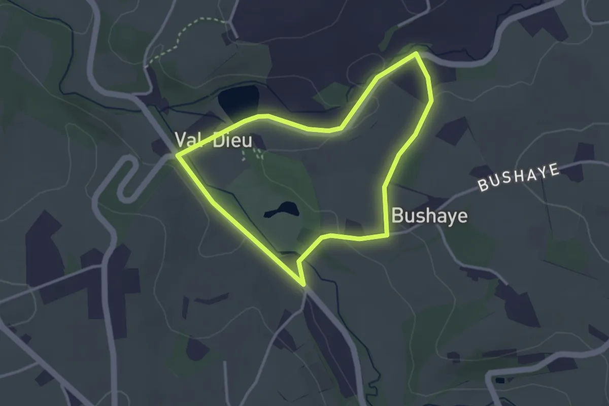
Easy · Trail
Sentier du diable: grand parcours
2.5 km · ↑ 31 m · 42 min
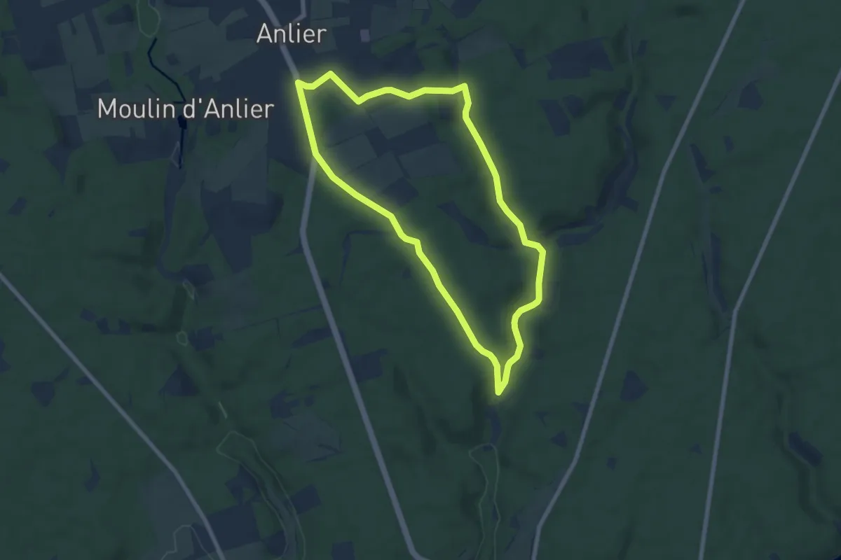
Easy · Trail
Sentier du Gris Bofet
6.2 km · ↑ 90 m · 1 h 45 min
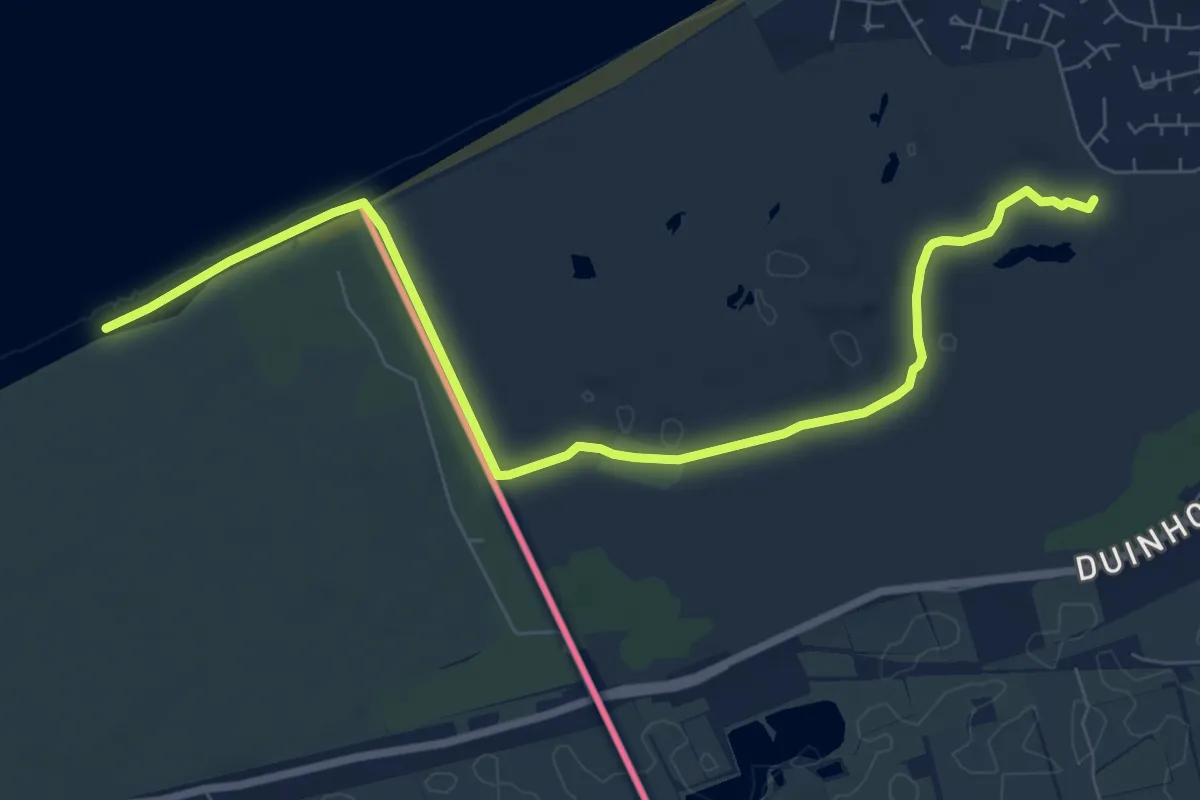
Medium · Trail
Sentier du Littoral
8.2 km · ↑ 26 m · 1 h 59 min
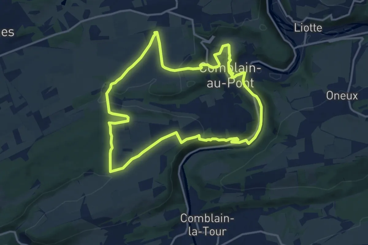
Medium · Trail
Sentier géologique
9.8 km · ↑ 217 m · 2 h 55 min
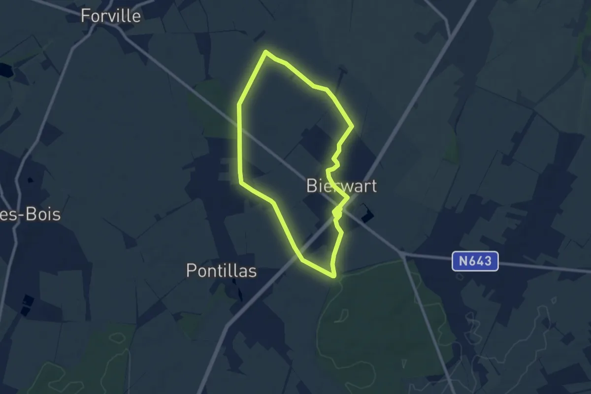
Easy · Trail
Sentier Nature
6.3 km · ↑ 21 m · 1 h 37 min
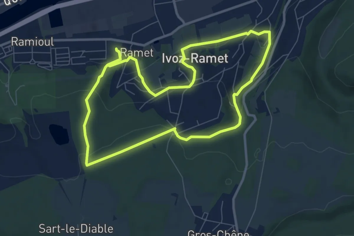
Easy · Trail
Sentiers et Chemins secrets d'Ivoz-Ramet
6.7 km · ↑ 195 m · 2 h 5 min
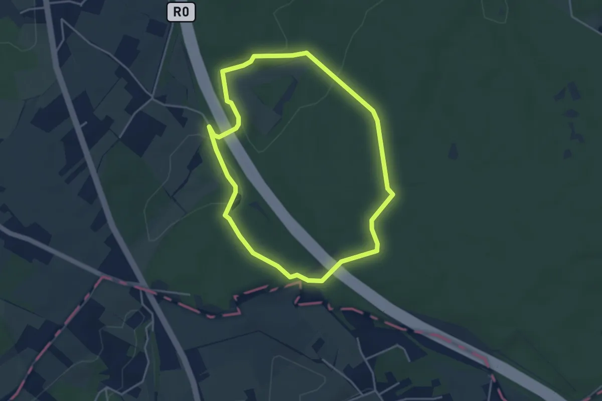
Easy · Trail
Sequoiawandeling
3.3 km · ↑ 45 m · 56 min
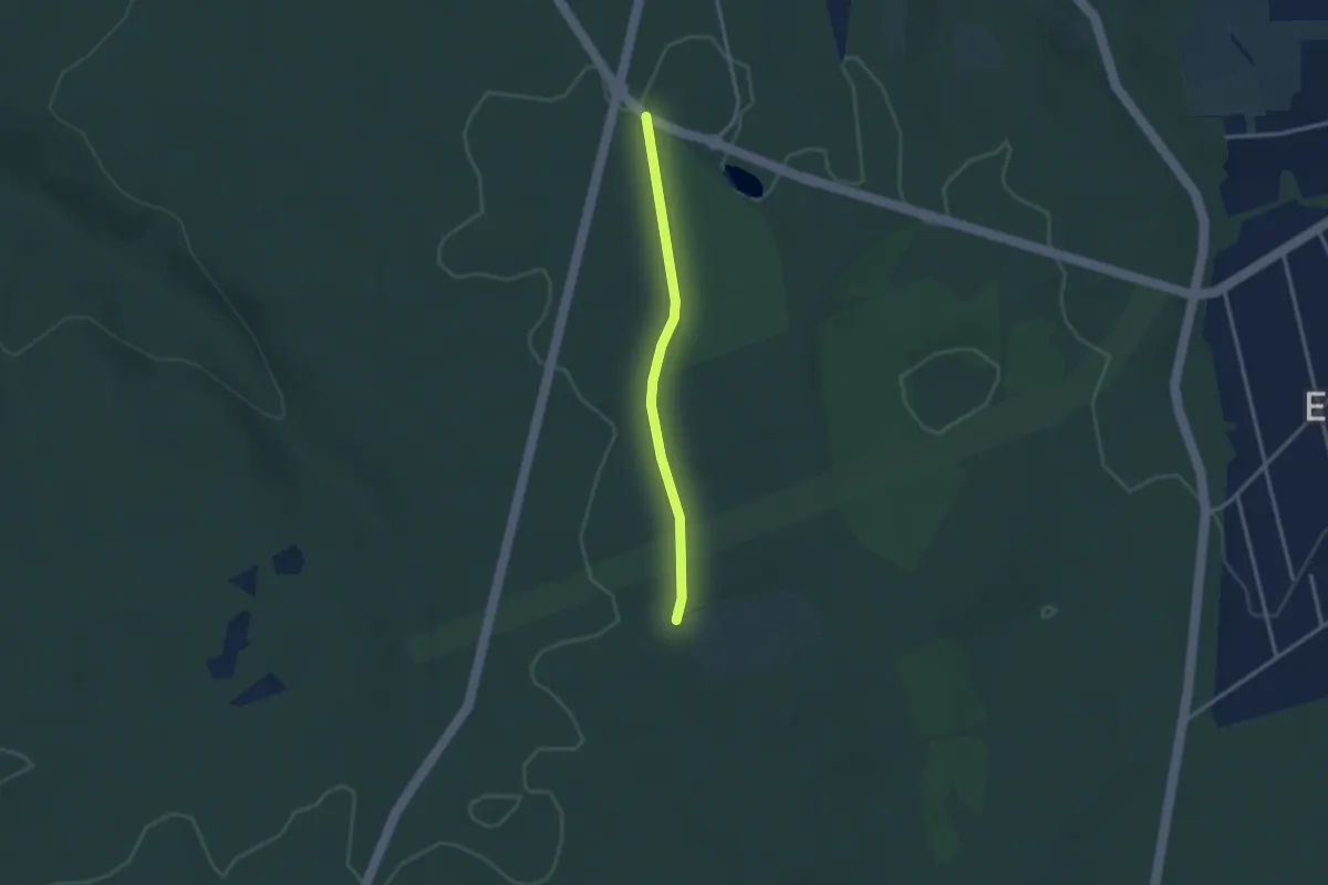
Easy · Trail
Seraing - Bè Bon Dju
2.4 km · ↑ 9 m · 35 min
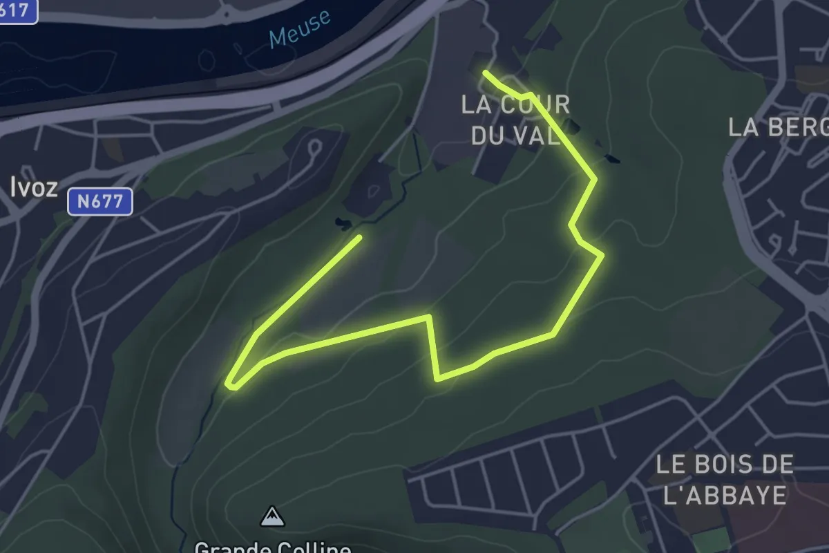
Easy · Trail
Seraing - Bois de l'Abbaye
2.6 km · ↑ 84 m · 49 min
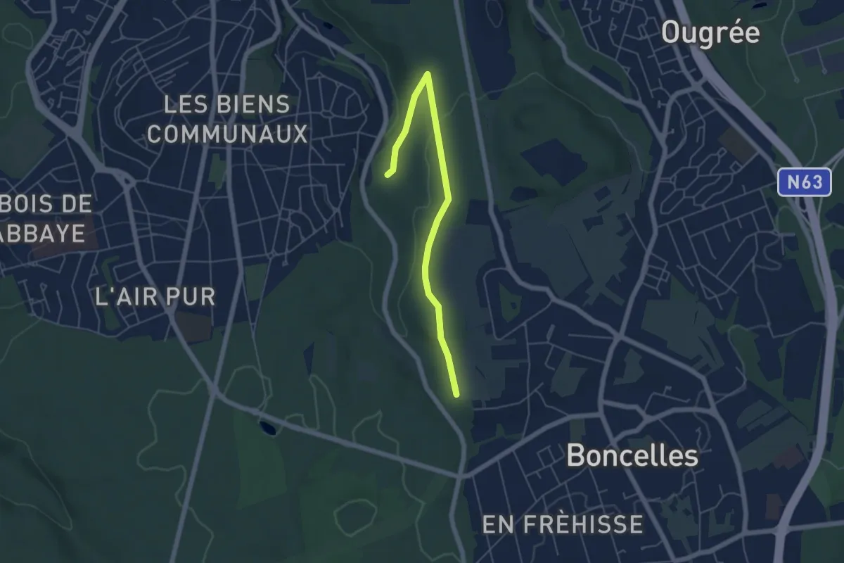
Easy · Trail
Seraing - Bois de la Marchandise
2.4 km · ↑ 9 m · 39 min
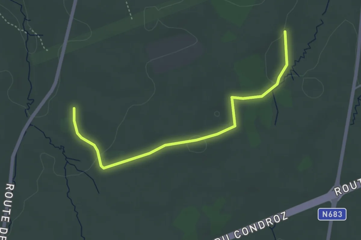
Easy · Trail
Seraing - Parcours didactique dans la Vecquée
1.9 km · ↑ 17 m · 32 min
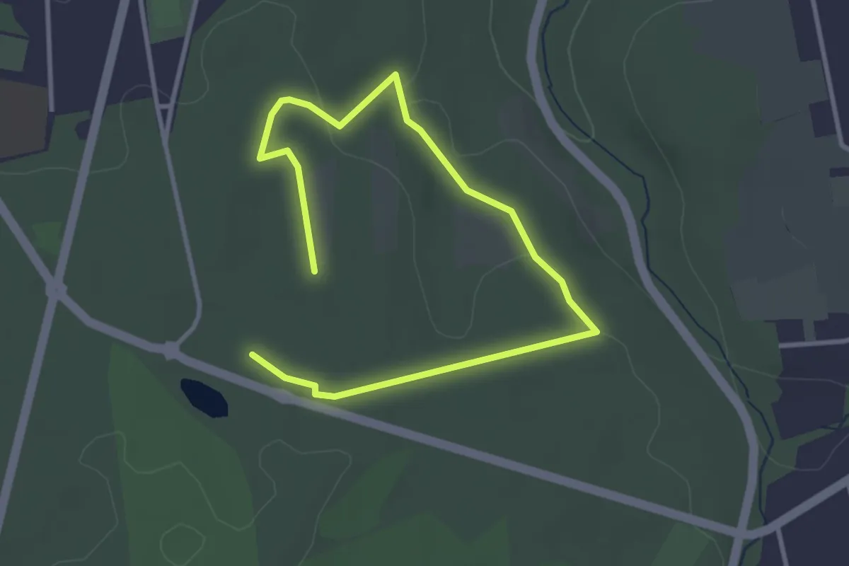
Easy · Trail
Seraing - Parcours Santé de la Vecquée
2.1 km · ↑ 24 m · 35 min
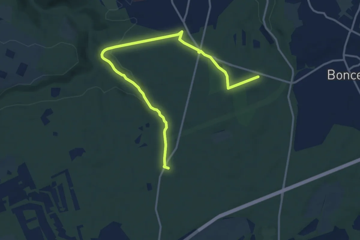
Medium · Trail
Seraing - Trou d'Ausny
10.3 km · ↑ 165 m · 2 h 47 min
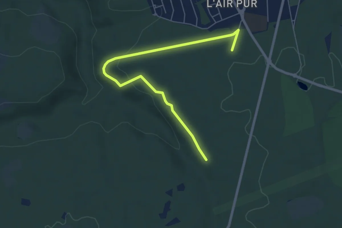
Easy · Trail
Seraing - Vecquée nord
5.6 km · ↑ 128 m · 1 h 37 min
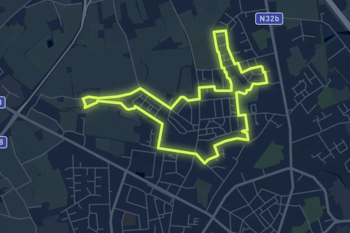
Easy · Trail
Serge Berten wandeling
6.0 km · ↑ 0 m · 1 h 30 min
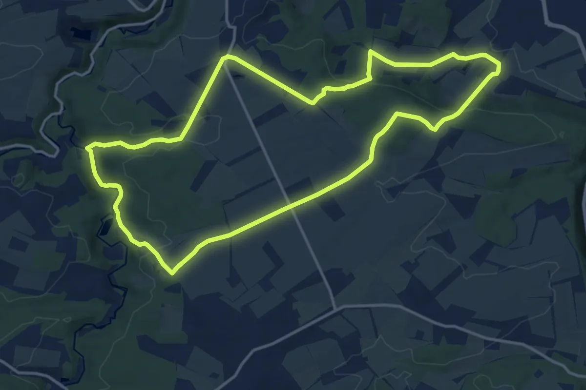
Medium · Trail
Serinvaux et Montaigle
11.5 km · ↑ 262 m · 3 h 27 min
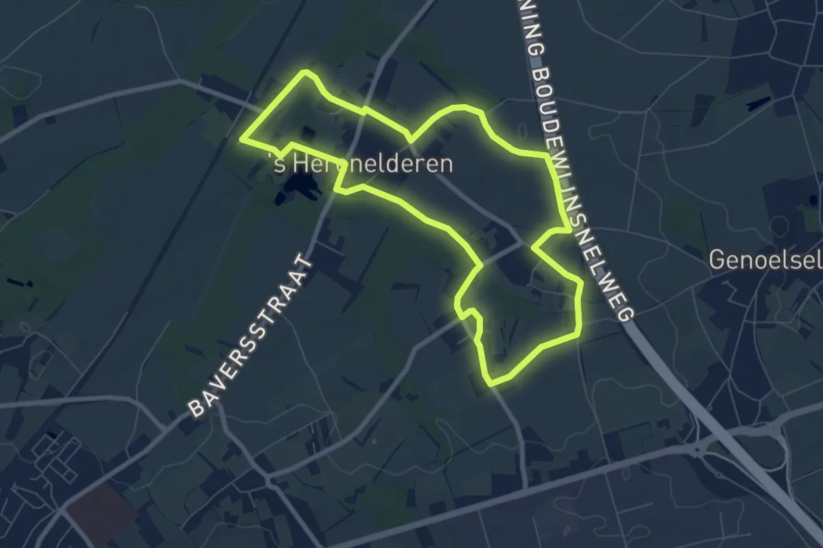
Easy · Trail
's Herenelderen
6.5 km · ↑ 28 m · 1 h 41 min
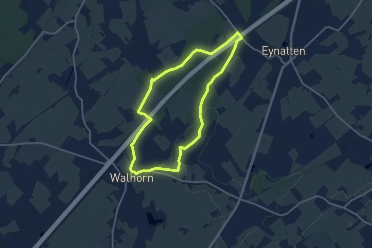
Easy · Trail
Siebenweihern
7.0 km · ↑ 67 m · 1 h 54 min
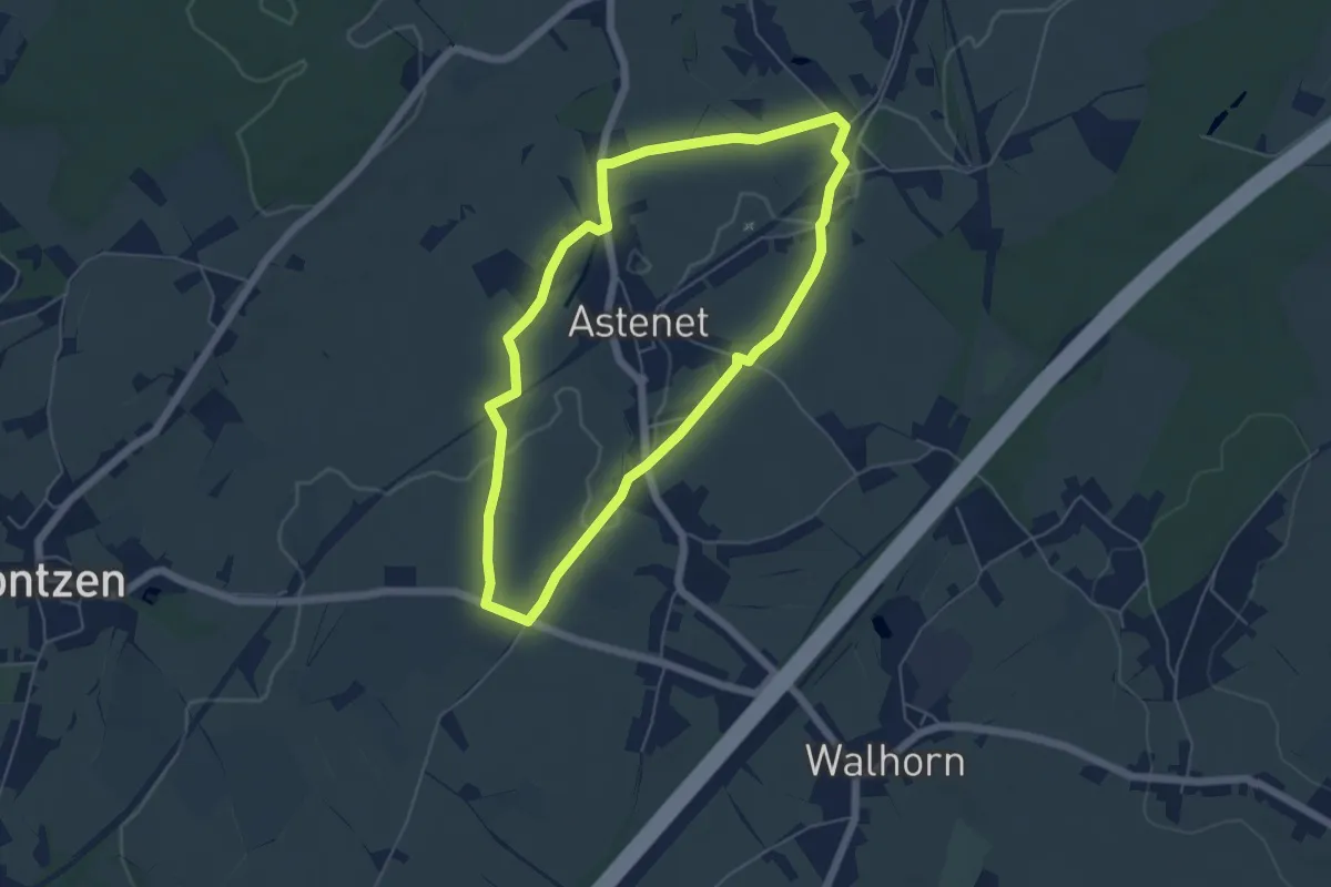
Easy · Trail
Siena-Kapelle/Siegel
4.8 km · ↑ 39 m · 1 h 17 min
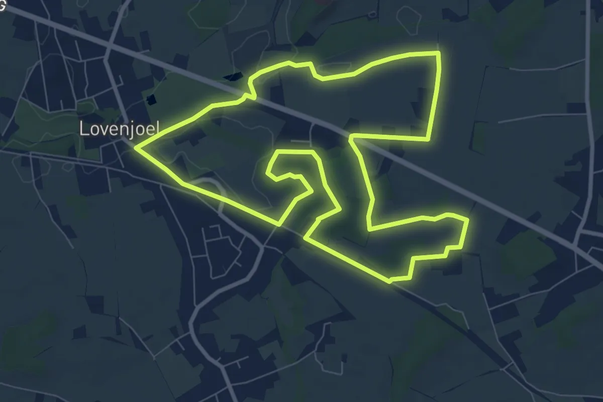
Medium · Trail
Sint-Ermelindiswandeling
8.1 km · ↑ 44 m · 2 h 7 min
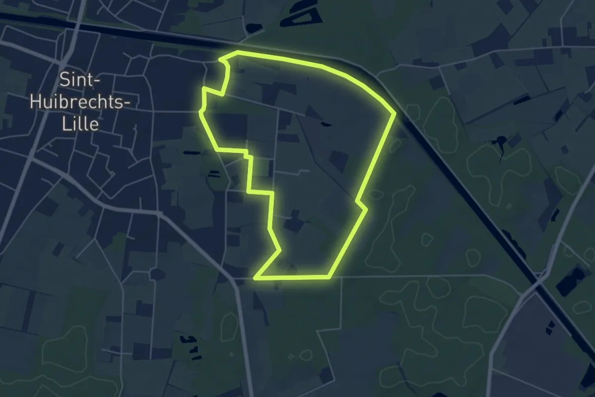
Easy · Trail
Sint-Huibrechts-Lille Blauwe ruit
4.8 km · ↑ 9 m · 1 h 13 min
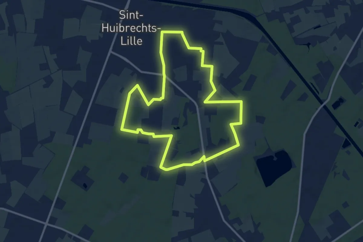
Medium · Trail
Sint-Huibrechts-Lille Oranje bol
8.1 km · ↑ 14 m · 2 h 3 min
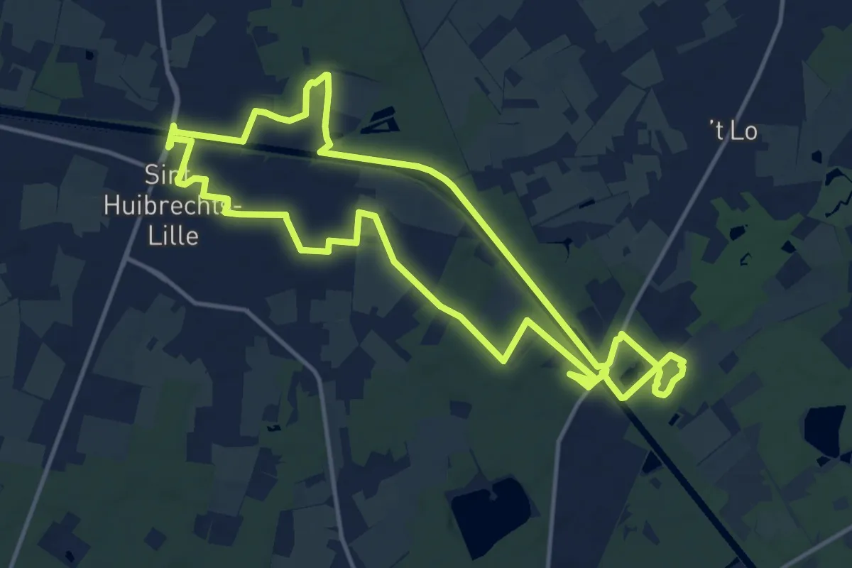
Medium · Trail
Sint-Huibrechts-Lille Rode driehoek
11.8 km · ↑ 22 m · 3 h
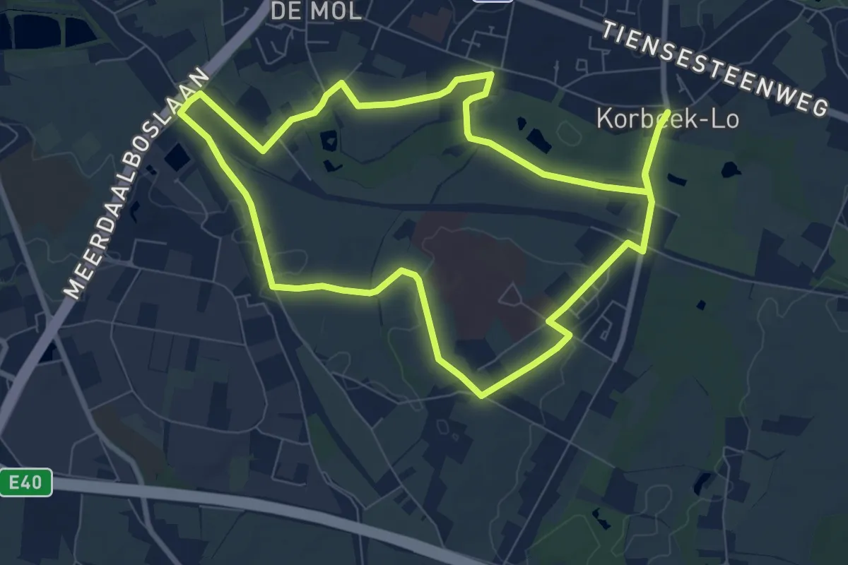
Easy · Trail
Sint-Kamilluswandeling
7.6 km · ↑ 27 m · 1 h 58 min
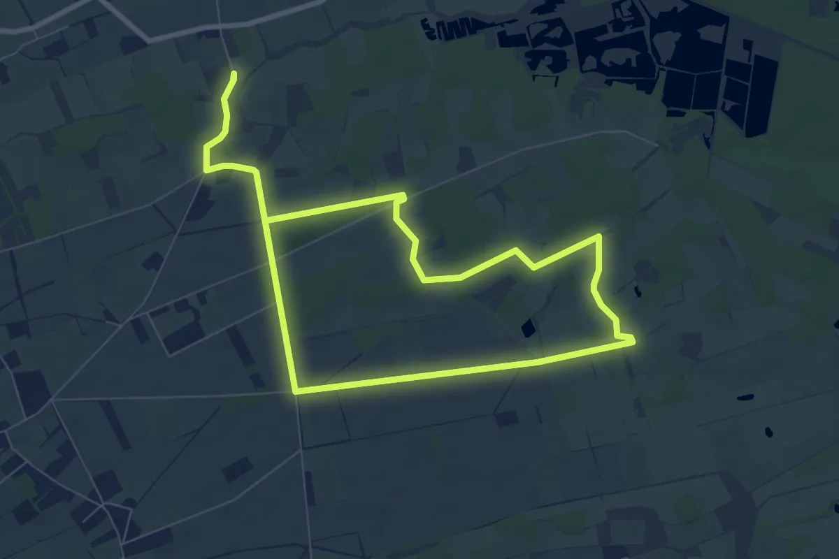
Medium · Trail
Sint-Maartensheide - De Luysen Blauwe ruit
12.5 km · ↑ 8 m · 2 h 58 min
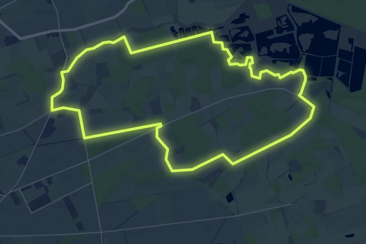
Easy · Trail
Sint-Maartensheide - De Luysen Gele zeshoek
6.9 km · ↑ 12 m · 1 h 44 min
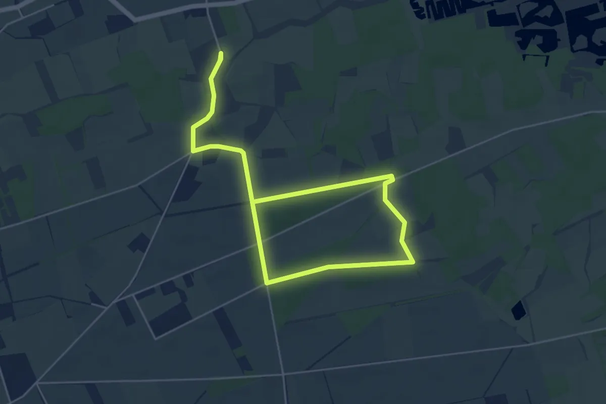
Easy · Trail
Sint-Maartensheide - De Luysen Groene rechthoek
6.6 km · ↑ 8 m · 1 h 35 min
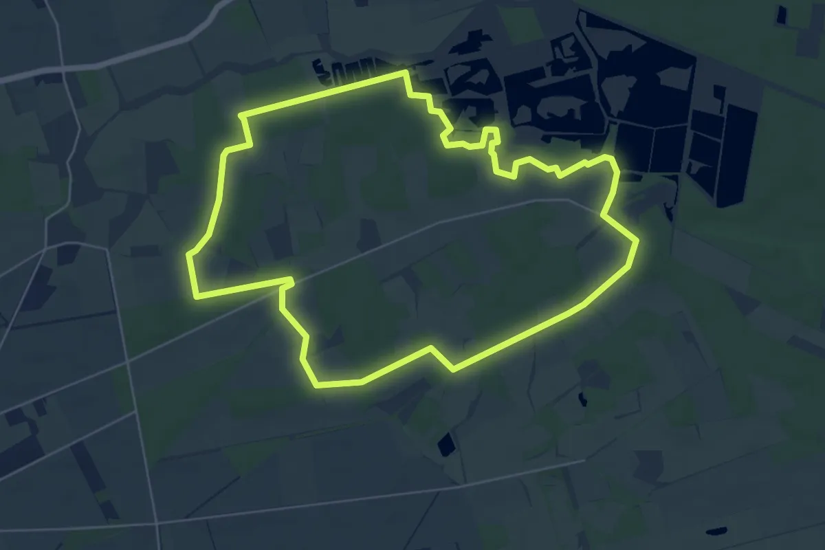
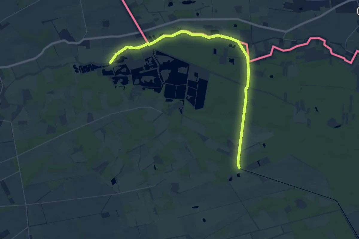
Easy · Trail
Sint-Maartensheide - De Luysen Paarse Trapezium
5.6 km · ↑ 8 m · 1 h 25 min
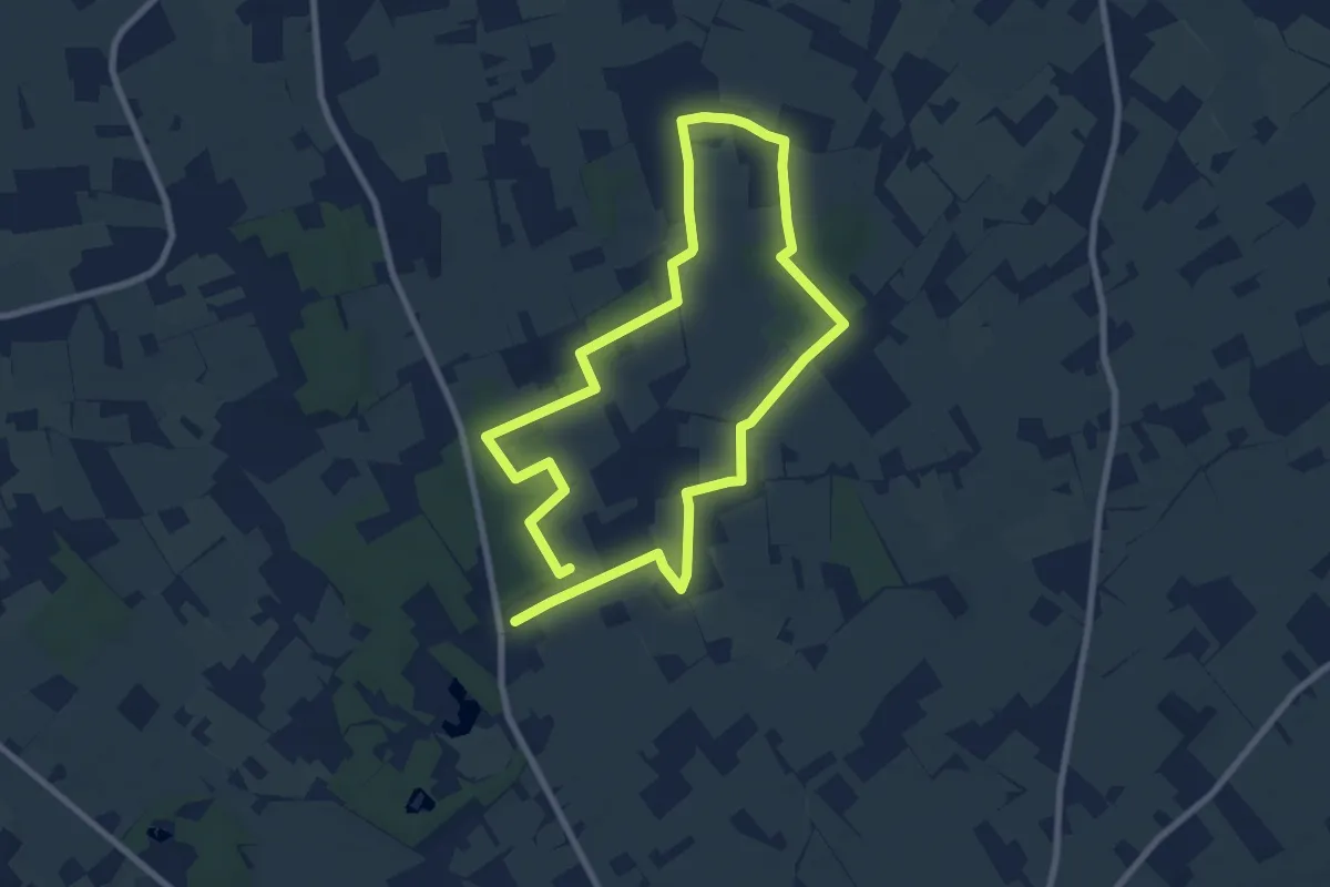
Easy · Trail
Sint-Maartensheide - De Luysen Rode driehoek
7.0 km · ↑ 13 m · 1 h 40 min
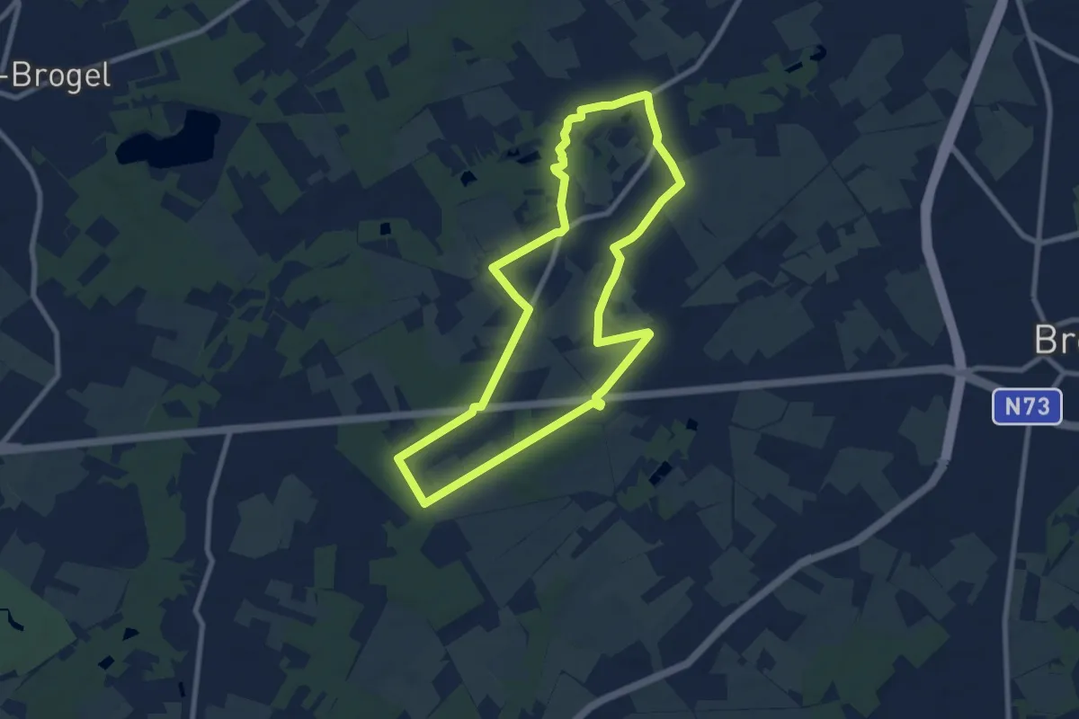
Easy · Trail
Sint-Sixtus wandelroute
7.1 km · ↑ 27 m · 1 h 50 min
Easy · Trail
Sint-Willibrordusroute
7.4 km · ↑ 21 m · 1 h 54 min
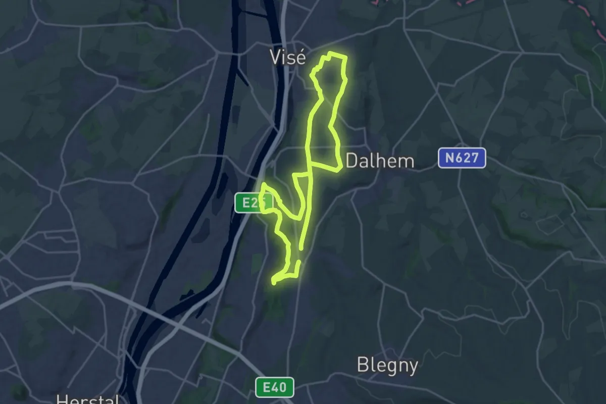
Medium · Trail
Site de la Julienne
15.1 km · ↑ 151 m · 4 h 6 min
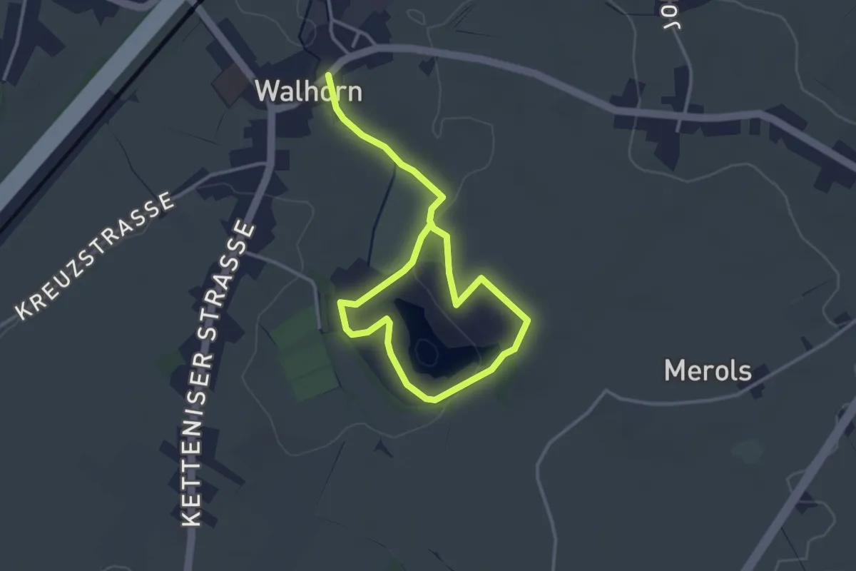
Easy · Trail
Skulpturenweg
4.4 km · ↑ 37 m · 1 h 7 min
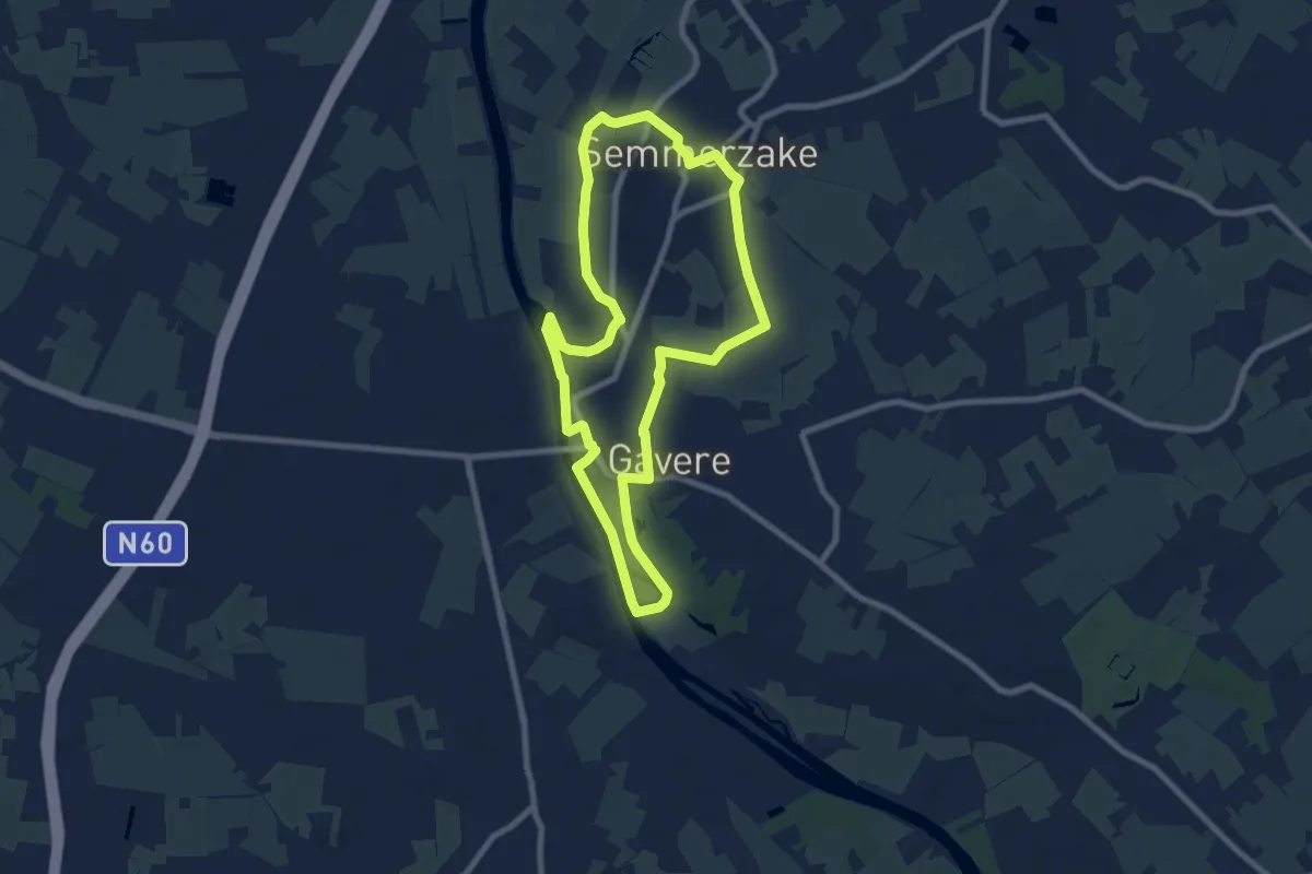
Easy · Trail
Slag bij Gavere Route
7.3 km · ↑ 27 m · 1 h 54 min
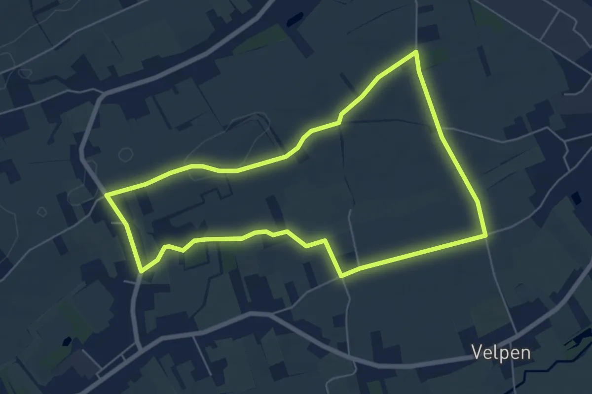
Easy · Trail
Slagveldwandeling blauw
4.9 km · ↑ 22 m · 1 h 16 min
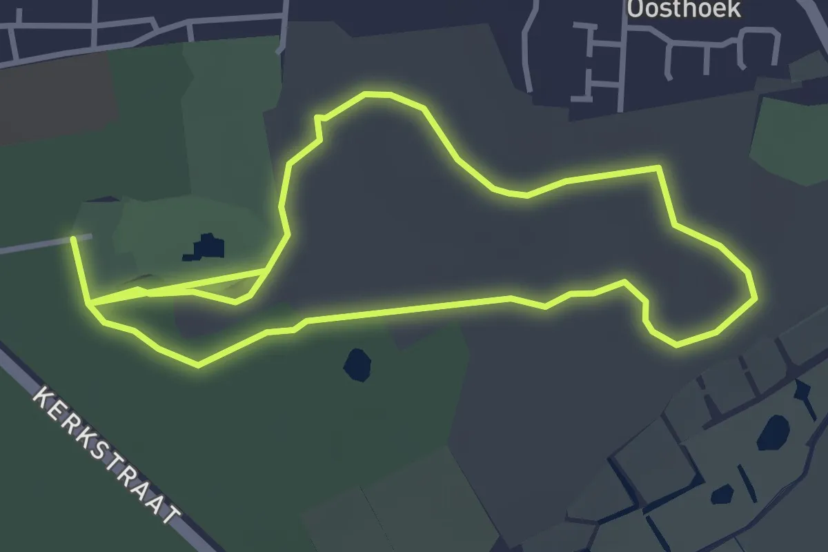
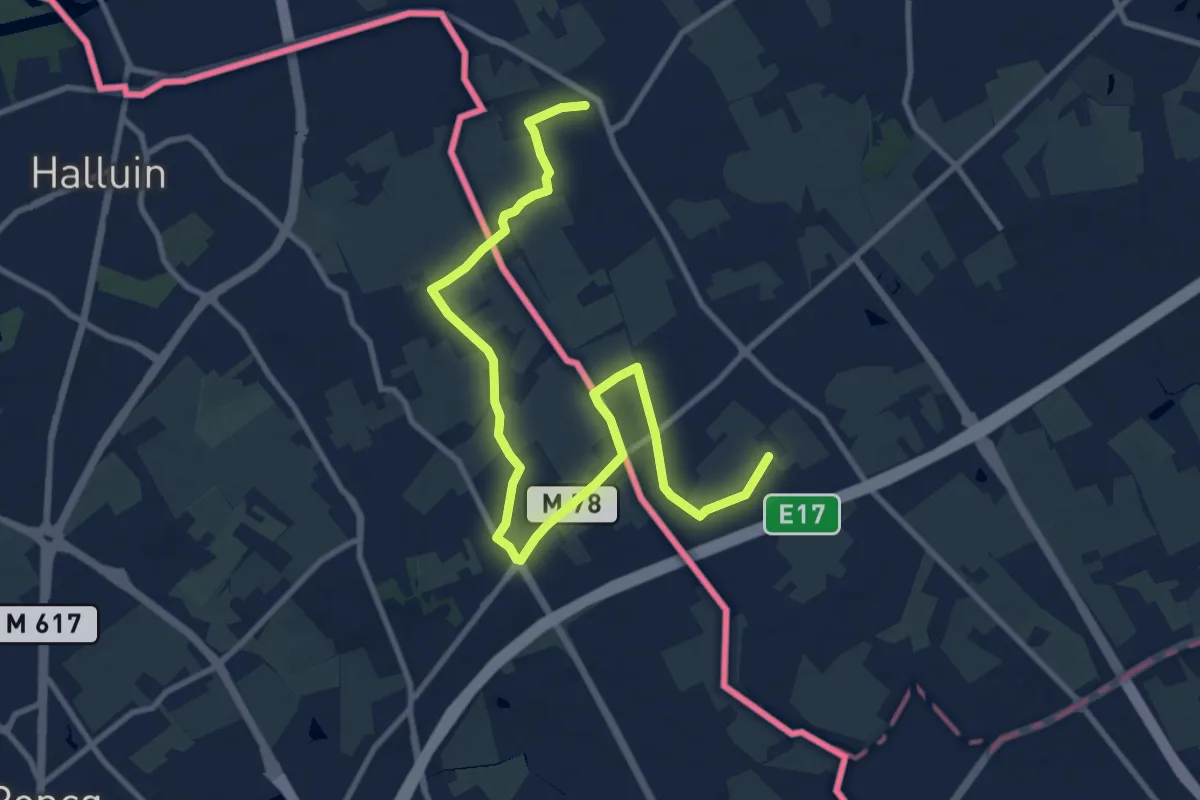
Easy · Trail
Sledoornwandeling
5.8 km · ↑ 22 m · 1 h 25 min
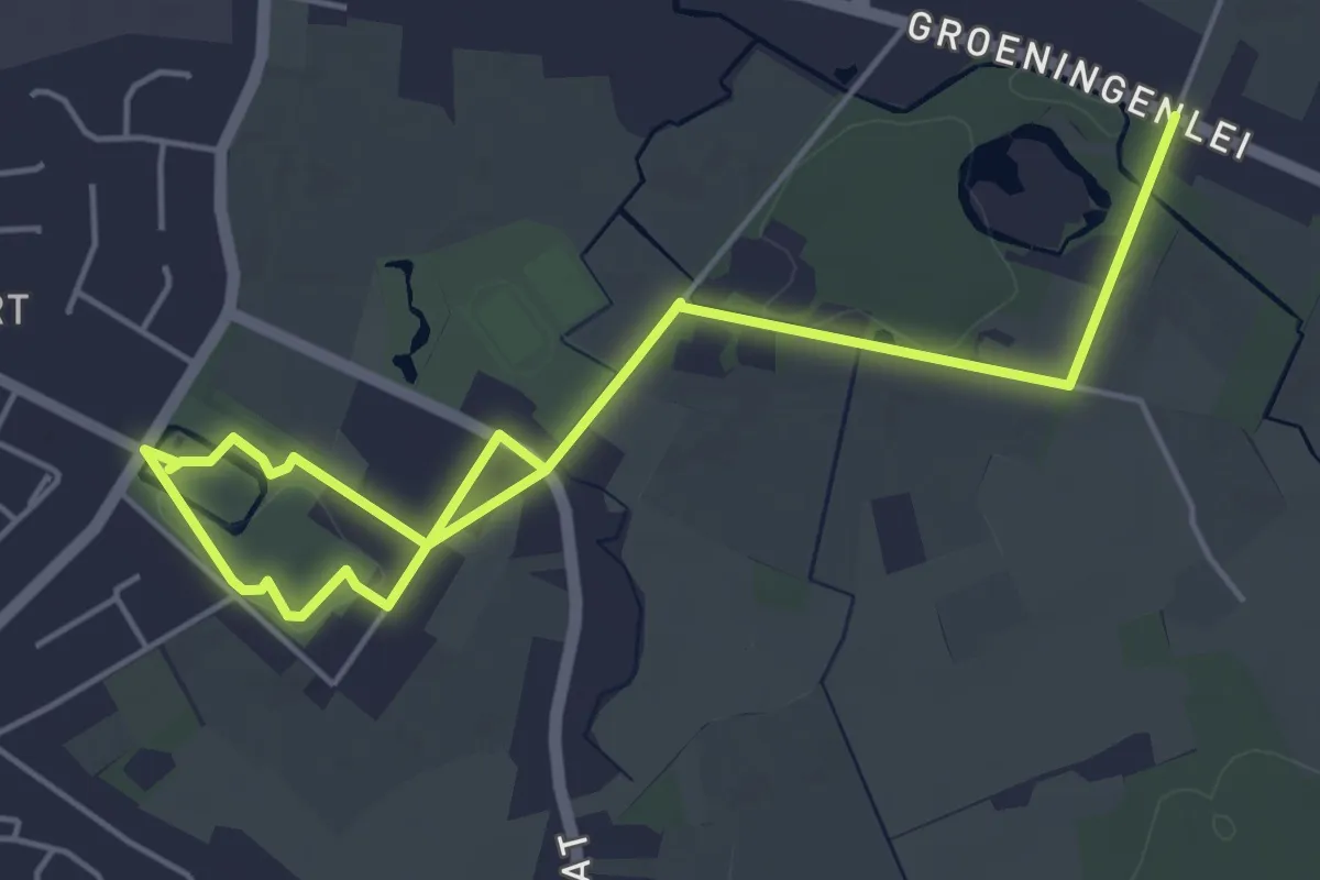
Easy · Trail
Smokkelaarspad
6.0 km · ↑ 30 m · 1 h 34 min
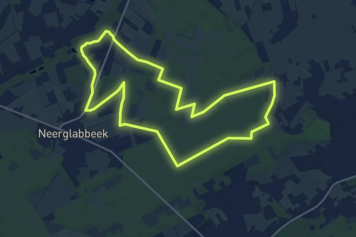
Easy · Trail
Solhofwandeling
6.3 km · ↑ 13 m · 1 h 31 min
Medium · Trail
Solterheide Blauwe ruit
10.7 km · ↑ 39 m · 2 h 45 min
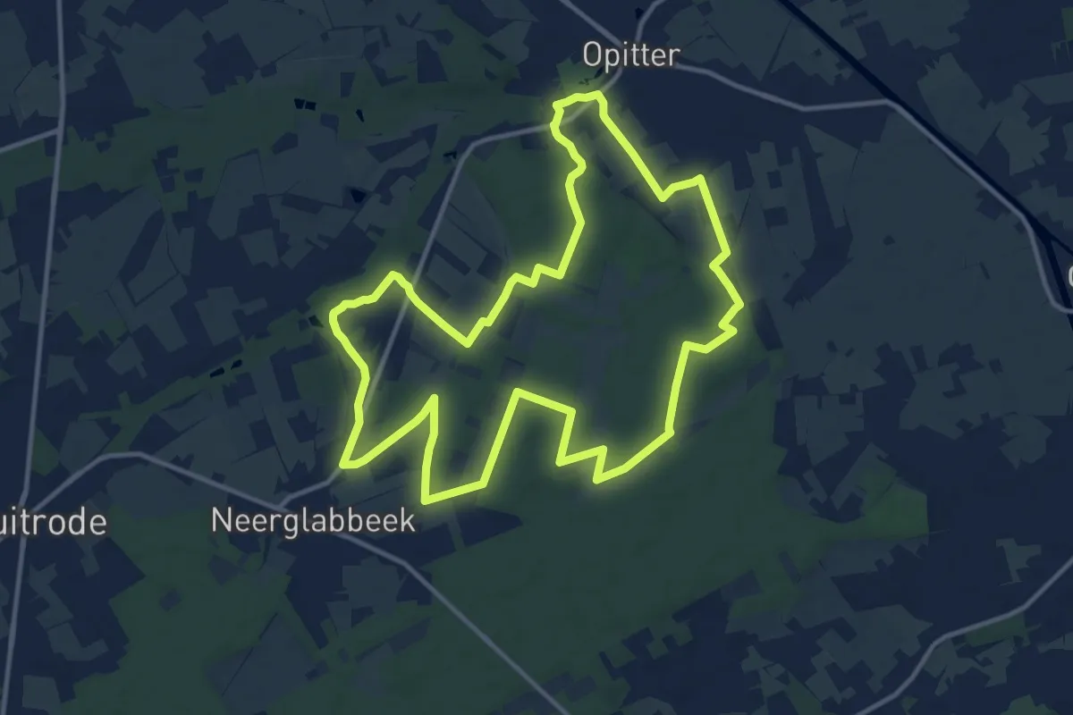
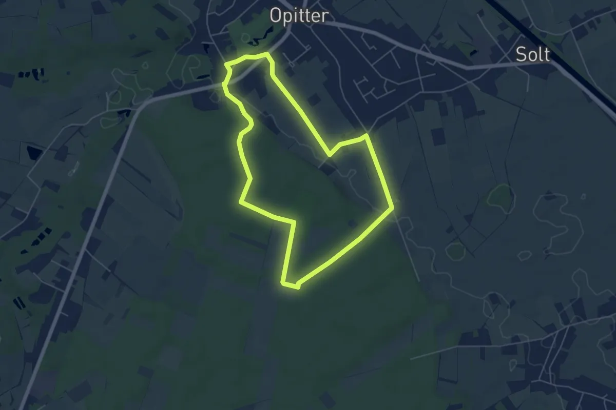
Medium · Trail
Solterheide Gele zeshoek
12.4 km · ↑ 48 m · 3 h 13 min
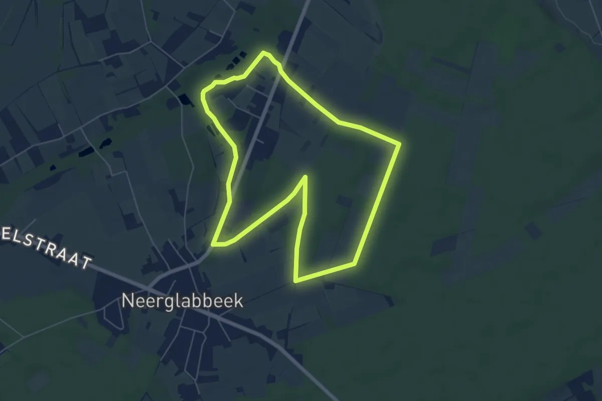
Easy · Trail
Solterheide Groene rechthoek
4.8 km · ↑ 30 m · 1 h 16 min
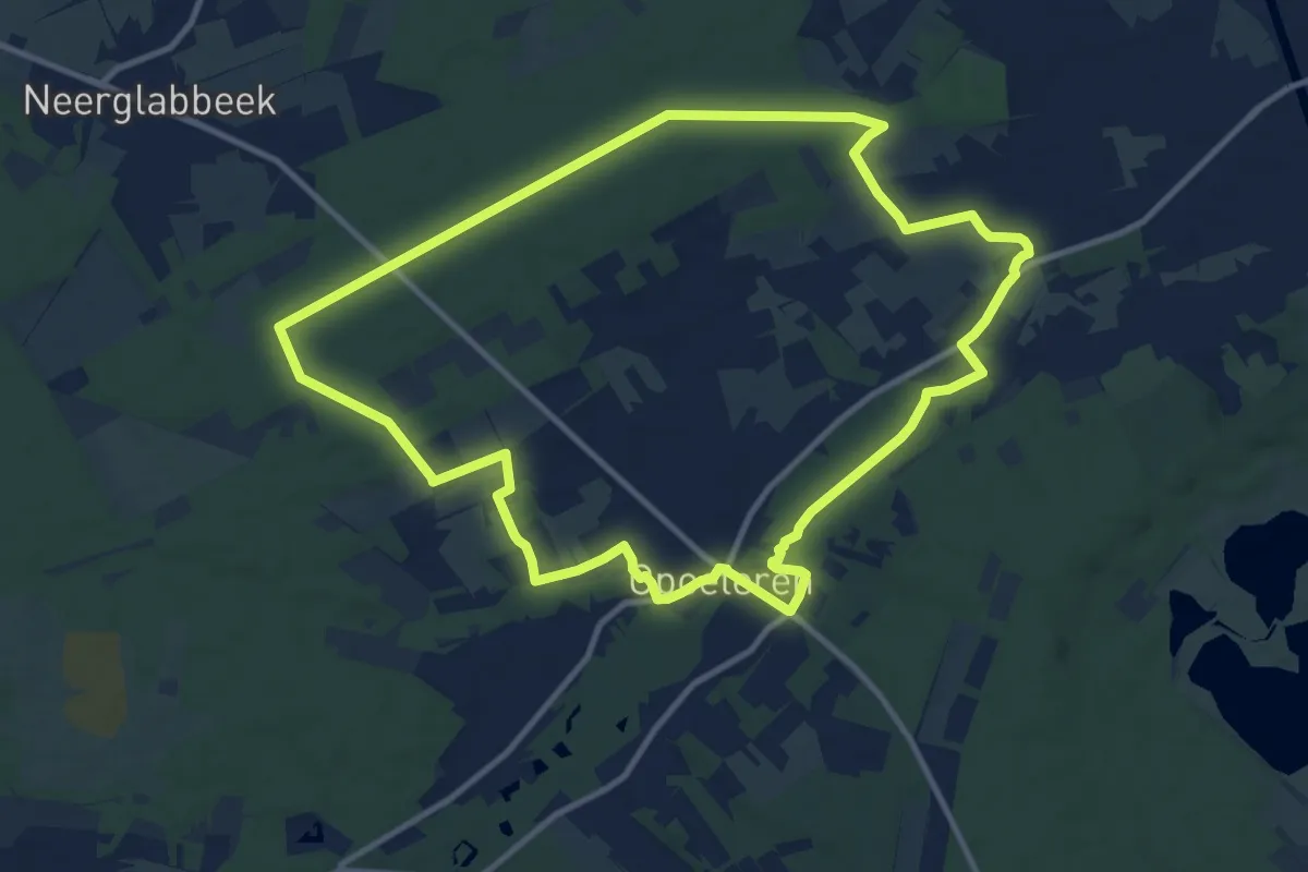
Easy · Trail
Solterheide Groene rechthoek
5.4 km · ↑ 13 m · 1 h 23 min
Medium · Trail
Solterheide Rode driehoek
10.6 km · ↑ 45 m · 2 h 46 min