Trails in Belgium
3,383 hiking trails, each with its route, climb, walking time and grade.
All trails, page 54 of 71
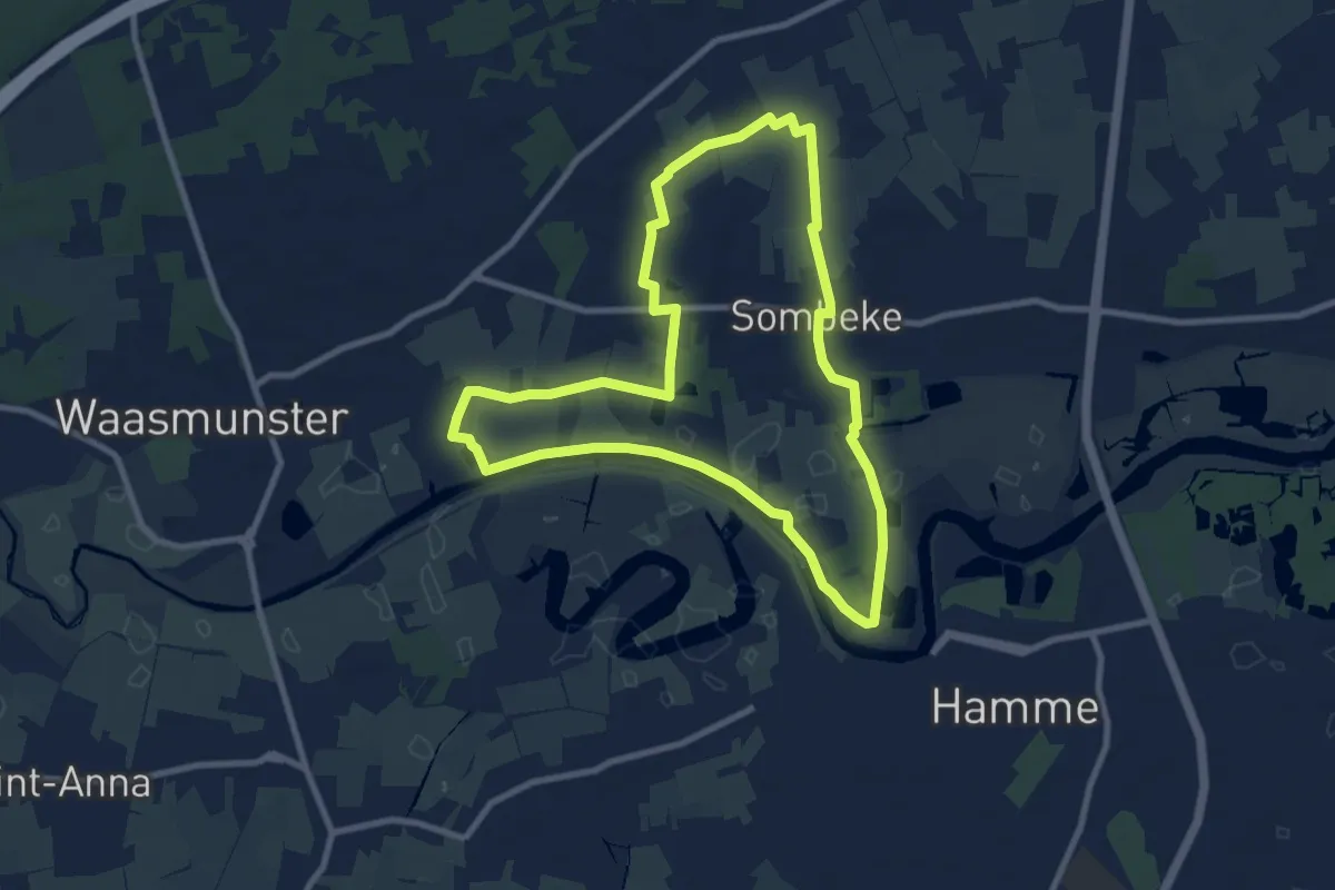
Medium · Trail
Sombeke-Oude Durmeroute lus 1
8.1 km · ↑ 23 m · 2 h 5 min
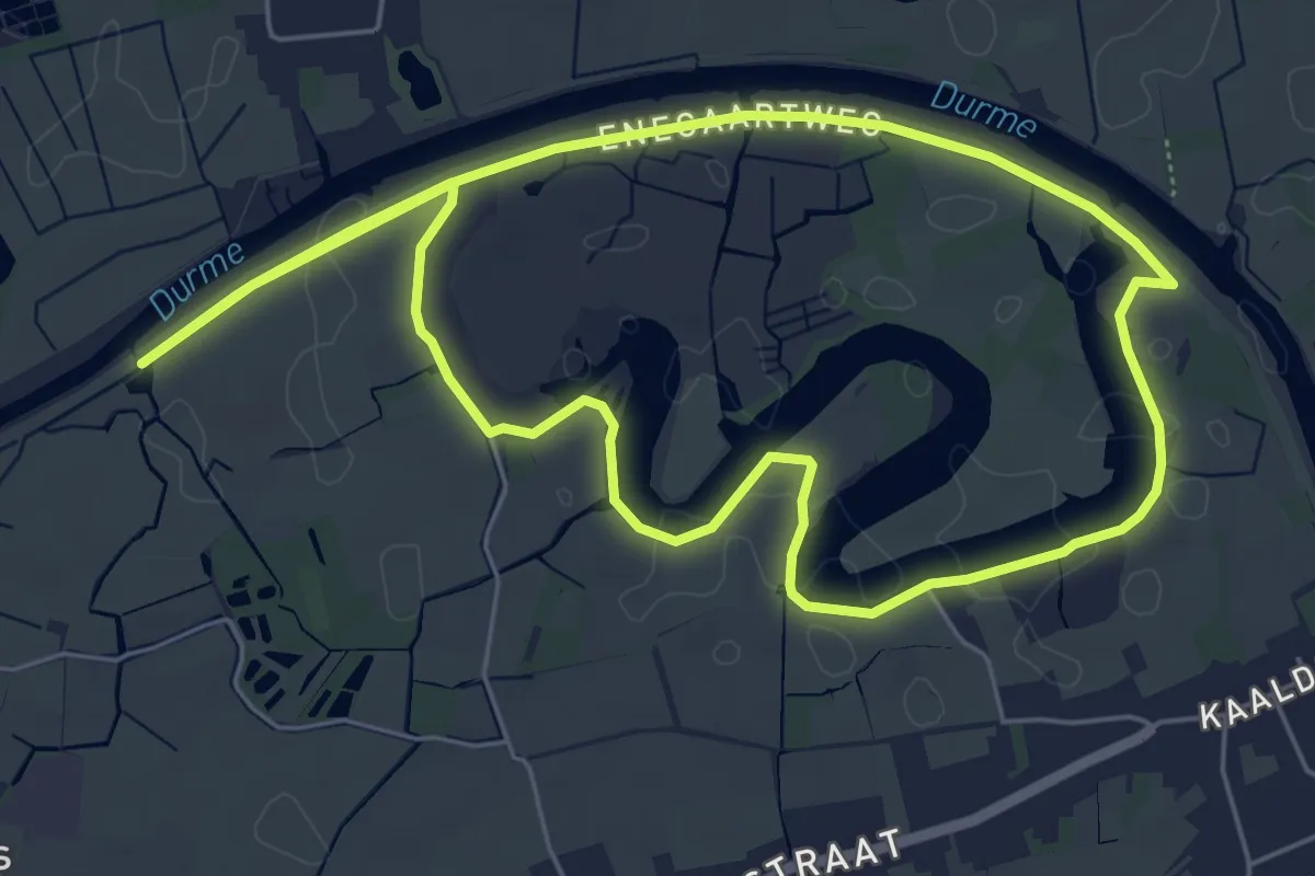
Easy · Trail
Sombeke-Oude Durmeroute lus 2
5.4 km · ↑ 4 m · 1 h 22 min
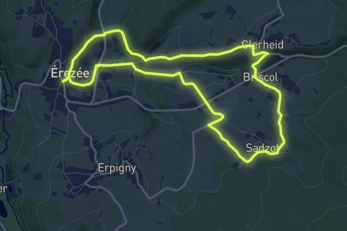
Medium · Trail
Soupirs
8.8 km · ↑ 232 m · 2 h 42 min
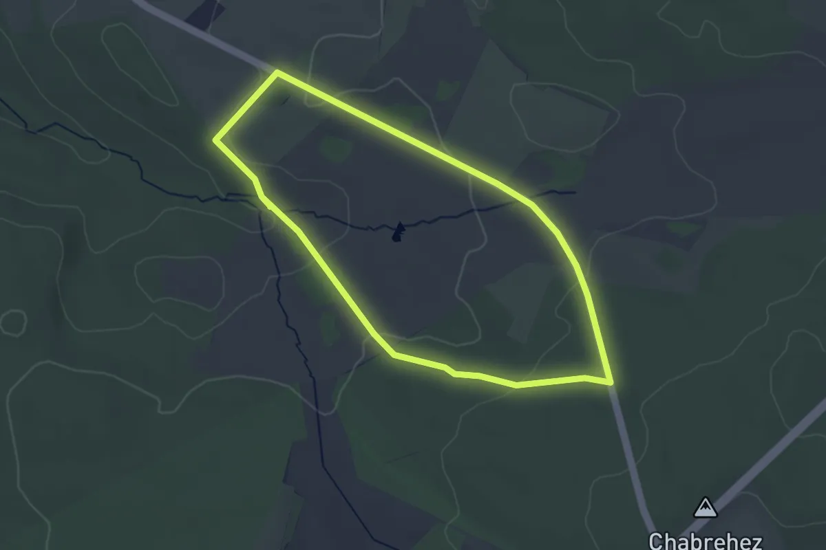
Easy · Trail
Source de l'Aisne
3.0 km · ↑ 66 m · 53 min
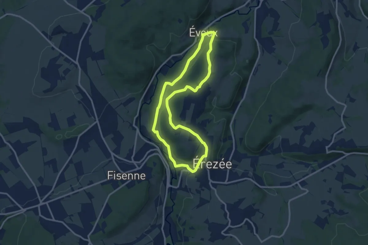
Easy · Trail
Sous le Bois
7.9 km · ↑ 235 m · 2 h 30 min
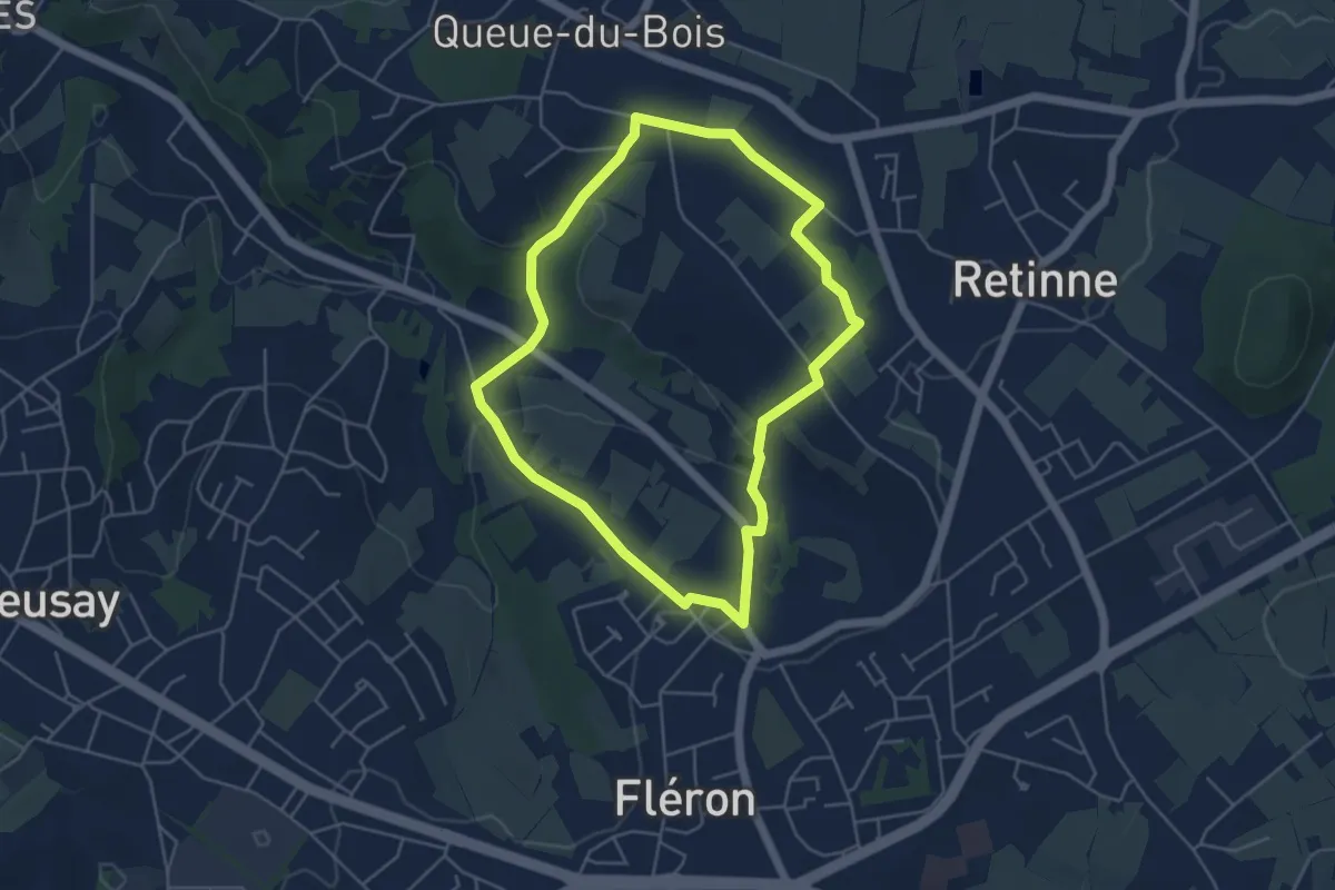
Easy · Trail
Sous les Bouhy
4.2 km · ↑ 117 m · 1 h 19 min
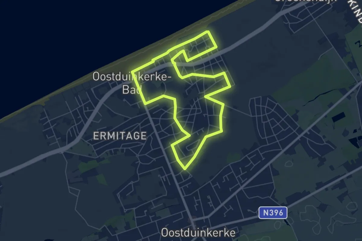
Easy · Trail
Spelleplekke wandelpad
6.2 km · ↑ 17 m · 1 h 35 min
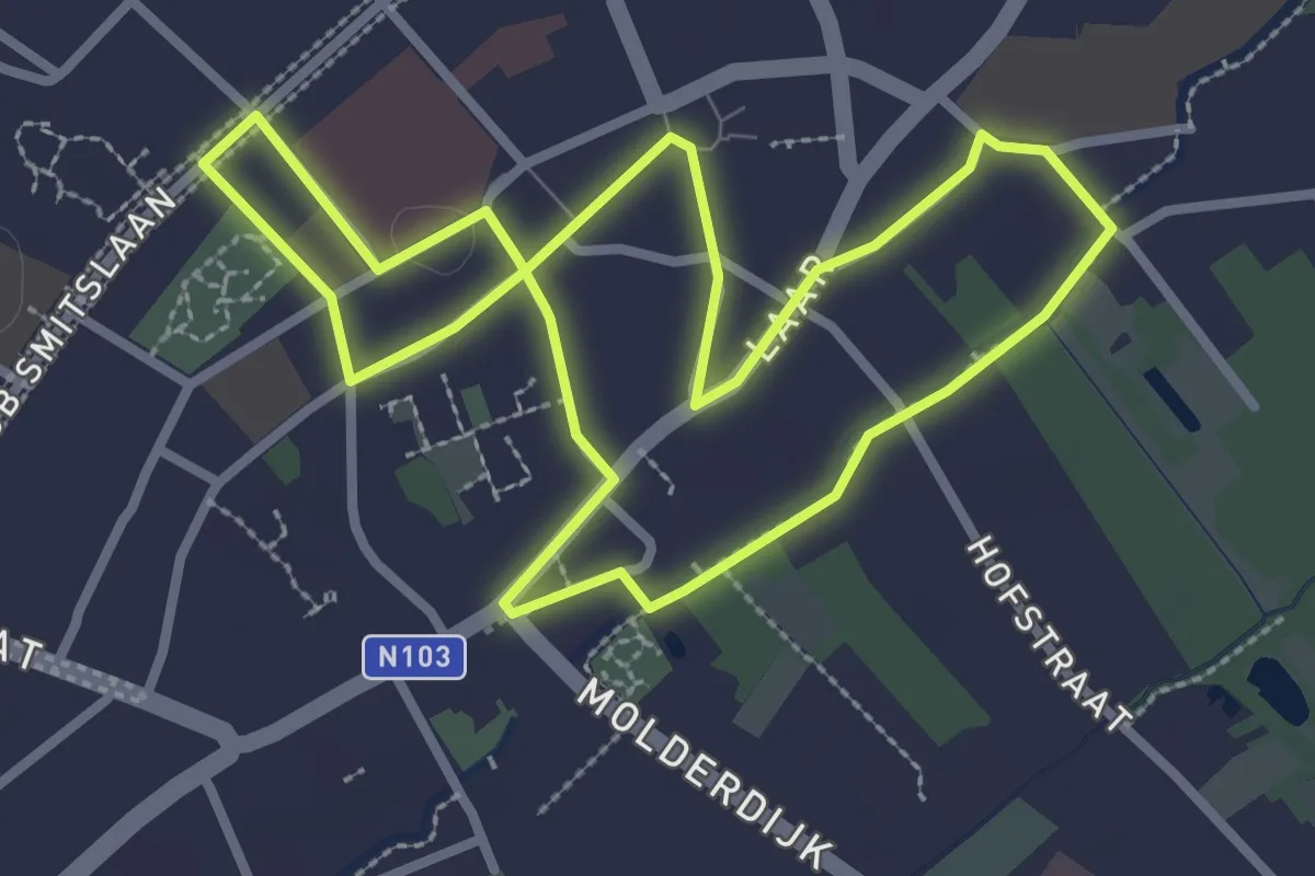
Easy · Trail
Spijkers met koppen
2.6 km · ↑ 0 m · 40 min
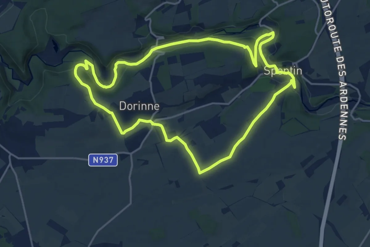
Medium · Trail
Spontin - Dorinne - Spontin
12.0 km · ↑ 216 m · 3 h 28 min
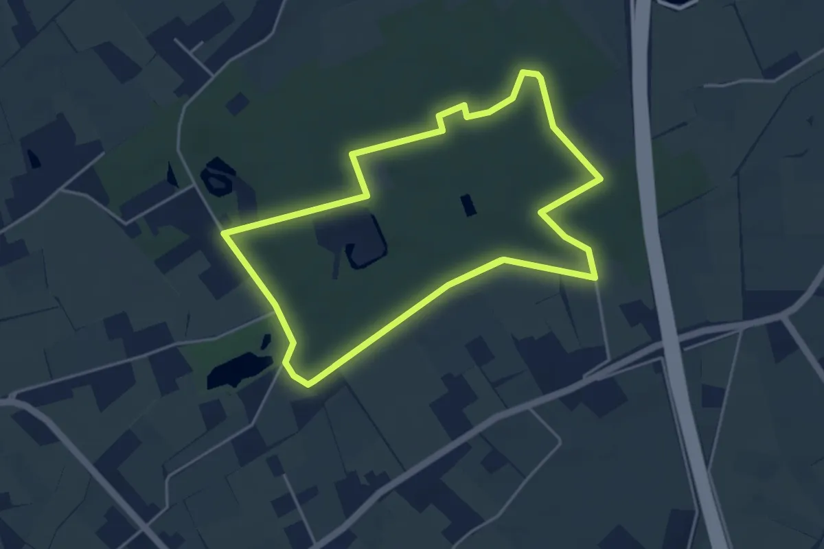
Medium · Trail
Spookwegelwandeling
8.6 km · ↑ 22 m · 2 h 5 min
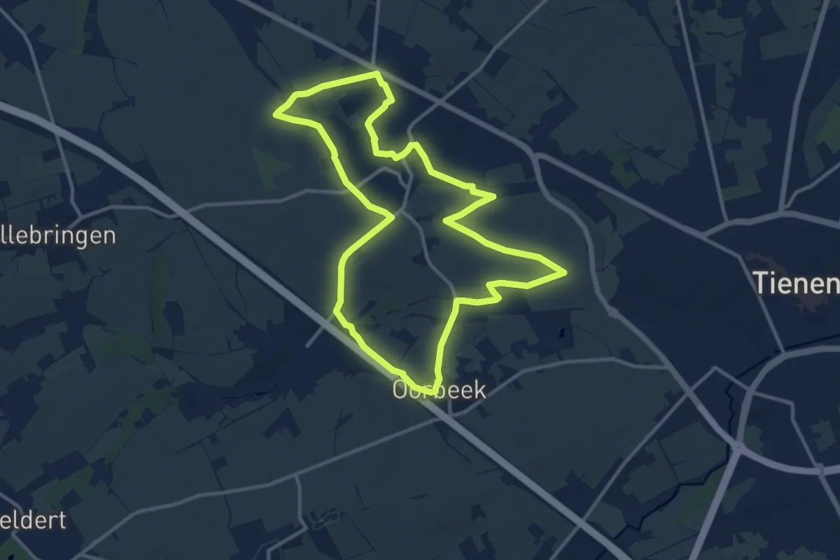
Medium · Trail
Spoorwegwandeling
10.8 km · ↑ 62 m · 2 h 50 min
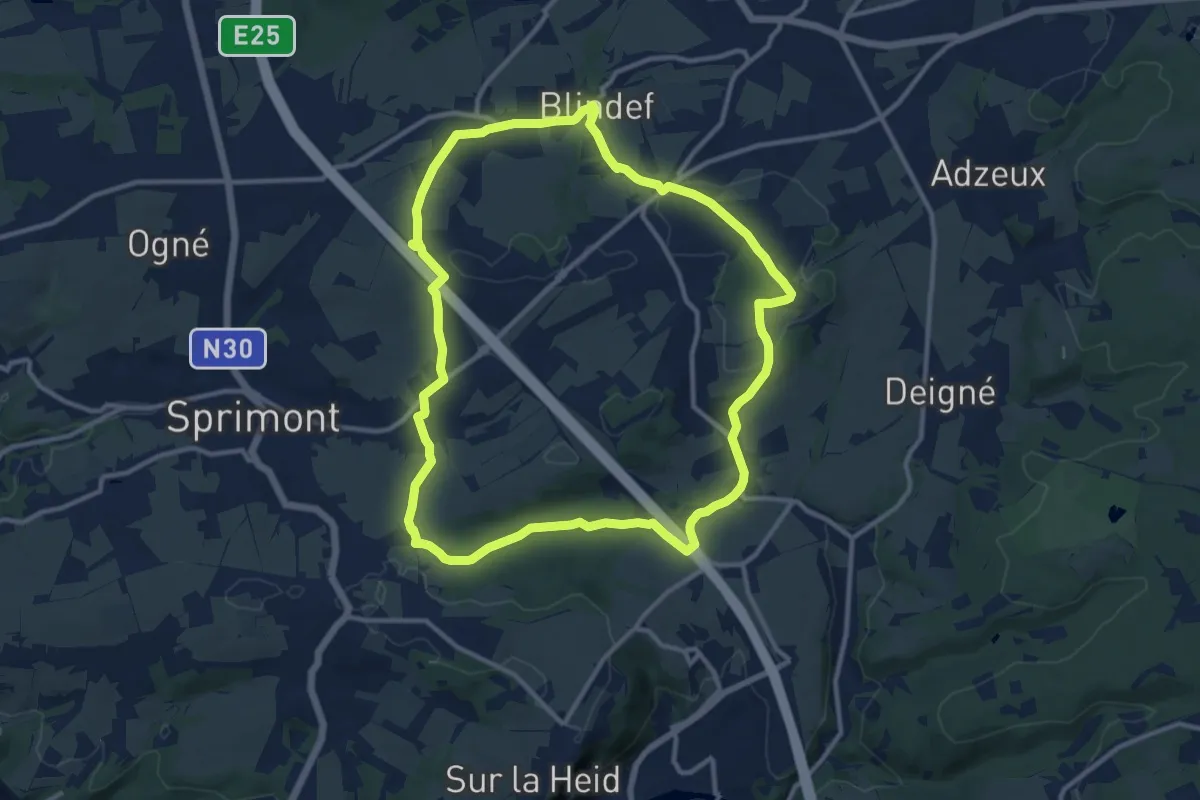
Medium · Trail
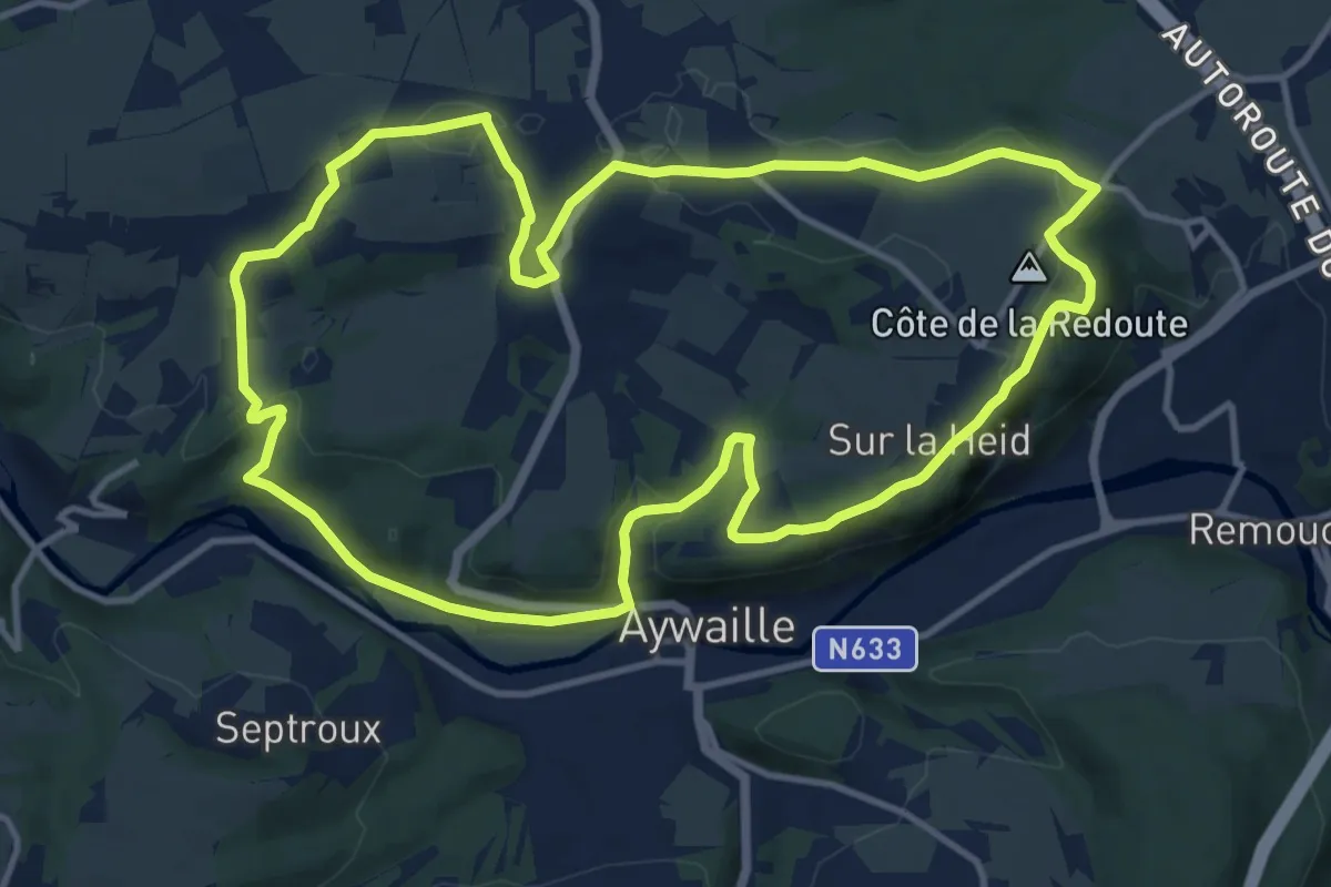
Sprimont Promenade n°1
10.9 km · ↑ 198 m · 3 h 9 min
Medium · Trail
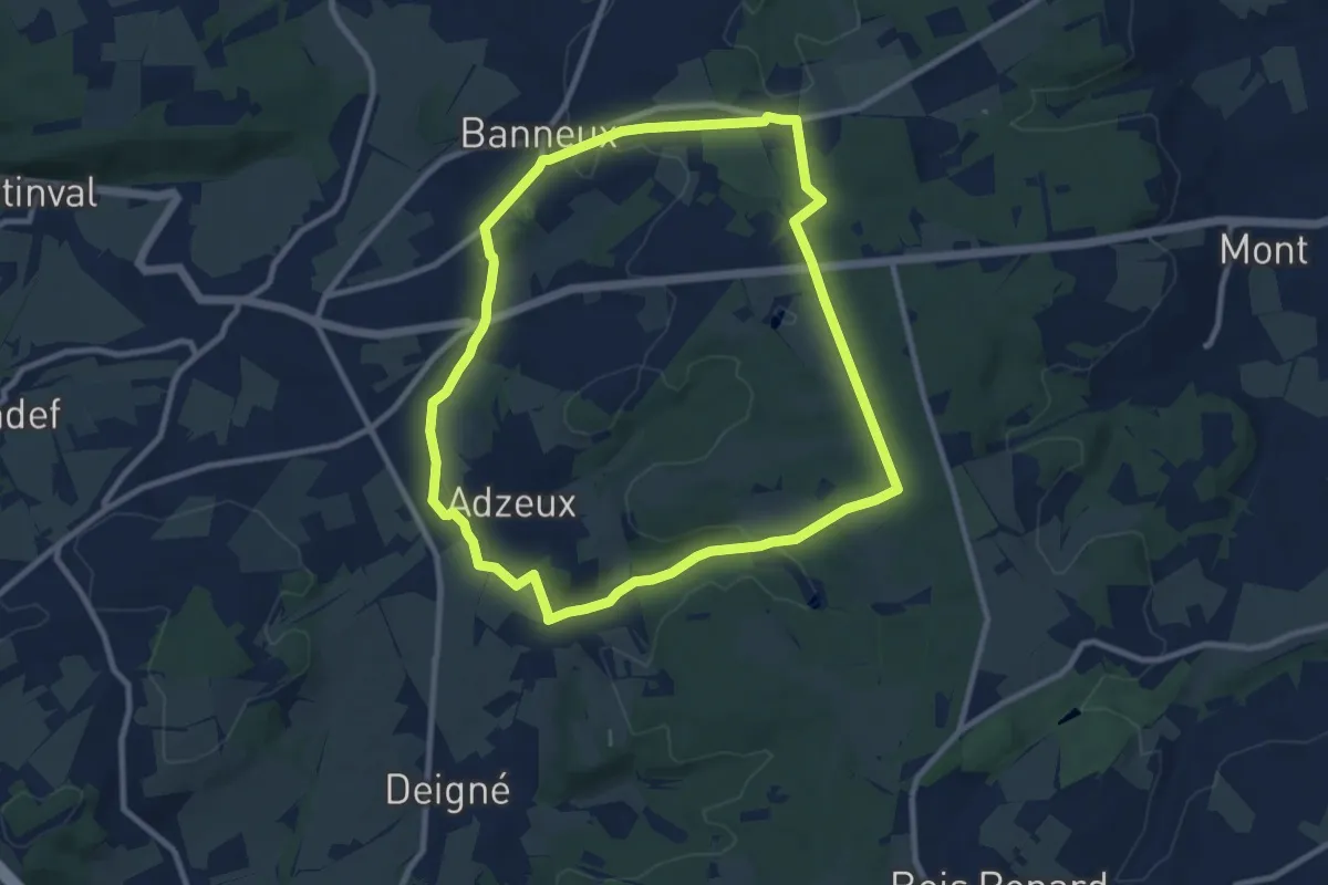
Sprimont Promenade n°2
11.8 km · ↑ 256 m · 3 h 30 min
Medium · Trail
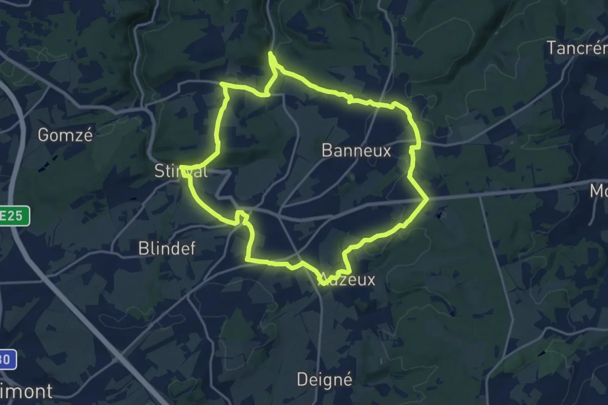
Sprimont Promenade n°3
8.7 km · ↑ 122 m · 2 h 26 min
Medium · Trail
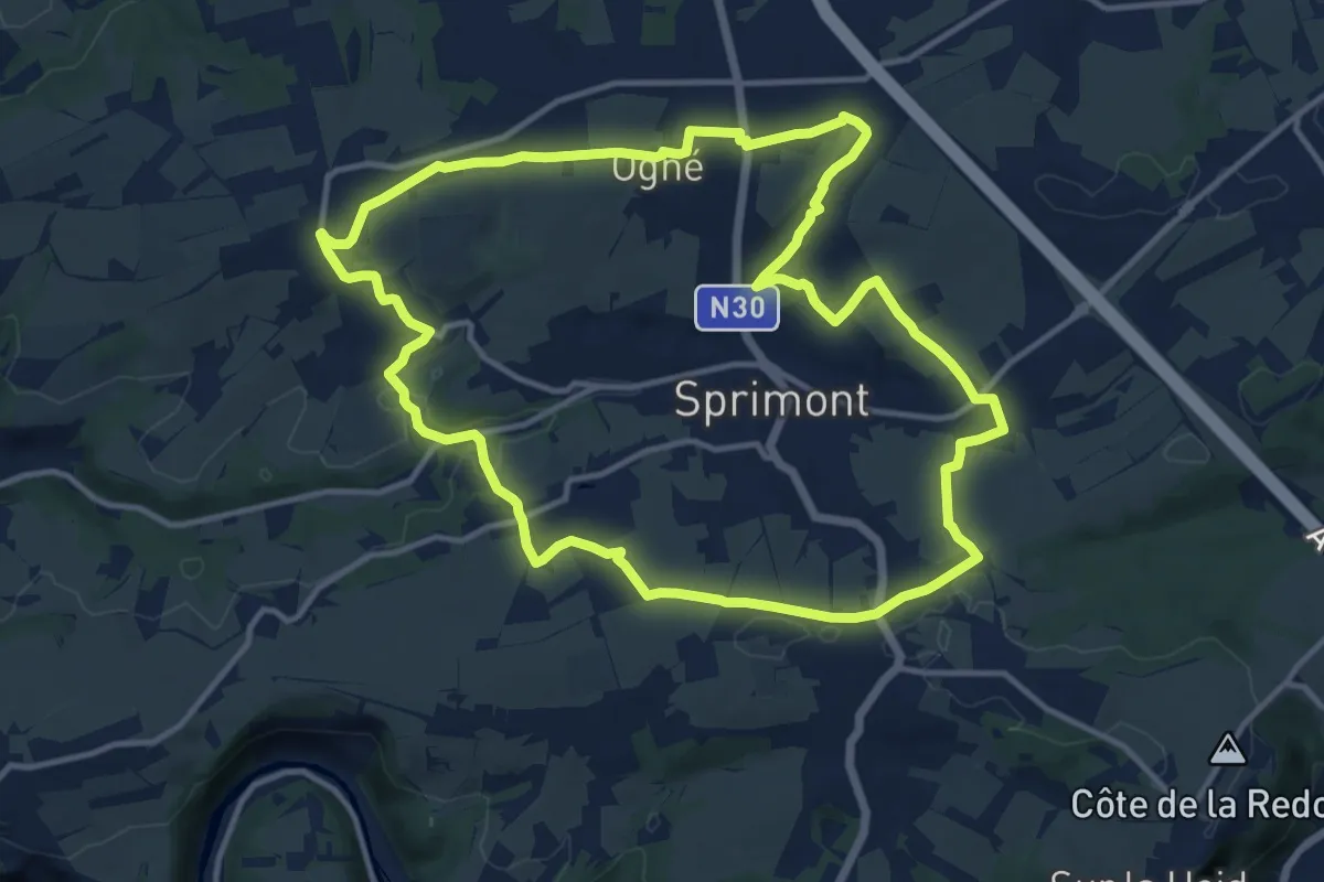
Sprimont Promenade n°4
13.5 km · ↑ 224 m · 3 h 51 min
Medium · Summit
Sprimont Promenade n°5
12.3 km · ↑ 198 m · 3 h 31 min
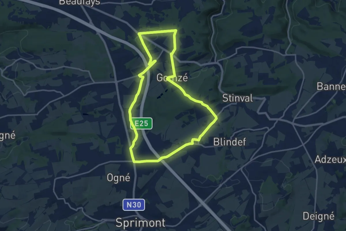
Medium · Trail
Sprimont Promenade n°6
11.2 km · ↑ 188 m · 3 h 13 min
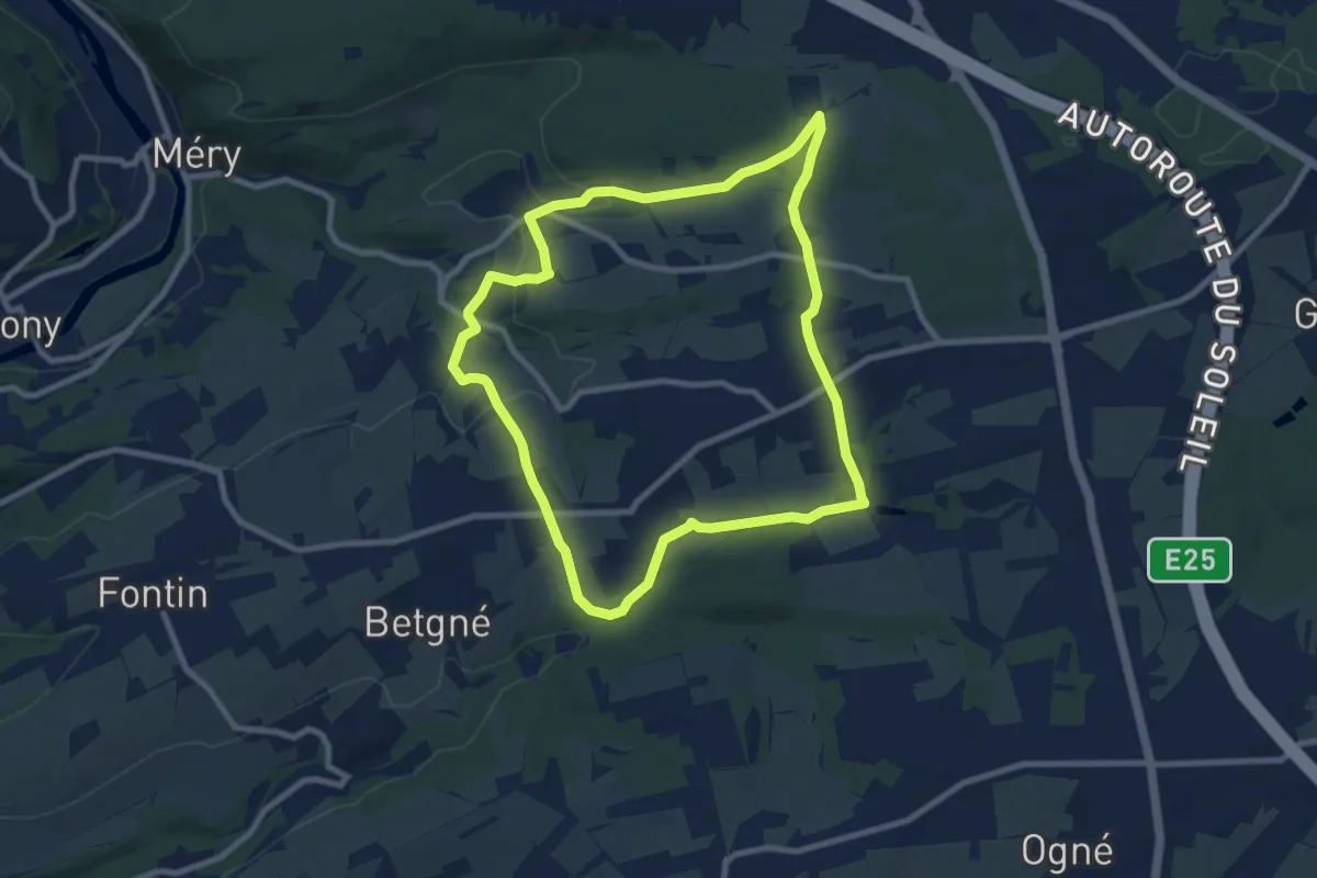
Easy · Trail
Sprimont Promenade n°7
8.0 km · ↑ 142 m · 2 h 18 min
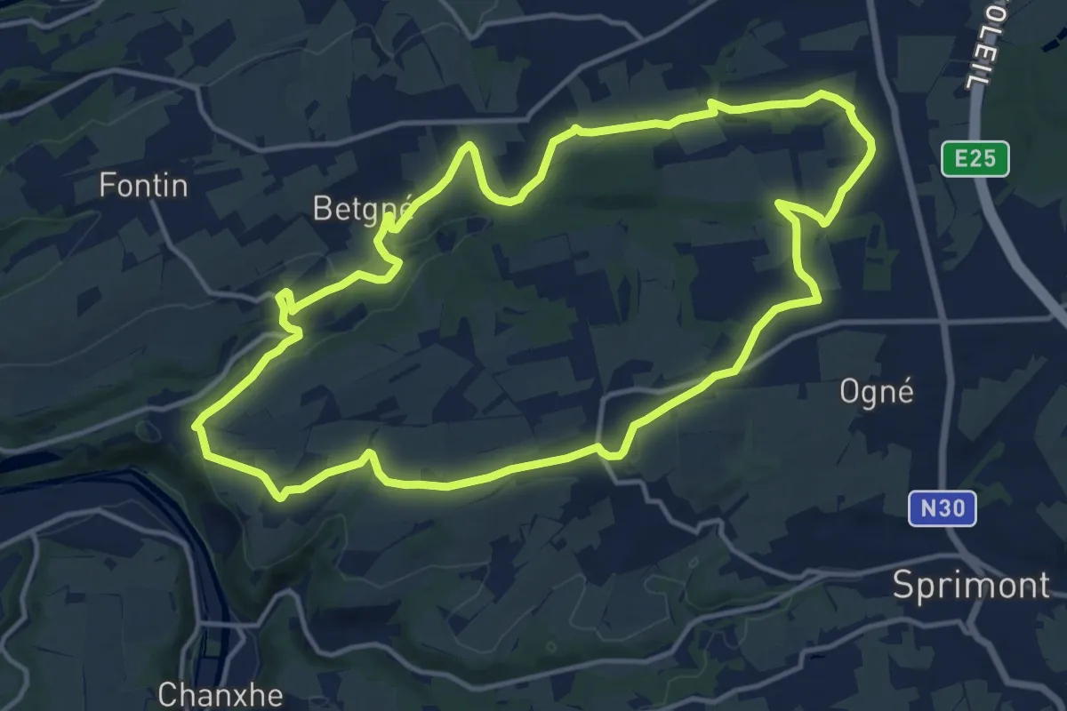
Medium · Trail
Sprimont Promenade n°9
13.0 km · ↑ 156 m · 3 h 36 min
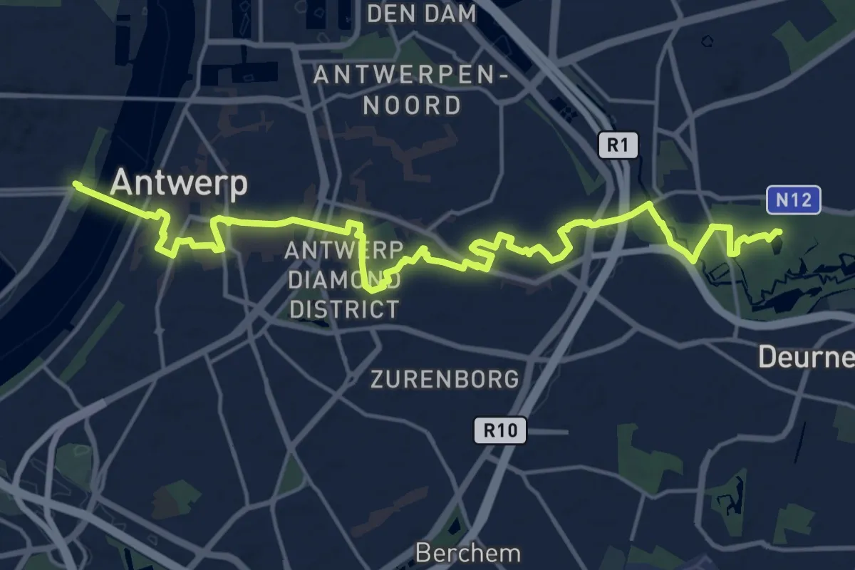
Demanding · Trail
Stads-GR Antwerpen Oost-West
19.0 km · ↑ 45 m · 4 h 35 min
Demanding · Trail
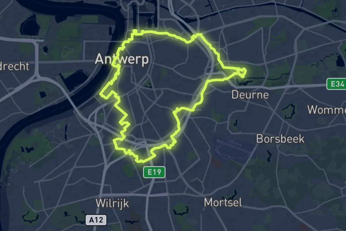
Stads-GR Antwerpen Rondom
24.6 km · ↑ 42 m · 6 h 14 min
Easy · Trail
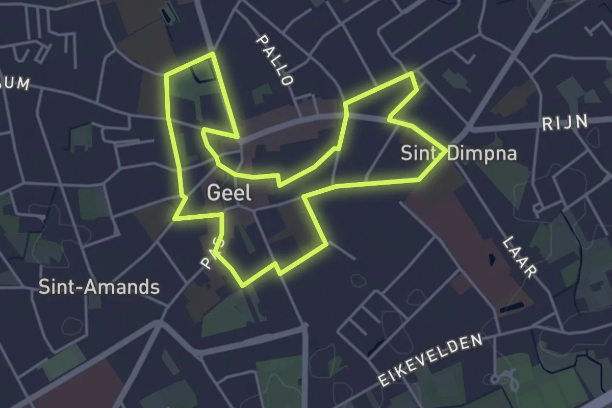
Stadswandeling Geel
3.9 km · ↑ 0 m · 58 min
Easy · Trail
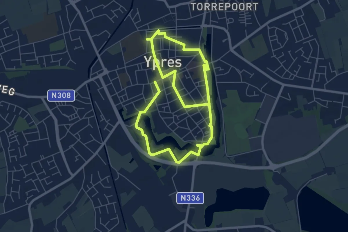
Stadswandeling Ieper
4.9 km · ↑ 4 m · 1 h 15 min
Easy · Trail
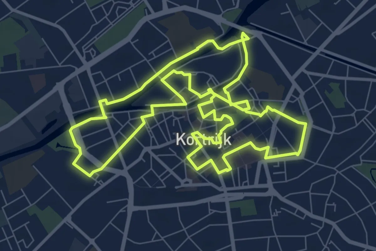
Stadswandelroute Kortrijk
7.9 km · ↑ 17 m · 2 h
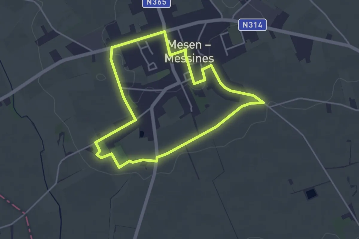
Easy · Trail
Stadswandelroute Mesen
3.2 km · ↑ 17 m · 51 min
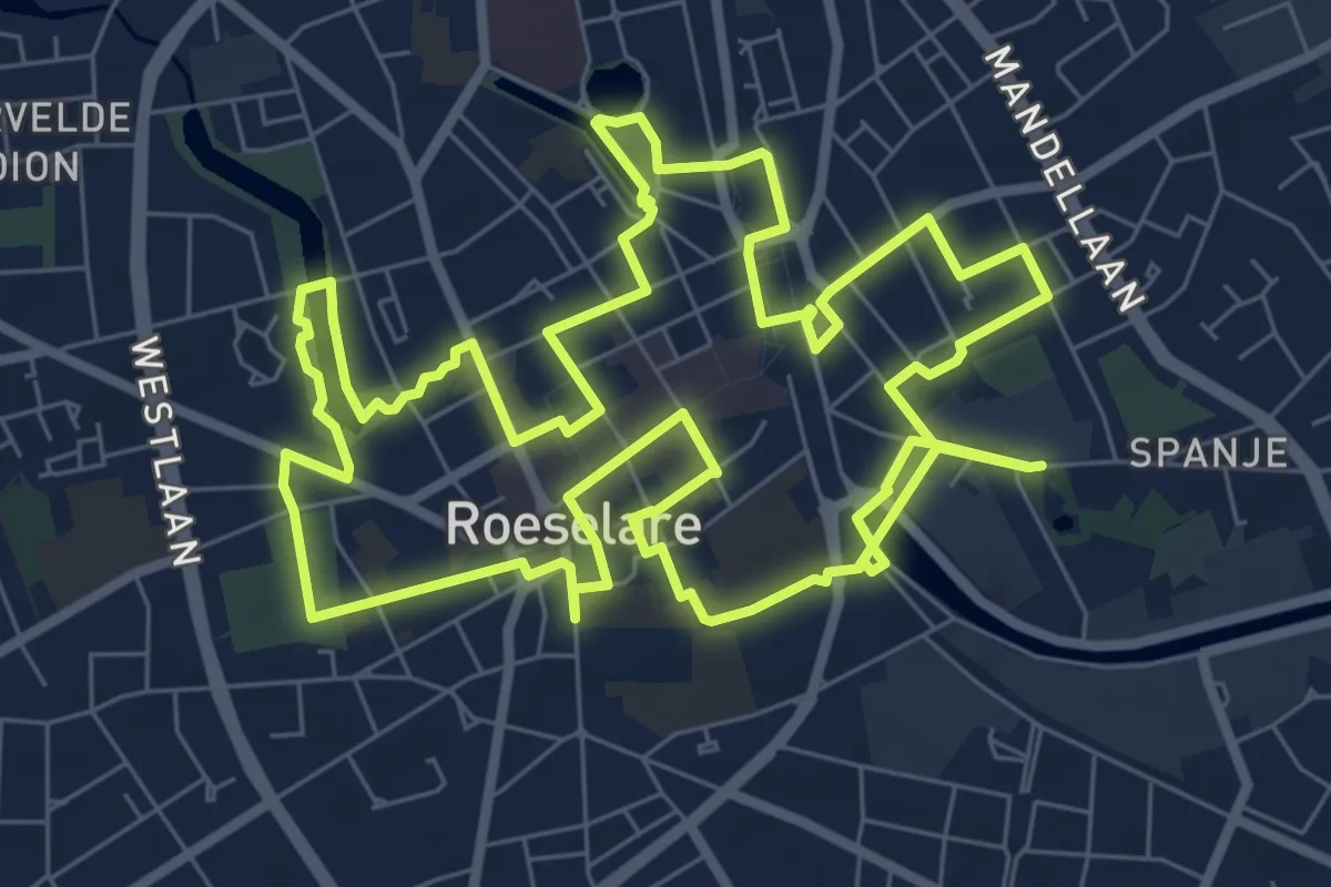
Medium · Trail
Stadswandelroute Roeselare
8.8 km · ↑ 8 m · 2 h 12 min
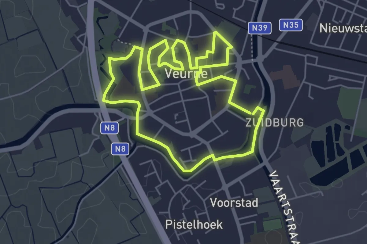
Easy · Trail
Stadswandelroute Veurne
4.6 km · ↑ 0 m · 1 h 8 min
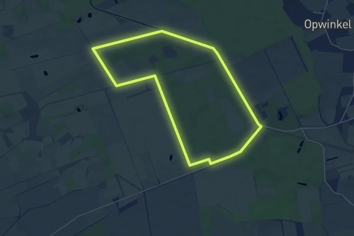
Easy · Trail
Stamprooierbroek Blauwe ruit
4.9 km · ↑ 5 m · 1 h 14 min
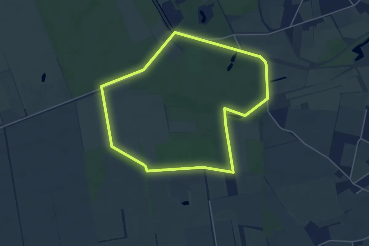
Easy · Trail
Stamprooierbroek Bruin kruis
3.7 km · ↑ 4 m · 56 min
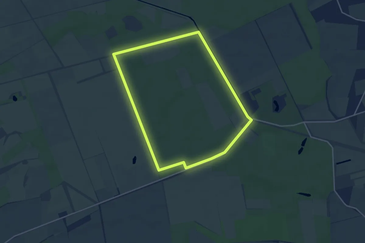
Easy · Trail
Stamprooierbroek Groene rechthoek
3.3 km · ↑ 9 m · 51 min
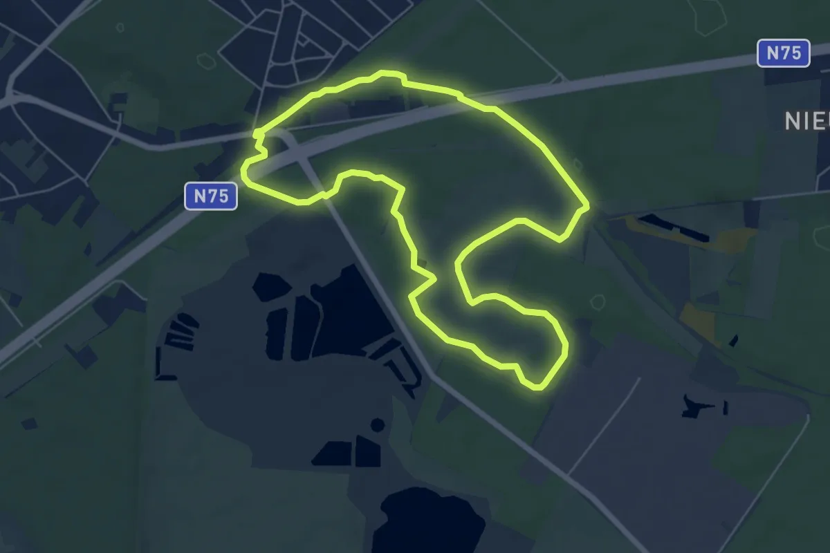
Easy · Trail
Station As Blauwe ruit
5.5 km · ↑ 14 m · 1 h 24 min
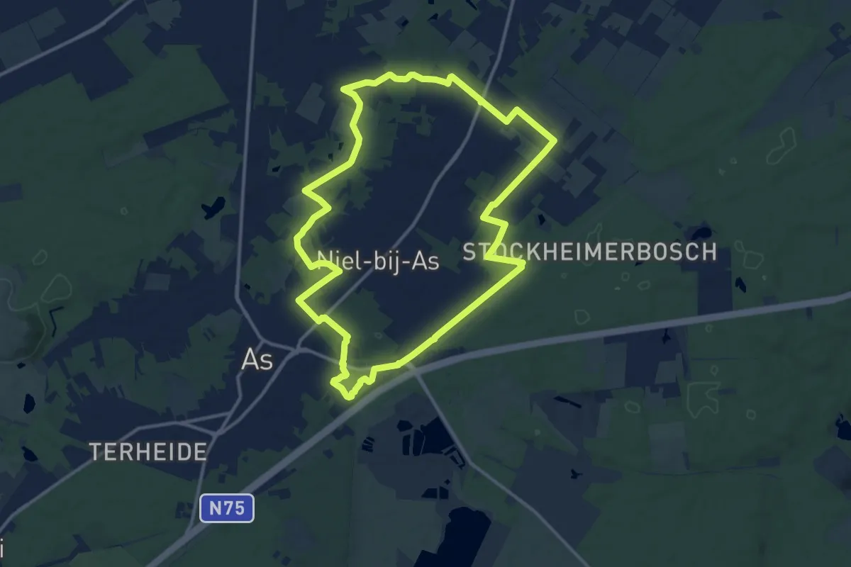
Medium · Trail
Station As Gele zeshoek
11.8 km · ↑ 43 m · 3 h 2 min
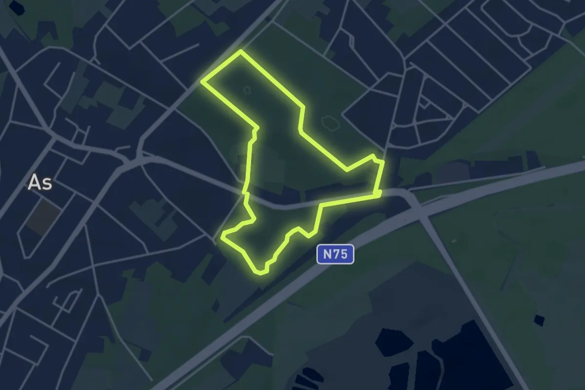
Easy · Trail
Station As Groene rechthoek
3.1 km · ↑ 17 m · 48 min
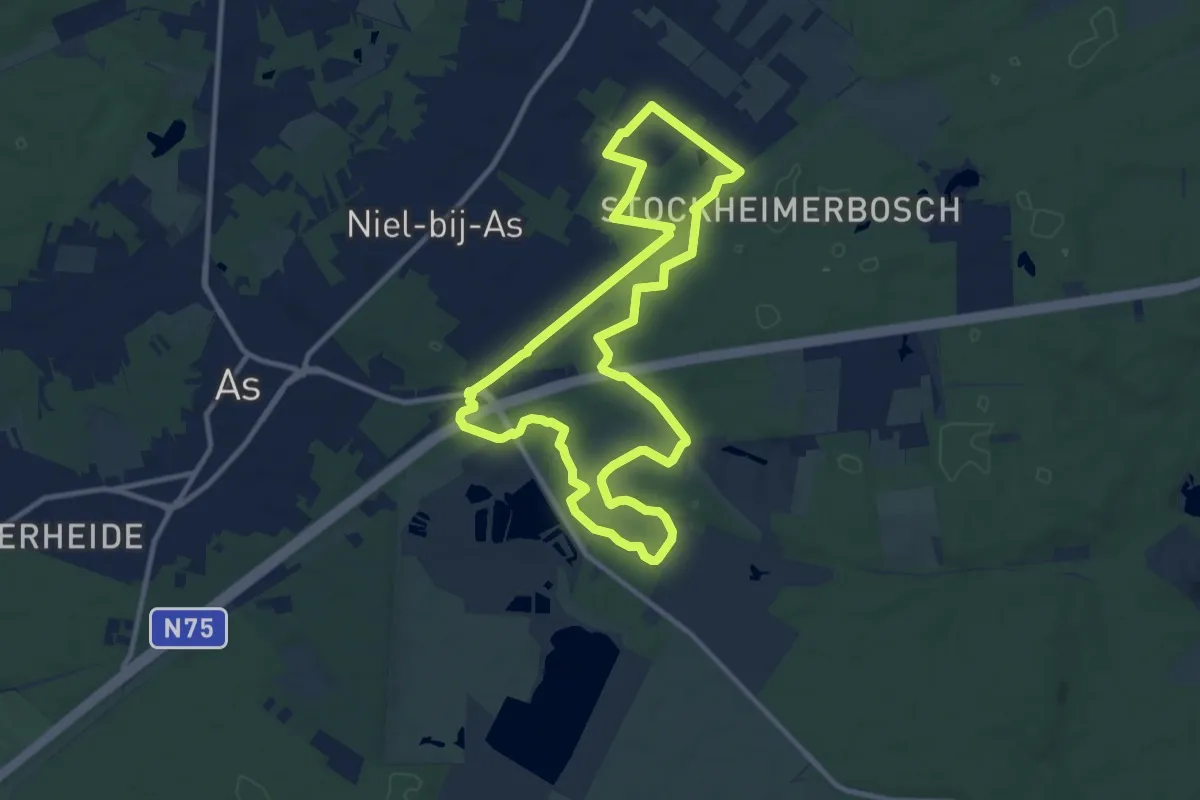
Medium · Trail
Station As Paarse trapezium
10.1 km · ↑ 22 m · 2 h 34 min
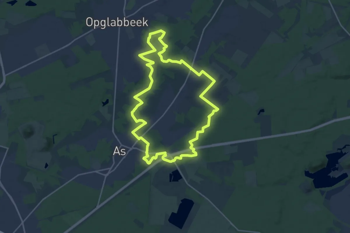
Medium · Trail
Station As Rode driehoek
16.1 km · ↑ 65 m · 4 h 10 min
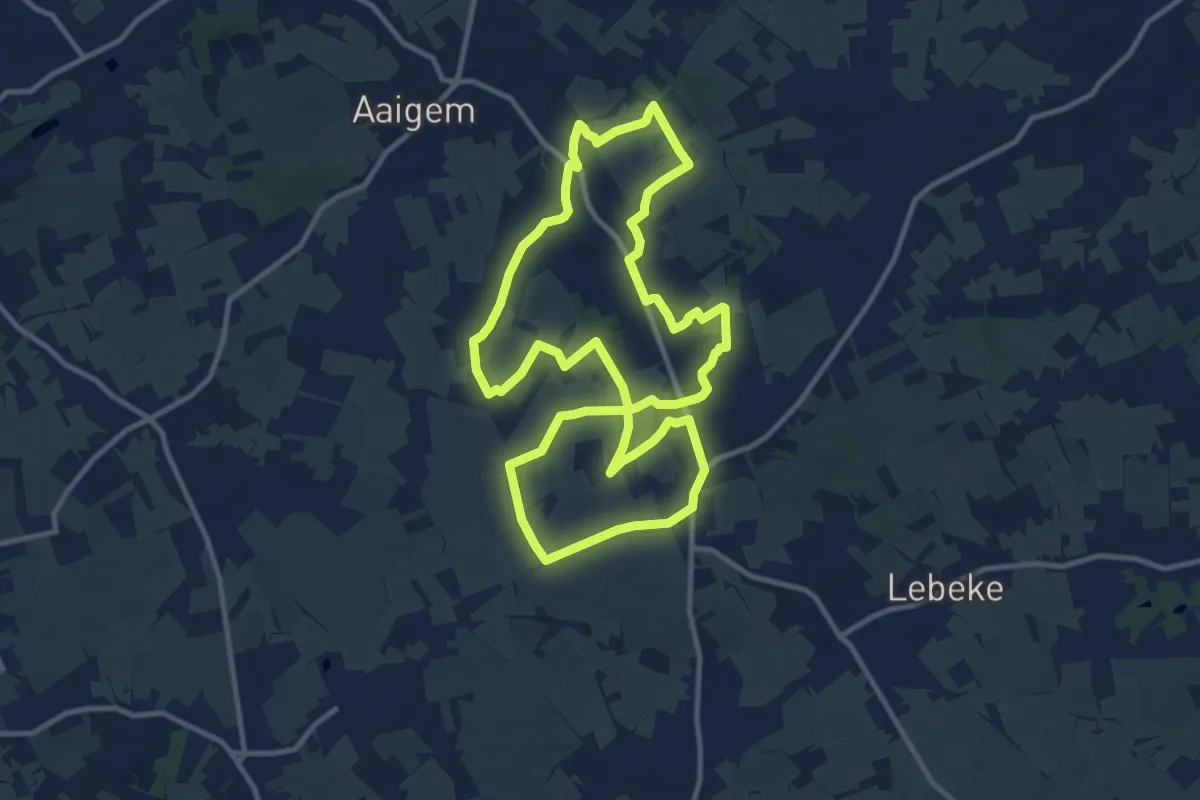
Medium · Trail
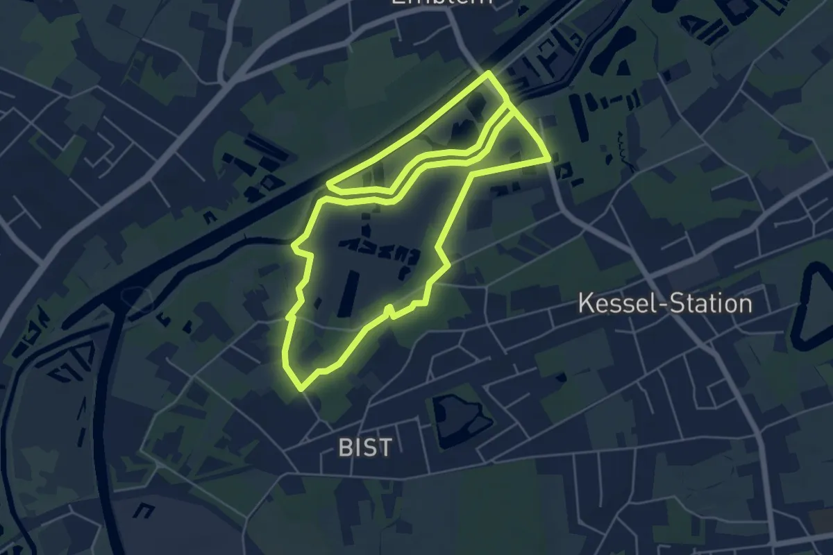
Steenbeekpad
10.7 km · ↑ 59 m · 2 h 48 min
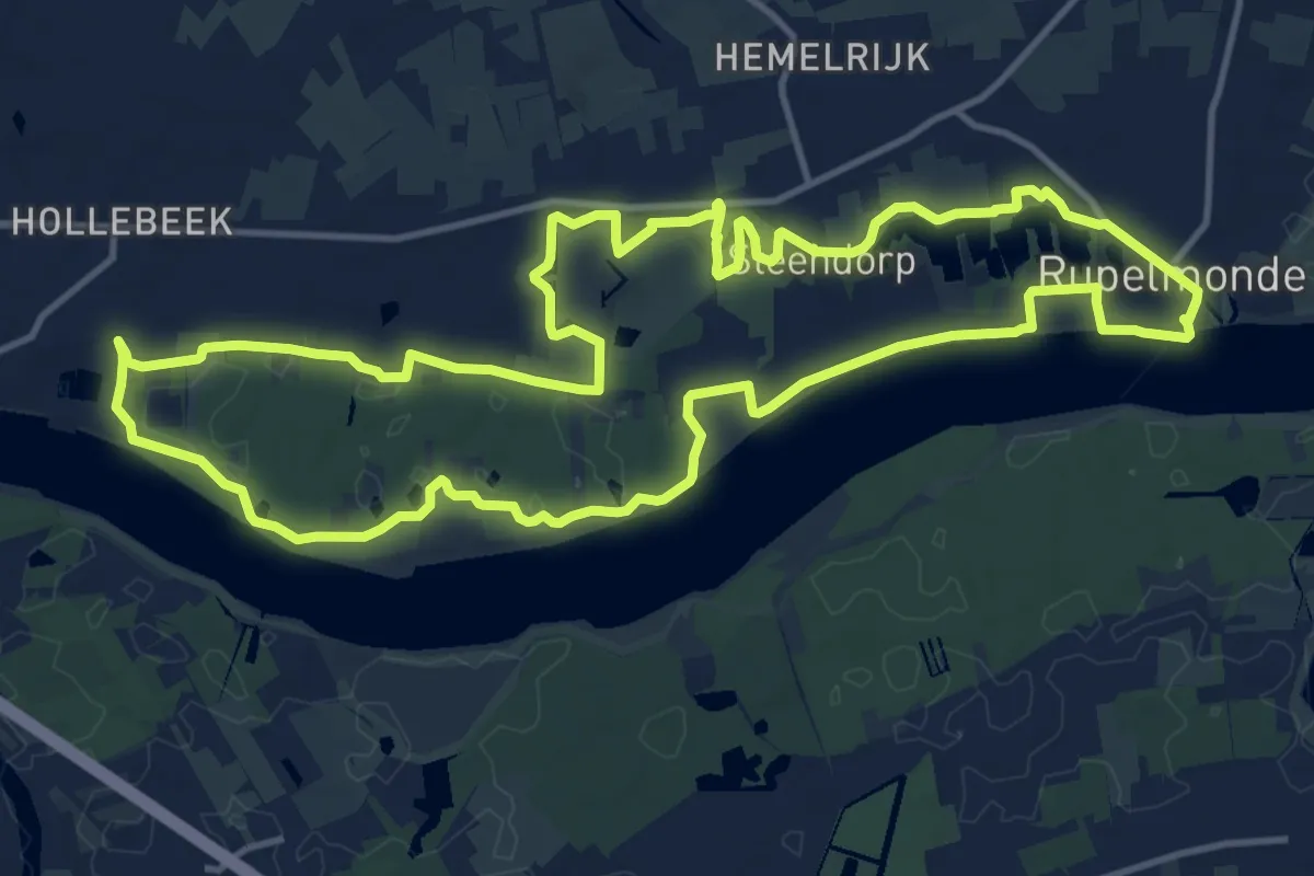
Easy · Trail
Steenbeemdenpad
5.9 km · ↑ 4 m · 1 h 30 min
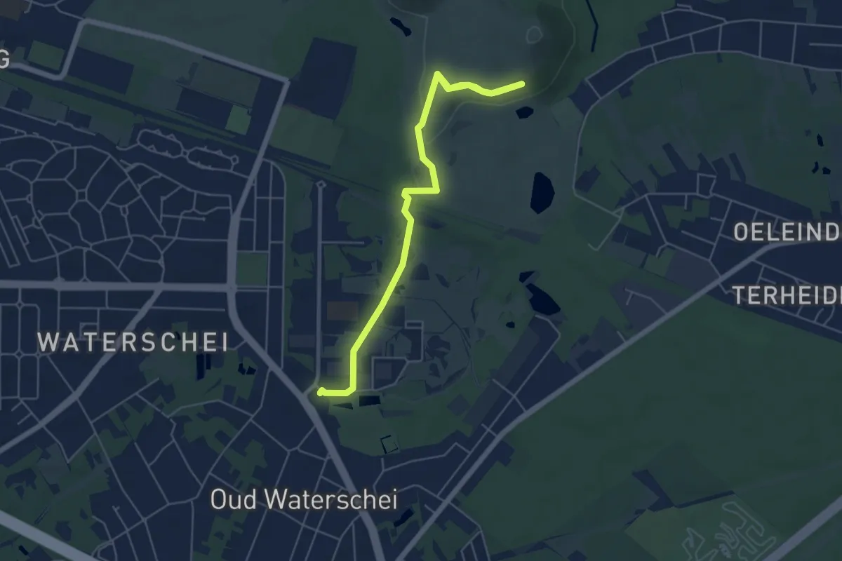
Medium · Trail
Steendorproute 13,3km
13.2 km · ↑ 46 m · 3 h 25 min
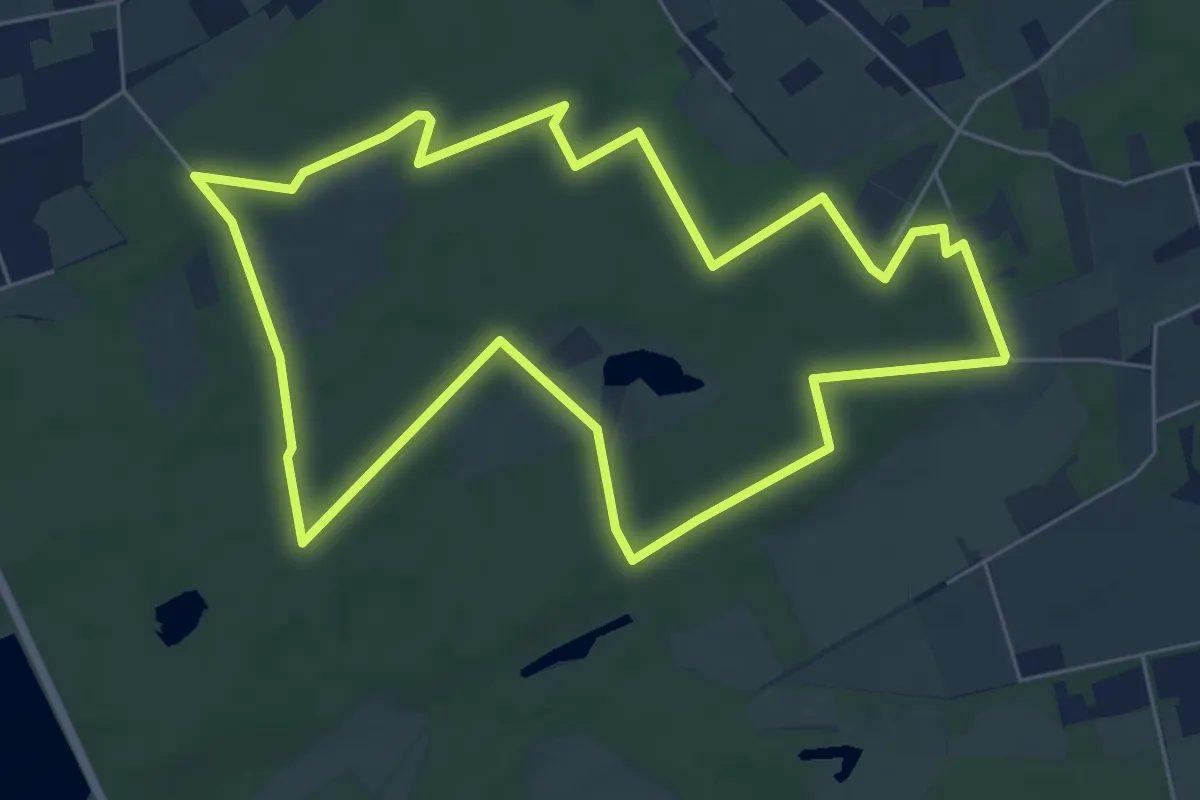
Easy · Trail
Steenmannetjespad
5.7 km · ↑ 41 m · 1 h 27 min
Easy · Trail
Stiltepad Gerhagen Blauw
6.0 km · ↑ 4 m · 1 h 31 min
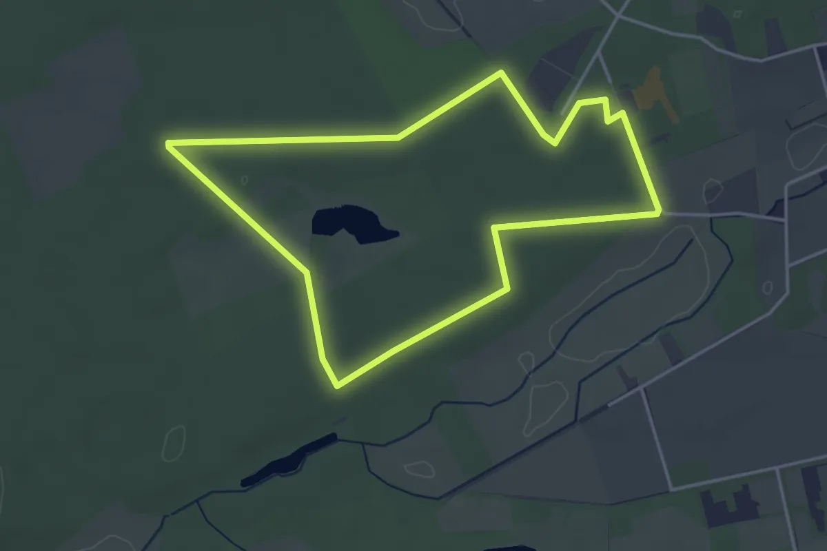
Easy · Trail
Stiltepad Gerhagen Groen
3.6 km · ↑ 5 m · 55 min
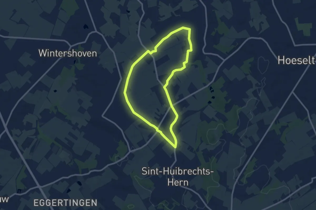
Easy · Trail
Stinzenwandeling Schalkhoven
6.7 km · ↑ 20 m · 1 h 43 min
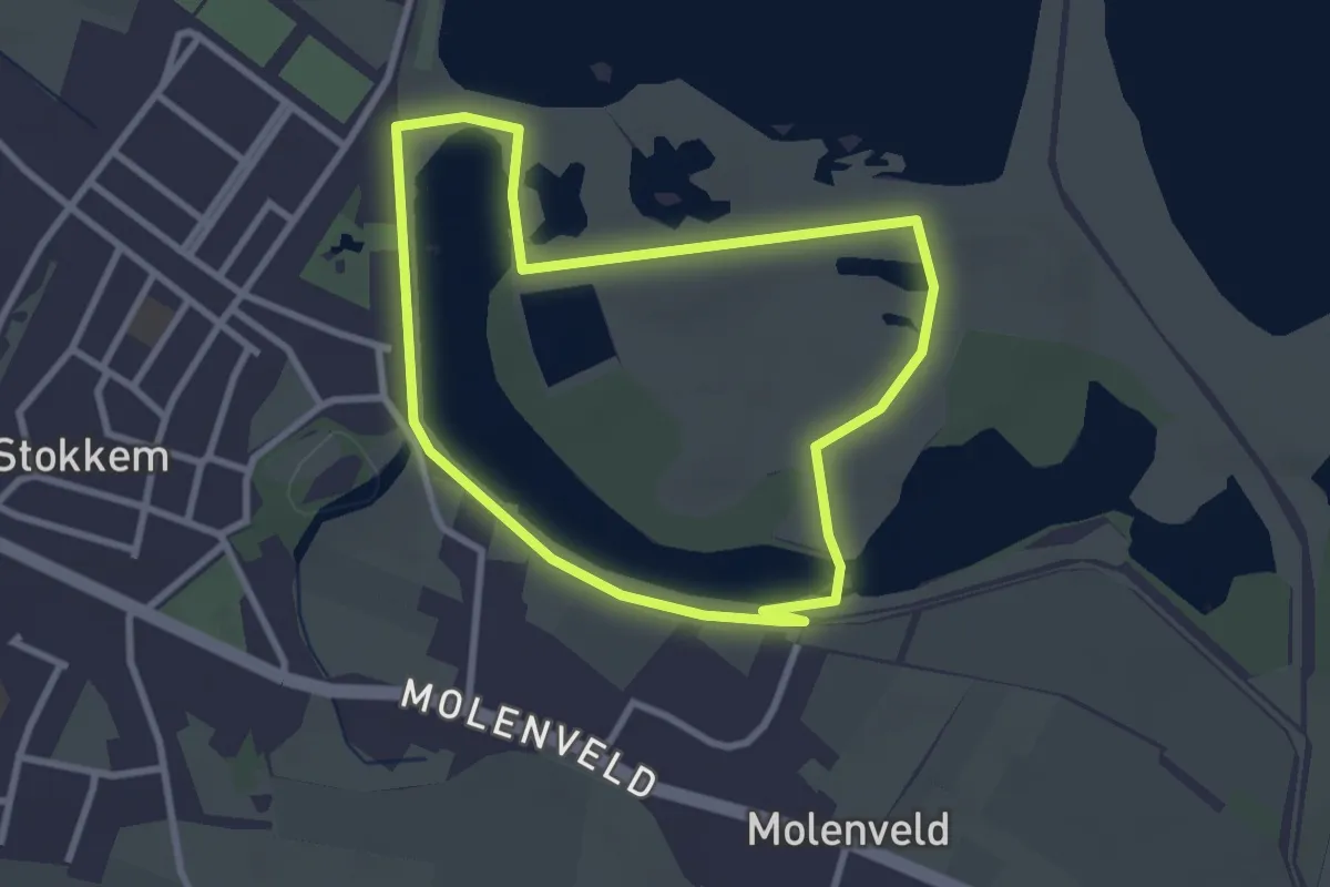
Easy · Trail
Stokkem Groene rechthoek
2.5 km · ↑ 4 m · 38 min
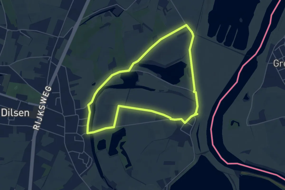
Easy · Trail
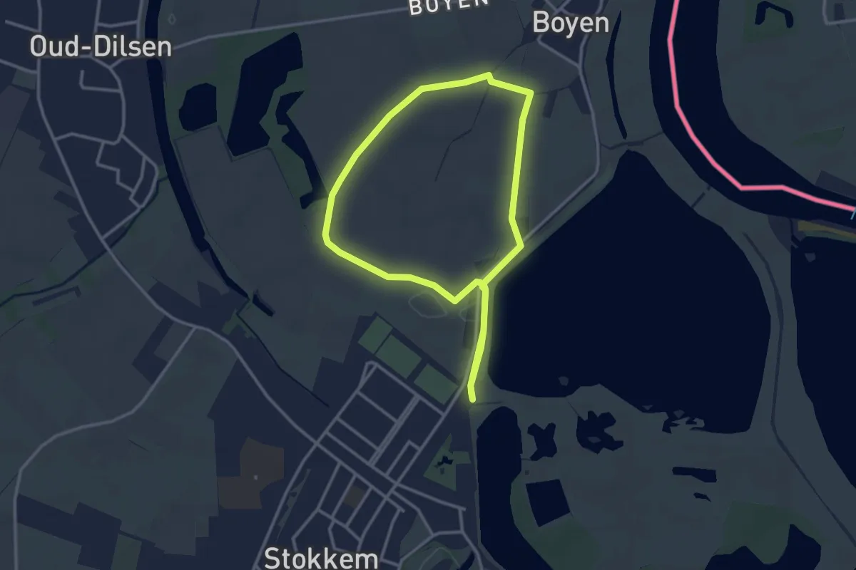
Stokkem & Oud-Dilsen Blauwe ruit
4.6 km · ↑ 4 m · 1 h 10 min
Easy · Trail
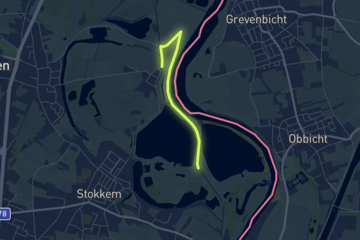
Stokkem & Oud-Dilsen Gele zeshoek
2.6 km · ↑ 0 m · 39 min
Easy · Trail
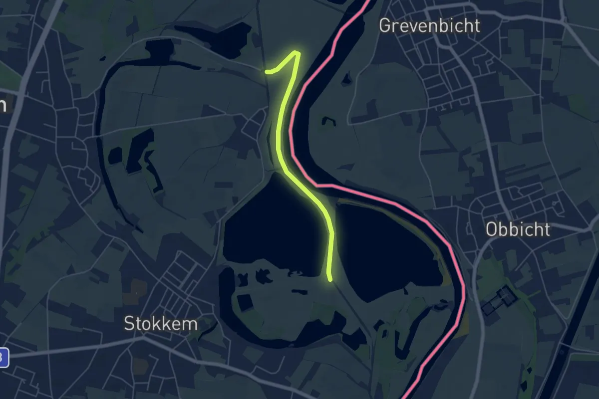
Stokkem & Oud-Dilsen Oranje bol
5.0 km · ↑ 4 m · 1 h 11 min
Easy · Trail
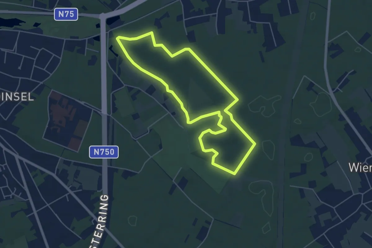
Stokkem Rode driehoek
2.1 km · ↑ 4 m · 32 min
Easy · Trail
Stokkenmanroute
4.7 km · ↑ 17 m · 1 h 13 min