Trails in Belgium
3,383 hiking trails, each with its route, climb, walking time and grade.
All trails, page 56 of 71
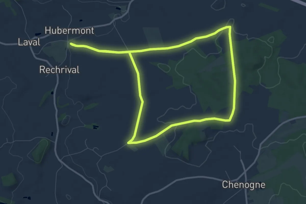
Medium · Trail
T3. Promenade des Valets
8.2 km · ↑ 93 m · 2 h 16 min
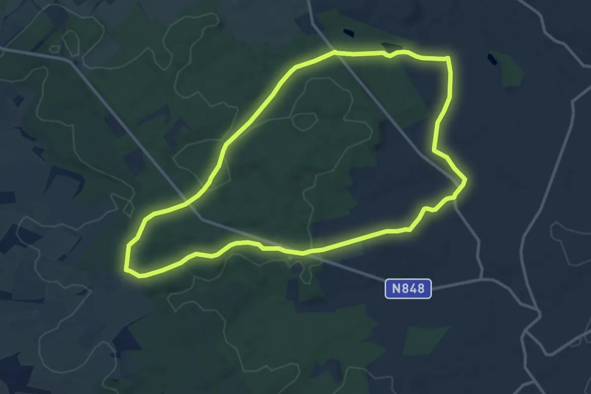
Medium · Trail
T4. Promenade des Haies de Magery
9.3 km · ↑ 116 m · 2 h 35 min
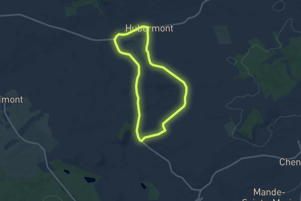
Easy · Trail
T5. Promenade du Laval
5.7 km · ↑ 60 m · 1 h 34 min
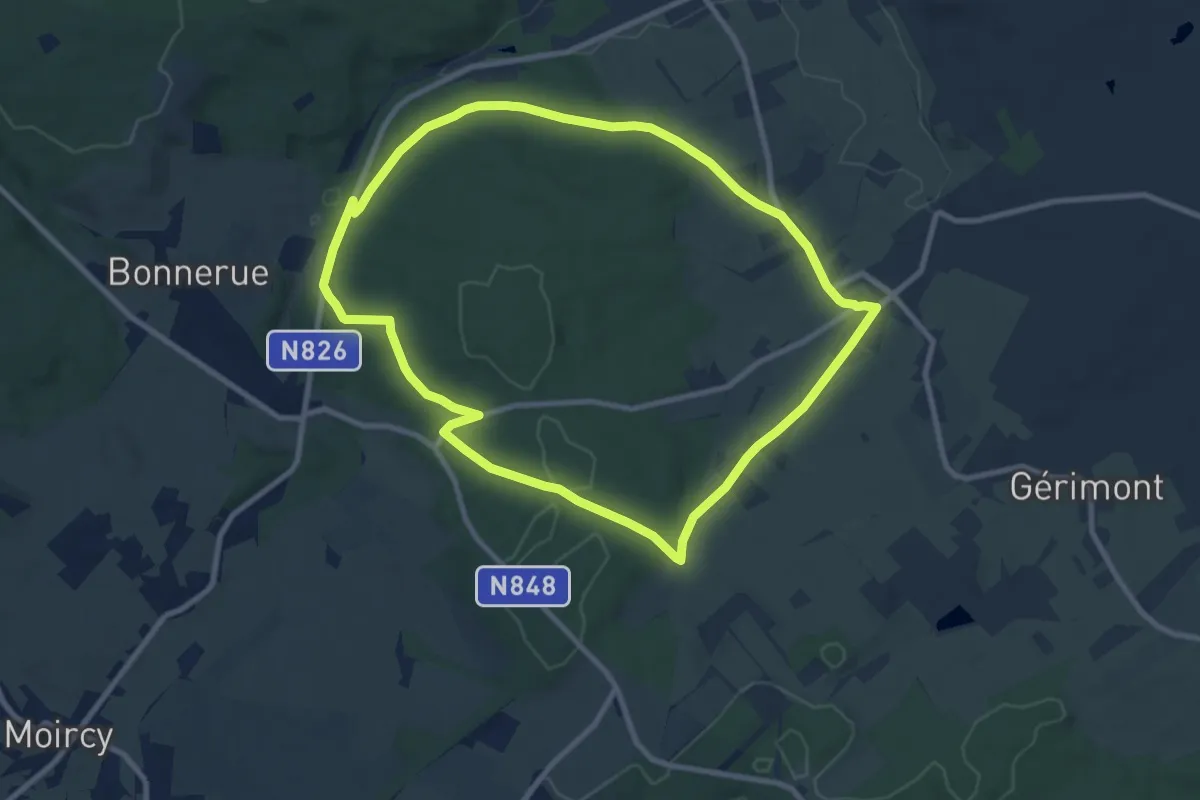
Medium · Trail
T6. Promenade des Haies de Tillet
8.5 km · ↑ 121 m · 2 h 23 min
Easy · Trail
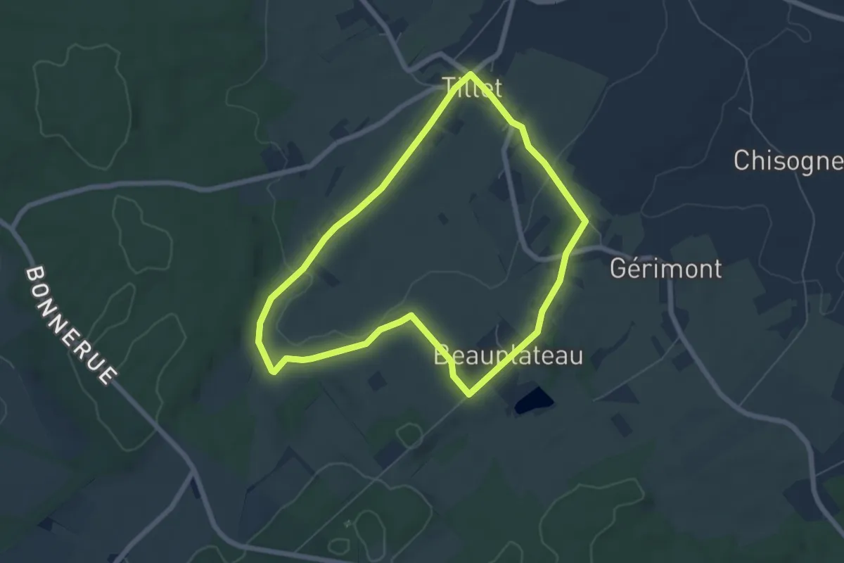
T7. Promenade du Fleurote
5.5 km · ↑ 76 m · 1 h 32 min
Easy · Trail
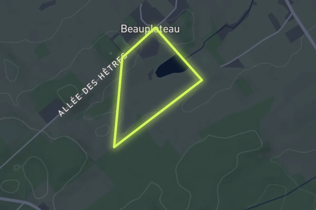
T8. Promenade de Primordia
2.0 km · ↑ 14 m · 32 min
Medium · Trail
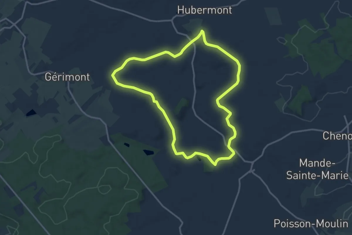
T9. Promenade de Houmont
8.9 km · ↑ 126 m · 2 h 30 min
Medium · Trail
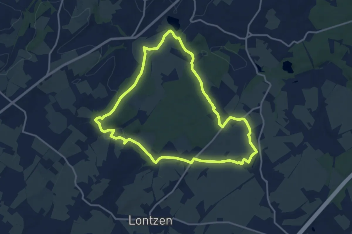
Tal der Blumen
9.0 km · ↑ 111 m · 2 h 29 min
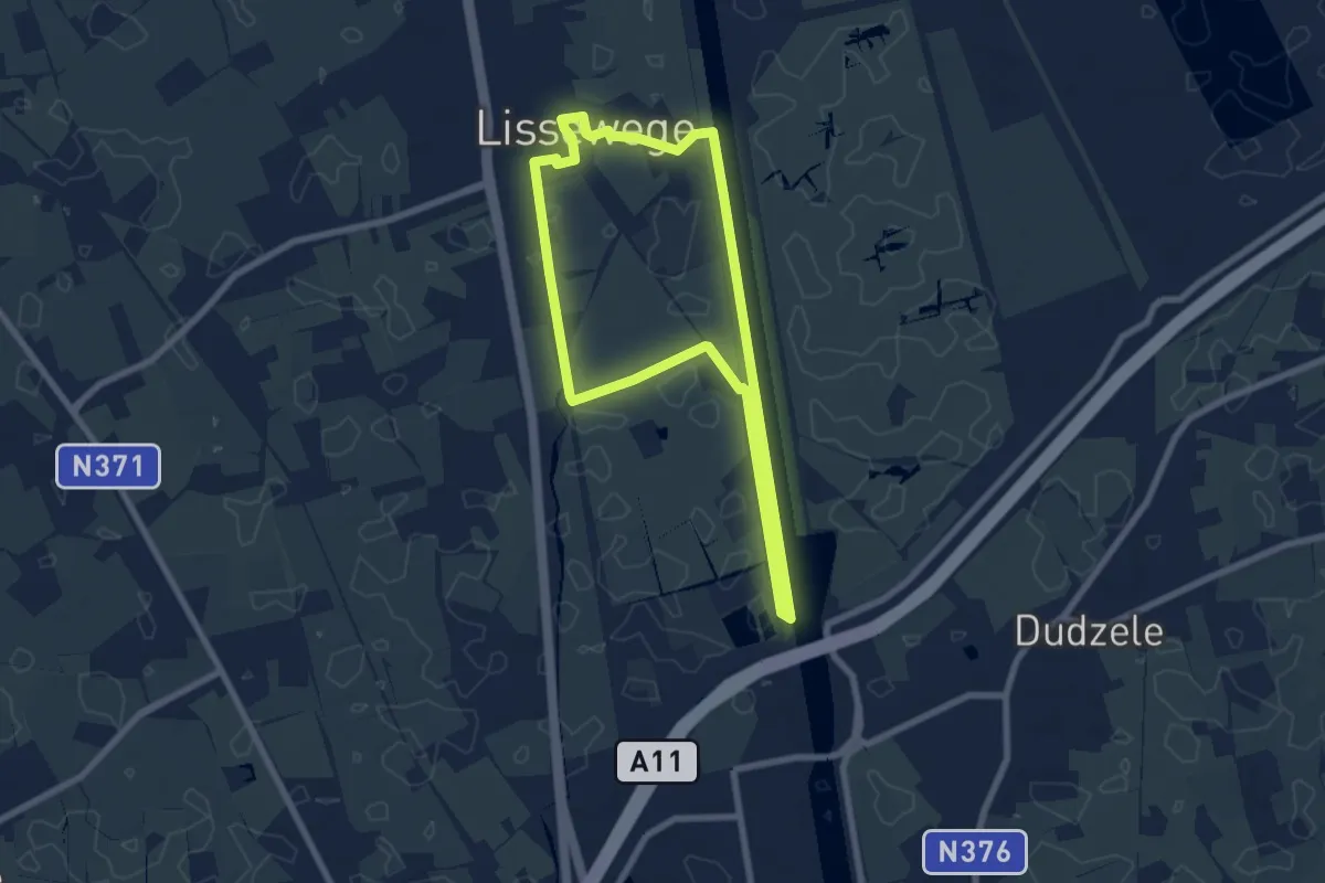
Easy · Trail
Ter Doest wandelroute
6.2 km · ↑ 0 m · 1 h 34 min
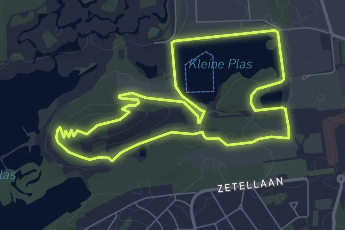
Easy · Summit
Terhills Blauwe ruit
5.3 km · ↑ 56 m · 1 h 27 min
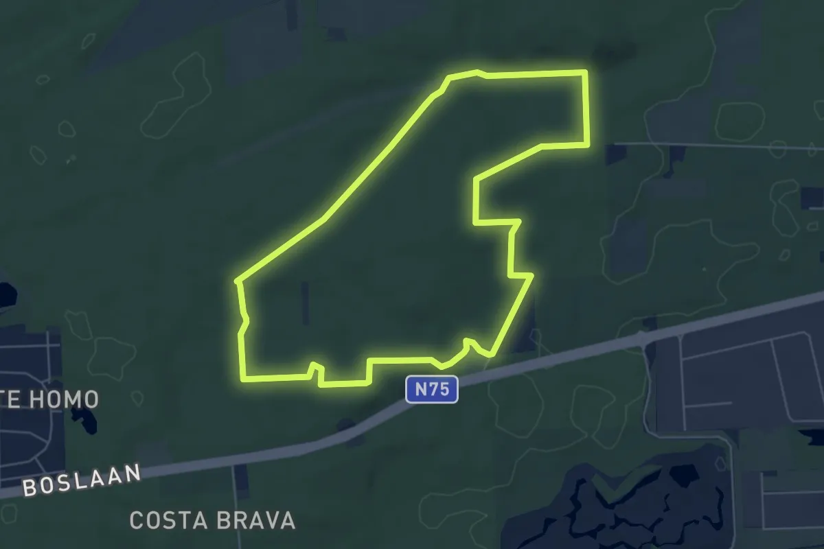
Easy · Trail
Terhills Dilserbos Blauw
5.7 km · ↑ 56 m · 1 h 33 min
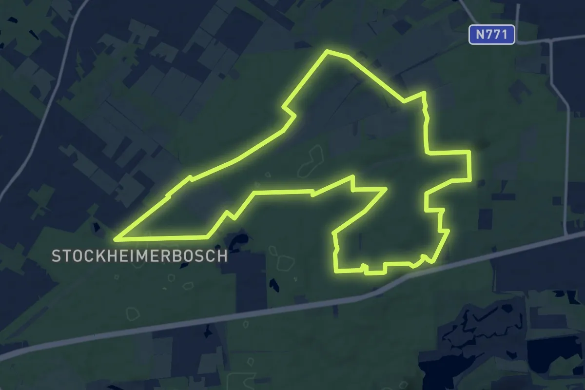
Medium · Trail
Terhills Dilserbos Geel
14.1 km · ↑ 92 m · 3 h 43 min
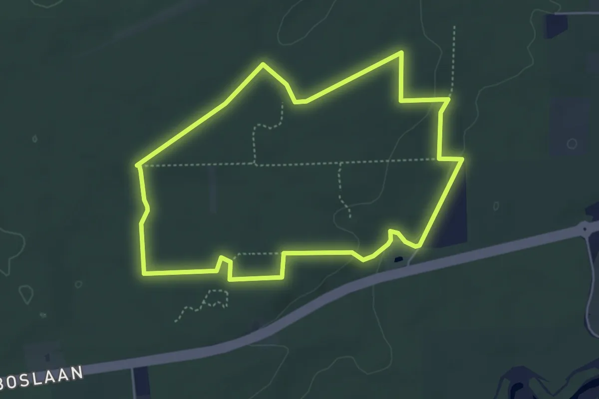
Easy · Trail
Terhills Dilserbos Groen
4.3 km · ↑ 38 m · 1 h 9 min
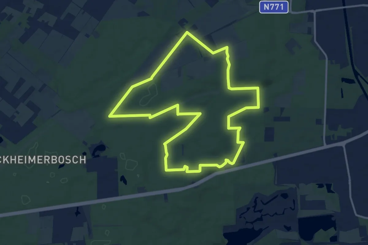
Medium · Trail
Terhills Dilserbos Rood
10.1 km · ↑ 70 m · 2 h 41 min
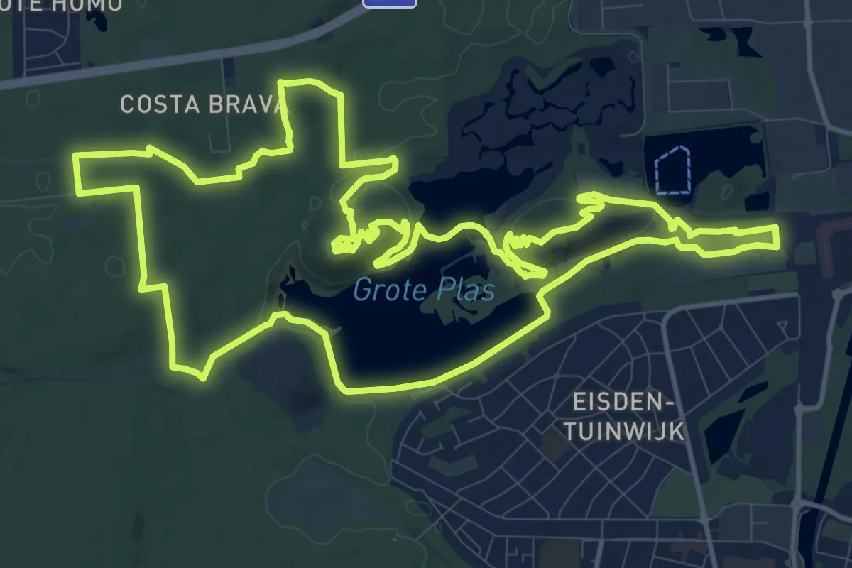
Medium · Summit
Terhills Geel
13.8 km · ↑ 203 m · 3 h 53 min
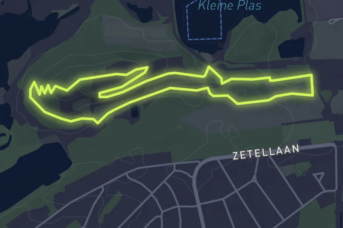
Easy · Summit
Terhills Groene rechthoek
4.0 km · ↑ 52 m · 1 h 6 min
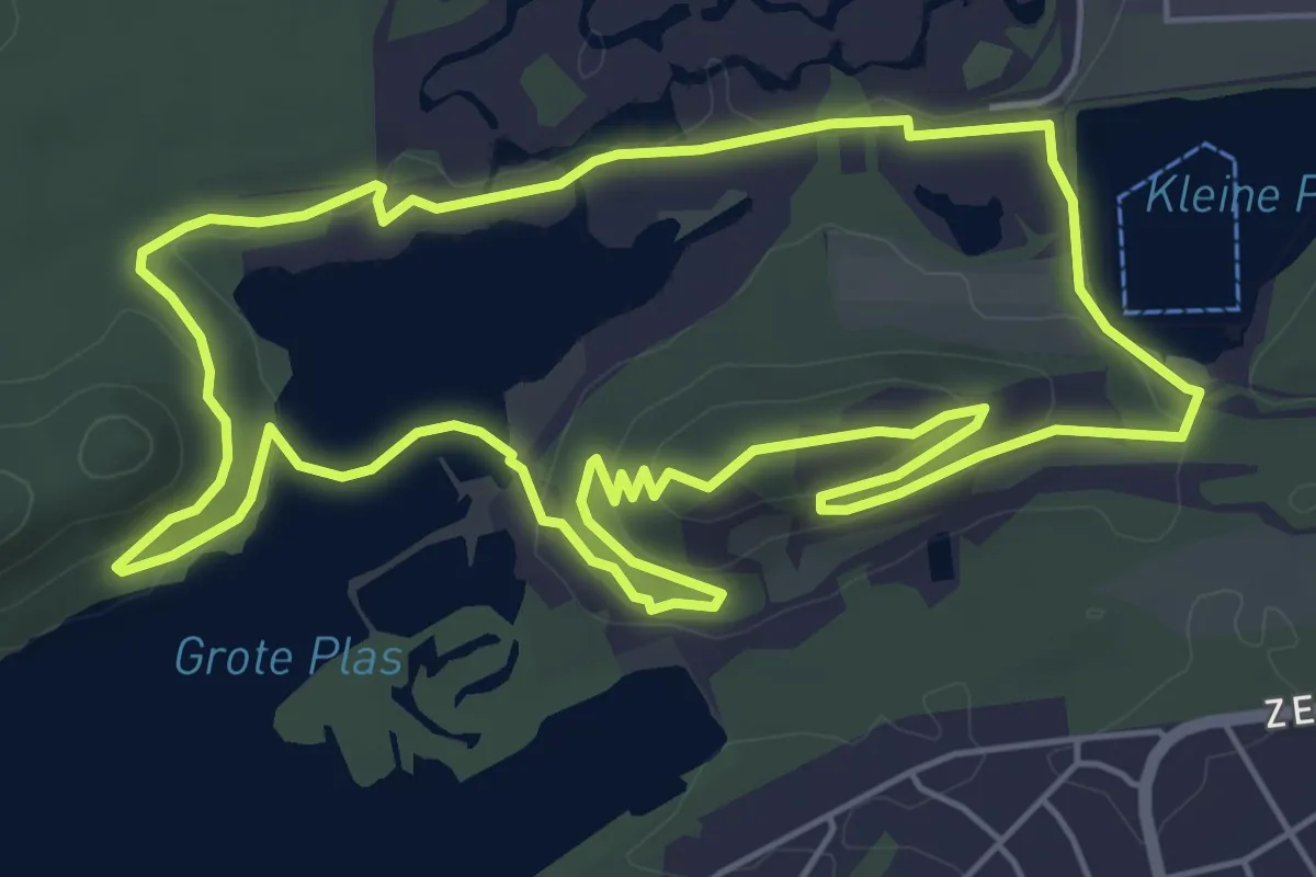
Easy · Summit
Terhills Paarse trapezium
5.7 km · ↑ 73 m · 1 h 35 min
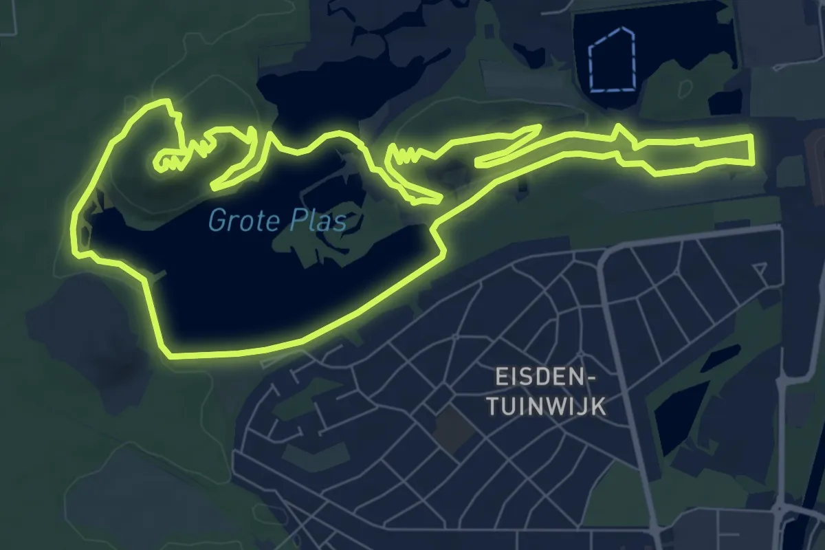
Medium · Summit
Terhills Rode driehoek
9.3 km · ↑ 134 m · 2 h 37 min
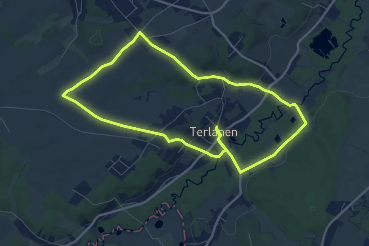
Medium · Trail
Terlanen Wandelpad
13.7 km · ↑ 139 m · 3 h 32 min
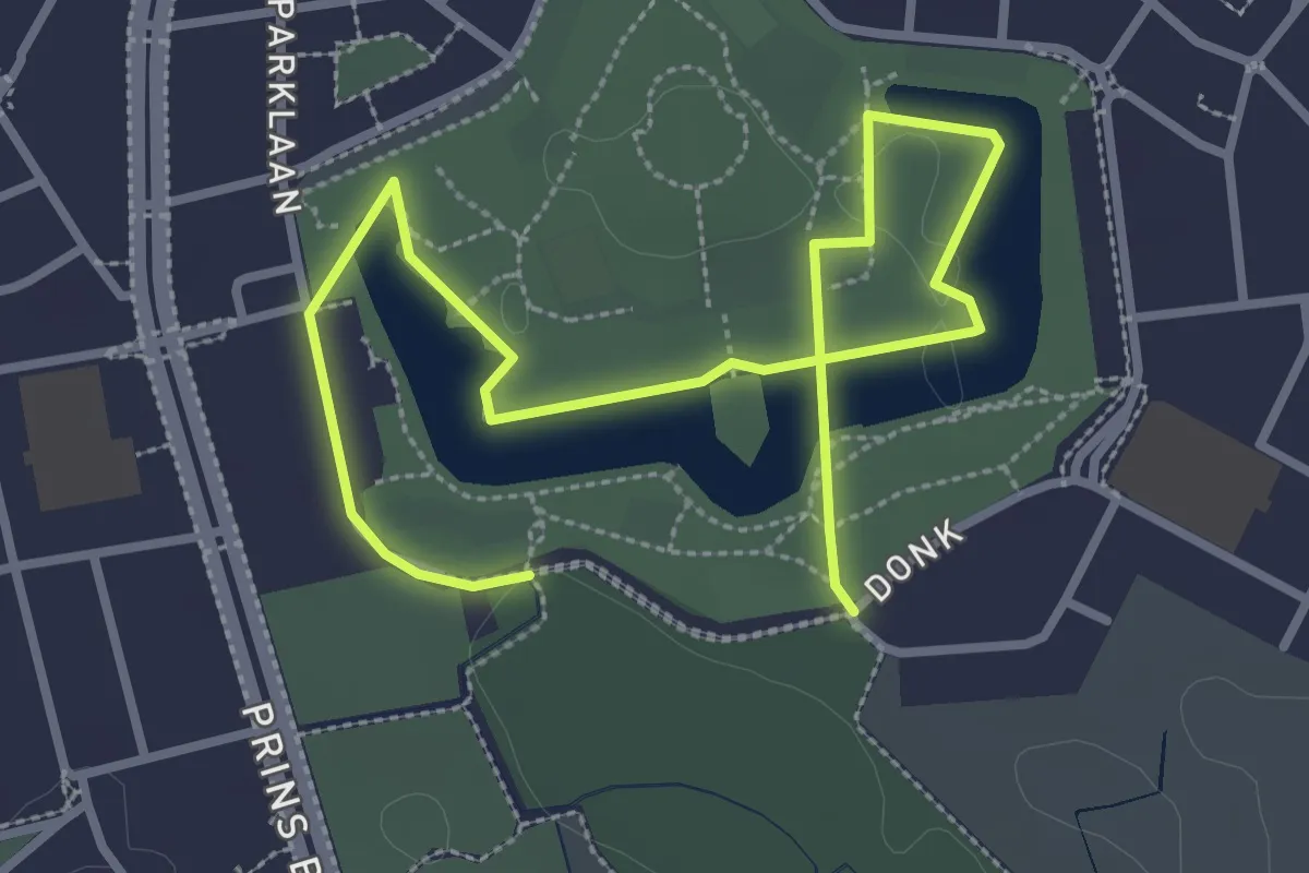
Easy · Trail
Terlindenpad
4.1 km · ↑ 0 m · 58 min
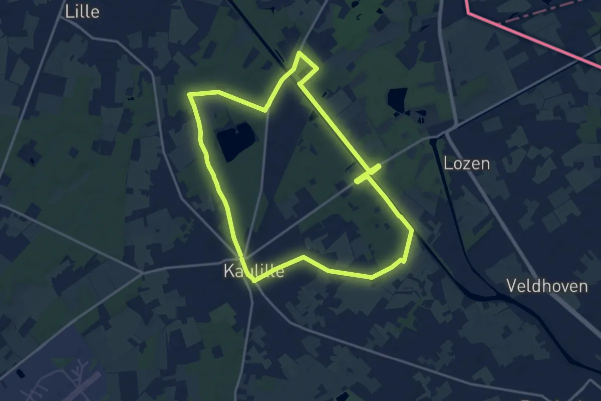
Medium · Trail
Terpenroute
11.4 km · ↑ 34 m · 2 h 56 min
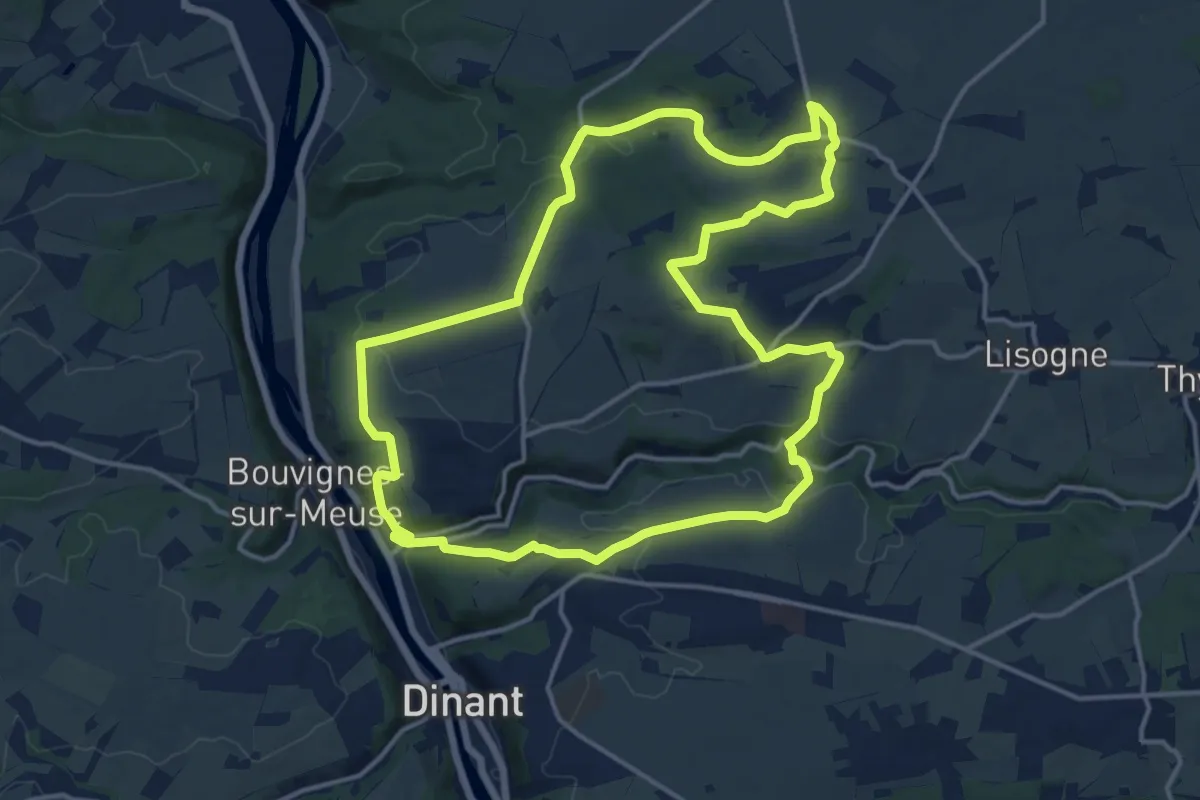
Medium · Trail
Terres d'Abbaye Leffe-Awagne
14.6 km · ↑ 304 m · 4 h 19 min
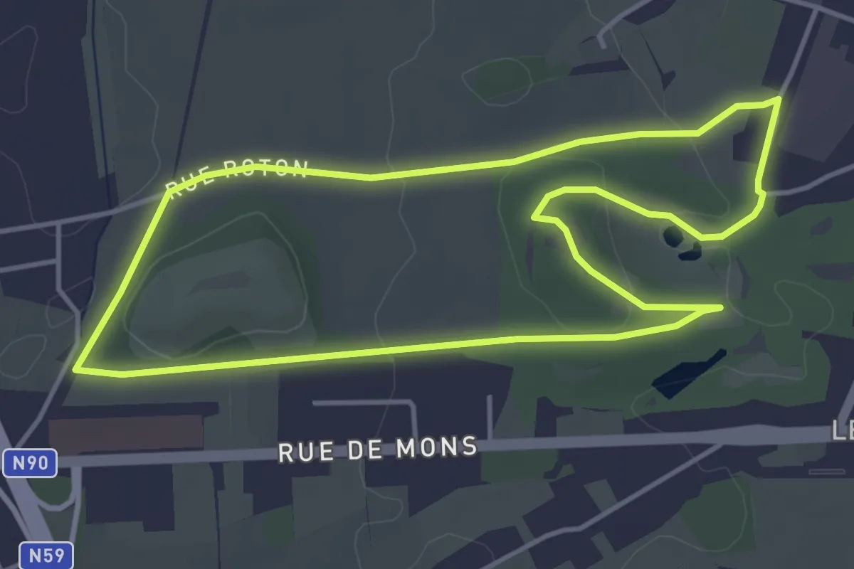
Easy · Trail
Terril du Pétria - Bleu
3.9 km · ↑ 61 m · 1 h 7 min
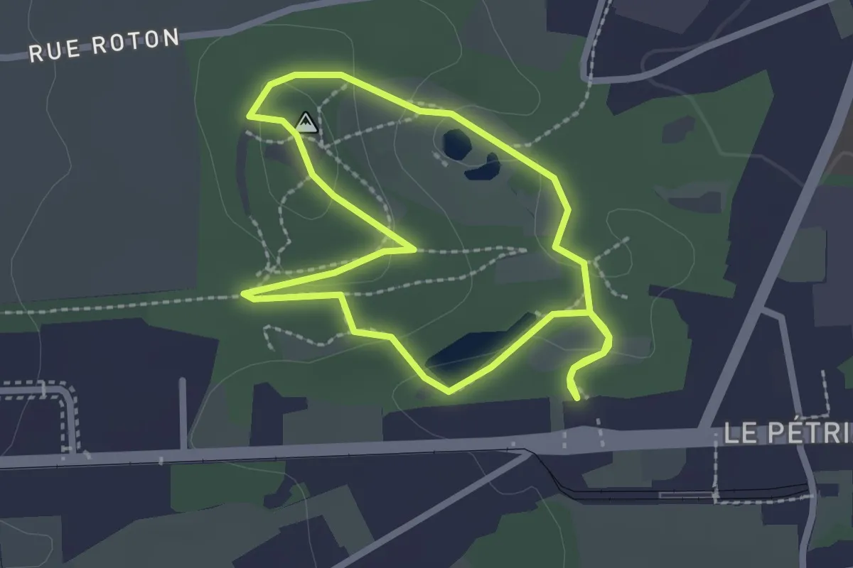
Easy · Trail
Terril du Pétria - Jaune
2.0 km · ↑ 35 m · 34 min
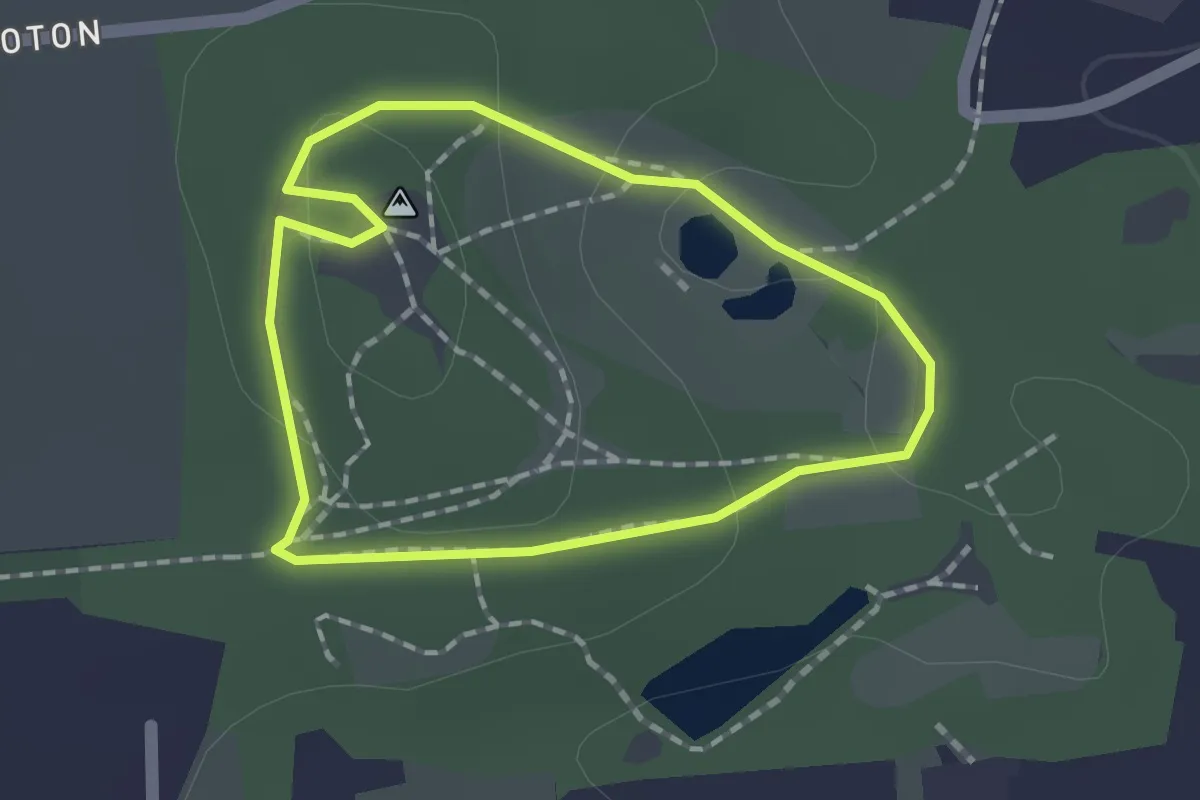
Easy · Trail
Terril du Pétria - Vert
1.3 km · ↑ 24 m · 22 min
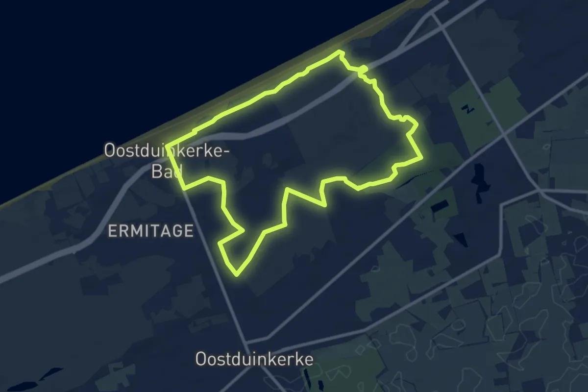
Easy · Trail
Ter Yde Wandelroute
7.8 km · ↑ 13 m · 1 h 58 min
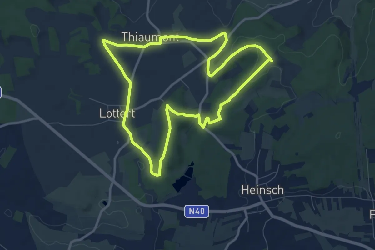
Medium · Trail
Thiaumont et son petit patrimoine
7.3 km · ↑ 97 m · 2 h 1 min
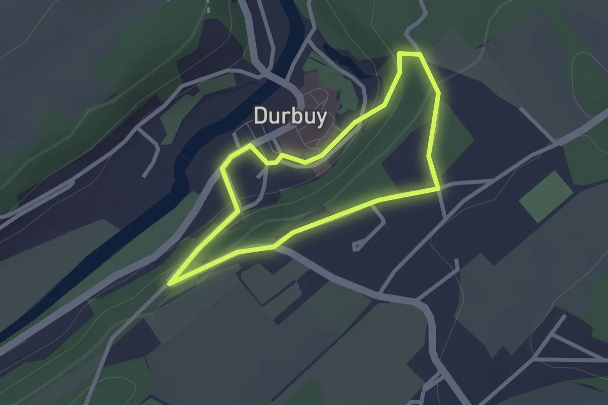
Easy · Trail
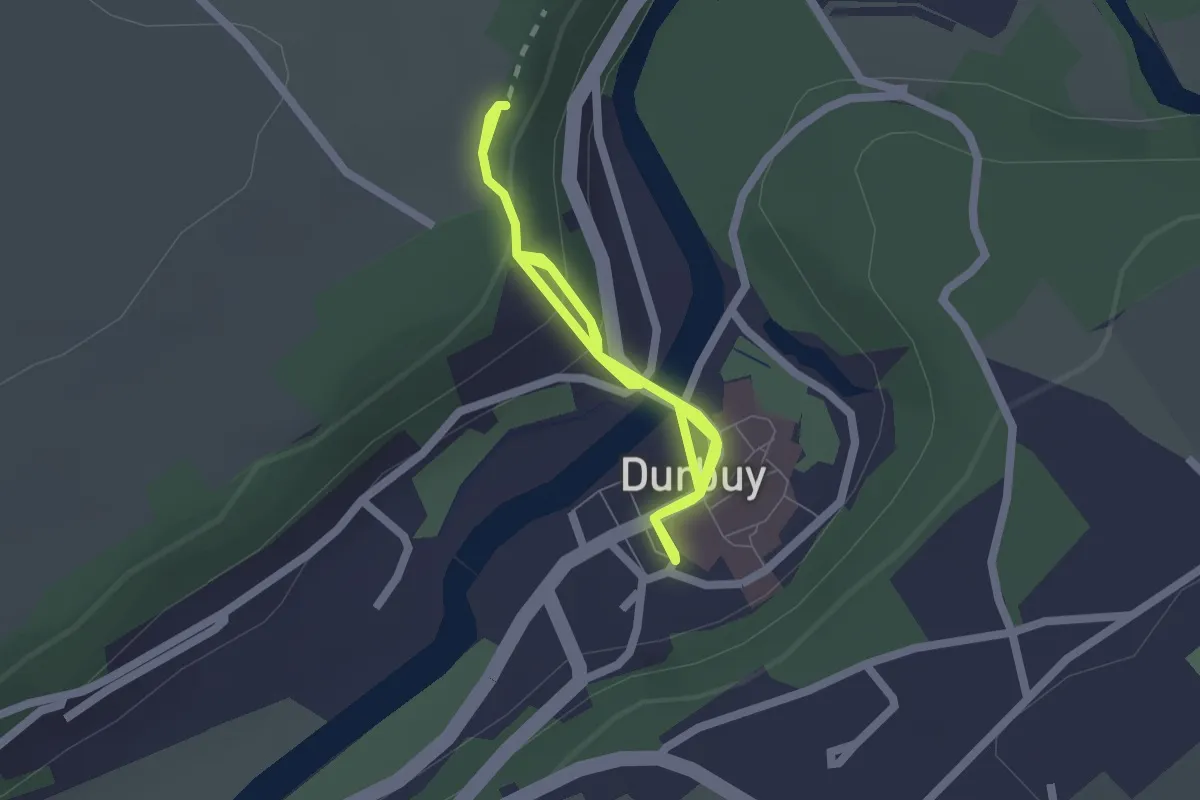
Thier de Forêt
1.9 km · ↑ 68 m · 37 min
Easy · Trail
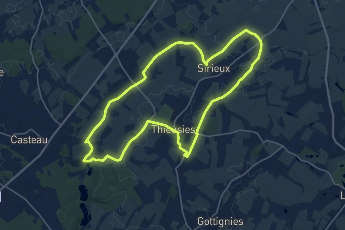
Thier de Palenge
3.1 km · ↑ 135 m · 1 h 1 min
Medium · Trail
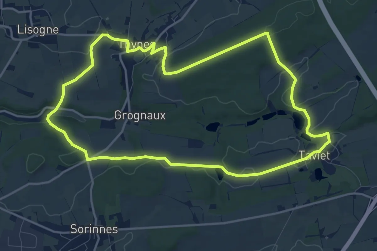
Thieusies et ses Sentiers
13.0 km · ↑ 57 m · 3 h 23 min
Medium · Trail
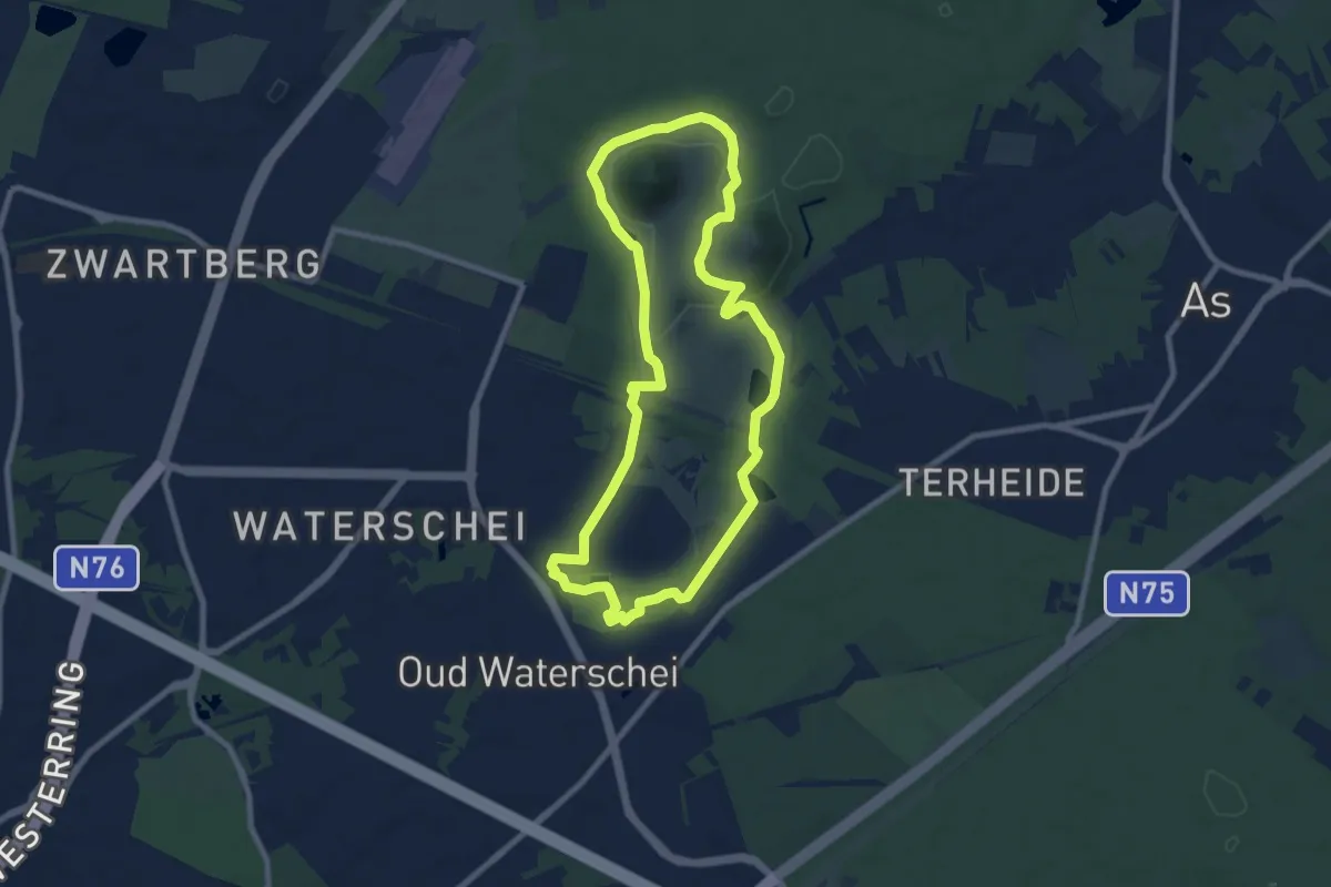
Thines - Taviet
9.8 km · ↑ 162 m · 2 h 47 min
Easy · Summit
Thorpark Blauwe ruit
7.5 km · ↑ 51 m · 2 h
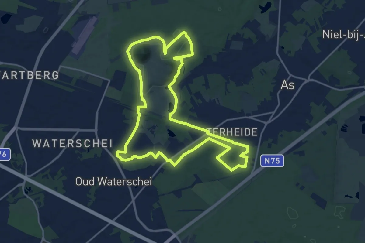
Medium · Trail
Thorpark - De Kolonie Rode driehoek
12.7 km · ↑ 78 m · 3 h 20 min
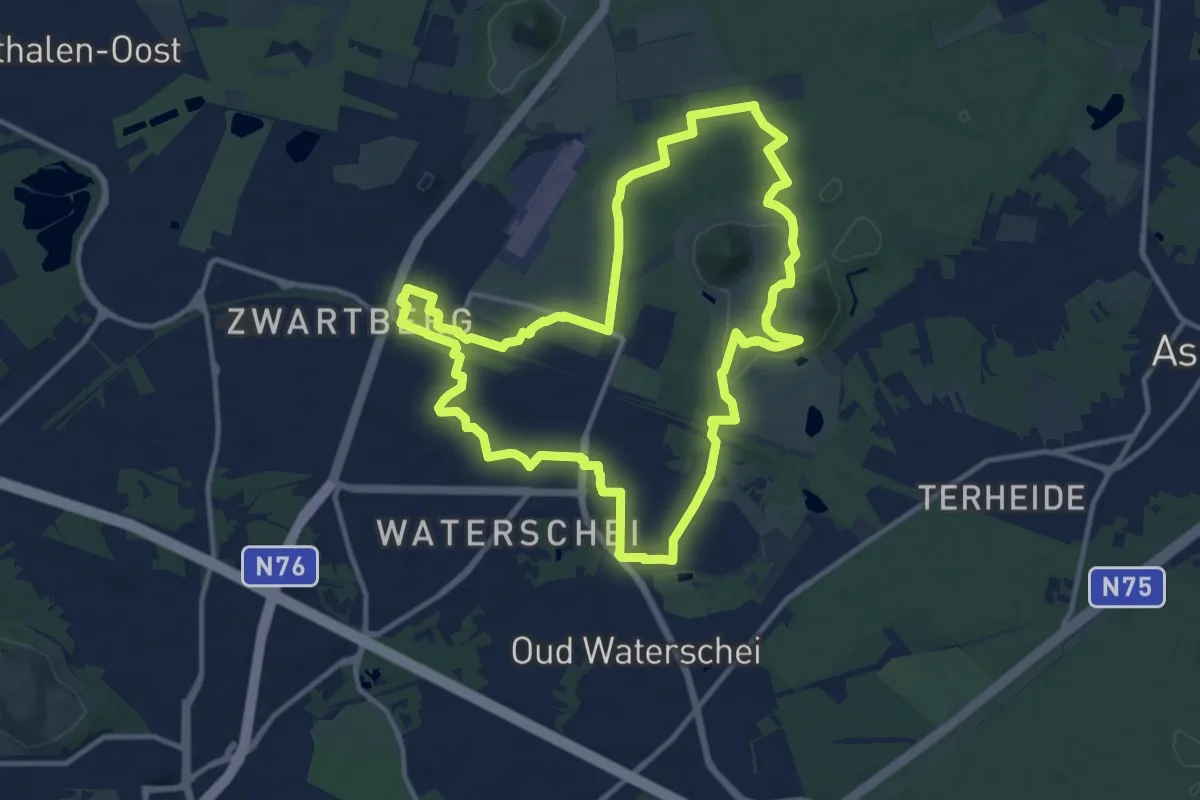
Medium · Summit
Thorpark Erfgoedroute
12.1 km · ↑ 60 m · 3 h 10 min
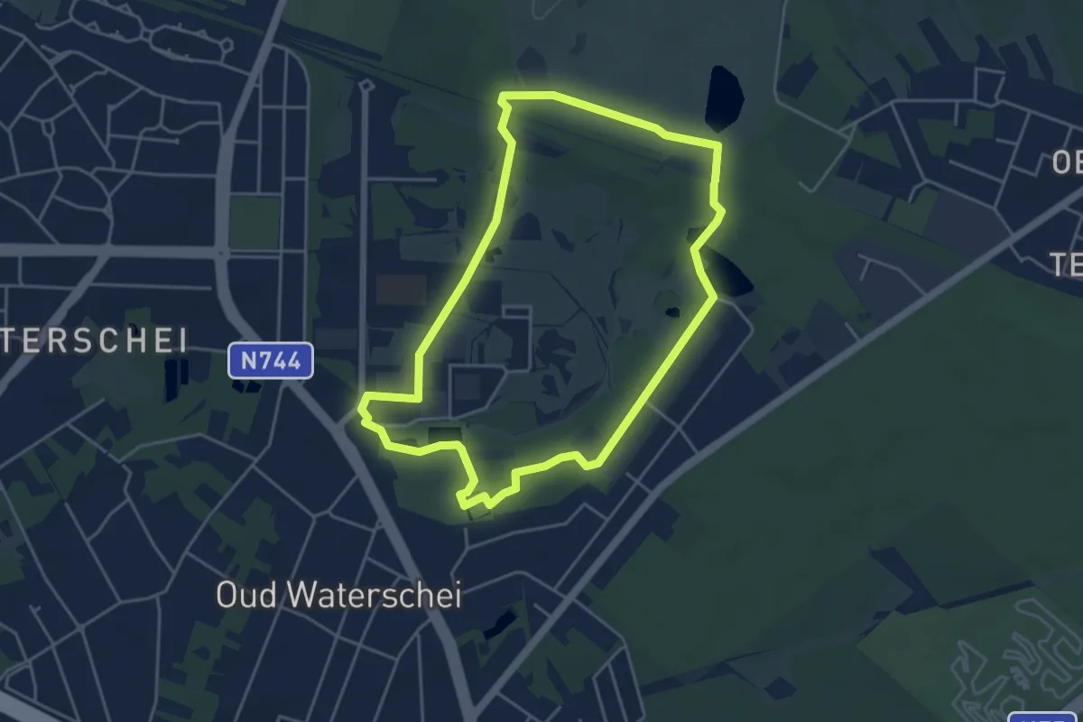
Easy · Trail
Thorpark Groene rechthoek
4.0 km · ↑ 14 m · 1 h 2 min
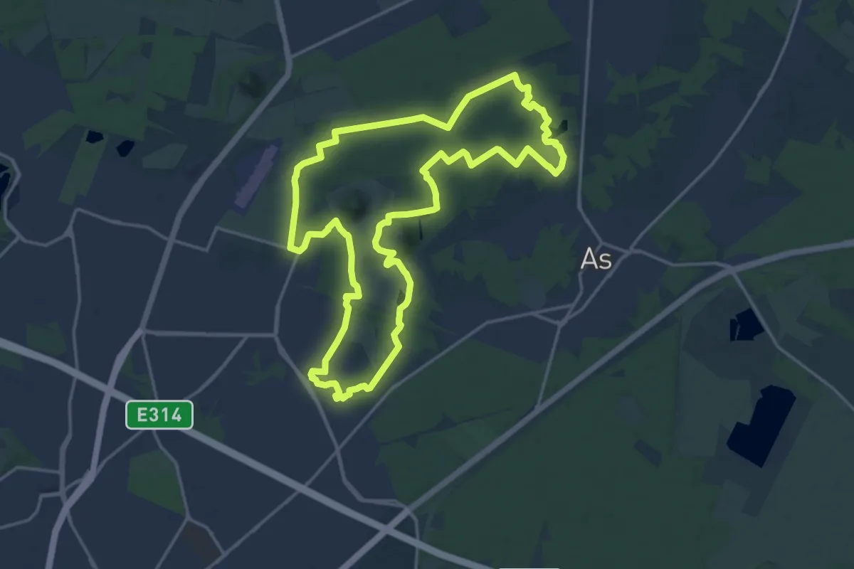
Medium · Summit
Thorpark - Heiderbos Gele zeshoek
16.0 km · ↑ 103 m · 4 h 14 min
Easy · Trail
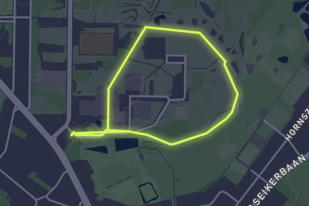
Thorpark Thorroute
2.3 km · ↑ 0 m · 34 min
Easy · Trail
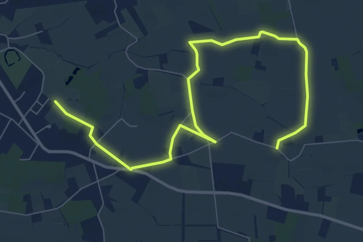
Tibourpad
7.9 km · ↑ 0 m · 1 h 52 min
Easy · Trail
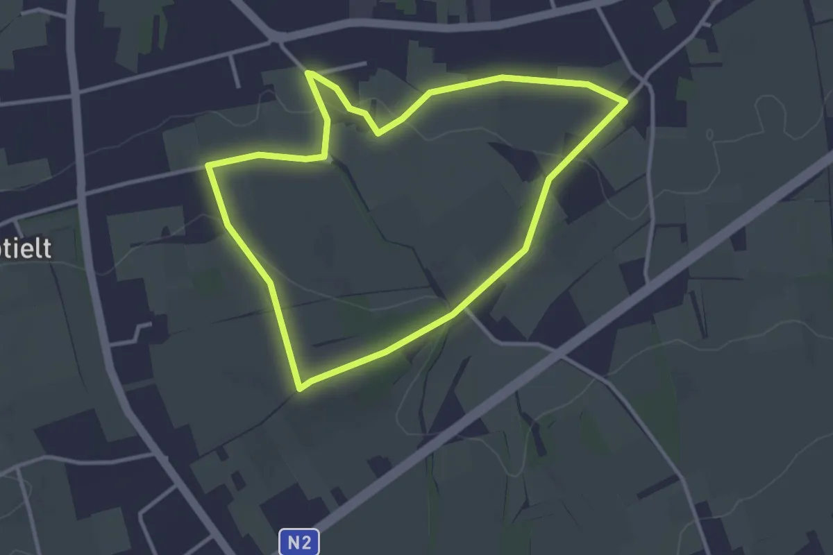
Tieltse Motte Groene rechthoek
2.9 km · ↑ 37 m · 48 min
Medium · Trail
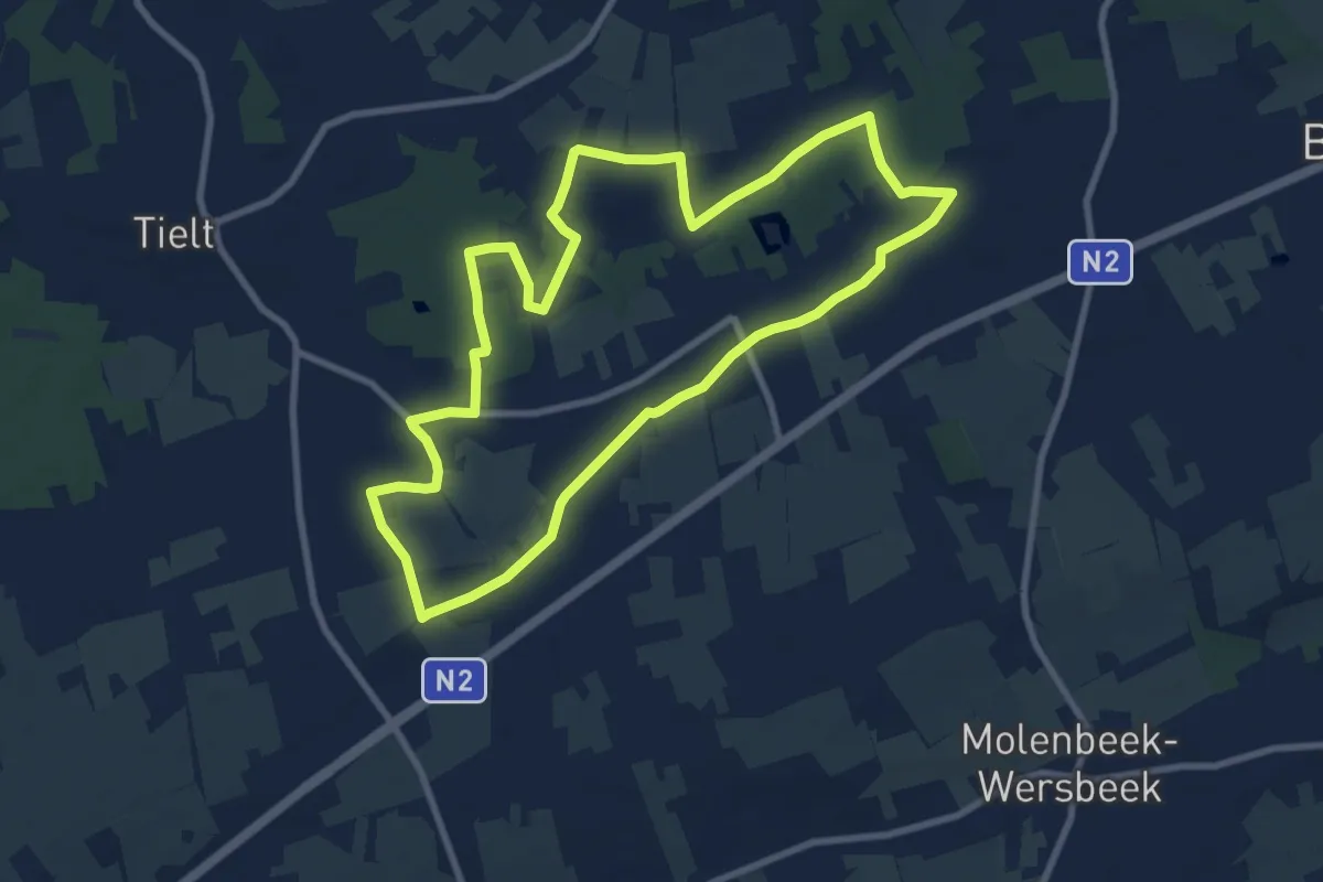
Tieltse Motte Oranje bol
8.3 km · ↑ 51 m · 2 h 12 min
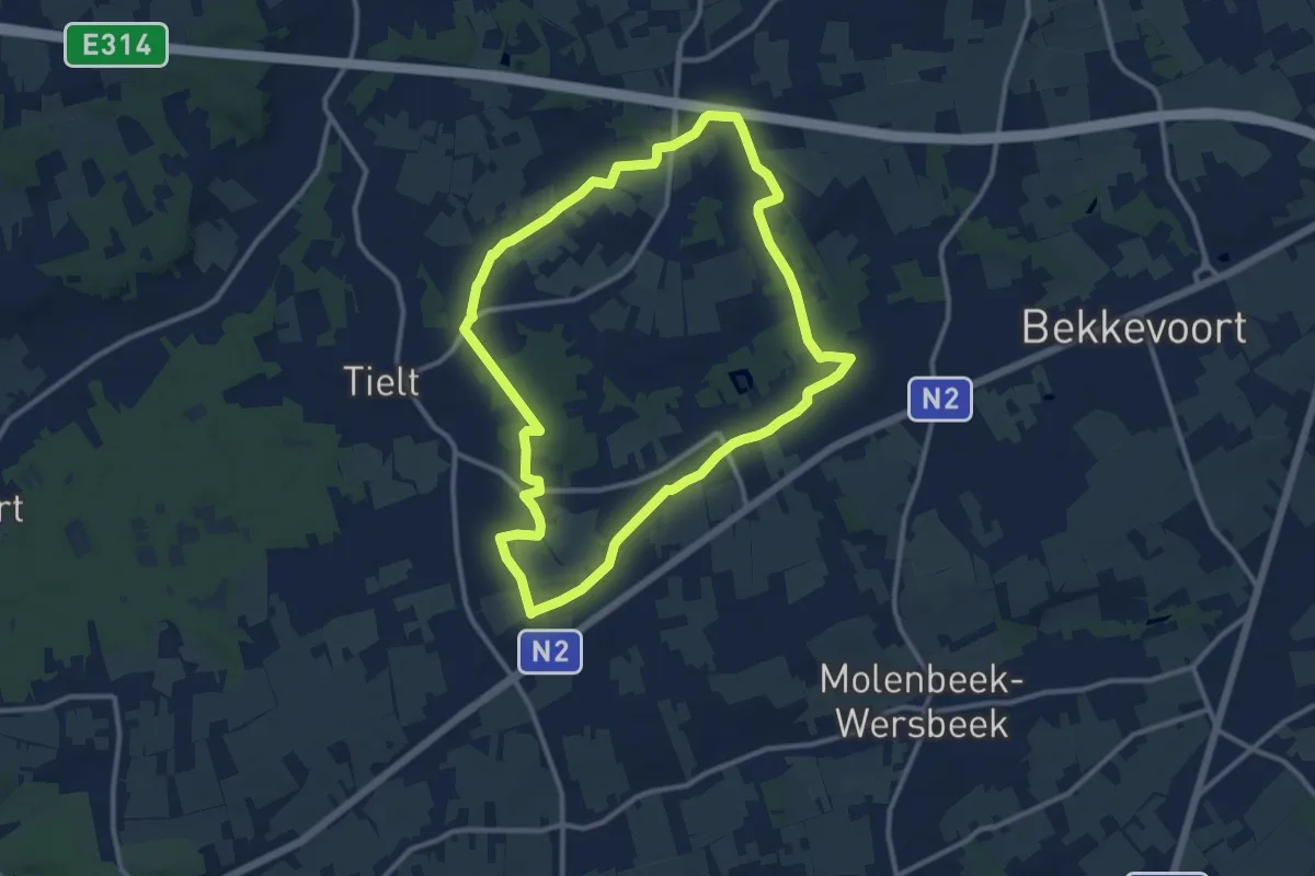
Medium · Trail
Tieltse Motte Rode driehoek
10.3 km · ↑ 62 m · 2 h 42 min
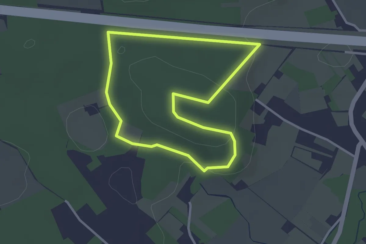
Easy · Trail
Tienbundersbos Blauwe rechthoek
2.3 km · ↑ 48 m · 41 min
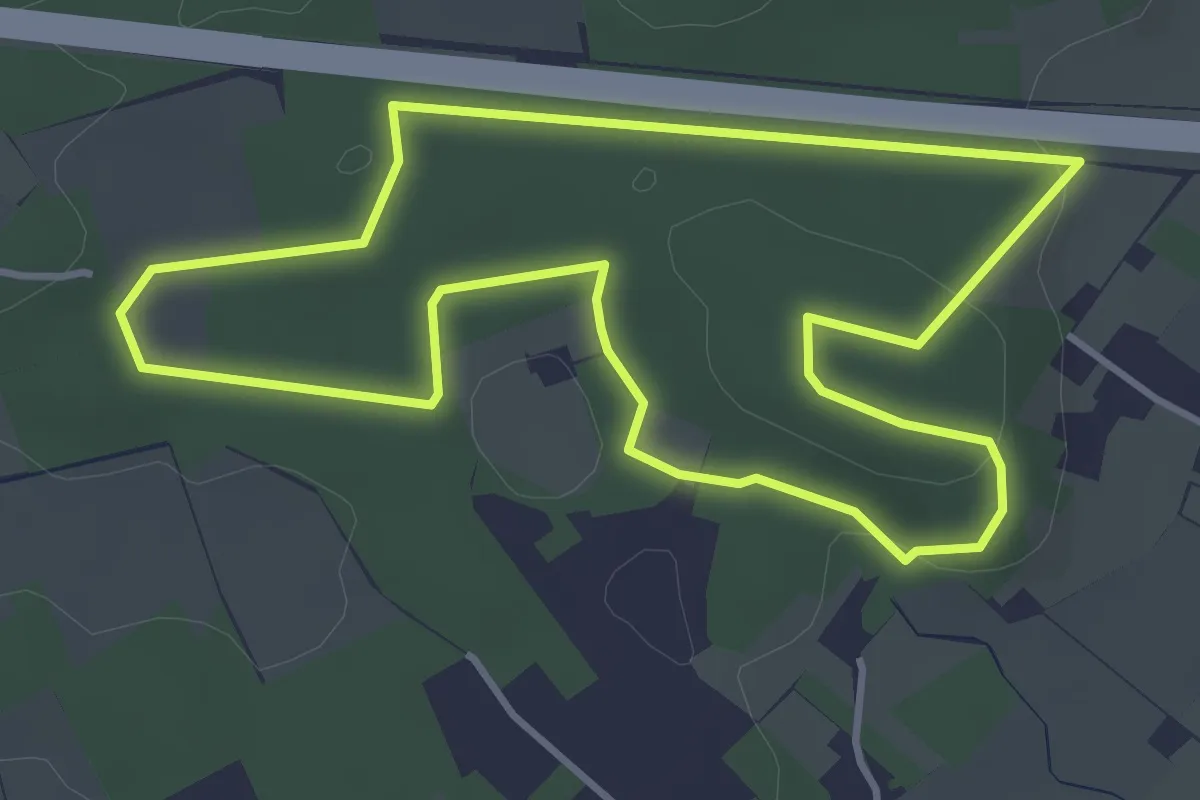
Easy · Trail
Tienbundersbos Gele bol
3.6 km · ↑ 51 m · 1 h 1 min
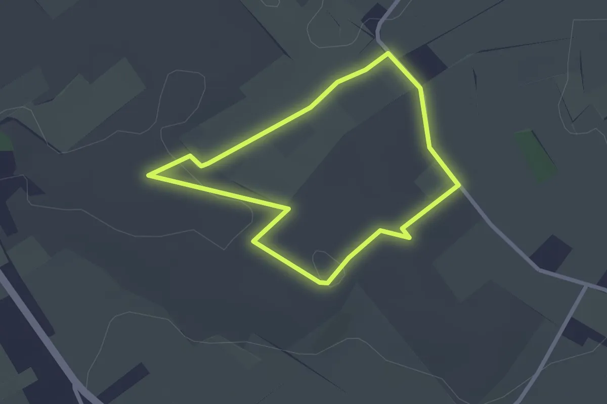
Easy · Trail
Tienbunders Groene ruit
1.9 km · ↑ 16 m · 31 min
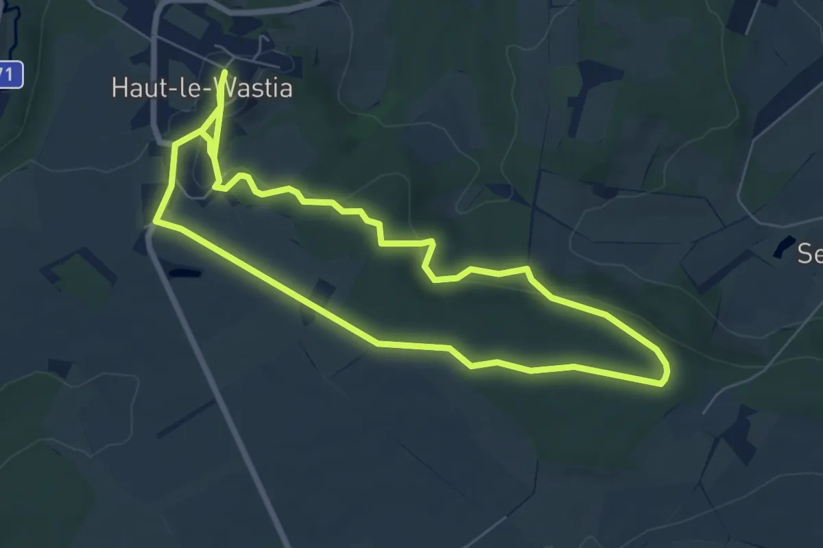
Easy · Trail
Tienne des Mwarts
5.9 km · ↑ 124 m · 1 h 45 min
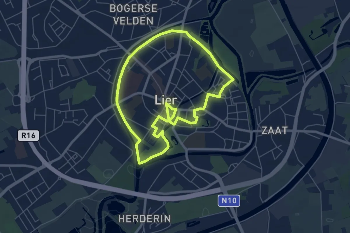
Medium · Trail
Timmermanspad
10.8 km · ↑ 8 m · 2 h 34 min
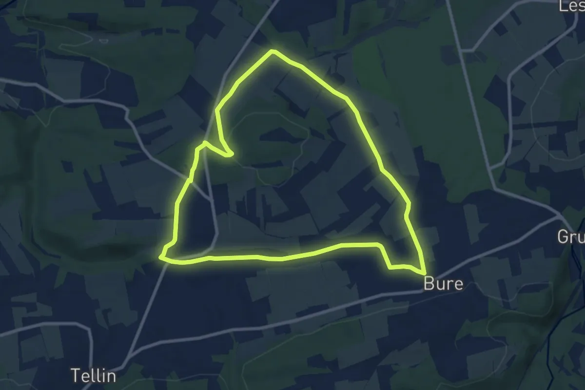
Easy · Trail
TL01 Le chemin des Bruyères
7.8 km · ↑ 105 m · 2 h 10 min
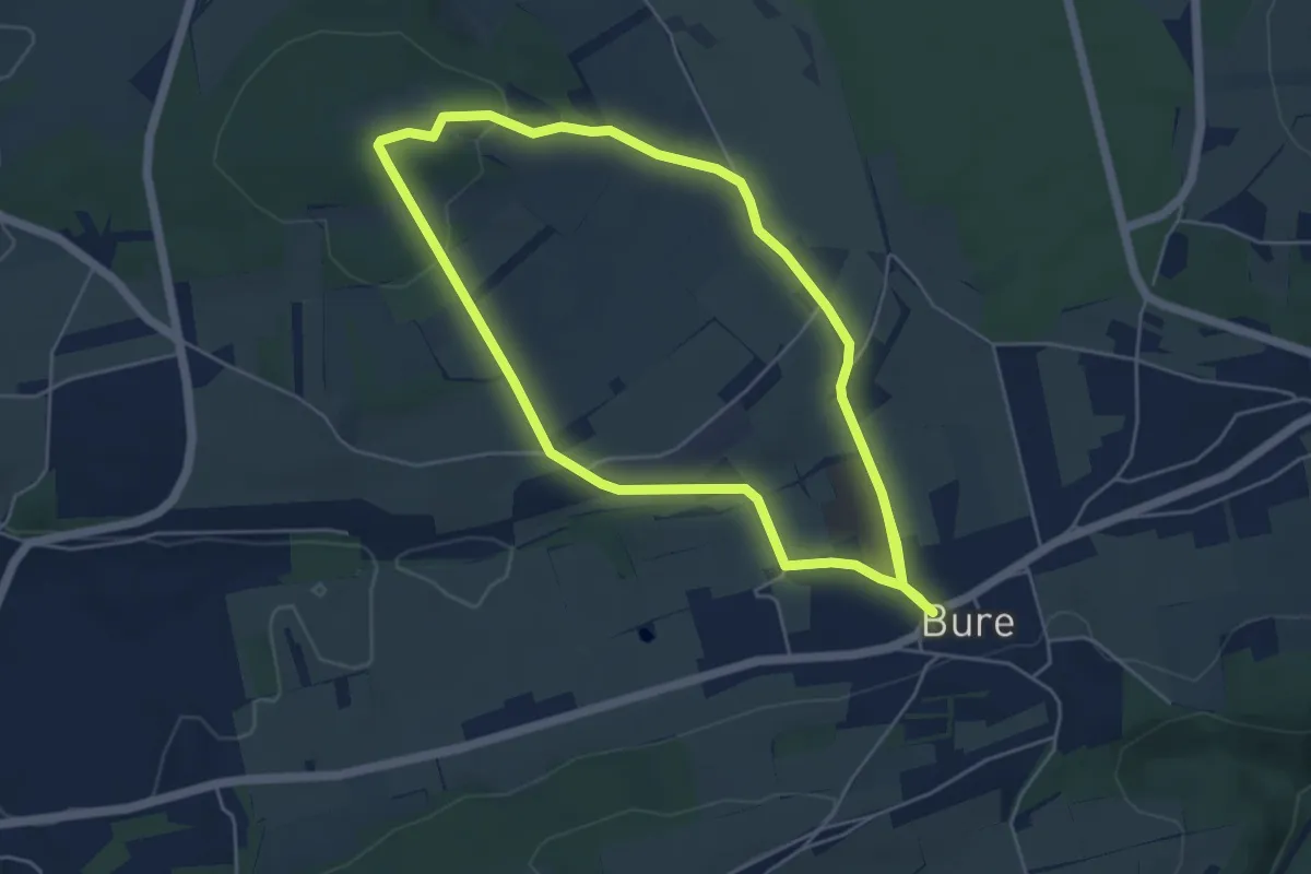
Easy · Trail
TL02 Promenade des chapelles
4.7 km · ↑ 83 m · 1 h 22 min