Trails in Belgium
3,383 hiking trails, each with its route, climb, walking time and grade.
All trails, page 57 of 71
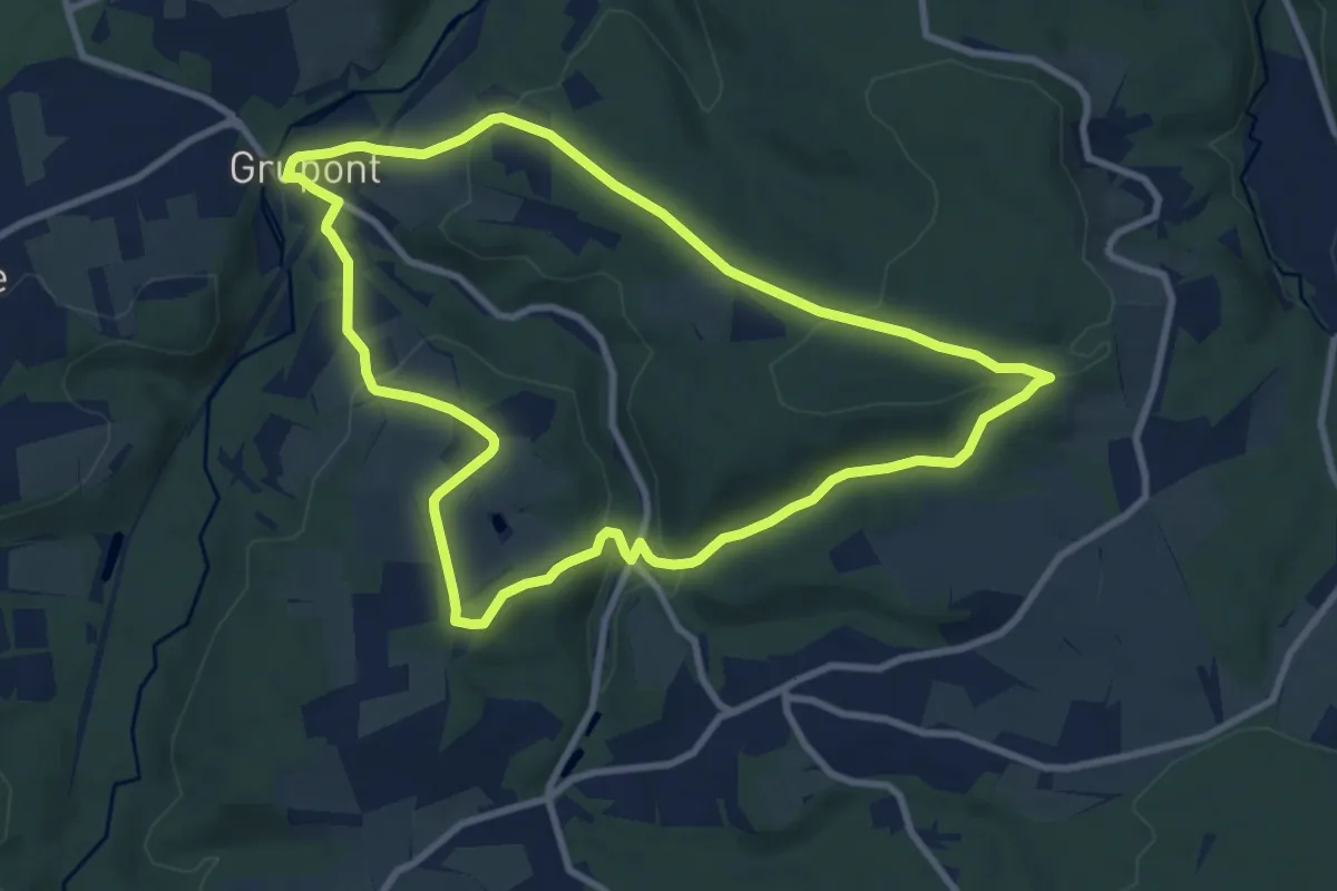
Medium · Trail
TL03 Promenade du Bois de Machi
8.5 km · ↑ 273 m · 2 h 43 min
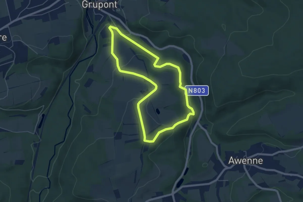
Easy · Trail
TL04 Variante de la promenade du Bois de Machi
4.6 km · ↑ 148 m · 1 h 28 min
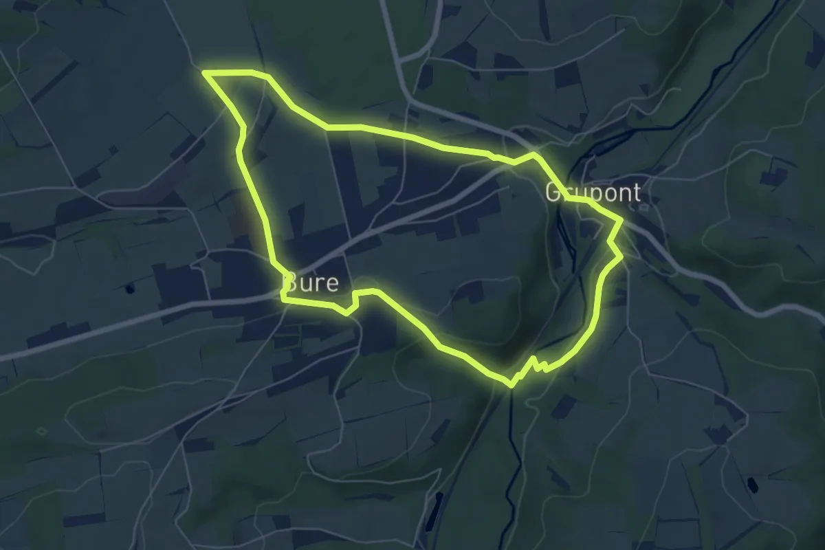
Easy · Trail
TL05 Promenade entre Ardenne et Famenne
5.9 km · ↑ 89 m · 1 h 40 min
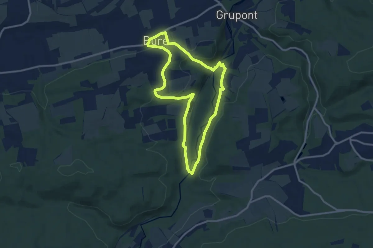
Easy · Trail
TL06 Promenade du Pont de Clôyes
7.0 km · ↑ 119 m · 2 h
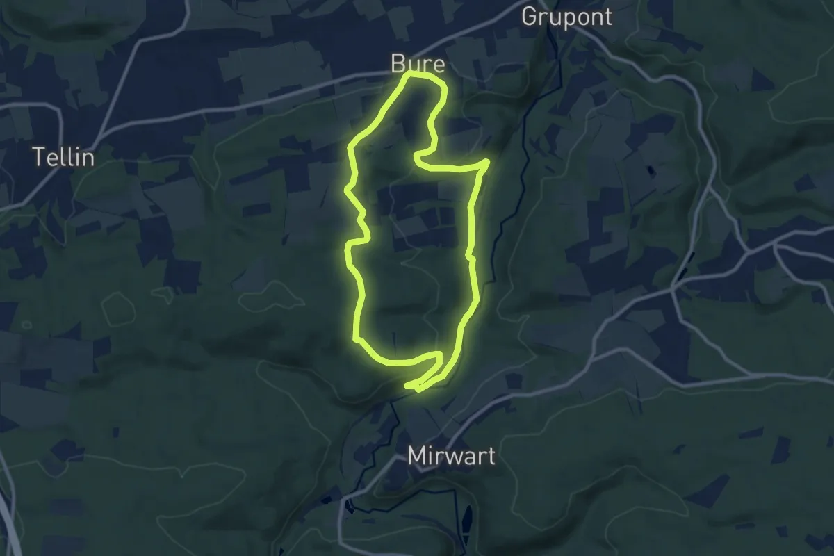
Medium · Trail
TL07 Promenade sens Dessous-dessus
8.4 km · ↑ 175 m · 2 h 28 min
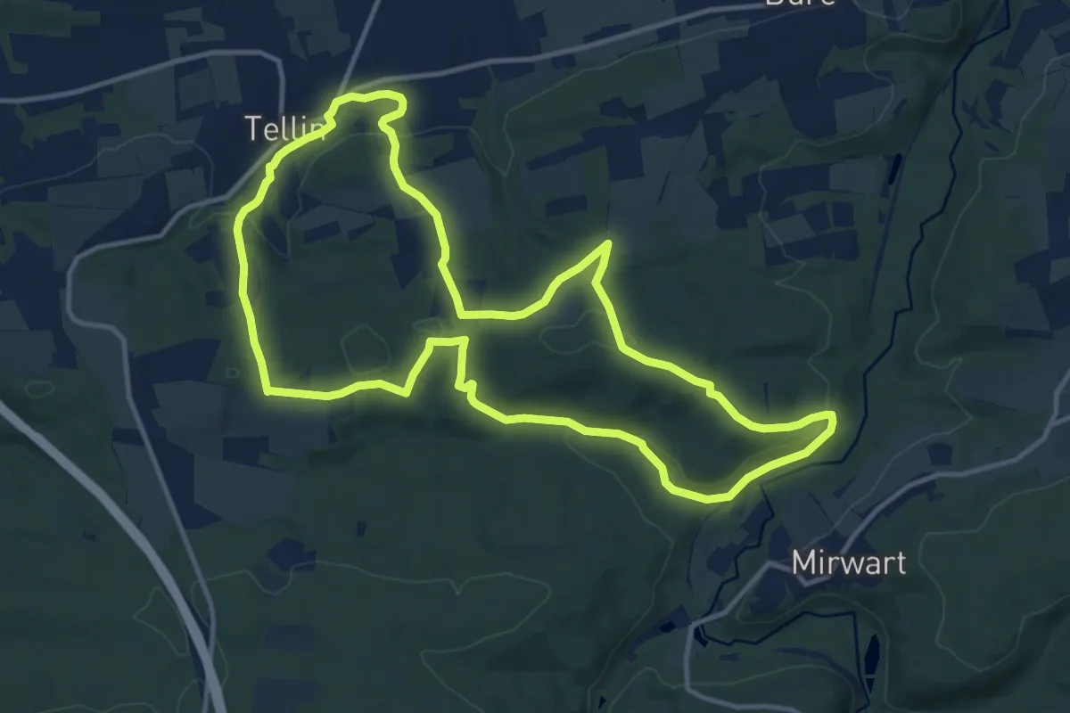
Medium · Trail
TL08 Promenade de la Croix Javalle
12.0 km · ↑ 322 m · 3 h 41 min
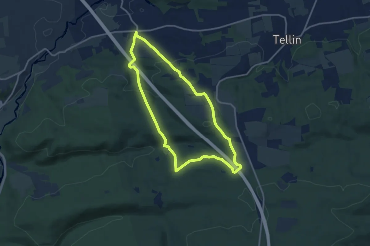
Medium · Trail
TL10 Promenade du Gué du Ry de Glaumont
8.0 km · ↑ 270 m · 2 h 35 min
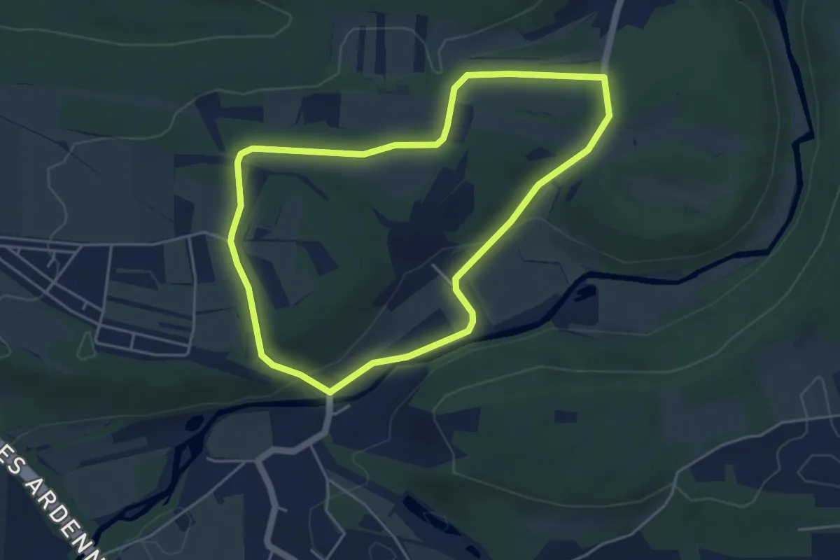
Easy · Trail
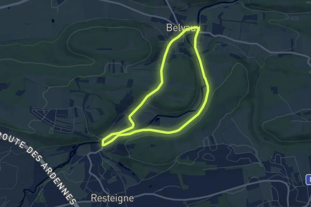
TL11 Circuit de la réserve domaniale
3.9 km · ↑ 58 m · 1 h 7 min
Easy · Trail
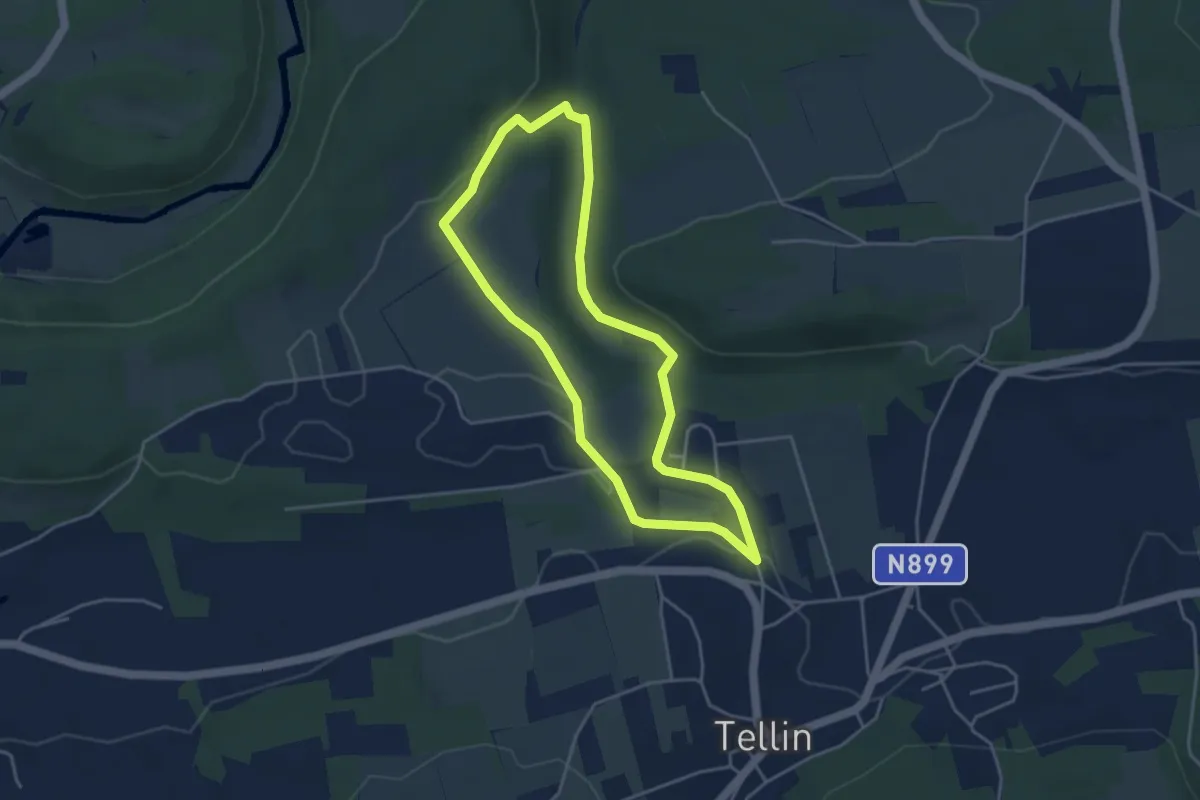
TL12 Promenade des bords de Lesse
5.8 km · ↑ 112 m · 1 h 42 min
Easy · Trail
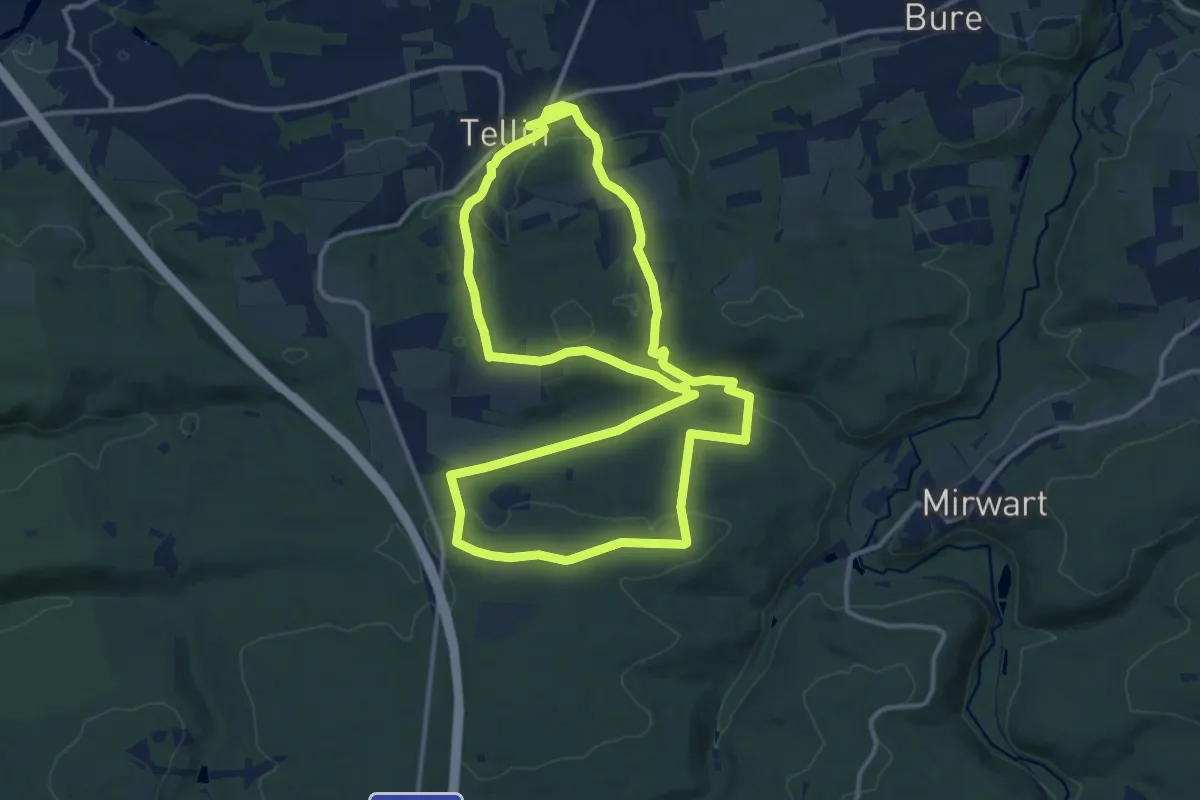
TL13 Promenade du Trou des Lûtons
3.6 km · ↑ 40 m · 1 h
Medium · Trail
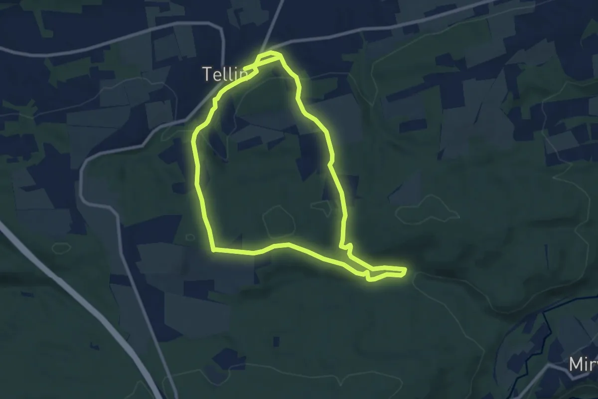
TL14 Grande Promenade des Alouins
12.9 km · ↑ 341 m · 3 h 57 min
Easy · Trail
TL14 Petite Promenade des Alouins
7.4 km · ↑ 227 m · 2 h 20 min
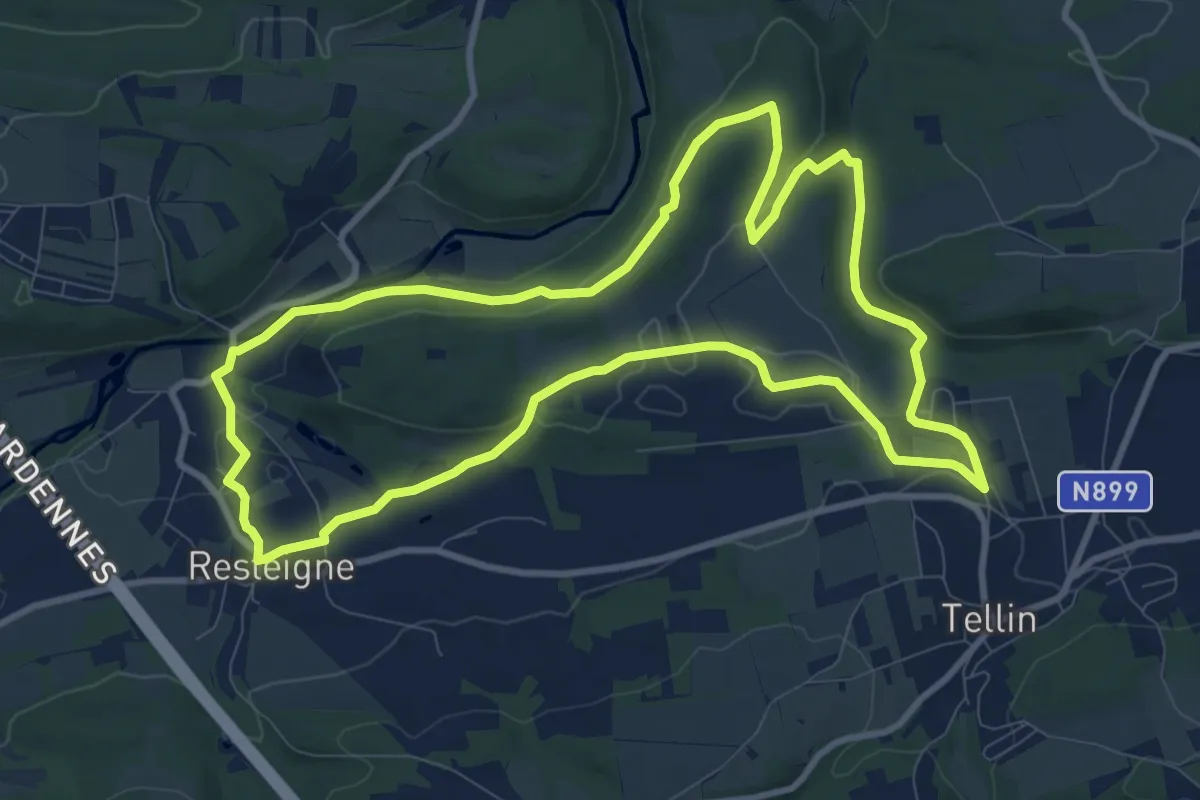
Medium · Trail
TL15 Promenade des Hauts de Lesse
9.6 km · ↑ 135 m · 2 h 42 min
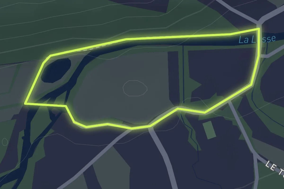
Easy · Trail
TL16 Promenade du Moulin et du Bru
1.3 km · ↑ 15 m · 21 min
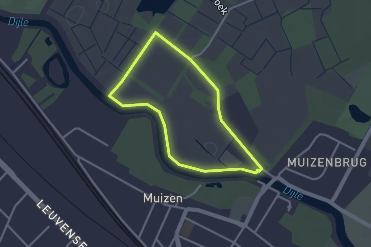
Easy · Trail
't Mechels Broek Rode wandeling
2.0 km · ↑ 4 m · 30 min
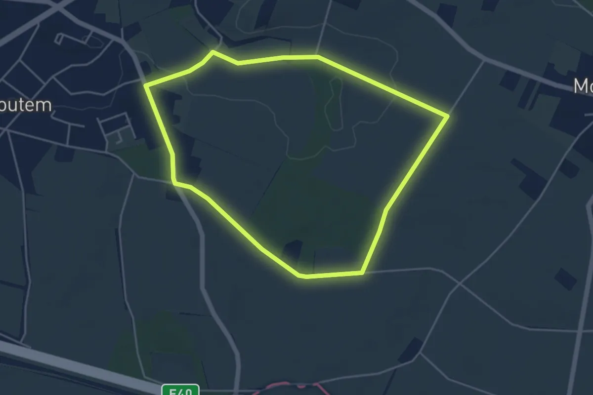
Easy · Trail
Toegankelijke Zevenbronnenwandeling
3.7 km · ↑ 17 m · 58 min
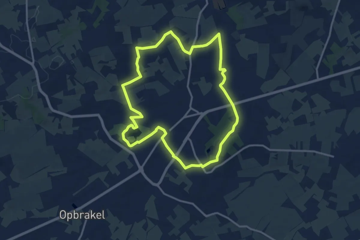
Medium · Trail
Toeppad
8.1 km · ↑ 86 m · 2 h 12 min
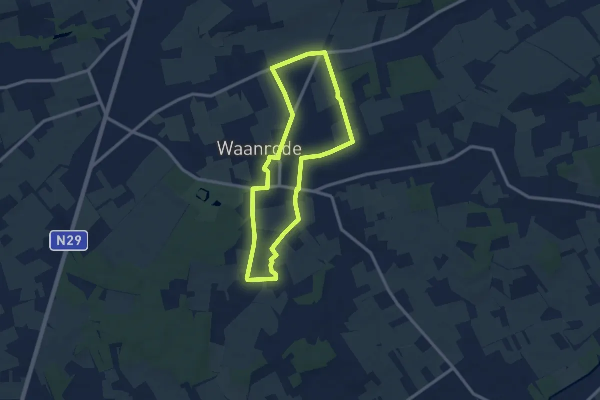
Easy · Trail
Torendraaierswandeling
5.6 km · ↑ 14 m · 1 h 26 min
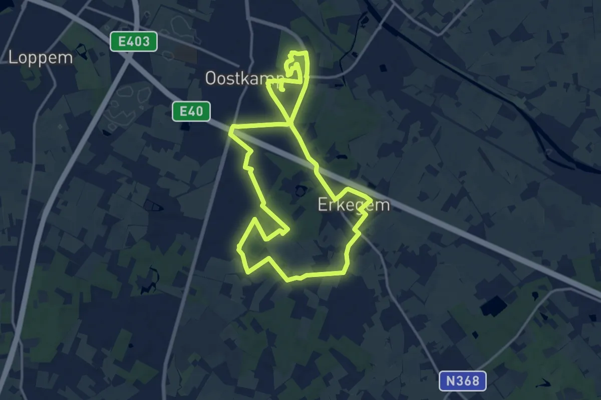
Medium · Trail
Torenhofpad
11.7 km · ↑ 26 m · 3 h
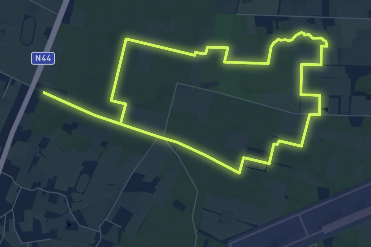
Easy · Trail
Tormentilpad
7.7 km · ↑ 36 m · 2 h
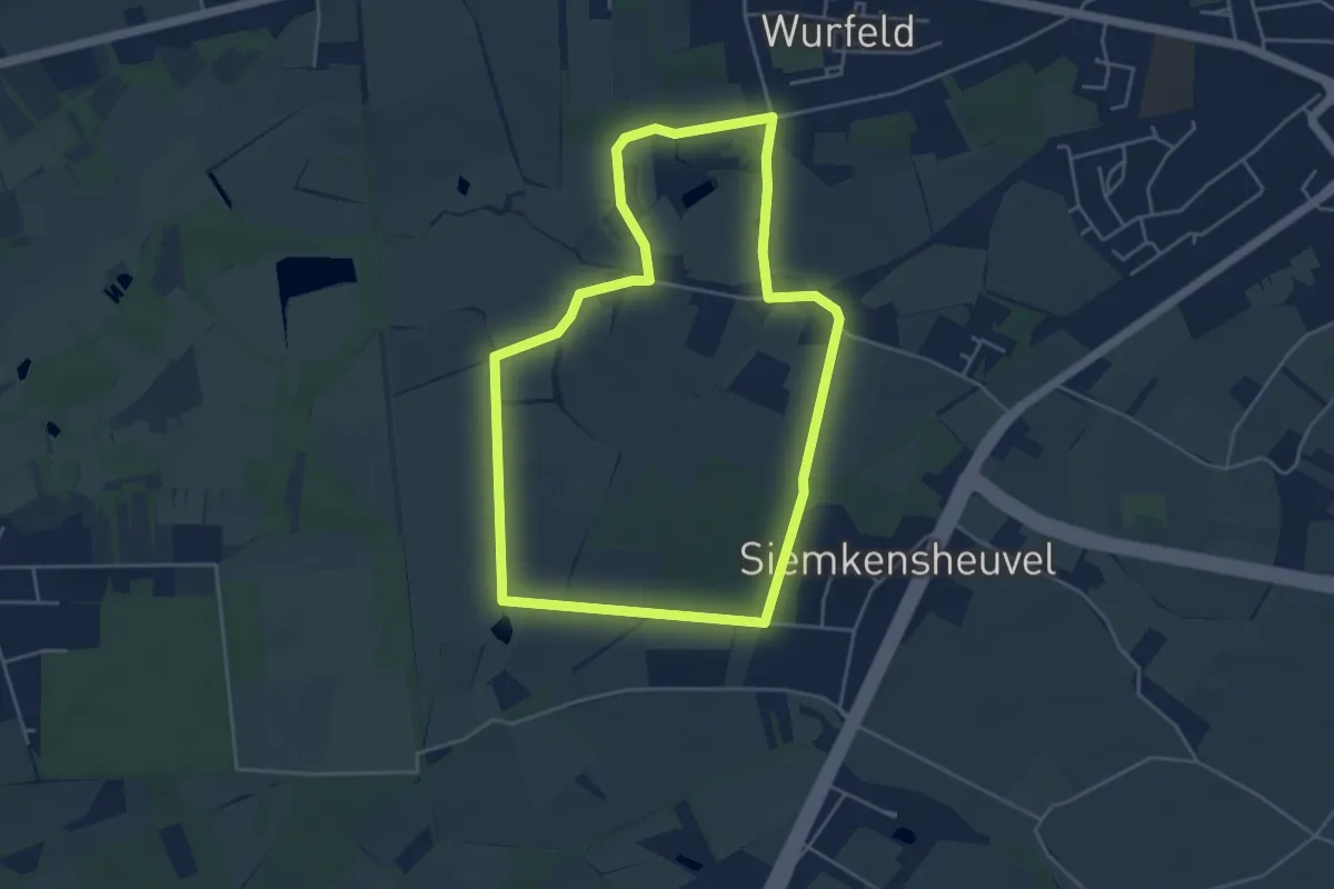
Easy · Trail
Tösch-Langeren Blauwe ruit
4.2 km · ↑ 9 m · 1 h 4 min
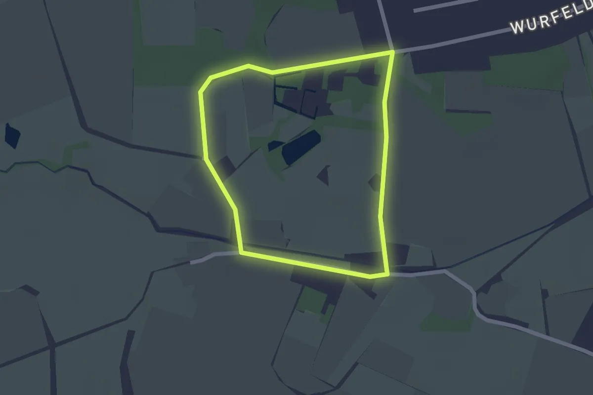
Easy · Trail
Tösch-Langeren Groene rechthoek
1.6 km · ↑ 0 m · 24 min
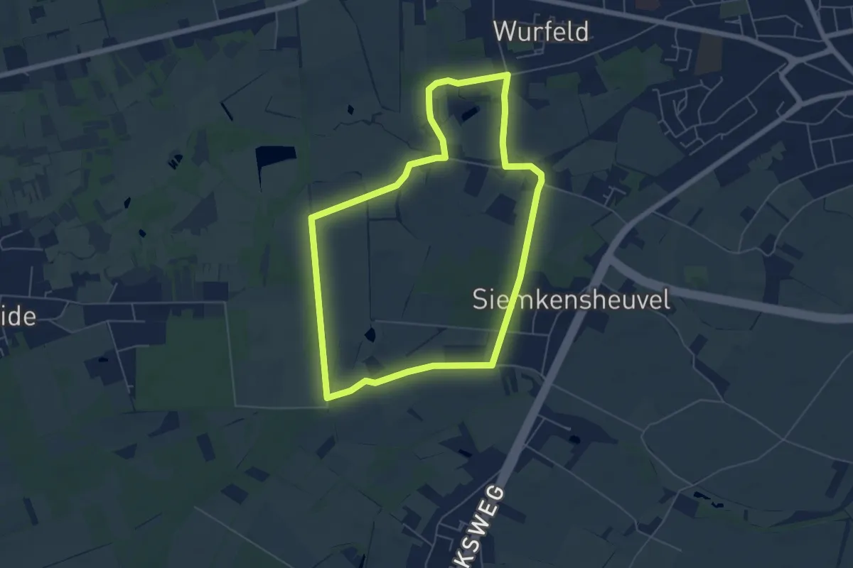
Easy · Trail
Tösch-Langeren Oranje bol
5.2 km · ↑ 9 m · 1 h 19 min
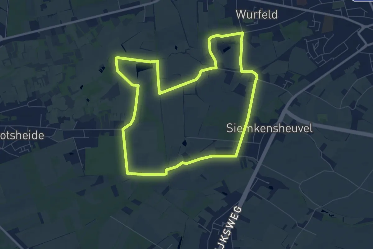
Easy · Trail
Tösch-Langeren Rode driehoek
7.3 km · ↑ 13 m · 1 h 52 min
Easy · Trail
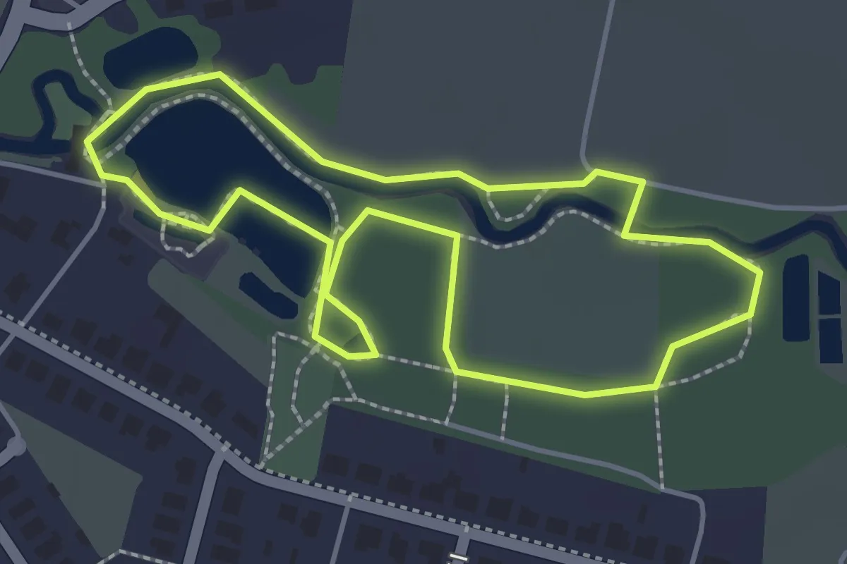
Totterpad
1.4 km · ↑ 0 m · 21 min
Easy · Trail
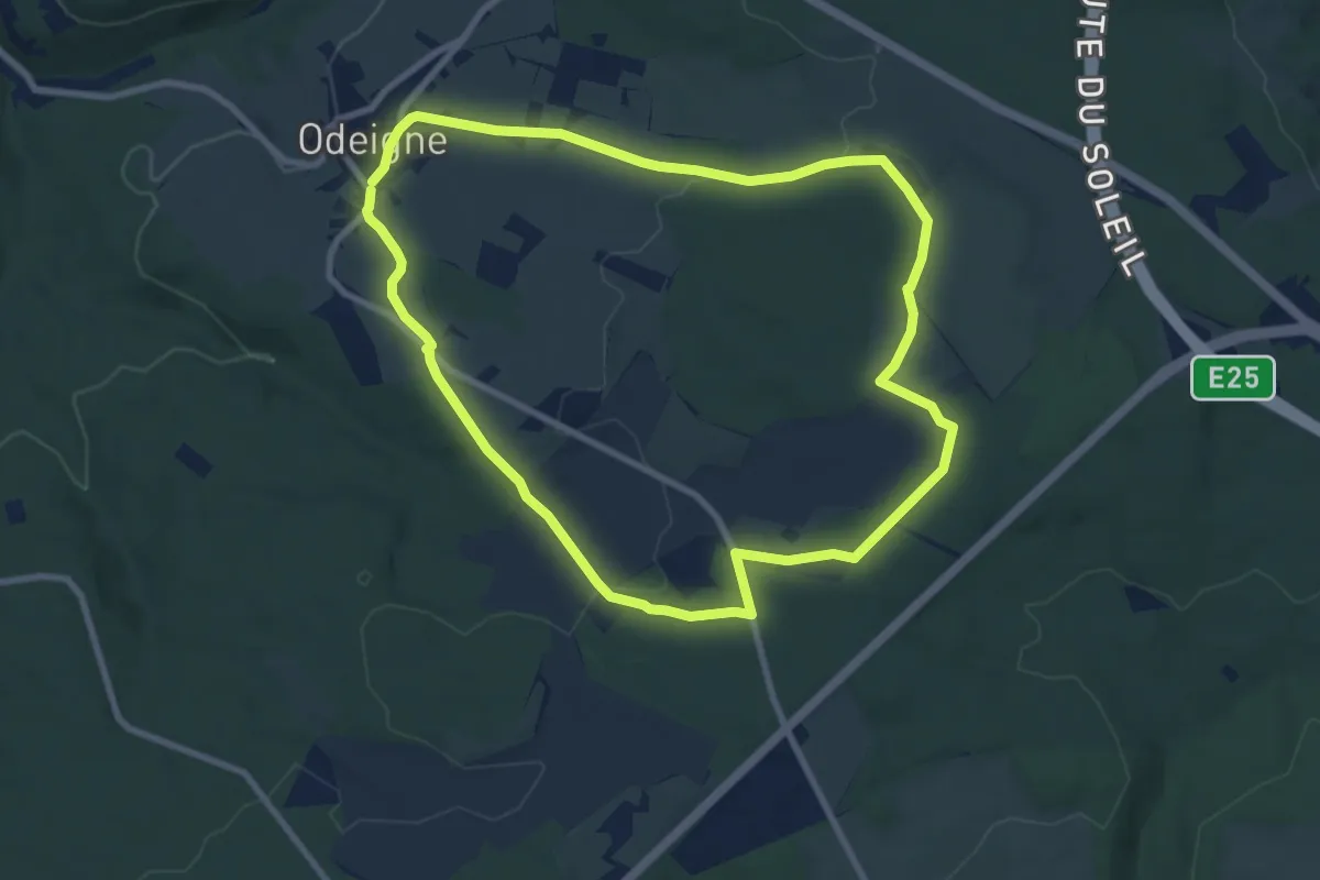
Tour des fagnes d'Odeigne
8.0 km · ↑ 139 m · 2 h 18 min
Easy · Trail
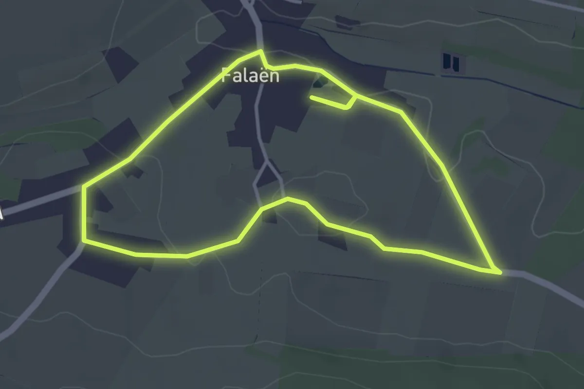
Tour du Village (Falaën)
3.3 km · ↑ 24 m · 52 min
Easy · Trail
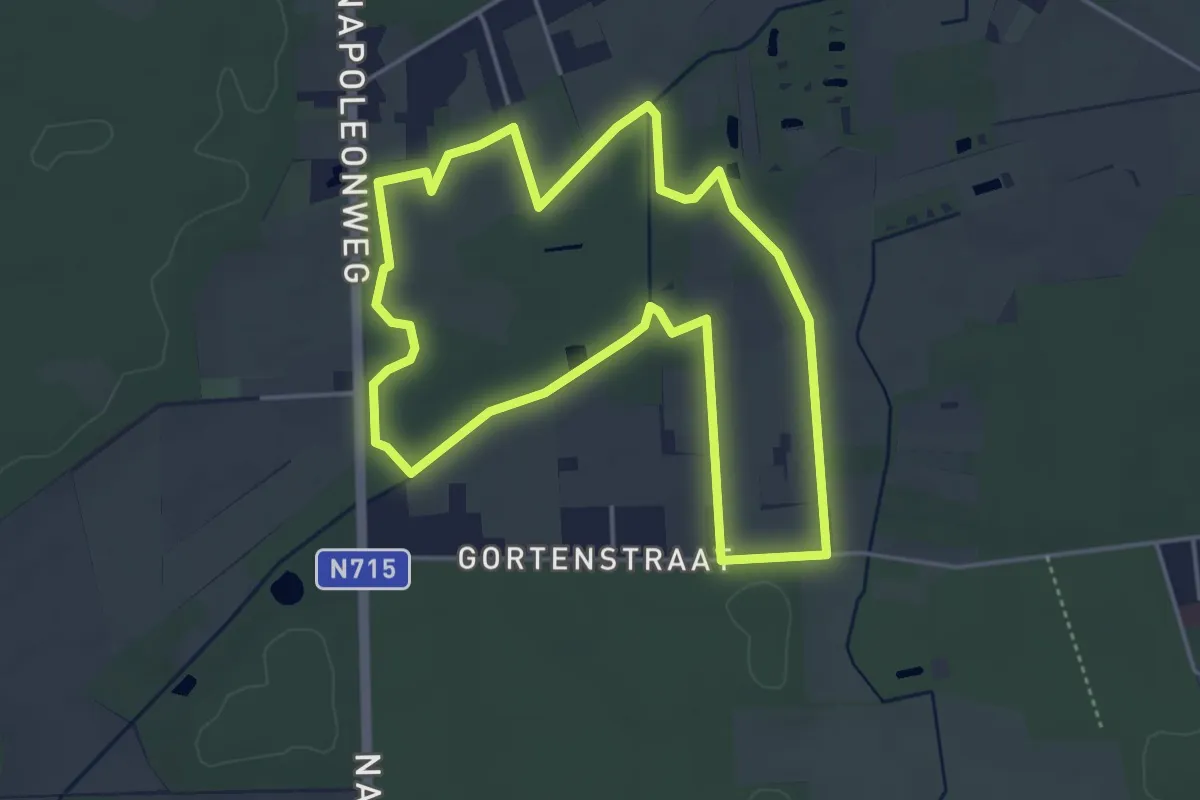
't Plat - Gele zeshoek
4.0 km · ↑ 4 m · 1 h 1 min
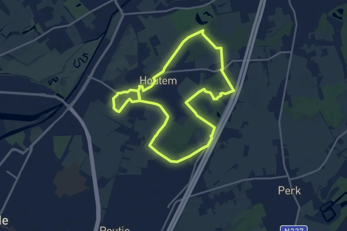
Demanding · Trail
Trage Wegen
18.4 km · ↑ 17 m · 4 h 23 min
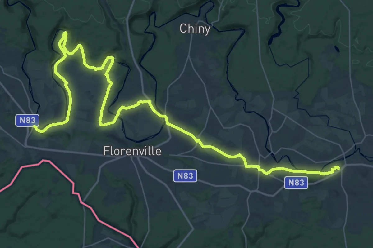
Demanding · Trail
Transgaumaise - Chassepierre à Jamoigne
21.3 km · ↑ 263 m · 5 h 55 min
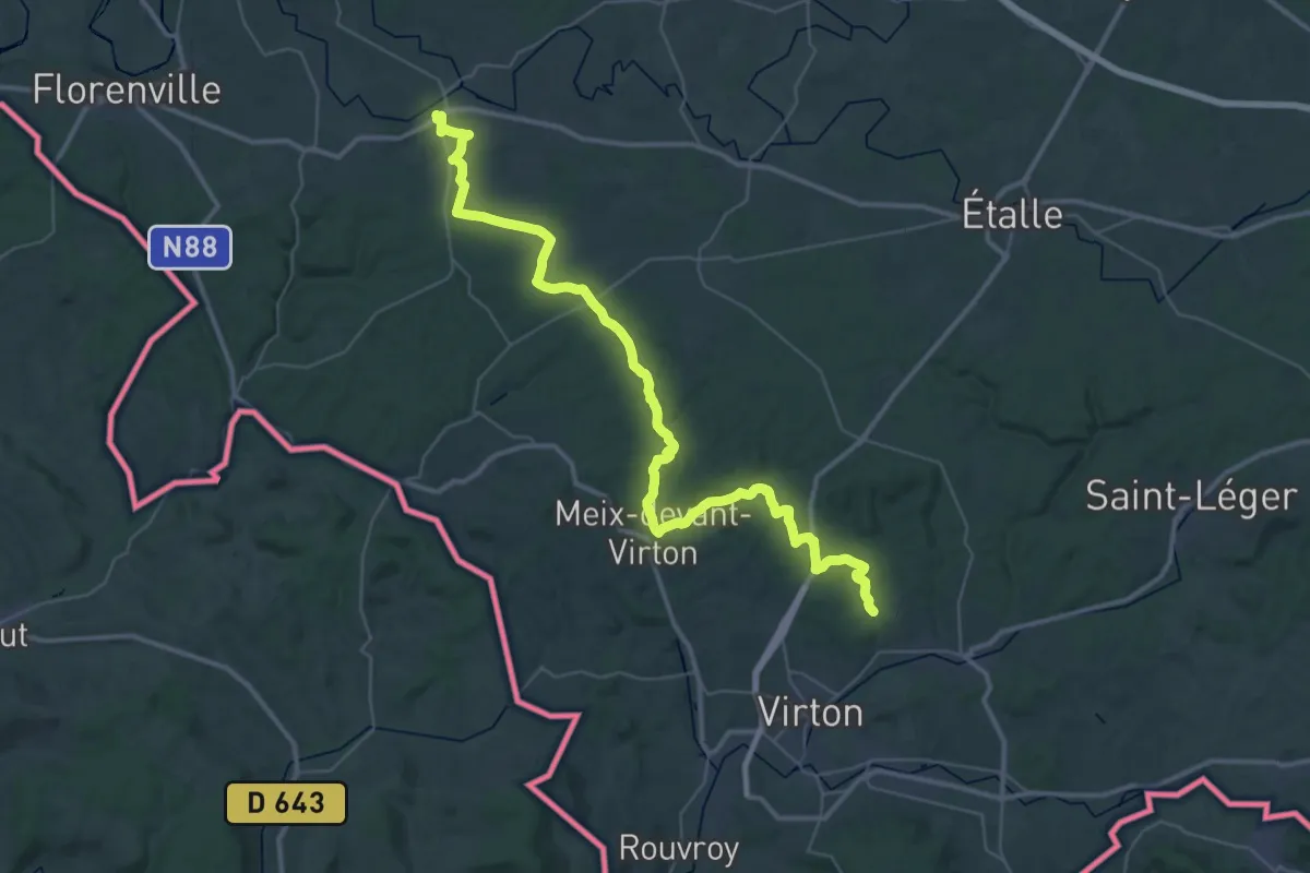
Demanding · Trail
Transgaumaise - Jamoigne à Virton
23.6 km · ↑ 322 m · 6 h 39 min
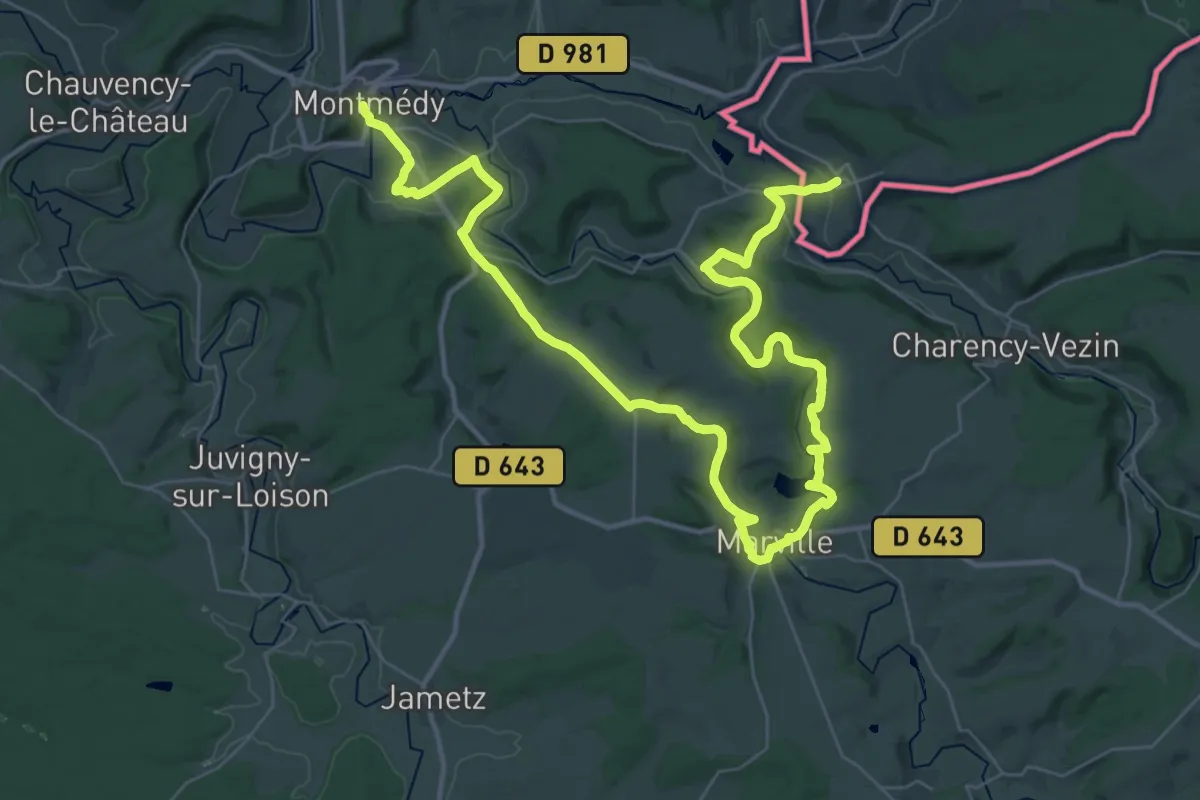
Demanding · Trail
Transgaumaise - Torgny à Montmédy
25.9 km · ↑ 475 m · 7 h 30 min
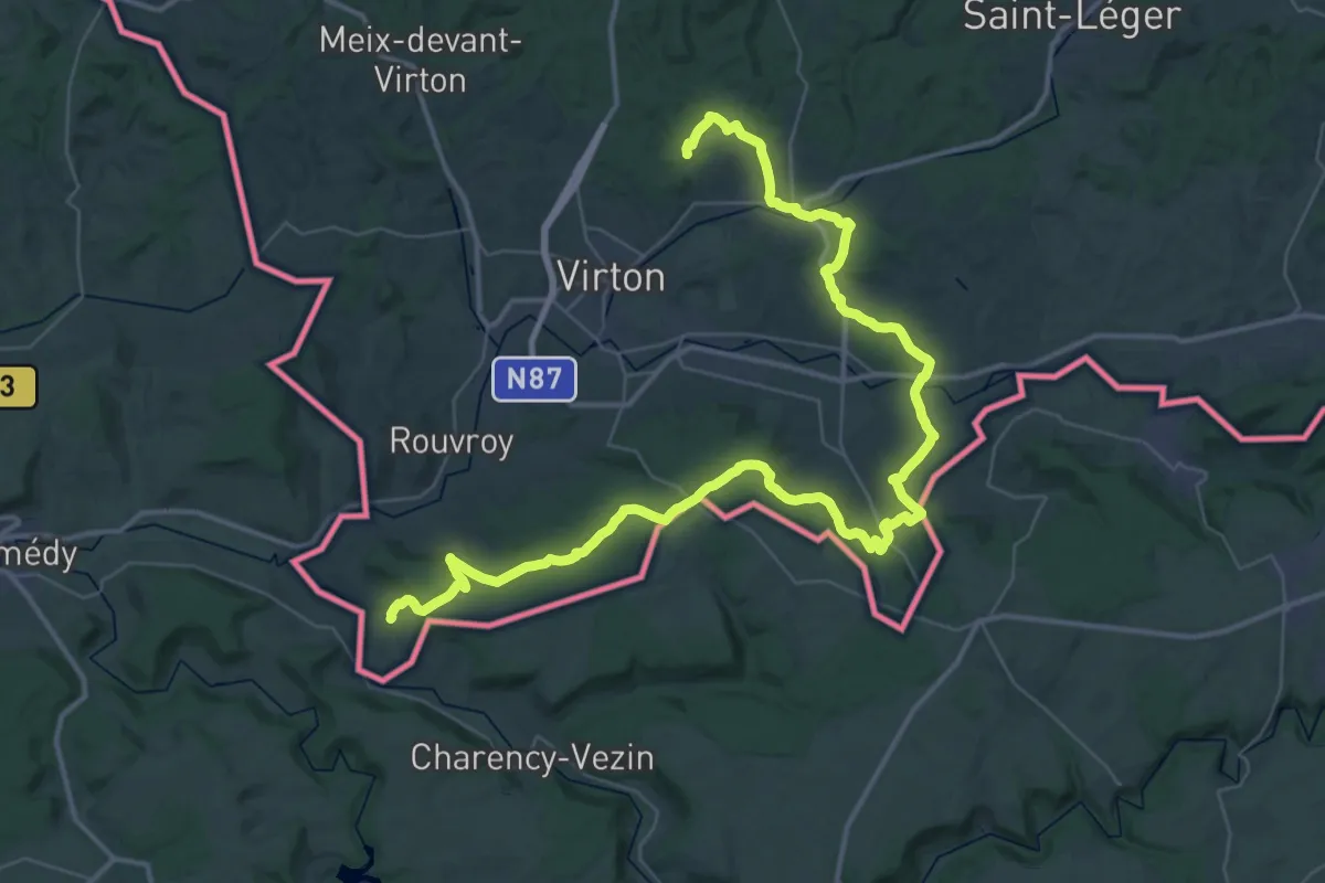
Demanding · Trail
Transgaumaise - Virton à Torgny
27.8 km · ↑ 590 m · 8 h 13 min
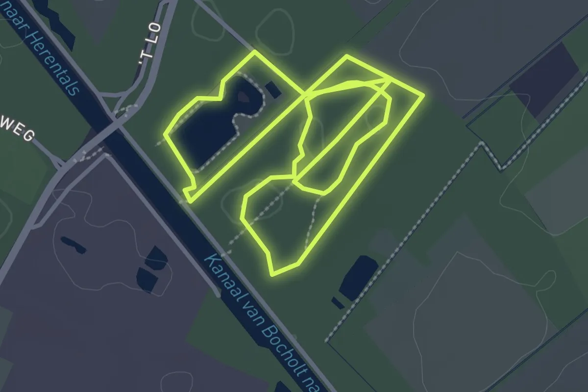
Easy · Trail
Tre Fontane
6.4 km · ↑ 22 m · 1 h 33 min
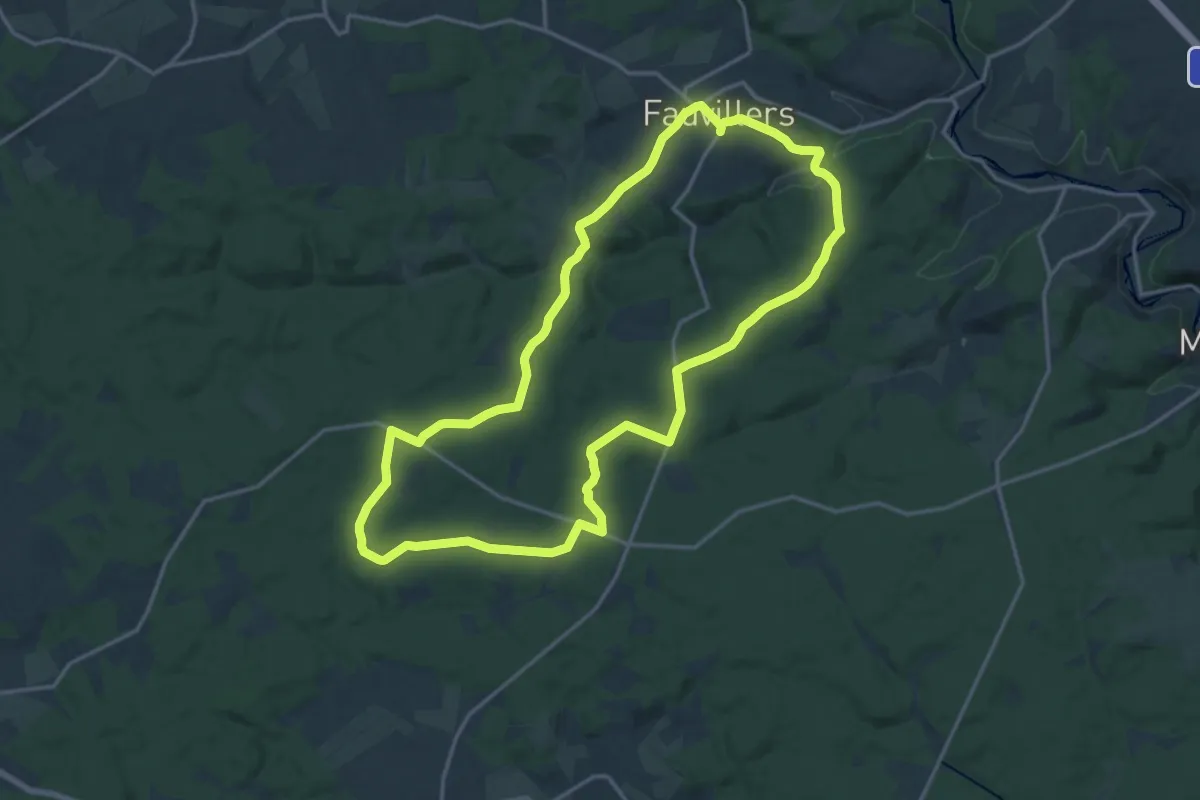
Medium · Trail
Trésor de la Misbour
15.4 km · ↑ 255 m · 4 h 25 min
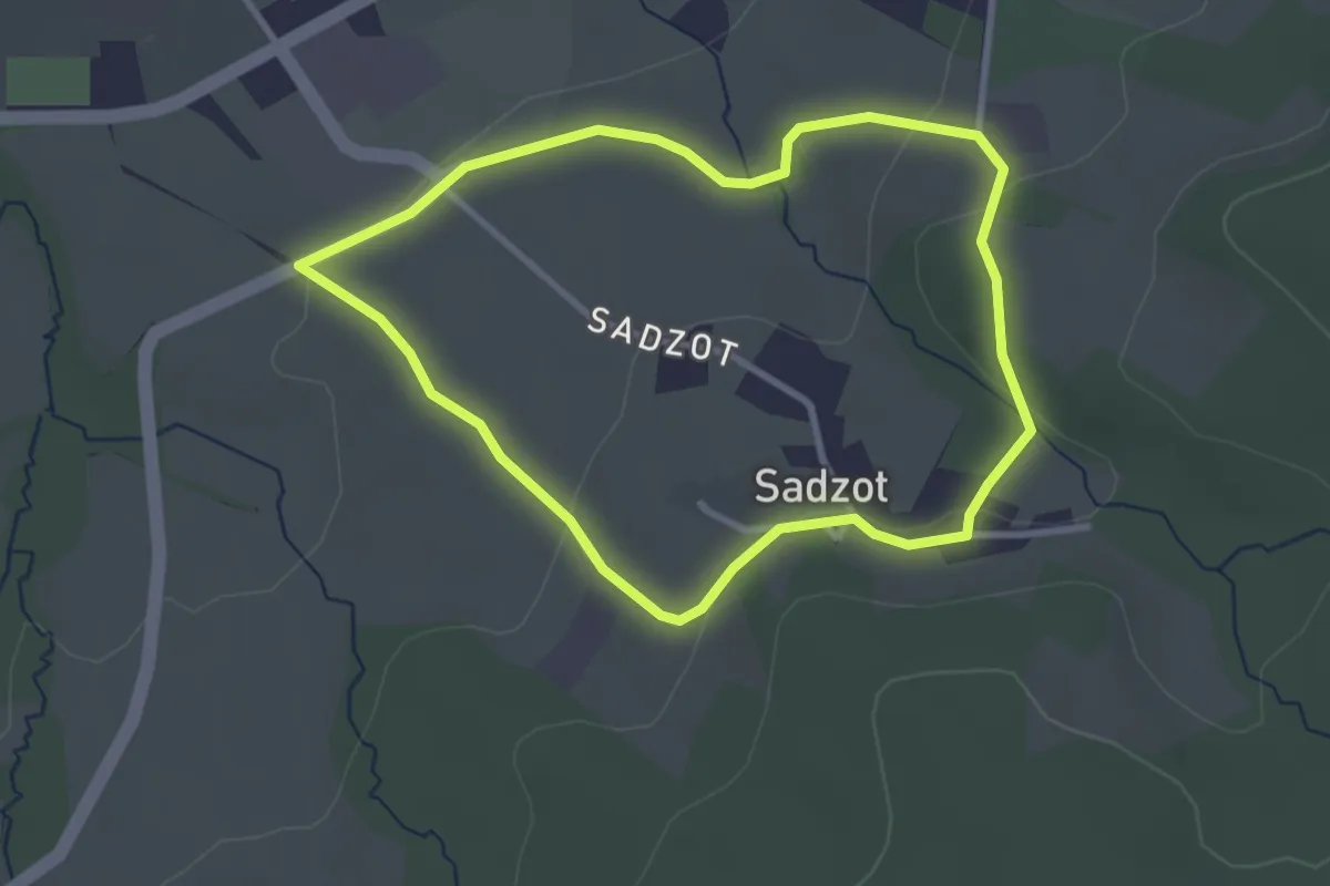
Easy · Trail
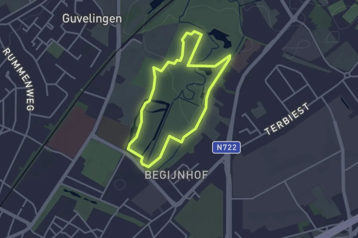
Trou du Loup
2.7 km · ↑ 49 m · 47 min
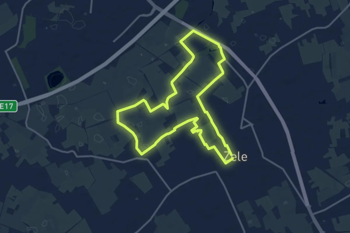
Easy · Trail
't Speelhof Rode pijl
2.4 km · ↑ 4 m · 36 min
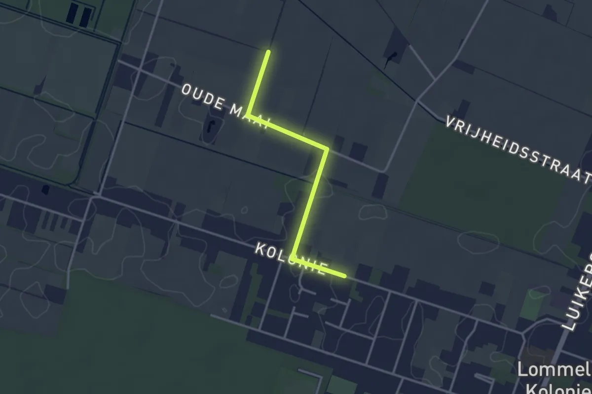
Medium · Trail
Tuymelaerspad
8.3 km · ↑ 5 m · 2 h 5 min
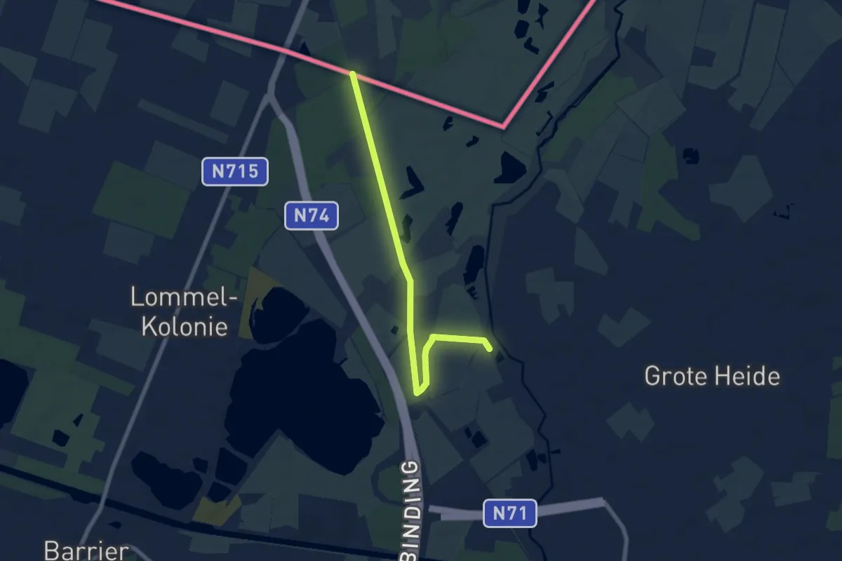
Easy · Trail
't Wateringpad aanlooproute
2.5 km · ↑ 0 m · 36 min
Easy · Trail
't Wateringpad aanlooproute
6.1 km · ↑ 13 m · 1 h 28 min
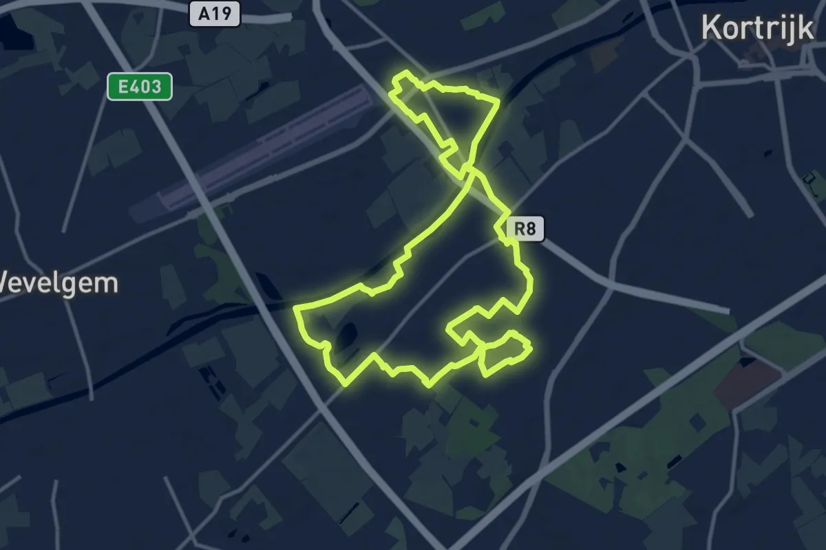
Medium · Trail
Twee bekenwandelroute
11.7 km · ↑ 31 m · 2 h 59 min
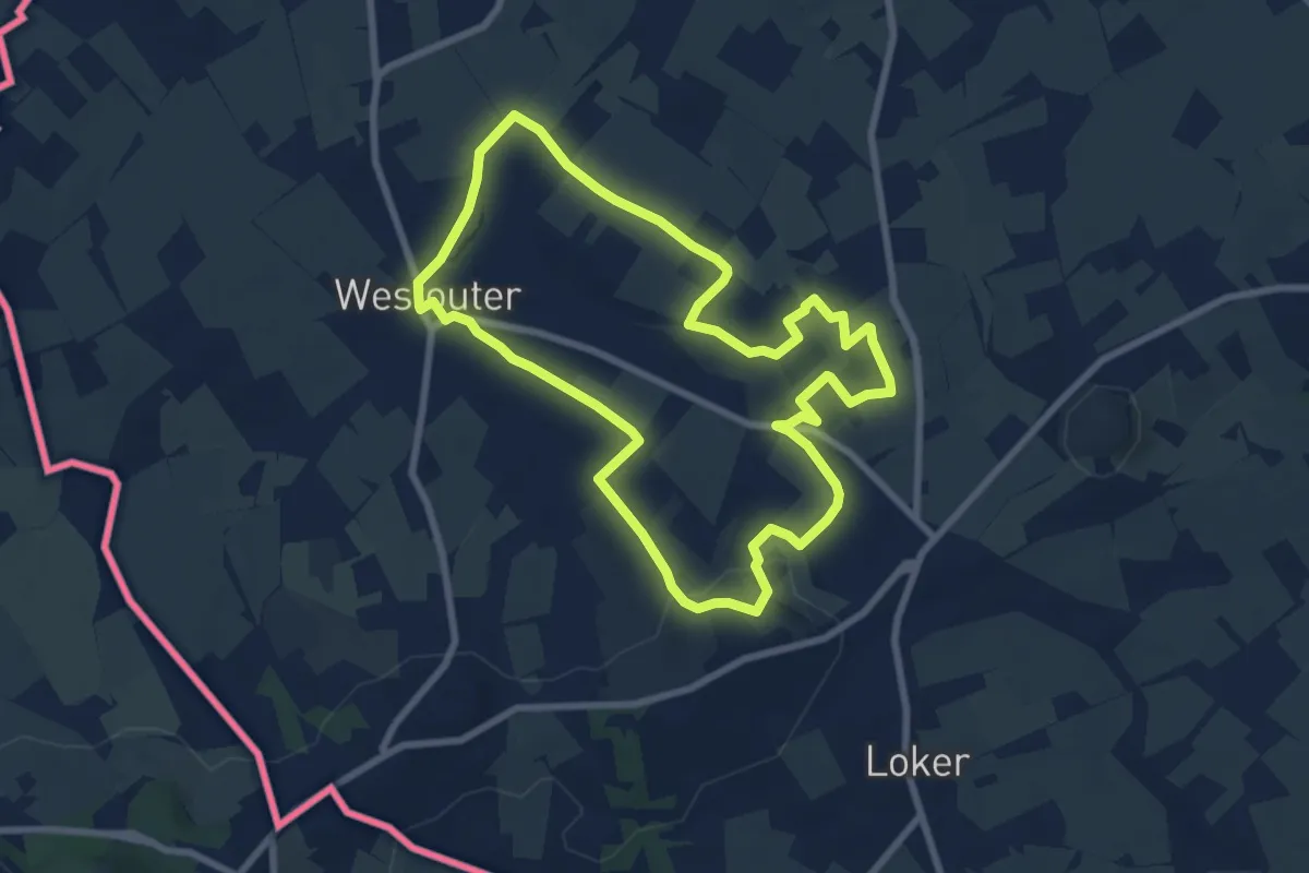
Easy · Summit
Tweebergen wandelroute
7.3 km · ↑ 103 m · 2 h 2 min
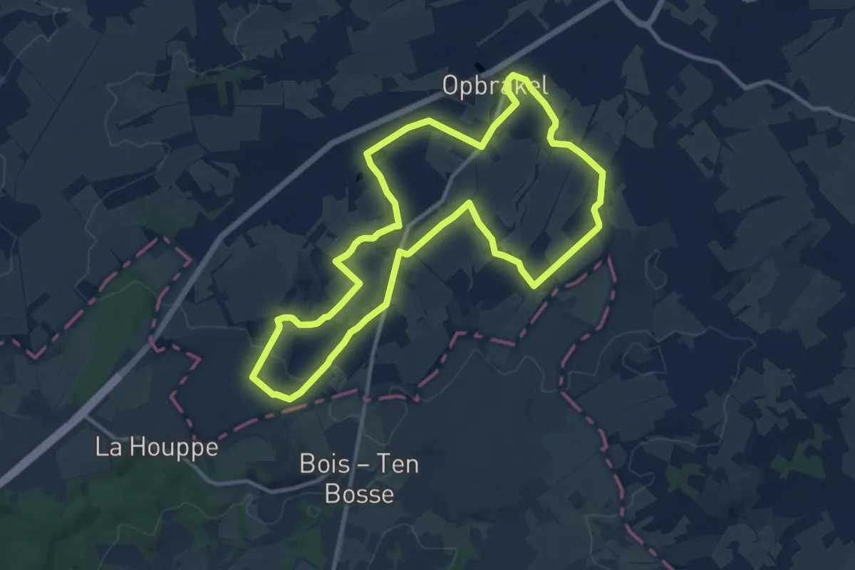
Medium · Trail
Tweebossenpad
9.9 km · ↑ 106 m · 2 h 43 min
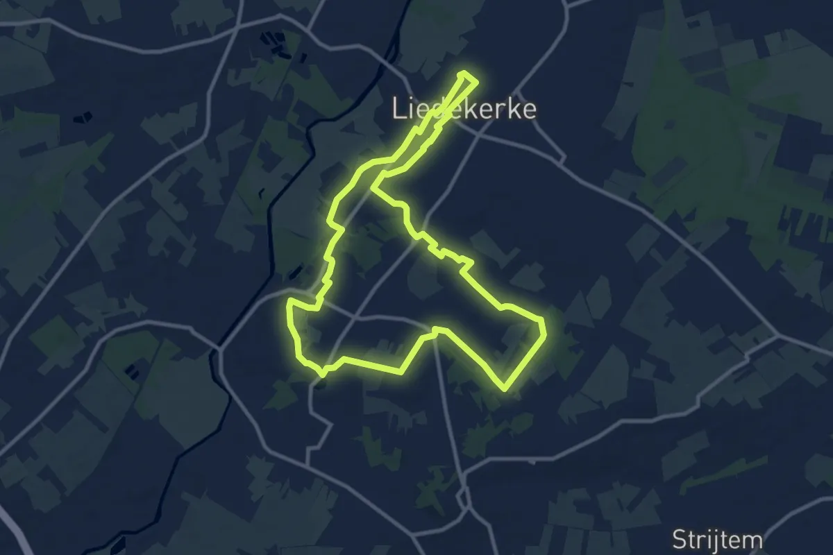
Medium · Trail
Tweedorpenwandeling
9.5 km · ↑ 39 m · 2 h 27 min
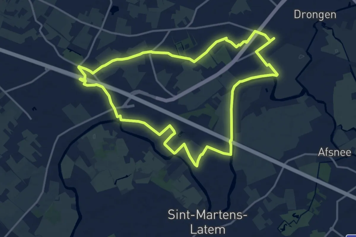
Medium · Trail
Tweekerkenpad
10.6 km · ↑ 4 m · 2 h 40 min
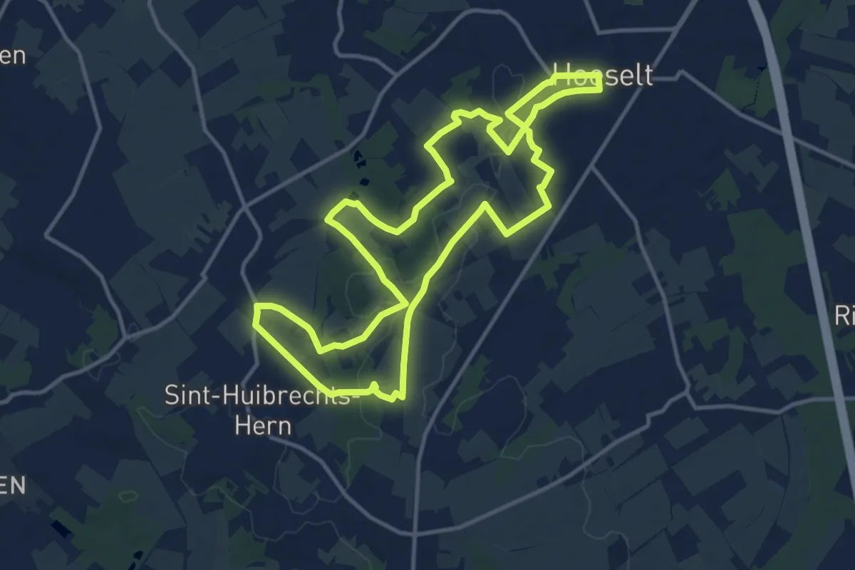
Medium · Trail
Twee kruizenwandeling Hoeselt
11.2 km · ↑ 95 m · 3 h
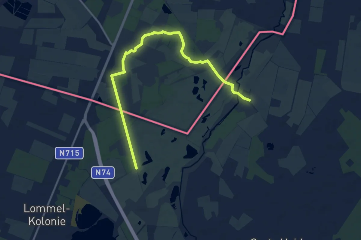
Medium · Trail
Tweelandenpad
9.5 km · ↑ 13 m · 2 h 16 min
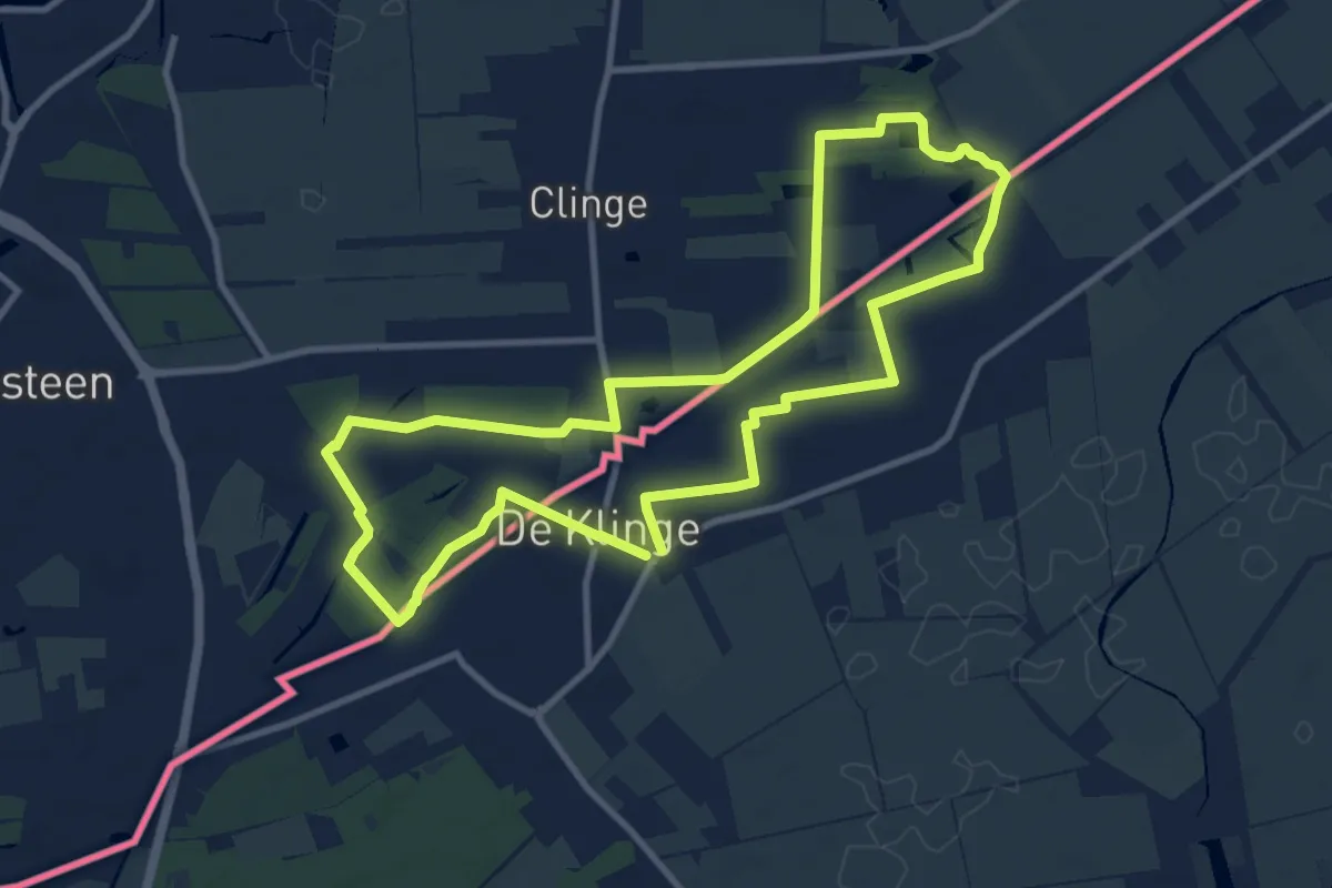
Medium · Trail
Tweelandenroute
9.4 km · ↑ 13 m · 2 h 23 min