Trails in Belgium
3,383 hiking trails, each with its route, climb, walking time and grade.
All trails, page 59 of 71
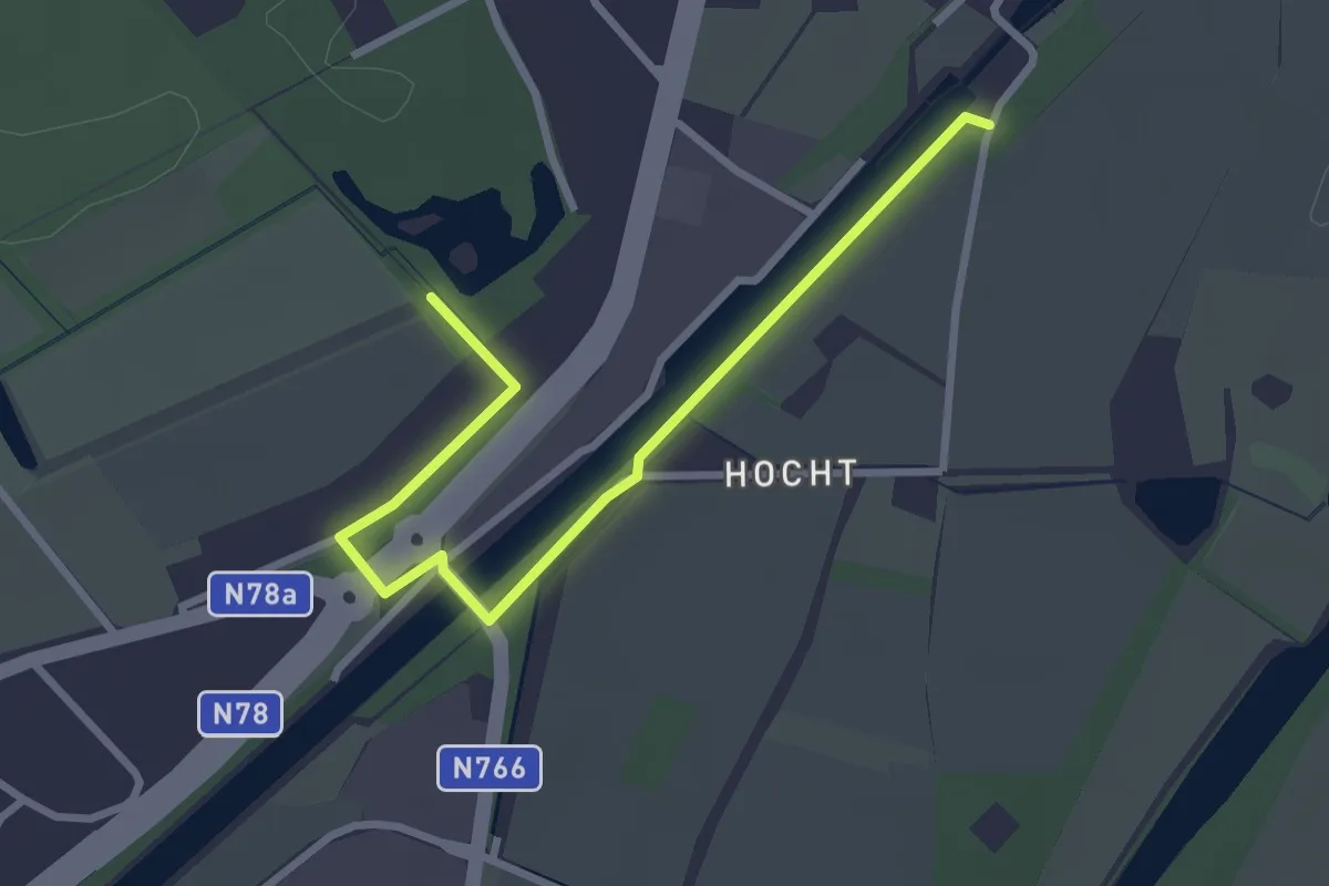
Easy · Trail
Verbinding Pietersheim - Oud-Rekem
2.9 km · ↑ 0 m · 41 min
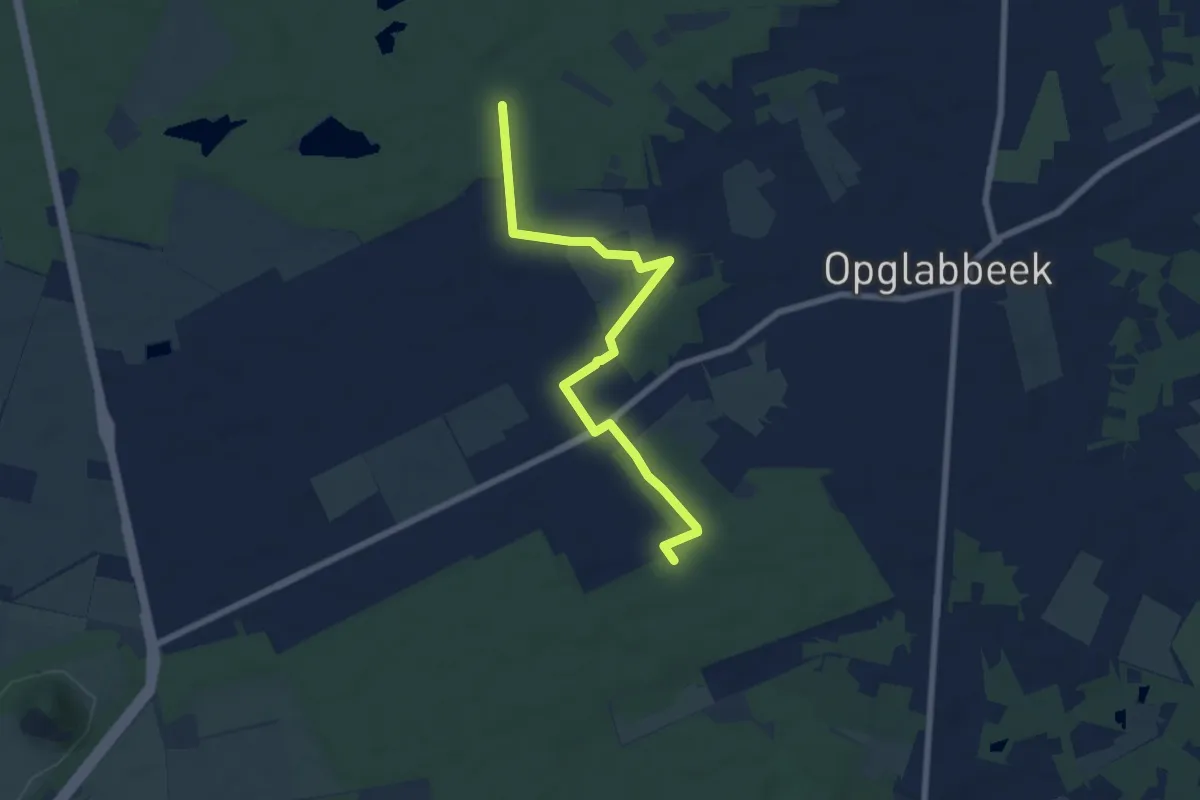
Easy · Trail
Verbinding Roexeinde - Donderslag
6.7 km · ↑ 21 m · 1 h 38 min
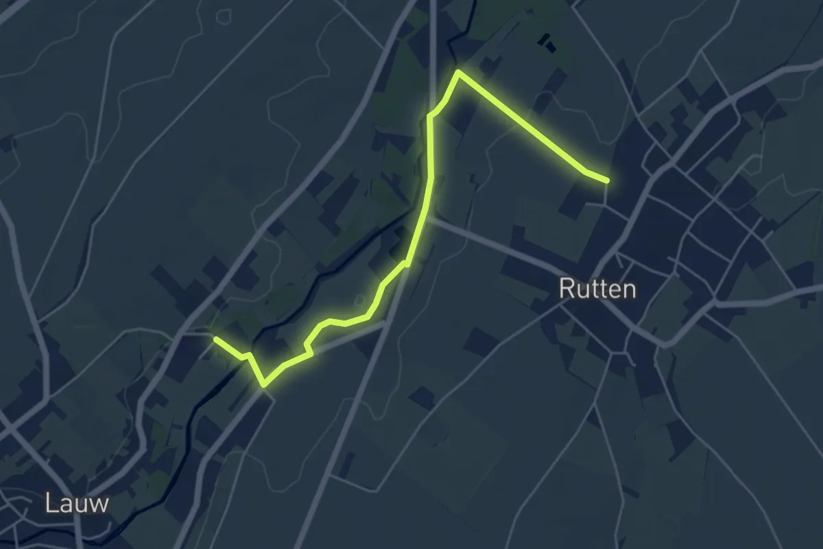
Easy · Trail
verbinding Rutten-Lauw
5.0 km · ↑ 25 m · 1 h 13 min
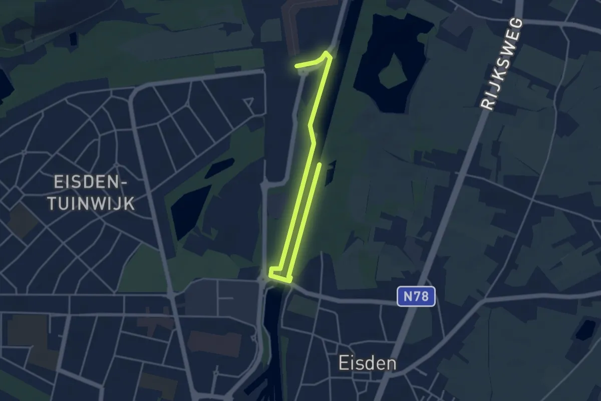
Easy · Trail
Verbinding Terhills - Leut
4.4 km · ↑ 9 m · 1 h 3 min
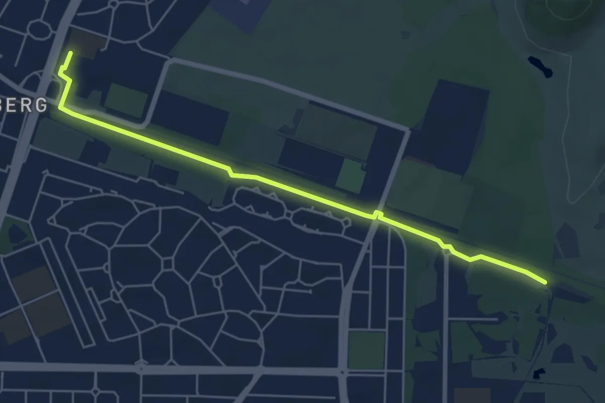
Easy · Trail
Verbinding Thorpark - Zwartberg
4.9 km · ↑ 8 m · 1 h 10 min
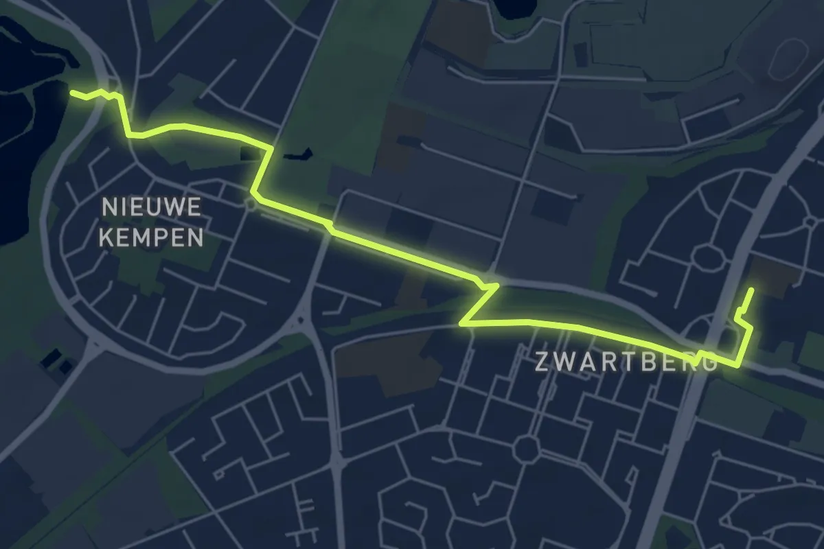
Easy · Trail
Verbinding Zwartberg - Hengelhoef
5.9 km · ↑ 8 m · 1 h 25 min
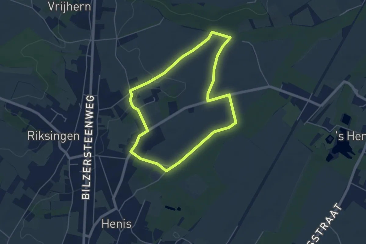
Easy · Trail
Verhenis
4.0 km · ↑ 31 m · 1 h 4 min
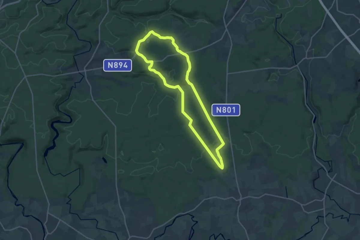
Medium · Trail
Vers la Verte Ardenne
14.6 km · ↑ 267 m · 4 h 13 min
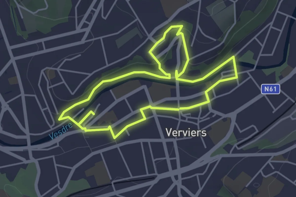
Easy · Trail
Verviers : Les Récollets & les Tailles
3.7 km · ↑ 76 m · 1 h 5 min
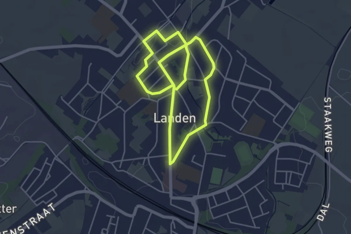
Easy · Trail
Vestenwandeling
3.4 km · ↑ 18 m · 53 min
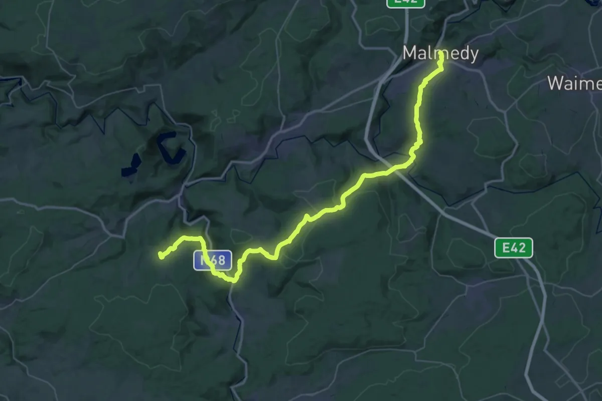
Demanding · Trail
Via Arduinna - branche Malmedy
21.8 km · ↑ 598 m · 6 h 42 min
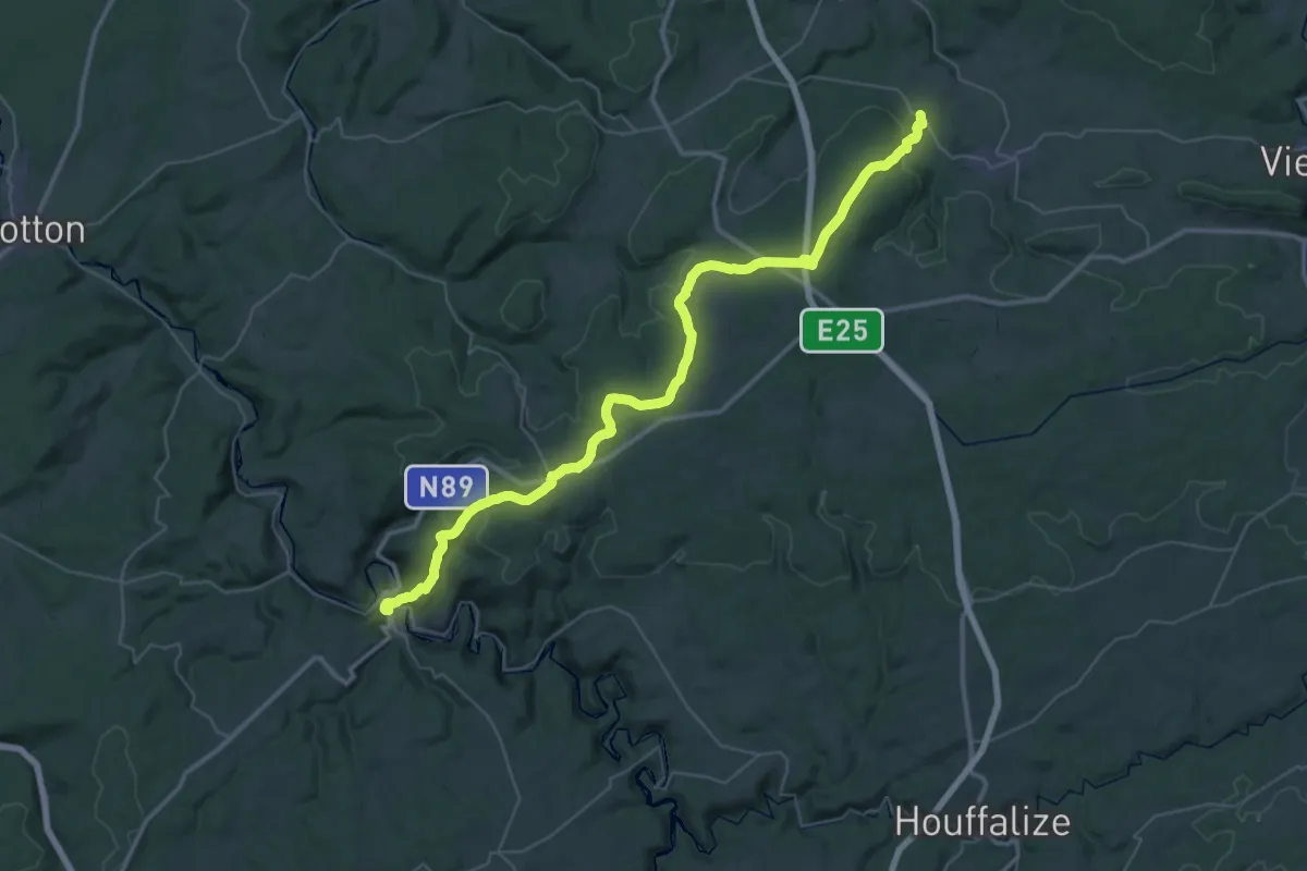
Demanding · Trail
Via Arduinna - de Jevigné à La Roche
23.2 km · ↑ 333 m · 6 h 37 min
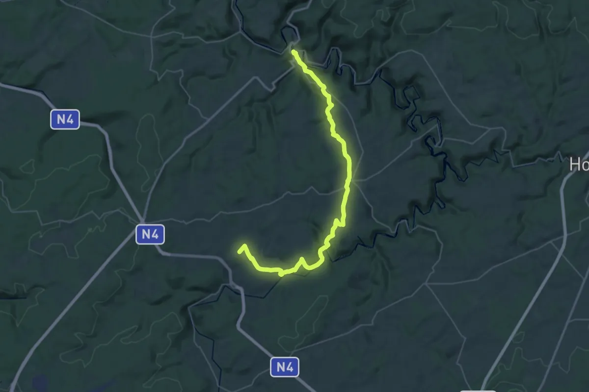
Demanding · Trail
Via Arduinna - de La Roche à Tenneville
18.5 km · ↑ 317 m · 5 h 24 min
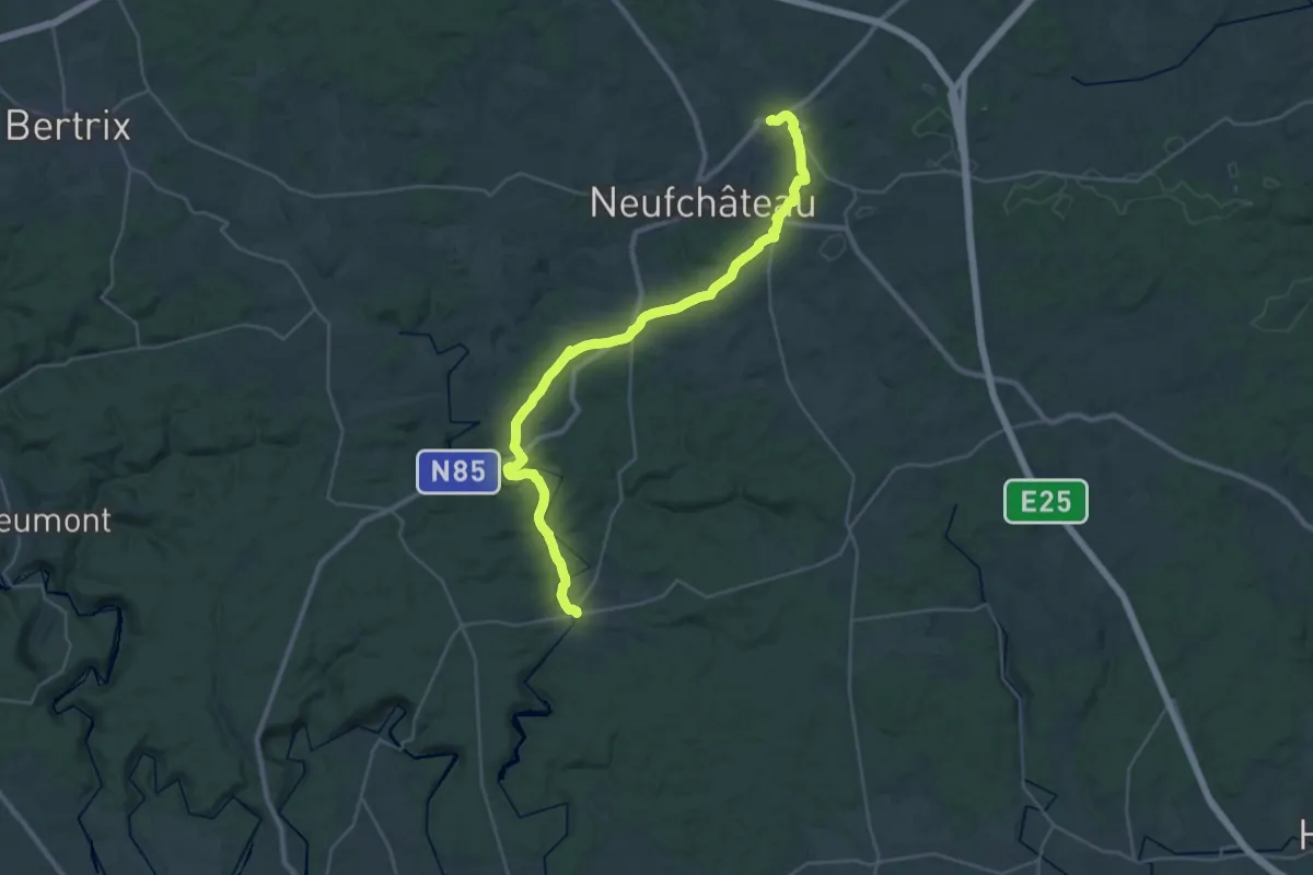
Medium · Trail
Via Arduinna - de Longlier à Suxy
15.7 km · ↑ 159 m · 4 h 19 min
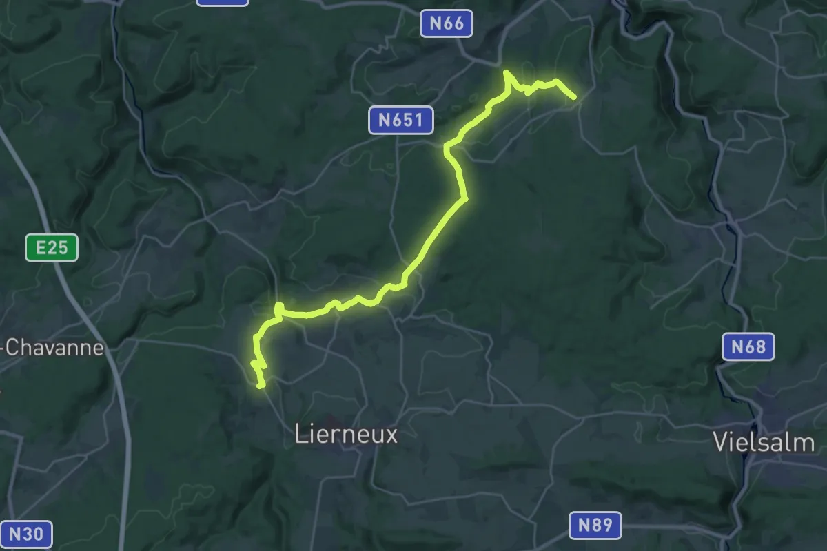
Demanding · Trail
Via Arduinna - de Saint-Jacques à Jevigné
26.7 km · ↑ 545 m · 7 h 29 min
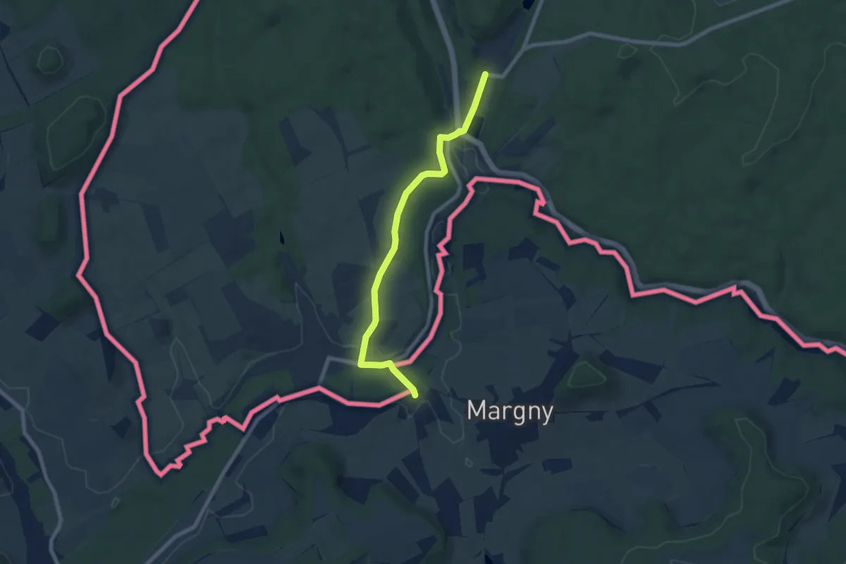
Easy · Trail
Via Arduinna - de Suxy à Le Quinze
6.5 km · ↑ 110 m · 1 h 46 min
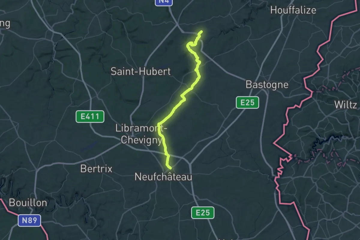
Demanding · Trail
Via Arduinna - de Tenneville à Longlier
37.1 km · ↑ 514 m · 10 h 24 min
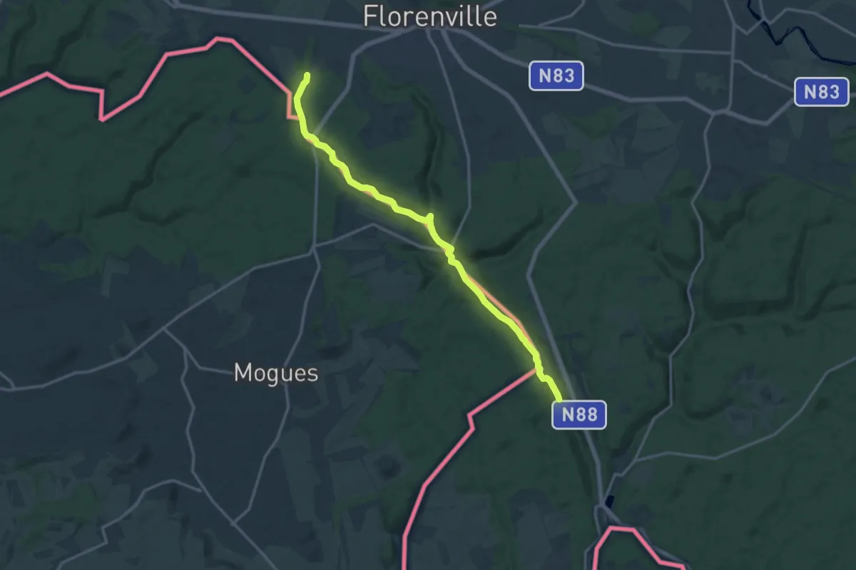
Medium · Trail
Via Arduinna - variante Martué
13.9 km · ↑ 228 m · 3 h 46 min
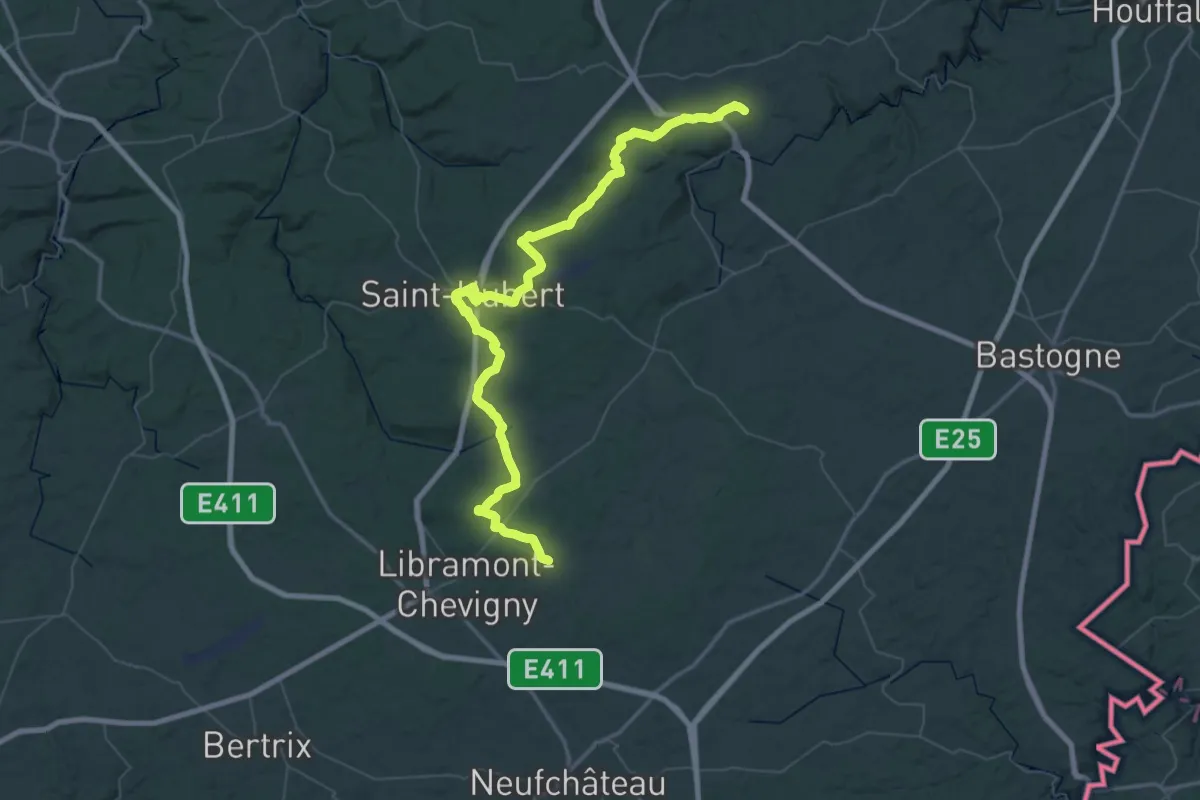
Demanding · Trail
Via Arduinna - variante Saint-Hubert
36.6 km · ↑ 497 m · 10 h 16 min
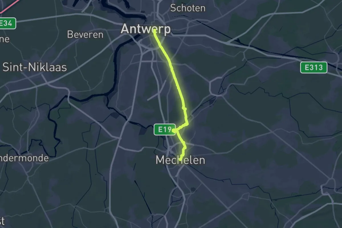
Demanding · Trail
Via Brabantica, Antwerpen - Mechelen (variant)
27.3 km · ↑ 44 m · 6 h 55 min
Demanding · Trail
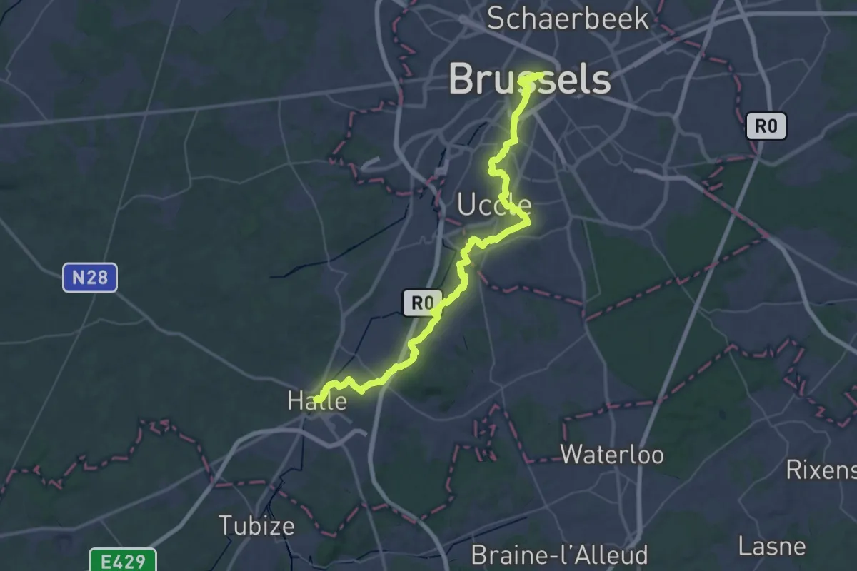
Via Brabantica, Brussels - Halle
23.5 km · ↑ 244 m · 6 h 24 min
Demanding · Trail
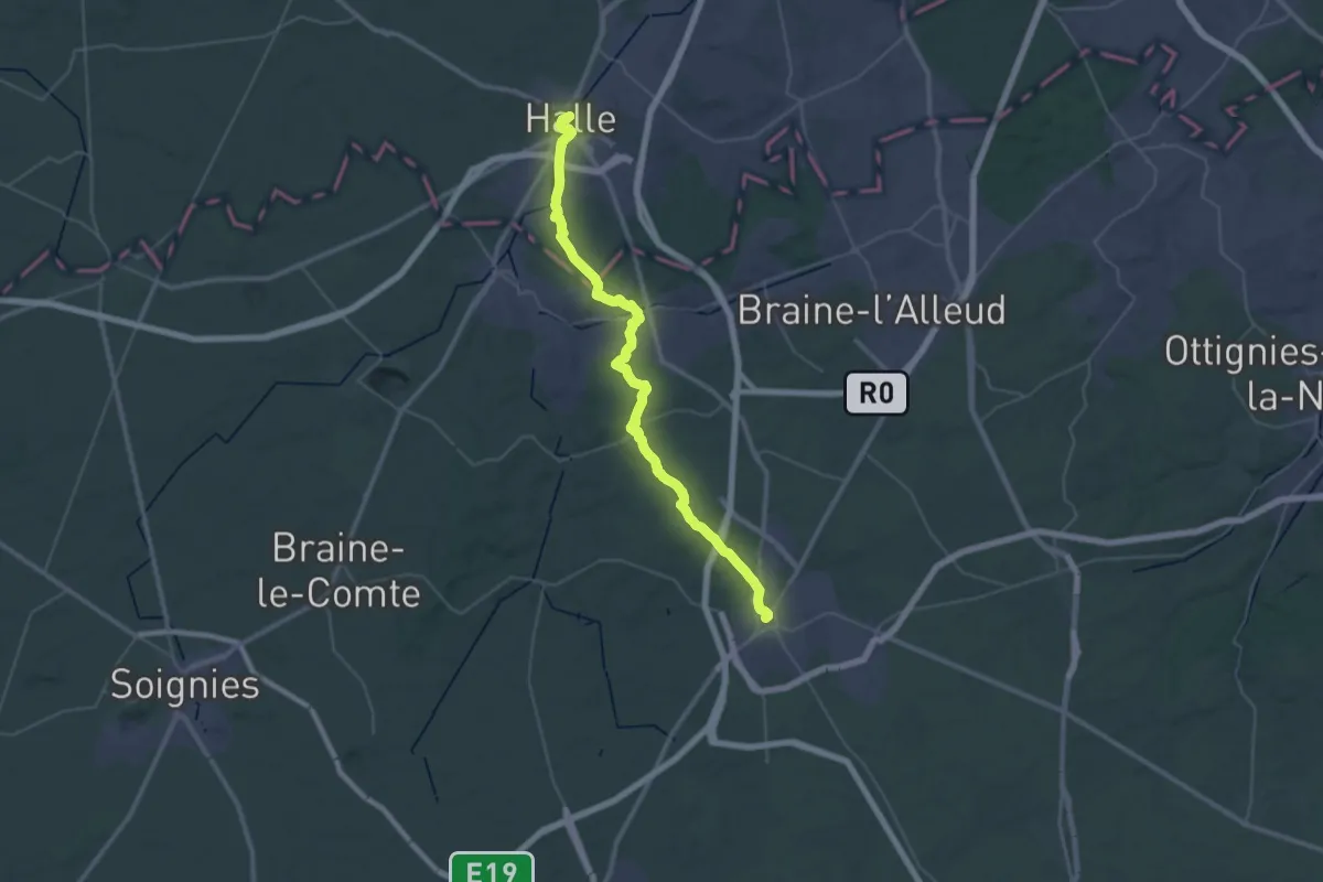
Via Brabantica, Halle - Nivelles
21.1 km · ↑ 314 m · 5 h 56 min
Medium · Trail
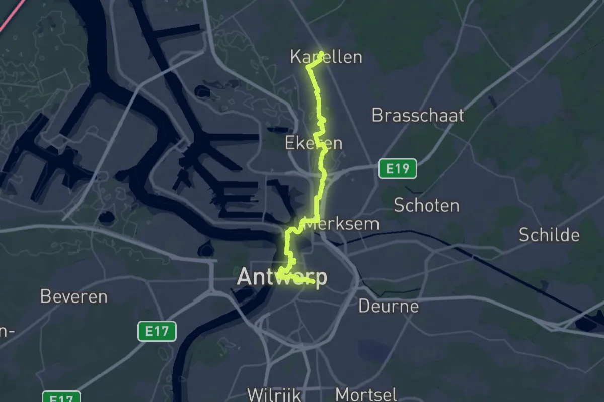
Via Brabantica, Kapellen - Antwerpen
17.2 km · ↑ 30 m · 4 h 22 min
Demanding · Trail
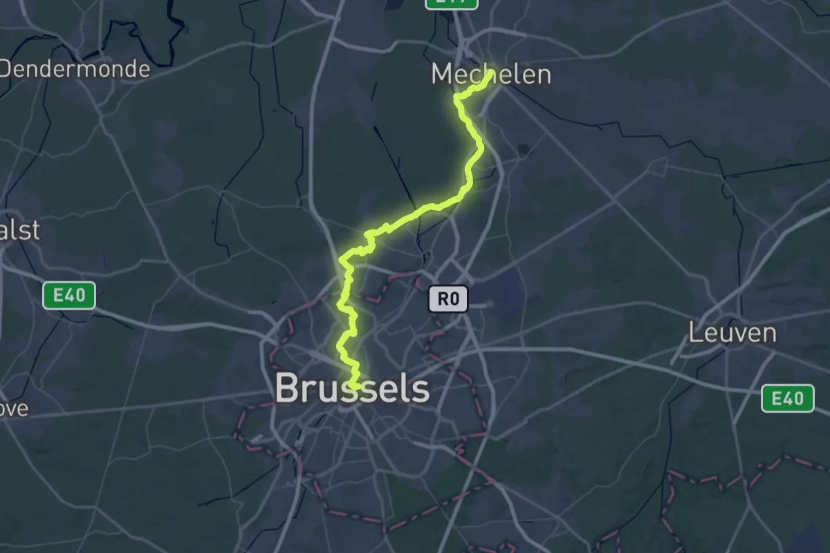
Via Brabantica, Mechelen - Brussels
34.3 km · ↑ 127 m · 8 h 52 min
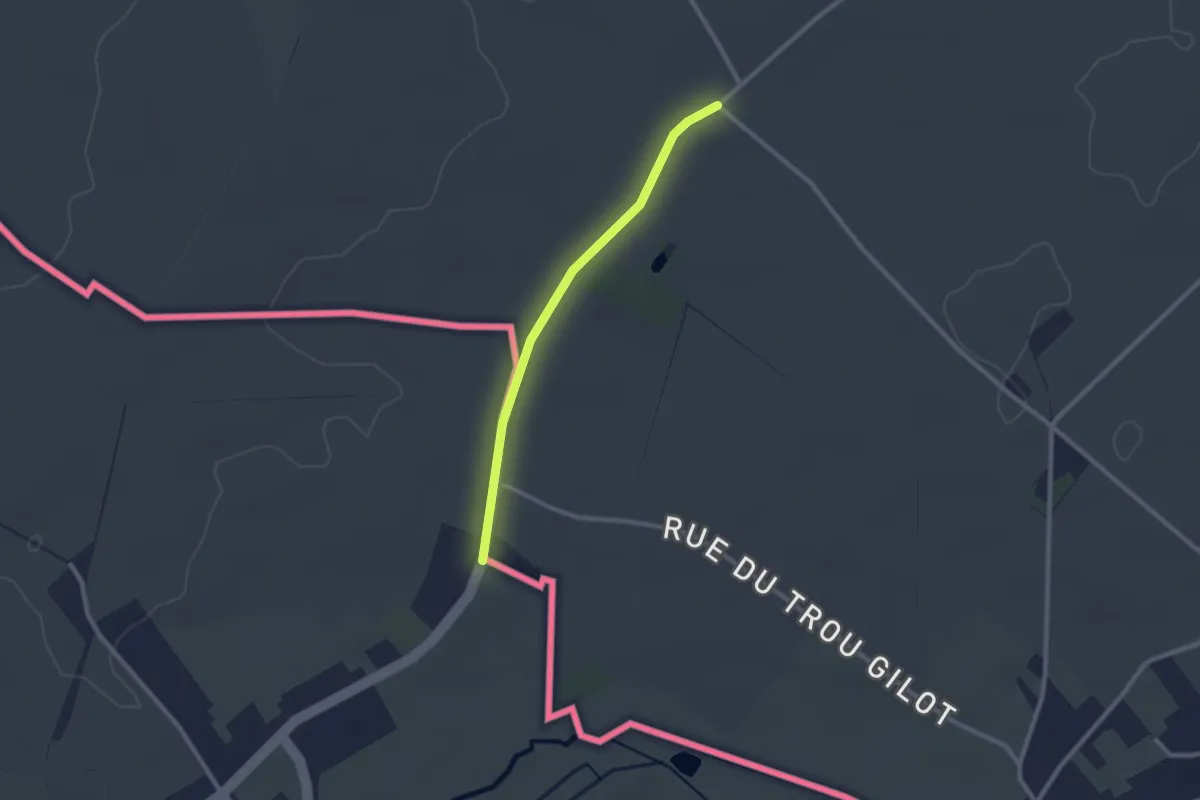
Easy · Trail
Via Brabantica, Nivelles - Vieux-Reng
2.0 km · ↑ 0 m · 29 min
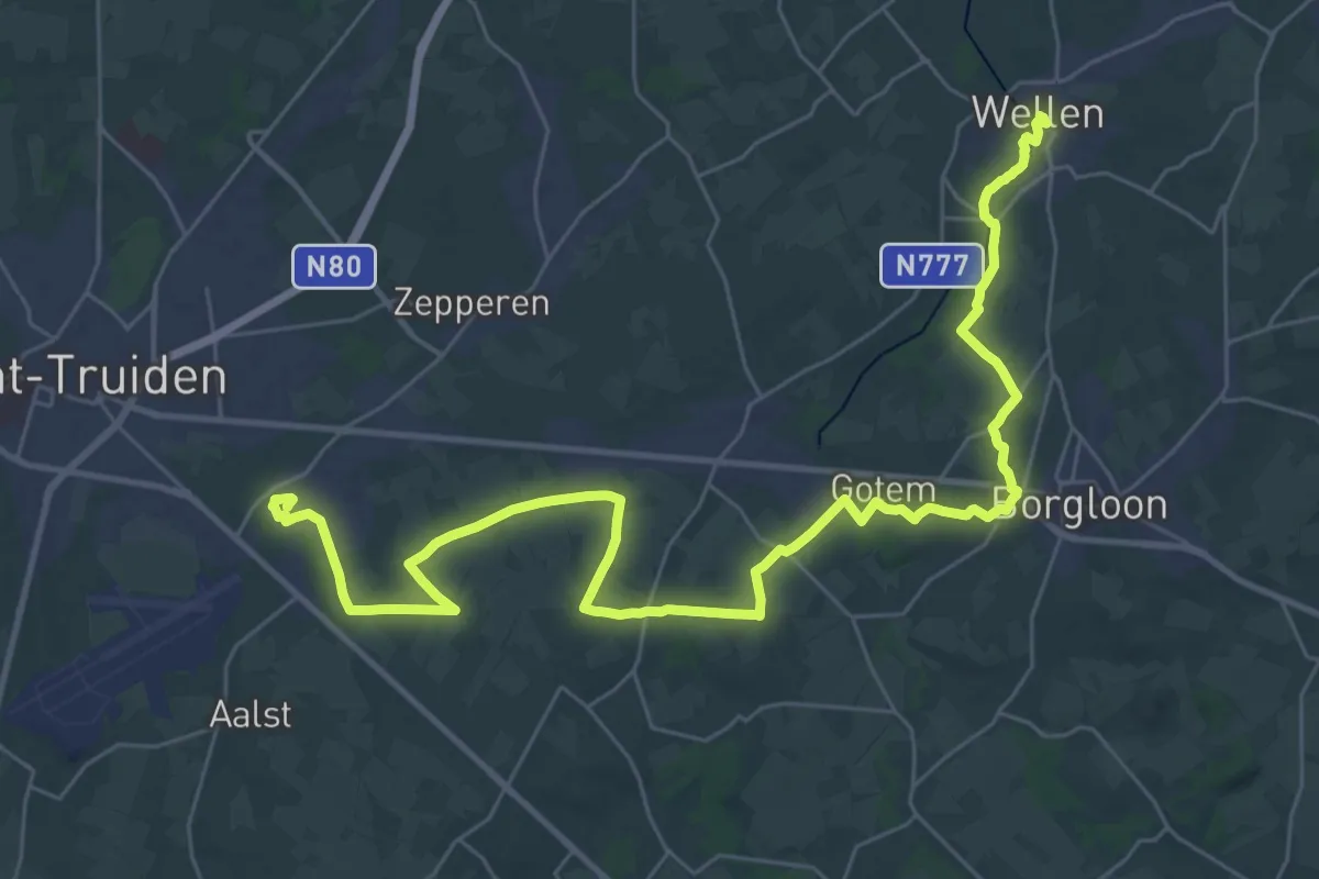
Demanding · Pilgrim path
Via Christina Maribilis - Van Brustem naar Wellen
19.6 km · ↑ 121 m · 5 h 10 min
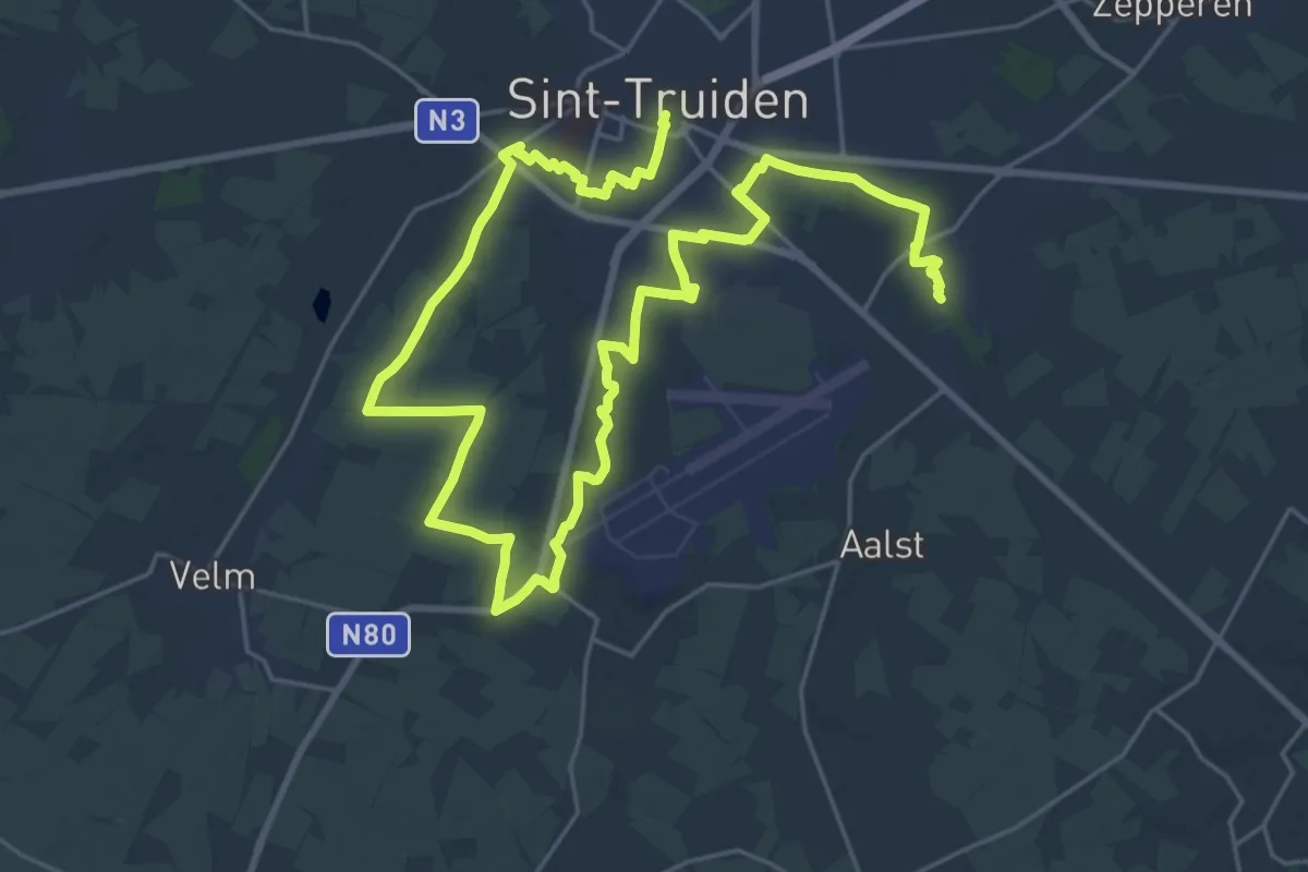
Medium · Pilgrim path
Via Christina Mirabilis - Van Sint-Truiden naar Brustem
17.7 km · ↑ 59 m · 4 h 33 min
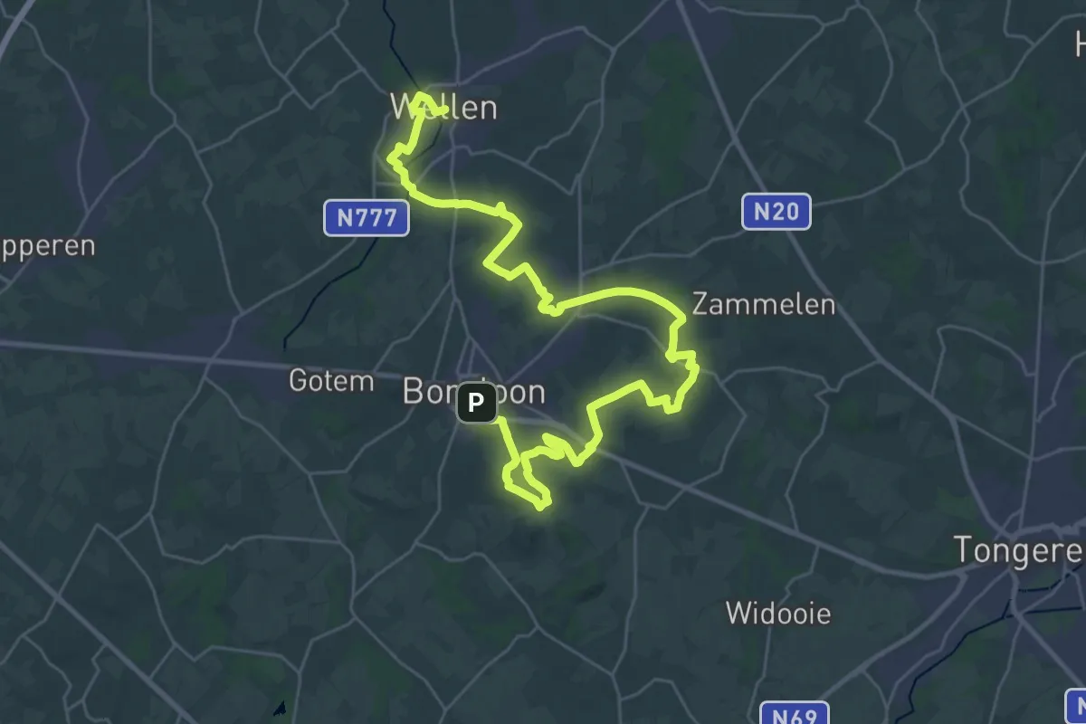
Demanding · Pilgrim path
Via Christina Mirabilis - Van Wellen naar Borgloon
19.4 km · ↑ 146 m · 5 h 12 min
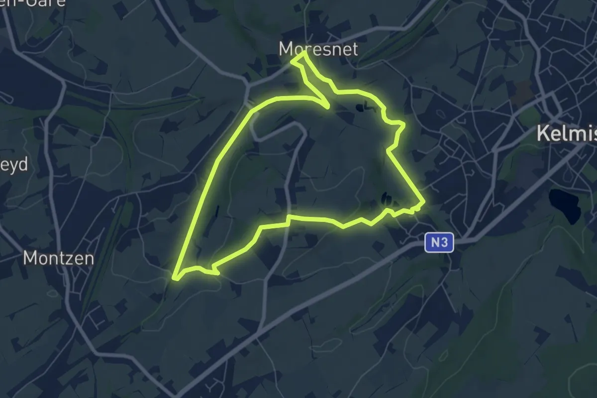
Easy · Trail
Viaduc
6.3 km · ↑ 71 m · 1 h 43 min
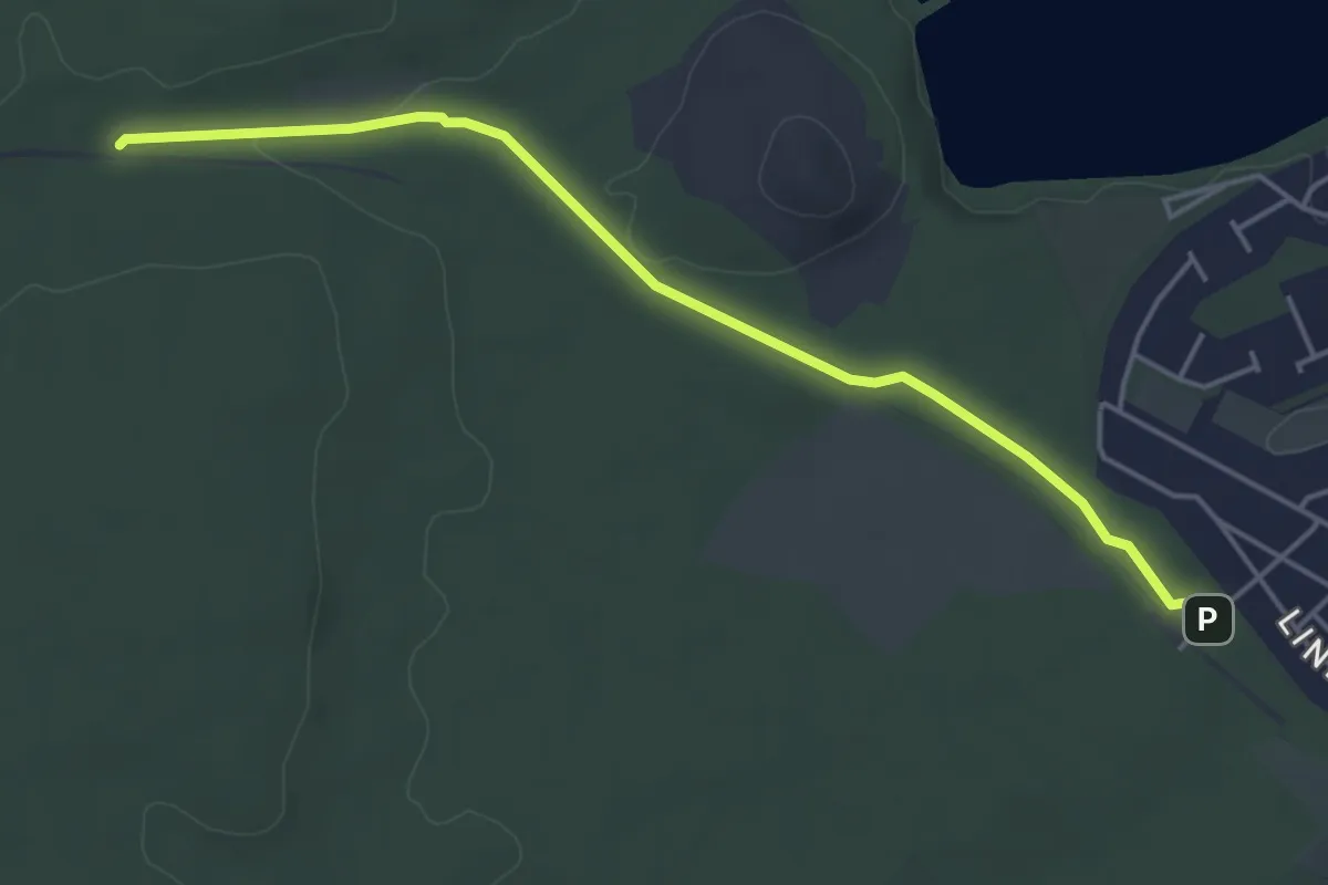
Easy · Trail
Via Kolenspoor
4.3 km · ↑ 22 m · 1 h 4 min
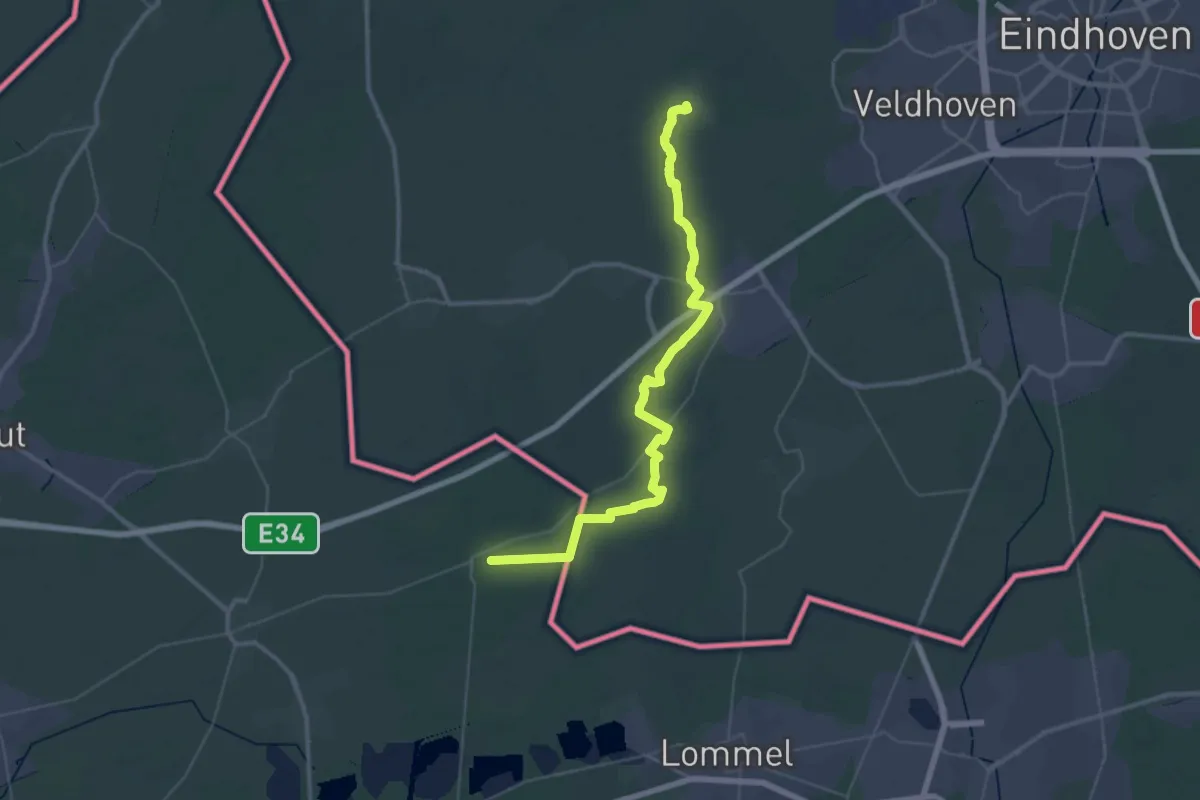
Demanding · Trail
Via Monastica
24.1 km · ↑ 39 m · 6 h 7 min
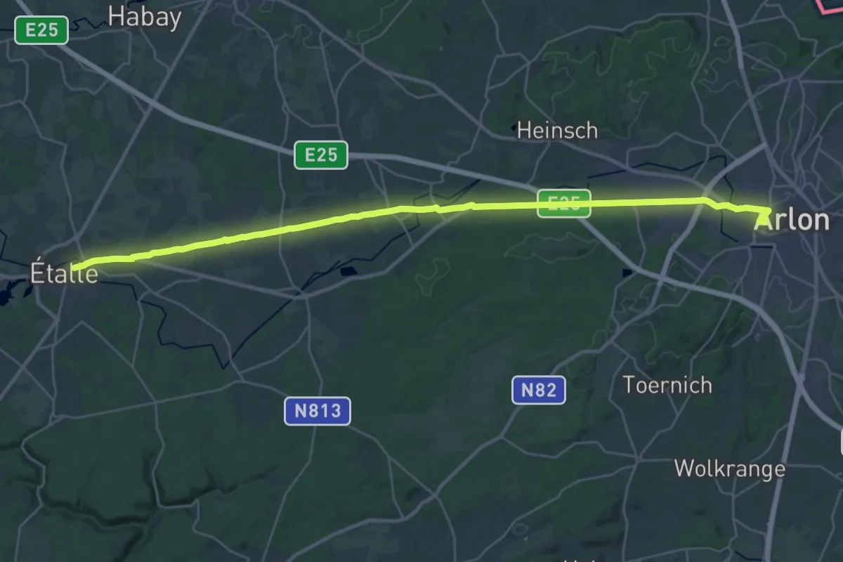
Medium · Pilgrim path
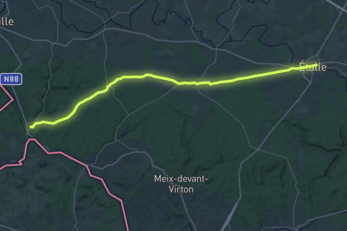
Via Sancti Martini HW-50-02 Arlon - Etalle
15.8 km · ↑ 152 m · 4 h 14 min
Demanding · Pilgrim path
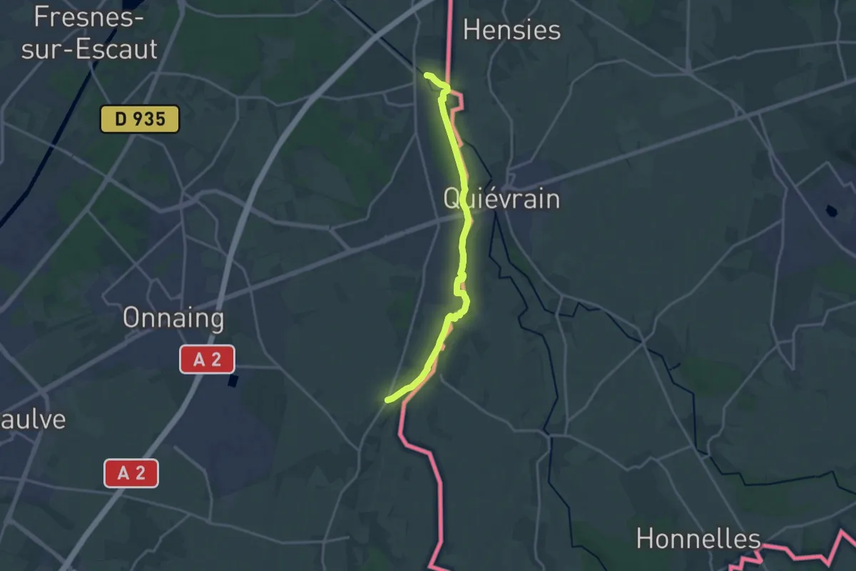
Via Sancti Martini HW-50-03 Etalle - Villers-devant-Orval
19.9 km · ↑ 220 m · 5 h 23 min
Medium · Trail
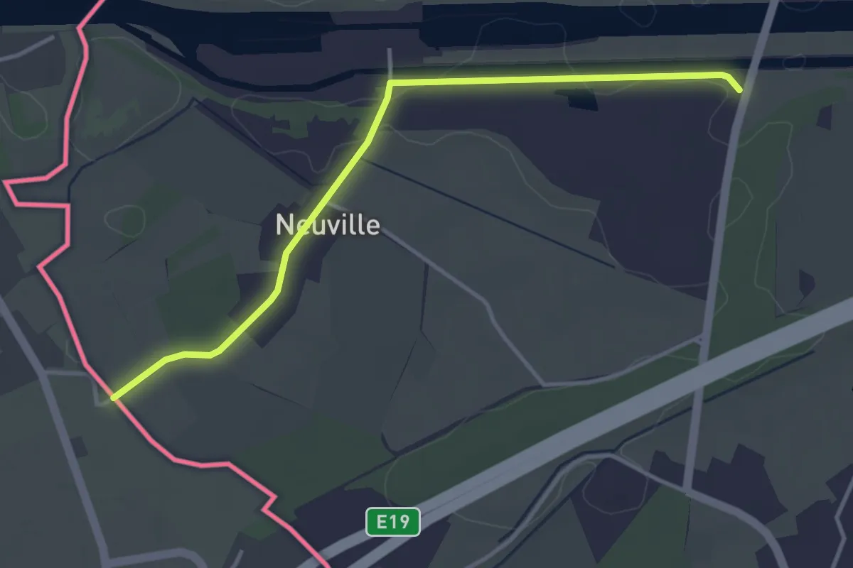
Via Septemtriones Templi
14.1 km · ↑ 30 m · 3 h 24 min
Easy · Trail
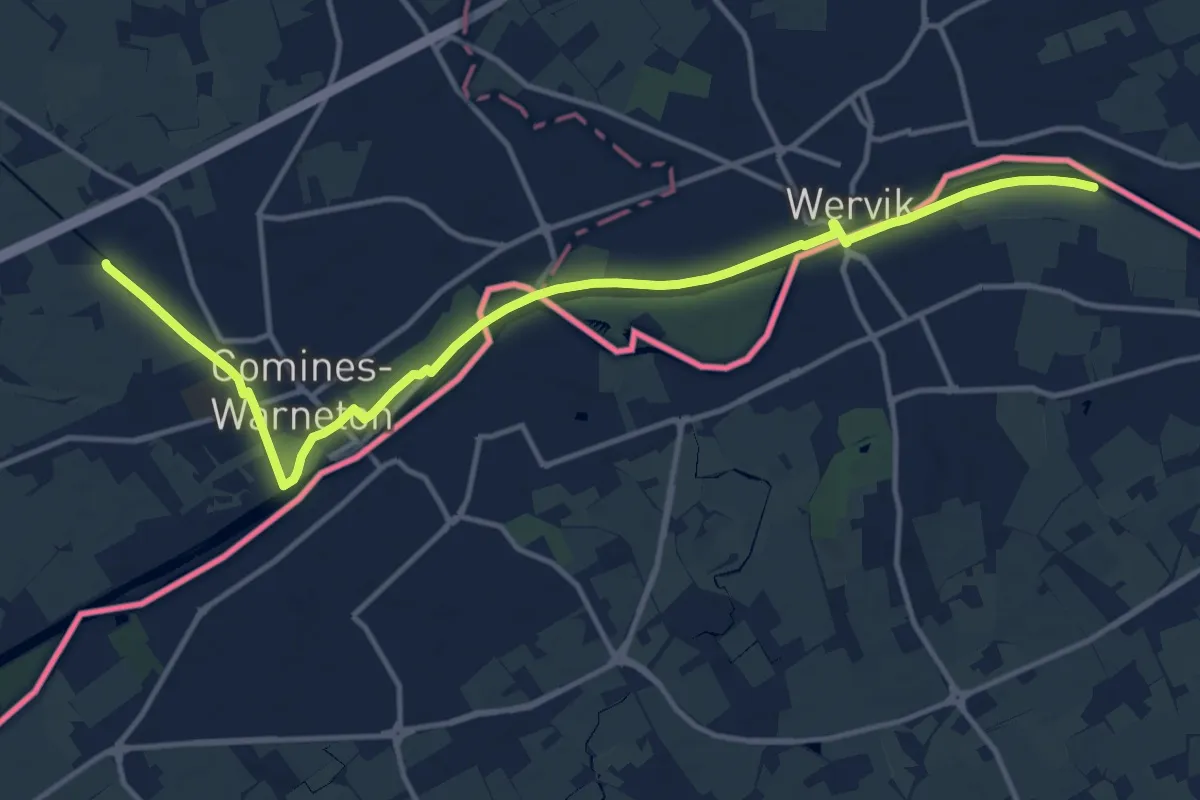
Via Tenera
3.5 km · ↑ 4 m · 51 min
Medium · Trail
Via Yprensis - hoofdtraject
14.2 km · ↑ 19 m · 3 h 23 min
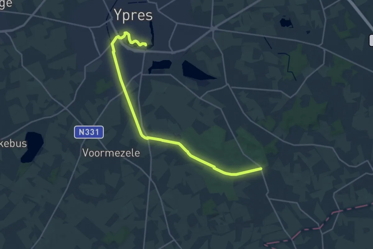
Medium · Trail
Via Yprensis - variante Bijlanderpad
16.0 km · ↑ 45 m · 3 h 52 min
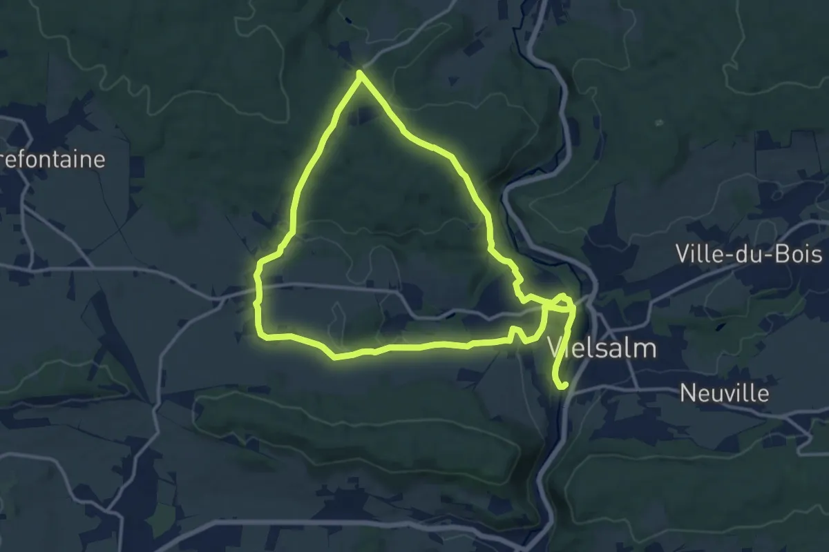
Demanding · Trail
Vielsalm bleu
22.4 km · ↑ 453 m · 6 h 16 min
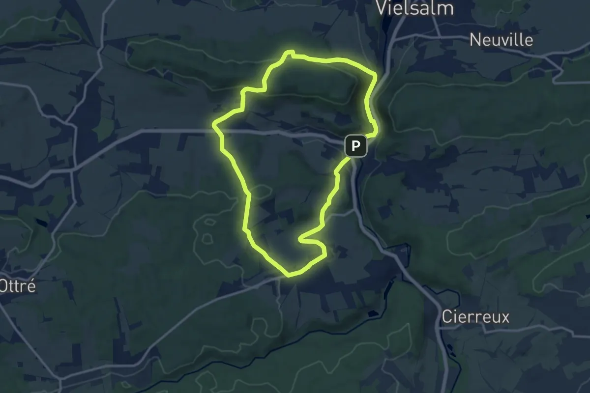
Medium · Trail
Vielsalm jaune
9.7 km · ↑ 280 m · 3 h 2 min
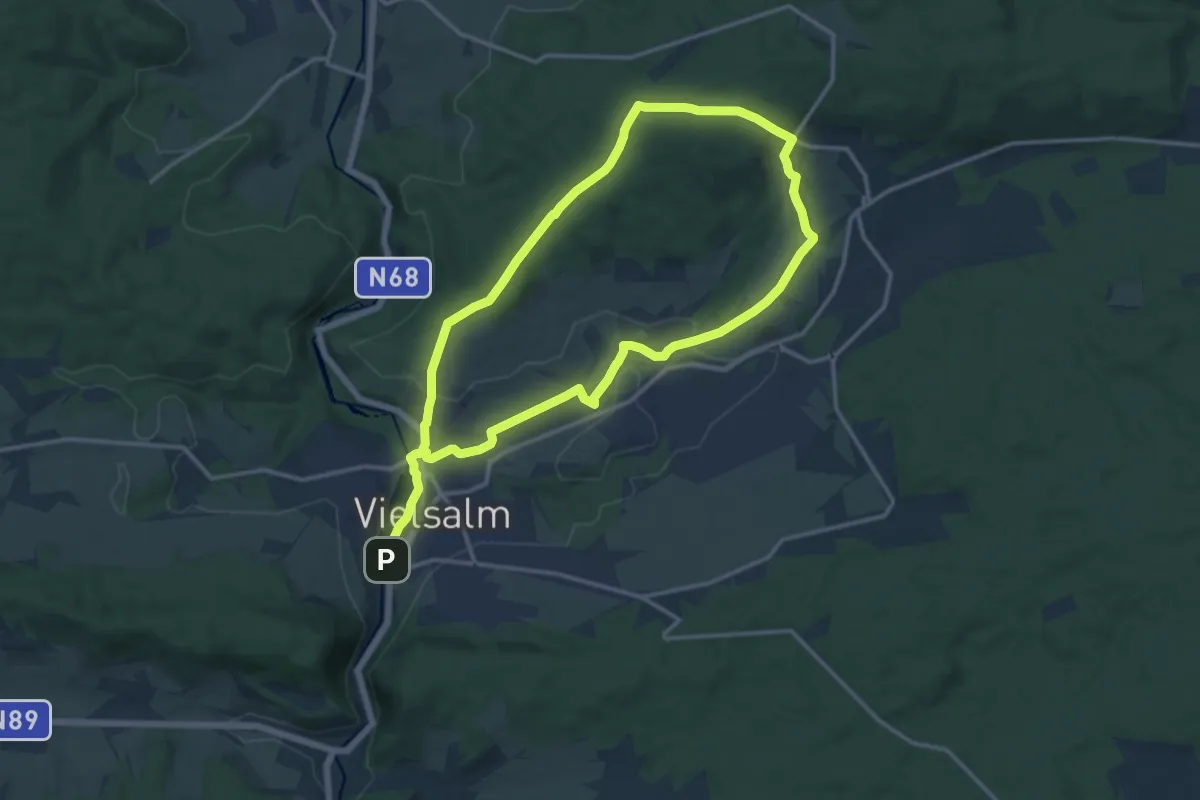
Demanding · Trail
Vielsalm rouge
23.0 km · ↑ 446 m · 6 h 24 min
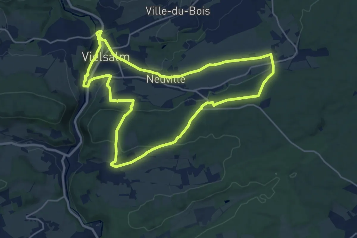
Medium · Summit
Vielsalm vert
13.1 km · ↑ 291 m · 3 h 54 min
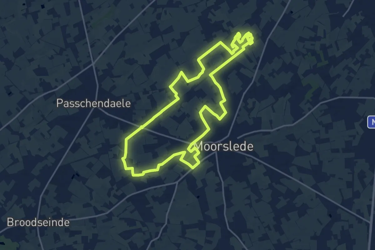
Medium · Trail
Vierkavenbos
14.3 km · ↑ 53 m · 3 h 41 min
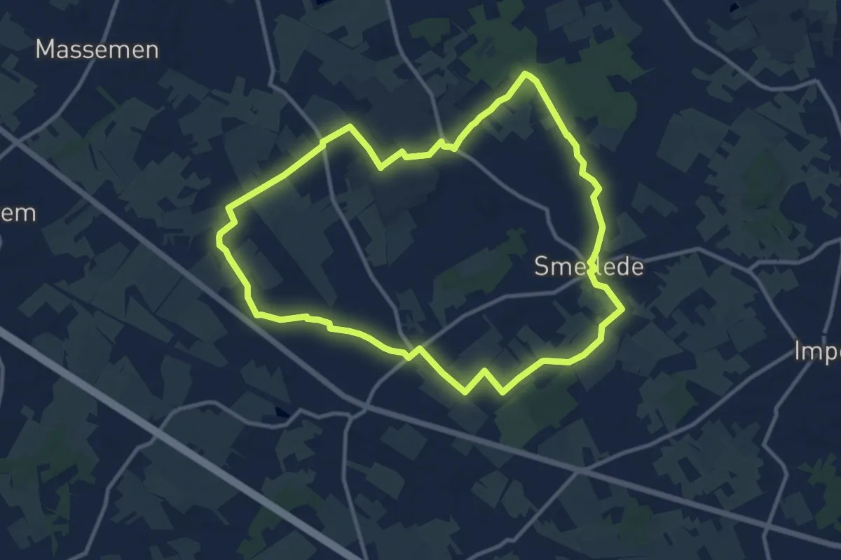
Medium · Trail
Vier Uiterstenroute (lus 1)
9.7 km · ↑ 42 m · 2 h 30 min
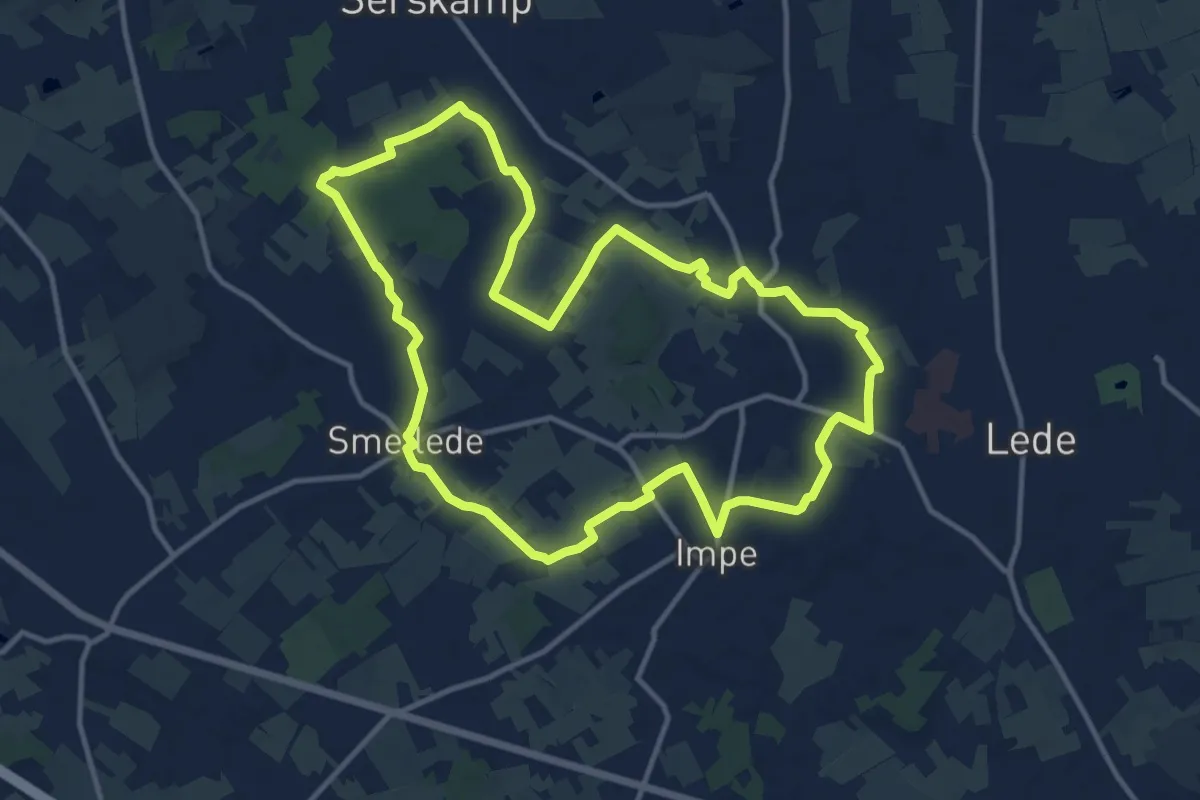
Medium · Trail
Vier Uiterstenroute (lus 2)
11.7 km · ↑ 34 m · 3 h
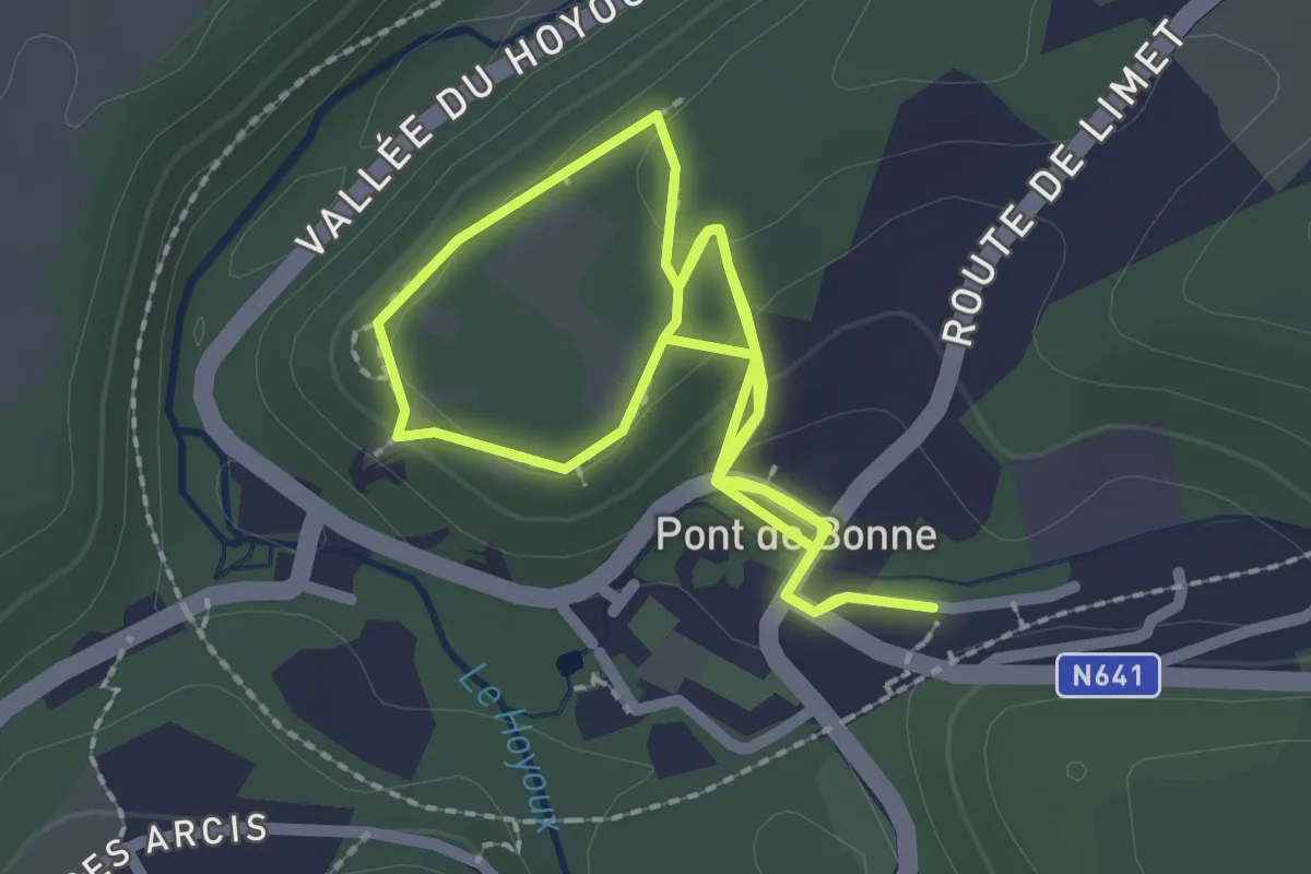
Easy · Trail
Vieux-Château
2.1 km · ↑ 62 m · 38 min
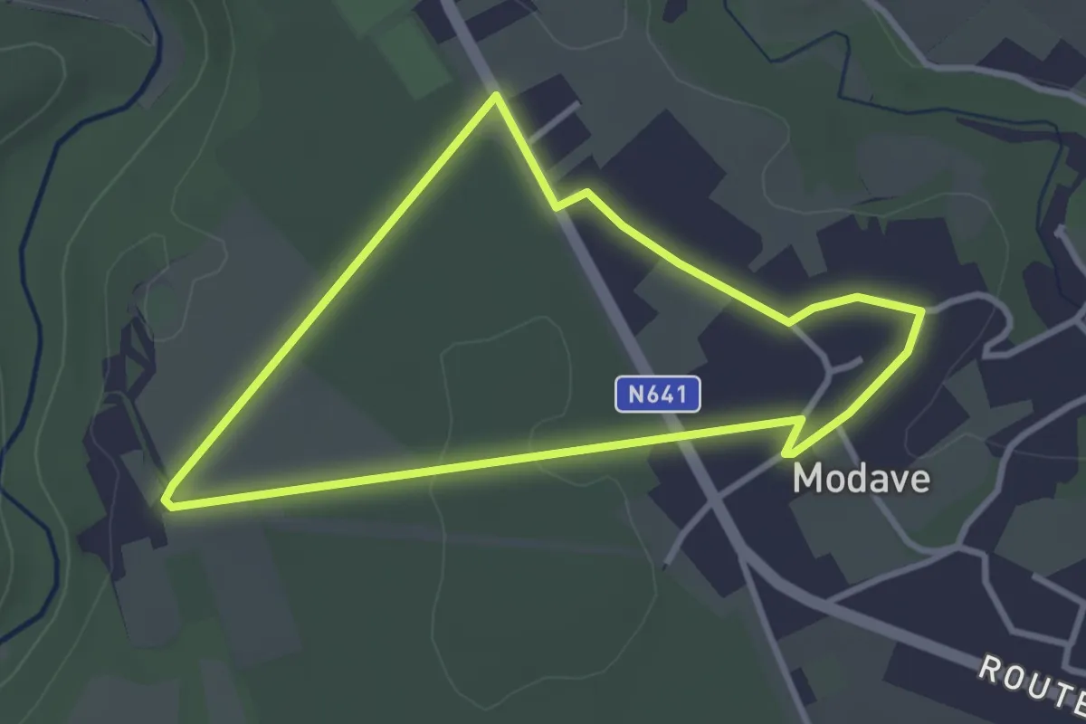
Easy · Trail
Village de Modave
2.7 km · ↑ 26 m · 44 min
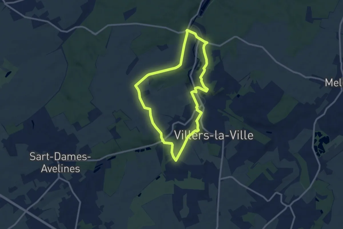
Easy · Trail
Villers par Monts et par Vaux
7.0 km · ↑ 77 m · 1 h 55 min
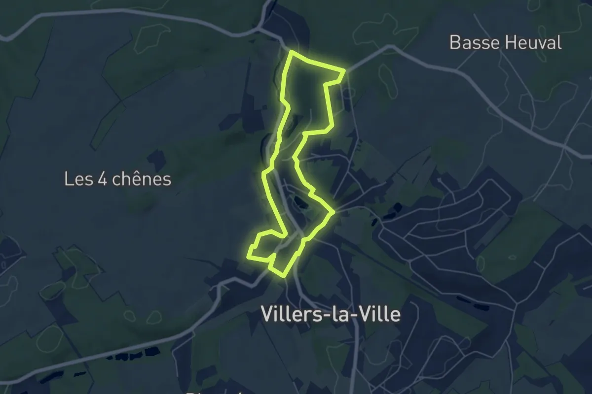
Easy · Trail
Villers par Rues et Chemins
4.6 km · ↑ 59 m · 1 h 16 min