Trails in Belgium
3,383 hiking trails, each with its route, climb, walking time and grade.
All trails, page 60 of 71
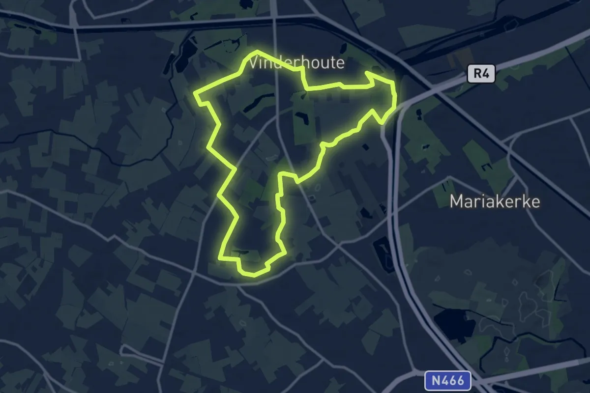
Medium · Trail
Vinderhoutse Bossen wandeling
10.0 km · ↑ 12 m · 2 h 31 min
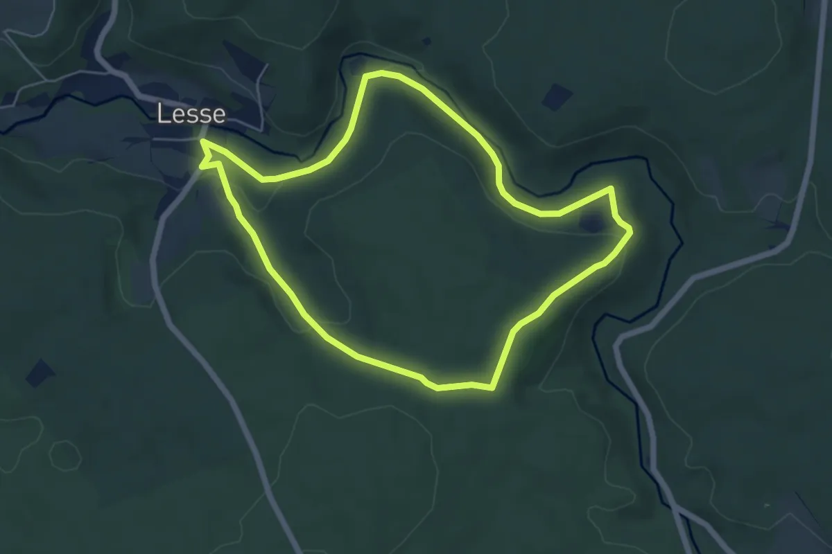
Easy · Trail
Virée à Chêne
5.0 km · ↑ 132 m · 1 h 32 min
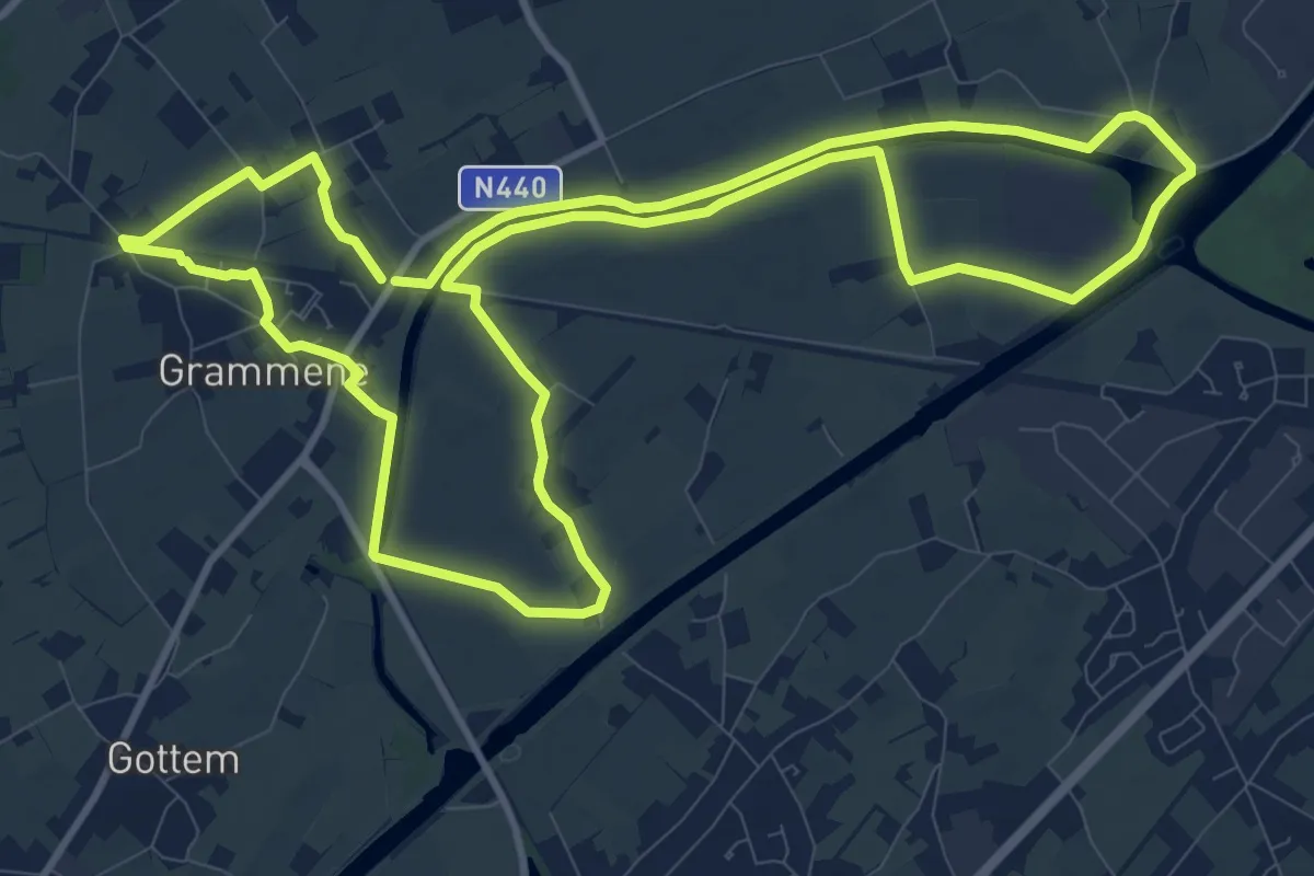
Medium · Trail
Vlasrotersroute - Lus 1
11.3 km · ↑ 4 m · 2 h 51 min
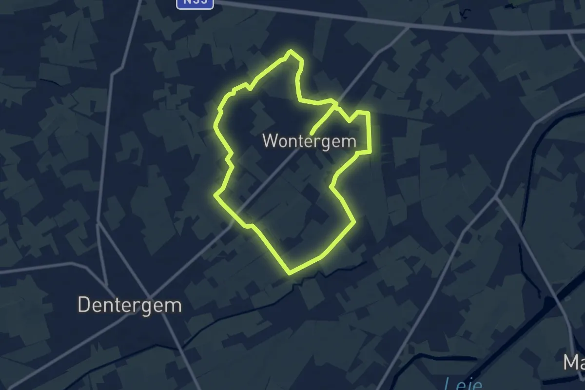
Medium · Trail
Vlasrotersroute - Lus 2
13.9 km · ↑ 8 m · 3 h 17 min
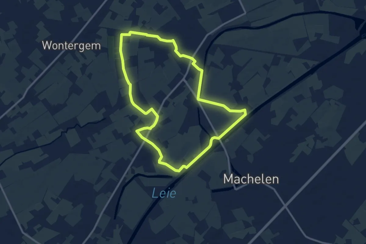
Easy · Trail
Vlasrotersroute - Lus 3
7.8 km · ↑ 8 m · 1 h 58 min
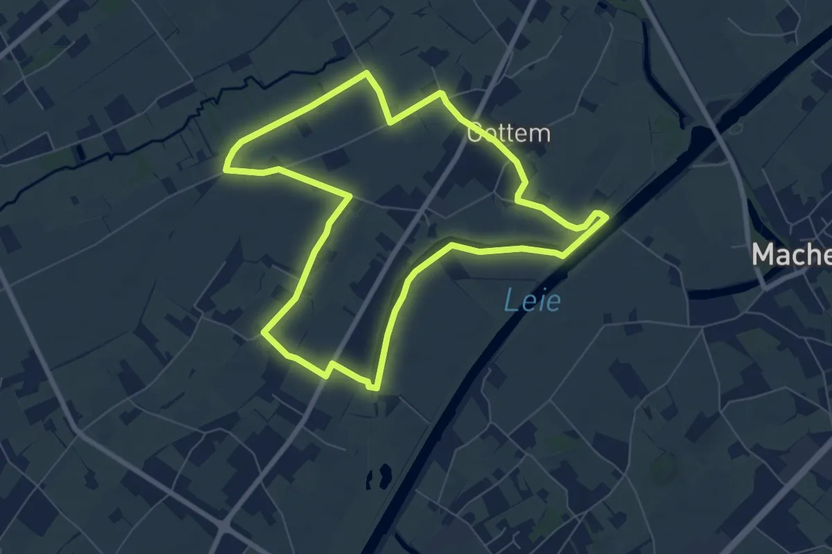
Easy · Trail
Vlasrotersroute - Lus 4
6.6 km · ↑ 8 m · 1 h 40 min
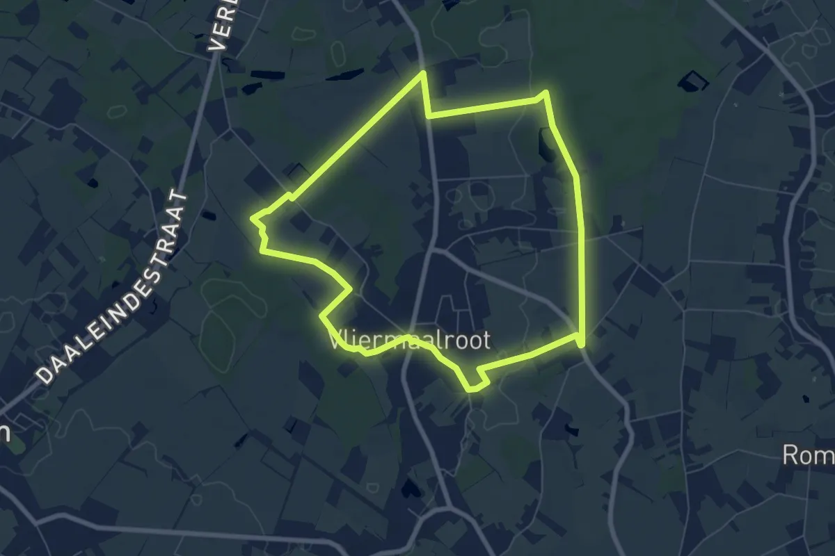
Easy · Trail
Vliermaalroot Blauwe ruit
6.4 km · ↑ 23 m · 1 h 39 min
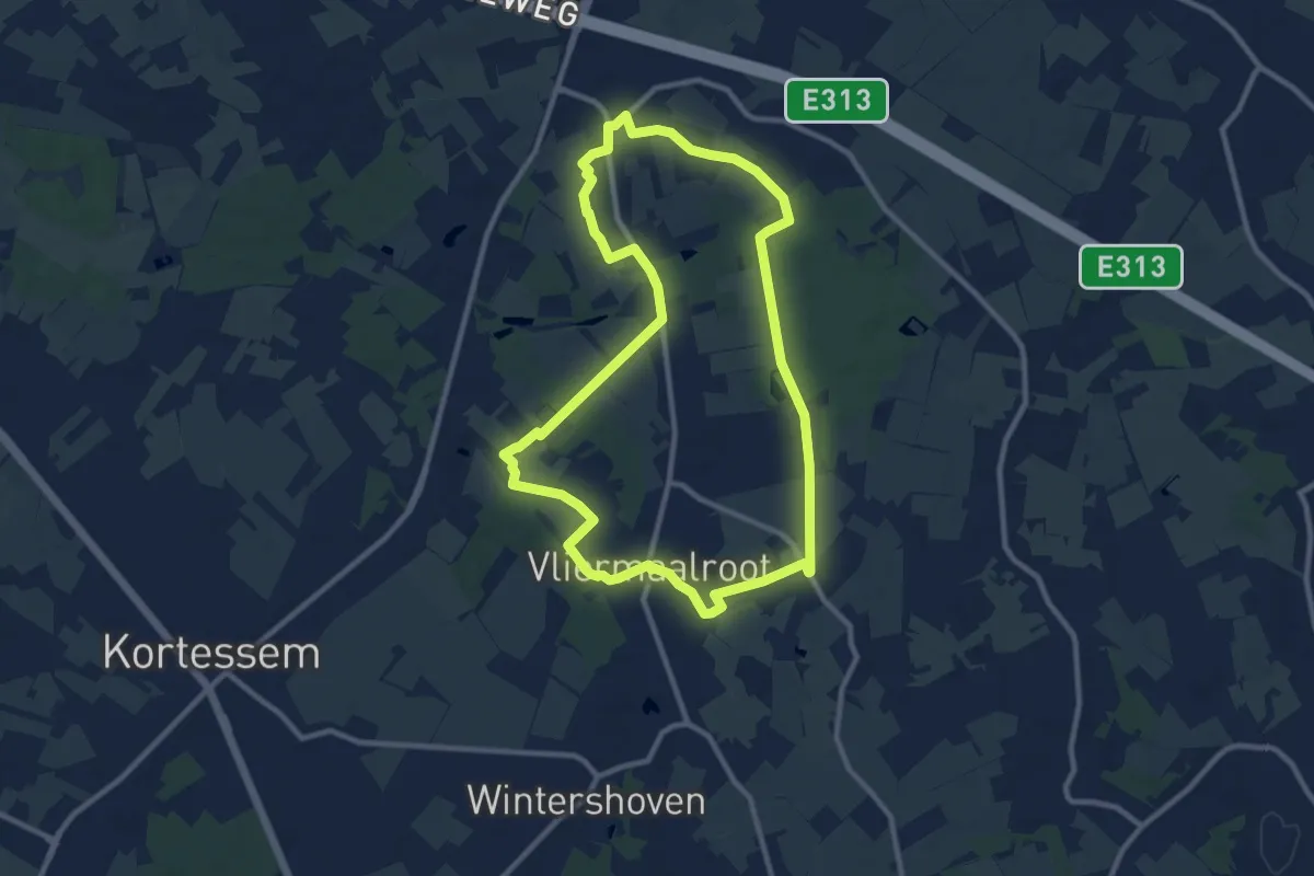
Medium · Trail
Vliermaalroot Rode driehoek
9.3 km · ↑ 17 m · 2 h 21 min
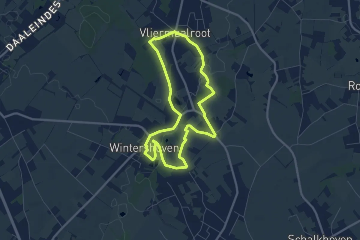
Easy · Trail
Vliermaalroot-Wintershoven Oranje bol
5.6 km · ↑ 32 m · 1 h 28 min
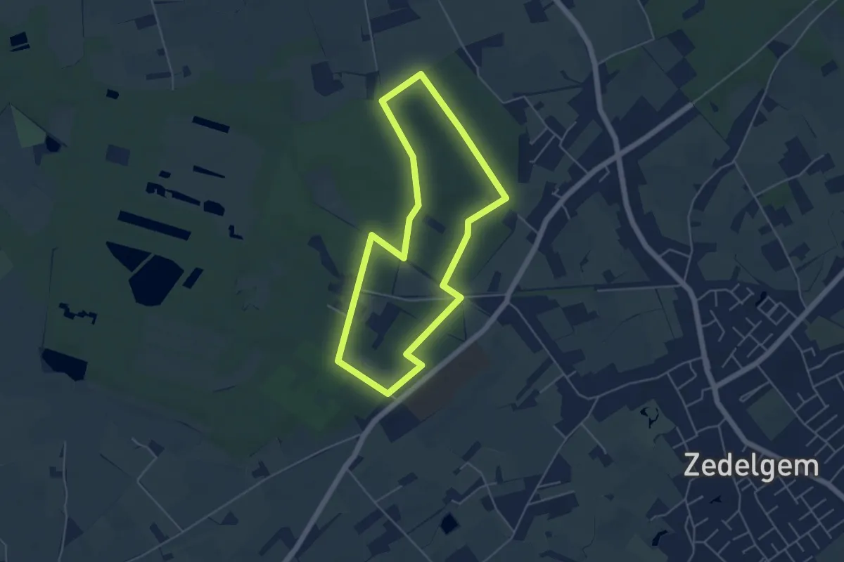
Easy · Trail
Vloethemveld - Bospad
4.1 km · ↑ 29 m · 1 h 6 min
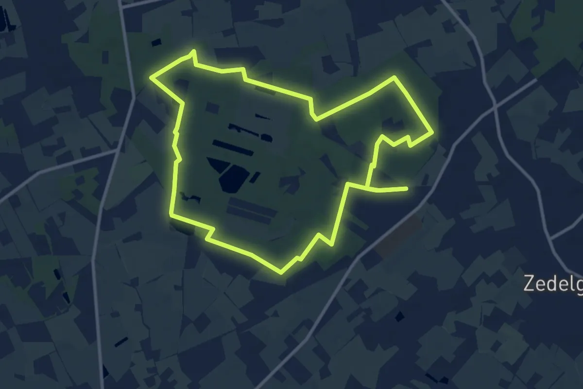
Medium · Trail
Vloethemveld - Langs bos en hei
8.5 km · ↑ 21 m · 2 h 10 min
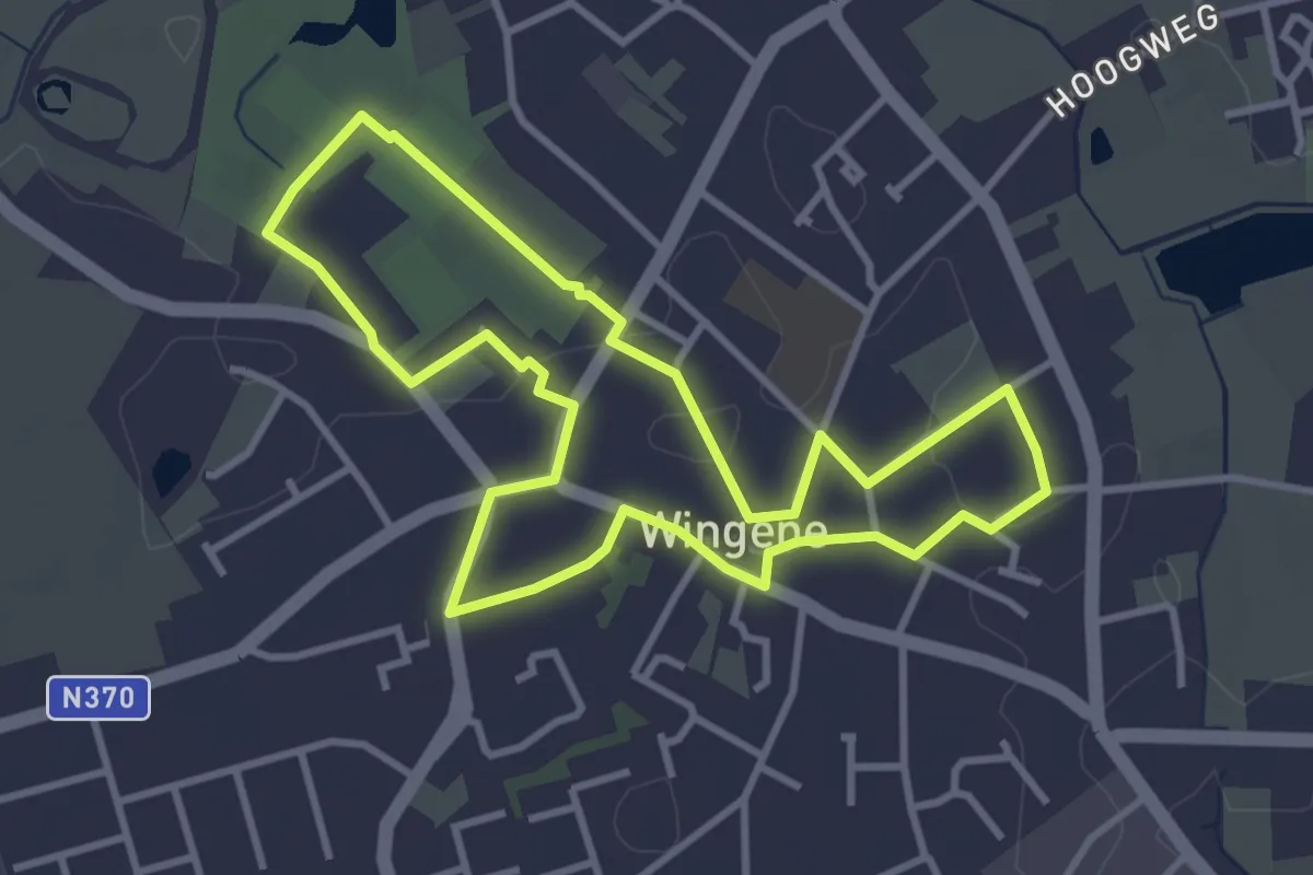
Easy · Trail
voetgangerscirkel Centrum Wingene
3.2 km · ↑ 8 m · 49 min
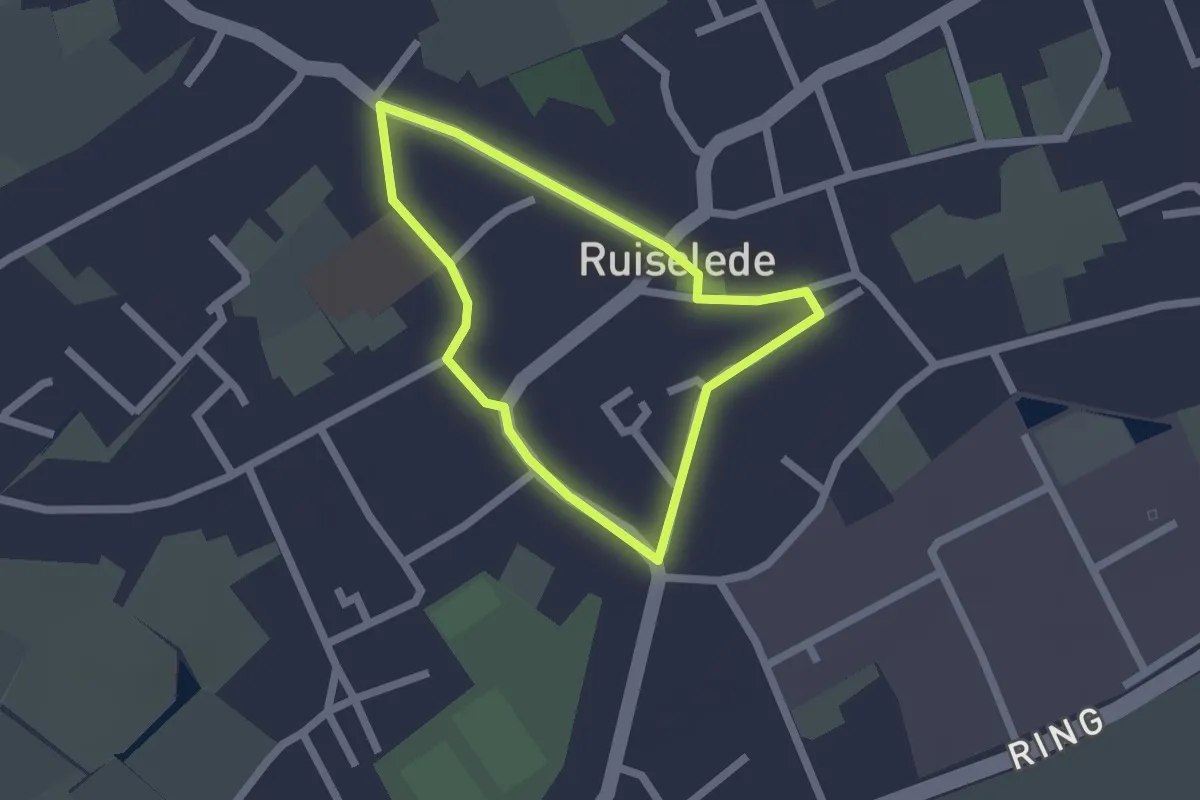
Easy · Trail
voetgangerscirkel Ruiselede
1.5 km · ↑ 0 m · 23 min
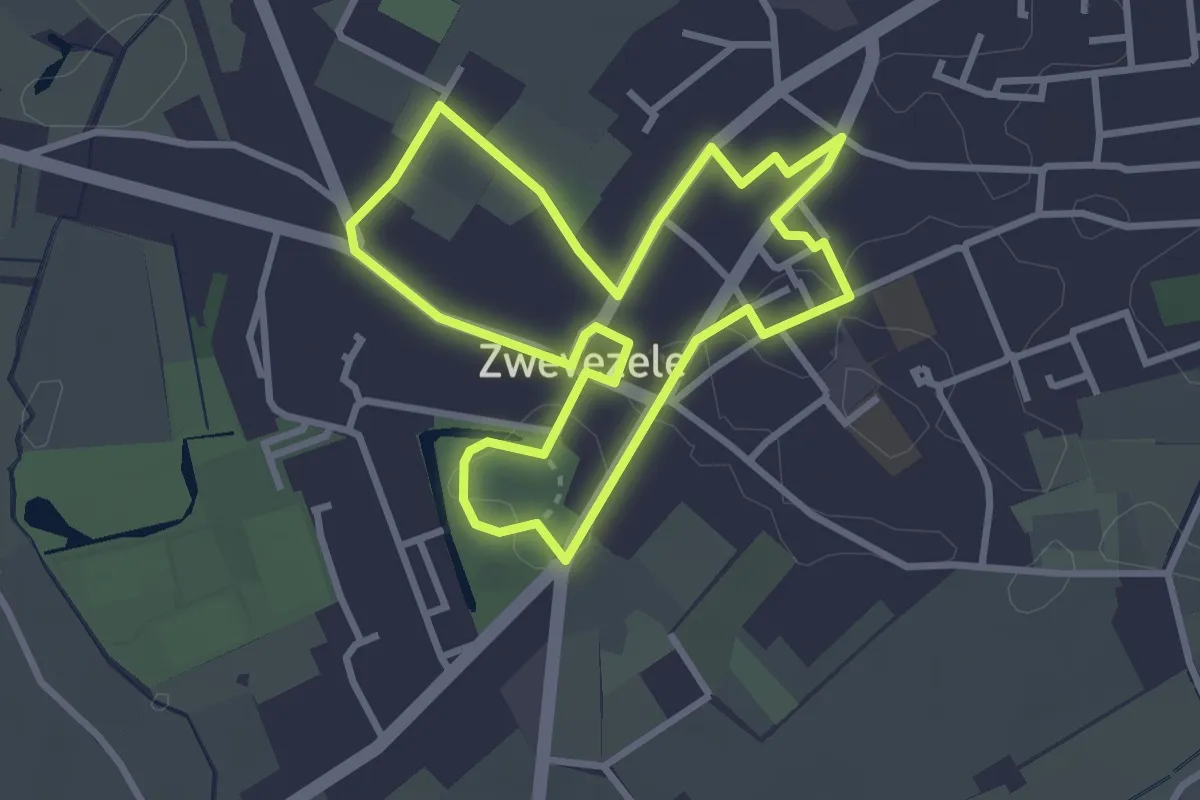
Easy · Trail
voetgangerscirkel Zwevezele
2.7 km · ↑ 9 m · 42 min
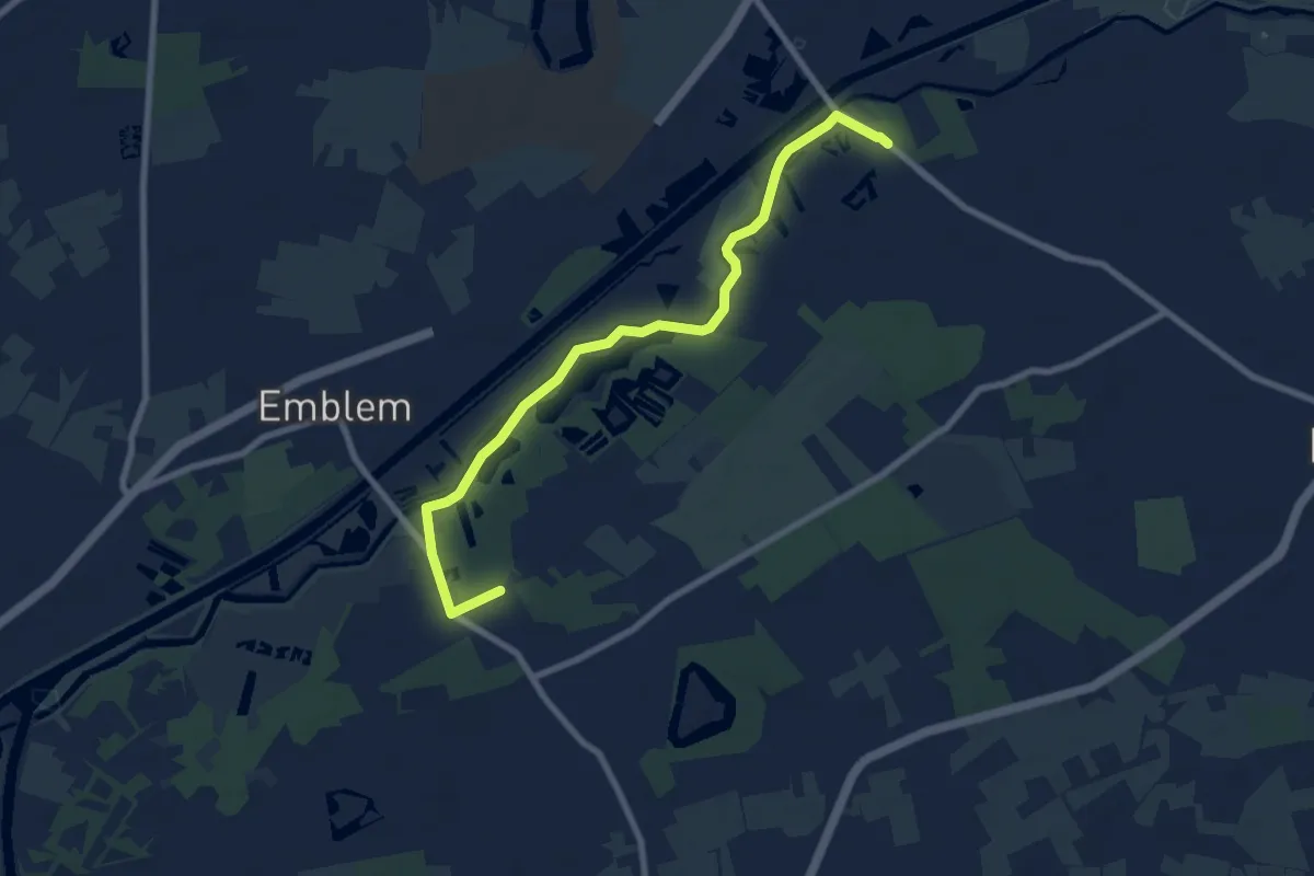
Easy · Trail
Vogelzangpad
7.6 km · ↑ 4 m · 1 h 48 min
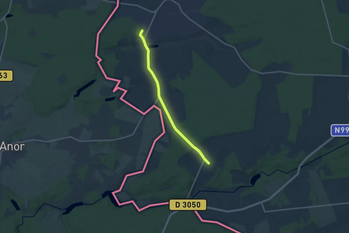
Medium · Trail
Voie Du Devoir de Mémoire
9.1 km · ↑ 105 m · 2 h 22 min
Easy · Summit
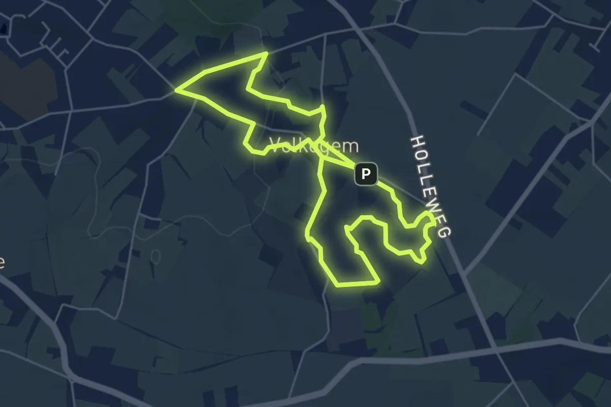
Volkegempad
4.7 km · ↑ 54 m · 1 h 18 min
Easy · Trail
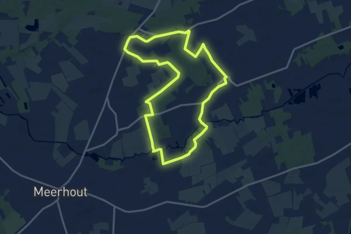
Volsbergse bossen
7.4 km · ↑ 17 m · 1 h 53 min
Easy · Trail
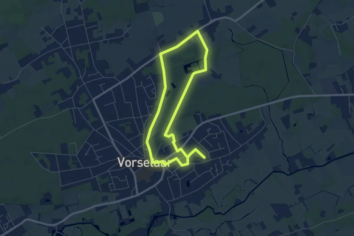
vorselaar7km
5.4 km · ↑ 21 m · 1 h 24 min
Easy · Trail
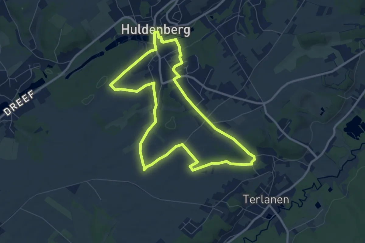
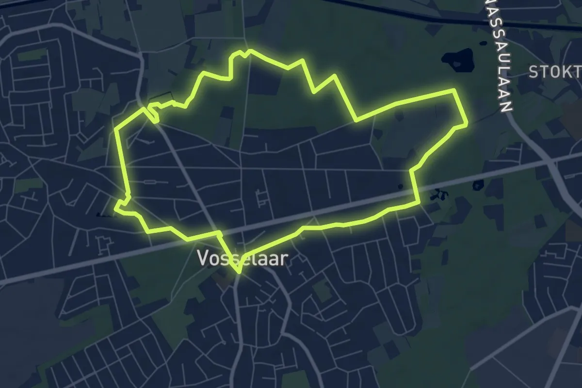
Vossekouterwandeling
7.1 km · ↑ 108 m · 2 h
Easy · Trail
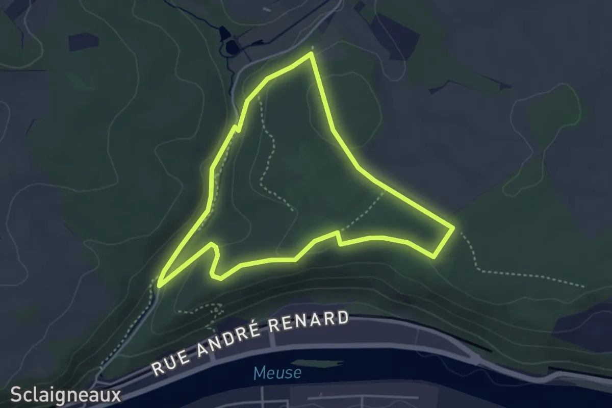
Vossenpad
7.6 km · ↑ 18 m · 1 h 57 min
Easy · Trail
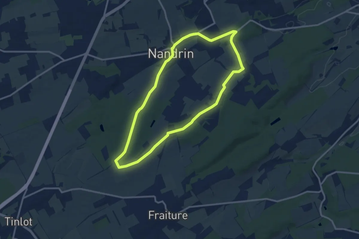
Voyage à la Réserve naturelle de Sclaigneaux
3.6 km · ↑ 54 m · 1 h
Easy · Trail
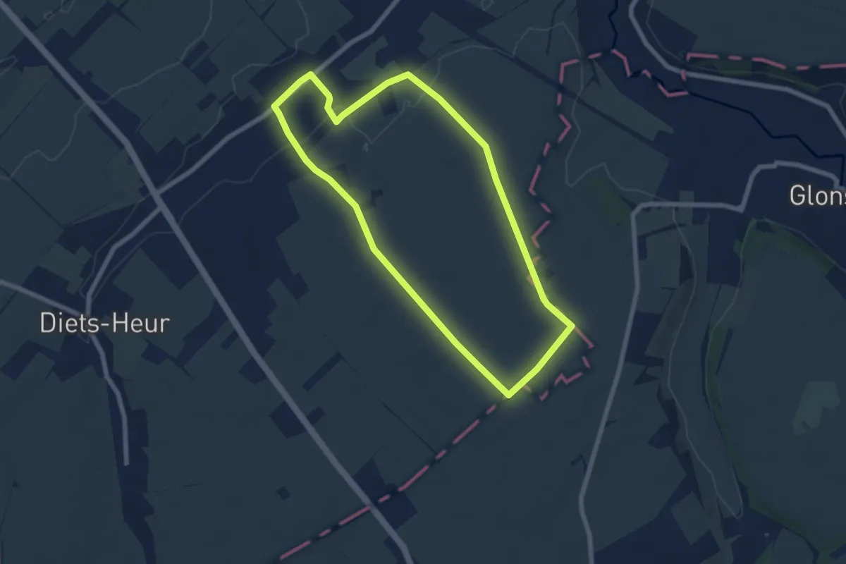
Vôye des mwèrts
7.9 km · ↑ 63 m · 2 h 7 min
Easy · Trail
Vreren
5.6 km · ↑ 51 m · 1 h 31 min
Easy · Trail
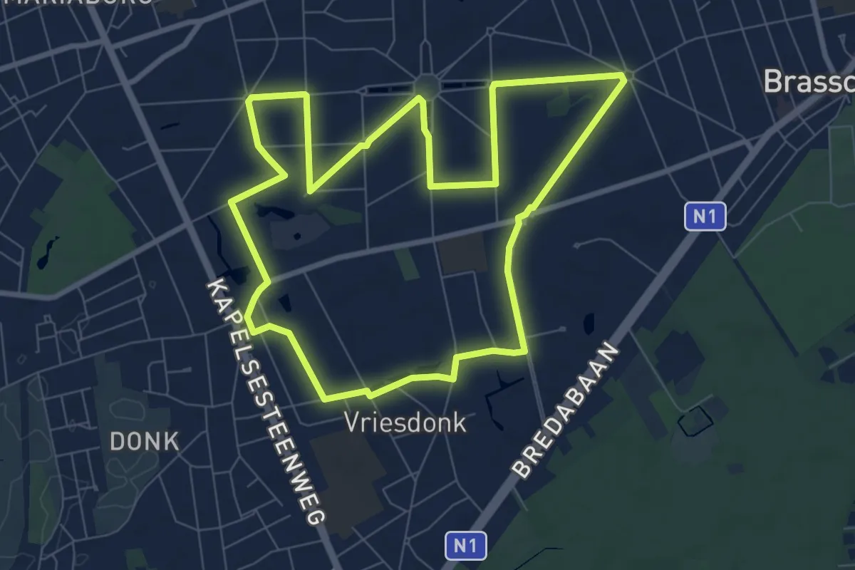
Vriesdonkpad
7.3 km · ↑ 4 m · 1 h 51 min
Medium · Trail
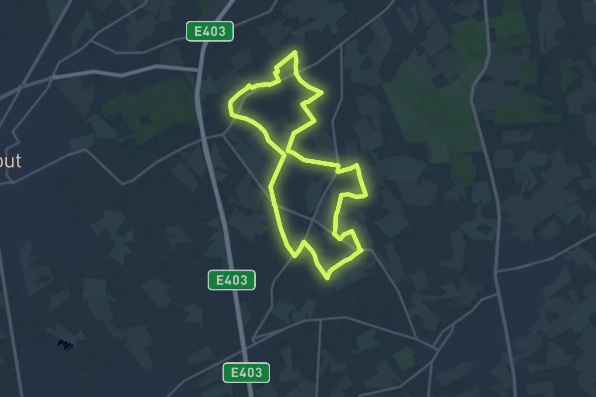
Vrijgeweed wandelroute
12.9 km · ↑ 8 m · 3 h 14 min
Easy · Trail
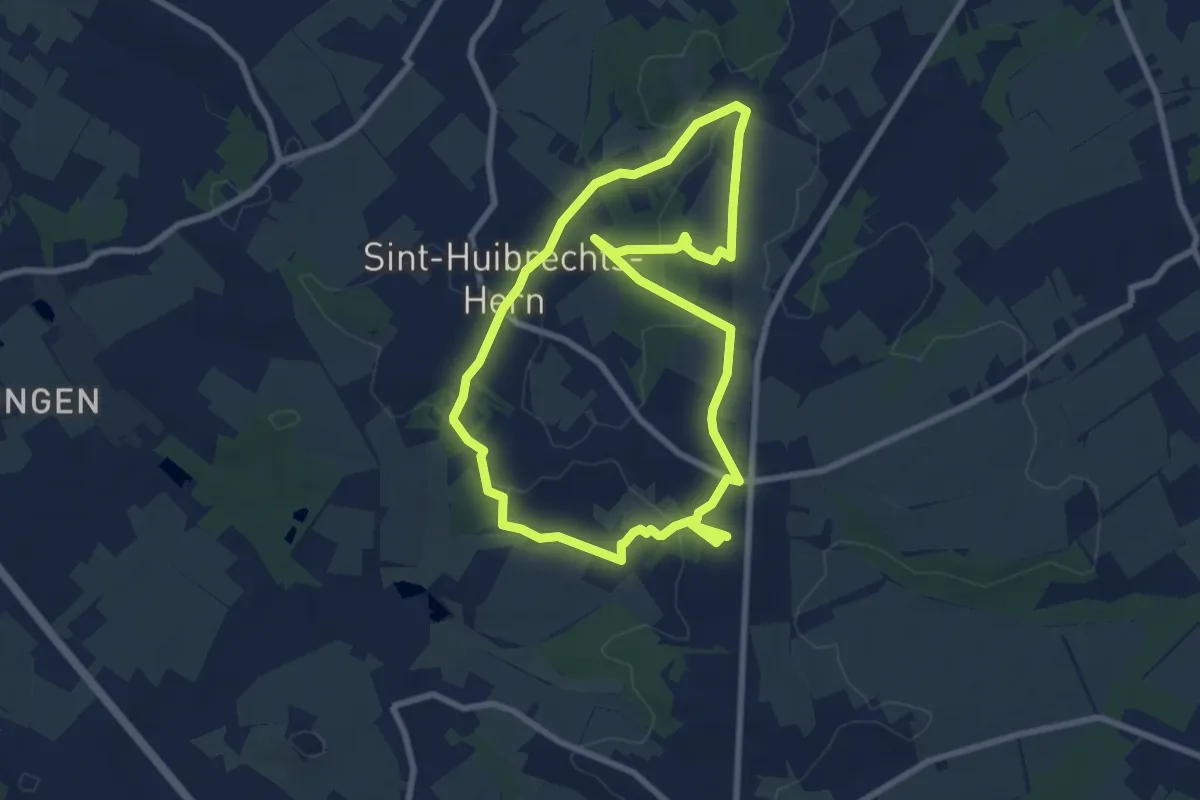
Vrijhern Kluizenaarswandeling
7.5 km · ↑ 87 m · 2 h 3 min
Easy · Trail
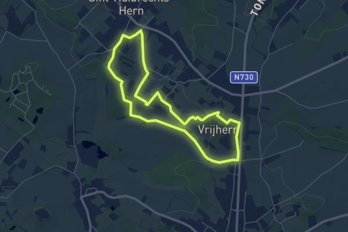
Vrijhern Korte Kluizenaarswandeling
4.9 km · ↑ 58 m · 1 h 21 min
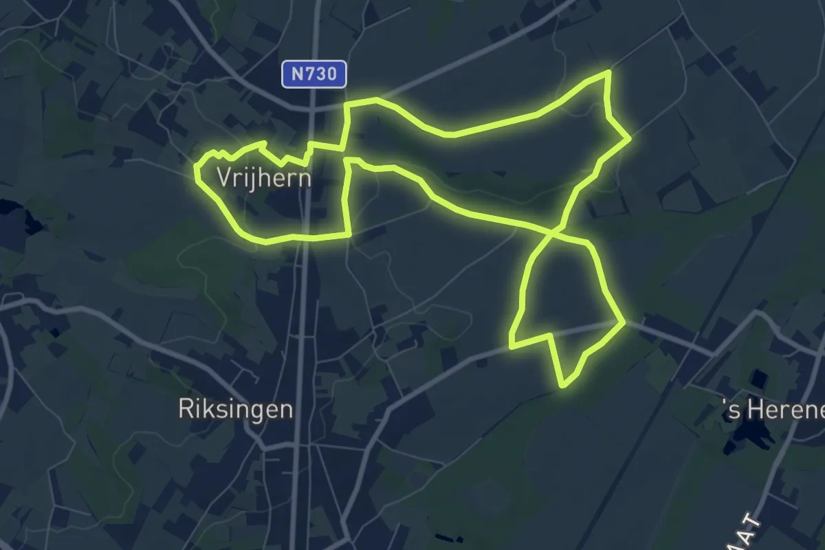
Medium · Trail
Vrijhern Wijngaardboswandeling
8.3 km · ↑ 82 m · 2 h 15 min
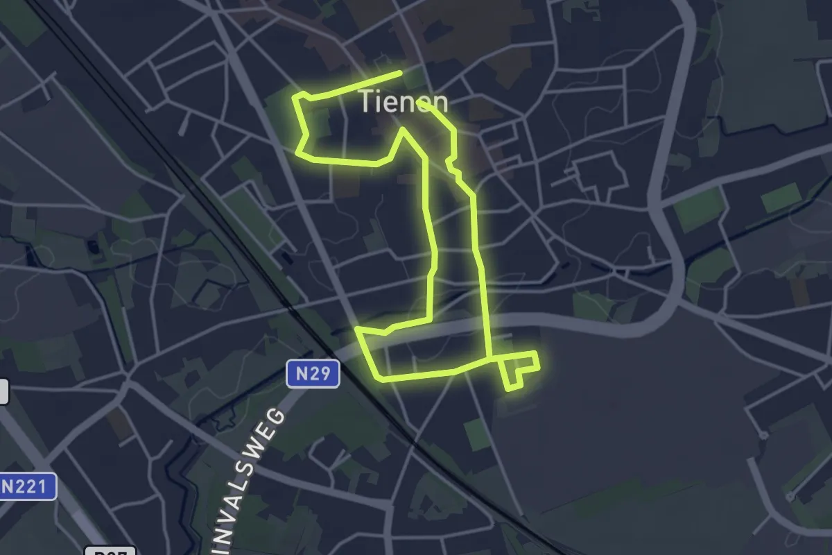
Easy · Trail
Vrouwenwandeling
3.2 km · ↑ 8 m · 49 min
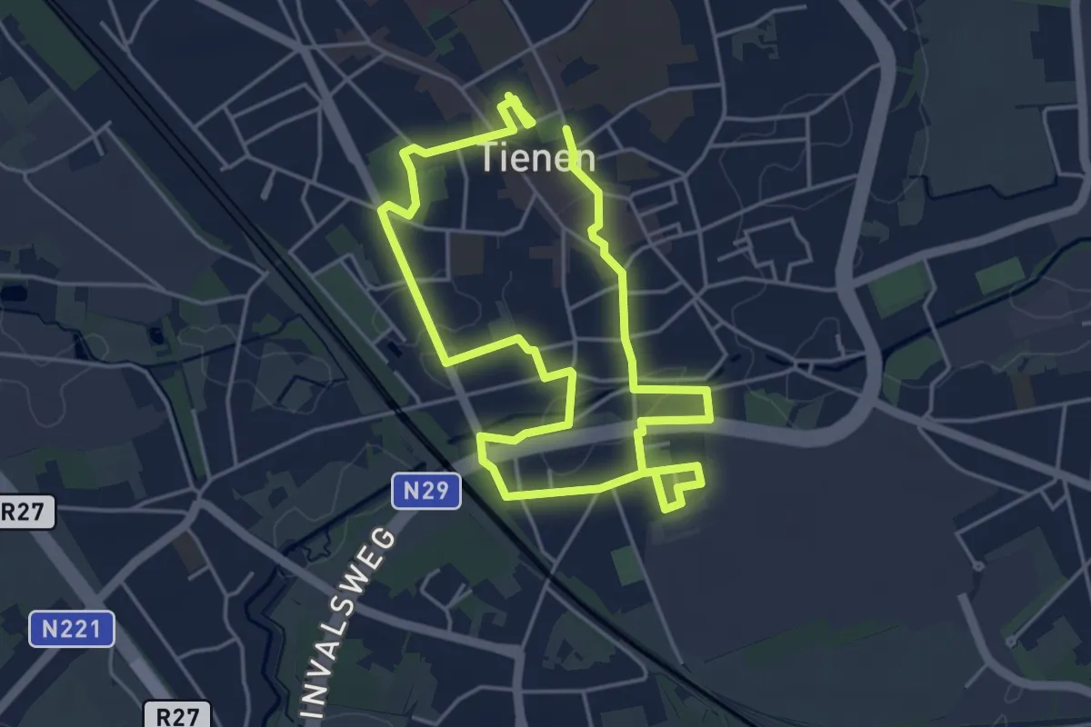
Easy · Trail
Vrouwenwandeling
3.8 km · ↑ 13 m · 58 min
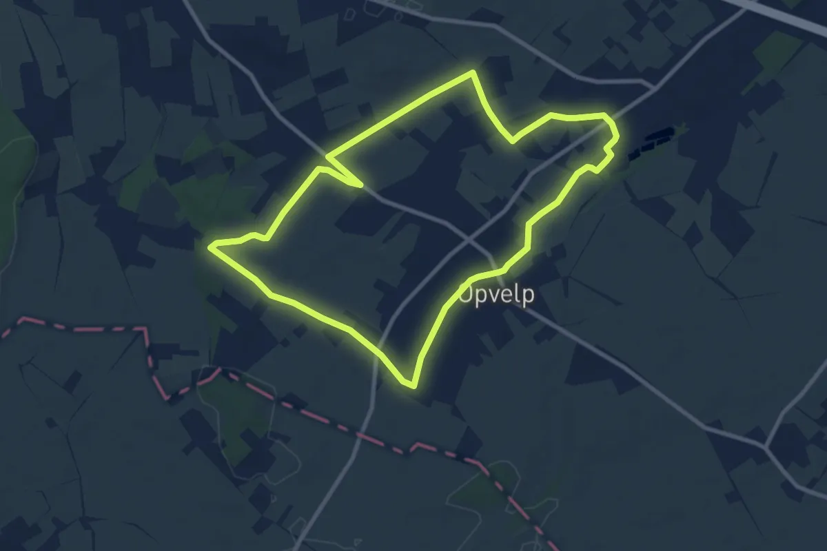
Medium · Trail
Vuilenboswandeling
8.0 km · ↑ 22 m · 2 h 3 min
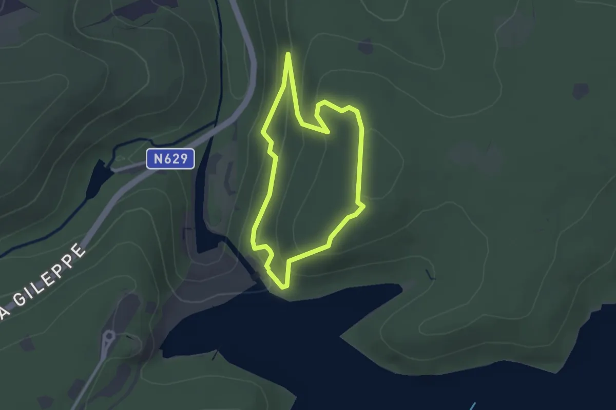
Easy · Trail
Waldlehrpfad der Gileppe
2.0 km · ↑ 102 m · 44 min
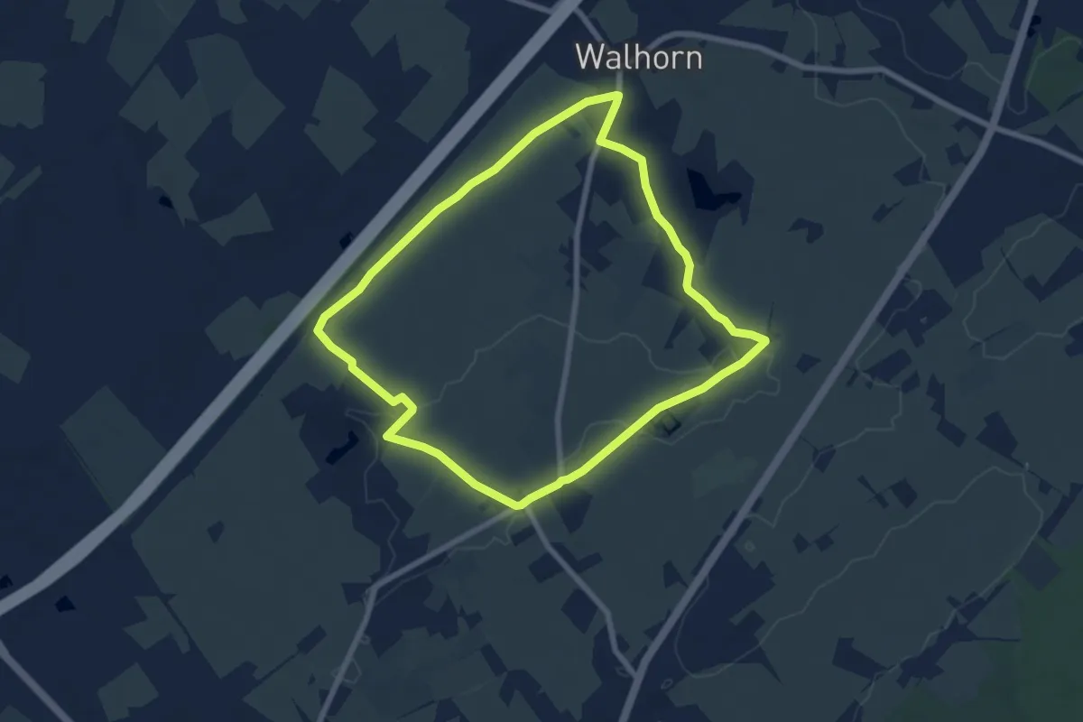
Easy · Trail
Walhorner Kreuz-Feldchen
6.7 km · ↑ 37 m · 1 h 45 min
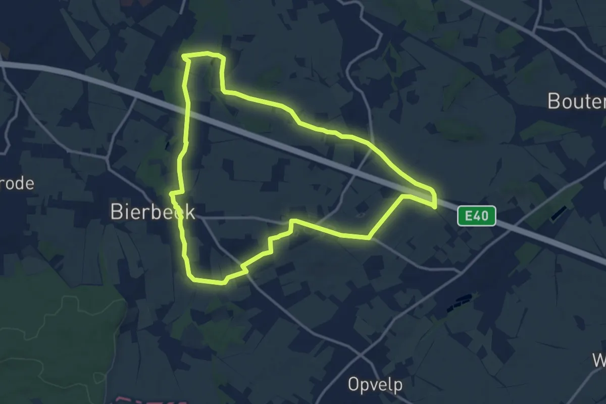
Medium · Trail
Walterpad A
10.8 km · ↑ 56 m · 2 h 50 min
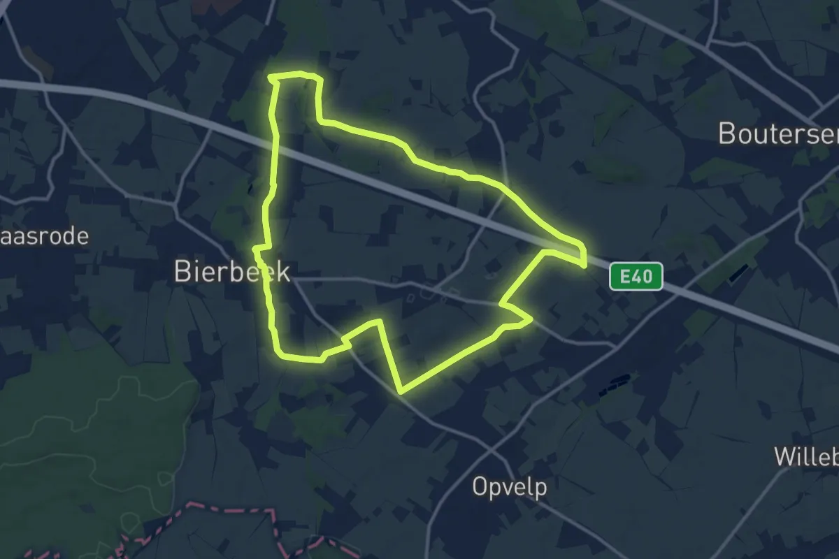
Medium · Trail
Walterpad B
11.8 km · ↑ 69 m · 3 h 6 min
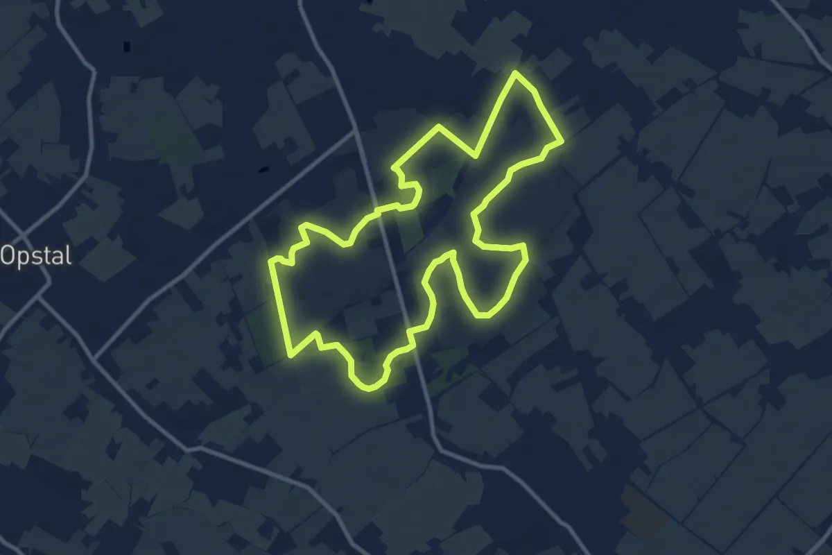
Medium · Trail
Wandelen en Fietsen in en rond Buggenhoutbos
9.0 km · ↑ 44 m · 2 h 21 min
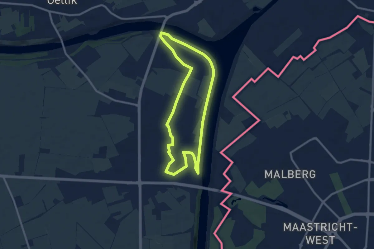
Easy · Trail
Wandelen in Veldwezelt Rode Driehoek
5.9 km · ↑ 22 m · 1 h 31 min
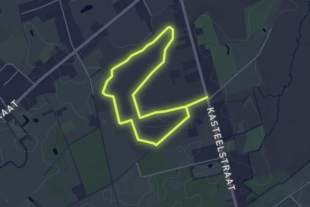
Easy · Trail
Wandeling Boskapel
6.1 km · ↑ 32 m · 1 h 30 min
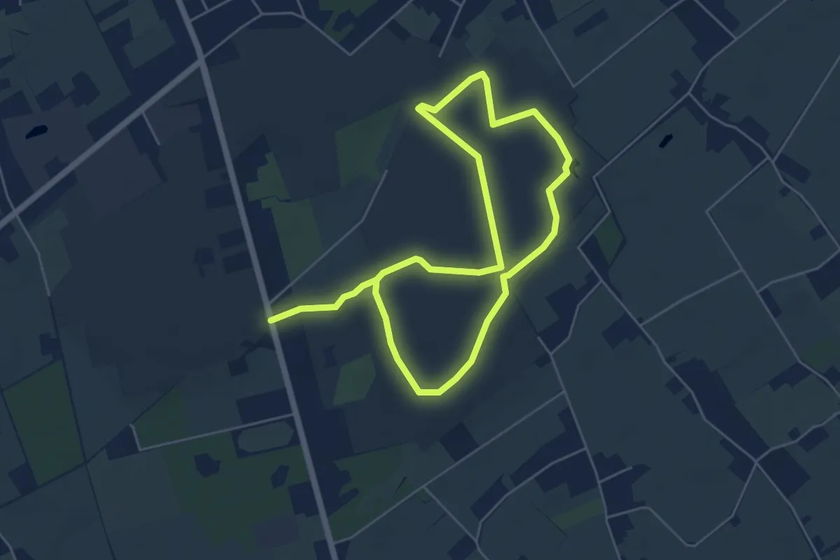
Medium · Trail
Wandeling Eendeput
8.4 km · ↑ 53 m · 2 h 7 min
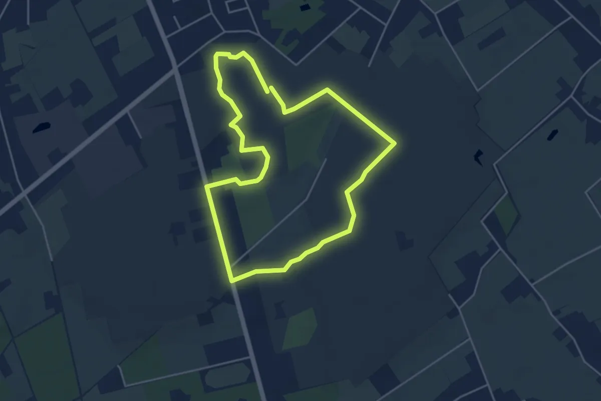
Easy · Trail
Wandeling Konijnenberg
3.8 km · ↑ 26 m · 1 h
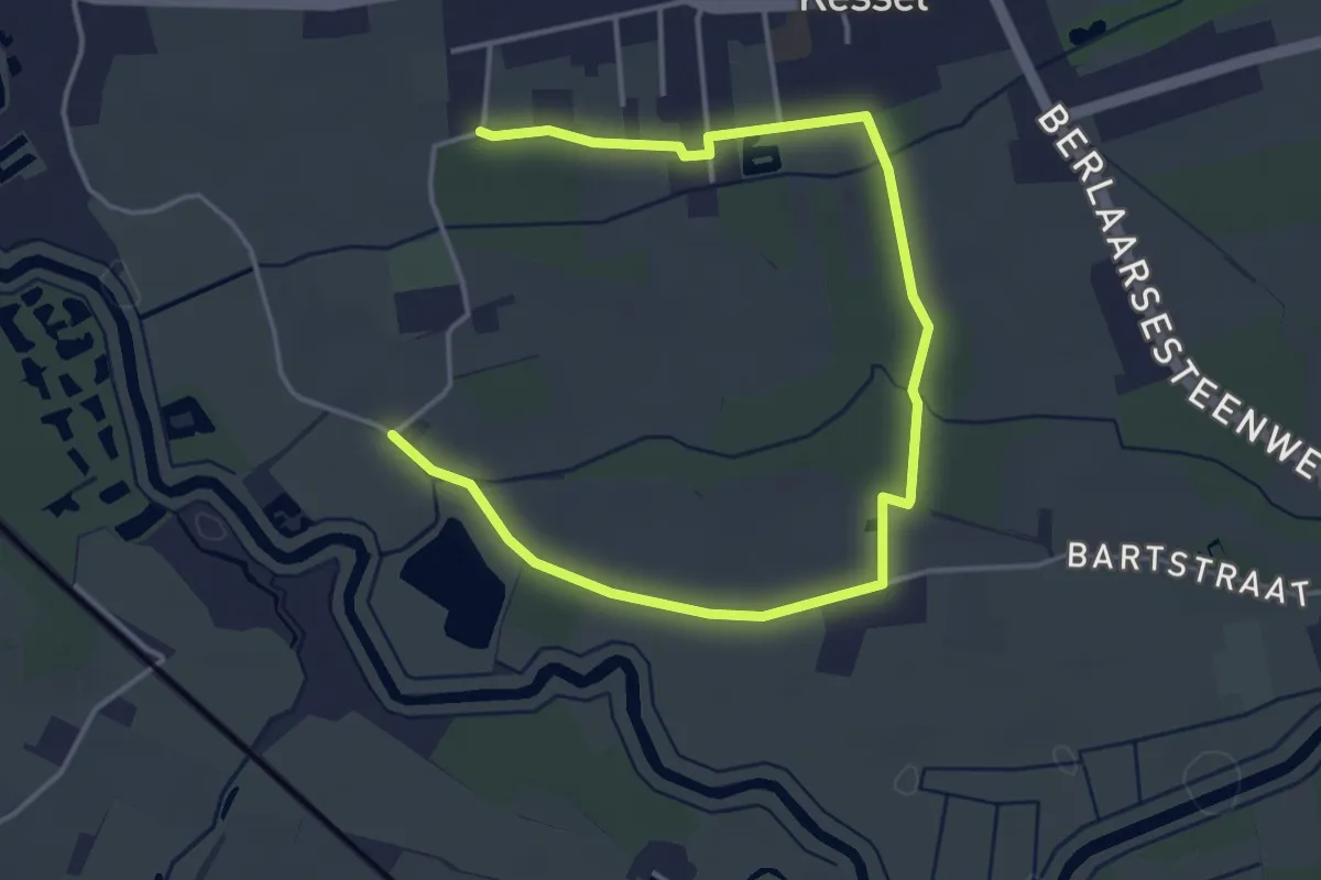
Easy · Trail
Wandeling naar "d'Elzen"
5.1 km · ↑ 0 m · 1 h 12 min
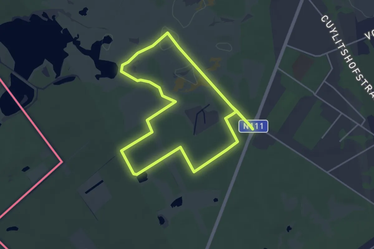
Easy · Trail
Wandelpad Bos
3.6 km · ↑ 13 m · 56 min
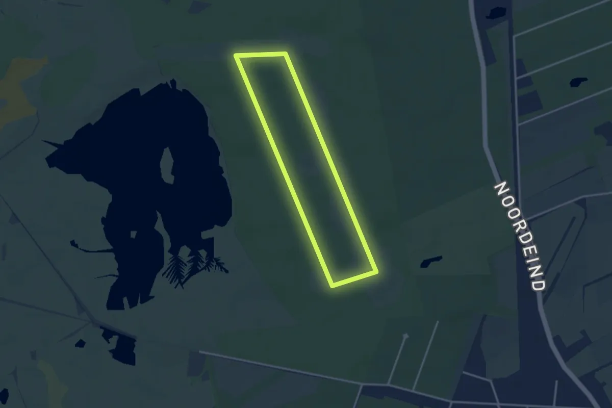
Easy · Trail
Wandelpad Bosbes
2.6 km · ↑ 0 m · 39 min
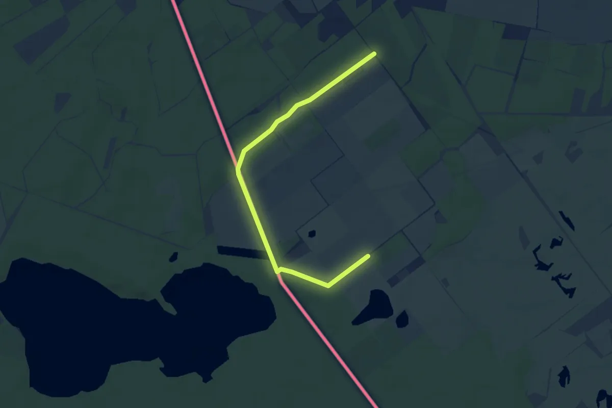
Easy · Trail
Wandelpad De Buizerd
1.9 km · ↑ 0 m · 28 min
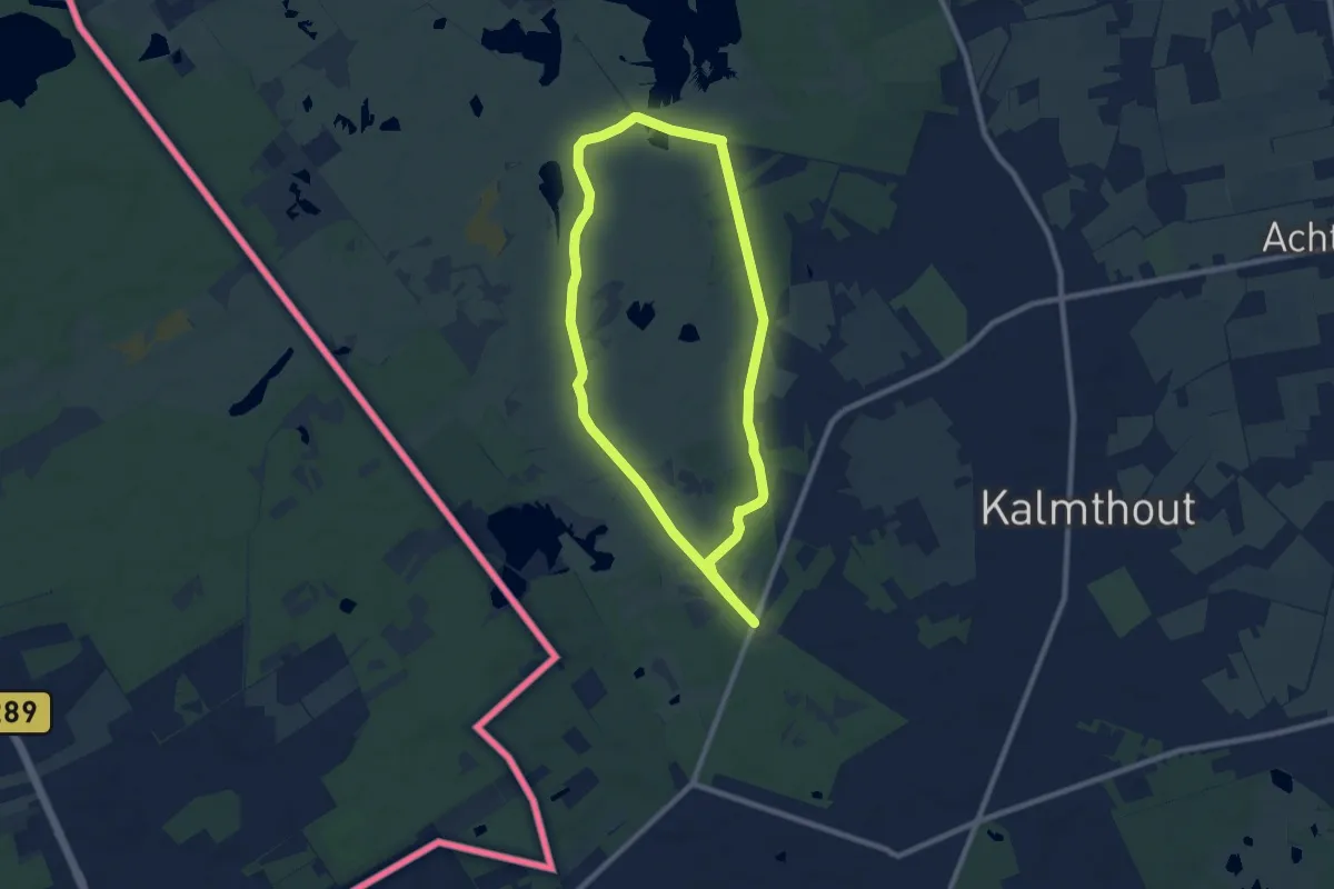
Easy · Trail
Wandelpad Duin
7.3 km · ↑ 21 m · 1 h 52 min
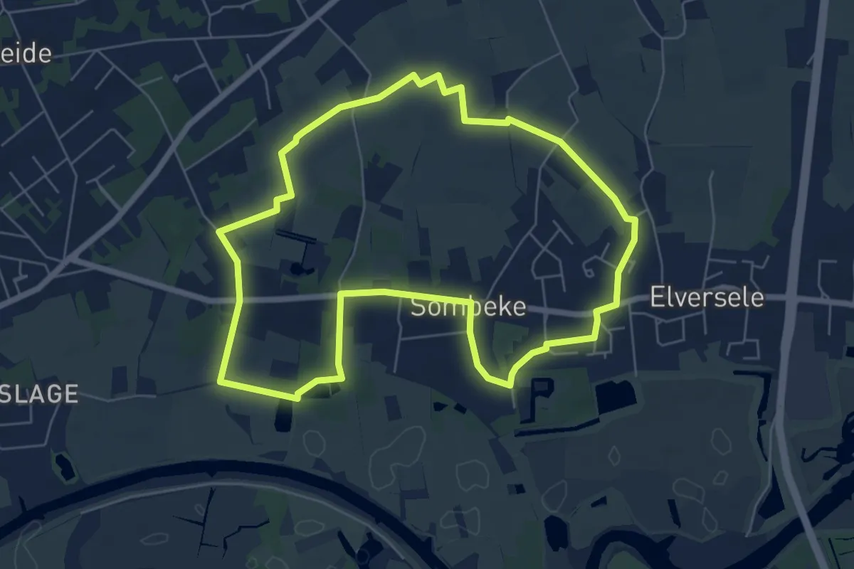
Easy · Trail
Wandelpad Edmond Verstraeten
5.8 km · ↑ 30 m · 1 h 31 min
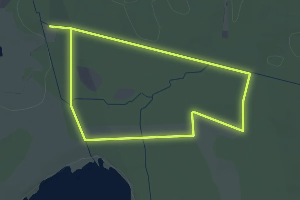
Easy · Trail
Wandelpad Eik
2.8 km · ↑ 4 m · 42 min