Trails in Belgium
3,383 hiking trails, each with its route, climb, walking time and grade.
All trails, page 61 of 71
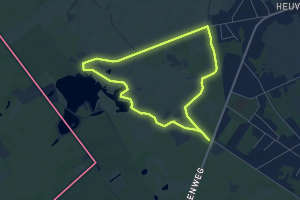
Easy · Trail
Wandelpad Libel
4.5 km · ↑ 4 m · 1 h 9 min
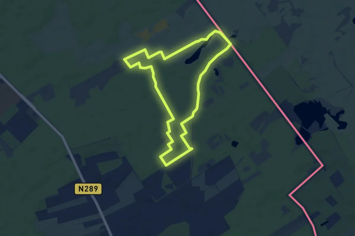
Easy · Trail
Wandelpad Mier
6.3 km · ↑ 13 m · 1 h 37 min
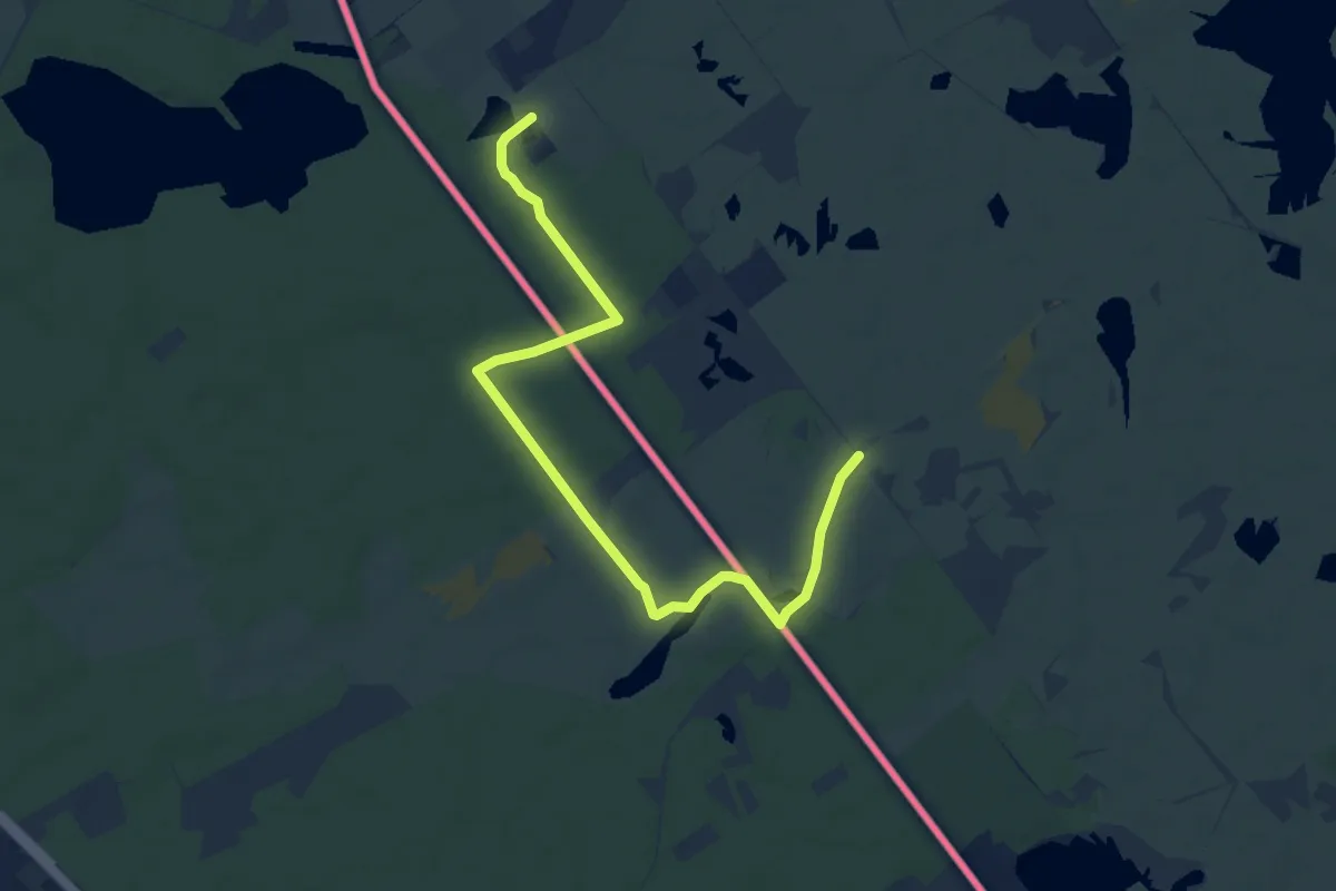
Easy · Trail
Wandelpad Mont Noir
4.0 km · ↑ 17 m · 1 h 2 min
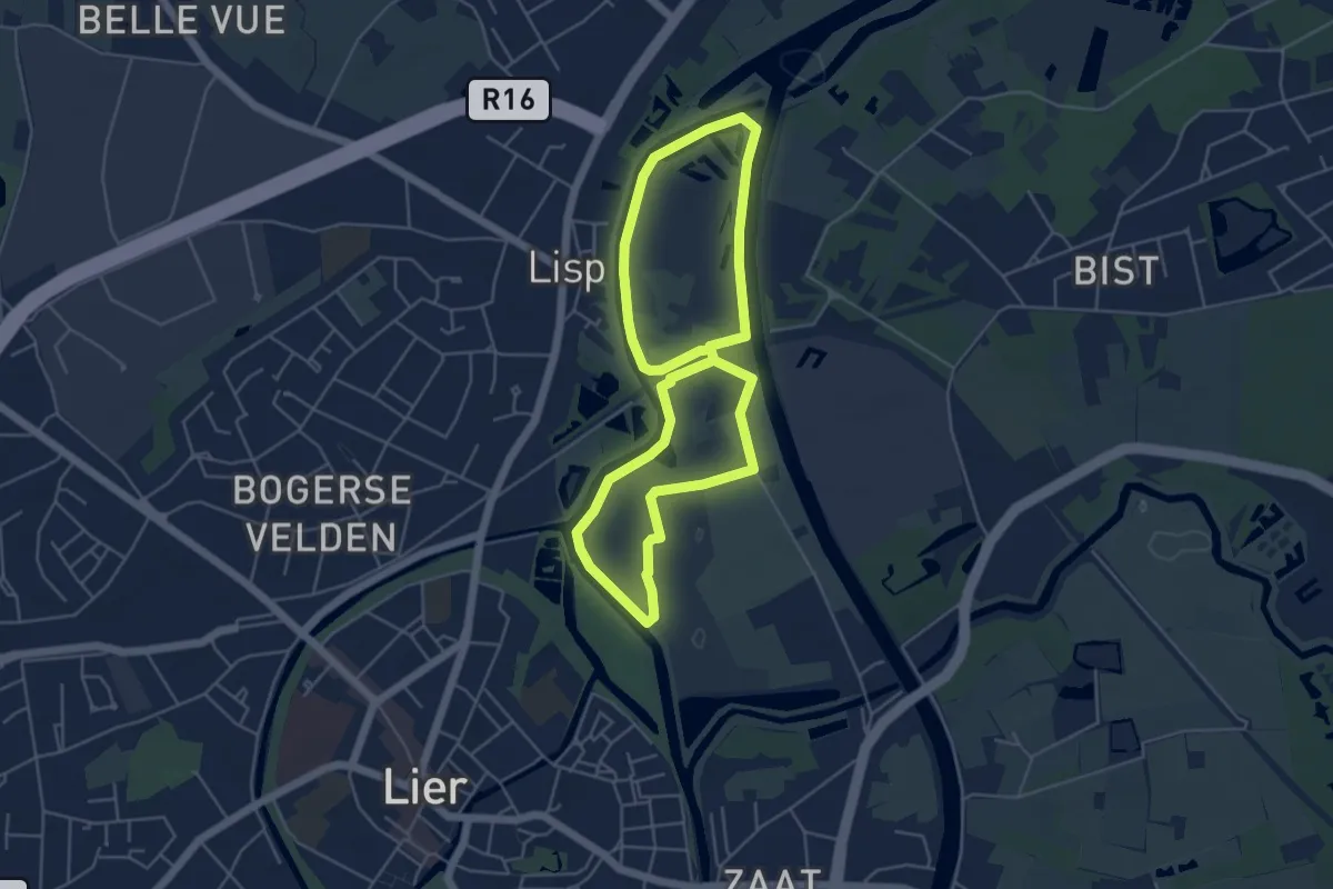
Easy · Trail
Wandelpad Nazareth-Noord
4.4 km · ↑ 0 m · 1 h 5 min
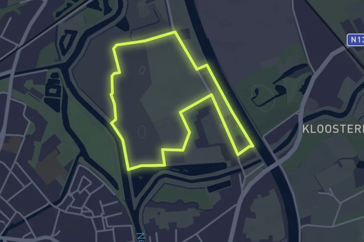
Easy · Trail
Wandelpad Nazareth-Zuid
3.0 km · ↑ 4 m · 46 min
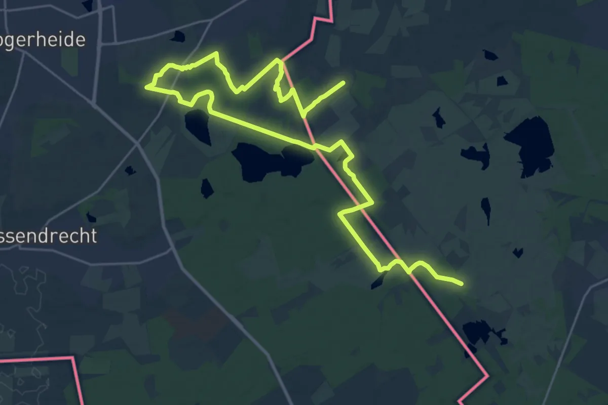
Medium · Trail
Wandelpad Ree
13.9 km · ↑ 43 m · 3 h 34 min
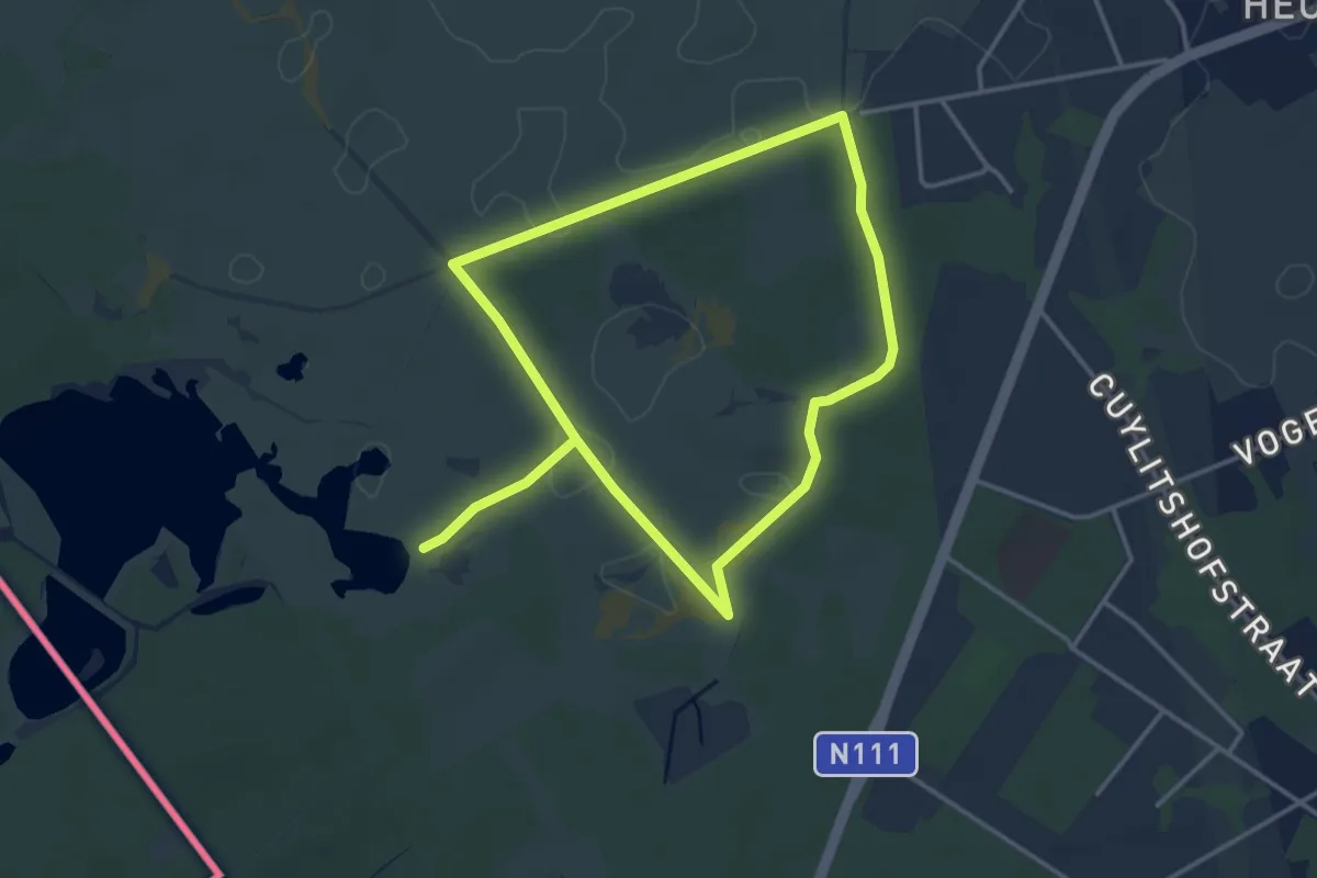
Easy · Trail
Wandelpad Rups
3.0 km · ↑ 4 m · 45 min
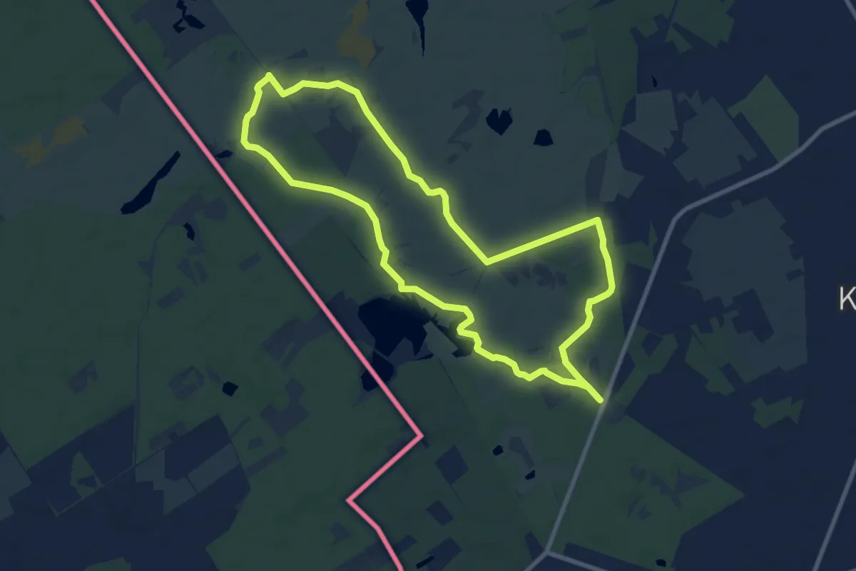
Medium · Trail
Wandelpad Schaap
8.0 km · ↑ 16 m · 2 h 2 min
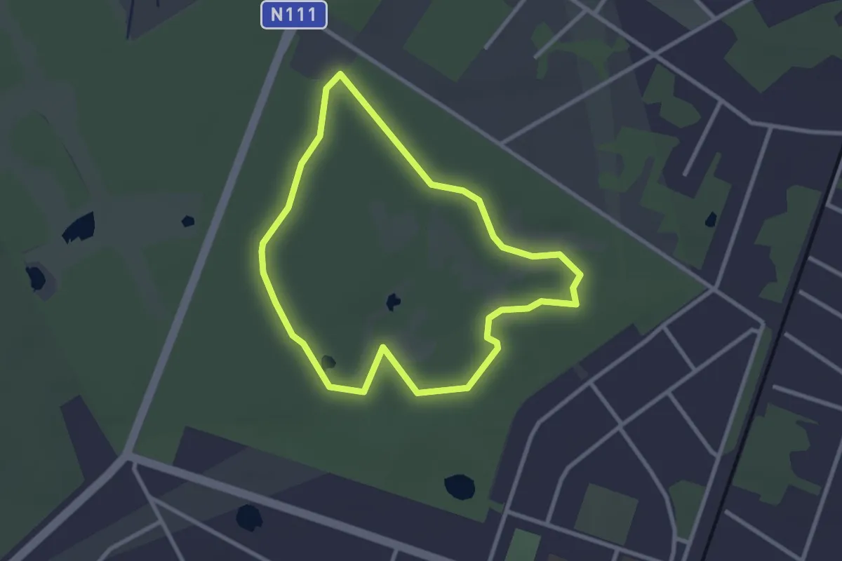
Easy · Trail
Wandelpad Vlinder
2.4 km · ↑ 4 m · 36 min
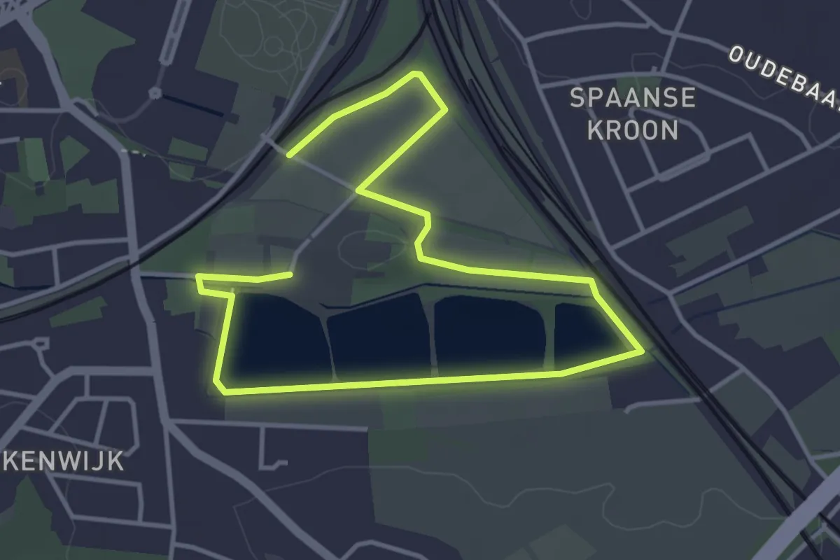
Easy · Trail
Wandelparcours Abdij van Park
5.4 km · ↑ 8 m · 1 h 17 min
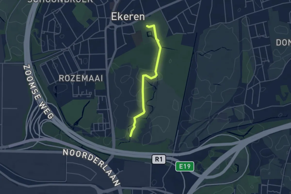
Easy · Trail
Wandelroute Oude Landen
3.2 km · ↑ 8 m · 47 min
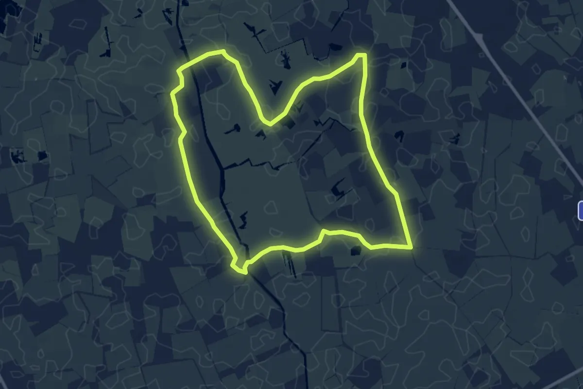
Easy · Trail
Wandelroute Uitkerkse Polder
7.6 km · ↑ 0 m · 1 h 54 min
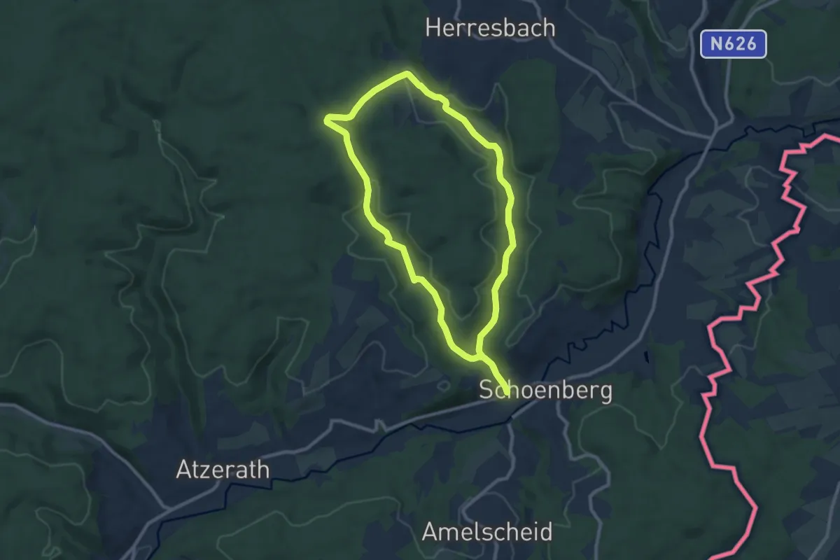
Medium · Trail
Wanderweg 5 - Weberbach
8.0 km · ↑ 140 m · 2 h 18 min
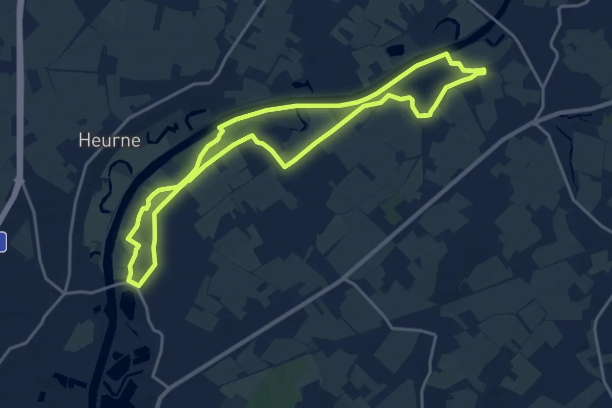
Medium · Trail
Wanderweg Nederename-Welden
9.7 km · ↑ 0 m · 2 h 25 min
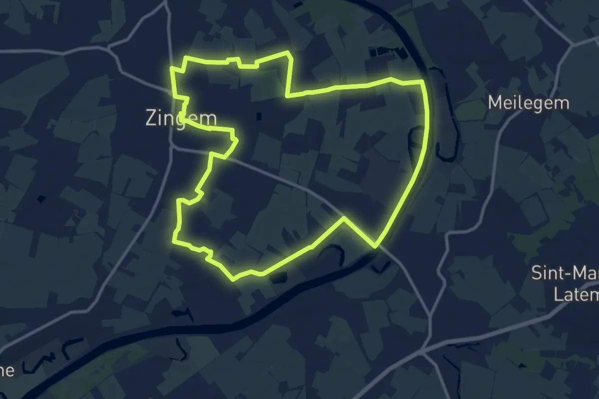
Medium · Trail
Wannelappersroute
9.6 km · ↑ 4 m · 2 h 24 min
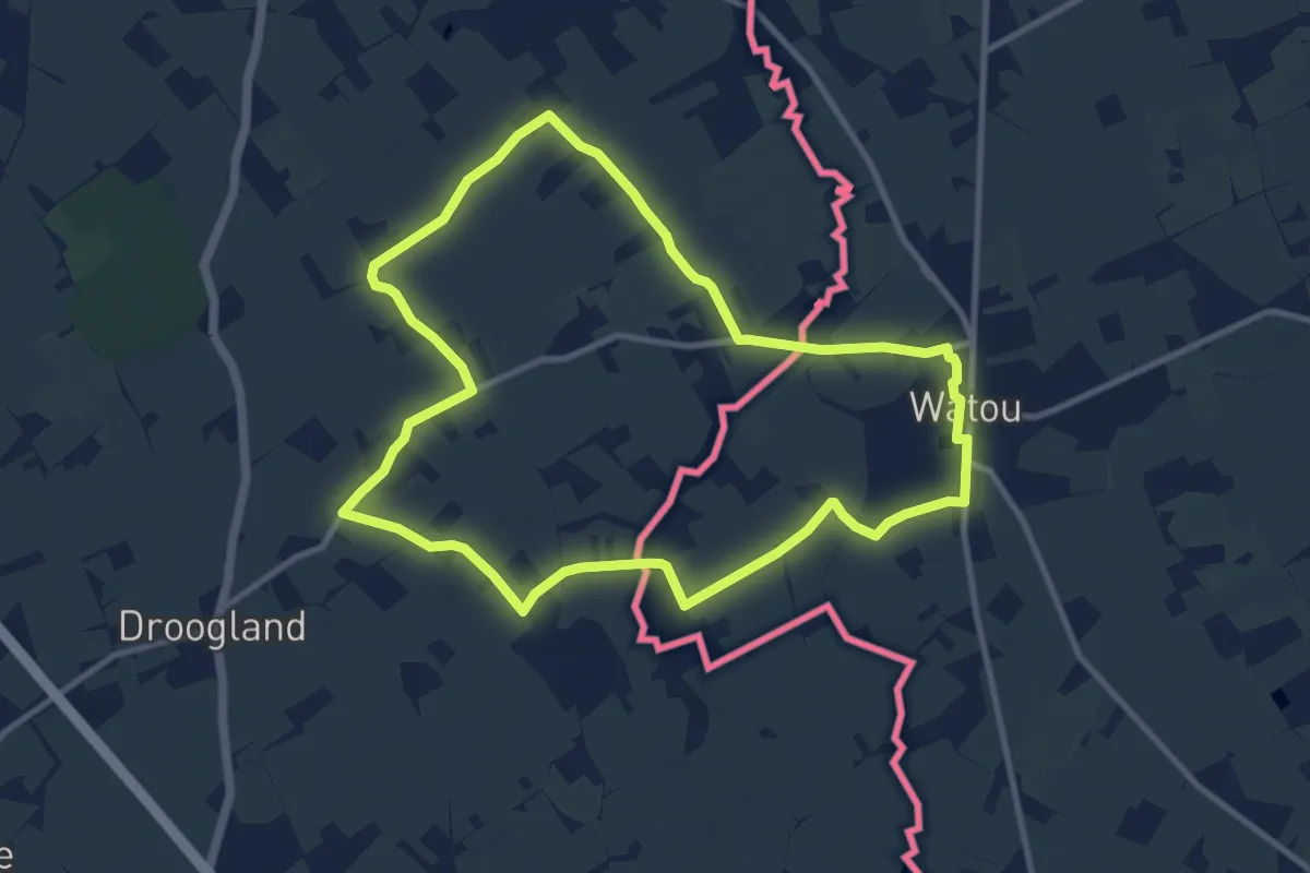
Medium · Trail
Warandepad Watou
9.3 km · ↑ 12 m · 2 h 22 min
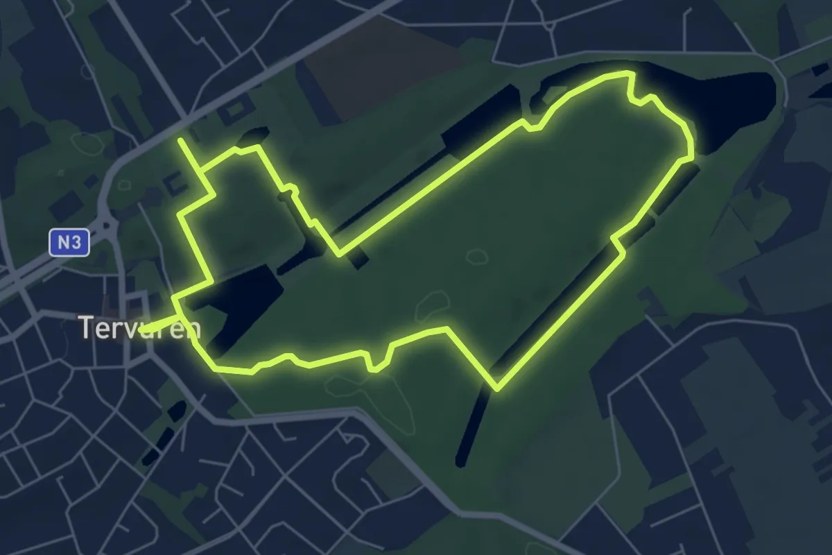
Medium · Trail
Warandewandeling
12.1 km · ↑ 107 m · 3 h 5 min
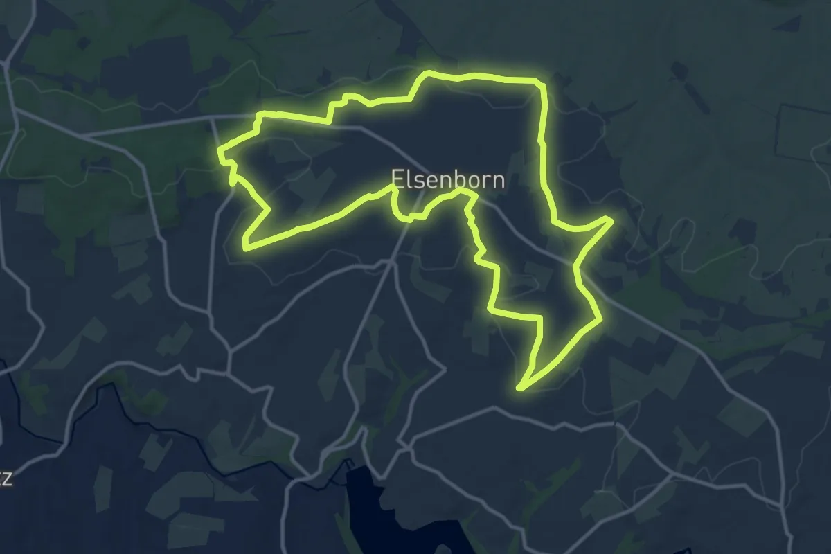
Medium · Trail
Warche Höhenweg
12.4 km · ↑ 127 m · 3 h 22 min
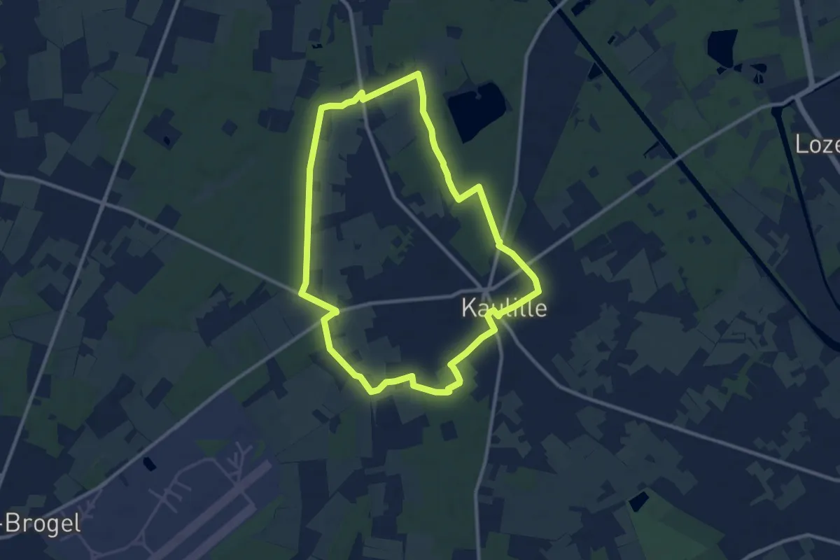
Medium · Trail
Warmbeekroute
9.1 km · ↑ 25 m · 2 h 19 min
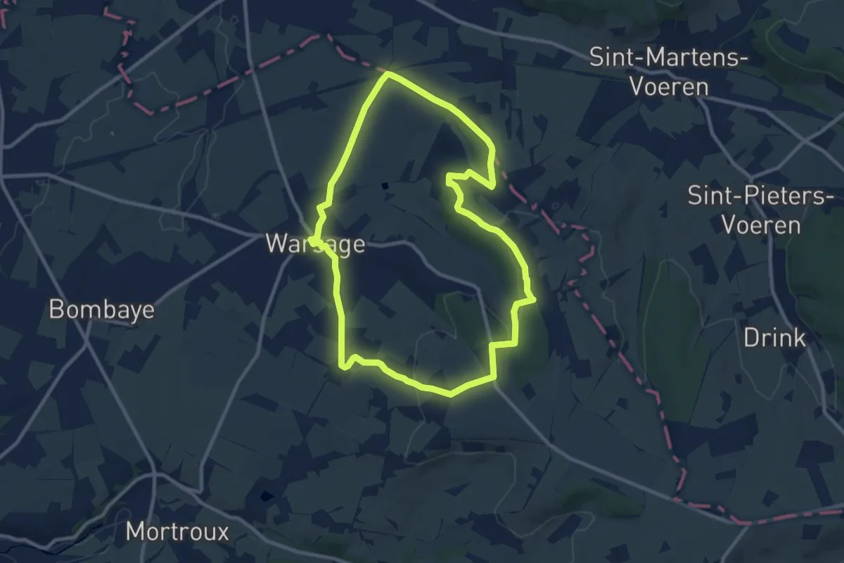
Medium · Trail
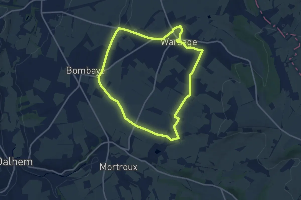
Warsage 1: D'un bois à l'autre
8.7 km · ↑ 138 m · 2 h 28 min
Easy · Trail
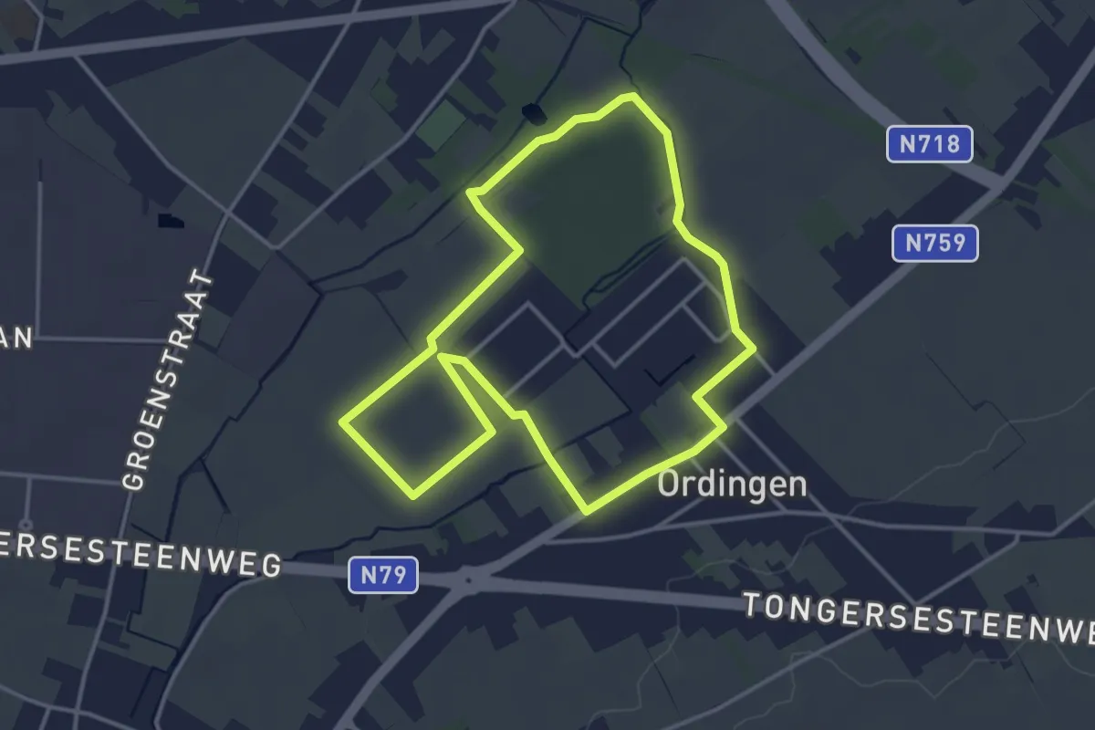
Warsage 2: Evasion champêtre
7.5 km · ↑ 44 m · 1 h 59 min
Easy · Trail
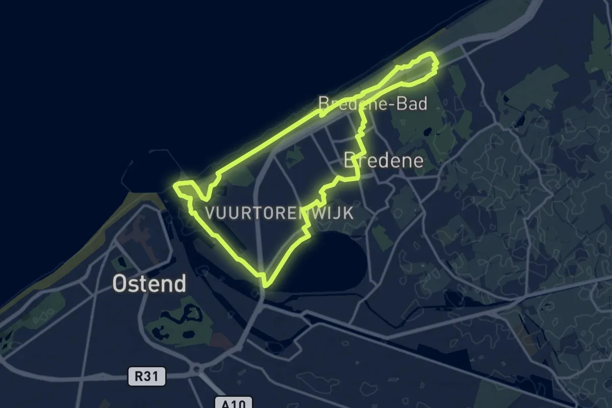
Waterburchtwandeling Ordingen
3.4 km · ↑ 0 m · 50 min
Medium · Trail
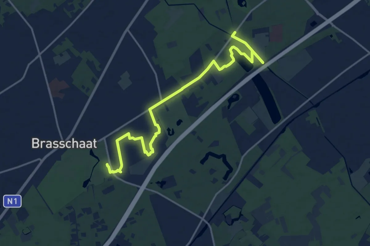
Waterkantpad
11.6 km · ↑ 22 m · 2 h 57 min
Medium · Trail
Waterpad
13.4 km · ↑ 35 m · 3 h 14 min
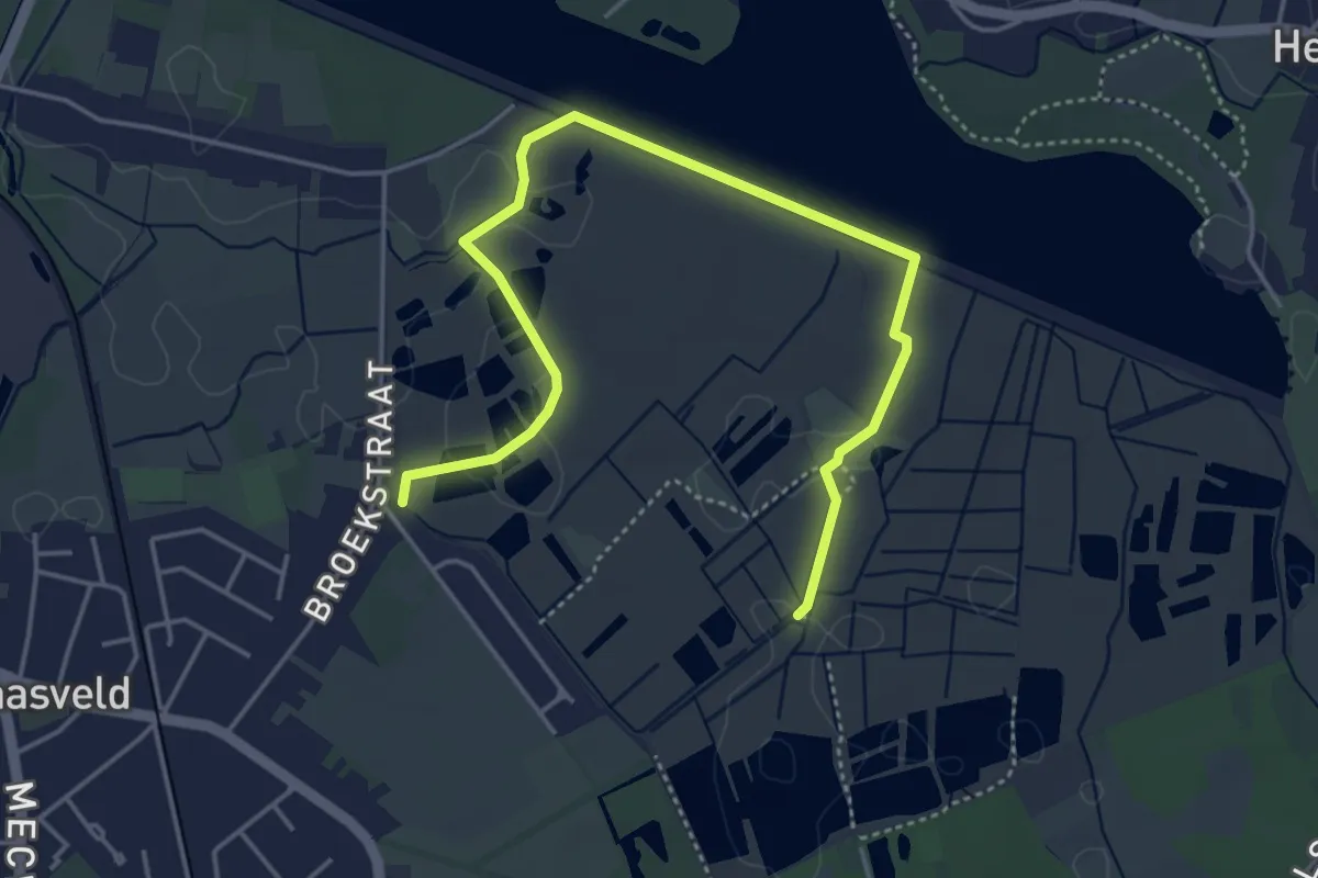
Easy · Trail
Watersportpad
4.9 km · ↑ 8 m · 1 h 10 min
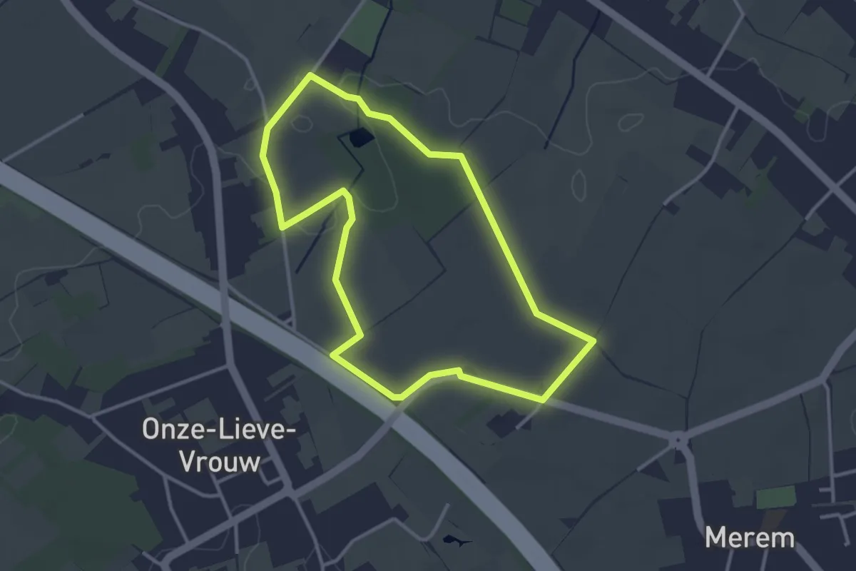
Easy · Trail
Watervalboswandeling
2.9 km · ↑ 13 m · 45 min
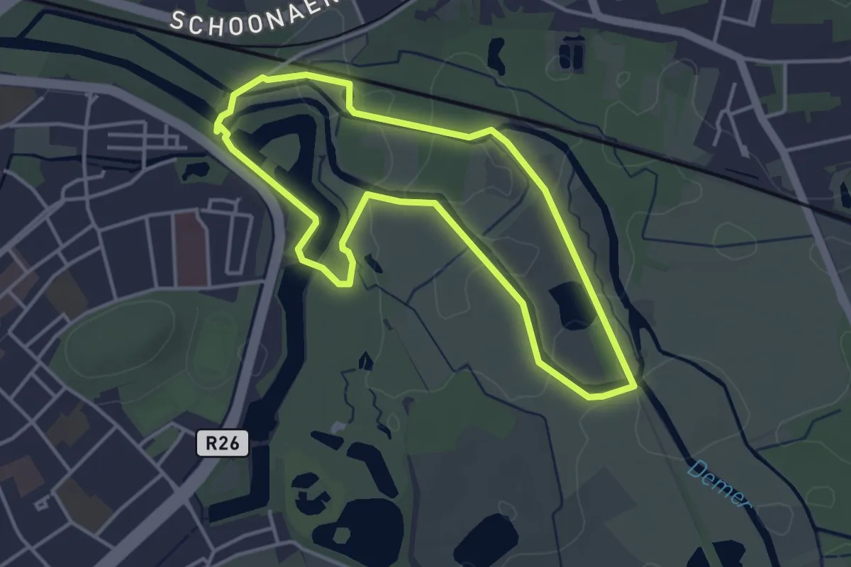
Easy · Trail
Webbekoms Broek Groene rechthoek
3.3 km · ↑ 4 m · 50 min
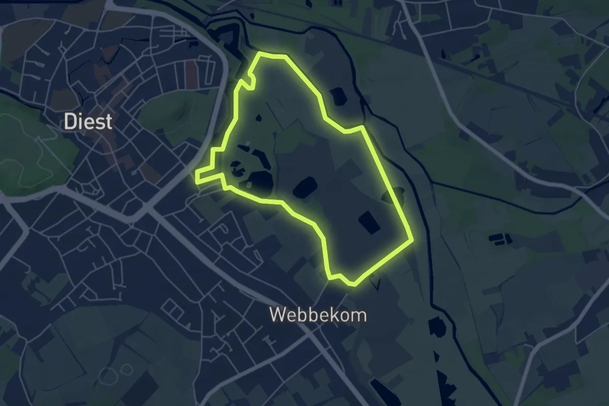
Easy · Trail
Webbekoms Broek Oranje bol
4.7 km · ↑ 4 m · 1 h 10 min
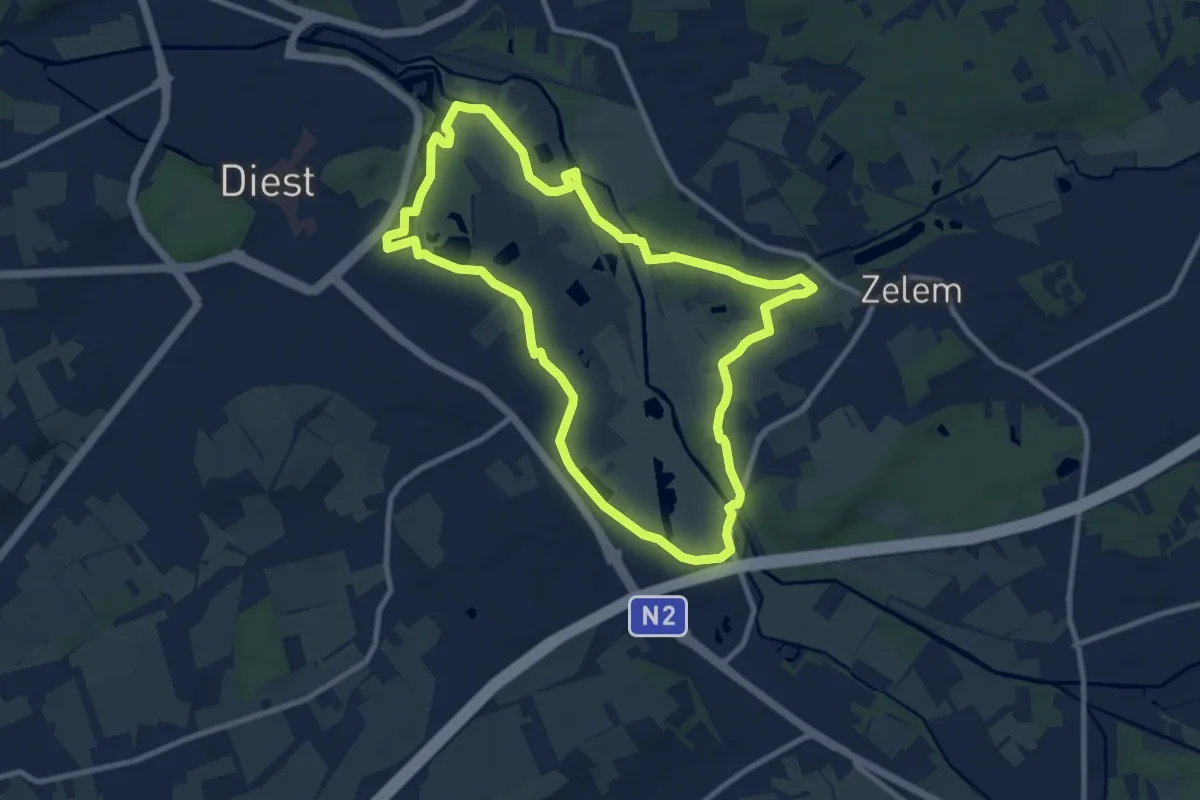
Medium · Trail
Webbekoms Broek Rode driehoek
8.9 km · ↑ 12 m · 2 h 15 min
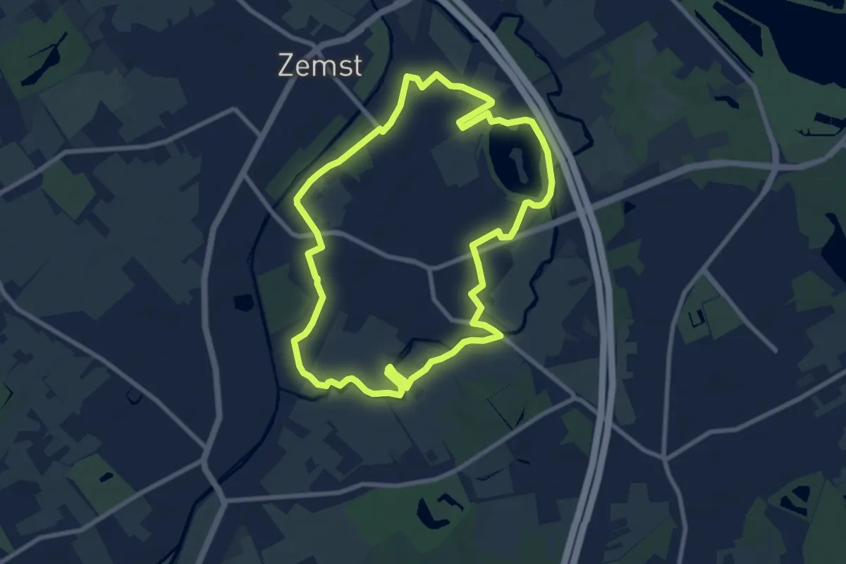
Easy · Trail
Weerdse Kronkels
7.6 km · ↑ 4 m · 1 h 54 min
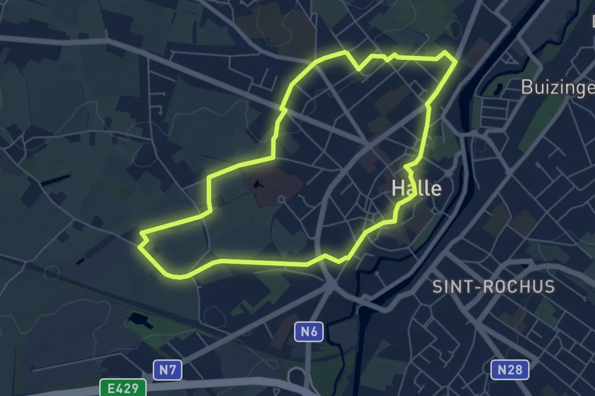
Easy · Pilgrim path
Weg-Om
5.4 km · ↑ 17 m · 1 h 23 min
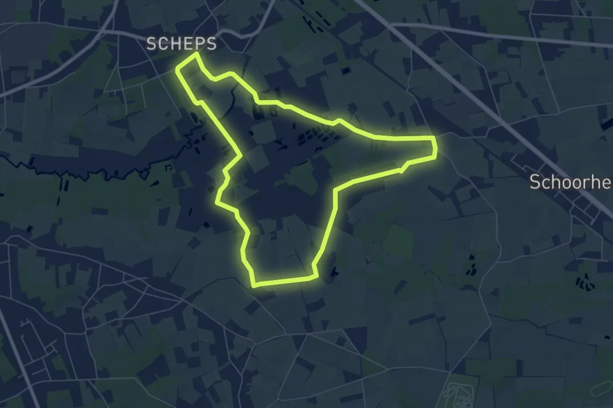
Easy · Trail
Weidepad
6.4 km · ↑ 4 m · 1 h 36 min
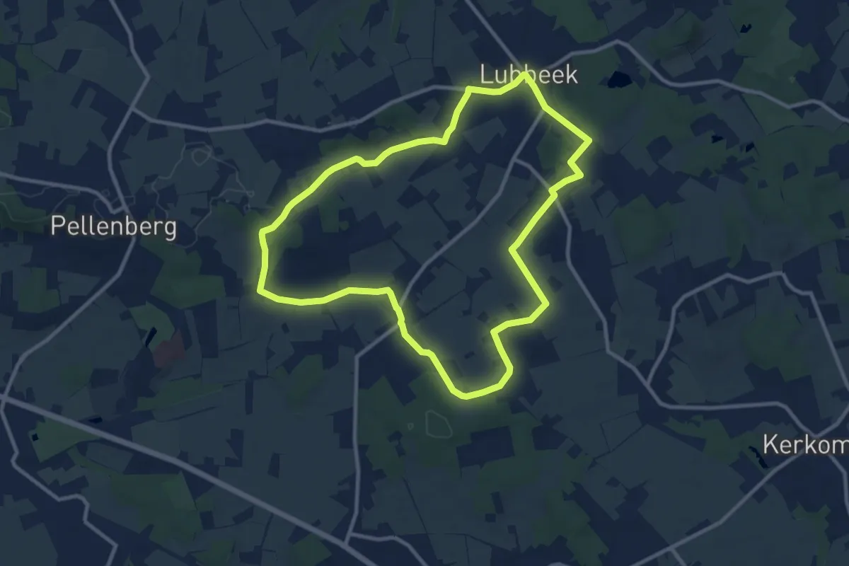
Medium · Trail
Werveldtwandeling
9.2 km · ↑ 75 m · 2 h 28 min
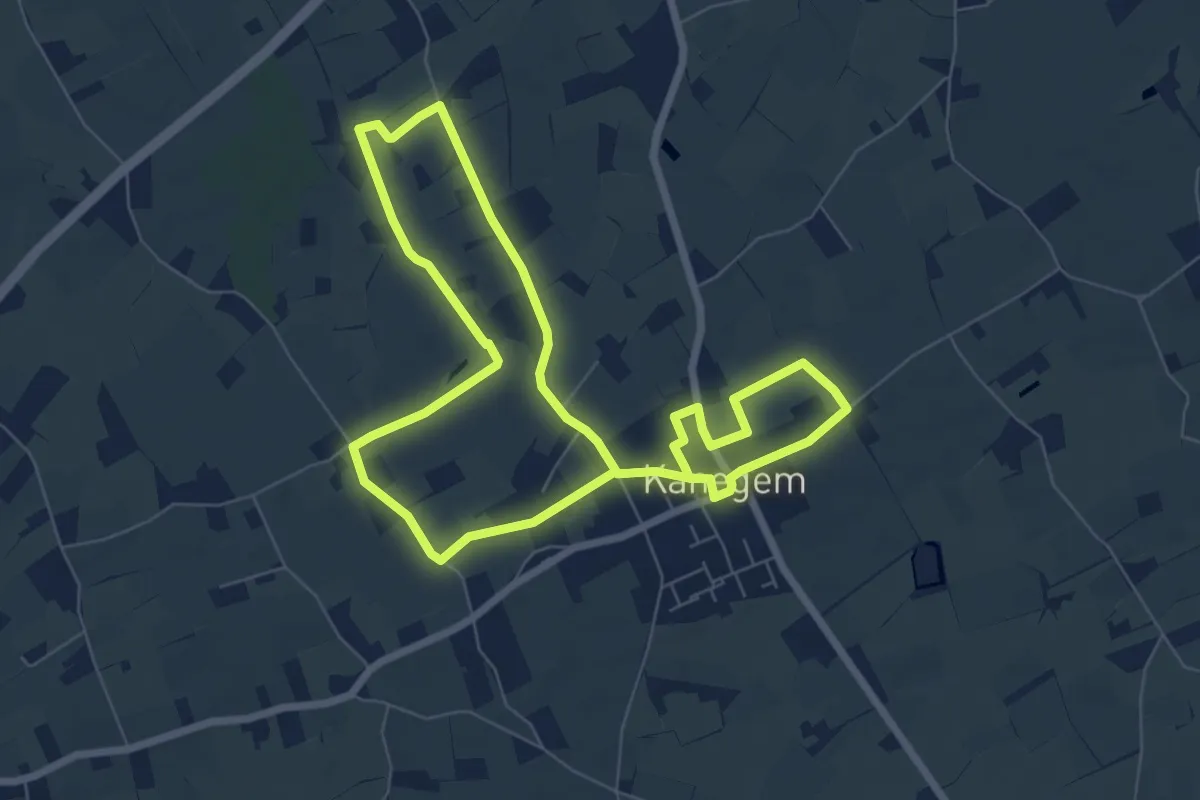
Medium · Trail
Westhoekwandeling
12.3 km · ↑ 26 m · 2 h 57 min
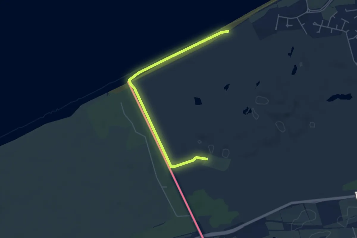
Easy · Trail
Westhoekwandelroute
2.3 km · ↑ 4 m · 35 min
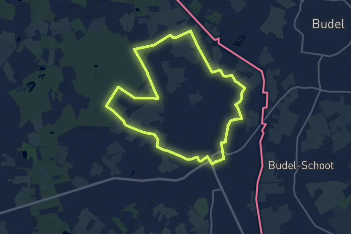
Medium · Trail
Westmalle
9.7 km · ↑ 17 m · 2 h 28 min
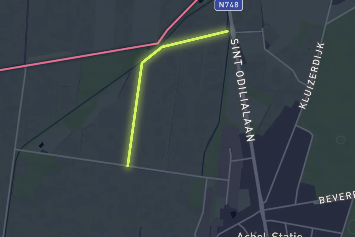
Easy · Trail
Westvleteren
2.2 km · ↑ 0 m · 32 min
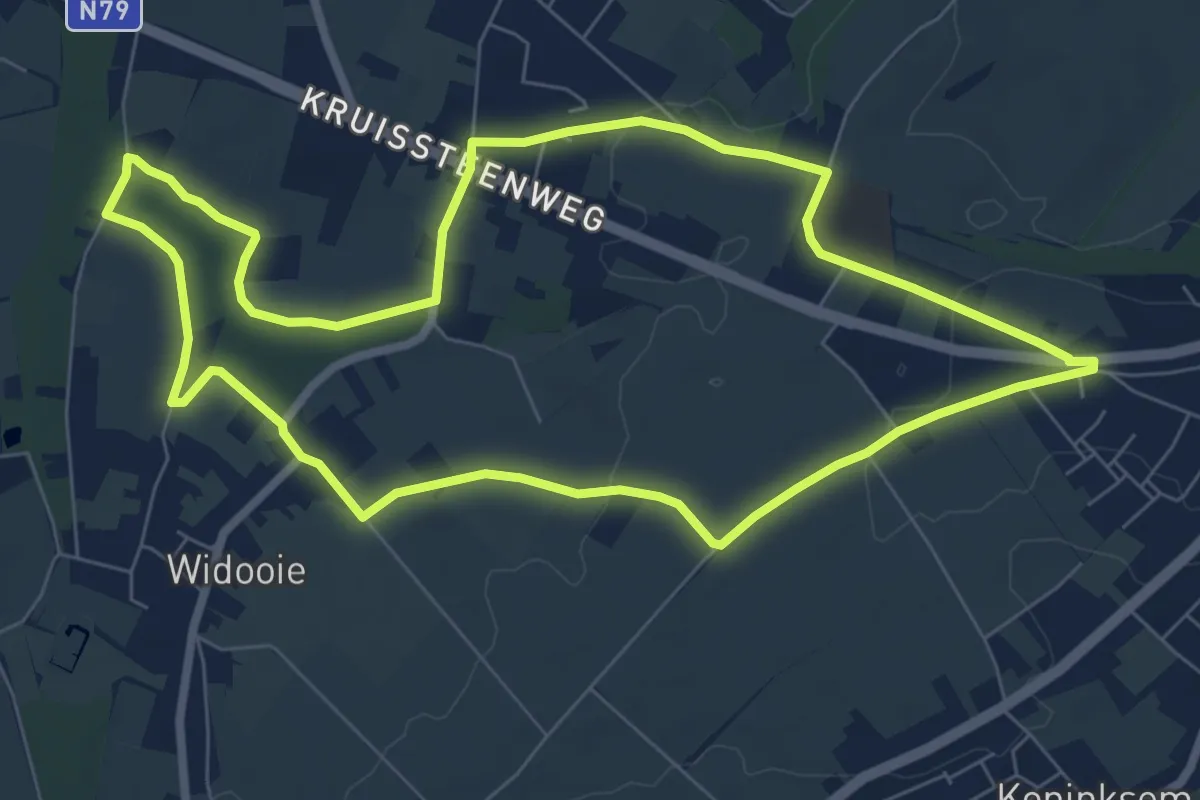
Easy · Trail
Widooie
7.2 km · ↑ 30 m · 1 h 51 min
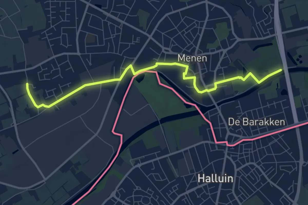
Easy · Trail
Wieltjespad
4.2 km · ↑ 0 m · 1 h 3 min
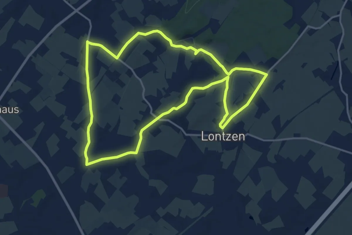
Medium · Trail
Wiesenweg
10.6 km · ↑ 113 m · 2 h 53 min
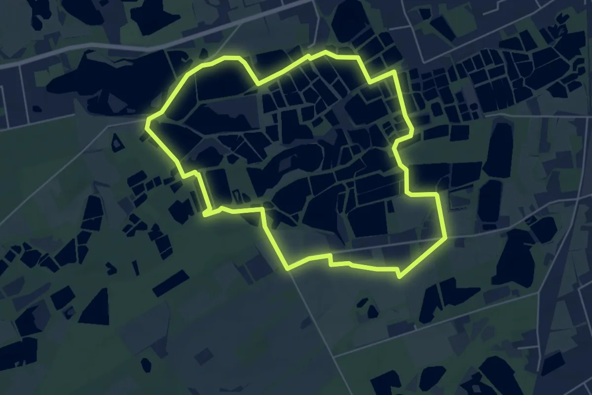
Easy · Trail
Wijvenheide Oranje bol
5.1 km · ↑ 4 m · 1 h 17 min
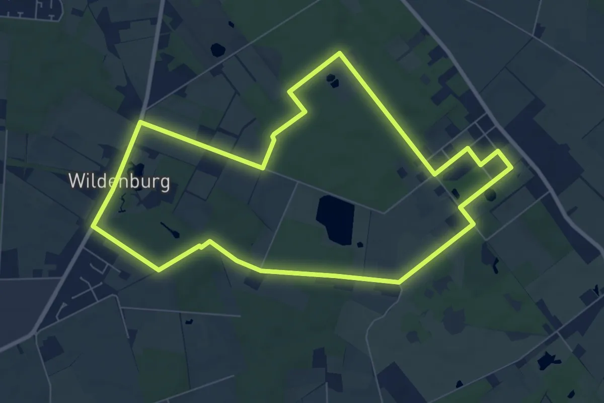
Easy · Trail
Wildenburg wandelroute
7.0 km · ↑ 39 m · 1 h 50 min
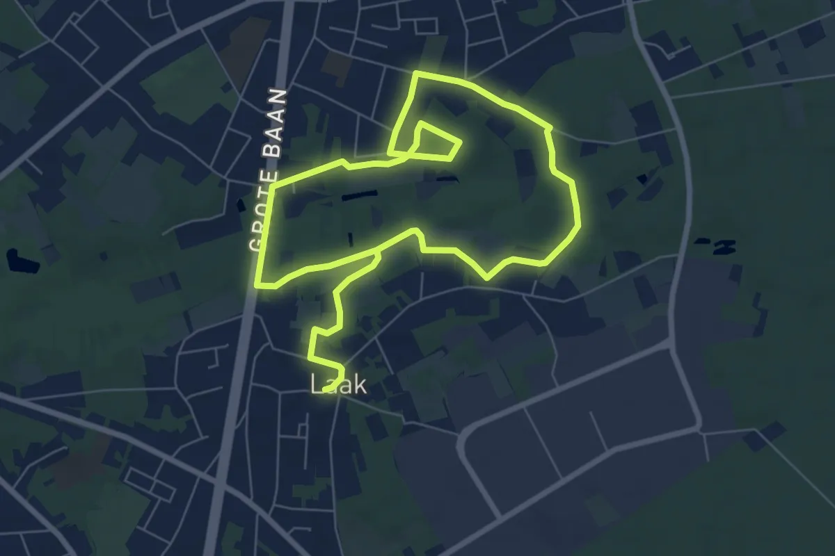
Medium · Trail
Wilgenwandeling Vallei Mangelbeek
11.0 km · ↑ 41 m · 2 h 42 min
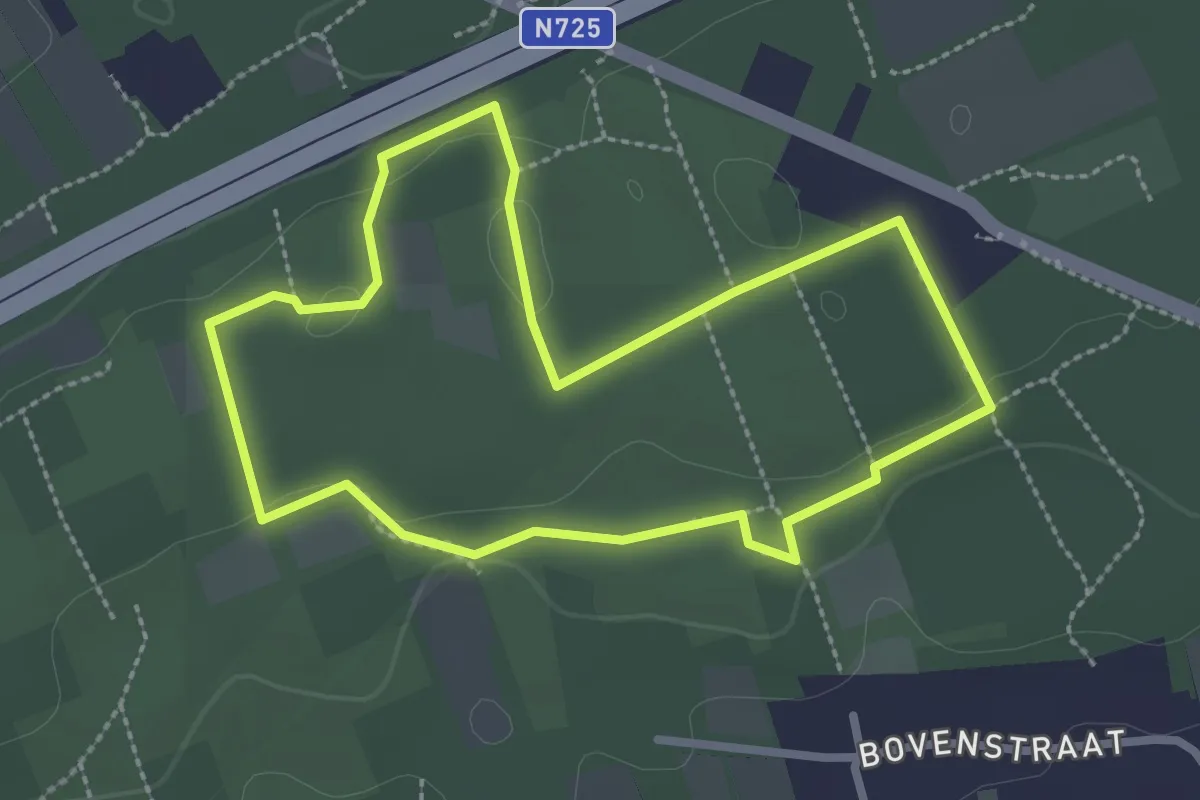
Easy · Trail
Willekensberg Groene rechthoek
2.4 km · ↑ 24 m · 39 min
Easy · Trail
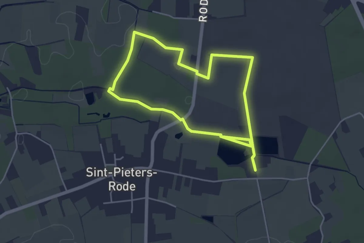
Wingewandeling
7.0 km · ↑ 17 m · 1 h 41 min
Easy · Trail
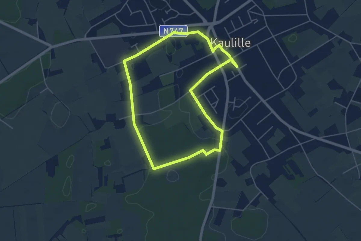
Winterdijkroute
4.0 km · ↑ 8 m · 1 h 1 min
Easy · Trail
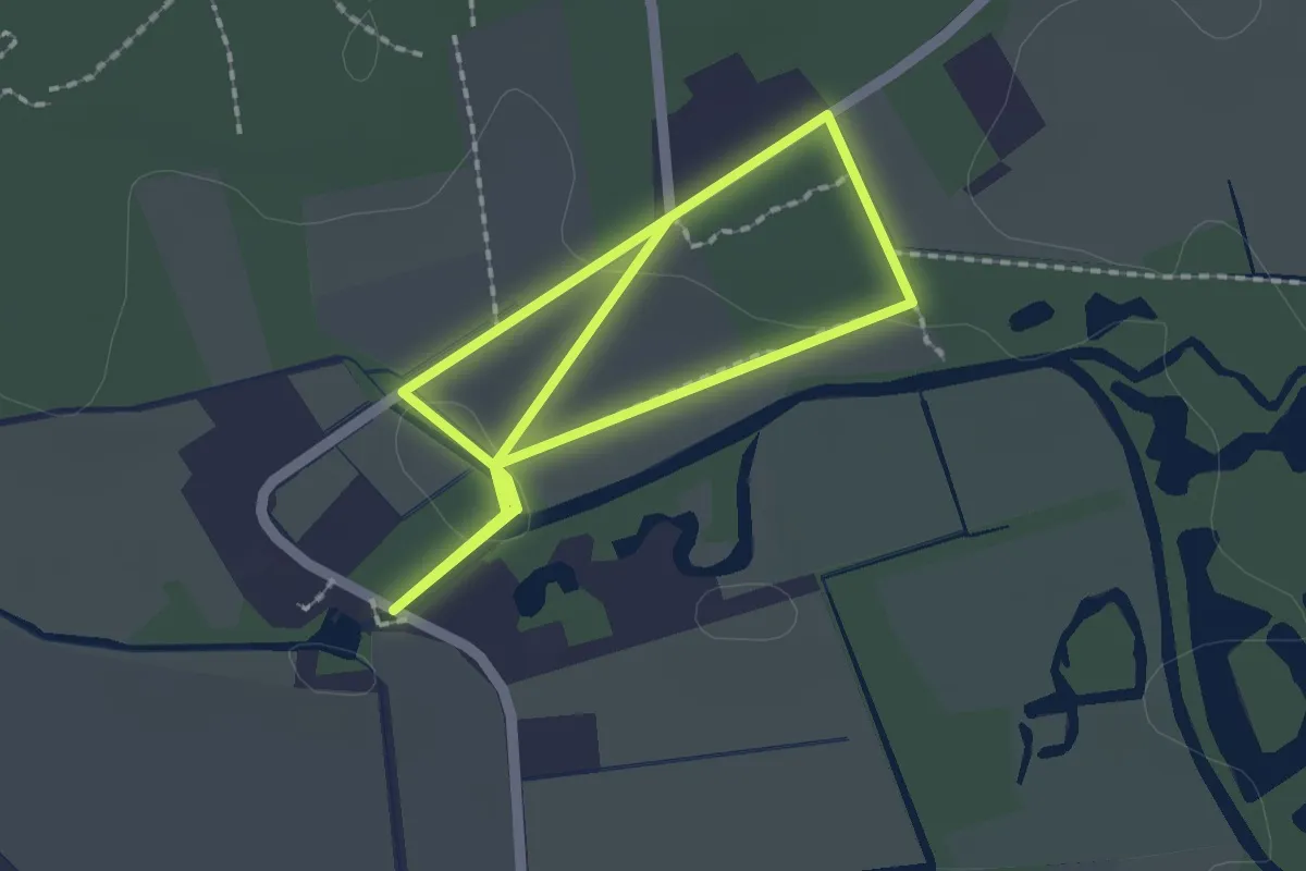
Witte Netevallei - Gele wandeling
1.6 km · ↑ 4 m · 24 min
Easy · Trail
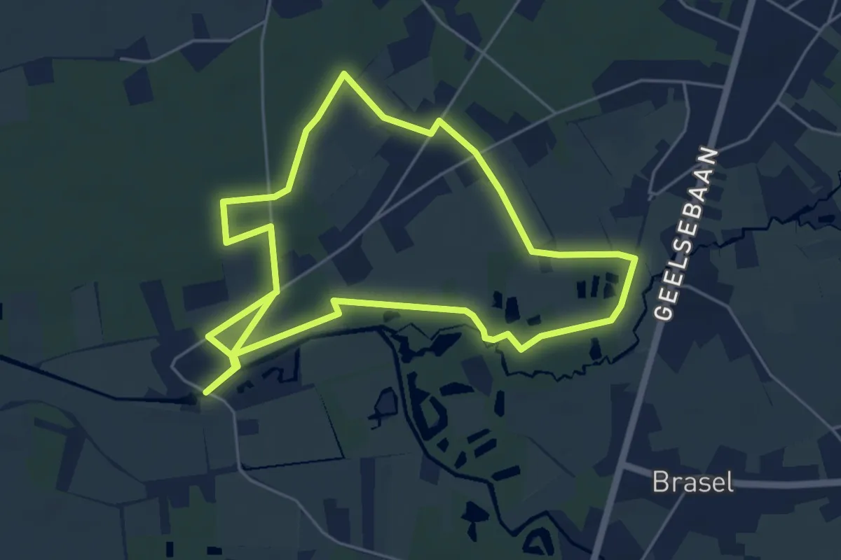
Witte Netevallei - Rode Wandeling
4.7 km · ↑ 12 m · 1 h 11 min