Trails in Belgium
3,383 hiking trails, each with its route, climb, walking time and grade.
All trails, page 62 of 71
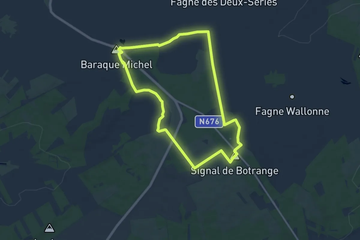
Medium · Summit
WM01 La grande ronde des Fagnes
8.5 km · ↑ 93 m · 2 h 19 min
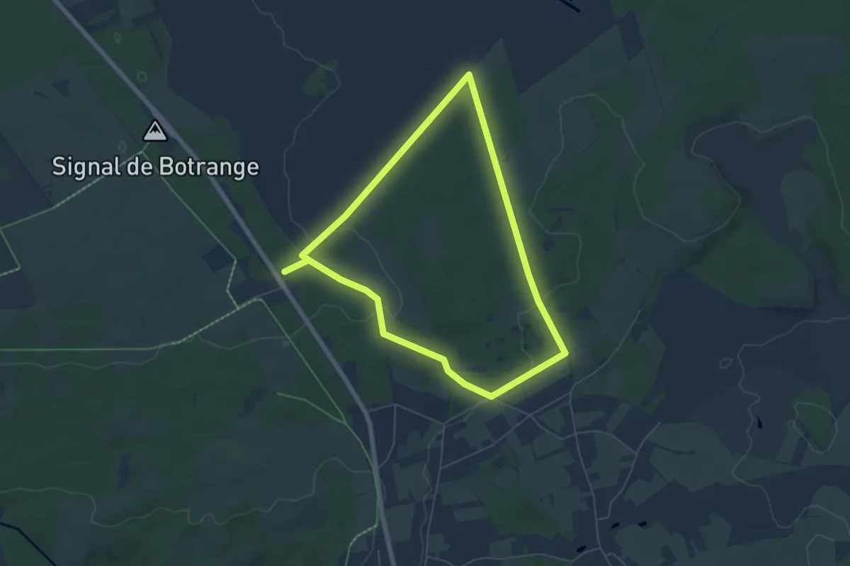
Easy · Trail
WM02 : Vers la Fagne Wallonne
5.3 km · ↑ 67 m · 1 h 28 min
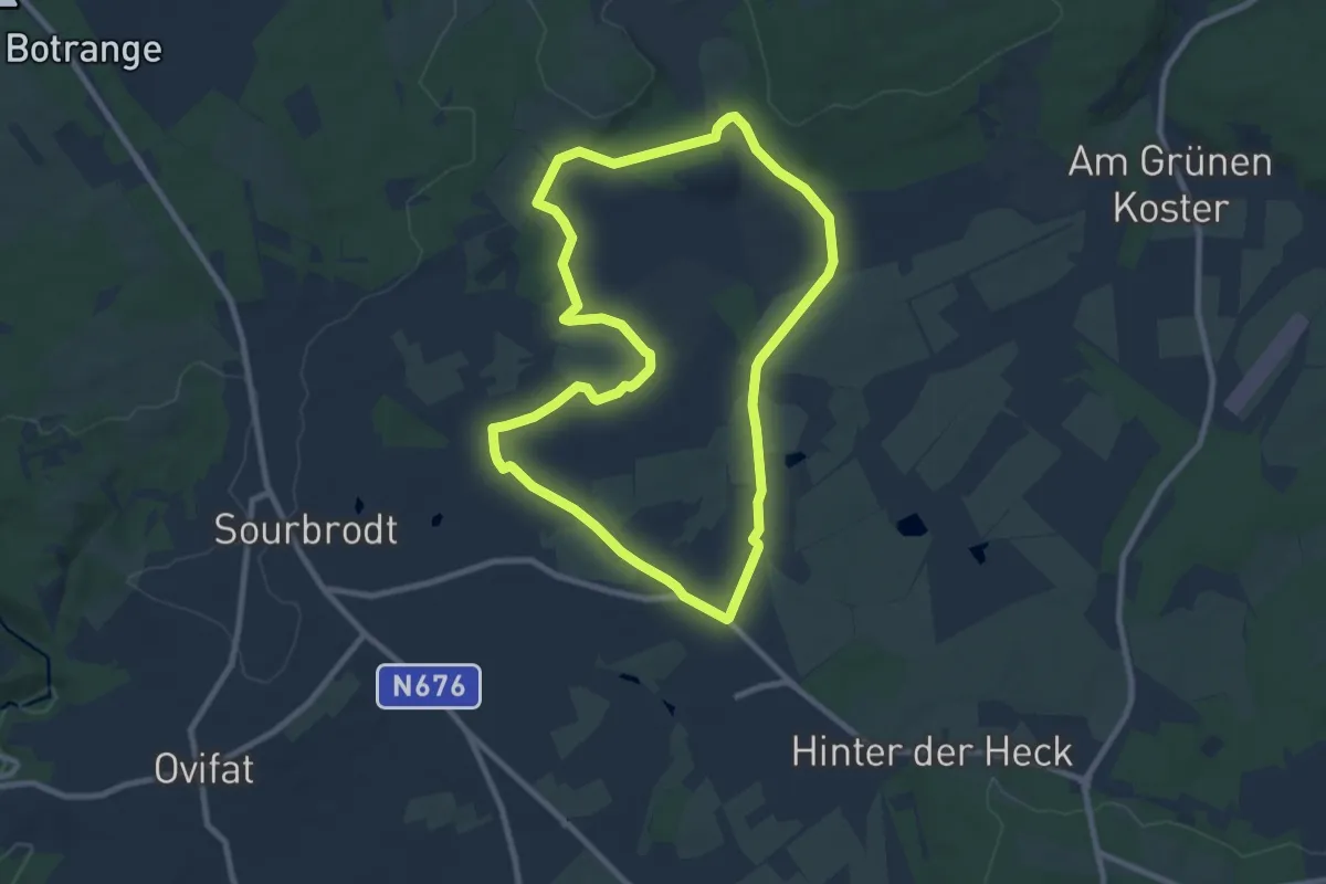
Medium · Trail
WM03 : Dans la Fagne de Sourbrodt
8.0 km · ↑ 45 m · 2 h 6 min
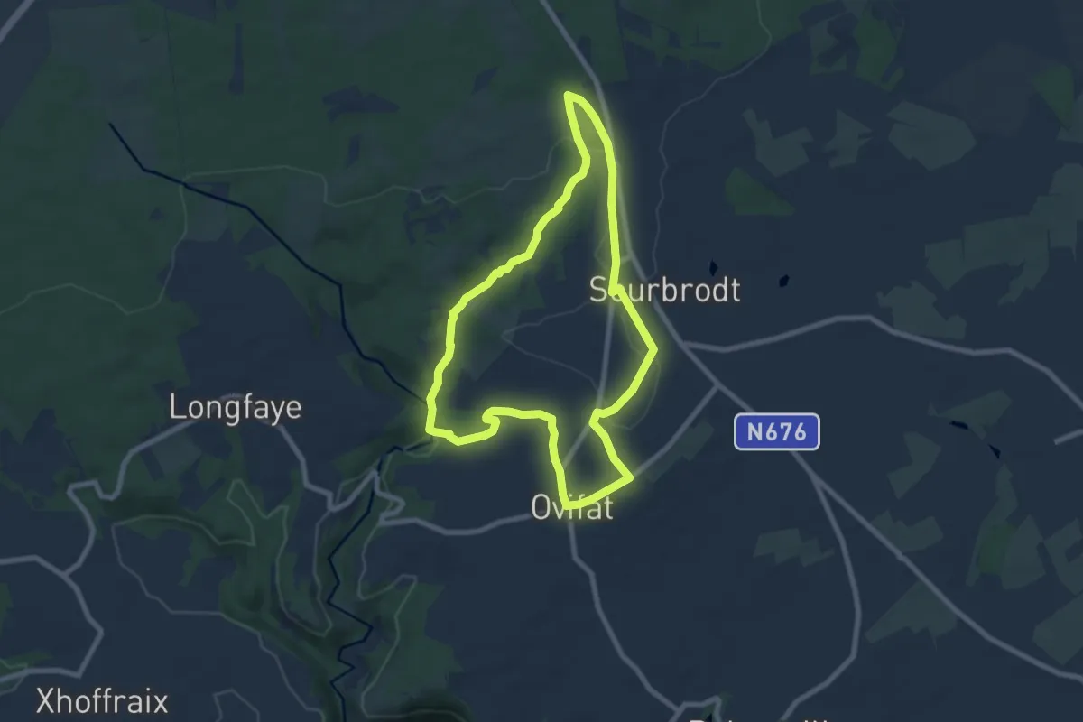
Medium · Trail
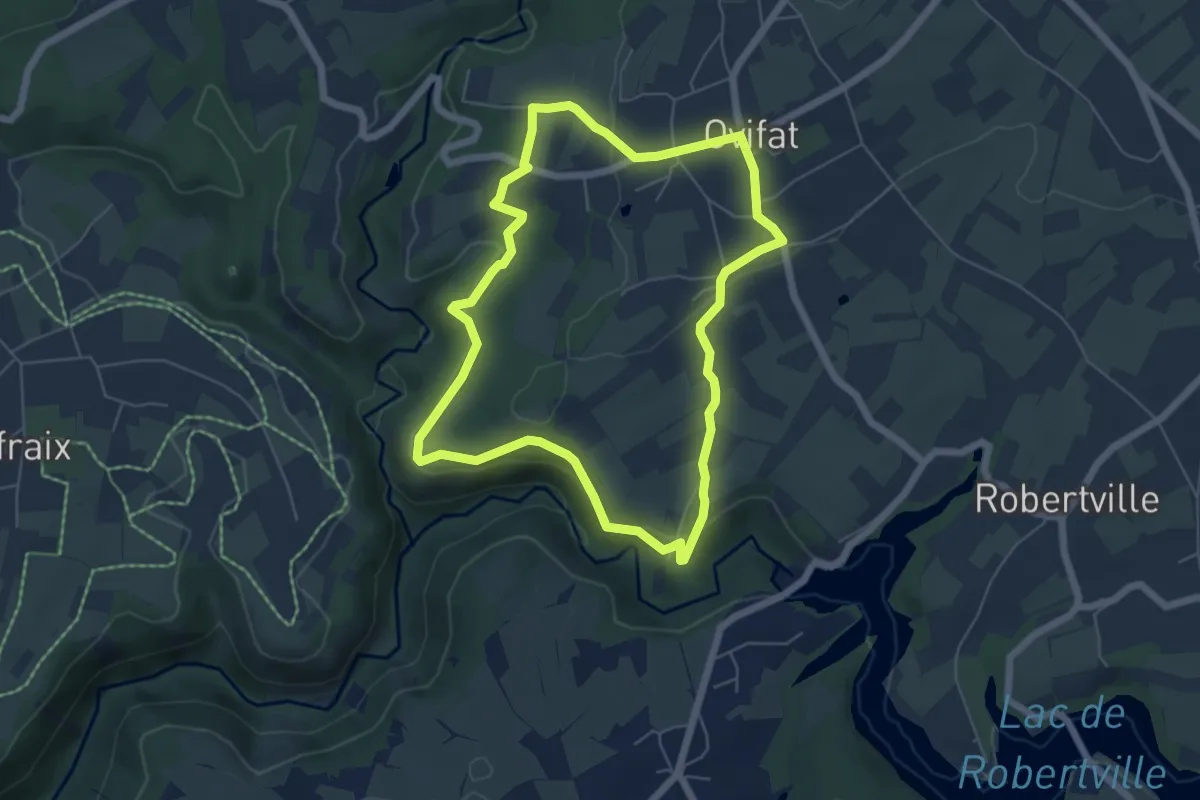
WM04 : Sur les hauteurs d'Ovifat
6.6 km · ↑ 123 m · 1 h 55 min
Easy · Trail
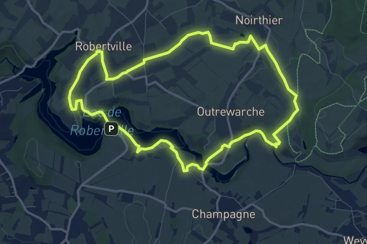
WM05 : Vers Reinhardstein
5.3 km · ↑ 154 m · 1 h 39 min
Medium · Trail
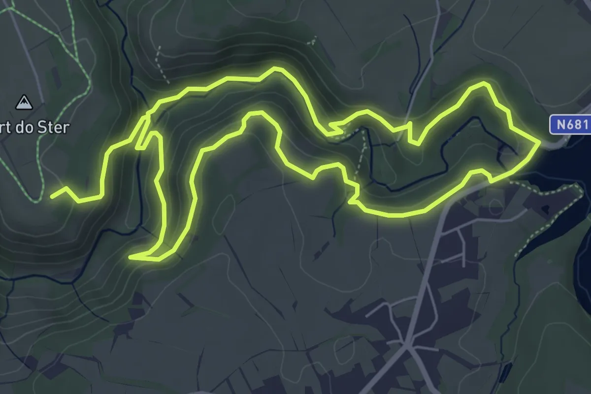
WM06 : Du lac aux sources de Quareu
8.3 km · ↑ 91 m · 2 h 16 min
Medium · Trail
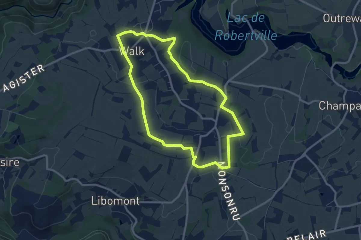
WM07 : Panorama de la Warche
11.2 km · ↑ 429 m · 3 h 35 min
Easy · Trail
WM08 : Dans la vallée du Poncé
6.1 km · ↑ 49 m · 1 h 37 min
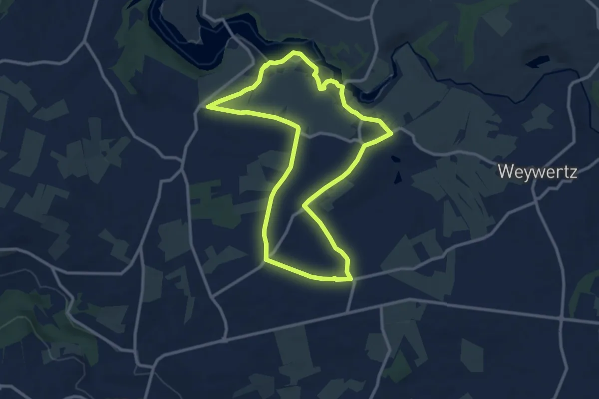
Easy · Trail
WM09 : Voie des Tahots - via Mansuerisca
7.6 km · ↑ 79 m · 2 h 4 min
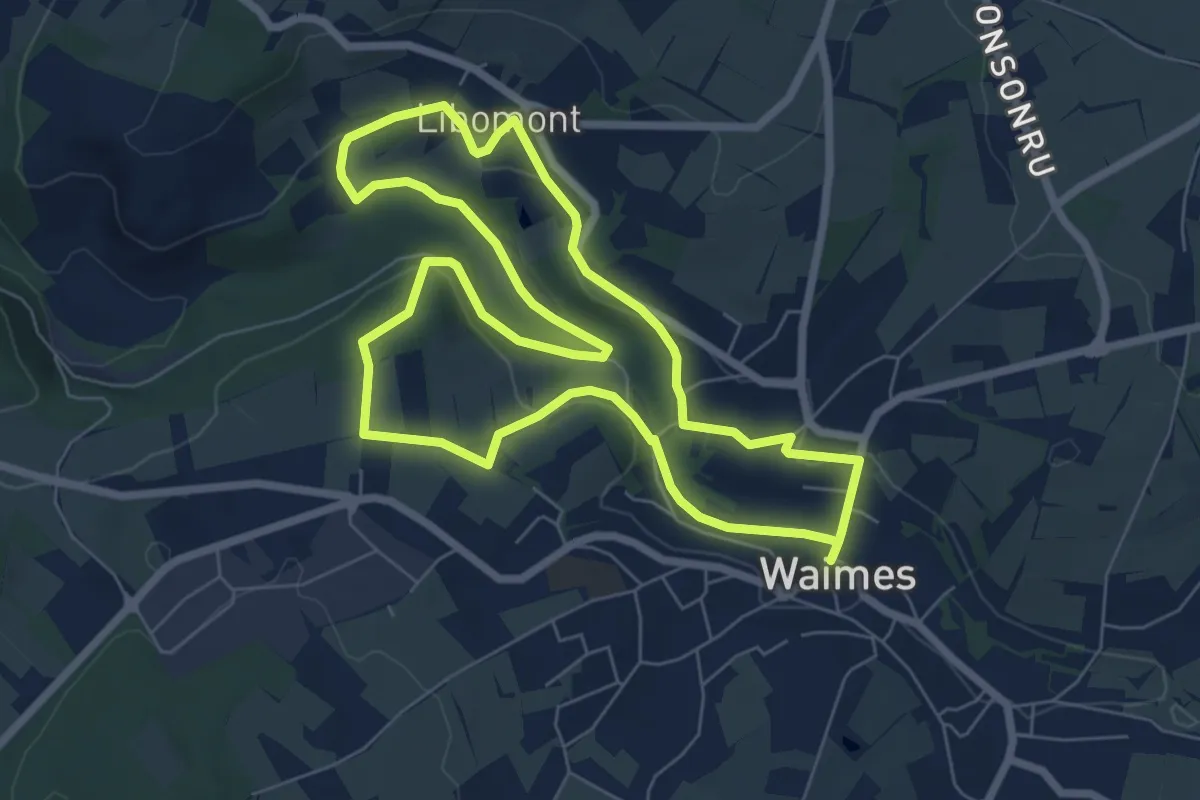
Easy · Trail
WM10 Sur les versants de la Warchenne
6.7 km · ↑ 133 m · 1 h 57 min
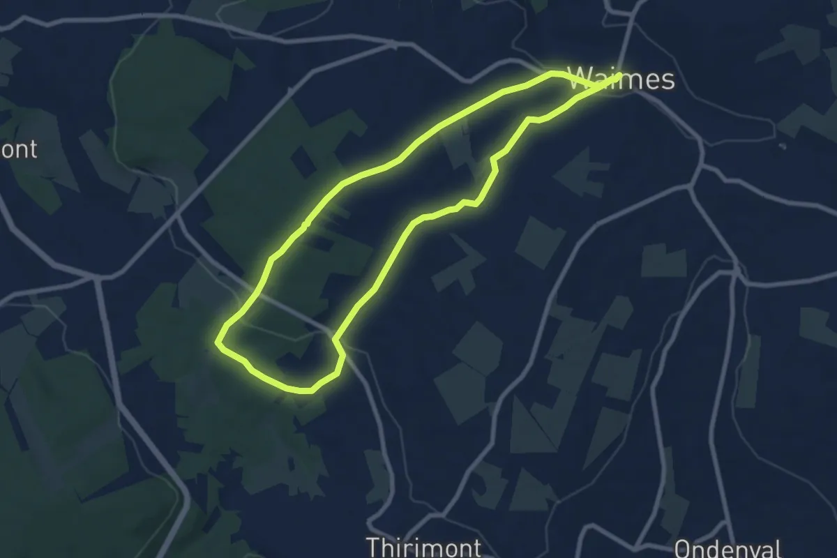
Easy · Trail
WM11 Sur les hauteurs de Waimes
7.0 km · ↑ 156 m · 2 h 4 min
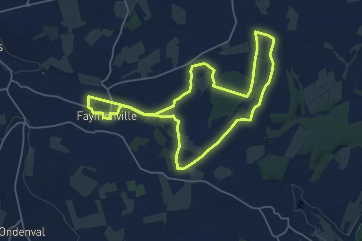
Medium · Trail
WM12 Aux sources de la Warchenne
10.2 km · ↑ 65 m · 2 h 42 min
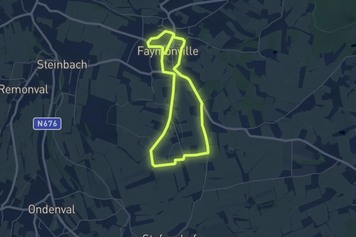
Easy · Trail
WM13 Sur les hauteurs de Faymonville
4.7 km · ↑ 35 m · 1 h 15 min
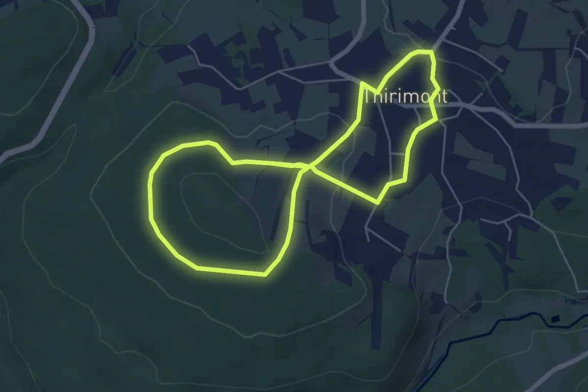
Easy · Trail
WM14 Le tour des Hauts Sarts
4.5 km · ↑ 69 m · 1 h 17 min
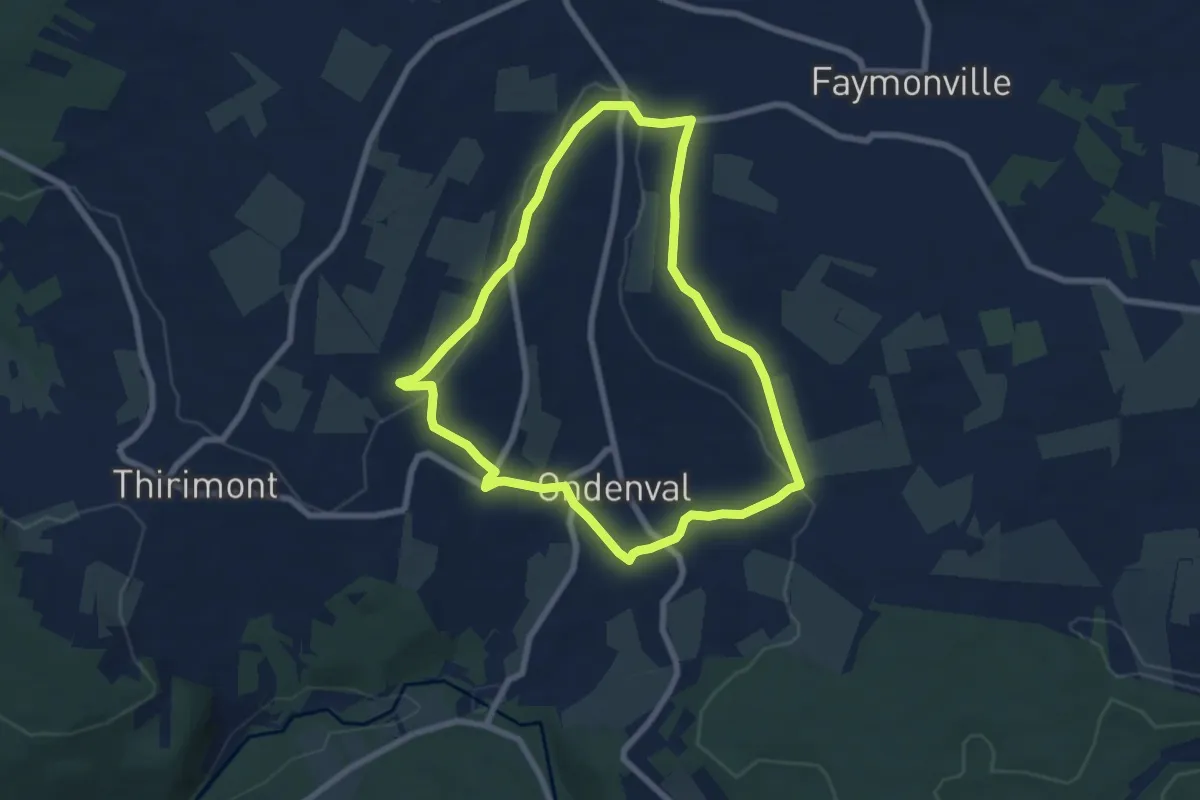
Easy · Trail
WM15 Au pays des bâtisses en pierres
6.3 km · ↑ 113 m · 1 h 50 min
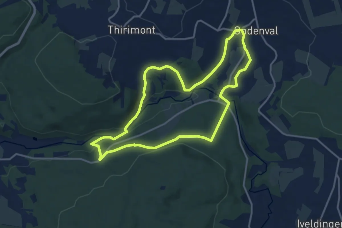
Medium · Trail
WM16 Sur les versants de l'Amblève
8.0 km · ↑ 178 m · 2 h 24 min
Easy · Trail
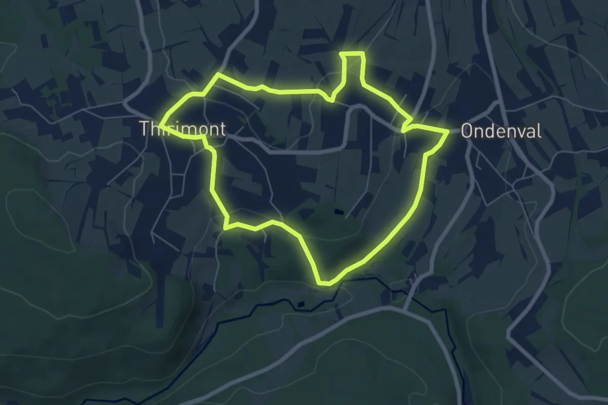
WM17 Par monts et par vaux
5.4 km · ↑ 127 m · 1 h 38 min
Easy · Summit
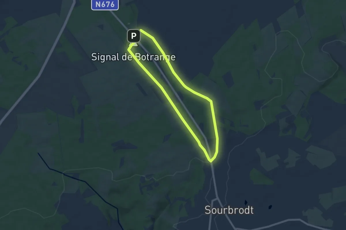
WM18 : Au sommet de la Belgique
5.3 km · ↑ 91 m · 1 h 32 min
Easy · Trail
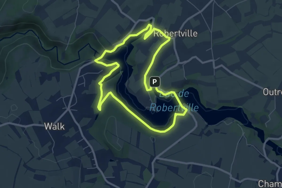
WM19 : Au fil des rives du lac
5.7 km · ↑ 55 m · 1 h 32 min
Easy · Trail
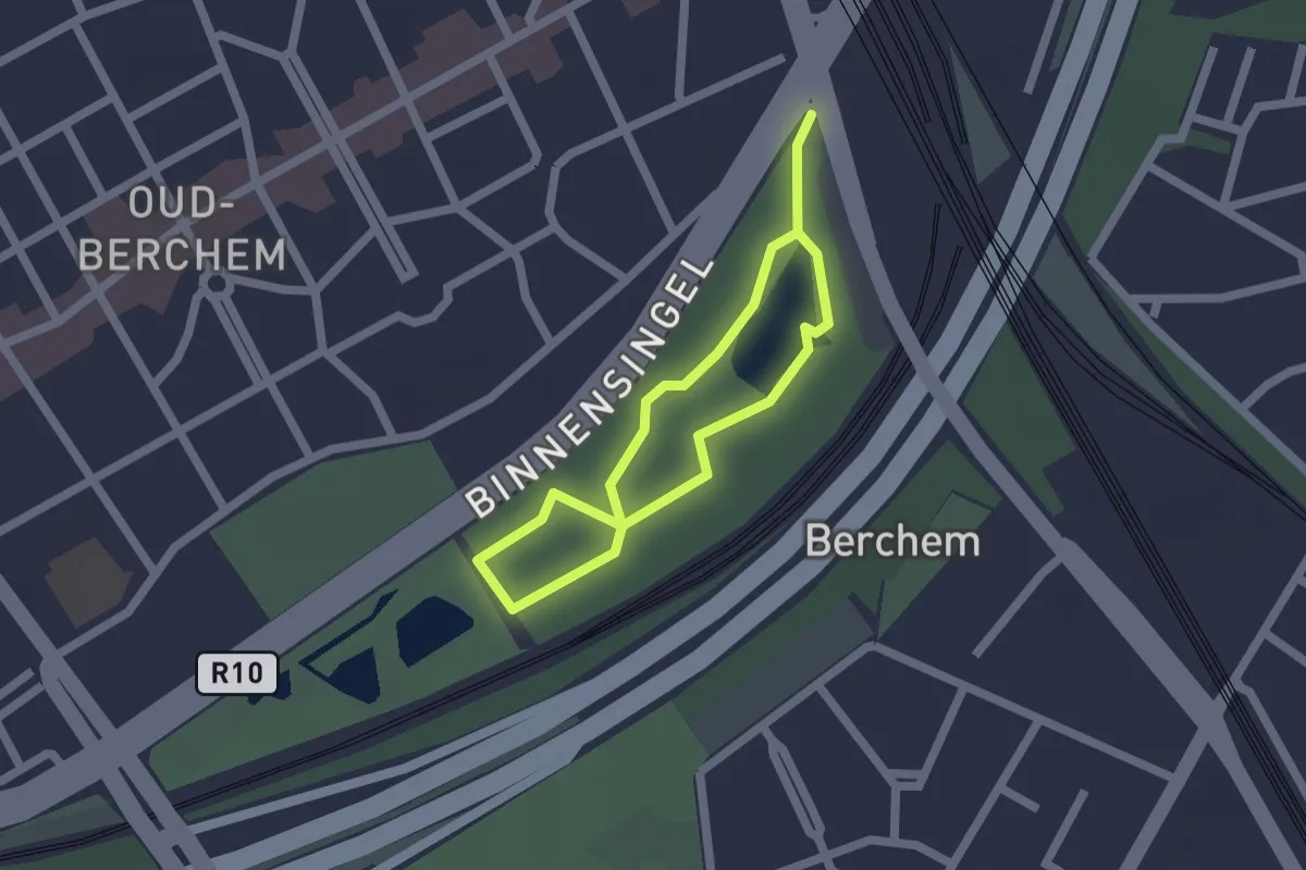
Wolvenberg wandelpad
1.3 km · ↑ 0 m · 19 min
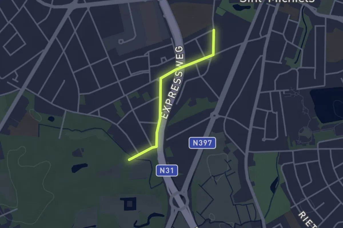
Easy · Trail
Xaverianen - Tillegem
2.3 km · ↑ 0 m · 33 min
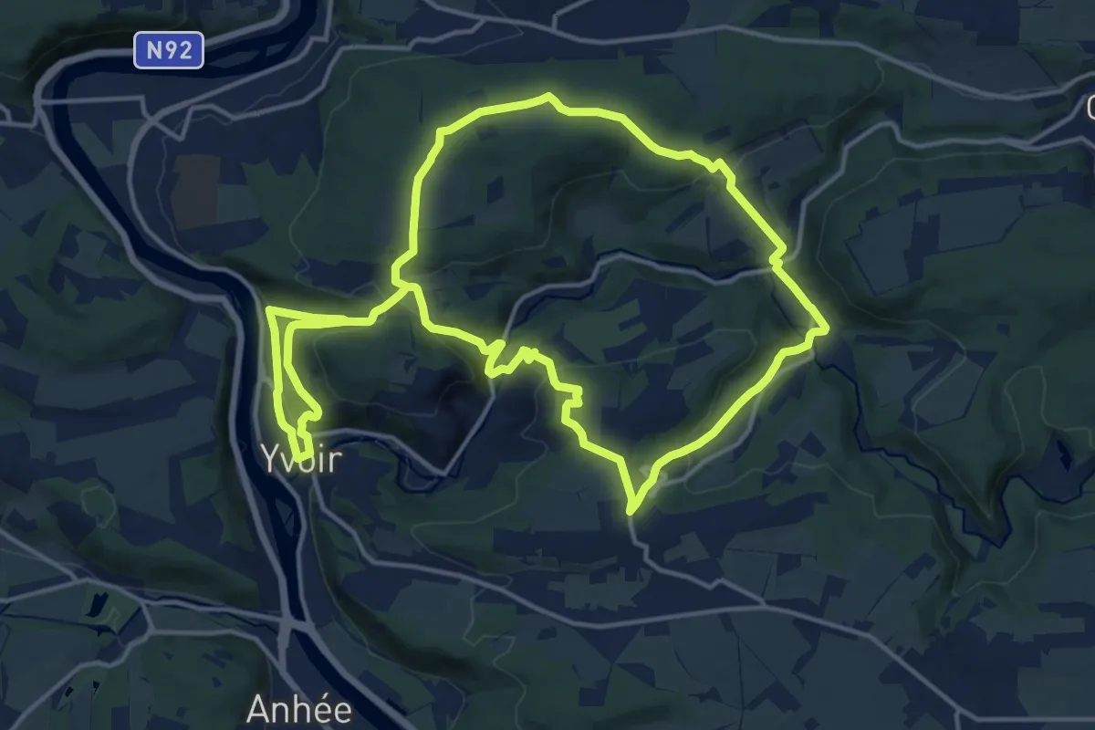
Medium · Trail
Yvoir - Bauche - Yvoir
14.6 km · ↑ 488 m · 4 h 42 min
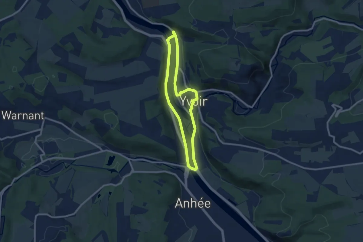
Easy · Trail
Yvoir - Hun - Yvoir
5.6 km · ↑ 39 m · 1 h 29 min
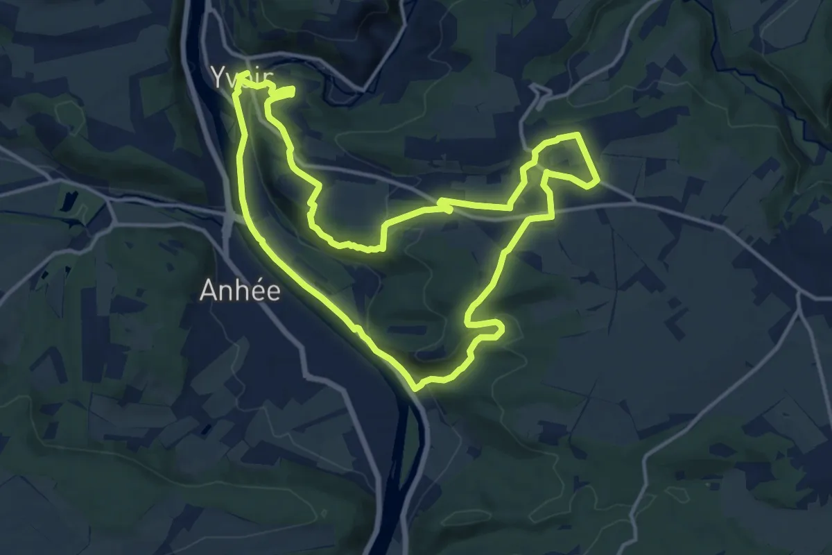
Medium · Trail
Yvoir - Poilvache - Yvoir
12.4 km · ↑ 231 m · 3 h 36 min
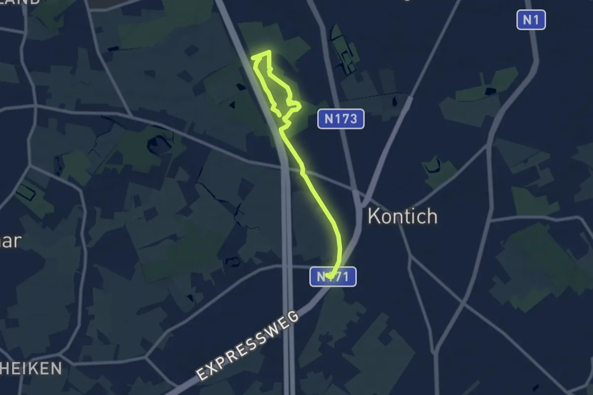
Easy · Trail
Zandbergenwandeling
7.2 km · ↑ 17 m · 1 h 44 min
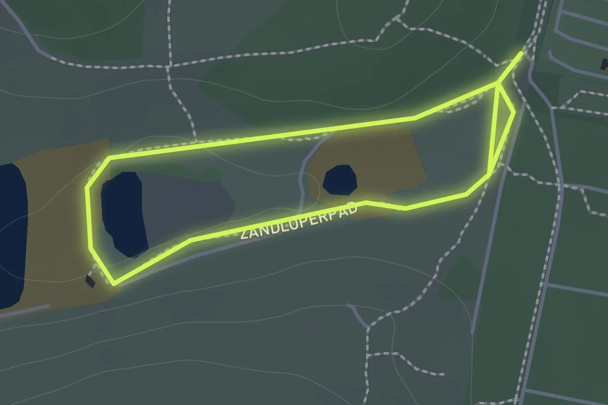
Easy · Trail
Zandloperpad
1.1 km · ↑ 5 m · 18 min
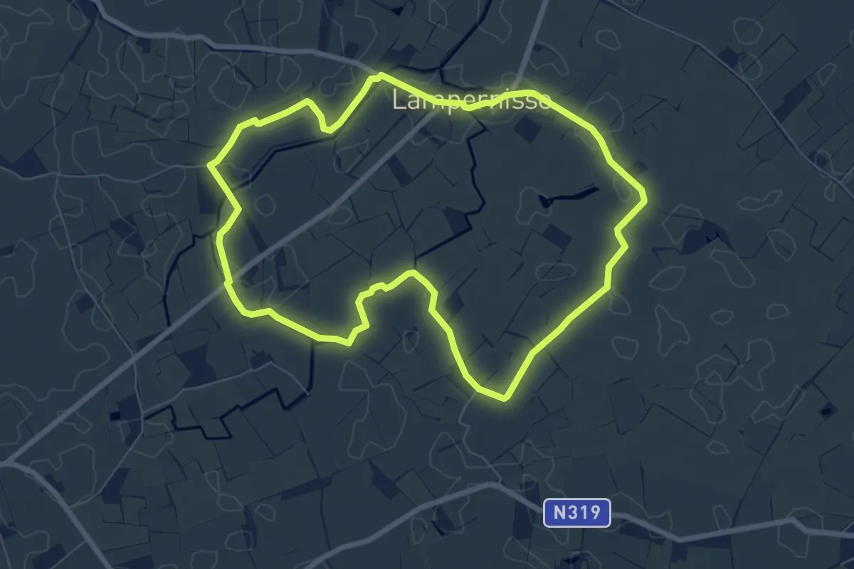
Easy · Trail
Zannekin wandelroute
6.4 km · ↑ 0 m · 1 h 37 min
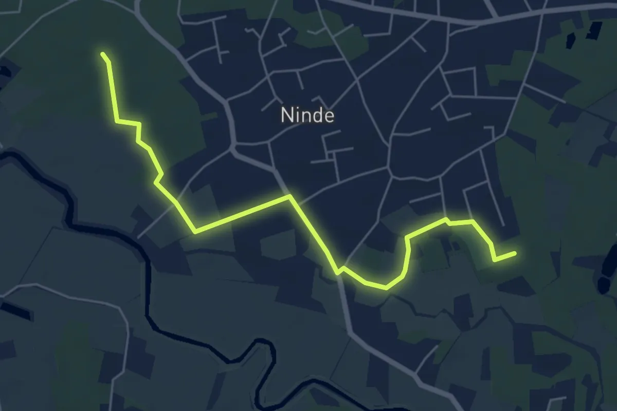
Easy · Trail
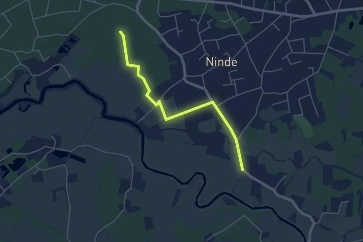
Zegbroek Groene Ruit
5.2 km · ↑ 9 m · 1 h 15 min
Easy · Trail
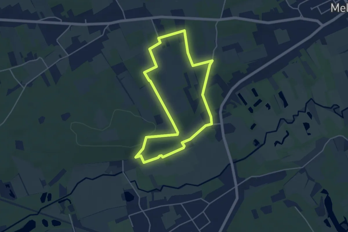
Zegbroek Rood Vierkant
3.9 km · ↑ 8 m · 56 min
Easy · Trail
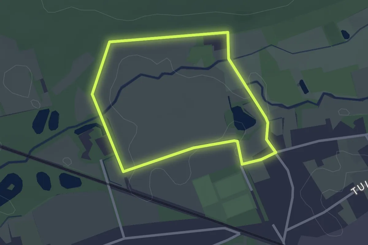
Zelem Blauwe ruit
3.6 km · ↑ 38 m · 59 min
Easy · Trail
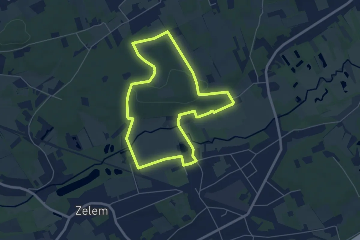
Zelem Groene rechthoek
2.0 km · ↑ 6 m · 32 min
Easy · Trail
Zelem Oranje bol
4.6 km · ↑ 52 m · 1 h 16 min
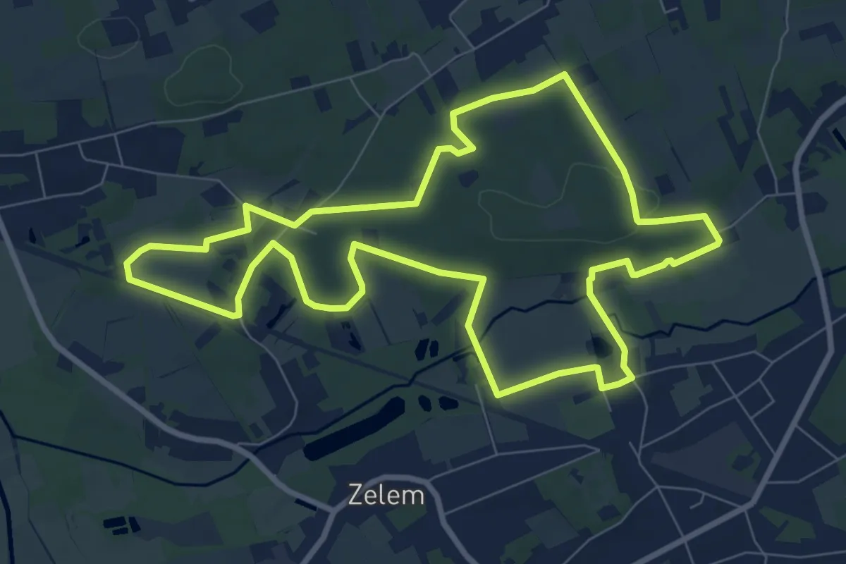
Easy · Trail
Zelem Rode driehoek
7.8 km · ↑ 56 m · 2 h 5 min
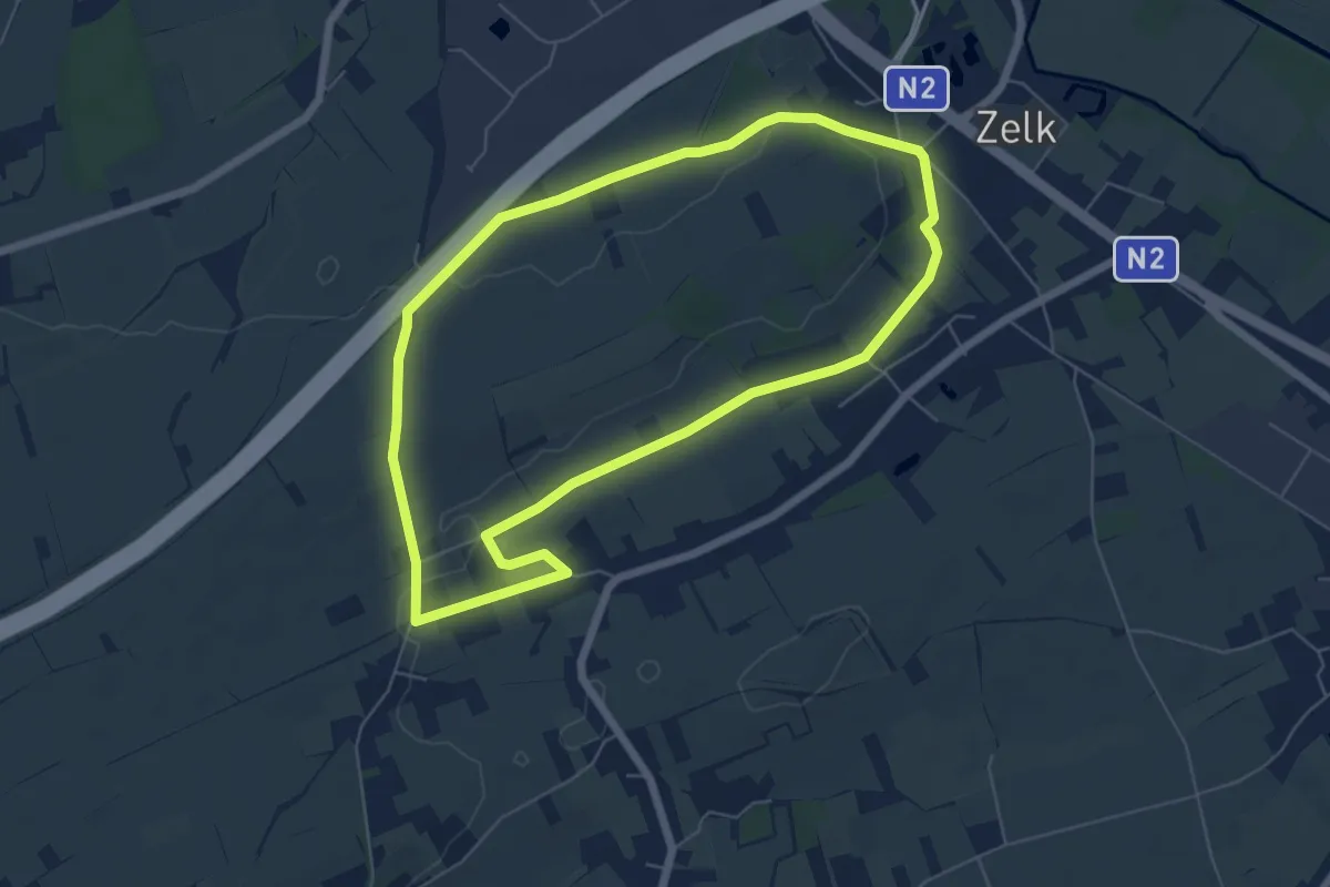
Easy · Trail
Zelk Oranje bol
5.6 km · ↑ 38 m · 1 h 29 min
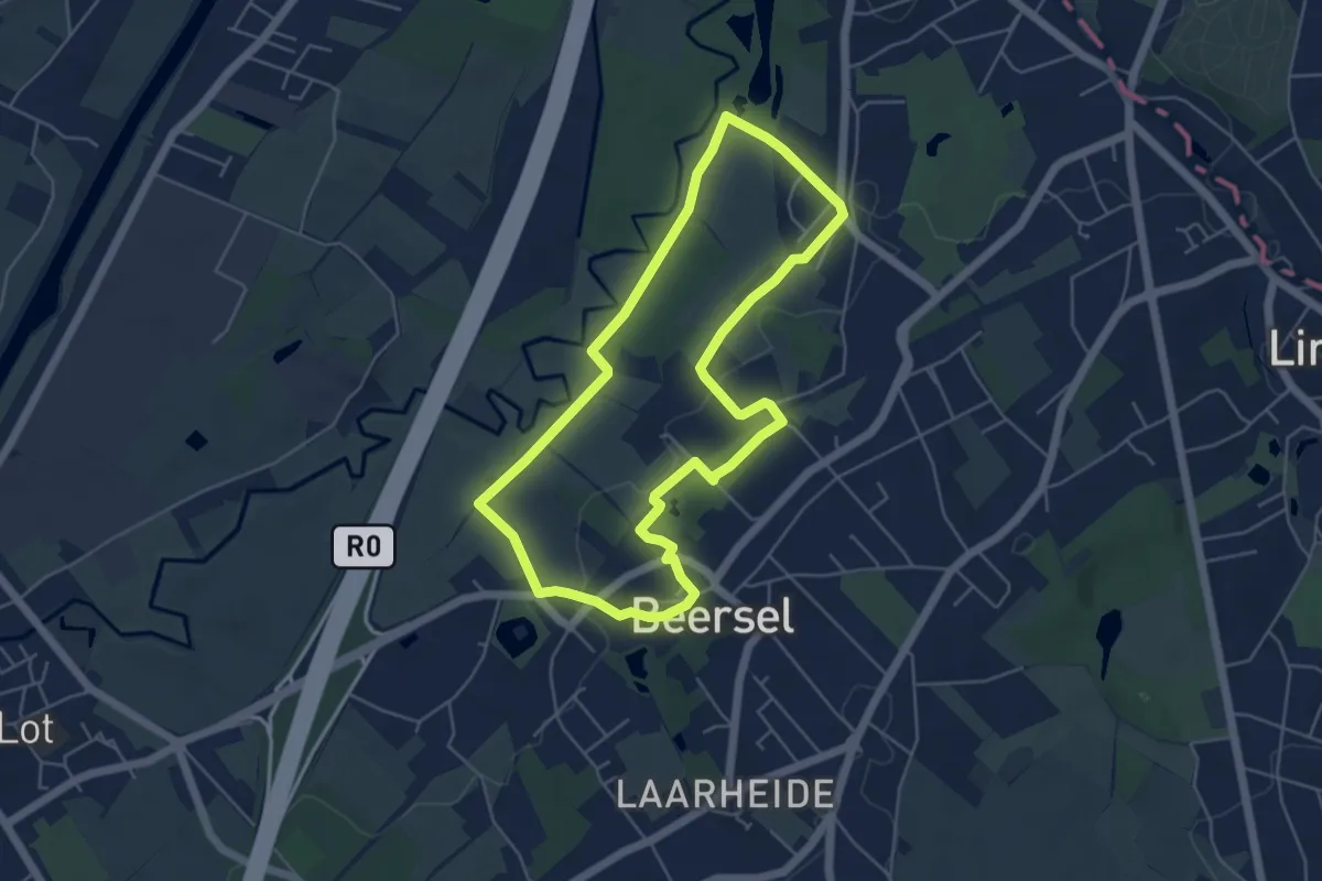
Easy · Trail
Zennewandeling
4.6 km · ↑ 80 m · 1 h 20 min
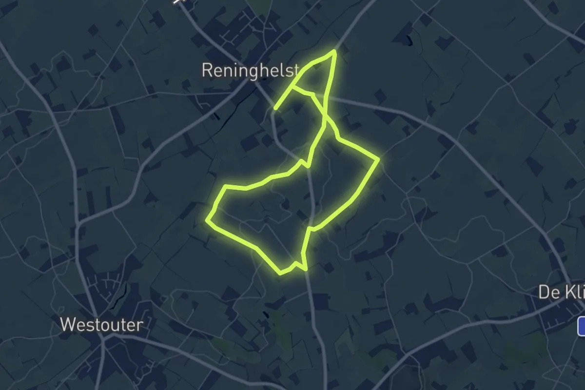
Easy · Trail
Zevekotepad Reningelst
6.1 km · ↑ 39 m · 1 h 37 min
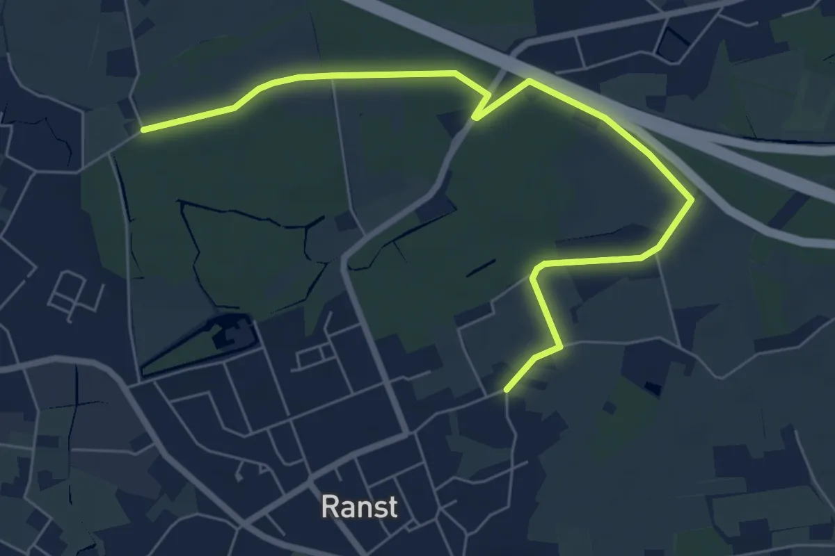
Easy · Trail
Zevenbergenpad
6.7 km · ↑ 22 m · 1 h 37 min
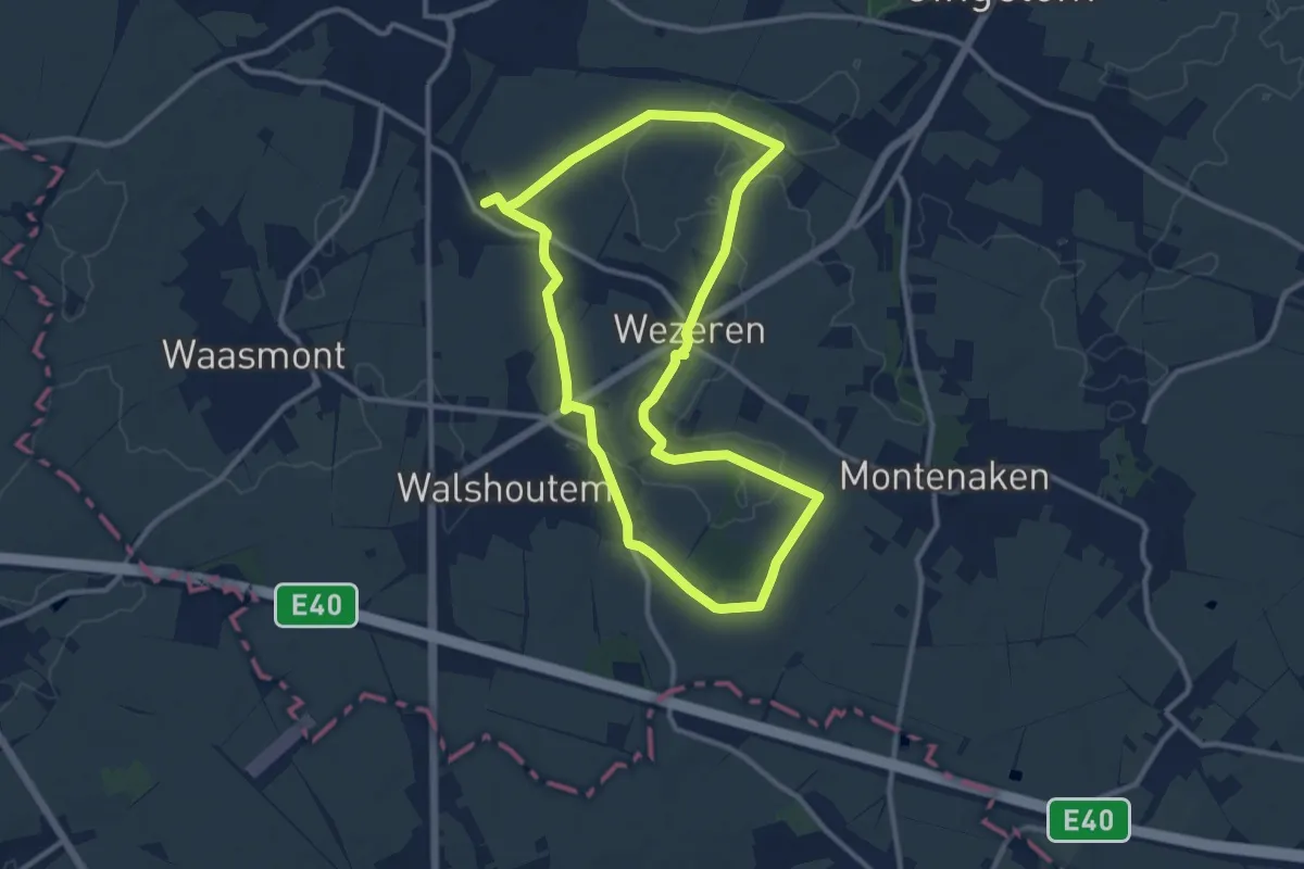
Medium · Trail
Zevenbronnenwandeling
10.2 km · ↑ 38 m · 2 h 37 min
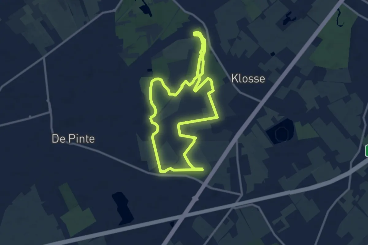
Easy · Trail
Zevendrevenroute
6.8 km · ↑ 9 m · 1 h 44 min
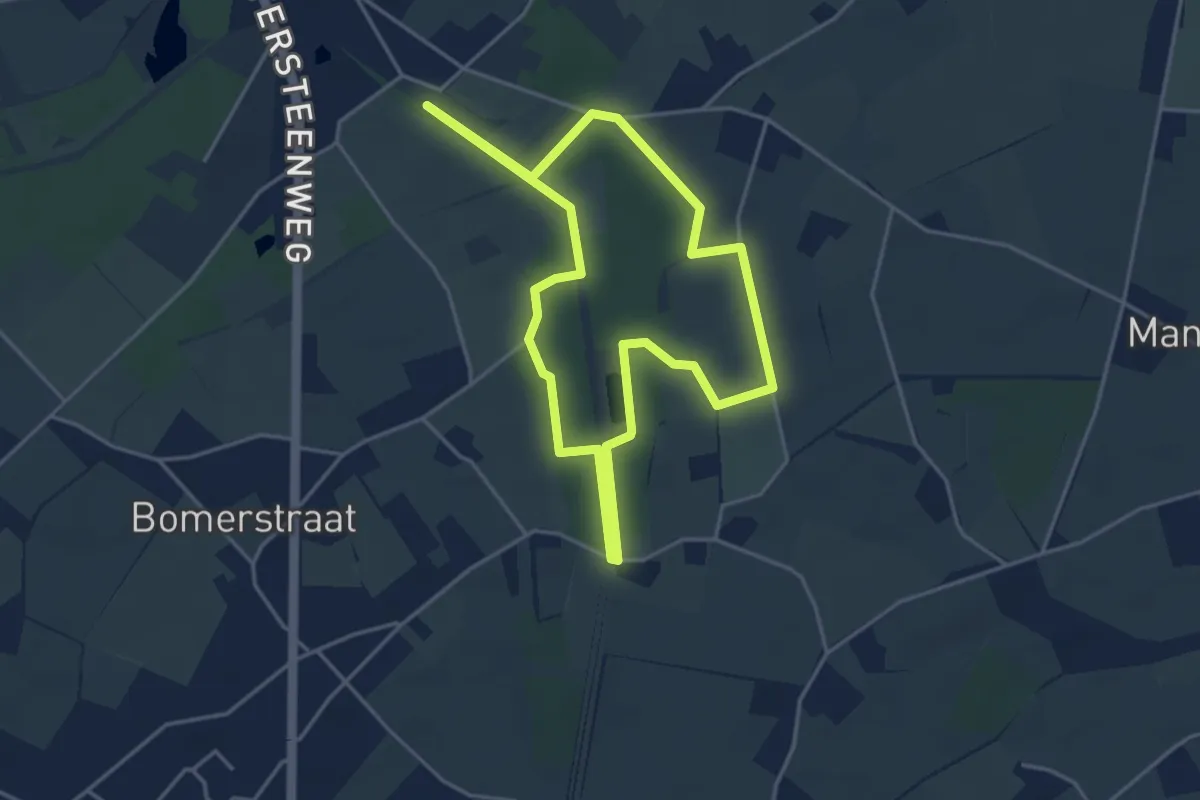
Easy · Trail
Zig en Goort Blauwe ruit
3.6 km · ↑ 4 m · 55 min
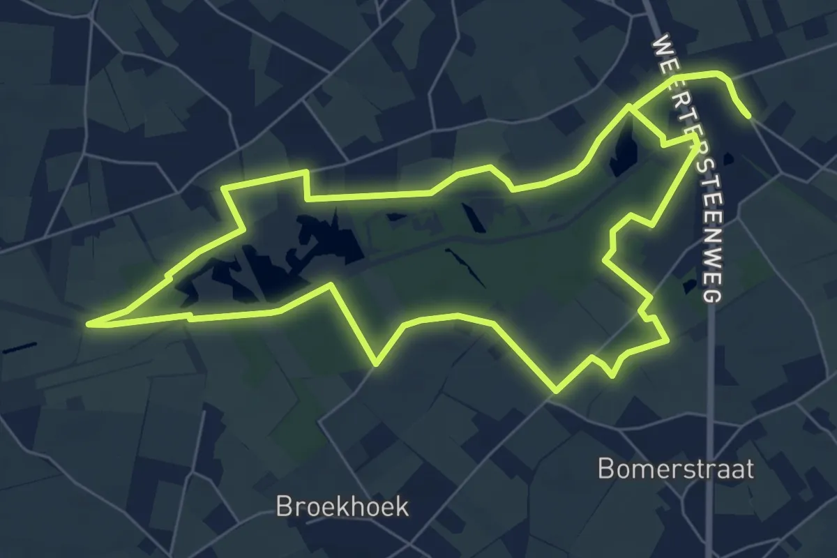
Easy · Trail
Zig en Goort Gele zeshoek
7.0 km · ↑ 4 m · 1 h 45 min
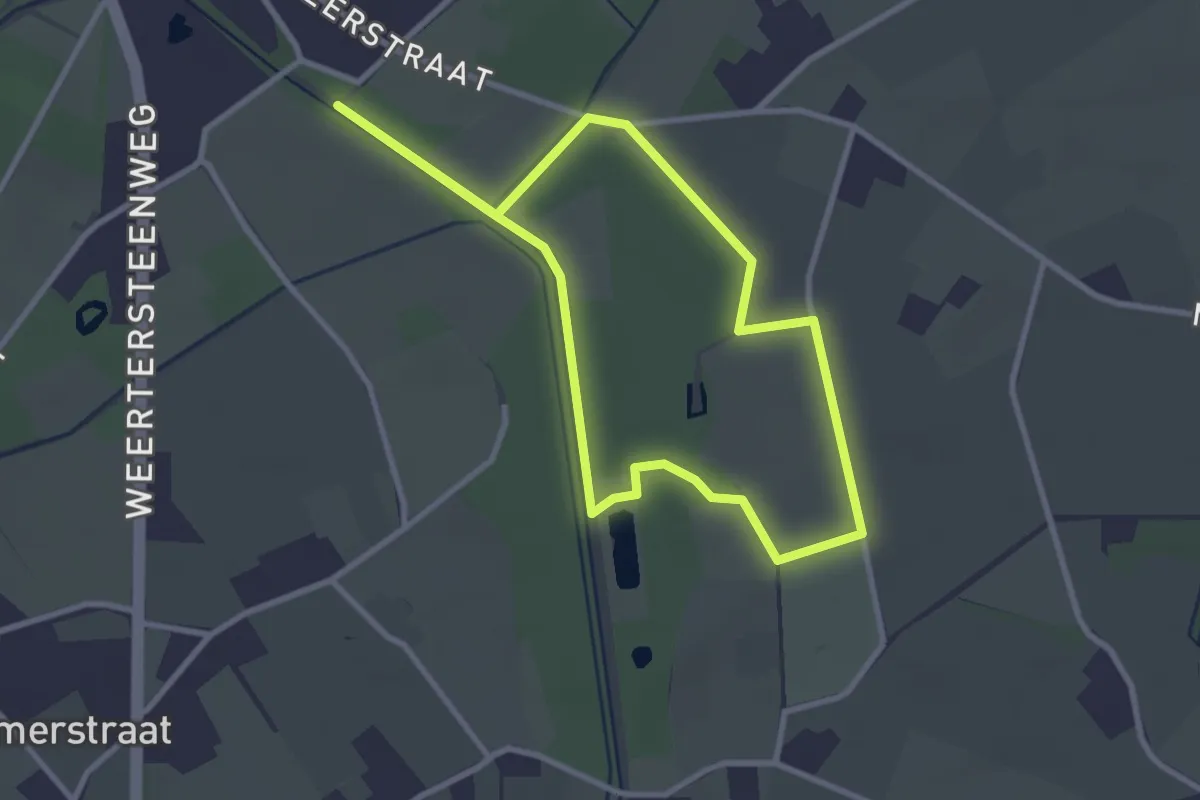
Easy · Trail
Zig en Goort Groene rechthoek
2.6 km · ↑ 0 m · 39 min
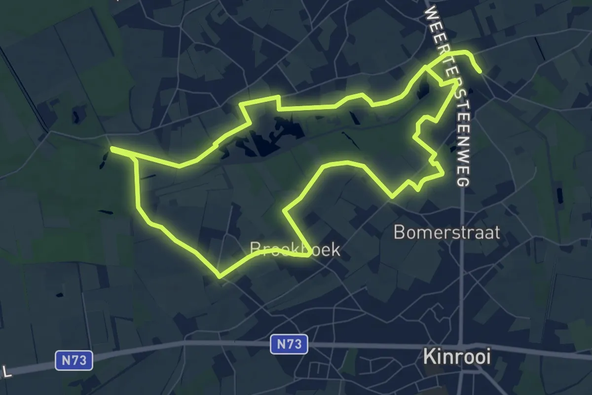
Medium · Trail
Zig en Goort Rode driehoek
9.0 km · ↑ 4 m · 2 h 16 min
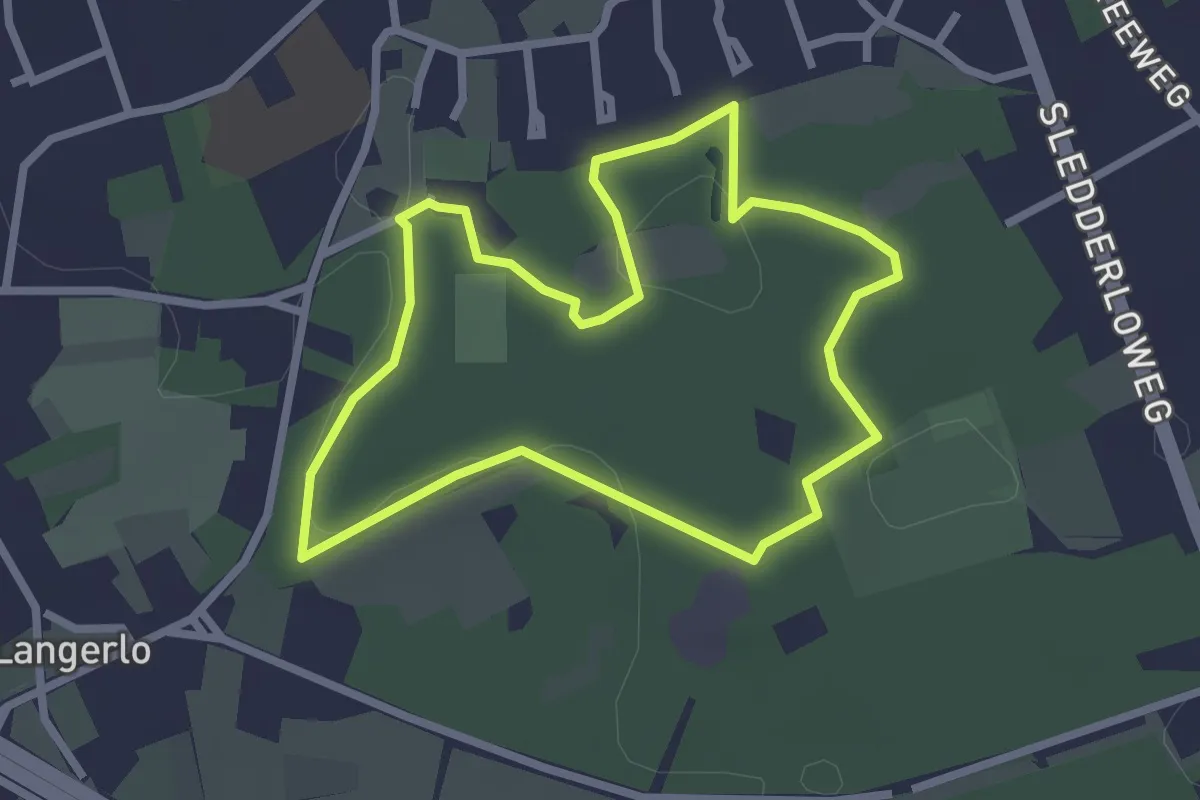
Easy · Trail
Zillebos groene rechthoek
2.3 km · ↑ 8 m · 35 min
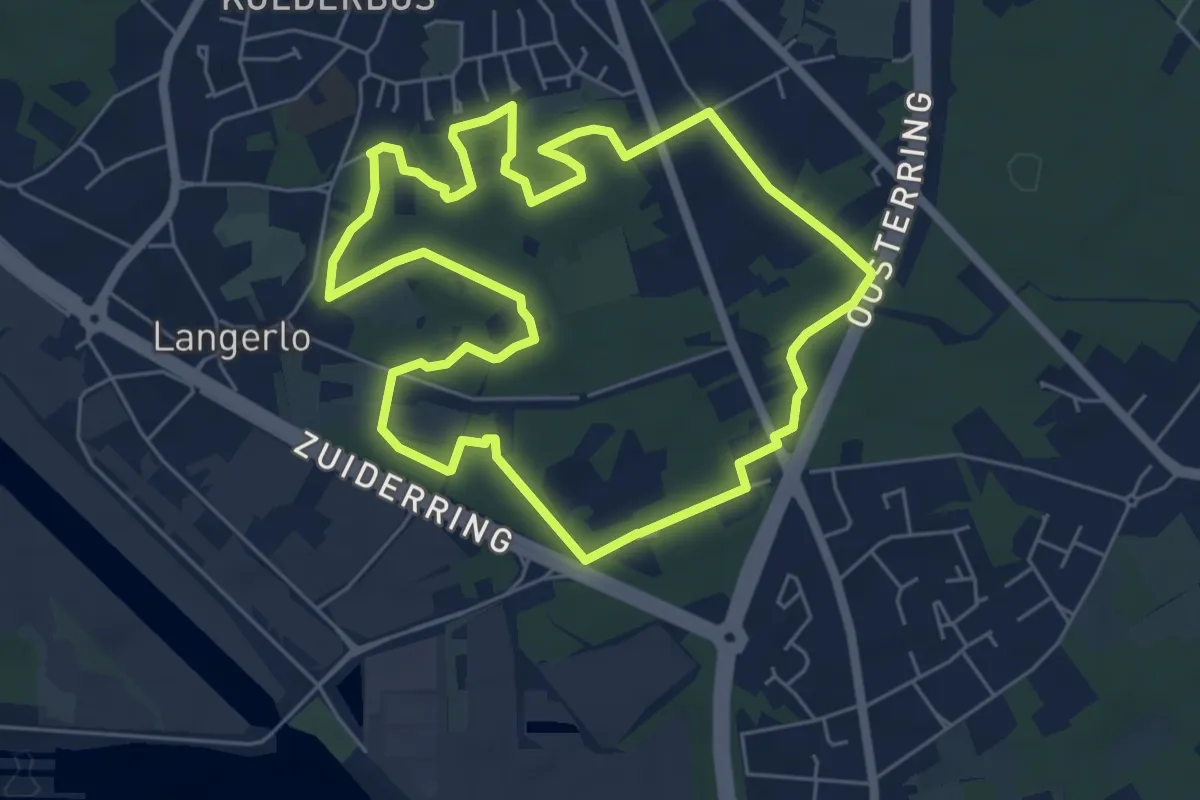
Easy · Trail
Zillebos rode driehoek
5.6 km · ↑ 31 m · 1 h 28 min
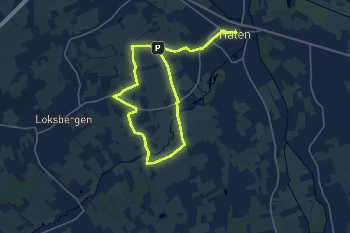
Medium · Trail
Zilveren Helmen
15.2 km · ↑ 38 m · 3 h 40 min
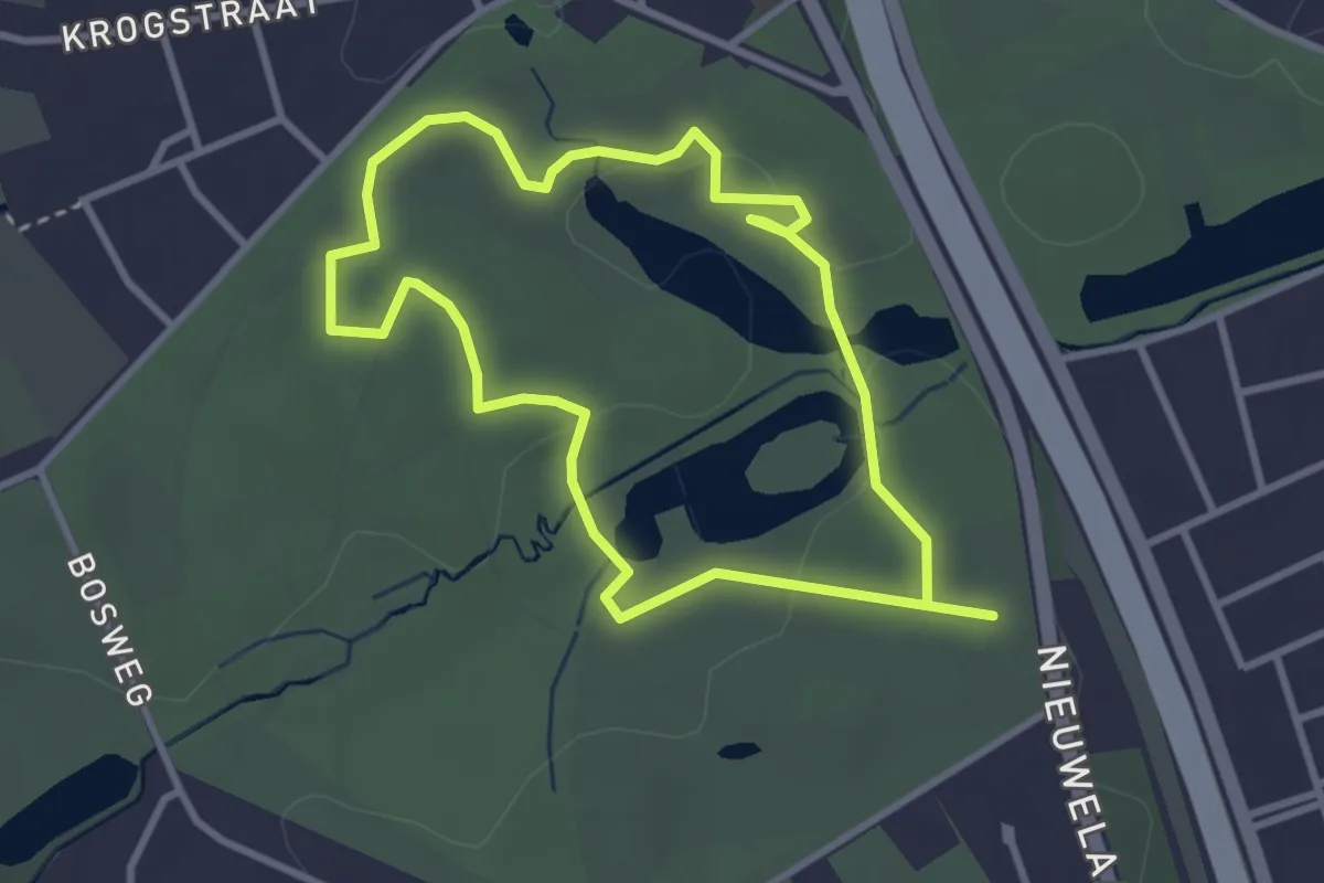
Easy · Trail
Zomerwandeling
2.8 km · ↑ 20 m · 44 min
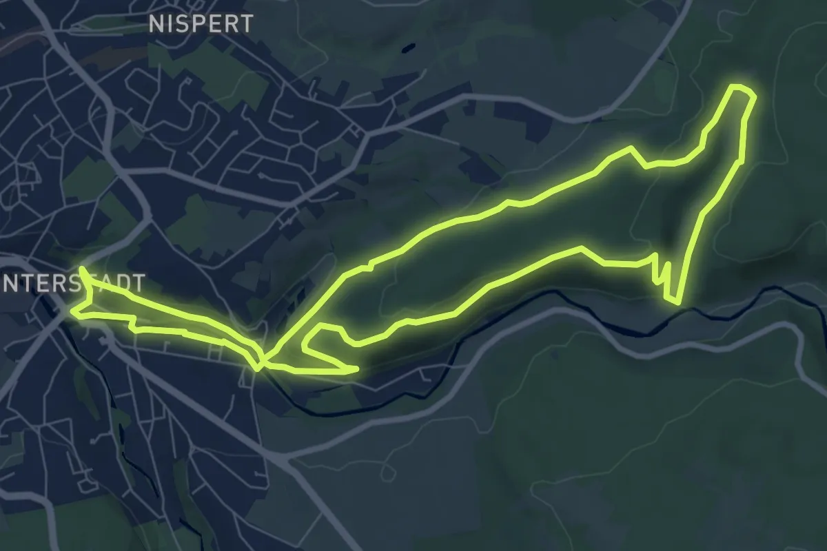
Medium · Trail
Zur Blockhütte und Diepbach
8.3 km · ↑ 185 m · 2 h 29 min