Trails in Belgium
3,383 hiking trails, each with its route, climb, walking time and grade.
All trails, page 65 of 71
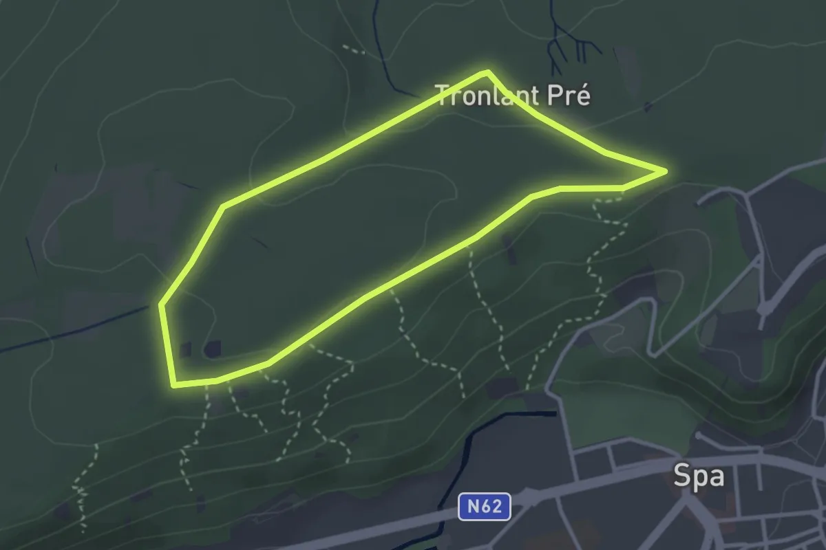
Easy · Trail
18. Promenade PMR
2.8 km · ↑ 36 m · 47 min
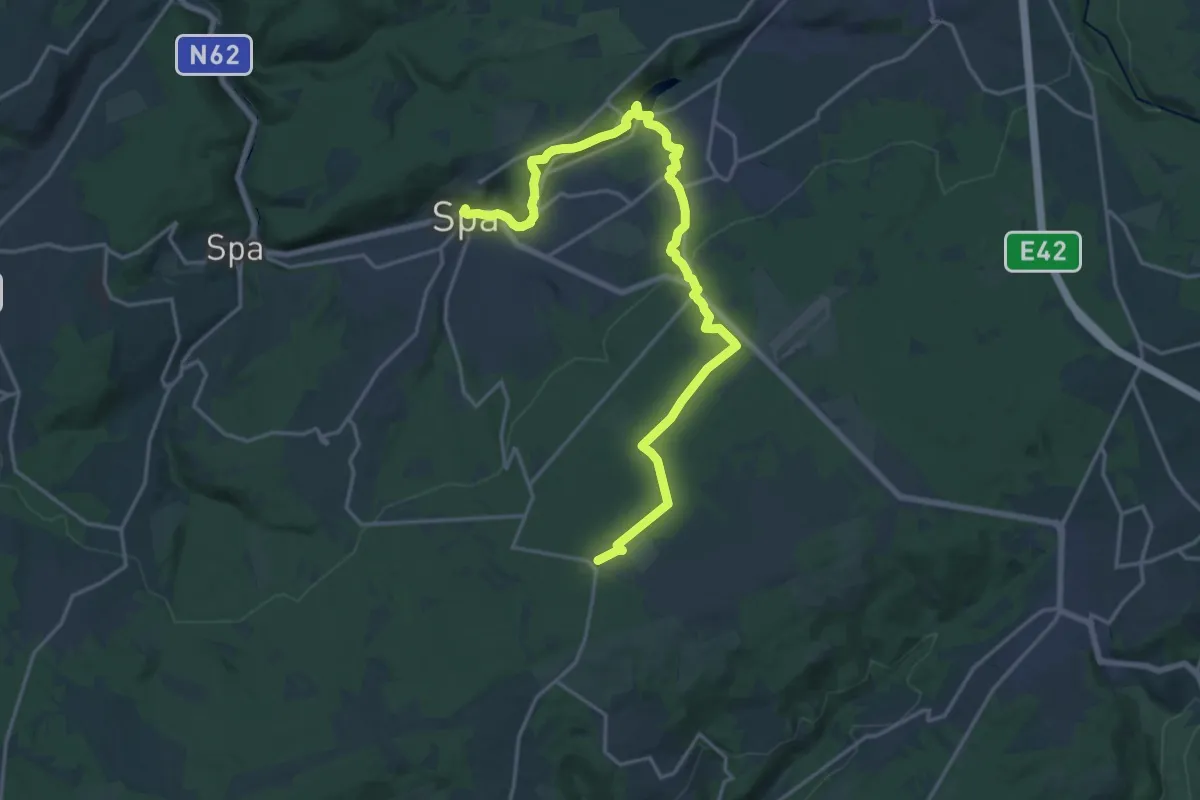
Demanding · Trail
18. Promenade Royale
19.5 km · ↑ 461 m · 5 h 36 min
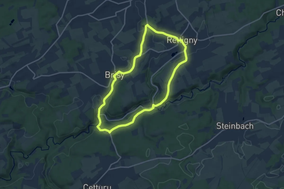
Medium · Trail
18. Rocher de Bistain
9.5 km · ↑ 172 m · 2 h 45 min
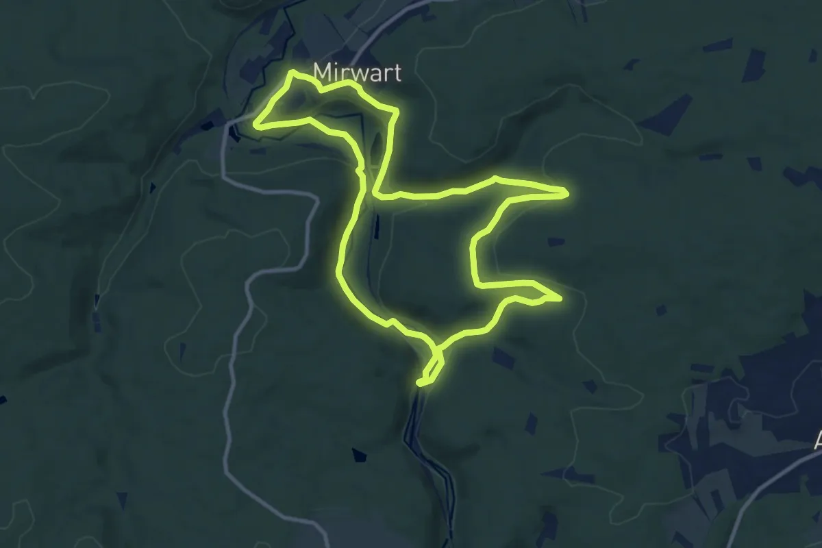
Medium · Trail
18. Thier de Gobaille
9.9 km · ↑ 289 m · 3 h 6 min
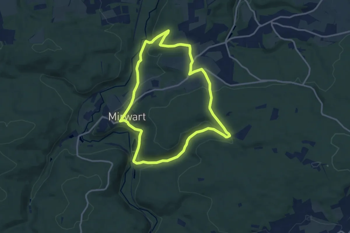
Medium · Trail
19. Chevaldot
9.0 km · ↑ 264 m · 2 h 49 min
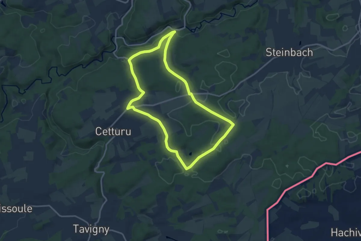
Medium · Trail
19. Liherin
9.4 km · ↑ 175 m · 2 h 44 min
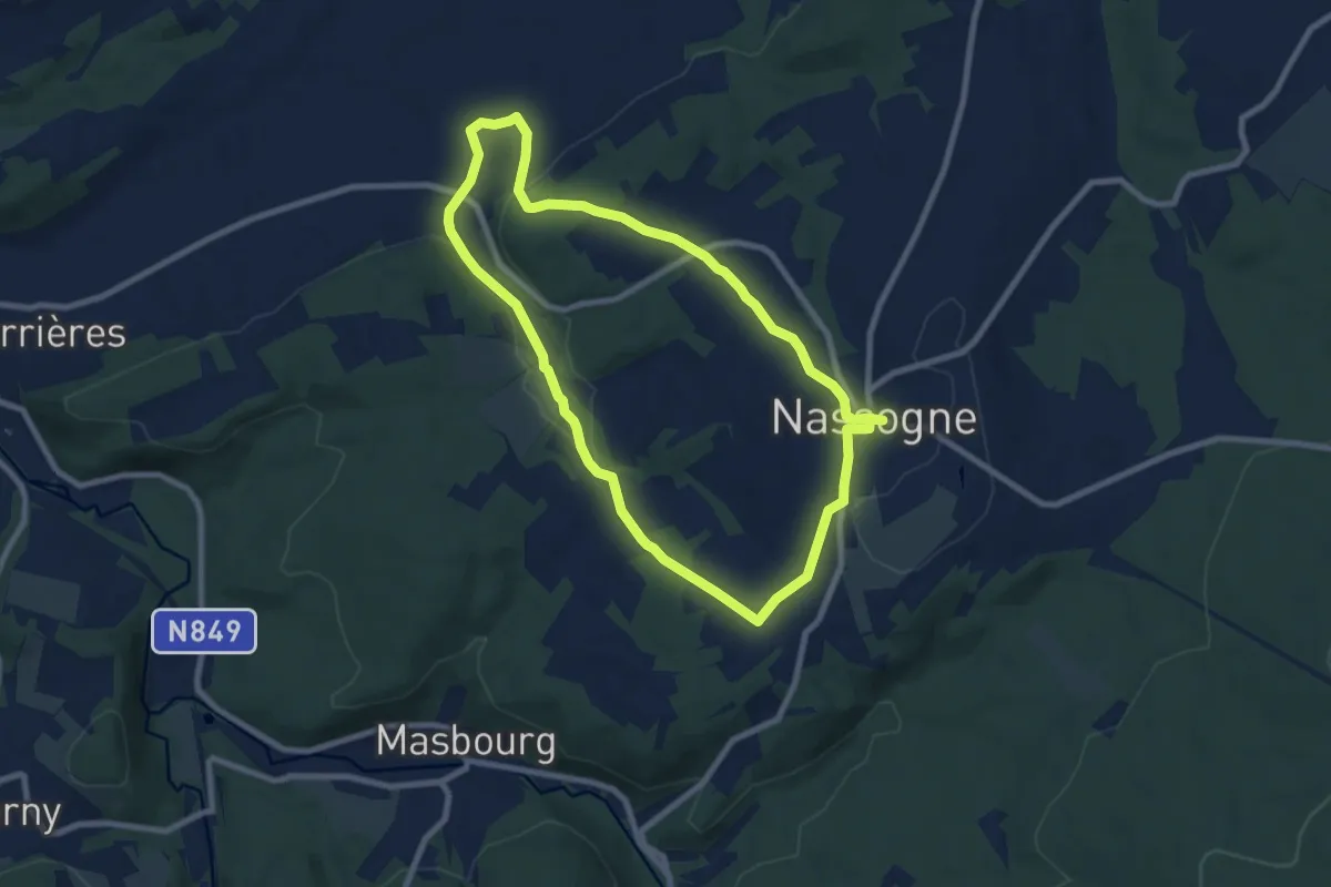
Easy · Trail
19. Promenade du Vieux Bon Dieu
7.4 km · ↑ 180 m · 2 h 14 min
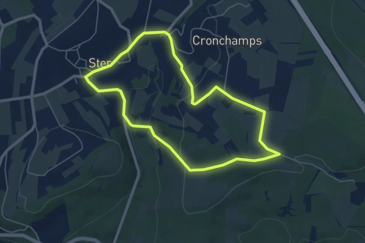
Easy · Trail
19. Sur les Hés
4.2 km · ↑ 90 m · 1 h 15 min
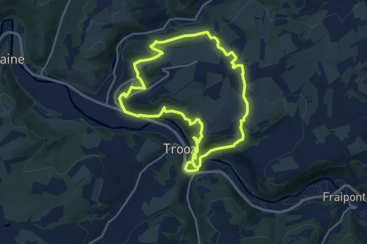
Medium · Trail
1. Balade de Forêt-Village
8.7 km · ↑ 388 m · 3 h 1 min
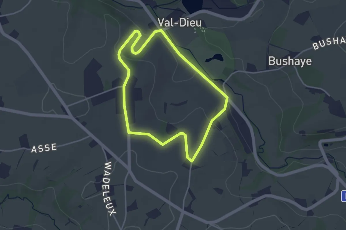
Easy · Trail
1. Balade des Cisterciens
2.8 km · ↑ 57 m · 49 min
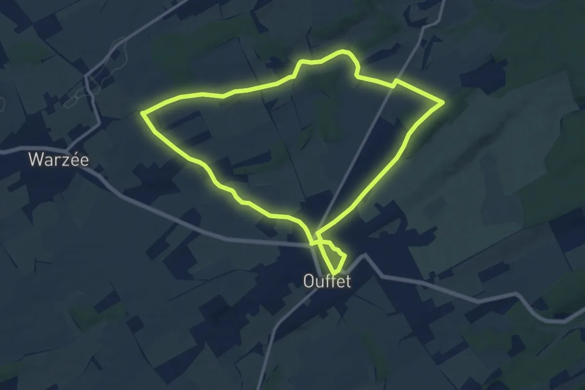
Medium · Trail
1. Balade des Sarrasins
8.7 km · ↑ 94 m · 2 h 22 min
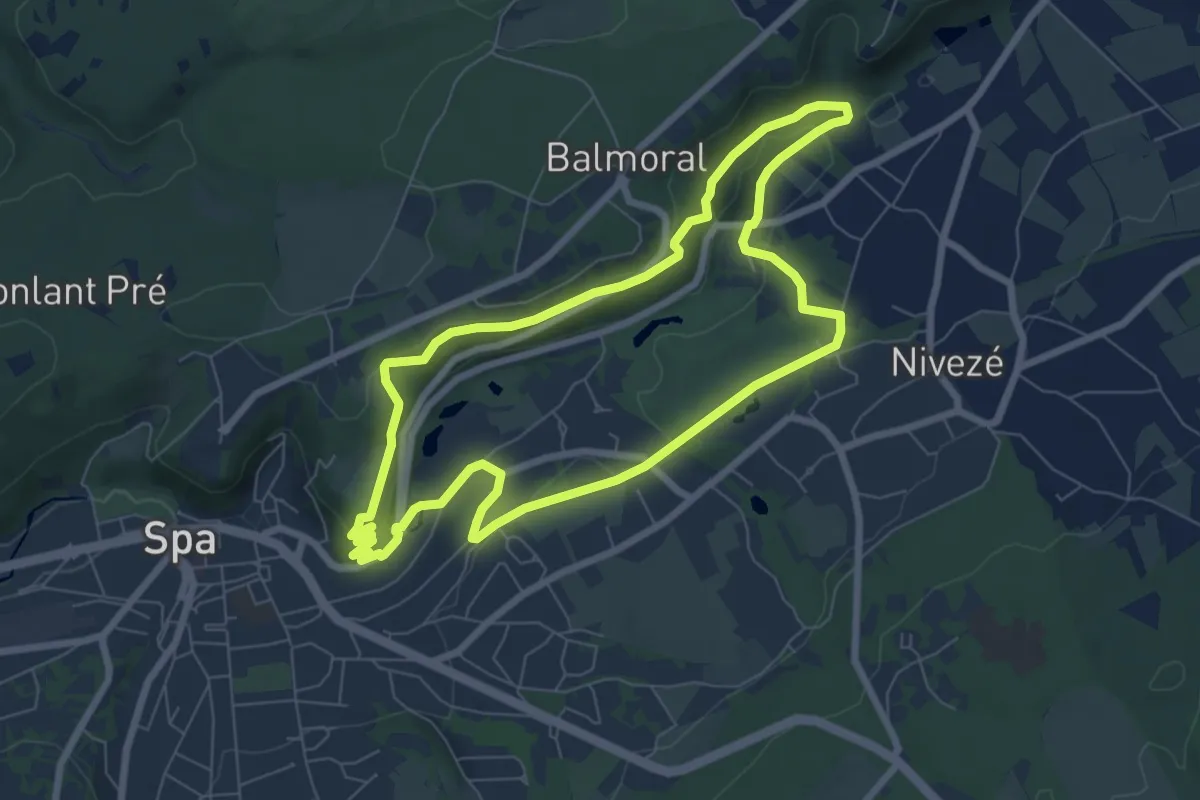
Easy · Trail
1. Berkeley
6.7 km · ↑ 123 m · 1 h 57 min
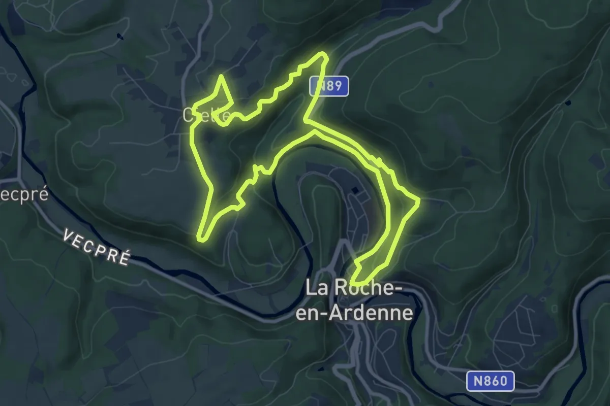
Medium · Trail
1. Cielle
8.8 km · ↑ 283 m · 2 h 48 min
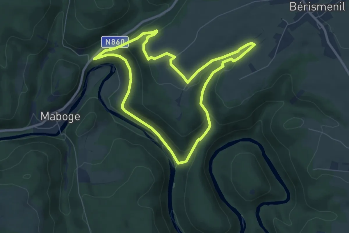
Easy · Trail
1. Crestelles
6.0 km · ↑ 200 m · 1 h 56 min
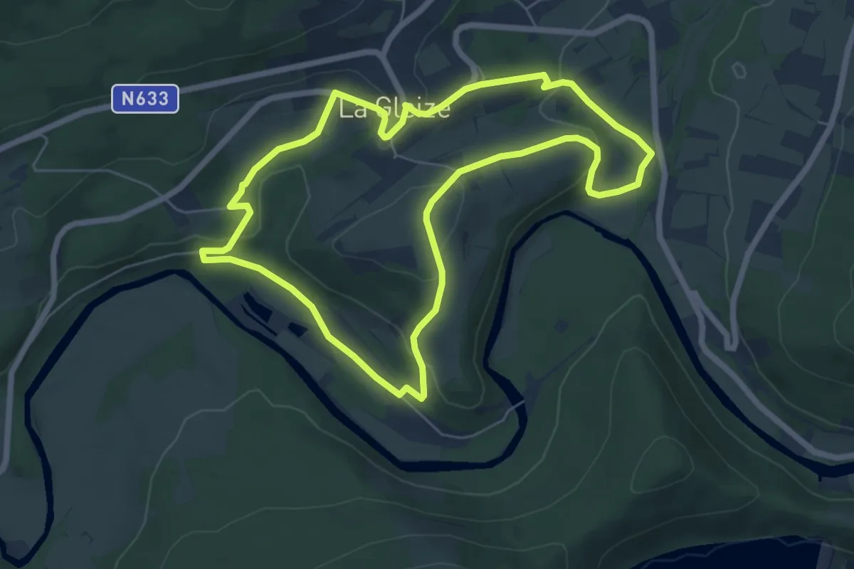
Easy · Trail
1. La Gleize - La Venne - Wérimont
5.7 km · ↑ 164 m · 1 h 47 min
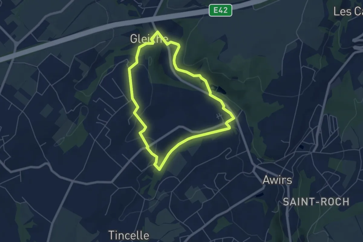
Easy · Trail
1. La vallée du ruisseau des Awirs, la vallée du Brouçou, Gleixhe et l'Alloue
4.7 km · ↑ 87 m · 1 h 21 min
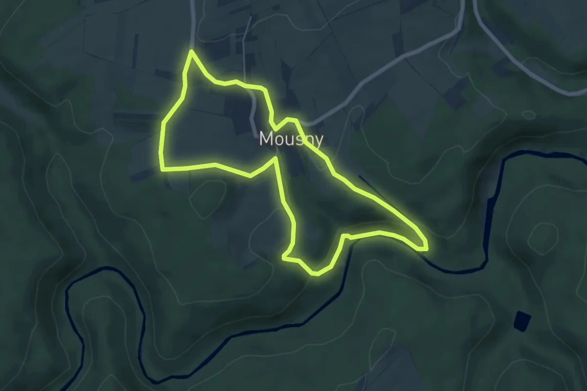
Easy · Trail
1. Les Cailloux de Mousny
5.3 km · ↑ 138 m · 1 h 37 min
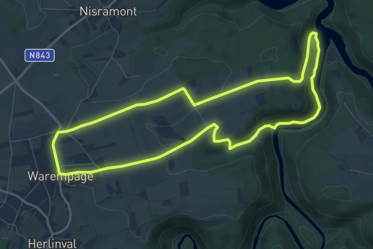
Medium · Trail
1. Les Deux Ourthes
7.8 km · ↑ 152 m · 2 h 16 min
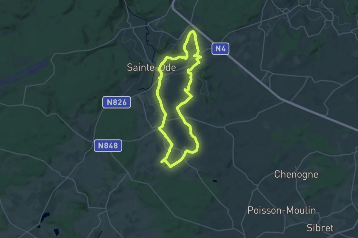
Demanding · Trail
1. Le sentier de la Girolle
18.0 km · ↑ 268 m · 5 h 5 min
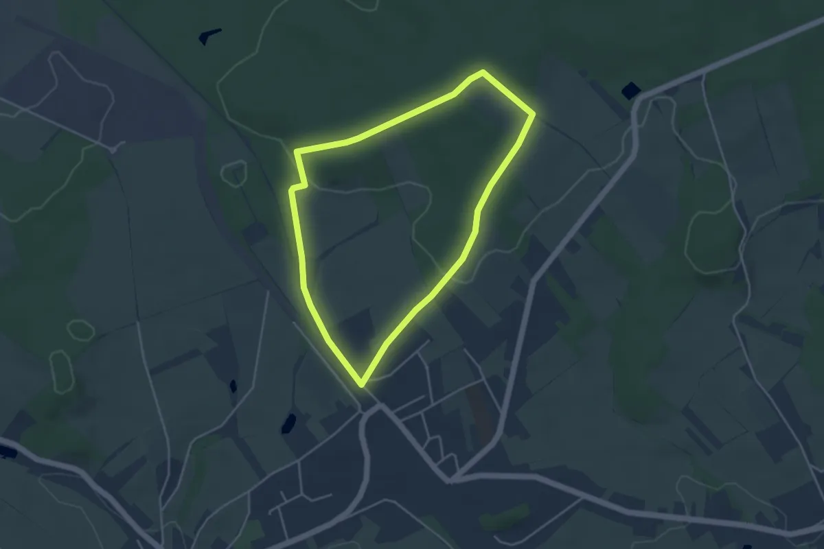
Easy · Trail
1. Les Jarbages
3.5 km · ↑ 46 m · 58 min
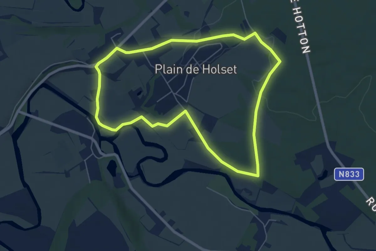
Easy · Trail
1. Monteuville
5.1 km · ↑ 50 m · 1 h 24 min
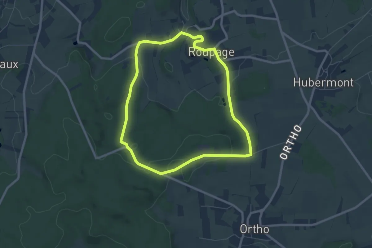
Easy · Trail
1. Nagimont
5.4 km · ↑ 95 m · 1 h 33 min
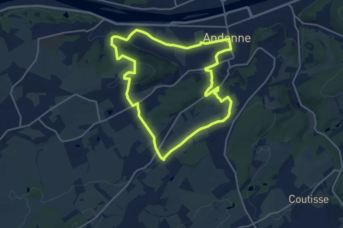
Medium · Trail
1. Périple de la Roche de Faux
9.3 km · ↑ 203 m · 2 h 46 min
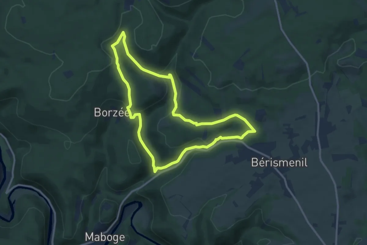
Medium · Trail
1. Pré du Bec
7.5 km · ↑ 221 m · 2 h 22 min
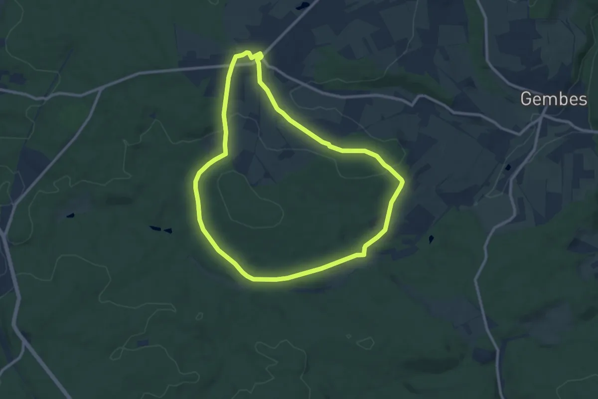
Easy · Trail
1. Proiji
7.8 km · ↑ 112 m · 2 h 11 min
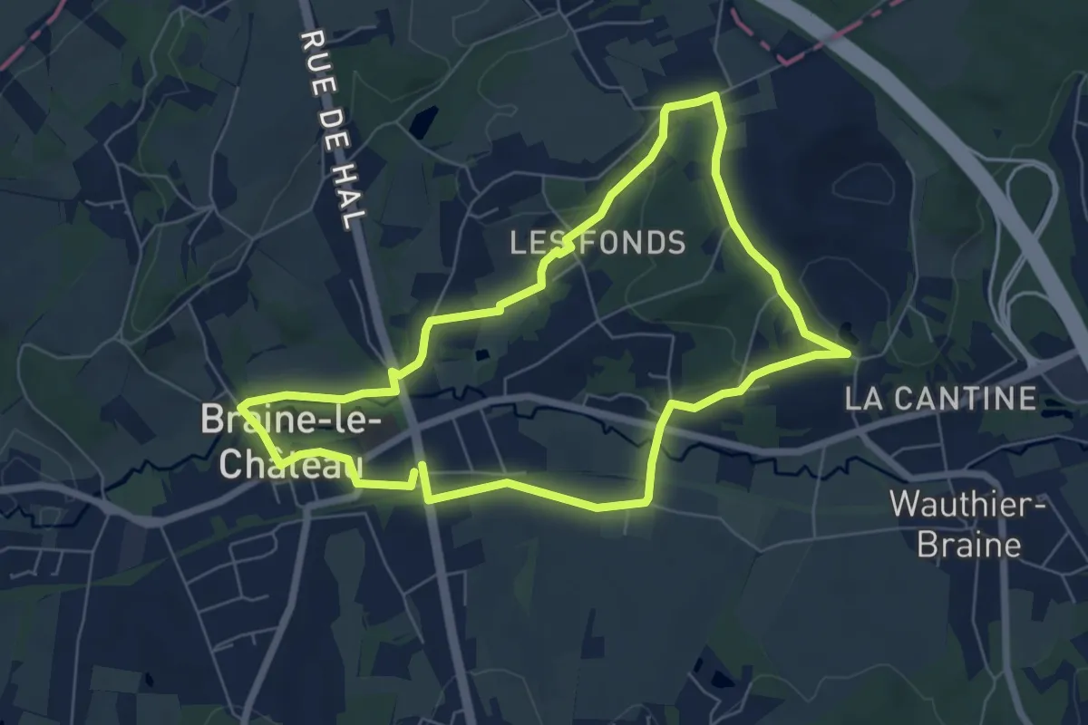
Easy · Trail
1 : Promenade de la seigneurie Deschamps
5.9 km · ↑ 85 m · 1 h 39 min
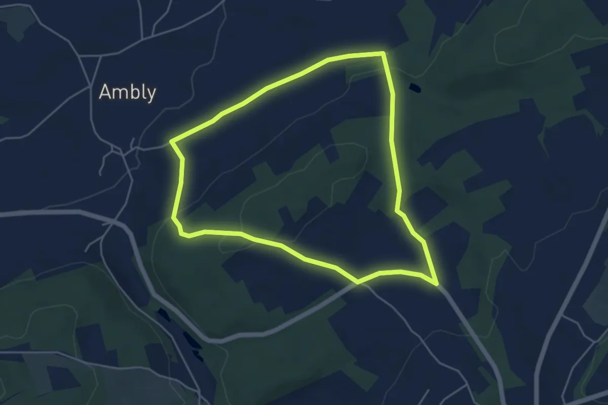
Easy · Trail
1. Promenade Derrière le bois
4.0 km · ↑ 96 m · 1 h 13 min
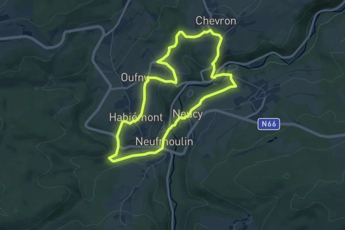
Easy · Trail
1. Promenade des Fontaines
6.2 km · ↑ 137 m · 1 h 50 min
Easy · Trail
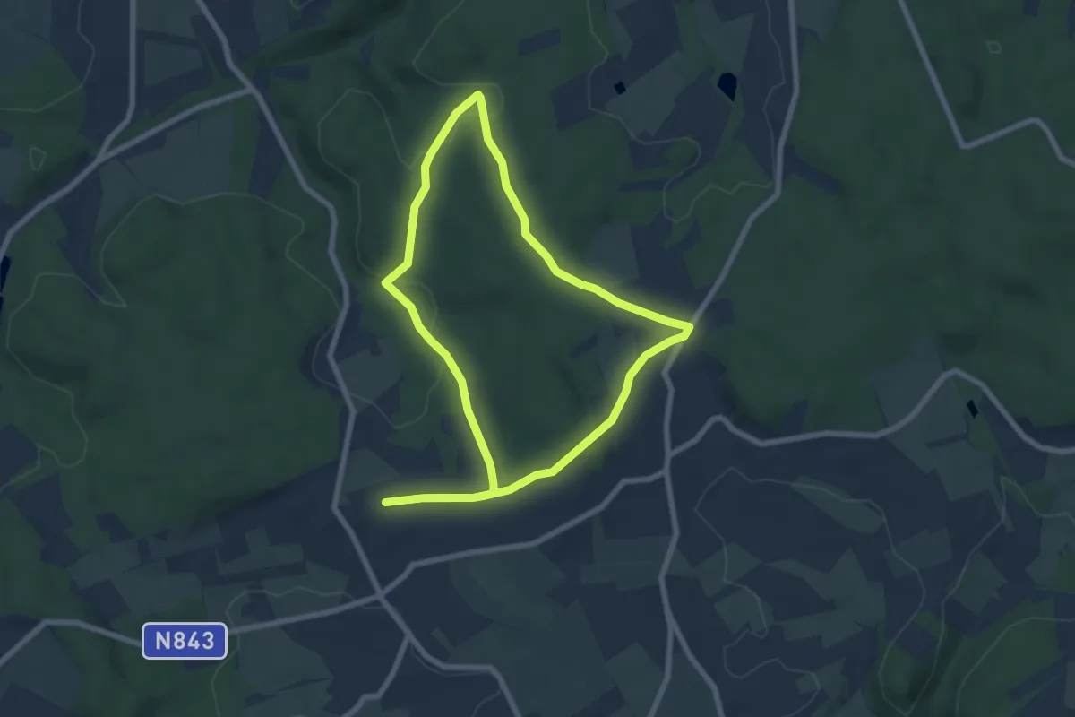
1. Promenade des Maquisards
6.2 km · ↑ 100 m · 1 h 47 min
Easy · Trail
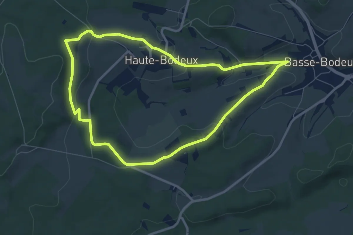
1. Promenade du Château de Haute-Bodeux
6.1 km · ↑ 162 m · 1 h 53 min
Medium · Trail
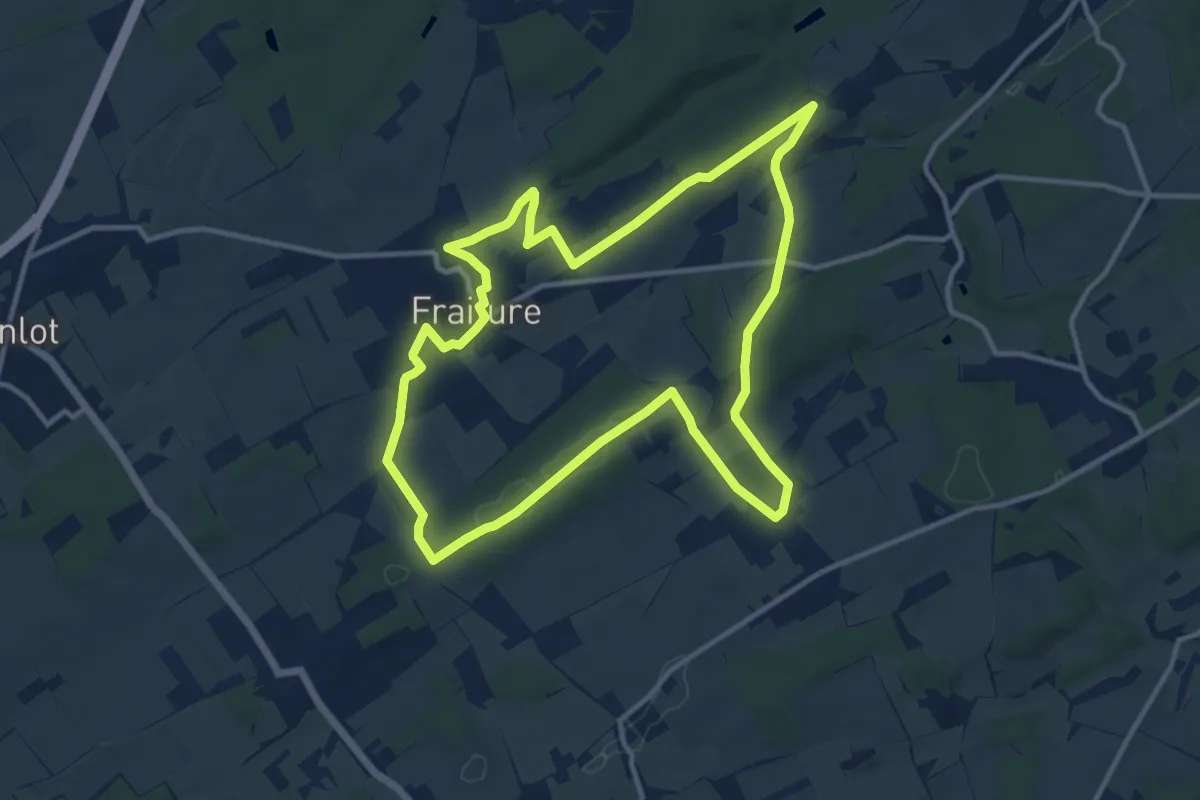
1. Promenade du D'Zy
11.5 km · ↑ 145 m · 3 h 11 min
Easy · Trail
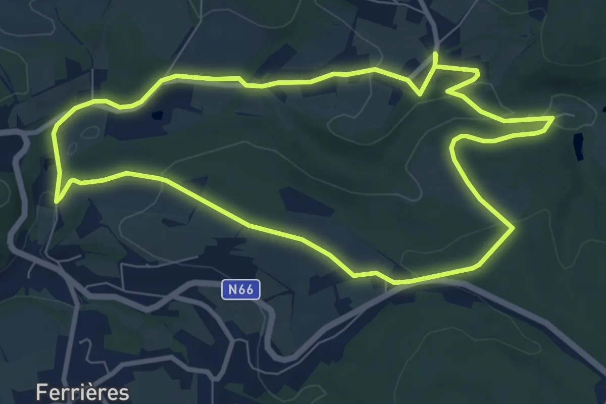
1. Promenade "Entre Ferot et Grimonster"
6.5 km · ↑ 138 m · 1 h 56 min
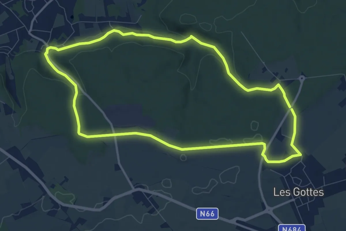
Medium · Trail
1. Tour du bois de Tihange
8.4 km · ↑ 122 m · 2 h 22 min
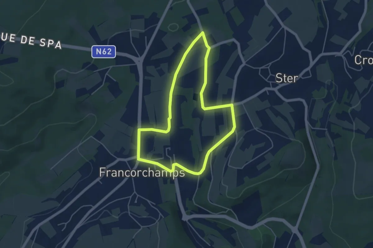
Easy · Trail
20. De Ster à Francorchamps
4.0 km · ↑ 53 m · 1 h 6 min
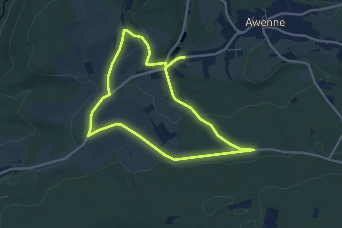
Easy · Trail
20. Sartay
5.1 km · ↑ 89 m · 1 h 28 min
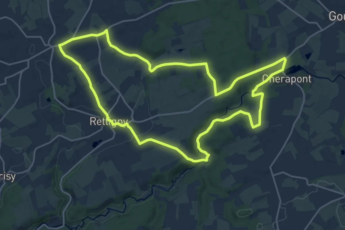
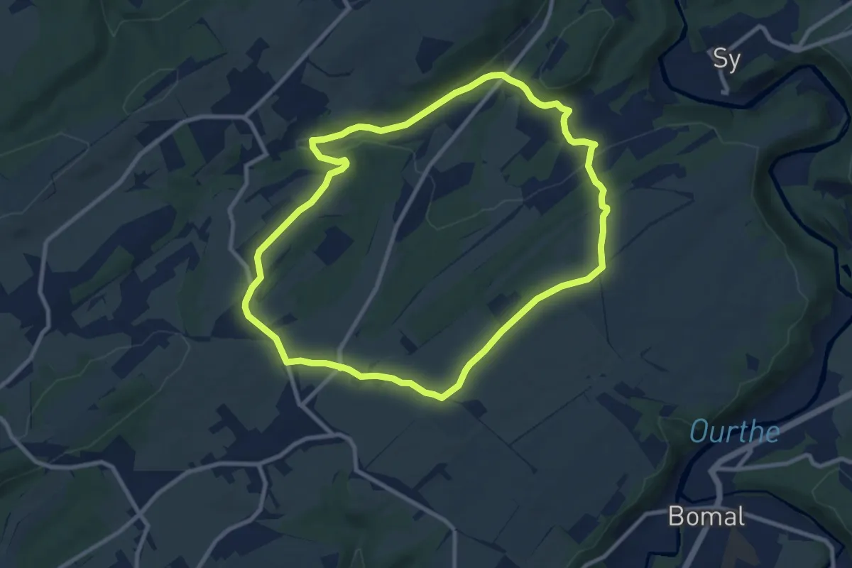
Medium · Trail
20. Vallée de l'Ourthe
13.4 km · ↑ 274 m · 3 h 56 min
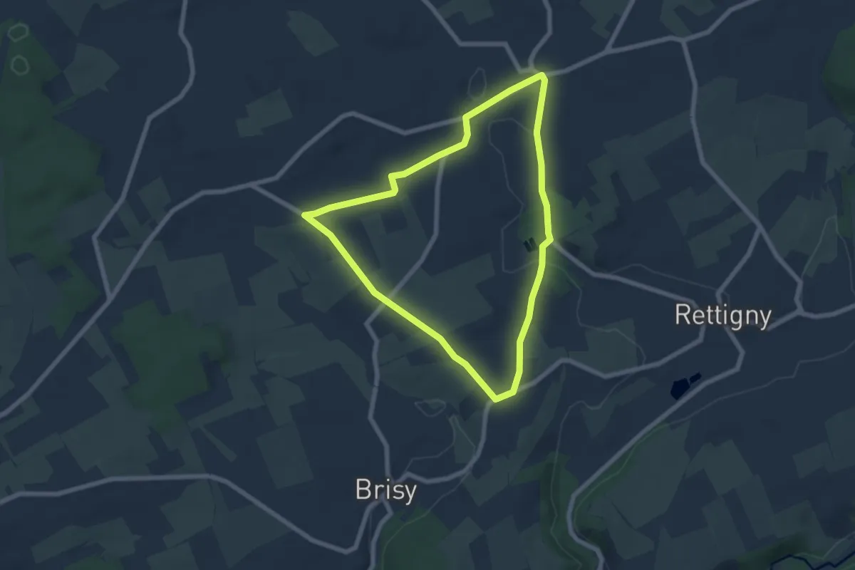
Medium · Trail
20. Verlaine
8.1 km · ↑ 160 m · 2 h 22 min
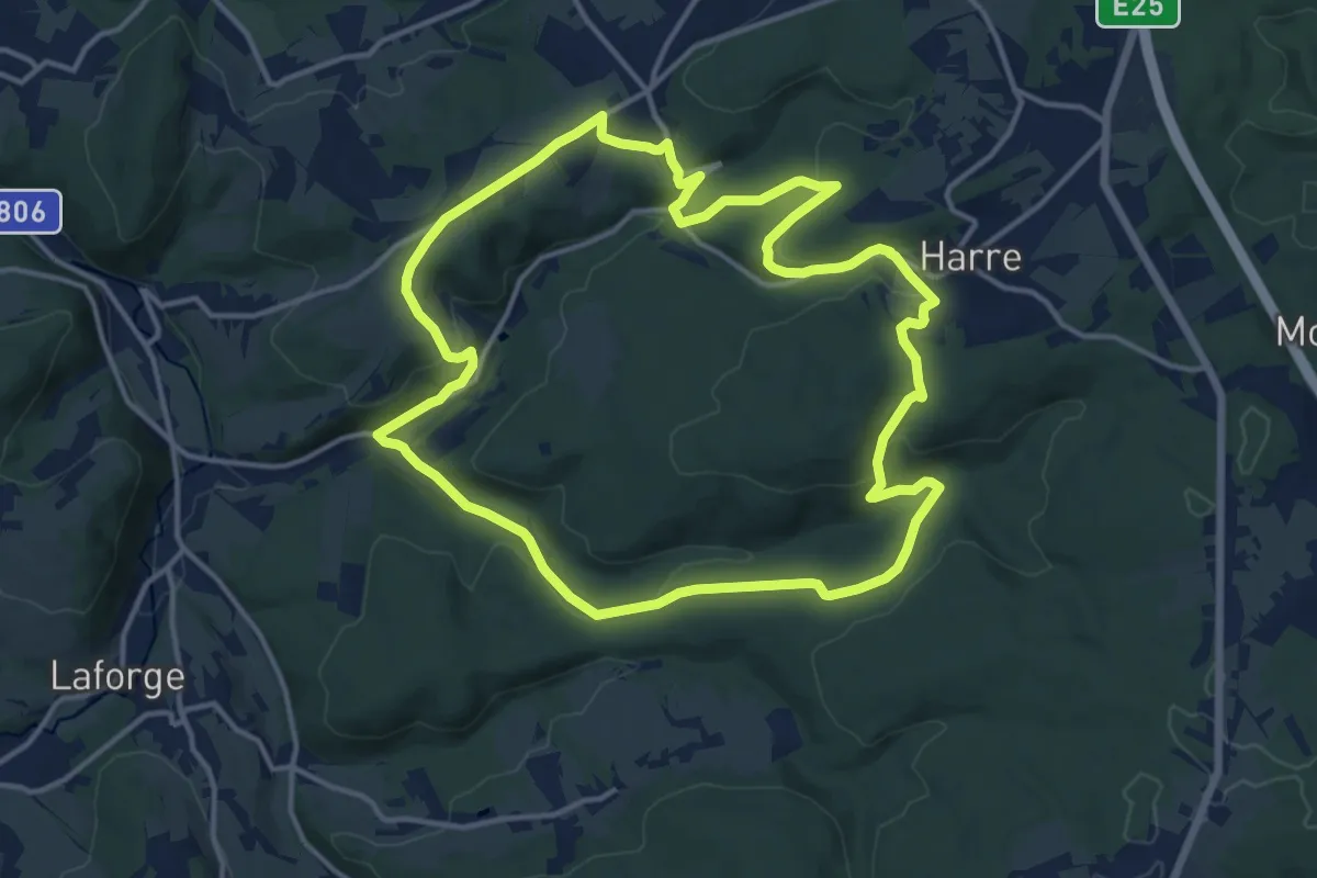
Easy · Trail
21. Au Lavoir
5.4 km · ↑ 61 m · 1 h 29 min
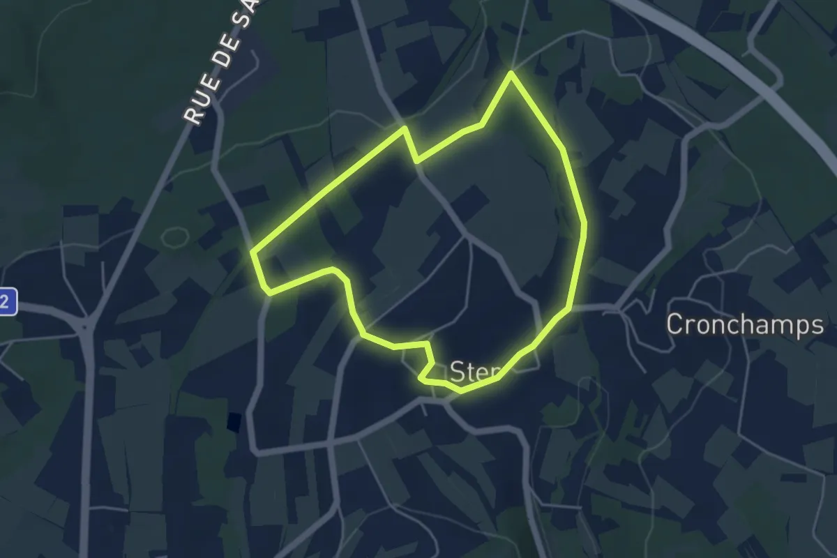
Medium · Trail
21. Bois de Harre
13.3 km · ↑ 379 m · 4 h 9 min
Easy · Trail
21. L'ancienne Voie Ferrée
3.8 km · ↑ 55 m · 1 h 5 min
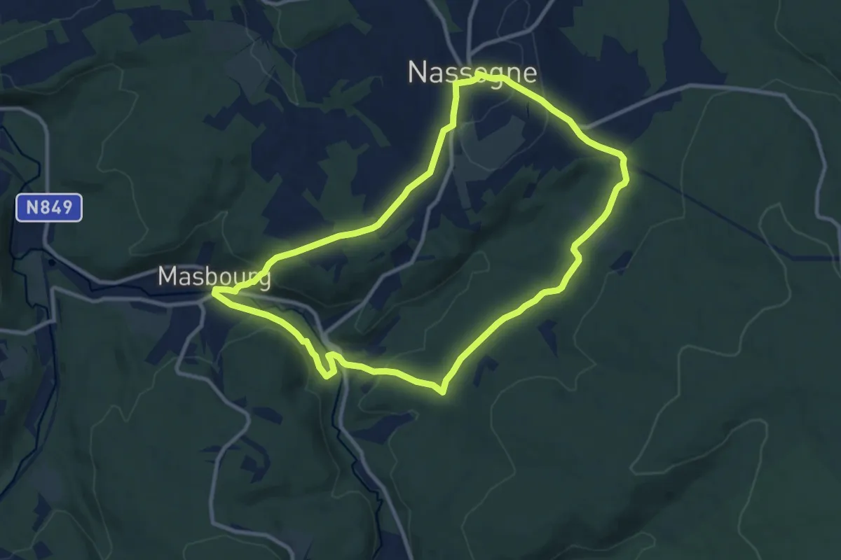
Medium · Trail
21. Promenade de la Masblette
9.2 km · ↑ 229 m · 2 h 48 min
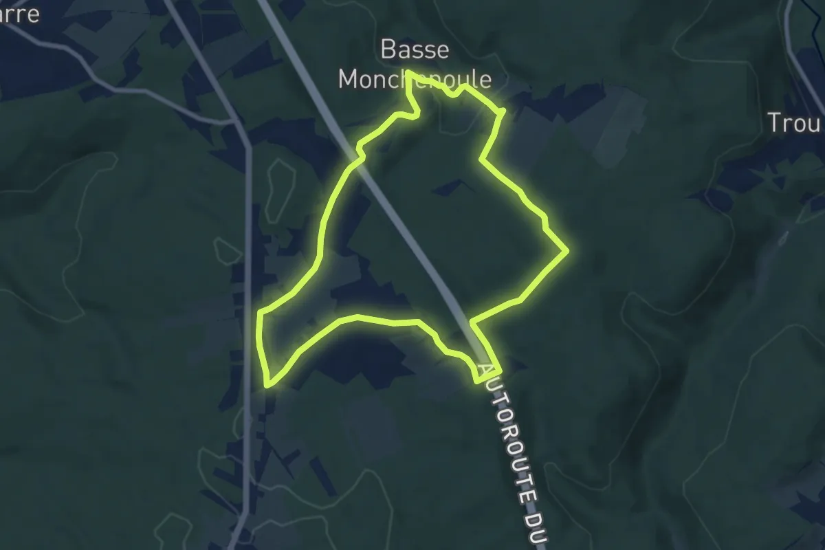
Easy · Trail
21. Tour de Monchenoûle
7.2 km · ↑ 153 m · 2 h 7 min
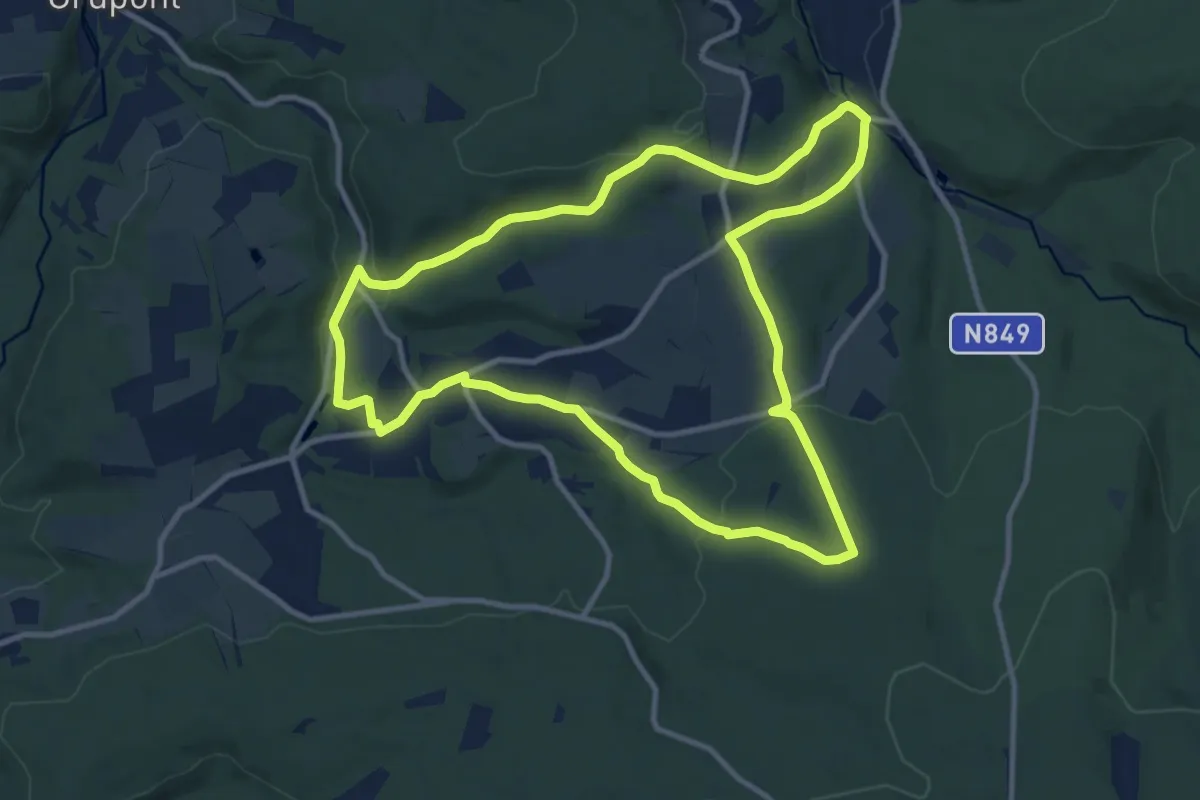
Medium · Summit
22. Awenne
10.3 km · ↑ 258 m · 3 h 8 min
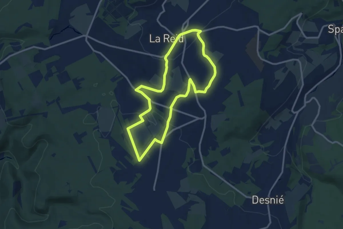
Easy · Trail
22. La Charmille
7.2 km · ↑ 153 m · 2 h 7 min
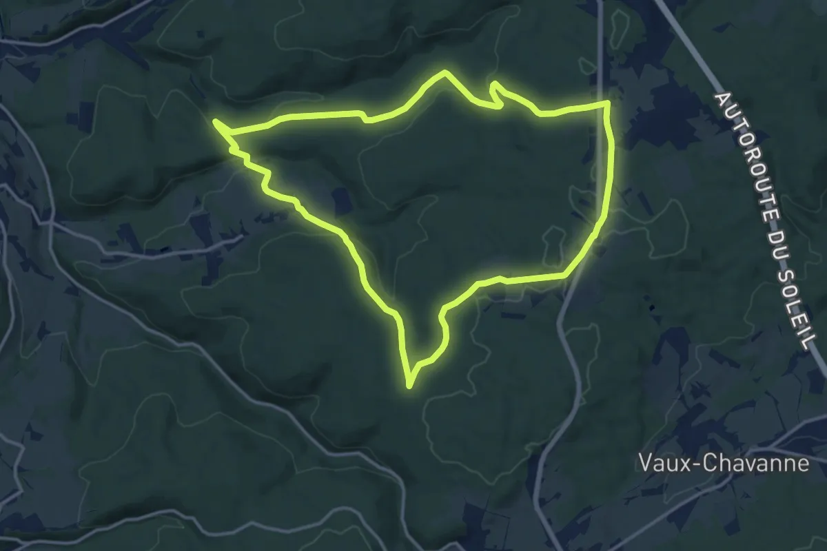
Medium · Trail
22. Plantisse
12.6 km · ↑ 249 m · 3 h 42 min
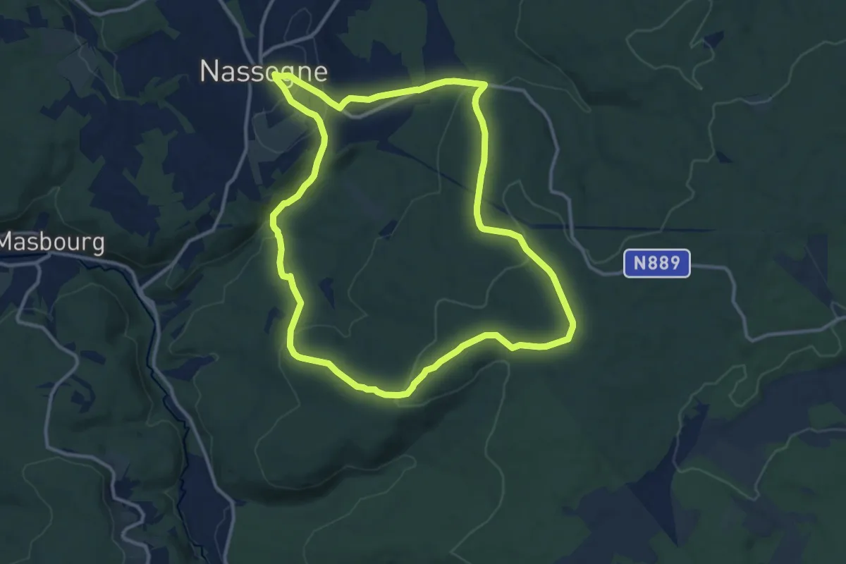
Medium · Trail
22. Promenade des Combes
11.1 km · ↑ 301 m · 3 h 26 min
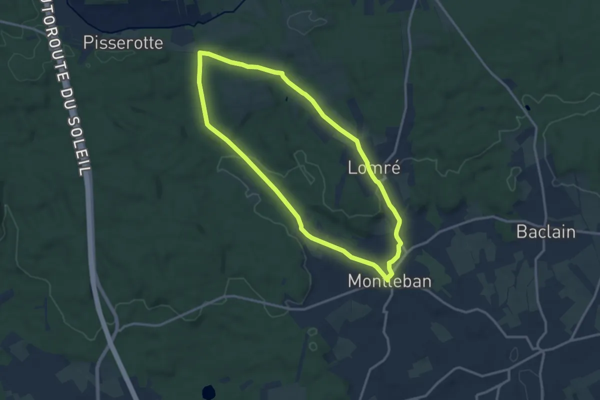
Medium · Trail
22. Rouge Fagne
9.1 km · ↑ 127 m · 2 h 32 min
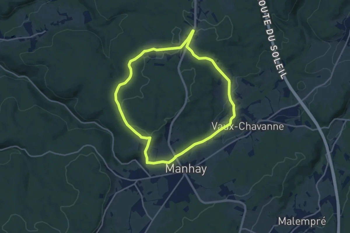
Medium · Trail
23. Derieux
10.1 km · ↑ 166 m · 2 h 53 min