Trails in Belgium
3,383 hiking trails, each with its route, climb, walking time and grade.
All trails, page 66 of 71
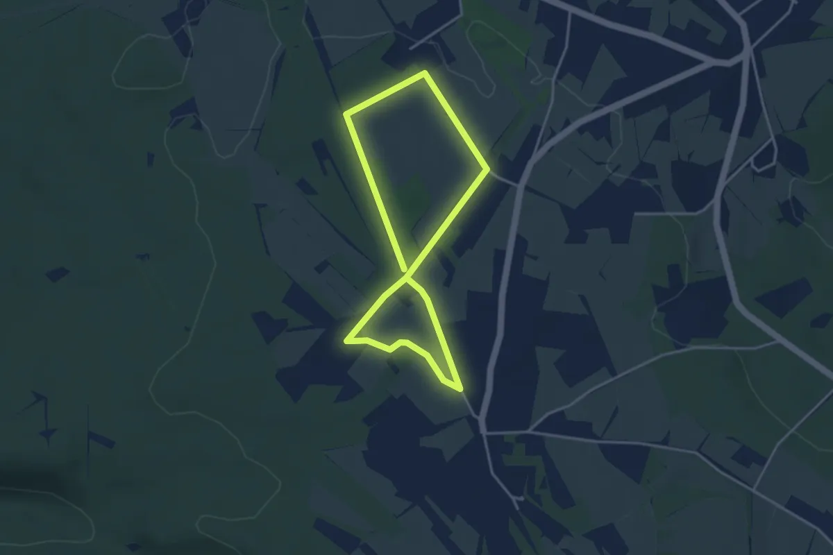
Easy · Trail
23. La Charmille
2.9 km · ↑ 13 m · 45 min
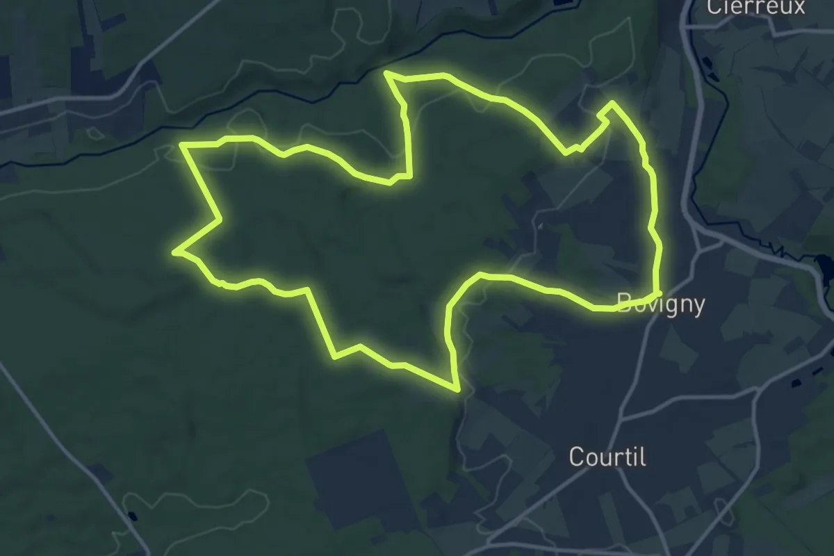
Medium · Trail
23. Le Crawé Chêne
12.7 km · ↑ 243 m · 3 h 42 min
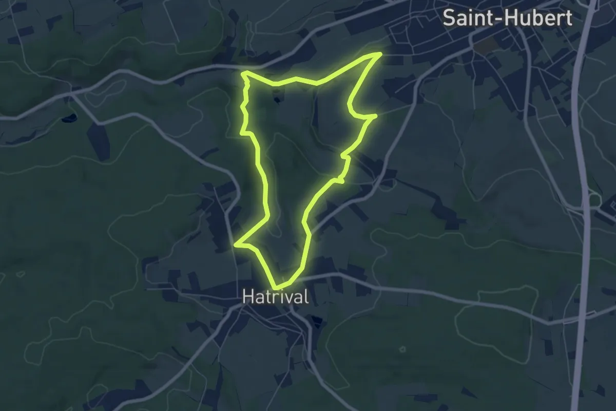
Easy · Trail
23. Moulin d'en Haut
5.8 km · ↑ 103 m · 1 h 41 min
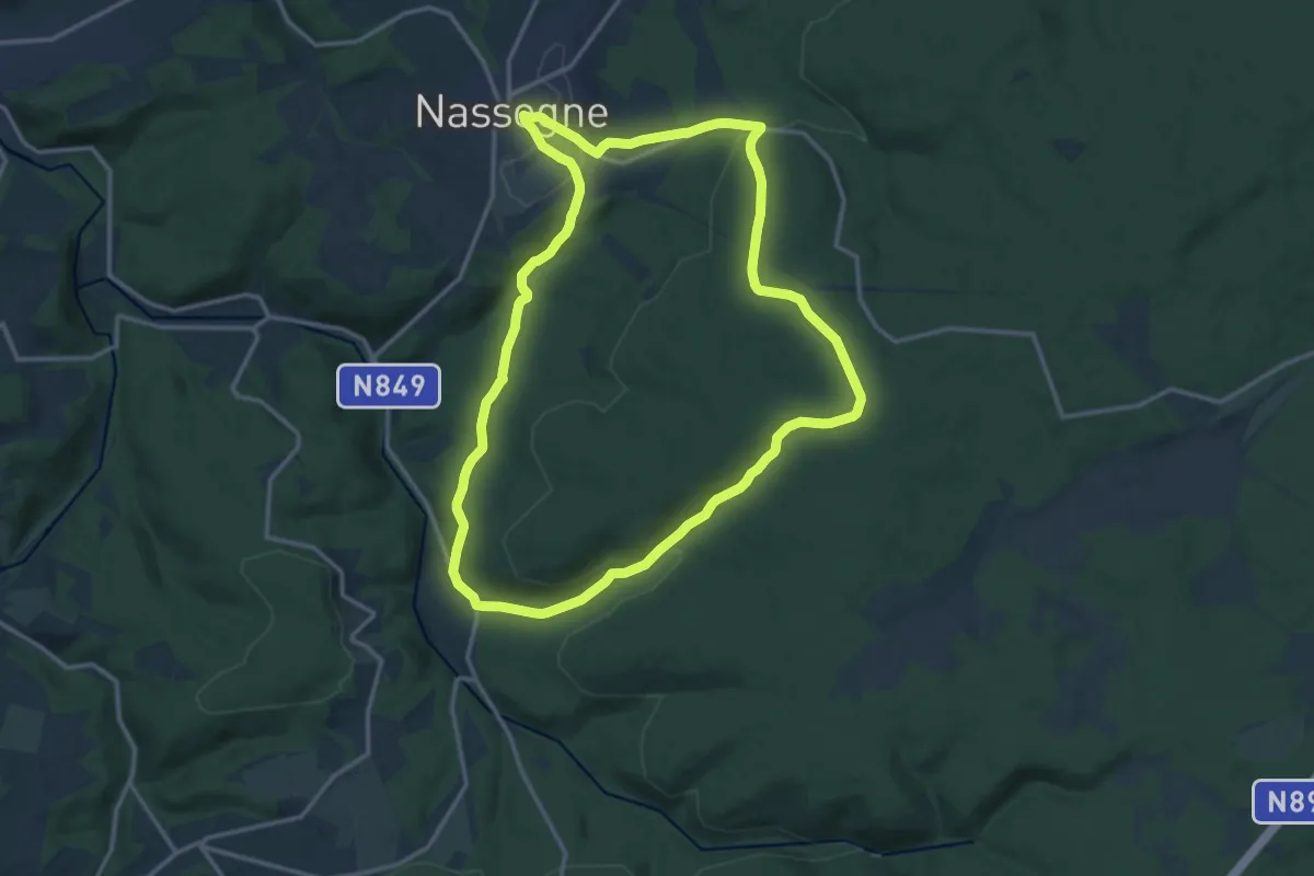
Medium · Trail
23. Promenade de la Diglette
13.5 km · ↑ 339 m · 4 h 7 min
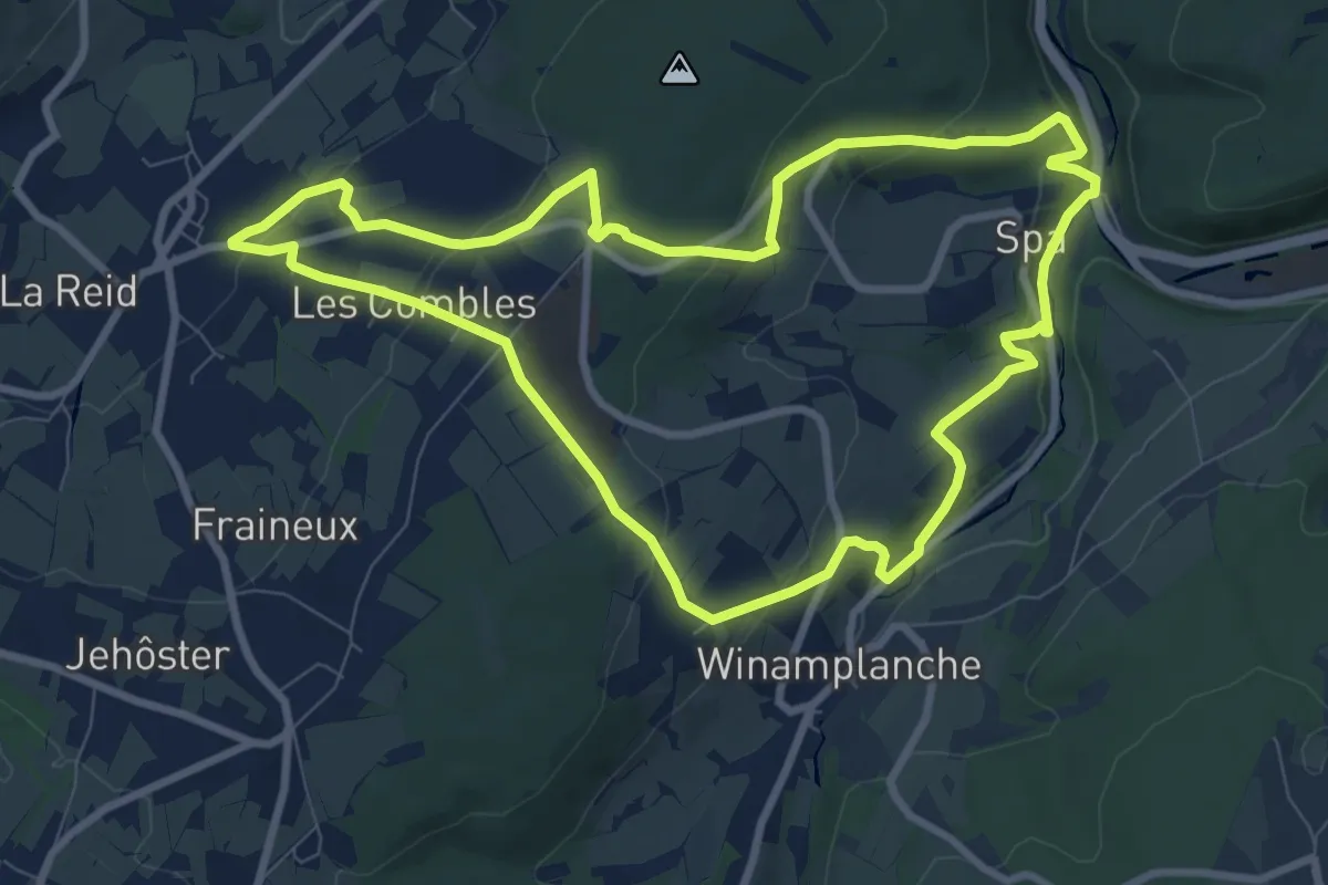
Medium · Trail
24. Grotte Notre-Dame
8.2 km · ↑ 259 m · 2 h 37 min
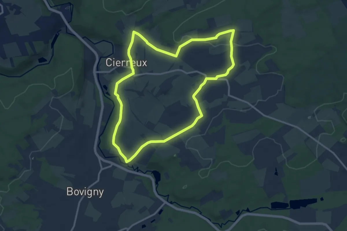
Medium · Trail
24. Les Sikèyes
8.2 km · ↑ 129 m · 2 h 20 min
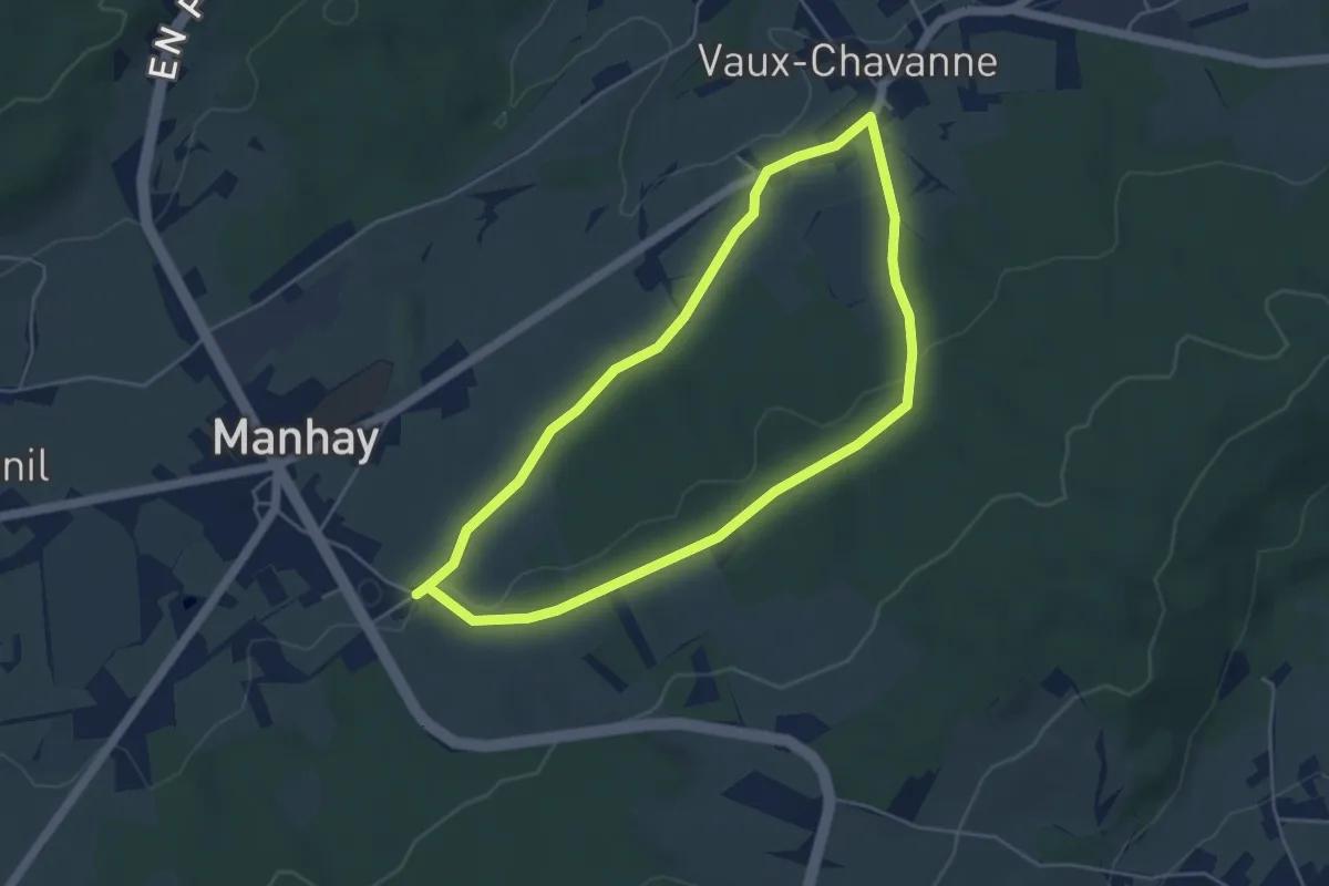
Easy · Trail
24. Speleu
4.2 km · ↑ 59 m · 1 h 10 min
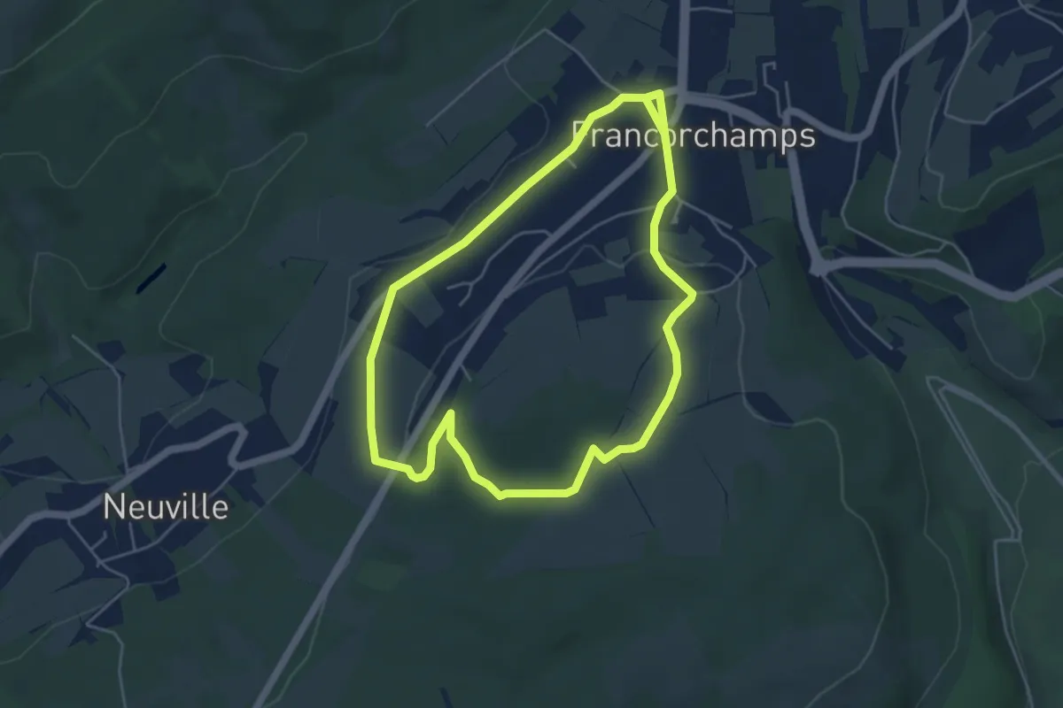
Easy · Trail
24. Sur les Tiers
4.4 km · ↑ 77 m · 1 h 15 min
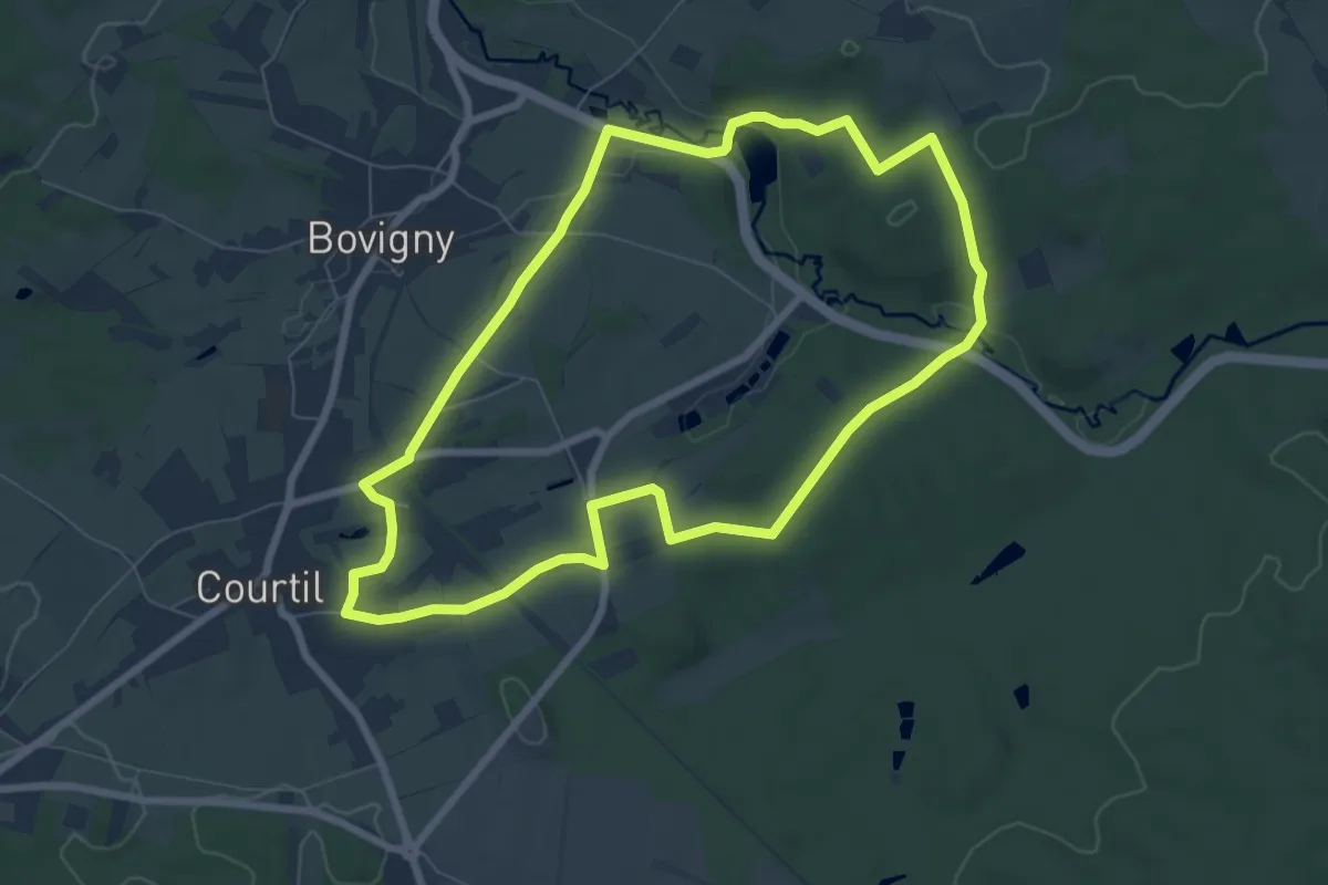
Easy · Trail
25. Fond du Paradis
6.8 km · ↑ 105 m · 1 h 56 min
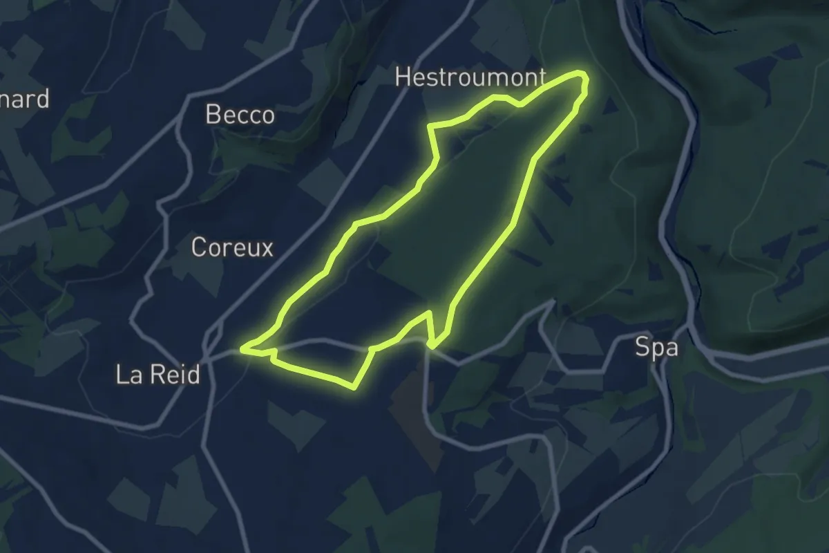
Easy · Trail
25. Maquisard
6.5 km · ↑ 140 m · 1 h 56 min
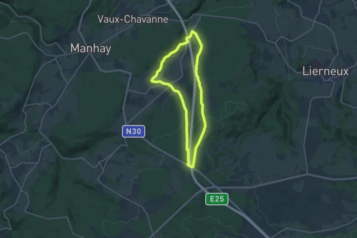
Medium · Trail
25. Xhoute Si Plout
11.5 km · ↑ 257 m · 3 h 26 min
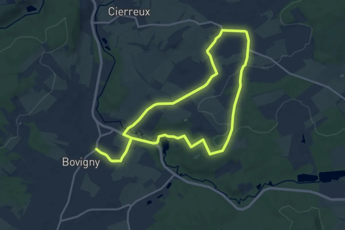
Medium · Trail
26. Au Râhi
8.2 km · ↑ 135 m · 2 h 20 min
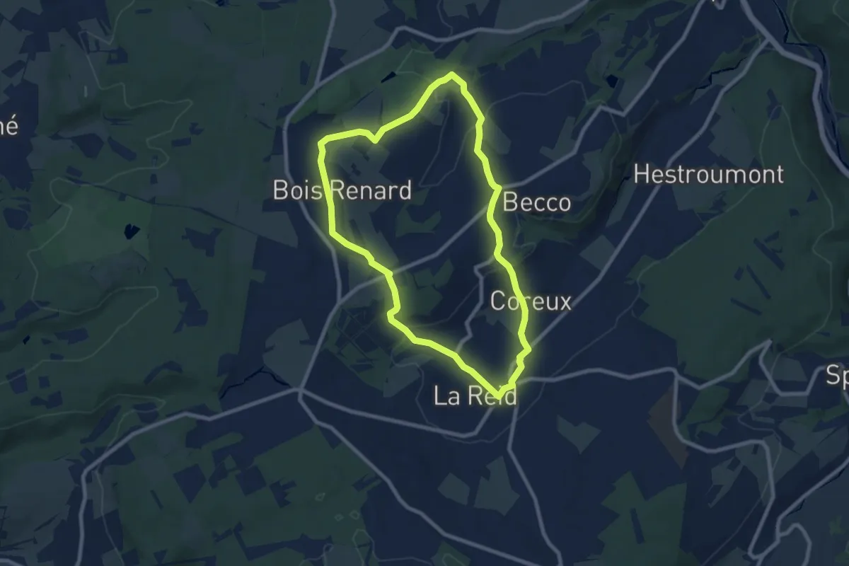
Easy · Trail
26. Chafour
7.1 km · ↑ 163 m · 2 h 8 min
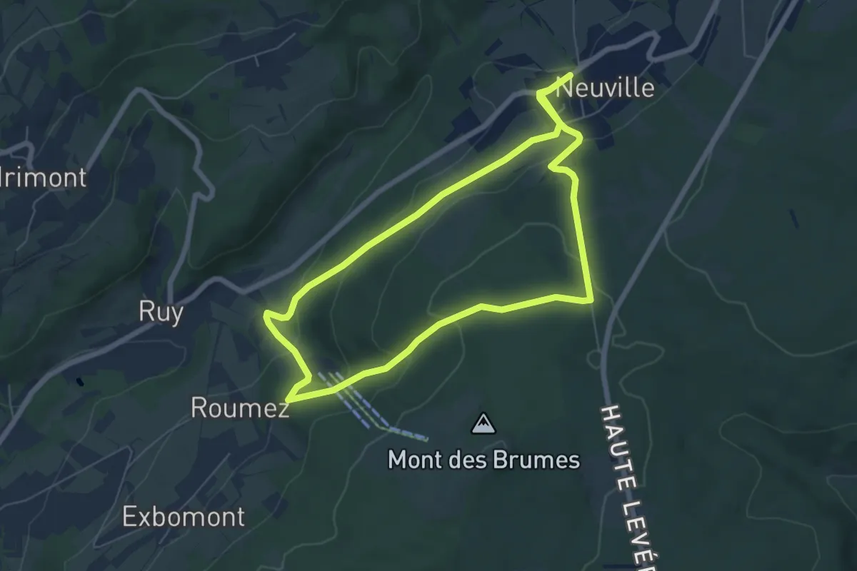
Medium · Trail
26. Le Mont des Brumes
11.4 km · ↑ 427 m · 3 h 37 min
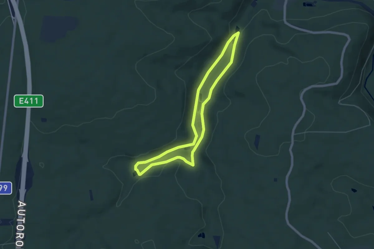
Easy · Trail
26. Marsoult
4.4 km · ↑ 46 m · 1 h 13 min
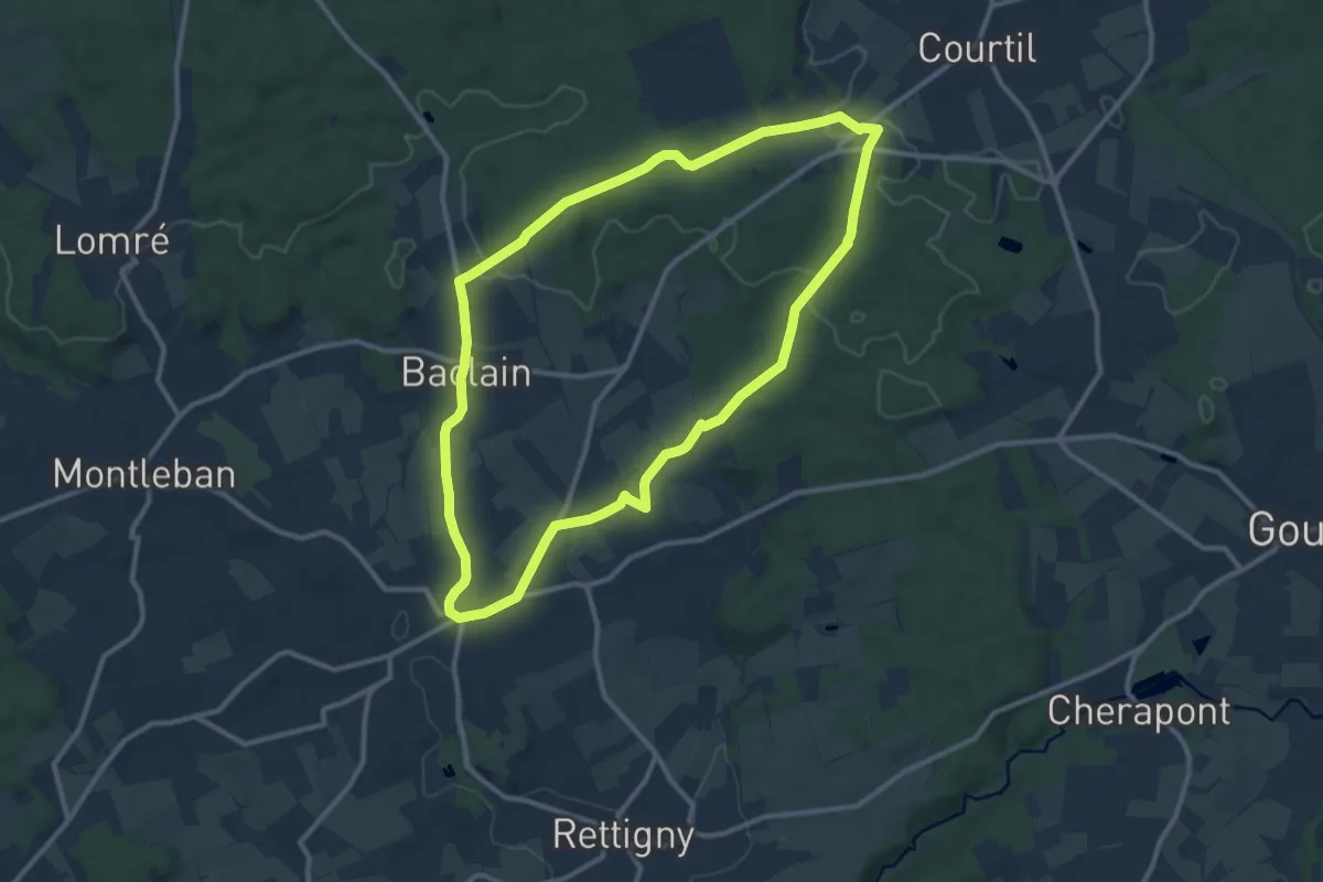
Medium · Trail
27. Croix de la Wazalle
10.1 km · ↑ 162 m · 2 h 53 min
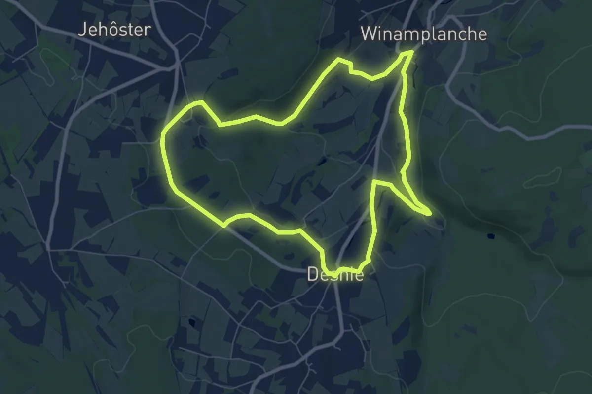
Easy · Trail
27. Haldeboeuf
6.6 km · ↑ 165 m · 2 h 1 min
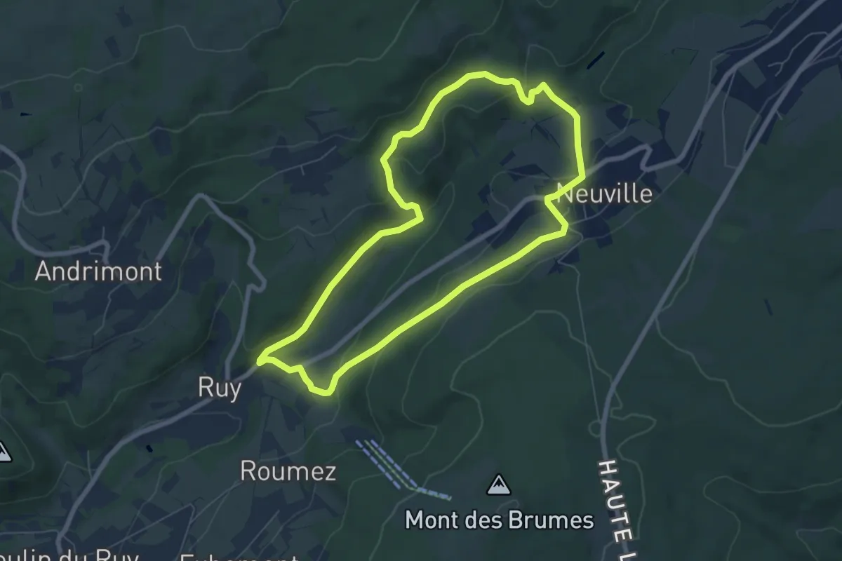
Easy · Trail
27. La Hé Stienne
6.0 km · ↑ 174 m · 1 h 52 min
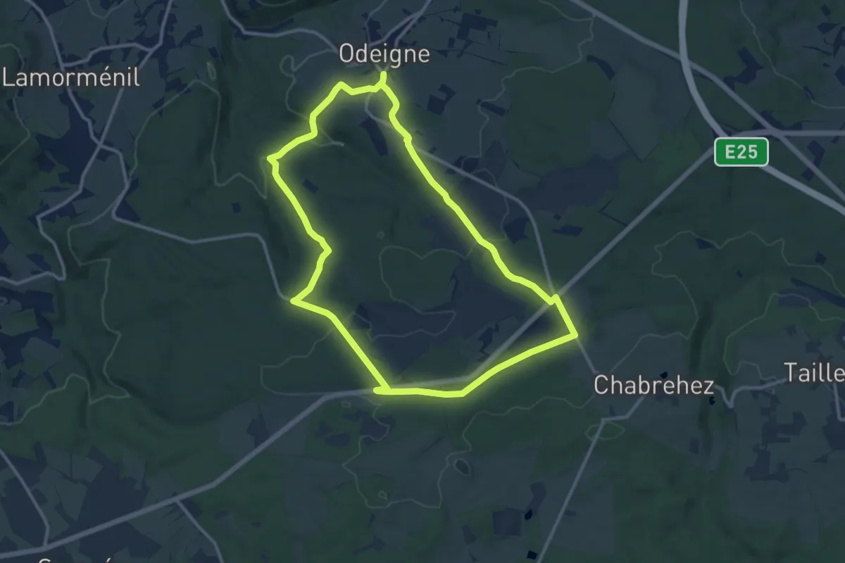
Medium · Trail
27. Napoléon
10.7 km · ↑ 170 m · 3 h 2 min
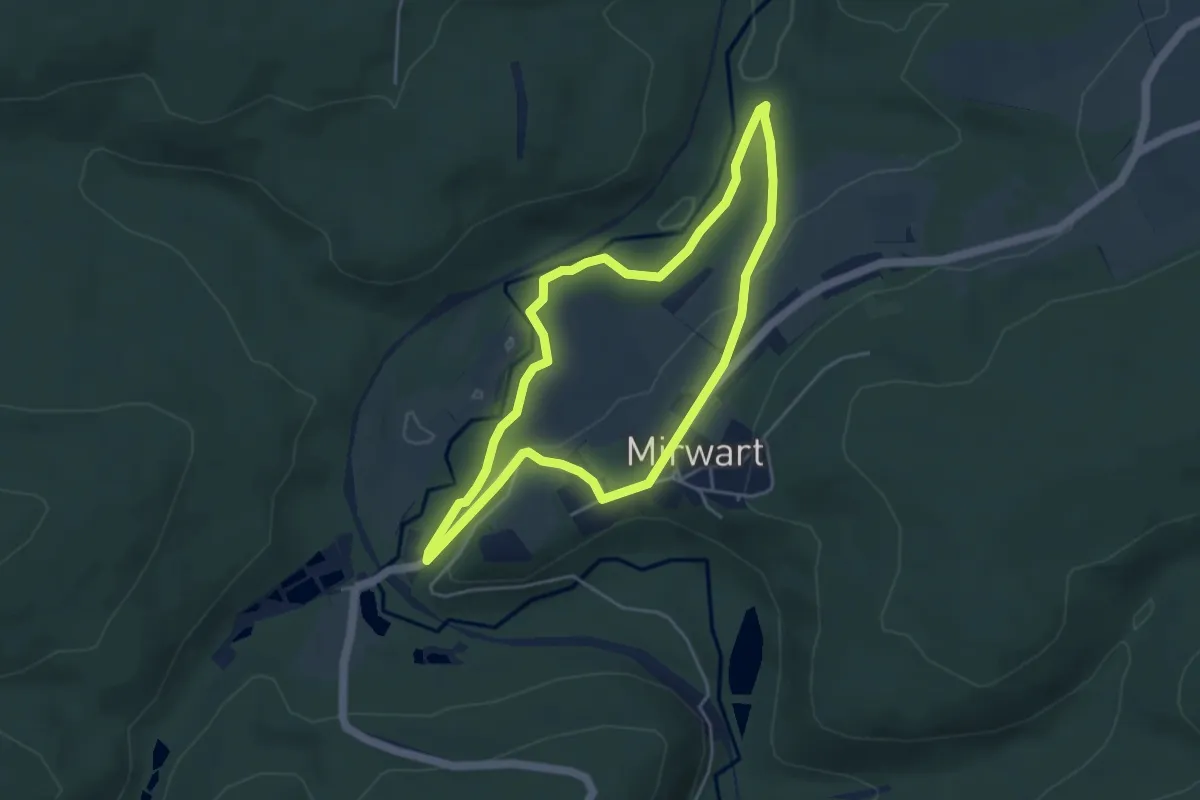
Easy · Trail
27. Parc
3.9 km · ↑ 79 m · 1 h 9 min
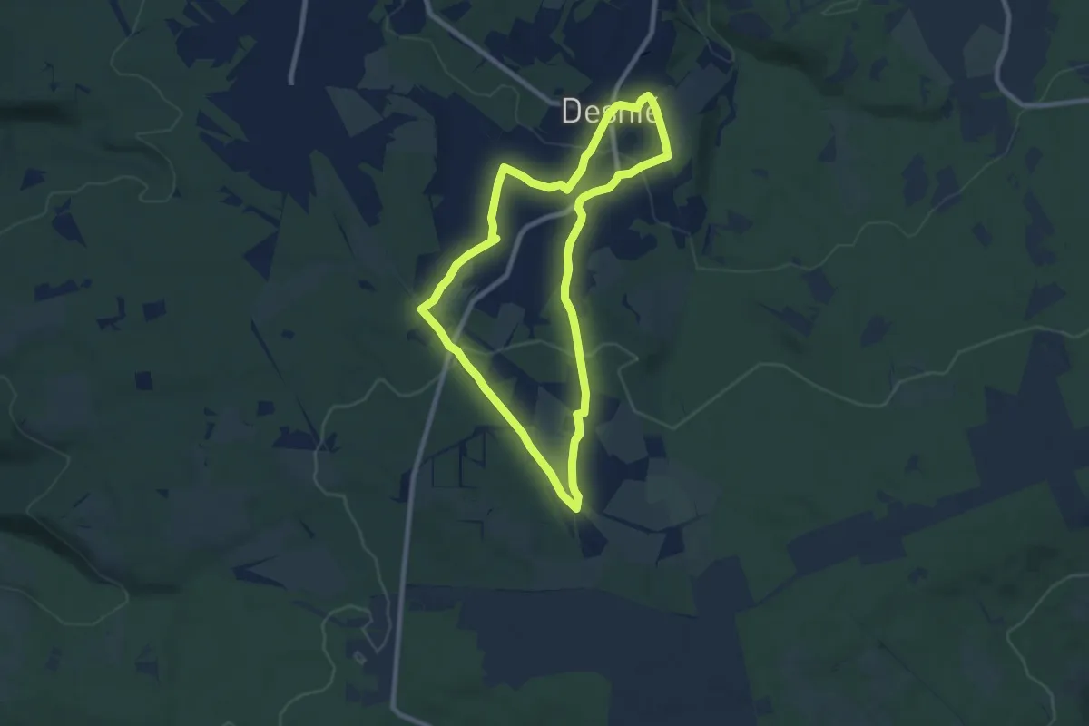
Medium · Trail
28. Bronromme
14.5 km · ↑ 353 m · 4 h 12 min
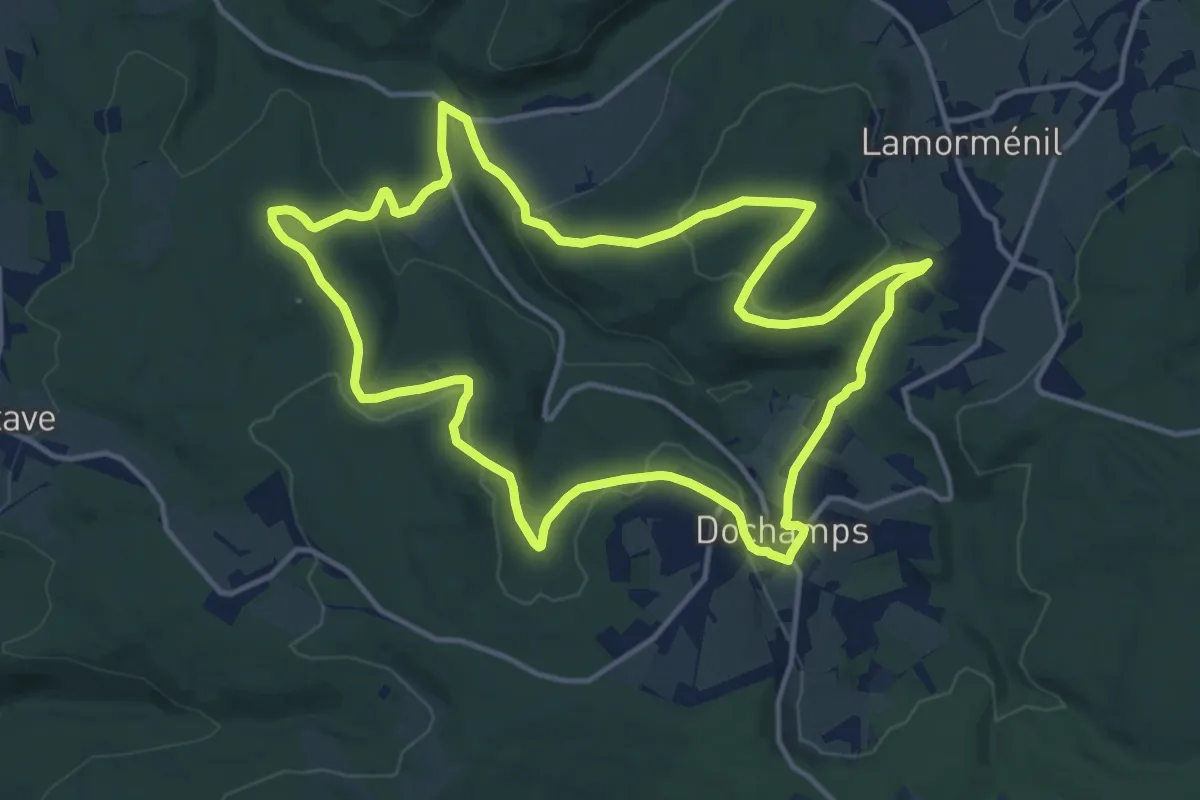
Medium · Trail
28. Hambeu
13.3 km · ↑ 368 m · 4 h 7 min
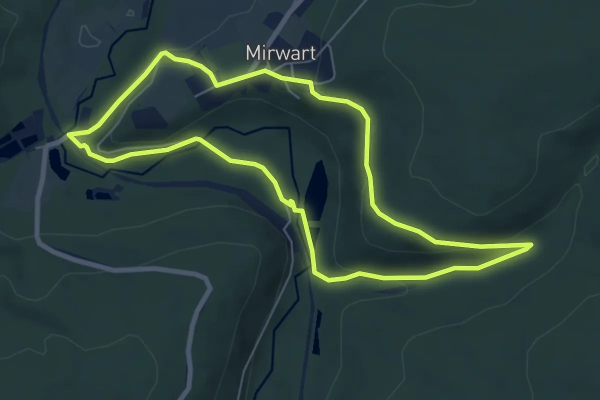
Easy · Trail
28. La Glacière
4.9 km · ↑ 139 m · 1 h 32 min
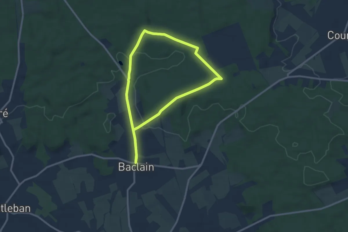
Easy · Trail
28. Les Masotais
6.0 km · ↑ 97 m · 1 h 42 min
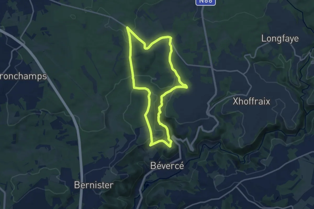
Medium · Trail
28. Le Trô Maret
9.3 km · ↑ 244 m · 2 h 52 min
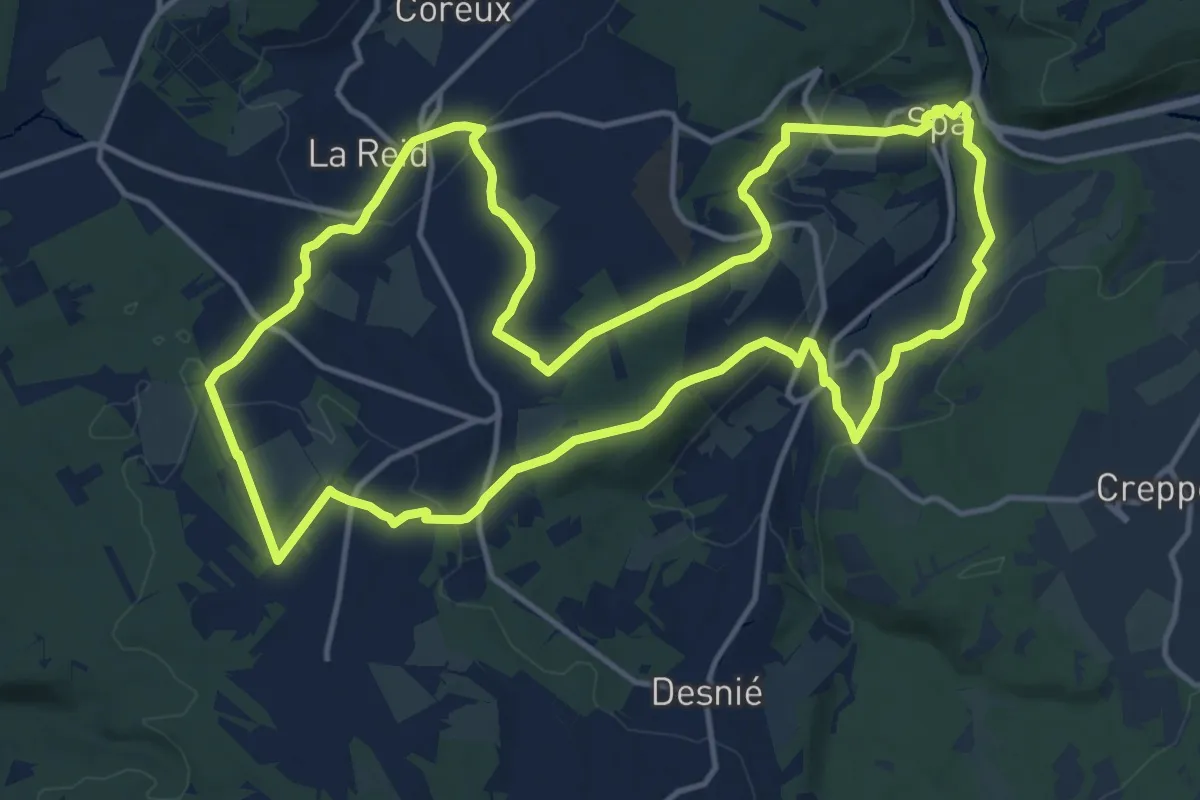
Medium · Trail
29. D'une Vallée à l'autre
14.2 km · ↑ 366 m · 4 h 21 min
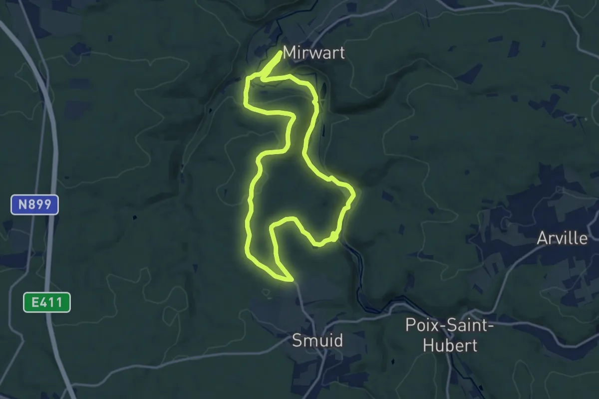
Medium · Trail
29. Vieux Moulin
11.2 km · ↑ 243 m · 3 h 20 min
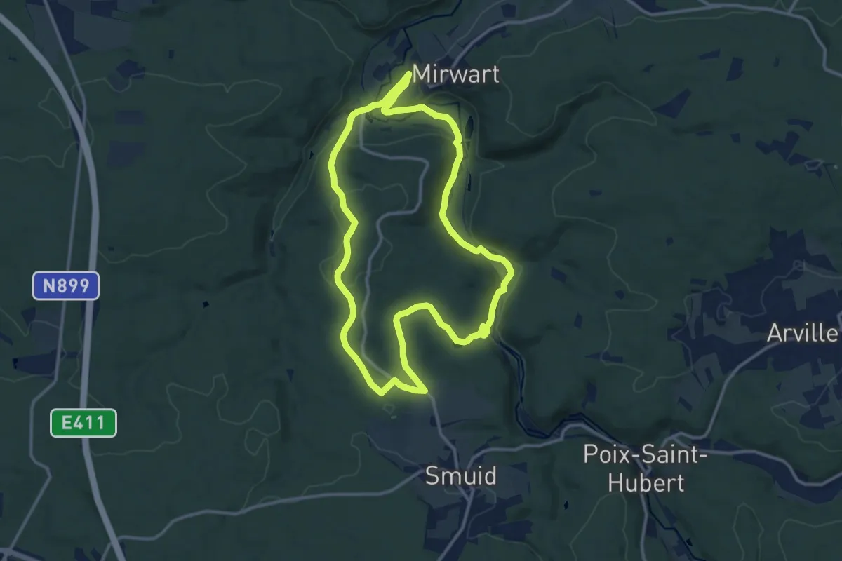
Medium · Trail
29. Vieux Moulin (chemin en forêt)
10.9 km · ↑ 243 m · 3 h 15 min
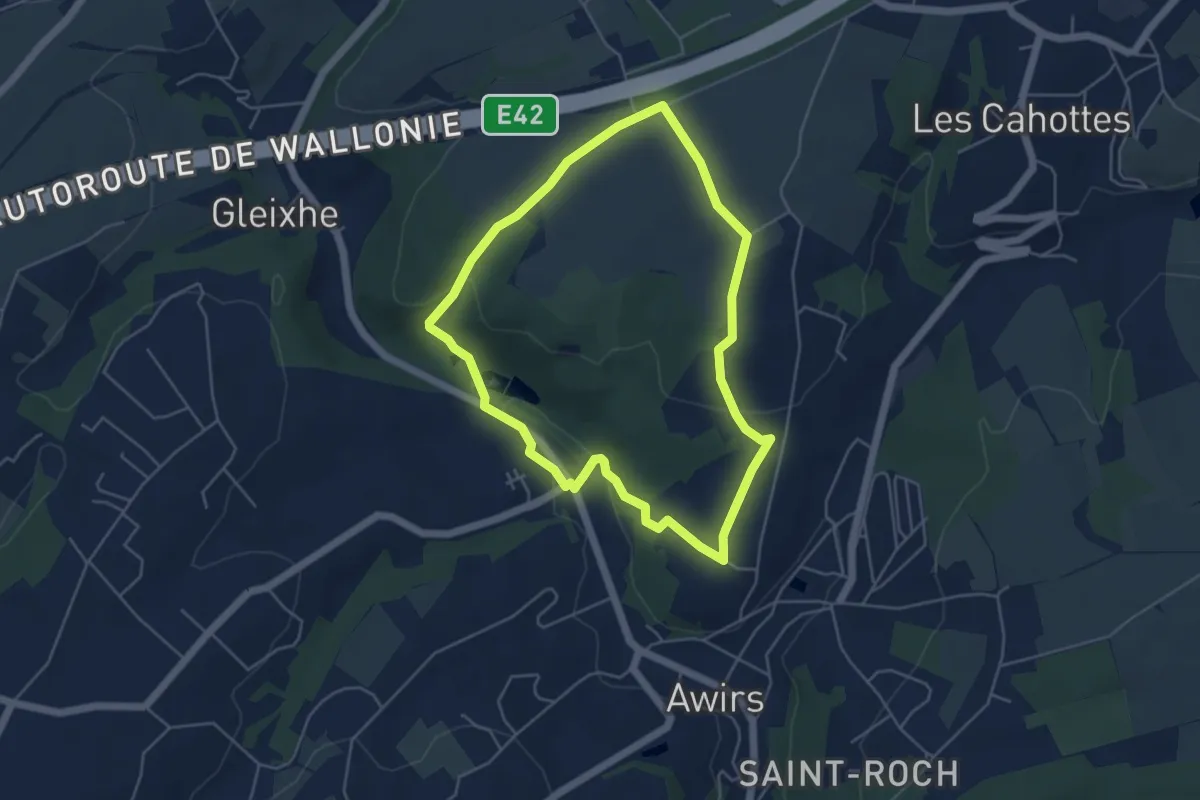
Easy · Trail
2. Autour du Château de Haultepenne
4.3 km · ↑ 82 m · 1 h 16 min
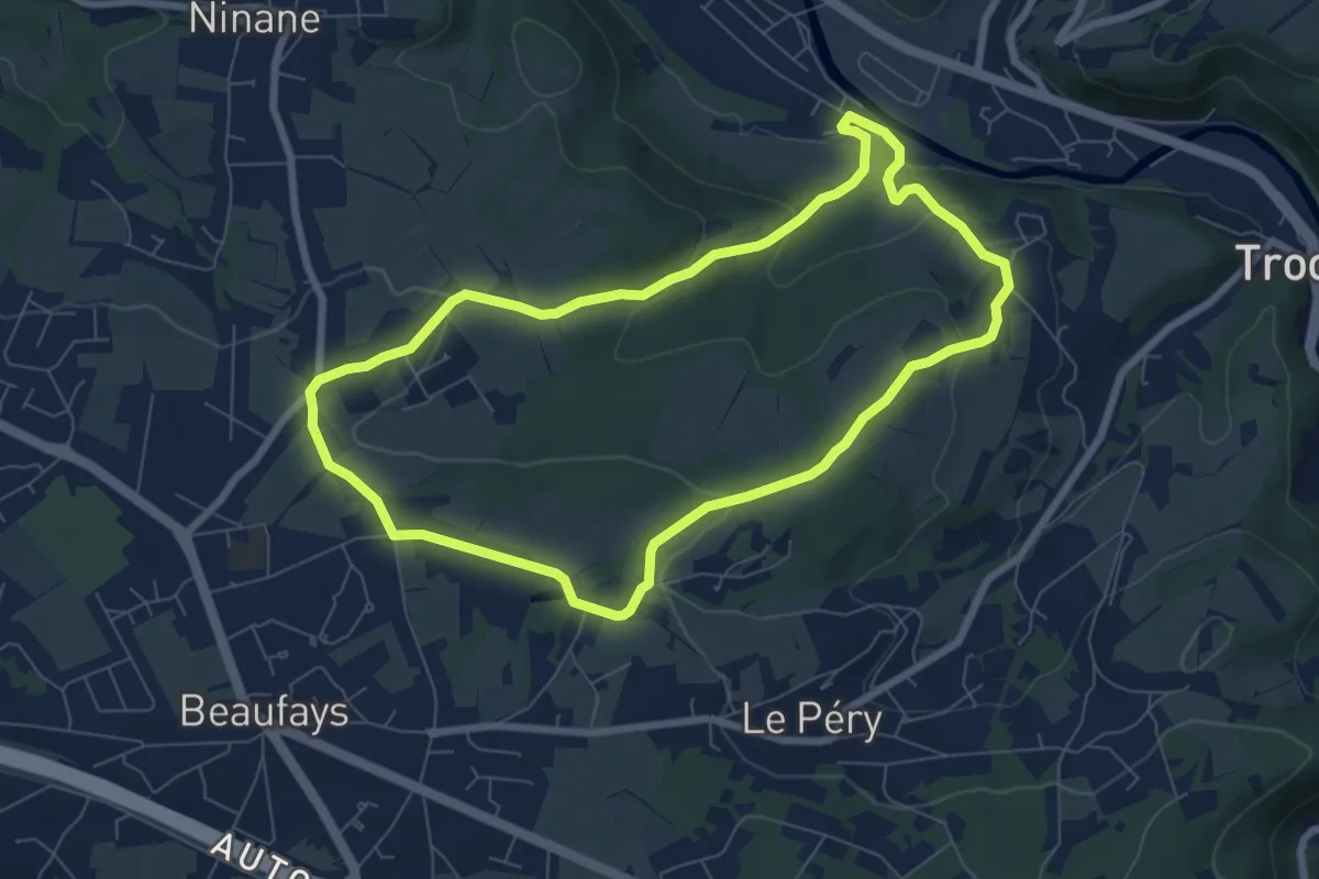
Easy · Trail
2. Balade de la Brouck à l'Abbaye
6.7 km · ↑ 180 m · 2 h 4 min
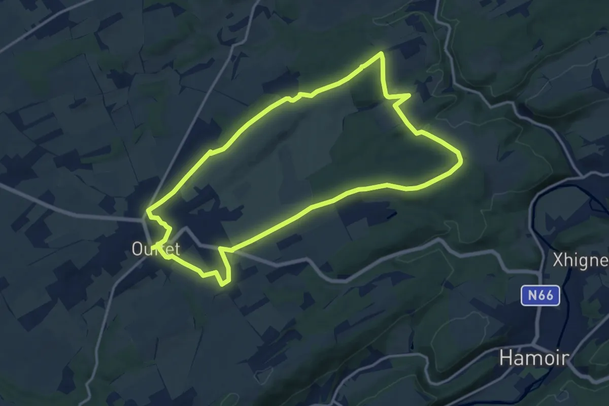
Medium · Trail
2. Balade des Loups
11.6 km · ↑ 123 m · 3 h 10 min
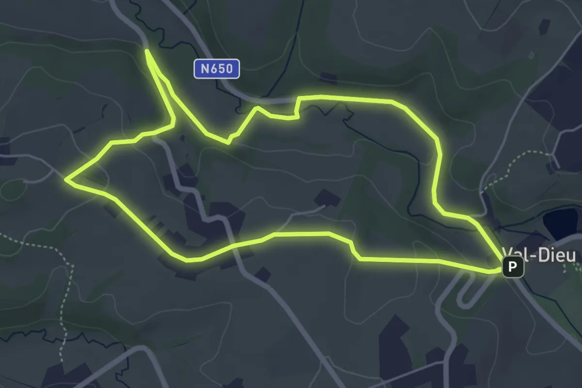
Easy · Trail
2. Balade des Ursulines
4.9 km · ↑ 89 m · 1 h 25 min
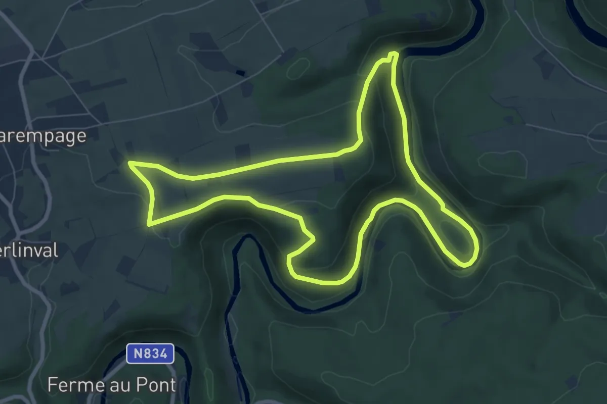
Easy · Trail
2. Berbret - La Nasse
6.9 km · ↑ 144 m · 2 h 3 min
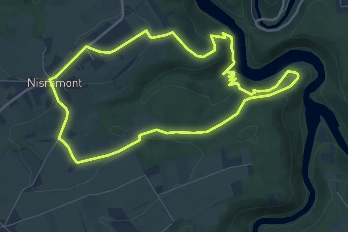
Easy · Trail
2. Blanche Pierre
6.6 km · ↑ 223 m · 2 h 8 min
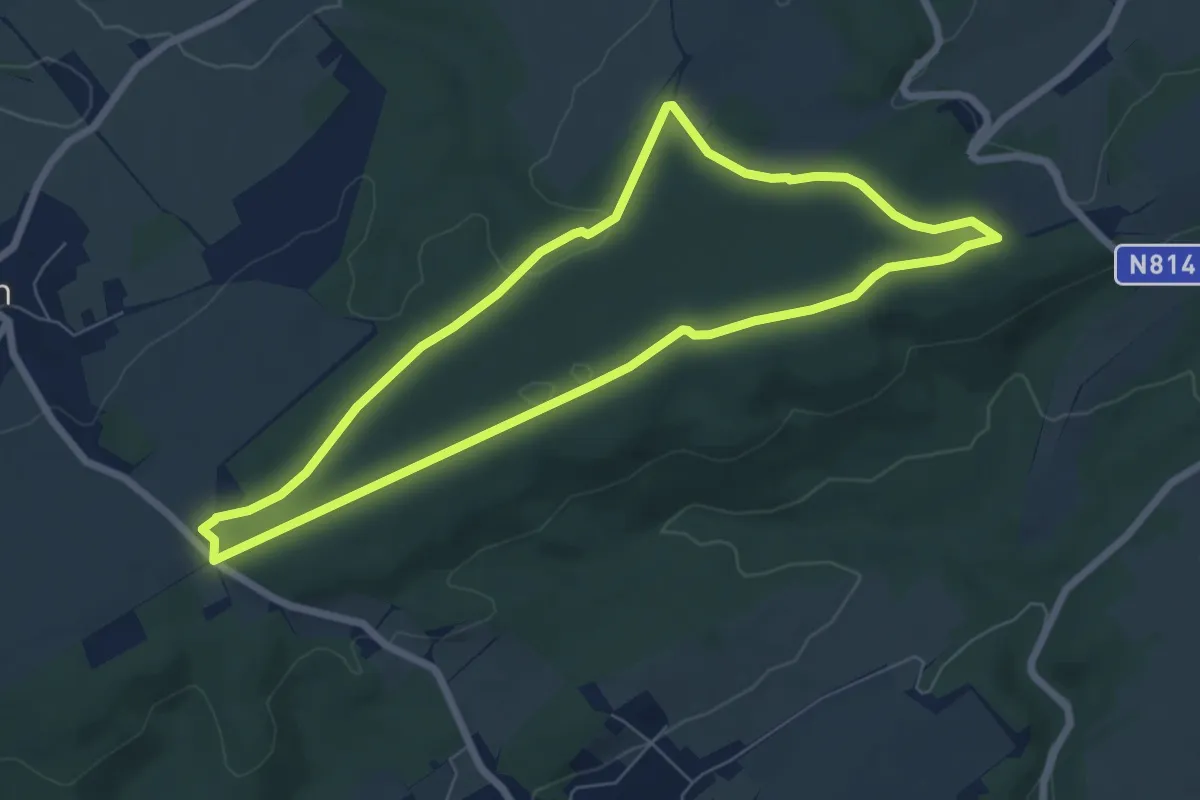
Easy · Trail
2. Bois de Viné
6.2 km · ↑ 59 m · 1 h 41 min
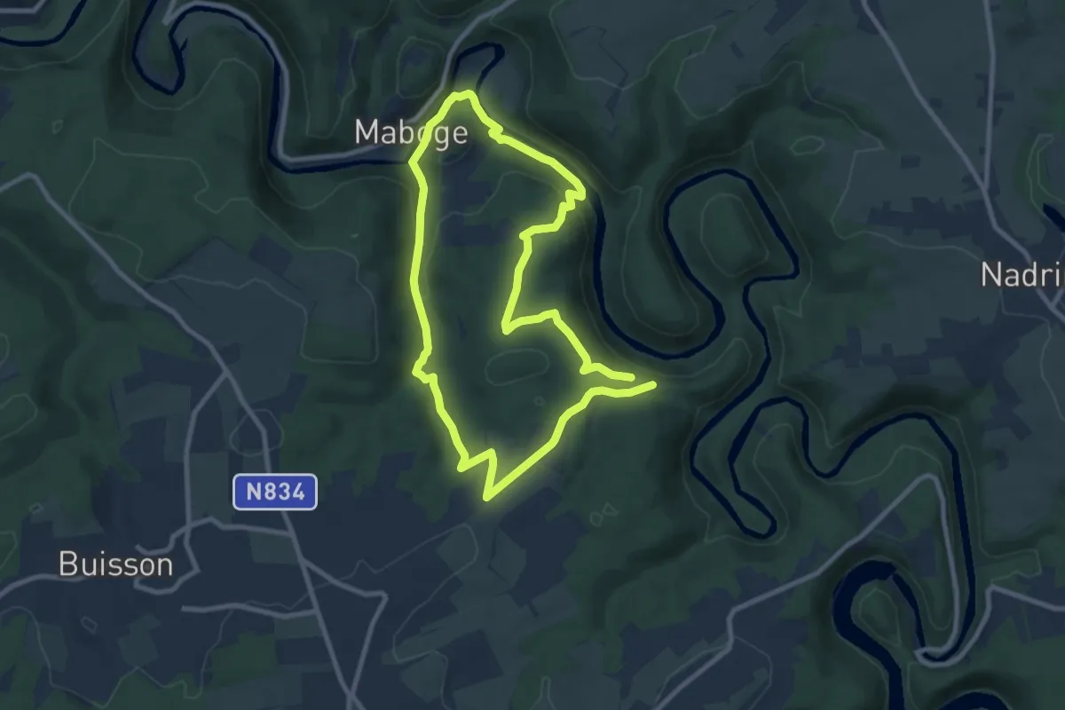
Easy · Trail
2. Champs Thomas
7.7 km · ↑ 219 m · 2 h 24 min
Easy · Trail
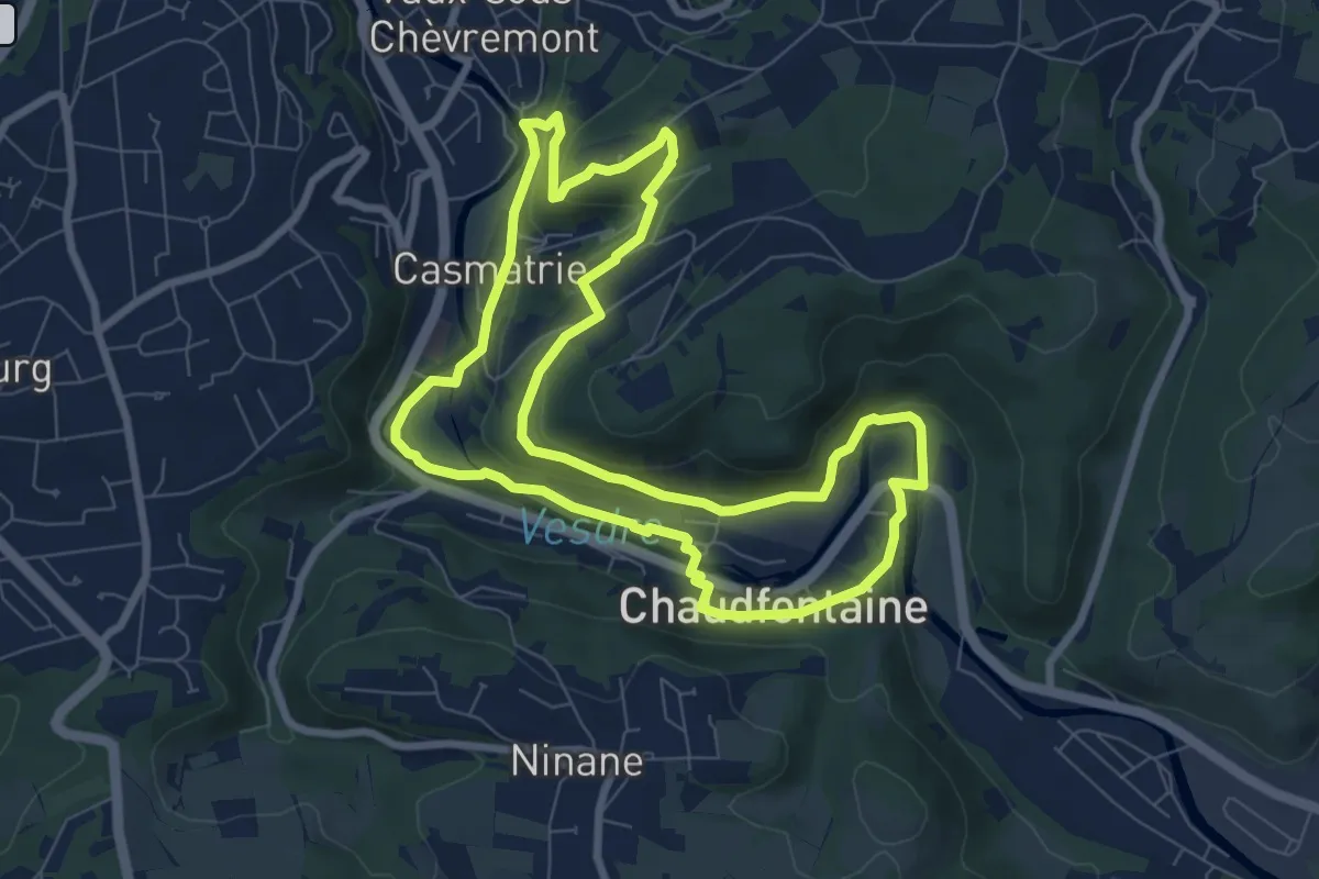
2. Chèvremont
7.3 km · ↑ 188 m · 2 h 15 min
Medium · Trail
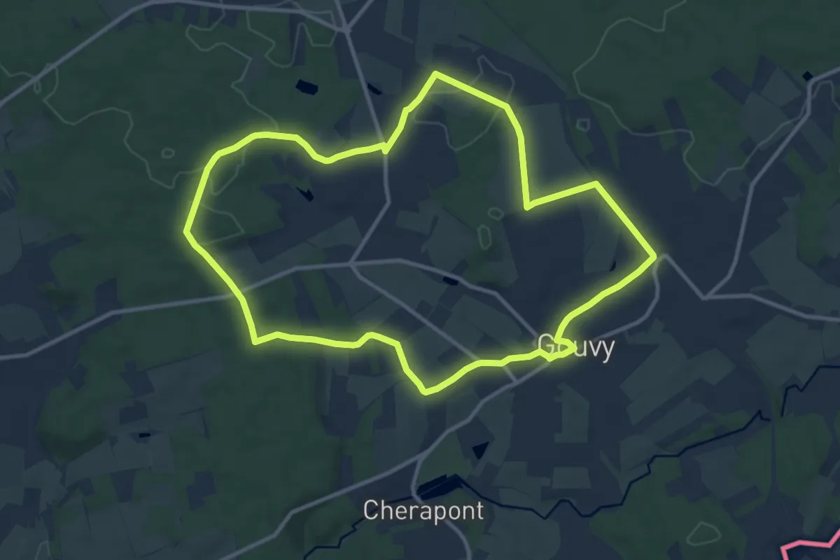
2. Devant le Beuleu
9.8 km · ↑ 110 m · 2 h 42 min
Easy · Trail
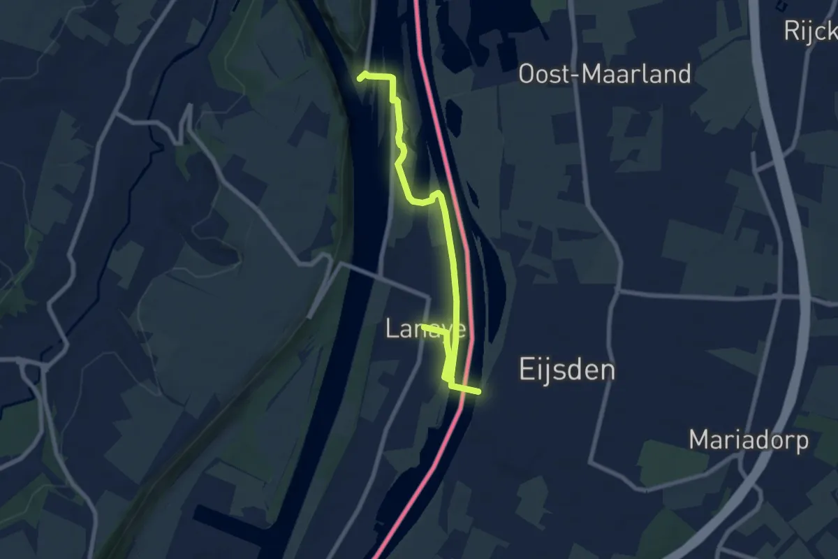
2.Eijsden/3.Kanne/4.Ternaaien: Rode Driehoek
3.5 km · ↑ 26 m · 55 min
Easy · Trail
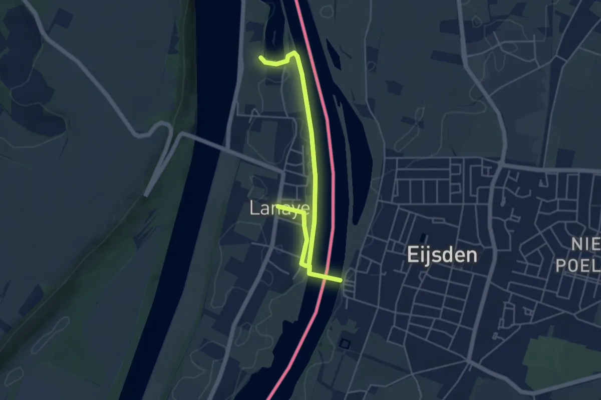
2.Eijsden/4.Lanaye: Rectangle Vert
2.4 km · ↑ 4 m · 37 min
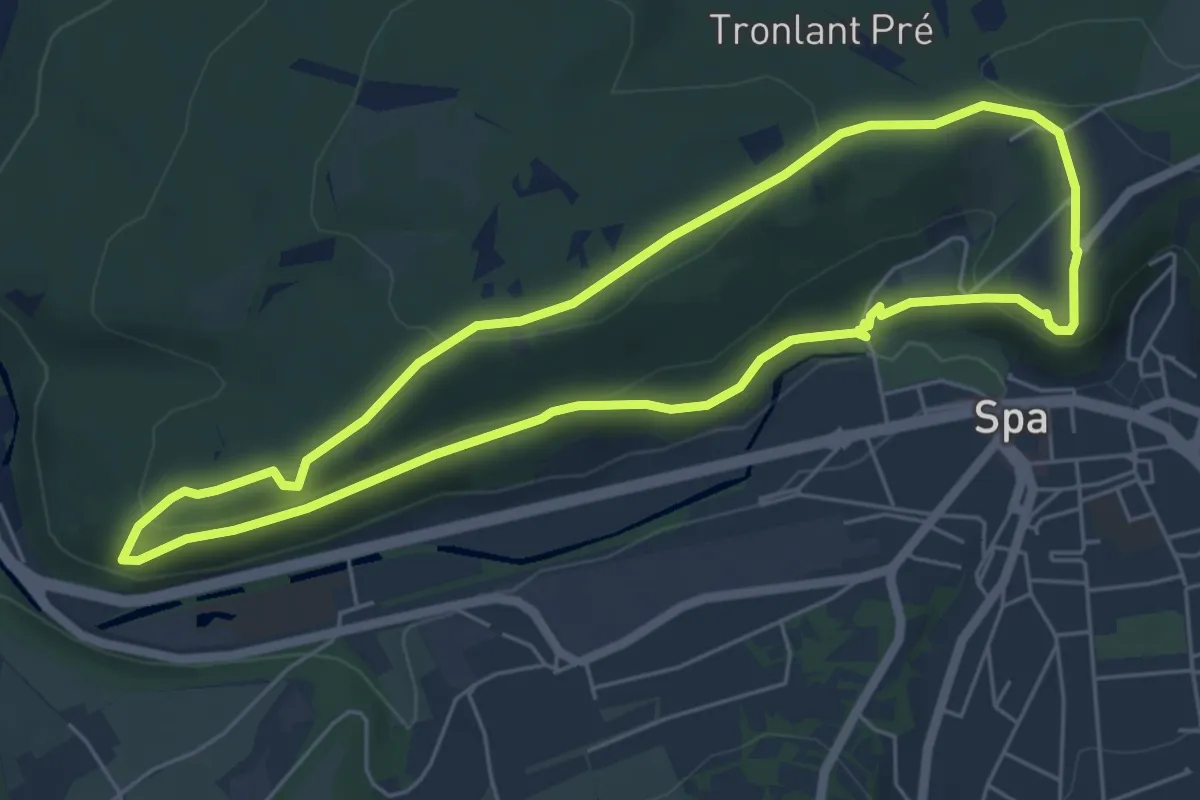
Easy · Trail
2. Grande Duchesse
5.3 km · ↑ 152 m · 1 h 39 min
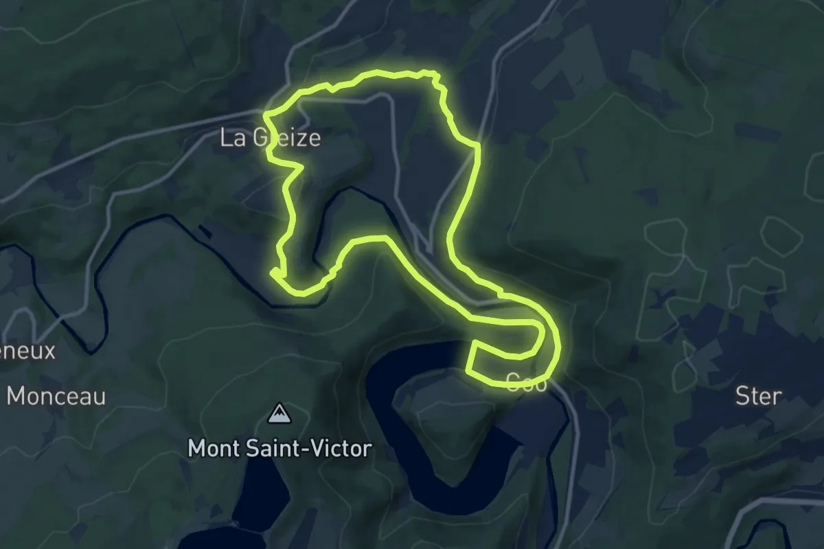
Medium · Trail
2. La Gleize - Roanne - Coo - La Venne
10.8 km · ↑ 239 m · 3 h 13 min
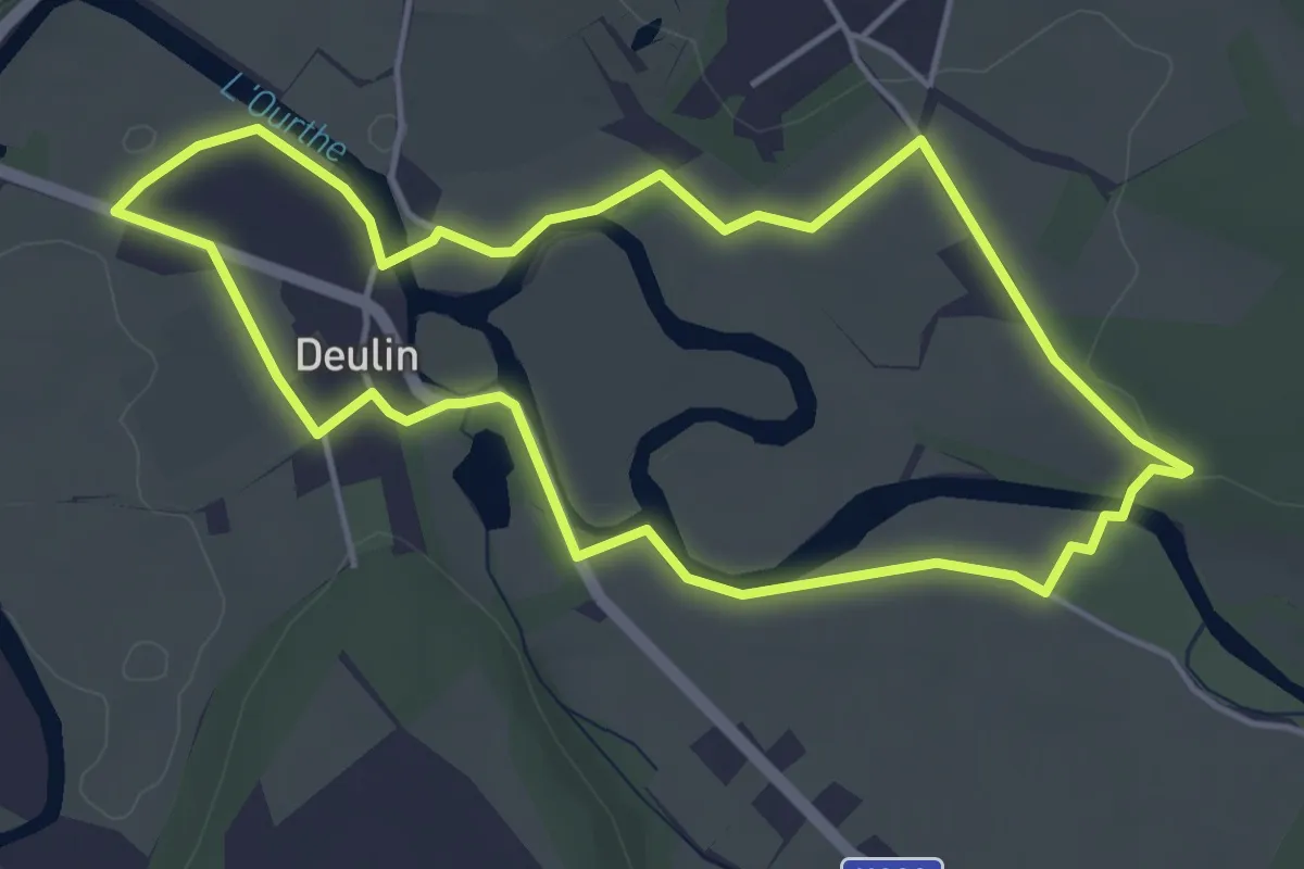
Easy · Trail
2. La Passerelle
4.2 km · ↑ 13 m · 1 h 5 min
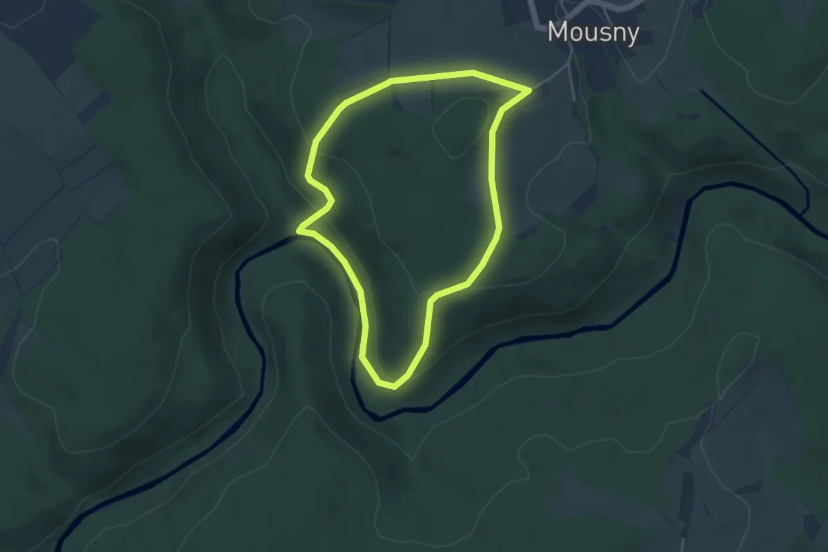
Easy · Trail
2. Le Moulin à Faines
3.5 km · ↑ 108 m · 1 h 7 min
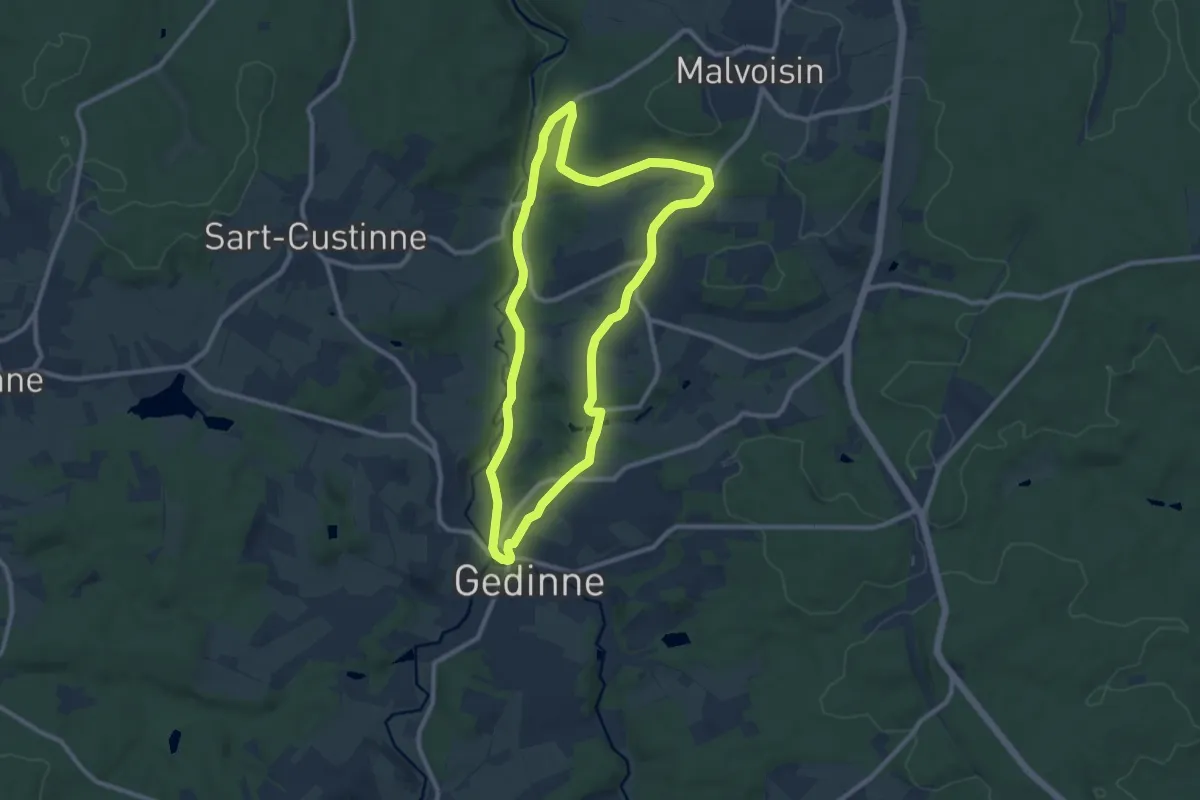
Medium · Trail
2. Le Moulin de la galette
8.6 km · ↑ 157 m · 2 h 30 min
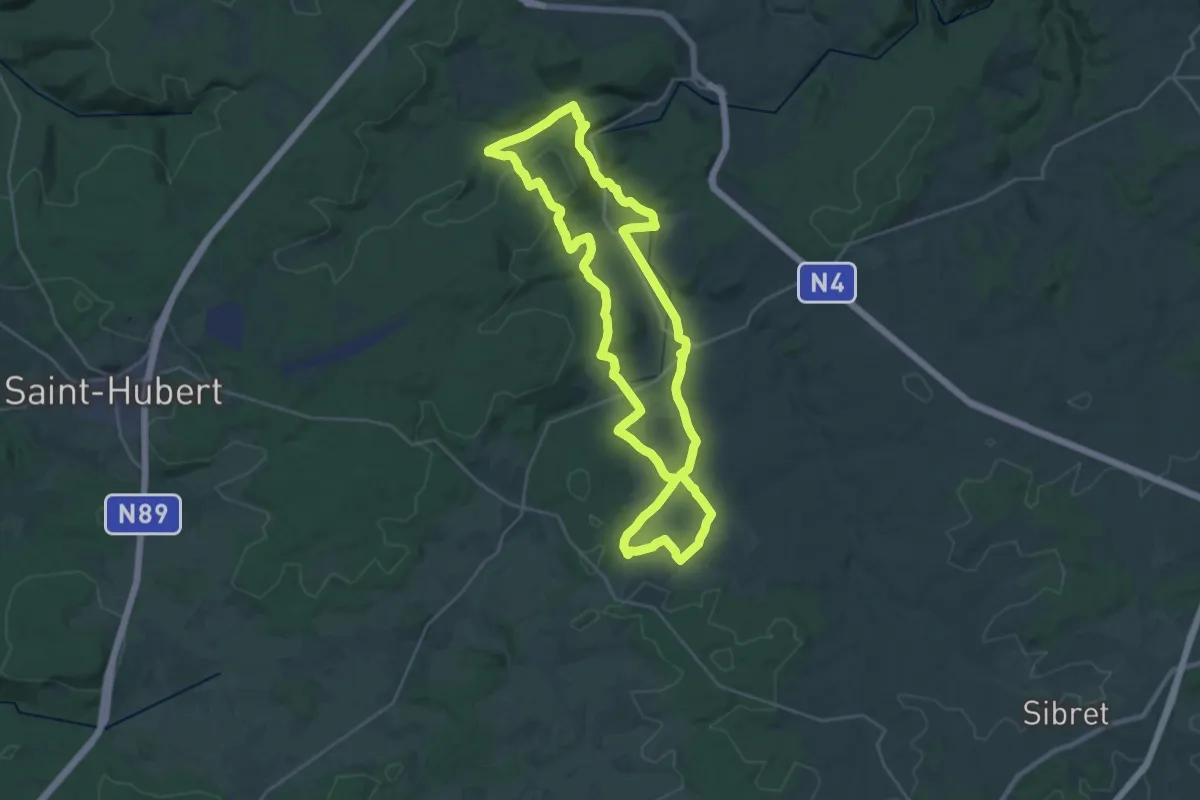
Demanding · Trail
2. Le sentier du Cèpe de Bordeaux
26.3 km · ↑ 484 m · 7 h 38 min
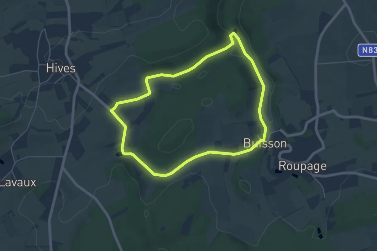
Easy · Trail
2. Moulin du Was
4.2 km · ↑ 73 m · 1 h 12 min
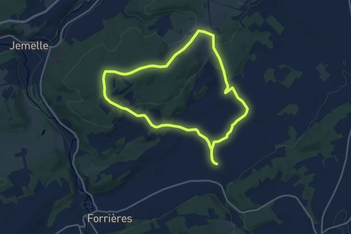
Medium · Trail
2. Promenade de Javingue
9.0 km · ↑ 159 m · 2 h 36 min