Trails in Belgium
3,383 hiking trails, each with its route, climb, walking time and grade.
All trails, page 67 of 71
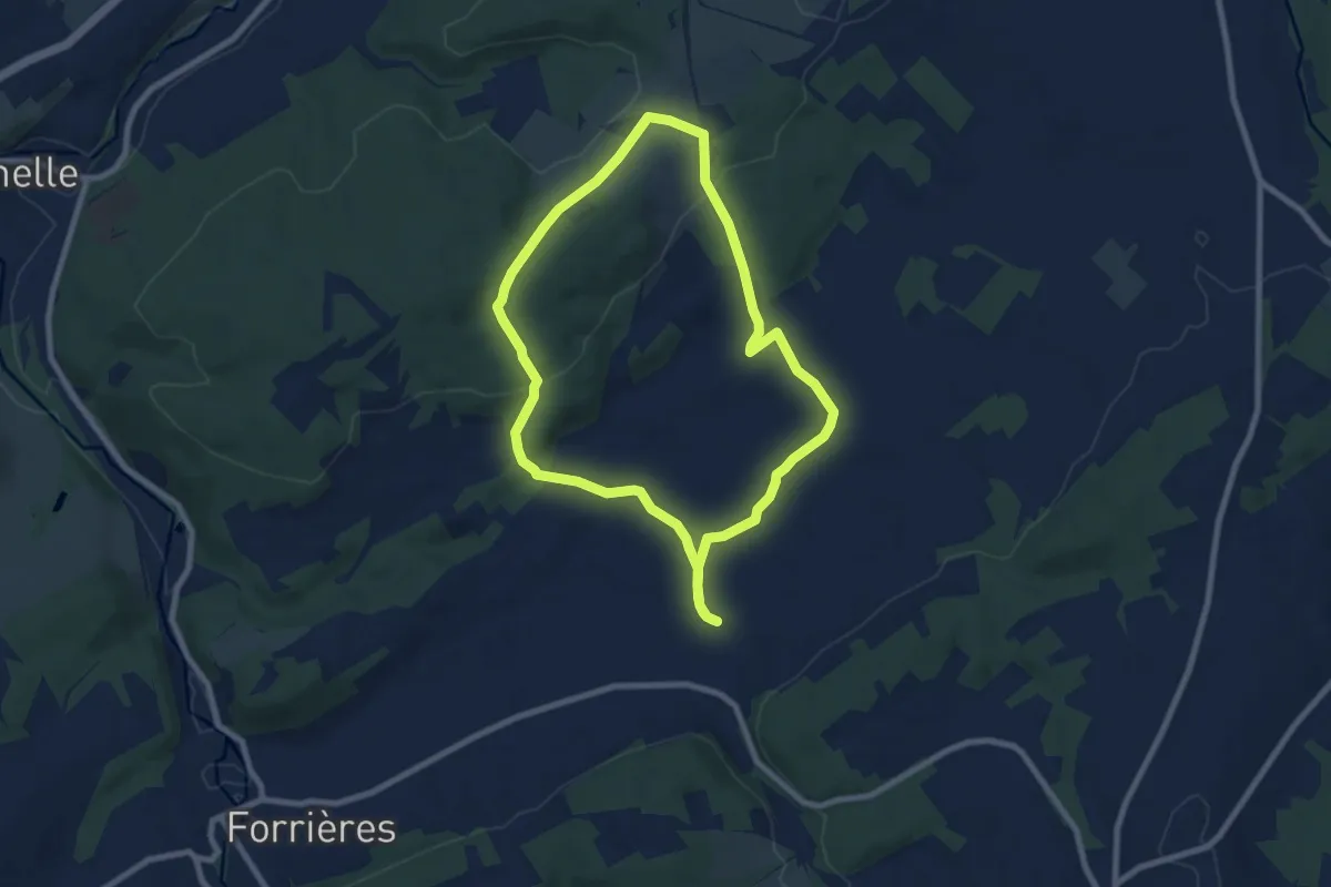
Easy · Trail
2. Promenade de Javingue - variante
7.2 km · ↑ 132 m · 2 h 5 min
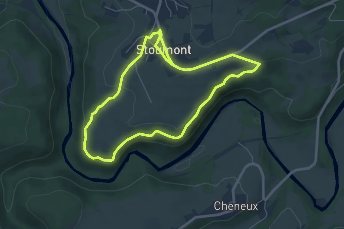
Easy · Trail
2. Promenade de la Corniche
4.5 km · ↑ 101 m · 1 h 20 min
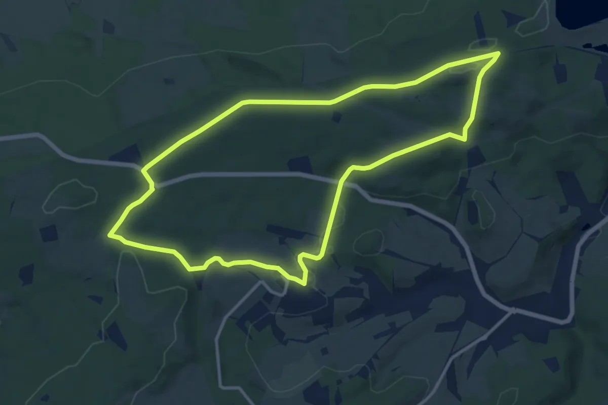
Medium · Trail
2. Promenade de l'Ancienne Barrière
9.3 km · ↑ 149 m · 2 h 39 min
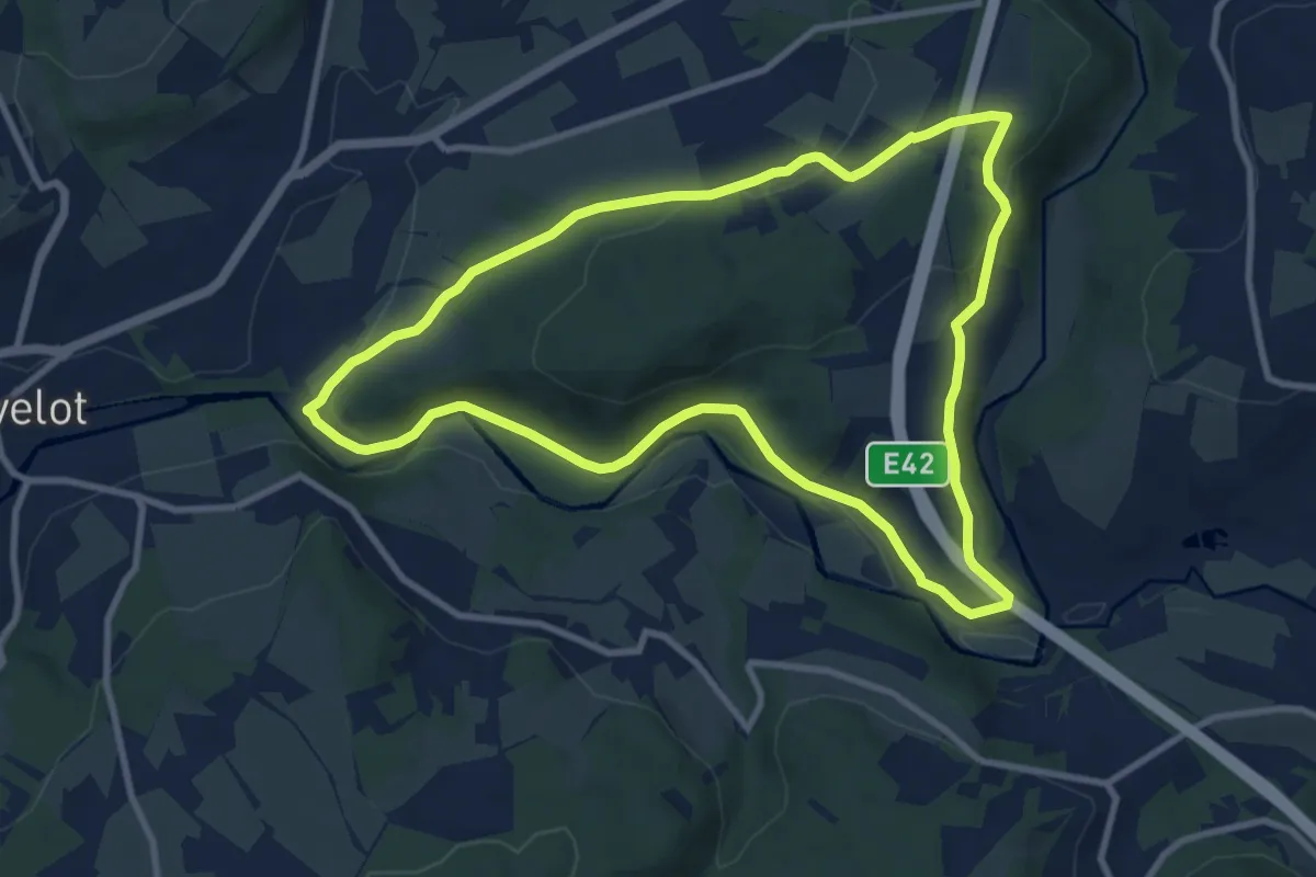
Medium · Trail
2. Promenade de la Truite
9.0 km · ↑ 193 m · 2 h 40 min
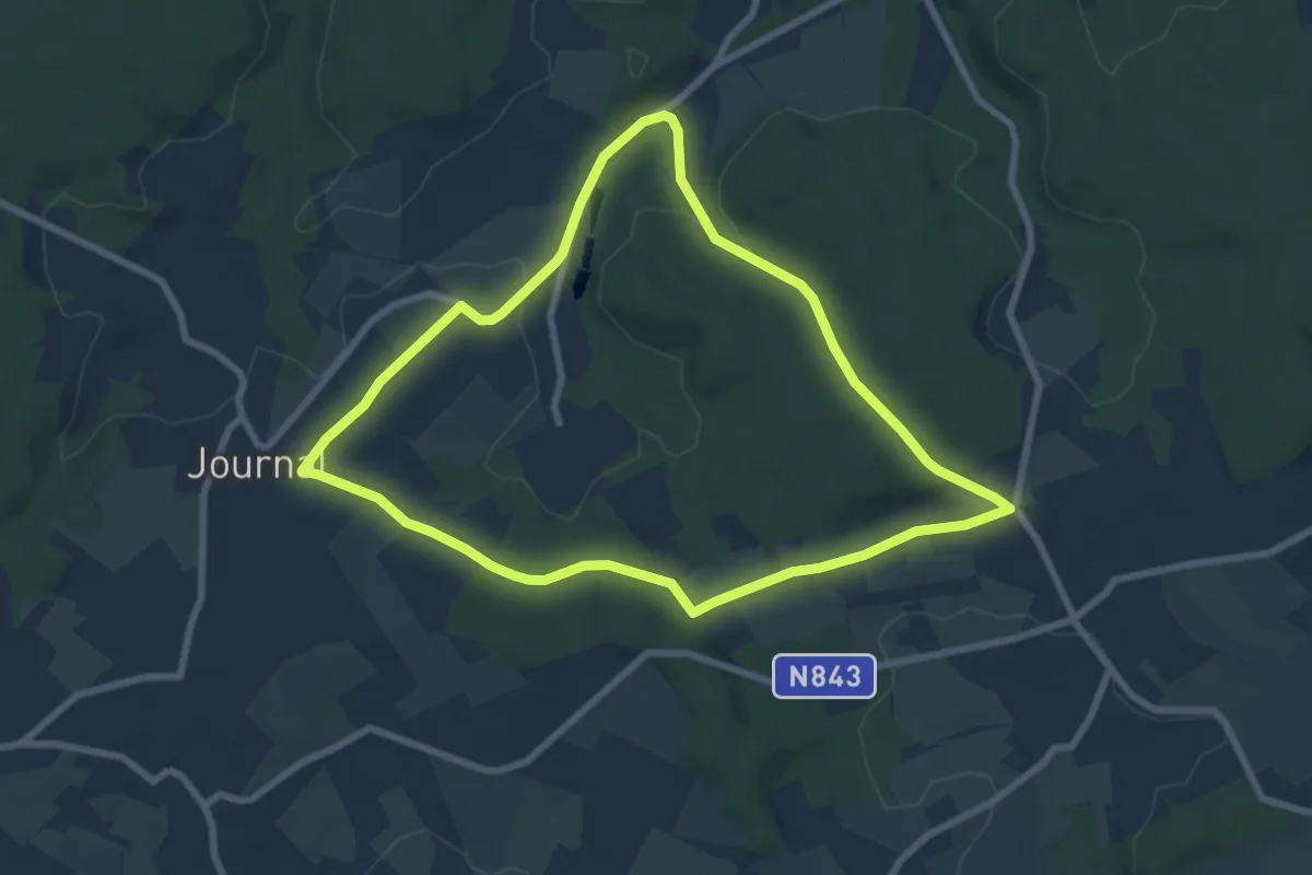
Easy · Trail
2. Promenade de Trompe-Souris
7.1 km · ↑ 95 m · 1 h 58 min
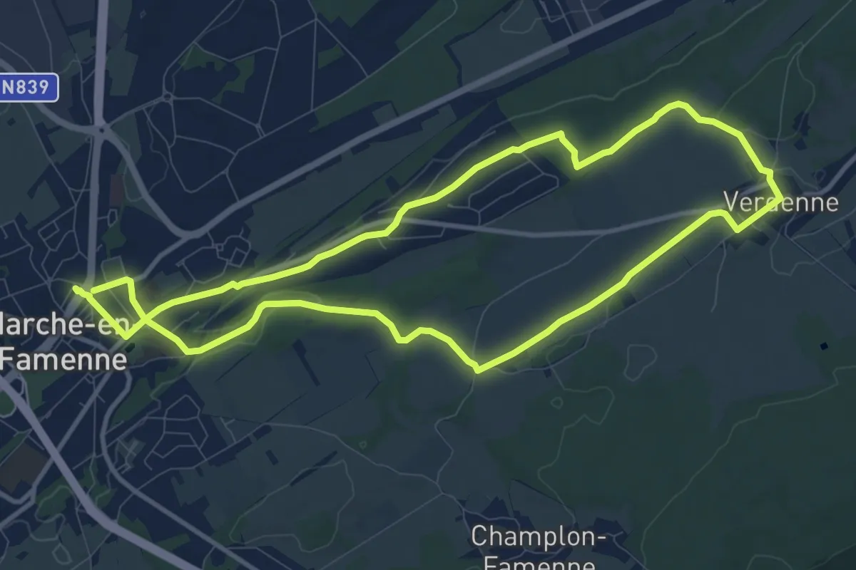
Medium · Trail
2. Promenade Pâquerette
9.7 km · ↑ 121 m · 2 h 40 min
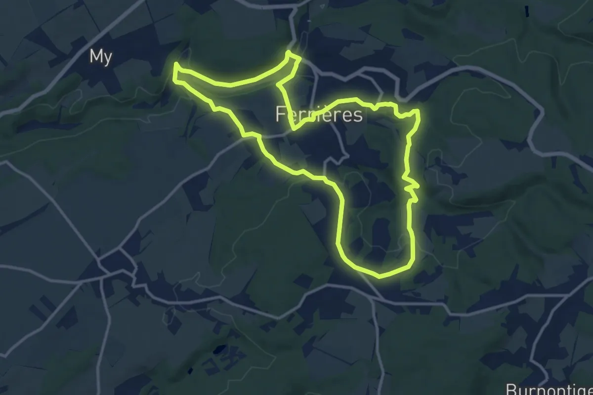
Medium · Trail
2. Promenade "Par Monts et par Vaux"
10.0 km · ↑ 206 m · 2 h 57 min
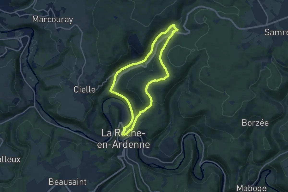
Medium · Trail
2. Royen
8.9 km · ↑ 252 m · 2 h 47 min
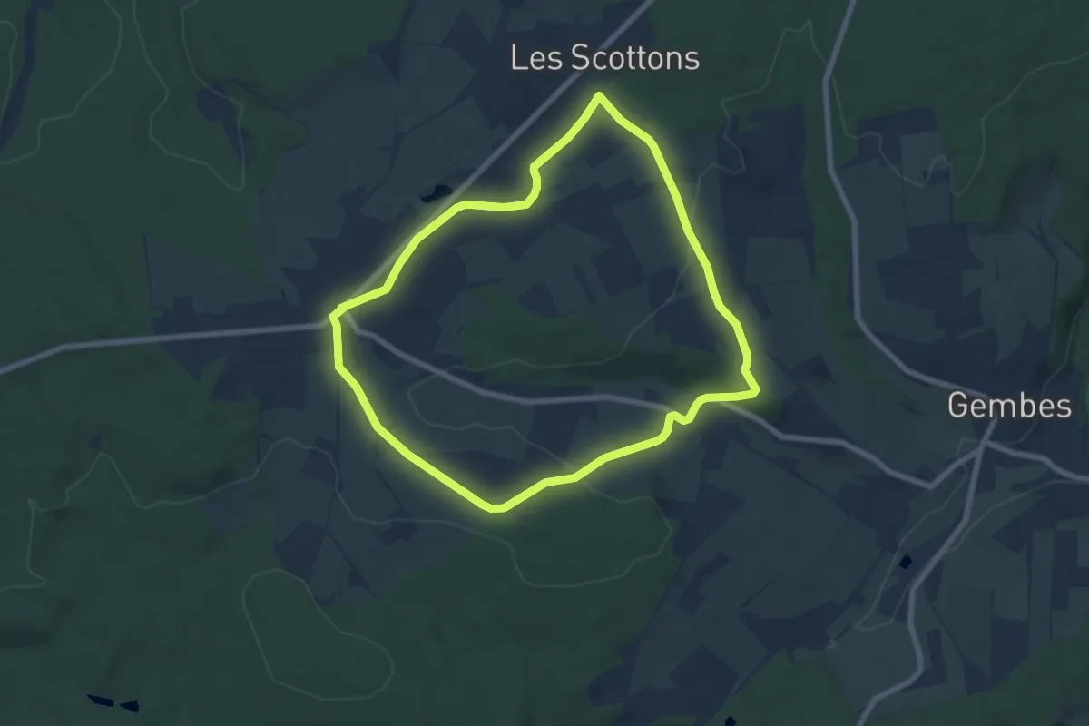
Easy · Trail
2. Sclassin
6.3 km · ↑ 80 m · 1 h 45 min
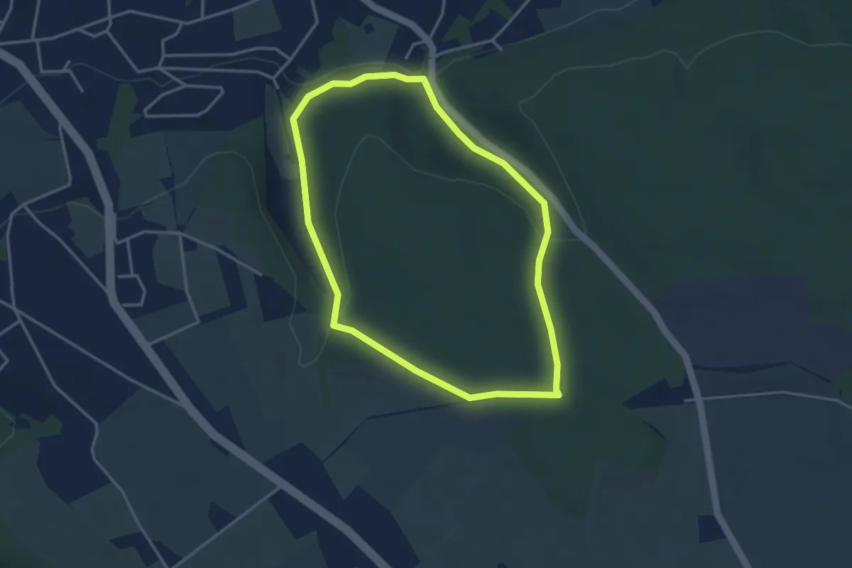
Easy · Trail
2. Tour du bois de Tihange
3.0 km · ↑ 79 m · 55 min
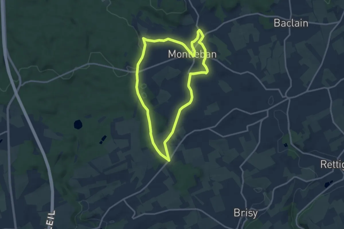
Medium · Trail
30. La Béaule
8.2 km · ↑ 97 m · 2 h 15 min
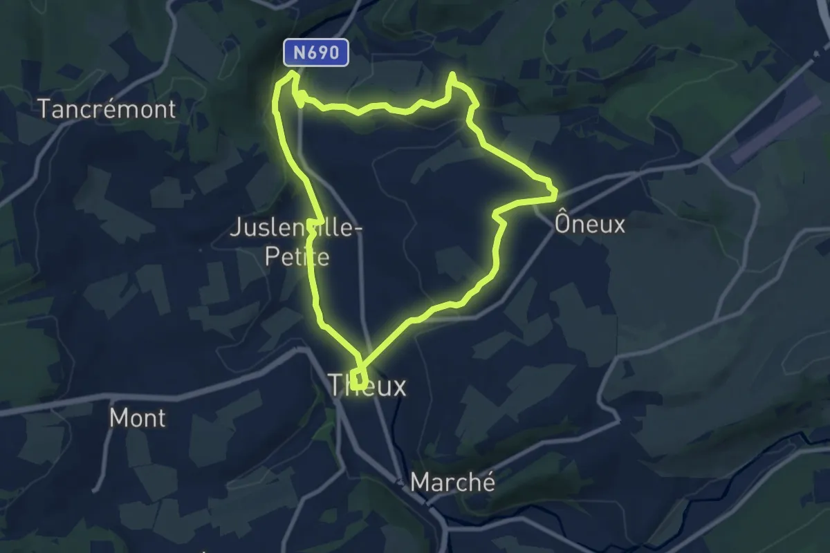
Easy · Trail
30. Le sentier d'Oneux
7.9 km · ↑ 169 m · 2 h 20 min
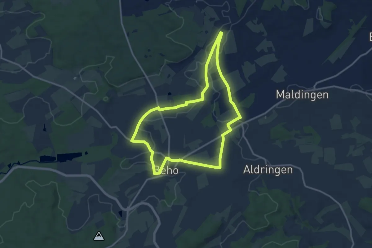
Medium · Trail
31. Aux Quatre Vents
8.5 km · ↑ 59 m · 2 h 15 min
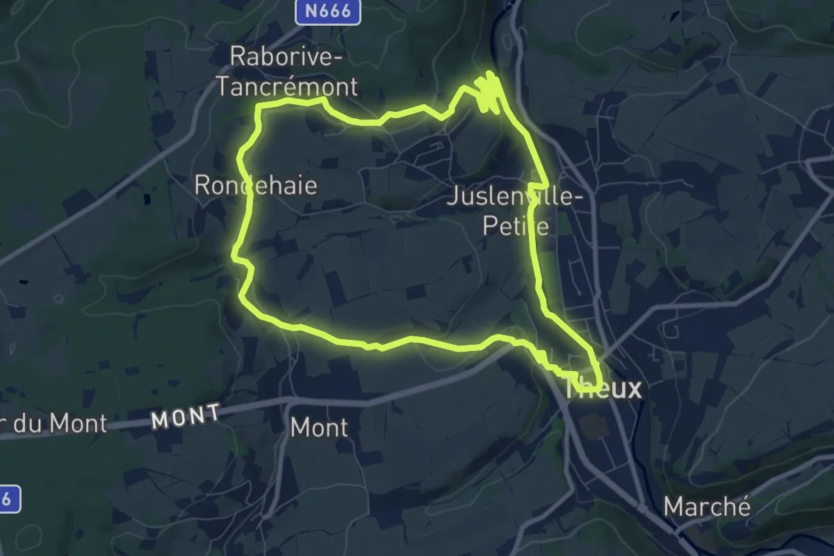
Medium · Trail
31. Wislez
8.2 km · ↑ 162 m · 2 h 24 min
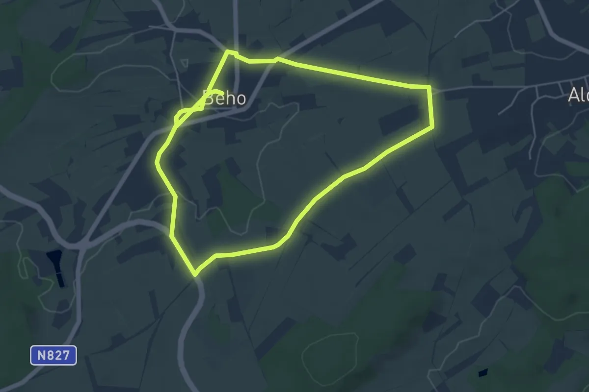
Medium · Trail
32. Maison Neuve
8.9 km · ↑ 72 m · 2 h 15 min
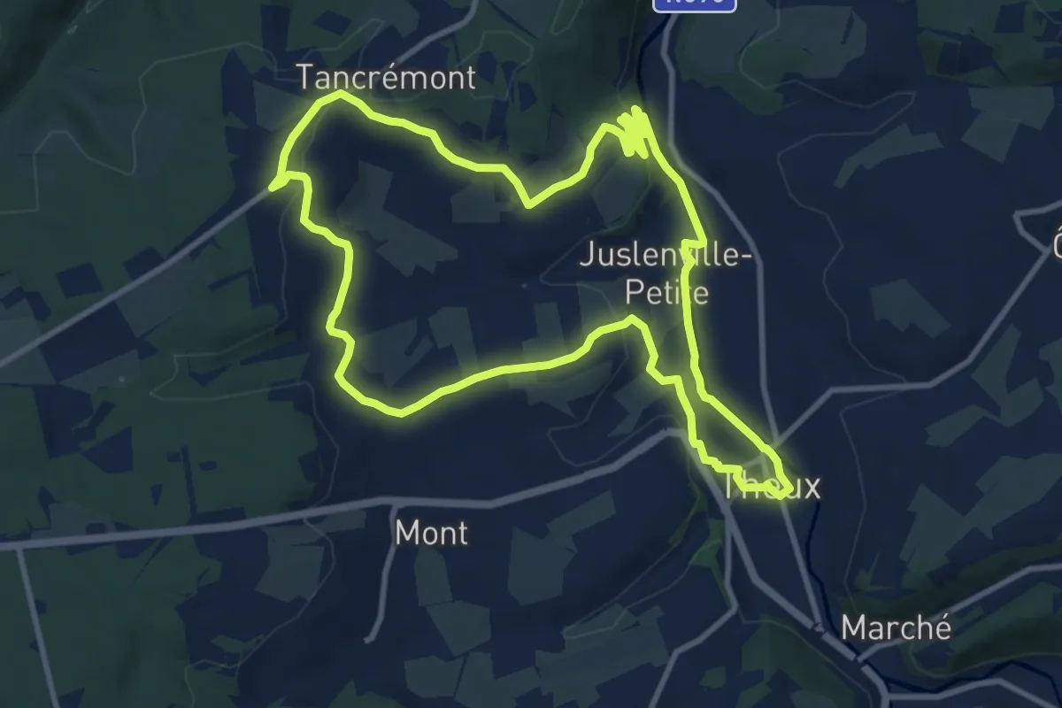
Medium · Trail
32. Tancrémont
9.8 km · ↑ 198 m · 2 h 53 min
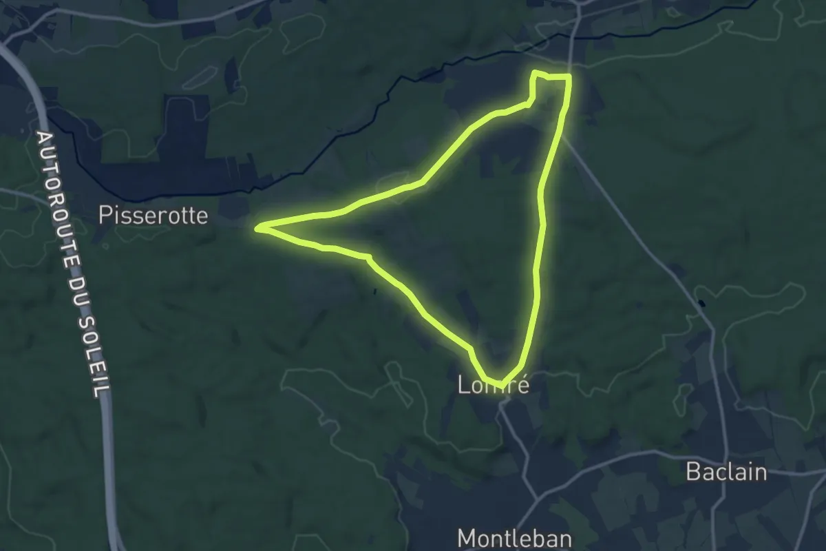
Medium · Trail
33. Aux Myrtilles
10.0 km · ↑ 170 m · 2 h 52 min
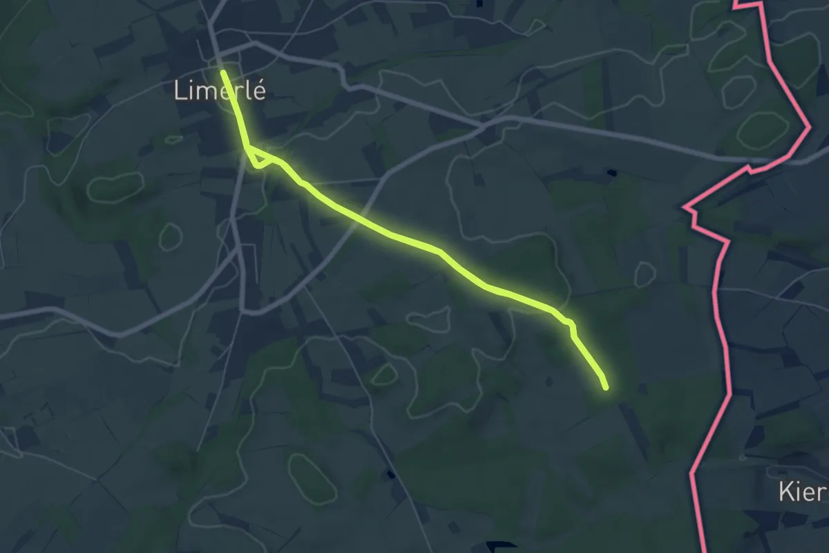
Medium · Trail
34. Aux Nutons
12.0 km · ↑ 162 m · 3 h 11 min
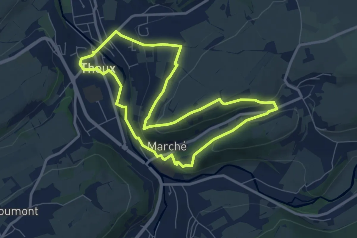
Easy · Trail
34. Les Ruines de Franchimont
5.8 km · ↑ 132 m · 1 h 44 min
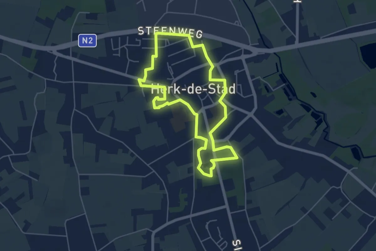
Easy · Trail
3540 Witte Wandeling
4.3 km · ↑ 12 m · 1 h 5 min
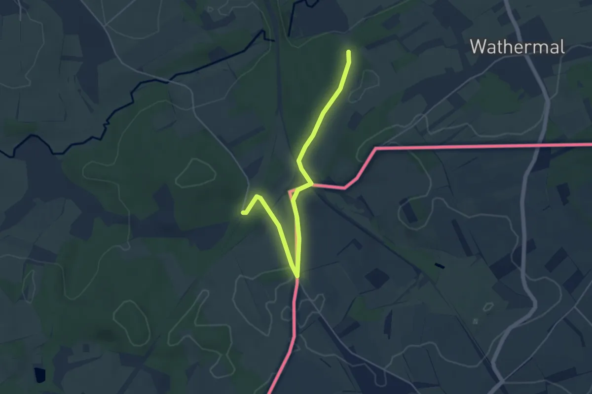
Easy · Trail
35. Les contrebandiers
4.4 km · ↑ 52 m · 1 h 10 min
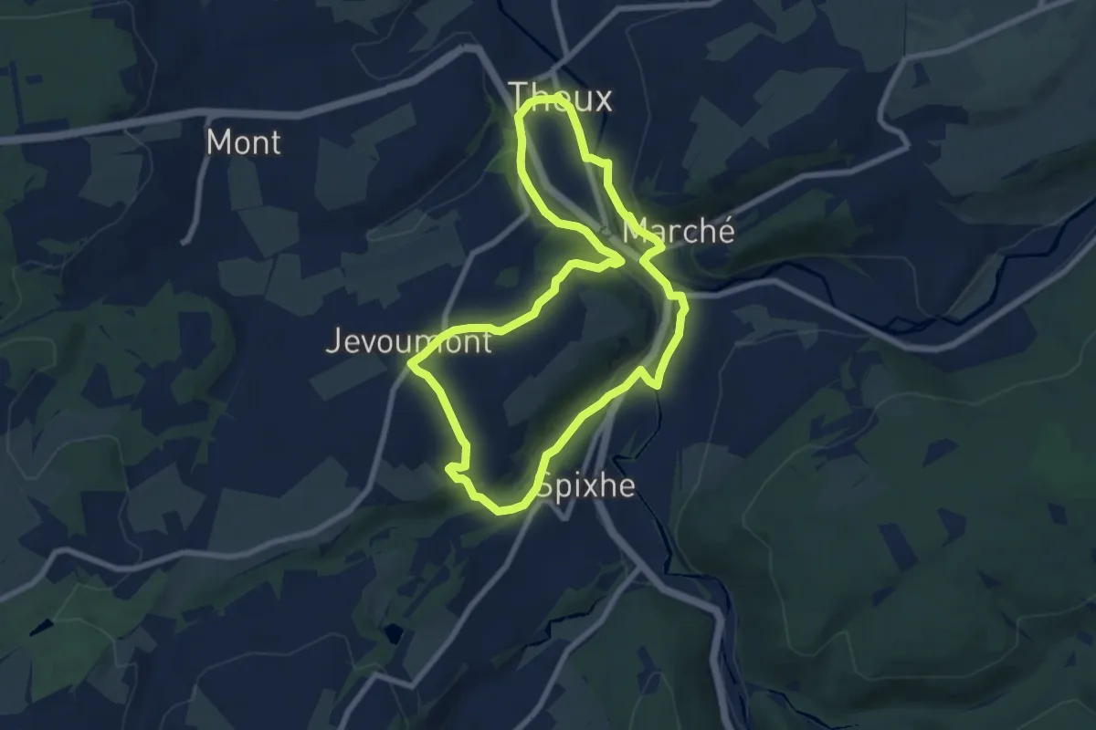
Easy · Trail
35. Le sentier de l'Ourlaine
6.7 km · ↑ 140 m · 1 h 59 min
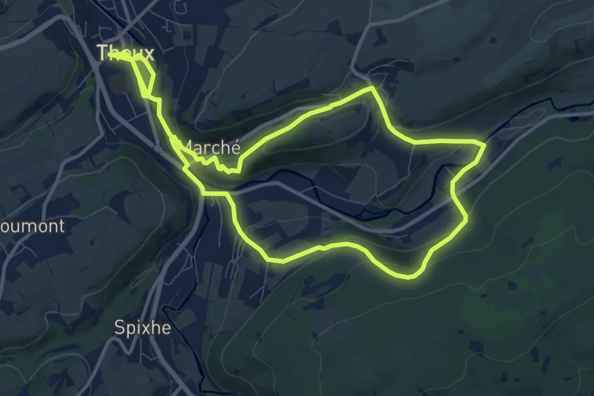
Medium · Trail
38. Le Sentier du Staneux
16.9 km · ↑ 407 m · 4 h 52 min
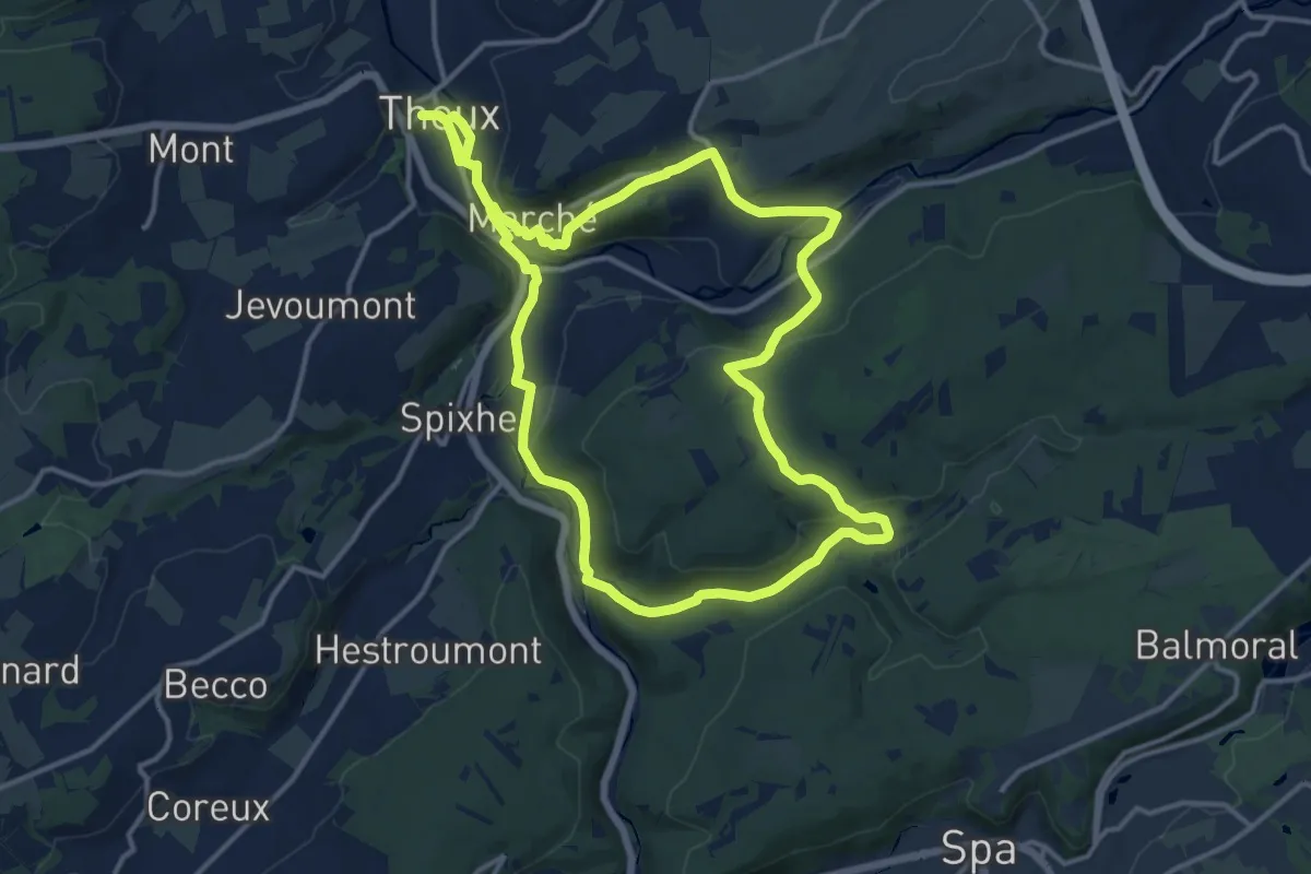
Demanding · Trail
39. Le Sentier de Chawion
25.3 km · ↑ 553 m · 7 h 10 min
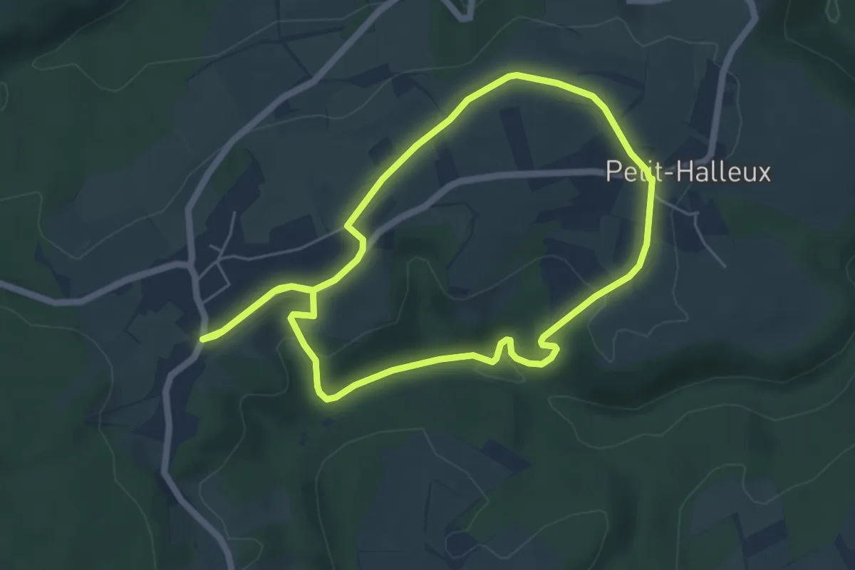
Easy · Trail
3A. Halleux
4.7 km · ↑ 84 m · 1 h 22 min
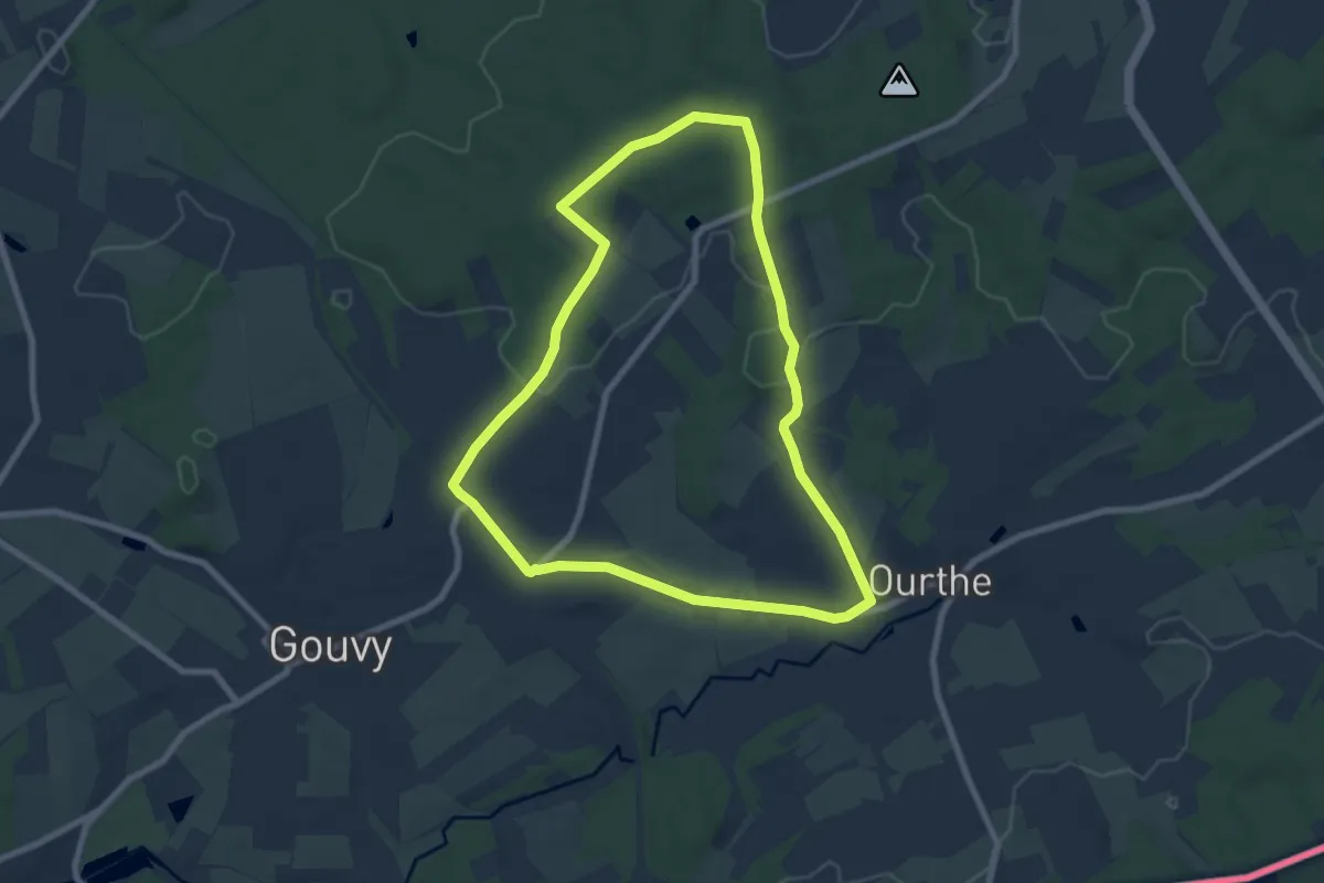
Easy · Trail
3. Au Pompier
7.1 km · ↑ 88 m · 1 h 58 min
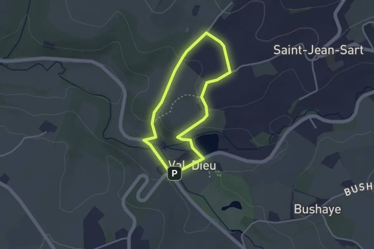
Easy · Trail
3. Balade de Saint-Bernard
2.2 km · ↑ 40 m · 39 min
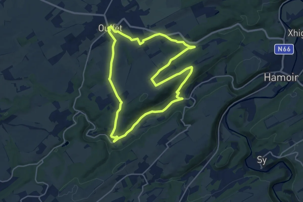
Medium · Trail
3. Balade du Néblon
12.9 km · ↑ 242 m · 3 h 45 min
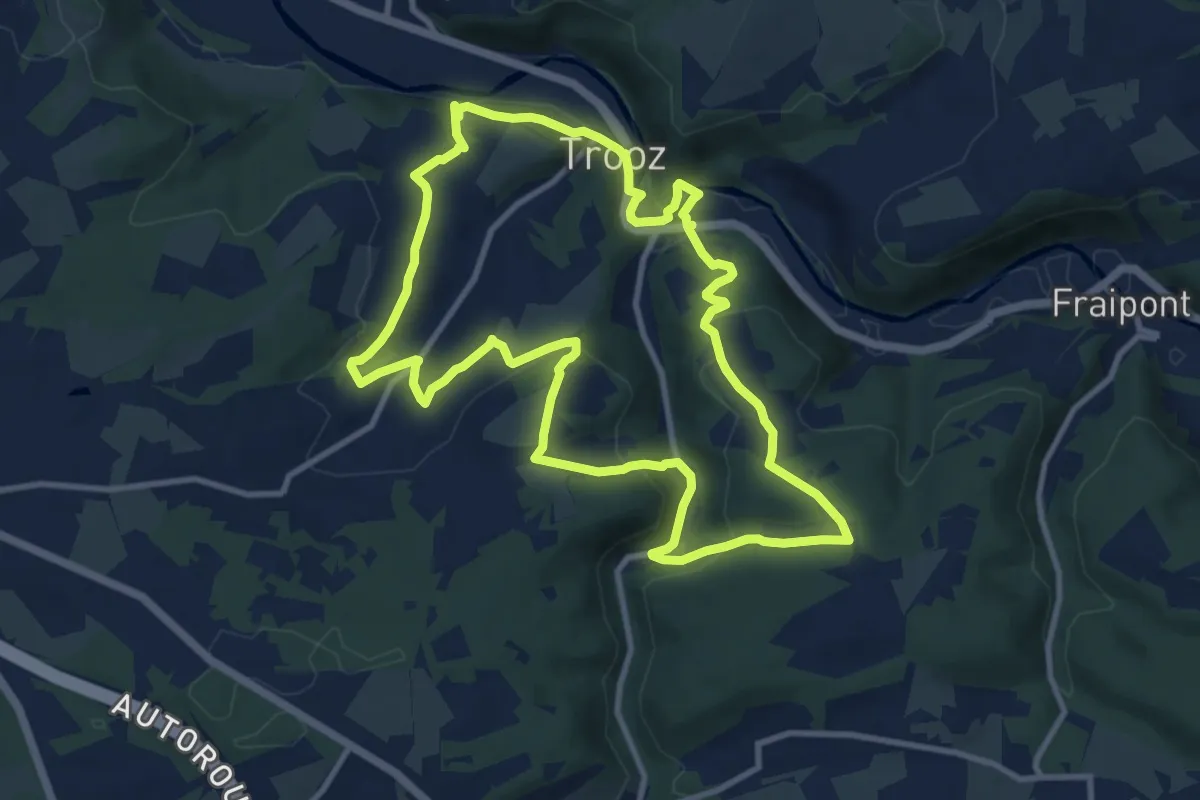
Medium · Trail
3. Balade du rys de Mosbeux
10.1 km · ↑ 314 m · 3 h 12 min
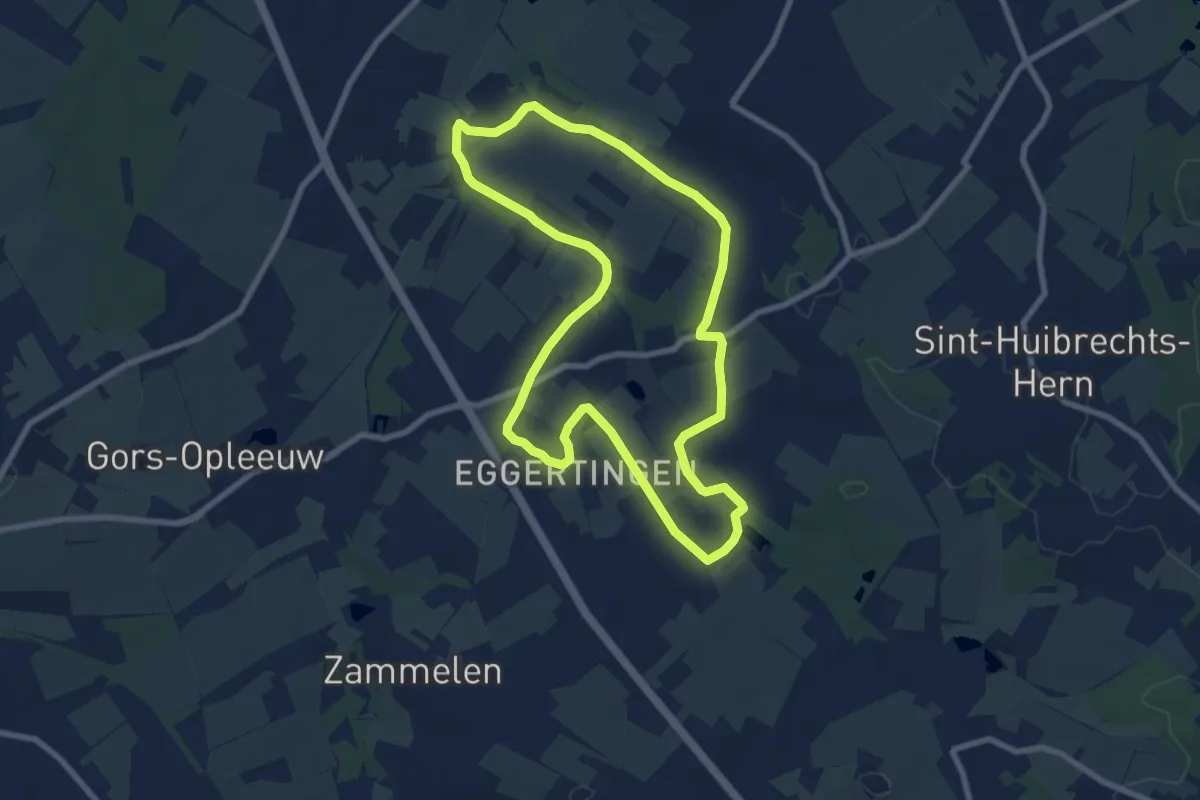
Easy · Trail
3-Bekenroute Eggeringen
7.5 km · ↑ 35 m · 1 h 57 min
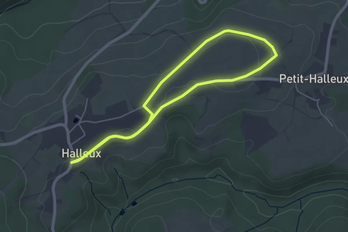
Easy · Trail
3B. Halleux
3.5 km · ↑ 5 m · 53 min
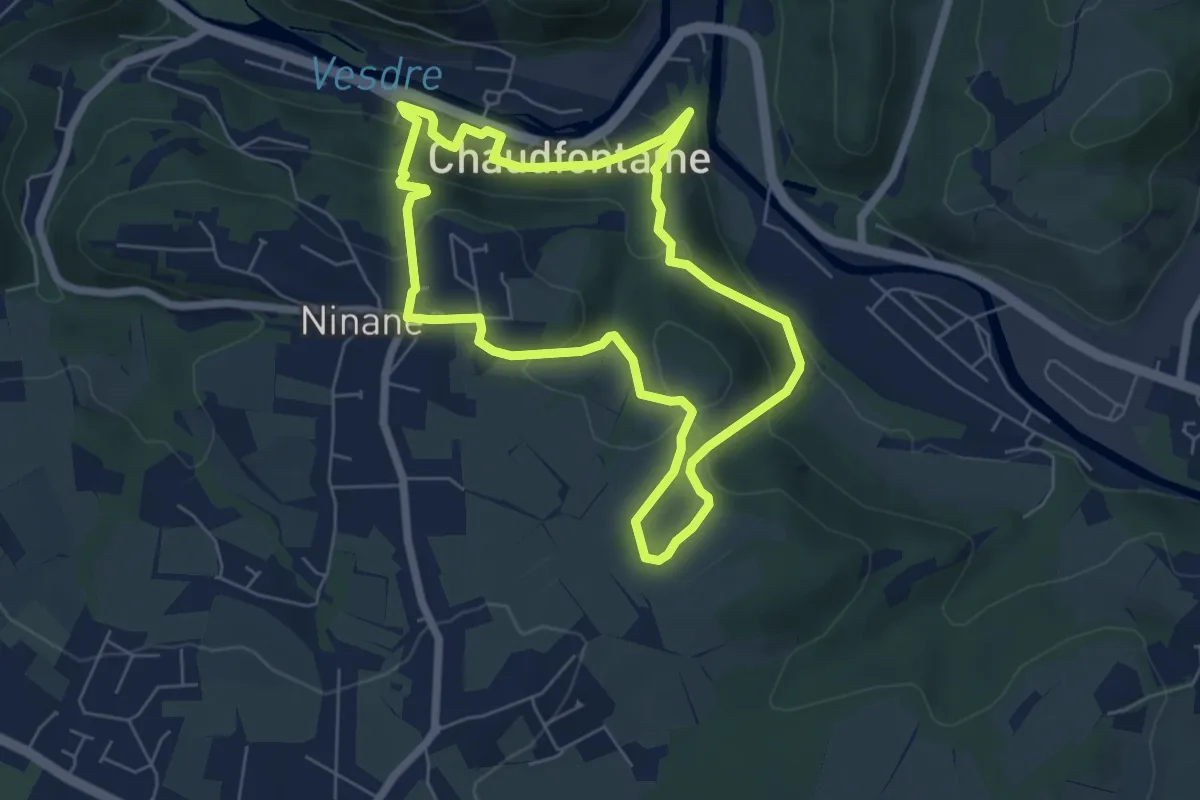
Easy · Trail
3. Bois-les-Dames
5.5 km · ↑ 242 m · 1 h 54 min
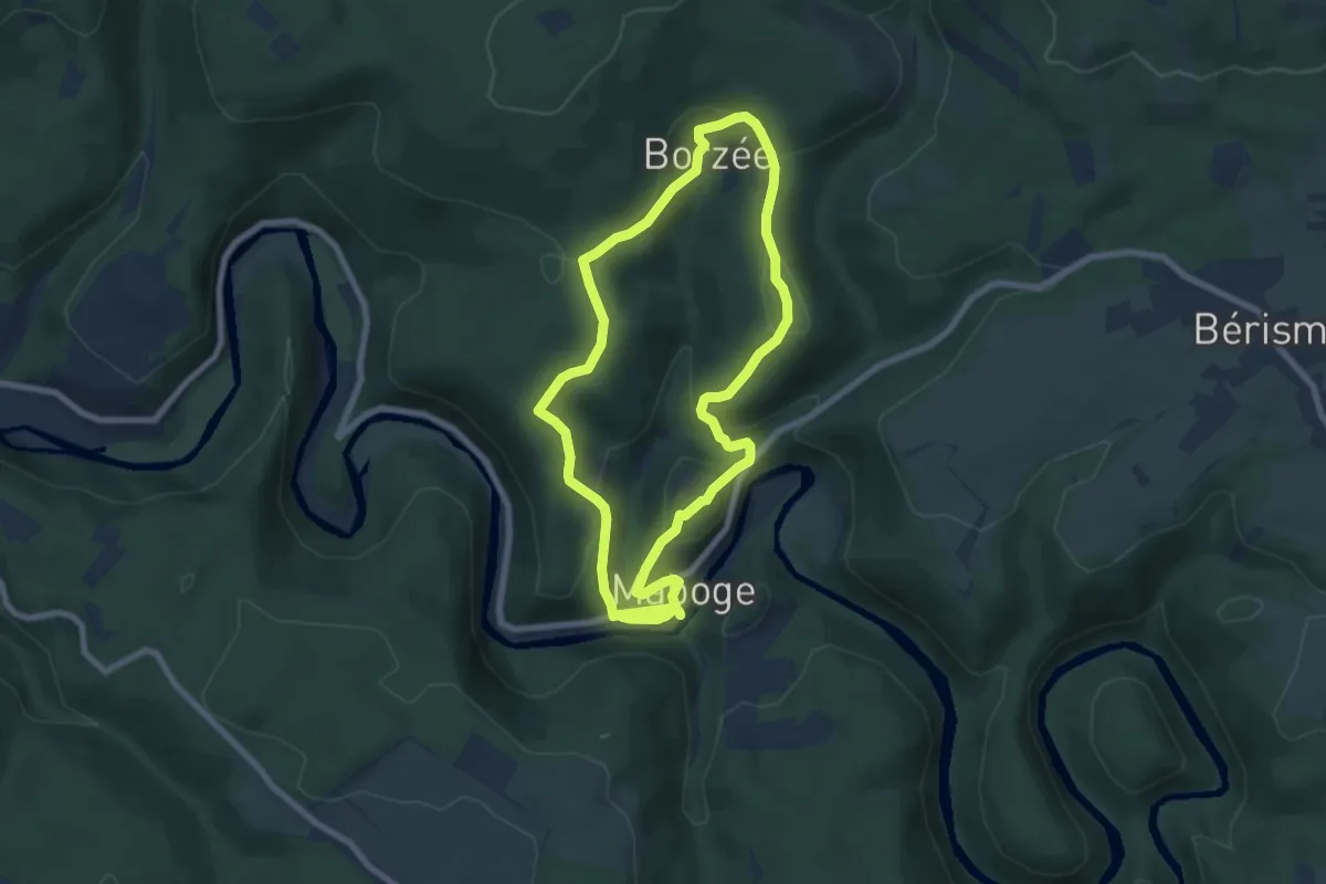
Easy · Trail
3. Borzée
6.5 km · ↑ 249 m · 2 h 11 min
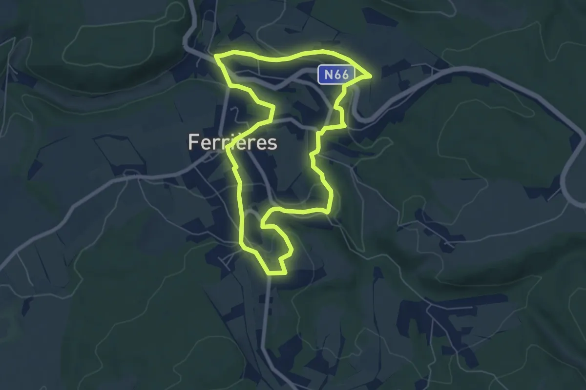
Medium · Trail
3. Circuit des sources
5.5 km · ↑ 161 m · 1 h 44 min
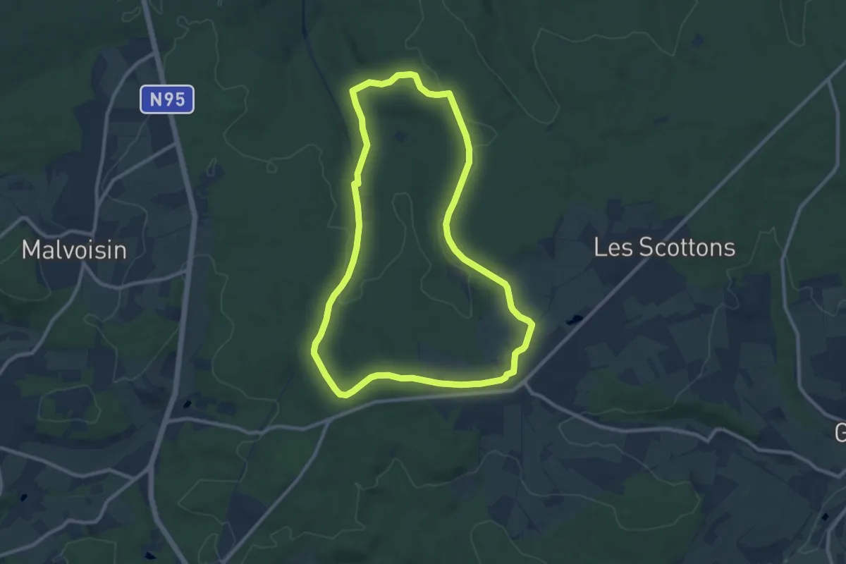
Medium · Trail
3. Gerhenne
8.7 km · ↑ 112 m · 2 h 25 min
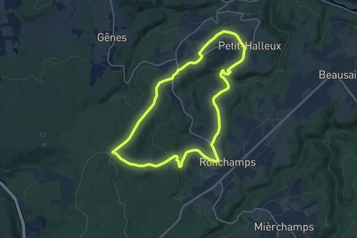
Medium · Trail
3. Halleux
11.1 km · ↑ 214 m · 3 h 14 min
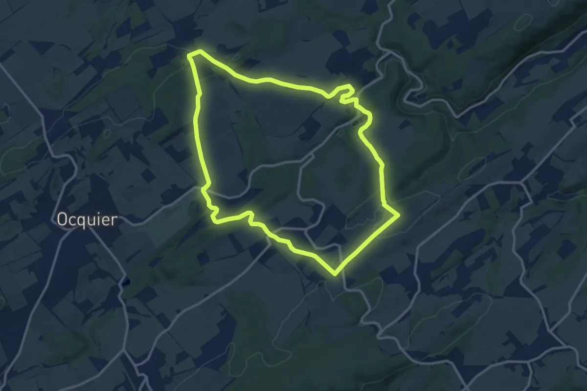
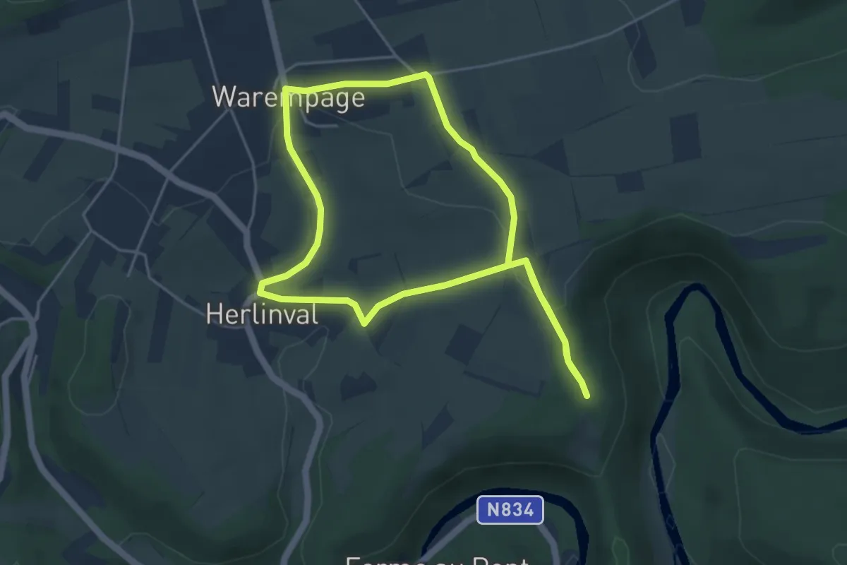
Medium · Trail
3. Jenneret
10.4 km · ↑ 192 m · 3 h
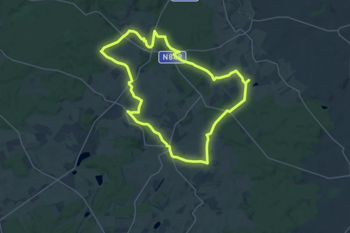
Easy · Trail
3. Le Cheslin
3.9 km · ↑ 75 m · 1 h 8 min
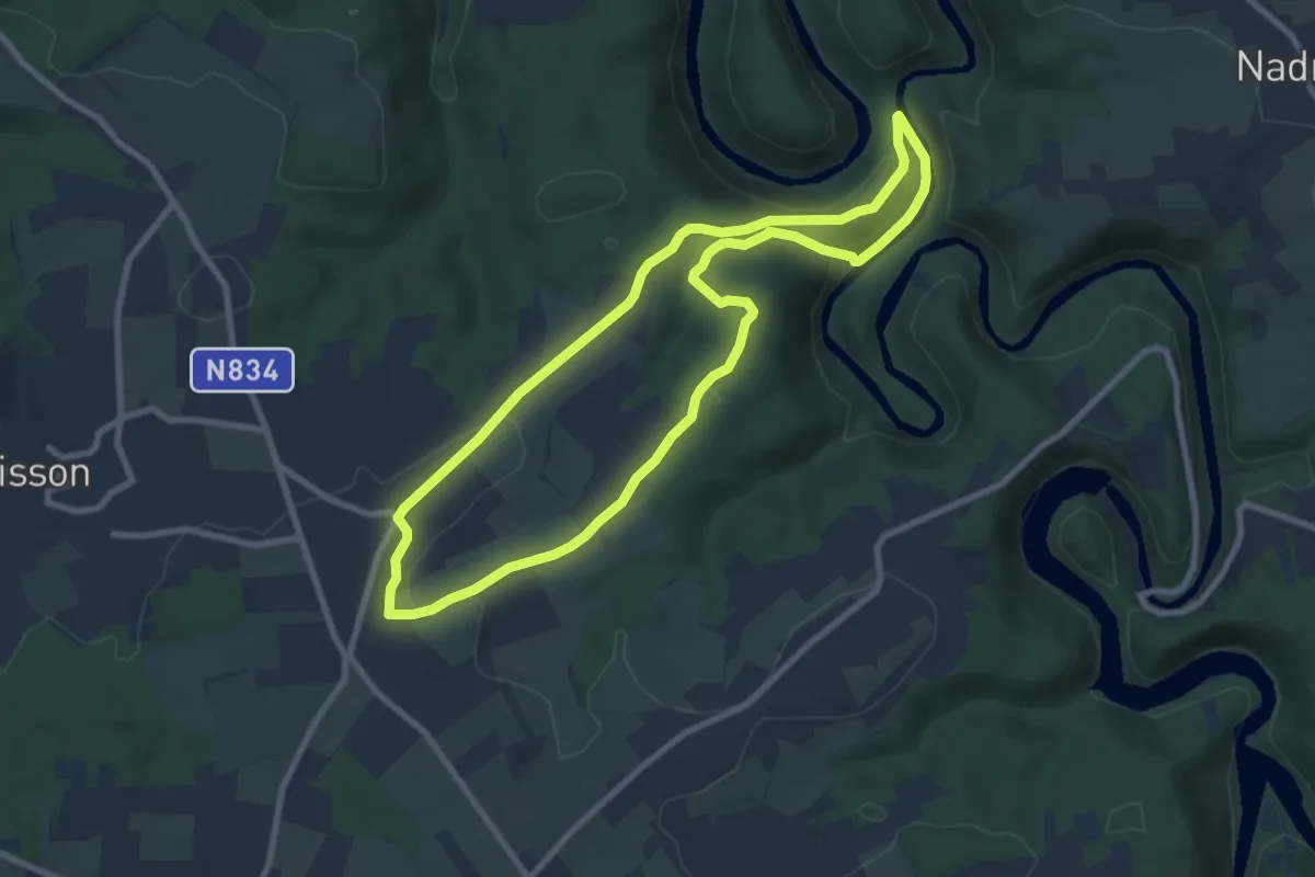
Medium · Trail
3. Le sentier de l'Agaric
17.4 km · ↑ 319 m · 5 h 3 min
Easy · Trail
3. Les Hatilles
7.7 km · ↑ 169 m · 2 h 17 min
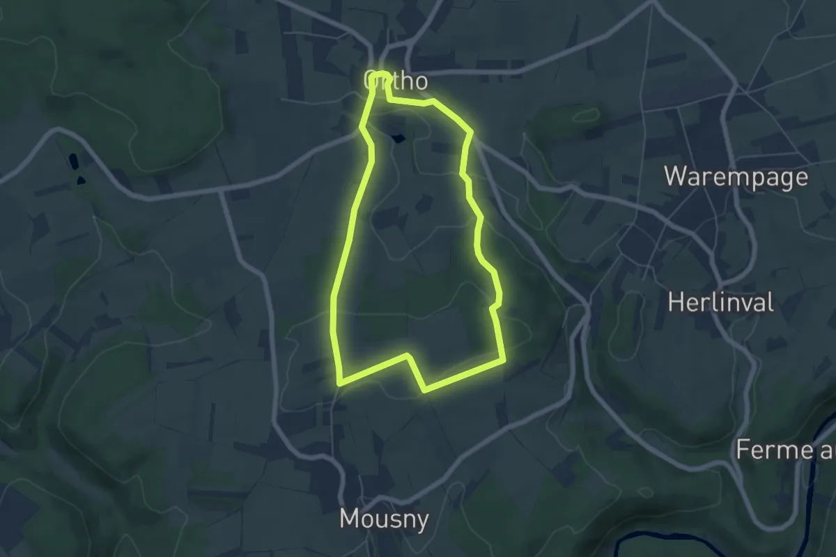
Easy · Summit
3. Mont de Mousny
4.9 km · ↑ 73 m · 1 h 23 min
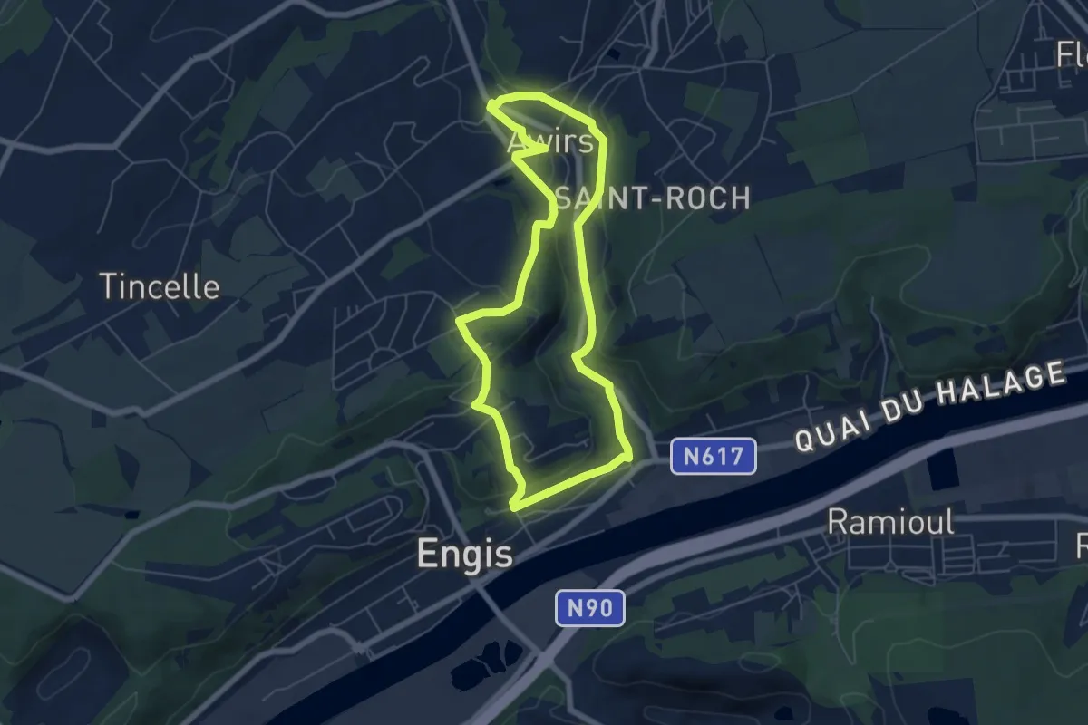
Easy · Trail
3. Parcours aux multiples visages
5.1 km · ↑ 106 m · 1 h 30 min
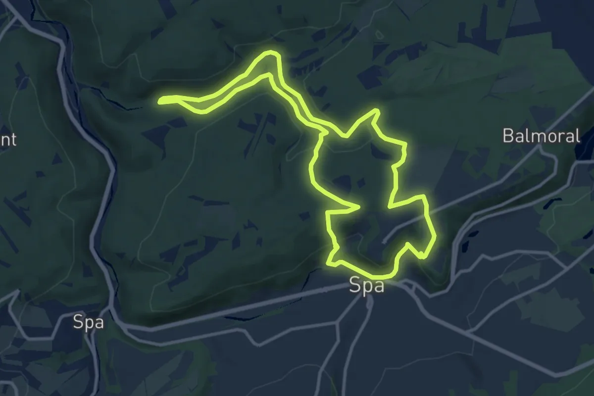
Medium · Trail
3. Princesse Clémentine
9.3 km · ↑ 240 m · 2 h 51 min
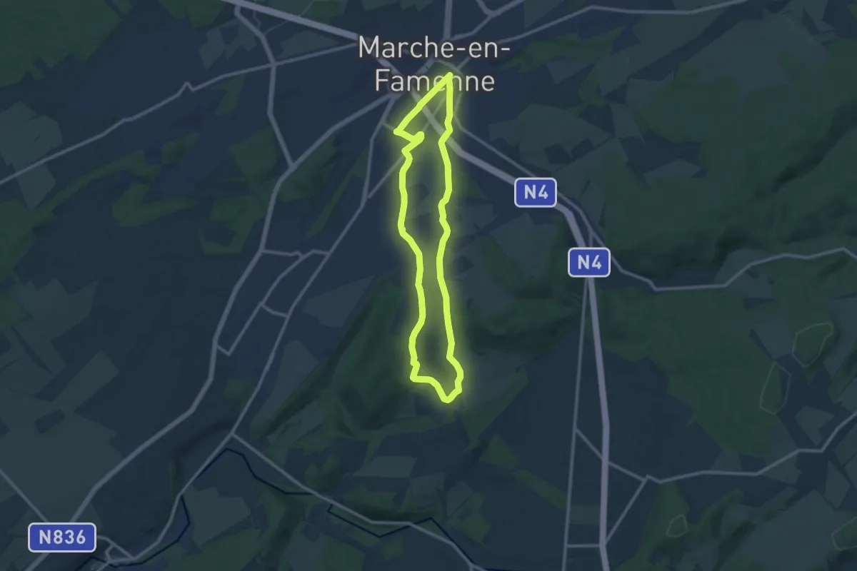
Medium · Trail
3. Promenade Capucine
9.1 km · ↑ 232 m · 2 h 47 min
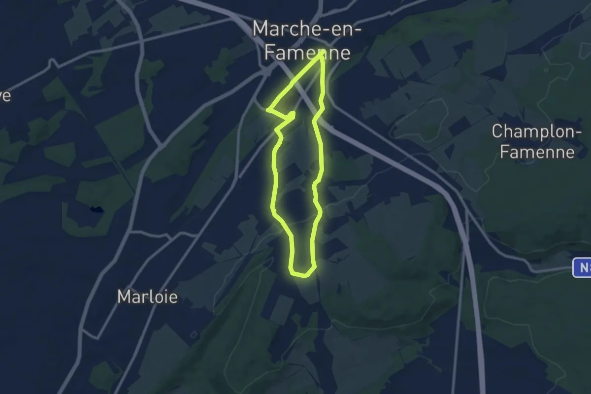
Easy · Trail
3. Promenade Capucine - variante
6.3 km · ↑ 135 m · 1 h 51 min
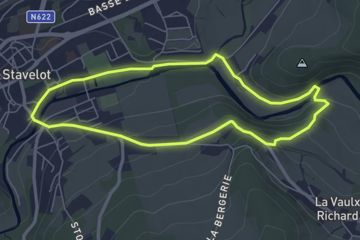
Easy · Trail
3. Promenade de la Passerelle
4.2 km · ↑ 105 m · 1 h 16 min
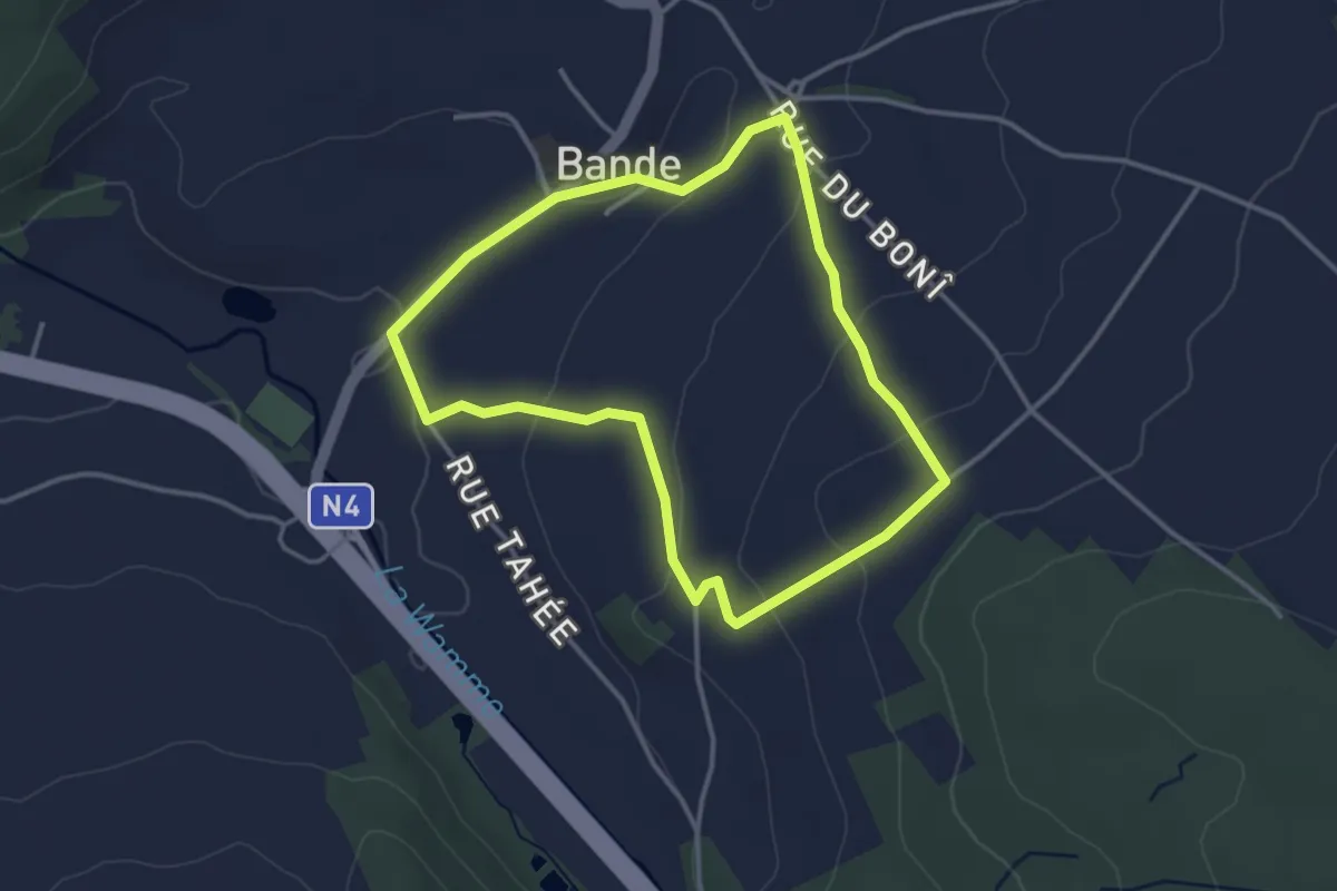
Easy · Trail
3. Promenade de la Salette
3.0 km · ↑ 83 m · 56 min
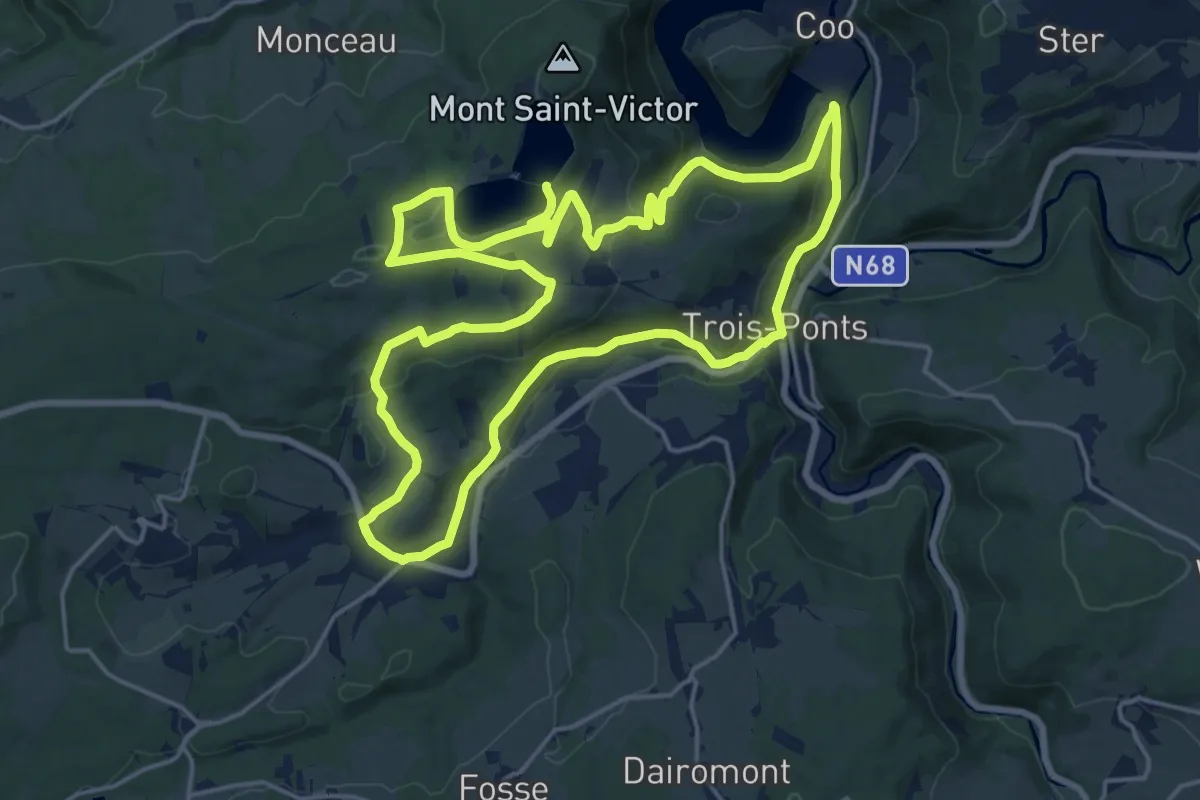
Medium · Trail
3. Promenade des Hameaux
17.3 km · ↑ 436 m · 5 h 16 min