Trails in Belgium
3,383 hiking trails, each with its route, climb, walking time and grade.
All trails, page 68 of 71
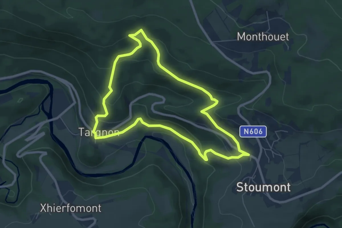
Easy · Trail
3. Promenade du Bois de la sûreté
5.7 km · ↑ 225 m · 1 h 55 min
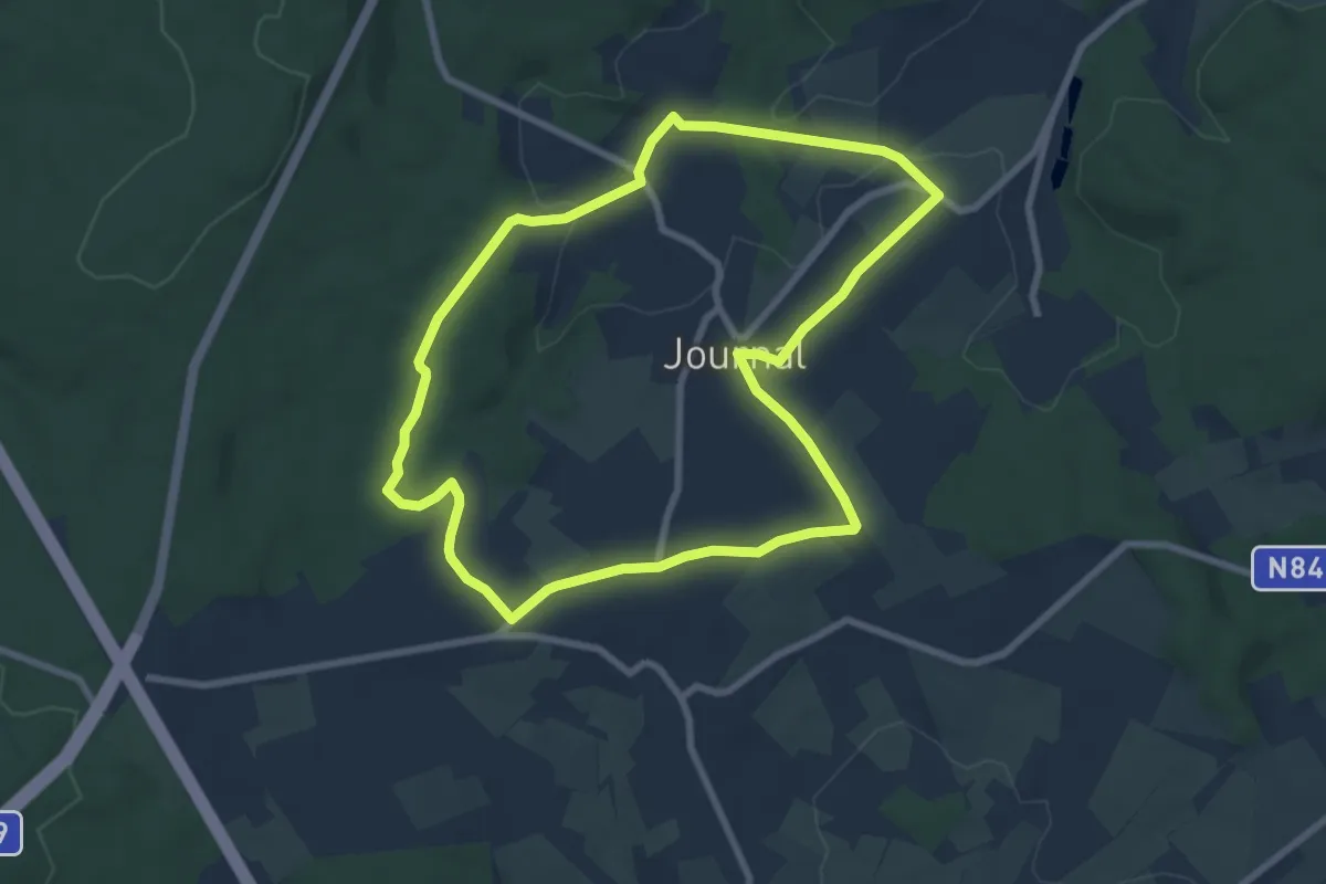
Easy · Trail
3. Promenade du Bronze
7.2 km · ↑ 101 m · 2 h 1 min
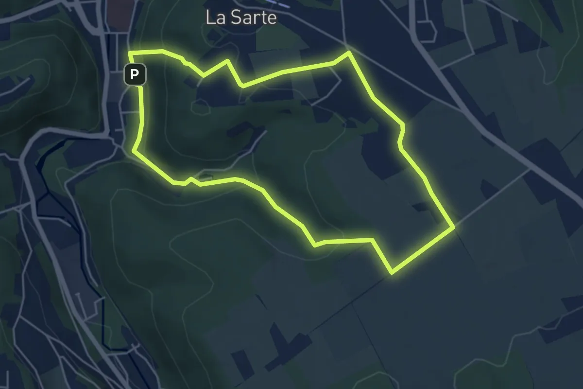
Easy · Trail
3. Promenade Sainte-Catherine
4.2 km · ↑ 132 m · 1 h 21 min
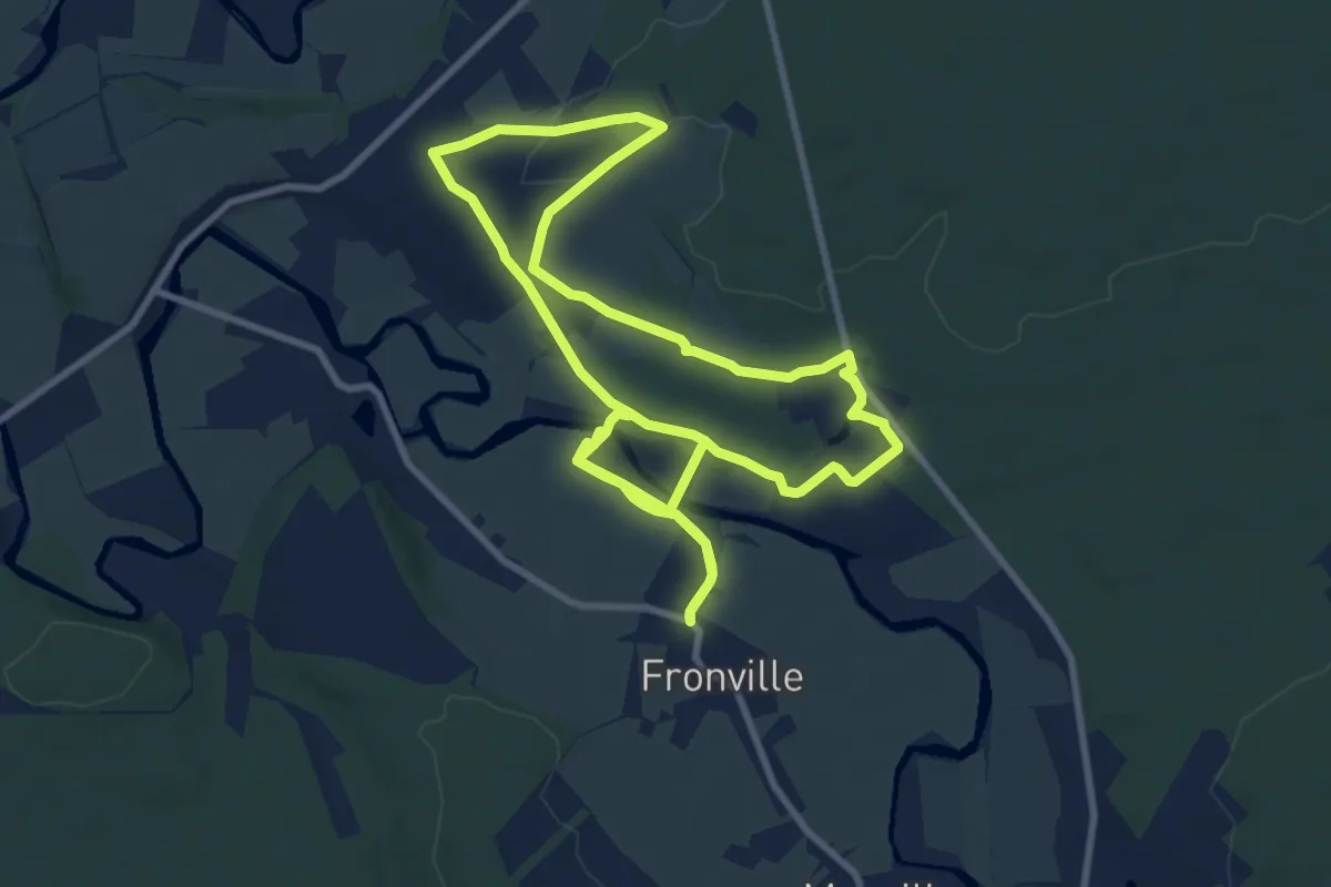
Medium · Trail
3. Rahet
9.5 km · ↑ 66 m · 2 h 31 min
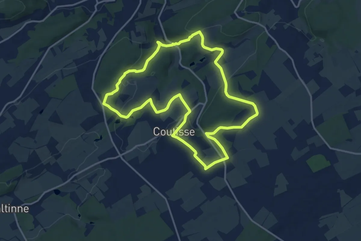
Medium · Trail
3. Randonnée des Arches Royales
10.7 km · ↑ 248 m · 3 h 13 min
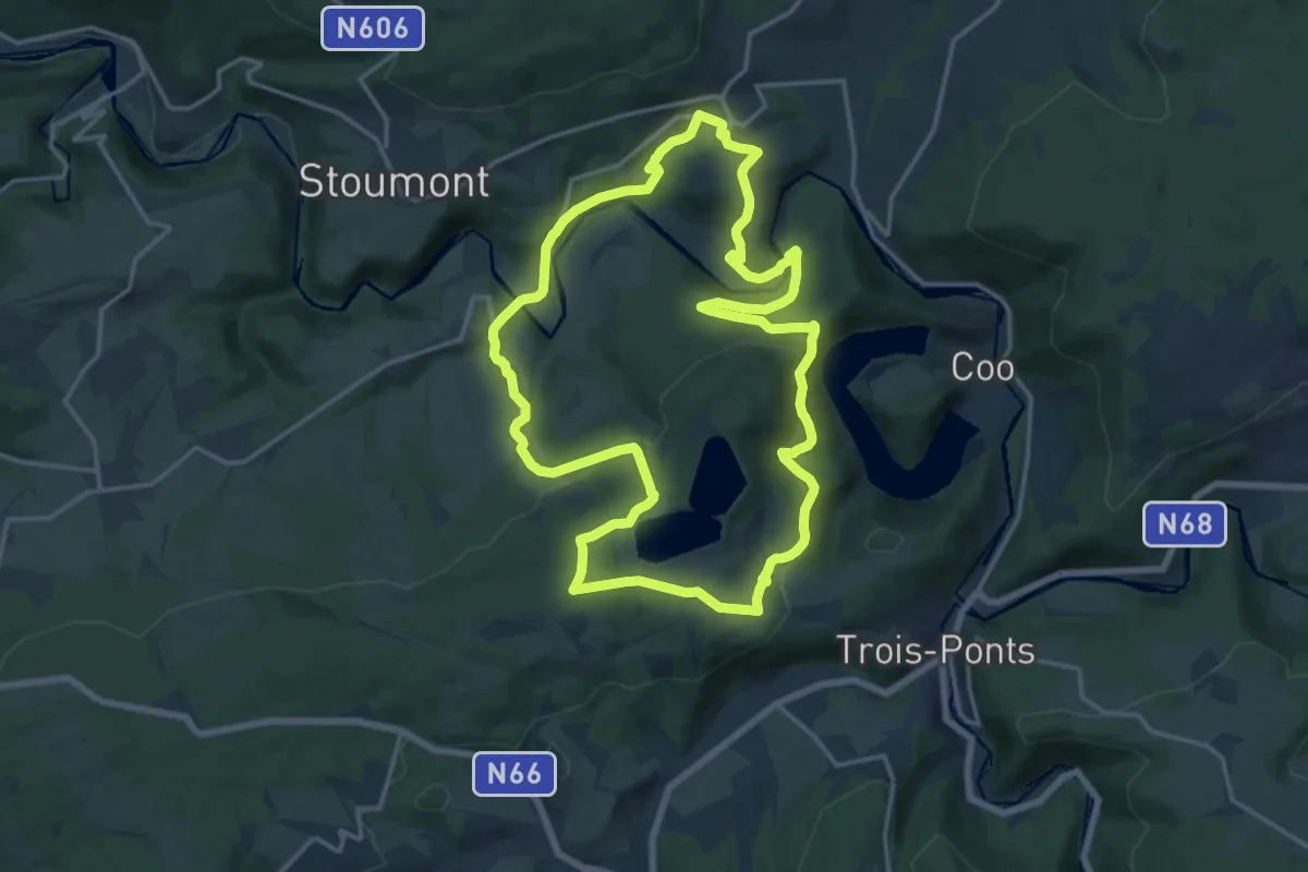
Medium · Trail
3. Tour du Mont Saint-Victor
15.6 km · ↑ 488 m · 4 h 58 min
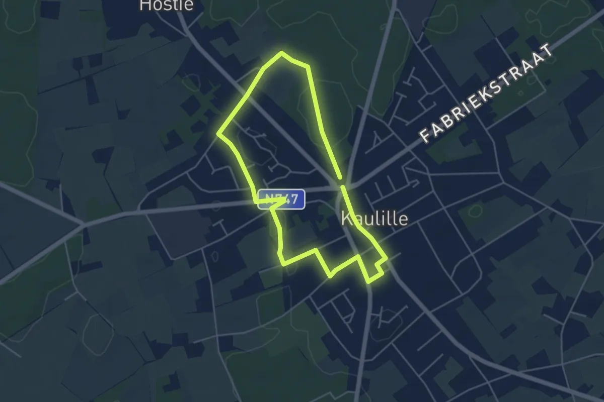
Easy · Trail
4000-stappenroute
3.6 km · ↑ 9 m · 55 min
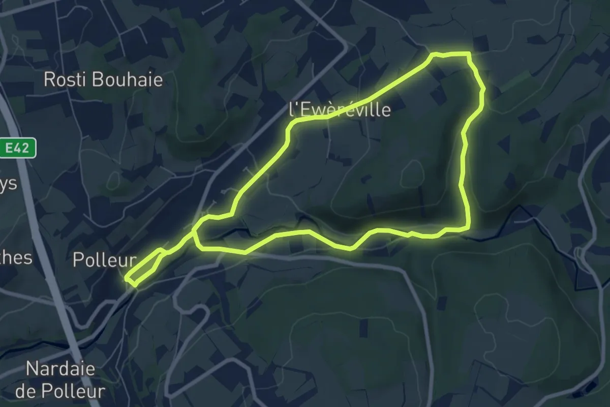
Easy · Trail
40. Polleur
6.6 km · ↑ 106 m · 1 h 54 min
Medium · Trail
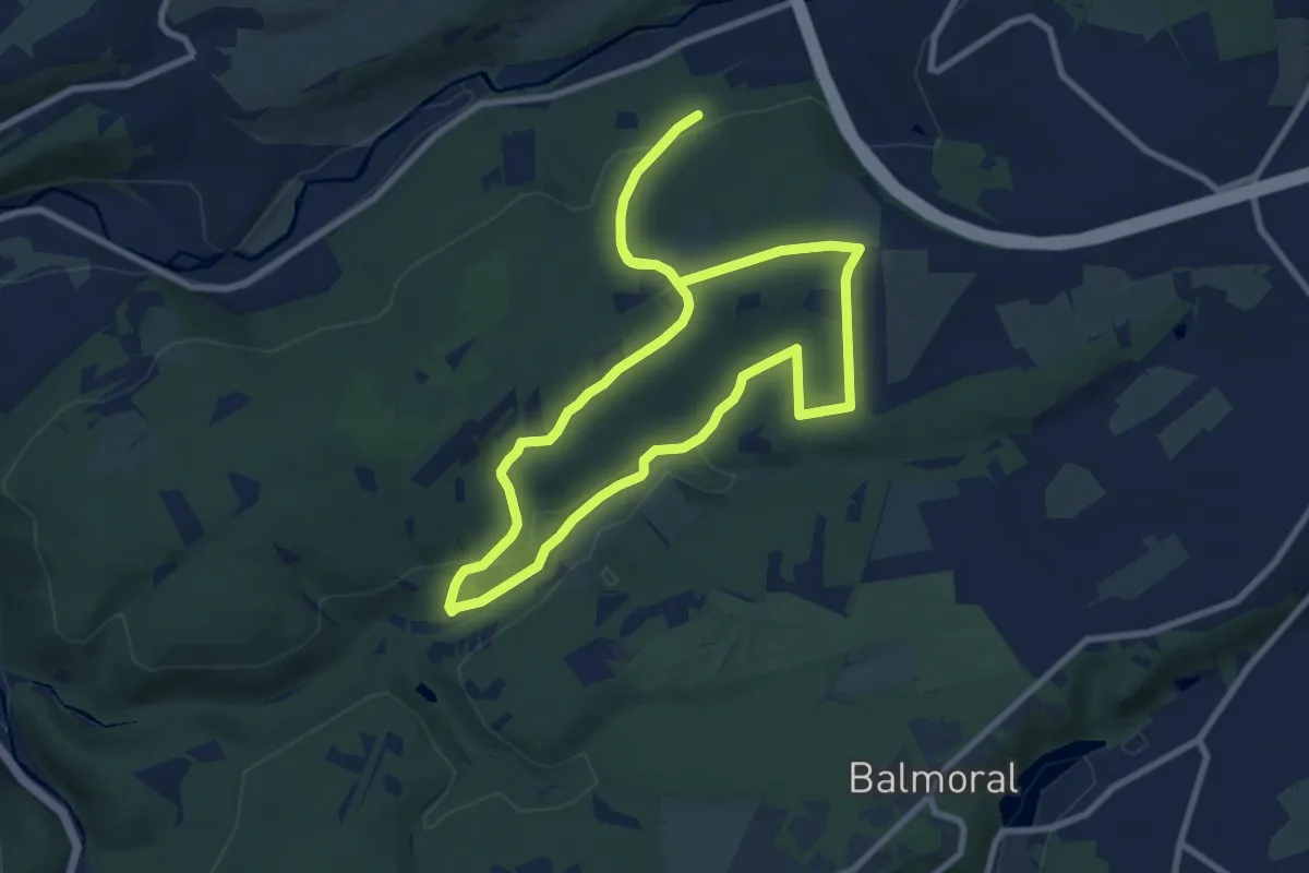
41. Polleur
8.2 km · ↑ 185 m · 2 h 27 min
Easy · Trail
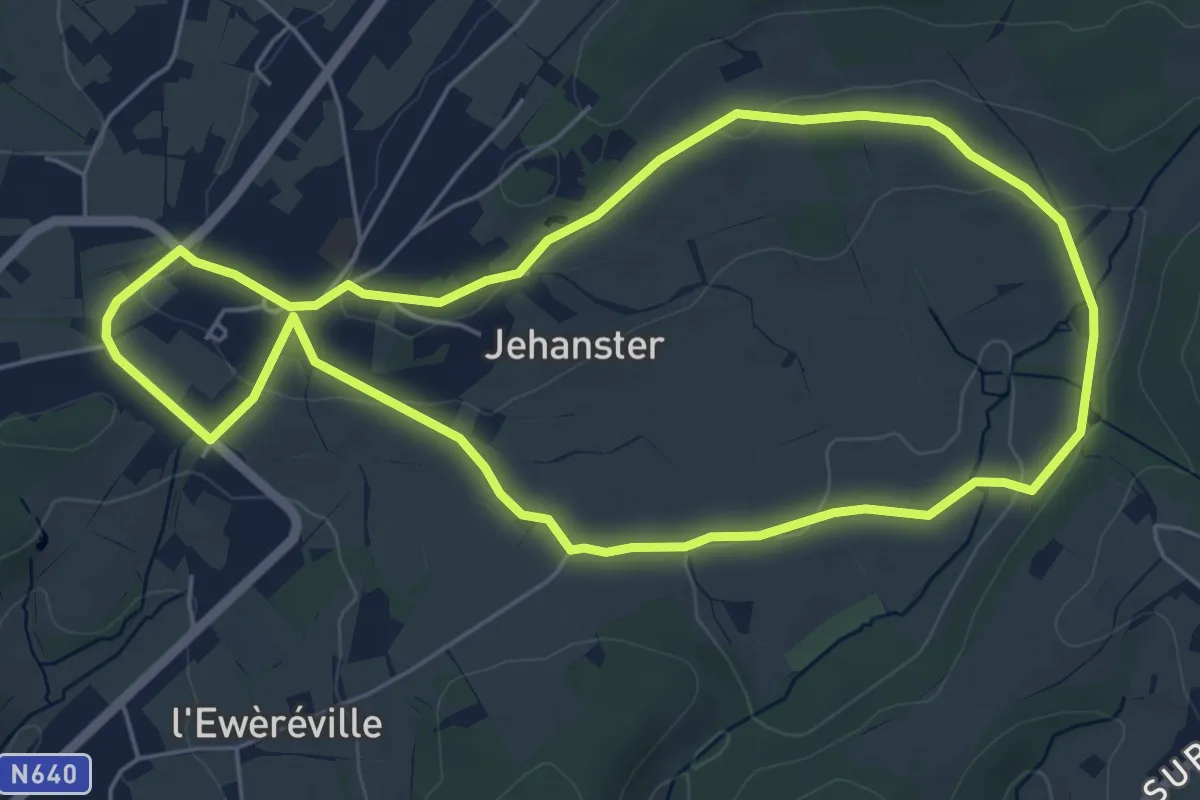
42. Verte Campagne
5.2 km · ↑ 71 m · 1 h 27 min
Easy · Trail
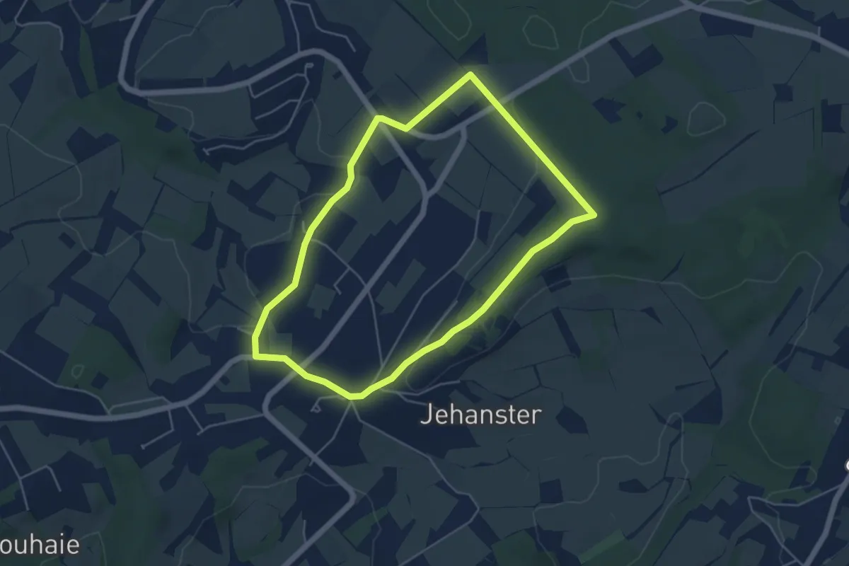
43. Boverie
4.4 km · ↑ 77 m · 1 h 15 min
Medium · Trail
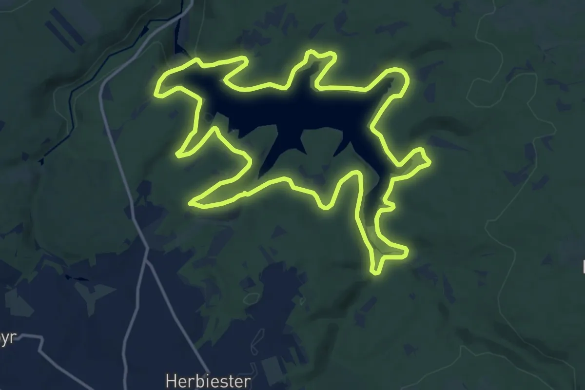
44. Tour du Lac de la Gileppe
13.5 km · ↑ 240 m · 3 h 54 min
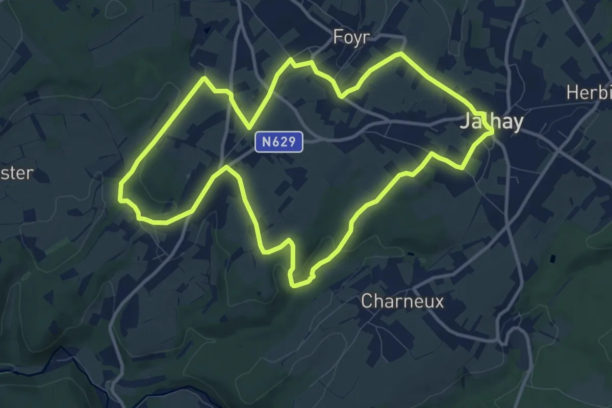
Medium · Trail
45. Jalhay - Fouir - Surister
9.3 km · ↑ 151 m · 2 h 40 min
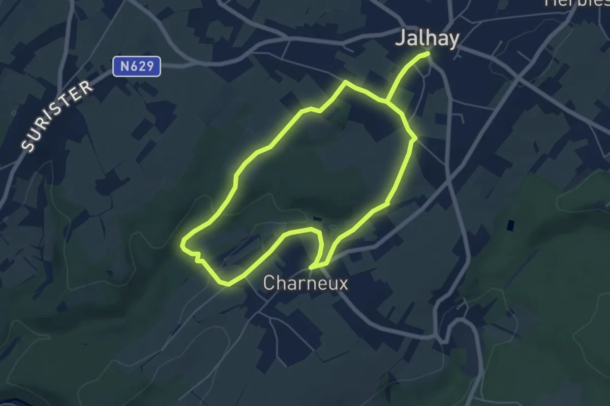
Easy · Trail
46. Jalhay - Charneux
5.0 km · ↑ 75 m · 1 h 25 min
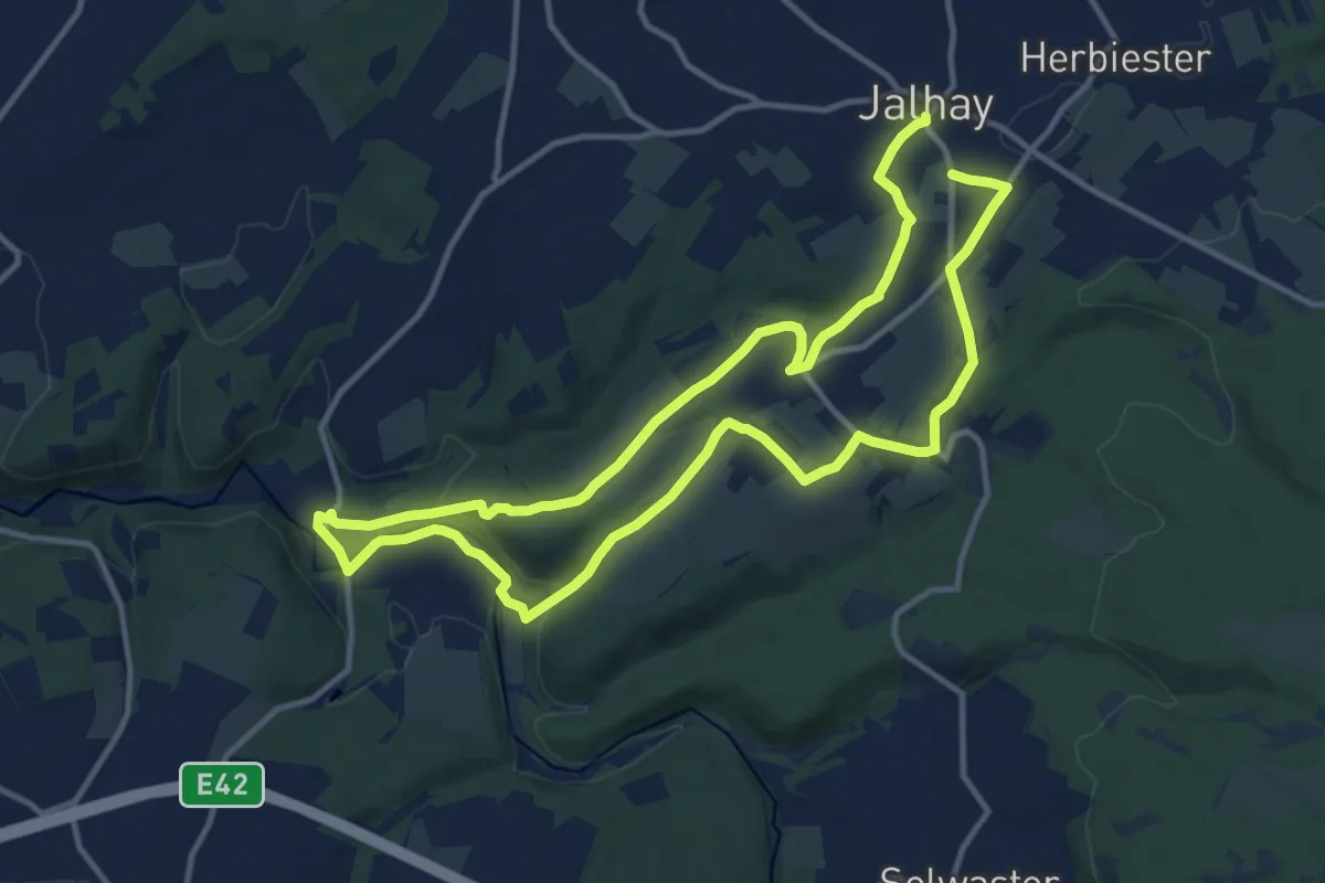
Demanding · Trail
47. Jalhay - Moulin Dison - Royompré
21.6 km · ↑ 376 m · 5 h 55 min
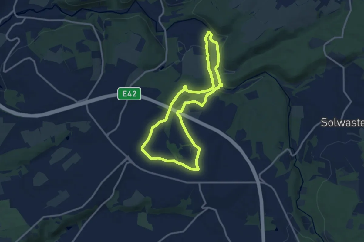
Easy · Trail
48. Croupet du Moulin
7.3 km · ↑ 133 m · 2 h 7 min
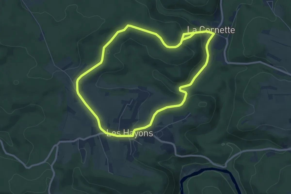
Easy · Trail
48 Promenade des Hautes Voies (Les Hayons, Bouillon)
6.2 km · ↑ 193 m · 1 h 56 min
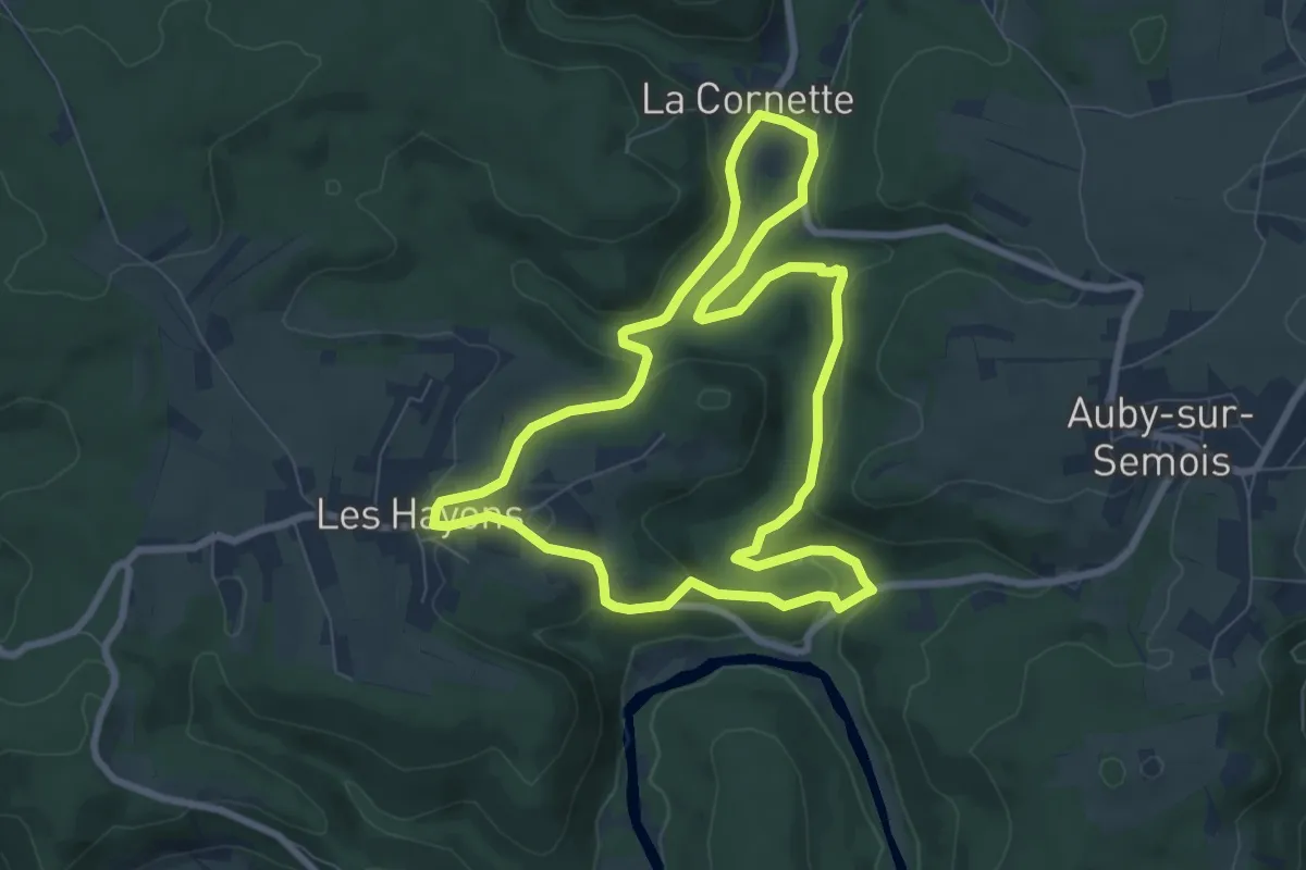
Easy · Trail
49 Promenade de la Roche à Colas (Les Hayons, Bouillon)
7.2 km · ↑ 145 m · 2 h 7 min
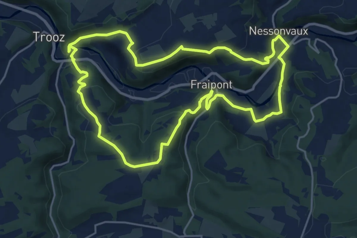
Medium · Trail
4. Balade de Hurlevent
11.9 km · ↑ 363 m · 3 h 46 min
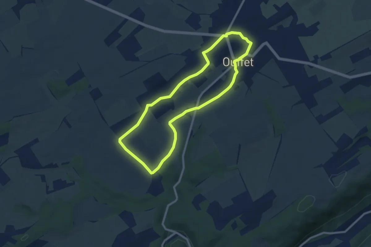
Easy · Trail
4. Balade de Raou
5.8 km · ↑ 62 m · 1 h 35 min
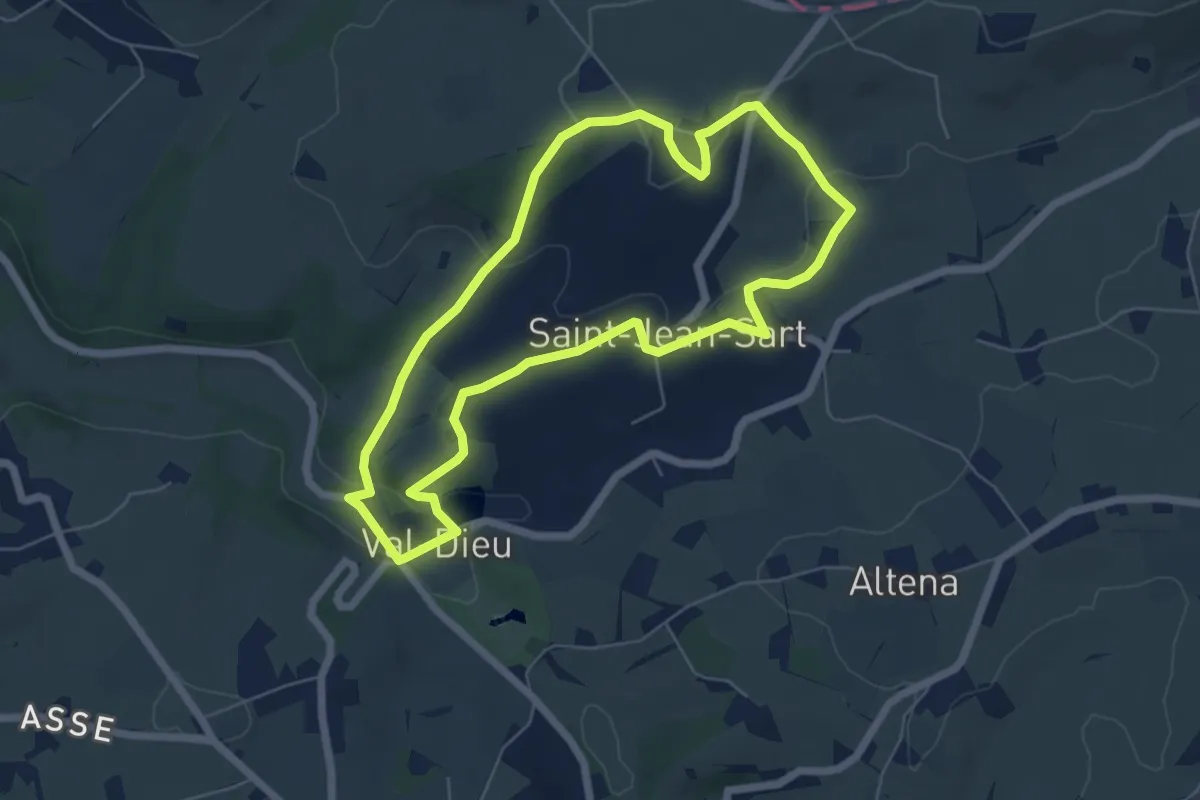
Easy · Trail
4. Balade de Saint-Jean-Sart
5.4 km · ↑ 118 m · 1 h 36 min
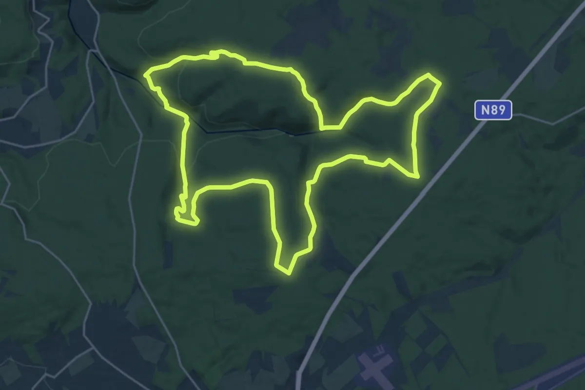
Demanding · Trail
4. Bilaude
19.5 km · ↑ 488 m · 5 h 56 min
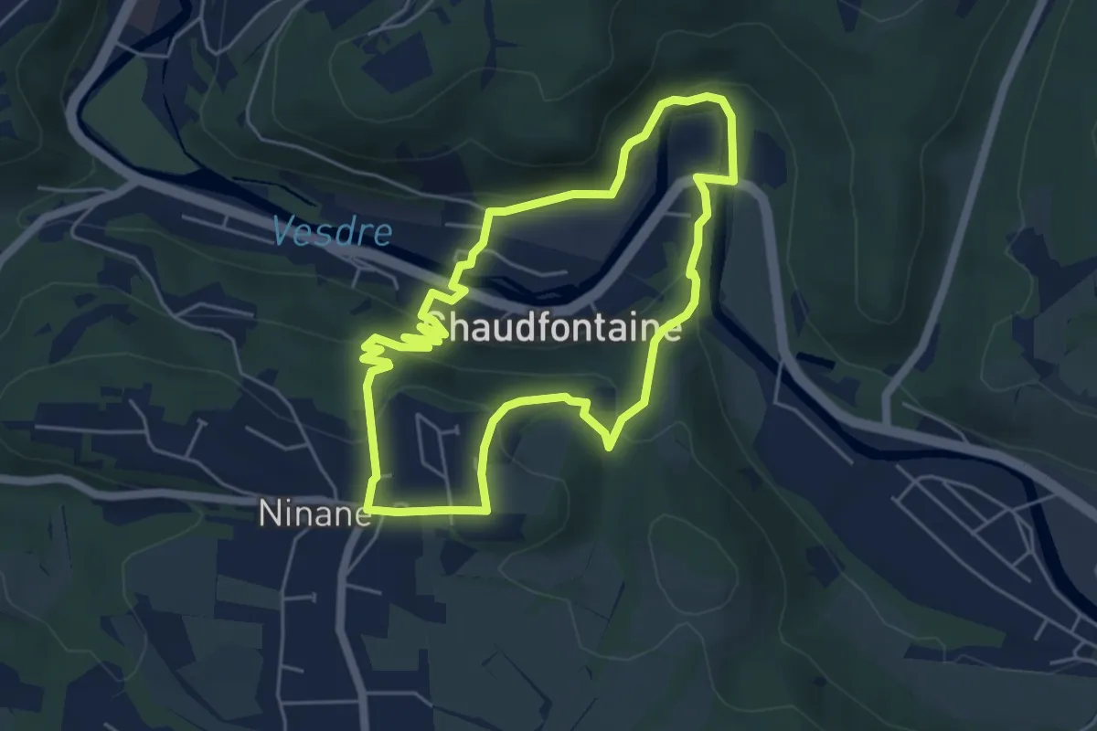
Easy · Trail
4. Circuit de l'eau
4.5 km · ↑ 174 m · 1 h 30 min
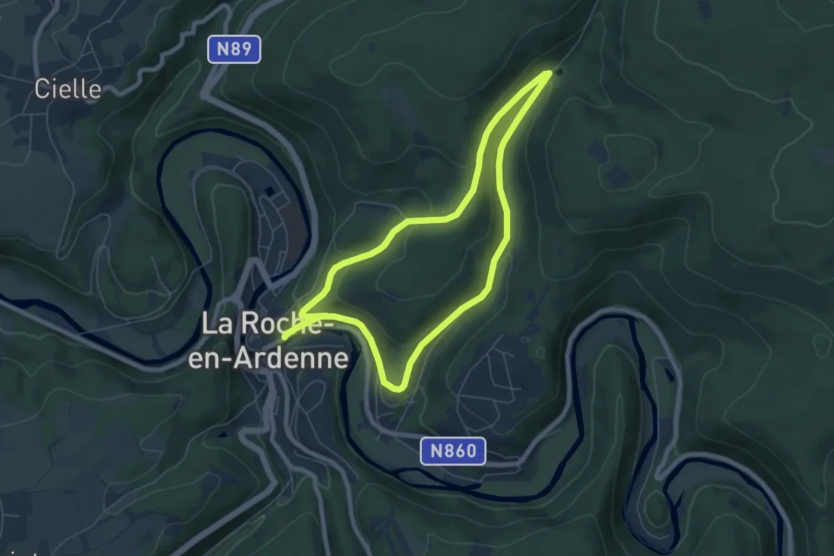
Easy · Trail
4. Diable Château
5.6 km · ↑ 174 m · 1 h 46 min
Easy · Trail
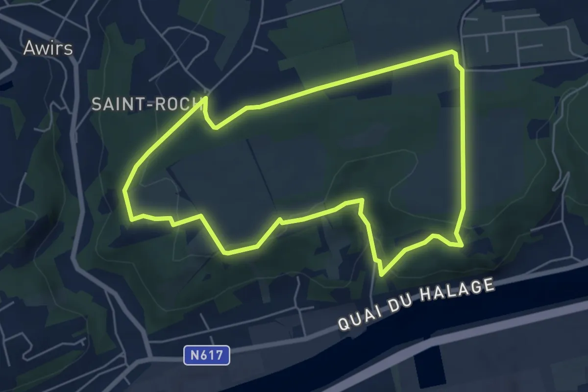
4. Entre deux châteaux historiques
4.8 km · ↑ 97 m · 1 h 25 min
Medium · Trail
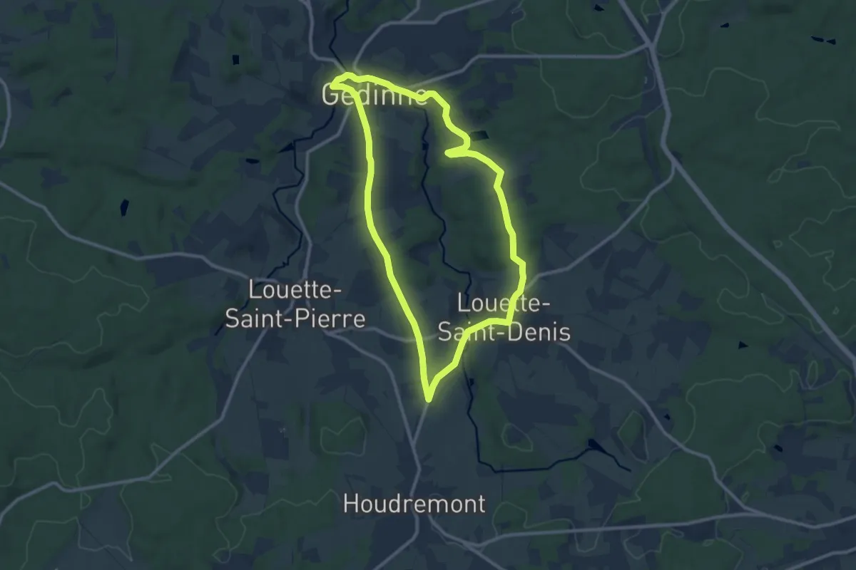
4. Haillette
9.0 km · ↑ 156 m · 2 h 35 min
Easy · Trail
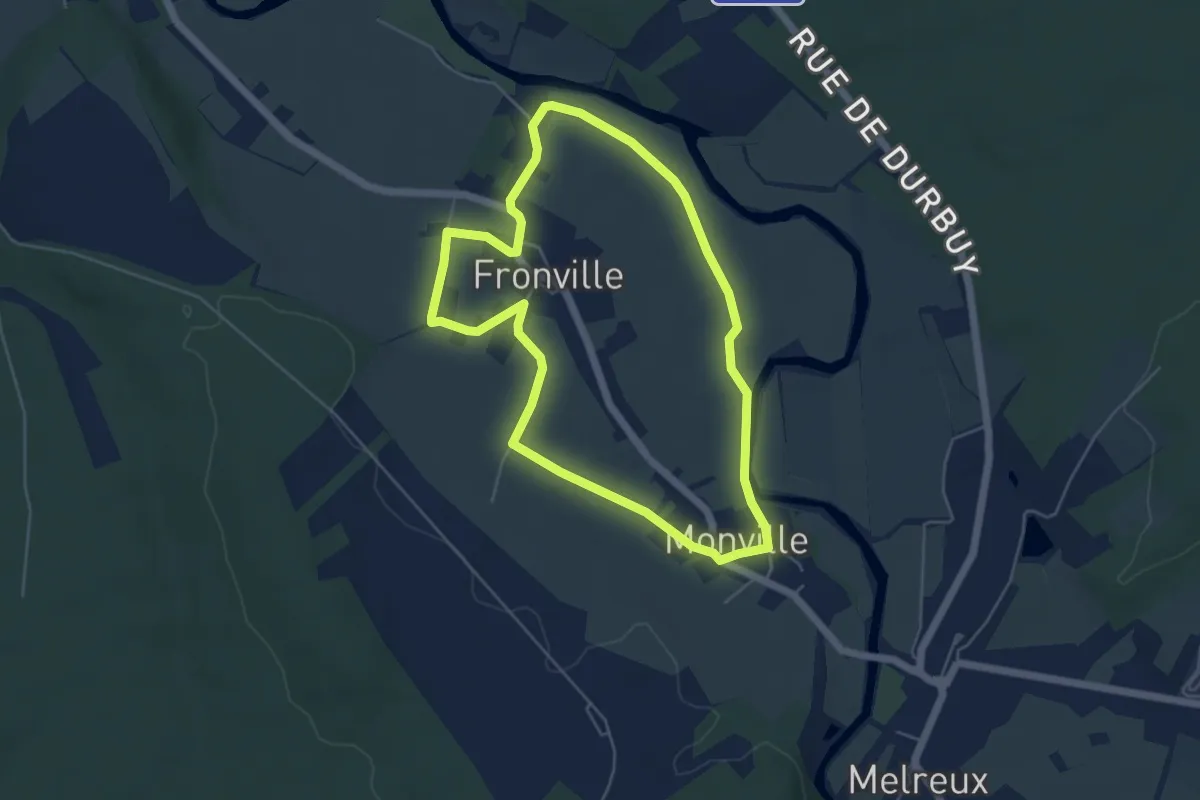
4. Lâvâ
4.6 km · ↑ 9 m · 1 h 11 min
Easy · Trail
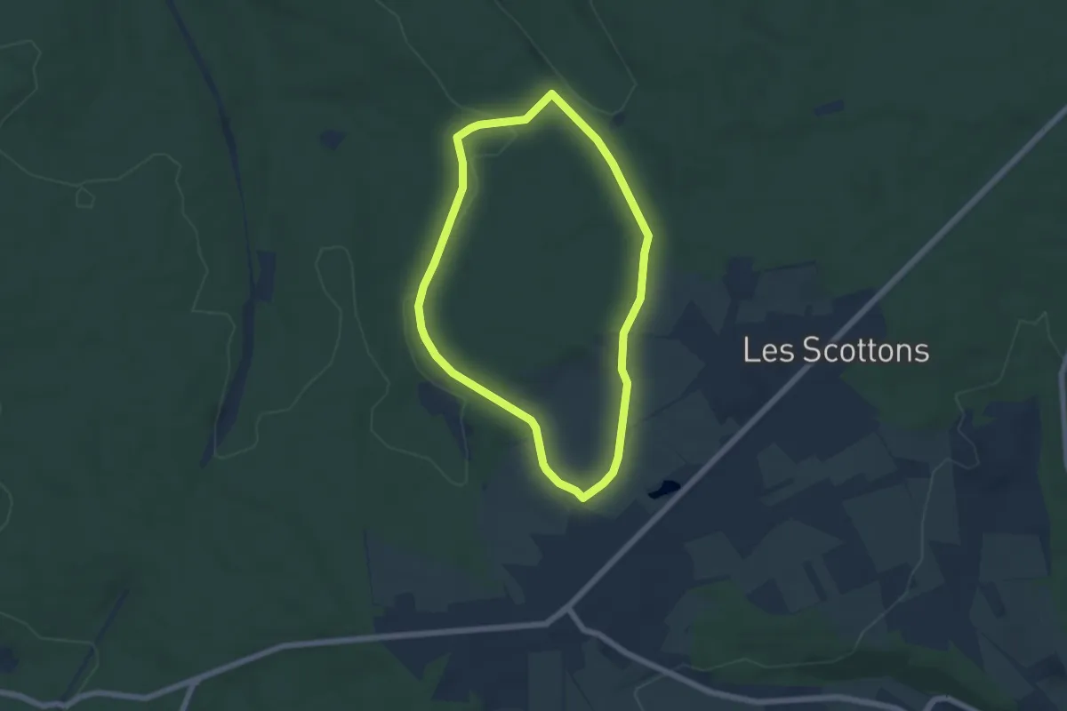
4. Les Buttays
4.8 km · ↑ 57 m · 1 h 19 min
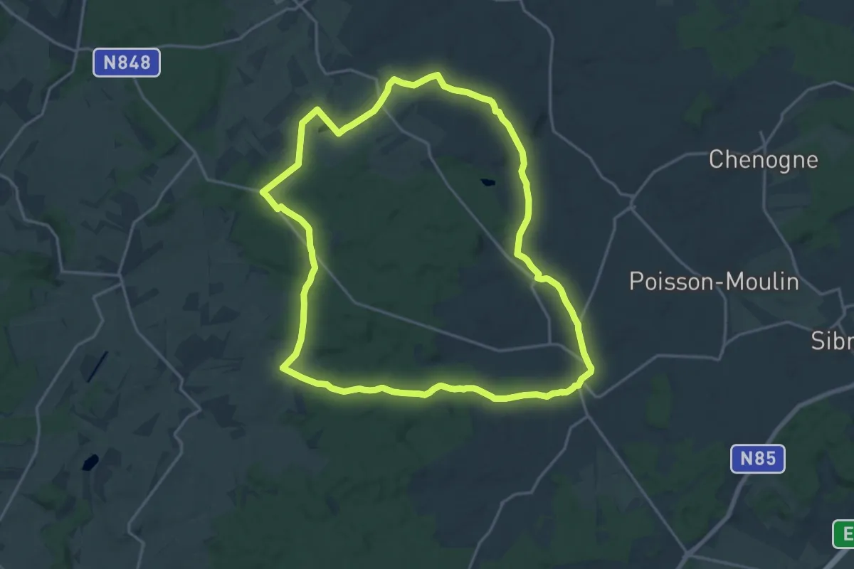
Medium · Trail
4. Le sentier du Coprin
16.5 km · ↑ 187 m · 4 h 33 min
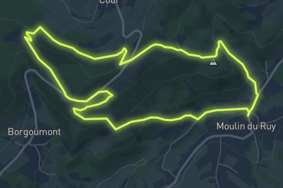
Easy · Trail
4. Moulin du Ruy - ancien sanatorium de Borgoumont
6.6 km · ↑ 227 m · 2 h 9 min
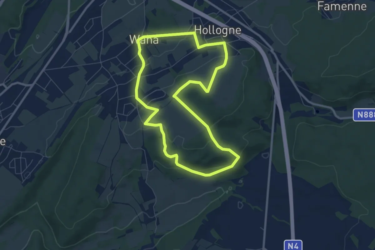
Easy · Trail
4. Promenade Cardamine
6.7 km · ↑ 175 m · 2 h 3 min
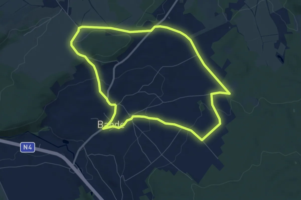
Easy · Trail
4. Promenade de Chateaubriand
7.1 km · ↑ 121 m · 2 h 3 min
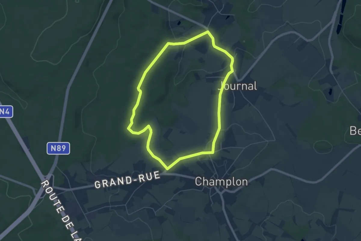
Easy · Trail
4. Promenade de la Croix de Journal
4.9 km · ↑ 86 m · 1 h 24 min
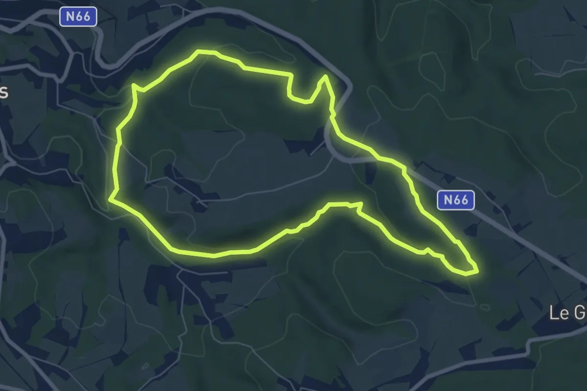
Easy · Trail
4. Promenade de La Fagnoul
6.7 km · ↑ 154 m · 2 h
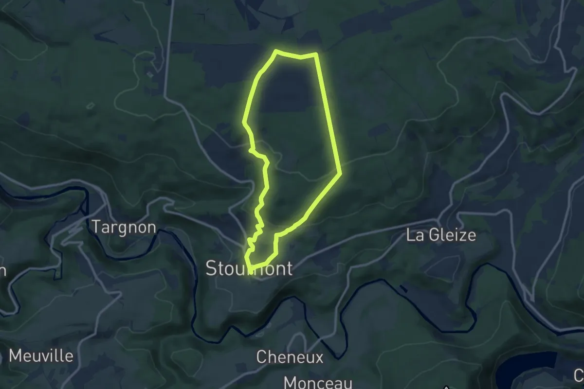
Medium · Trail
4. Promenade de la Vecquée
8.2 km · ↑ 253 m · 2 h 36 min
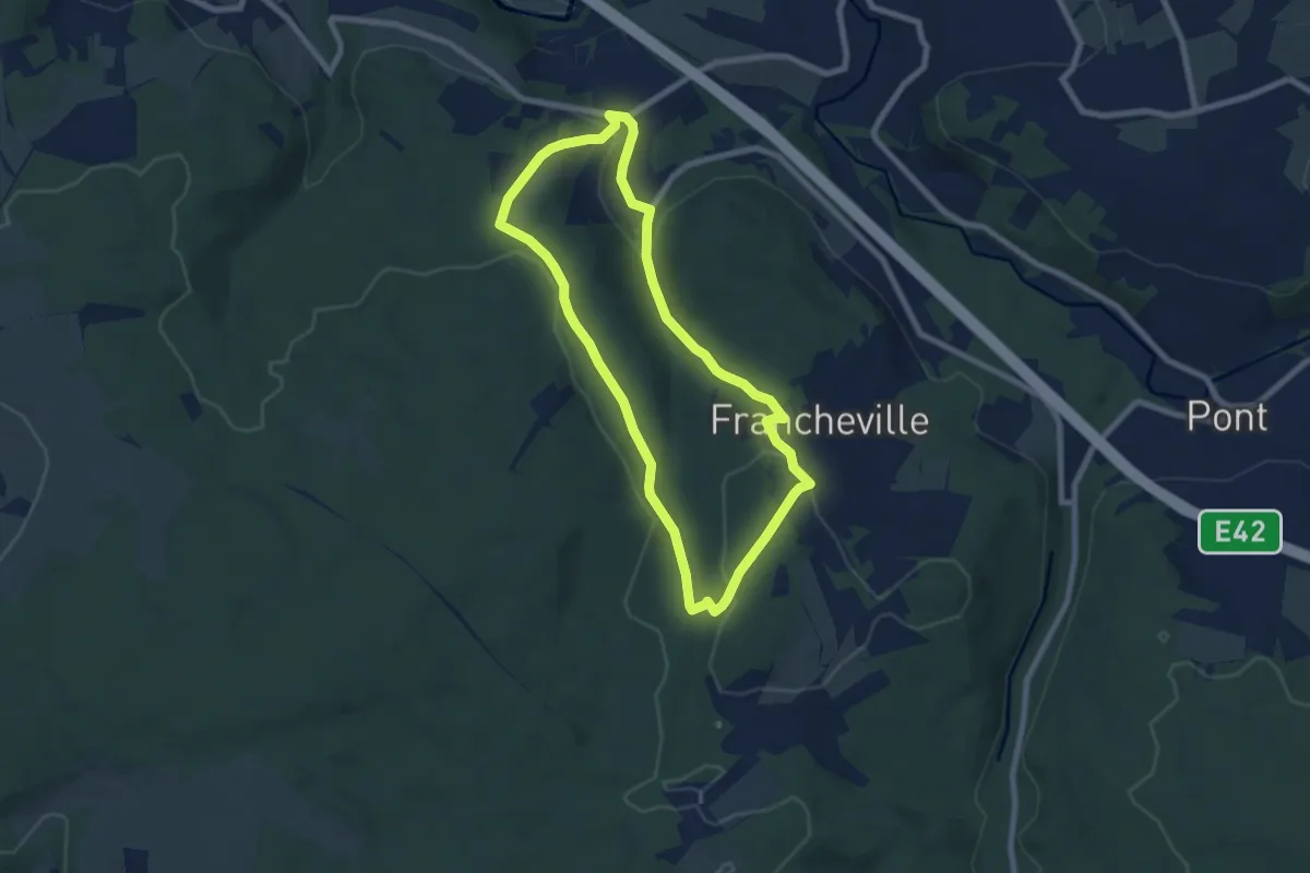
Easy · Trail
4. Promenade de l'Ecureuil
6.6 km · ↑ 193 m · 2 h 4 min
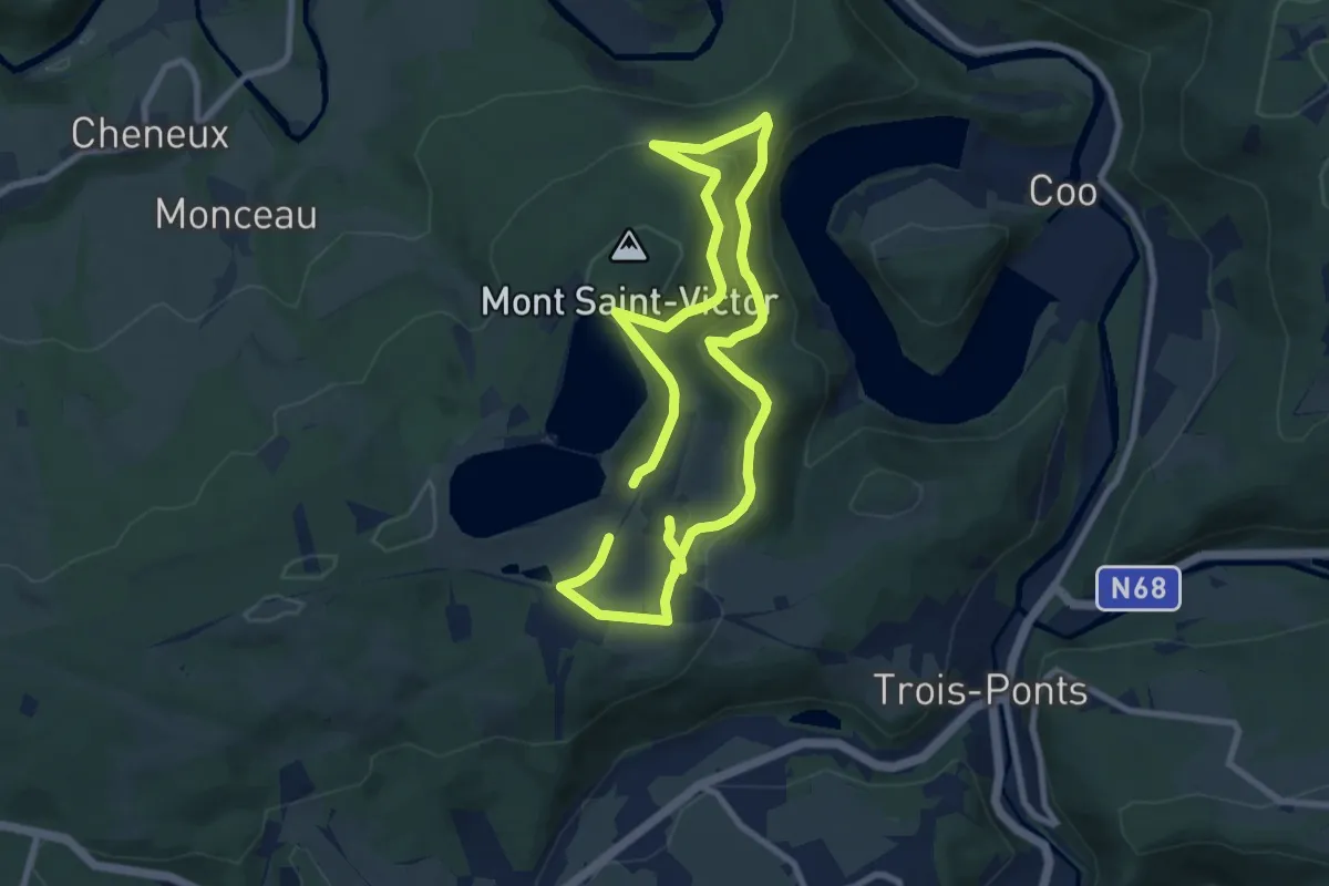
Medium · Trail
4. Promenade des Corniches
14.2 km · ↑ 551 m · 4 h 33 min
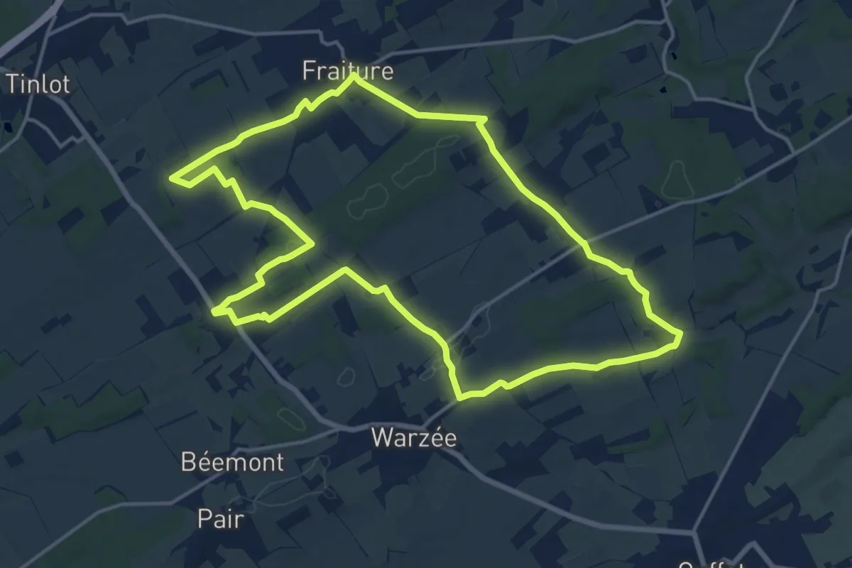
Medium · Trail
4. Promenade du Chevalier Cortis
14.3 km · ↑ 157 m · 3 h 56 min
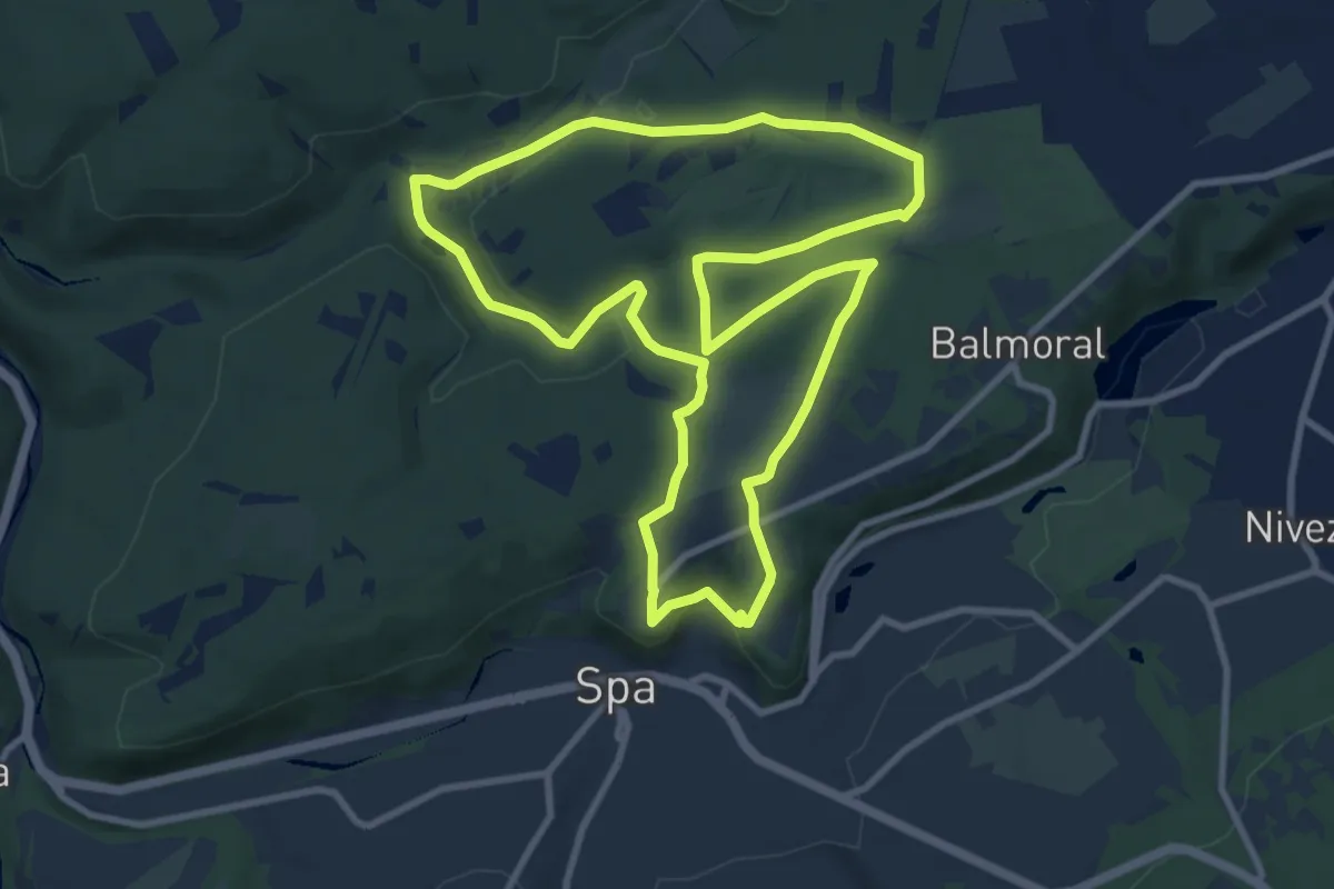
Medium · Trail
4. Promenade du Golf
9.2 km · ↑ 212 m · 2 h 45 min
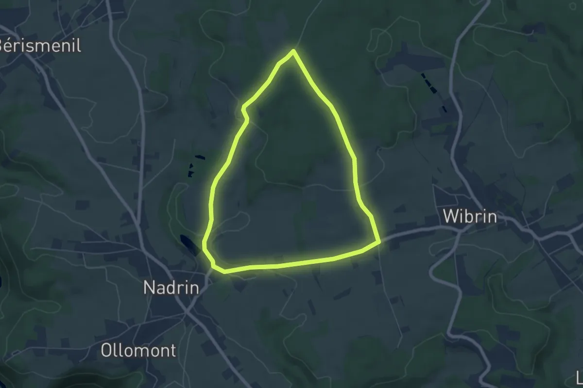
Easy · Trail
4. Snéri
5.2 km · ↑ 103 m · 1 h 32 min
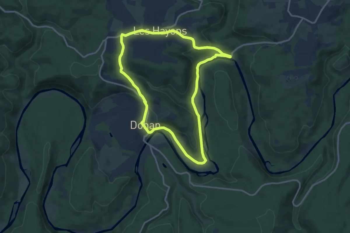
Medium · Trail
50 Promenade de Dohan (Les Hayons, Bouillon)
8.4 km · ↑ 219 m · 2 h 34 min
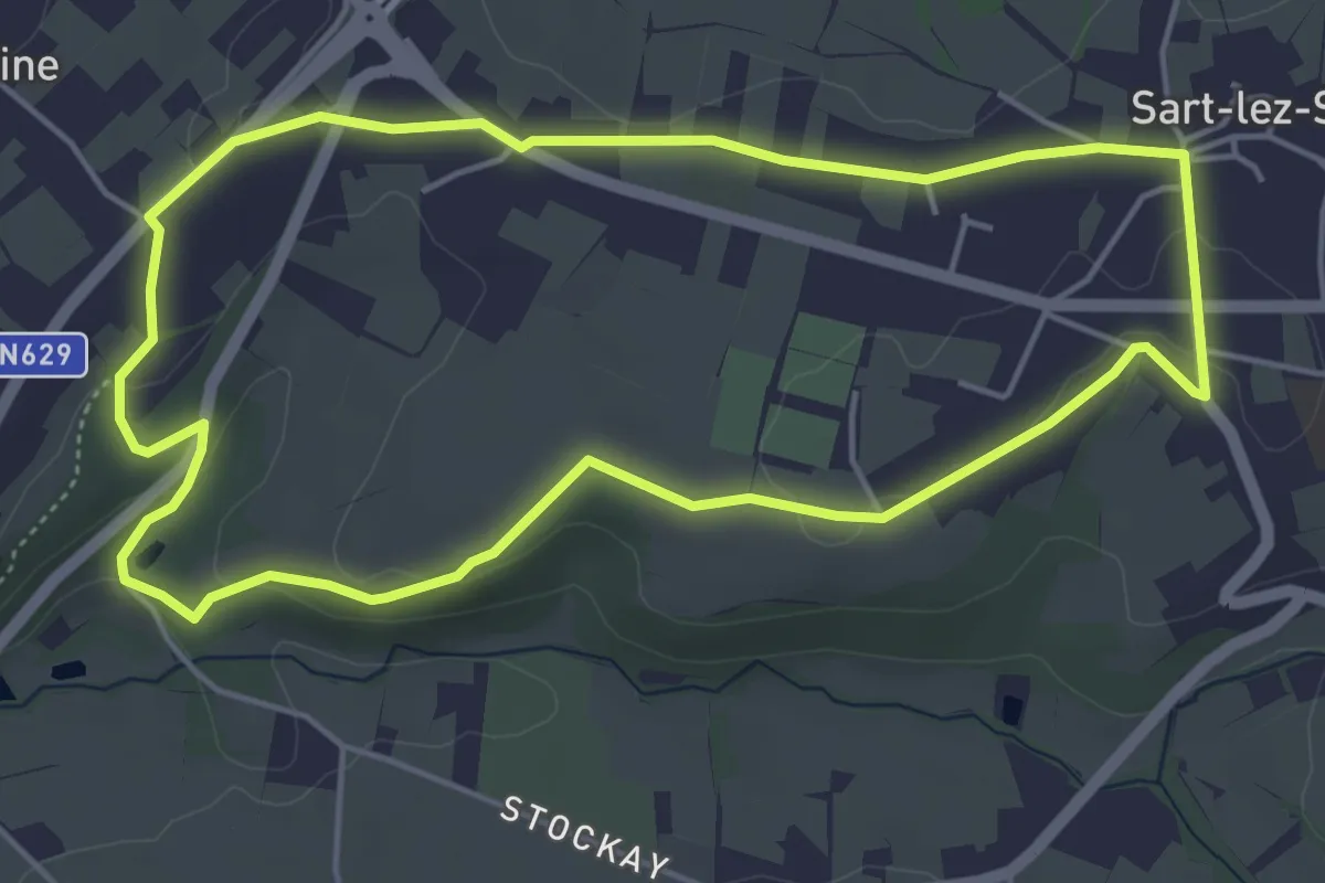
Easy · Trail
50. Sart-Ermitage
4.6 km · ↑ 66 m · 1 h 18 min
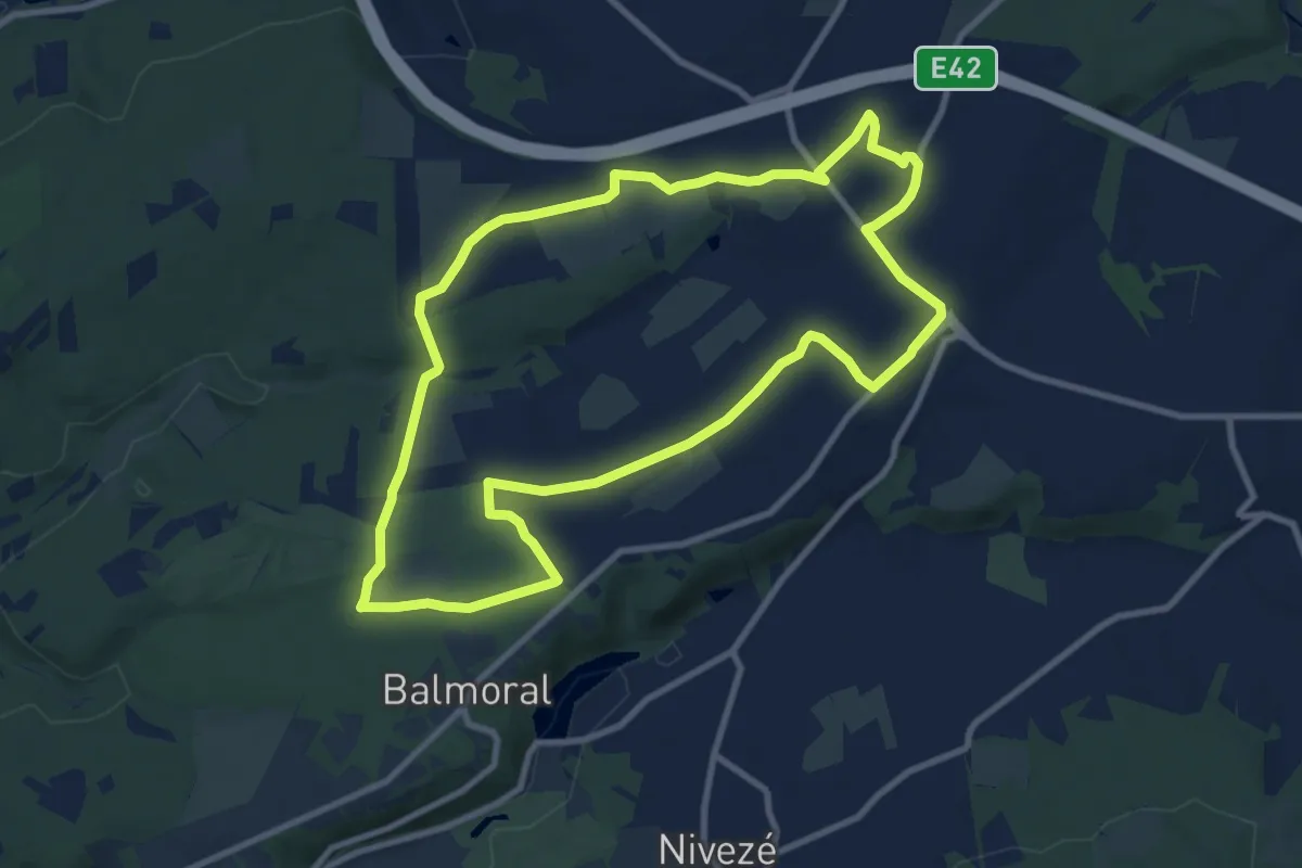
Medium · Trail
51. Tiège - Golf - Ligné Troisfontaines
9.2 km · ↑ 99 m · 2 h 31 min
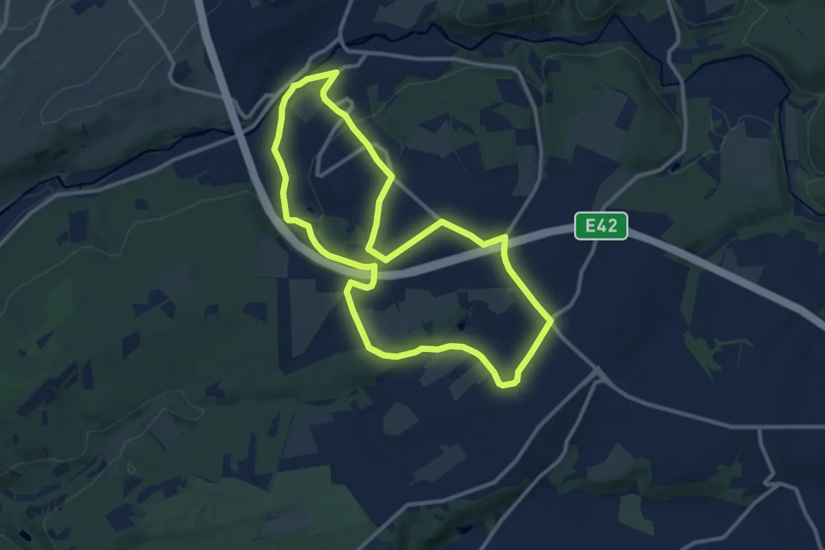
Medium · Trail
52. Tiège - Bansions
8.5 km · ↑ 189 m · 2 h 32 min
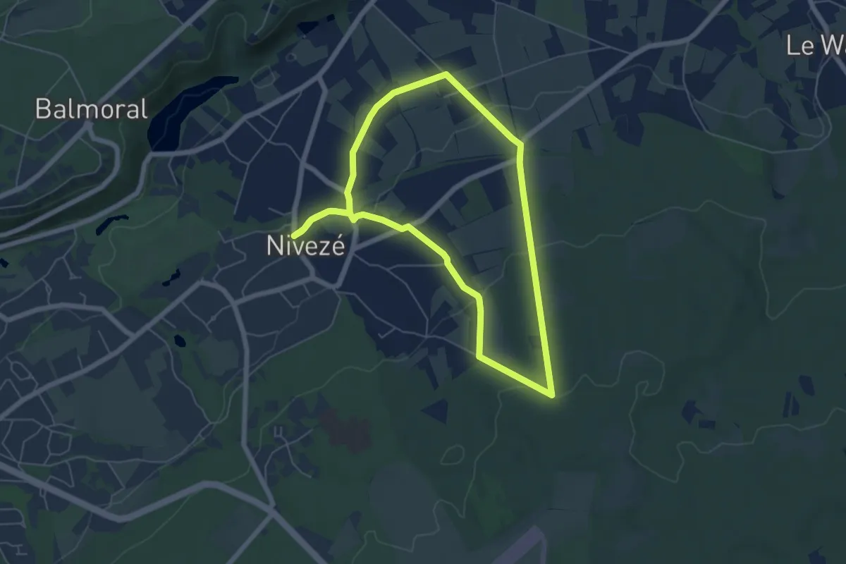
Easy · Trail
53. Nivezé - Haut Nivezé
5.1 km · ↑ 126 m · 1 h 33 min
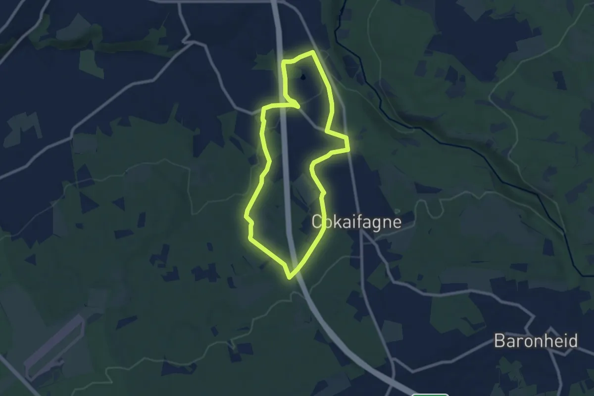
Easy · Trail
54. Sart Station - Roquez
6.4 km · ↑ 119 m · 1 h 52 min
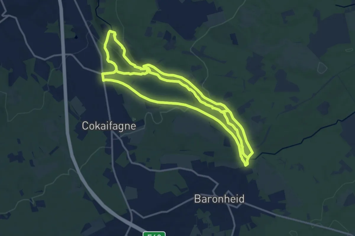
Demanding · Trail
55. La Hoëgne
23.7 km · ↑ 488 m · 6 h 39 min
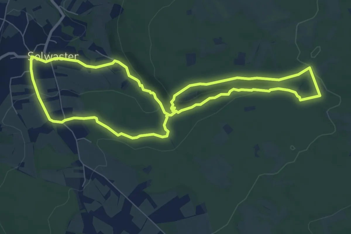
Easy · Trail
57. Solwaster - Statte - Bilisse - Dolmen
6.8 km · ↑ 164 m · 2 h 3 min