Trails in Belgium
3,383 hiking trails, each with its route, climb, walking time and grade.
All trails, page 69 of 71
Medium · Trail
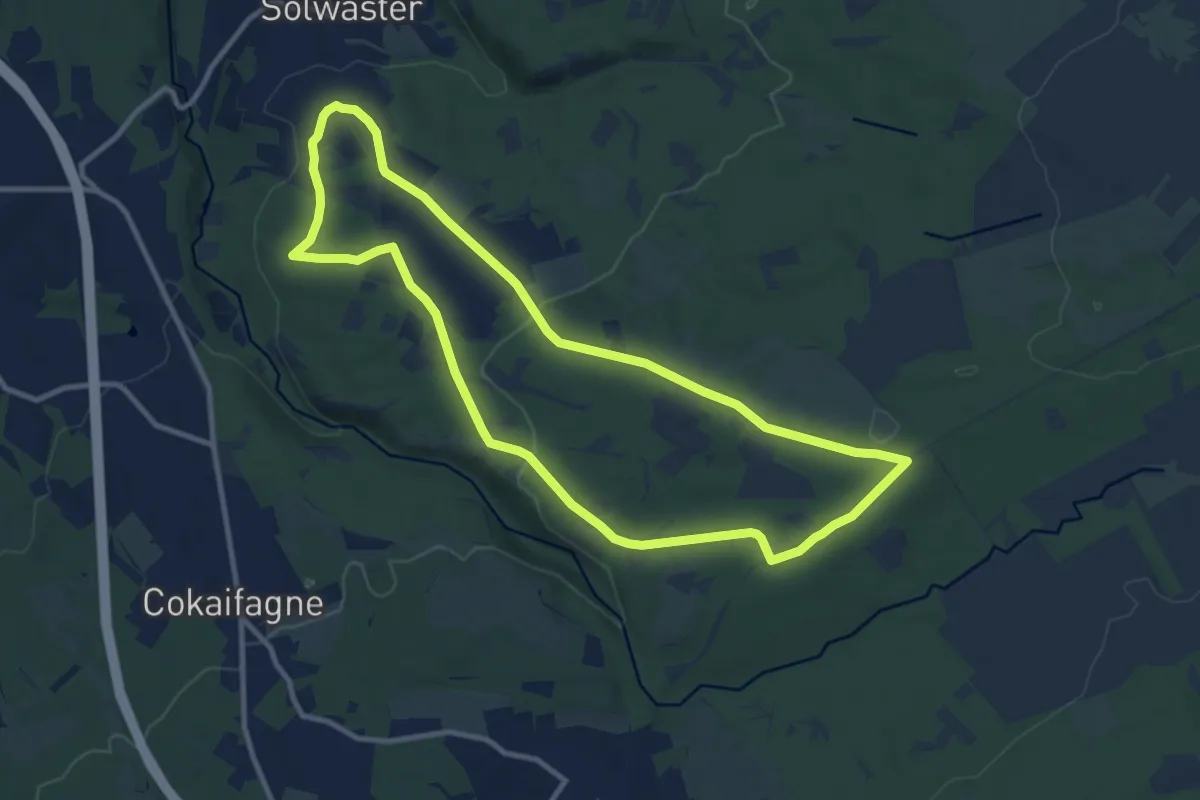
58. Solwaster - Vecquée - Maison Fagne
9.8 km · ↑ 185 m · 2 h 51 min
Medium · Trail
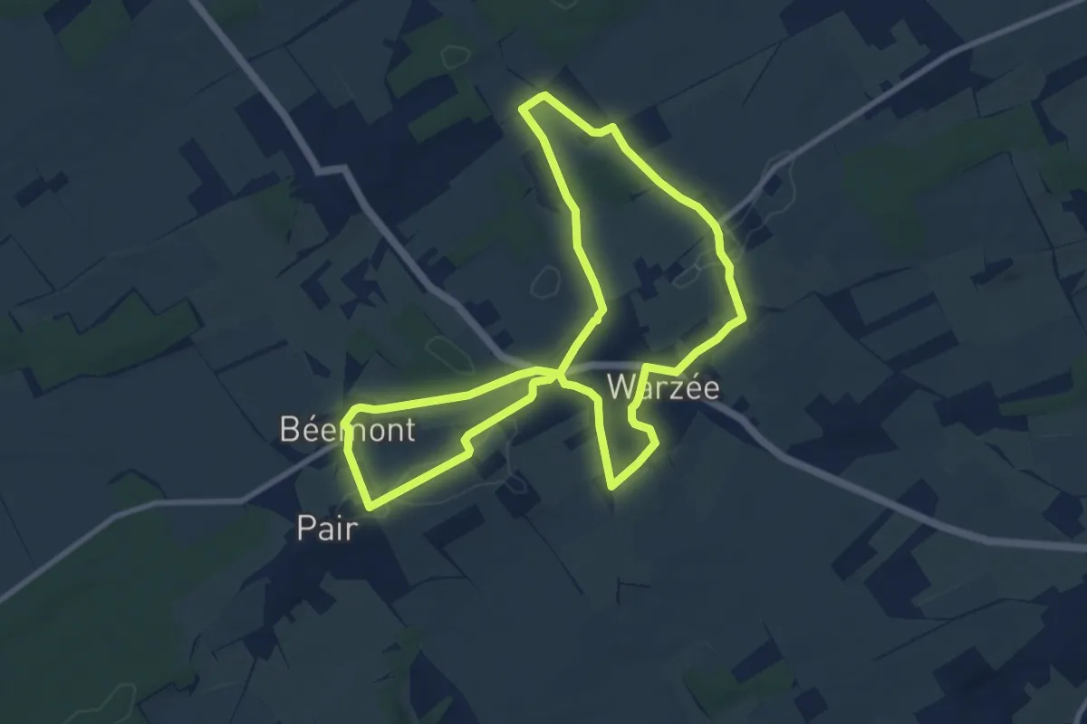
5. Balade de Béemont
8.5 km · ↑ 61 m · 2 h 16 min
Medium · Trail
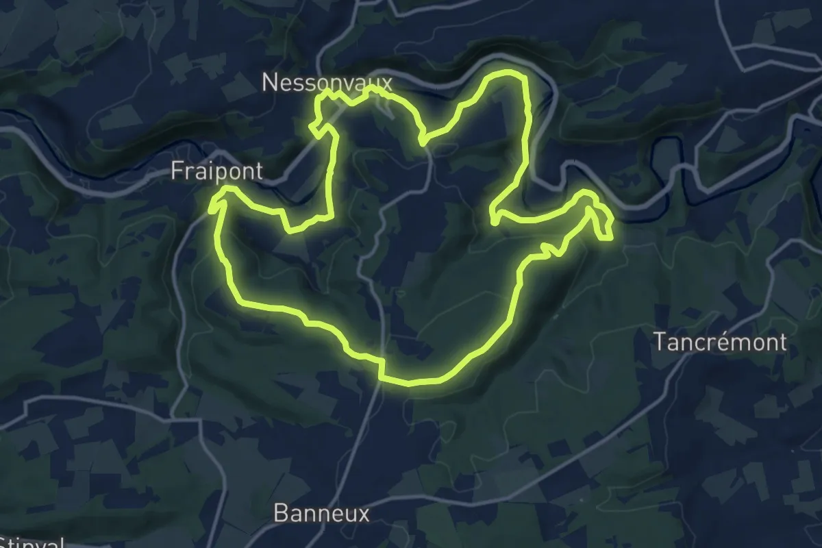
5. Balade de Fraipont
14.7 km · ↑ 414 m · 4 h 34 min
Easy · Trail
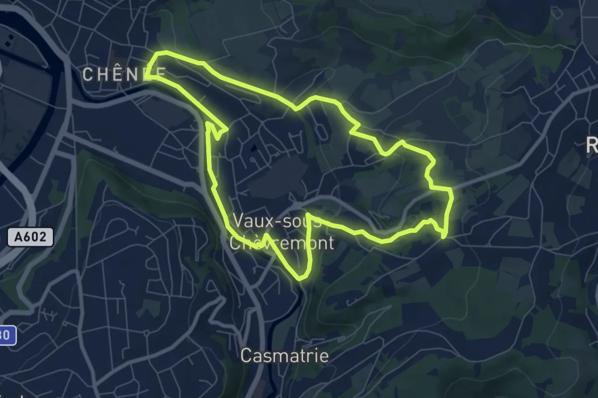
5. Balade du Charbon
6.9 km · ↑ 130 m · 2 h
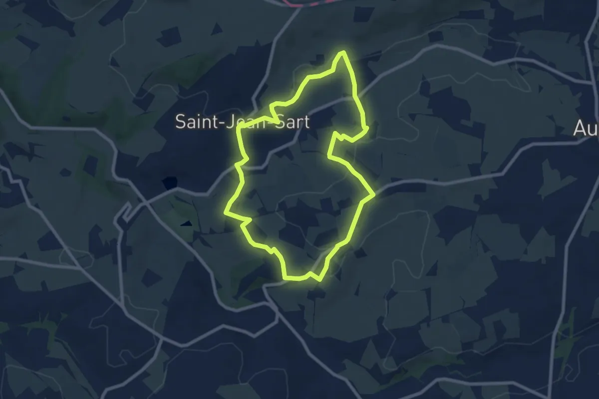
Easy · Trail
5. Balade du Chemin du Diable
6.2 km · ↑ 82 m · 1 h 44 min
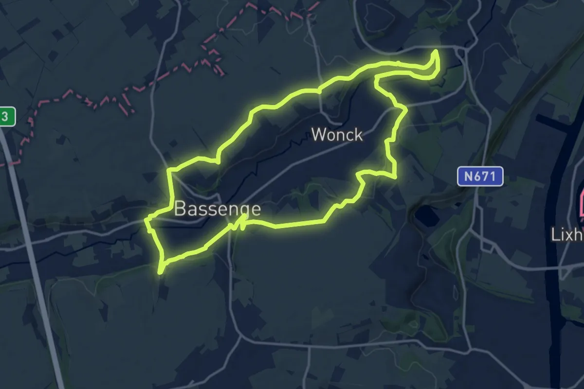
Medium · Trail
5.Eben-Emael/6.Roclenge-sur-Geer: Raie Jaune
13.9 km · ↑ 191 m · 3 h 53 min
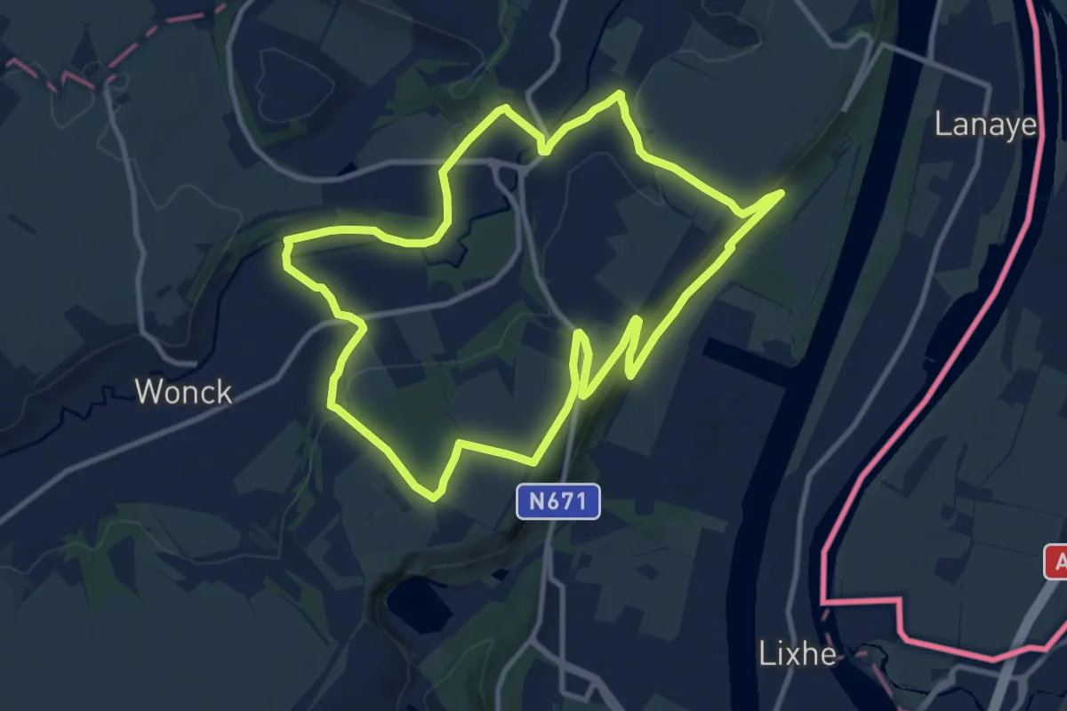
Medium · Summit
5.Eben-Emael: Croix Orange
9.7 km · ↑ 143 m · 2 h 44 min
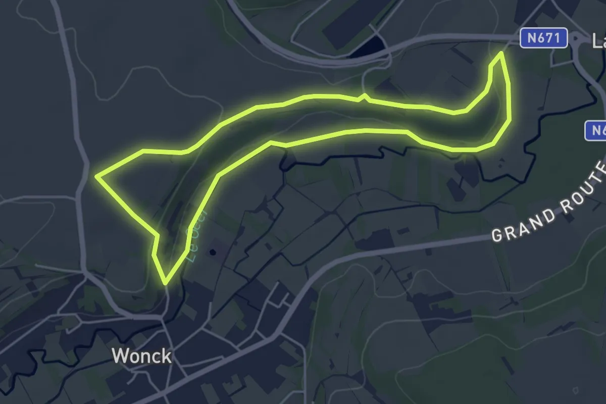
Easy · Trail
5.Eben-Emael: Rectangle Vert
4.3 km · ↑ 53 m · 1 h 11 min
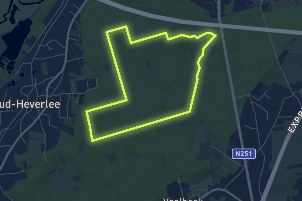
Easy · Trail
5 Eikenwandeling
5.5 km · ↑ 33 m · 1 h 26 min
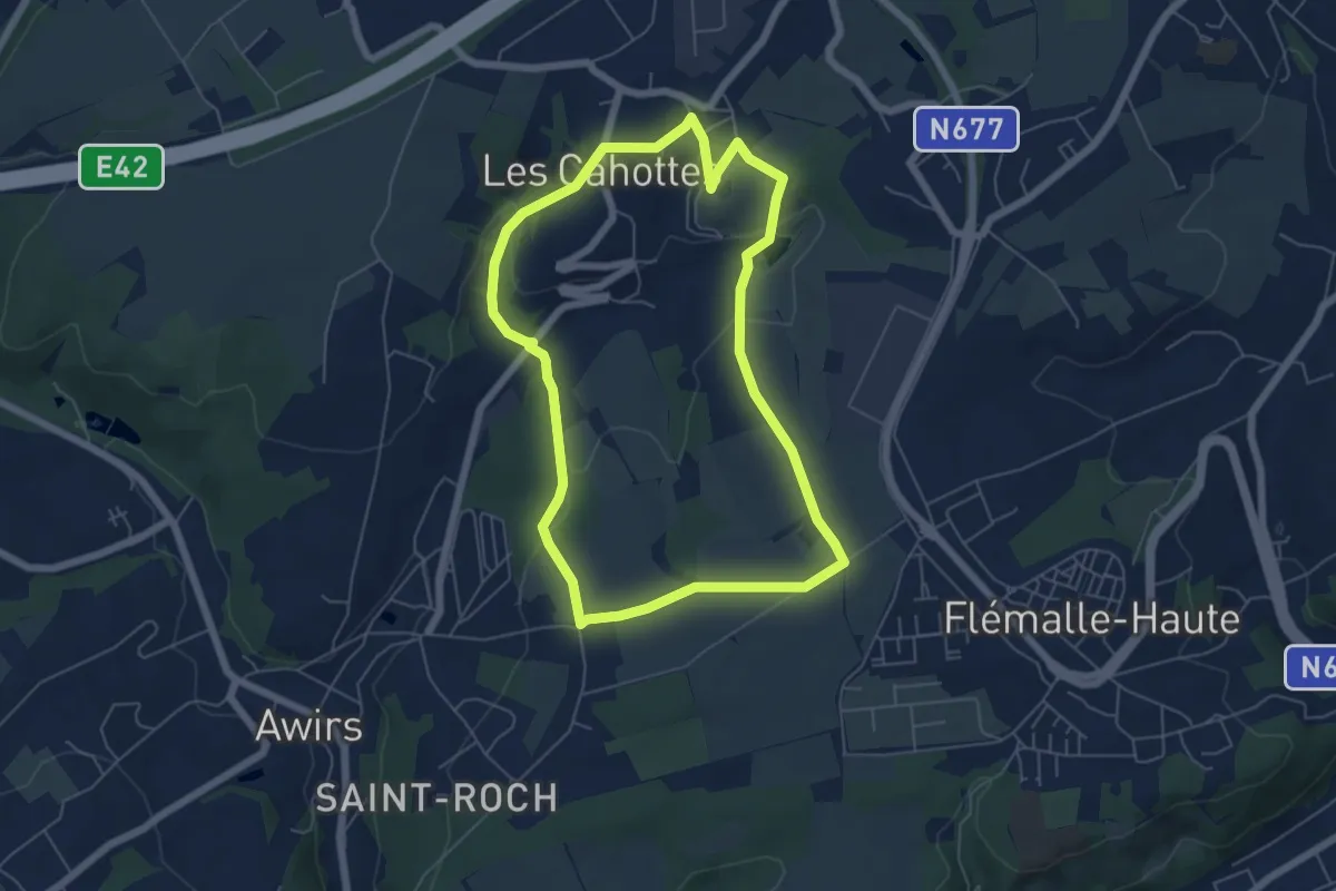
Easy · Trail
5. Ferme d'Othet - Les Cahottes - Le Cowa
5.4 km · ↑ 119 m · 1 h 36 min
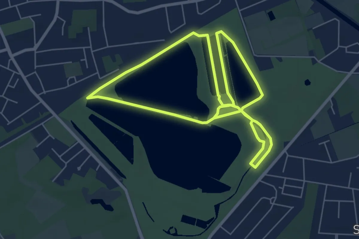
Easy · Trail
5 km looproute
5.2 km · ↑ 10 m · 1 h 19 min
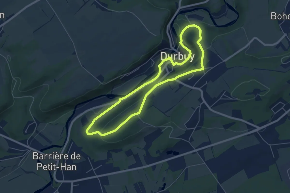
Easy · Trail
5. La Boucle de Durbuy
4.9 km · ↑ 116 m · 1 h 29 min
Easy · Trail
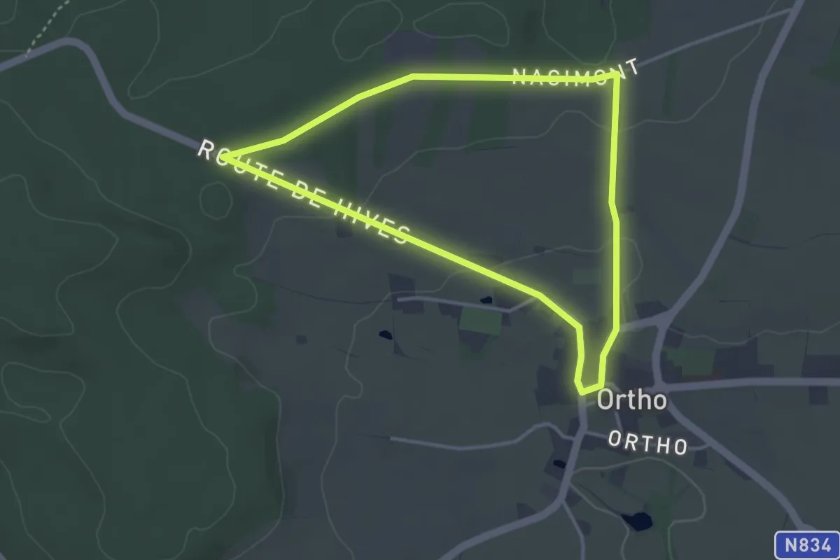
5. La Clairière
3.2 km · ↑ 46 m · 53 min
Demanding · Trail
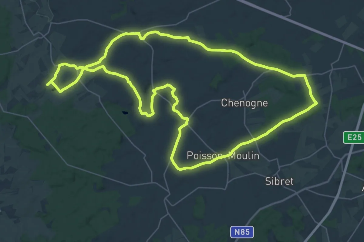
5. Le sentier de la Lépiote
25.6 km · ↑ 294 m · 7 h 2 min
Medium · Trail
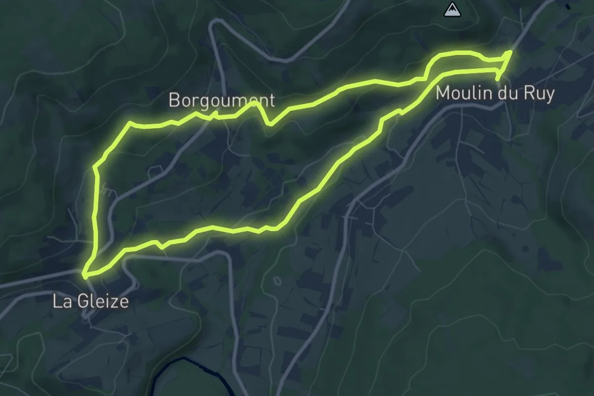
5. Moulin du Ruy - La Gleize - Borgoumont
8.2 km · ↑ 187 m · 2 h 27 min
Medium · Trail
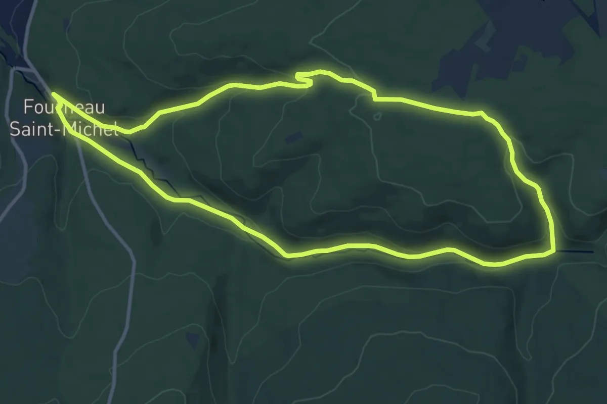
5. Plain de Saint-Michel
9.1 km · ↑ 240 m · 2 h 48 min
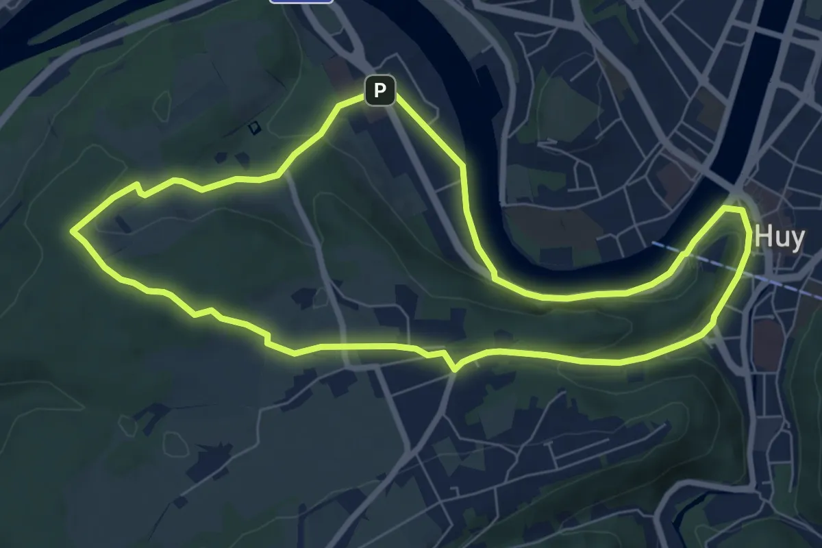
Easy · Trail
5. Promenade d'Ahin
6.8 km · ↑ 155 m · 2 h 2 min
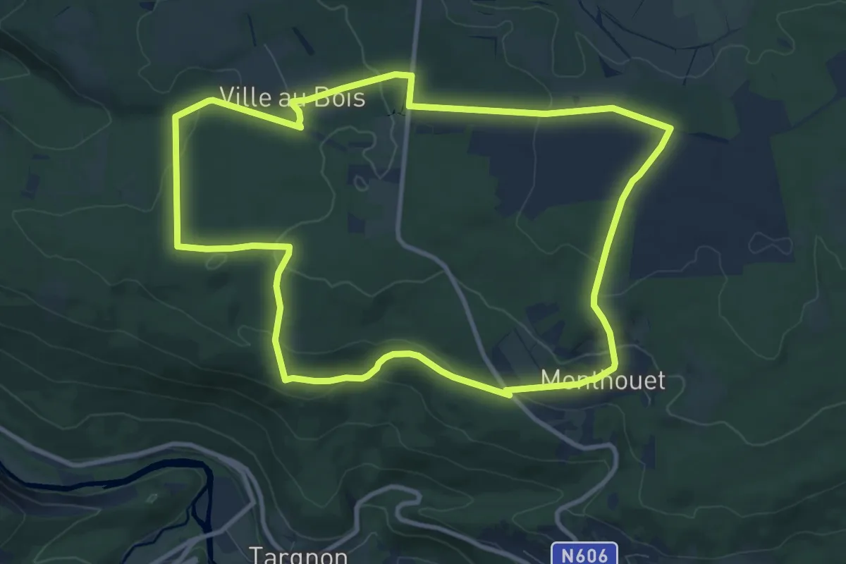
Medium · Trail
5. Promenade de la Chefna
9.1 km · ↑ 236 m · 2 h 47 min
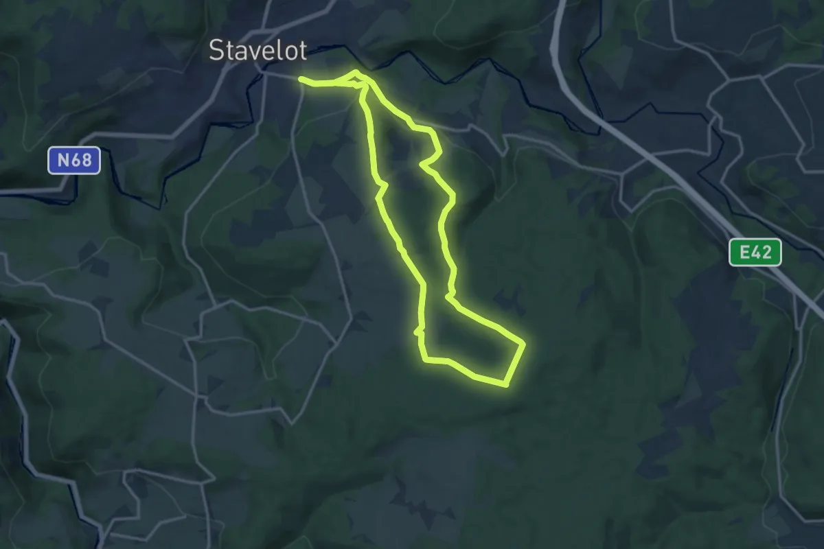
Medium · Trail
5. Promenade de la Croix-Collin
11.8 km · ↑ 299 m · 3 h 36 min
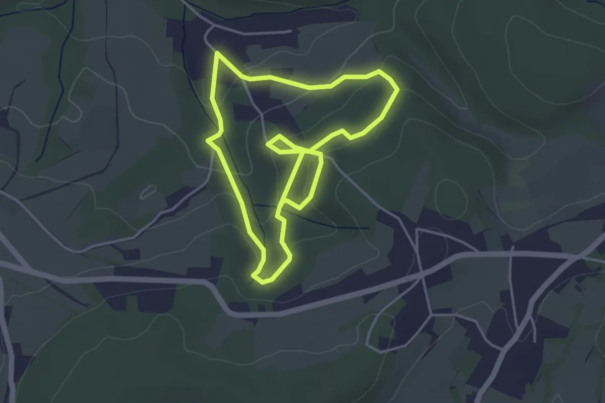
Easy · Trail
5. Promenade de la Picherotte
6.7 km · ↑ 217 m · 2 h 3 min
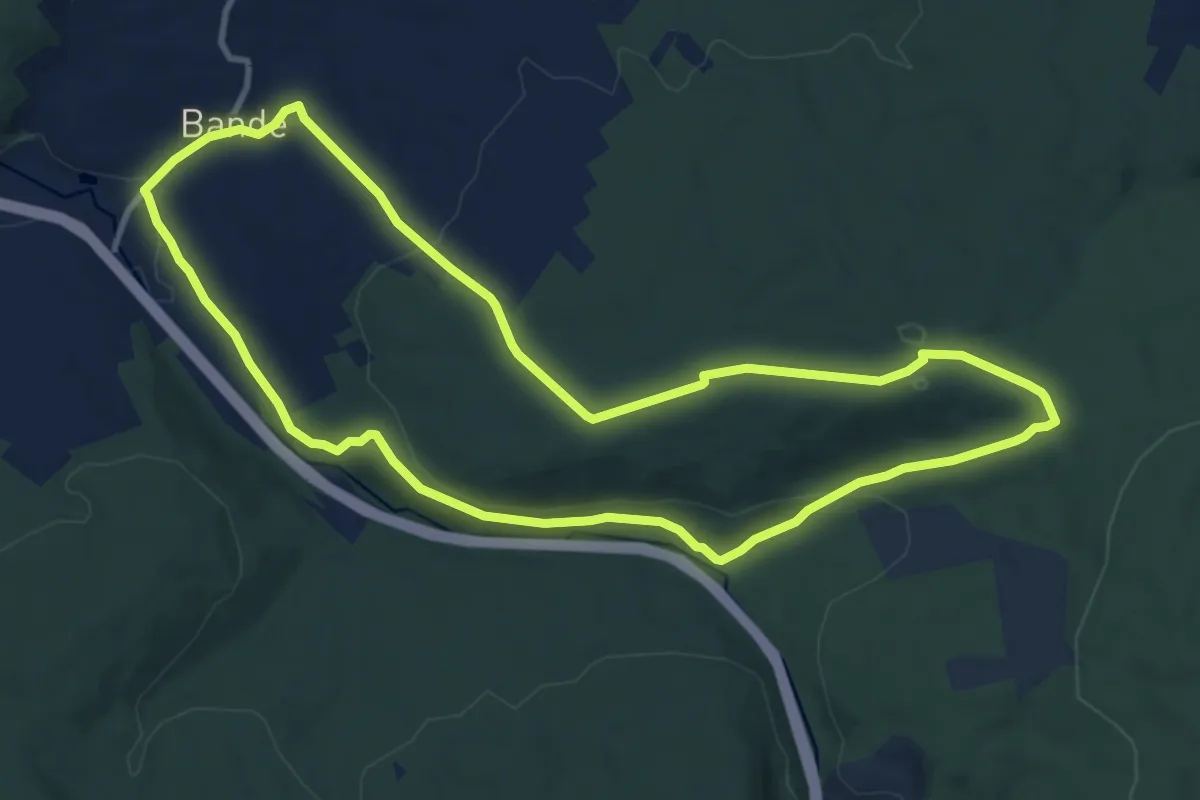
Medium · Trail
5. Promenade de la Pisserotte
10.3 km · ↑ 224 m · 3 h 3 min
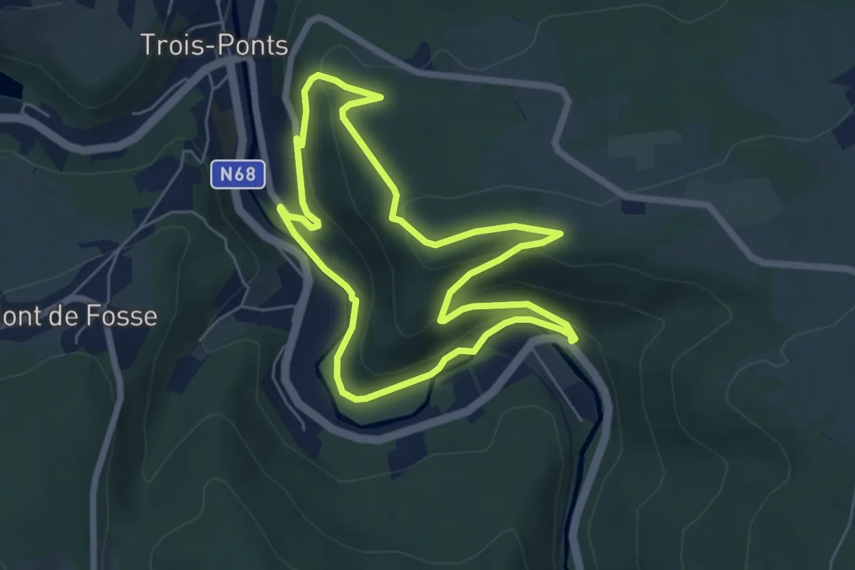
Easy · Trail
5. Promenade de la Tour Leroux
4.8 km · ↑ 164 m · 1 h 33 min
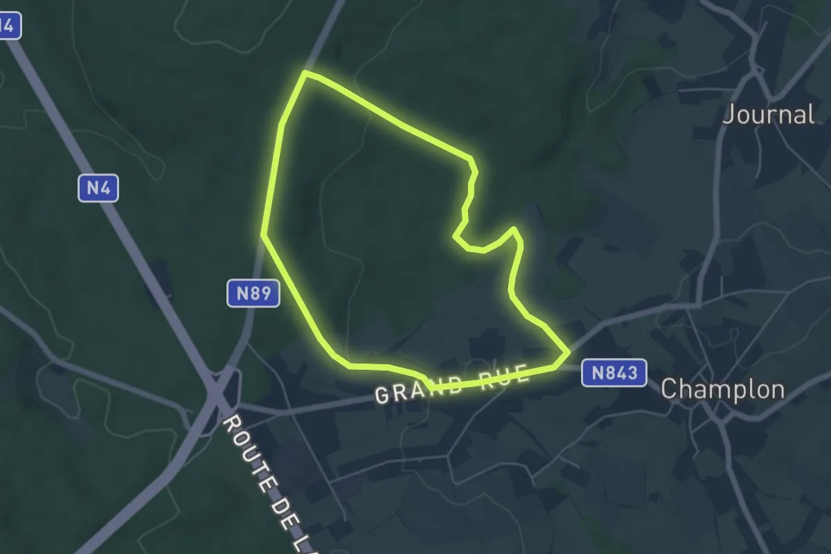
Easy · Trail
5. Promenade du Tram
4.4 km · ↑ 56 m · 1 h 13 min
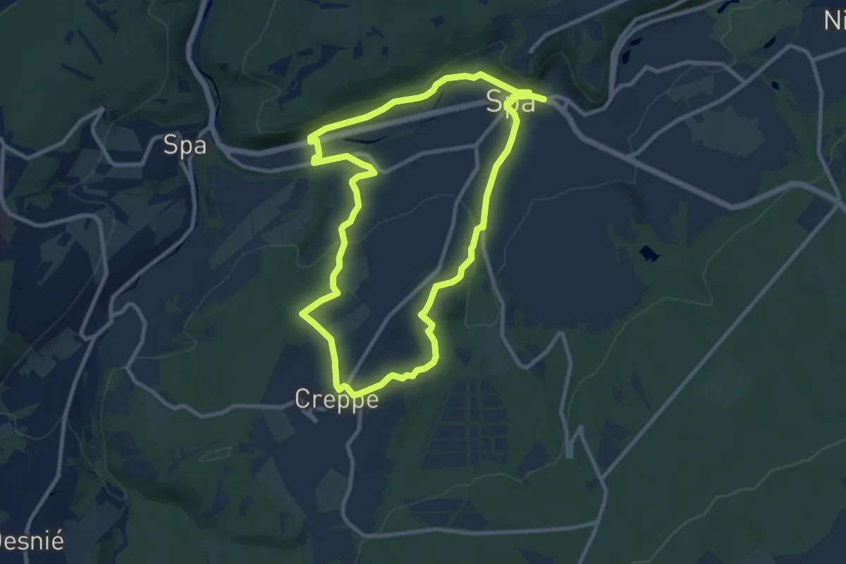
Medium · Trail
5. Promenade J. Houyon
8.3 km · ↑ 194 m · 2 h 30 min
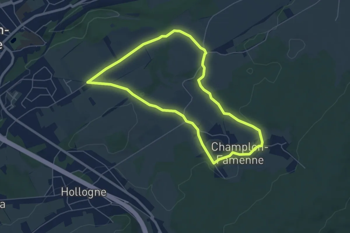
Easy · Trail
5. Promenade Jonquille
4.9 km · ↑ 66 m · 1 h 22 min
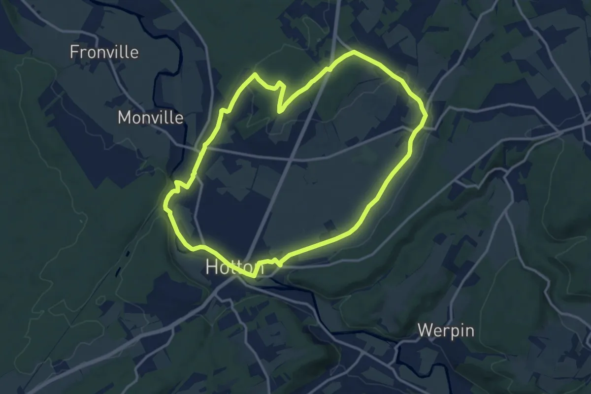
Medium · Trail
5. Saint-Pierre
10.9 km · ↑ 62 m · 2 h 52 min
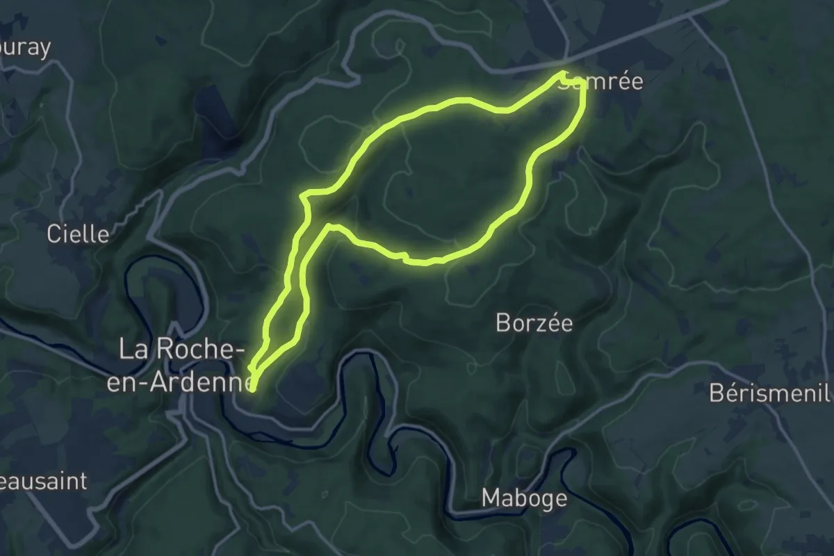
Medium · Trail
5. Samrée
12.1 km · ↑ 296 m · 3 h 40 min
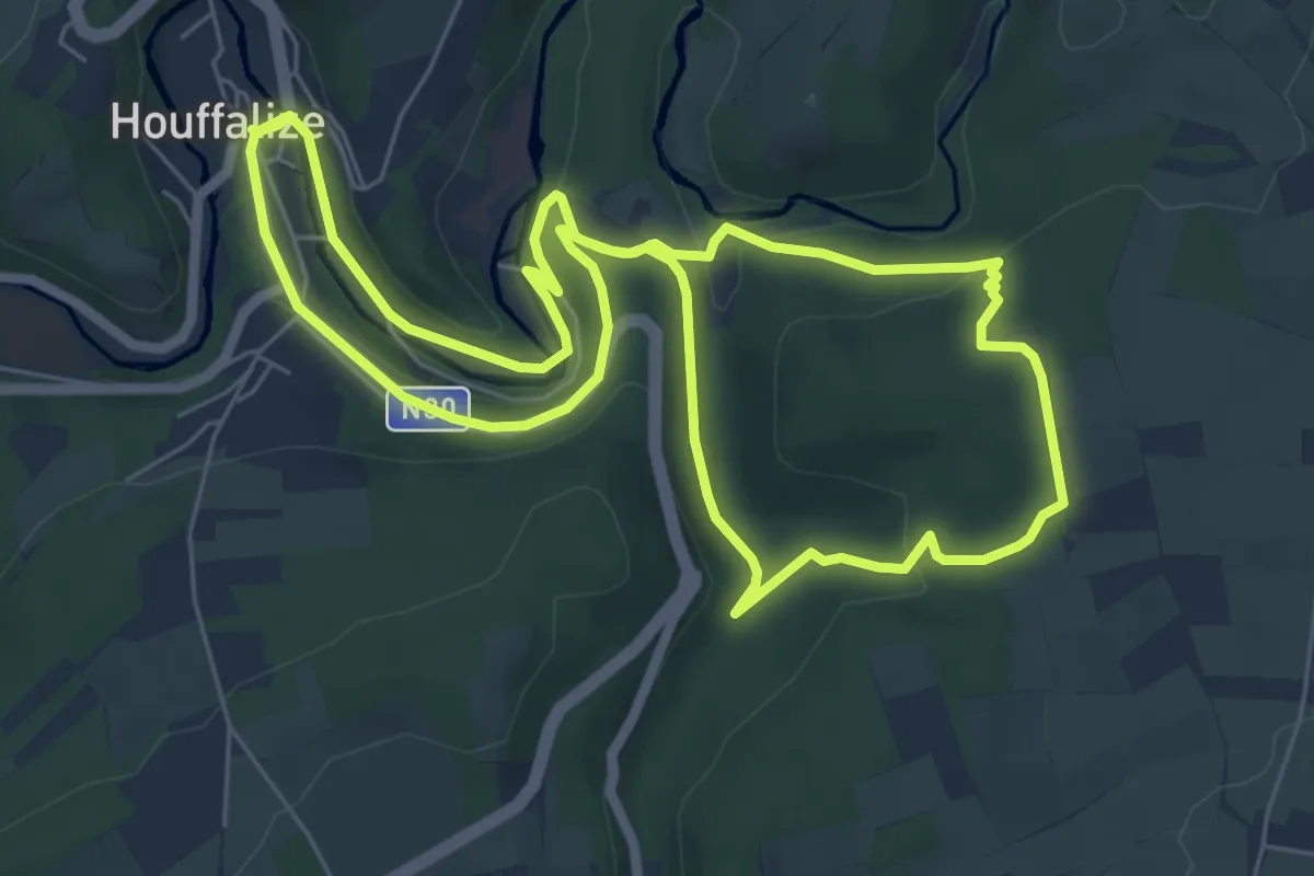
Easy · Trail
5. Sentier Ecologique
6.3 km · ↑ 173 m · 1 h 57 min
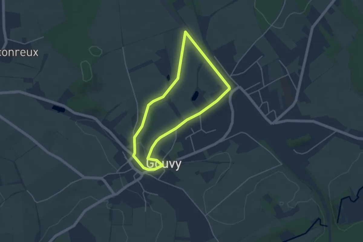
Easy · Trail
5. Voie de Salm
3.2 km · ↑ 37 m · 53 min
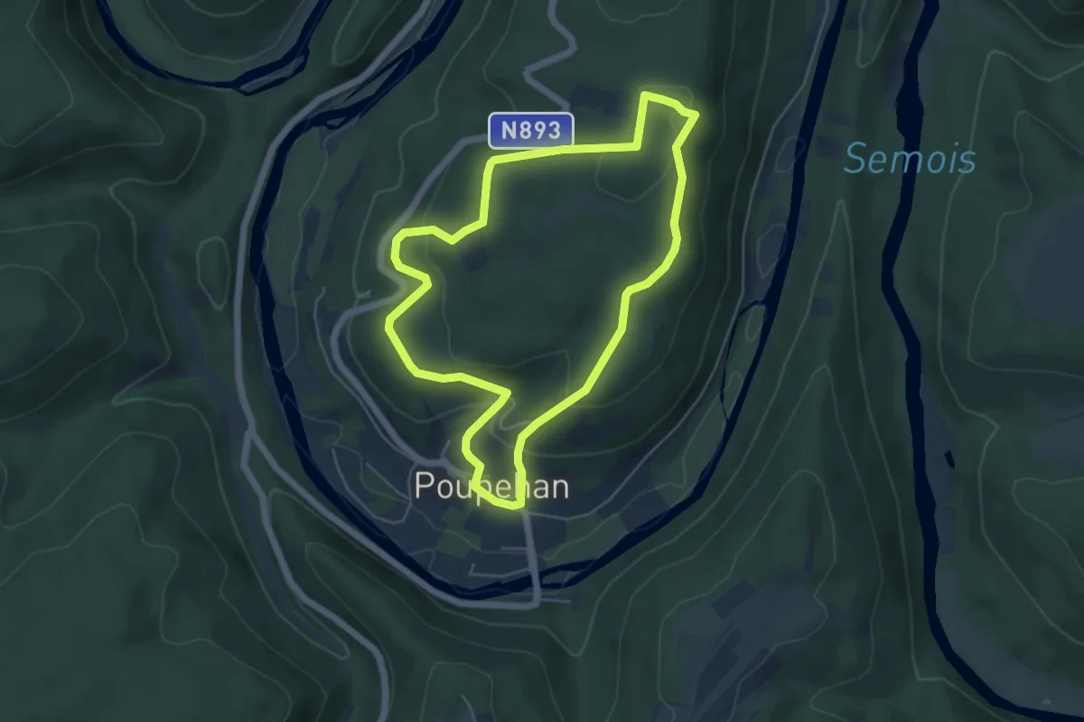
Easy · Trail
64
4.7 km · ↑ 175 m · 1 h 33 min
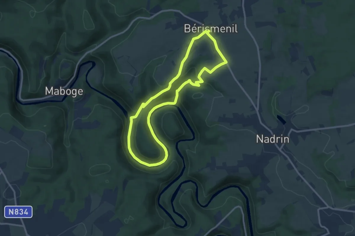
Medium · Trail
6.A l'Ewe
7.6 km · ↑ 225 m · 2 h 23 min
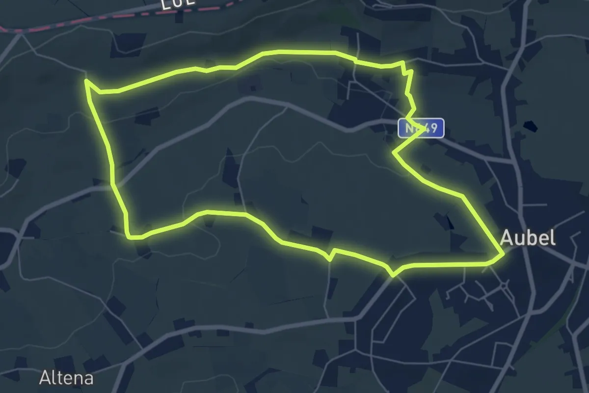
Easy · Trail
6. Balade de la Bel
6.0 km · ↑ 69 m · 1 h 40 min
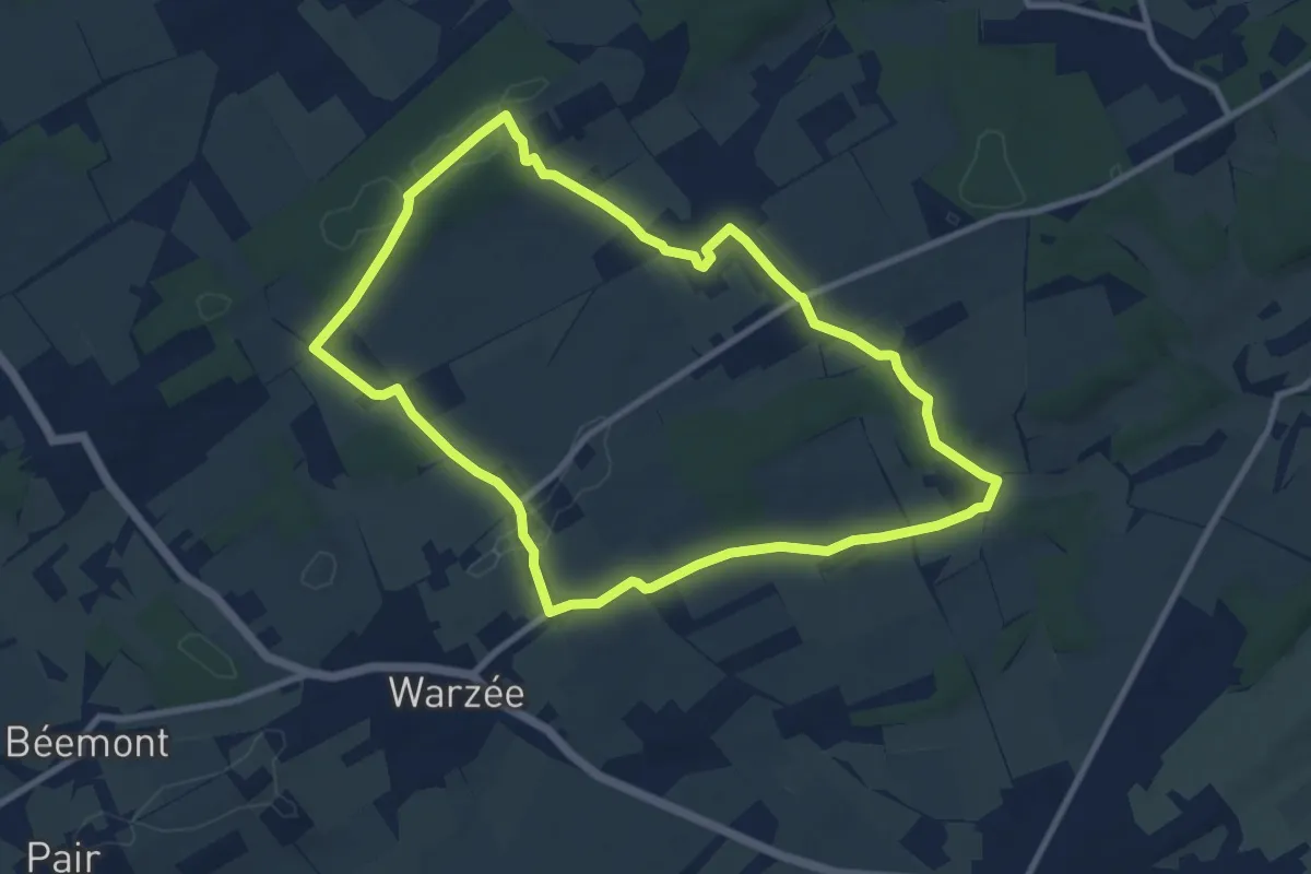
Medium · Trail
6. Balade de l'Herberin
8.5 km · ↑ 110 m · 2 h 22 min
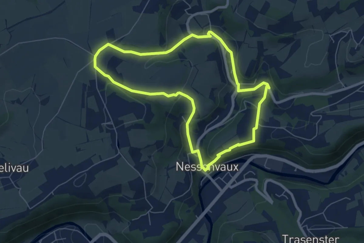
Easy · Trail
6. Balade de Nessonvaux
5.3 km · ↑ 164 m · 1 h 41 min
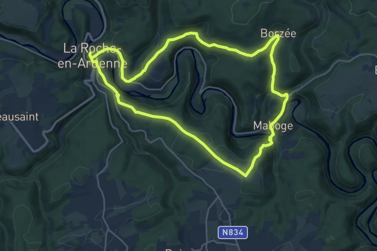
Medium · Trail
6. Borzée
13.4 km · ↑ 439 m · 4 h 18 min
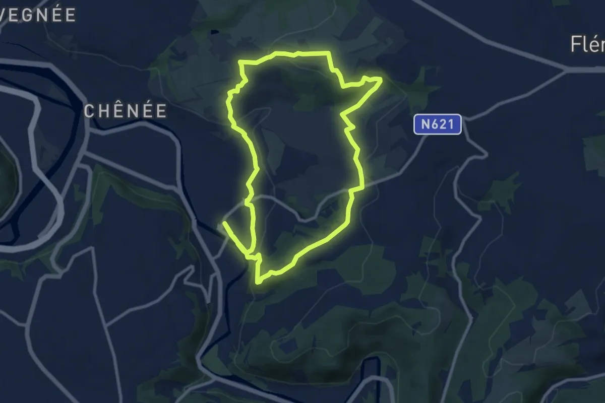
Easy · Trail
6. Chapelle Sainte Anne
8.0 km · ↑ 225 m · 2 h 29 min
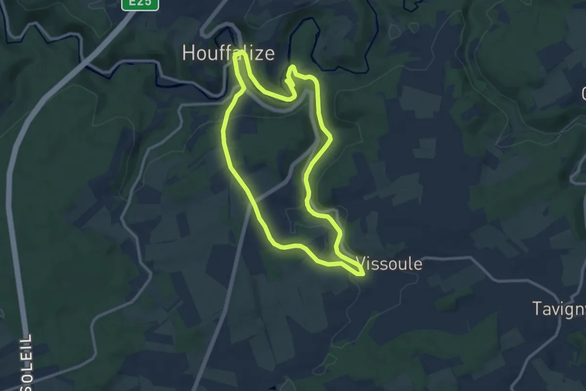
Easy · Trail
6. Chapelle Saint-Roch
7.5 km · ↑ 167 m · 2 h 15 min
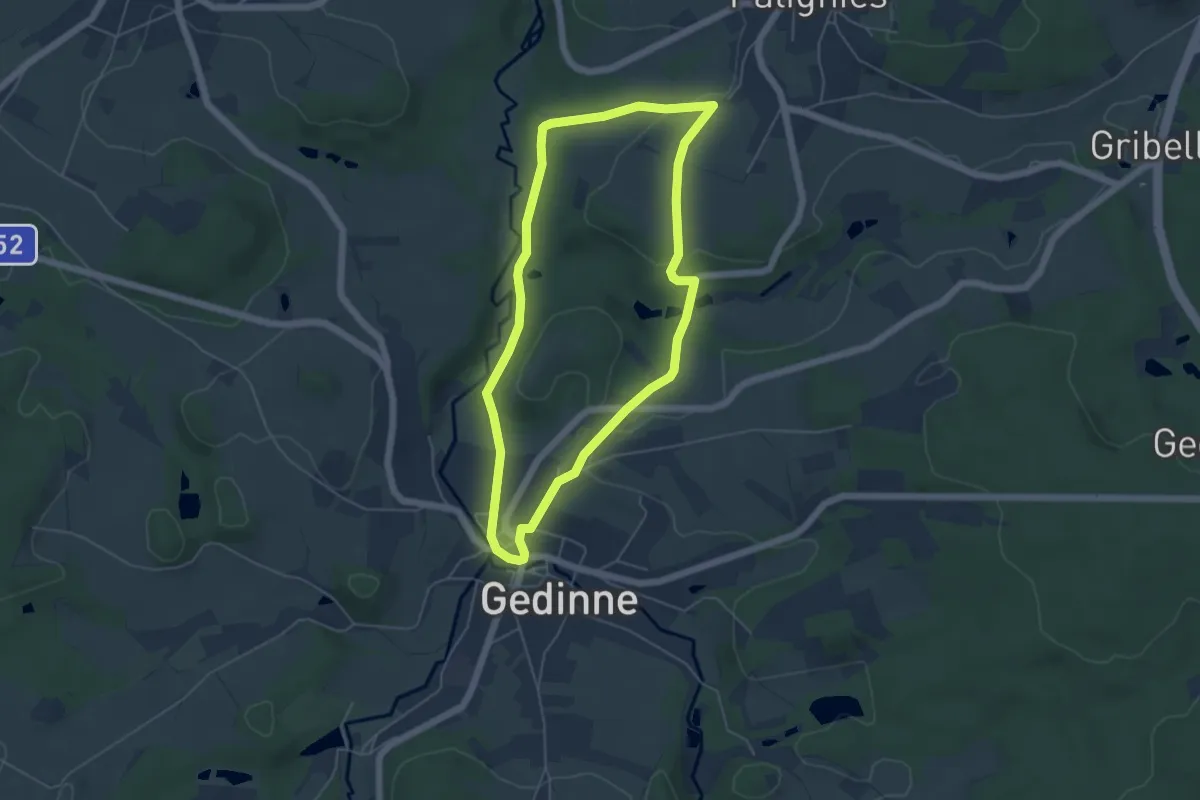
Easy · Trail
6. Chersi
4.6 km · ↑ 88 m · 1 h 20 min
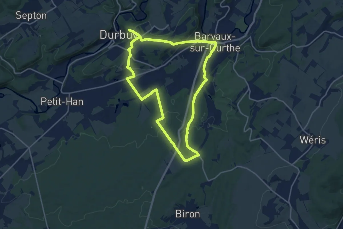
Medium · Trail
6. Famenne
11.9 km · ↑ 174 m · 3 h 21 min
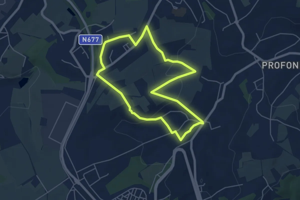
Easy · Trail
6. La Hardée - Les Vingt-deux
4.1 km · ↑ 102 m · 1 h 15 min
Easy · Trail
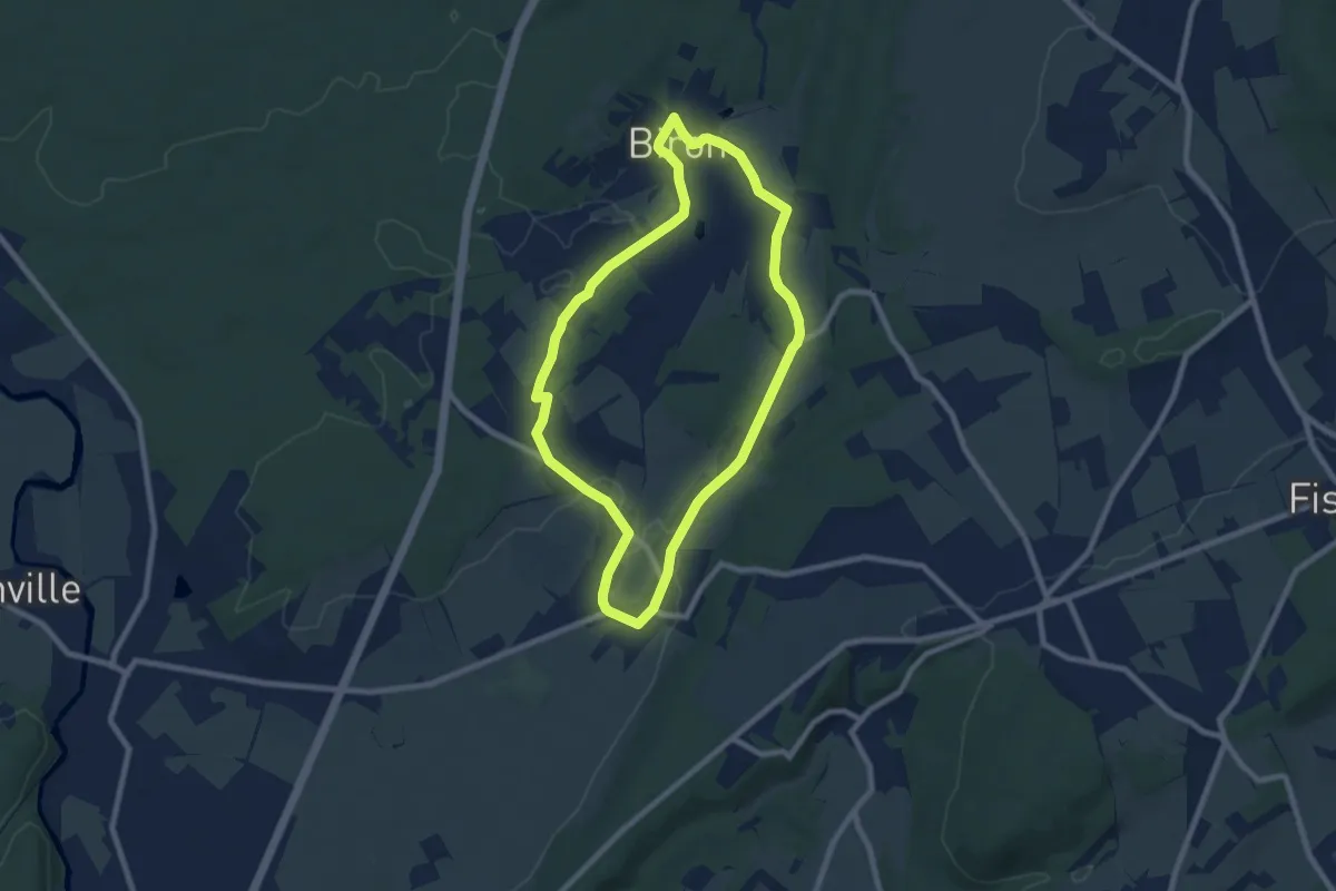
6. Les Fontaines
7.1 km · ↑ 61 m · 1 h 55 min
Easy · Trail
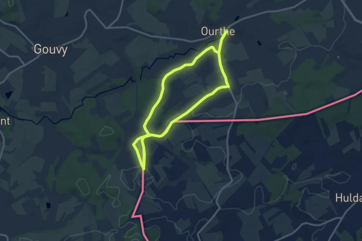
6. Mémorial Léonard
6.6 km · ↑ 88 m · 1 h 50 min
Medium · Trail
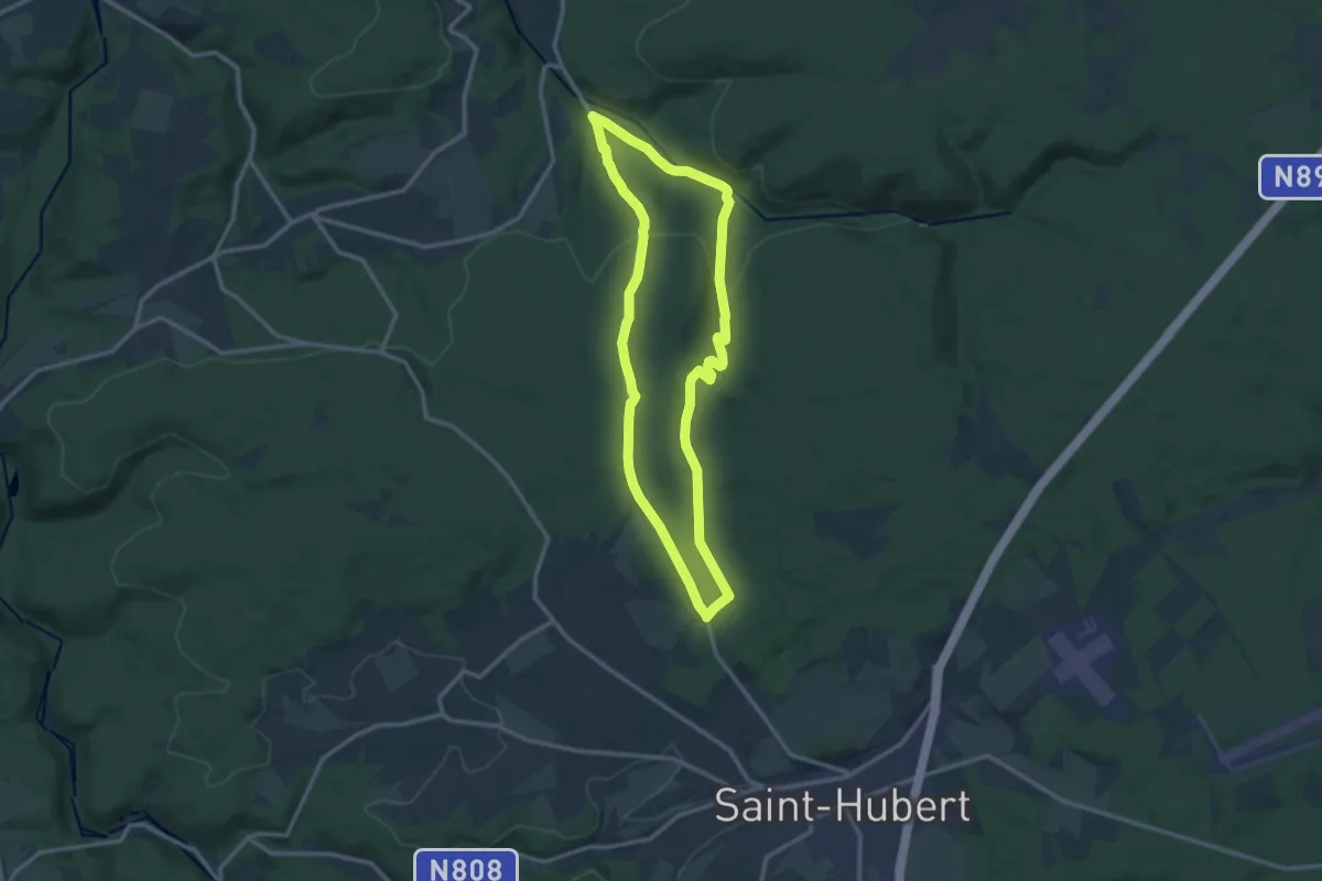
6. Monument du Roi Albert
11.1 km · ↑ 293 m · 3 h 25 min
Easy · Trail
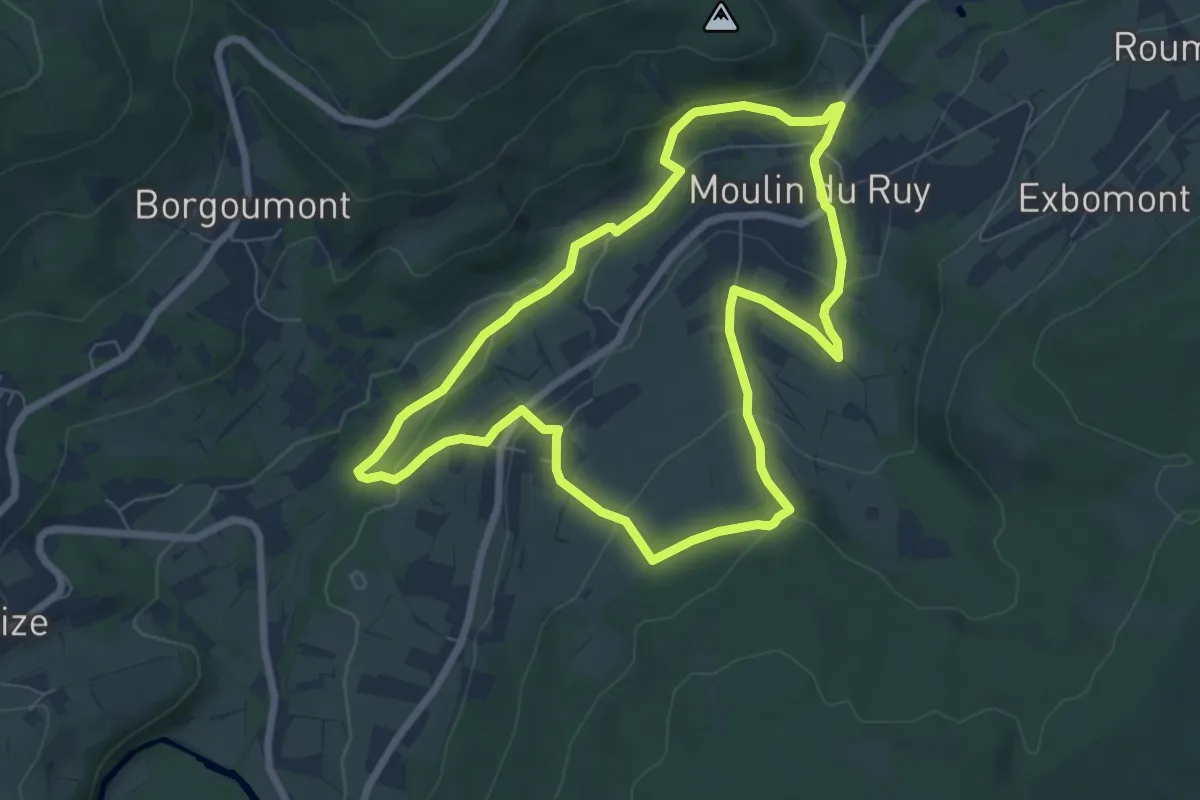
6. Moulin du Ruy - Heilrimont - Roanne
6.5 km · ↑ 164 m · 1 h 58 min
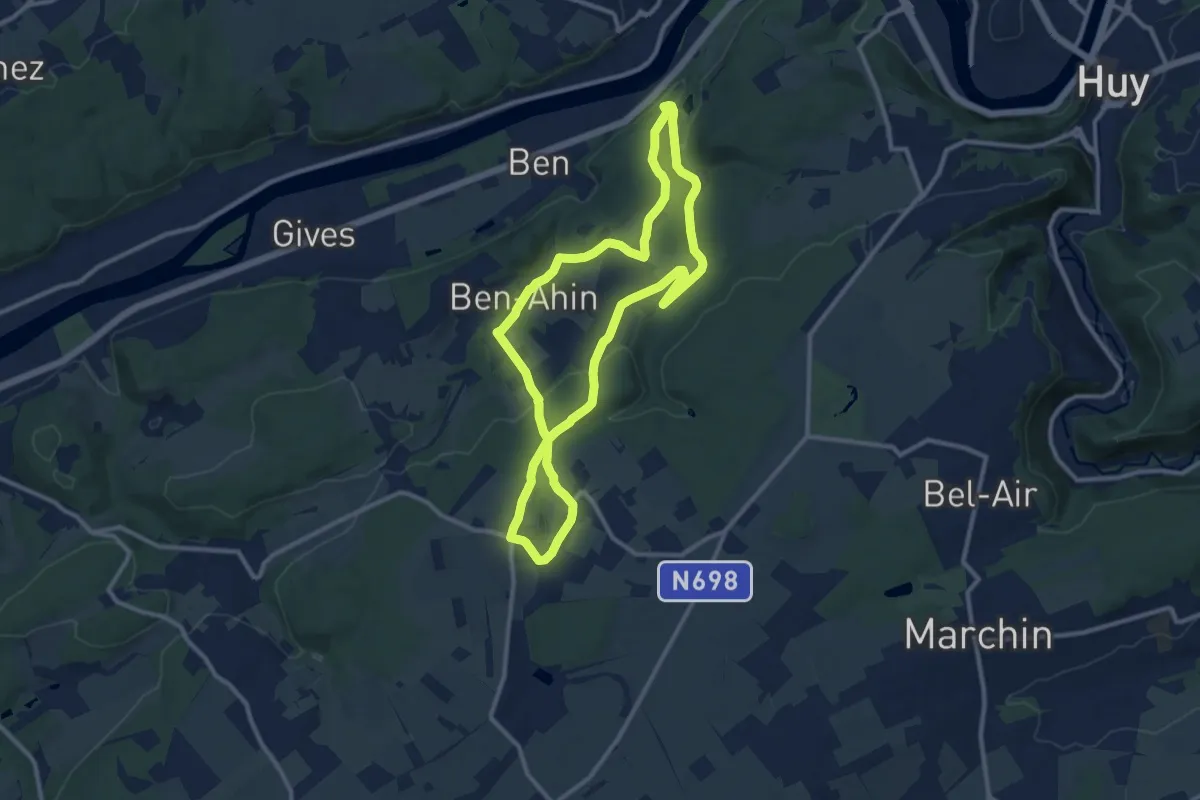
Medium · Trail
6. Promenade Beaufort - Solières
9.8 km · ↑ 196 m · 2 h 52 min
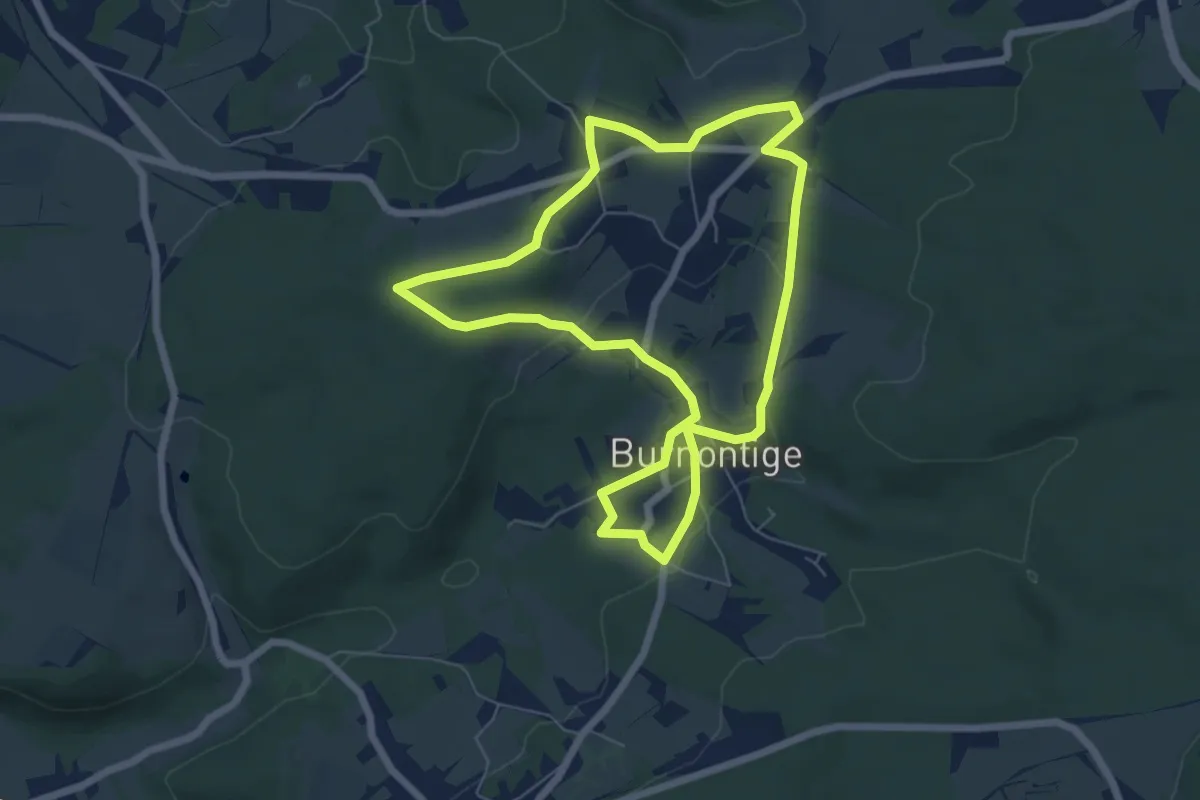
Easy · Trail
6. Promenade de Burnontige
5.8 km · ↑ 83 m · 1 h 37 min
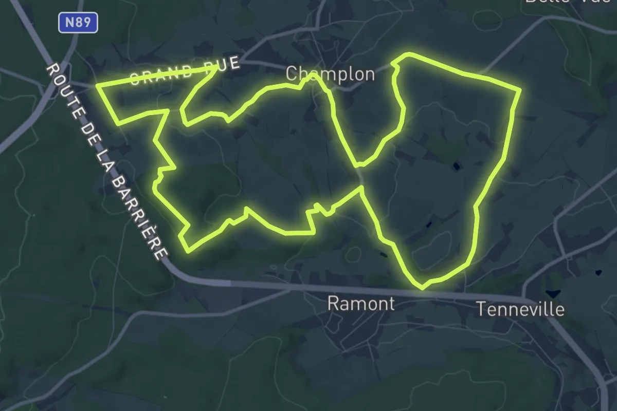
Medium · Trail
6. Promenade de Tultay
12.4 km · ↑ 168 m · 3 h 28 min
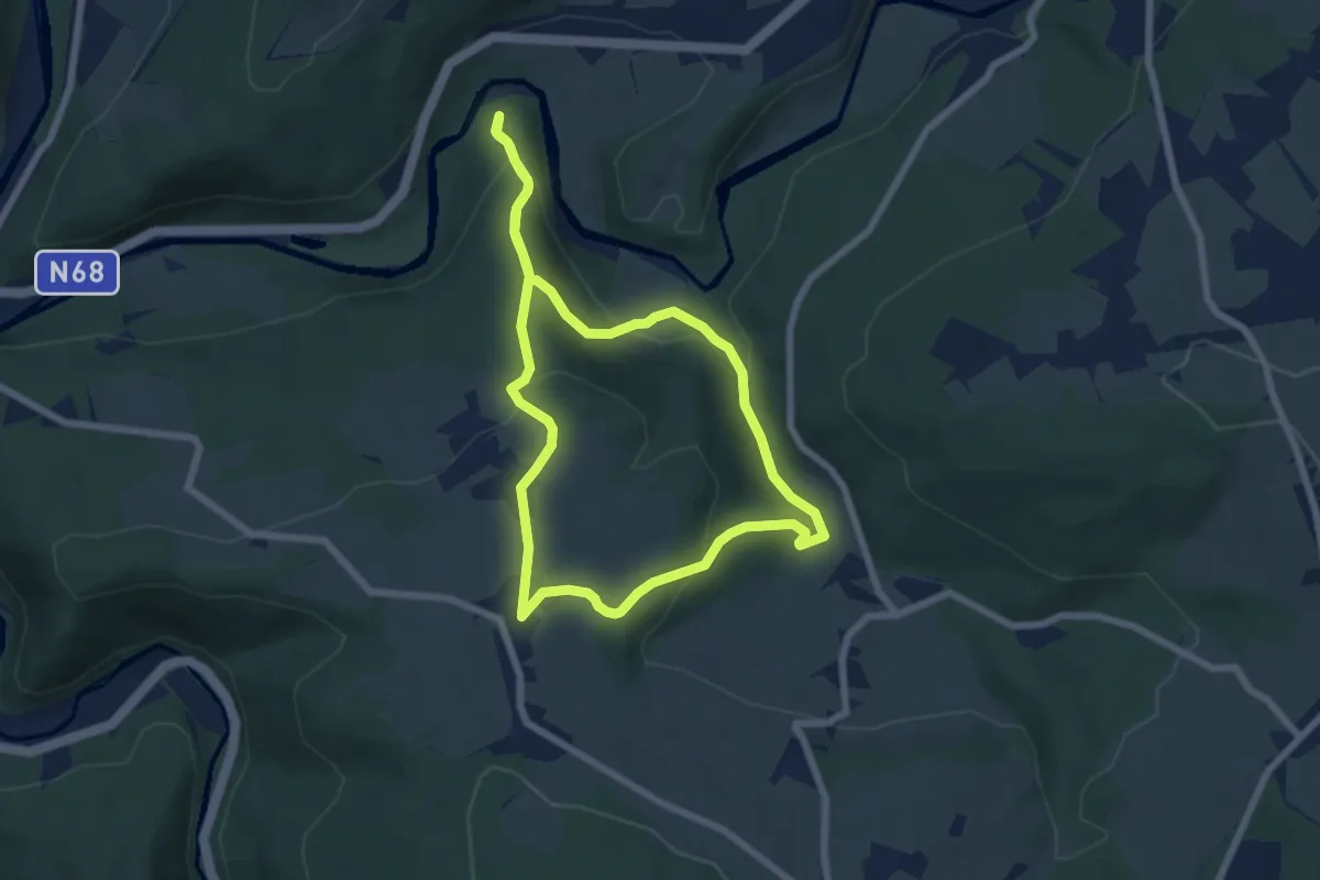
Easy · Trail
6. Promenade du Houx
5.9 km · ↑ 253 m · 2 h 1 min