Trails in Belgium
3,383 hiking trails, each with its route, climb, walking time and grade.
All trails, page 70 of 71
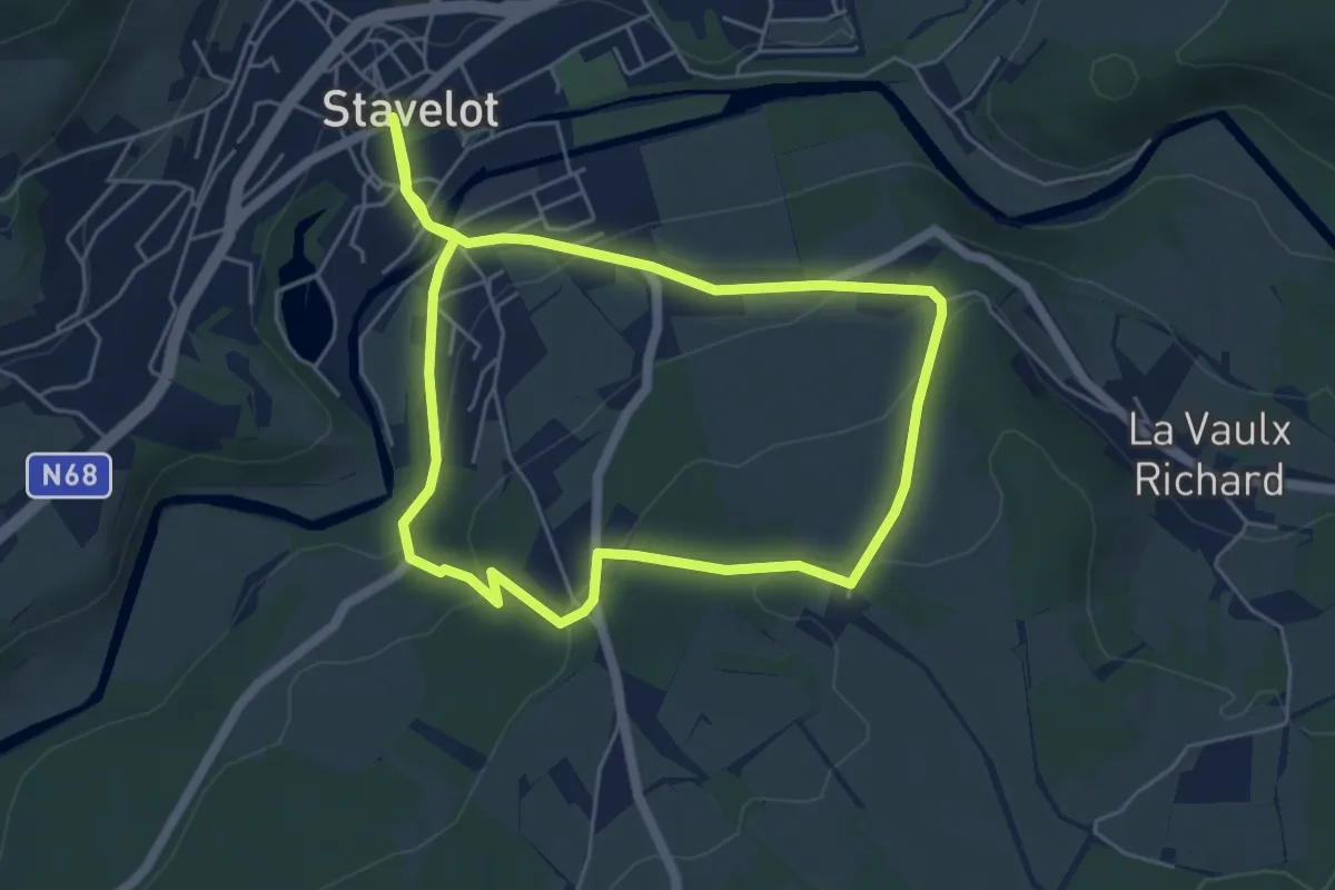
Medium · Trail
6. Promenade du Magiru
10.0 km · ↑ 358 m · 3 h 8 min
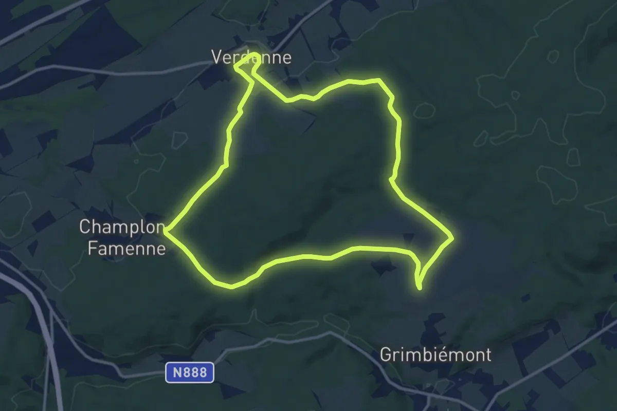
Medium · Trail
6. Promenade Jacinthe
10.4 km · ↑ 222 m · 3 h 5 min
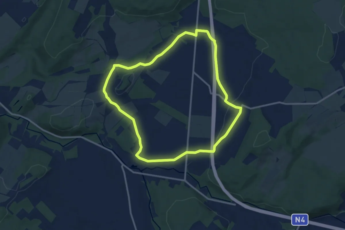
Easy · Trail
6. Promenade Les Espèches
7.9 km · ↑ 155 m · 2 h 18 min
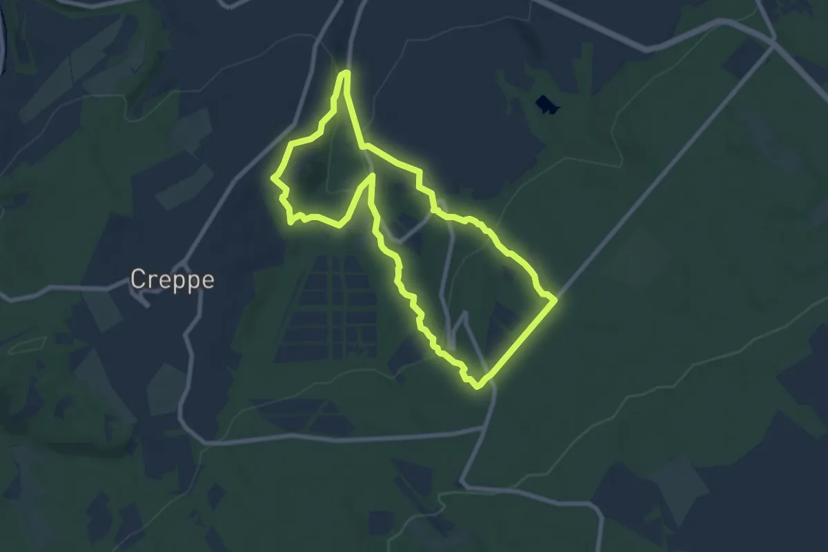
Easy · Trail
6. Promenade Meyerbeer
6.6 km · ↑ 209 m · 2 h 6 min
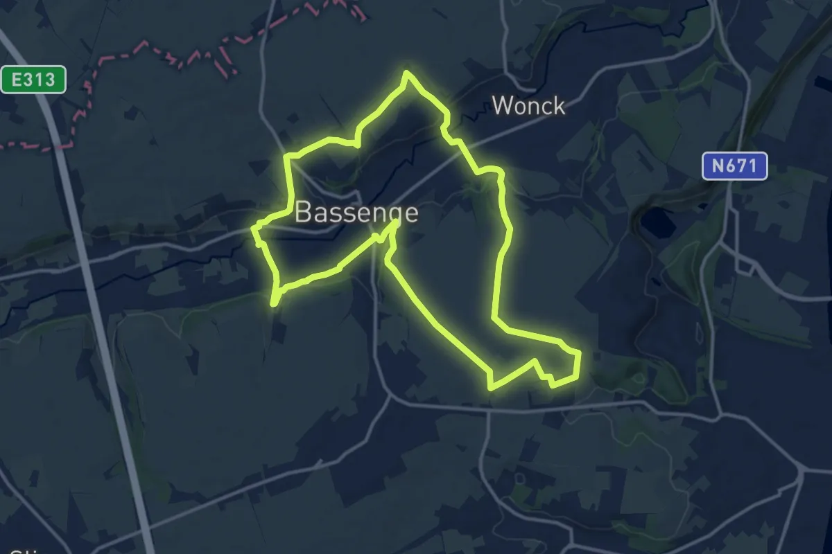
Medium · Trail
6.Roclenge-sur-Geer/7.Hauts de Froidmont: Triangle Rouge
12.3 km · ↑ 163 m · 3 h 26 min
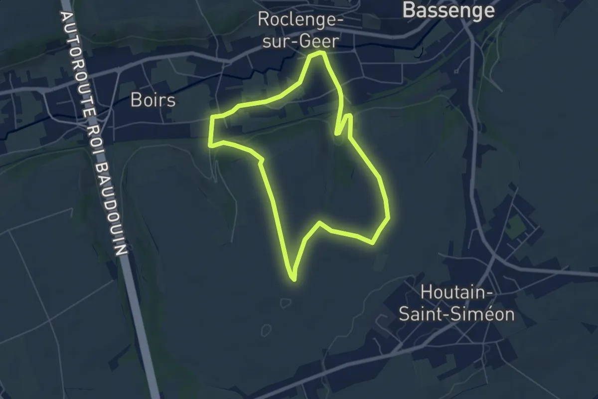
Easy · Trail
6.Roclenge-sur-Geer: Carreau Bleu
5.2 km · ↑ 77 m · 1 h 29 min
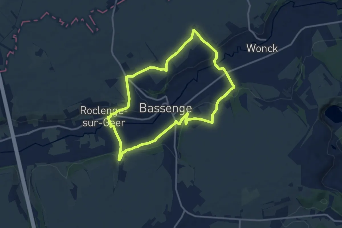
Easy · Trail
6.Roclenge-sur-Geer: Croix Orange
7.8 km · ↑ 126 m · 2 h 14 min
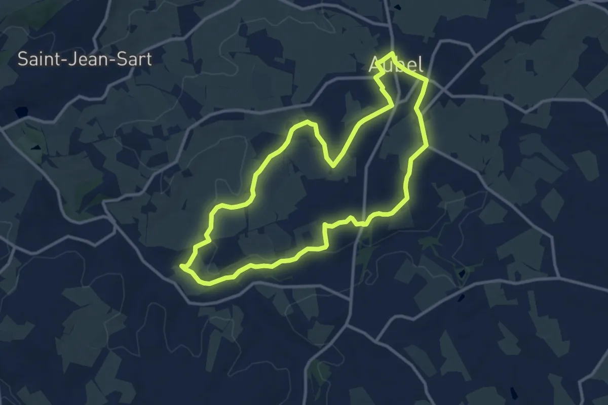
Medium · Trail
7. Balade de la Berwinne
8.8 km · ↑ 97 m · 2 h 25 min
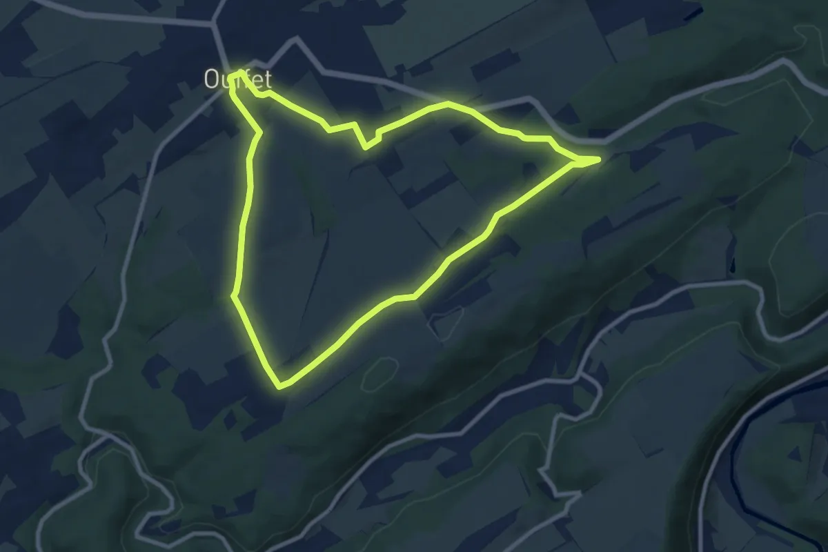
Easy · Trail
7. Balade des Fermes
7.7 km · ↑ 106 m · 2 h 9 min
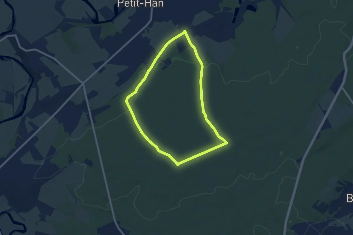
Easy · Trail
7. Chêne à l'image
5.6 km · ↑ 34 m · 1 h 28 min
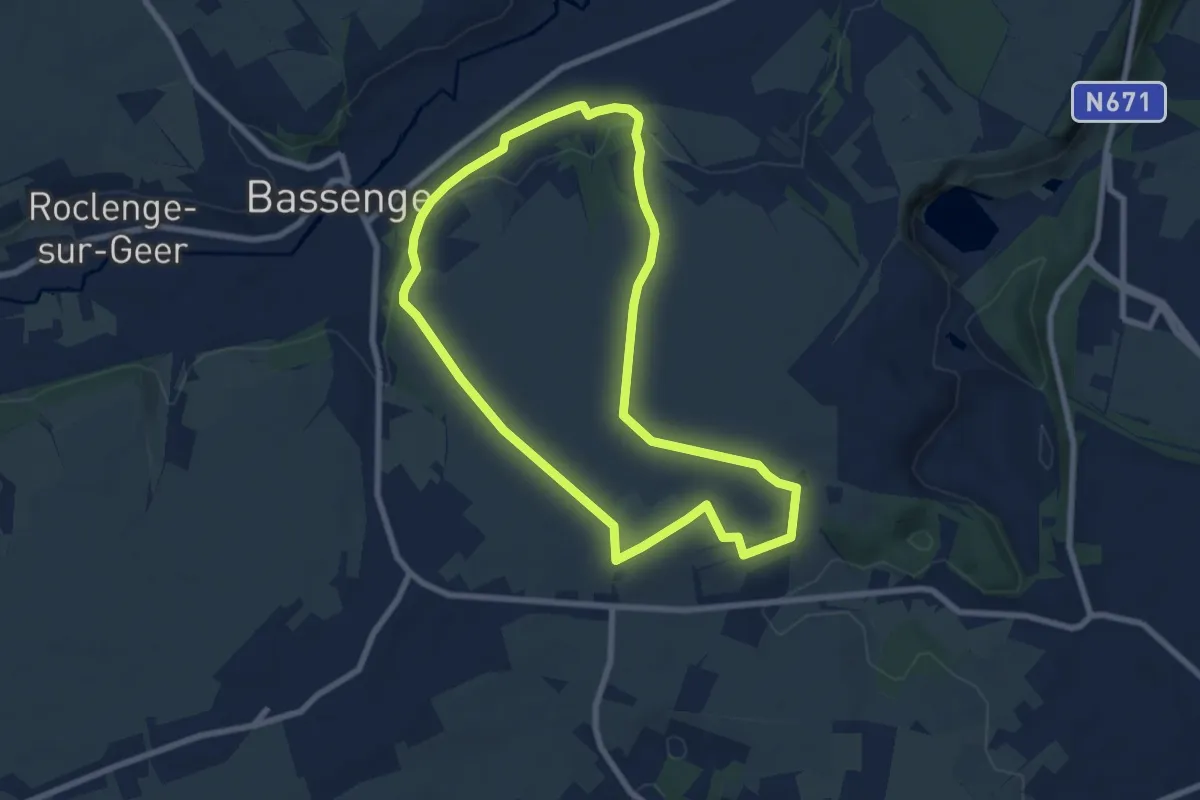
Easy · Trail
7.Hauts de Froidmont: Losange Bleu
7.0 km · ↑ 79 m · 1 h 55 min
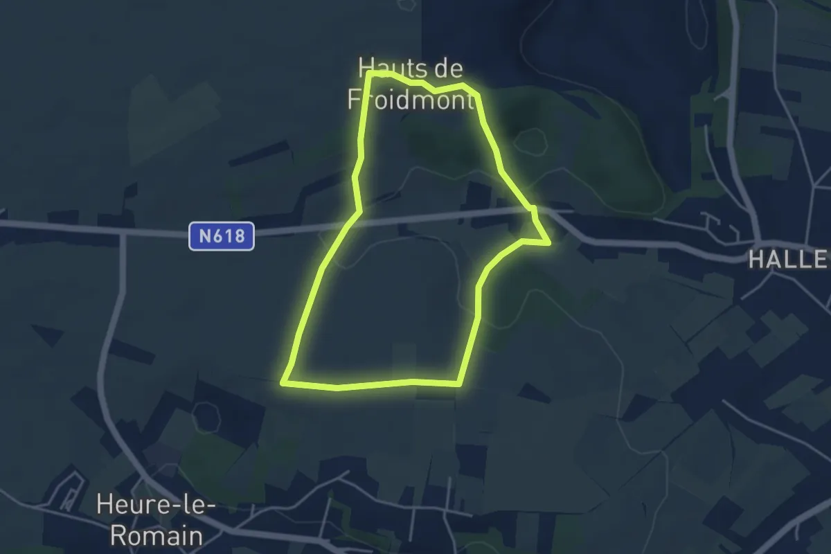
Easy · Trail
7.Hauts de Froidmont: Rectangle Vert
3.5 km · ↑ 77 m · 1 h 2 min
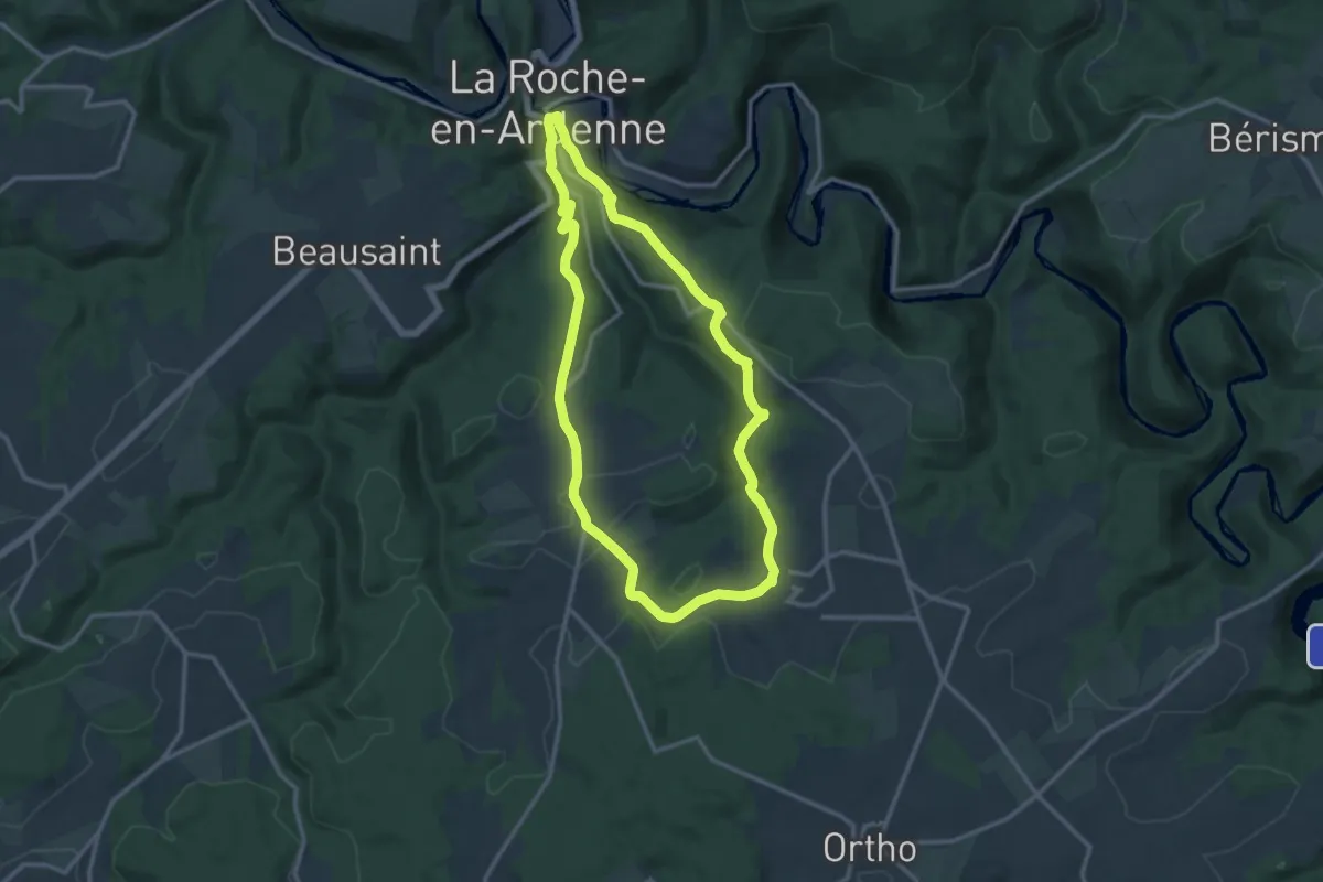
Medium · Trail
7. Hives
11.1 km · ↑ 275 m · 3 h 23 min
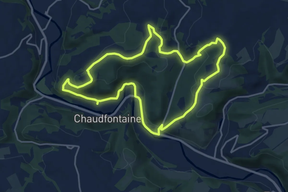
Medium · Trail
7. La Béole
9.5 km · ↑ 288 m · 3 h
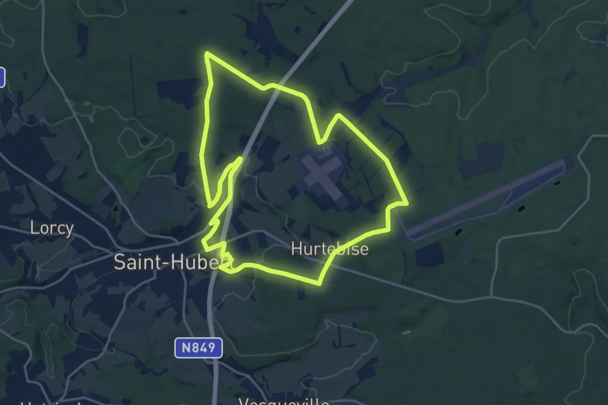
Medium · Trail
7. La Borne
13.9 km · ↑ 232 m · 3 h 59 min
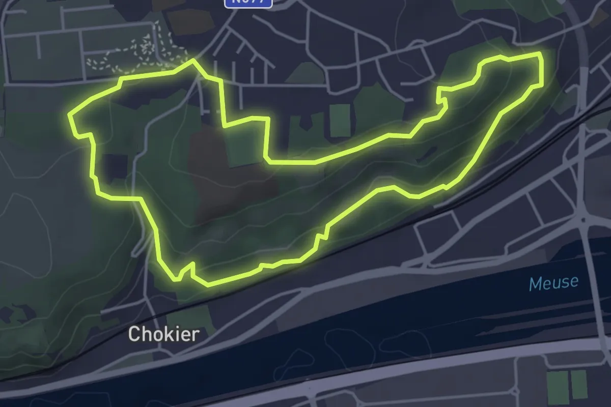
Easy · Trail
7. La réserve naturelle Sous les Roches
4.4 km · ↑ 131 m · 1 h 23 min
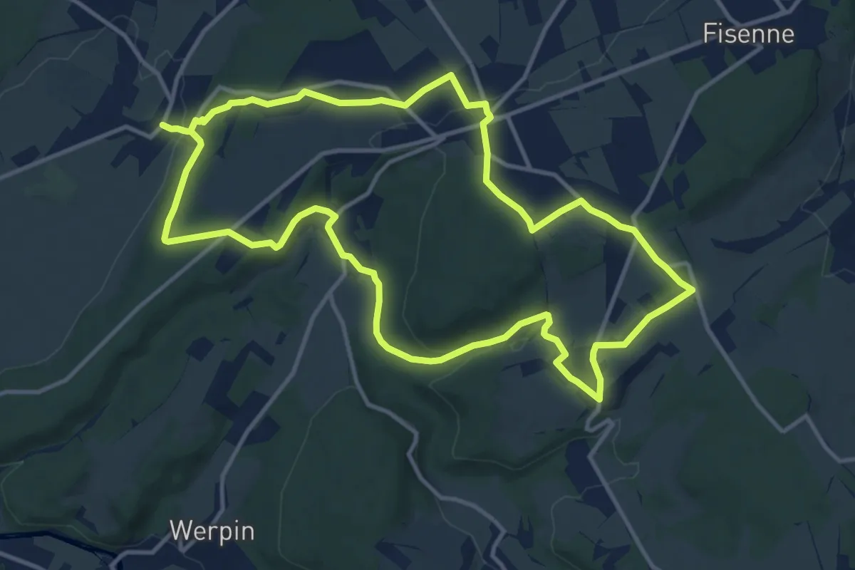
Medium · Trail
7. L'Isbelle
11.3 km · ↑ 229 m · 3 h 20 min
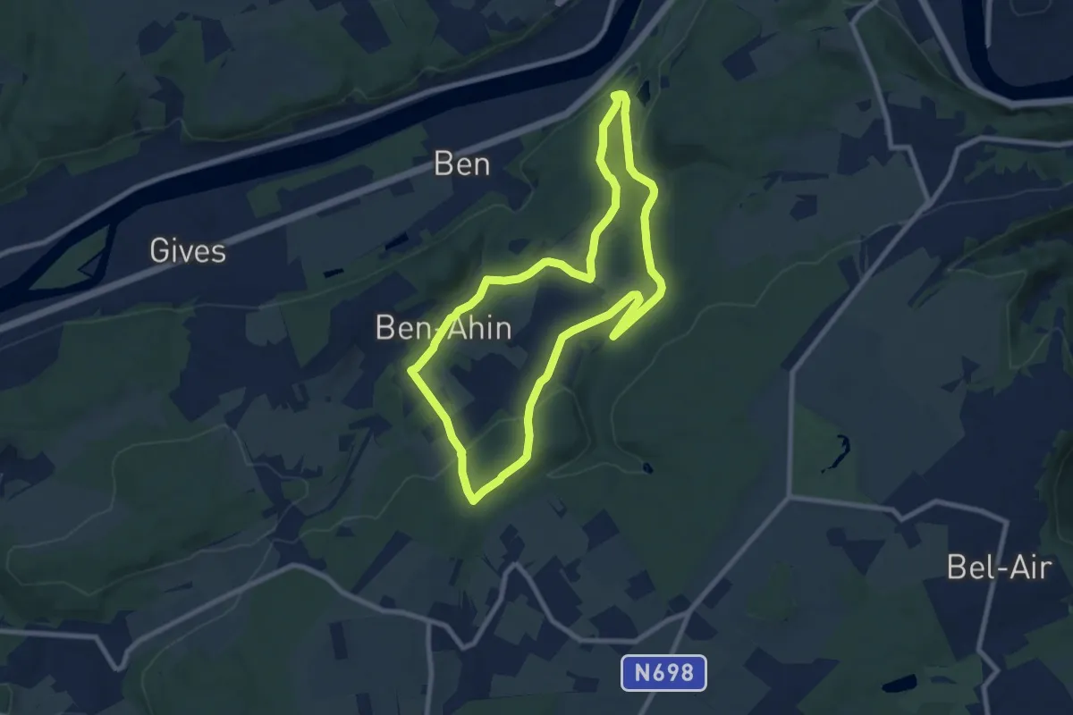
Easy · Trail
7. Promenade Beaufort
7.6 km · ↑ 186 m · 2 h 18 min
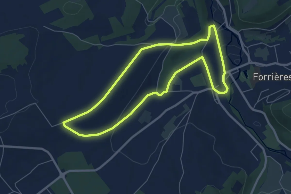
Easy · Trail
7. Promenade de Cocher
5.1 km · ↑ 78 m · 1 h 26 min
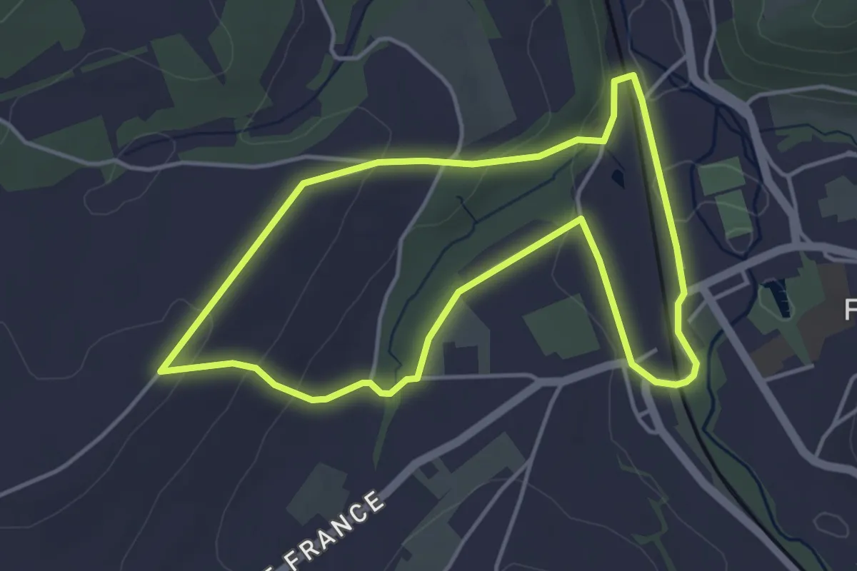
Easy · Trail
7. Promenade de Cocher - variante
3.8 km · ↑ 73 m · 1 h 7 min
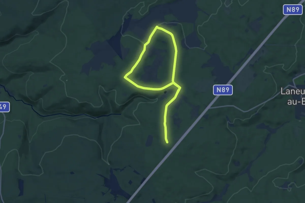
Demanding · Trail
7. Promenade de Mochamps
19.5 km · ↑ 212 m · 5 h 3 min
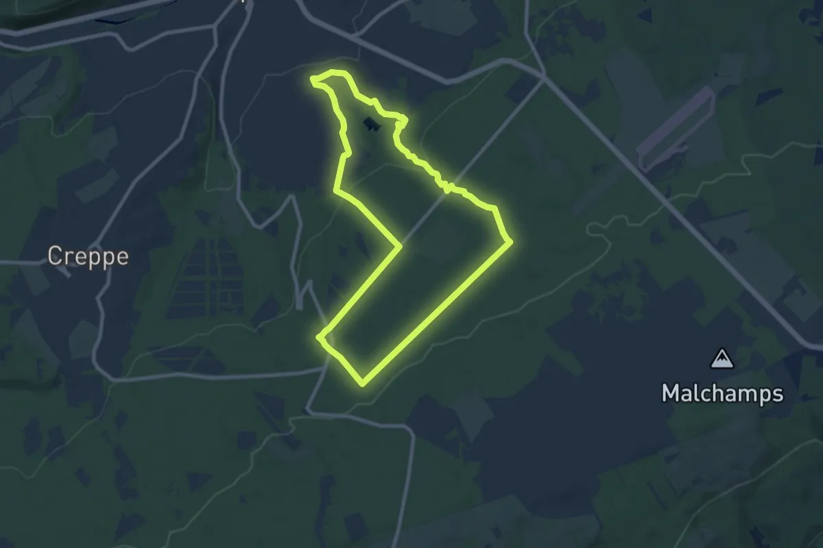
Easy · Trail
7. Promenade des Artistes
7.7 km · ↑ 187 m · 2 h 20 min
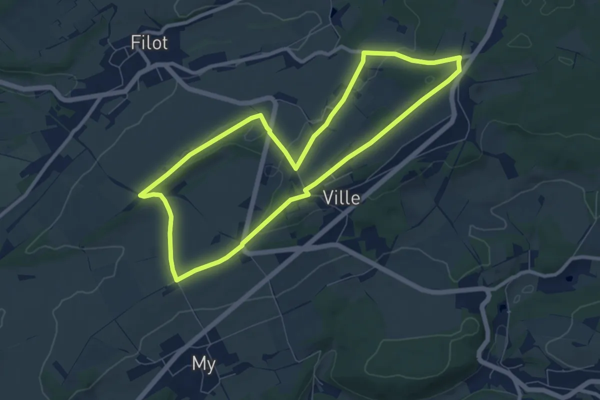
Easy · Trail
7. Promenade des Tailles
6.7 km · ↑ 94 m · 1 h 53 min
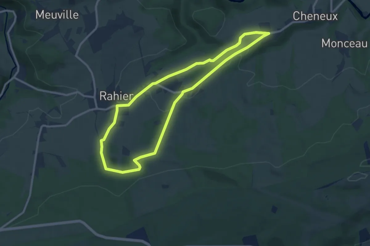
Easy · Trail
7. Promenade du Gué
6.6 km · ↑ 141 m · 1 h 57 min
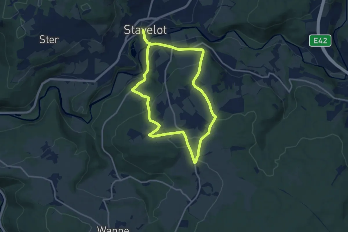
Medium · Trail
7. Promenade du Hibou
17.9 km · ↑ 489 m · 5 h 17 min
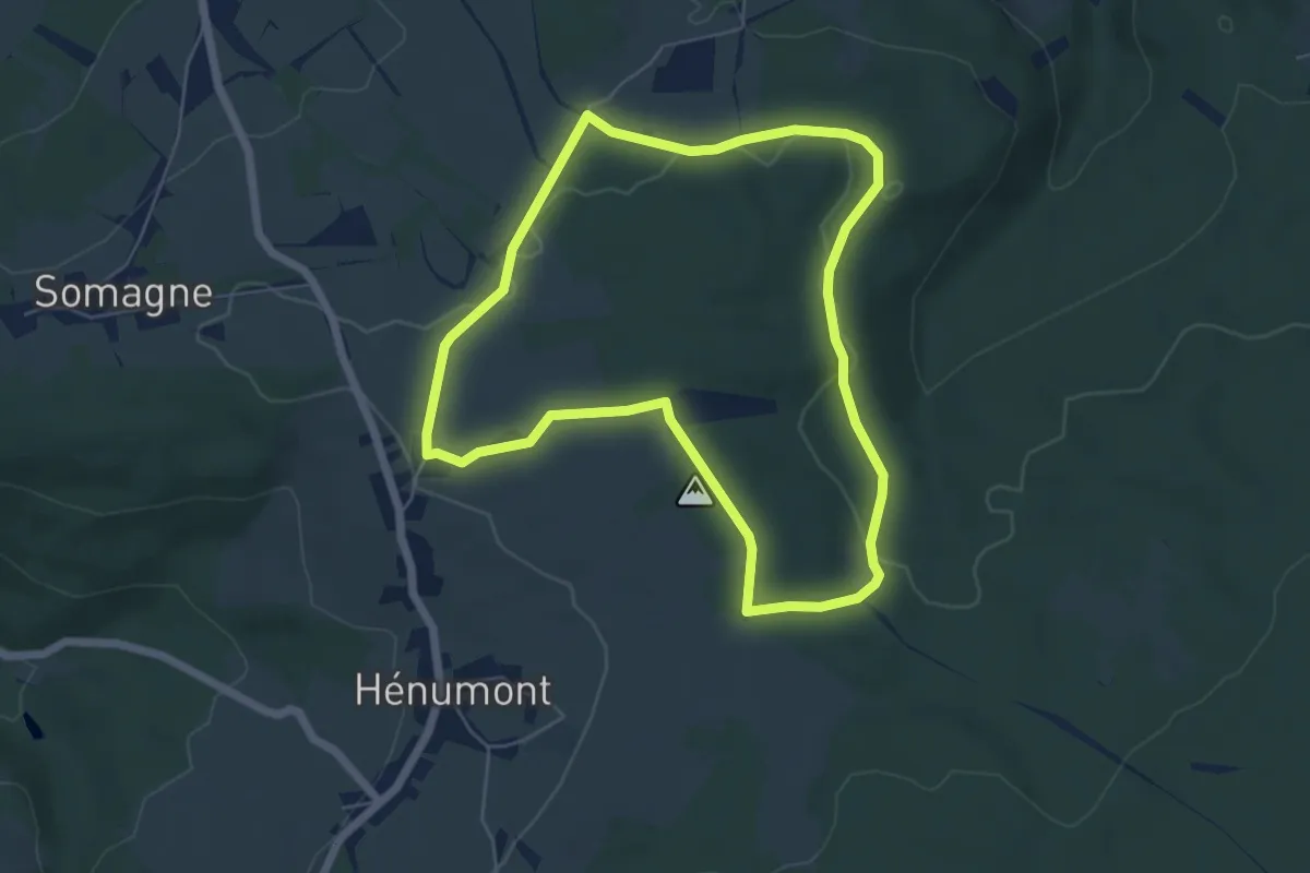
Easy · Trail
7. Promenade du Sanglier
5.2 km · ↑ 67 m · 1 h 26 min
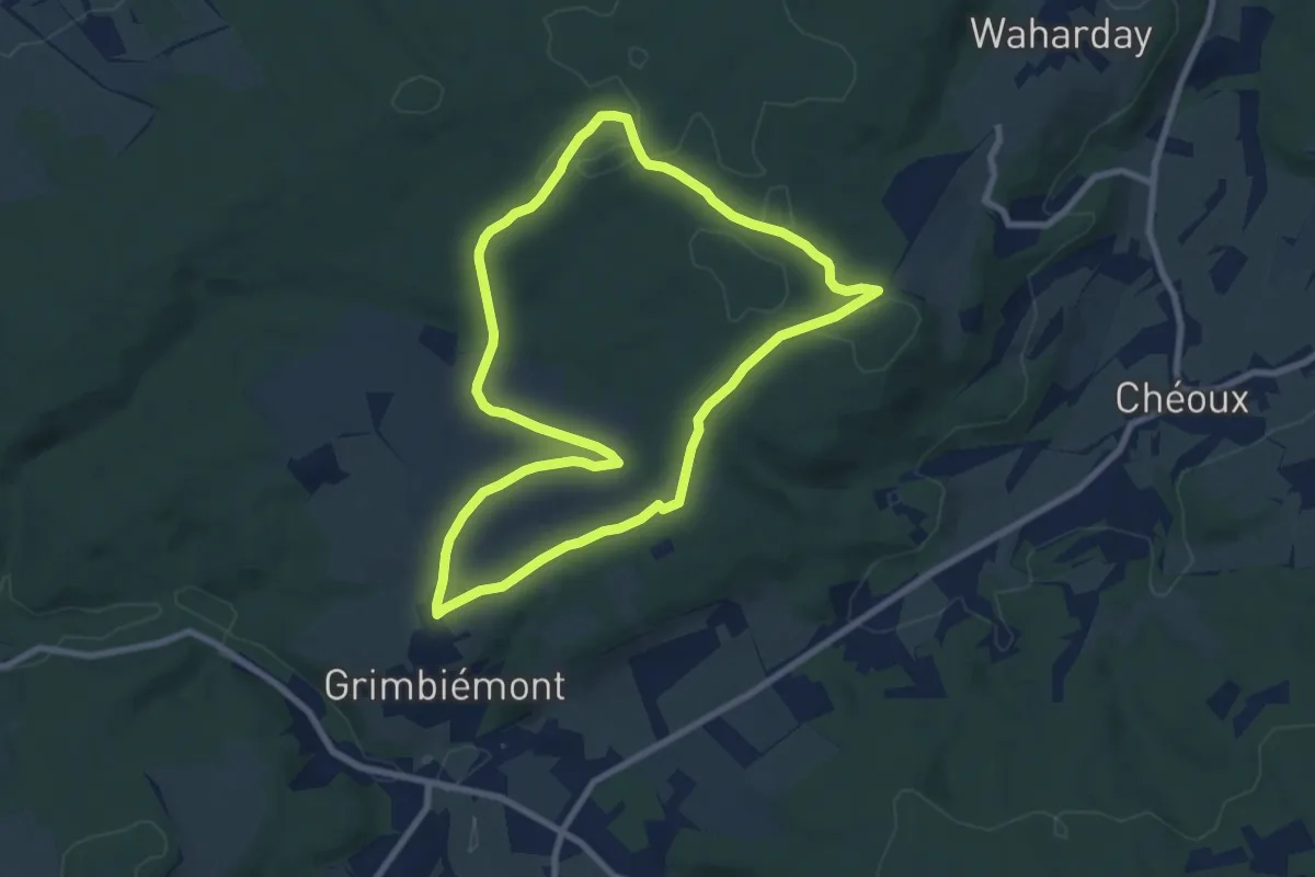
Easy · Trail
7. Promenade Violette
7.7 km · ↑ 86 m · 2 h 6 min
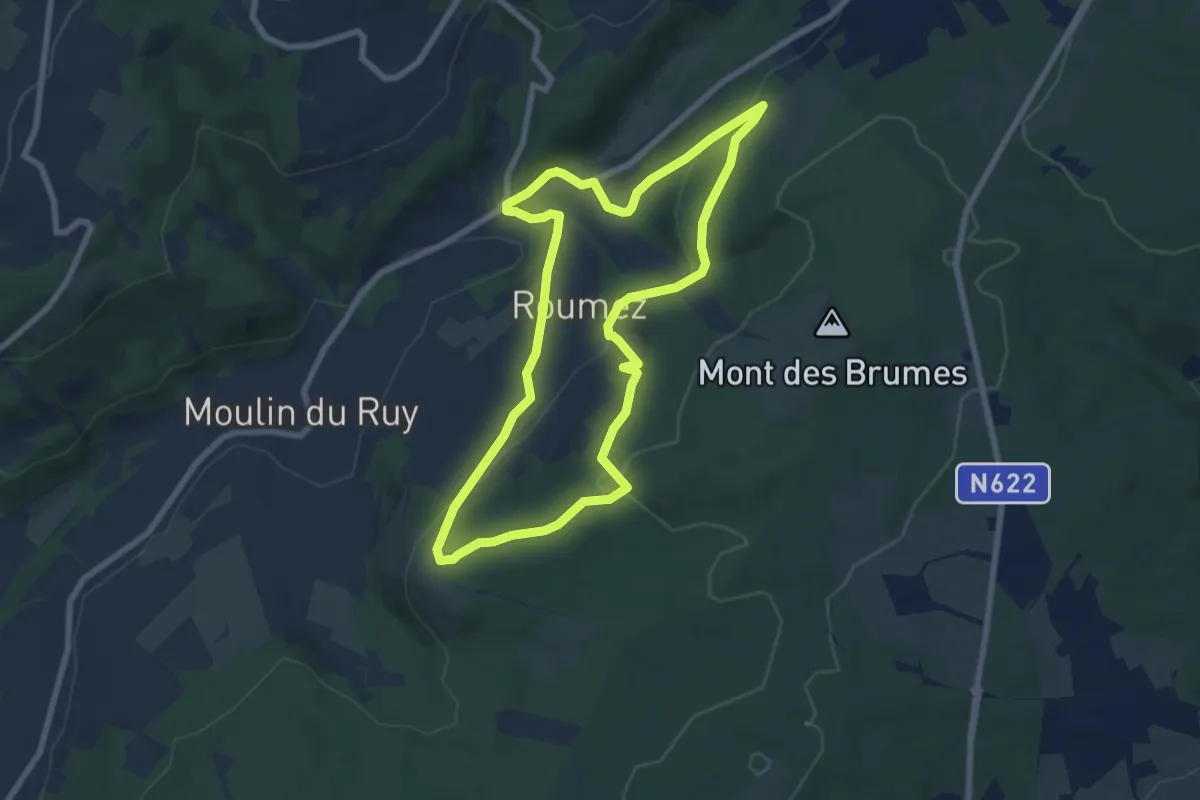
Easy · Trail
7. Ruy - Exbomont - Mont des Brumes
6.8 km · ↑ 241 m · 2 h 13 min
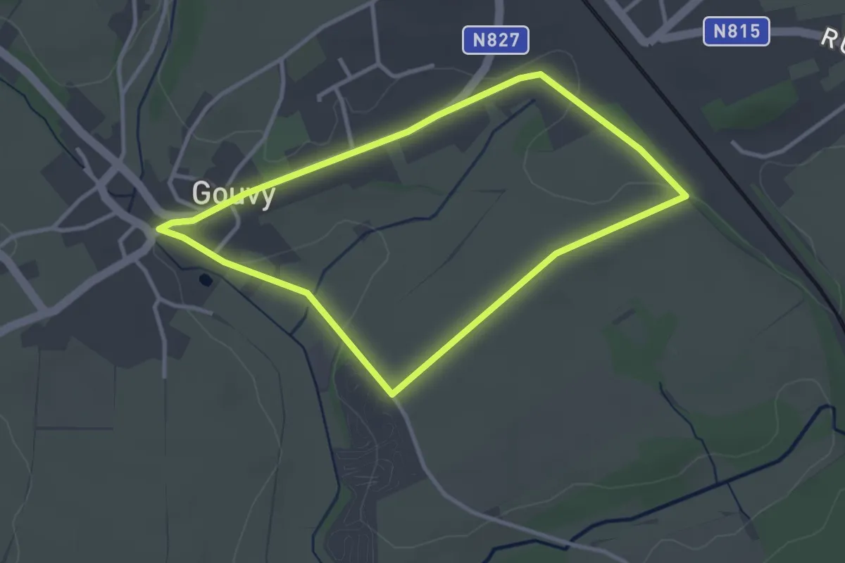
Easy · Trail
7. Sur les Monts
2.8 km · ↑ 28 m · 46 min
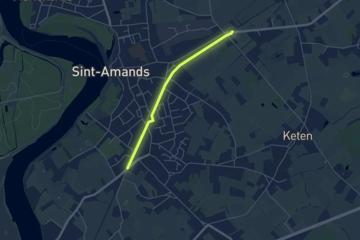
Easy · Trail
85-102
3.7 km · ↑ 0 m · 53 min
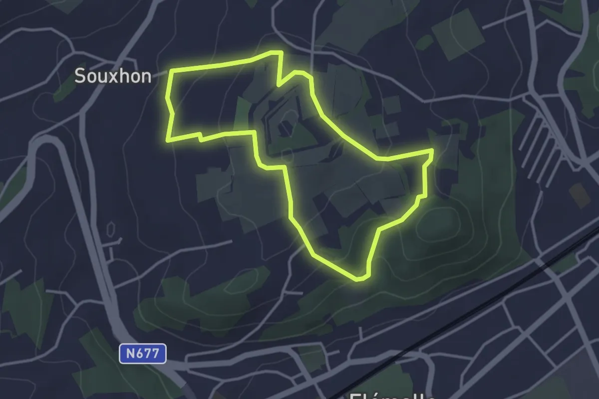
Easy · Trail
8. Autour de fort de Flémalle
2.9 km · ↑ 102 m · 58 min
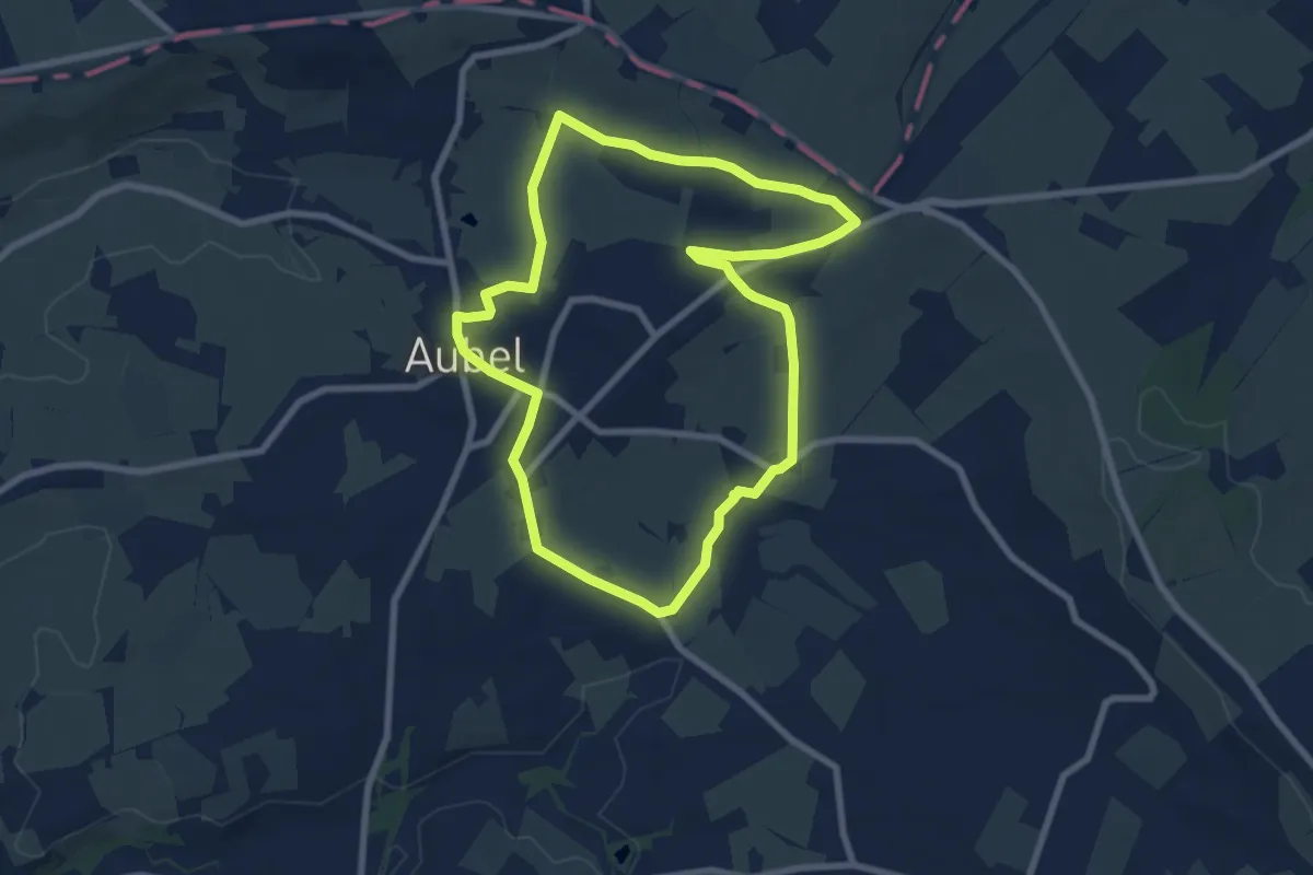
Easy · Trail
8. Balade de Saint-Hubert
7.0 km · ↑ 90 m · 1 h 57 min
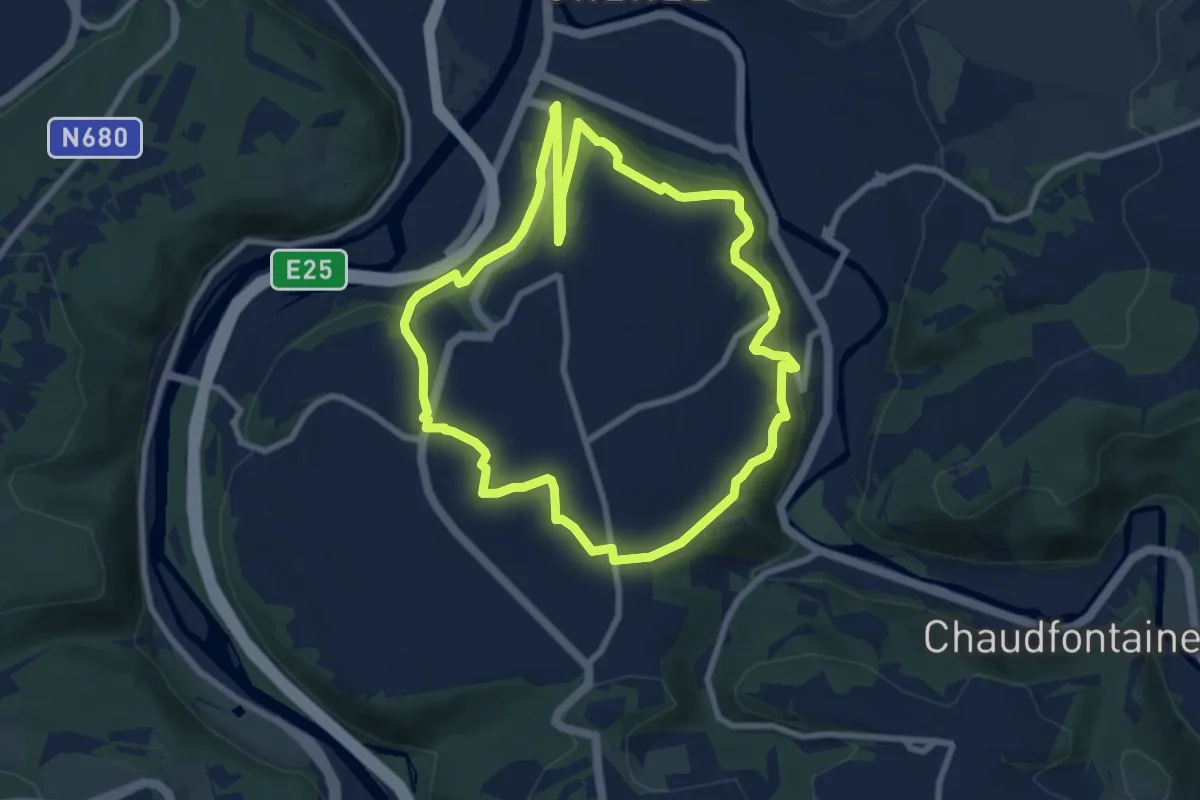
Easy · Trail
8. Balade du Confluent
7.8 km · ↑ 218 m · 2 h 25 min
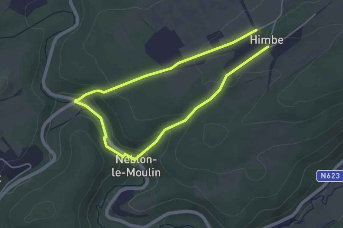
Easy · Trail
8. Baladu du facteur
2.7 km · ↑ 91 m · 52 min
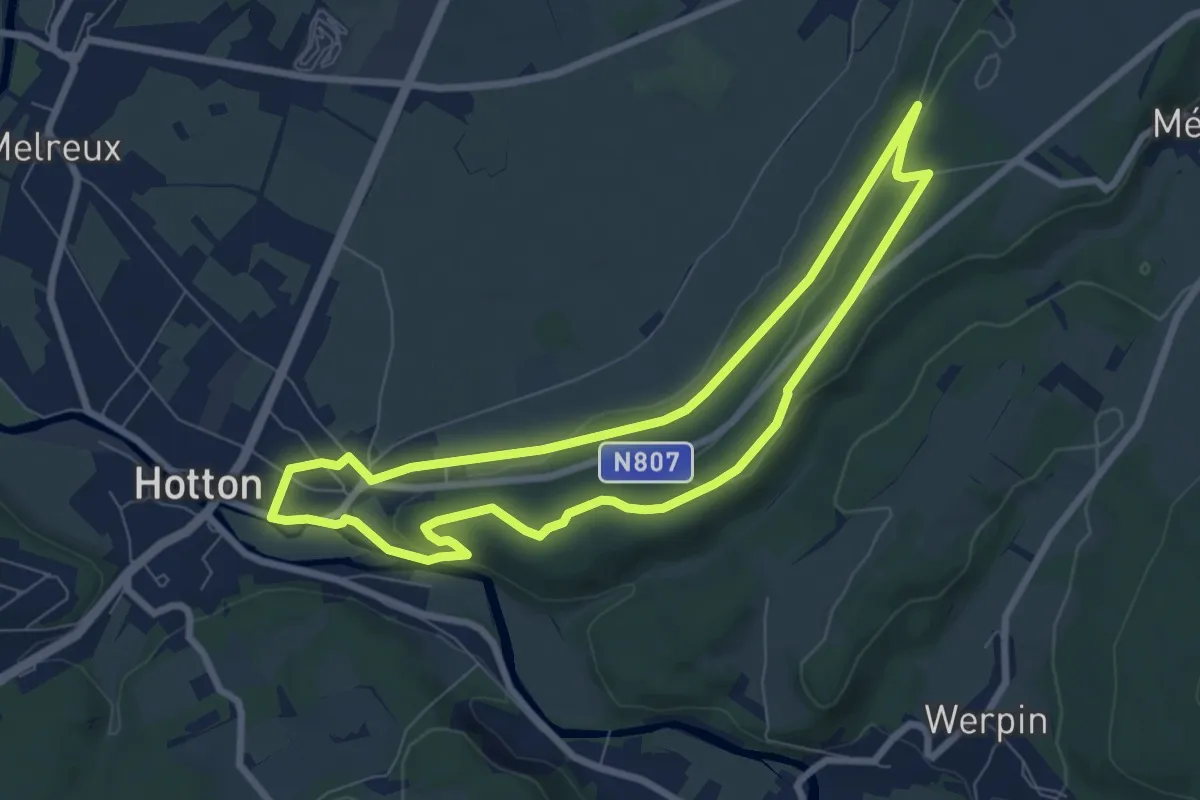
Easy · Trail
8. La porte Aïve
6.8 km · ↑ 85 m · 1 h 54 min
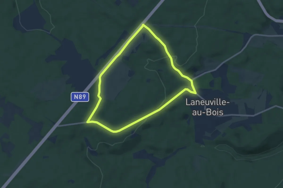
Easy · Trail
8. Promenade de la Converserie
6.1 km · ↑ 109 m · 1 h 46 min
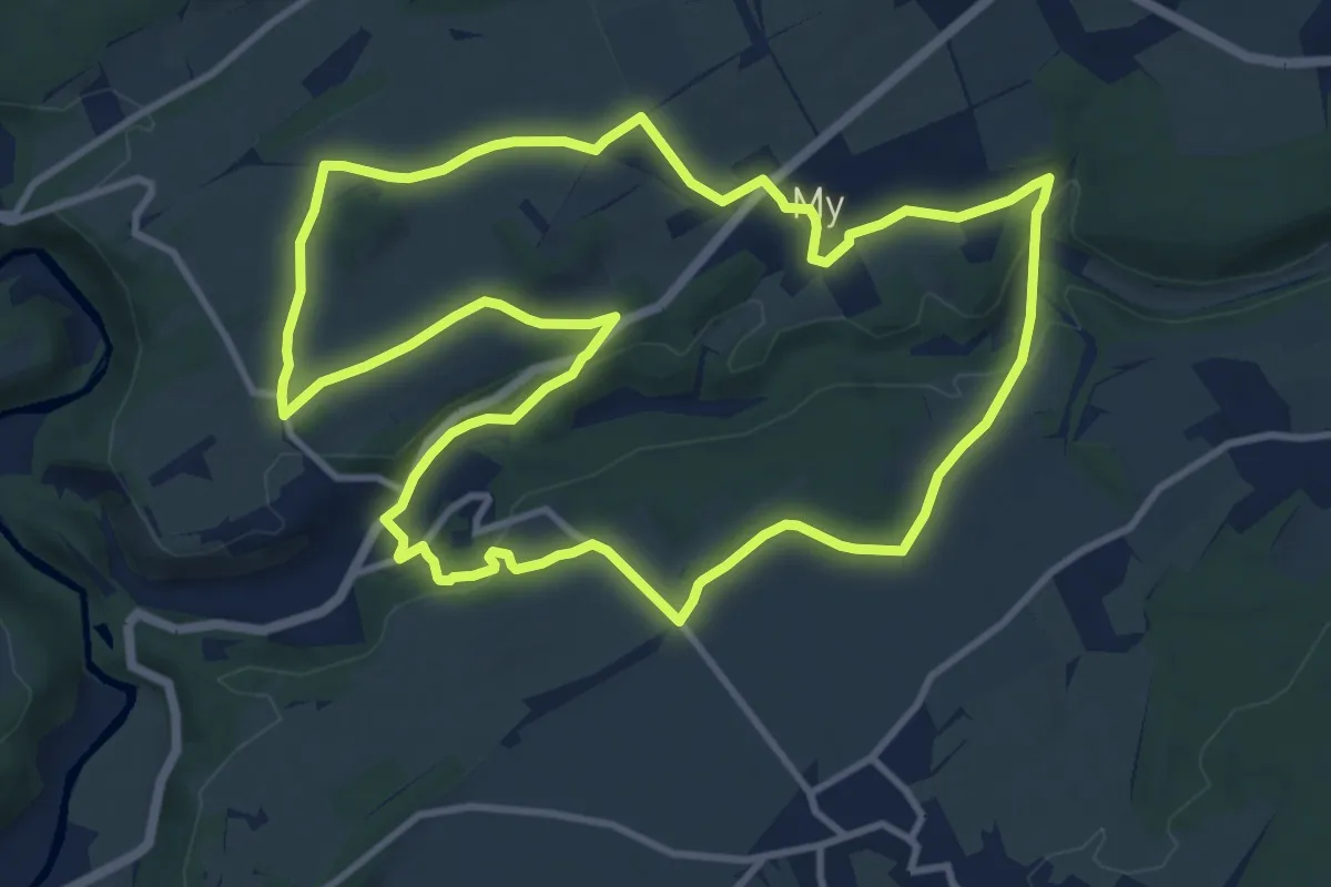
Medium · Trail
8. Promenade de la Famenne
10.8 km · ↑ 214 m · 3 h 10 min
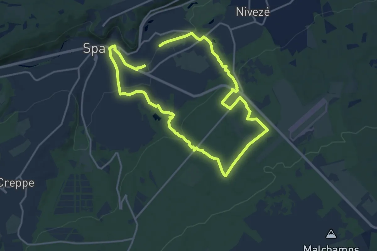
Medium · Trail
8. Promenade d'Orléans
9.1 km · ↑ 240 m · 2 h 48 min
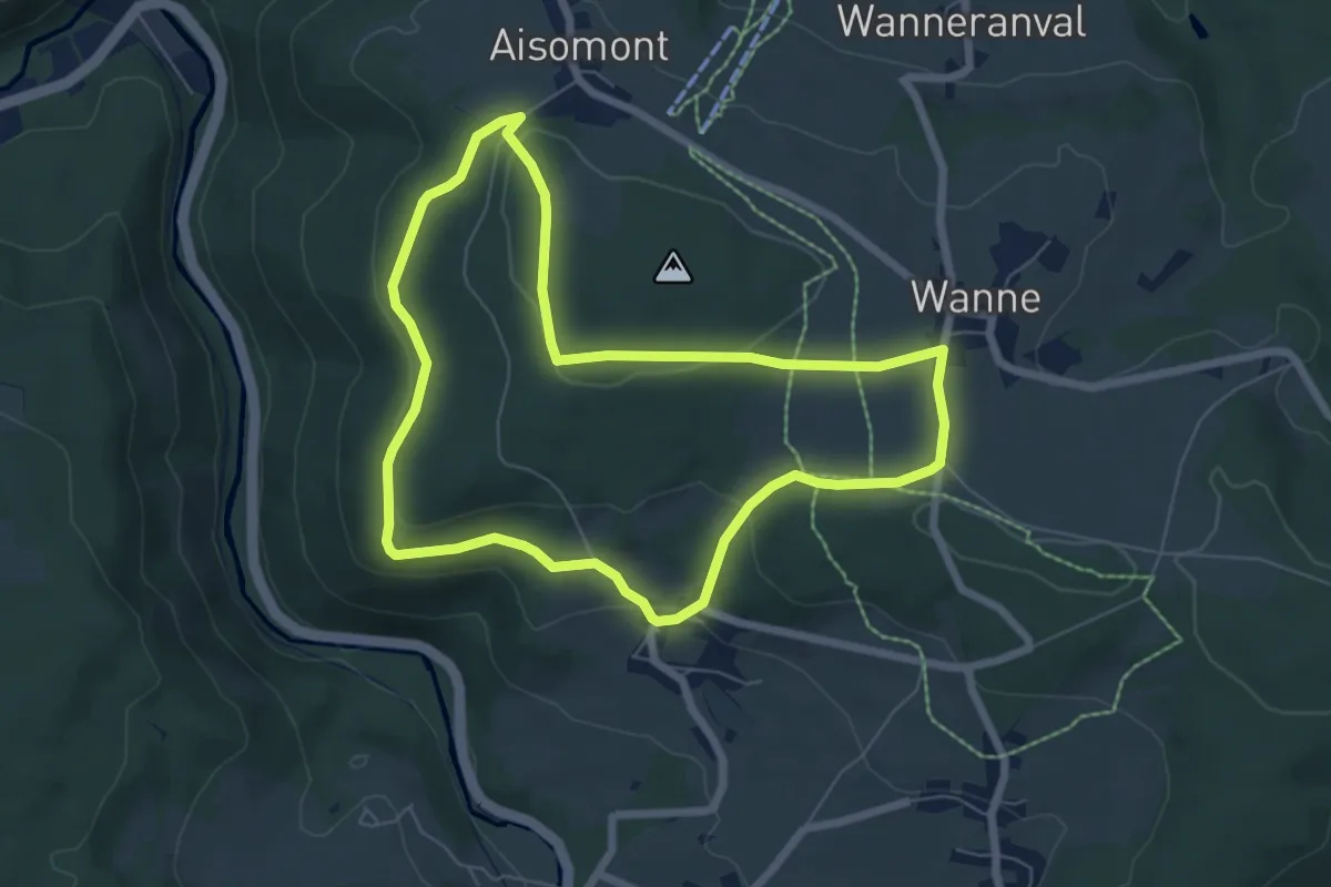
Easy · Trail
8. Promenade du Château de Wanne
5.9 km · ↑ 135 m · 1 h 47 min
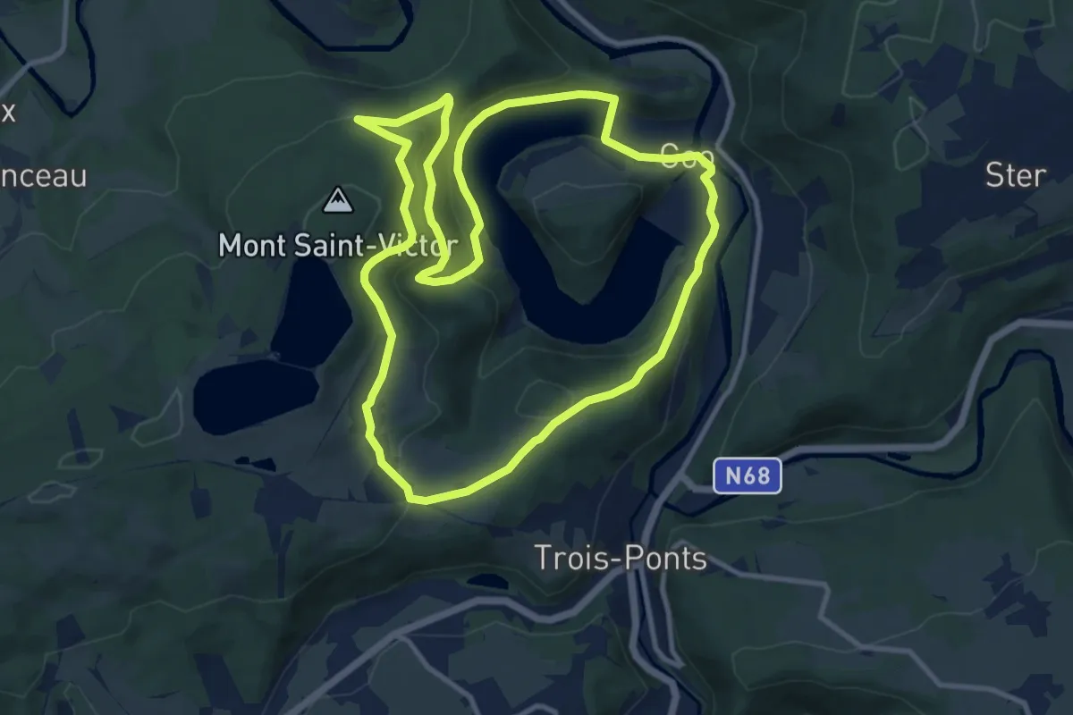
Medium · Trail
8. Promenade du Merle
10.3 km · ↑ 336 m · 3 h 18 min
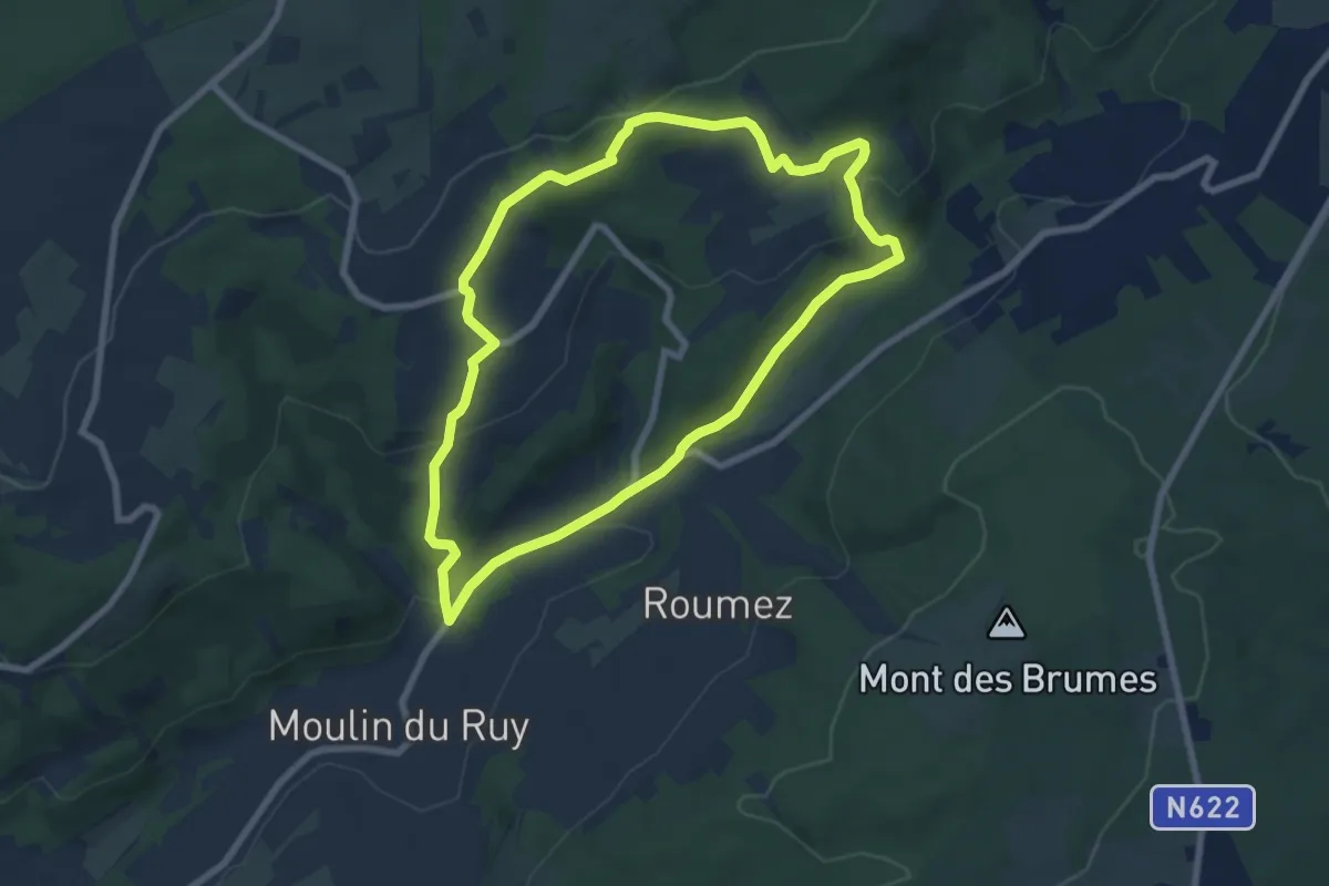
Easy · Trail
8. Promenade du Pouhon de Ruy
6.7 km · ↑ 212 m · 2 h 7 min
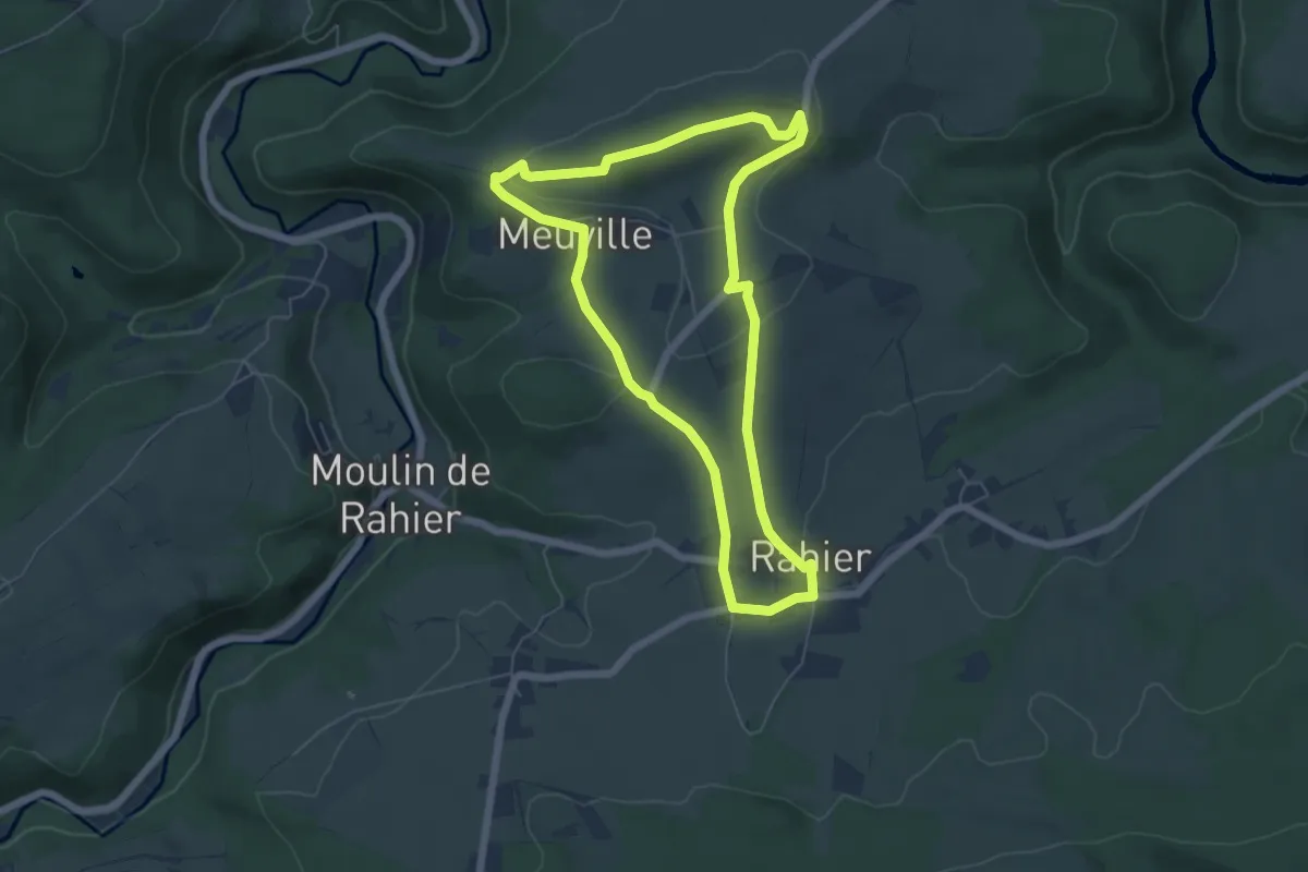
Easy · Summit
8. Promenade du Rofthier
5.3 km · ↑ 120 m · 1 h 35 min
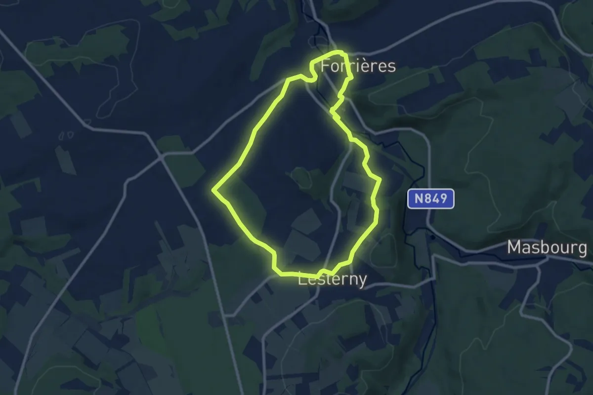
Easy · Trail
8. Promenade Saint-Martin
7.4 km · ↑ 107 m · 2 h 5 min
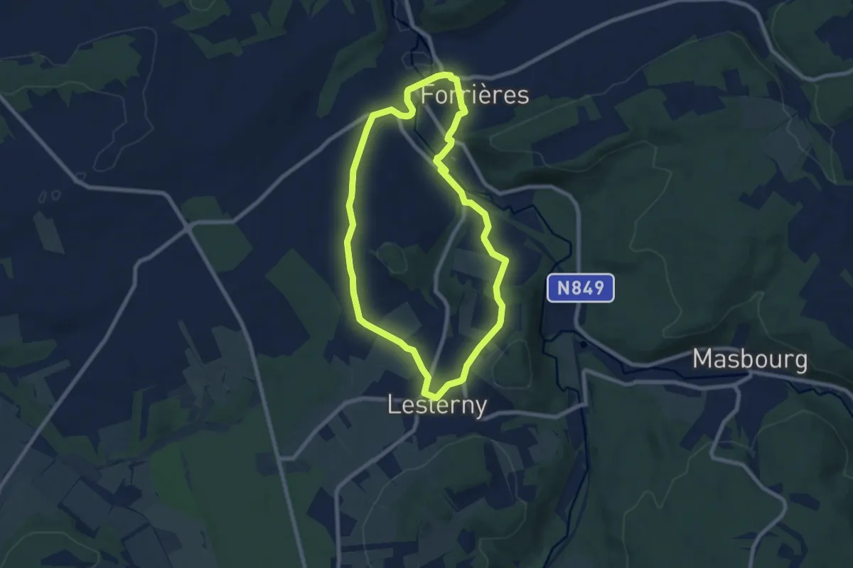
Easy · Trail
8. Promenade Saint-Martin - variante
6.6 km · ↑ 125 m · 1 h 55 min
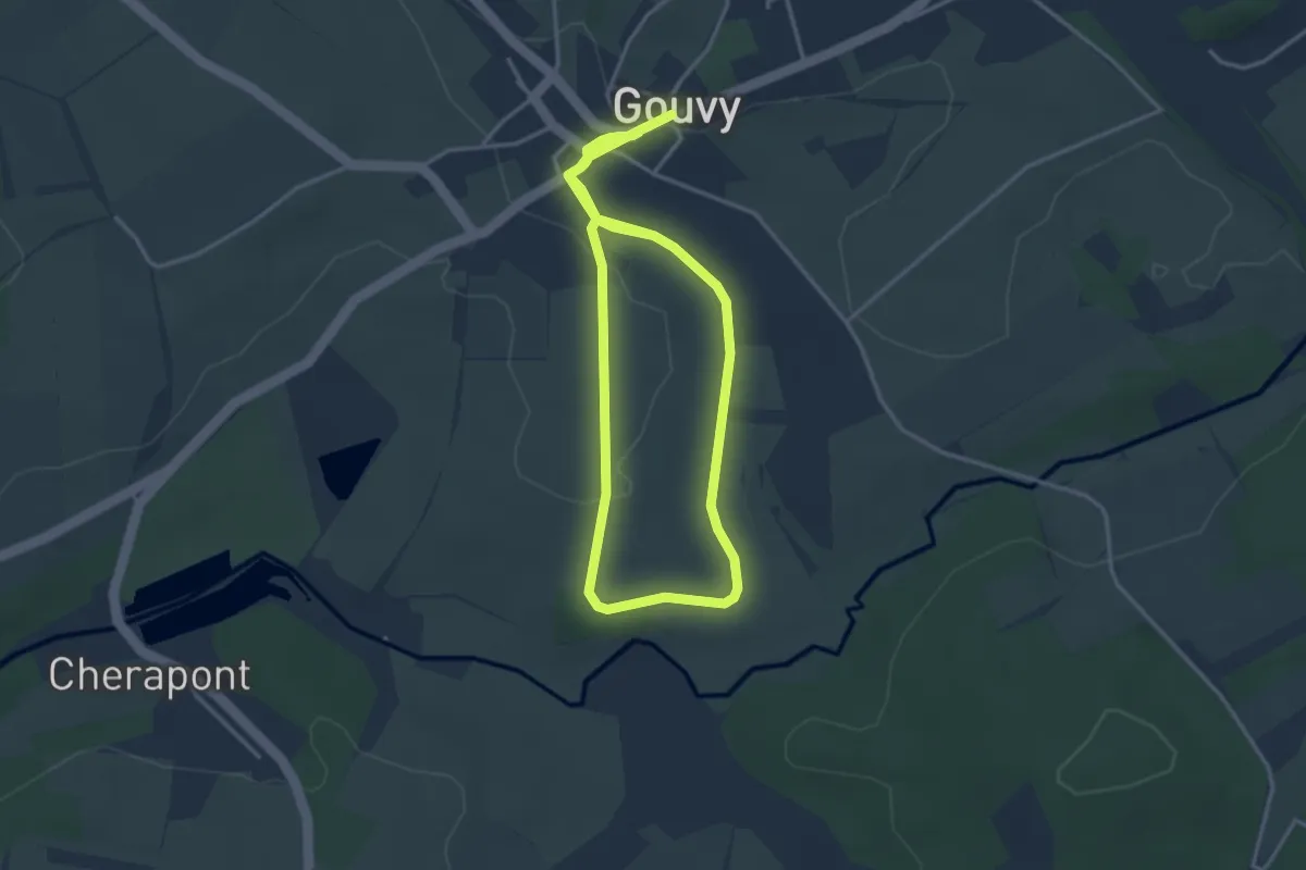
Easy · Trail
8.Tour du Jambon
6.5 km · ↑ 67 m · 1 h 40 min
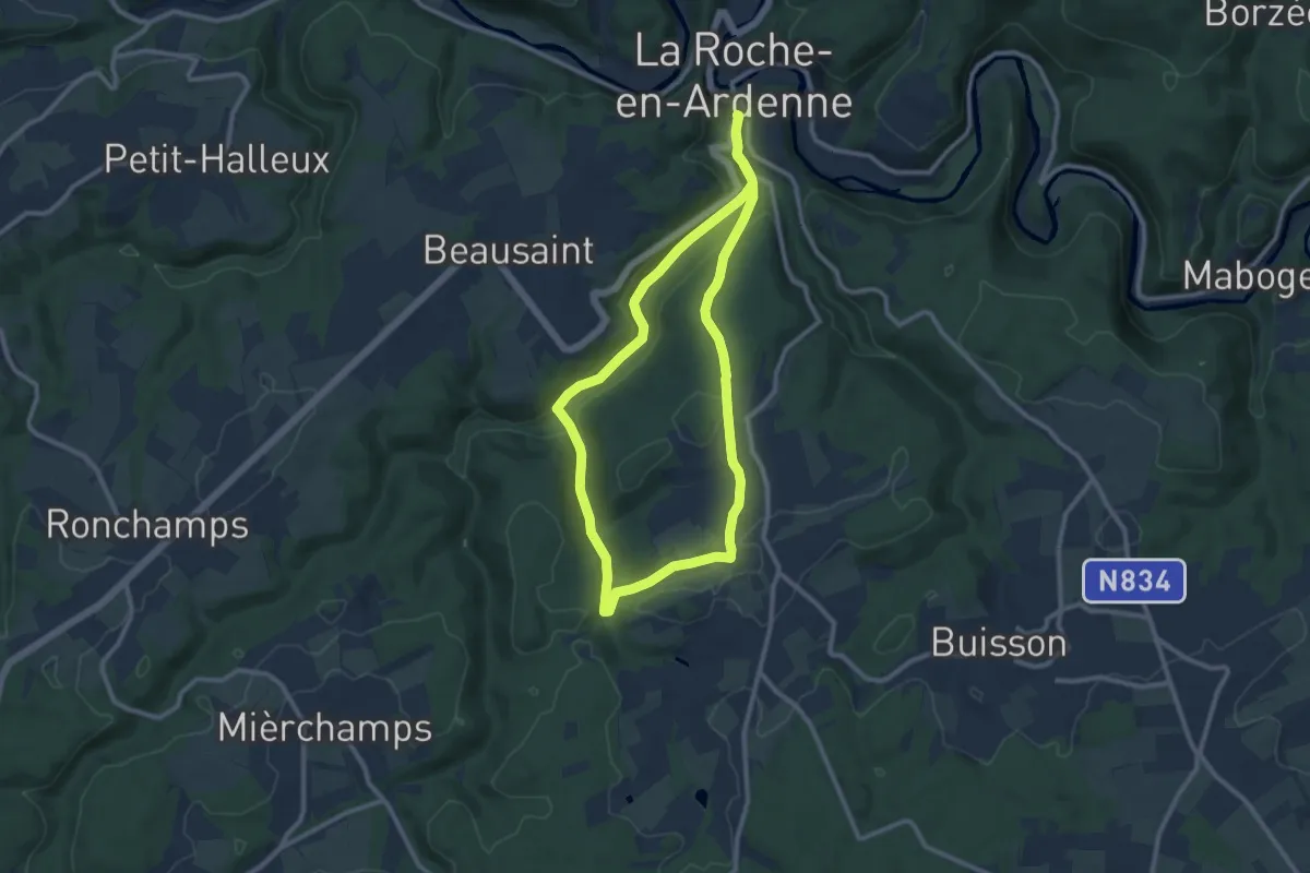
Medium · Trail
8. Vallée des Tombes
8.8 km · ↑ 190 m · 2 h 37 min
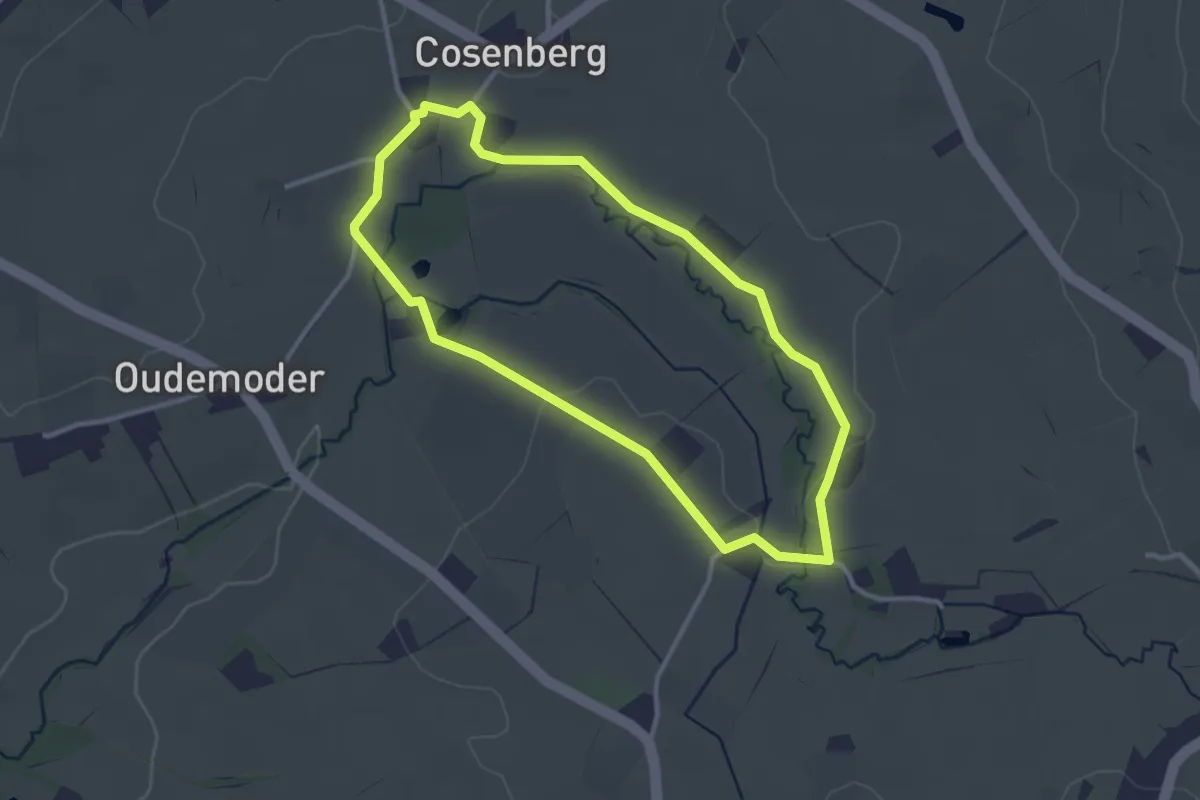
Easy · Trail
9. Balade de Roebroeck
2.7 km · ↑ 14 m · 43 min
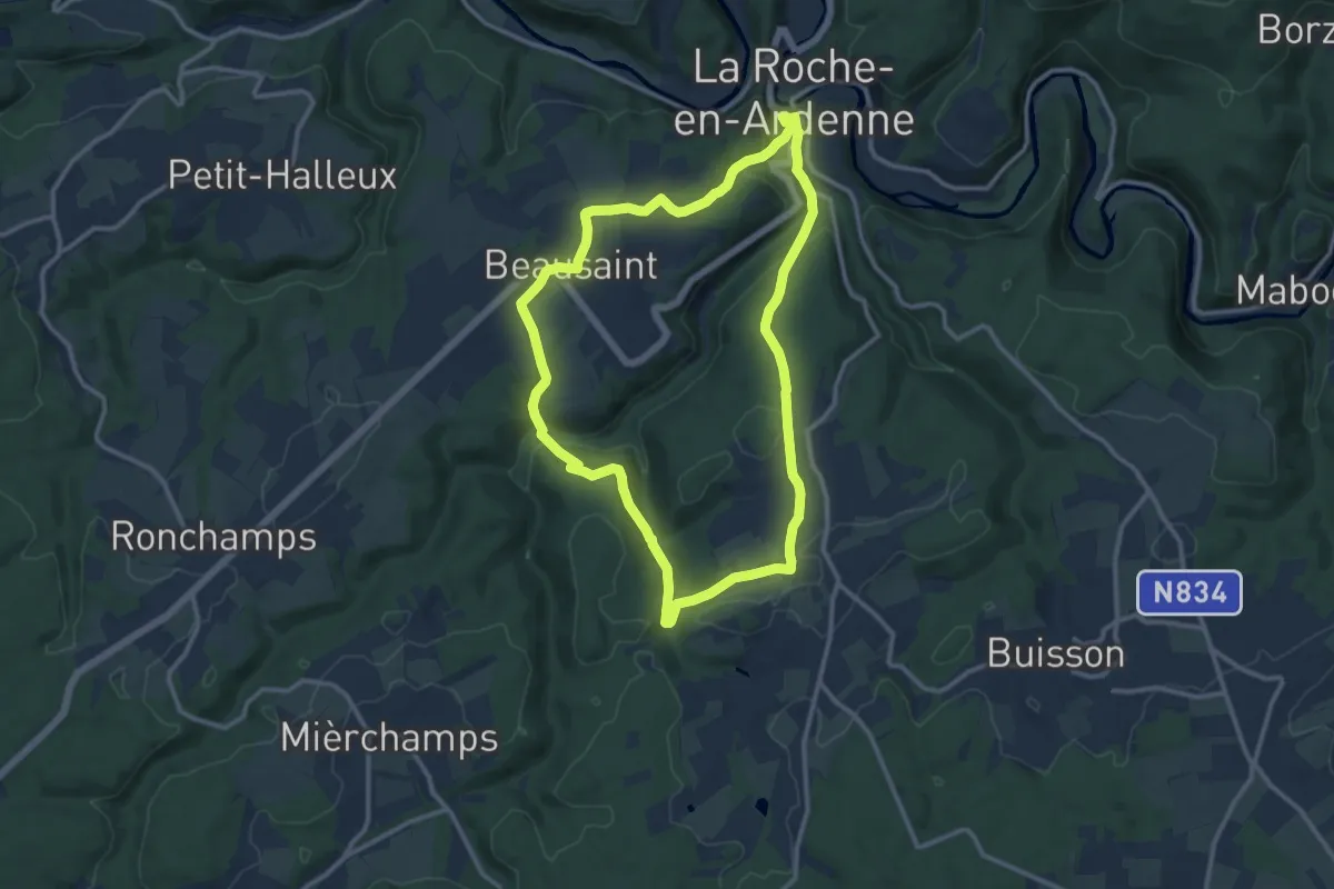
Medium · Trail
9. Beausaint
10.5 km · ↑ 298 m · 3 h 17 min