Trails in Canada
1,109 hiking trails, each with its route, climb, walking time and grade.
All trails, page 15 of 24
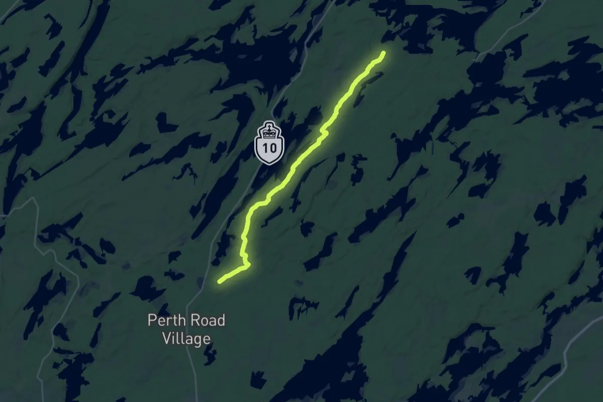
Demanding · Trail
RT Buck Lake Loop
29.8 km · ↑ 301 m · 7 h 41 min
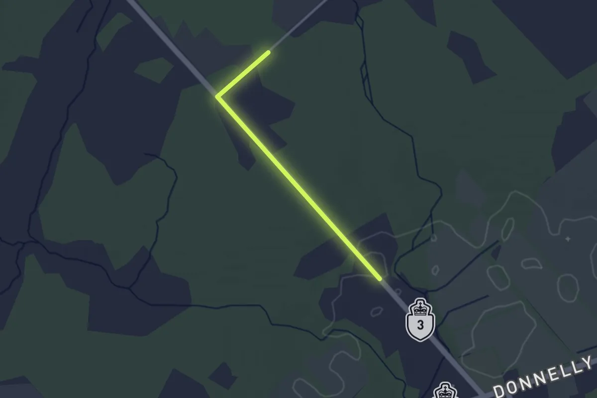
Easy · Trail
RT Dwyer Hill Detour
2.6 km · ↑ 9 m · 38 min
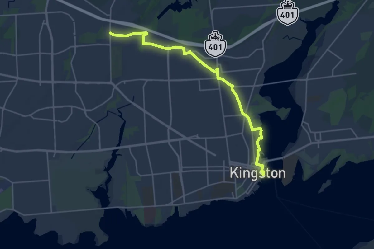
Demanding · Trail
RT K&P Blue Loop
19.4 km · ↑ 73 m · 4 h 44 min
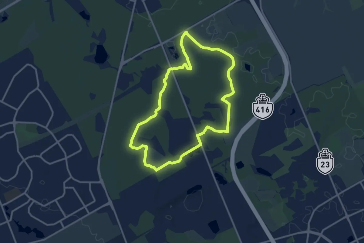
Medium · Trail
RT Lime Kiln Blue Loop
8.6 km · ↑ 16 m · 2 h 12 min
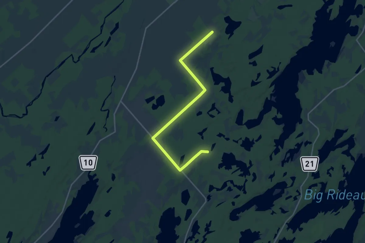
Medium · Trail
RT Mackler-Ferrier
17.4 km · ↑ 44 m · 4 h 13 min
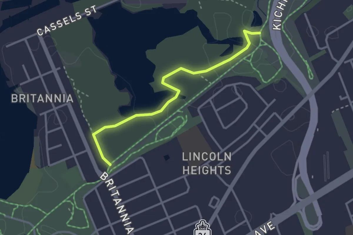
Easy · Trail
RT Mud Lake Blue Loop
2.9 km · ↑ 4 m · 42 min
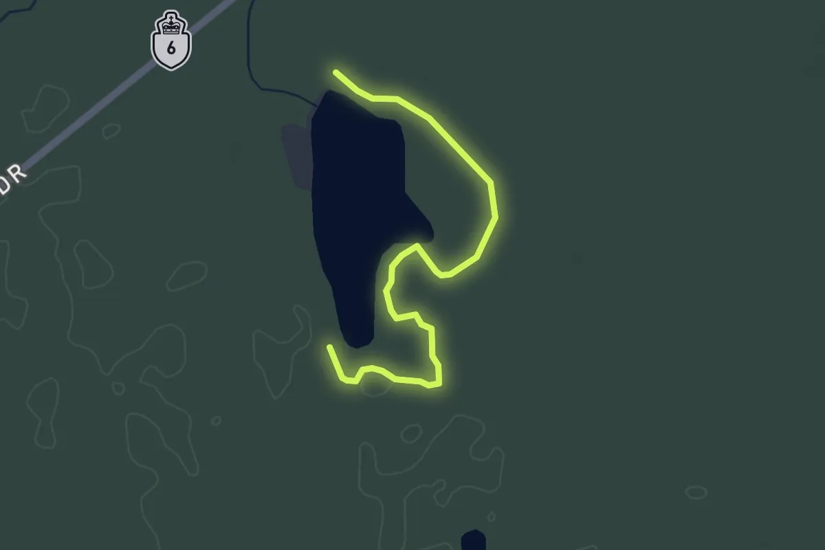
Easy · Trail
RT Rogers Pond Blue Loop
4.0 km · ↑ 0 m · 56 min
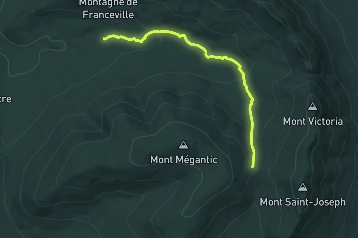
Medium · Cabin
Ruisseau de la Montagne
11.2 km · ↑ 357 m · 3 h 25 min
Easy · Trail
Saint Elias Lake Trail
7.6 km · ↑ 179 m · 2 h 11 min
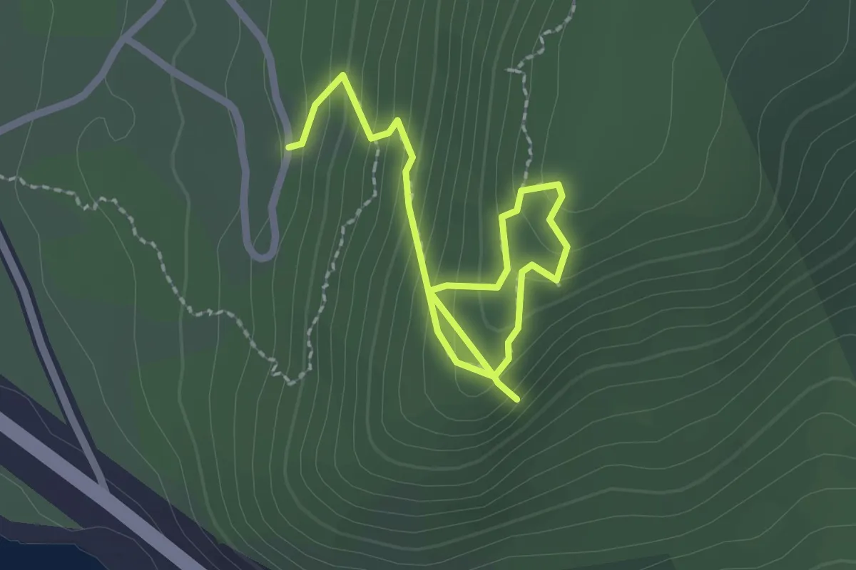
Medium · Trail
Salt Mountain Trail
1.4 km · ↑ 180 m · 41 min
Medium · Trail
Salvage Trails
9.4 km · ↑ 368 m · 3 h 1 min
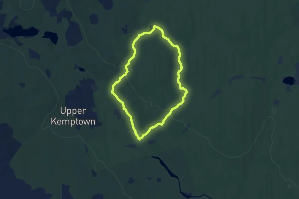
Easy · Trail
Sandy Cope Lake Trail
6.0 km · ↑ 92 m · 1 h 43 min
Easy · Trail
San Group Mill Diversion
3.1 km · ↑ 207 m · 1 h 11 min
Easy · Trail
Scott Greenway
4.4 km · ↑ 9 m · 1 h 4 min
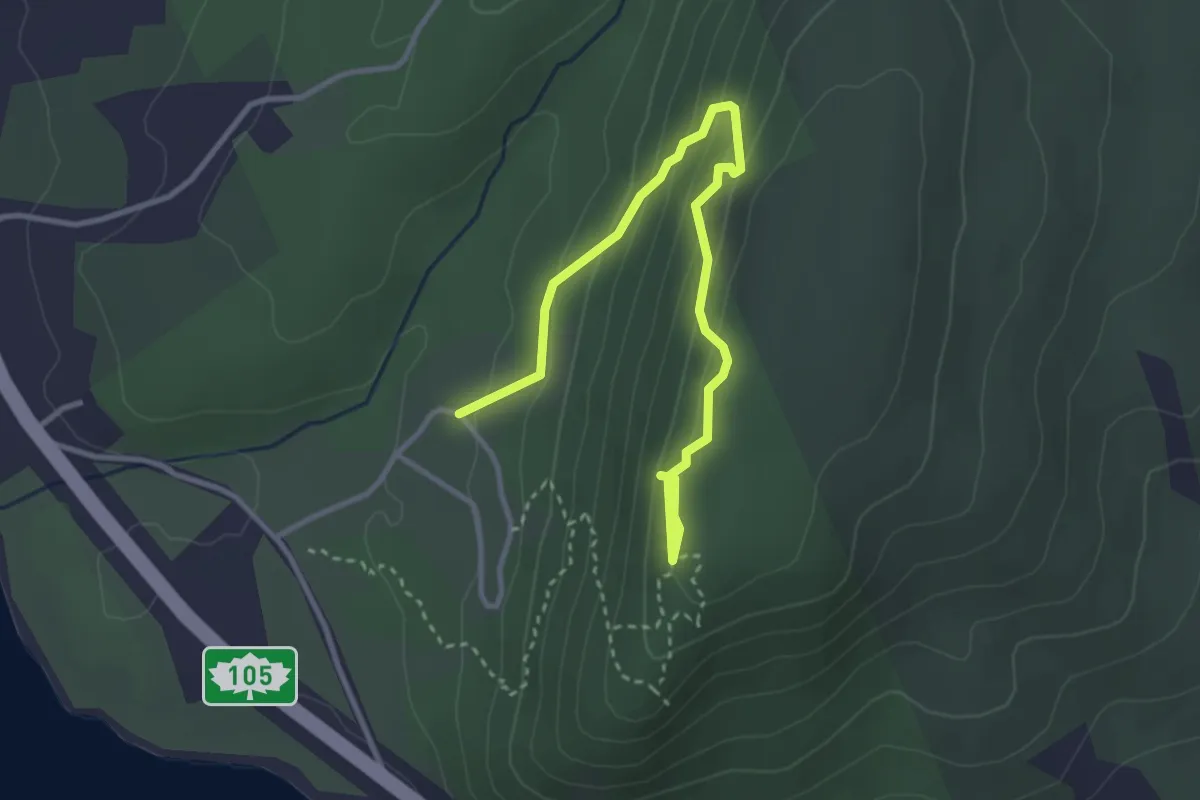
Medium · Trail
Scout Trail
3.8 km · ↑ 288 m · 1 h 31 min
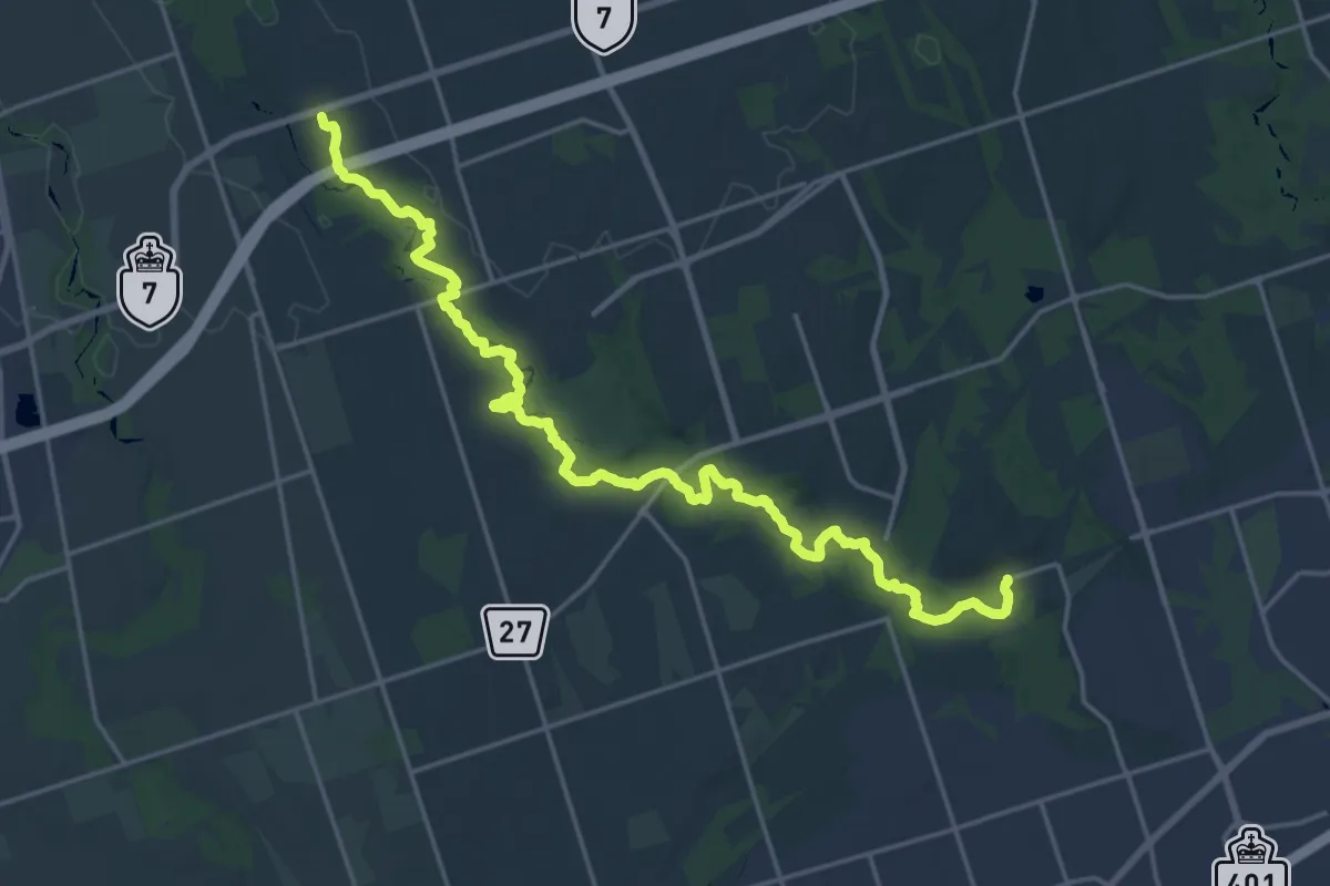
Demanding · Trail
Seaton Hiking Trail
24.1 km · ↑ 365 m · 6 h 28 min
Demanding · Trail
Sea to Summit
10.9 km · ↑ 1037 m · 4 h 49 min
Medium · Trail
Semiahmoo Greenway
10.5 km · ↑ 119 m · 2 h 44 min
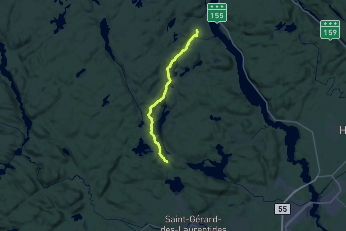
Demanding · Trail
Sentier 3
29.3 km · ↑ 351 m · 7 h 41 min
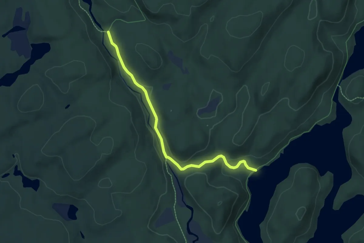
Easy · Cabin
Sentier 7
7.0 km · ↑ 128 m · 1 h 56 min
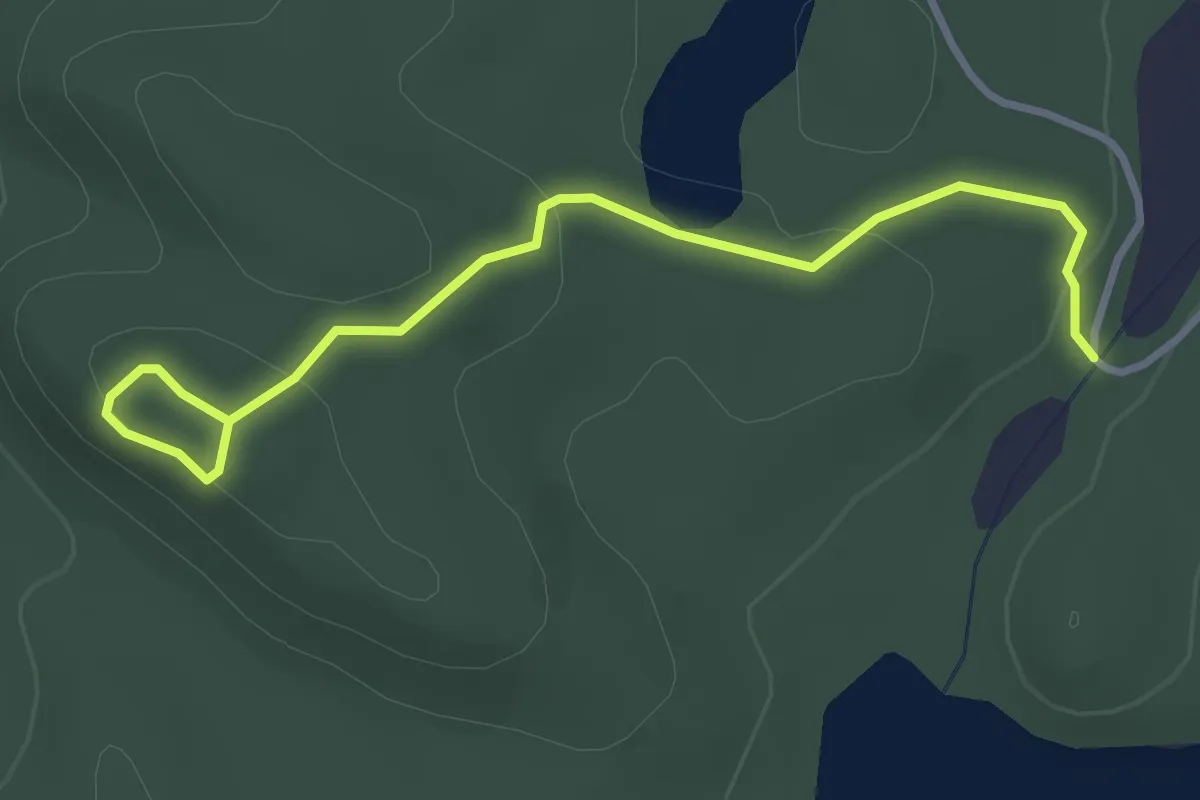
Easy · Trail
Sentier Belvédère
3.6 km · ↑ 131 m · 1 h 8 min
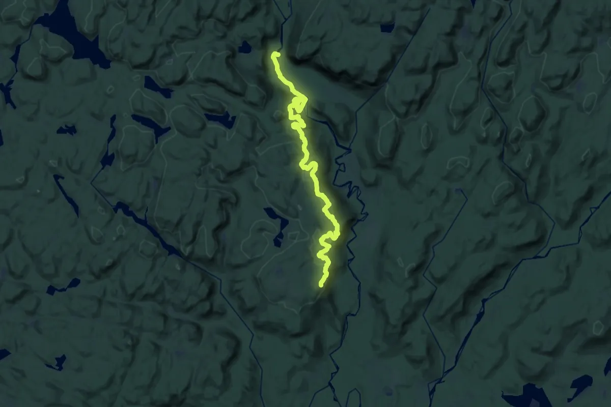
Demanding · Trail
Sentier Bras-du-Nord
18.3 km · ↑ 901 m · 6 h 22 min
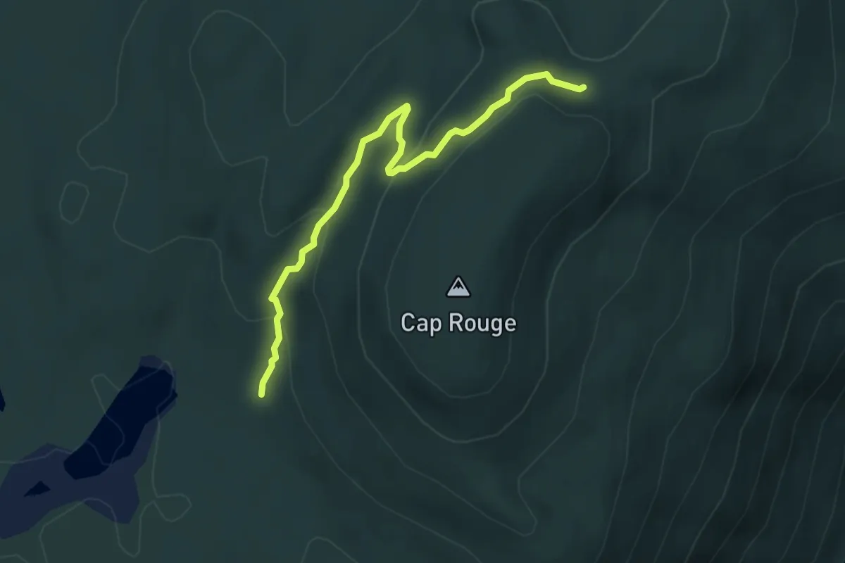
Easy · Trail
Sentier Cap Rouge
4.5 km · ↑ 202 m · 1 h 30 min
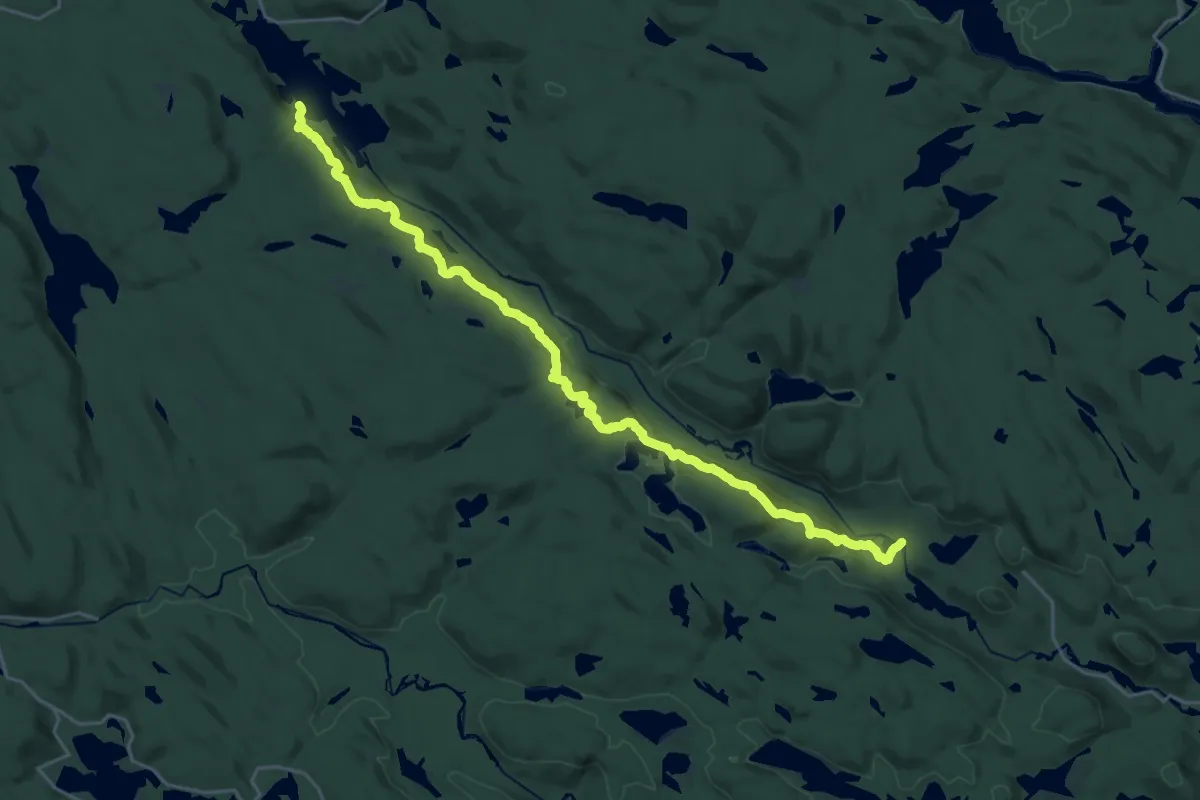
Easy · Trail
Sentier Cédrière
2.1 km · ↑ 20 m · 32 min
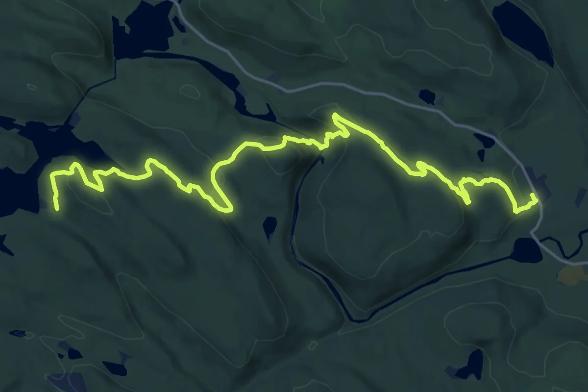
Medium · Cabin
Sentier Chériore
13.7 km · ↑ 500 m · 4 h 28 min
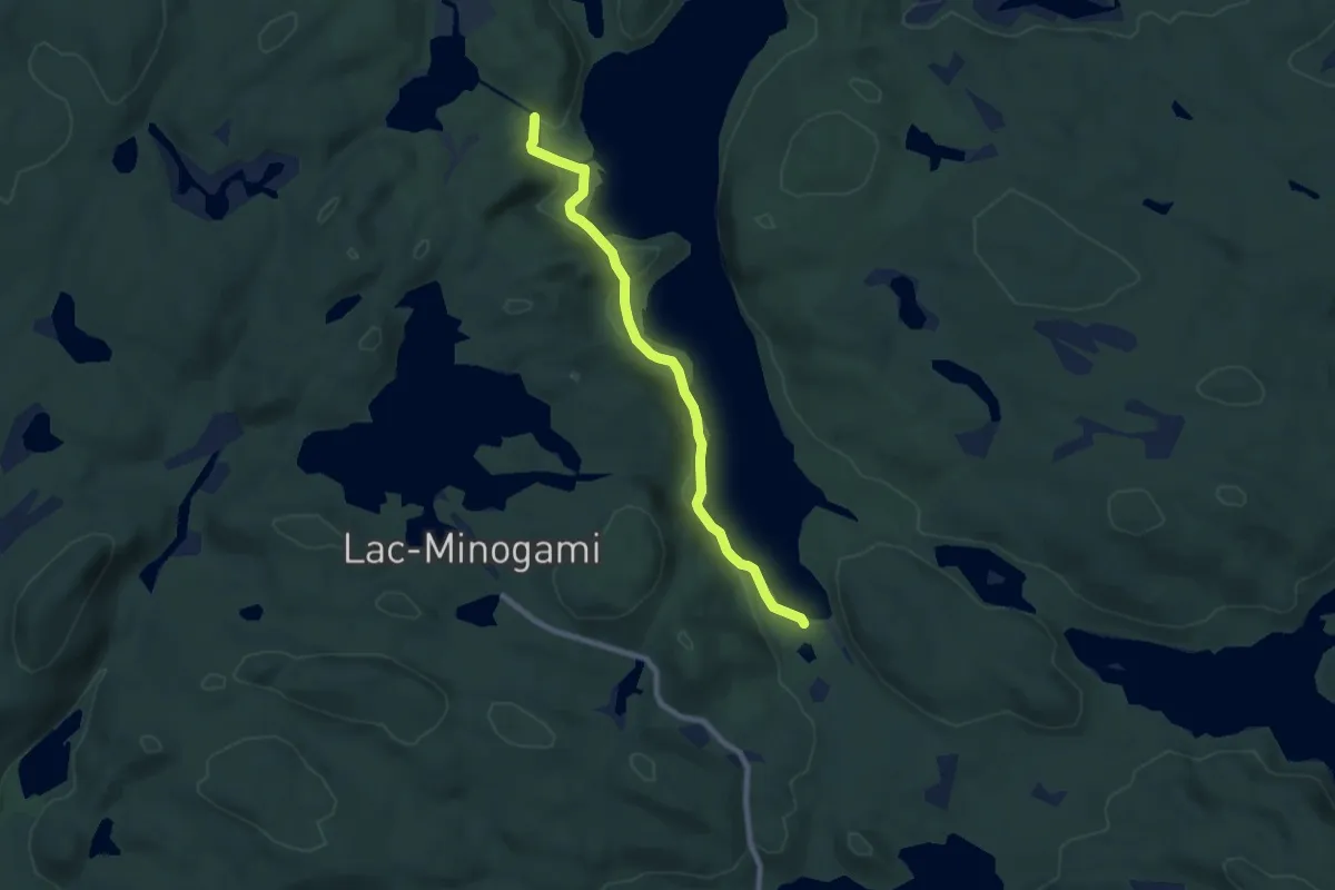
Demanding · Trail
Sentier Chute-du-Diable
19.7 km · ↑ 833 m · 6 h 27 min
Medium · Trail
Sentier Chute Parker
8.0 km · ↑ 117 m · 2 h 9 min
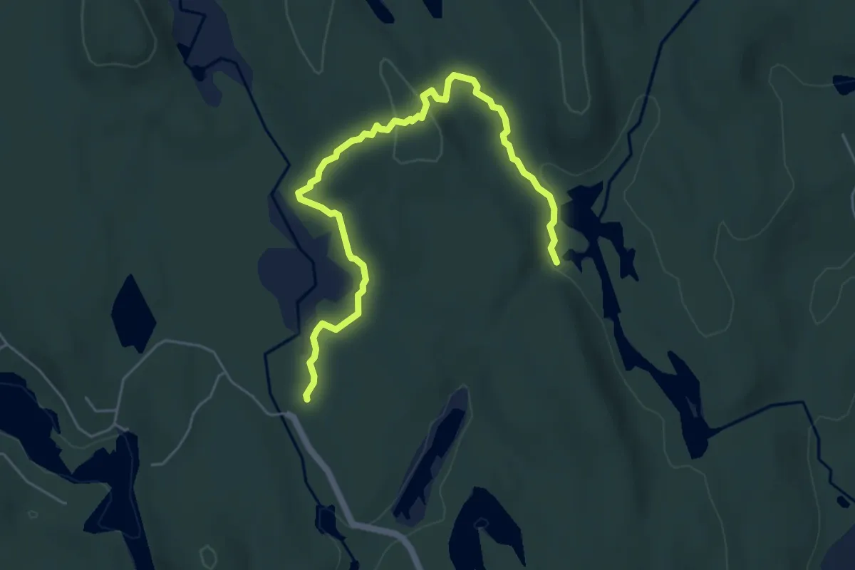
Easy · Trail
Sentier Citoyen Nord
5.9 km · ↑ 94 m · 1 h 36 min
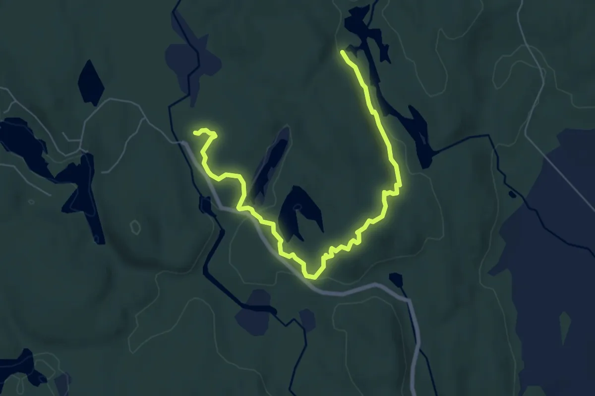
Easy · Trail
Sentier Citoyen Sud
7.4 km · ↑ 134 m · 2 h 3 min
Easy · Cabin
Sentier Claude
3.6 km · ↑ 21 m · 53 min
Easy · Trail
Sentier Clintonie
2.0 km · ↑ 24 m · 32 min
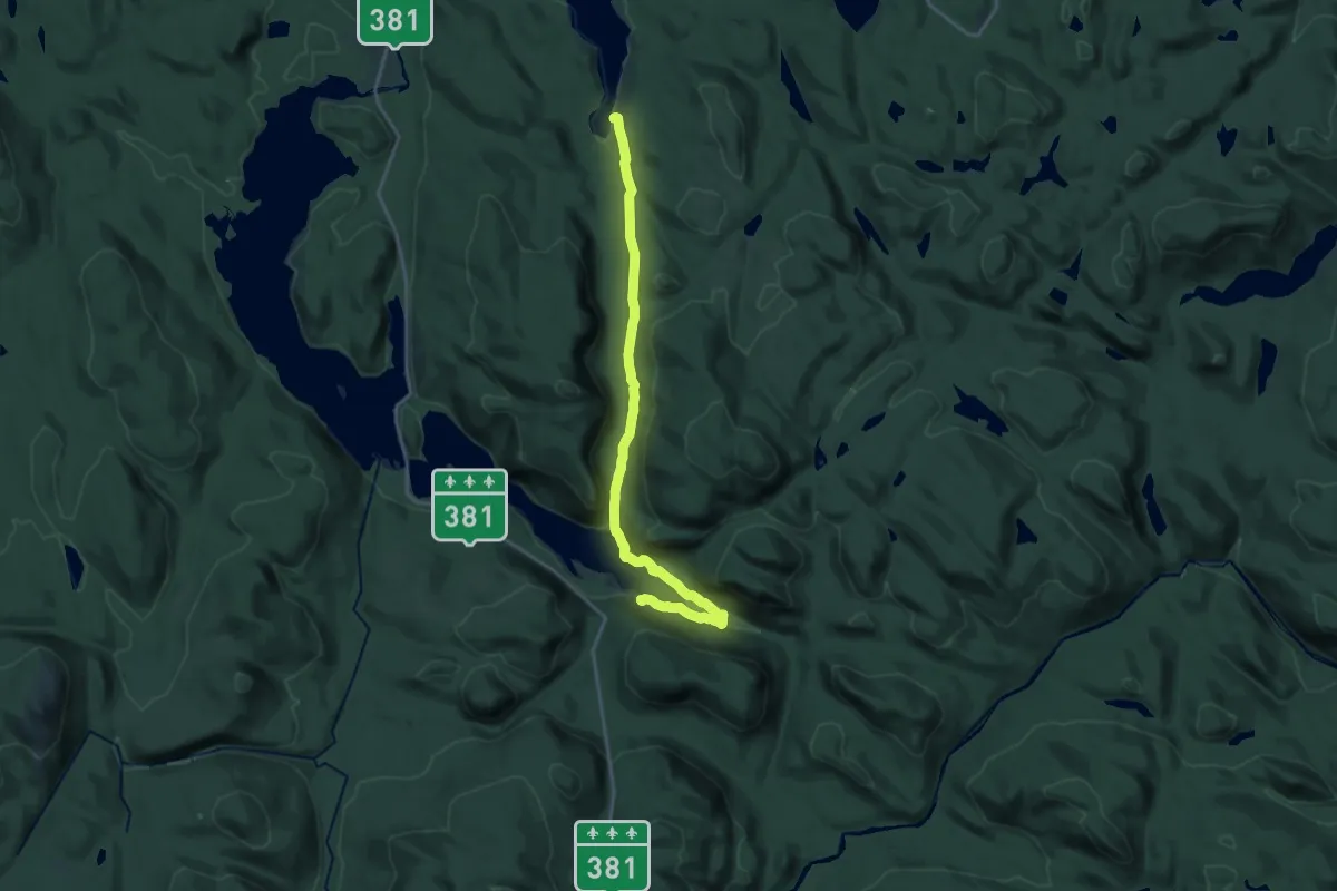
Demanding · Trail
Sentier de la colonisation
20.0 km · ↑ 362 m · 5 h 30 min
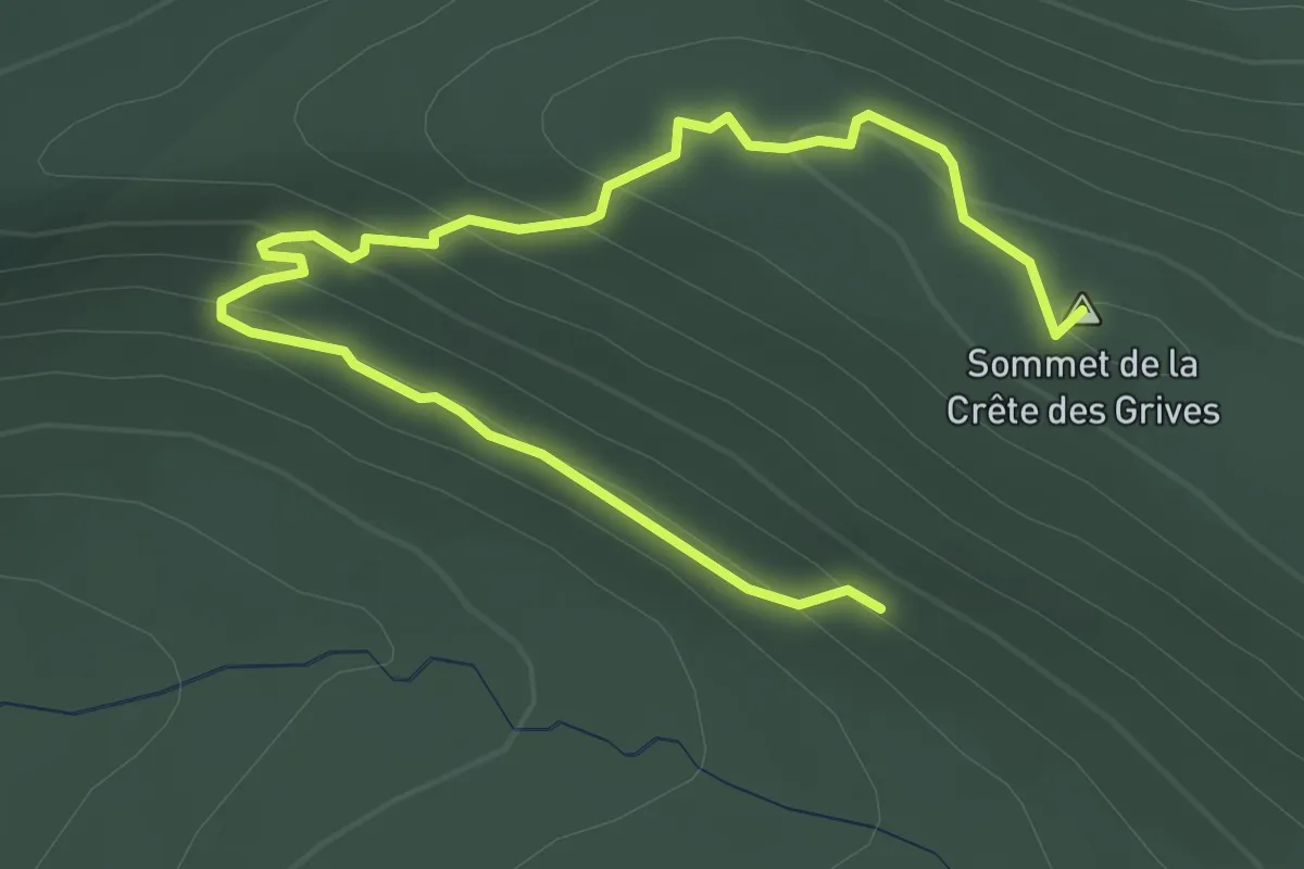
Easy · Summit
Sentier de la Crête des Grives
4.5 km · ↑ 206 m · 1 h 30 min
Easy · Trail
Sentier de la Digue
3.5 km · ↑ 105 m · 1 h 6 min
Easy · Trail
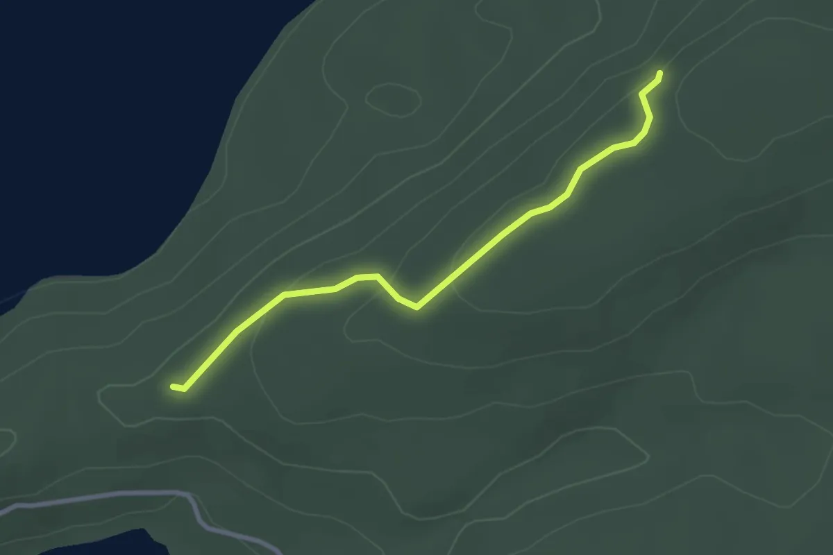
Sentier de la Falaise
2.7 km · ↑ 76 m · 49 min
Medium · Trail
Sentier de la Grande Coupe
5.0 km · ↑ 243 m · 1 h 43 min
Medium · Trail
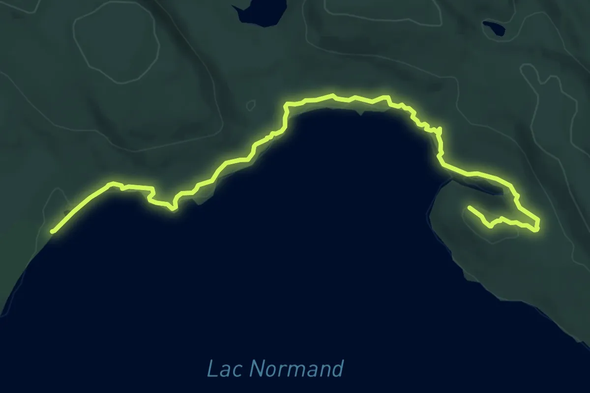
Sentier de la Grande-Ourse
10.3 km · ↑ 157 m · 2 h 47 min
Medium · Trail
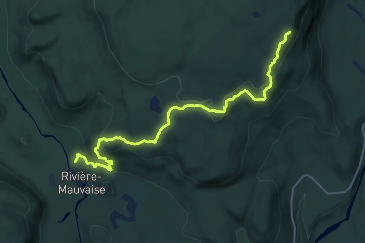
Sentier de la Mauvaise
11.6 km · ↑ 444 m · 3 h 43 min
Easy · Summit
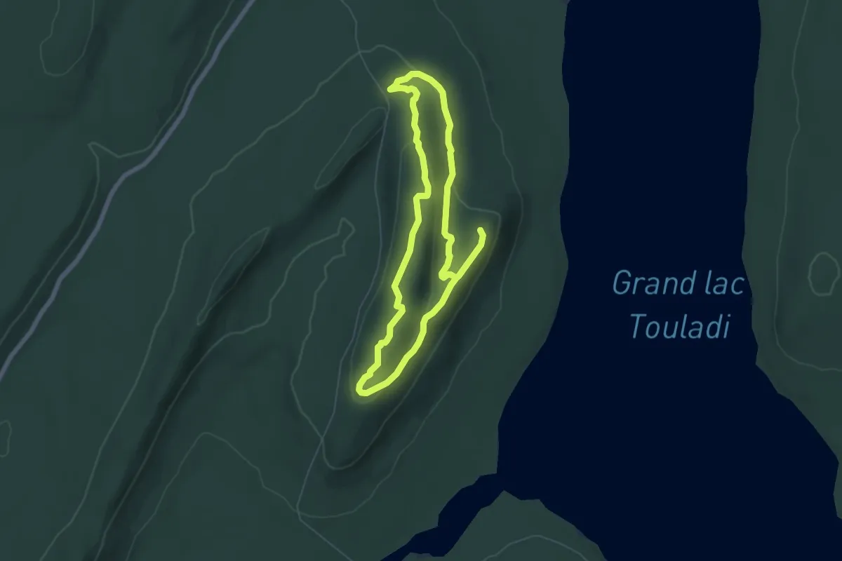
Sentier de la montagne à Valcourt
2.8 km · ↑ 211 m · 1 h 8 min
Medium · Trail
Sentier de la Montagne-de-Chert
10.3 km · ↑ 228 m · 2 h 56 min
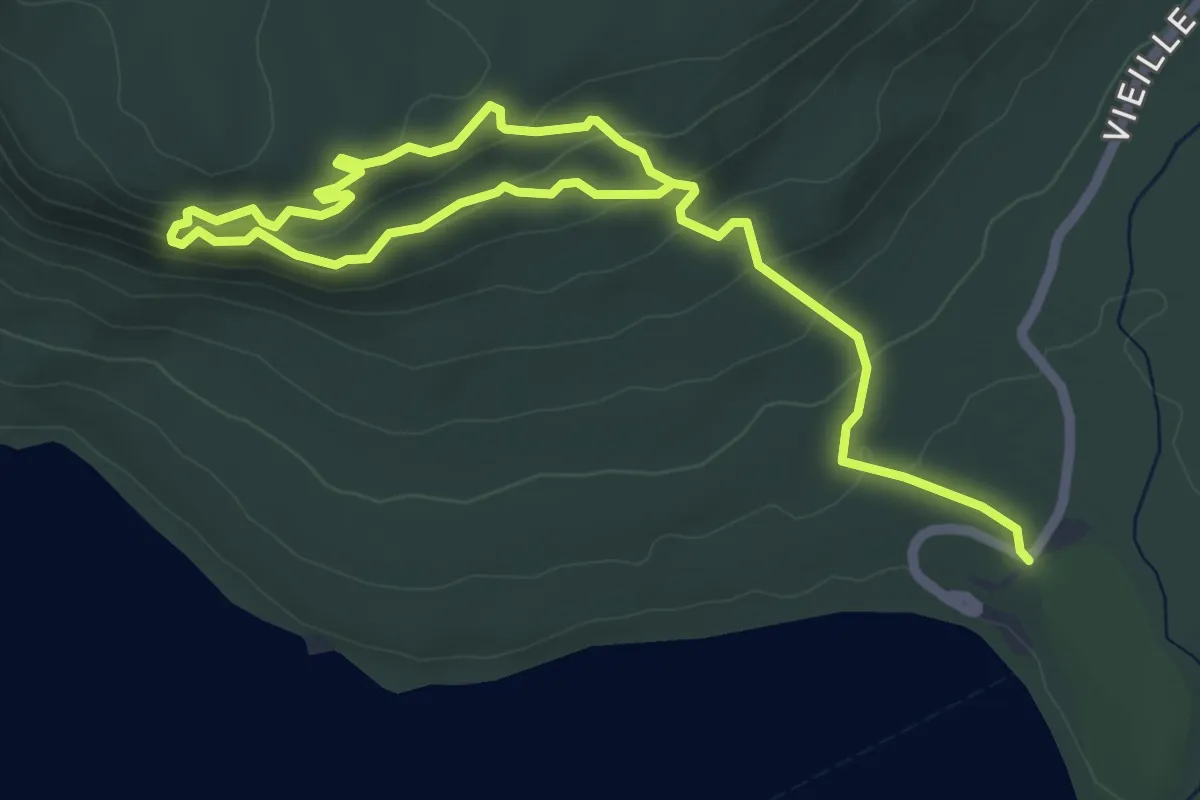
Medium · Trail
Sentier de la Montagne-du-Fourneau
8.1 km · ↑ 341 m · 2 h 40 min
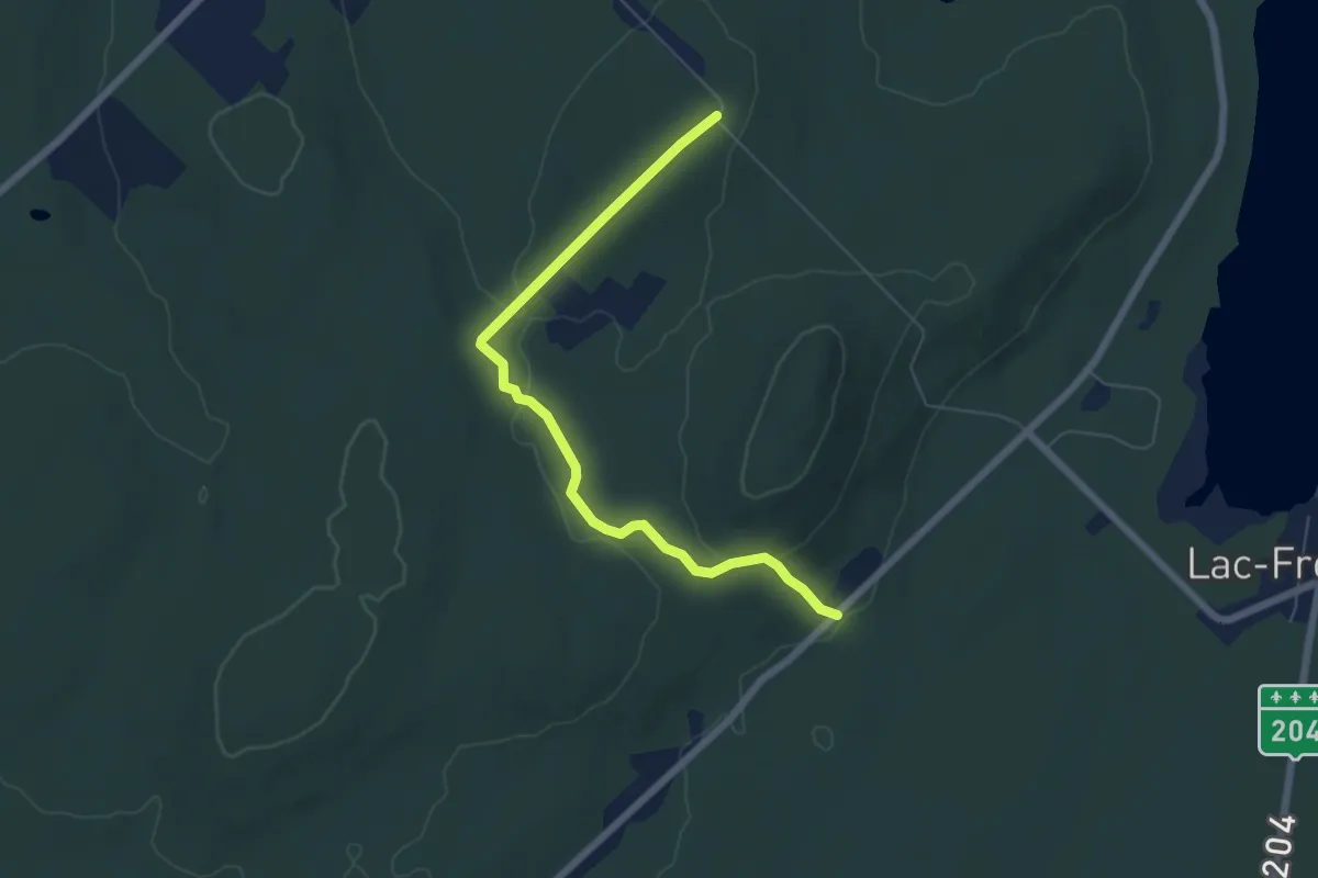
Easy · Trail
Sentier de la Montagne du Lac
6.3 km · ↑ 123 m · 1 h 45 min
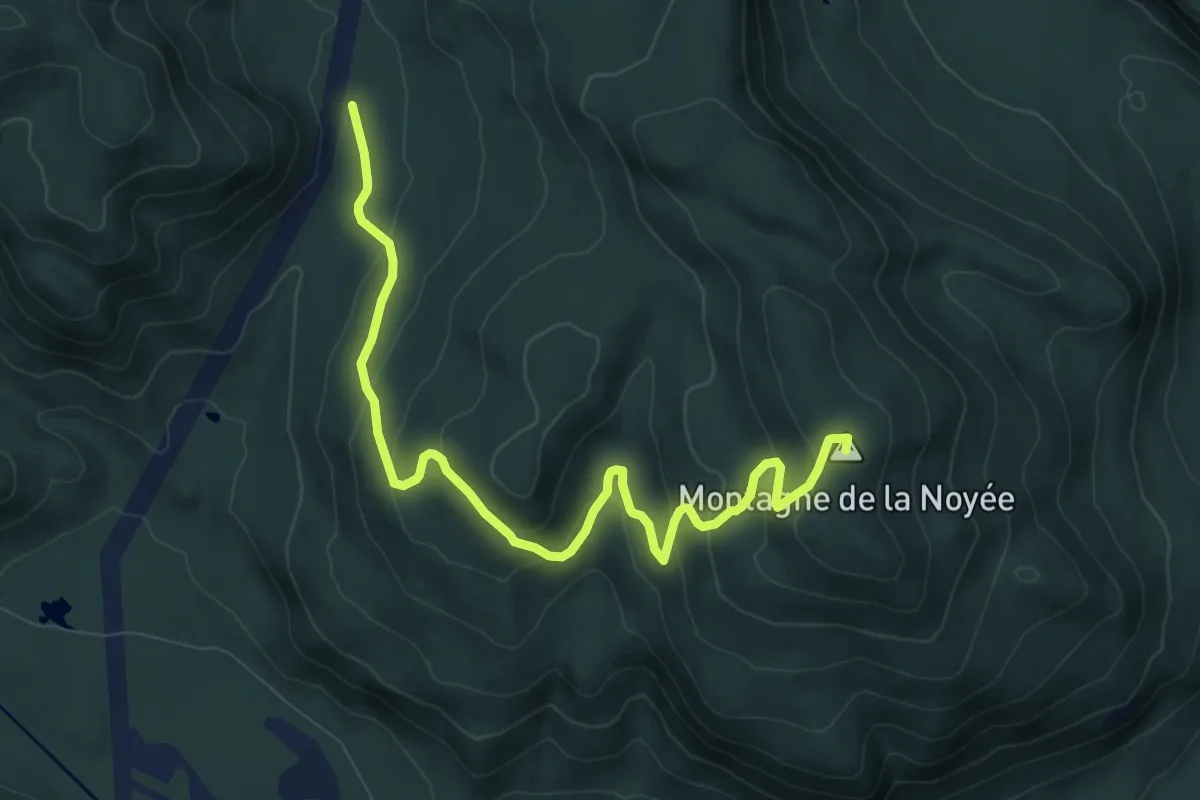
Medium · Summit
Sentier de la Noyée
10.0 km · ↑ 492 m · 3 h 26 min
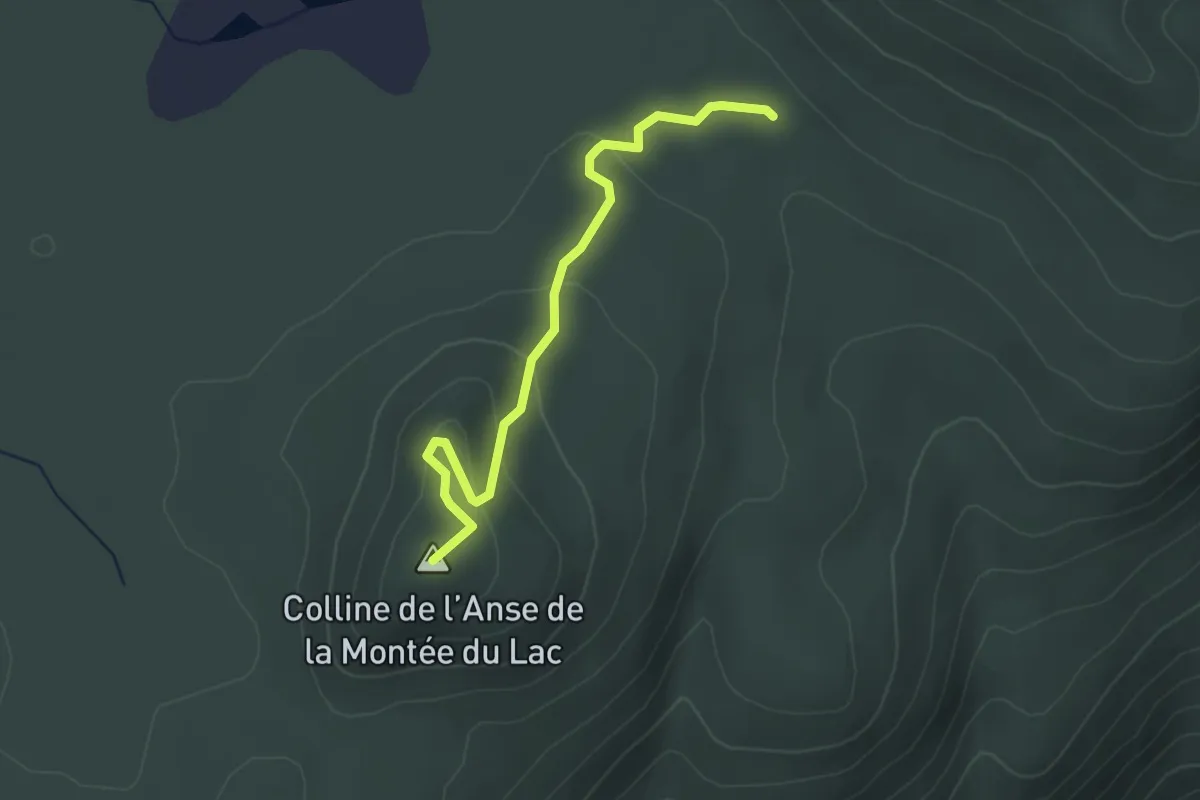
Easy · Summit
Sentier de l'Anse de la Montée du Lac
3.0 km · ↑ 100 m · 56 min
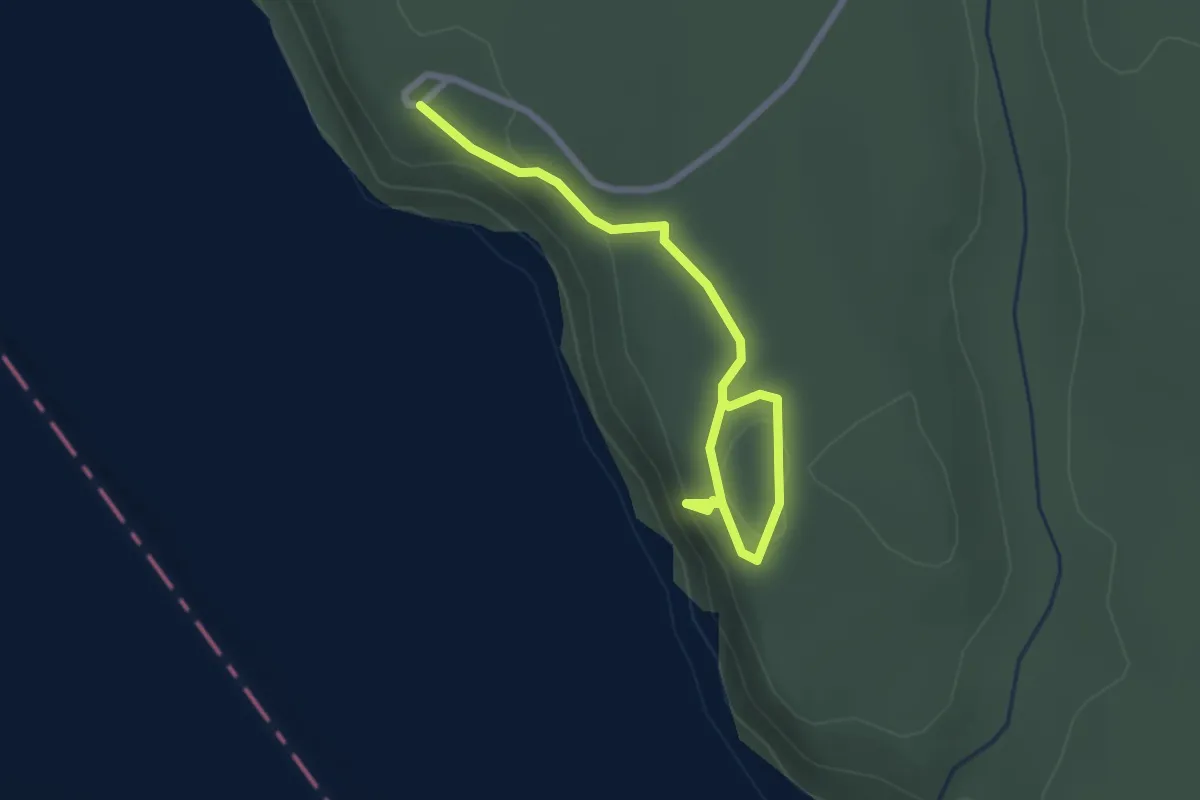
Easy · Trail
Sentier de la Paroi-aux-Faucons
2.8 km · ↑ 83 m · 50 min
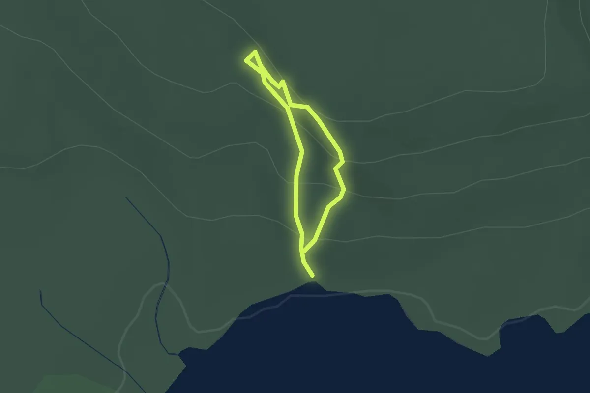
Easy · Trail
Sentier de la Petite-Ourse
1.2 km · ↑ 93 m · 30 min
Medium · Trail
Sentier de la Pinède
8.1 km · ↑ 260 m · 2 h 29 min
Easy · Trail
Sentier de la Rivière
7.5 km · ↑ 124 m · 2 h 3 min