Trails in Canada
1,109 hiking trails, each with its route, climb, walking time and grade.
All trails, page 16 of 24
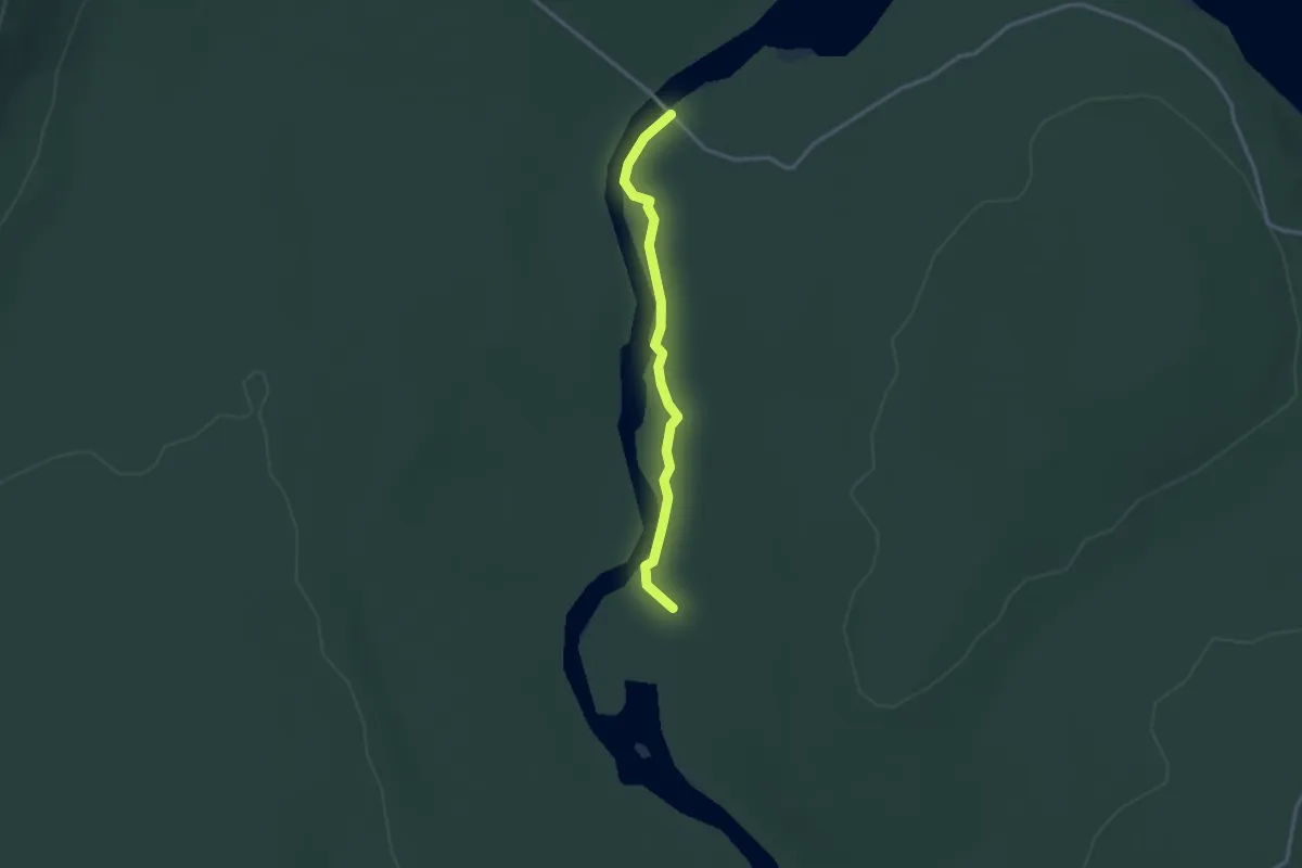
Easy · Trail
Sentier de la Rivière-des-Mémoires
2.7 km · ↑ 9 m · 40 min
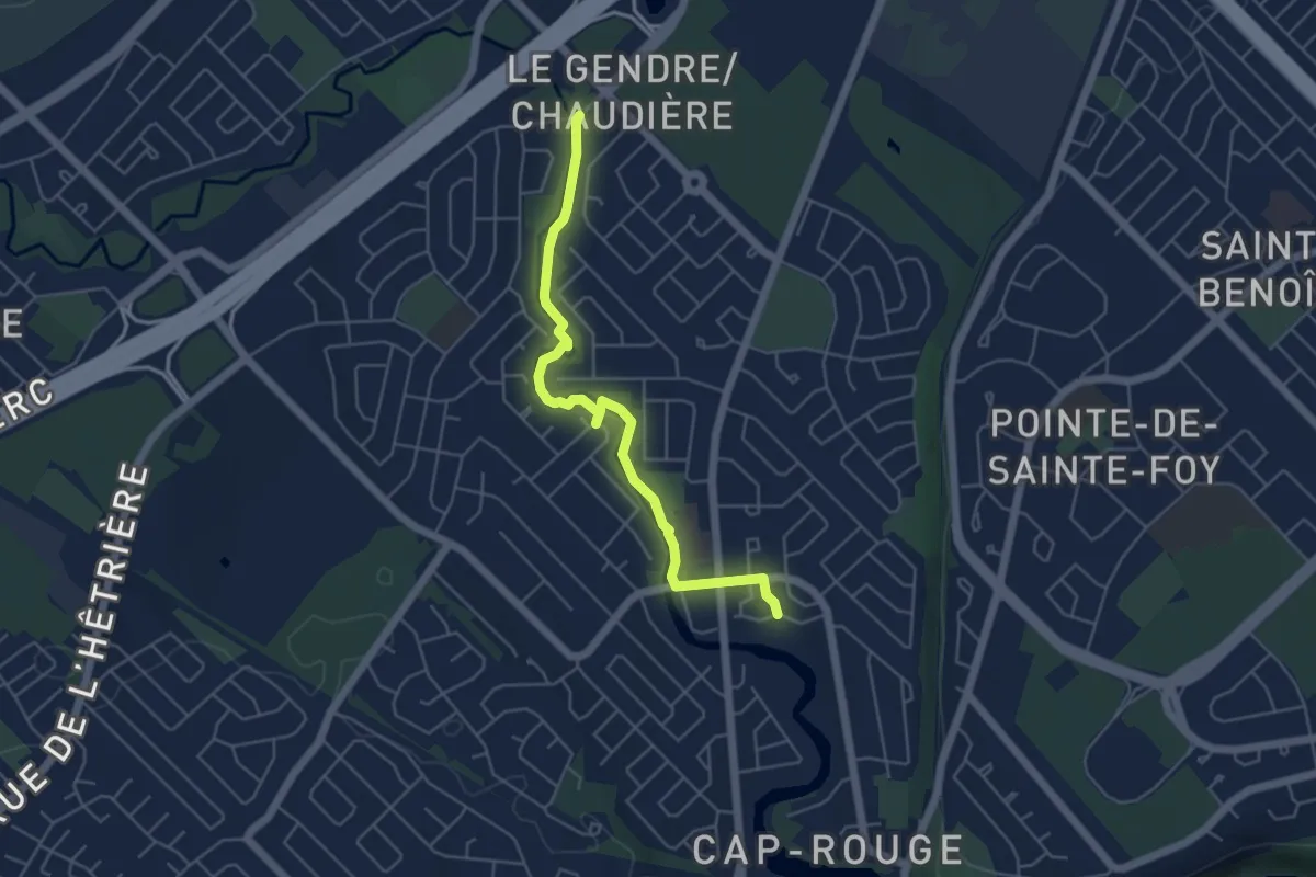
Easy · Trail
Sentier de la Rivière du Cap-Rouge
5.2 km · ↑ 0 m · 1 h 13 min
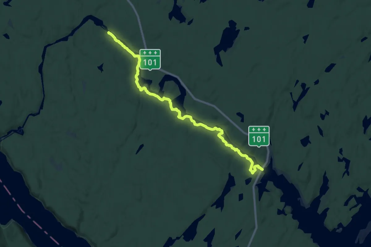
Demanding · Trail
Sentier de la Rivière Kipawa
18.3 km · ↑ 249 m · 4 h 51 min
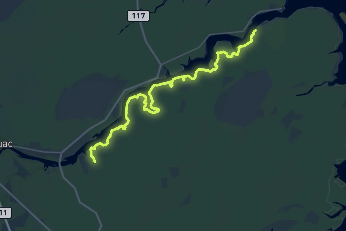
Demanding · Trail
Sentier de la rivière Kouchibouguac
21.5 km · ↑ 4 m · 5 h 5 min
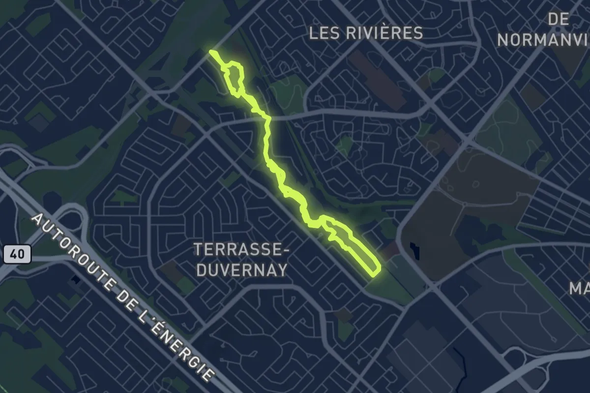
Medium · Trail
Sentier de la Rivière-Milette
12.3 km · ↑ 39 m · 2 h 59 min
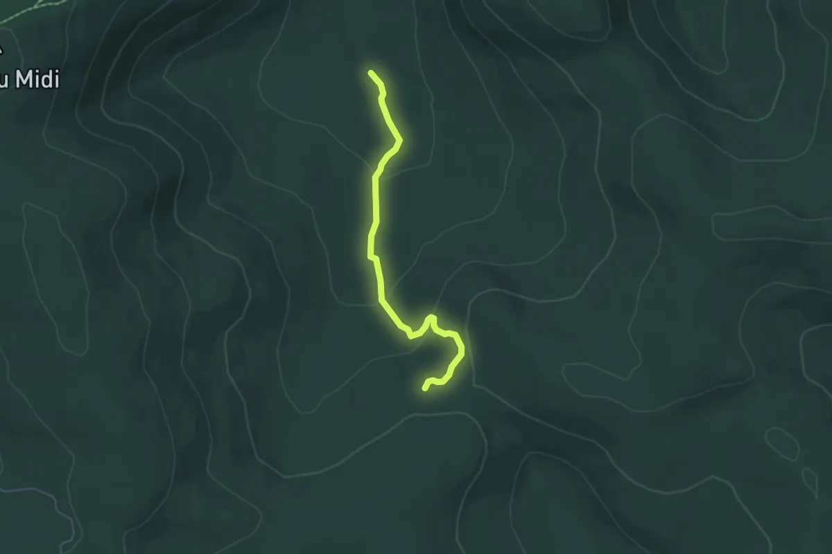
Easy · Cabin
Sentier de la Slousse
4.7 km · ↑ 195 m · 1 h 32 min
Medium · Trail
Sentier de la Statue
6.6 km · ↑ 502 m · 2 h 38 min
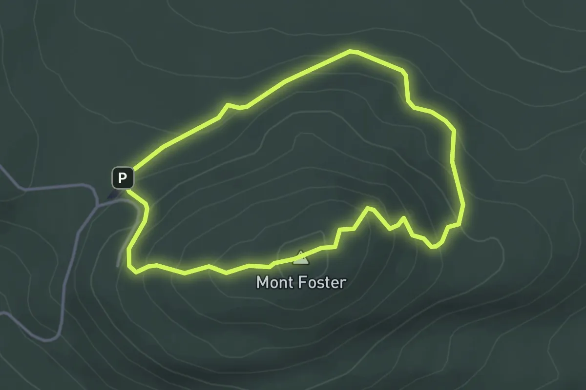
Medium · Summit
Sentier de la Tour
3.5 km · ↑ 178 m · 1 h 15 min
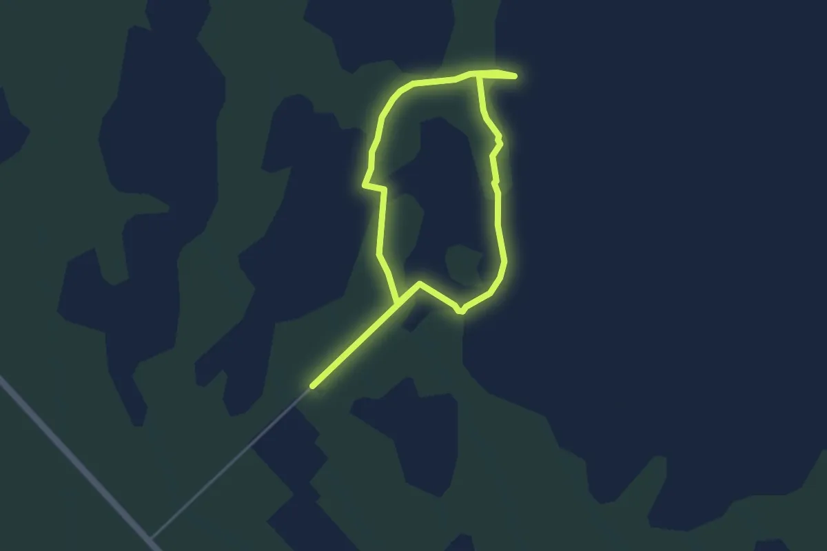
Easy · Trail
Sentier de la Tourbière
6.3 km · ↑ 0 m · 1 h 29 min
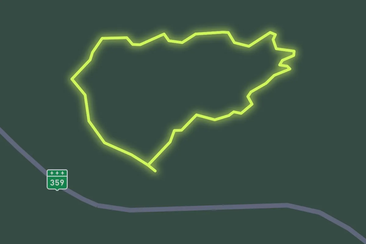
Easy · Trail
Sentier de la Tourbière de Saint-Narcisse
2.3 km · ↑ 0 m · 35 min
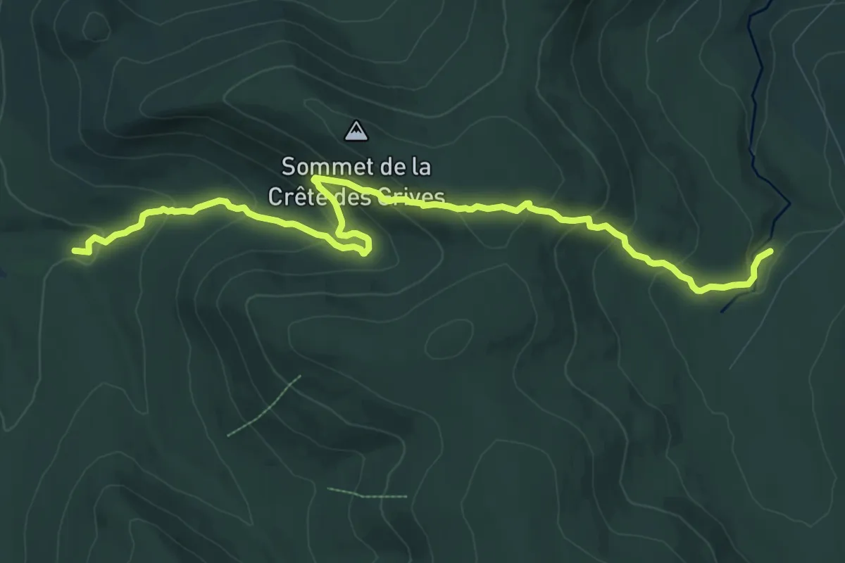
Medium · Cabin
Sentier de la Traversée
11.9 km · ↑ 600 m · 4 h 7 min
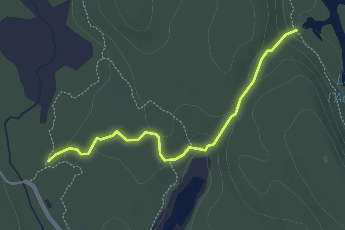
Easy · Trail
Sentier de la Vallée-des-Bouleaux
2.8 km · ↑ 78 m · 49 min
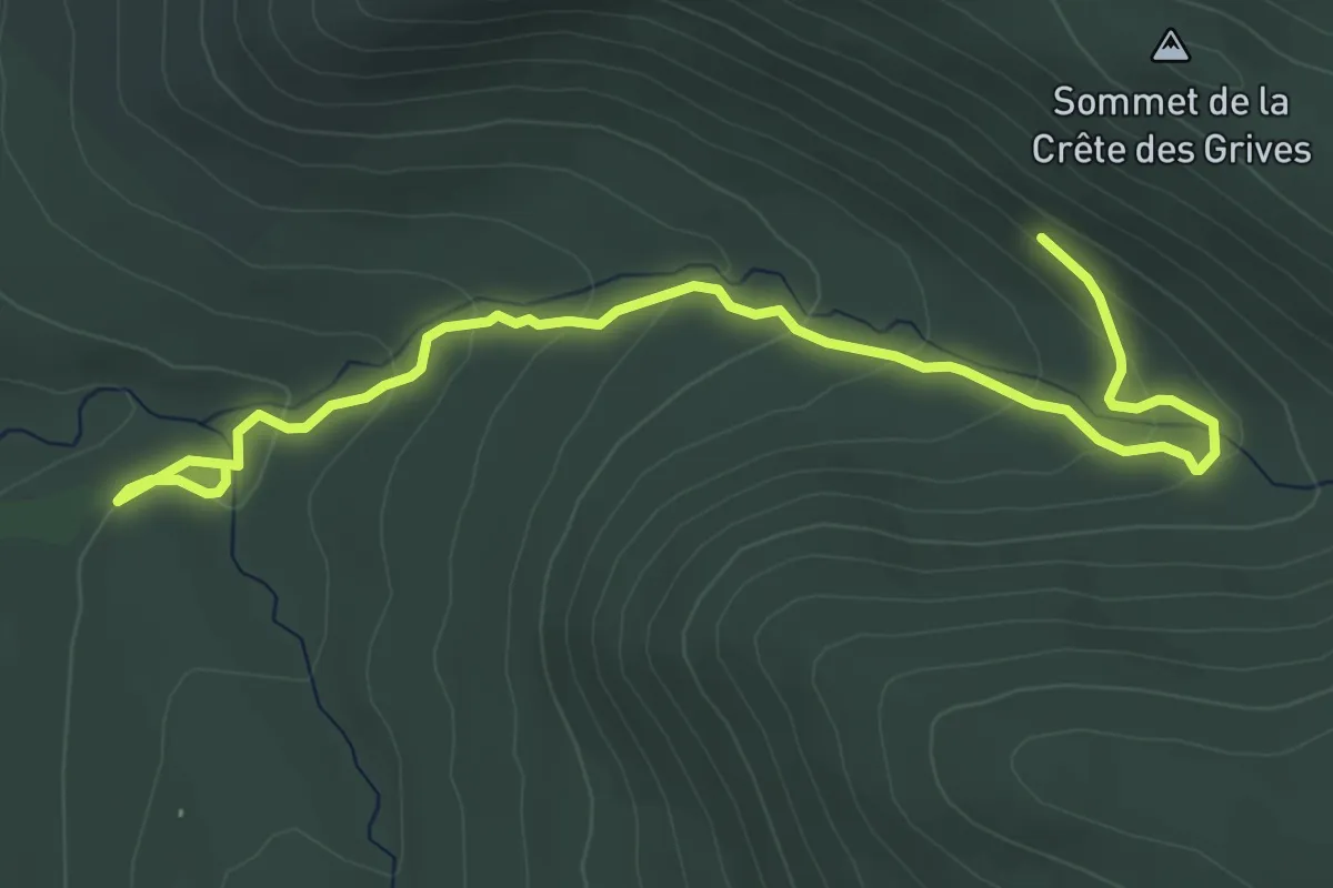
Easy · Cabin
Sentier de la Vieille Forêt
6.1 km · ↑ 252 m · 1 h 59 min
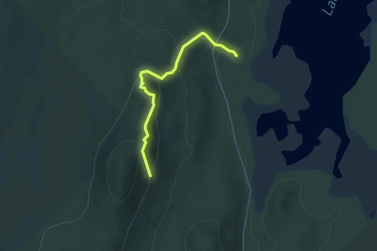
Easy · Trail
Sentier de l'Érablière
3.6 km · ↑ 215 m · 1 h 19 min
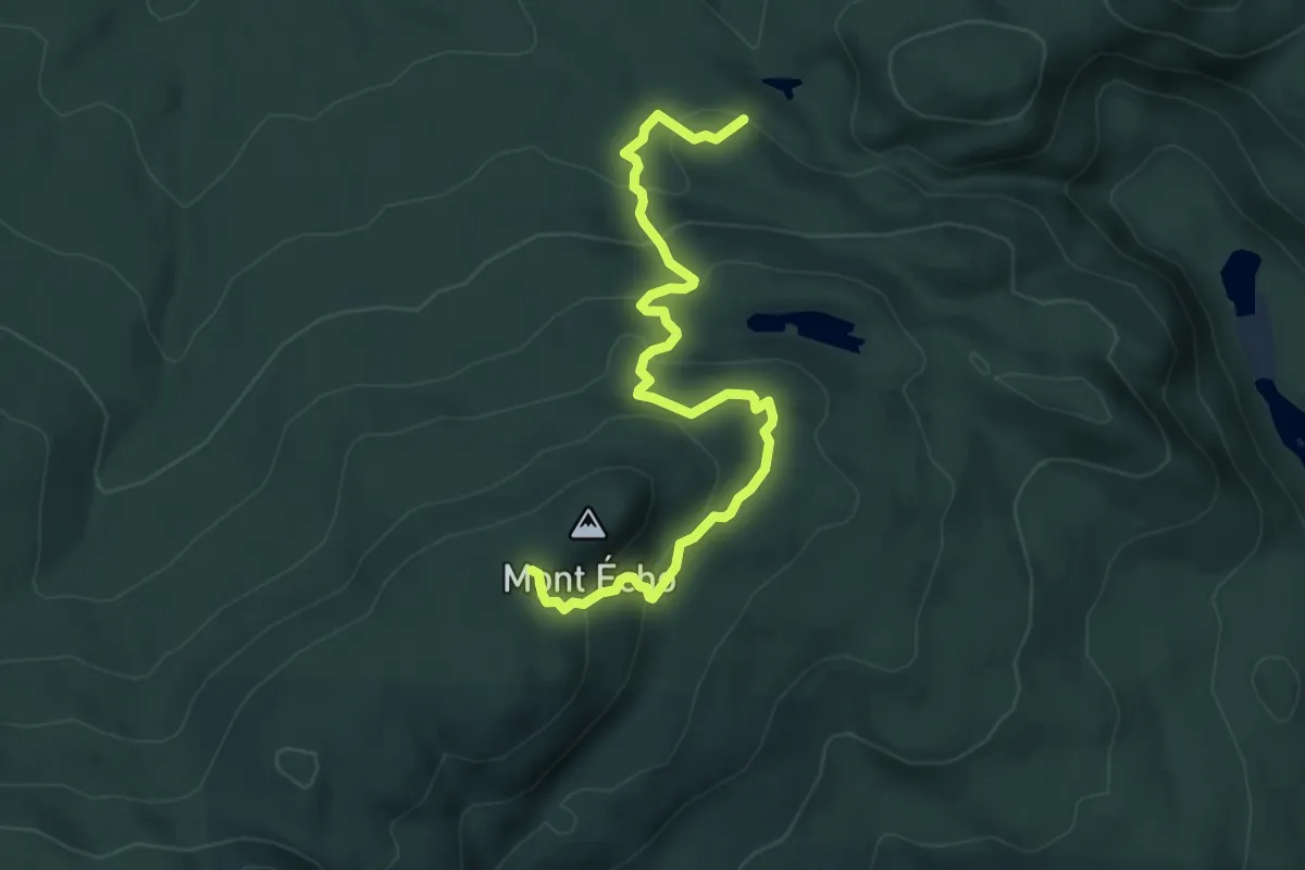
Medium · Trail
Sentier de l'Estrie, Mont Écho
6.8 km · ↑ 398 m · 2 h 29 min
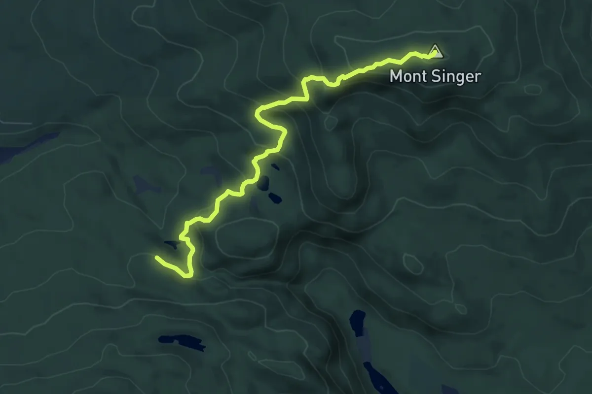
Medium · Summit
Sentier de l'Estrie, Mont Singer
8.2 km · ↑ 532 m · 3 h 5 min
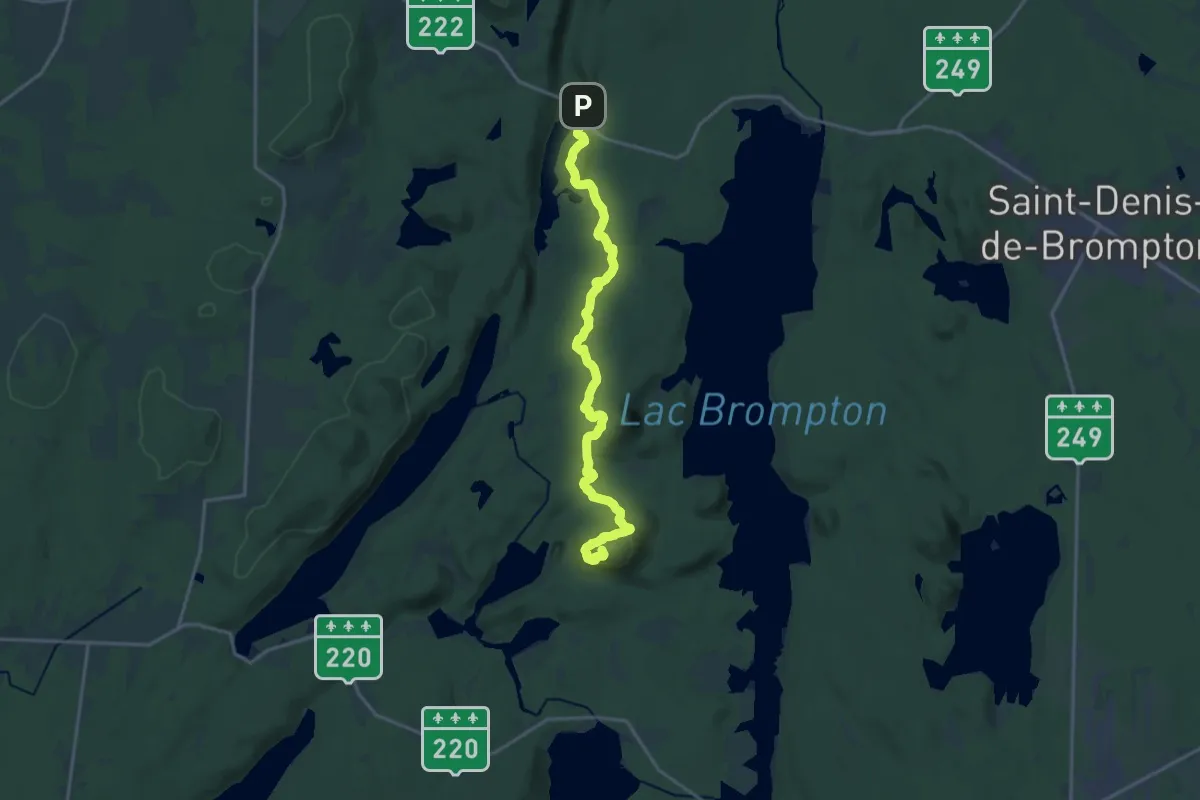
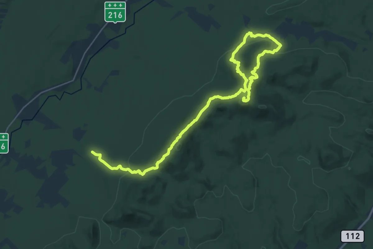
Demanding · Summit
Sentier de l'Estrie Zone Brompton
19.5 km · ↑ 727 m · 6 h 11 min
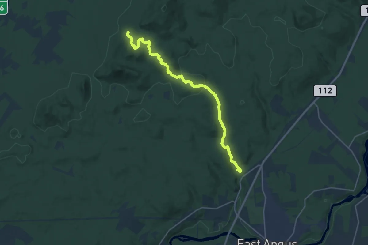
Demanding · Summit
Sentier de l'Estrie, Zone Chapman
28.5 km · ↑ 952 m · 8 h 48 min
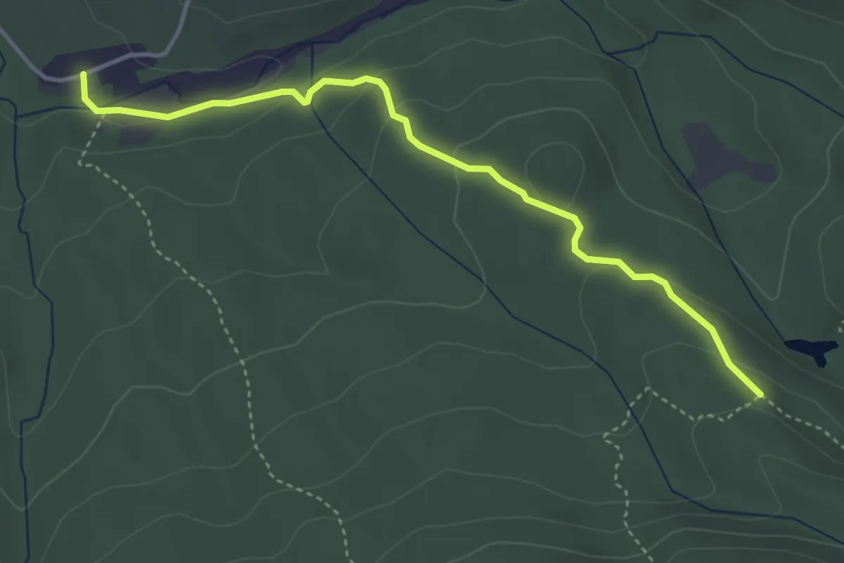
Medium · Trail
Sentier de l'Estrie, Zone East-Angus
17.7 km · ↑ 603 m · 5 h 29 min
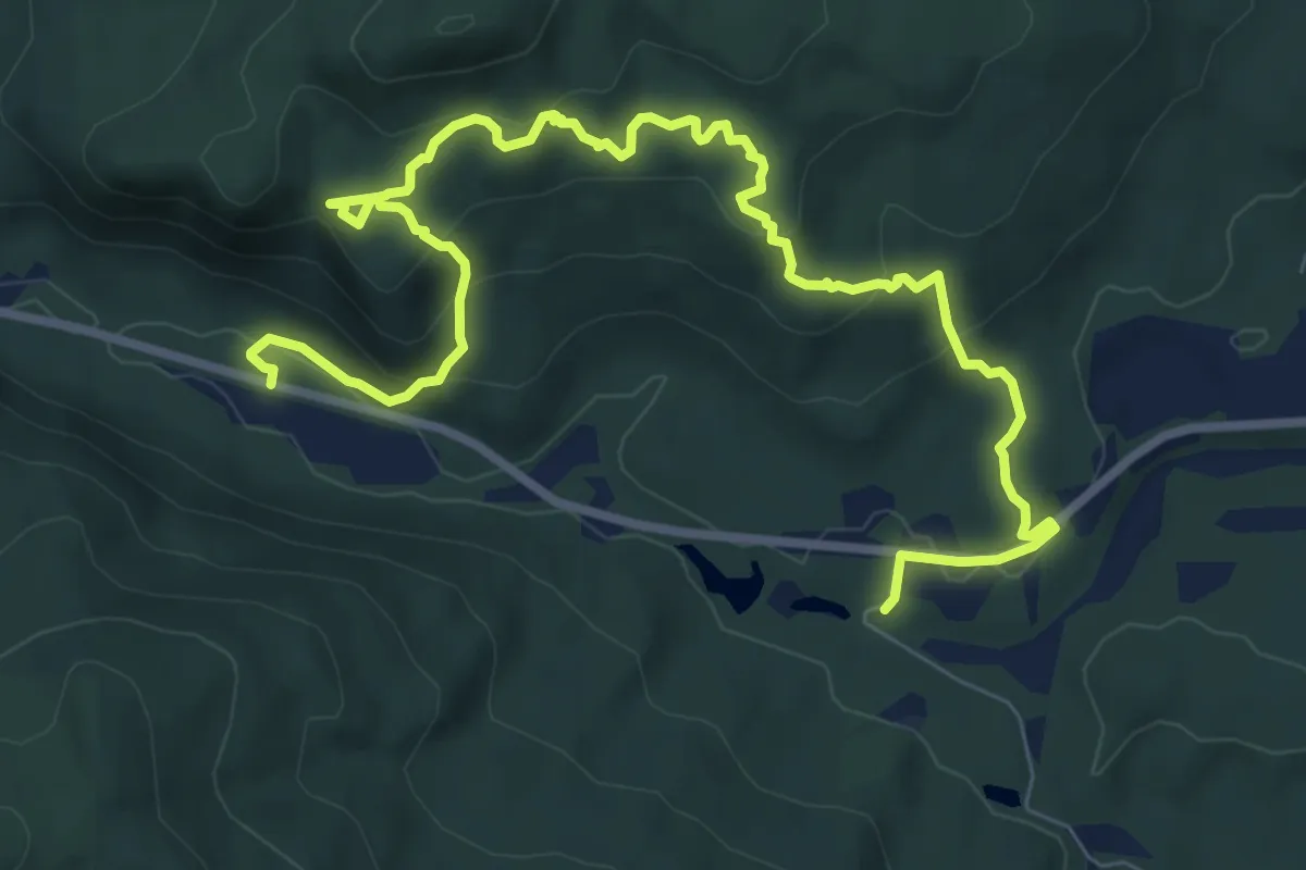
Medium · Trail
Sentier de l'Estrie, Zone Écho, Accès chemi de la Falaise
4.2 km · ↑ 153 m · 1 h 19 min
Medium · Trail
Sentier de l'Estrie Zone Glen
11.4 km · ↑ 473 m · 3 h 43 min
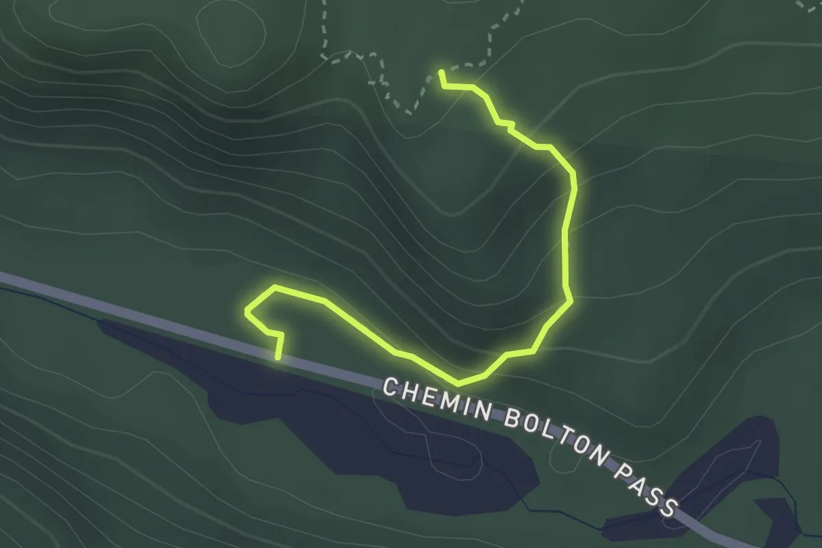
Medium · Trail
Sentier de l'Estrie, Zone Glen, Accès
2.7 km · ↑ 171 m · 1 h 1 min
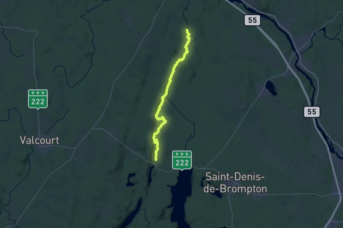
Demanding · Summit
Sentier de l'Estrie, Zone Kingsbruy
33.2 km · ↑ 486 m · 8 h 54 min
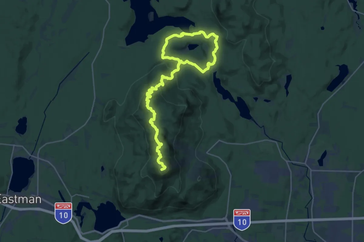
Demanding · Summit
Sentier de l'Estrie, Zone Orford
29.5 km · ↑ 1163 m · 9 h 28 min
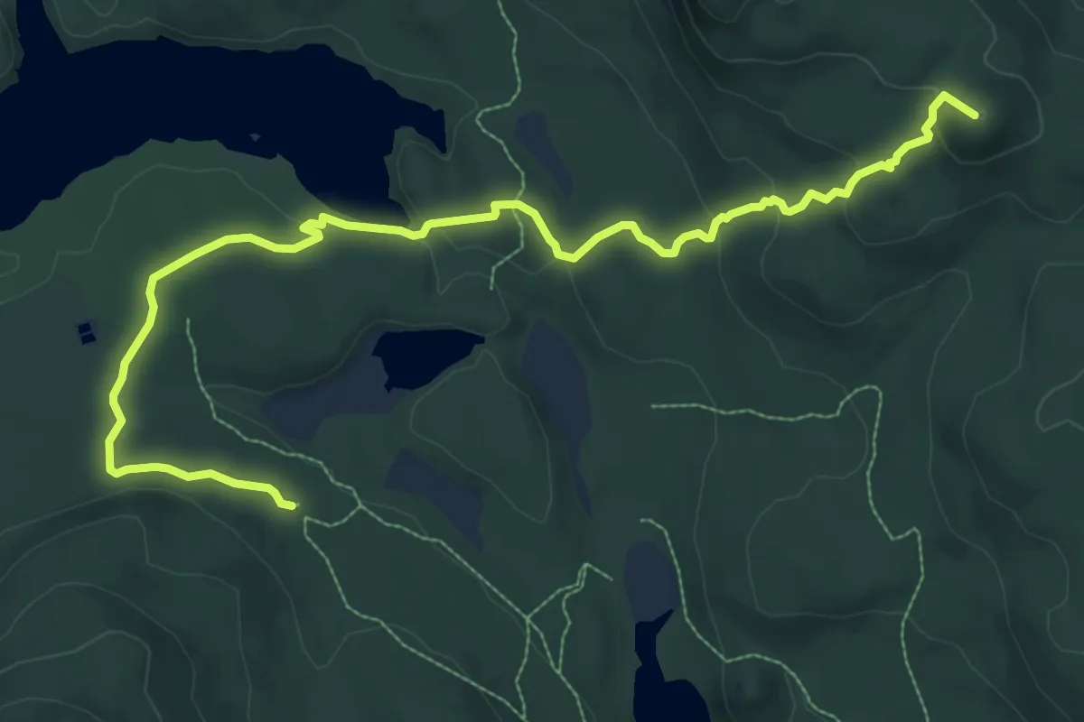
Medium · Summit
Sentier de l'Estrie, Zone Orford, Accès
11.4 km · ↑ 428 m · 3 h 38 min
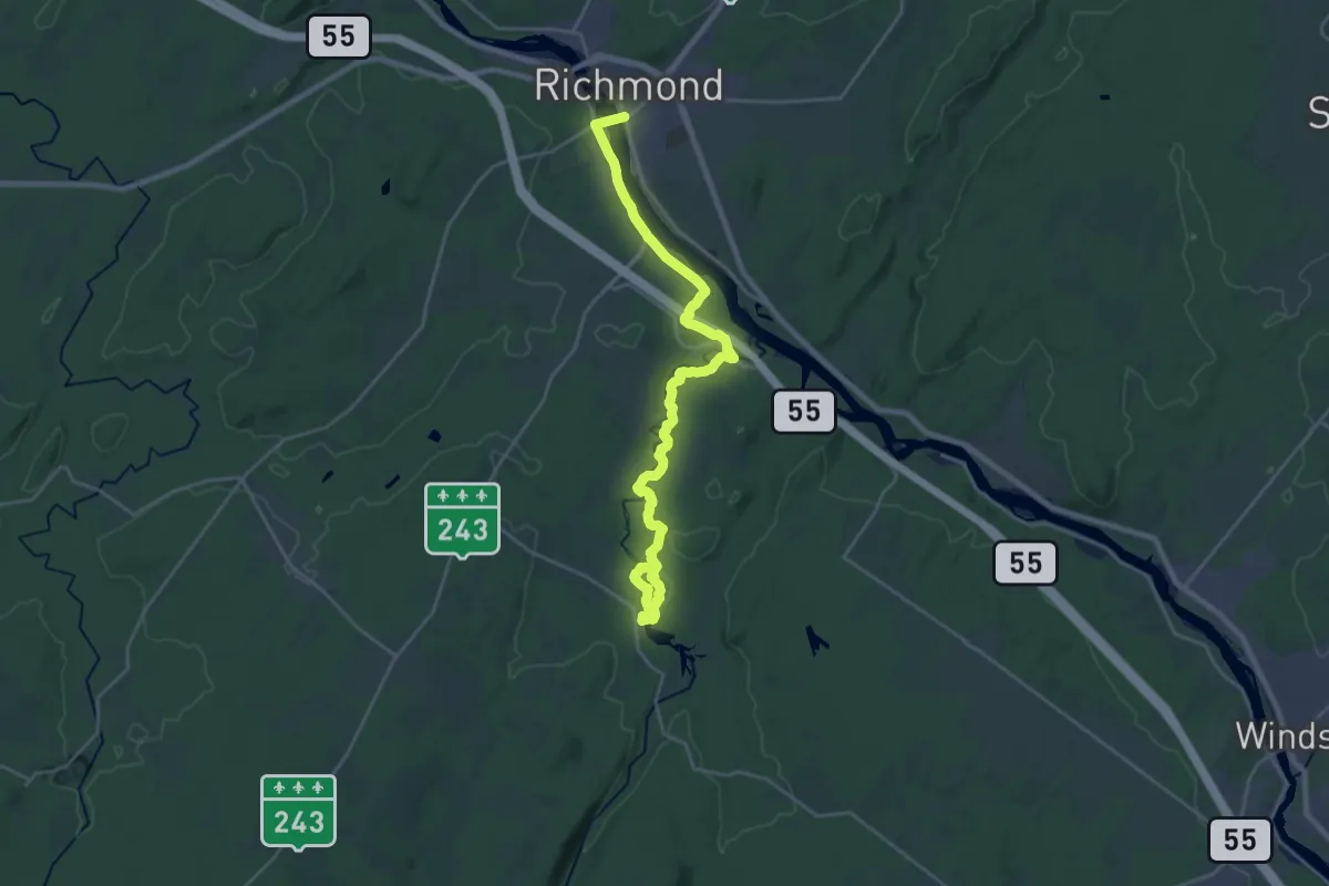
Demanding · Trail
Sentier de l'Estrie, Zone Richmond
26.3 km · ↑ 319 m · 6 h 54 min
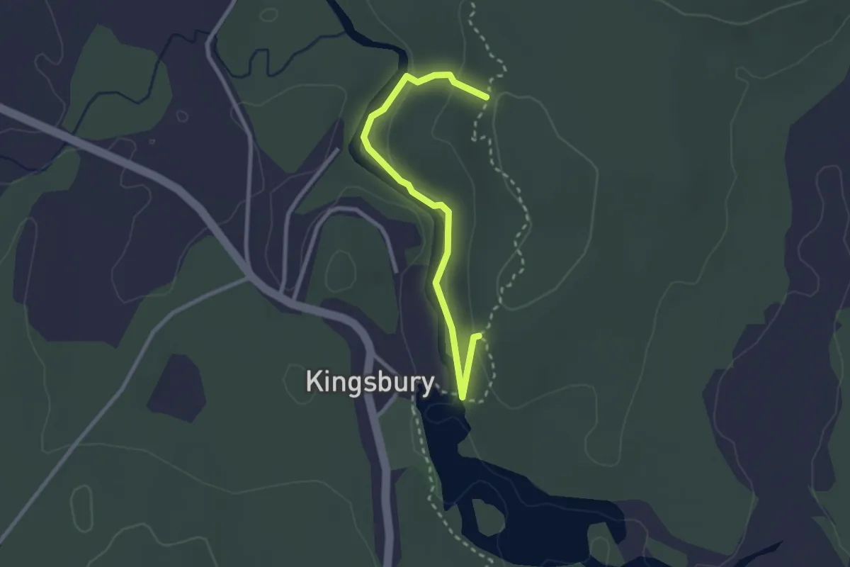
Medium · Trail
Sentier de l'Estrie, Zone Richmond, Accès
2.8 km · ↑ 85 m · 50 min
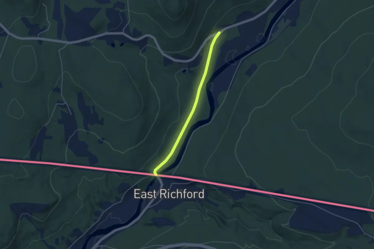
Easy · Trail
Sentier de l'Estrie, Zone Sutton
3.7 km · ↑ 38 m · 58 min
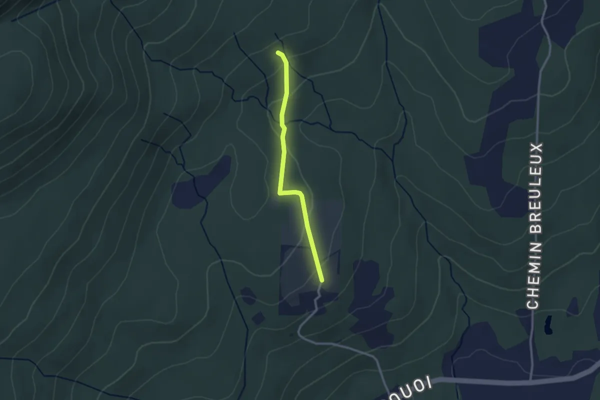
Medium · Trail
Sentier de l'Estrie, Zone Sutton, Accès
2.3 km · ↑ 99 m · 45 min
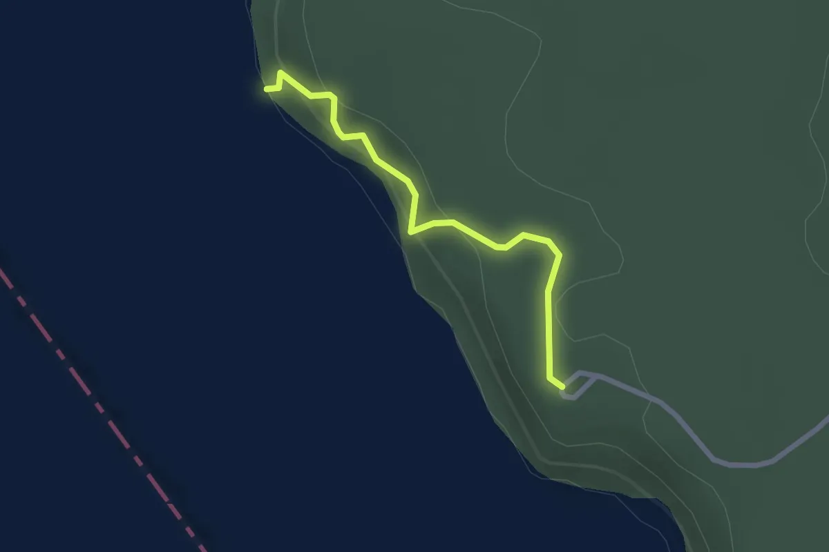
Easy · Trail
Sentier de l'Inukshuk
2.1 km · ↑ 139 m · 47 min
Easy · Trail
Sentier de Montagne à Fred
6.8 km · ↑ 134 m · 1 h 54 min
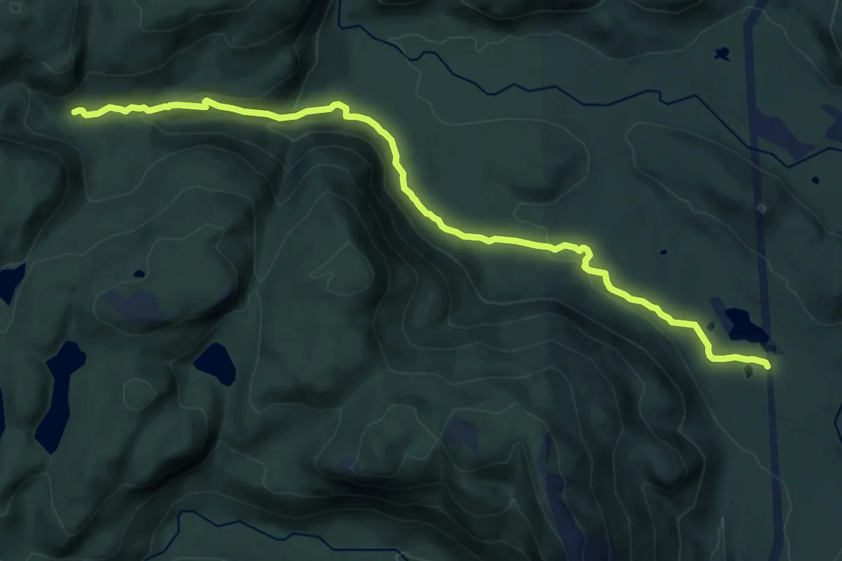
Medium · Cabin
Sentier des Chutes
15.3 km · ↑ 449 m · 4 h 35 min
Medium · Trail
Sentier des Chutes
12.5 km · ↑ 589 m · 4 h 14 min
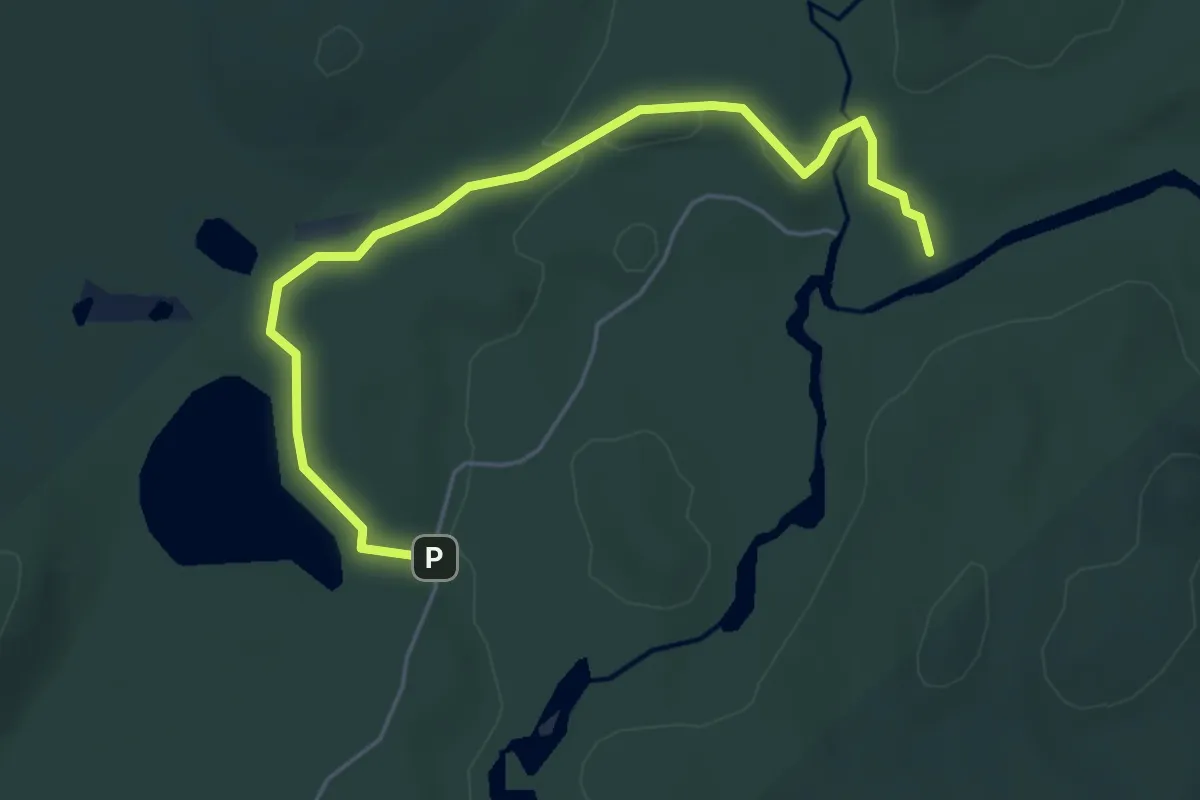
Easy · Trail
Sentier des Chutes de la Devost
5.6 km · ↑ 44 m · 1 h 25 min
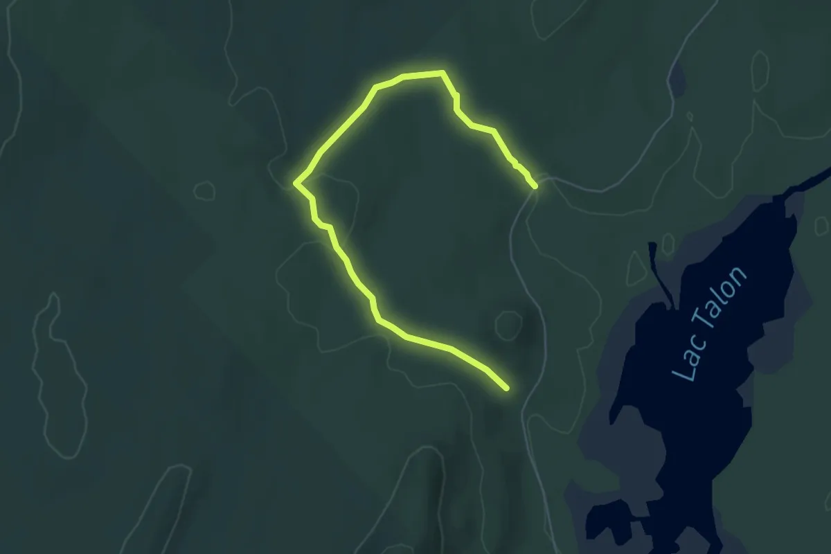
Easy · Trail
Sentier des Chutes du ruisseau des Cèdres
6.5 km · ↑ 104 m · 1 h 45 min
Easy · Trail
Sentier des Collines
4.0 km · ↑ 104 m · 1 h 13 min
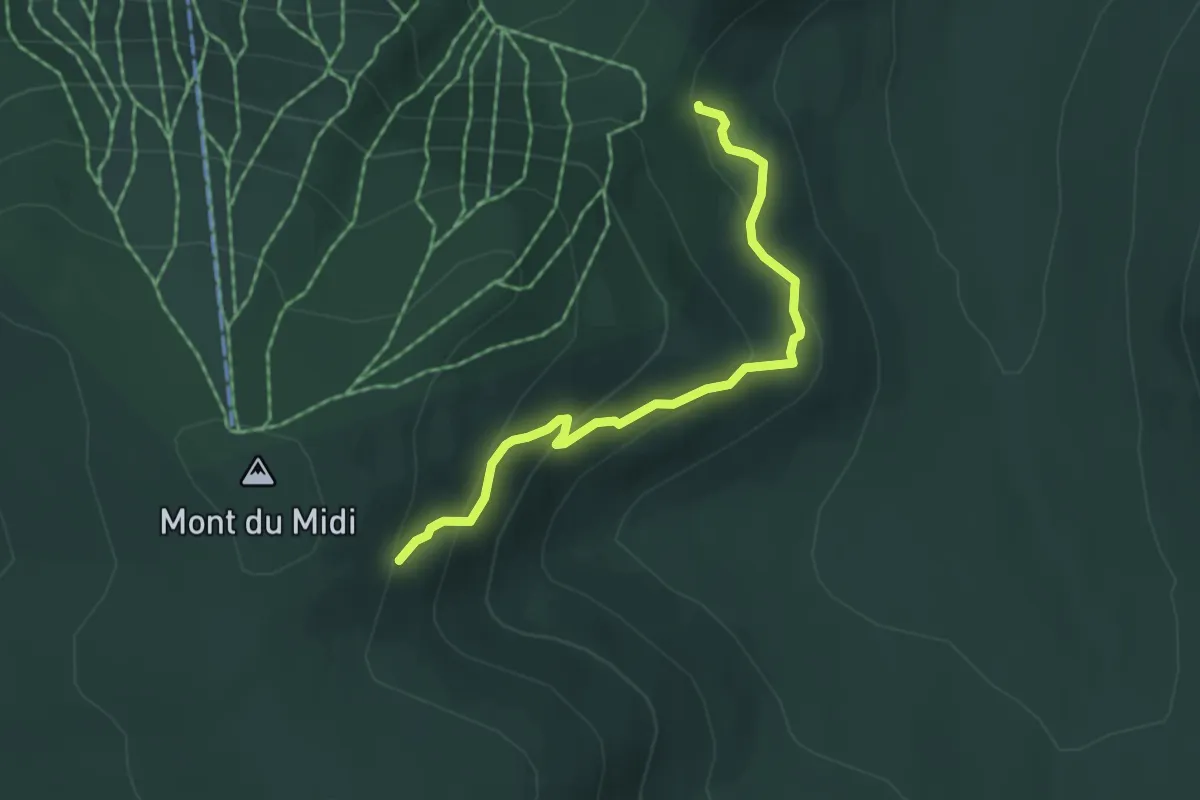
Easy · Trail
Sentier des Dryades
4.5 km · ↑ 251 m · 1 h 36 min
Medium · Trail
Sentier des Éoliennes
11.0 km · ↑ 239 m · 3 h 6 min
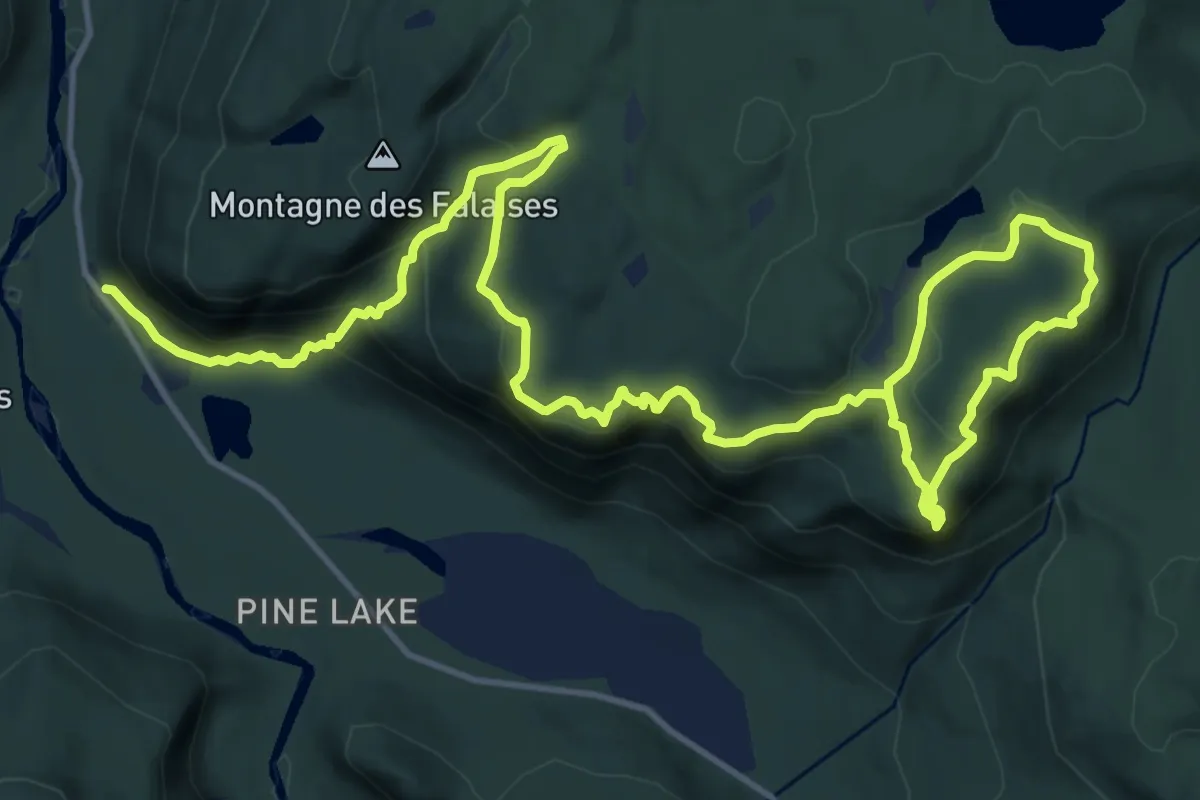
Demanding · Trail
Sentier des Falaises
21.5 km · ↑ 889 m · 7 h
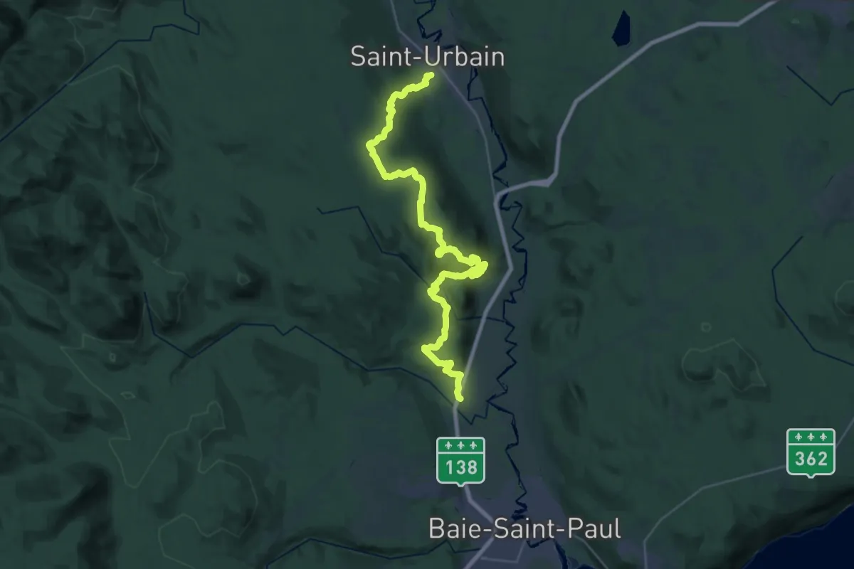
Medium · Trail
Sentier des Florents
16.8 km · ↑ 660 m · 5 h 38 min
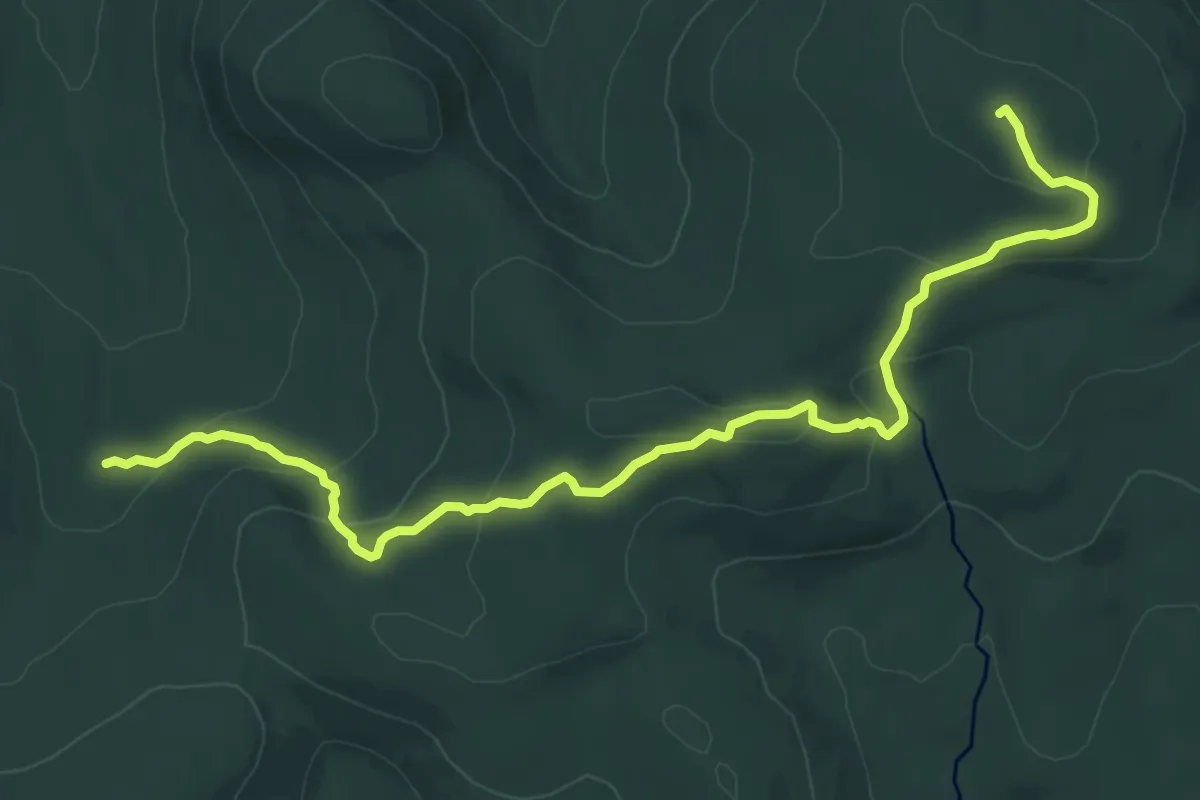
Medium · Summit
Sentier des Géants
11.3 km · ↑ 451 m · 3 h 38 min
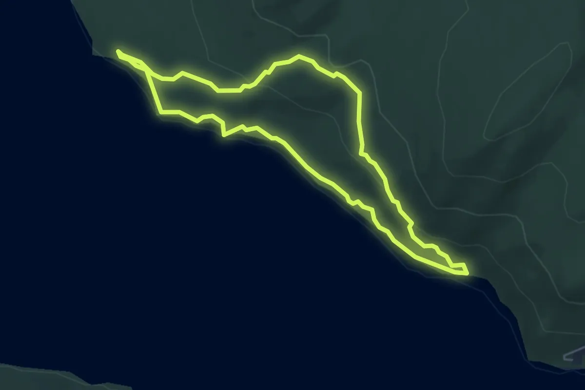
Easy · Trail
Sentier des Grands-Pins
4.7 km · ↑ 110 m · 1 h 24 min
Easy · Trail
Sentier des Méandres-à-Falaises
2.3 km · ↑ 58 m · 39 min
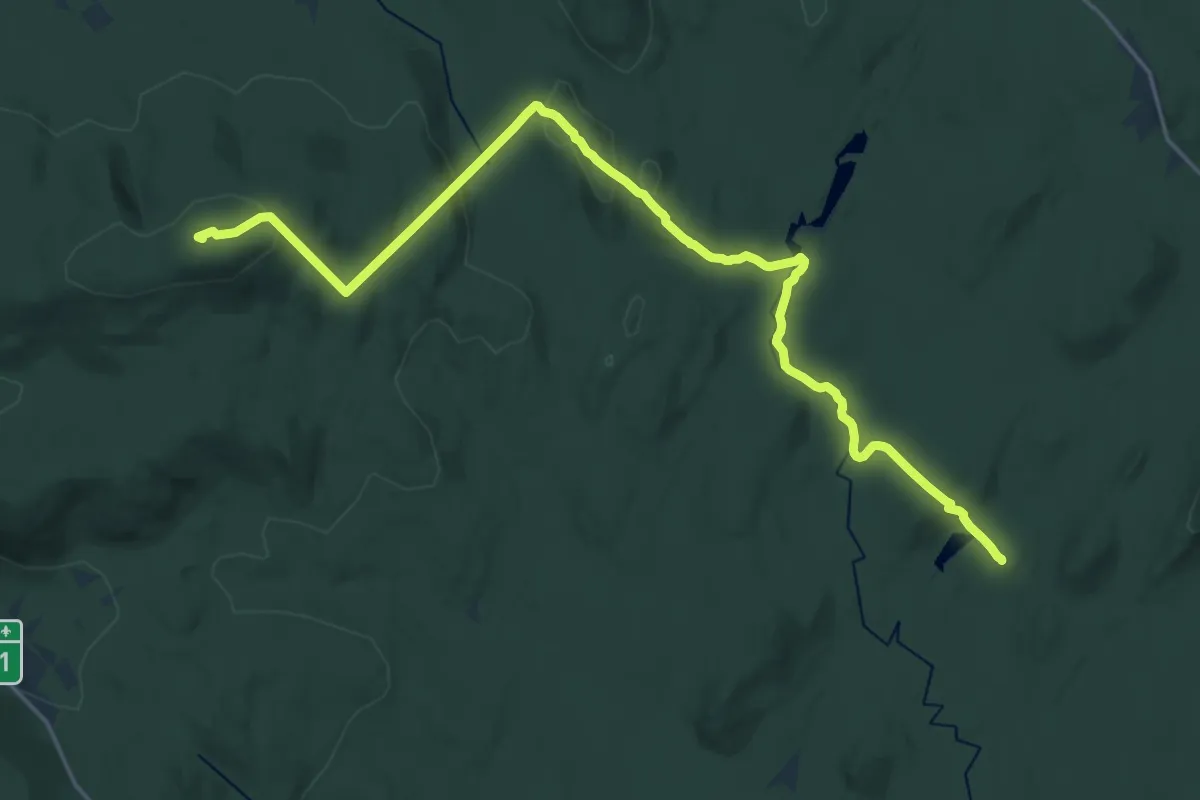
Demanding · Summit
Sentier des Orignaux
24.8 km · ↑ 733 m · 7 h 26 min
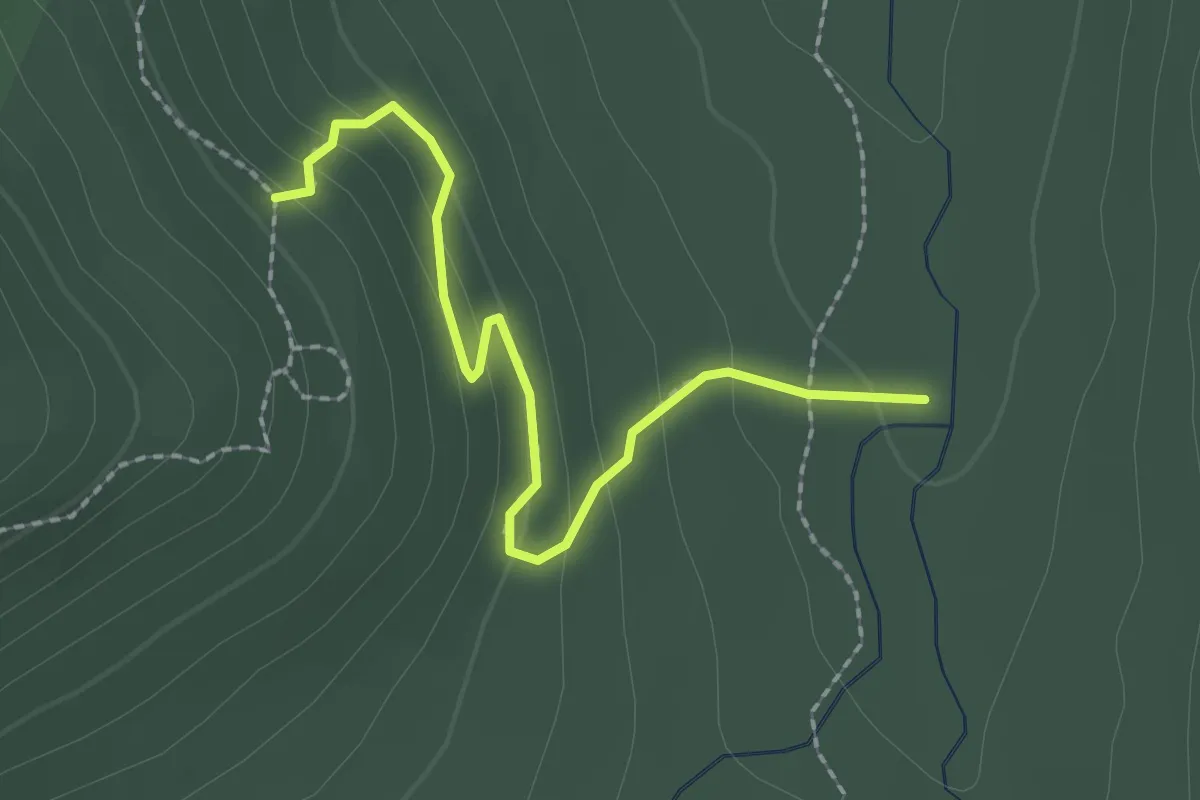
Easy · Trail
Sentier des Parois
2.2 km · ↑ 136 m · 49 min
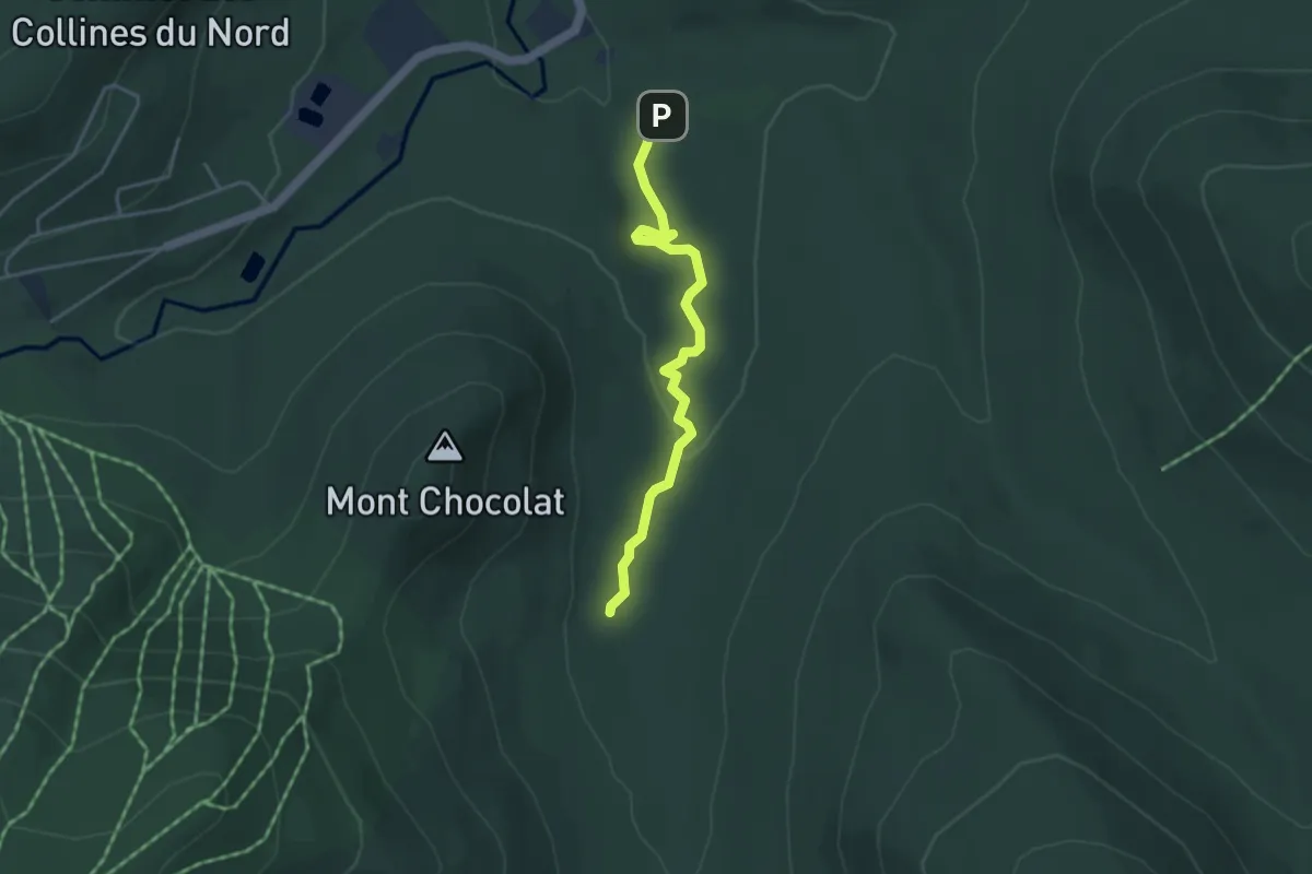
Easy · Cabin
Sentier des Passerelles
3.9 km · ↑ 69 m · 1 h 5 min
Demanding · Summit
Sentier des Pics
12.0 km · ↑ 671 m · 4 h 17 min
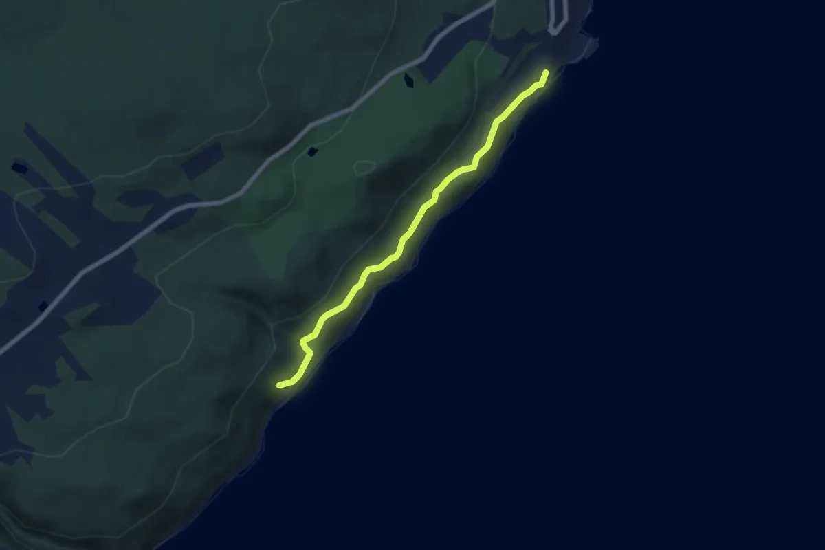
Easy · Trail
Sentier des planètes
5.6 km · ↑ 137 m · 1 h 38 min