Trails in Canada
1,109 hiking trails, each with its route, climb, walking time and grade.
All trails, page 18 of 24
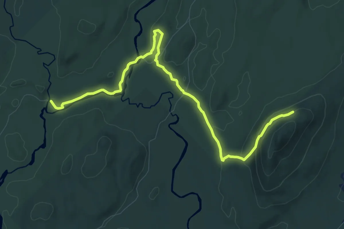
Medium · Trail
Sentier du Pont-Brûlé
11.8 km · ↑ 276 m · 3 h 24 min
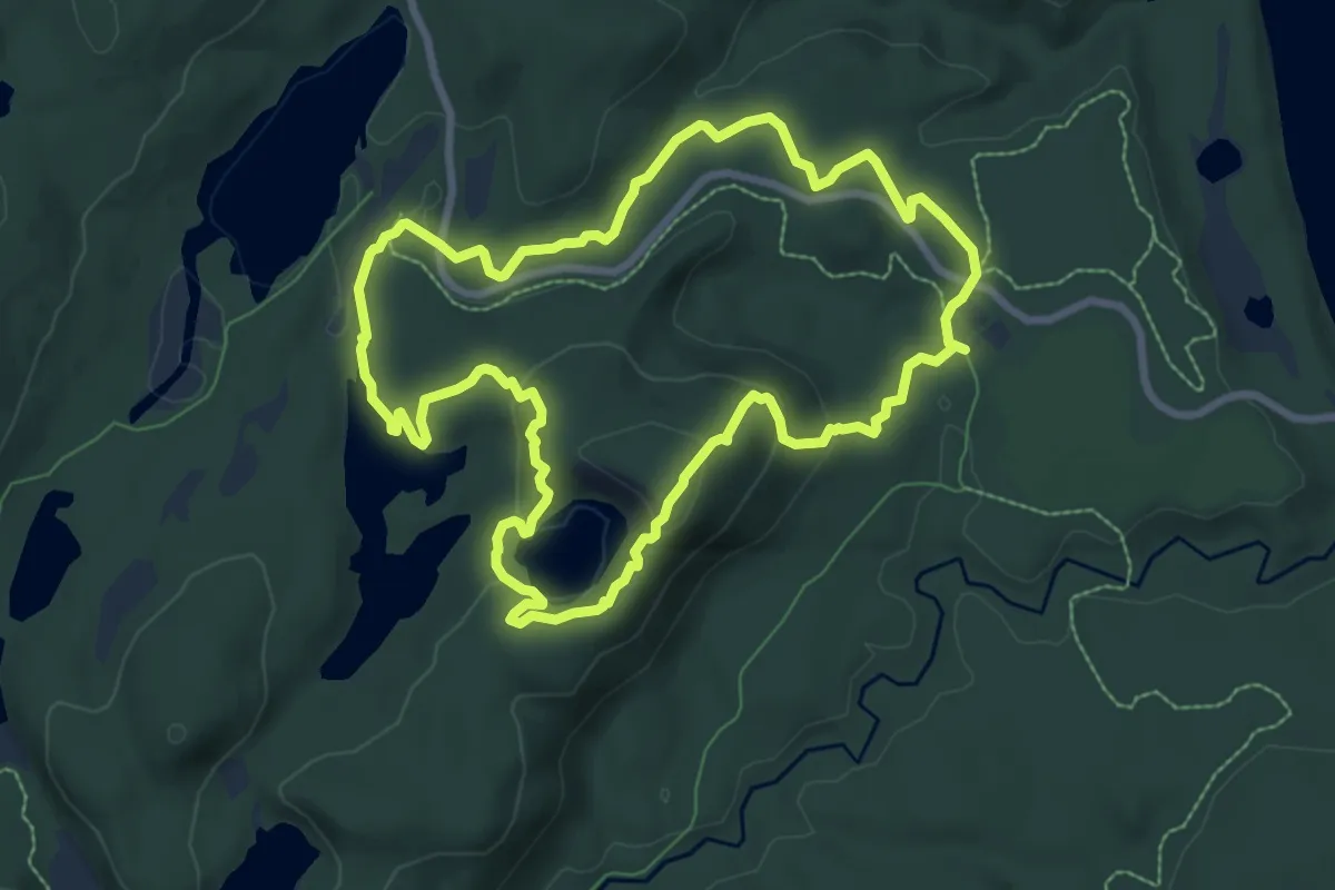
Medium · Trail
Sentier du Ruisseau-Bouchard
8.1 km · ↑ 256 m · 2 h 35 min
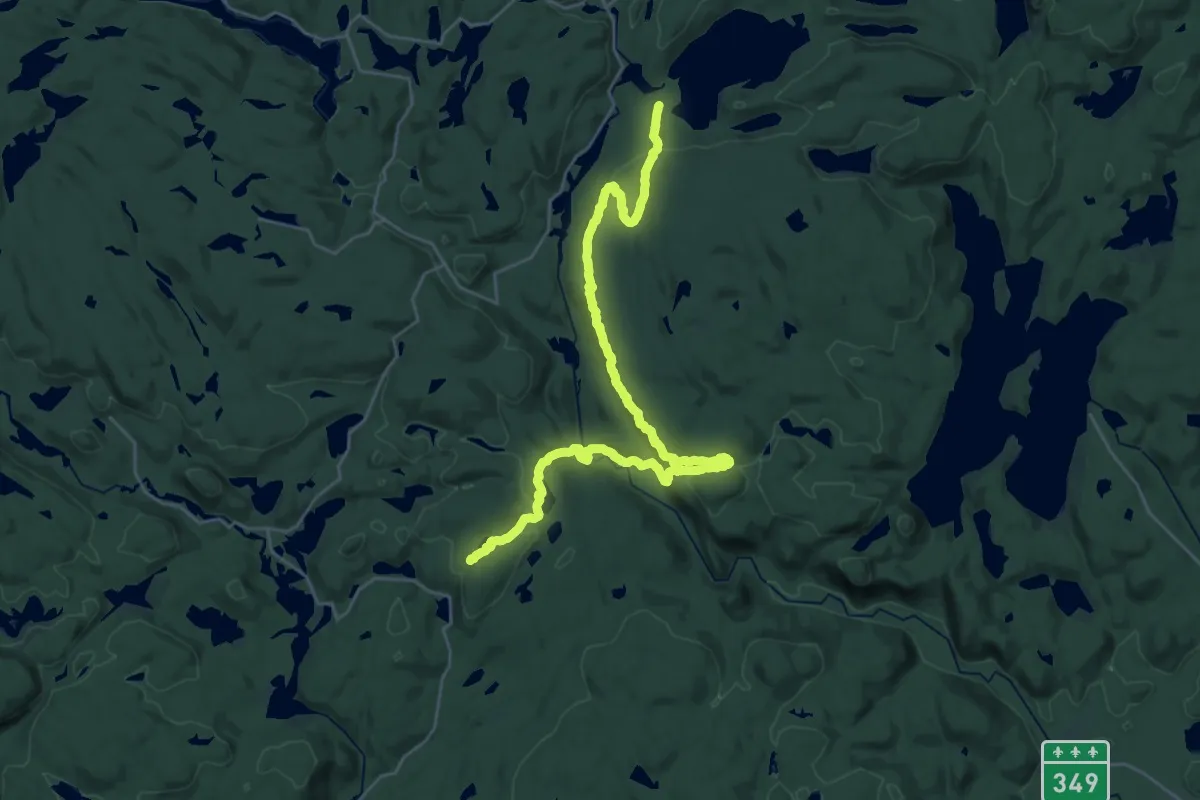
Medium · Trail
Sentier du Tonnerre
16.9 km · ↑ 567 m · 5 h 30 min
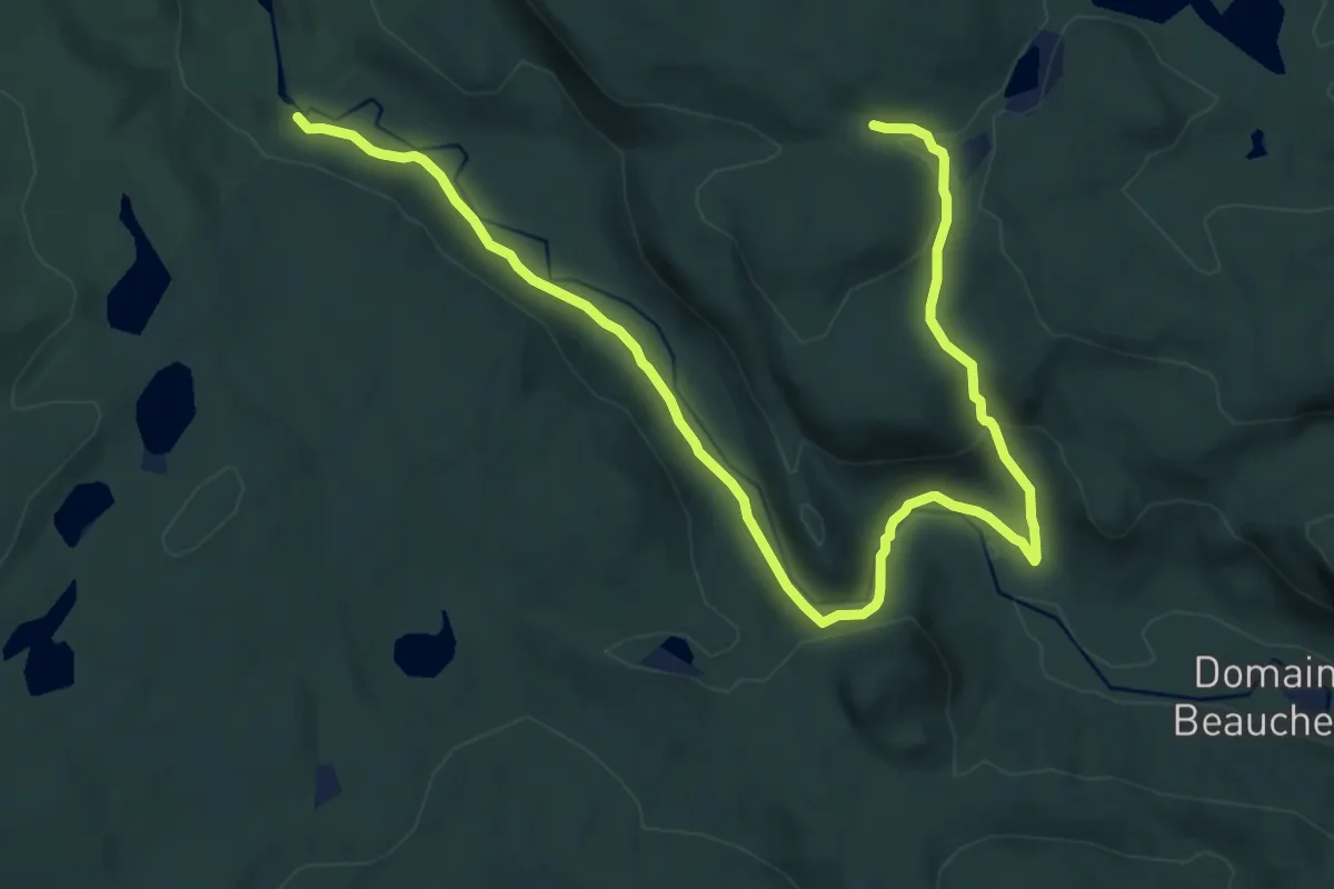
Medium · Trail
Sentier du Tonnerre (route alternative)
14.0 km · ↑ 390 m · 4 h 8 min
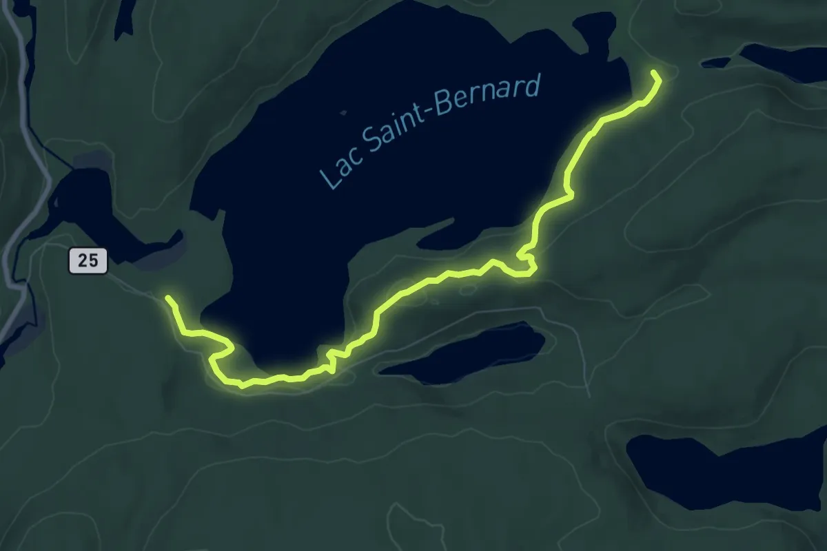
Medium · Trail
Sentier du Tour du Lac
9.1 km · ↑ 262 m · 2 h 43 min
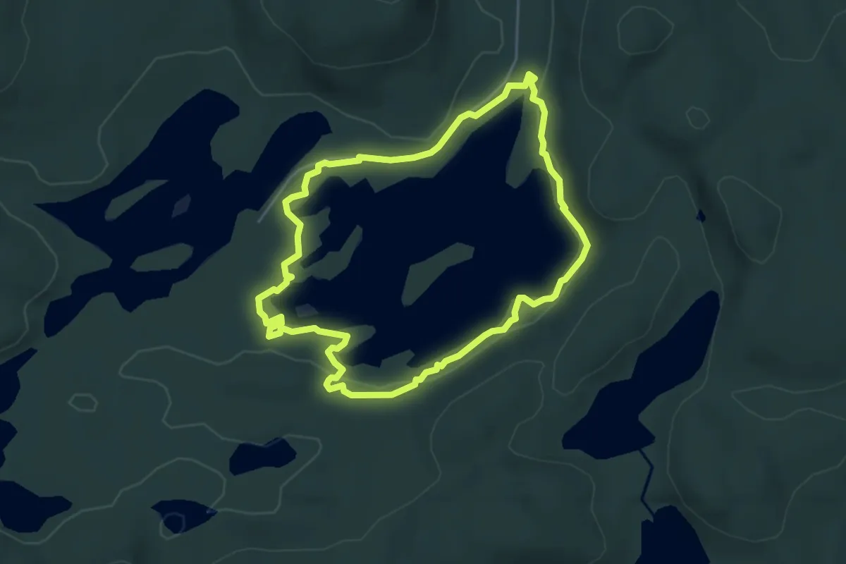
Easy · Trail
Sentier du Tour du Lac Clair
4.4 km · ↑ 39 m · 1 h 11 min
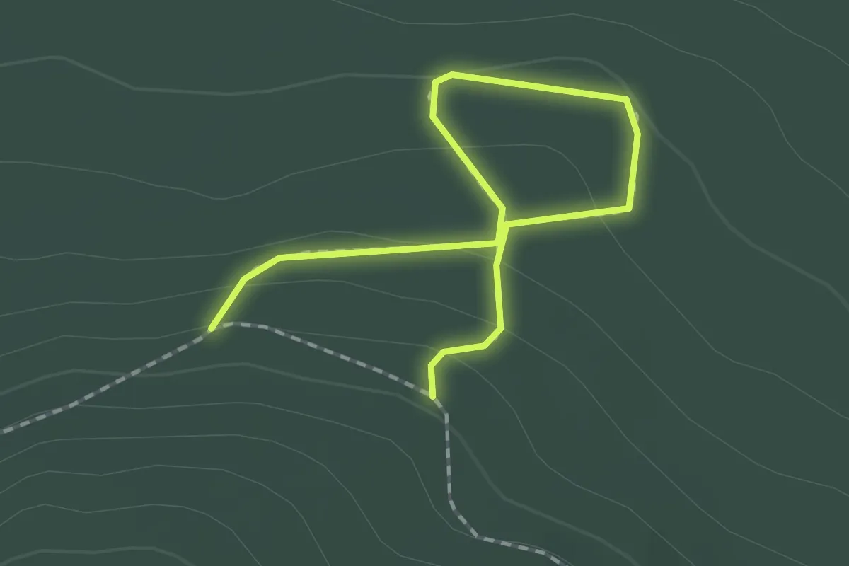
Easy · Trail
Sentier du Verger
2.1 km · ↑ 88 m · 41 min
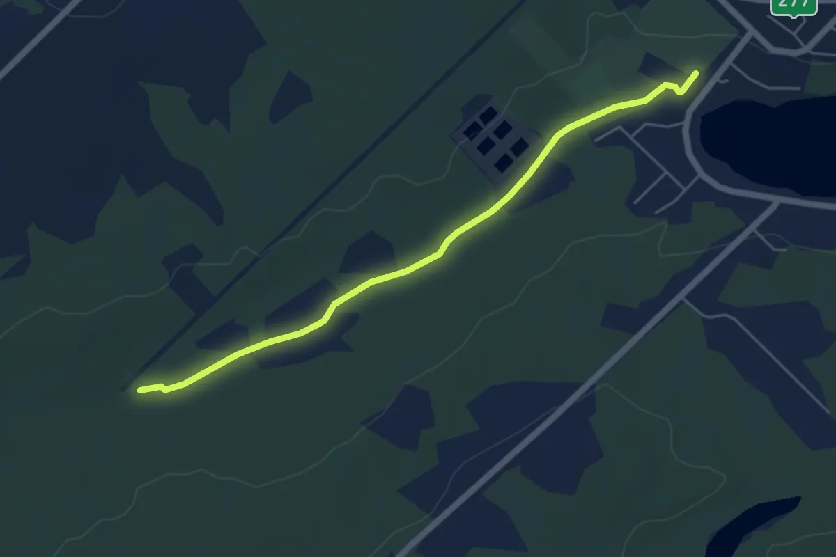
Easy · Trail
Sentier Écologique de la Haute Etchemin
5.2 km · ↑ 17 m · 1 h 16 min
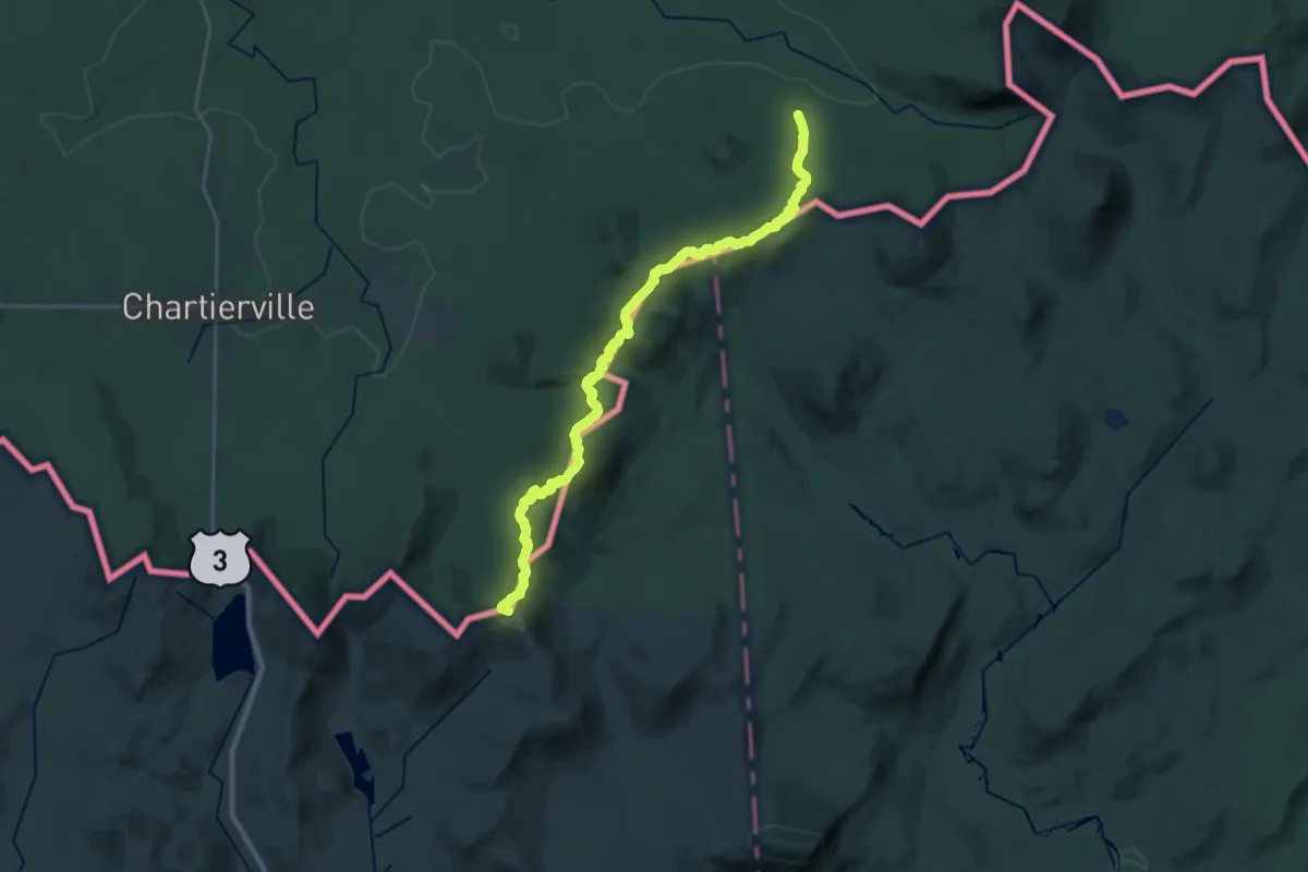
Demanding · Summit
Sentier Frontalier 1
29.0 km · ↑ 1857 m · 10 h 53 min
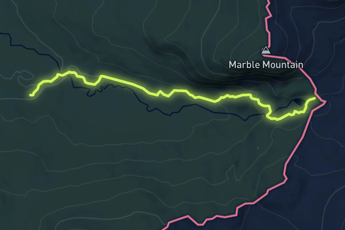
Medium · Trail
Sentier Frontalier 2
8.9 km · ↑ 218 m · 2 h 35 min
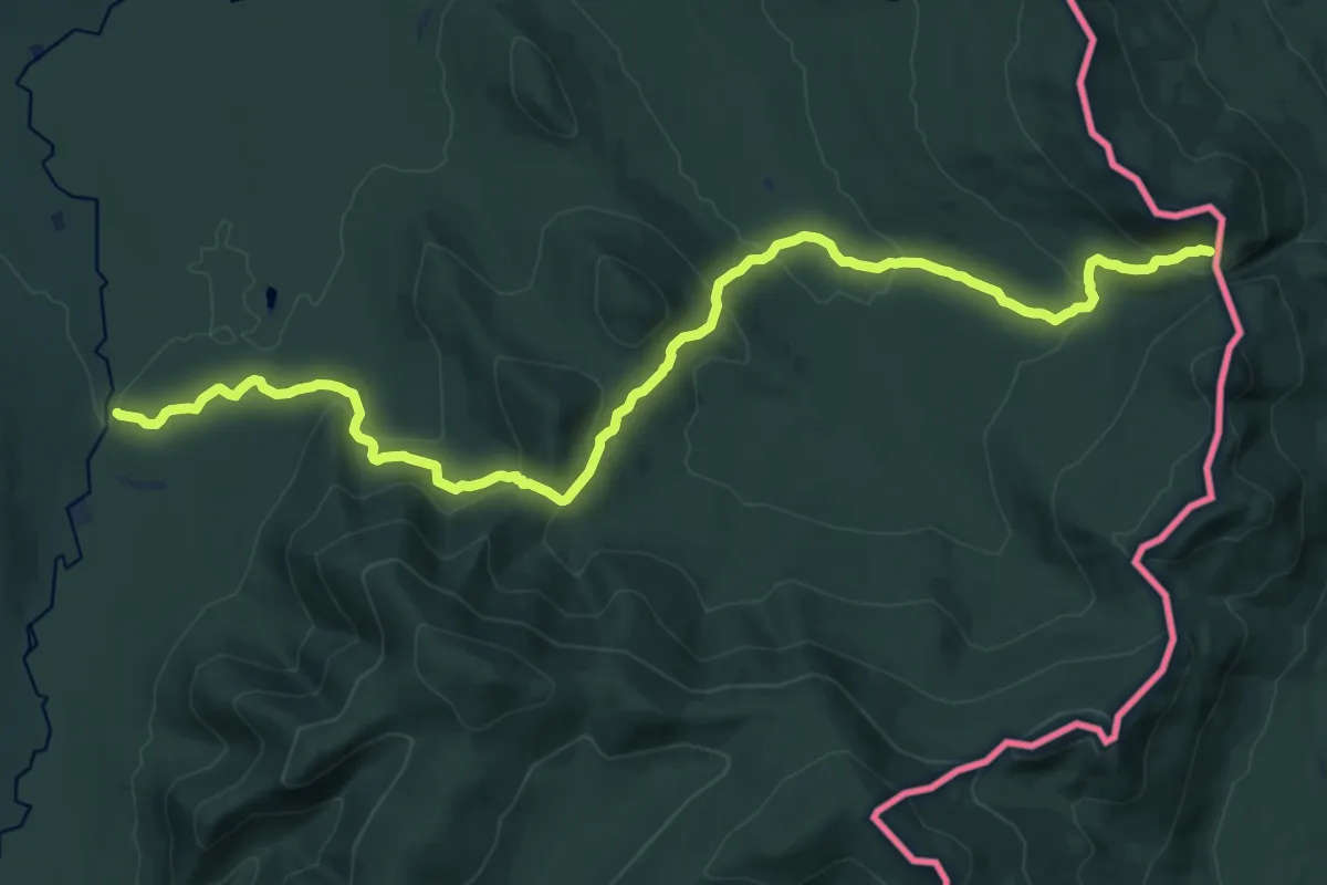
Demanding · Trail
Sentier Frontalier 6
18.4 km · ↑ 795 m · 6 h 4 min
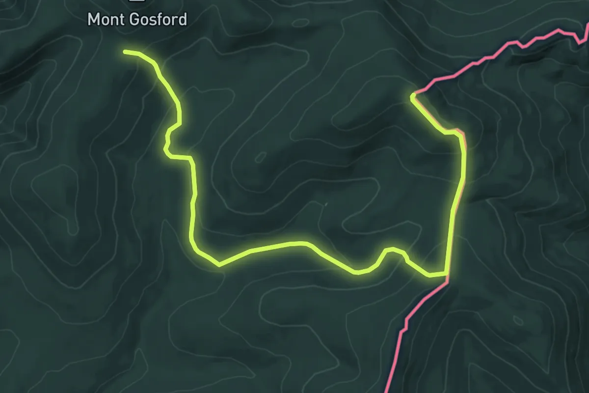
Medium · Trail
Sentier Frontalier 7
13.2 km · ↑ 624 m · 4 h 28 min
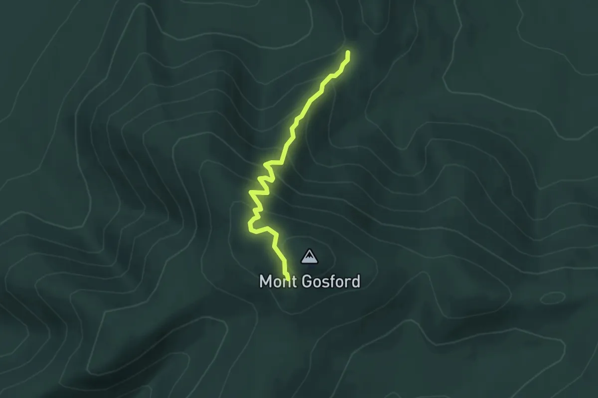
Medium · Trail
Sentier Frontalier 8
4.1 km · ↑ 349 m · 1 h 44 min
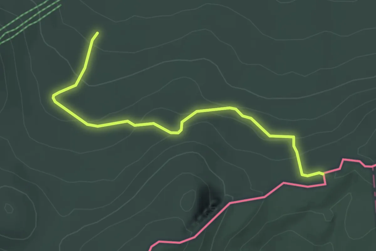
Easy · Trail
Sentier Frontalier 9
4.0 km · ↑ 177 m · 1 h 19 min
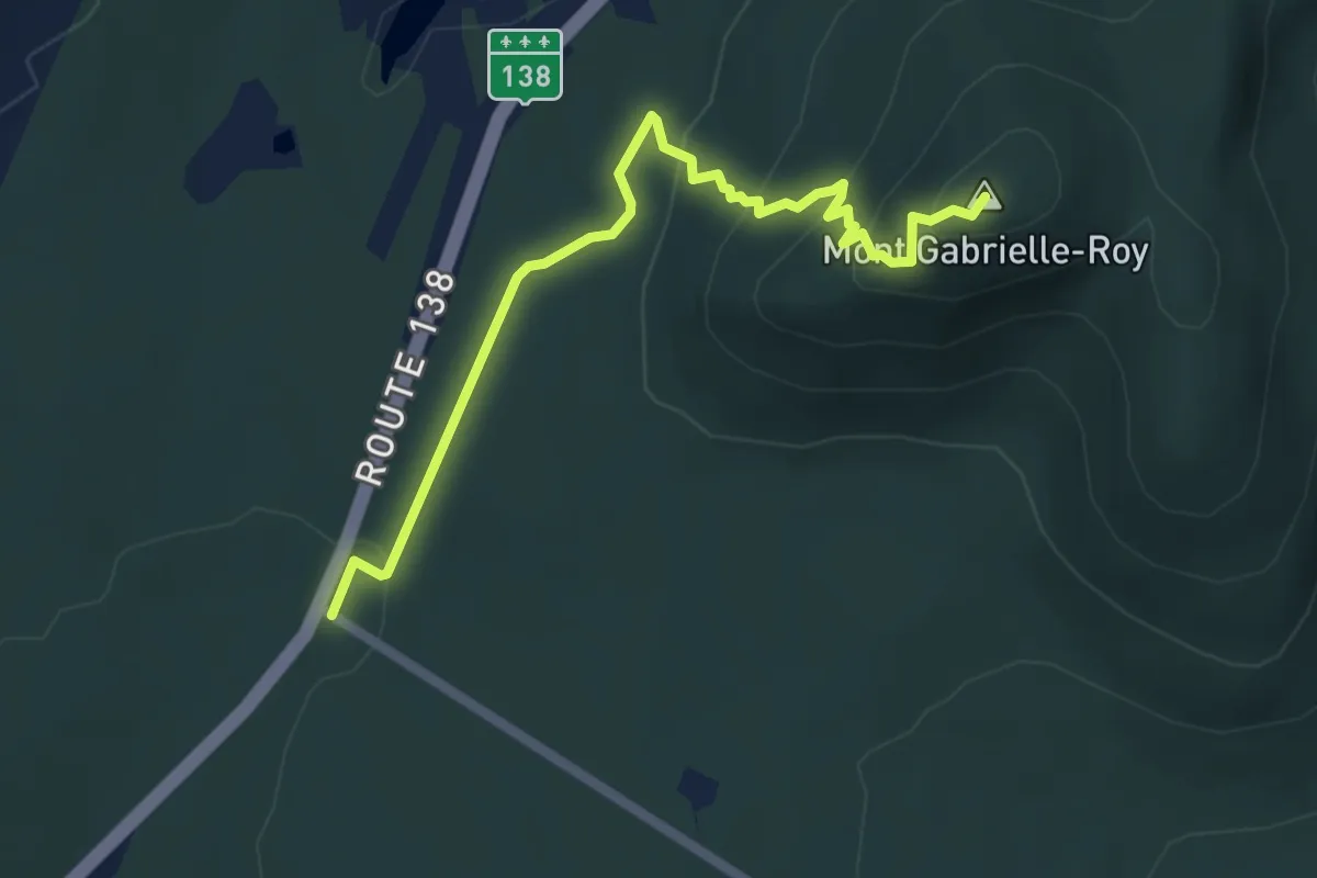
Easy · Summit
Sentier Gabrielle-Roy Est
5.4 km · ↑ 270 m · 1 h 51 min
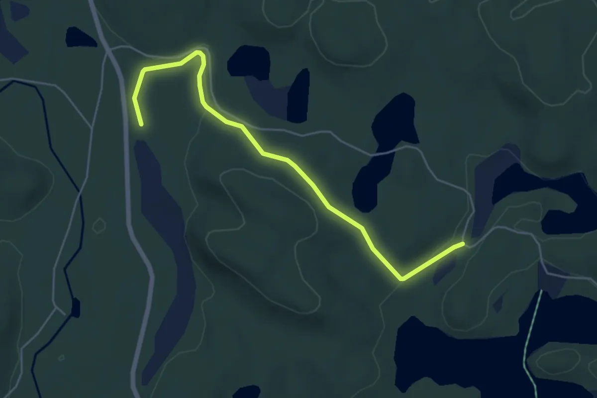
Easy · Trail
Sentier Geai Bleu
5.1 km · ↑ 112 m · 1 h 27 min
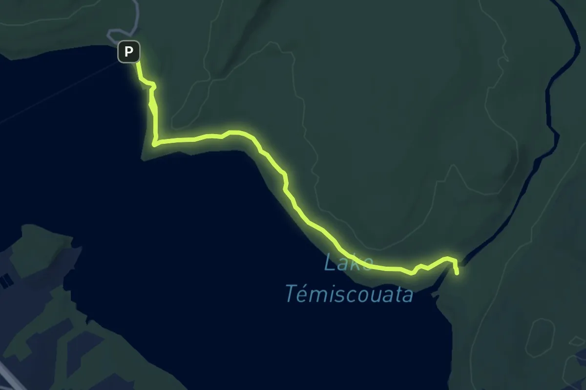
Medium · Trail
Sentier Grey-Owl
11.8 km · ↑ 96 m · 3 h
Easy · Trail
Sentier international des Appalaches, Québec
6.2 km · ↑ 192 m · 1 h 58 min
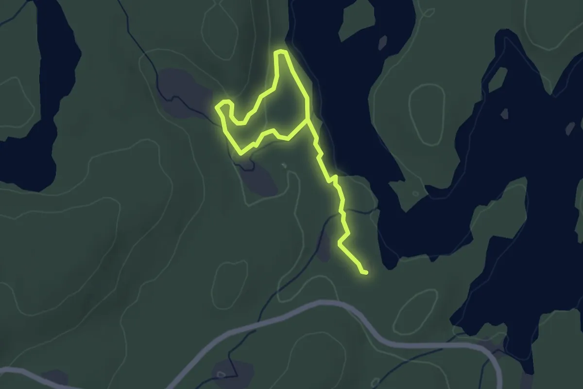
Easy · Trail
Sentier La Cache
4.4 km · ↑ 67 m · 1 h 12 min
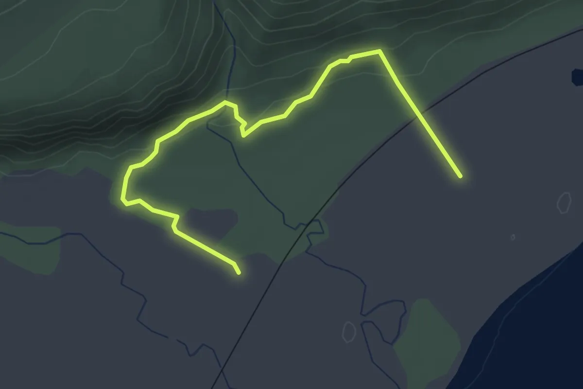
Easy · Trail
Sentier la Cédrière
4.1 km · ↑ 75 m · 1 h 8 min
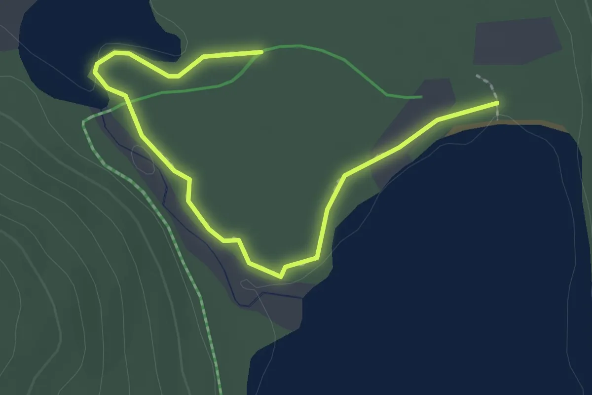
Easy · Trail
Sentier Lac-Étienne
2.7 km · ↑ 0 m · 38 min
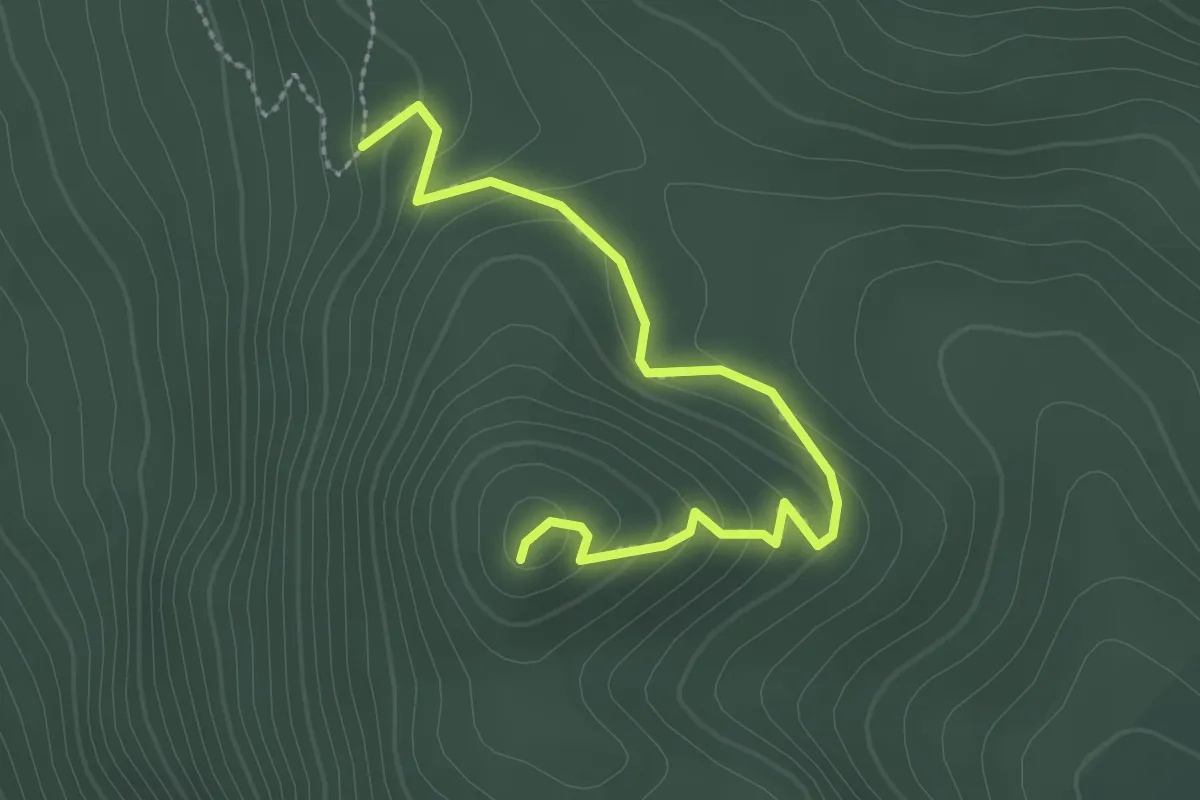
Easy · Trail
Sentier la Chouenne
2.7 km · ↑ 160 m · 59 min
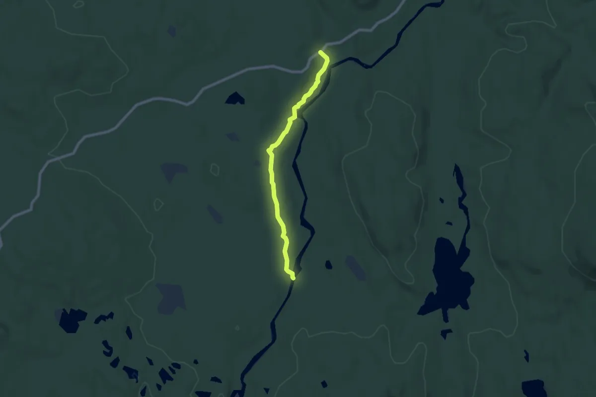
Easy · Trail
Sentier la Chute
6.3 km · ↑ 46 m · 1 h 35 min
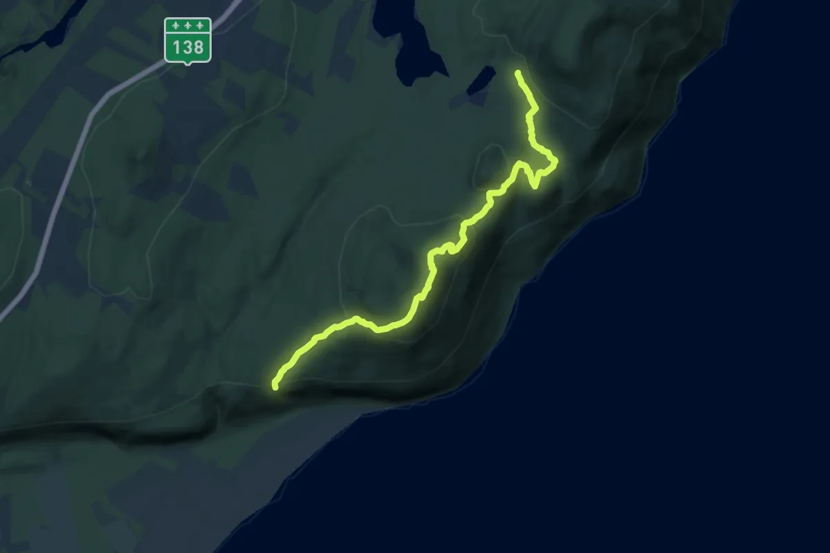
Medium · Trail
Sentier la Cime
14.8 km · ↑ 762 m · 5 h 9 min
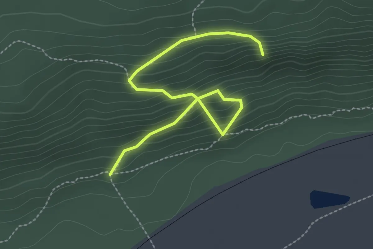
Easy · Trail
Sentier la Falaise
2.8 km · ↑ 303 m · 1 h 20 min
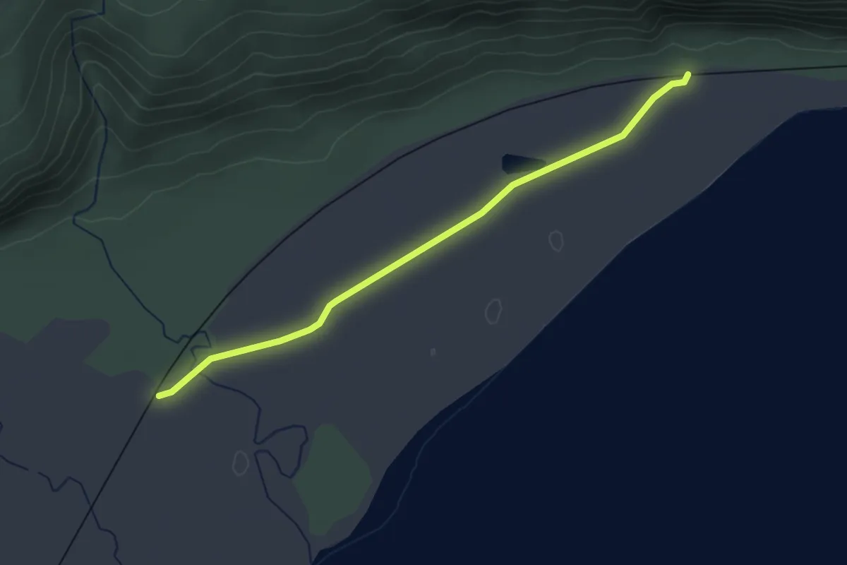
Easy · Trail
Sentier L'Allée d'ormes
3.3 km · ↑ 0 m · 47 min
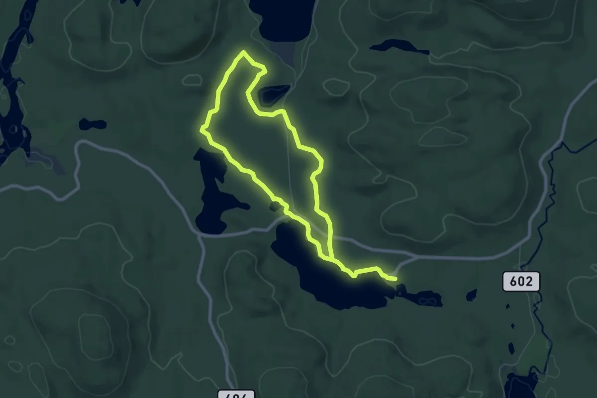
Medium · Trail
Sentier la Pinède
11.2 km · ↑ 50 m · 2 h 46 min
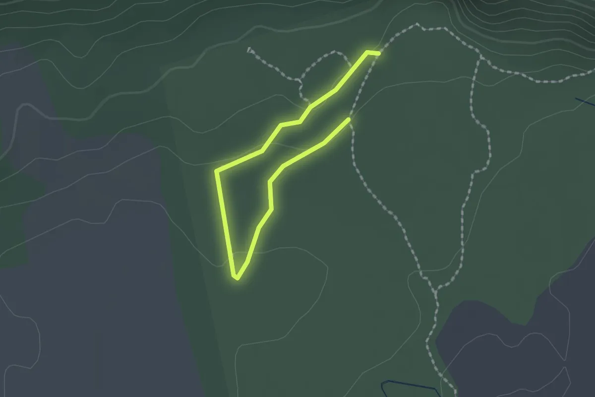
Easy · Trail
Sentier l'Aulnaie
1.0 km · ↑ 14 m · 17 min
Medium · Trail
Sentier la Vallée
9.1 km · ↑ 56 m · 2 h 16 min
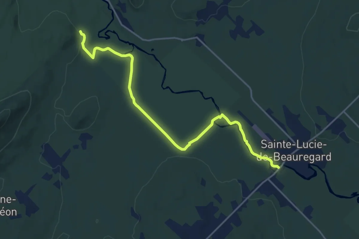
Medium · Trail
Sentier le Beauregard
13.9 km · ↑ 76 m · 3 h 26 min
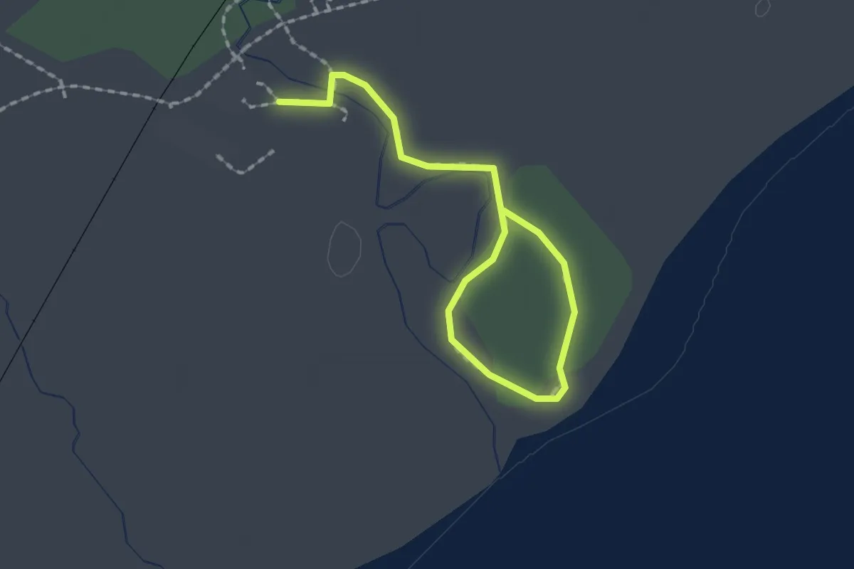
Easy · Trail
Sentier le Bois-sent-bons
2.0 km · ↑ 0 m · 28 min
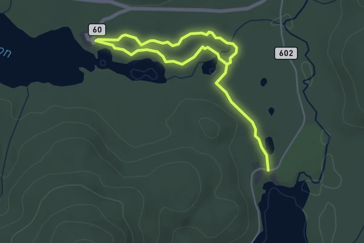
Easy · Trail
Sentier le Boréal
5.4 km · ↑ 31 m · 1 h 21 min
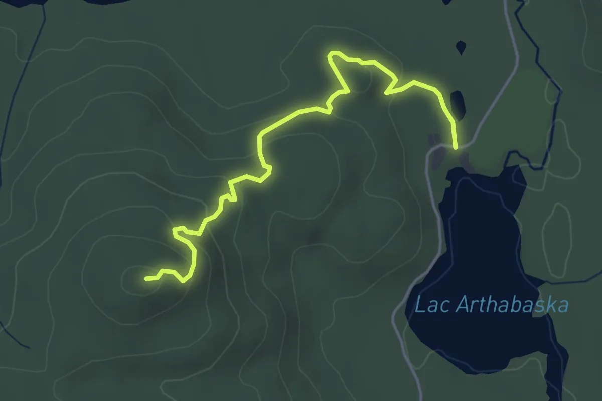
Easy · Trail
Sentier le Brûlé
4.4 km · ↑ 158 m · 1 h 23 min
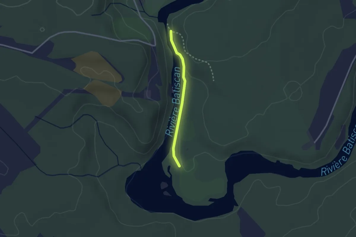
Easy · Trail
Sentier Le Doré
2.0 km · ↑ 27 m · 32 min
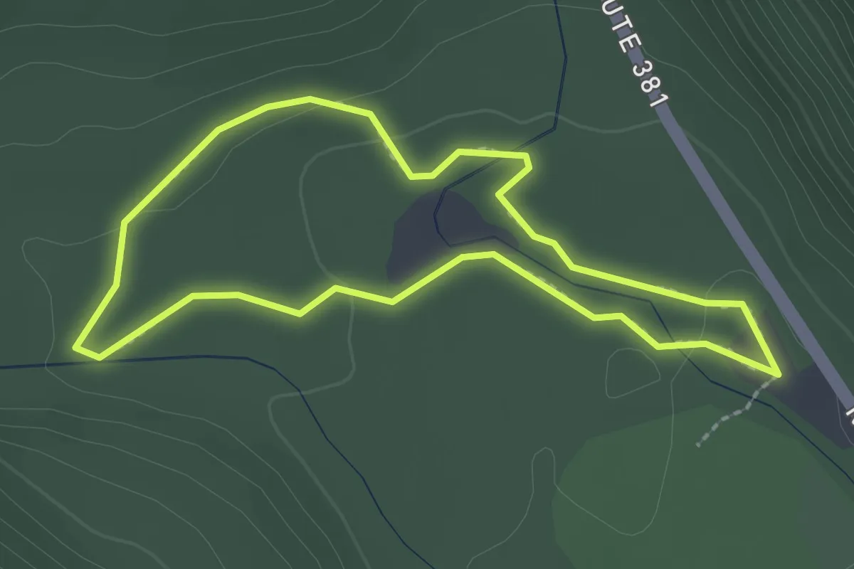
Easy · Trail
Sentier le Gros Pin
2.0 km · ↑ 22 m · 34 min
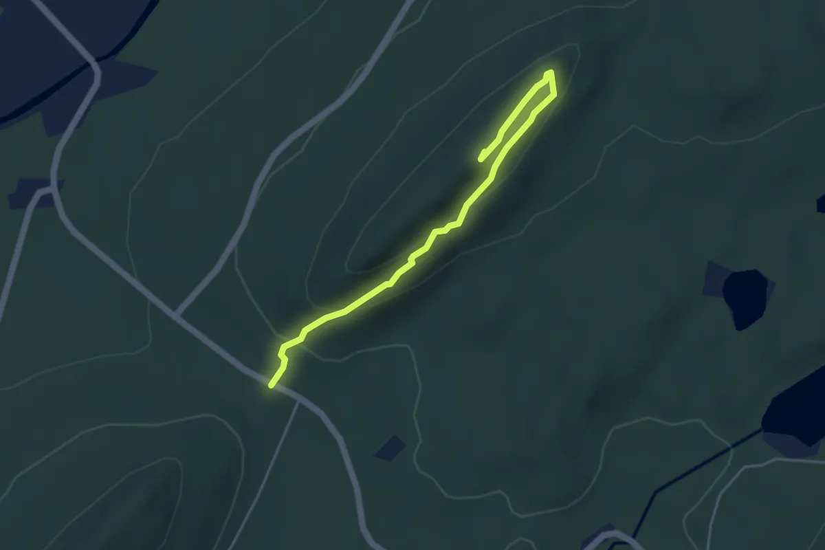
Easy · Summit
Sentier le Morne à Giroux
4.3 km · ↑ 175 m · 1 h 23 min
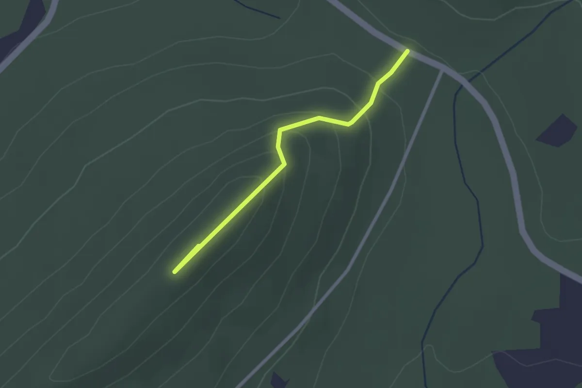
Easy · Summit
Sentier le Morne à Mathias
2.3 km · ↑ 118 m · 48 min
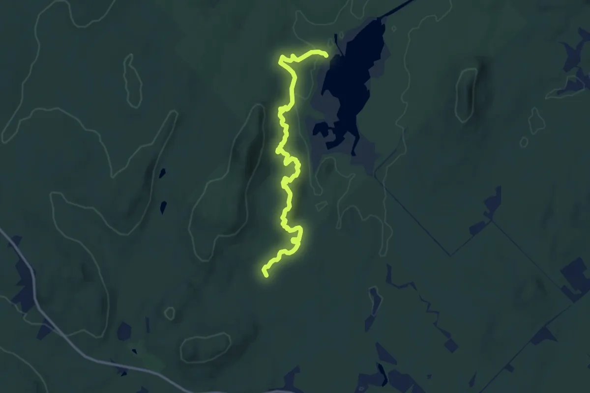
Medium · Cabin
Sentier le Parcours des Caps
11.6 km · ↑ 367 m · 3 h 32 min
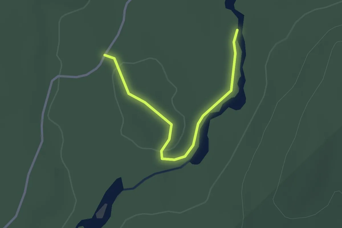
Easy · Trail
Sentier le Pêcheur
2.7 km · ↑ 31 m · 42 min
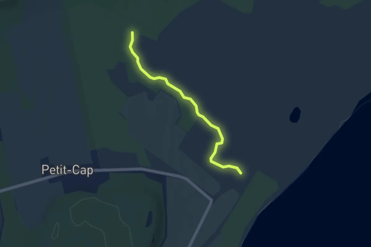
Easy · Trail
Sentier le Petit-Sault
3.2 km · ↑ 9 m · 47 min
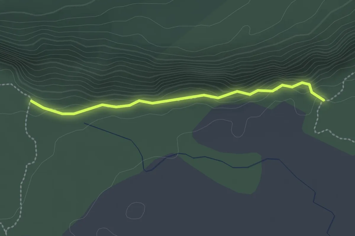
Easy · Trail
Sentier le Piedmont
2.2 km · ↑ 36 m · 36 min
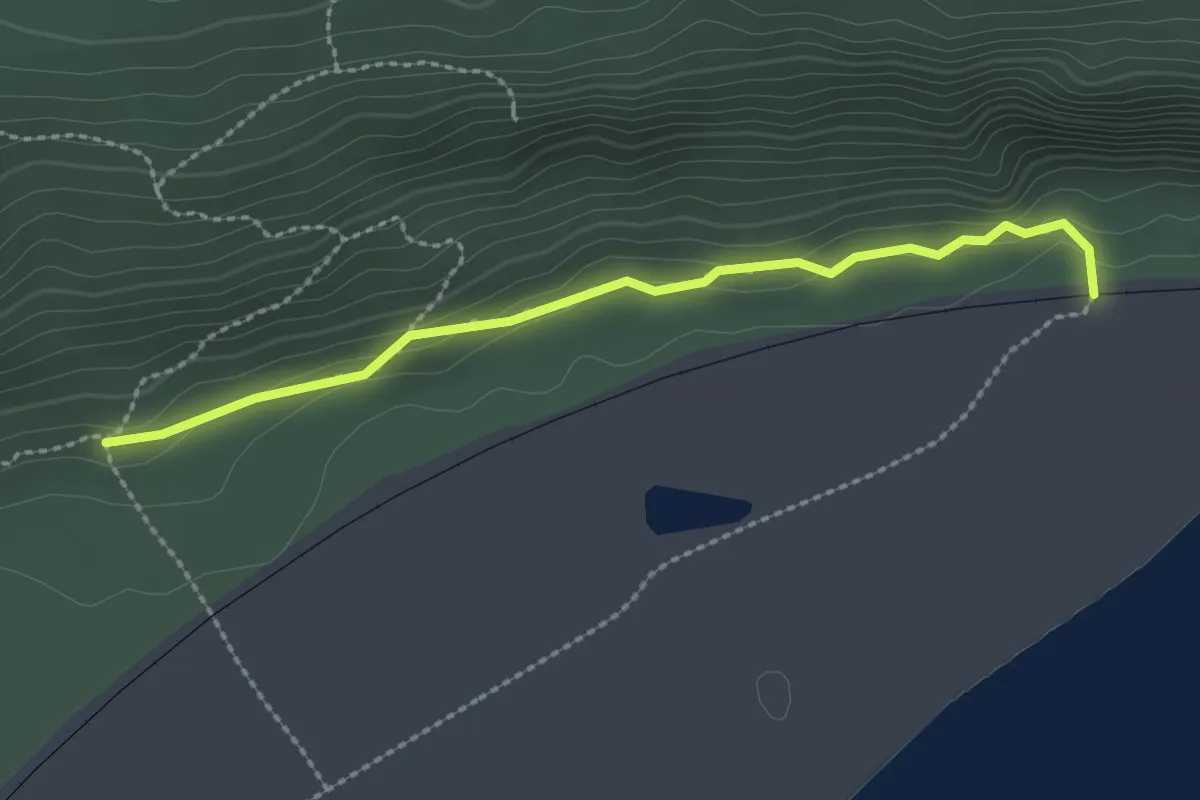
Easy · Trail
Sentier Le Pierrier
2.4 km · ↑ 56 m · 41 min
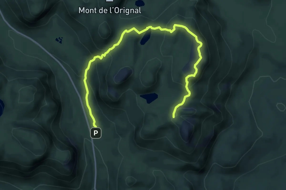
Medium · Trail
Sentier le Pioui
12.3 km · ↑ 764 m · 4 h 33 min
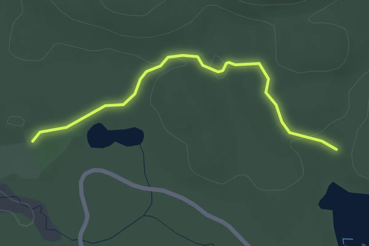
Easy · Trail
Sentier le Pommereau
3.4 km · ↑ 46 m · 54 min
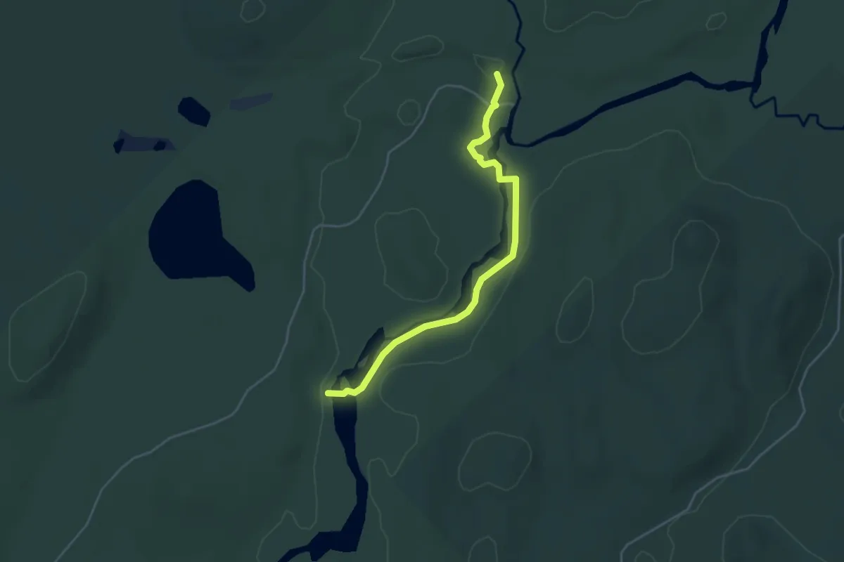
Easy · Trail
Sentier le Portage
4.2 km · ↑ 41 m · 1 h 5 min
Demanding · Trail
Sentier le Portage
20.0 km · ↑ 262 m · 5 h 18 min
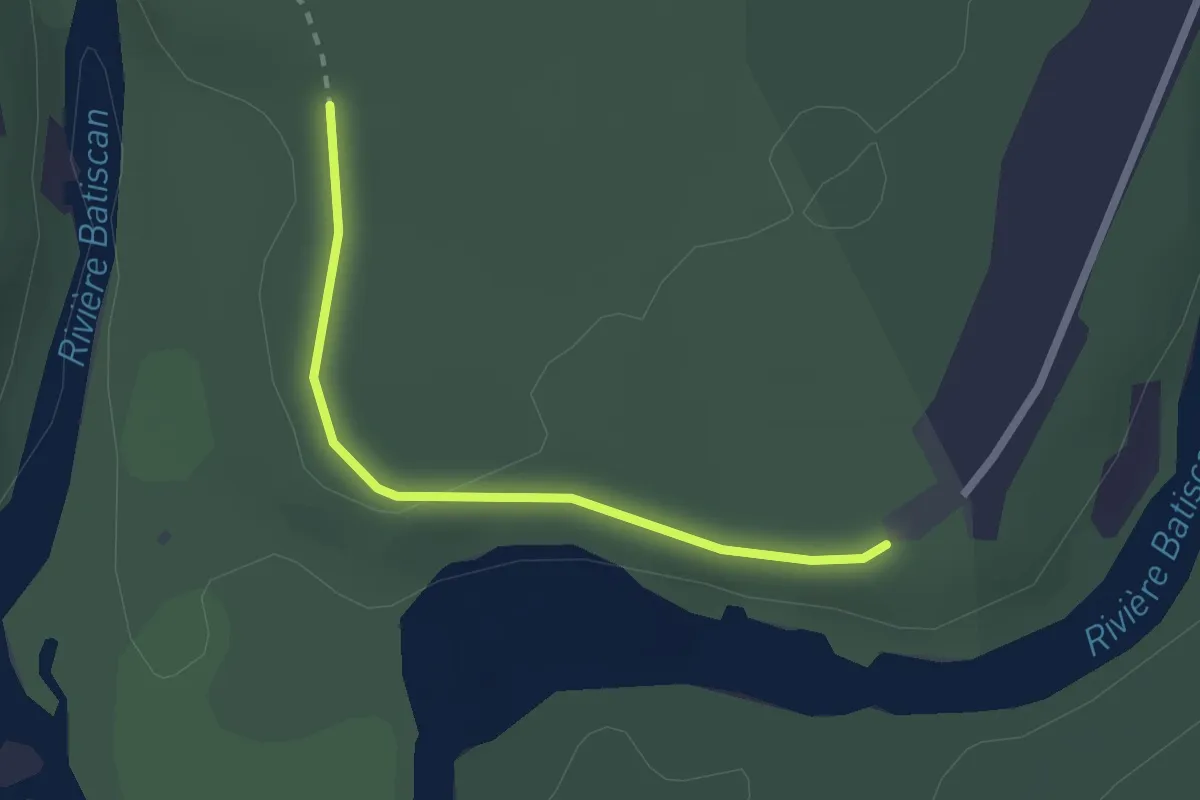
Easy · Trail
Sentier Le Portage
2.1 km · ↑ 32 m · 34 min
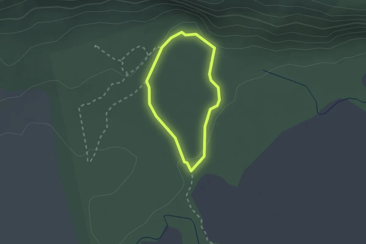
Easy · Trail
Sentier l'Érablière
1.3 km · ↑ 19 m · 22 min