Trails in Canada
1,109 hiking trails, each with its route, climb, walking time and grade.
All trails, page 19 of 24
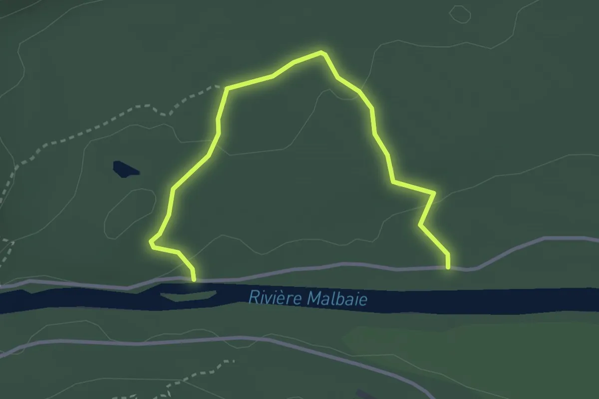
Easy · Trail
Sentier L'Érablière
3.3 km · ↑ 52 m · 54 min
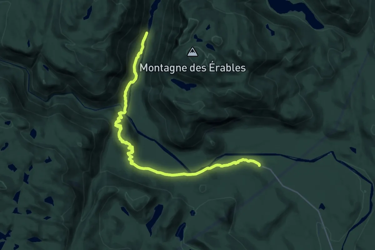
Demanding · Trail
Sentier le Riverain
21.1 km · ↑ 526 m · 6 h 8 min
Demanding · Trail
Sentier les Caps
22.5 km · ↑ 891 m · 7 h 38 min
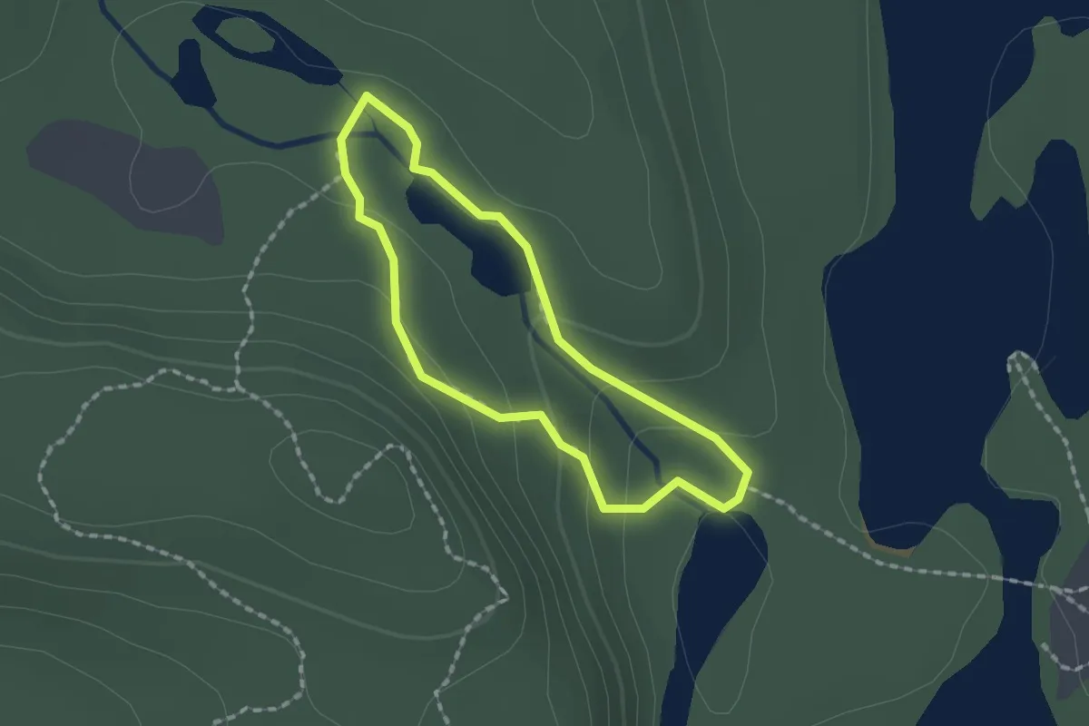
Easy · Trail
Sentier Les Cascades
1.4 km · ↑ 58 m · 28 min
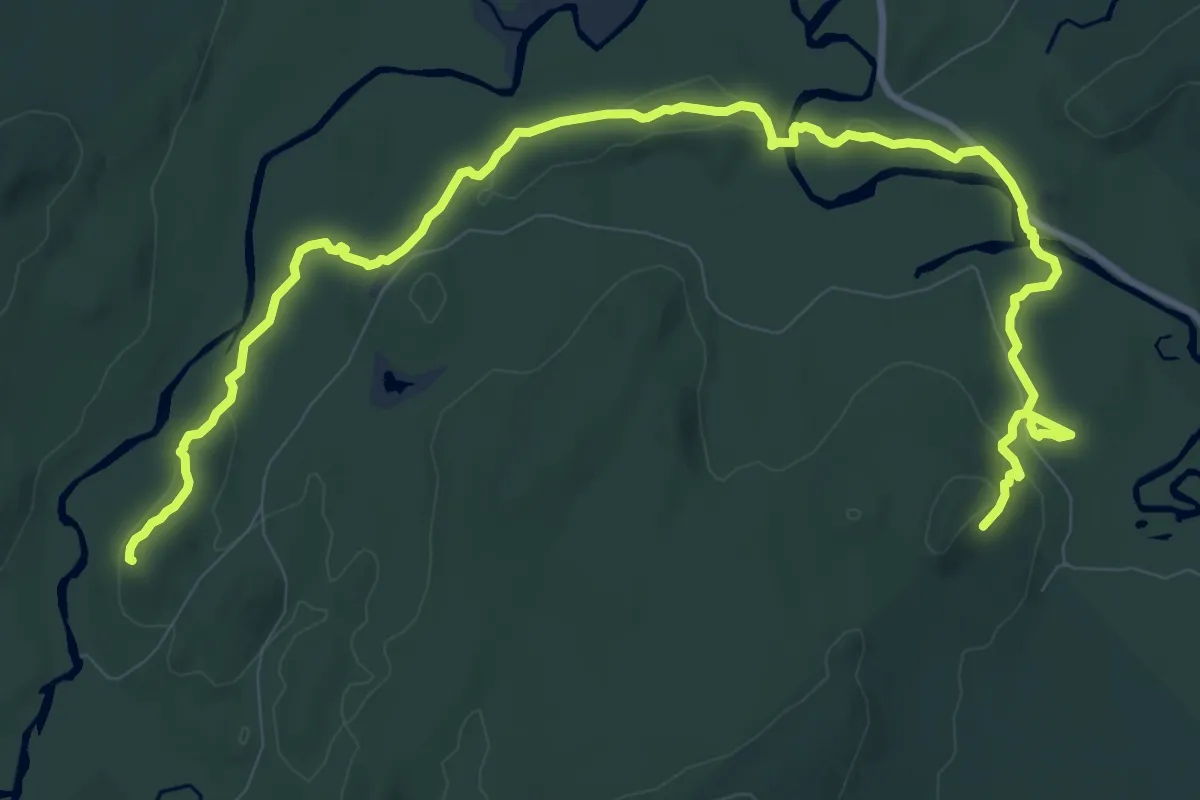
Medium · Trail
Sentier les Castors
13.8 km · ↑ 194 m · 3 h 41 min
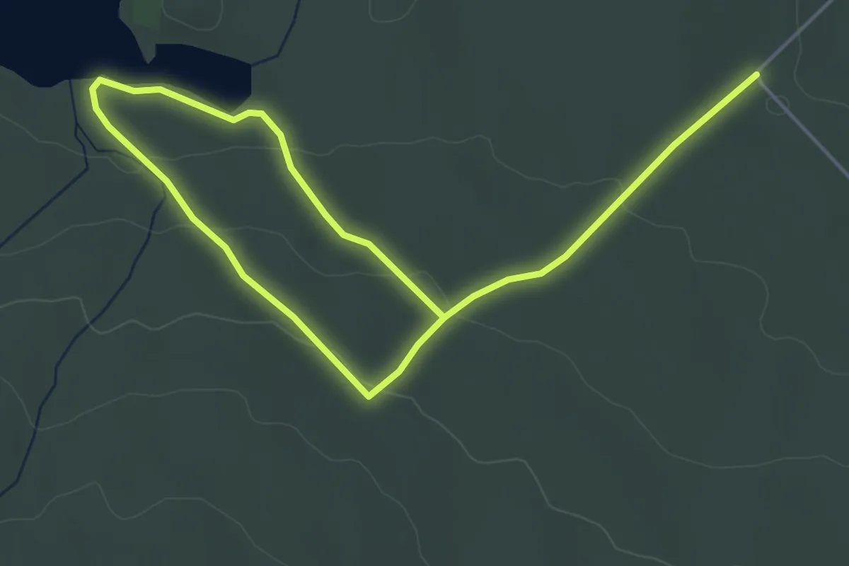
Easy · Trail
Sentier Les Collines
7.2 km · ↑ 137 m · 1 h 59 min
Medium · Trail
Sentier les Crêtes
15.4 km · ↑ 636 m · 5 h 13 min
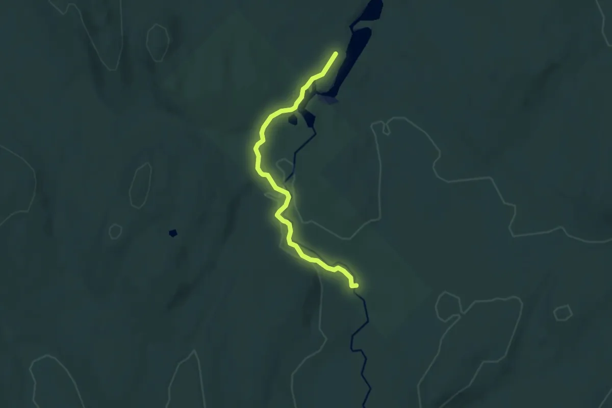
Easy · Trail
Sentier Les Eskers
6.6 km · ↑ 73 m · 1 h 43 min
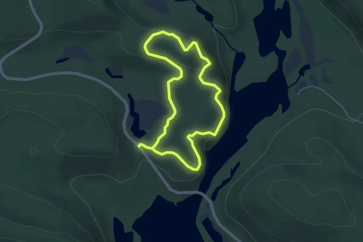
Easy · Trail
Sentier Les Falaises
3.5 km · ↑ 117 m · 1 h 7 min
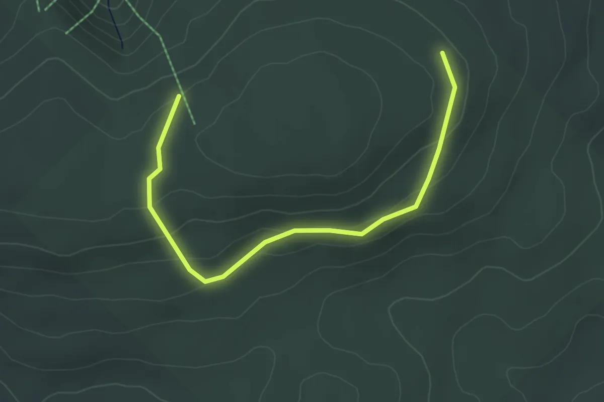
Easy · Cabin
Sentier les Fantômes
4.7 km · ↑ 131 m · 1 h 23 min
Medium · Trail
Sentier les Graves
13.9 km · ↑ 389 m · 4 h 7 min
Medium · Trail
Sentier les Lacs
17.4 km · ↑ 471 m · 5 h 26 min
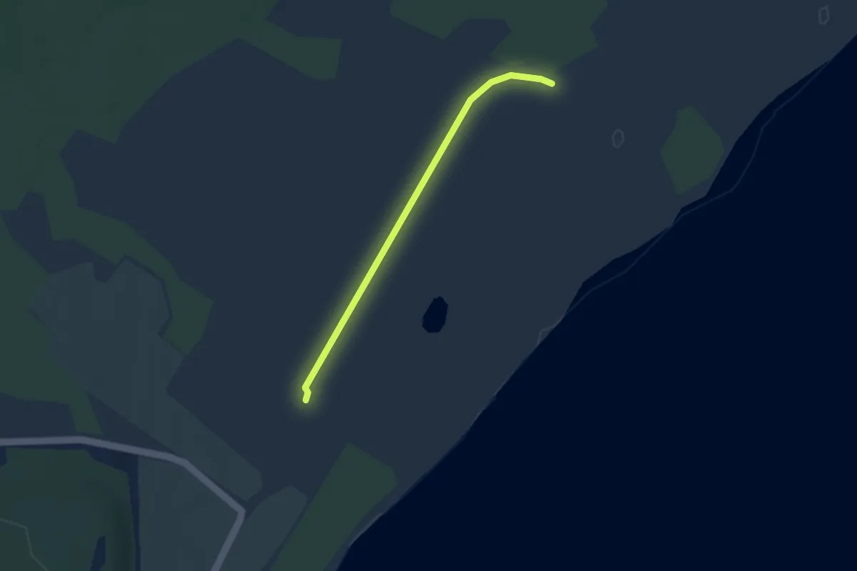
Easy · Trail
Sentier le Souchet
2.8 km · ↑ 0 m · 40 min
Easy · Trail
Sentier les Parages
2.4 km · ↑ 142 m · 53 min
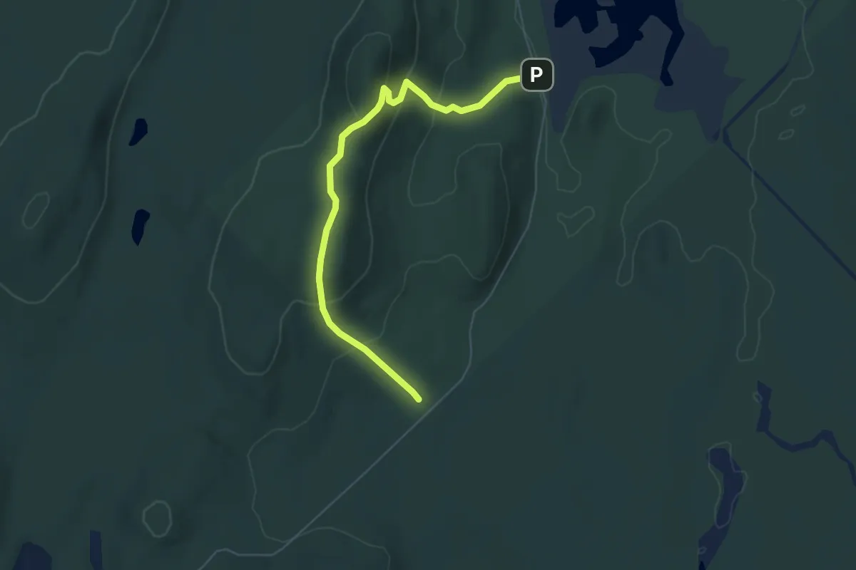
Medium · Cabin
Sentier les Paroies
5.9 km · ↑ 320 m · 2 h 6 min
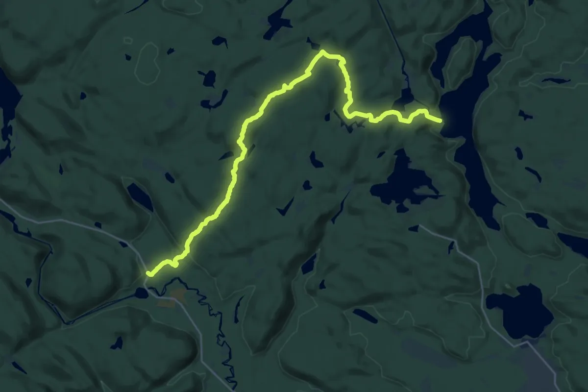
Medium · Trail
Sentier Le Trapeur
13.8 km · ↑ 349 m · 4 h 13 min
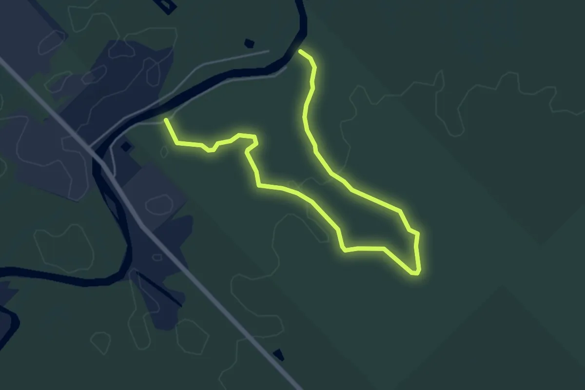
Easy · Trail
Sentier le Trappeur
6.3 km · ↑ 0 m · 1 h 29 min
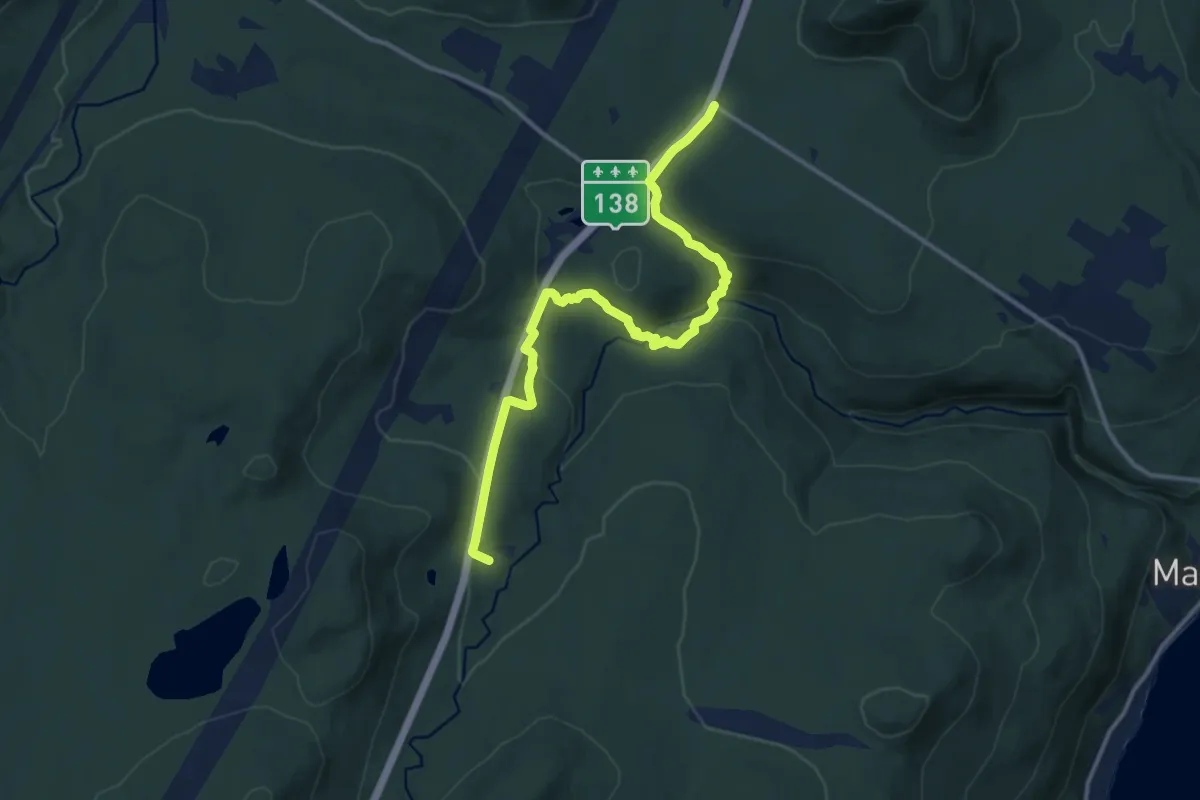
Medium · Trail
Sentier Louise Gasnier
13.1 km · ↑ 494 m · 4 h 10 min
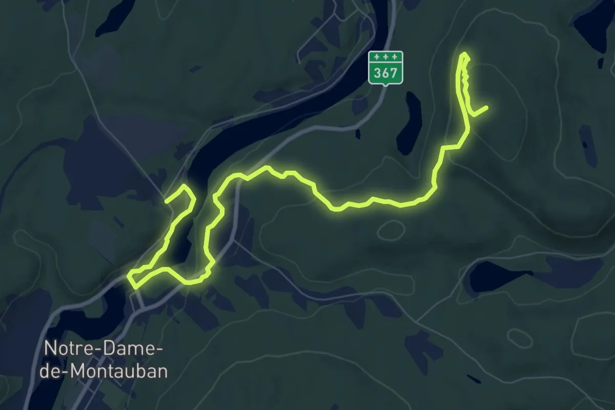
Medium · Summit
Sentier Montauban
11.1 km · ↑ 335 m · 3 h 21 min
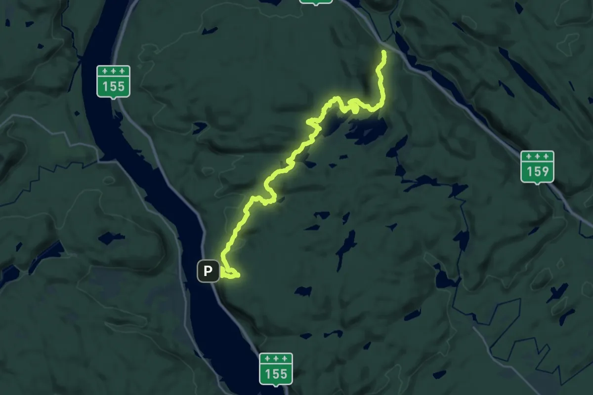
Demanding · Trail
Sentier Père-Jacques-Buteux
25.4 km · ↑ 807 m · 7 h 45 min
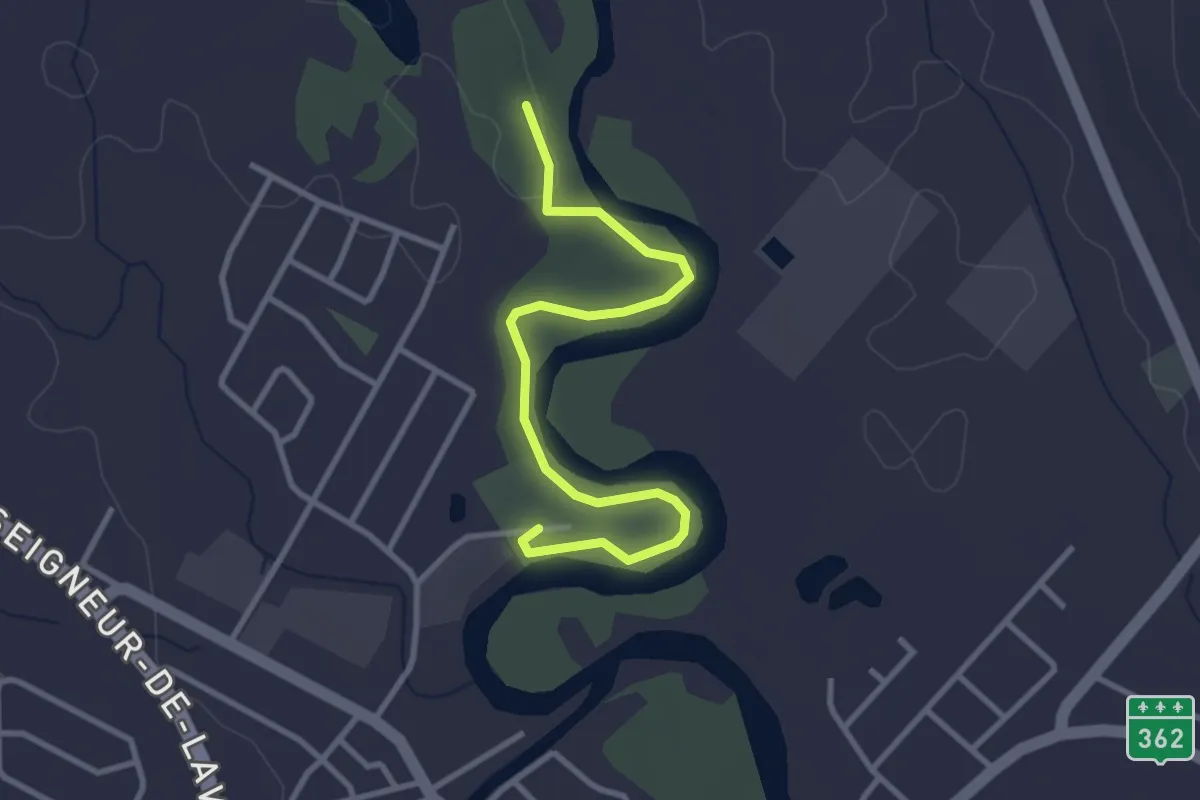
Easy · Trail
Sentier Robert-Leblanc
3.3 km · ↑ 6 m · 48 min
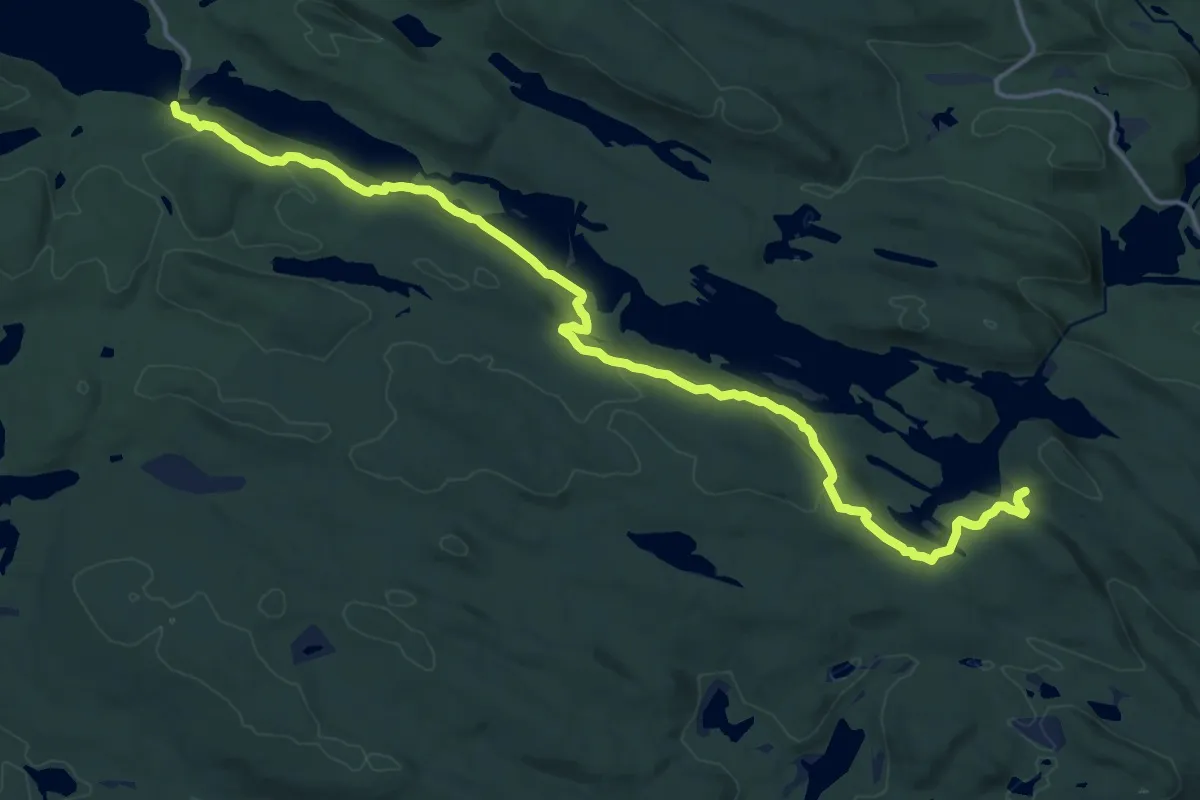
Demanding · Trail
Sentier Roland-Leclerc
19.3 km · ↑ 526 m · 5 h 41 min
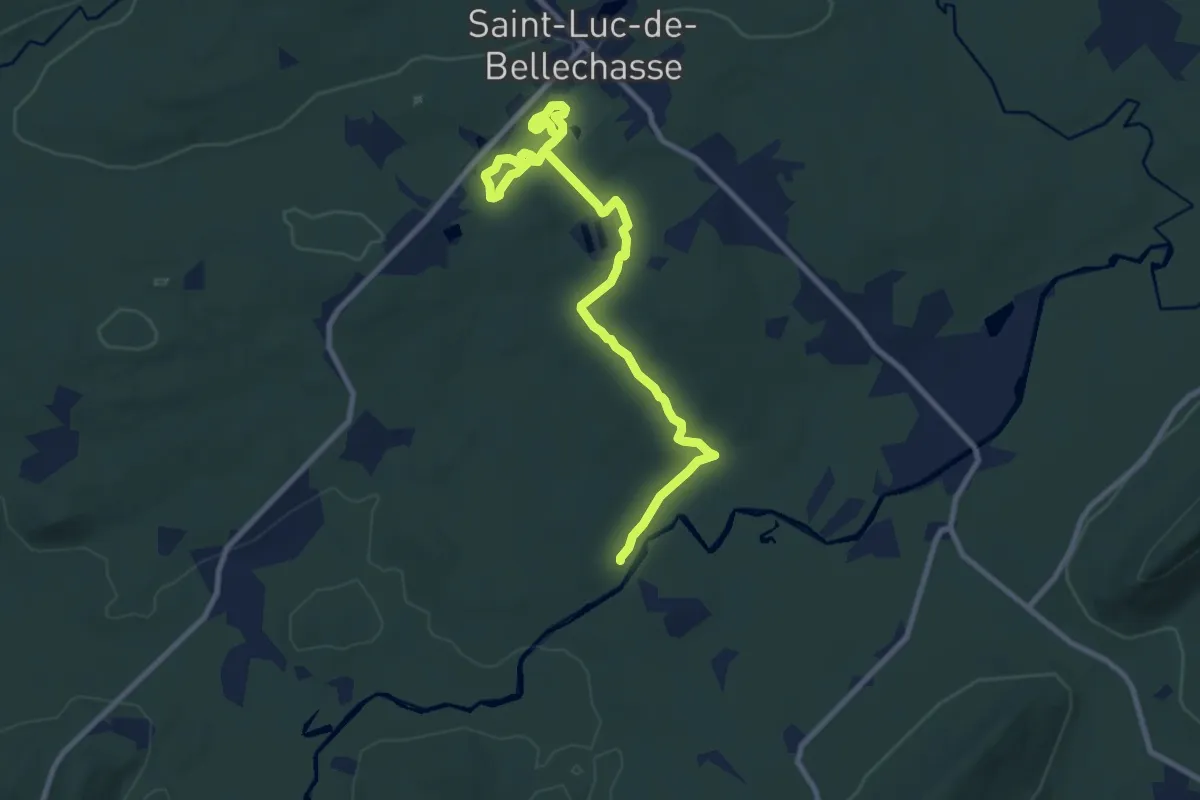
Medium · Trail
Sentiers
11.0 km · ↑ 158 m · 2 h 56 min
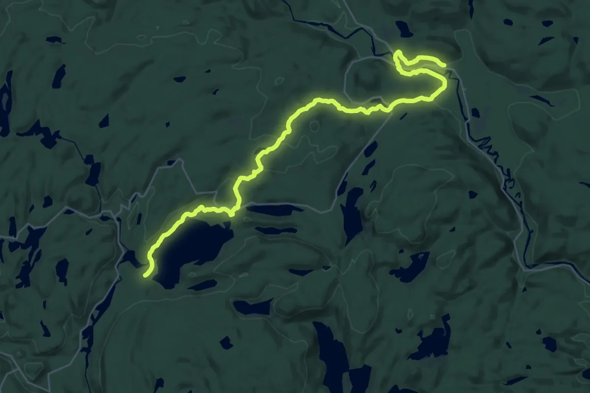
Medium · Trail
Sentier Saint-Bernard
17.5 km · ↑ 287 m · 5 h 4 min
Medium · Trail
Sentiers de la Lune
9.0 km · ↑ 156 m · 2 h 28 min
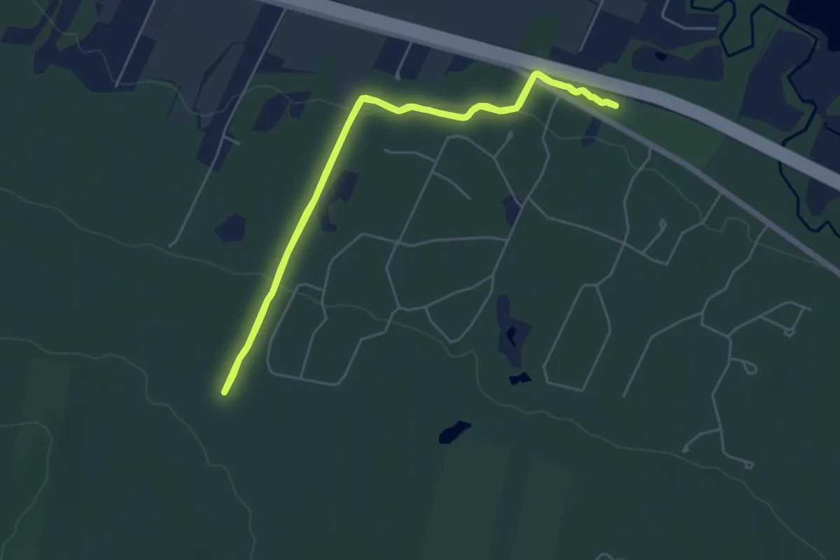
Medium · Trail
Sentiers de l'Escapade
11.2 km · ↑ 239 m · 3 h 10 min
Medium · Trail
Sentiers des collines D'Alembert
9.4 km · ↑ 383 m · 3 h 3 min
Medium · Summit
Sentiers d'Opasatica
9.3 km · ↑ 250 m · 2 h 45 min
Easy · Trail
Sentiers du Grand Héron
4.0 km · ↑ 135 m · 1 h 14 min
Easy · Trail
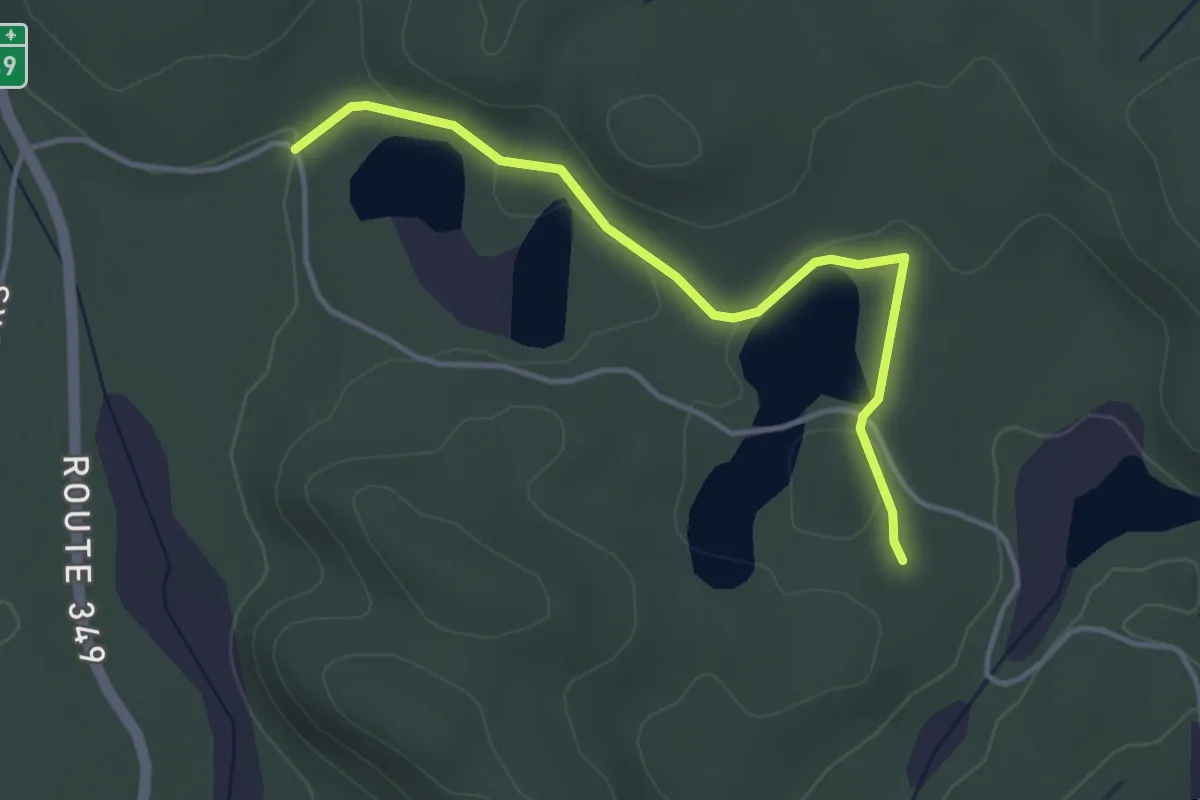
Sentier Sitelle
3.8 km · ↑ 38 m · 59 min
Demanding · Summit
Sentiers La Yol
24.1 km · ↑ 694 m · 7 h 12 min
Demanding · Trail
Sentiers Skiwanis
24.2 km · ↑ 262 m · 6 h 17 min
Easy · Cabin
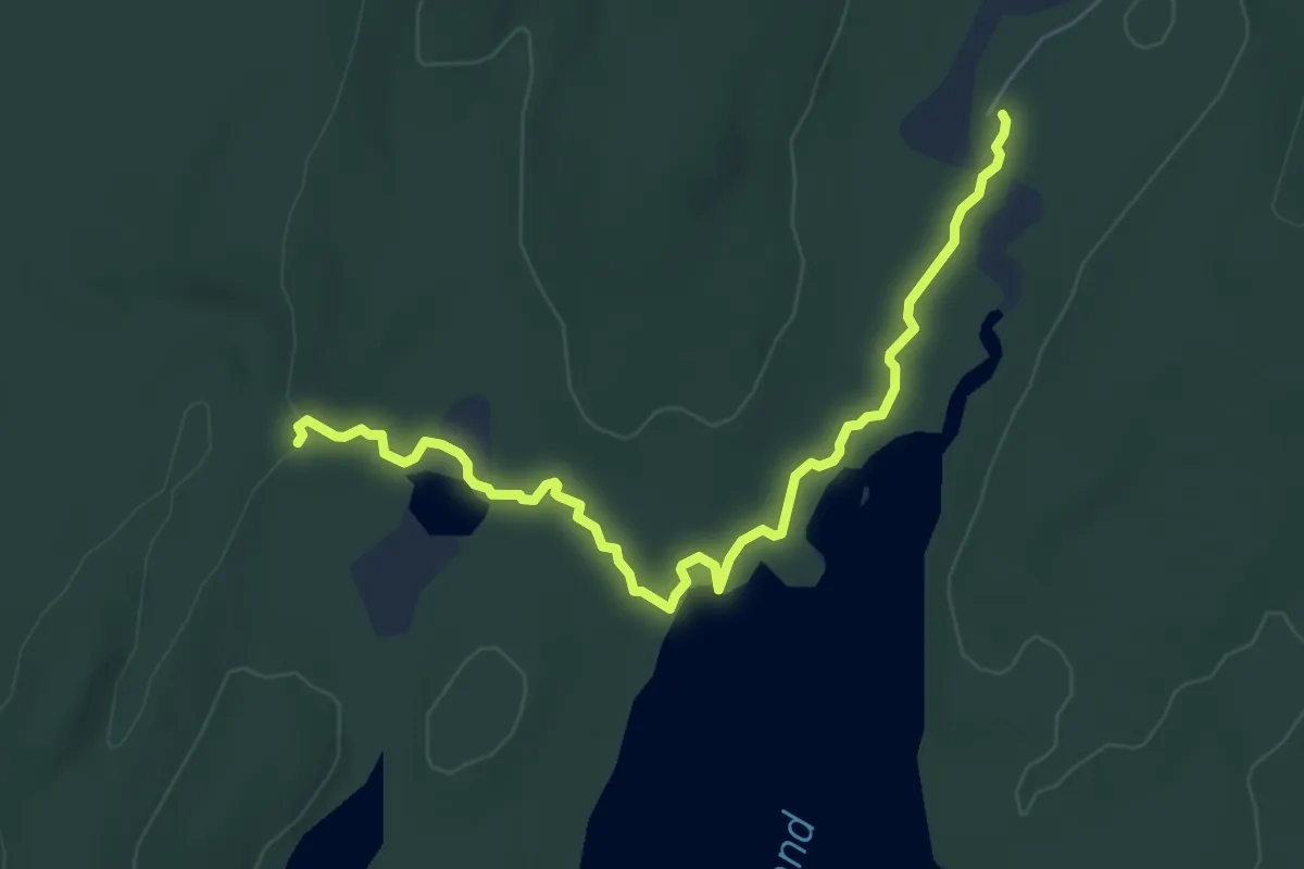
Sentier Sutherland
6.4 km · ↑ 58 m · 1 h 39 min
Medium · Trail
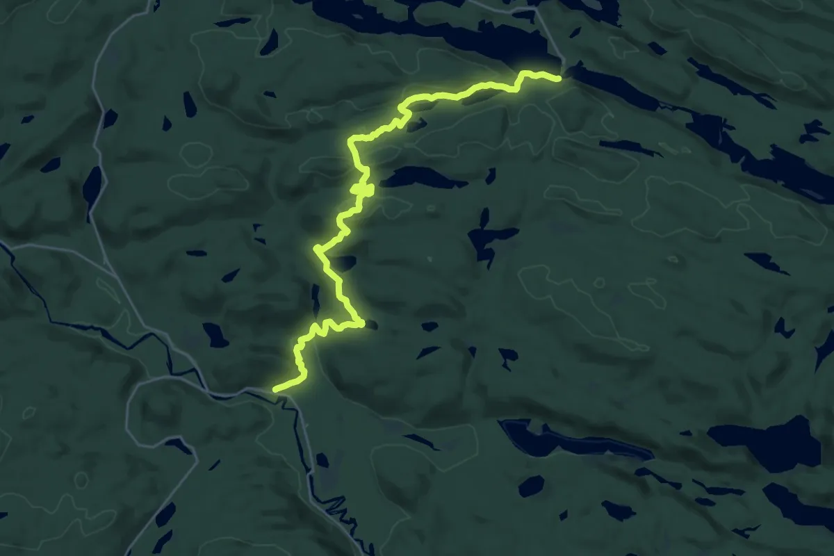
Sentier Vianney-Guillemette
14.3 km · ↑ 398 m · 4 h 23 min
Demanding · Trail
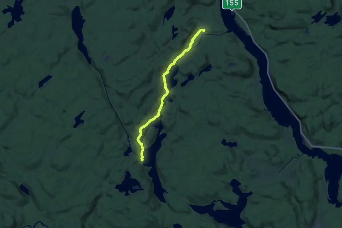
Sentier Wabenaki
21.4 km · ↑ 220 m · 5 h 32 min
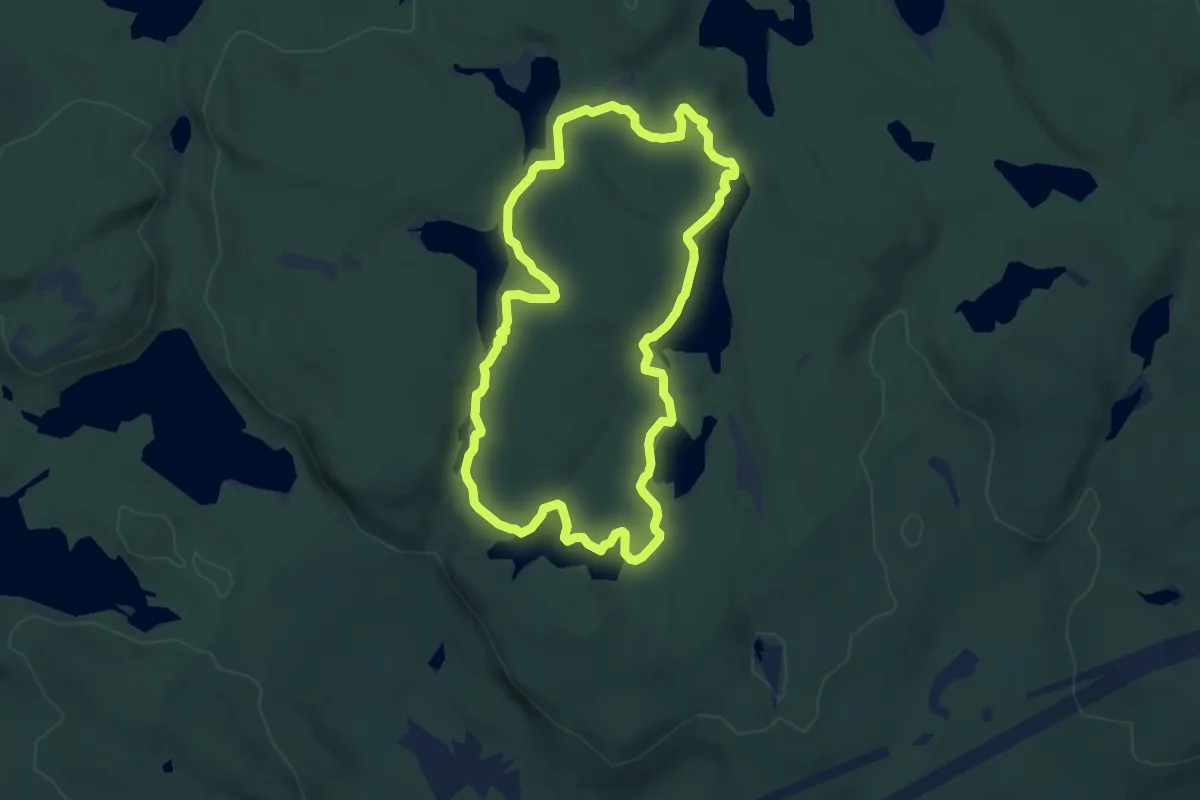
Medium · Trail
Sept Merveilleux
8.8 km · ↑ 140 m · 2 h 30 min
Medium · Trail
Serpentine Greenway
10.5 km · ↑ 26 m · 2 h 31 min
Medium · Trail
Shannon Basin Loop
17.9 km · ↑ 669 m · 5 h 40 min
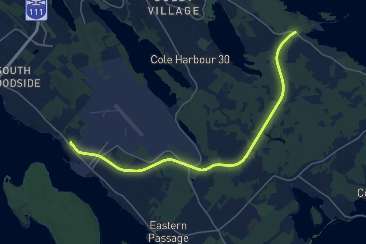
Medium · Trail
Shearwater Flyer Trail
17.1 km · ↑ 58 m · 4 h 10 min
Demanding · Trail
Sheep Creek
18.1 km · ↑ 1094 m · 6 h 38 min
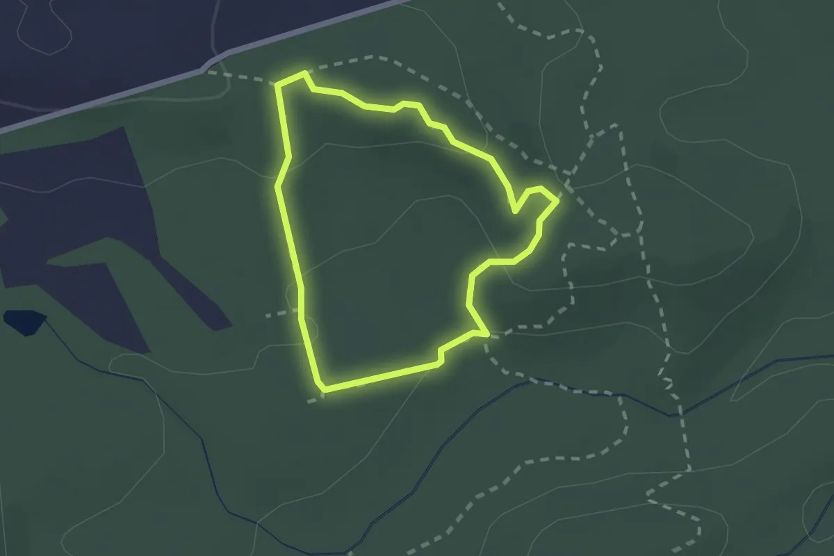
Easy · Trail
Shelly's Loop - Mono Trails
1.8 km · ↑ 69 m · 36 min
Easy · Trail
Sherwood Pit Trail
3.6 km · ↑ 82 m · 1 h 2 min
Easy · Trail
Ship Creek Main
6.3 km · ↑ 143 m · 1 h 48 min
Demanding · Trail
Shirley Lake Trail
24.2 km · ↑ 42 m · 5 h 48 min
Easy · Trail
Shoreline Trail
6.2 km · ↑ 4 m · 1 h 28 min
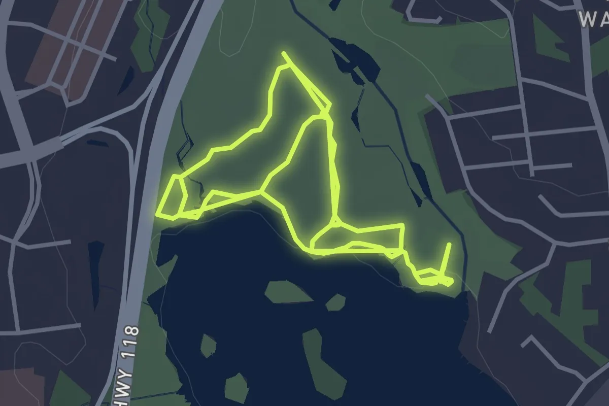
Easy · Trail
Shubie Park off-leash trails
7.6 km · ↑ 50 m · 1 h 54 min
Easy · Trail
SIA, 5-Réserve faunique de Matane, route alternative
3.0 km · ↑ 153 m · 1 h 3 min
Medium · Summit
SIA, 5-Réserve faunique de Matane, route alternative
8.4 km · ↑ 537 m · 3 h 9 min