Trails in Chile
184 hiking trails, each with its route, climb, walking time and grade.
Near a town
All trails, page 1 of 4
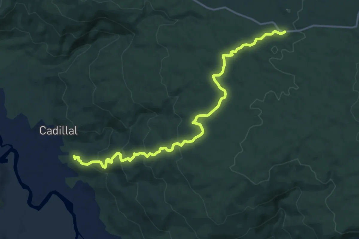
Medium · Trail
Altos de Quitaluto
13.9 km · ↑ 604 m · 4 h 35 min
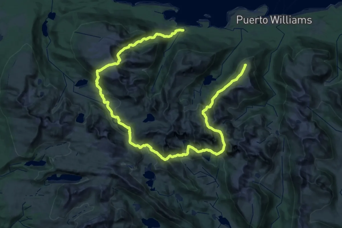
Demanding · Summit
Circuito de los Dientes
62.2 km · ↑ 3803 m · 22 h 56 min
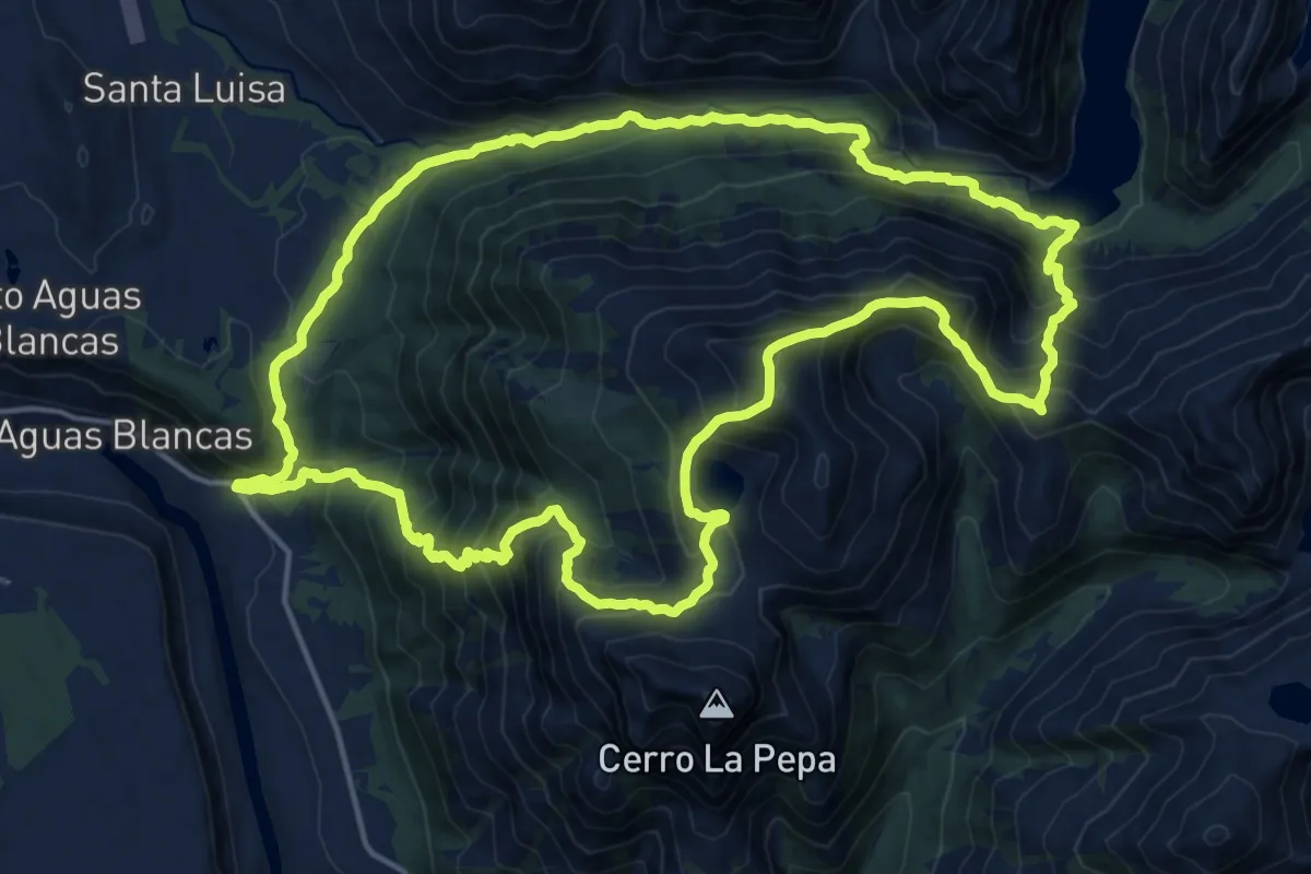
Demanding · Summit
Circuito Laguna Cañicura - Aguas Blancas
20.0 km · ↑ 1735 m · 8 h 45 min
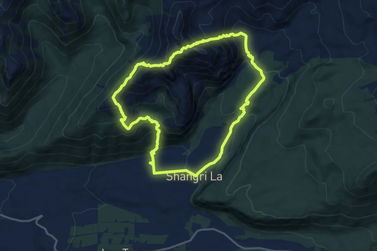
Demanding · Trail
Circuito Laguna del Huemul
10.9 km · ↑ 815 m · 4 h 30 min
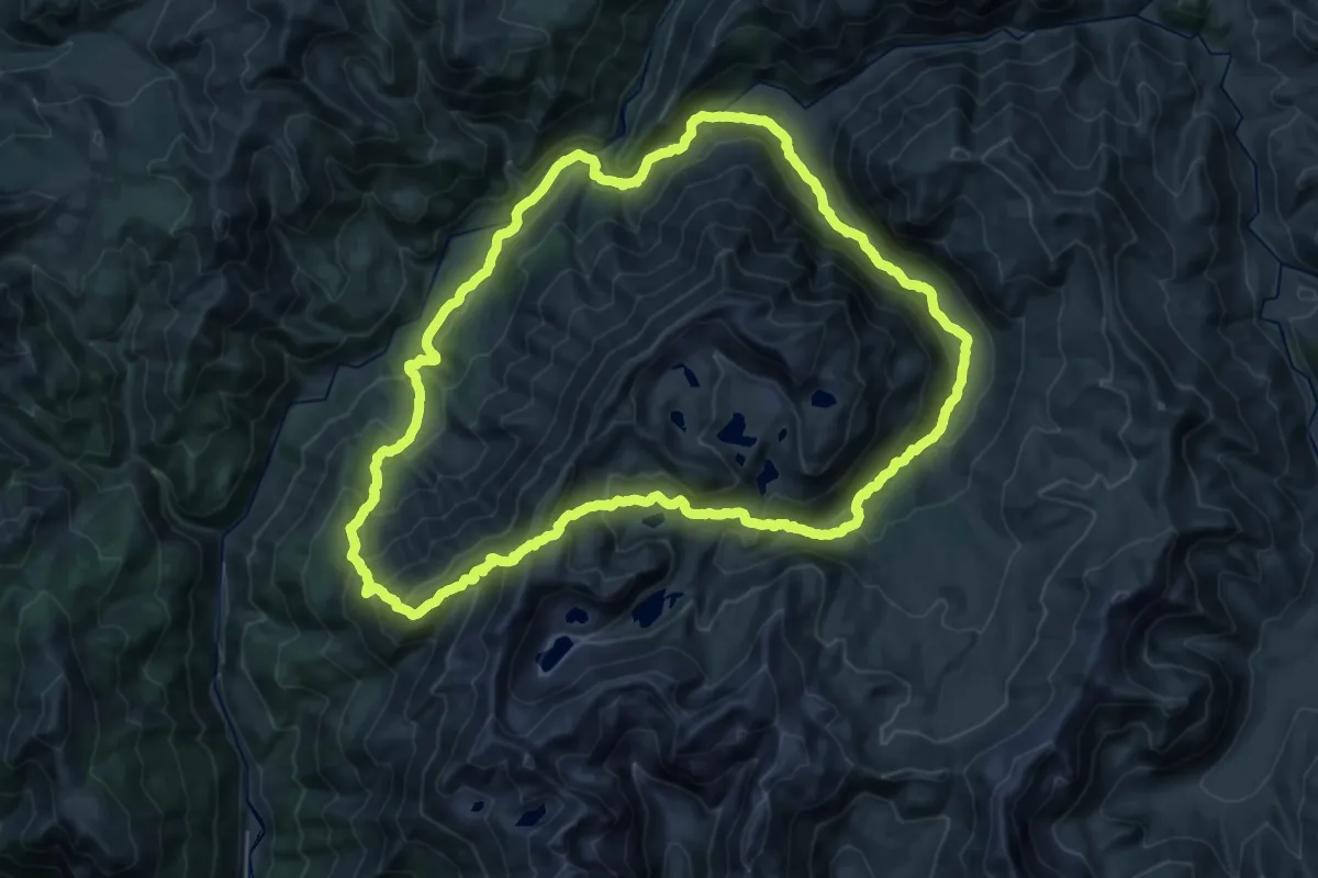
Demanding · Trail
Circuito Las Tragedias
29.6 km · ↑ 1742 m · 11 h 11 min
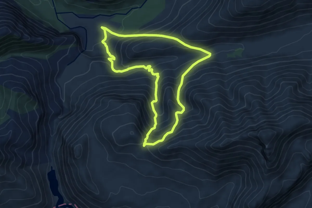
Medium · Trail
Circuito Paso Atacalco
7.4 km · ↑ 679 m · 3 h 20 min
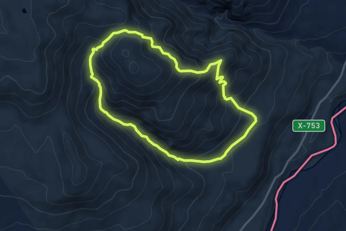
Medium · Trail
Circuito Piedra Clavada - Cueva de las Manos - Valle Lunar
6.9 km · ↑ 478 m · 2 h 46 min
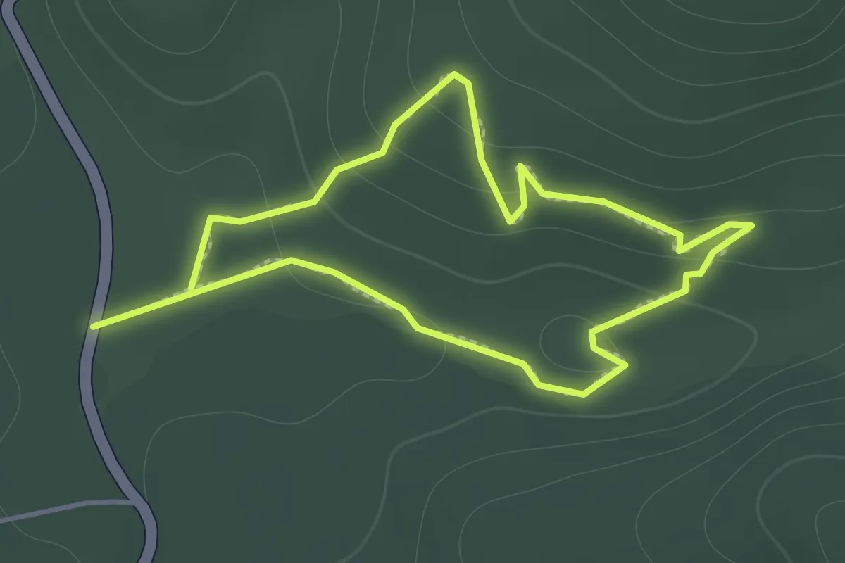
Easy · Trail
Estero Collevoqui
1.4 km · ↑ 73 m · 31 min
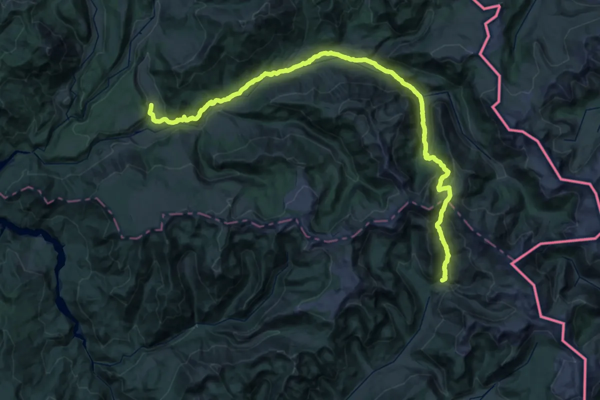
Demanding · Trail
Greater Patagonian Trail Section 11: Cerro Dedos
32.6 km · ↑ 1688 m · 11 h 36 min
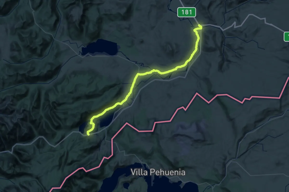
Demanding · Trail
Greater Patagonian Trail Section 13: Laguna Icalma
35.0 km · ↑ 599 m · 9 h 59 min
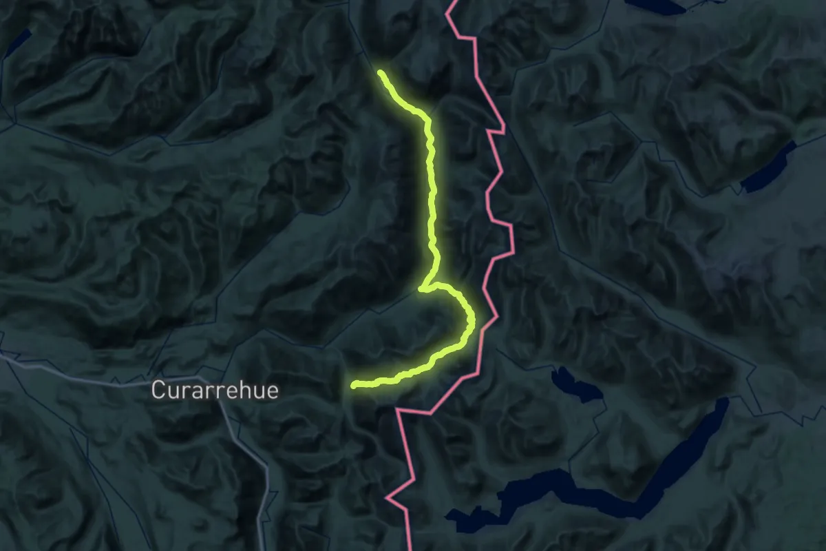
Demanding · Trail
Greater Patagonian Trail Section 15: Curarrehue
30.5 km · ↑ 1078 m · 9 h 55 min
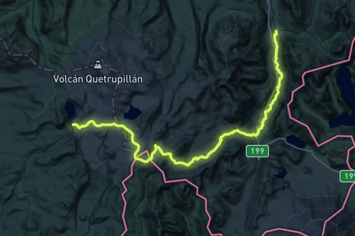
Demanding · Trail
Greater Patagonian Trail Section 16: Volcán Quetrupillán
34.6 km · ↑ 757 m · 10 h 52 min
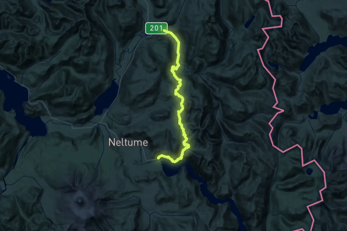
Demanding · Trail
Greater Patagonian Trail Section 17: Liquiñe
33.9 km · ↑ 1163 m · 11 h 11 min
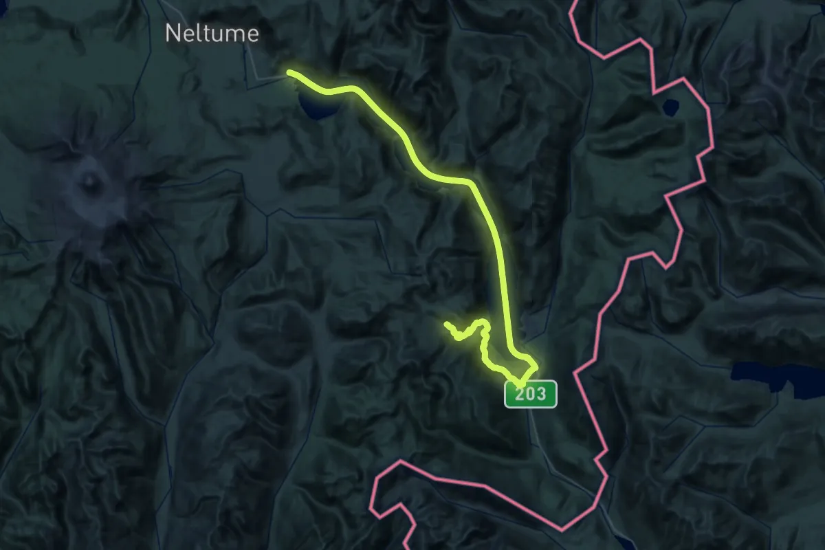
Demanding · Trail
Greater Patagonian Trail Section 18: Lago Pirihueico
36.9 km · ↑ 709 m · 10 h 33 min
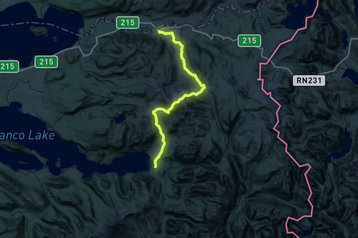
Demanding · Trail
Greater Patagonian Trail Section 20: Volcán Antillanca
38.7 km · ↑ 1761 m · 13 h 36 min
Demanding · Trail
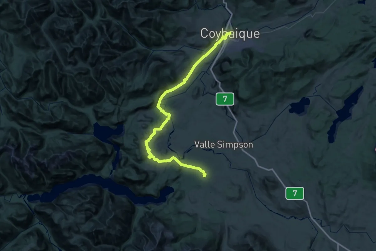
Greater Patagonian Trail Section 31H: Valle Simpson
36.5 km · ↑ 517 m · 10 h 14 min
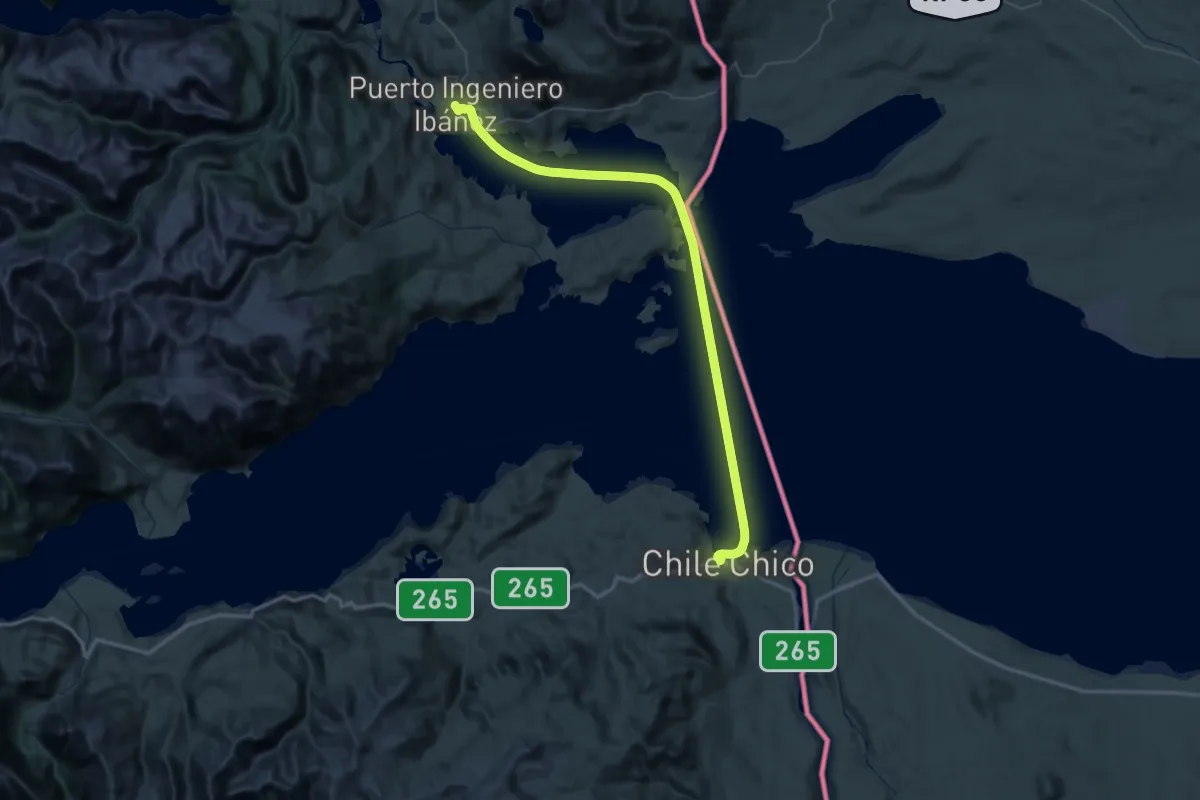
Demanding · Trail
Greater Patagonian Trail Section 34: Lago General Carrera
39.1 km · ↑ 5 m · 9 h 48 min
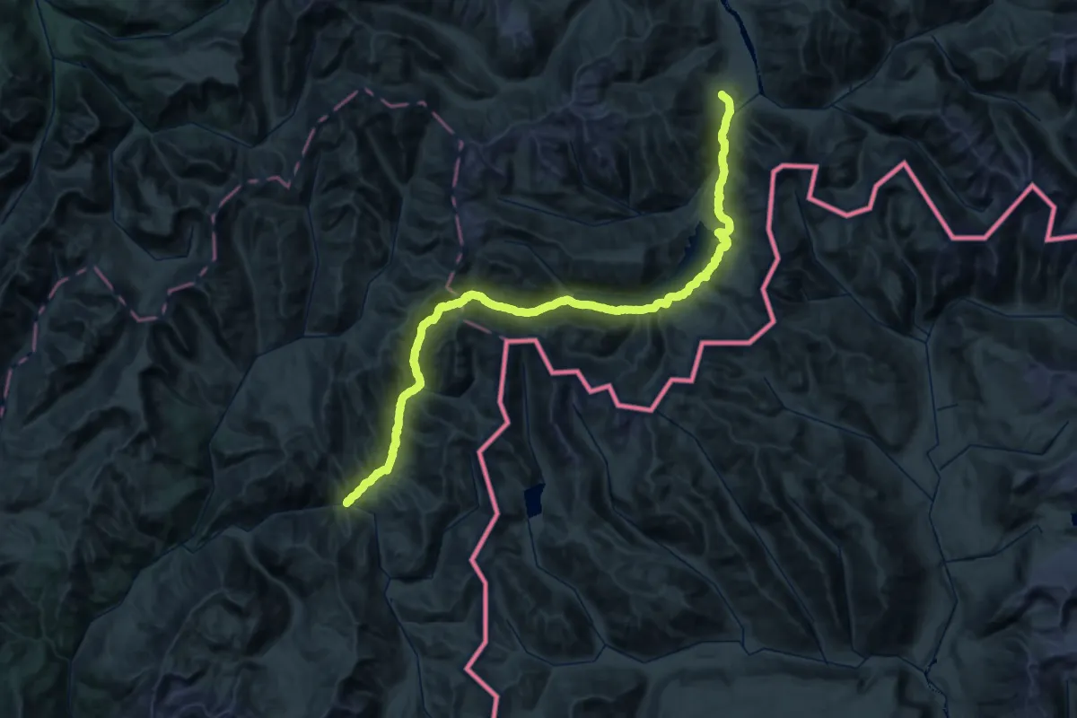
Demanding · Trail
Greater Patagonian Trail Section 7: Laguna Dial
38.8 km · ↑ 1821 m · 13 h 42 min
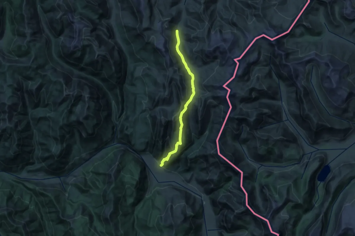
Medium · Trail
Greater Patagonian Trail Section 9: Volcán Antuco
13.1 km · ↑ 391 m · 4 h 28 min
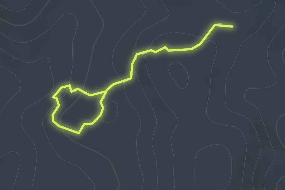
Easy · Trail
Hermanos Milenarios
1.0 km · ↑ 33 m · 20 min
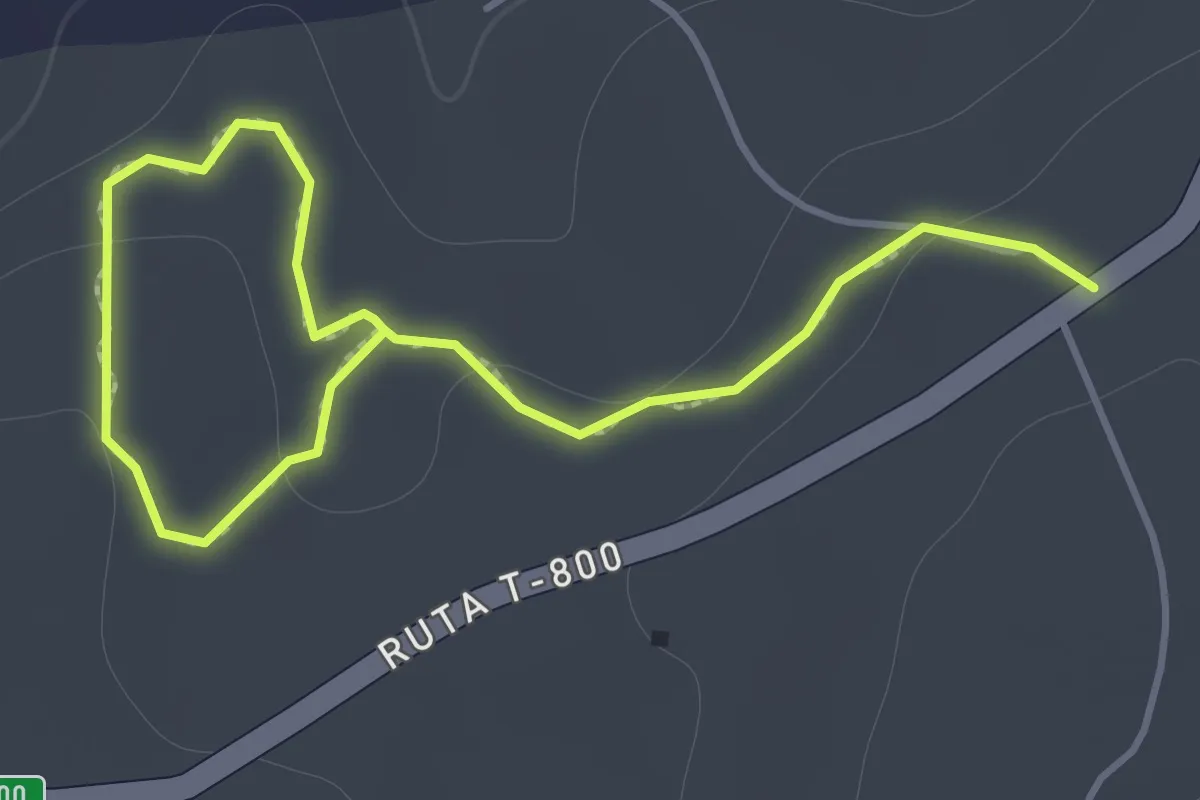
Easy · Trail
Incendios del Pasado
1.2 km · ↑ 14 m · 20 min
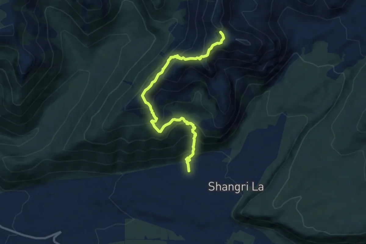
Demanding · Trail
Laguna del Huemul por Ruta de los Caballos
9.6 km · ↑ 858 m · 4 h 7 min
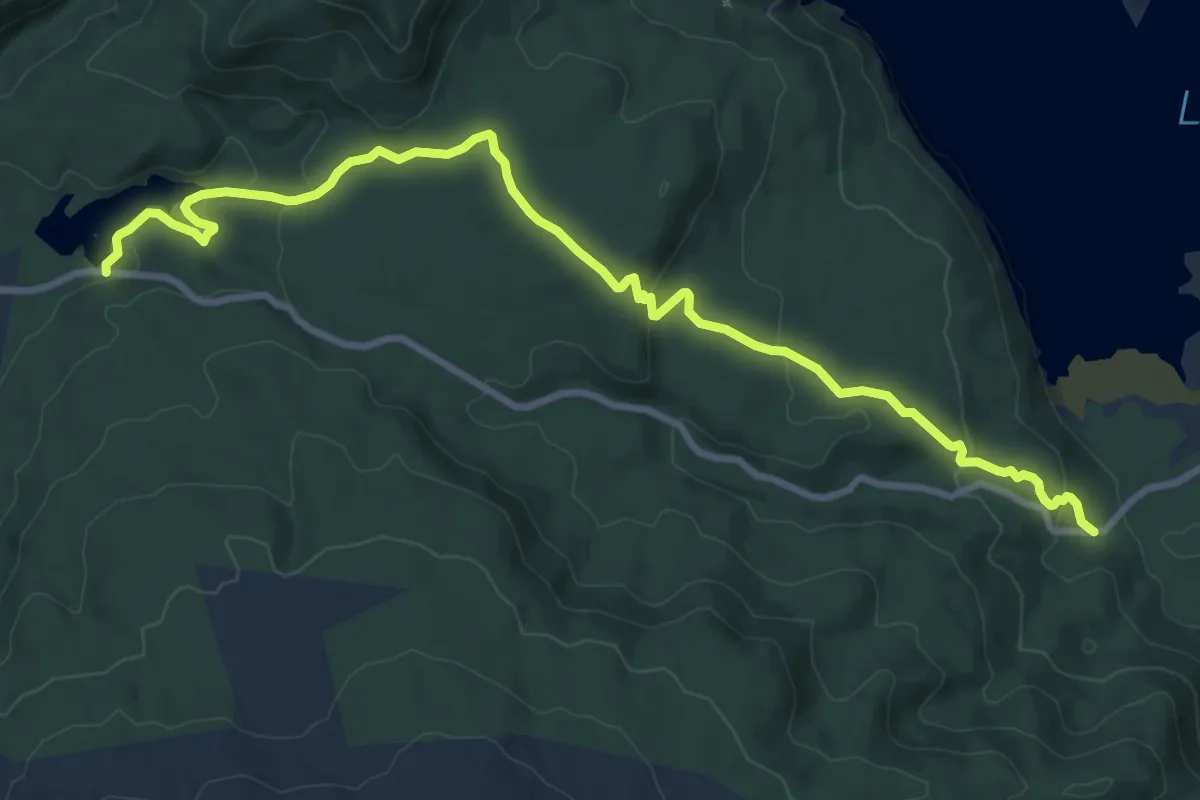
Medium · Trail
Los Carpinteros
12.2 km · ↑ 415 m · 3 h 46 min
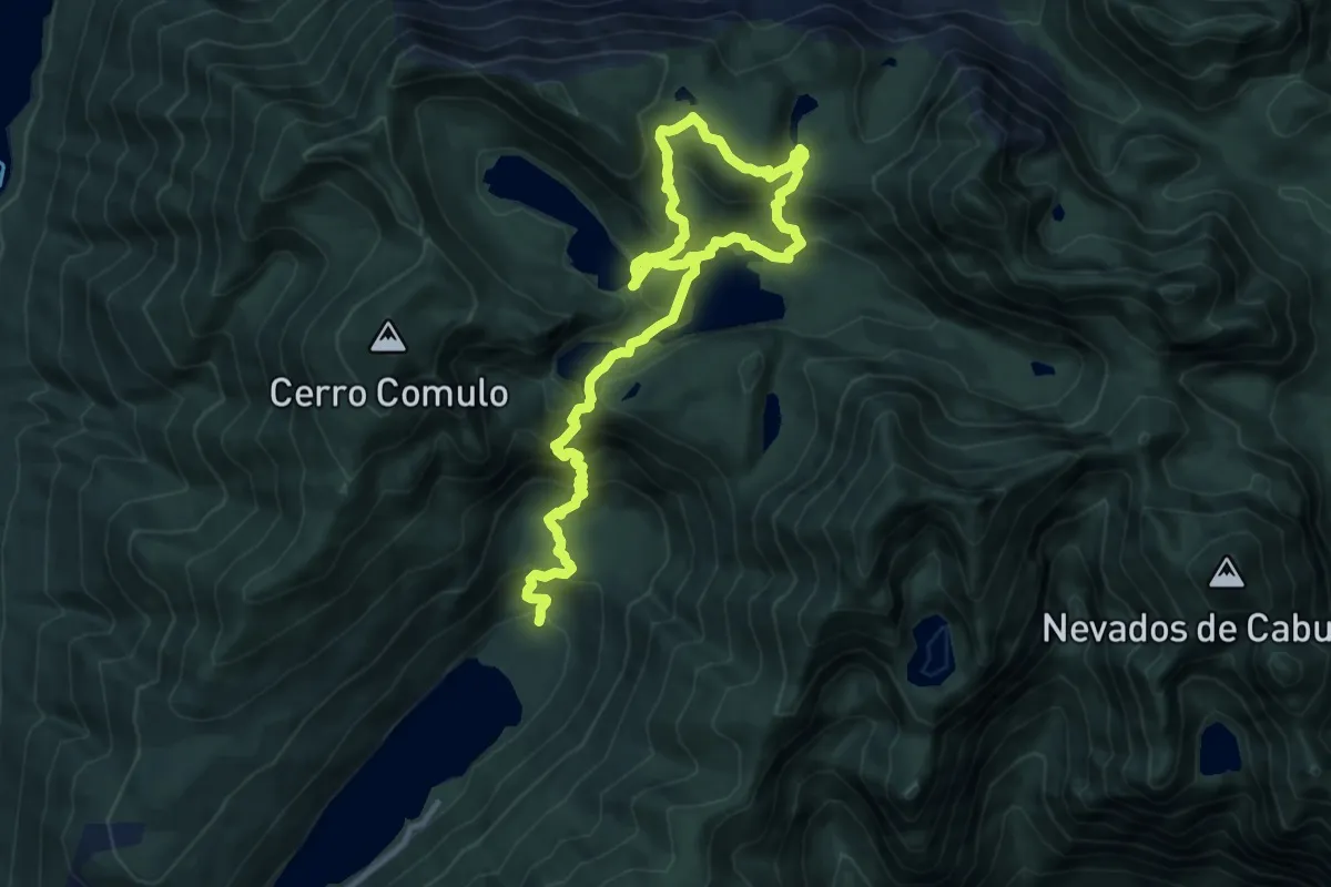
Demanding · Cabin
Los Lagos
17.7 km · ↑ 1327 m · 7 h 4 min
Easy · Trail
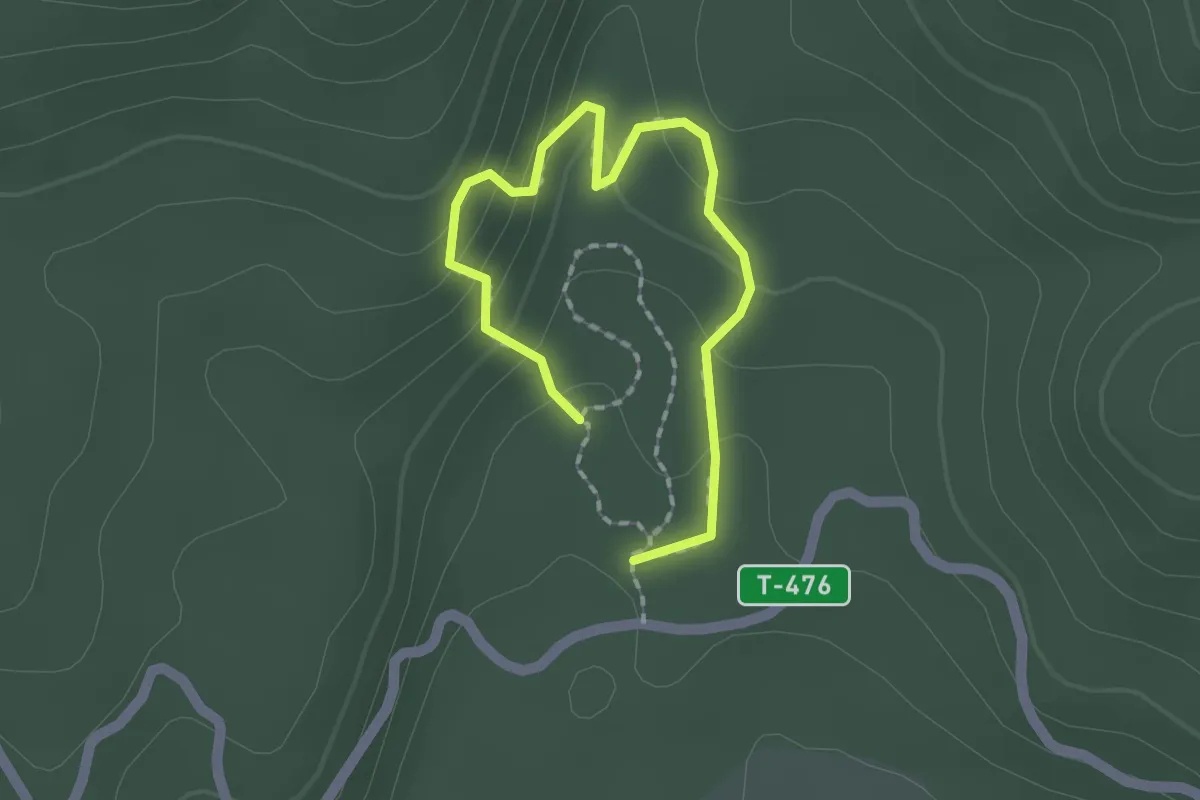
Los Melies
1.2 km · ↑ 82 m · 28 min
Demanding · Trail
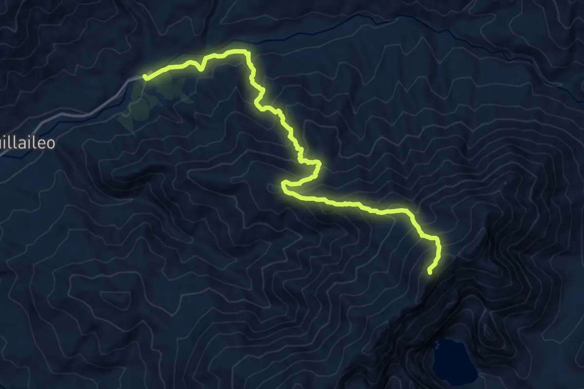
Mirador Laguna Huequecura
17.7 km · ↑ 1624 m · 7 h 42 min
Medium · Trail
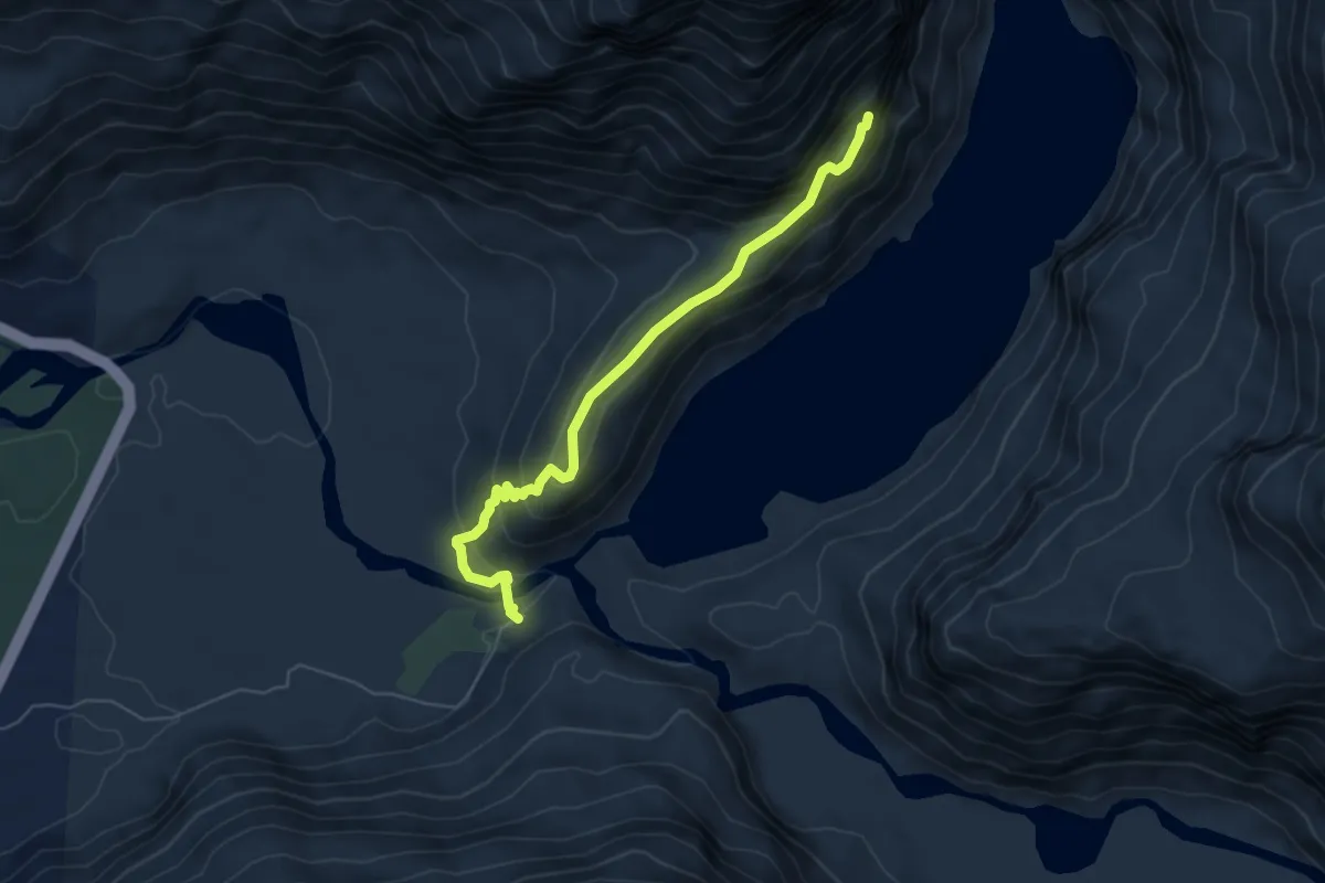
Mirador Ventisquero Colgante
5.8 km · ↑ 342 m · 2 h 7 min
Medium · Trail
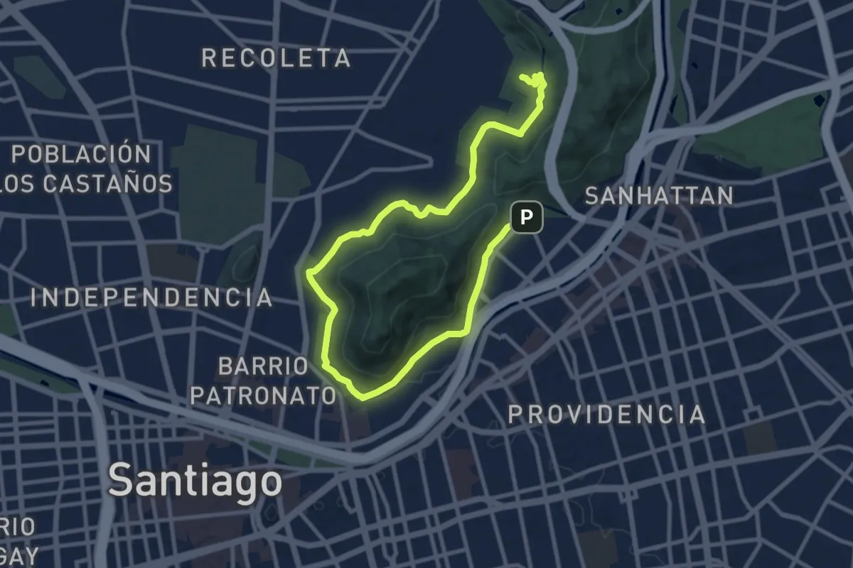
Paseo Metropolitano
15.9 km · ↑ 408 m · 4 h 38 min
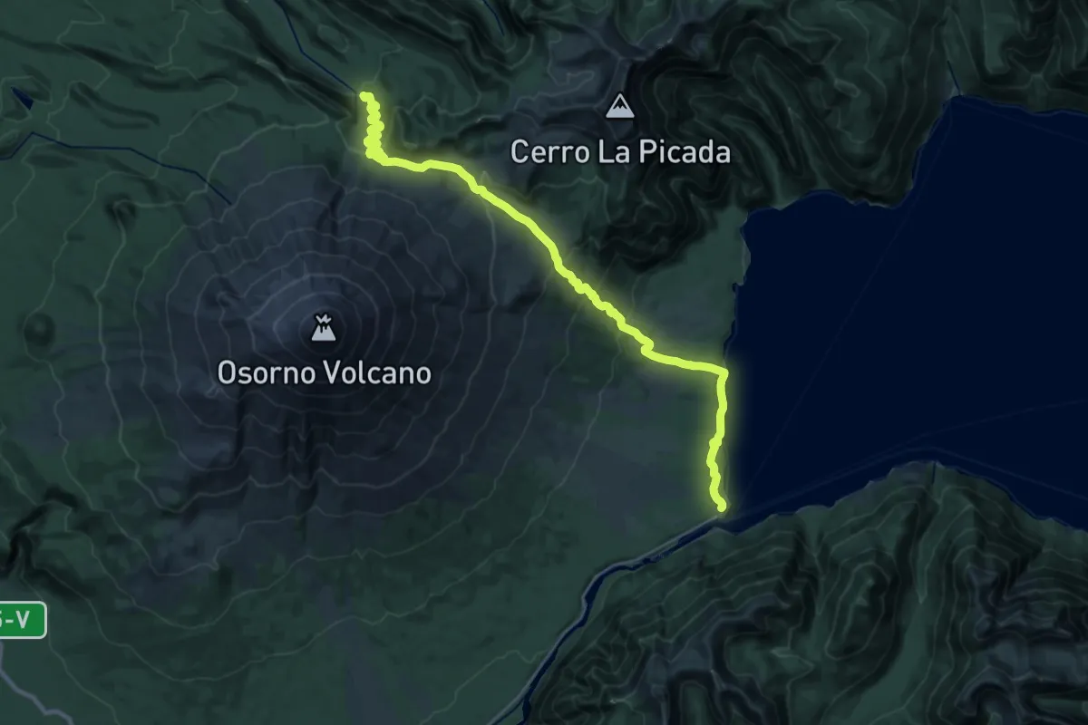
Demanding · Trail
Paso Desolación
15.1 km · ↑ 975 m · 5 h 35 min
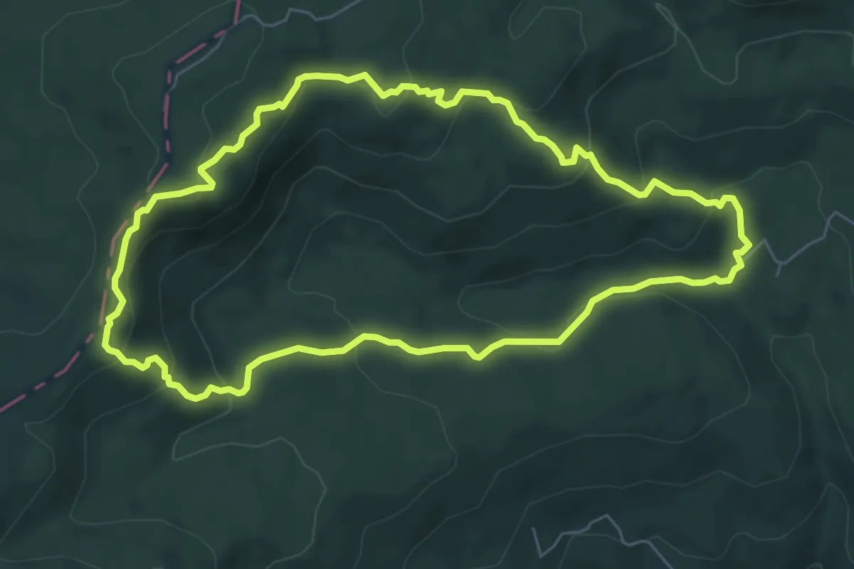
Medium · Summit
Piedro del Aguila
7.0 km · ↑ 330 m · 2 h 28 min
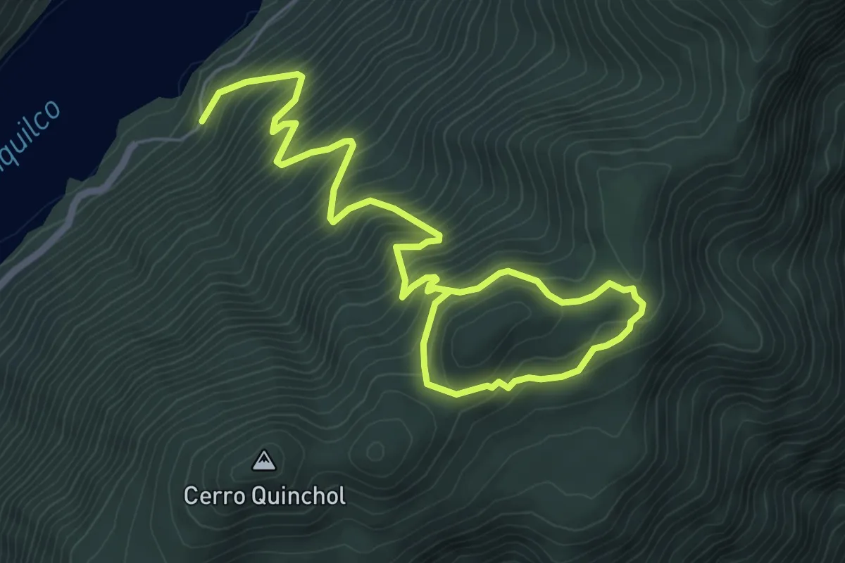
Medium · Trail
Quinchol
9.0 km · ↑ 700 m · 3 h 39 min
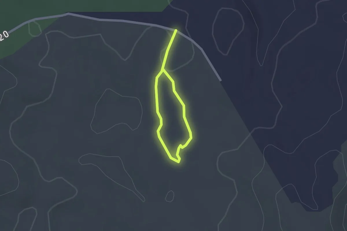
Easy · Trail
Renovales de Alerce
1.2 km · ↑ 9 m · 20 min
Medium · Trail
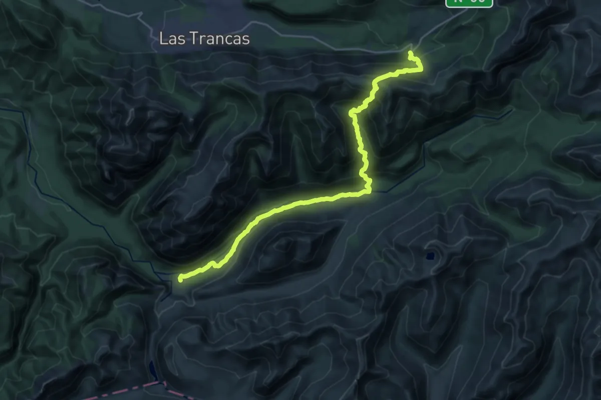
Reserva Nacional Ñuble por Paso Coltrahue
13.3 km · ↑ 430 m · 4 h 34 min
Medium · Trail
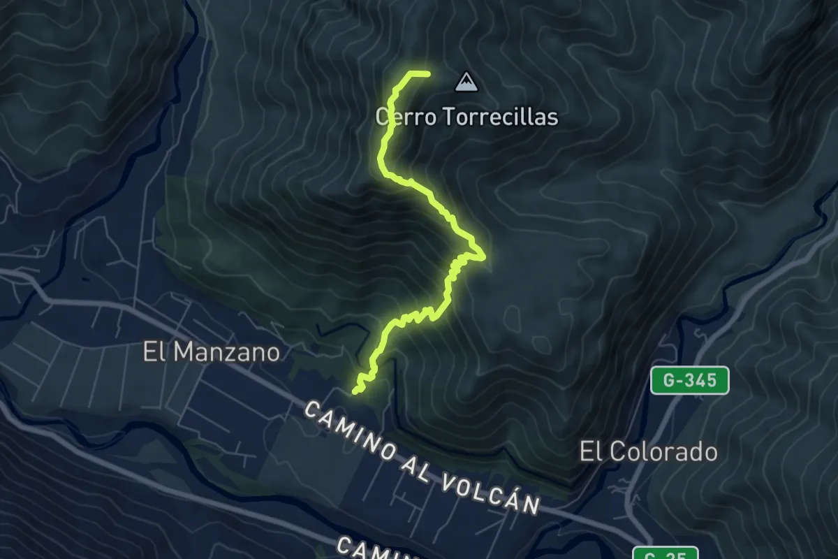
Ruta Cueva El Manzano
7.3 km · ↑ 782 m · 3 h 25 min
Medium · Trail
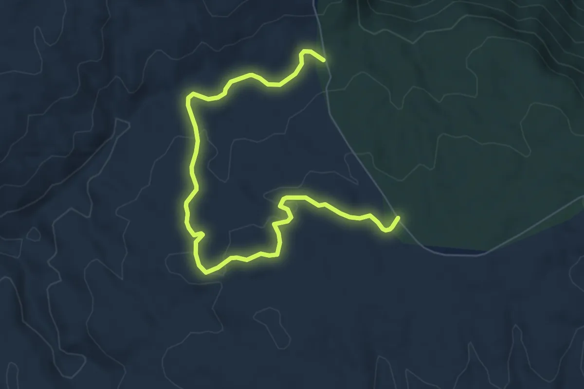
Ruta de Darwin
9.0 km · ↑ 238 m · 2 h 39 min
Demanding · Trail
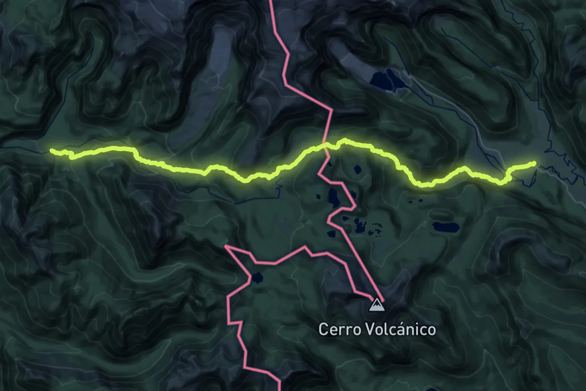
Ruta de los Jesuitas
20.3 km · ↑ 1066 m · 7 h 16 min
Easy · Trail
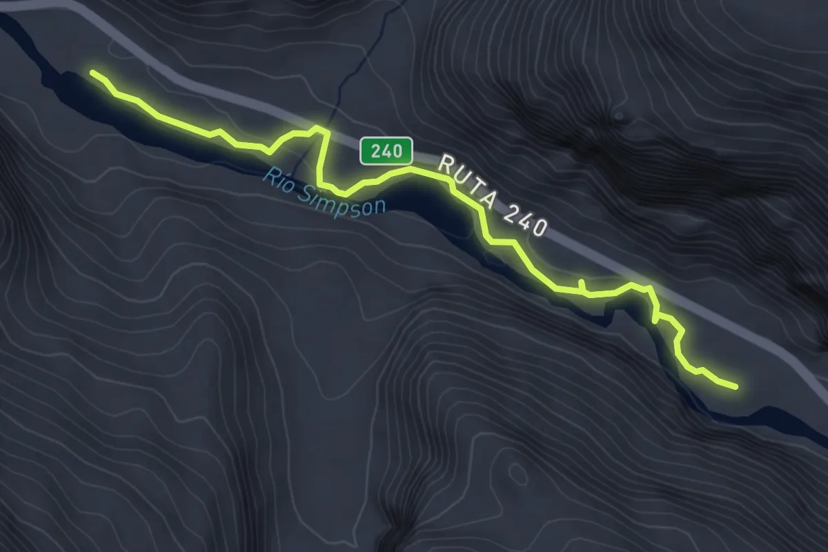
Ruta de los Pioneros
5.0 km · ↑ 52 m · 1 h 18 min
Demanding · Trail
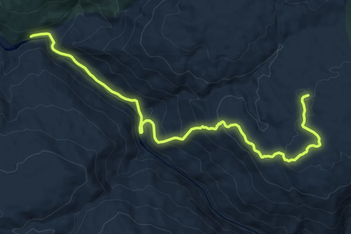
Ruta la Estopa
19.7 km · ↑ 1111 m · 7 h 4 min
Demanding · Summit
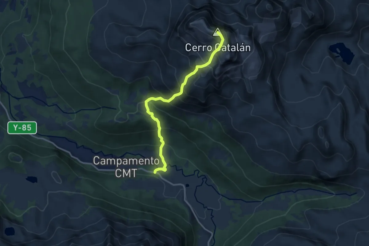
ruta normal cerro Catalán
8.5 km · ↑ 1021 m · 4 h 13 min
Demanding · Trail
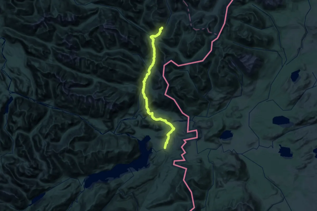
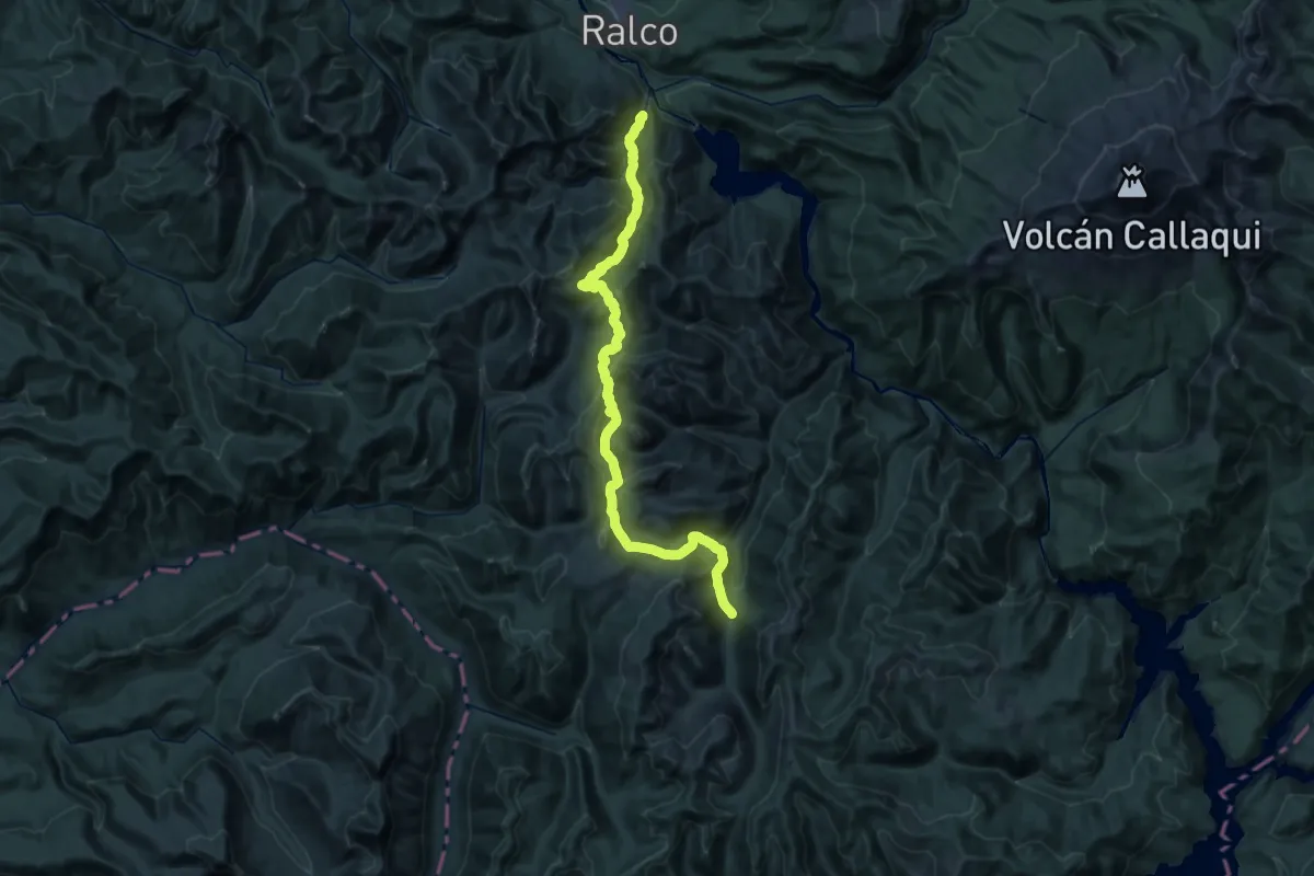
Ruta Patrimonial Nº34: Andes Patagónicos. Lago Verde, Lago Palena
28.7 km · ↑ 566 m · 8 h 39 min
Demanding · Trail
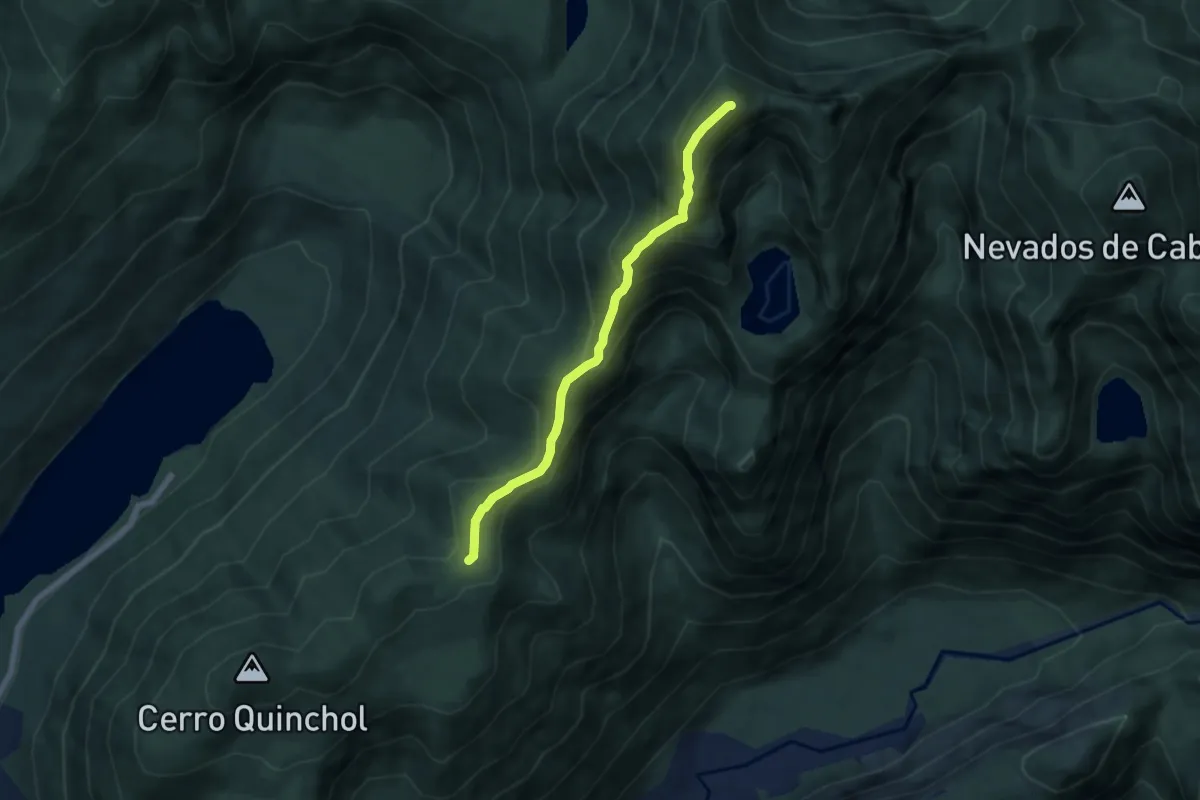
Ruta Patrimonial Nº43: Altos del Bio Bio, Araucarias de Pemehue
24.1 km · ↑ 1860 m · 9 h 48 min
Medium · Summit
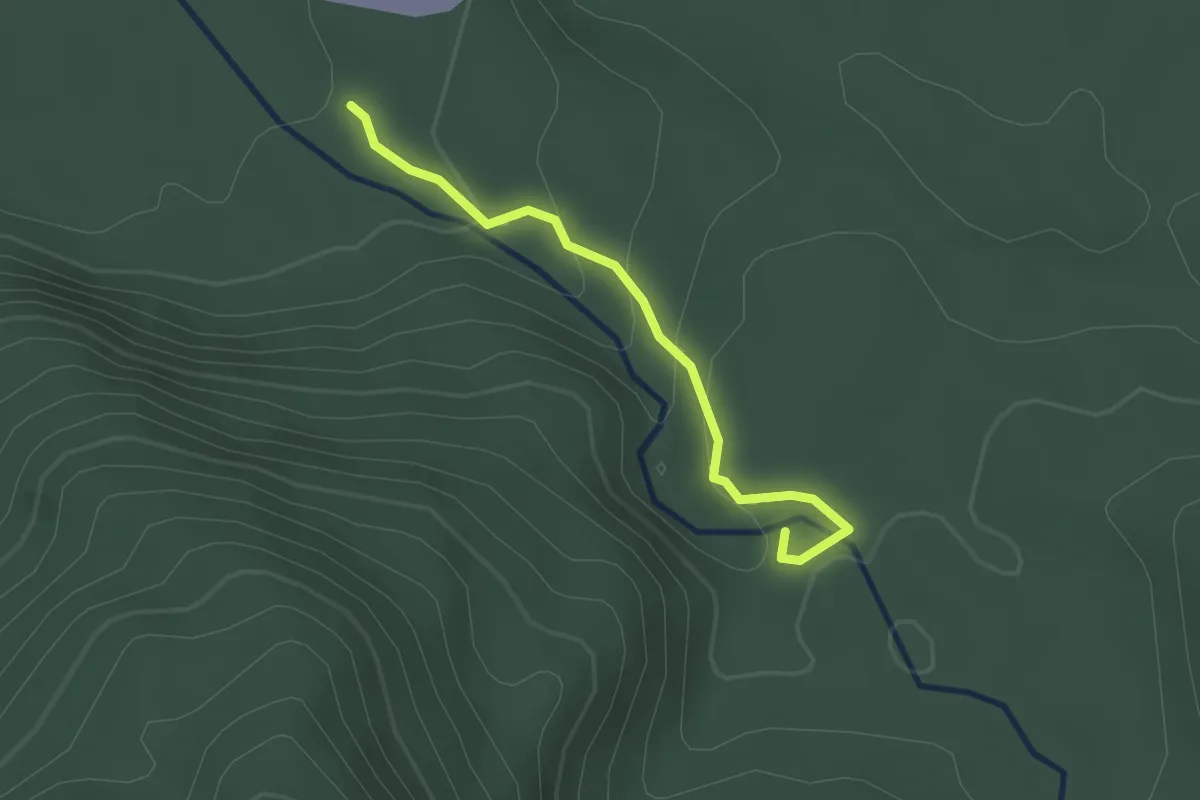
San Sebastian
6.4 km · ↑ 536 m · 2 h 40 min
Easy · Trail
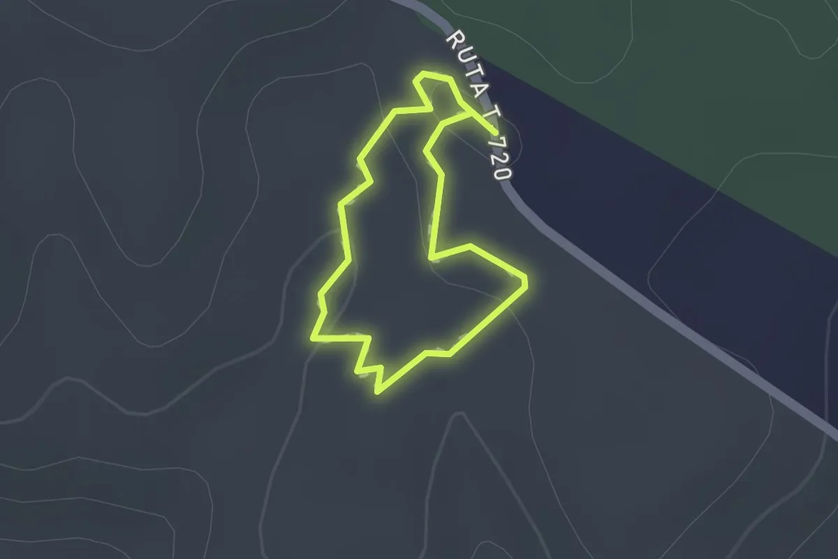
Sedero Salto del Pudú
2.5 km · ↑ 139 m · 53 min
Easy · Trail
Selva Valdiviana
1.0 km · ↑ 18 m · 18 min
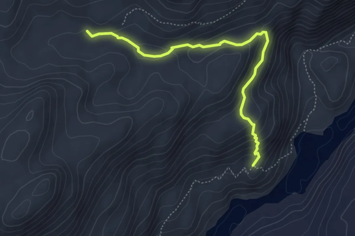
Easy · Trail
Sendero 10: Los Ñires
5.0 km · ↑ 246 m · 1 h 42 min
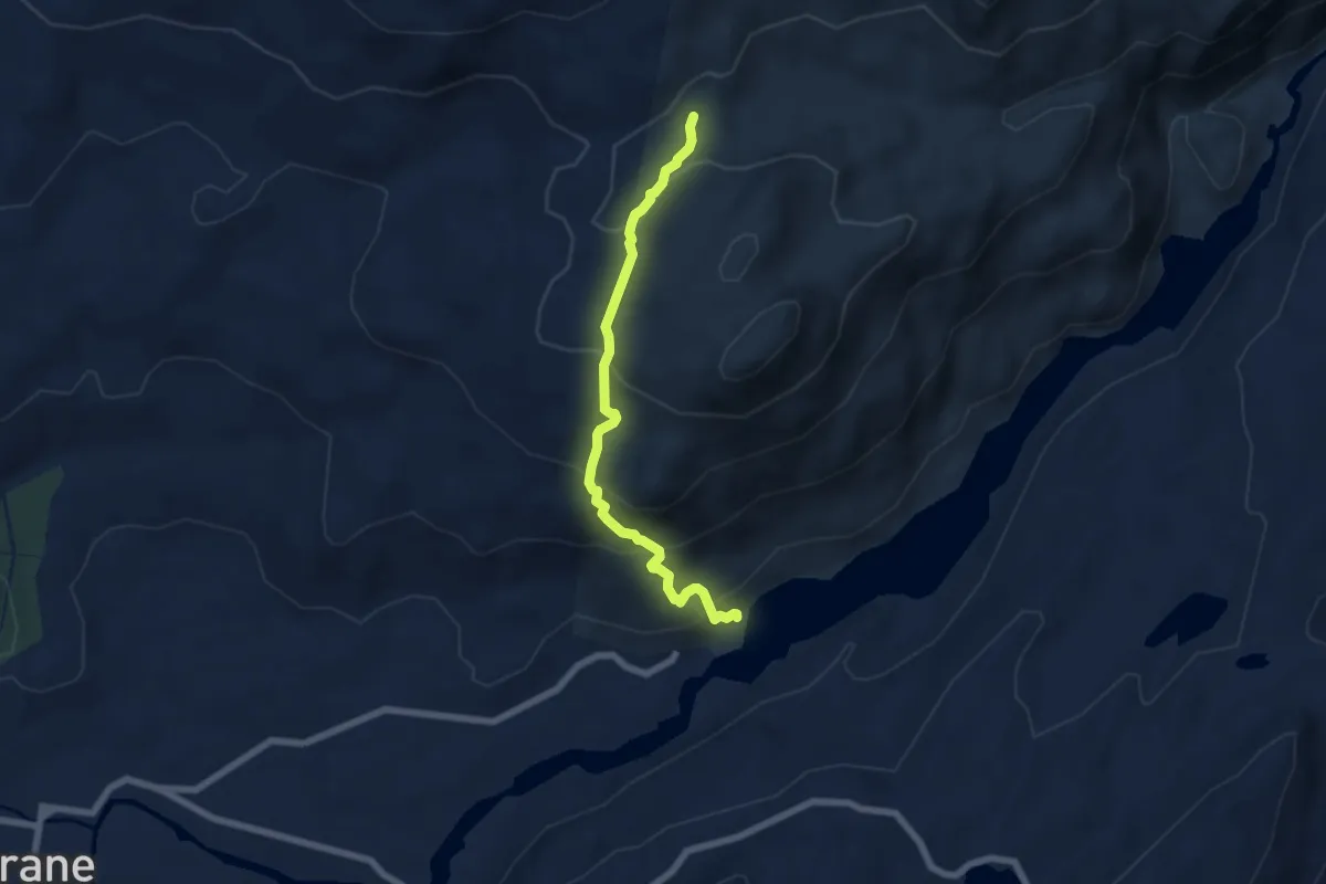
Expert · Trail
Sendero 1: Las Águilas
6.2 km · ↑ 380 m · 2 h 17 min
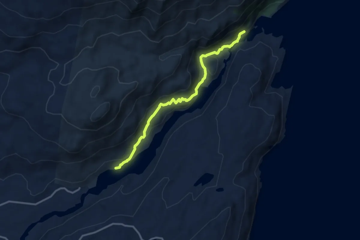
Medium · Trail
Sendero 2: Los Carpinteros
8.5 km · ↑ 371 m · 2 h 49 min
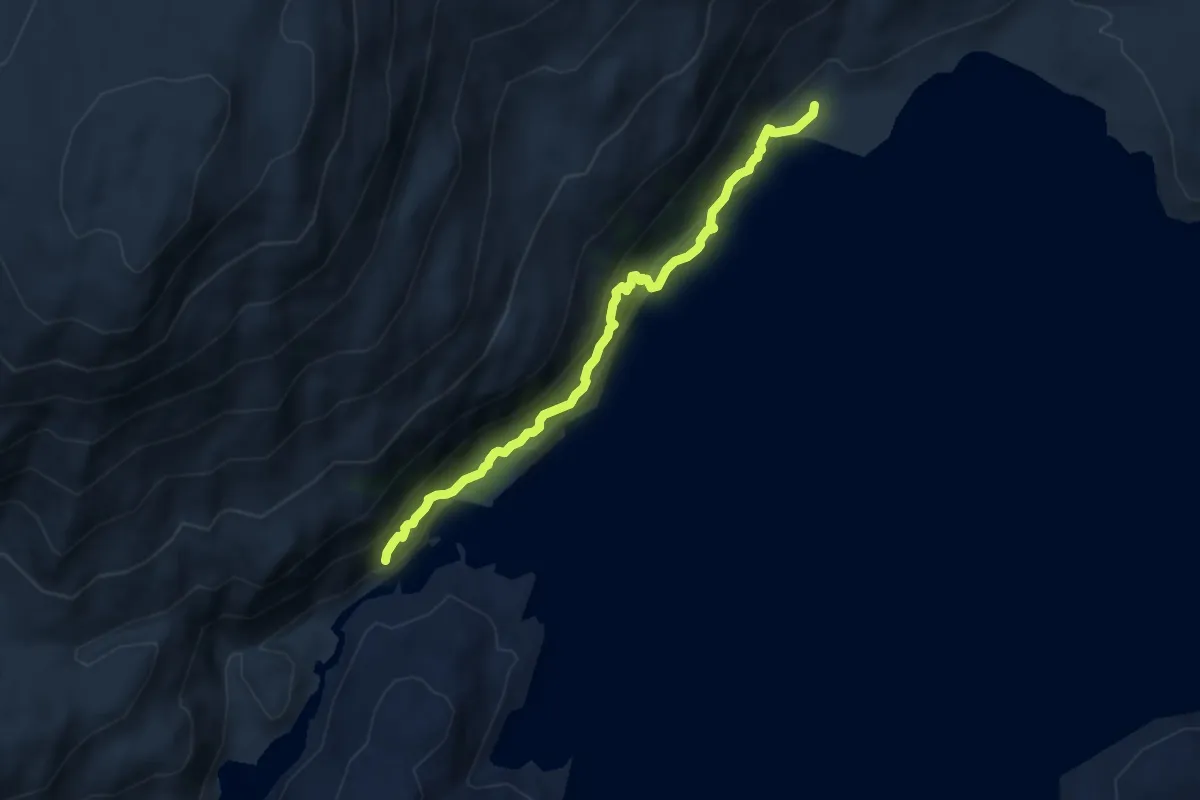
Medium · Trail
Sendero 3: Los Coigües
7.3 km · ↑ 344 m · 2 h 28 min