Trails in Chile
184 hiking trails, each with its route, climb, walking time and grade.
All trails, page 2 of 4
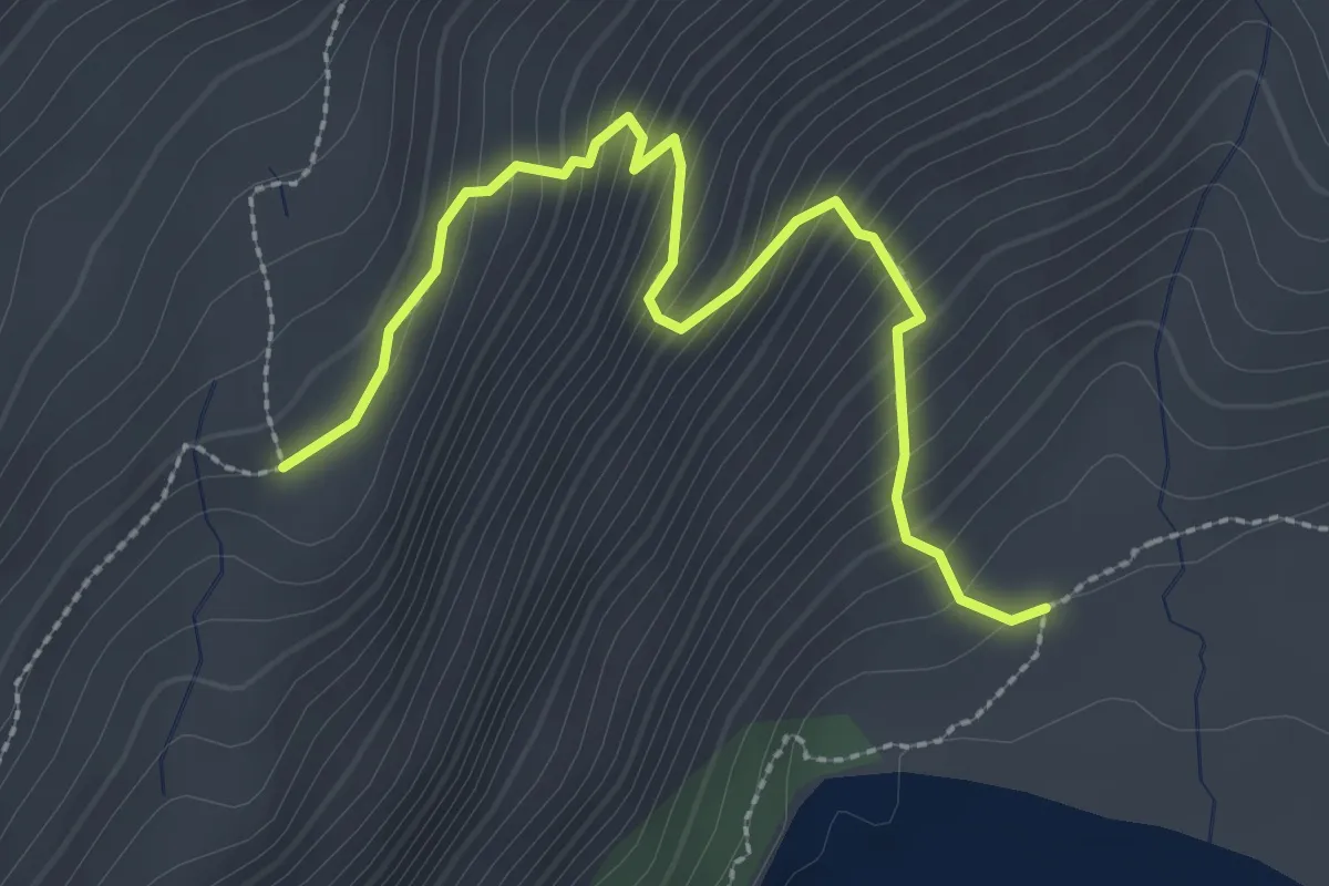
Medium · Trail
Sendero 4: Los Ciruelillos
2.9 km · ↑ 324 m · 1 h 23 min
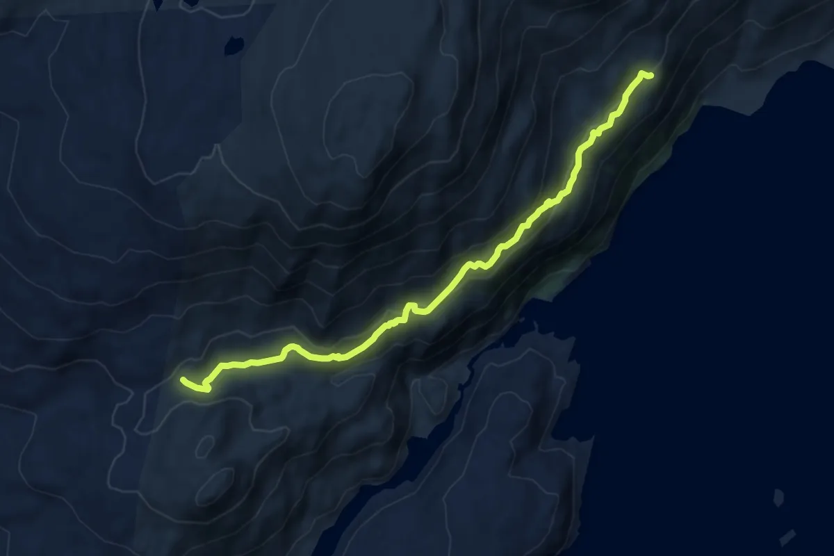
Medium · Trail
Sendero 5: Los Huemules
12.6 km · ↑ 452 m · 3 h 57 min
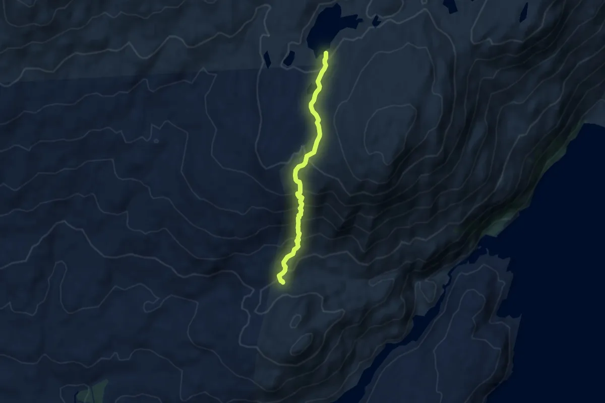
Medium · Trail
Sendero 6: Las Lengas
8.9 km · ↑ 598 m · 3 h 23 min
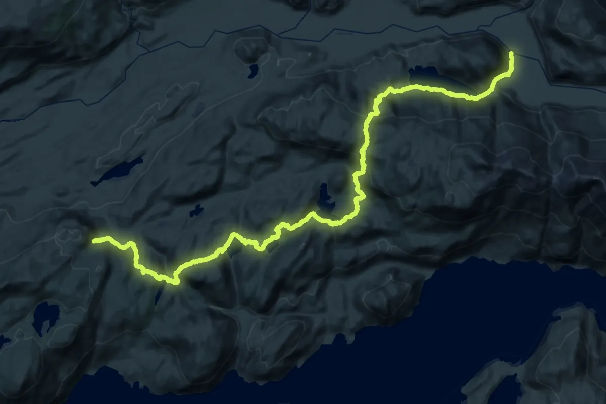
Demanding · Trail
Sendero 7 Lagunas
36.4 km · ↑ 1902 m · 13 h 3 min
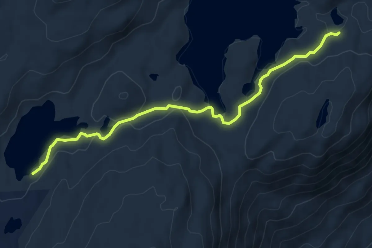
Medium · Trail
Sendero 7: Los Guanacos
8.9 km · ↑ 249 m · 2 h 39 min
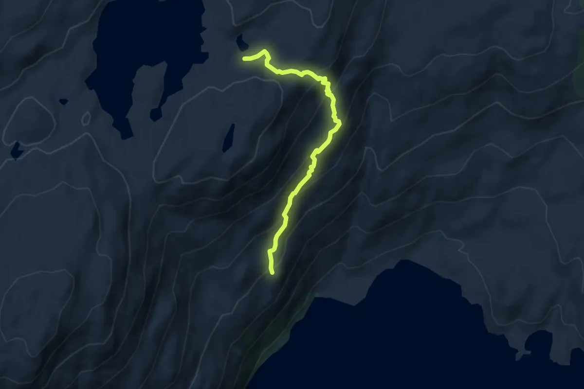
Medium · Trail
Sendero 8: Los Pumas
7.8 km · ↑ 554 m · 3 h 2 min
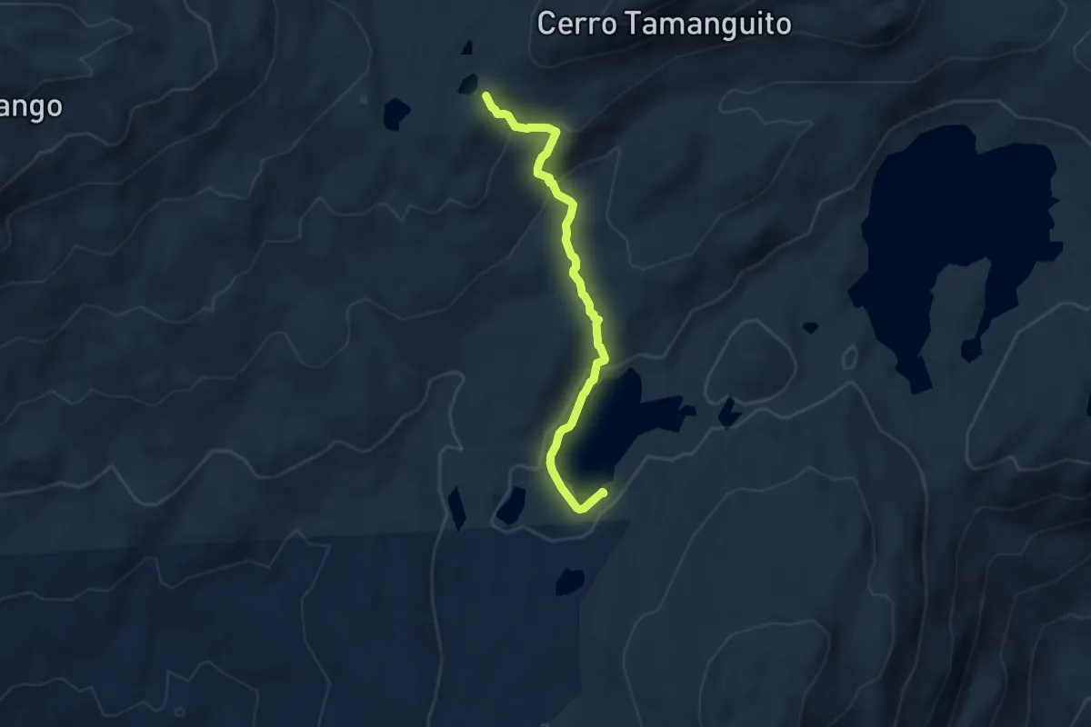
Medium · Trail
Sendero 9: Los Cóndores
7.4 km · ↑ 326 m · 2 h 26 min
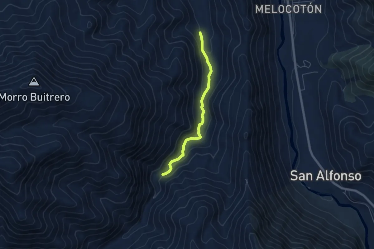
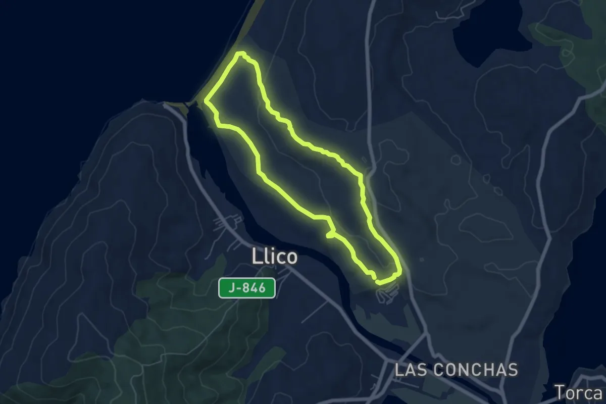
Easy · Trail
Sendero a Calabozo del Diablo
5.3 km · ↑ 151 m · 1 h 35 min
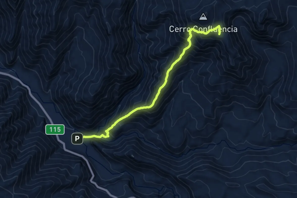
Easy · Trail
Sendero Achupallas
6.1 km · ↑ 142 m · 1 h 50 min
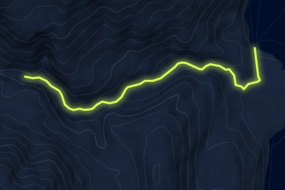
Demanding · Trail
Sendero a Ciudadela
16.1 km · ↑ 1428 m · 6 h 54 min
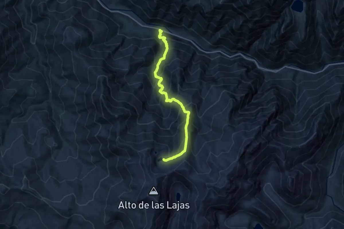
Medium · Trail
Sendero a Géiser de Porcelana
6.7 km · ↑ 352 m · 2 h 21 min
Demanding · Trail
Sendero a Lagunas de Favio
15.7 km · ↑ 1741 m · 7 h 29 min
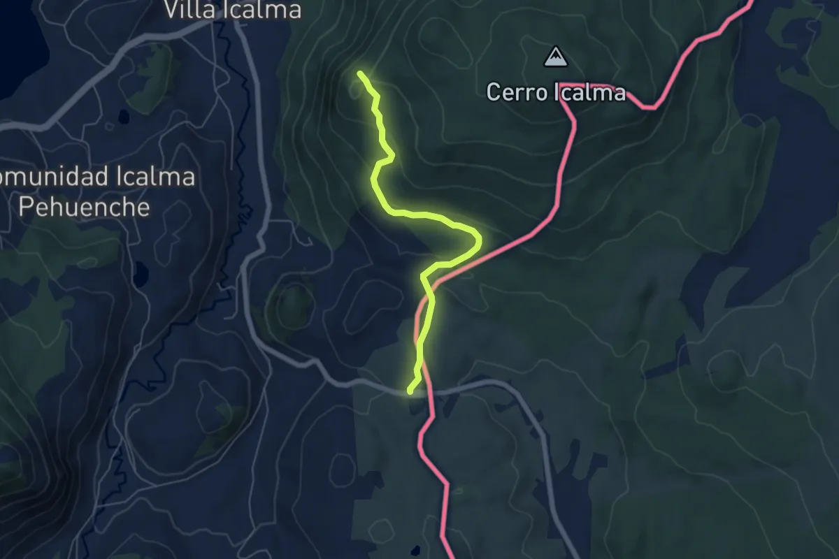
Easy · Trail
Sendero a Mirador La Bandera
5.9 km · ↑ 214 m · 1 h 52 min
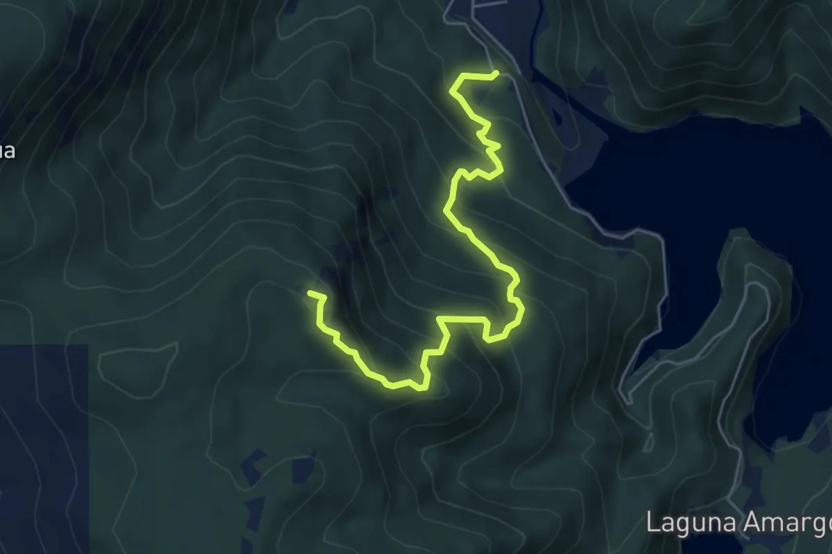
Medium · Summit
Sendero a Mirador Los Riscos
6.4 km · ↑ 562 m · 2 h 44 min
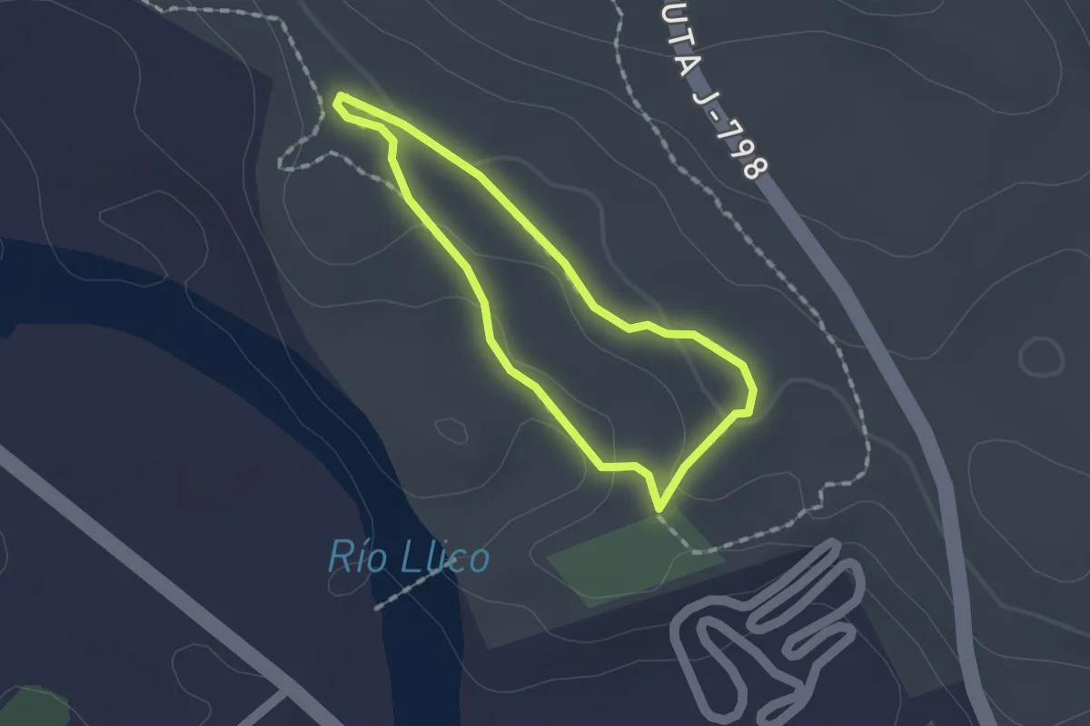
Easy · Trail
Sendero Arbol Gigante
1.4 km · ↑ 34 m · 26 min
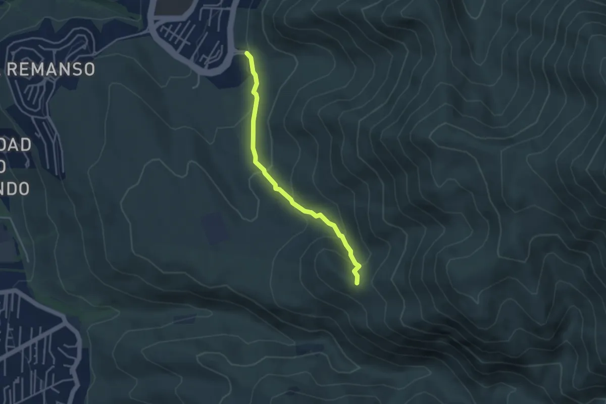
Easy · Trail
Sendero a Salto de Apoquindo
4.0 km · ↑ 241 m · 1 h 28 min
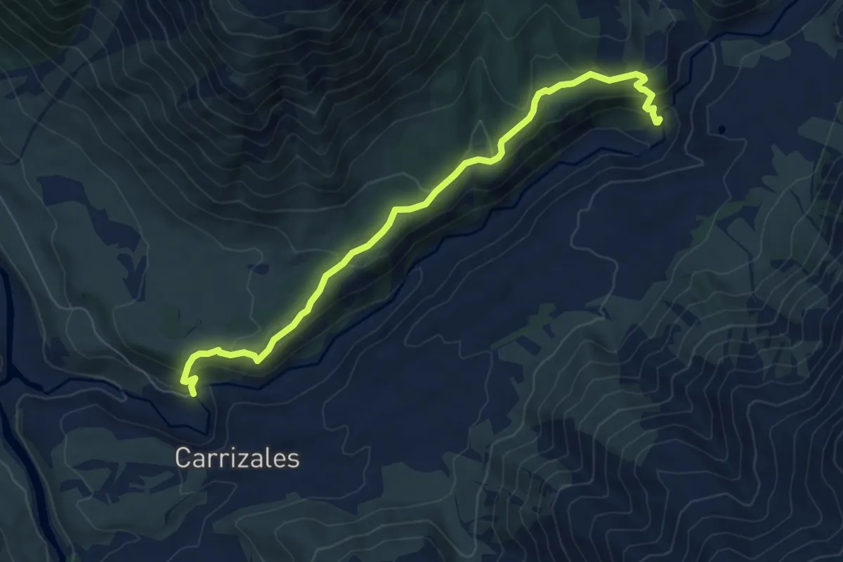
Medium · Trail
Sendero a Salto San Pedro
8.9 km · ↑ 462 m · 3 h 6 min
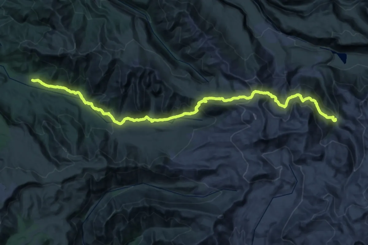
Demanding · Trail
Sendero a Termas del Azufre
27.2 km · ↑ 840 m · 9 h 3 min
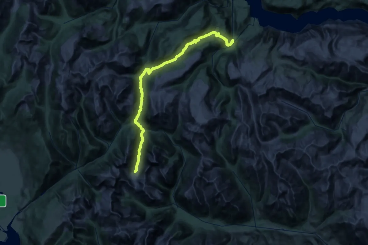
Demanding · Trail
Sendero a Torres del Avellano
28.4 km · ↑ 1160 m · 9 h 22 min
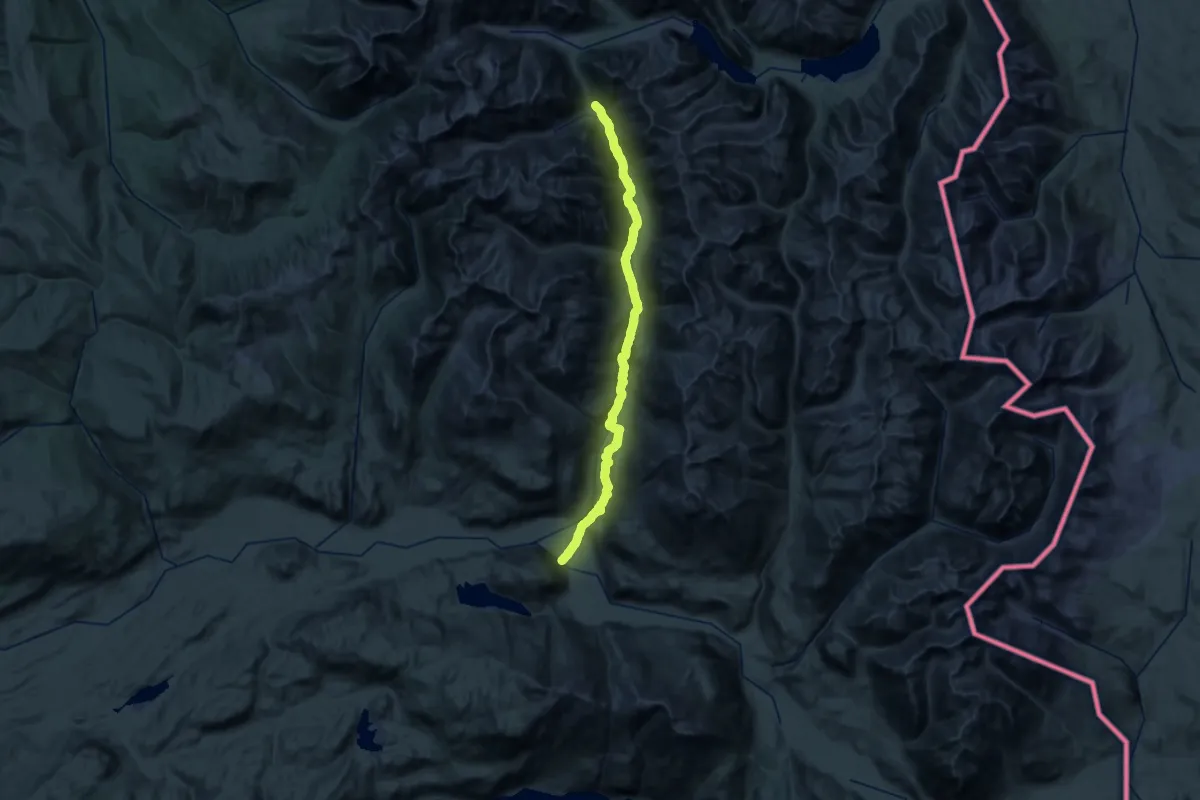
Expert · Trail
Sendero Avilés
24.5 km · ↑ 398 m · 7 h 16 min
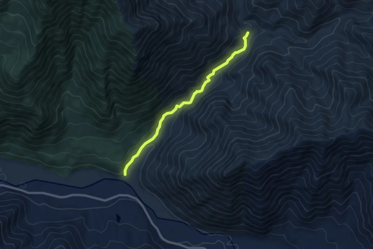
Easy · Trail
Sendero Baños de la Diosa
6.2 km · ↑ 269 m · 2 h 2 min
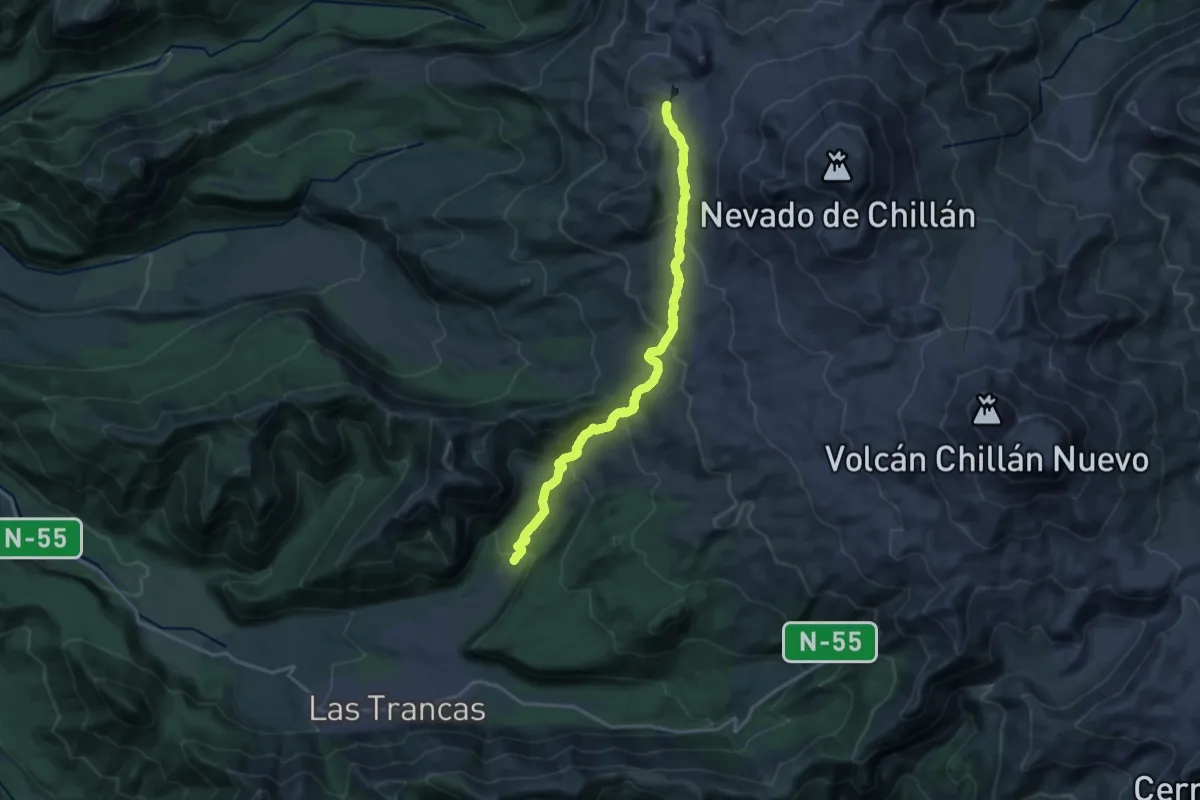
Demanding · Trail
Sendero Baños del Rafa
20.8 km · ↑ 973 m · 7 h 1 min
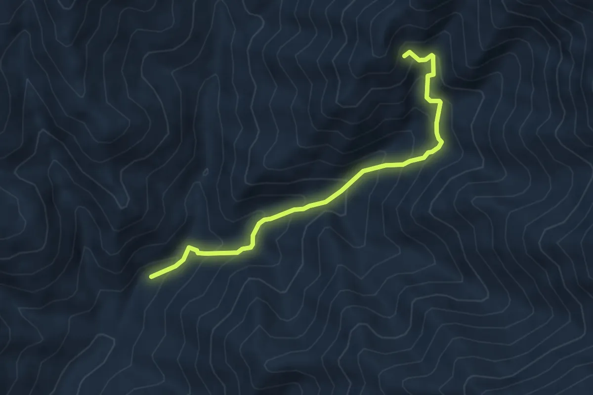
Medium · Trail
Sendero Cajón de Santos
5.8 km · ↑ 533 m · 2 h 32 min
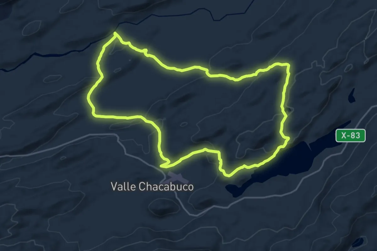
Medium · Trail
Sendero Cañadón Chacabuco
15.1 km · ↑ 406 m · 4 h 39 min
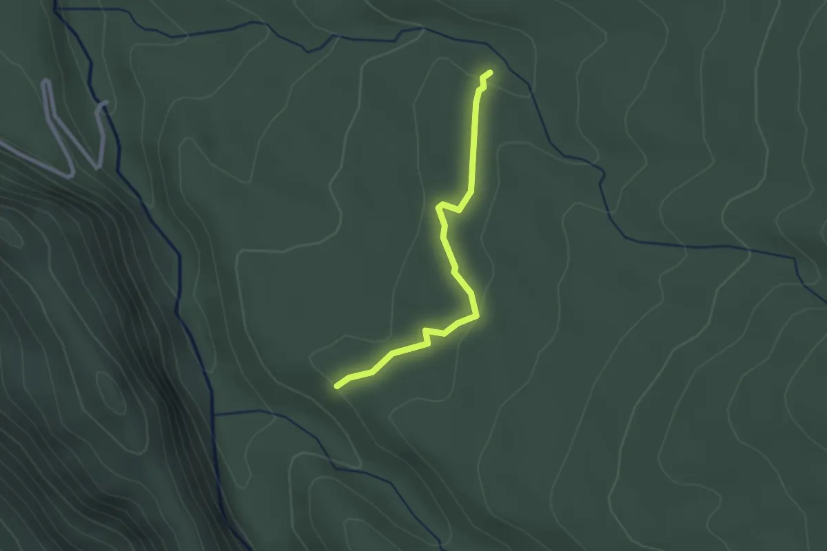
Easy · Trail
Sendero Carpintero
2.4 km · ↑ 50 m · 40 min
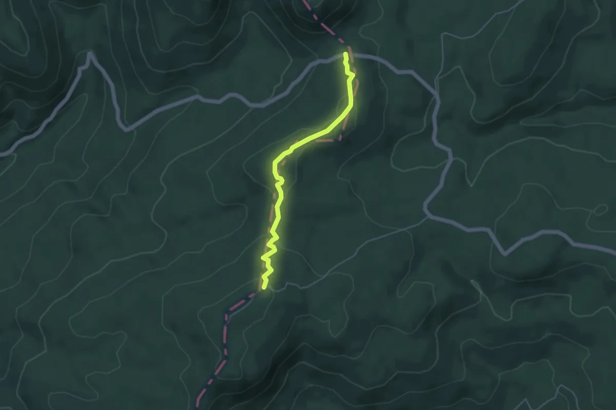
Easy · Trail
Sendero Casa de Piedra
4.8 km · ↑ 124 m · 1 h 24 min
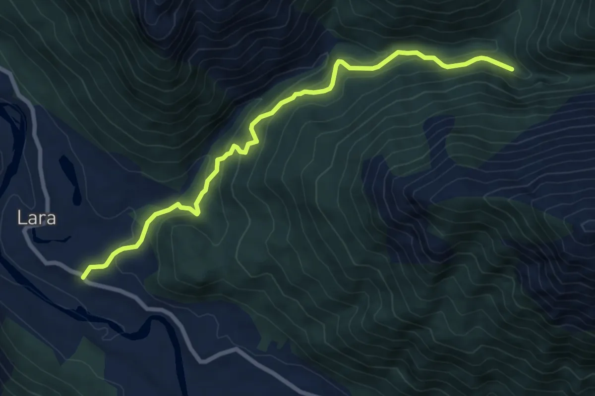
Medium · Trail
Sendero Cascada El Lara
8.4 km · ↑ 440 m · 2 h 56 min
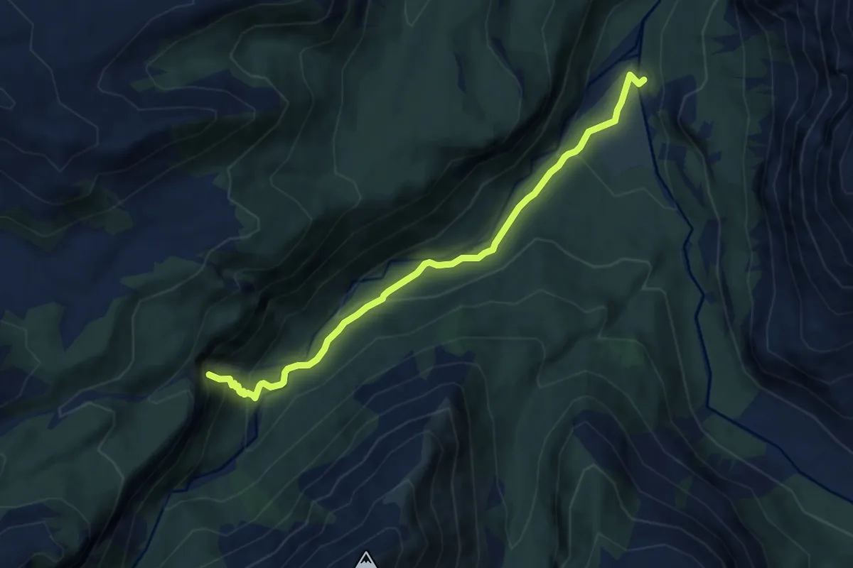
Medium · Trail
Sendero Cascada Las Minas
9.2 km · ↑ 457 m · 3 h 10 min
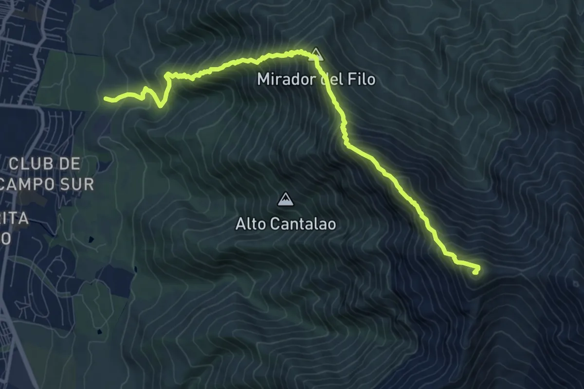
Expert · Summit
Sendero Cerro La Cruz
12.5 km · ↑ 1682 m · 6 h 36 min
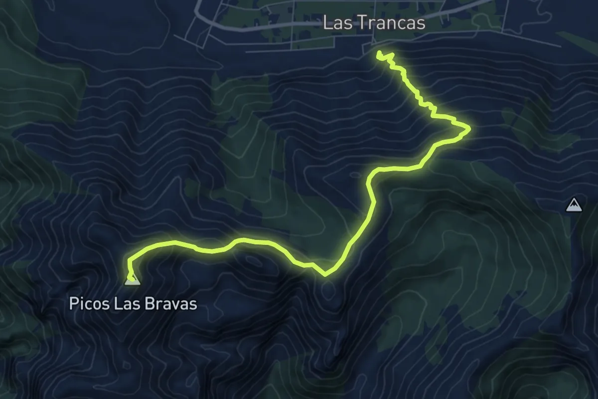
Demanding · Summit
Sendero Cerro Las Bravas
11.0 km · ↑ 1052 m · 4 h 52 min
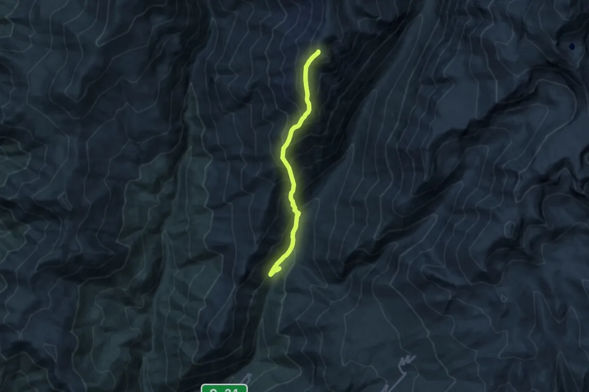
Demanding · Summit
Sendero Cerro Manchón
14.3 km · ↑ 1832 m · 7 h 21 min
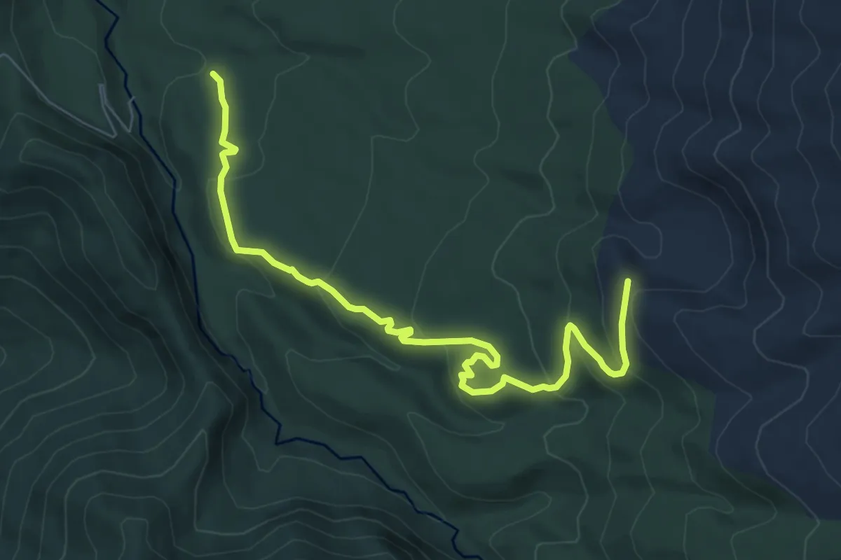
Medium · Trail
Sendero Coihue
8.9 km · ↑ 400 m · 2 h 58 min
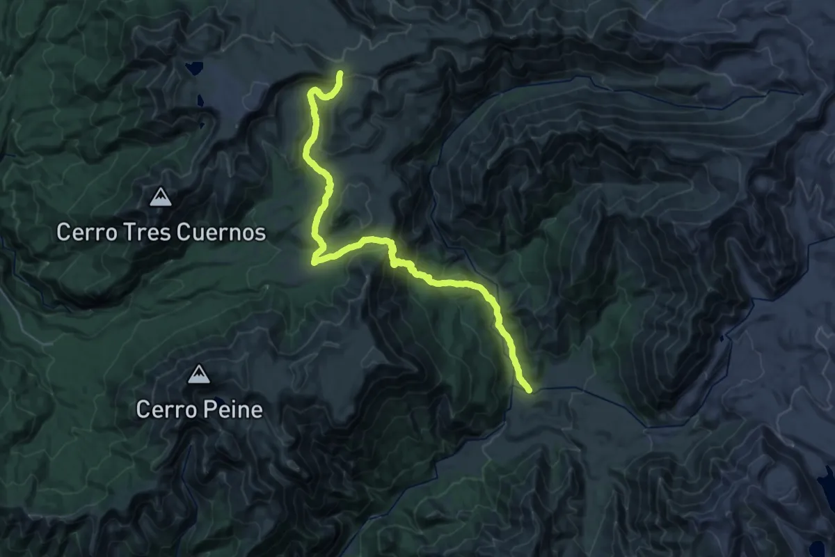
Demanding · Trail
Sendero de Chile: Tramo Altos de Lircay
16.8 km · ↑ 1192 m · 6 h 18 min
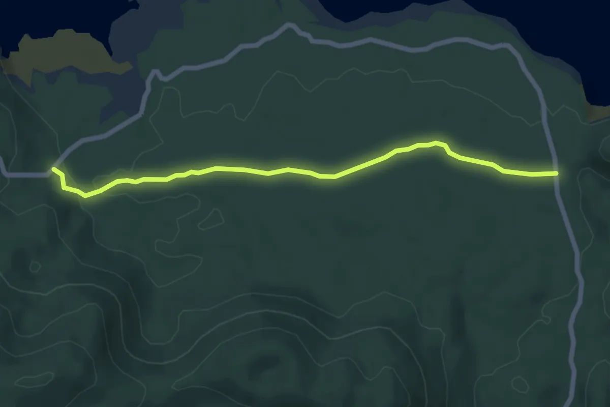
Easy · Trail
Sendero de Chile: Tramo Contrabandista
5.8 km · ↑ 40 m · 1 h 28 min
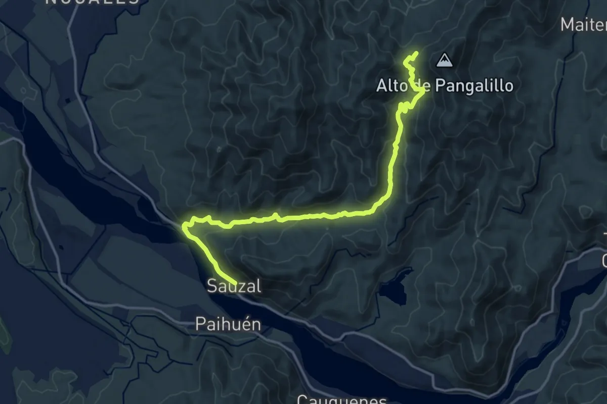
Medium · Trail
Sendero de Chile: Tramo Hacienda Sauzal
17.3 km · ↑ 654 m · 5 h 30 min
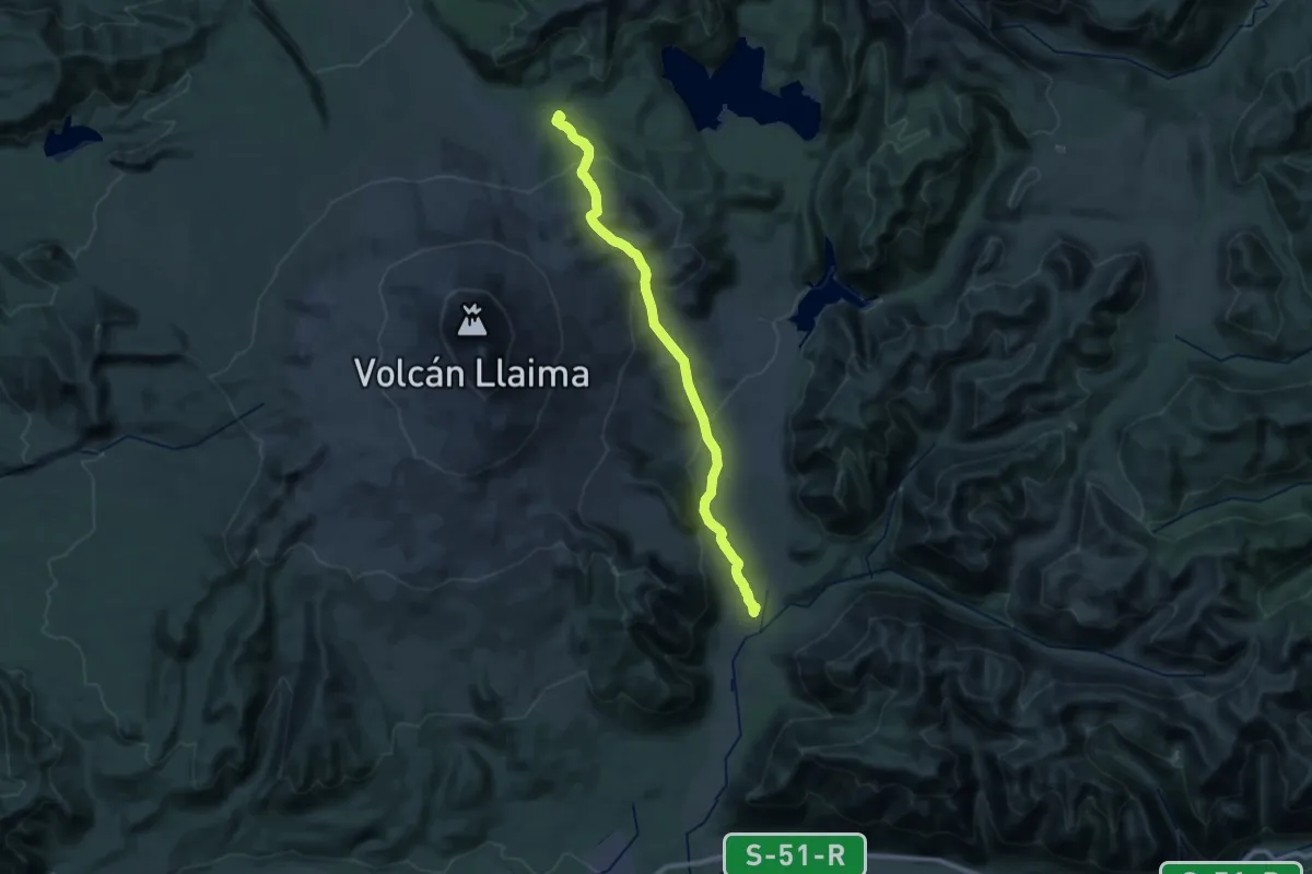
Demanding · Trail
Sendero de Chile: Tramo Los Escoriales
17.8 km · ↑ 1072 m · 6 h 29 min
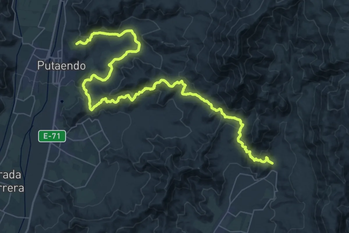
Demanding · Trail
Sendero de Chile: Tramo Orolonco
25.1 km · ↑ 802 m · 7 h 57 min
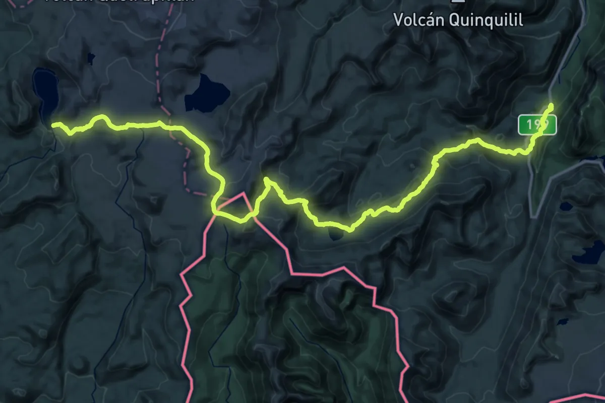
Demanding · Trail
Sendero de Chile: Tramo Parque Nacional Villarrica
25.6 km · ↑ 625 m · 8 h 10 min
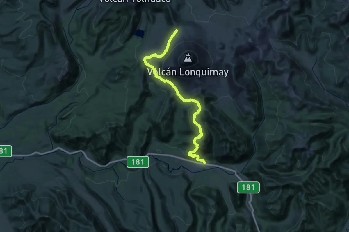
Demanding · Trail
Sendero de Chile: Tramo Piedra Santa
22.9 km · ↑ 1510 m · 8 h 36 min
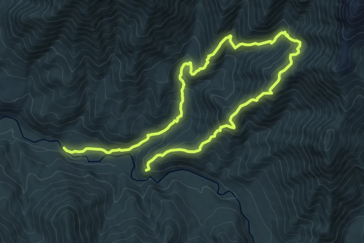
Demanding · Trail
Sendero de Chile: Tramo Quebrada de Los Bueyes
19.3 km · ↑ 1456 m · 7 h 43 min
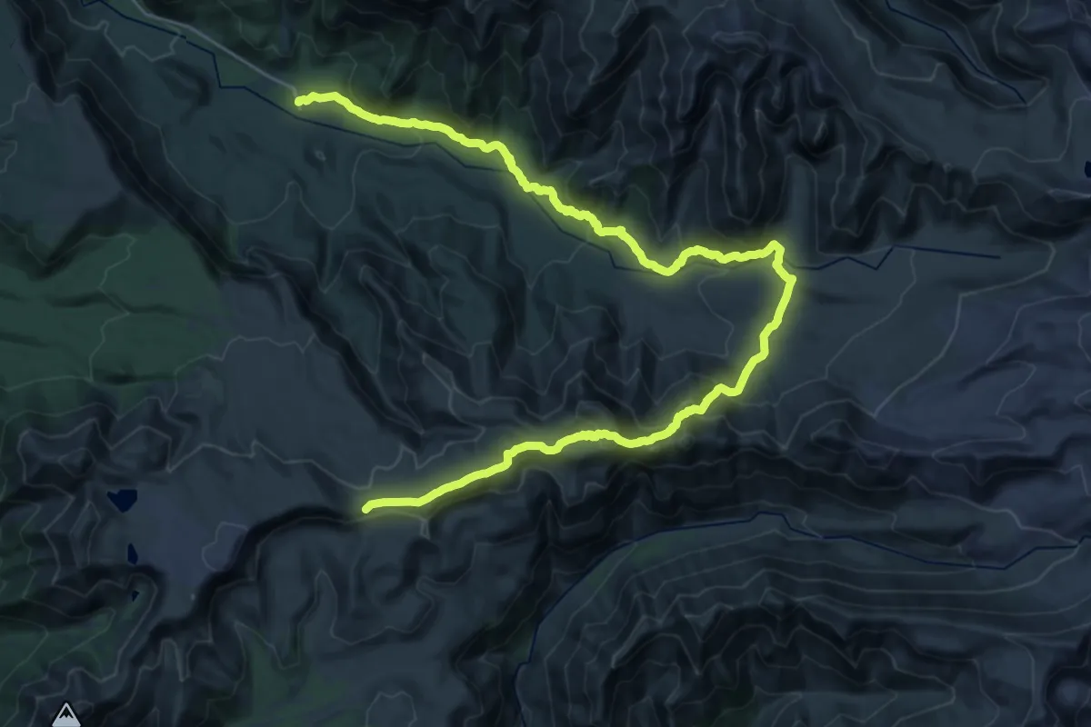
Demanding · Trail
Sendero de Chile: Tramo Radal Siete Tazas
20.6 km · ↑ 431 m · 6 h 32 min
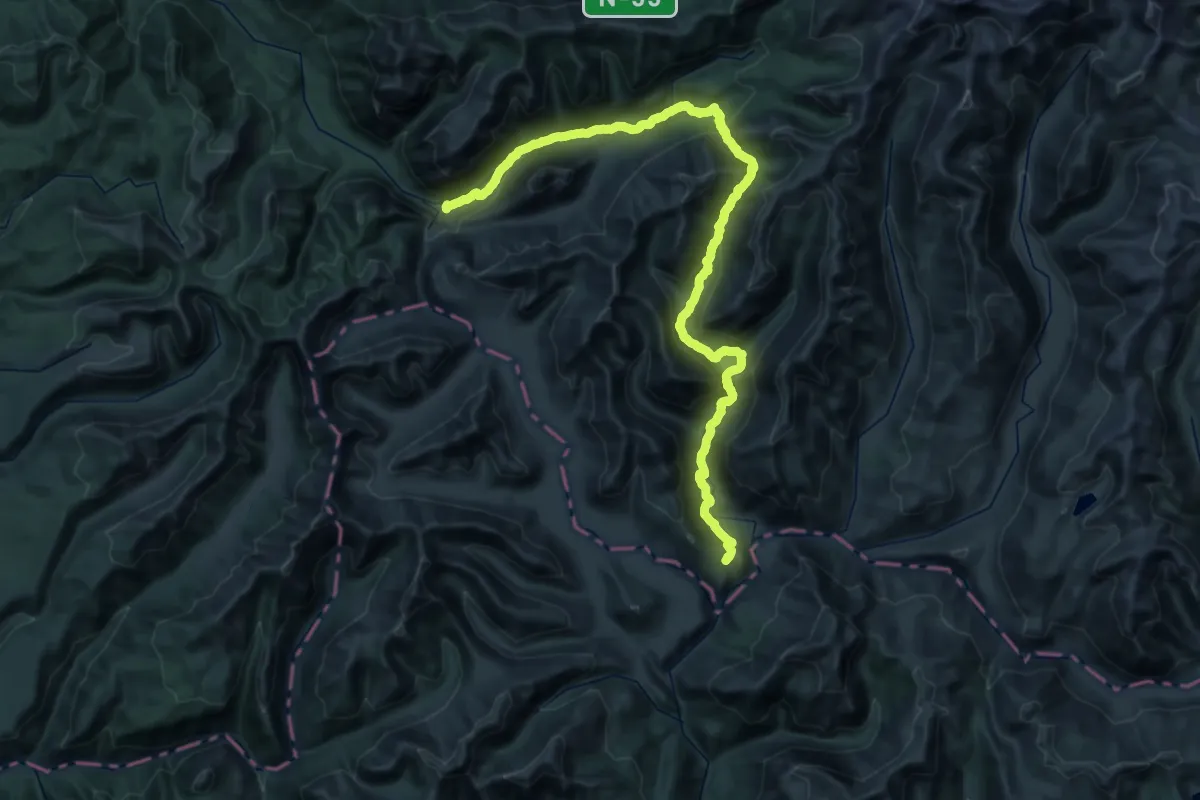
Demanding · Trail
Sendero de Chile: Tramo Reserva Nacional Ñuble
29.4 km · ↑ 1219 m · 9 h 49 min
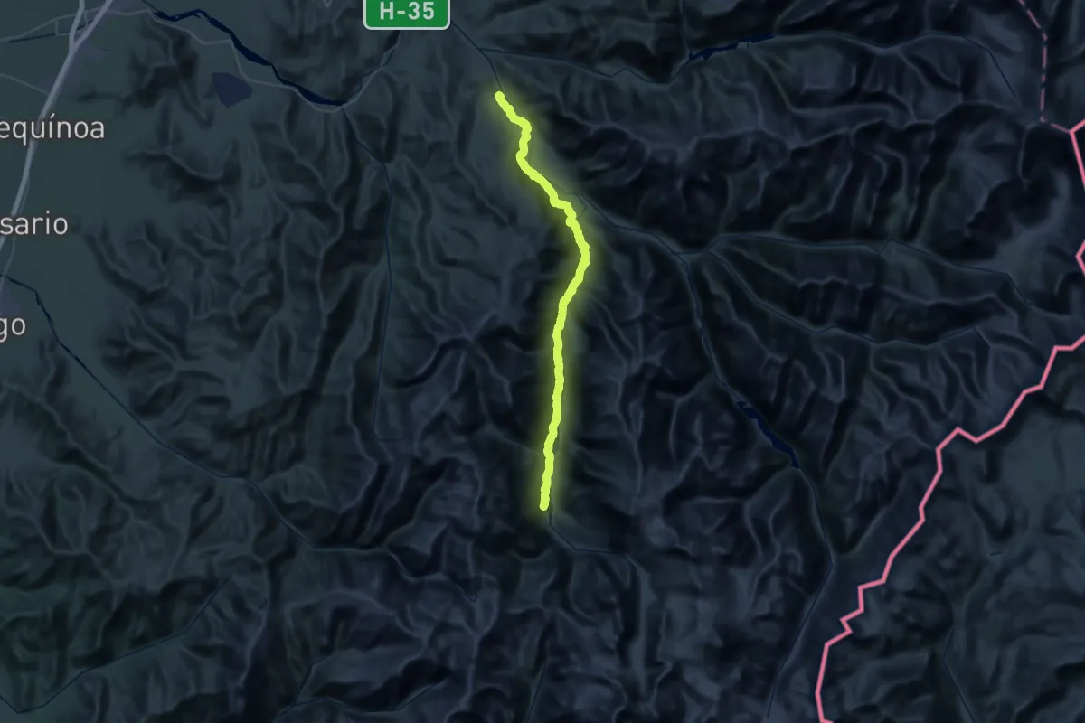
Demanding · Trail
Sendero de Chile: Tramo Río Cipreses
35.9 km · ↑ 1340 m · 11 h 32 min
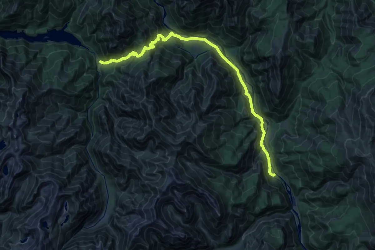
Demanding · Trail
Sendero de Chile: Tramo Río Melado
18.4 km · ↑ 980 m · 6 h 45 min
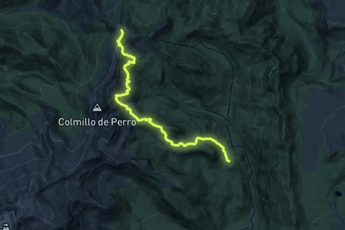
Demanding · Trail
Sendero de Chile: Tramo Rpagcherrue
11.3 km · ↑ 983 m · 4 h 35 min
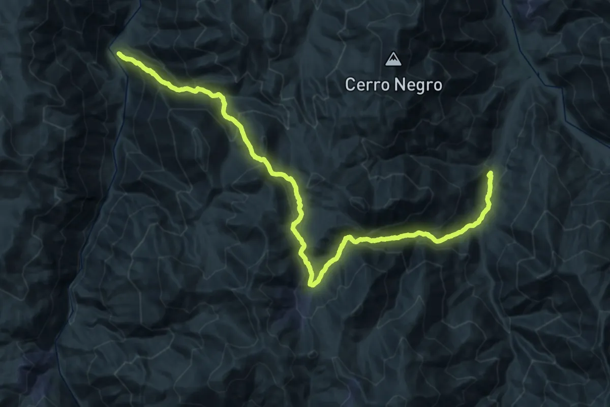
Demanding · Trail
Sendero de Chile: Tramo San Félix - Pinte
29.8 km · ↑ 2051 m · 11 h 47 min
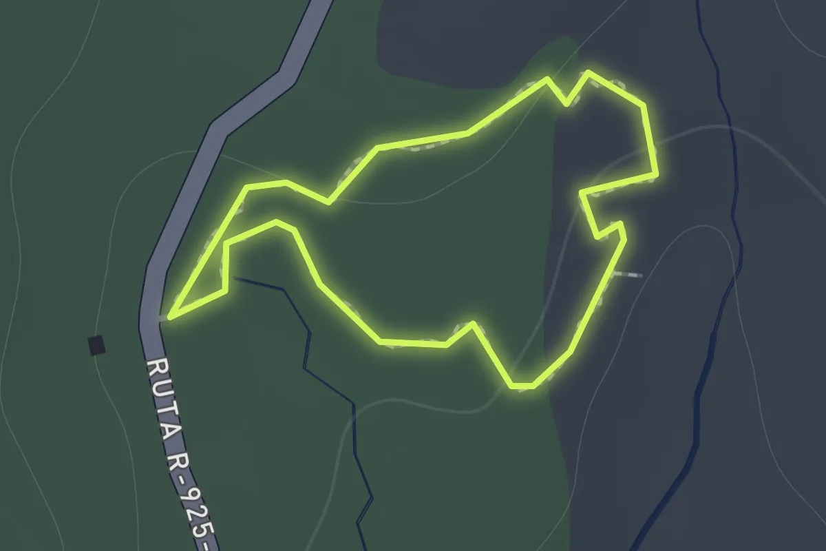
Easy · Trail
Sendero de las Veritientes
1.1 km · ↑ 14 m · 18 min
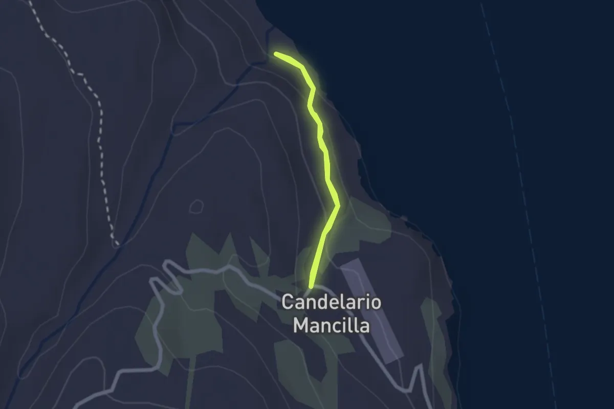
Easy · Trail
Sendero Desembocadura Rio Obscuro
1.4 km · ↑ 85 m · 32 min