Trails in China
409 hiking trails, each with its route, climb, walking time and grade.
All trails, page 4 of 9
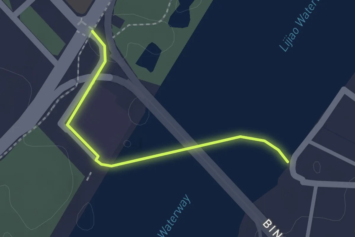
Easy · Trail
广东绿道1号线-广州大学城段(步行)
2.3 km · ↑ 27 m · 36 min
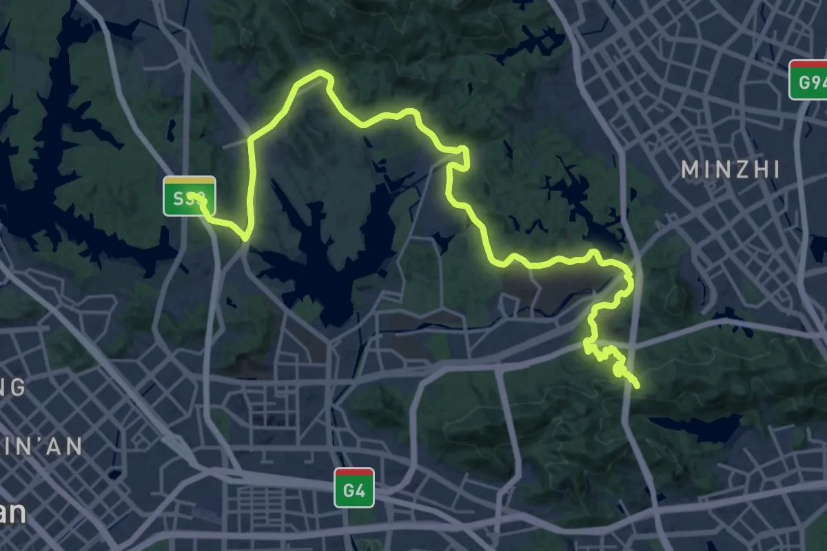
Demanding · Trail
广东绿道2号线-南山段(步行)
21.1 km · ↑ 576 m · 6 h 25 min
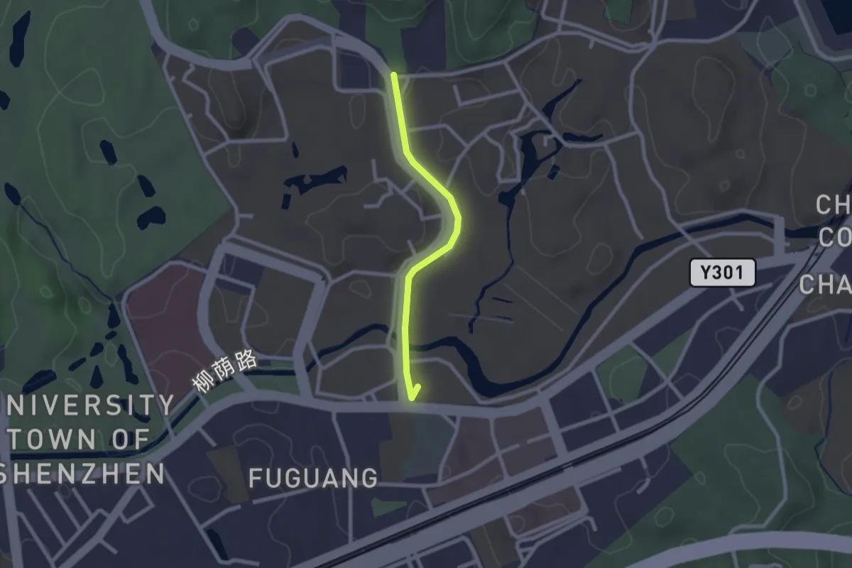
Easy · Summit
广东绿道2号线南科大绕行路线(步行)
2.6 km · ↑ 29 m · 40 min
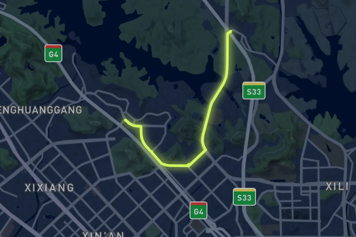
Medium · Trail
广东绿道2号线-新安段(步行)
12.1 km · ↑ 334 m · 3 h 34 min
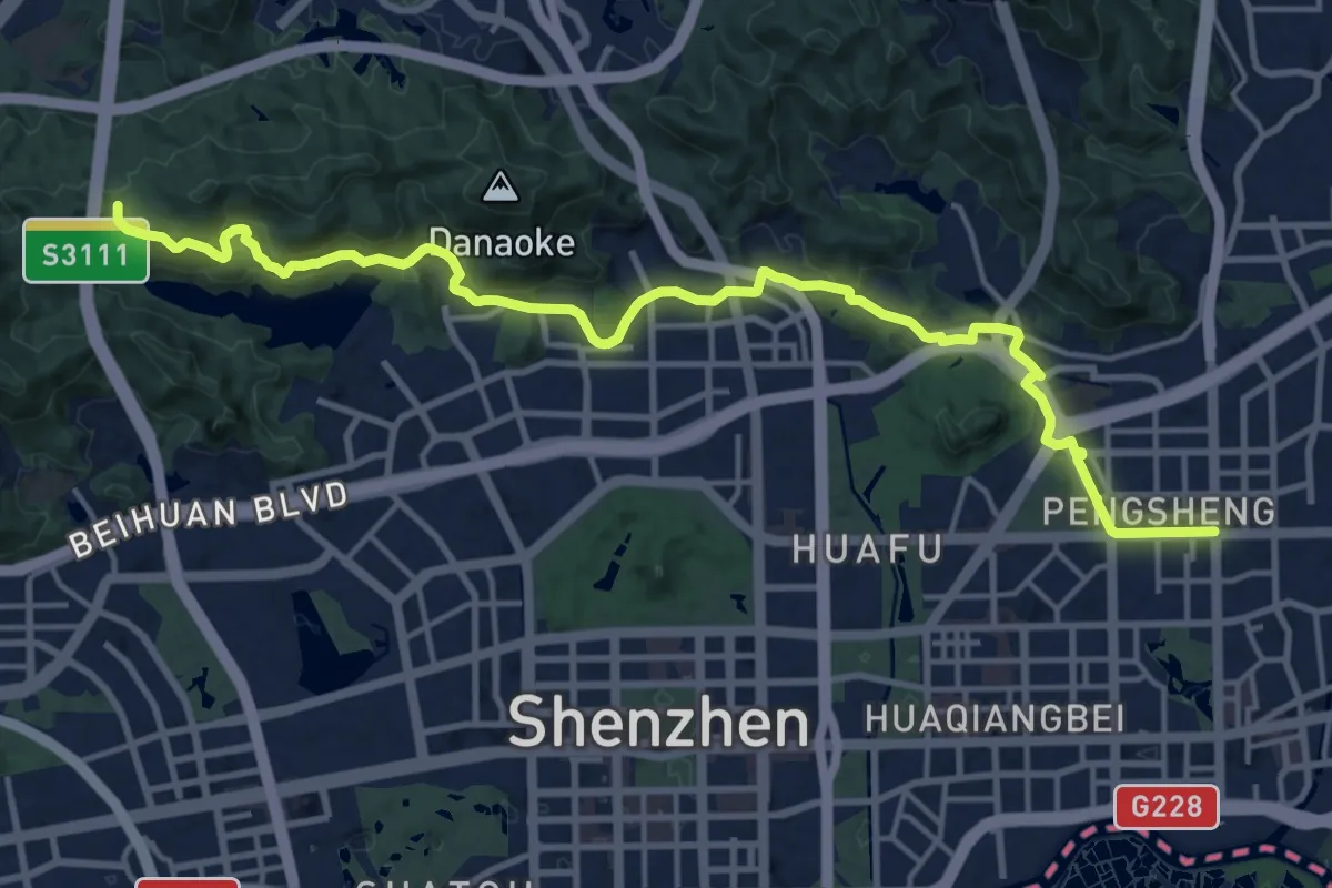
Demanding · Trail
广东绿道2号线-福田段(步行)
25.0 km · ↑ 620 m · 7 h 15 min
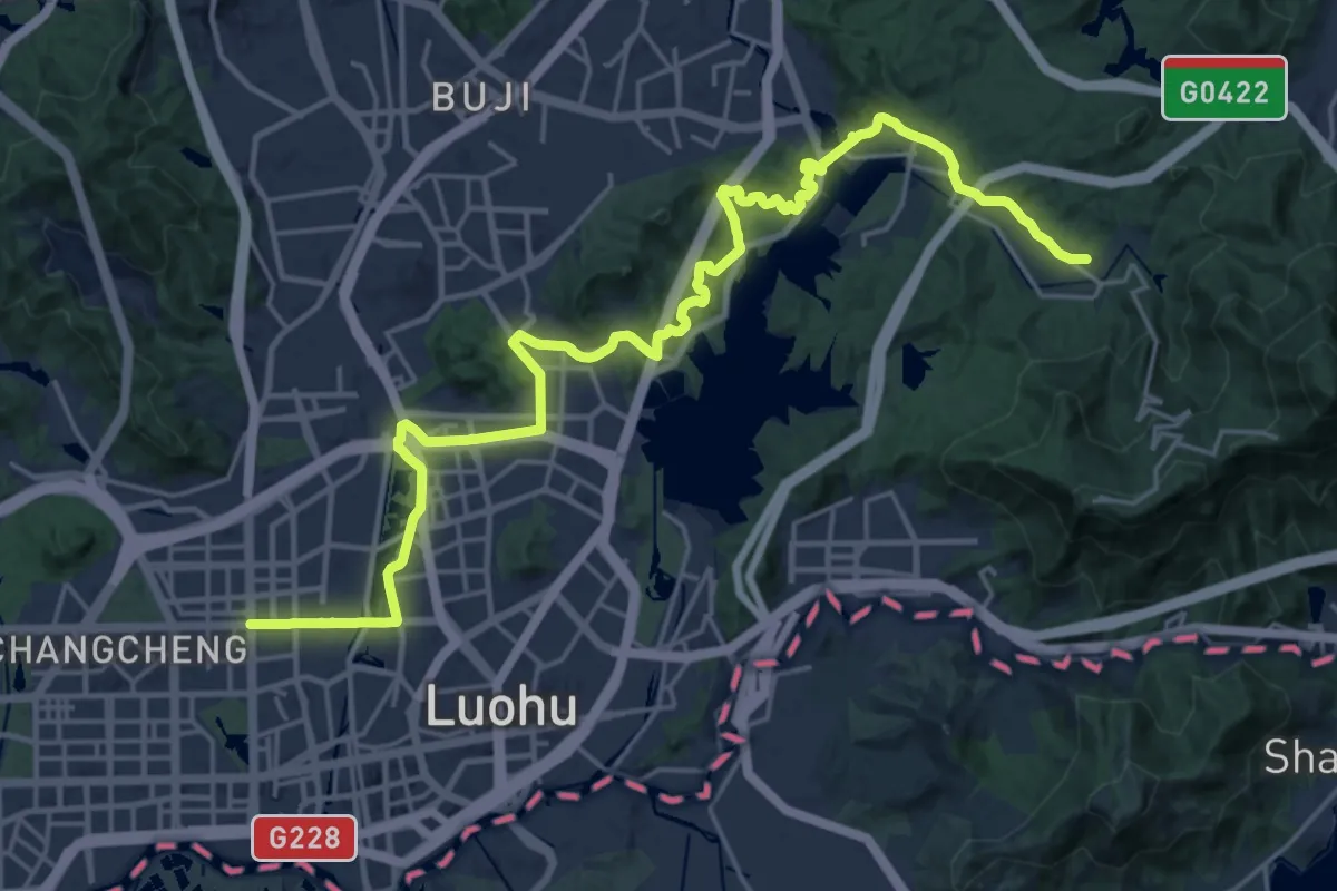
Medium · Trail
广东绿道2号线-罗湖段(步行)
17.6 km · ↑ 426 m · 5 h 20 min
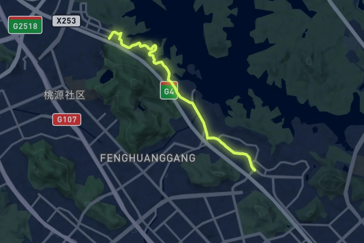
Medium · Trail
广东绿道2号线-西乡段(步行)
10.8 km · ↑ 153 m · 2 h 53 min
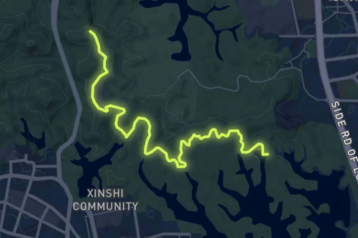
Medium · Trail
广东绿道5号线-大浪段(步行)
10.9 km · ↑ 404 m · 3 h 27 min
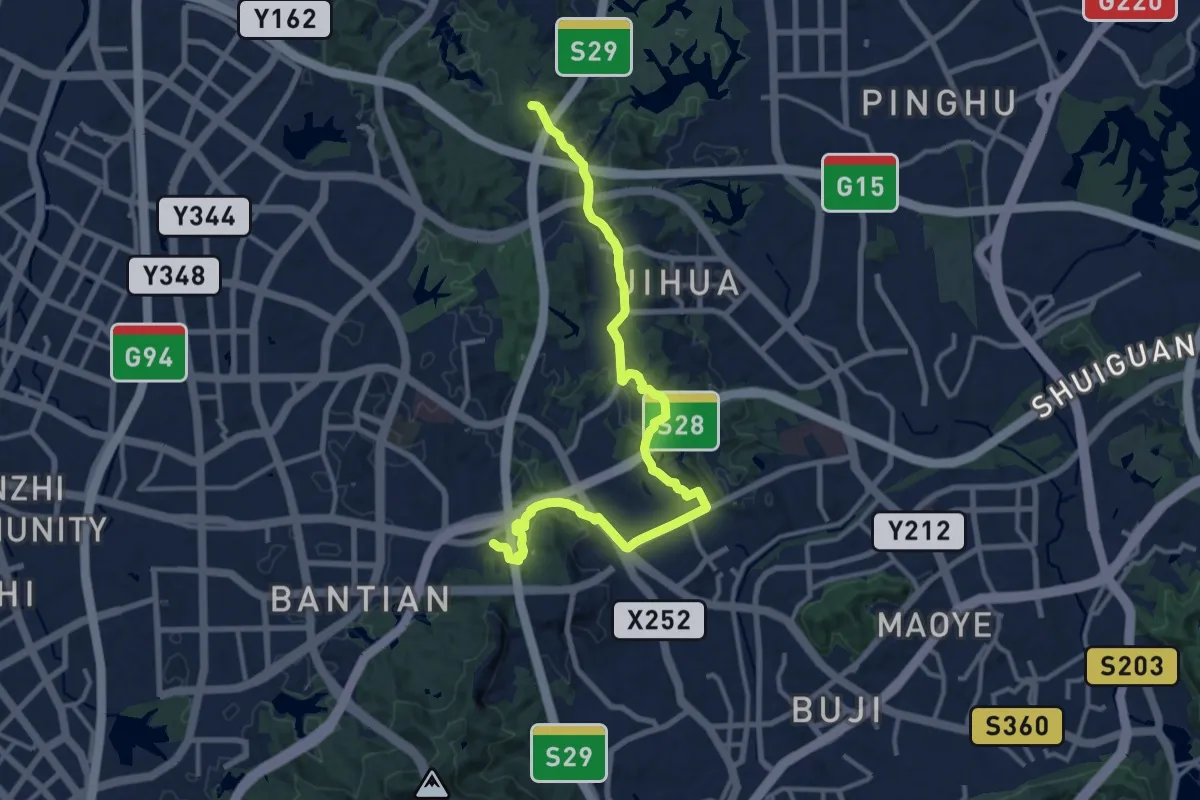
Demanding · Trail
广东绿道5号线-布吉段(步行)
19.1 km · ↑ 392 m · 5 h 22 min
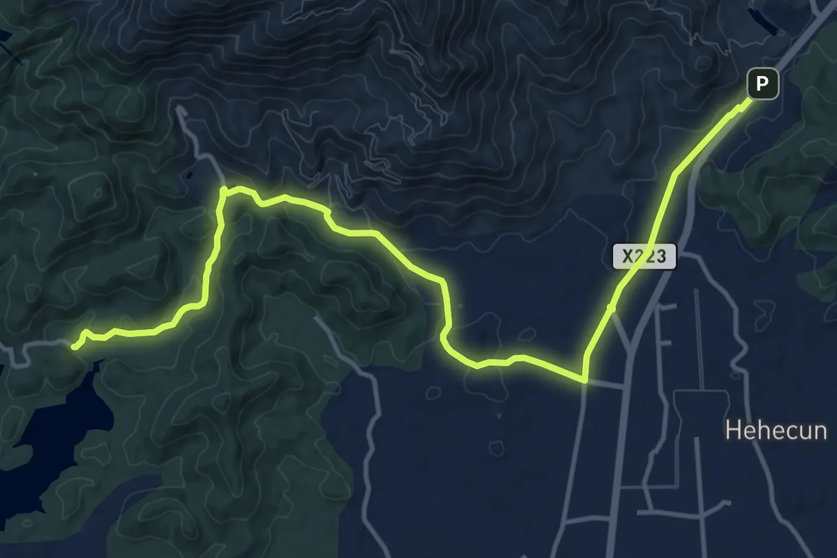
Demanding · Trail
广东绿道5号线-罗浮山段(步行)
18.7 km · ↑ 308 m · 5 h 5 min
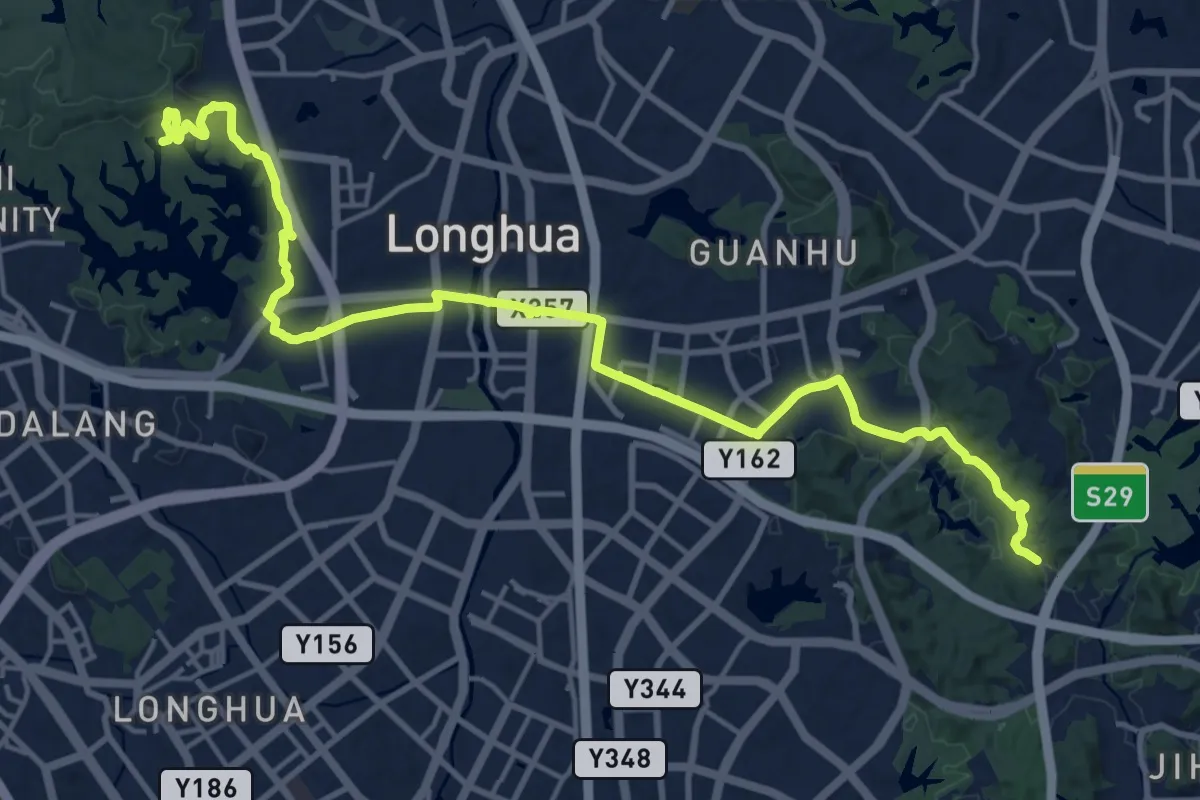
Demanding · Trail
广东绿道5号线-观澜段(步行)
28.0 km · ↑ 472 m · 7 h 38 min
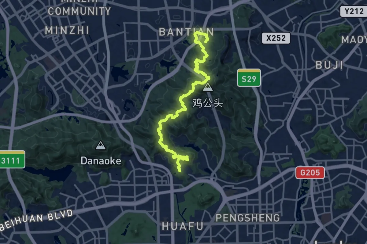
Demanding · Summit
广东绿道5号线-银湖段(步行)
22.3 km · ↑ 1332 m · 8 h 9 min
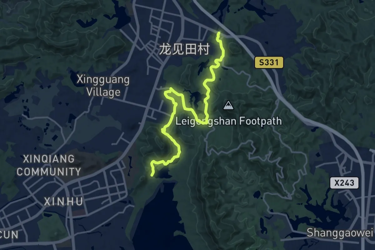
Demanding · Trail
广东绿道5号线-黄江段(步行)
20.4 km · ↑ 435 m · 5 h 46 min
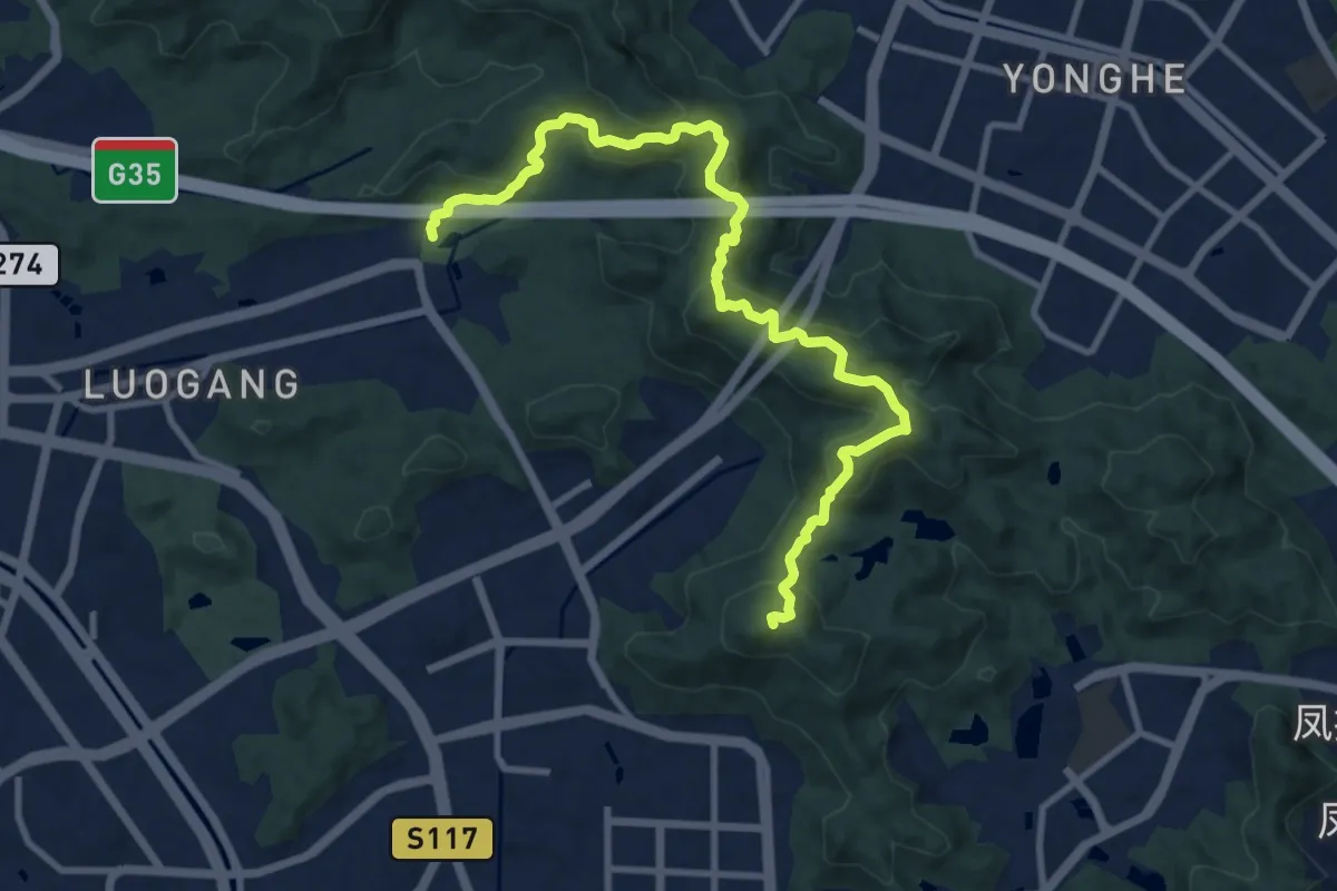
Medium · Summit
广州刘香线
15.0 km · ↑ 784 m · 5 h 14 min
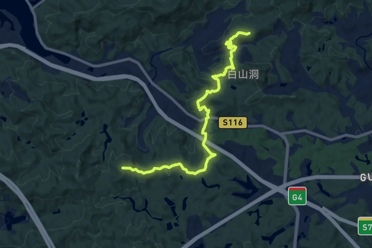
Demanding · Trail
广州火帽线-丛林版
13.7 km · ↑ 909 m · 5 h 13 min
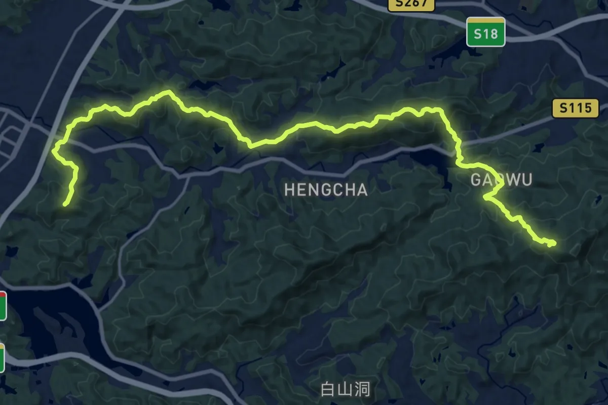
Demanding · Summit
广州火帽线-人头岭高屋段
27.1 km · ↑ 1884 m · 10 h 29 min
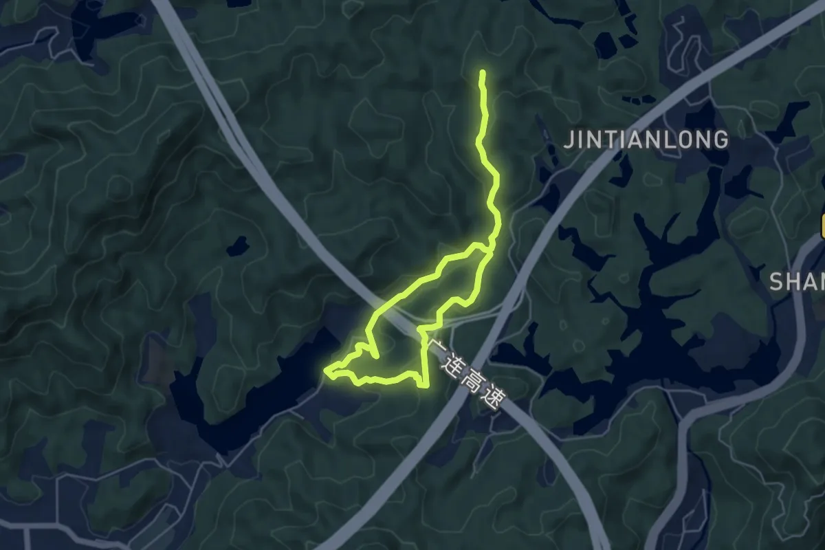
Medium · Summit
广州·火帽线·公鱼岭段
9.4 km · ↑ 580 m · 3 h 28 min
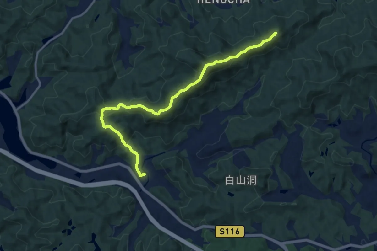
Medium · Summit
广州火帽线-北山段
11.6 km · ↑ 707 m · 4 h 16 min
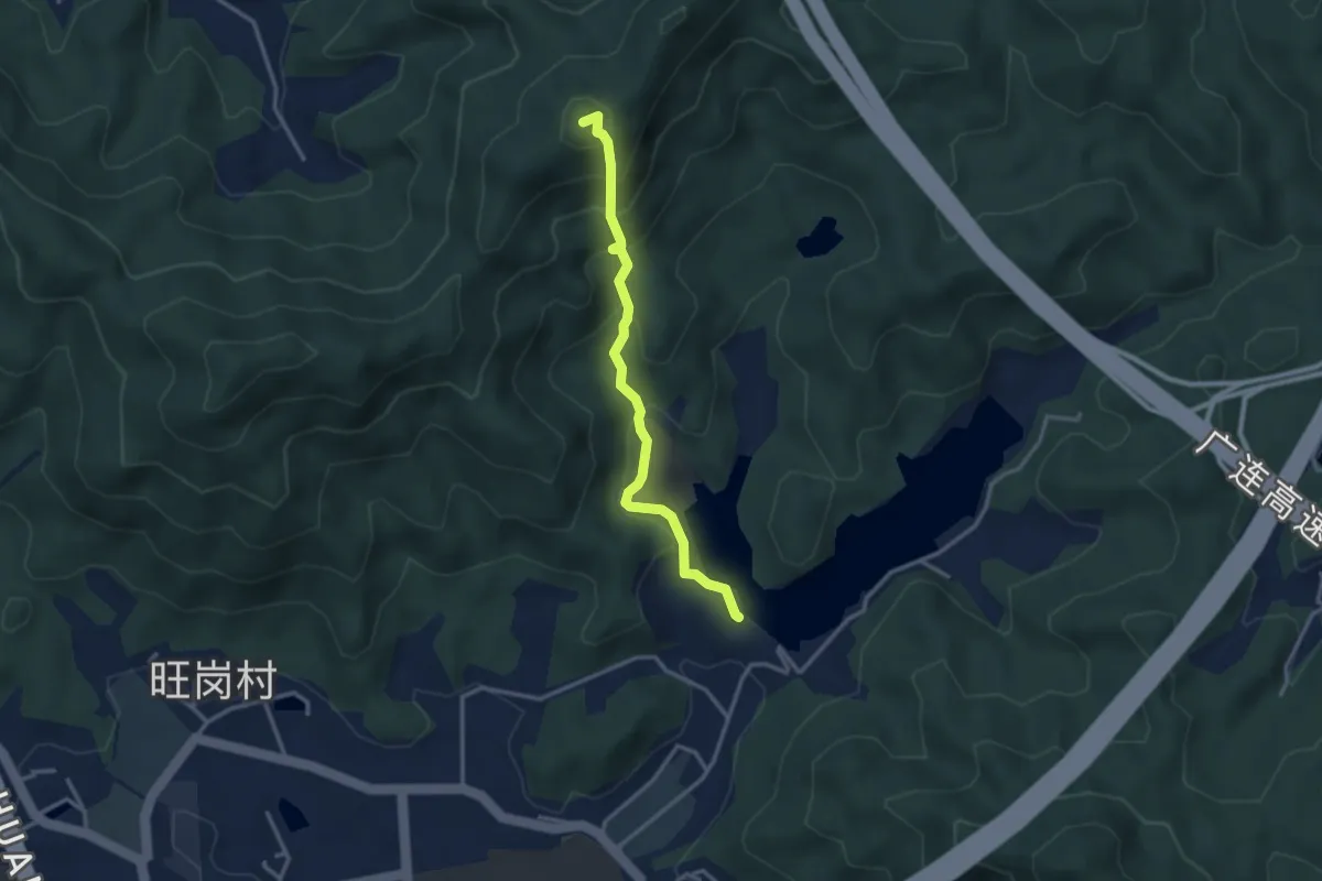
Medium · Summit
广州火帽线-华一坡段
4.0 km · ↑ 355 m · 1 h 43 min
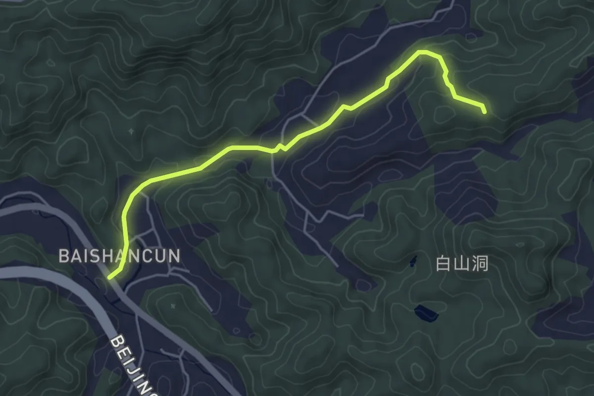
Easy · Trail
广州火帽线-明珠段
5.7 km · ↑ 151 m · 1 h 41 min
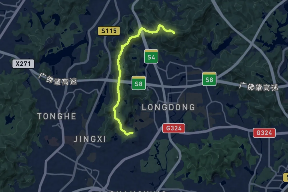
Demanding · Summit
广州龙渔线
14.8 km · ↑ 1026 m · 5 h 43 min
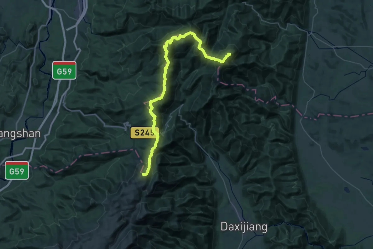
Demanding · Summit
广西越城岭主脊大穿越-中段
56.3 km · ↑ 4666 m · 23 h 24 min
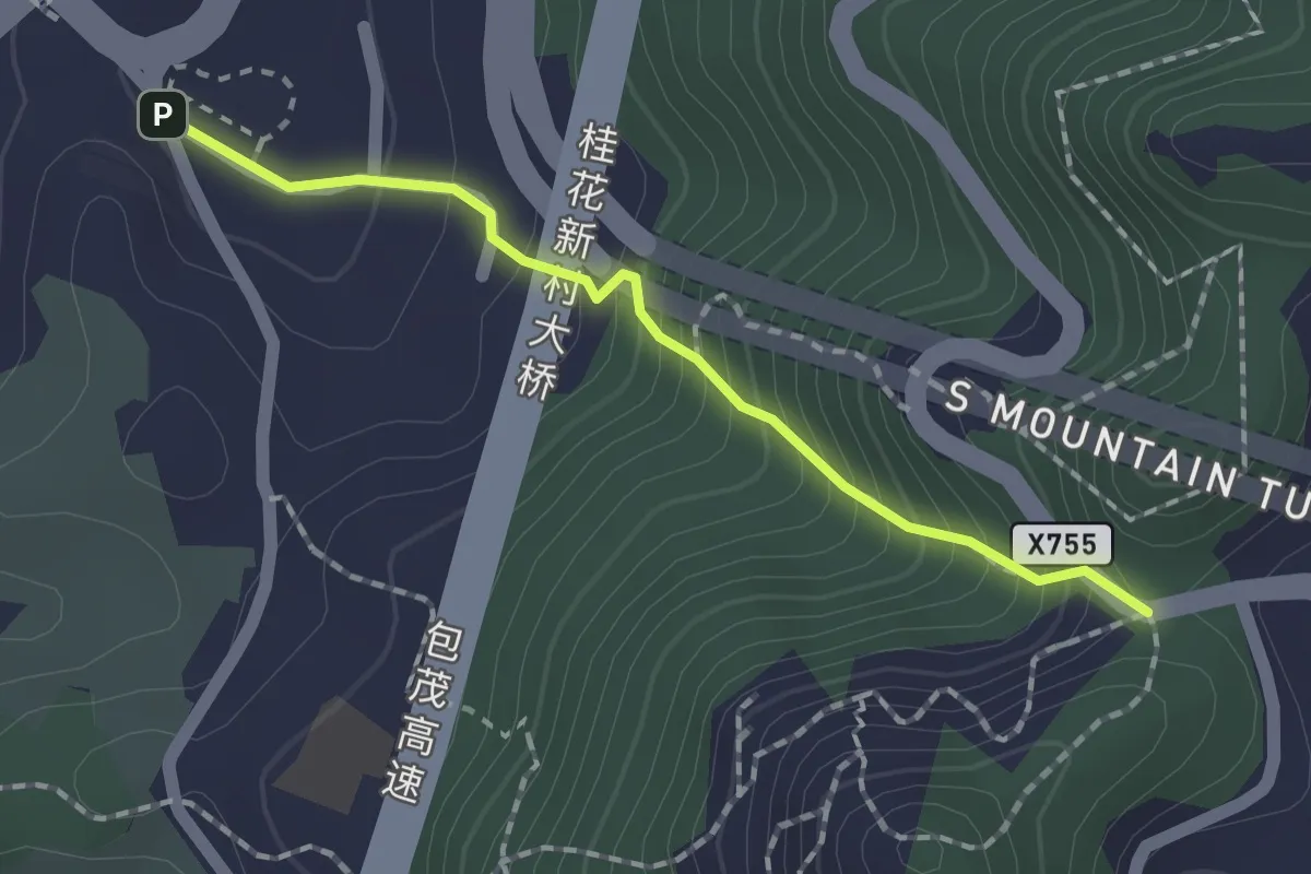
Easy · Trail
庆乡亭步道
2.0 km · ↑ 235 m · 59 min
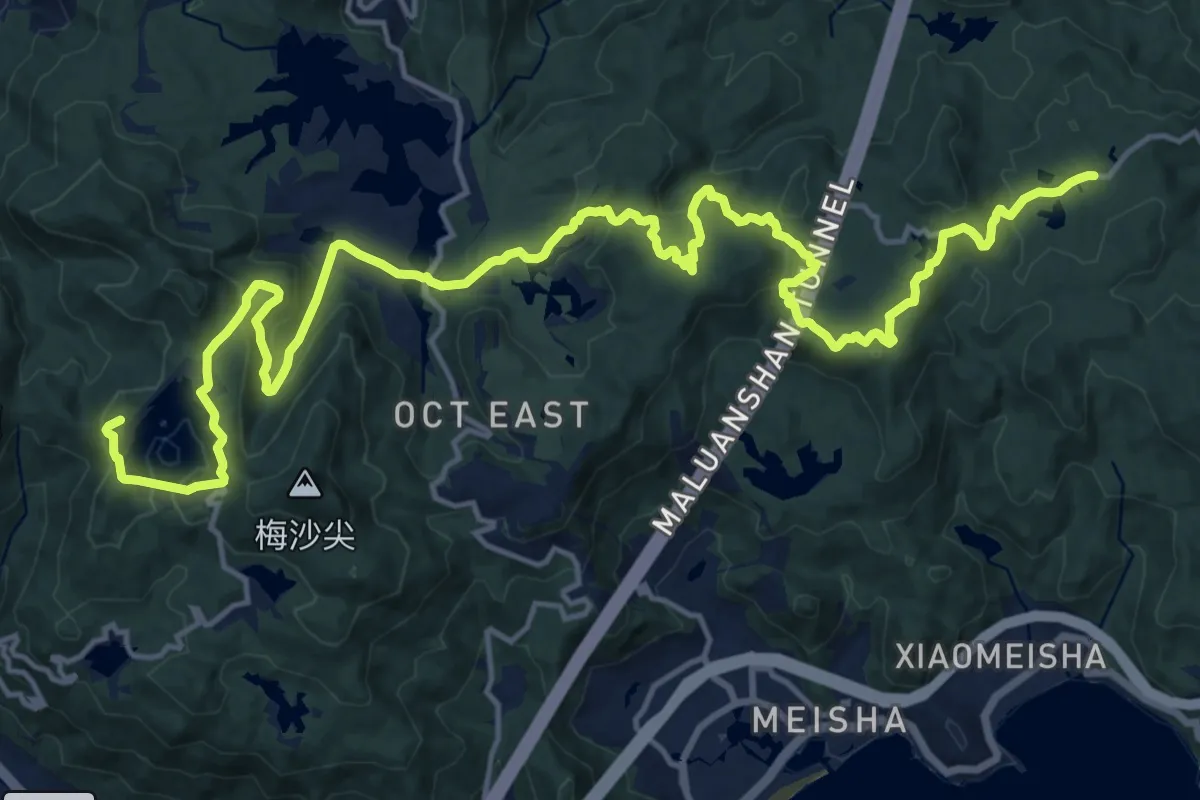
Demanding · Summit
庚子首义步道
30.3 km · ↑ 1083 m · 9 h 30 min
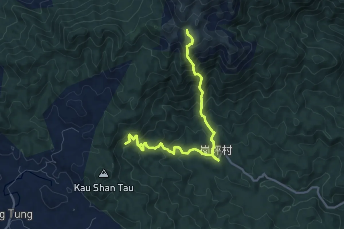
Demanding · Trail
开平岗坪-天露山
10.5 km · ↑ 871 m · 4 h 22 min
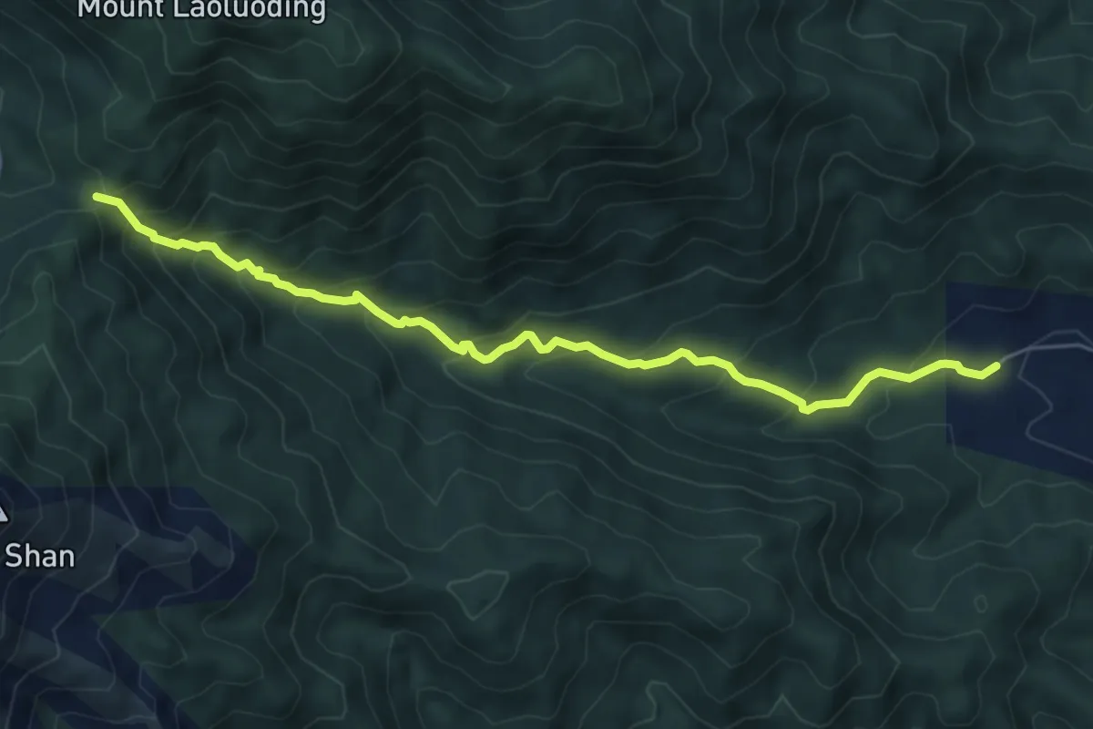
Medium · Trail
开平田头岭-接马坳-天露山
8.0 km · ↑ 591 m · 3 h 10 min
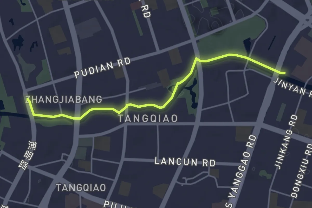
Easy · Trail
张家浜
5.1 km · ↑ 73 m · 1 h 22 min
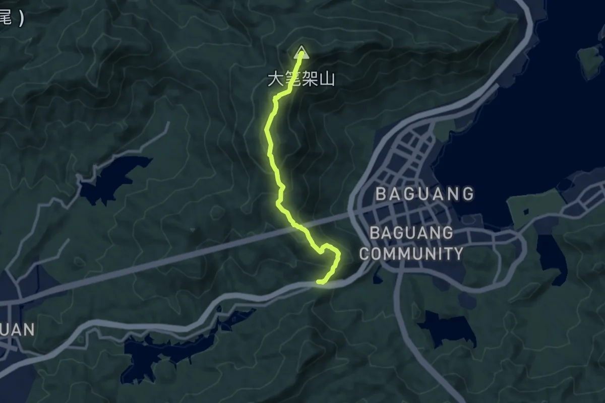
Demanding · Summit
径心坳郊野径
9.6 km · ↑ 848 m · 4 h 7 min
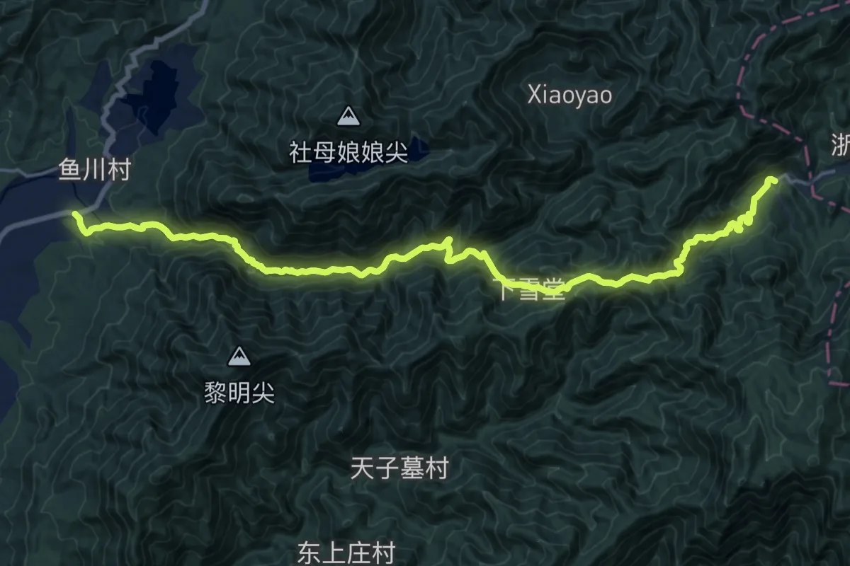
Demanding · Trail
徽杭古道
12.5 km · ↑ 1144 m · 5 h 23 min
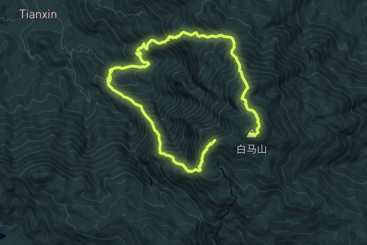
Demanding · Summit
惠东白马山环线
17.6 km · ↑ 2082 m · 8 h 40 min
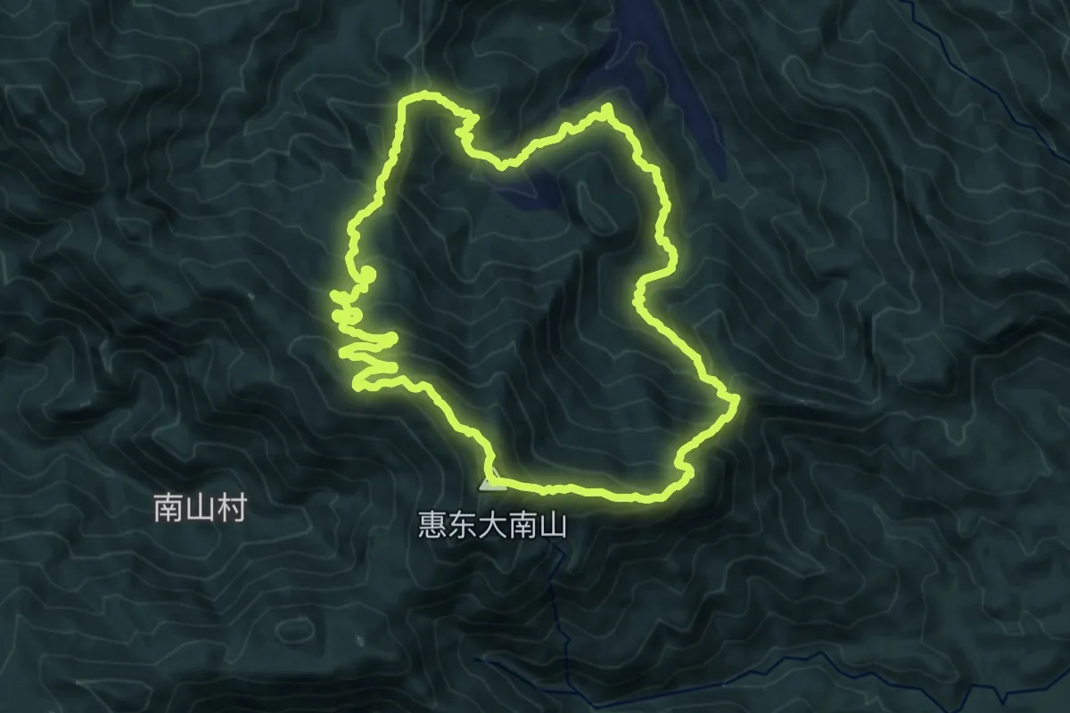
Demanding · Summit
惠州大南山拉胡线
17.8 km · ↑ 1244 m · 7 h 9 min
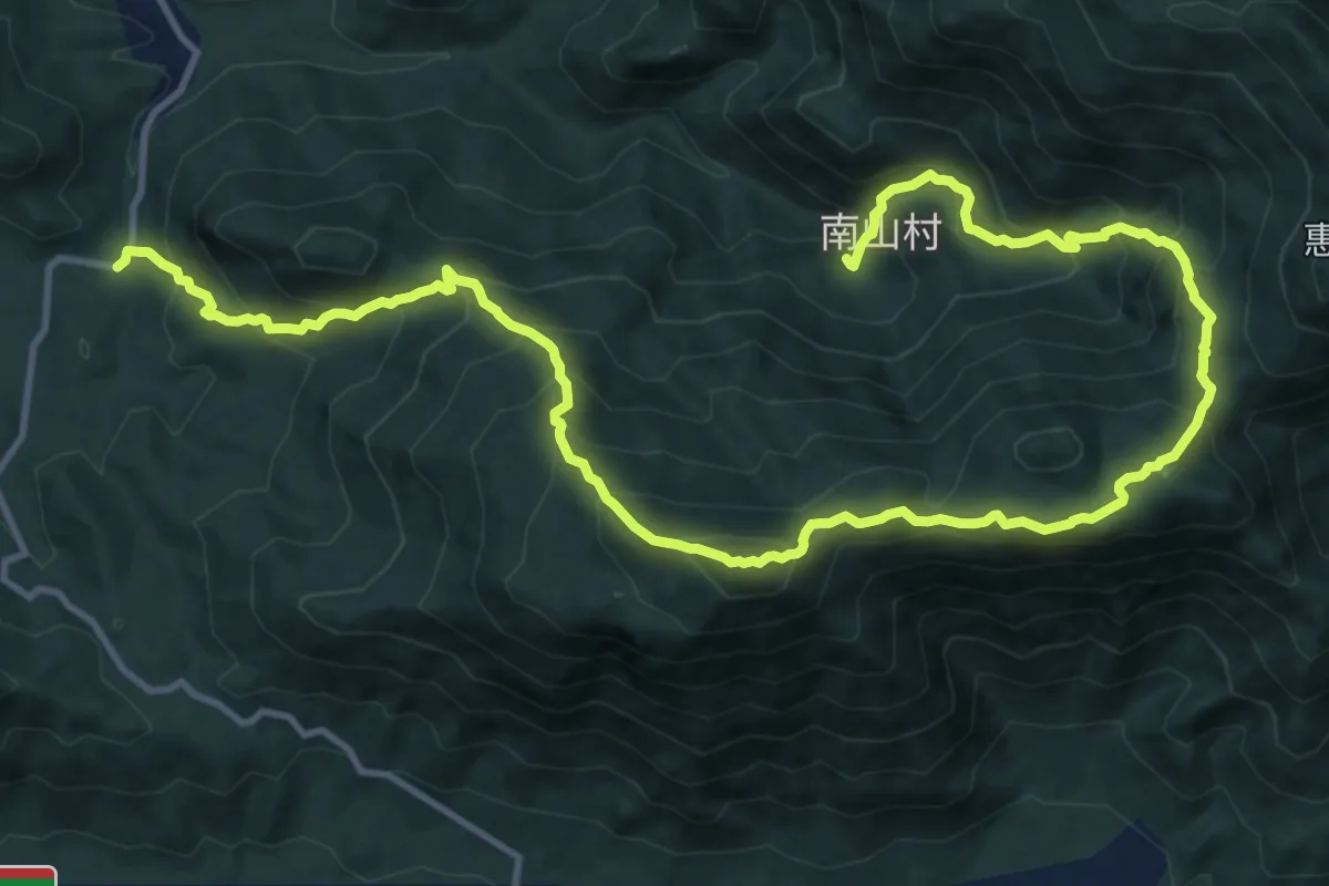
Demanding · Trail
惠州大南山精华线
11.5 km · ↑ 1156 m · 5 h 18 min
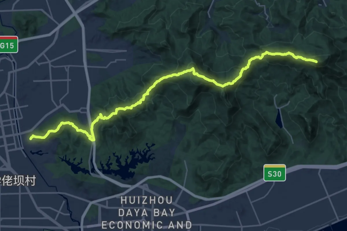
Demanding · Summit
惠州虎牙线
36.0 km · ↑ 2721 m · 14 h 24 min
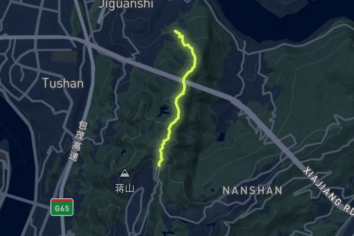
Medium · Trail
慈母山步道
6.5 km · ↑ 362 m · 2 h 19 min
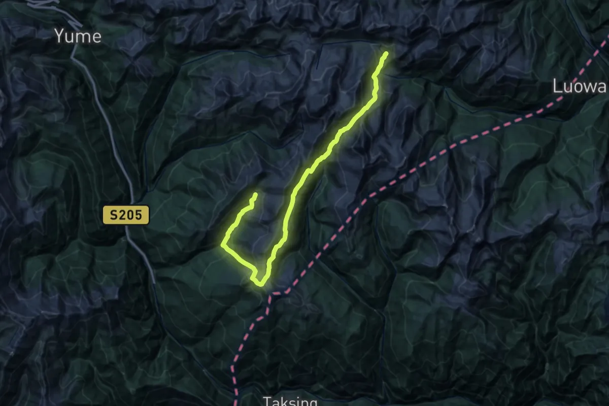
Demanding · Trail
扎日神山转山路线
24.5 km · ↑ 2295 m · 11 h 4 min
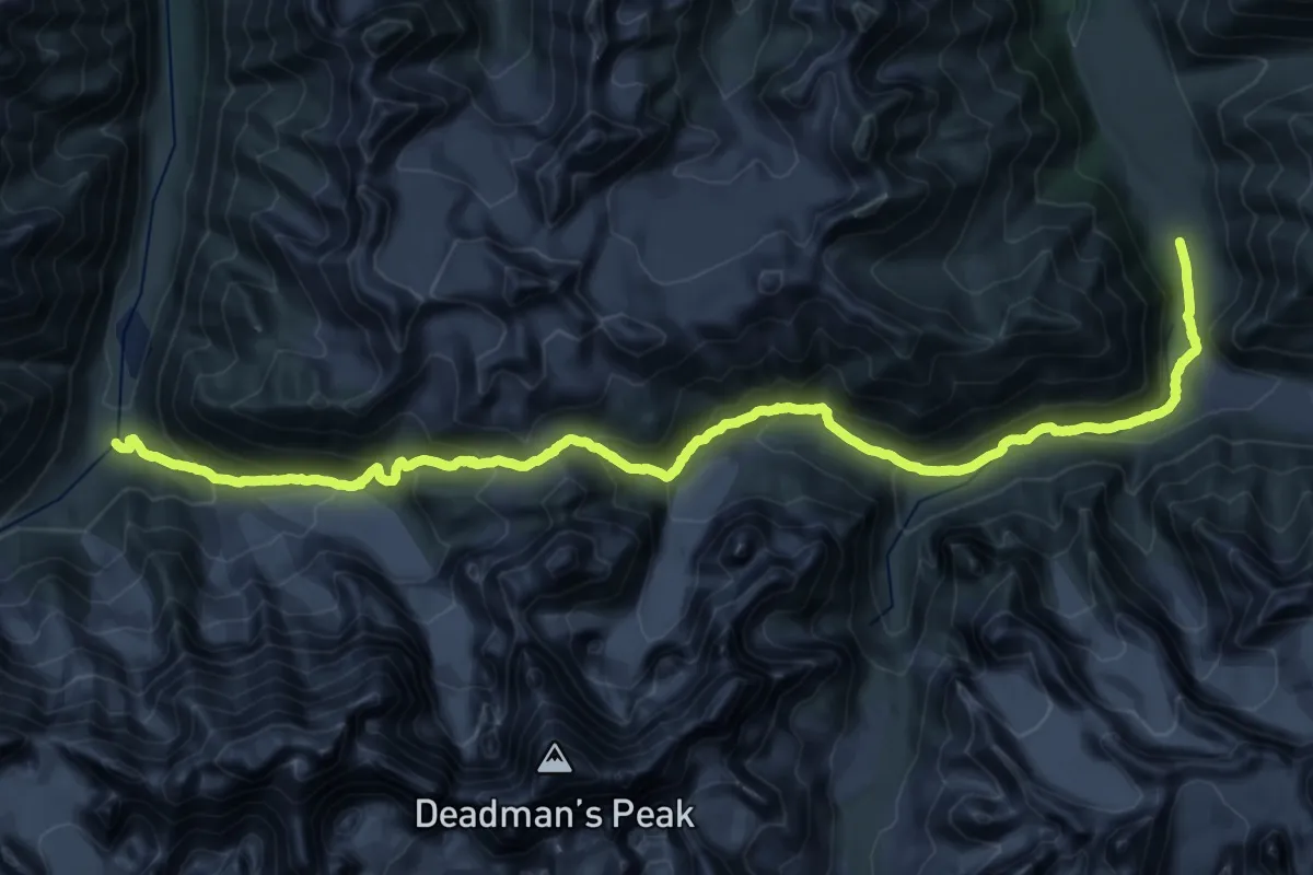
Demanding · Trail
托格腊苏达坂
20.0 km · ↑ 1035 m · 7 h 19 min
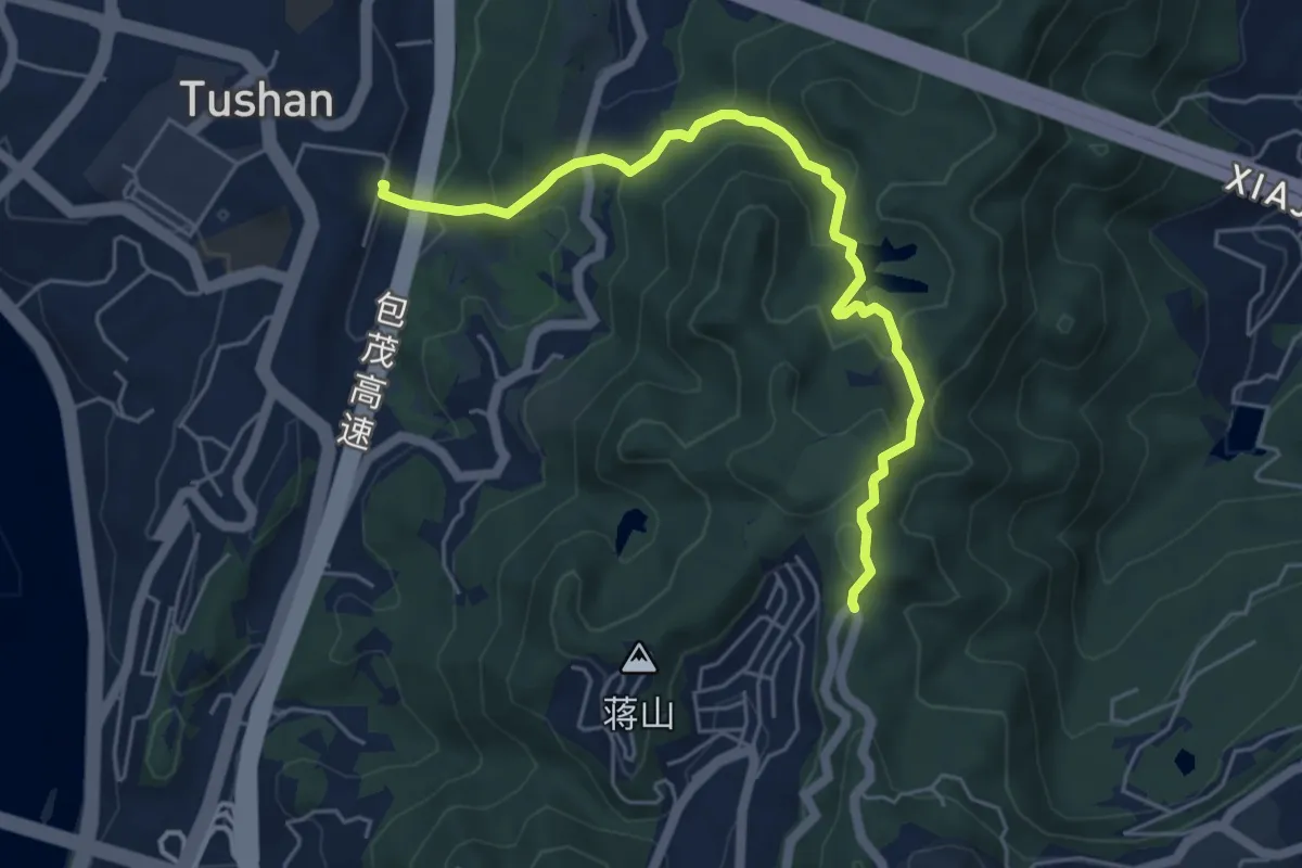
Medium · Trail
指月峰步道
6.9 km · ↑ 414 m · 2 h 31 min
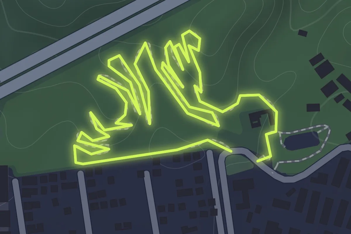
Easy · Trail
排榜郊野径
2.3 km · ↑ 72 m · 43 min
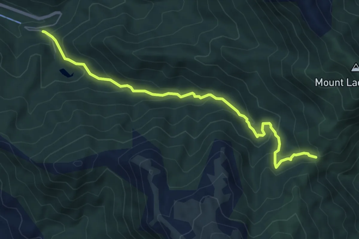
Medium · Trail
无忧谷-天露山
7.7 km · ↑ 480 m · 2 h 52 min
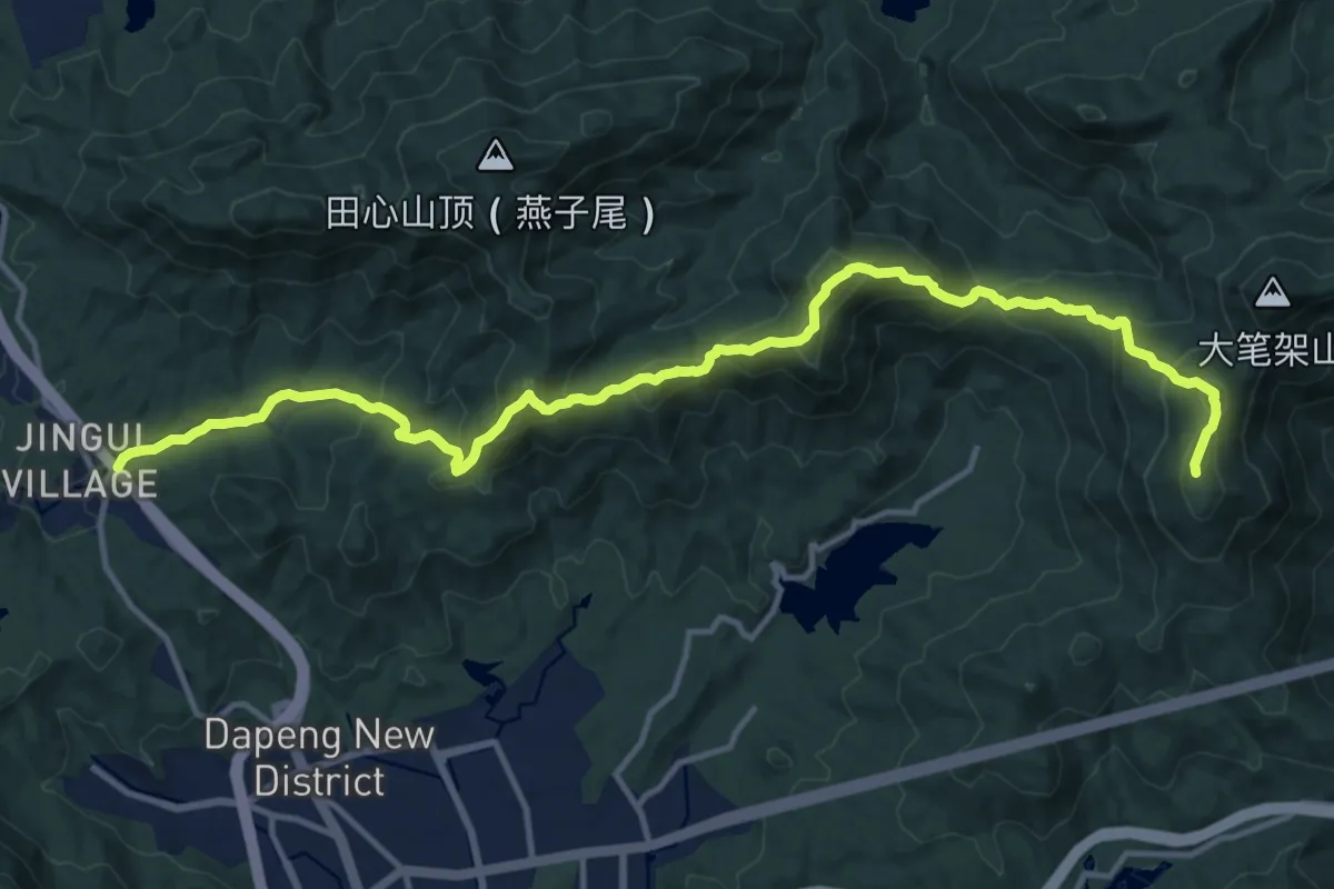
Demanding · Summit
(旧)东部郊野径三水线段
20.6 km · ↑ 1529 m · 8 h 11 min
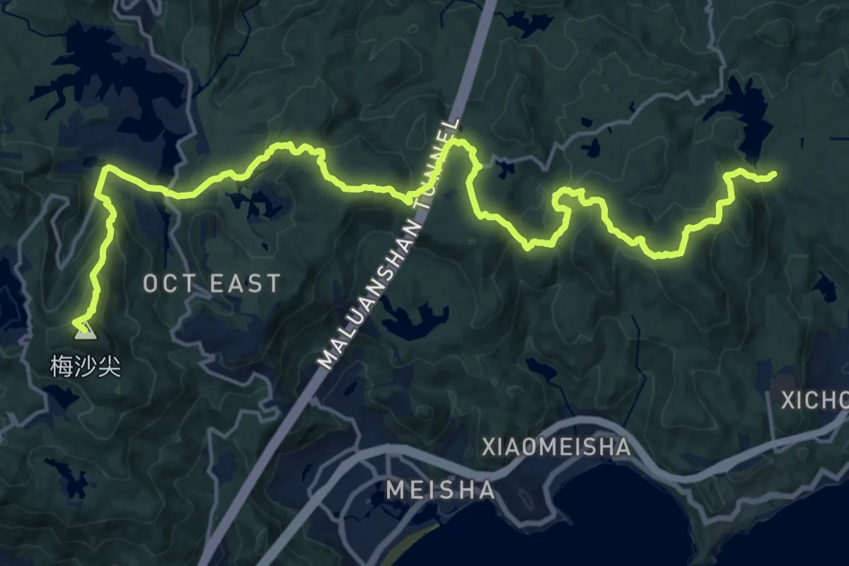
Demanding · Summit
(旧)东部郊野径三洲田段
28.5 km · ↑ 1408 m · 9 h 47 min
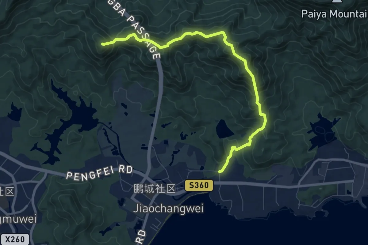
Demanding · Summit
(旧)东部郊野径大鹏坳段
12.2 km · ↑ 917 m · 4 h 52 min
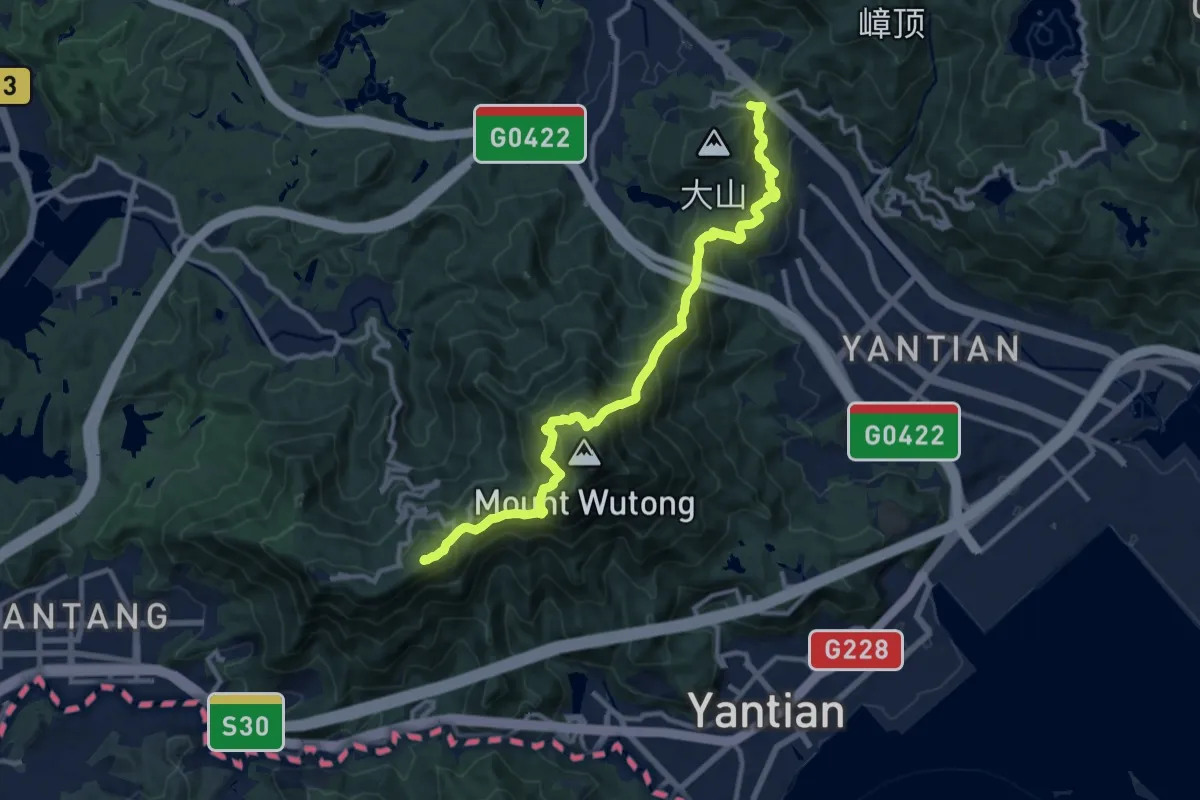
Demanding · Summit
(旧)东部郊野径梧桐山段
15.8 km · ↑ 1396 m · 6 h 45 min
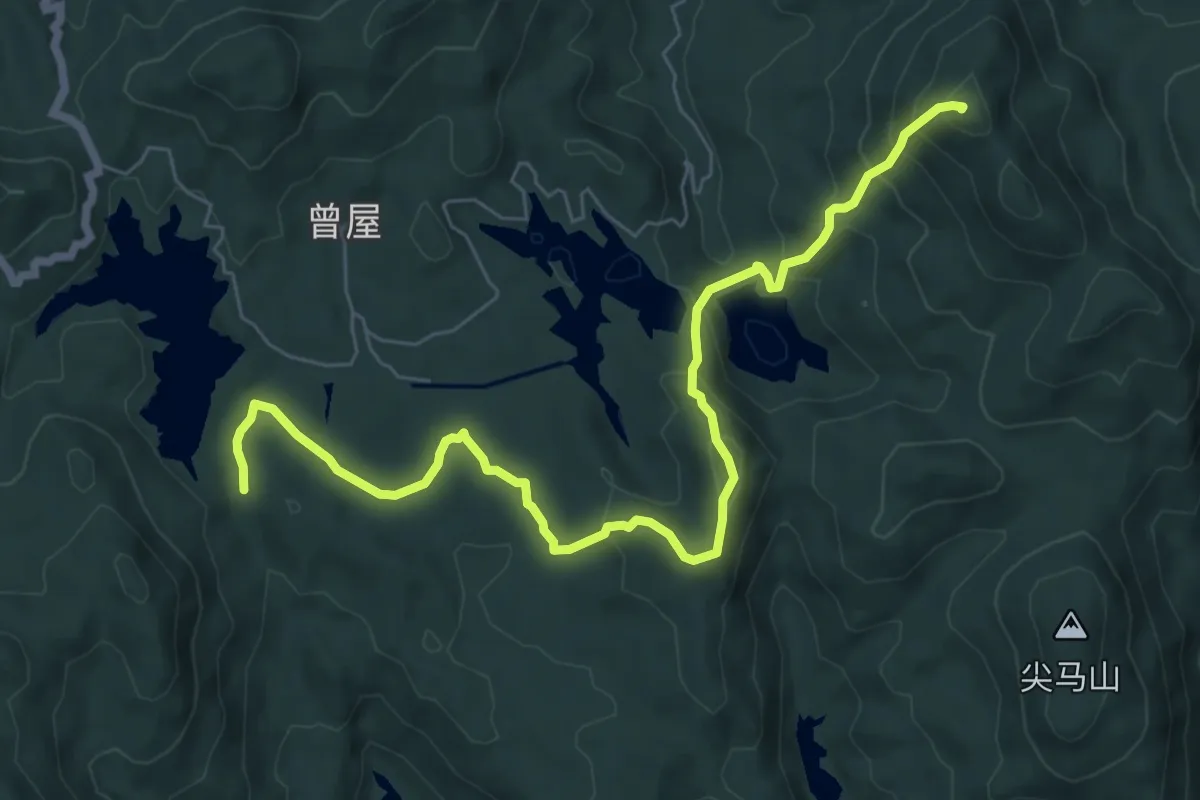
Medium · Summit
(旧)东部郊野径赤坳段
10.5 km · ↑ 637 m · 3 h 52 min
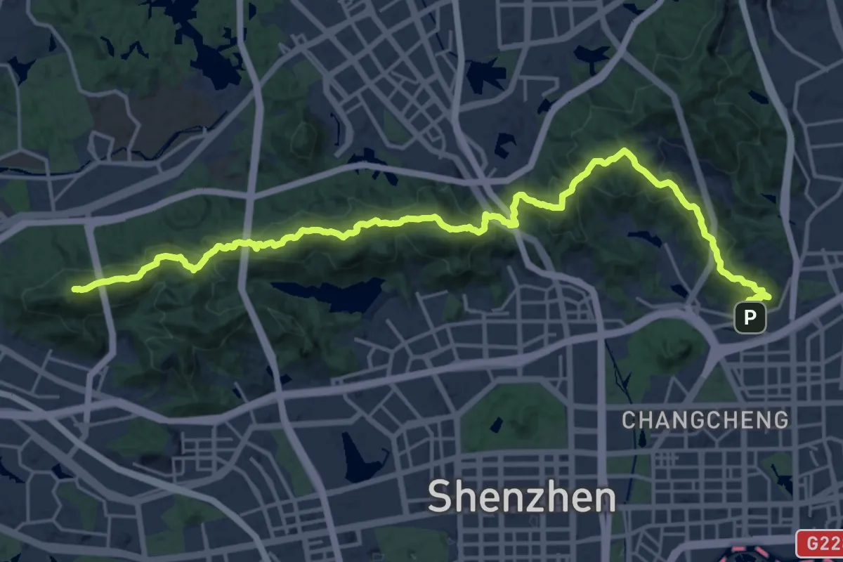
Demanding · Summit
(旧)中部郊野径(梅林徒步线)
33.6 km · ↑ 2499 m · 13 h 20 min
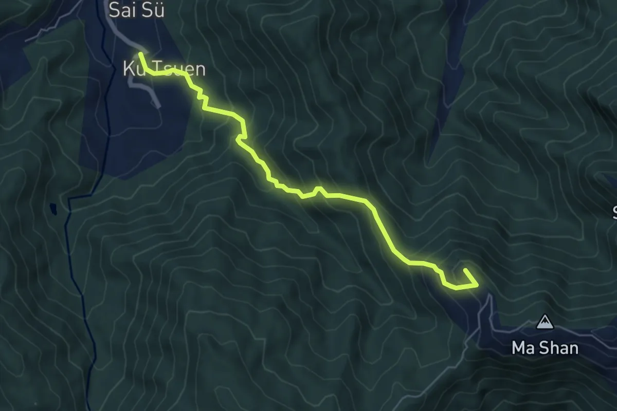
Medium · Summit
旧村-孖山
7.4 km · ↑ 667 m · 3 h 11 min
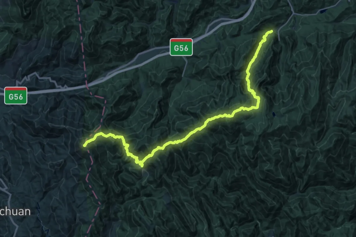
Demanding · Summit
昱岭关穿越
36.6 km · ↑ 3106 m · 15 h 22 min
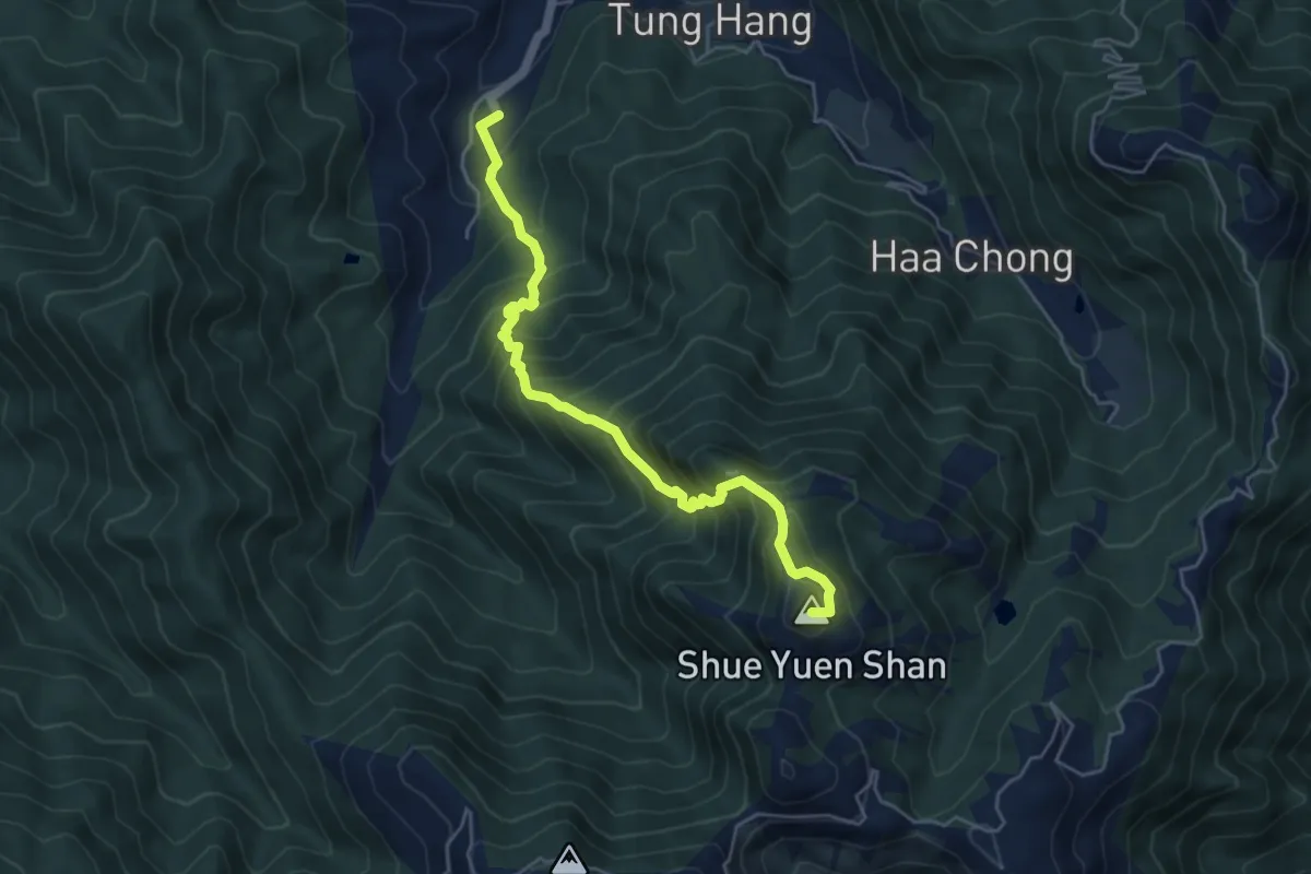
Demanding · Summit
曹田-水源山
6.8 km · ↑ 854 m · 3 h 27 min