Trails in China
409 hiking trails, each with its route, climb, walking time and grade.
All trails, page 5 of 9
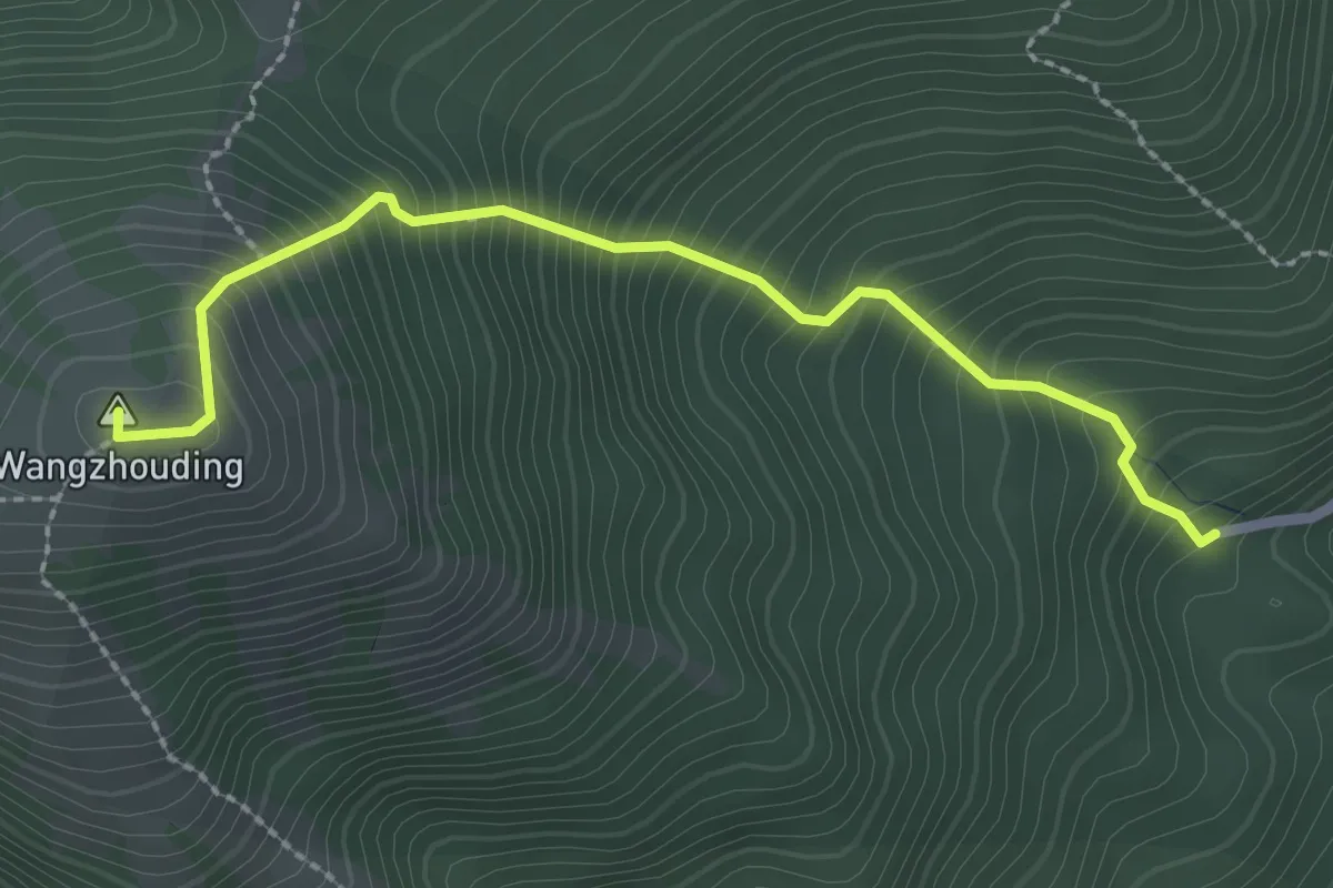
Medium · Summit
望洲顶一号线
3.3 km · ↑ 490 m · 1 h 51 min
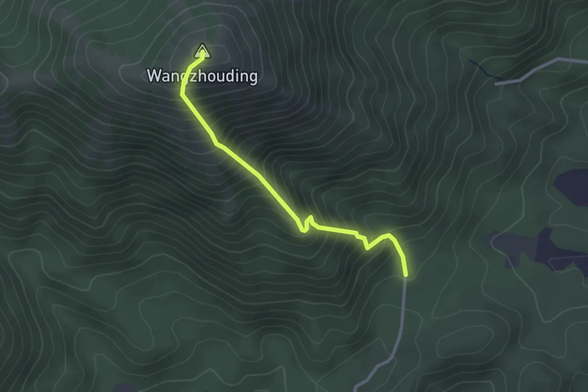
Medium · Summit
望洲顶三号线
3.4 km · ↑ 502 m · 1 h 53 min
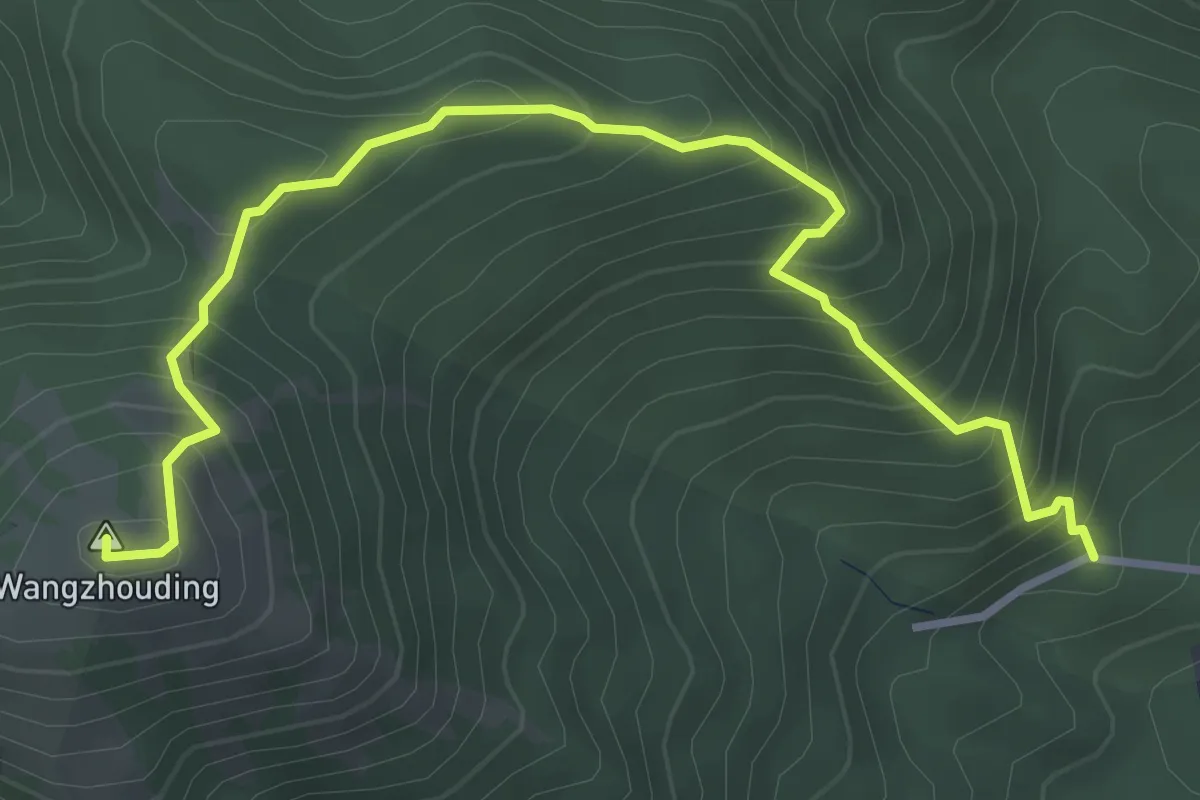
Medium · Summit
望洲顶二号线
5.5 km · ↑ 566 m · 2 h 31 min
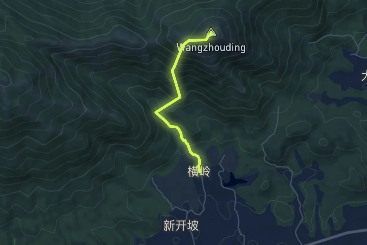
Medium · Summit
望洲顶五号线
5.2 km · ↑ 585 m · 2 h 29 min
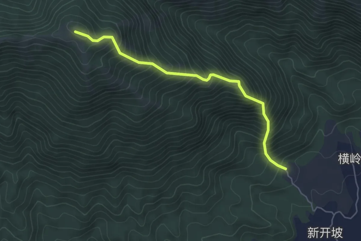
Medium · Trail
望洲顶六号线
5.7 km · ↑ 690 m · 2 h 50 min
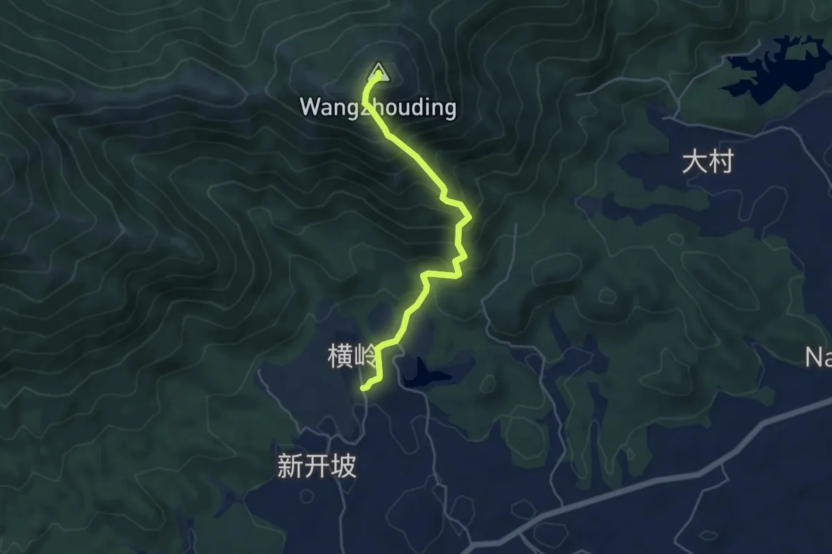
Medium · Summit
望洲顶四号线
5.7 km · ↑ 625 m · 2 h 42 min
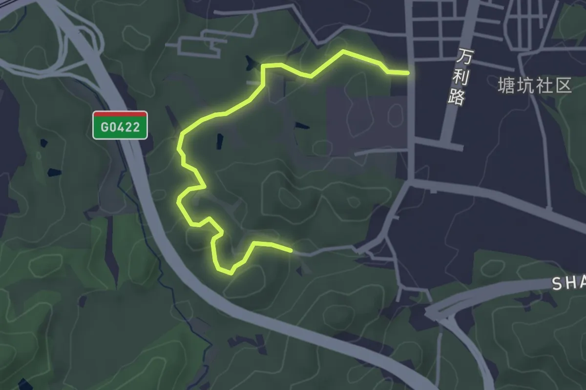
Easy · Trail
木棉龙绿道
4.5 km · ↑ 157 m · 1 h 24 min
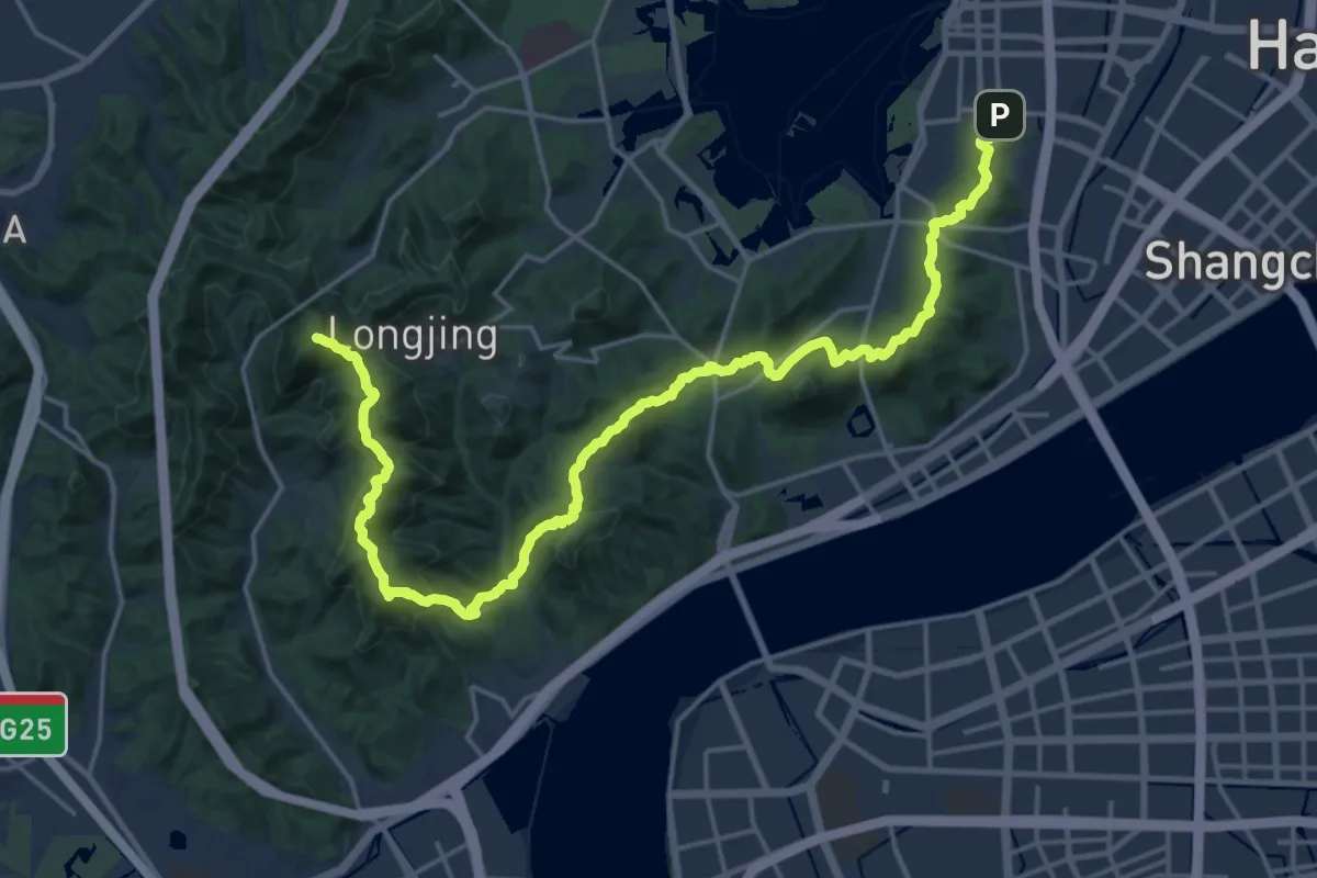
Demanding · Summit
杭州西湖标毅线
29.9 km · ↑ 1907 m · 11 h 11 min
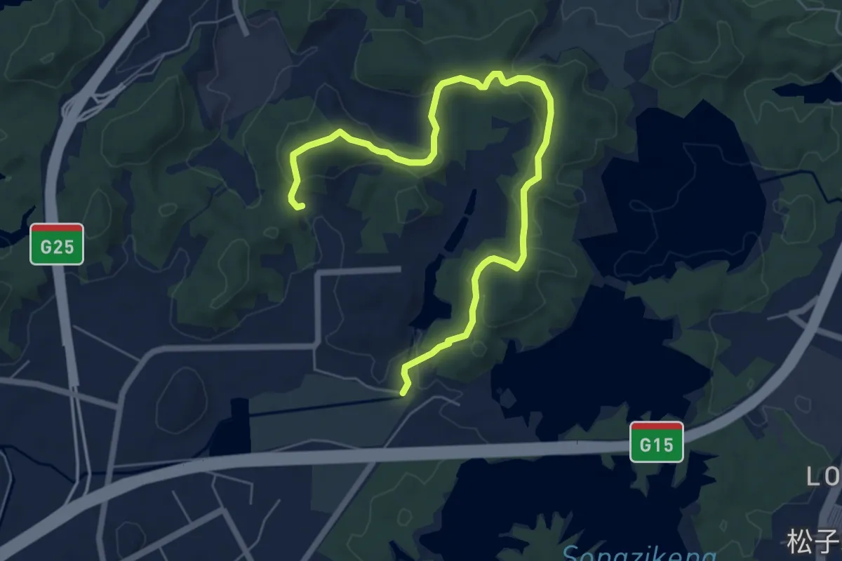
Medium · Trail
松子坑郊野径
9.6 km · ↑ 360 m · 3 h 3 min
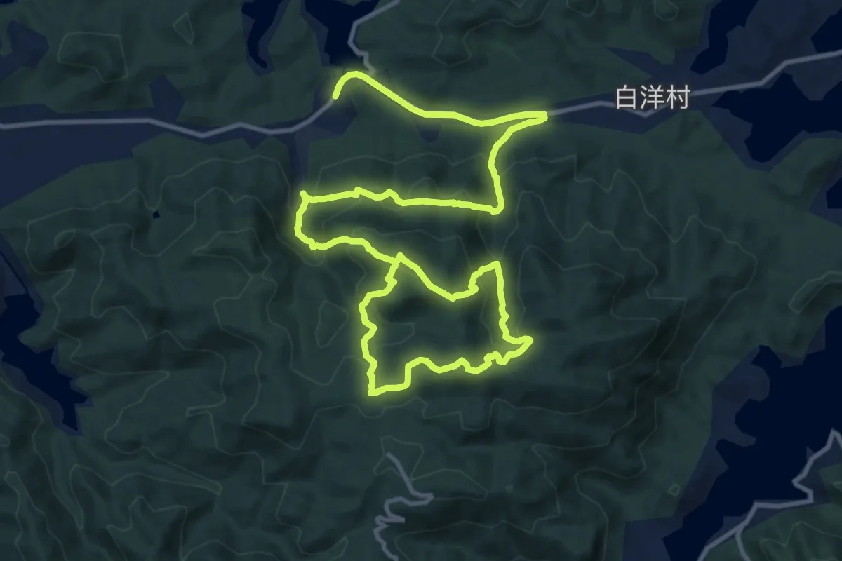
Medium · Trail
栲栳山国家步道
11.5 km · ↑ 564 m · 4 h 17 min
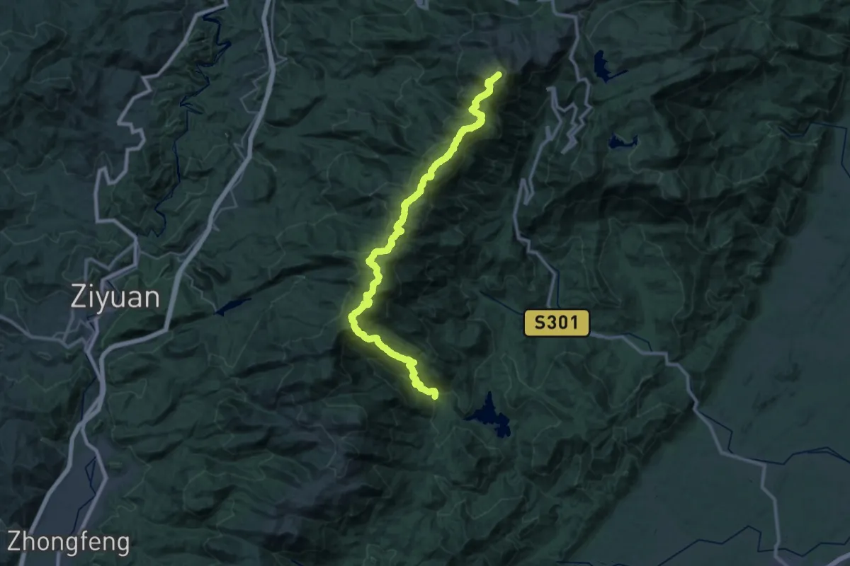
Demanding · Summit
桂林真宝鼎-南宝鼎穿越线
49.4 km · ↑ 4154 m · 20 h 40 min
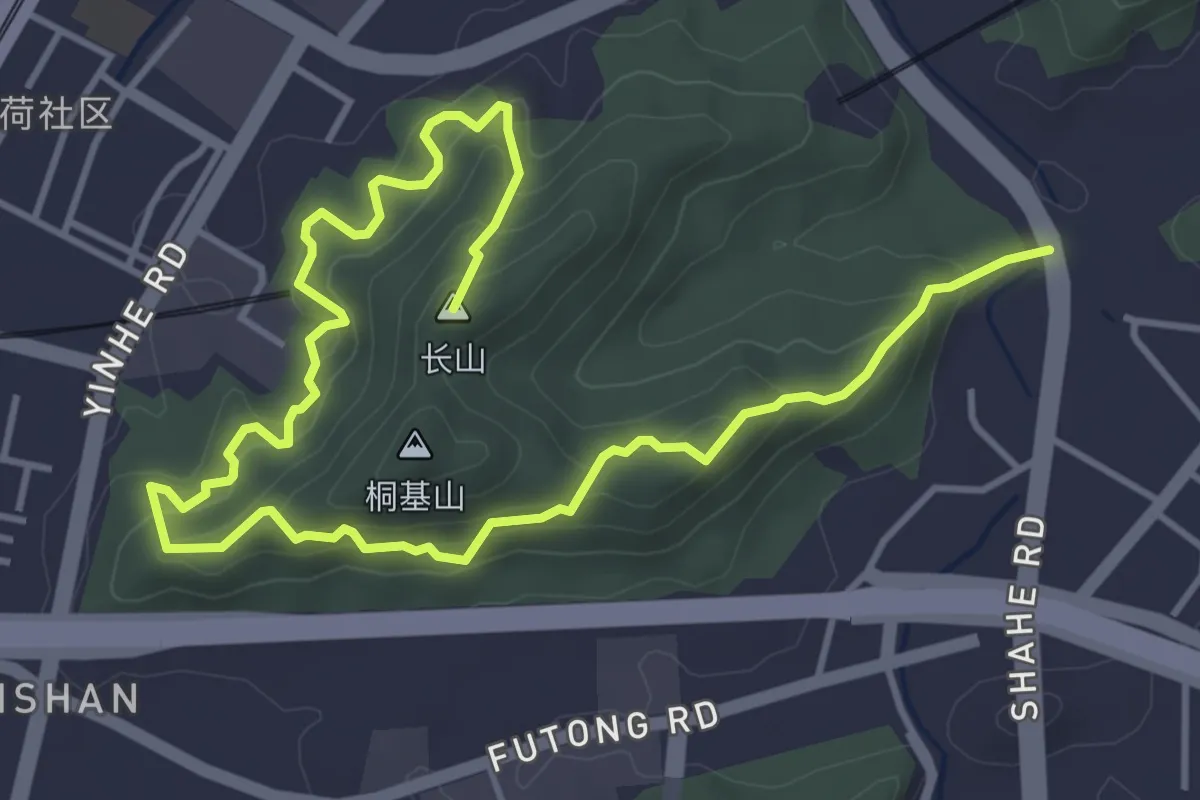
Medium · Summit
桐基山郊野径
8.4 km · ↑ 516 m · 3 h 6 min
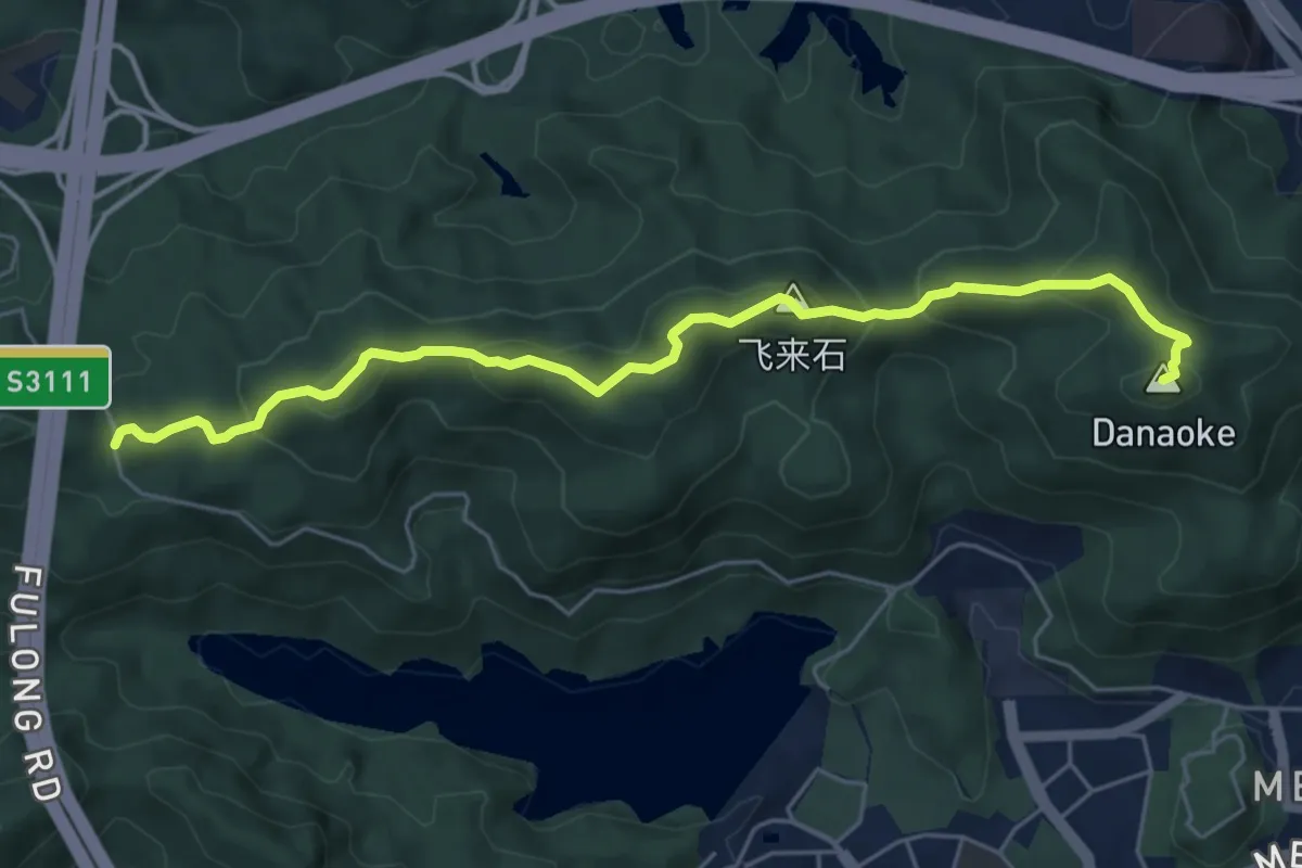
Medium · Summit
梅林山郊野径
7.9 km · ↑ 581 m · 3 h 7 min
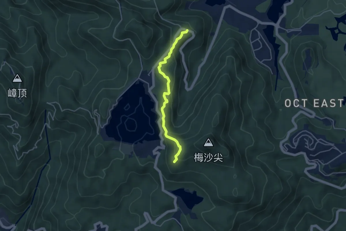
Easy · Trail
梅沙尖郊野径
4.6 km · ↑ 270 m · 1 h 40 min
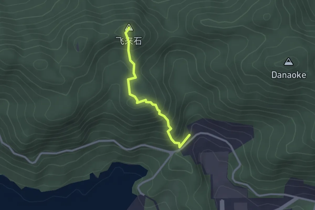
Easy · Summit
梅蝶线
2.6 km · ↑ 265 m · 1 h 11 min
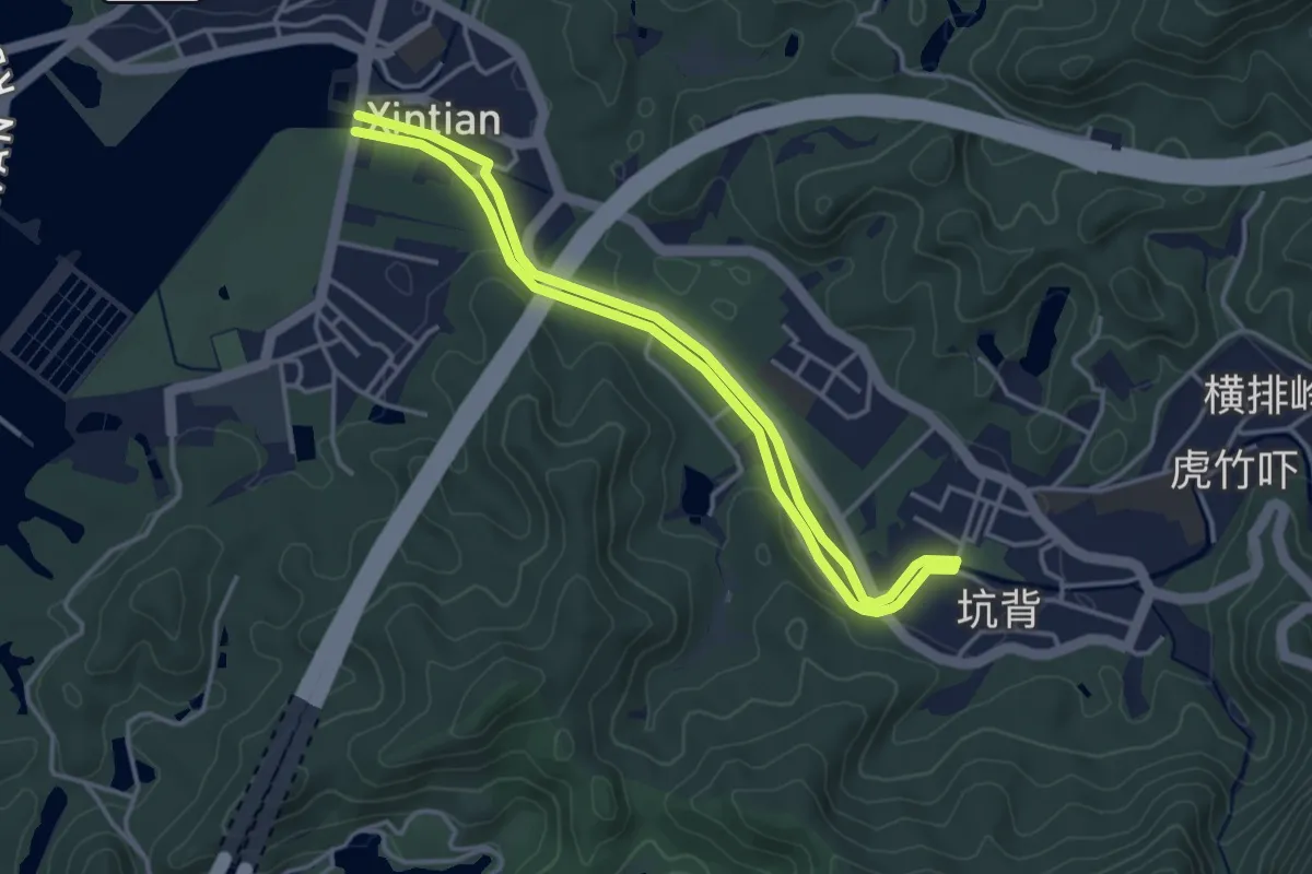
Easy · Trail
梧桐山河碧道
4.6 km · ↑ 36 m · 1 h 14 min
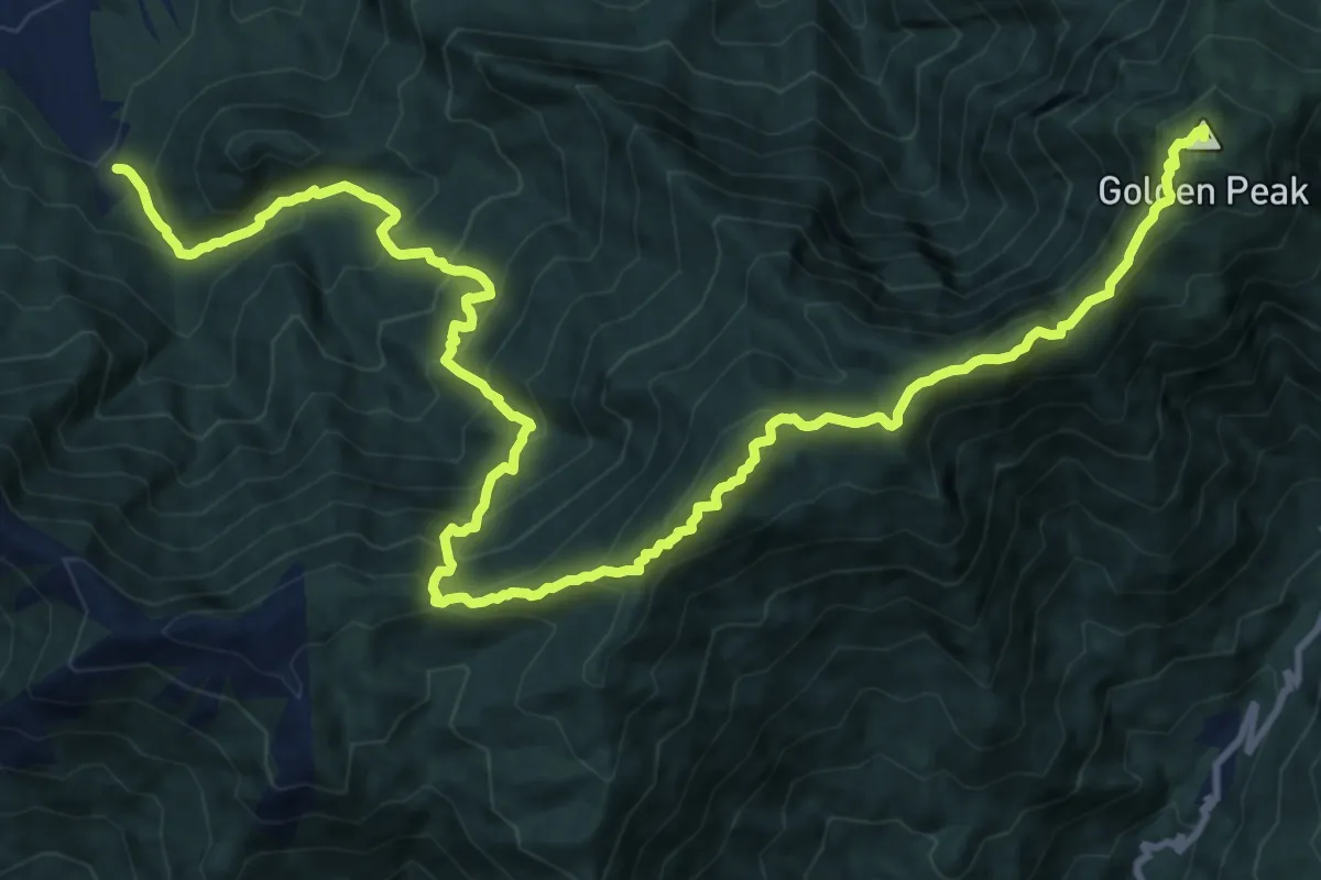
Demanding · Summit
武功山徒步
21.6 km · ↑ 2024 m · 9 h 29 min
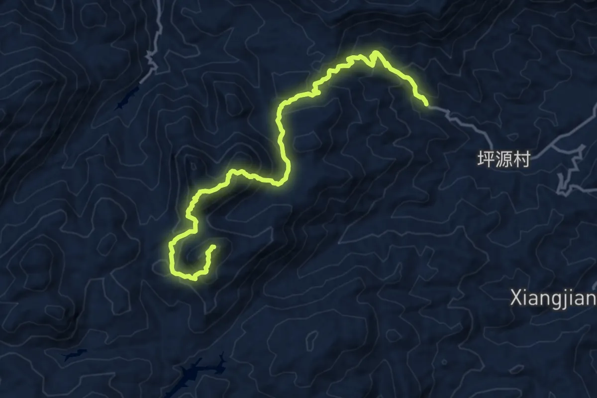
Expert · Summit
永州三分石-香炉石小环线
18.8 km · ↑ 1623 m · 7 h 57 min
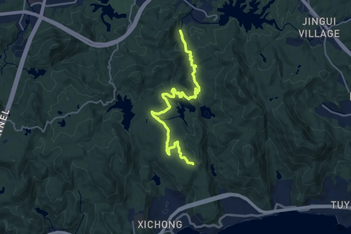
Medium · Trail
江岭相思步道
16.0 km · ↑ 367 m · 4 h 35 min
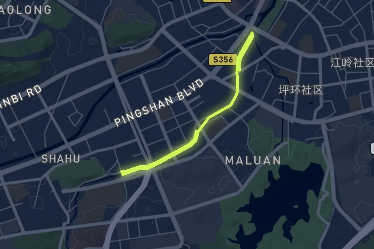
Medium · Trail
汤坑水碧道
8.2 km · ↑ 46 m · 2 h 2 min
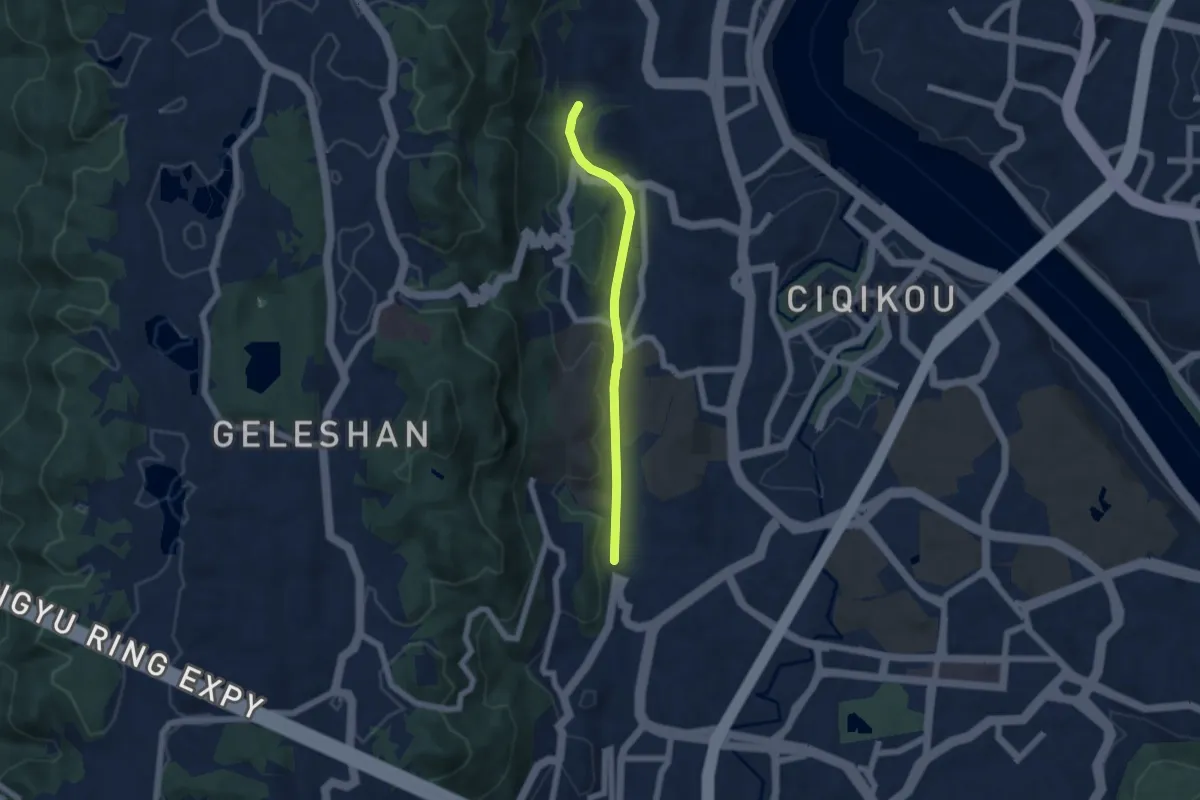
Easy · Trail
沙坪坝老铁路步道
6.3 km · ↑ 118 m · 1 h 44 min
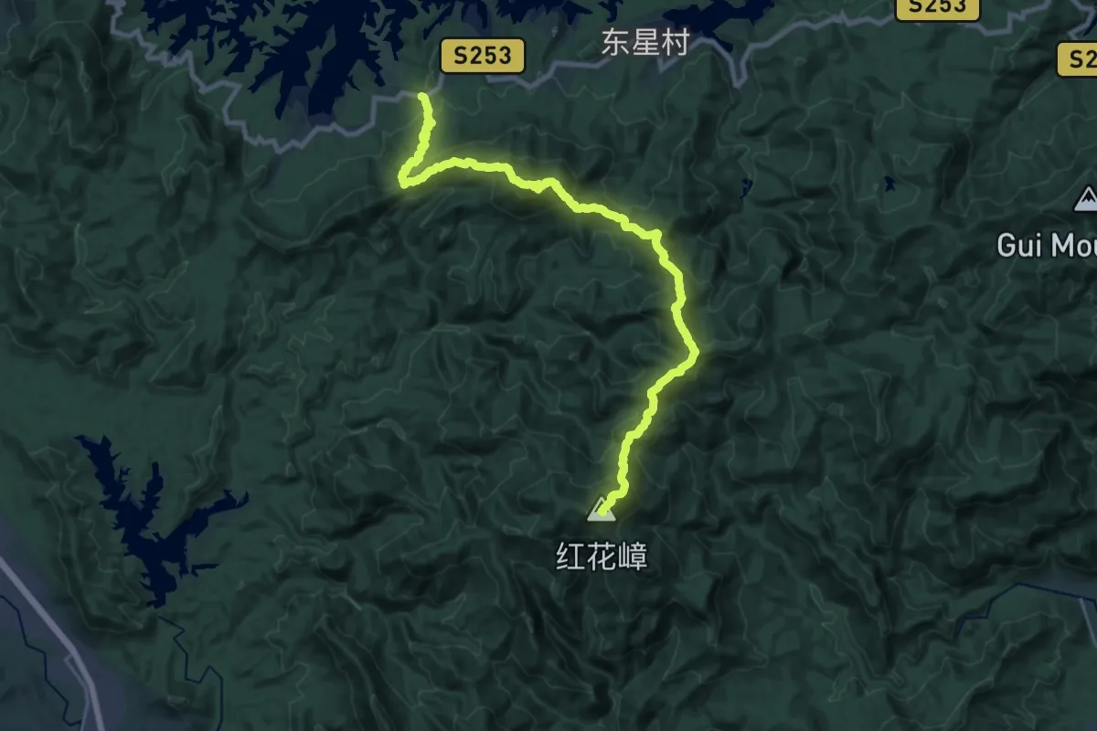
Demanding · Summit
河源南红线
32.4 km · ↑ 2966 m · 14 h 4 min
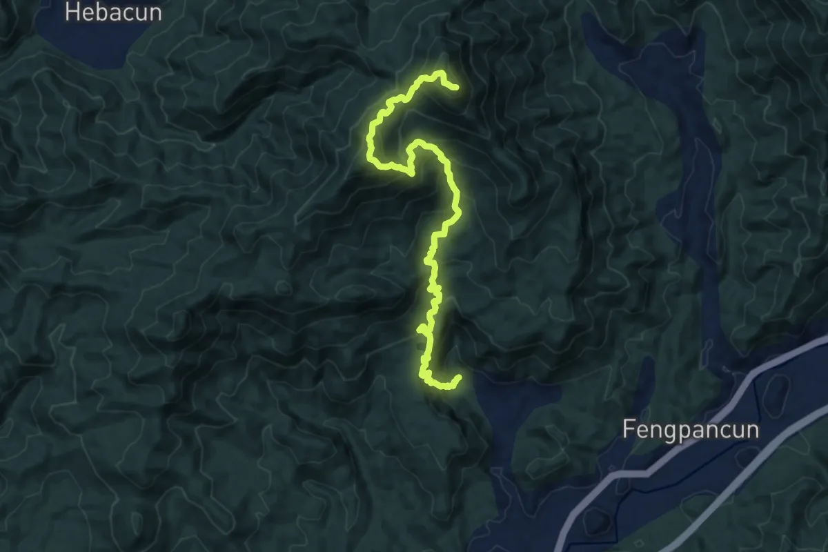
Demanding · Trail
河源禾石线
15.7 km · ↑ 1459 m · 6 h 52 min
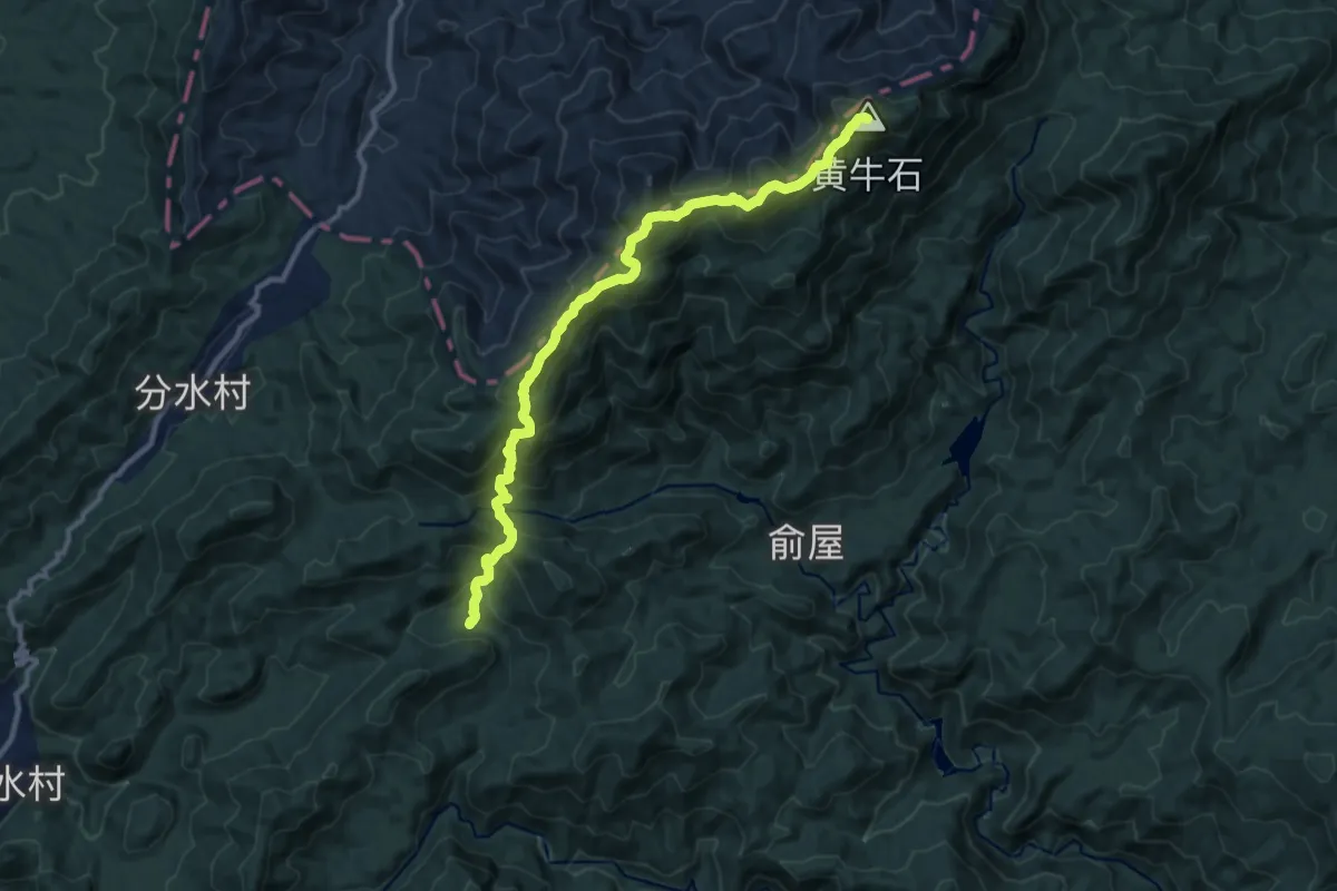
Demanding · Summit
河源黄牛石环线
14.6 km · ↑ 1323 m · 6 h 18 min
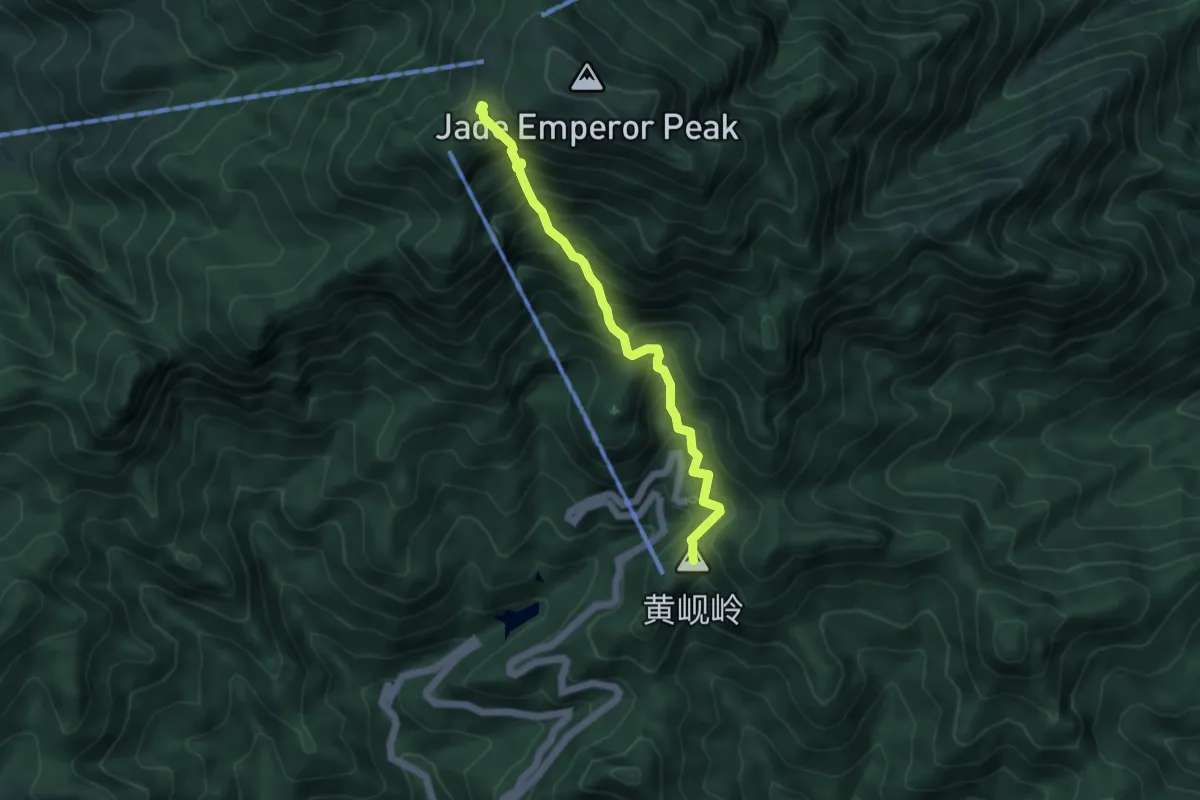
Medium · Summit
泰山红门登山道
5.3 km · ↑ 679 m · 2 h 44 min
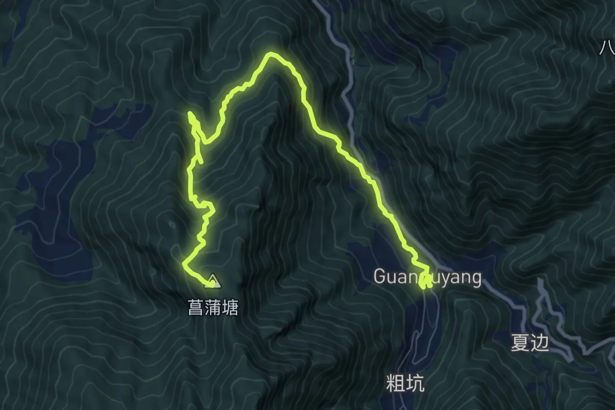
Demanding · Summit
浙江千八百公里-延展路段
13.5 km · ↑ 1019 m · 5 h 24 min
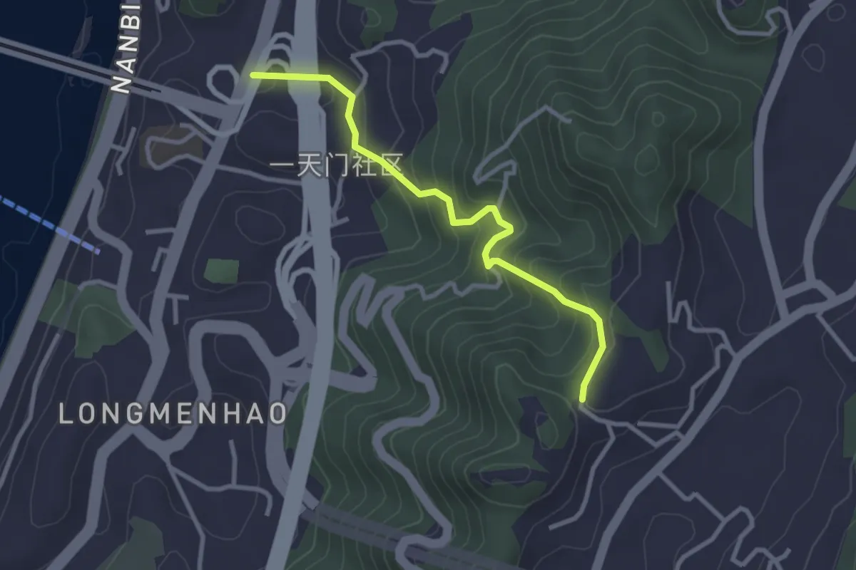
Easy · Trail
涂山步道
3.5 km · ↑ 277 m · 1 h 26 min
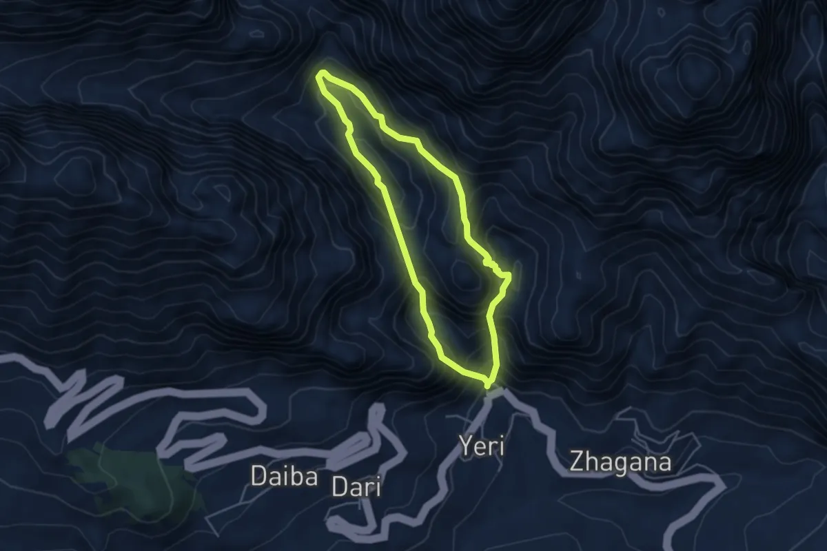
Medium · Trail
润吾沟
4.5 km · ↑ 617 m · 2 h 28 min
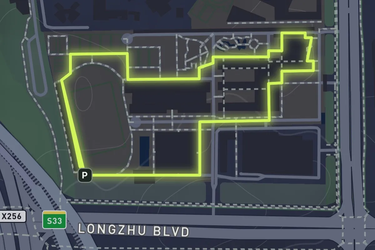
Easy · Trail
深圳市第二高级中学午间绿荫散步径
3.0 km · ↑ 109 m · 56 min
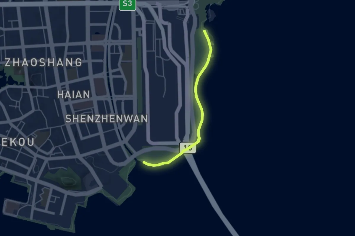
Easy · Trail
深圳湾公园绿道(步行)
4.9 km · ↑ 0 m · 1 h 10 min
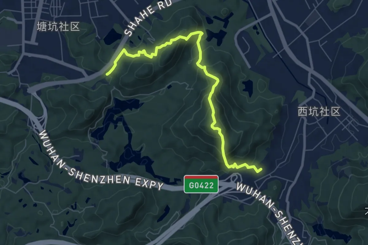
Demanding · Trail
深圳狮子山郊野径
9.5 km · ↑ 843 m · 4 h 5 min
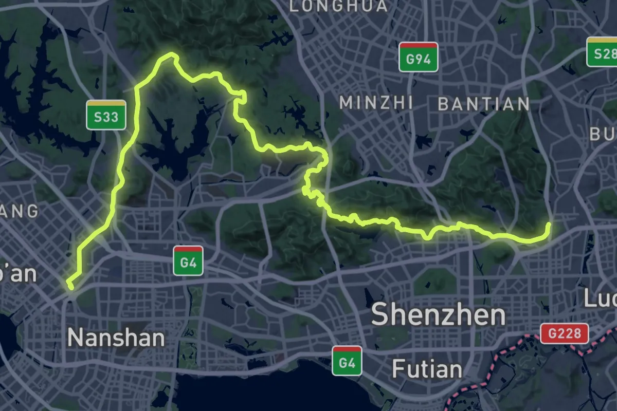
Demanding · Trail
深圳经济特区管理线绿道(步行)
38.3 km · ↑ 865 m · 11 h 26 min
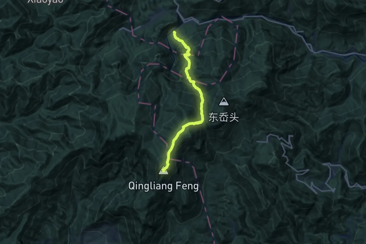
Demanding · Summit
清凉峰北环线
14.5 km · ↑ 1265 m · 6 h 9 min
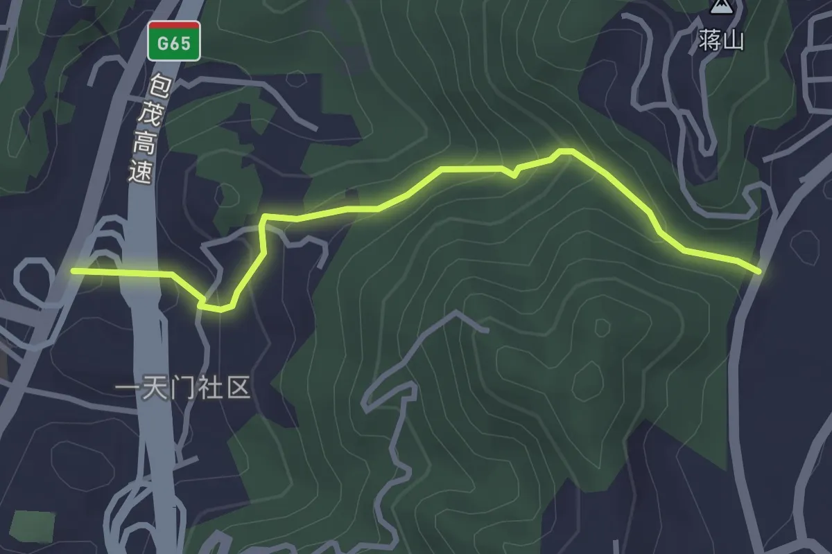
Easy · Trail
清水溪步道
3.6 km · ↑ 235 m · 1 h 21 min
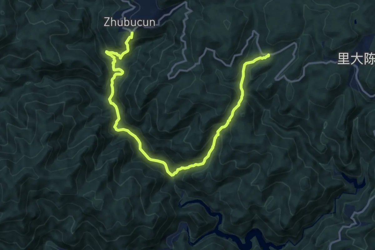
Demanding · Trail
清水溪溯溪线
16.6 km · ↑ 1463 m · 7 h 5 min
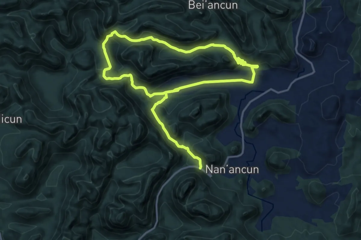
Medium · Trail
清远仓禾古道
11.8 km · ↑ 562 m · 4 h 12 min
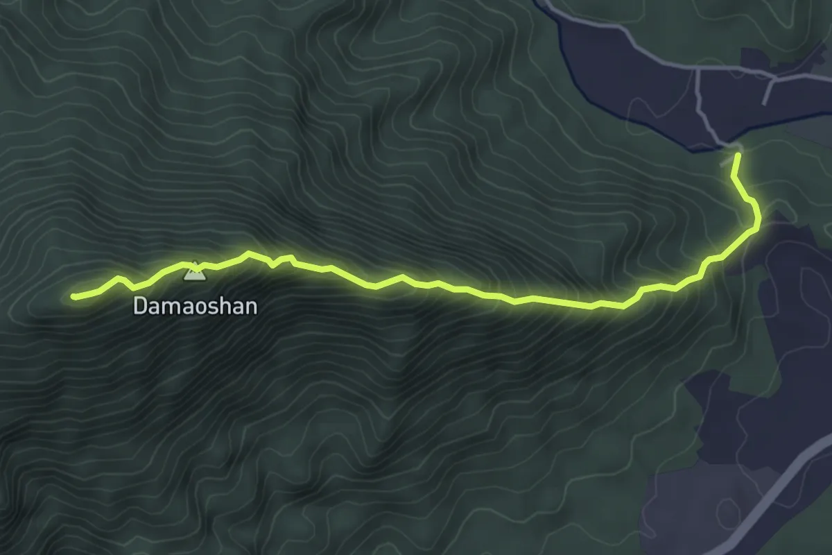
Medium · Summit
清远大帽山
5.5 km · ↑ 690 m · 2 h 48 min
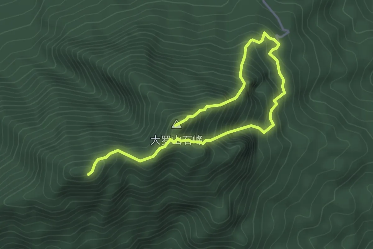
Demanding · Summit
清远大罗山
6.0 km · ↑ 834 m · 3 h 13 min
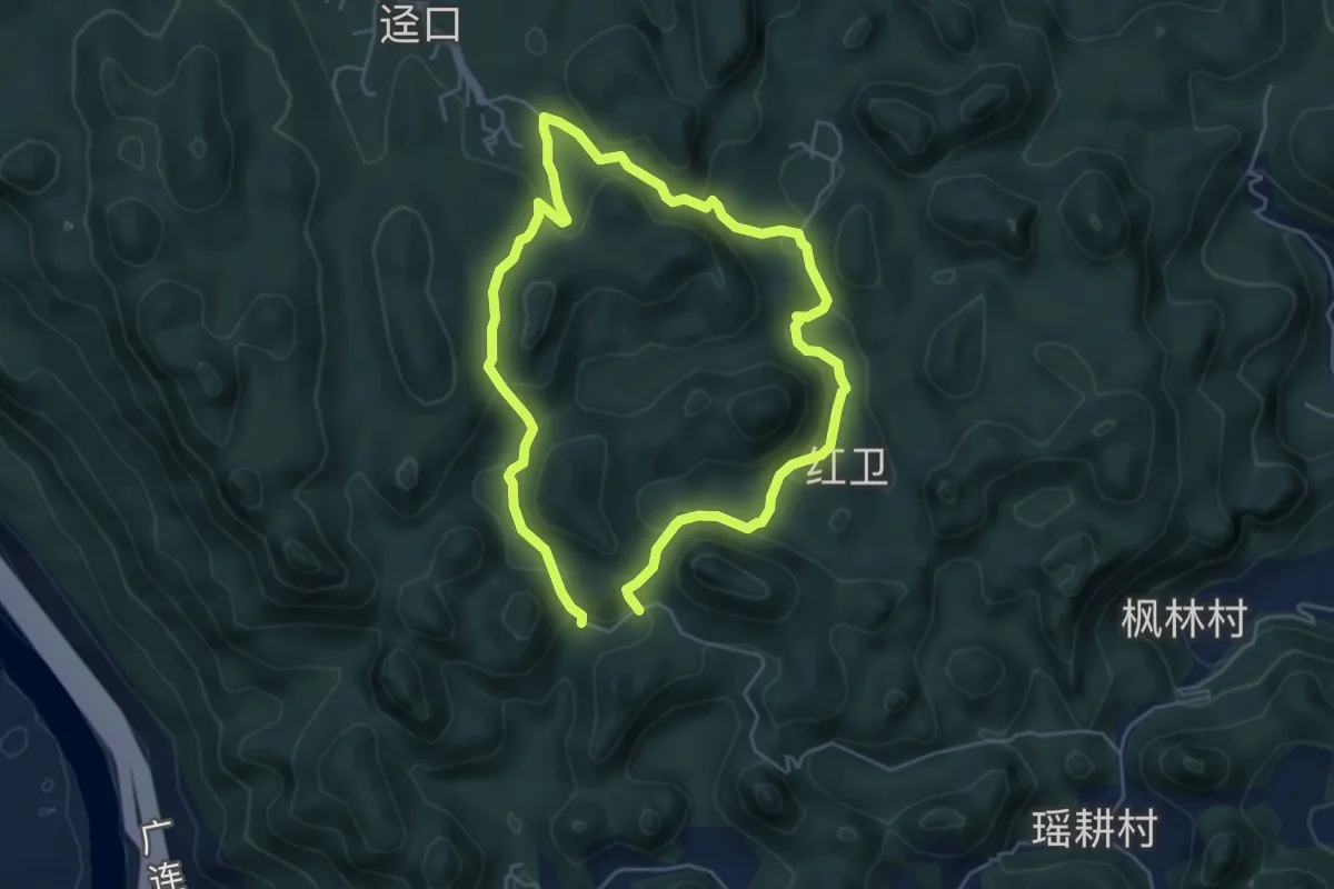
Medium · Trail
清远梅子坪古道
11.4 km · ↑ 428 m · 3 h 37 min
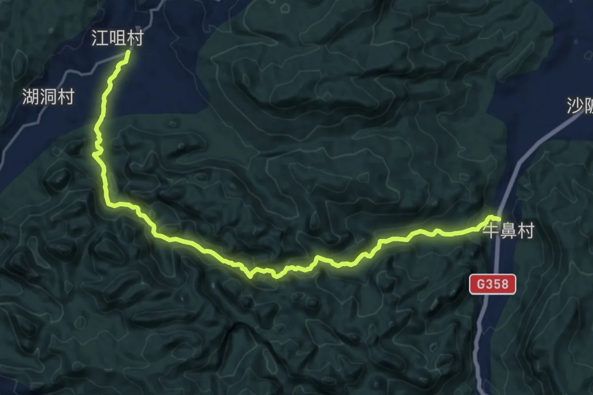
Demanding · Trail
清远牛湖线
22.9 km · ↑ 1089 m · 7 h 46 min
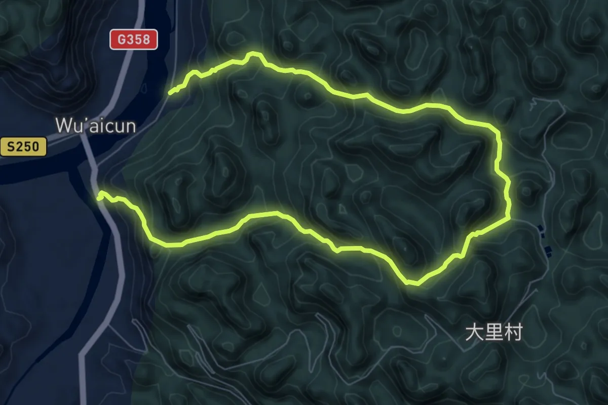
Demanding · Trail
清远秦汉古道(阳山段)
16.1 km · ↑ 1449 m · 6 h 57 min
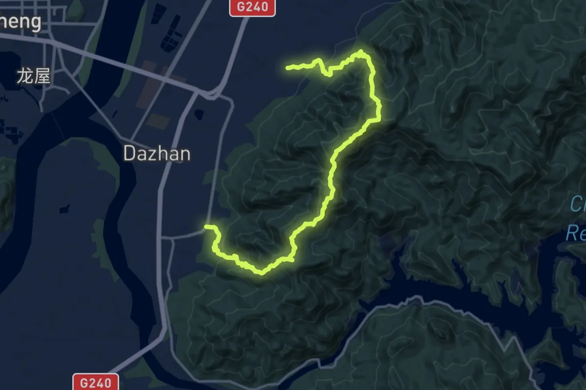
Demanding · Trail
清远英德瘌痢石天际线
9.9 km · ↑ 830 m · 4 h 16 min
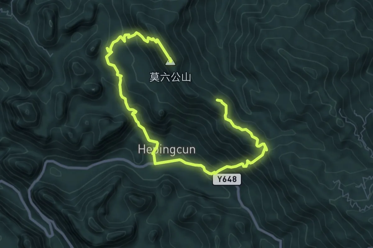
Demanding · Summit
清远莫六公环线
13.1 km · ↑ 1018 m · 5 h 18 min
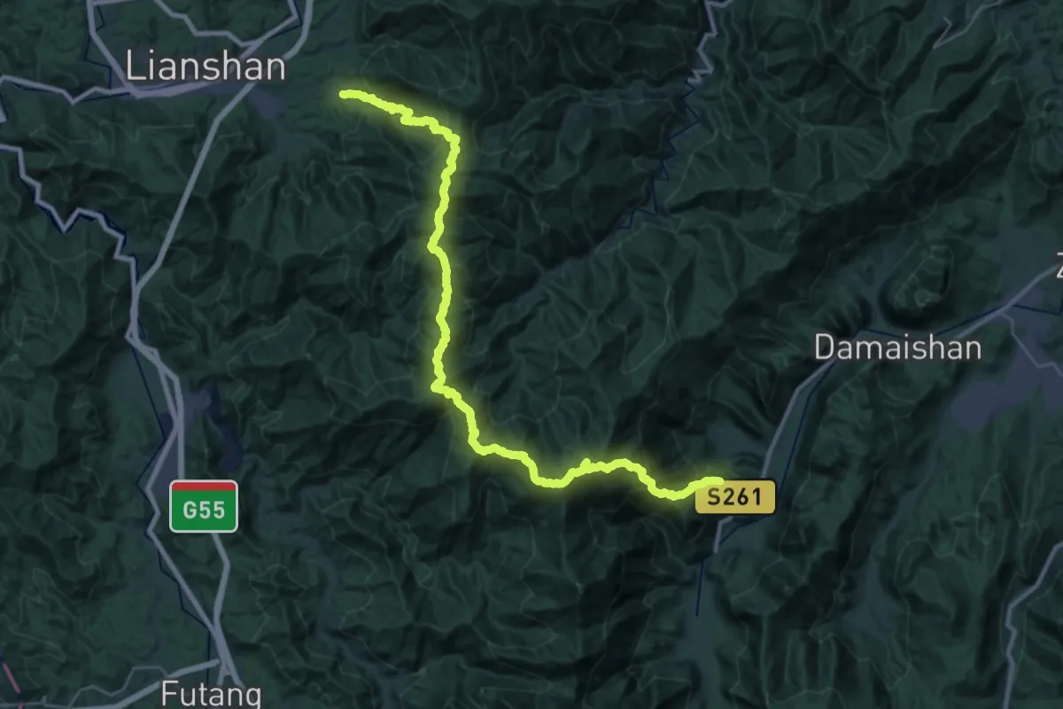
Demanding · Trail
清远连南起微山
25.1 km · ↑ 2147 m · 10 h 54 min
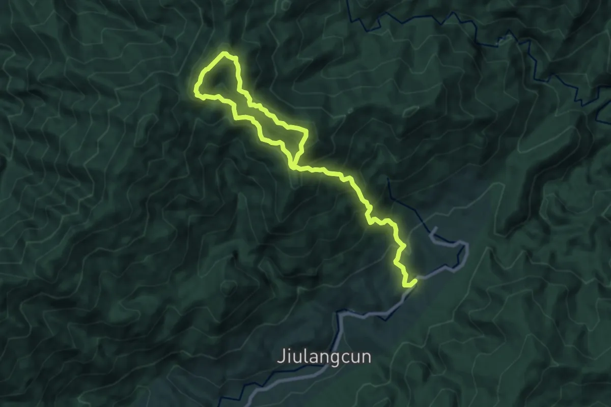
Demanding · Trail
清远金竹嶂环线
14.0 km · ↑ 1284 m · 6 h 6 min
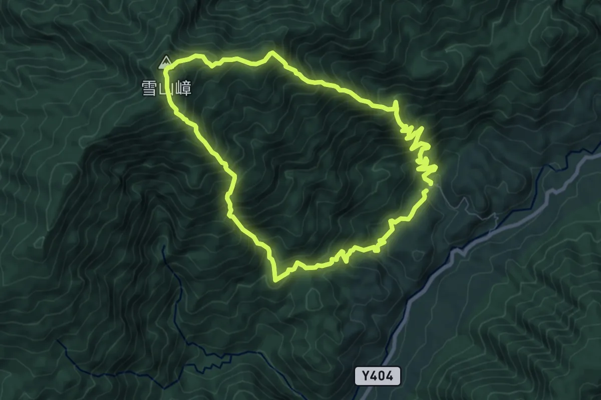
Demanding · Summit
清远雪山嶂环线
9.7 km · ↑ 1112 m · 4 h 50 min
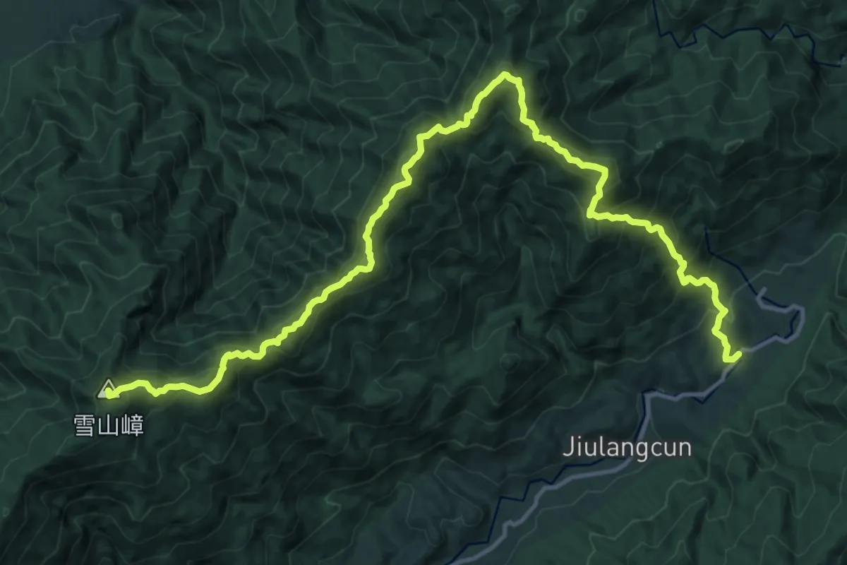
Demanding · Summit
清远雪山嶂-金竹嶂
21.4 km · ↑ 1850 m · 9 h 3 min
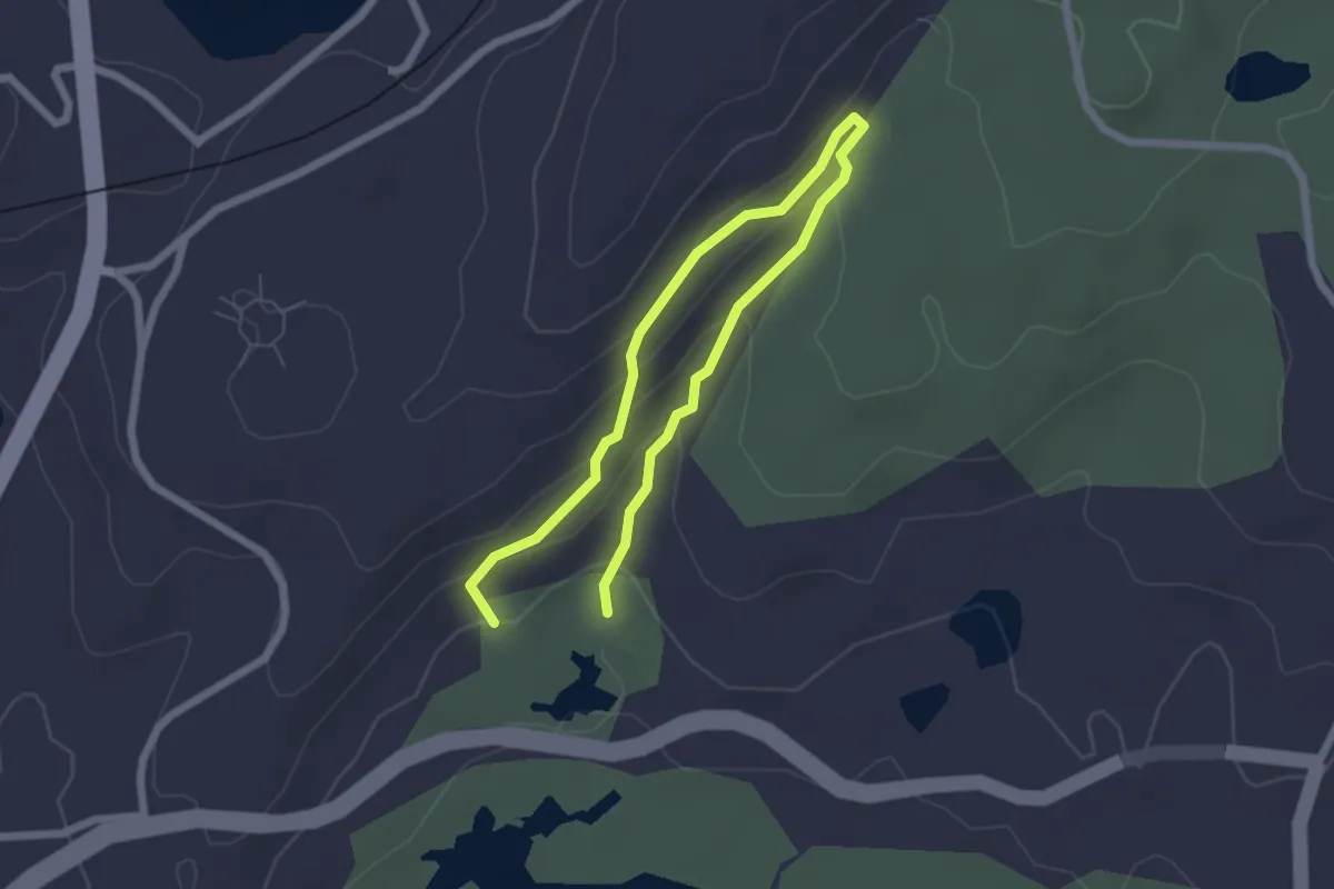
Easy · Trail
溪栖公园 健康步道
4.2 km · ↑ 167 m · 1 h 21 min