Trails in Croatia
922 hiking trails, each with its route, climb, walking time and grade.
All trails, page 11 of 20
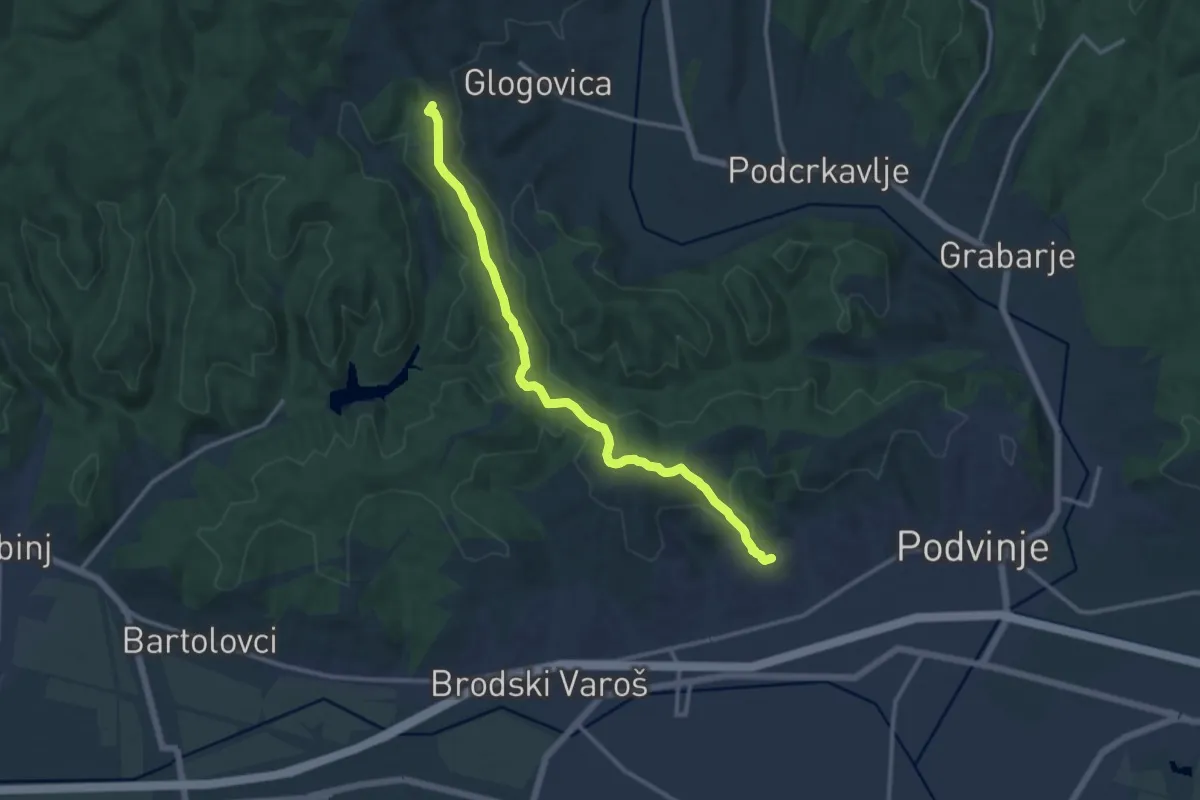
Medium · Summit
Planinarski put 423: Pl.d. Đuro Pilar - Pljuskara
12.8 km · ↑ 230 m · 3 h 31 min
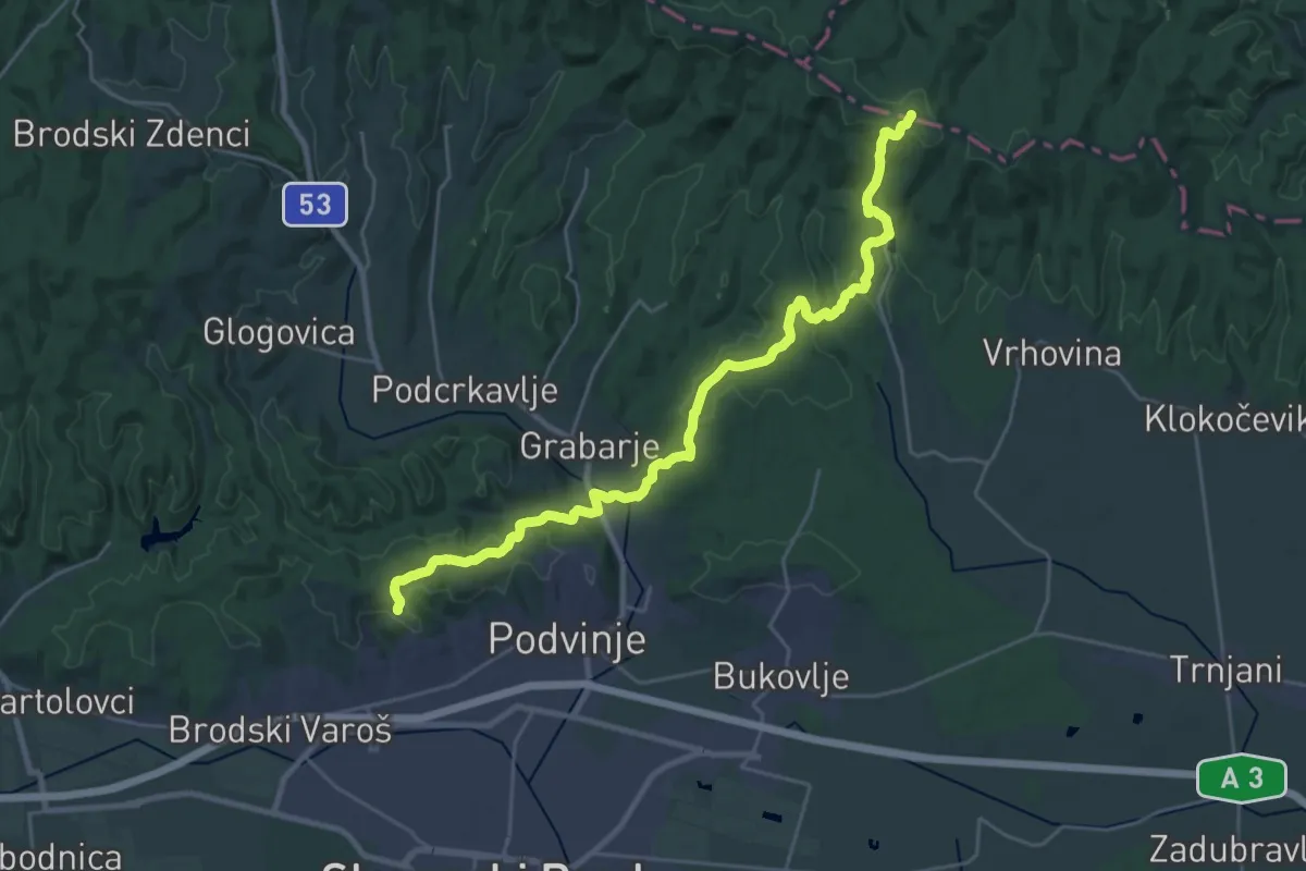
Demanding · Summit
Planinarski put 424: Pl.d. Đuro Pilar - Čardak
28.3 km · ↑ 781 m · 8 h 22 min
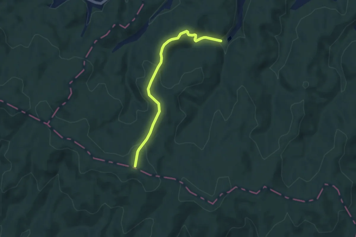
Easy · Summit
Planinarski put 425: Izvor Vračica - Čardak
7.4 km · ↑ 234 m · 2 h 15 min
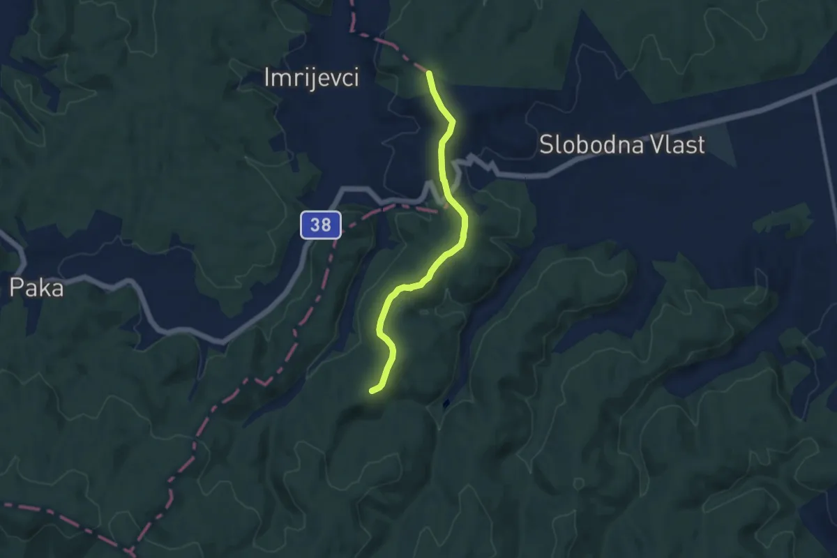
Medium · Trail
Planinarski put 426: Lovačka nadstrešnica - Vrganj - (x) za izvor Vračica
8.0 km · ↑ 122 m · 2 h 9 min
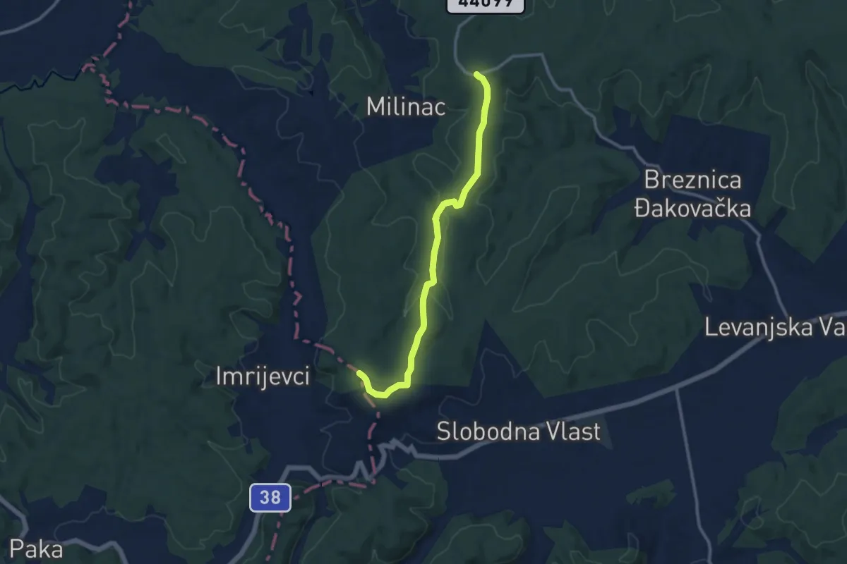
Medium · Trail
Planinarski put 427: Vučje glave - lovačka nadstrešnica
10.4 km · ↑ 206 m · 2 h 54 min
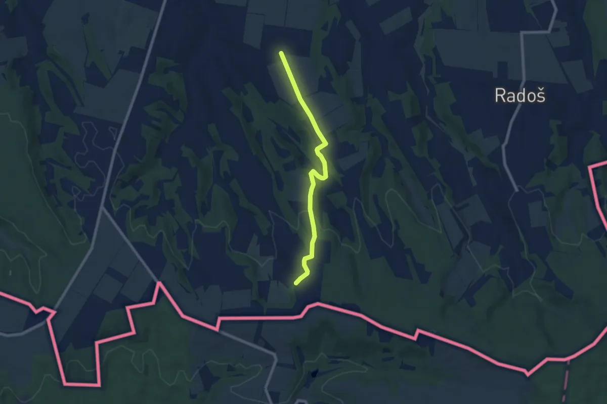
Easy · Trail
Planinarski put 701 Vukovo - Skandala
6.6 km · ↑ 108 m · 1 h 48 min
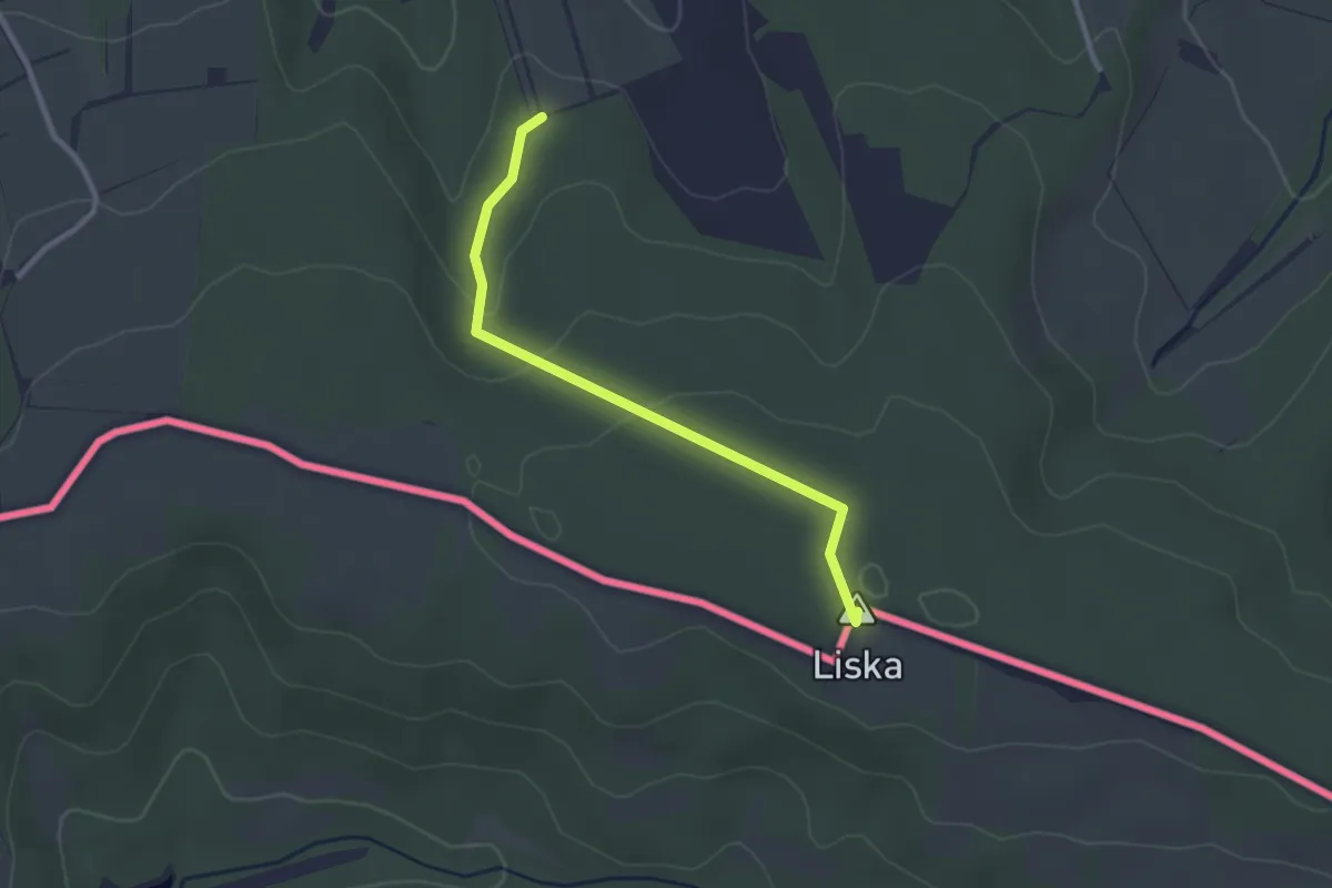
Easy · Summit
Planinarski put 702 Vukovo - Liska
2.6 km · ↑ 66 m · 46 min
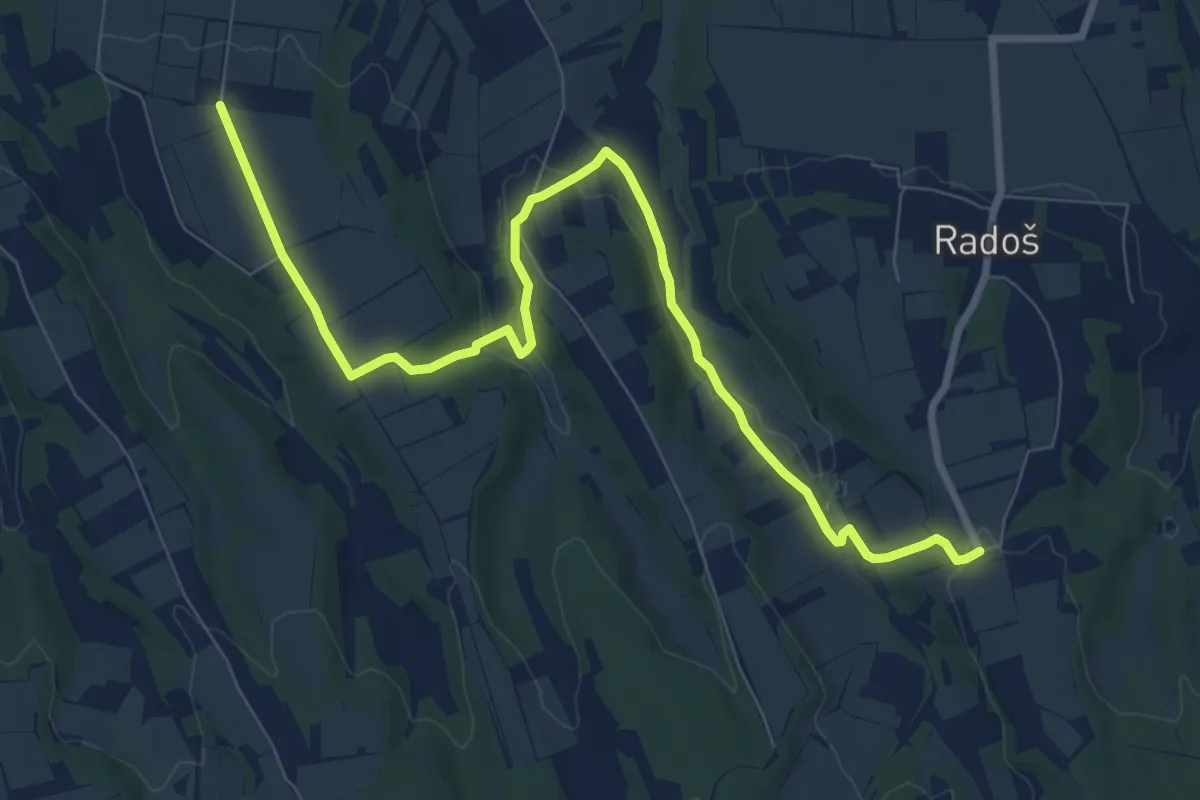
Medium · Trail
Planinarski put 703 Vukovo - Radoš
10.3 km · ↑ 150 m · 2 h 45 min
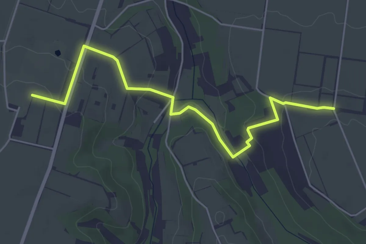
Easy · Trail
Planinarski put 704 Vukovo - Principovac
5.5 km · ↑ 142 m · 1 h 37 min
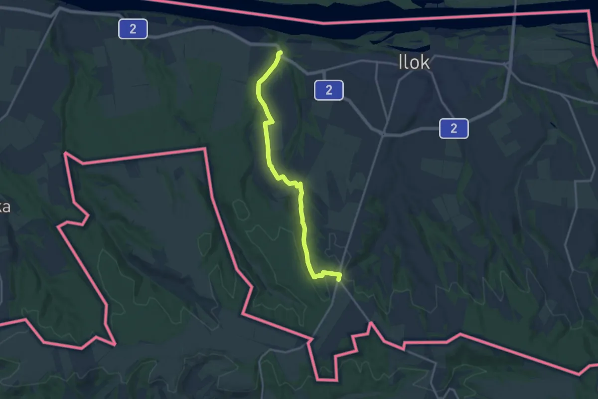
Medium · Trail
Planinarski put 707 Lovka - Rimski bunar
12.6 km · ↑ 181 m · 3 h 22 min
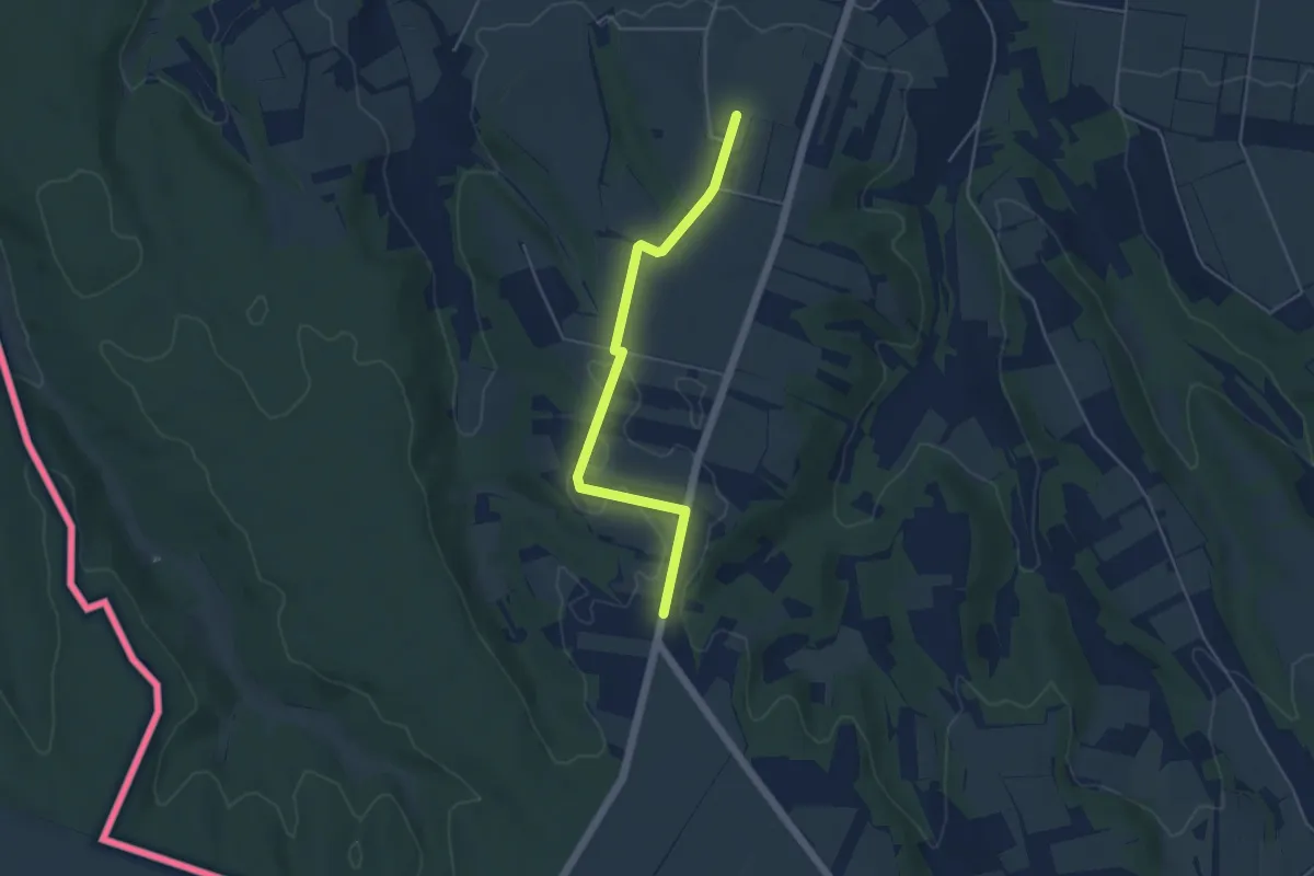
Easy · Trail
Planinarski put 708 Principovac - (x) sa Lovka-Rimski Bunar (spojni put)
4.7 km · ↑ 13 m · 1 h 8 min
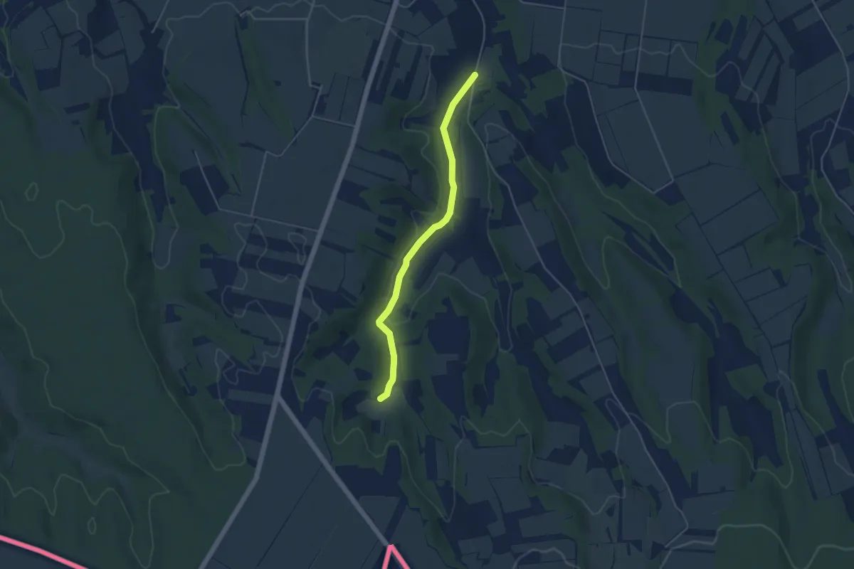
Easy · Trail
Planinarski put 709 Principovac - Izvor (spojni put)
4.3 km · ↑ 40 m · 1 h 6 min
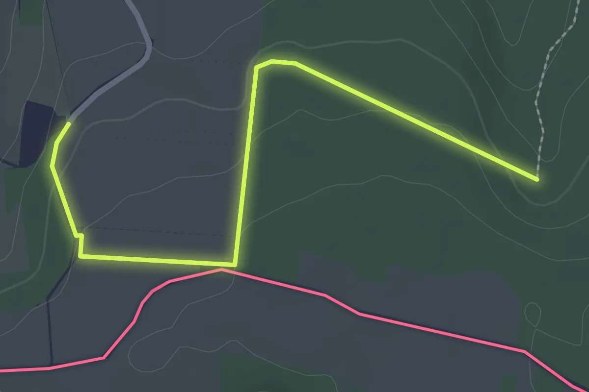
Easy · Trail
Planinarski put 710 Liska - Skandala (spojni put)
2.7 km · ↑ 63 m · 46 min
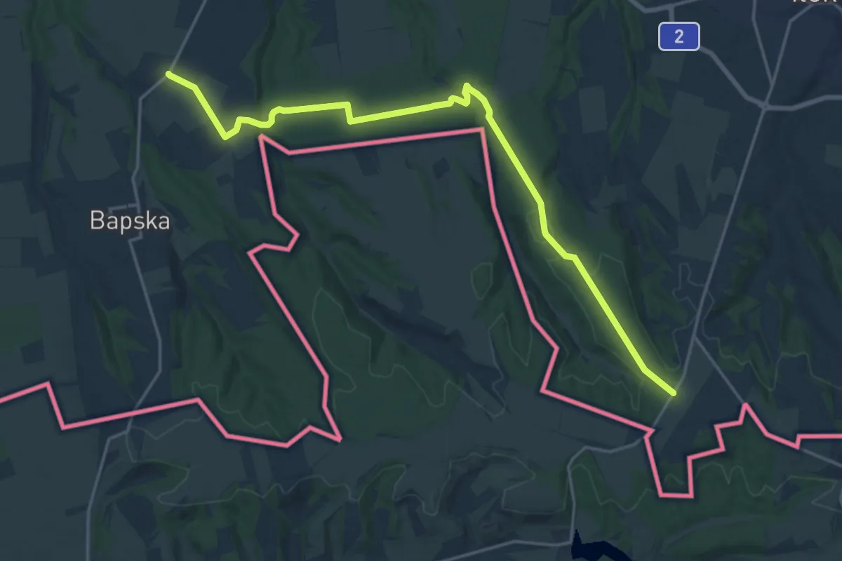
Demanding · Trail
Planinarski put 714 Bapska - Skandala
20.1 km · ↑ 232 m · 5 h 15 min
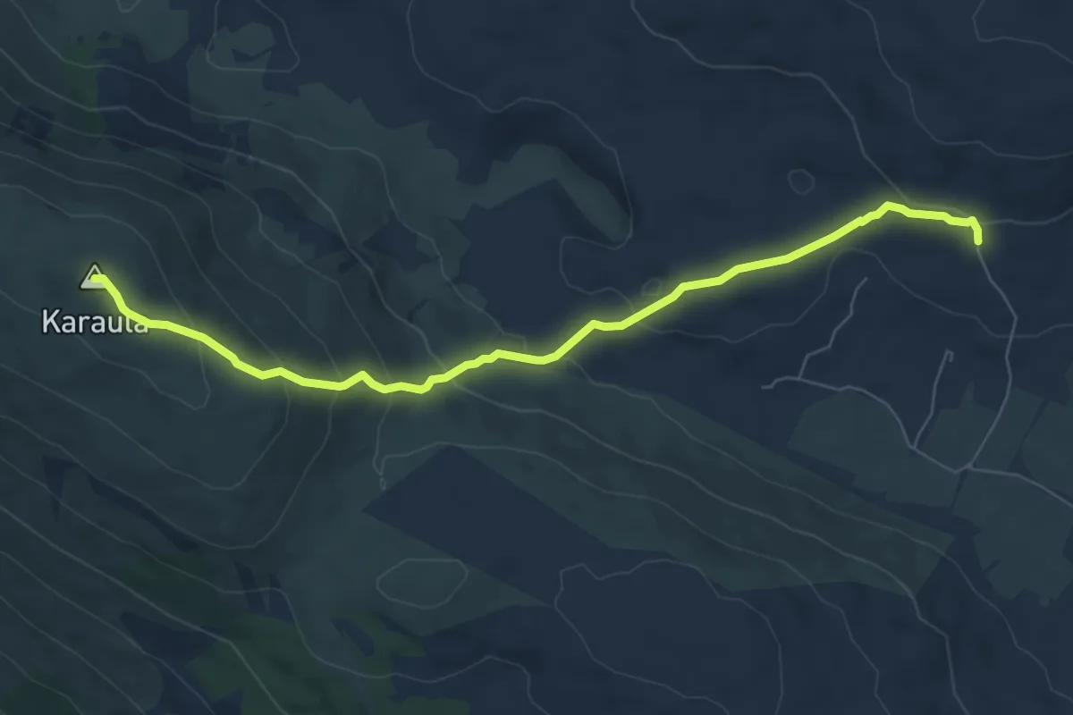
Medium · Summit
Planinarski put na Debelo brdo (Karaula)
7.7 km · ↑ 398 m · 2 h 41 min
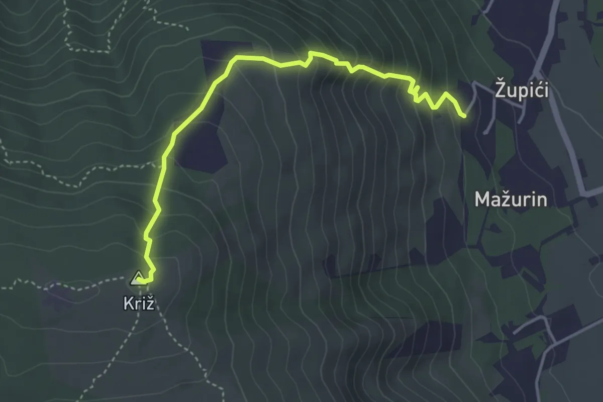
Medium · Summit
Planinarski put na Visoku(iznad Sinja)
4.2 km · ↑ 422 m · 1 h 54 min
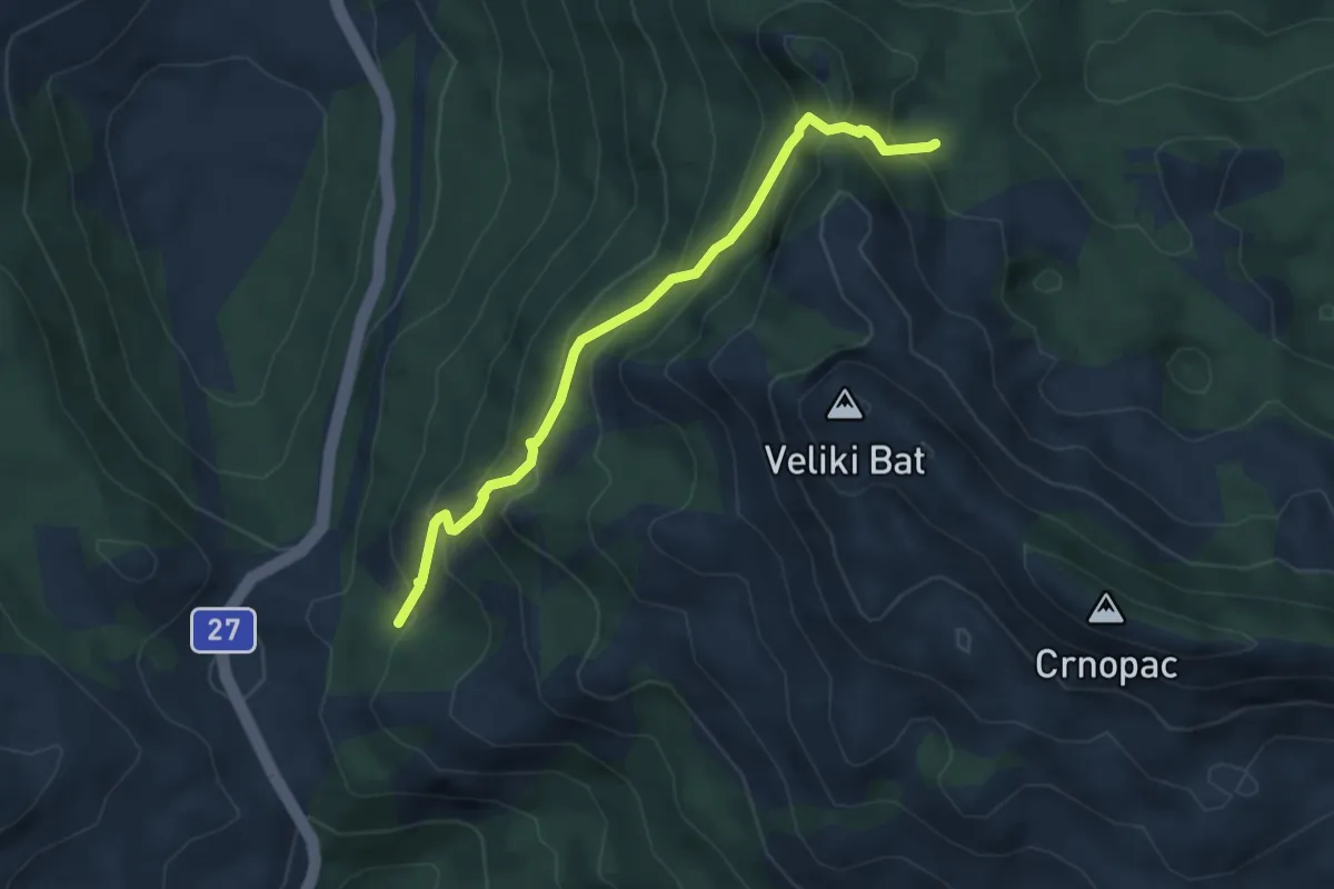
Medium · Cabin
Planinarsko sklonište Crnopac
4.6 km · ↑ 405 m · 1 h 58 min
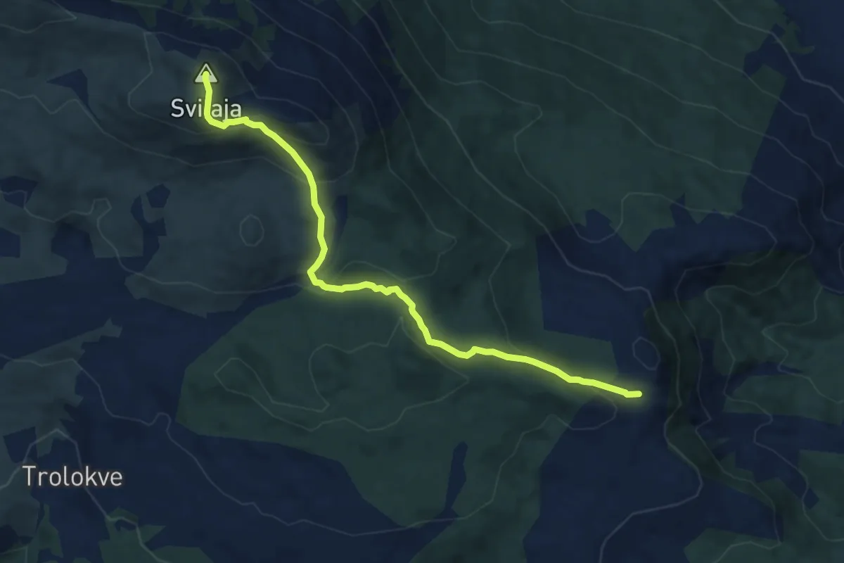
Medium · Summit
Planinska staza na Svilaju-duža
9.7 km · ↑ 531 m · 3 h 26 min
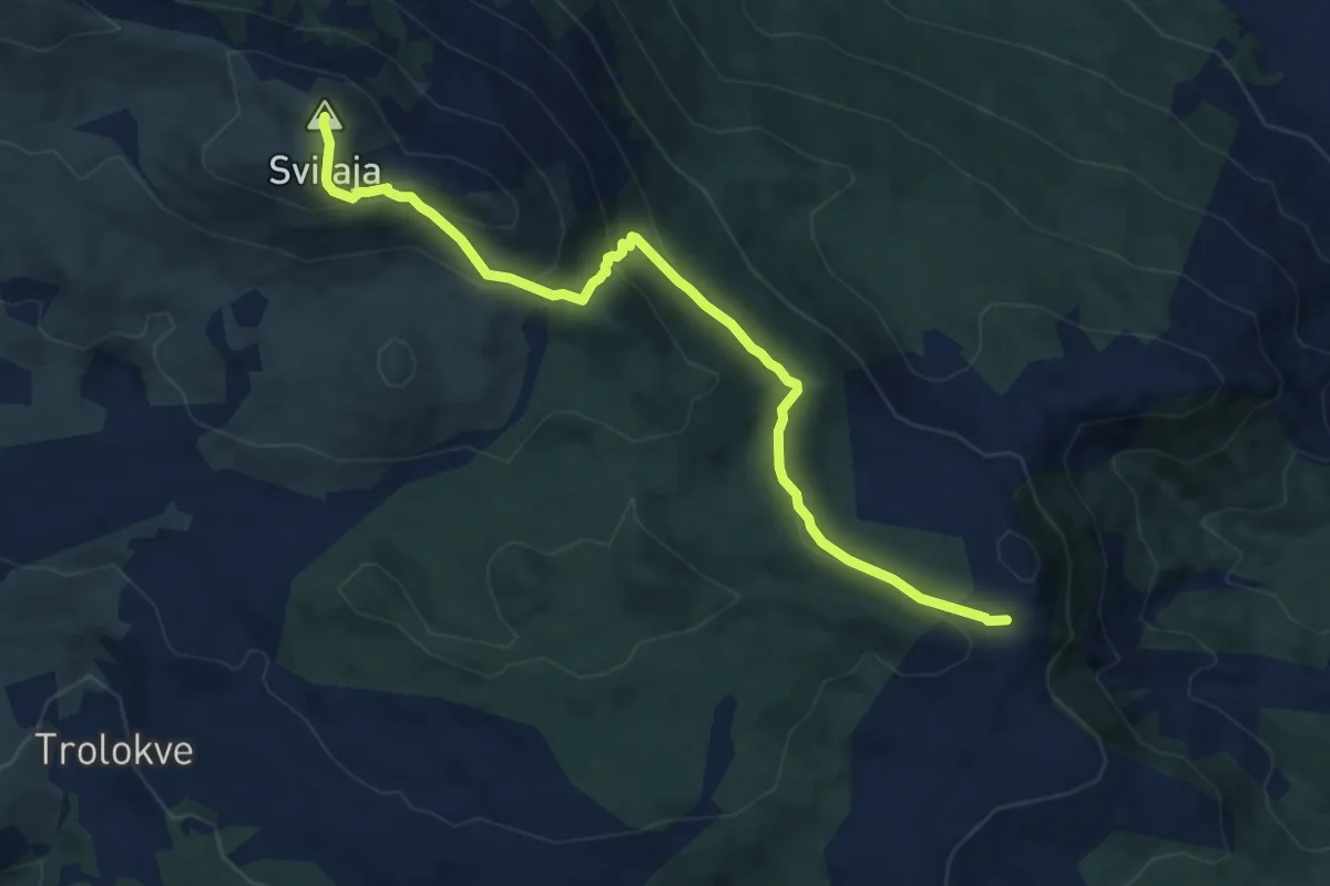
Medium · Summit
Planinska staza na Svilaju-putem
10.0 km · ↑ 509 m · 3 h 27 min
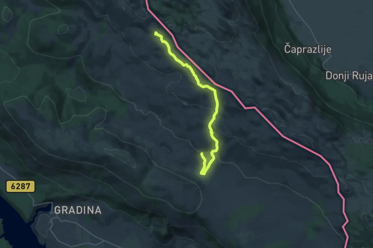
Demanding · Summit
Planinska staza planinarski dom sv. Jakov planinarsko sklonište PU Dinaridi (ratnim putem)
19.0 km · ↑ 632 m · 5 h 51 min
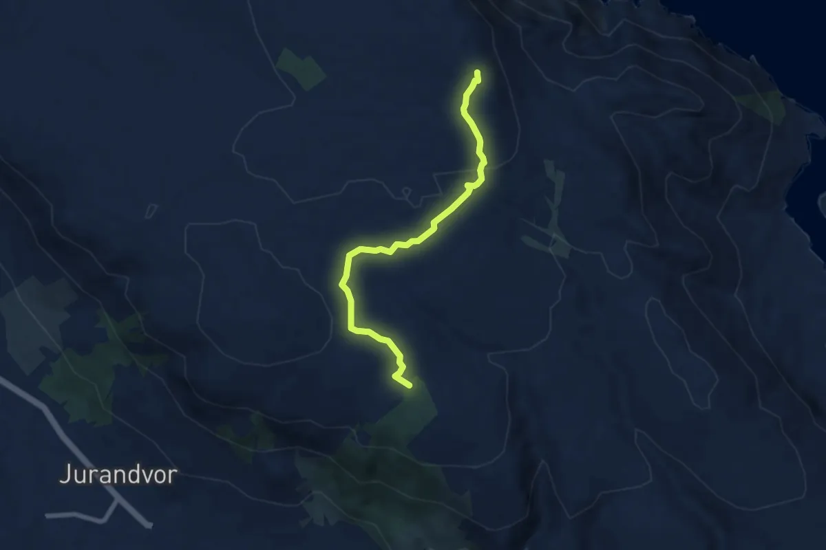
Medium · Summit
Plato Mjeseca - Lovka Diviška
6.6 km · ↑ 126 m · 1 h 49 min
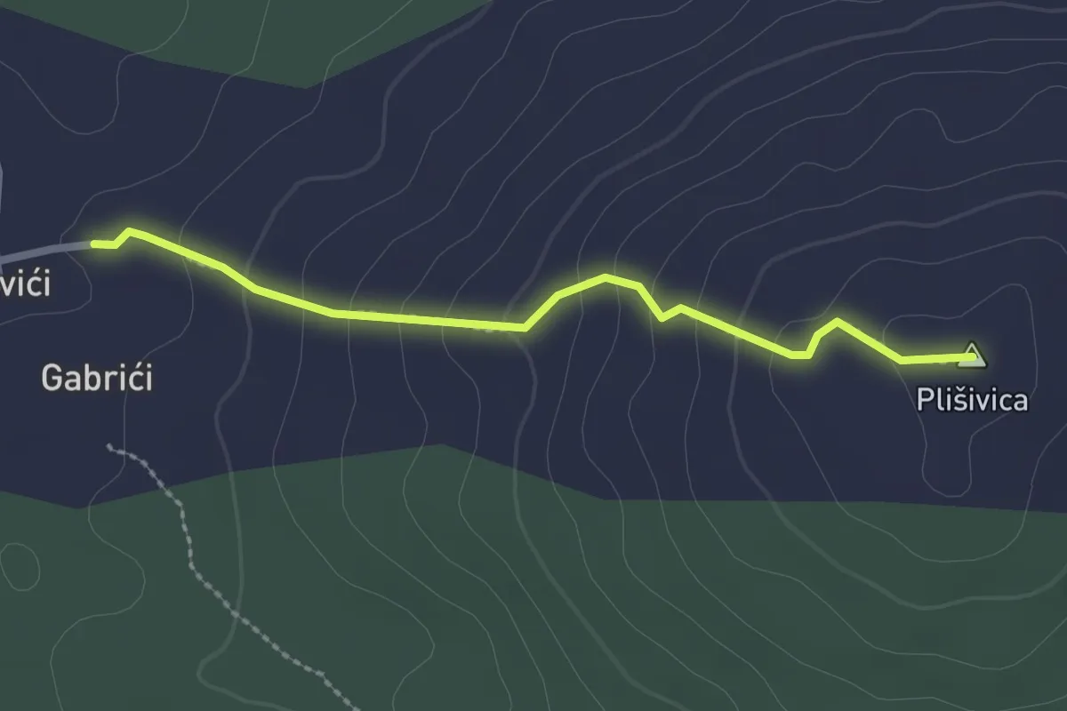
Easy · Summit
plišivica
2.4 km · ↑ 147 m · 53 min
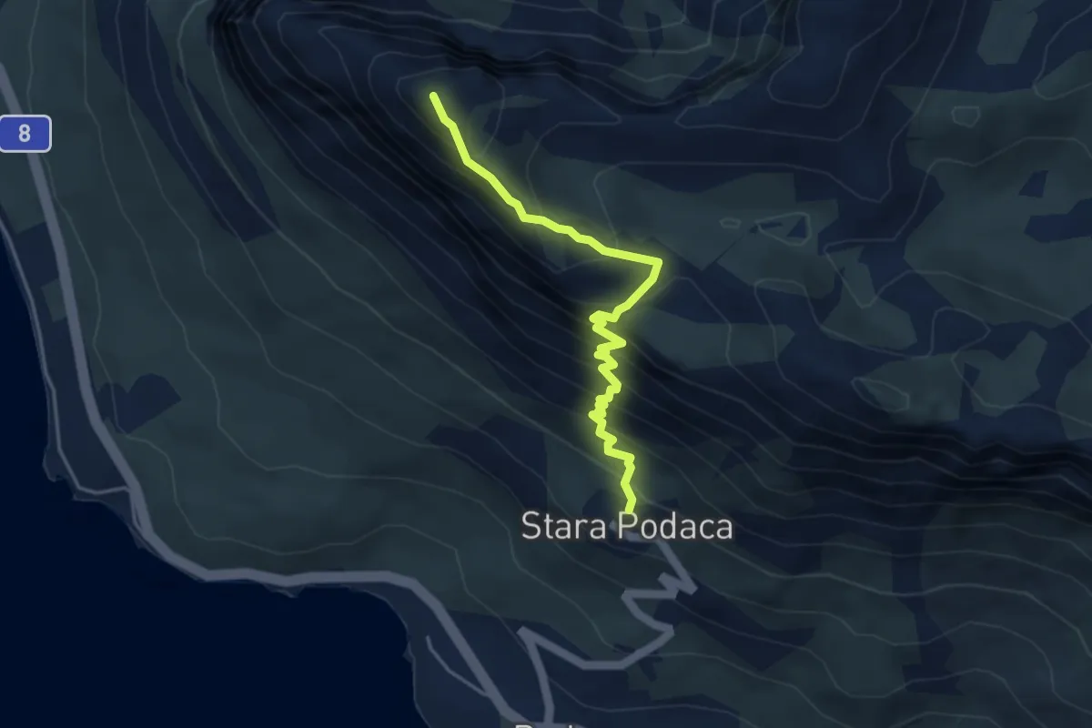
Demanding · Summit
Podaca - Viter
4.3 km · ↑ 516 m · 2 h 8 min
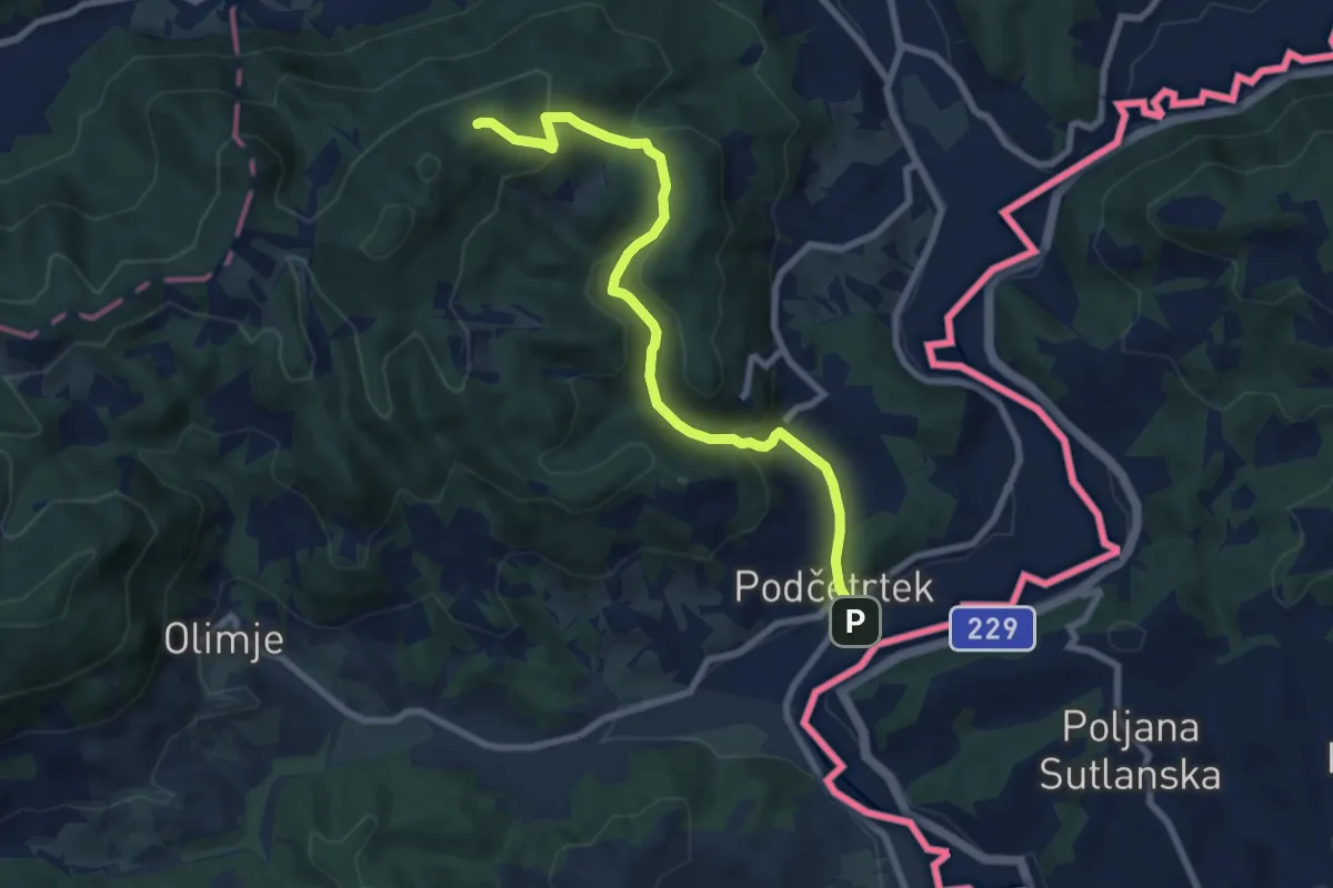
Medium · Summit
Podčetrtek - Zavetišče Šmarnica
8.1 km · ↑ 431 m · 2 h 51 min
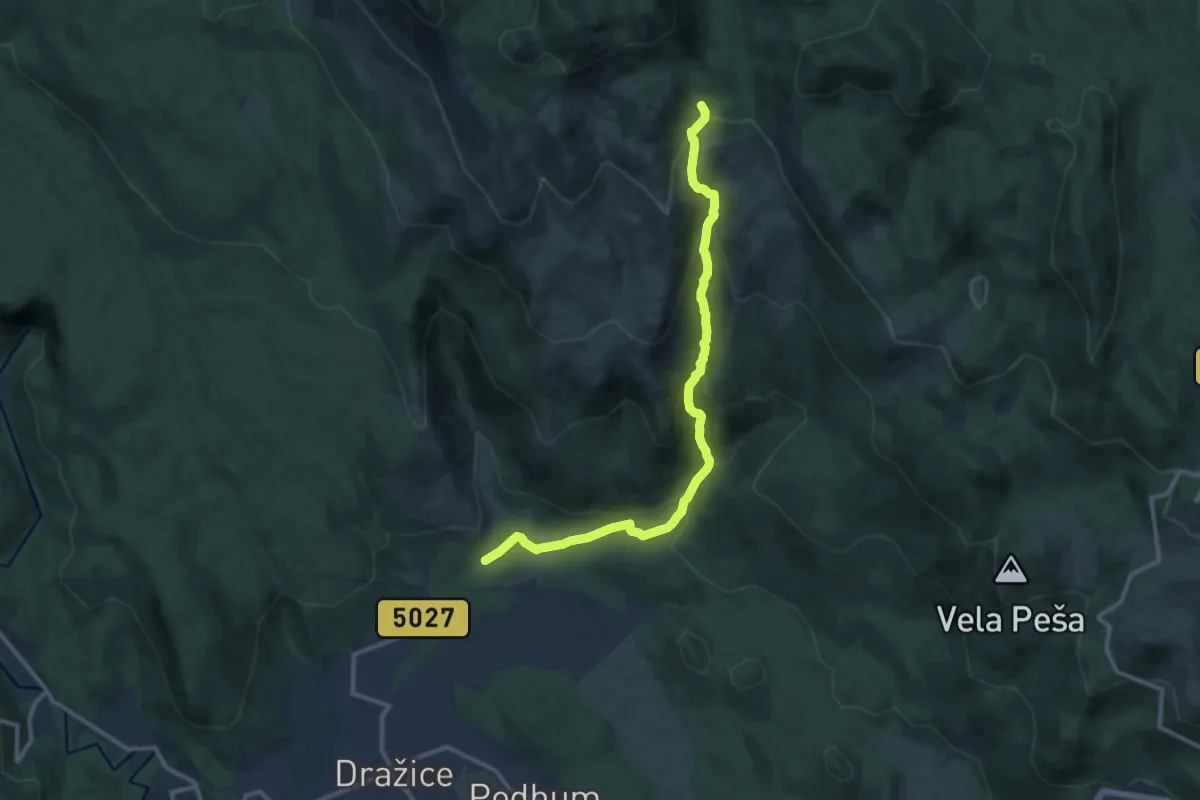
Medium · Trail
Podkilvac - Mudnaj dol - Gorničko - Hahlić
12.4 km · ↑ 695 m · 4 h 26 min
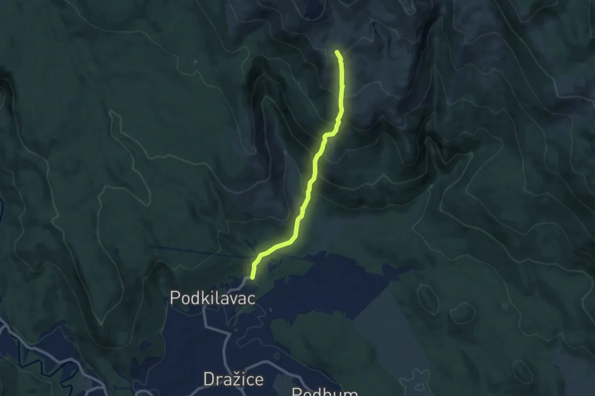
Medium · Trail
Podkilvac - Zapodi-Hahlić
7.4 km · ↑ 609 m · 3 h 4 min
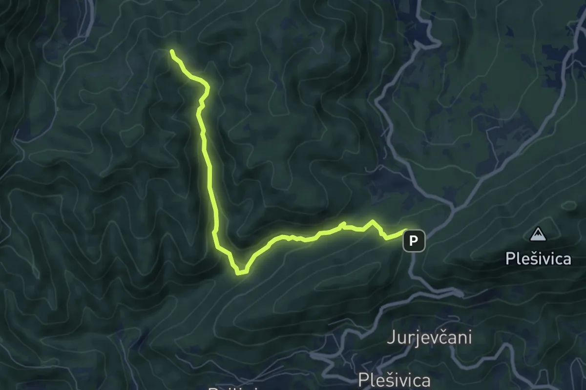
Medium · Trail
Poljanice - Beli breg
7.6 km · ↑ 402 m · 2 h 40 min
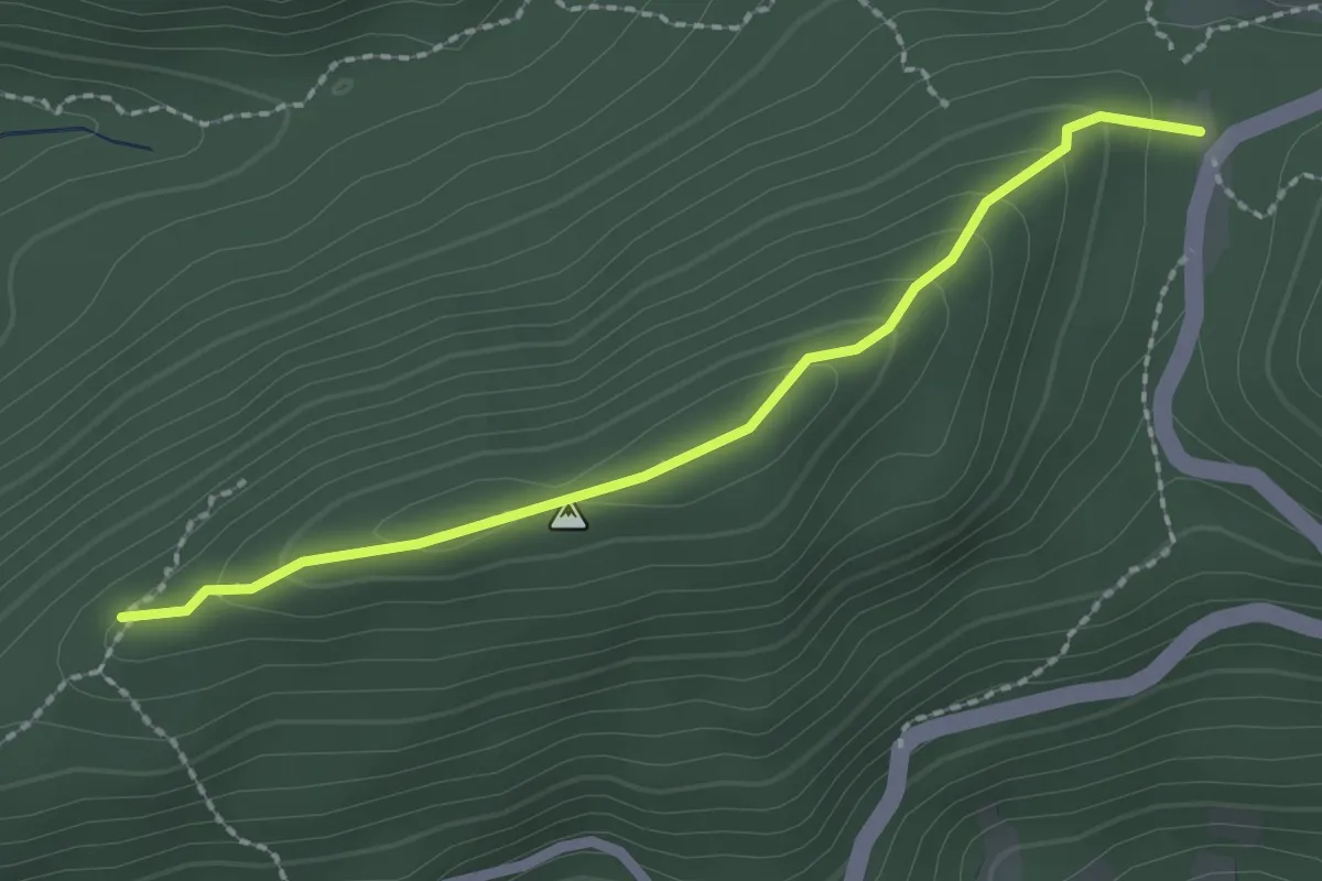
Easy · Trail
Poljanice - Gajev kamen - grebenom
2.2 km · ↑ 109 m · 45 min
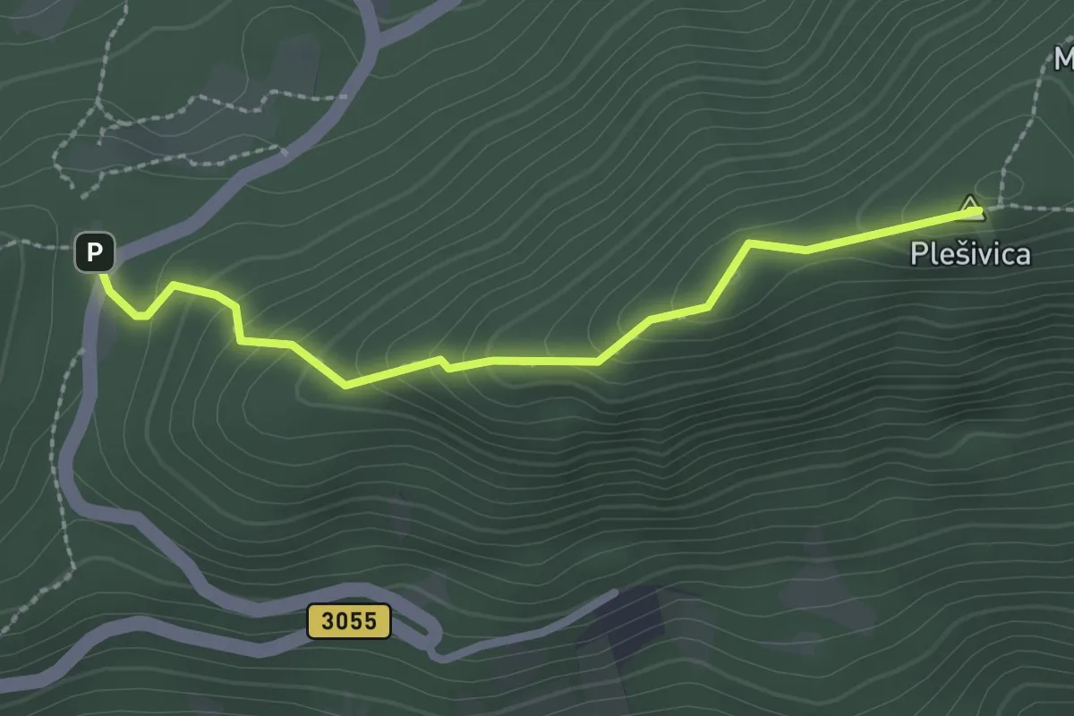
Medium · Summit
Poljanice - Plešivica
2.4 km · ↑ 178 m · 57 min
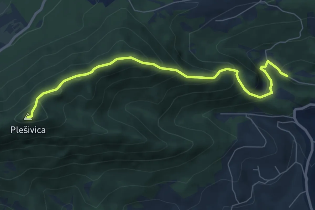
Medium · Summit
Popovdol - Plešivica
6.4 km · ↑ 474 m · 2 h 32 min
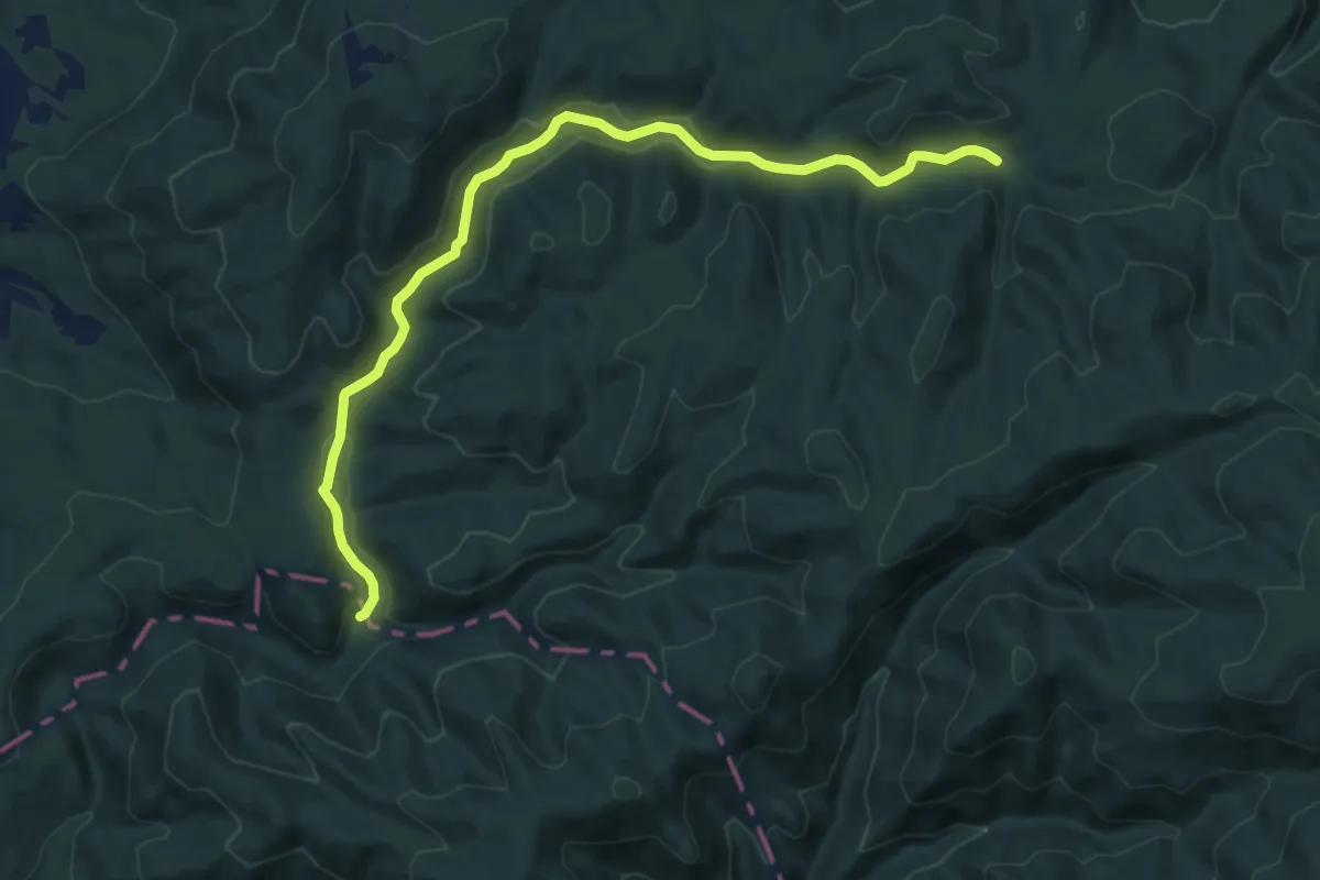
Medium · Trail
potok Roguljica - planinarski dom Omanovac
12.8 km · ↑ 245 m · 3 h 33 min
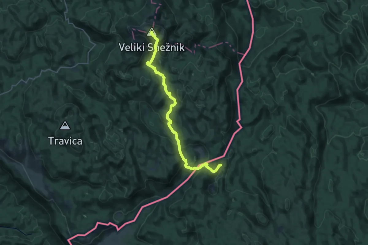
Demanding · Summit
Pot prijateljstva Snežnik-Snježnik
20.4 km · ↑ 1105 m · 7 h 13 min
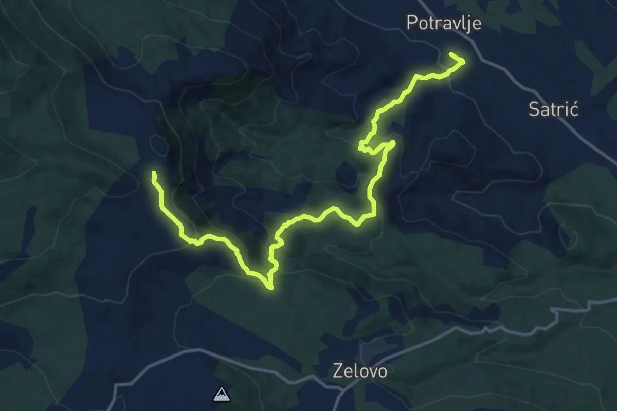
Medium · Cabin
Potravlje2
14.4 km · ↑ 657 m · 4 h 49 min
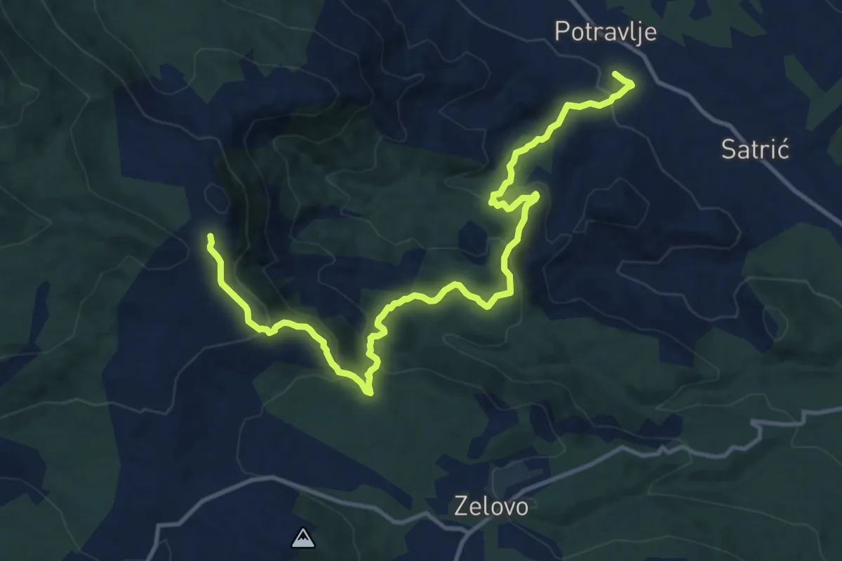
Medium · Cabin
Potravlje-Glavinići-pl.dom Orlove stine
14.4 km · ↑ 648 m · 4 h 48 min
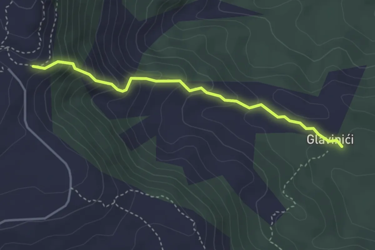
Easy · Trail
Potravlje-Orlove stine
3.4 km · ↑ 311 m · 1 h 28 min
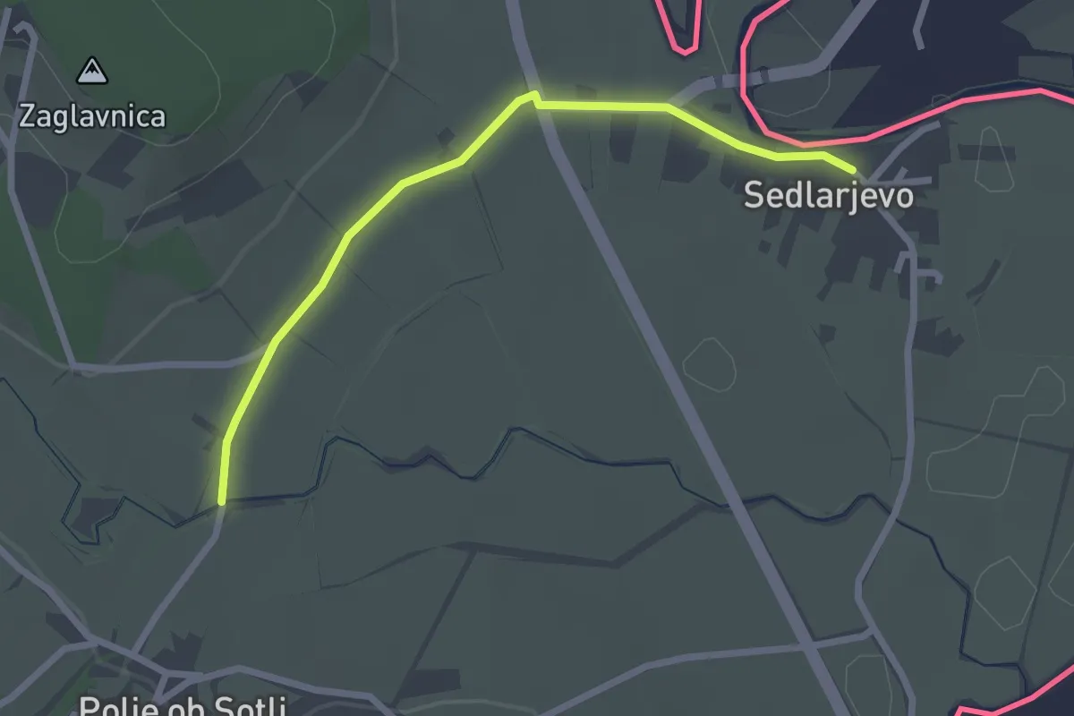
Easy · Trail
Pot XIV. divizije
2.4 km · ↑ 0 m · 34 min
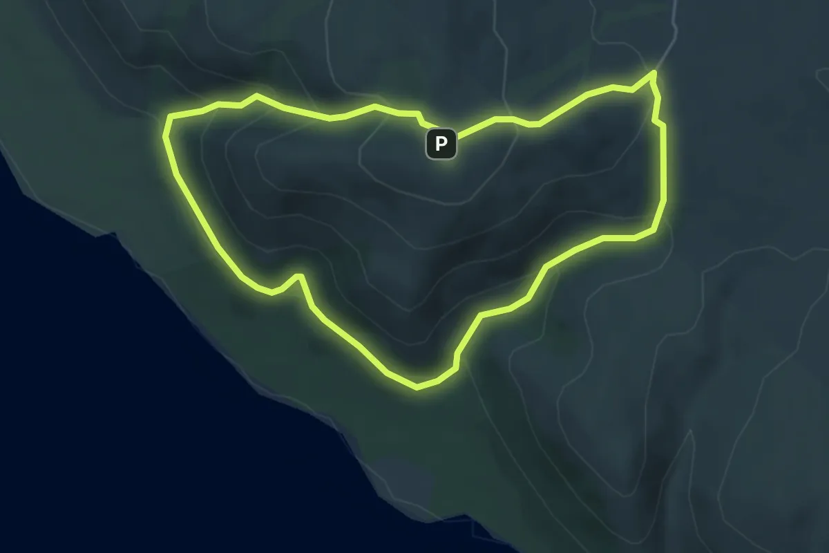
Easy · Summit
Poučna botanička staza
5.0 km · ↑ 256 m · 1 h 48 min
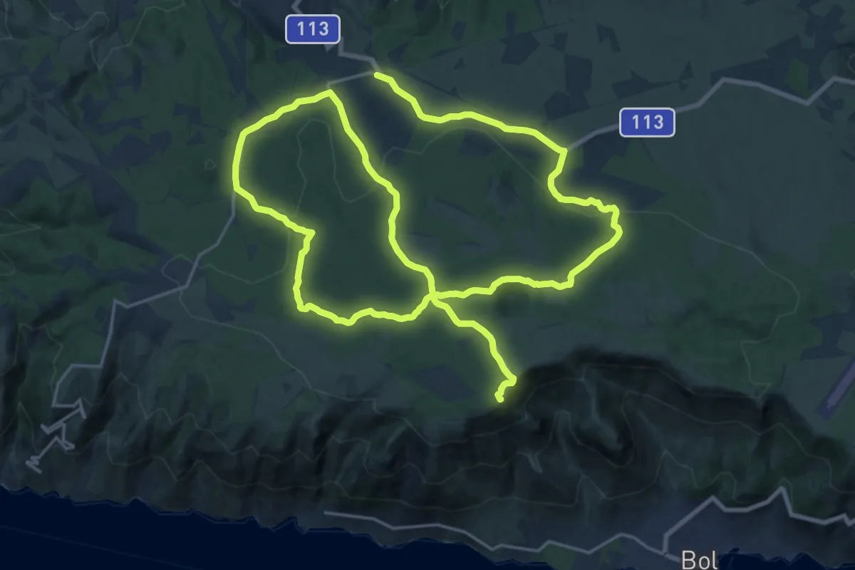
Demanding · Summit
Poučna staza
38.6 km · ↑ 575 m · 10 h 21 min
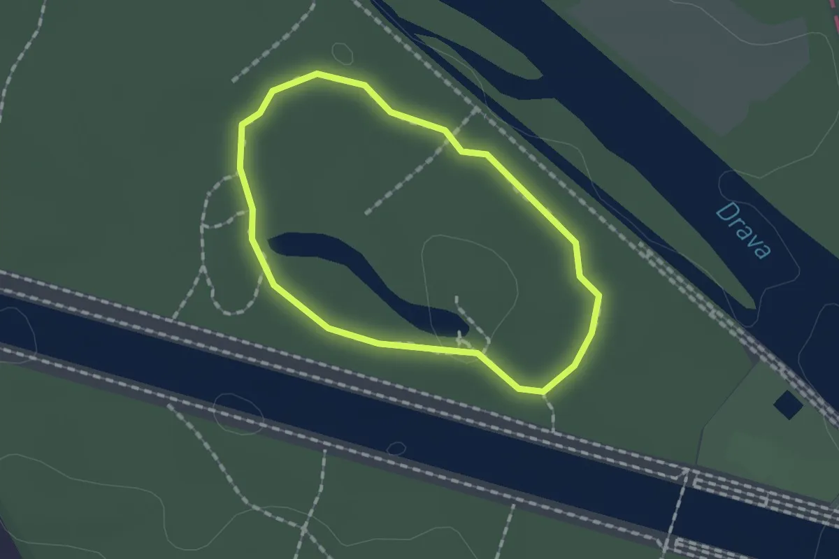
Easy · Trail
Poučna staza
1.2 km · ↑ 4 m · 19 min
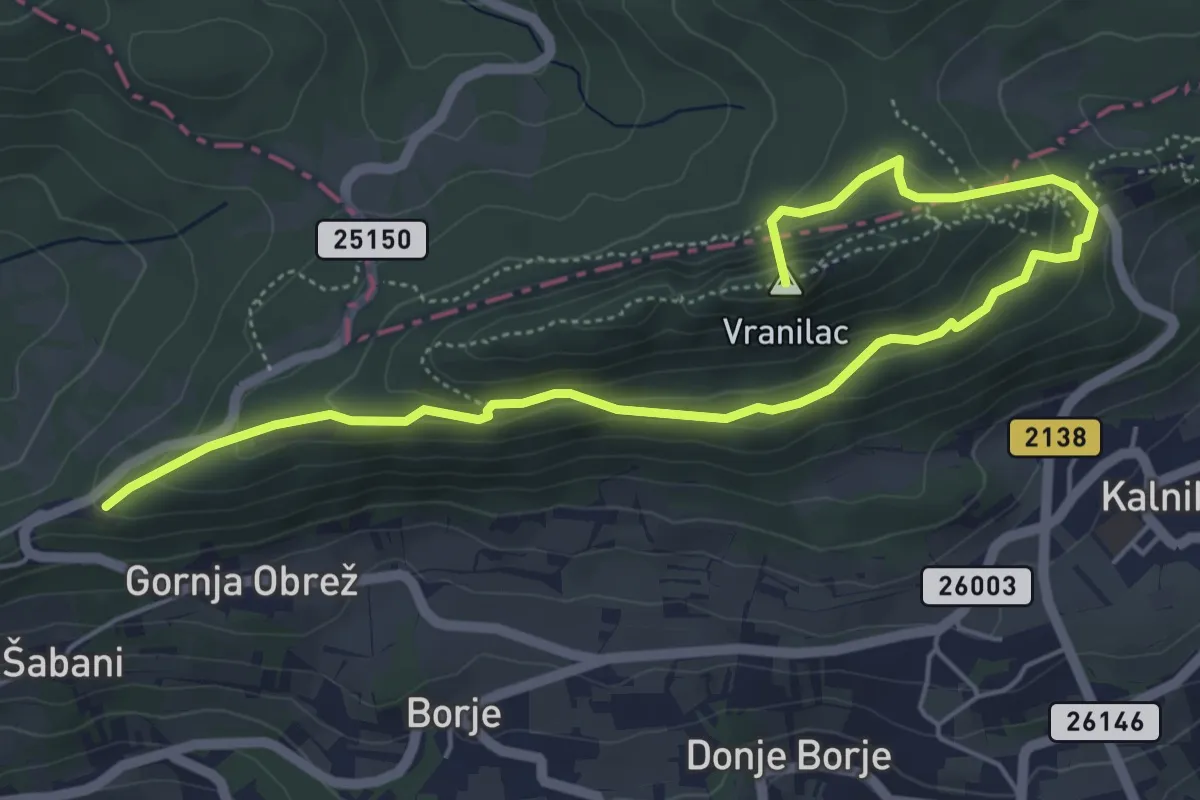
Medium · Summit
Poučna staza
6.6 km · ↑ 348 m · 2 h 19 min
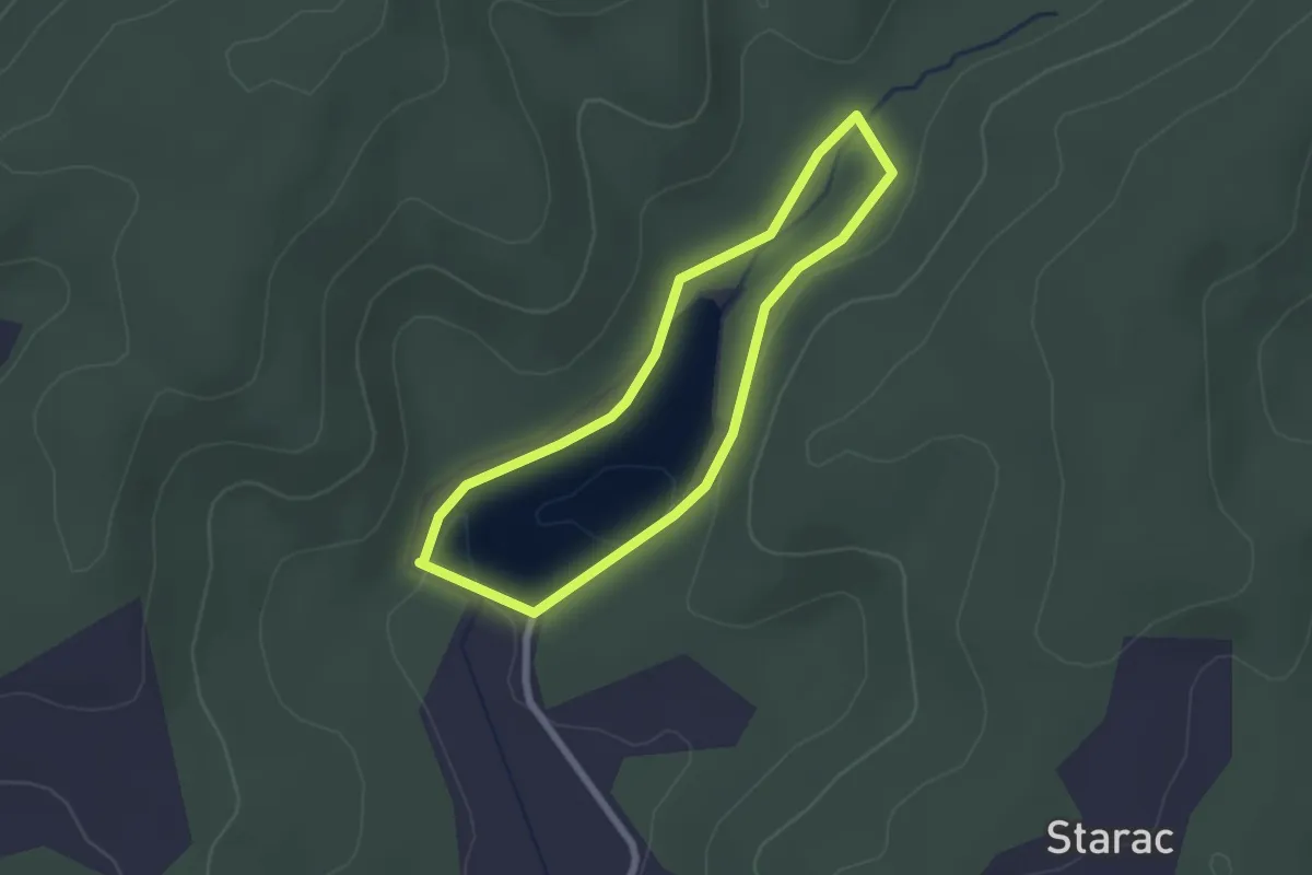
Easy · Trail
Poučna staza Čabraji
2.0 km · ↑ 22 m · 33 min
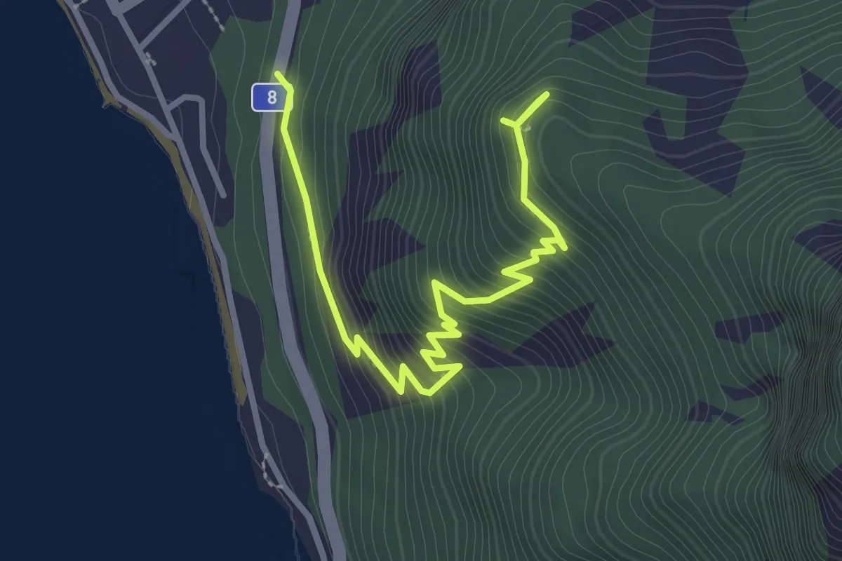
Medium · Trail
Poučna Staza i Vidikovac "Vrisje"
3.7 km · ↑ 352 m · 1 h 38 min
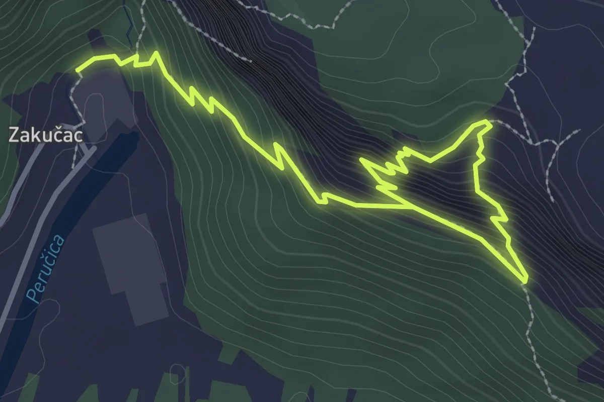
Medium · Trail
Poučna staza Leopolda Mandića
4.3 km · ↑ 420 m · 1 h 55 min
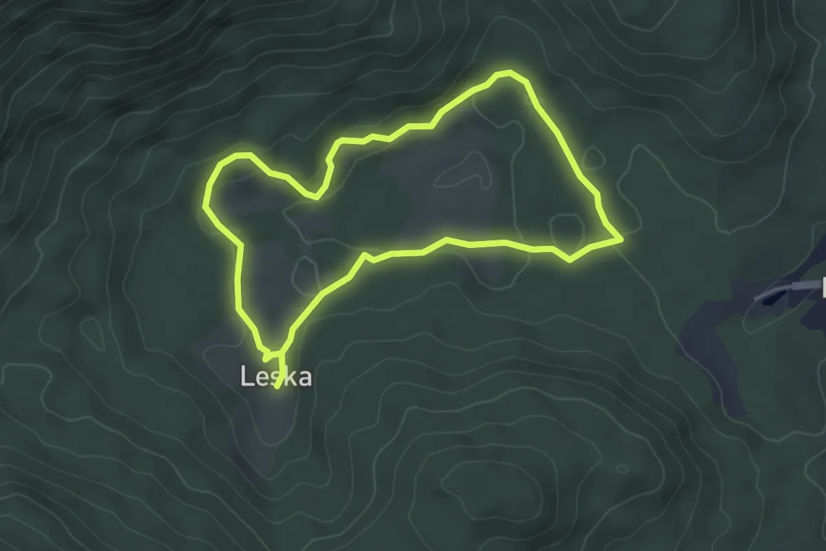
Easy · Trail
Poučna staza Leska
3.6 km · ↑ 63 m · 1 h 3 min
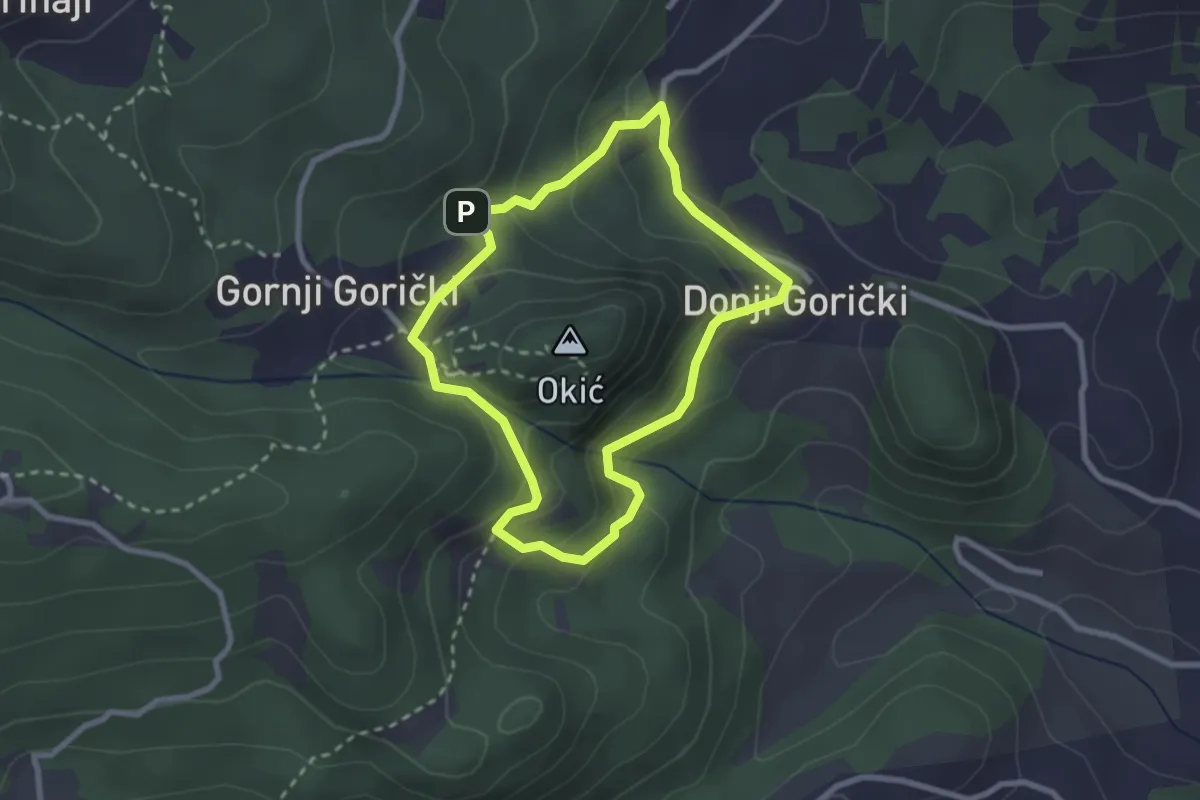
Easy · Trail
Poučna staza Okićnica
2.4 km · ↑ 144 m · 55 min
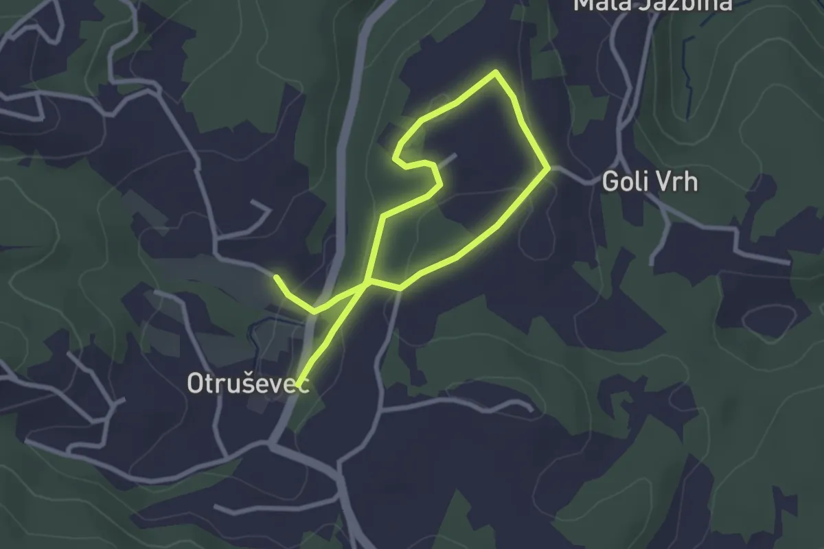
Easy · Trail
Poučna staza Otruševec
3.9 km · ↑ 83 m · 1 h 7 min
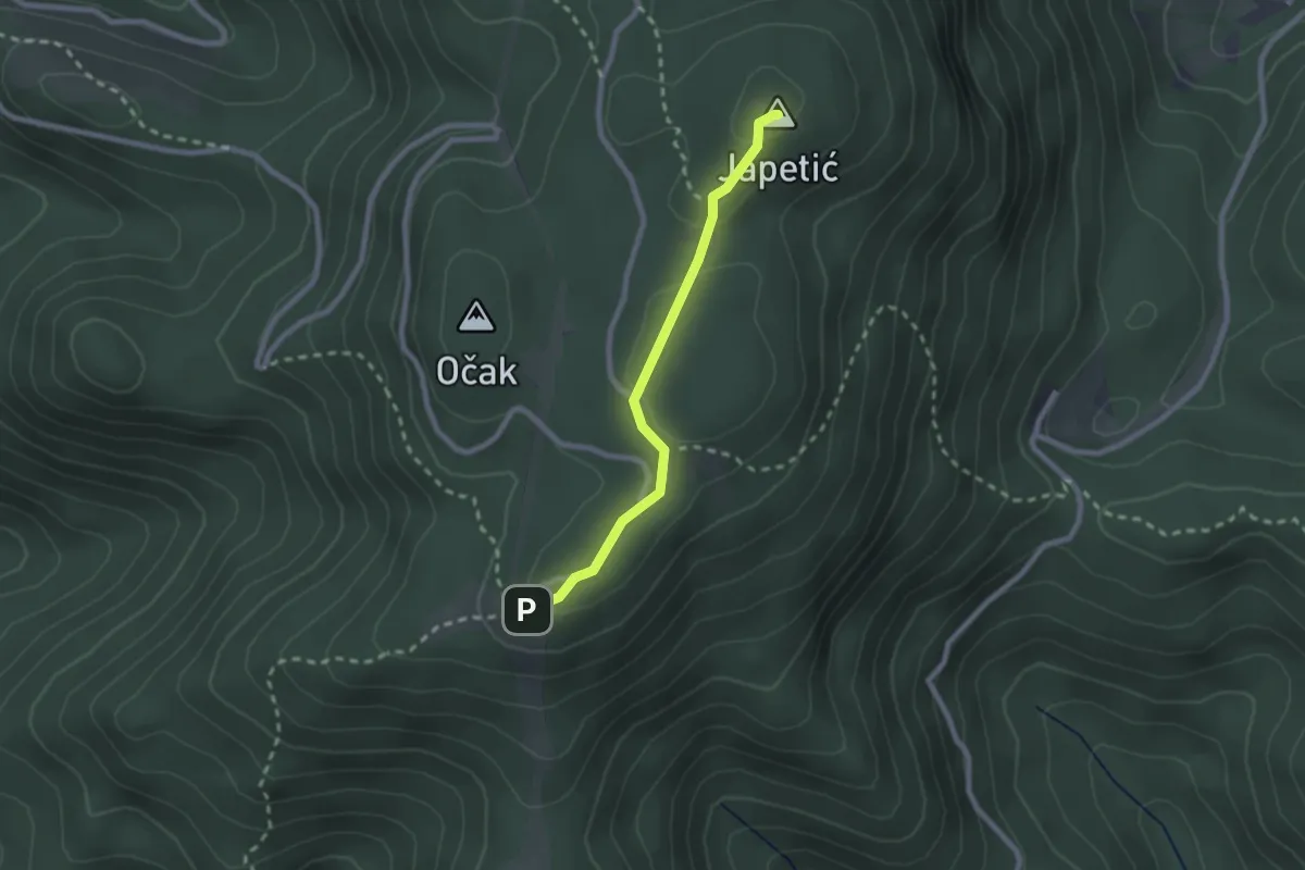
Medium · Summit
Poučna staza Put piramide
2.1 km · ↑ 55 m · 37 min
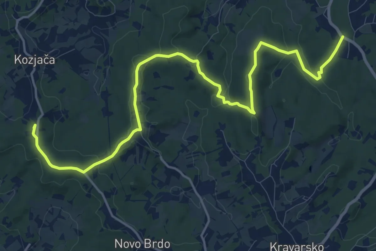
Medium · Summit
Poučna staza Šumarica
14.5 km · ↑ 265 m · 4 h 1 min