Trails in Croatia
922 hiking trails, each with its route, climb, walking time and grade.
All trails, page 12 of 20
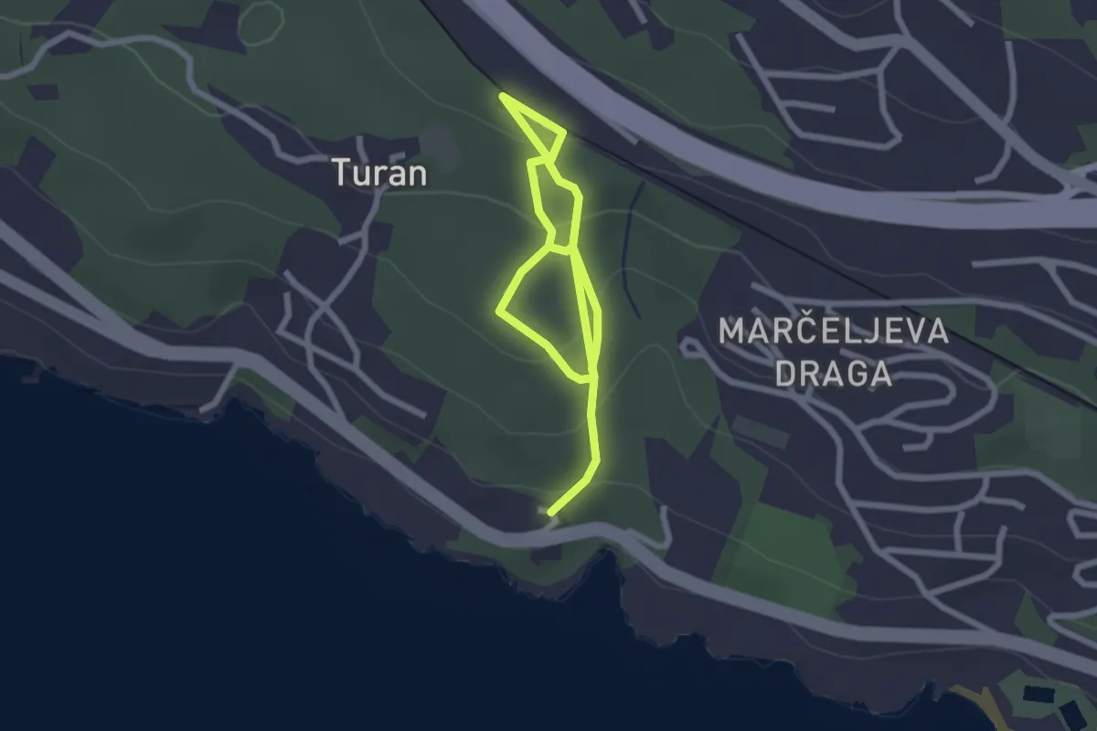
Easy · Trail
Poučna staza "Šuma Striborova"
3.4 km · ↑ 161 m · 1 h 9 min
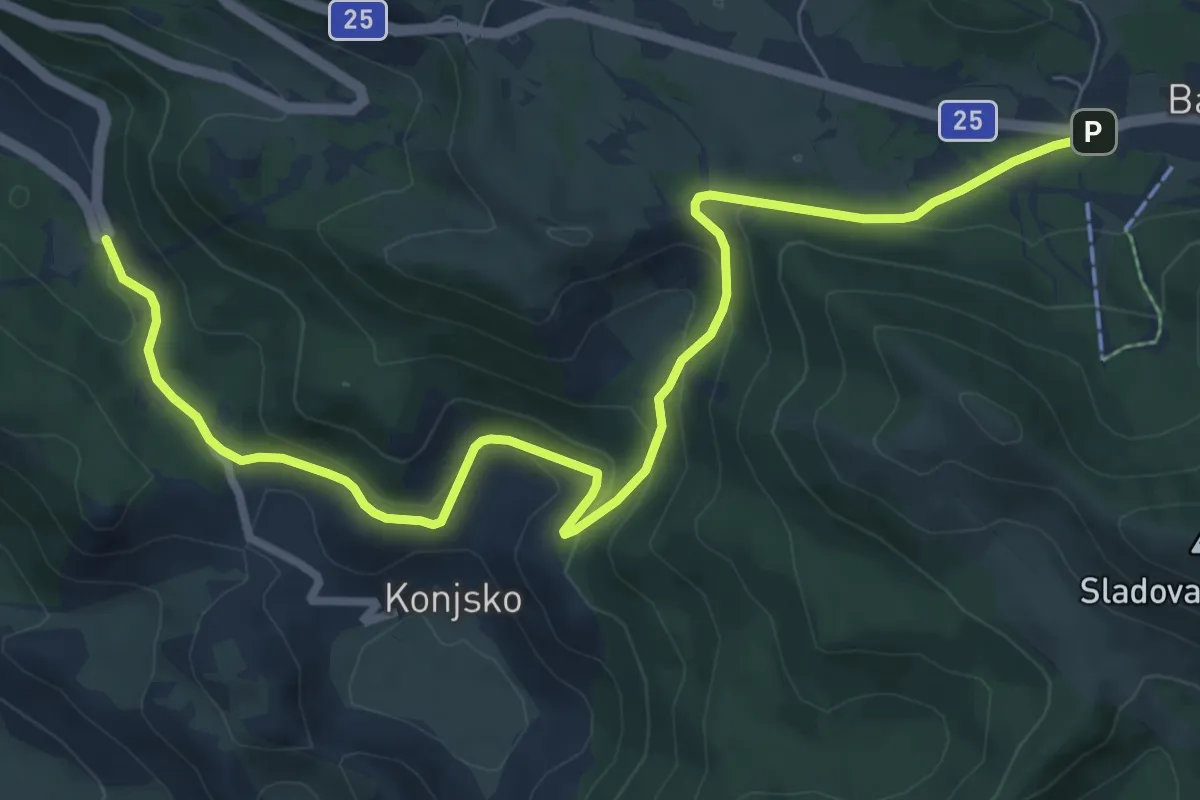
Medium · Trail
Poučna staza Terezijana
10.1 km · ↑ 342 m · 3 h 7 min
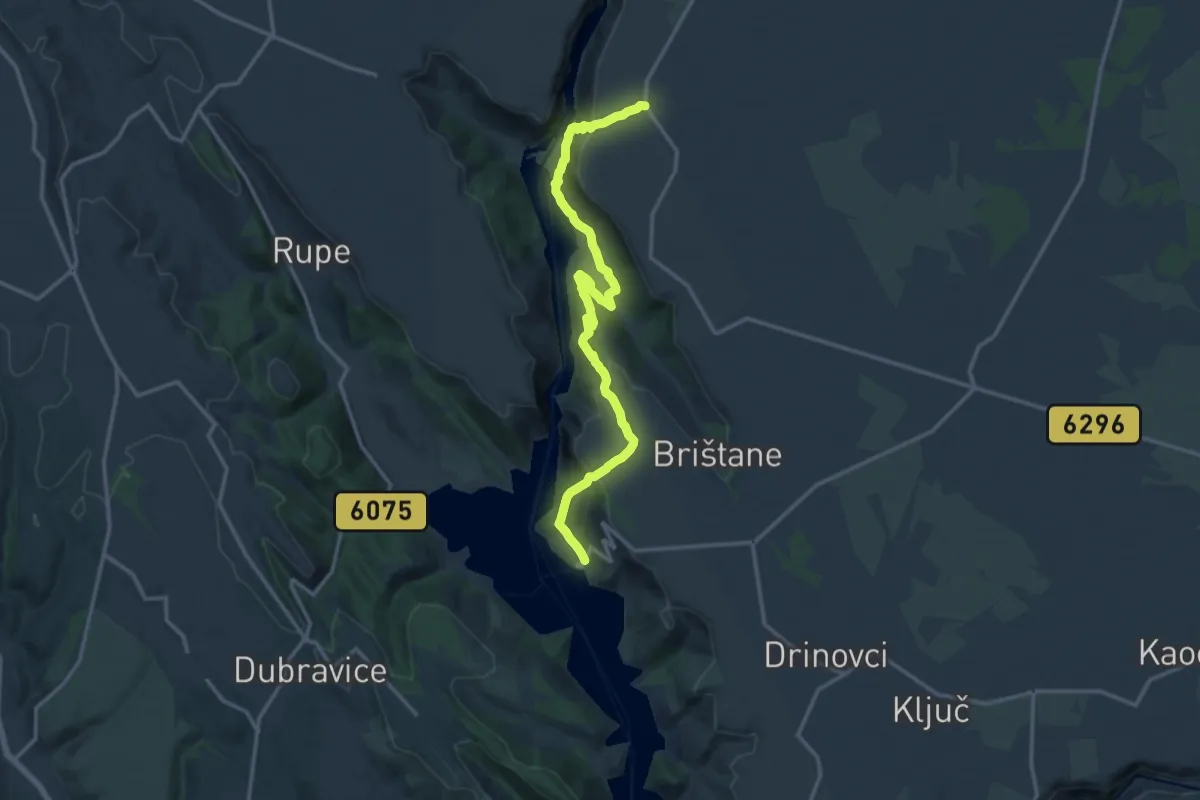
Medium · Trail
Poučno-pješačka staza: Stinice – Roški slap – Oziđana pećina
16.6 km · ↑ 690 m · 5 h 25 min
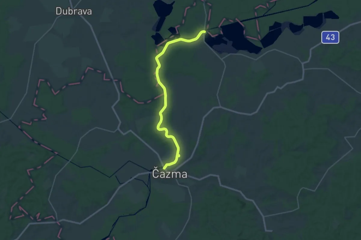
Demanding · Trail
Poučno tematska staza Dolina Česme
24.4 km · ↑ 87 m · 5 h 57 min
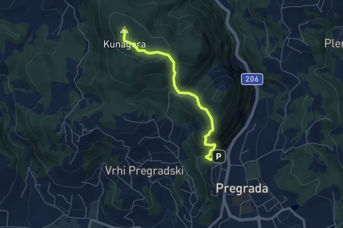
Medium · Summit
Pregrada - vrh Kuna Gore
4.8 km · ↑ 376 m · 1 h 57 min
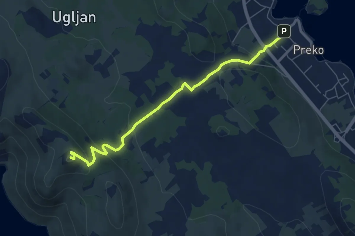
Medium · Summit
Preko - Sv. Mihovil - Željina vela
6.2 km · ↑ 269 m · 2 h 2 min
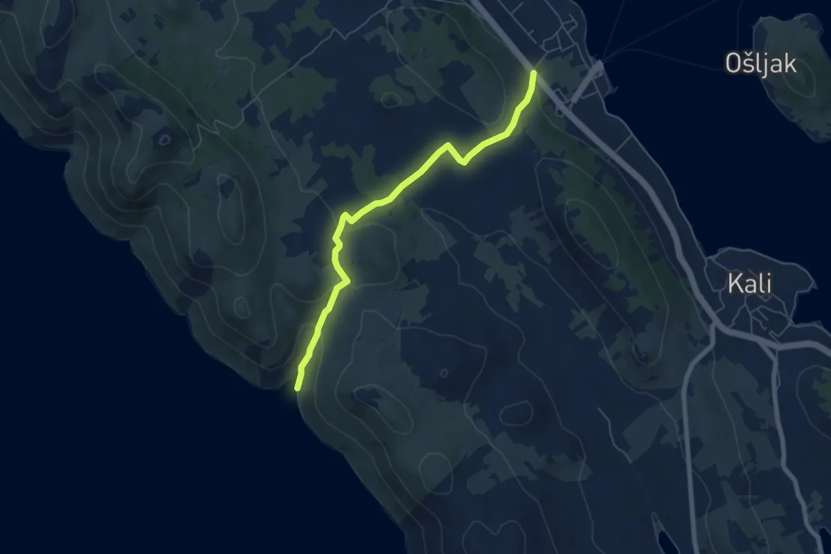
Easy · Trail
Preko-Uvala Svitla
6.1 km · ↑ 229 m · 1 h 56 min
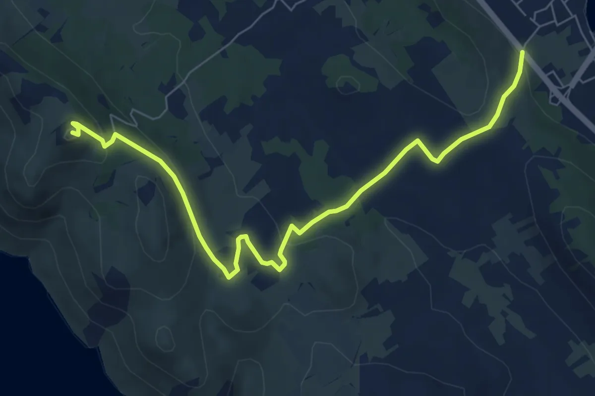
Medium · Summit
Preko-Završće-Vela glava-Sv. Mihovil
8.0 km · ↑ 264 m · 2 h 28 min
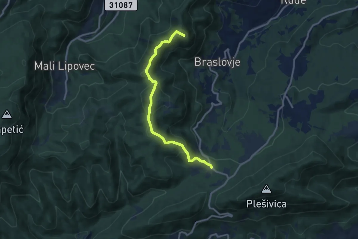
Medium · Summit
Prekrižje - Oštrc
7.4 km · ↑ 363 m · 2 h 32 min
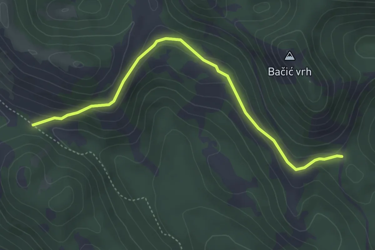
Easy · Trail
Prema Kuginoj kući od Premužićeve staze kod livade Splovine
4.7 km · ↑ 163 m · 1 h 28 min
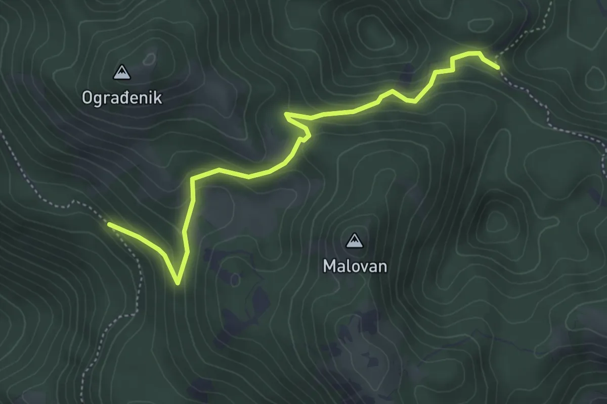
Medium · Trail
Prema Šatorini od Premužićeve staze
5.0 km · ↑ 333 m · 1 h 54 min
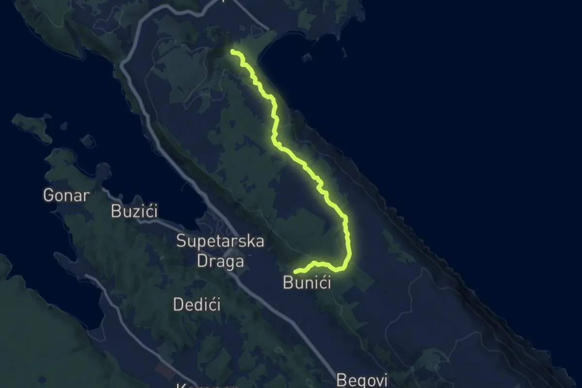
Medium · Trail
Premužićeva staza
10.2 km · ↑ 322 m · 3 h 7 min
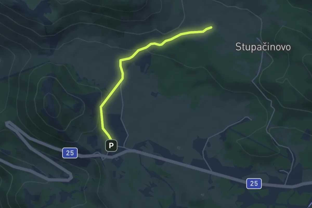
Easy · Trail
Premužićeva staza od Kubusa
4.0 km · ↑ 147 m · 1 h 16 min
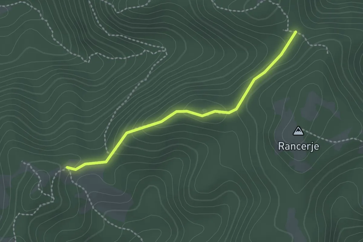
Medium · Trail
Preseka - Beli breg
2.1 km · ↑ 83 m · 41 min
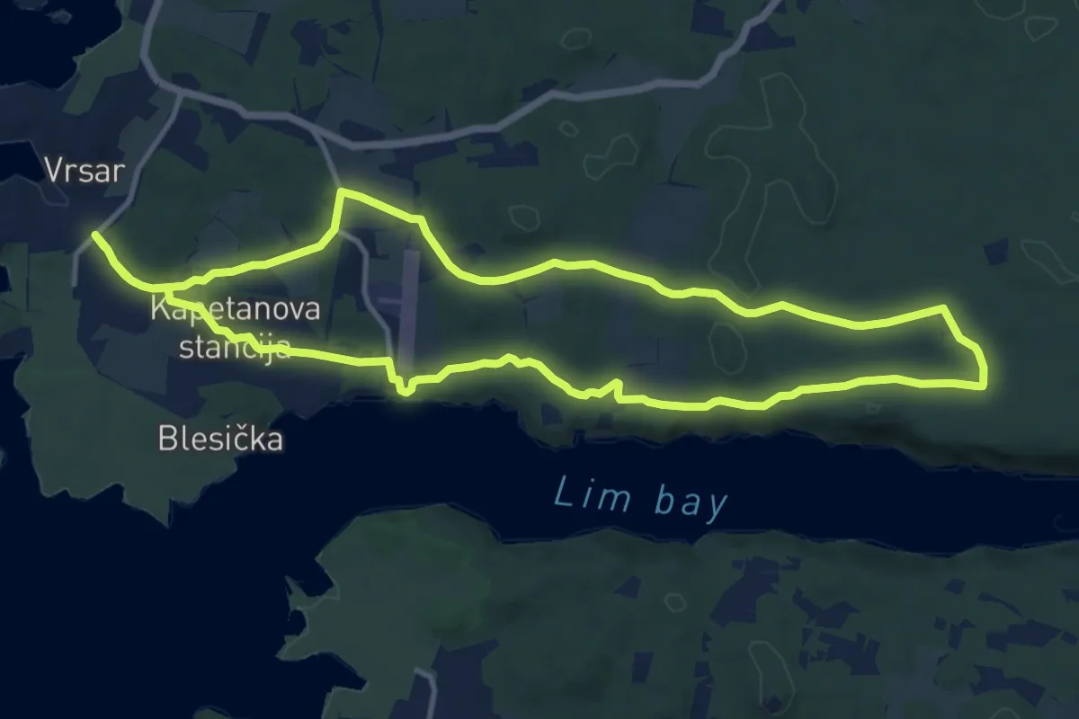
Medium · Summit
Prica o gusaru i otetom blagu
12.3 km · ↑ 122 m · 3 h 20 min
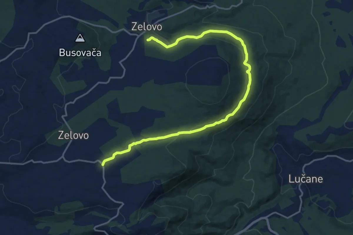
Medium · Trail
protivpožarni put Plišivica
15.0 km · ↑ 361 m · 4 h 19 min
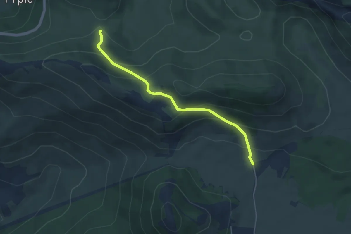
Easy · Trail
Prpić polje - Pržine
4.0 km · ↑ 258 m · 1 h 30 min
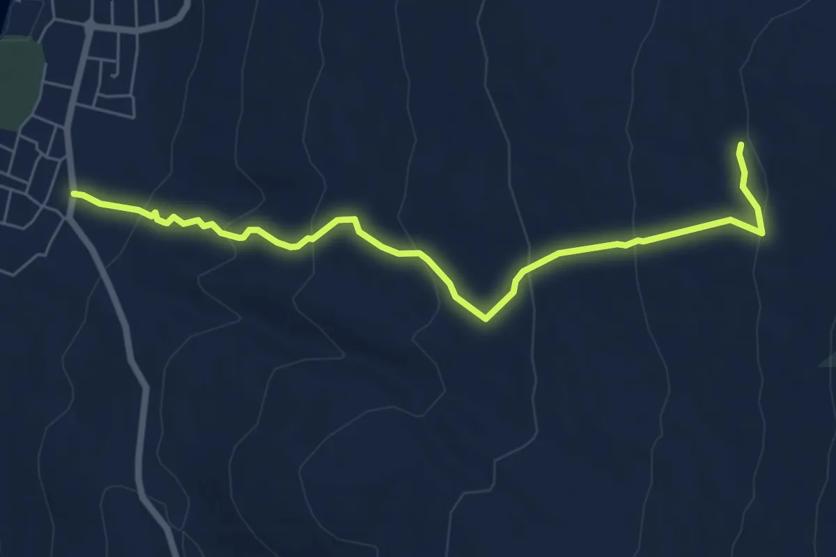
Medium · Trail
Punat - Barbina
6.6 km · ↑ 326 m · 2 h 16 min
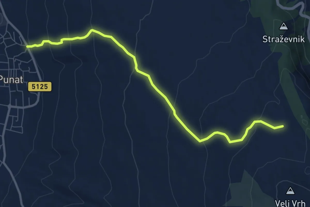
Medium · Trail
Punat - Žičevo
8.4 km · ↑ 377 m · 2 h 48 min
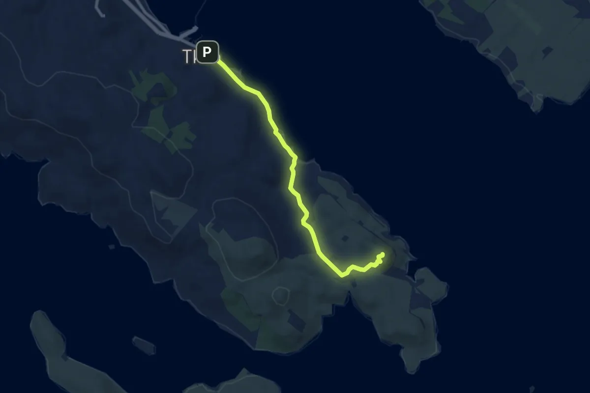
Medium · Summit
Pustograd
8.1 km · ↑ 94 m · 2 h 7 min
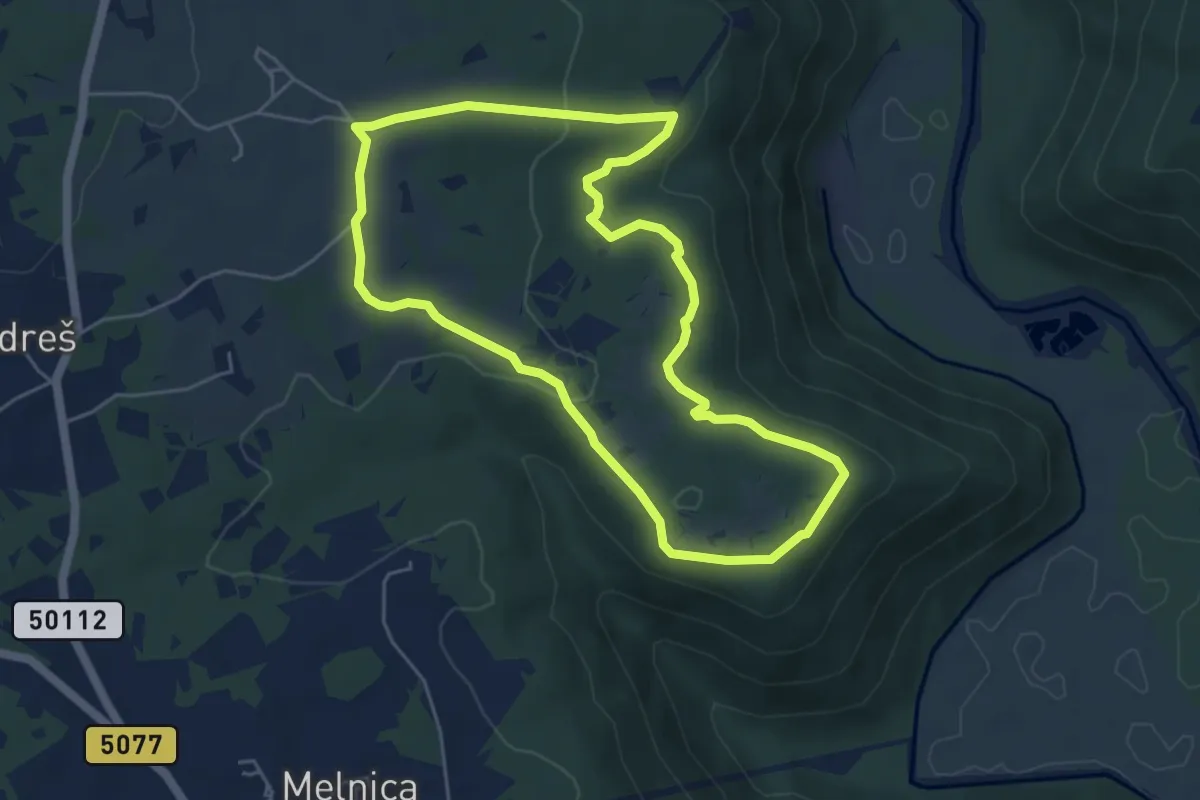
Easy · Trail
Putem šparuga
5.2 km · ↑ 92 m · 1 h 30 min
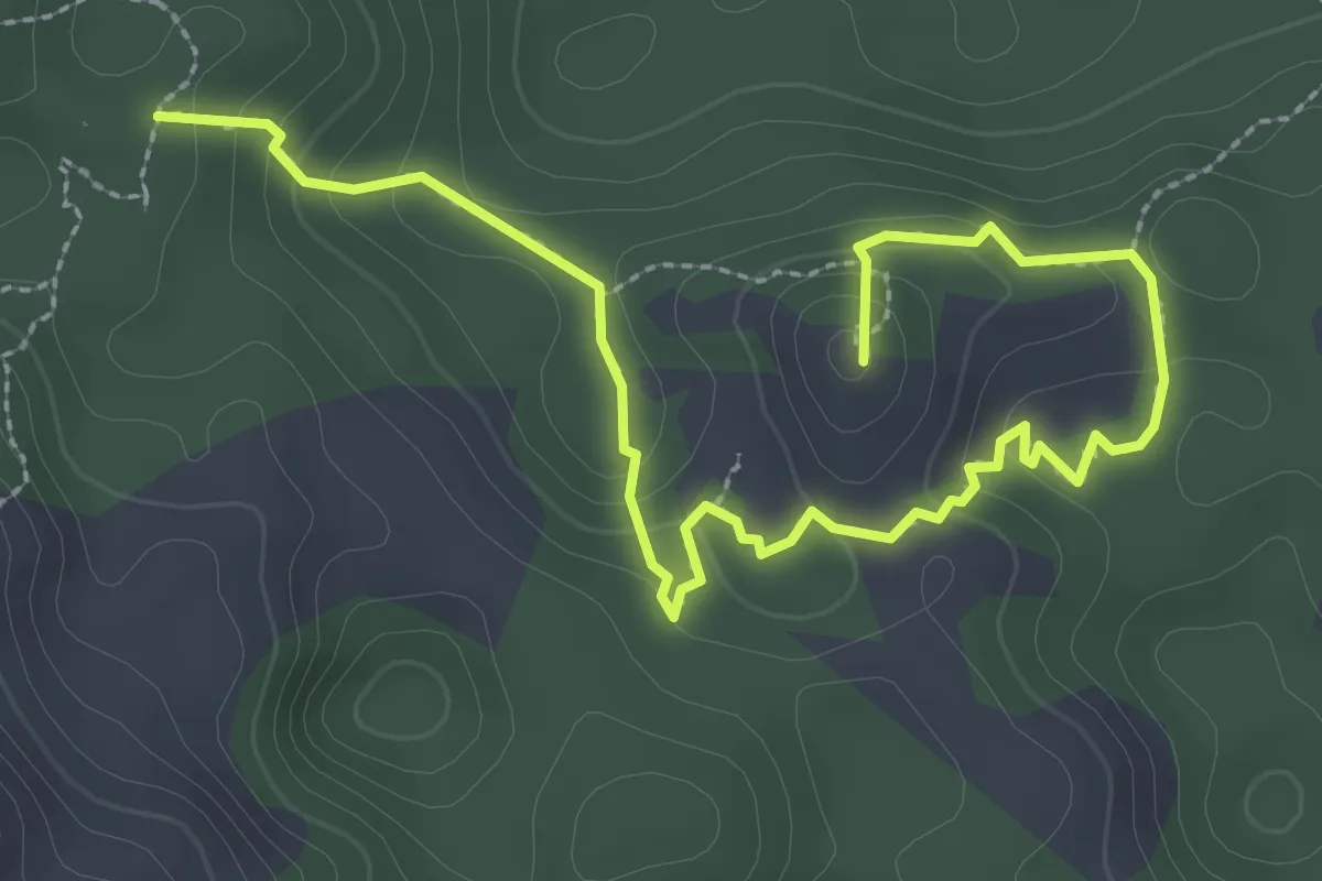
Expert · Summit
Put Malog princa
3.9 km · ↑ 178 m · 1 h 18 min
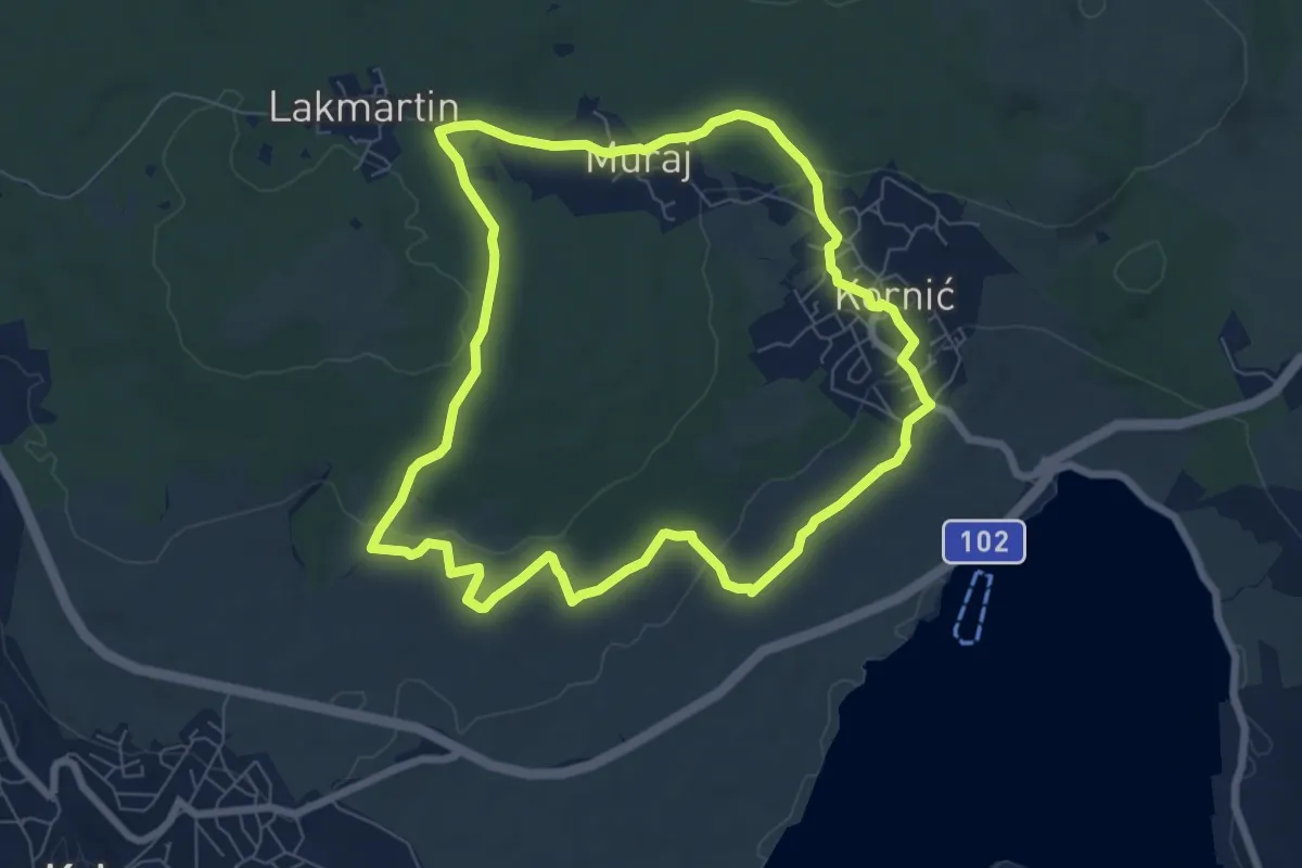
Easy · Trail
Put maslina
7.4 km · ↑ 141 m · 2 h 10 min
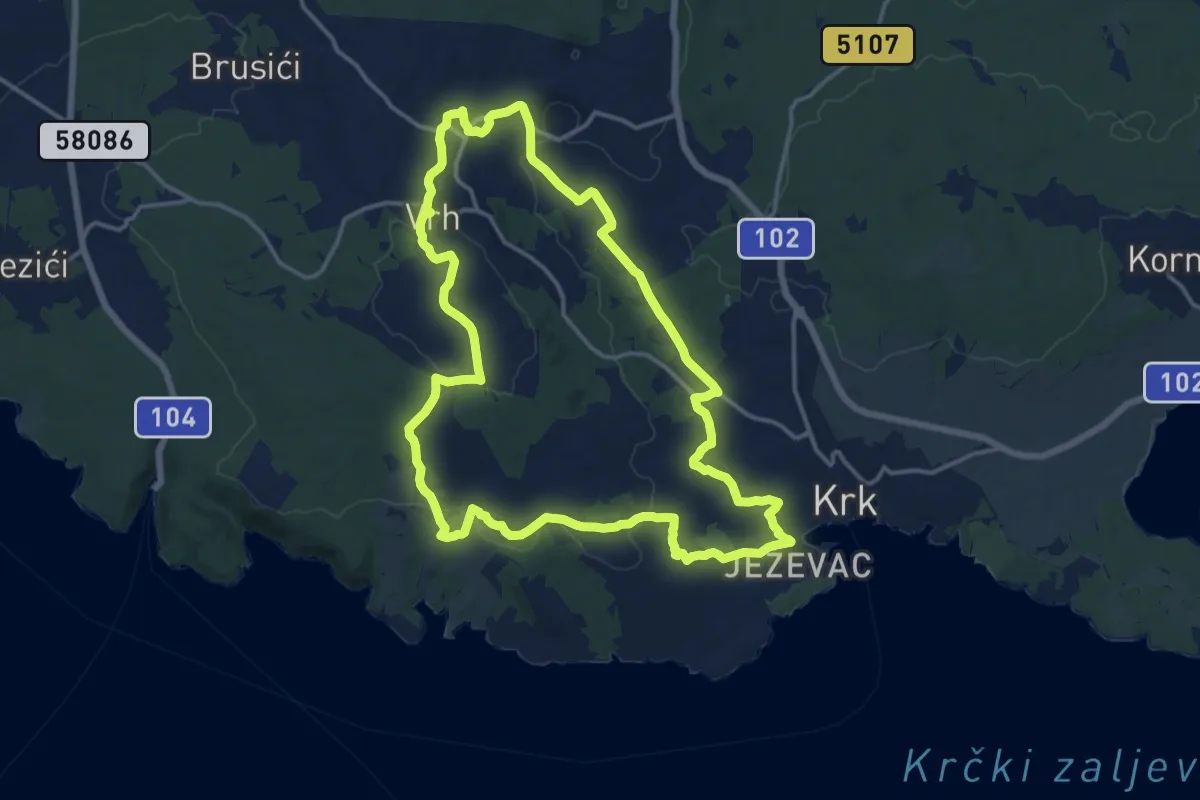
Medium · Trail
Put maslina
15.6 km · ↑ 307 m · 4 h 34 min
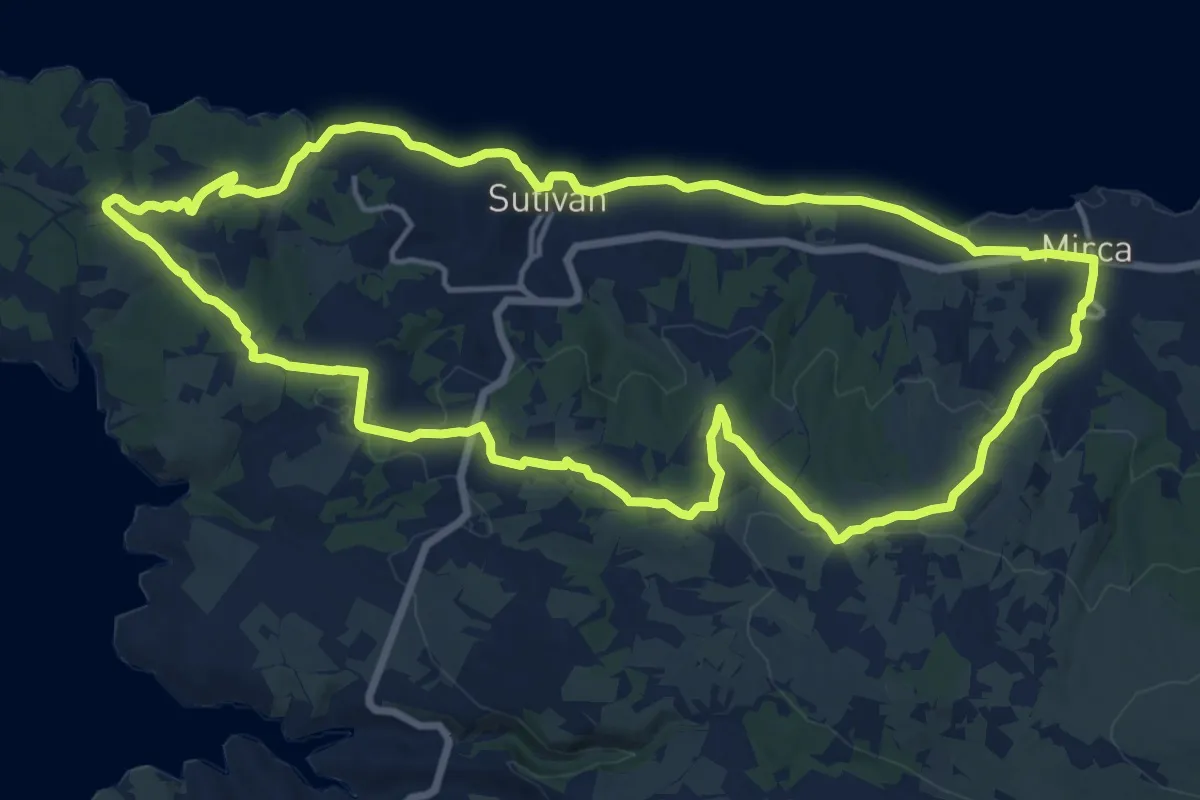
Medium · Trail
Put maslinova ulja
17.4 km · ↑ 258 m · 4 h 54 min
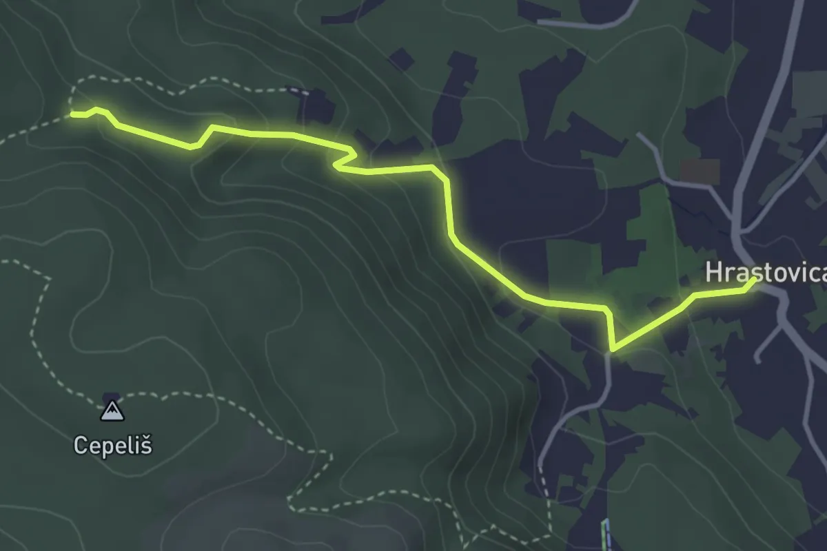
Medium · Trail
Put na gradinu Staru Hrastovicu
3.8 km · ↑ 212 m · 1 h 21 min
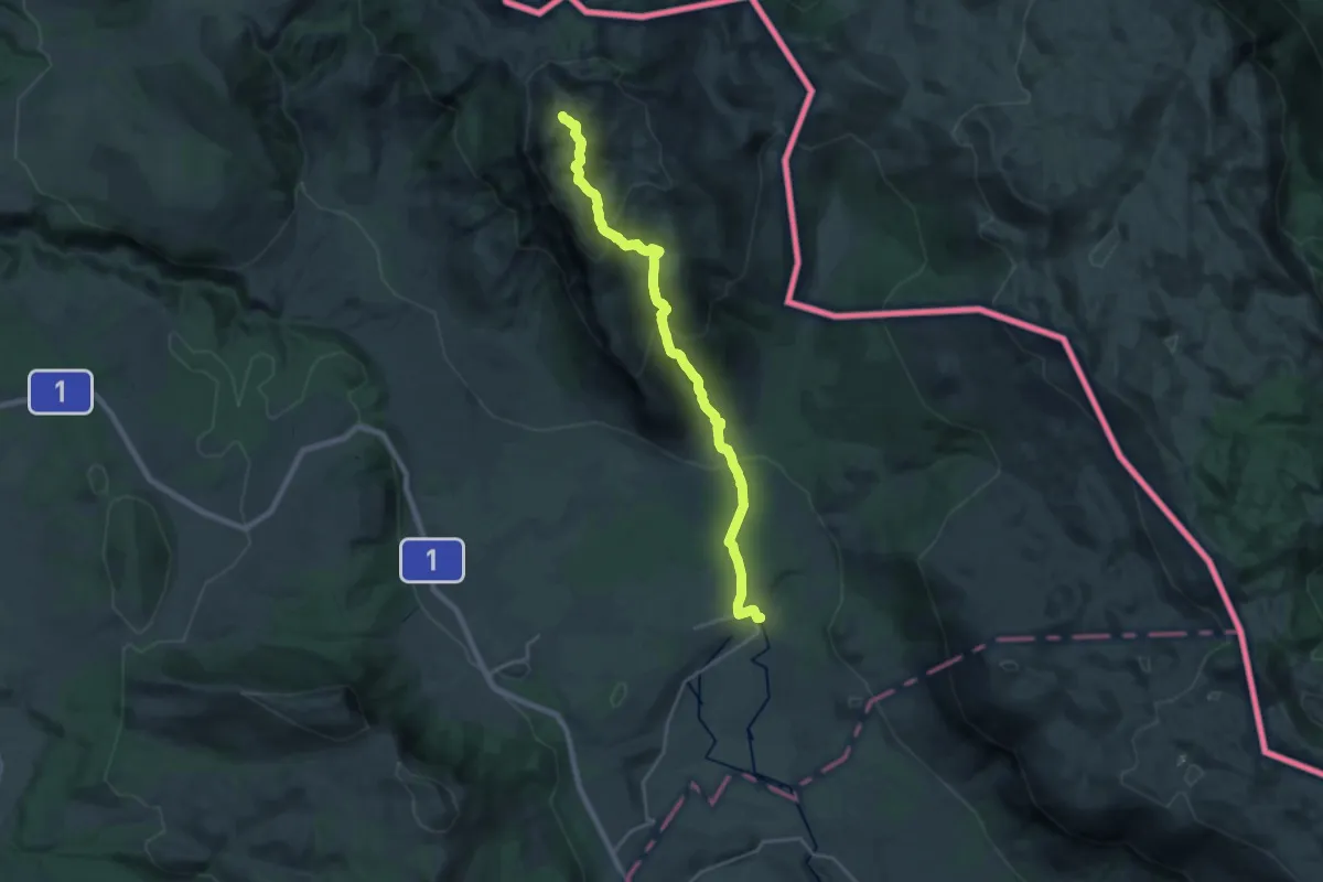
Demanding · Summit
Put preko vrha Dinare
25.0 km · ↑ 1419 m · 8 h 58 min
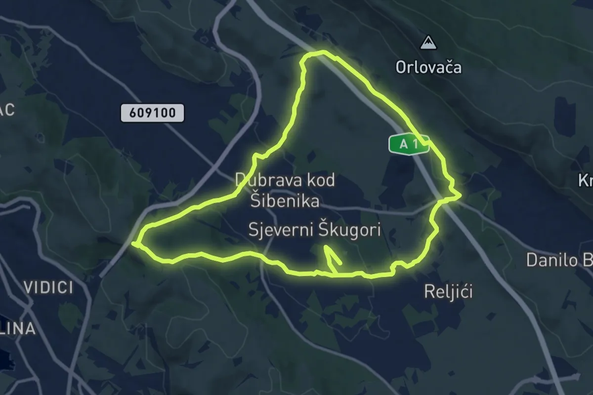
Demanding · Trail
Put Sokola
24.3 km · ↑ 489 m · 6 h 48 min
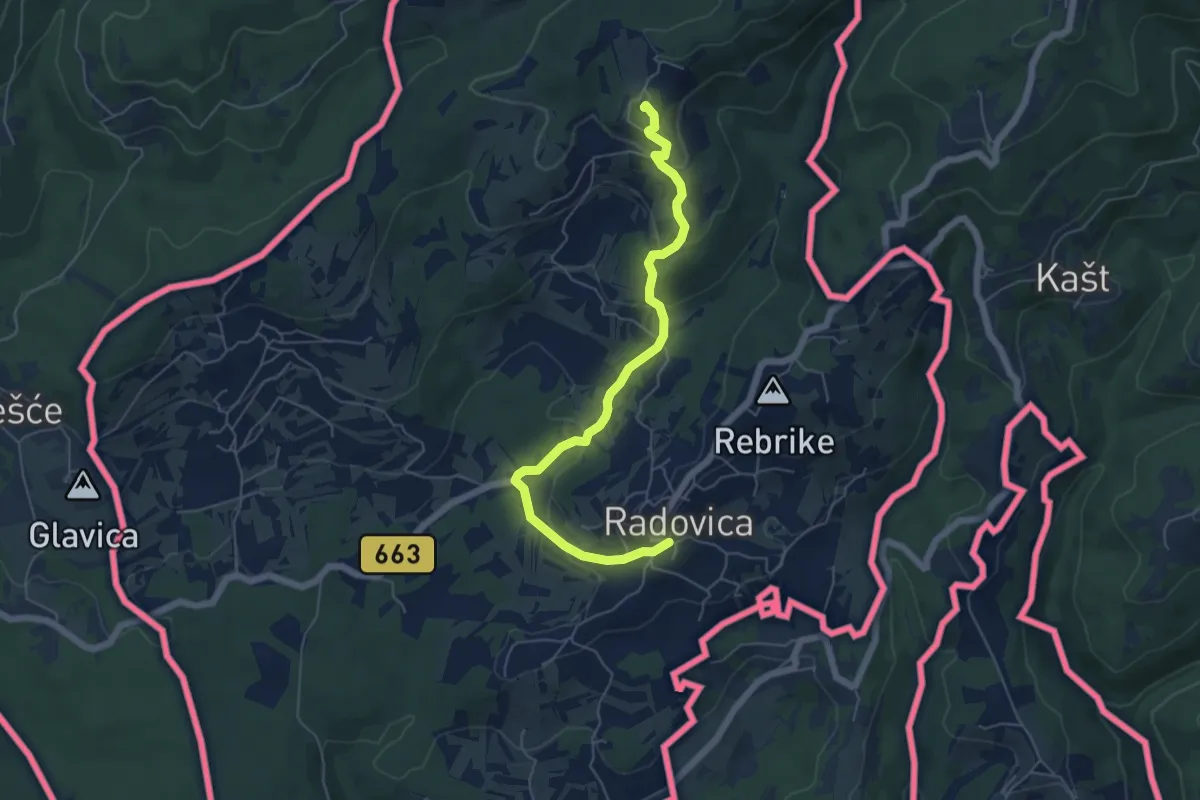
Easy · Summit
Radovica - Krašnji vrh
6.0 km · ↑ 251 m · 1 h 58 min
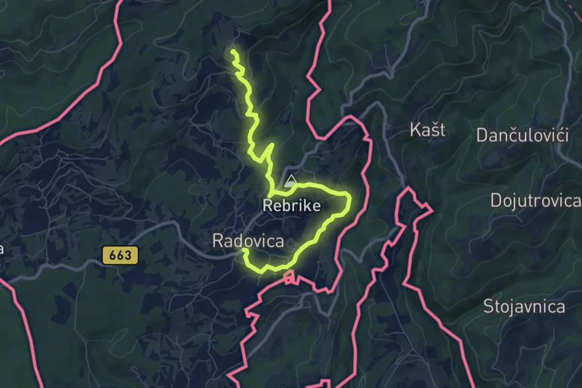
Medium · Summit
Radovica - Radoši - Krašnji vrh
8.7 km · ↑ 360 m · 2 h 50 min
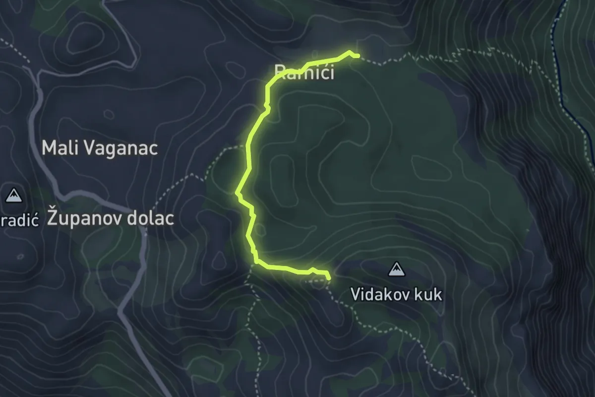
Demanding · Trail
Ramići - Vidakov kuk
3.4 km · ↑ 142 m · 1 h 7 min
Demanding · Trail
Ramino korito
10.9 km · ↑ 785 m · 4 h 17 min
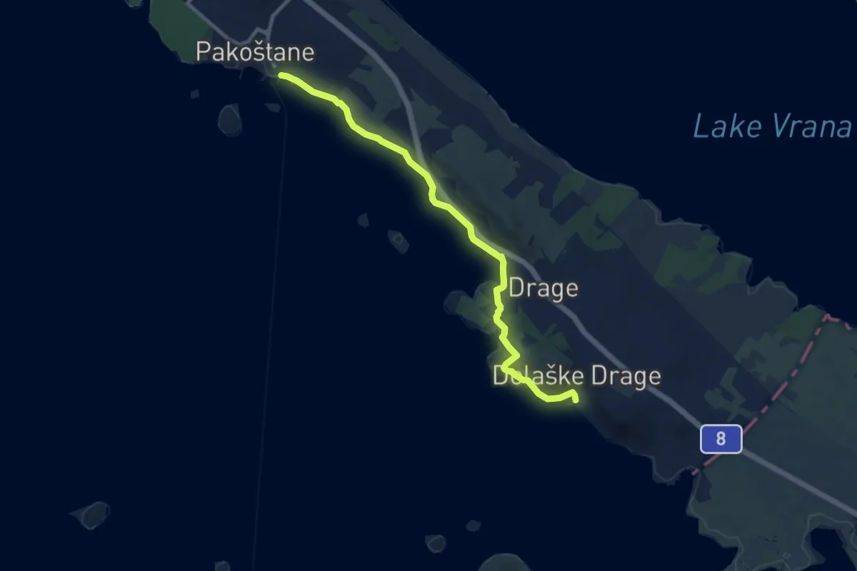
Medium · Trail
Rampart Trail
10.1 km · ↑ 124 m · 2 h 39 min
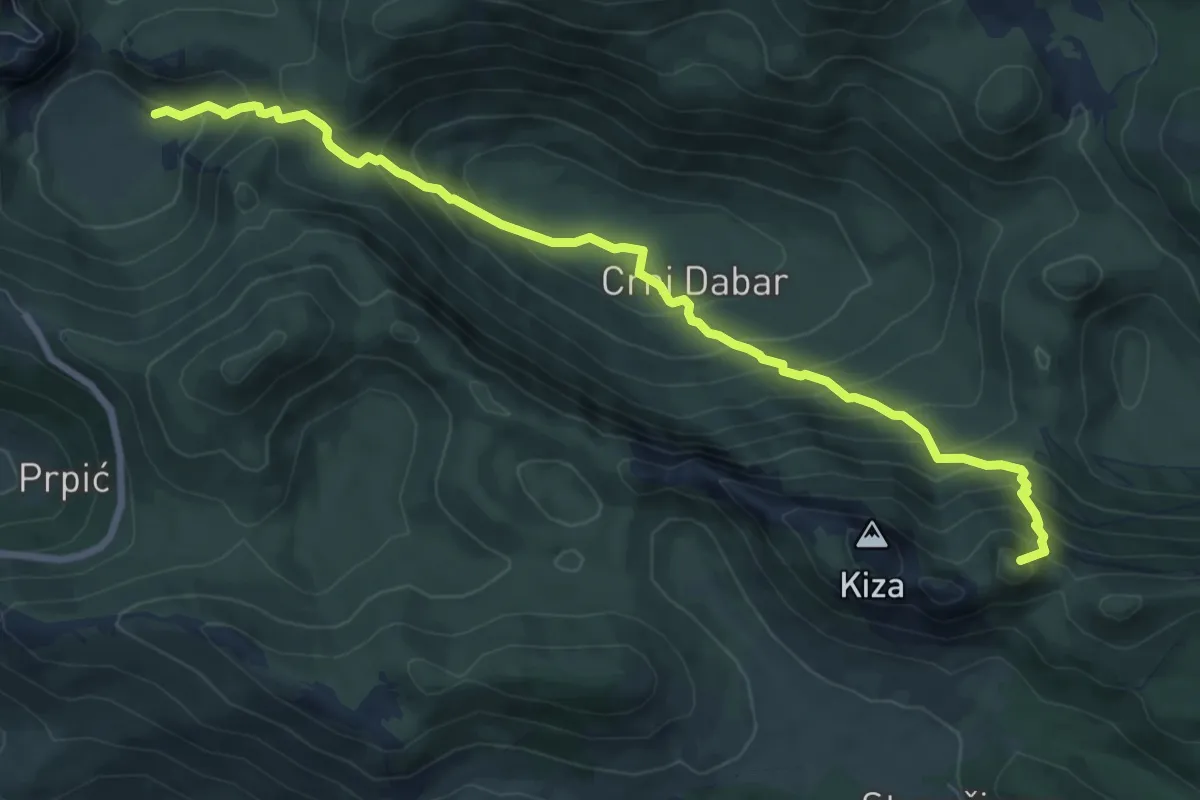
Demanding · Summit
Ravni dabar do Alaginca preko Crnog dabra
9.1 km · ↑ 816 m · 3 h 56 min
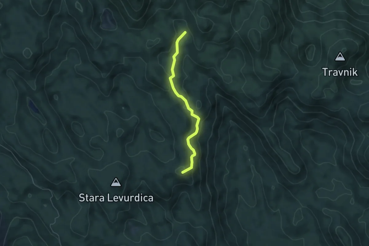
Easy · Summit
Ravno Podolje - Medvjeđa vrata
4.6 km · ↑ 227 m · 1 h 35 min
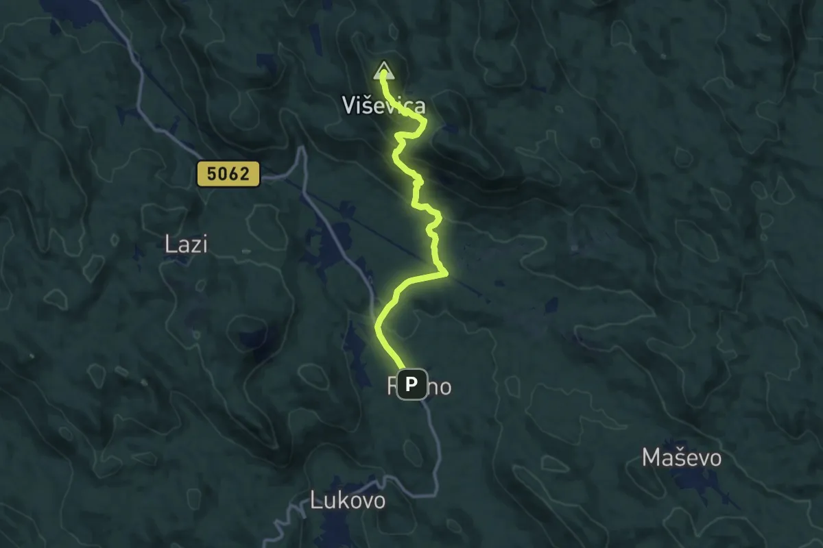
Medium · Summit
Ravno - Viševica
10.8 km · ↑ 549 m · 3 h 45 min
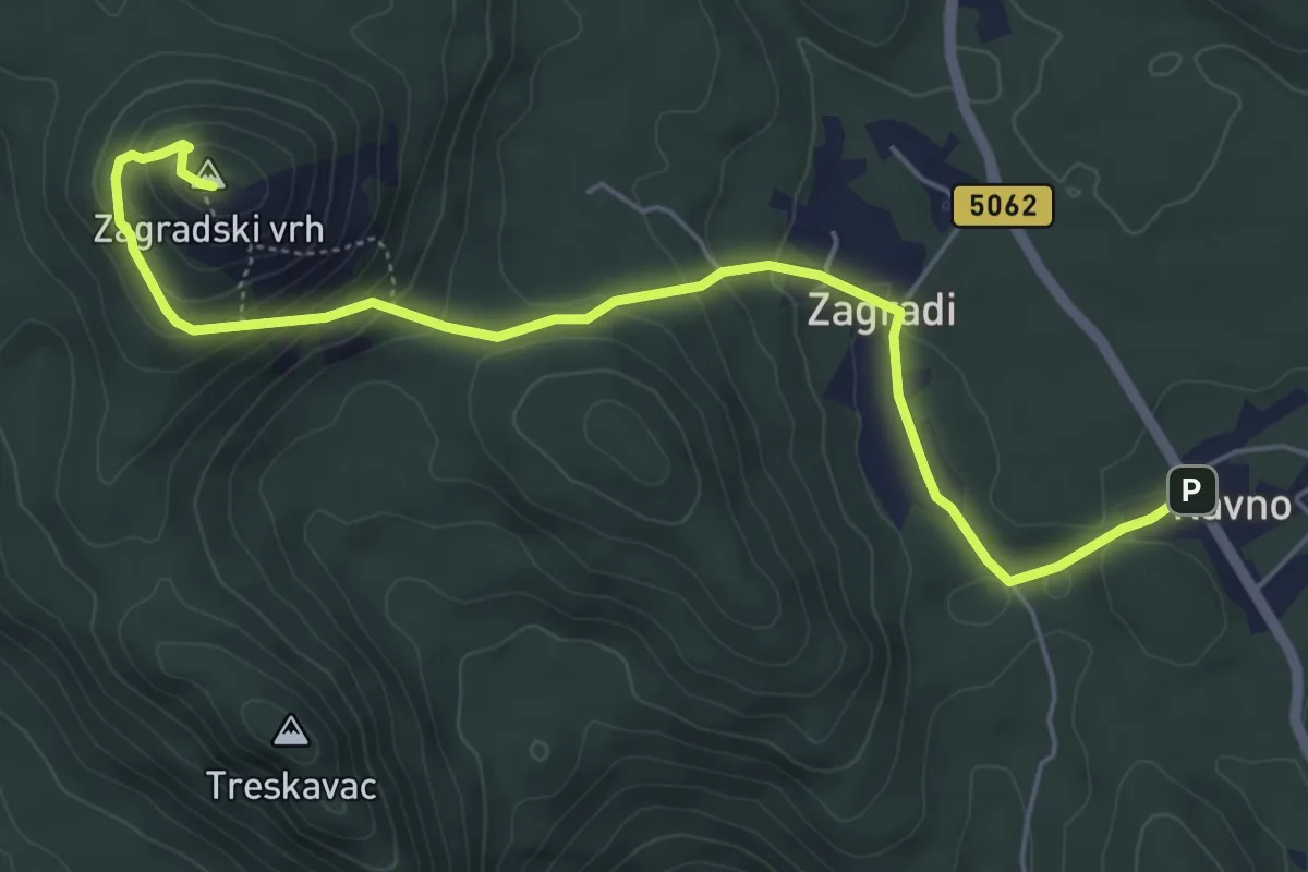
Medium · Summit
Ravno - Zagradski vrh
6.3 km · ↑ 307 m · 2 h 9 min
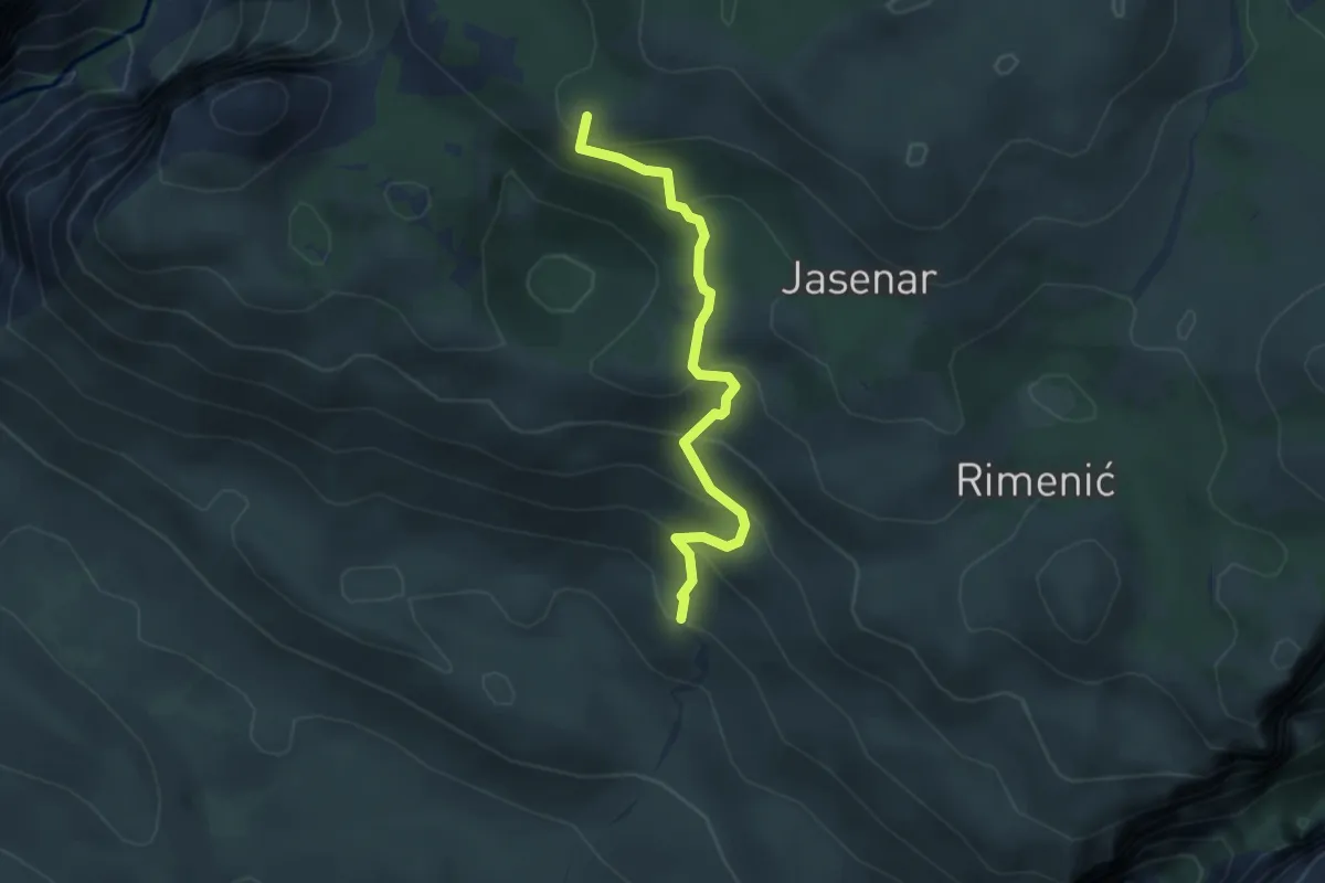
Easy · Summit
Razvršje-Anića Kuk
3.7 km · ↑ 313 m · 1 h 34 min
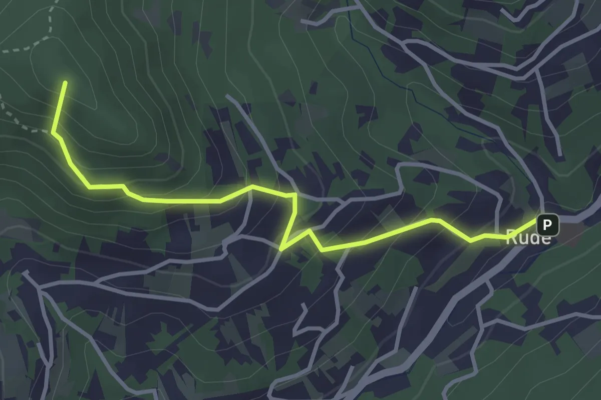
Medium · Summit
Rude - Oštrc
3.3 km · ↑ 288 m · 1 h 24 min
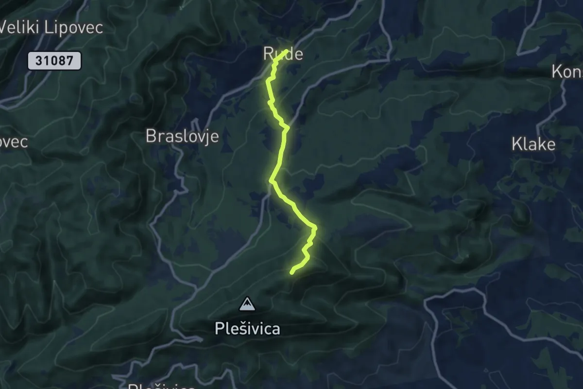
Medium · Trail
Rude - Plešivica
7.4 km · ↑ 462 m · 2 h 45 min
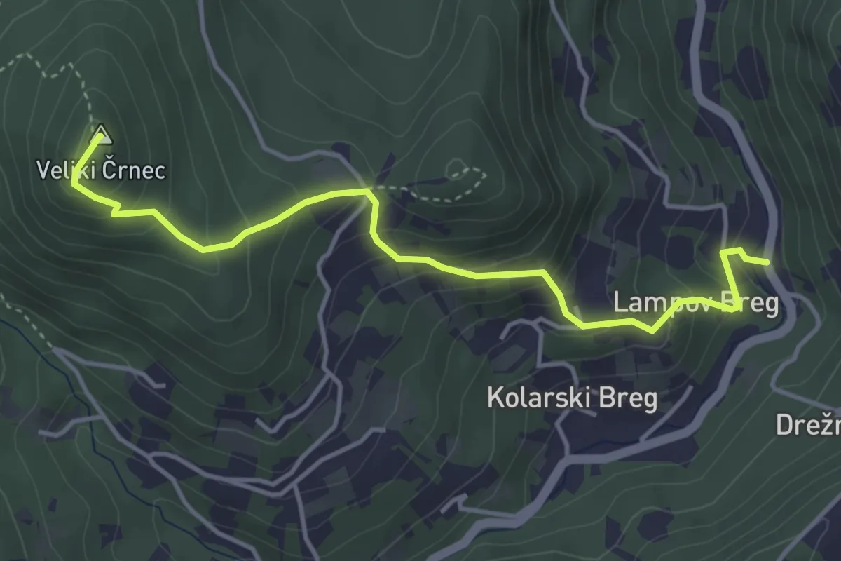
Medium · Summit
Rude - Veliki Črnec - Pozorin
4.2 km · ↑ 353 m · 1 h 46 min
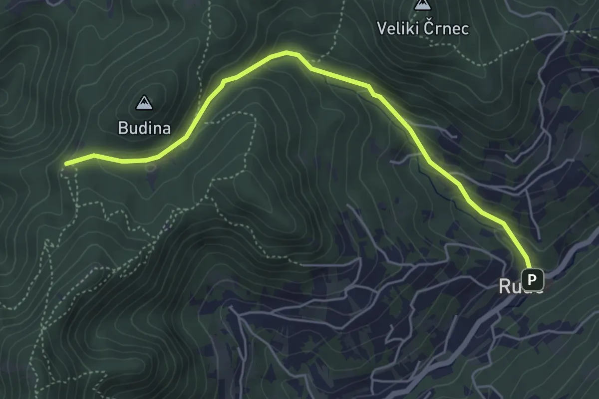
Medium · Cabin
Rude - Veliki Dol
5.1 km · ↑ 247 m · 1 h 44 min
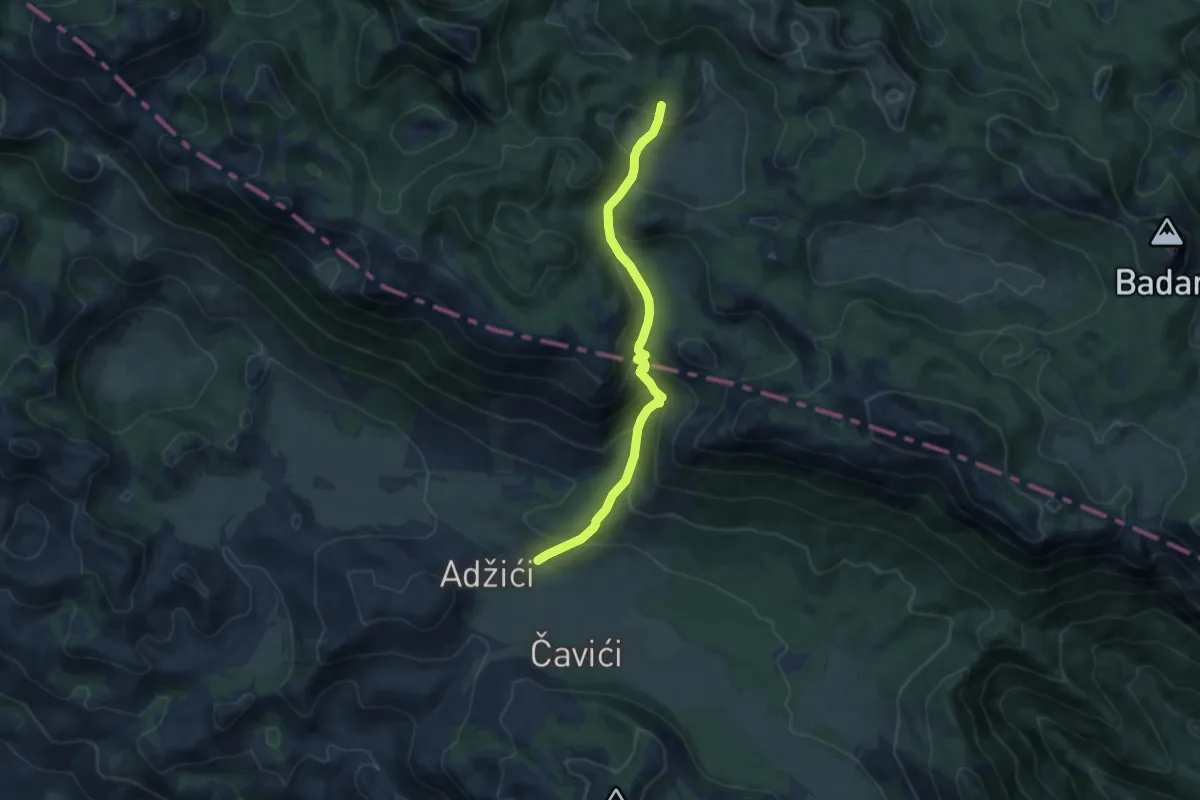
Medium · Trail
Rujno - Oglavinovac
9.0 km · ↑ 589 m · 3 h 24 min
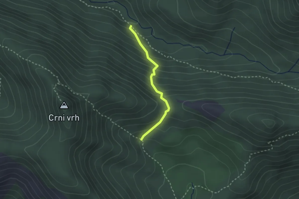
Medium · Trail
Samarđinovac - Velika Močila (spojni put)
2.1 km · ↑ 208 m · 57 min
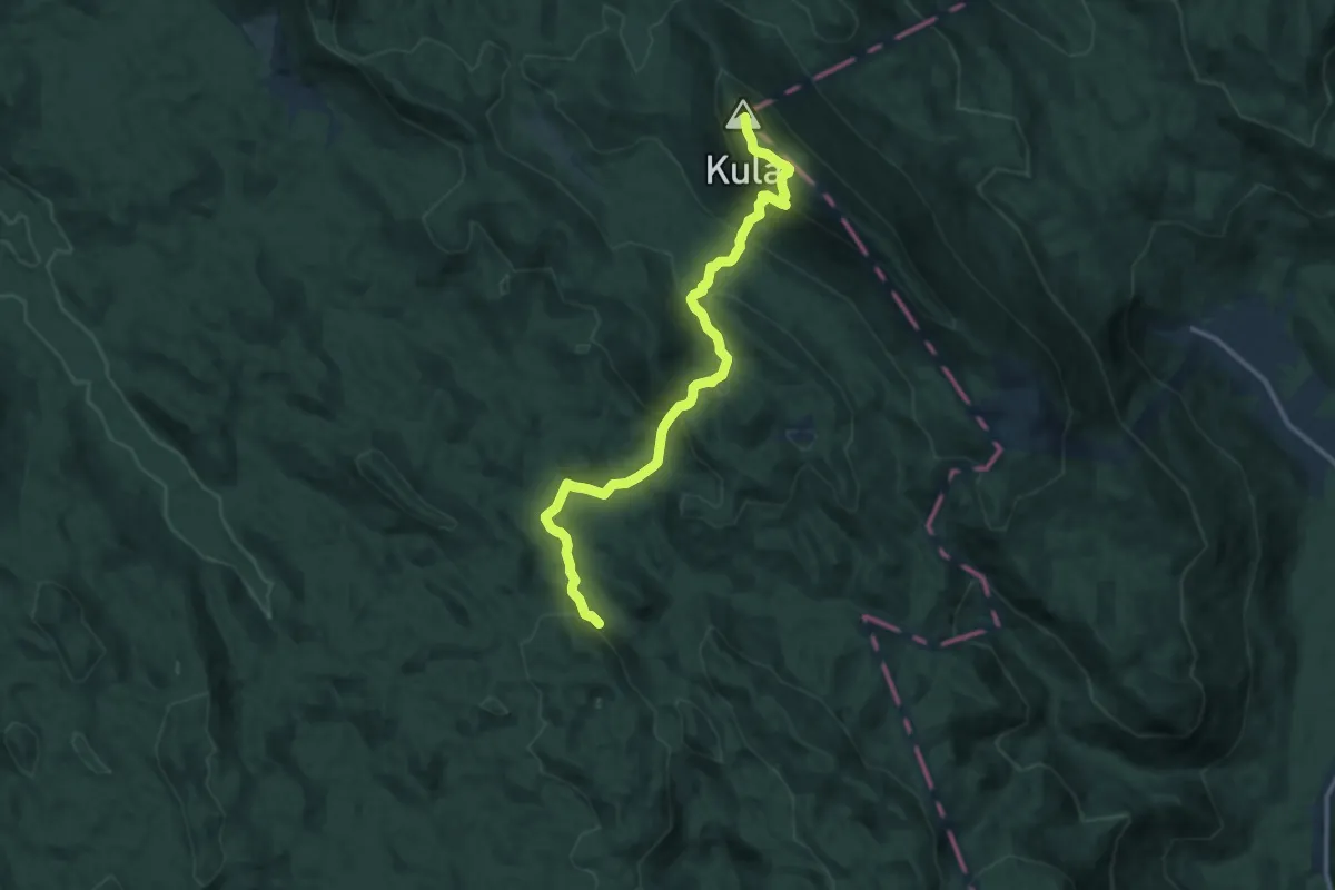
Medium · Summit
Samarske stijene - Bjelolasica
13.7 km · ↑ 644 m · 4 h 38 min
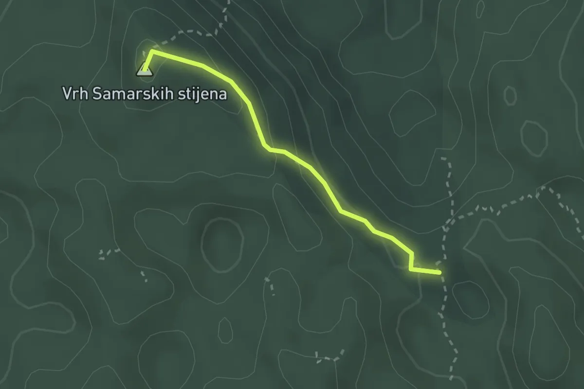
Medium · Summit
Samarske stijene od Ratkovog skloništa
2.1 km · ↑ 109 m · 45 min
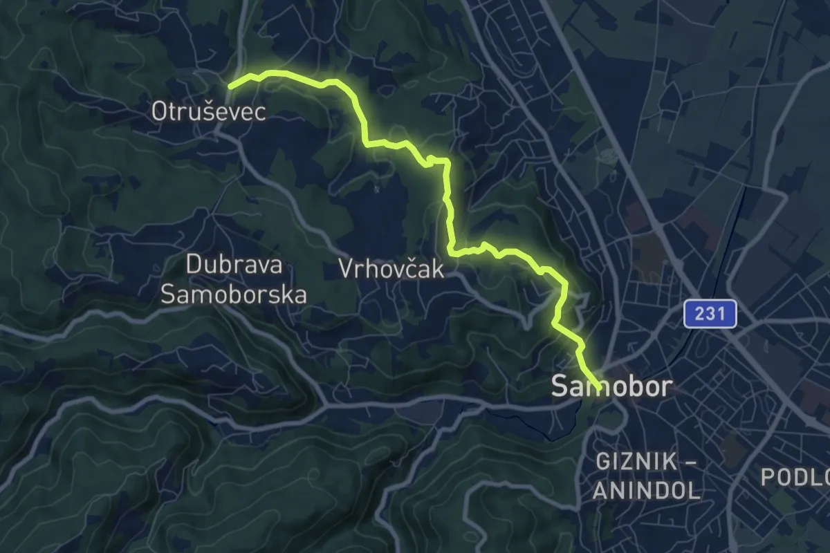
Medium · Trail
Samobor - Grgosova špilja
8.3 km · ↑ 276 m · 2 h 34 min
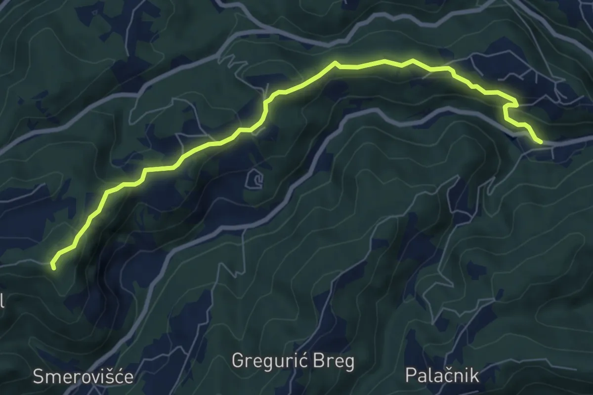
Medium · Summit
Samobor (Hamor) - Slani dol
7.6 km · ↑ 345 m · 2 h 32 min