Trails in Croatia
922 hiking trails, each with its route, climb, walking time and grade.
All trails, page 14 of 20
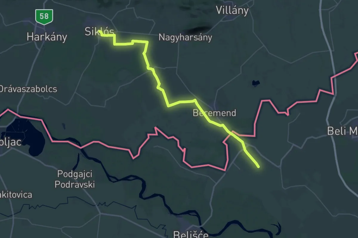
Demanding · Trail
ST820 Siklos - Osijek
24.0 km · ↑ 47 m · 6 h 6 min
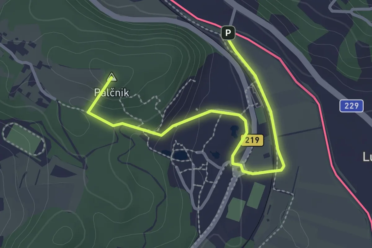
Easy · Summit
Štajersko-zagorska krožna pot
2.9 km · ↑ 90 m · 53 min
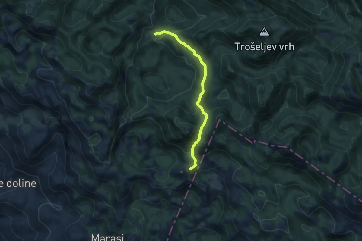
Medium · Summit
Stap - Jelova Ruja
8.4 km · ↑ 459 m · 2 h 58 min
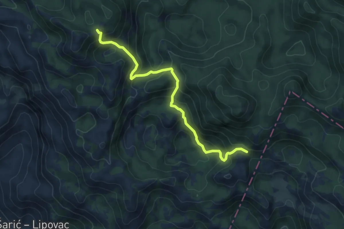
Medium · Trail
Stap - odvojak za Panos
7.7 km · ↑ 625 m · 3 h 11 min
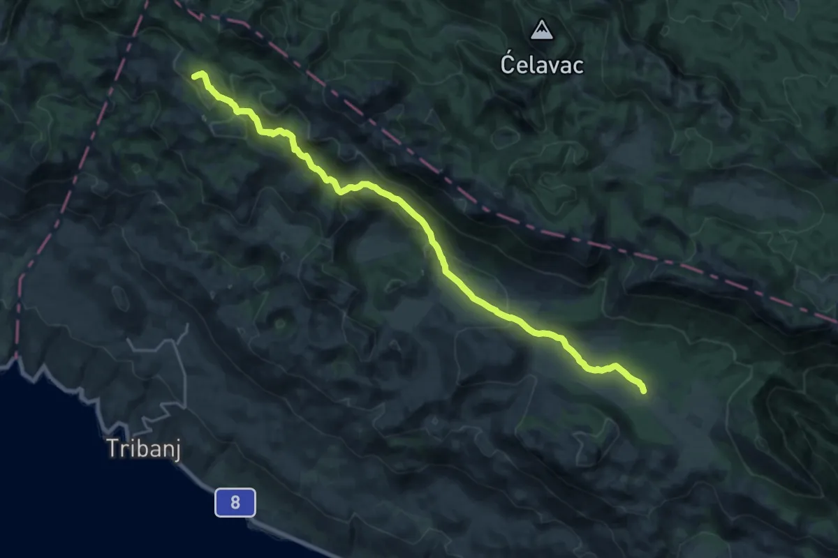
Demanding · Summit
Stap - Veliko Rujno
21.1 km · ↑ 791 m · 6 h 41 min
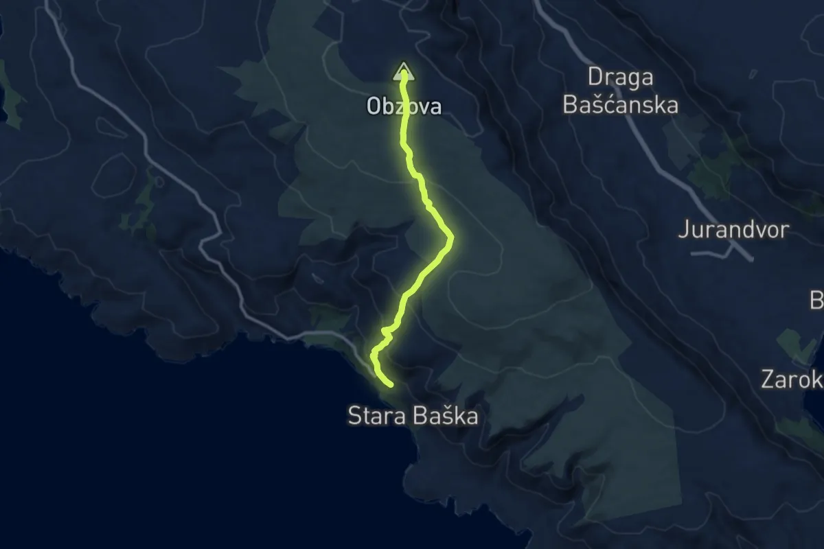
Medium · Summit
Stara Baška - Obzova
9.0 km · ↑ 480 m · 3 h 10 min
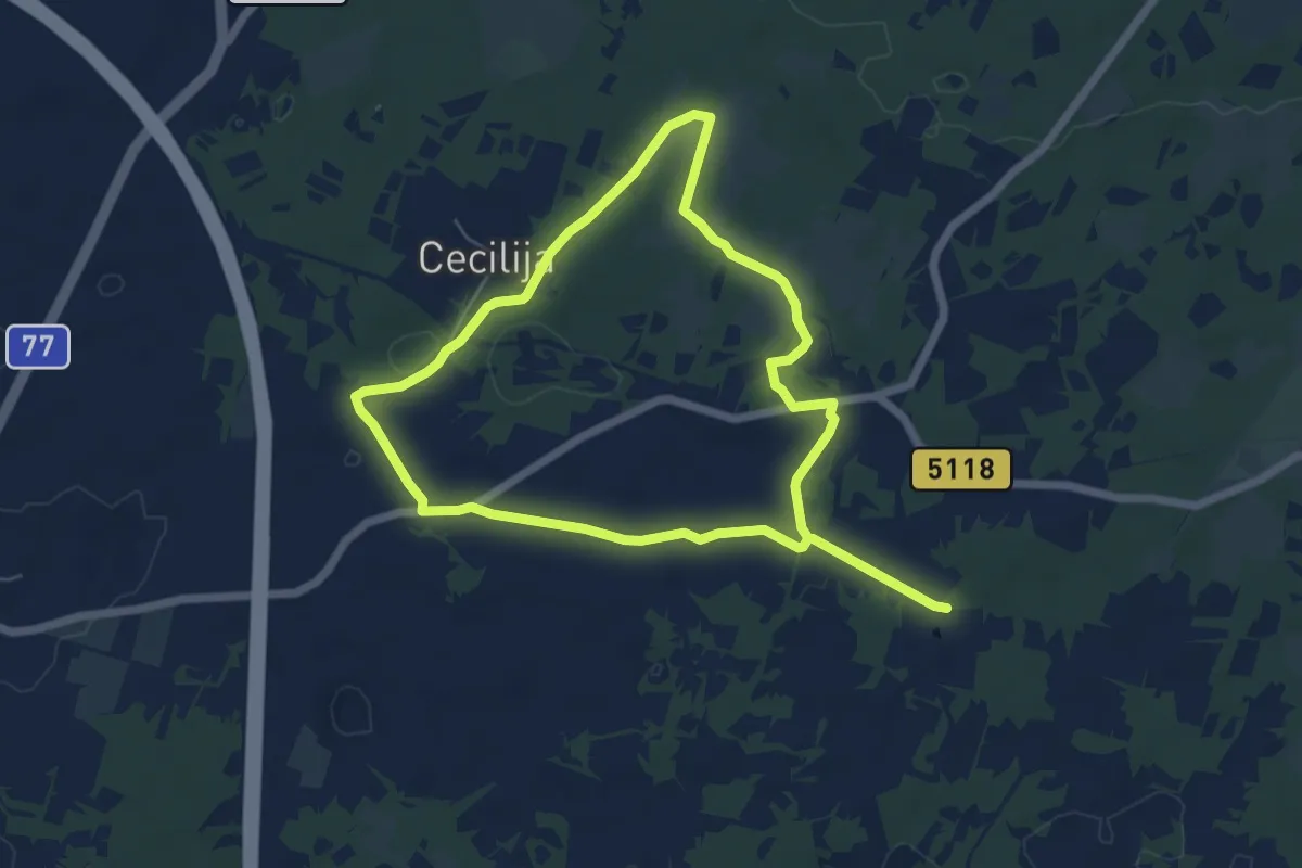
Medium · Trail
Stare Bazilike
11.4 km · ↑ 68 m · 2 h 51 min
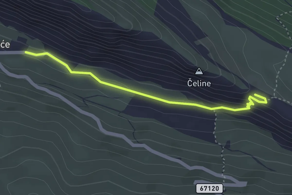
Medium · Trail
Stare Duće - Gospa od Sniga
3.4 km · ↑ 94 m · 1 h
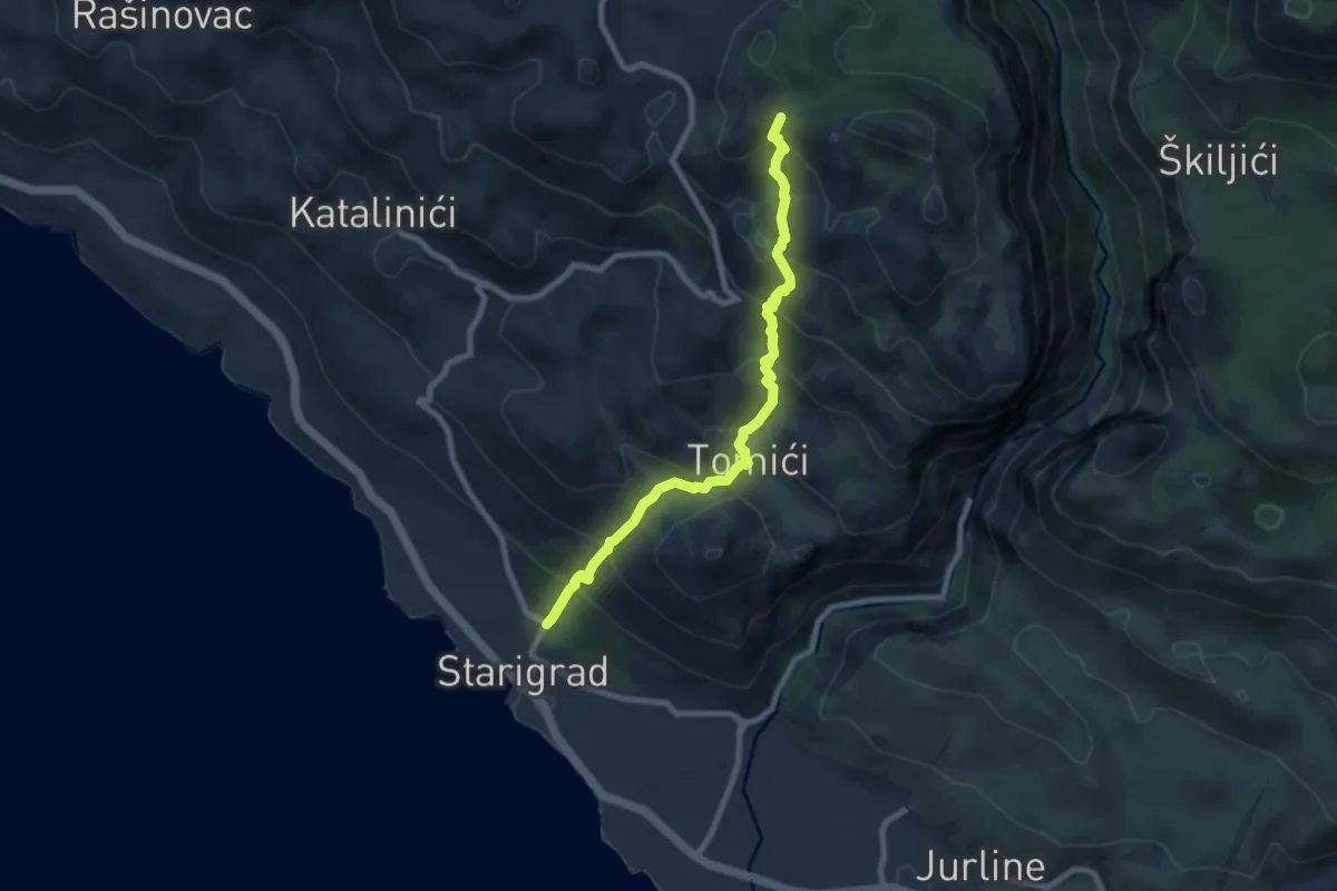
Medium · Trail
Starigrad - spoj s putom Ramići/Vidakov kuk
8.1 km · ↑ 706 m · 3 h 26 min
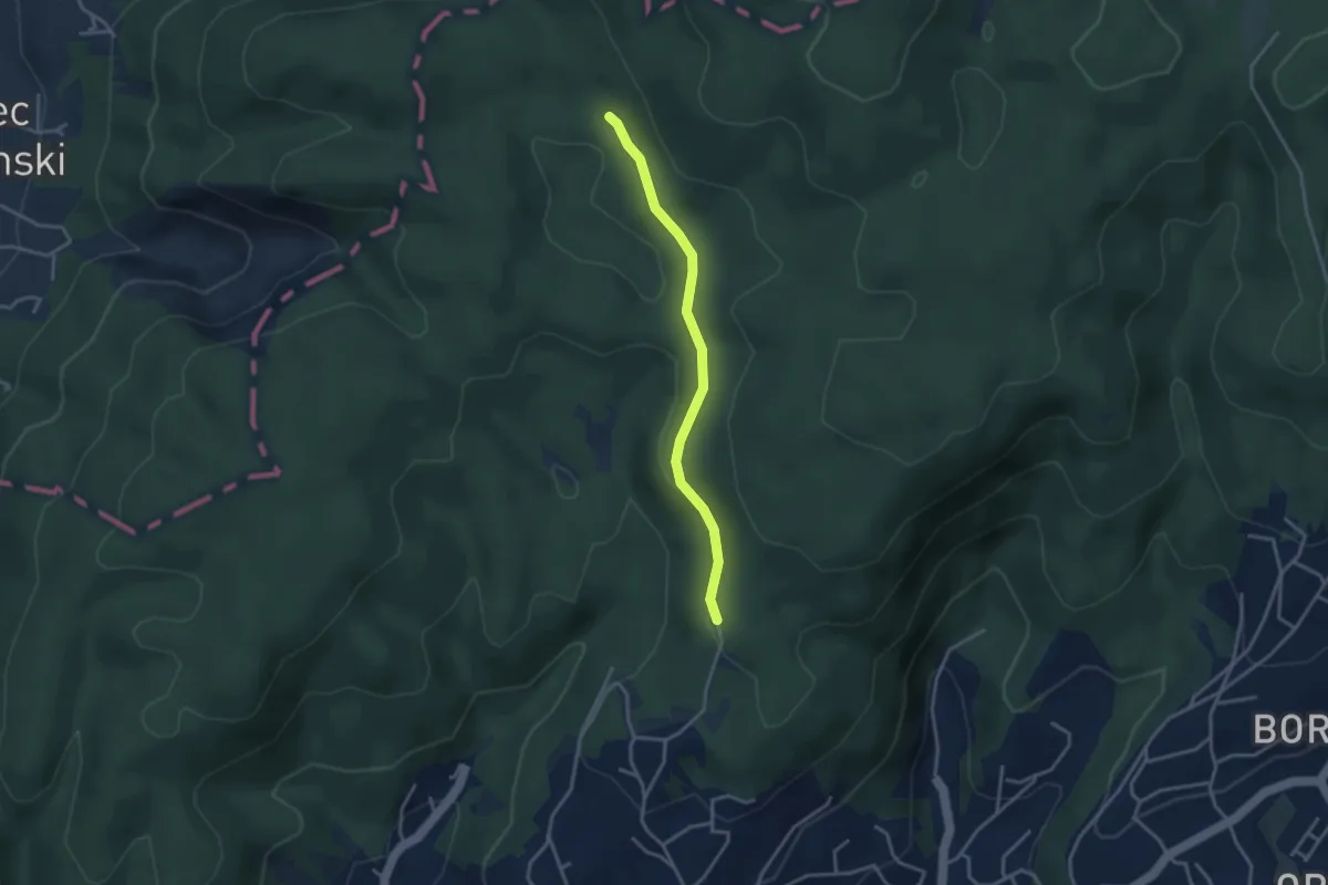
Medium · Trail
Staza 2A
3.1 km · ↑ 52 m · 51 min
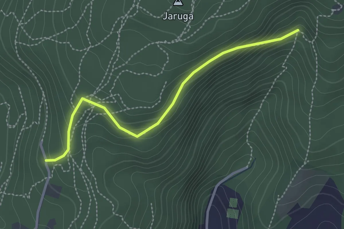
Medium · Trail
Staza 2B
2.7 km · ↑ 129 m · 55 min
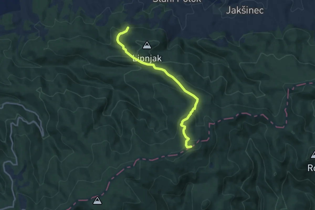
Medium · Summit
Staza 35
8.3 km · ↑ 423 m · 2 h 53 min
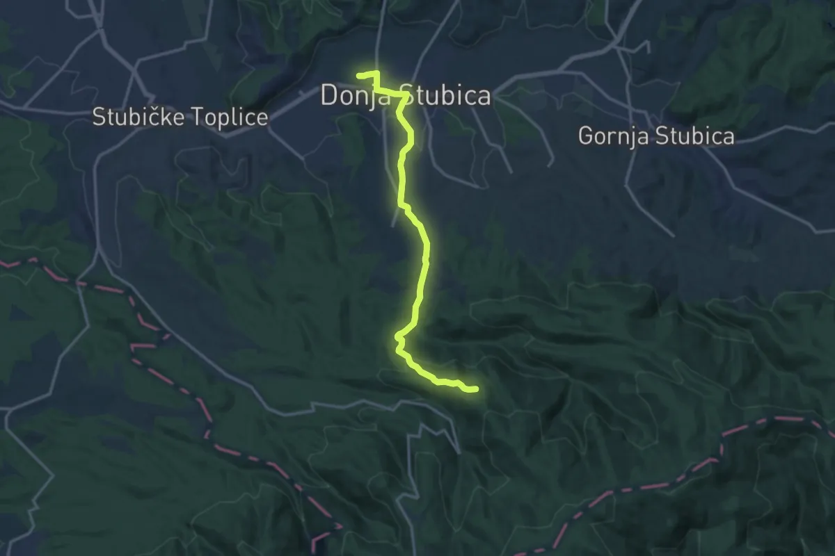
Medium · Cabin
Staza 37
12.5 km · ↑ 343 m · 3 h 42 min
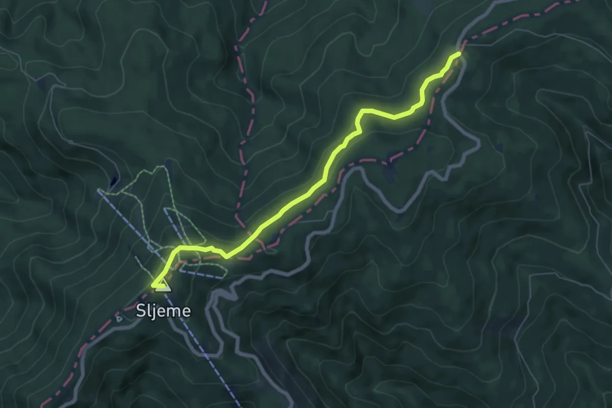
Medium · Summit
Staza 44
6.4 km · ↑ 258 m · 2 h 5 min
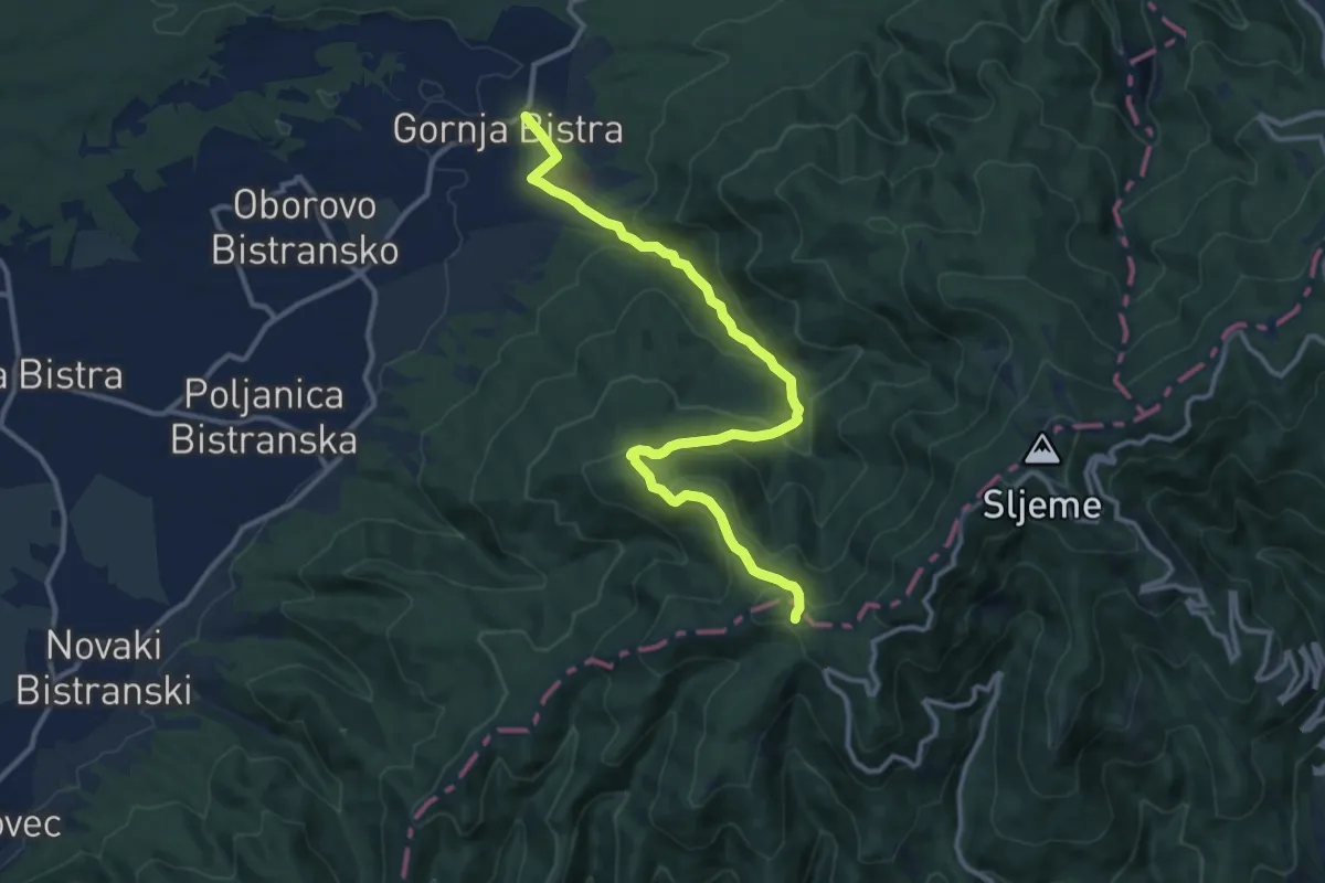
Medium · Trail
Staza 46
13.0 km · ↑ 631 m · 4 h 26 min
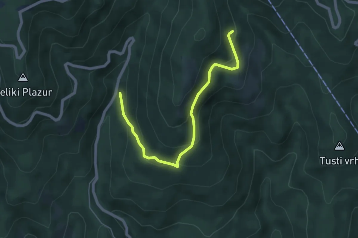
Medium · Trail
Staza 48
4.6 km · ↑ 277 m · 1 h 41 min
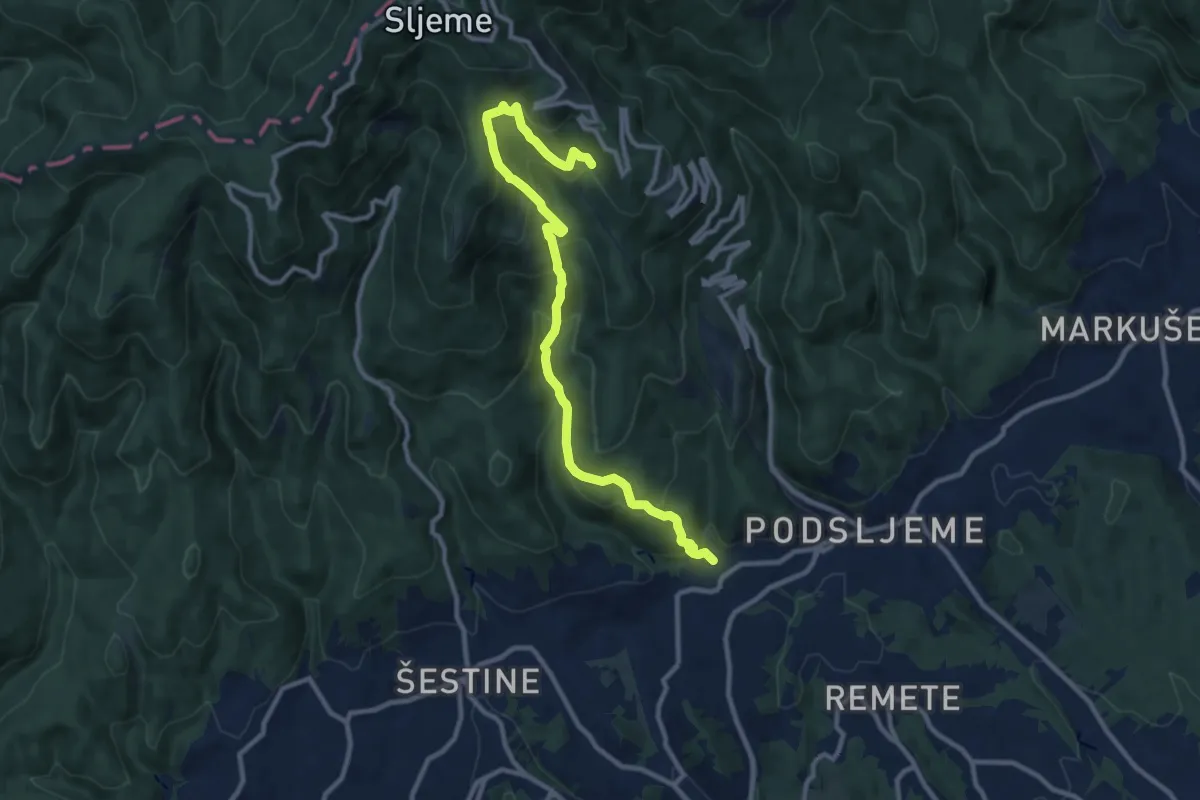
Demanding · Trail
Staza 55
11.5 km · ↑ 809 m · 4 h 28 min
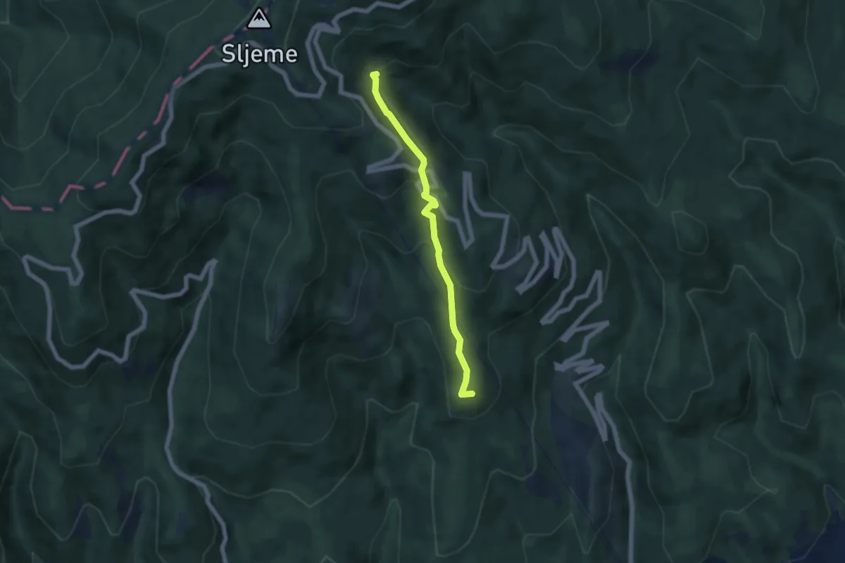
Medium · Summit
Staza 57
4.9 km · ↑ 237 m · 1 h 41 min
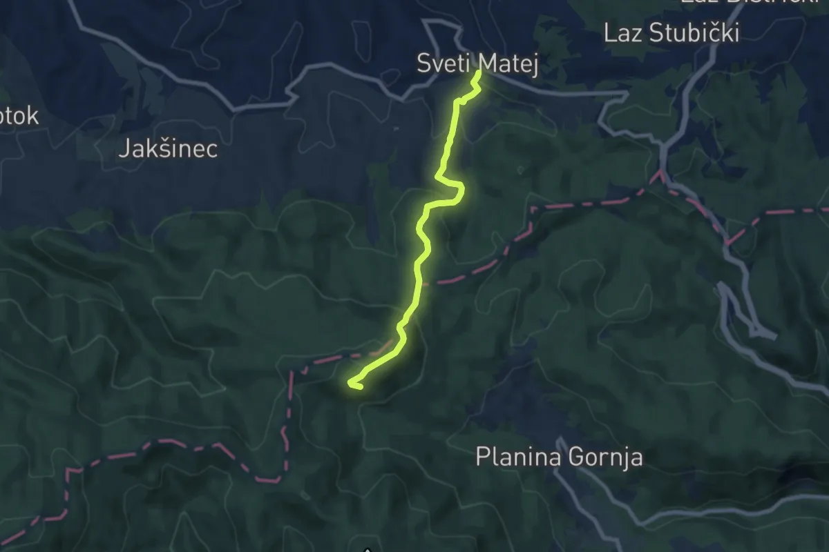
Medium · Trail
Staza 63
6.7 km · ↑ 412 m · 2 h 28 min
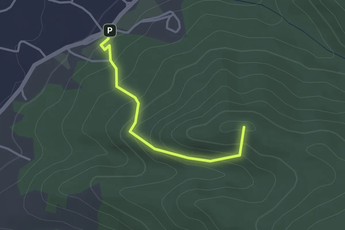
Easy · Summit
Staza 68
2.5 km · ↑ 204 m · 1 h 2 min
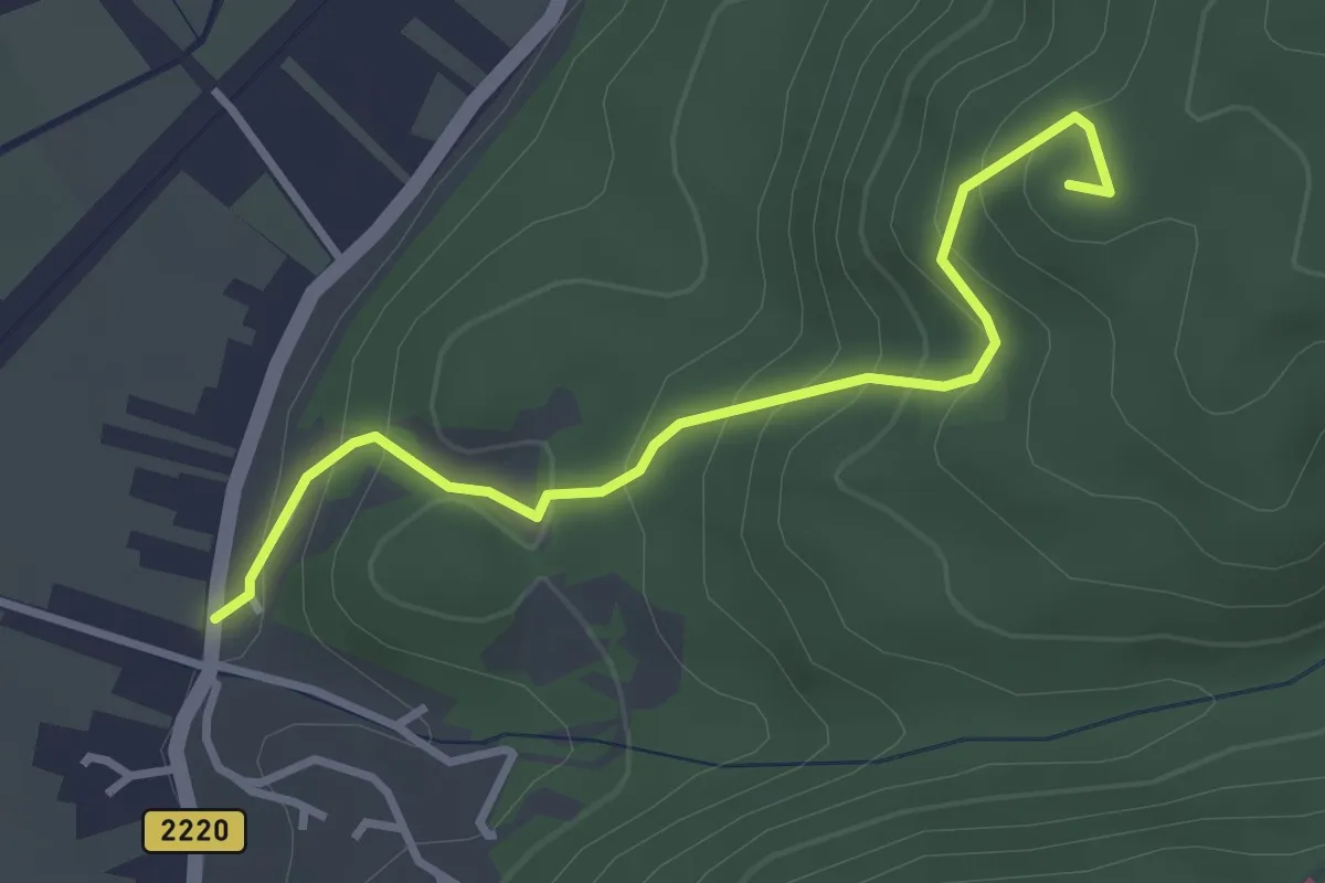
Easy · Summit
Staza 7A
3.2 km · ↑ 246 m · 1 h 17 min
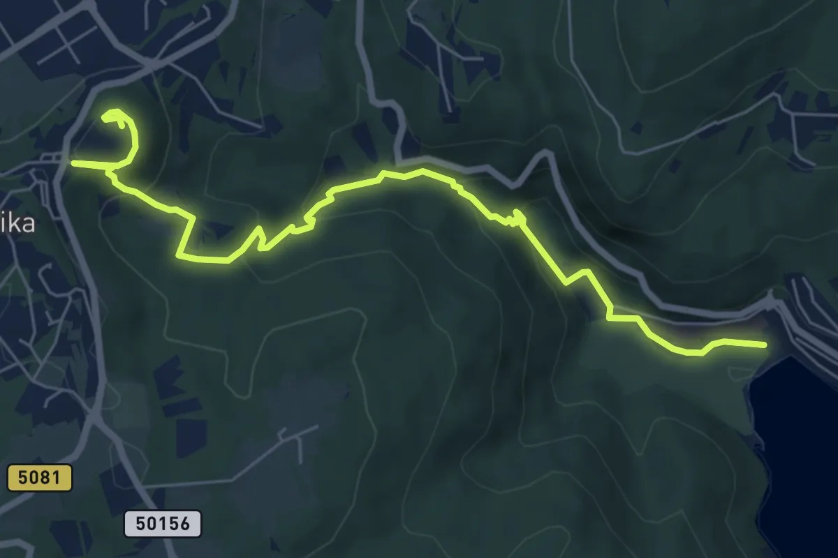
Medium · Trail
Staza božanskih izvora (Rabač - Labin)
7.6 km · ↑ 335 m · 2 h 31 min
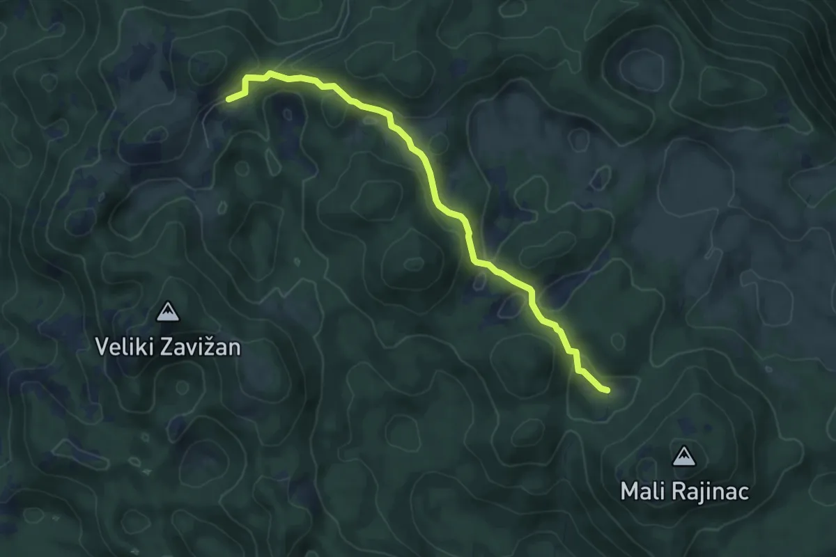
Medium · Trail
Staza Buljevac
7.0 km · ↑ 217 m · 2 h 7 min
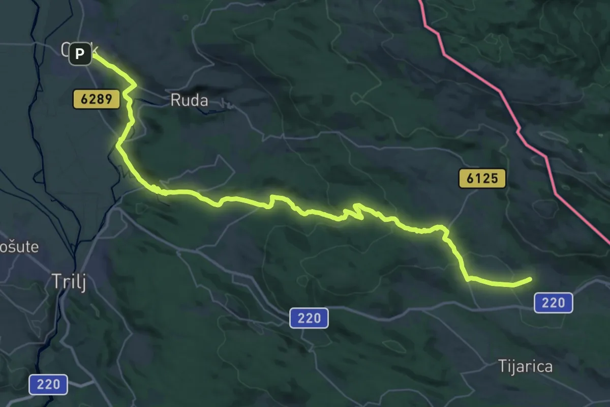
Demanding · Summit
Staza Gospi Sinjskoj
23.5 km · ↑ 760 m · 7 h 14 min
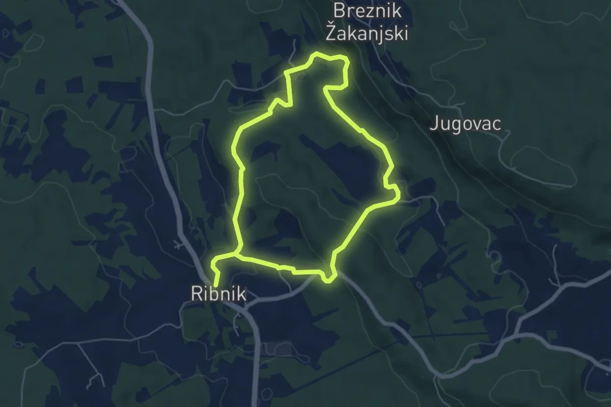
Easy · Summit
Staza Jurja Križanića
5.1 km · ↑ 172 m · 1 h 38 min
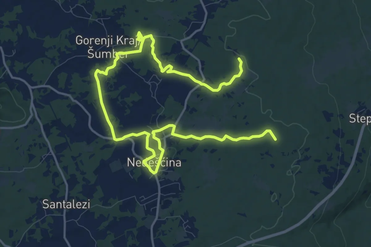
Medium · Summit
Staza kalića i bukalete
17.4 km · ↑ 144 m · 4 h 25 min
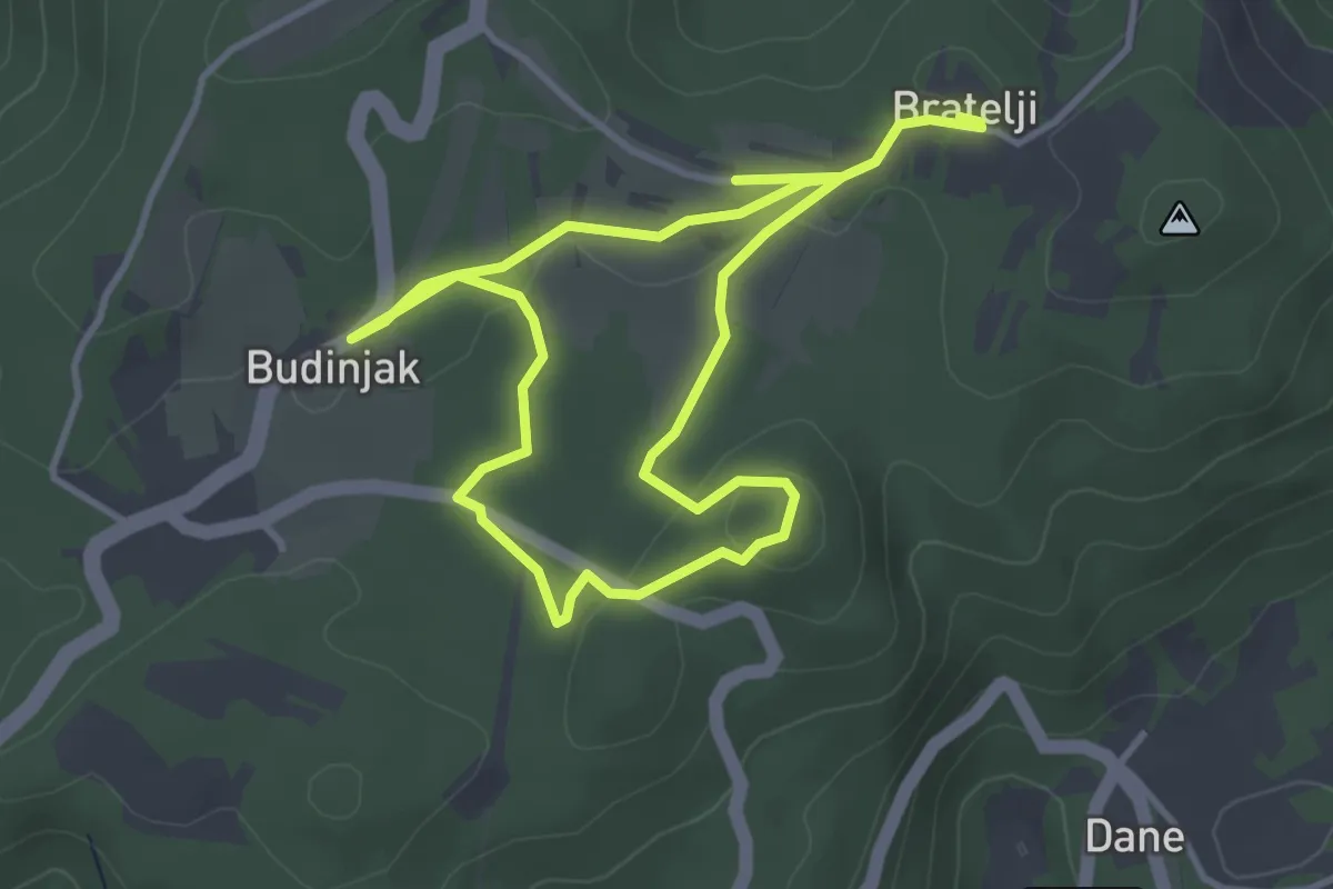
Easy · Trail
Staza kneževa
6.5 km · ↑ 126 m · 1 h 48 min
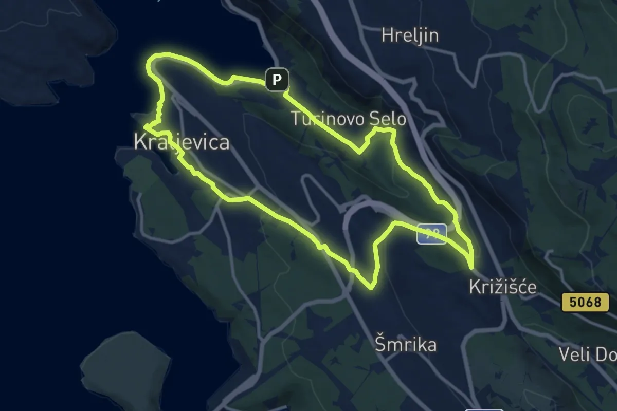
Medium · Trail
Stazama naših nona
10.7 km · ↑ 254 m · 3 h 13 min
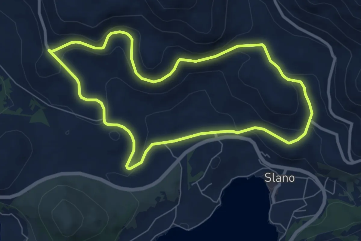
Easy · Trail
Staza maslinova ulja
6.6 km · ↑ 182 m · 2 h 4 min
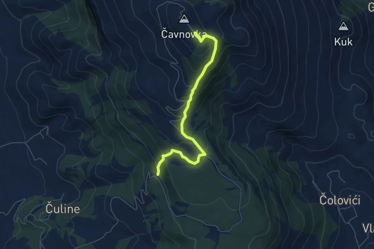
Medium · Trail
Staza na Prominu
5.9 km · ↑ 381 m · 2 h 13 min
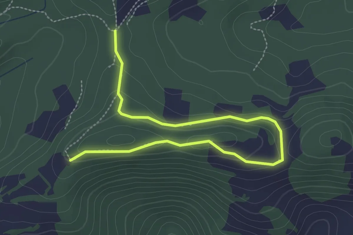
Easy · Trail
Staza orhideja
3.7 km · ↑ 105 m · 1 h 6 min
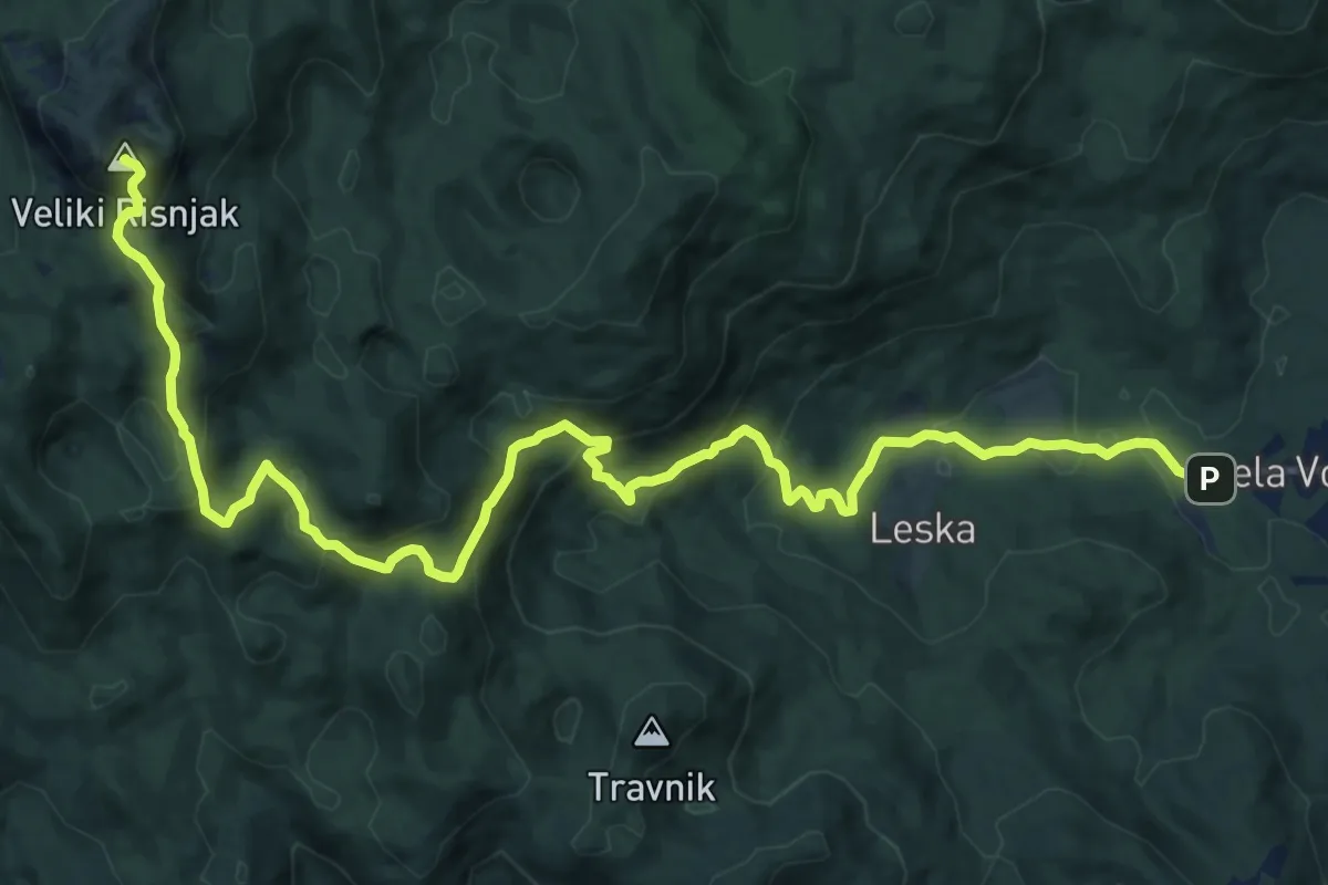
Demanding · Summit
Staza preko Markovog brloga
17.4 km · ↑ 913 m · 6 h 5 min
Medium · Summit
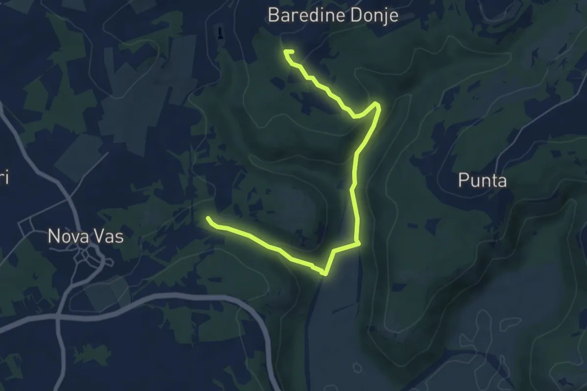
Staza Rocco
6.2 km · ↑ 220 m · 1 h 57 min
Medium · Summit
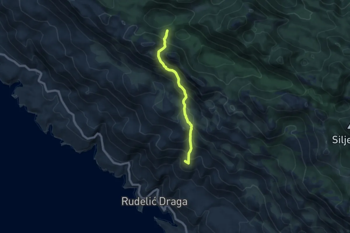
Staza Rudelinka
8.2 km · ↑ 706 m · 3 h 27 min
Demanding · Trail
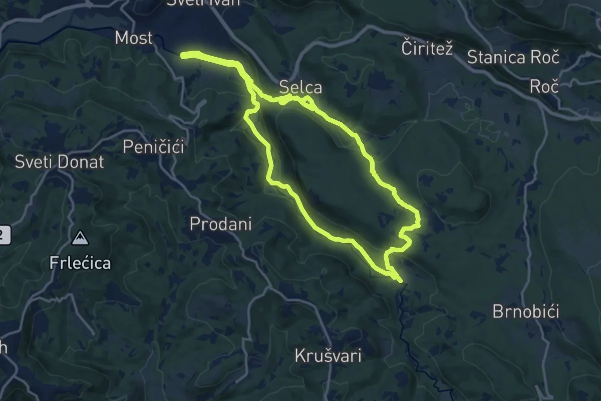
Staza sedam slapova
13.0 km · ↑ 369 m · 4 h 3 min
Easy · Trail
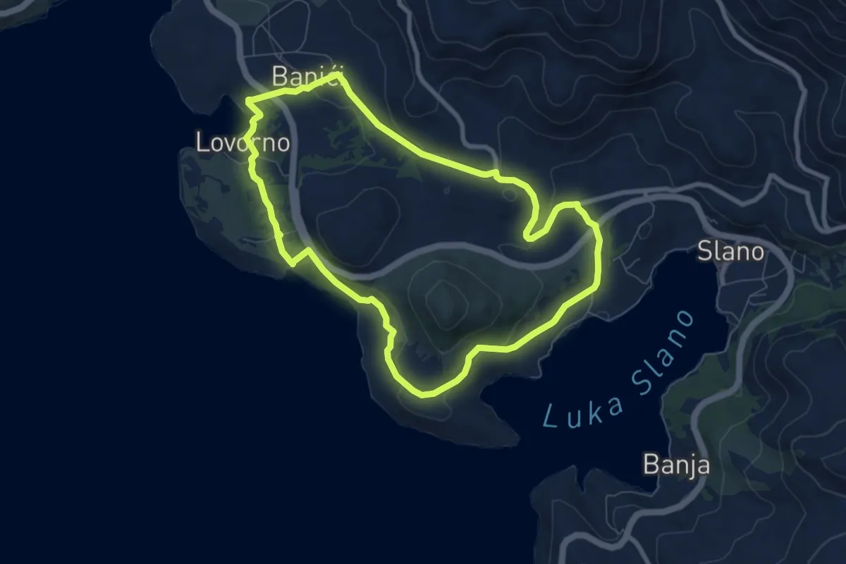
Staza starog ribara
7.8 km · ↑ 197 m · 2 h 23 min
Easy · Trail
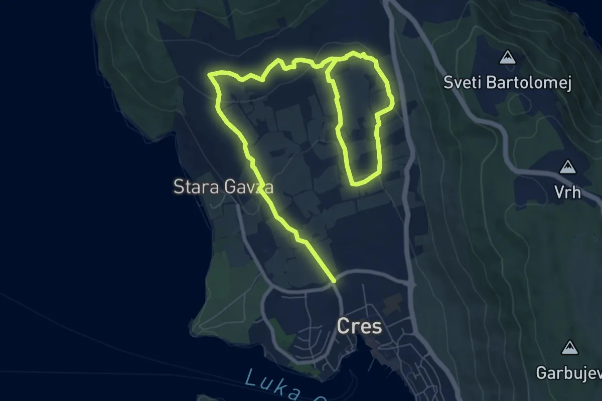
Staza stoljetnih maslinika
5.9 km · ↑ 121 m · 1 h 46 min
Easy · Summit
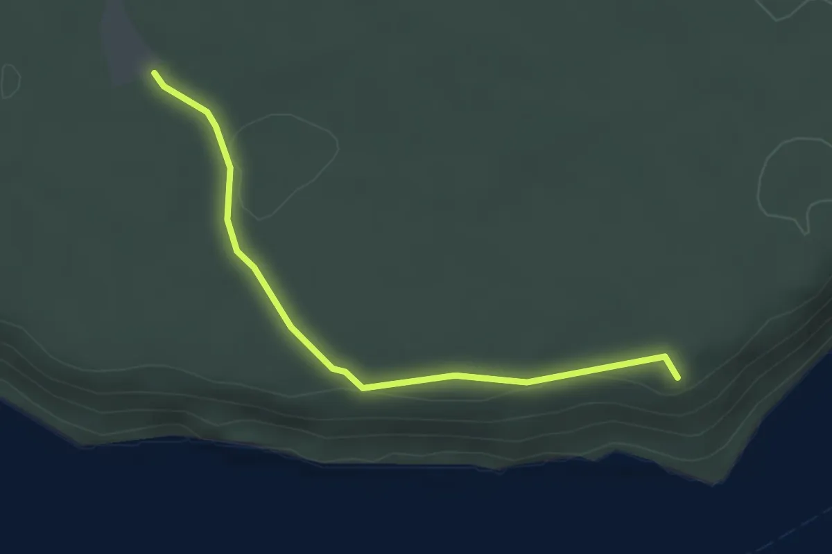
Staza Šuma
3.1 km · ↑ 19 m · 46 min
Medium · Trail
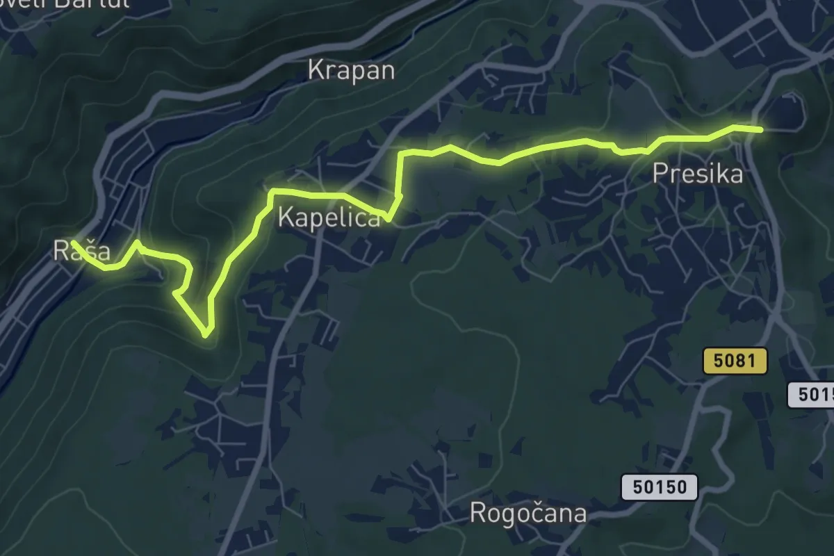
Staza svete Barbare (Labin - Kapelica - Raša)
8.8 km · ↑ 326 m · 2 h 47 min
Medium · Trail
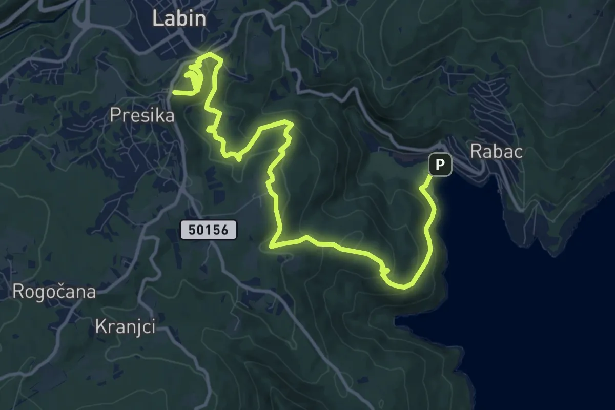
Staza Svetog Justa (Labin - Gondolići - Rabač)
14.3 km · ↑ 634 m · 4 h 44 min
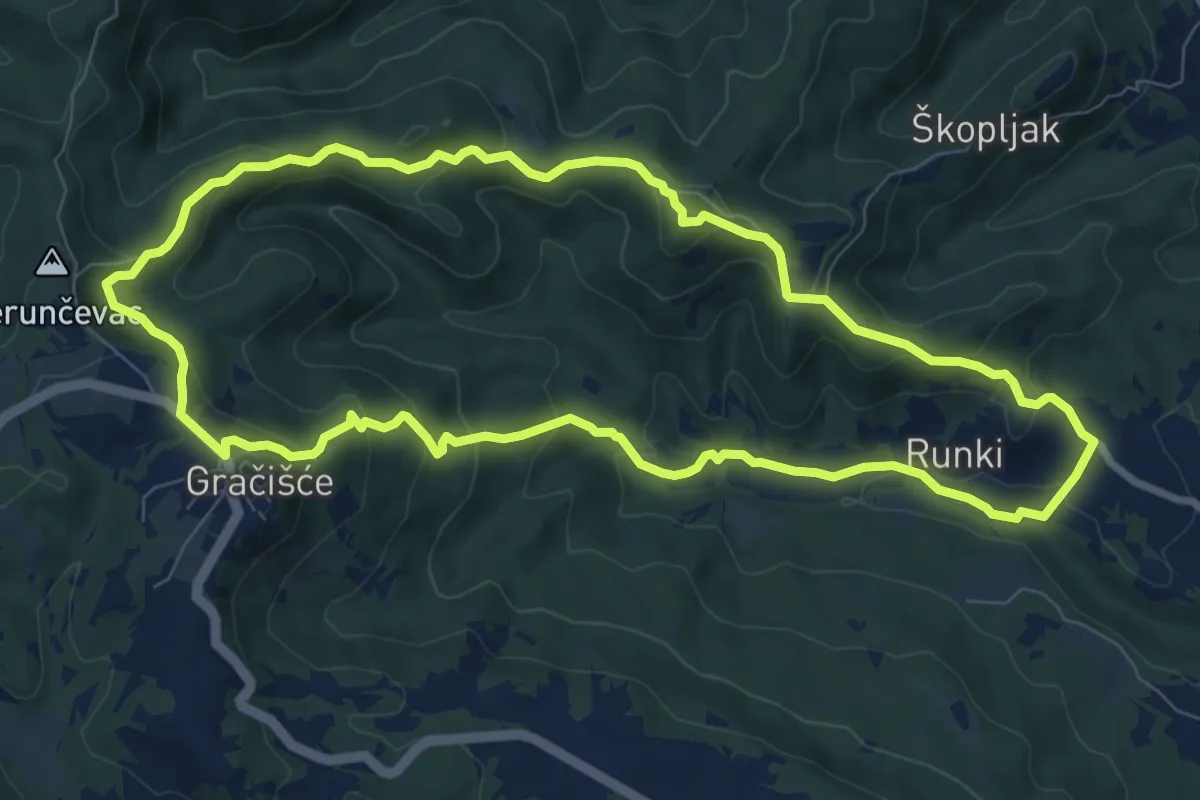
Medium · Summit
Staza svetog Šimuna
8.8 km · ↑ 405 m · 3 h 5 min
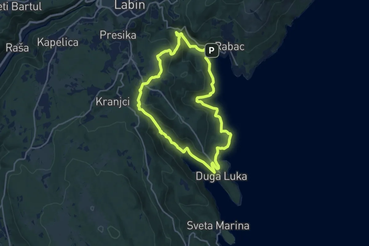
Medium · Trail
Staza Terra Magica (Rabac - Prtlog - Gondolići - Rabač)
12.9 km · ↑ 438 m · 4 h 10 min
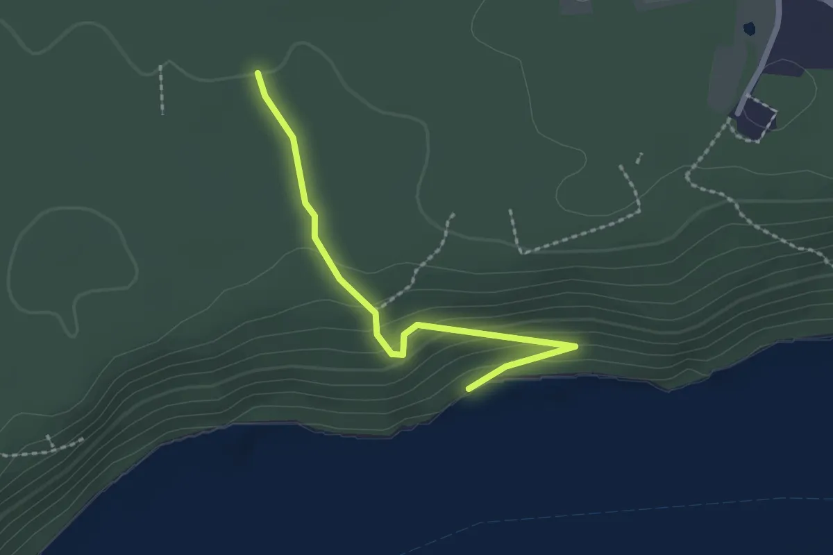
Easy · Trail
Staza Voda
2.1 km · ↑ 118 m · 45 min
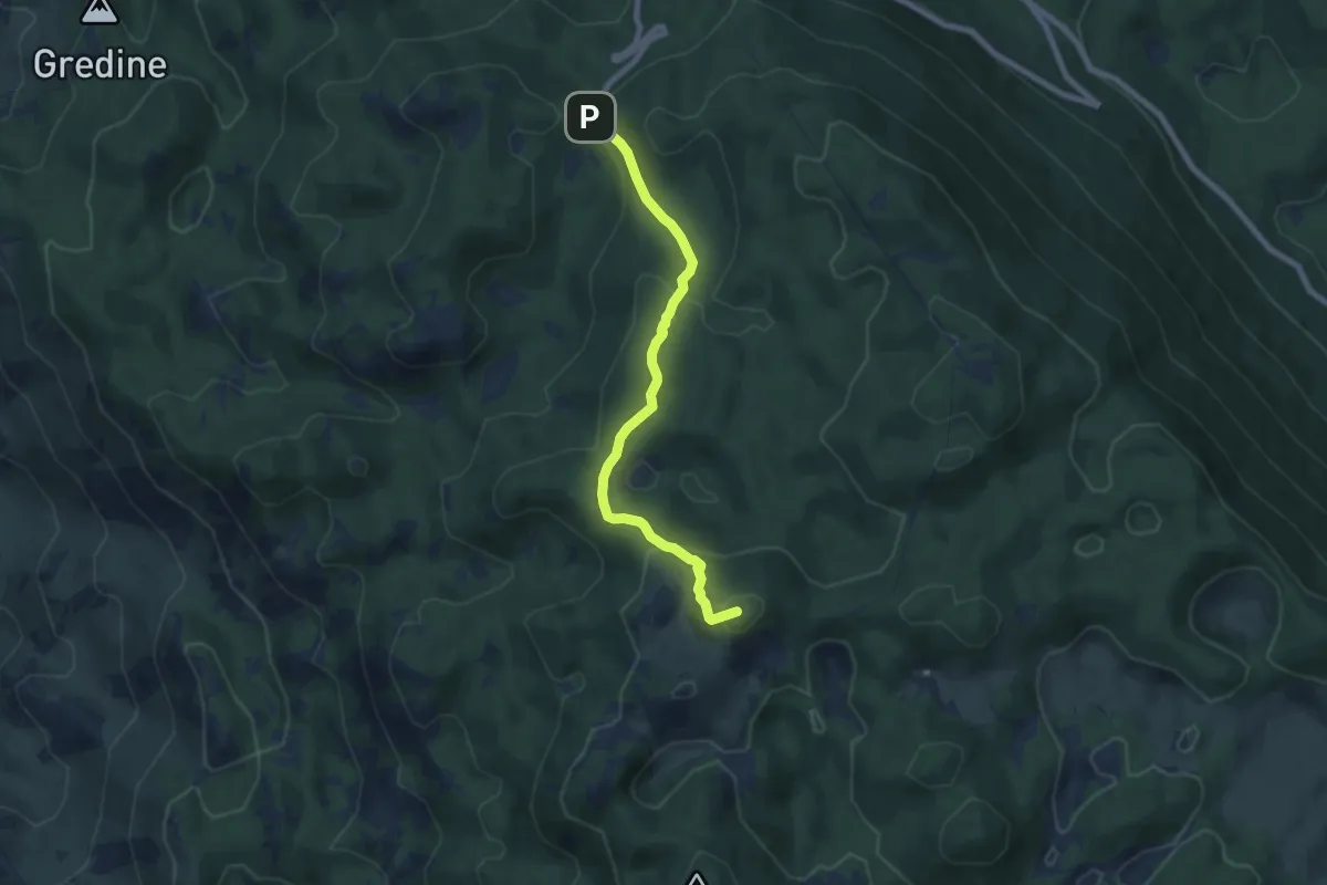
Medium · Summit
Staza zviri
7.2 km · ↑ 367 m · 2 h 30 min
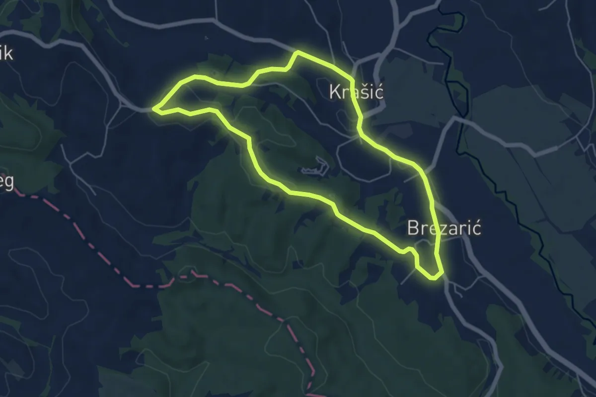
Easy · Summit
Stepinčev put 1. etapa
5.2 km · ↑ 79 m · 1 h 29 min
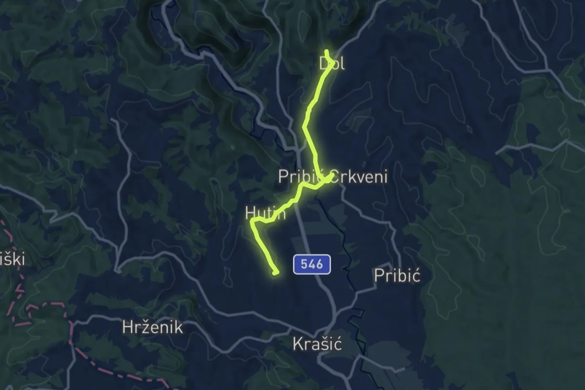
Easy · Summit
Stepinčev put 2. etapa
4.6 km · ↑ 79 m · 1 h 20 min
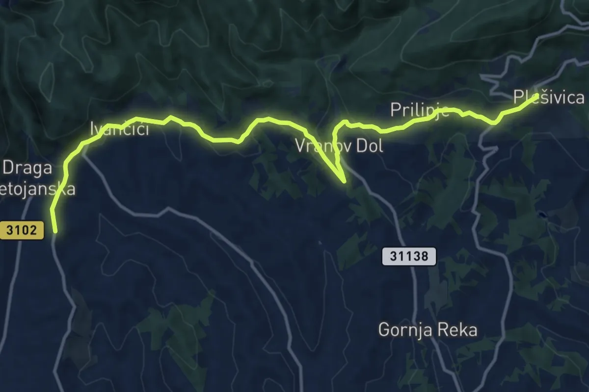
Easy · Pilgrim path
Stepinčev put 3. etapa
6.7 km · ↑ 140 m · 2 h 2 min
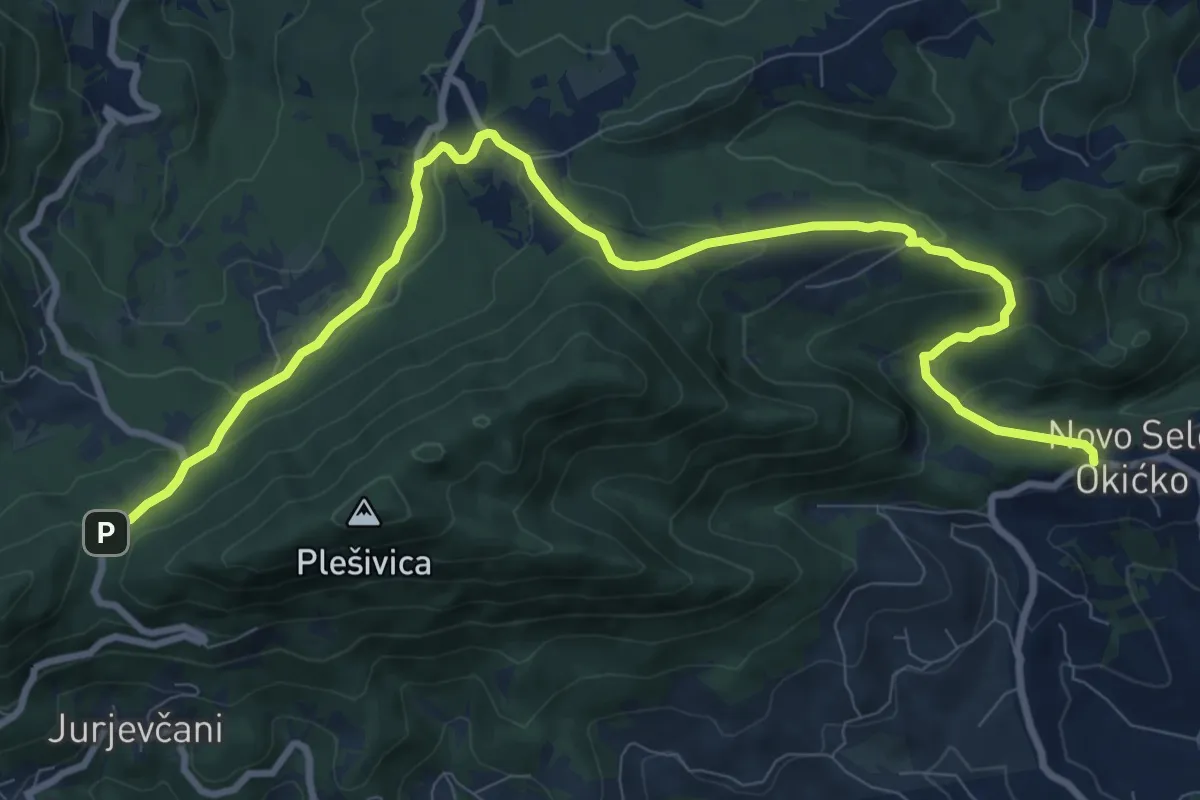
Easy · Pilgrim path
Stepinčev put 4. etapa
5.9 km · ↑ 134 m · 1 h 53 min