Trails in Croatia
922 hiking trails, each with its route, climb, walking time and grade.
All trails, page 15 of 20
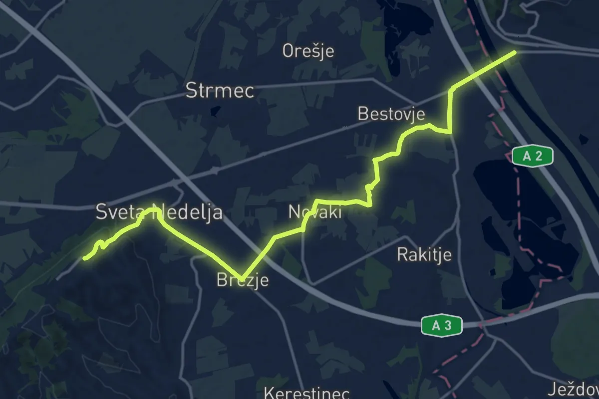
Medium · Pilgrim path
Stepinčev put 5. etapa
8.2 km · ↑ 18 m · 2 h 9 min
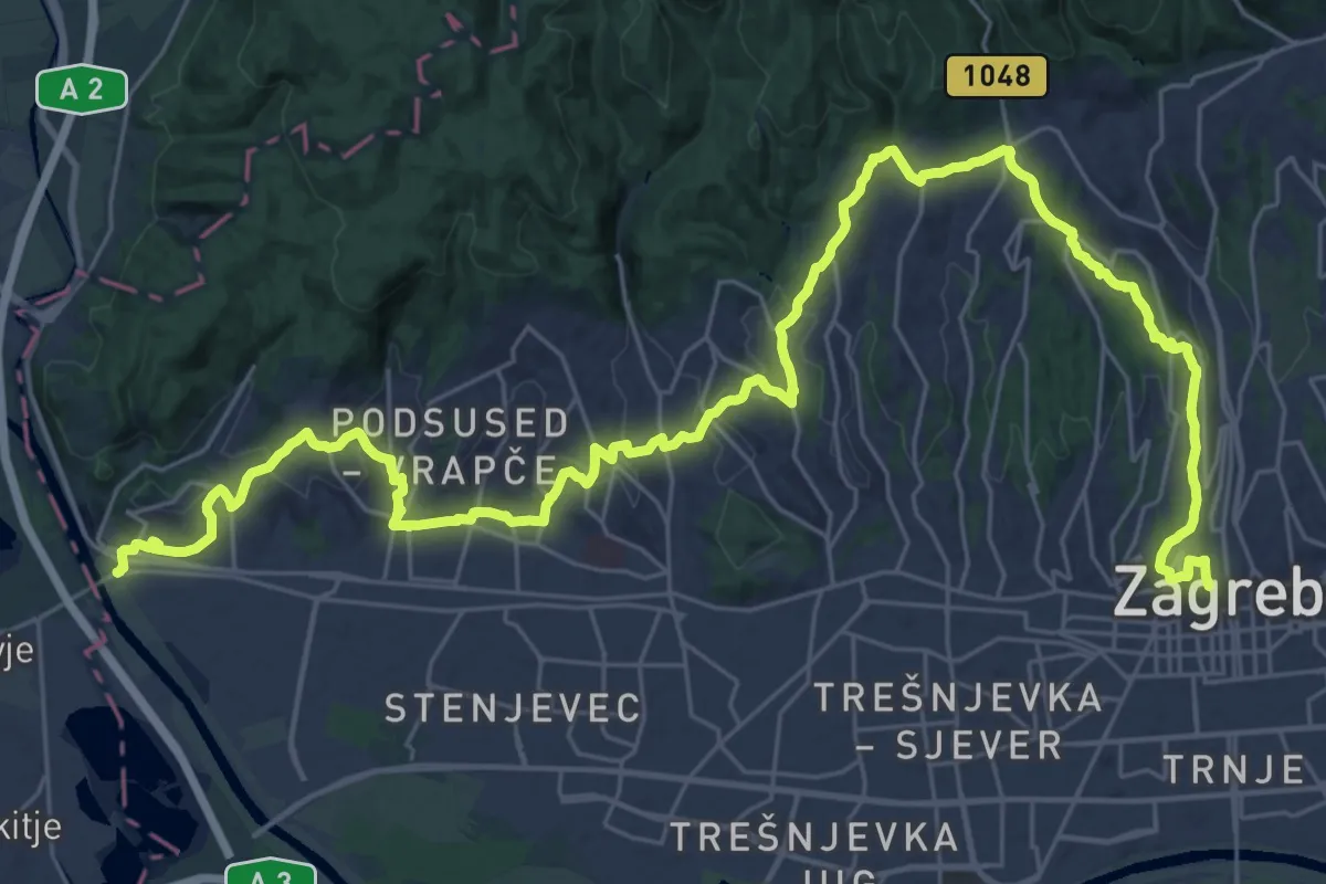
Demanding · Pilgrim path
Stepinčev put 6. etapa
21.9 km · ↑ 575 m · 6 h 44 min
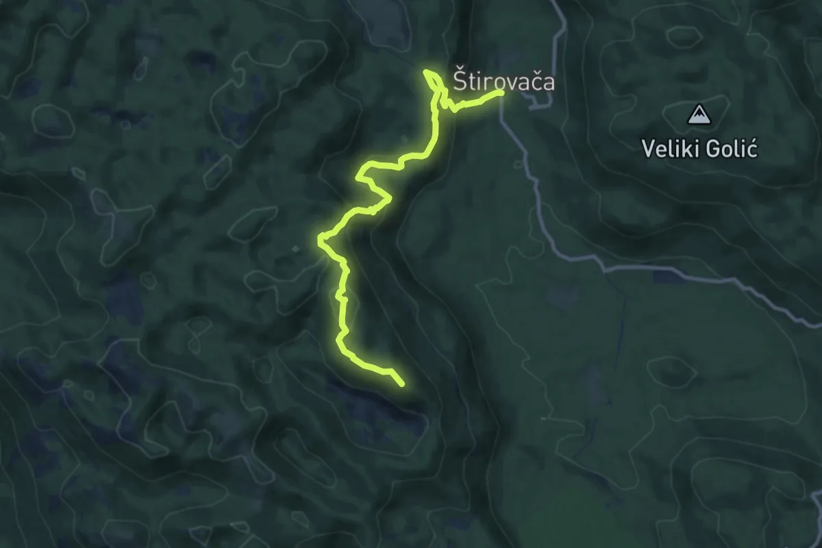
Medium · Summit
Štirovaća-Ljuljevac
11.3 km · ↑ 722 m · 4 h 14 min
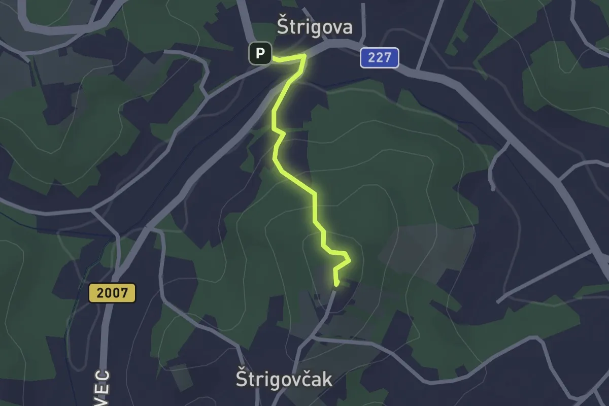
Easy · Summit
Štrigovska kružna staza - ŠKS PD Bundek Mursko Središće
1.7 km · ↑ 82 m · 35 min
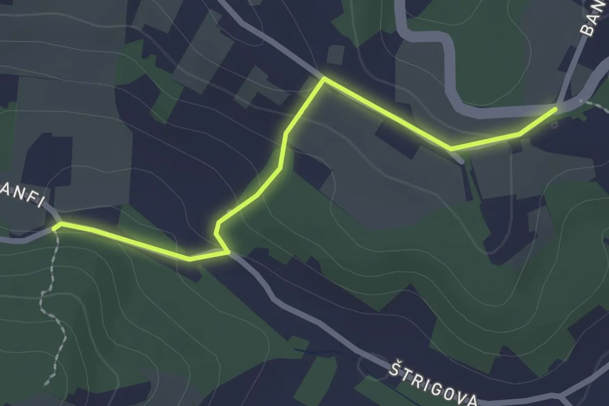
Easy · Trail
Štrigovska kružna staza - ŠKS, PD Bundek Mursko Središće
2.1 km · ↑ 61 m · 37 min
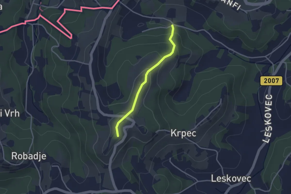
Easy · Summit
Štrigovska kružna staza - ŠKS, PD Bundek Mursko Središće
2.3 km · ↑ 105 m · 46 min
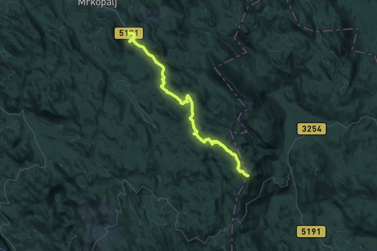
Demanding · Summit
Strogi rezervat prirode Bijele i Samarske stijene
38.1 km · ↑ 1309 m · 11 h 49 min
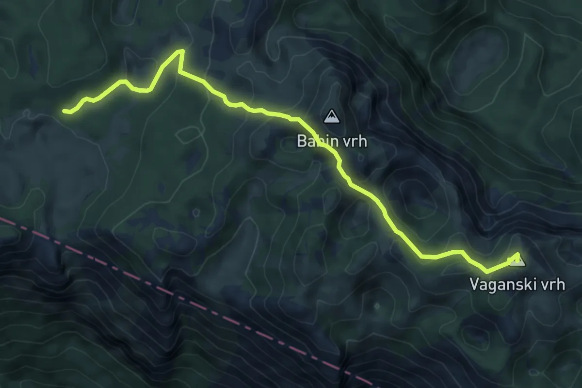
Medium · Summit
Struge - Vaganski vrh
8.3 km · ↑ 469 m · 2 h 59 min
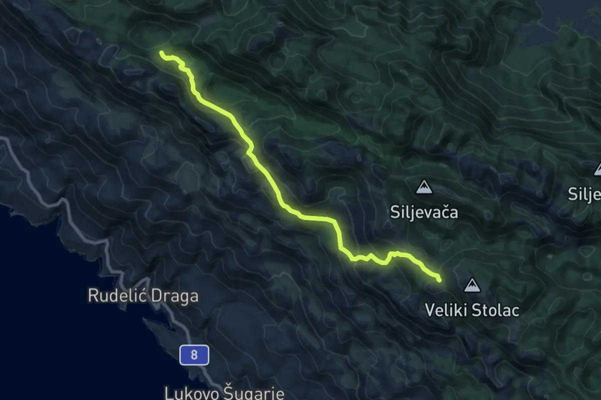
Demanding · Cabin
Šugarska duliba - Piskovita kosica
15.4 km · ↑ 996 m · 5 h 48 min
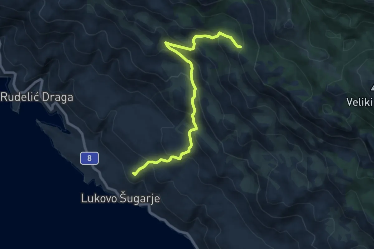
Medium · Summit
Šugarska staza
10.3 km · ↑ 774 m · 4 h 7 min
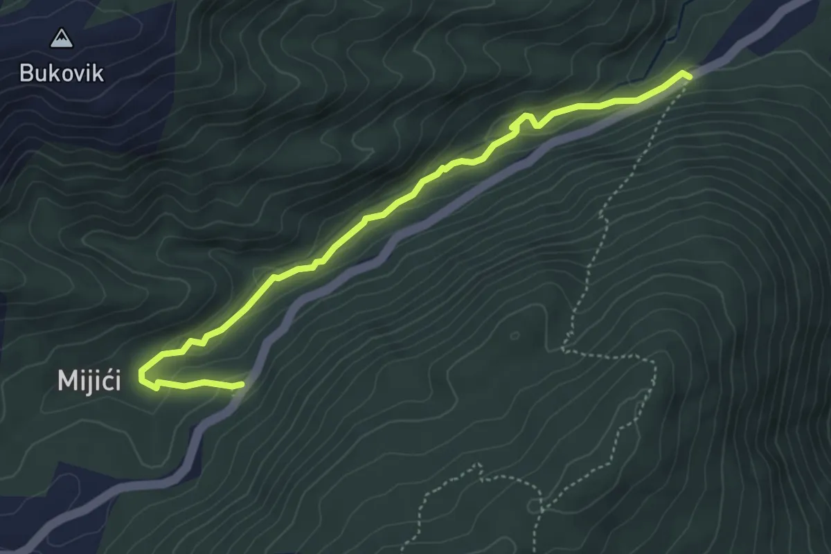
Easy · Trail
Sutina
5.1 km · ↑ 112 m · 1 h 27 min
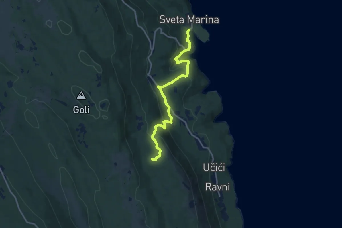
Medium · Summit
Sveta Marina - Drenje - Kosi & Panorama
9.9 km · ↑ 492 m · 3 h 24 min
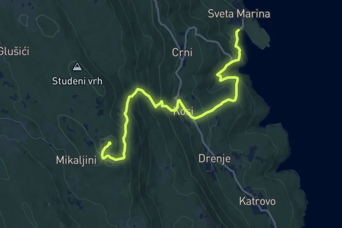
Medium · Summit
Sveta Marina - Drenje - Oštri
11.0 km · ↑ 605 m · 3 h 55 min
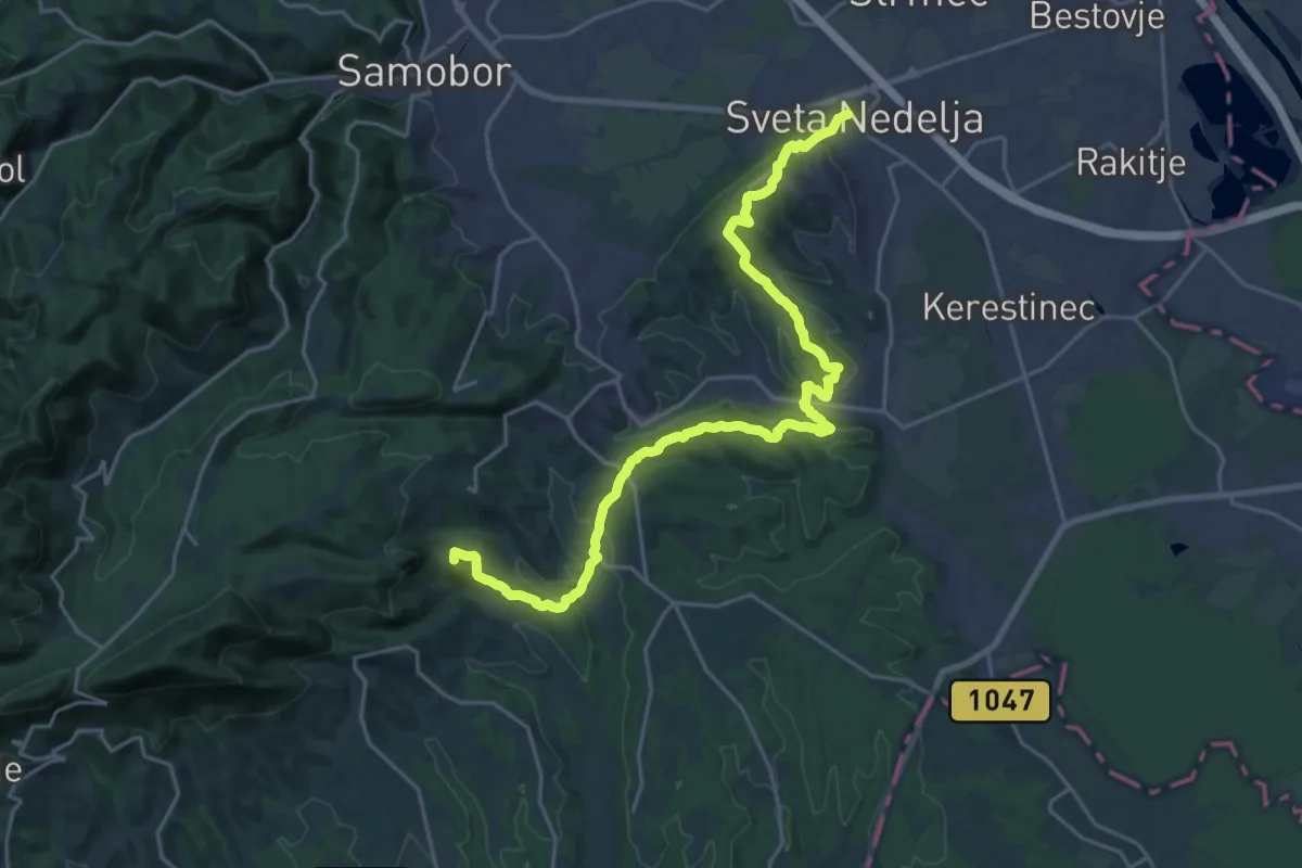
Demanding · Summit
Sveta Nedelja - Okić
25.7 km · ↑ 804 m · 7 h 49 min
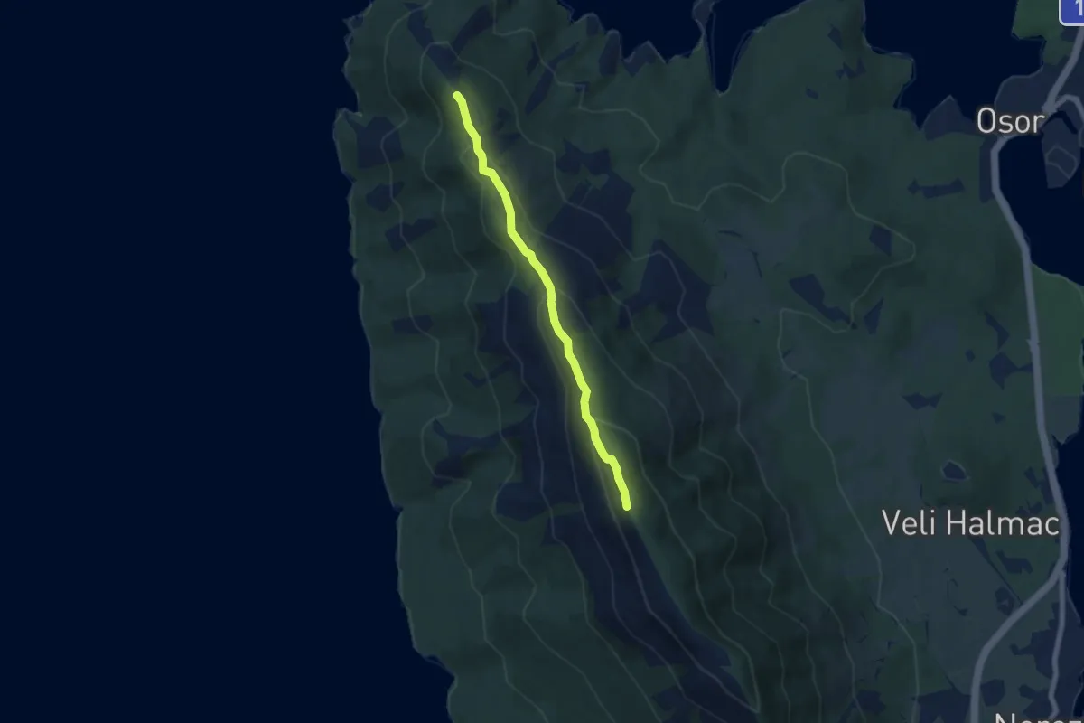
Medium · Summit
Sveti Gaudent - Televrin
5.9 km · ↑ 283 m · 2 h 1 min
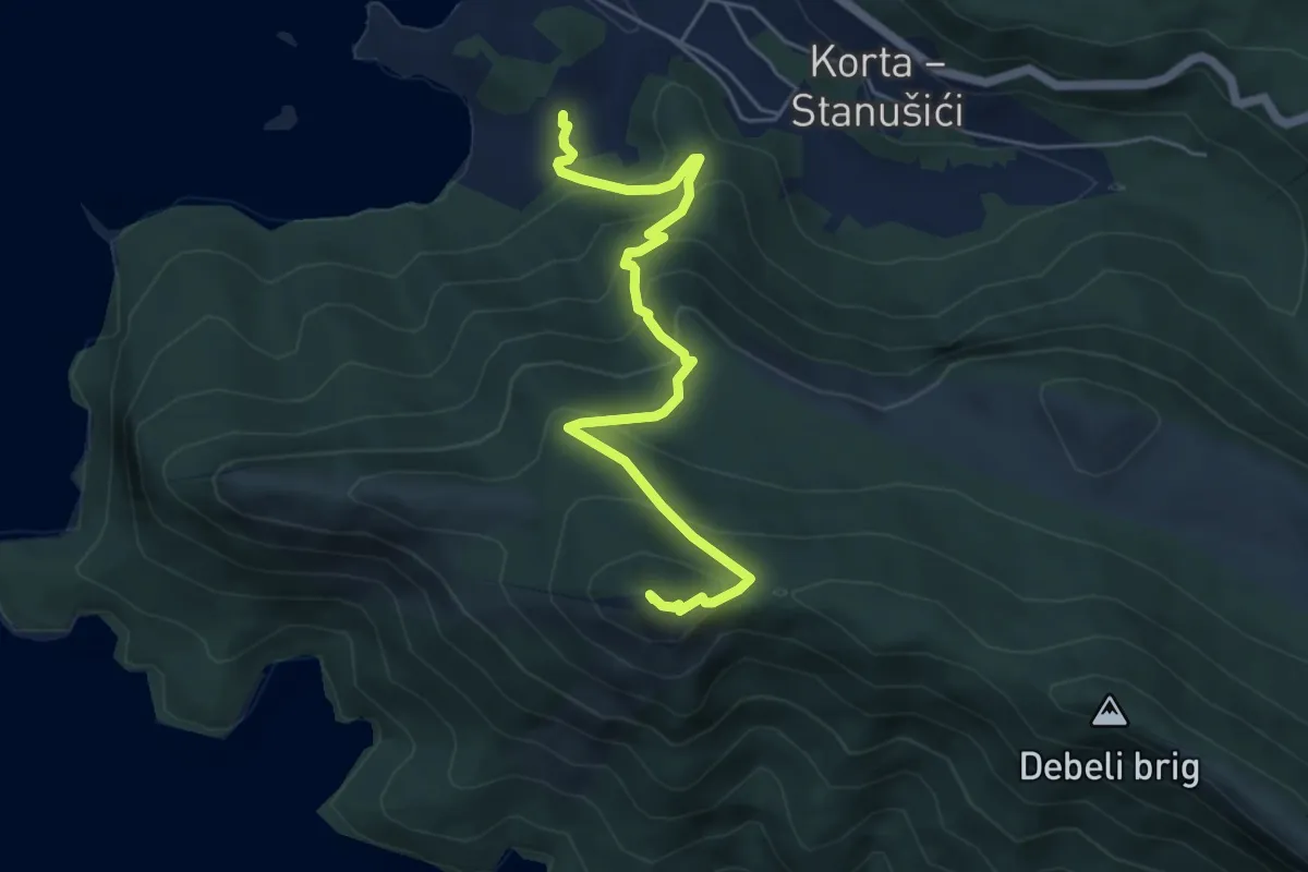
Medium · Summit
Sveti Ivan
6.0 km · ↑ 425 m · 2 h 20 min
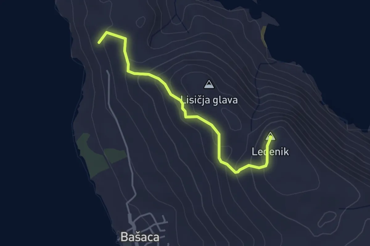
Easy · Summit
Sveti Jure
3.8 km · ↑ 212 m · 1 h 21 min
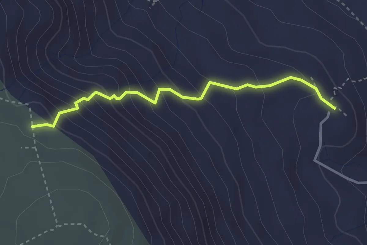
Medium · Trail
Svet. Majke Božje Goričke - Lipica
2.8 km · ↑ 301 m · 1 h 19 min
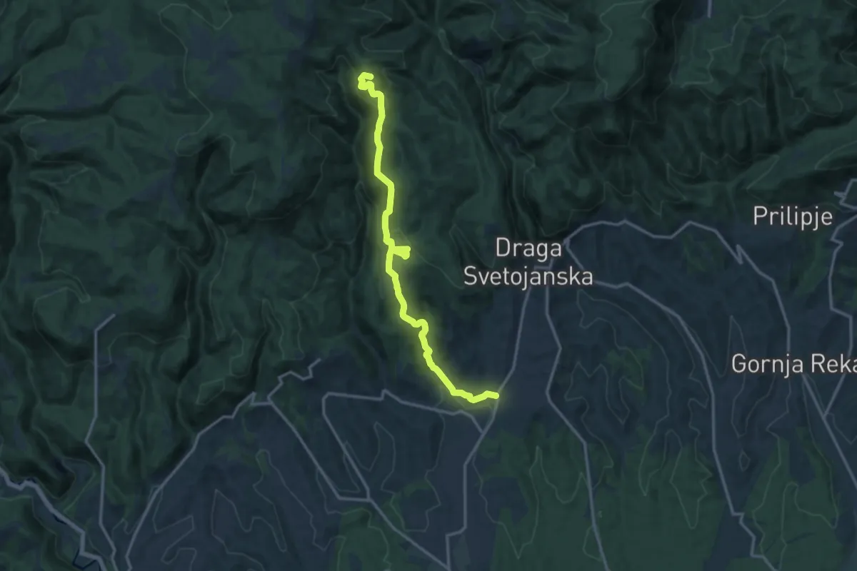
Medium · Summit
Svetojanske Toplice - Brajka
14.0 km · ↑ 556 m · 4 h 30 min
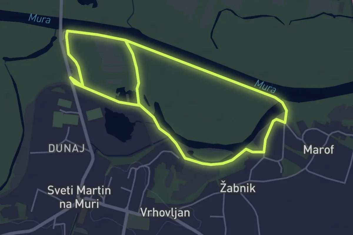
Medium · Trail
Svetomartinska Mura
9.3 km · ↑ 9 m · 2 h 13 min
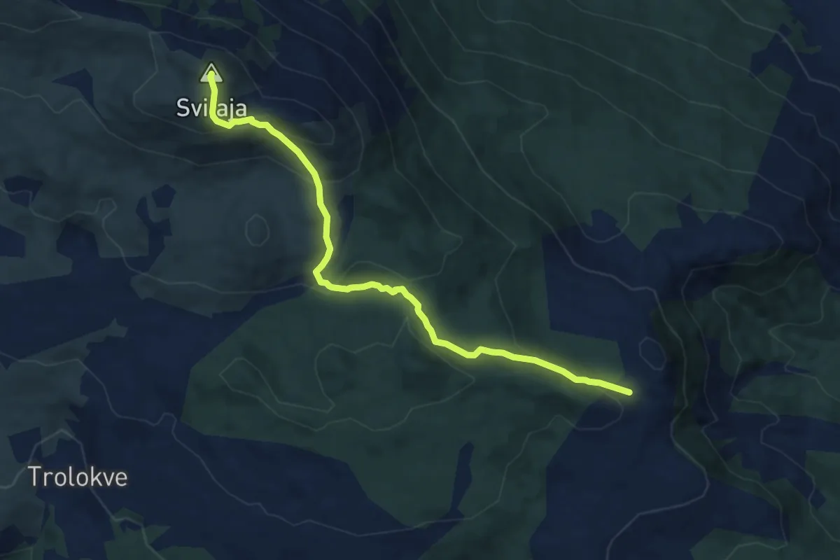
Medium · Summit
Svilaja preko badnja
9.5 km · ↑ 522 m · 3 h 22 min
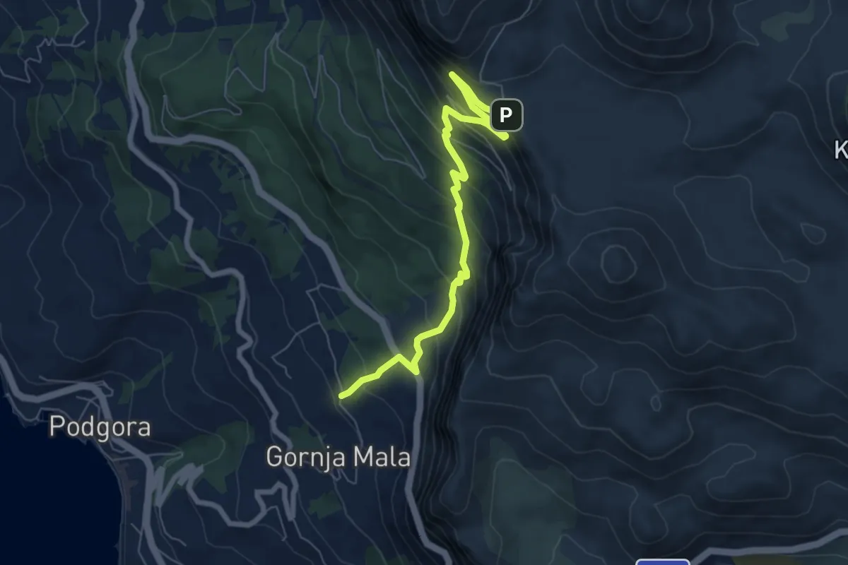
Demanding · Trail
Sv.Ilija-
7.4 km · ↑ 570 m · 2 h 58 min
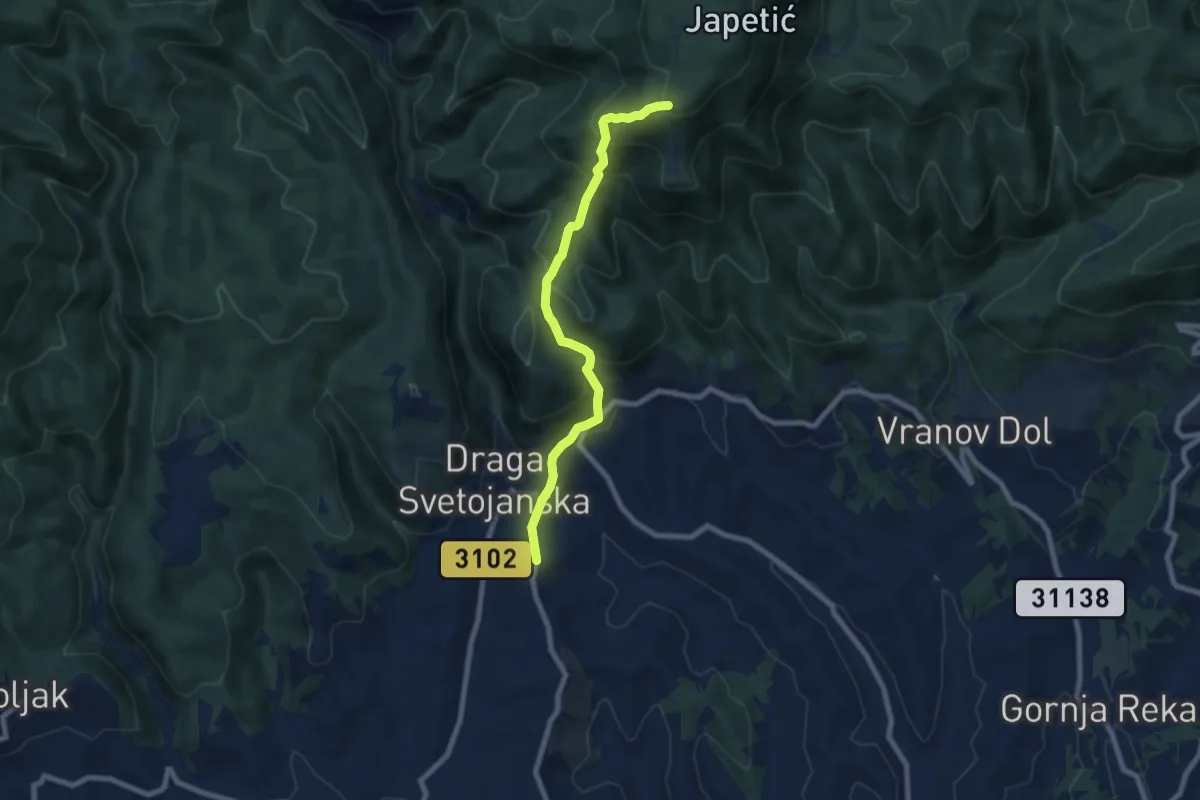
Medium · Cabin
Sv. Jana - Žitnica
7.5 km · ↑ 544 m · 2 h 56 min
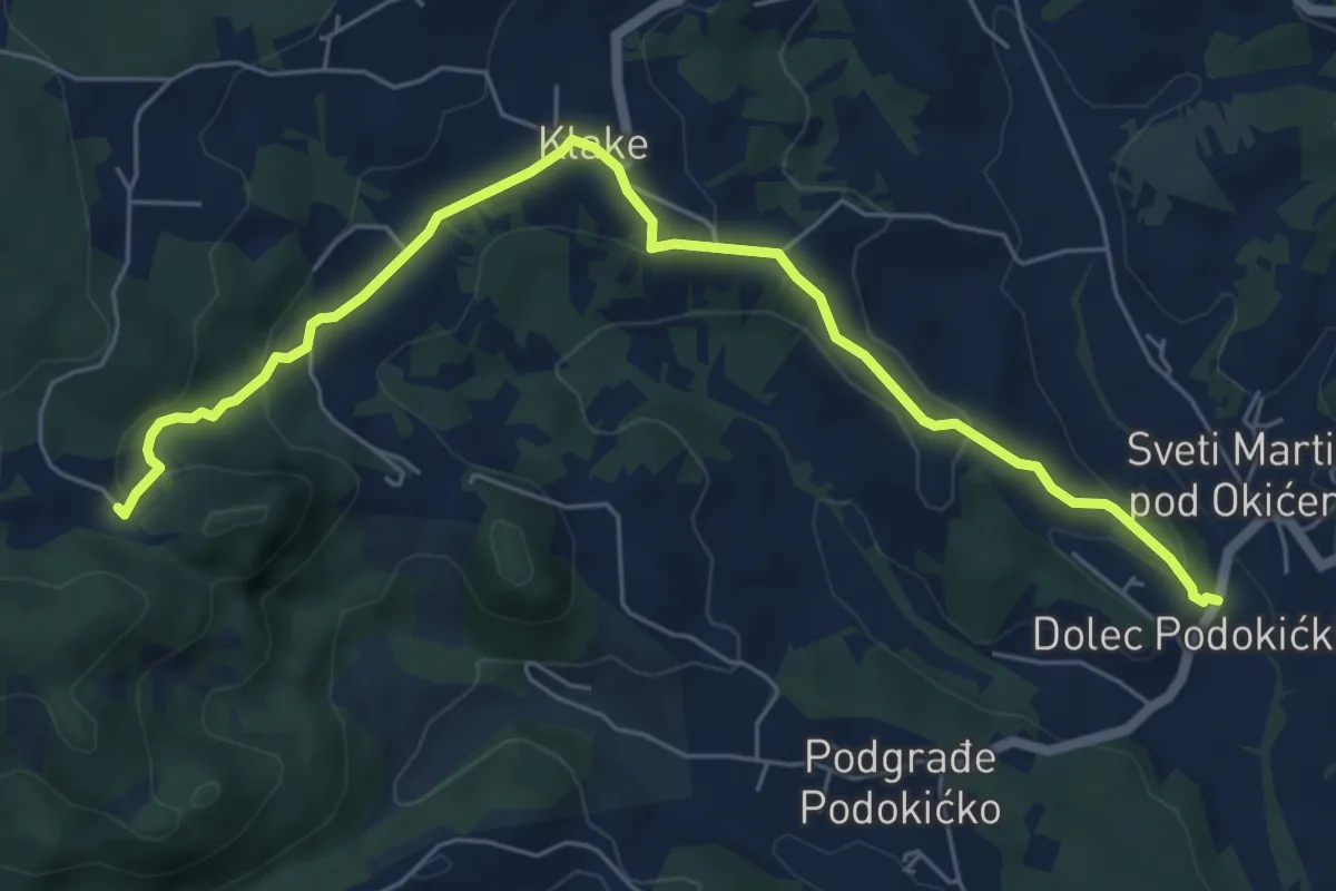
Easy · Cabin
Sv. Martin - Okić
6.9 km · ↑ 253 m · 2 h 11 min
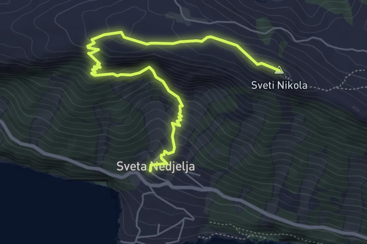
Medium · Summit
Sv. Nedjelja - Sv. Nikola
6.7 km · ↑ 602 m · 2 h 53 min
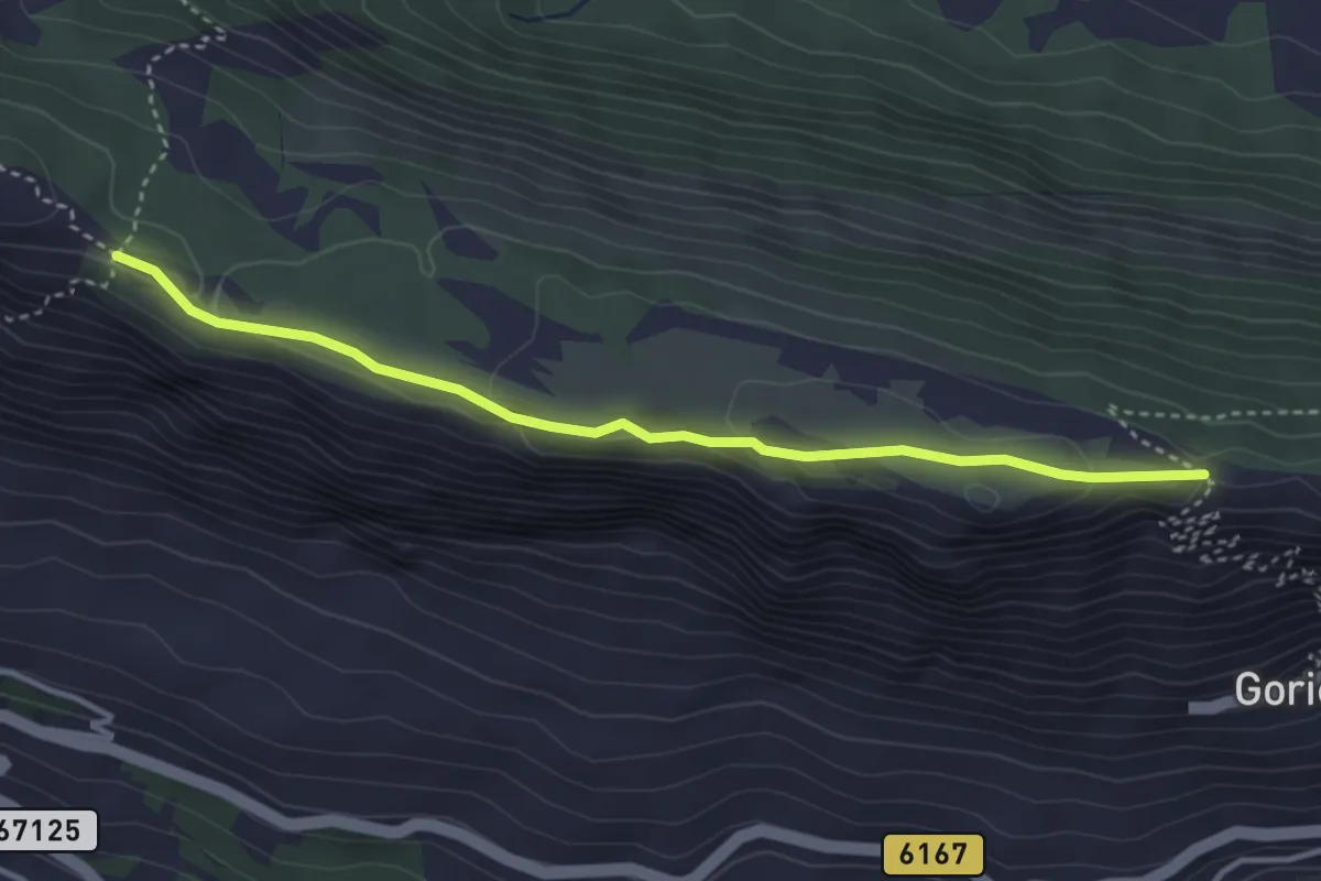
Easy · Trail
Sv. Vid - Stupine
3.9 km · ↑ 93 m · 1 h 7 min
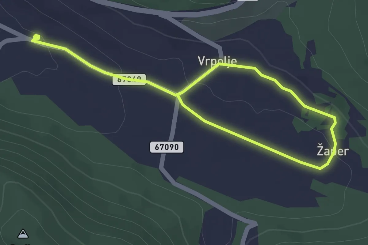
Easy · Trail
tematska staza Put bunara
4.9 km · ↑ 72 m · 1 h 18 min
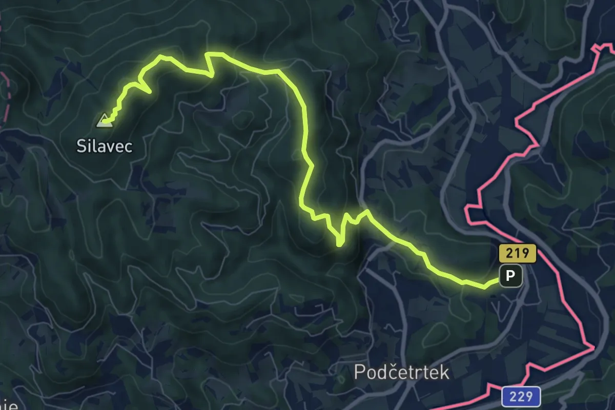
Medium · Summit
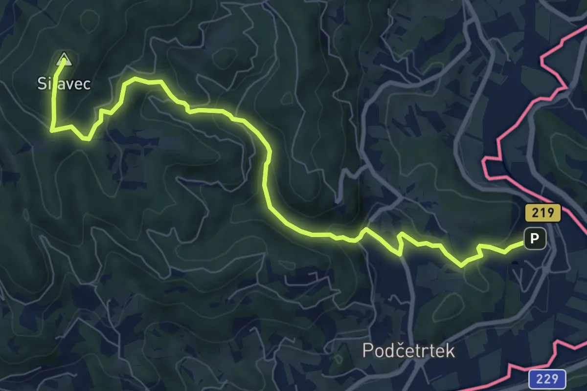
Terme Olimia - Grad Podčetrtek - Stolp zdr. in veselja
9.7 km · ↑ 531 m · 3 h 26 min
Medium · Summit
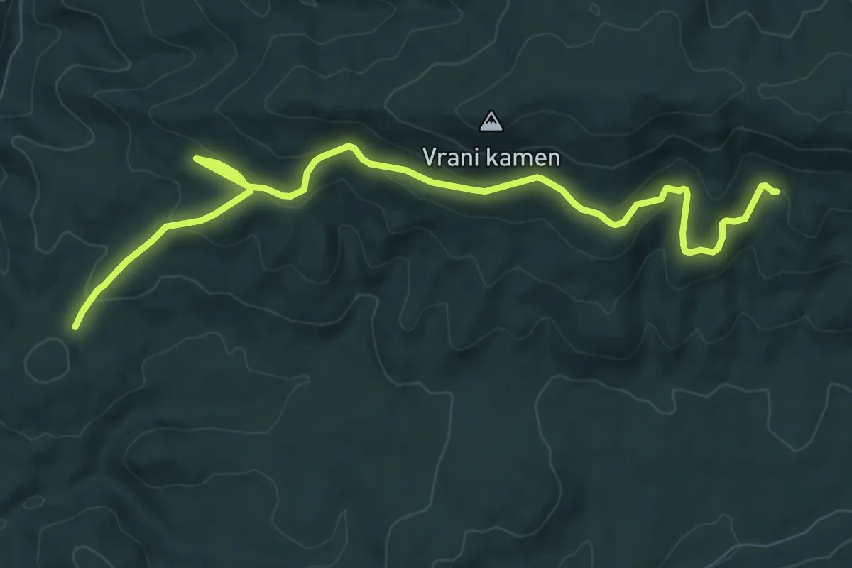
Terme Olimia - Stolp zdr. in veselja
8.9 km · ↑ 482 m · 3 h 9 min
Medium · Trail
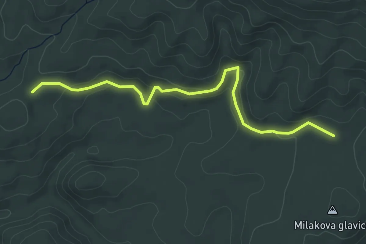
Test 1
10.3 km · ↑ 400 m · 3 h 18 min
Easy · Trail
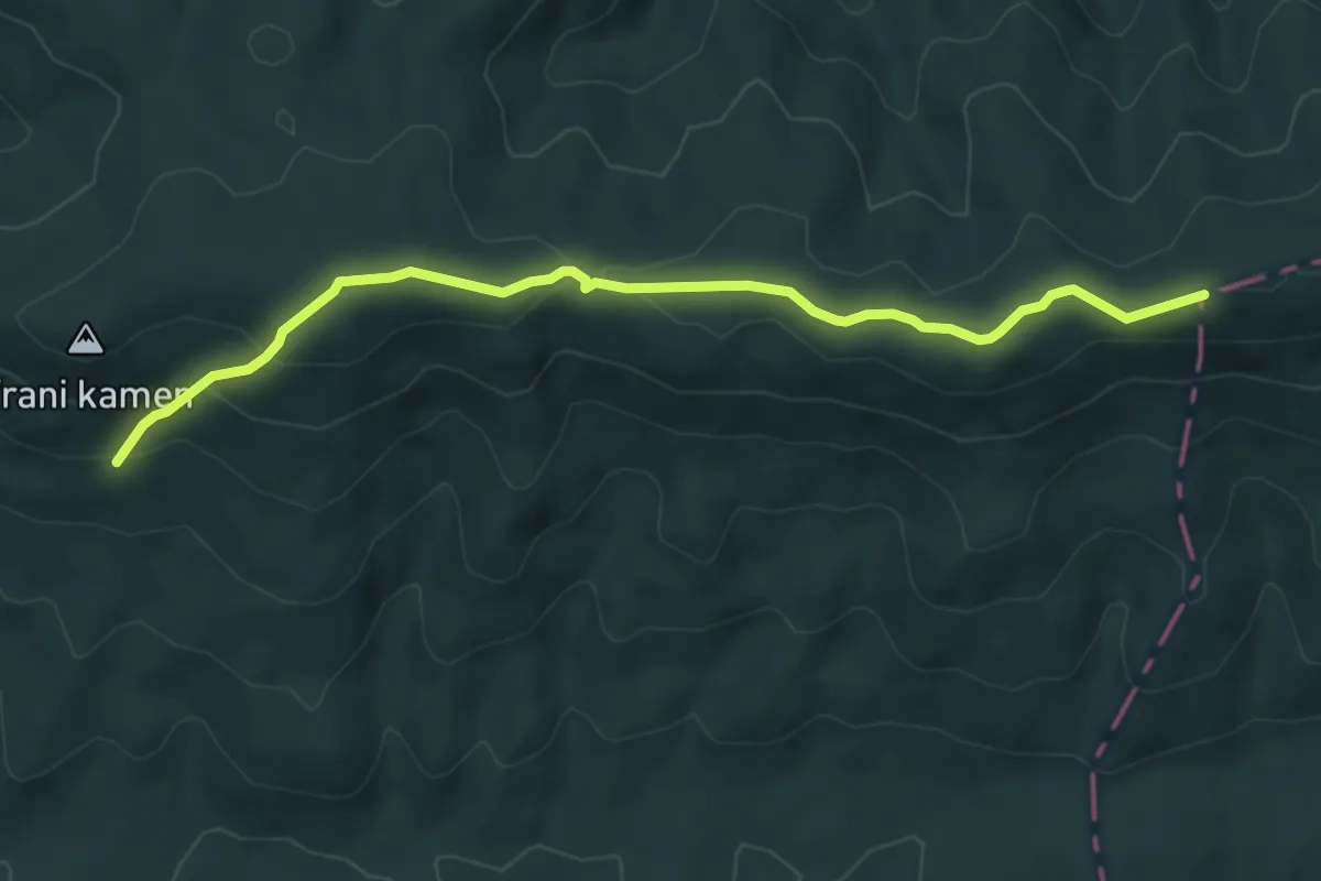
Test 2
5.6 km · ↑ 158 m · 1 h 40 min
Easy · Trail
Test 3
6.1 km · ↑ 230 m · 1 h 57 min
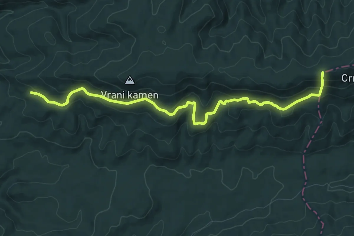
Medium · Trail
Test 4
11.2 km · ↑ 555 m · 3 h 51 min
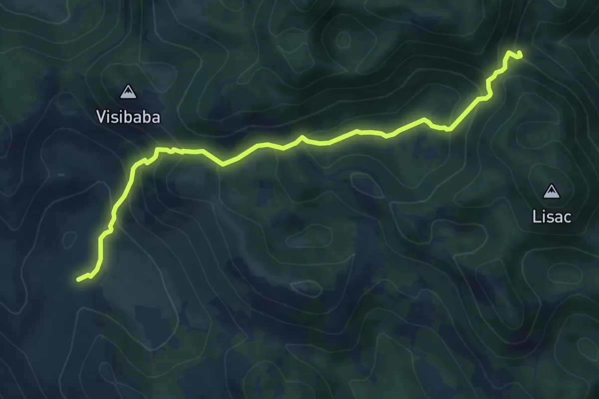
Expert · Cabin
Težakovačko vrelo iz Radlovca
8.1 km · ↑ 514 m · 3 h 1 min
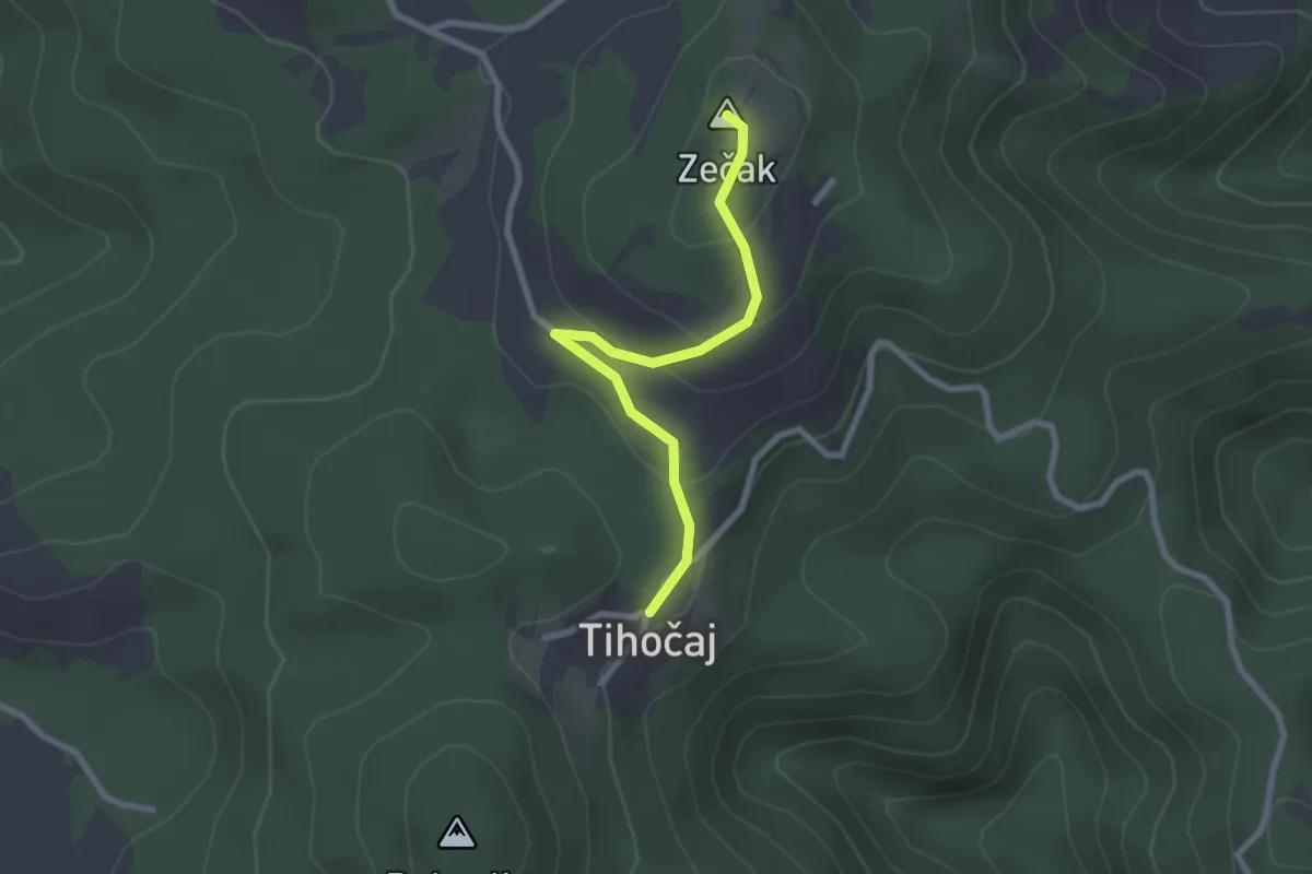
Medium · Summit
Tihočaj - Zečak
2.4 km · ↑ 93 m · 46 min
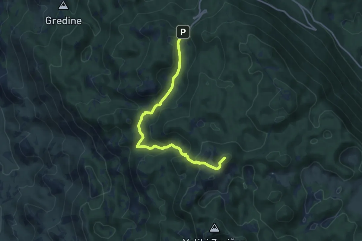
Demanding · Summit
Trag čovika
10.7 km · ↑ 598 m · 3 h 49 min
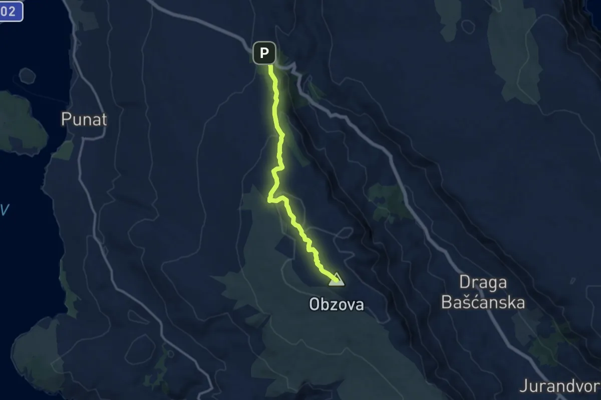
Medium · Summit
Treskavac - Obzova
10.1 km · ↑ 323 m · 3 h 6 min
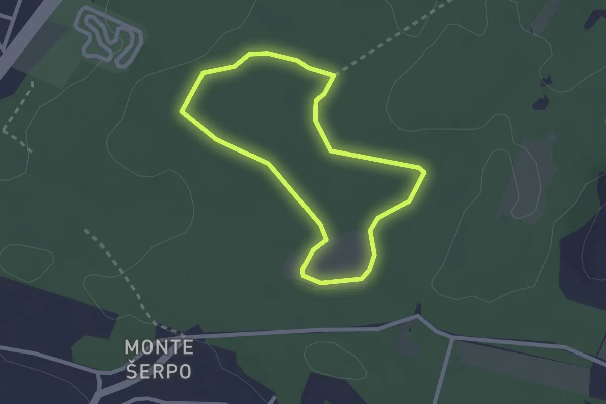
Easy · Trail
Trim I
2.0 km · ↑ 17 m · 32 min
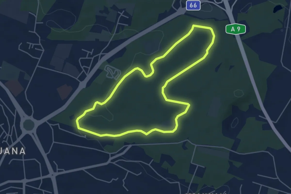
Easy · Trail
Trim II
4.6 km · ↑ 54 m · 1 h 15 min
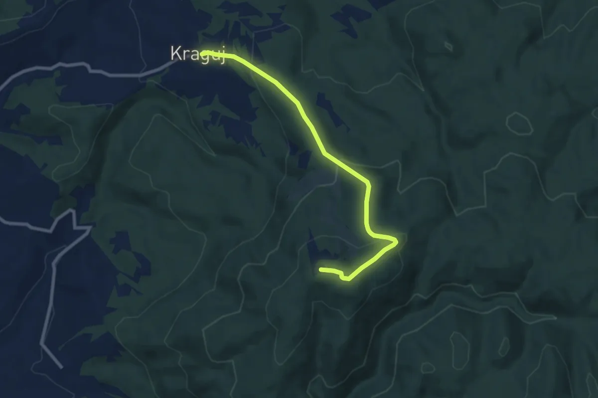
Easy · Summit
Tromeđa - planinarski dom Omanovac
7.5 km · ↑ 304 m · 2 h 25 min
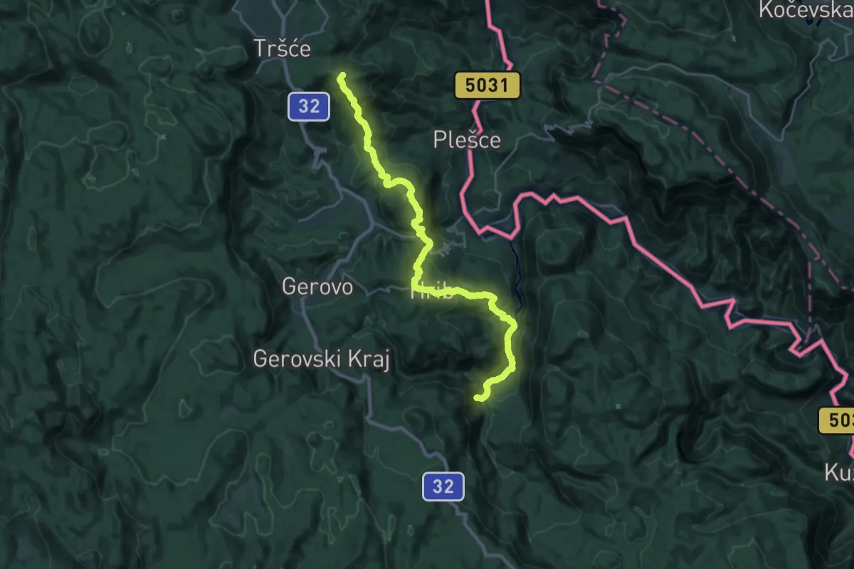
Demanding · Summit
Tršće - Sveta gora - Izvor Kupe - Crni Lug
25.1 km · ↑ 1401 m · 8 h 57 min
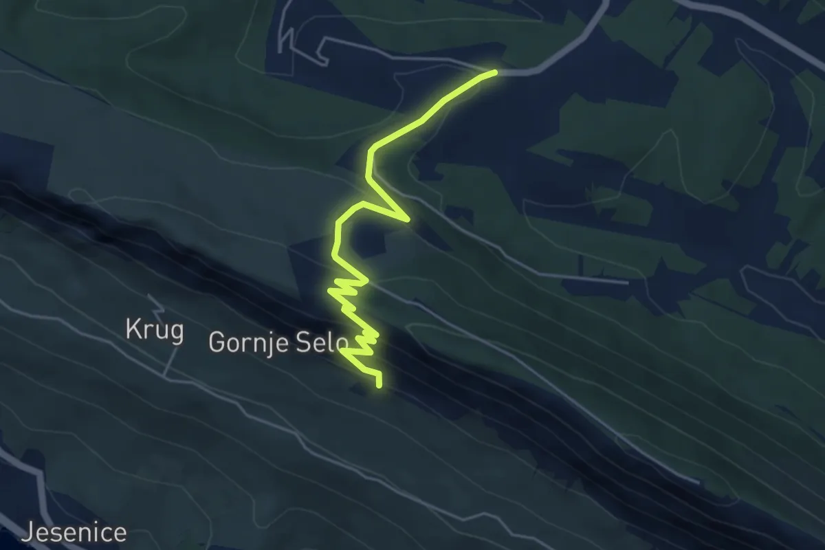
Easy · Trail
Tugare - sv. Maxim
5.0 km · ↑ 249 m · 1 h 43 min
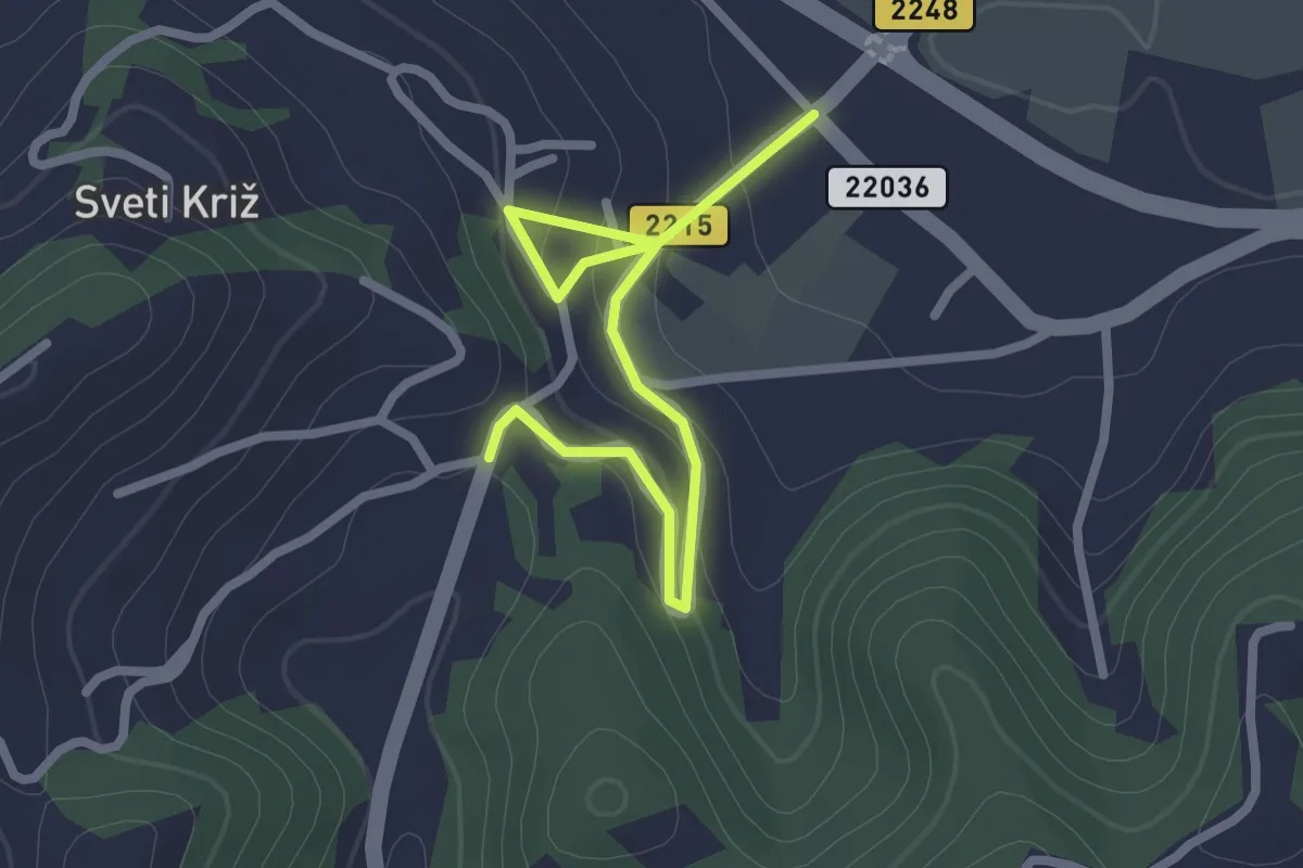
Easy · Trail
Tuheljskim krajem
2.7 km · ↑ 98 m · 51 min
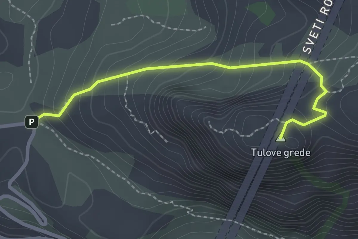
Expert · Summit
Tulove Grede
2.2 km · ↑ 206 m · 58 min
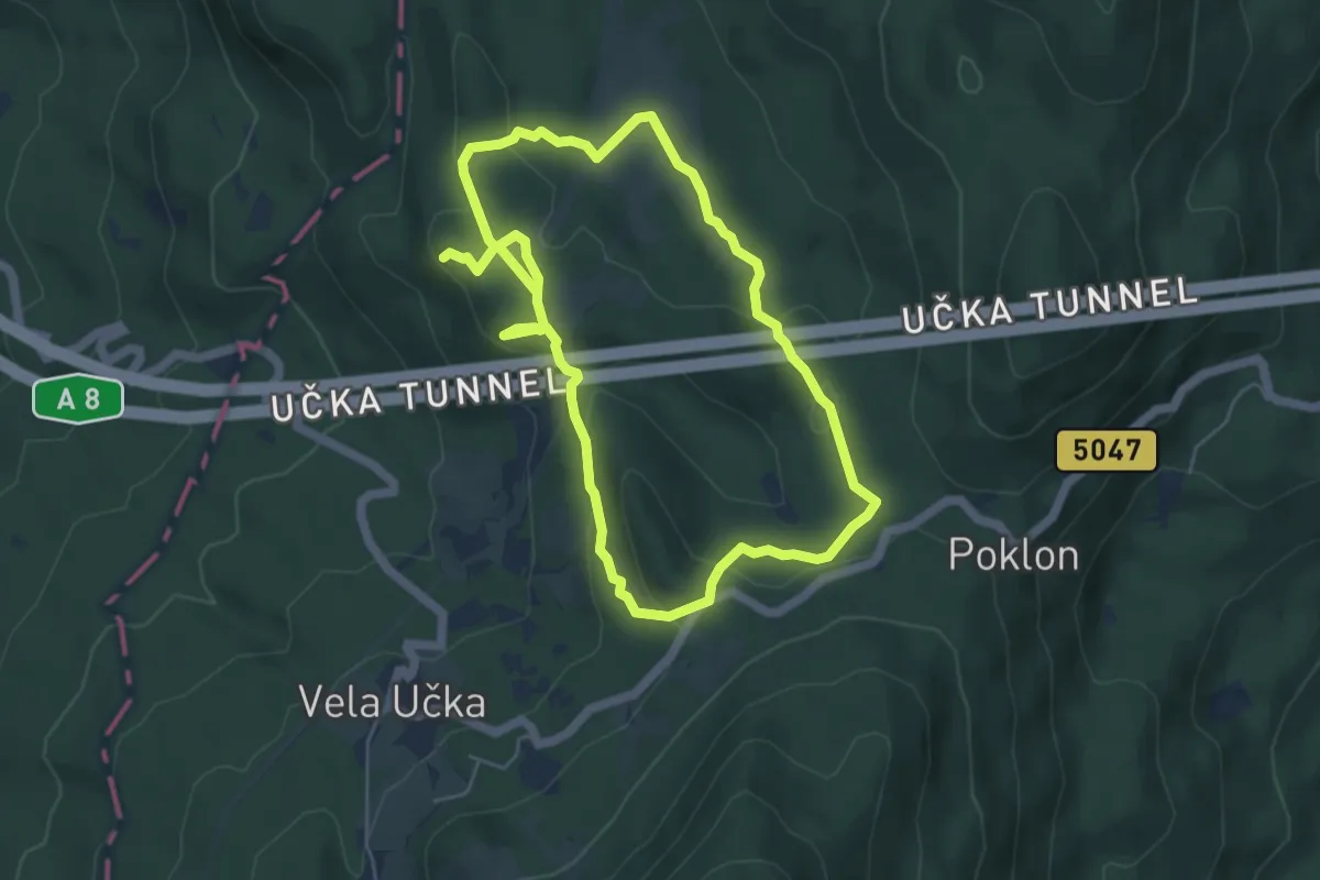
Easy · Summit
Učka Land Art Trail
5.0 km · ↑ 182 m · 1 h 37 min
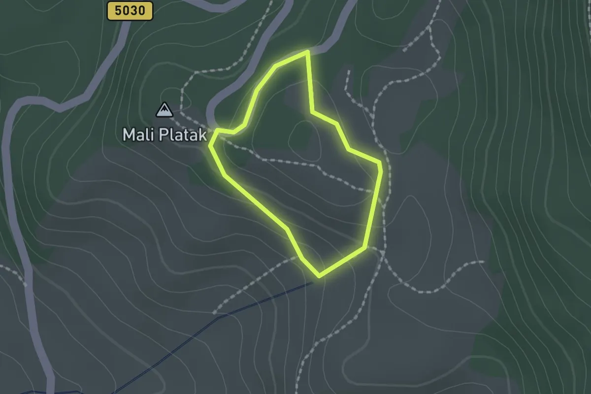
Easy · Summit
Učna pot Volčja sled
1.2 km · ↑ 43 m · 24 min
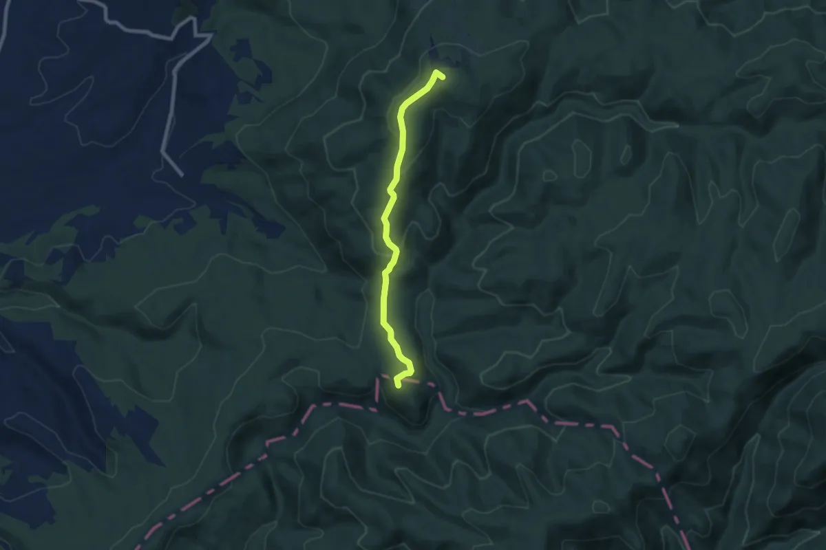
Easy · Summit
uz grebem Omanovac
7.0 km · ↑ 265 m · 2 h 14 min
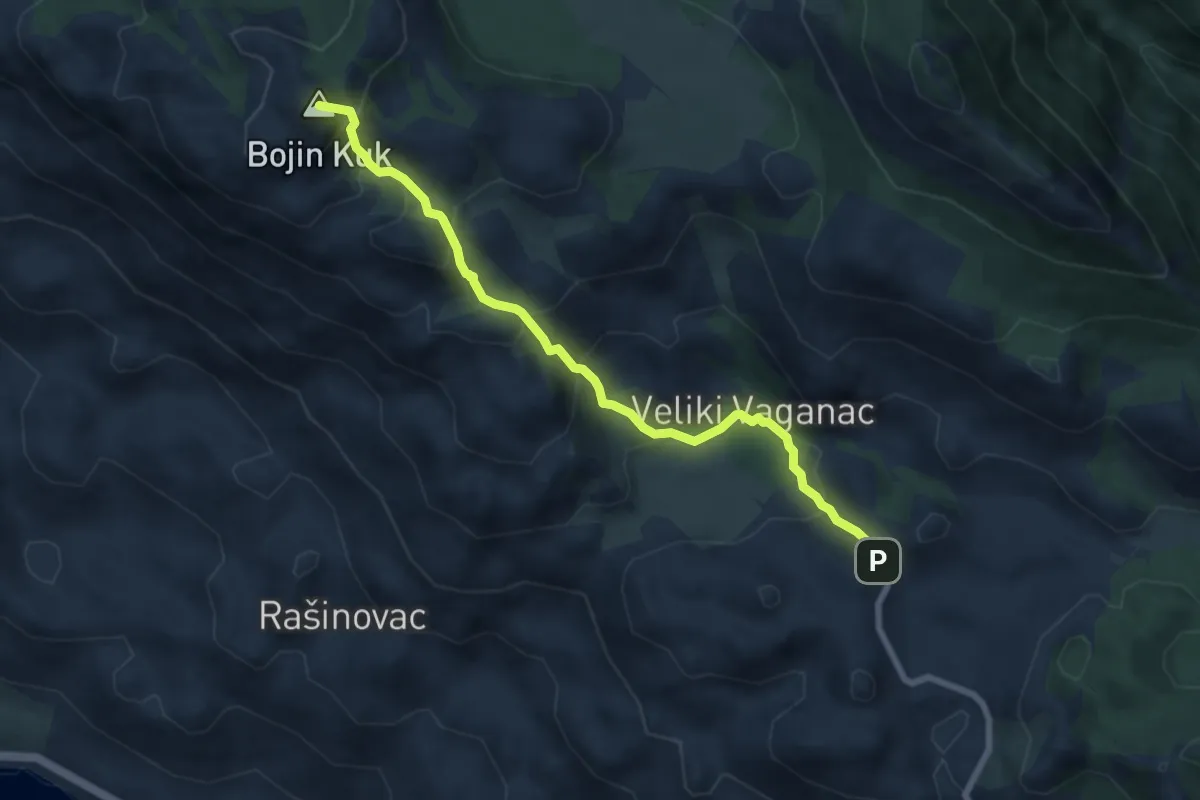
Medium · Summit
Vaganac - Bojinac
7.7 km · ↑ 612 m · 3 h 8 min