Trails in Croatia
922 hiking trails, each with its route, climb, walking time and grade.
All trails, page 16 of 20
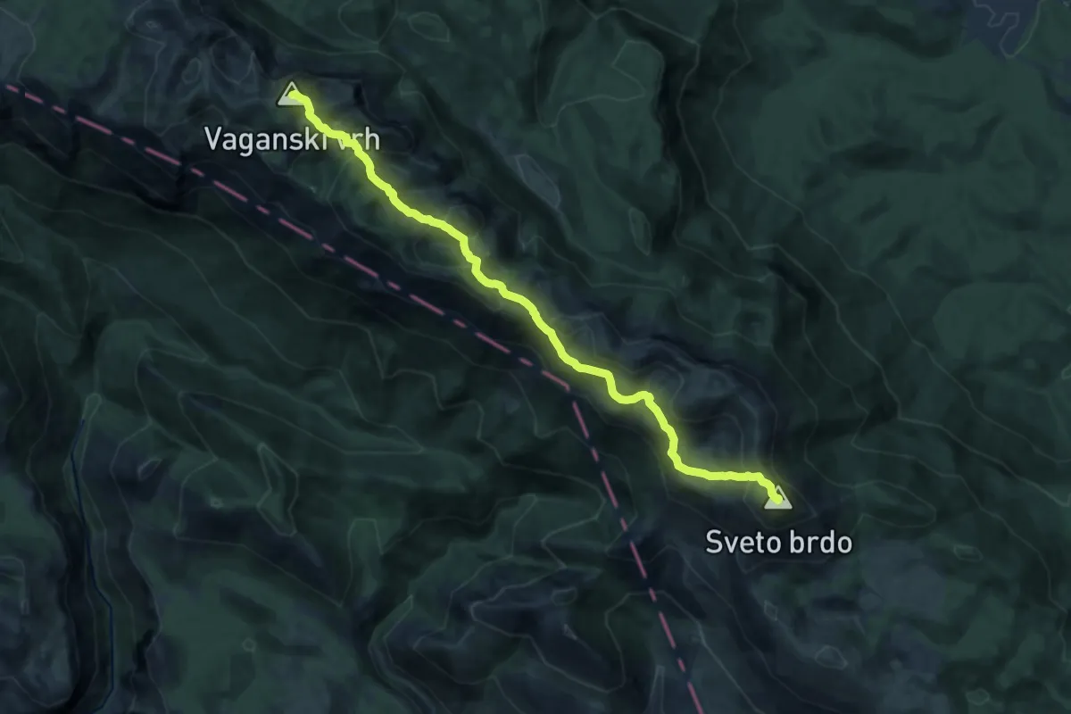
Demanding · Summit
Vaganski vrh - Sveto Brdo
15.4 km · ↑ 825 m · 5 h 26 min
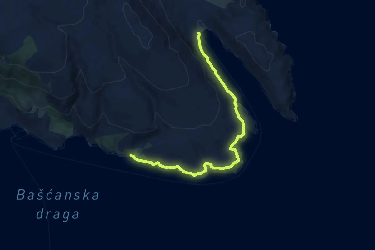
Medium · Trail
Vela Vrženica - Vela Luka
9.6 km · ↑ 162 m · 2 h 38 min
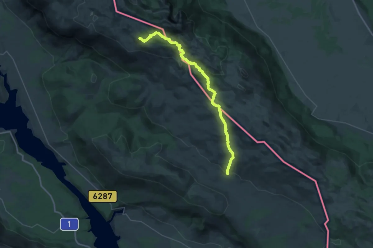
Demanding · Summit
Velika Duvjakuša
28.5 km · ↑ 1123 m · 9 h 9 min
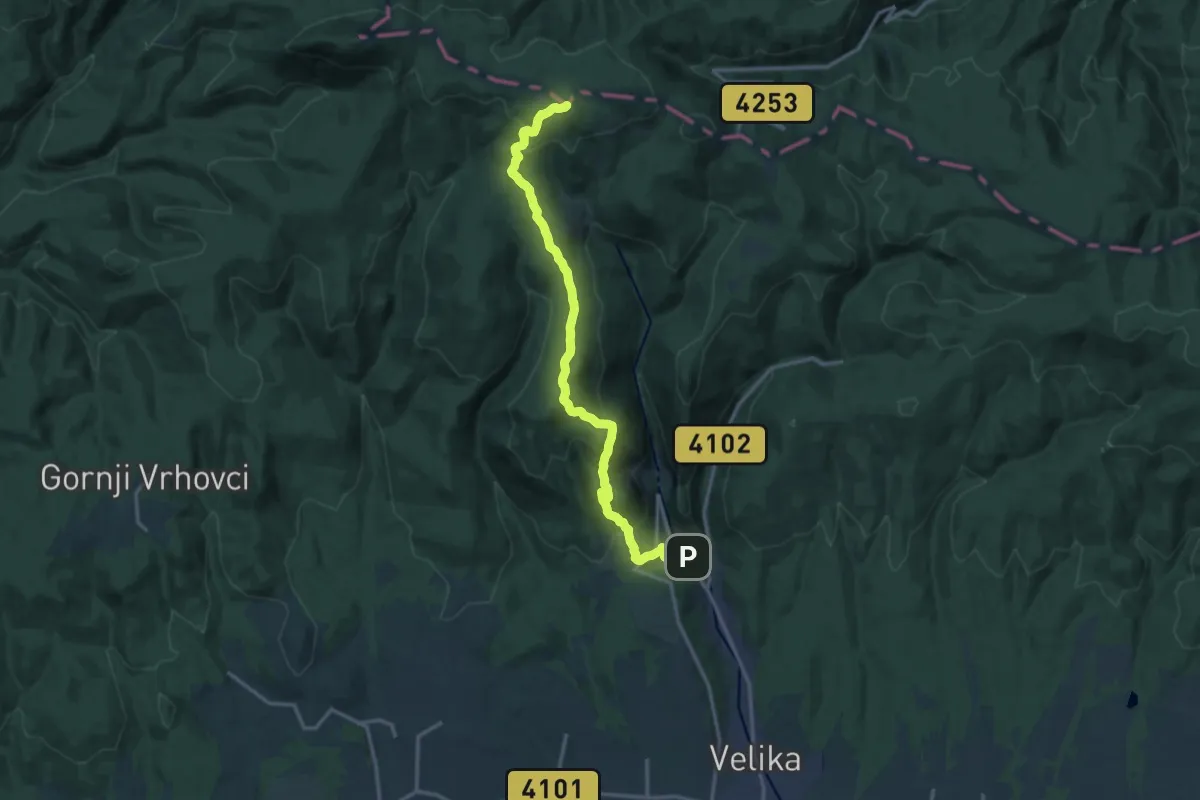
Medium · Summit
Velika - Ivačka glava
15.9 km · ↑ 744 m · 5 h 22 min
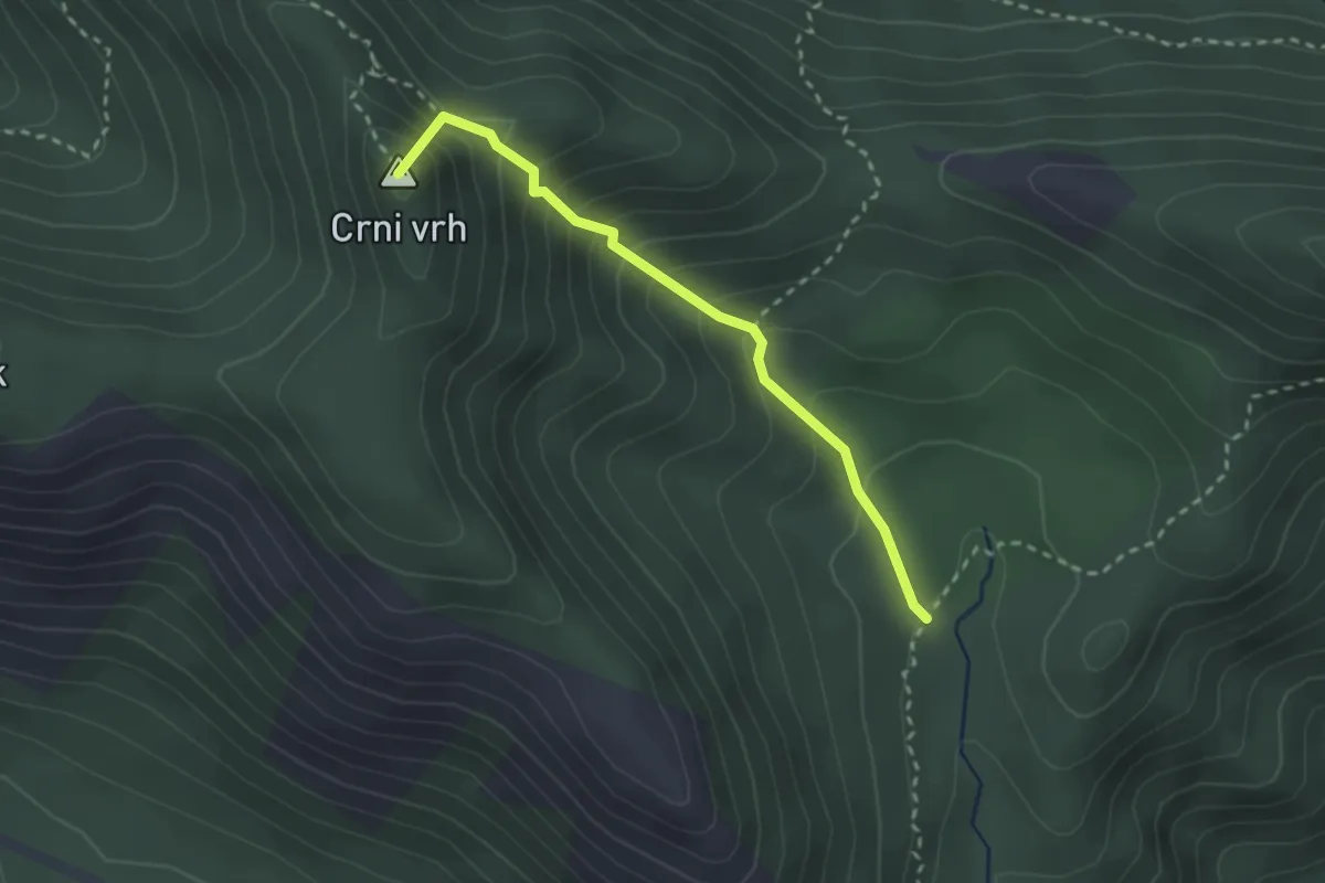
Easy · Summit
Velika Močila - Crni vrh
2.6 km · ↑ 274 m · 1 h 12 min
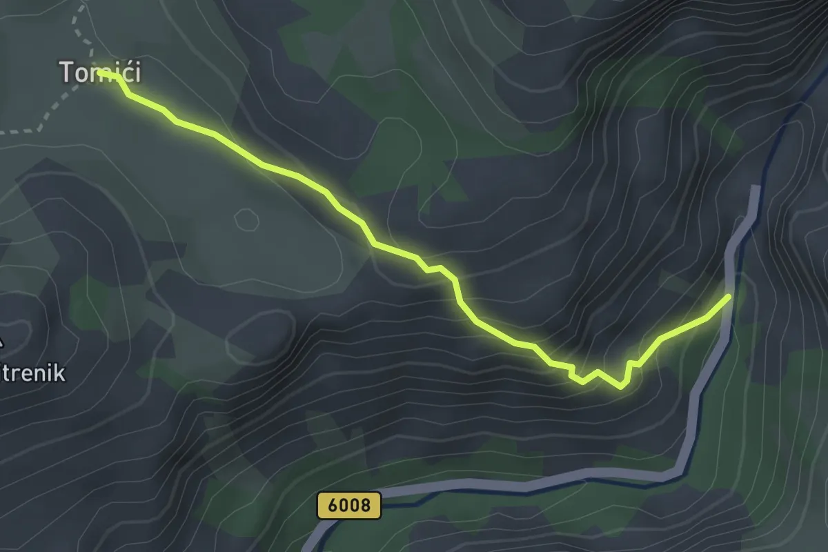
Medium · Trail
Velika Paklenica - Tomići
3.0 km · ↑ 265 m · 1 h 17 min
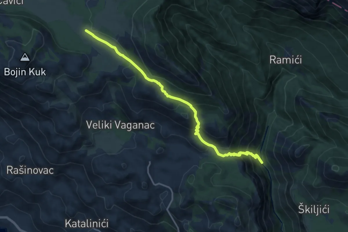
Demanding · Trail
Velika Paklenica - Veliko Rujno
11.2 km · ↑ 726 m · 4 h 13 min
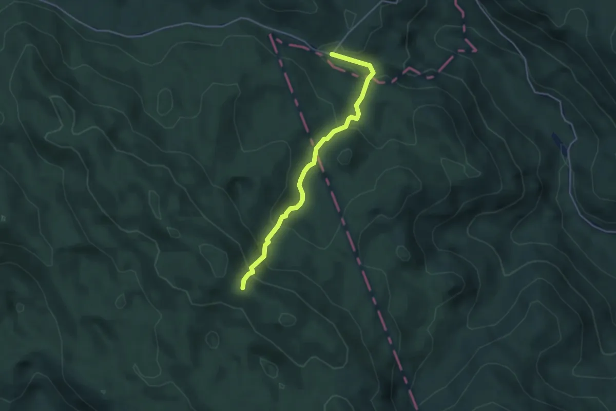
Medium · Trail
Velika vrata - Bijele stijene
3.7 km · ↑ 283 m · 1 h 30 min
Medium · Trail
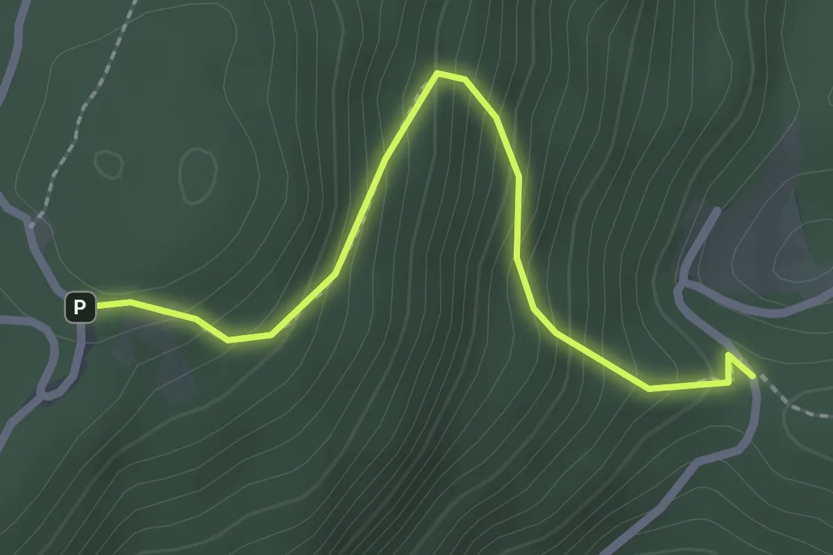
Velika vrata - Pl. dom Žitnica
2.3 km · ↑ 265 m · 1 h 6 min
Easy · Summit
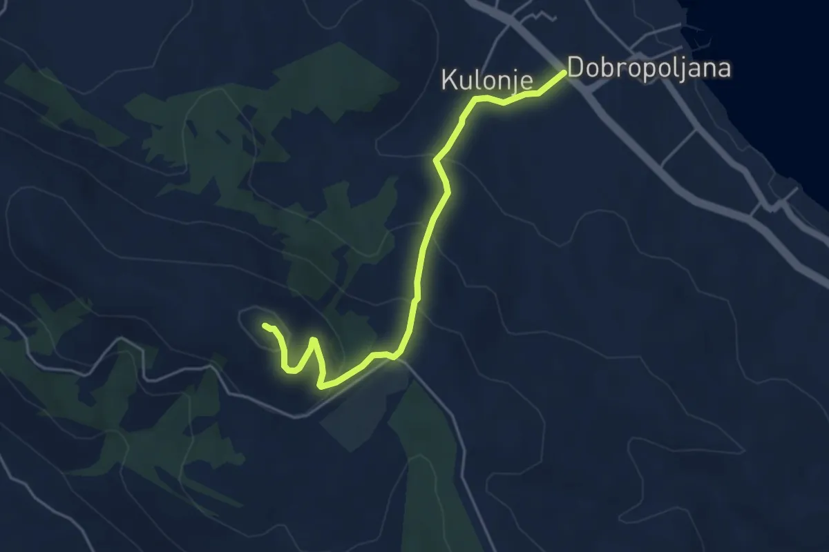
Veliki Bokolj
4.6 km · ↑ 249 m · 1 h 38 min
Medium · Summit
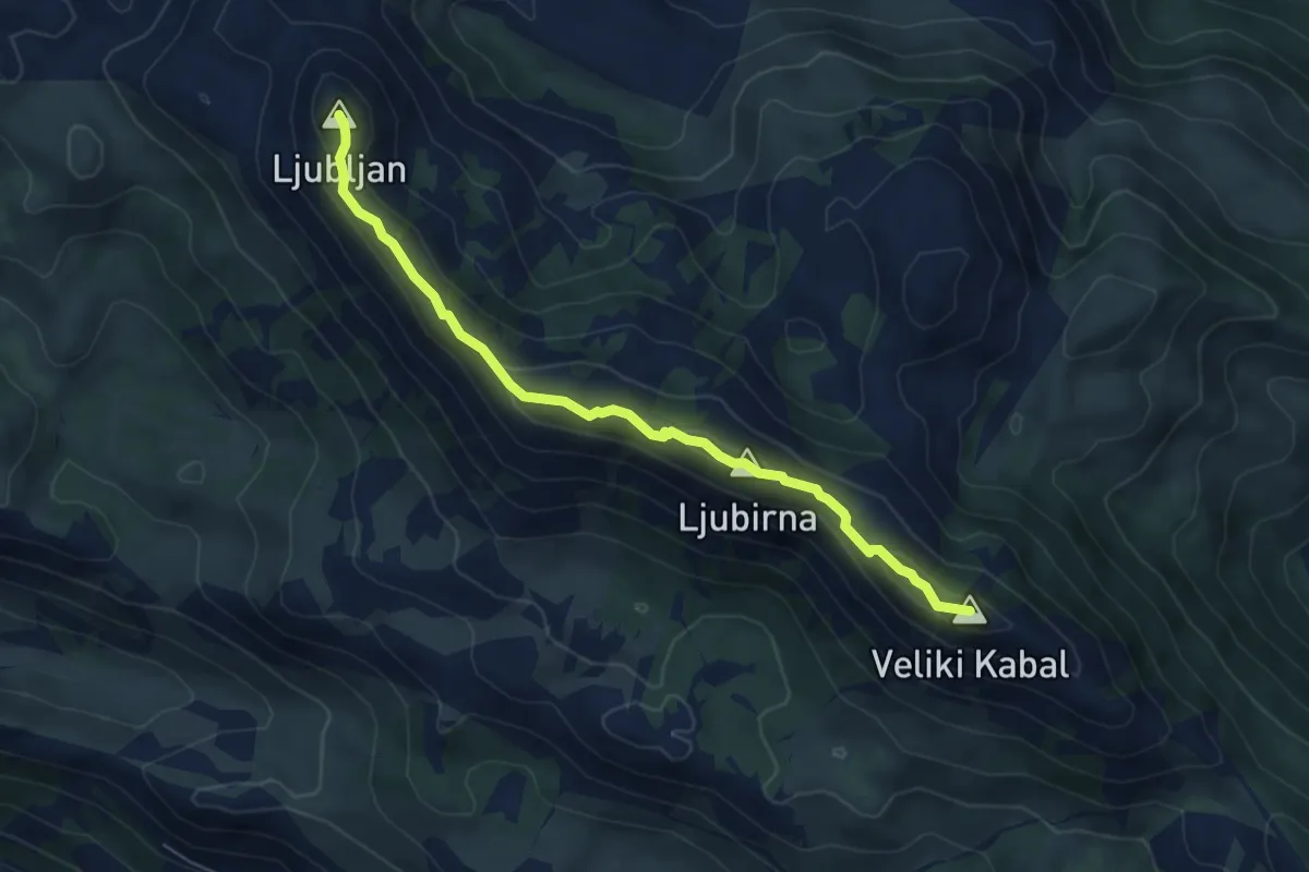
Veliki Kabal-Ljubljan
6.2 km · ↑ 343 m · 2 h 12 min
Medium · Summit
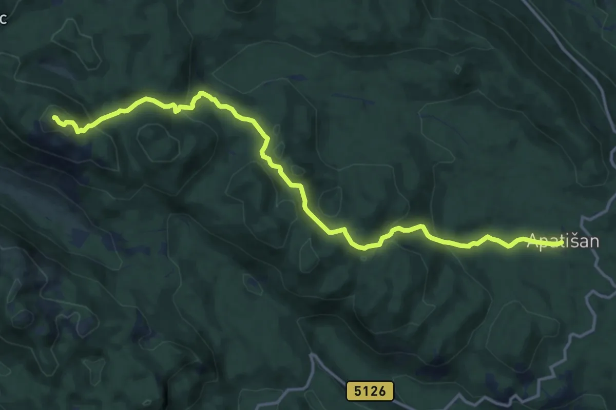
Veliki Rajinac
14.0 km · ↑ 680 m · 4 h 47 min
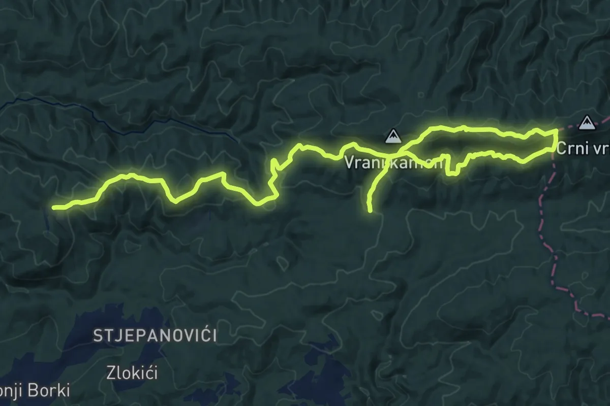
Demanding · Trail
Veliki Ždral 2017
18.5 km · ↑ 770 m · 6 h 16 min
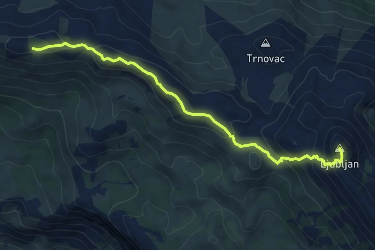
Medium · Summit
VelikoBrdo_Ljubljan
8.2 km · ↑ 507 m · 3 h 2 min
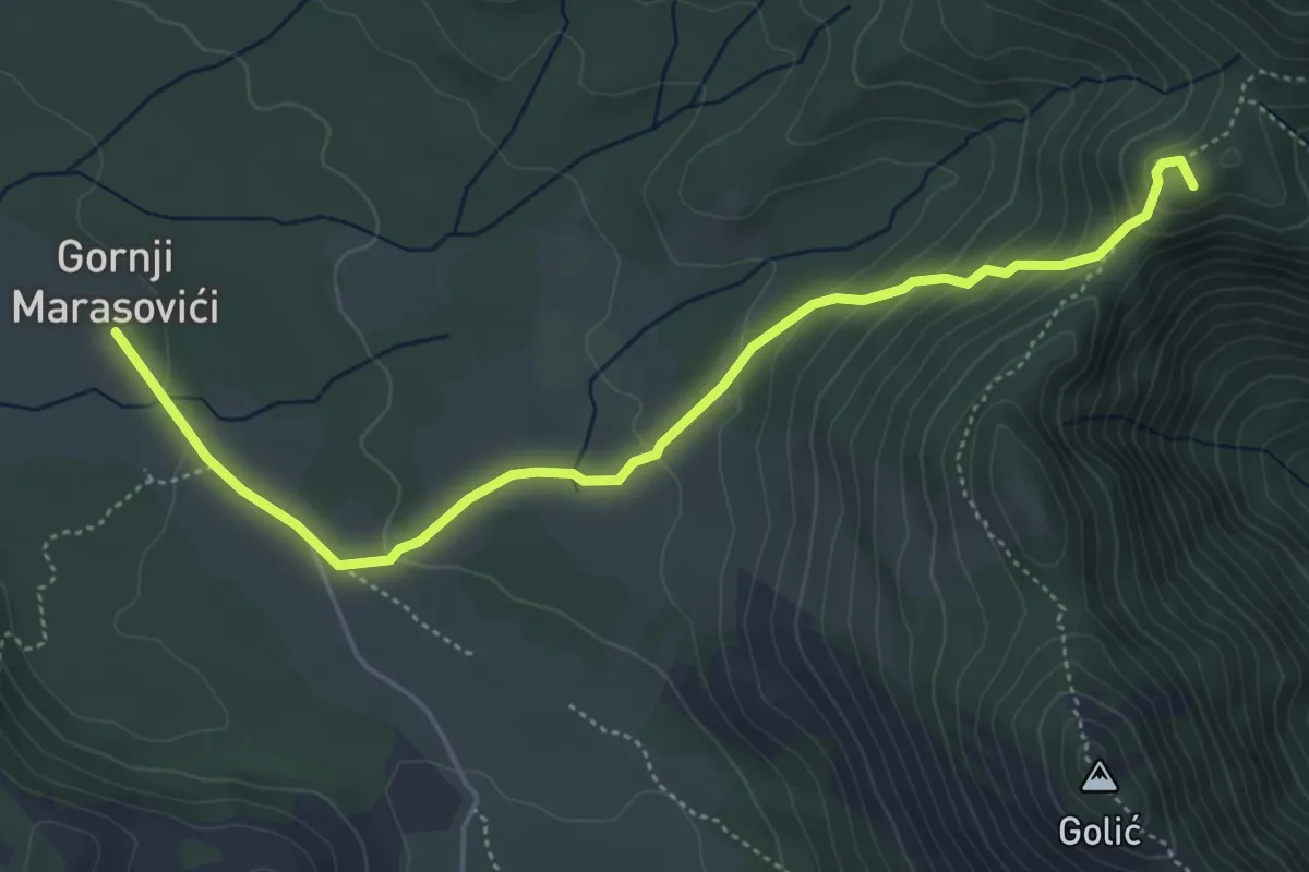
Medium · Summit
Veliko Rujno - Struge
5.5 km · ↑ 255 m · 1 h 51 min
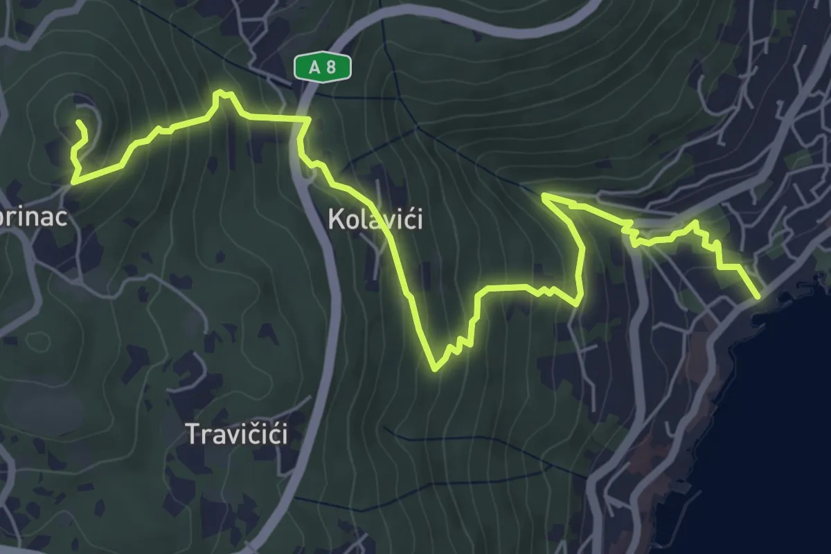
Medium · Summit
Veprinac
7.8 km · ↑ 498 m · 2 h 56 min
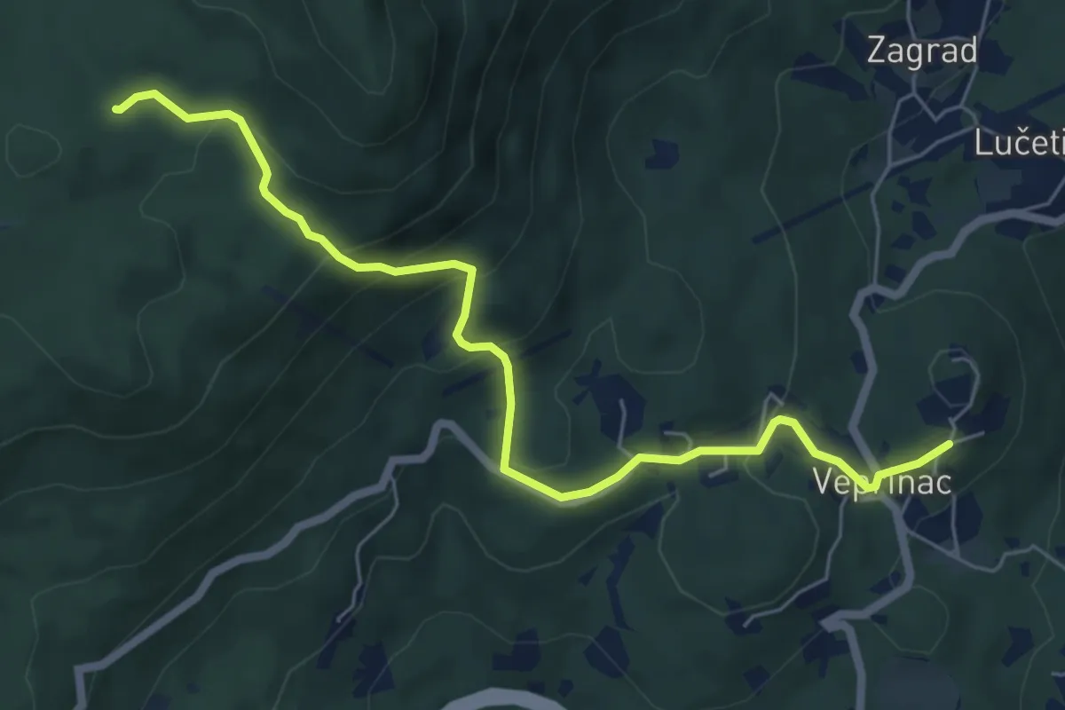
Medium · Trail
Veprinac - OPO
6.5 km · ↑ 375 m · 2 h 20 min
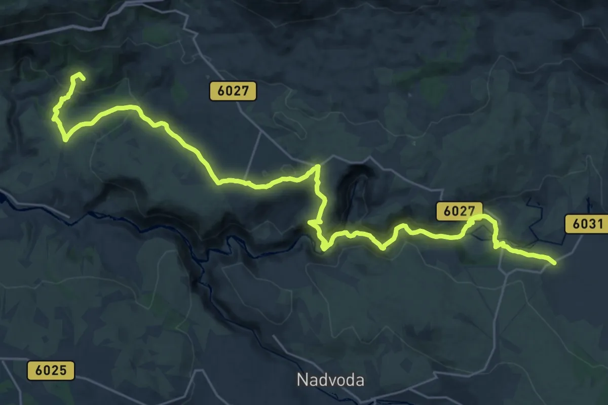
Expert · Summit
Via Adriatica #6: Prezid => Knin
32.3 km · ↑ 1042 m · 9 h 53 min
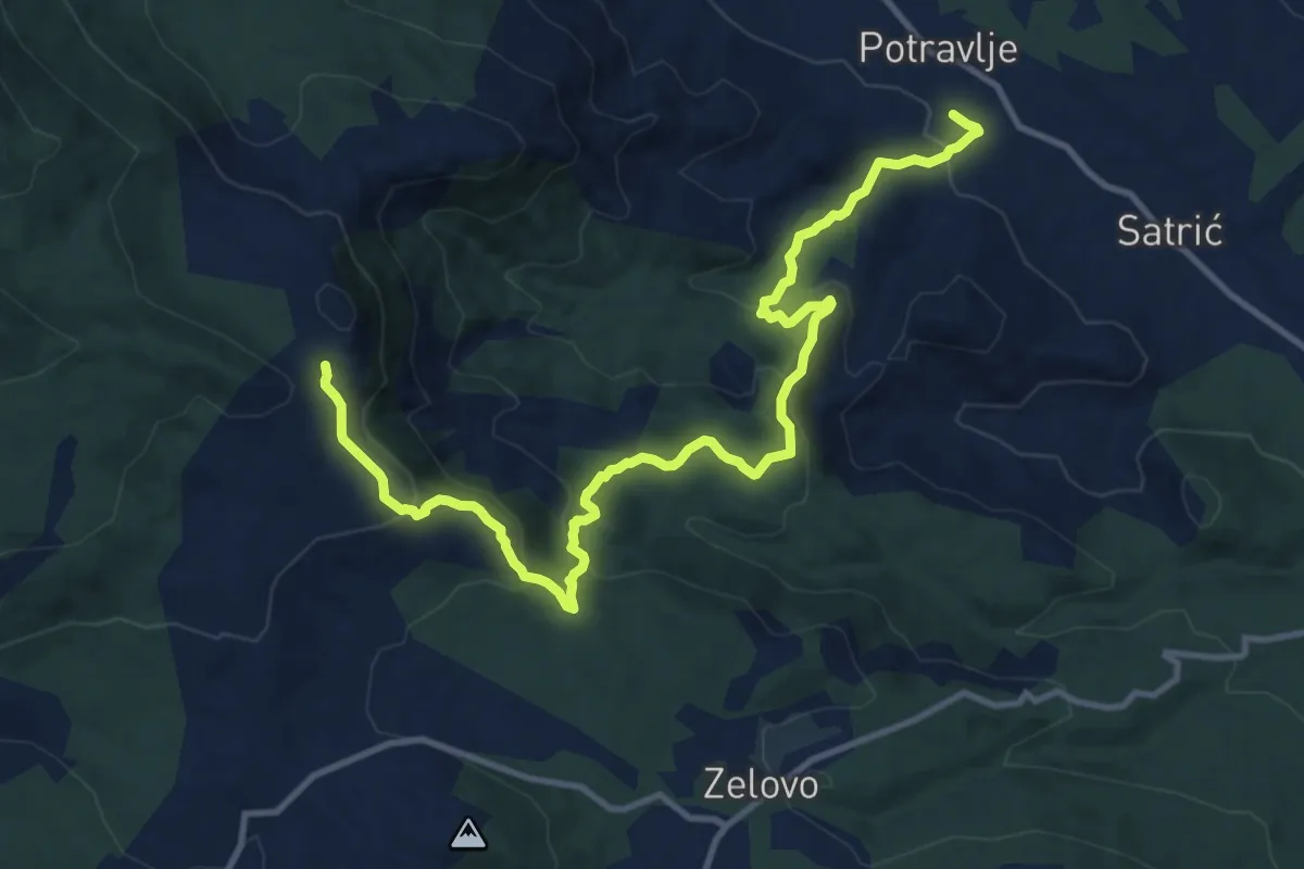
Medium · Cabin
Via_Adriatica_Sinj
14.4 km · ↑ 657 m · 4 h 49 min
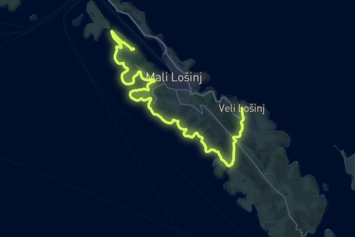
Demanding · Summit
Via Apsyrtides #10: Mali Lošinj => Veli Lošinj
31.6 km · ↑ 737 m · 9 h 3 min
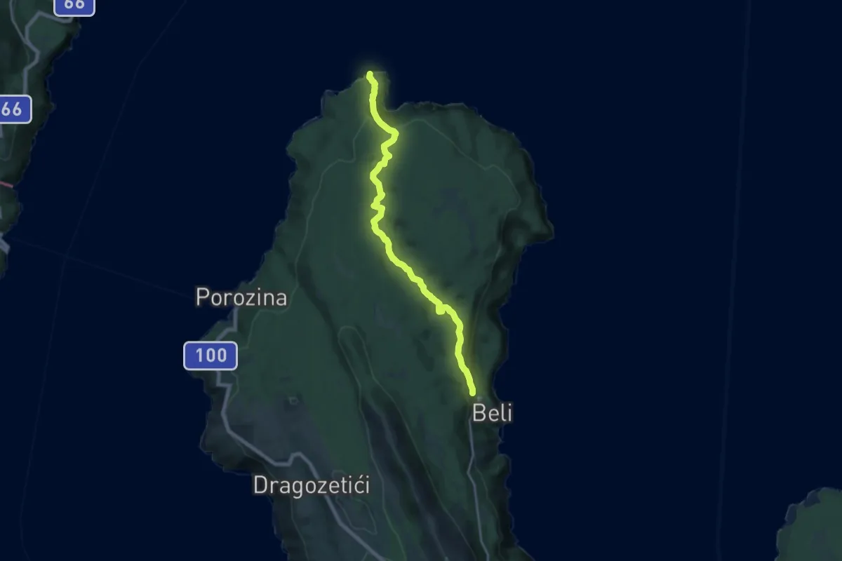
Medium · Trail
Via Apsyrtides #1: Jablanac => Beli
17.7 km · ↑ 544 m · 5 h 22 min
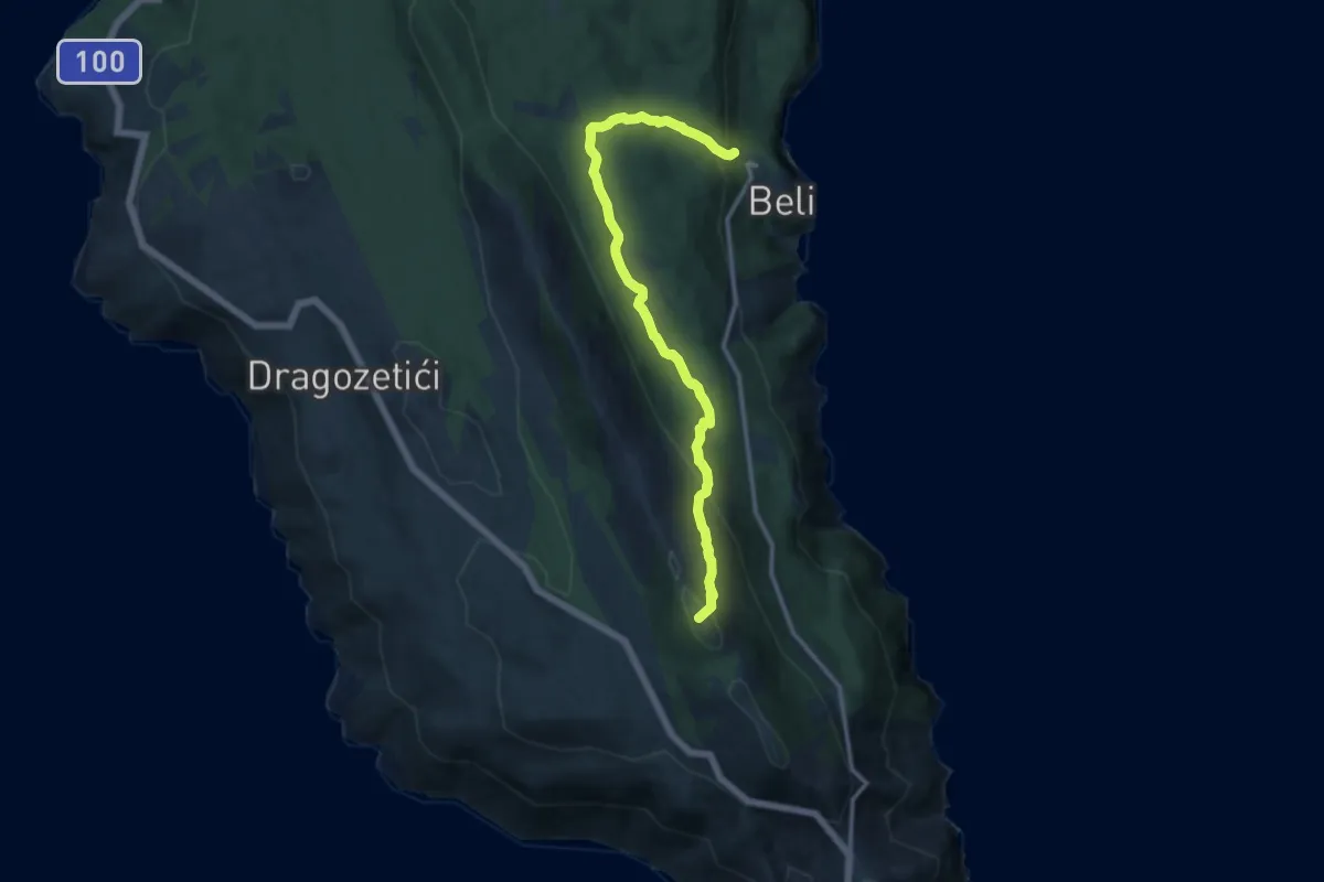
Medium · Summit
Via Apsyrtides #2: Beli => Predošćica
12.8 km · ↑ 552 m · 4 h 12 min
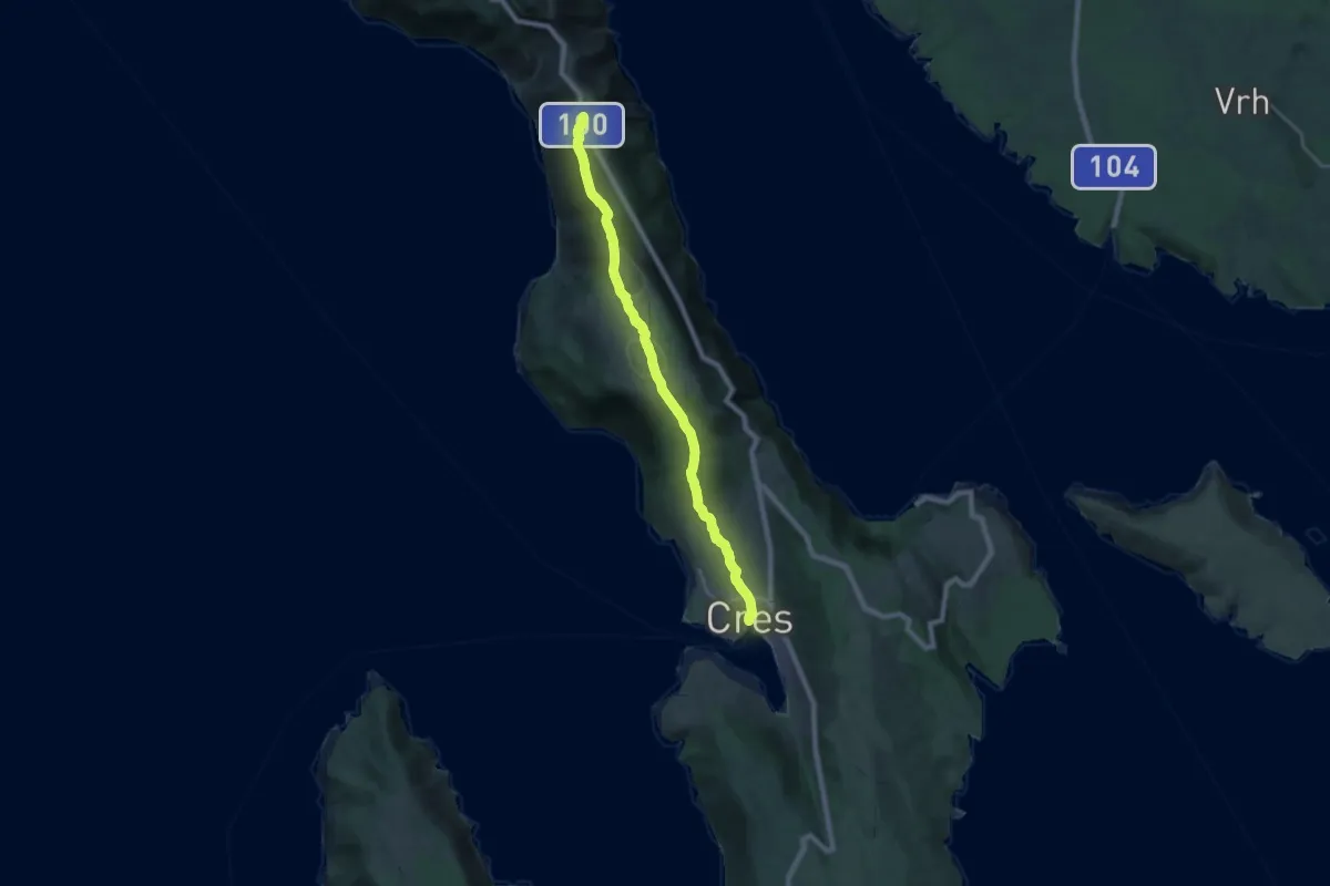
Demanding · Trail
Via Apsyrtides #3: Predošćica => Cres
21.8 km · ↑ 751 m · 6 h 47 min
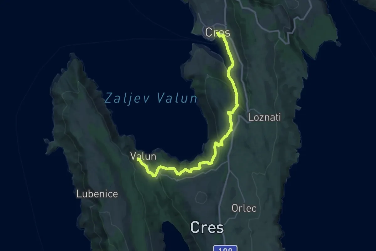
Medium · Trail
Via Apsyrtides #4: Cres => Valun
13.6 km · ↑ 432 m · 4 h 18 min
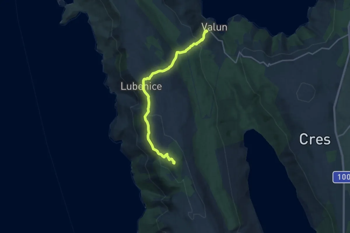
Demanding · Summit
Via Apsyrtides #5: Valun => Martinšćica
12.6 km · ↑ 635 m · 4 h 21 min
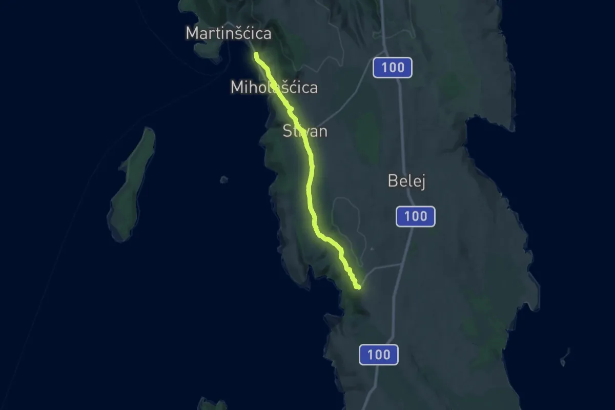
Demanding · Trail
Via Apsyrtides #6: Martinšćica => Ustrine
18.8 km · ↑ 482 m · 5 h 28 min
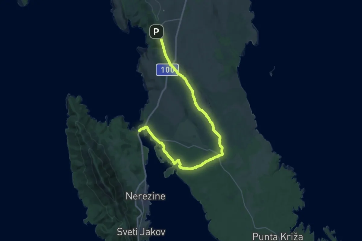
Medium · Trail
Via Apsyrtides #7: Ustrine => Osor
15.5 km · ↑ 107 m · 4 h 11 min
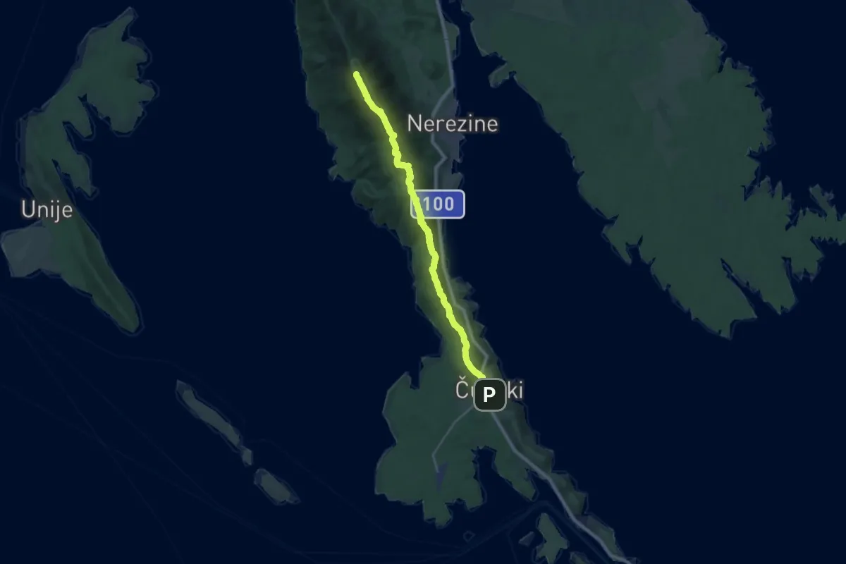
Demanding · Summit
Via Apsyrtides #8: Osor => Ćunski
22.5 km · ↑ 954 m · 7 h 23 min
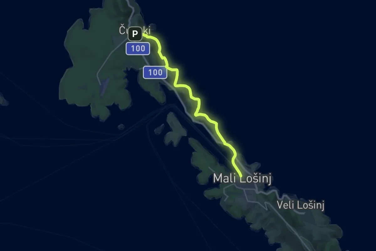
Demanding · Trail
Via Apsyrtides #9: Ćunski => Mali Lošinj
19.0 km · ↑ 194 m · 4 h 55 min
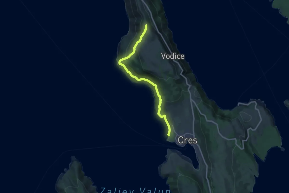
Demanding · Trail
Via Apsyrtides - aproaches (Cres)
19.7 km · ↑ 1076 m · 6 h 59 min
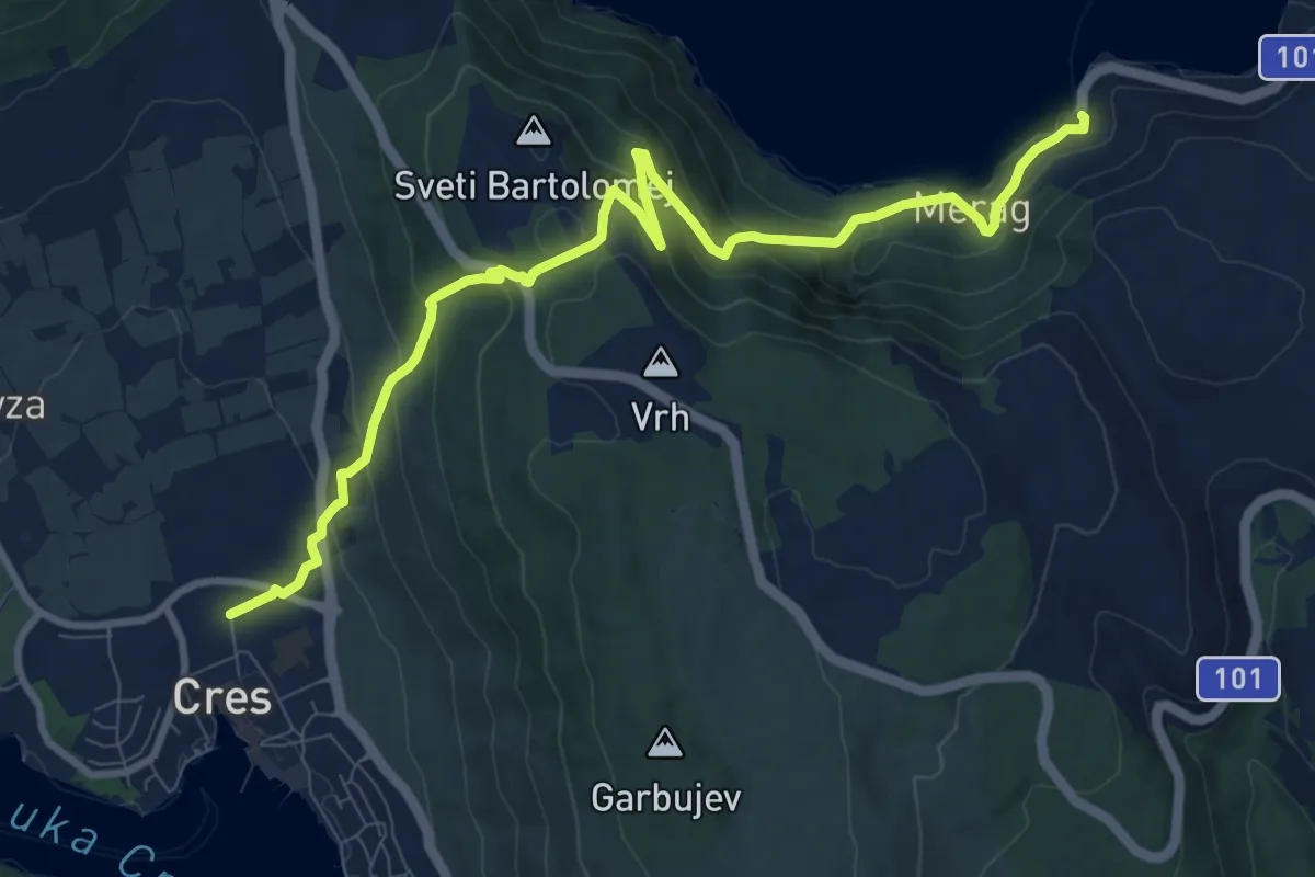
Medium · Trail
Via Apsyrtides - aproaches (Merag)
11.0 km · ↑ 652 m · 4 h
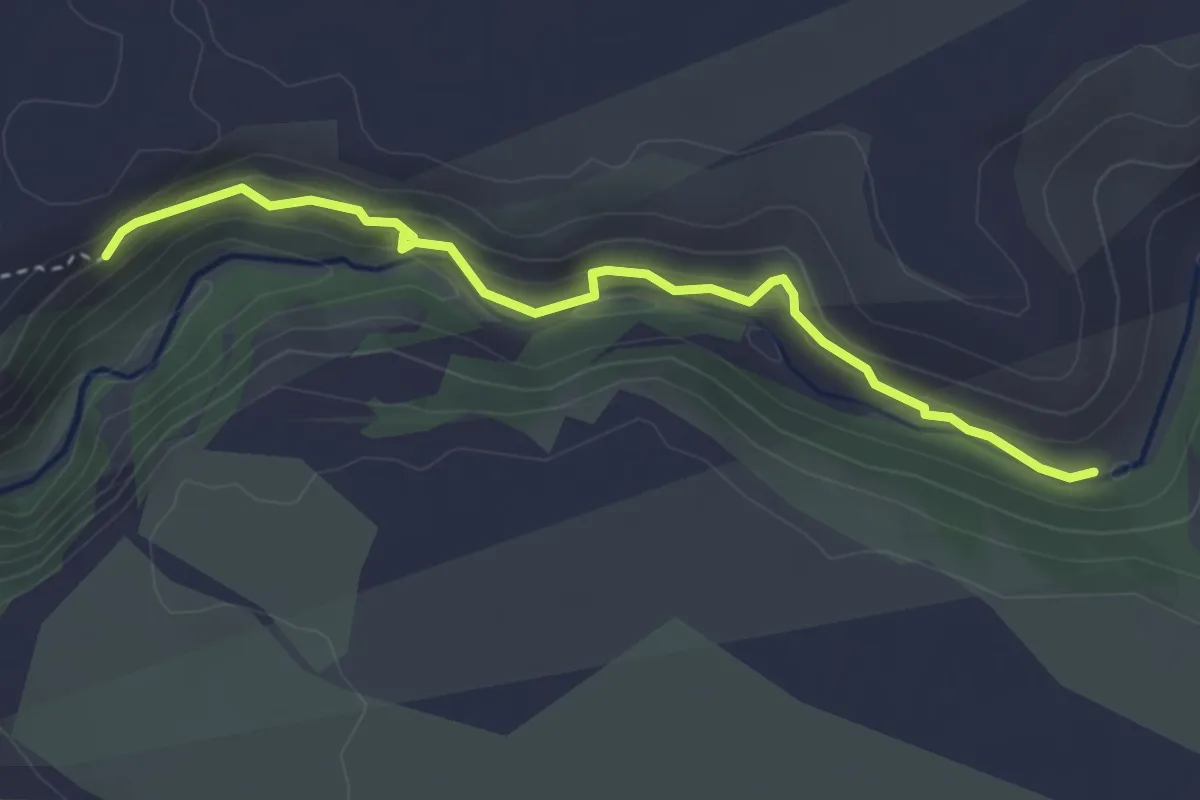
Demanding · Trail
Via ferrata Čikola
3.6 km · ↑ 213 m · 1 h 19 min
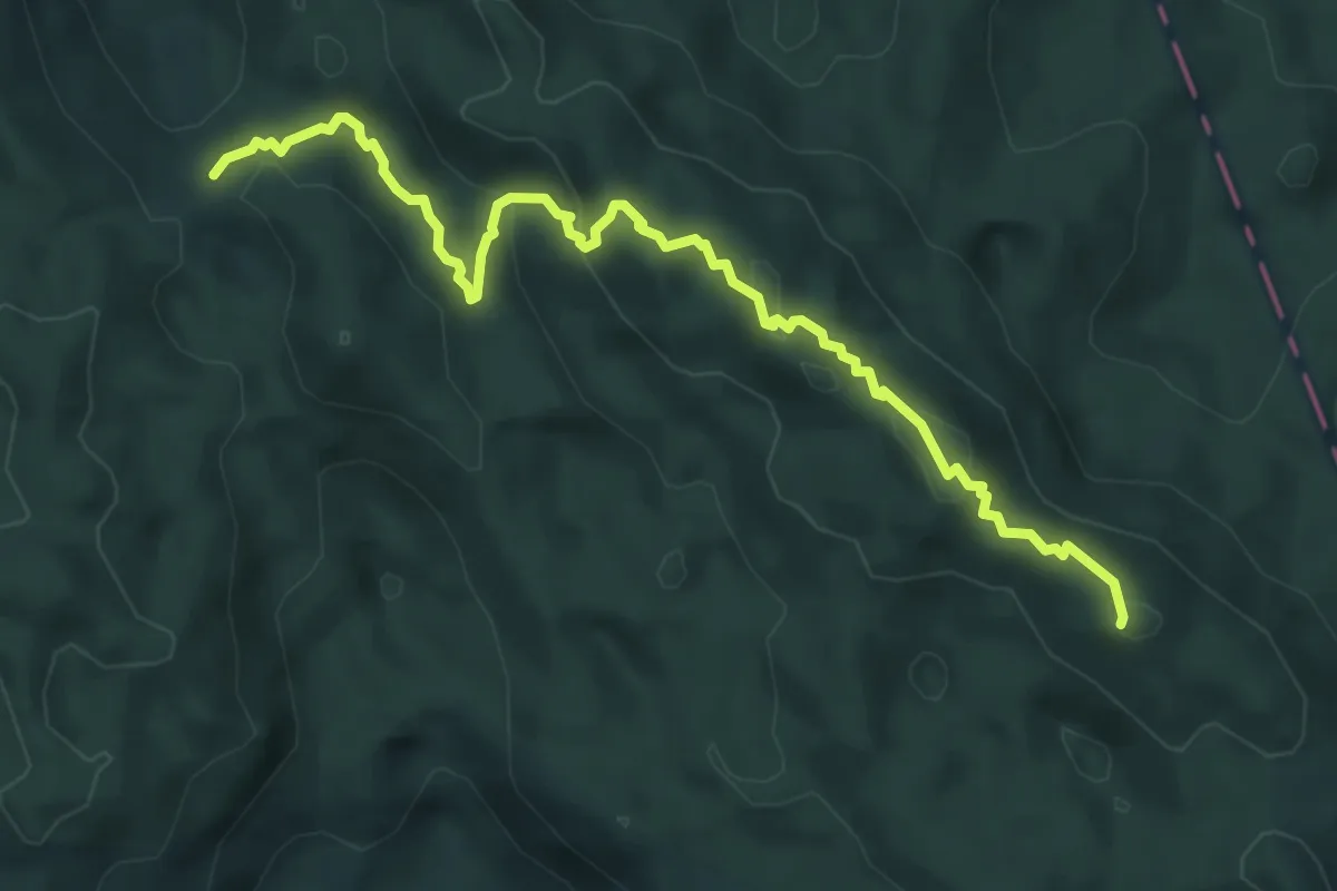
Demanding · Summit
Vihoraški put
6.2 km · ↑ 218 m · 1 h 56 min
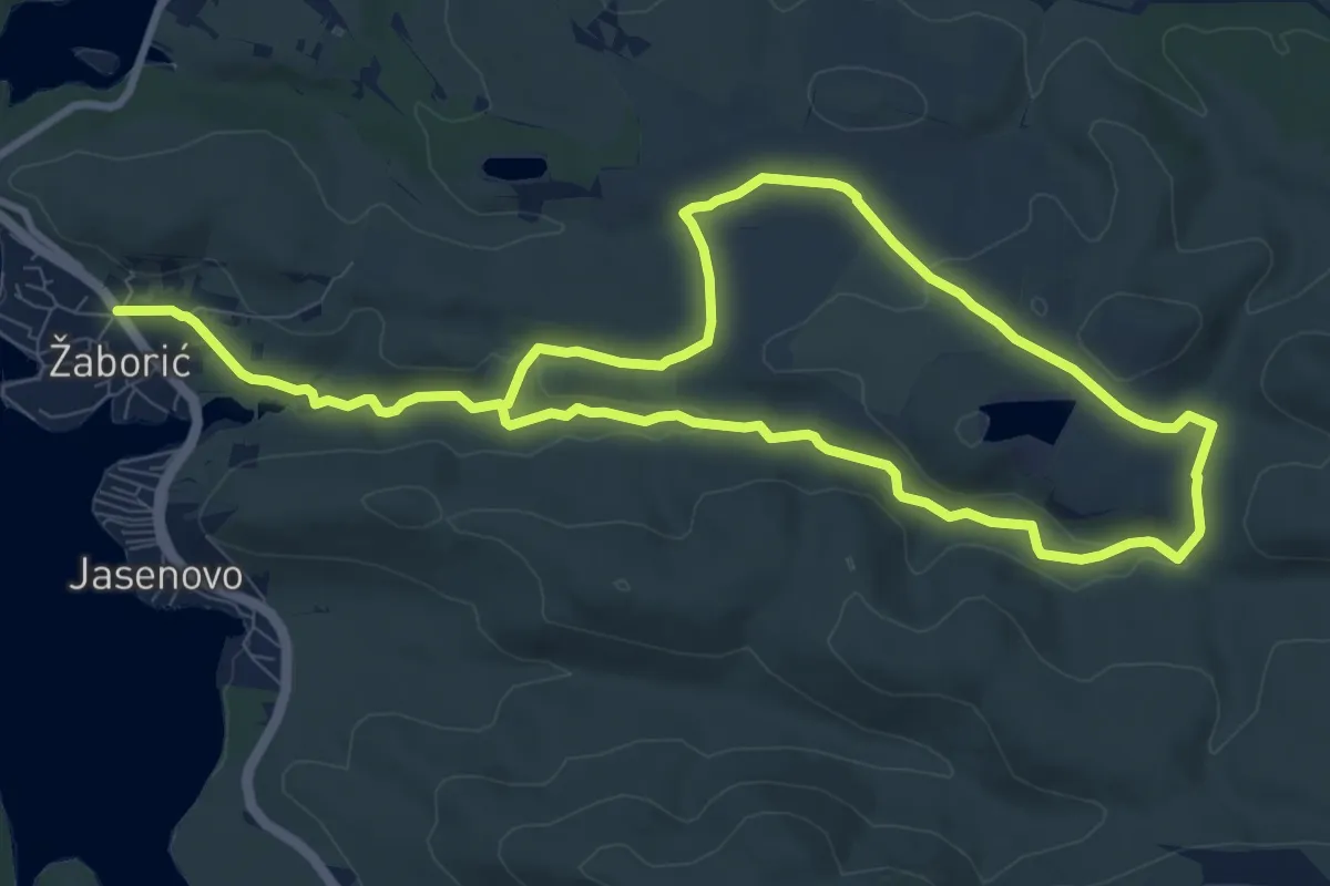
Medium · Trail
Vinogradska staza
17.3 km · ↑ 312 m · 4 h 46 min
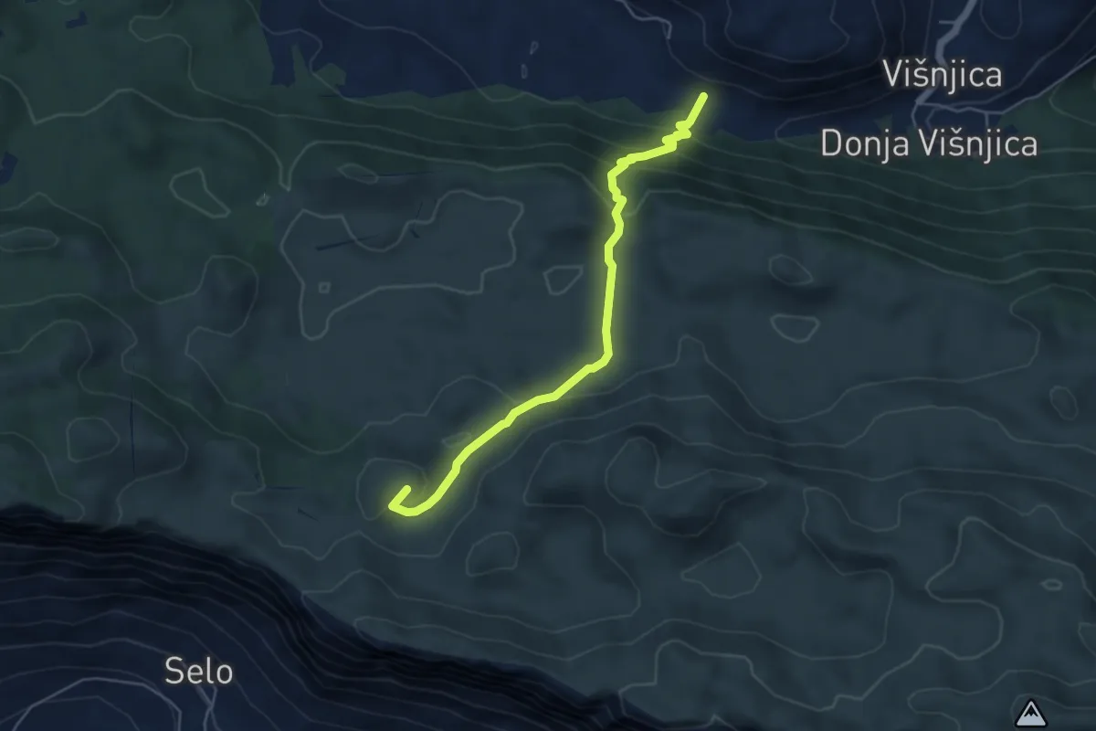
Easy · Summit
Višnjica - Sokolić
5.3 km · ↑ 297 m · 1 h 54 min
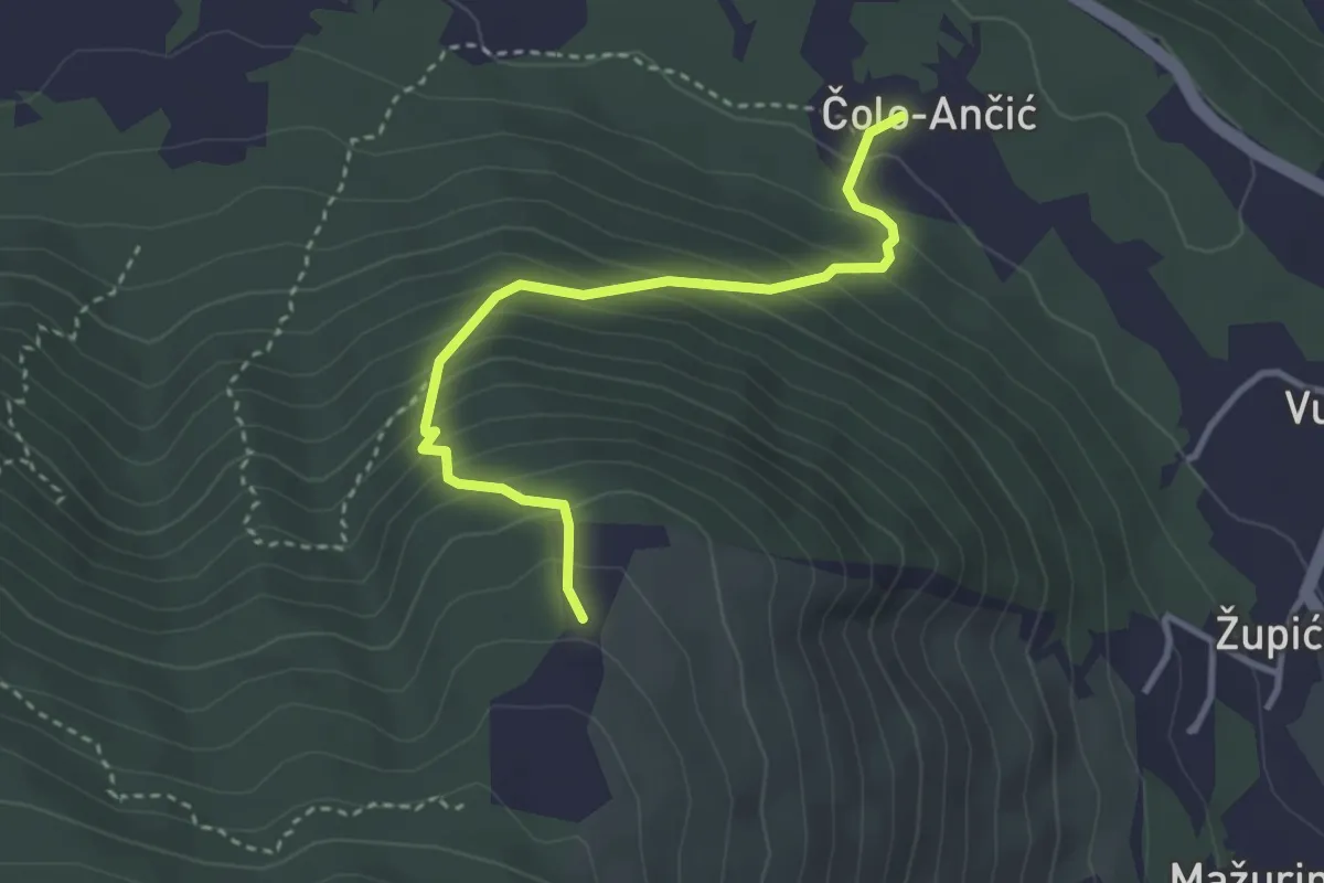
Medium · Trail
Visoka-Radošić
3.4 km · ↑ 336 m · 1 h 32 min
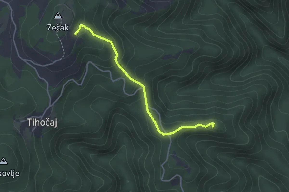
Medium · Summit
Višoševićev mlin - La Verna
3.2 km · ↑ 166 m · 1 h 7 min
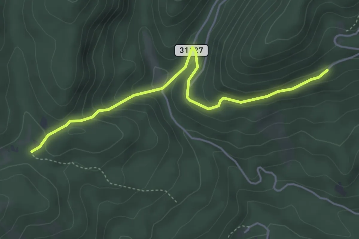
Easy · Trail
Vodice - Boljara
4.4 km · ↑ 235 m · 1 h 33 min
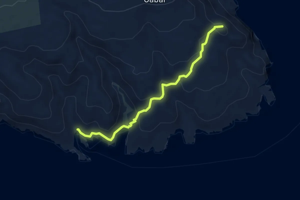
Medium · Summit
Vraca - Uvala Bracol
5.2 km · ↑ 276 m · 1 h 50 min
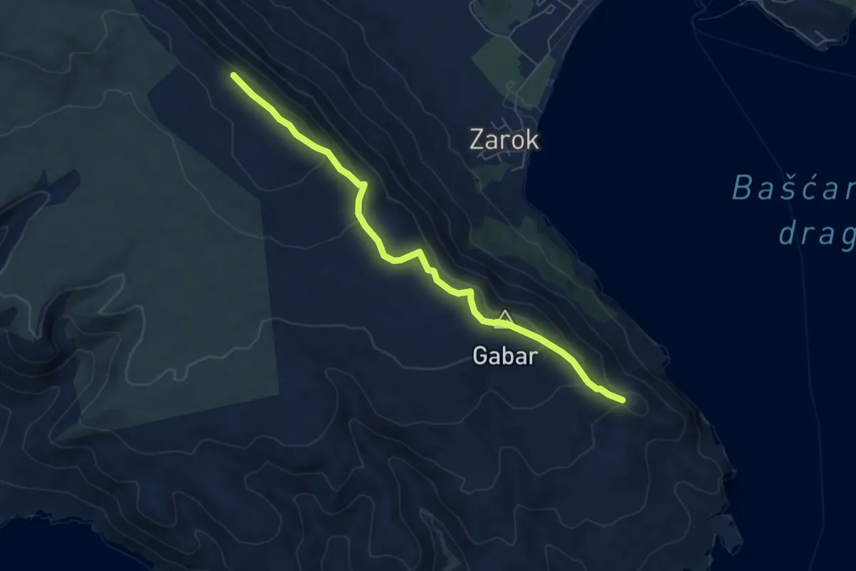
Demanding · Summit
Vraca - Vratudih
6.6 km · ↑ 303 m · 2 h 13 min
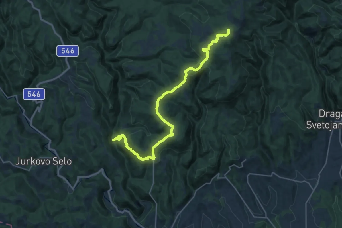
Demanding · Summit
Vranjački Slap - Tihočaj
18.8 km · ↑ 844 m · 6 h 17 min
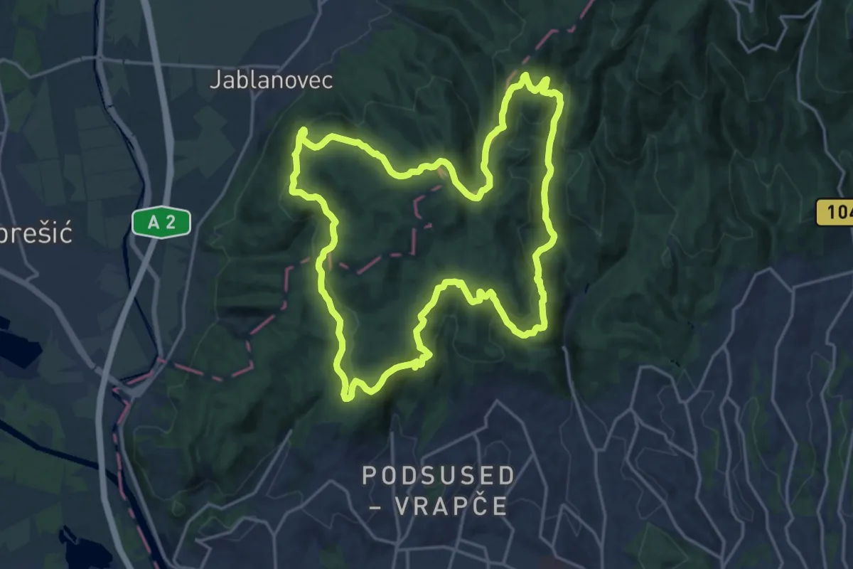
Demanding · Summit
Vrapčanska obilaznica
18.7 km · ↑ 792 m · 6 h 24 min
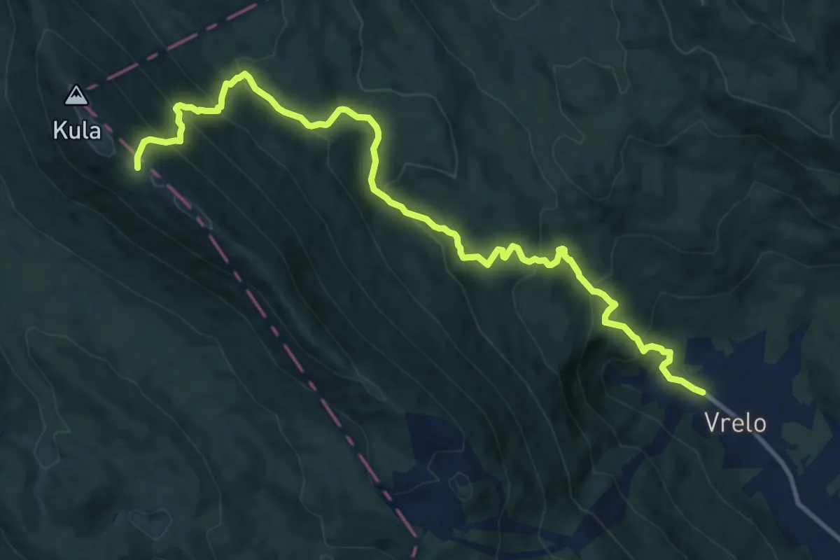
Demanding · Cabin
Vrelo - Bjelolasica
12.6 km · ↑ 859 m · 4 h 50 min
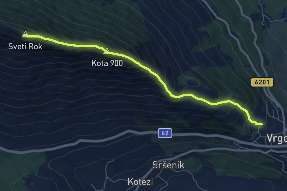
Demanding · Summit
Vrgorac-Matokit
6.7 km · ↑ 824 m · 3 h 22 min
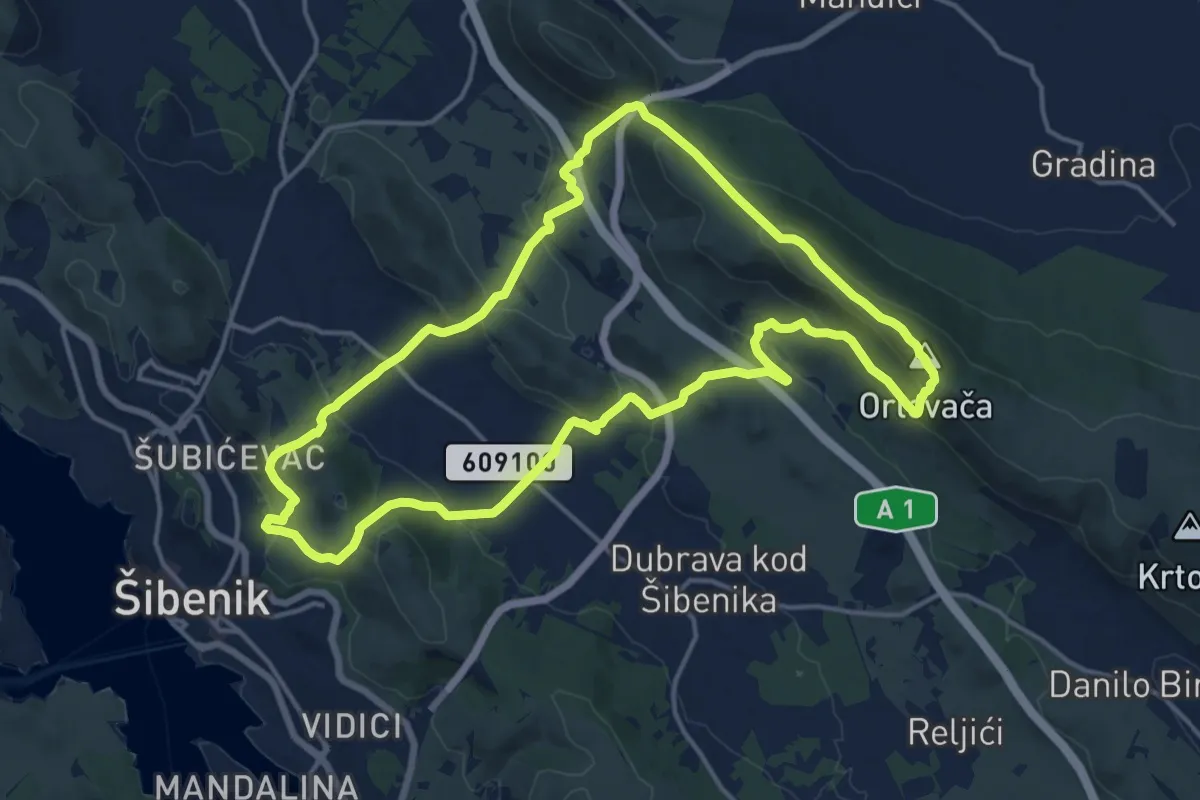
Medium · Summit
Vrh Orlovača
16.8 km · ↑ 621 m · 5 h 33 min
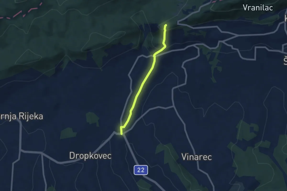
Medium · Trail
Vukovec - Kalnik
5.0 km · ↑ 205 m · 1 h 38 min
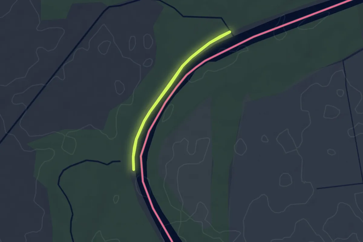
Easy · Trail
Water
2.5 km · ↑ 13 m · 38 min
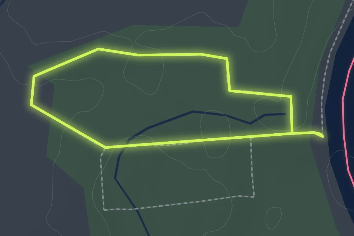
Easy · Trail
Wild animals
1.8 km · ↑ 5 m · 27 min