Trails in Croatia
922 hiking trails, each with its route, climb, walking time and grade.
All trails, page 18 of 20
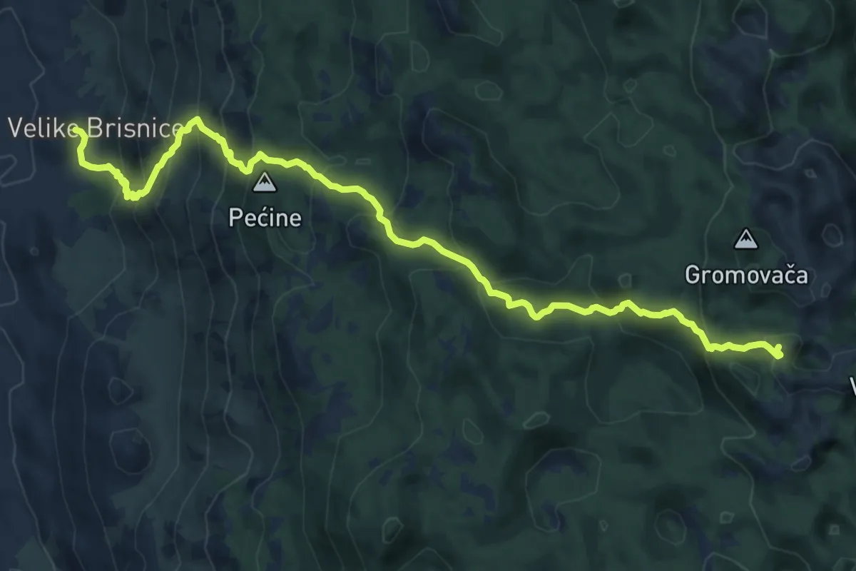
Demanding · Summit
11.27 HPS
14.5 km · ↑ 1267 m · 6 h 10 min
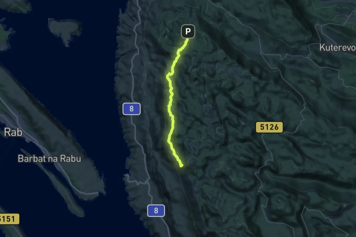
Demanding · Summit
11.29 HPS
30.4 km · ↑ 1674 m · 10 h 48 min
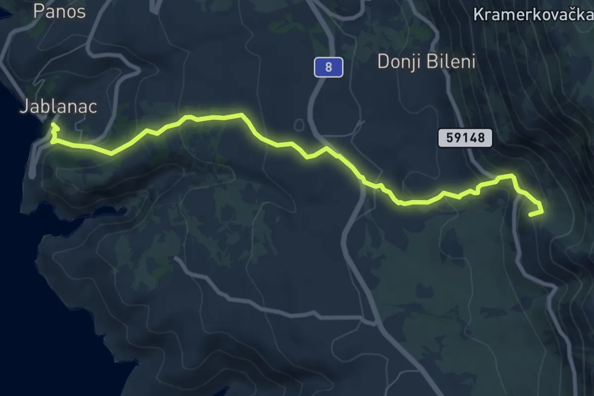
Medium · Summit
11.30 HPS
8.2 km · ↑ 468 m · 2 h 57 min
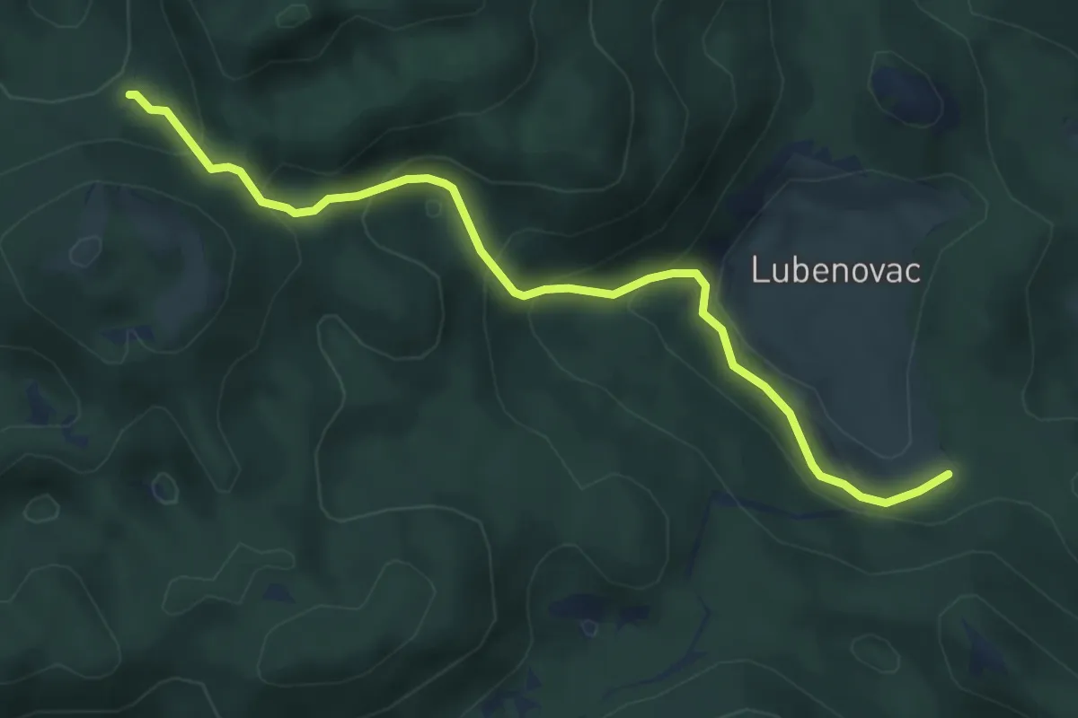
Medium · Trail
11.32 HPS
5.5 km · ↑ 345 m · 2 h 3 min
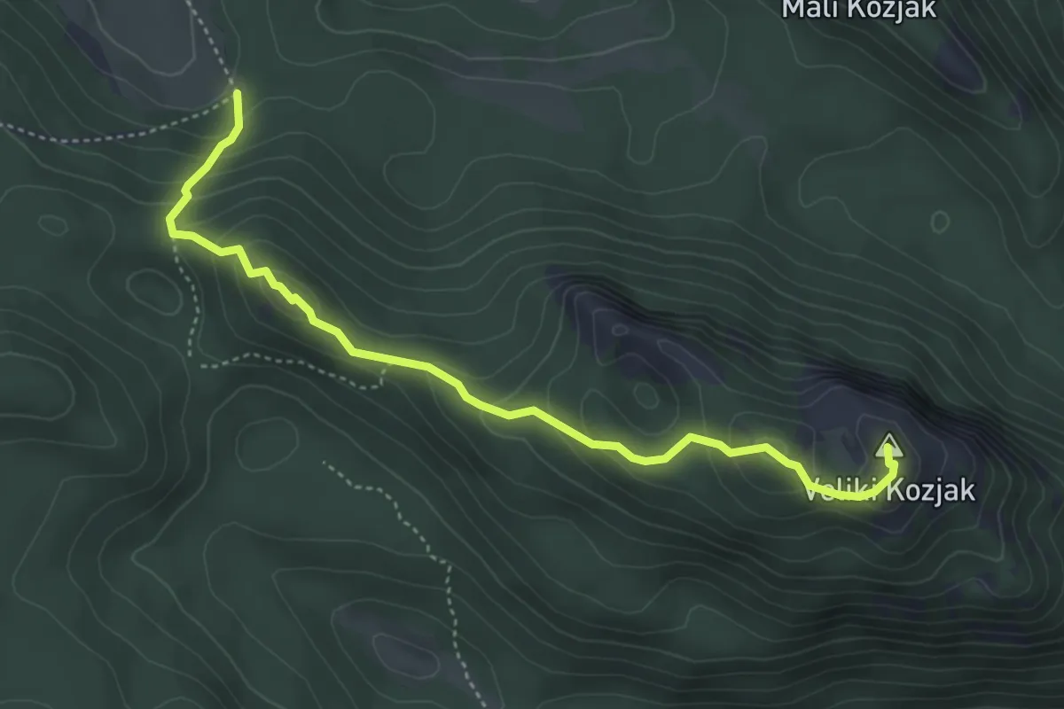
Medium · Summit
11.37 HPS
4.8 km · ↑ 343 m · 1 h 53 min
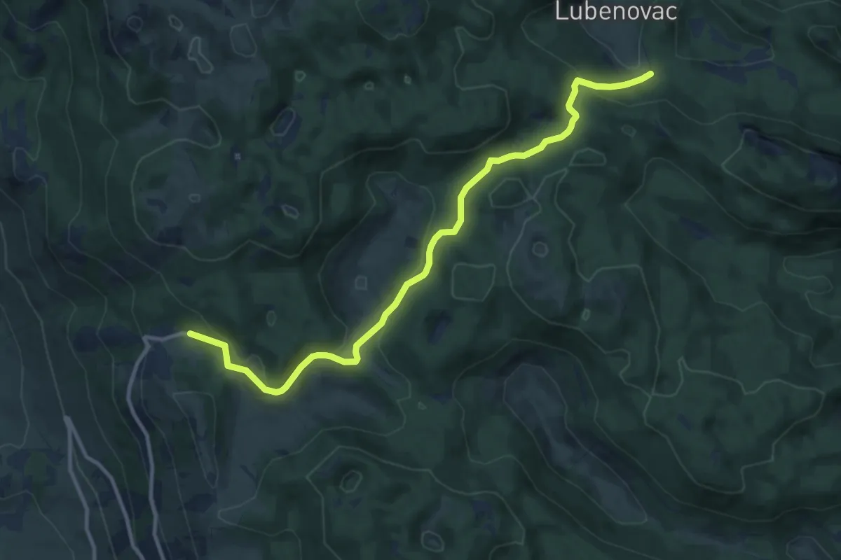
Medium · Cabin
11.38 HPS
11.3 km · ↑ 325 m · 3 h 23 min
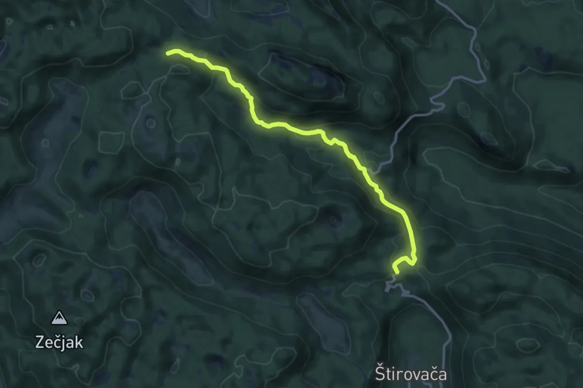
Medium · Cabin
11.39 HPS
11.3 km · ↑ 406 m · 3 h 33 min
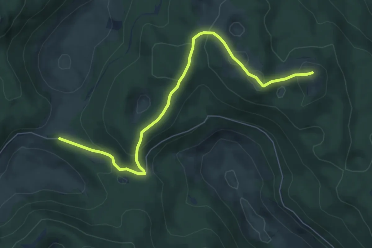
Medium · Summit
11.40 HPS
6.8 km · ↑ 269 m · 2 h 11 min
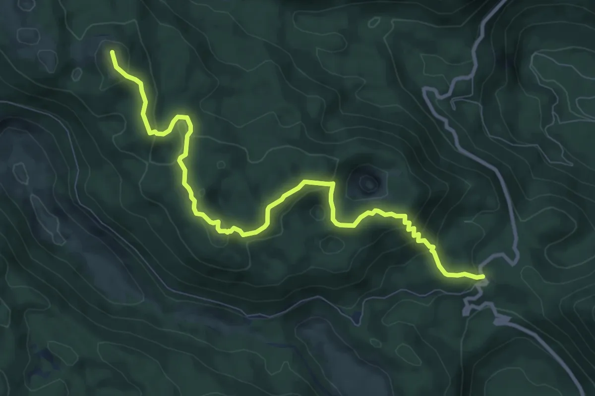
Medium · Summit
11.41 HPS
10.1 km · ↑ 543 m · 3 h 34 min
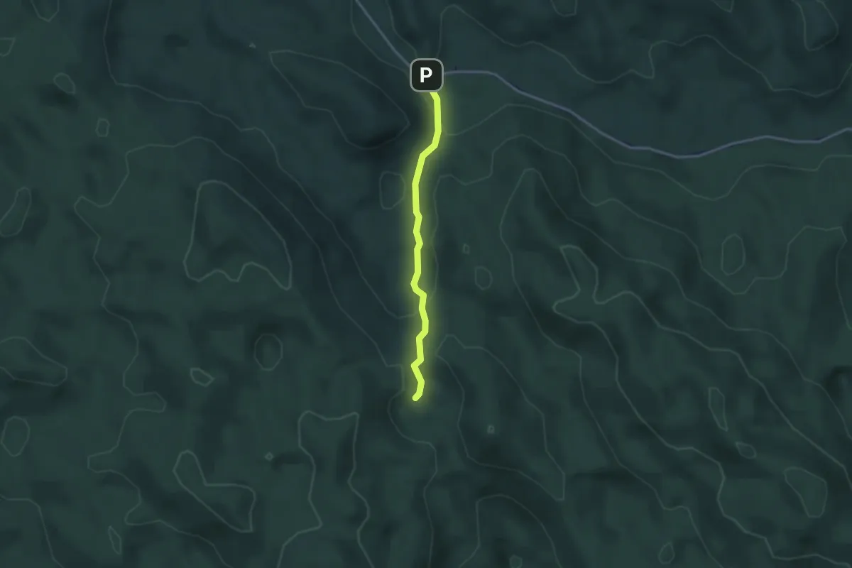
Easy · Cabin
13 km - Ratkovo sklonište
2.6 km · ↑ 122 m · 53 min
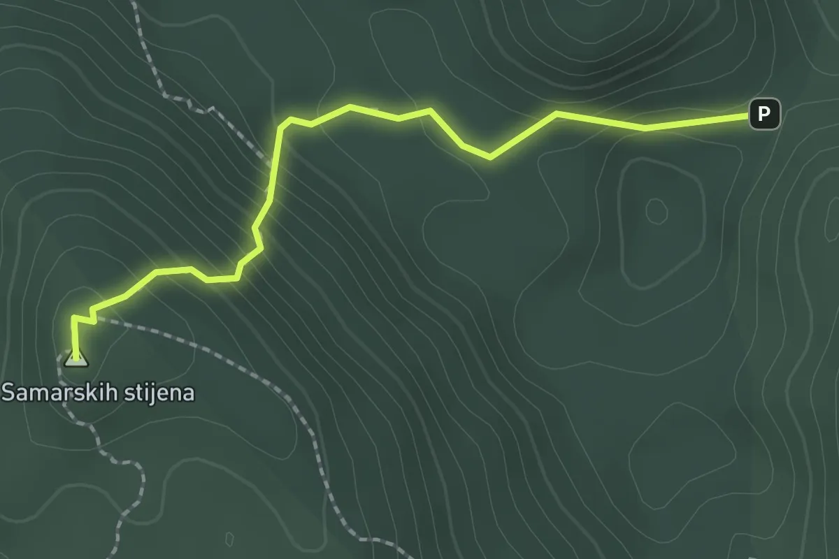
Medium · Summit
13 km - Vrh Samarskih stijena
2.1 km · ↑ 160 m · 51 min
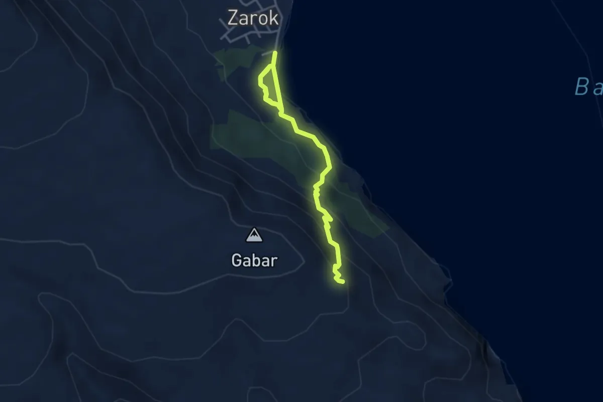
Medium · Summit
167
4.2 km · ↑ 254 m · 1 h 33 min
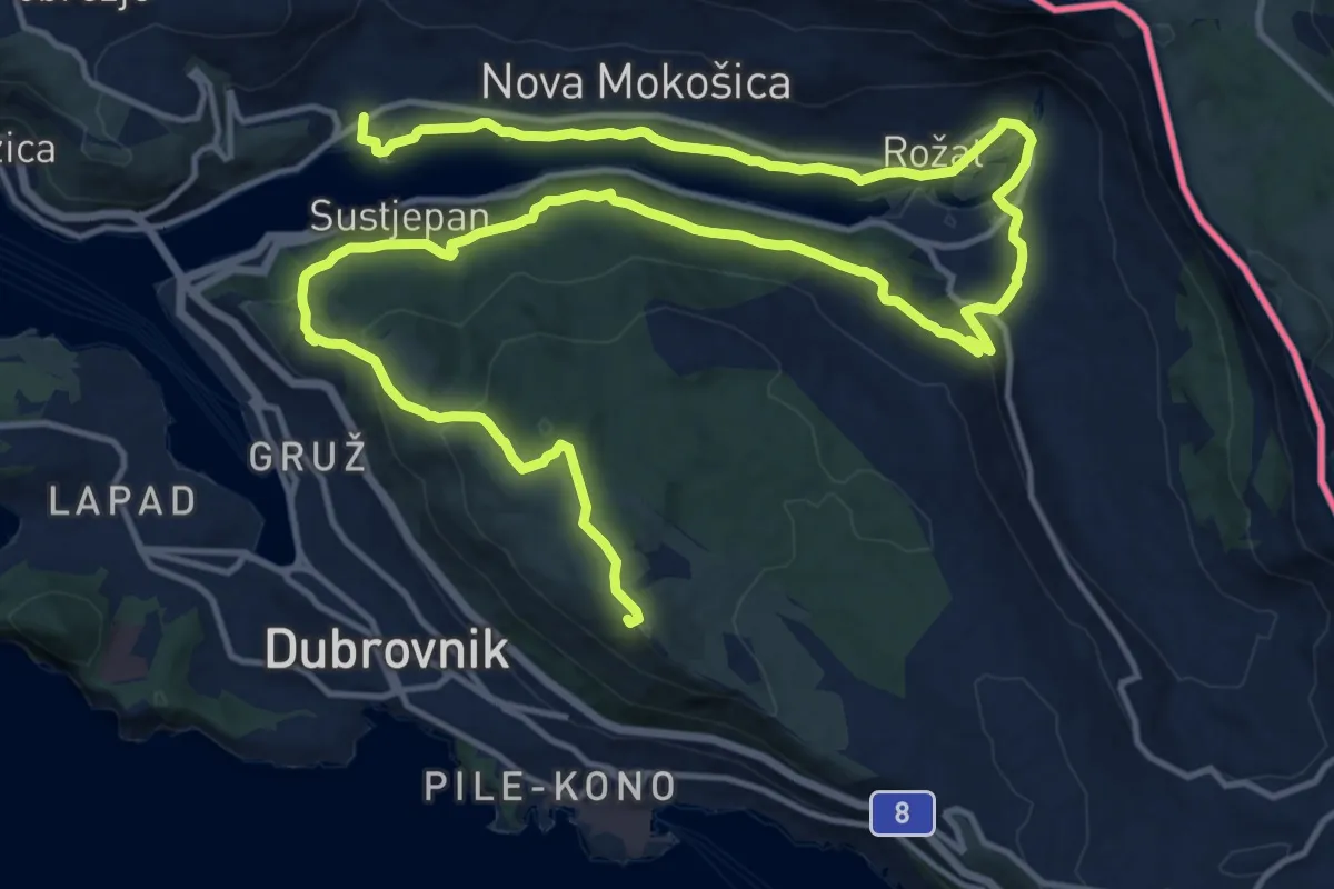
Demanding · Summit
1. Dubrovnik – Mokošica
13.1 km · ↑ 555 m · 4 h 17 min
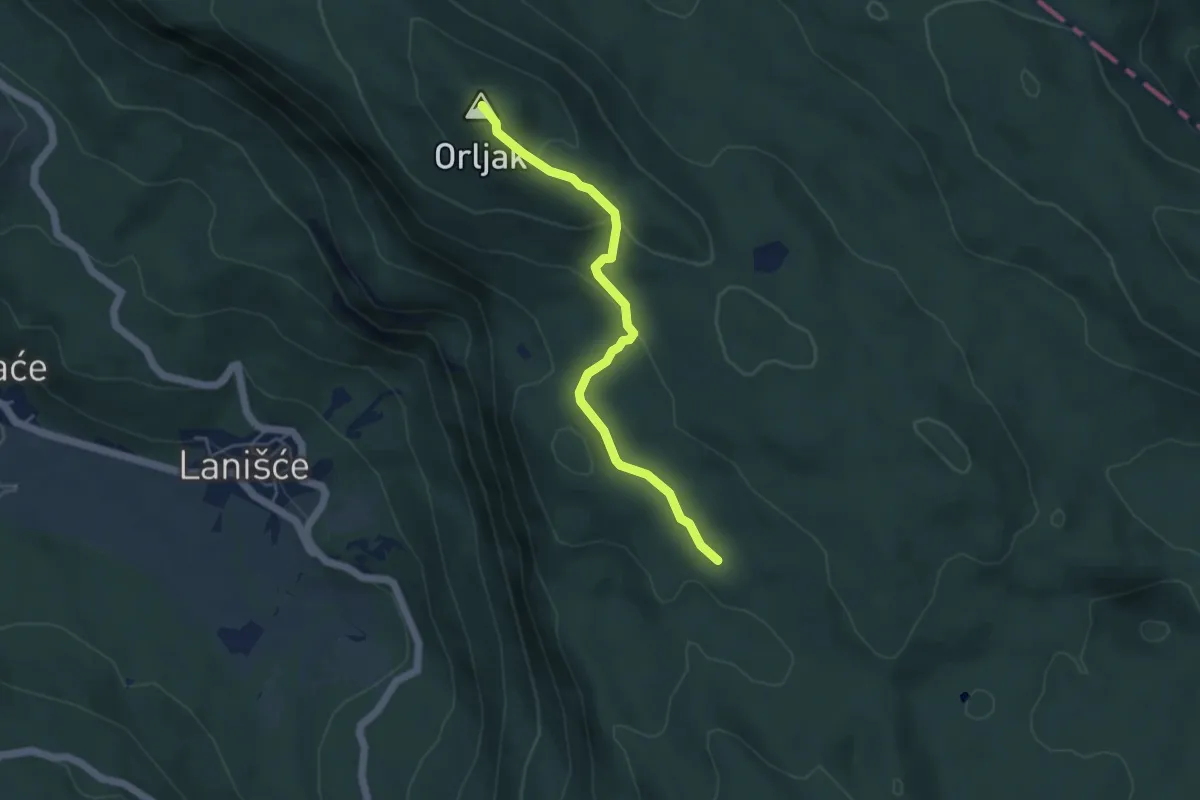
Easy · Summit
203
4.6 km · ↑ 217 m · 1 h 33 min
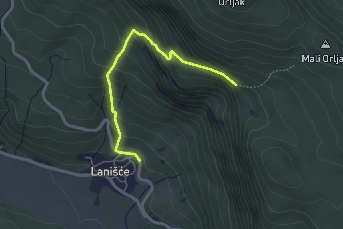
Medium · Trail
214
4.1 km · ↑ 321 m · 1 h 39 min
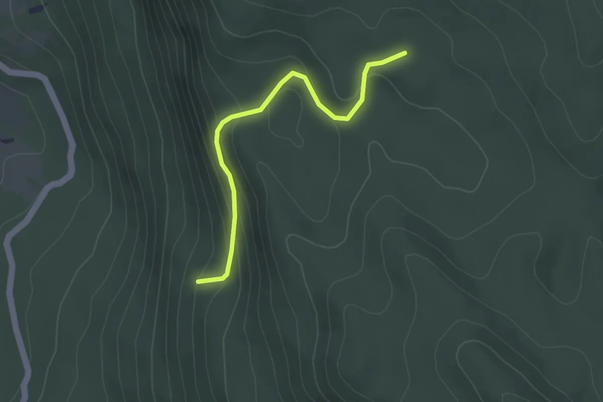
Easy · Trail
215
2.9 km · ↑ 169 m · 1 h 3 min
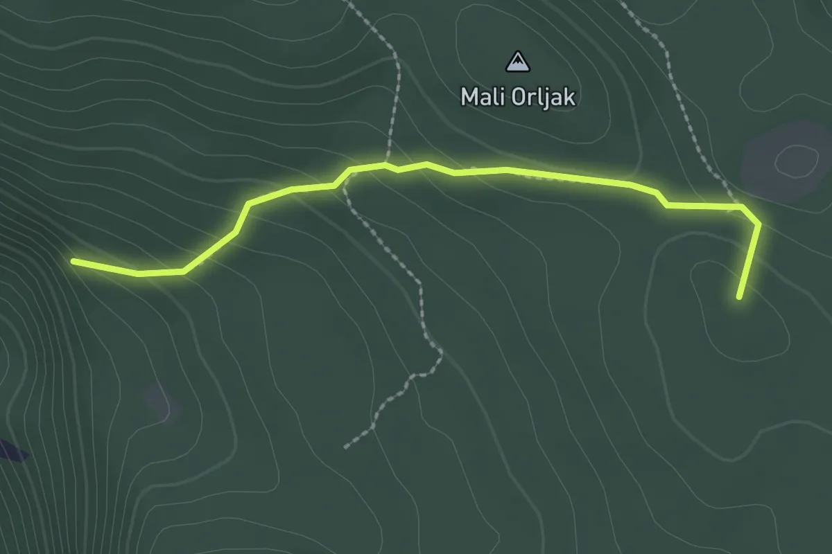
Medium · Summit
216
2.3 km · ↑ 143 m · 51 min
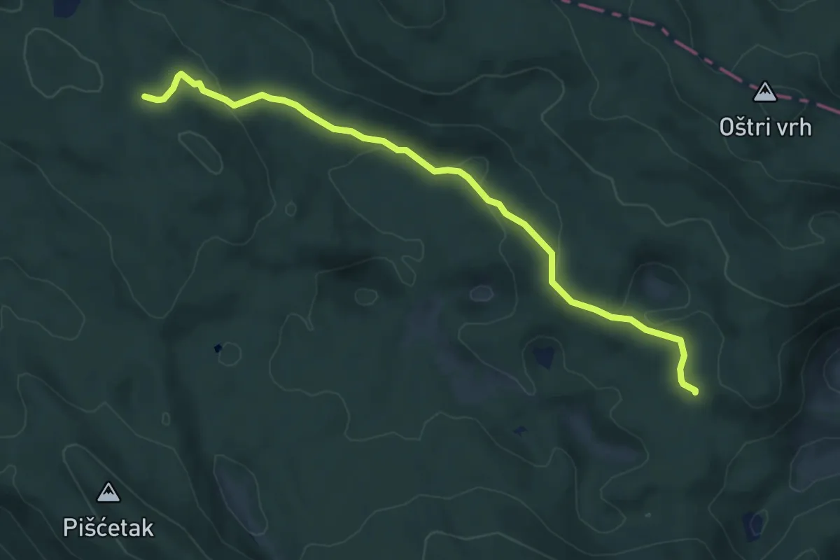
Easy · Trail
251
6.7 km · ↑ 180 m · 1 h 58 min
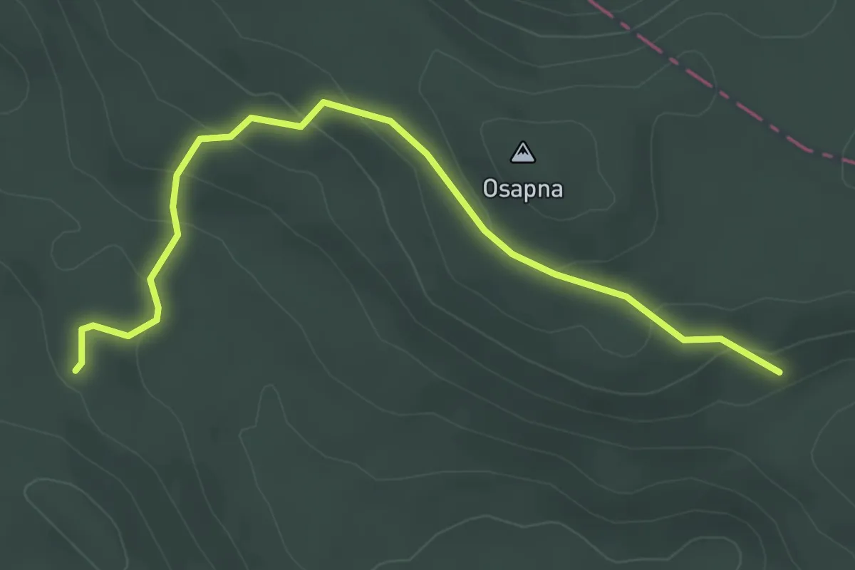
Easy · Trail
252
4.1 km · ↑ 160 m · 1 h 18 min
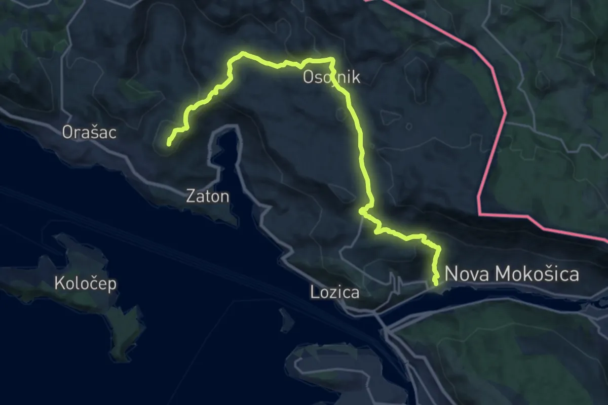
Medium · Summit
2. Mokošica – Orašac
10.9 km · ↑ 513 m · 3 h 42 min
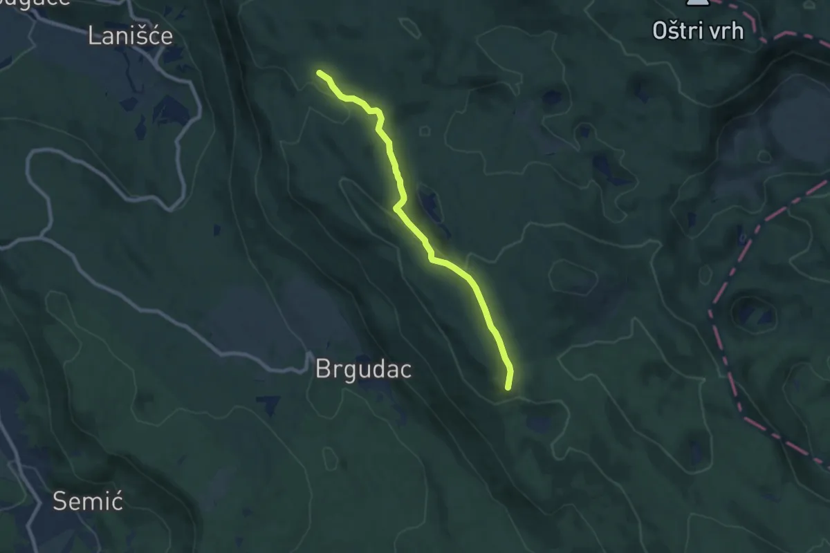
Easy · Summit
300
7.3 km · ↑ 224 m · 2 h 13 min
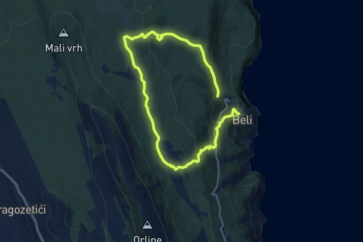
Medium · Trail
301 Exhibition of history and art in nature
14.1 km · ↑ 523 m · 4 h 27 min
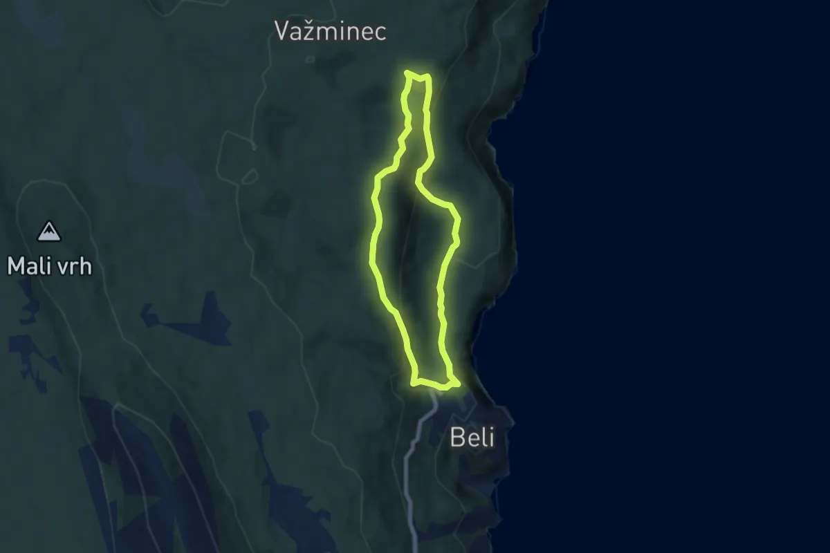
Easy · Trail
302 Pepijeva staza
5.4 km · ↑ 211 m · 1 h 49 min
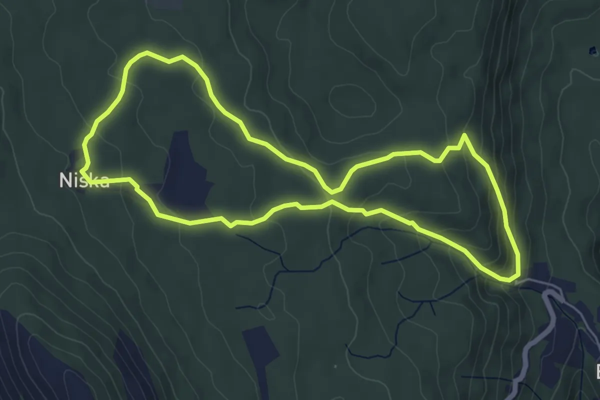
Easy · Trail
303 Staza masmalića
5.3 km · ↑ 215 m · 1 h 47 min
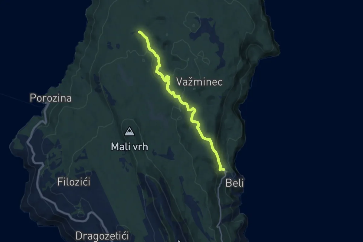
Medium · Trail
304 Vilinska staza
11.9 km · ↑ 334 m · 3 h 33 min
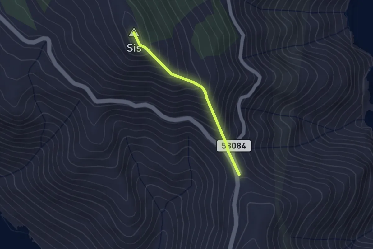
Medium · Summit
306 Prijevoj Križići – Sis
2.4 km · ↑ 267 m · 1 h 8 min
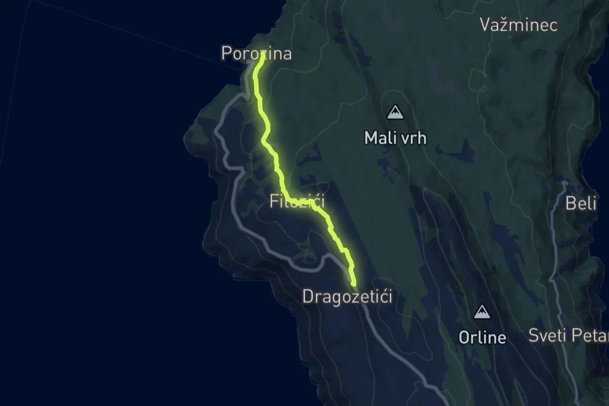
Medium · Trail
307 Porozina - Dragozetići
9.5 km · ↑ 394 m · 3 h 6 min
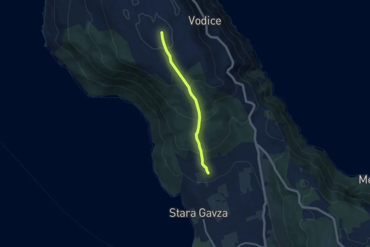
Medium · Trail
310
6.7 km · ↑ 396 m · 2 h 27 min
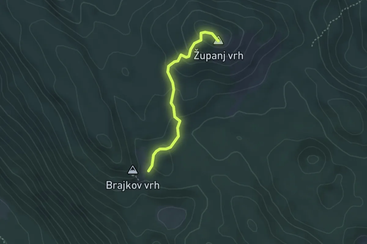
Easy · Summit
310
2.9 km · ↑ 115 m · 57 min
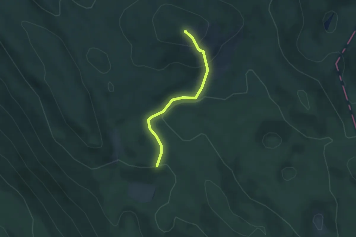
Easy · Summit
311
2.9 km · ↑ 152 m · 1 h 1 min
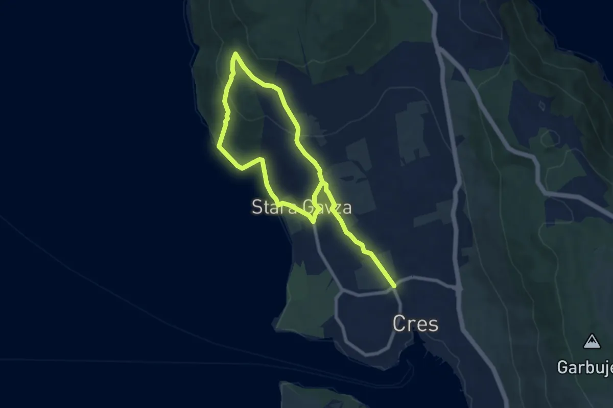
Medium · Trail
311 Cres - Sv. Salvadur - Gavza
11.0 km · ↑ 380 m · 3 h 25 min
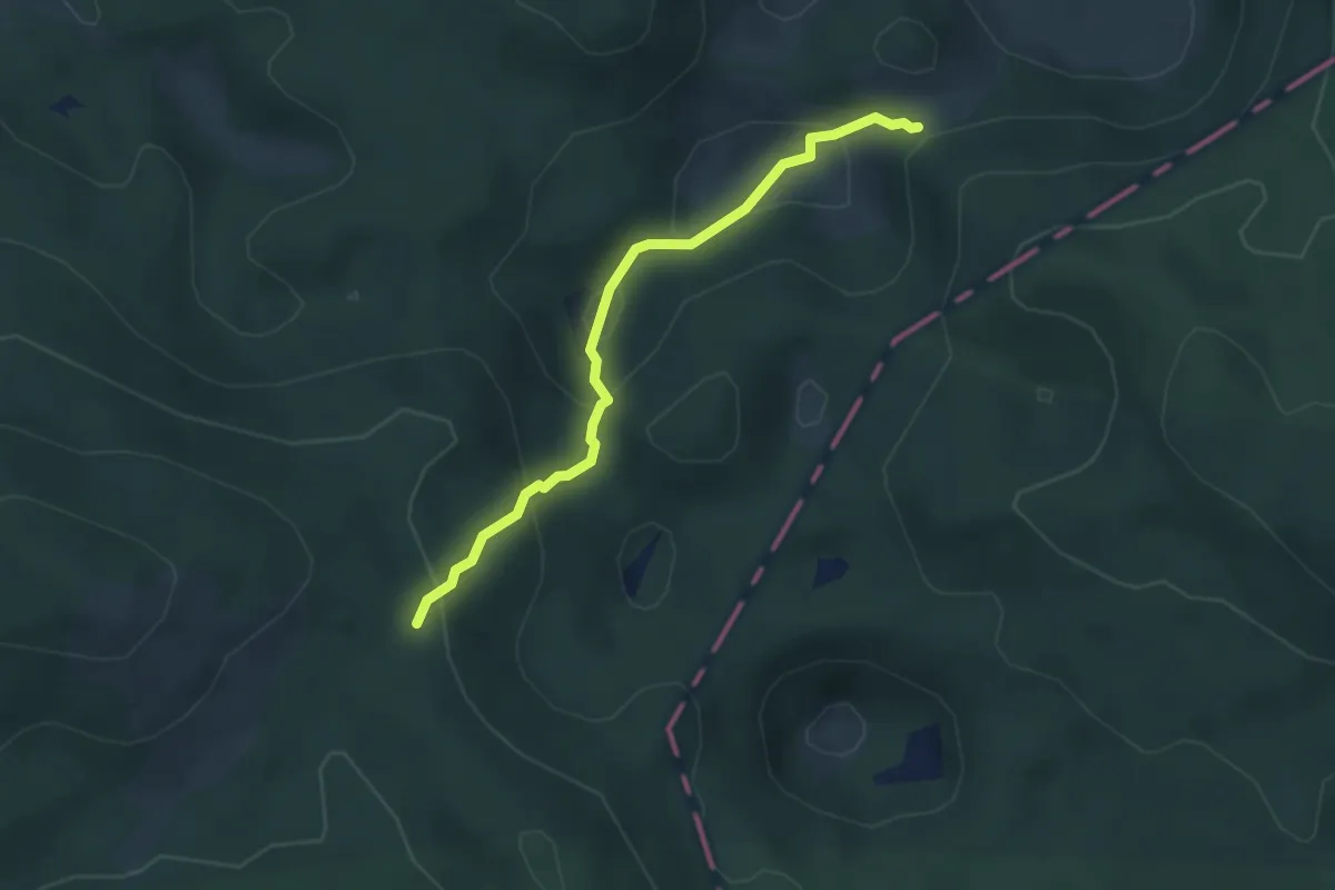
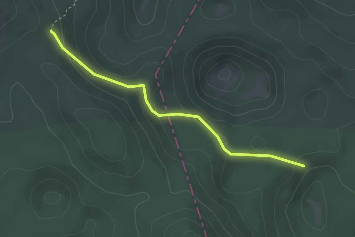
Easy · Trail
312
3.4 km · ↑ 235 m · 1 h 19 min
Easy · Trail
313
3.1 km · ↑ 123 m · 1 h
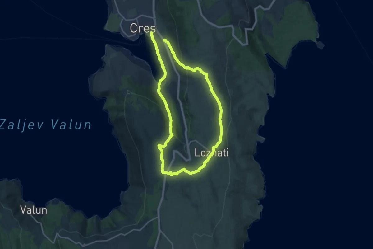
Demanding · Trail
313 Cres – Loznati – Krčina – Cres
25.8 km · ↑ 746 m · 7 h 42 min
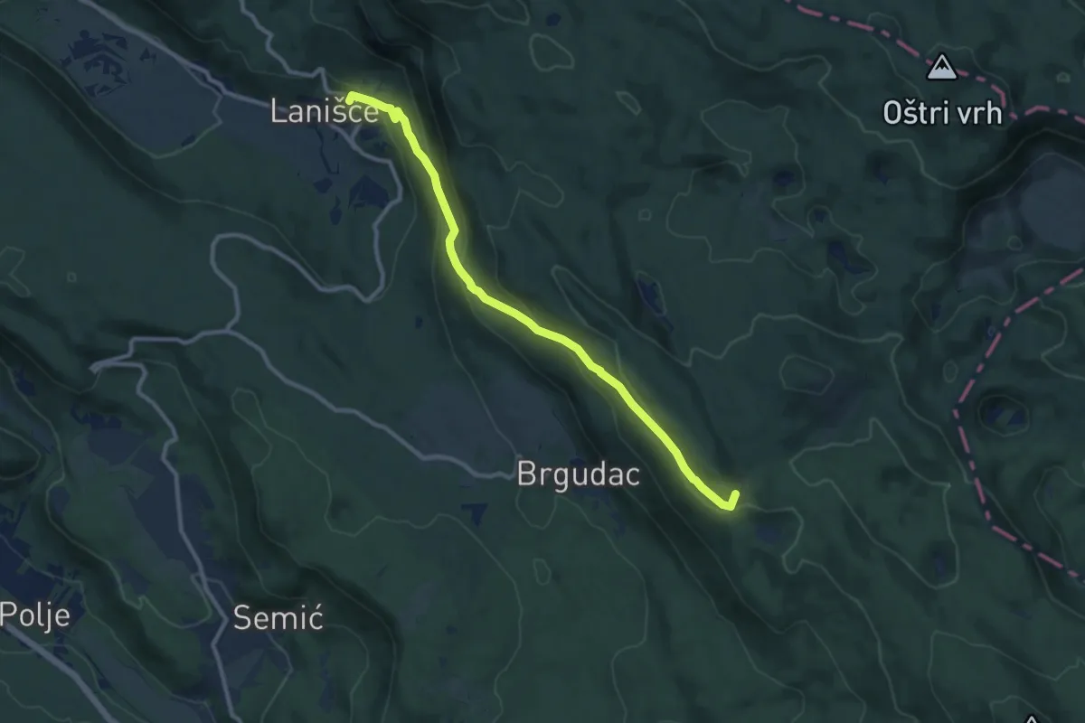
Medium · Summit
314
10.3 km · ↑ 509 m · 3 h 33 min
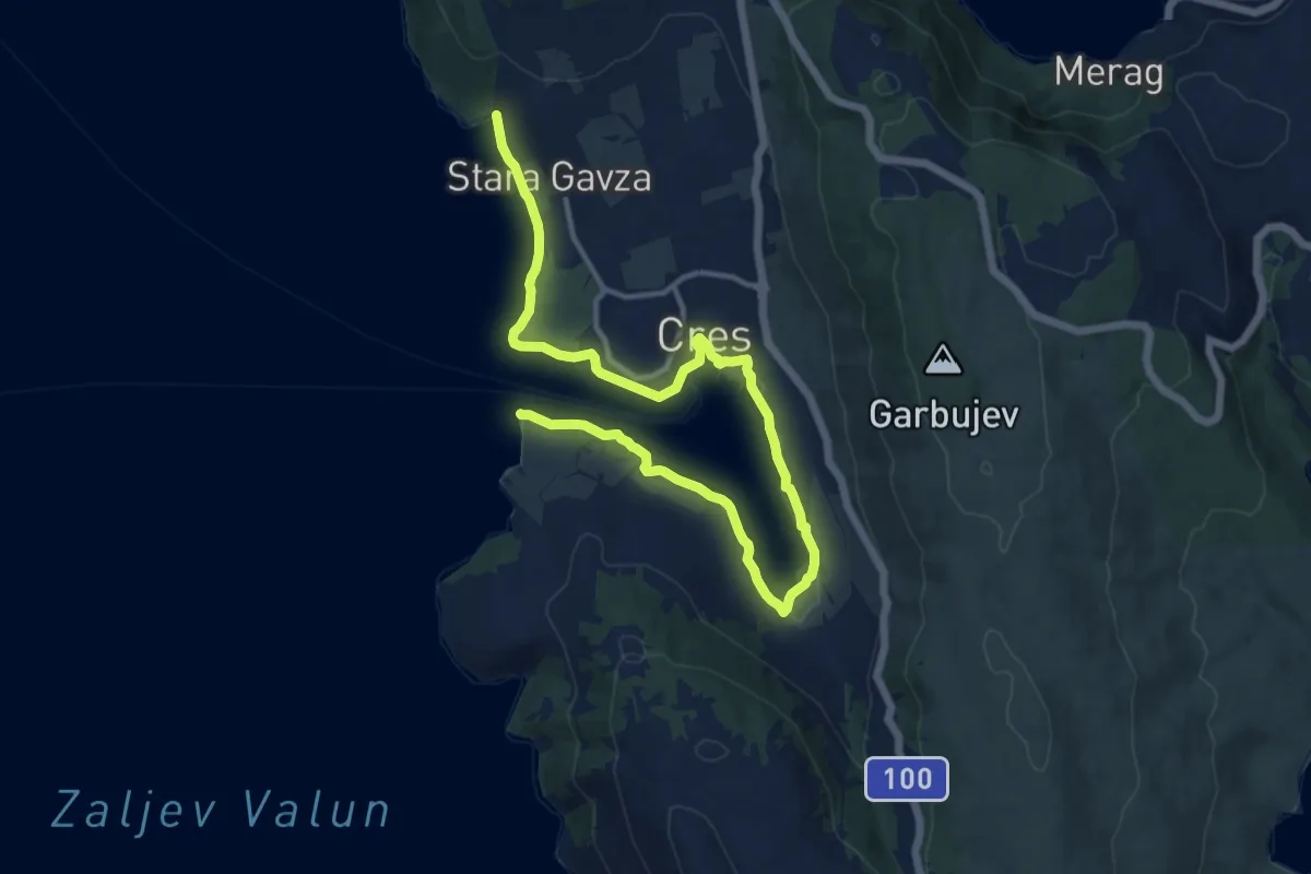
Medium · Trail
314 Cres – Lungomare
16.8 km · ↑ 47 m · 4 h 3 min
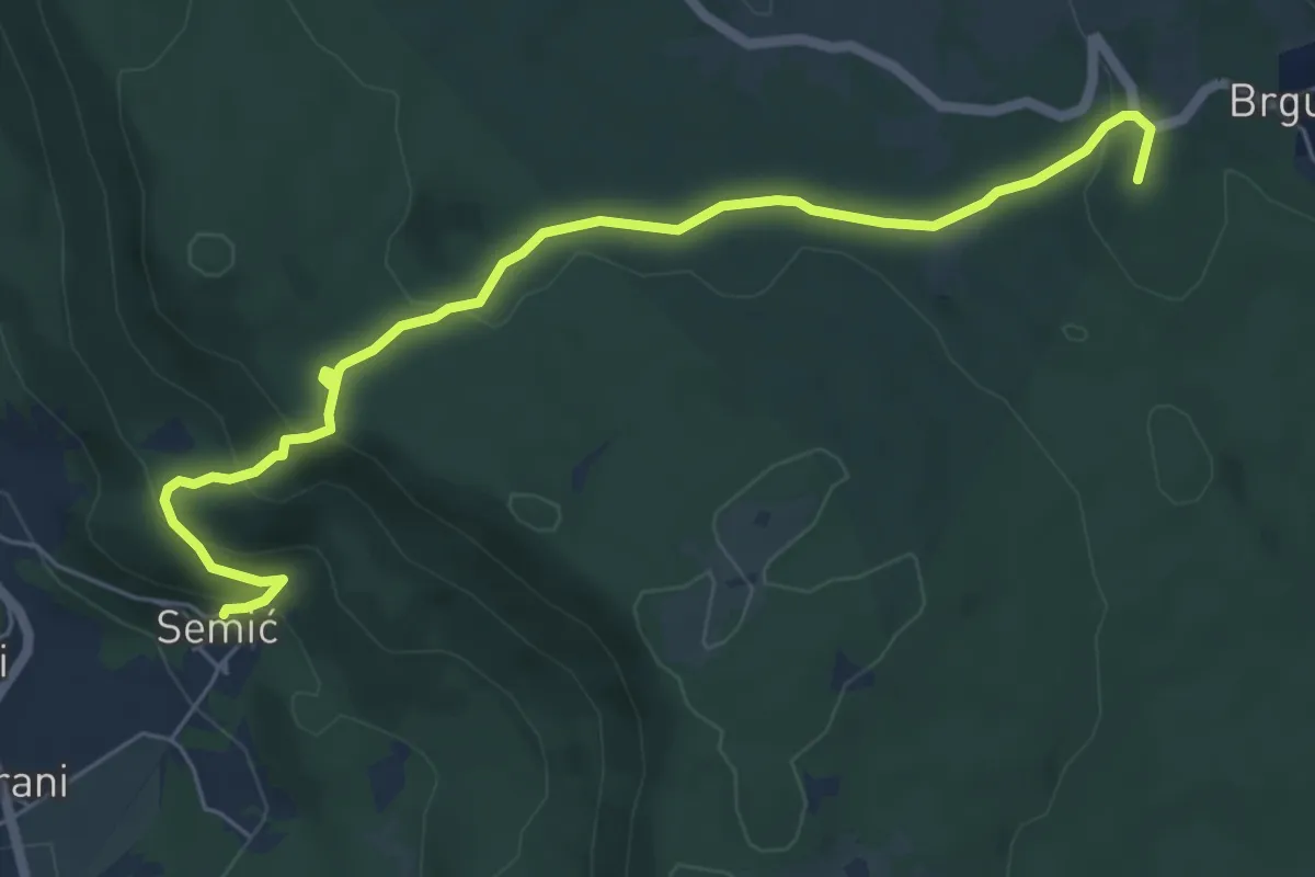
Easy · Summit
315
6.8 km · ↑ 219 m · 2 h 5 min
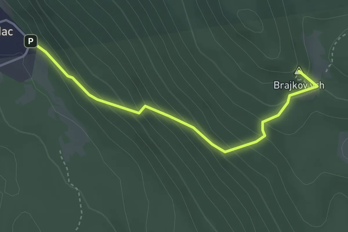
Easy · Summit
316
3.3 km · ↑ 287 m · 1 h 24 min
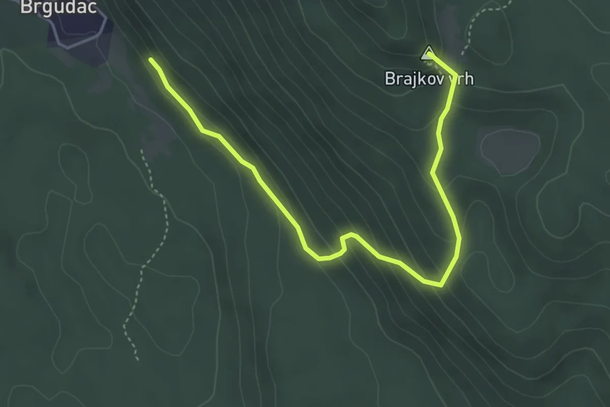
Easy · Summit
317
4.8 km · ↑ 282 m · 1 h 44 min
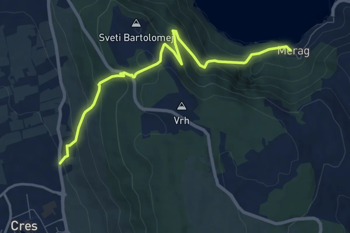
Medium · Trail
317 Cres-Merag
8.3 km · ↑ 539 m · 3 h 7 min
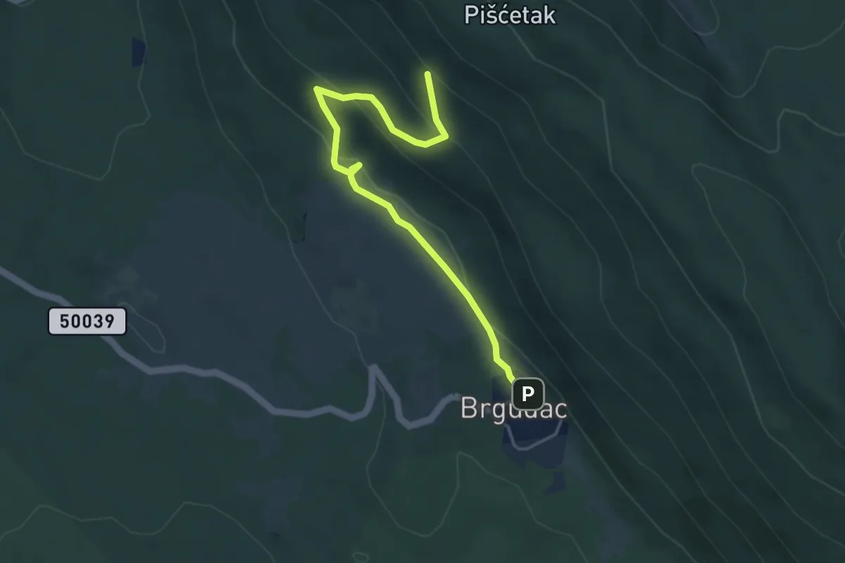
Easy · Trail
318
4.5 km · ↑ 173 m · 1 h 26 min
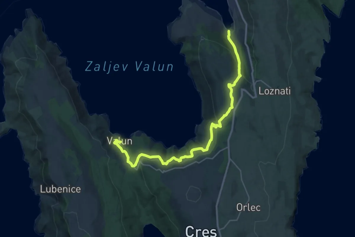
Demanding · Trail
318 Cres - Valun
23.3 km · ↑ 813 m · 7 h 15 min
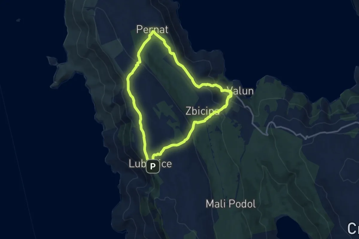
Medium · Trail
325 Valun - Pernat - Lubenice - Valun
10.2 km · ↑ 375 m · 3 h 22 min
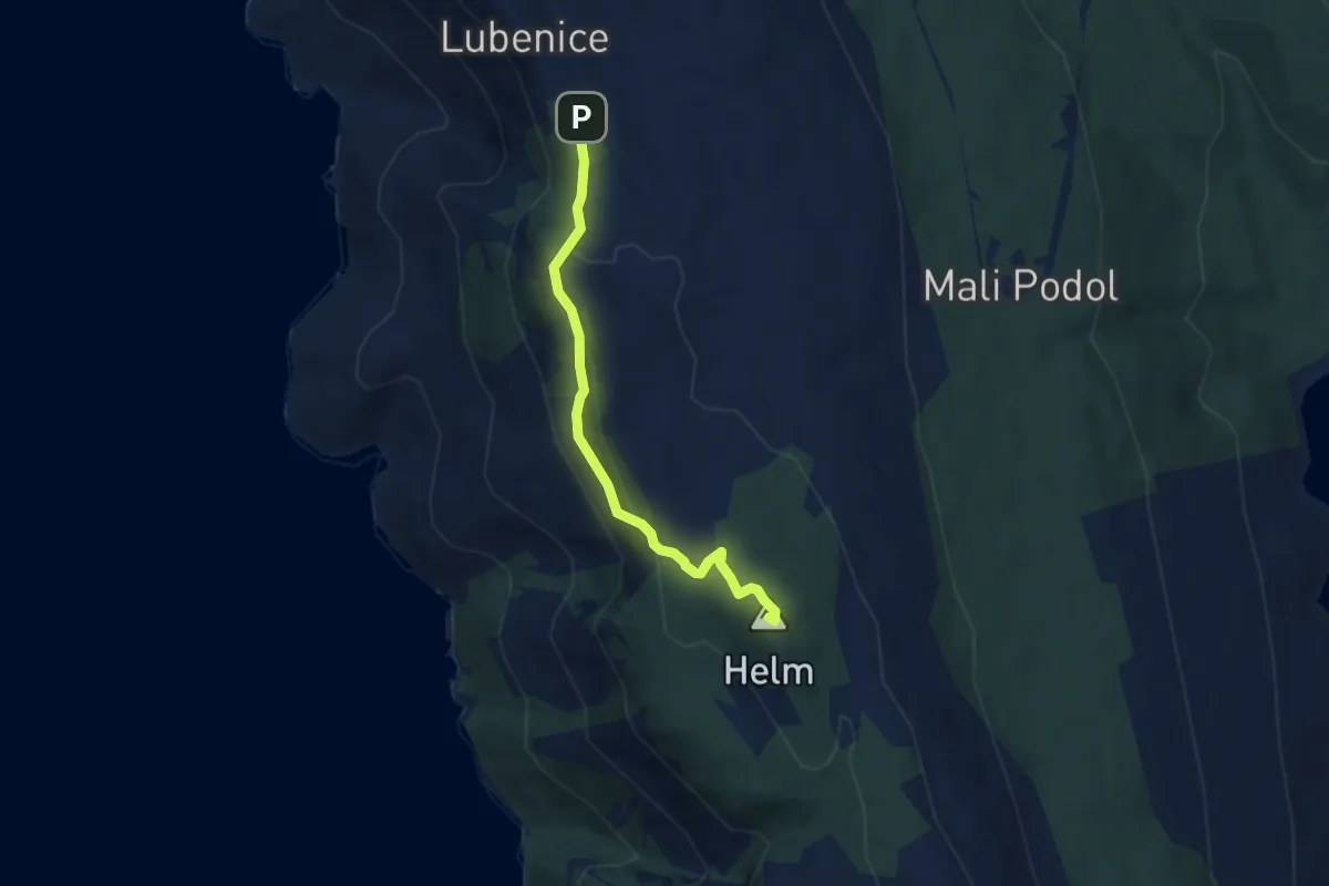
Demanding · Summit
326 Lubenice - špilja Morska Peć - Helm - Lubenice
5.6 km · ↑ 248 m · 1 h 52 min
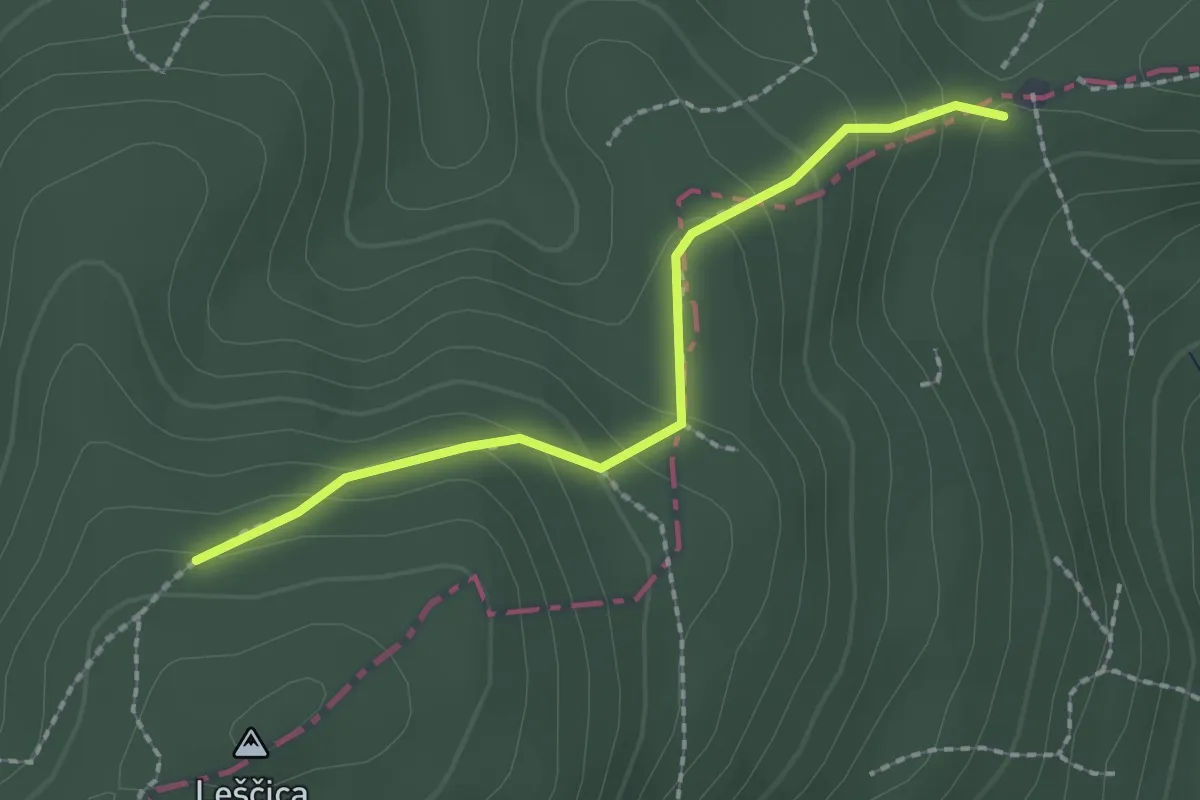
Medium · Trail
35A
2.0 km · ↑ 126 m · 45 min
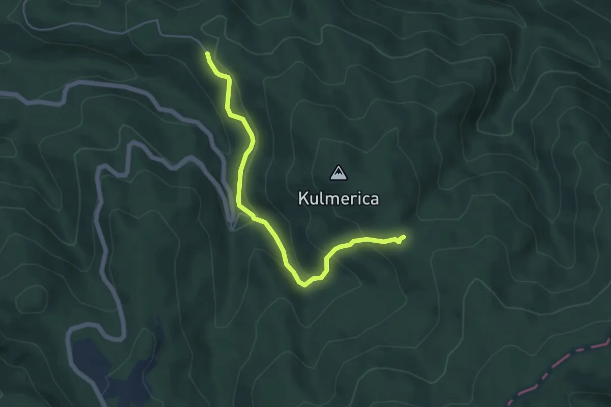
Easy · Trail
37A
4.4 km · ↑ 249 m · 1 h 35 min
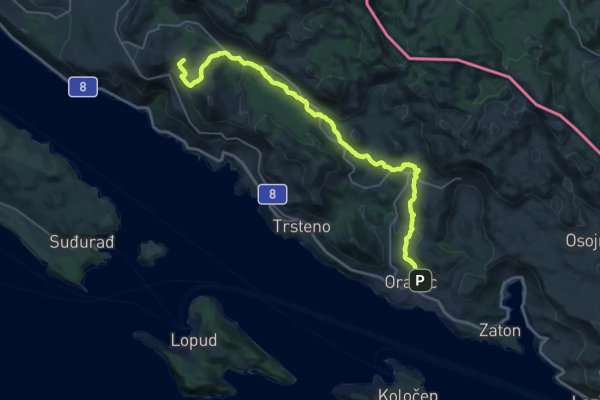
Medium · Summit
3. Orašac – Slano
12.3 km · ↑ 552 m · 4 h 3 min
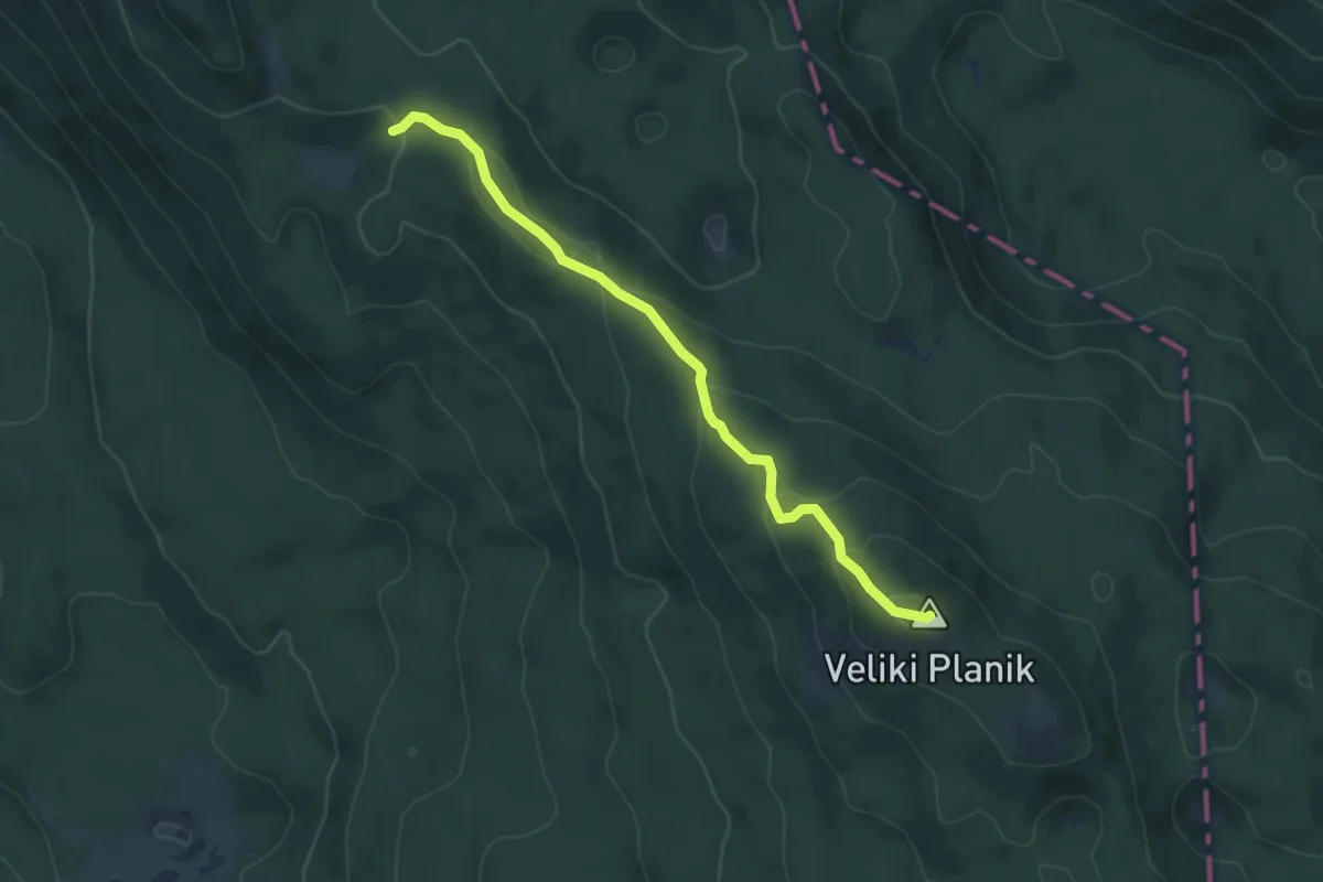
Easy · Summit
400
5.9 km · ↑ 275 m · 2 h