Trails in Croatia
922 hiking trails, each with its route, climb, walking time and grade.
All trails, page 19 of 20
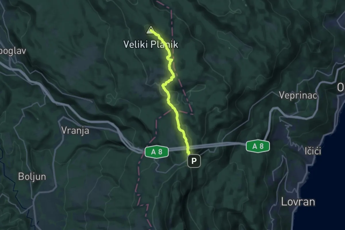
Expert · Summit
401
15.2 km · ↑ 589 m · 4 h 53 min
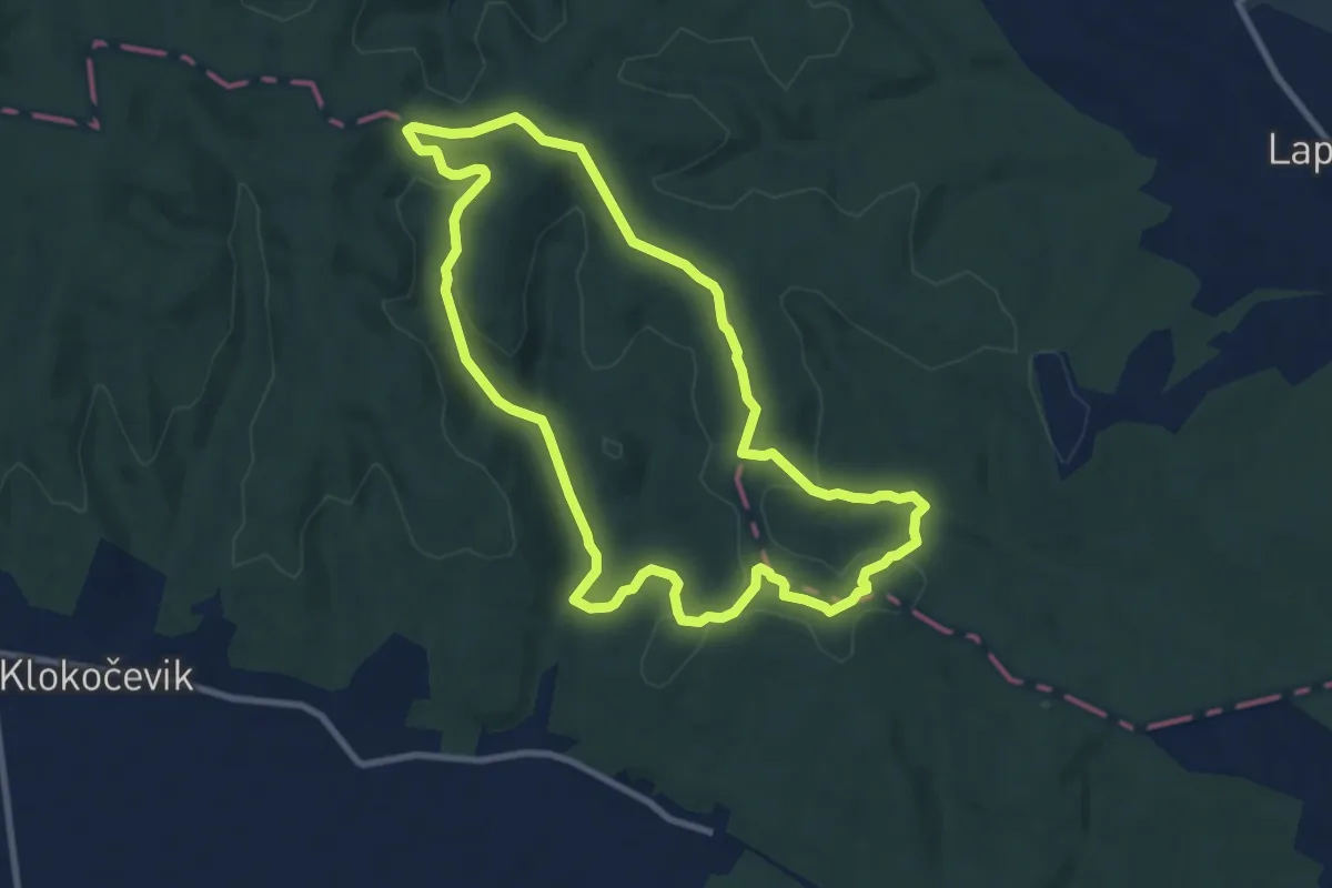
Medium · Summit
406 - Planinarski put Gardun
9.3 km · ↑ 225 m · 2 h 49 min
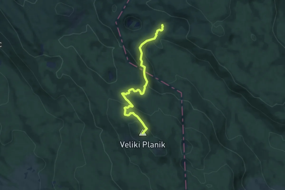
Medium · Summit
410
8.8 km · ↑ 413 m · 2 h 58 min
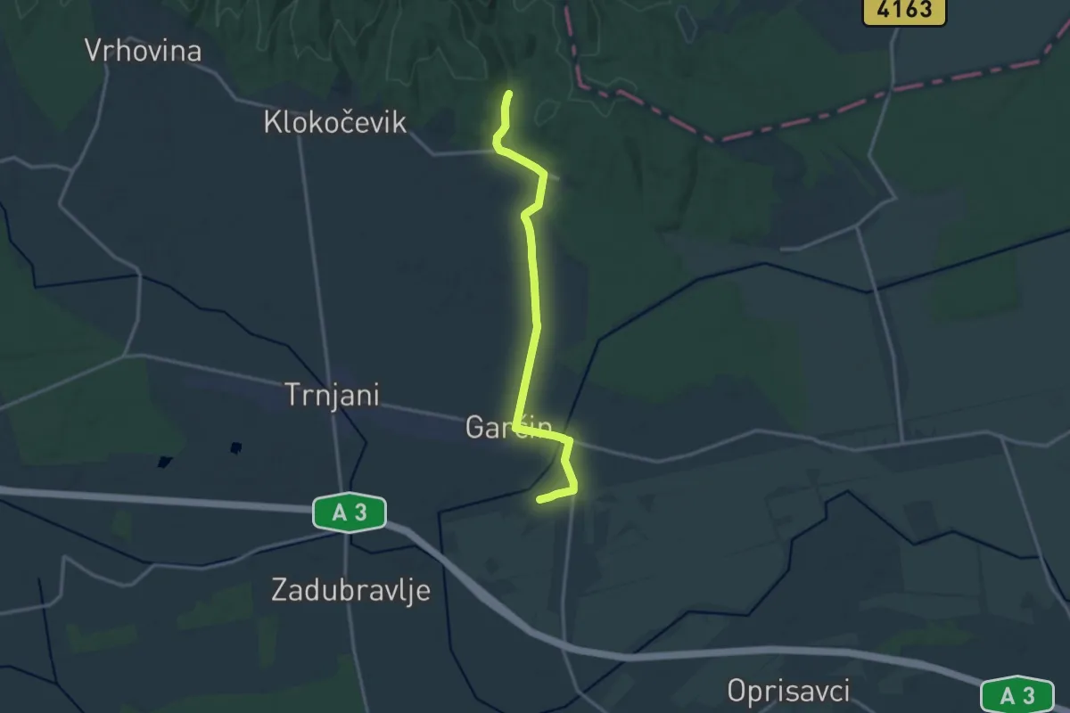
Medium · Trail
410 - Garčin-Grabovac
13.9 km · ↑ 51 m · 3 h 24 min
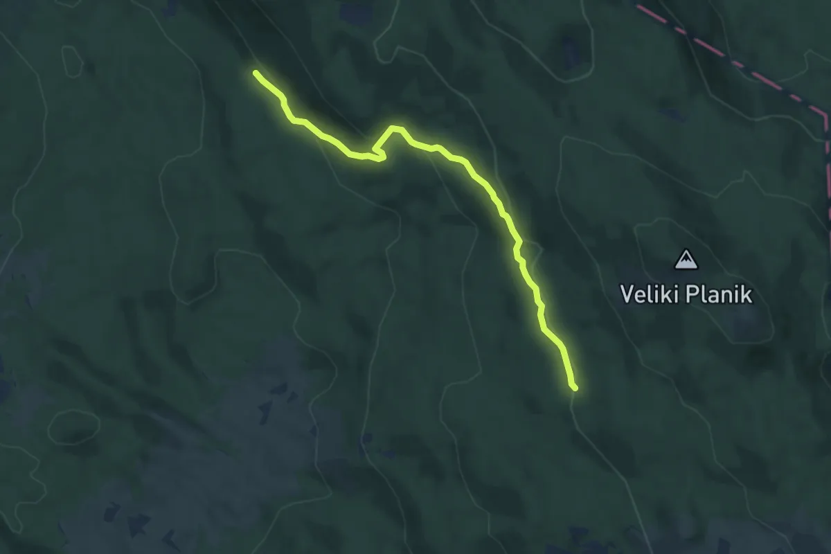
Easy · Trail
412
7.3 km · ↑ 266 m · 2 h 18 min
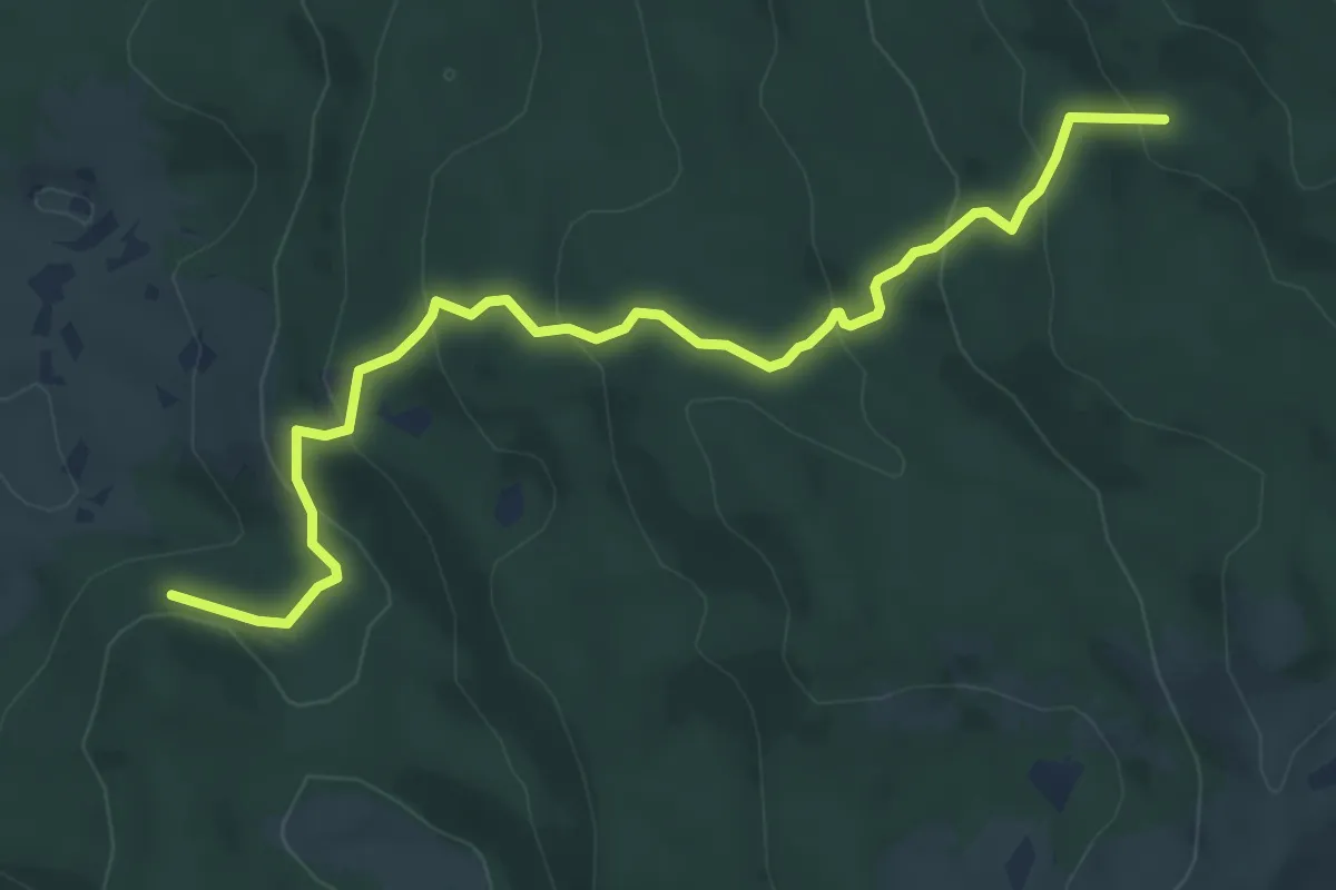
Medium · Trail
440
6.8 km · ↑ 386 m · 2 h 27 min
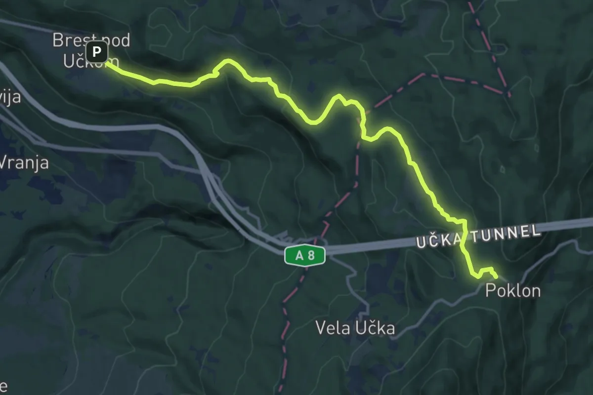
Medium · Trail
443
13.6 km · ↑ 404 m · 4 h 5 min
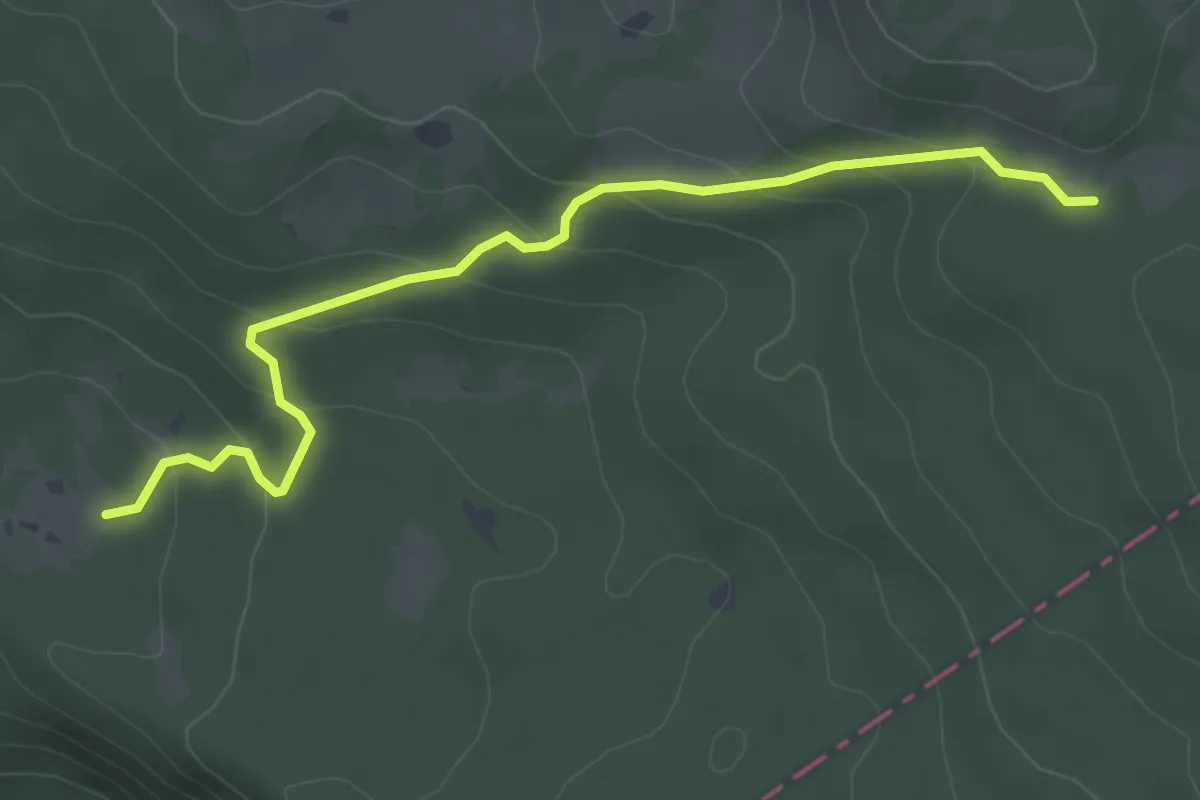
Easy · Trail
445
4.1 km · ↑ 204 m · 1 h 24 min
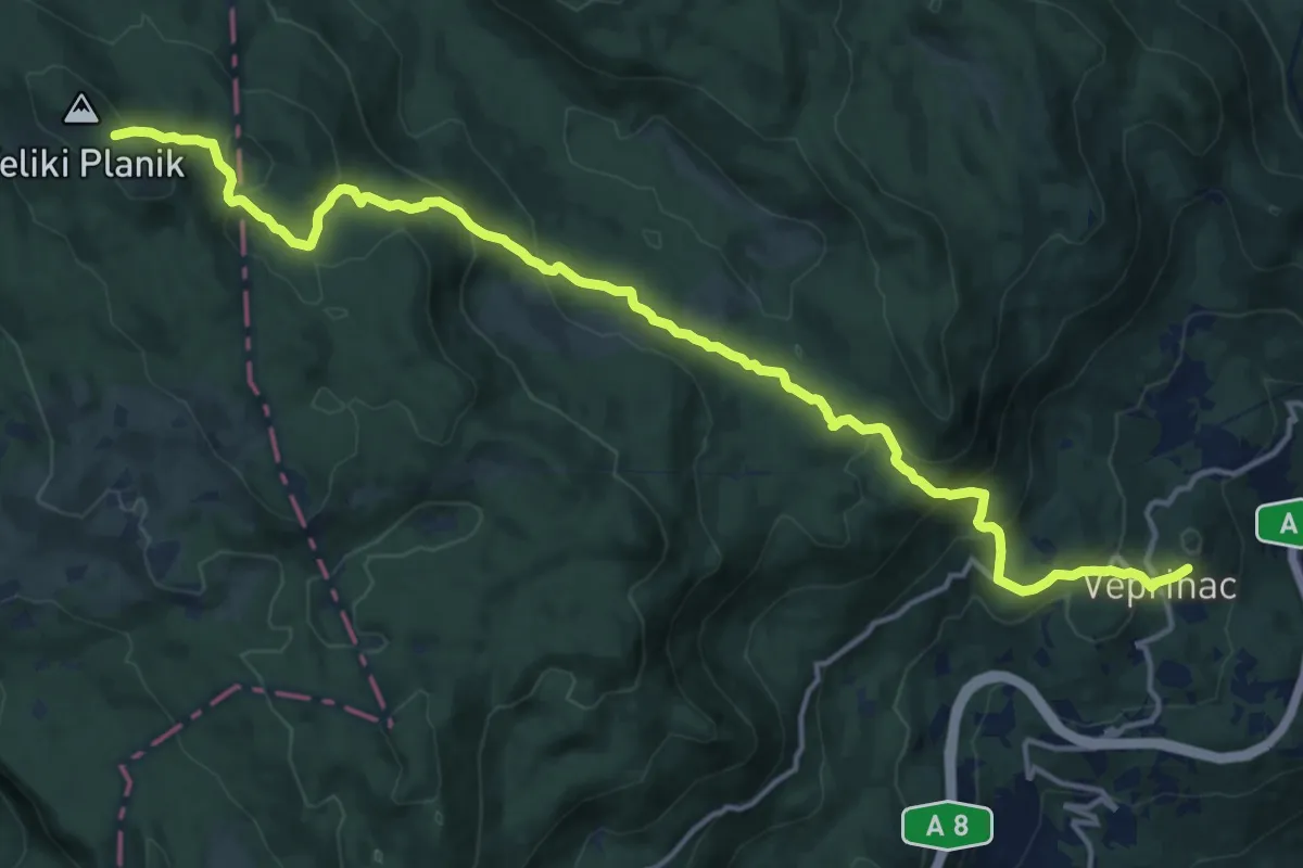
Demanding · Trail
481
17.9 km · ↑ 837 m · 6 h 2 min
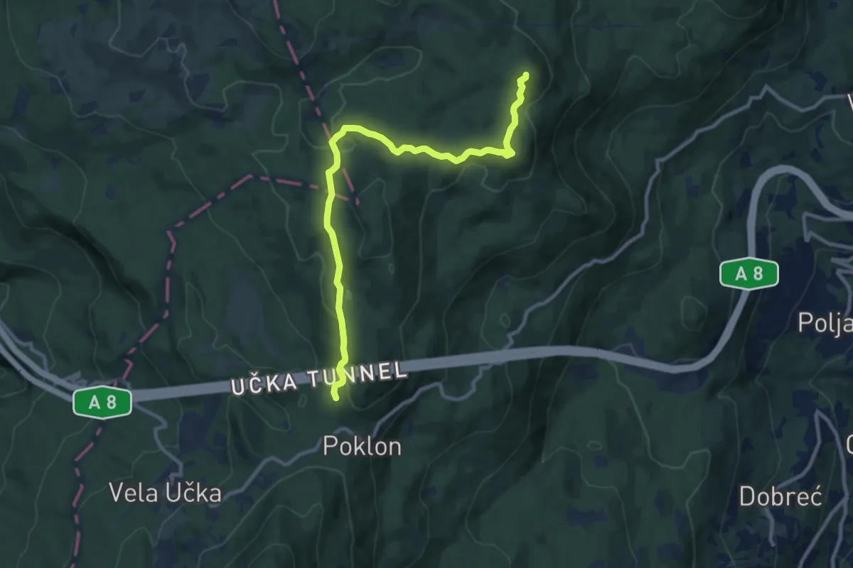
Medium · Summit
482
10.1 km · ↑ 415 m · 3 h 17 min
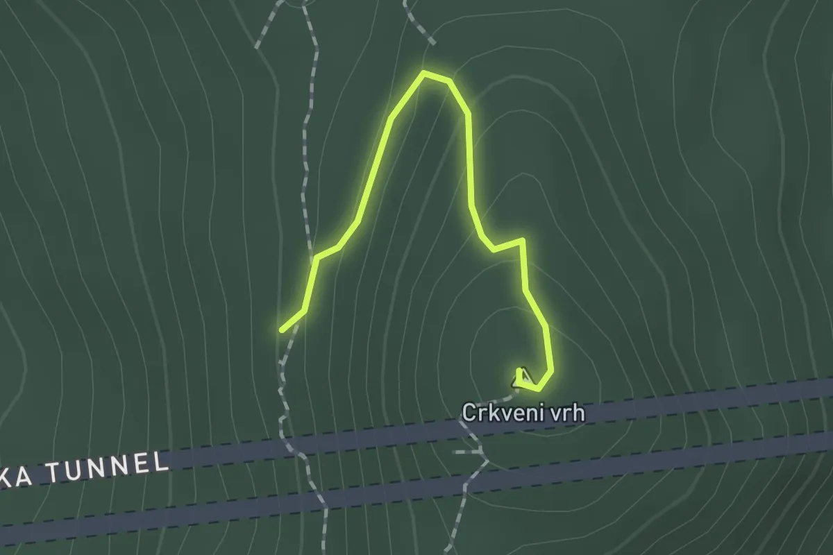
Easy · Summit
484
1.4 km · ↑ 92 m · 32 min
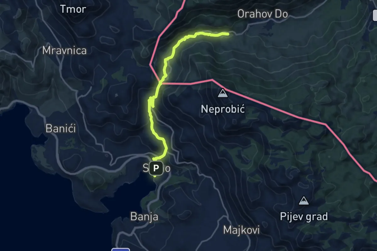
Medium · Pilgrim path
4. Slano – Ravno
7.4 km · ↑ 367 m · 2 h 30 min
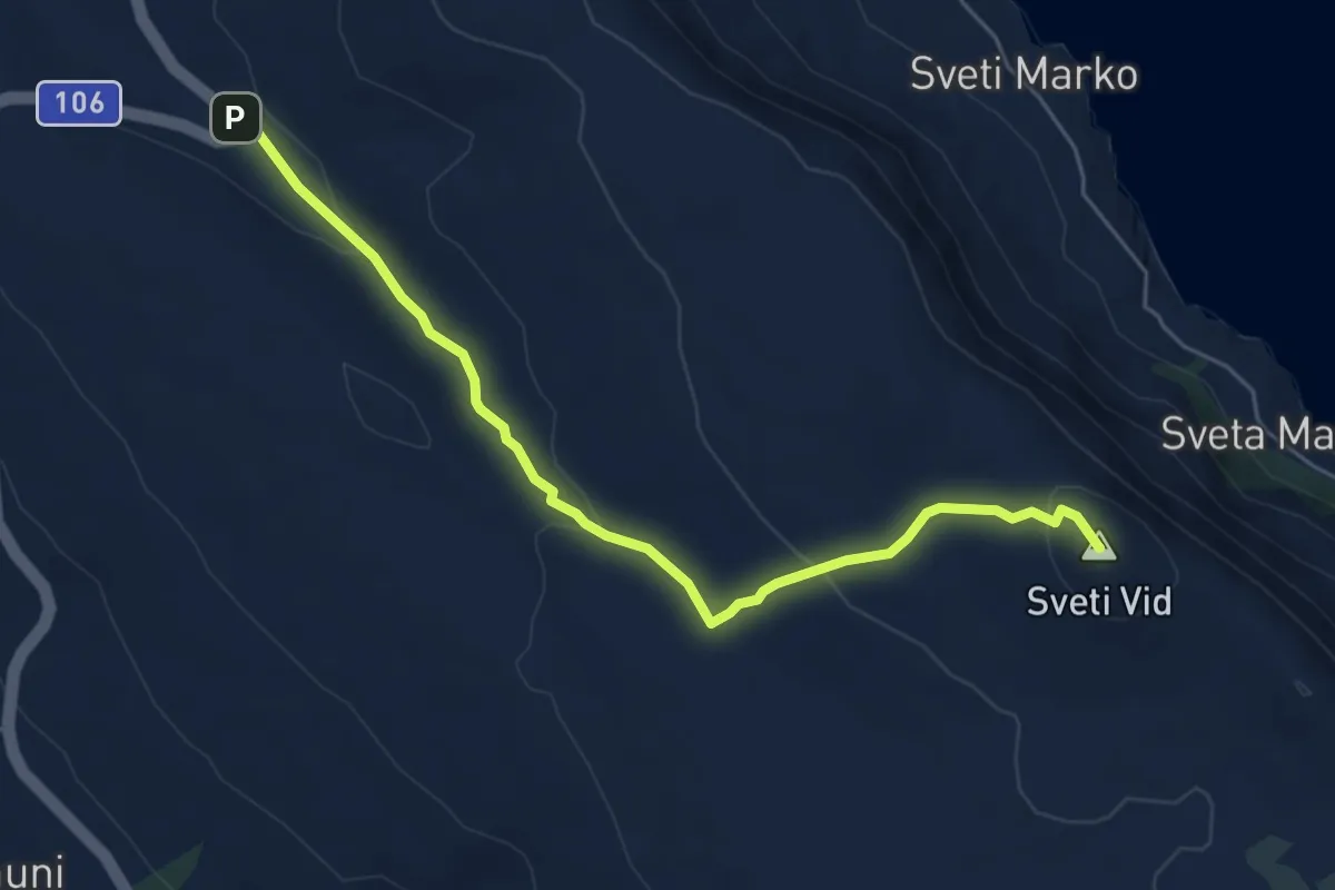
Easy · Summit
501
6.0 km · ↑ 188 m · 1 h 50 min
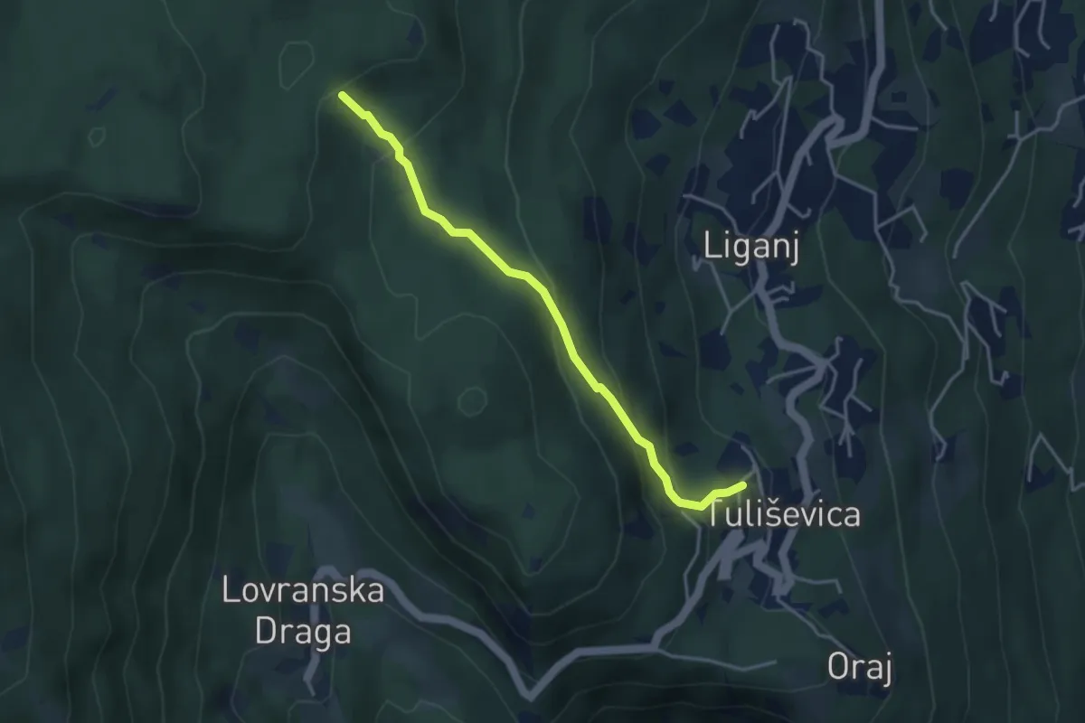
Easy · Trail
510
3.6 km · ↑ 227 m · 1 h 20 min
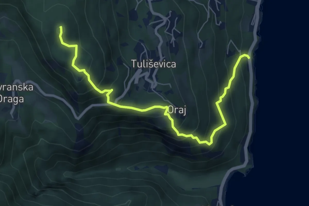
Medium · Summit
512
6.9 km · ↑ 646 m · 3 h 2 min
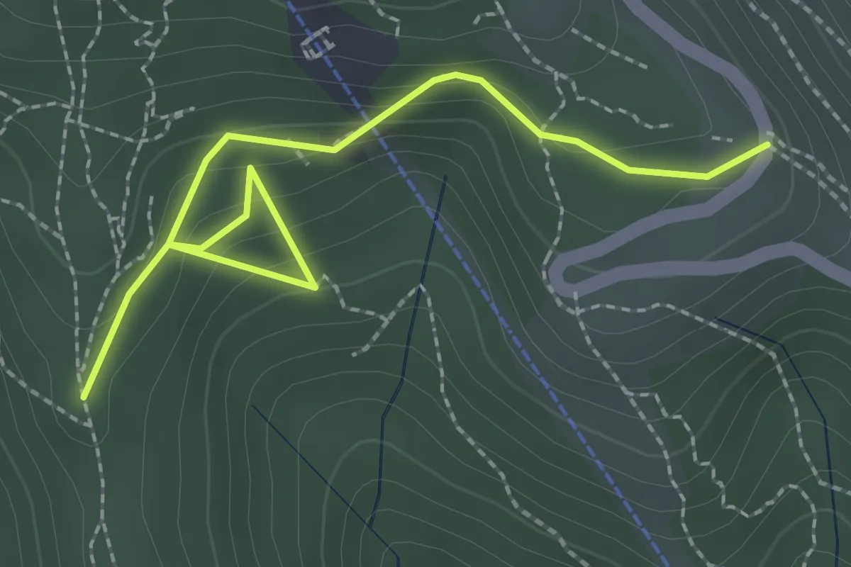
Easy · Trail
52a
2.7 km · ↑ 189 m · 1 h 2 min
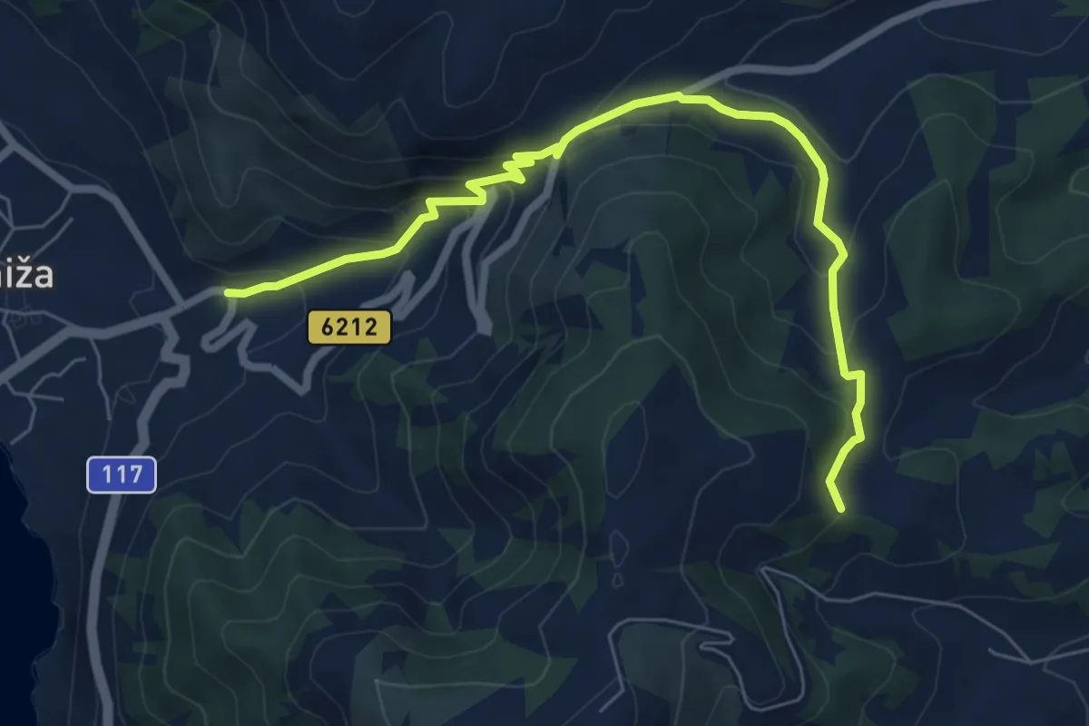
Medium · Trail
6
7.7 km · ↑ 441 m · 2 h 47 min
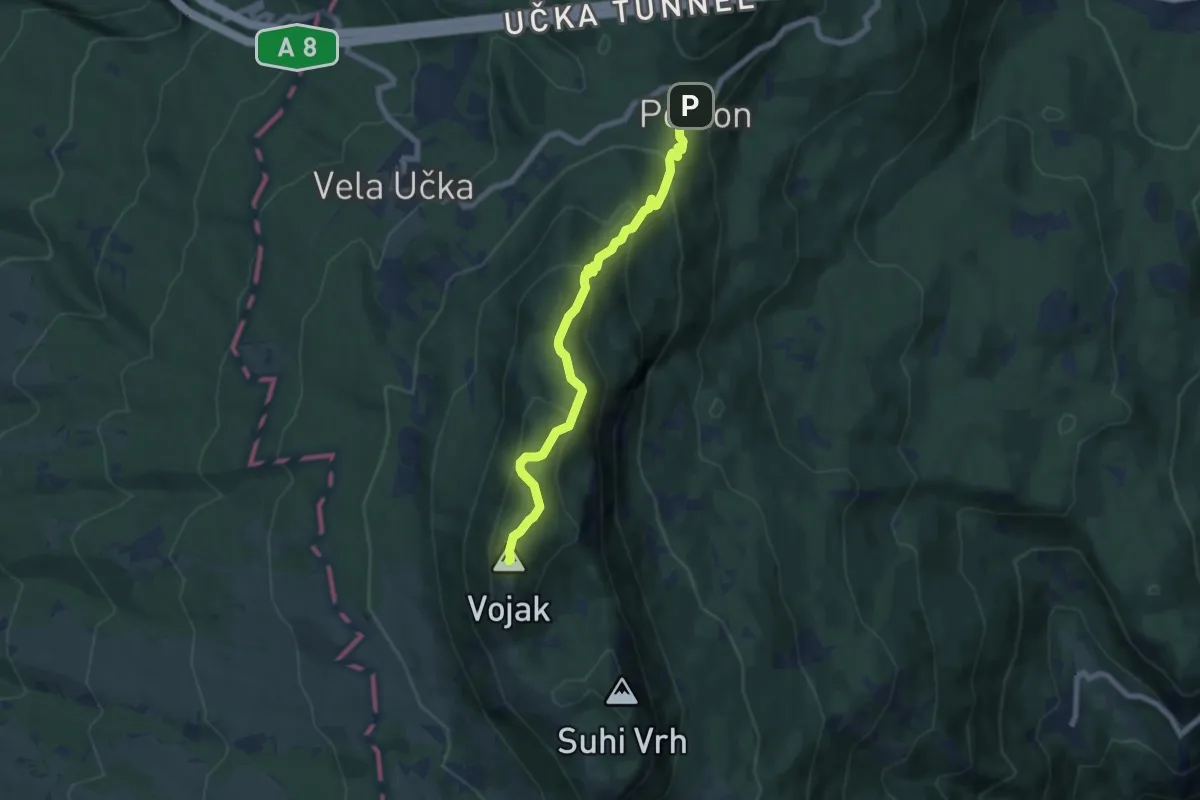
Medium · Summit
600
6.9 km · ↑ 475 m · 2 h 40 min
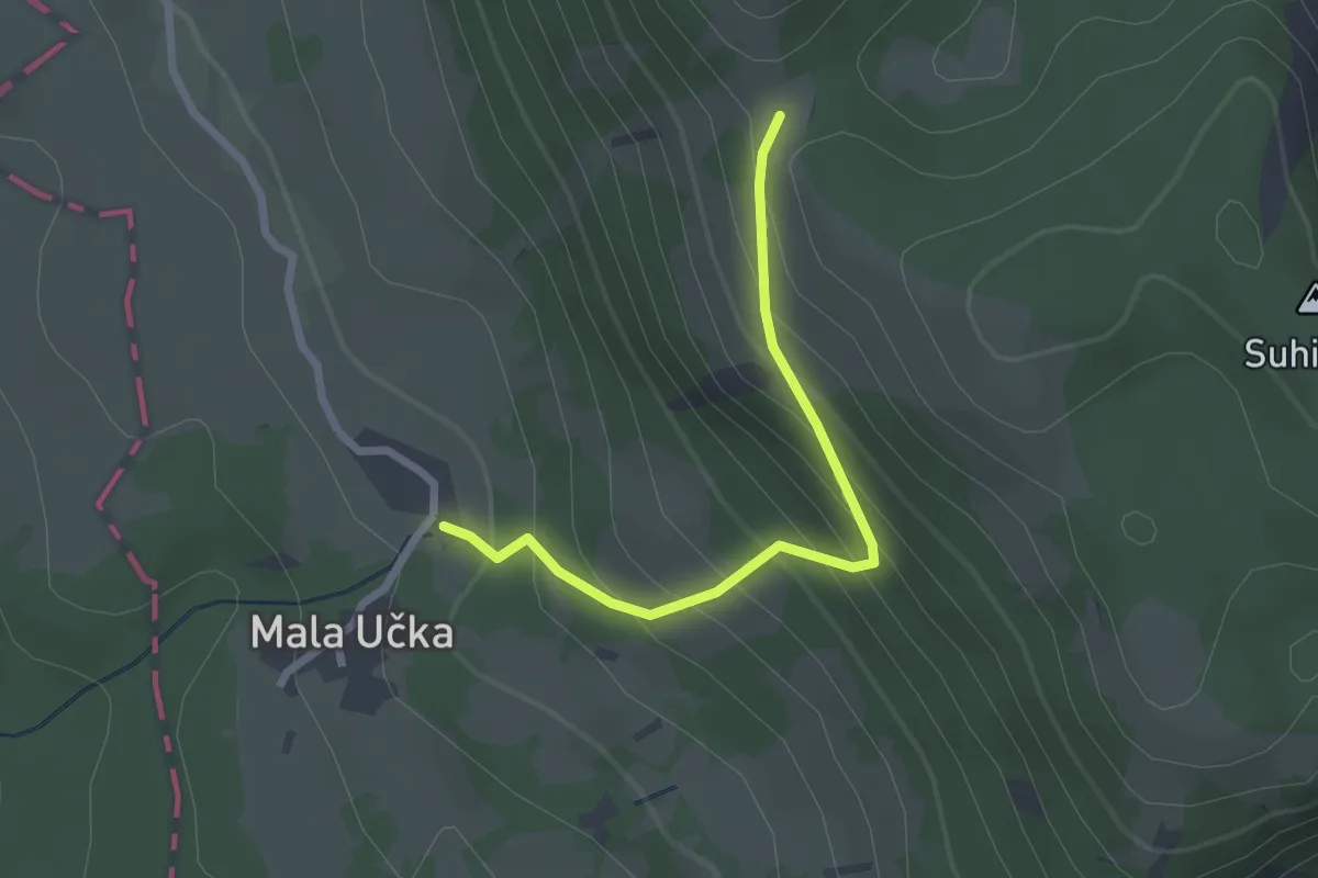
Easy · Trail
601
2.4 km · ↑ 250 m · 1 h 6 min
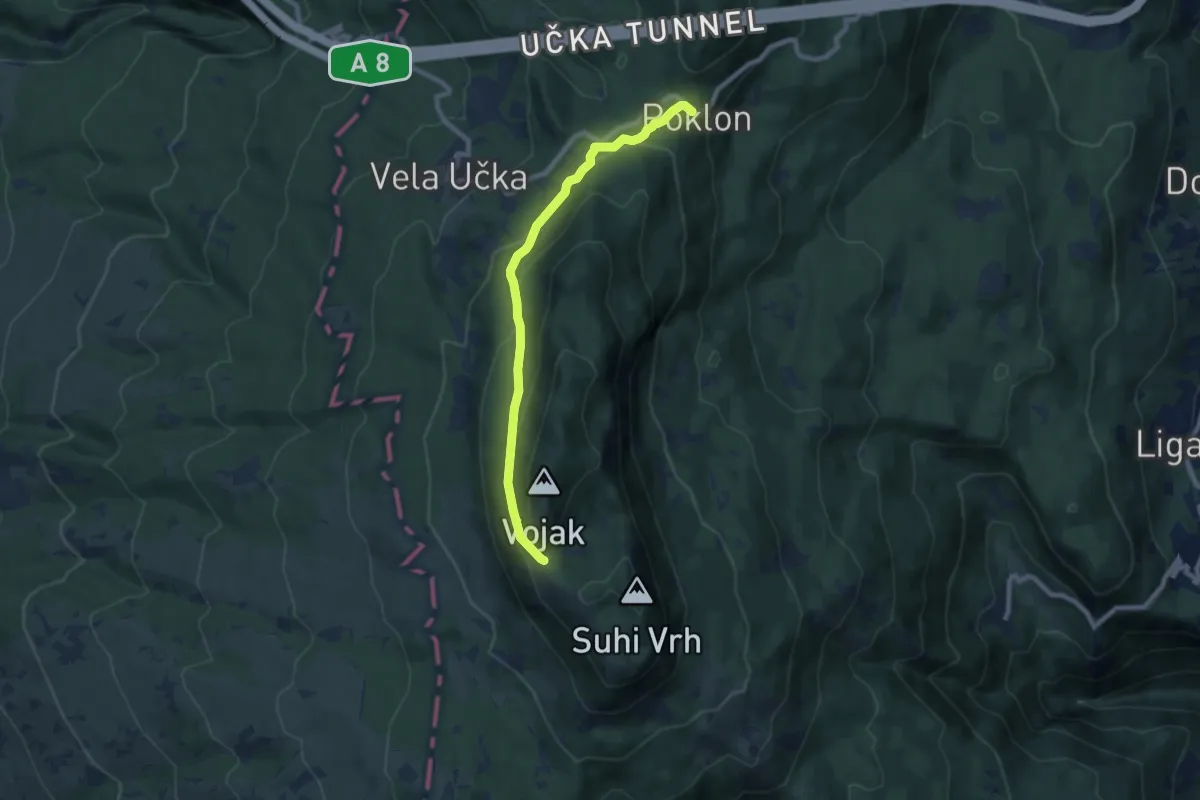
Medium · Cabin
610
8.1 km · ↑ 360 m · 2 h 41 min
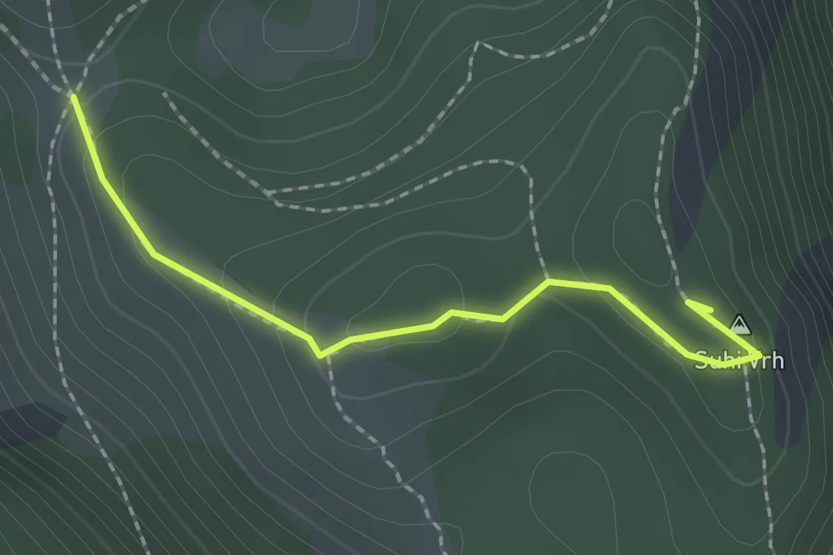
Easy · Summit
611
1.9 km · ↑ 108 m · 41 min
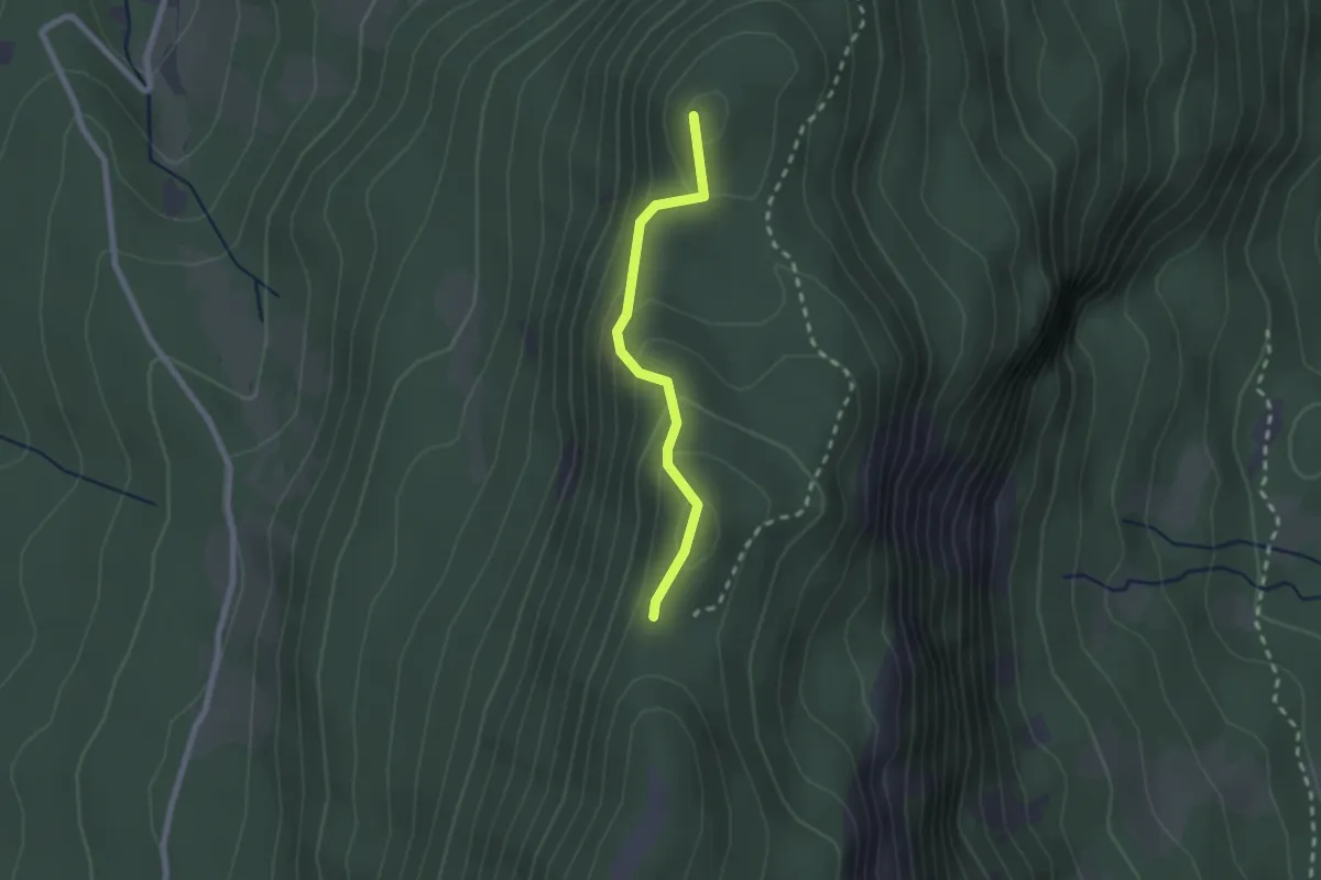
Easy · Summit
612
2.0 km · ↑ 166 m · 50 min
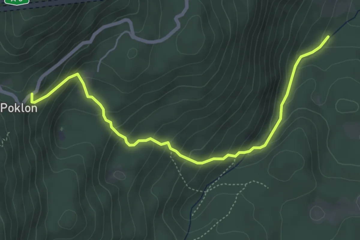
Medium · Cabin
620
5.5 km · ↑ 386 m · 2 h 8 min
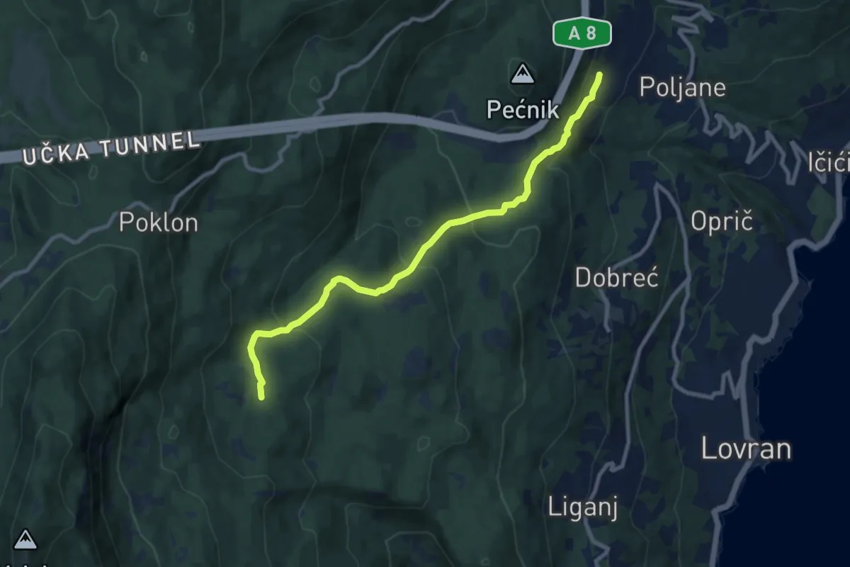
Medium · Summit
630
9.0 km · ↑ 408 m · 3 h 1 min
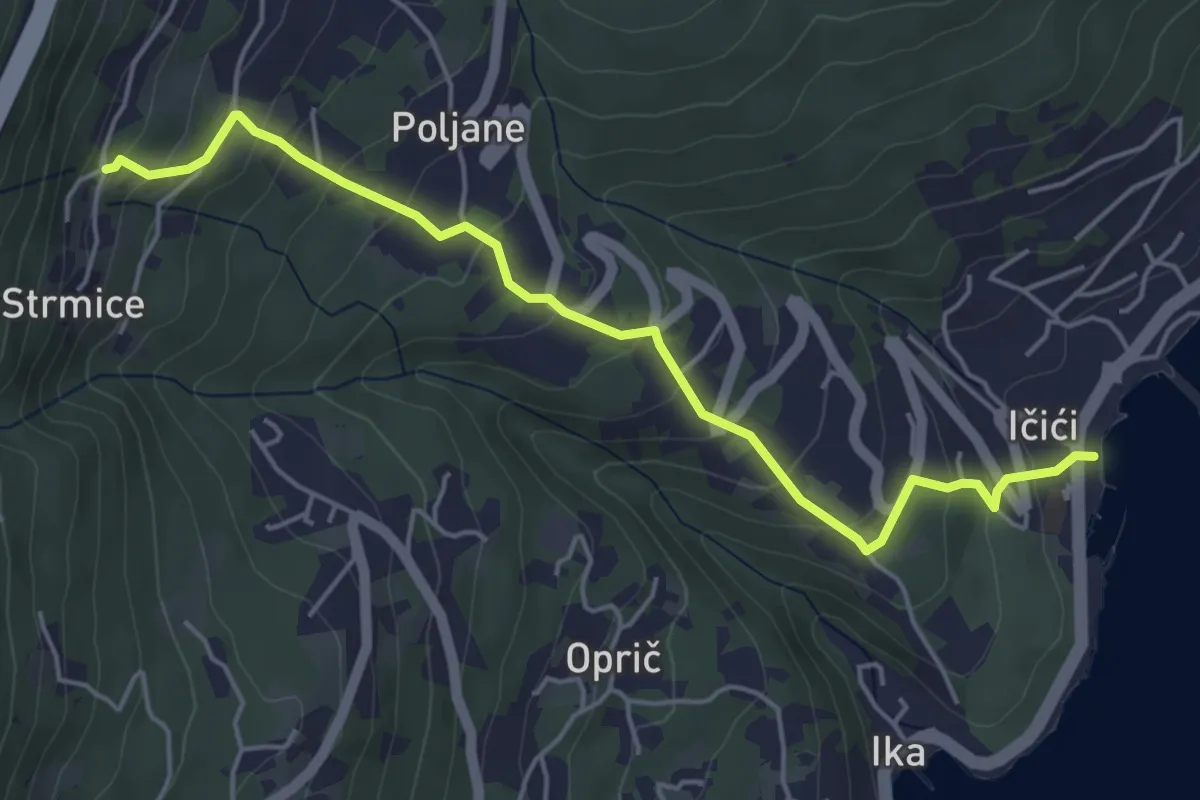
Medium · Trail
631
5.3 km · ↑ 346 m · 2 h
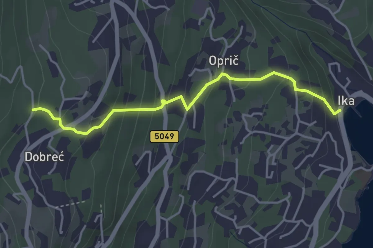
Easy · Trail
640
3.7 km · ↑ 289 m · 1 h 29 min
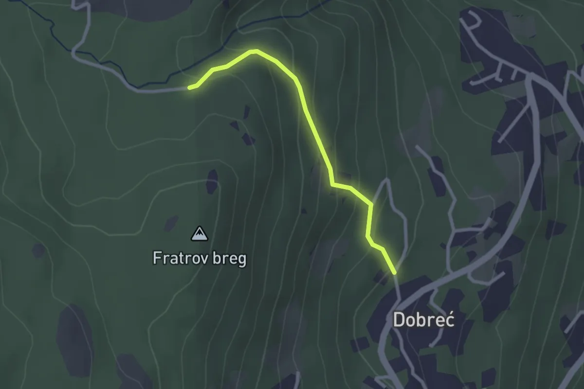
Easy · Trail
641
2.2 km · ↑ 141 m · 50 min
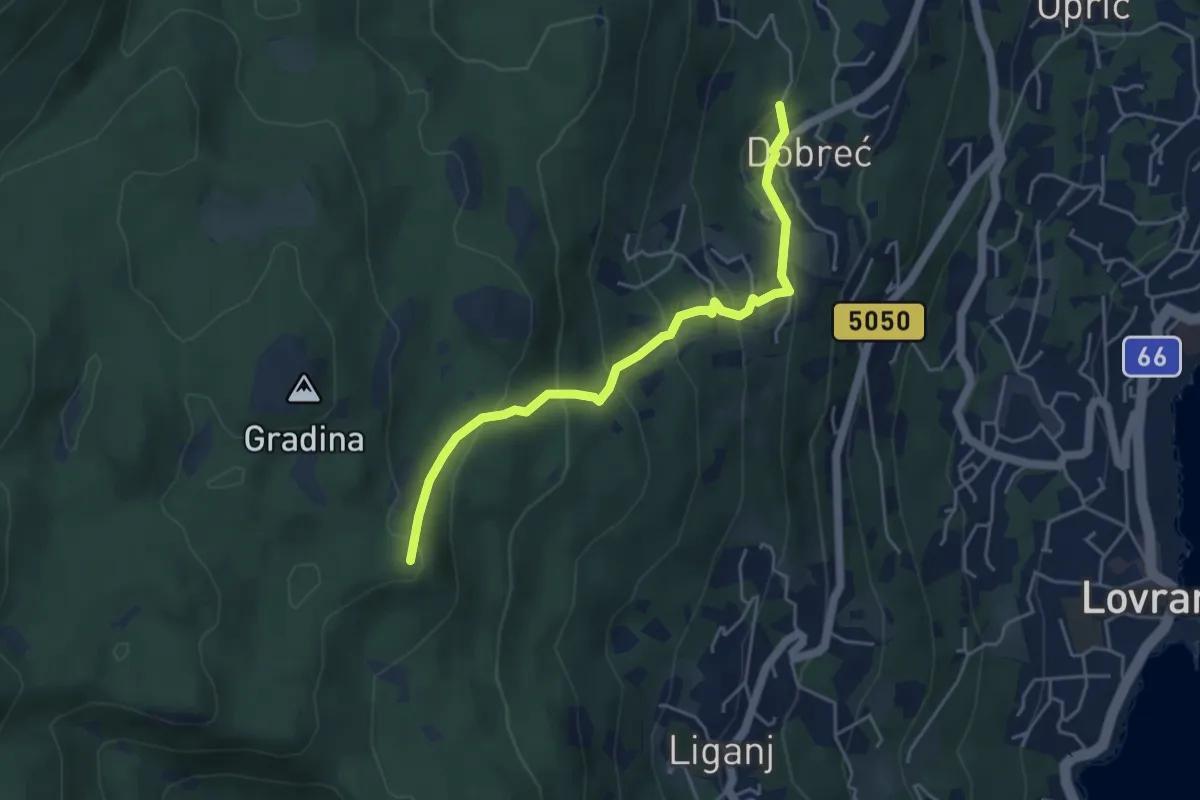
Medium · Summit
642
4.7 km · ↑ 325 m · 1 h 48 min
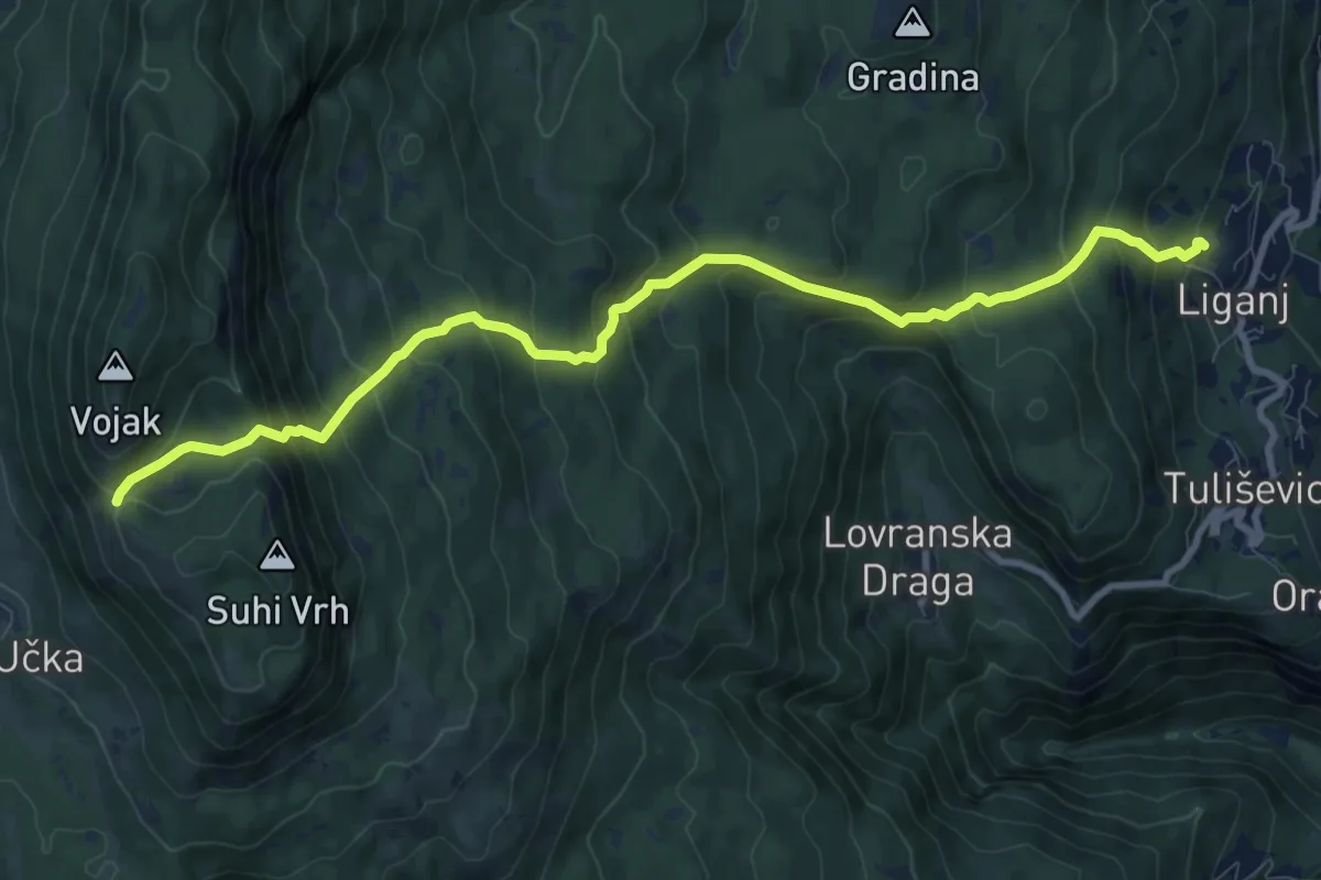
Demanding · Trail
650
10.6 km · ↑ 939 m · 4 h 32 min
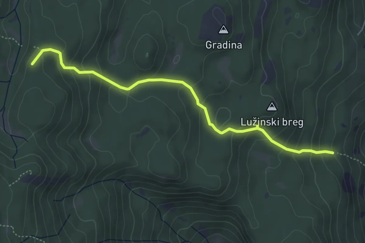
Easy · Summit
654
5.0 km · ↑ 297 m · 1 h 50 min
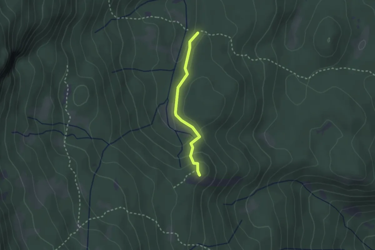
Easy · Summit
656
2.1 km · ↑ 84 m · 40 min
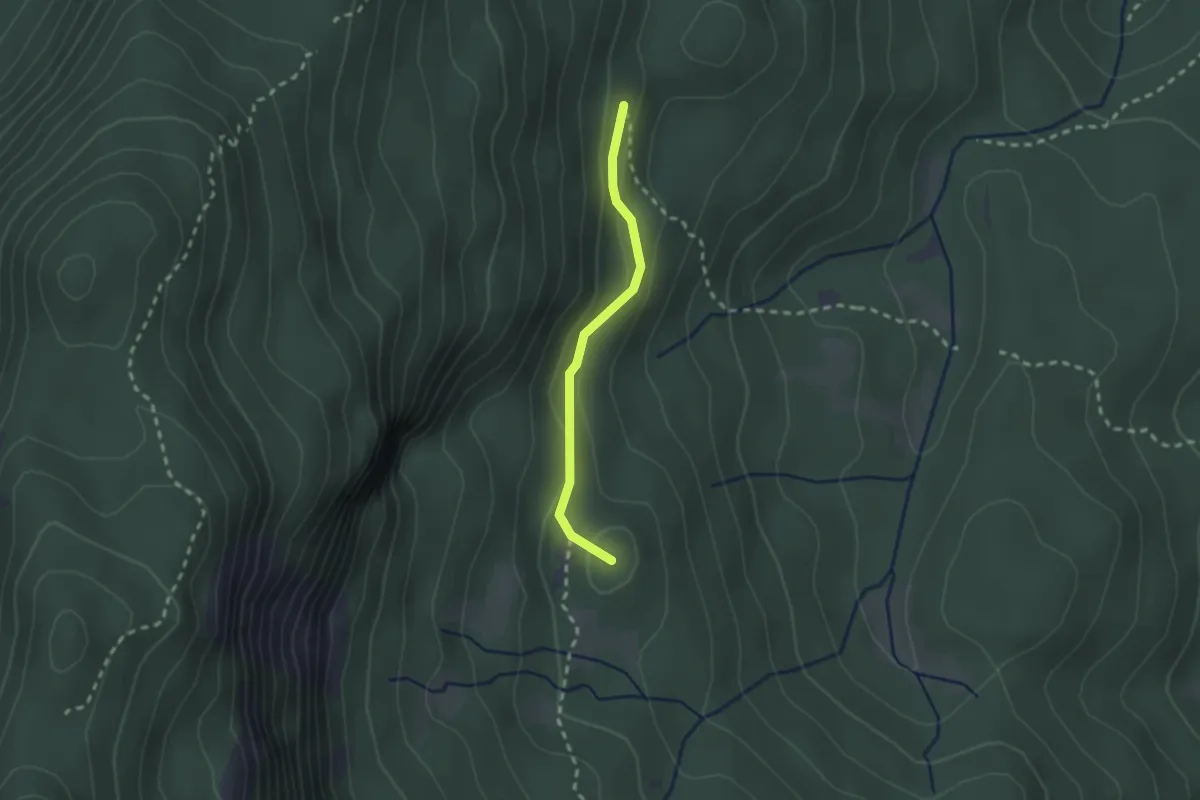
Medium · Summit
657
1.9 km · ↑ 51 m · 34 min
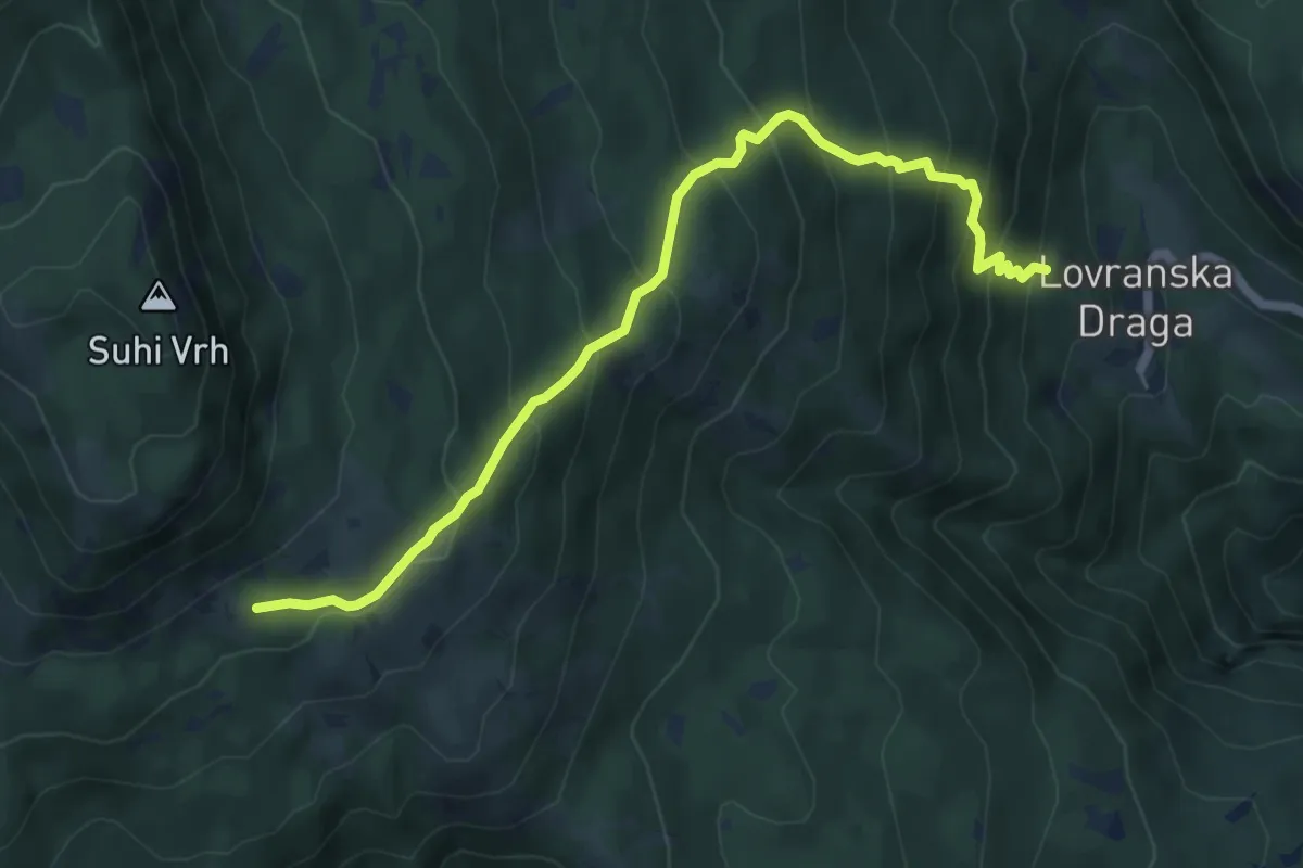
Medium · Trail
660
6.4 km · ↑ 584 m · 2 h 47 min
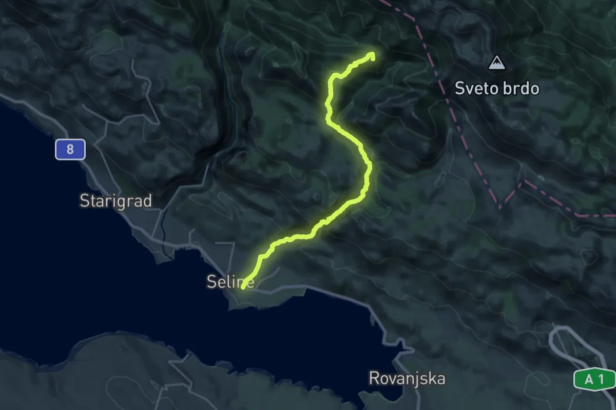
Demanding · Summit
825 Mala Paklenica - Martinovo Mirilo
20.5 km · ↑ 1219 m · 7 h 28 min
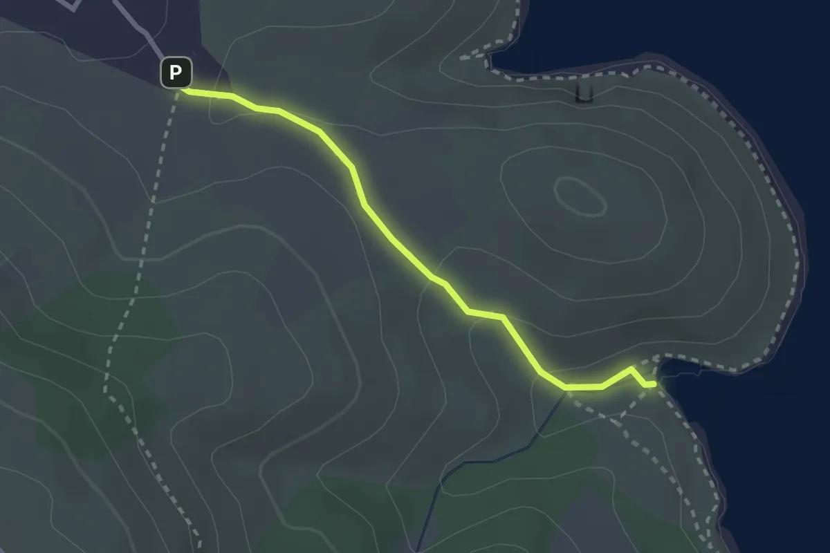
Easy · Trail
Sv. Nikola – Kriška
2.5 km · ↑ 106 m · 49 min
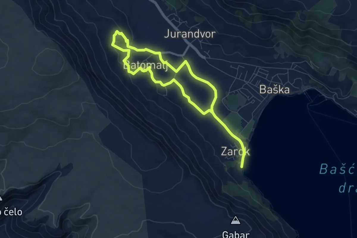
Medium · Trail
Zarok – Zarok
6.2 km · ↑ 153 m · 1 h 53 min
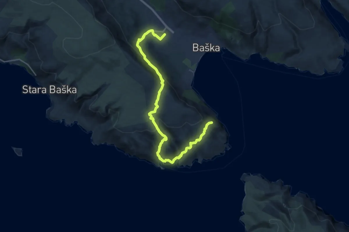
Demanding · Summit
Baska – Baska
17.7 km · ↑ 832 m · 5 h 59 min
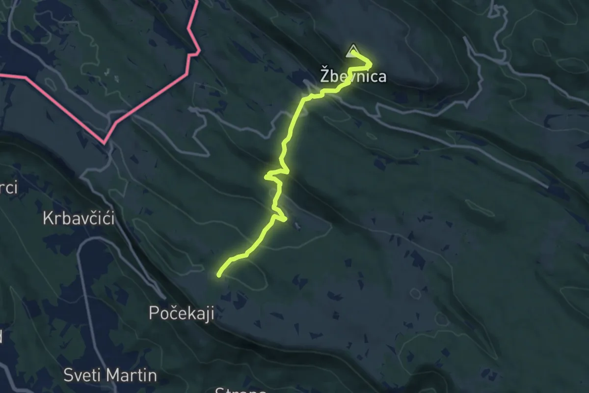
Medium · Summit
ŽP Buzet – vrh Žbevnica
10.3 km · ↑ 577 m · 3 h 41 min
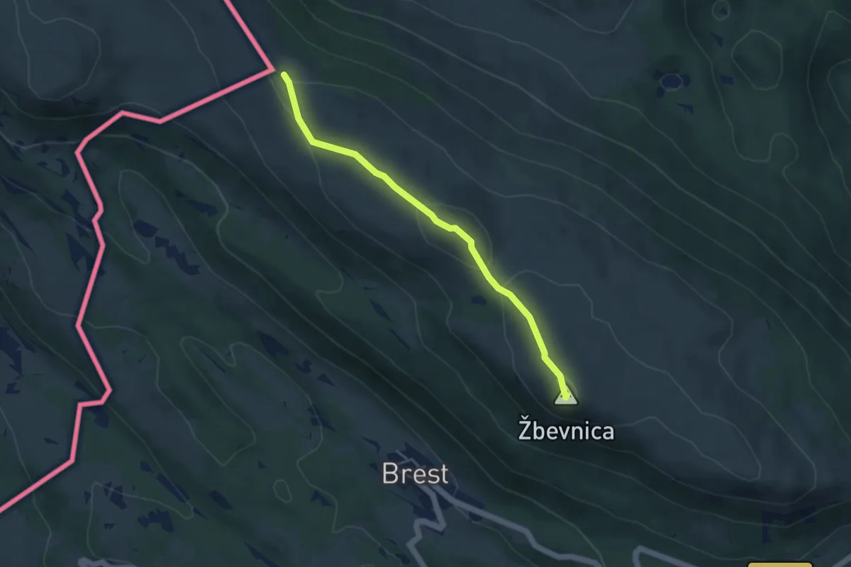
Easy · Summit
vrh Žbevnica – Slovenije
4.2 km · ↑ 159 m · 1 h 20 min
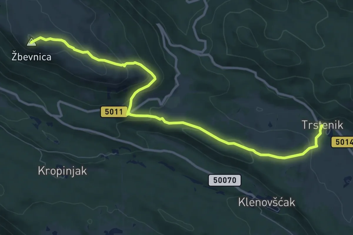
Medium · Summit
Trstenik – Žbevnica
9.8 km · ↑ 345 m · 3 h 4 min
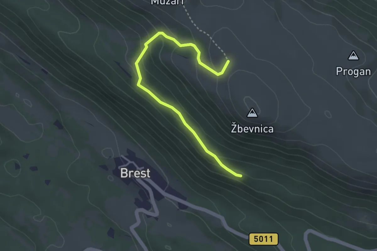
Easy · Cabin
pl.k. Žbevnica – Sakomanov put, s. od vrha Žbevnica
3.6 km · ↑ 184 m · 1 h 14 min
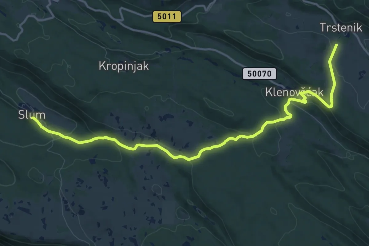
Medium · Trail
Slum – Trstenik
12.6 km · ↑ 311 m · 3 h 39 min
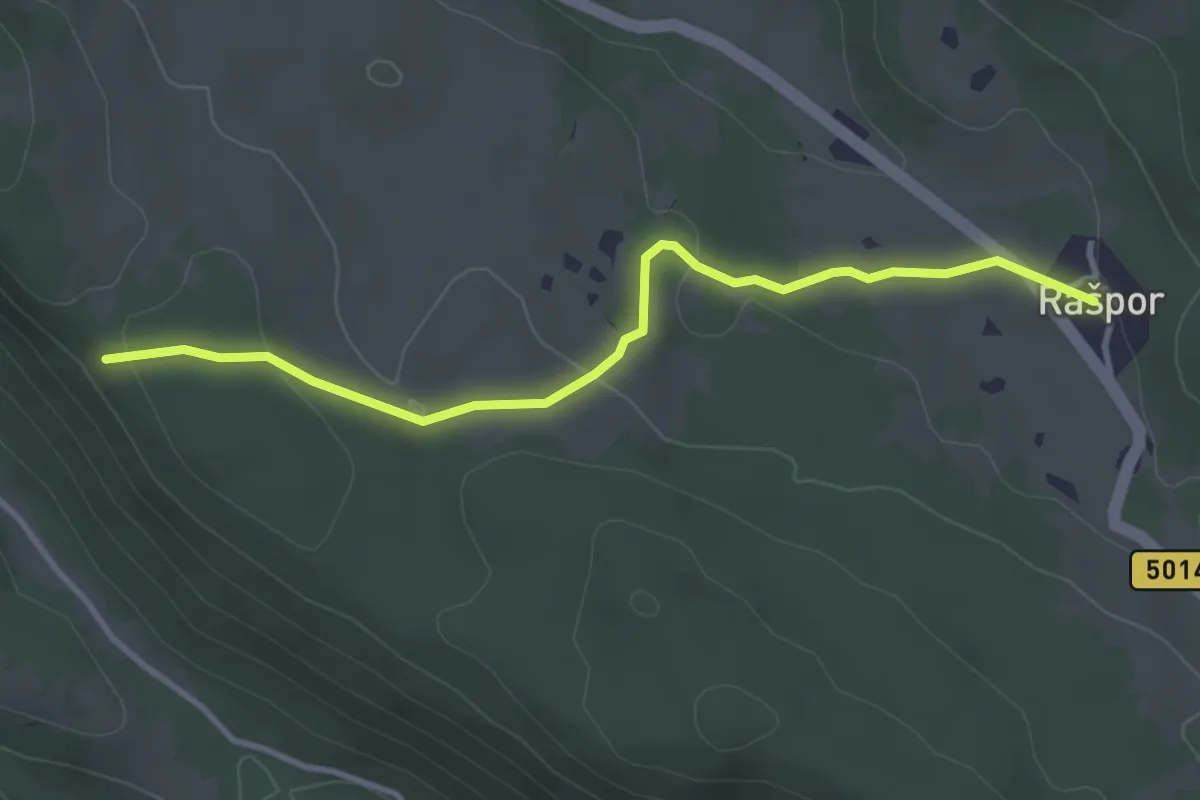
Easy · Trail
Rašpor – Klenovšćak
3.6 km · ↑ 73 m · 1 h 1 min
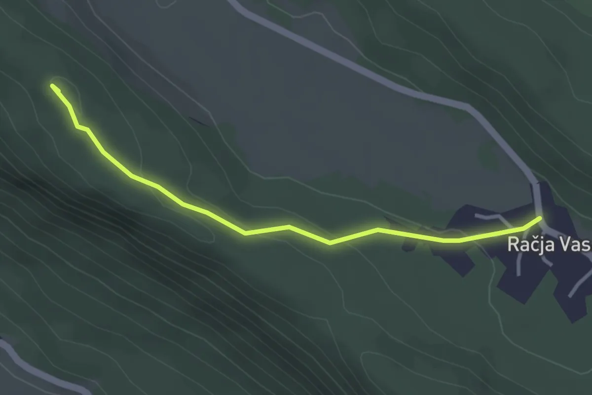
Easy · Summit
s PP iz Rašpora, kota 712 m, Kosmatica – Račja vas
3.1 km · ↑ 73 m · 54 min
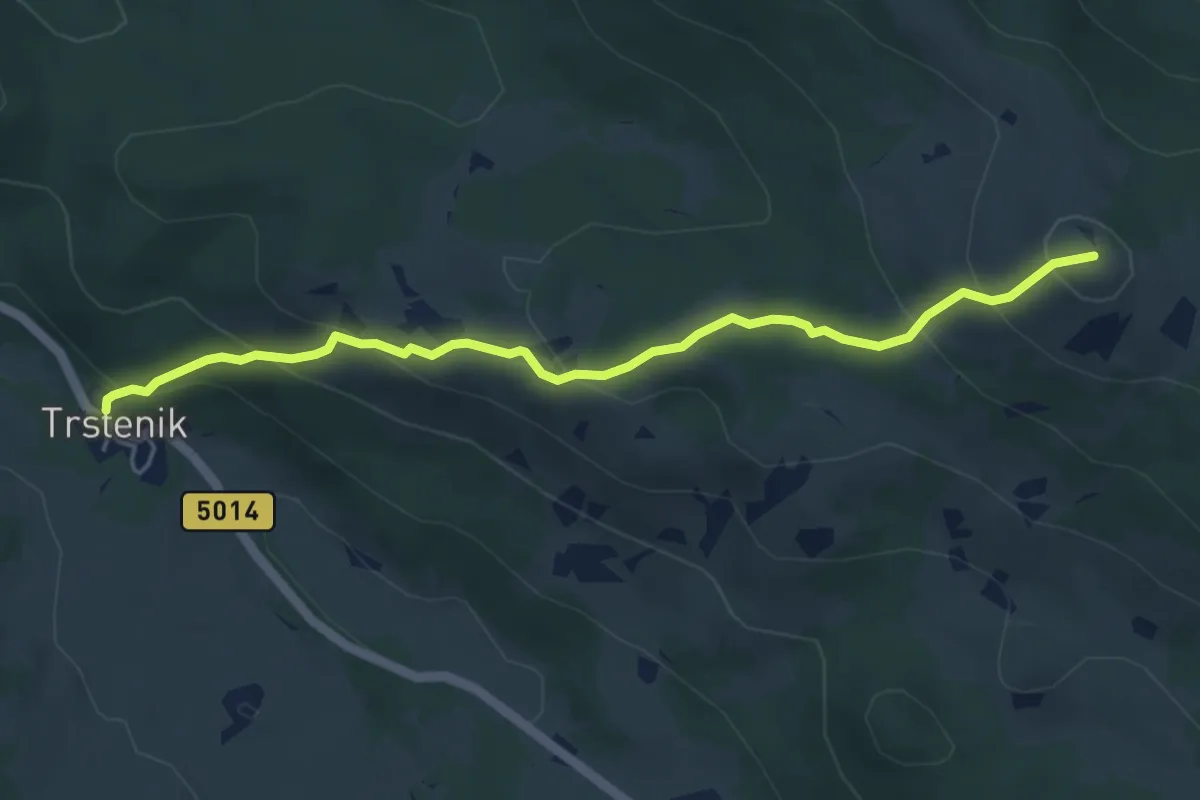
Medium · Summit
Trstenik – vrh Gomila
5.1 km · ↑ 340 m · 1 h 57 min
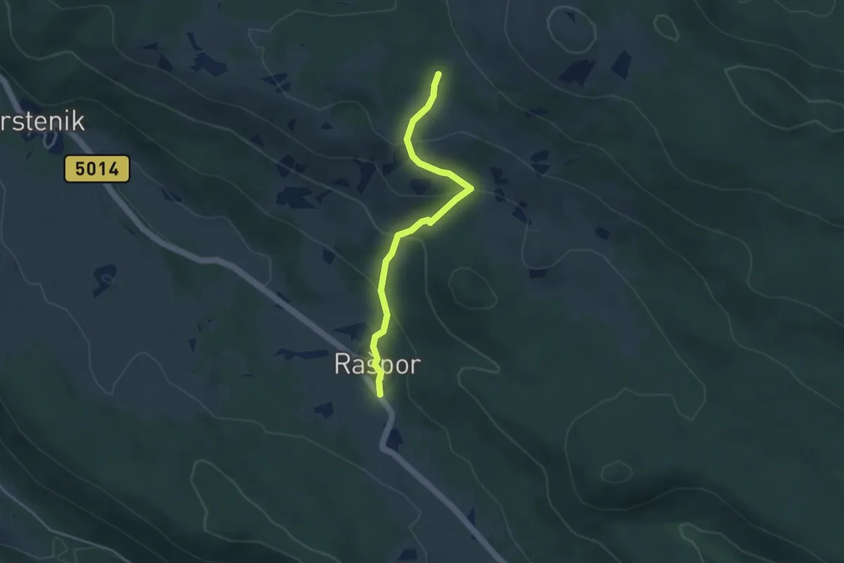
Easy · Trail
Rašpor, a.c. 5014, spomenik – (x) jz. od Gomile
3.6 km · ↑ 199 m · 1 h 16 min
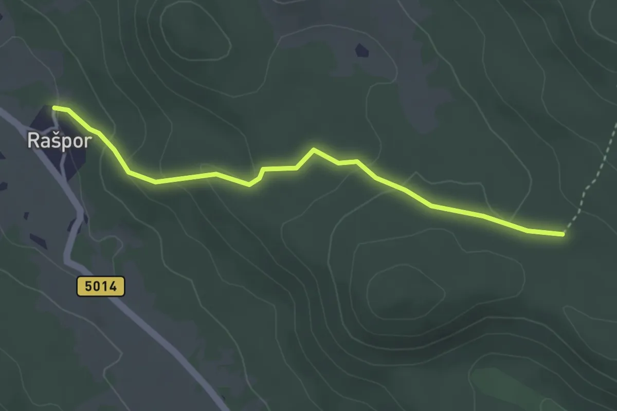
Easy · Trail
(x) s PP 210, Rašpor – (x) s PP 201, IPP si. od Sv. Jelene
3.4 km · ↑ 141 m · 1 h 6 min
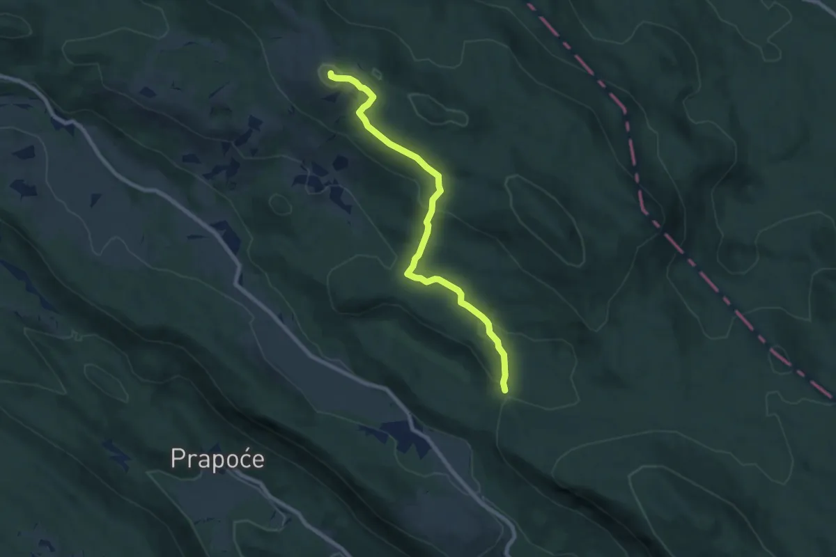
Medium · Summit
(x) si. od Račje vasi – vrh Gomila 1027 m
7.8 km · ↑ 284 m · 2 h 27 min