Trails in Croatia
922 hiking trails, each with its route, climb, walking time and grade.
All trails, page 2 of 20
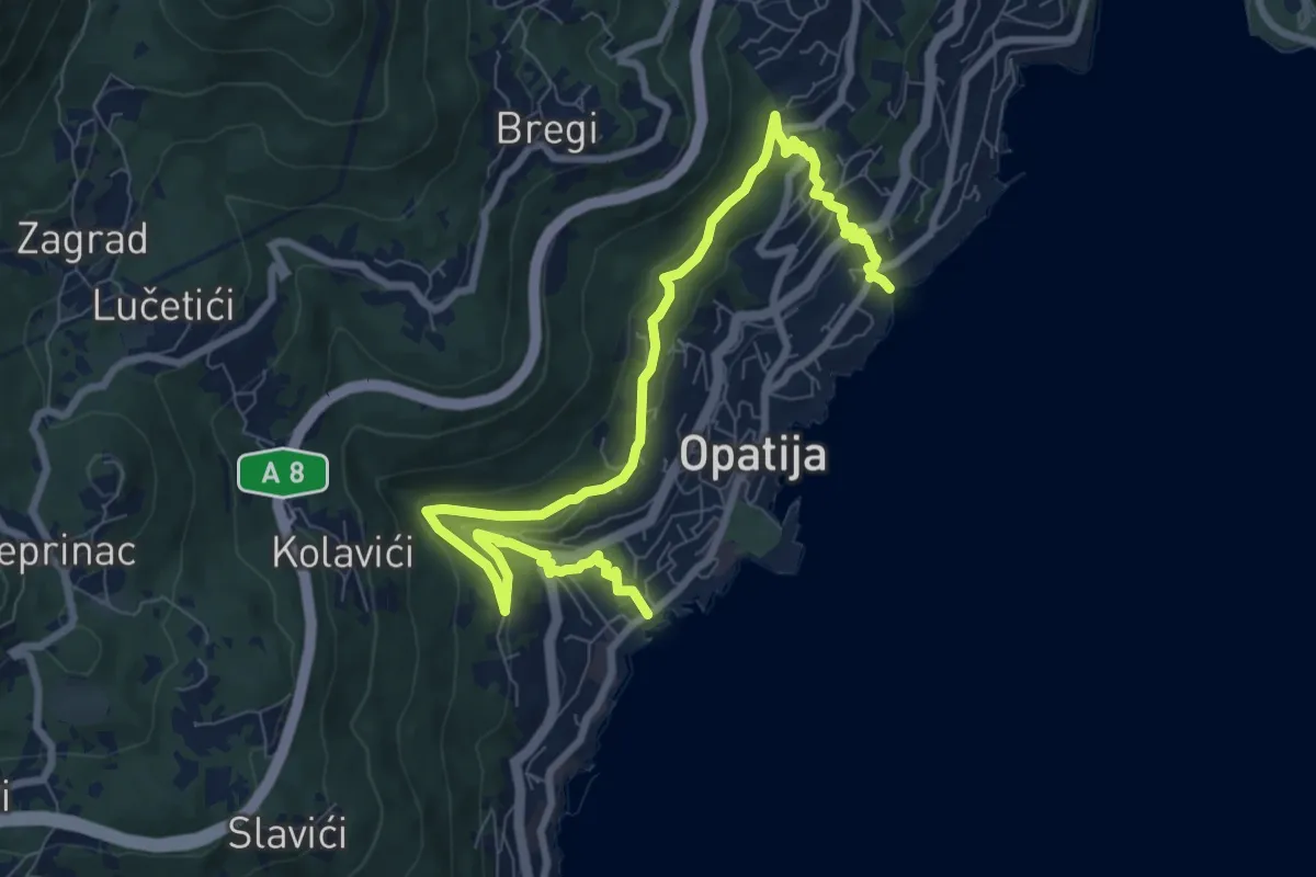
Medium · Trail
Carmen Sylva
10.7 km · ↑ 403 m · 3 h 24 min
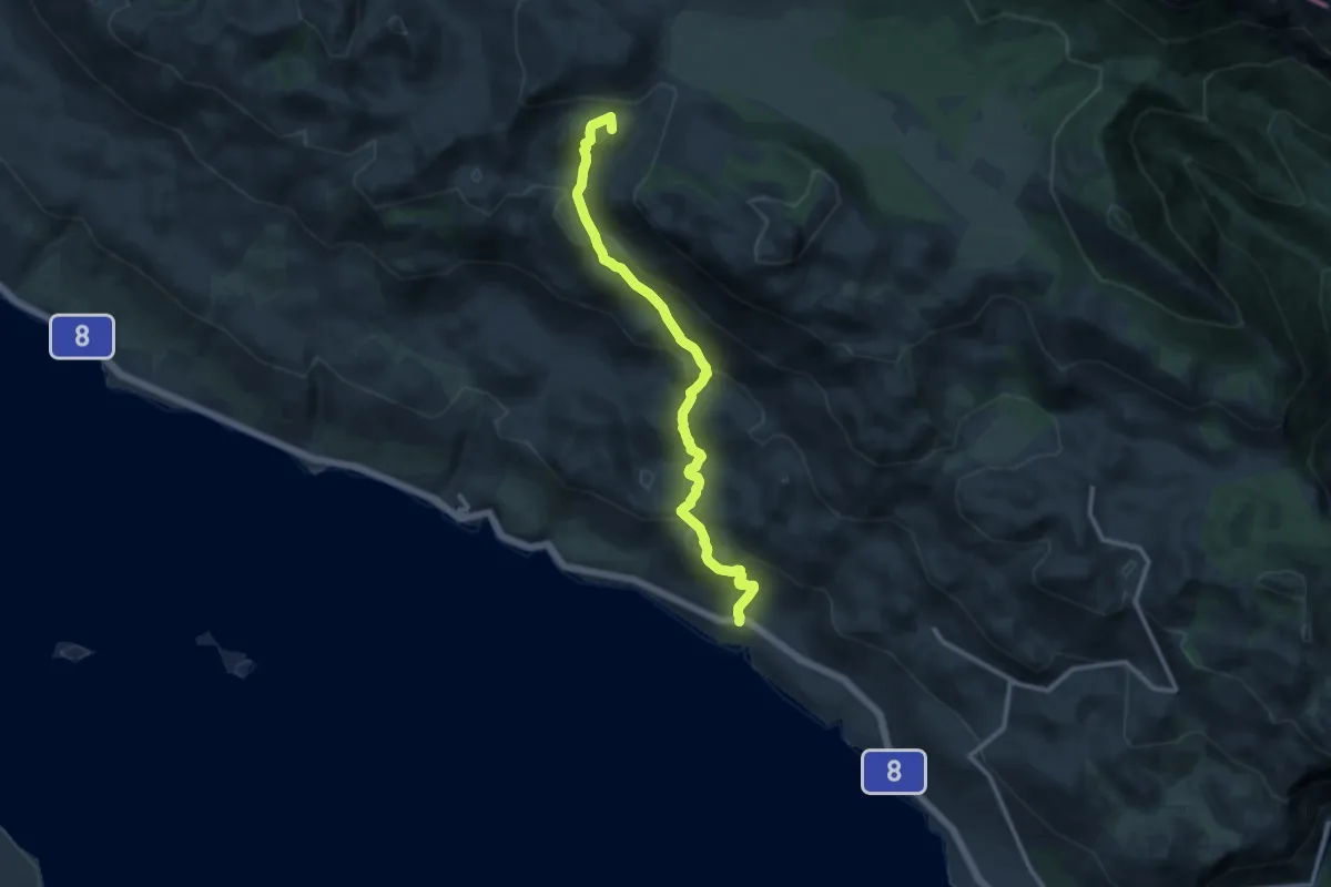
Medium · Summit
Čavići - Veliko Rujno
11.8 km · ↑ 757 m · 4 h 25 min
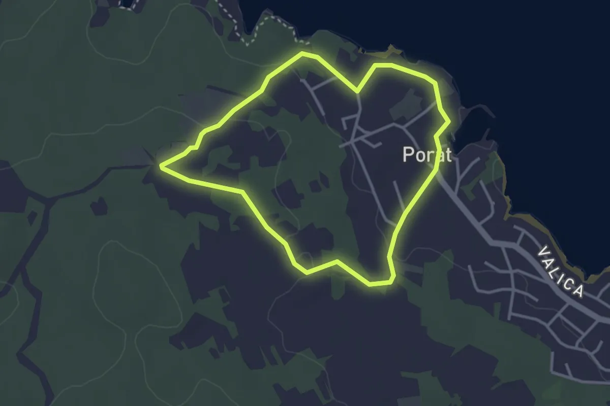
Easy · Trail
Cesta maslina
3.1 km · ↑ 45 m · 52 min
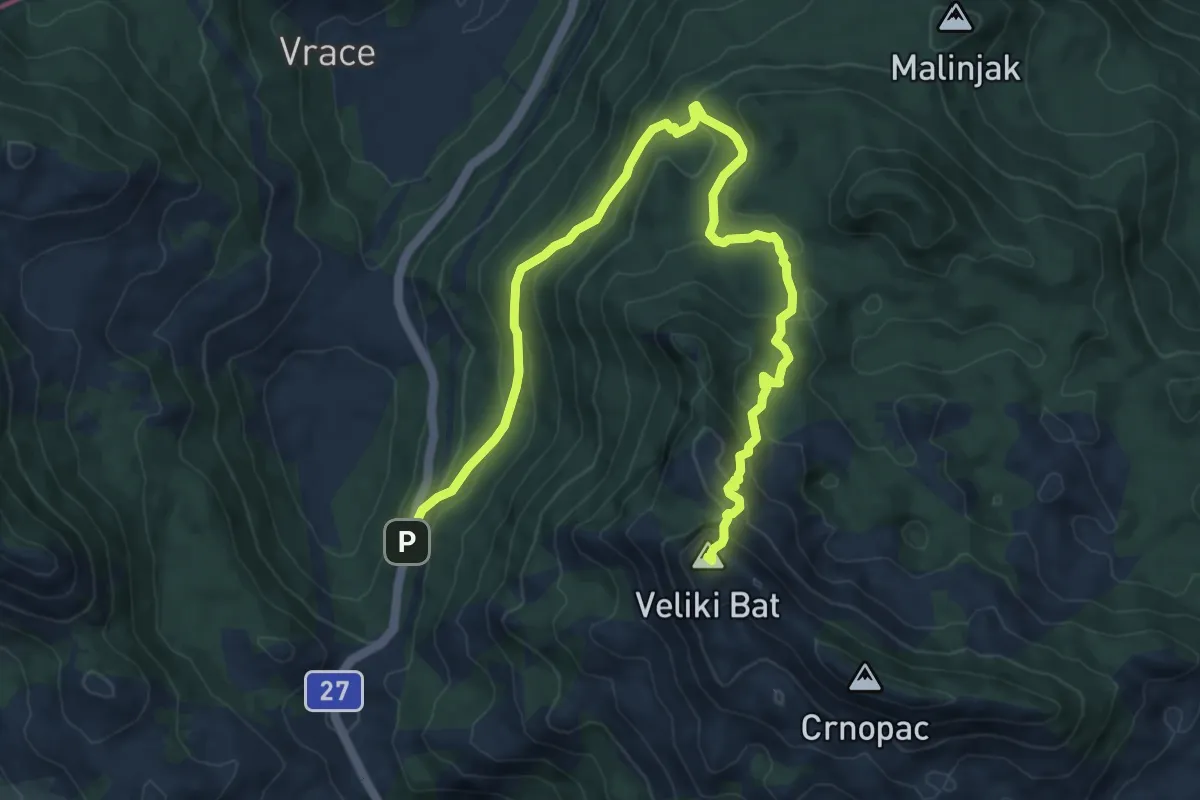
Expert · Summit
Cesta - Sklonište - Mali Crnopac
11.0 km · ↑ 630 m · 3 h 58 min
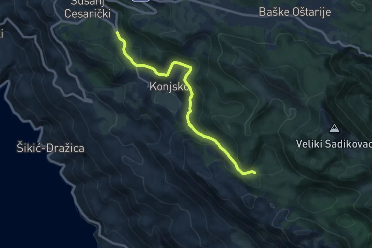
Medium · Trail
Cesta za Karlobag - Konjsko - Jurkove doline
10.8 km · ↑ 499 m · 3 h 37 min
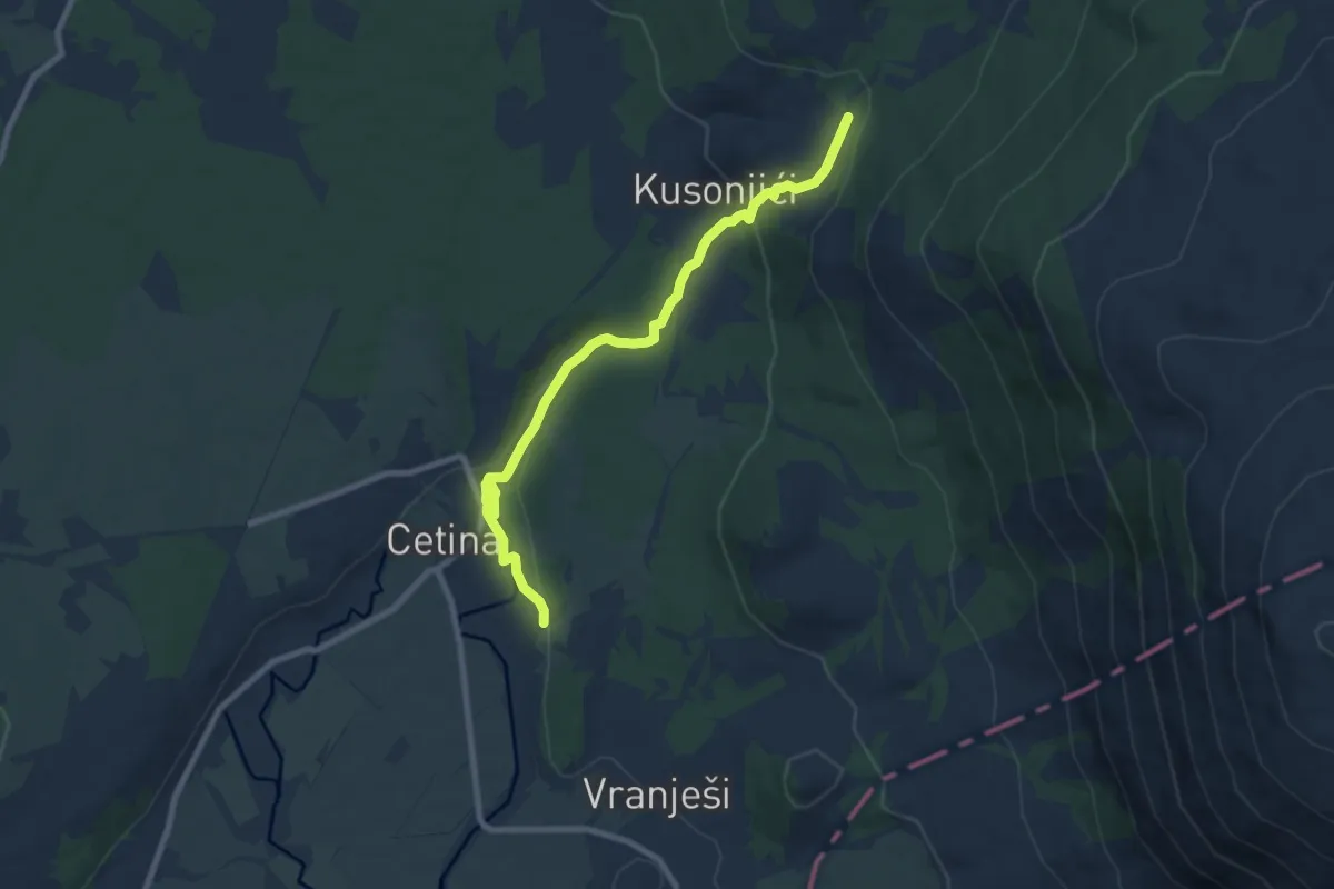
Medium · Trail
Cetina put Oluje
8.9 km · ↑ 226 m · 2 h 35 min
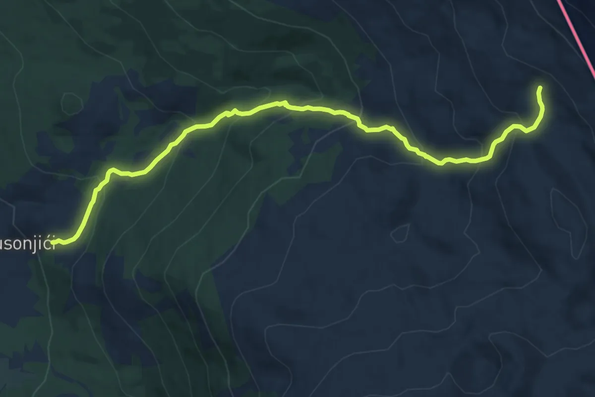
Demanding · Cabin
Cetina-Rupe
12.6 km · ↑ 816 m · 4 h 44 min
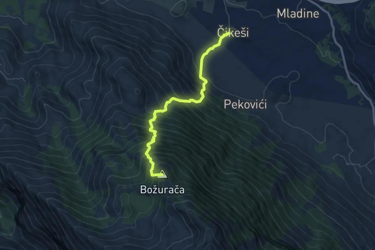
Demanding · Summit
Čikeši-Grljak
6.5 km · ↑ 940 m · 3 h 34 min
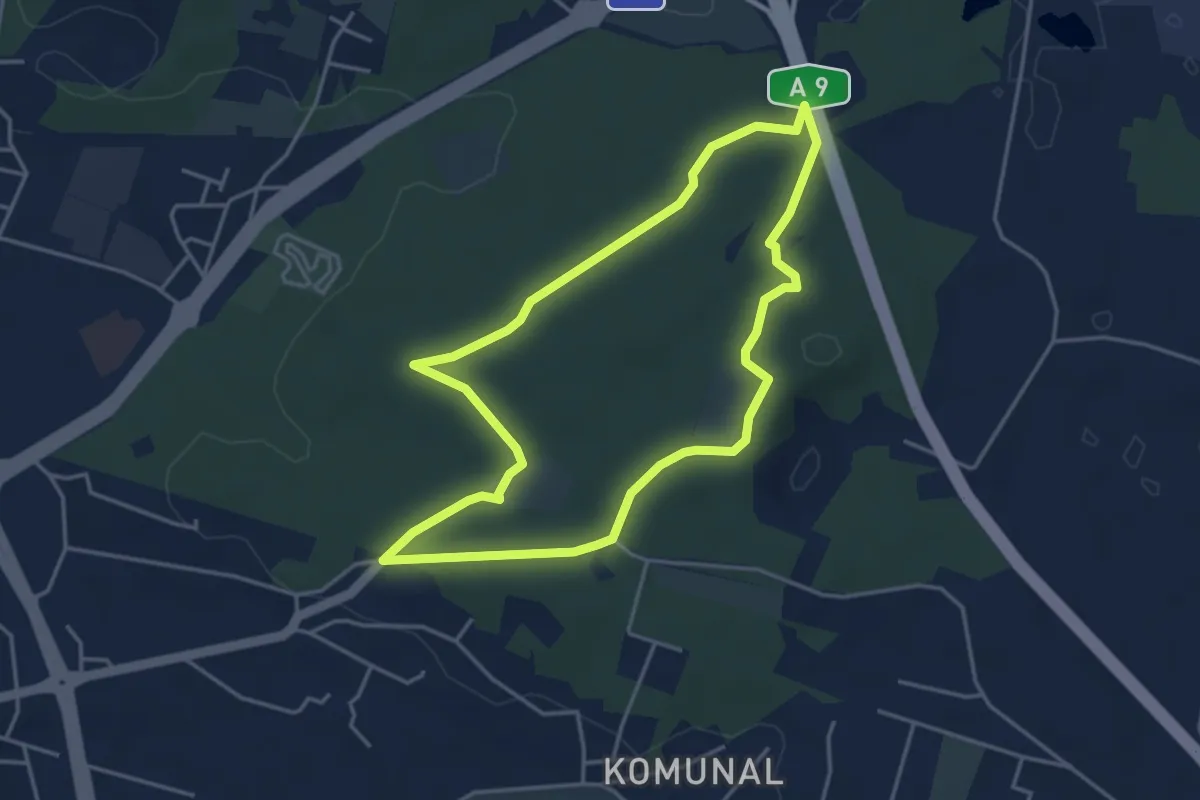
Easy · Trail
Ciklama
4.1 km · ↑ 37 m · 1 h 6 min
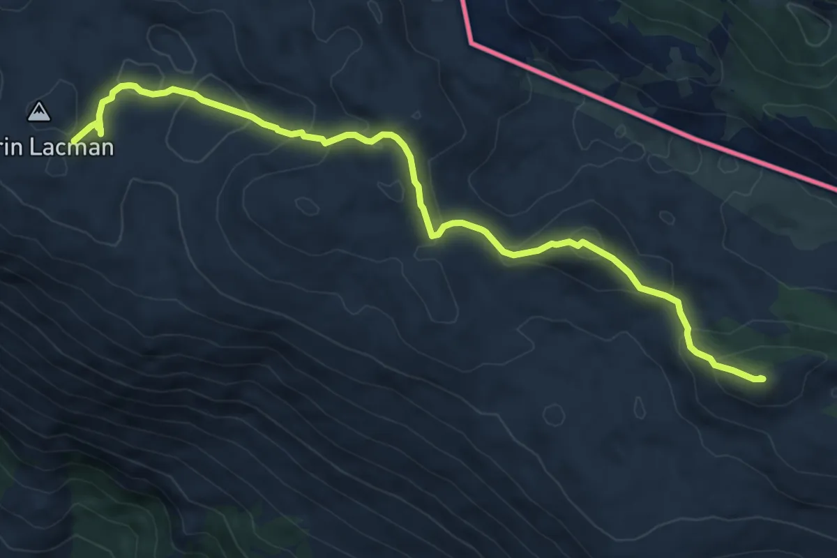
Medium · Summit
ČorinLacman_Duvjakuša
9.8 km · ↑ 531 m · 3 h 28 min
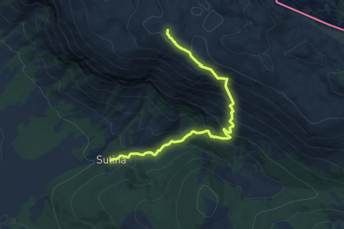
Demanding · Cabin
ČorinLacman_Sutina
13.2 km · ↑ 1075 m · 5 h 26 min
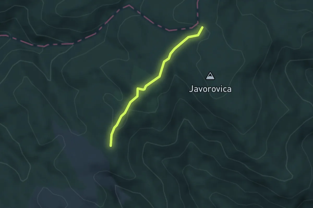
Easy · Trail
Crna Mlaka - Dobra Voda
3.2 km · ↑ 85 m · 56 min
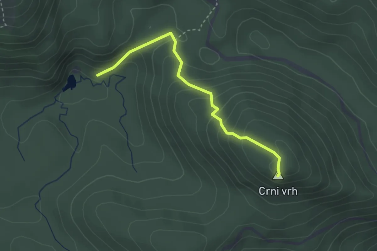
Medium · Summit
Crni vrh iz smjera Baških Oštarija
2.9 km · ↑ 223 m · 1 h 10 min
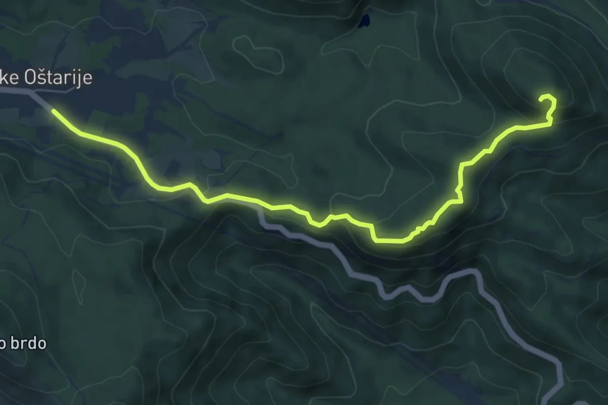
Medium · Summit
Crni vrh s Takalica
7.7 km · ↑ 342 m · 2 h 34 min
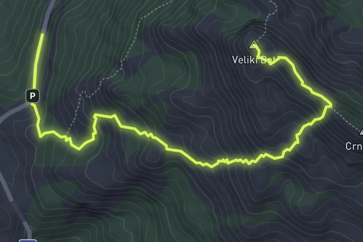
Expert · Summit
Crnopac
8.7 km · ↑ 657 m · 3 h 29 min
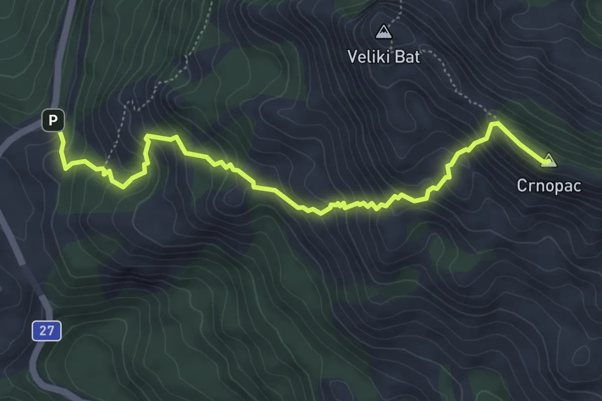
Expert · Summit
Crnopac vrh
6.1 km · ↑ 604 m · 2 h 45 min
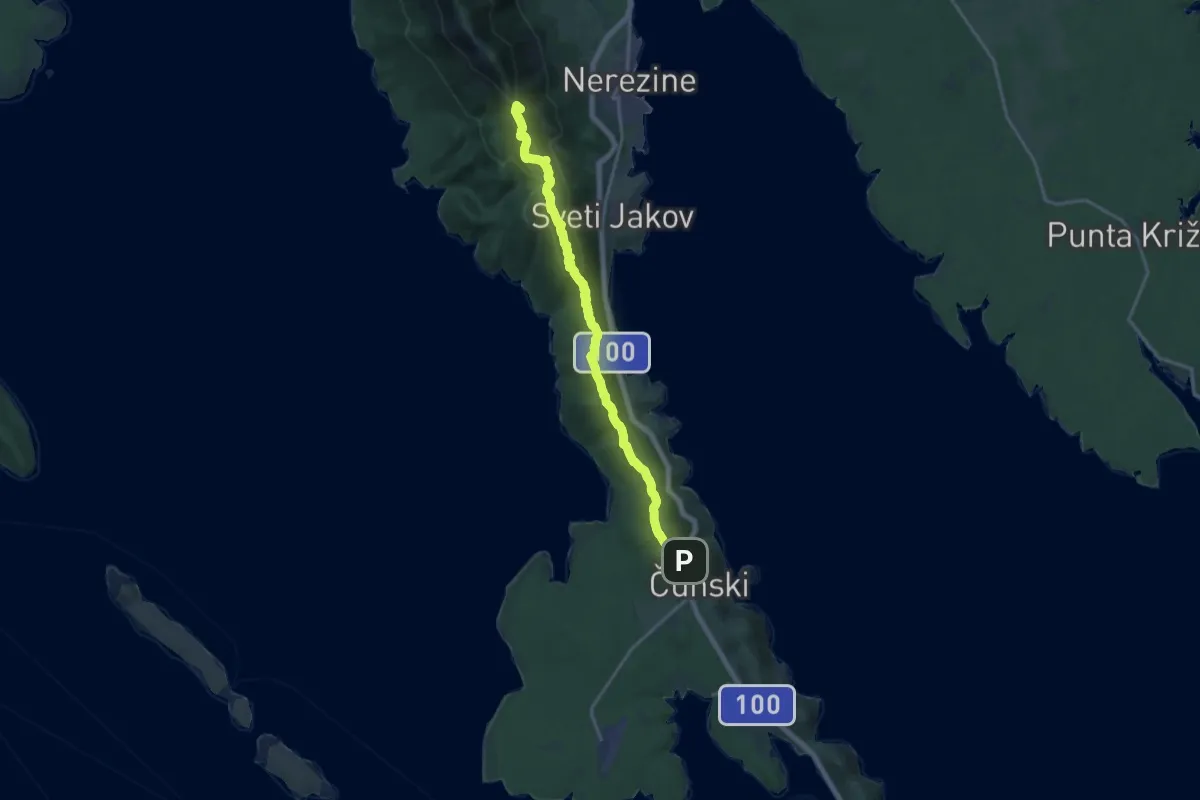
Demanding · Summit
Cunski - Sveti Nikola, Televrin
17.0 km · ↑ 754 m · 5 h 39 min
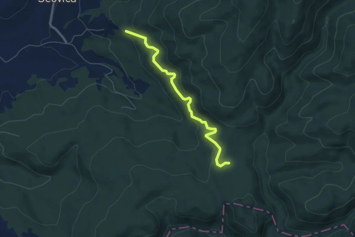
Medium · Trail
Cvijina staza
5.3 km · ↑ 385 m · 2 h 6 min
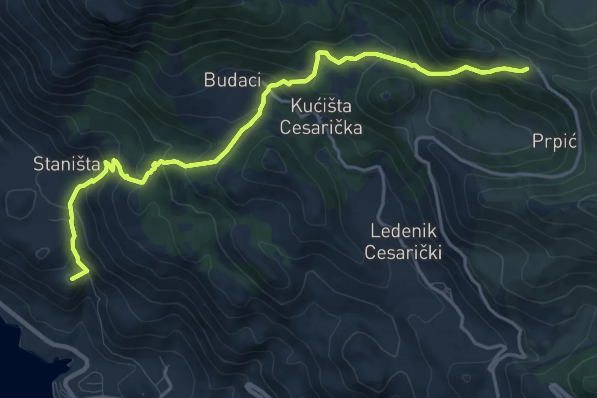
Medium · Summit
Dabarska Kosa
12.1 km · ↑ 753 m · 4 h 30 min
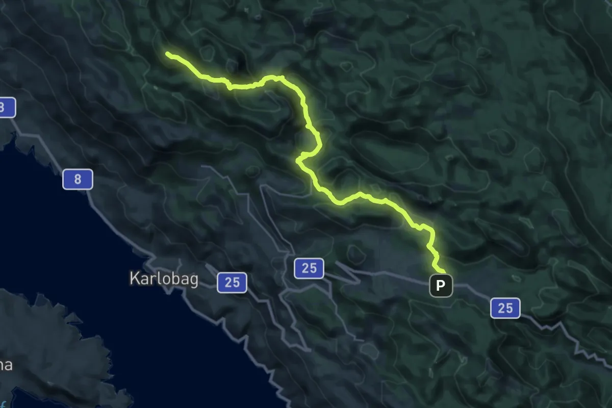
Demanding · Summit
Dabri i Dabarski kukovi
27.4 km · ↑ 1300 m · 9 h 17 min
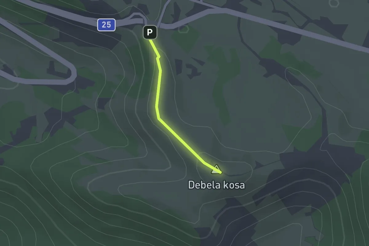
Easy · Summit
Debela Kosa
1.5 km · ↑ 39 m · 26 min
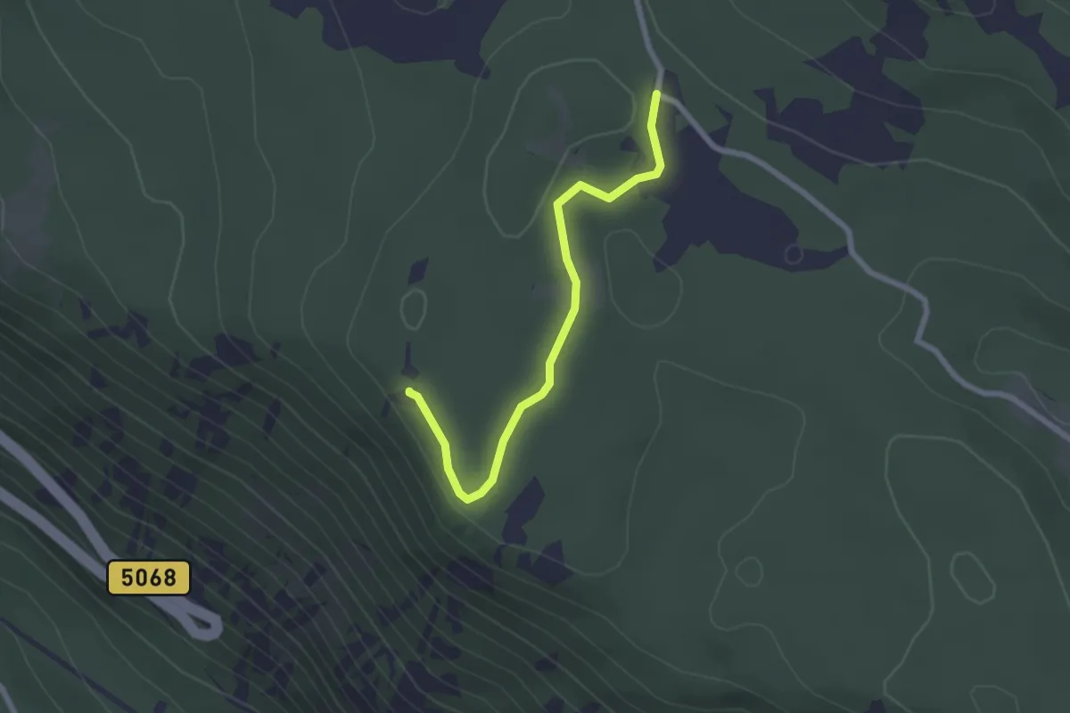
Easy · Summit
Dedomir
2.3 km · ↑ 39 m · 38 min
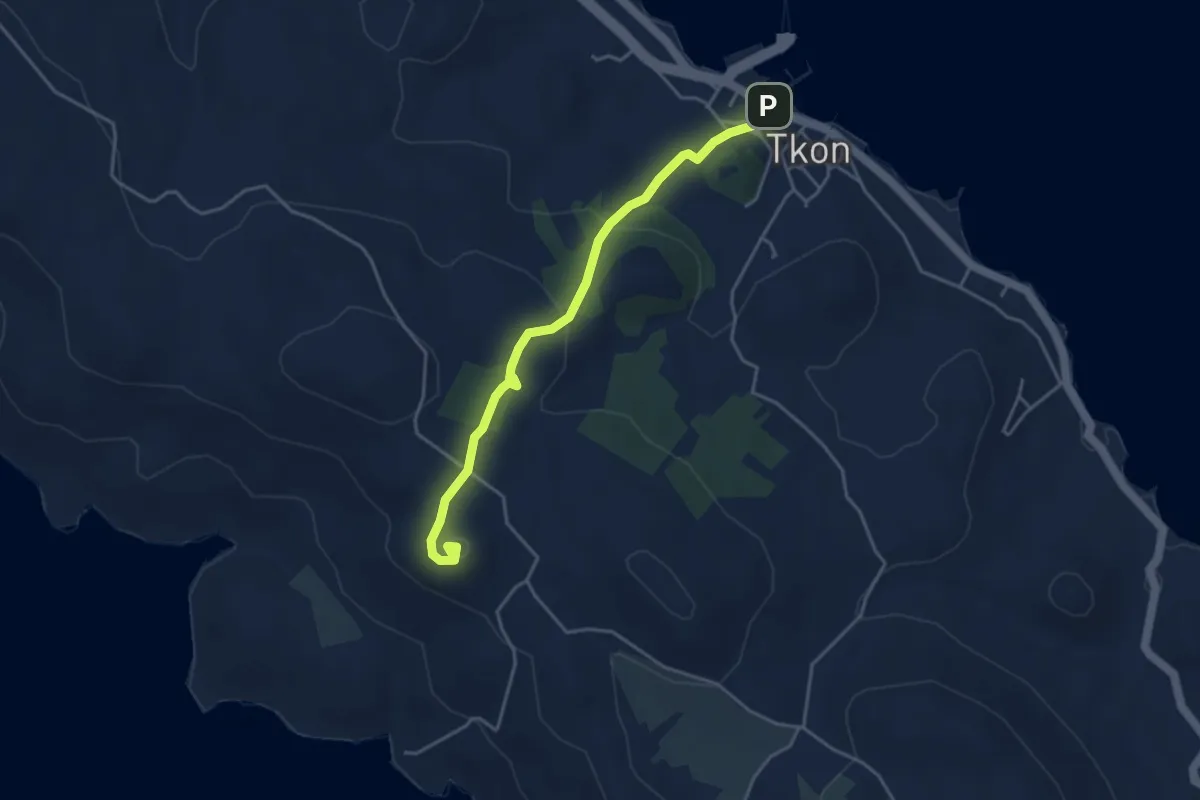
Easy · Summit
Đir
4.3 km · ↑ 162 m · 1 h 22 min
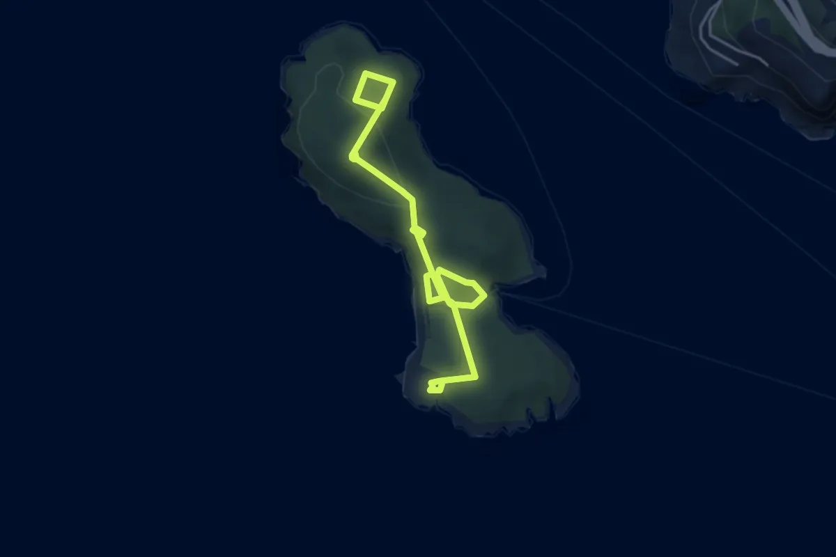
Easy · Trail
Discovery Path
5.6 km · ↑ 182 m · 1 h 42 min
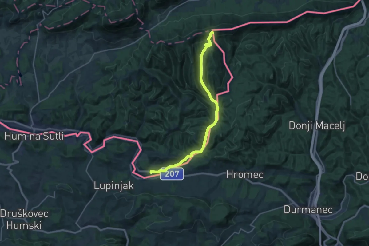
Medium · Trail
Dobovec - Izvir Sotle
15.9 km · ↑ 501 m · 4 h 50 min
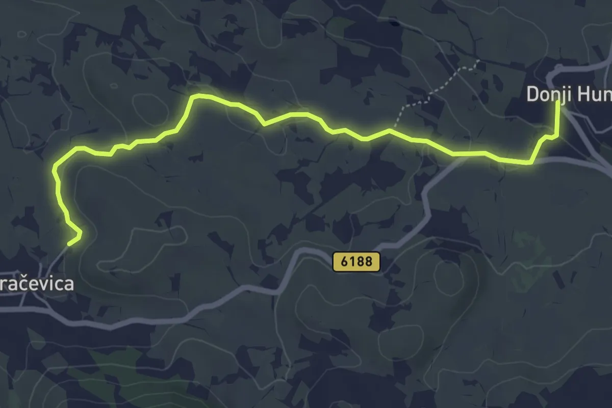
Easy · Trail
Dolčevita
6.0 km · ↑ 116 m · 1 h 40 min
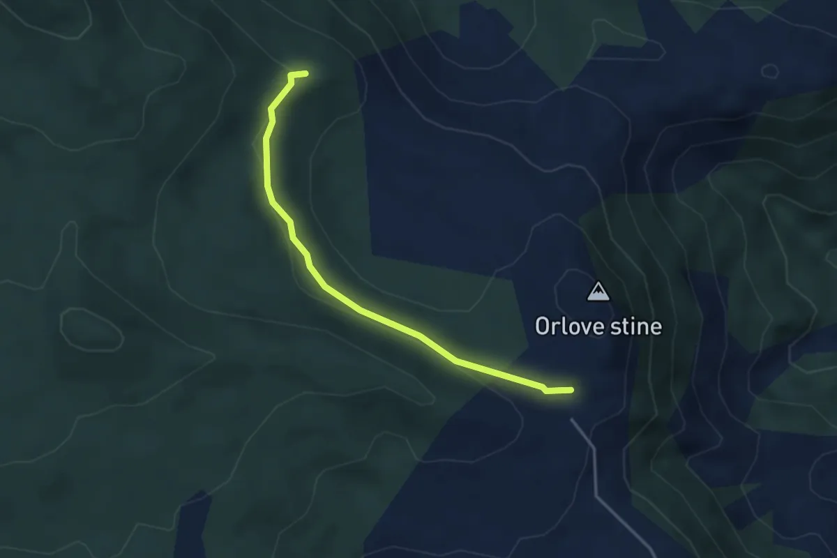
Medium · Summit
dom Orlove stine-cestom-spoj na stazu iz Badnjeva
3.6 km · ↑ 68 m · 1 h
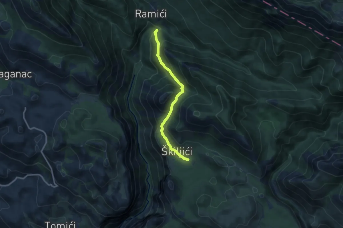
Demanding · Trail
Dom Paklenica - Jurline
15.5 km · ↑ 919 m · 5 h 52 min
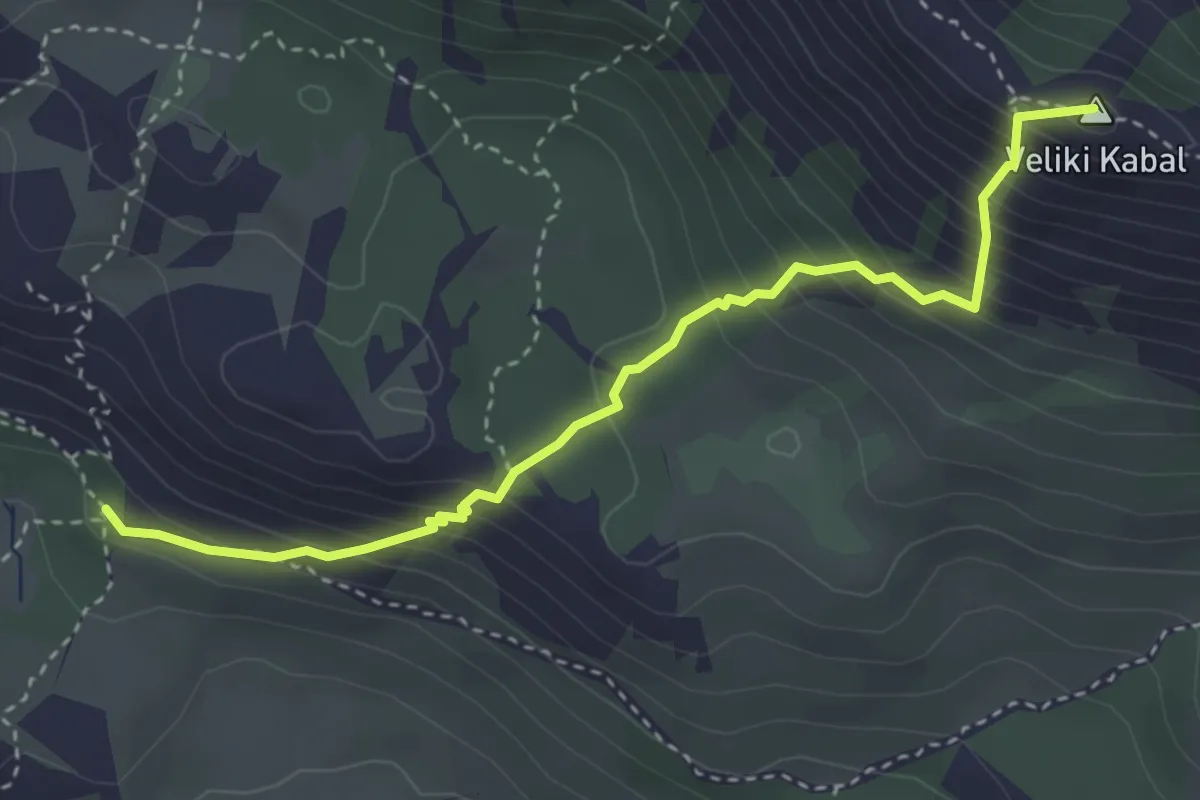
Medium · Summit
Dom Umberto Girometta - Veliki Kabal
3.9 km · ↑ 445 m · 1 h 53 min
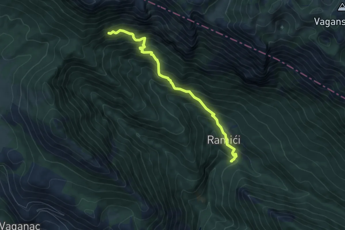
Medium · Cabin
Dom u Velikoj Paklenici - Krajni brig
7.3 km · ↑ 666 m · 3 h 10 min
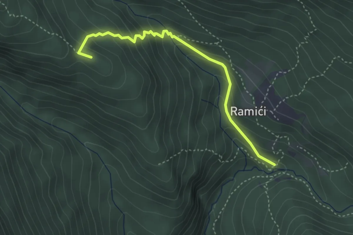
Medium · Summit
Dom u Velikoj Paklenici -Mali mozak uz Bezimenjaču
3.7 km · ↑ 278 m · 1 h 29 min
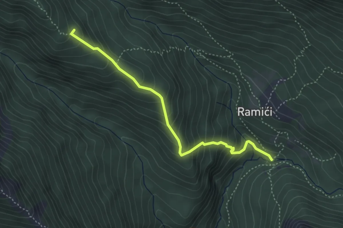
Medium · Summit
Dom u Velikoj Paklenici - Stražbenica
4.2 km · ↑ 371 m · 1 h 47 min
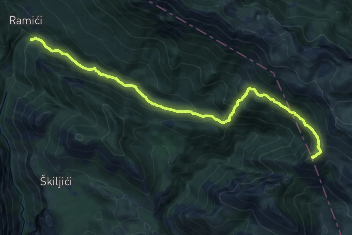
Demanding · Summit
Dom u Velikoj Paklenici - Vlaški grad
15.2 km · ↑ 1077 m · 5 h 56 min
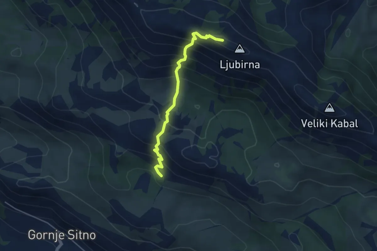
Medium · Cabin
dom-Vickov_stup
3.7 km · ↑ 441 m · 1 h 50 min
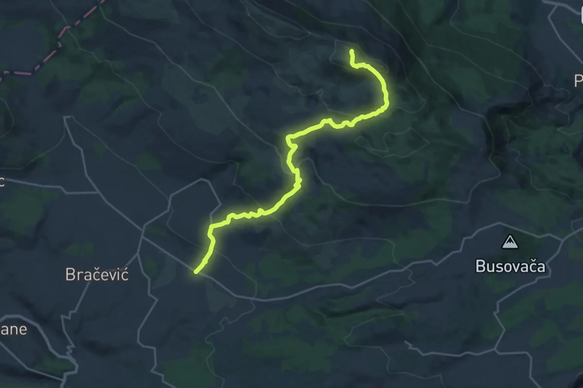
Demanding · Summit
Donje Ogorje(Milešina)-Svilaja
21.0 km · ↑ 985 m · 7 h 5 min
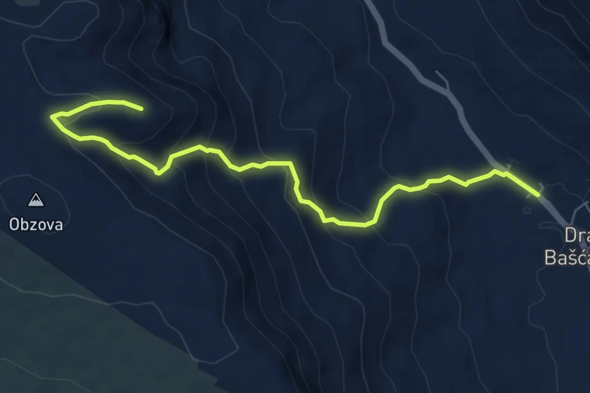
Medium · Trail
Draga Bašćanska - Obzova
6.4 km · ↑ 476 m · 2 h 33 min
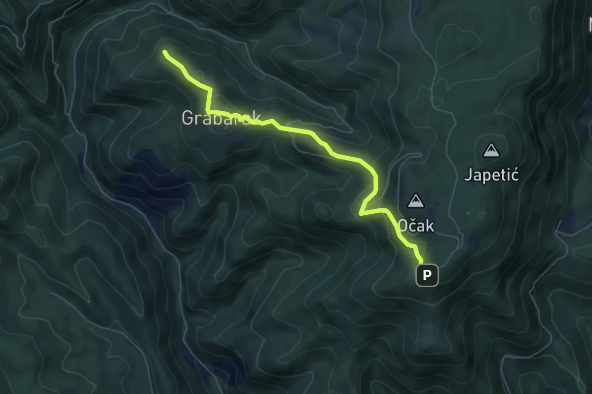
Medium · Summit
Draga - Žitnica
5.9 km · ↑ 250 m · 1 h 56 min
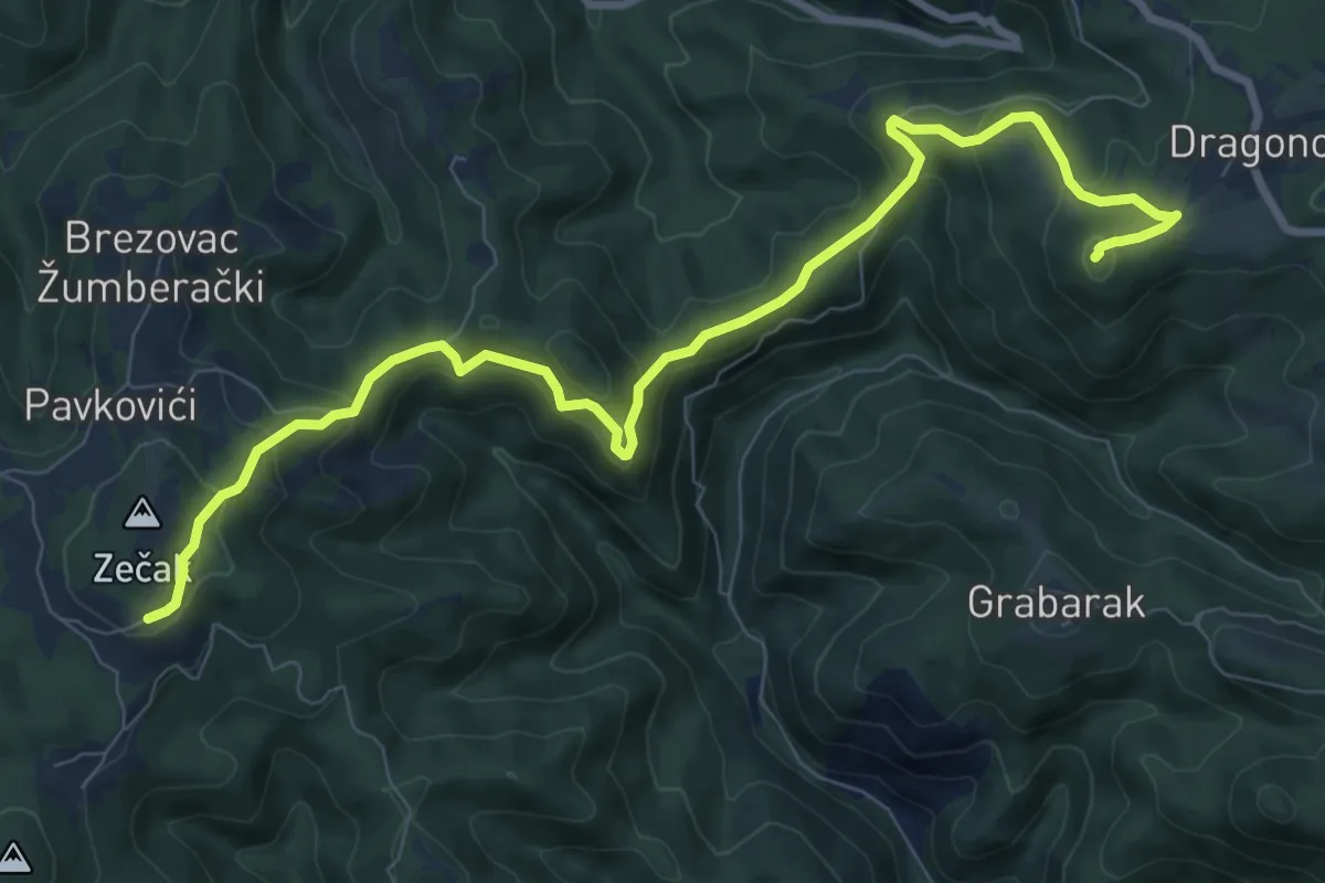
Medium · Summit
Dragonoš - Zečak
10.4 km · ↑ 491 m · 3 h 31 min
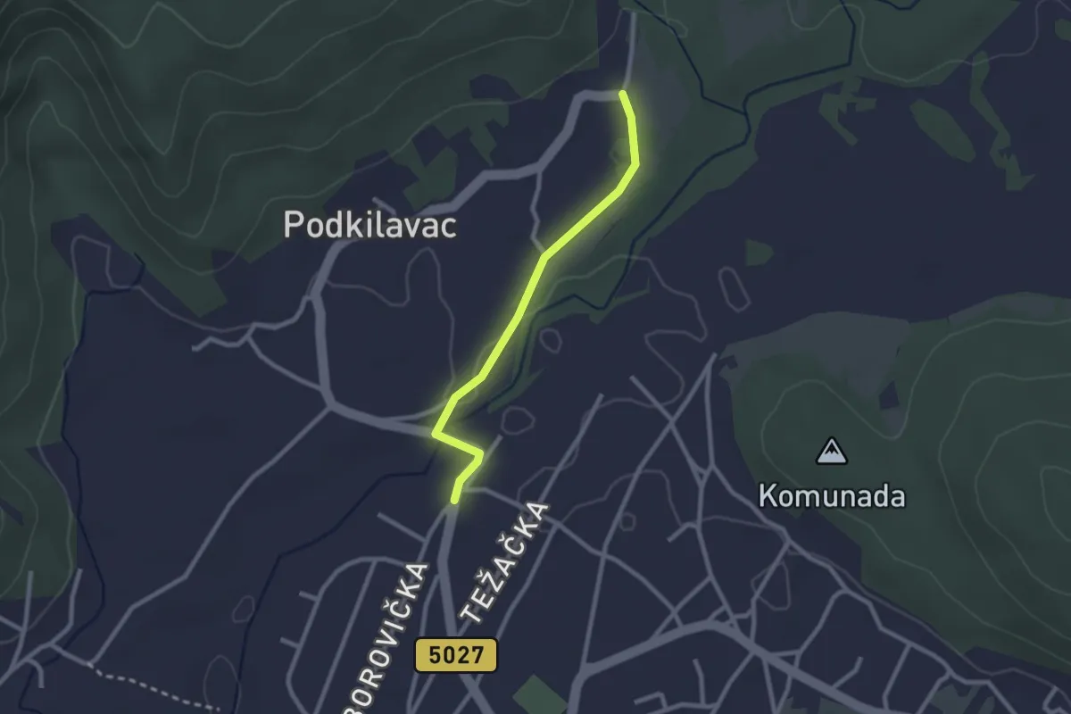
Easy · Trail
Dražice - Podkilavac
2.3 km · ↑ 13 m · 34 min
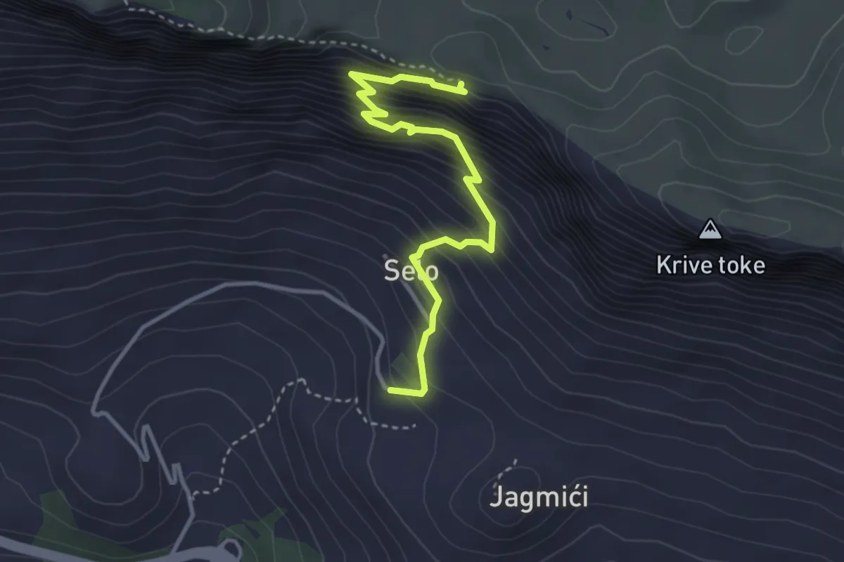
Medium · Trail
Drvenik-Sokoli´c
3.7 km · ↑ 497 m · 1 h 57 min
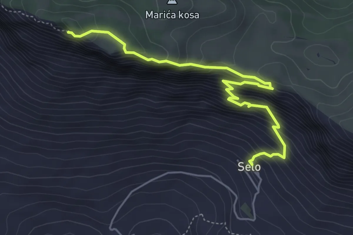
Demanding · Summit
Drvenik - Sokolić
5.4 km · ↑ 579 m · 2 h 32 min
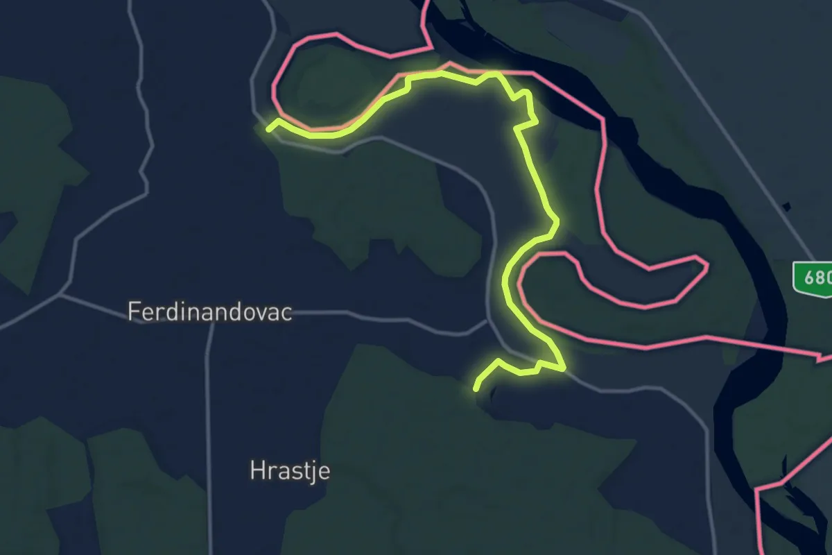
Medium · Trail
Duhovno-ekološko-poučni put svetog Nikole
14.0 km · ↑ 17 m · 3 h 21 min
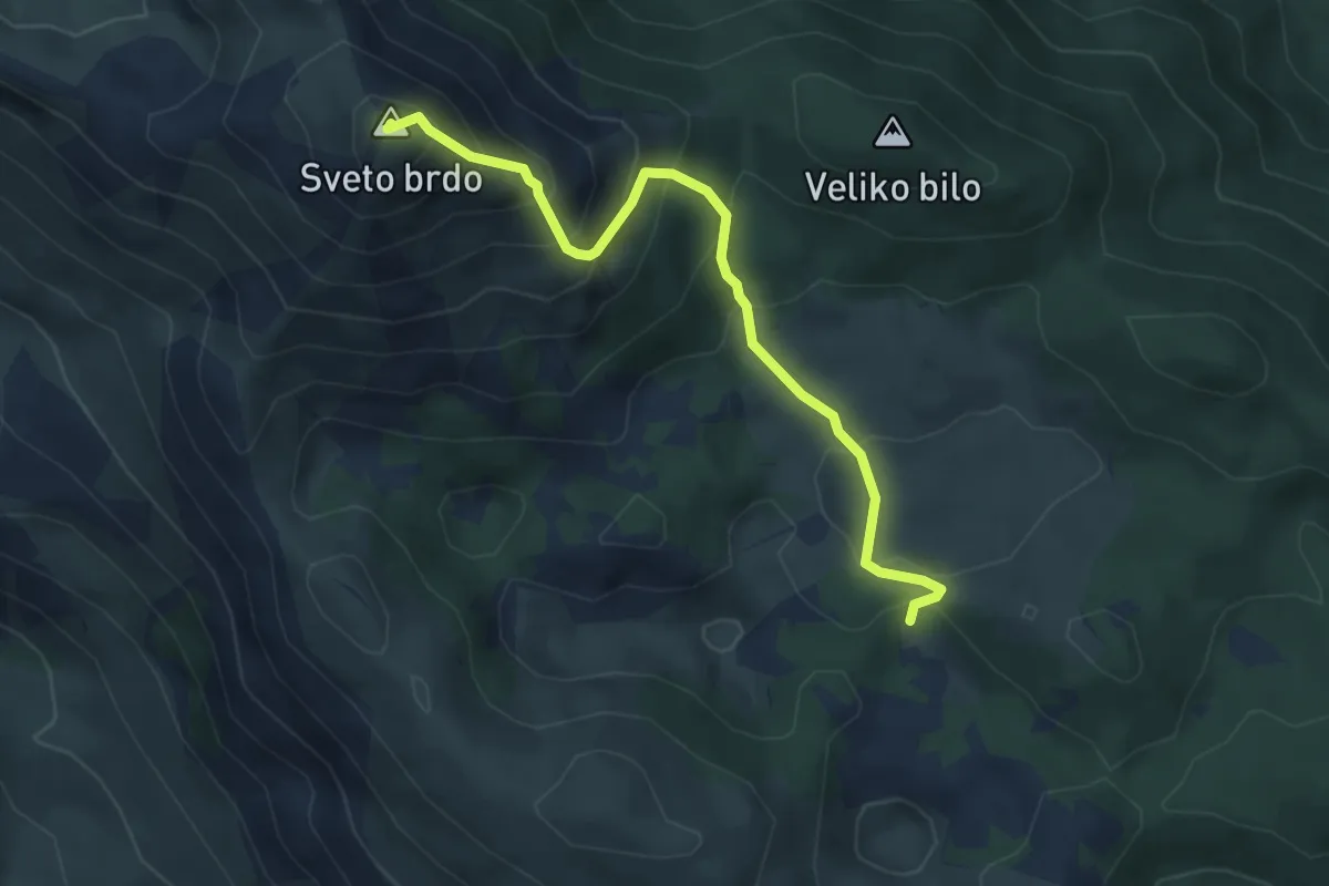
Medium · Summit
Dušice - Sveto Brdo
5.0 km · ↑ 453 m · 2 h 9 min
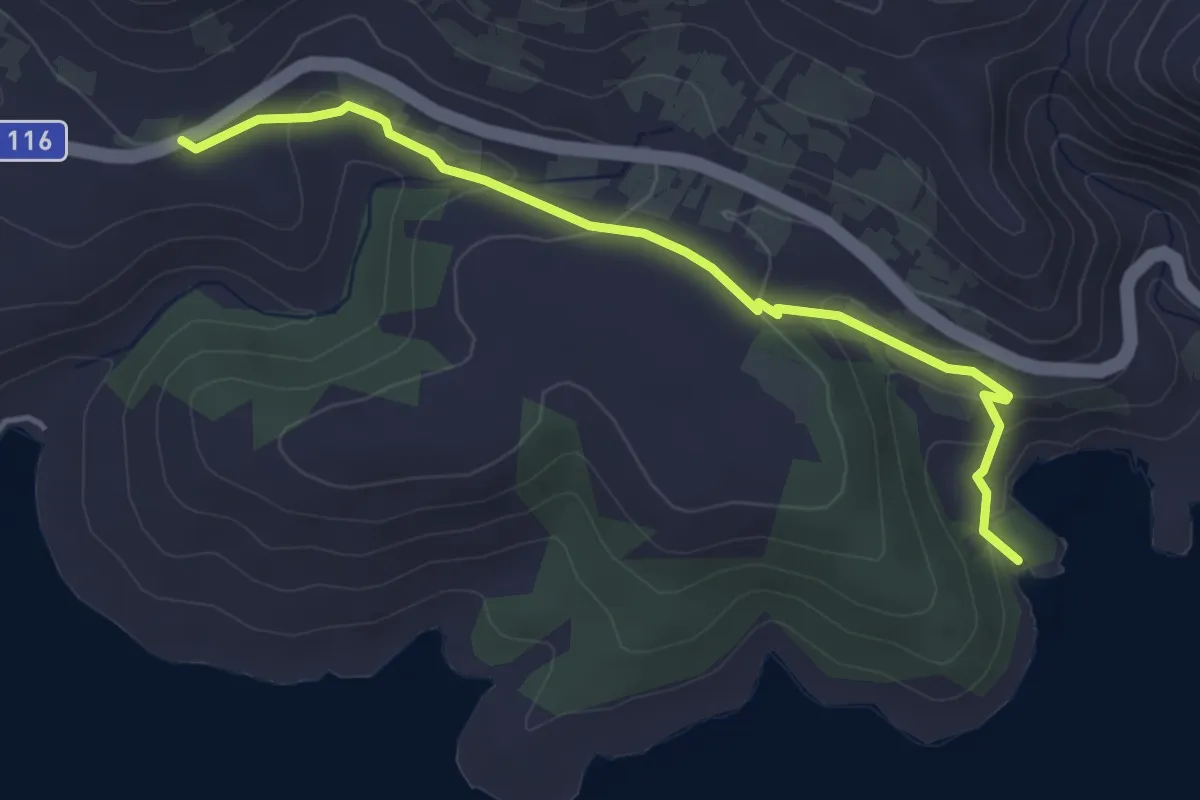
Easy · Trail
Edukativno-tematska staza "Magdalena"
4.5 km · ↑ 142 m · 1 h 22 min
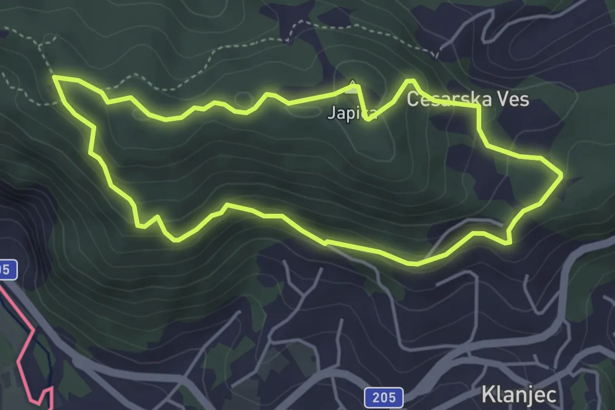
Medium · Summit
Eko-staza Cesarskom gorom
4.1 km · ↑ 216 m · 1 h 29 min
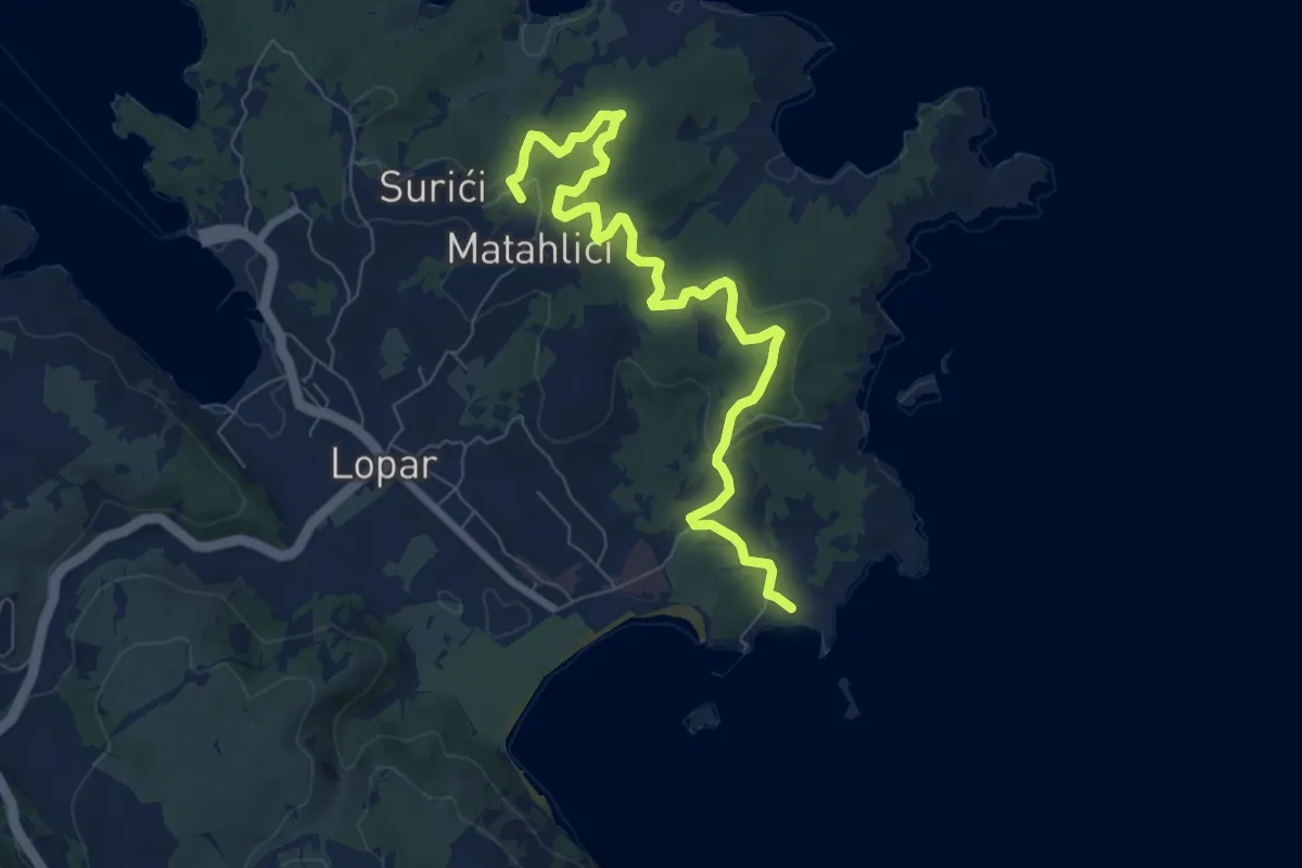
Medium · Summit
Epario
8.6 km · ↑ 274 m · 2 h 38 min
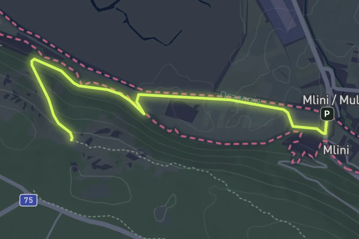
Medium · Trail
European footpath E12
4.9 km · ↑ 119 m · 1 h 24 min
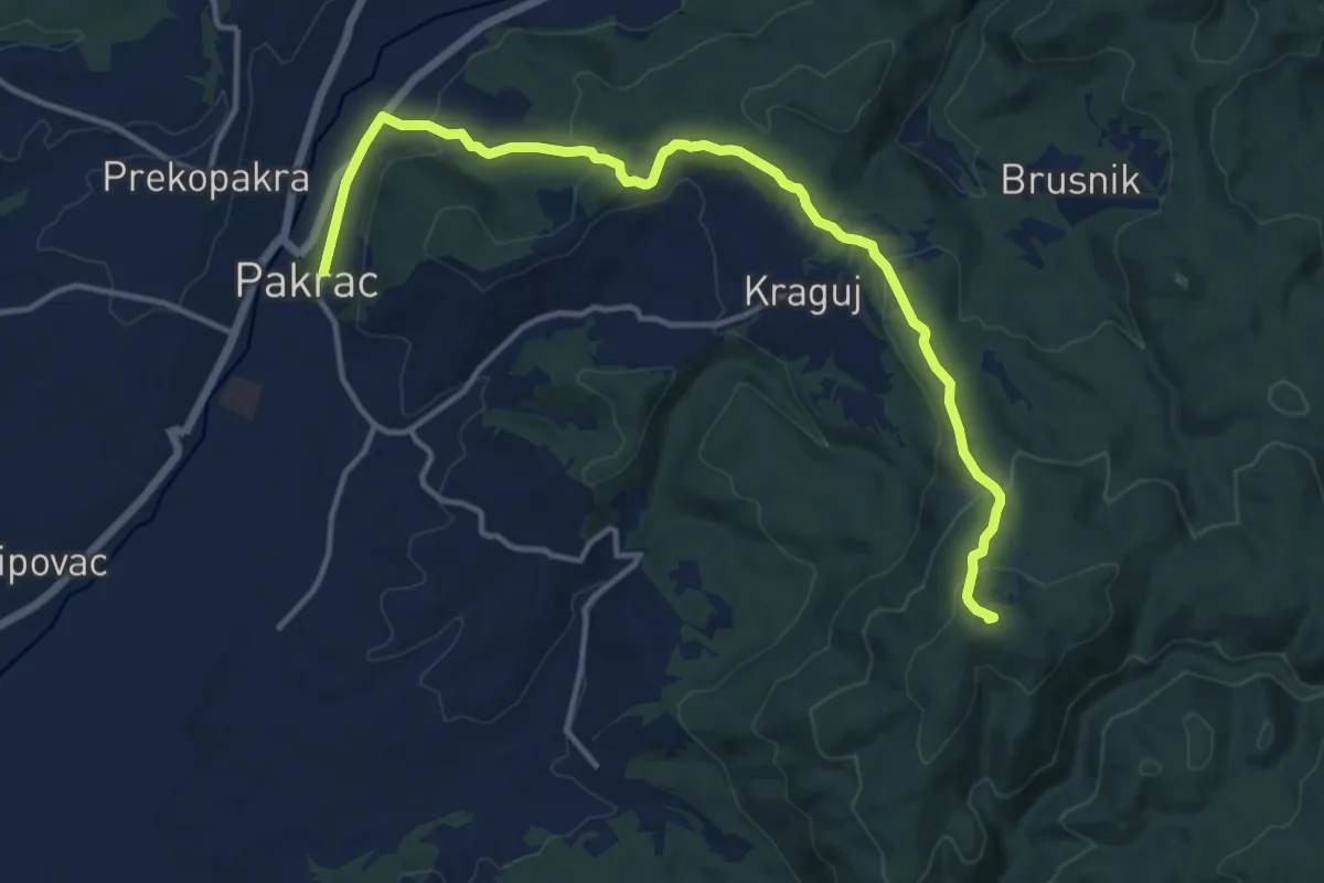
Medium · Summit
Fokina staza
15.1 km · ↑ 539 m · 4 h 43 min