Trails in Croatia
922 hiking trails, each with its route, climb, walking time and grade.
All trails, page 3 of 20
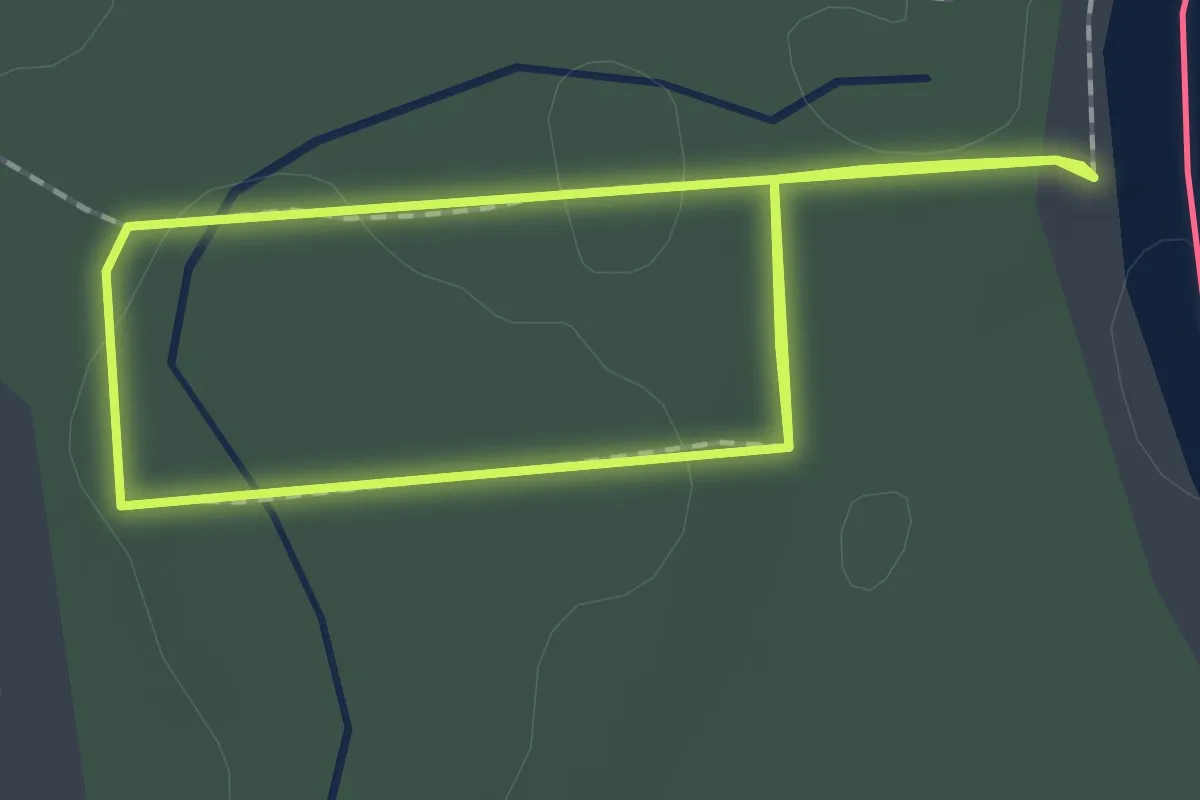
Easy · Trail
Forest
1.7 km · ↑ 14 m · 27 min
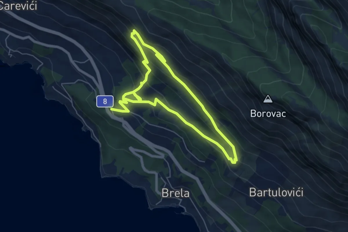
Medium · Trail
Francuska cesta
10.3 km · ↑ 597 m · 3 h 44 min
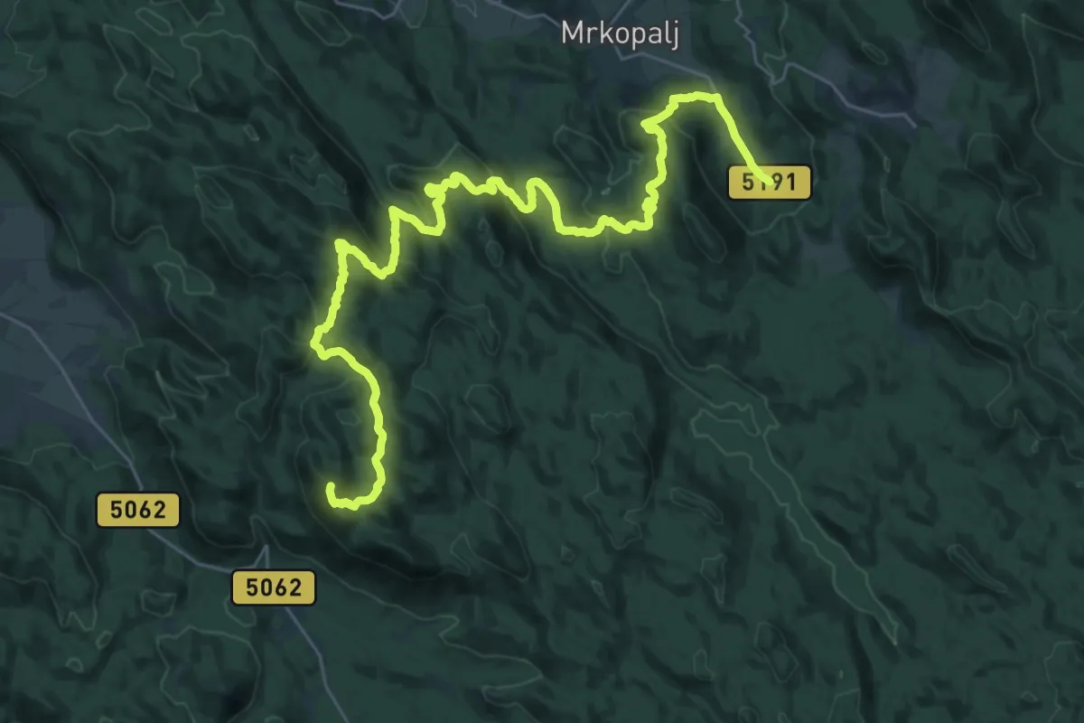
Demanding · Summit
Fužine - Mrkopalj
39.0 km · ↑ 1740 m · 12 h 58 min
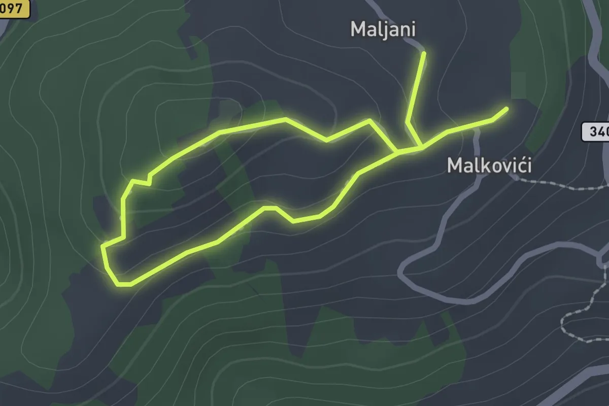
Easy · Trail
Gdje voće zri
3.2 km · ↑ 107 m · 1 h
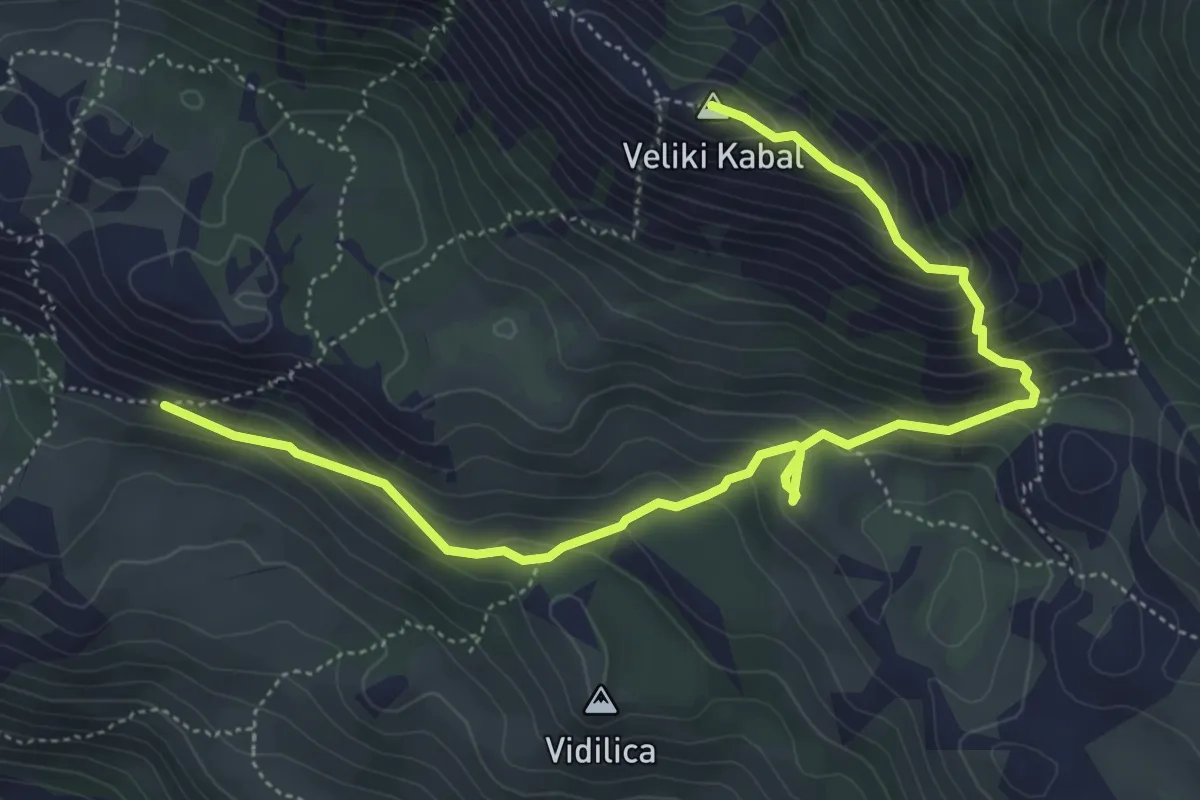
Medium · Summit
Girometta - Kontejner - Veliki Kabal
6.8 km · ↑ 512 m · 2 h 43 min
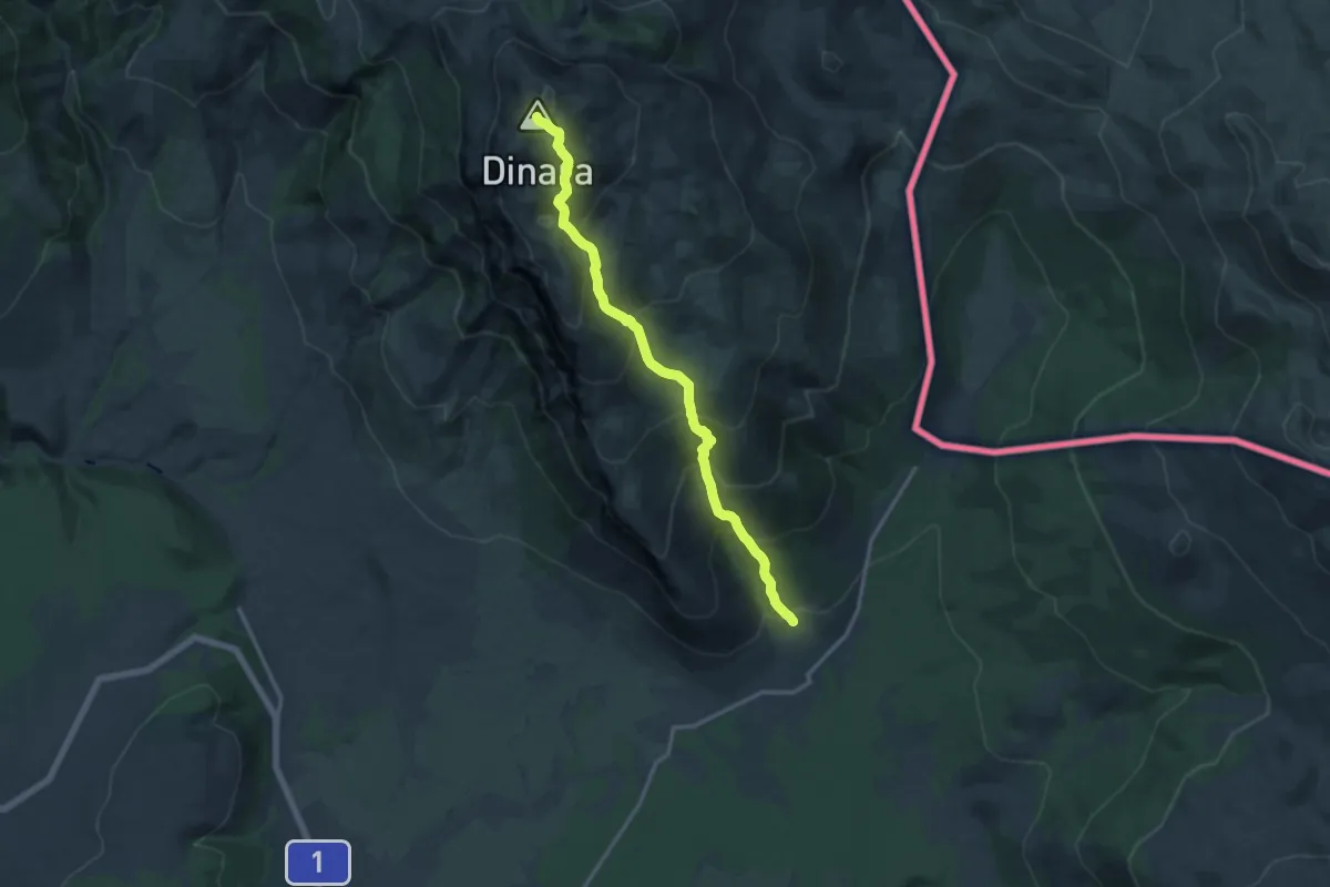
Demanding · Summit
Glavaš-Dinara
14.7 km · ↑ 1228 m · 6 h 8 min
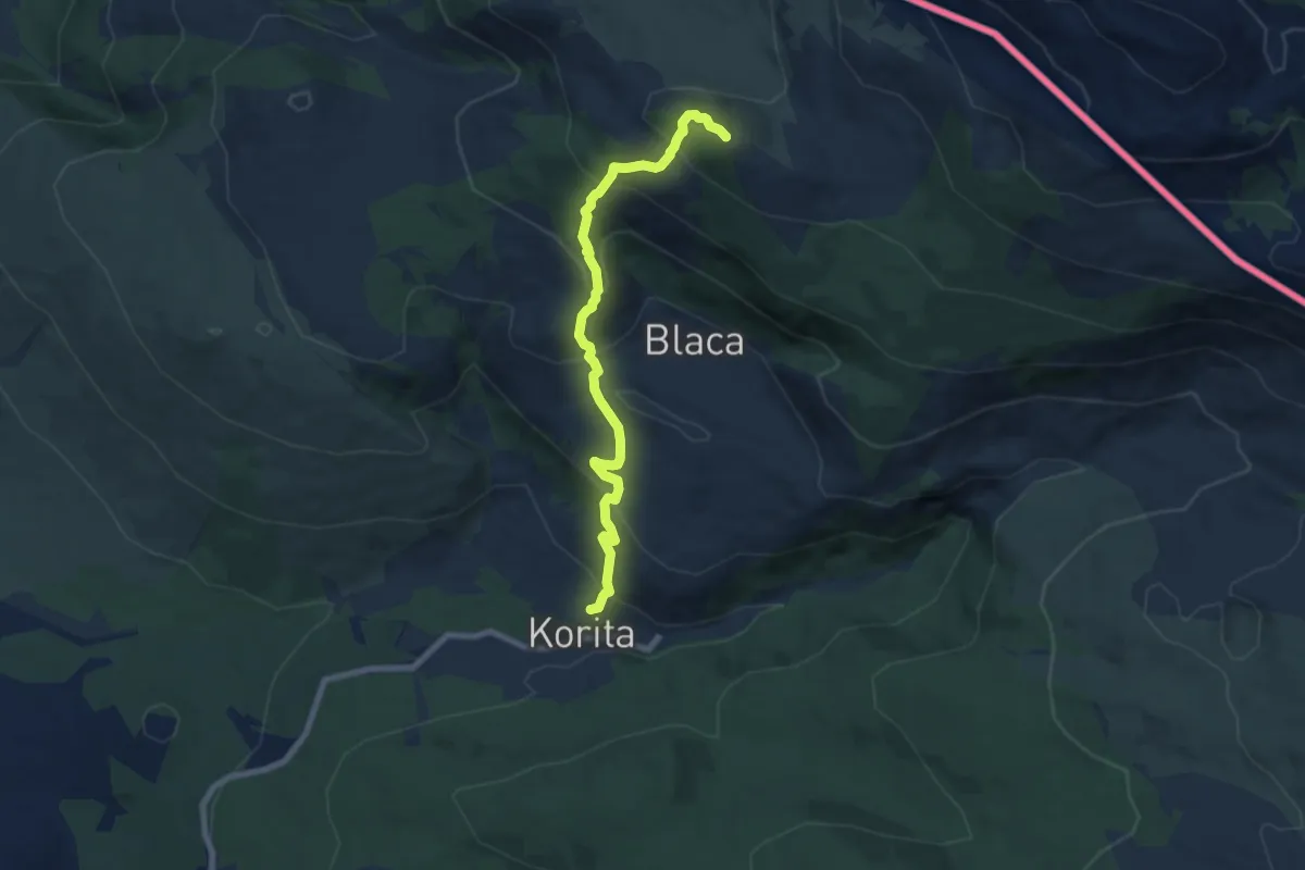
Medium · Summit
Glavaš_Dom
7.7 km · ↑ 605 m · 3 h 8 min
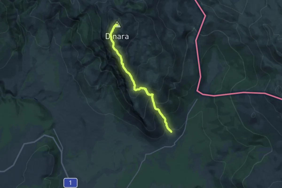
Demanding · Summit
Glavaš-Ošjak-Dinara
15.8 km · ↑ 1284 m · 6 h 31 min
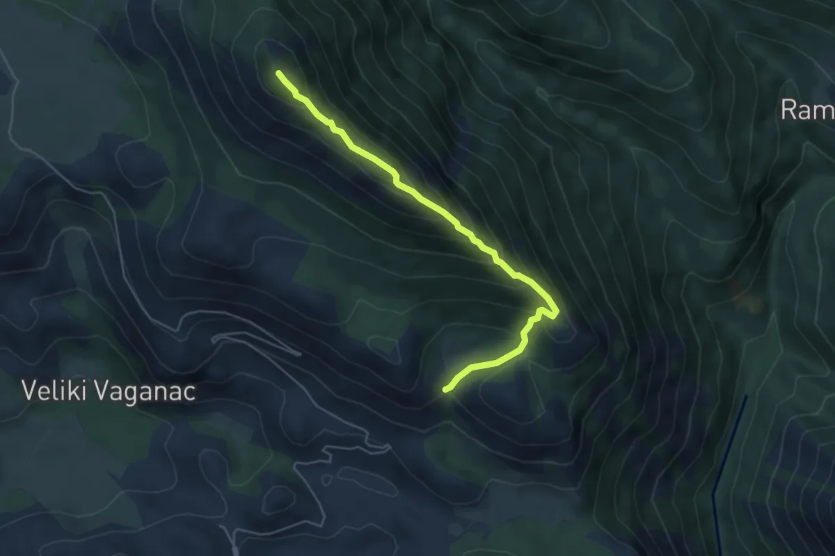
Demanding · Summit
Golić - Stražbenica
5.2 km · ↑ 429 m · 2 h 9 min
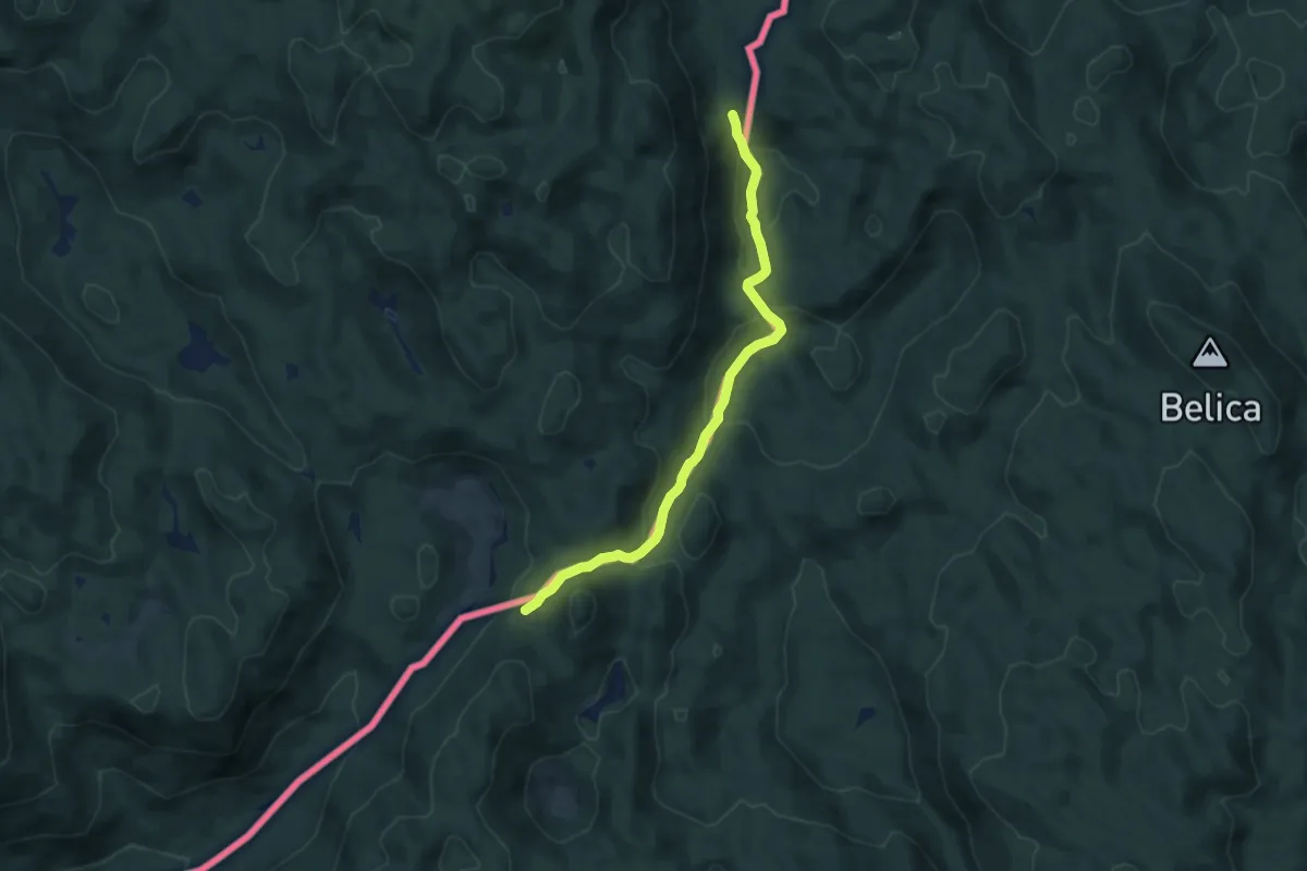
Medium · Trail
Goranski planinarski put
8.0 km · ↑ 410 m · 2 h 47 min
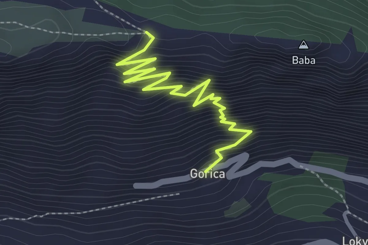
Medium · Trail
Gorica - sv. Vid
3.0 km · ↑ 371 m · 1 h 31 min
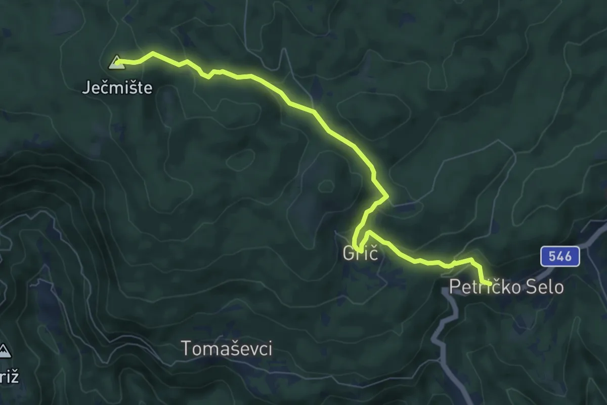
Medium · Summit
Gornja Vas - Jećmište
7.9 km · ↑ 332 m · 2 h 35 min
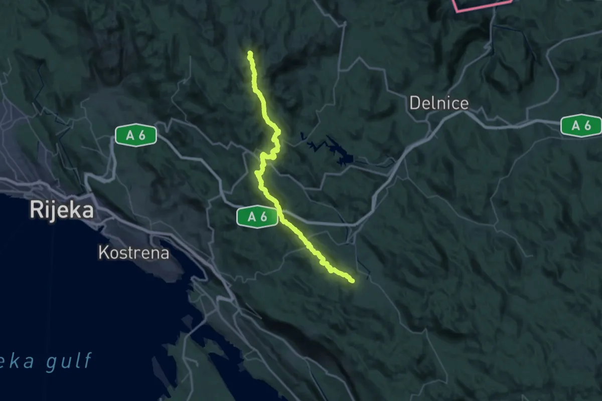
Demanding · Summit
Gornje Jelenje - Fužine
51.6 km · ↑ 2232 m · 17 h 1 min
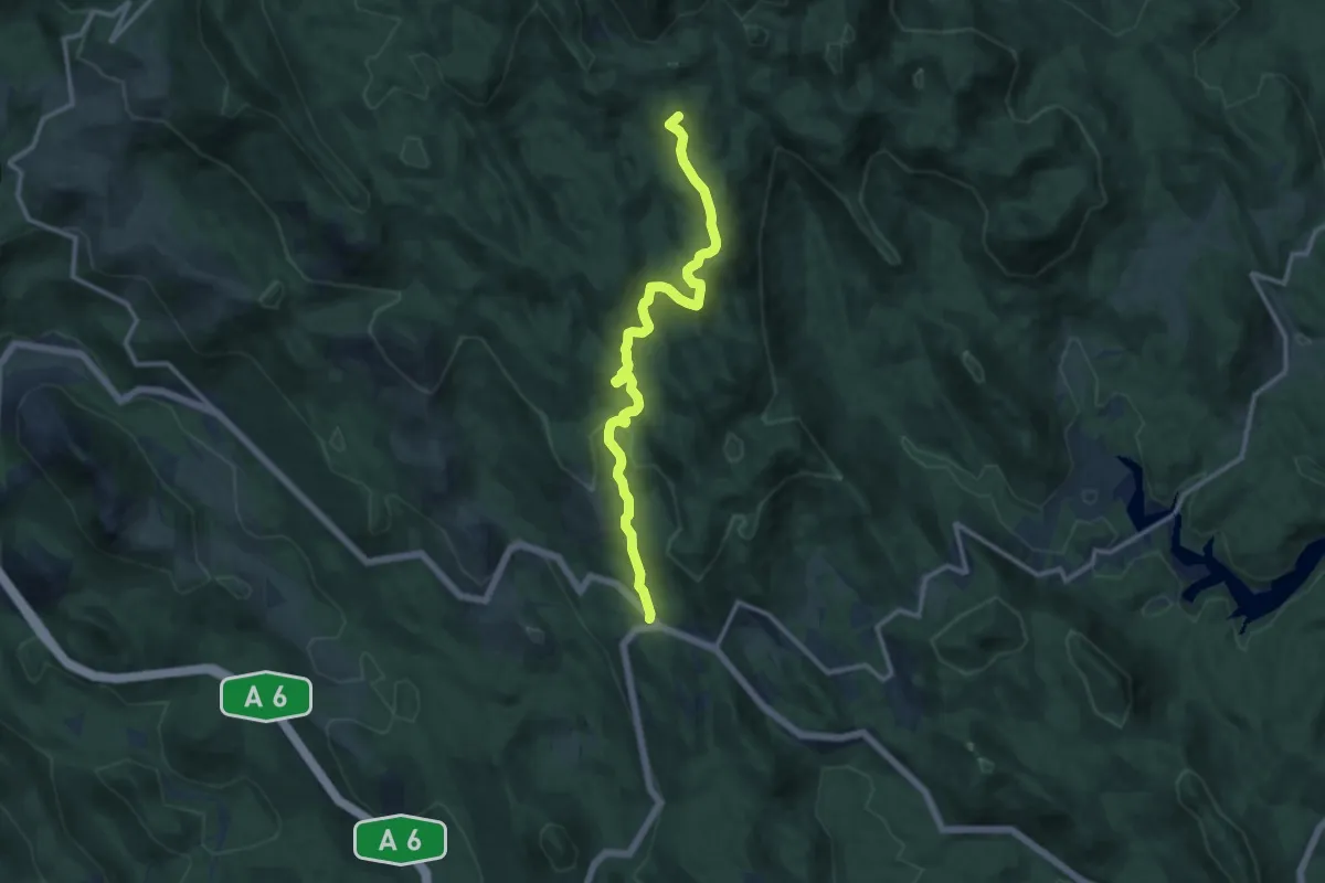
Medium · Summit
Gornje Jelenje - Vilje - Risnjak
12.3 km · ↑ 482 m · 3 h 56 min
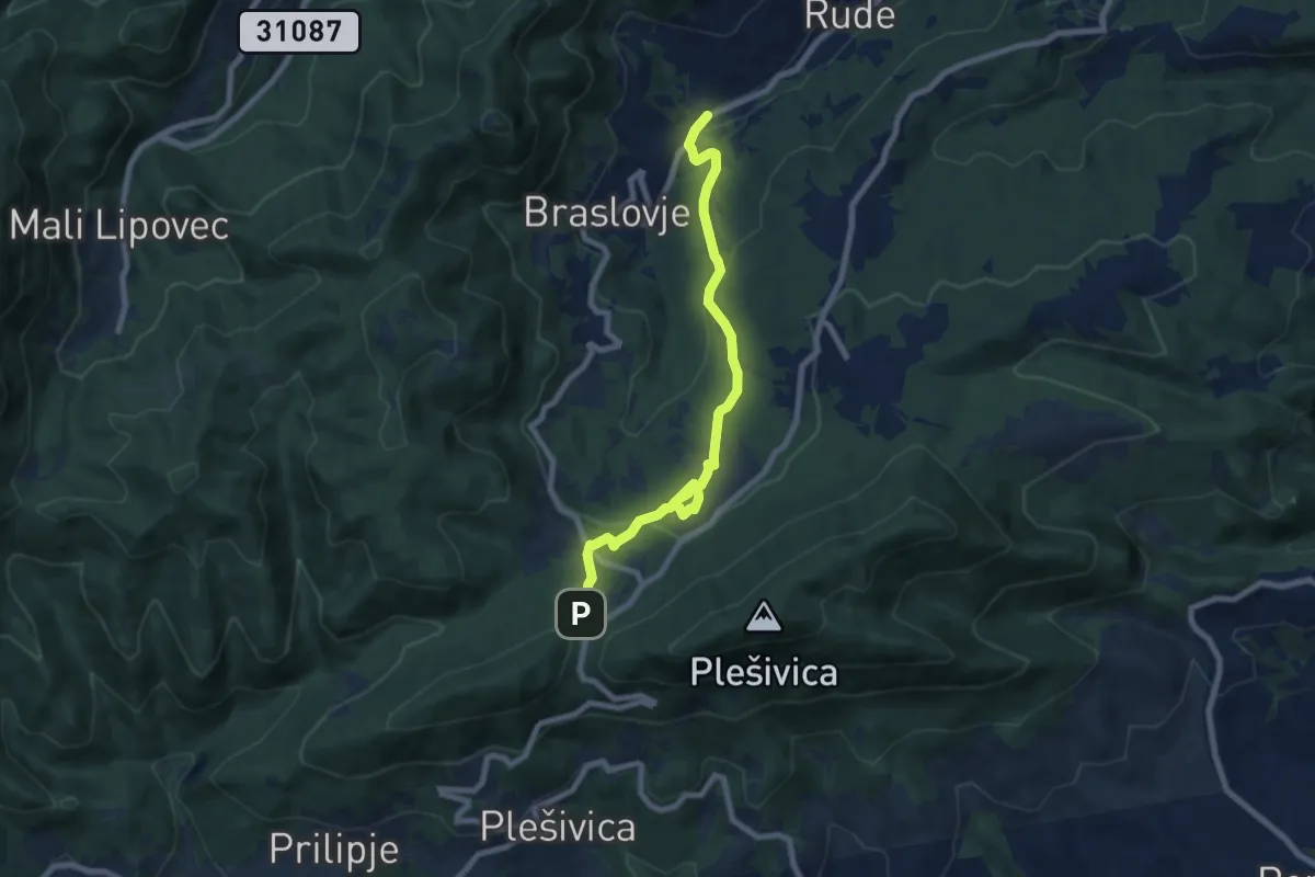
Medium · Trail
Gornje Rude - Poljanice
8.1 km · ↑ 305 m · 2 h 35 min
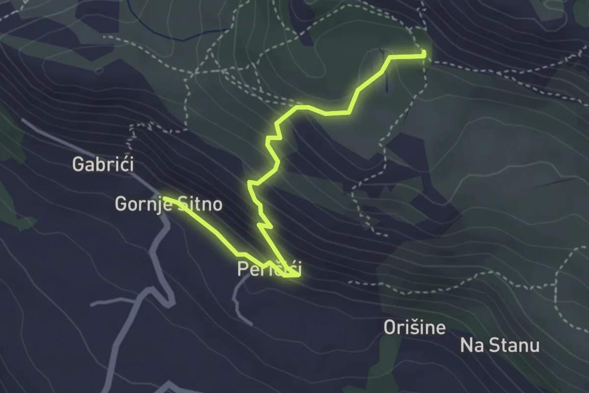
Medium · Cabin
Gornje Sitno - Dom Umberto Girometta
3.8 km · ↑ 292 m · 1 h 32 min
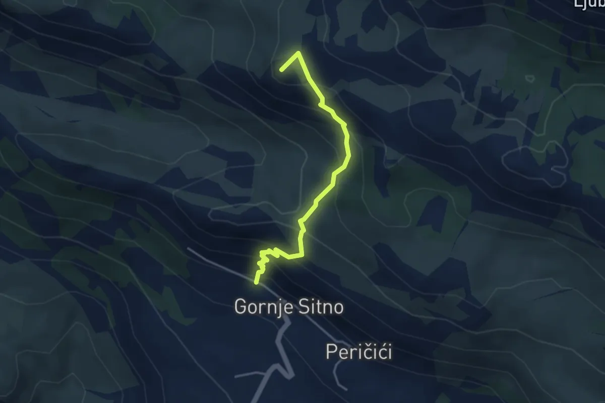
Medium · Summit
Gornje Sitno - Ljubljan
3.5 km · ↑ 328 m · 1 h 33 min
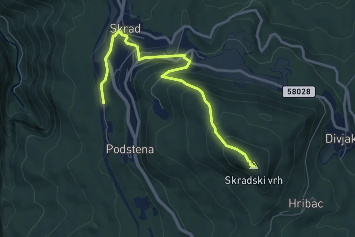
Medium · Summit
GPP
6.6 km · ↑ 403 m · 2 h 25 min
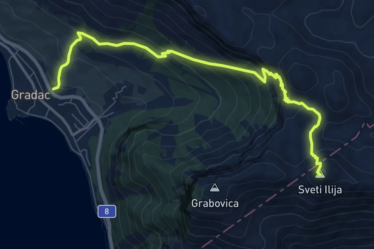
Medium · Summit
Gradac - Sv. Ilija
9.0 km · ↑ 790 m · 3 h 51 min
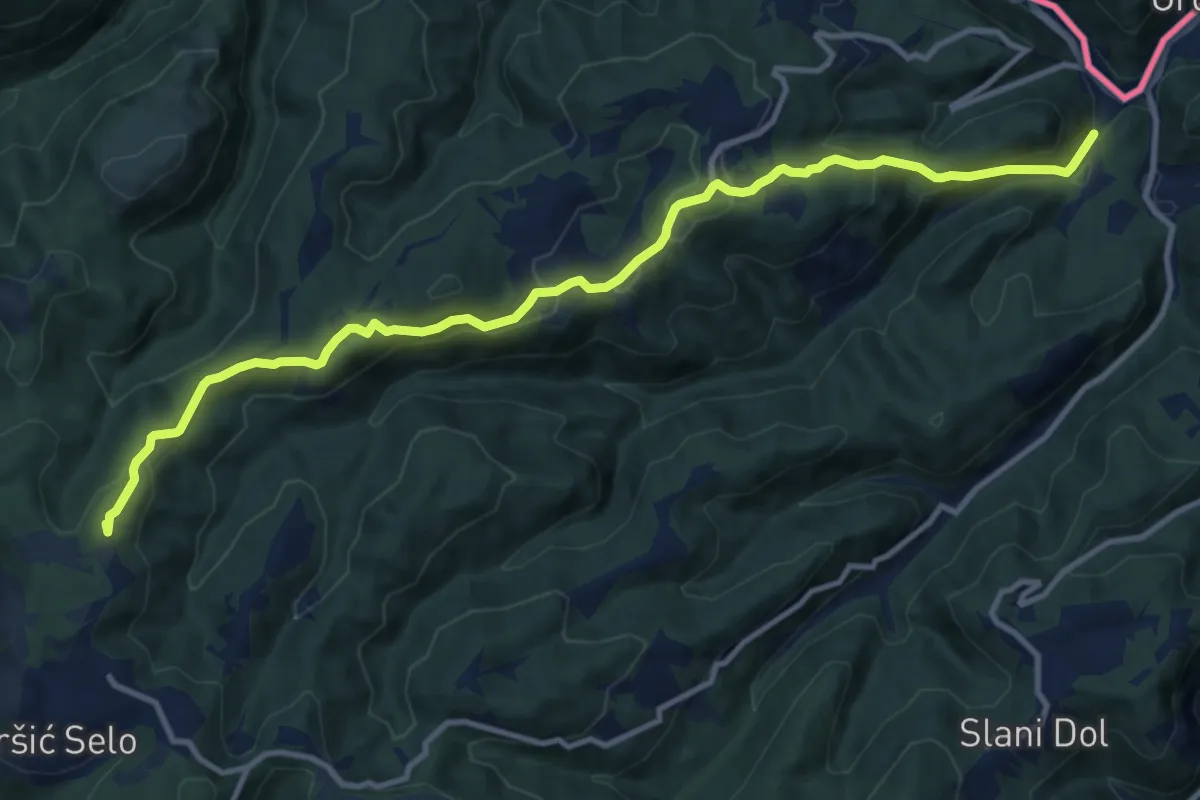
Medium · Summit
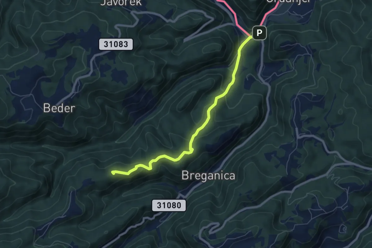
Grdanjci - Noršić selo
12.6 km · ↑ 532 m · 4 h 8 min
Medium · Summit
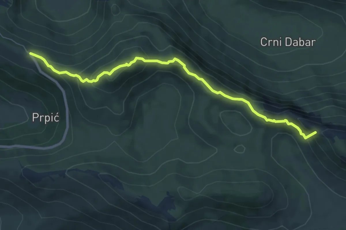
Grdanjci - Višnjevec - Križić
6.5 km · ↑ 327 m · 2 h 15 min
Medium · Summit
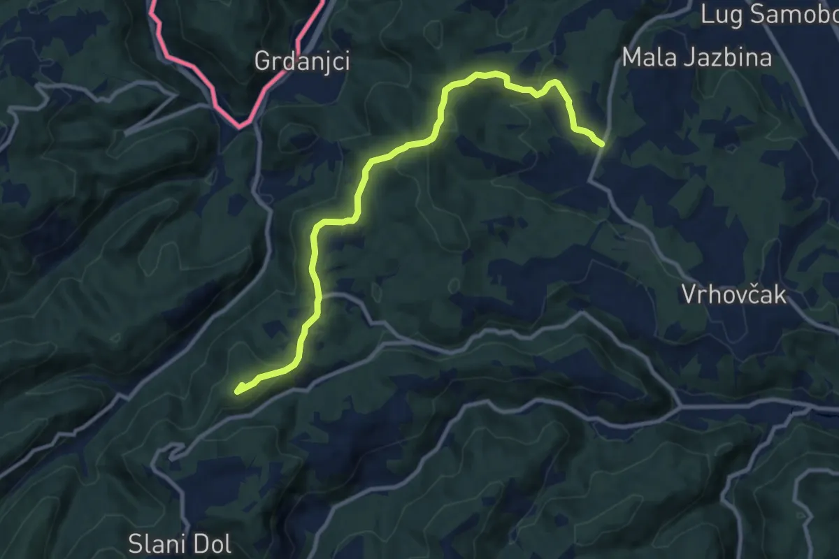
Grebenski put kroz Dabarske kukove
7.0 km · ↑ 538 m · 2 h 49 min
Medium · Summit
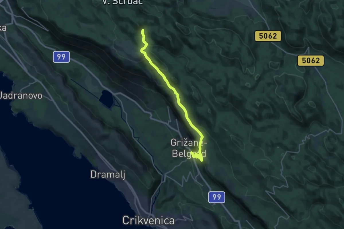
Grgosova špilja - Slani dol
10.1 km · ↑ 337 m · 3 h 8 min
Medium · Trail
Grižane - Medviđak
17.1 km · ↑ 755 m · 5 h 40 min
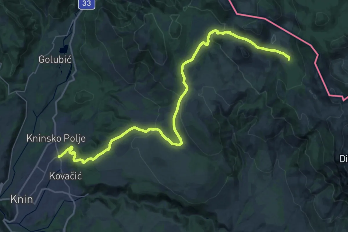
Demanding · Cabin
Guge-Brezovac
17.5 km · ↑ 933 m · 5 h 58 min
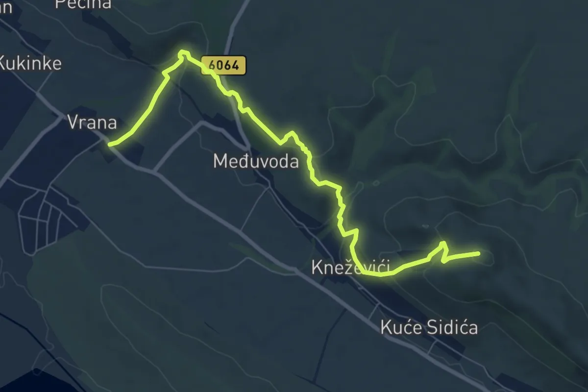
Medium · Summit
Hajdemo do Vrane
8.5 km · ↑ 304 m · 2 h 40 min
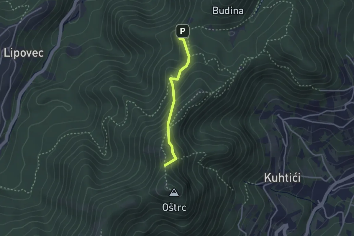
Medium · Cabin
Hofmanov put / Veliki dol - Oštrc
2.2 km · ↑ 160 m · 53 min
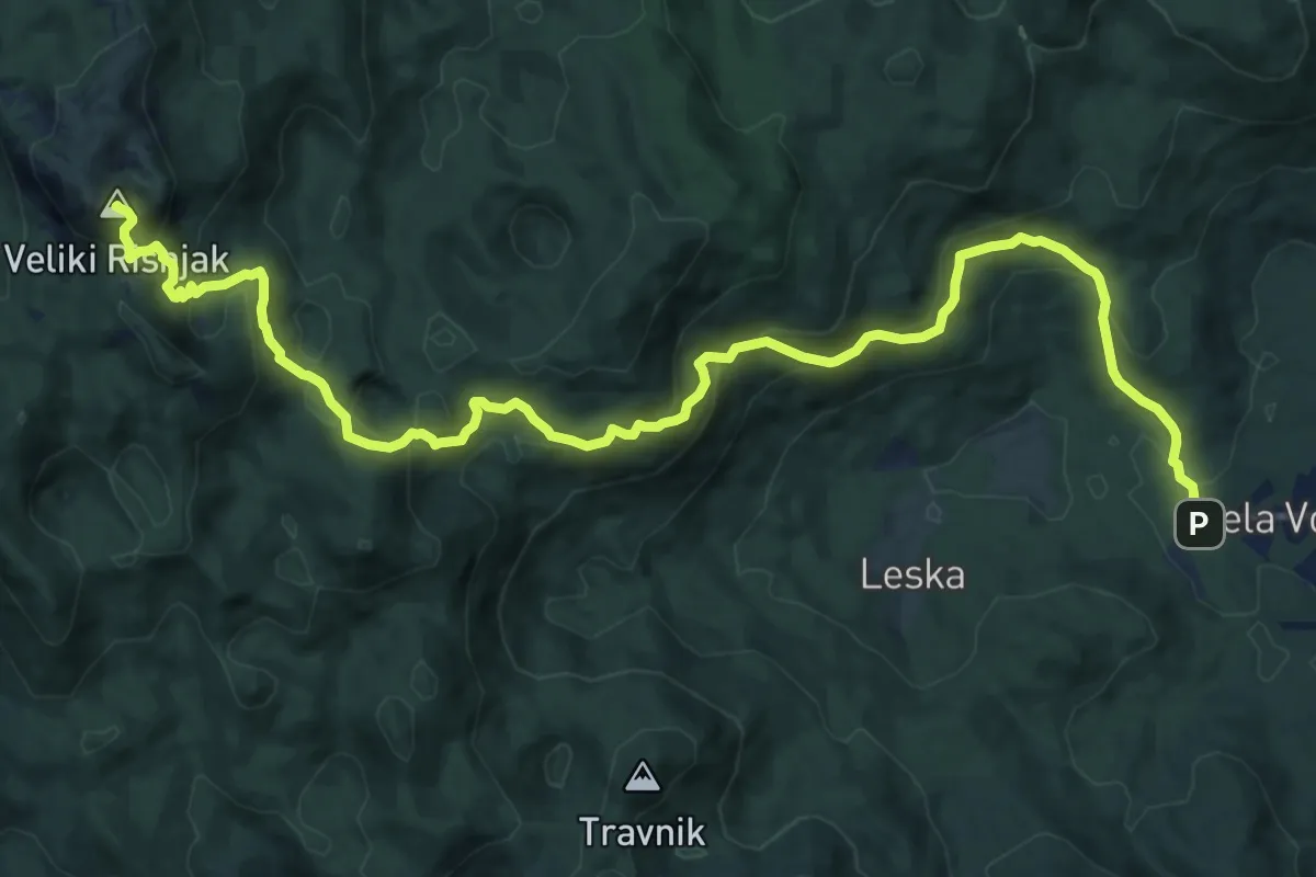
Demanding · Summit
Horvatova staza
16.2 km · ↑ 1054 m · 6 h 6 min
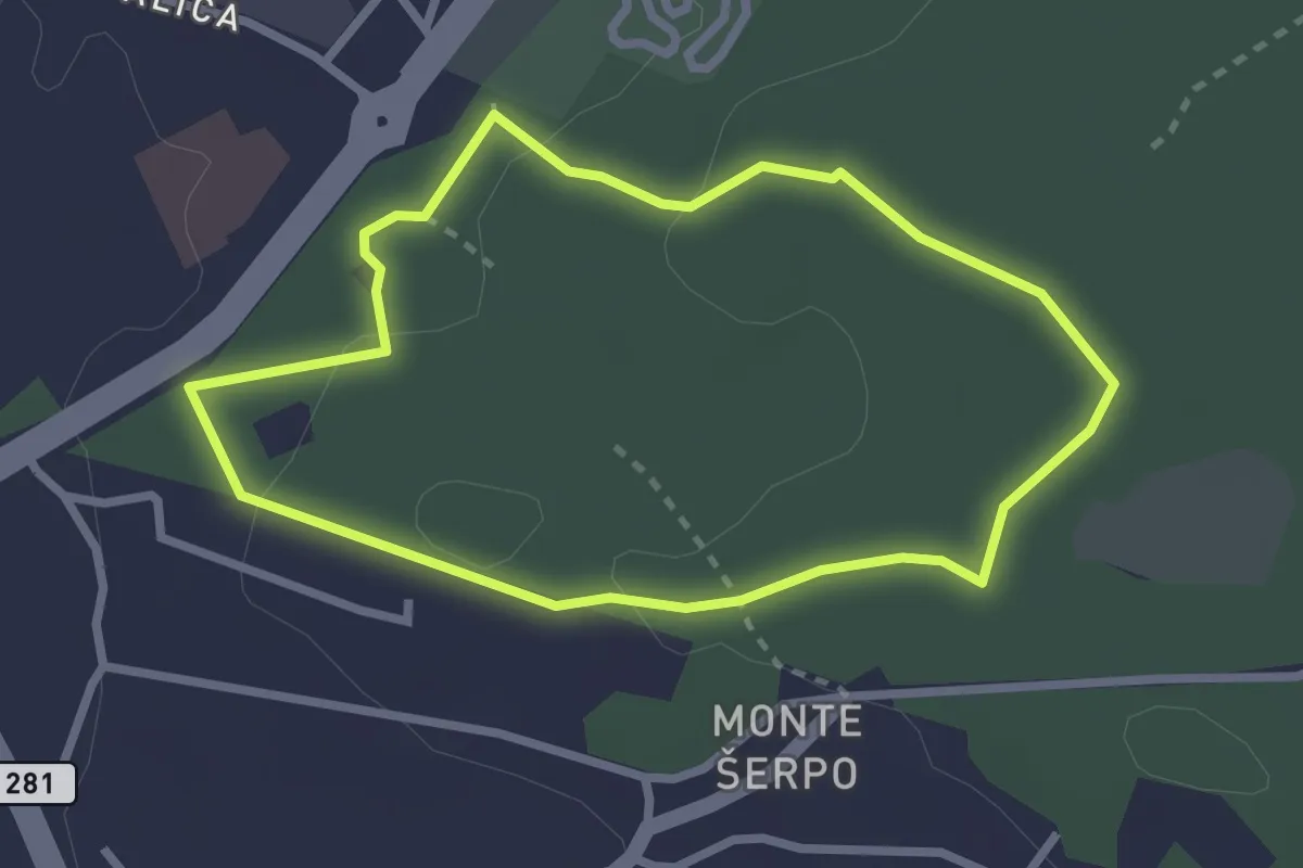
Easy · Trail
Hrast
2.5 km · ↑ 47 m · 44 min
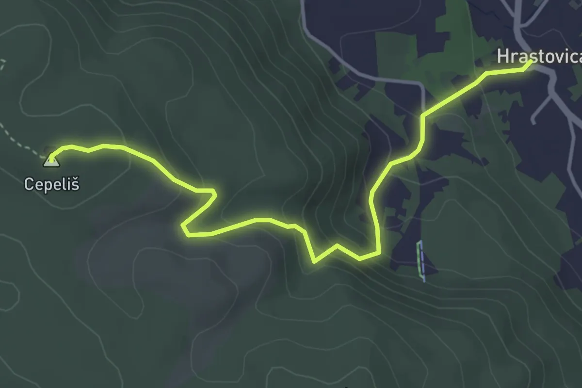
Easy · Summit
Hrastovica - Vodovod - vrh Cepeliš
4.3 km · ↑ 294 m · 1 h 40 min
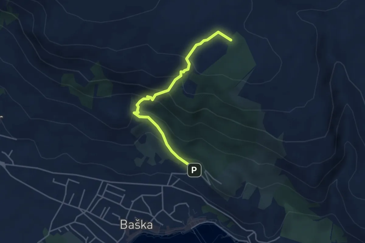
Medium · Trail
Ispod crkve Sv. Ivana - Plato Mjeseca
3.8 km · ↑ 298 m · 1 h 33 min
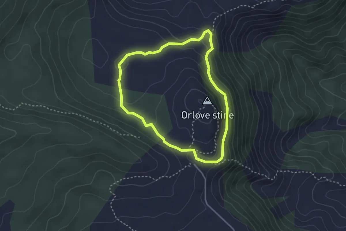
Medium · Summit
Ispod Orlovih stina
2.9 km · ↑ 116 m · 58 min
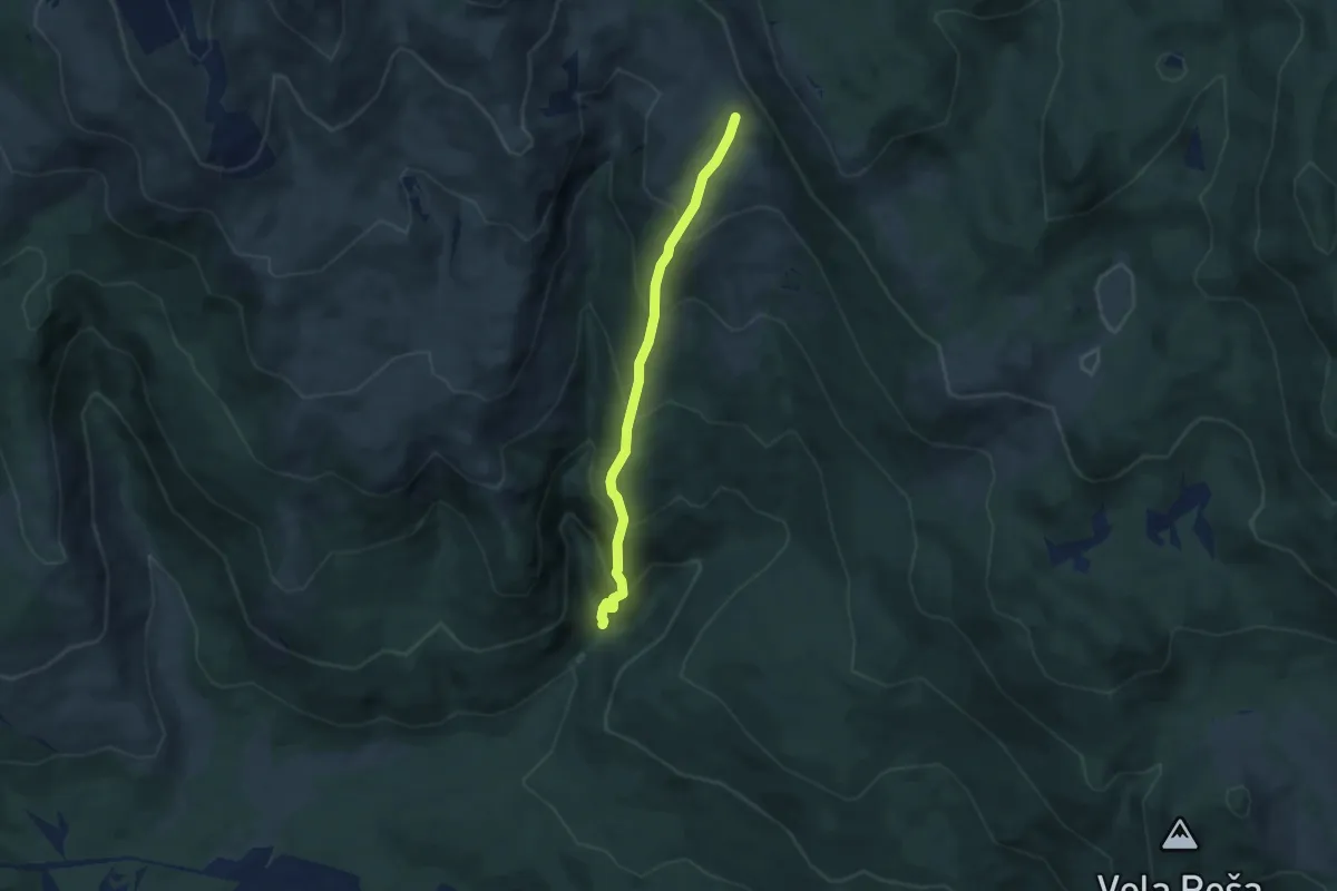
Medium · Trail
Istočni greben
5.3 km · ↑ 549 m · 2 h 26 min
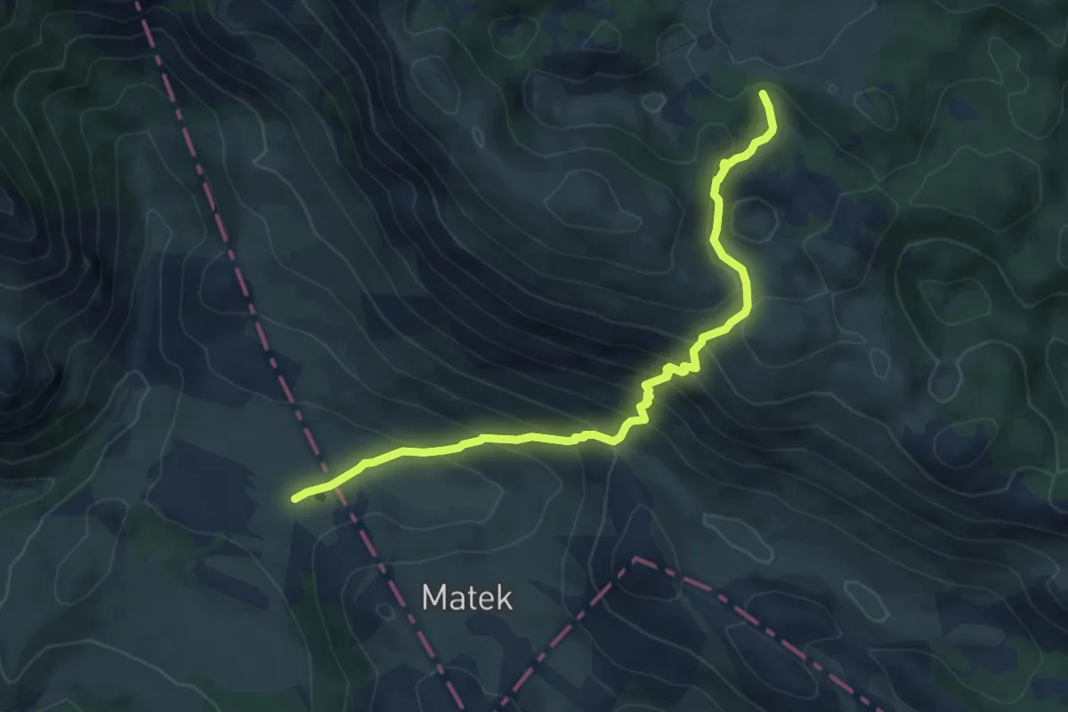
Medium · Cabin
Ivanjska lokva - Dušice
7.2 km · ↑ 538 m · 2 h 52 min
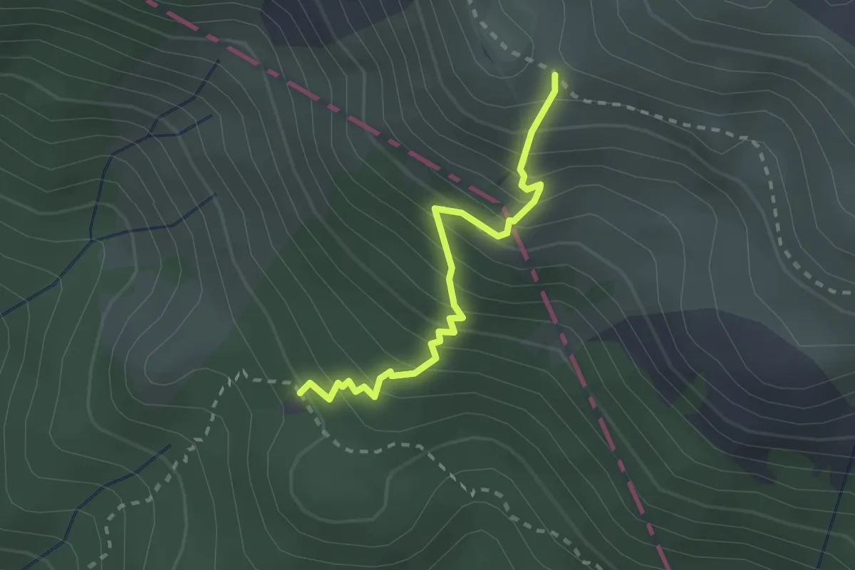
Medium · Cabin
Ivine Vodice - Čičina dolina
2.4 km · ↑ 351 m · 1 h 19 min
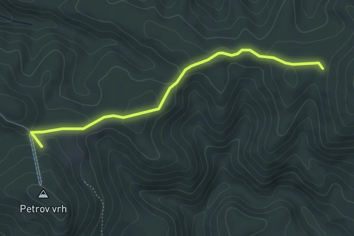
Easy · Cabin
Izletište Toplica - Petrov vrh
4.9 km · ↑ 119 m · 1 h 25 min
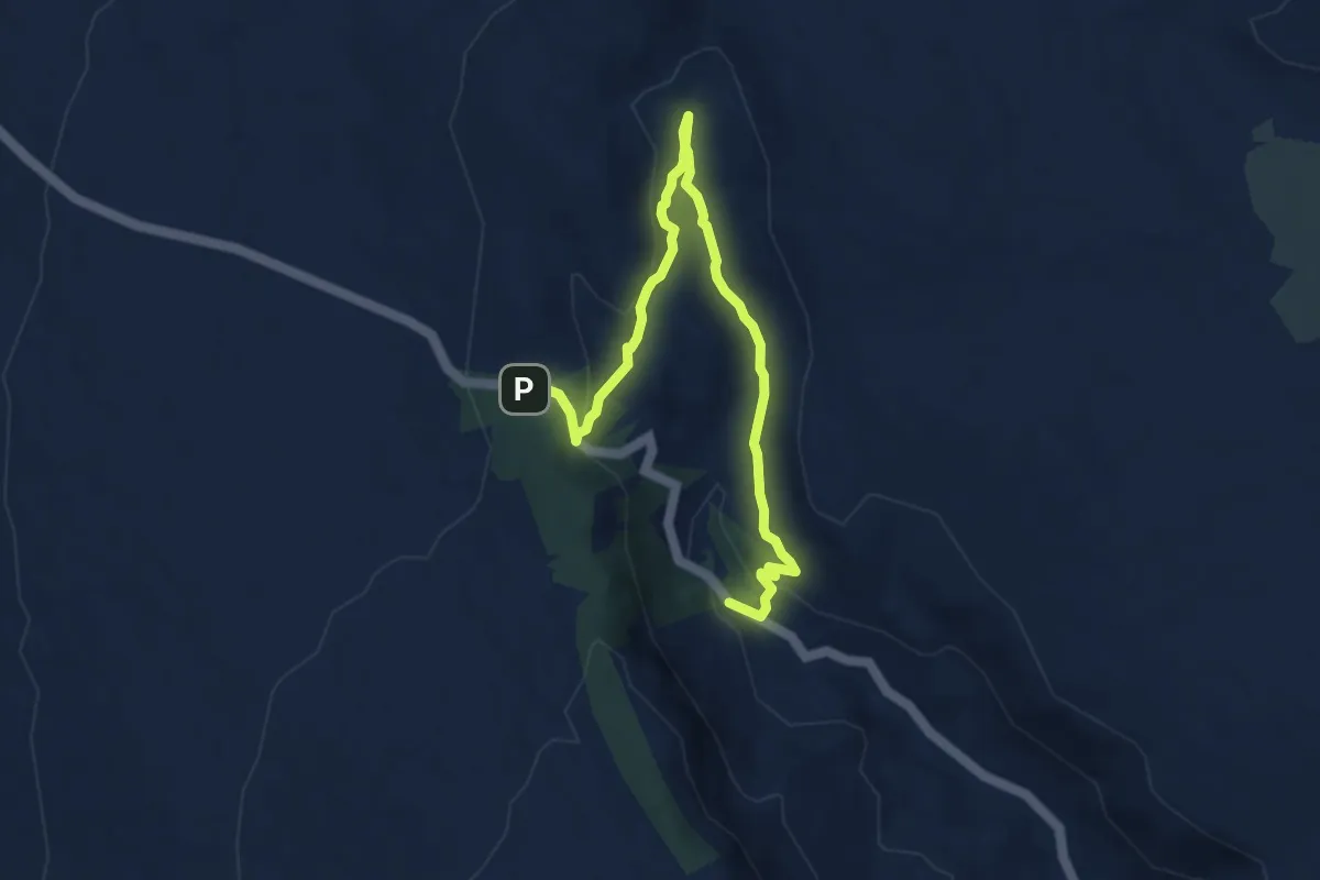
Expert · Trail
Izvor Žanac - Ispod Treskavca
9.0 km · ↑ 235 m · 2 h 38 min
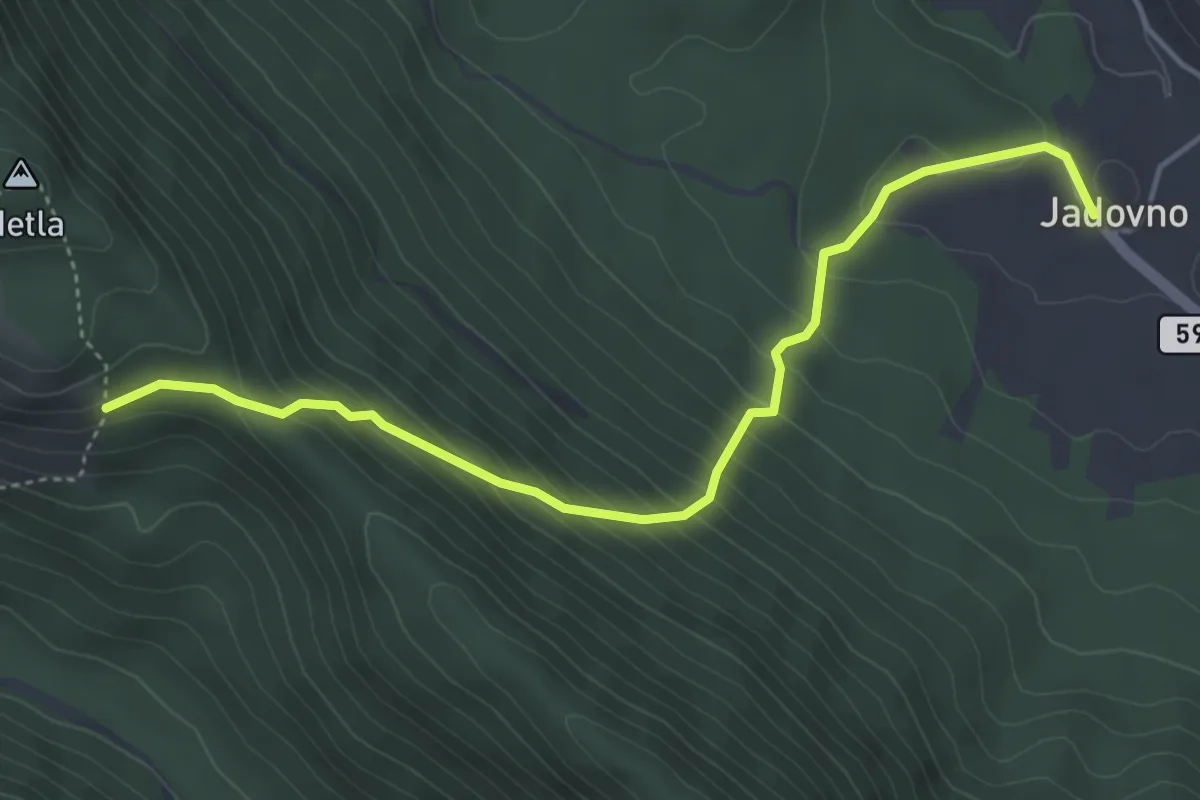
Medium · Trail
Jadovno
4.8 km · ↑ 398 m · 1 h 59 min
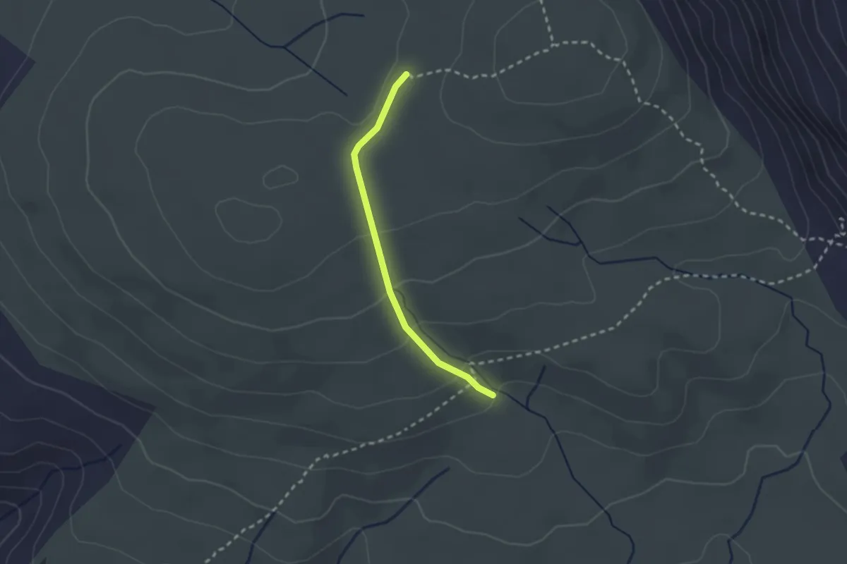
Medium · Trail
Jasenova - Spuhotina
2.1 km · ↑ 81 m · 40 min
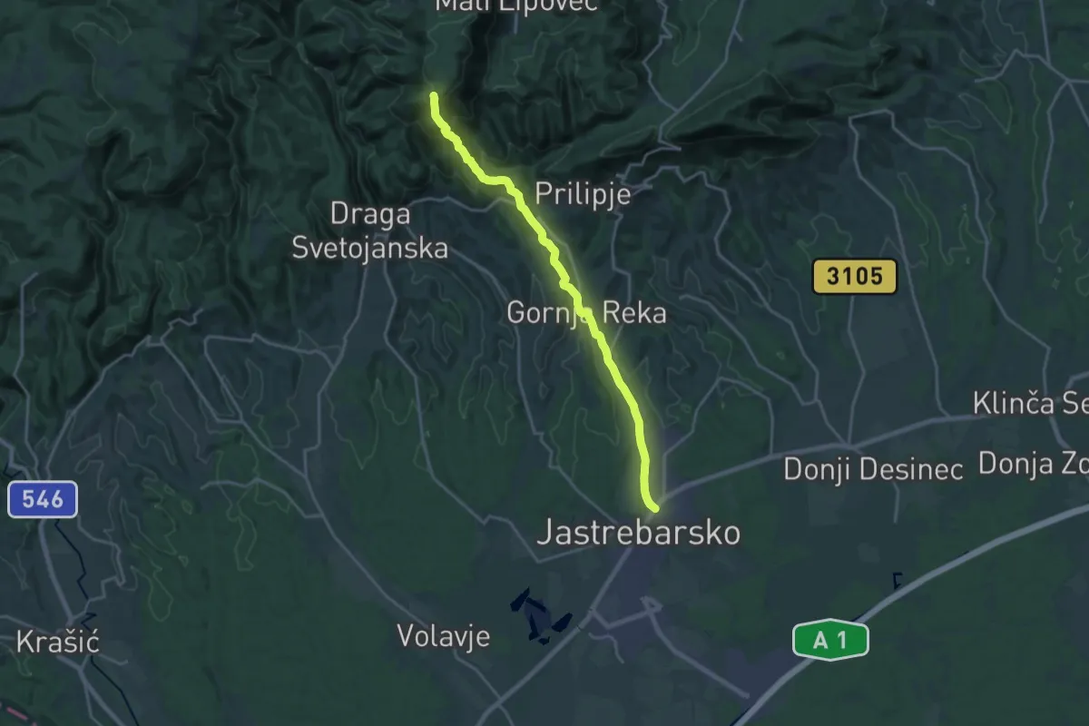
Demanding · Cabin
Jastrebarsko - Žitnica
18.2 km · ↑ 686 m · 5 h 47 min
Medium · Trail
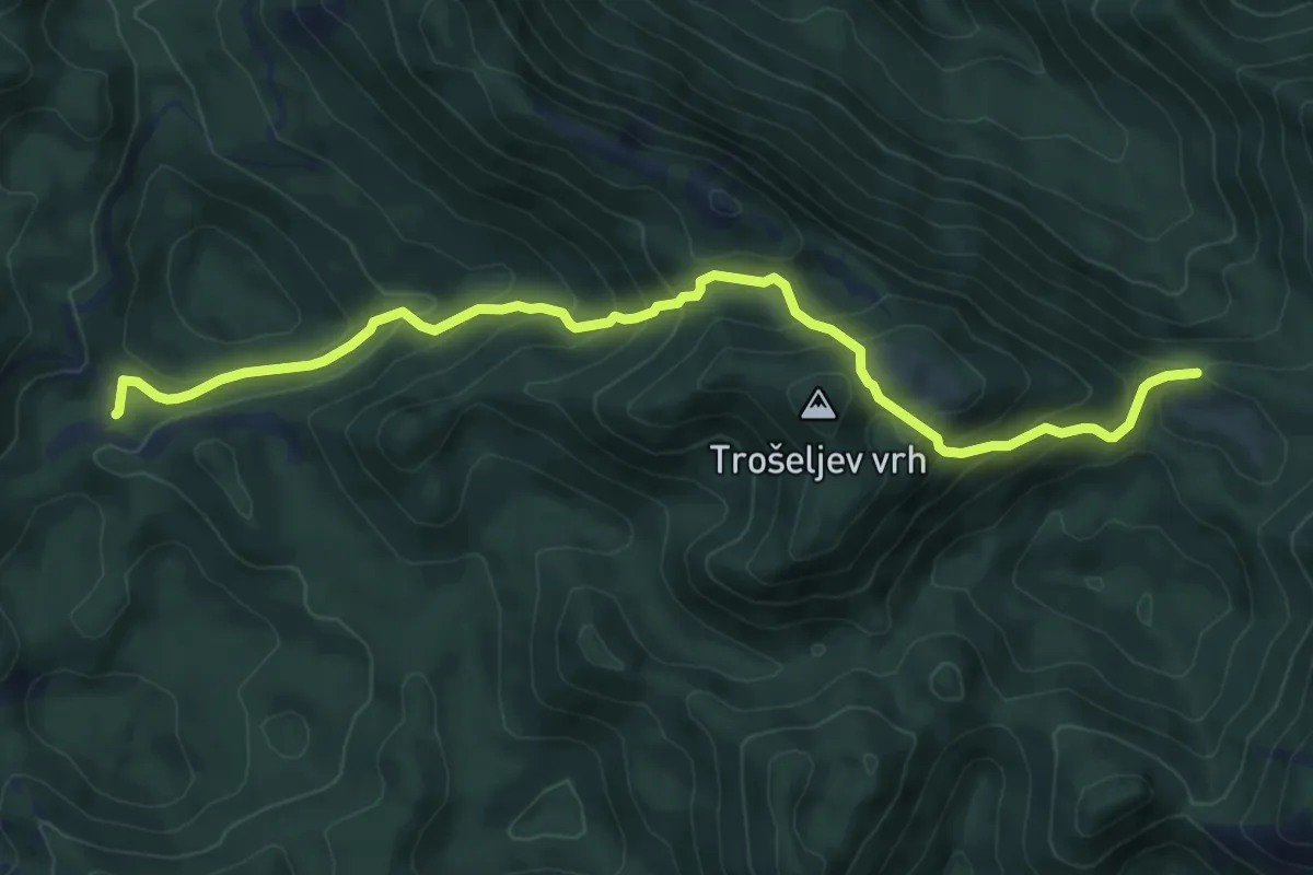
Jelova Ruja - Jandrina poljana
9.2 km · ↑ 722 m · 3 h 44 min
Medium · Summit
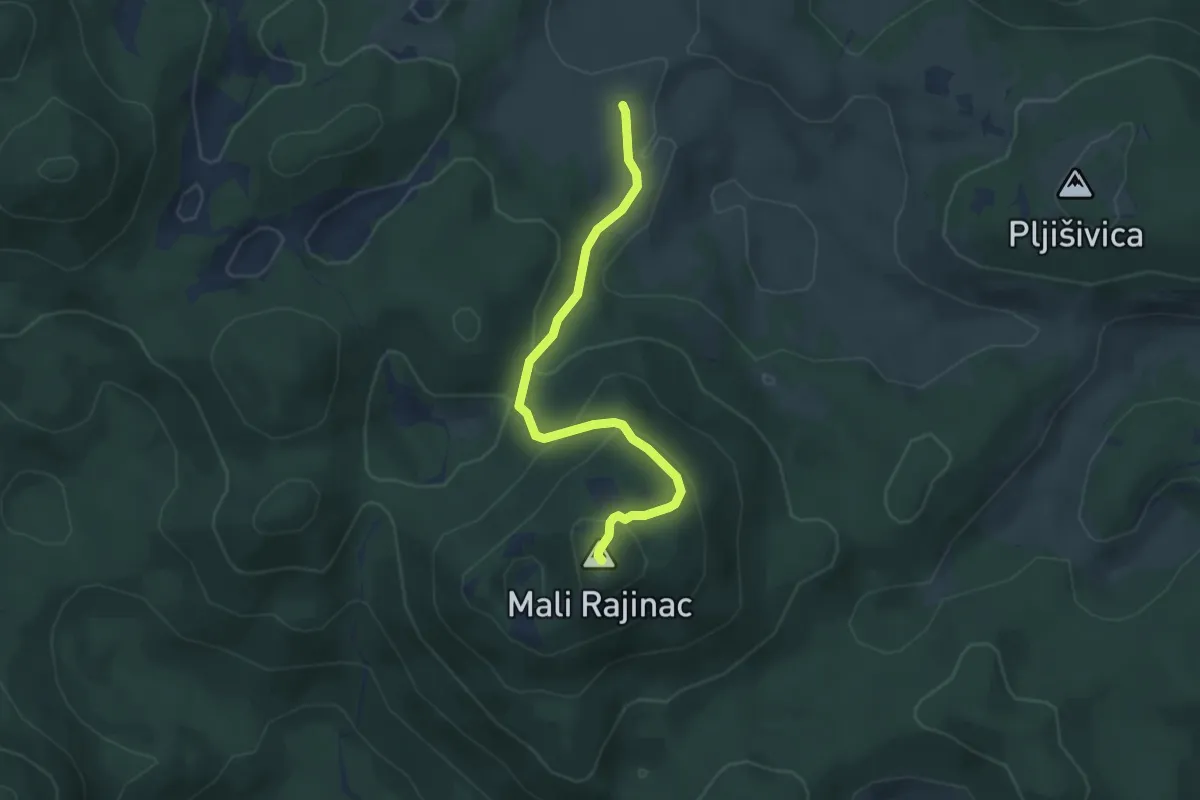
Jezera - Mali Rajinac
4.2 km · ↑ 222 m · 1 h 28 min
Medium · Trail
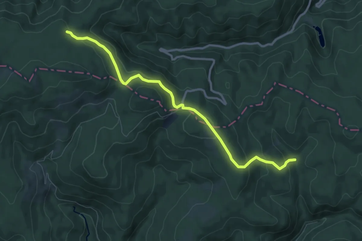
Jezerce - Nevoljaš - Anđina koliba - Vojna cesta
8.5 km · ↑ 343 m · 2 h 45 min
Demanding · Trail
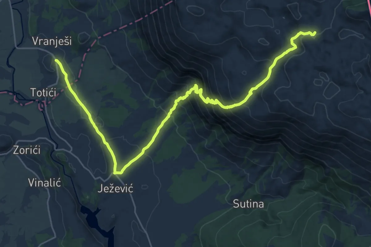
Ježević-Crvene_grede-marin_bunar
12.6 km · ↑ 1173 m · 5 h 9 min
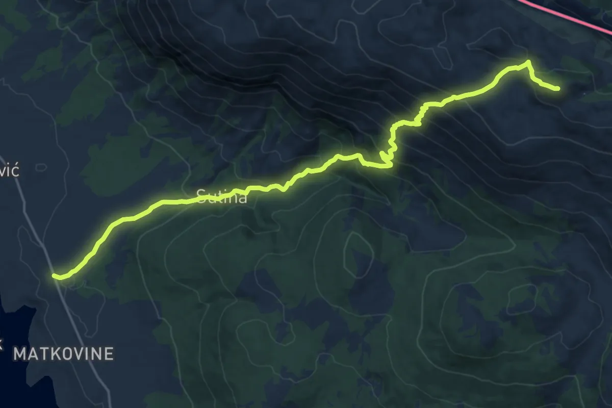
Demanding · Summit
Ježević - Velika Duvjakuša
20.7 km · ↑ 1362 m · 7 h 51 min
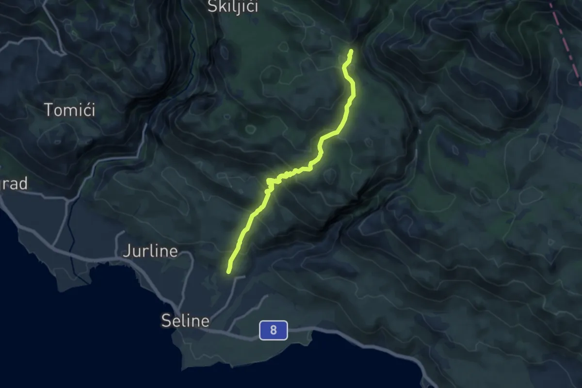
Medium · Trail
Jukići - Lekine njive
10.1 km · ↑ 695 m · 3 h 53 min
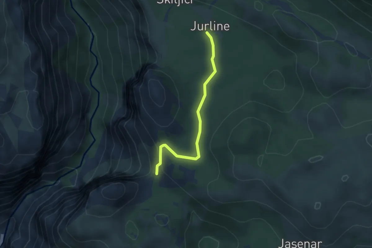
Easy · Trail
Jurline - Anića kuk
3.3 km · ↑ 71 m · 56 min
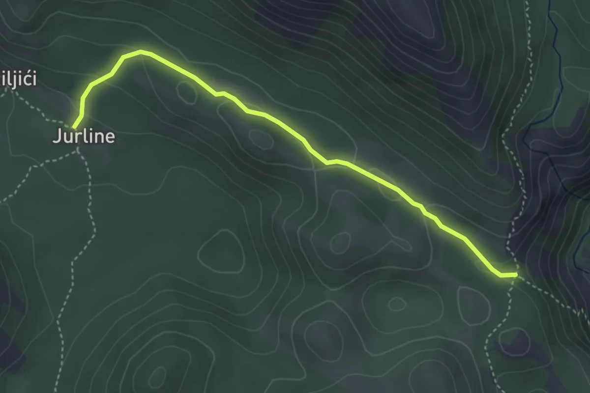
Easy · Trail
Jurline-Velika Močila, pored Vlake
4.2 km · ↑ 113 m · 1 h 14 min