Trails in Croatia
922 hiking trails, each with its route, climb, walking time and grade.
All trails, page 4 of 20
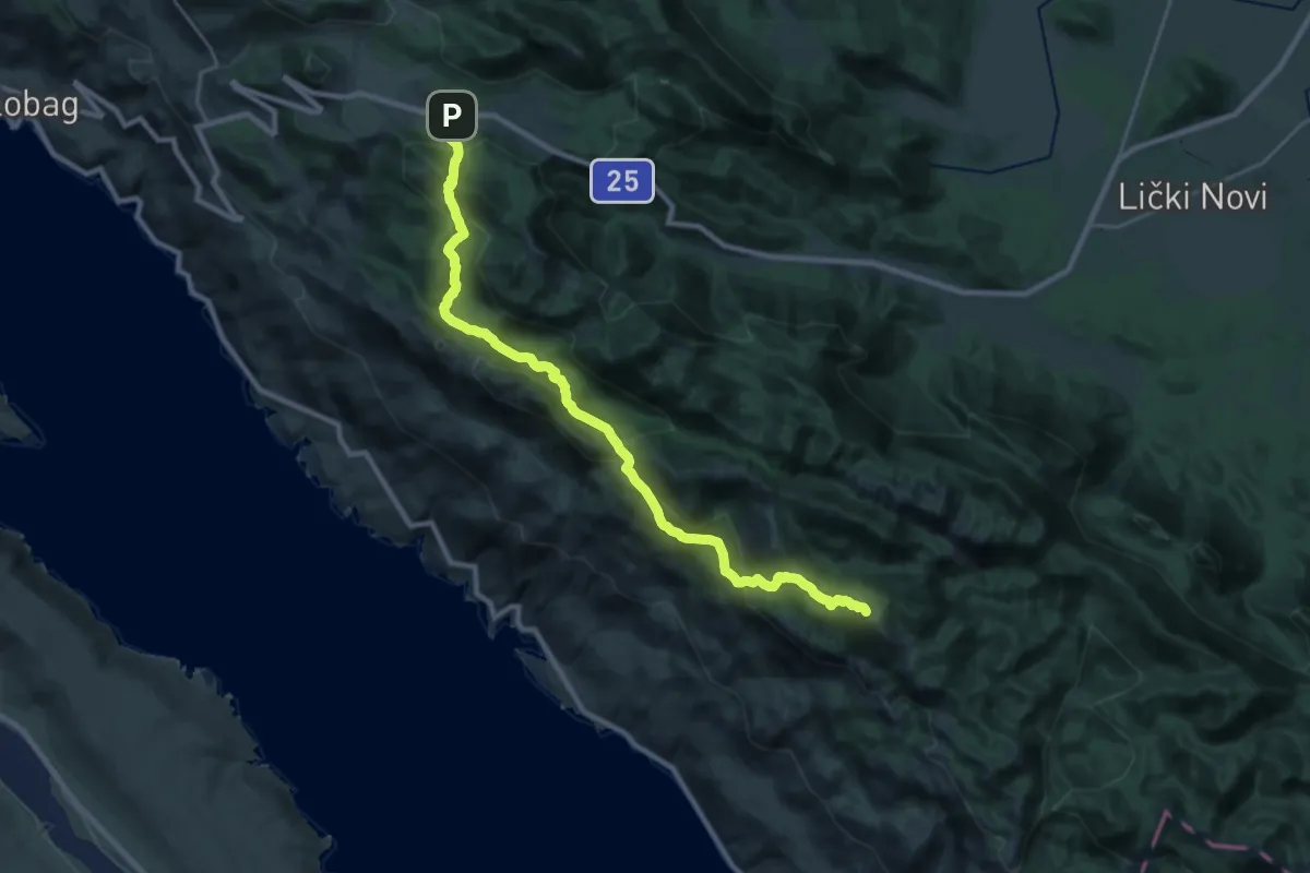
Demanding · Summit
Južni Velebit I - do Šugarske dulibe
28.3 km · ↑ 1821 m · 10 h 37 min
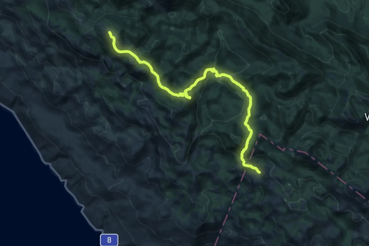
Demanding · Summit
Južni Velebit II - do Stapa
22.0 km · ↑ 1116 m · 7 h 37 min
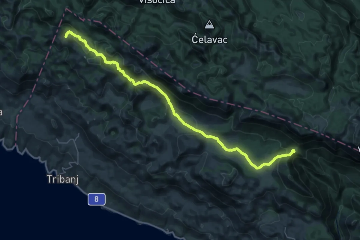
Demanding · Summit
Južni Velebit III - do Struga
28.8 km · ↑ 1225 m · 9 h 27 min
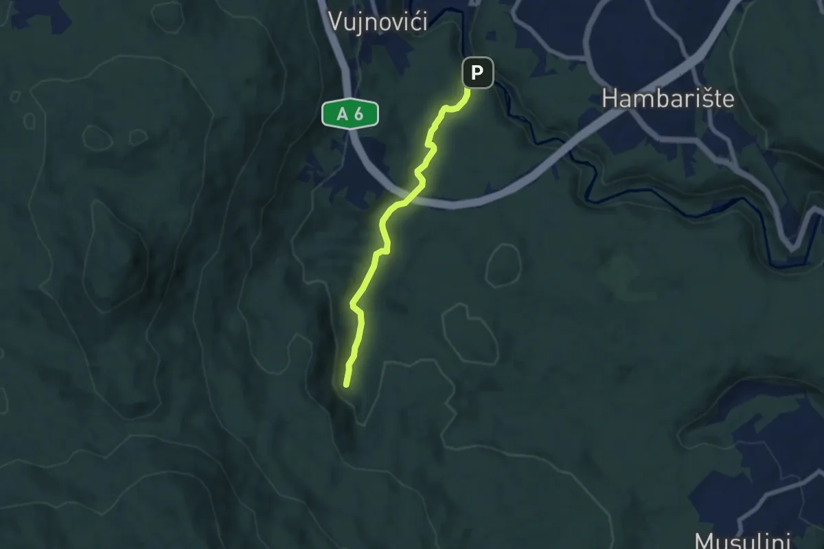
Easy · Trail
Kamacnik canyon
6.0 km · ↑ 197 m · 1 h 50 min
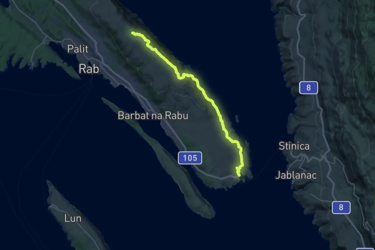
Demanding · Summit
Kamenjak od uvale Mišnjak
23.1 km · ↑ 973 m · 7 h 33 min
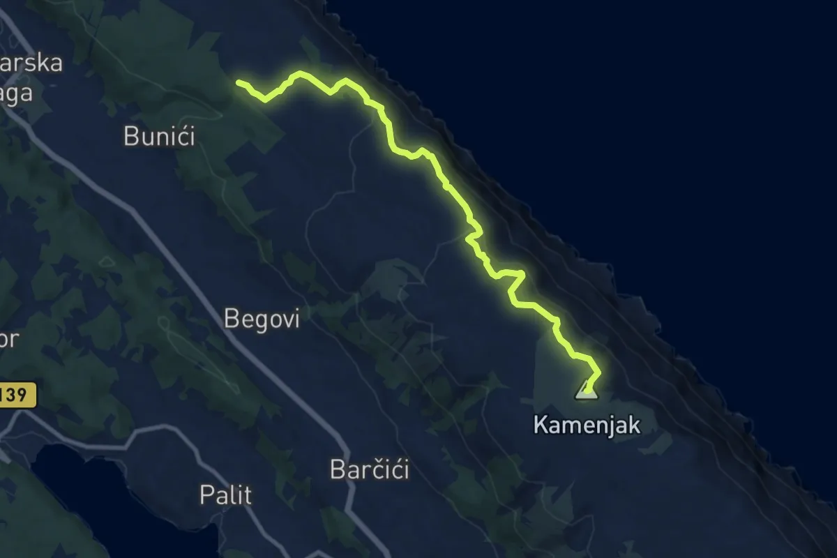
Medium · Summit
Kamenjak - Premužićeva staza
10.1 km · ↑ 465 m · 3 h 23 min
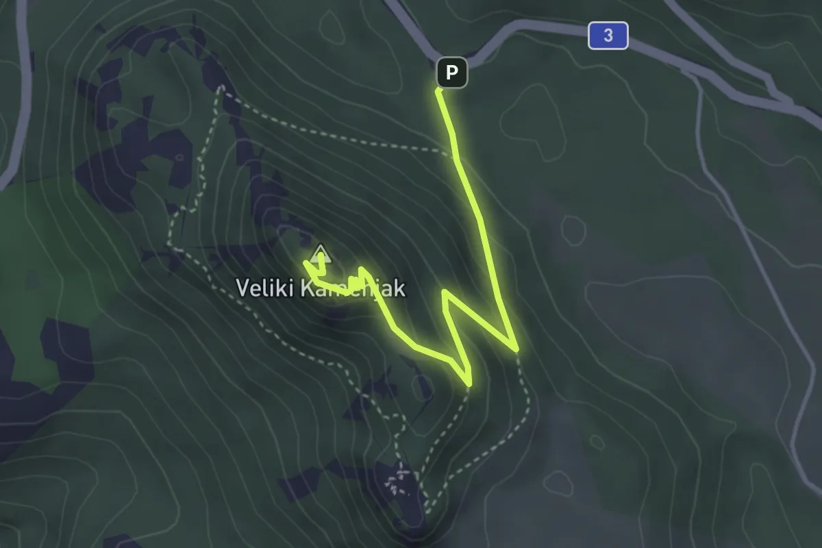
Easy · Summit
Kamenjak Put
3.9 km · ↑ 218 m · 1 h 24 min
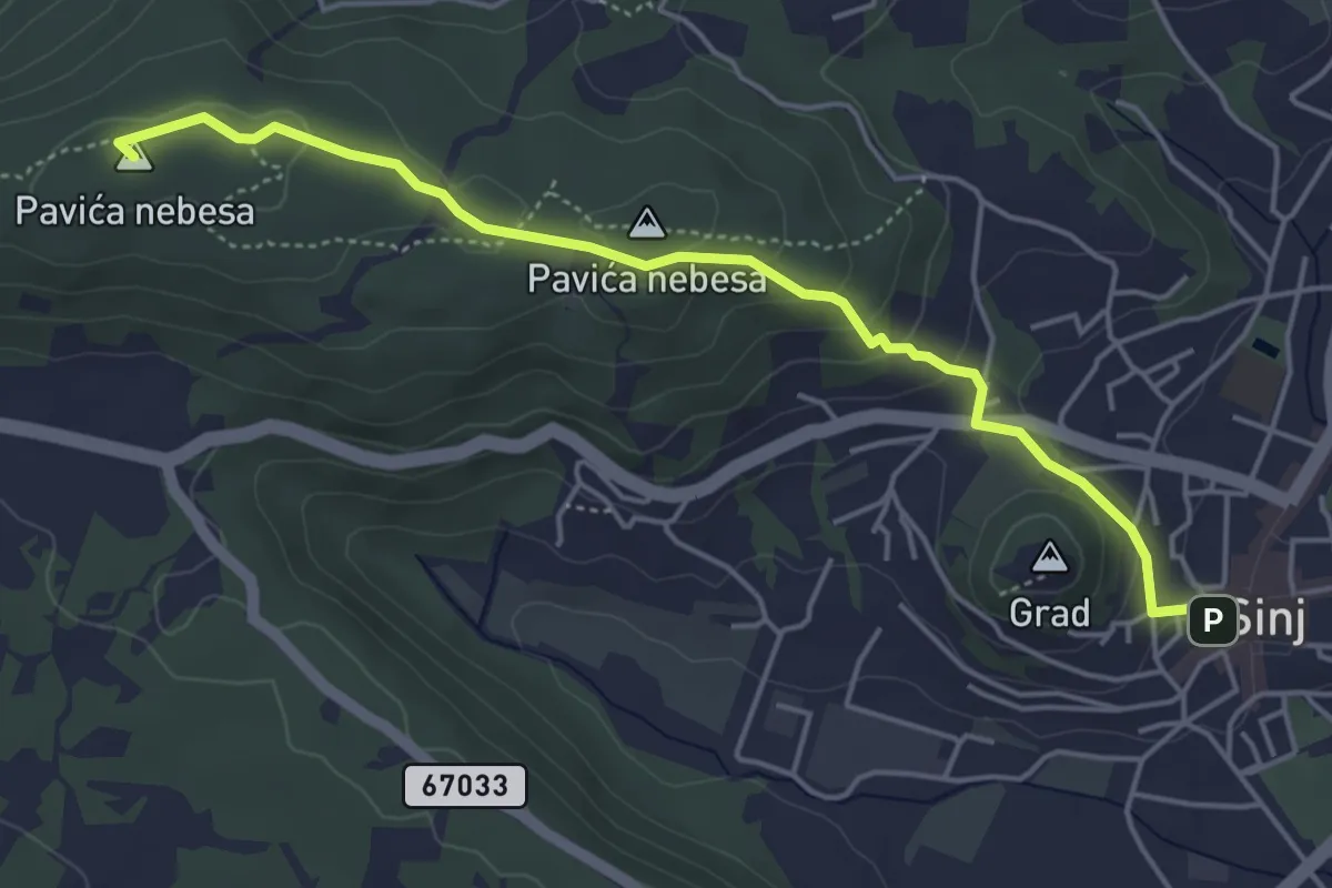
Easy · Summit
Kamičak-Pavića nebesa-Sutina
5.2 km · ↑ 173 m · 1 h 36 min
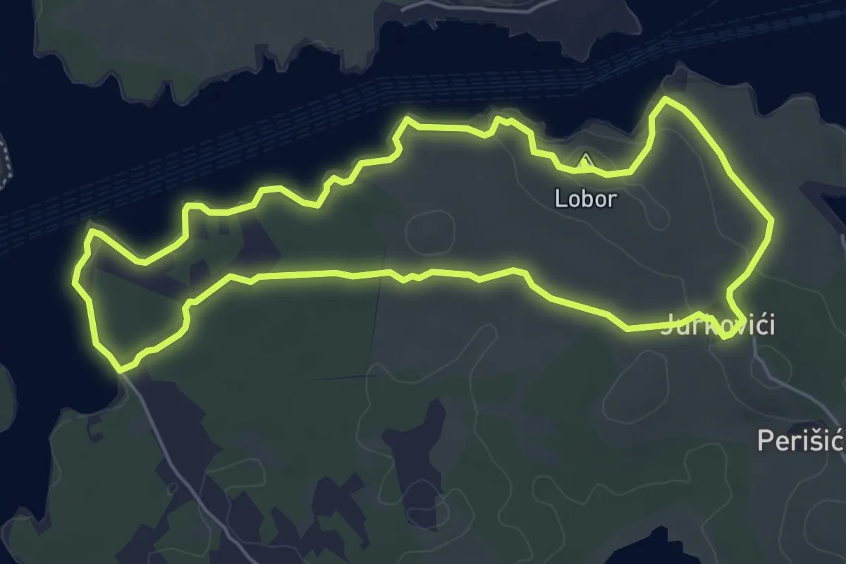
Easy · Summit
Kanal SV. Ante
5.9 km · ↑ 86 m · 1 h 40 min
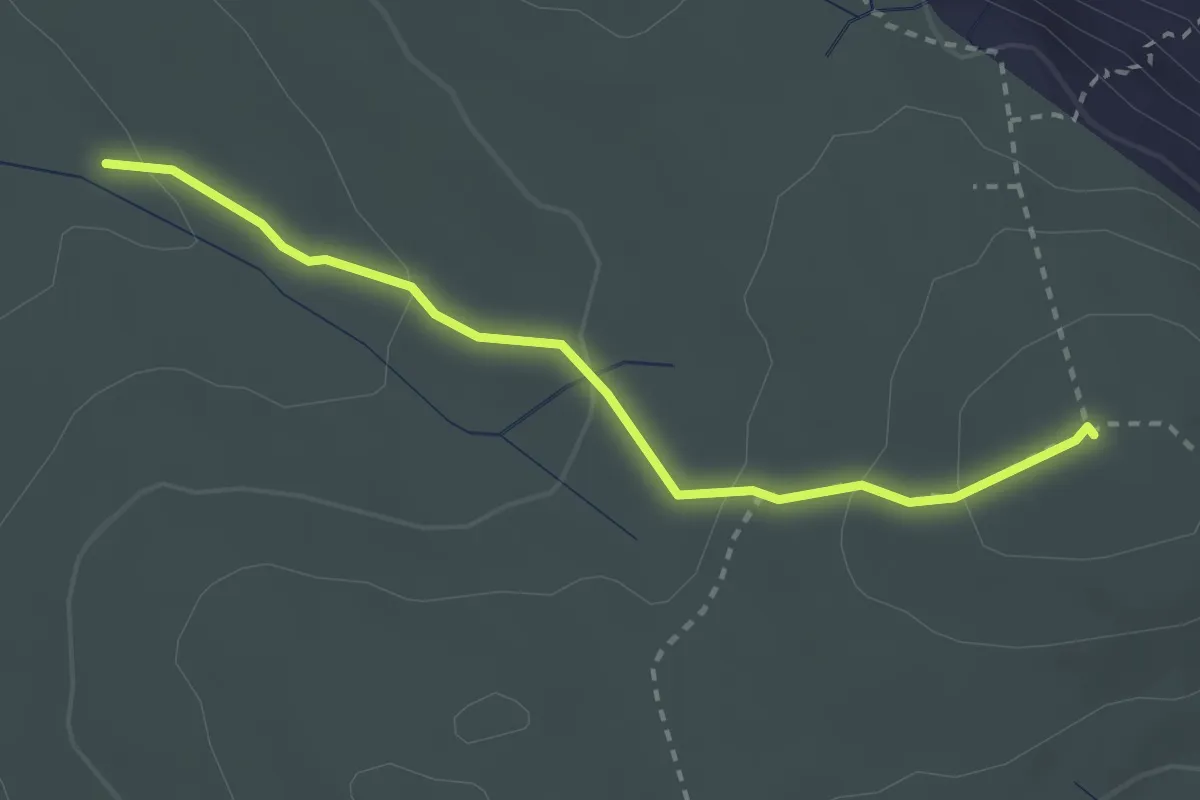
Medium · Summit
Kanjine - Veliki Hlam
2.8 km · ↑ 121 m · 55 min
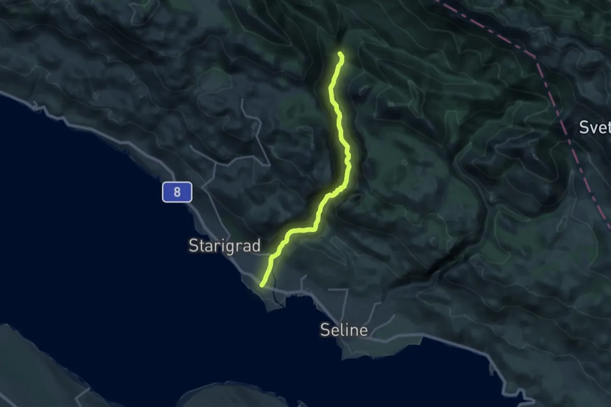
Demanding · Summit
Kanjon Velika Paklenica
15.6 km · ↑ 852 m · 5 h 32 min
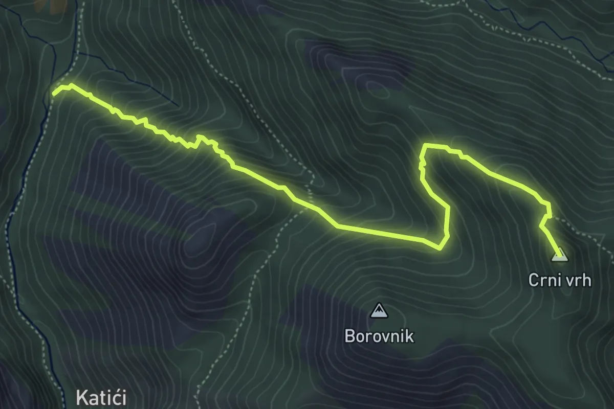
Medium · Summit
Kanjon Velika Paklenica - Crni vrh
6.5 km · ↑ 687 m · 3 h 1 min
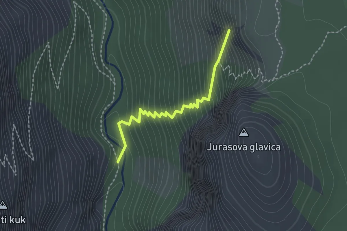
Medium · Summit
Kanjon Velika Paklenica - Jurline
1.9 km · ↑ 285 m · 1 h 4 min
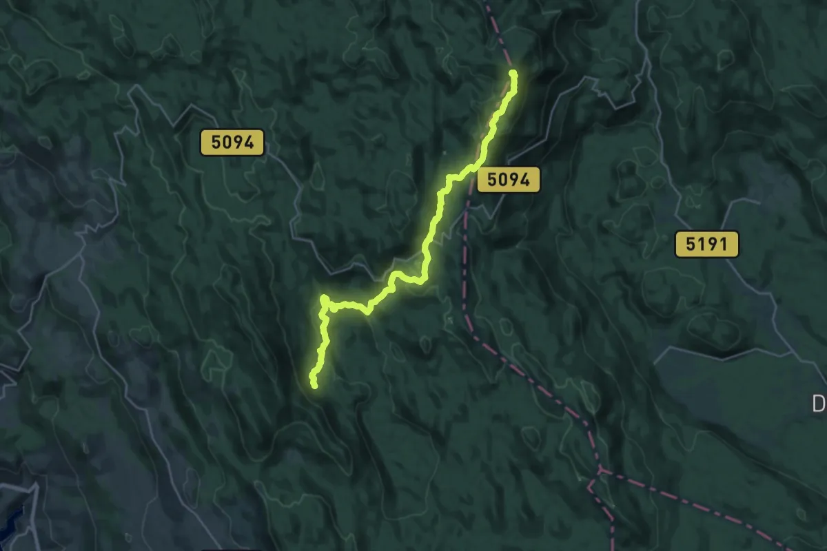
Demanding · Summit
Kapelskim planinarskim putom prema moru
23.7 km · ↑ 1046 m · 7 h 52 min
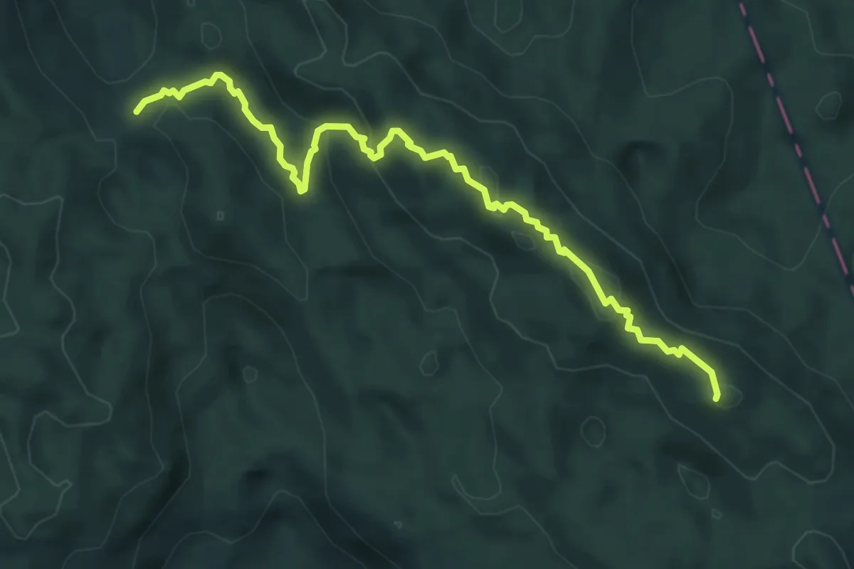
Demanding · Summit
Kapelski planinarski put
6.2 km · ↑ 218 m · 1 h 56 min
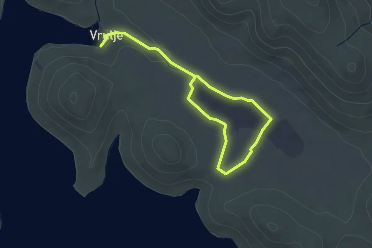
Easy · Trail
Karst in Kornati
5.5 km · ↑ 27 m · 1 h 22 min
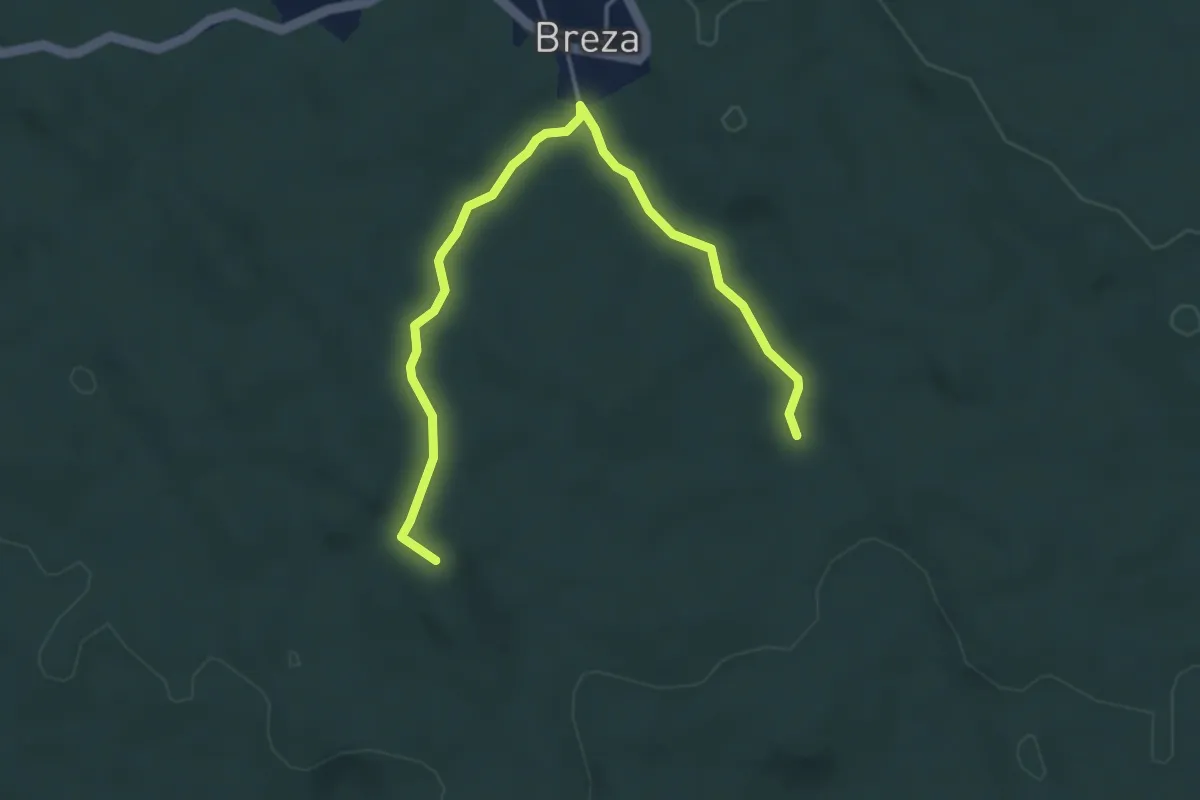
Easy · Summit
Kastav - Breza
4.7 km · ↑ 44 m · 1 h 12 min
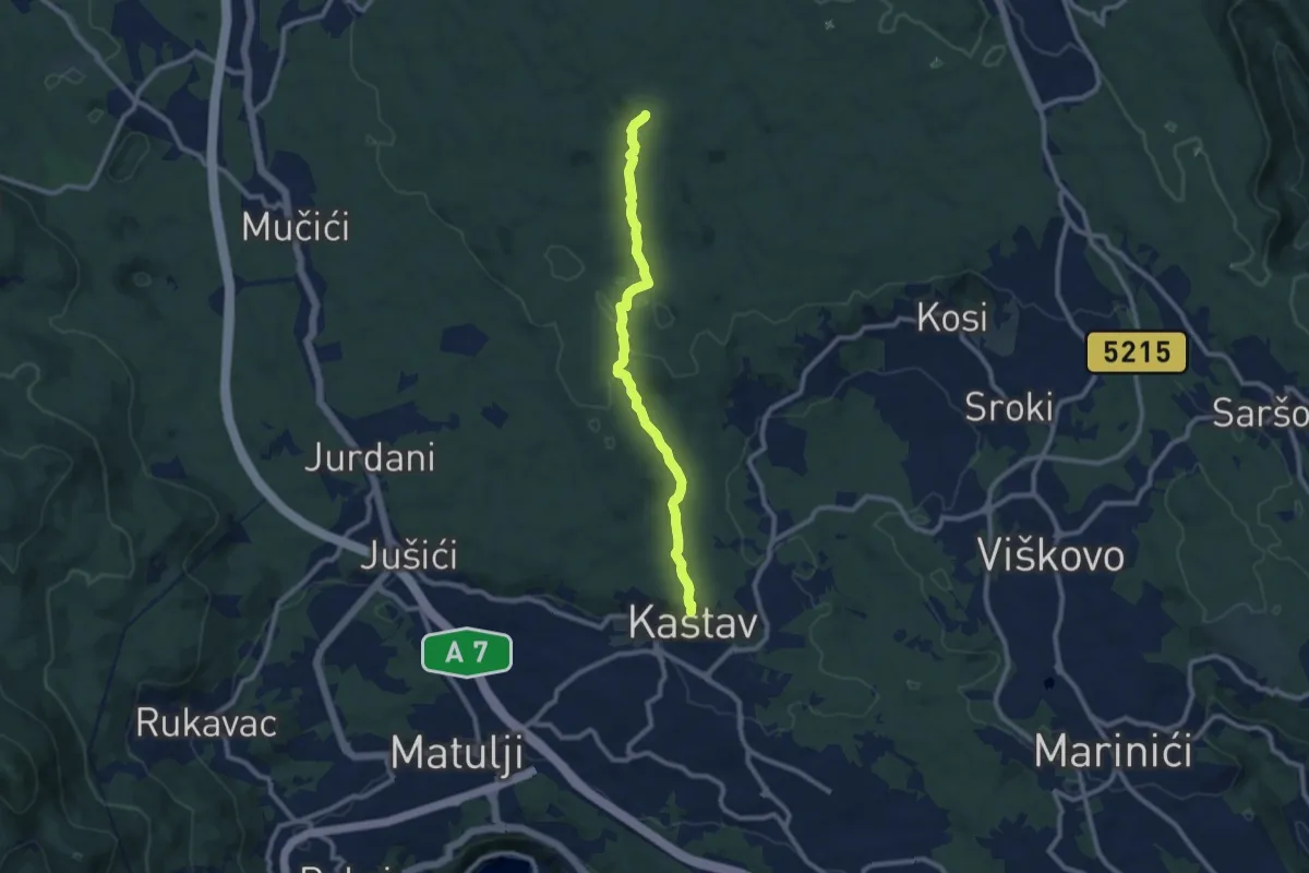
Medium · Trail
Kastav - Breza / Studinia
9.2 km · ↑ 165 m · 2 h 31 min
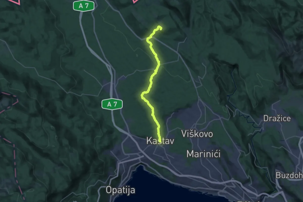
Demanding · Summit
Kastav - Klana
23.5 km · ↑ 419 m · 6 h 28 min
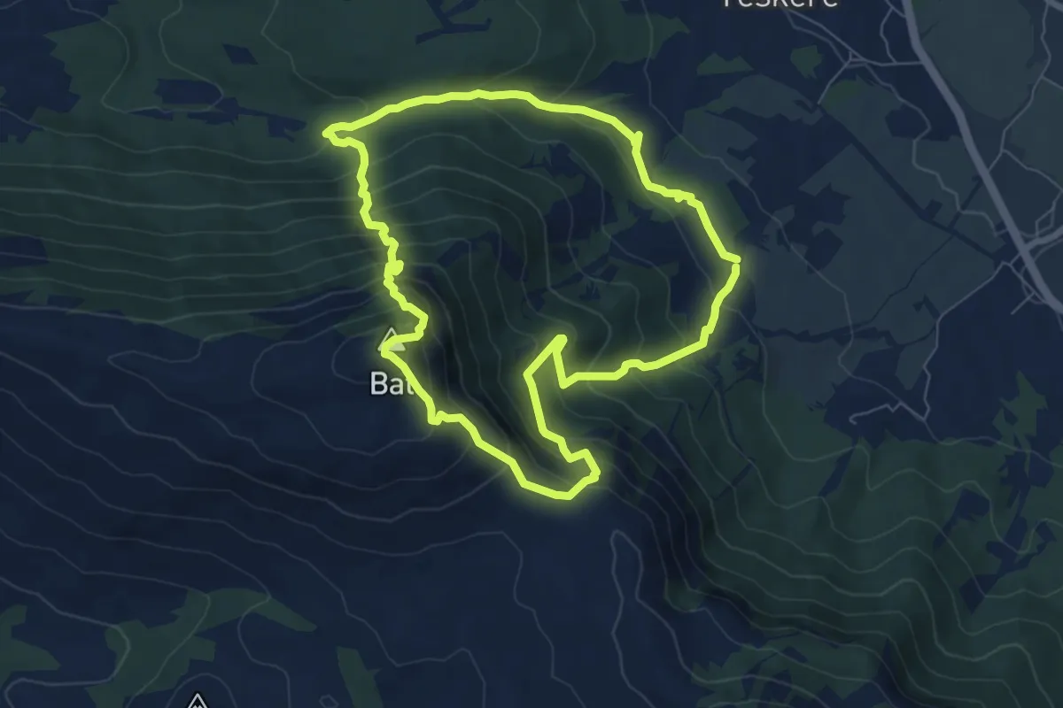
Expert · Summit
Kijevski bat
7.4 km · ↑ 691 m · 3 h 21 min
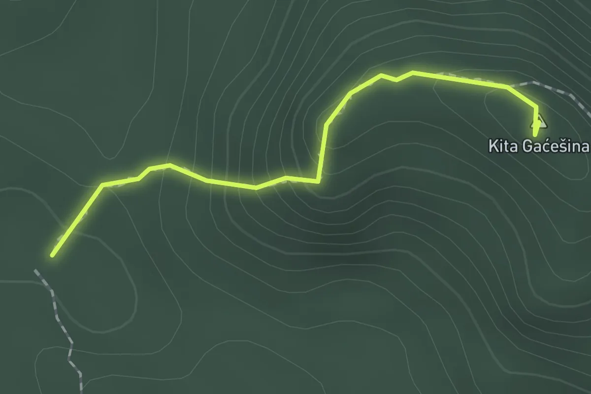
Demanding · Summit
Kita Gaćešina
1.6 km · ↑ 121 m · 39 min
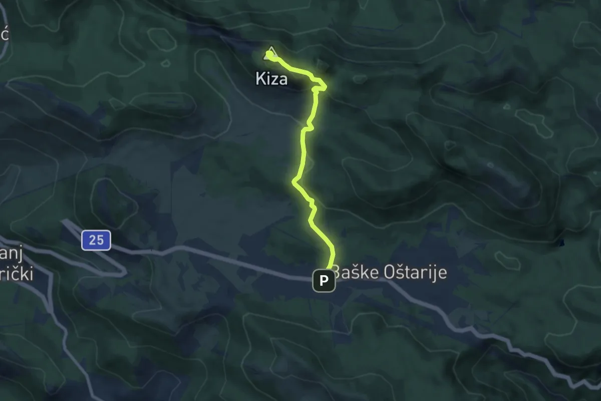
Demanding · Summit
Kiza od Baških Oštarija
6.9 km · ↑ 316 m · 2 h 18 min
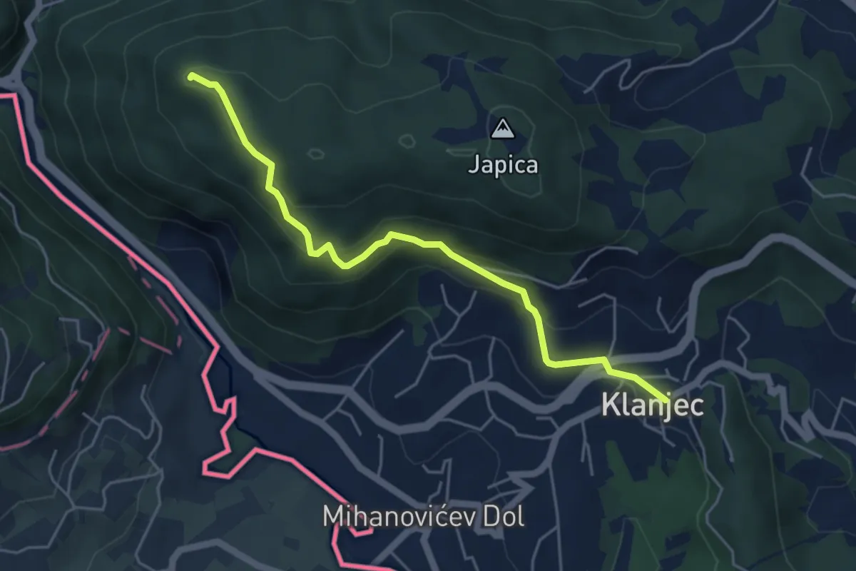
Medium · Trail
Klanjec - Cesargrad
4.8 km · ↑ 242 m · 1 h 39 min
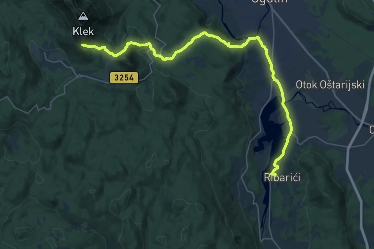
Demanding · Summit
Klek – Ogulin – Modruš
25.9 km · ↑ 756 m · 7 h 46 min
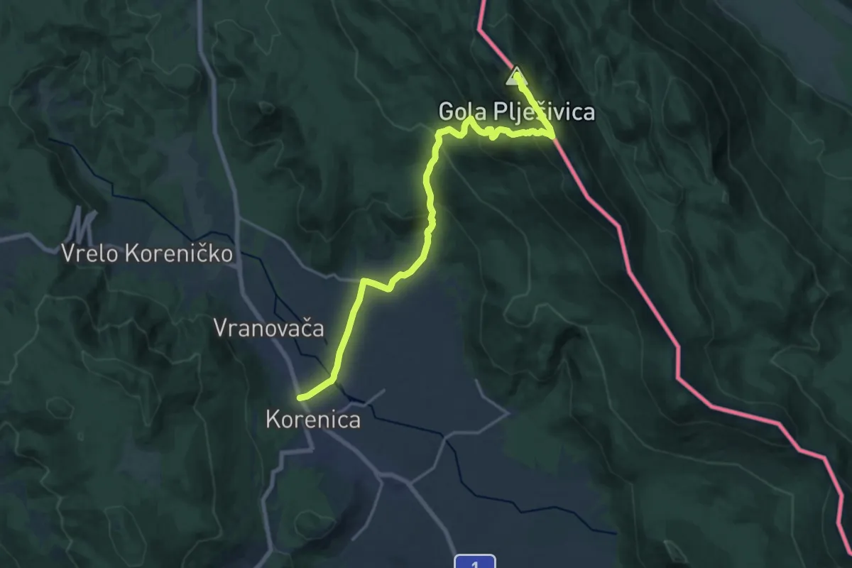
Demanding · Summit
Korenica-Gola Plješivica
19.0 km · ↑ 1039 m · 6 h 44 min
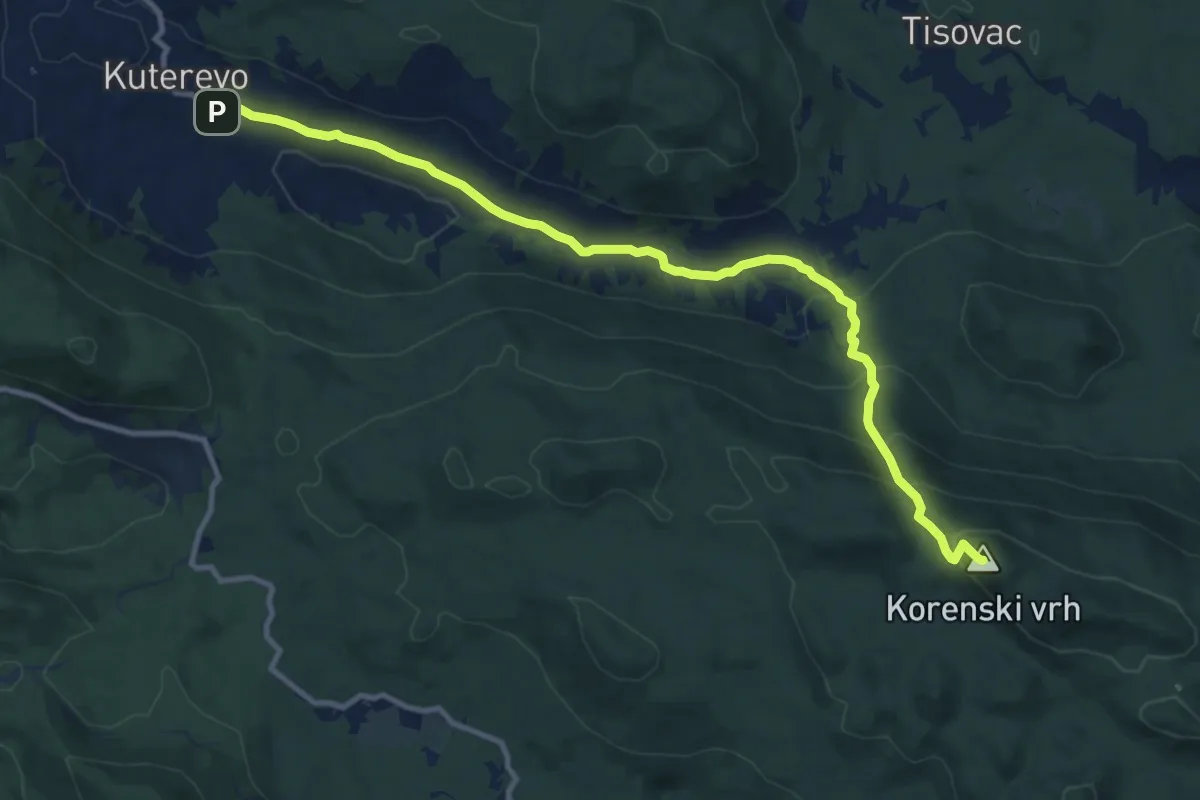
Demanding · Summit
Korenski vrh
12.3 km · ↑ 588 m · 4 h 11 min
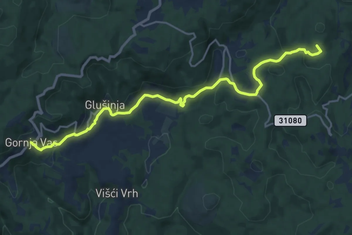
Medium · Summit
Koretići - Gornja Vas
12.6 km · ↑ 420 m · 3 h 53 min
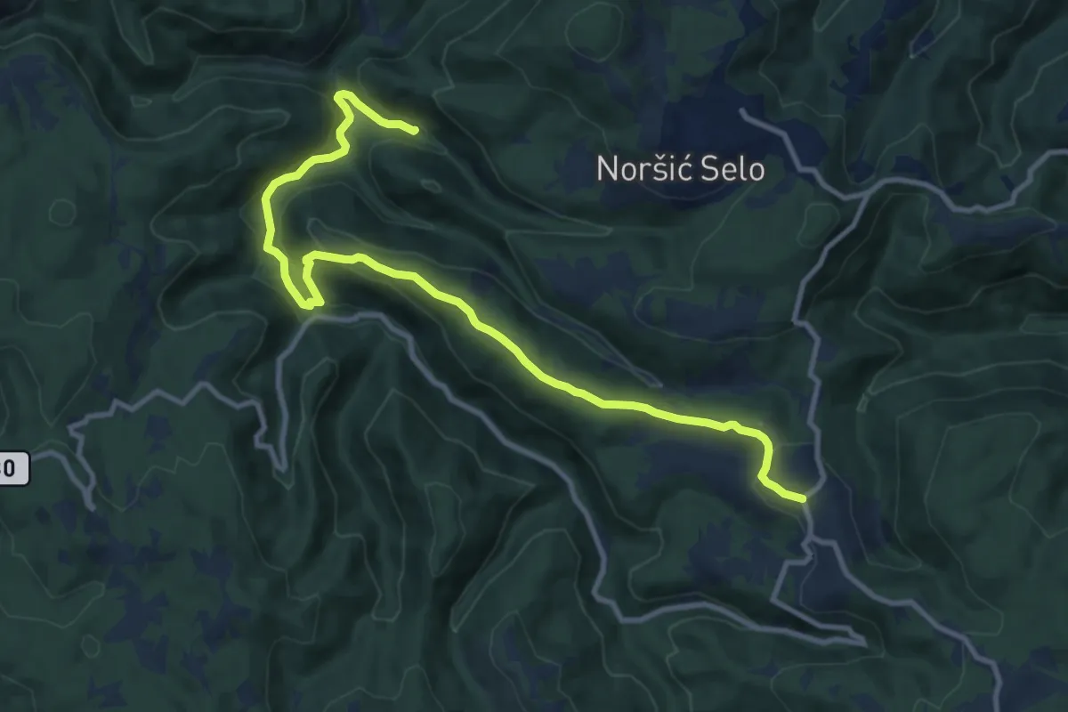
Medium · Cabin
Koretići - Jarušje
11.7 km · ↑ 526 m · 3 h 55 min
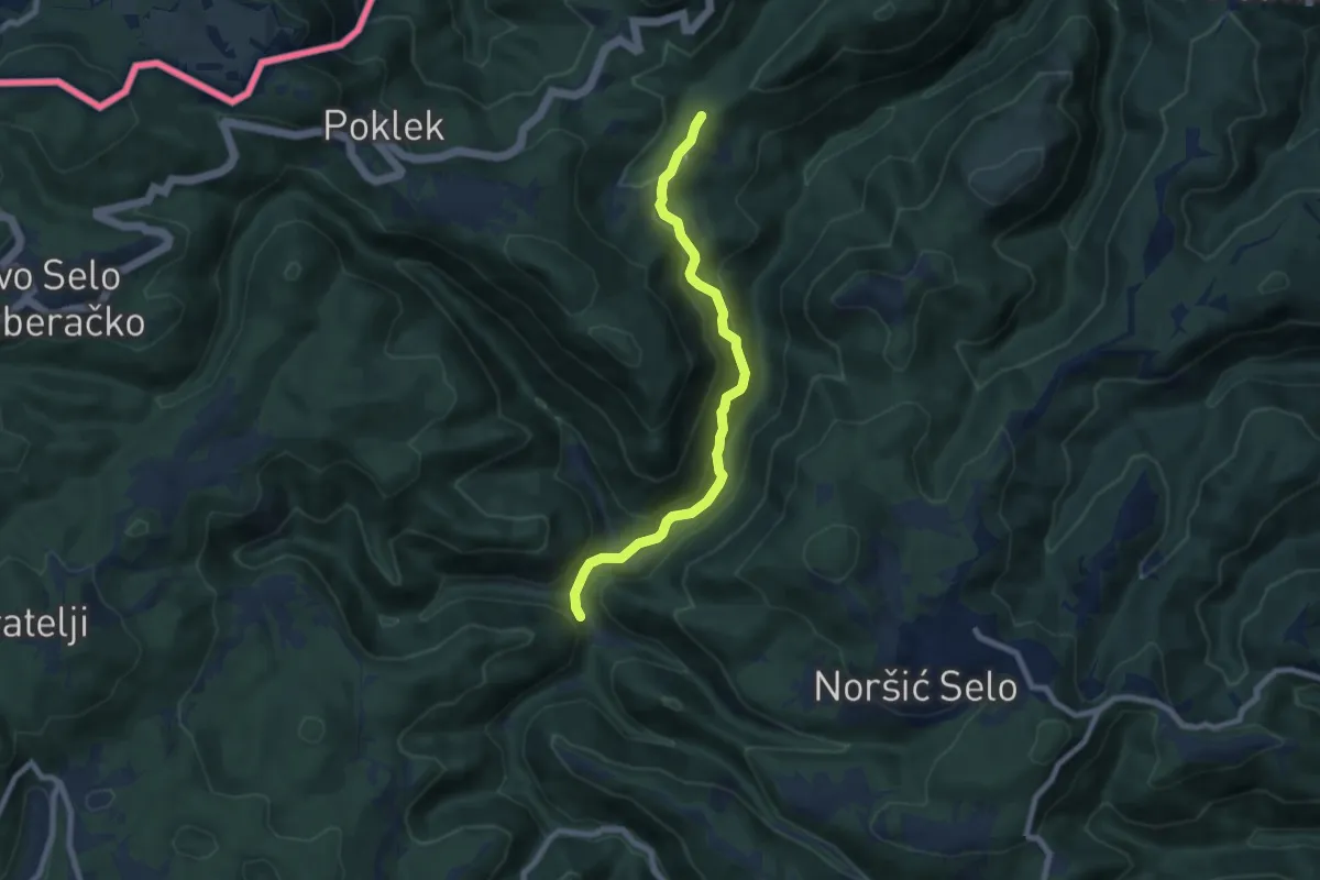
Medium · Trail
Koretići - Kravljak
7.5 km · ↑ 366 m · 2 h 34 min
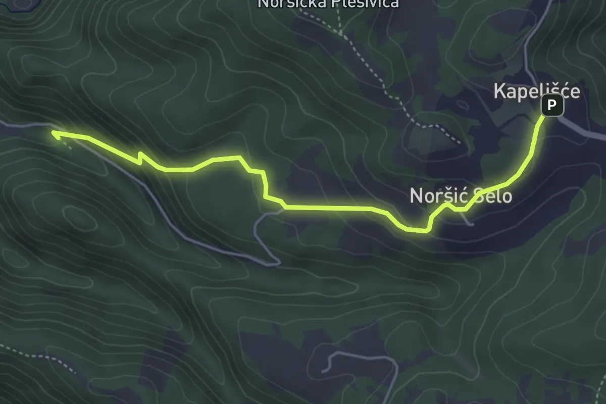
Medium · Cabin
Koretići - Noršić Selo
4.7 km · ↑ 259 m · 1 h 41 min
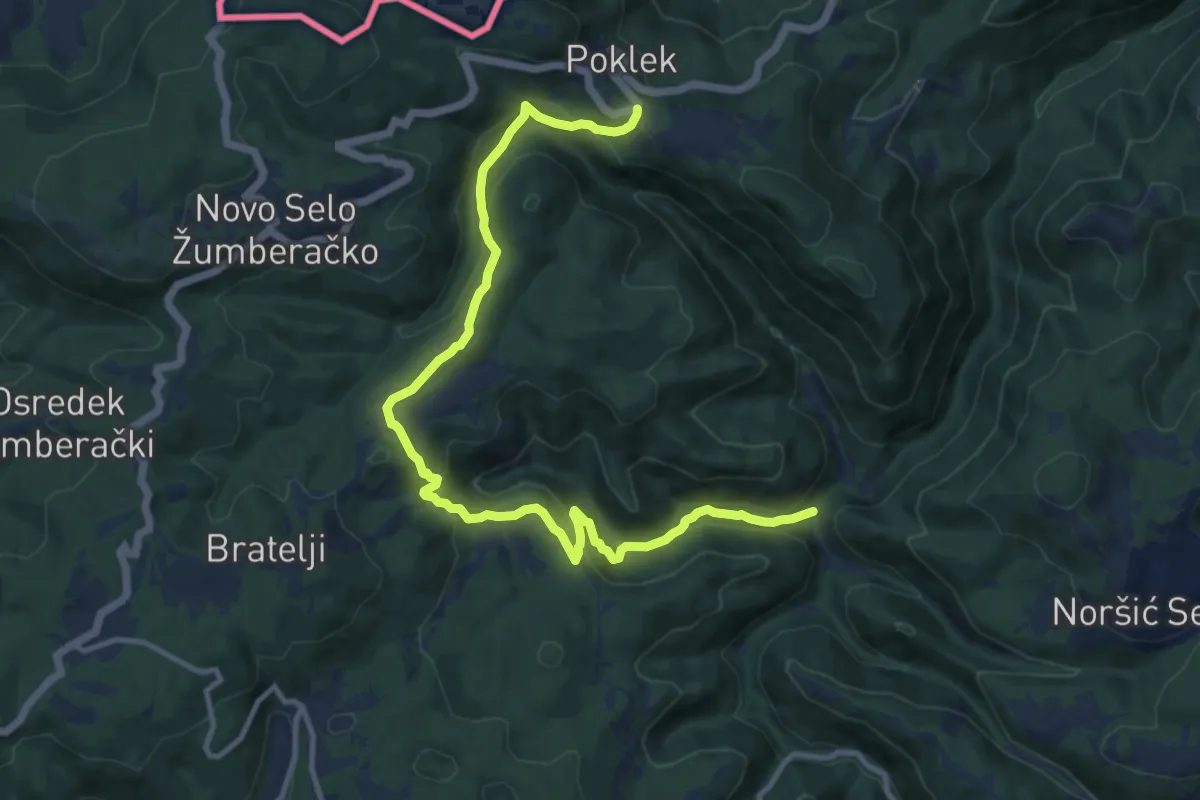
Medium · Trail
Koretići - Poklek
13.4 km · ↑ 595 m · 4 h 27 min
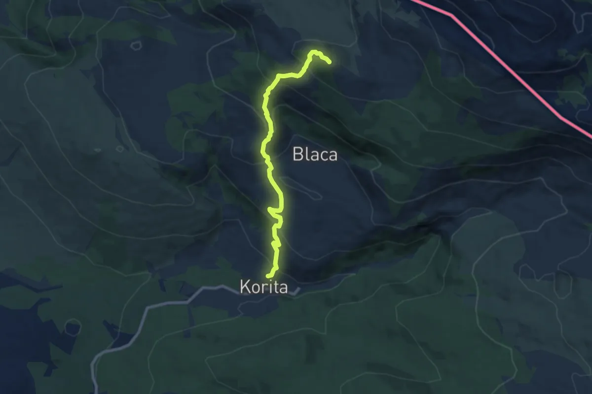
Medium · Summit
Korita-Glavaš
7.7 km · ↑ 605 m · 3 h 8 min
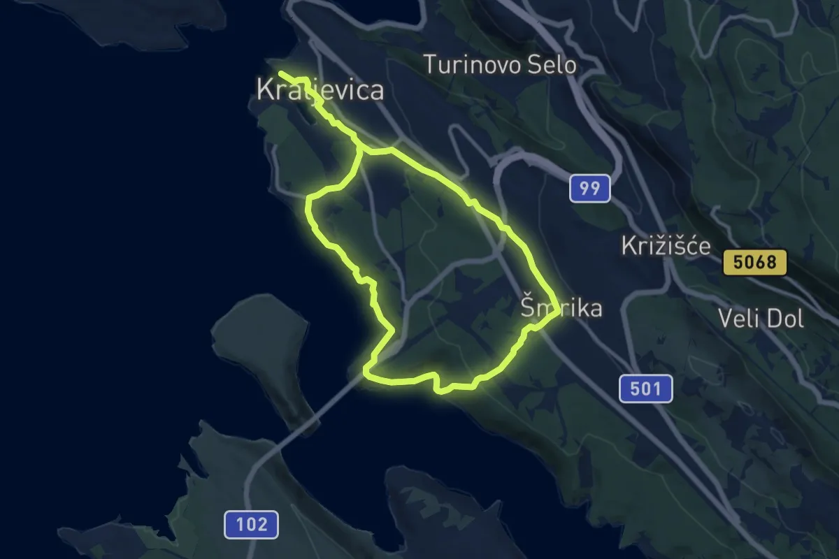
Demanding · Trail
Krajolikom našim
18.4 km · ↑ 537 m · 5 h 30 min
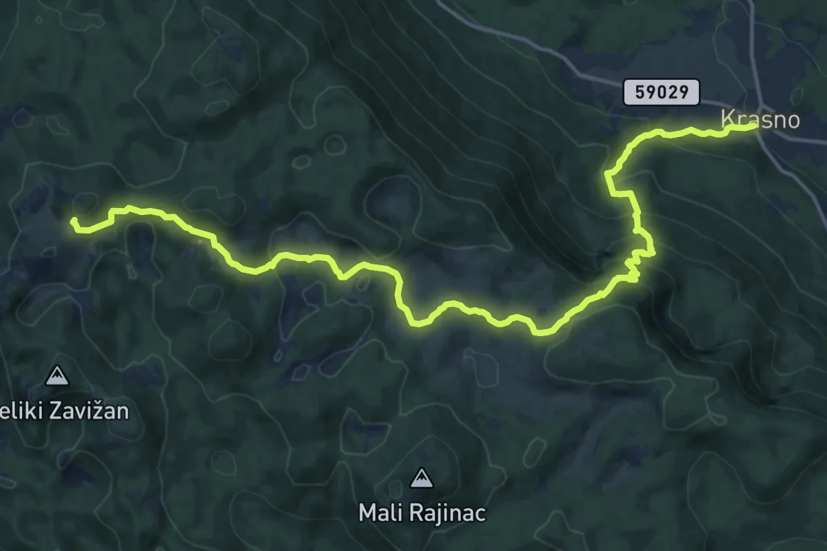
Demanding · Cabin
Krasno Polje - Zavižan
18.6 km · ↑ 1068 m · 6 h 42 min
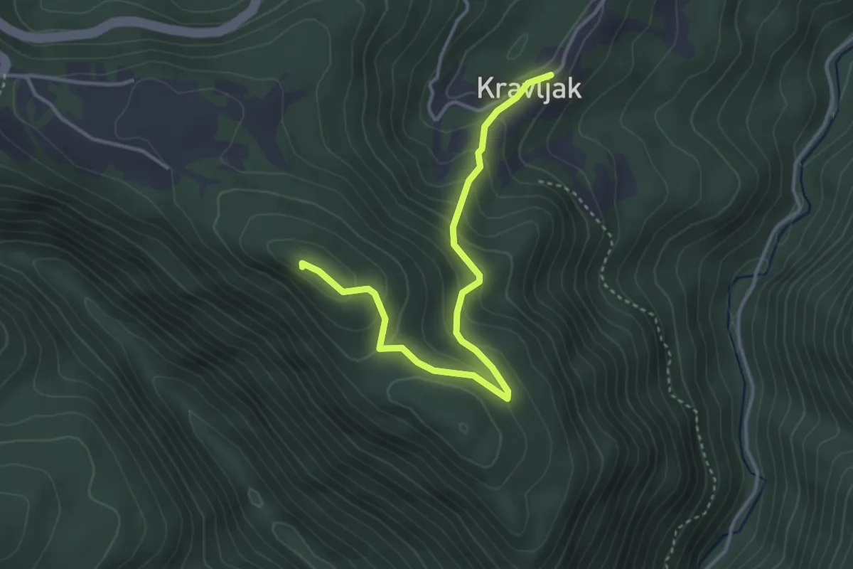
Medium · Summit
Kravljak - Poklek
3.9 km · ↑ 240 m · 1 h 26 min
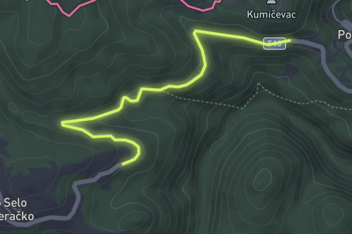
Easy · Trail
Kravljak - Stojdraga
4.7 km · ↑ 127 m · 1 h 23 min
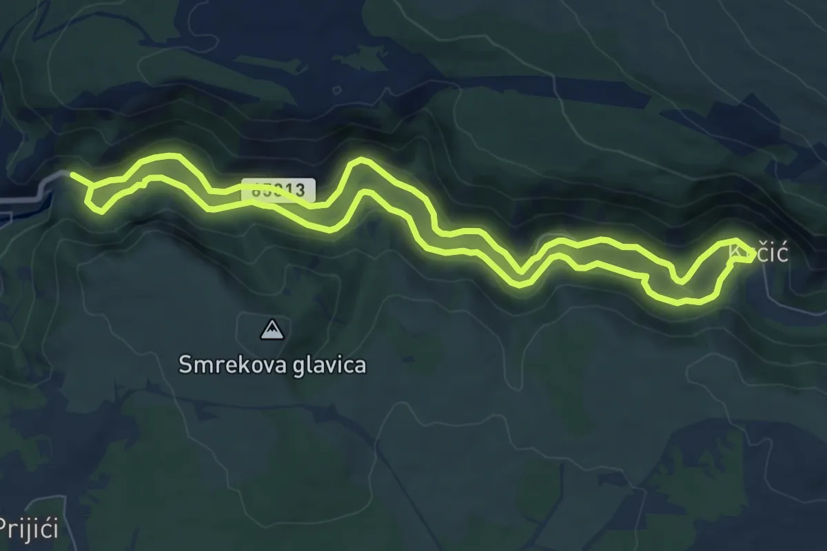
Medium · Trail
Krčić buk
8.3 km · ↑ 118 m · 2 h 21 min
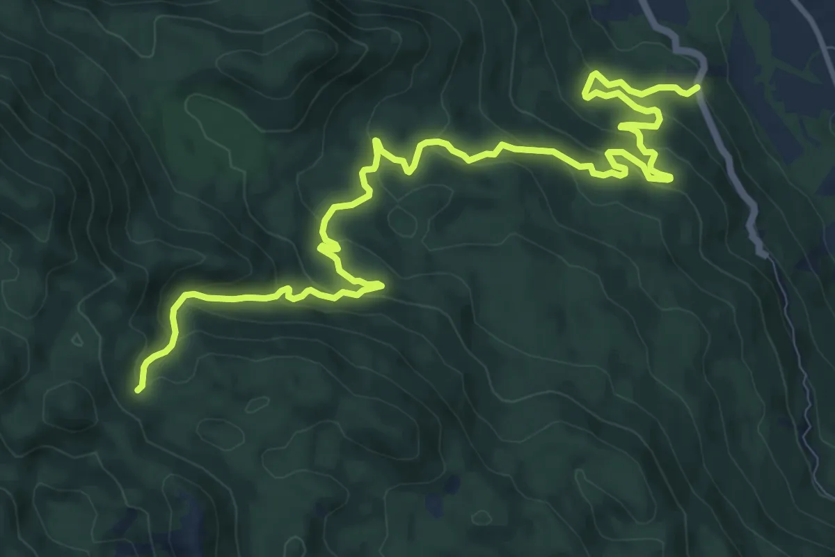
Medium · Trail
Krč - Lišćani bunar
14.0 km · ↑ 662 m · 4 h 44 min
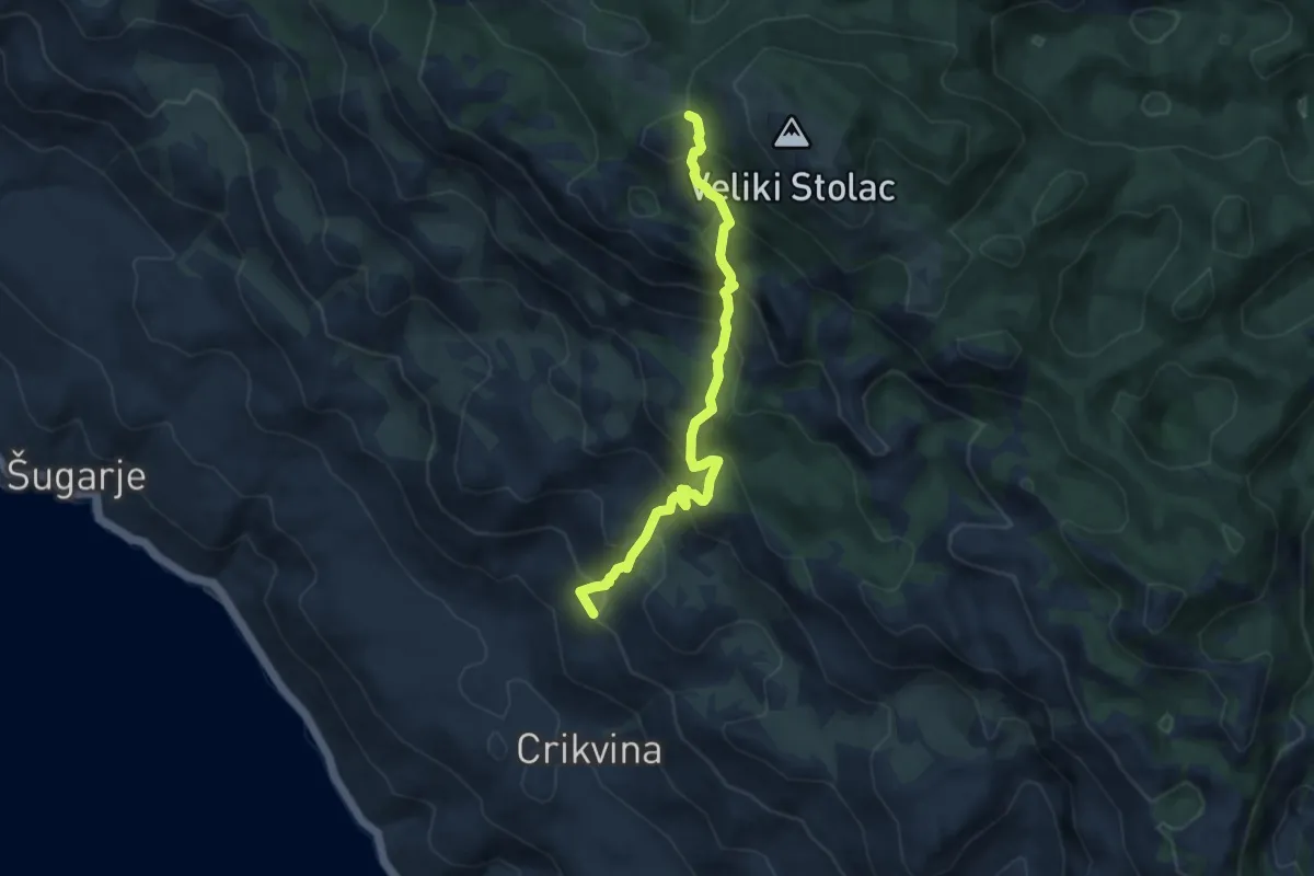
Medium · Summit
Križac - Šugarska duliba
8.2 km · ↑ 793 m · 3 h 39 min
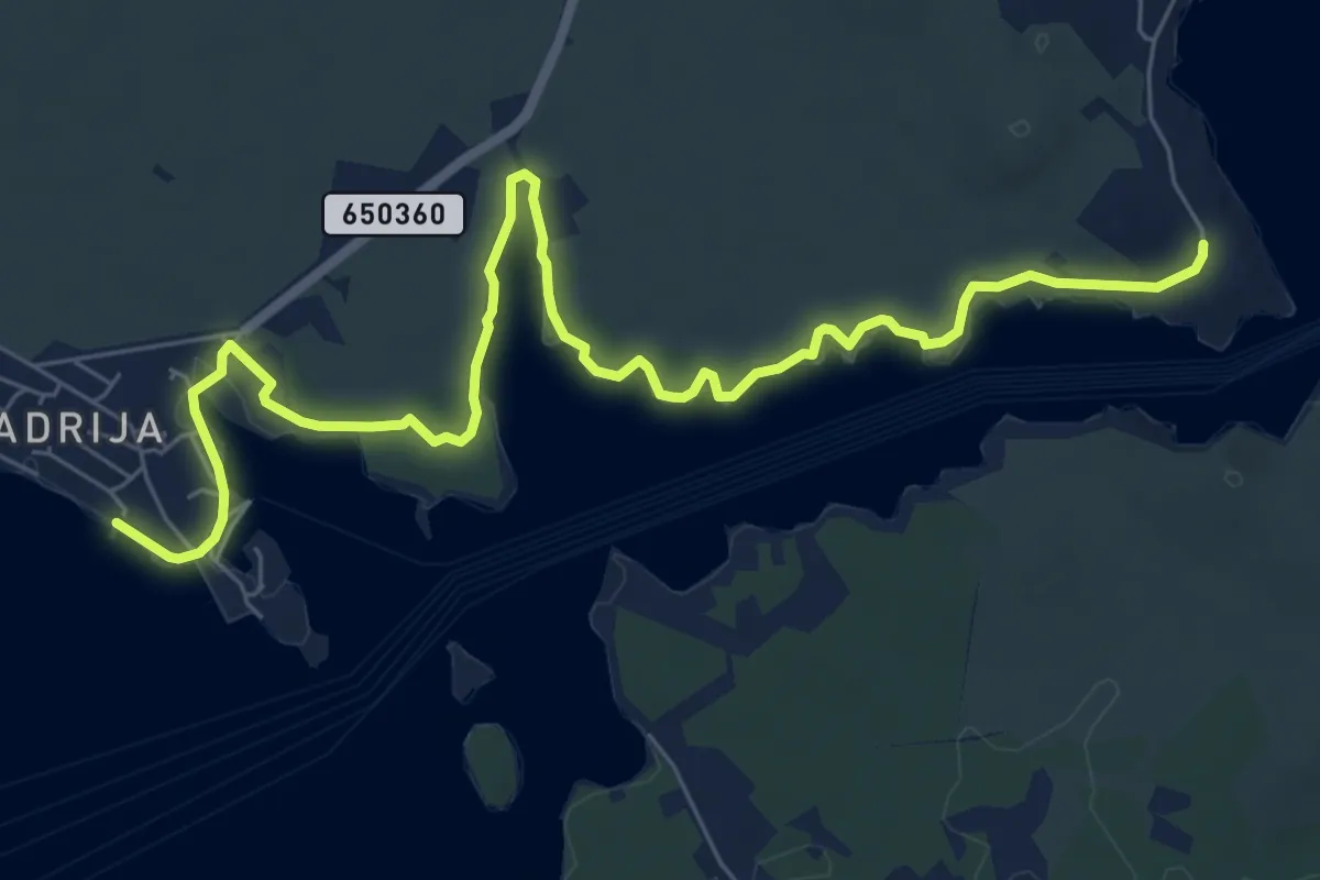
Medium · Trail
Kroz kanal po suhozidu
9.4 km · ↑ 15 m · 2 h 15 min
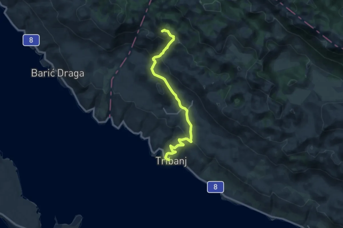
Demanding · Summit
Kruščica - Stap
14.8 km · ↑ 692 m · 5 h
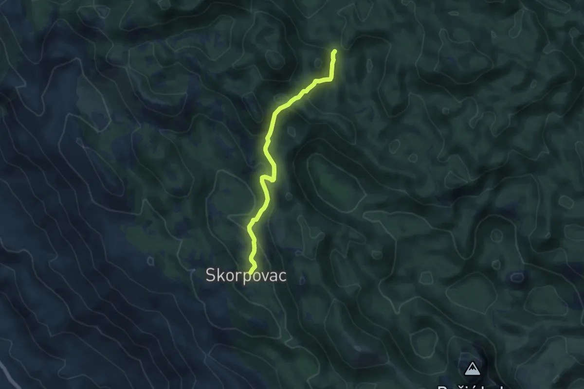
Medium · Cabin
Kugina kuća od Premužićeve staze kod Skorpovca
8.6 km · ↑ 407 m · 2 h 55 min
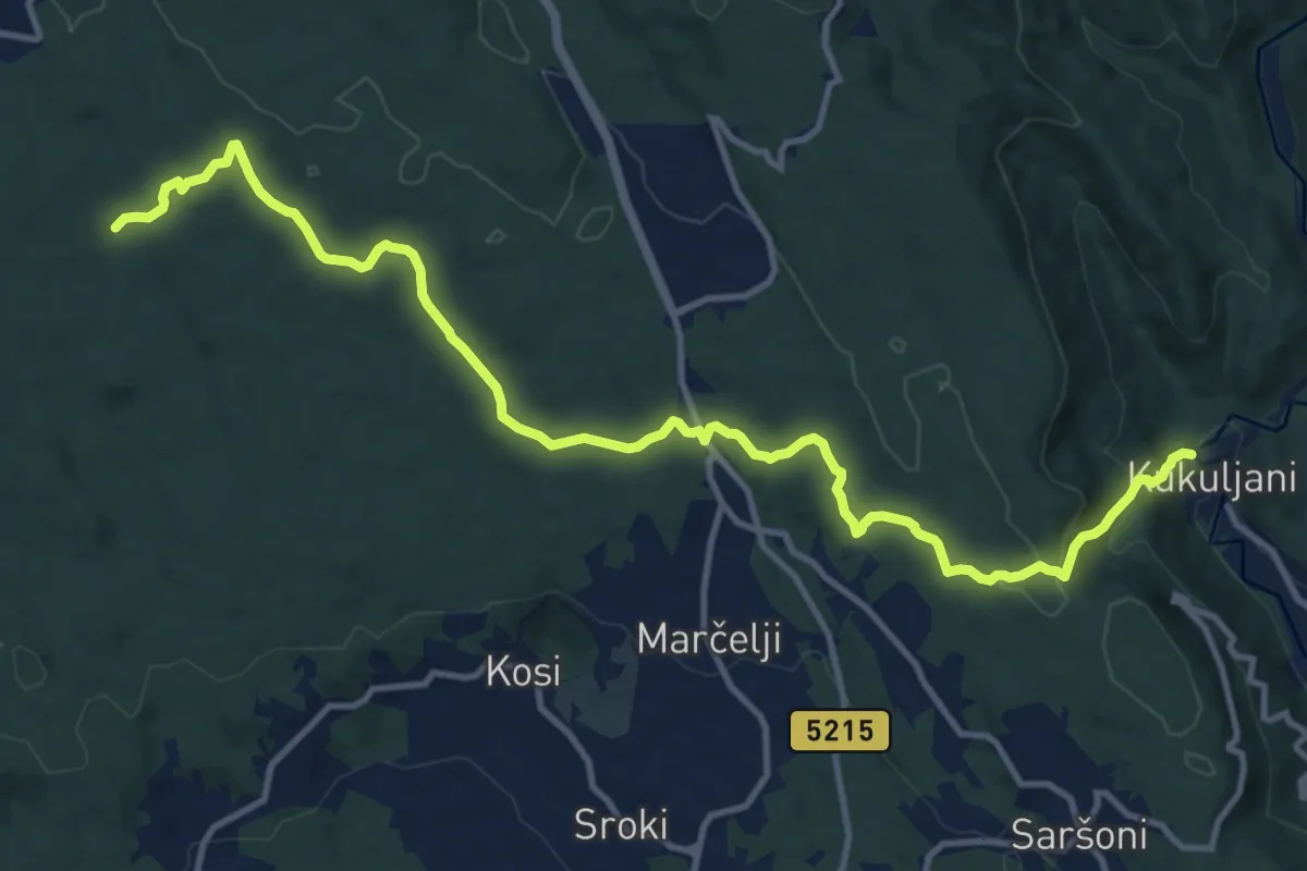
Medium · Trail
Kukuljani - Kastav
14.7 km · ↑ 323 m · 4 h 10 min
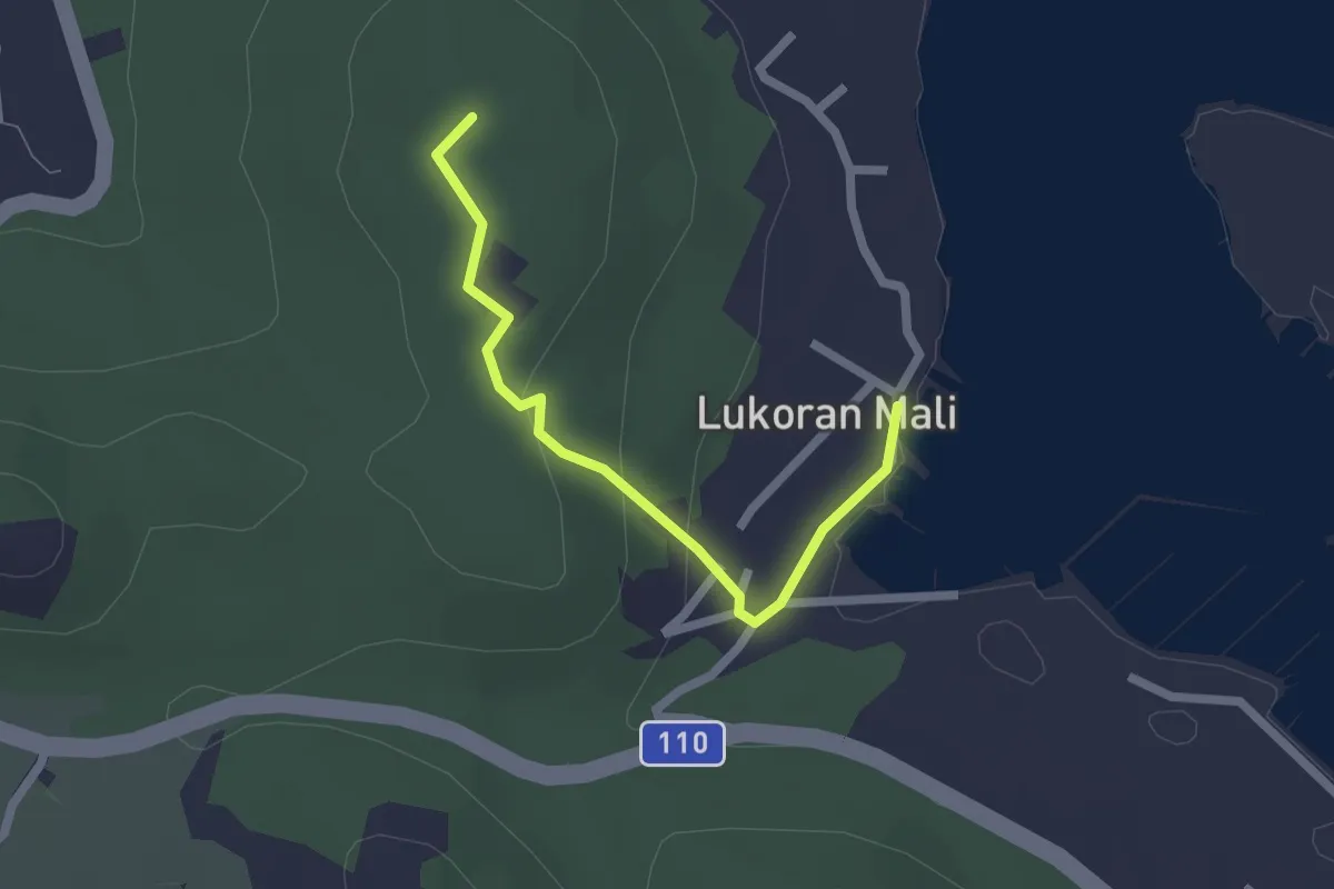
Easy · Summit
Kulturno-povijesna staza Lukoran
2.1 km · ↑ 67 m · 39 min
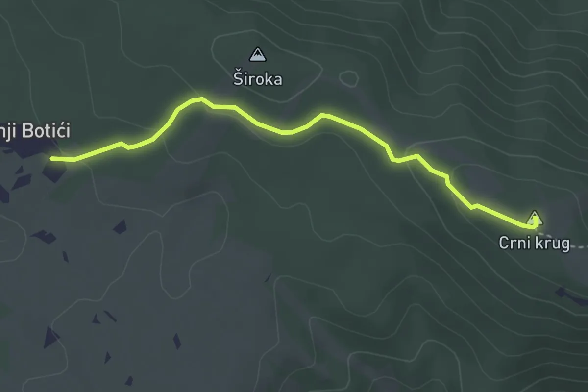
Easy · Summit
Labin - Crni krug
3.5 km · ↑ 103 m · 1 h 3 min
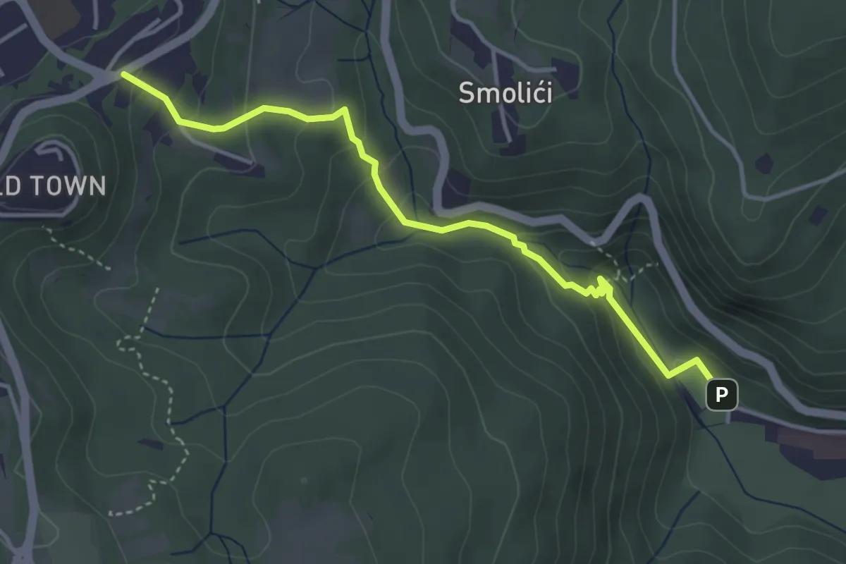
Easy · Trail
Labin - Rabac
4.1 km · ↑ 232 m · 1 h 28 min
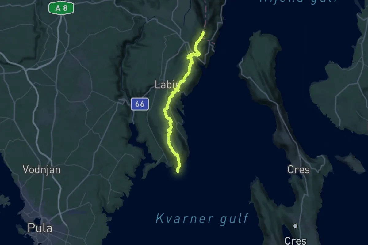
Expert · Summit
Labinski planinarski put
71.7 km · ↑ 3249 m · 23 h 58 min
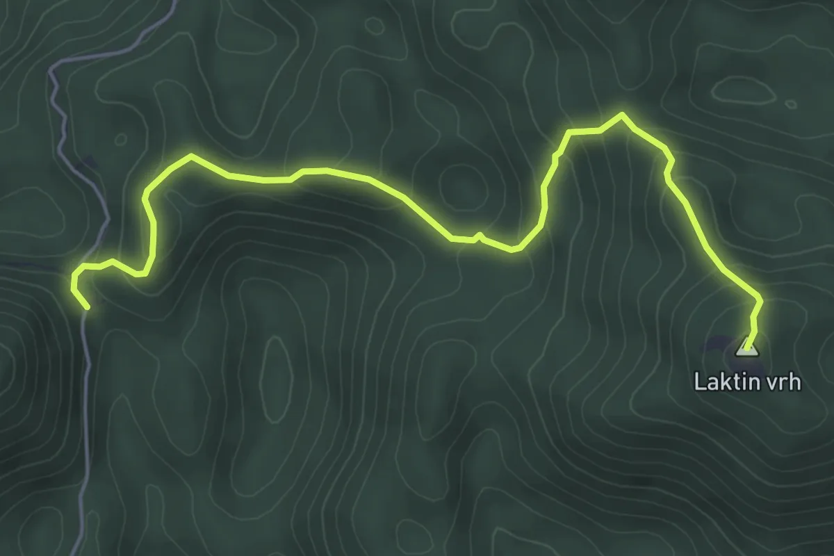
Medium · Summit
Laktin vrh
5.9 km · ↑ 387 m · 2 h 14 min