Trails in Croatia
922 hiking trails, each with its route, climb, walking time and grade.
All trails, page 5 of 20
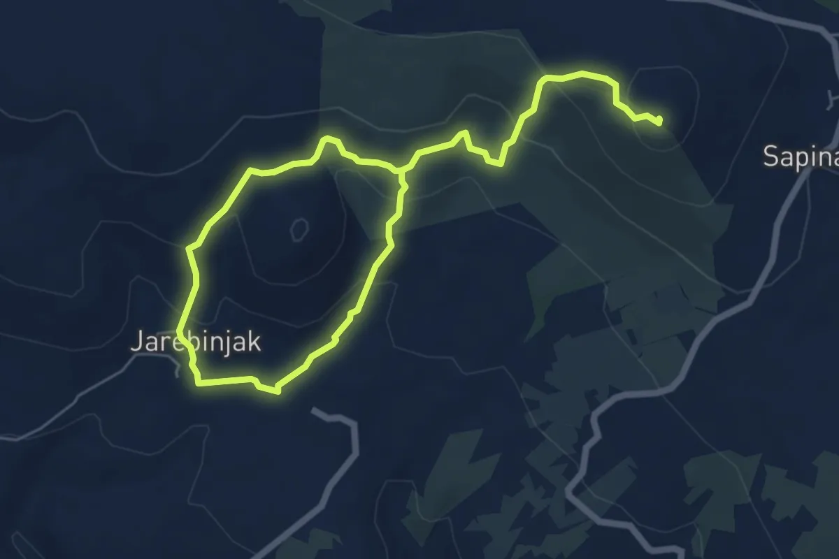
Medium · Summit
Lenik
8.8 km · ↑ 429 m · 3 h 1 min
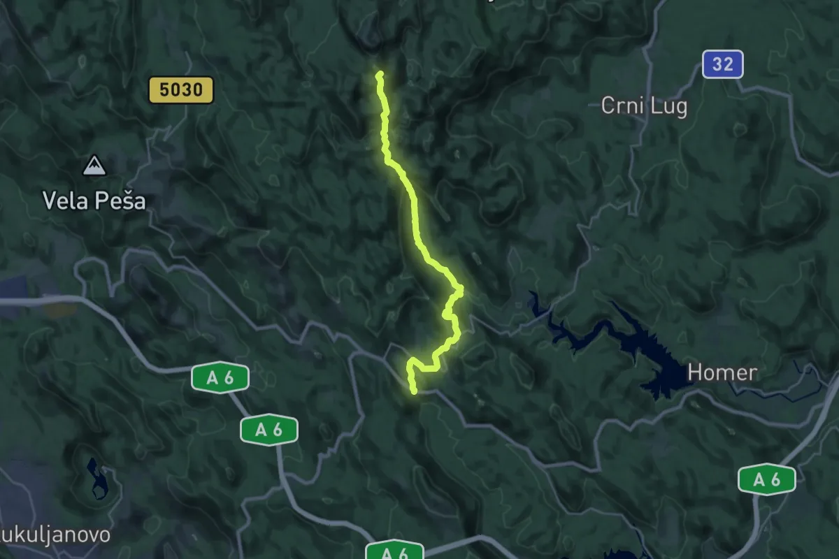
Demanding · Summit
Lepenica - Medvjeđa vrata - Risnjak
20.8 km · ↑ 994 m · 7 h 3 min
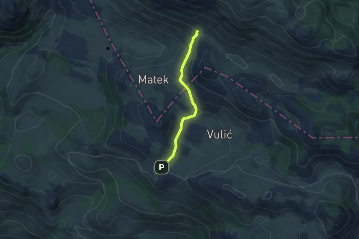
Easy · Trail
Libinjska kosa - Iza Čovika
4.4 km · ↑ 140 m · 1 h 21 min
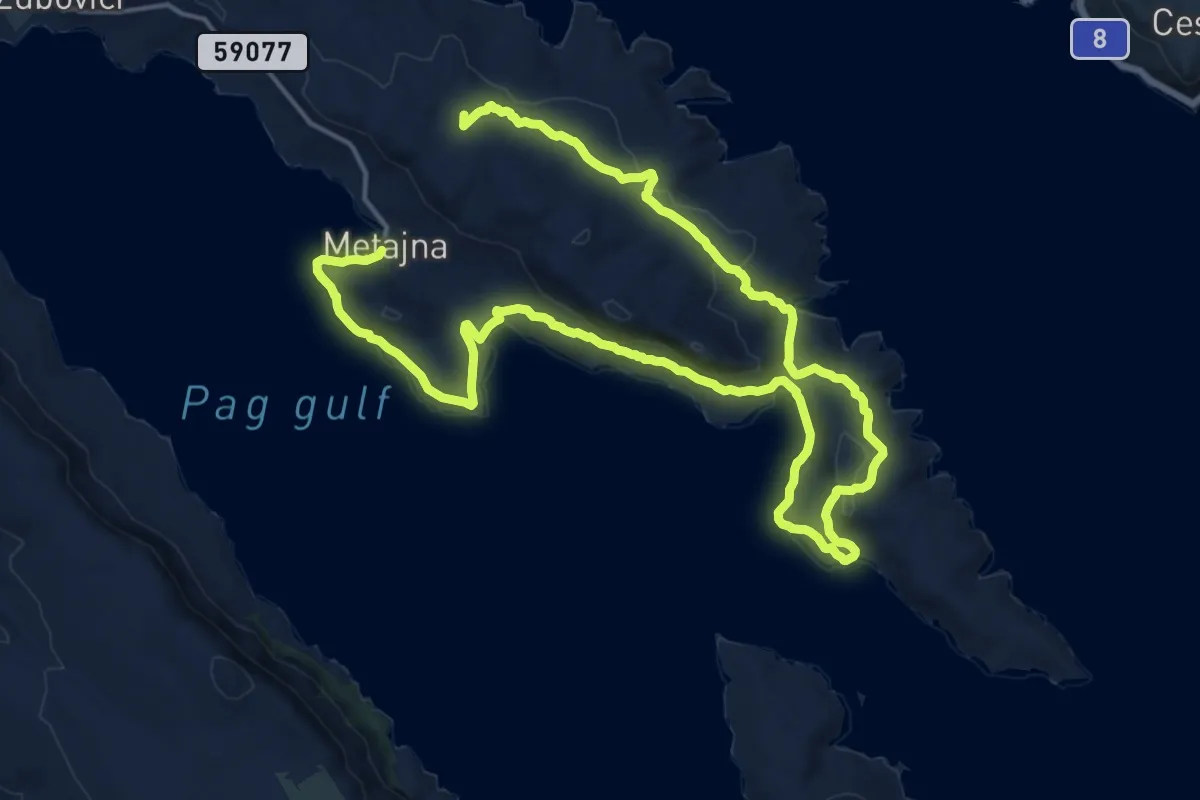
Demanding · Summit
Life on Mars Trail
28.8 km · ↑ 758 m · 8 h 27 min
Demanding · Trail
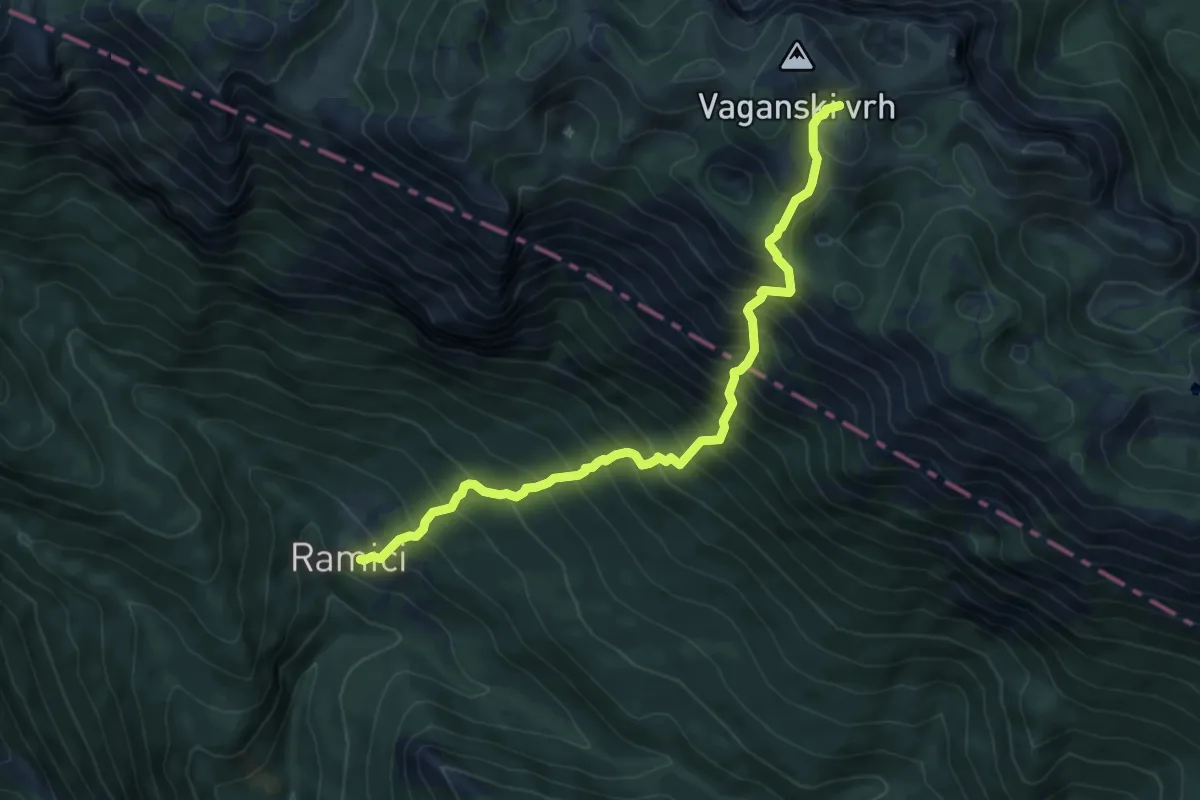
Lipa staza
7.2 km · ↑ 1113 m · 4 h 7 min
Medium · Summit
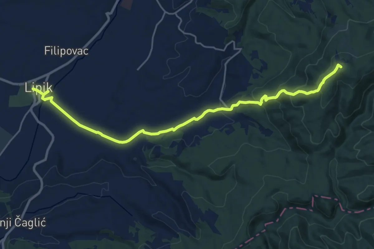
Lipik - planinarski dom Omanovac
17.3 km · ↑ 506 m · 5 h 11 min
Demanding · Summit
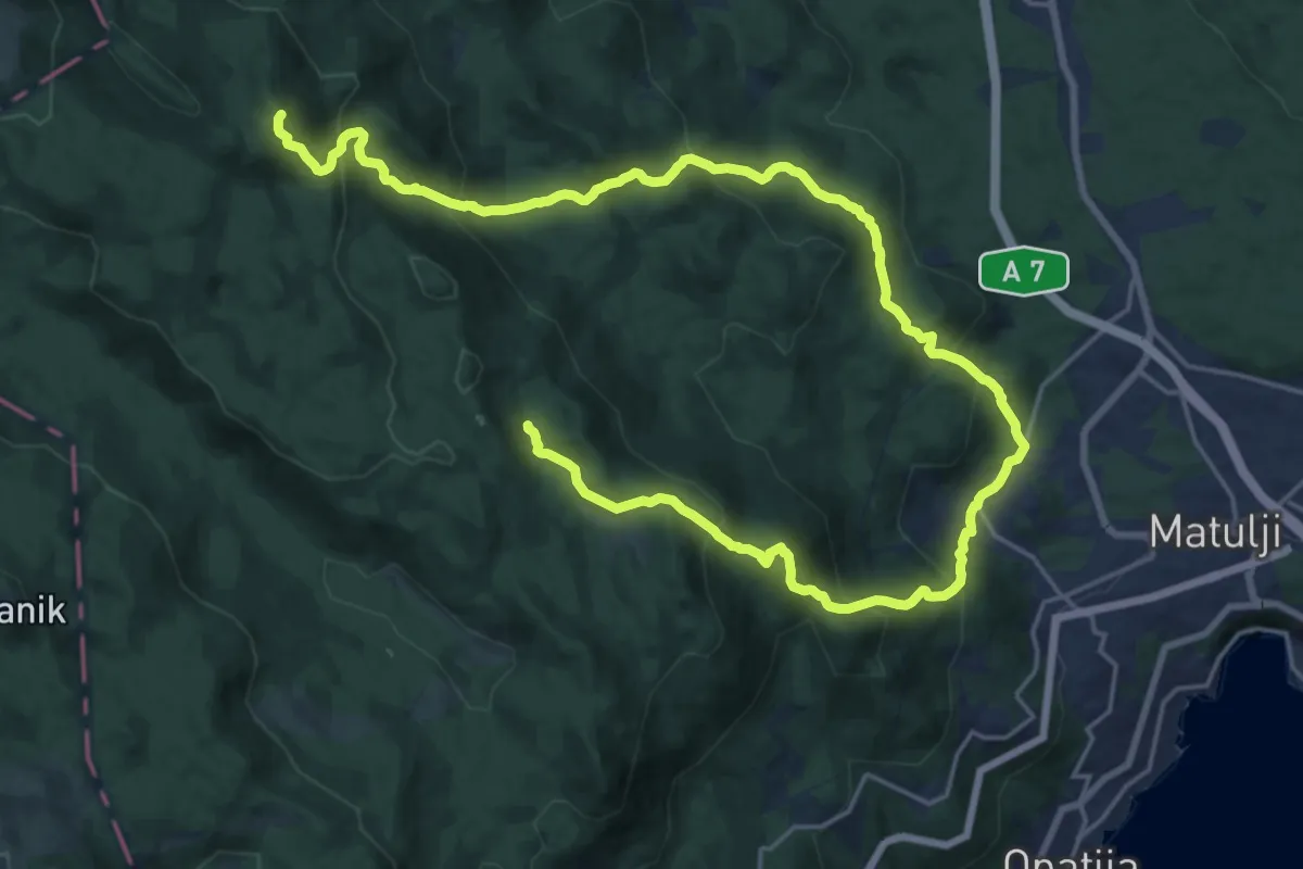
Lisinski Put
30.3 km · ↑ 1720 m · 10 h 53 min
Demanding · Summit
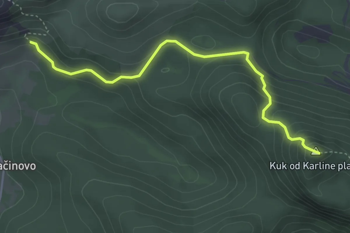
Ljubičko brdo
4.2 km · ↑ 275 m · 1 h 36 min
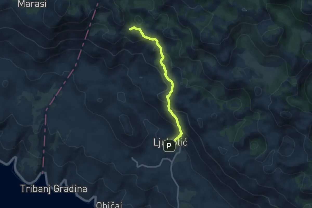
Medium · Summit
Ljubotić - Stap
6.8 km · ↑ 428 m · 2 h 32 min
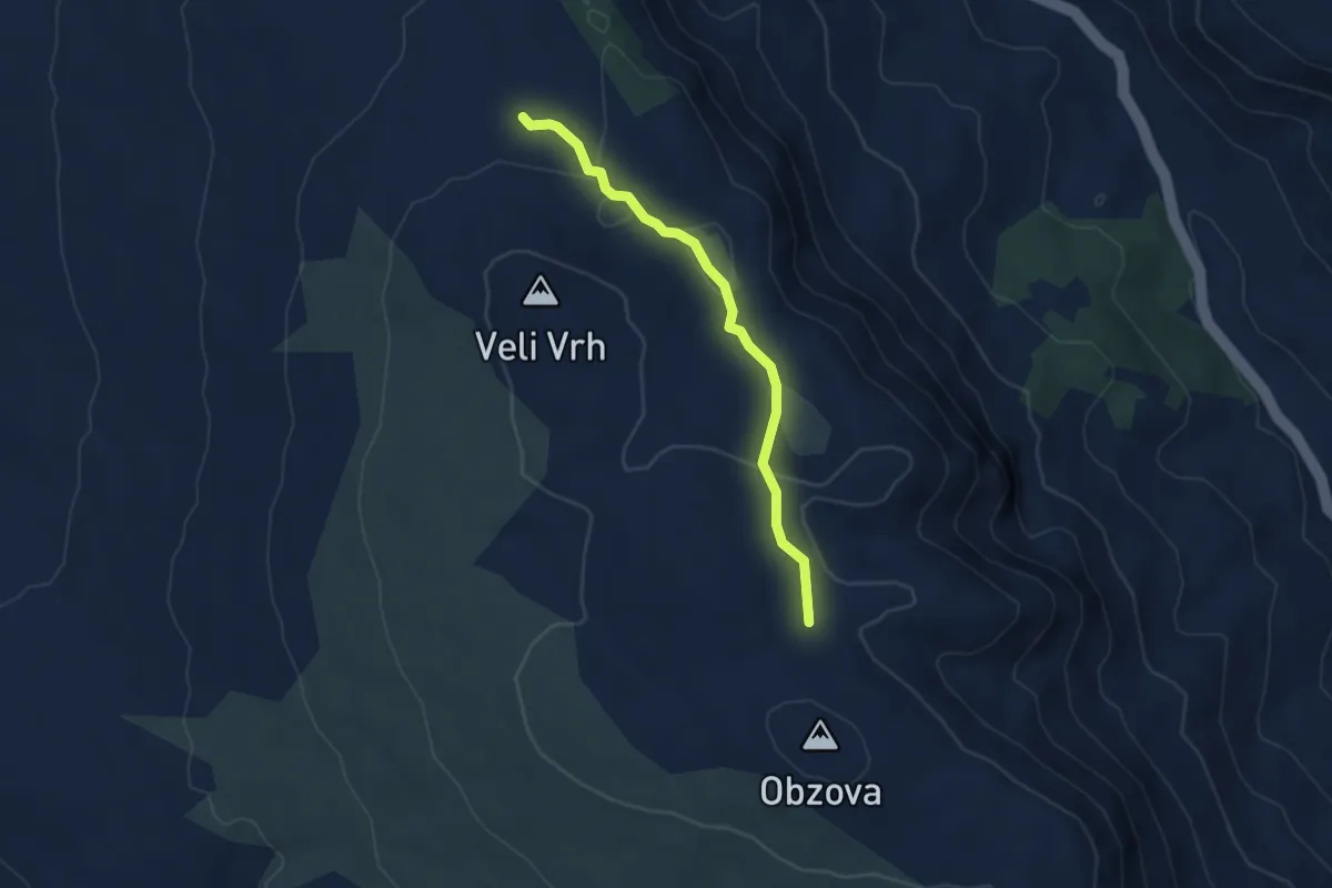
Easy · Trail
Lokva Kaljužina - Na Plakari
4.2 km · ↑ 122 m · 1 h 15 min
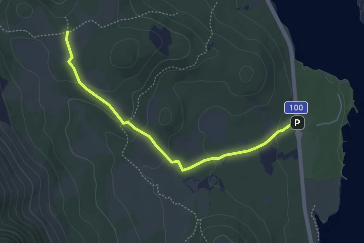
Medium · Trail
Lopari - Trzic
4.6 km · ↑ 123 m · 1 h 21 min
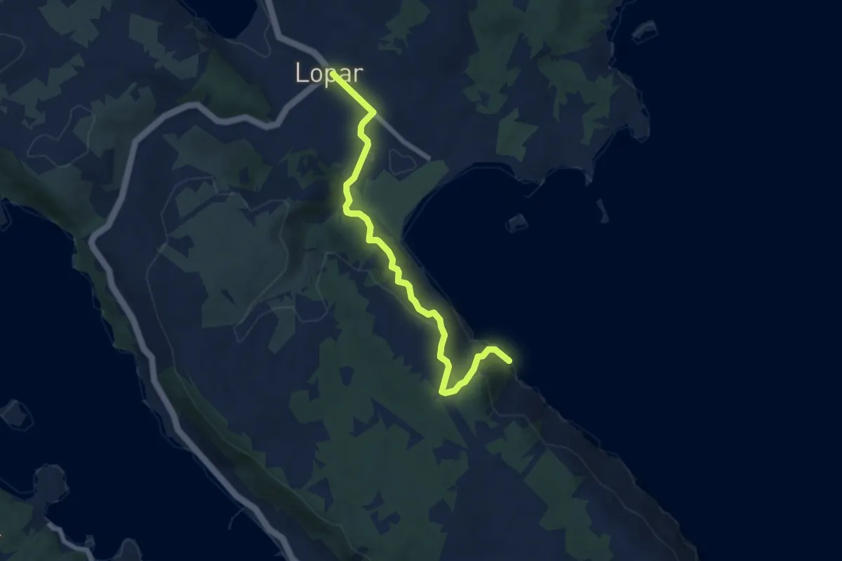
Medium · Trail
Lopar to Medova Buža
6.6 km · ↑ 341 m · 2 h 17 min
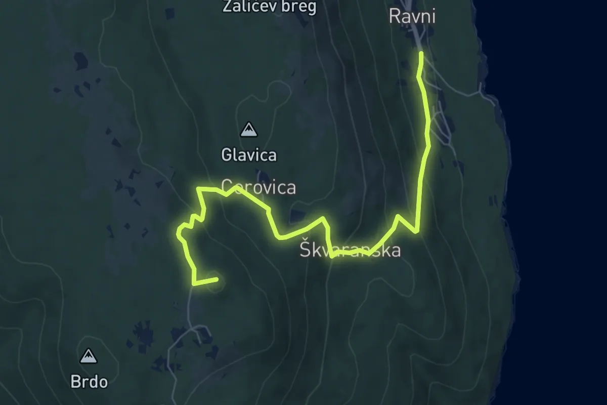
Medium · Summit
LPP alternative between Skitača and Drenje
7.9 km · ↑ 392 m · 2 h 43 min
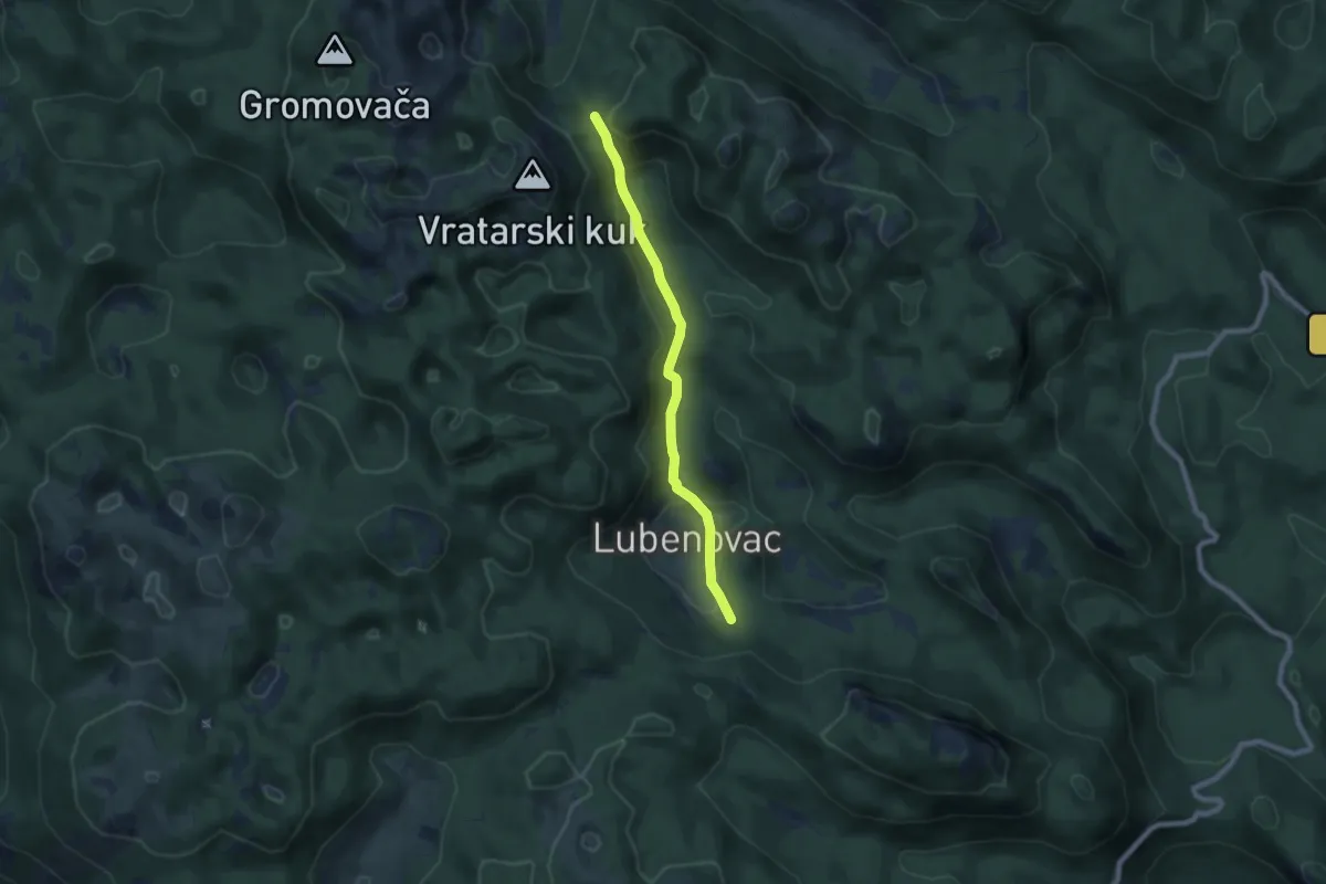
Medium · Trail
Lubenovačka vrata - Veliki Lubenovac
7.1 km · ↑ 360 m · 2 h 27 min
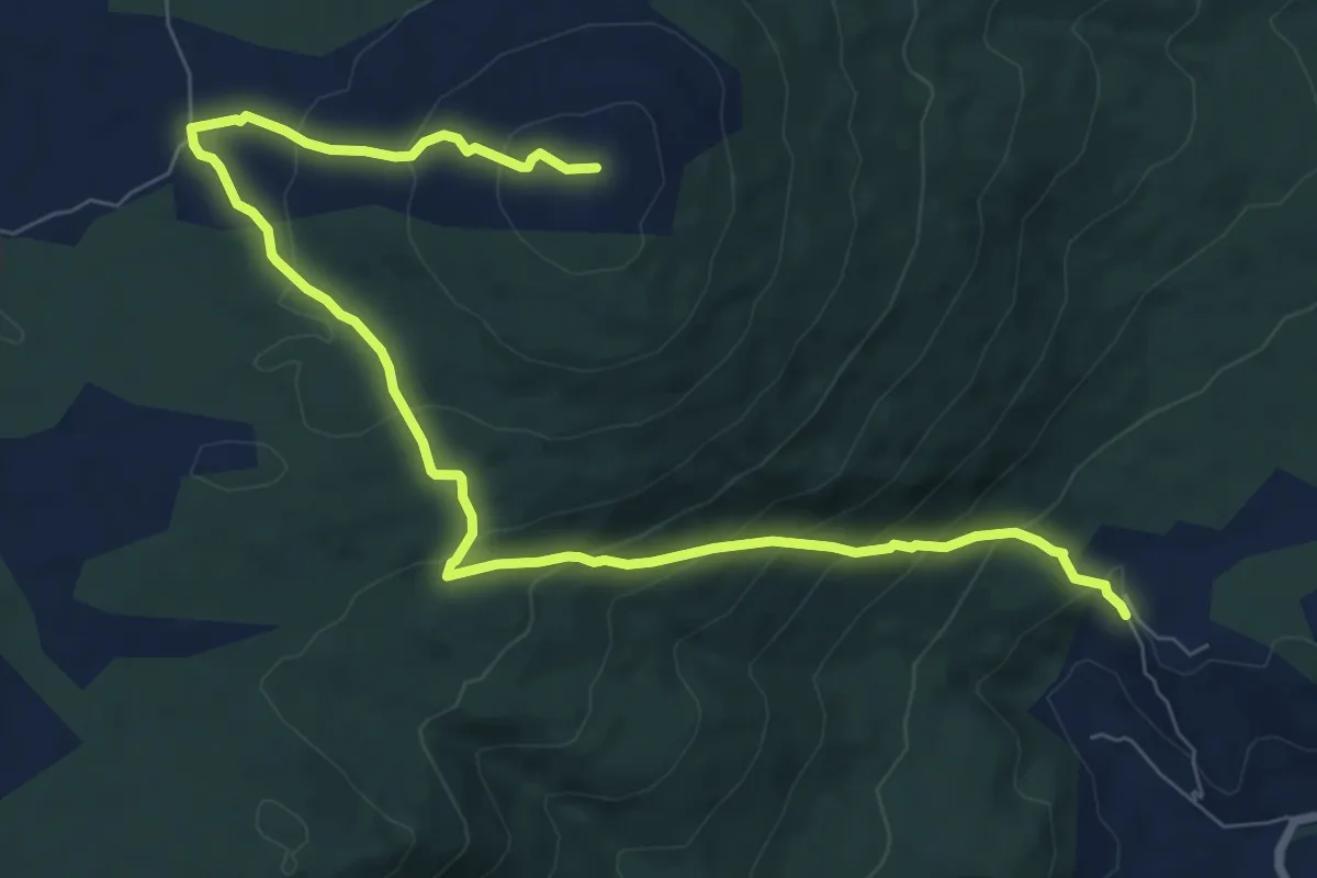
Medium · Summit
Lučane-Zelovo-Plišivica
10.4 km · ↑ 600 m · 3 h 46 min
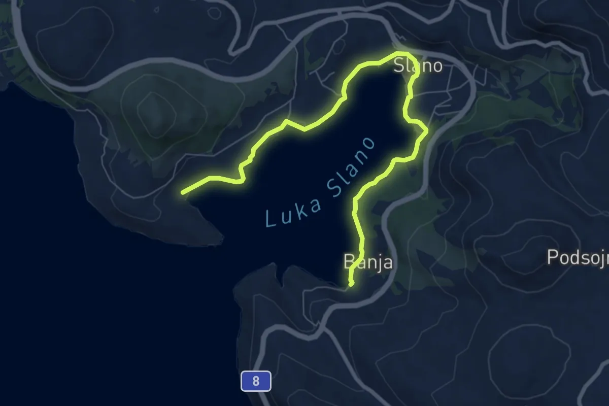
Medium · Trail
Lungomare
8.7 km · ↑ 81 m · 2 h 13 min
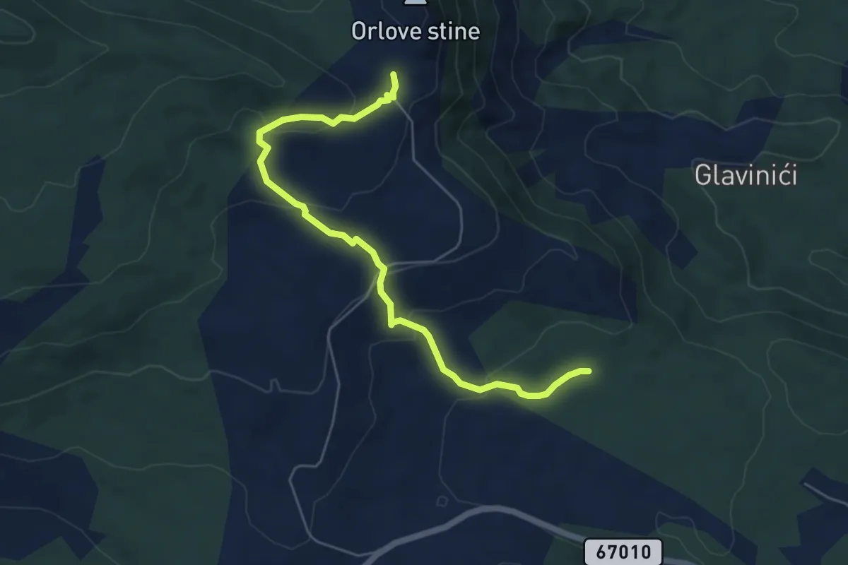
Easy · Cabin
MačkovecZelovskiGaji
6.0 km · ↑ 304 m · 2 h 5 min
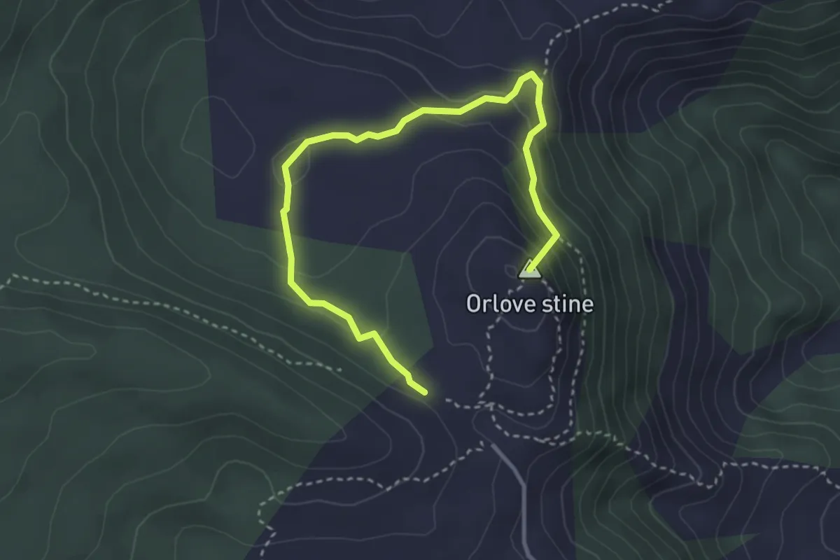
Medium · Summit
Mačkula
4.1 km · ↑ 238 m · 1 h 29 min
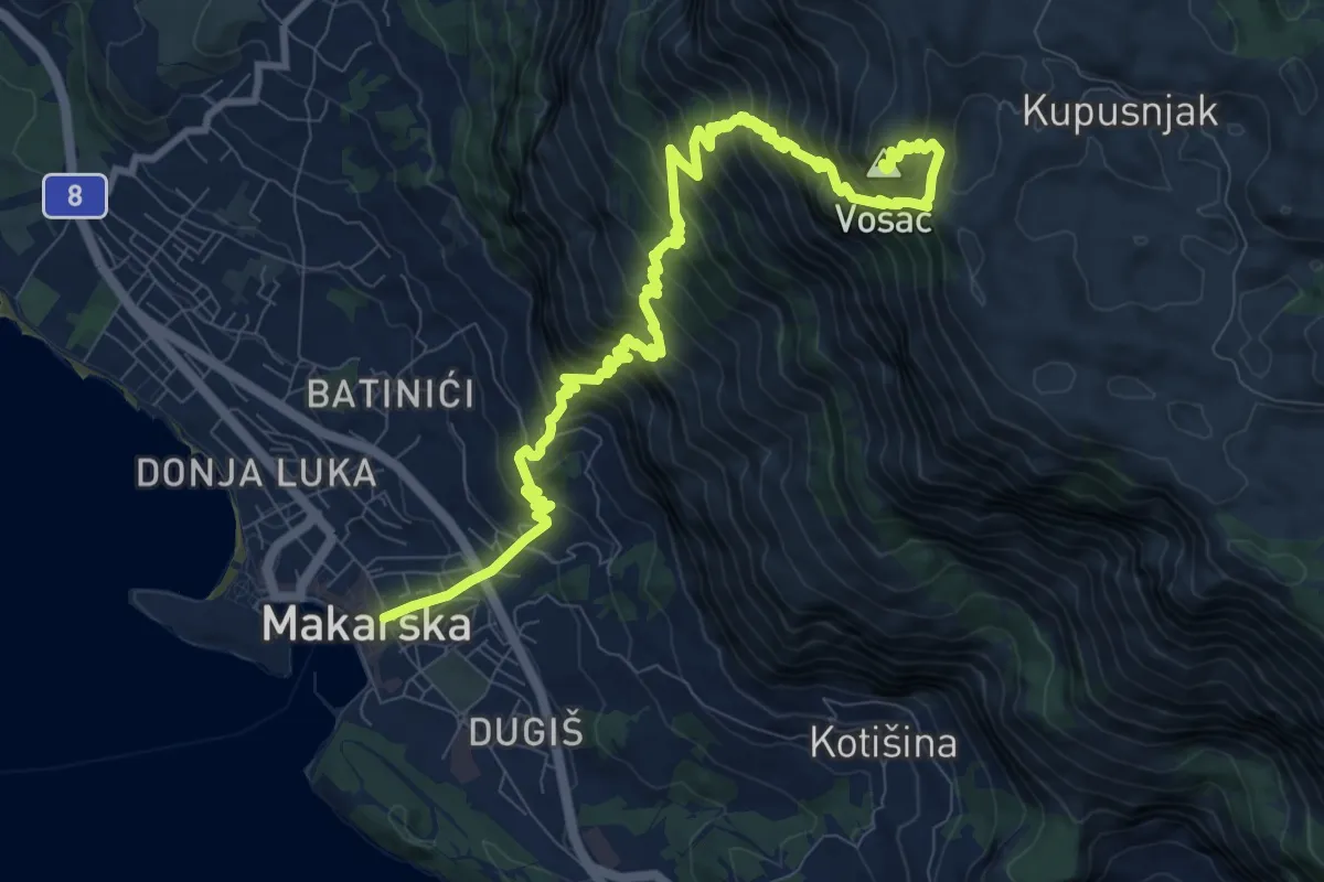
Demanding · Summit
Makarska - Vošac
13.1 km · ↑ 1454 m · 6 h 14 min
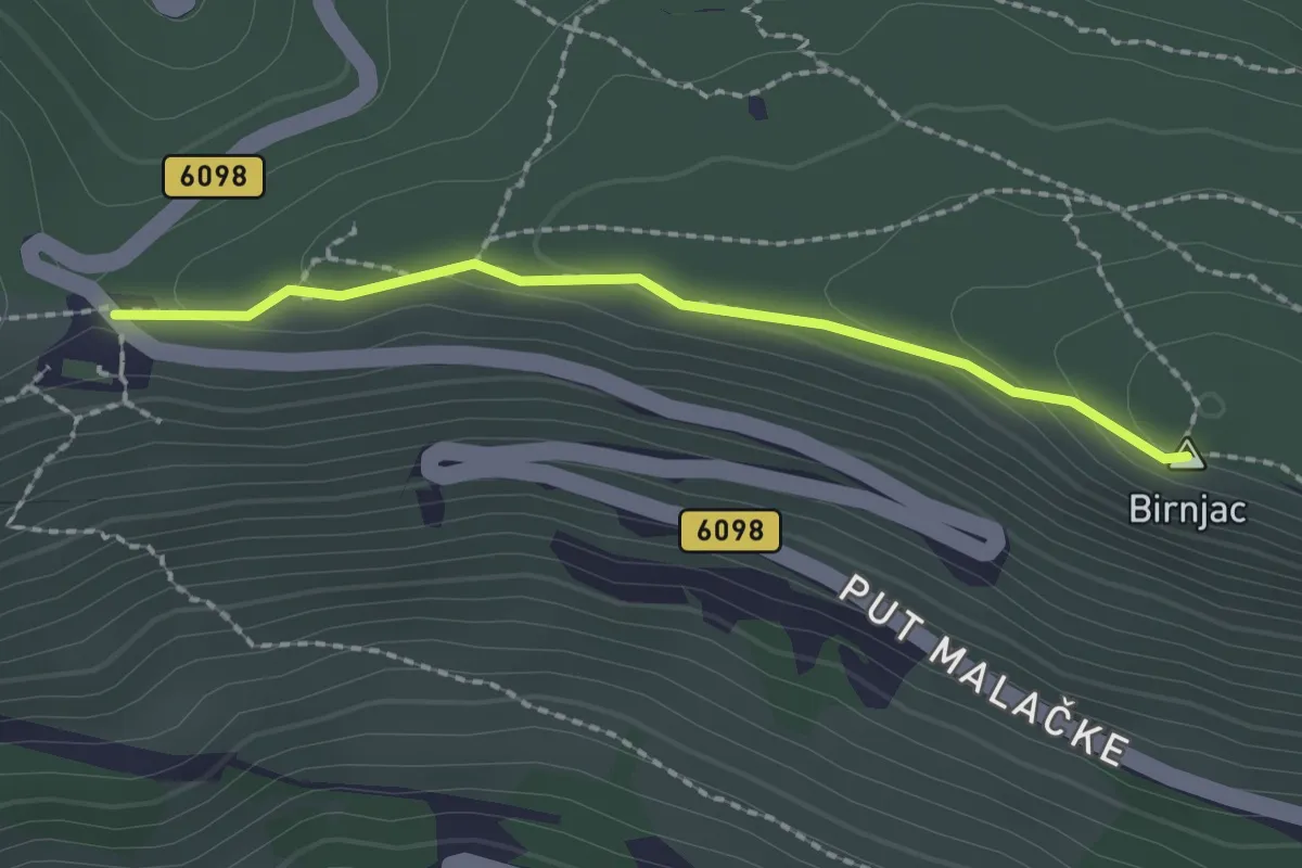
Easy · Summit
Malačka-Biranj
2.0 km · ↑ 56 m · 36 min
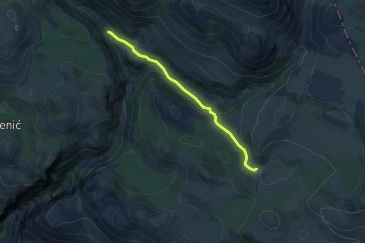
Medium · Trail
Mala Paklenica - Kneževići
5.2 km · ↑ 237 m · 1 h 45 min
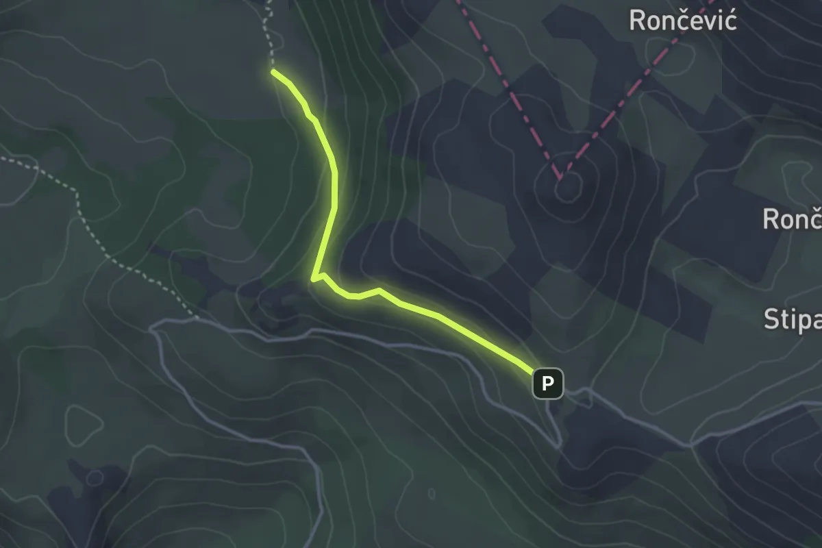
Easy · Trail
Male Libinje - Libinjska kosa
3.0 km · ↑ 123 m · 58 min
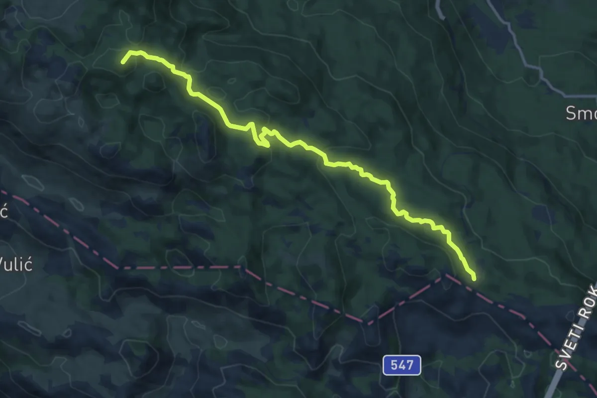
Medium · Summit
Mali Alan - Dušice
13.1 km · ↑ 451 m · 4 h 5 min
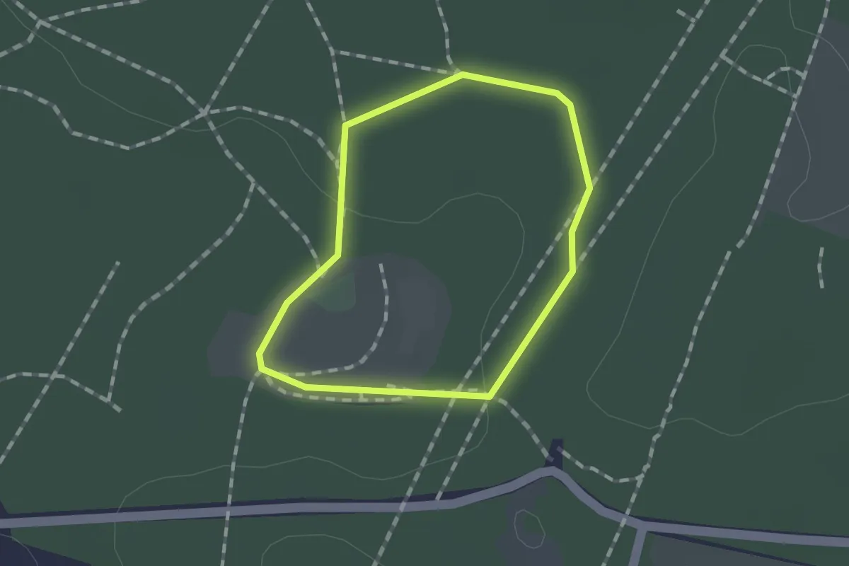
Easy · Trail
Mali princ
1.0 km · ↑ 9 m · 17 min
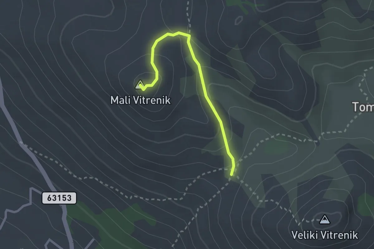
Medium · Summit
Mali Vitrenik
2.2 km · ↑ 129 m · 48 min
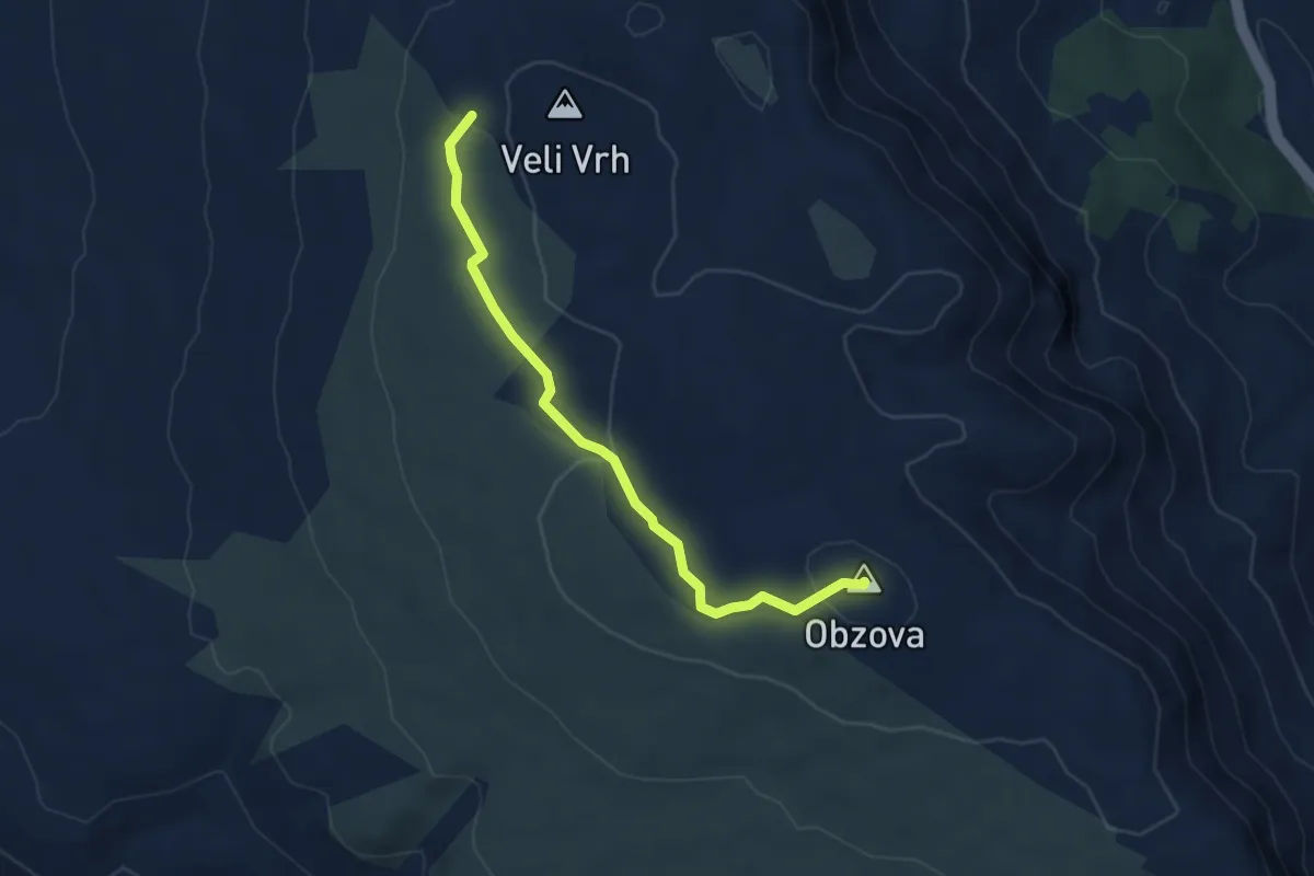
Easy · Summit
Mali Vrh - Obzova
4.7 km · ↑ 130 m · 1 h 23 min
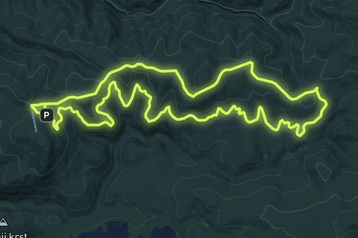
Medium · Cabin
Mali Ždral 2017
13.8 km · ↑ 507 m · 4 h 33 min
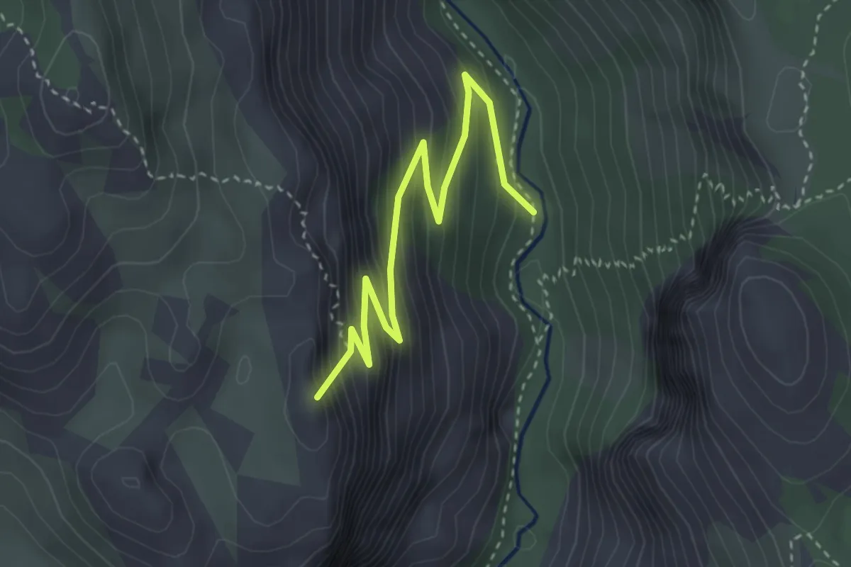
Medium · Summit
Manita peć
3.6 km · ↑ 364 m · 1 h 39 min
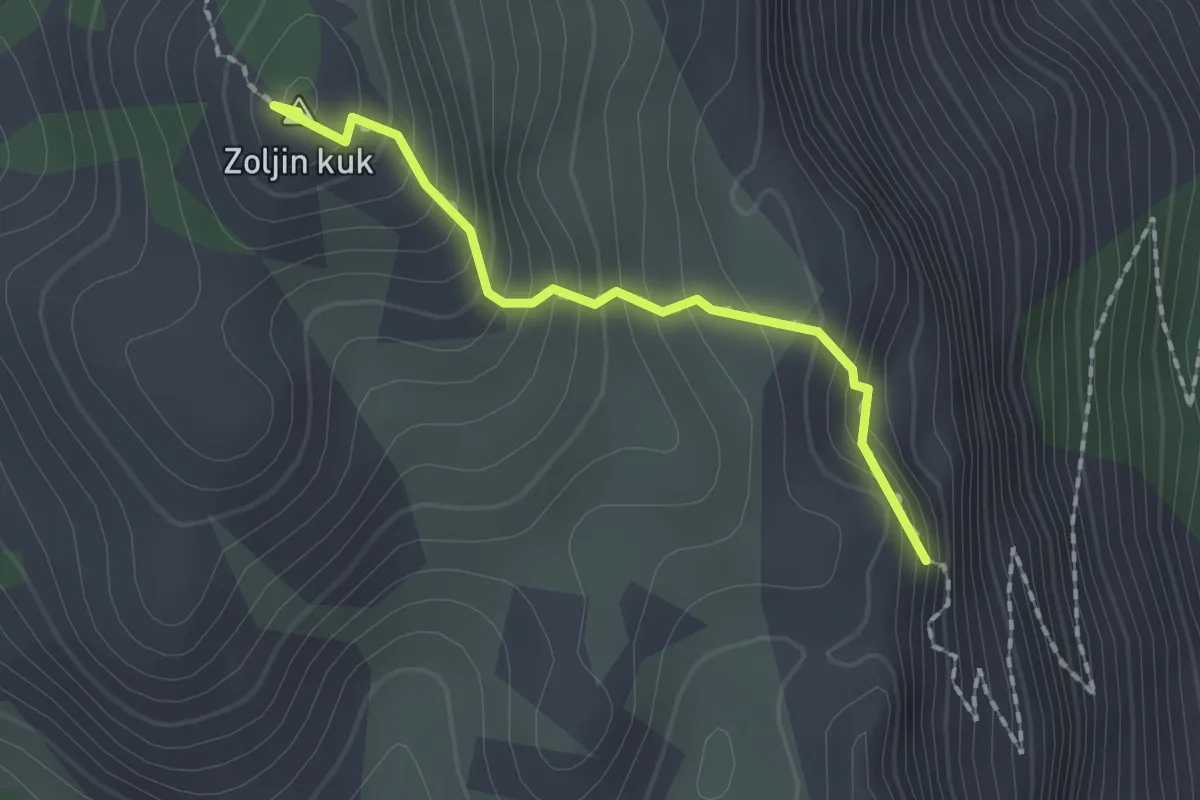
Expert · Summit
Manita peć - Vidakov kuk
1.7 km · ↑ 172 m · 46 min
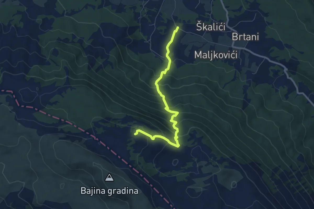
Medium · Cabin
Maovice - dom Sv. Jure
7.4 km · ↑ 495 m · 2 h 50 min
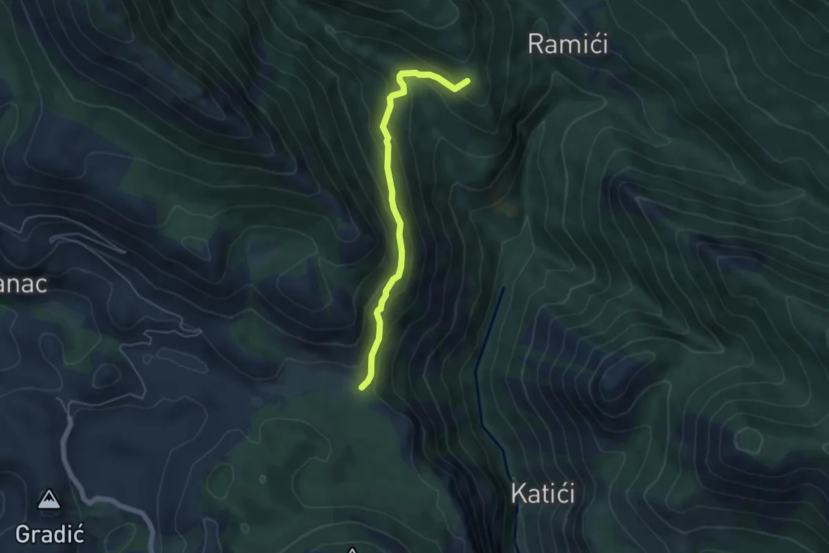
Medium · Summit
Marasovići - Kosirica
4.7 km · ↑ 364 m · 1 h 54 min
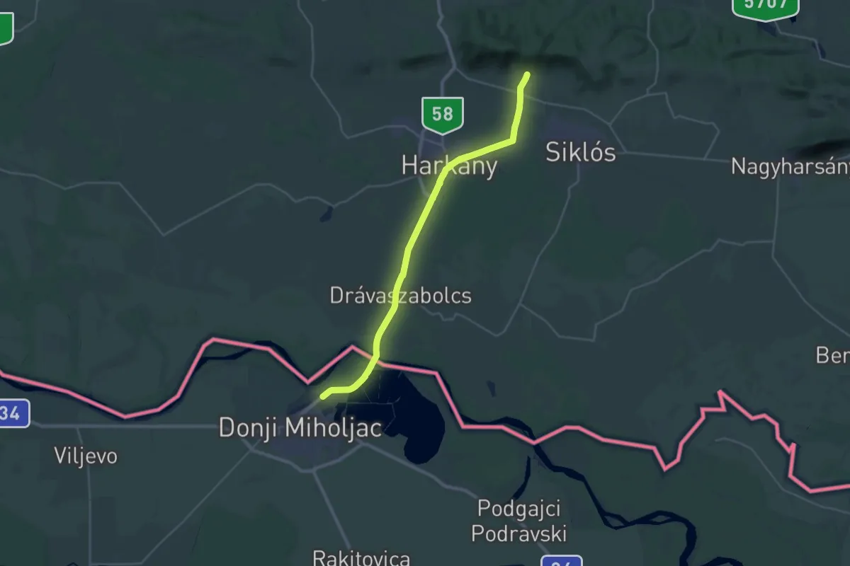
Medium · Pilgrim path
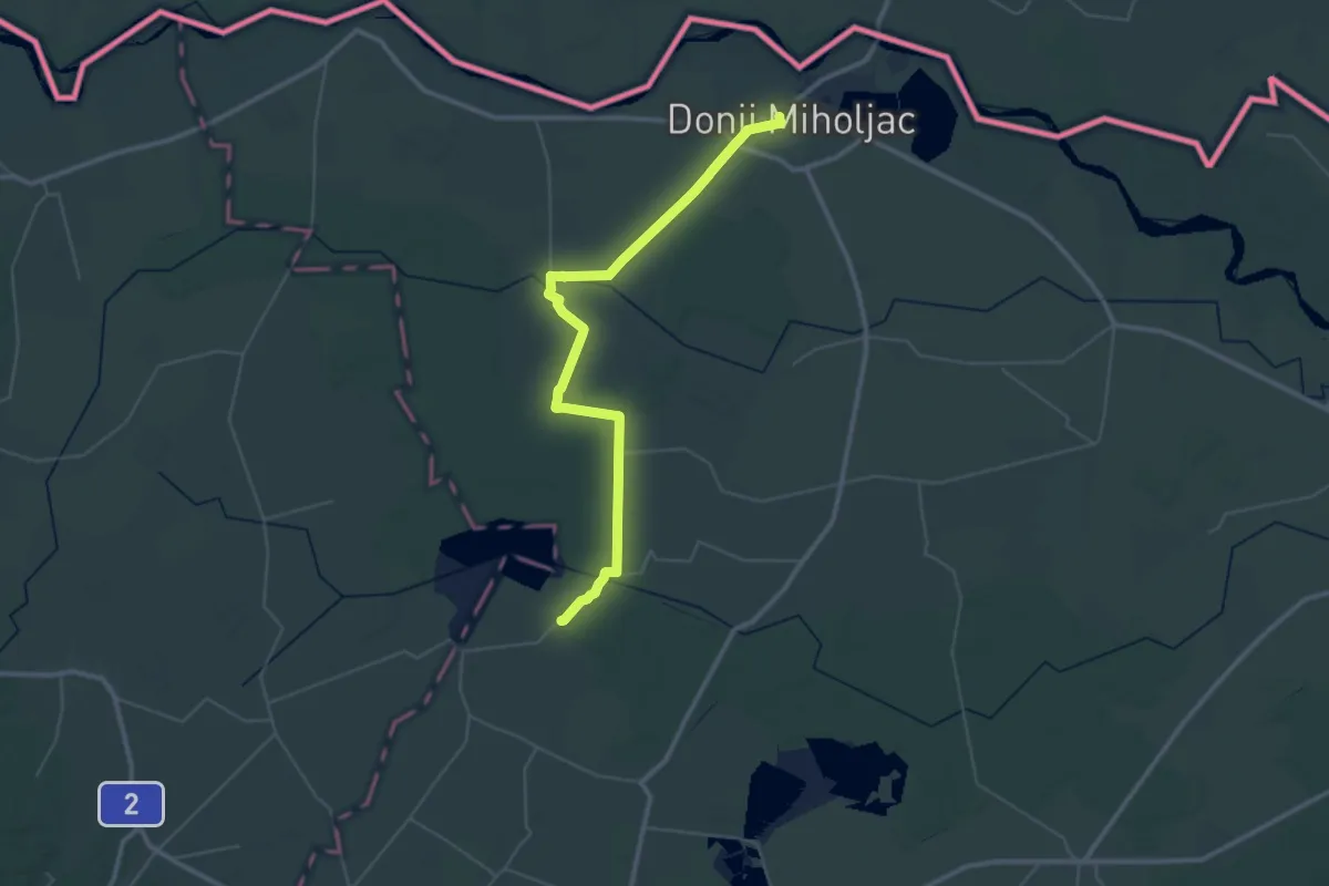
Mária-út, M02-39 (Máriagyűd – Donji Miholjac)
15.4 km · ↑ 84 m · 4 h
Demanding · Pilgrim path
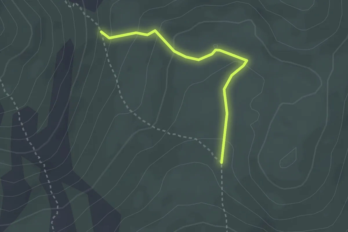
Marijin put M02/40 (Donji Miholjac-Bokšić Lug)
24.4 km · ↑ 85 m · 6 h 17 min
Demanding · Trail
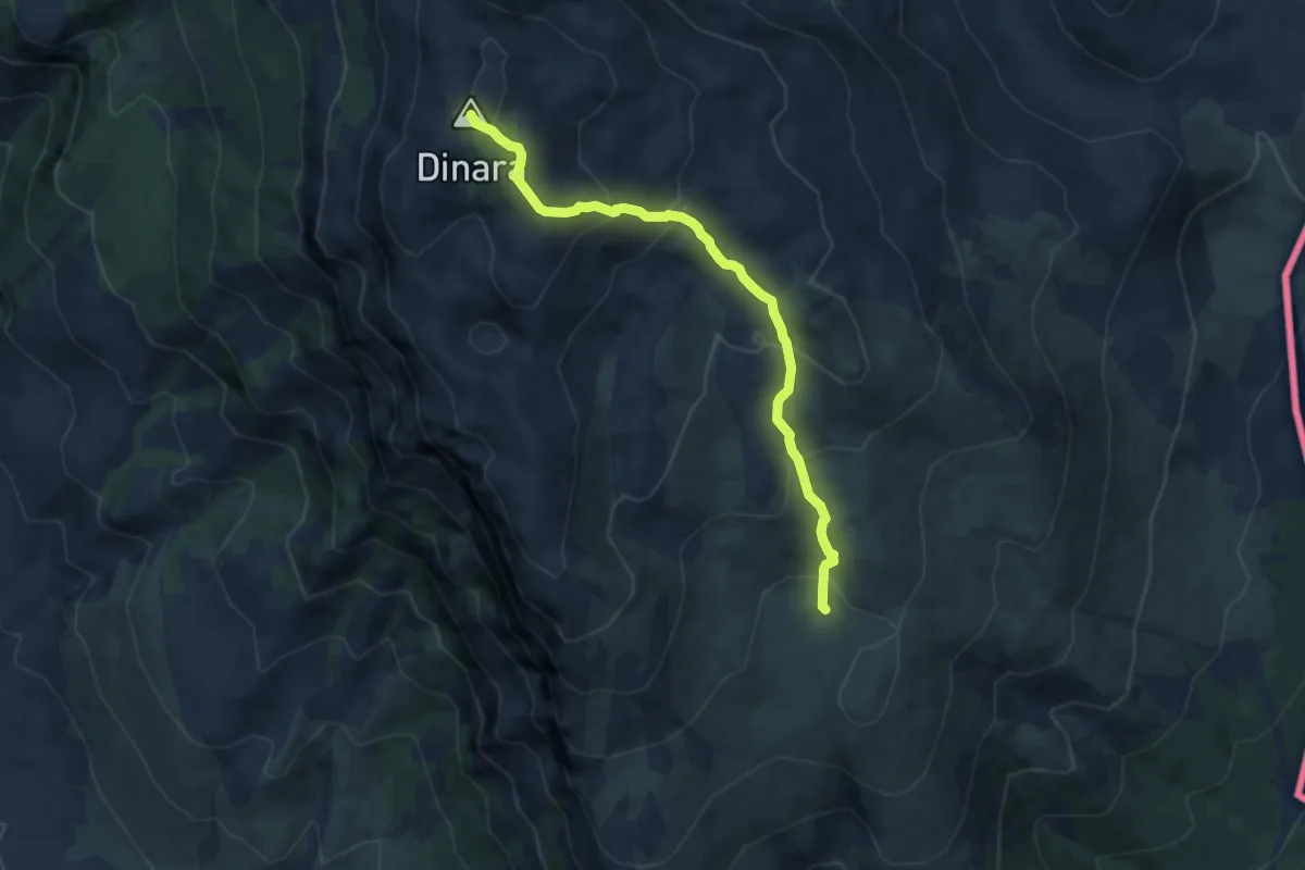
Martinove košare
2.6 km · ↑ 125 m · 53 min
Demanding · Summit
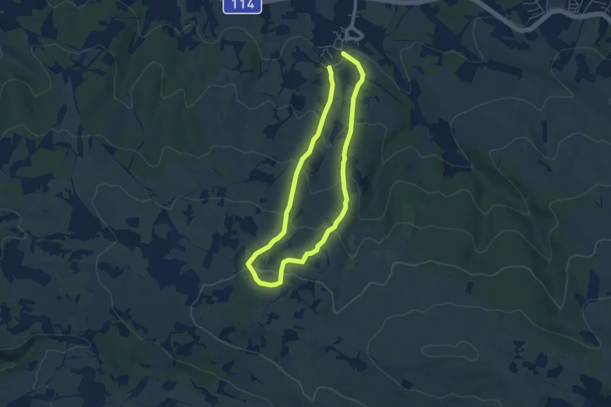
Martinove košare-Leurdovac-Dinara
7.9 km · ↑ 526 m · 3 h
Medium · Trail
Maslinovi puti
9.5 km · ↑ 424 m · 3 h 10 min
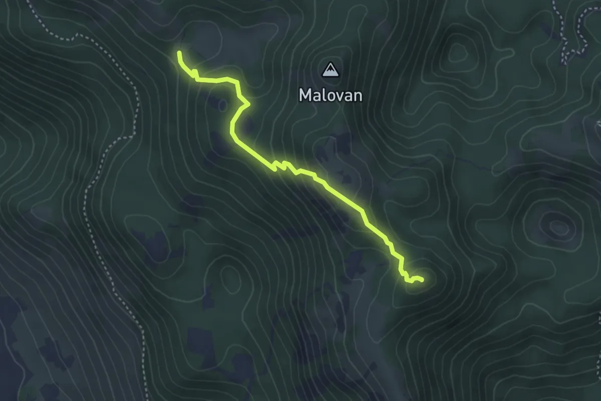
Easy · Summit
Matijević brijeg od Ograđenice
3.8 km · ↑ 245 m · 1 h 25 min
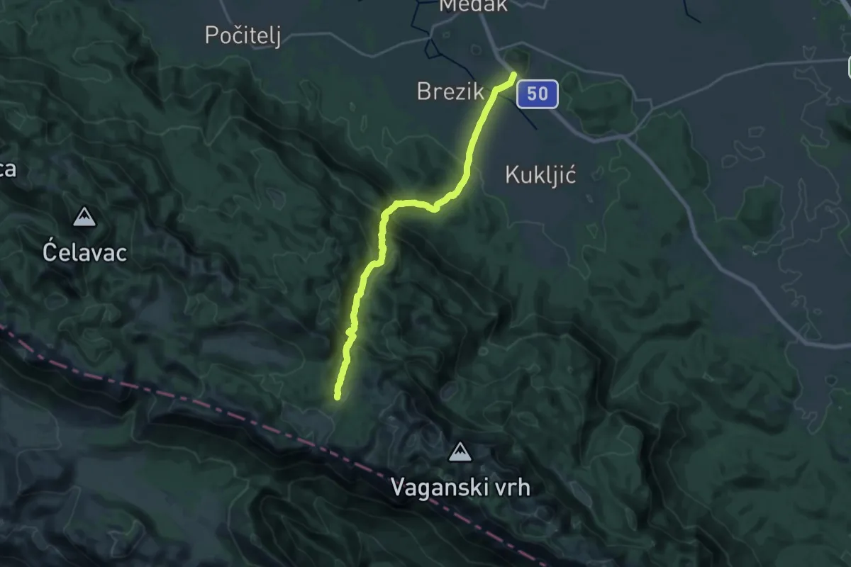
Demanding · Trail
Medak - Struge
19.1 km · ↑ 940 m · 6 h 33 min
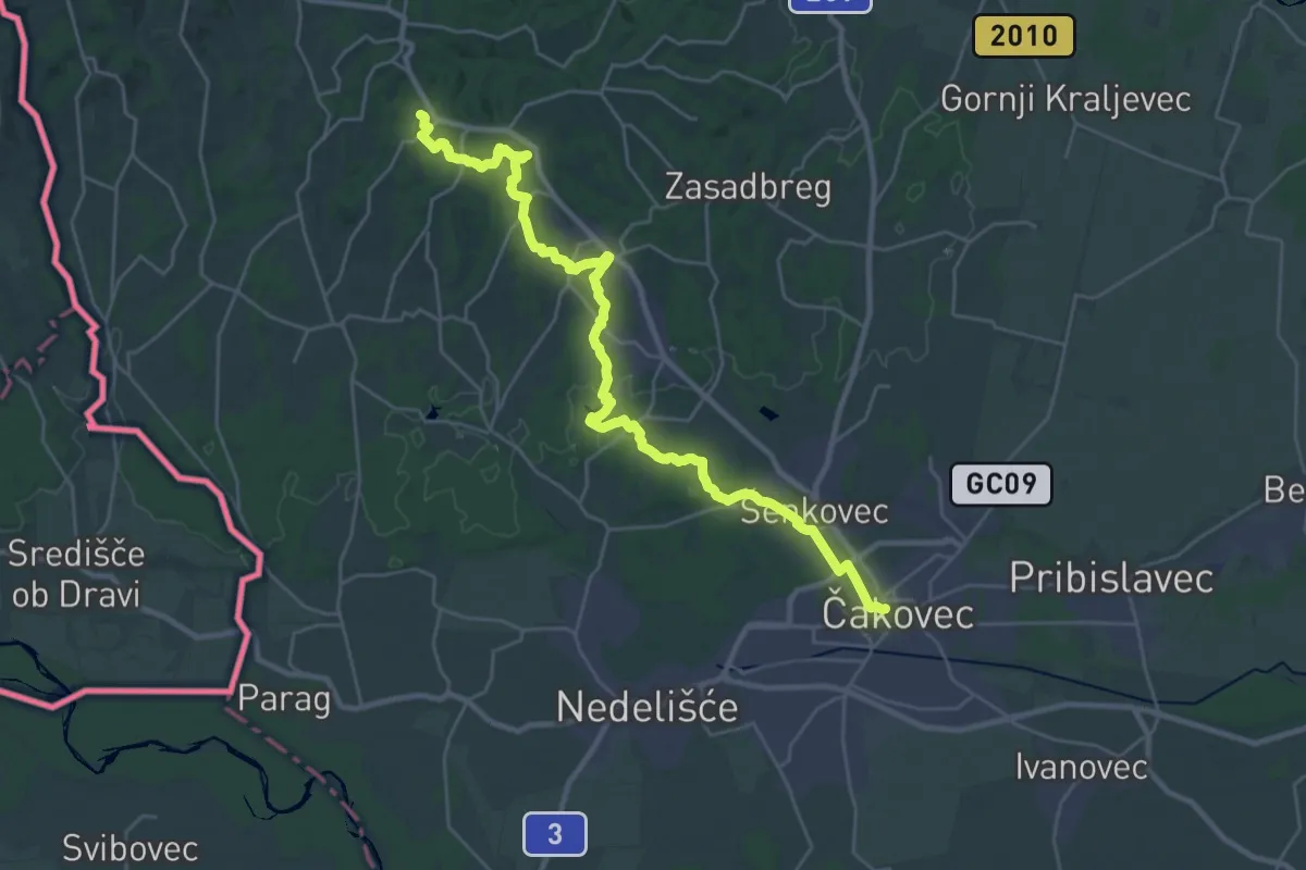
Demanding · Summit
Međimurski planinarski put - MPP PB BUNDEK Mursko Središće
31.9 km · ↑ 514 m · 8 h 39 min
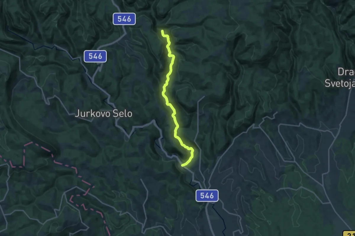
Medium · Trail
Medven draga - Brisalo
13.8 km · ↑ 346 m · 4 h 1 min
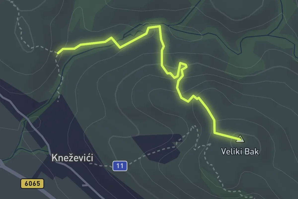
Easy · Summit
Memorijalna staza Mile Vođera
3.3 km · ↑ 202 m · 1 h 13 min
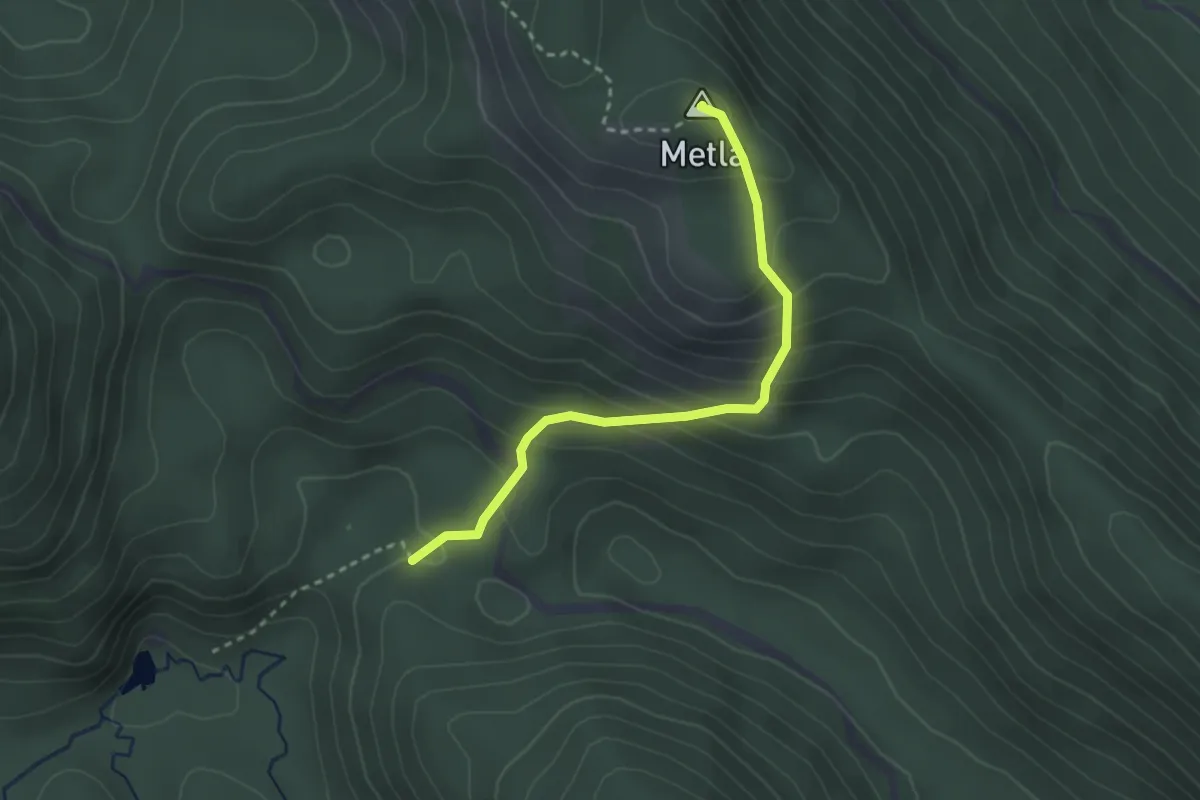
Medium · Summit
Metla iz smjera Baških Oštarija
2.8 km · ↑ 268 m · 1 h 15 min
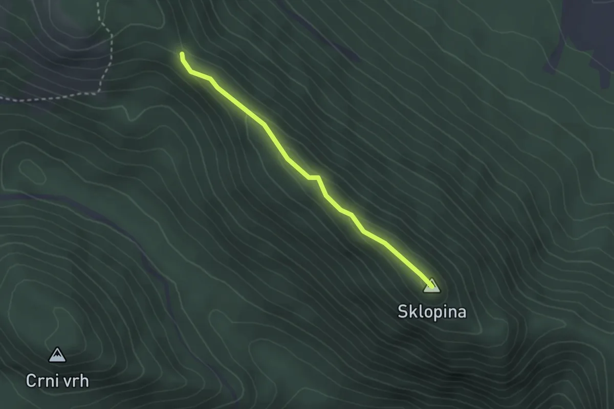
Easy · Summit
Metla - Oštri Kozjak
2.5 km · ↑ 61 m · 44 min
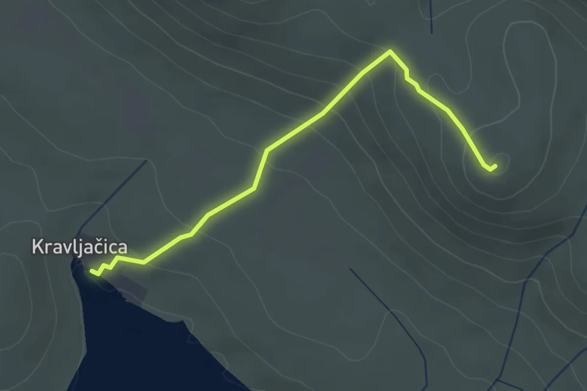
Medium · Summit
Metlina
3.4 km · ↑ 211 m · 1 h 15 min
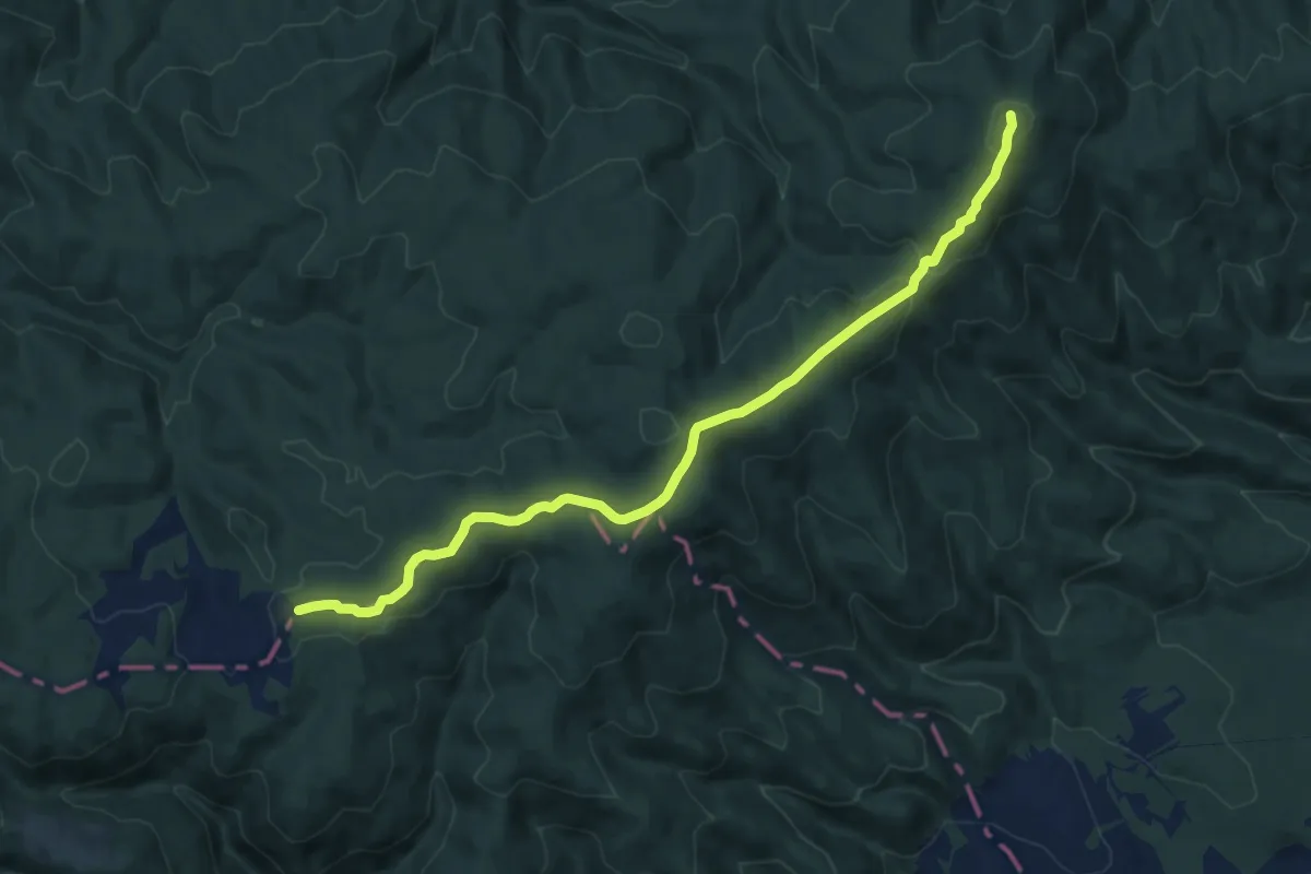
Medium · Trail
Mijači - Strmačka Humka
12.5 km · ↑ 339 m · 3 h 41 min
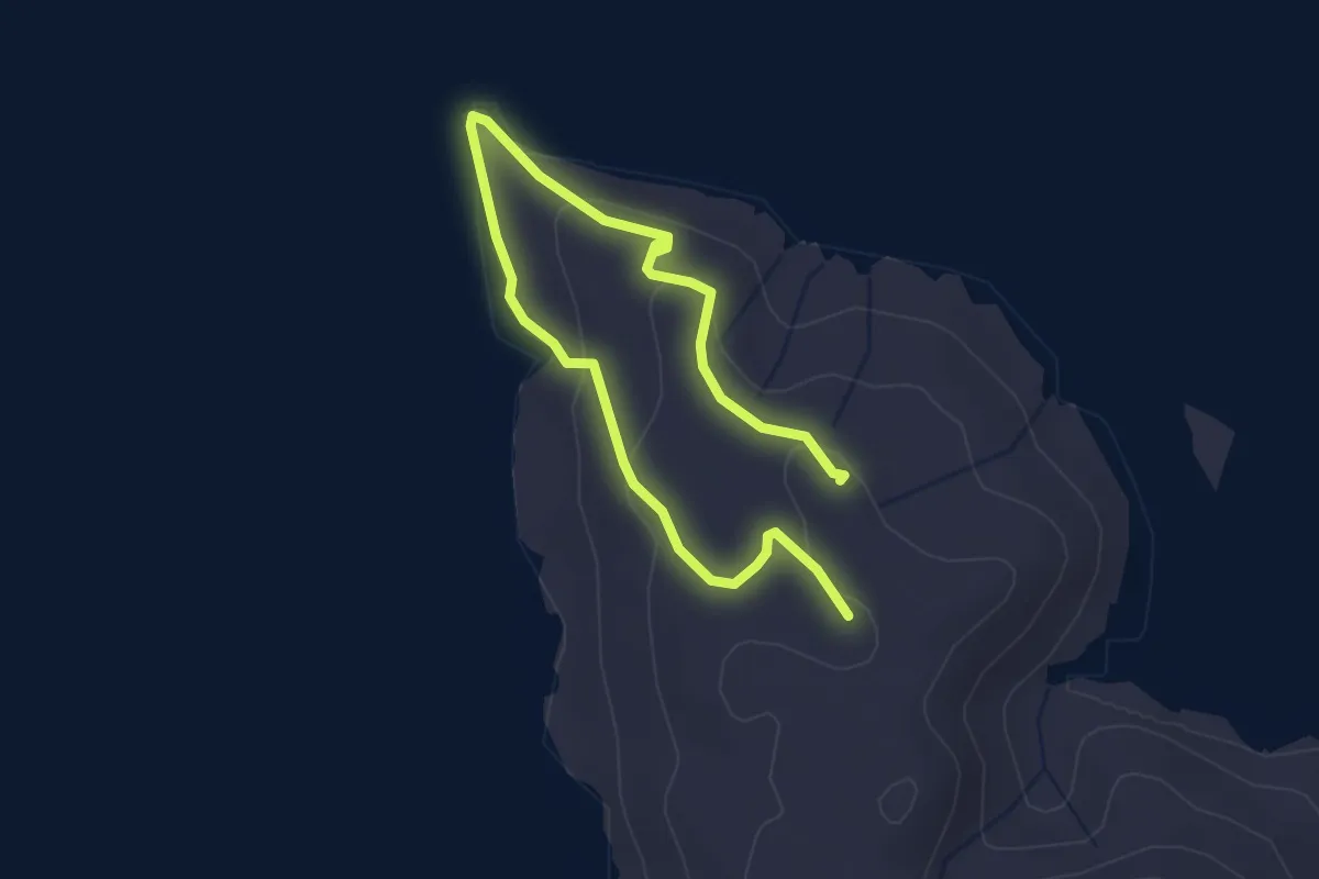
Easy · Summit
Mikula
4.3 km · ↑ 107 m · 1 h 15 min
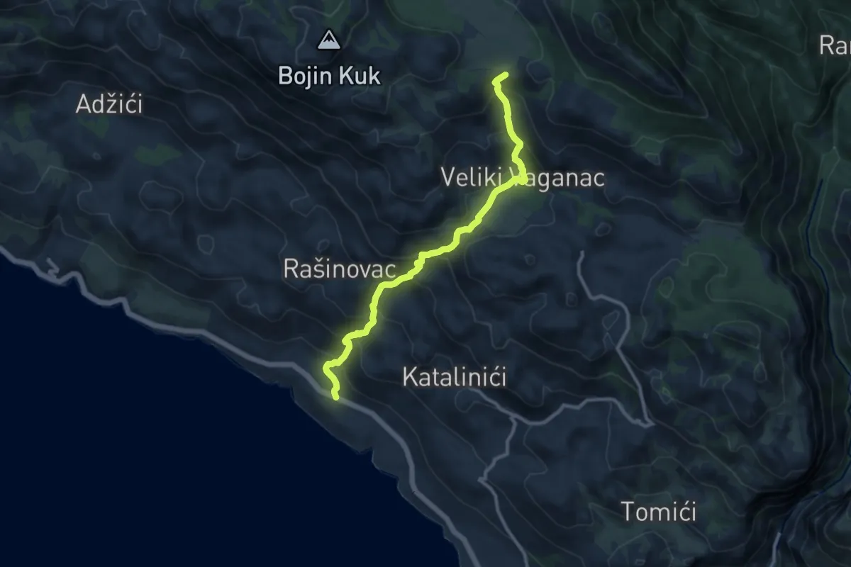
Demanding · Summit
Milovci - Veliko Rujno
9.9 km · ↑ 805 m · 4 h 5 min
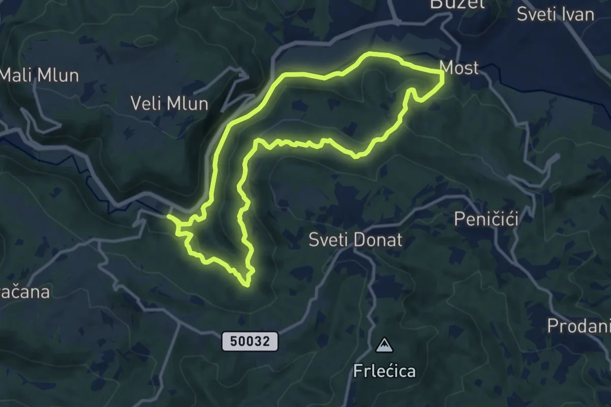
Medium · Trail
Minjera Trail
10.4 km · ↑ 306 m · 3 h 16 min