Trails in Croatia
922 hiking trails, each with its route, climb, walking time and grade.
All trails, page 6 of 20
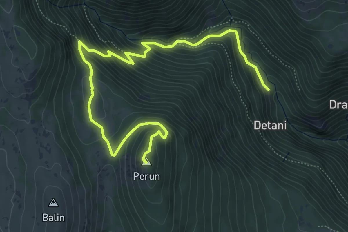
Medium · Summit
Mitsko-povijesna staza “Trebišća – Perun”
8.3 km · ↑ 563 m · 3 h 11 min
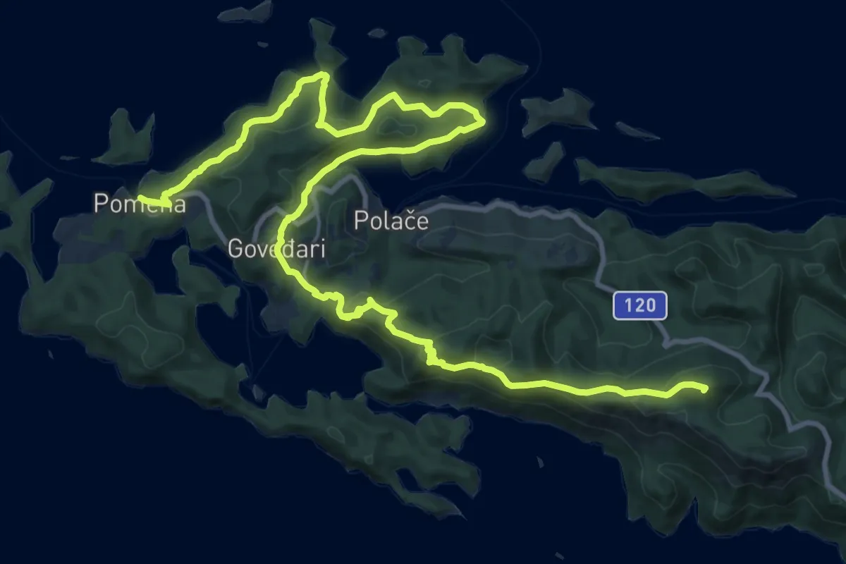
Demanding · Summit
Mljetska planinarska obilaznica
30.3 km · ↑ 1272 m · 9 h 55 min
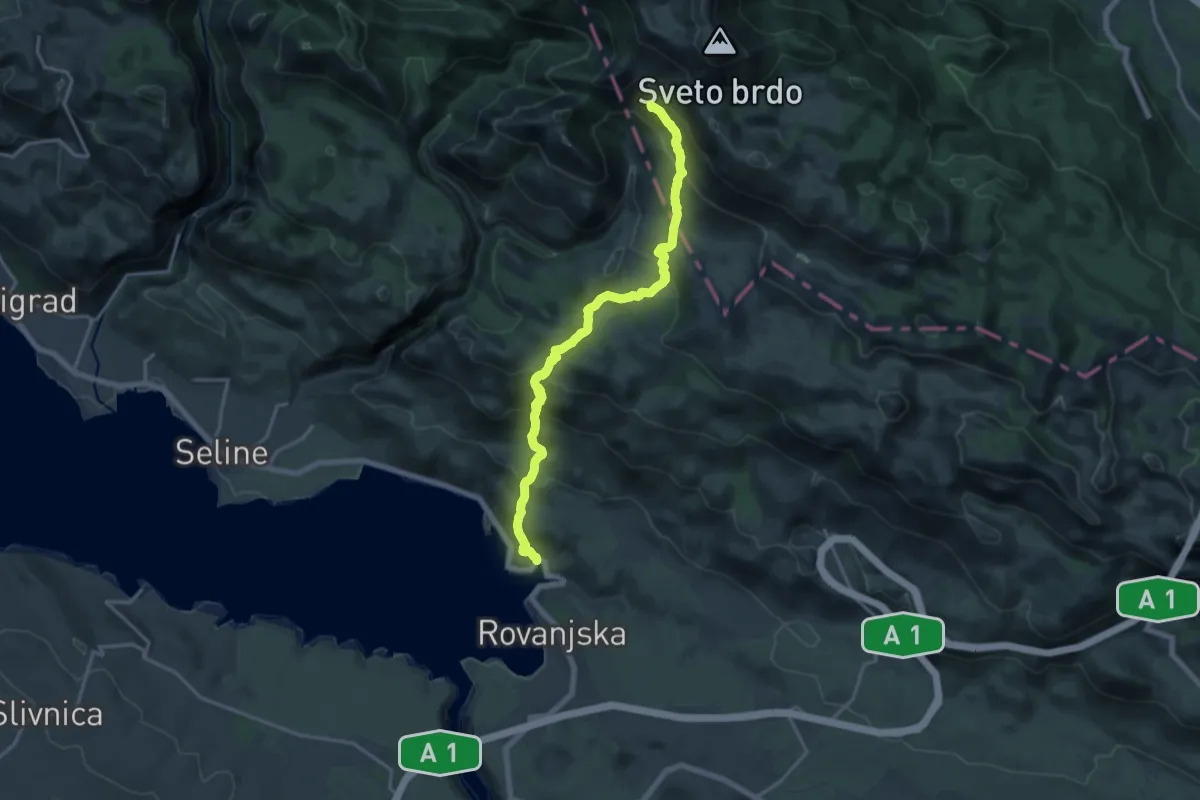
Demanding · Summit
Modrič - Vlaški Grad
18.5 km · ↑ 1130 m · 6 h 49 min
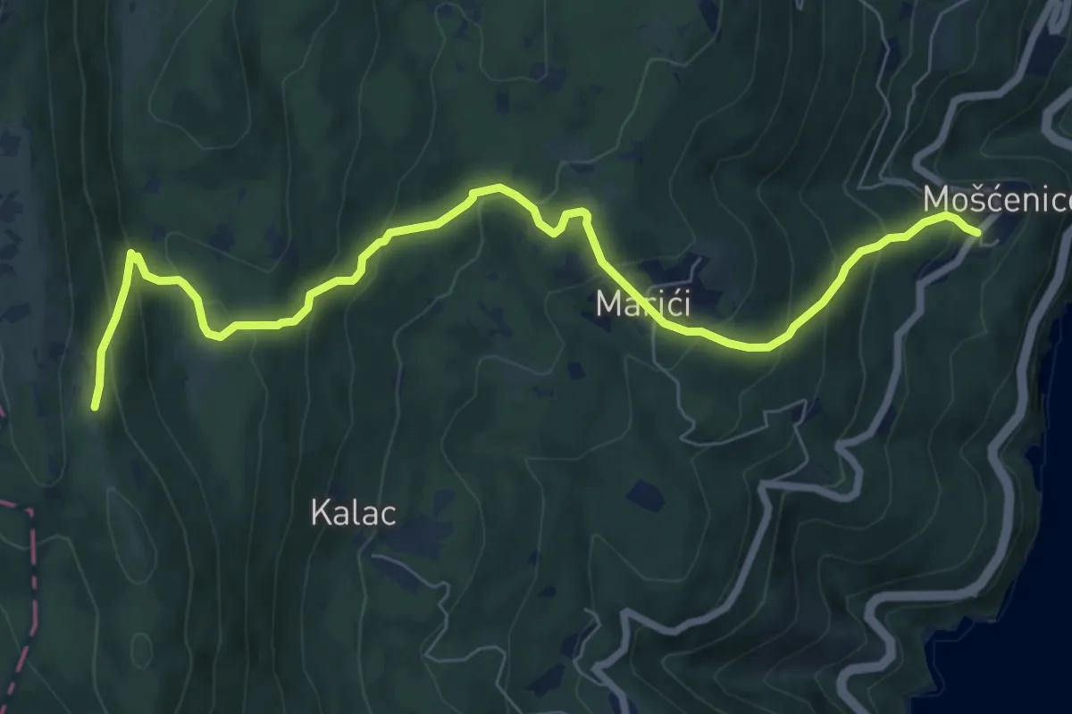
Medium · Trail
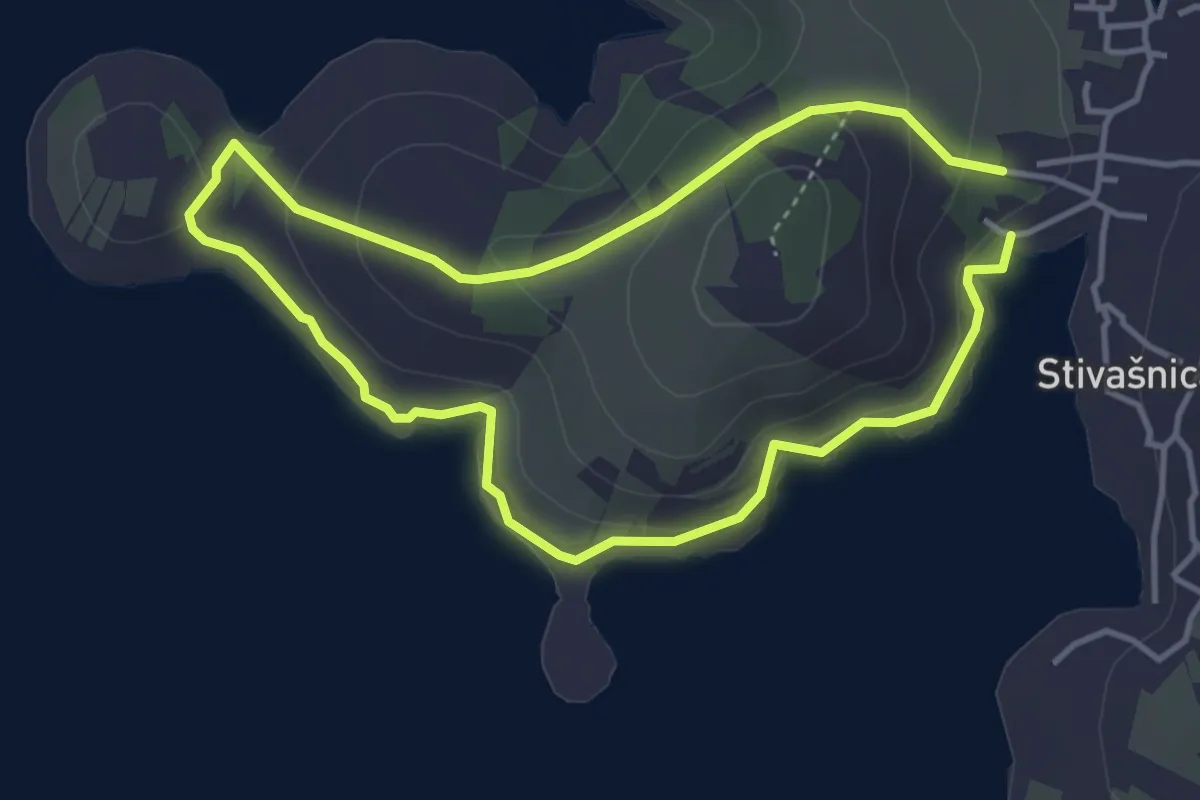
Mošćenice-Kremenjak/Brgud
8.7 km · ↑ 607 m · 3 h 22 min
Easy · Trail
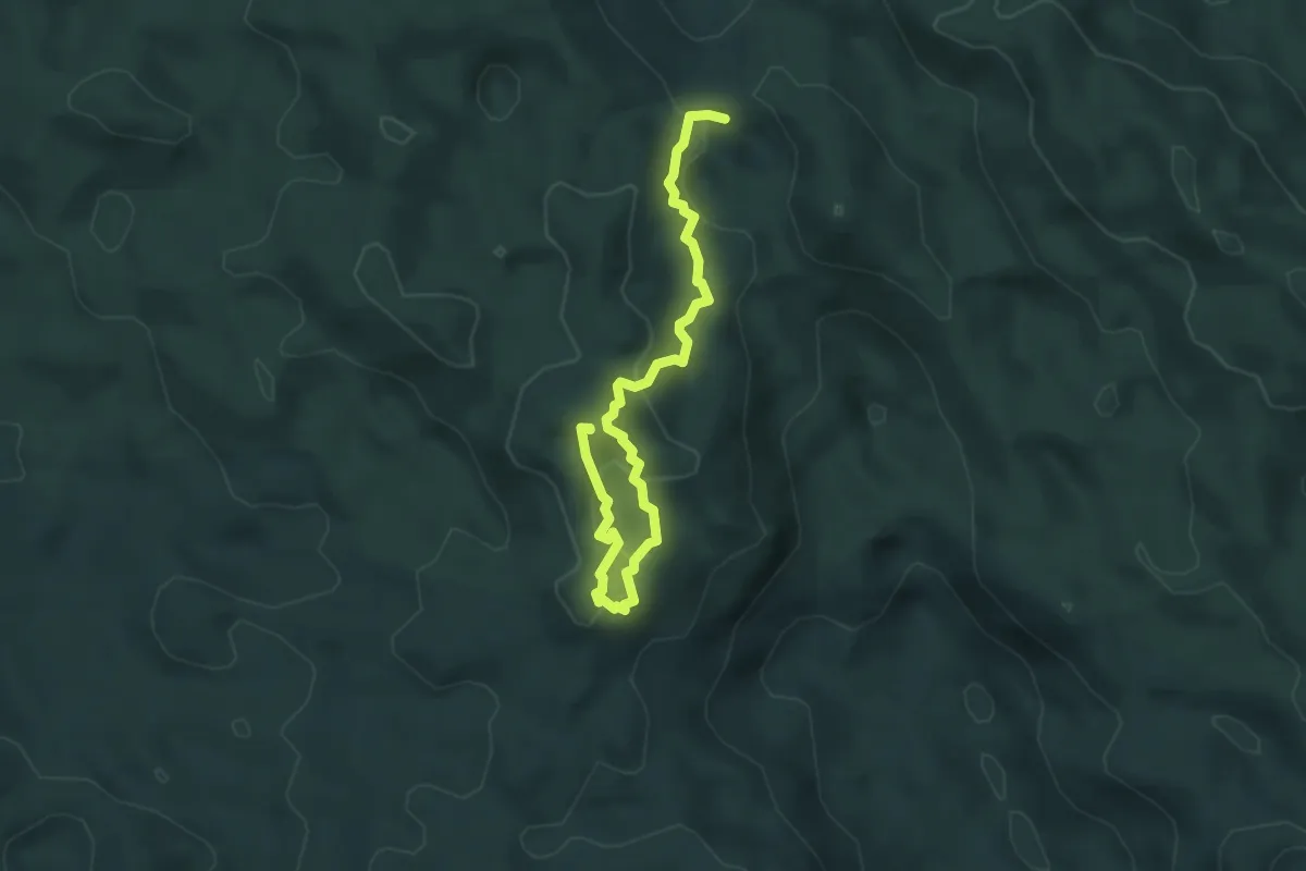
Movar
3.8 km · ↑ 111 m · 1 h 11 min
Easy · Summit
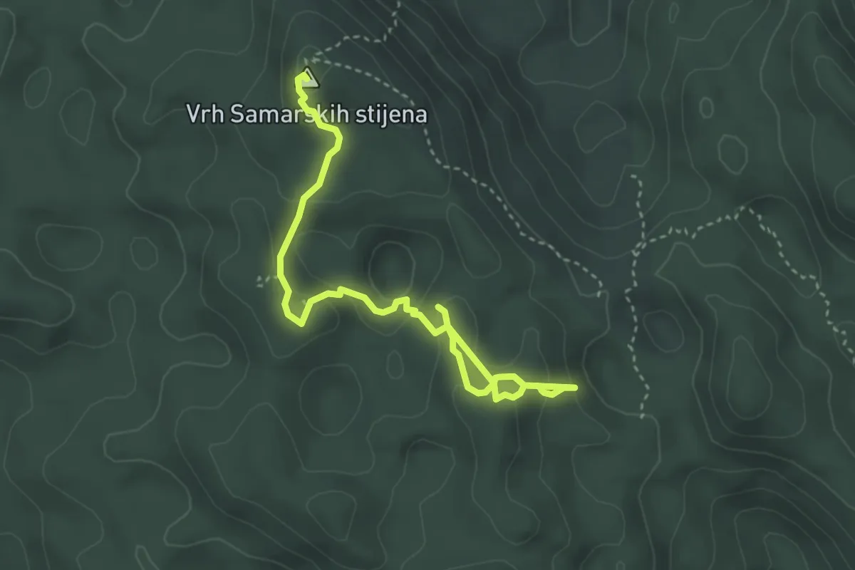
Mrkopaljski planinarski put - južna skupina
4.8 km · ↑ 193 m · 1 h 33 min
Expert · Summit
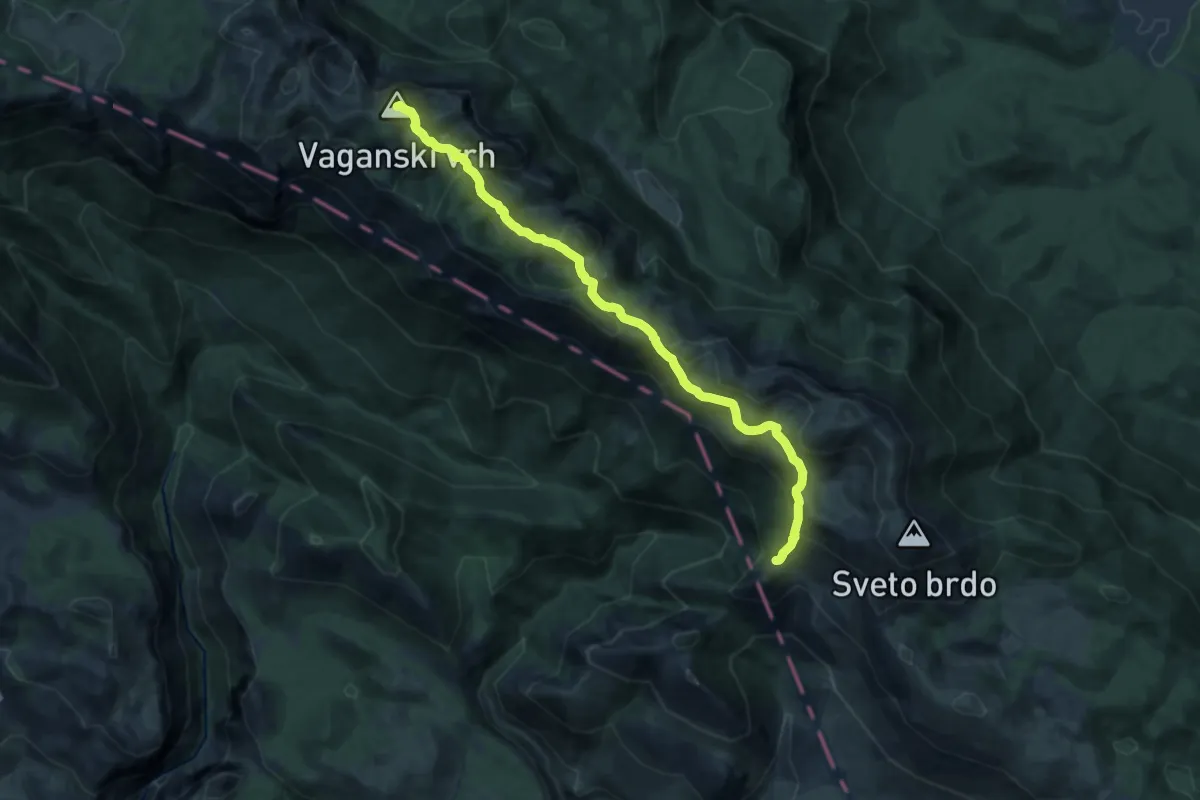
Mrkopaljski planinarski put - zapadna skupina
4.3 km · ↑ 212 m · 1 h 29 min
Medium · Summit
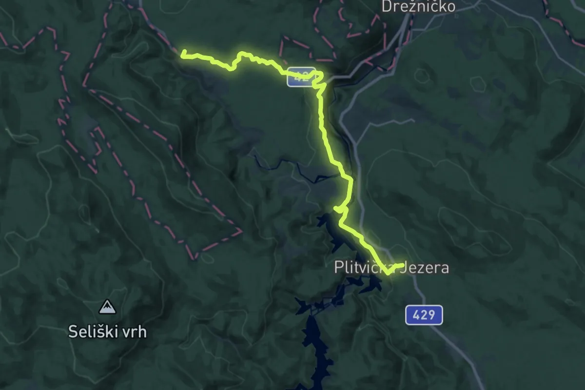
Nacionalni park Paklenica
14.3 km · ↑ 792 m · 5 h 6 min
Demanding · Summit
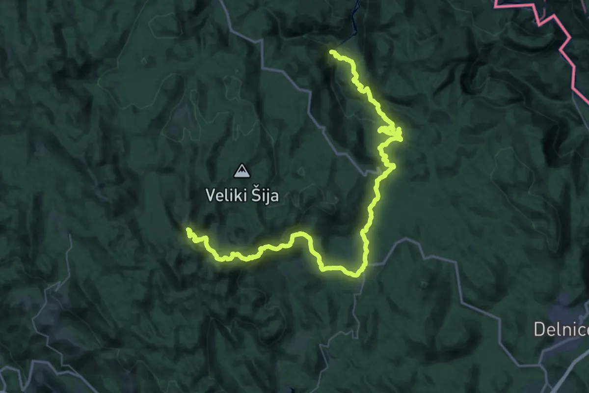
Nacionalni park Plitvička jezera
23.2 km · ↑ 493 m · 6 h 33 min
Demanding · Summit
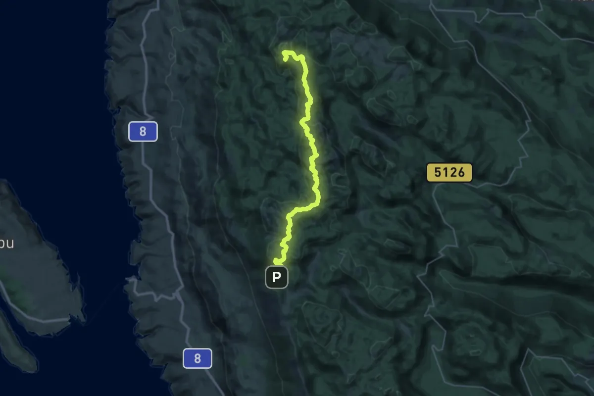
Nacionalni park Risnjak
47.3 km · ↑ 2255 m · 16 h 3 min
Demanding · Summit
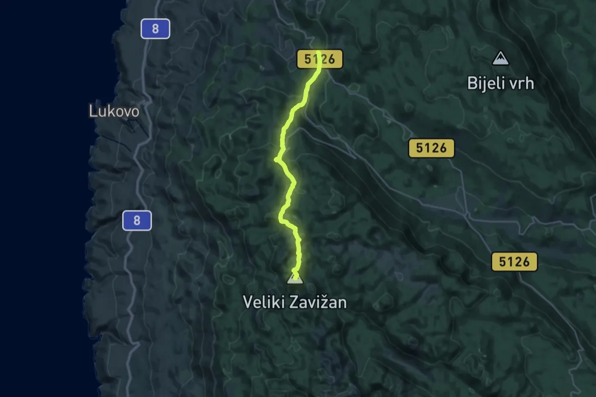
Nacionalni park Sjeverni Velebit II - Rožanski kukovi
27.8 km · ↑ 1331 m · 9 h 27 min
Demanding · Summit
Nacionalni park Sjeverni Velebit I - Zavižan
19.4 km · ↑ 956 m · 6 h 40 min
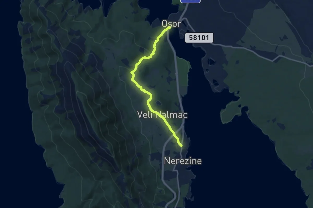
Medium · Trail
Nerezine - Osor
9.4 km · ↑ 229 m · 2 h 43 min
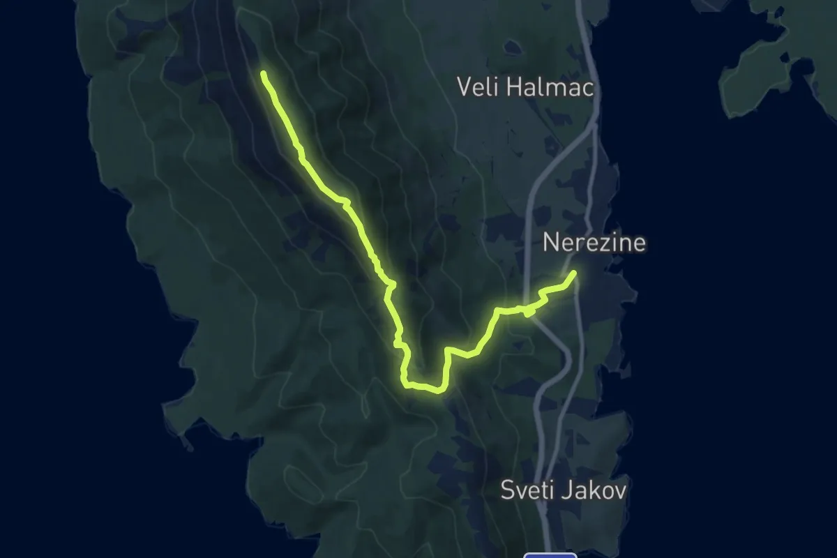
Demanding · Summit
Nerezine - Pocivalice - Televrin
10.8 km · ↑ 558 m · 3 h 46 min
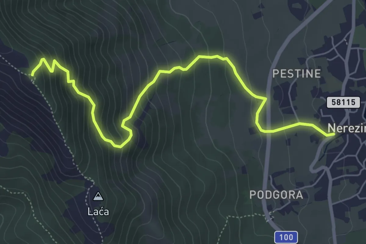
Medium · Trail
Nerezine - Sveti Nikola, Televrin
6.7 km · ↑ 555 m · 2 h 47 min
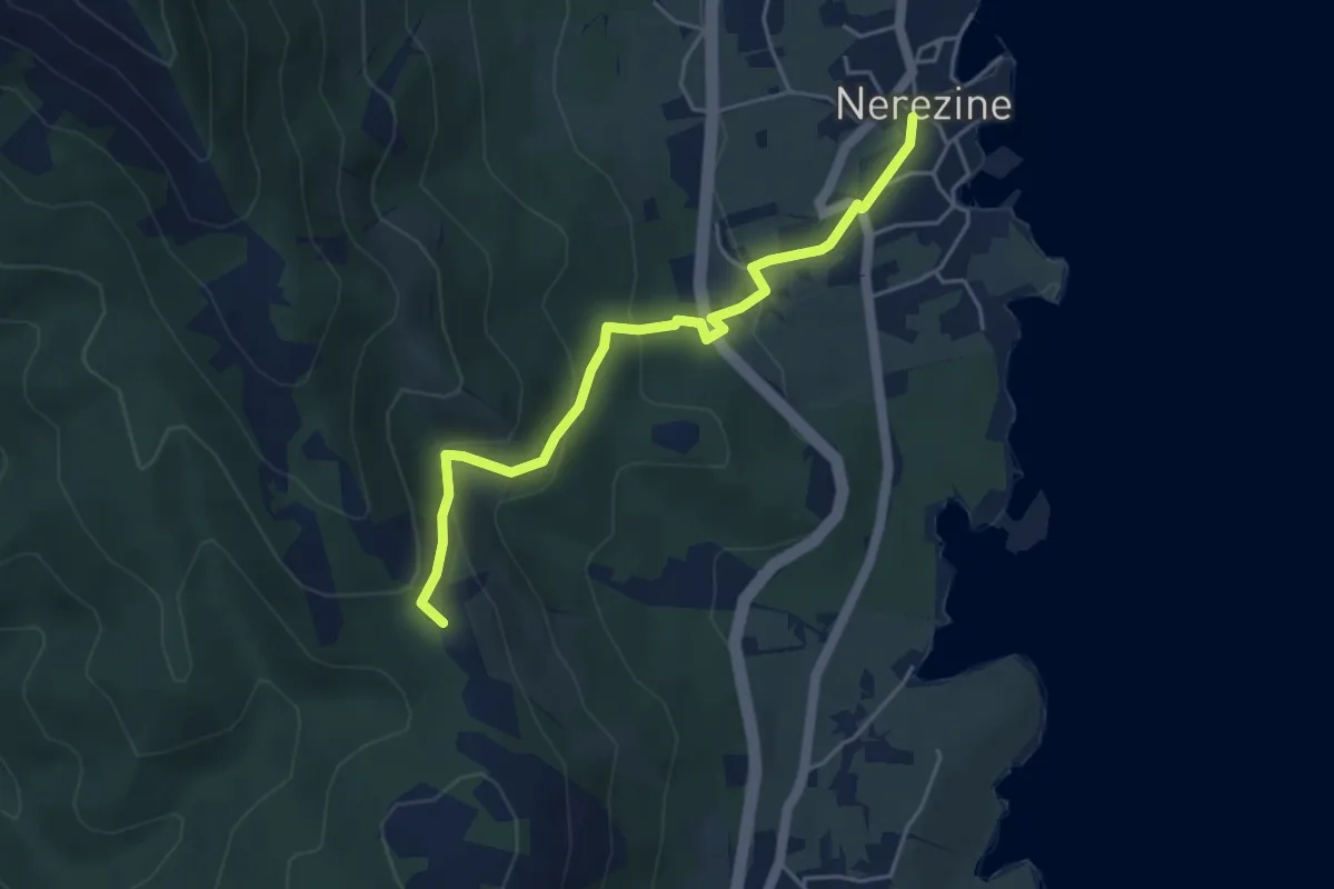
Medium · Summit
Nerezine - Tomazina
4.7 km · ↑ 232 m · 1 h 37 min
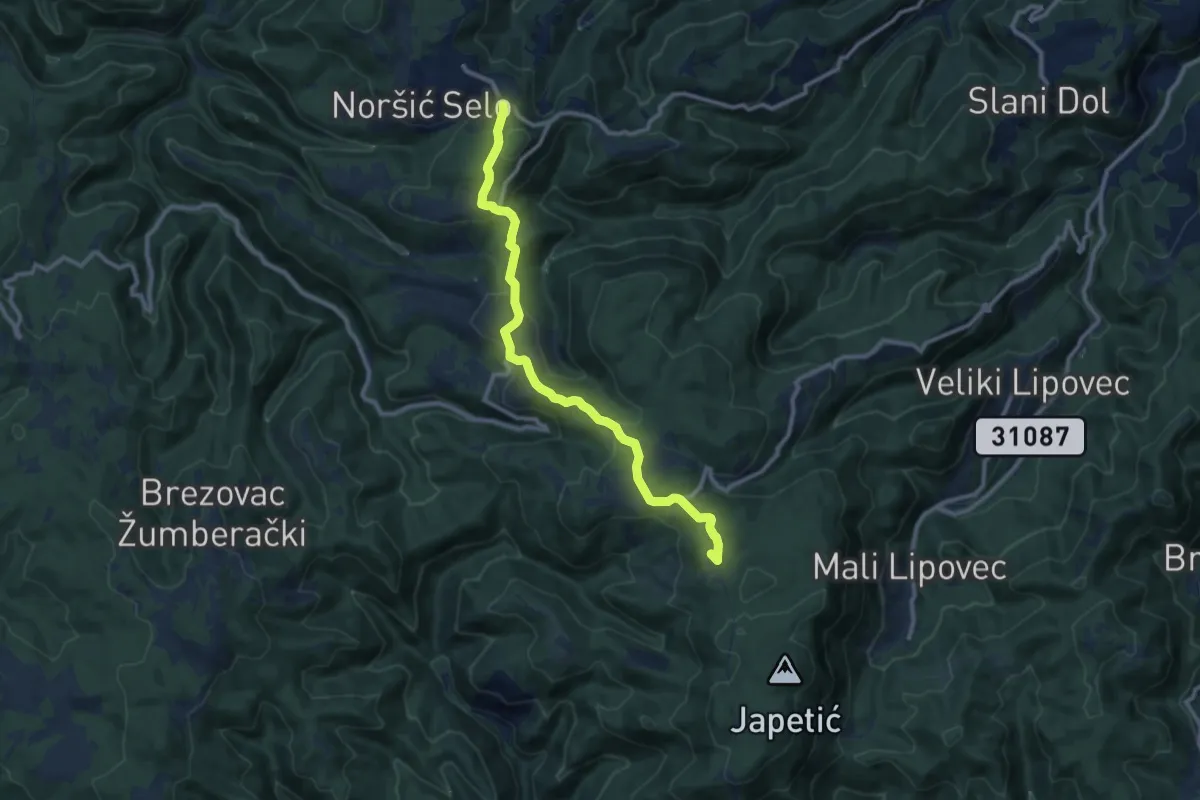
Medium · Summit
Noršić Selo - Katin krč
10.6 km · ↑ 444 m · 3 h 28 min
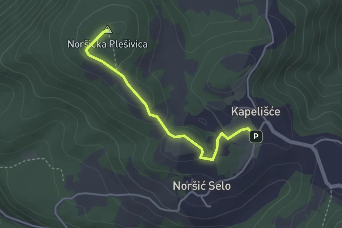
Easy · Summit
Noršić Selo - N. Plešivica
2.9 km · ↑ 86 m · 53 min
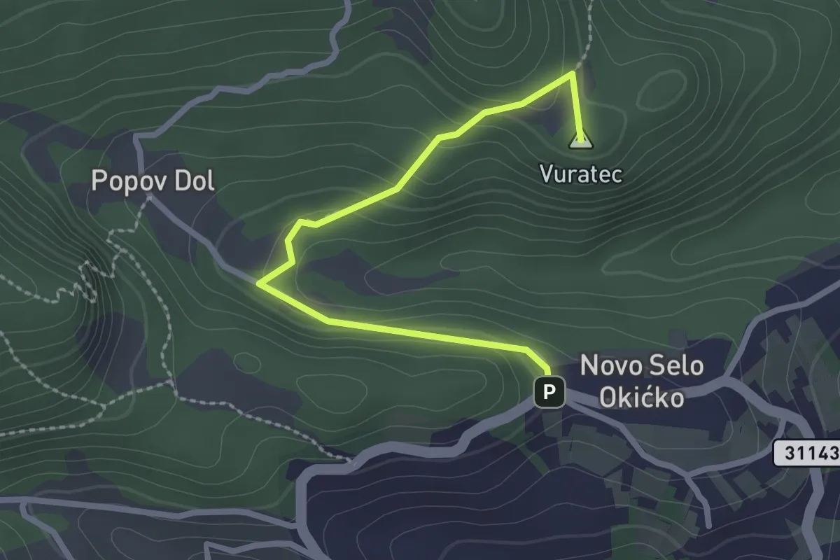
Easy · Summit
Novo Selo - Okić
2.5 km · ↑ 107 m · 49 min
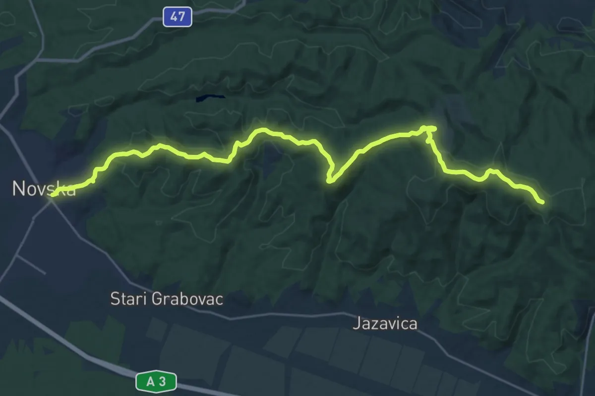
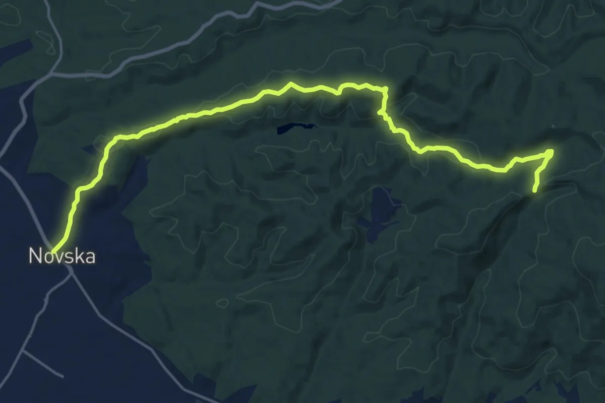
Demanding · Trail
Novska - Novsko brdo (južni put)
24.9 km · ↑ 654 m · 7 h 18 min
Demanding · Trail
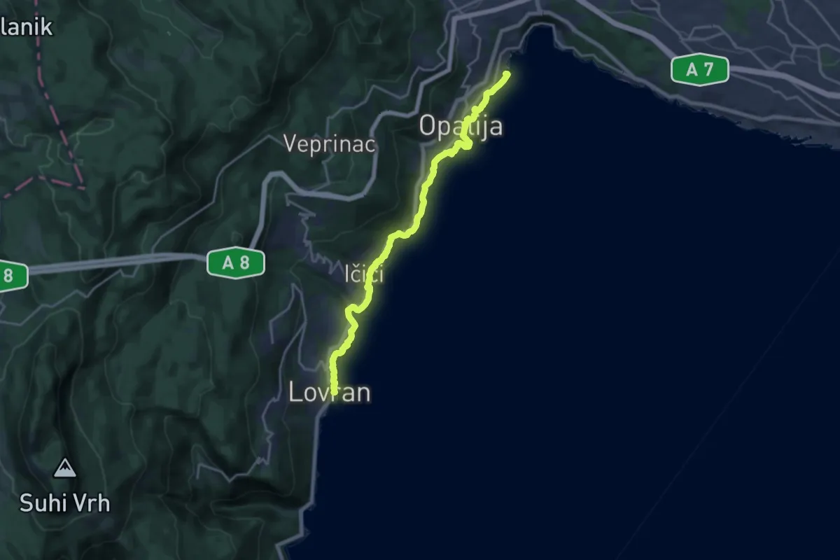
Novska - Novsko brdo (sjeverni put)
19.0 km · ↑ 405 m · 5 h 22 min
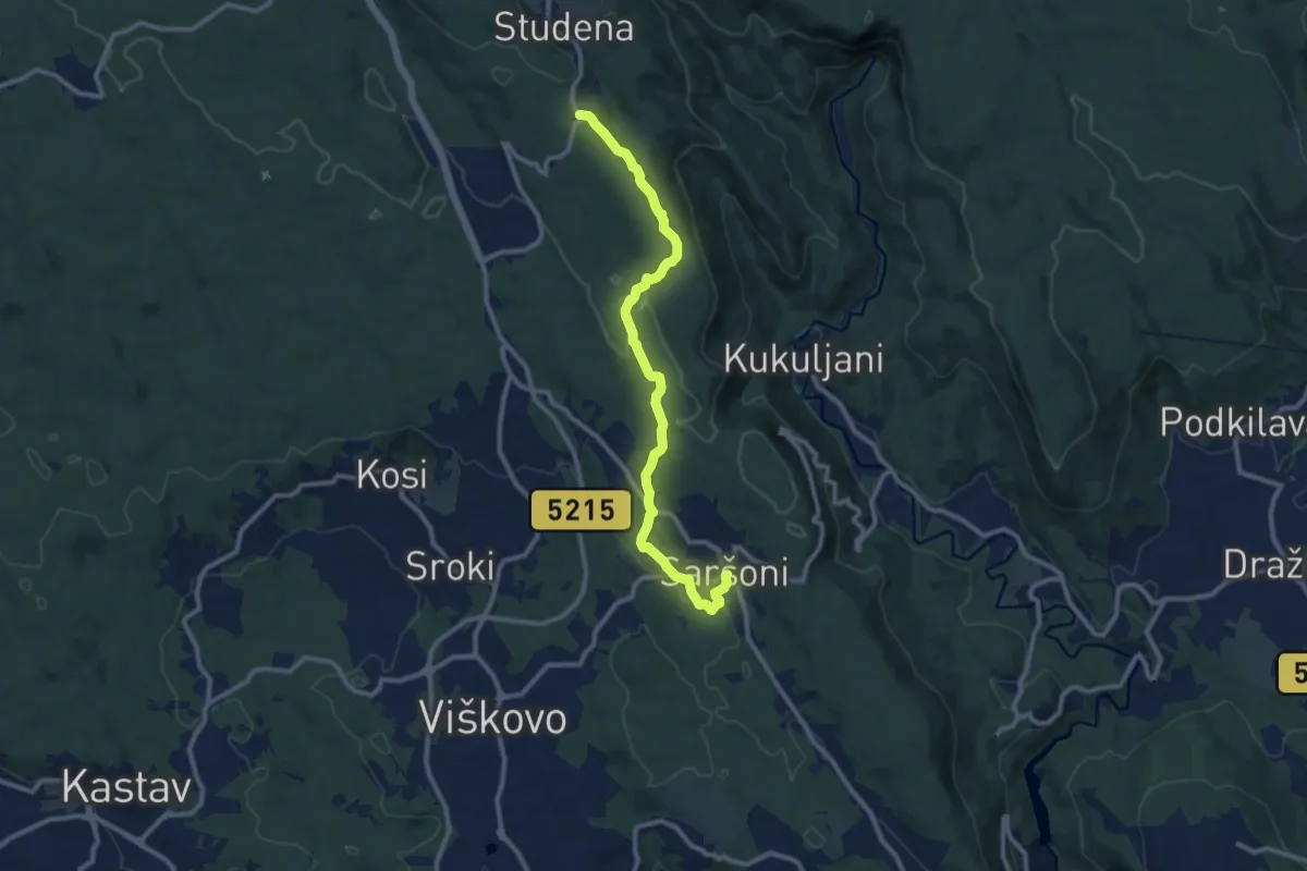
Demanding · Trail
Obalno šetalište Franza Josefa I
18.0 km · ↑ 339 m · 4 h 59 min
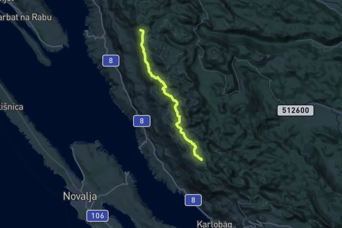
Medium · Trail
Obilježen planinarskom stazom
10.8 km · ↑ 268 m · 3 h 7 min
Demanding · Cabin
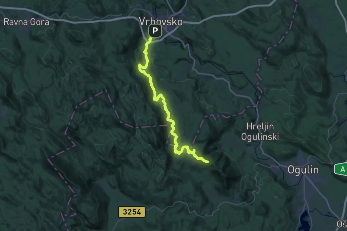
Od Alana u srednji Velebit
19.2 km · ↑ 829 m · 6 h 24 min
Demanding · Summit
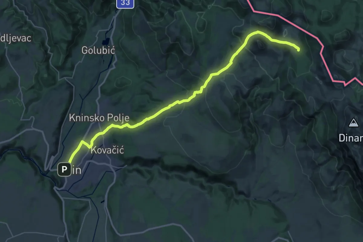
Od Kamačnika do Kleka
39.4 km · ↑ 1204 m · 11 h 55 min
Demanding · Cabin
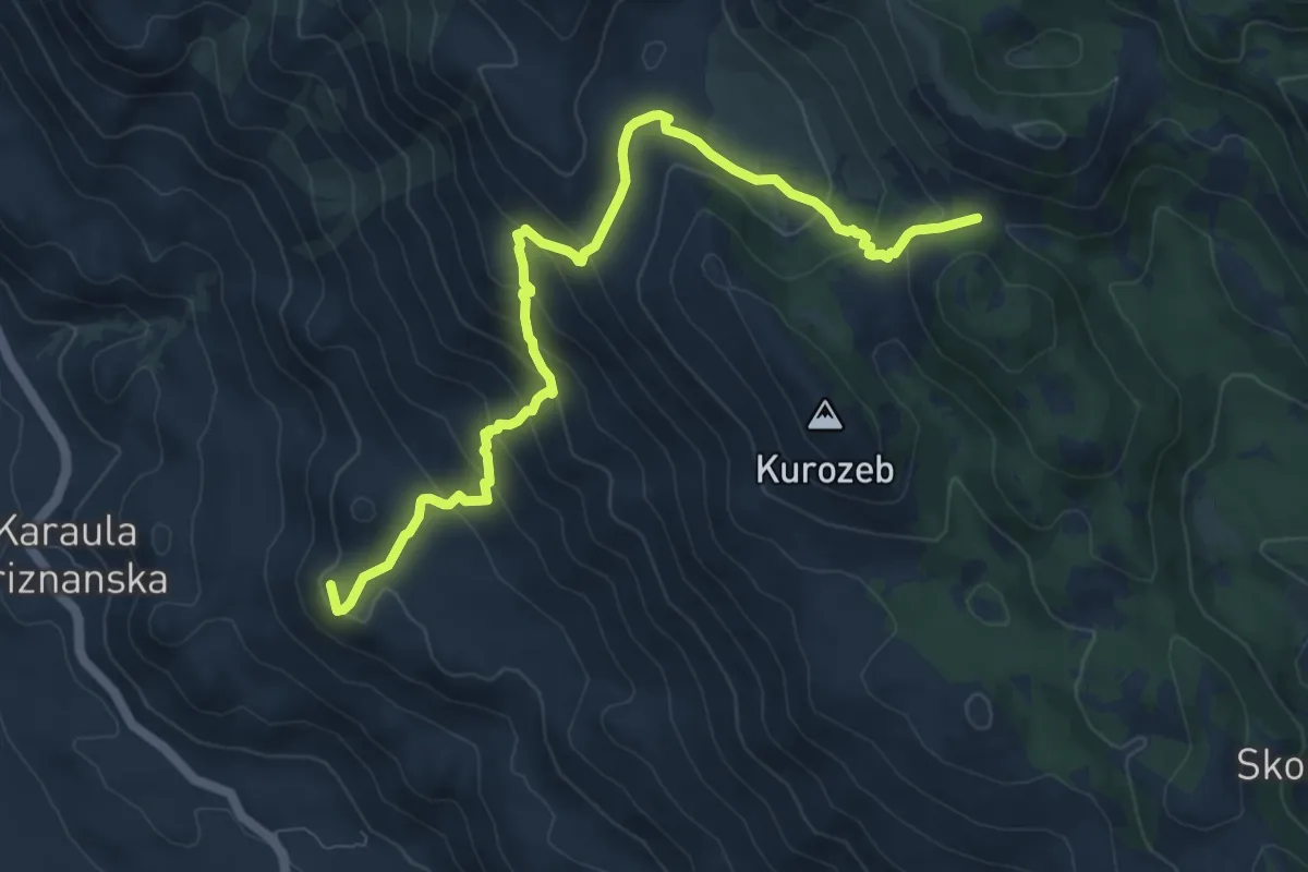
Od Knina do Brezovca
16.3 km · ↑ 943 m · 5 h 43 min
Medium · Summit
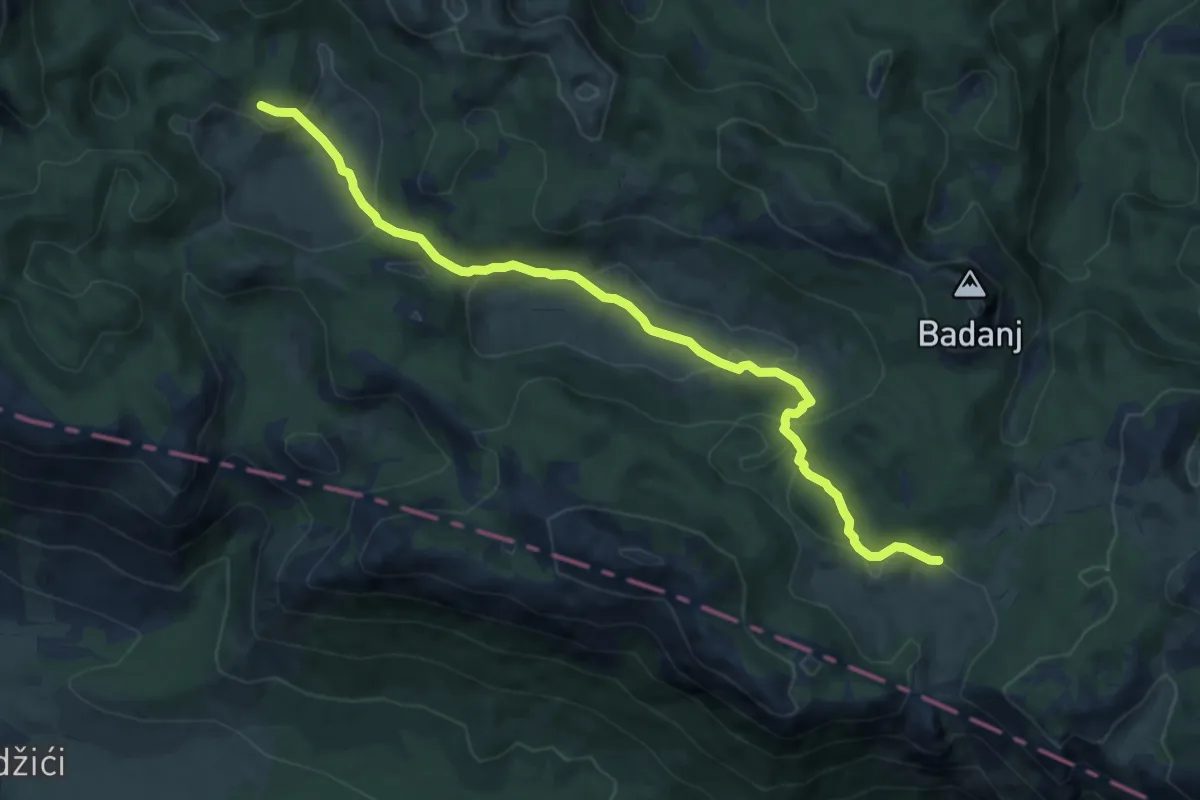
Od magistrale do Premužićeve staze (Splovine) preko Radlovca
10.1 km · ↑ 655 m · 3 h 49 min
Medium · Cabin
Oglavinovac - Struge
10.9 km · ↑ 482 m · 3 h 36 min
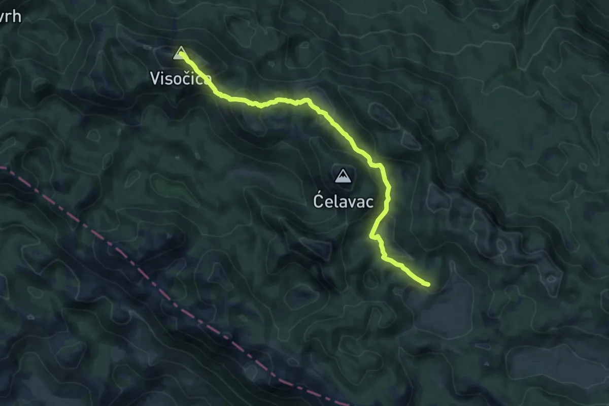
Demanding · Summit
Oglavinovac - Visočica
12.5 km · ↑ 958 m · 5 h 2 min
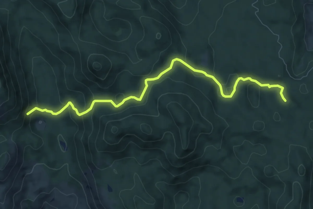
Medium · Trail
OH 15
9.4 km · ↑ 442 m · 3 h 11 min
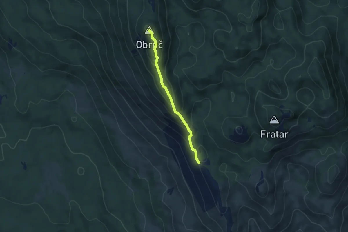
Easy · Summit
OH 8
3.9 km · ↑ 272 m · 1 h 30 min
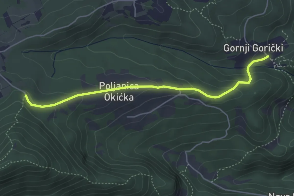
Medium · Cabin
Okić - Plešivica
4.2 km · ↑ 190 m · 1 h 24 min
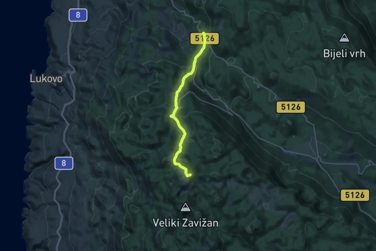
Medium · Summit
Oltare - Zavižan
16.3 km · ↑ 773 m · 5 h 31 min
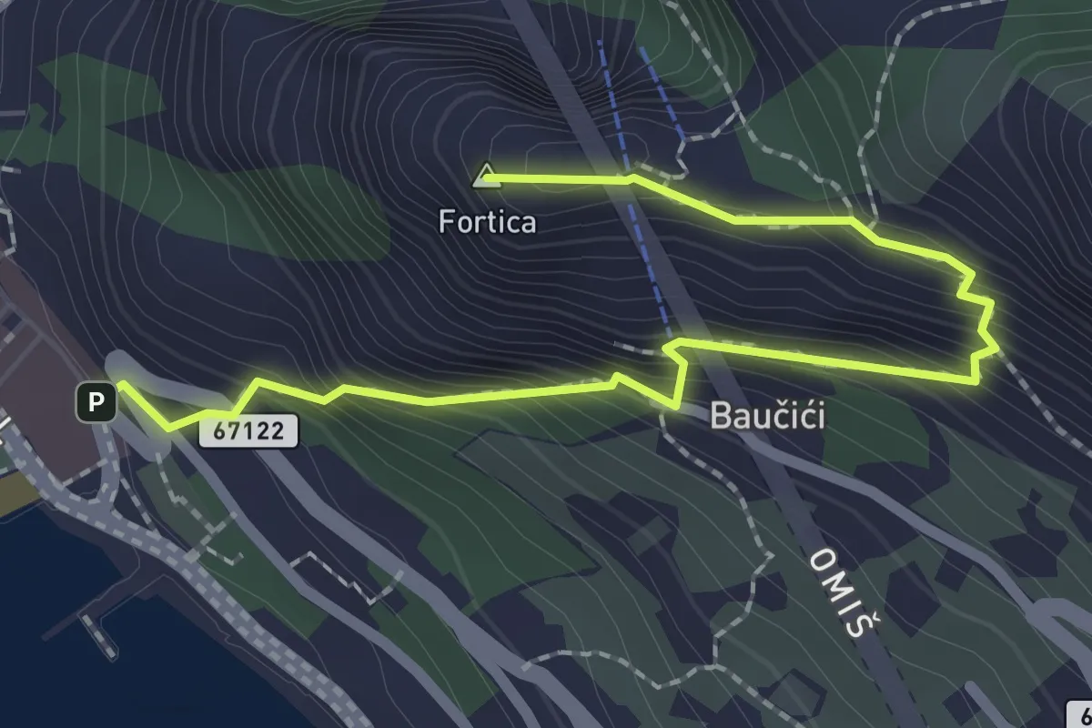
Medium · Summit
Omiš - Fortica
2.7 km · ↑ 320 m · 1 h 20 min
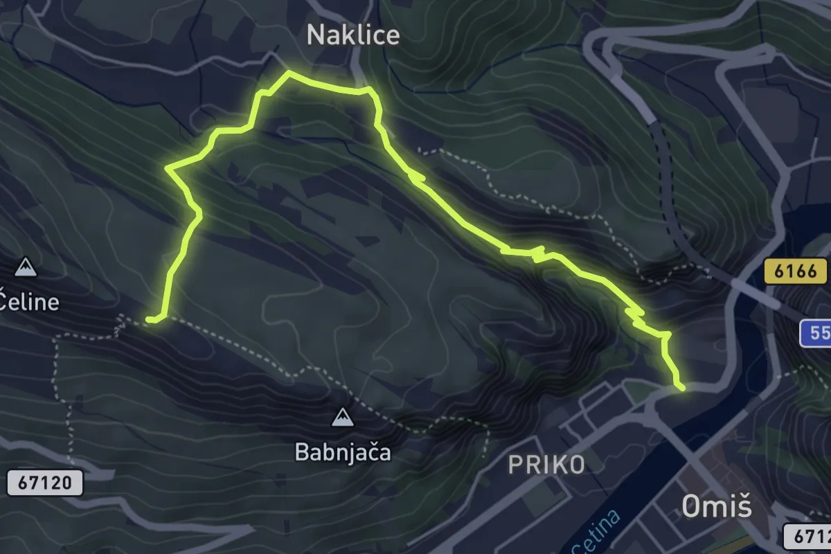
Medium · Trail
Omiš - Gospa od Sniga
6.3 km · ↑ 434 m · 2 h 25 min
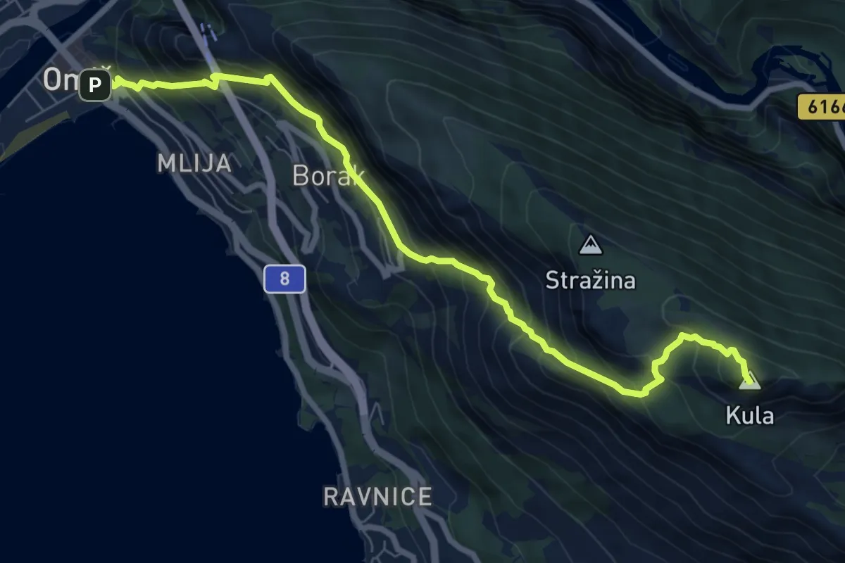
Demanding · Summit
Omiš - Kula
8.6 km · ↑ 1006 m · 4 h 13 min
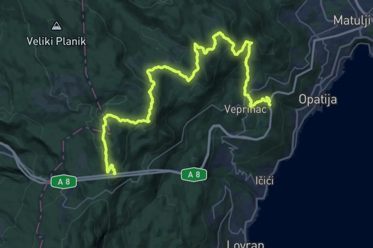
Demanding · Summit
Opatijska Planinarska Obilaznica
34.7 km · ↑ 1721 m · 11 h 55 min
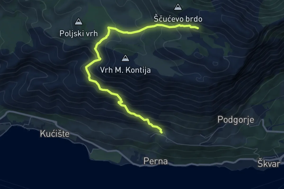
Medium · Cabin
Orebić - Bilopolje - Šum.K. Pod Sv. Ilija
9.0 km · ↑ 716 m · 3 h 40 min
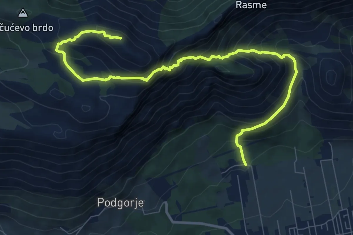
Demanding · Summit
Orebić - Urkunići - Sv. Ilija
10.2 km · ↑ 1046 m · 4 h 40 min
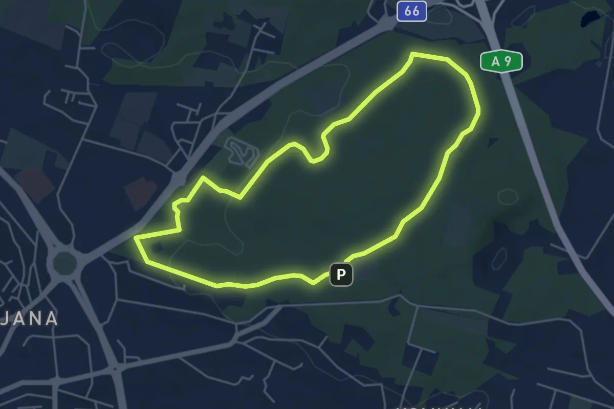
Easy · Trail
Orhideja
4.7 km · ↑ 71 m · 1 h 19 min
Medium · Cabin
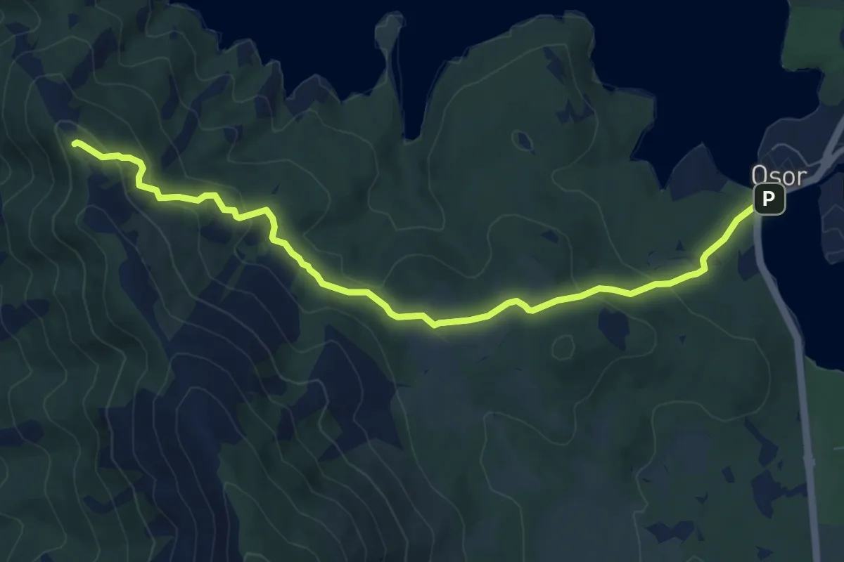
Osor - Sveti Gaudent
8.7 km · ↑ 378 m · 2 h 52 min
Demanding · Trail
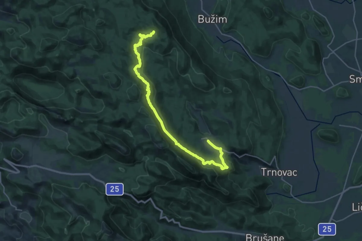
Oštri Kozjak Iz Jadovna
22.1 km · ↑ 688 m · 6 h 43 min
Expert · Summit
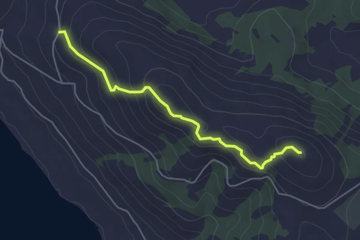
Oštro
4.2 km · ↑ 232 m · 1 h 29 min
Medium · Summit
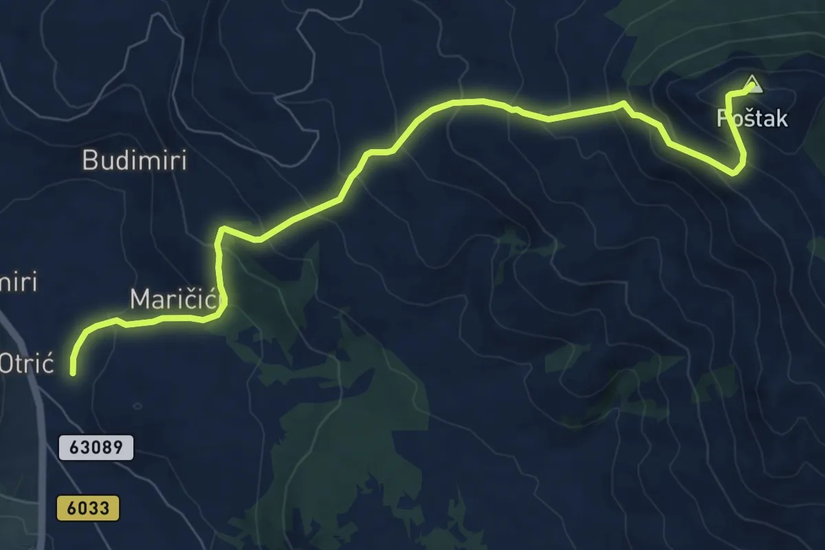
Otrić - Poštak
9.4 km · ↑ 752 m · 3 h 51 min
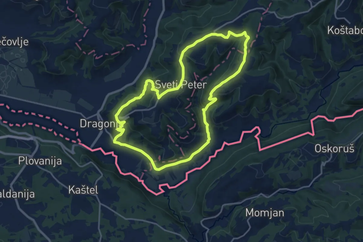
Medium · Summit
P19
12.7 km · ↑ 396 m · 4 h 2 min
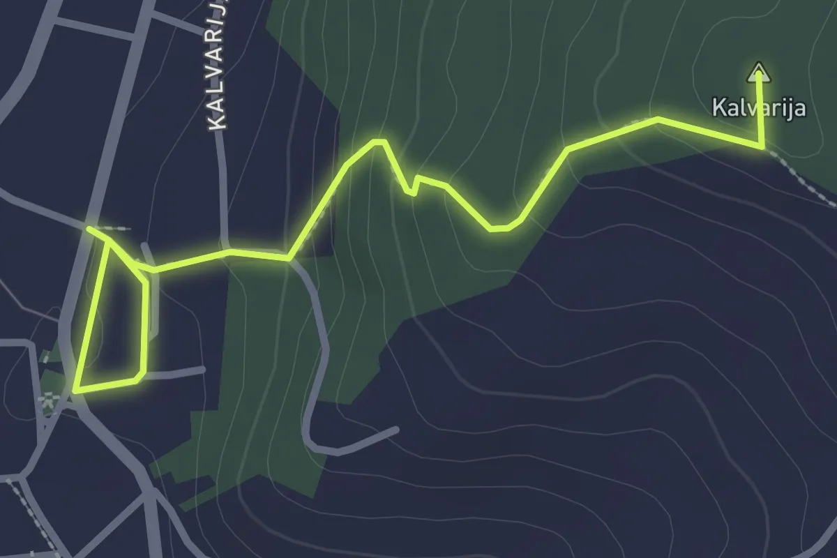
Easy · Summit
Pakrac - križanje s Fokinom stazom
3.2 km · ↑ 163 m · 1 h 6 min
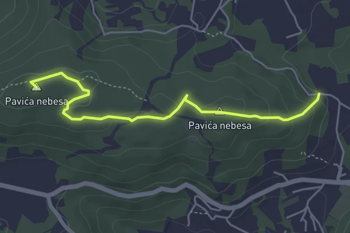
Easy · Summit
Pavića nebesa
4.3 km · ↑ 121 m · 1 h 16 min
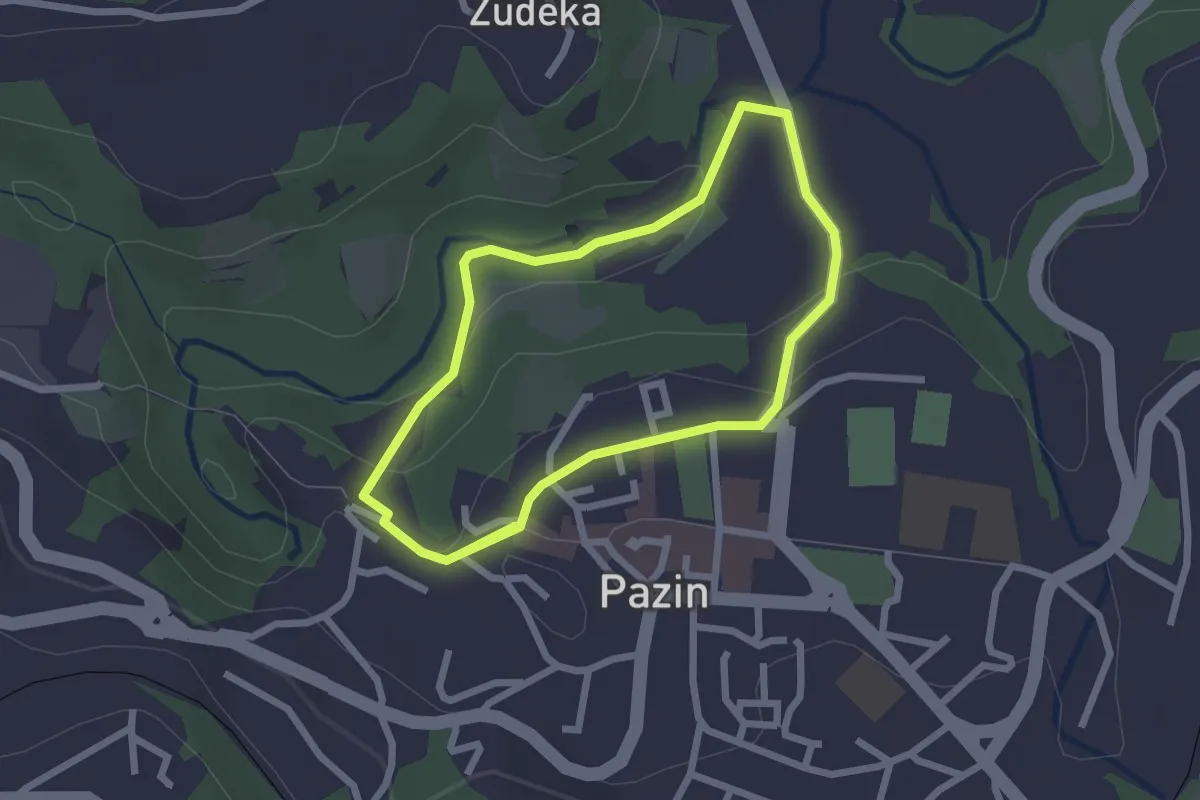
Easy · Trail
PAZINSKI KROV
2.1 km · ↑ 40 m · 37 min