Trails in Croatia
922 hiking trails, each with its route, climb, walking time and grade.
All trails, page 7 of 20
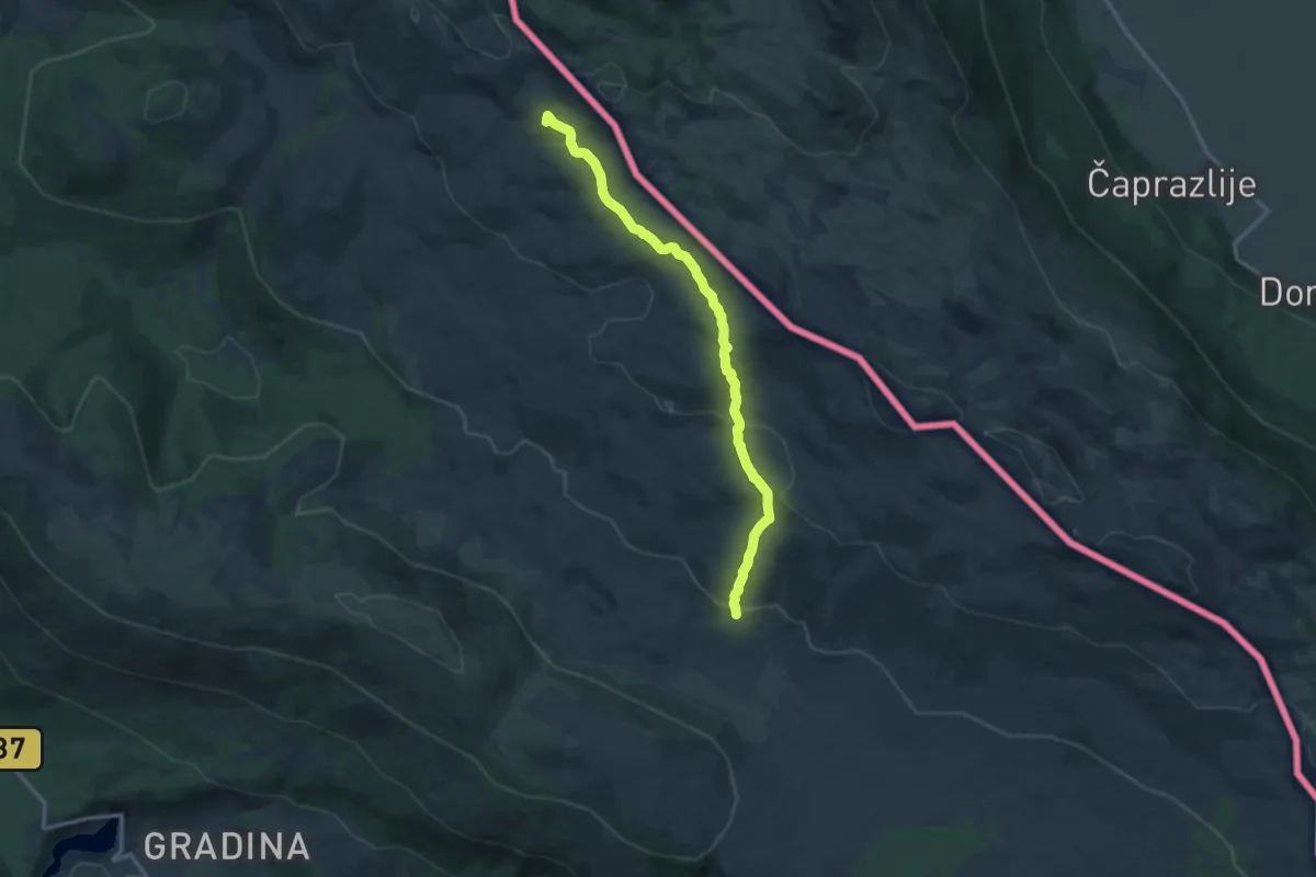
Medium · Summit
PD Jakov
13.5 km · ↑ 480 m · 4 h 14 min
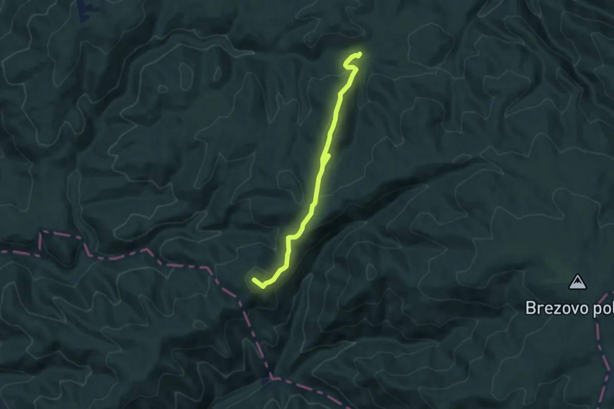
Medium · Summit
Petkovača - Oštrenjak
8.5 km · ↑ 388 m · 2 h 50 min
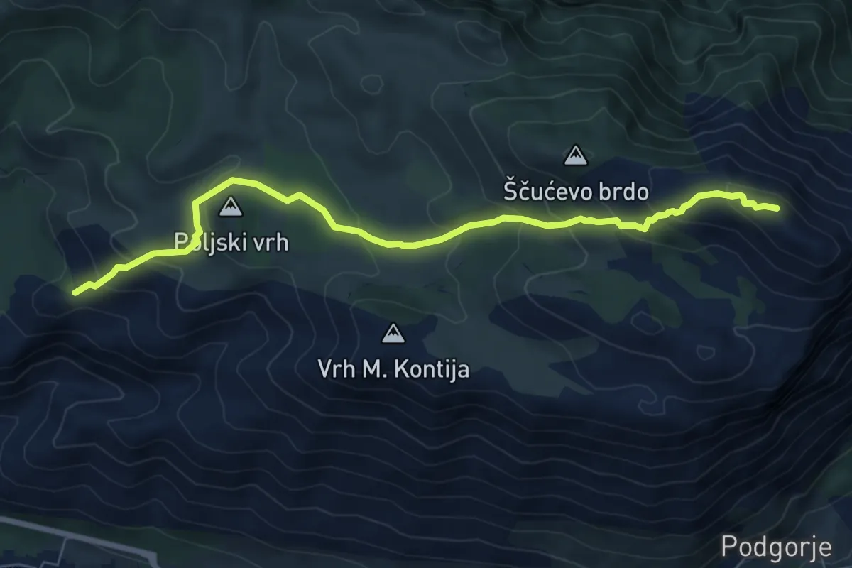
Medium · Summit
Pišćet-Sveti Ilja-Vidikovac
8.0 km · ↑ 512 m · 3 h 1 min
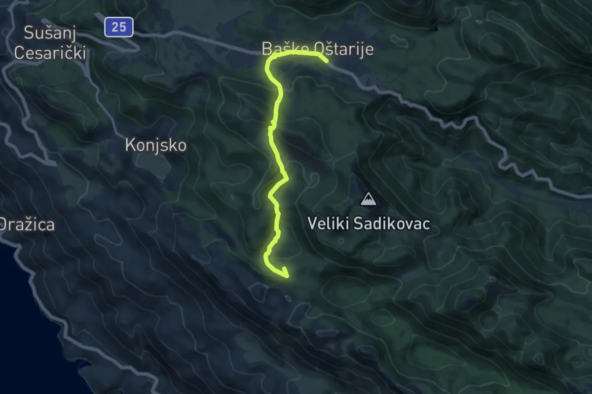
Medium · Summit
Piskovita kosica - Baške oštarije
10.7 km · ↑ 560 m · 3 h 44 min
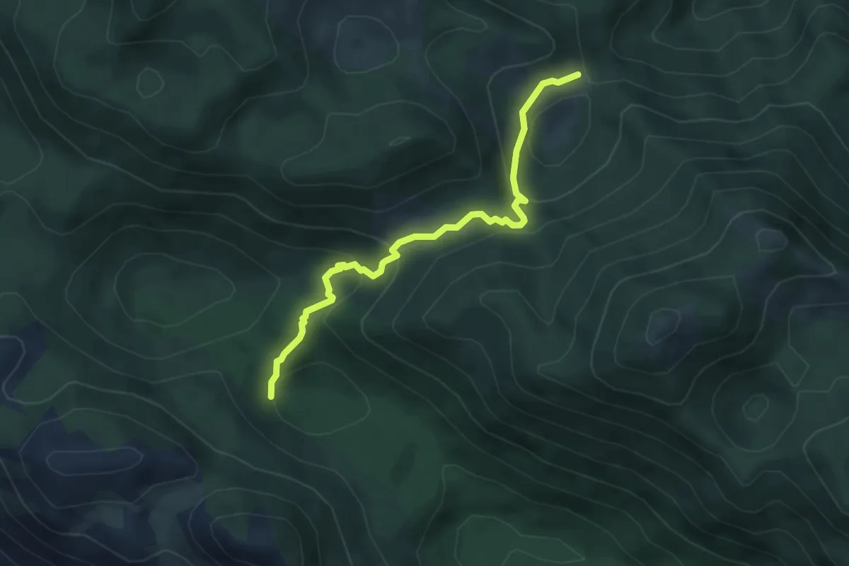
Easy · Trail
Piskovita kosica - Konjevača sedlo
4.8 km · ↑ 255 m · 1 h 42 min
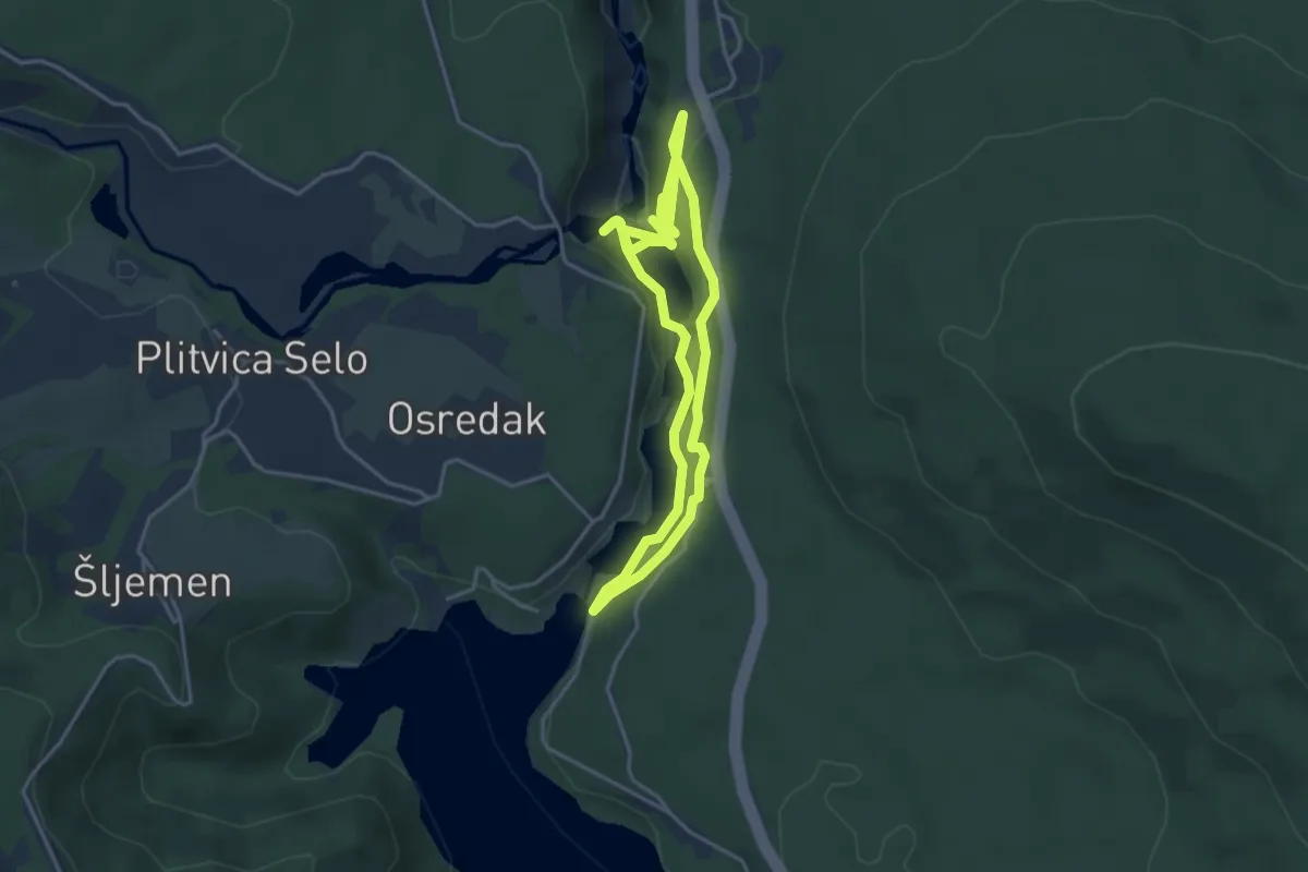
Easy · Trail
Pješačka ruta A
3.9 km · ↑ 118 m · 1 h 15 min
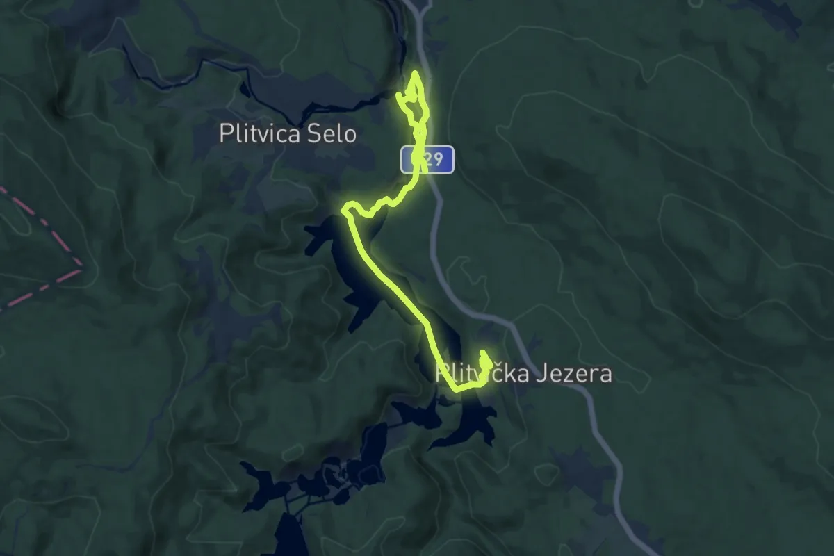
Easy · Trail
Pješačka ruta B
5.7 km · ↑ 120 m · 1 h 41 min
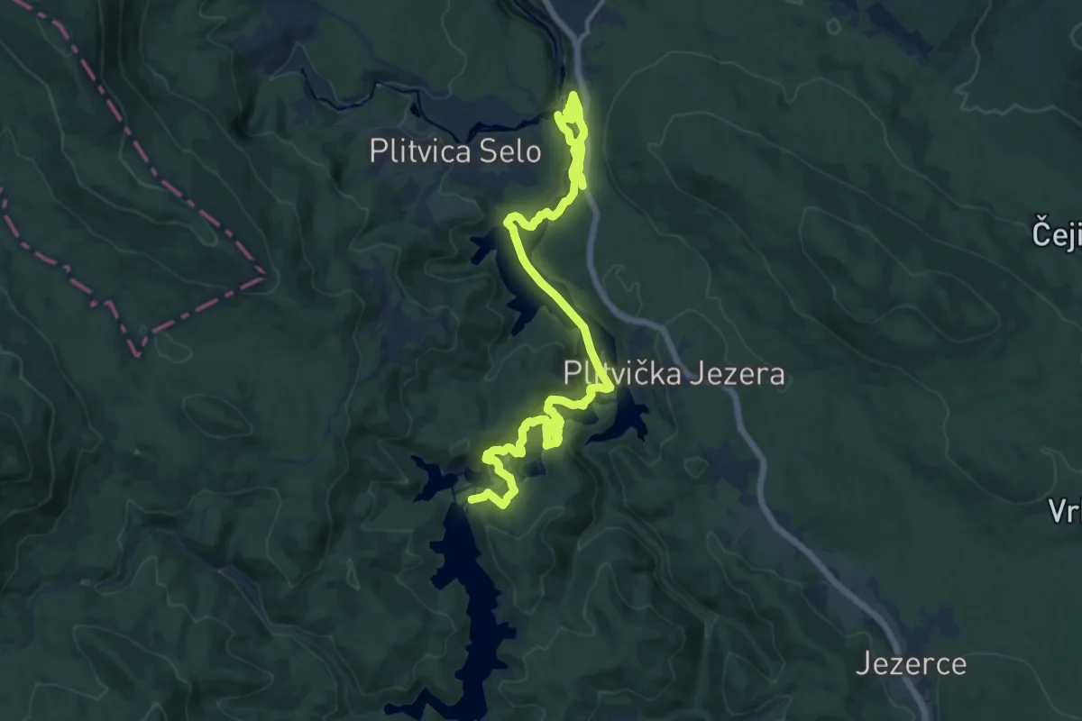
Medium · Summit
Pješačka ruta C
8.6 km · ↑ 334 m · 2 h 51 min
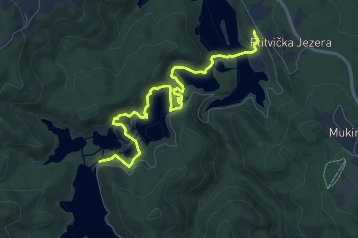
Easy · Summit
Pješačka ruta E
4.1 km · ↑ 258 m · 1 h 34 min
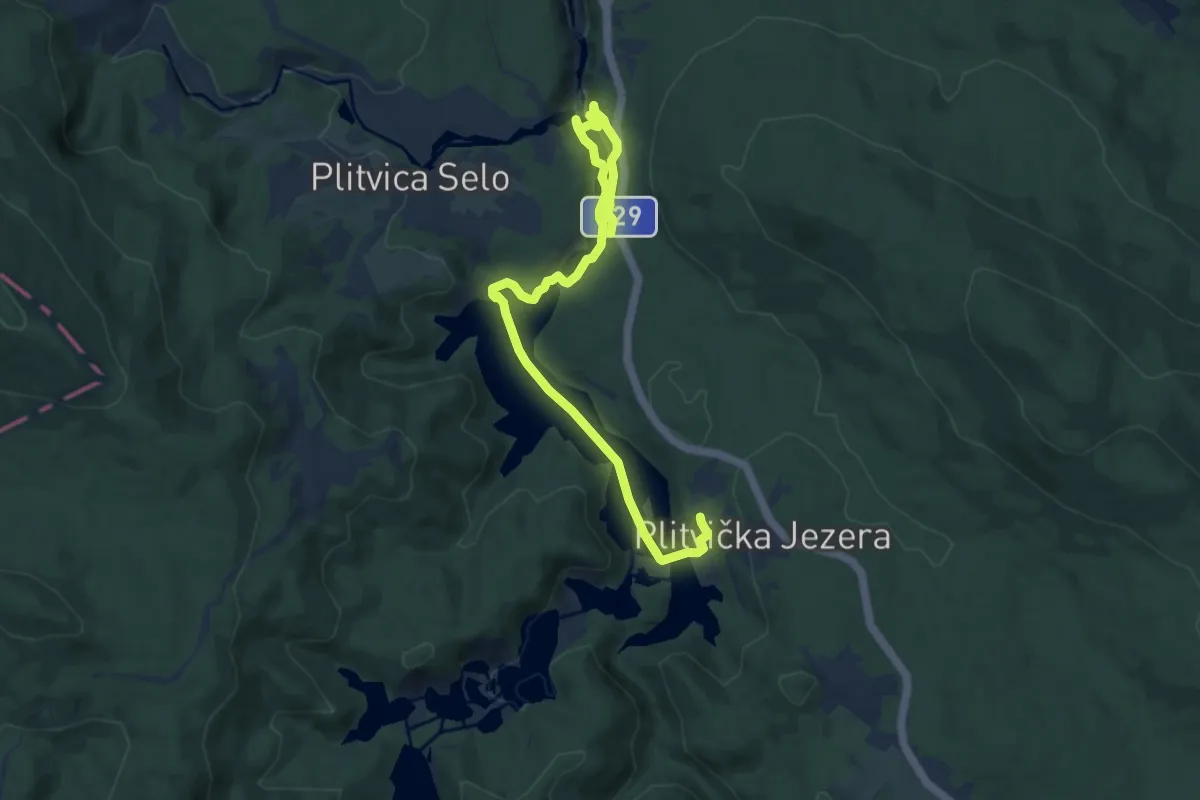
Easy · Trail
Pješačka ruta F
5.2 km · ↑ 100 m · 1 h 32 min
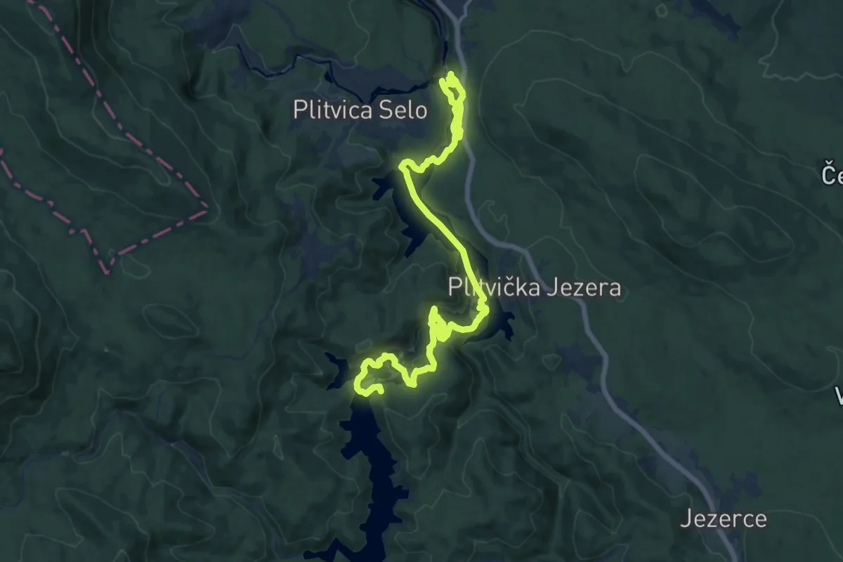
Medium · Trail
Pješačka ruta H
9.0 km · ↑ 203 m · 2 h 44 min
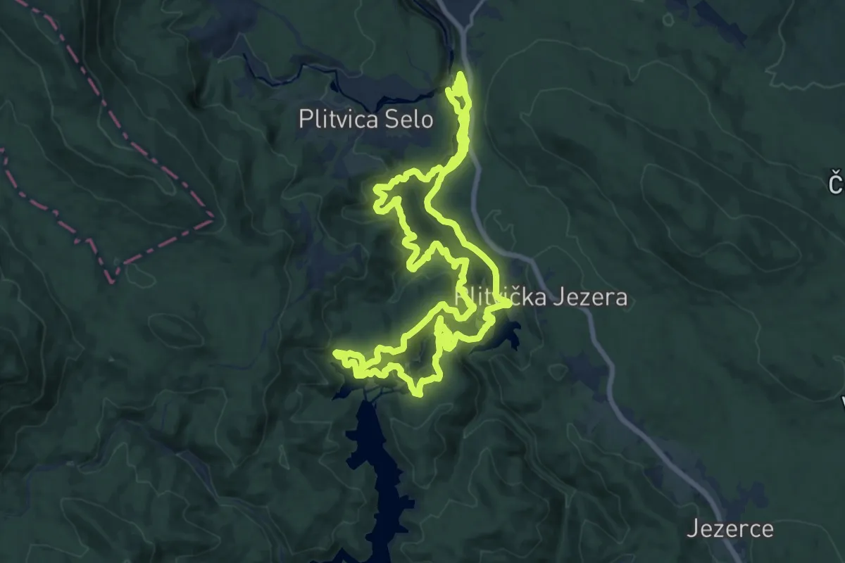
Medium · Summit
Pješačka ruta K1
16.4 km · ↑ 662 m · 5 h 32 min
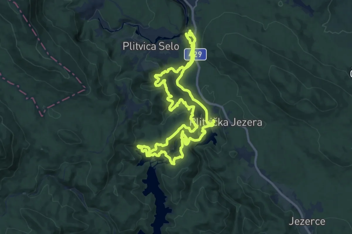
Medium · Summit
Pješačka ruta K2
16.4 km · ↑ 686 m · 5 h 36 min
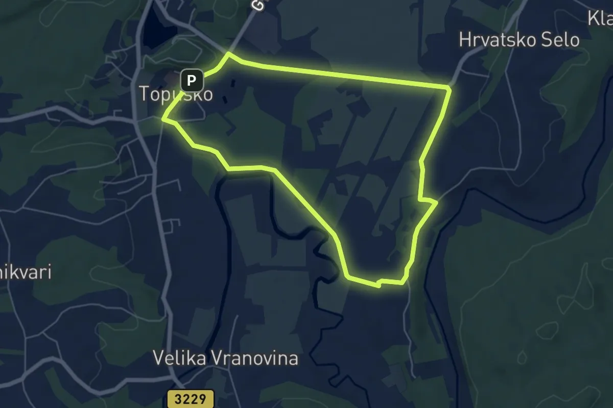
Easy · Trail
Pješačka staza 1a općine Topusko
5.6 km · ↑ 42 m · 1 h 30 min
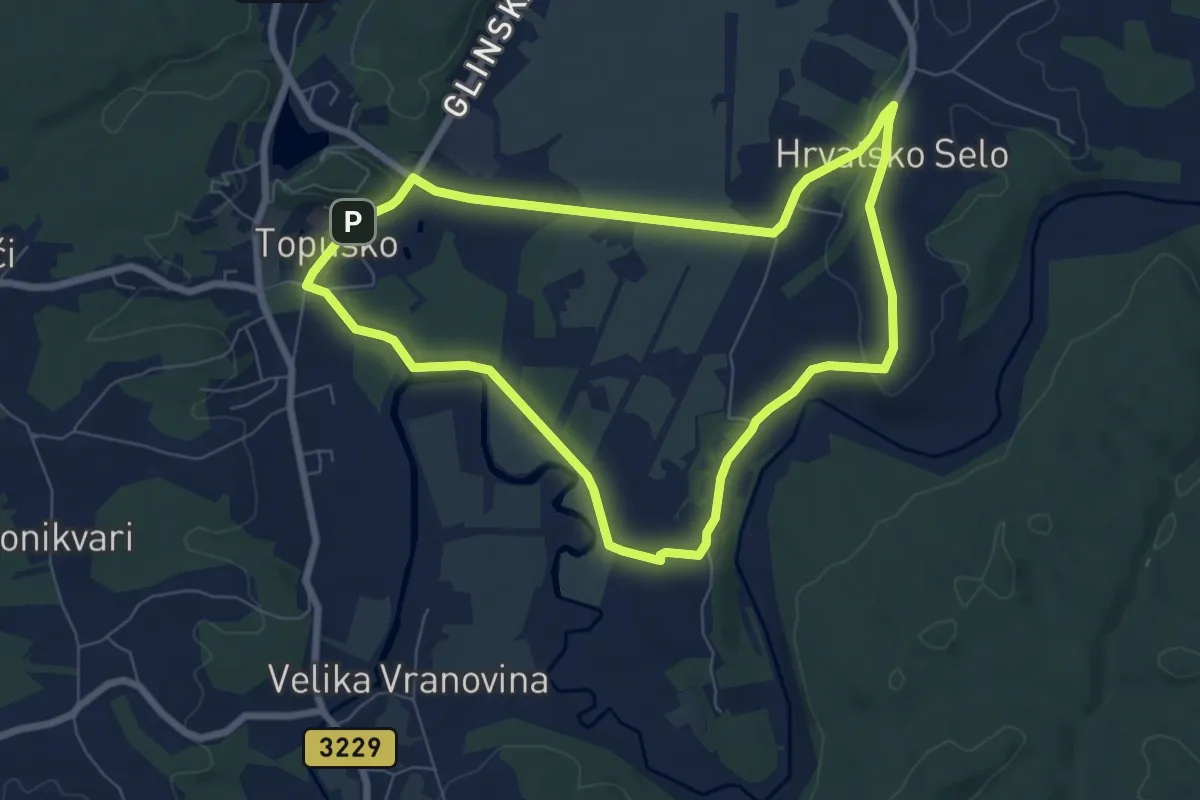
Easy · Trail
Pješačka staza 1b općine Topusko
7.2 km · ↑ 74 m · 1 h 57 min
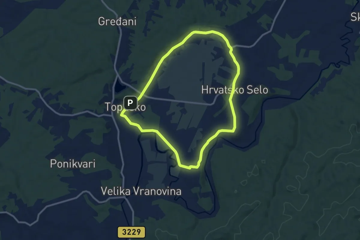
Medium · Trail
Pješačka staza 1c općine Topusko
8.3 km · ↑ 104 m · 2 h 18 min
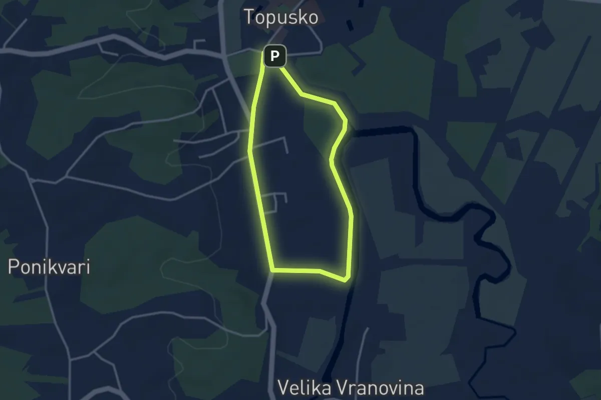
Easy · Trail
Pješačka staza 2a općine Topusko
2.7 km · ↑ 9 m · 41 min
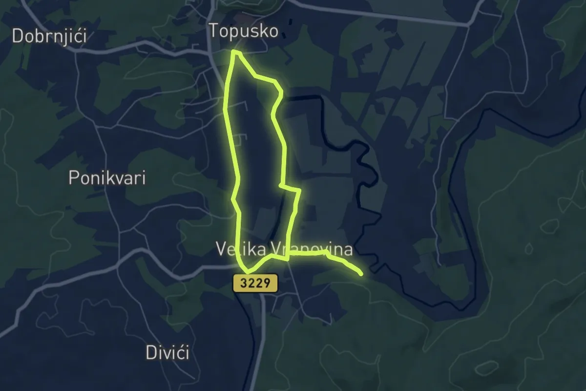
Easy · Trail
Pješačka staza 2b općine Topusko
5.5 km · ↑ 30 m · 1 h 26 min
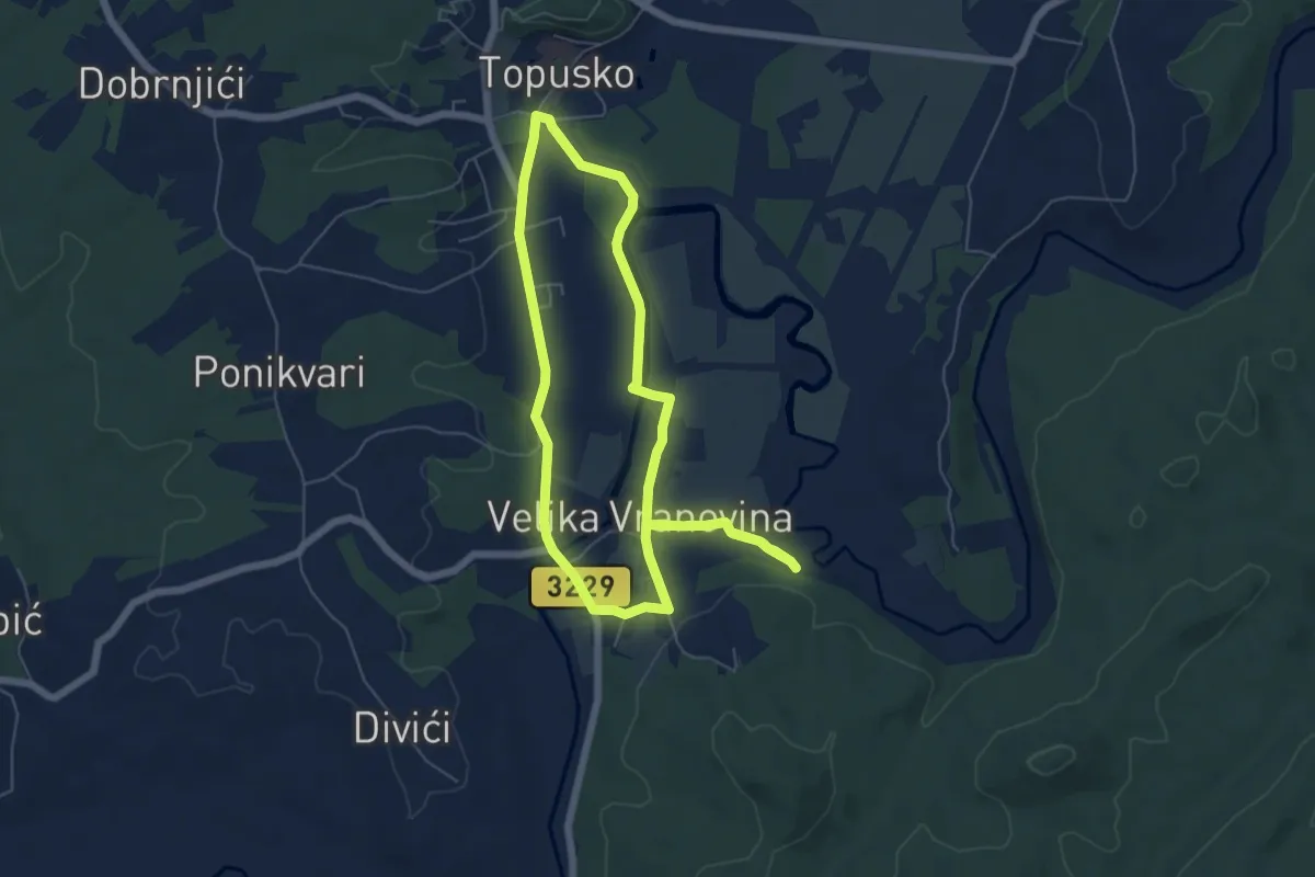
Easy · Trail
Pješačka staza 2c općine Topusko
5.9 km · ↑ 38 m · 1 h 33 min
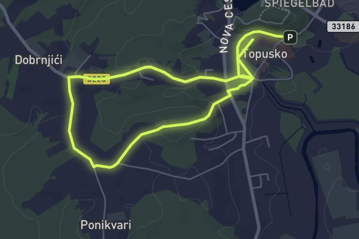
Medium · Trail
Pješačka staza 3a općine Topusko
8.7 km · ↑ 120 m · 2 h 19 min
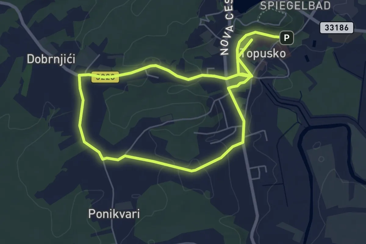
Medium · Trail
Pješačka staza 3b općine Topusko
9.4 km · ↑ 131 m · 2 h 30 min
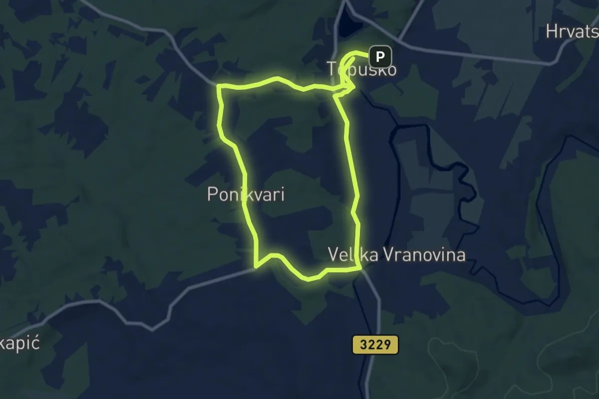
Medium · Trail
Pješačka staza 3c općine Topusko
14.1 km · ↑ 141 m · 3 h 38 min
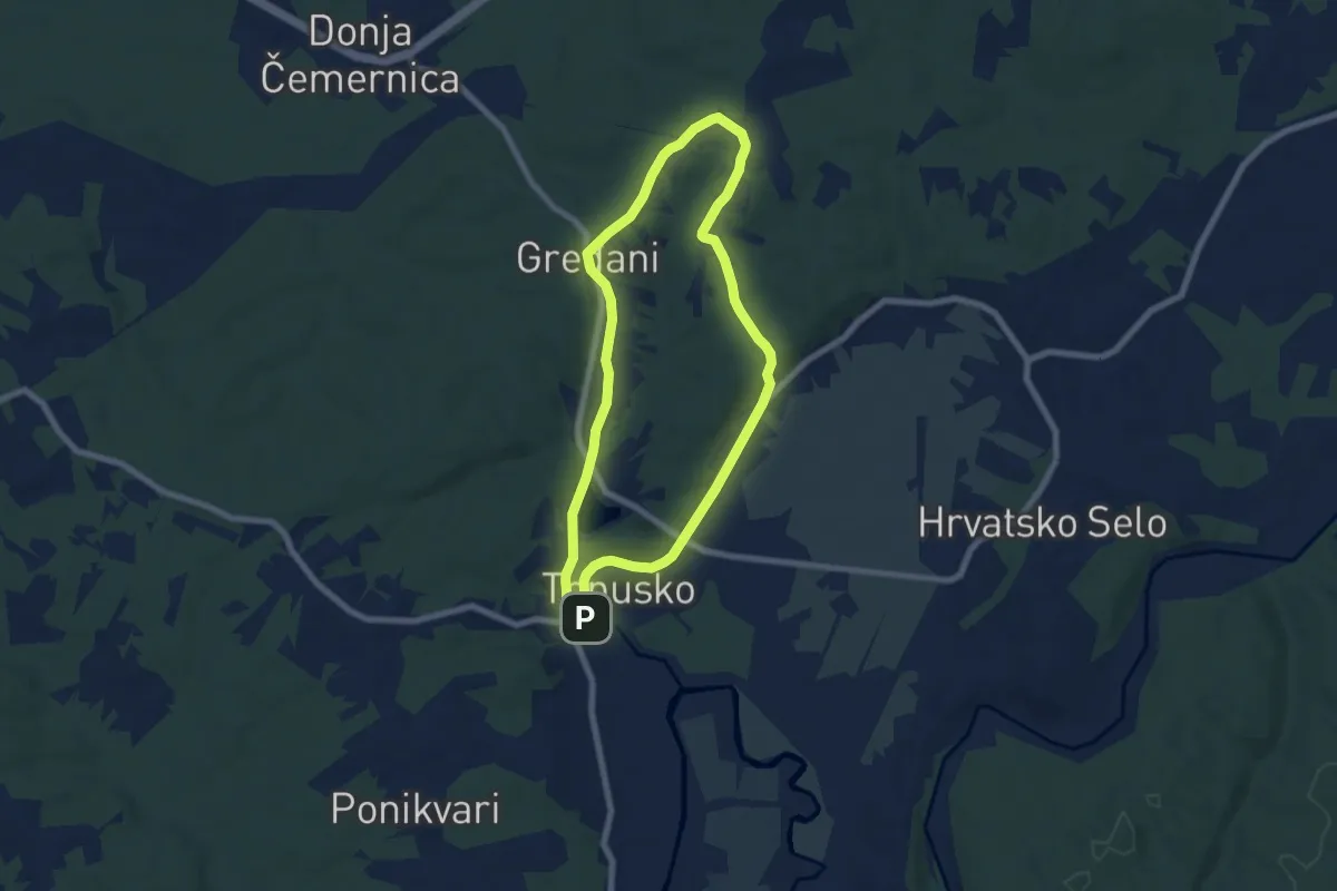
Easy · Trail
Pješačka staza 4 općine Topusko
6.7 km · ↑ 116 m · 1 h 56 min
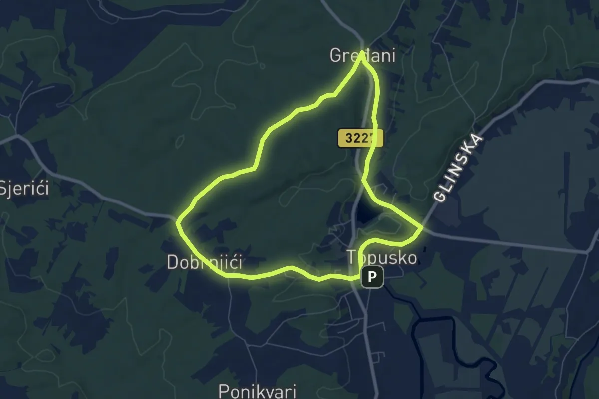
Easy · Trail
Pješačka staza 5 općine Topusko
6.9 km · ↑ 71 m · 1 h 53 min
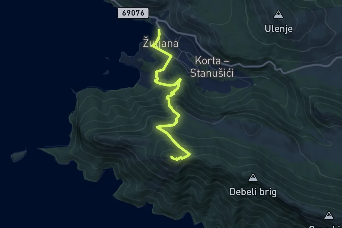
Medium · Summit
Pješačka staza Sveti Ivan
8.0 km · ↑ 441 m · 2 h 50 min
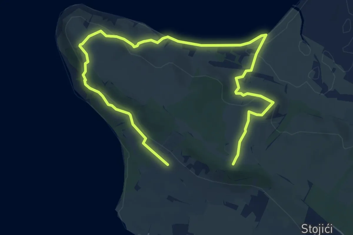
Medium · Summit
Pješačka staza Vrtolom
9.3 km · ↑ 238 m · 2 h 43 min
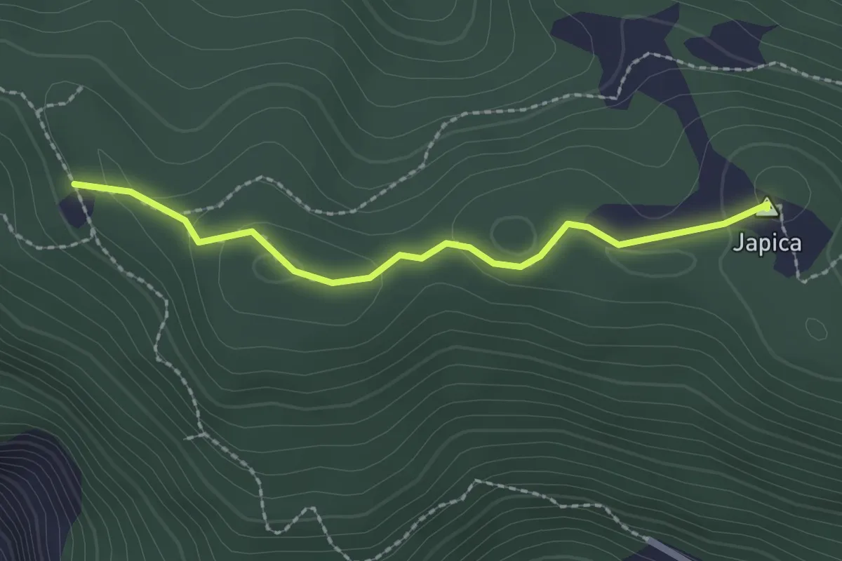
Medium · Summit
Planinarska kuća Cesargrad - Japica
2.1 km · ↑ 57 m · 37 min
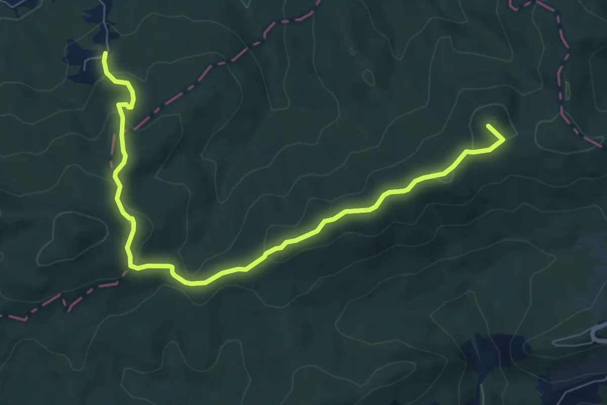
Medium · Summit
Planinarska staza 1
8.3 km · ↑ 350 m · 2 h 43 min
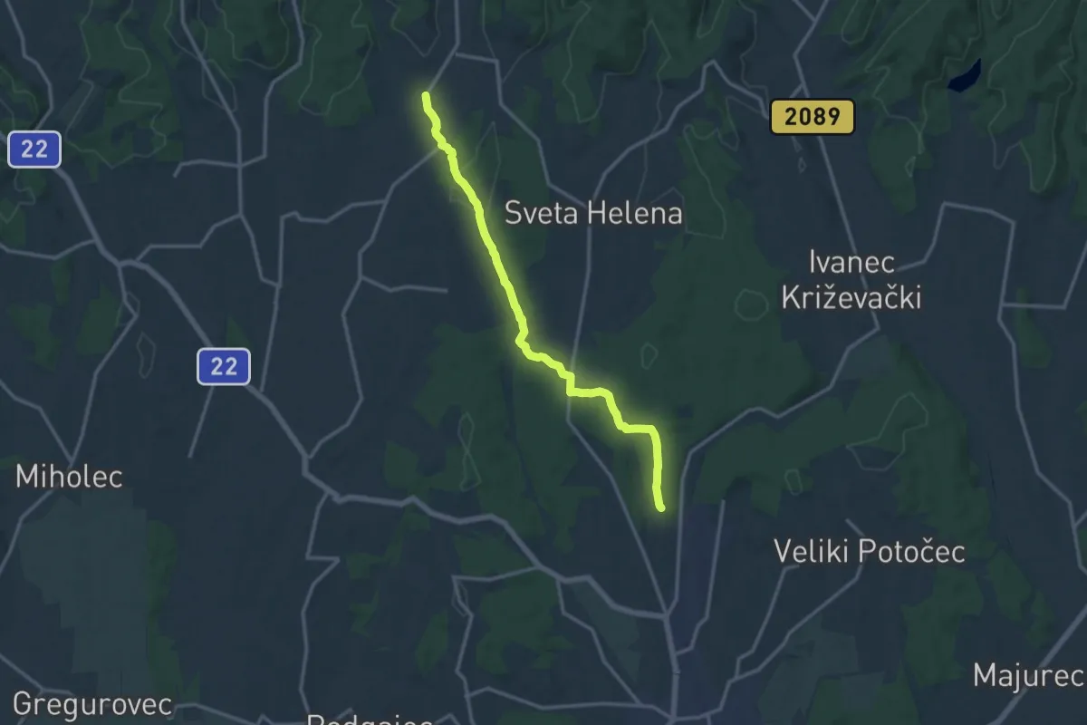
Medium · Trail
Planinarska staza 16
13.2 km · ↑ 227 m · 3 h 37 min
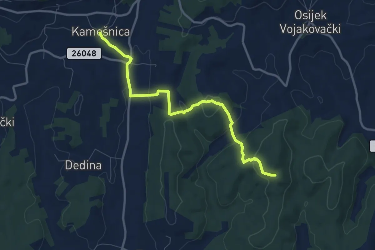
Medium · Trail
Planinarska staza 16b
8.2 km · ↑ 328 m · 2 h 39 min
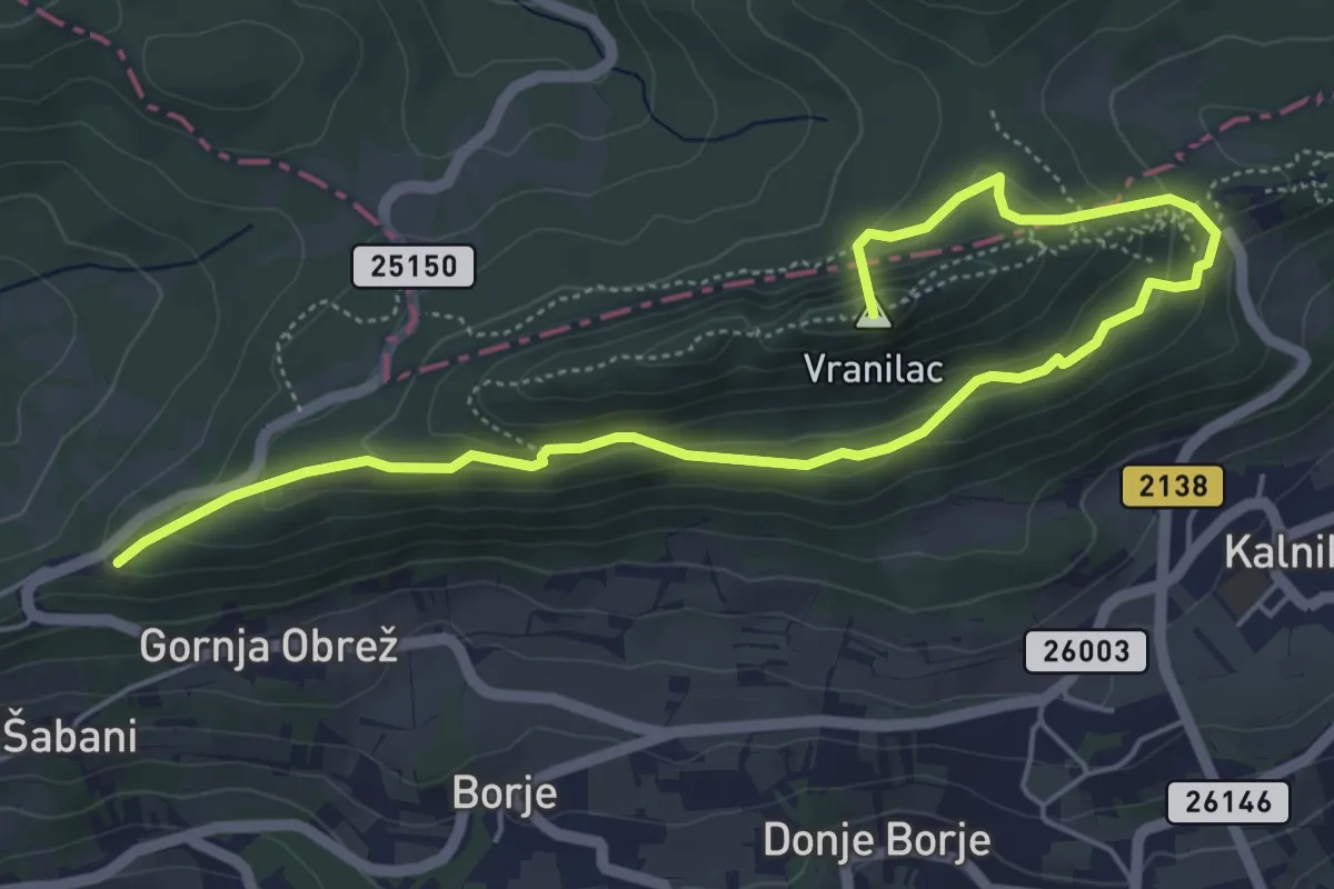
Medium · Summit
Planinarska staza 18
6.6 km · ↑ 348 m · 2 h 19 min
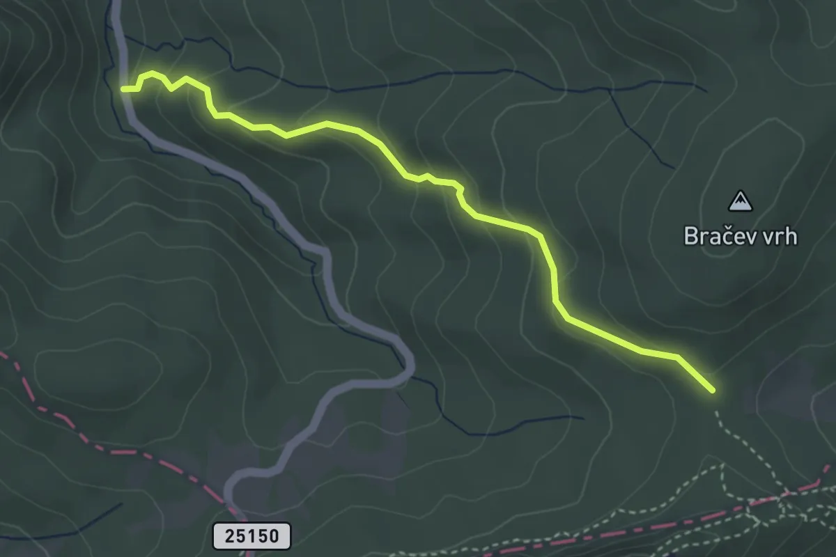
Easy · Trail
Planinarska staza 2
3.6 km · ↑ 231 m · 1 h 21 min
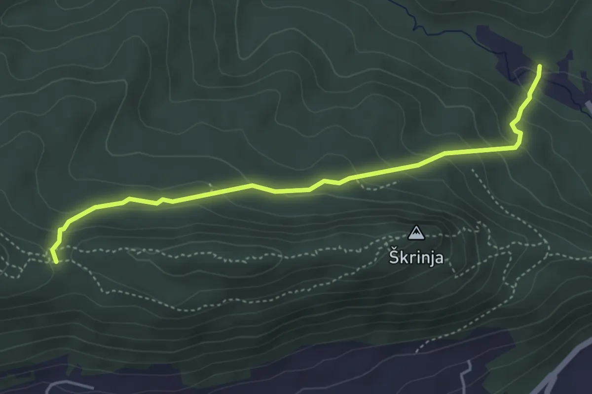
Medium · Trail
Planinarska staza 23
4.4 km · ↑ 232 m · 1 h 33 min
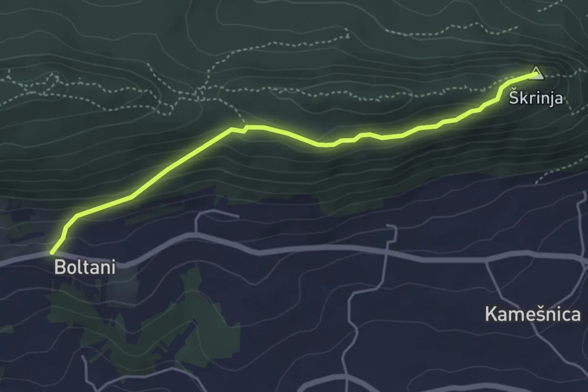
Medium · Summit
Planinarska staza 25
4.4 km · ↑ 203 m · 1 h 29 min
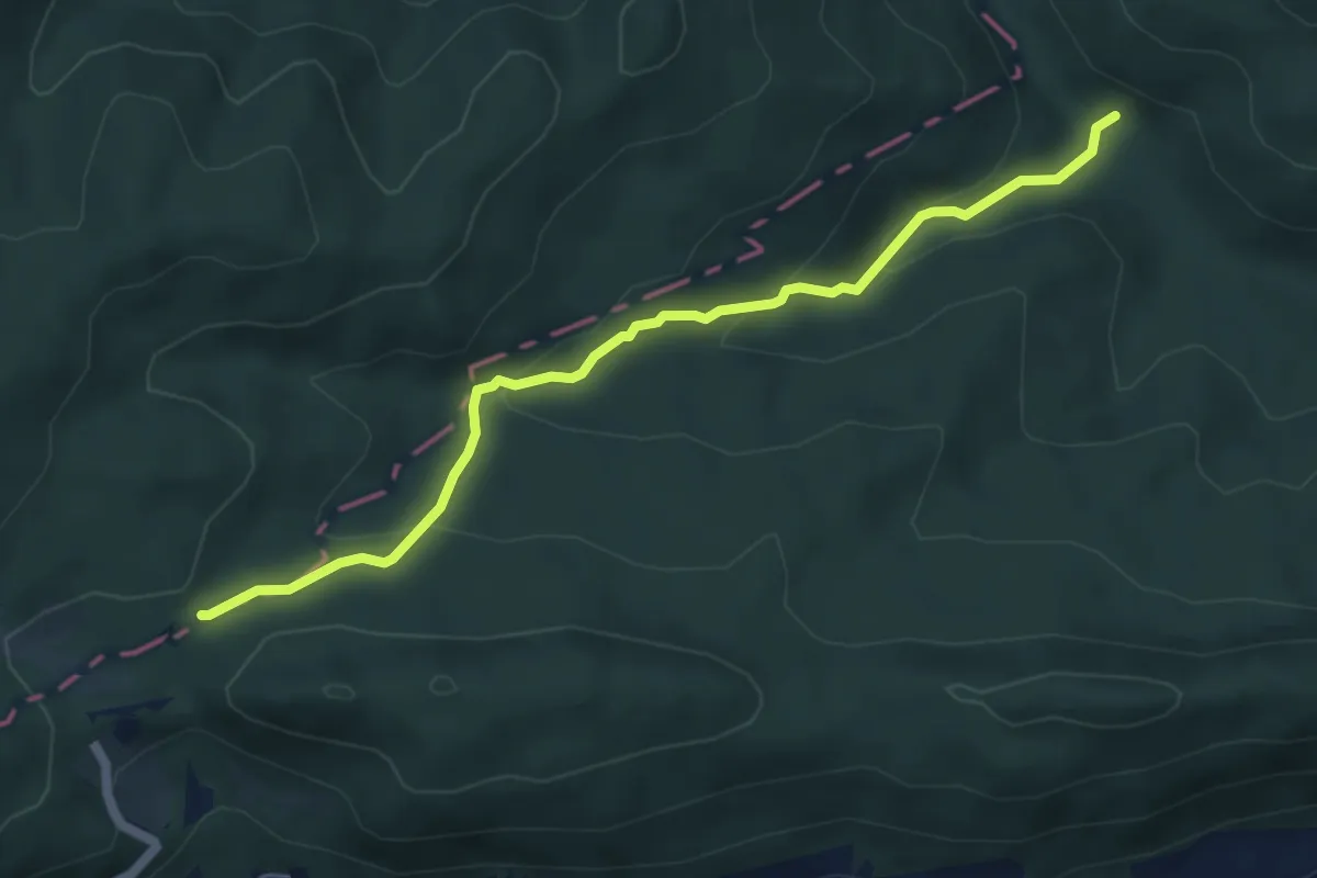
Easy · Trail
Planinarska staza 27
5.5 km · ↑ 230 m · 1 h 48 min
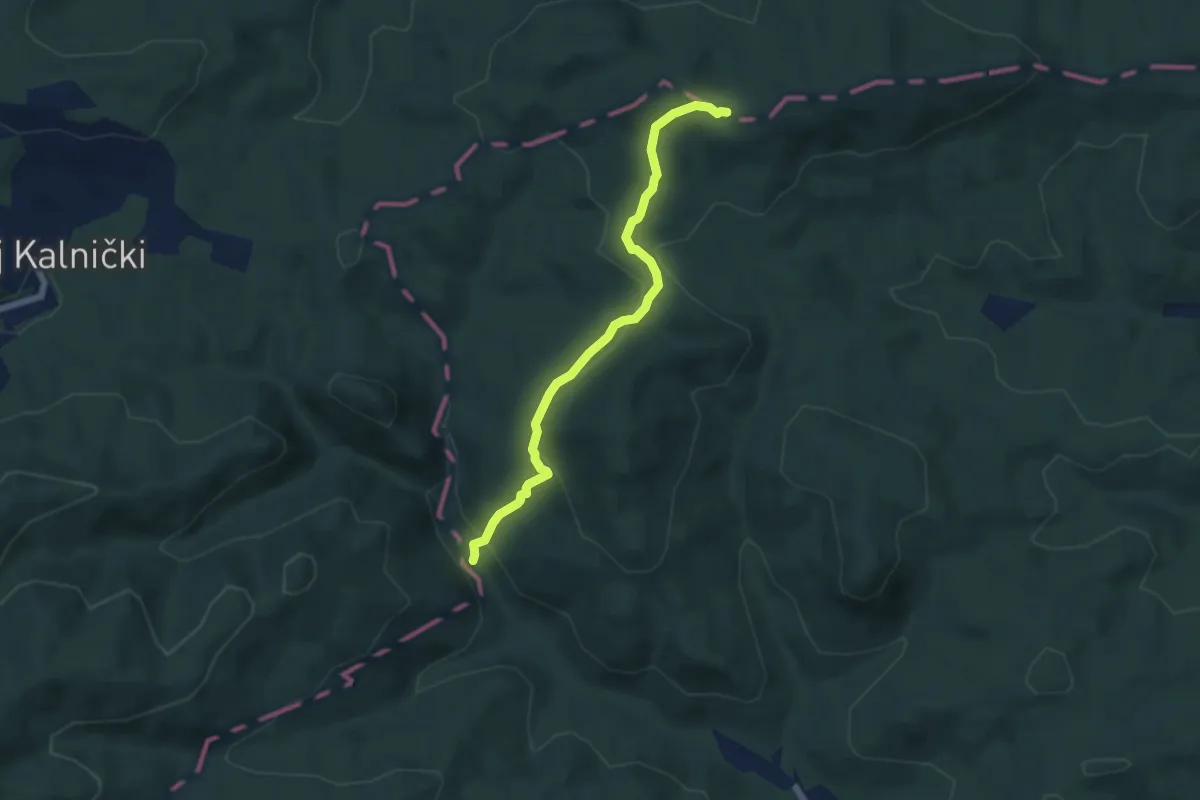
Easy · Trail
Planinarska staza 27b
6.1 km · ↑ 220 m · 1 h 55 min
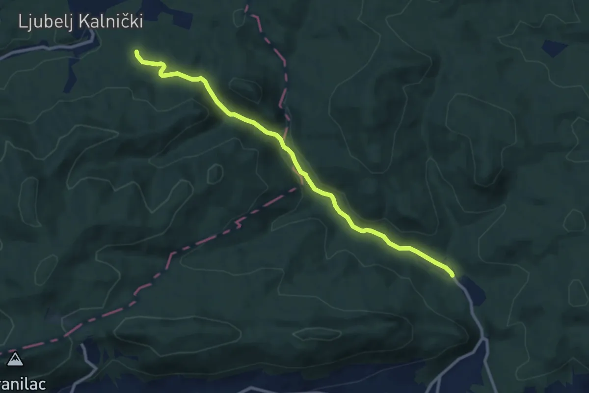
Medium · Trail
Planinarska staza 28
8.5 km · ↑ 170 m · 2 h 22 min
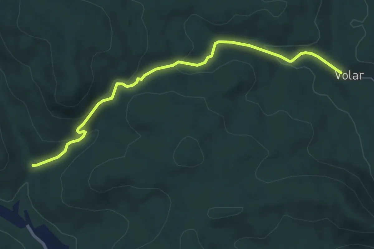
Medium · Trail
Planinarska staza 29b
6.0 km · ↑ 226 m · 1 h 54 min
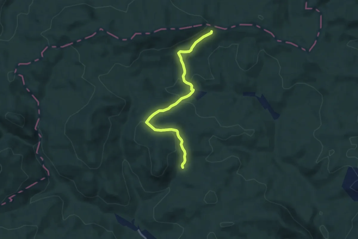
Easy · Trail
Planinarska staza 29c
7.4 km · ↑ 303 m · 2 h 23 min
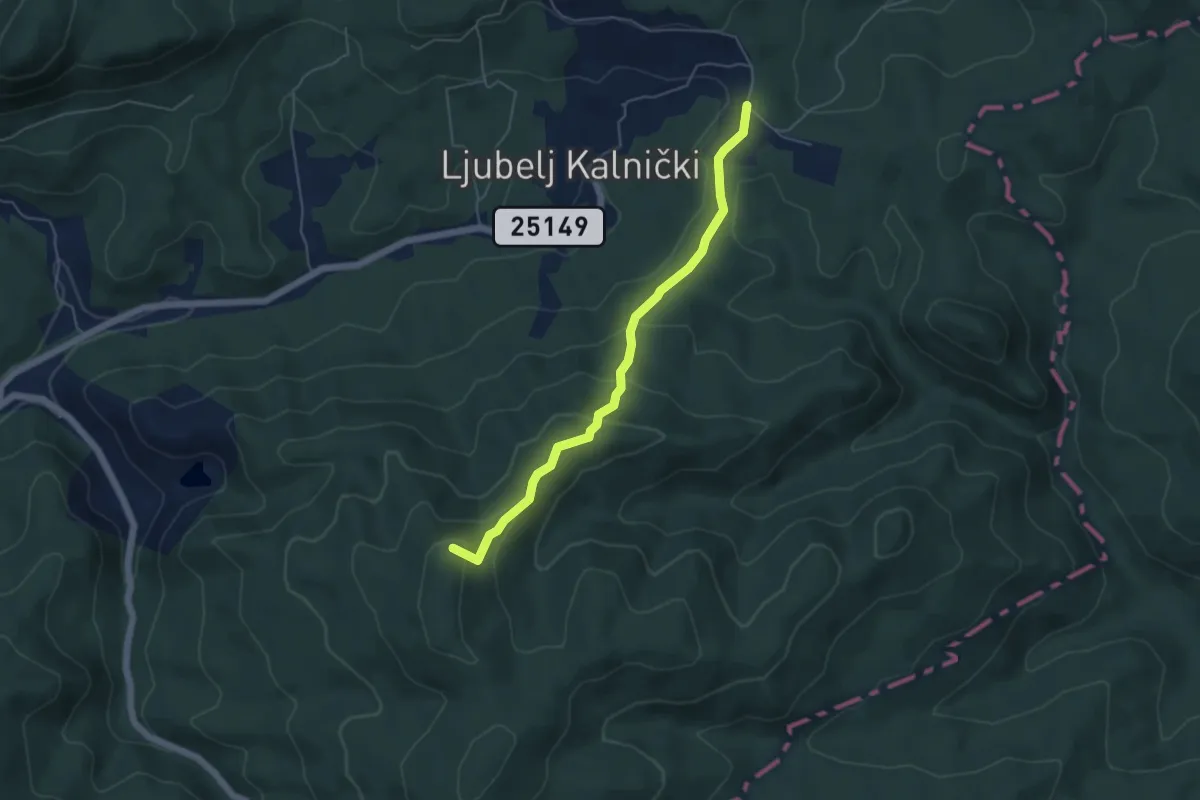
Medium · Summit
Planinarska staza 3
5.0 km · ↑ 248 m · 1 h 43 min
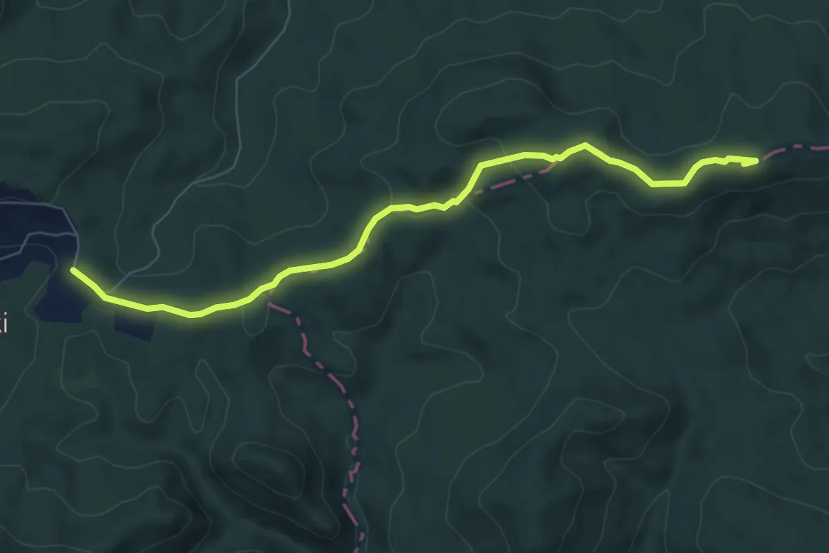
Easy · Summit
Planinarska staza 35
7.5 km · ↑ 191 m · 2 h 10 min
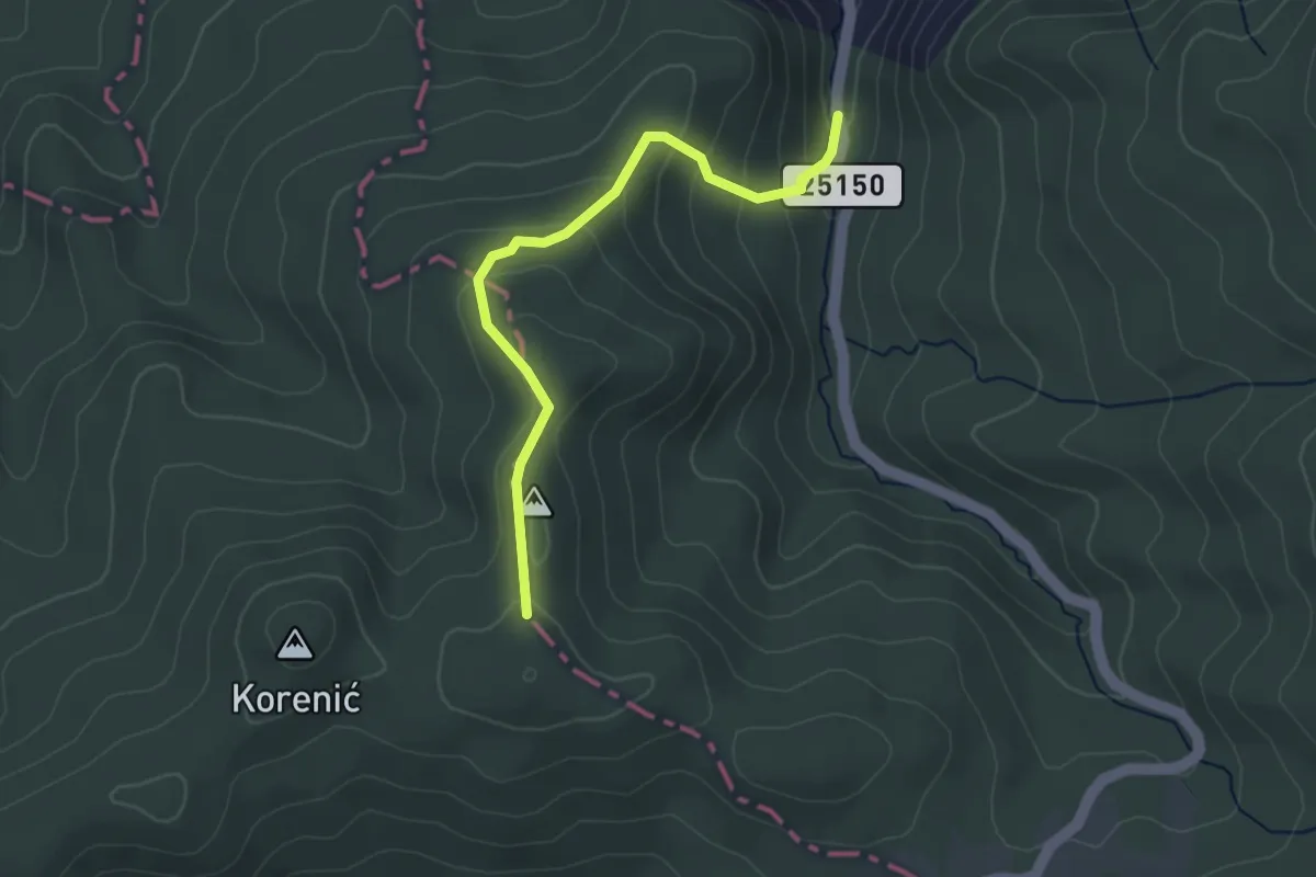
Easy · Trail
Planinarska staza 4
3.3 km · ↑ 187 m · 1 h 11 min
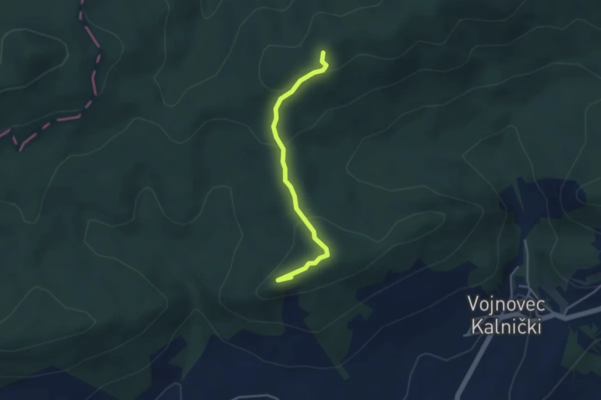
Medium · Summit
Planinarska staza 4b
3.0 km · ↑ 100 m · 56 min
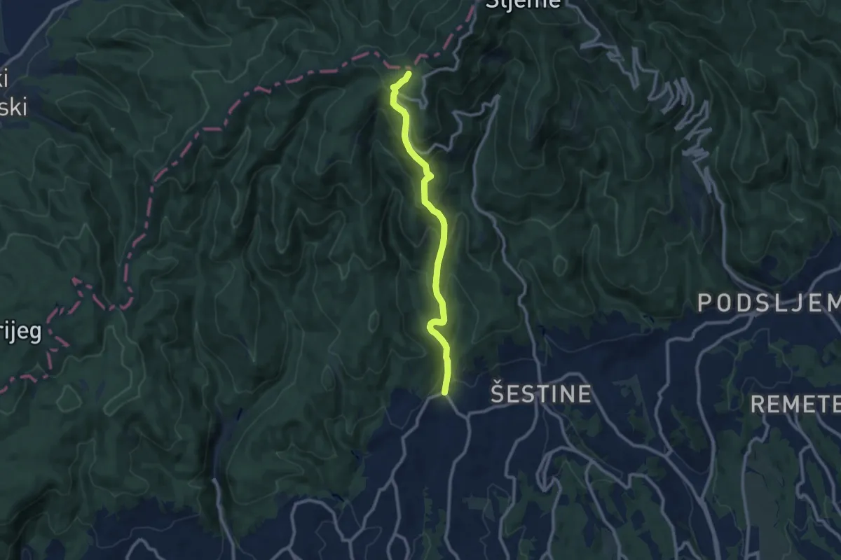
Medium · Trail
Planinarska staza 50
9.0 km · ↑ 655 m · 3 h 33 min
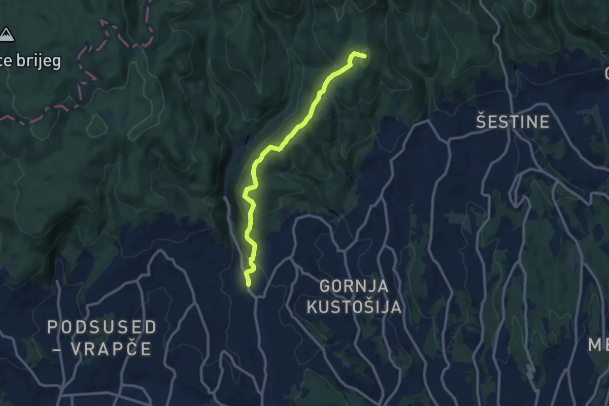
Medium · Summit
Planinarska staza Medvednica 10
8.6 km · ↑ 406 m · 2 h 55 min
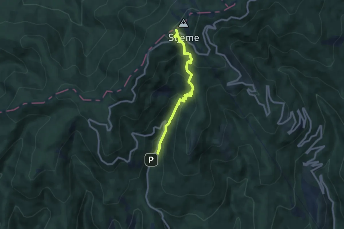
Medium · Trail
Planinarska staza Medvednica 106
6.0 km · ↑ 477 m · 2 h 27 min
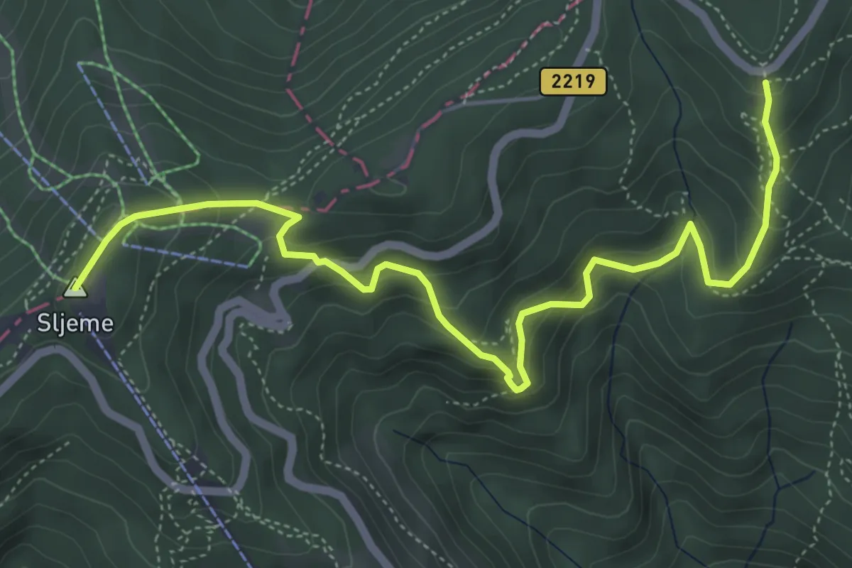
Medium · Summit
Planinarska staza Medvednica 107
6.1 km · ↑ 478 m · 2 h 29 min
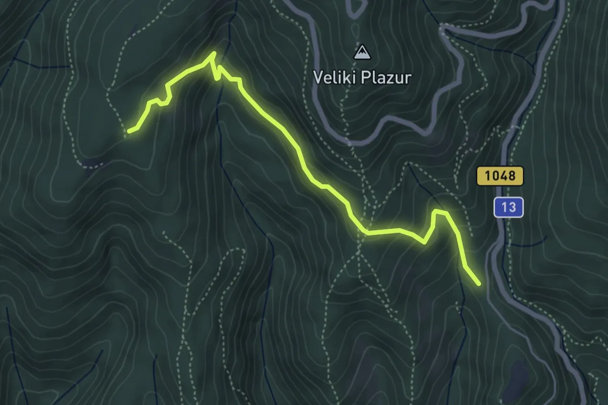
Easy · Trail
Planinarska staza Medvednica 11
5.0 km · ↑ 283 m · 1 h 48 min