Trails in Czech Republic
4,056 hiking trails, each with its route, climb, walking time and grade.
All trails, page 36 of 85
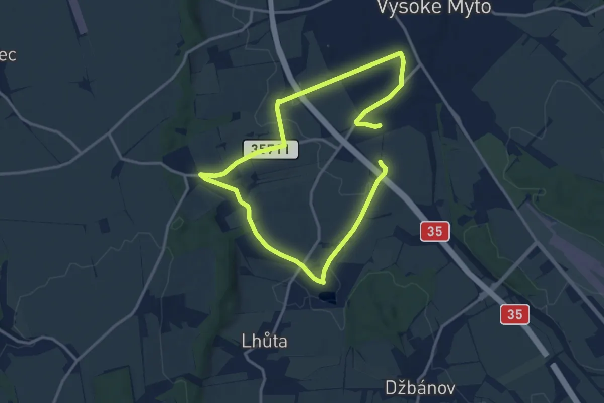
Medium · Trail
NS Knířov - Vánice
15.1 km · ↑ 113 m · 3 h 49 min
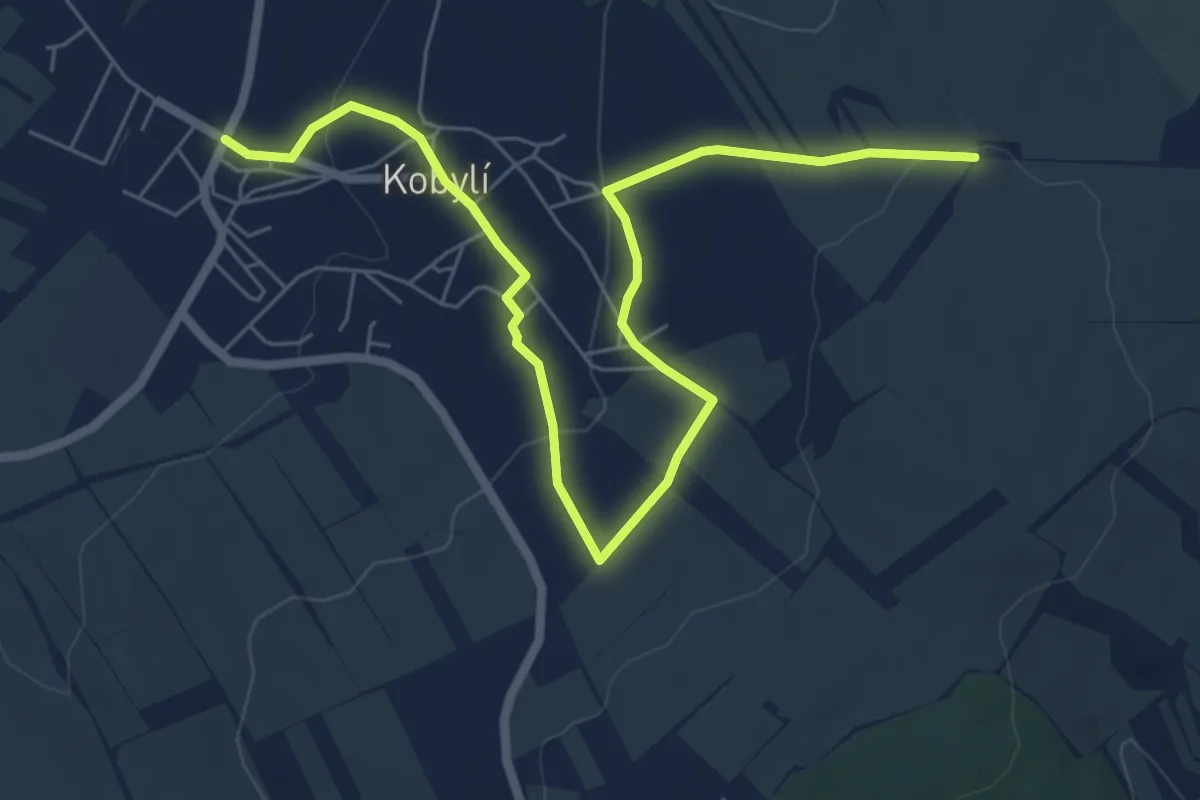
Easy · Trail
NS Kobylí
7.7 km · ↑ 173 m · 2 h 12 min
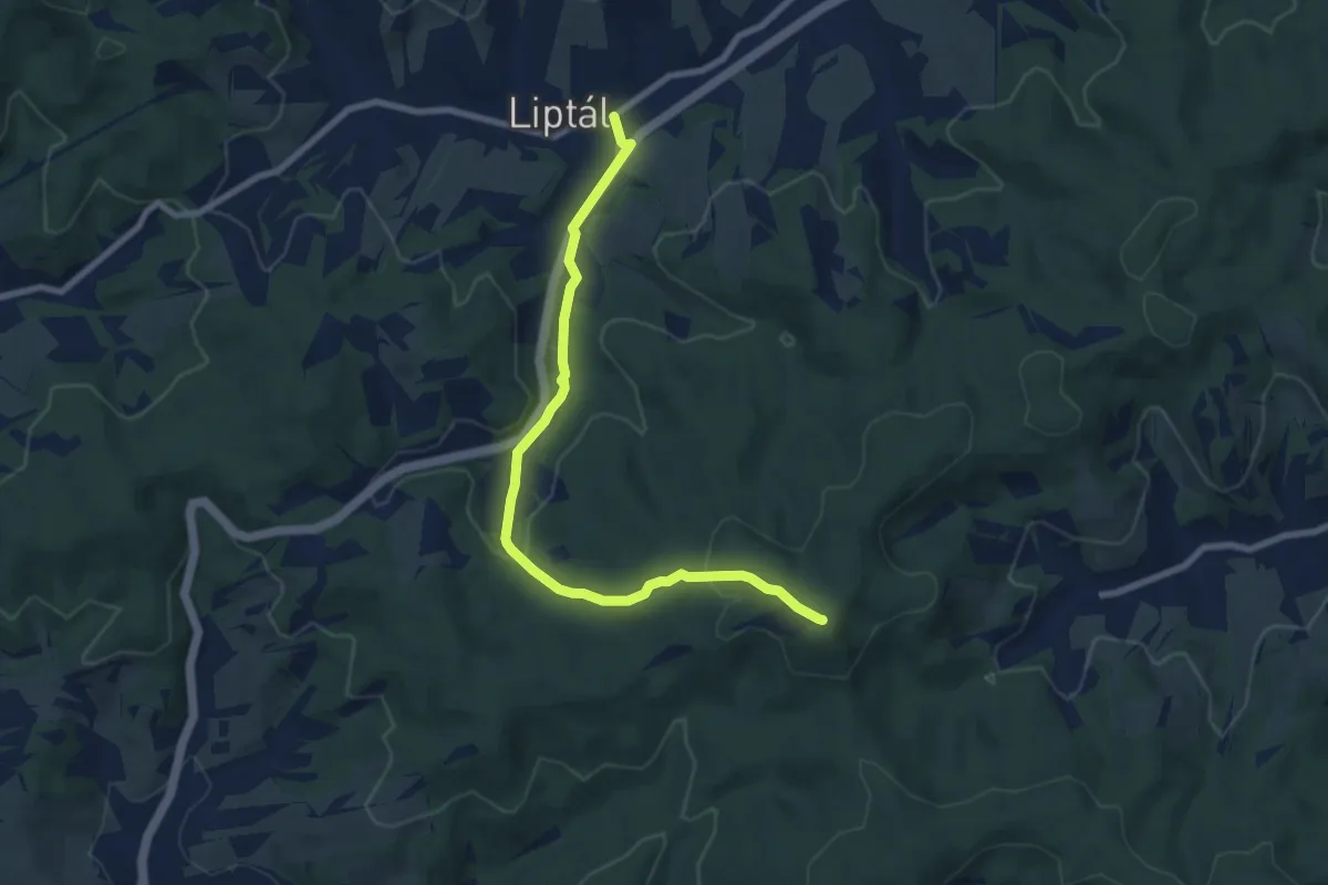
Easy · Summit
NS Kobzanův chodník
7.9 km · ↑ 256 m · 2 h 25 min
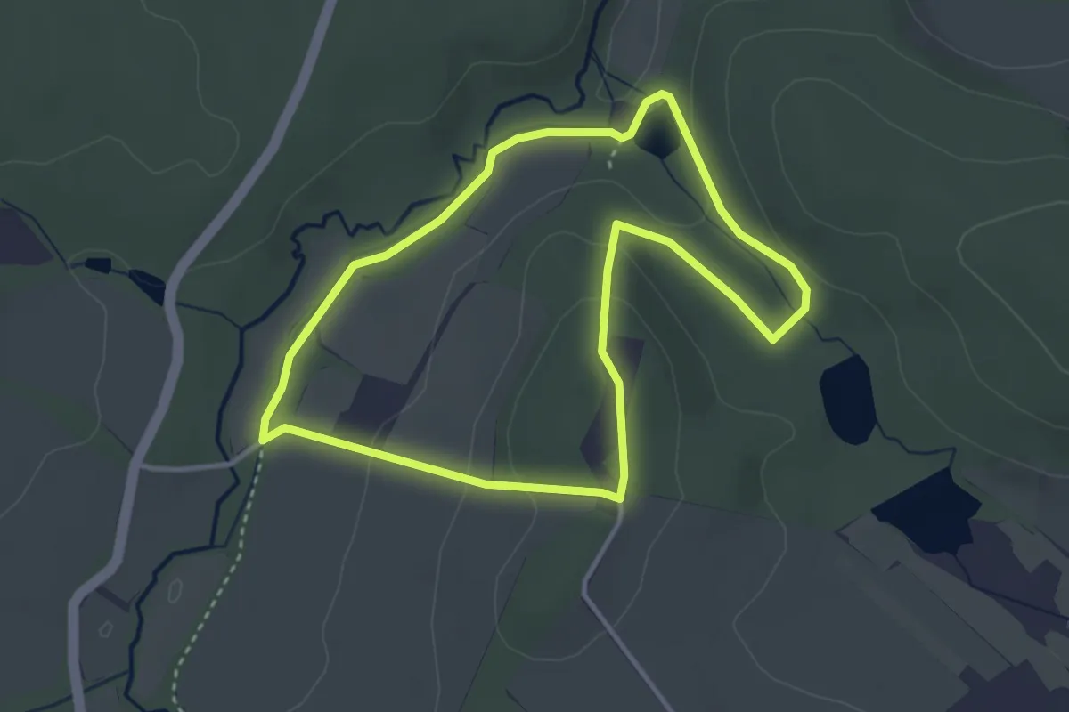
Easy · Trail
NS Kolem hradu Šelmberk
3.1 km · ↑ 74 m · 56 min
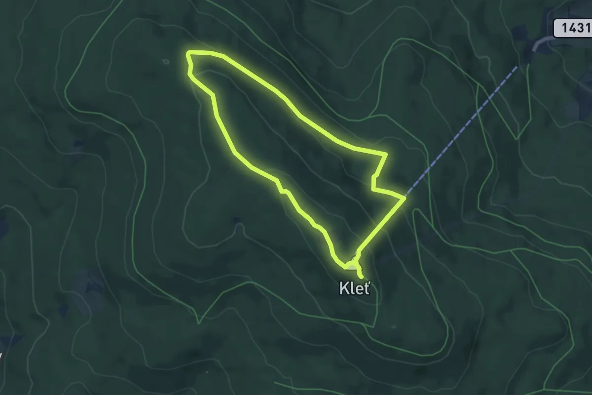
Medium · Summit
NS Kolem Kletě
4.9 km · ↑ 192 m · 1 h 38 min
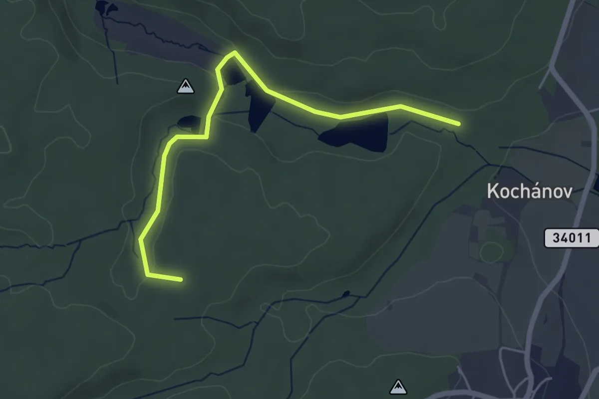
Easy · Summit
NS Kolem Kochánovických rybníků
4.3 km · ↑ 38 m · 1 h 6 min
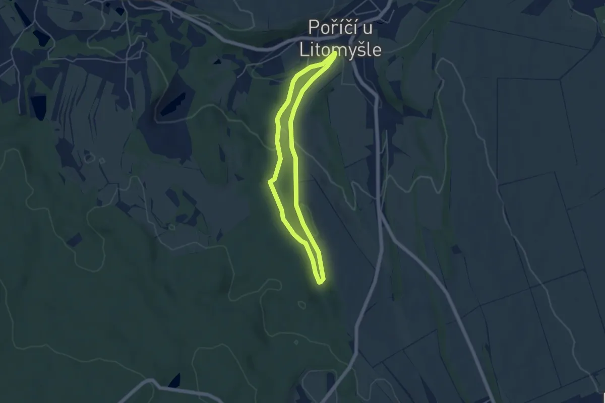
Easy · Trail
NS Kolem Štimberka
3.9 km · ↑ 94 m · 1 h 11 min
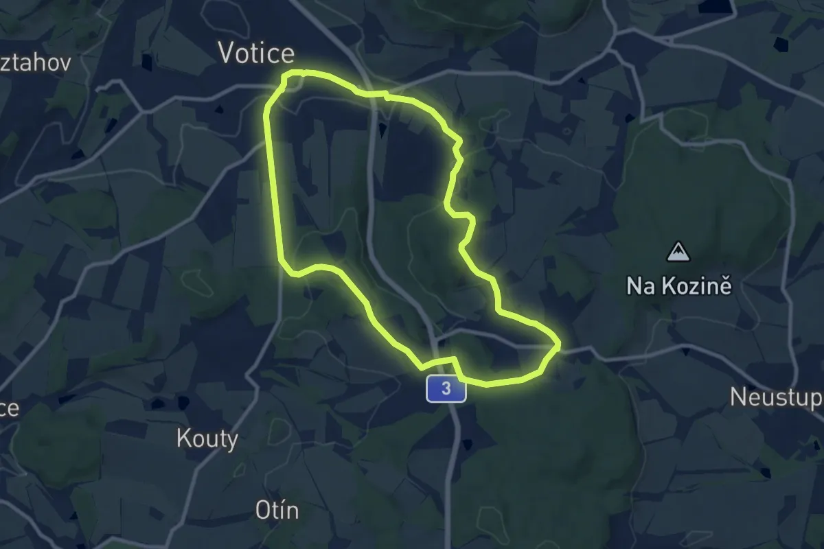
Medium · Summit
NS Kolem Votic za poznáním
8.6 km · ↑ 250 m · 2 h 41 min
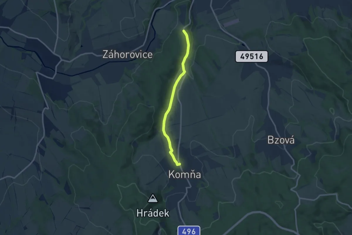
Easy · Trail
NS Komenka
7.9 km · ↑ 106 m · 2 h 6 min
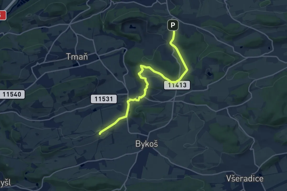
Medium · Trail
NS Koněpruské jeskyně-Borek KLONK
13.2 km · ↑ 262 m · 3 h 41 min
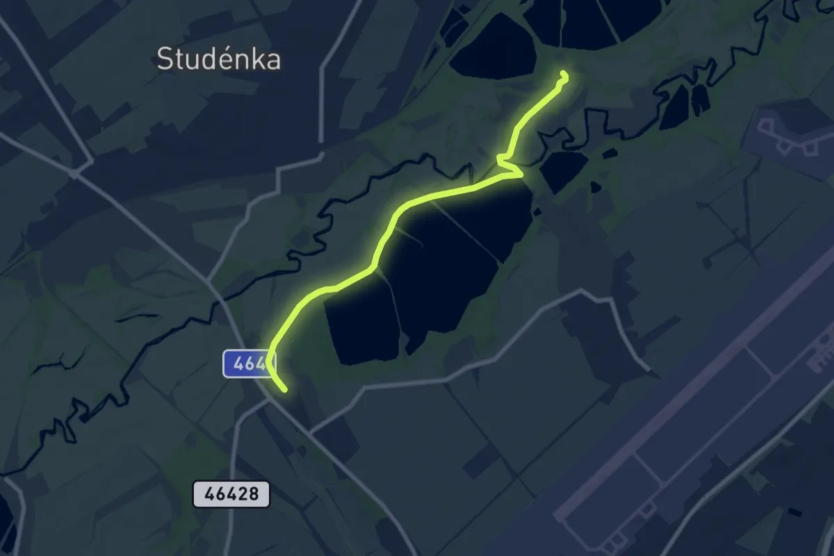
Easy · Trail
NS Kotvice
7.1 km · ↑ 39 m · 1 h 45 min
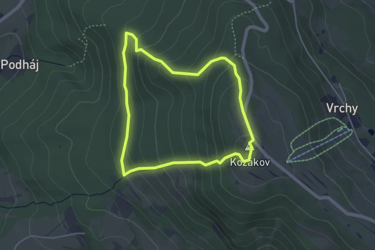
Easy · Summit
NS Kozákov
3.0 km · ↑ 198 m · 1 h 11 min
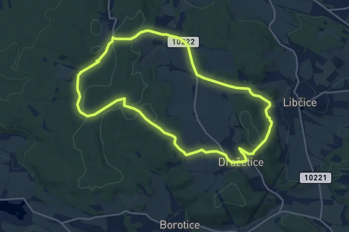
Medium · Trail
NS Kozí Hory - Libčice
10.3 km · ↑ 226 m · 3 h 3 min
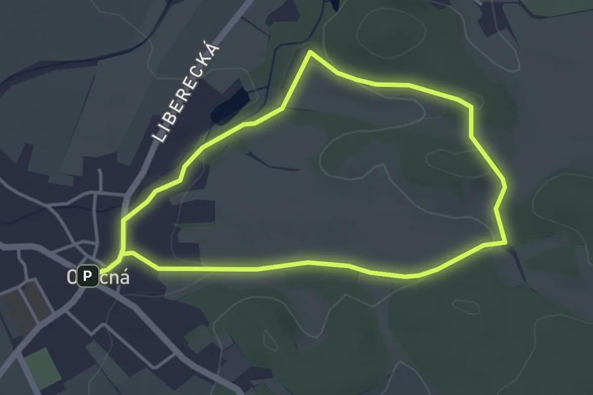
Easy · Trail
NS K pramenům
3.1 km · ↑ 41 m · 51 min
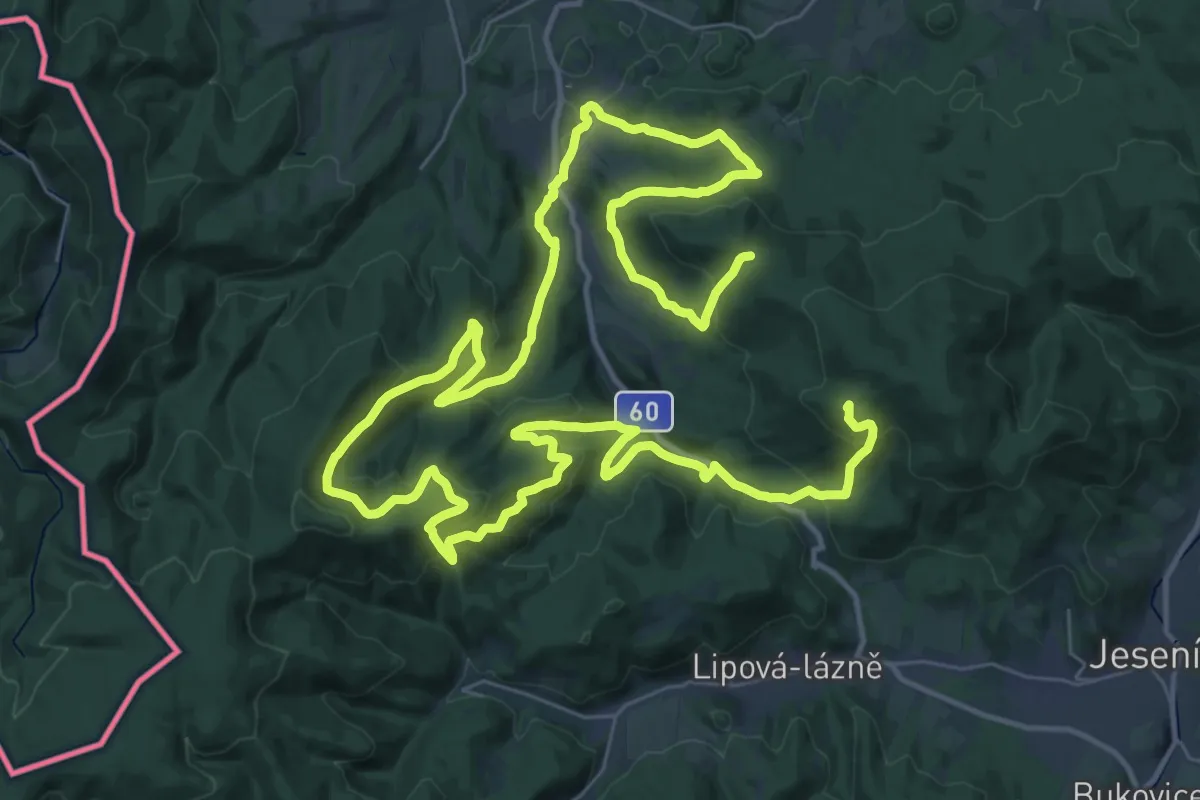
Demanding · Summit
NS Krajem Rychlebských hor
63.3 km · ↑ 2258 m · 19 h 50 min
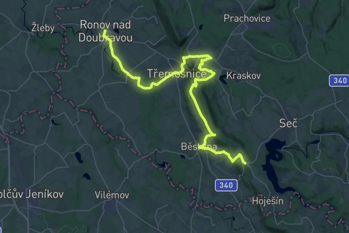
Demanding · Trail
NS Krajem Železných hor
18.9 km · ↑ 637 m · 5 h 59 min
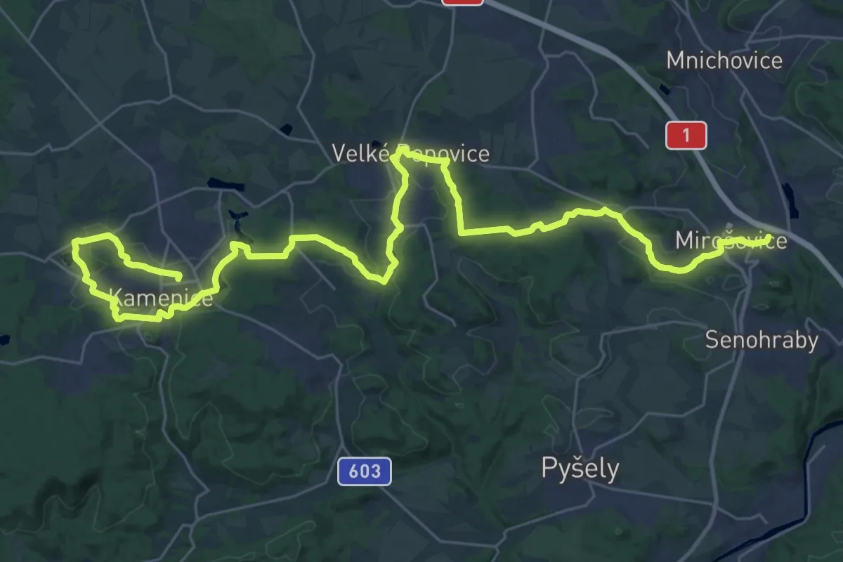
Demanding · Trail
NS Krajinou barona Ringhoffera
20.3 km · ↑ 261 m · 5 h 37 min
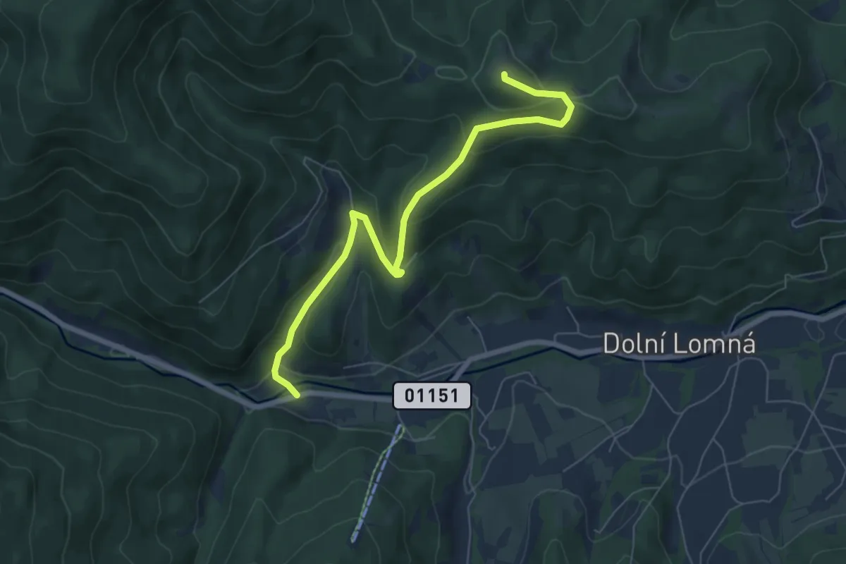
Easy · Summit
NS krajinou dávných horalů
6.4 km · ↑ 302 m · 2 h 10 min
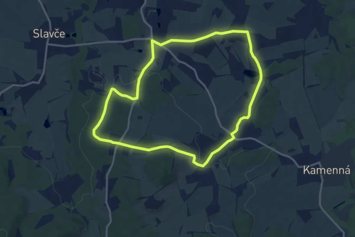
Easy · Trail
NS Krajinou humanity
7.7 km · ↑ 104 m · 2 h 8 min
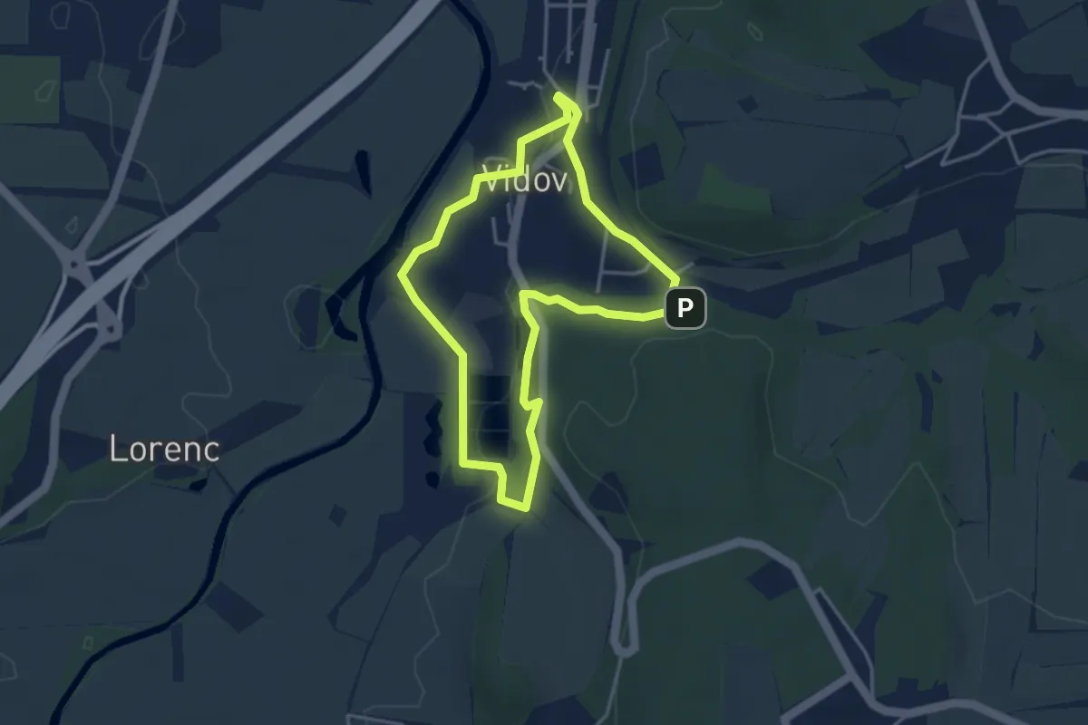
Easy · Trail
NS Krajinou proměn
3.3 km · ↑ 59 m · 57 min
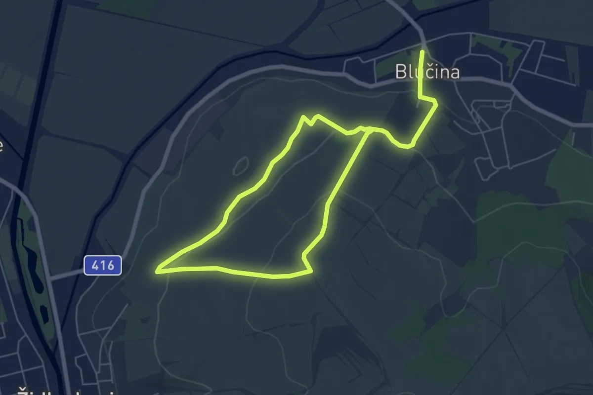
Medium · Trail
NS Krajinou Výhonu
9.0 km · ↑ 280 m · 2 h 45 min
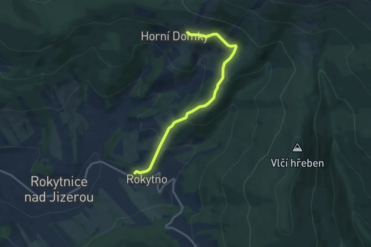
Medium · Trail
NS Krakonoš a lyžníci
6.3 km · ↑ 332 m · 2 h 12 min
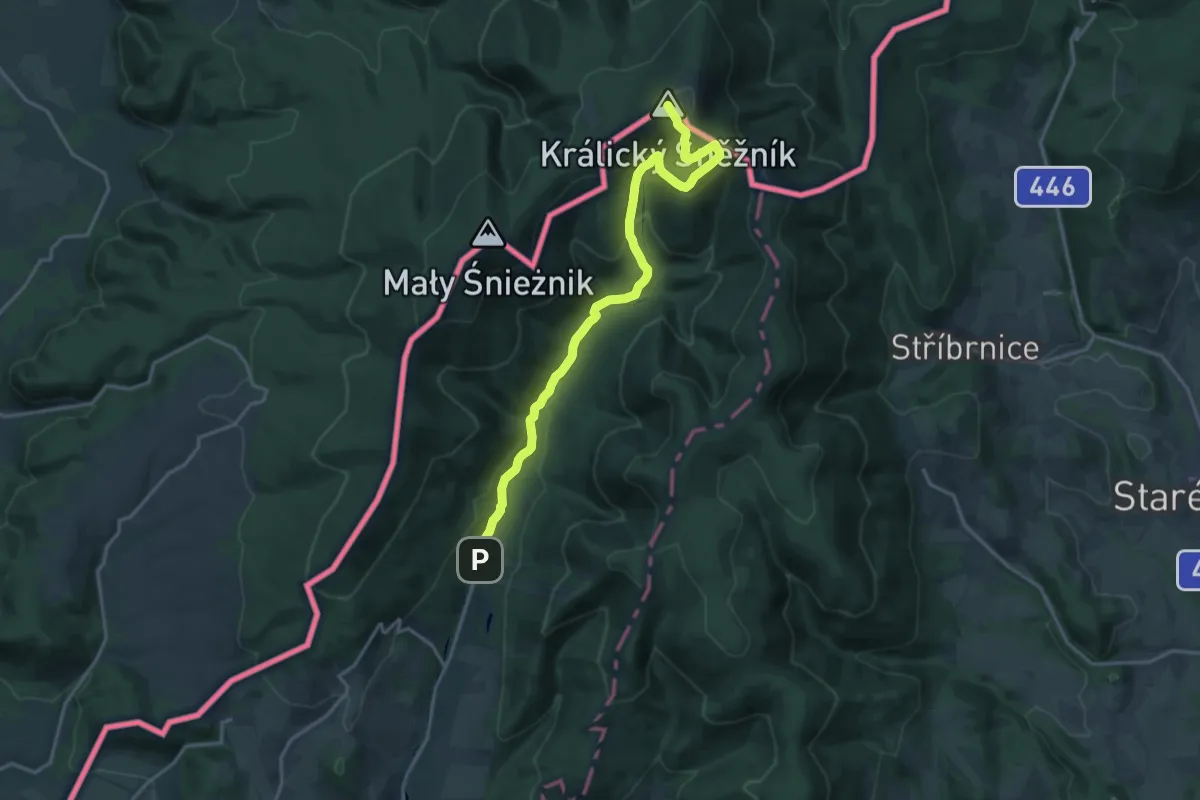
Demanding · Summit
NS Králický Sněžník
18.0 km · ↑ 772 m · 5 h 56 min
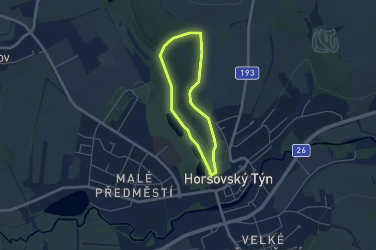
Easy · Trail
NS Královská rokle
2.7 km · ↑ 59 m · 49 min
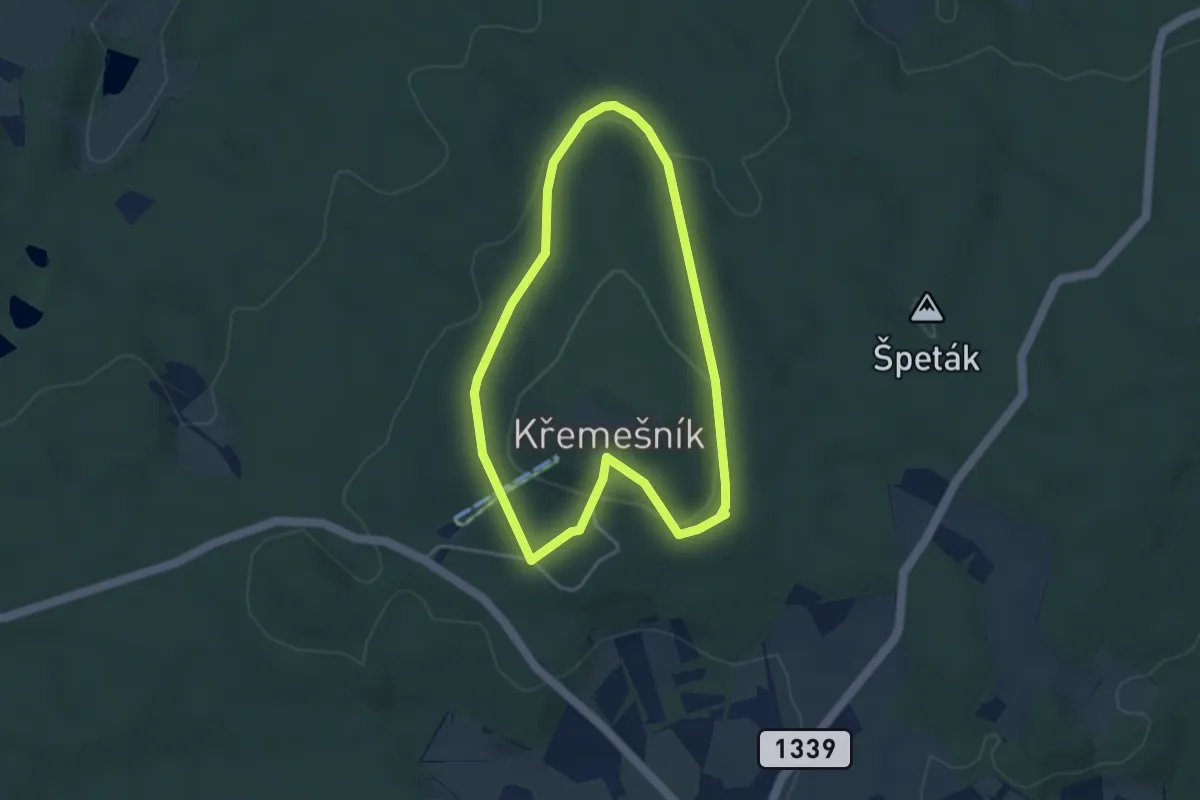
Easy · Trail
NS Křemešník
3.3 km · ↑ 96 m · 1 h 3 min
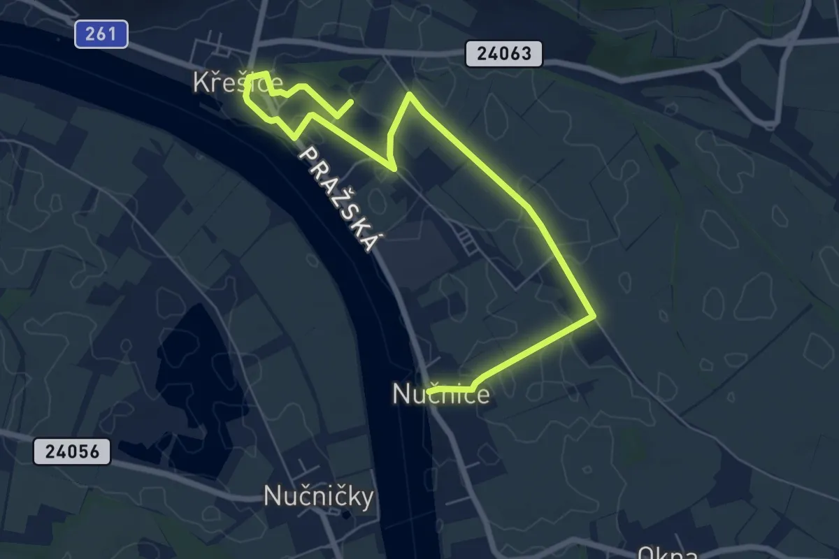
Easy · Trail
NS Křešická výprava
7.5 km · ↑ 4 m · 1 h 47 min
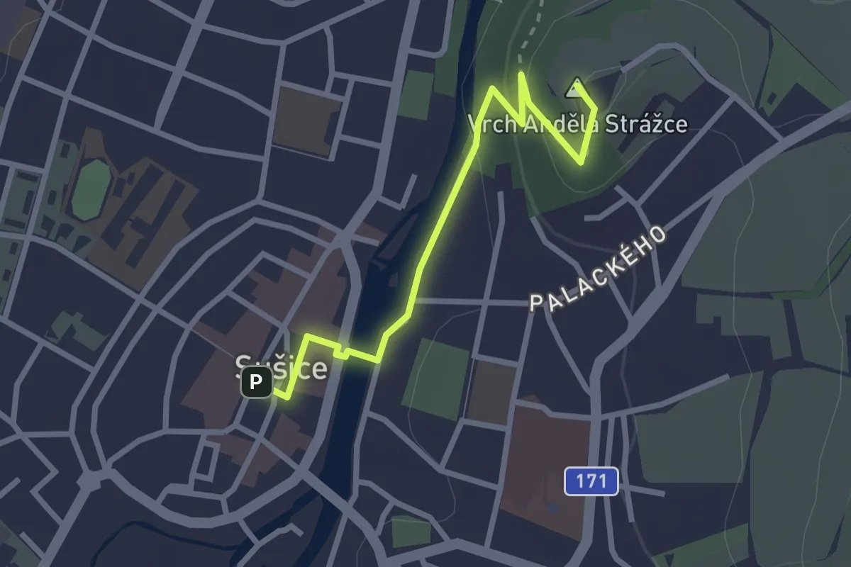
Medium · Summit
NS Křížová cesta na Andělíček
2.4 km · ↑ 63 m · 42 min
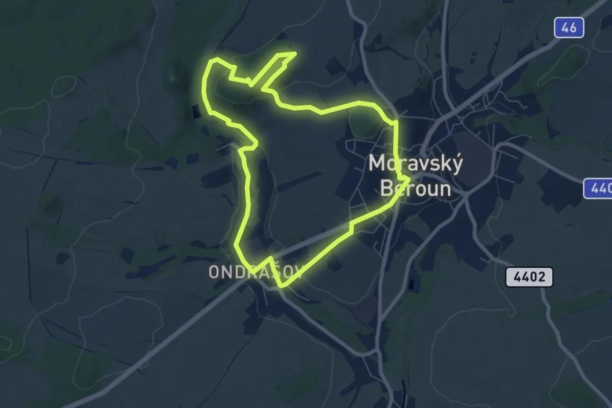
Expert · Summit
NS Křížový a Kočičí vrch
6.2 km · ↑ 118 m · 1 h 48 min
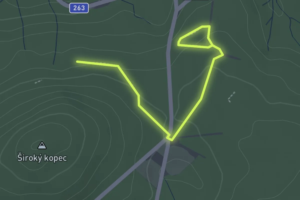
Easy · Trail
NS Křížový buk
2.6 km · ↑ 56 m · 44 min
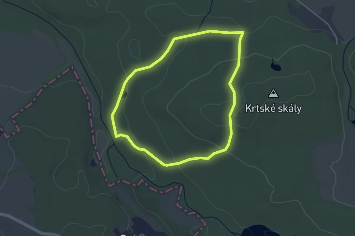
Easy · Trail
NS Krtské skály
2.9 km · ↑ 70 m · 52 min
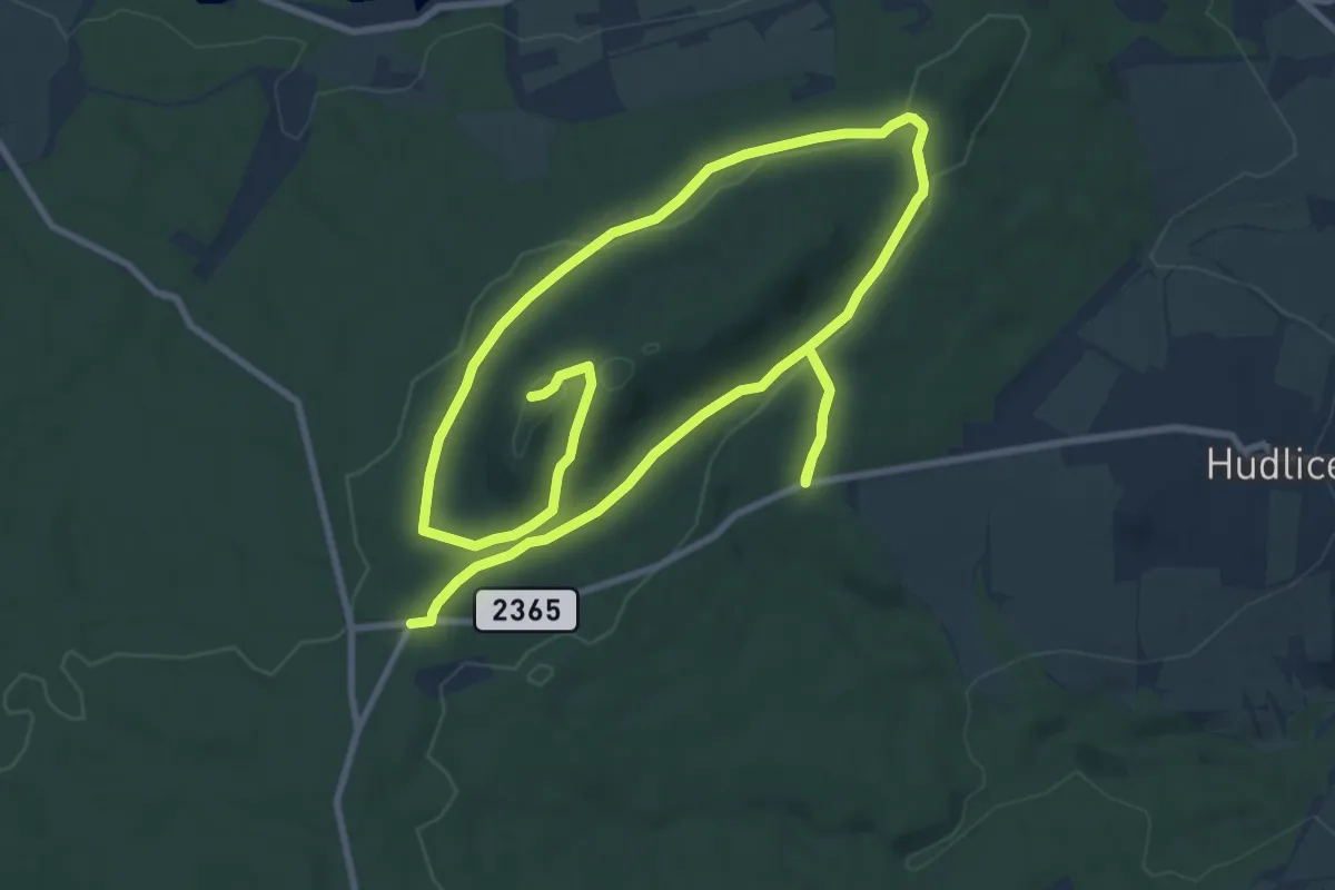
Medium · Summit
NS Krušná Hora
16.7 km · ↑ 284 m · 4 h 34 min
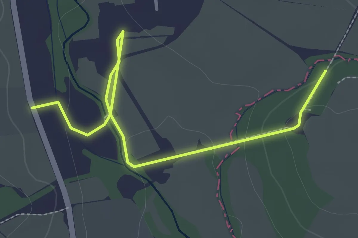
Easy · Trail
NS K-S 5
2.9 km · ↑ 33 m · 45 min
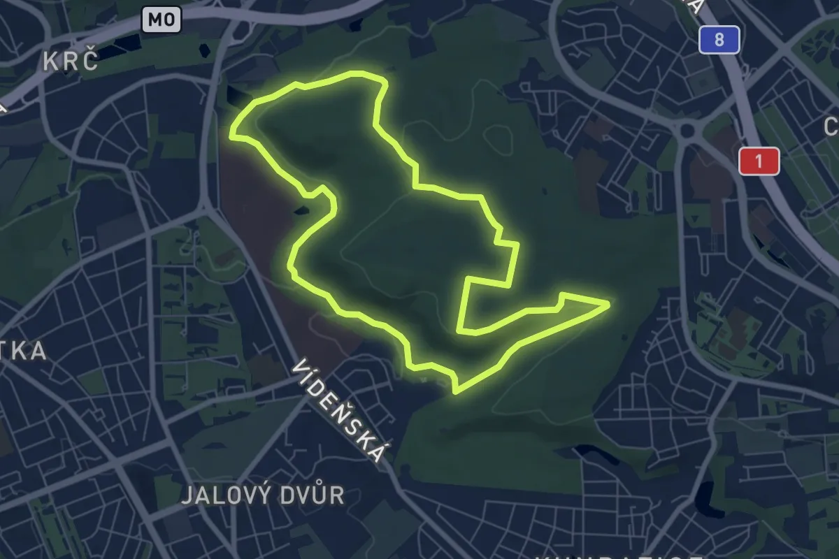
Easy · Trail
NS Kunratickým lesem
6.7 km · ↑ 105 m · 1 h 55 min
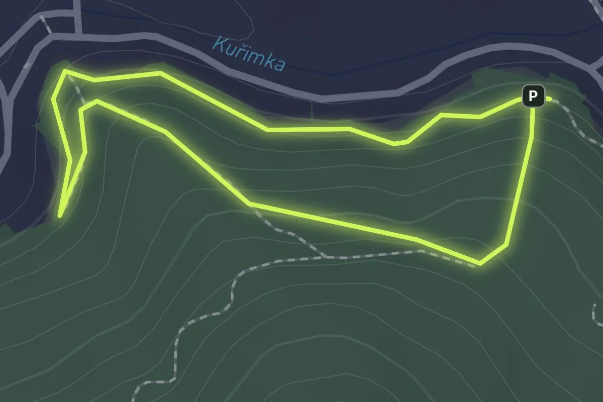
Easy · Trail
NS Kuřimská hora
1.6 km · ↑ 86 m · 35 min
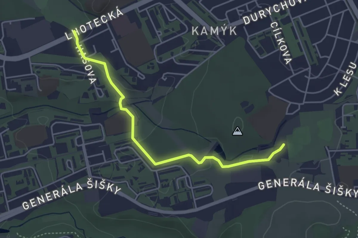
Easy · Trail
NS Květnaté louky
3.9 km · ↑ 59 m · 1 h 3 min
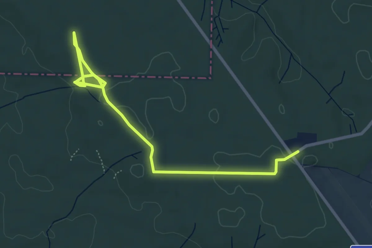
Easy · Trail
NS K Vysockému arboretu
6.0 km · ↑ 35 m · 1 h 30 min
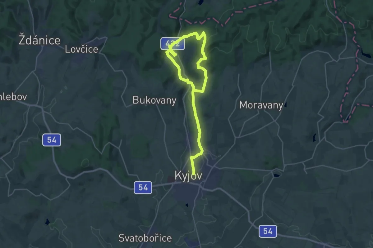
Demanding · Trail
NS Kyjov - Bohuslavice
27.7 km · ↑ 567 m · 7 h 46 min
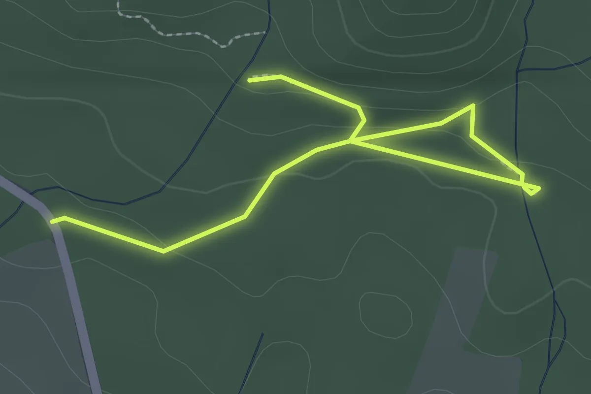
Easy · Trail
NS Kynžvartské kyselky
2.8 km · ↑ 71 m · 49 min
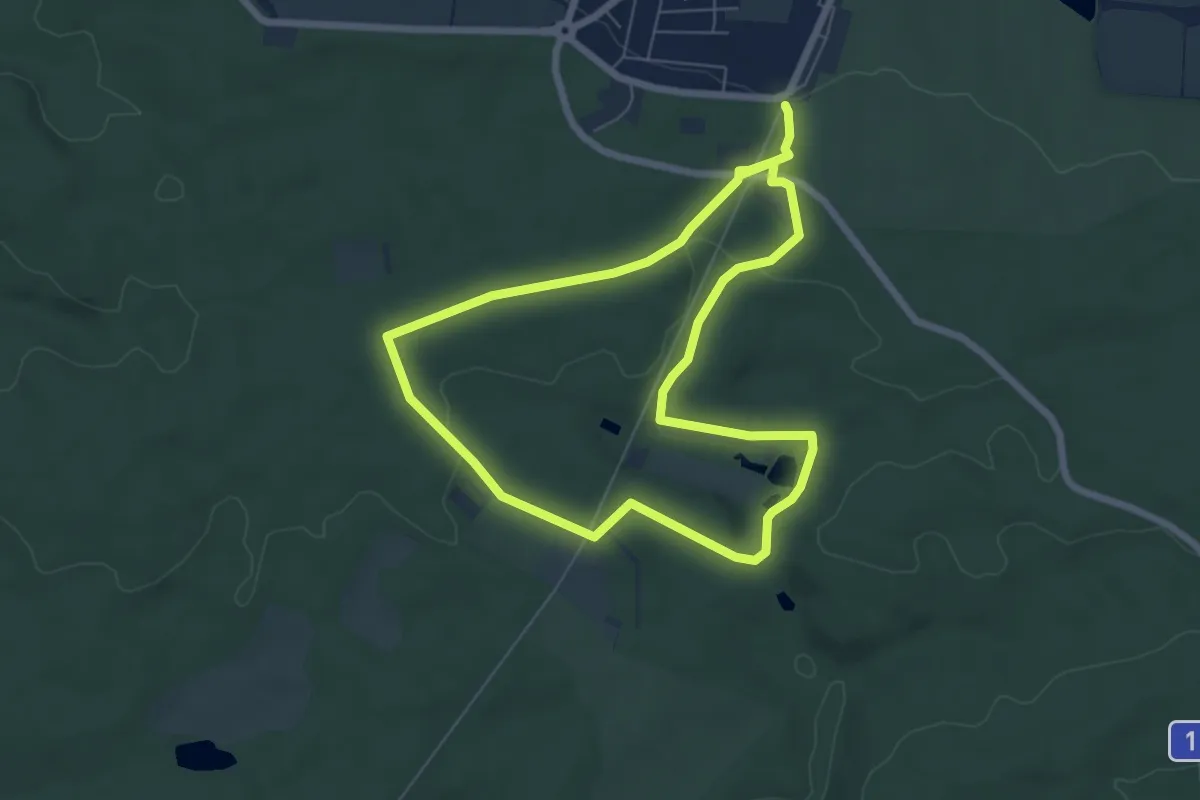
Easy · Trail
NS Lánská obora
5.7 km · ↑ 39 m · 1 h 31 min
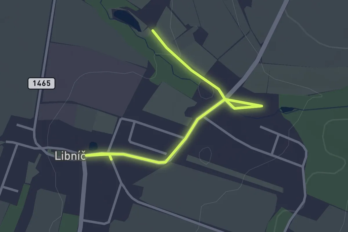
Easy · Trail
NS Lázeňství v Libníči
2.8 km · ↑ 23 m · 43 min
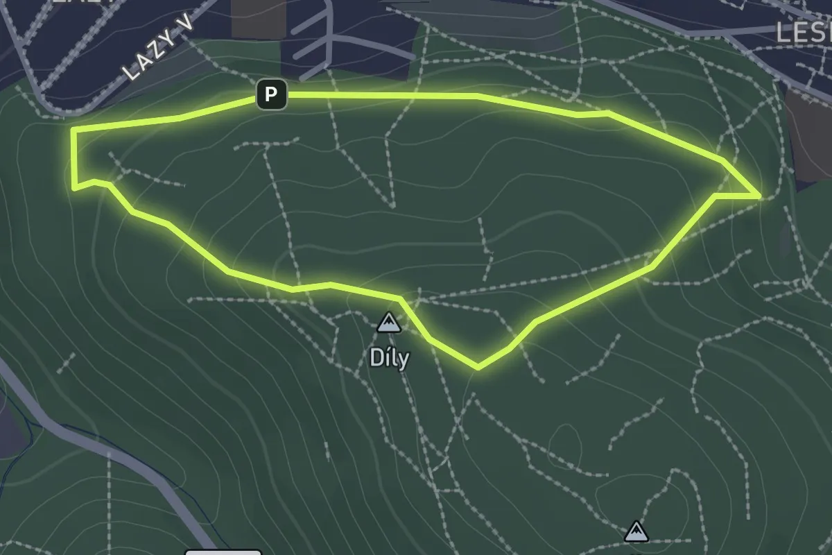
Easy · Summit
NS Lazy
2.2 km · ↑ 108 m · 48 min
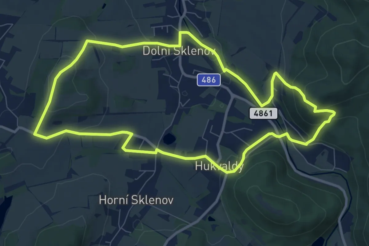
Medium · Summit
NS Leoš Janáček Očima dětí
7.8 km · ↑ 322 m · 2 h 39 min
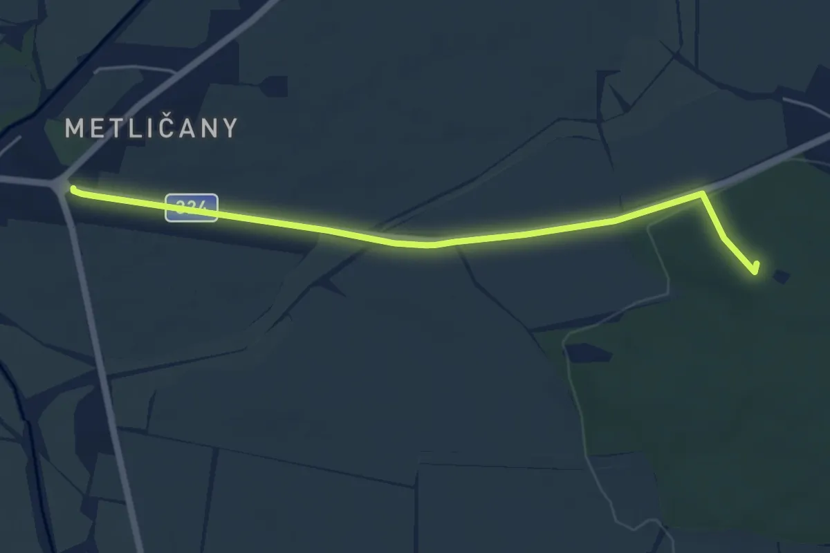
Easy · Summit
NS Les Chlum a okolí
4.8 km · ↑ 59 m · 1 h 16 min
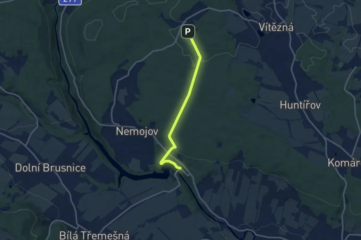
Easy · Trail
NS Lesem Království
7.9 km · ↑ 172 m · 2 h 14 min
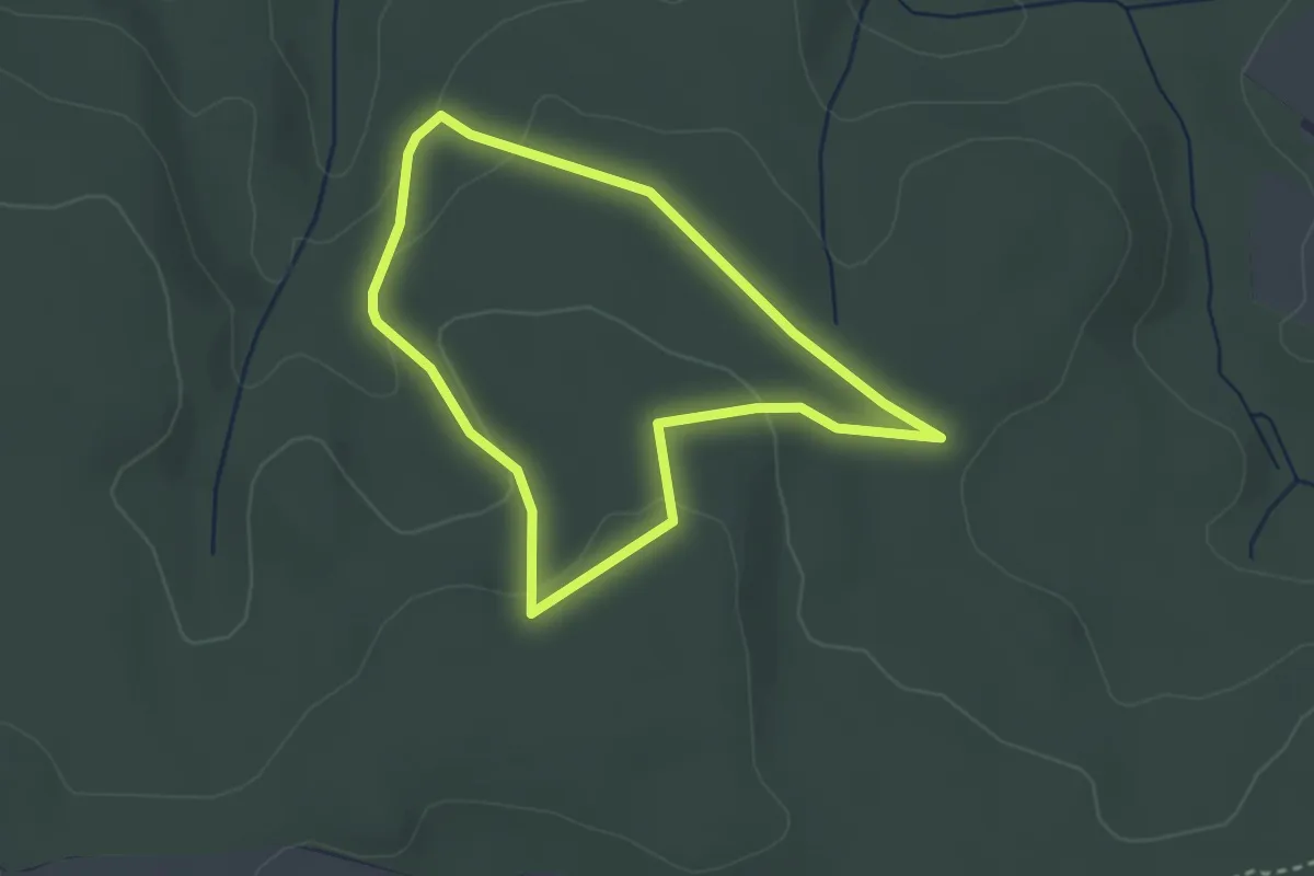
Easy · Trail
NS Lesnická
2.5 km · ↑ 65 m · 47 min
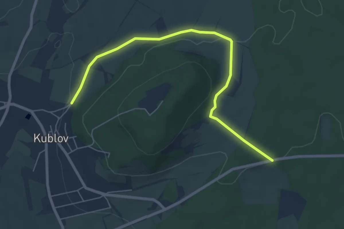
Easy · Trail
NS Lesní panorama Velíz
5.3 km · ↑ 126 m · 1 h 31 min
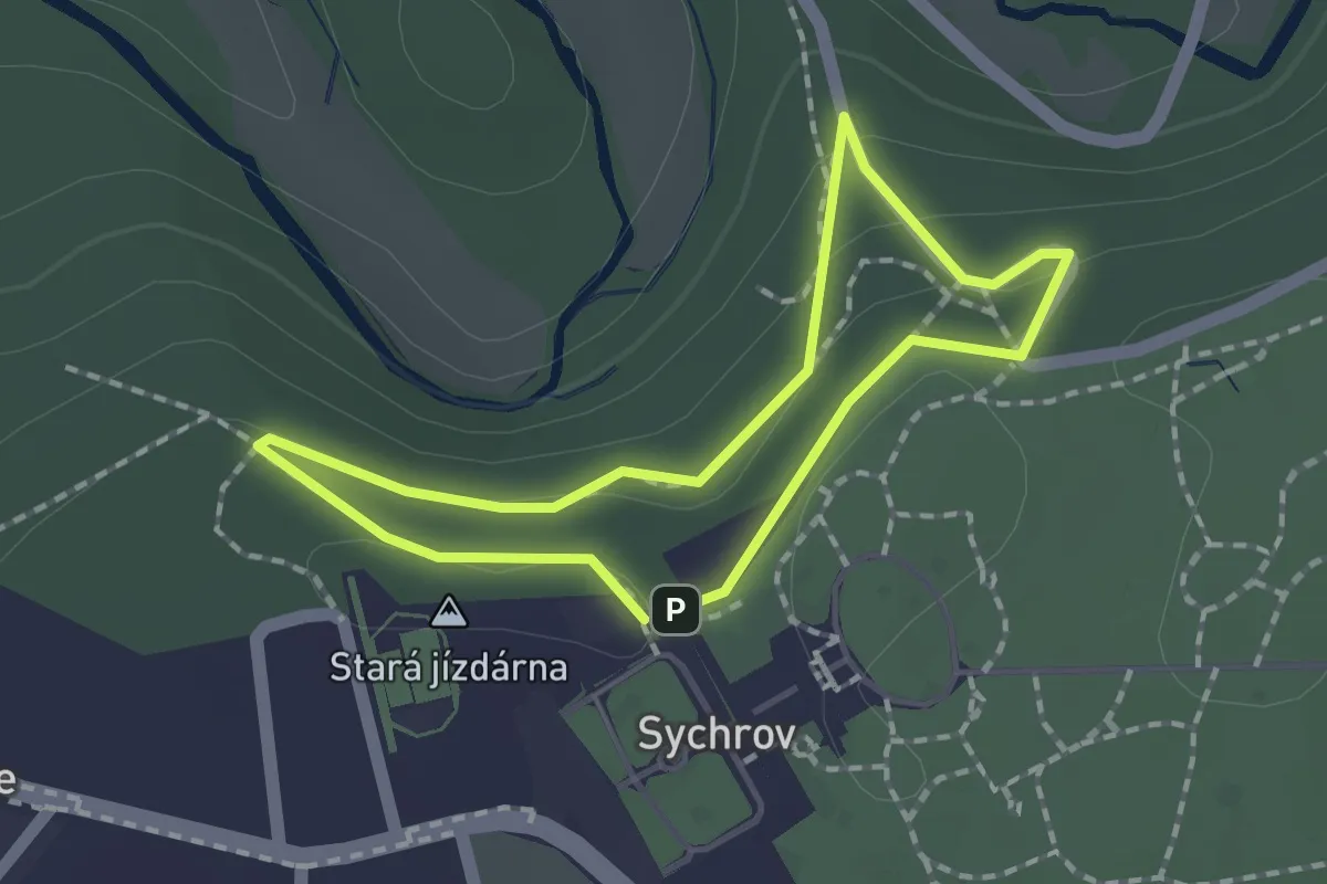
Easy · Summit
NS Lesní putování s Kamilem Rohanem
1.4 km · ↑ 49 m · 27 min
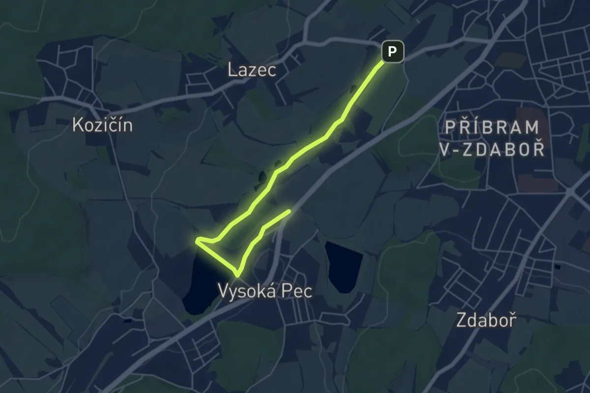
Easy · Trail
NS lesopark Litavka
5.3 km · ↑ 35 m · 1 h 20 min