Trails in Czech Republic
4,056 hiking trails, each with its route, climb, walking time and grade.
All trails, page 37 of 85
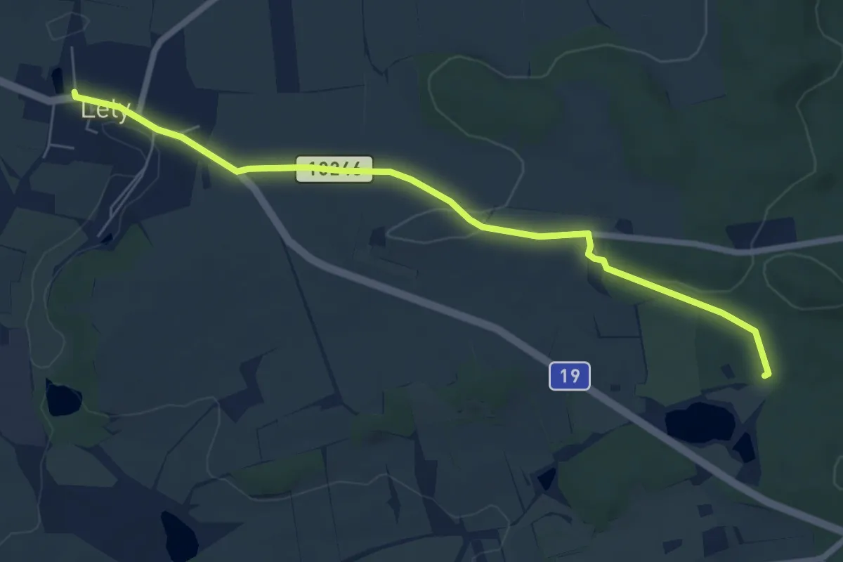
Easy · Trail
NS Lety
6.4 km · ↑ 66 m · 1 h 39 min
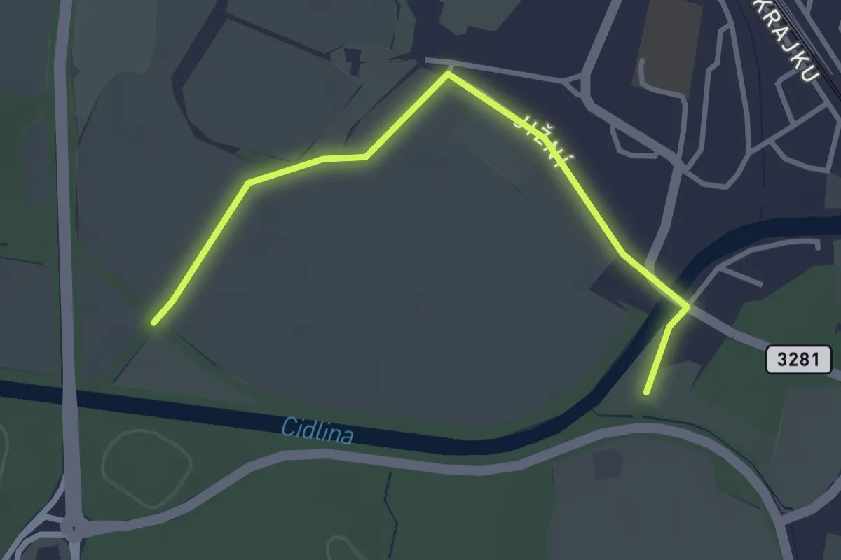
Easy · Trail
NS Libice
2.9 km · ↑ 0 m · 41 min
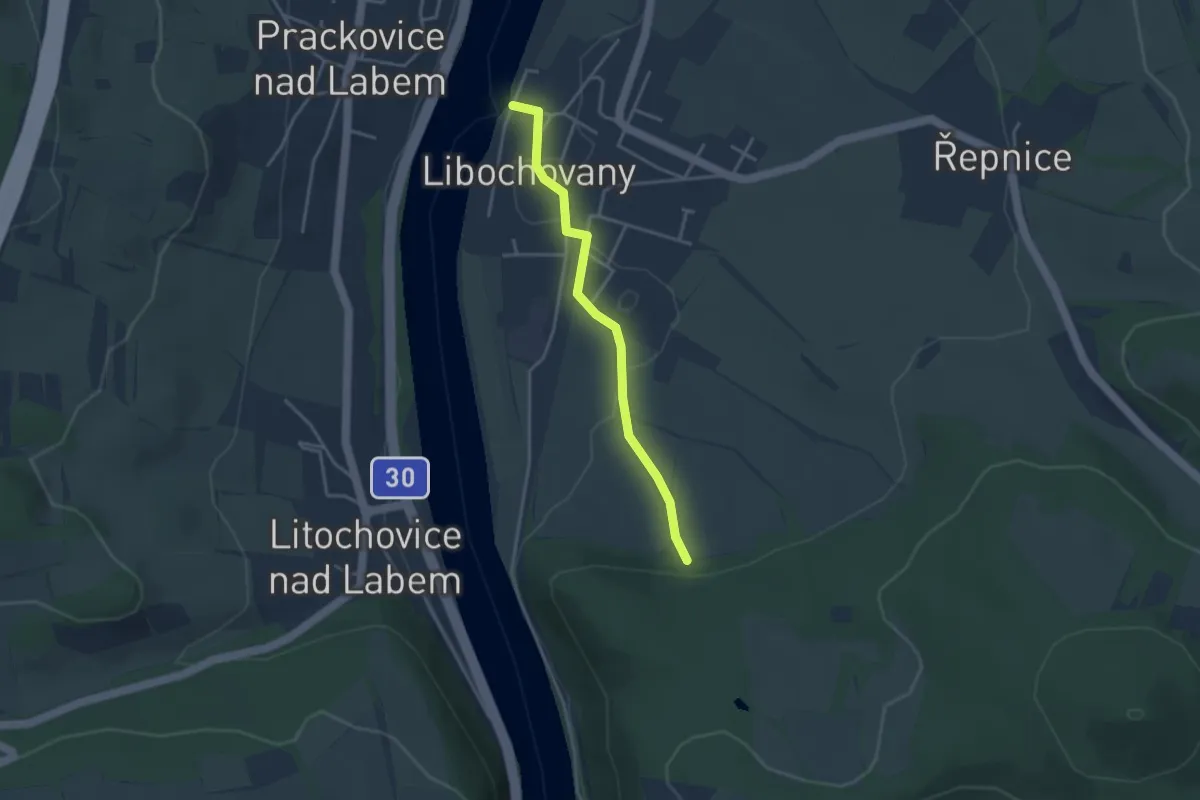
Easy · Trail
NS Libochovany
3.0 km · ↑ 46 m · 49 min
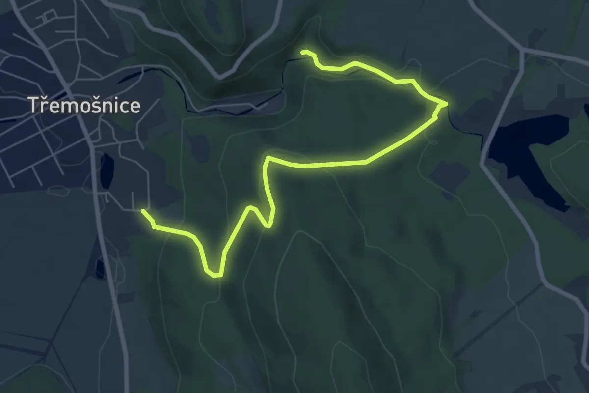
Easy · Trail
NS Lichnice - Kaňkovy hory
6.7 km · ↑ 246 m · 2 h 7 min
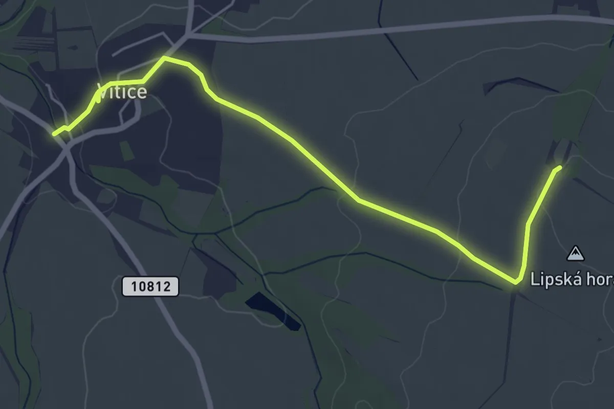
Easy · Trail
NS Lipanská mohyla
5.1 km · ↑ 78 m · 1 h 23 min
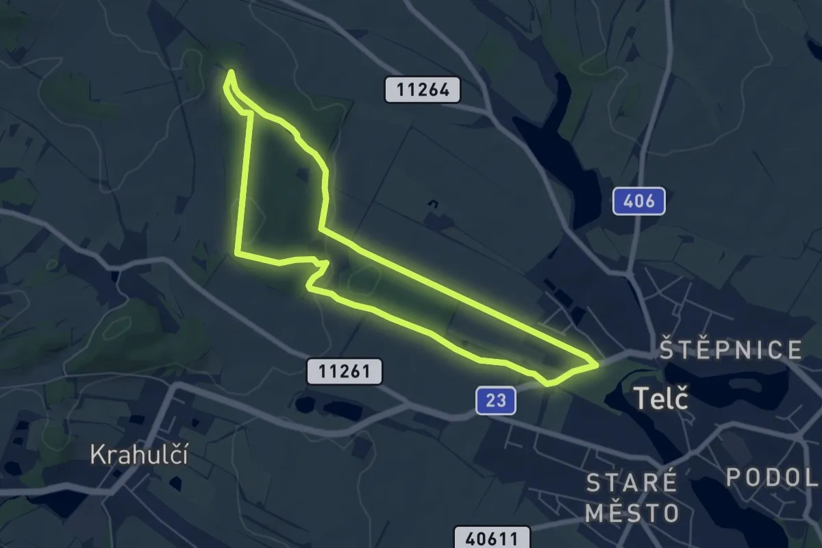
Easy · Trail
NS Lipky
6.0 km · ↑ 96 m · 1 h 43 min
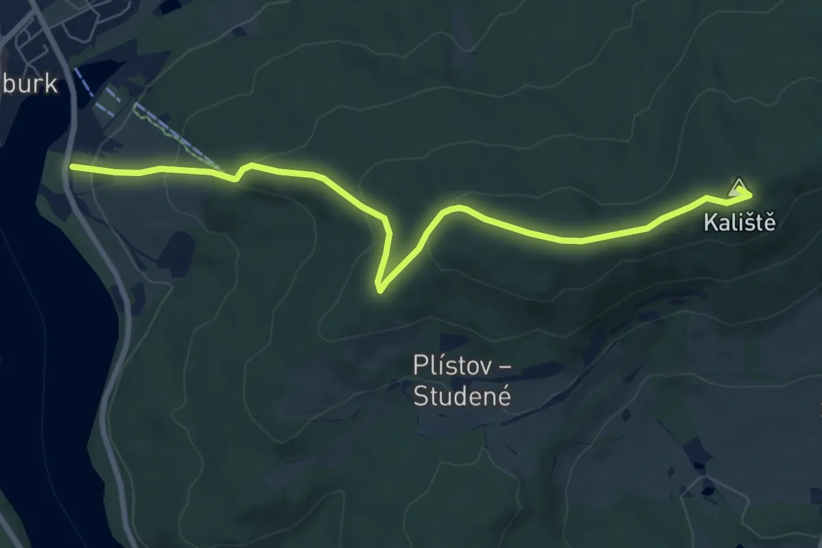
Easy · Summit
NS Lipno
7.3 km · ↑ 296 m · 2 h 22 min
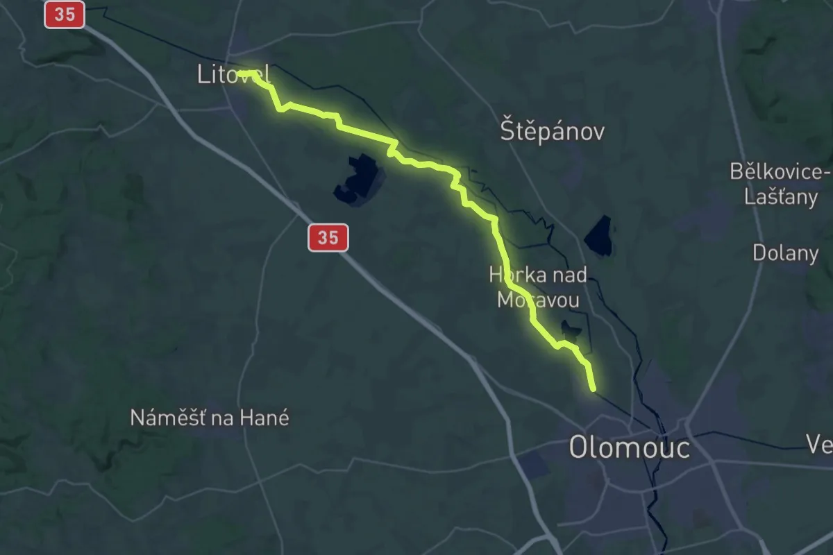
Demanding · Trail
NS Litovelské Luhy
18.3 km · ↑ 33 m · 4 h 39 min
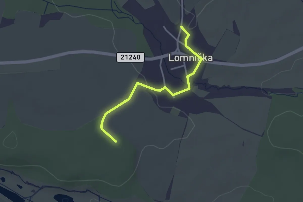
Easy · Trail
NS Lomnička
2.6 km · ↑ 35 m · 41 min
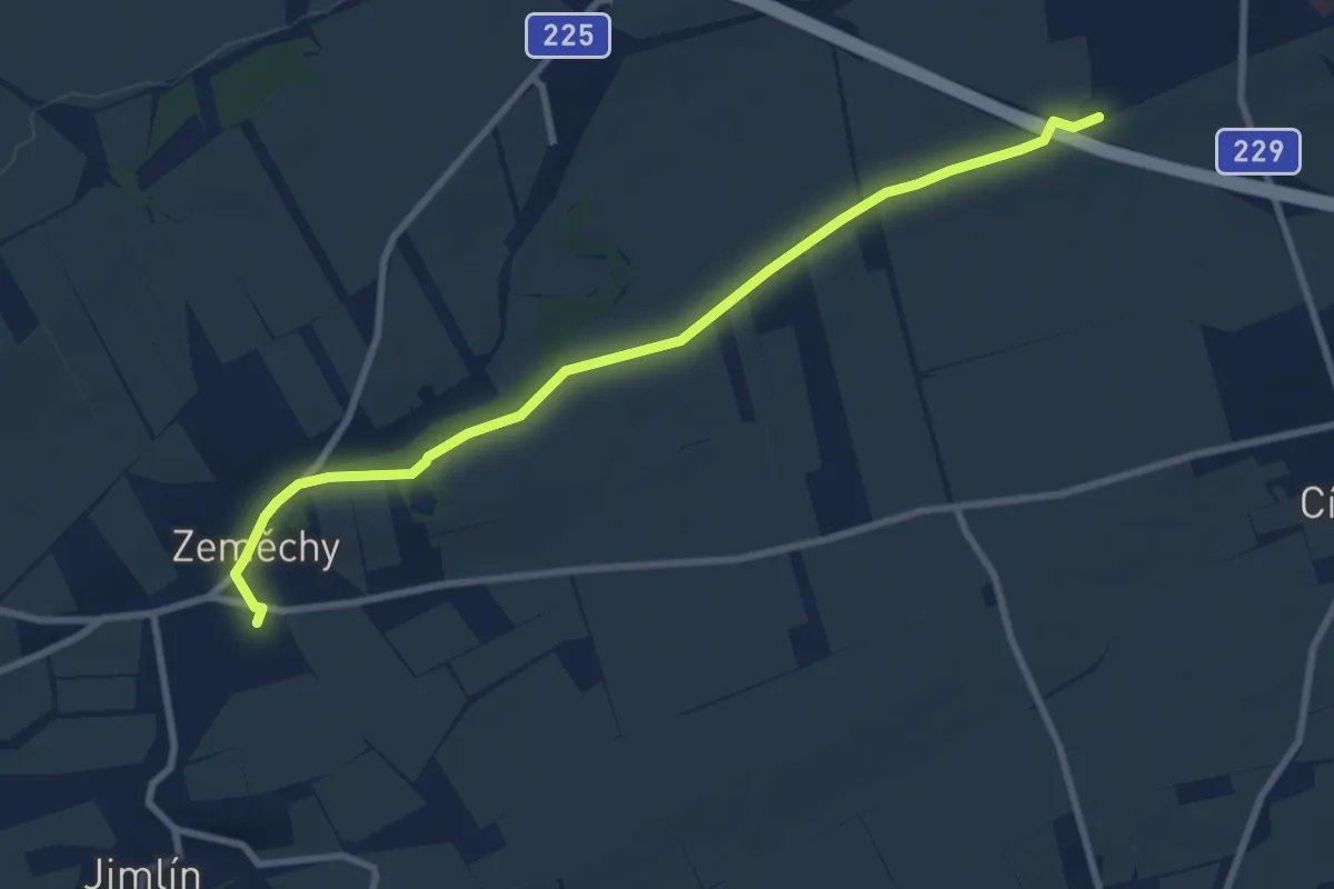
Medium · Trail
NS Louny - Zeměchy
8.5 km · ↑ 44 m · 2 h 7 min
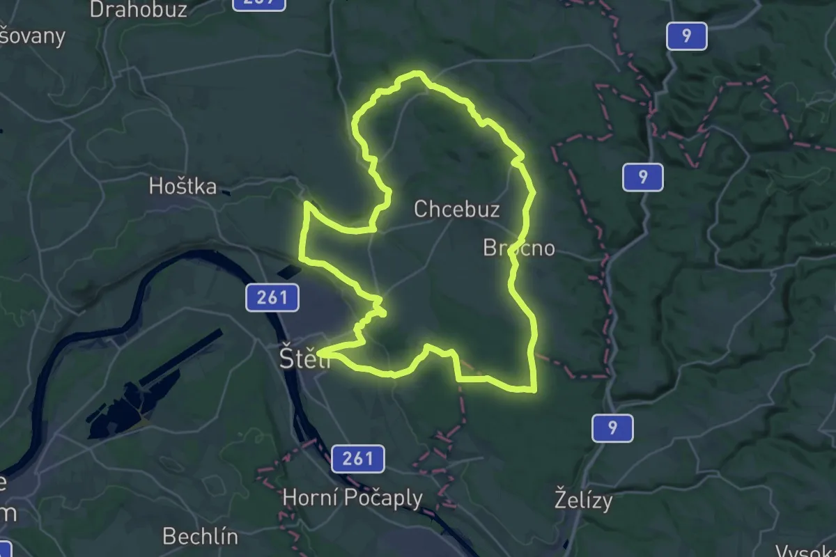
Demanding · Summit
NS Loupežníka Štětky
28.3 km · ↑ 303 m · 7 h 44 min
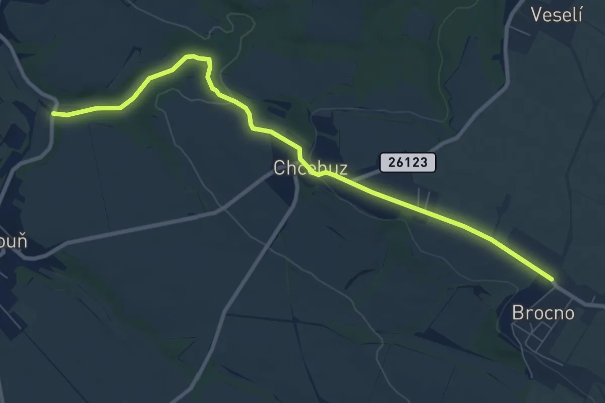
Easy · Trail
NS Loupežníka Štětky
7.5 km · ↑ 105 m · 2 h
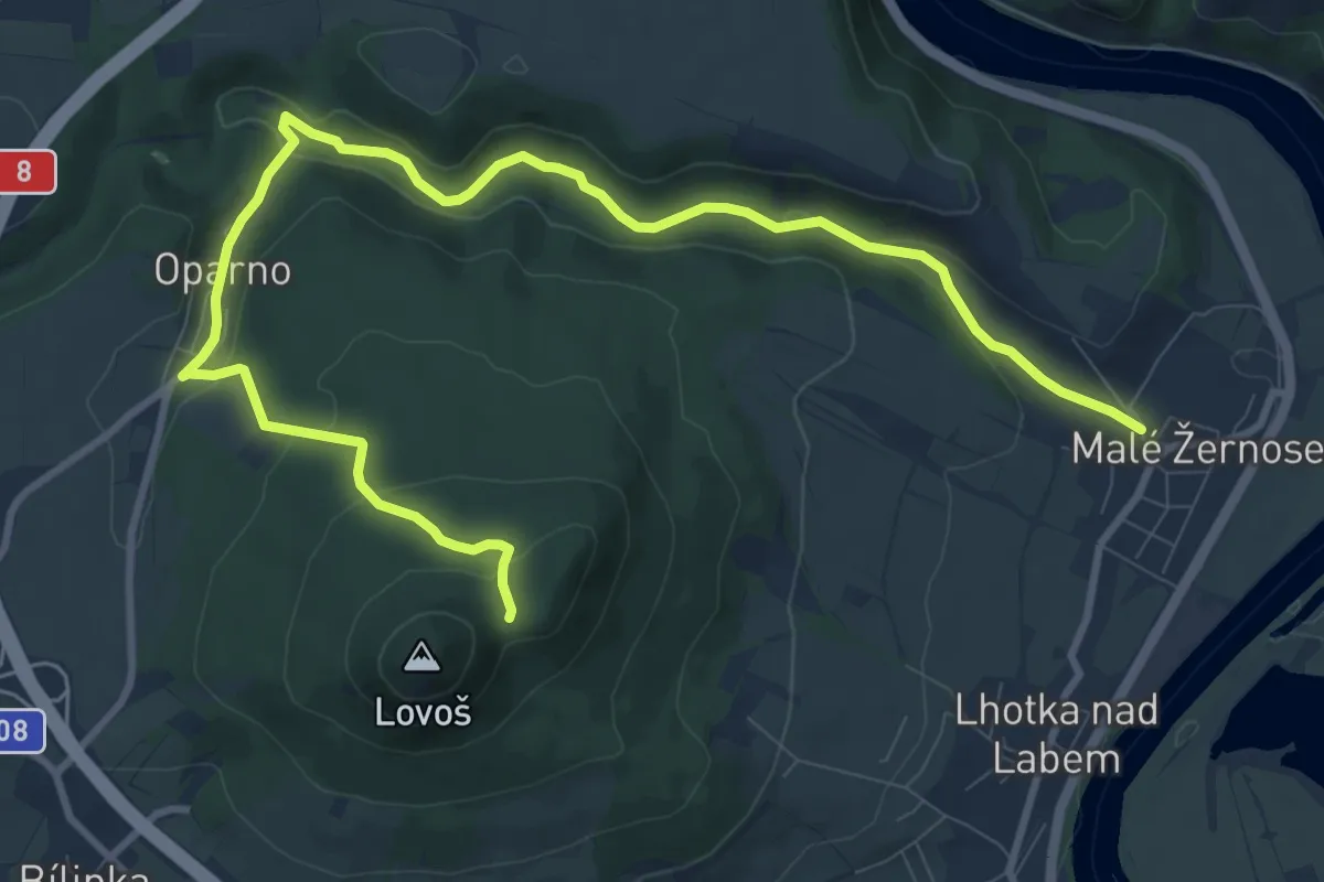
Medium · Trail
NS Lovoš
11.9 km · ↑ 337 m · 3 h 32 min
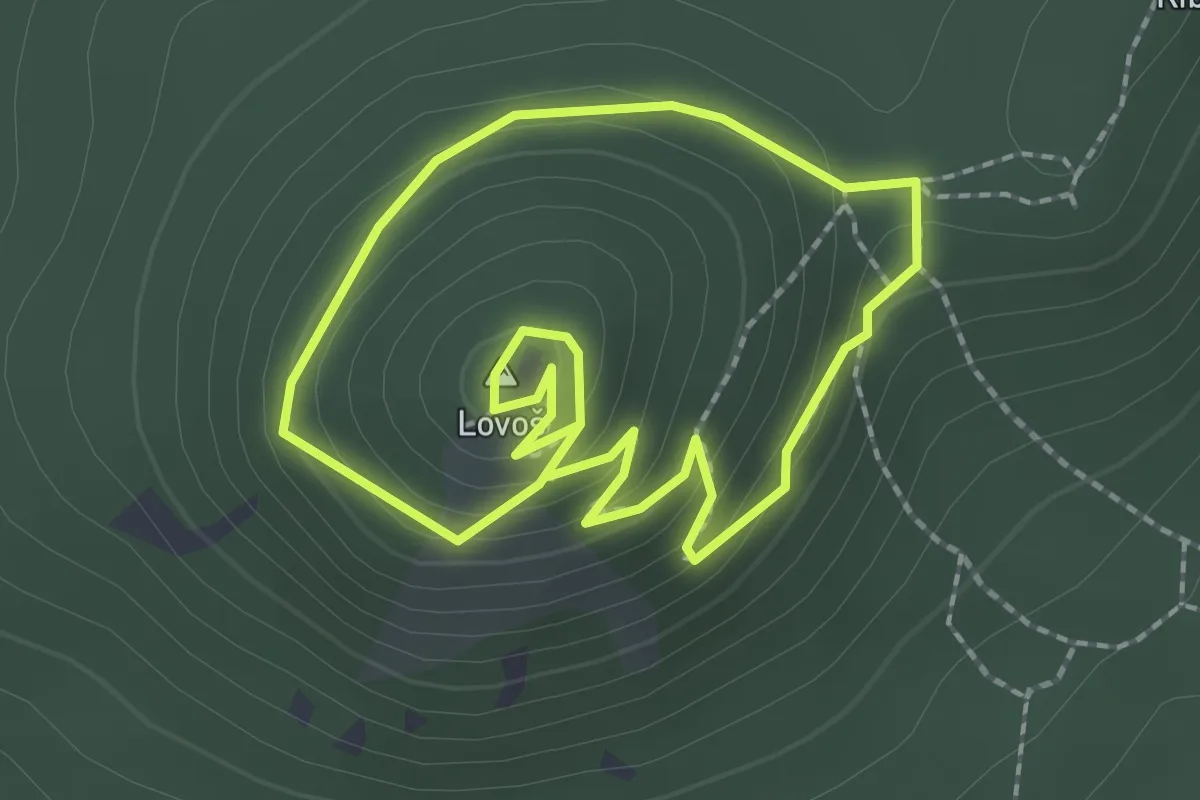
Medium · Summit
NS Lovoš - velký okruh (přes vrchol Lovoše)
1.8 km · ↑ 95 m · 39 min
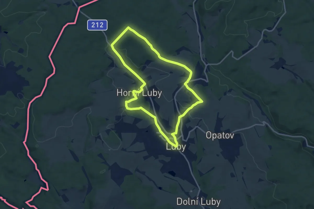
Medium · Summit
NS Lubsko
9.6 km · ↑ 188 m · 2 h 48 min
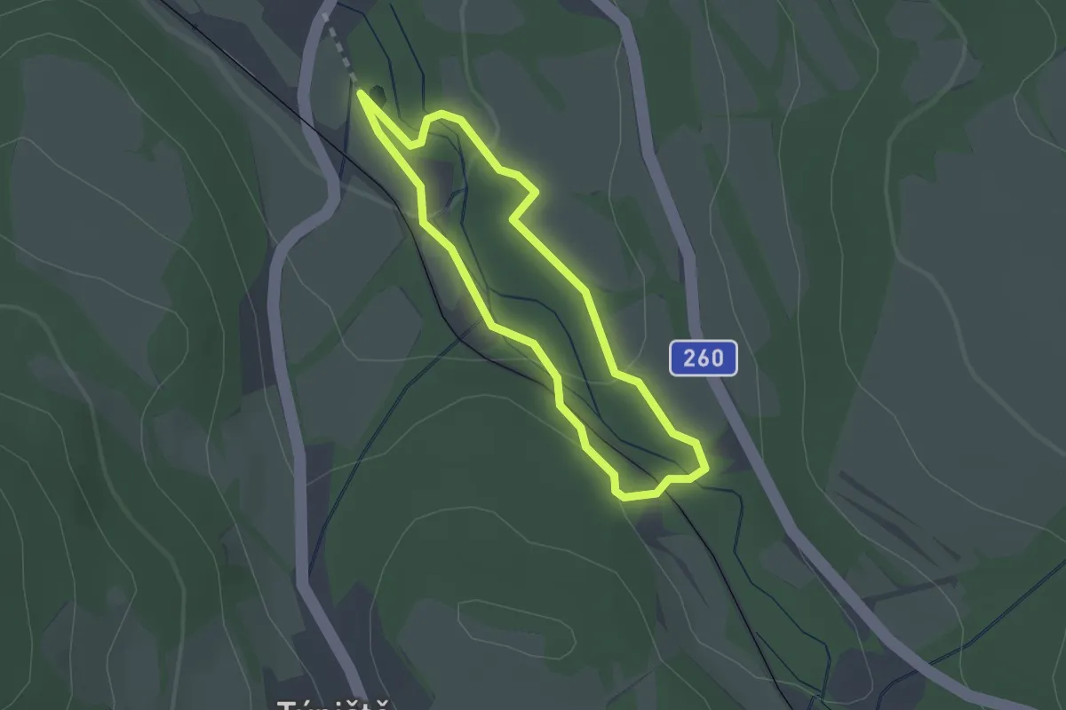
Easy · Trail
NS Luční potok
1.7 km · ↑ 39 m · 30 min
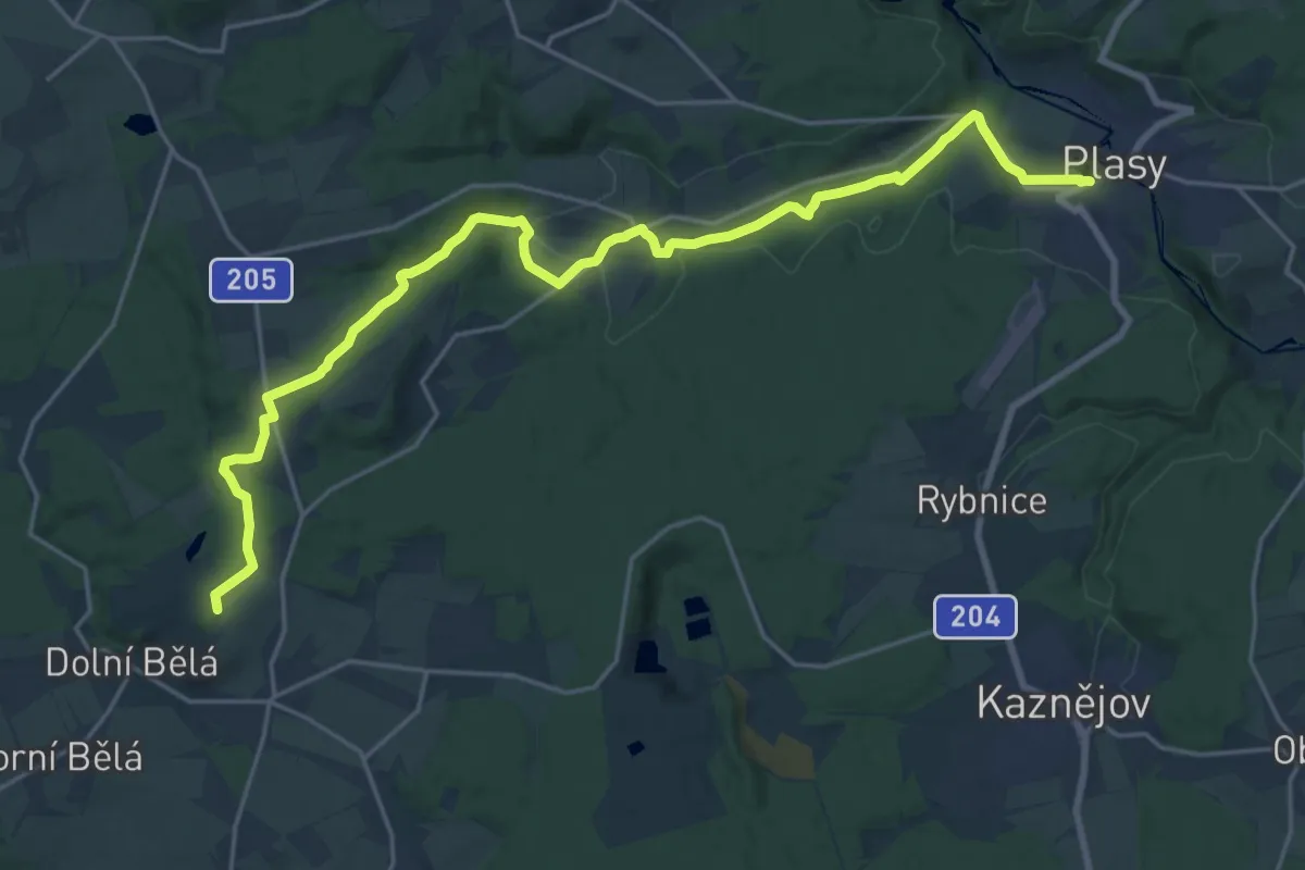
Demanding · Summit
NS Ludvíka Očenáška
23.1 km · ↑ 361 m · 6 h 13 min
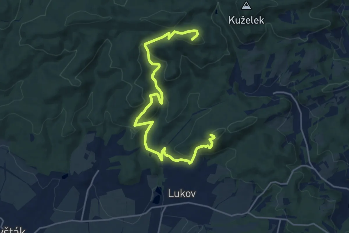
Medium · Summit
NS Lukov
15.0 km · ↑ 716 m · 5 h 6 min
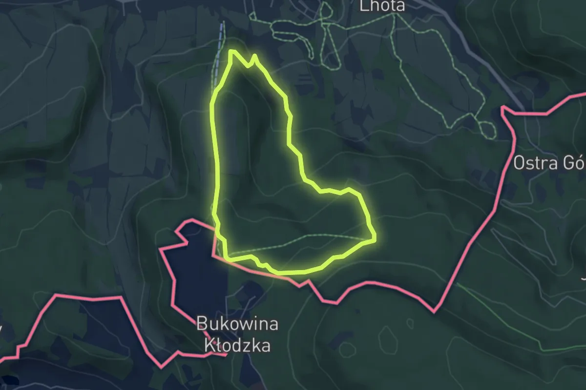
Easy · Summit
NS Machov
4.4 km · ↑ 232 m · 1 h 36 min
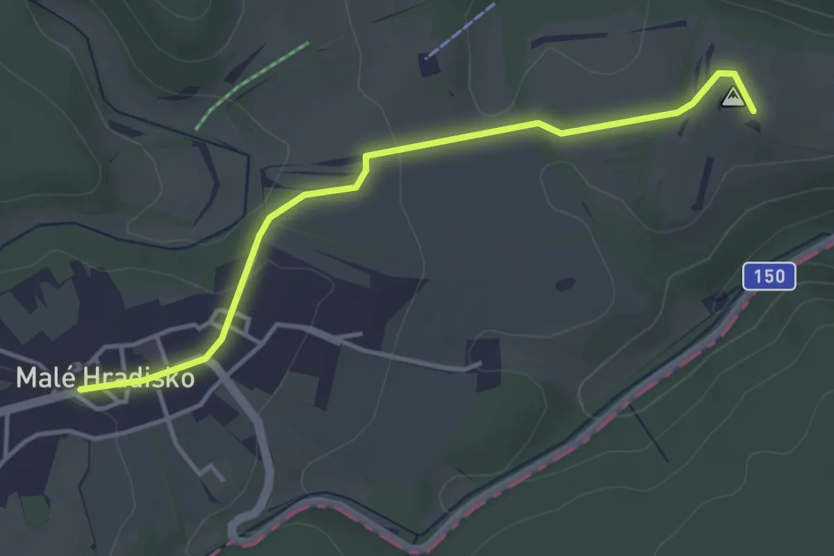
Easy · Trail
NS Malé Hradisko
3.6 km · ↑ 70 m · 1 h
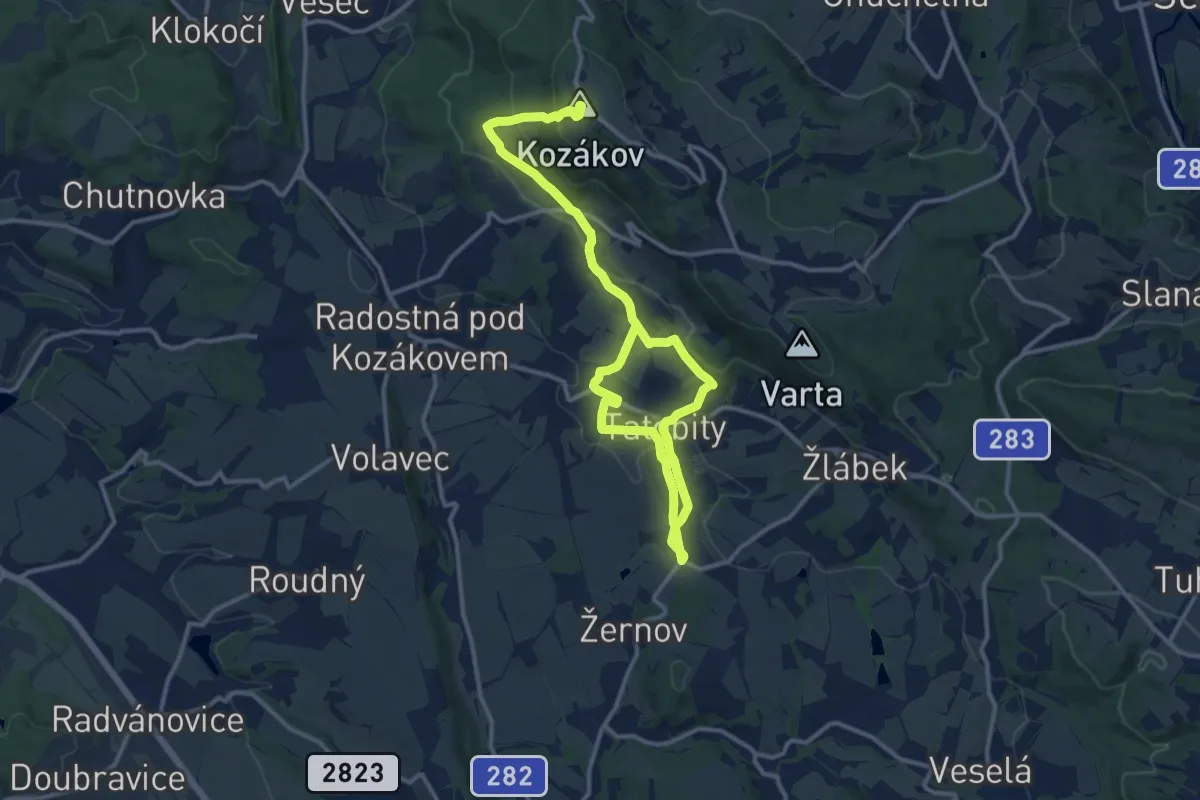
Medium · Summit
NS Malíře Jana Dědiny
16.6 km · ↑ 510 m · 5 h 1 min
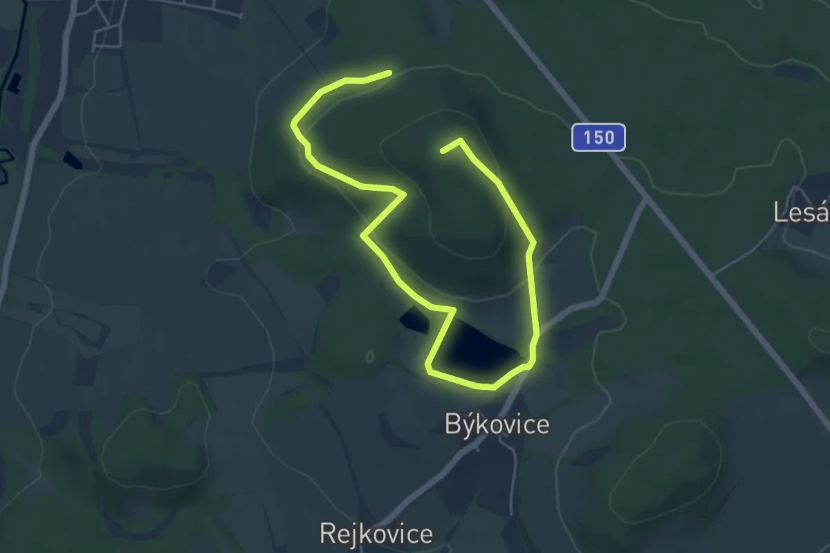
Easy · Summit
NS Malý Blaník – Podlesí
6.4 km · ↑ 237 m · 2 h 2 min
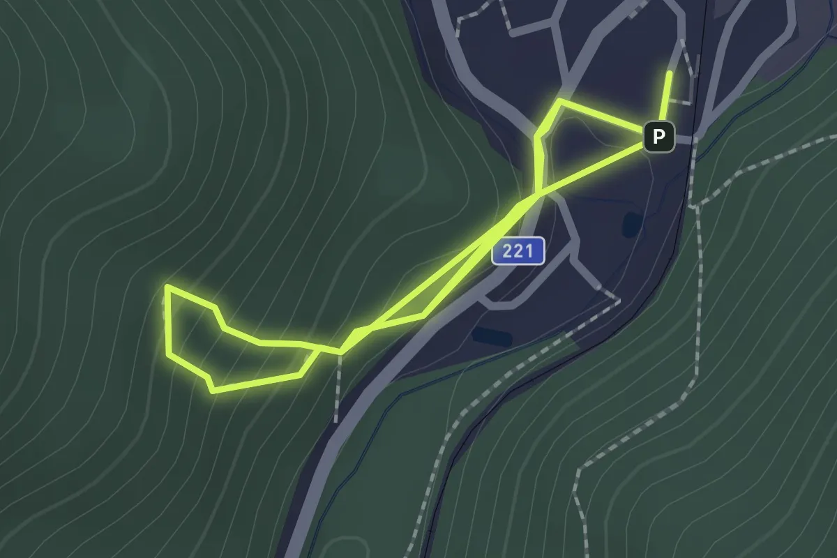
Medium · Trail
NS Mamut
1.9 km · ↑ 120 m · 43 min
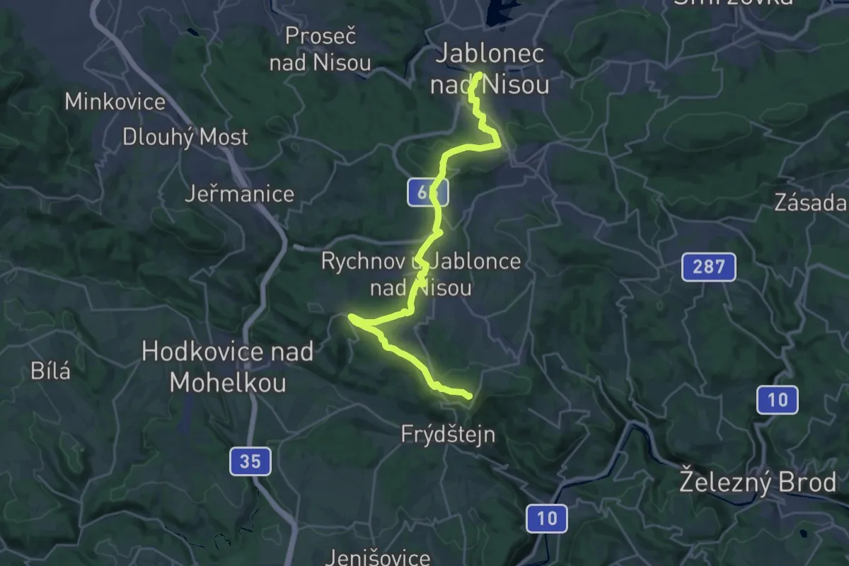
Demanding · Summit
NS manželů Scheybalových 1. část
24.6 km · ↑ 552 m · 7 h
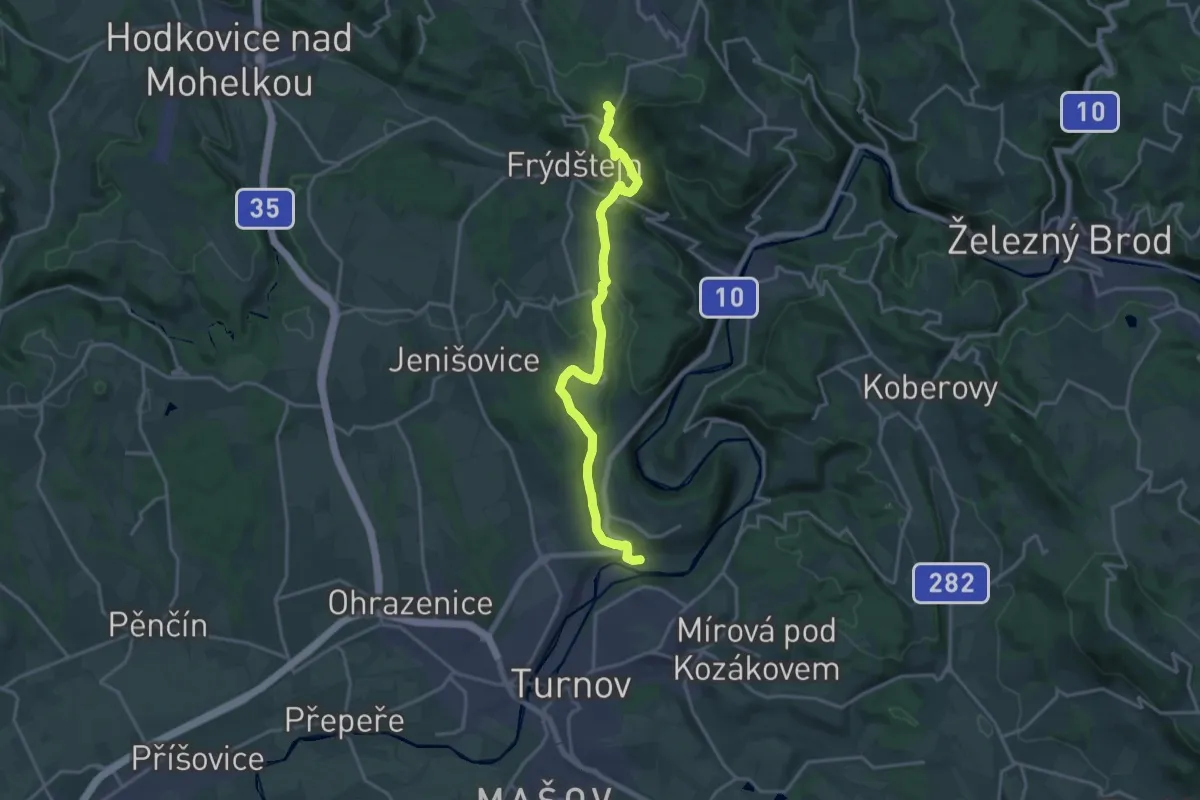
Medium · Summit
NS manželů Scheybalových 2. část
16.8 km · ↑ 425 m · 4 h 54 min
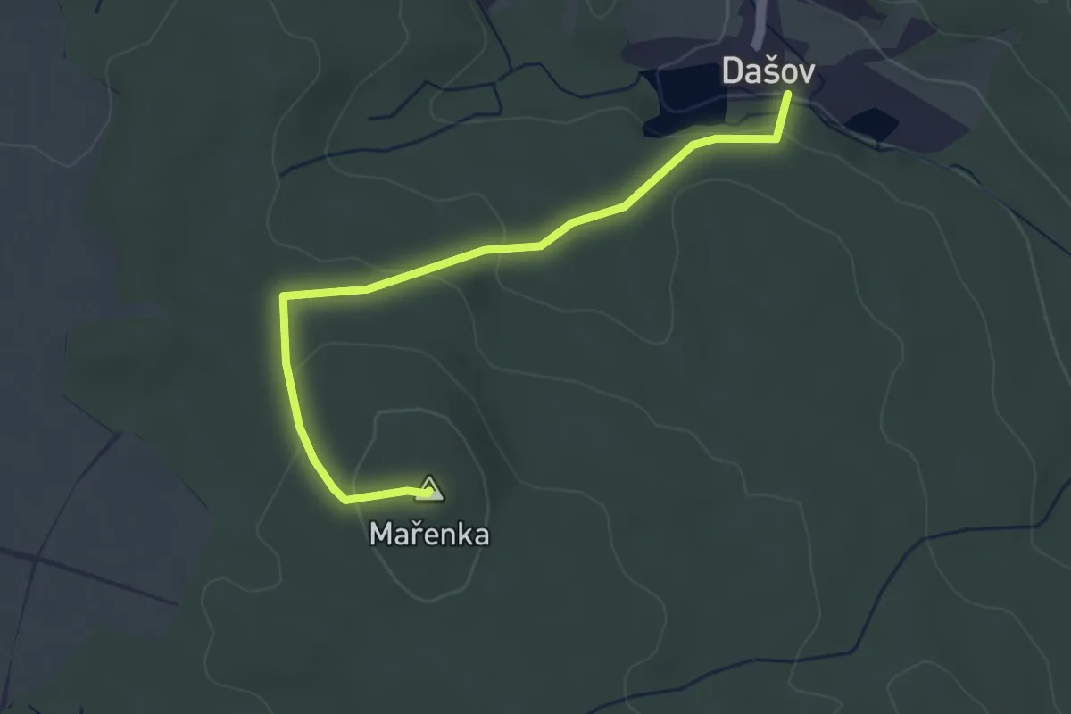
Easy · Summit
NS Mařenka
3.6 km · ↑ 120 m · 1 h 6 min
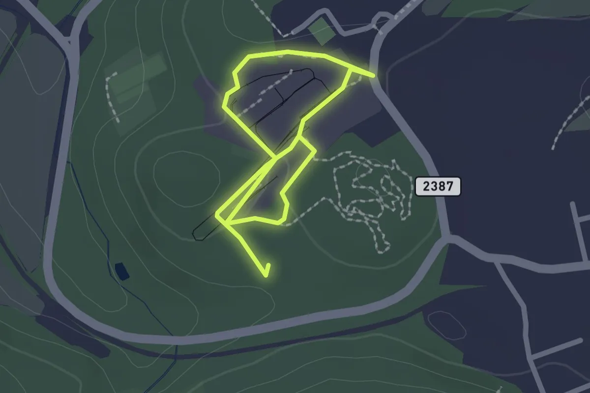
Easy · Trail
NS Mayrau
2.7 km · ↑ 15 m · 40 min
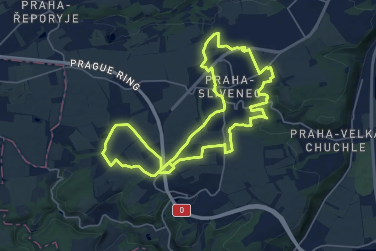
Medium · Trail
NS MČ Praha - Slivenec
13.8 km · ↑ 126 m · 3 h 44 min
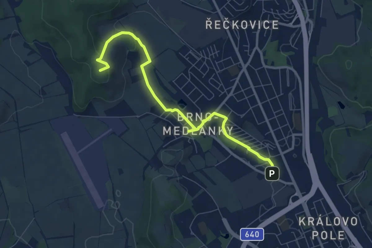
Easy · Summit
NS Medlánecká
7.7 km · ↑ 147 m · 2 h 8 min
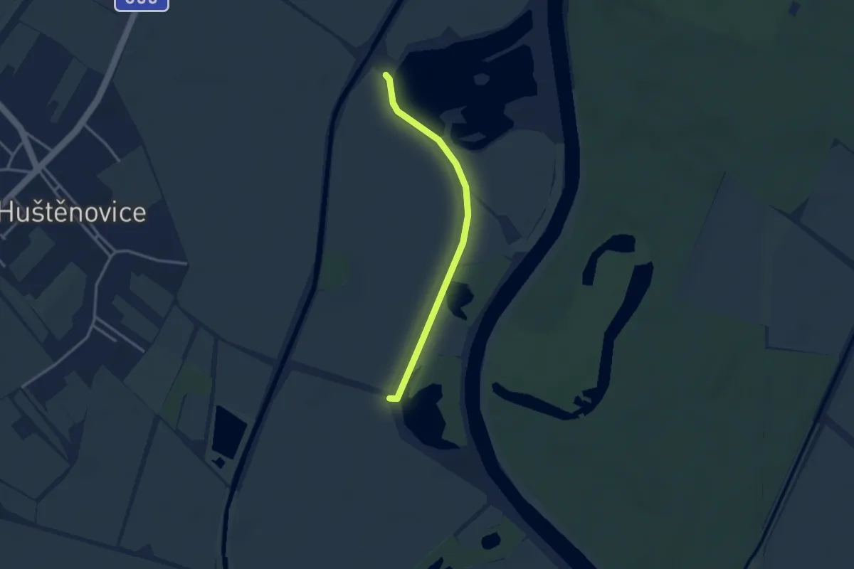
Easy · Trail
NS Měkký luh Hustěnovice
2.7 km · ↑ 0 m · 38 min
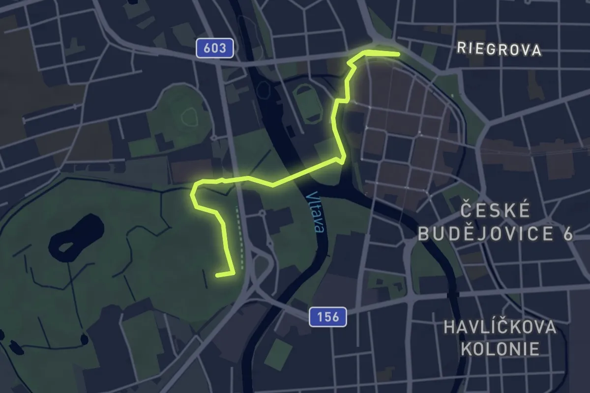
Easy · Trail
NS Městské druhy
4.0 km · ↑ 8 m · 57 min
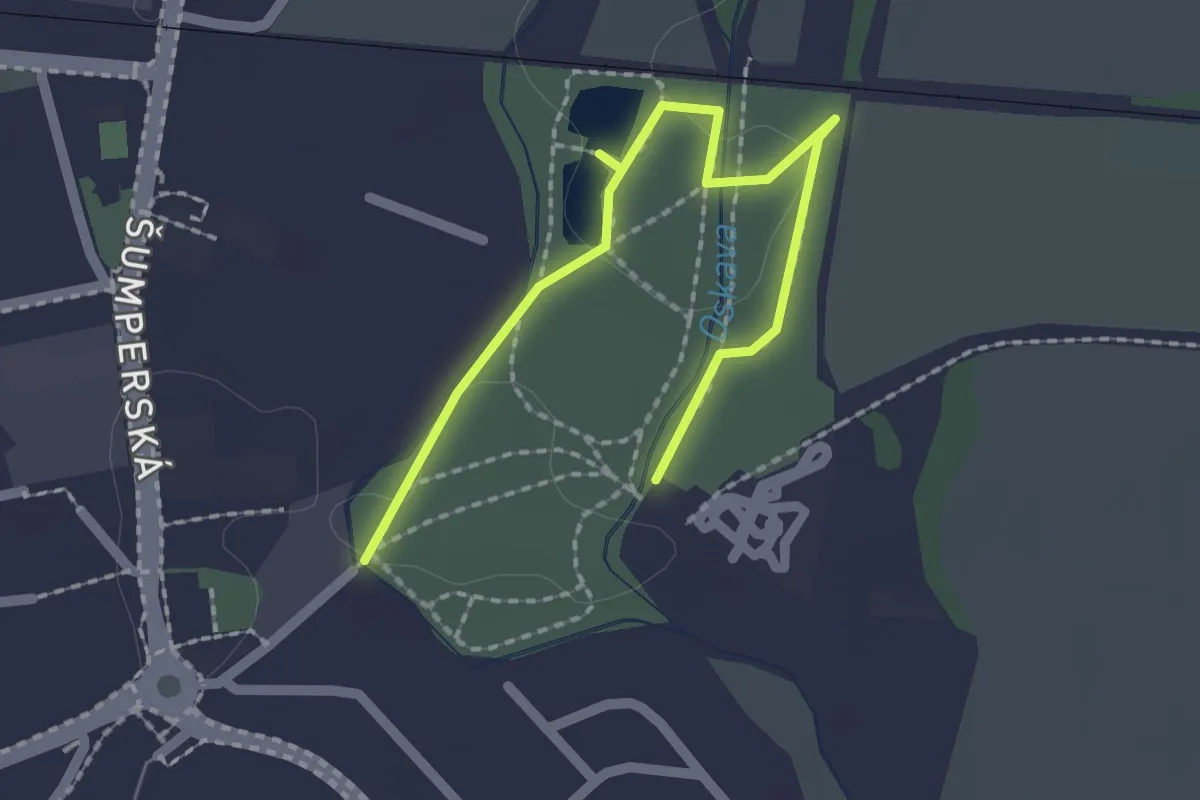
Easy · Trail
NS Městský park Uničov
2.2 km · ↑ 0 m · 31 min
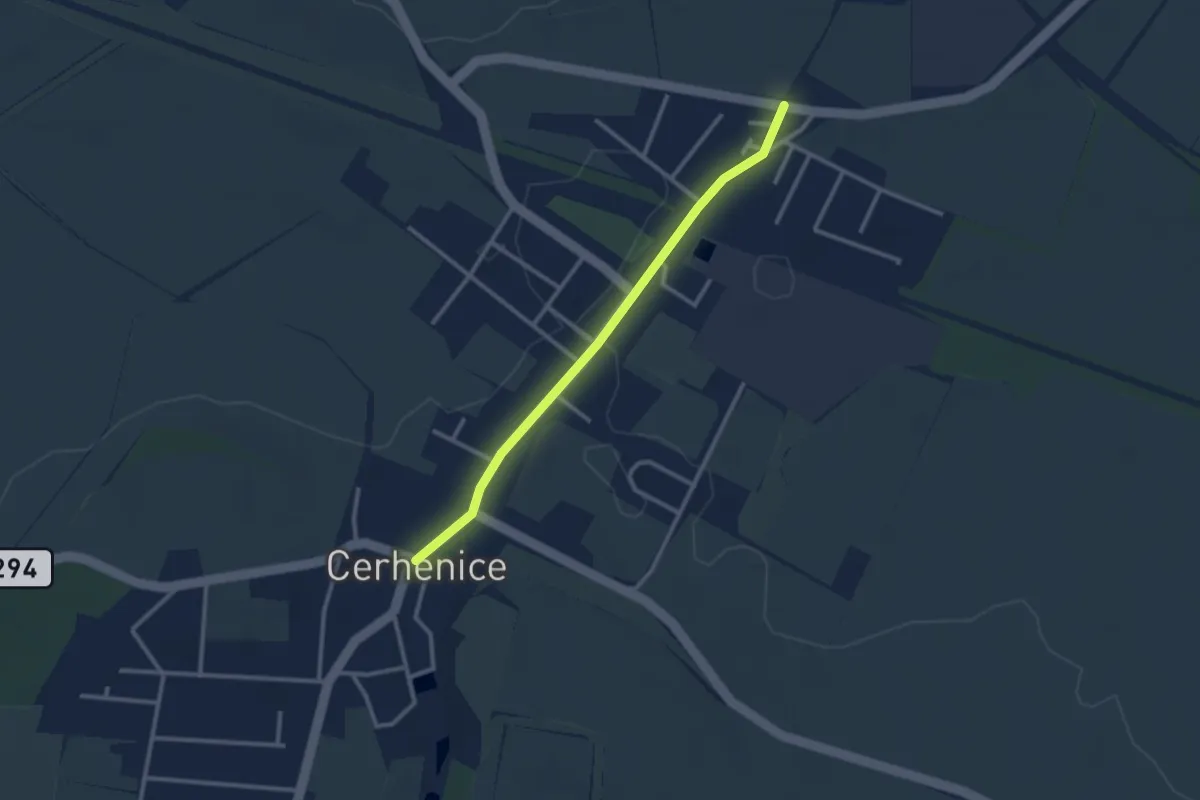
Easy · Trail
NS Městysem Cerhenice
2.5 km · ↑ 13 m · 37 min
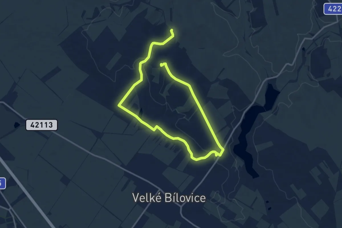
Medium · Summit
NS Mezi vinicemi
16.1 km · ↑ 170 m · 4 h 10 min
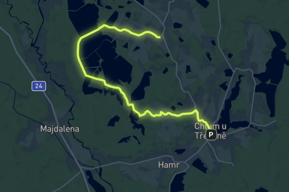
Demanding · Trail
NS Mikuláše Rutharda
20.9 km · ↑ 190 m · 5 h 20 min
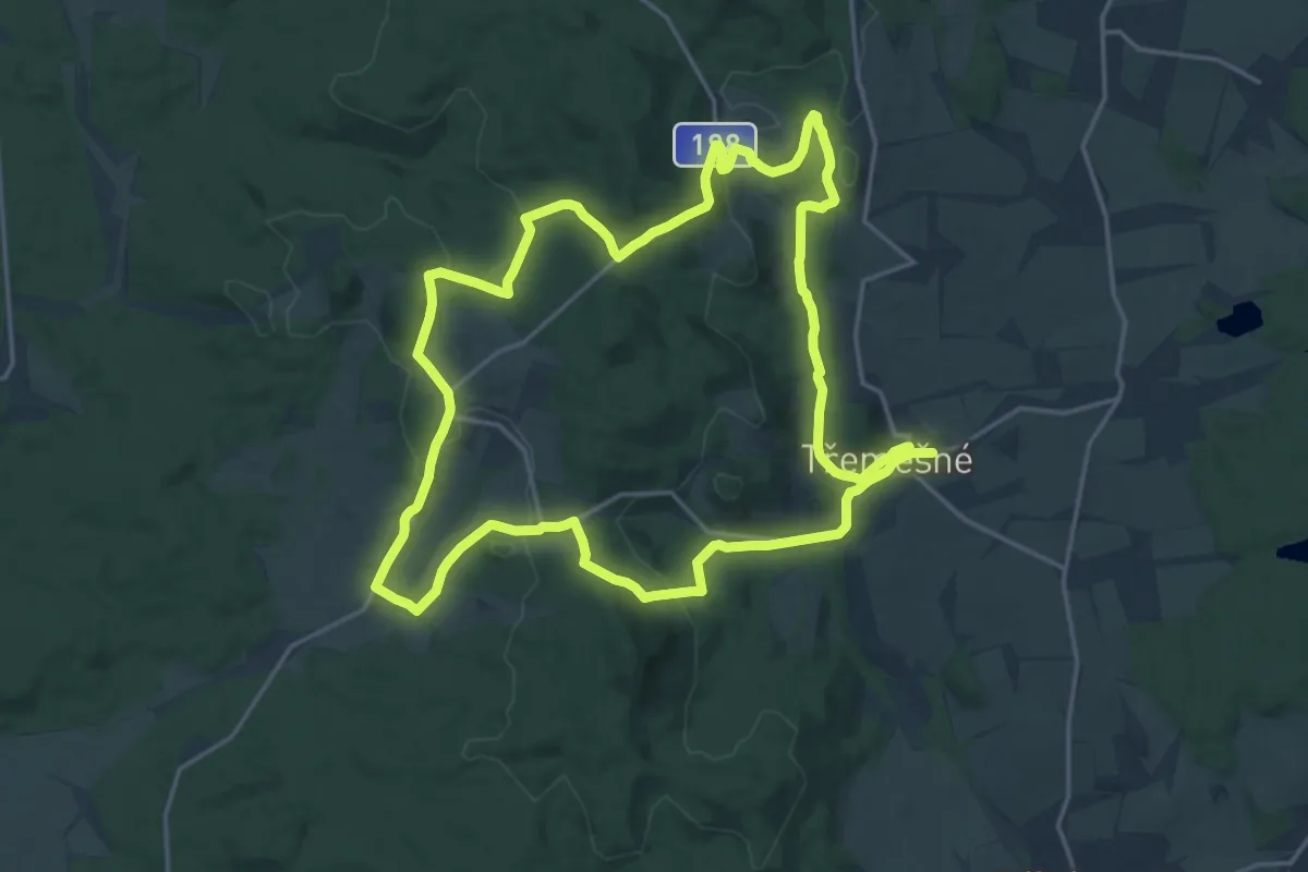
Demanding · Trail
NS Milíře a vodní mlýny
18.4 km · ↑ 436 m · 5 h 32 min
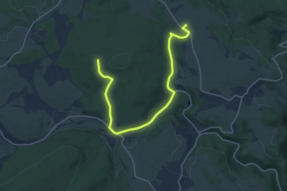
Medium · Summit
NS Mnichovské Hadce
10.6 km · ↑ 191 m · 2 h 55 min
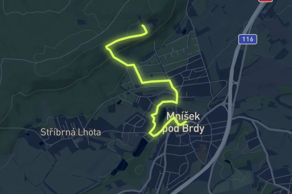
Easy · Trail
NS Mníšek pod Brdy
7.1 km · ↑ 218 m · 2 h 9 min
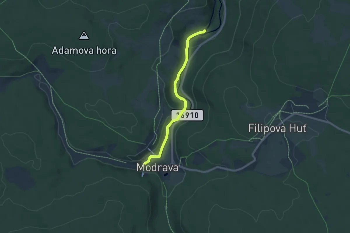
Easy · Trail
NS Modrava - Hradlový most
4.7 km · ↑ 80 m · 1 h 17 min
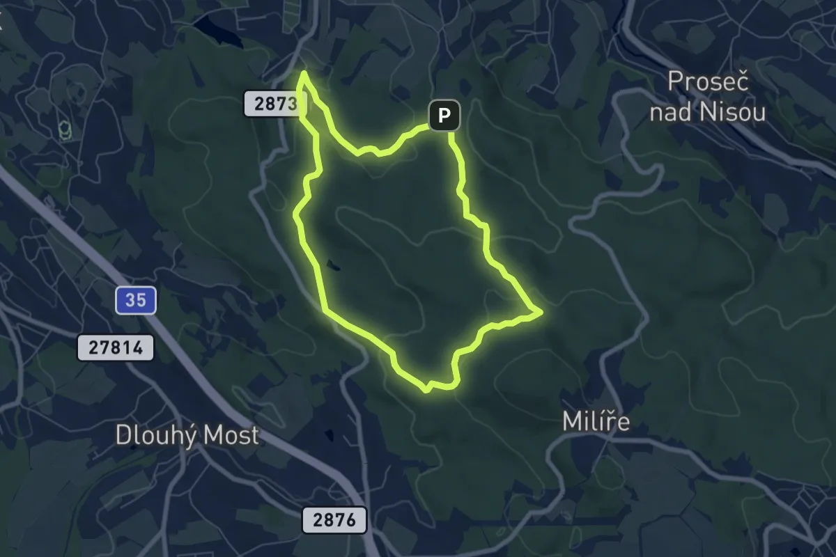
Easy · Trail
NS Mojžíšův pramen - Císařský kámen
5.7 km · ↑ 208 m · 1 h 52 min
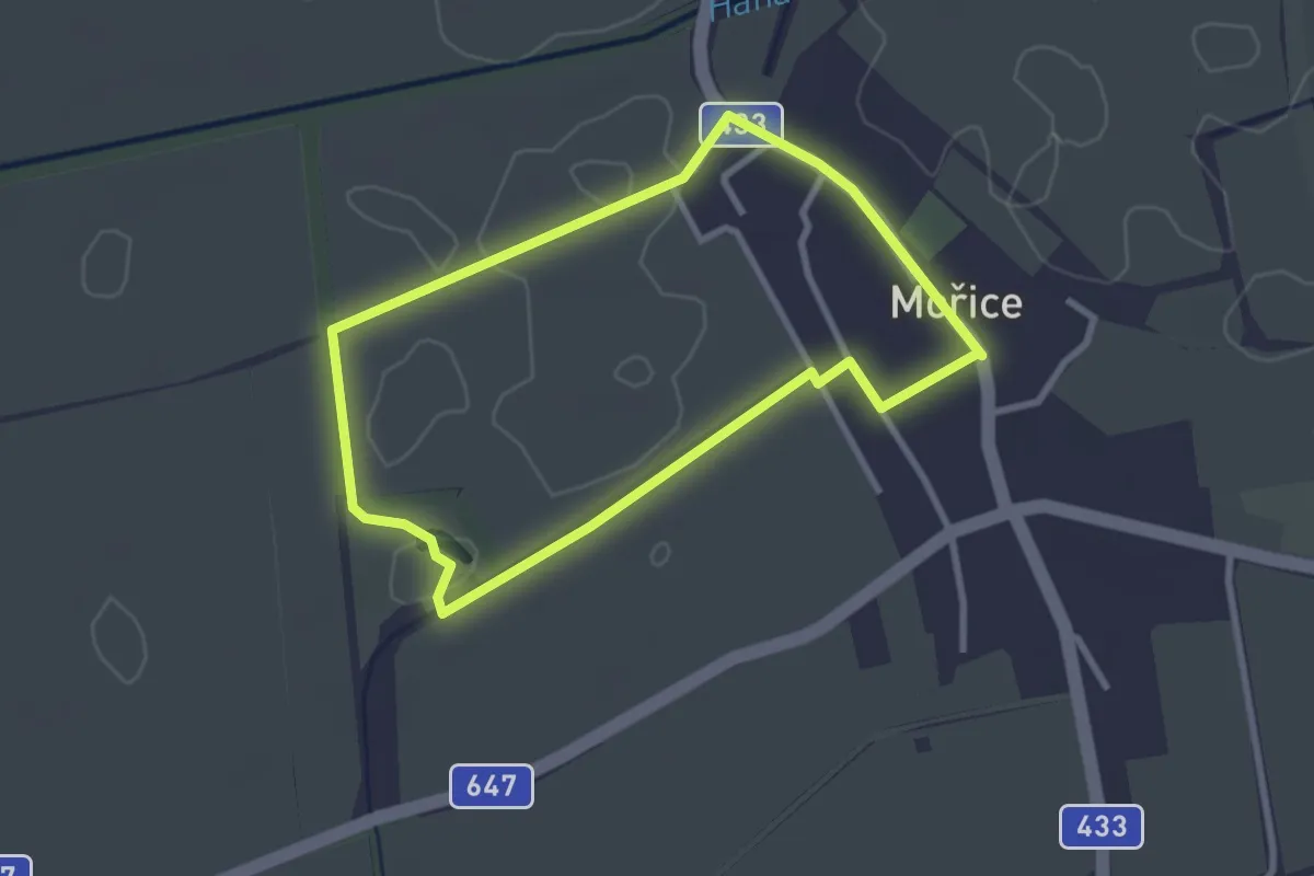
Easy · Trail
NS Mokroš
2.5 km · ↑ 4 m · 38 min
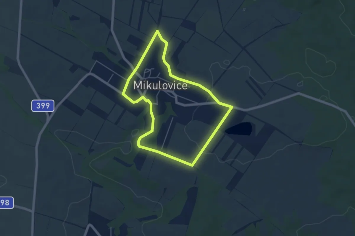
Easy · Trail
NS moravského včelařství
4.1 km · ↑ 47 m · 1 h 8 min
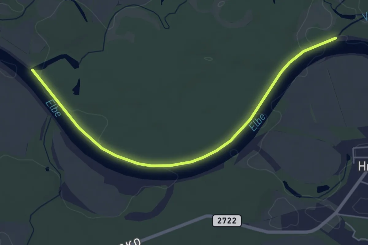
Easy · Trail
NS Mydlovarský luh
4.9 km · ↑ 8 m · 1 h 11 min
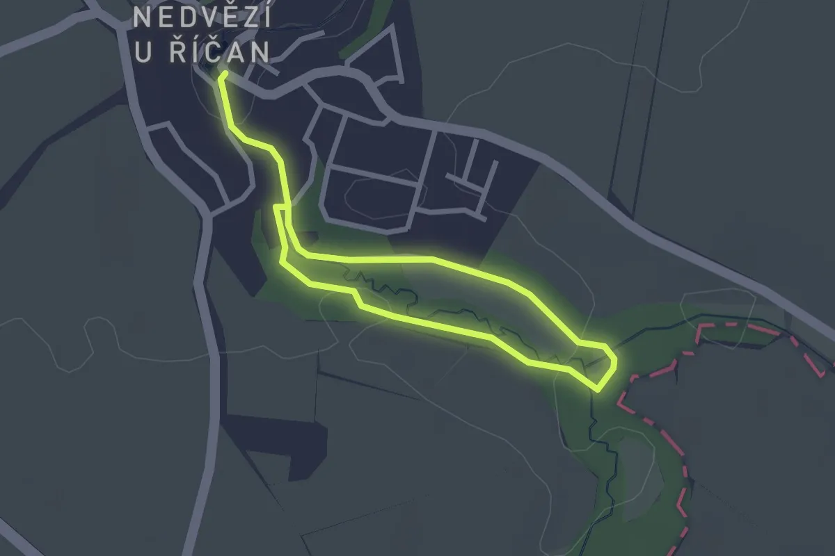
Easy · Trail
NS Mýto
3.4 km · ↑ 34 m · 52 min
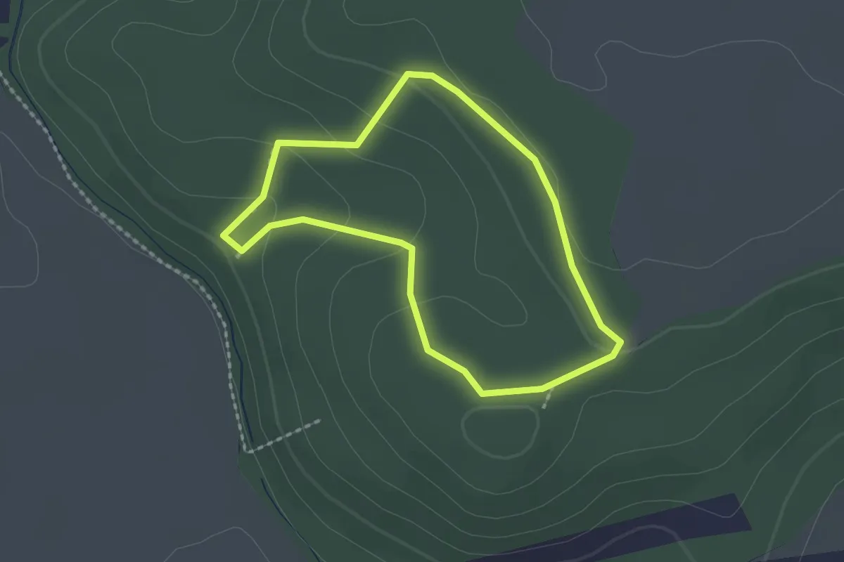
Easy · Trail
NS Na Amálii
1.6 km · ↑ 55 m · 31 min
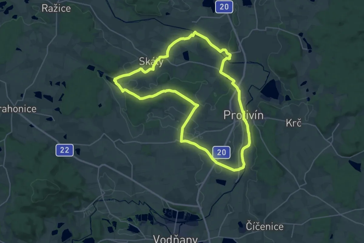
Demanding · Trail
NS Na břehu Blanice
22.5 km · ↑ 124 m · 5 h 54 min
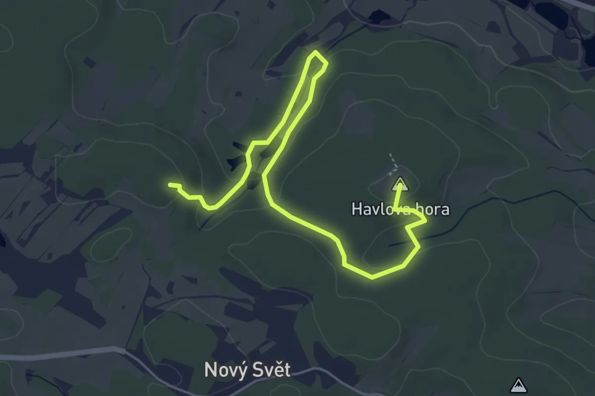
Medium · Summit
NS Na Ďáblovu prdel
5.7 km · ↑ 150 m · 1 h 40 min
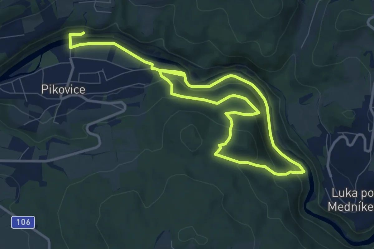
Medium · Trail
NS na Medníku
12.7 km · ↑ 457 m · 3 h 59 min